Installment No. 4 of My PCT Journey
loading map - please wait...
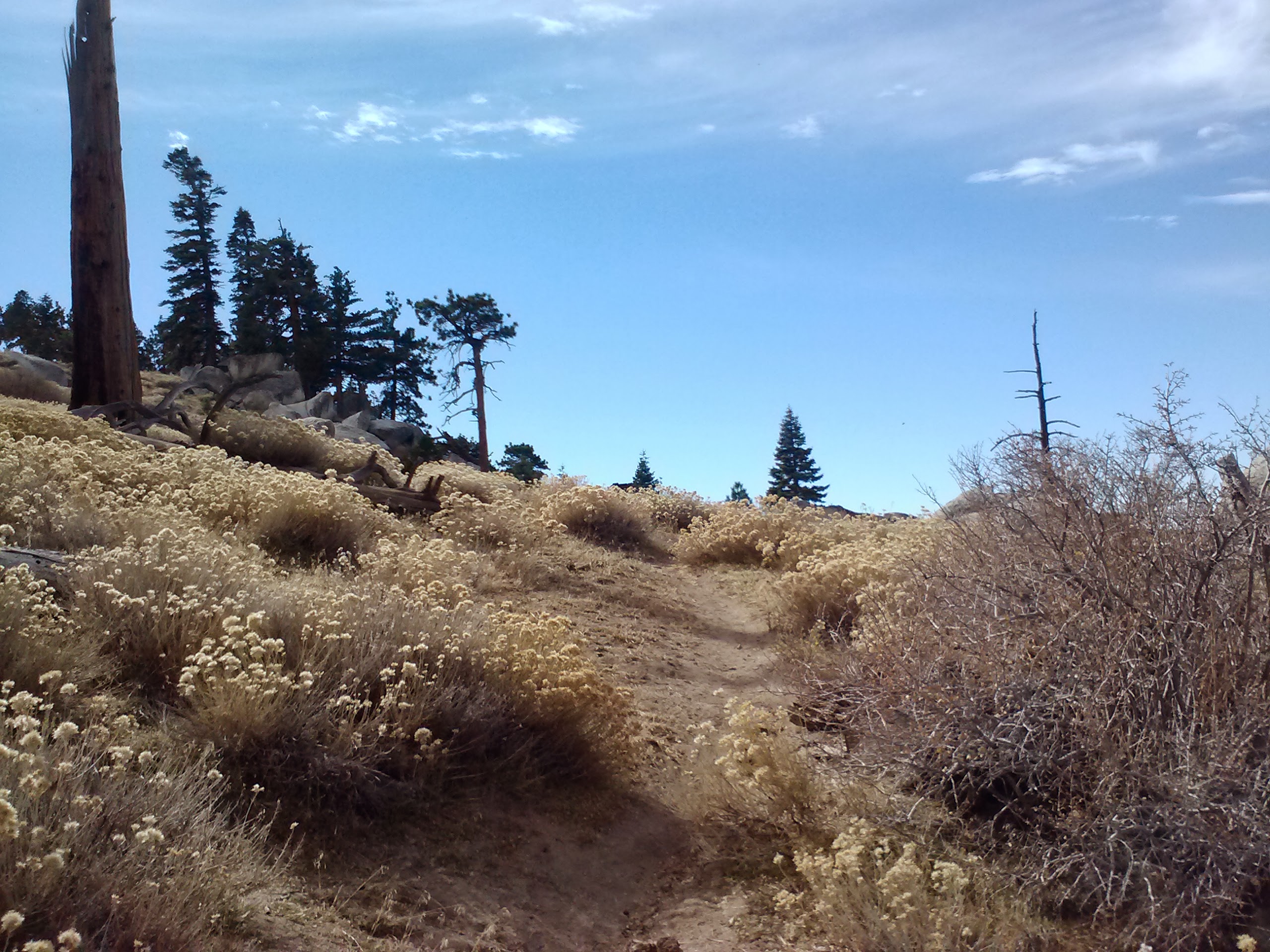
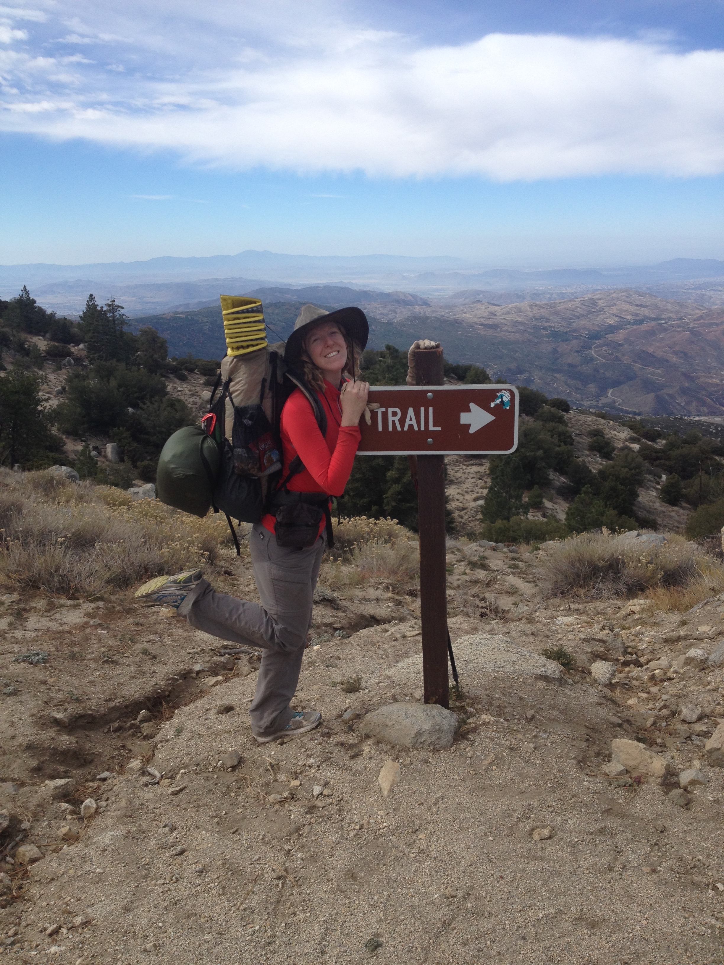
Day 1- 12.5 miles
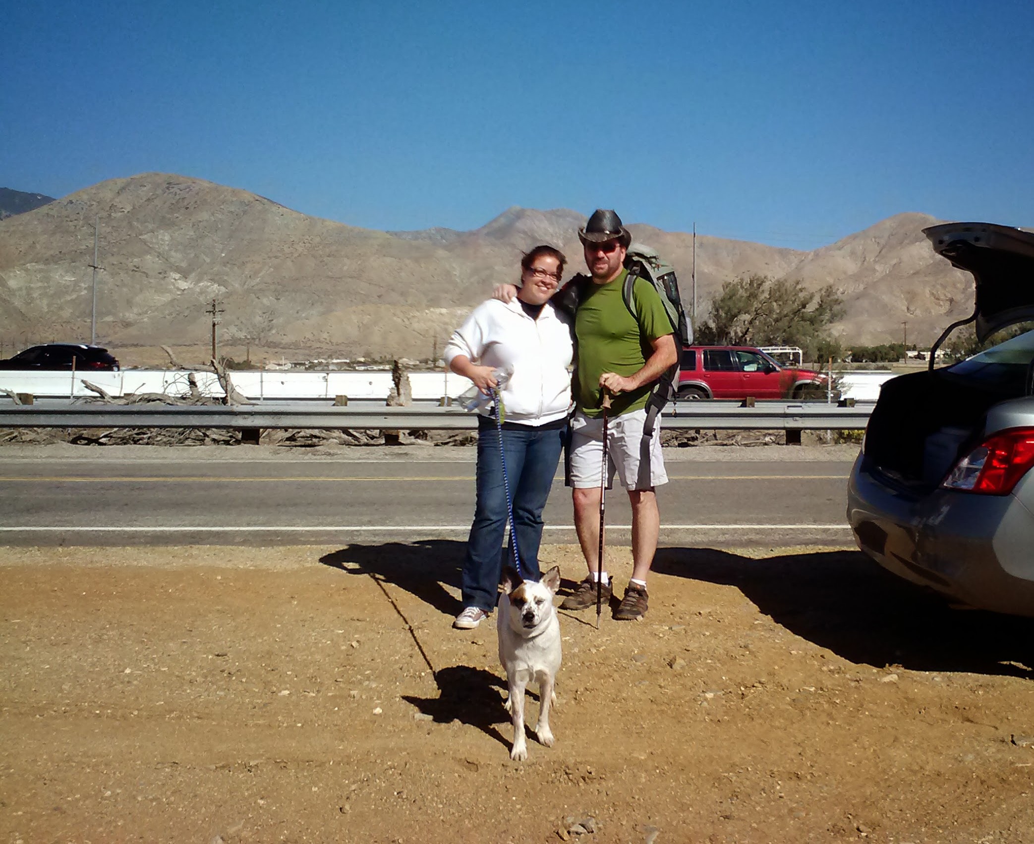
Sabrina, Art, & Pepper the dog
Our trip began with an early morning drive to Idyllwild to drop off our car & meet Sabrina, our good friend and personal Trail Angel. The plan was to cover 26 miles of Section B in San Jacinto State Park. Sabrina shuttled me, Art, Pepper the dog, & all our camp-crap down to Cabazon on Highway 10. She dropped us off right on the side of the highway, waved goodbye & drove off with Pepper looking horribly concerned in the front seat.
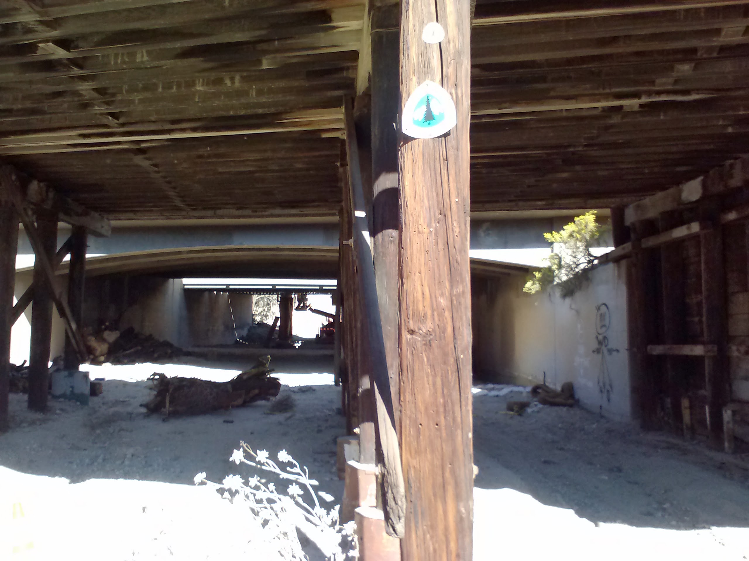
The PCT beneath the train tracks & Hwy 10
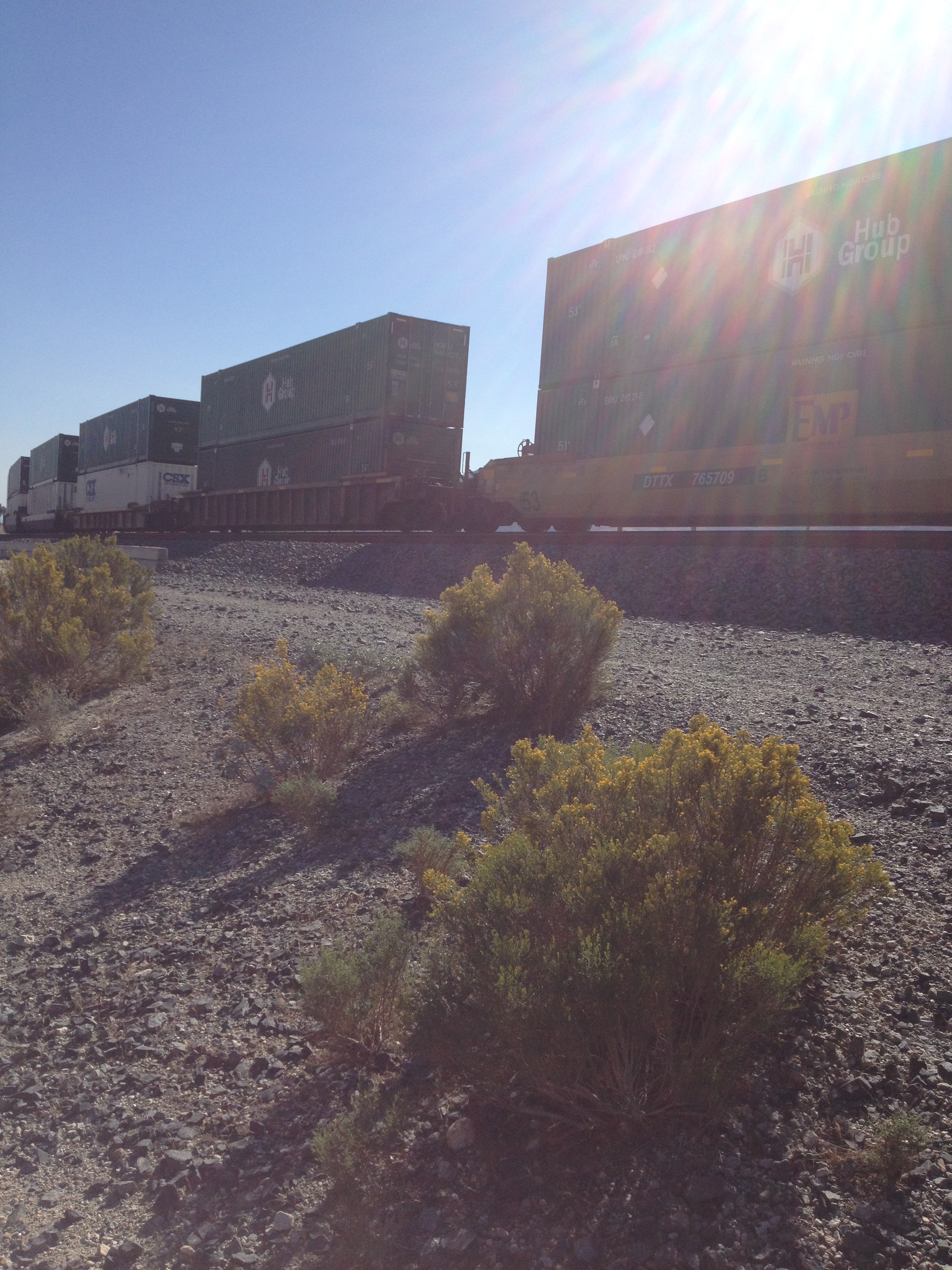
Trains alongside Hwy 10 near Cabazon
Cabazon is a small, desert community established in 1870 when Southern Pacific Railroad built a station in the area. It’s mostly known for outlet shopping, a casino, and Claude Bell’s giant dinosaur sculptures (as some may remember from Pee-Wee’s Big Adventure). The PCT slips under the highway and train tracks at this point (PCT mile 209.5), then winds it’s way through the sandy valley. It’s actually really easy to loose the trail here because it washes out so easily in the rain and wind.
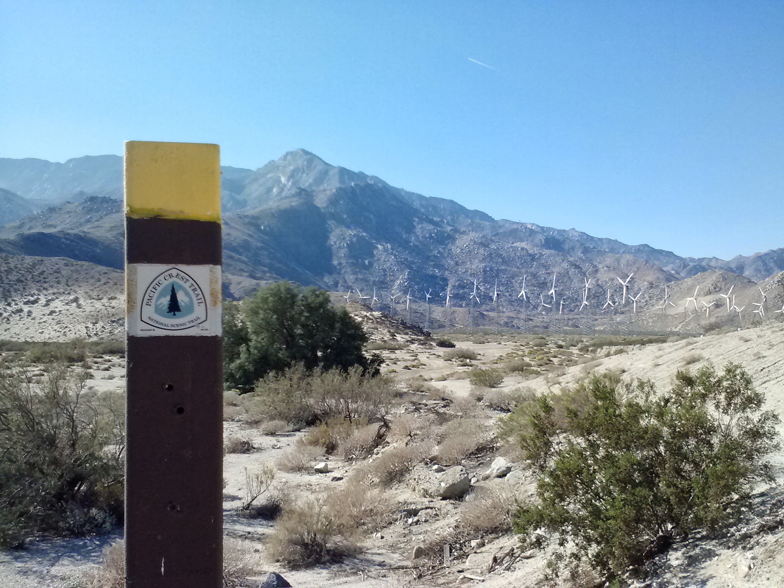
PCT mile 209ish. Windmill farm in the distance
After having to continually redirect ourselves back onto the trail, Art & I found ourselves on Snowcreek Canyon Road and in the artsy, little residential community hiding against the base of the mountains. Right then, I had a moment of panic as I believed I’d forgetten to pack matches and couldn’t find any when we checked our packs. In classic hiker trash style, we waltzed up to a gentleman working in his garage and asked if we could buy some matches. He and his wife were kind enough to just give them to us, not to mention they flattered us immensely when they assumed we were PCT Southbound Thu-hikers all the way from Canada!
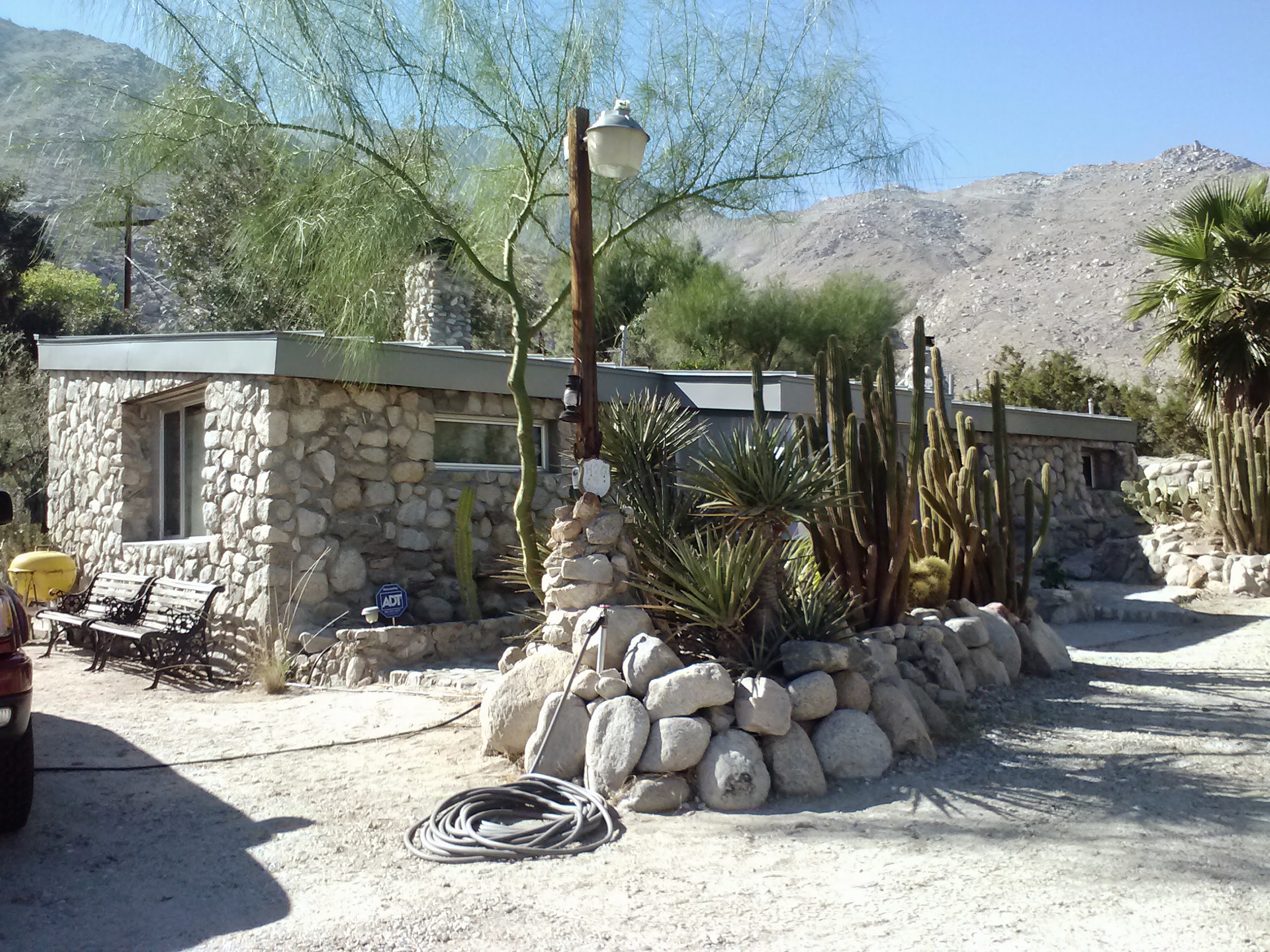
Water Resource at mile 207- just a friendly homeowner on Falls Creek Road sharing his garden hose.
Working our way up Falls Creek Road, we were greeted by a surly looking man in an SUV with high powered binoculars and a hunting camera. He had been watching us climb the road for 20 minutes and kept reversing his SUV until we reached the trail turn-off and a lonesome looking water faucet. As talkative as this guy was, he was SUPER secretive about the water and the agency that owns/guards it. They actually have a man living up the canyon to guard the spring/creek/whatever-it-is 24-7. Our new friend said they especially wanted to keep out hunters and punks. LOL! I wouldn’t argue with that! He showed us photos of the local mountain lioness that prowls the hills… [Small note about me: just thinking about mountain lions gives me the heebeegeebees.] At that point, I hustled Art to get a move on up the trail and away from lion stories.
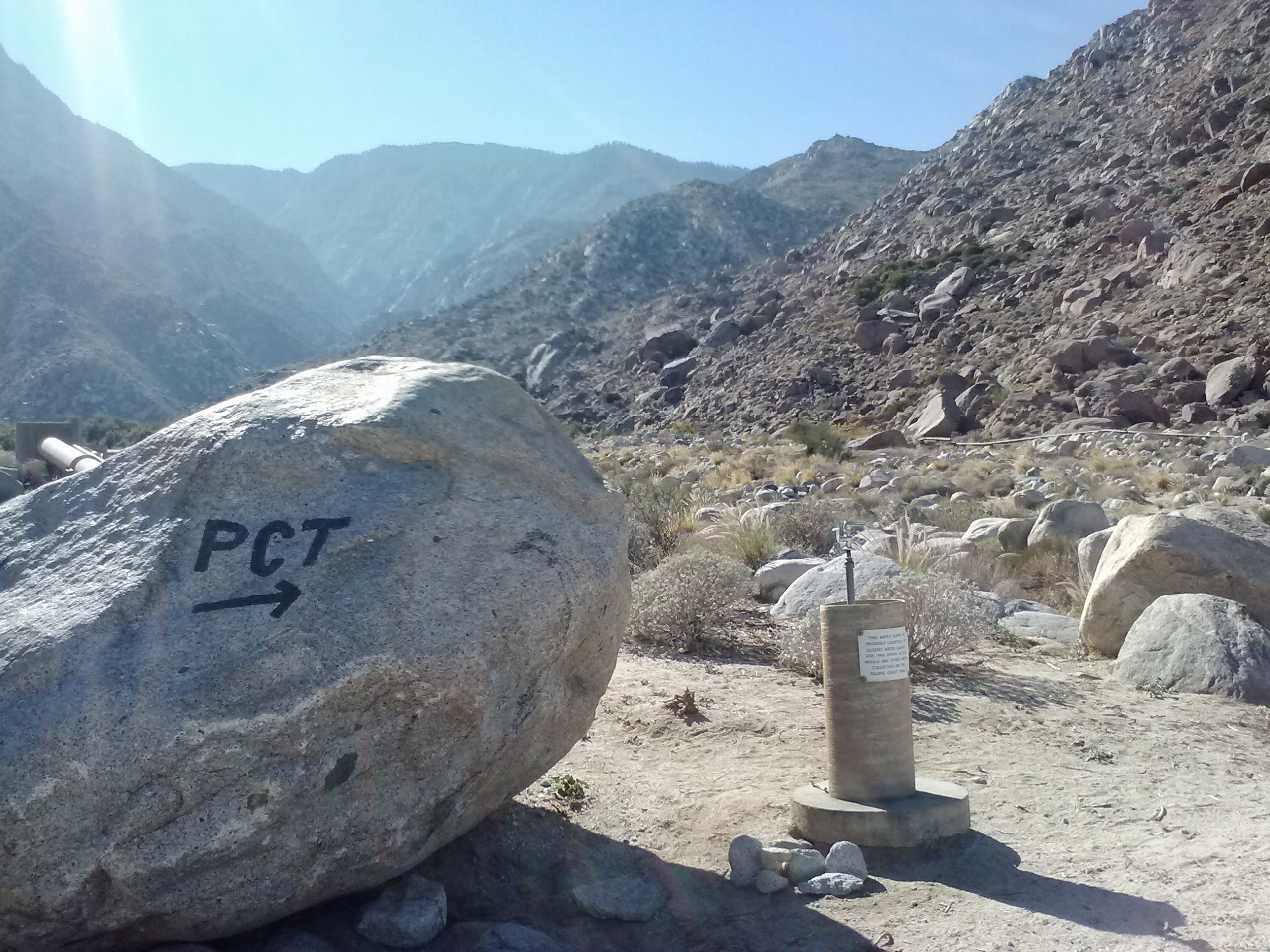
The Faucet of Golden Water (Water Resource of mile 206)
Climbing above Cabazon
My good friend Carrie has a picture collection of faces she sees in random objects. Now I’m seeing them everywhere, too. Soon as I saw the big potato head rock, I had to snap this one for Carrie!
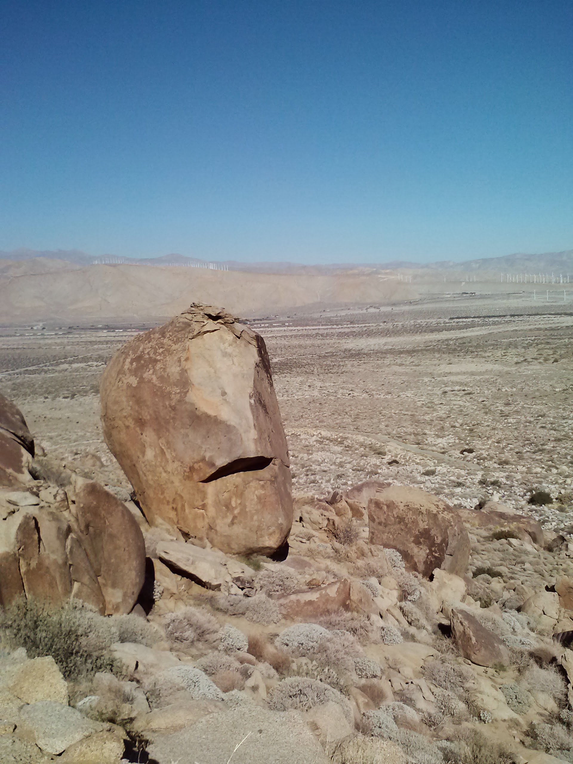
I see faces…
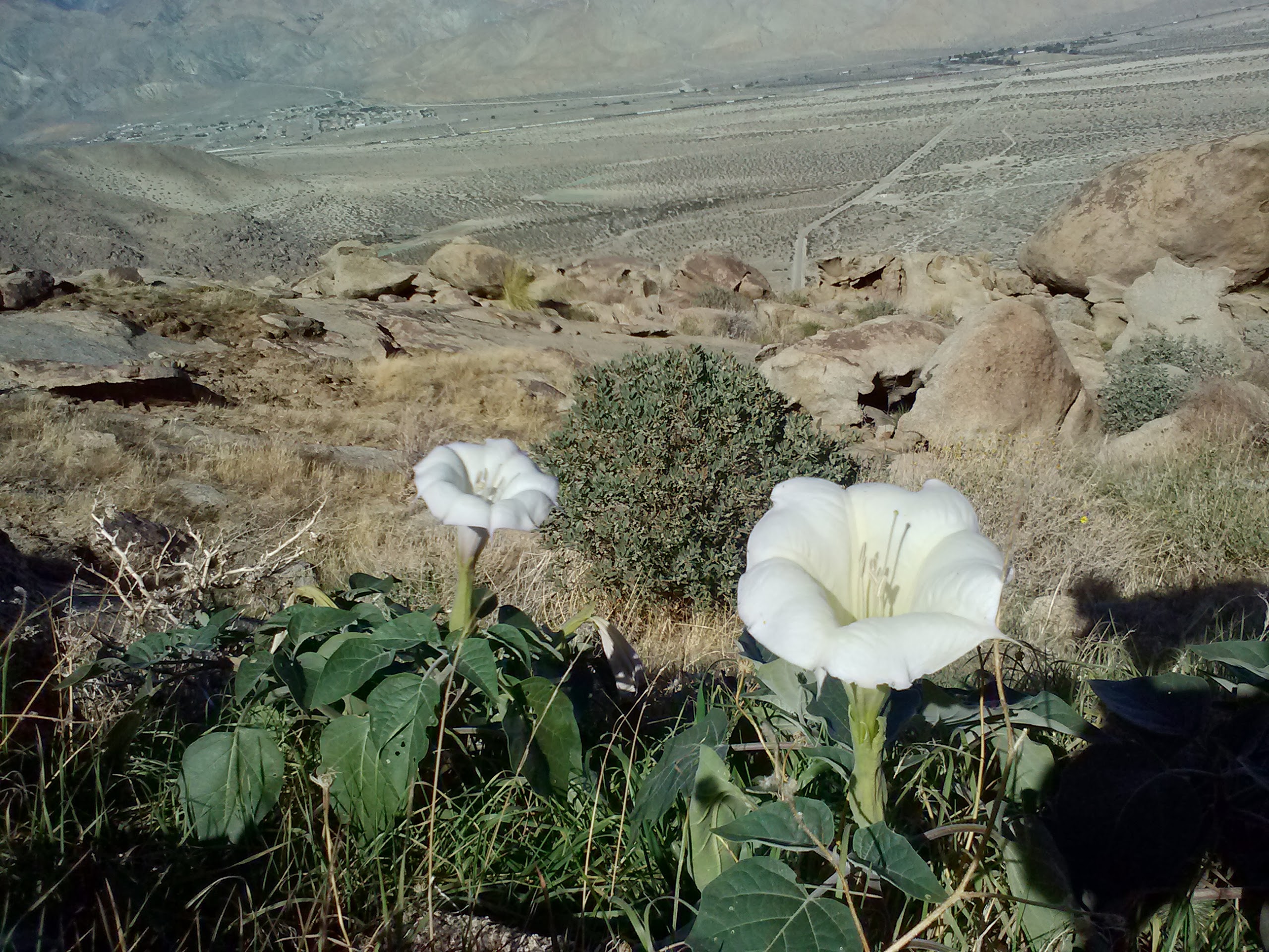
Sacred Datura, or Morning Glory flowers
As we climbed, the mountain’s shadows quickly start to spread over us and gave the impression it was much later in the day. I kept freaking out, thinking it would be dark soon and we must be hiking too slow. I wasn’t especially keen on night hiking after stories of the local lion.
Still climbing…
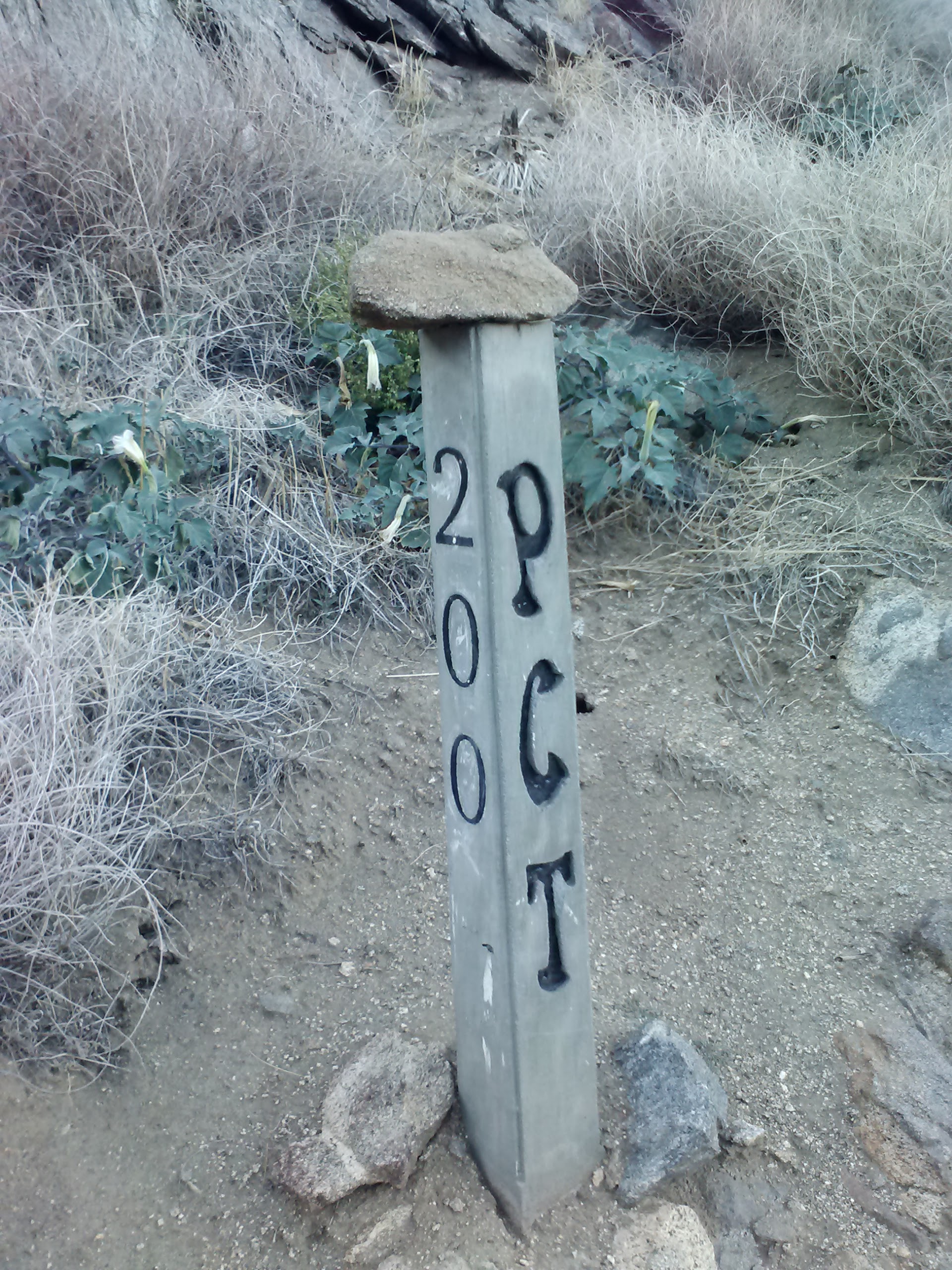
200 miles to Mexico…
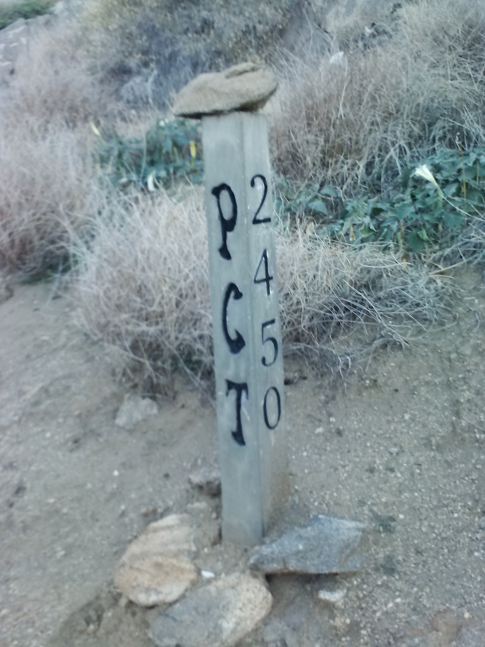
and 2,450 miles to Canada!
<— —>
This was super fun to see!
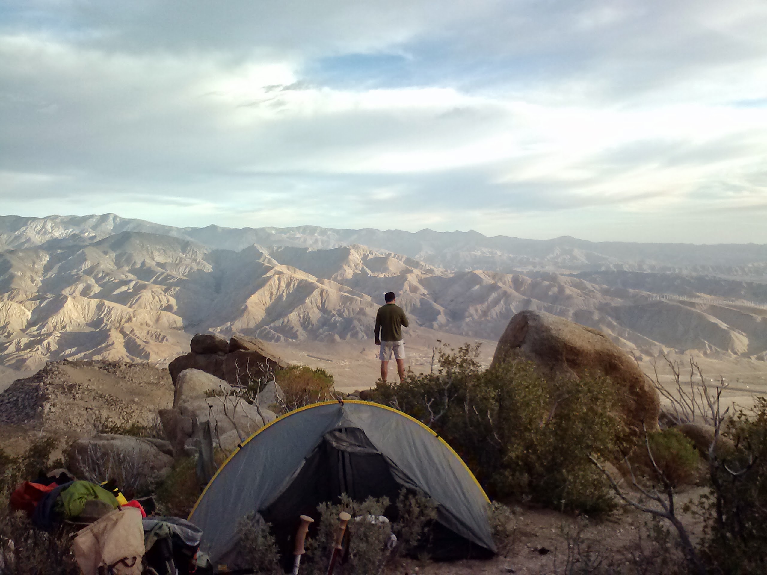
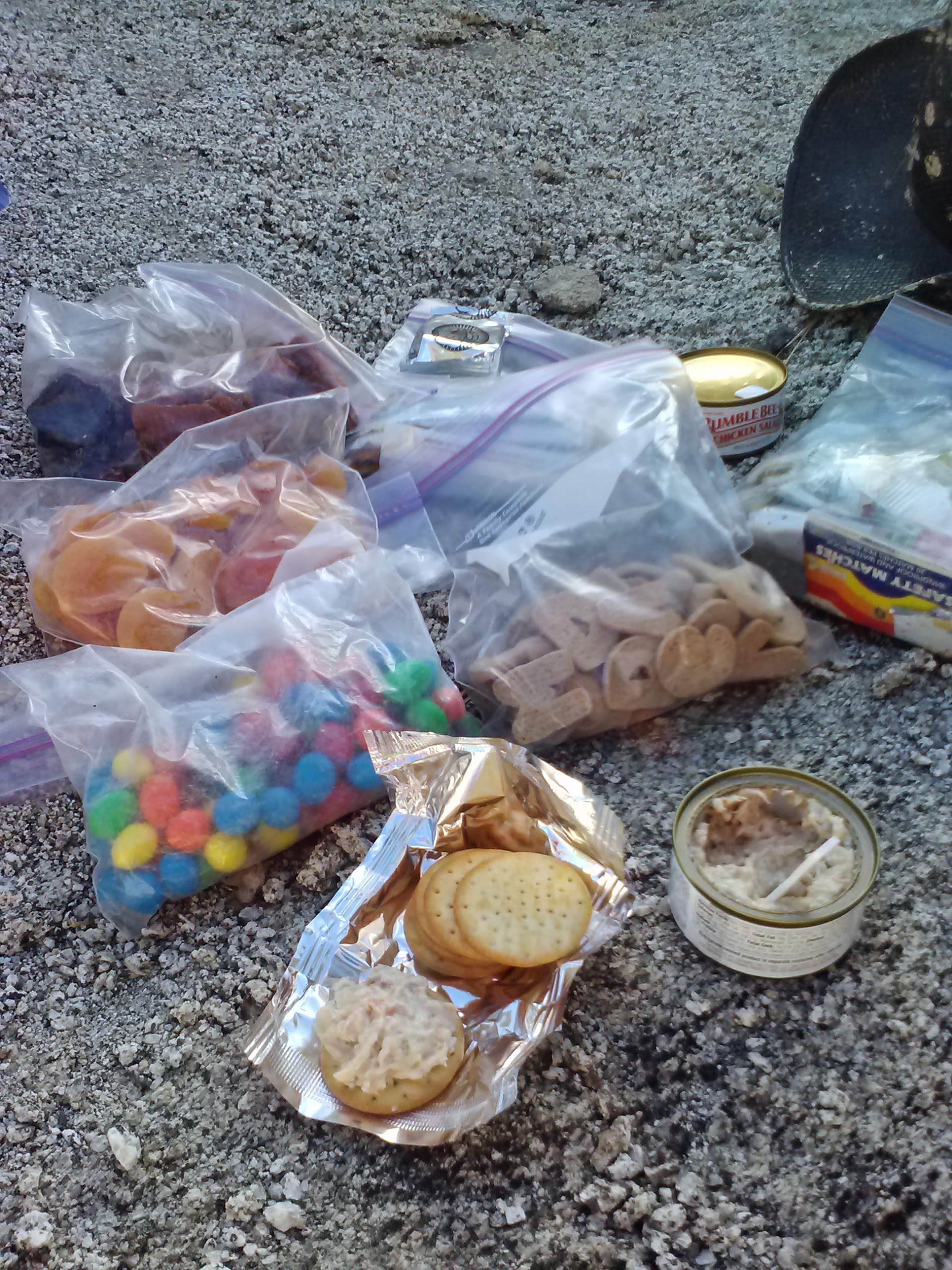
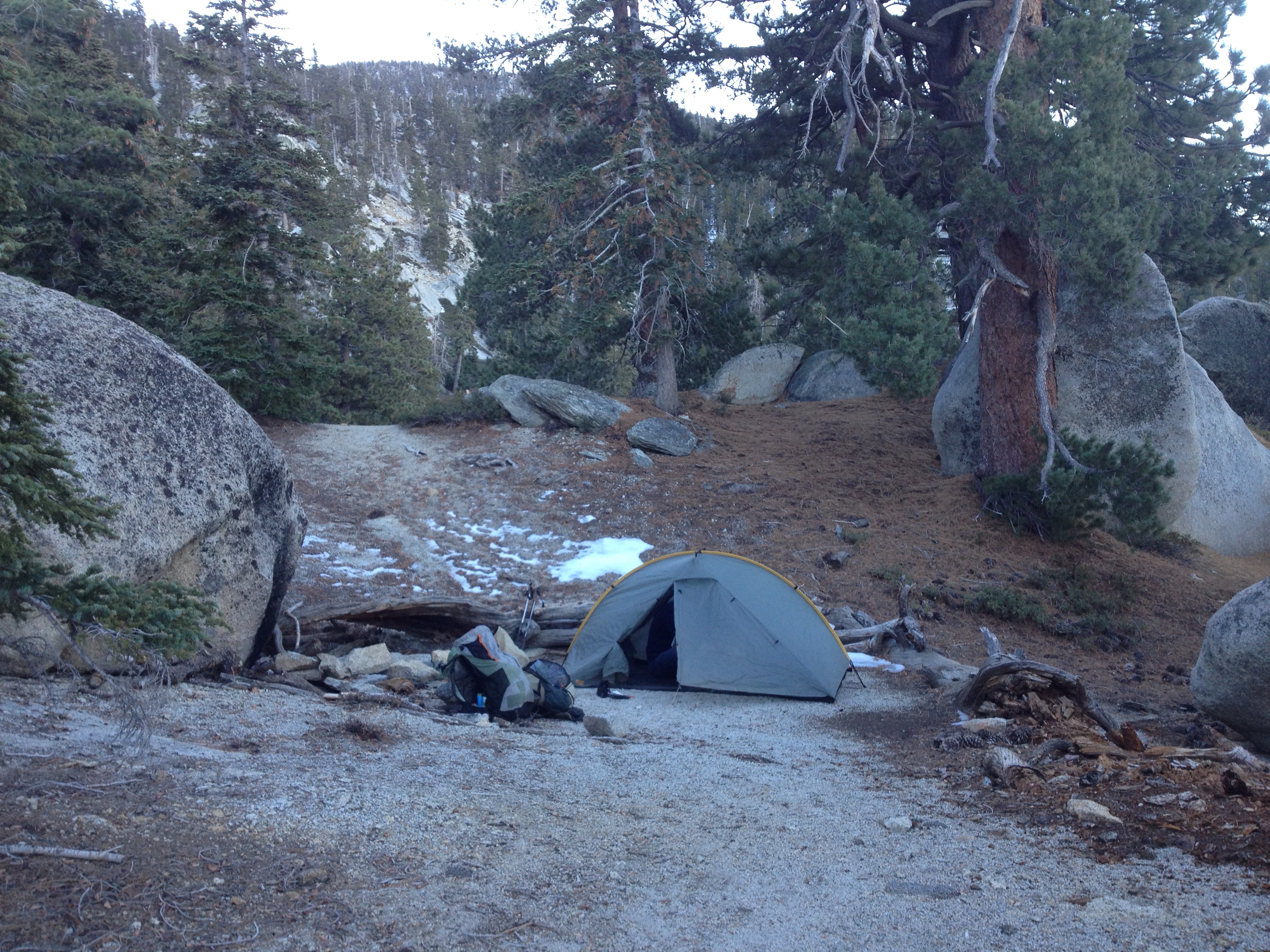
Art and I did end up hiking into the night, which I found spooky because I didn’t have a headlamp good enough for night hiking. I had brought a little Ace Home Improvement headlamp, which is super light, but only good enough for cooking & mucking around in the tent. Since my cell phone was actually brighter than my headlamp, that’s what I had to use. With the help of Halfmile’s maps, we managed to find a sweet campsite near mile 197. The view that evening was so lovely with all the twinkling red windmill lights below in the valley, and there were hundreds of them! The evening was ideal for camping as there was no wind and the air was only a little cool. We brought our Big Anges King Solomon double-wide 15°F sleeping bag for this trip, which made the night extra cozy! Since we weren’t concerned about bears, our Backpacker’s Pantry Jamaican Jerk Rice and Chicken dinner was eaten from inside our sleeping bag.
First night’s campsite, near mile 197.
Day 2- 10 miles
The next morning we awoke to an incredible view of the desert valley. Breakfast consisted of fig bars and fruit leather, plus a protien bar for Artie. I vetoed the hot tea option because we wouldn’t be reaching our next water source for another 10.75 miles. We were pretty slow going day two, as Art wasn’t used to the elevation and we were carrying LOTS of water.
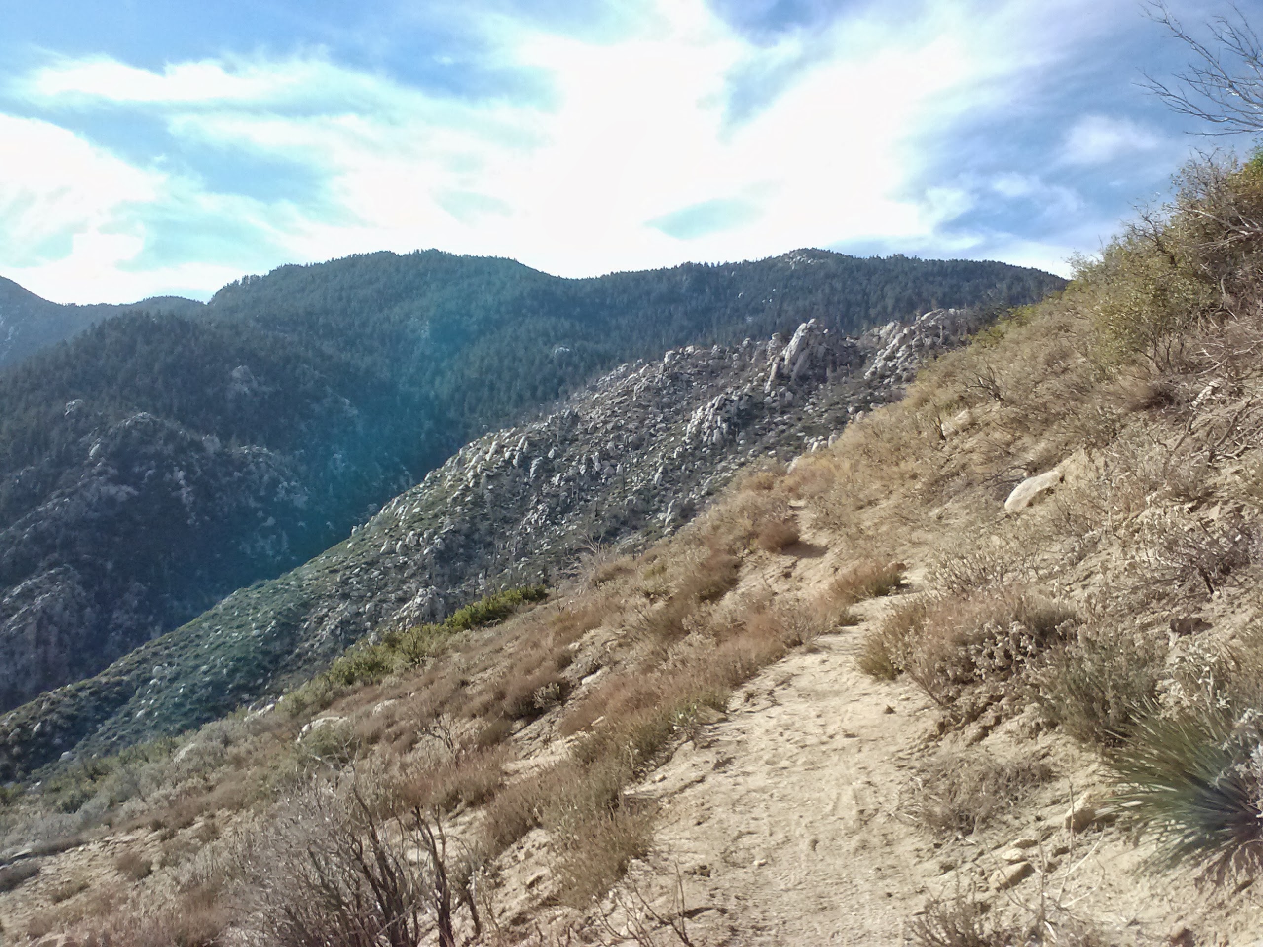
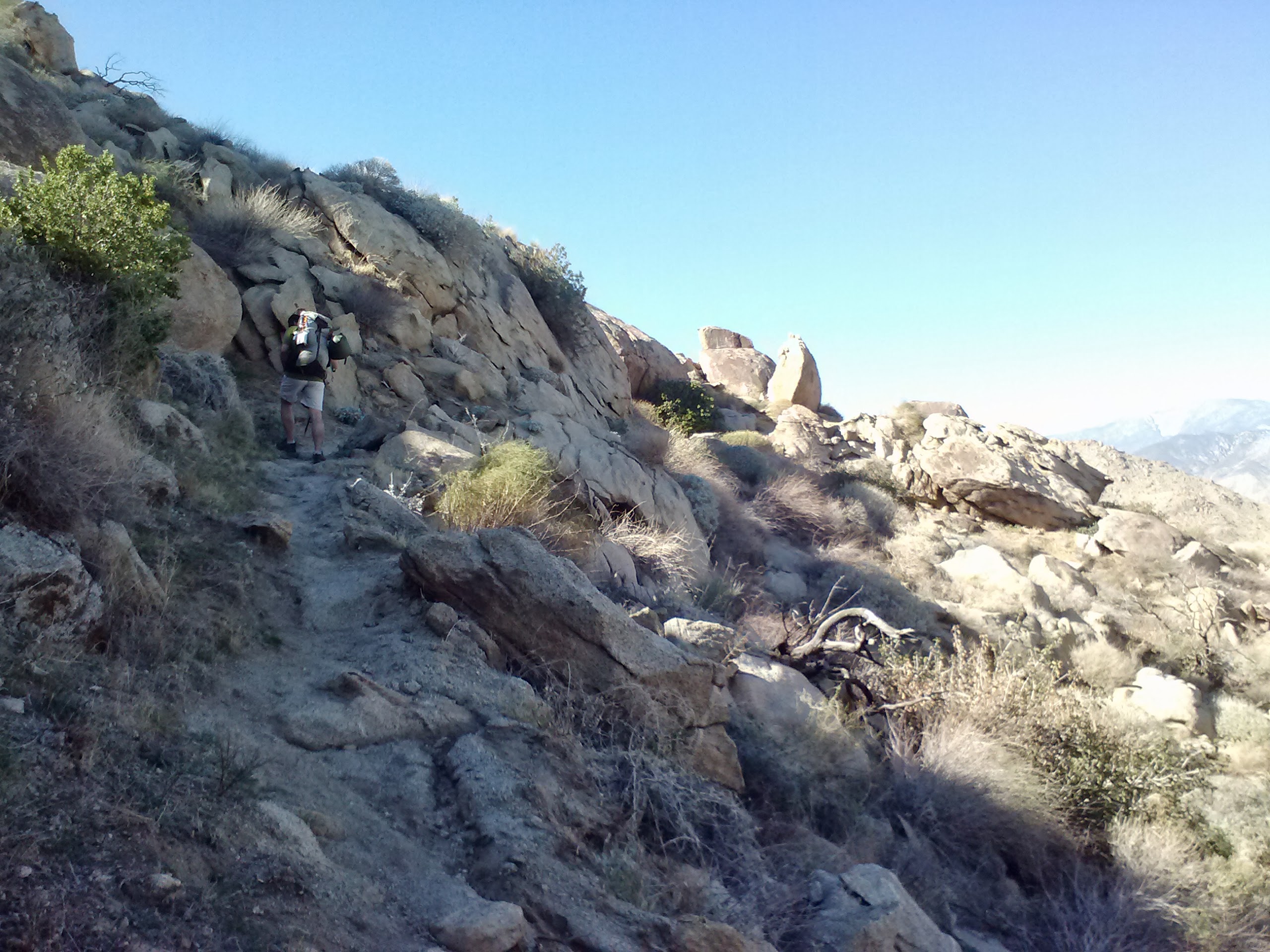
The PCT above Cabazon
After hiking for so long in the dry, desert habitat, it was satisfying to finally reach some living trees. We stopped there for an early lunch of tuna salad with crackers, cookies, and dried fruit.
Checking our mileage, we noted we’d have to reconsider where we would camp that night, as we were hiking slower than we’d expected. No matter! We were loving being amongst the trees and having expansive views of forest and valley floors.
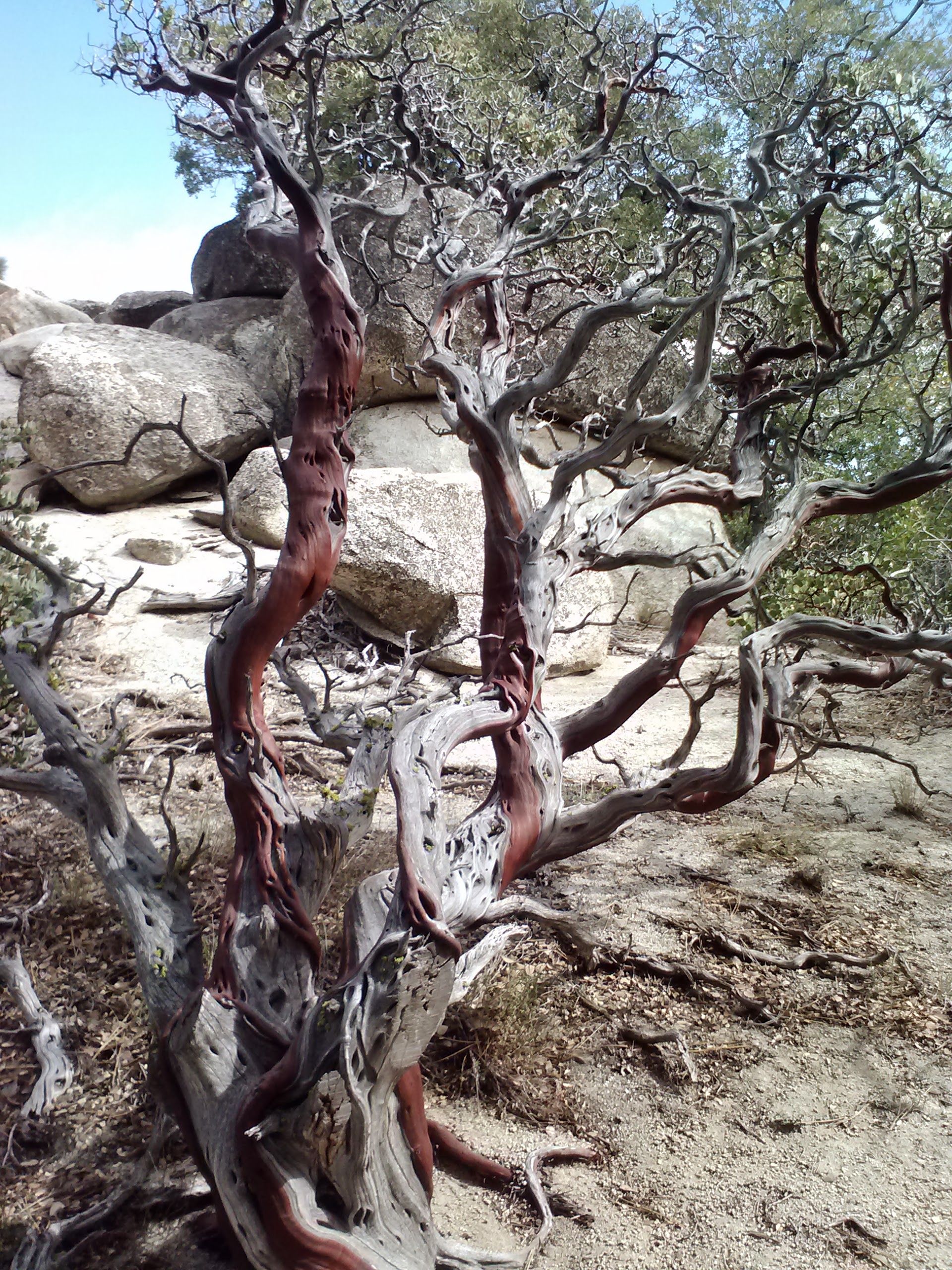
Manzanita tree
Approaching Fuller Ridge
Around mile 192.5 we came near a dirt road and a trail sign indicating the trail for northbounders. Continuing on what looked VERY much like the only southbound trail option around, we soon found ourselves OFF trail. ARGH! This made for a rather grumpy moment because we were already behind schedule and double backing being, of course, out of the question, we scrambled up the steep, bushy hillside until we found the trail again.
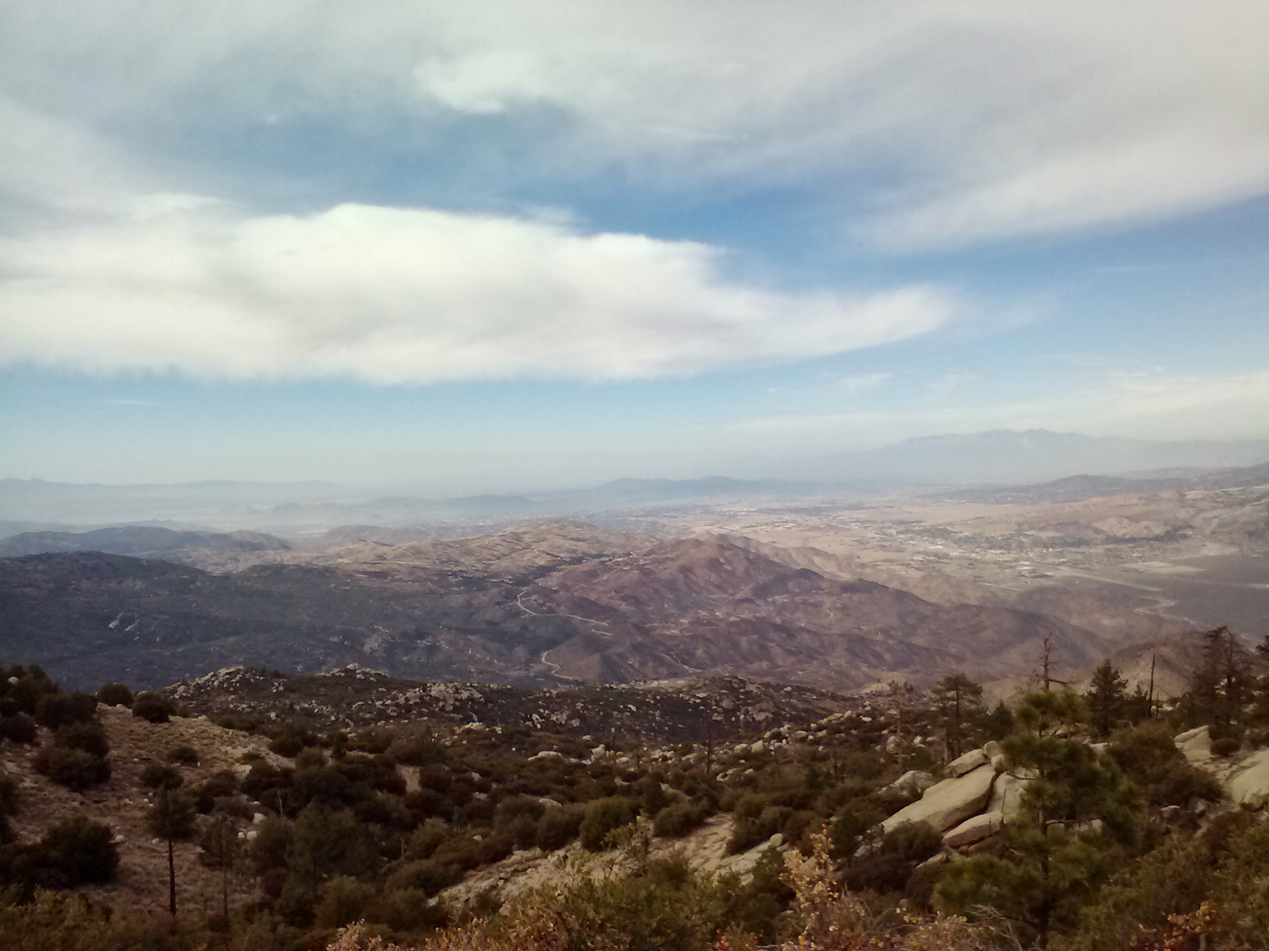
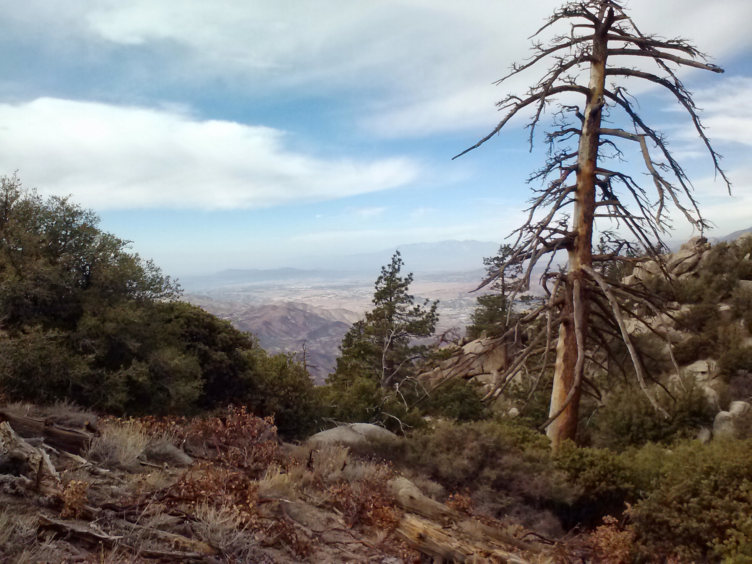
Looking northwest, over Hwy 243
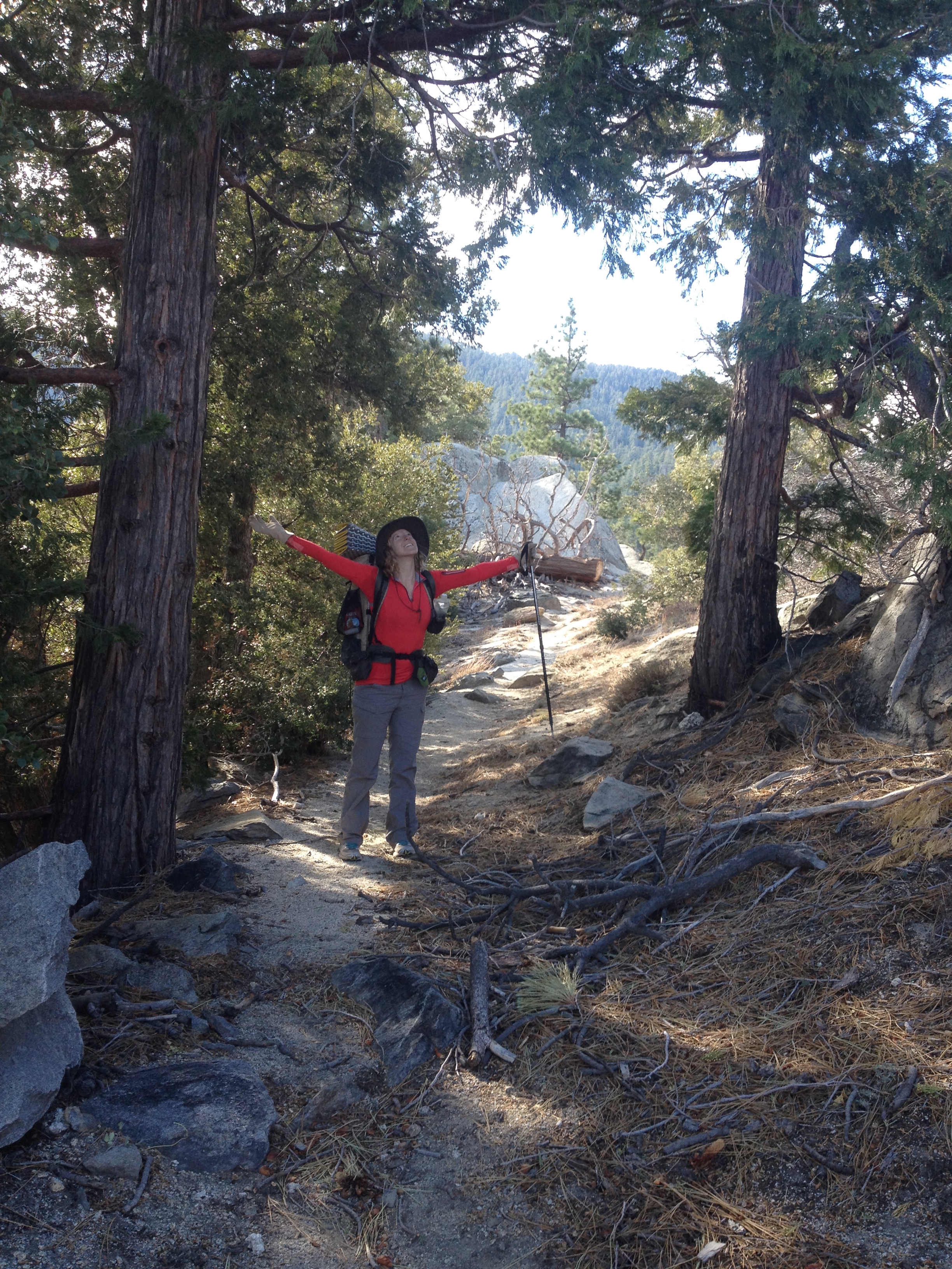
Still approaching Fuller Ridge…
We hustled up the trail and soon found ourselves walking through yet another very different ambience: snow! I’m always getting excited by snow because I grew up in Southern California and never had snow play vacations.
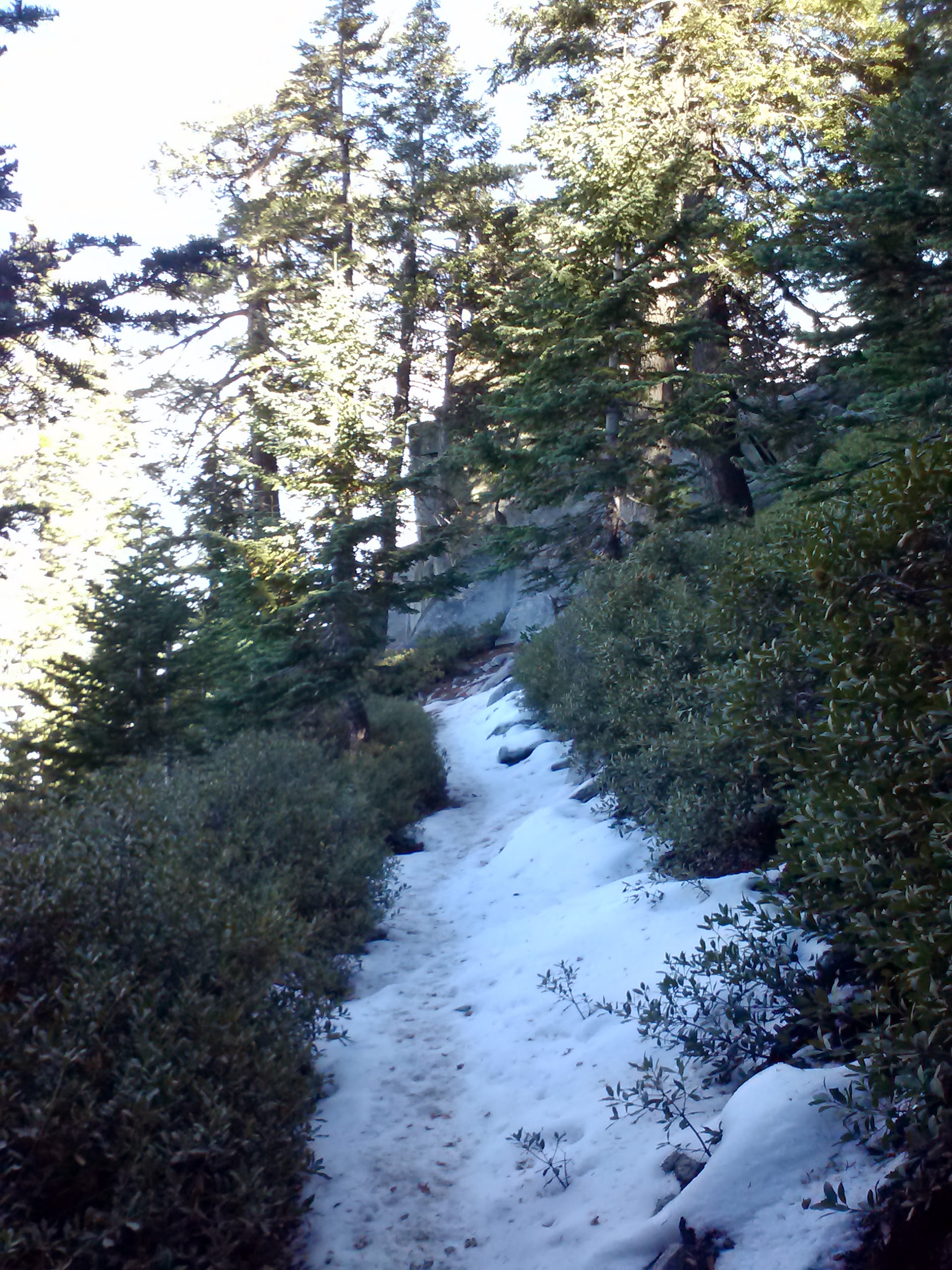
Snow along Fuller Ridge
Much better signage!
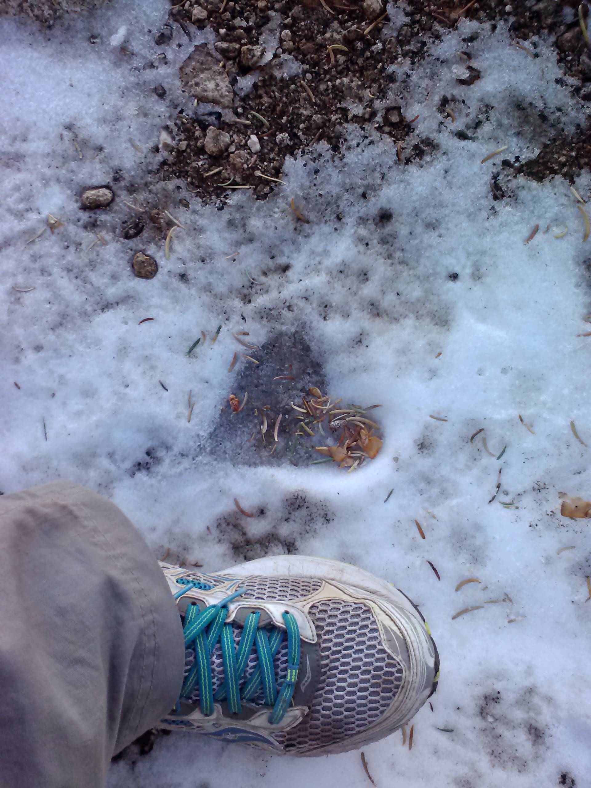
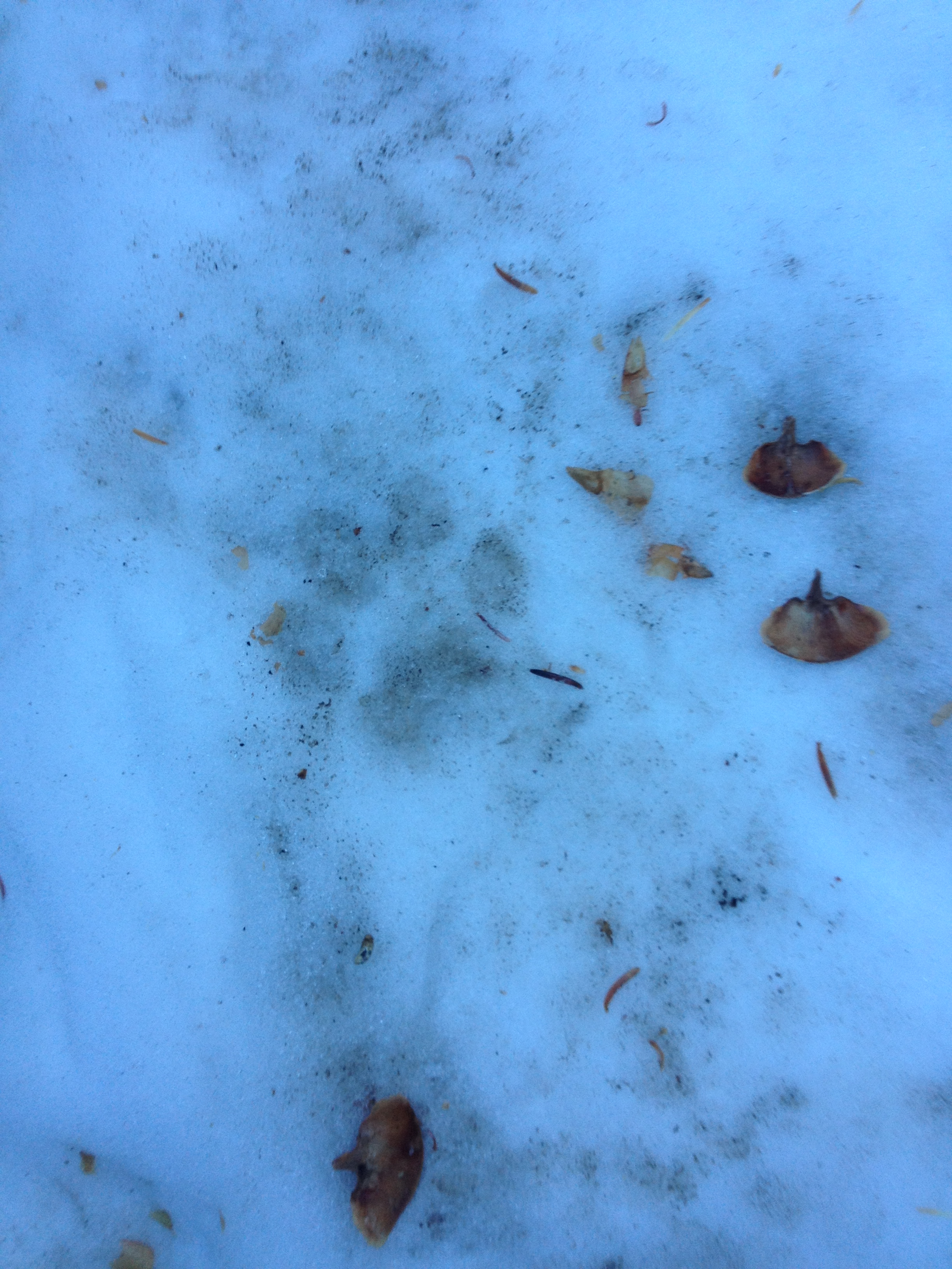
Little cougar print?!
I hiked on ahead of Art for the afternoon trying to determine how far a decent campsite would be and how close we could get to the water resource. As the day went on, I saw incredible views, trees, and boulders, but I forgot to actually take pictures! Around mile 187 I found a really great campsite and decided that even though we hadn’t reached the water yet, this was the spot for us. I was also concerned about Art hiking to catch up to me in the dark, especially since I had the map. I dropped my pack, grabbed some water bottles and hiked another half mile up to the North Fork San Jacinto River Tributary. It was super icy and I nearly fell on my butt several times, all for the fun of it!
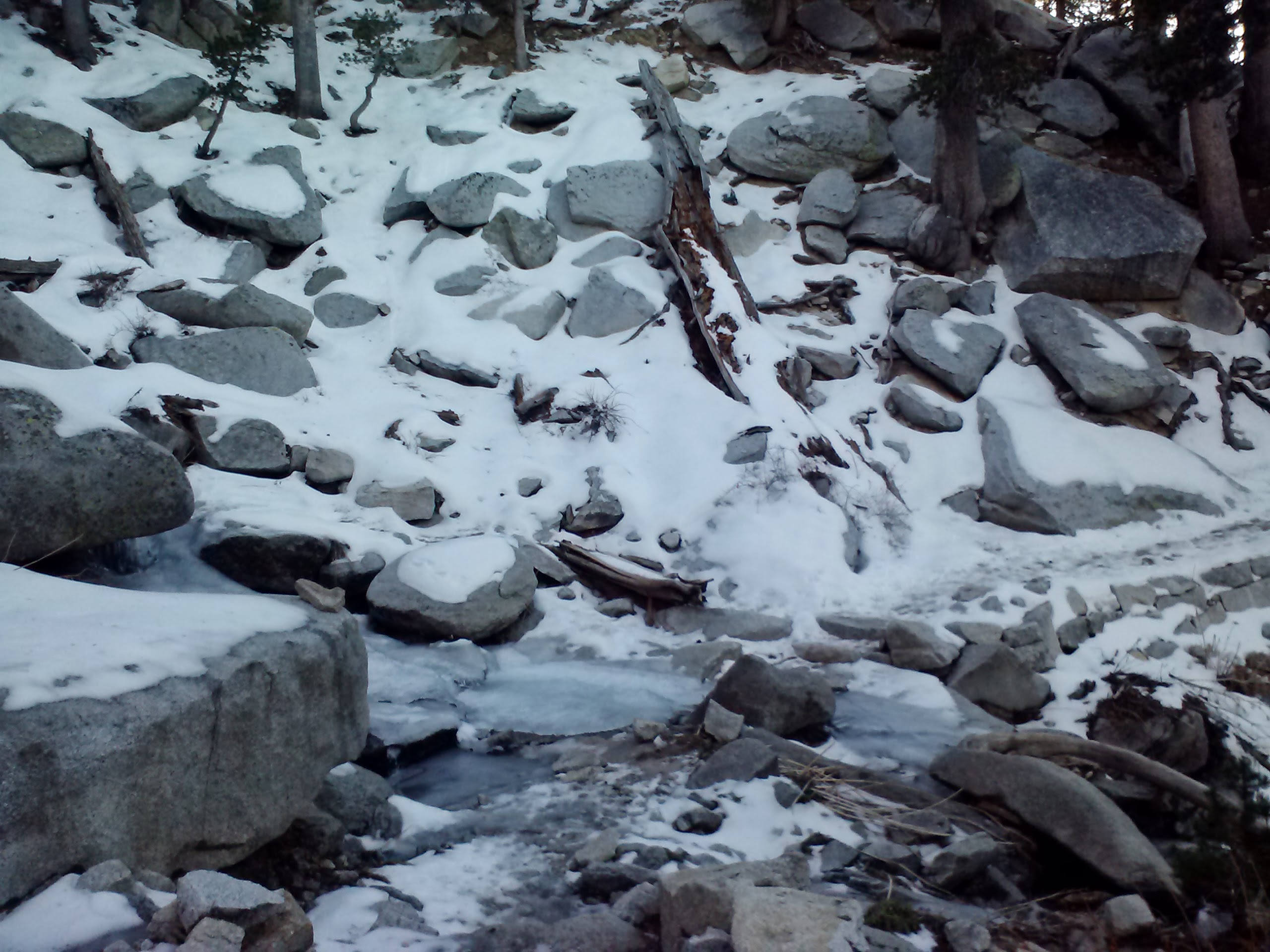
North Fork San Jacinto River Tributary
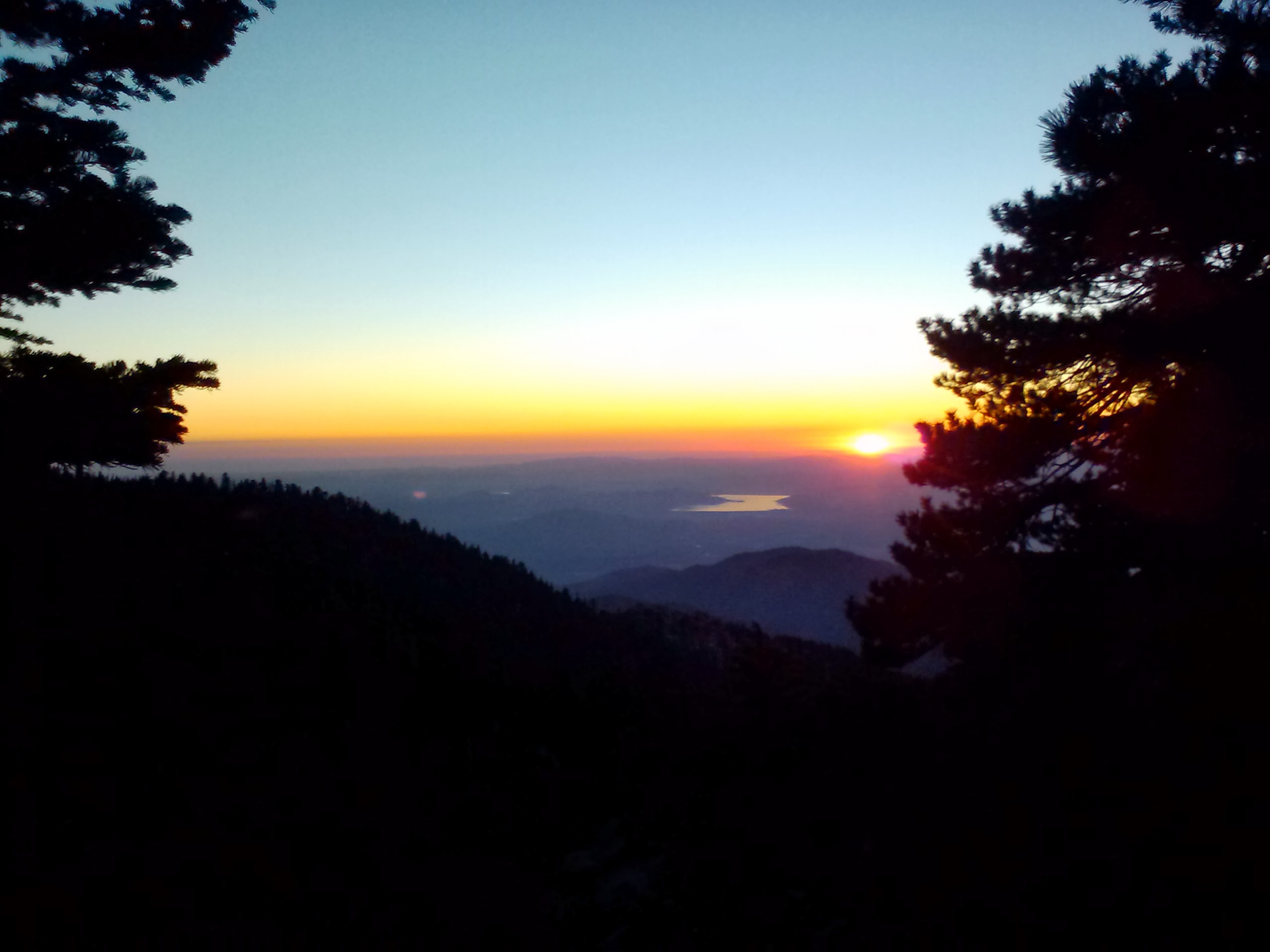
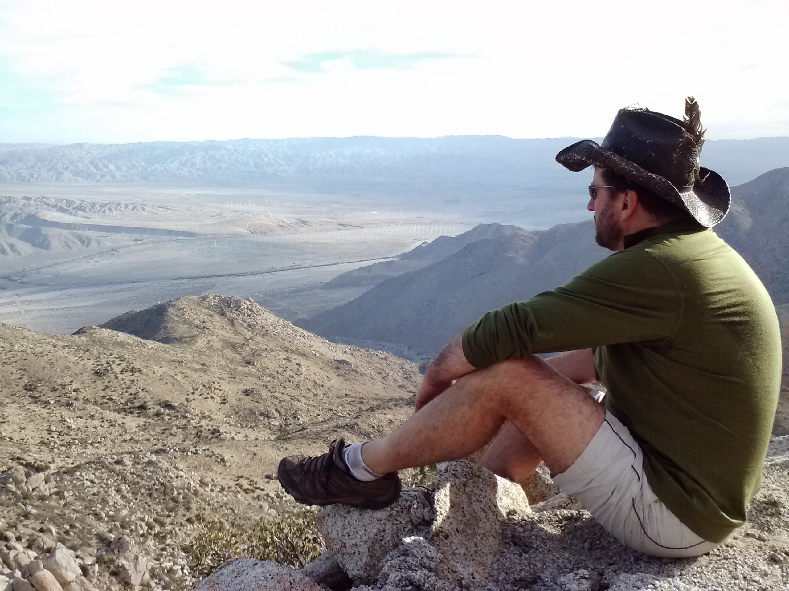
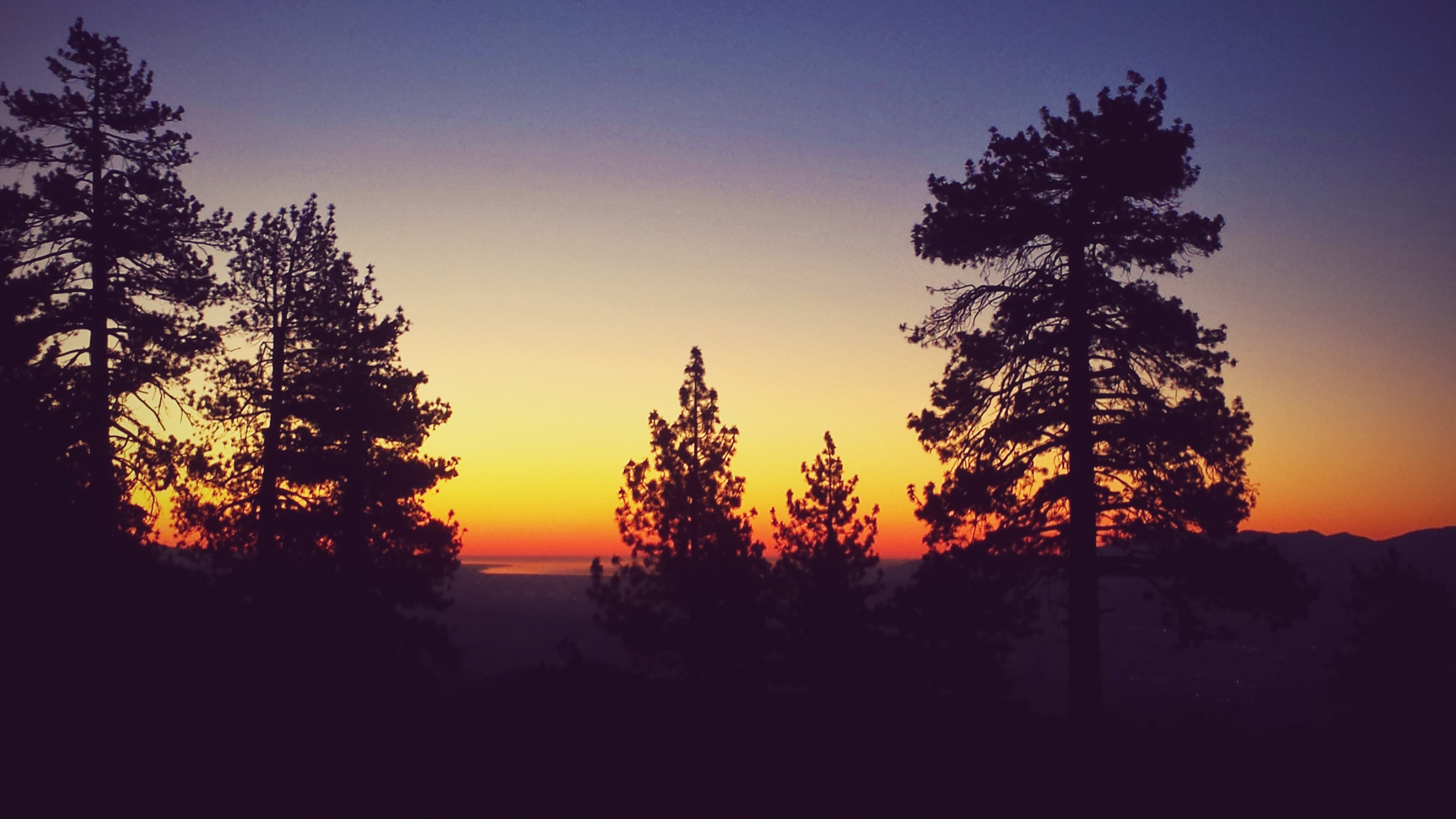
Sunrise looking toward Lake Hemet
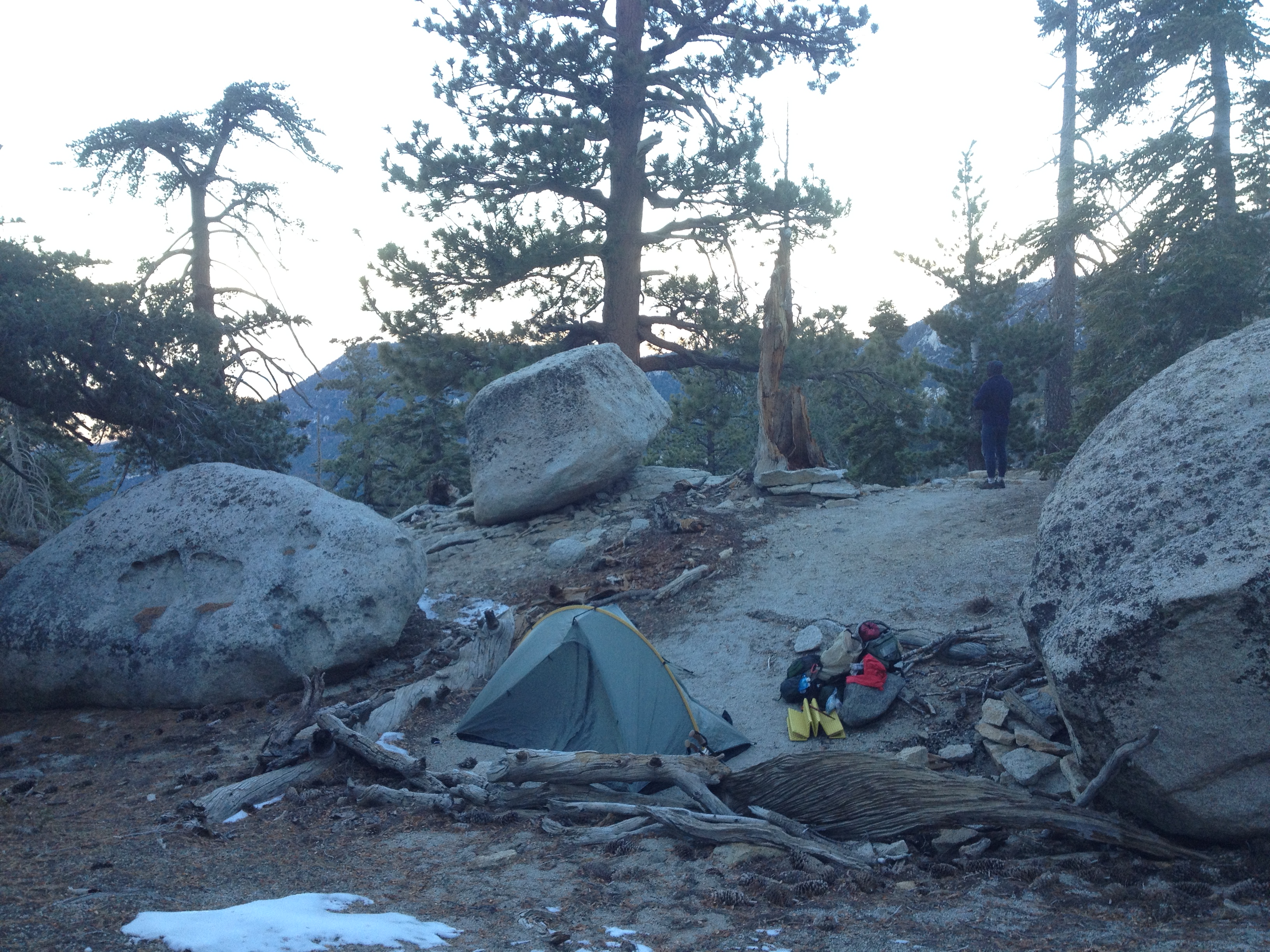
By the time I returned to my backpack down the hill, Art was lounging comfortably on the rocks. We threw up the tent because the sun was setting fast. I made hot tea and we snacked on jerky and fruit while we waited for our Beef Stroganoff and Beef Chilli Mac to rehydrate. I even ate an entire box of Trader Joe’s Dried Seaweed- it was deliciously salty. It was such an early night for us with the sun going down at 5:00. By 7pm, Art was already asleep! That night was much colder than the first because we were now at an elevation of around 9,000 feet. Art slept like a rock, but I woke up at 3am cold on one side. I kept rotating like a rotisserie chicken against the toasty furnace of Art next to me.
Second night’s campsite near mile 187
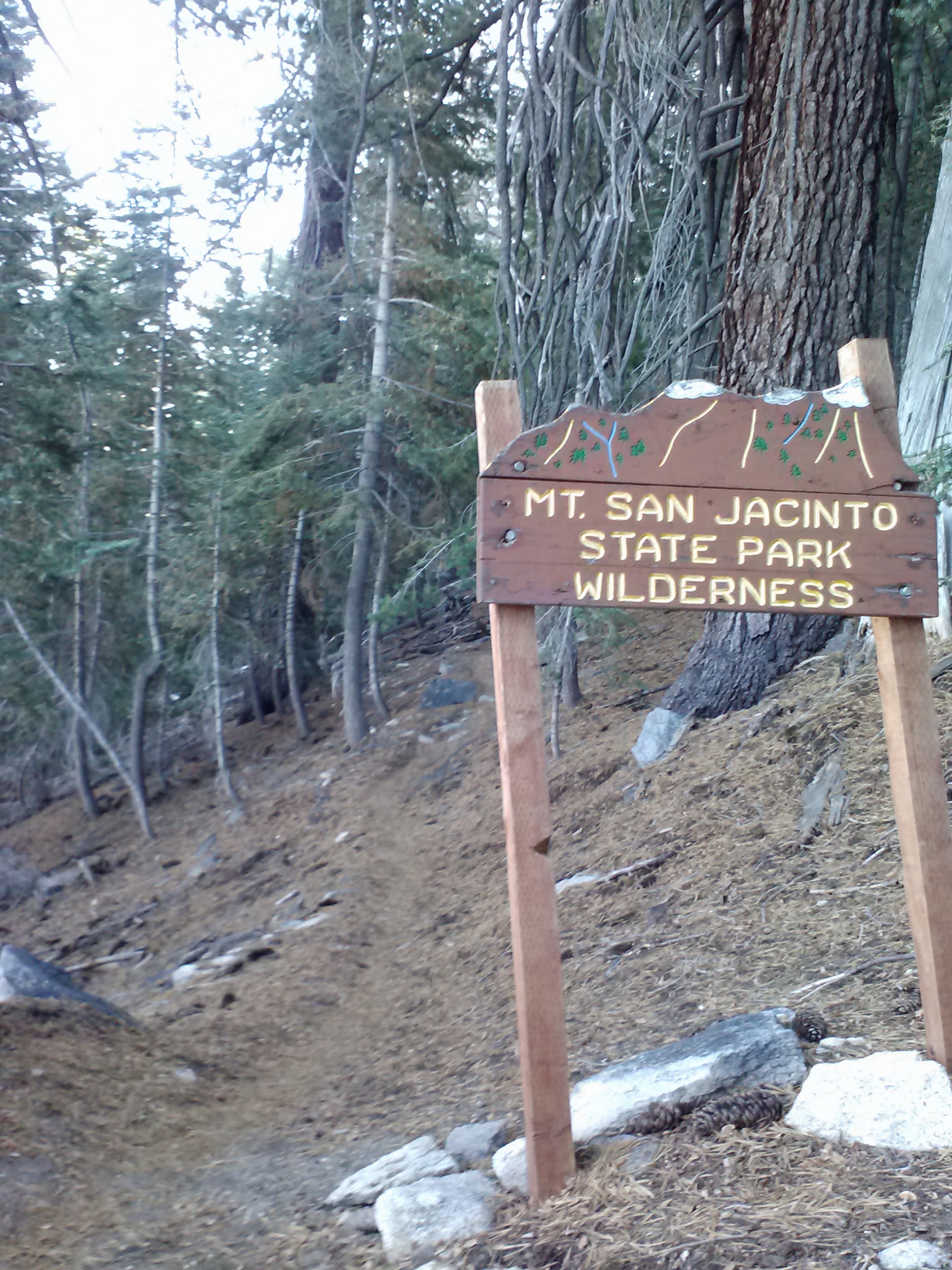
Day 3- 6 or 7 miles
A cold morning at camp
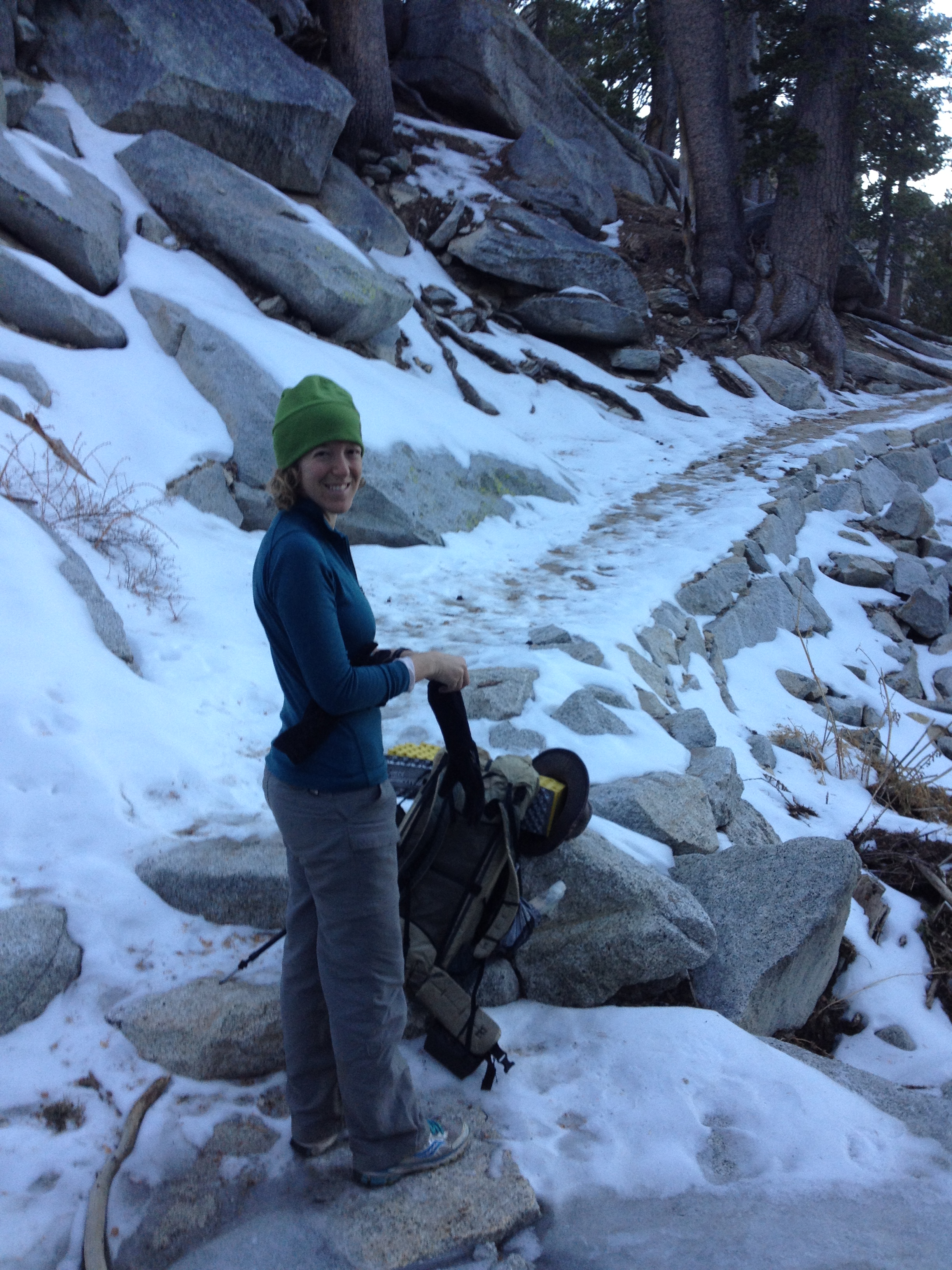
We were determined to start hiking by 6am so we could grab second breakfast in Idyllwild. The alarm went off at 5am and we were pretty successful at making tea and eating breakfast, but not so successful at getting out of bed and packing up. It was so chilly out! We both hiked for the first few hours in our long johns and didn’t take them off until we past Strawberry Junction. We made our way back up to the Tributary and, since we made so much tea, we filled up the bottles again. It was a winter wonderland up on that ridge!
Wonderful wintery land!
Coming down the mountain, approaching Deer Spring Trail
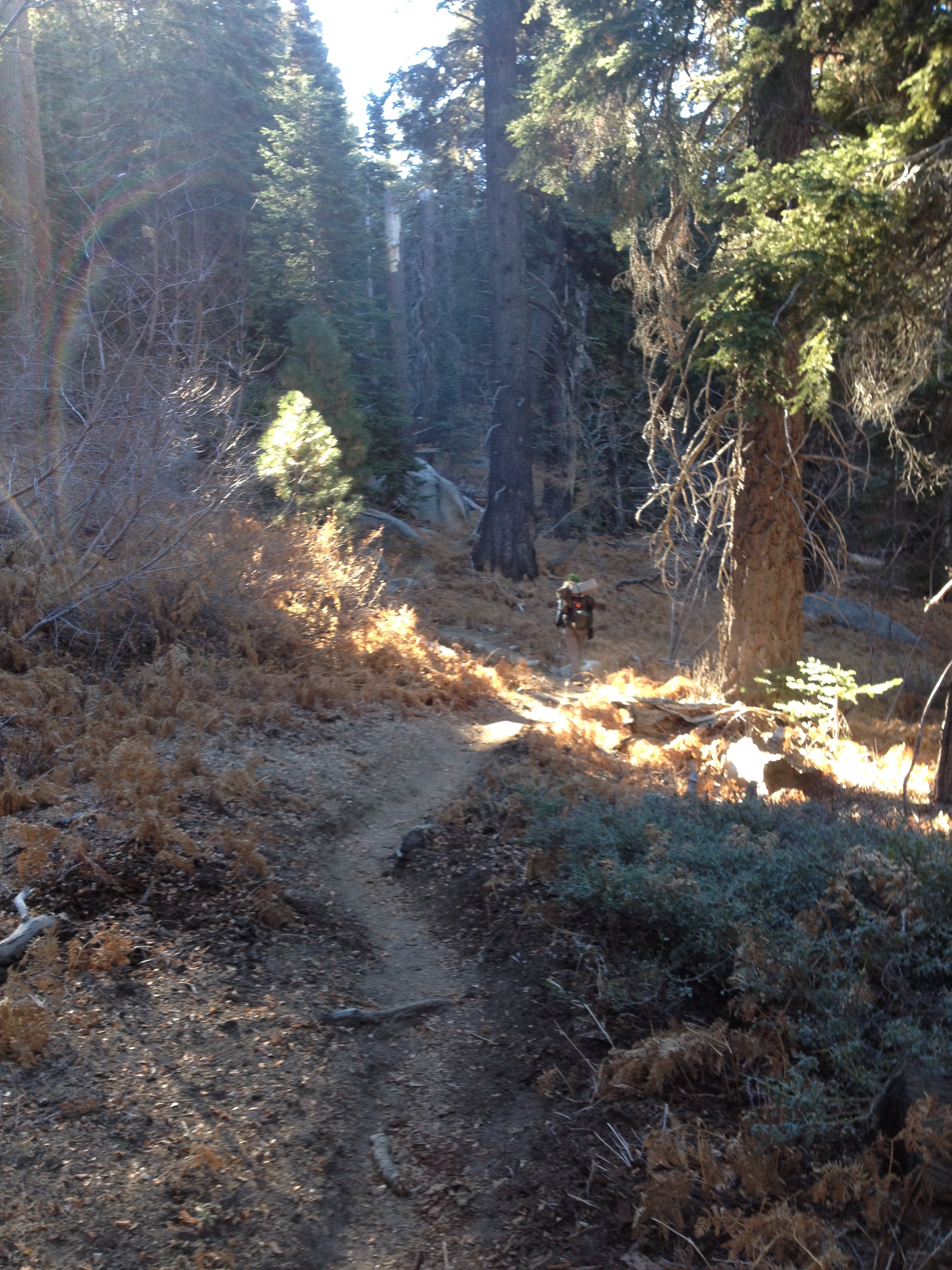
With the promise of a scrumptious meal and cold beer in Idyllwild, we moved pretty fast that morning. We zipped right past Deer Spring— which was still flowing, but looked pretty mucky— and a sweet looking campground with tables and a tap to the spring, still in the process of being built. Approaching Strawberry Junction was exciting because there was an outhouse. Nothing like an outhouse to brighten your day in the woods!
Just south of Strawberry Junction
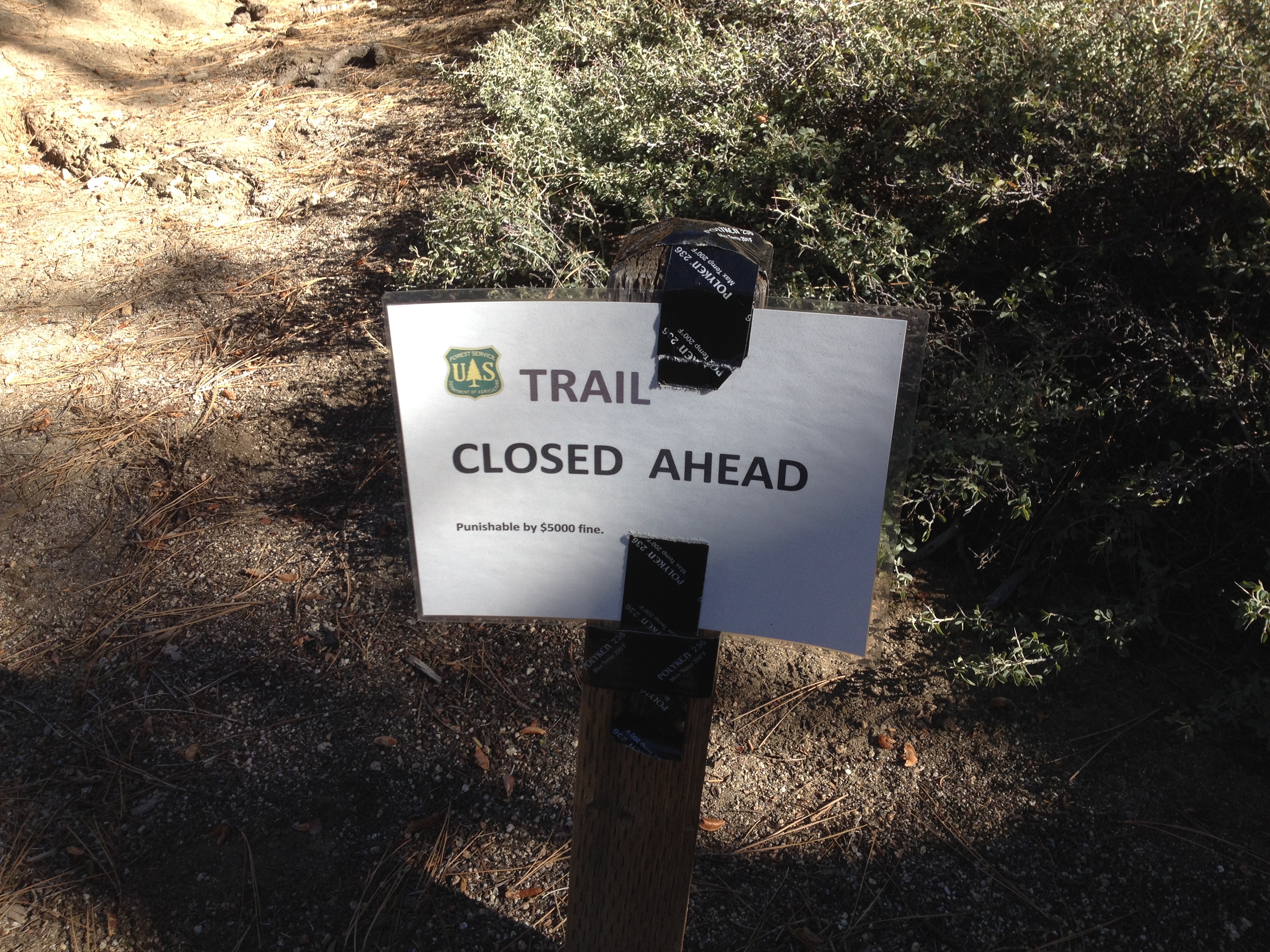
Just past Strawberry Junction, however we came across a trail closure sign. When I planned the trip, I had heard about the PCT being closed from Hwy 74 up to Devil’s Slide, but not up to Strawberry Junction. This meant we had to turn around and hike down Deer Spring Trail to Hwy 243. We road walked back into Idyllwild and then hitched a ride up to our car in Humber Park. It worked out beautifully!
Once at the car, we changed into our street clothes and hurried down to Cafe Aroma in downtown Idyllwild. The local gentleman who’d given us a lift recommend it, and it was DELICIOUS! I think we could’ve stayed there all afternoon if we didn’t need to pick up Pepper from Sabrina and then drive three hours home.
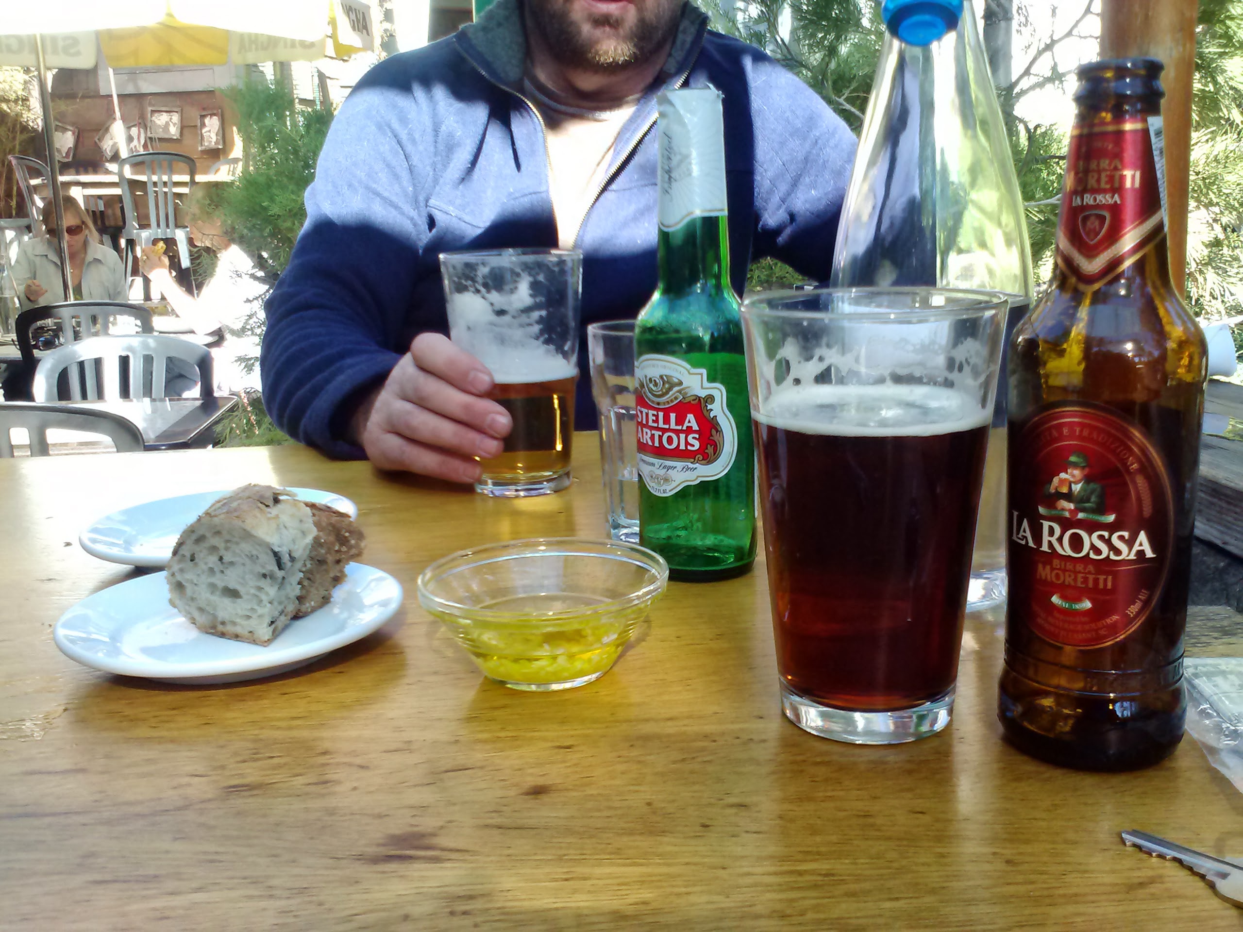
Cafe Aroma, Idyllwild
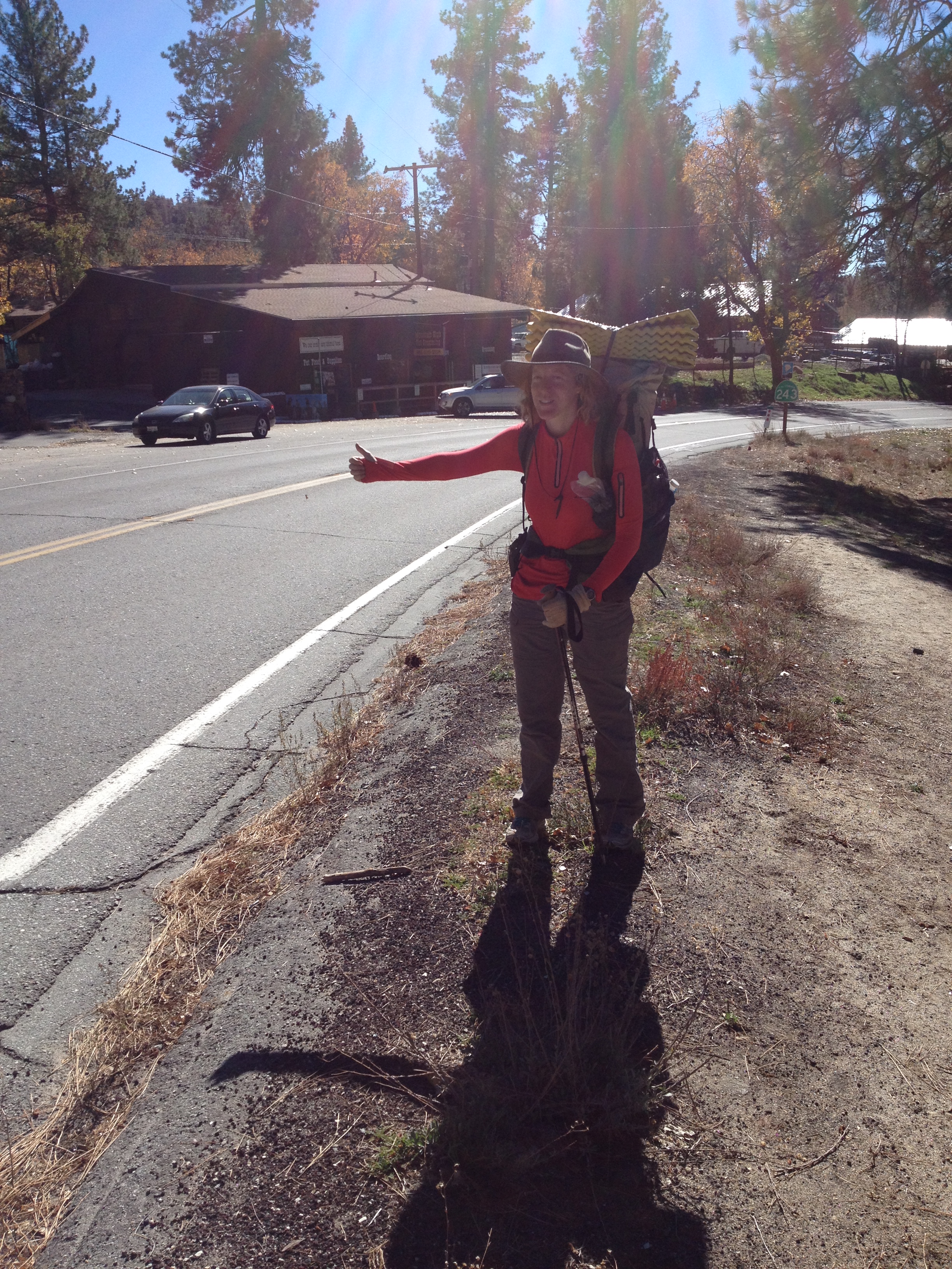
Hitchhiking on Hwy 243
Links
Installment No. 5 of My PCT Journey- Mexican Border to Paradise Cafe
My imagination was captured by the stone house, bench in the garden of raised stone plant beds! Did you walk about it a bit?
You did too have snow trips! When you were little… every winter after Xmas, we spent a week sking and stayed in a shared house or condo with two or three other families. We did that for 6 or 8 years.
I don’t think I went on those trips, Mom. : / Maybe twice!