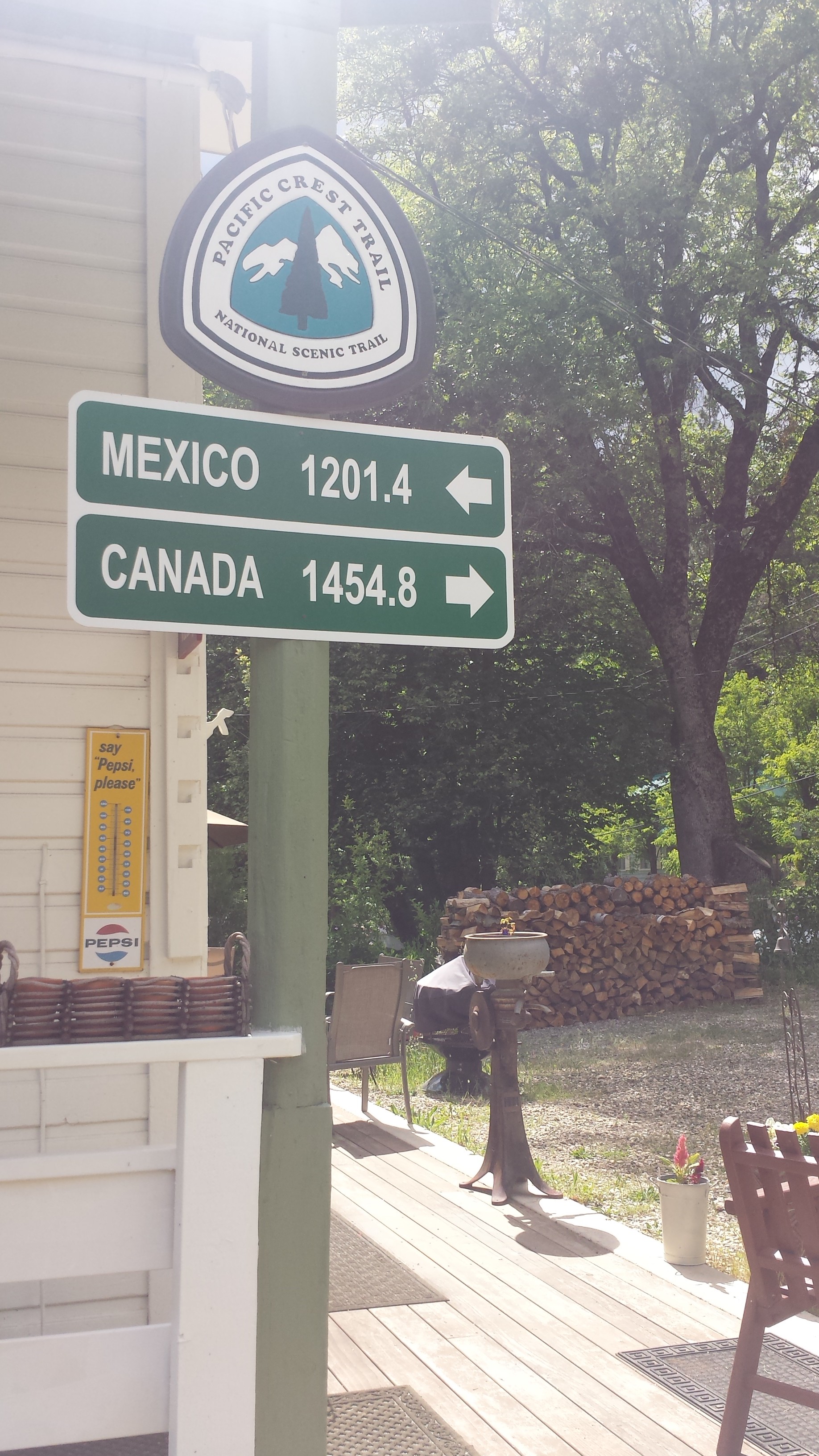
Installment No. 21 of My PCT Journey
loading map - please wait...
May 31- 13.5 miles, camping at Dick’s Lake
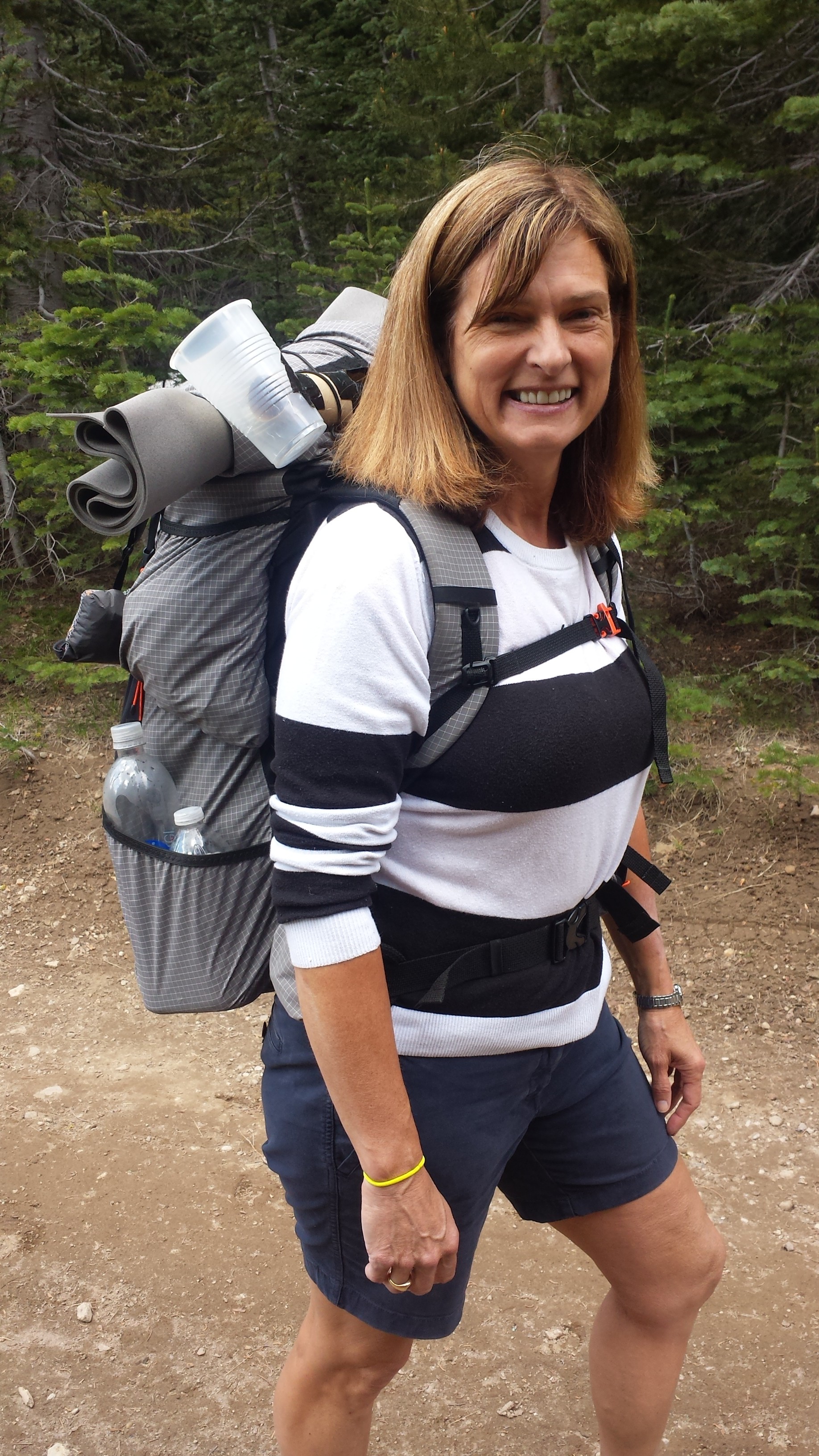
After a long drive to South Lake Tahoe and a ferry ride across Echo Lake, I was once again standing in a familiar spot with my backpack. Art had to say a quick goodbye because the ferry was waiting to return, but it felt too quick. I had been nervous about starting this hike since last night and I really wanted a long hug.

Lake Aloha
Throughout the day, I found myself comparing my speed to how fast I hiked last year. When I came through here in 2014, my feet were killing me, I was exhausted, and I’m pretty sure I was also PMSing. Today, I knew that I was walking slowly, but I felt so much stronger. The reason I had such a difficult time here before was because I had already been on the trail for 450 miles. I’m anticipating having that same struggle this year after the same distance, somewhere near Etna or Seiad Valley.

I saw numerous day hikers and overnight hikers off and on and met one PCT hiker named Beavers going southbound. He was actually a northbound hiker, but was hiking the section from Sierra City to Lone Pine southbound in the hopes the snow levels in the High Sierras would be more manageable when he reached them. With the drought this year, a lot of hikers have hit the Sierras early and didn’t expect as much snow as there actually is; now they’re either plugging through it or flip-flopping around it.
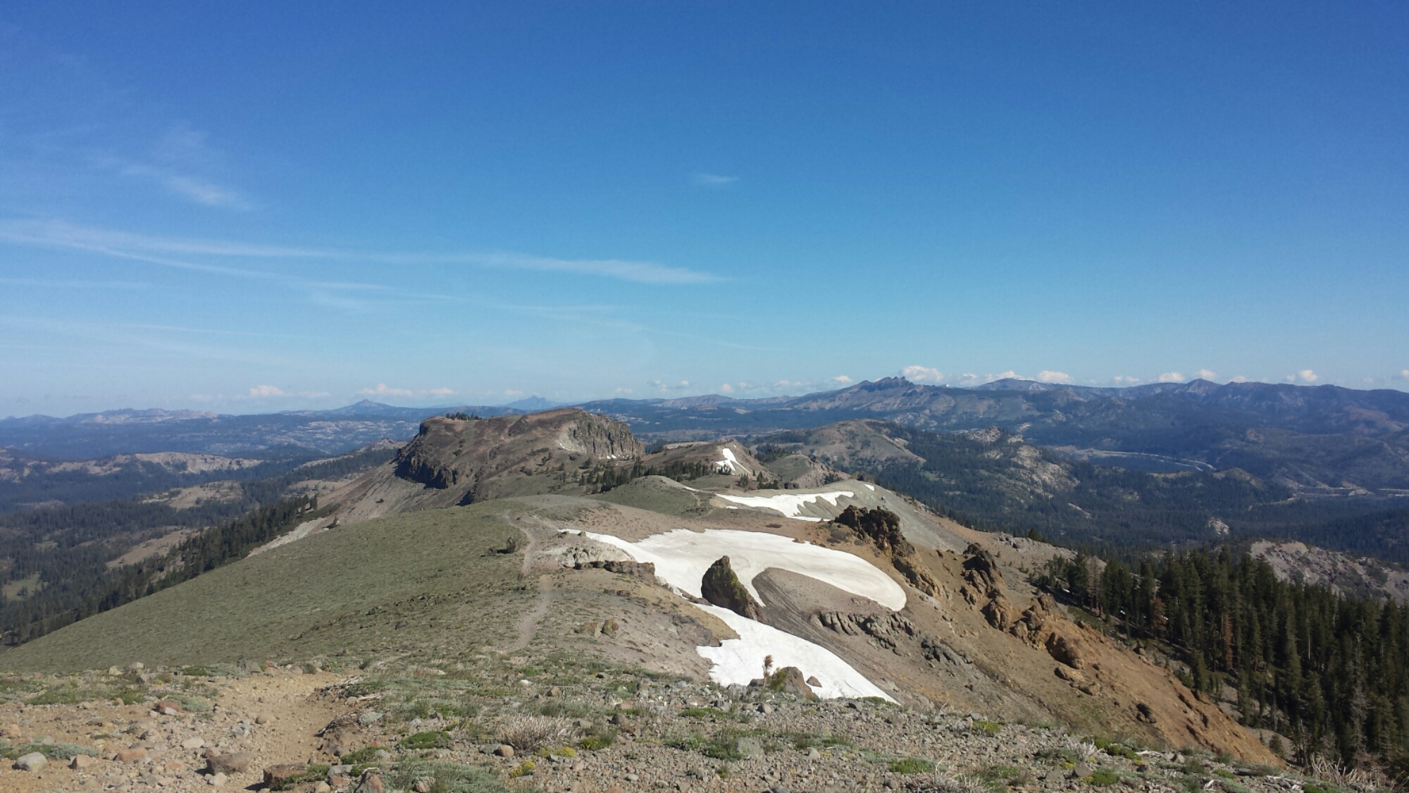
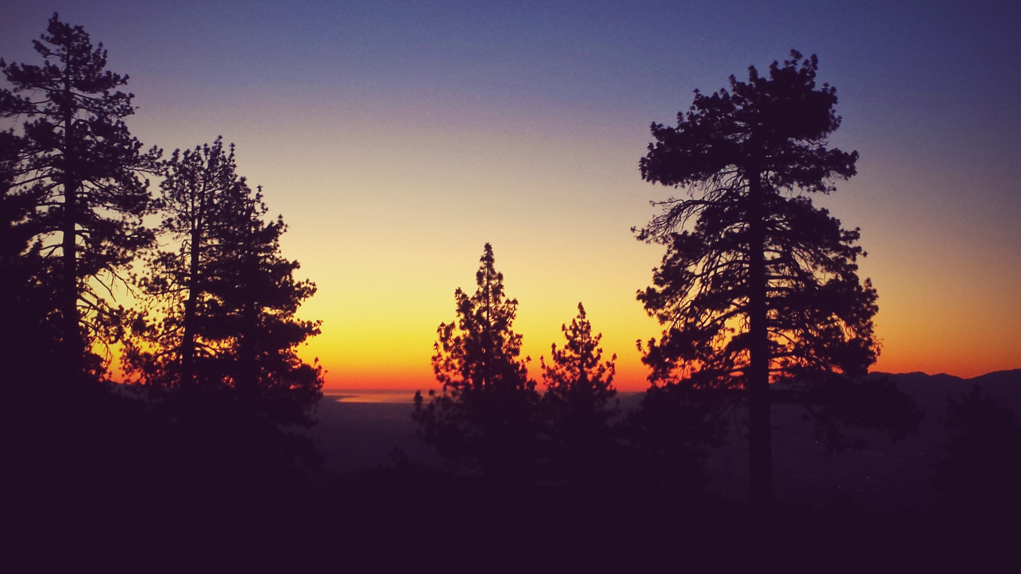
View towards Pyramid Peak and Susie Lake
Fun Fact: 13,000 years ago, the valleys of Desolation Wilderness were carved out by great glaciers, pushing out all the top soil and leaving only the hard rock beneath. That’s why the trees and vegetation are so sparse and hence the name of this wilderness!

Dick’s Pass, looking toward Dick’s Peak
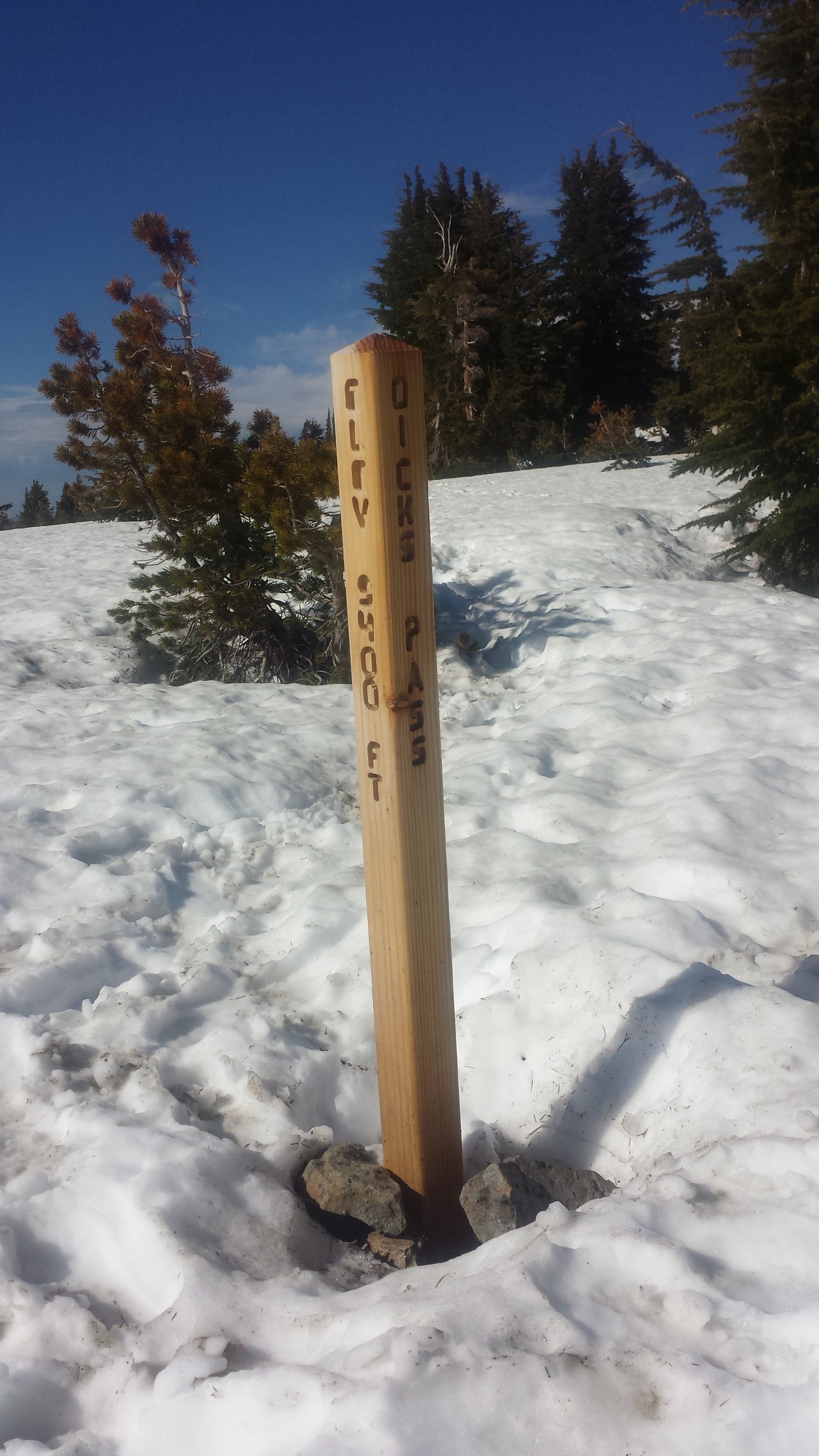
Dick’s Pass, elevation: 9,400 ft
The weather and the scenery was so beautiful and it was delightful to see differences from last summer. There is still quite a bit of snow, particularly on the north side of Dick’s Pass.
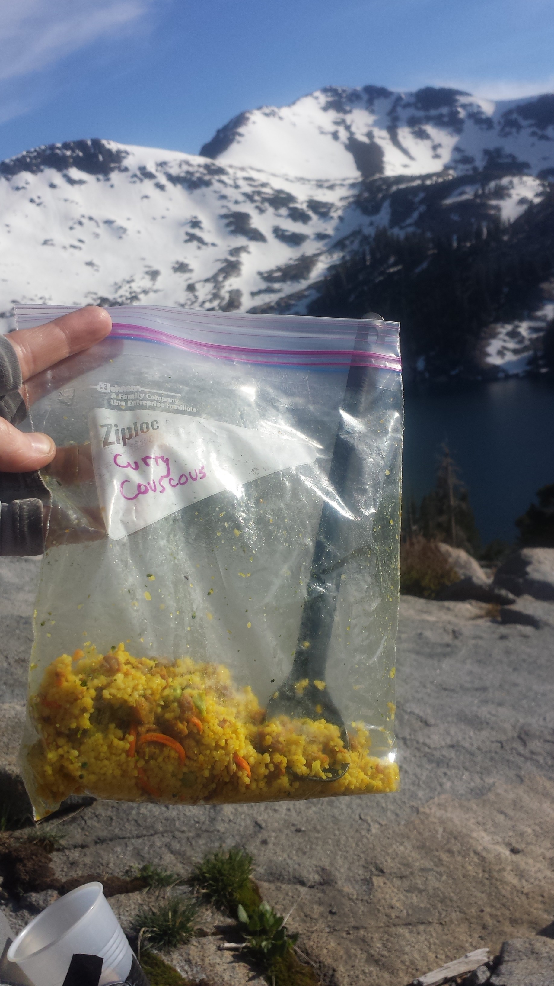
Couscous Dinner above Dick’s Lake

Dick’s Lake
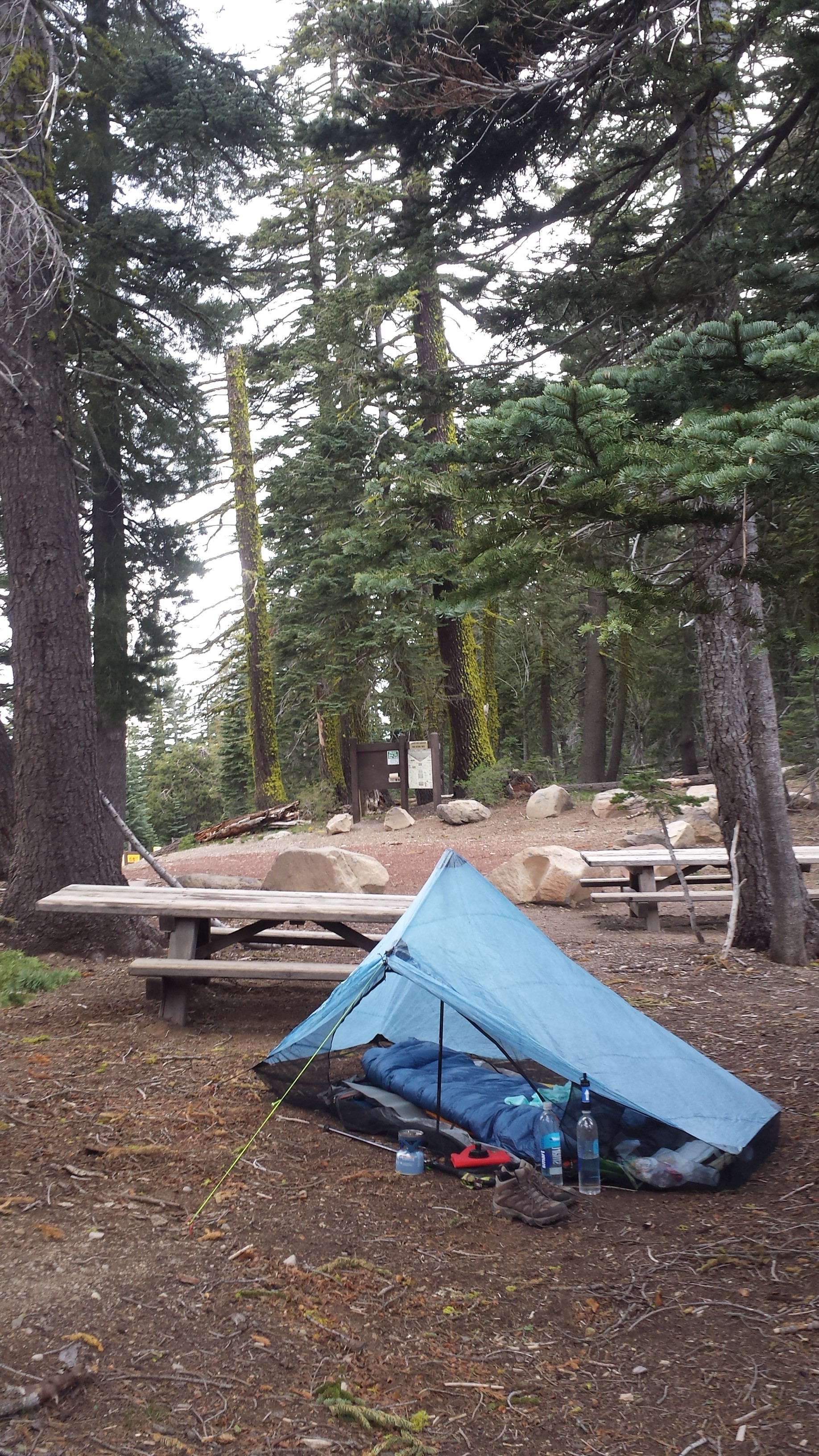
I’m camping at Dick’s Lake, just below the pass and the there are a number of other overnight hikers here. It’s actually a bit crowded. I’ve found a spot next to a kid named Jacob from North Carolina. We chatted a bit and he gave me some extra bottled water so I didn’t have to filter from the lake. The wind really kicked up and I was hoping it would die down after the sun set. It’s blowing so hard that it’s whipping through my tent, kicking the sand in and blowing my guidebook pages out and straight into the lake! Jacob tried to help me grab them all, but one, unfortunately, has been lost to Dick’s Lake. Wind 1. Katie 0.

Camping at Dick’s Lake
The wind is screaming outside my little tent and I’m having trouble writing this because I have to keep stabilizing my pole so the tent doesn’t collapse. I haven’t experienced wind like this since the Tehachapi Mountains above Mojave. Really, PCT?? You couldn’t wait at least a couple of nights before throwing me something like this?! I think this is going to be a really long night.
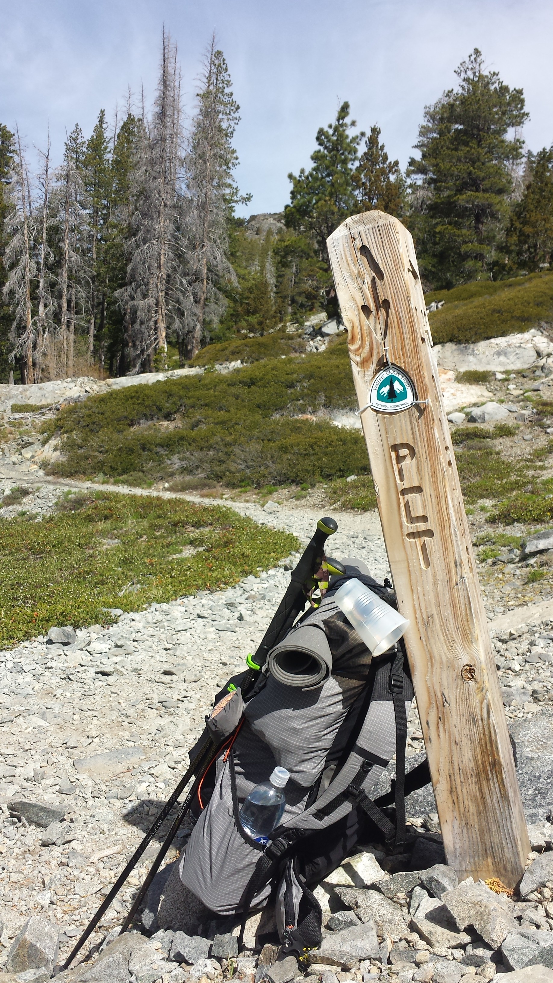
June 1- 17.5 miles, camping at Barker Pass
Last night my tent fell down twice, I had to get out and restaked it three times, and the sand blew right through my tent netting getting all over my gear and face. At 1 AM, I seriously considered just packing up for a new site, but didn’t want to deal with putting everything back in my pack. By the morning, only three stakes were still anchored and my tent was practically blowing away. As soon as it was light out, I packed up and found a protected spot to eat breakfast and have some coffee. Wind 2. Katie 0.

I had a lot of ups and downs today. The majority of my day was spent walking through dense forest with a flooded trail and downed trees. The “tunnel of trees” trail days, as I call them, are difficult for me mentally. Throw in some achy body parts and I start wondering if I made the right decision coming out here. Soon after these demoralizing thoughts, though, I’ll see some adorable mushrooms, a waterfall, or another hiker and I’m right back on track.

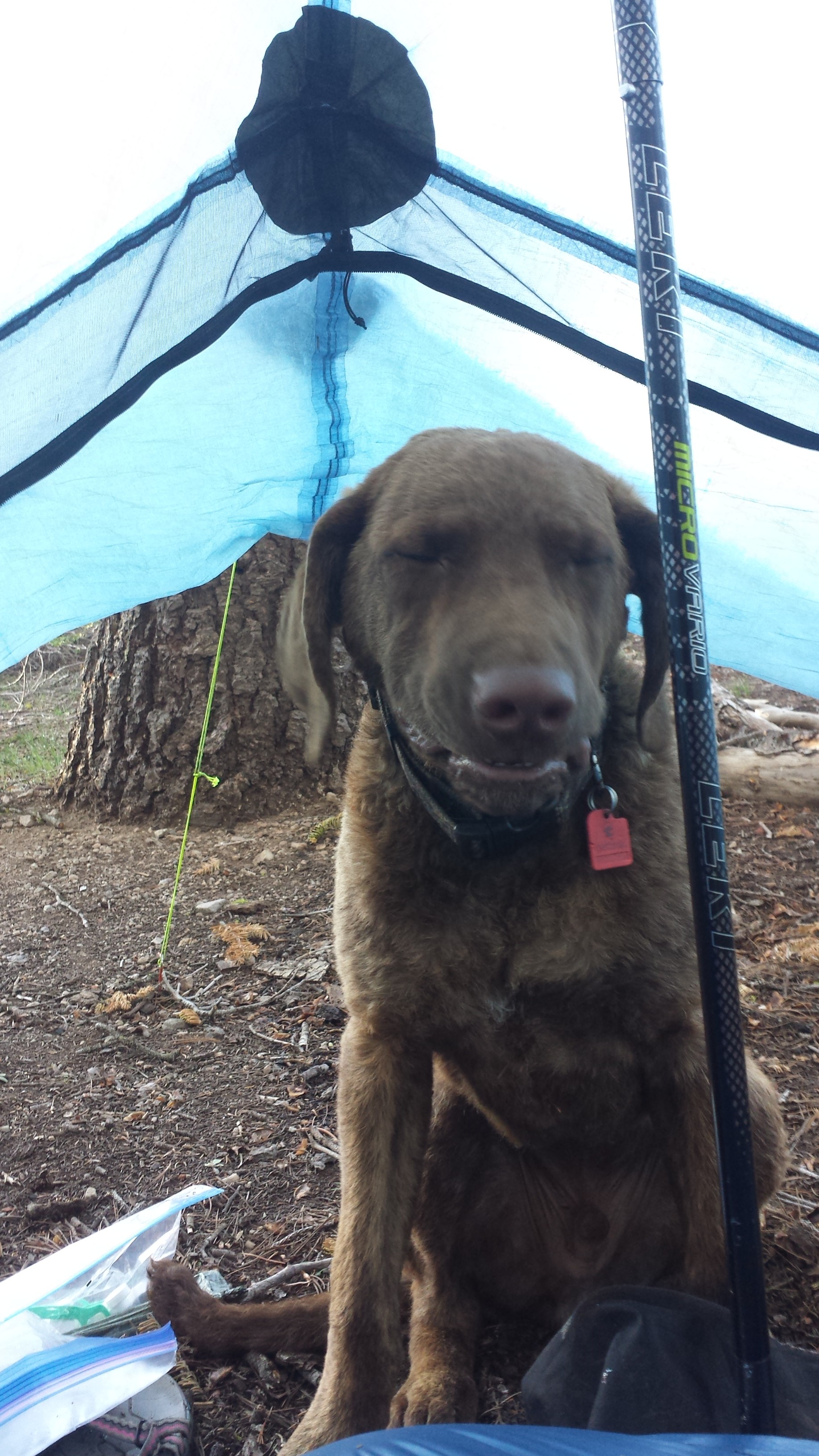
I must’ve seen about 10 southbound PCT hikers and I’ve been leapfrogging all day with a section hiker named, Jim. He and his dog, Bochi, are hiking from Highway 50 to Donner Pass. We chatted by a lake while we were both taking lunch breaks and his dog completely stole my heart. I told him I was worried I might be hiking slower than I’d planned and that I might run low on food. He was all too happy to hand over one of his freeze dried meals because he was carrying too much weight- his pack was 80 lbs!!

My Dirty Girl Gaiter twin!
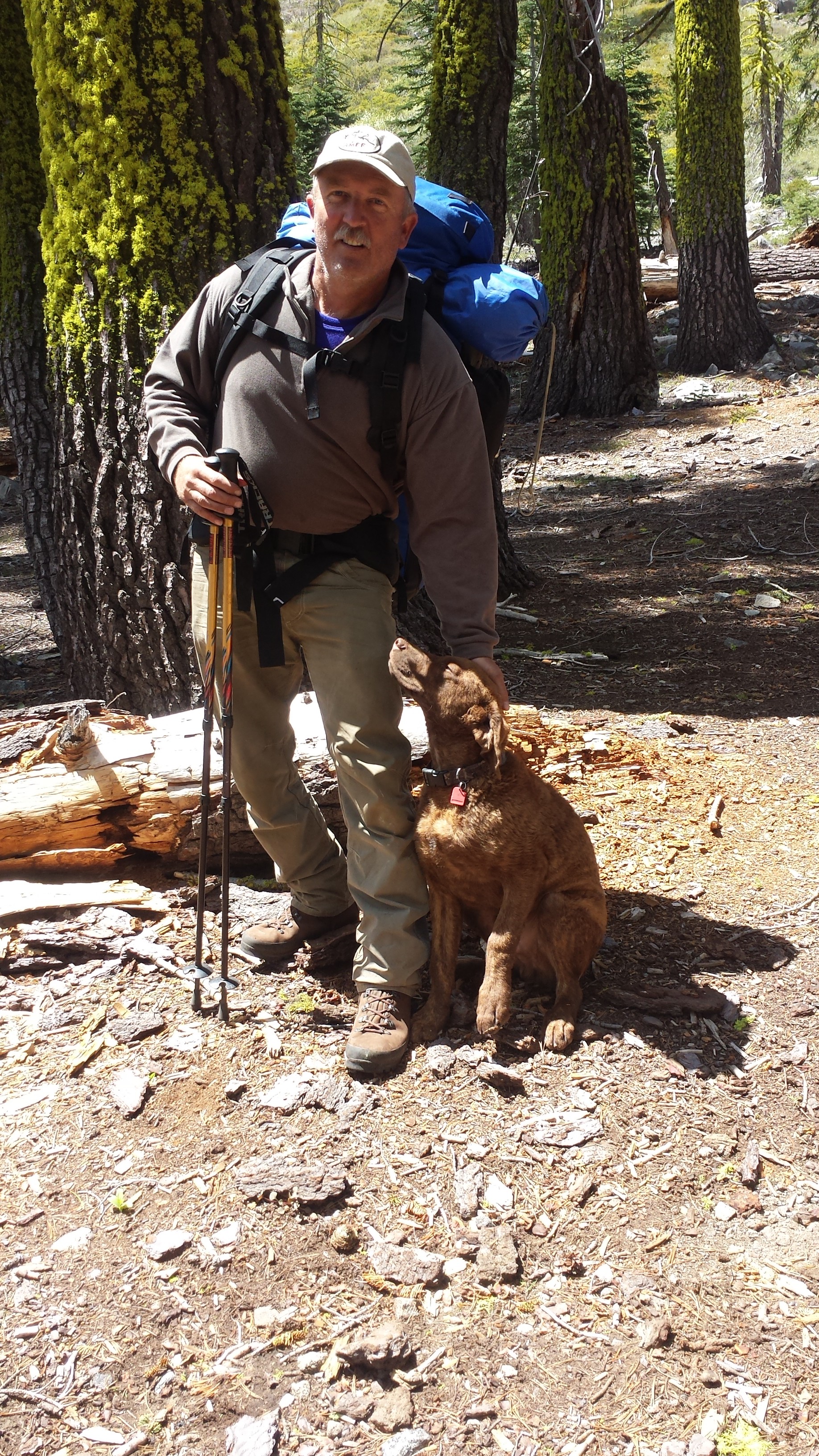
Jim and Bochi

Something I’m trying to do differently this time is not cook and eat where I camp. The smells are just so tempting for bears and there seem to be a lot in this area. There’ve been bear signs along the trail all day long and just as I was thinking I should stop to eat soon, I came across a very fresh pile of scat- steamy fresh! I didn’t see the bear, but I’m going to be careful about my food!
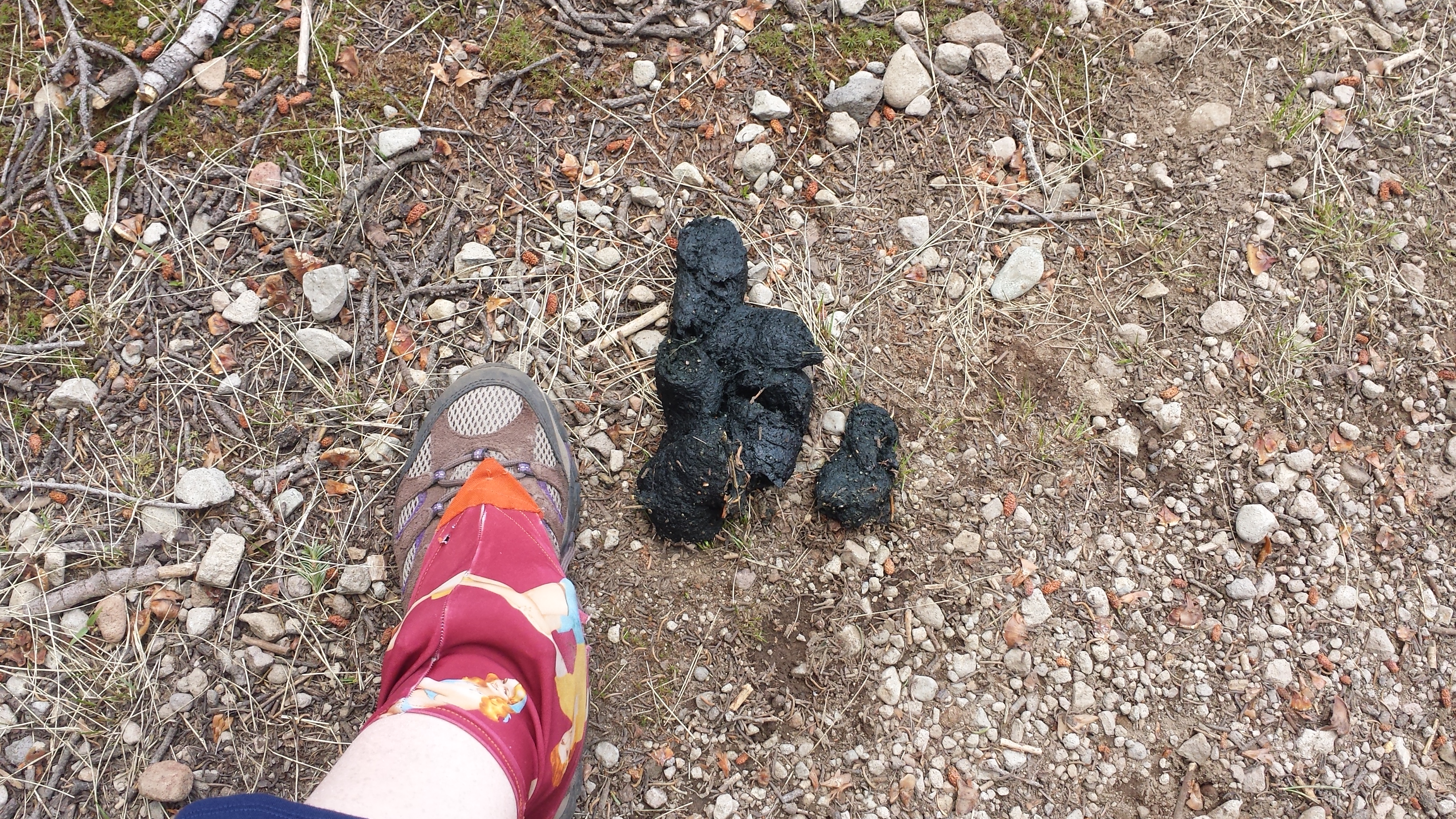
Bear scat

View from Barker Pass
I’ve made it the 17.5 miles that I’d hoped to do today and am camping at Barker Pass. The picnic tables and outhouse made the goal even sweeter! Jim and Bochi are camped nearby. It’s gonna be another cold and windy night and it looks like it may rain, too. If it’s as bad as last night, I swear I’m going to sleep in the picnic area privy!
Camping at Barker Pass
June 2- 18.5 miles, camping below Anderson Peak
Good morning!
I was awoken with a friendly face this morning as Bochi the pup tried to join me in my sleeping bag. He managed to pee on my sandals, which was no big deal and pretty funny. The weather turned out to be beautiful last night and, after getting some much needed rest, I felt good about hiking over eighteen miles for today.


After saying goodbye to Jim and Bochi, I didn’t see a single soul all day. I didn’t feel lonely or scared because it just felt so good to be out here. Despite some windy patches, the weather was really nice and the trail didn’t throw me any curve balls.

View of Lake Tahoe

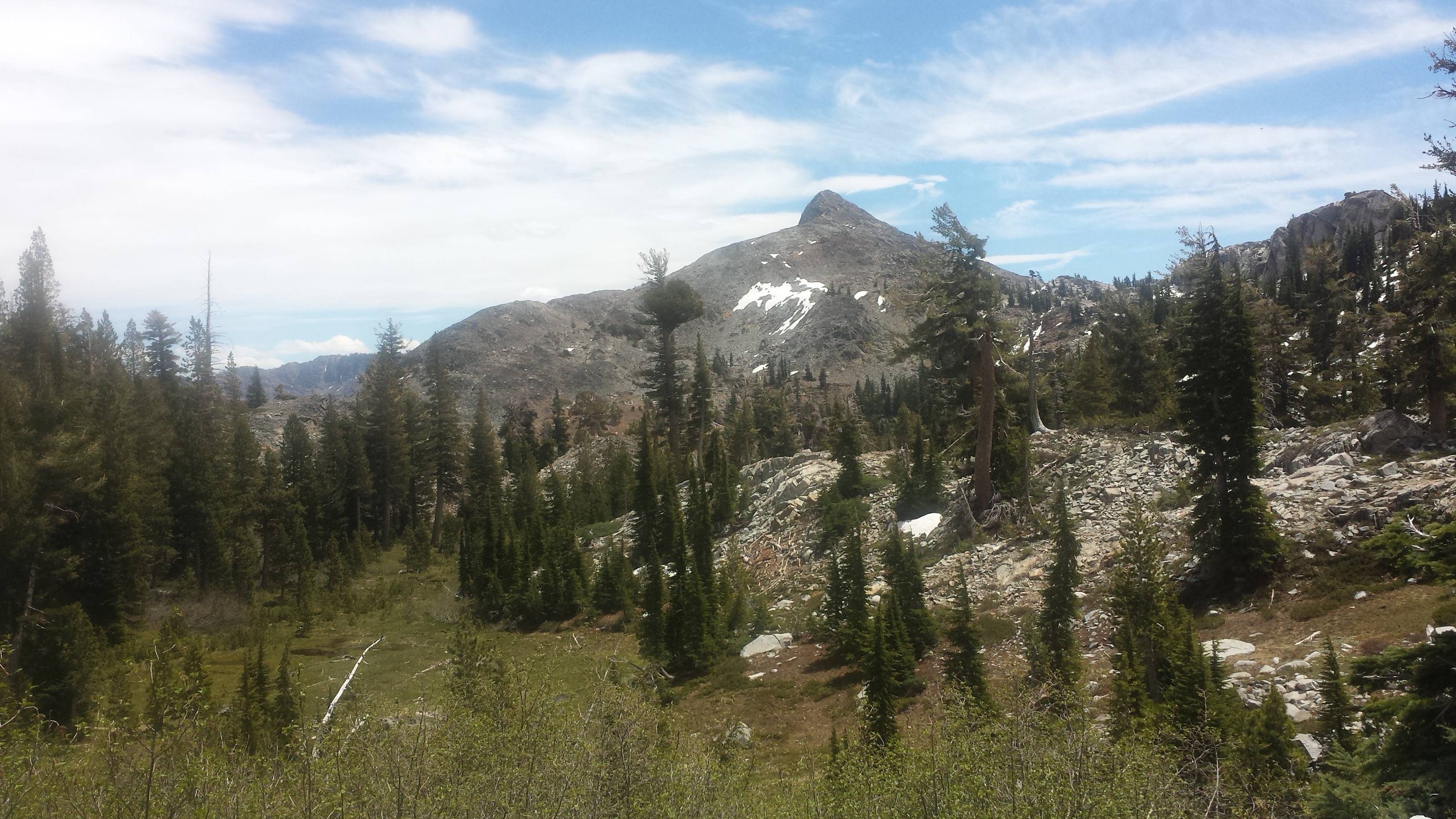
Looking towards Anderson Peak and Tinker Knob
All day long, I wound along ridges with breathtaking views around me. At lunchtime, I stopped for an hour at a creek to wash my legs, filter water, and charge my phone. I wanted to take a nap, too, but felt like I needed to get moving. I still had seven and a half miles to go to reach the campsite I was aiming for tonight. I popped an asprin and a caffeine tablet and tackled the three-mile climb ahead of me.


Tinker Knob
It paid off. With plenty of daylight to spare, I reached my camp next to the headwaters of the Middle Fork American River and just below the climb to Anderson Peak. It feels so nice to have a couple of hours of daylight to muck about before going to sleep. I was able to dry out my shirts, repair the velcro on my shoes for my gaiters, fix one of my guy lines, filter all my water, and sort my food for the next three days. There’s nothing like that feeling of being productive to put the cherry on top of my day!

Camping below Tinker Knob

Fixing my gaiter velcro
Today, more than before, I found myself walking in spirit with many of the hikers I met last year on the trail. Things I saw and places I past reminded me of sharing some great experiences with those friends. Tonight I raise a toast of hot cocoa to those hikers: Duchess, Booey, Crusher, Sugar Pine and Lingo, Knockout and Liverpool, Beav, Smokes, Lorax and T-fox, Glitter, Red Light, Butters and Just So Fresh- the list could go on (don’t you love hiker names?). Thank you, kids, for making last summer so memorable!
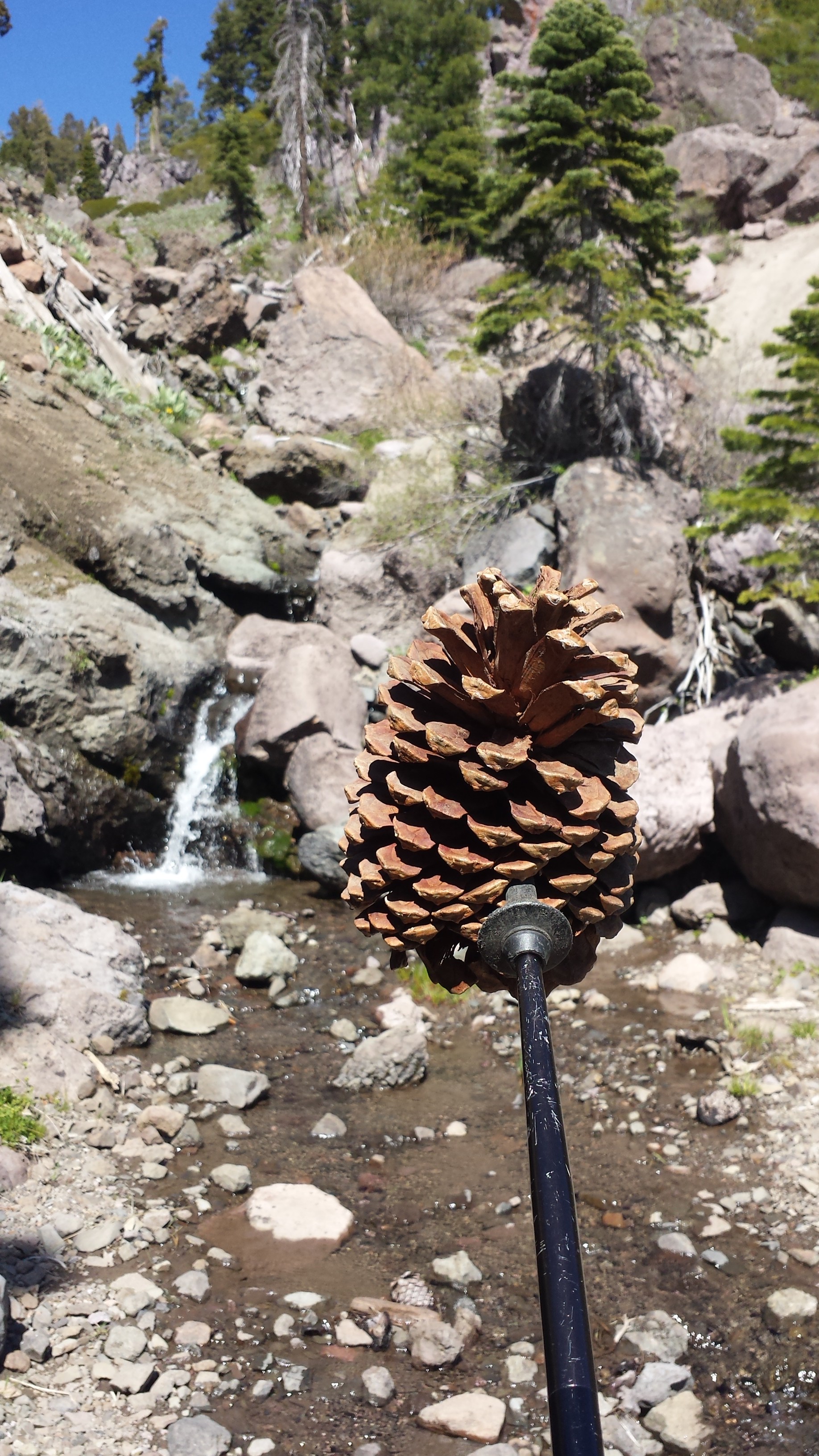
Playing pine cone games & thinking of Butters

June 3- 13.5 miles, staying at the Claire Tappaan Lodge
What a roller coaster today has been! I went from feeling really great, to not; then to being angry and frustrated, to resigned and even delighted.

I was up early because it was especially cold this morning. When it’s that chilly, sometimes the only thing to do to get warm is hike. So, hike I did! I was lucky enough to see a couple of bears on my mile and a half climb to Tinker Knob. One was a medium sized black bear and the other was a massive, brown bear. I couldn’t believe how big he was- almost the size of a small car! He was probably 700 lbs. I clacked my poles together and shouted “Hey, bears!” They turned and ran right off the trail and down into the trees.

Bear print!
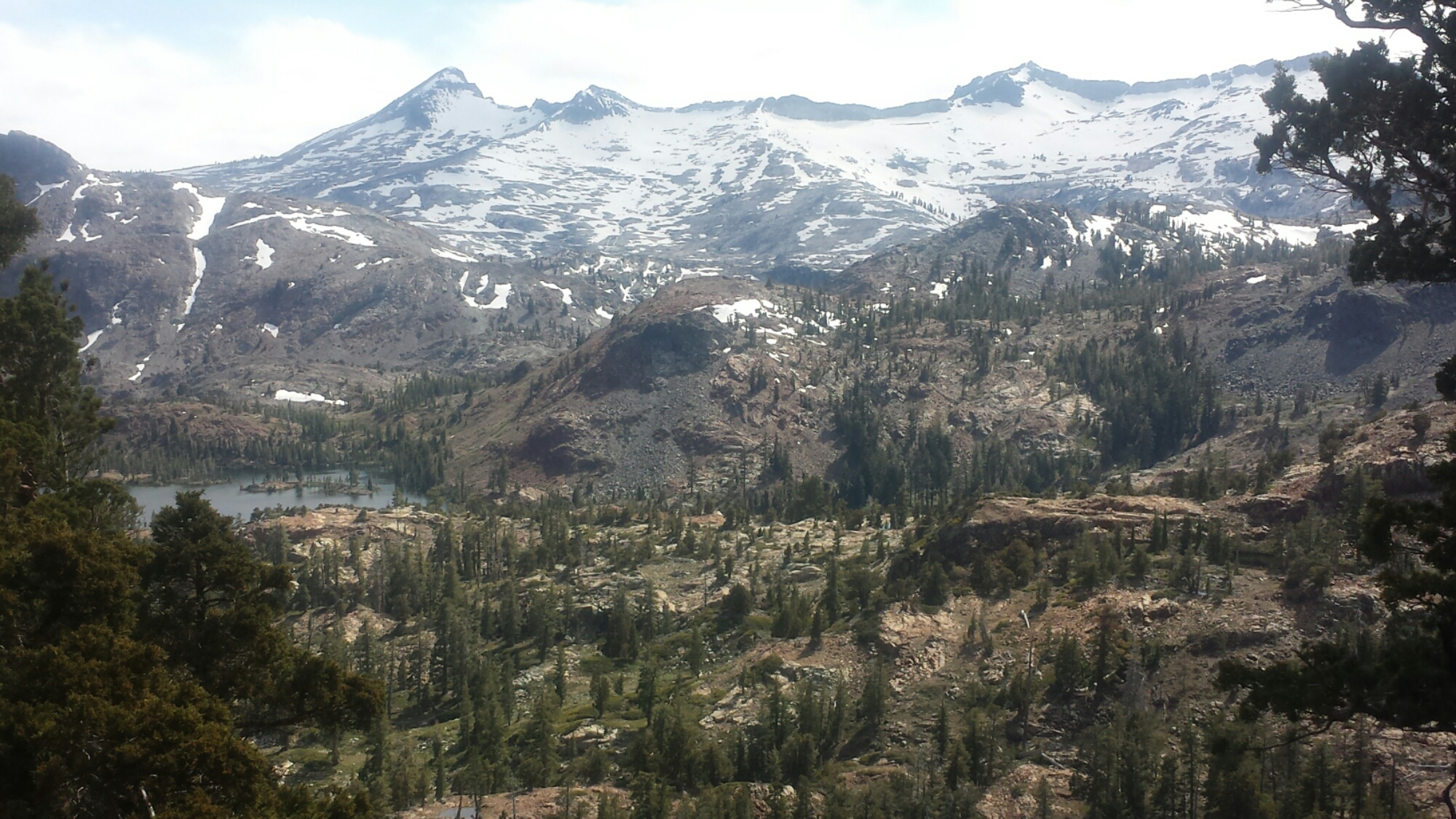
By 8 AM I had already climbed to the top of the ridge and felt great. The views were not only spectacular, but also new for me. The last time I walked the ridge was in a rain storm and could only see ten feet in front of my face. I had no idea what I’d missed out on. Today I could see as far as the Sierra Buttes above Sierra City towering sharply on the horizon.
Looking towards Castle Peak from Anderson Peak
I stopped at the Sierra Club Benson Hut, just to check it out and use the outhouse. Somehow, it didn’t seem as awesome as last summer when I took shelter in it during the storm. It needs some TLC.

The Sierra Club Benson Hut
The trail goes right through Roller Pass, which is where pioneers hauled wagons up from the meadow and over the cliff using oxen. One of the things I love about being on the trail is that it takes you through so many historical sites and really brings to life, for me, what the early settlers must have experienced. I’m always impressed by the guts of any pioneer or immigrant to put it all on the line and seek something better than what they were born into. I’d like to think that I may have inherited some of that brazen sense of adventure from my own pioneer ancestors.

Roller Pass

Coming down toward Donner Pass became more and more difficult. I was tired and my feet were feeling really bruised from the rocky trail. By the time I reached the Donner Pass rest area at Interstate 80, I was itching to be done with my day. Unfortunately, multiple day hikers had told me bad weather is coming in and it seemed to be getting started already. The clouds were heavy, the temperature had dropped and I couldn’t decide if I should keep hiking or get a room somewhere.

Donner Pass
Just four miles up the trail was the Peter Grub Sierra Club Hut that I knew I could stay in for the night. Unfortunately, my batteries were all running low and I couldn’t get any info on how bad these storms might be. I didn’t particularly want to get out there, run out of juice on my phone with no sunshine to recharge it and also risk getting stuck in my tent all day because of a really bad storm. If I couldn’t hike because of weather, I’d rather stay in town than in my tent.
I pulled out my guidebook and called the number of a local Sierra Club Lodge. They picked me right up and got me to the lodge in time for dinner with the other guests. It’s a great little gem and as frustrated as I got trying to make up my mind about coming here, I’m glad I did! For $70, you get a teeny bunk room, dinner, breakfast, a bagged lunch, free laundry, free Wi Fi, and use of the private hot tub. Plus ,by staying here you help support the Sierra Club and keep the lodge open for future use.

The Sierra Club Claire Tappan Lodge
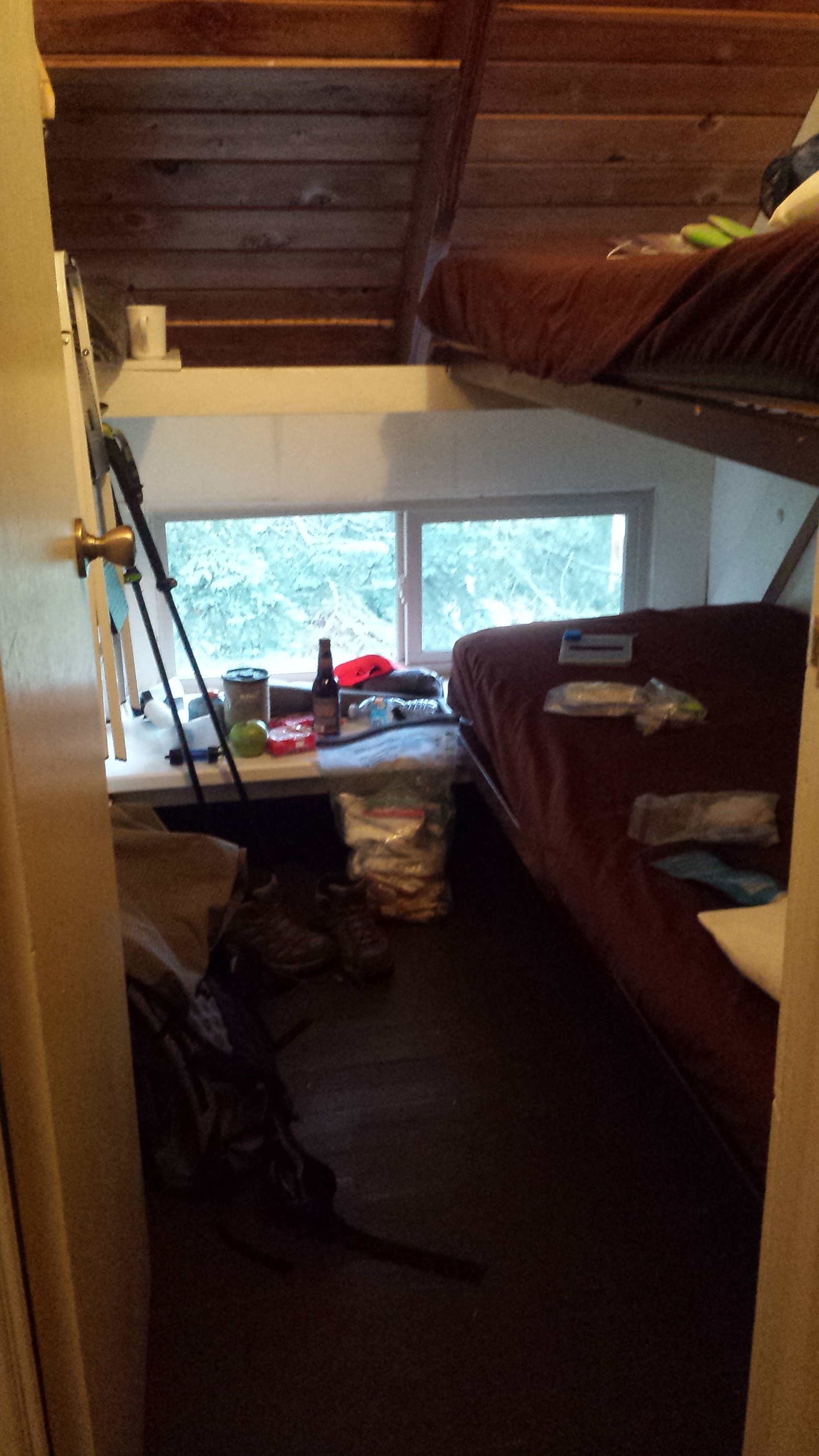
A bunkroom at the Claire Tappaan Lodge
At dinner, I met Ed and Meredith, a couple of engineers from New Jersey. They’re in California for Ed to participate a fundraising bike ride of 100-miles! They were really fun to talk with, both of them being intelligent, active and lighthearted.
I was determined to not get stuck for another night in Soda Springs, so I came up with some game plans to hike through the storms. The weather report showed the storms hitting for only a couple hours in the afternoon for the next couple of days and that the wind wouldn’t be above ten miles an hour. Done! If the wind isn’t gusting, I can handle everything else: rain, hail, snow, thunder and lightening. I studied the map and figured I could hike from valley to valley, keeping an eye on the weather and staying off the ridges if it looked dangerous. I picked a couple of tent sites that looked protected in case I really needed to hunker down.
Now I need to charge my phone and get some sleep.
June 4- 17.5 miles, camping on a ridge near mile 1178.5
After breakfast burritos and coffee and waiting for my skirt to dry in the drier, Ed and Meredith drove me out to a trailhead that connected me to the PCT. They hiked with me as far as the Peter Grub Sierra Club Hut and it was great to have their company. They were really delightful to be around and Meredith even carried my pack for most of it, just to see what it felt like! With service like that they should be charging money!
Meredith carrying my pack

Peter Grub Sierra Club Hut
Not long after Meredith and Ed said goodbye, the thunder started to roll in. I was able to hike for awhile in the light rain, but when it started coming down harder, I had to stop and put all my rain gear on. The rain turned to hail and bit sharply on my bare hands, but I was still having a good time! Having the proper gear and no wind makes all the difference in situations like this.

Storm clouds near Donner Pass
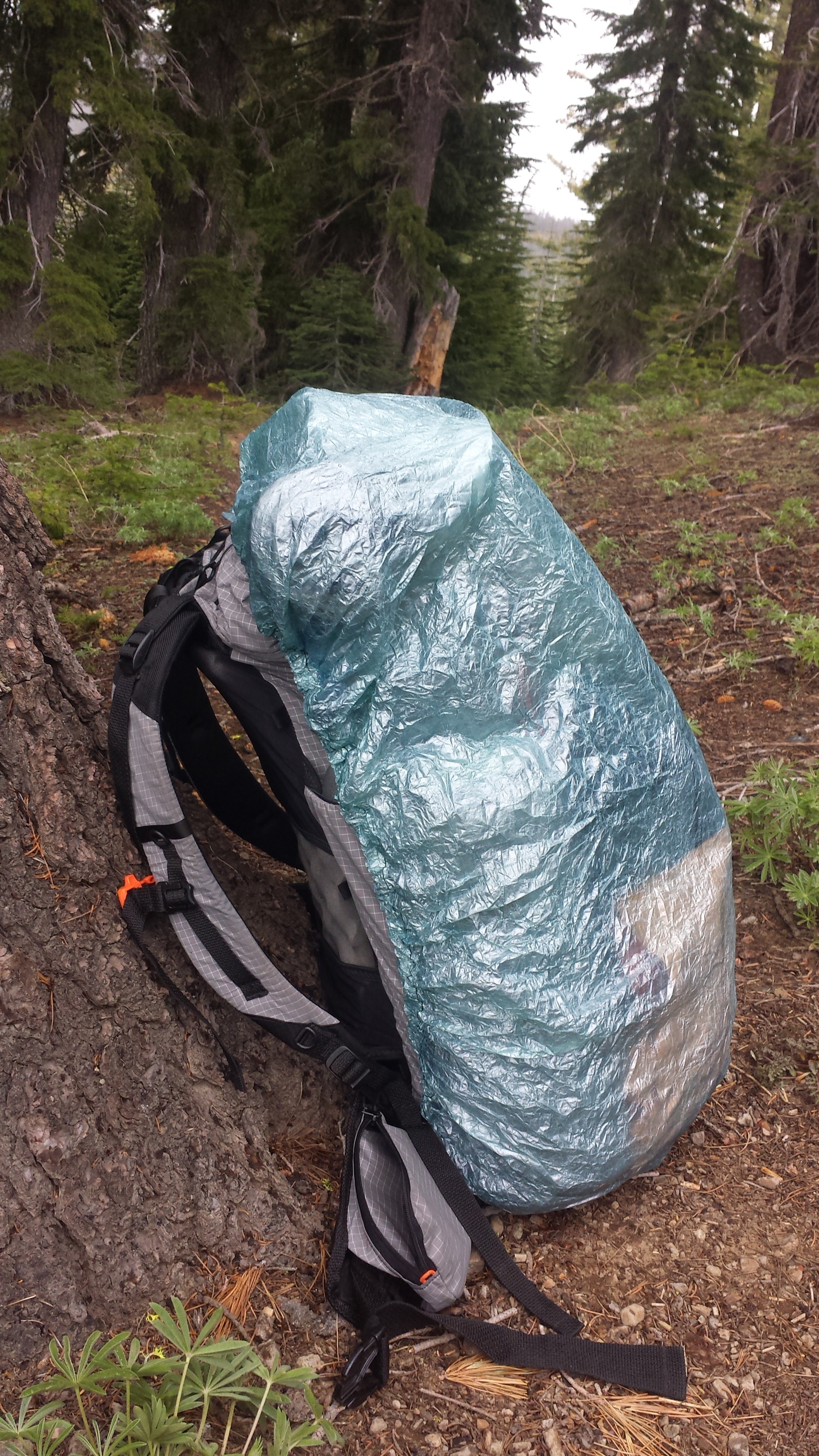
Ultralight ZPacks pack cover

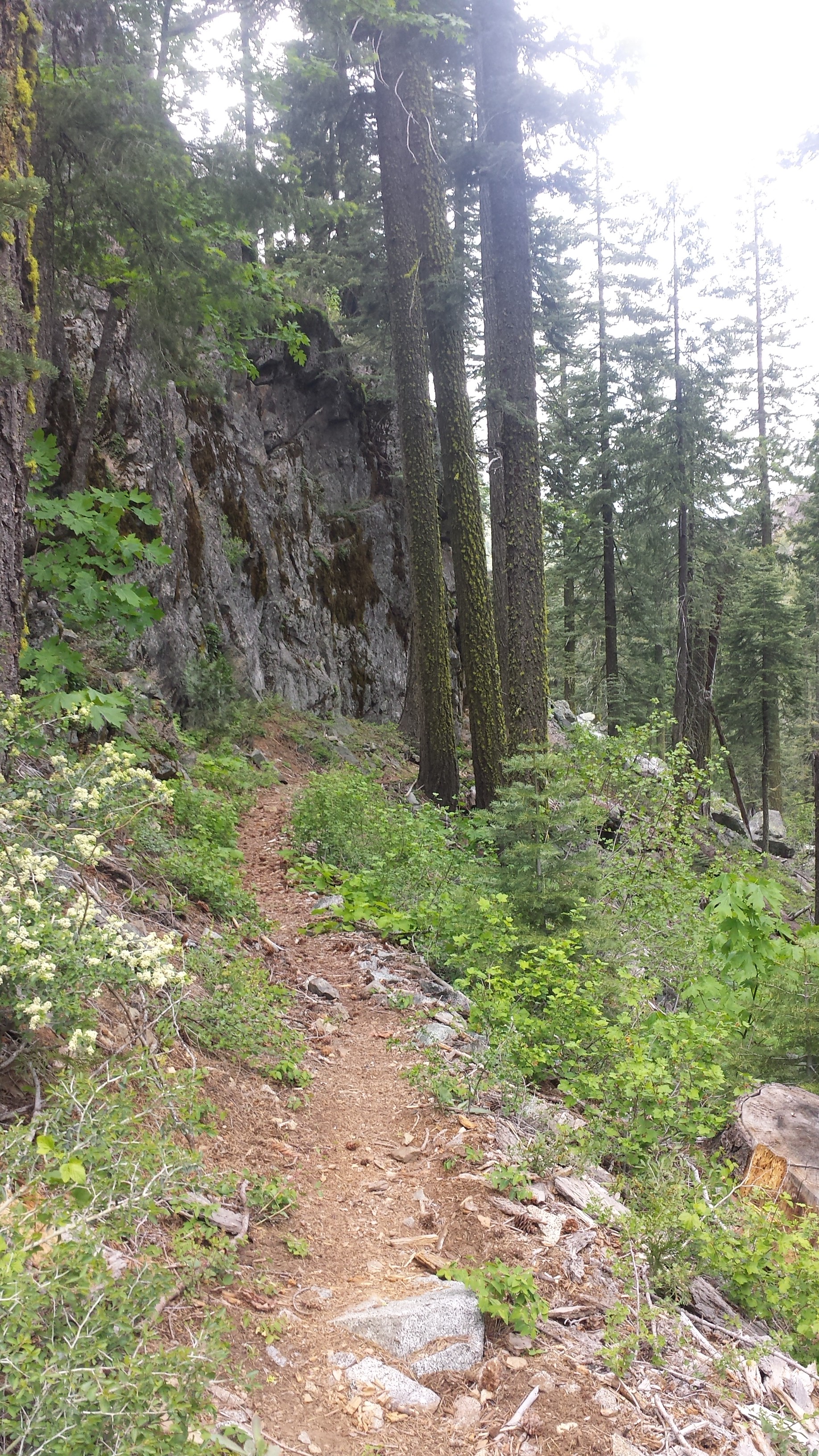
Tom’s Valley
It was beautiful watching the clouds roll through, twisting around each other in shades of greys and dark blues. I actually really enjoy hiking in weather like this because it’s so different from the usual hiking day and beautiful to watch.

Fungus
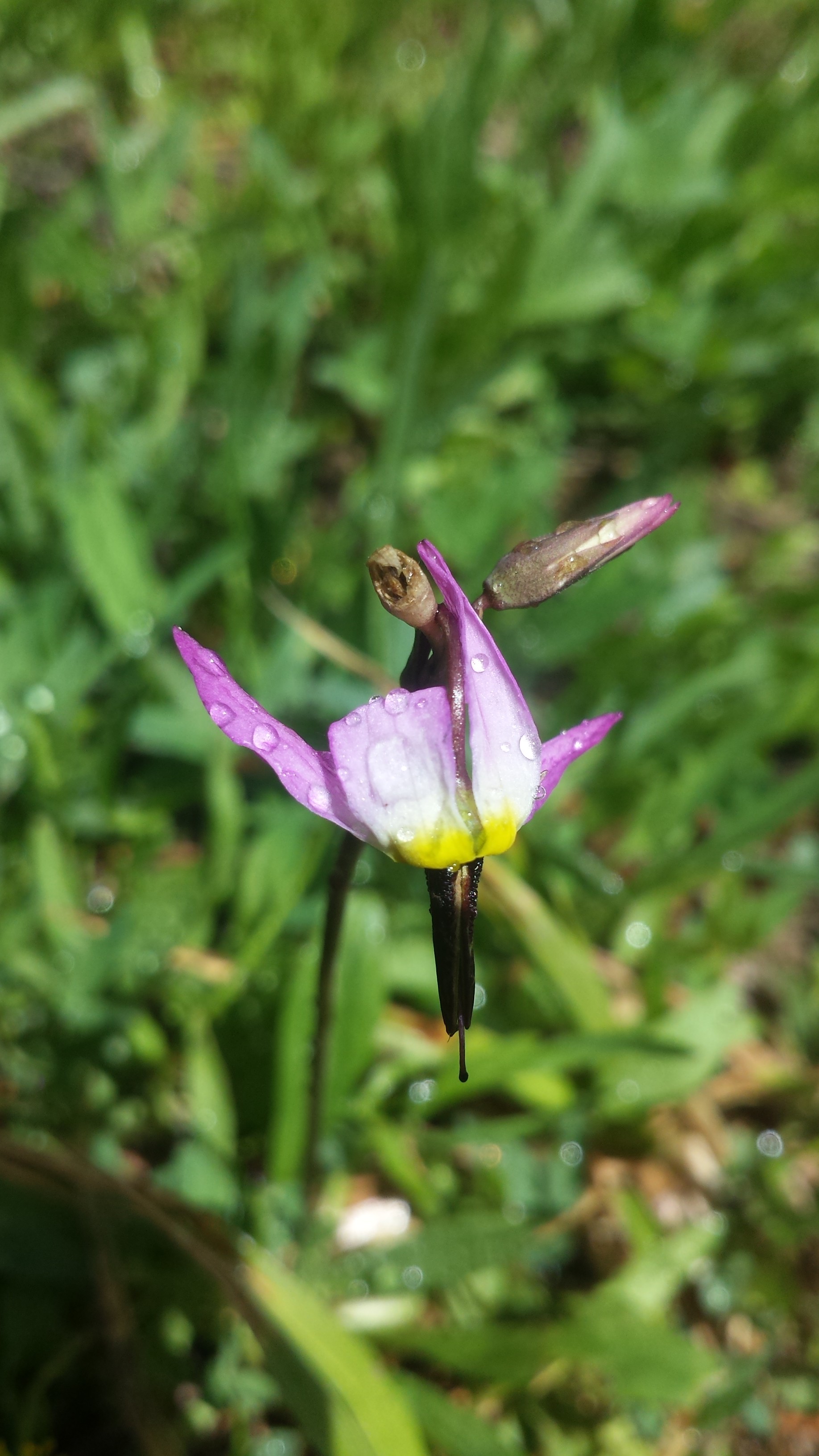
An orchid

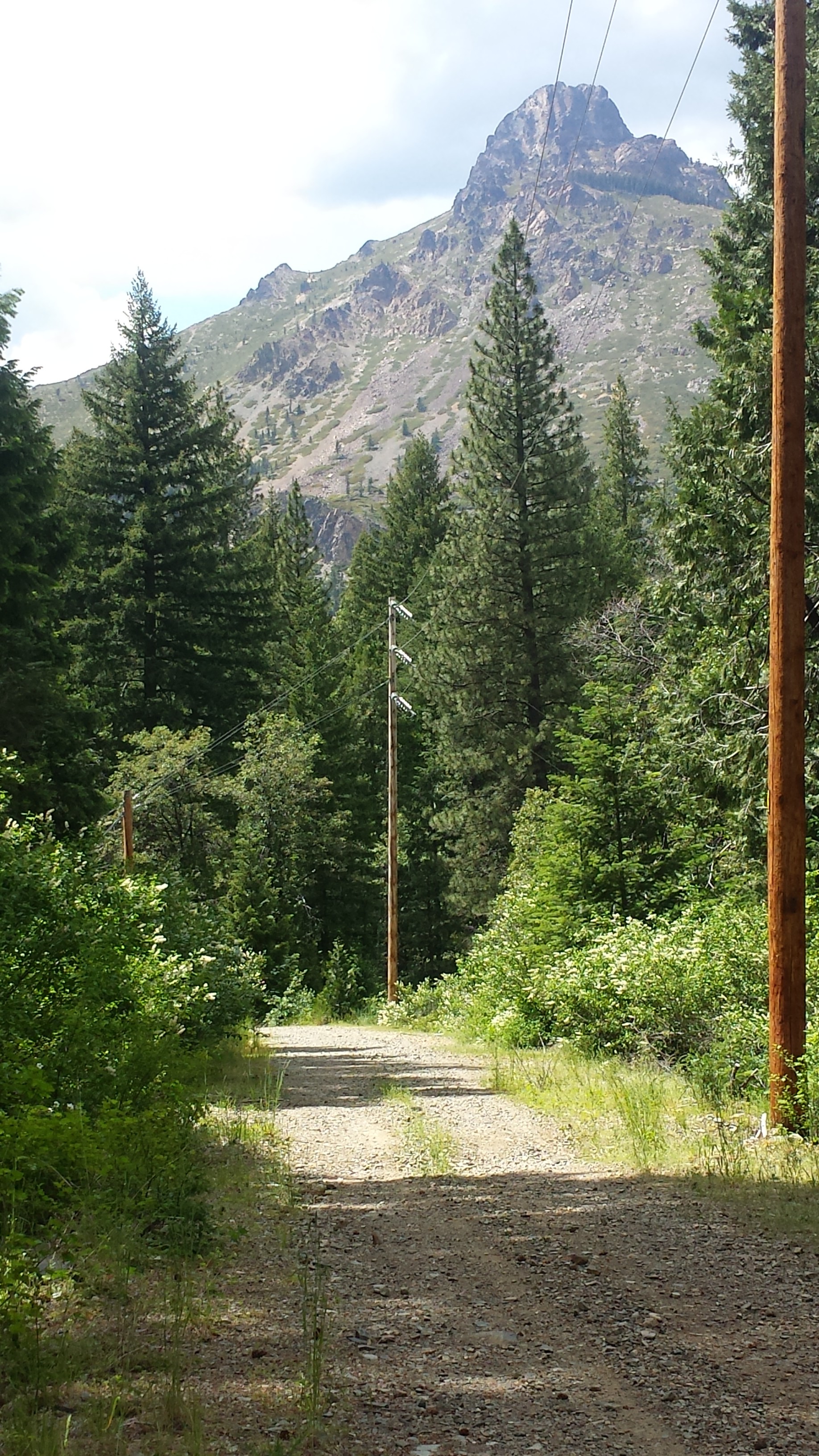
Looking towards the Sierra Buttes
Around 6 PM, I stopped to make camp because I was feeling sore and the mileage would work out nicely getting into Sierra City in two days. I’m still trying to shake the mentality that I need to hike at least twenty miles each day. Eventually, I will, but not for this first week. Plus, I love having so much daylight left when I get to camp.

As I lay in my tent eating a dinner of jerky, a protein bar, fruit leather and hot cocoa, a light rain began spattering my tent. I looked out and saw a perfect rainbow arching just above me. I’m not superstitious, but rainbows always seem like a good omen.
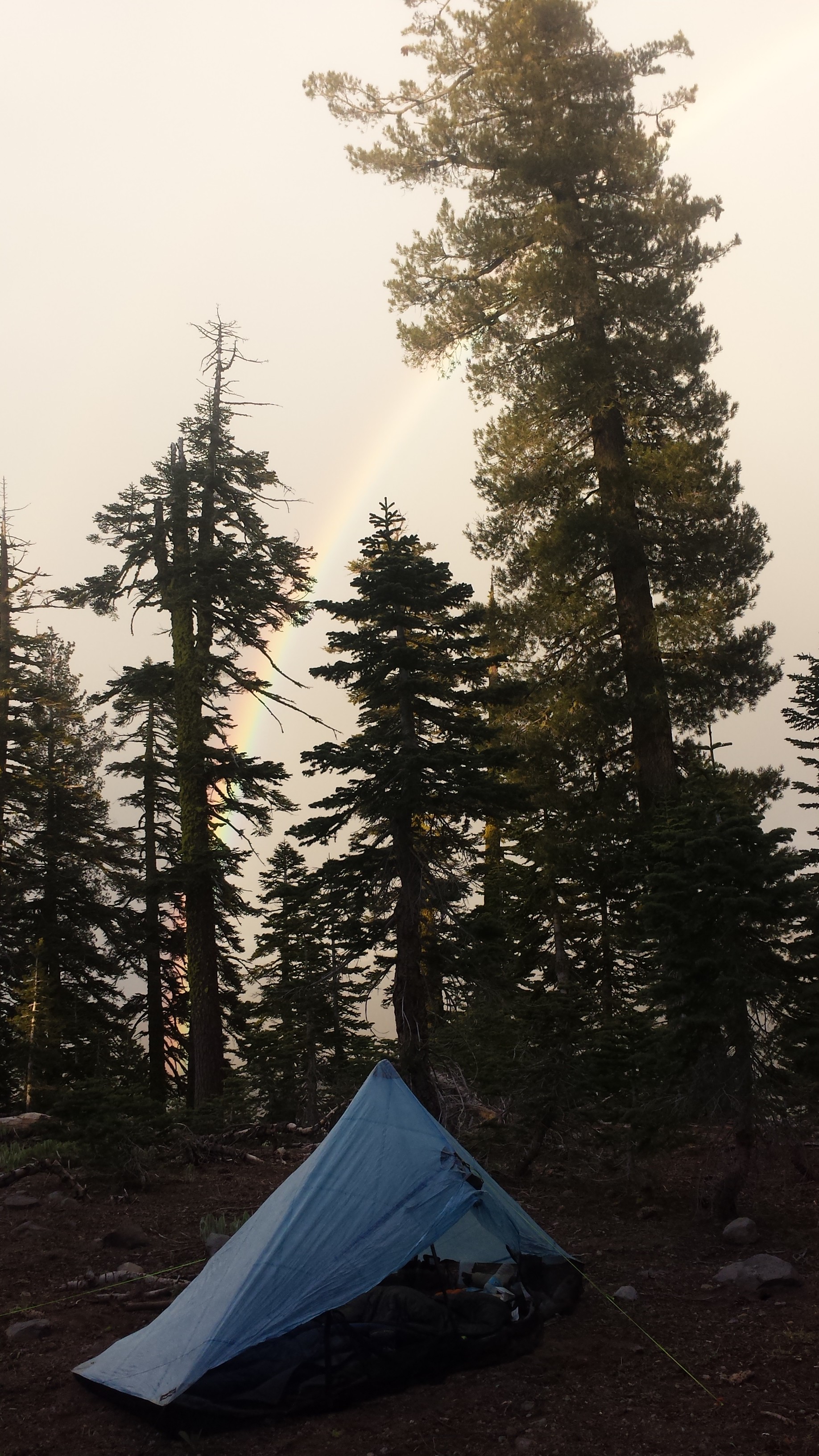
Rainbow!
June 5- 19.5 miles, staying at the Red Moose Inn
I woke up to a chilly morning breeze and a very wet tent. It must’ve rained more during the night and I tried my best to dry the tent off with my nano towel and wysi wipes. Nothing’s worse than a tent that smells like mildew. It was so cold, I didn’t feel like getting up and going- contrasting to the motivation a cold morning gave me a couple days ago! Since I pack the sleeping bag in the bottom of backpack, I couldn’t pack anything until I was willing to get out of my bag. So, all I managed to do was move things from one side of my tent to the other for about an hour while I made coffee and breakfast.


The Sierra Buttes
By 10 AM, I felt ready for a nap. As tired as I may be, I’ve never been good ant napping, but I made an attempt anyways. I plopped down right on the side of the trail and lay there, just listening to the birds for about fifteen minutes.

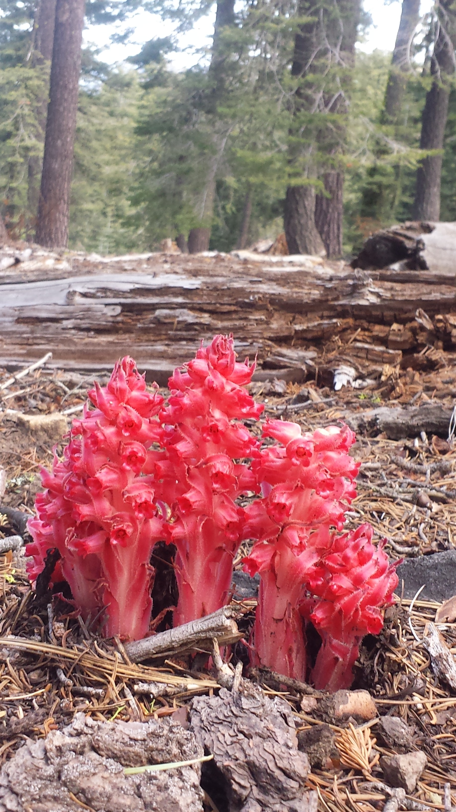
Snow plant
It was nineteen and a half miles all downhill today, and beautiful! I didn’t plan on hiking all the way to Sierra City, but by the time I reached the turn off for the town it was only three in the afternoon. When I’m that close to town, it’s hard not to go all the way. When you’re not focusing too hard on a goal, sometimes you can be surprised by how far you’ve come, especially when it’s all downhill!

Old structure, maybe a horse corral?
I’m sitting in the Sierra Hotel bar now, watching Jeopardy with the locals and enjoying a Hot Toady. It’s the only place in town with Wi Fi strong enough to upload my videos. I love meeting the locals and hearing their stories- like the bartender who’s worked at this mountain bar for 15 years, now it’s being bought up by a city slicker investor and and he has no idea what he’ll do next for a job.

Town shoes!
Sierra City
I’ve picked up my resupply box from the Sierra Country Store and need to go through all the food for the next section. I’m procrastinating because I know I have more food than I’ll need for the next four and a half to five days. I’ll have to put some of it in the hiker box at the store, but I also hate wasting food.
I’m looking forward to a hardy breakfast in the morning and wondering if I’ll get stuck in town for most of tomorrow, enjoying the amenities it offers.
Links
Installment No. 22- Sierra City to Belden, 2015
You continue to amaze!!!
Beautiful pics! Exciting to see you back on the trail
Wow, them town shoes are pretty fancy!!! How are they with foot-stomping music and dancing on rough wood floors? Very good pics! Liked the close-up of the leech.