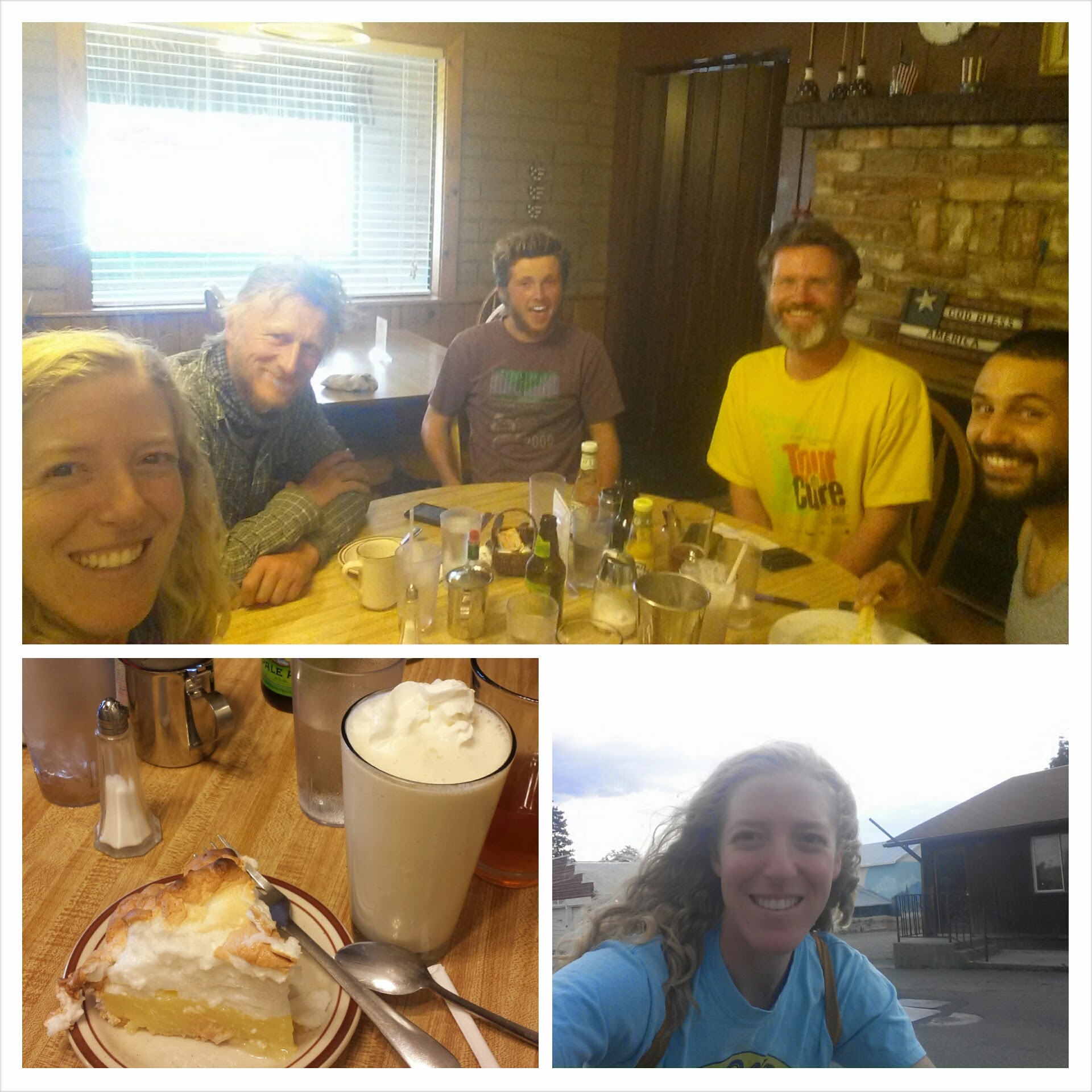
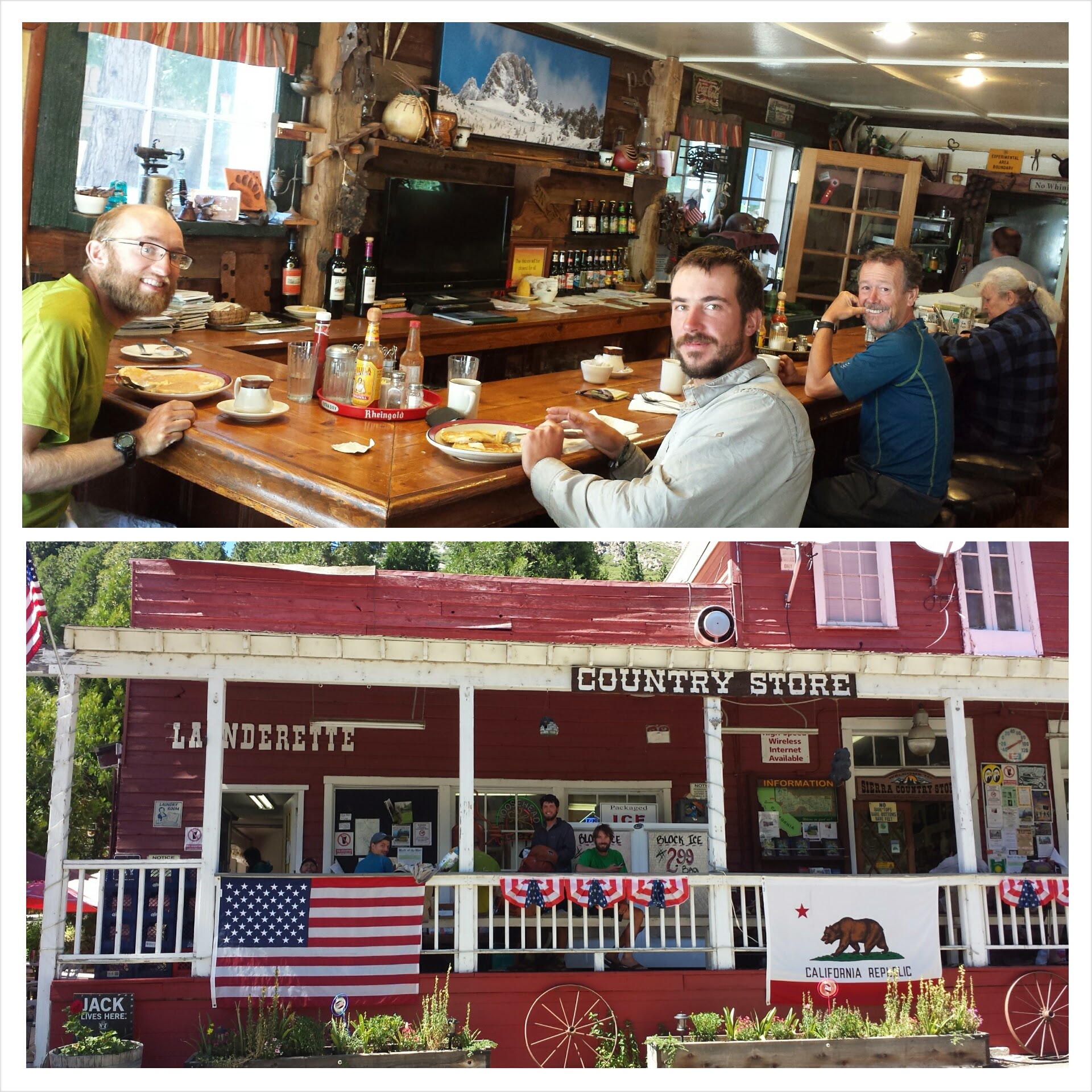
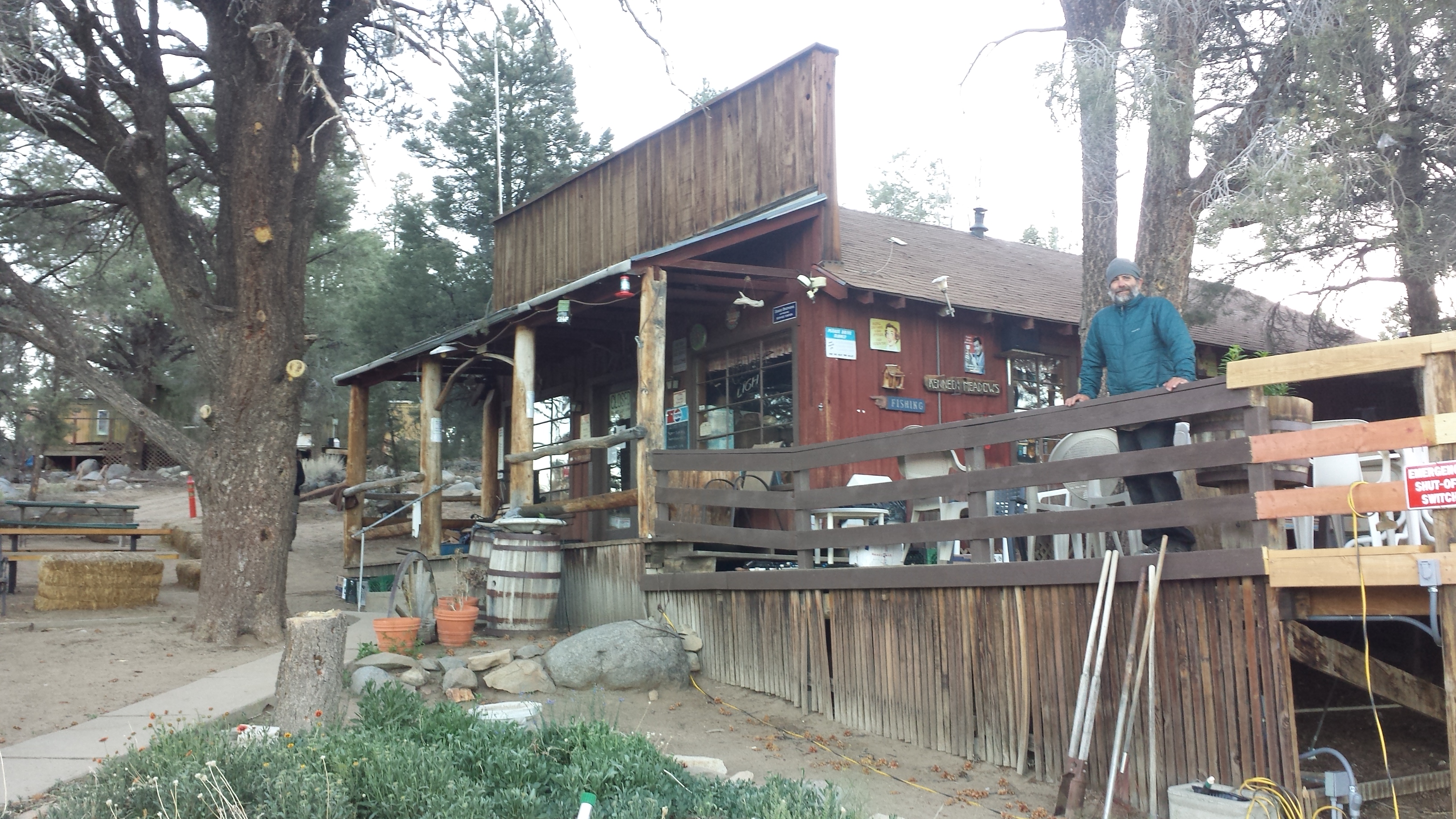
While in Etna, we had to celebrate Red Light’s 30th birthday. A group of us staying at Alderbrook went to the local pub and I couldn’t help buying him a brownie sundae. Red Light and I first met near So. Kennedy Meadows when we camped near each other.
Birthday Boy Red Light & Trail Angel Lion Heart/ JSF at the Alderbrook grill
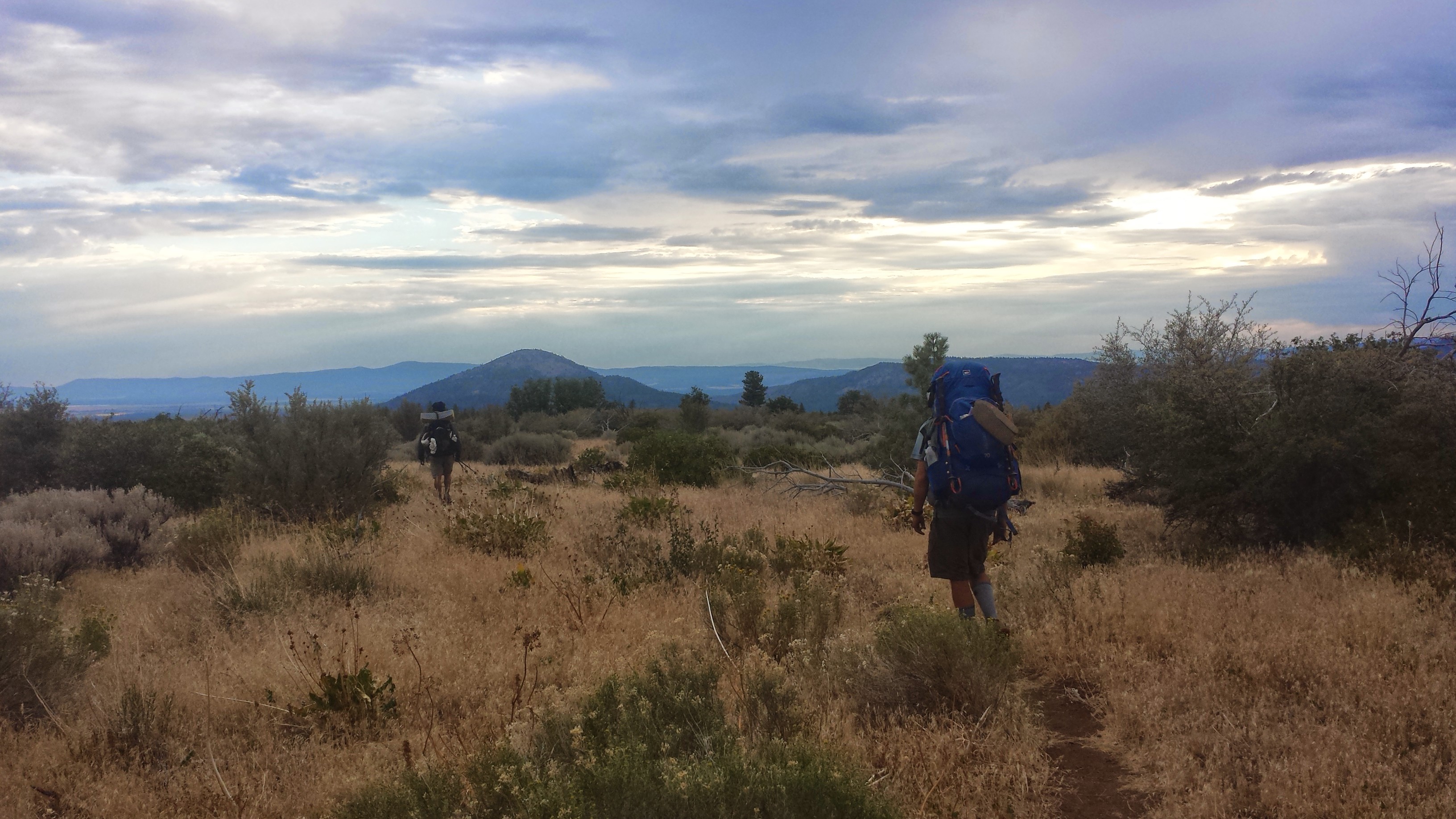
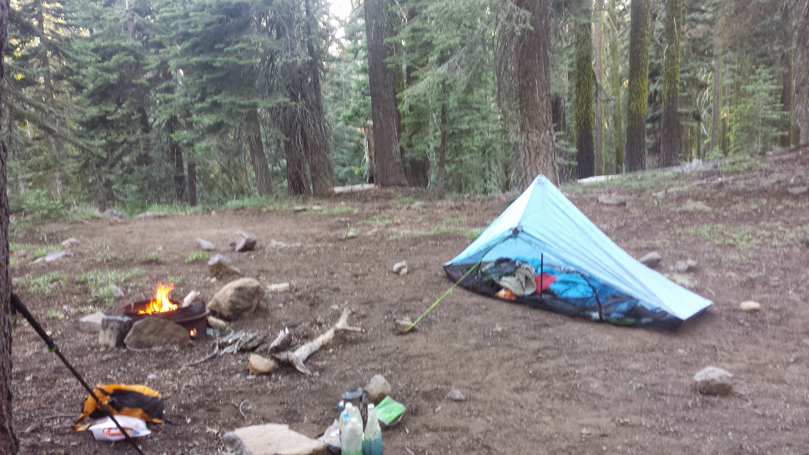
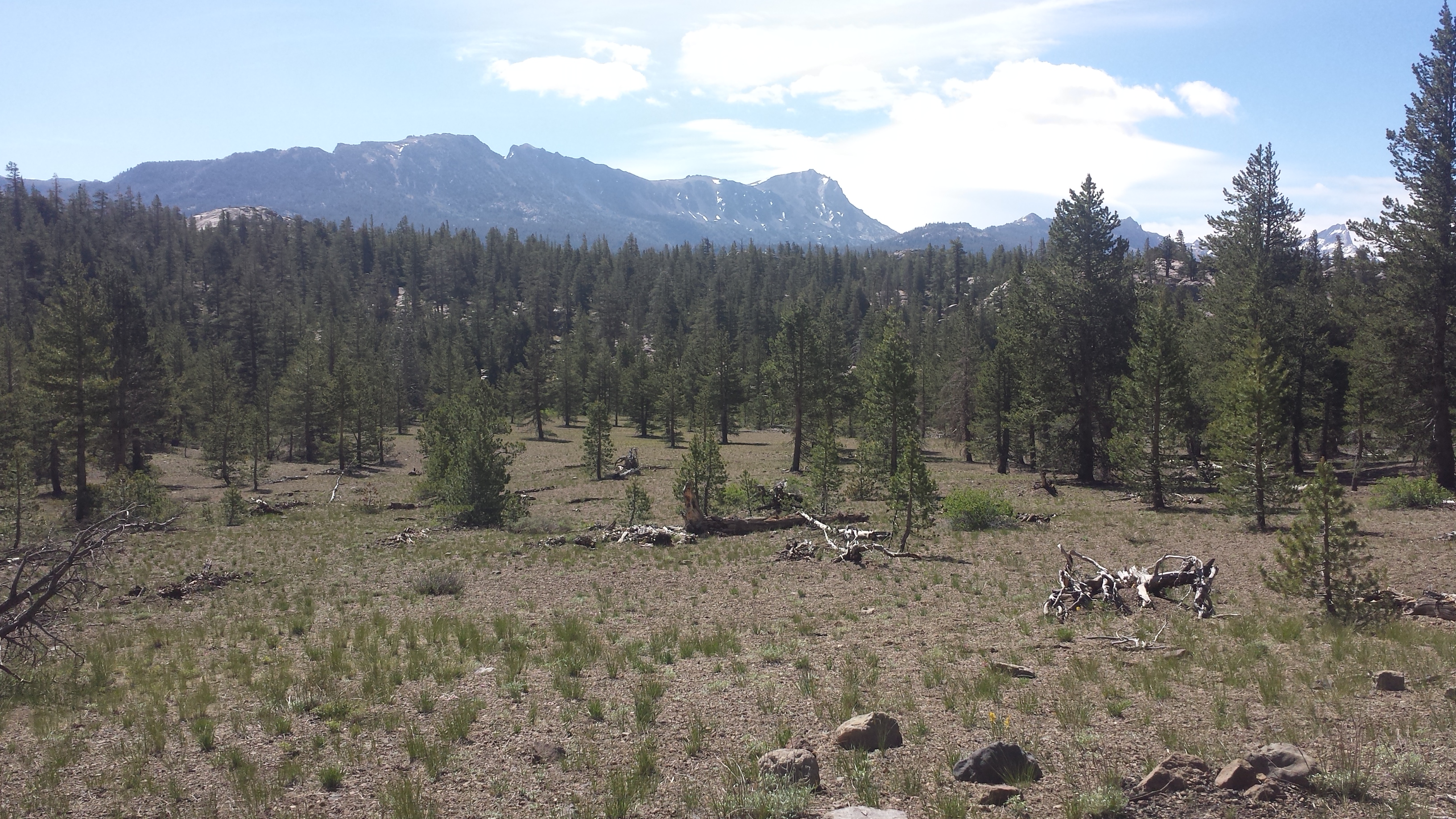
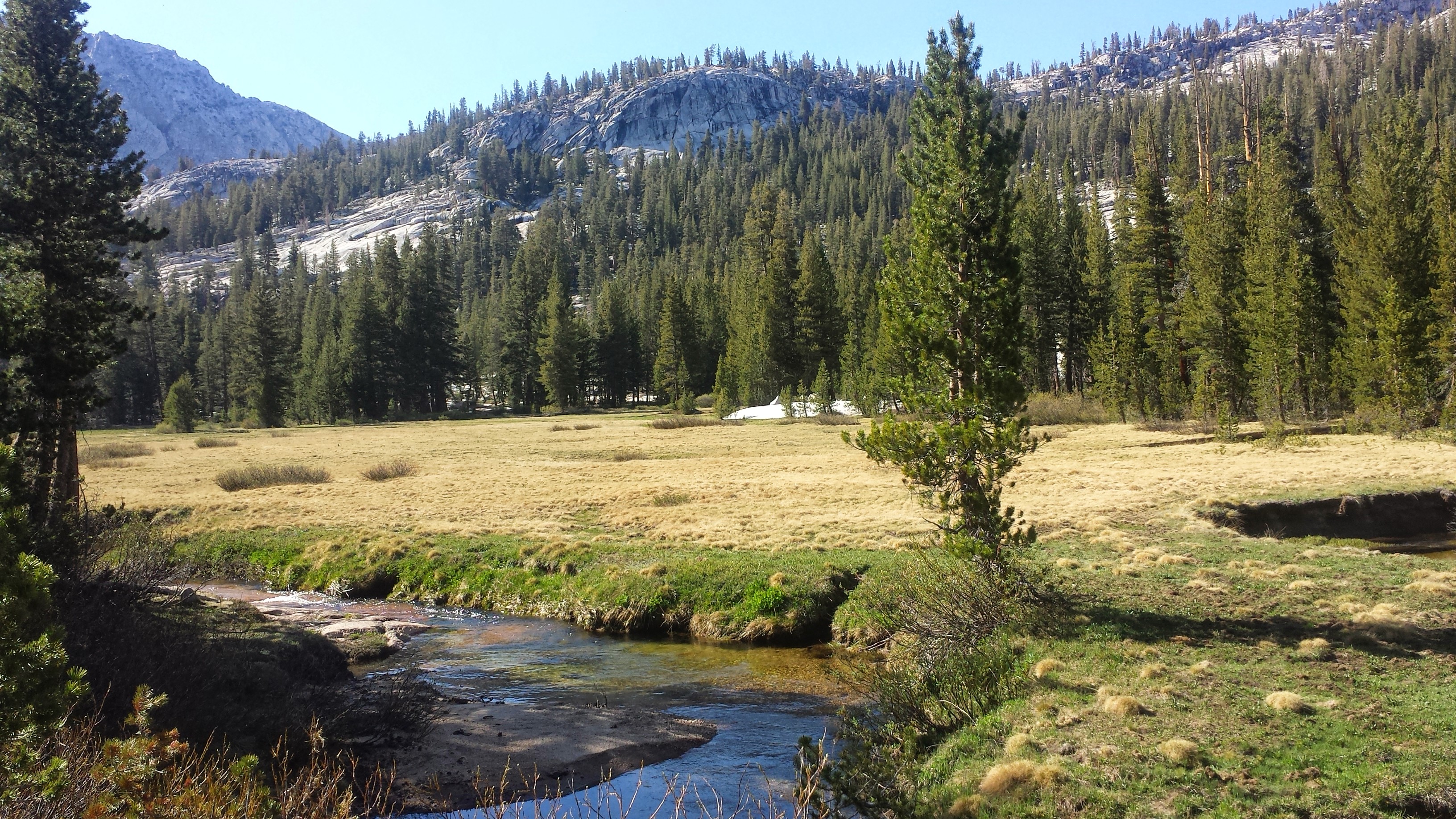
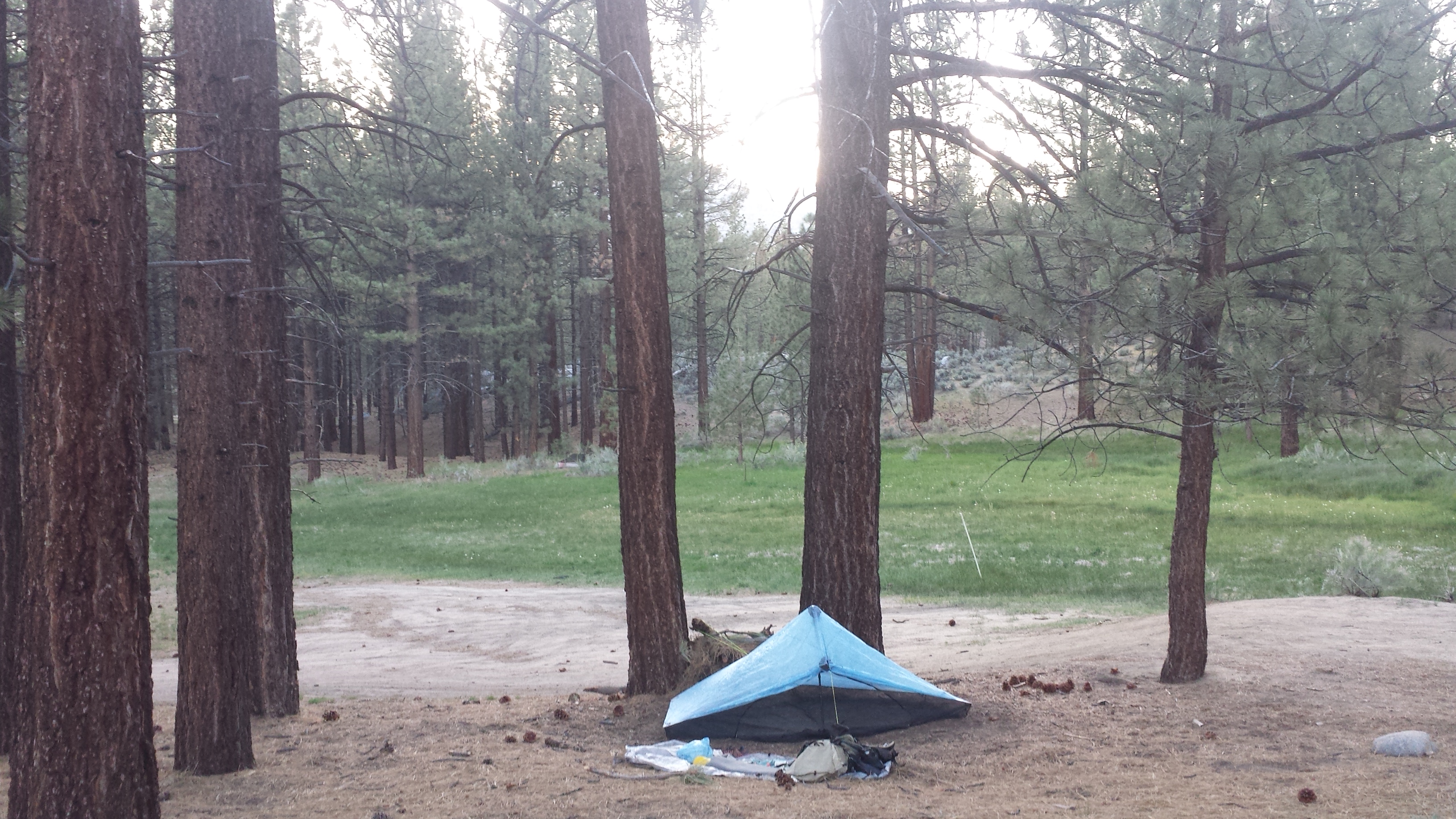
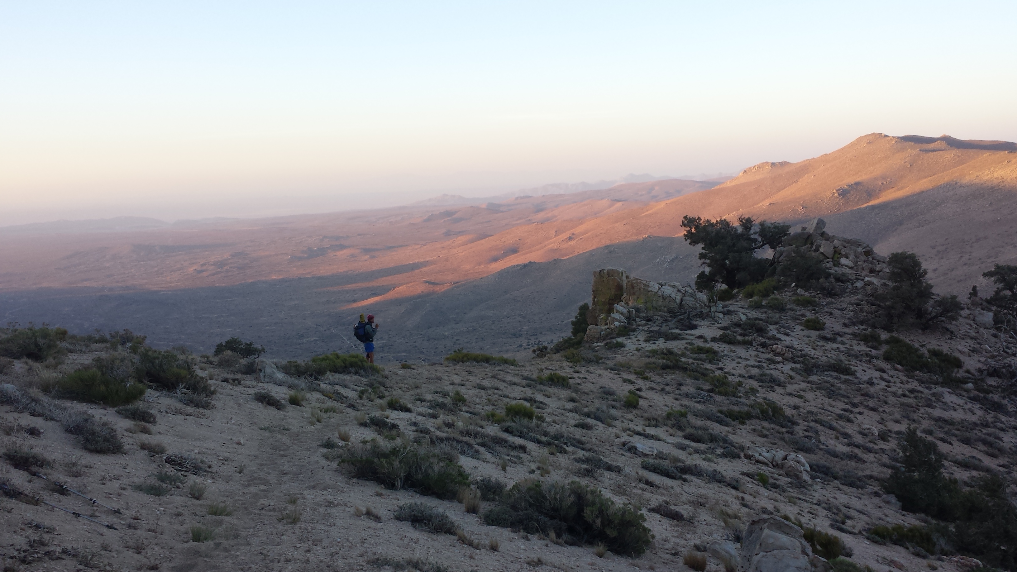
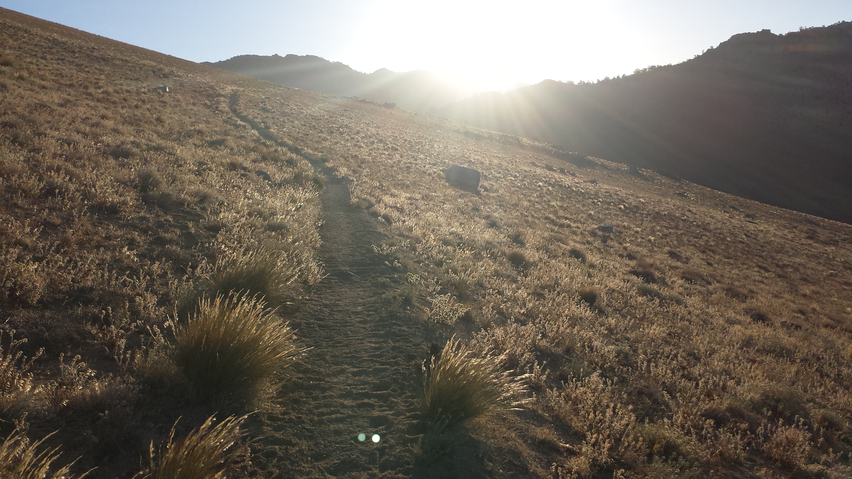
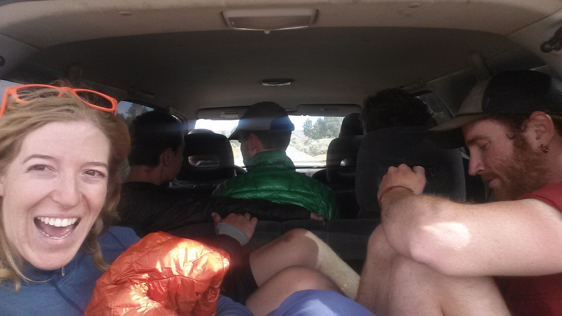
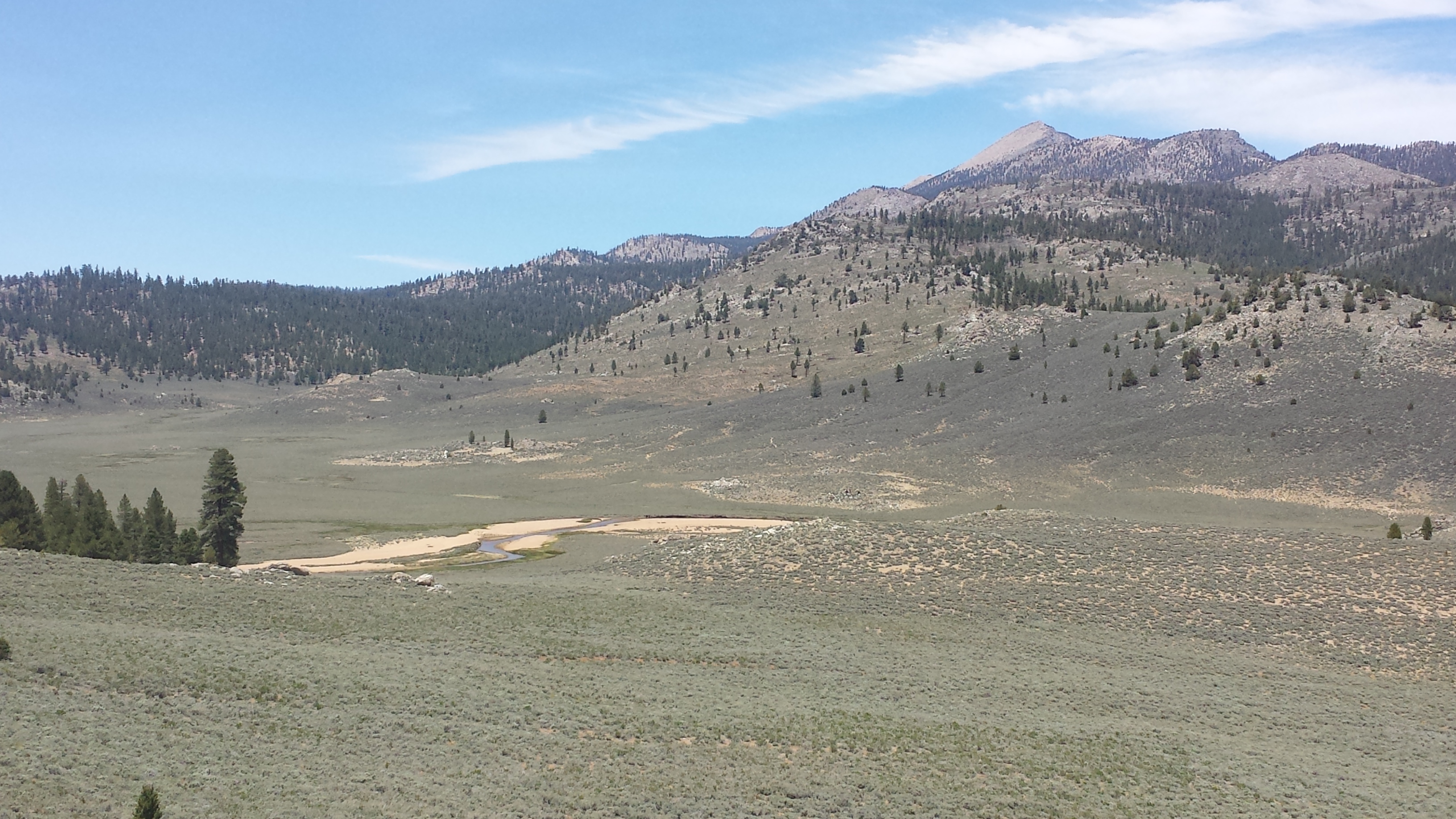
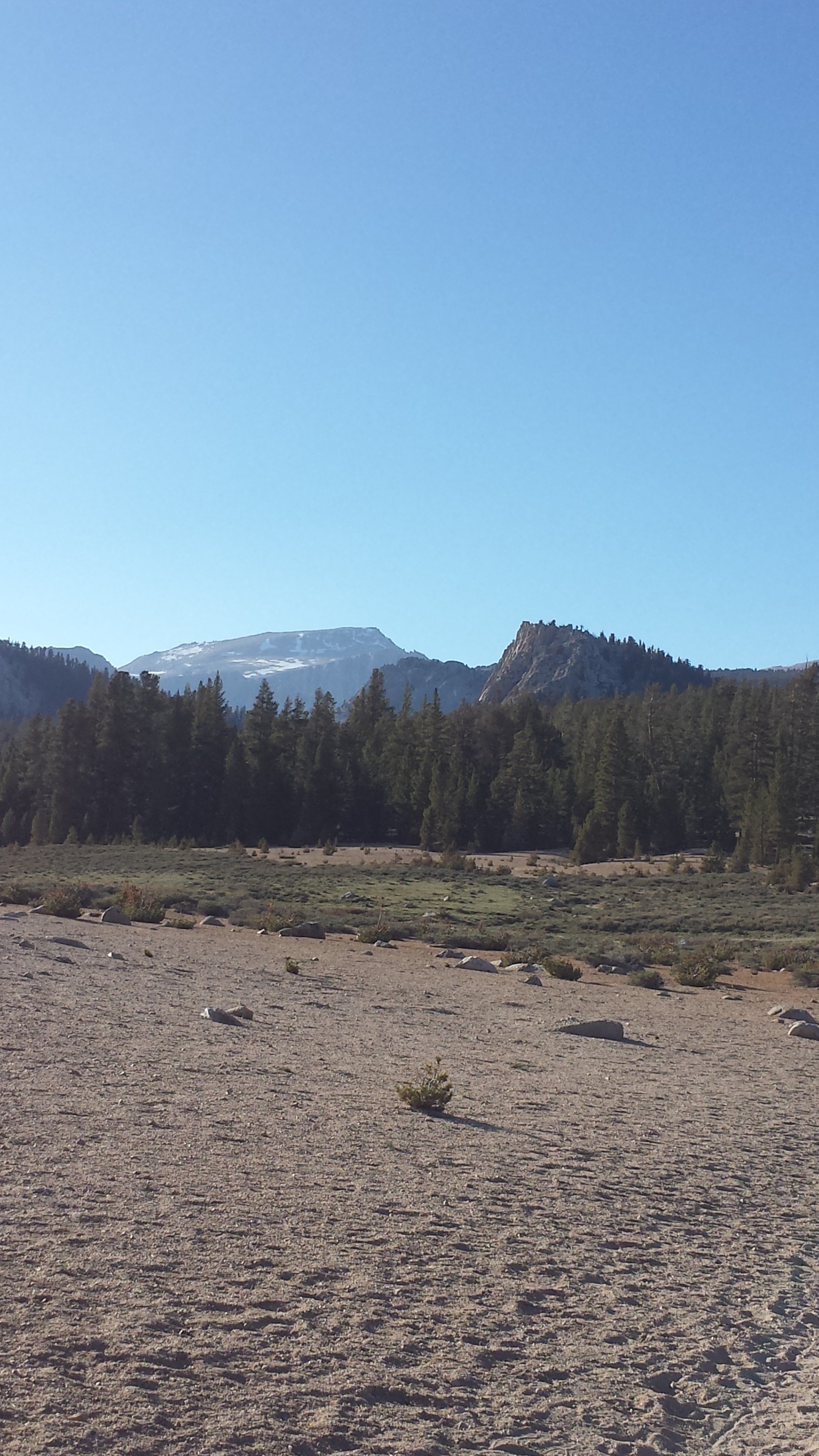
Dave from Alderbrook Manor drove four of us hikers to the trail late this afternoon. One of the hikers has pushed forward and the other two are behind me. I’m camped out at a beautiful spot next to a meadow, but there are cow pies everywhere. Since the stream water is completely mucked up with cow pies and muddy hoof prints, I’ve decided not to take any water from here. I’ll have to use it sparingly to make it to the next water source, but I really don’t want to worry about giardia.
Even though I just had a zero and a near-o day, both my ankles are hurting a lot tonight. I do alright on flat or uphill and even trail; it’s when the trail is rocky or pitched to the left or right that I start hobbling. It has me really worried about doing long term damage.
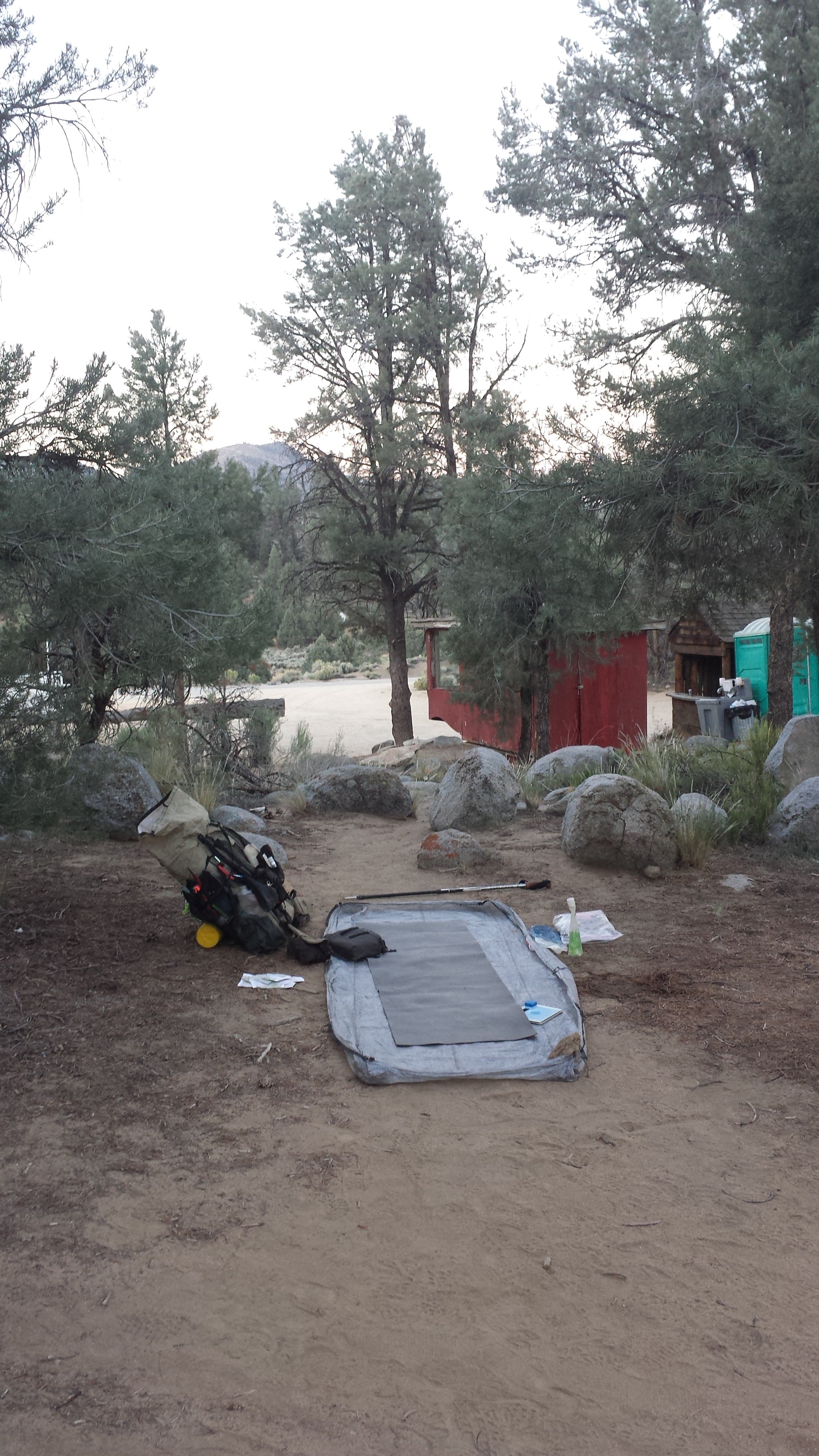
Campsite at Shelly Meadows
July 24th- 26.7 miles
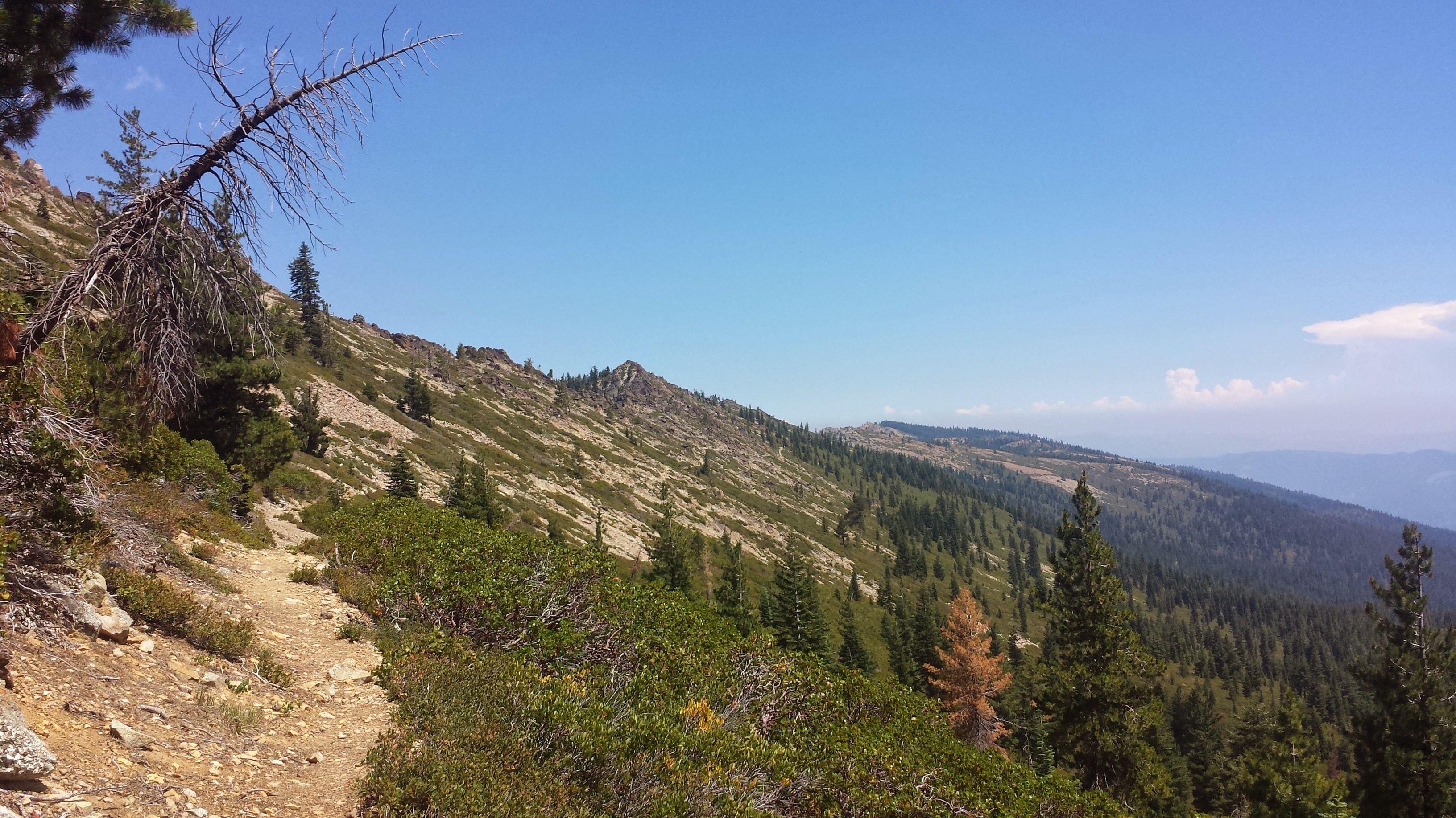
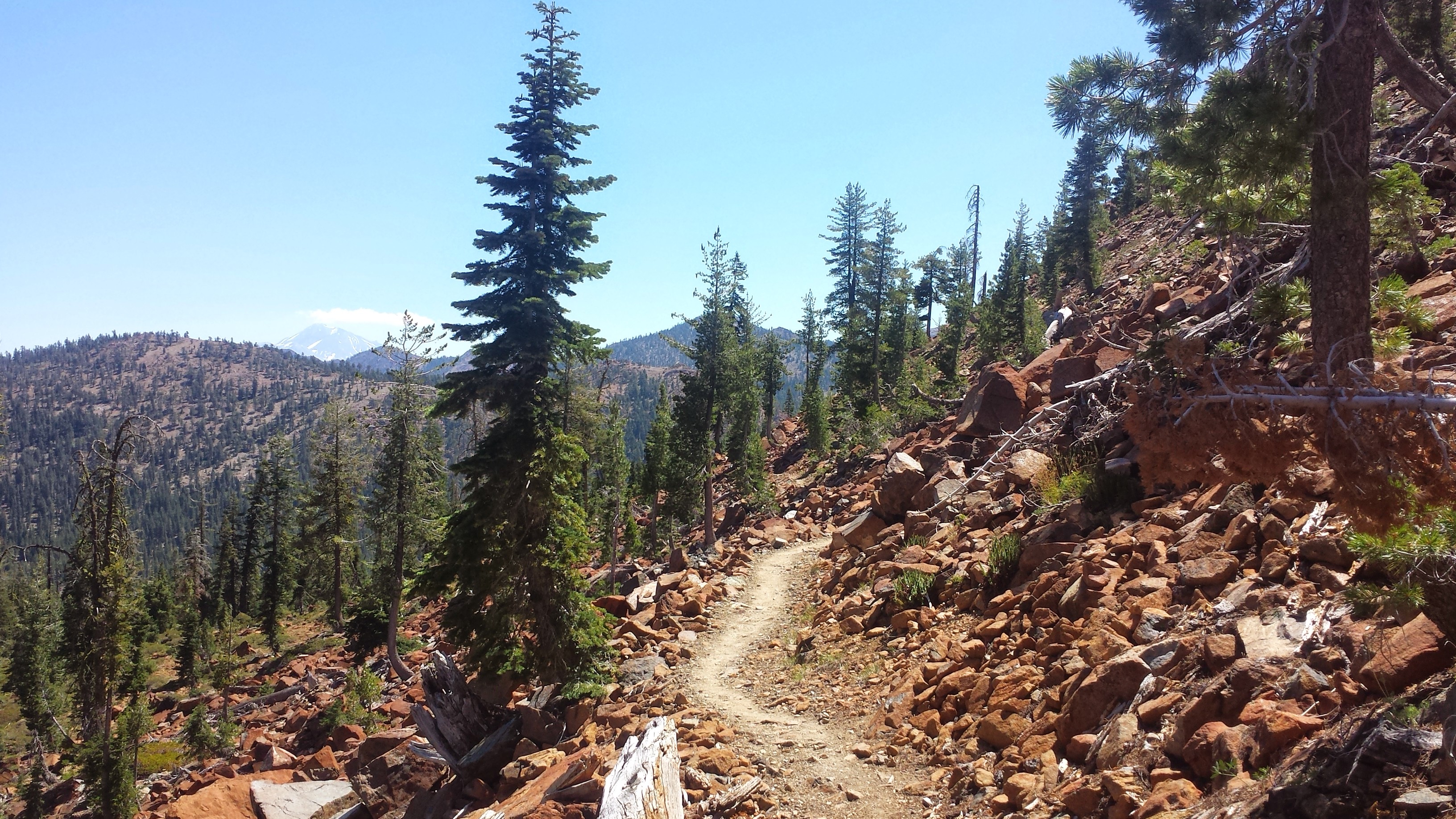
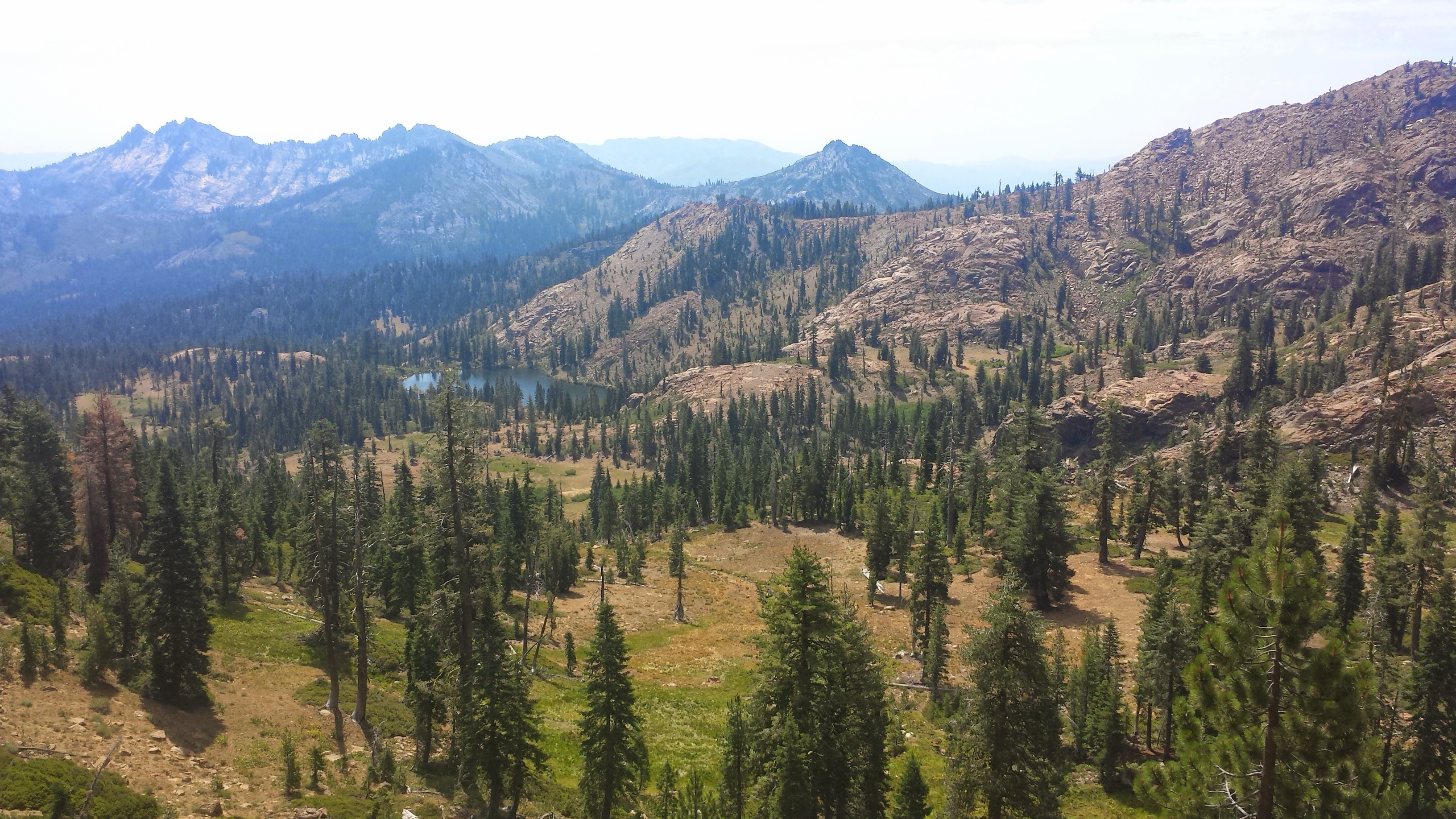
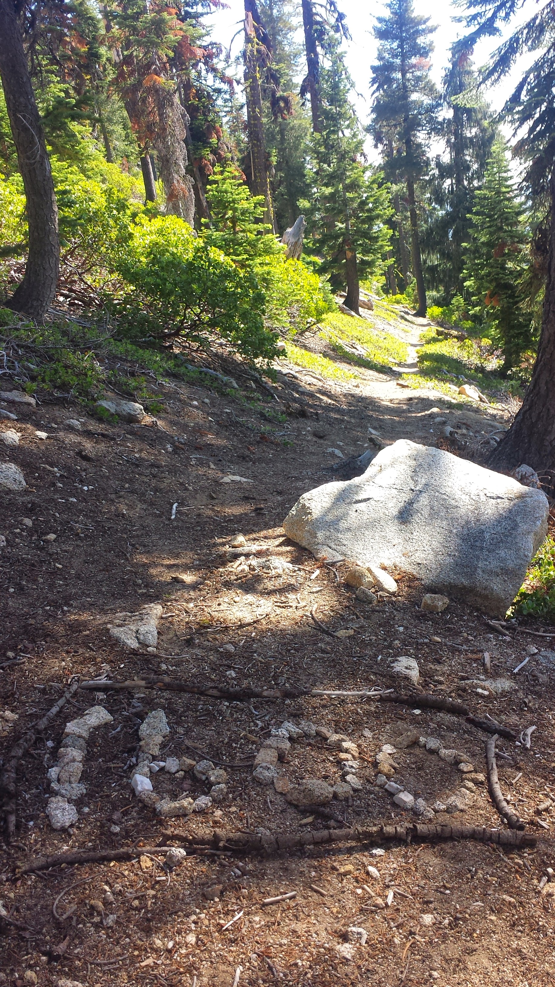
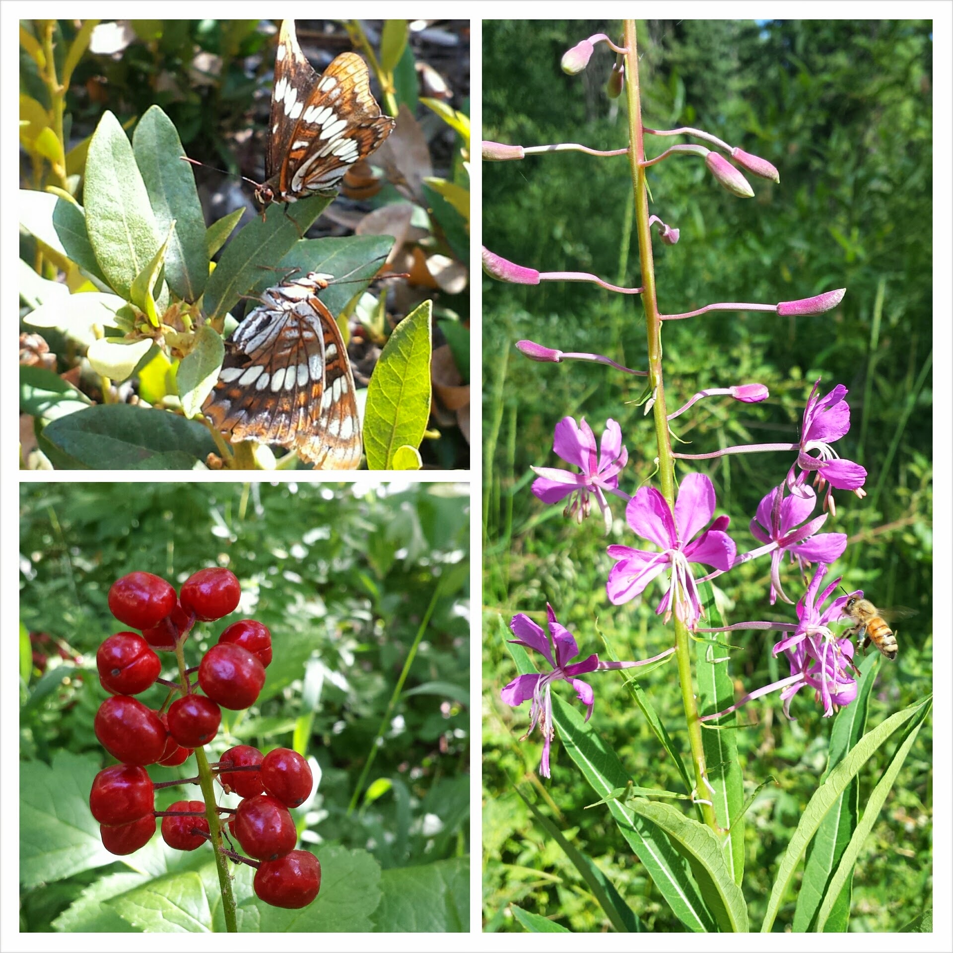
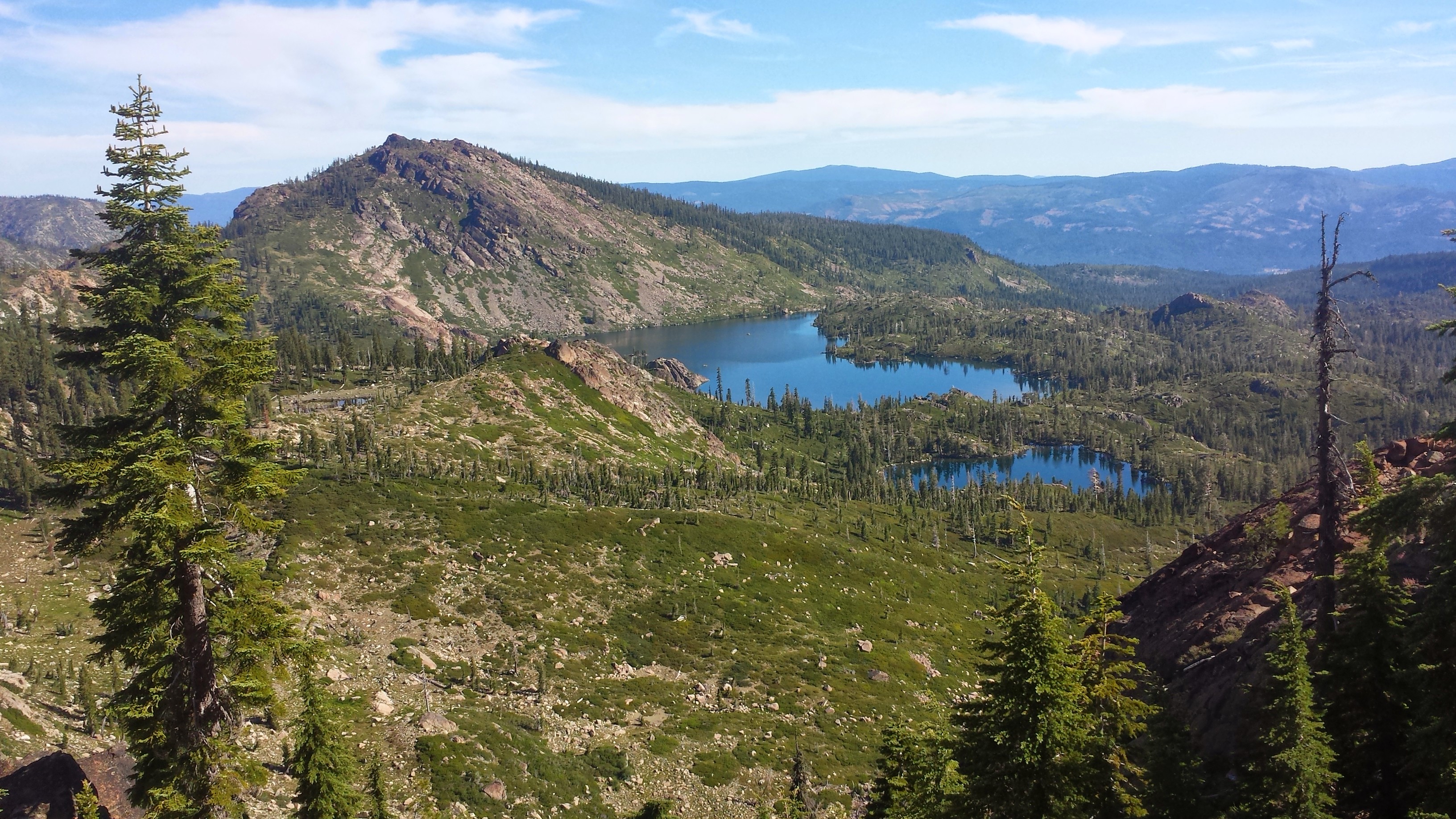
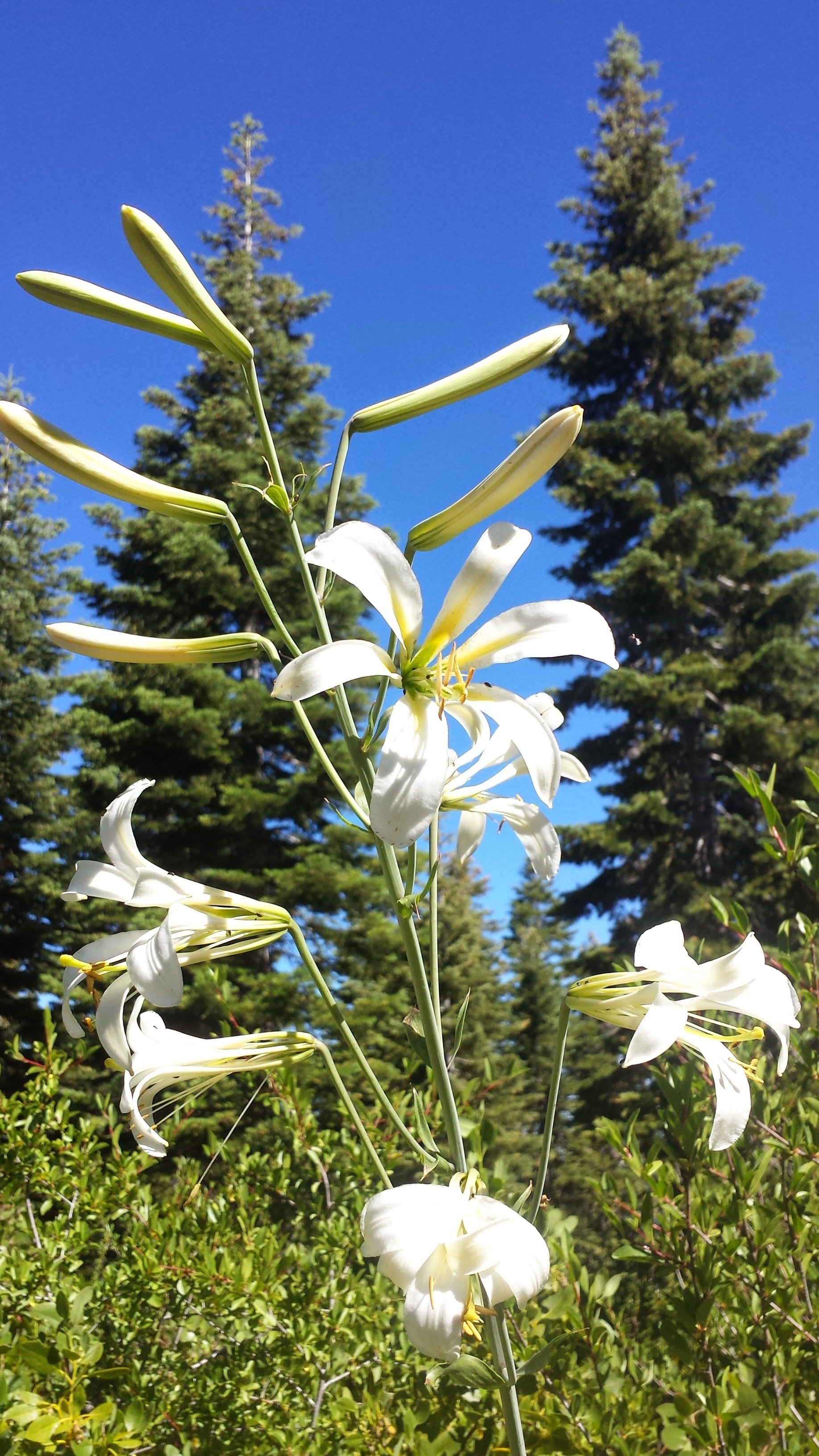
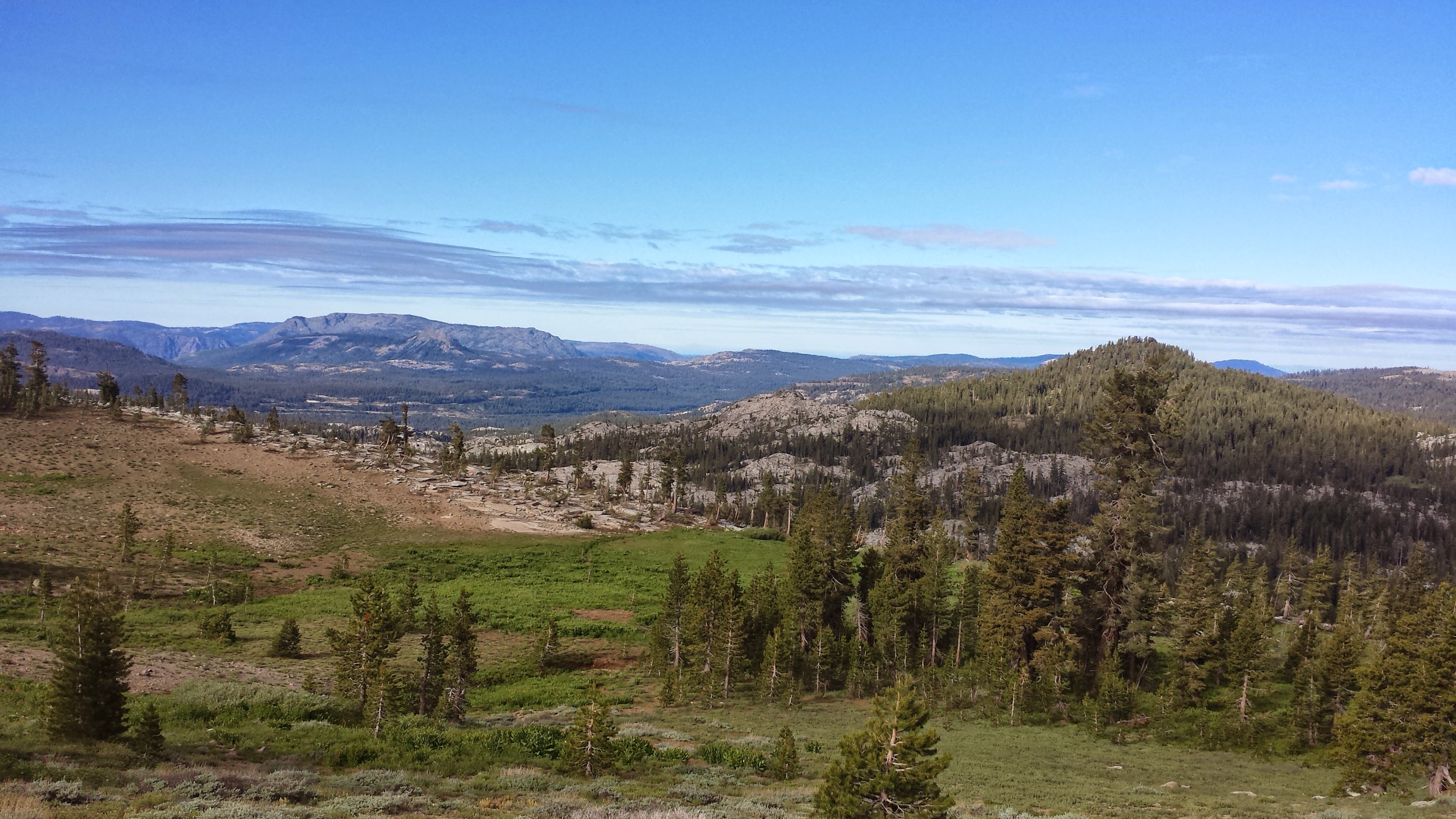
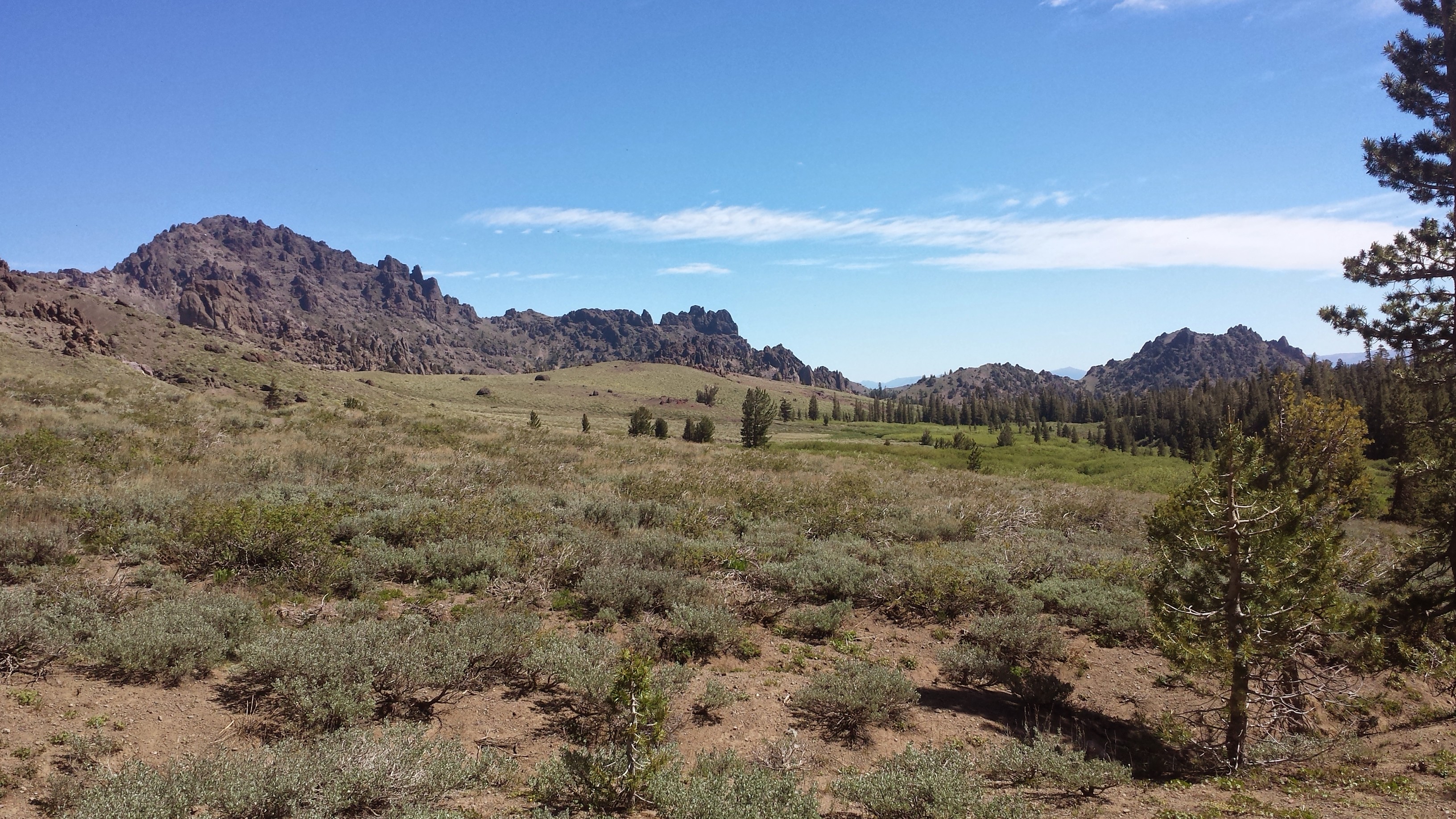
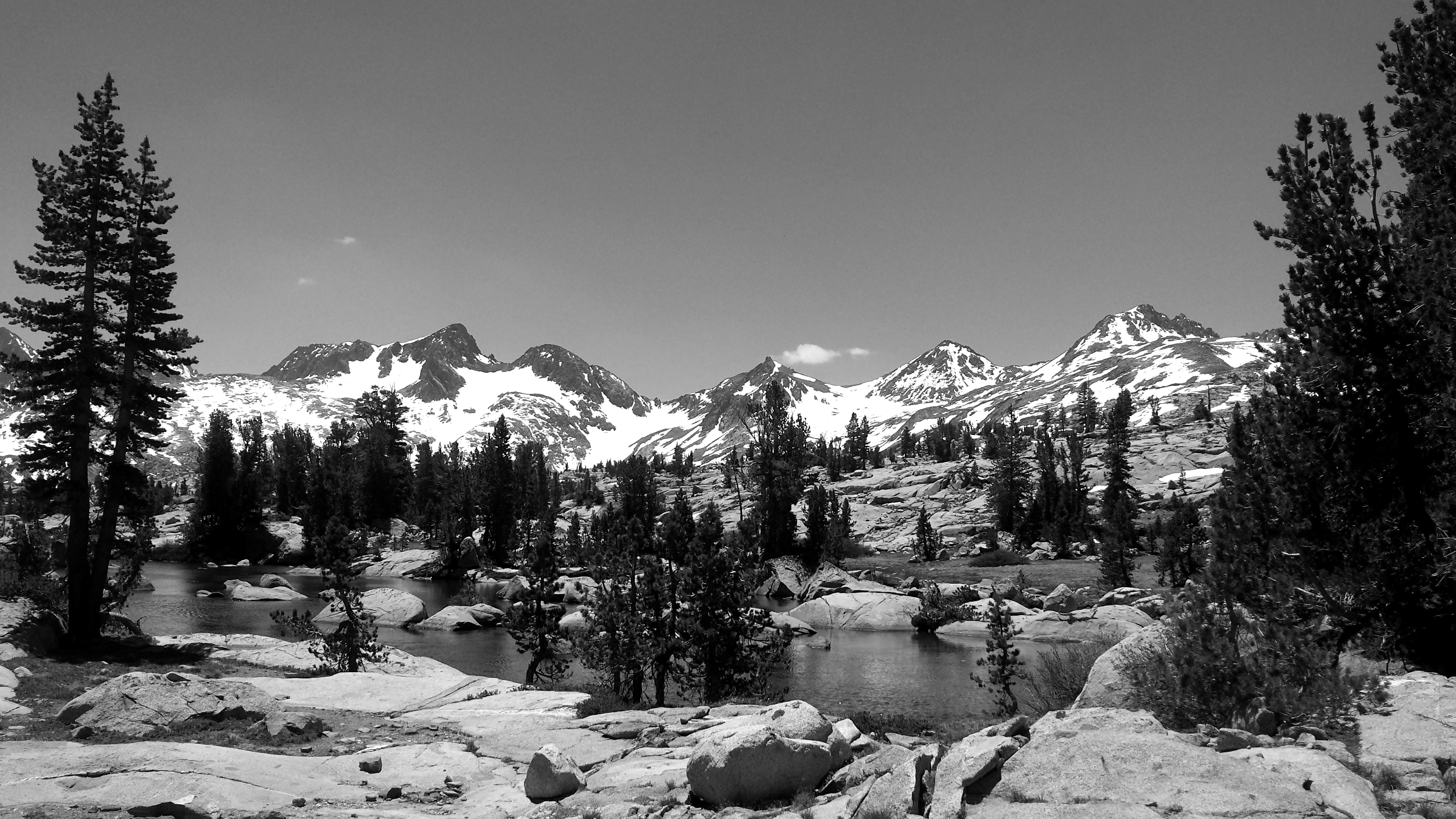
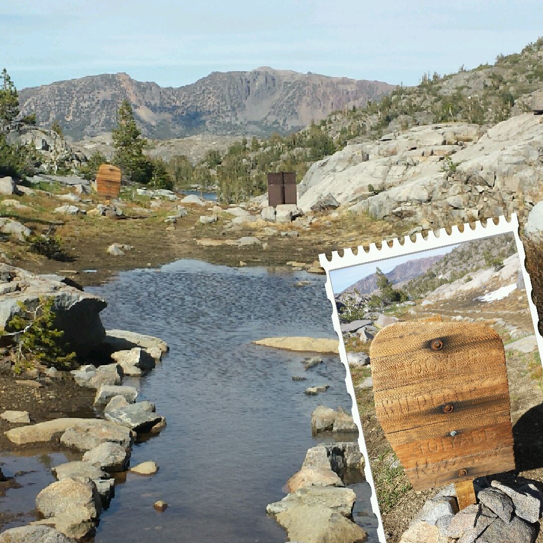
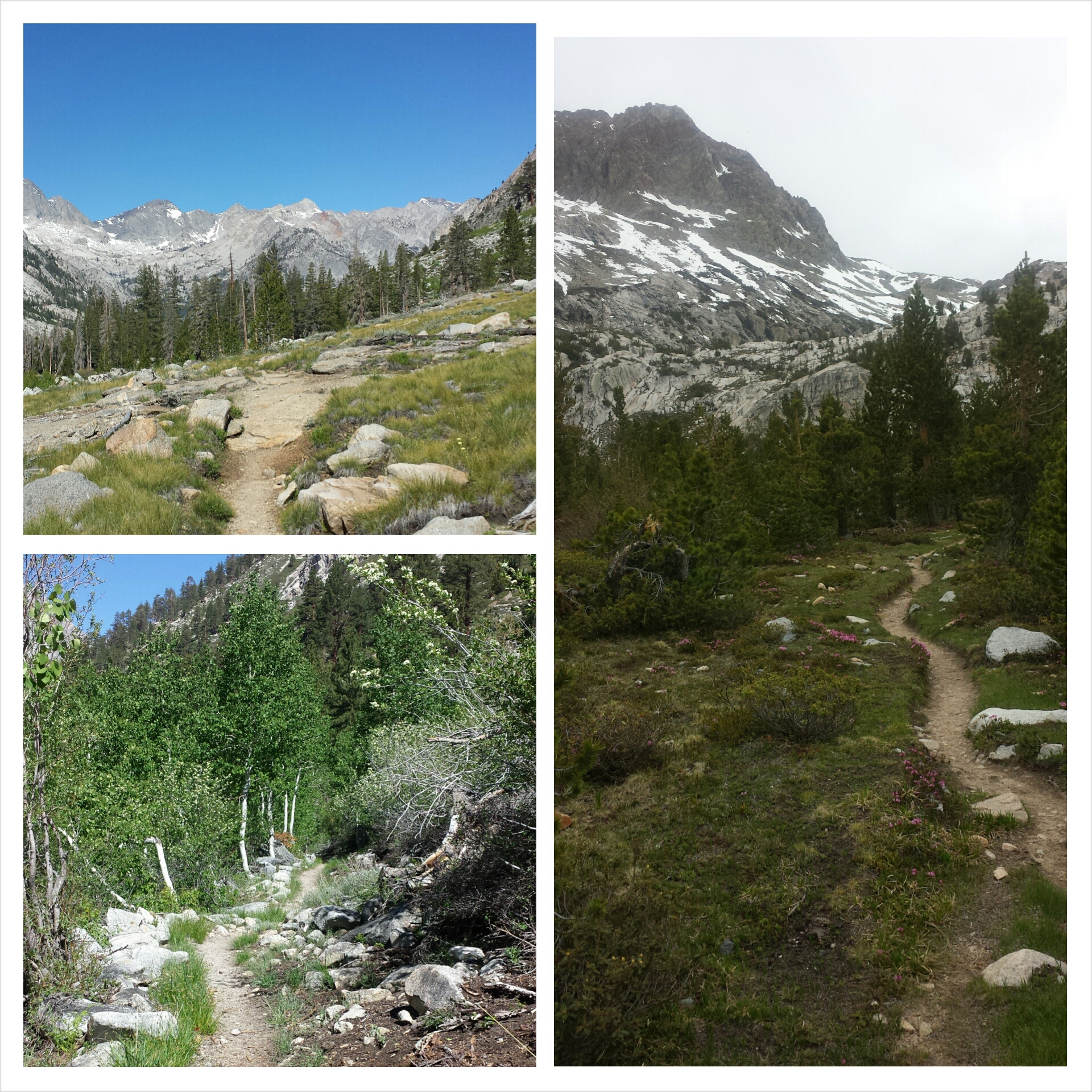
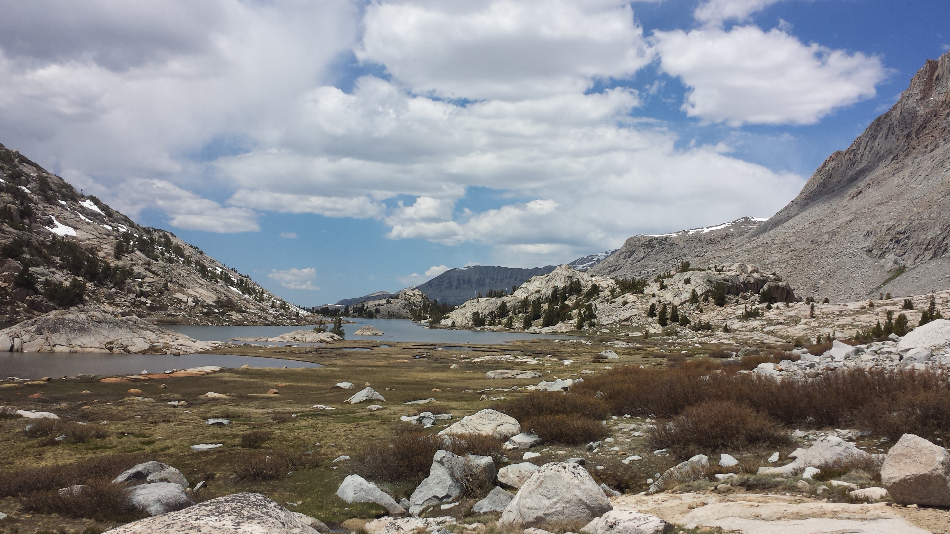
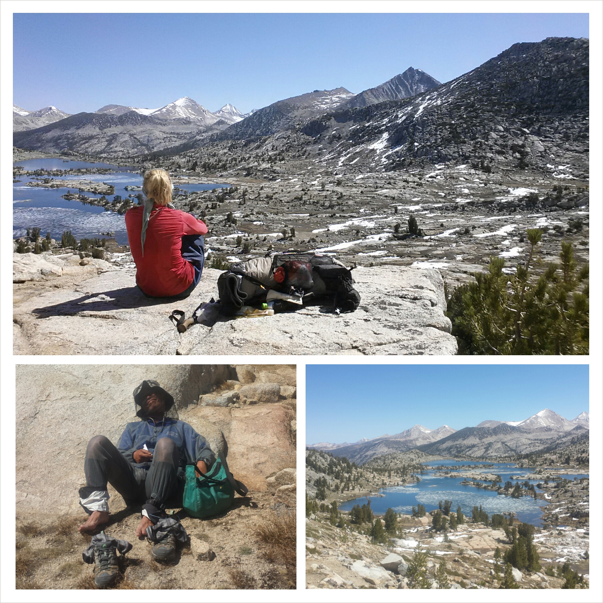
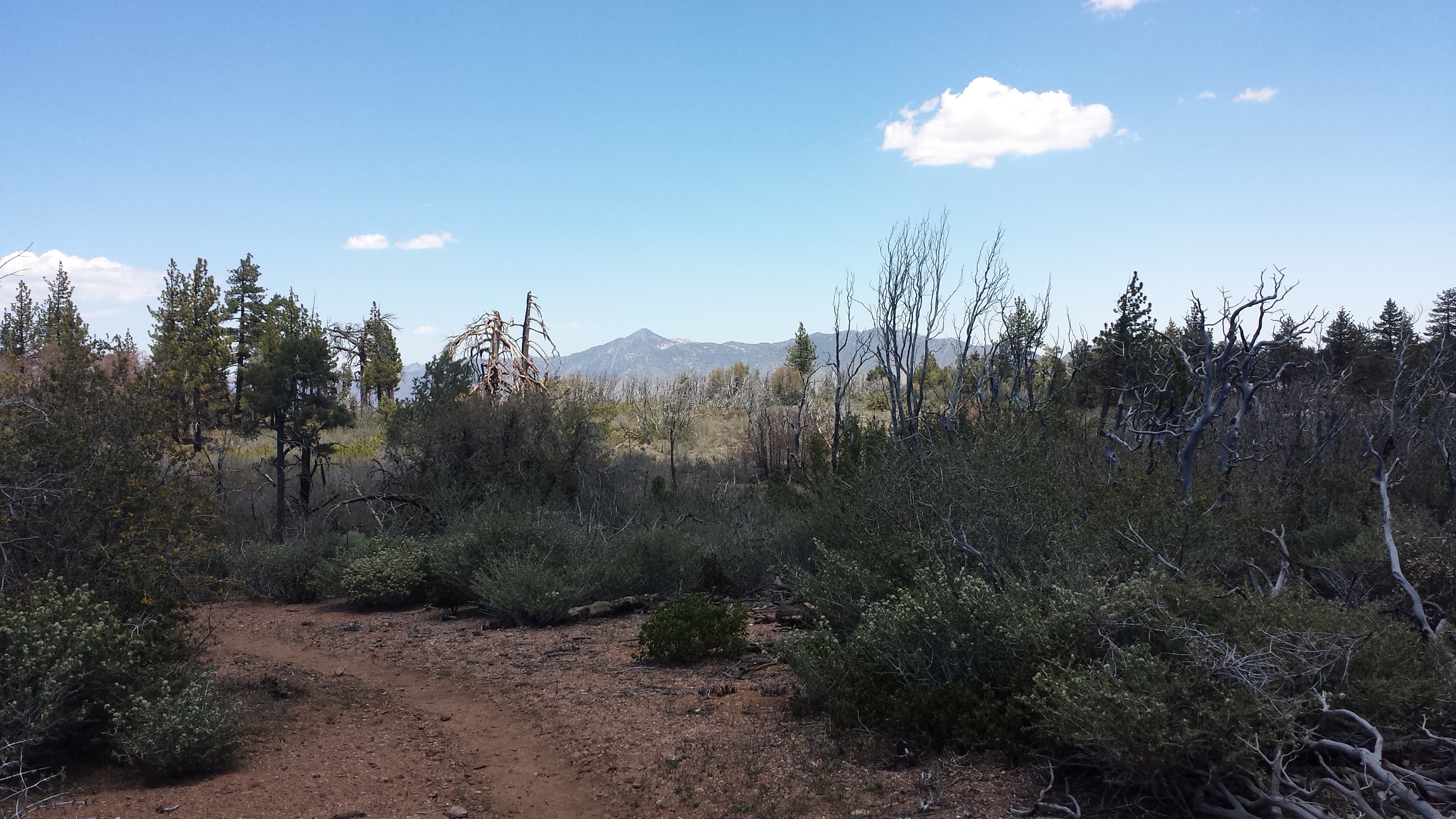
I love this wilderness. Like Toiyabe, Klamath forest is rich in colors, rock formations, lakes, and wildflowers. The views today were so lovely and I took my time enjoying them. Today I felt more like myself, like the me that started this hike full of wonder and joy at all the little details. Don’t get me wrong! I’ve been enjoying myself out here, but the physical and mental exertions have taken their toll over the weeks. These beautiful views have rejuvenated me!
Approaching the Marble Mountains
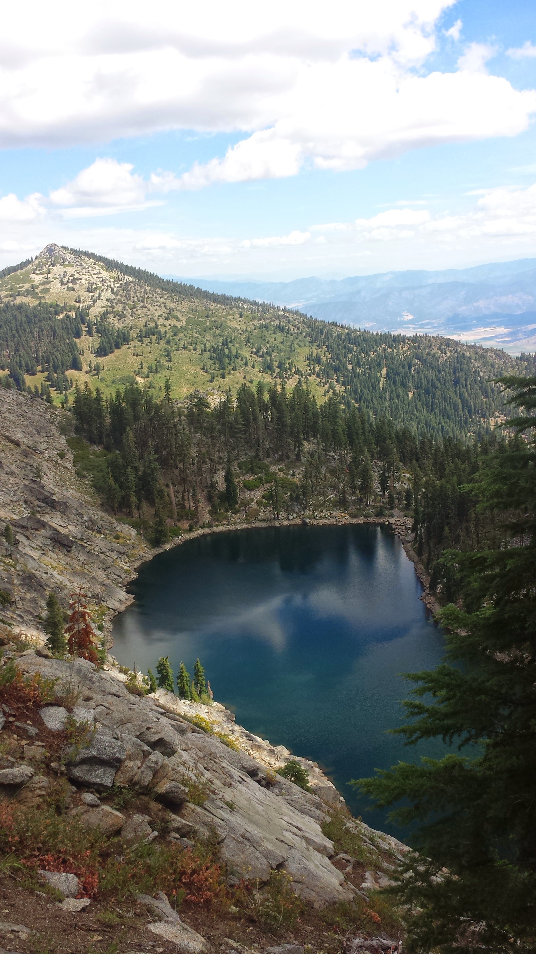
Marten Lake
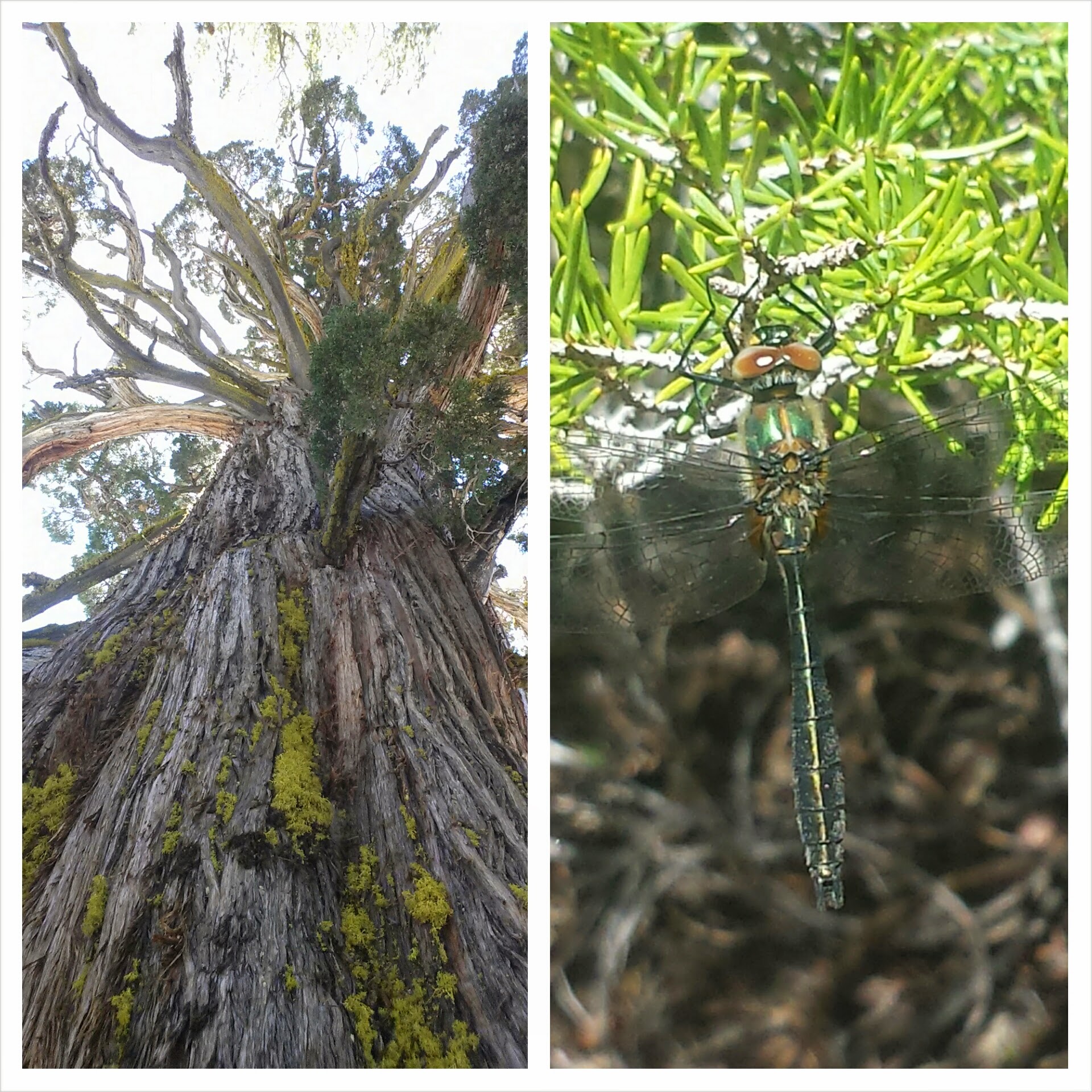
Grandpa’s Beard
I took my lunch break next to an abandoned forest service hut in Marble Valley. I wanted to take a siesta, but was anxious about putting in enough miles for the day. I settled for a power nap while I waited for my water to filter.
Marble Valley Ranger Cabin (abandoned)
Part way up Black Marble Mountain I came upon a cave next to the trail. It was beautifully shaped, probably by lava flows, but didn’t seem easy to crawl into. I was definitely curious to see what might be hidden down in its depths.
Cave near Black Marble Mountain
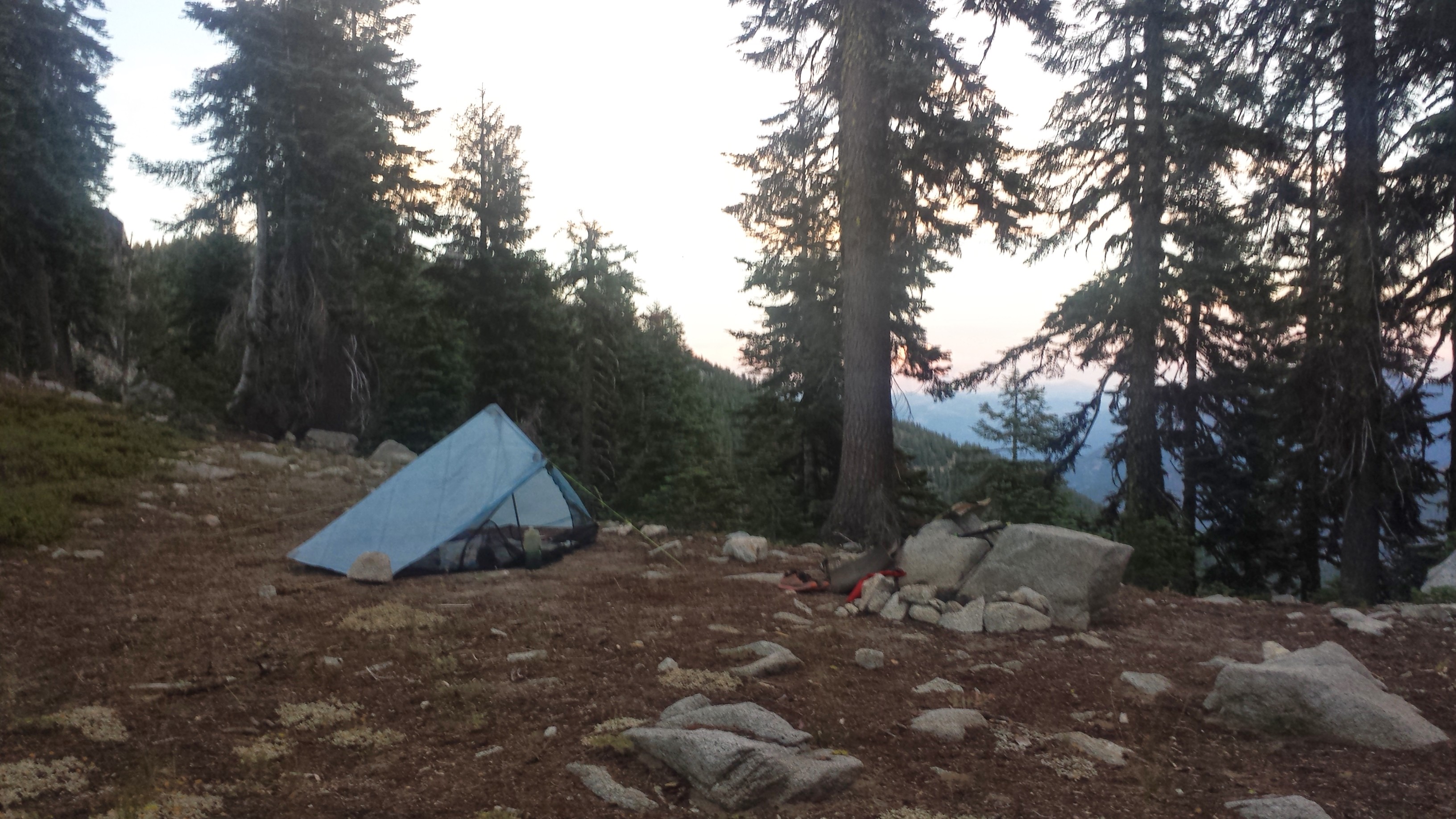
I’ve picked a weird spot for camp tonight. I meant to go further, but my feet are hurting too much and I think I’ve put in my dues for the day. I came across a dirt road and found a fire ring with what looked like a flat enough spot for my tent. It took awhile, though, to flatten it out properly and clear all the rocks using my feet and snow stake. My plantar fasciitis was really bad today. Another hiker said I need to get a brace that keeps the foot flat and the tendon stretched during the night. I’ve rigged up my ankle brace and an ace bandage on each of my feet for tonight. Hopefully, tomorrow won’t be as painful.
July 25th- 18.25 miles, camping at Seiad Valley RV Park
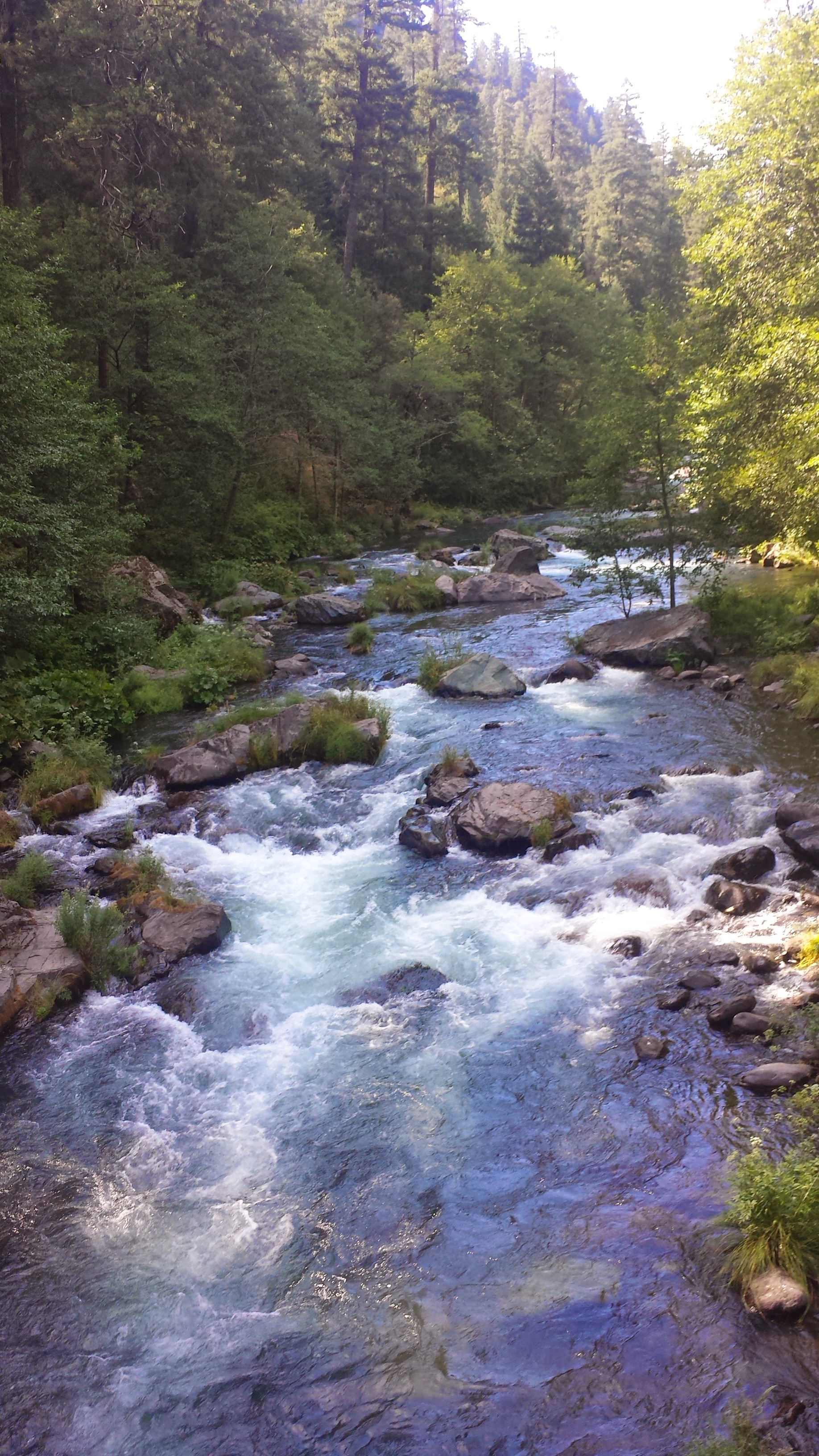
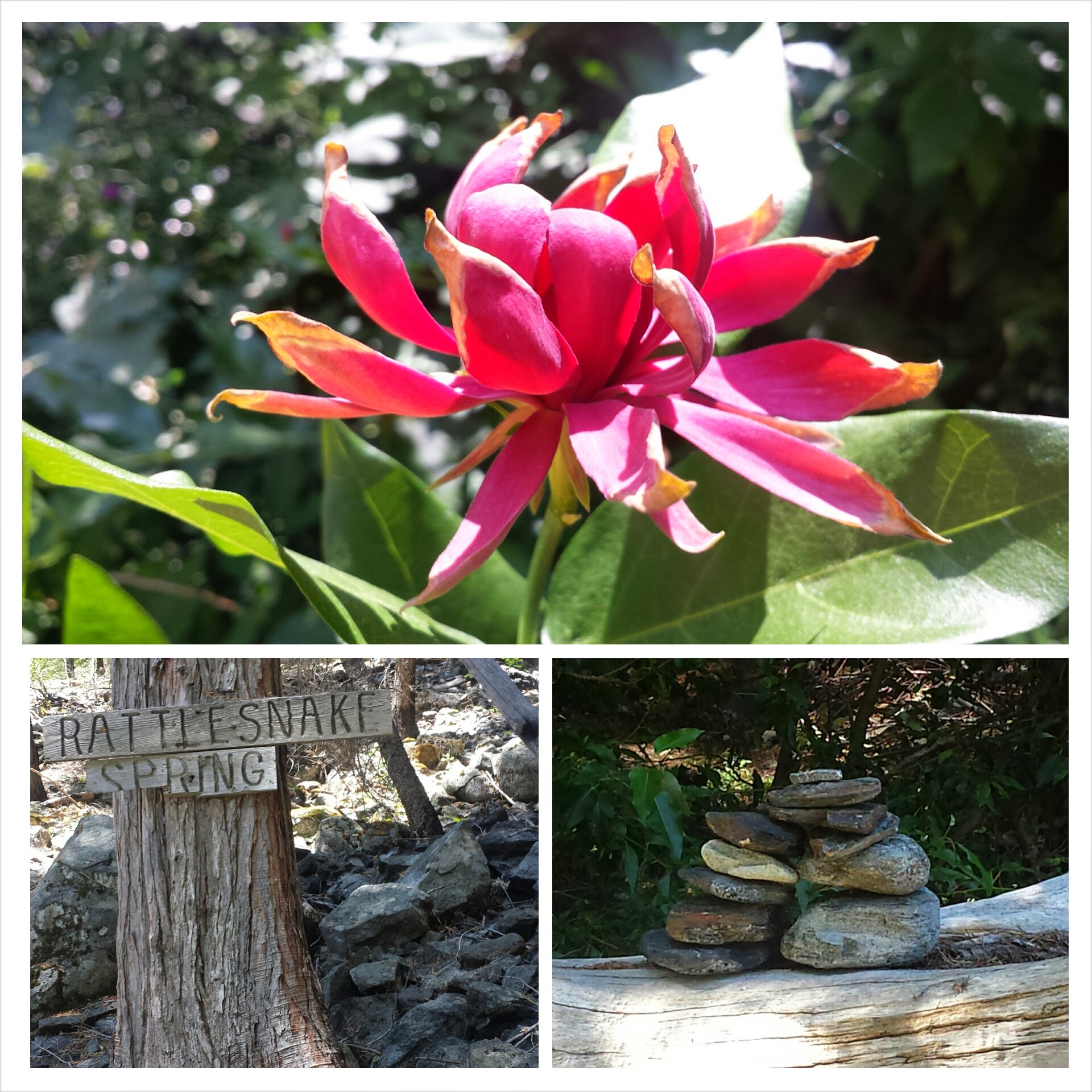
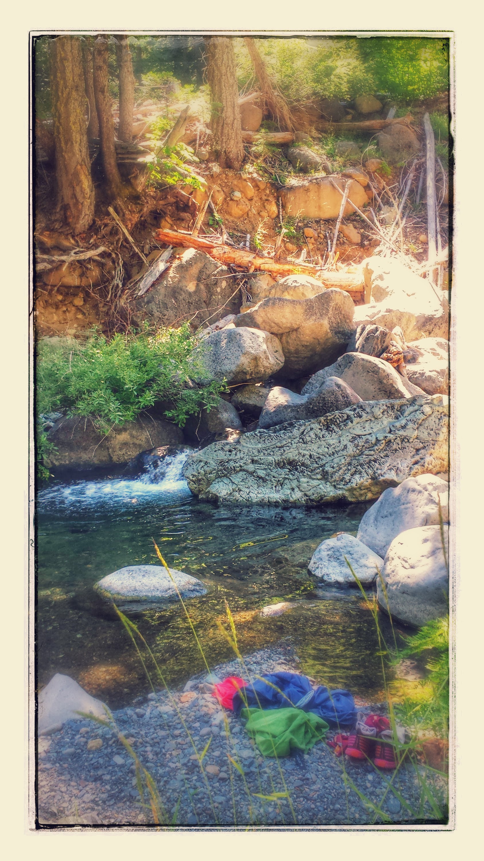
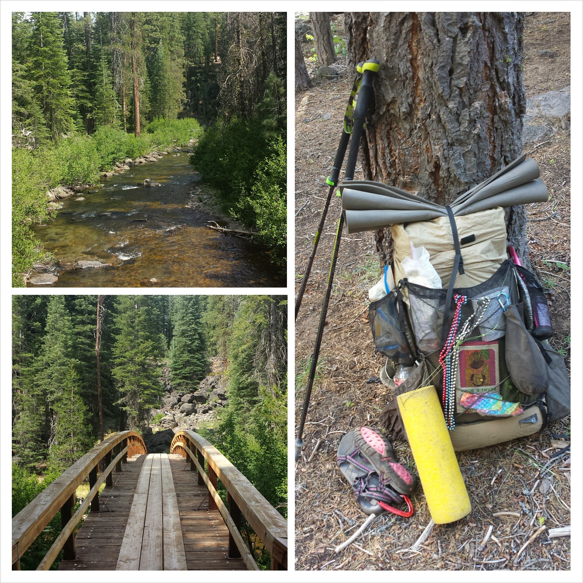
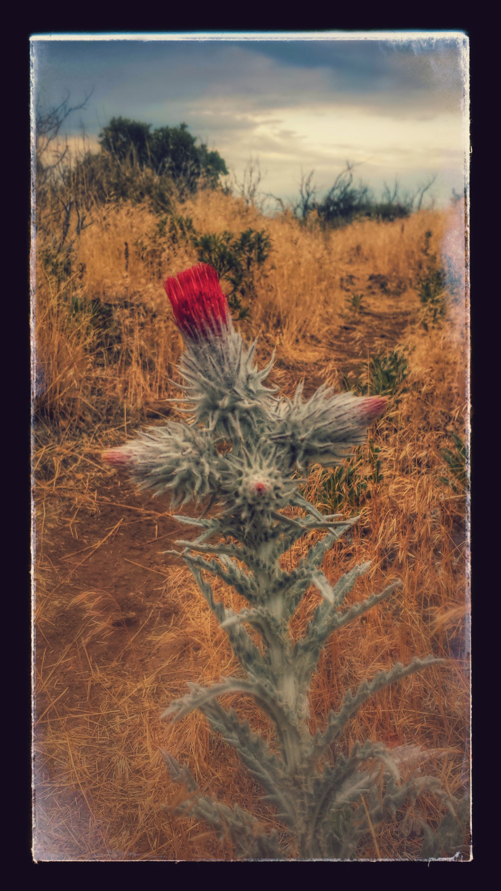
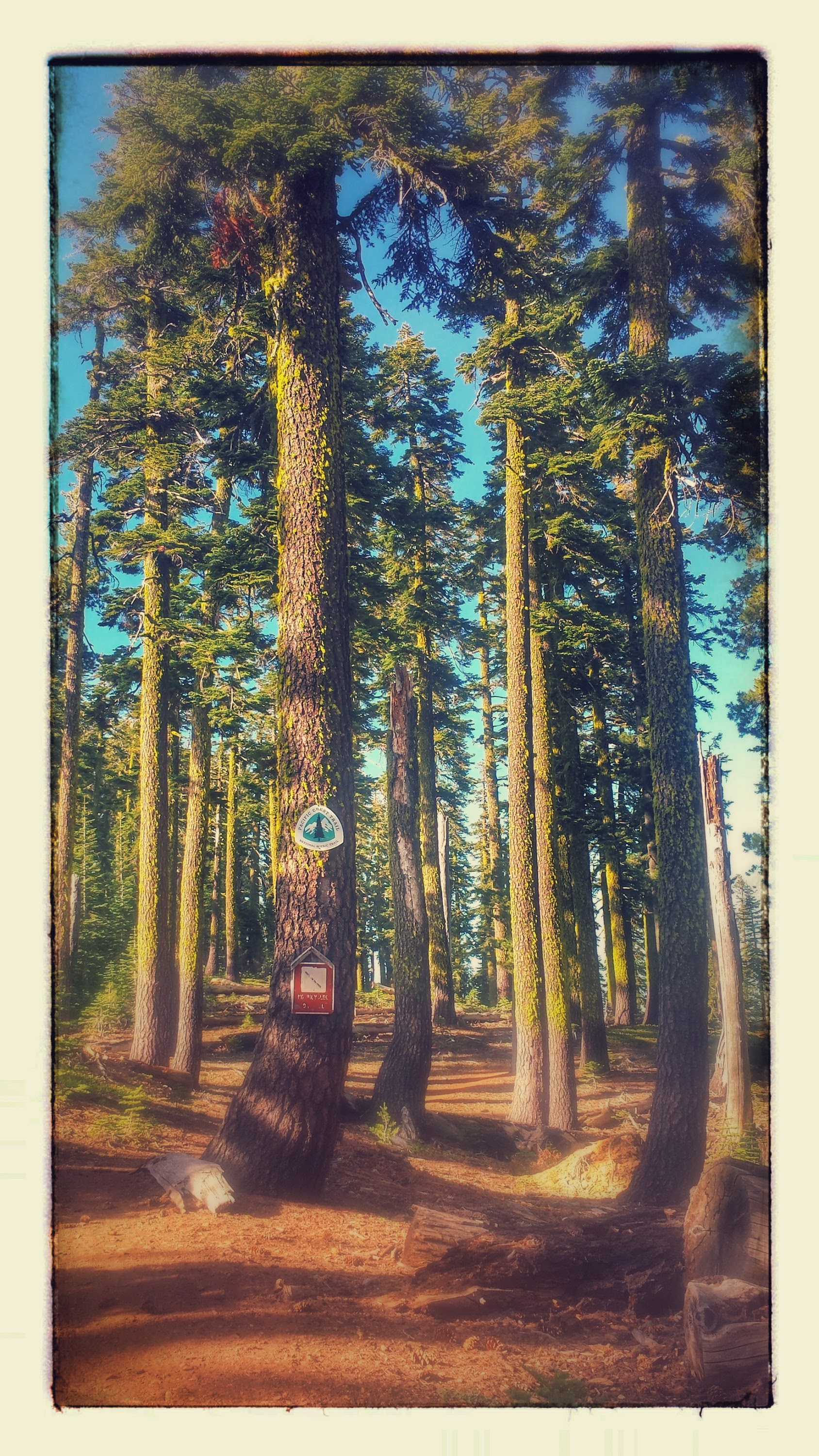
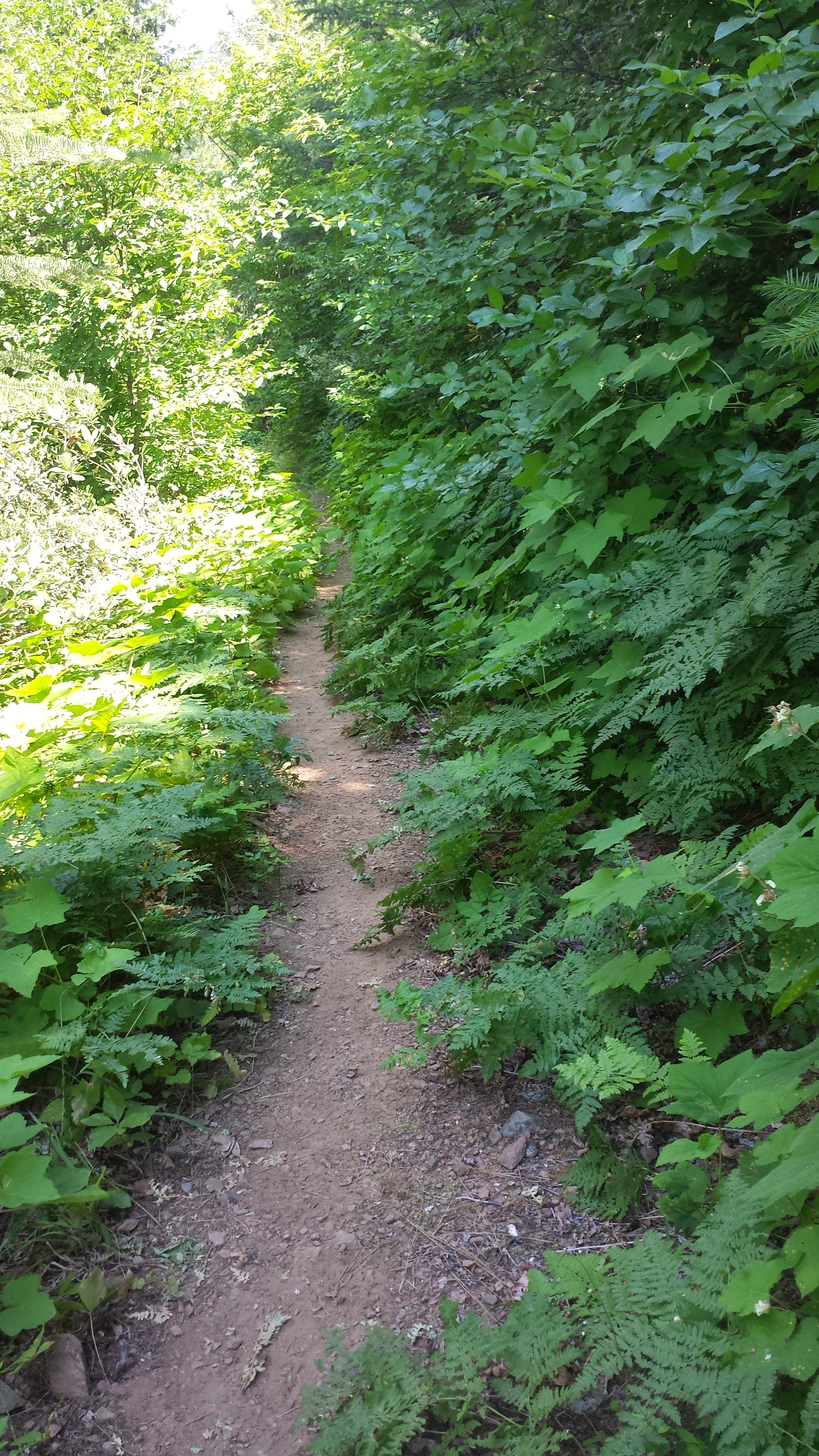
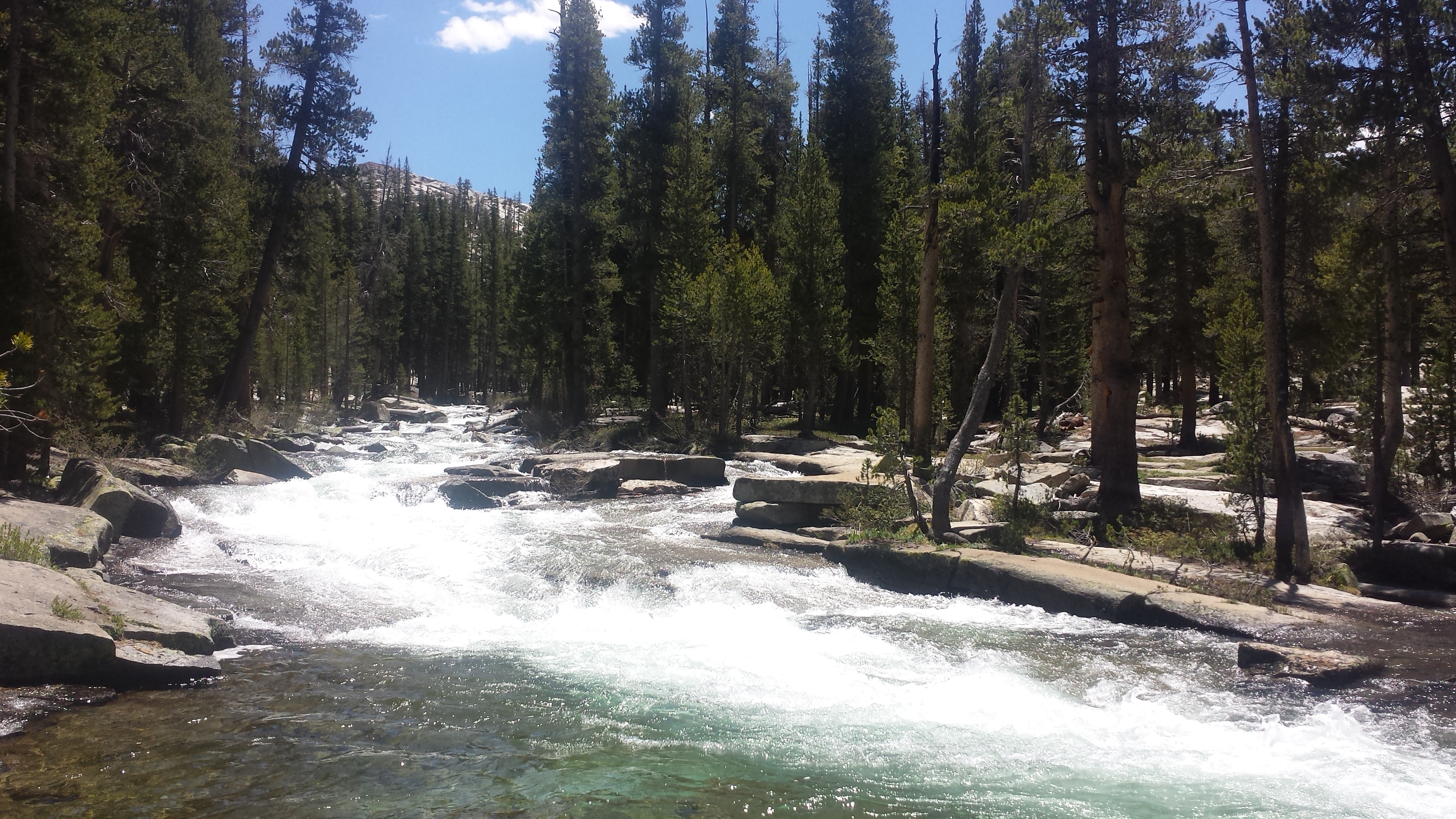
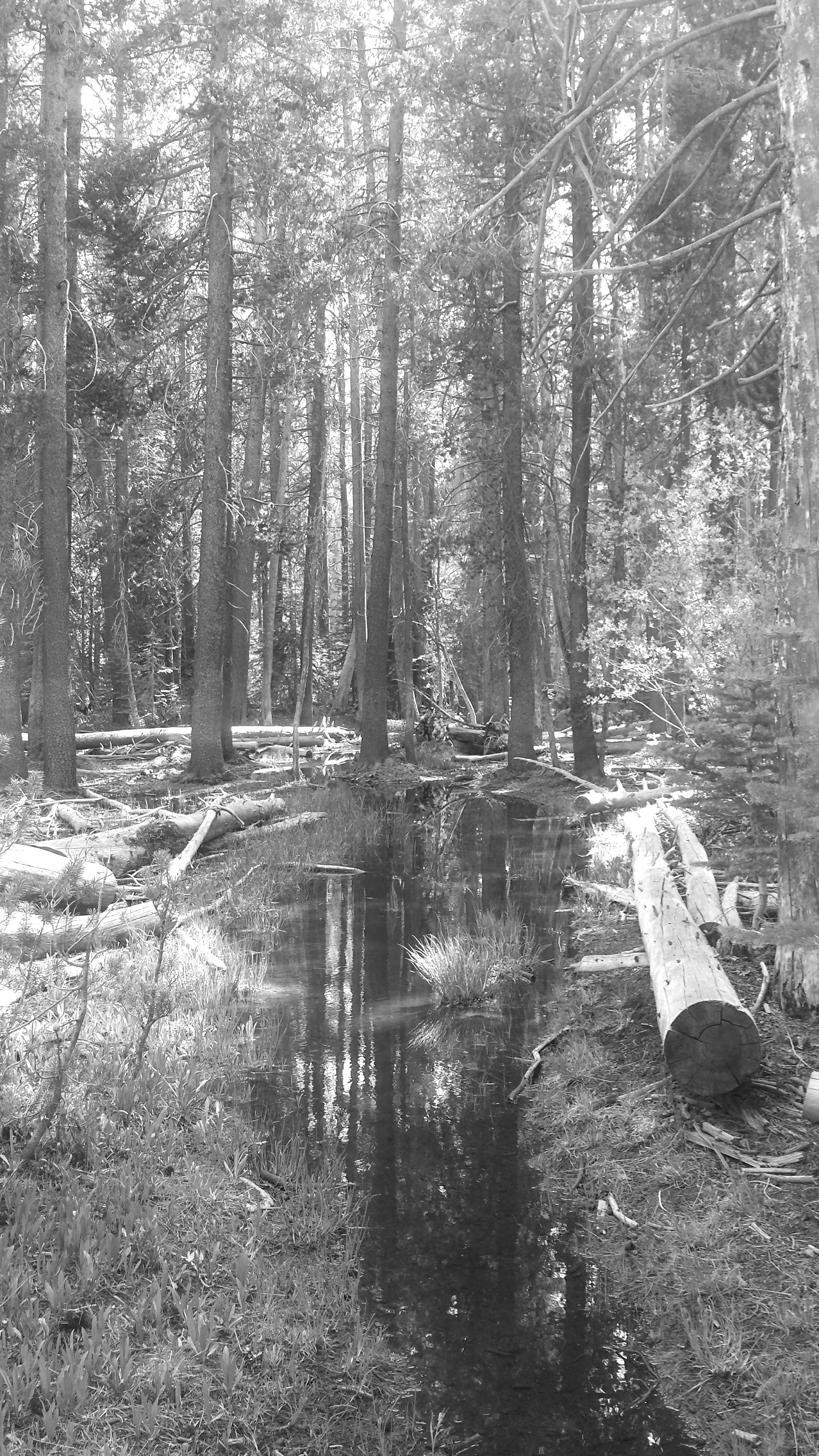
I only had about eighteen miles to hike into Seiad Valley today. It was all downhill or flat and mostly followed Grider Creek. The forest was thick and jungle-like in the canyon around the creek- probably what the Washington forests will look like. I had fun today playing with the vintage filter on my camera.
Grider Creek
There were a couple of really beautiful spots where I almost stopped to lounge or swim, but I didn’t because I wanted to make it to Seiad Valley before the post office and cafe closed. It made me think a lot about whether or not I had taken enough time during this hike to thoroughly enjoy the little moments and spaces the trail had to offer or if I had hurried past them because I was determined to get somewhere else. I came to the conclusion that yes, there were days when I’d past up some special spaces in the name of mileage or destination and I felt some regret for those lost moments.
There were other days, however, when I took the time to absorb and appreciate the “nooks and crannies,” as I call them, of the trail. I think, overall, I’ve really appreciated all the trail had to offer. It’s very difficult to stop and play in those small spaces every day when you’re thru-hiking because you have to work within certain constraints, like weather, supplies, and towns. It’s also interesting to notice the shift from being a child of wonder in the woods some days to being so comfortable in the wilderness that it feels like walking through your own home. However comfortable I’ve become, though, that childlike wonder always stirs up again when I enter a new kind of land or environment.
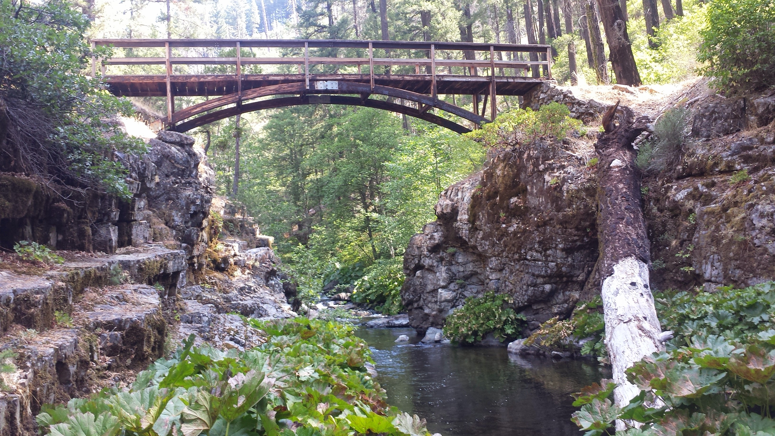
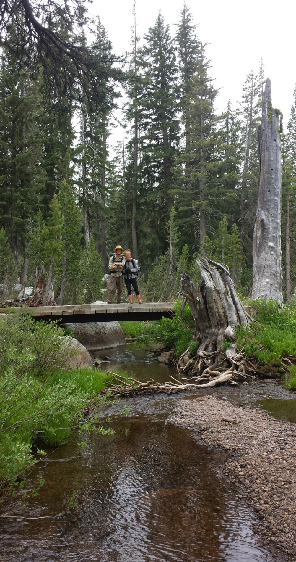
Grider Creek footbridge
No Name Creek
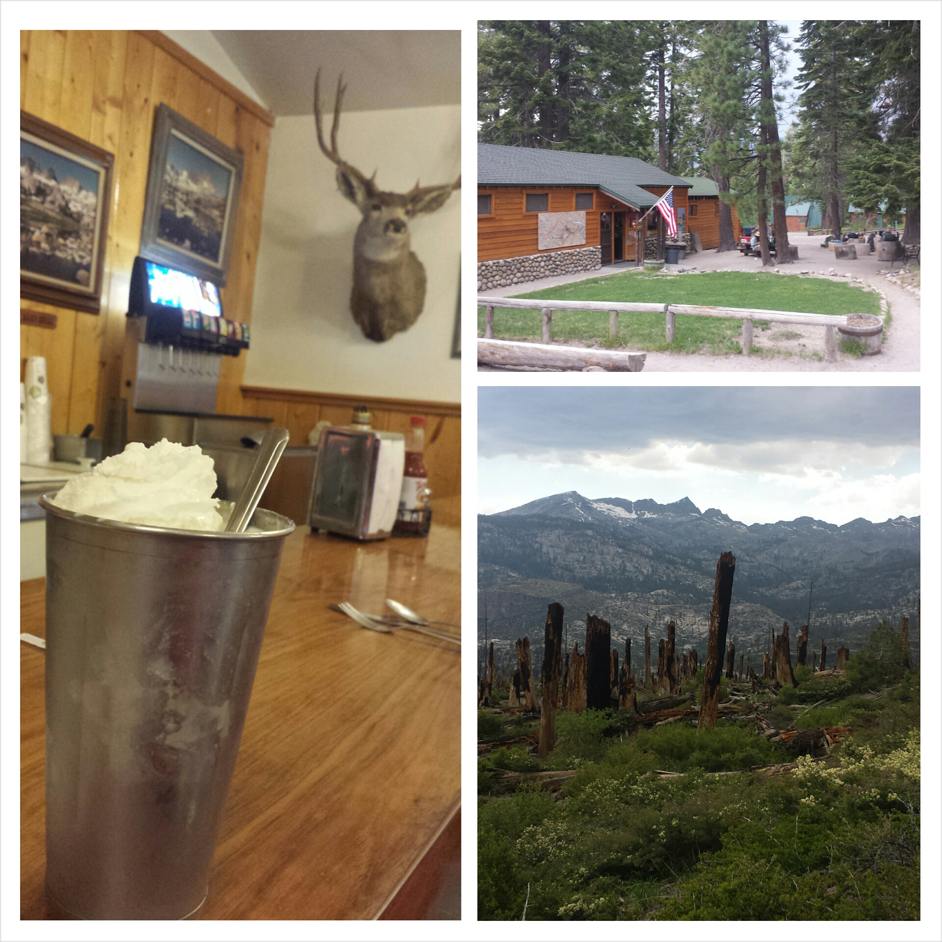
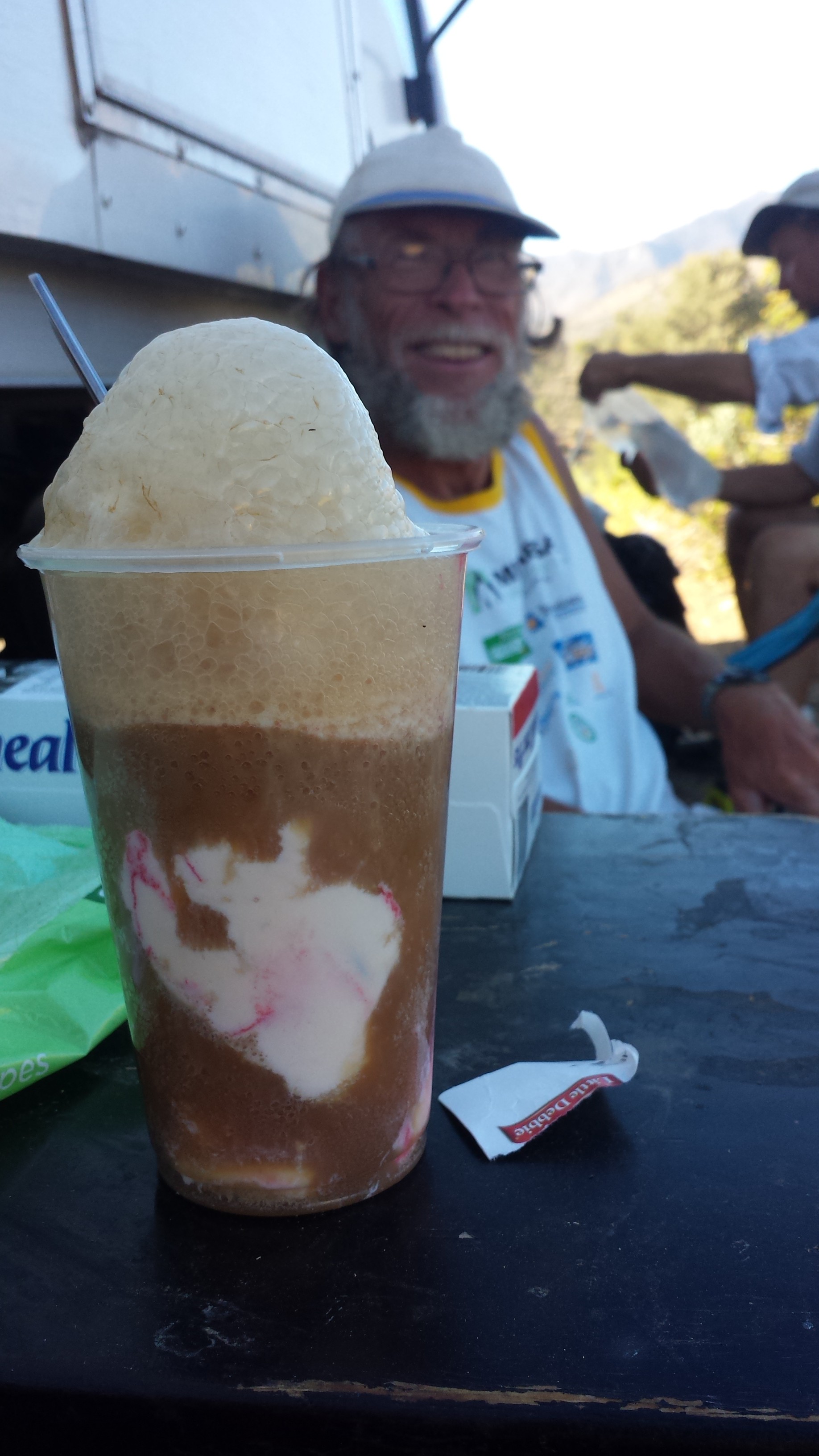
I made it into Seiad Valley with plenty of time to enjoy the cafe and the post office. I had lunch with Brad, a thru-hiker I met in Mt. Shasta at the only restaurant in town, the Seiad Cafe. We both indulged in the cafe’s delicious and decadent milkshakes. He had a chocolate raspberry shake and I had an Oreo cupcake shake. Despite the claim of the Caribou RV Resort in Belden having the best shakes, I think Seiad Cafe blows them out of the water!
Seiad Valley Post Office
Lunch with Brad a the Seiad Cafe
Pilgrim grilling a giant zucchini
July 26th- 15.5 miles, camping at Cook & Green Pass
After an amazing breakfast at Seiad Cafe, I hiked out of town with Jalan Jalan. He and I met at Alderbrook Manor in Etna and he’s section hiking a big chunk of the PCT, like I am. I love his trail name, which he gave himself. While traveling in Indonesia, he got tired of people always asking him where he was going, so he started answering them “Jalan jalan,” which means, “I’m just wandering around.” My feet were hurting a lot this morning, so I let him hike on ahead. I resigned to distracting myself from the pain with podcasts as I slowly began the 5,000 foot climb ahead of me.
Fern Spring
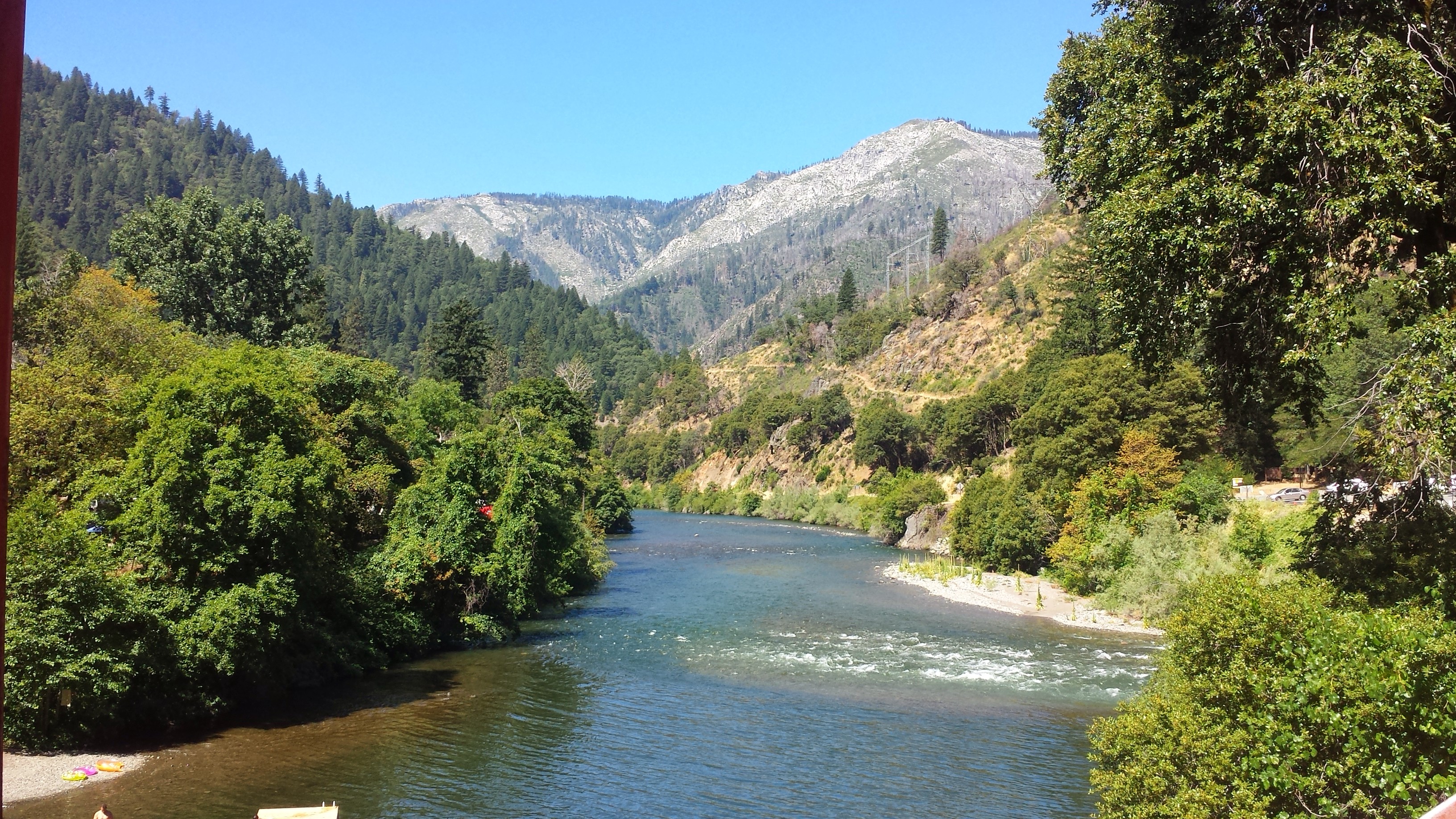
Seiad Valley & the Klamath River
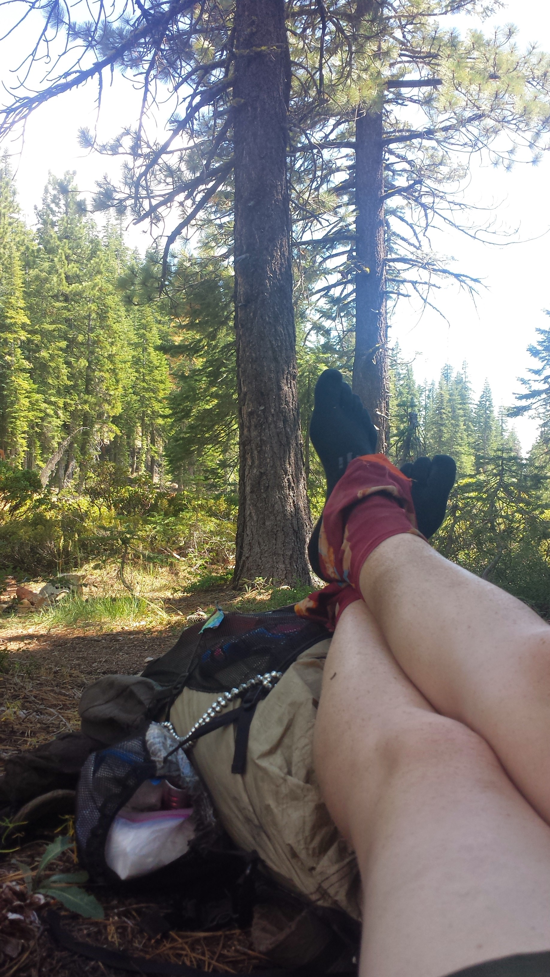
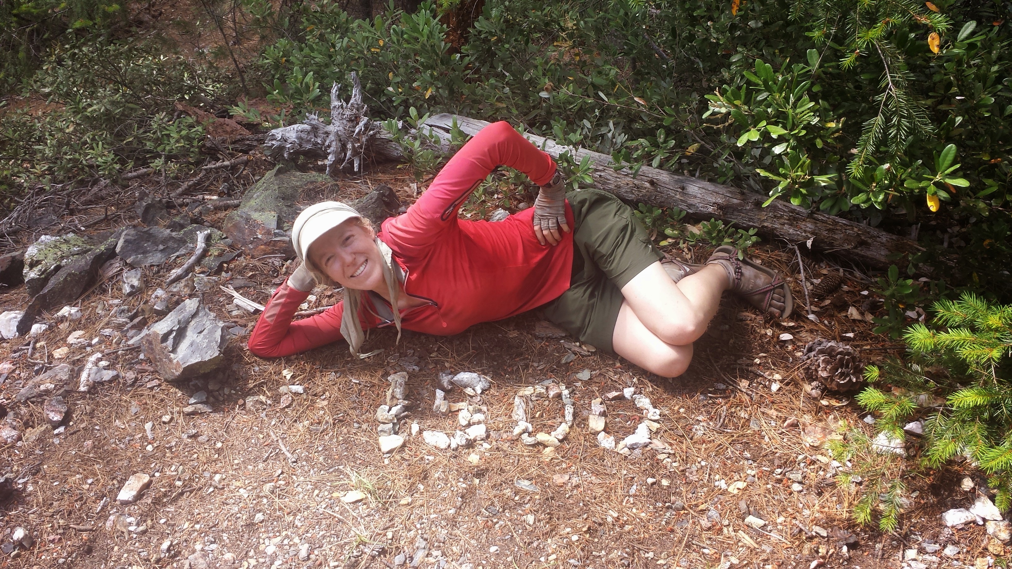
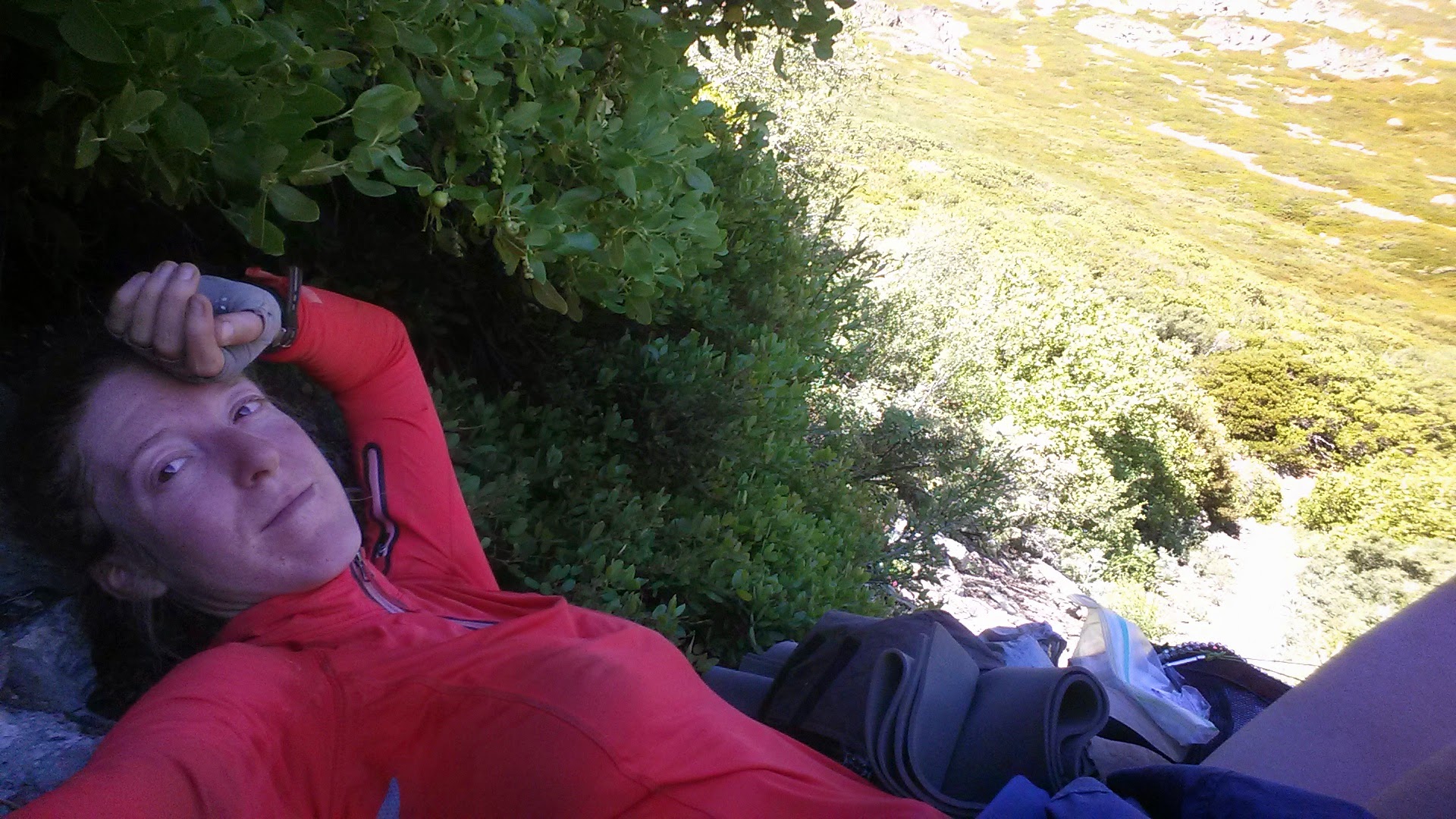
Backpacks make nice backrests.
I soon understood why so many hikers start this section either in the evening or early morning. It was blazing hot, barrenly exposed, and steep all the way up. Looking ahead at the trail and seeing not one tree for shade is so discouraging! Without any nice places to stop, It meant I just kept plugging along, one foot in front of the other.
Middle Devils Peak
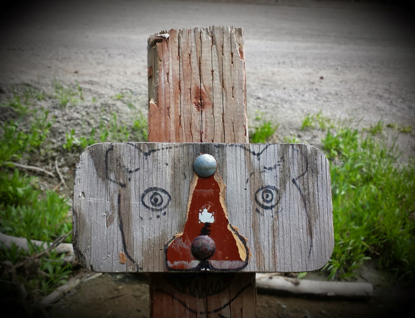
Trail marker for Lookout Spring
Lillypad Lake
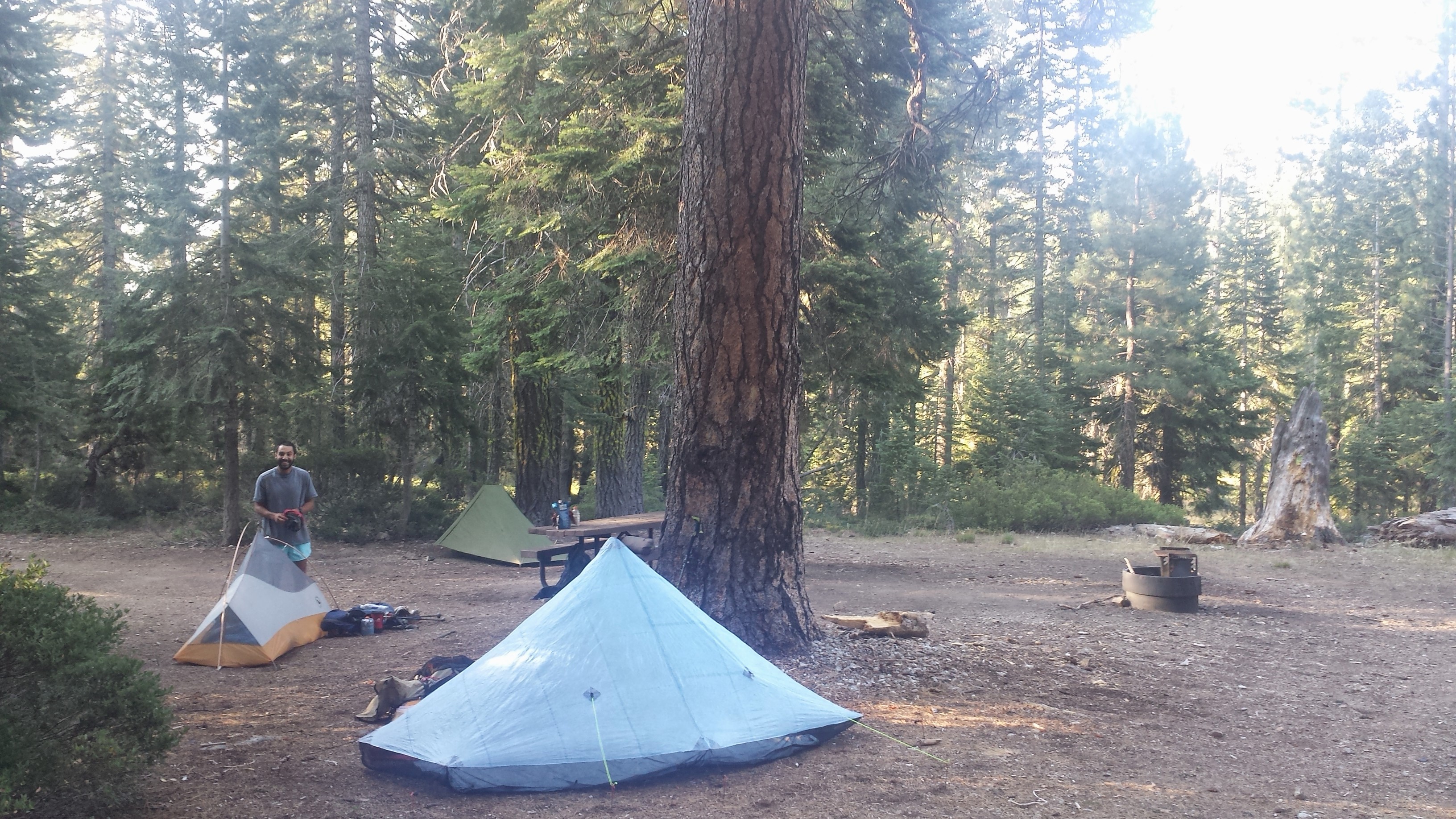
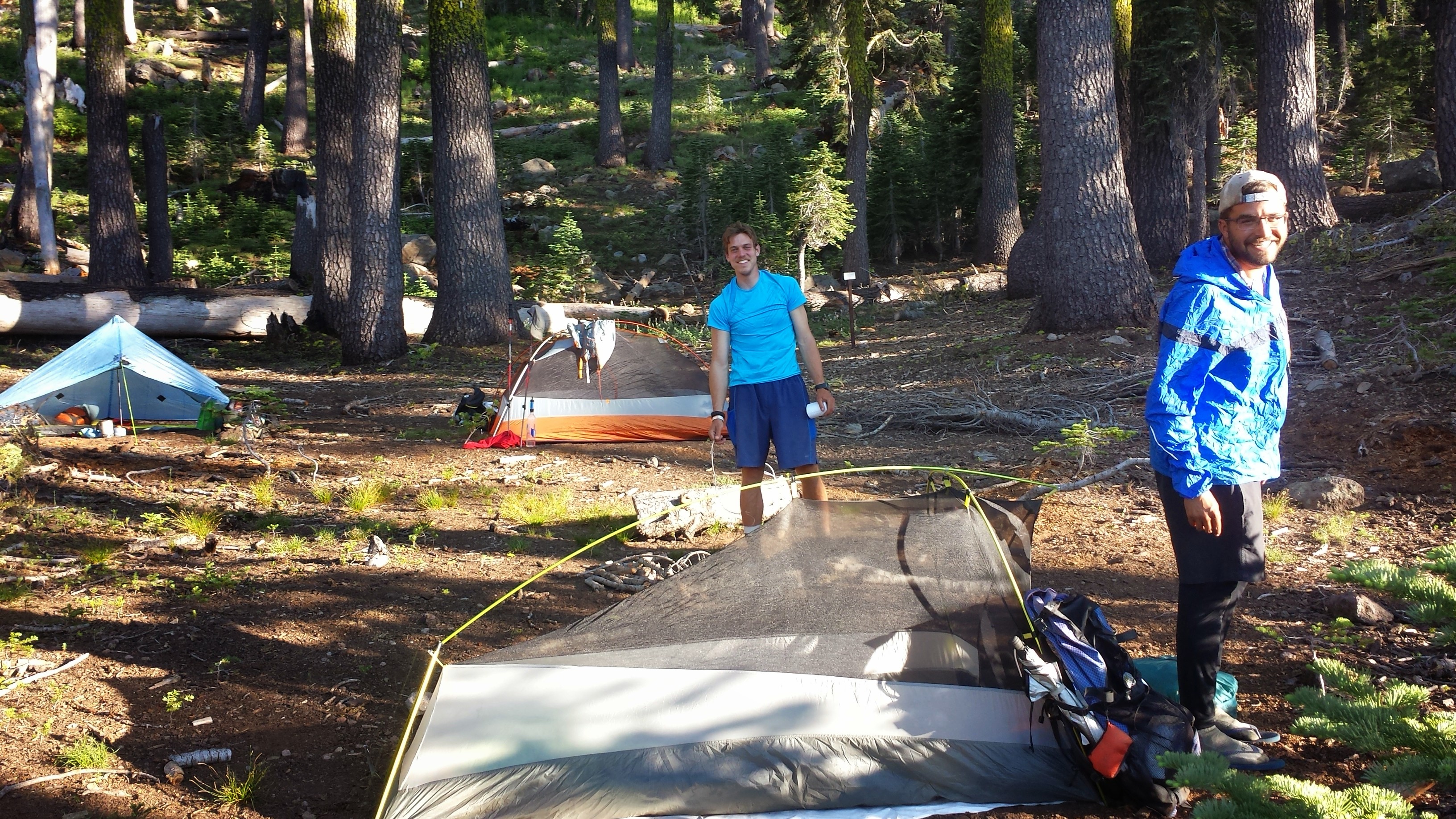
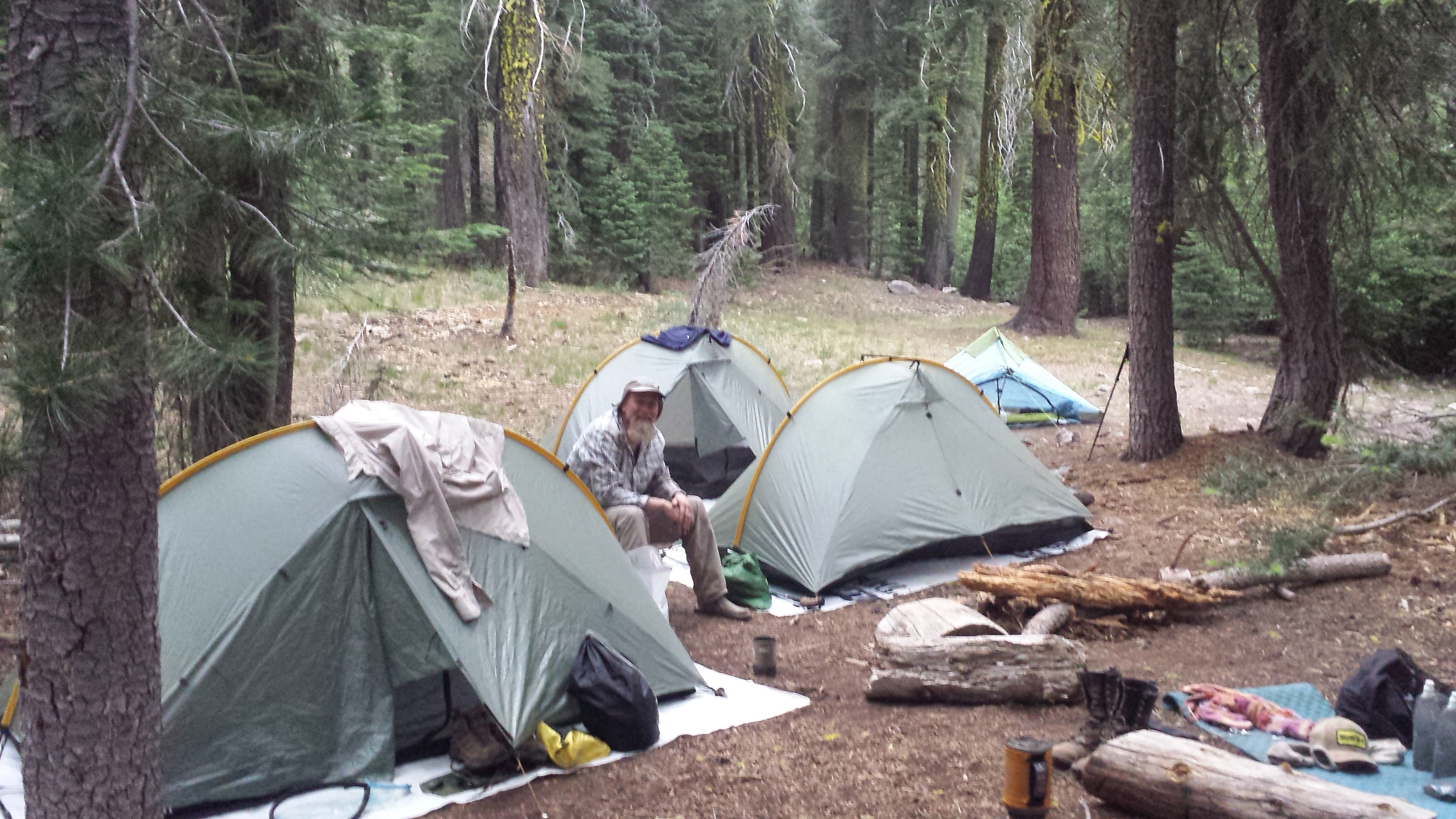
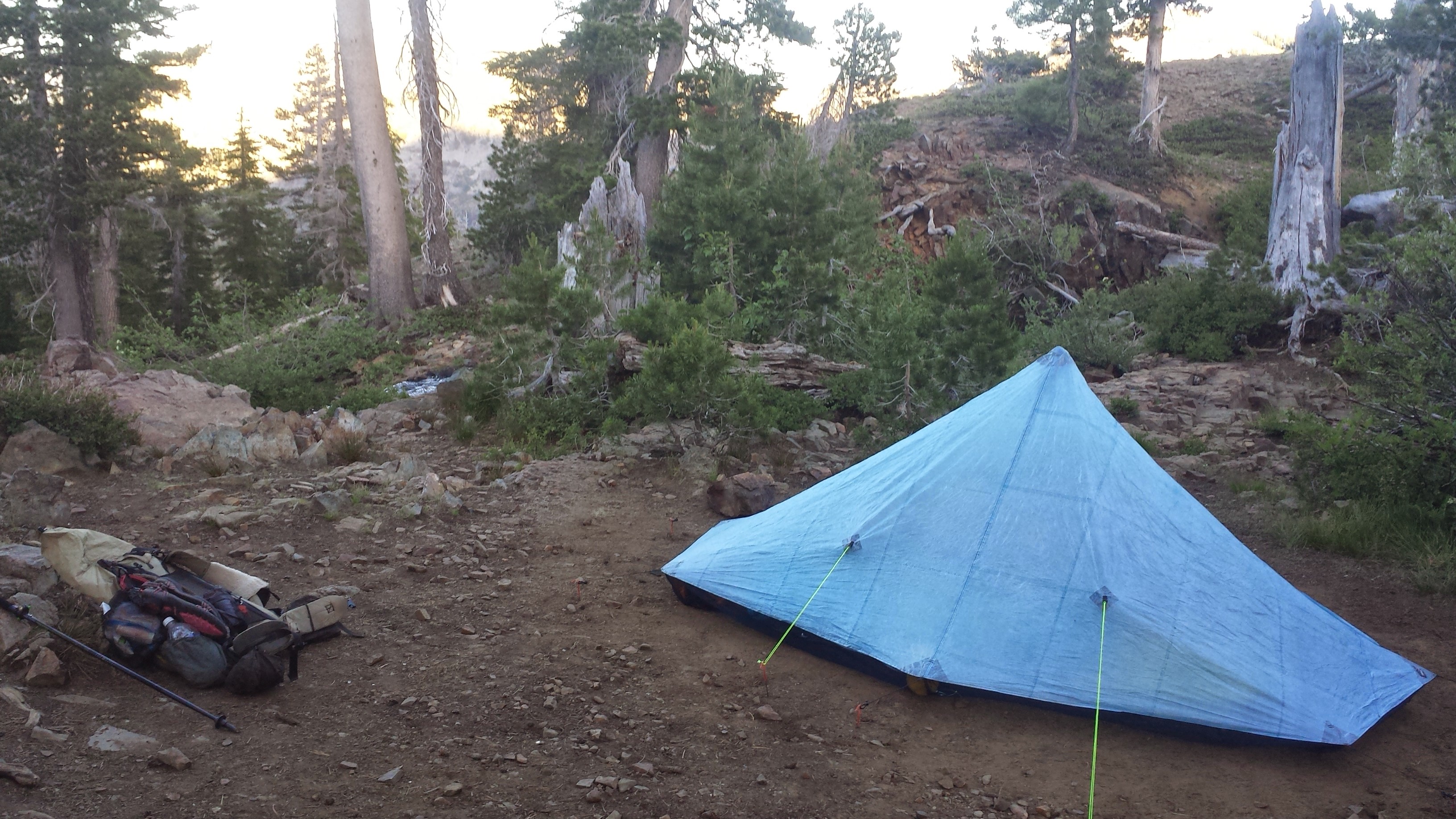
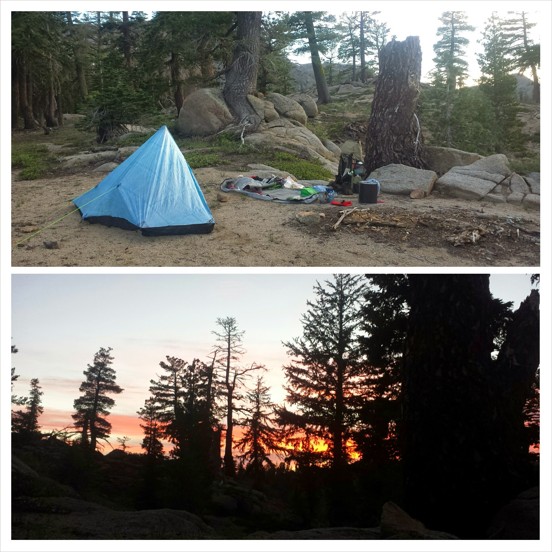
I hadn’t thought much about where I was going to camp for the night. I had played with the idea of putting in twenty miles, but knew that would probably mean getting in late to a waterless camp. Not feeling particularly motivated, but also not ready to stop for the day, I meandered up to Cook and Green Pass prepared to fill up my bottles and keep moving. To my surprise, I found Smokes, Pilgrim, and Jalan Jalan lounging about and their tents pitched. Not long after, Red Light showed up, so I threw in the towel and called it a party. I’m camping with the guys tonight!
Red Light setting up camp and Pilgrim in the background, at Cook and Green Pass
Treating my plantar fasciitis
July 27th- 26 miles, camping at Sheep Camp Spring
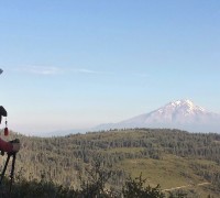
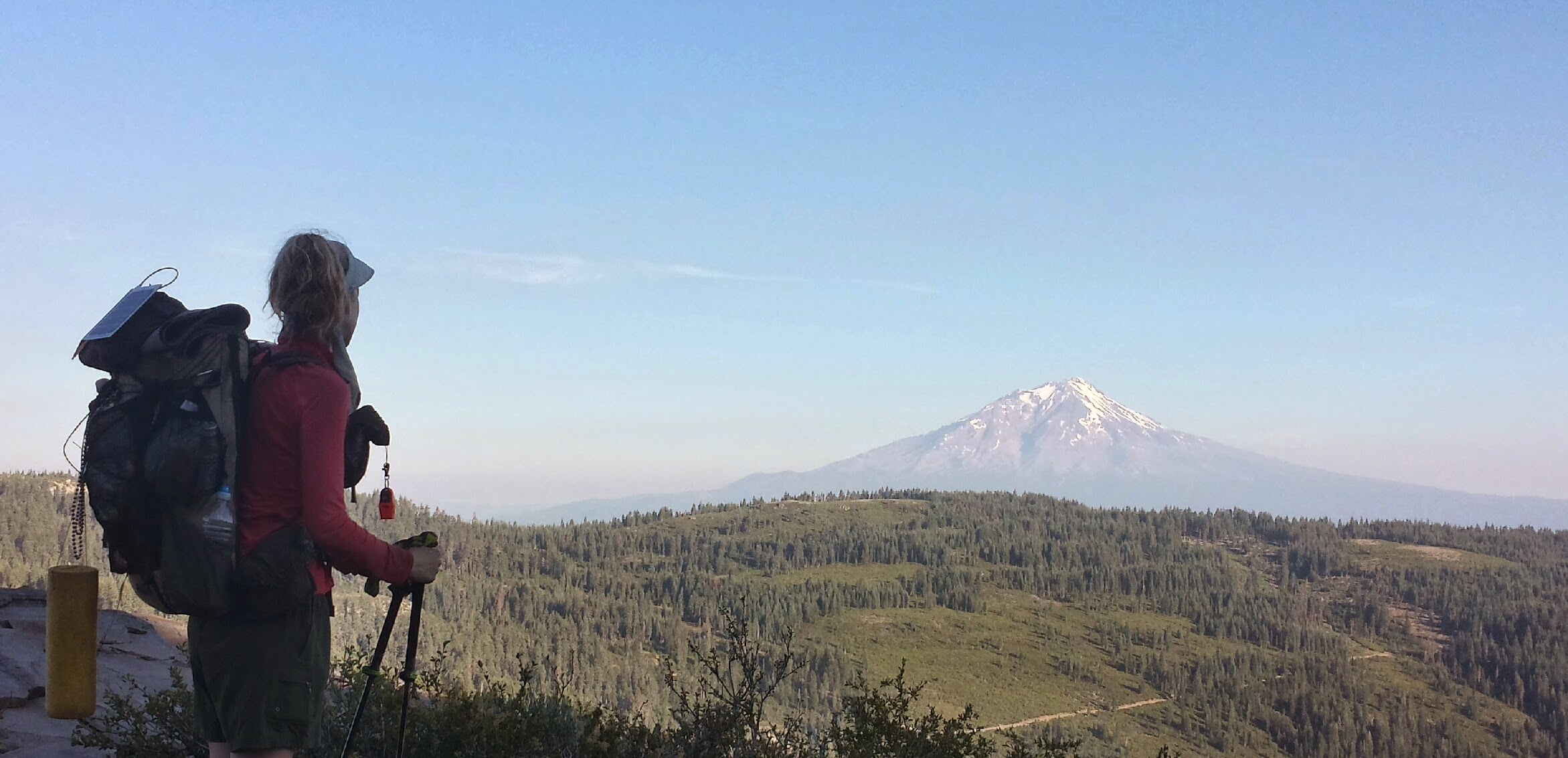
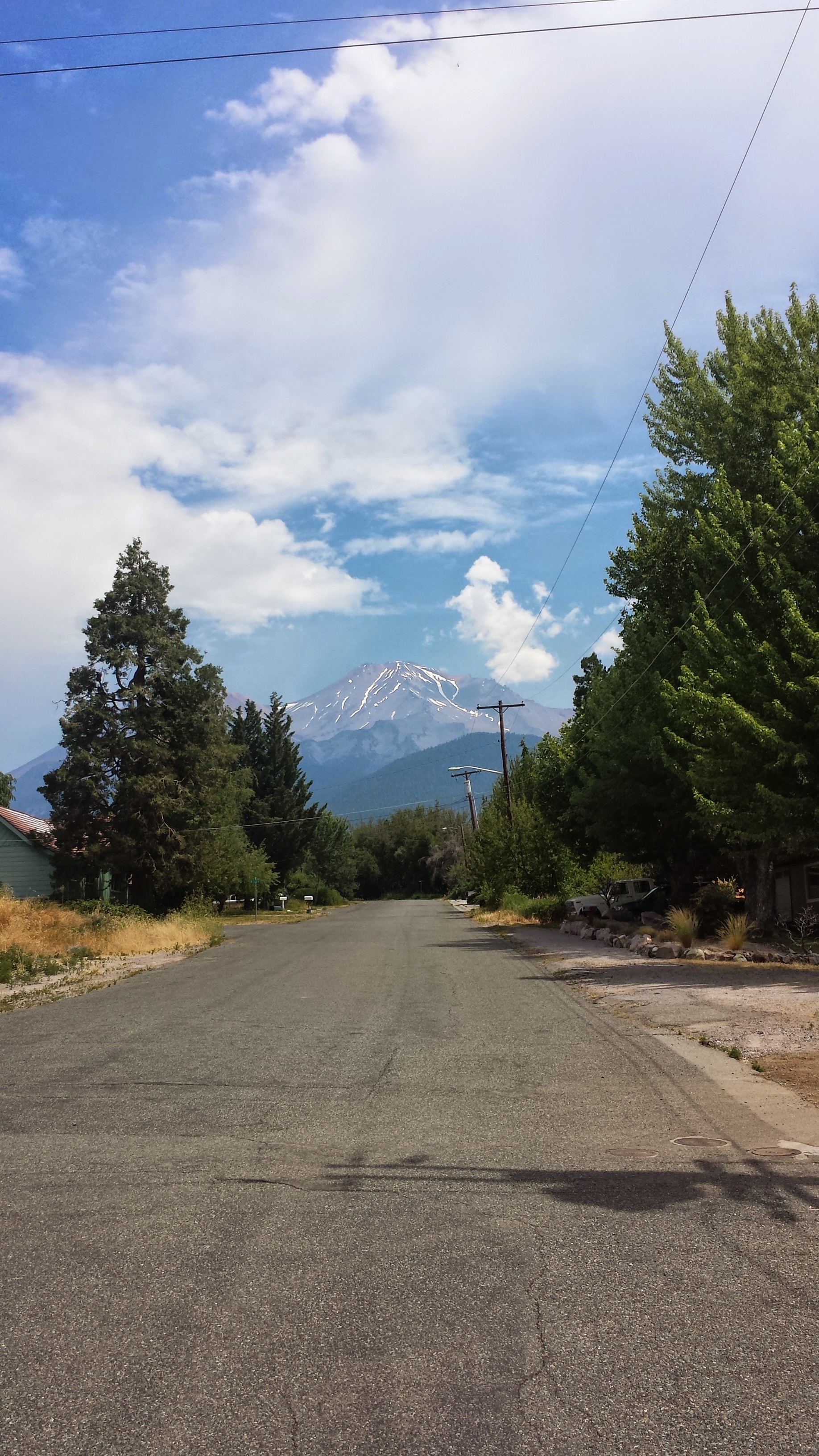
Today was my last day in California for this section hike. It’s so exciting to know you’ll be reaching some milestone this very day. It brings out strength and renewed passion for the hike throughout the day. I was particularly enchanted by a misty view of Mt. Shasta far in the distance. At this point, the trail has curved around that majestic mountain making a giant letter “C” for 220 miles.
Mount Shasta
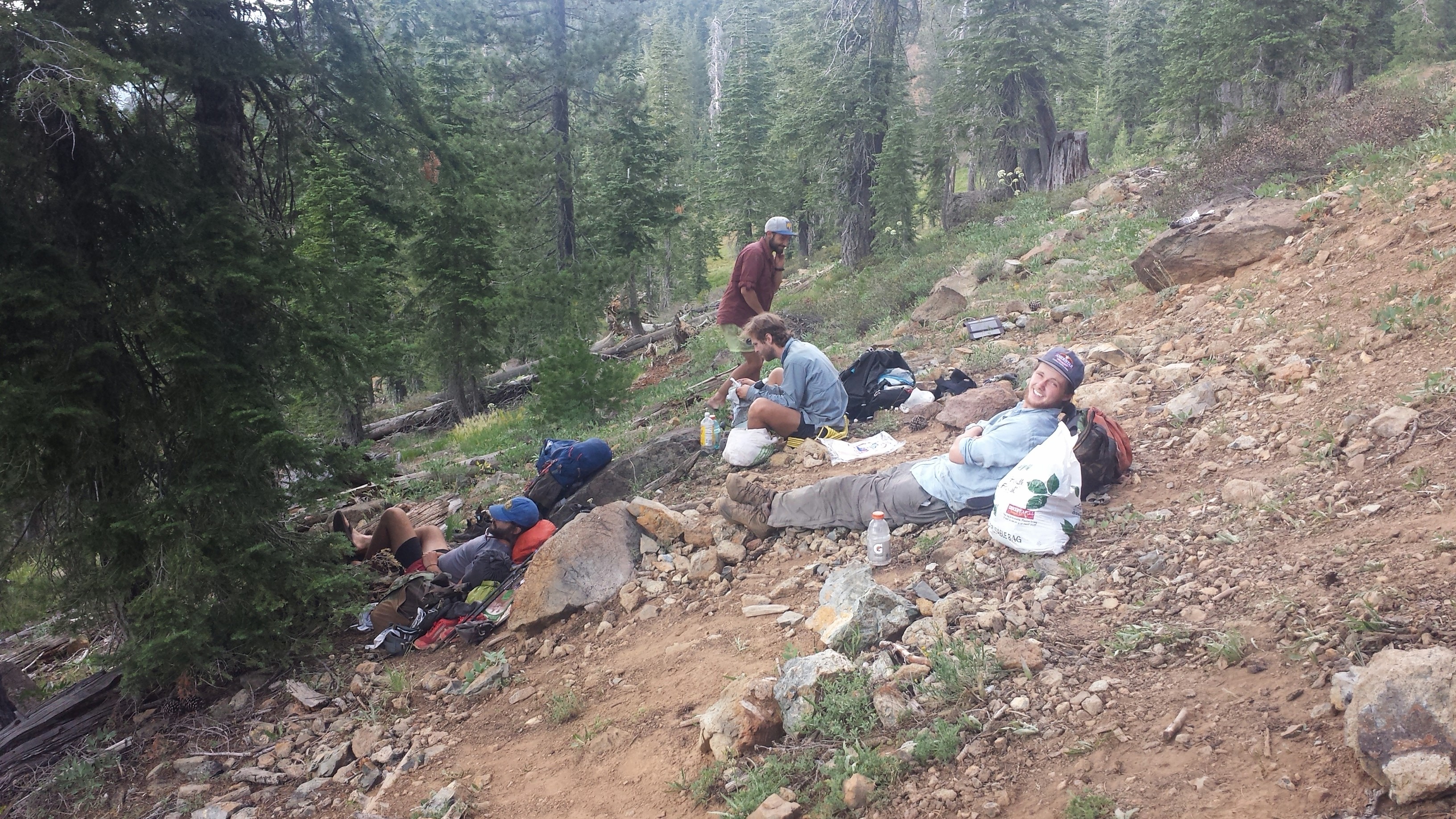
Throughout the day, our little tribe of hikers would spread out like an accordion while we walked and then collapse back on itself for breaks. Solitude and peace are wonderful to experience while in the woods, but after weeks of it, it’s so fun to share ideas, stories, and jokes with fellow human beings.
Lunchbreak, (L->R) Smokes, Jalan Jalan, Red Light
Pumpkin pie for lunch
Abandoned cabin in Donomore Meadows
Trail register at the CA-OR border
I reached the California-Oregon border just after Smokes and we squeezed into the little bit of shade there was to wait for Jalan, Red Light, and Pilgrim. Watching the others come across the border and celebrate the 1700 miles they just walked and the 900-somehting miles left, made me wish I was continuing all the way to Canada with them. But, alas, I am now on the home stretch of my hike for this summer.
CA-OR border, (L->R) Red Light, Smokes, Jalan Jalan, me, Pilgrim
Oregon welcomed us with a lovely afternoon thunderstorm. In fact, it was so refreshing that it truly felt like a rain brought on to celebrate our own achievements.
Light afternoon thunderstorm
Camping at Sheep Camp Spring
July 28th- 25 miles, staying in Ashland
There’s been a lot of talk about how easy and flat Oregon will be. “You’ll be putting in 30+ miles each day, no problem,” is what everyone says. Somehow, I don’t think that’s actually true. Just past the border yesterday, we were already climbing, climbing, climbing. Today was nothing but little ups followed by little downs. I think the elevation changes are so small that they look insignificant on the elevation charts, but there are so many of them that it actually adds up to quite a bit of gain and loss throughout the day!
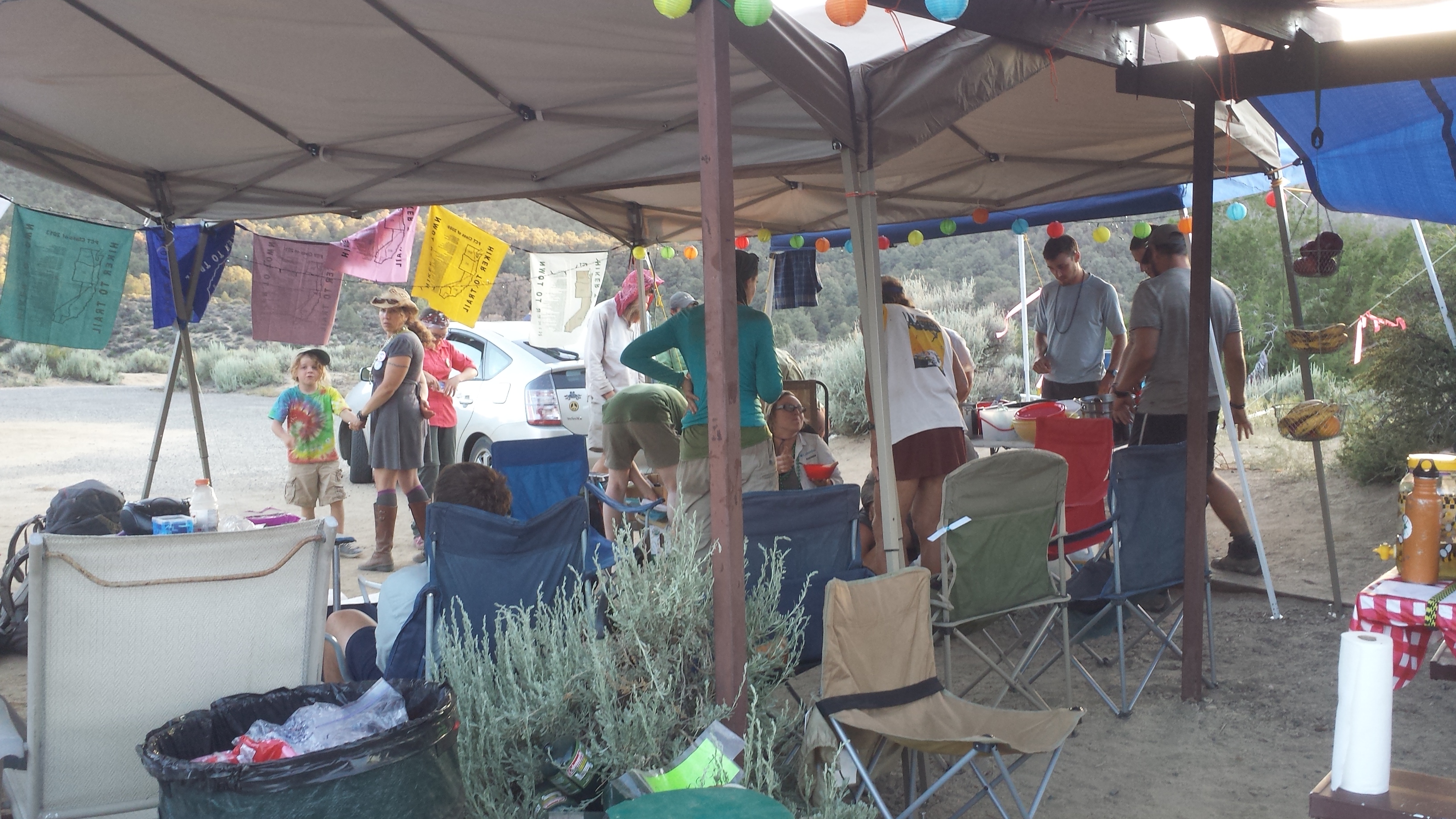
Trail magic and big, Orgonian bugs!
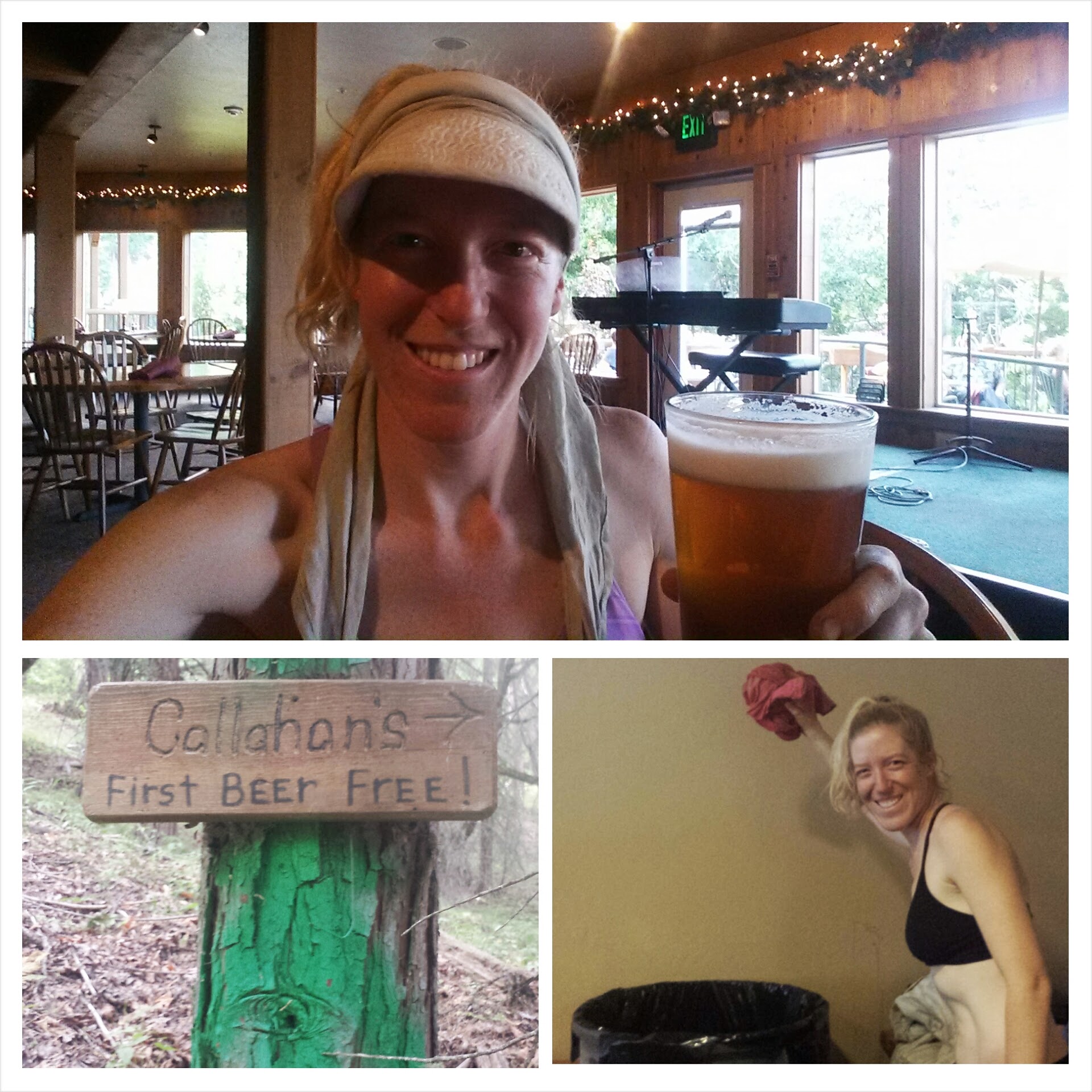
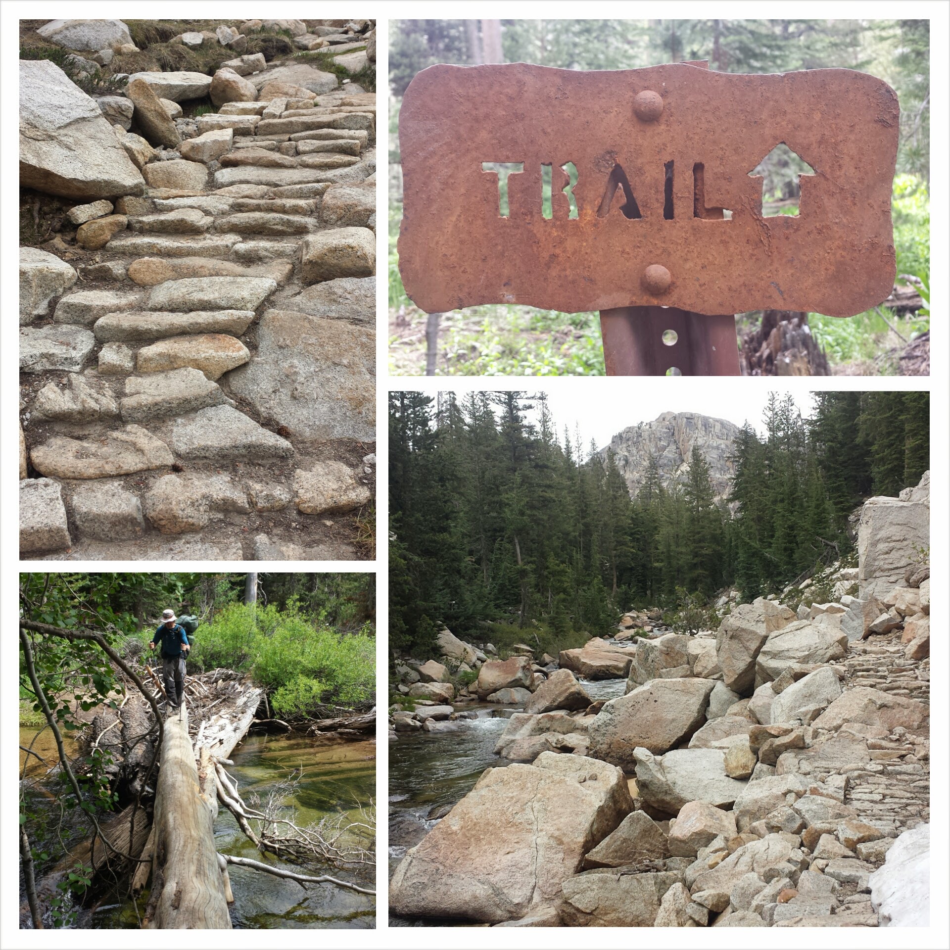
After what felt like a very tedious hike down toward civilization, I met up with Jalan Jalan and Smokes. We tried to stay on the rough trail that would take us to Callahan’s, but lost it past some railroad tracks. We said “Screw it,” bushwhacked through some bushes, and tubbed down a rocky slide t road walk the rest of the way.
Almost to Callahan’s
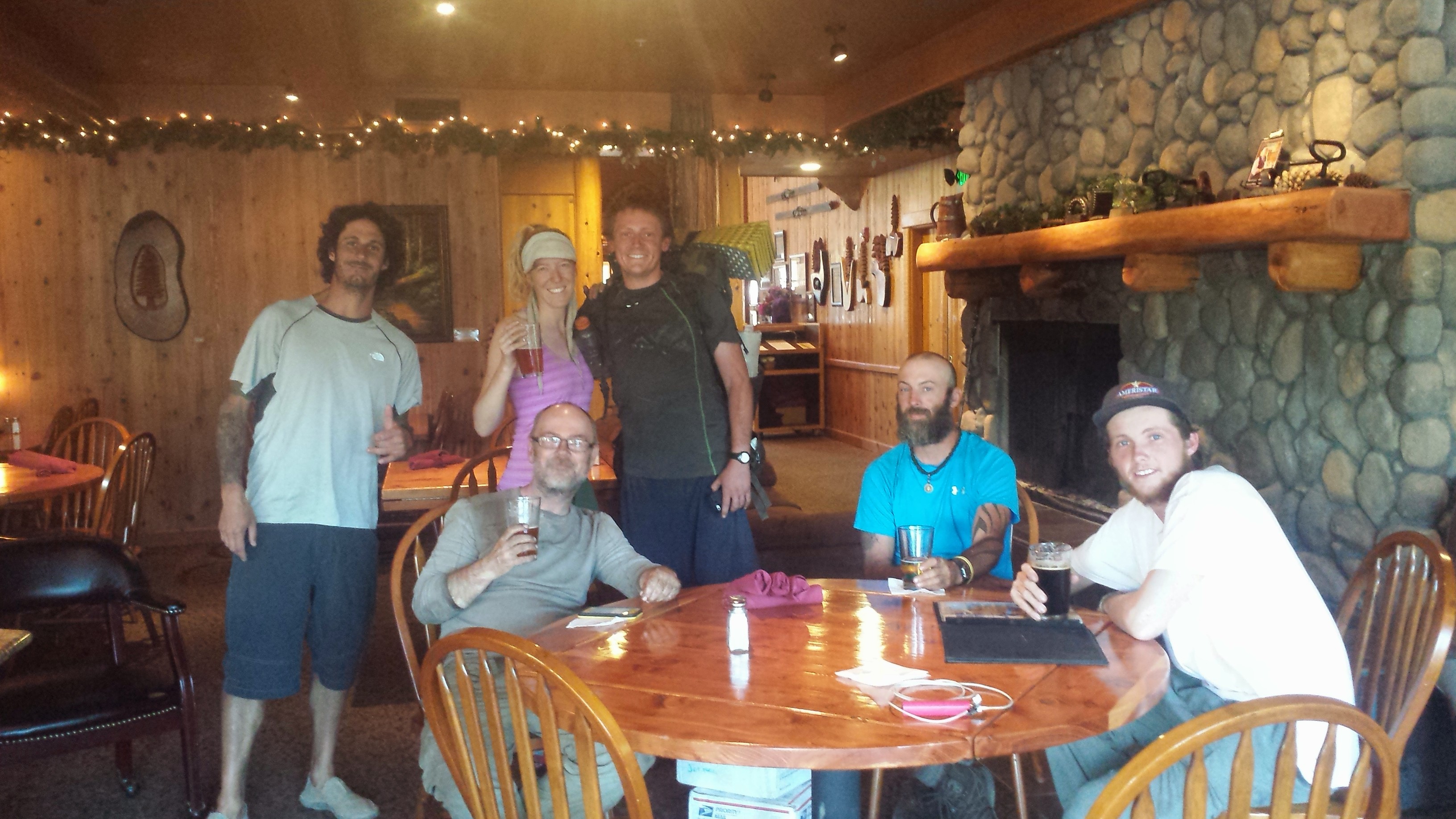
Upon reaching Callahan’s Lodge, the staff show you to the “Hiker Room” (where smelly hikers and their gear are kept separate from other guests) and then present you with a free drink coupon. I dropped my gear, threw my hiking shirt in the trashcan, cashed in my coupon and toasted to all the hikers I could find at the lodge.
The first beer’s free!
Road Runner, Jalan Jalan, me, Red Light, Smokes, Justin
The closer and closer I got to Ashland, the more life back home was on my mind: work, relationships, hobbies, and goals. I think what I will miss most of all from the trail is the quiet mind and the clear sense of direction I had every single day. That’s something that I don’t tend to have at home. There are always so many things going on simultaneously that my daily goals always pulled me in five different directions. While hiking, I had only one goal each day: to wake up and walk. I hope I can carry some of the simplicity of the trail back to my home life, and I’m already eagerly looking forward to next summer when I’ll finish the Oregon and Washington sections of the PCT.
July 17- 7 or 8 miles, camping at Disappearing Creek
Mount Shasta was a quirky, but great little town. The contrast of the new age crystal shops and Galactic Meetings of the Goddess Pele against the conservative, mountain town vibe created an interesting and entertaining environment. I was able to do my laundry, a bit of grocery shopping, use the computers at the library, and catch up with friends and family while in town. This morning I had breakfast with Pixel, Shazam and Free Refill- a German hiker I met at Drakesbad Ranch.
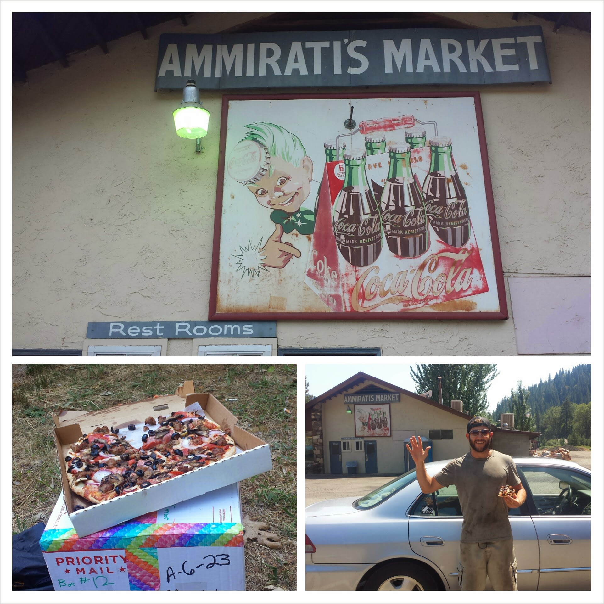
I had planned on taking the public bus up to the little town of Castella, but when the post master said I wouldn’t make it before she closed at 3:00, I had to quickly get ready for hitching a ride. I grabbed a paper placemat from the pizza restaurant where I had planned to eat lunch and wrote in big letters “PCT CASTELLA”. Then, with my pack on and my arms full of groceries, pizza, and a milkshake, I headed to the interstate. I figured it was important for me to have the sign to differentiate myself from the multitude of drifters in Mt. Shasta, often called Rainbow People by the locals.
Ammiratis Market, Castle Crags
I was lucky enough to be picked up by a previous PCT hiker from last season. He introduced himself with his trail name, Booty. After hiking the trail, he’d decided to return to the Shasta area and work on a horse ranch.
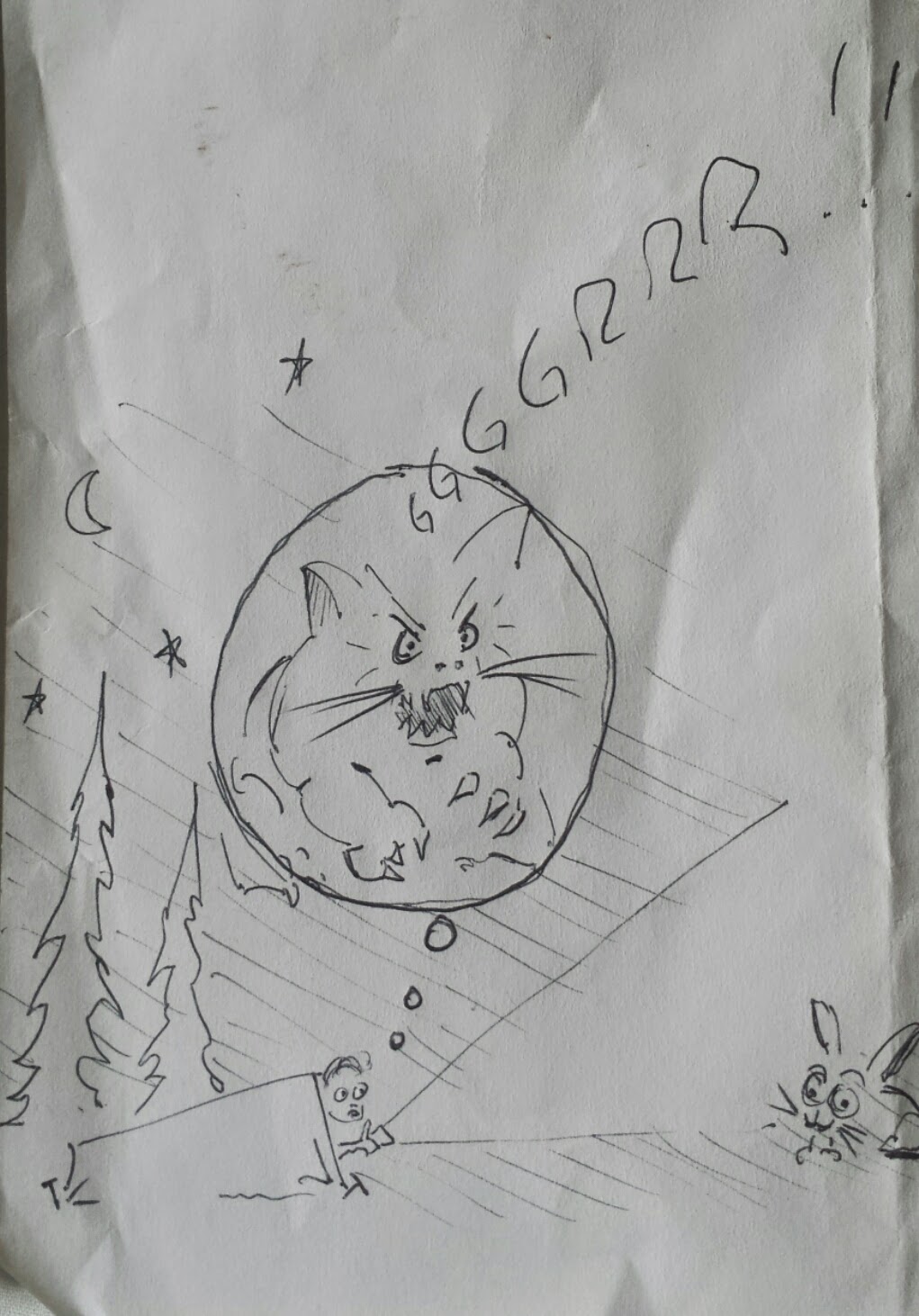
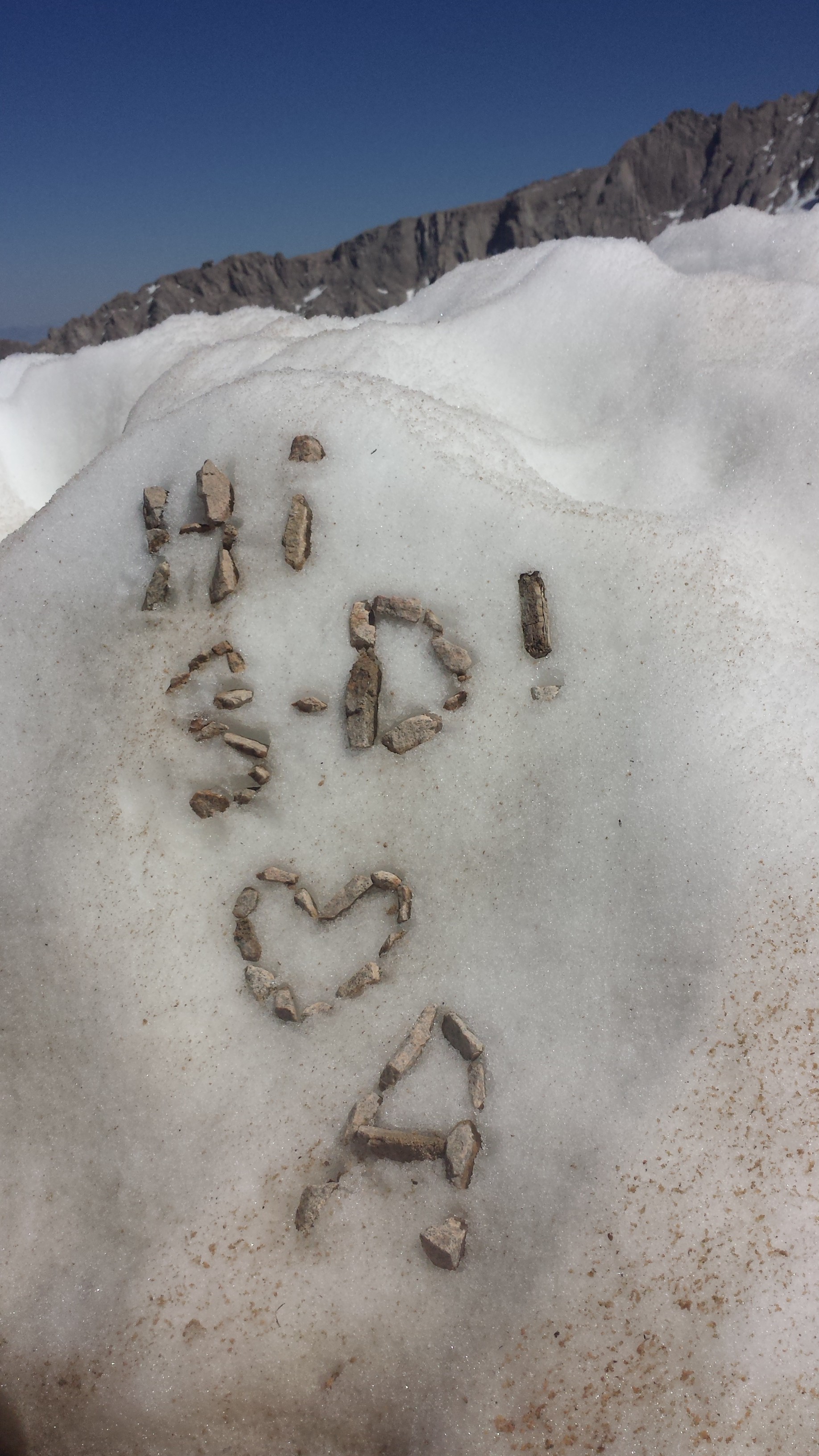
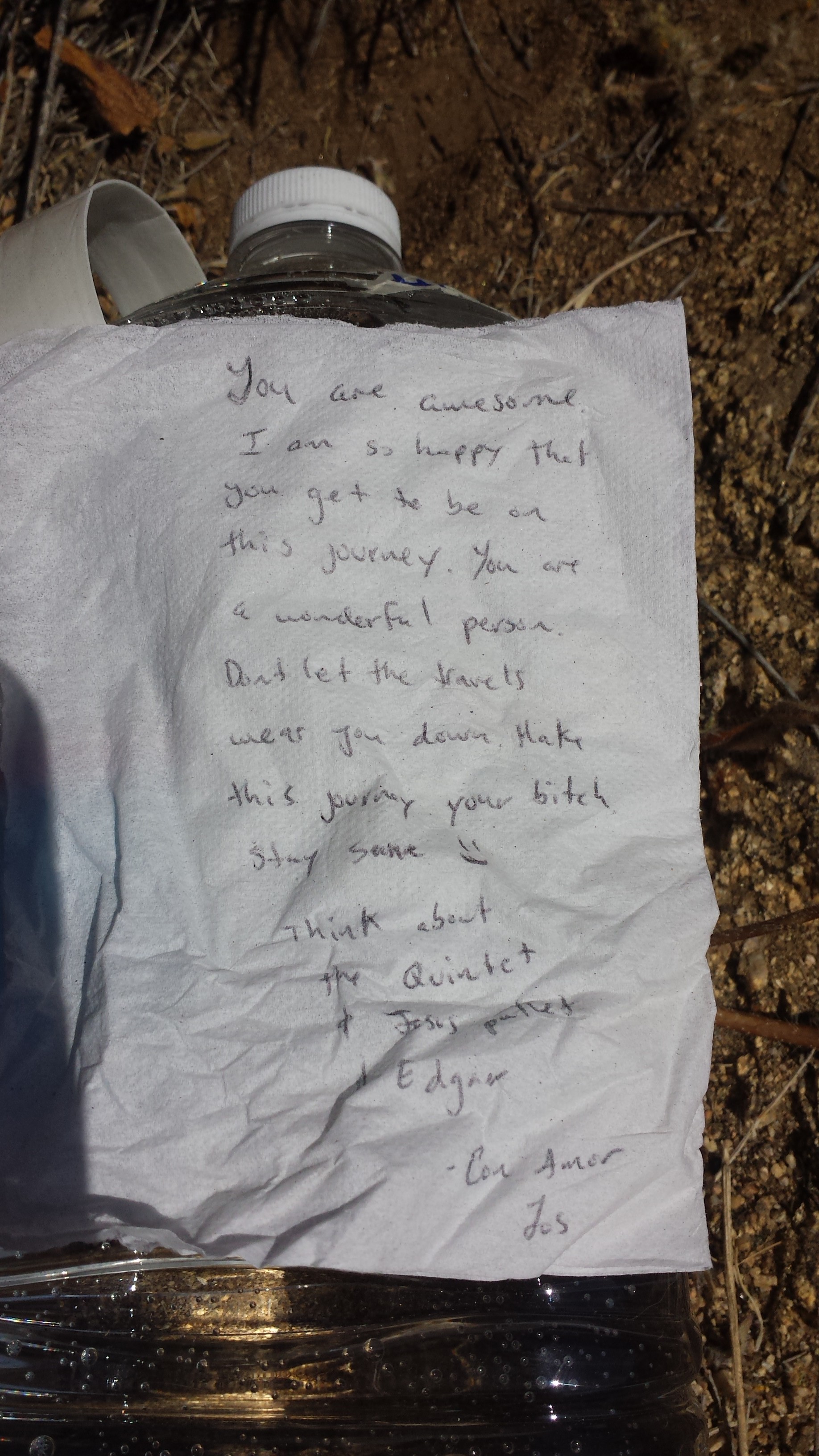
I collected my resupply box from the post office and learned that they’d actually been robbed a few days earlier. The crooks took a bunch of hiker boxes- I had to laugh because they must have been pretty disappointed to only score several months worth of Snickers bars and socks! The post master said they’d found my box outside the office, as though the thieves had thought to take it, but then didn’t. I’m relieved! I was also delighted to receive some real mail today! It was great getting postcards and notes from loved ones, including some artwork from my honey:
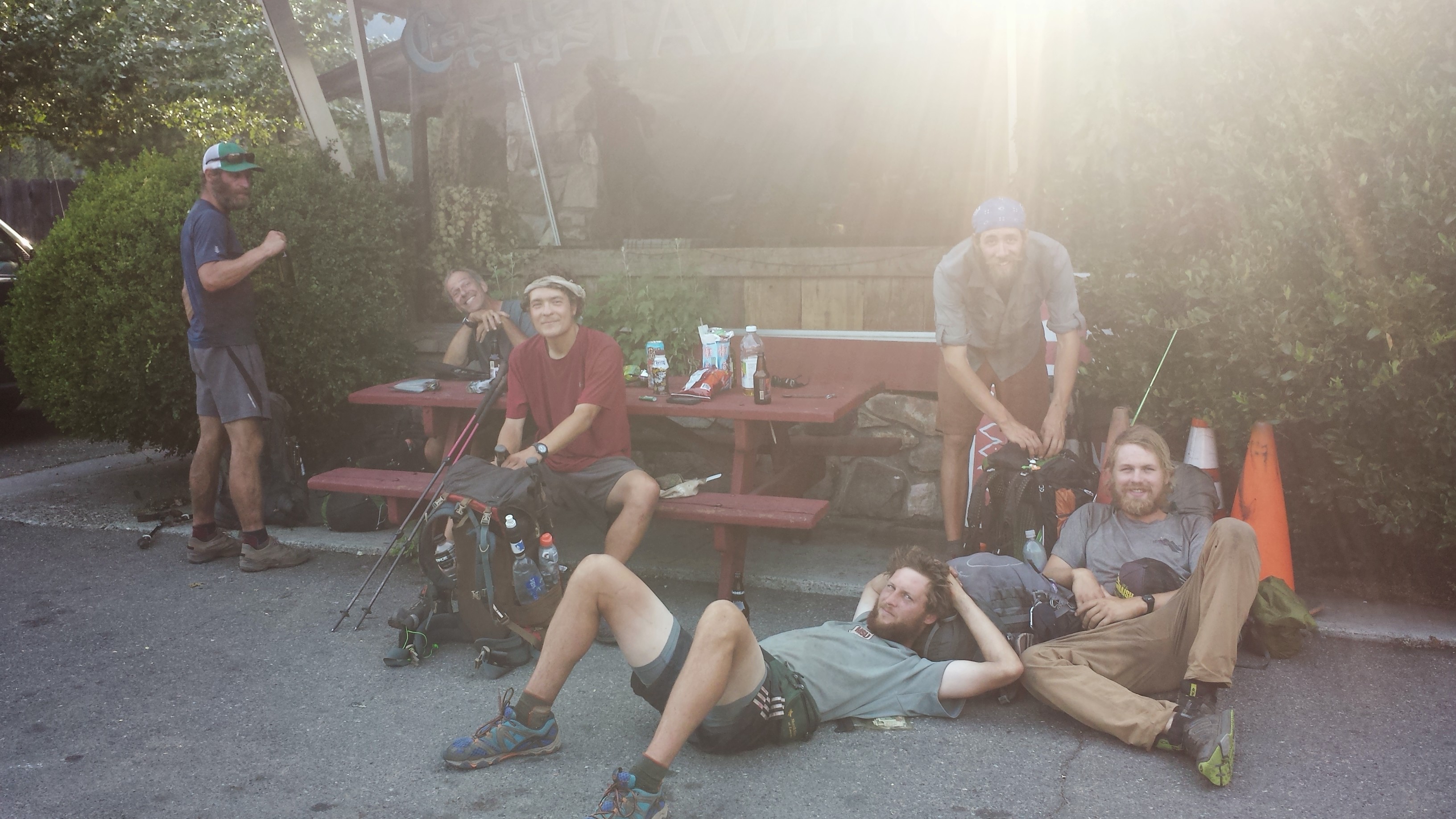
I took my box and pizza and headed to the little general store next door. It was so hot that the only thing to do was grab an iced tea and wait for it to cool off. Another hiker named Mathew was hanging around, too. I’d actually met him first at the Middle Fork Feather River, just after my leeches incident. He seemed much more sociable this time, maybe because I had more clothes on or maybe because he was bored. We both decided to head out around 5 or 6pm. Before I left, a bunch of hikers showed up and sprawled out in front of the store to wait for rides into town. Hikers are pretty good at getting as comfortable as possible pretty much ANYWHERE.
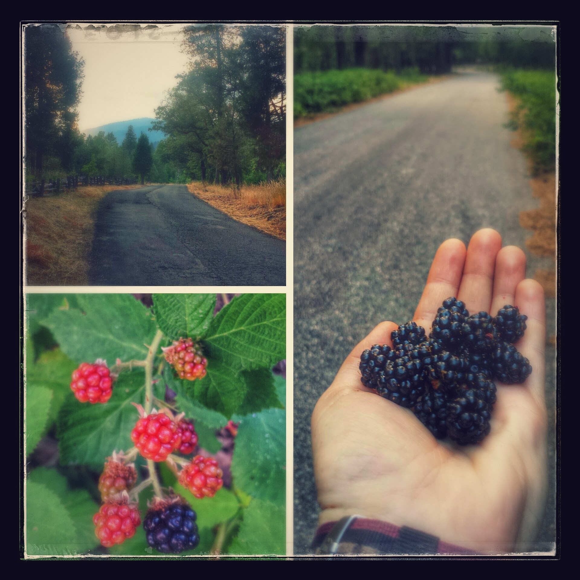
Instead of road walking two miles back along Interstate 5 to the PCT, I decided to walk along a State Park Road for several miles and then take a short side trail up to rejoin the PCT. It was a beautiful road, lined with blackberry bushes and occasional glimpses of Castle Crags through the trees.
Road Walking to the PCT
Once I was on the trail, I hiked another four miles up the canyon behind the famous Castle Crag Mountain. I reached a campsite at an appropriately named dry creek, Disappearing Creek, just as it as getting too dark to see. Hoping to find Mathew here, I called out, but instead of Mathew’s, came the voice of Strawberry. I met Strawberry first after passing the PCT midpoint with Glitter. She’s been joined by her sister and they’re both crammed into a tiny one – person tent!
July 18th – 24.5 miles
Two hikers named Mike and Micah showed up at camp last night around 11:30pm. I’d heard of this pair, but hadn’t met them yet. Mike got really excited when he saw my foam roller hanging from my pack. He said he wished he had one because he’s been having some problems in his legs and hips. And, just like that, the roller was his! I haven’t really needed it for awhile and so I just passed it along to him.
It was a huge climb leaving Disappearing Creek in the morning. I met up with JSF at a spring. He had left Mt. Shasta earlier than me and had camped at the top of the climb last night.
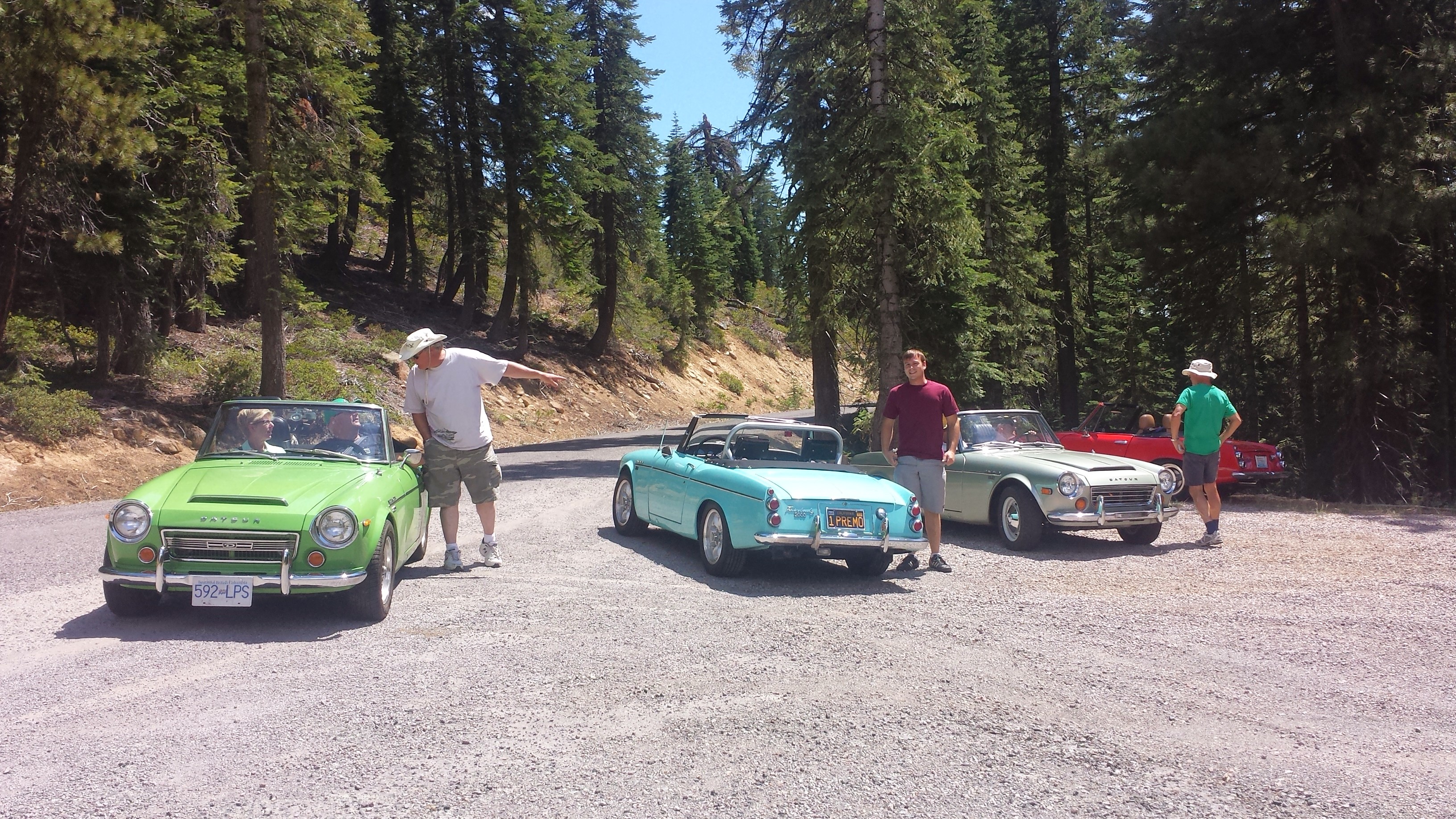
Some classic Datsuns out for a mountain drive
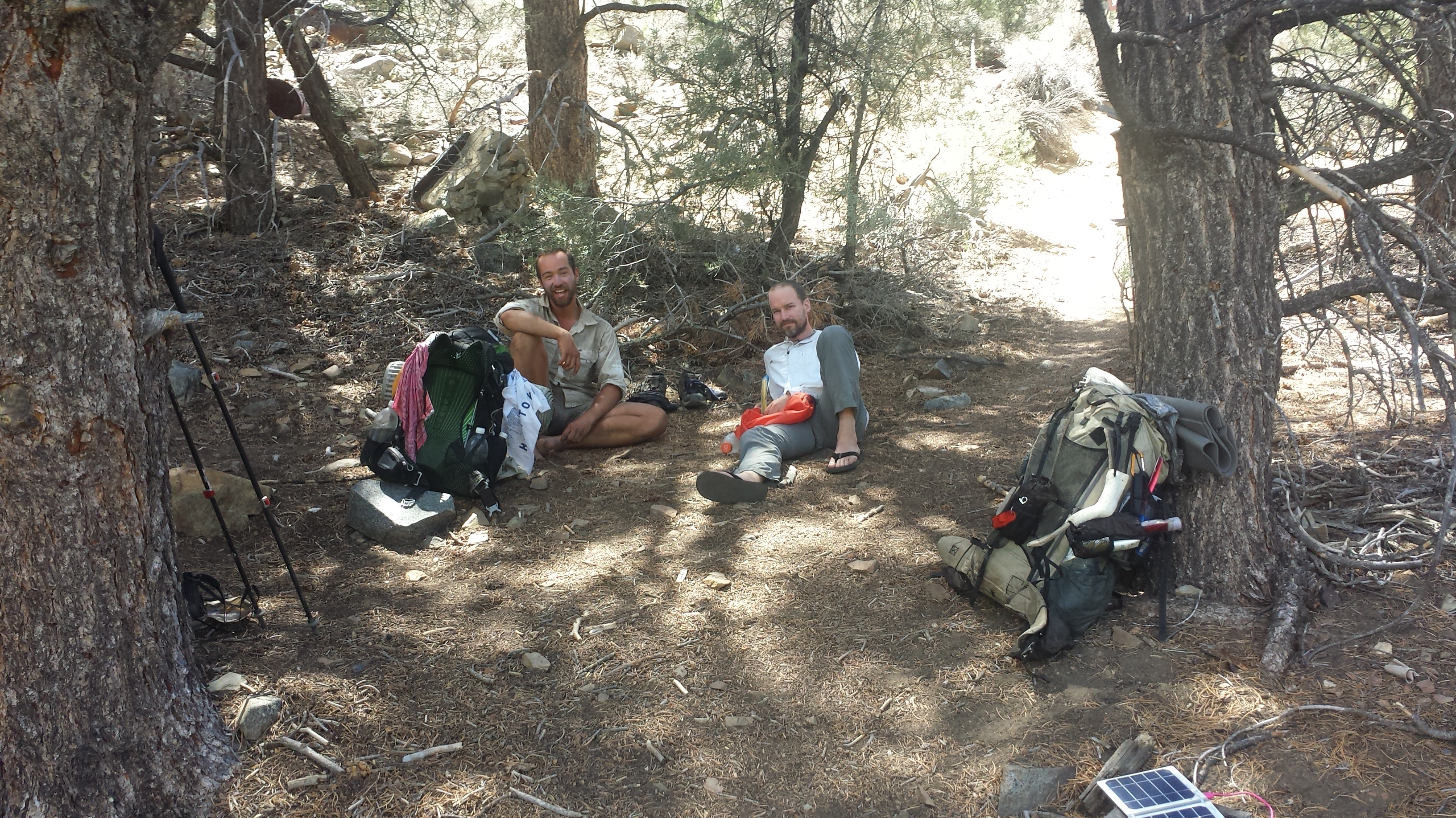
(L->R) Mike, JSF, Micah & Justin taking a break at a spring
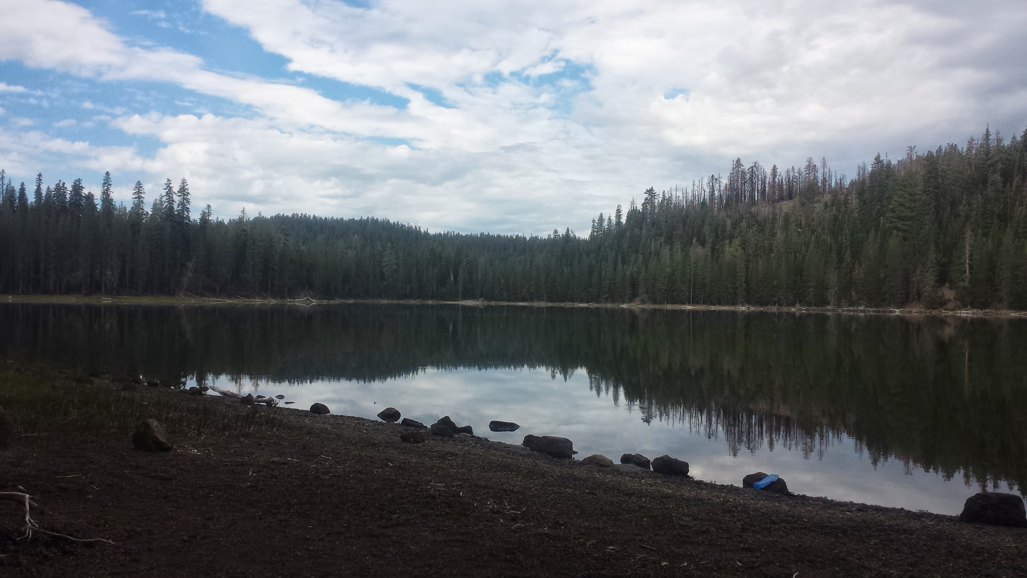
JSF and I pushed on to Dead Fall Lake for the night. There are so many weekend hikers camping here because it’s only 2 two or three miles from a road. The lake is so beautiful, though, and it reminds me of Toiyabe National Forest.
Cowboy camping at Deadfall Lake
July 19th- 24.5 miles, camping at Scott Mountain Summit Campground
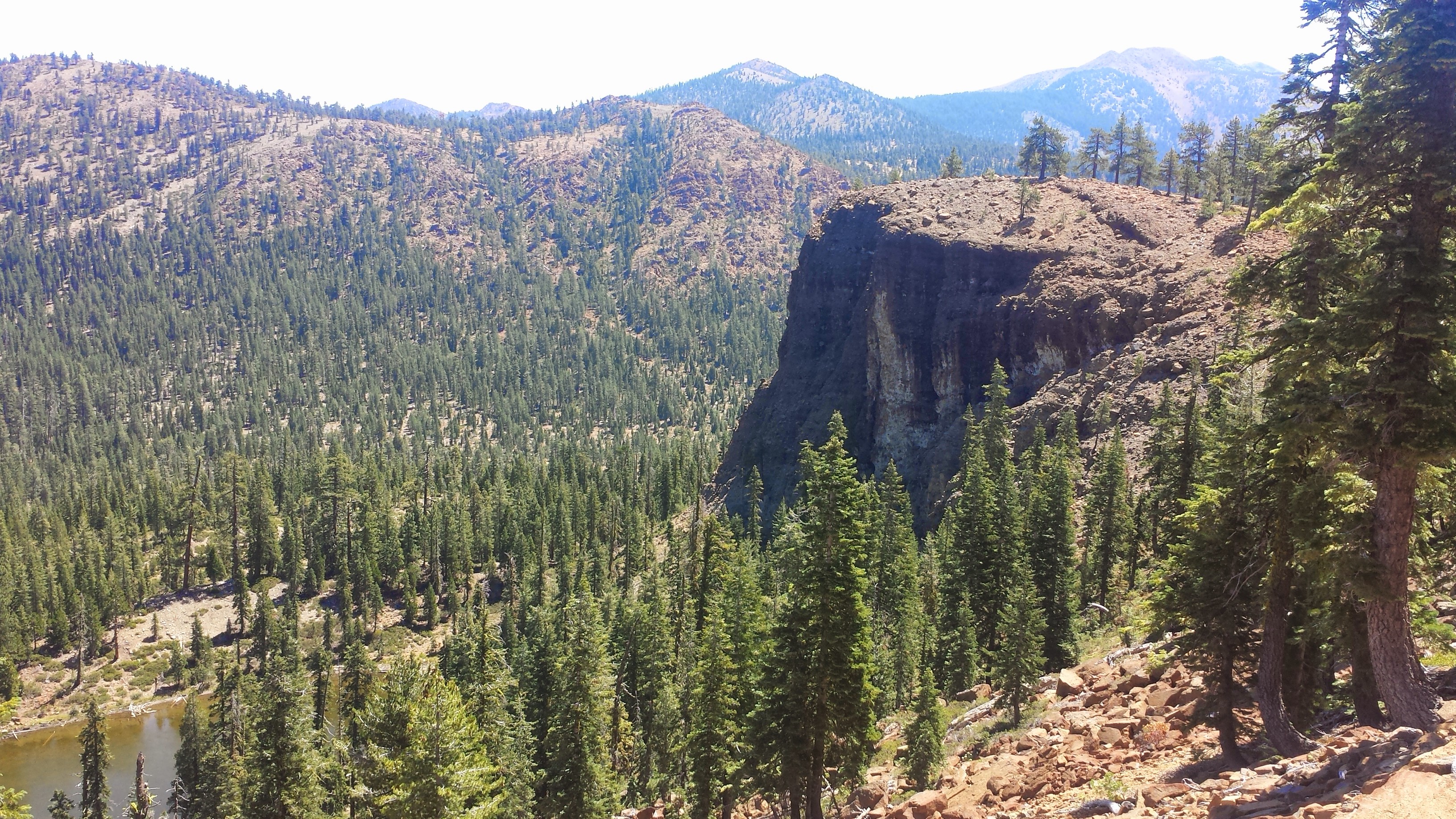
Cement Bluff
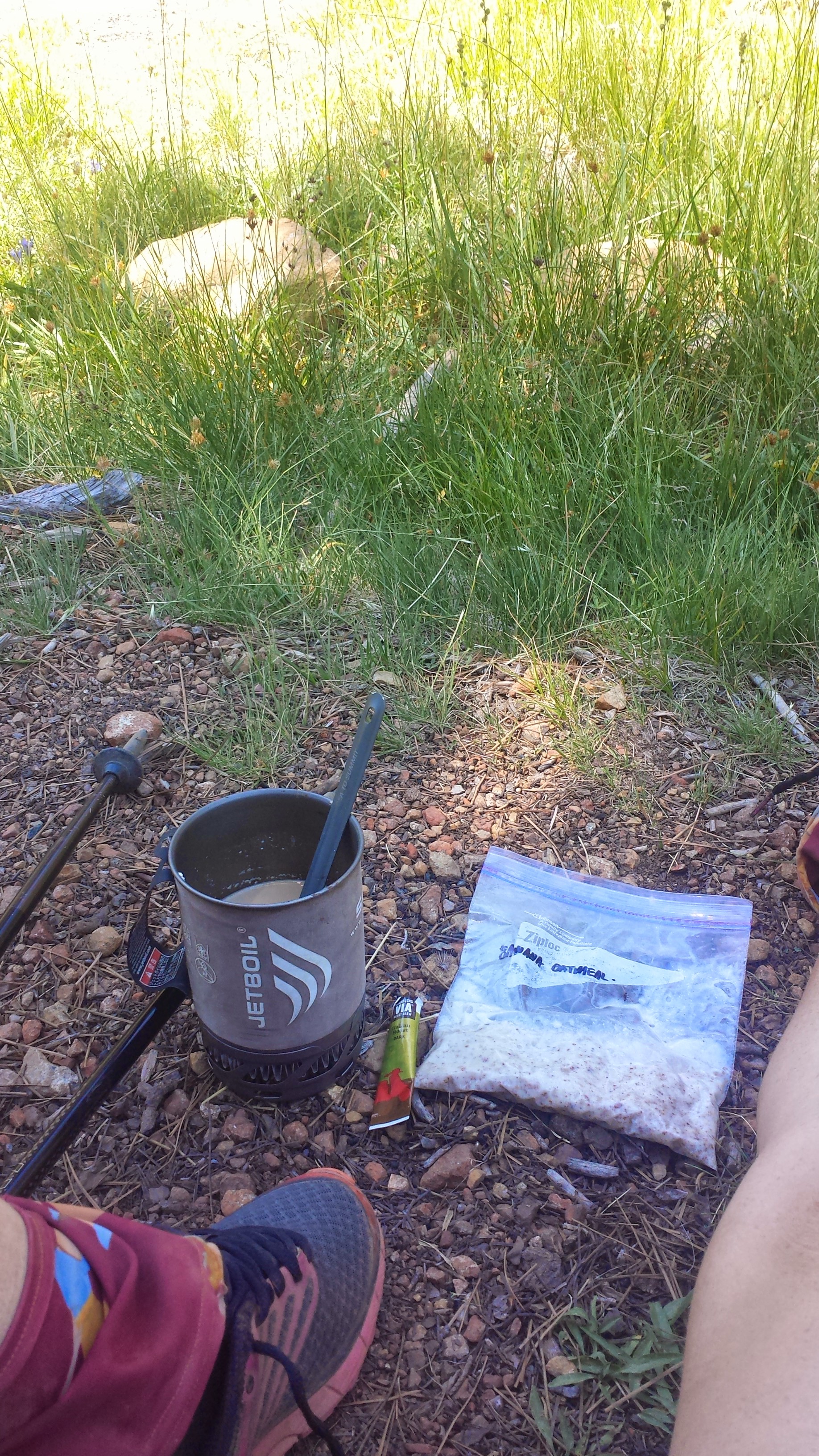
It was a foggy morning for me mentally. I just felt tired and out of it for most of the day, maybe because the trail was really flat, maybe because of the humidity, or maybe I’m just tired. I stopped by a spring midday and made some banana oatmeal and coffee- breakfast can be served all day on the PCT!
Banana Oatmeal & coffee
After getting some caffeine in my system and trying to keep up with a hiker named Cliff for the afternoon, I was able to put in some good miles. When I arrived at Scott Summit, I saw that Justin had set up his tent in the middle of a bunch of manzanitas because he didn’t realize there’s actually a campground just around the corner. He was too tired to move his tent, but it seemed silly for him to stay in the bushes, so I moved it for him! The campground is small, but it has a privy! JSF and Cliff have joined us, too, for the night.
Camping at Scott Summit Campground
July 20th- 26 miles, camping near Carter Summit
Sorry folks, I’m too tired to write much tonight, but below are some pictures from today. The most exciting thing that happened all day was the clanking of cowbells hidden in the trees. I never did manage to get a glimpse of the cows though!
Justin at the Scott River
Camping near Carter Summit
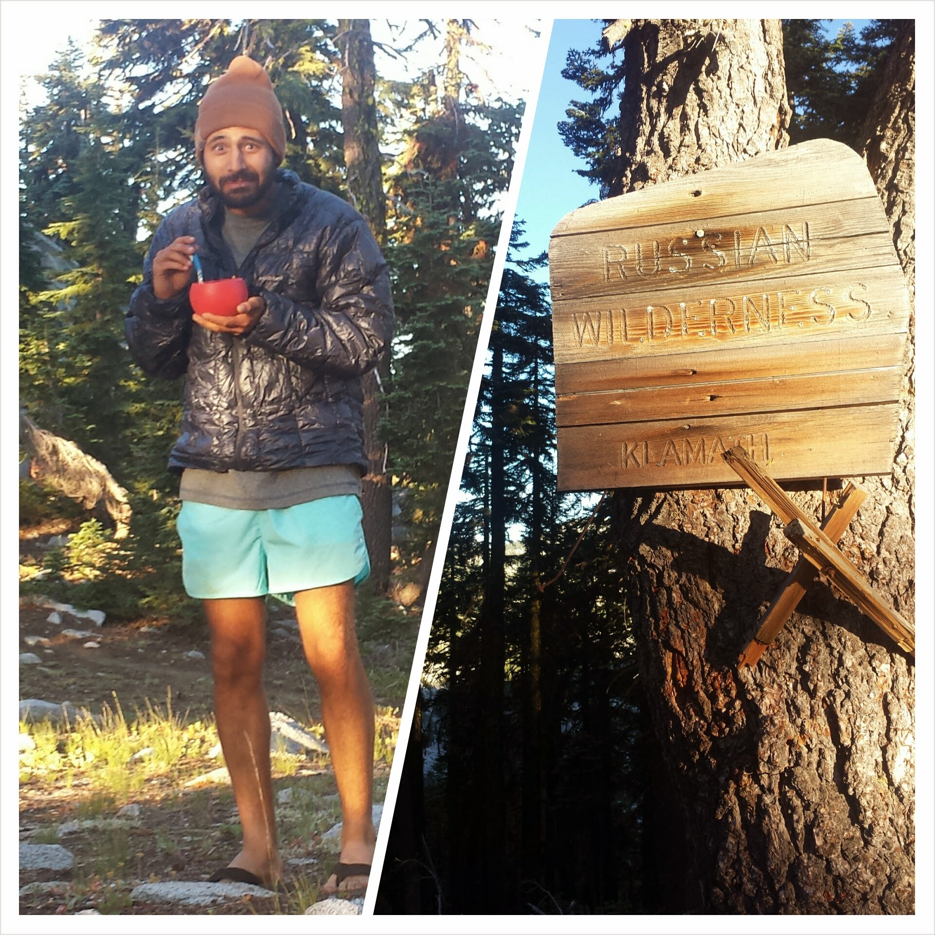
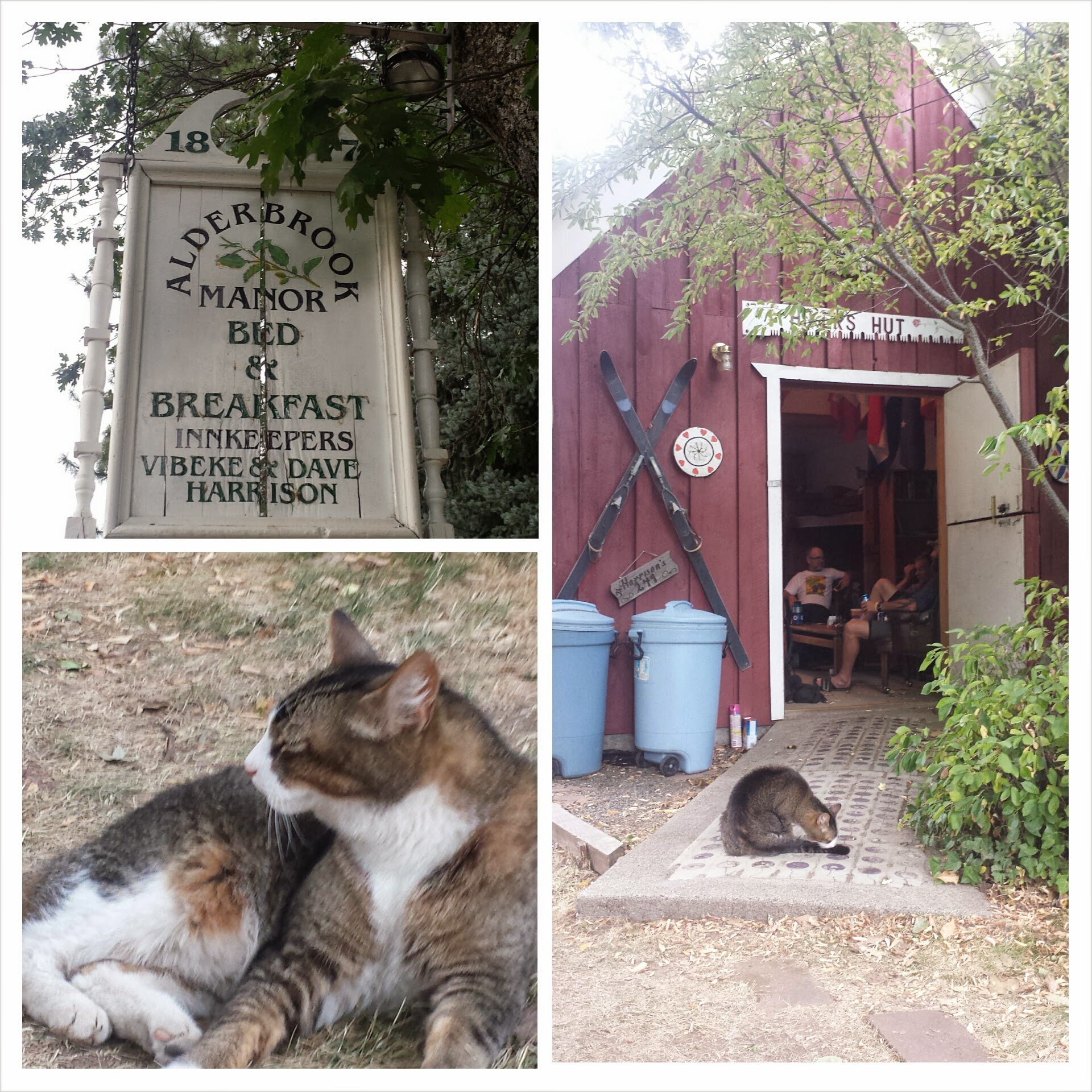
July 21st- 14 miles, staying at Alderbrook Manor
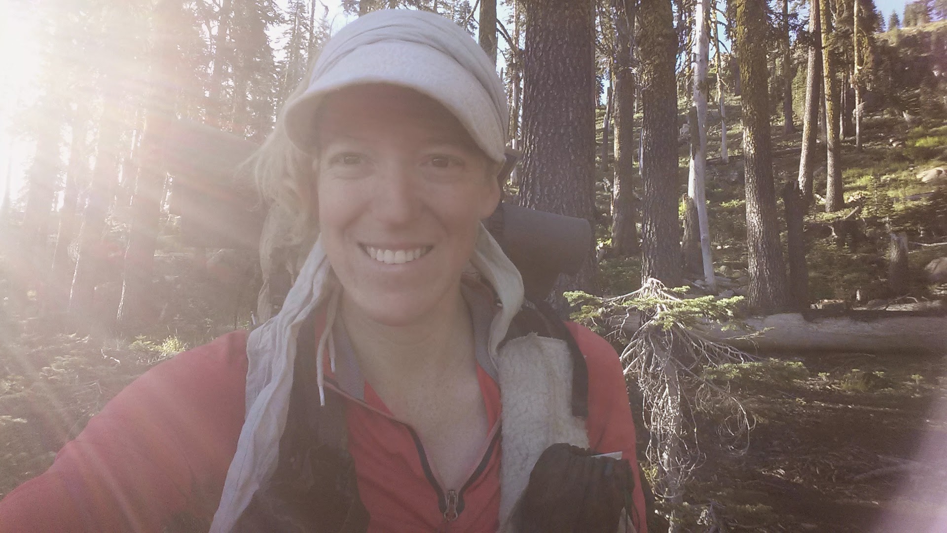
Just So Fresh early in the morning & enter the Russian Wilderness
1,600 mile marker on the PCT
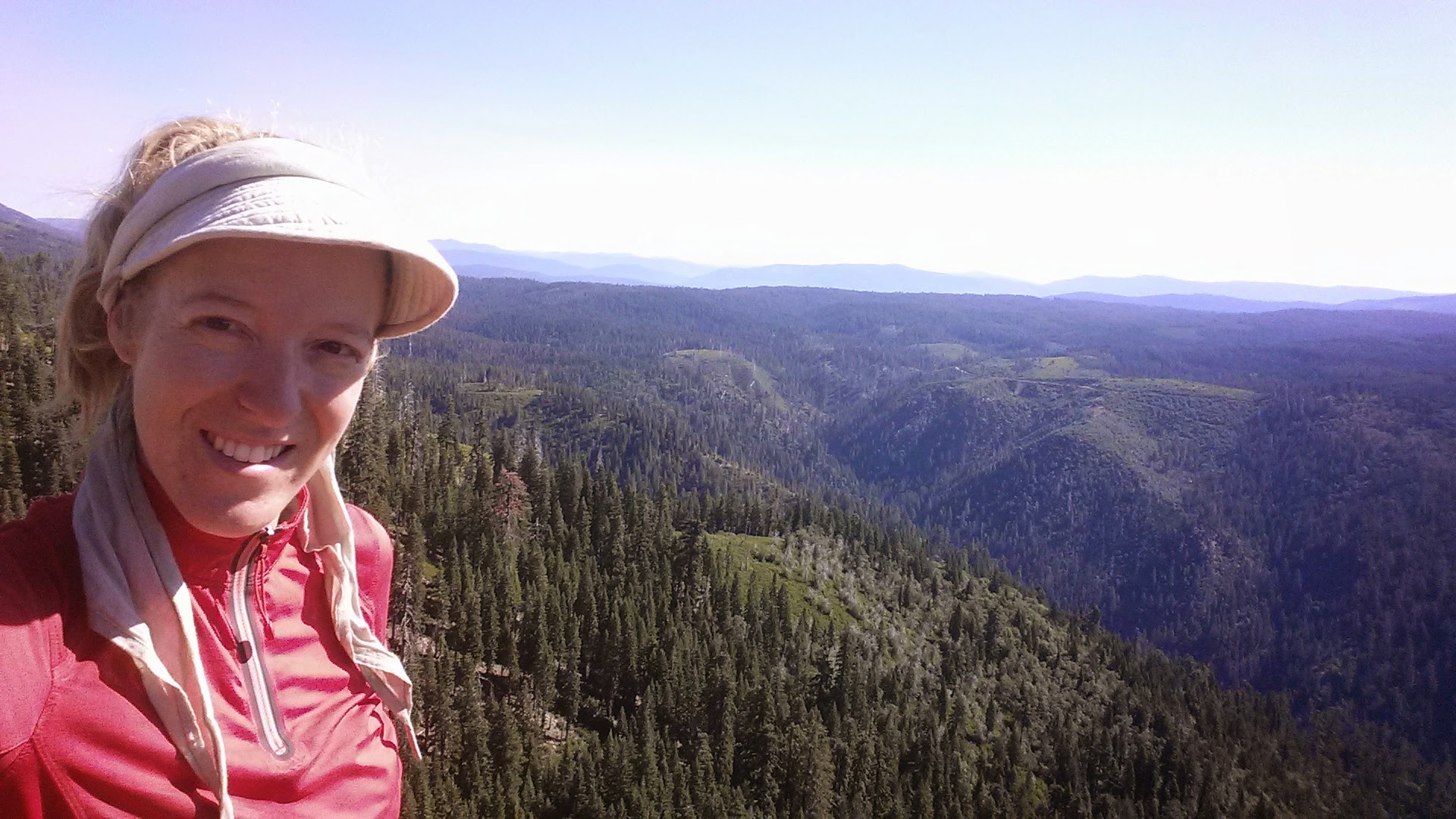
Today’s a big day for both JSF and me. He hit his 500 mile mark and I hit 1,000 miles for this section hike. I’m tired and fairly beat up, but it feels great to know I’ve just walked 1,000 miles in one go!
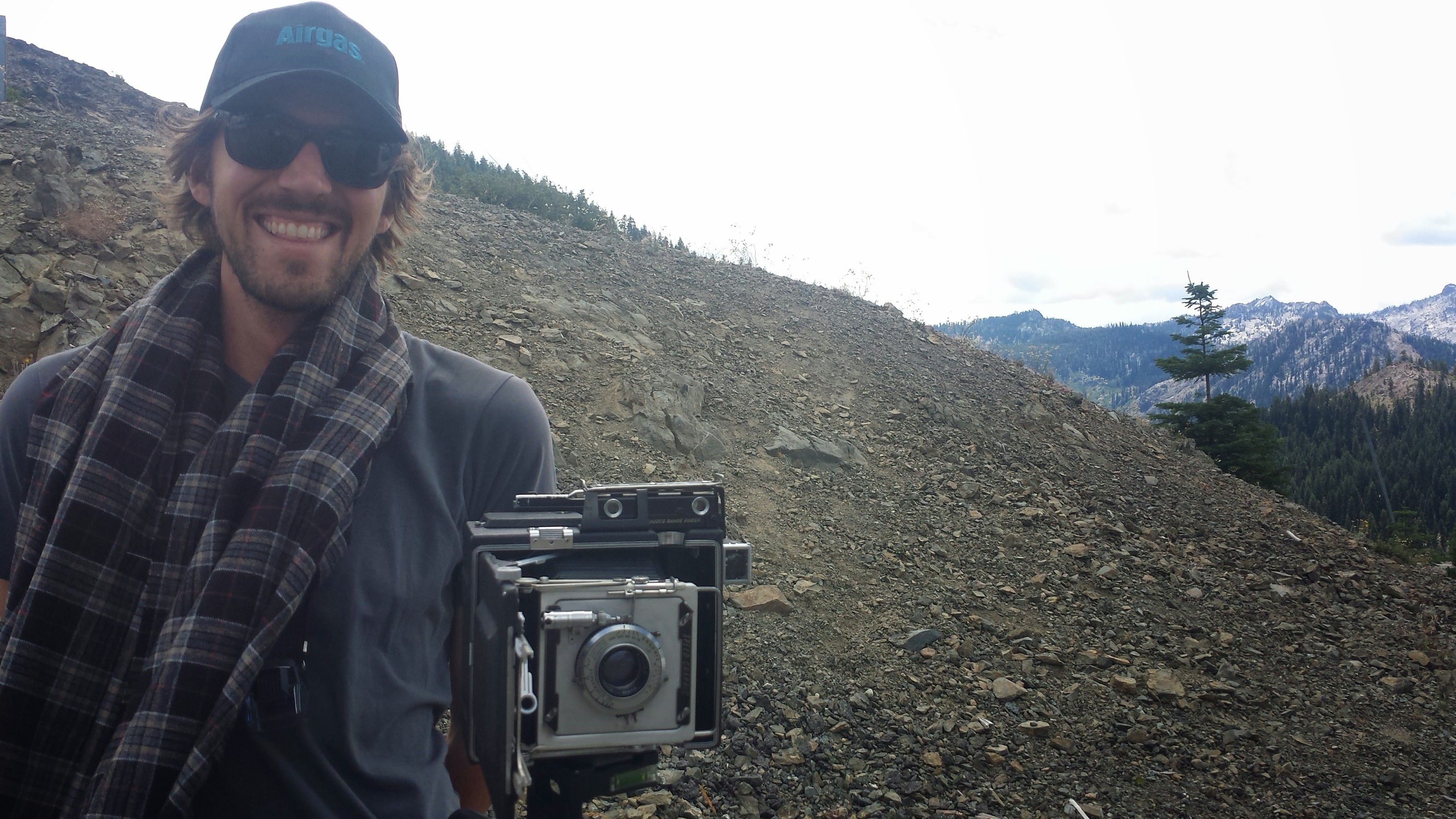
When I arrived at Etna Summit where the trail crosses the road, a San Francisco photographer named Ian was hanging out taking portraits of PCT hikers. He offered me some strawberries and chips and then took my picture with a really fancy, old Polaroid camera. He’s collecting all the portraits and hopes to make a project of some kind out of them eventually. You can check out his wonderful artwork at Porcupine Photography.
Ian, photographer from San Fransisco
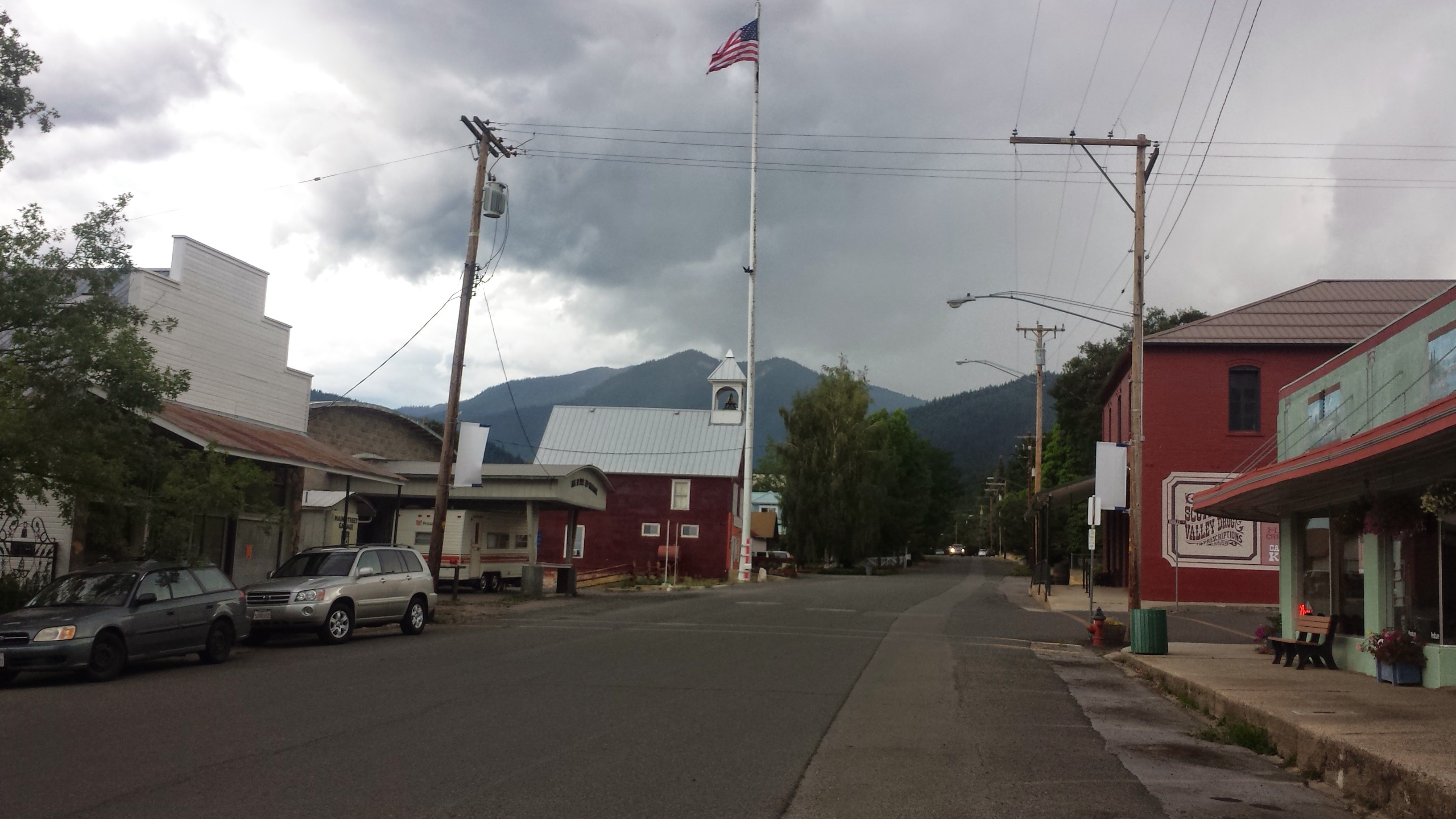
The folks from Alderbrook Manor came to pick me up from the trail and I’ve reserved a room in their B & B for the night. Etna is possibly my favorite town stop so far on the PCT. The town is so welcoming to hikers, it has great history, and every thing is walking/biking distance. It turns out that the Alderbrook owners, Dave and Vicky Harrison, are originally from the same area as my family and were friends with my uncle for years and years!
I’ll be hanging out in Etna for a few days while I wait for a new sleeping pad to arrive. I broke the valve on my Klimit X-Frame a couple weeks ago and have managed to still use the pad, but it’s been totally flat for several nights now and I’m tired of sleeping on the ground. I don’t mind waiting, though, because there are some gnarly thunderstorms moving through the next couple of days!
After updating the blog at Burney Falls State Park, and eating lots of expensive general store food, I finally hit the trail with Butters and JSF around 3:30. We’d planned to hike thirteen miles to get ourselves up a large climb, but once we arrived at Rock Creek, those plans completely disintegrated.
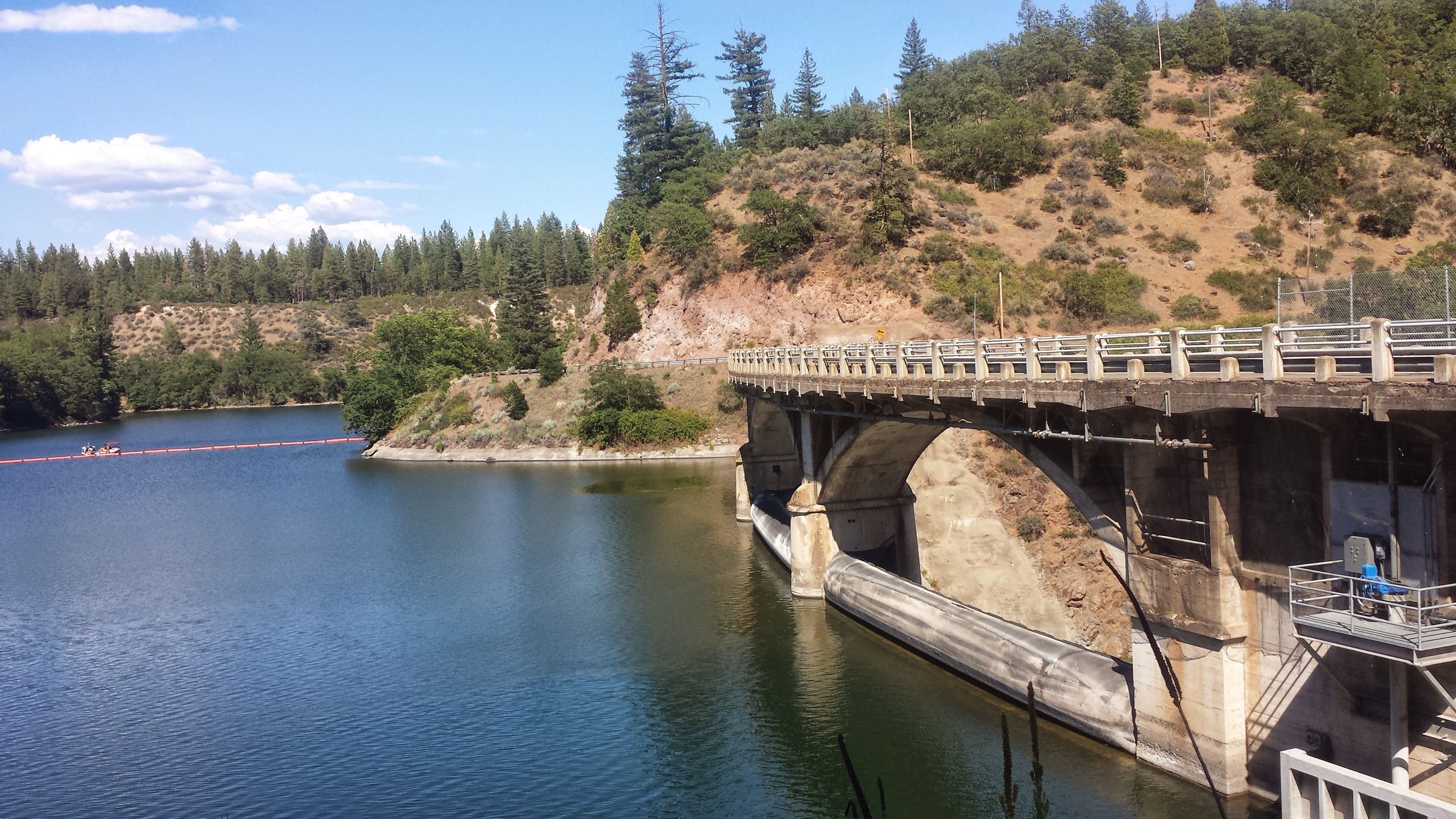
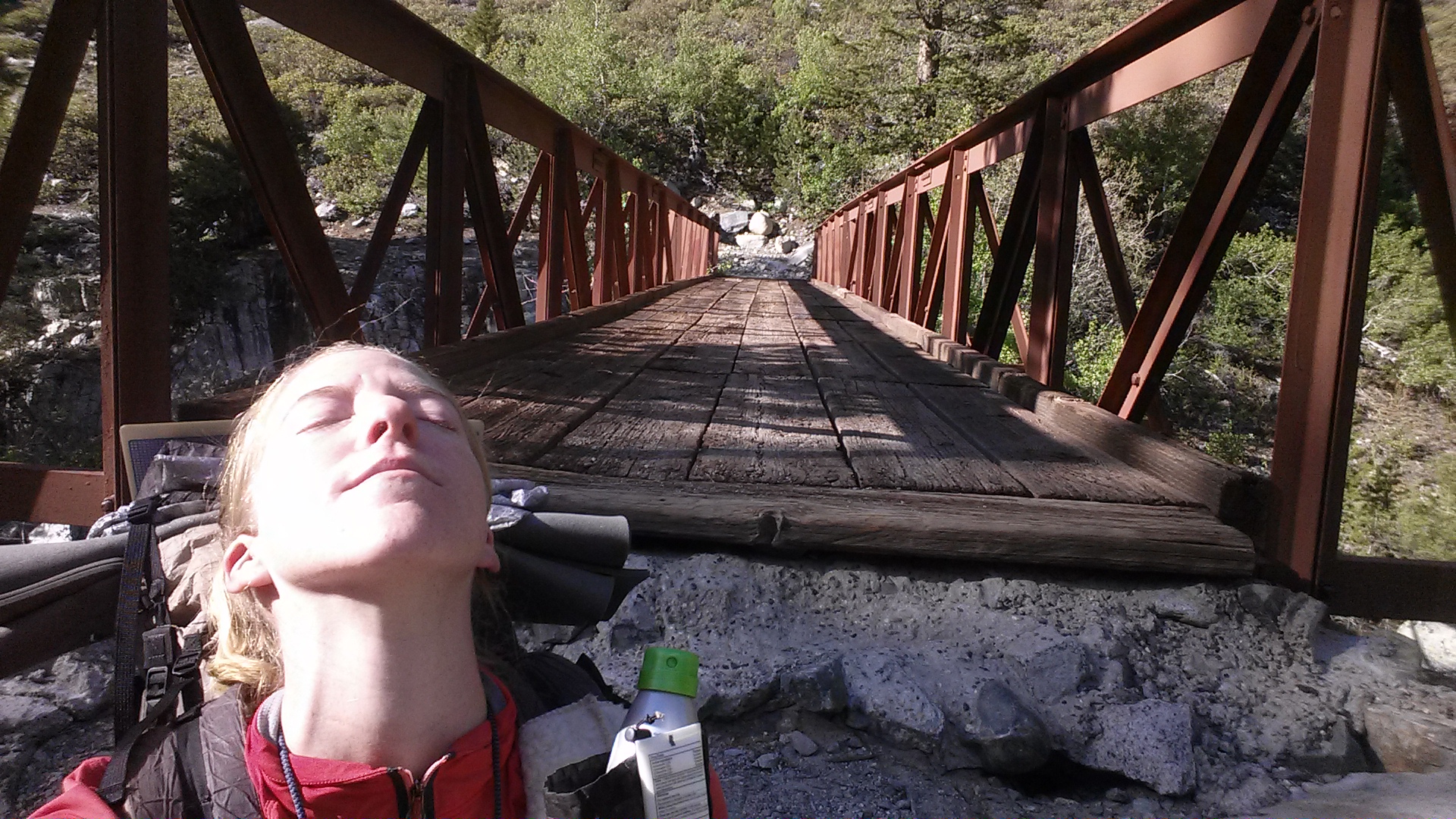
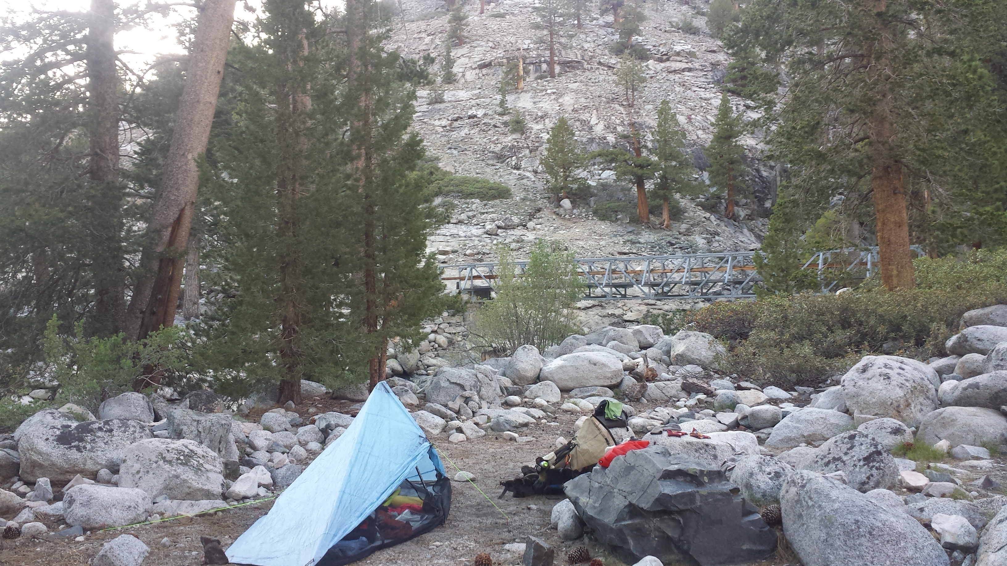
Lake Britton Dam
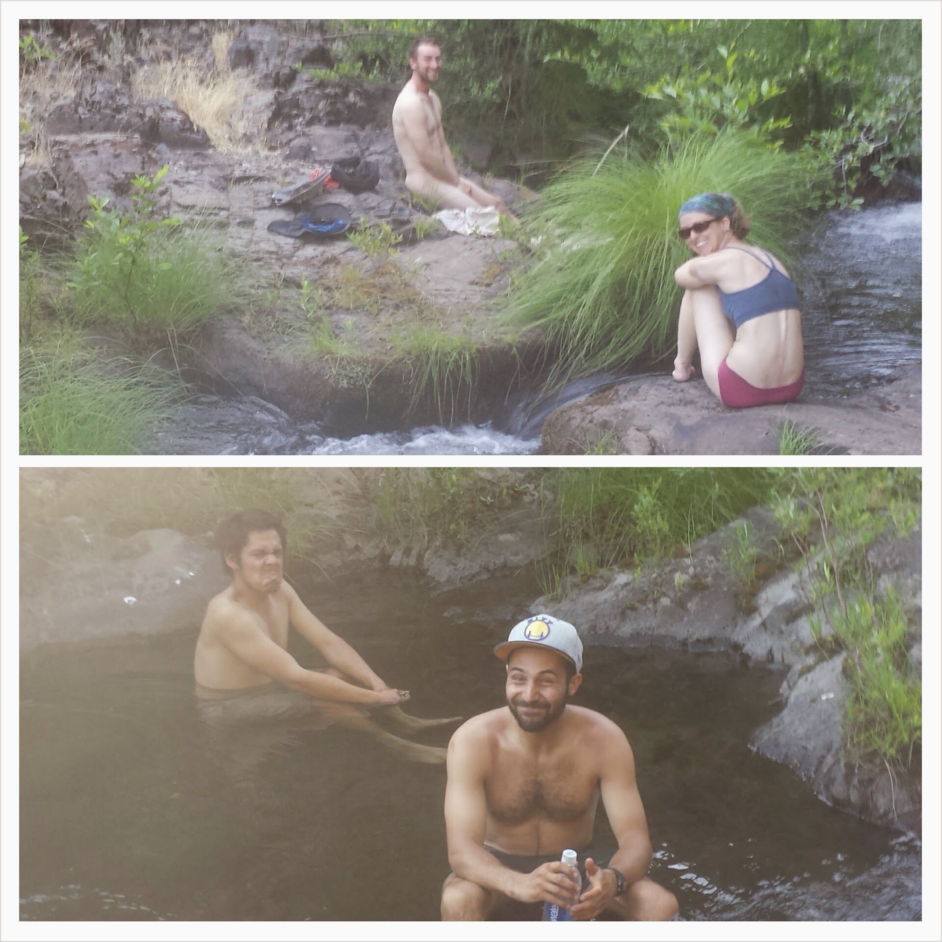
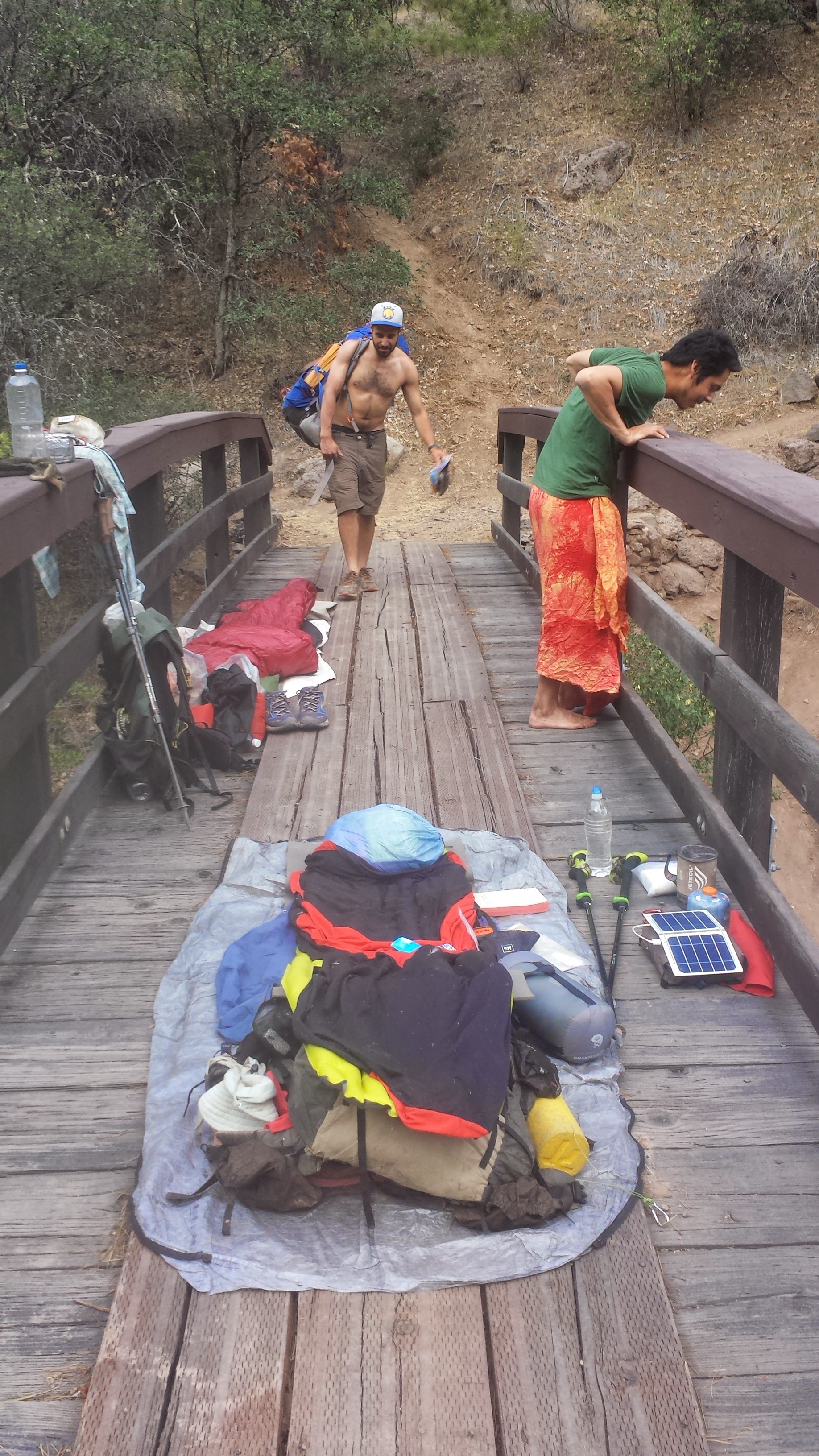
It had been around 105°F and I was swimming in my own hot, salty sweat by the time we got to the creek. A husband and wife from Texas, Pixel and Shazam, were already camped there and lounging in the water. It was so cool and refreshing that we just couldn’t motivate ourselves to keep climbing in the heat. Since there weren’t any more spots to camp, Butters and I decided to sleep directly on the bridge. The bridge made JSF nervous, so he spent thirty minutes trying to make a spot decent enough for his tent.
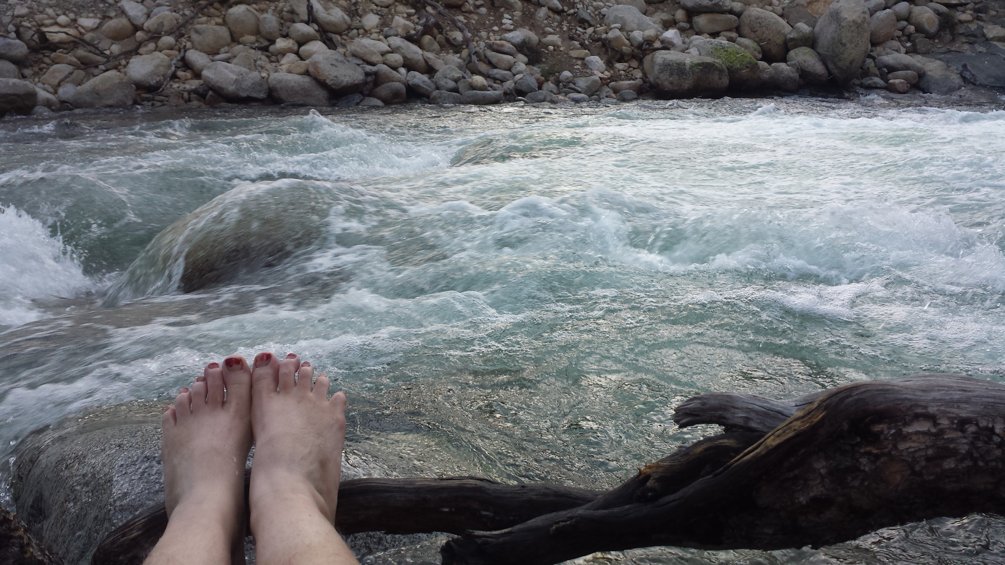
Rock Creek
July 13- 24.5 miles
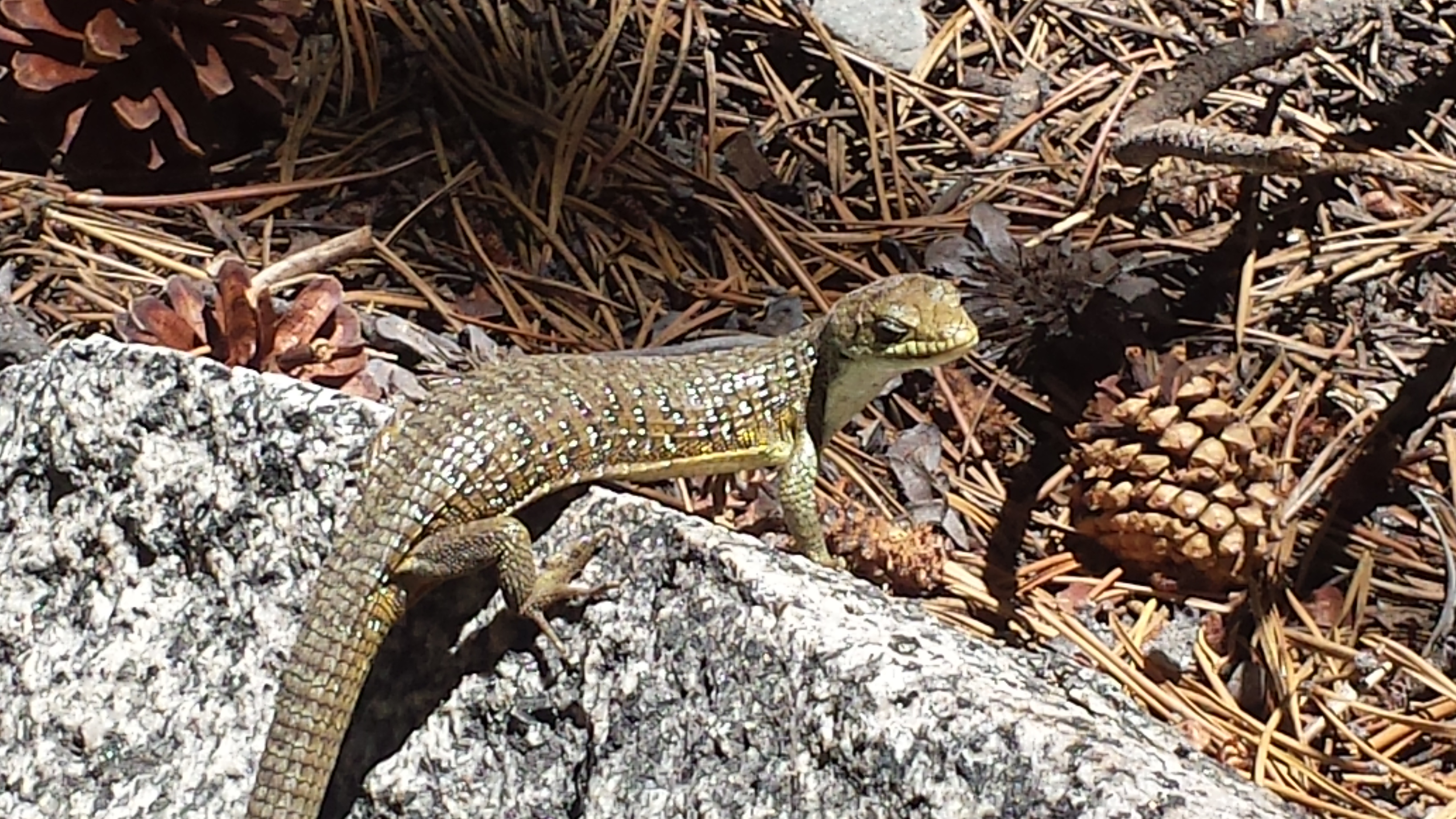
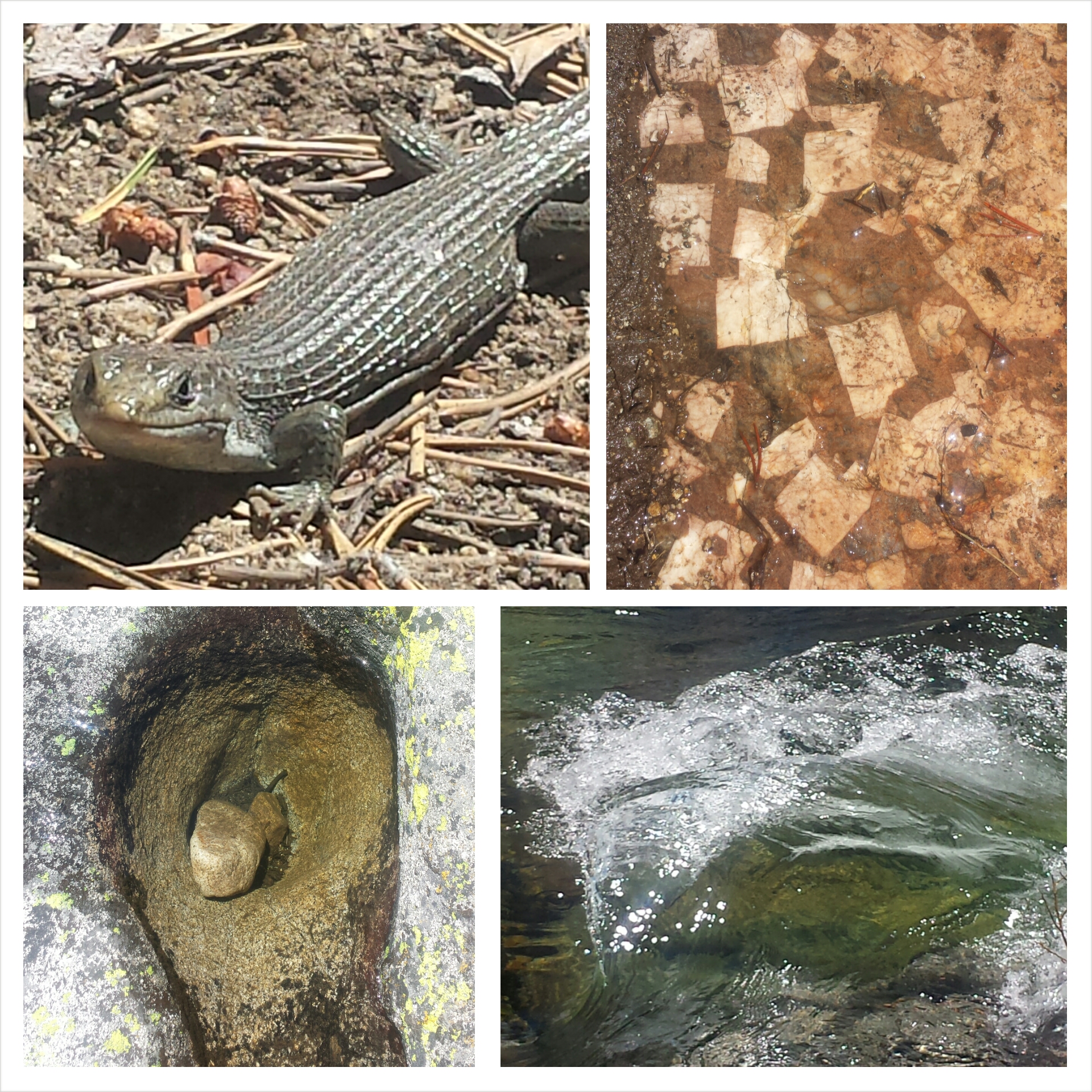
Today went by in a blur. There weren’t many views other than dense, grey forests and it was really muggy all day. I crossed paths with a PCT hiker who’d decided to turn around and head back to Burney because he’d contracted giardia. Giardia is a bacteria you can get from not properly purifying water contaminated by animal waste. Certain areas of the PCT are notorious for having contaminated water because cows roam the land and linger by the water sources.
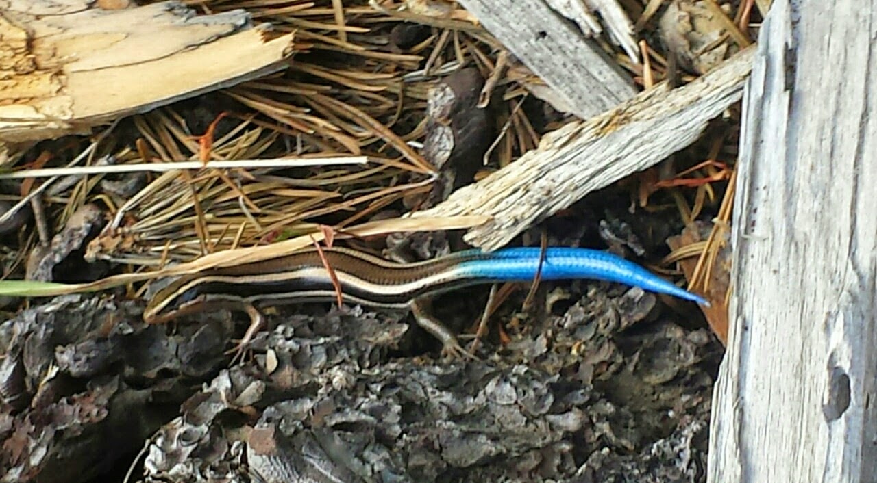
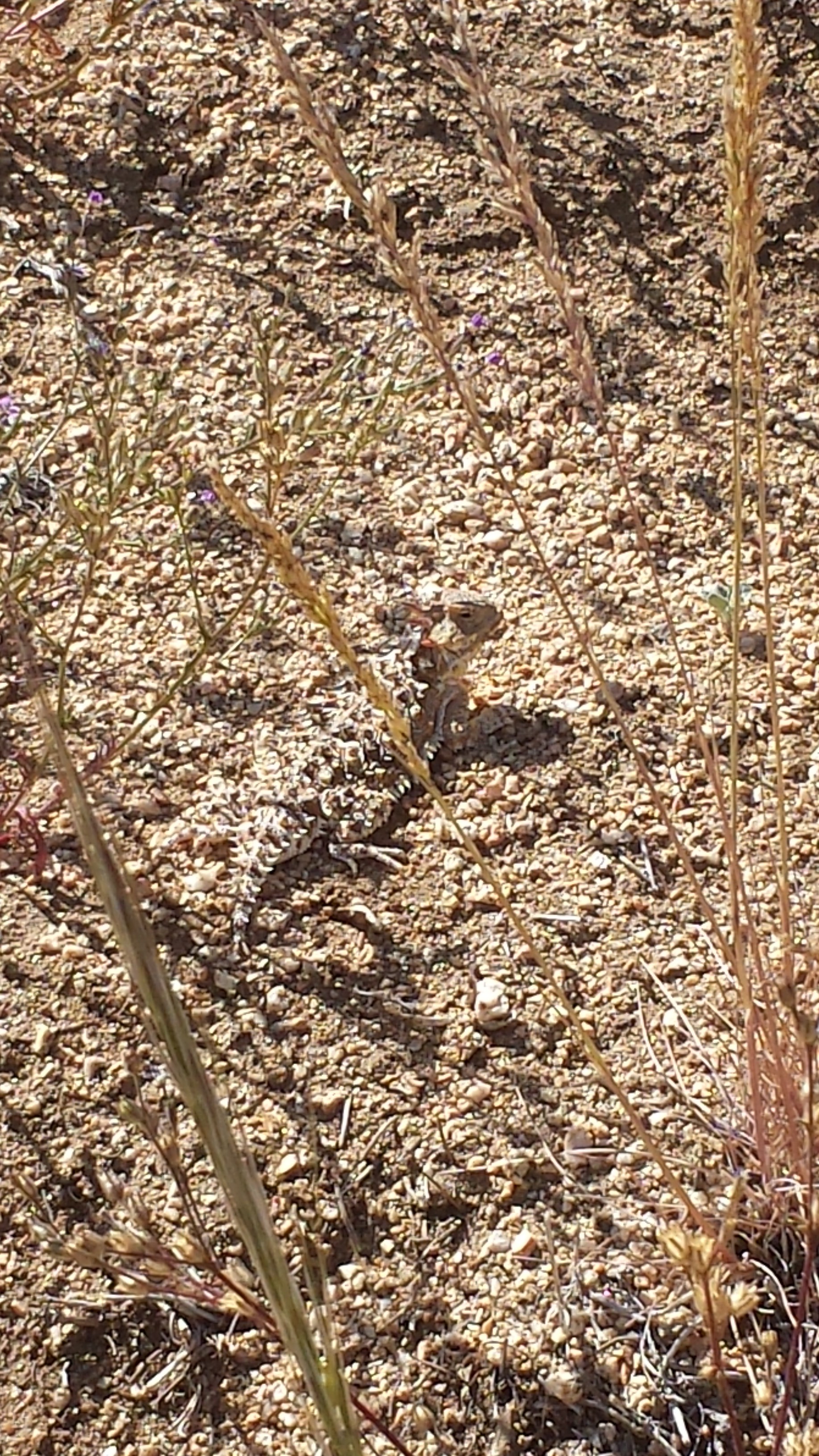
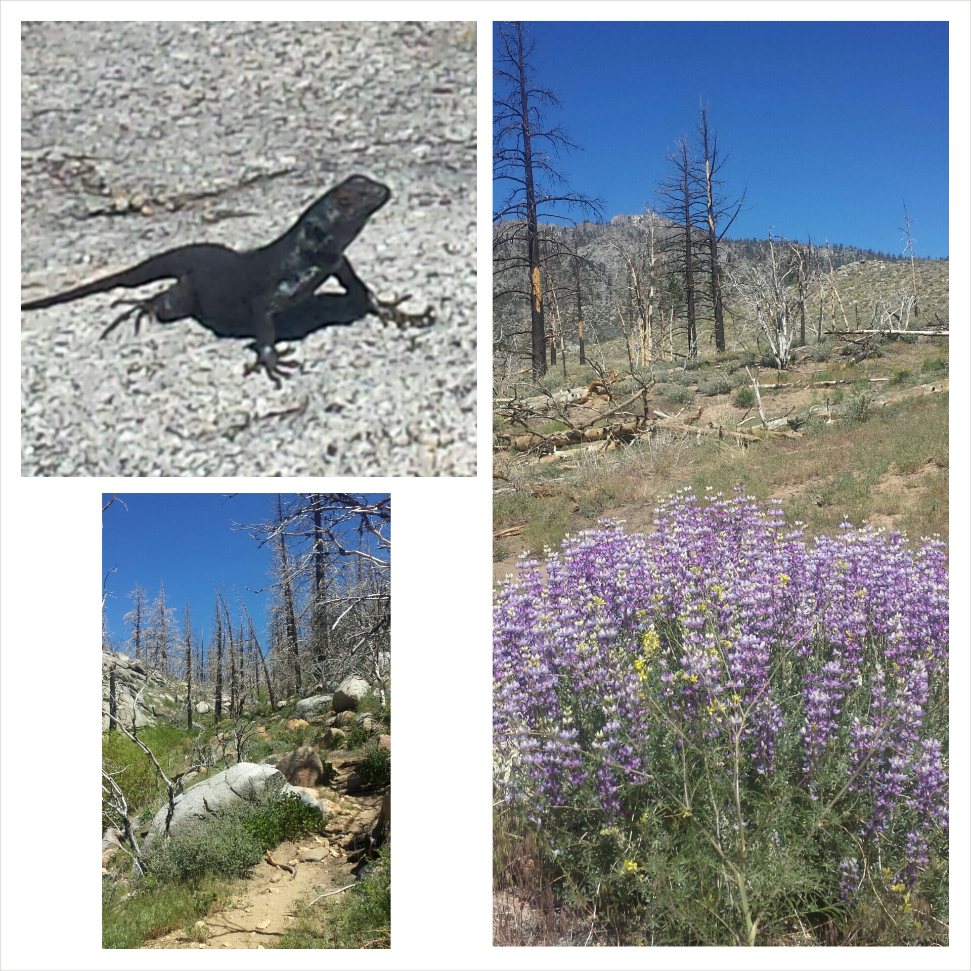
Radioactive lizard?
Not soon after, I met a girl named Wardrobe by a stream. She’s just gotten back on the trail after taking a break in Burney because of a giardia infection, too! That’s the seventh hiker I’ve heard about getting sick in this region, and since giardia takes 9-15 days to show symptoms, I’ve been doing the math to determine where everyone may have contracted it. I’ve been pretty good about always filtering or treating my water with iodine, and I’m crossing my fingers I stay healthy!
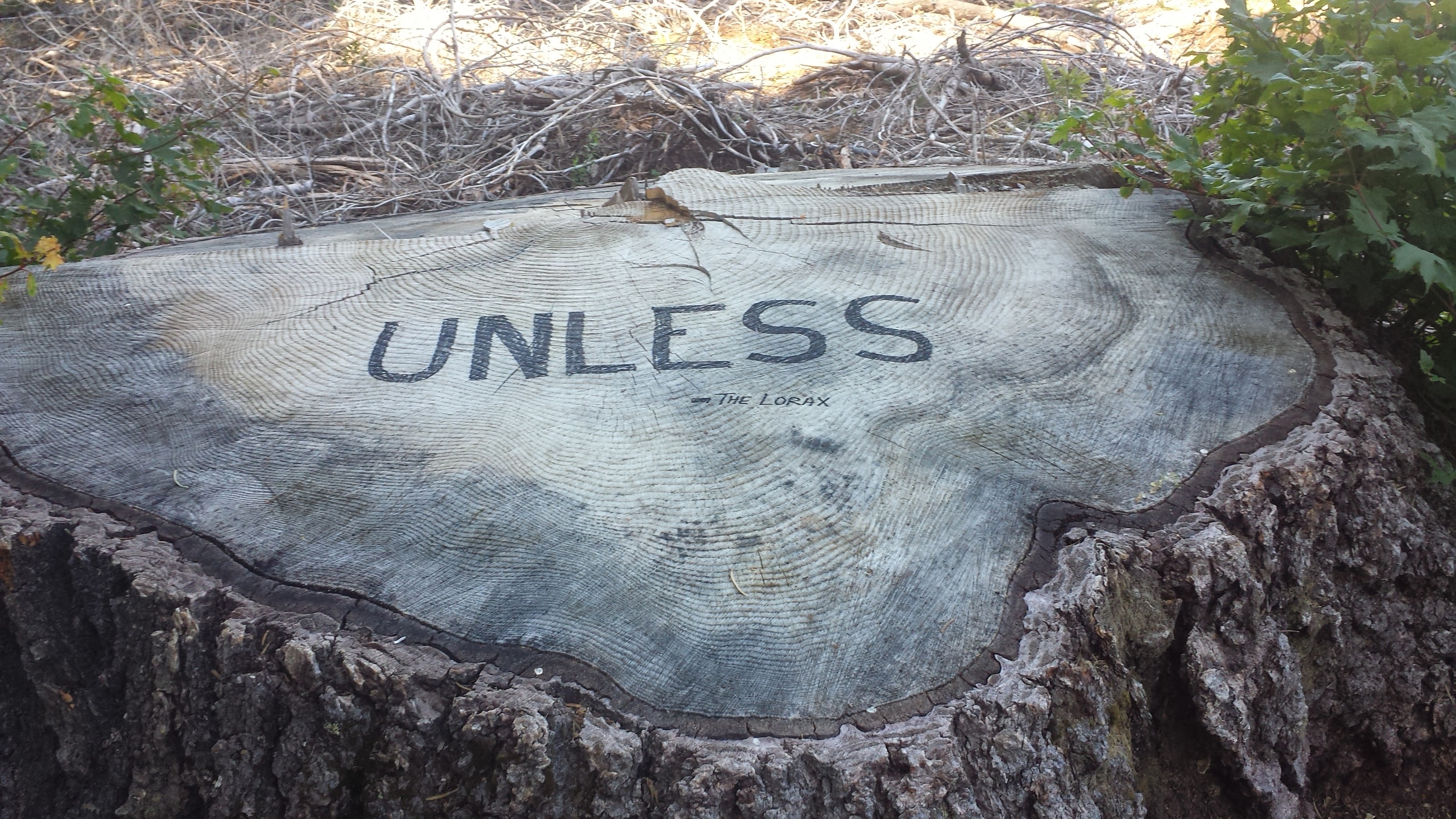
“Unless someone like you cares a whole awful lot, nothing is going to get better. It’s not.” The Lorax by Dr. Suess
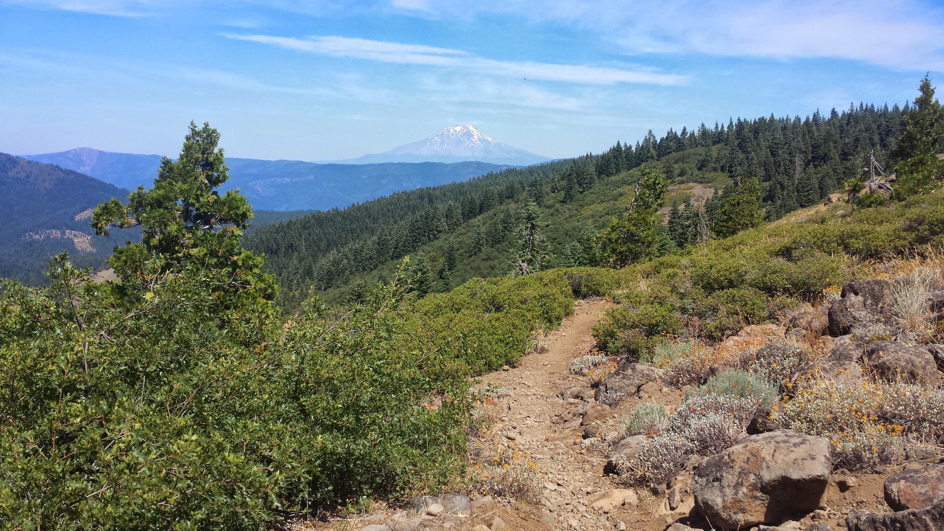
Mount Shasta in the distance
Butters is camping with Duchess and a Southern hiker named Bird Food. I’ve climbed up the ridge to camp with JSF and Wardrobe. The moon is a spectacular blood red- I hope there isn’t a fire!
July 14- 24.5 miles, camping at Fitzhugh Gulch Creek
I woke up to mosquito bites on my face and a wet sleeping bag. There was so much humidity in the air last night that all of our gear was damp the next morning. Argh! JSF traded me half of his Mountain House breakfast skillet for some tortillas, so that made up for the inconvenience of the humidity. It tasted SO delicious! We slathered salsa packets from Taco Bell on the egg-hash brown-sausage mixture and it was heaven.
Mount Shasta
I was happy to have views of distant mountain peaks again as the trees opened up. Mount Shasta never failed to catch me by surprise as I came around a corner or up over a ridge. To the south, I could still see a very faint Mount Lassen and couldn’t believe that I’d already walked that far from it.
The McCloud River
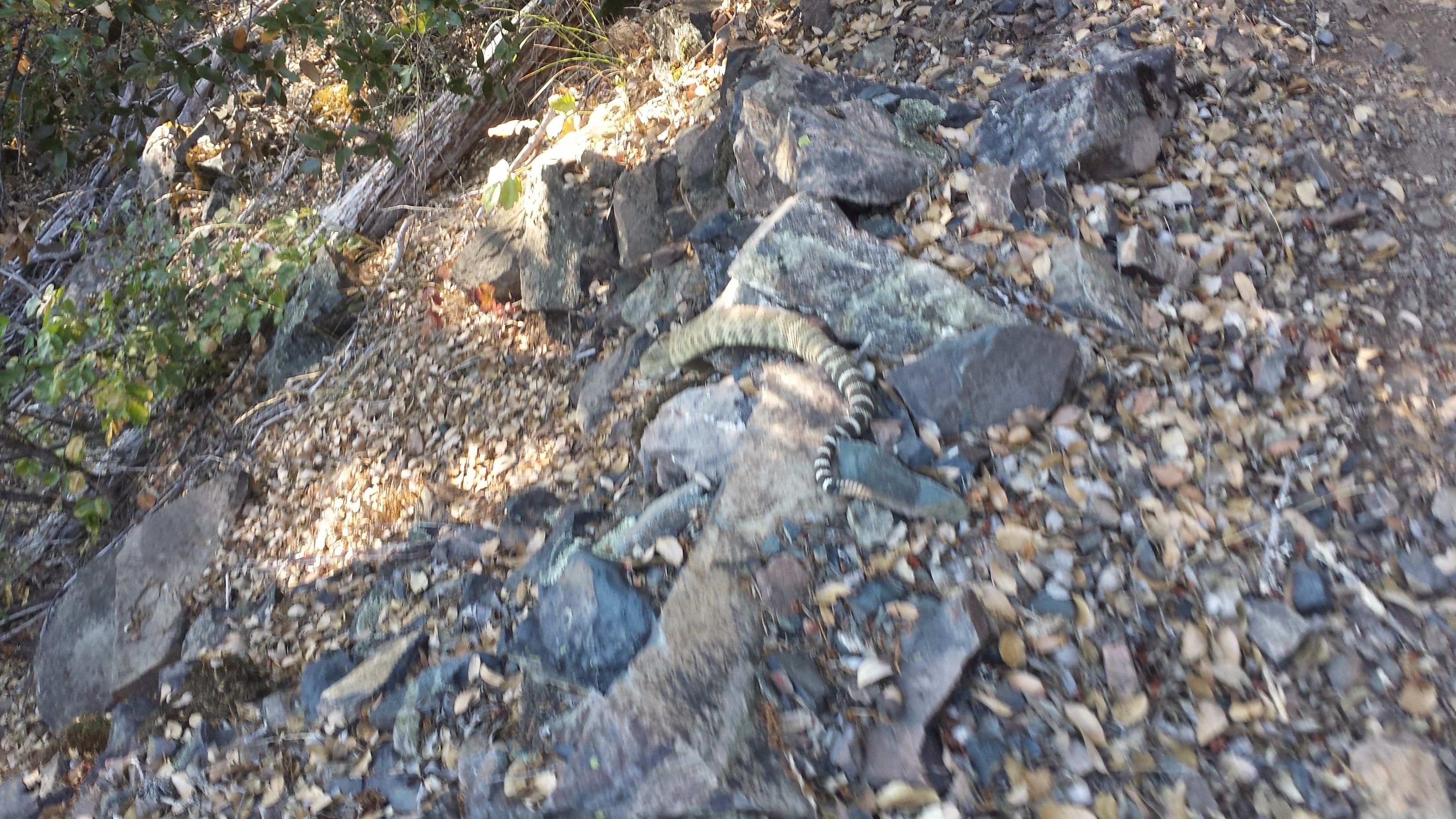
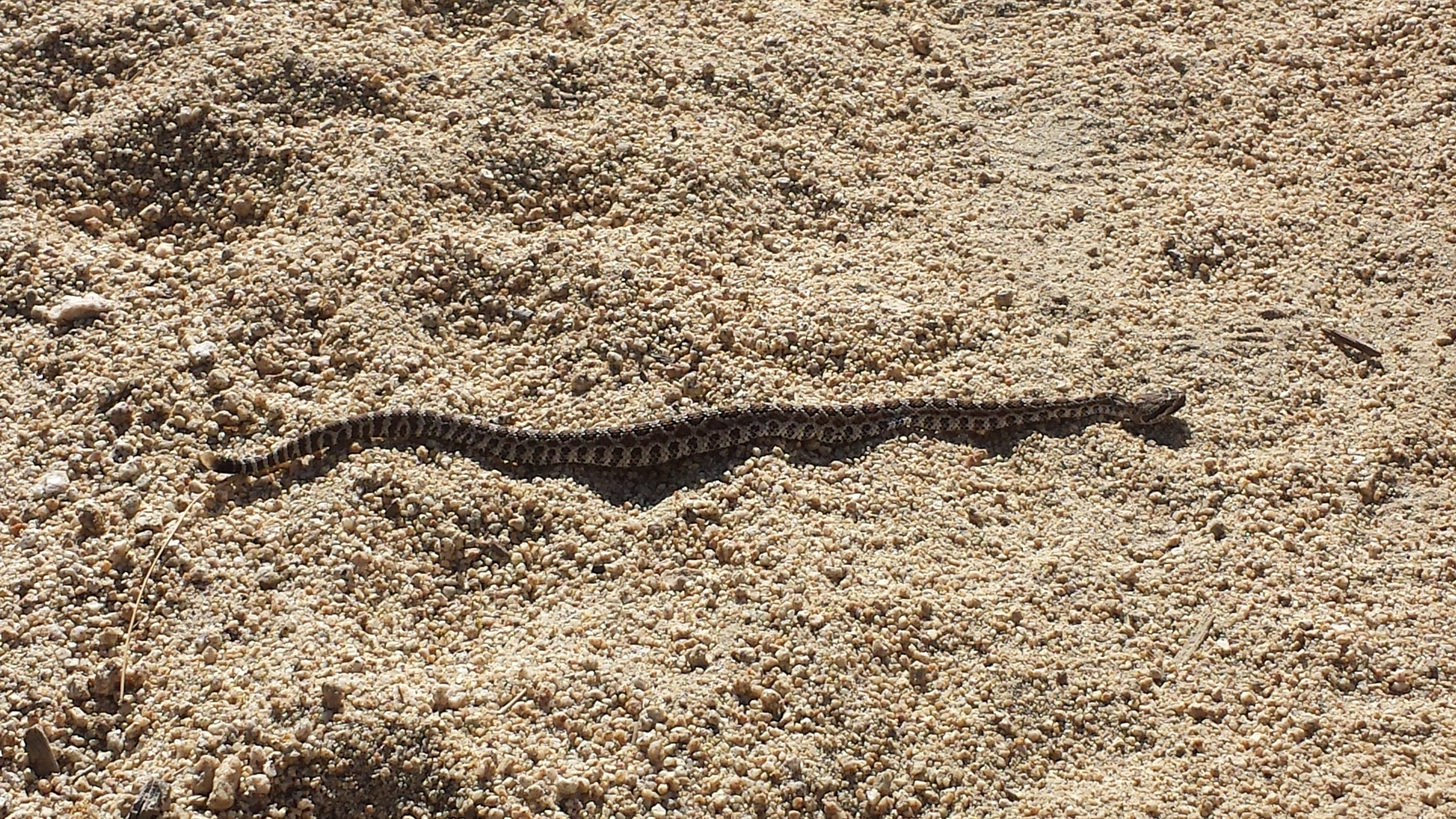
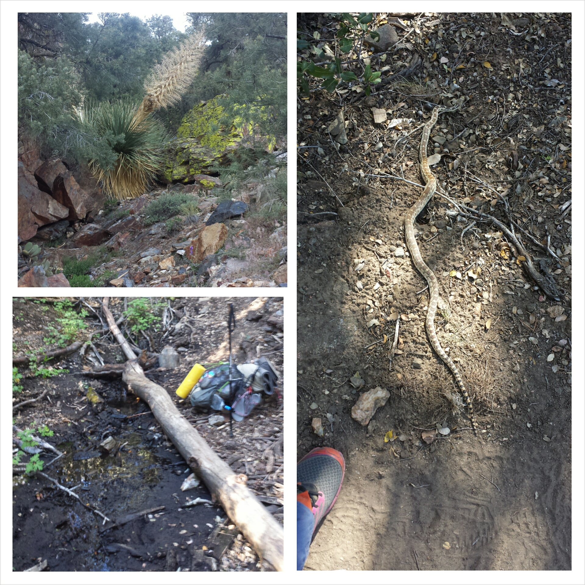
When the weather sucks and your body hurts, the dirt path before you often becomes your only focus. You get tunnel vision as you stare downward and focus on just putting one foot in front of the other. I hiked like this for almost an hour and as I turned around a rocky corner I was startled by the rattle and hiss of a mid-length rattlesnake. He was coiled, cornered between the rock and my path, and his diamond head was looking straight at me. I couldn’t jump back fast enough. In fact, I couldn’t really jump at all, just fail my piles in front of me as I scooted back. Once he had his space, he slithered across the trail in front of me and down off the trail.
I didn’t feel the adrenaline until he was clear, but I suddenly felt how close I’d been to some real danger. A movie played through my head of what might have happened had I not moved fast enough. I was glad to know I had the SOS button on my SPOT right next to me on my pack.
It’s too HOT!
The campsite at Fitzhugh Gulch Creek wasn’t as inviting as I’d imagined, being dark, muggy, cramped, and mosquito infested, but Pixel and Shazam were! I set up my tent in a tiny spot directly across from them. Not much later Wardrobe and JSF also showed up and squeezed in around the bushes.
Little tent village at Fitzhugh Gulch Creek
July 15- 28.5 miles, staying in the town of Mt. Shasta
Today turned out to be a double accomplishment for me: my first ten-by-ten AND my biggest milage day to date! A ten – by – ten is when you hike ten miles by 10am. I’ve never been able to do it because I never woke up early enough or hiked fast enough. It only took the threat of 100°+ temperatures, two big climbs, and the potential of an air conditioned room to motivate me to wake up at 4:30 this morning. I don’t see this becoming a regular thing, though. I’ve noticed there’s a proportional relationship between the alarm time and my pack up time. The earlier I set my alarm, the slower I actually pack up.
Squaw Valley Creek
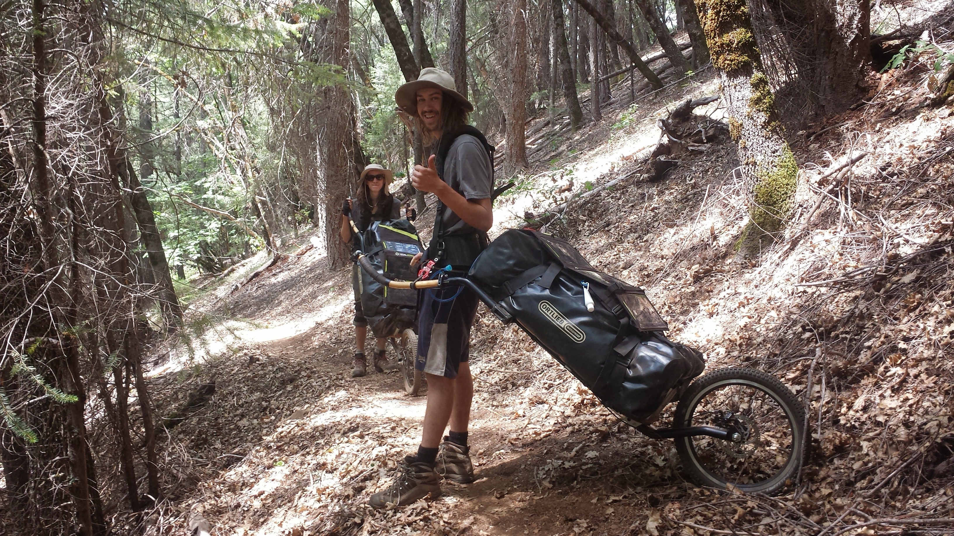
As I hiked up the second big climb of the day, I could hear Prague Rock coming from speakers above me. I soon caught up to it and met Tuk Tuk and Rickshaw. They are both hiking with carts that strap to their hips and backs. The carts looked pretty cool, but I wondered how well they’d do over the rocky trails of Yosemite Wilderness.
Rickshaw and Tuk Tuk with their MonoWalkers
Another bonus accomplishment today was hitting the 1,500 mile mark of the PCT!
1,500 mile mark!
As I reached the road that lead to Interstate 5 and looked around at the deserted road with no buildings anywhere, I wondered if I might have to camp for the night or even hike five miles down to Dunsmuir. I was looking at my maps and standing like a deer I the middle of the road when a delivery van pulled up. Paul, who works for the Parks Service asked if I was lost. When I told him I was heading to the interstate to catch a ride to Mt. Shasta. He said, “There’s no way you’re catching a ride from here. I’ll take ya.” And just like that, I was on my way into town!
Paul, my ride into Shasta. THANK YOU, Paul!
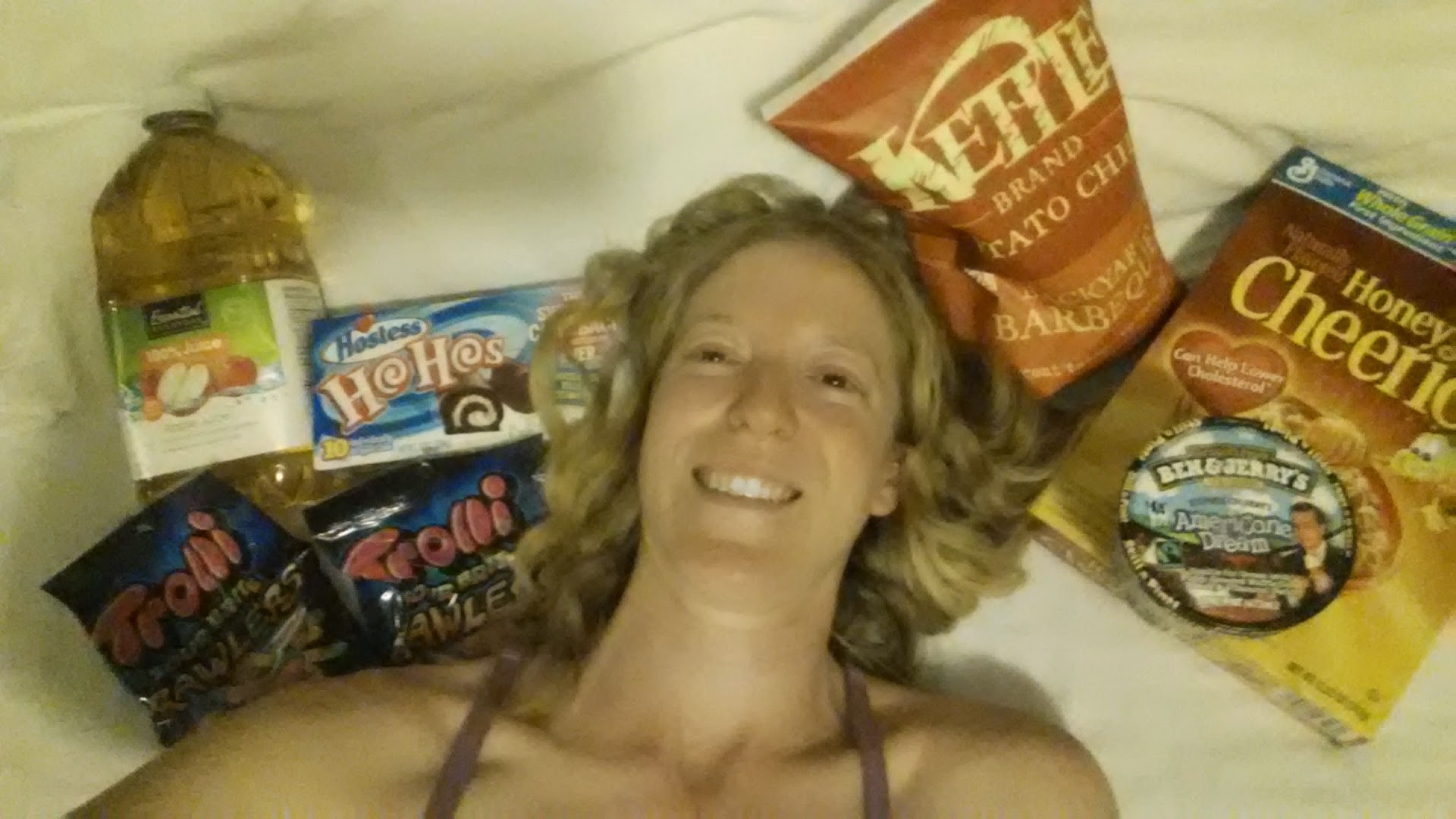
I got myself a room at the simple, but cozy Travel Inn and some diner at a Thai restaurant down the street. I also found the only grocery store in town open past 8pm:
It was 85°F in Belden when I left after 11am. I really meant to leave sooner, but I wanted to update the blog while I had service. Since the video uploading took so long, I walked to the store and bought batteries and a $3 Nestlé Crunch ice cream. I know I paid way too much for the ice cream, but it was SO HOT. Just as I began heading up the trail, I realized I’d left my trekking poles back at the trail angel’s house. Argh! Laurie Braatan drove them out to me fifteen minutes later. THANK YOU, LAURIE!
Climbing out of Belden
I was practically melting all the way up the mountain. The trail climbed 6,000 feet over 13 miles- up, up, UP all day. Once again, I did my routine of soaking my shirt in every stream I crossed. When I came to a stream big enough for a dip, I didn’t hesitate to strip down and jump in!
Chips Creek
I’ve been kind of nervous all day. This is the area where, last summer, a PCT hiker was stalked by a mountain lion all night. It sat outside her tent, walked around it, and was very interested in her. That was Muk Muk, a hiker from New Zealand, and she made a number of videos throughout that night about the ordeal and her fear. I really, really don’t want a mountain lion encounter.
As I came around a bend in the trail, I spotted a man in a green vest, holding a clipboard, standing and just staring at some bushes. His name was Dick and he works as a botanist for the Forest Service. He was examining some endangered succulents that had been reported in the area. As he was heading in my direction up the mountain, we hiked together for about two miles. It turns out that his daughter and son are hiking the PCT and are in Tahoe right now. So, he seemed excited to get to know who was on the trail. We said goodbye when I stopped to get water and cook dinner. He was meeting a colleague who was waiting with a jeep on one of the dirt roads.
Dick the Botanist
Just after Dick left, Wall-E showed up. His claim to fame is that he’s only had to dig a hole in the woods a total of ten times since he started at the Mexican border. Every other time he’s had to go no. 2, he’s managed to hike himself to a privy. We hiked the remaining miles up the mountain toward the campsite at Frog Spring. The poor man had to get off trail in Chico to see a doctor for foot pain. He learned there that he’d broke a bone in his foot! I can’t believe he’s still hiking! He’s actually really bummed about the whole thing and is trying to reconcile himself to hiking gentler and then exiting at Ashland.
We reached Frog Spring and Glitter was camped here, too. Yay! We made a fine little party for the night. Both Glitter and Wall-E and super early risers, and I definitely cherish a good sleepin’ in, so I probably won’t see them in the morning. I think I’ll try to catch up to them later in the day though.
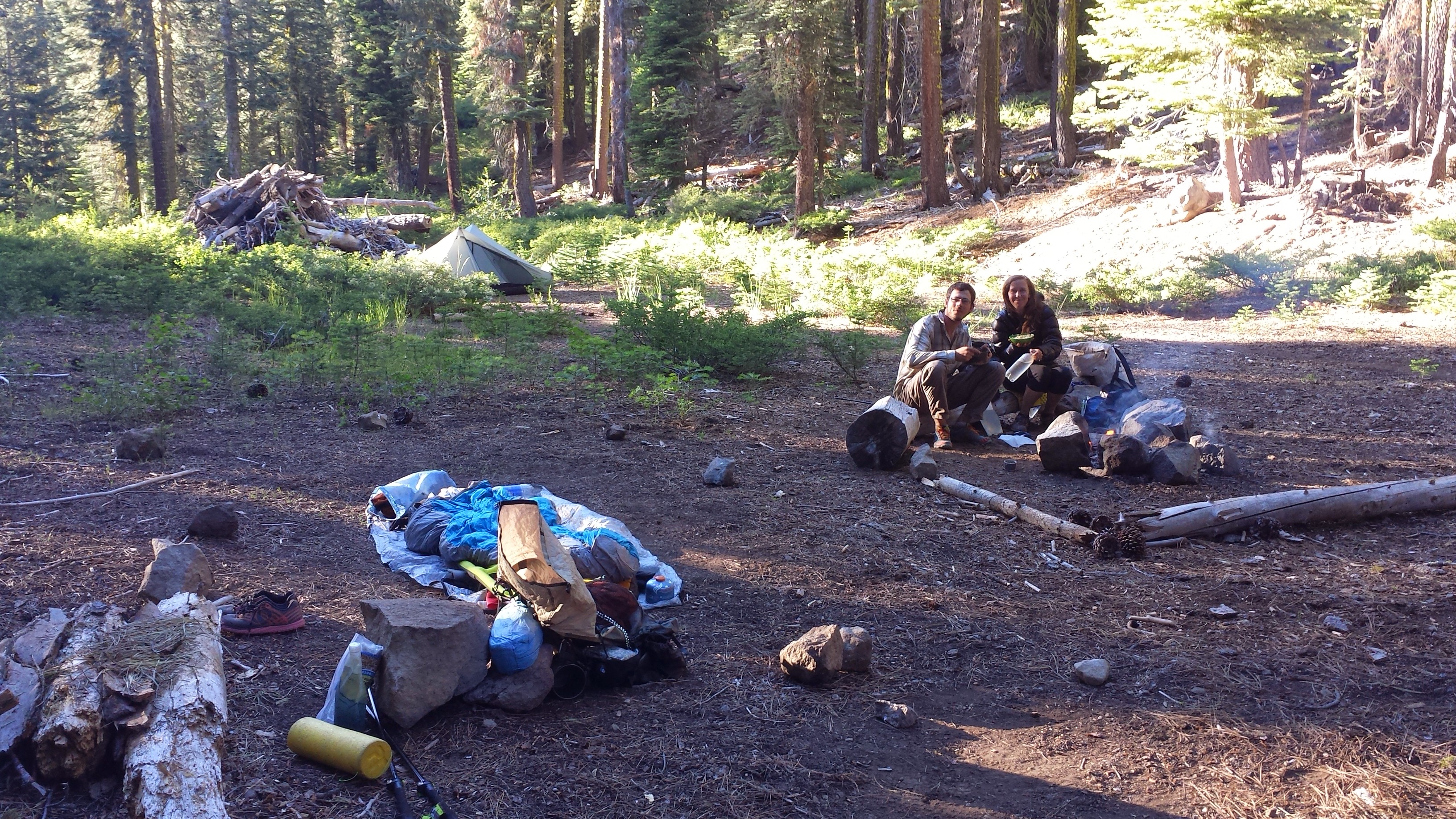
Camping at Frog Spring with Wall-E and Glitter
July 6th- 20 miles
Leaving Frog Spring
Wall-E was up and on the trail by 6 am this morning. Oh, I wish I could do that! I’ve tried hard to be a morning hiker because it really is so beautiful and you can get so many miles in early, but I’m just not a morning person. Glitter slept in for once because he doesn’t have far to go to meet his boyfriend in Chester tomorrow morning.
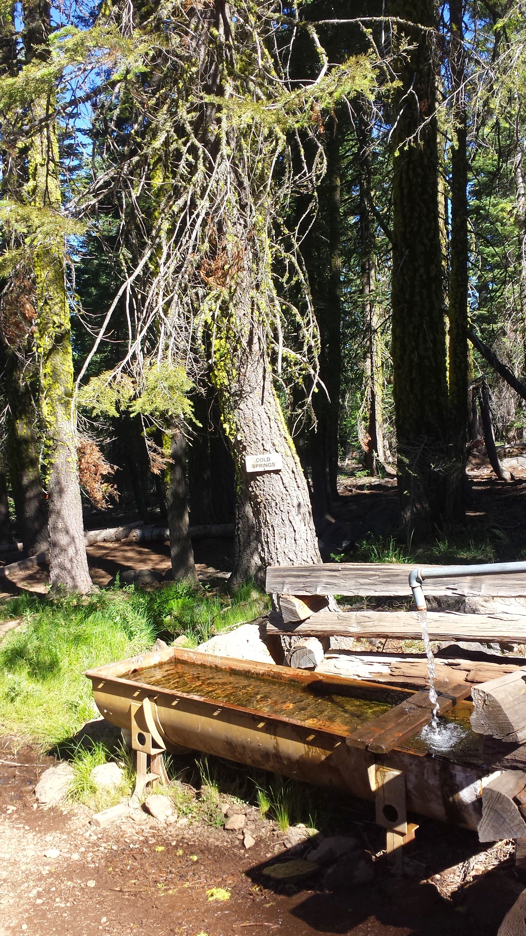
Cold Springs Trough
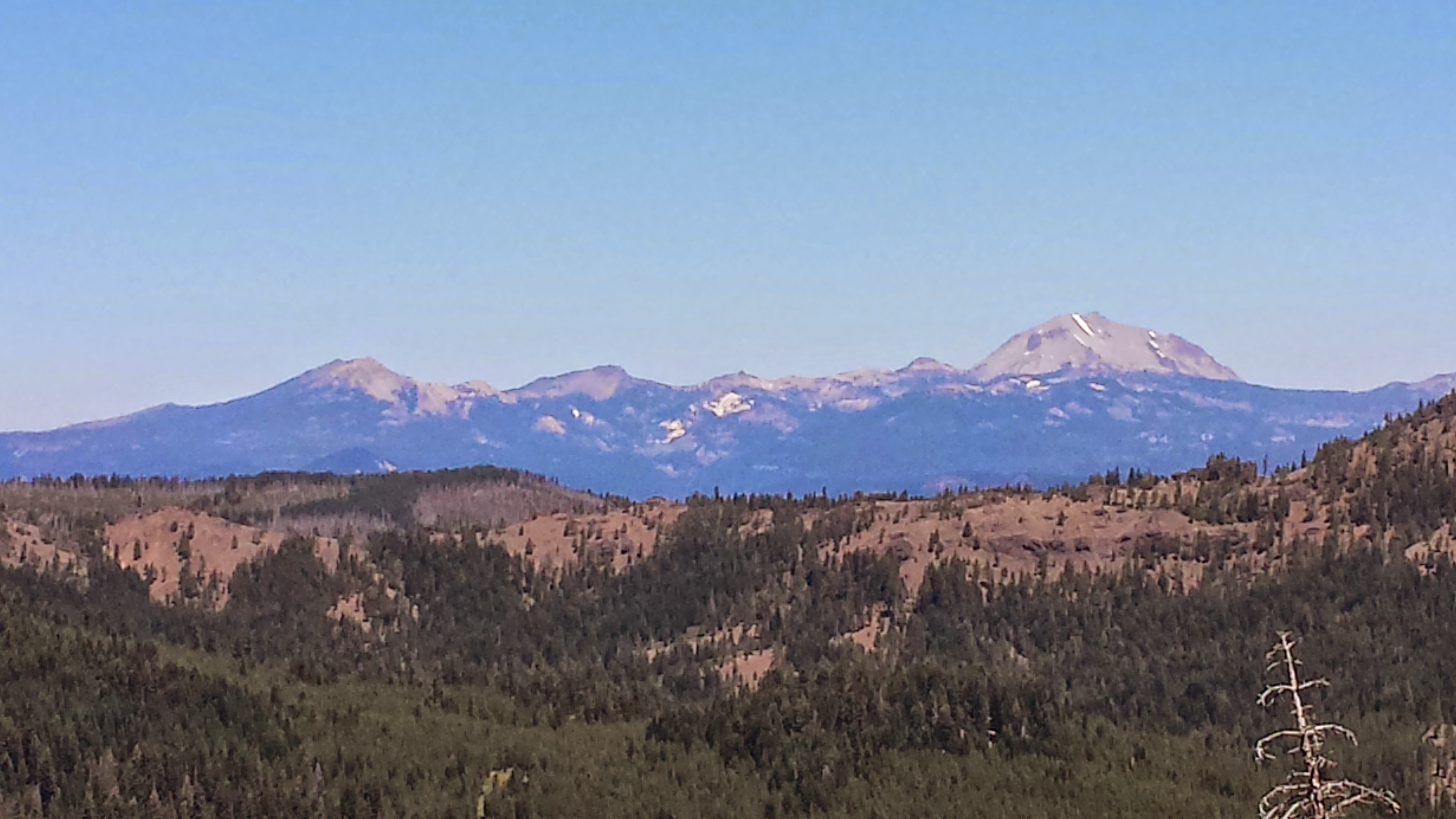
For most of the morning, the trail wove in and out of view of Mt. Lassen in the distance. I think it’s a dormant volcano. I’m excited to see volcanic rock formations again because they’re just so striking against the soft forest and blue sky. I’m also glad to be out of the dense forests of Section M. They were kind of creepy and I like having a view!
Views of Mount Lassen
I moved pretty slow all morning. No matter how much or what I eat, I just feel really tired. I don’t think I’m getting enough sleep at night.
I’ve really missed reading while I’ve been out here, and often found myself reading and rereading my maps and guidebook pages. While at the Braatans in Belden, I decided to pick up a paperback and have taken longer than usual breaks today enjoying reading it. It’s Imperial Woman by Pearl S. Buck, a historical fiction about Tzu Hsi, empress of China in the late 19th Century. I’d read a couple of Buck’s books in college and high school, so her name stood out from the piles of other authors on the bookshelf. So far, I’m really enjoying it!
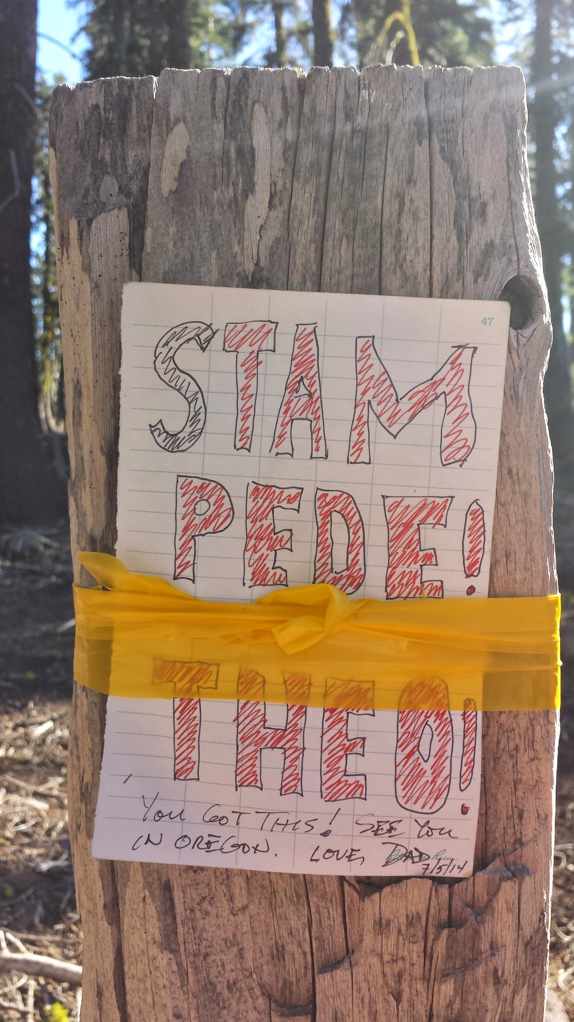
I came across a note that Dick the botanist left for his PCT hiking son and daughter. I imagined the two kids spotting it and their reactions- I thought it was so sweet, I even got a little teary eyed!
Dick’s note for his kids, Stampede & Theo
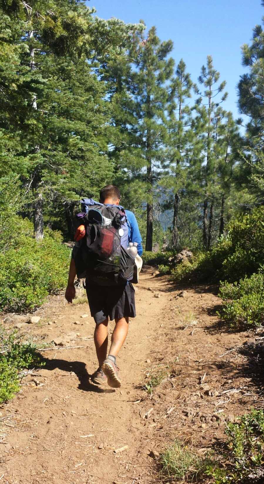
Glitter caught up to me during my long lunch of ramen, homemade jerky from my Dad, and specially mailed dark chocolate from my mom. We hiked together all afternoon and both really seemed to be struggling with our energy for the day. His excuse is that his body is shifting into “town gear.” I don’t know what my excuse is.
Hiking with Glitter
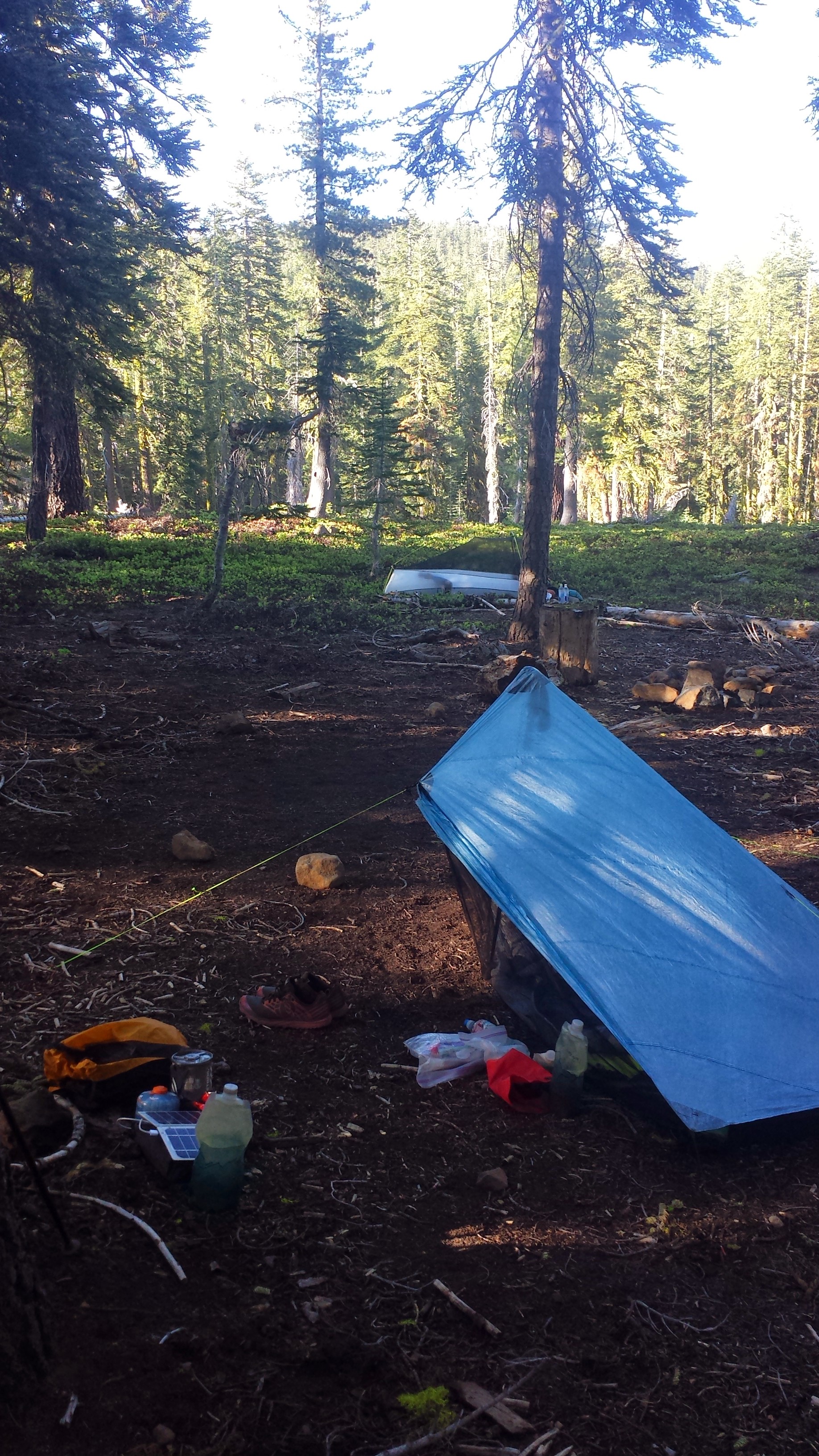
Our last climb of the day wasn’t a bad one, but we were both huffing and puffing, taking breaks every five minutes, and thoroughly ready to stop for the day. It’s funny how we’ve hiked so many miles and have conquered the Sierras, but we just turned into babies climbing up a simple thousand foot mountain.
When we reached our site for the night, we both crawled straight into our tents. I was ravenous and inhaled more jerky and a dinner of couscous with chicken and veggies. I’ve been nursing two cups of hot coco since and picking carefully at the Fritos that are supposed to be for tomorrow. I’m just so hungry! I rationed out my food for the next two days and totally fell short of what I’ll need. Glitter gave me an extra rice dinner he had since he’s heading into town and won’t need it. ♡♡♡
July 7th- 24 miles
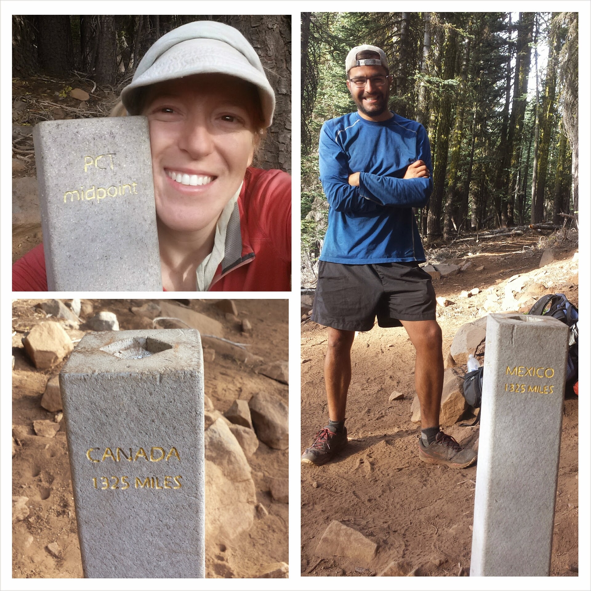
The exact midpoint of the PCT changes every year because the trail itself changes, but reaching that monument is still an accomplishment. It feels great to know we’re now just a little bit closer to Canada than we were to Mexico.
PCT Midpoint
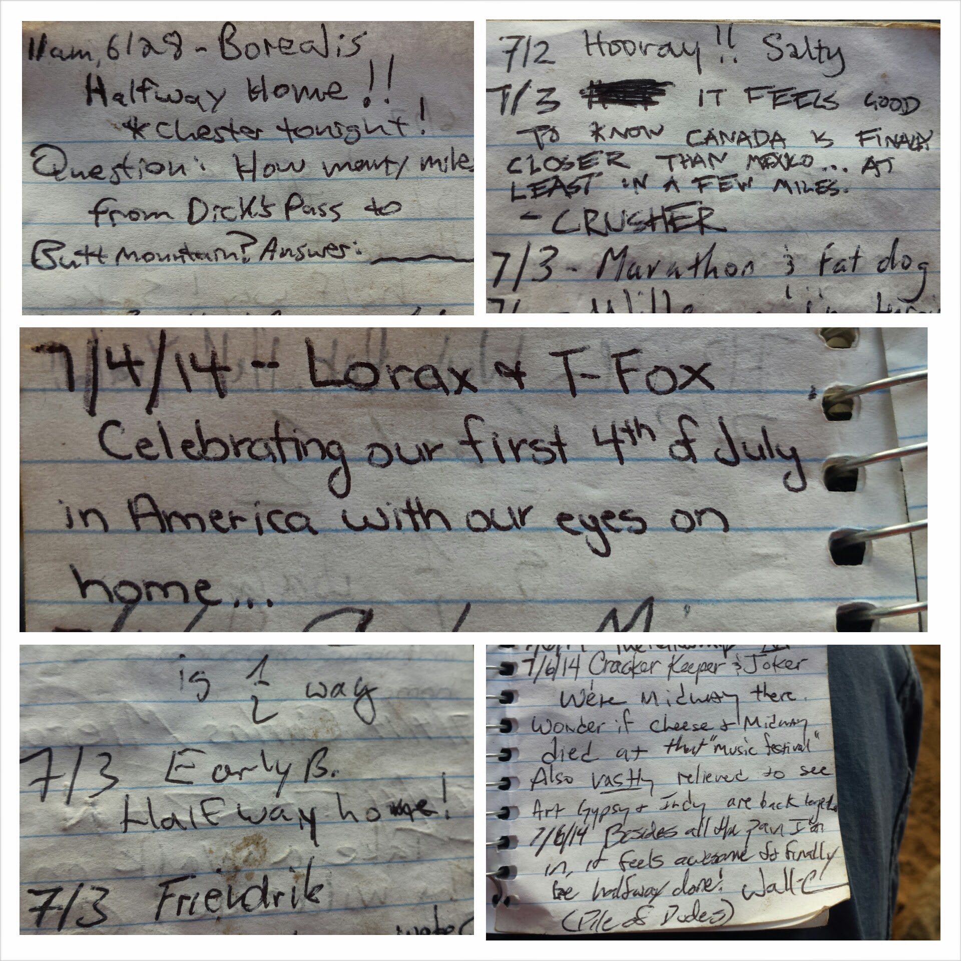
Midpoint trail registry
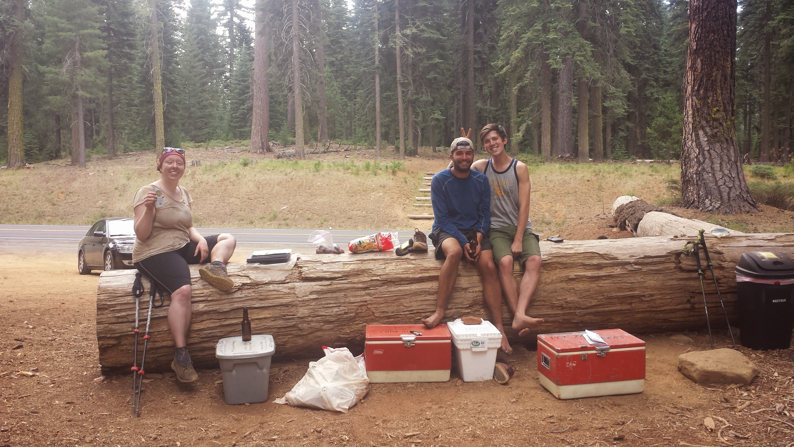
Glitter and I hiked at turbo speed all morning, we were both excited to reach Highway 36 for some treats. Glitter’s boyfriend, Ethan, drove all night to meet him and brought all sorts of goodies: brownies, chips, even kombucha! Another long distance section hiker named Strawberry hung out, too. She’s hiking the entire northern half of the trail.
Strawberry, Glitter, & Ethan at Hwy 36
I was so excited to see that my favorite bear family, Trekkin 3-D, had just signed the trail log book that morning. I hope I can catch up to them soon! You can follow them on their Facebook page here.
It was so hot all day, and muggy, too. I pressed on toward the next water source, a much smaller version of the North Fork Feather River. I just couldn’t wait to get there and wash the sweat off my body. No one was there except a couple PCT hikers I hadn’t met yet. They were napping in their tent and didn’t look like they’d be back on the trail any time today.
North Fork Feather River
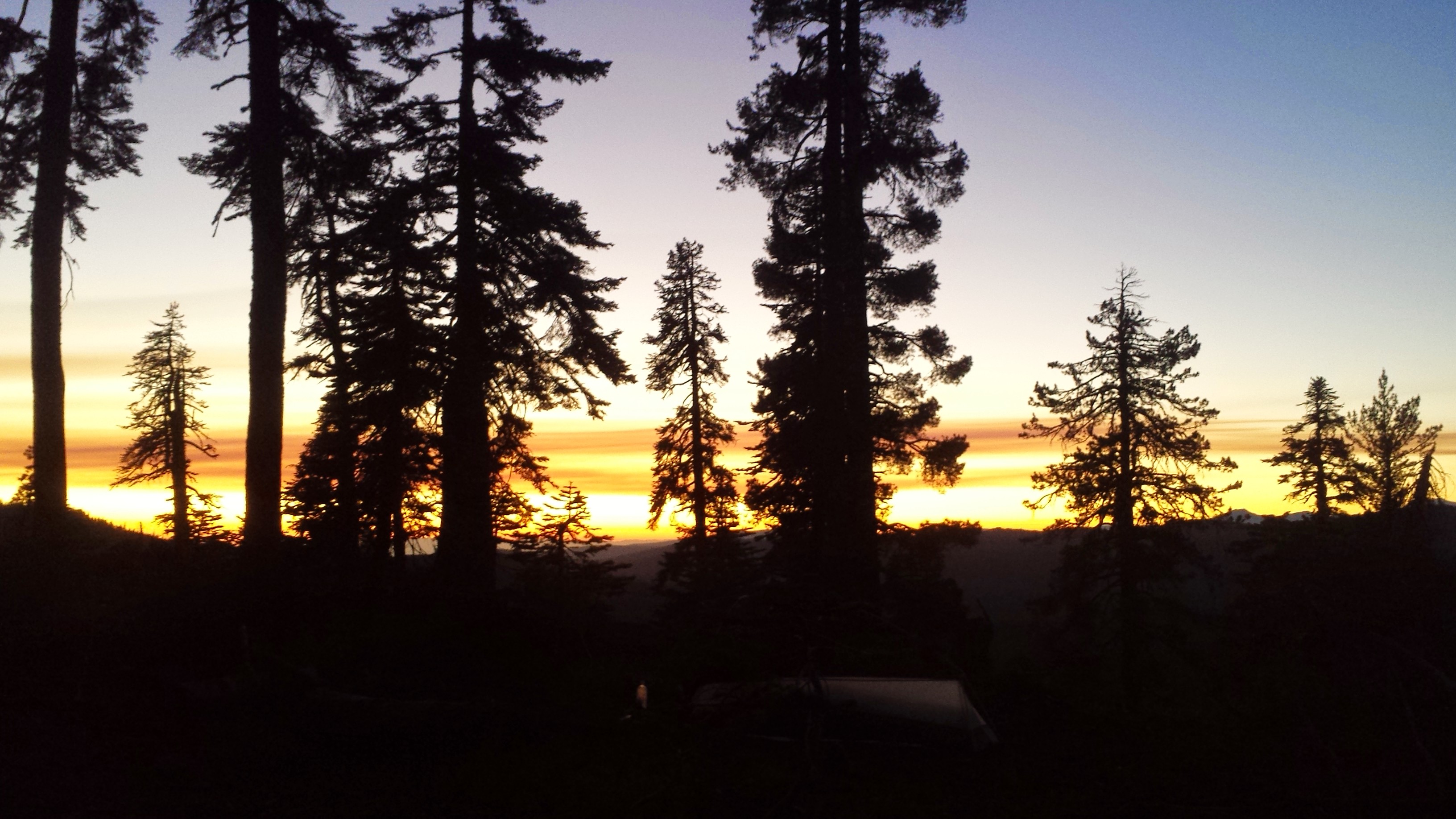
I almost stayed at the river, too. In fact, three tines I started to unpack and then changed my mind. I thought it’d be nice to camp by the water, but the campsite left wasn’t that great with some sags (dead trees with the potential of falling) around. I thought, “Well, I’ll just go to the next one a mile away.” I didn’t like that one either; it was too dark in the trees. Here I am now, at a campsite I made myself on top of the ridge, four extra miles from the river. At least I’m that much closer to showers, laundry, and a hot meal at Drakesbad Guest Ranch!
July 8th- 8.5 miles, camping at King’s Creek
The forests of Northern California are beautiful, but there’s a whole lot of the same view: trees, trees, rolling hill glimpsed through trees, and more trees. Part of the reason so many thru-hikers get off the trail in Northern California is because it’s not as scenic; hikers start to get bored and they’re no longer distracted from their physical pain by the stunning beauty around them. I myself am struggling with it. Most hikers I talk to are having the same thoughts and feelings. Some days or hours I’m ready to get off trail at the very next town and on others I want to see it all the way through to at least Ashland, Oregon.
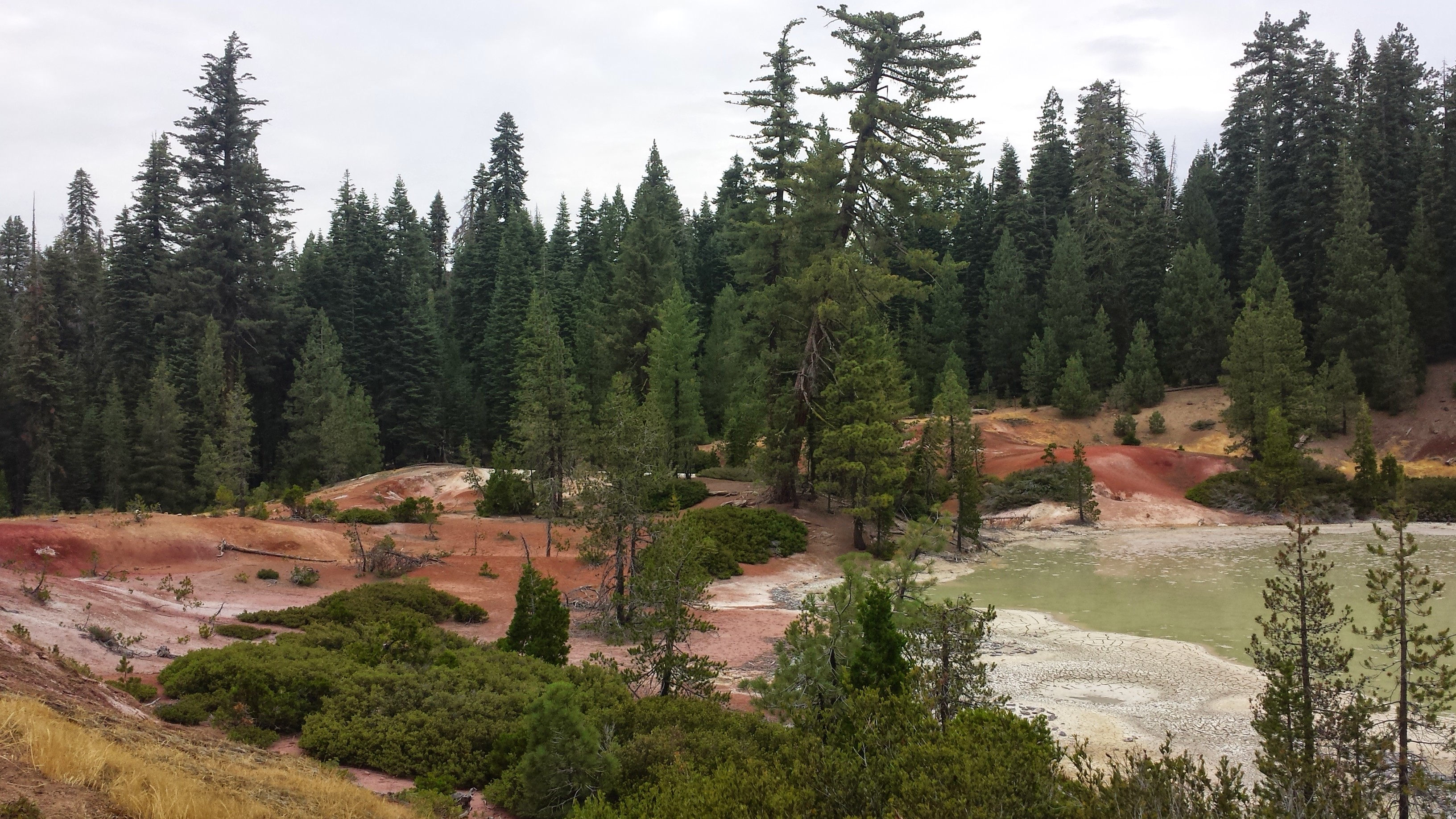
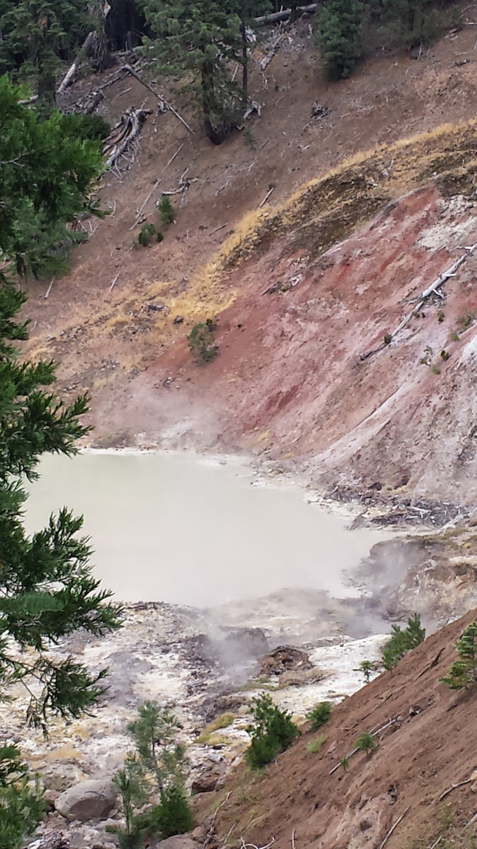
I was really excited to hike past a boiling mud lake this morning. In my mind, it would be an oasis of entertainment within a desert of pine trees, a diversion from the monotony of the forest. It was pretty cool; I definitely thought it would be stinkier. It’s too bad there wasn’t a cooler lake nearby to take a mud bath in!
Boiling Mud Lake
Boiling Mud Lake
Boiling Mud Lake
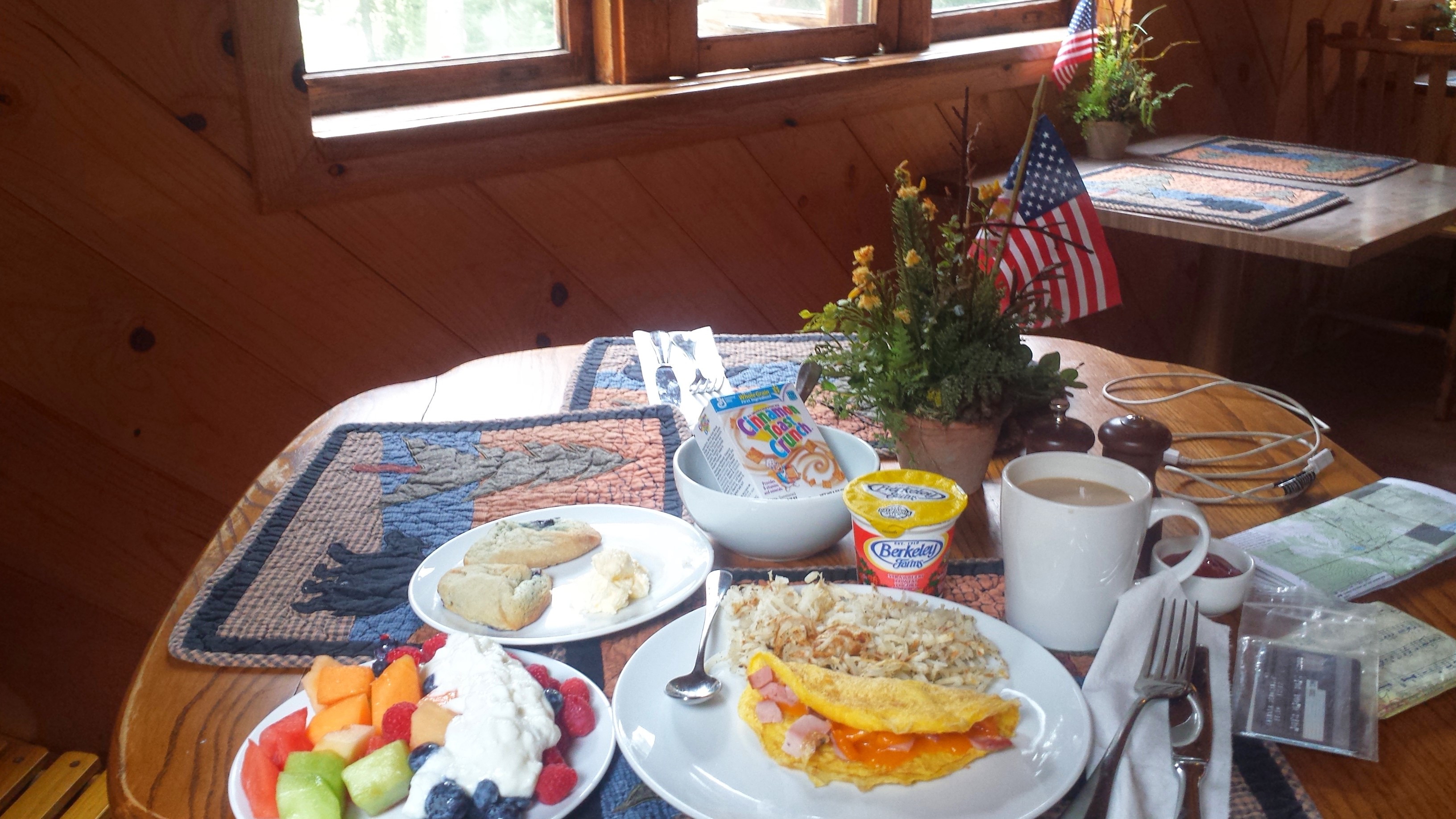
I hadn’t originally planned on going to Drakesbad, but my guidebook said the RV park with the showers and laundry in Old Station might be closed. Since I really cherish my weekly showers, I decided to head to Drakesbad. In order to get a shower at the guest ranch, PCT hikers must first buy a meal. I wasn’t exactly going to say “no” to that, so I got up early to get a breakfast at Drakesbad, thinking I’d then shower and head straight out. Yeah, right.
Breakfast at Drakesbad Guest Ranch
I had a very loooong breakfast, sipping my coffee and reading. Then I discovered the bathtub room in the shower building, where I spent an entire hour and three refills of hot water in the tub. I could’ve left after that, but I wanted to charge my iPod, so I laid in the hammock and ate ice cream while I waited. When my old friends from Section F showed up, Duchess and Booey, I had to get caught up with them. Then my favorite bear family (Trekkin 3-D) waltzed in! That was it, I wasn’t going anywhere anytime soon.
Booey and Duchess
I decided to forfeit my plan of putting in another 18 miles for the day and hiked with Trekkin 3-D to a campsite only 2.5 miles away.
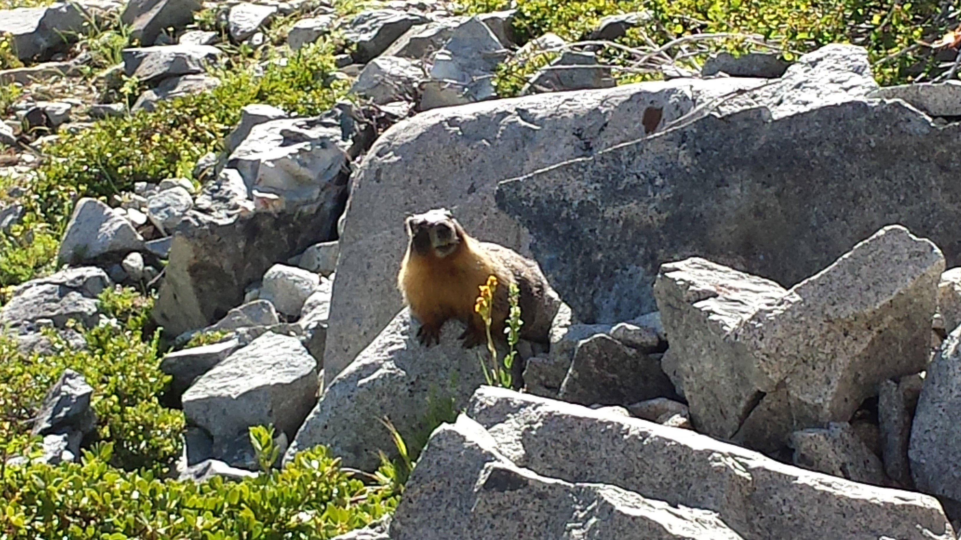
Grizzly Bear
Papa Bear
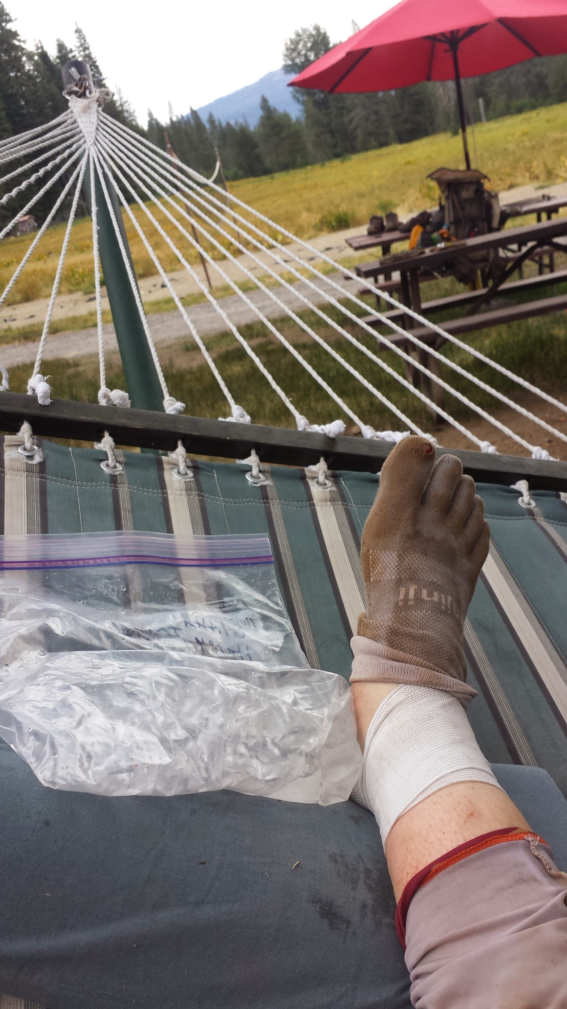
Shortly after eating dinner, the dark clouds that had been dancing around us all day finally began to thunder. Just as it began to lightly rain, Smiles and Uke-less walked in! I haven’t seen them since Section F- I love seeing all these familiar faces! Uke-less gave me a fancy Ace ankle wrap insisting he doesn’t need it anymore. THANK YOU, UKE-LESS!
Uke-less and Smiles
My ankle has rolled one too many times and is now in kind of bad shape. Every morning since just before Belden, it hurts so much I wonder if I’ll be able to hike on it. The pain goes away after about fifteen minutes of gentle hiking and for the rest of the day, I hike very carefully. While in Belden, my ankle was actually really swollen, so I’ve also tried to “ice” it in cold streams when I can.
I’m laying in my tent now, listening to the light rain splatter on my tent. With its spaciousness, good light, and the nearby creek, this is definitely one of the nicest campsites I’ve stayed at over the last couple weeks, made all the nicer by the company! I’m hungry again, so I’m making hot coco and another rice dinner. What an awesome night.
July 9th- 21 miles, staying in Old Station
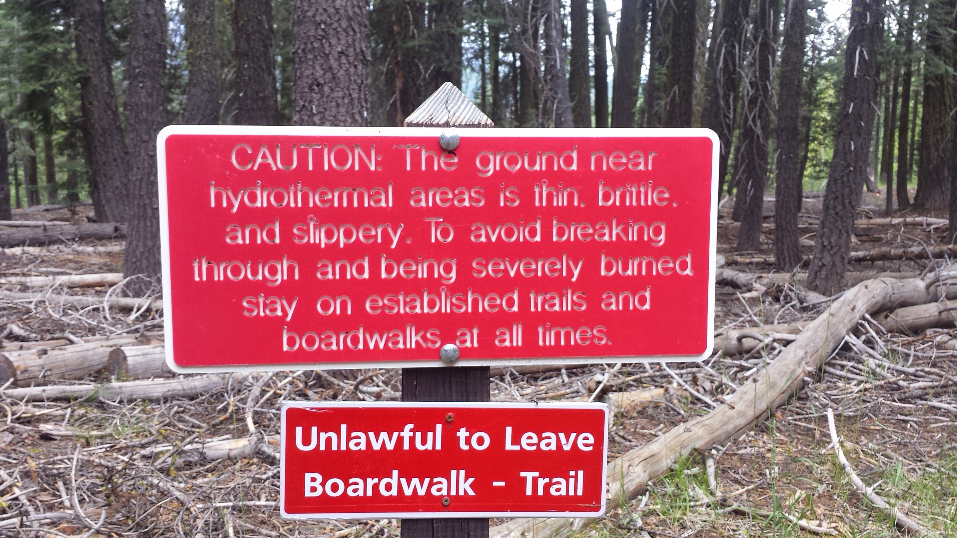
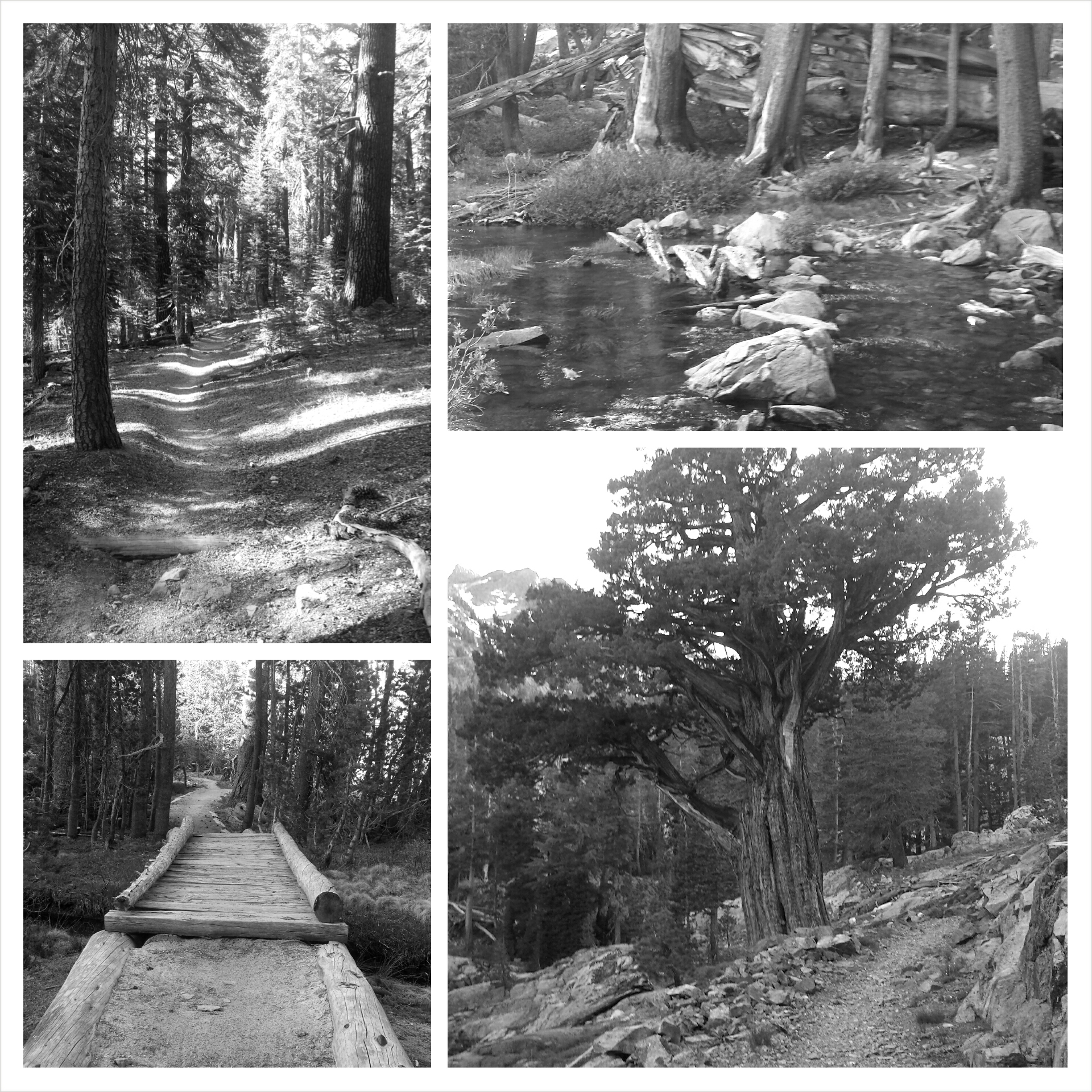
Boardwalk
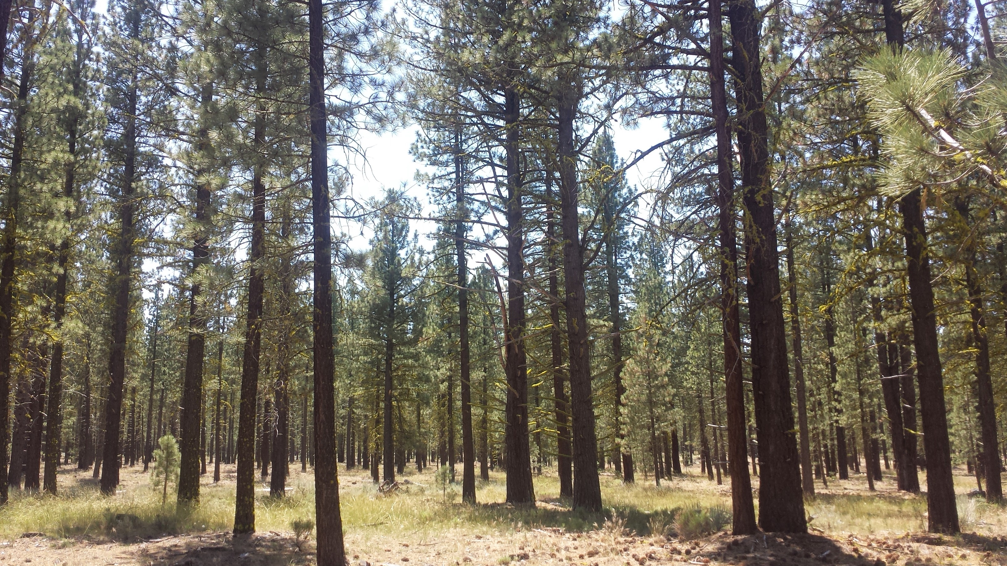
I hiked for the morning with Papa, Grizzly and Polar Bear. The trail was so flat and clear though, that I flew the 21 miles into Old Station. The forest changed from dense and dark to spacious and light. The land was flat as a pancake except for a few small buttes. Mount Lassen could be seen towering in the distance for miles and I wondered why the PCT didn’t take a route closer to it.
I pulled out my iPod for the long hike to help propel me forward. It’s amazing how powerful music is! Having a beat to move to and elevate my endorphins was better than caffeine. I think Smiles and Uke-less who were hiking behind me probably thought I was hilarious as I danced and skipped down the trail.
Mount Lassen in the distance
Approaching Old Station, trees, trees, trees…
I arrived at Old Station at 2:00, giving me plenty of time to hit up the post office, the deli, the showers, and the store. I grabbed my resupply box from the post master and planned to mail home my skunky sleeping bag. In the meantime, I pigged out on a burger and milkshake, then went straight into a food coma. I knew the post office closed at 4:30, but was distracted by the departure of the Bear family (they’re leaving to hike to a section in the Sierra they skipped before). Just as they pulled away, I saw the post master climbing into her car at 4:31. Argh!
Since I now need to wait for the post office to open in the morning, I’ve ended up paying way too much to stay the night at the RV resort. At least now I can ice my ankle and shower, and Ghostbusters is on TV!
July 10th- 13.5 miles, camping at “Lookout Site”
The next 35 miles, called the Hat Creek Rim, has no natural water sources near the trail. It also tends to be exceptionally hot and exposed. Most hikers plan to hike out late afternoon and go as far as they can into the evening. The next day they get up early and get off the Rim by noon.
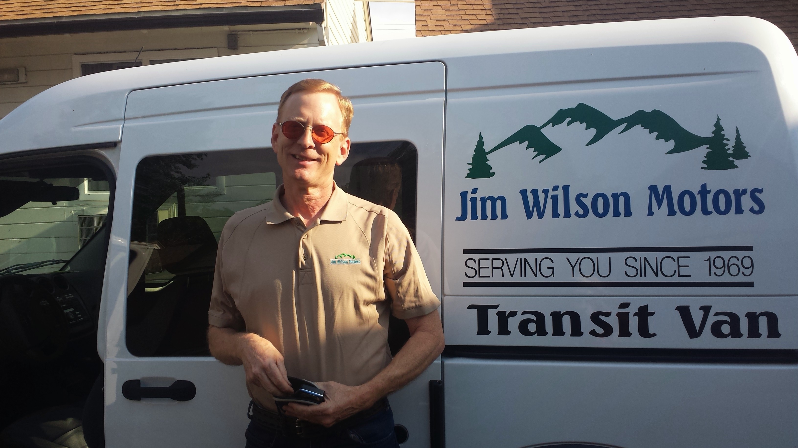
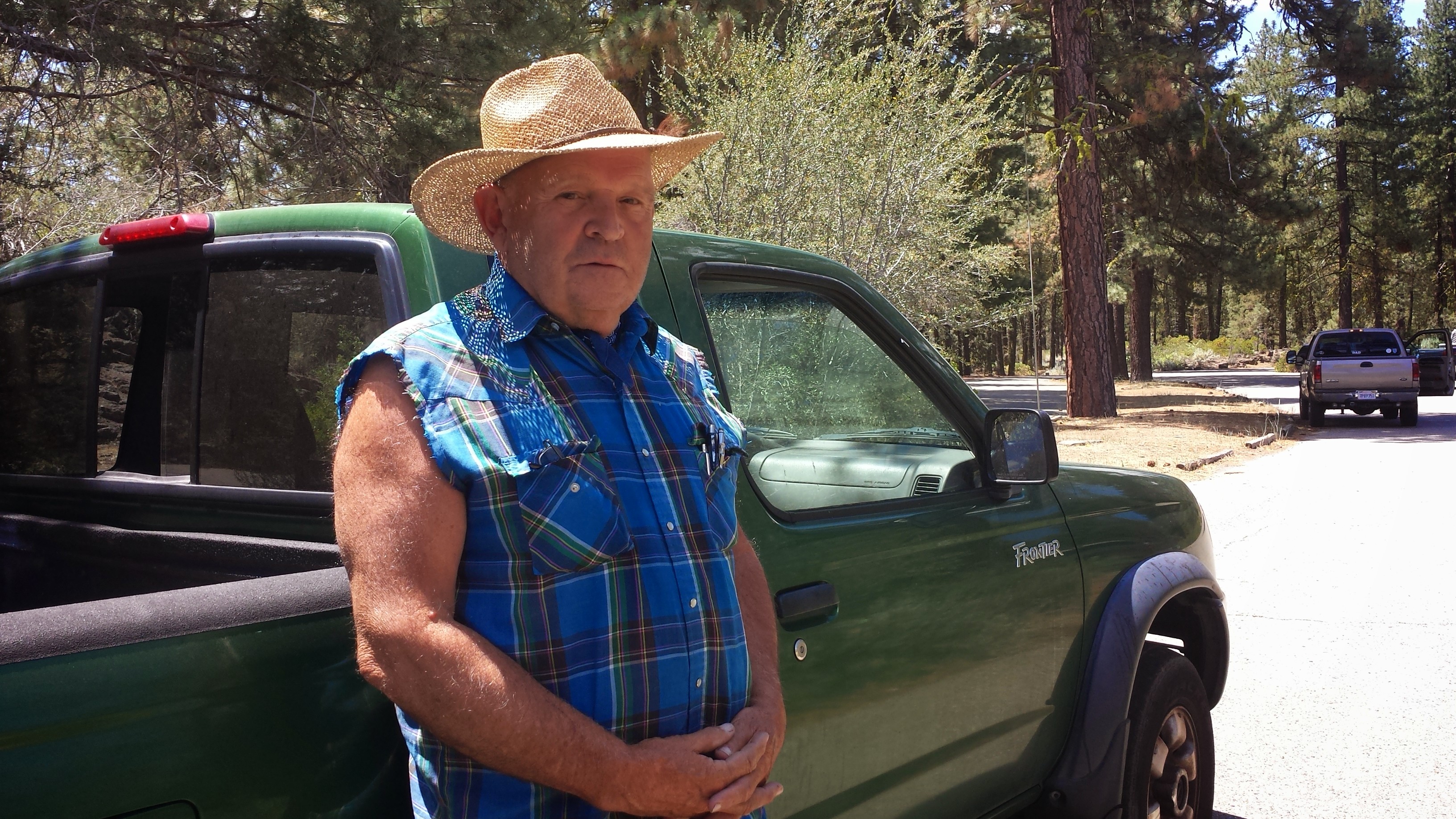
My plan was to road walk to a cafe two miles down for breakfast and then hang out at Subway Cave (a local park) until it cooled off. As I walked down the two lane highway, a truck passed me, made two u-turns, then pulled over. Jim, the driver, leaned out and said, “You’re not gonna rob me, are ya?!” He said he felt sorry for me walking in the heat with my pack. He sat with me at the cafe and I bought him a coffee while he told me his life story. He’s 73, never went to high school and has lived off the grid his entire life. As a child, he and his siblings would trap squirrels for food. He’s very proud of a reading class he’s been taking in his community and the progress he’s made with it. : ) Good for you, Jim!
Jim
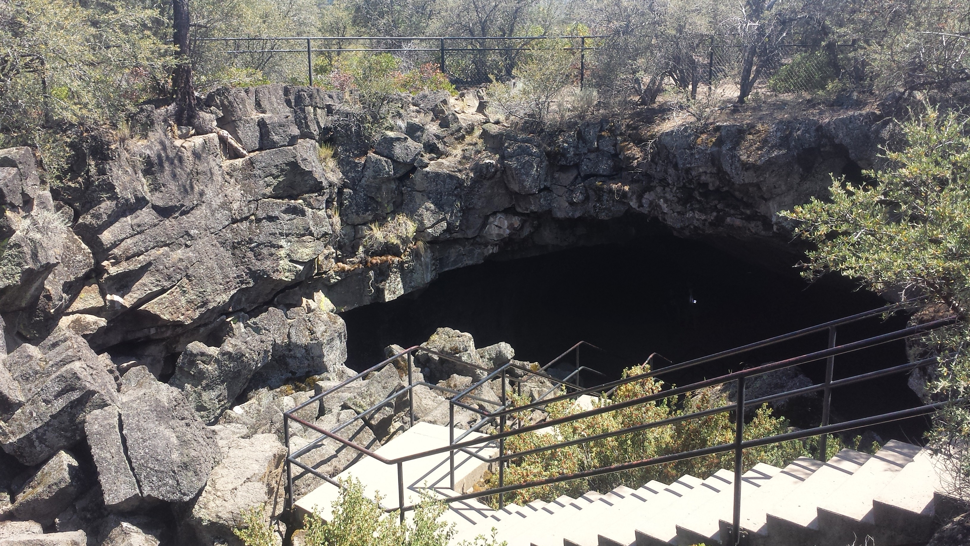
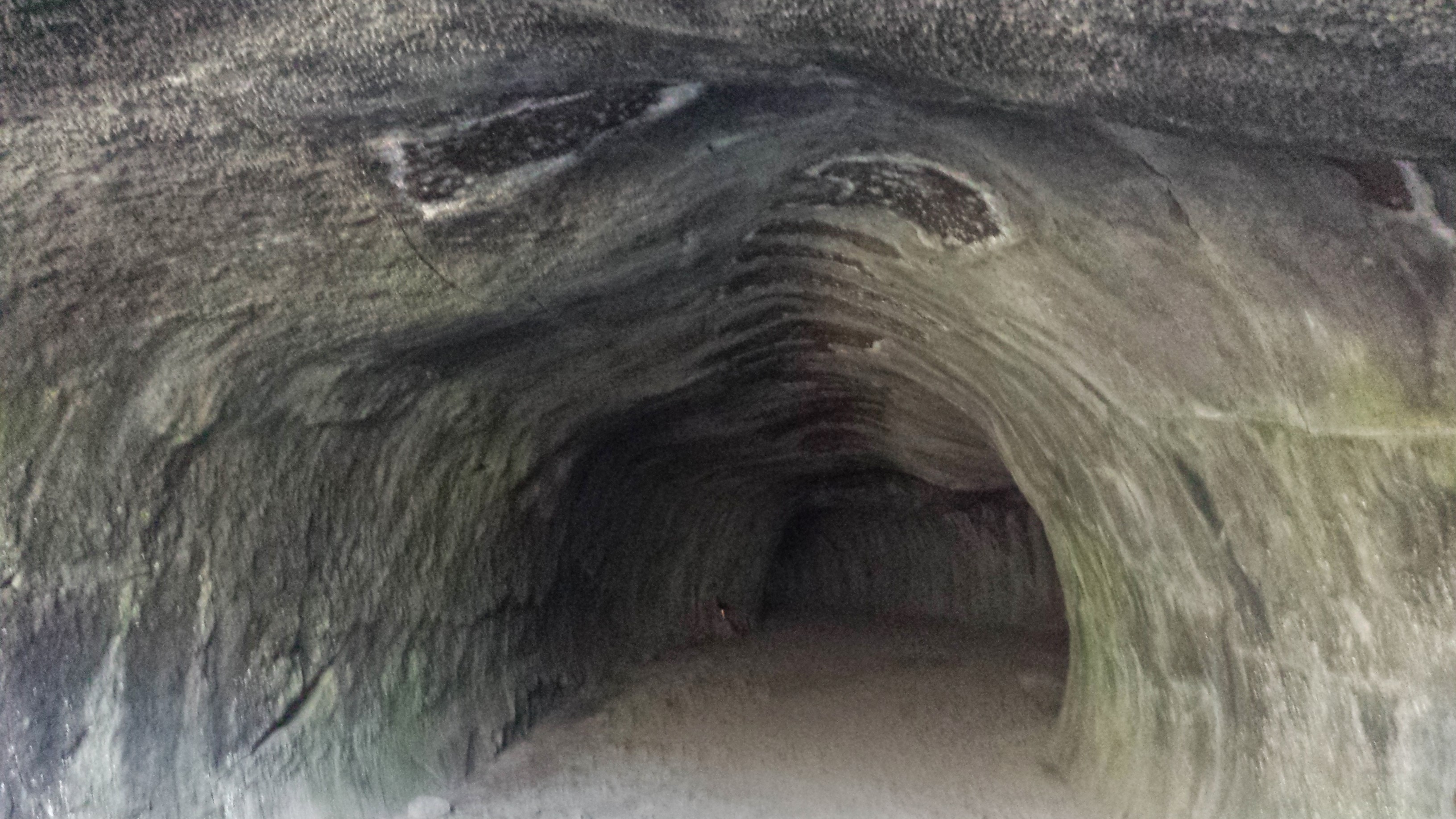
Subway Cave is a lava cave that formed when this valley was covered with hot lava 30,000 years ago. As the lava flowed, the outer layers cooled and hardened while the inner layers continued to move forward. Eventually the inner flow drained and only the outer, hard layer remained. I was so surprised the cave didn’t smell like pee or have any graffiti!
Lava Cave
Lava Cave
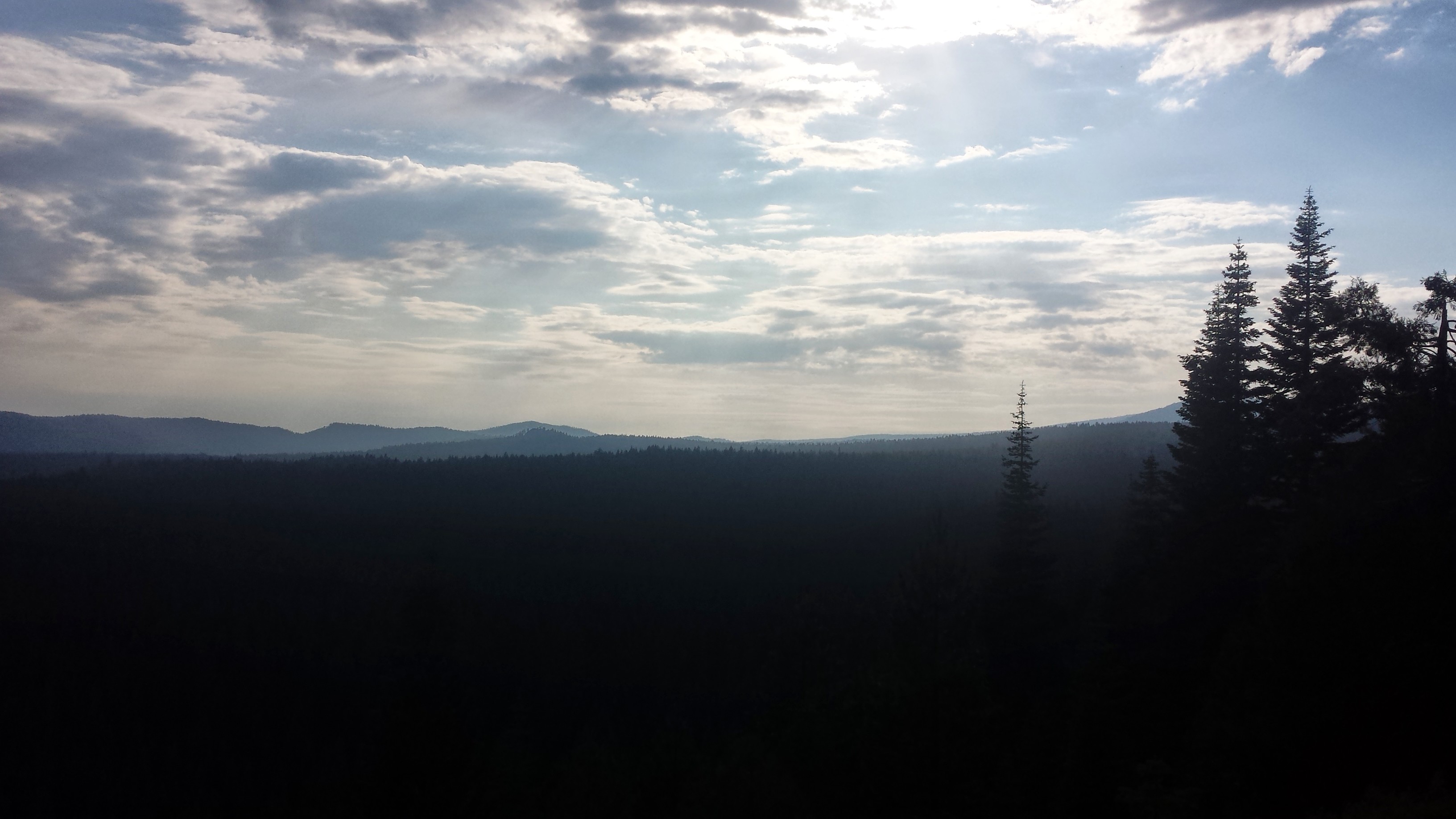
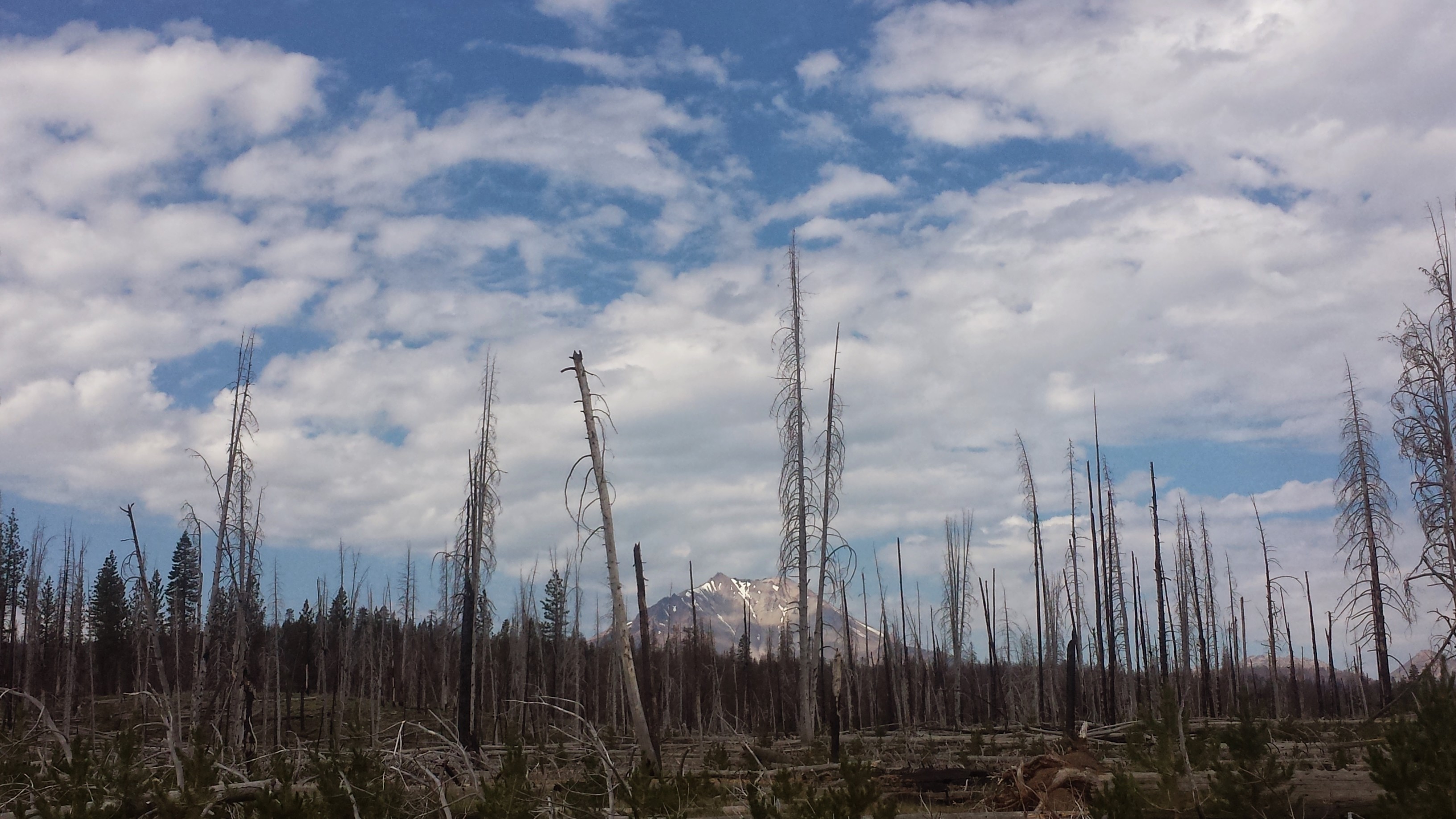
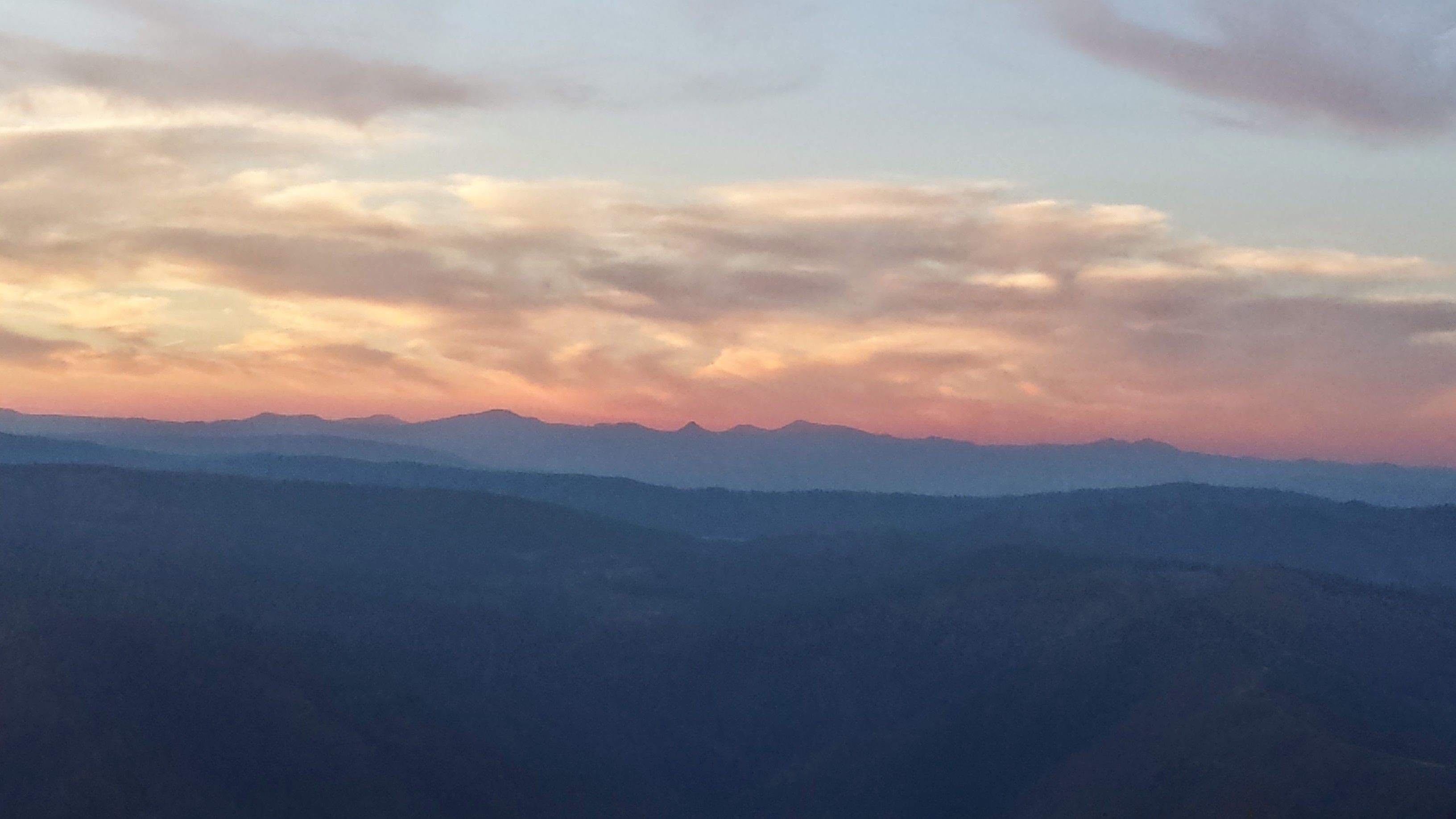
I hiked past sunset to take advantage of the cooler night air. The view from the rim was beautiful: Mt. Lassen to the south, Mt. Shasta to the north, and the valley of Hat Creek spread between them. I’m camping next to a small Forest Service radio tower. Every now and again, a robotic voice from inside the control shed shouts out the date and time. It startled me at first, now it’s just funny. It looks like thunderstorm clouds tonight!
Hatcreek Rim
July 11th- 25 miles, camping at Arkright Flat
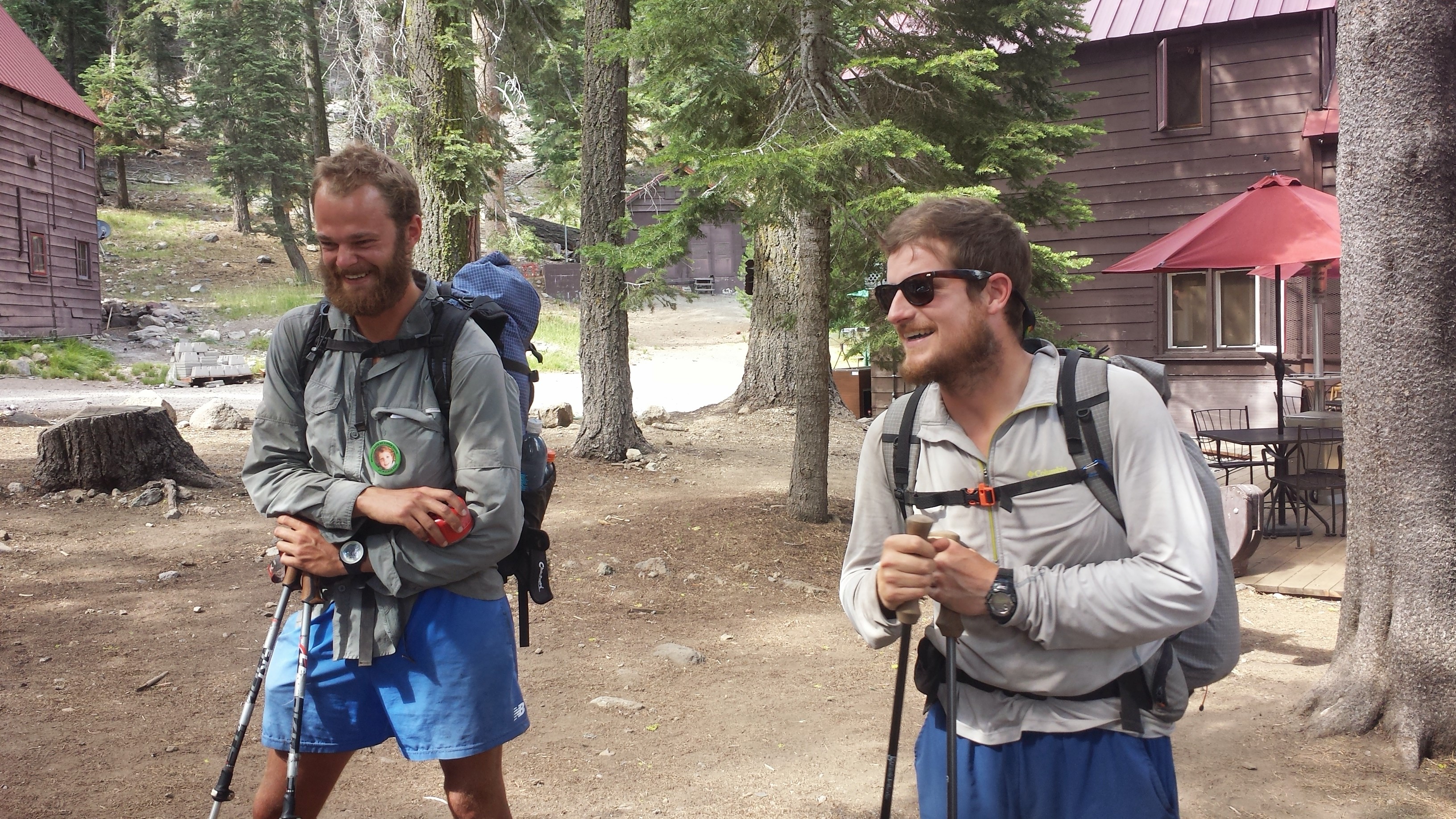
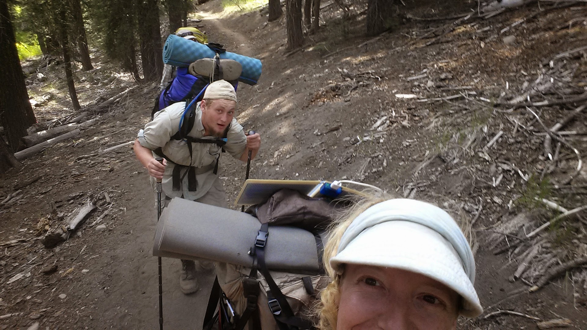
Last night, two more PCT hikers showed up at 11:30: Butters, who I met in Old Station, and a flip flop hiker named Just So Fresh. A flip flop hiker is one who starts in the middle of the trail, goes one direction, then jumps to the other end and hikes the opposite direction. Just So Fresh got his name from the northbound hikers who thought he was fresh as a baby when he started at Tahoe. Butters got his name from eating rancid Spam and then vomiting for two days straight. At first he thought it was his butter that made him sick, hence the name.
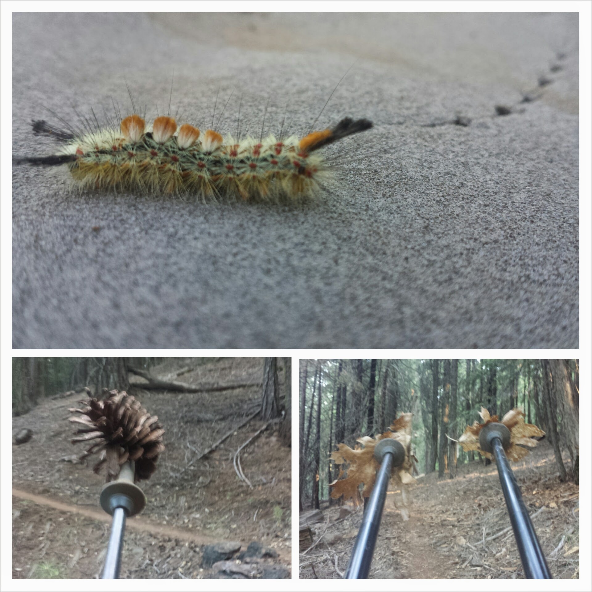
Hiking with Butters and Just So Fresh
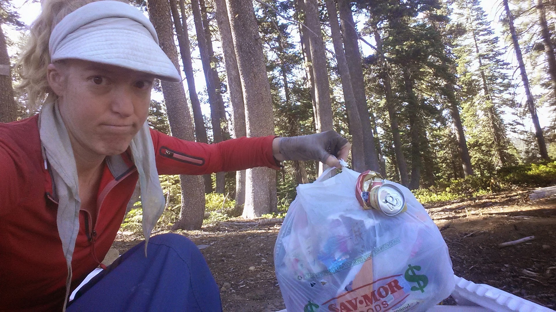
Butters and Just So Fresh were super fun to hike with for the day. Butters has a pine cone game he plays: stab randomly at cones with your poles as you hike, if you’re able to pick one up, then you try and toss it at a target, usually the hiker in front of you! There are also PCT points you can earn: pick up a piece of trash, “LEAVE NO TRACE, EARN 10 POINTS!” Clear a rock off the trail, “TRAIL MAINTAINACE, EARL 5 POINTS!” Just So Fresh is carrying a 45-pound pack and is still breaking in his feet.
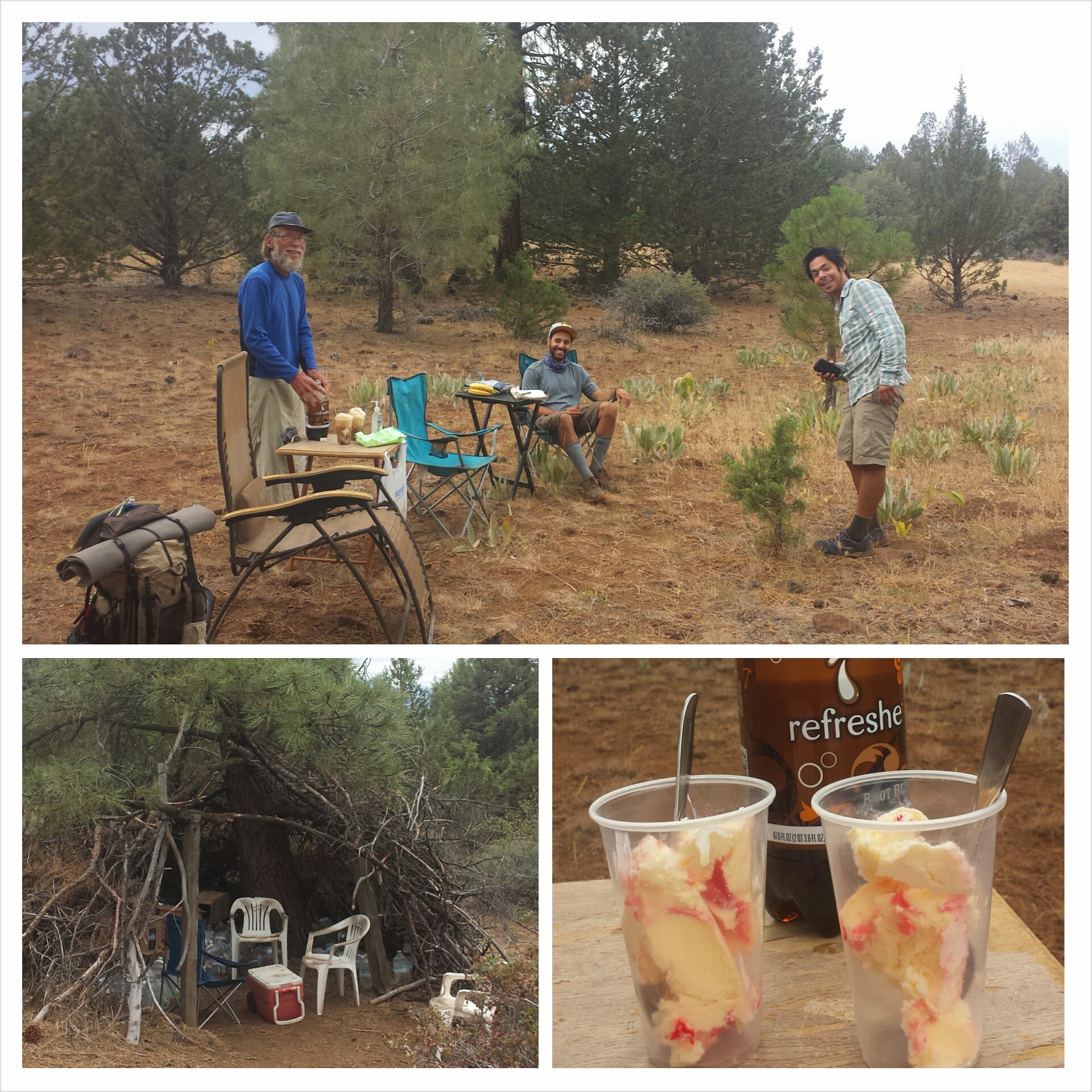
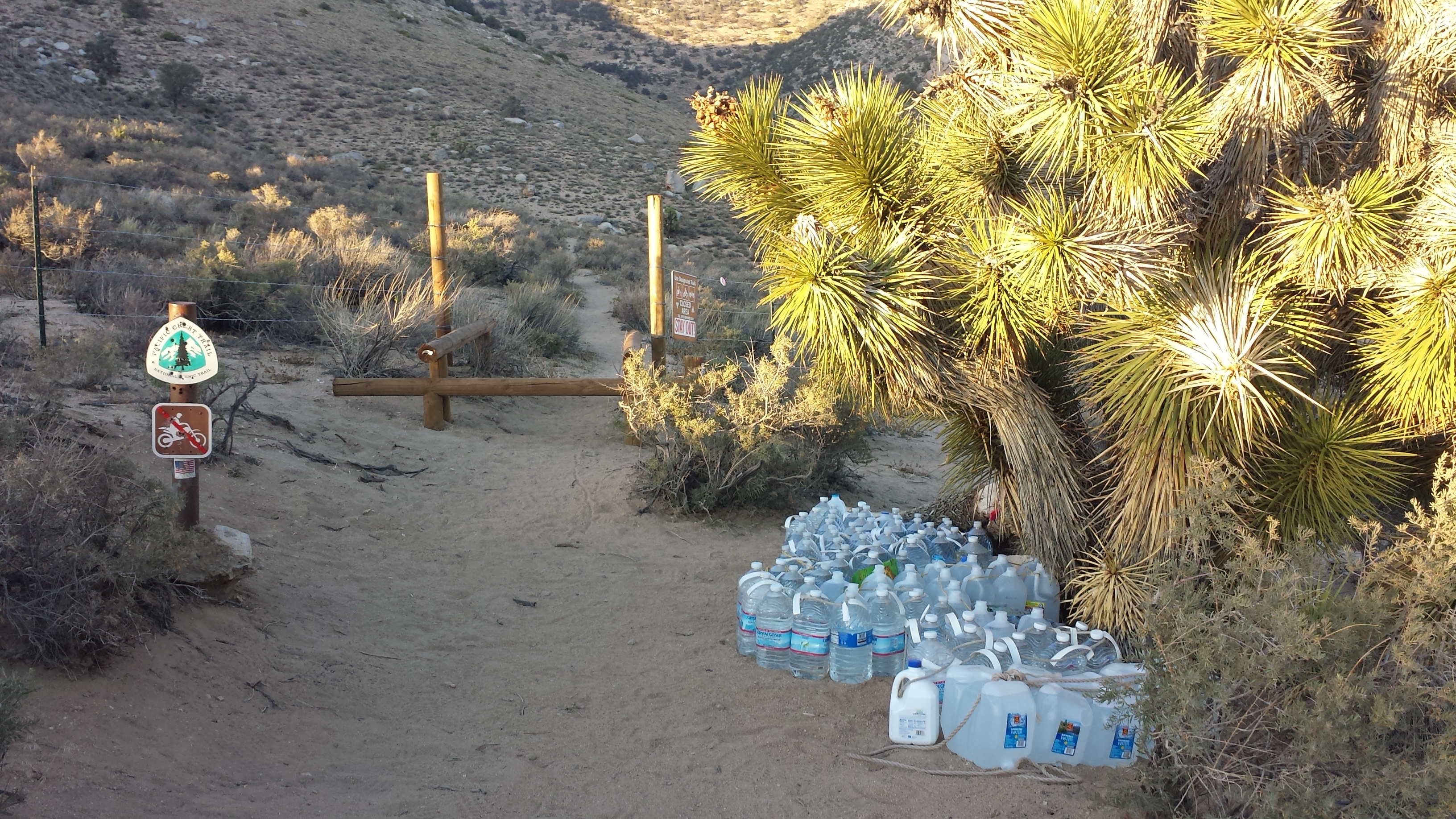
There’s a water cache maintained in the area by locals where we filled up our bottles. There was also an RV parked nearby belonging to the famous Copper Tone! He’s been driving around California, popping up on the trail and making strawberry swirl root beer floats for hikers. ♡♡♡
Copper Tone’s Trail Magic with JSF and Butters
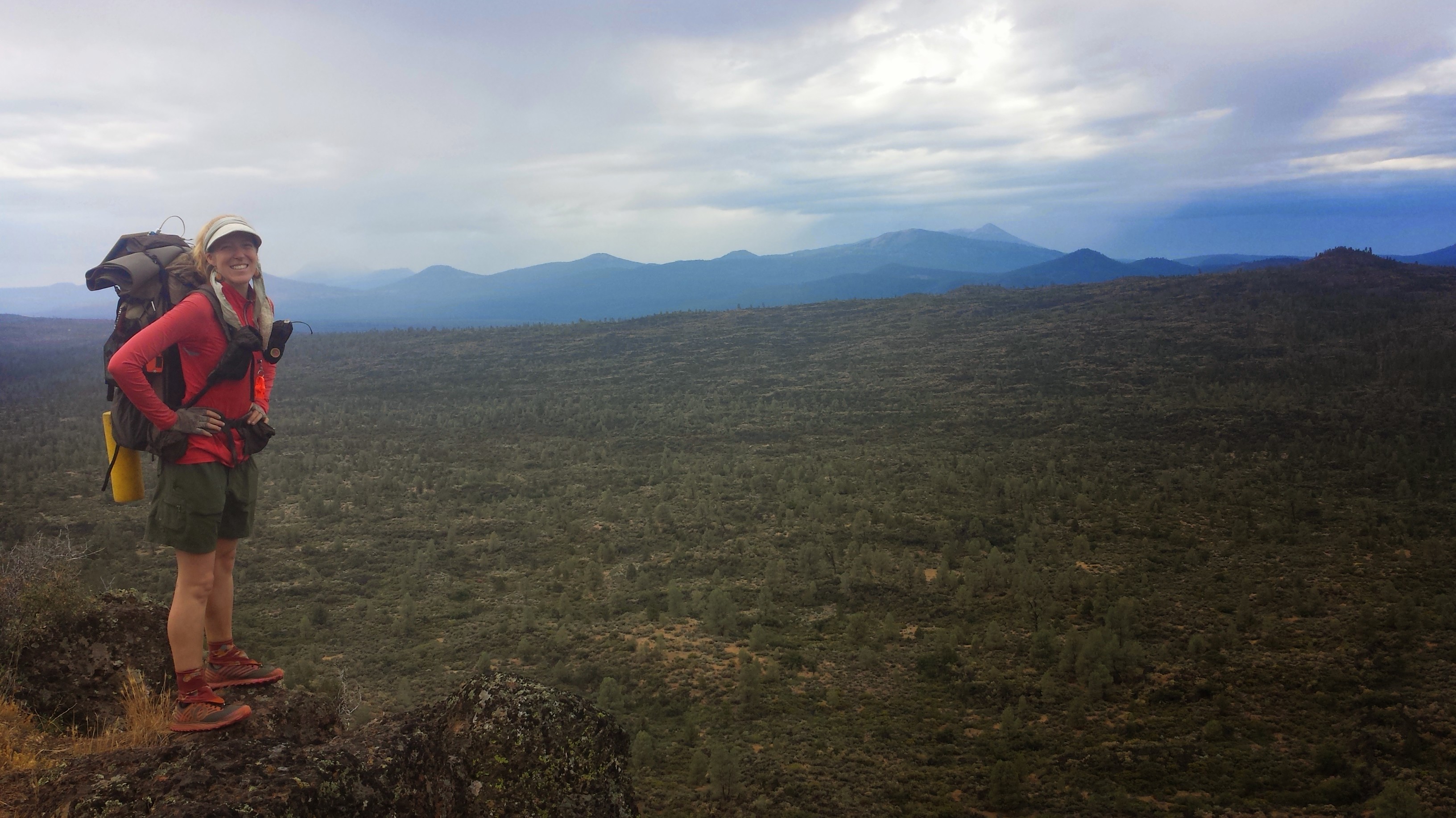
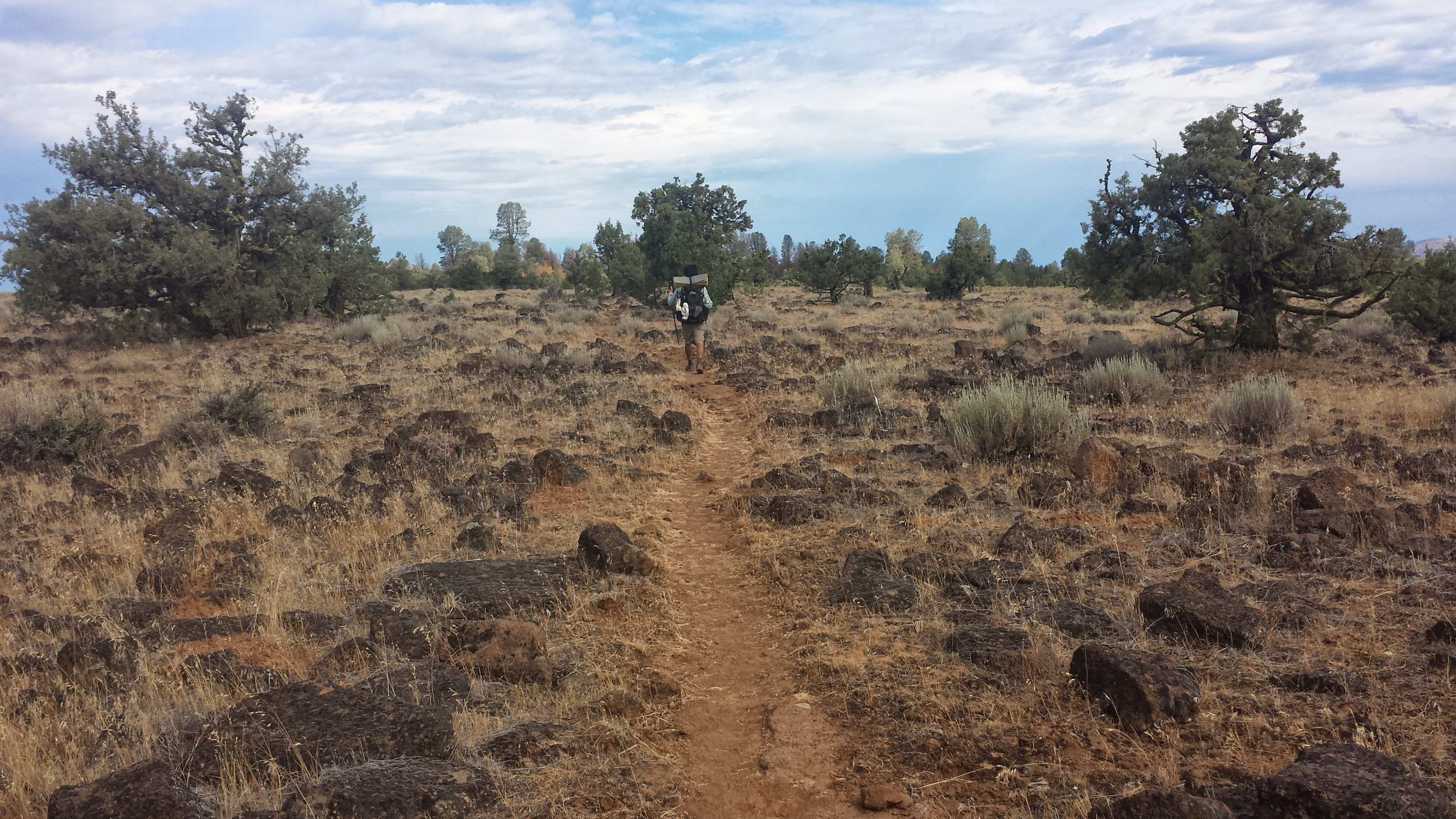
Light thunderstorms sprinkled on and off all day. It was the most perfect weather for hiking the Hat Creek Rim. Lava fields spread out along the valley floor to our left and the trail slowly made it’s way lower and lower toward them.
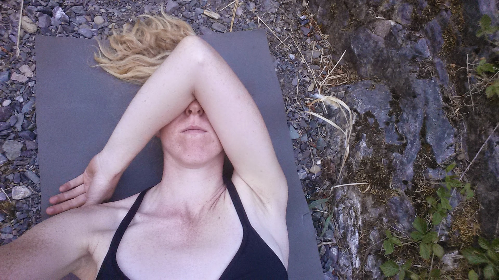
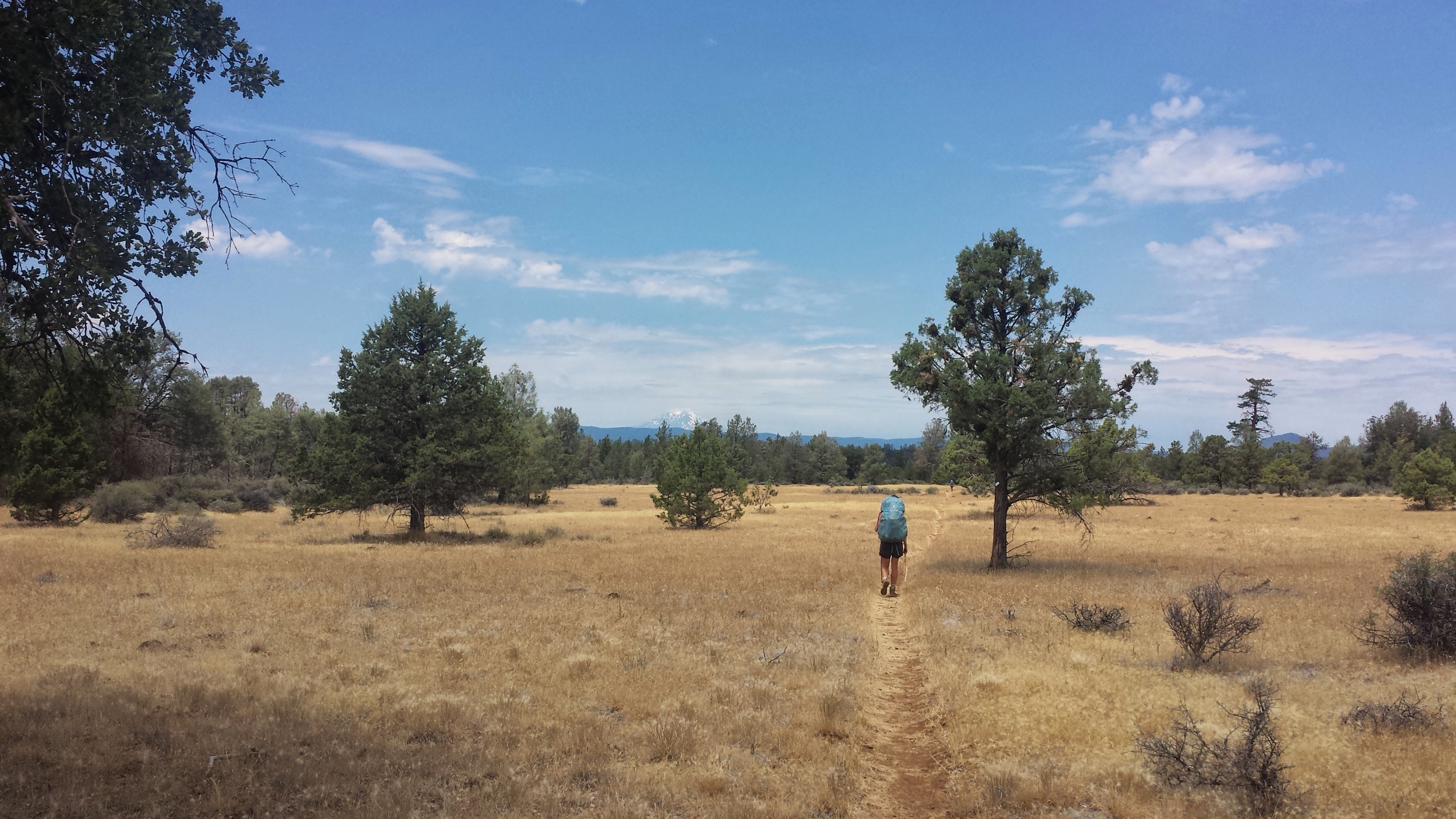
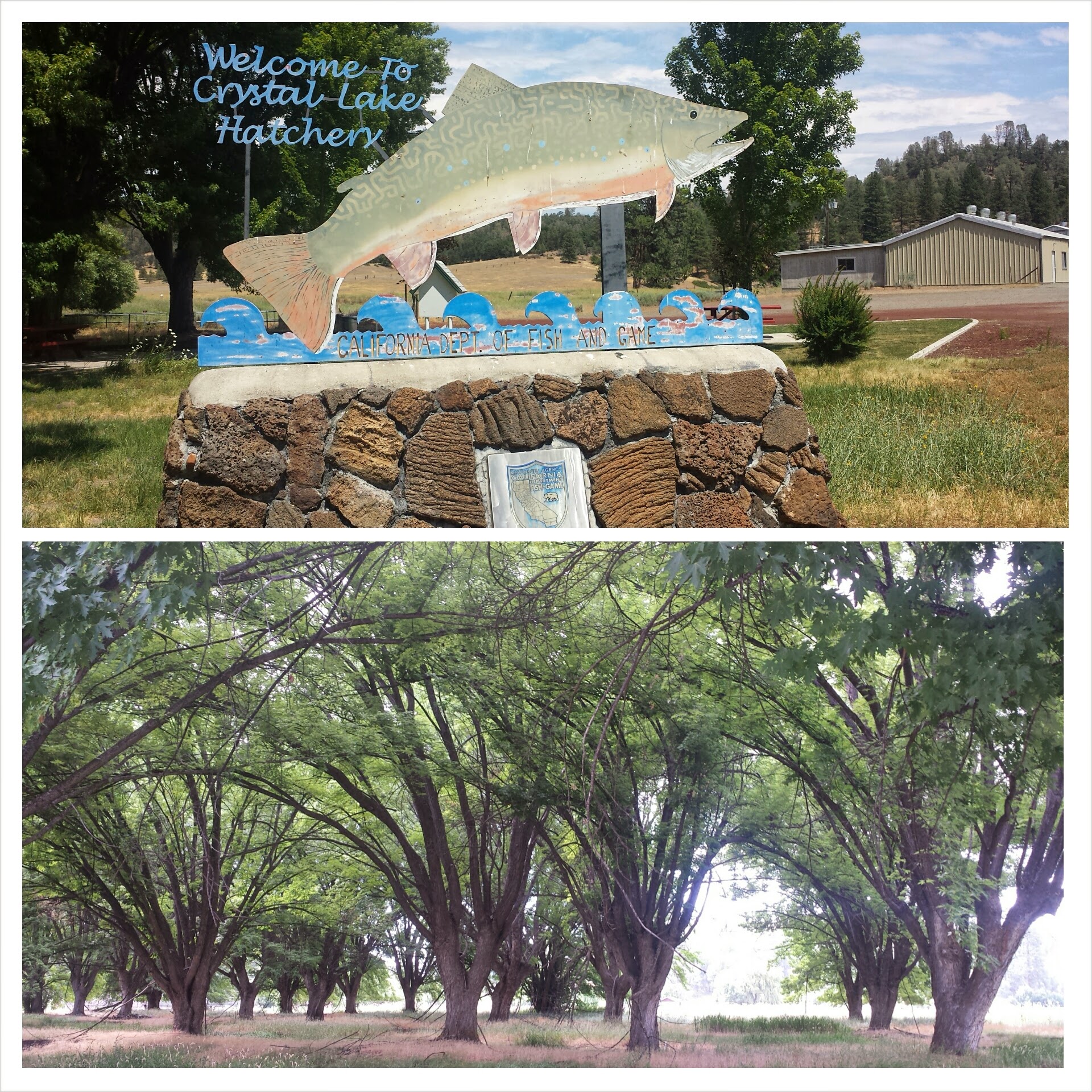
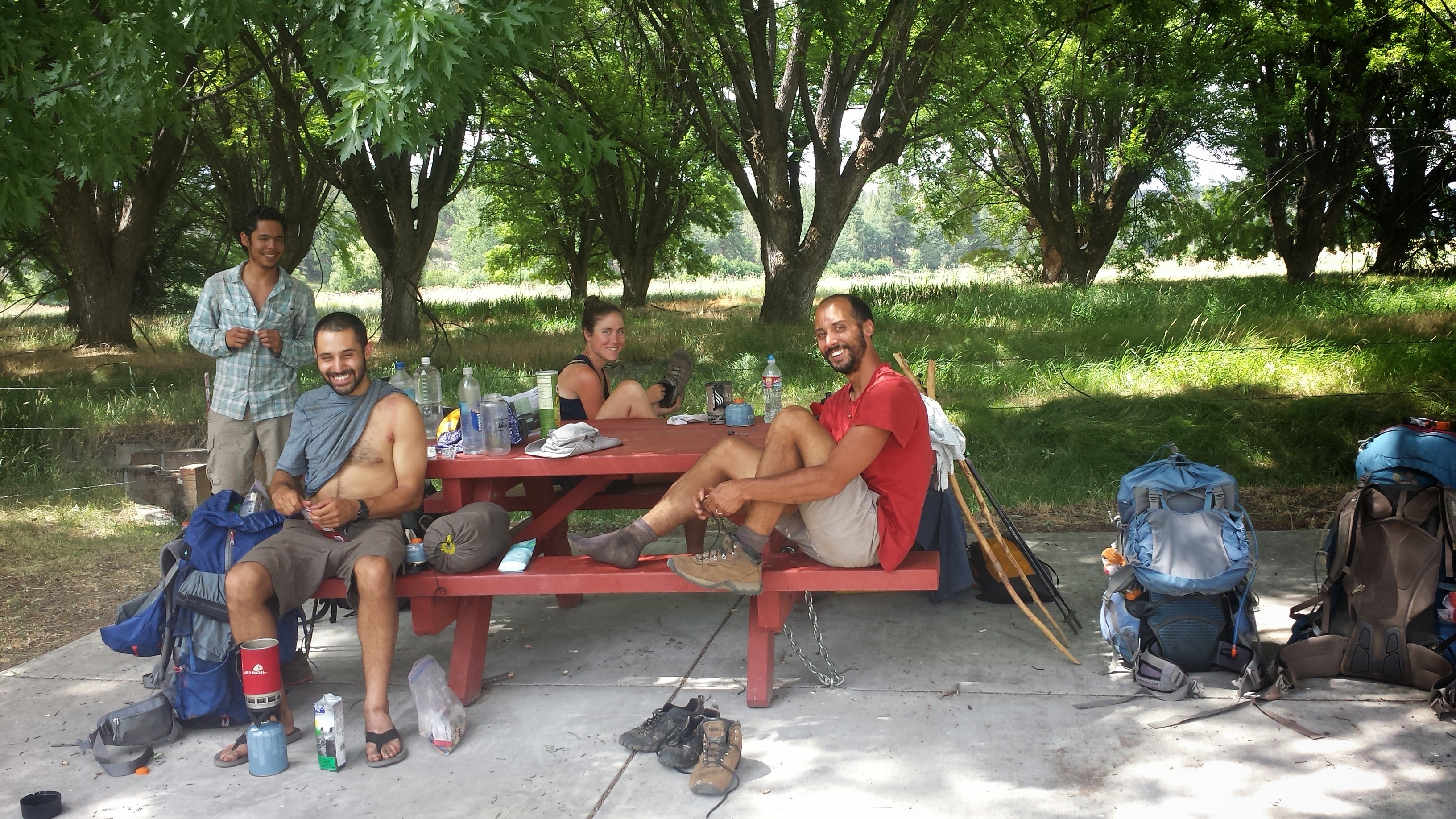
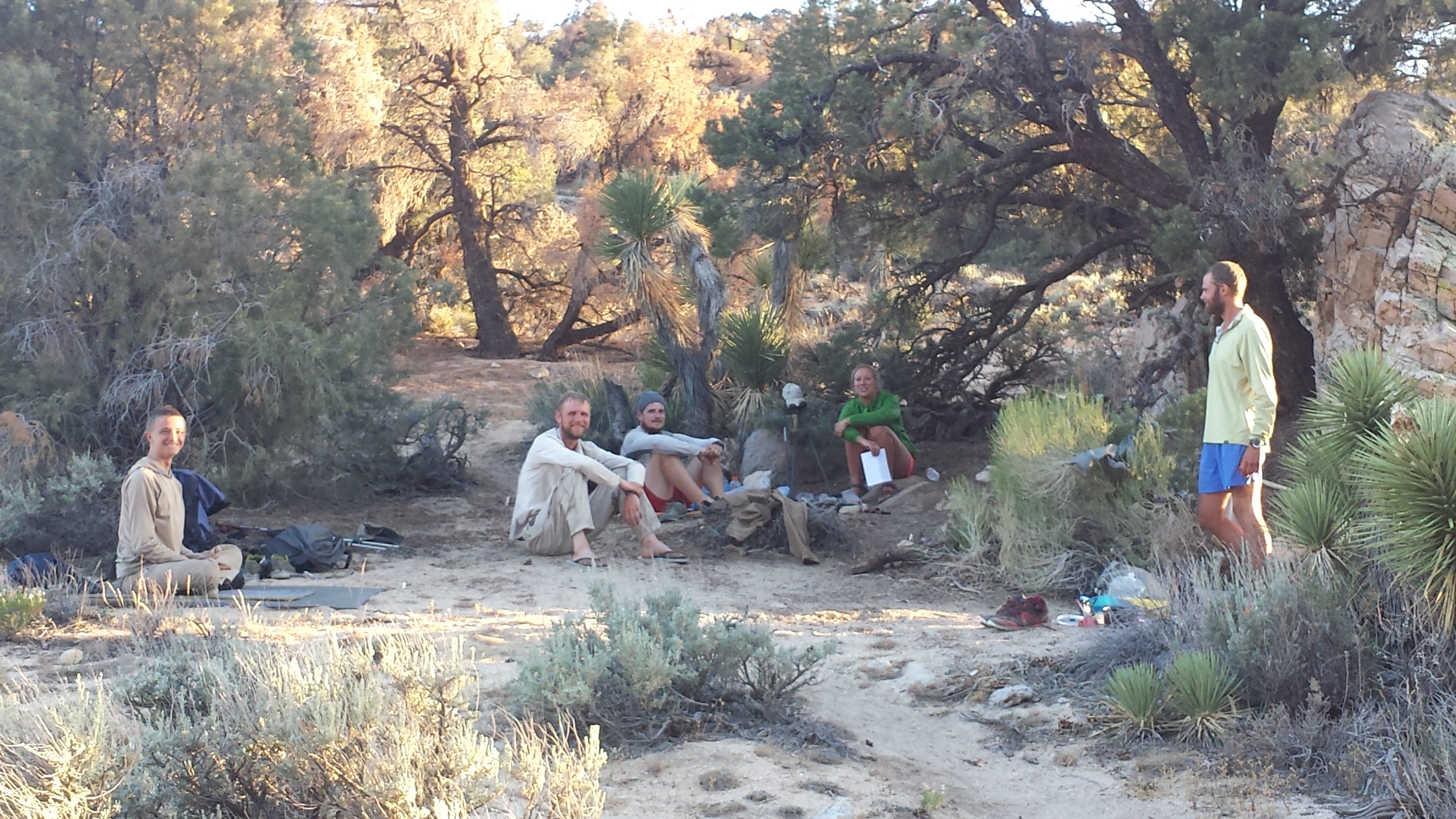
Reaching the valley floor, the land around us looked more like an African plain and Mt. Shasta in the distance looked like Mt. Kilamanjaro. The trail eventually took us across to a state fish hatchery with picnic tables and grass. A French couple whom I’d leapfrogged with for several days, Marianne and Mathew, showed up to relax with us. We spread out our mats on the grass and dozed for a couple hours. It was one of the best afternoons I’ve every had: lying in the grass, the warm air around me like a soft blanket, and occasional gentle drops of rain on my legs.
Crystal Lake Hatchery
(L -> R) Butters, JSF, Marianne, Mathew
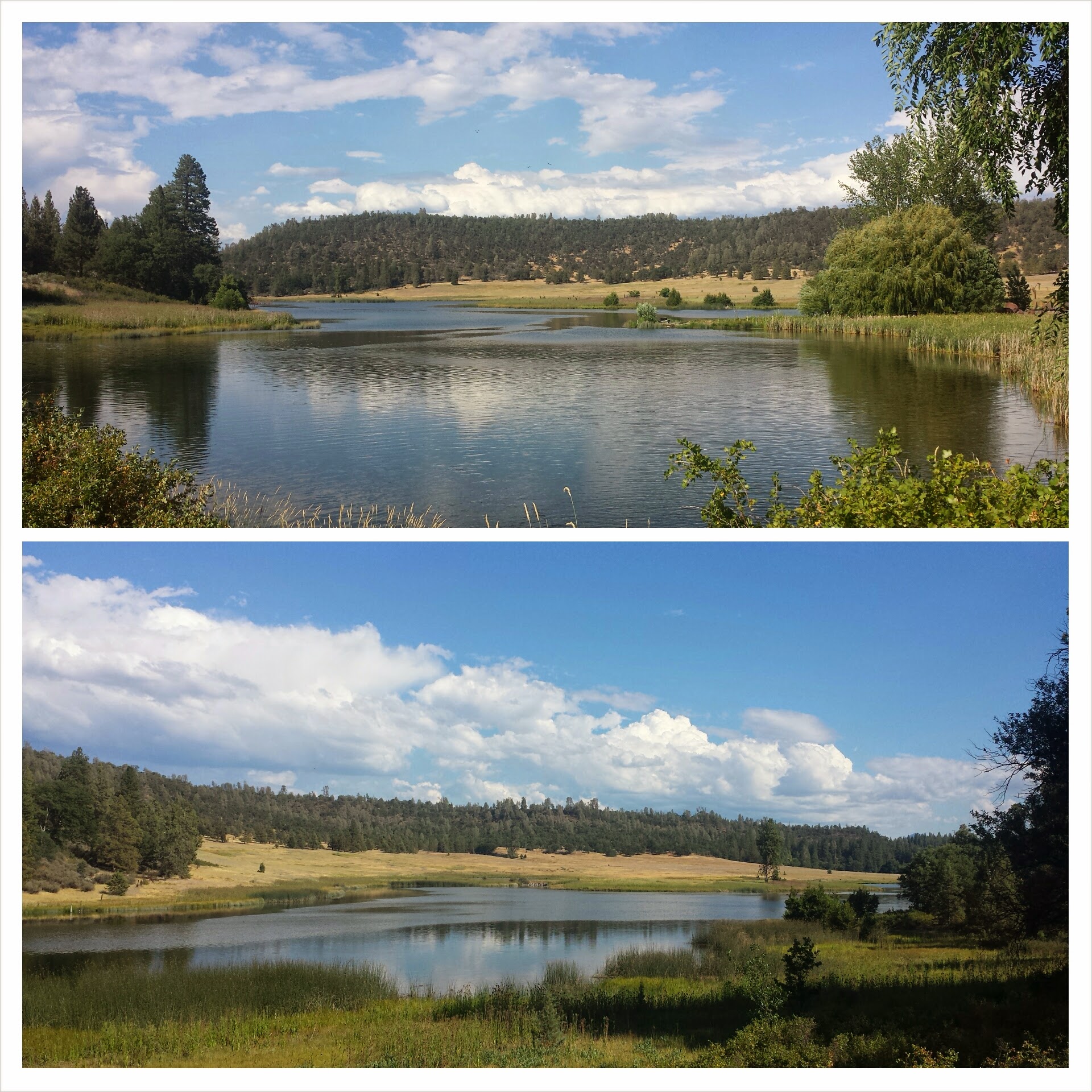
Butters and Just So Fresh stopped at Highway 299 to hitch a ride into the town of Burney for a resupply. I kept moving hoping to get closer to Burney Falls State Park.
Crystal Lake
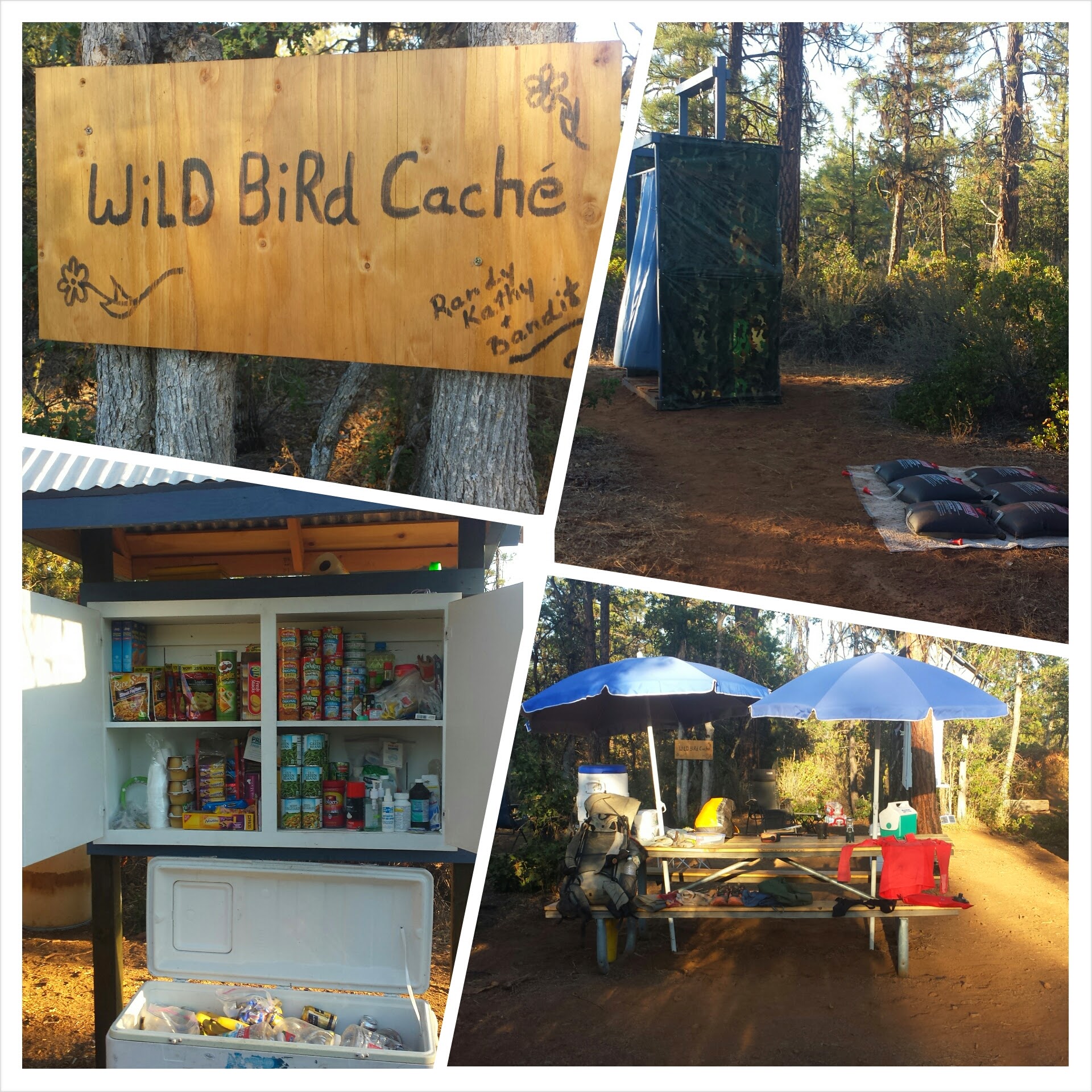
The Wild Bird Cache is famous for being some of the most epic trail magic a PCT hiker will encounter. I had no idea: there was a cooler full of cold drinks, chocolate, and applesauce, a cabinet stocked with canned foods and medical supplies, a picnic table for hikers to sign their names on, a gas-powered stove, lounge chairs, and a solar shower! I stayed for an hour at the little oasis, making dinner and showering, before heading on for a few more miles.
Trail magic
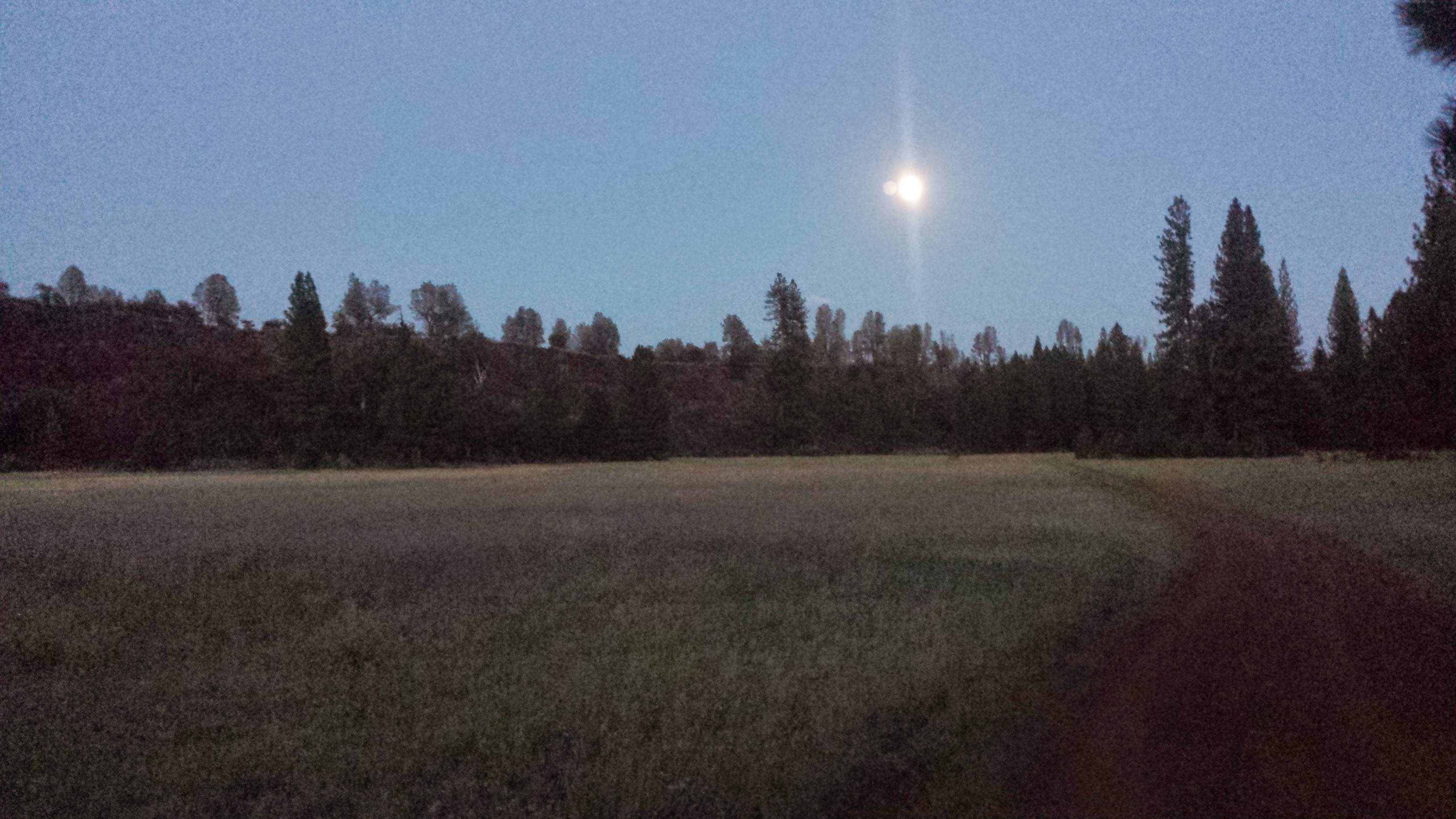
Moonrise at Arkright Flat
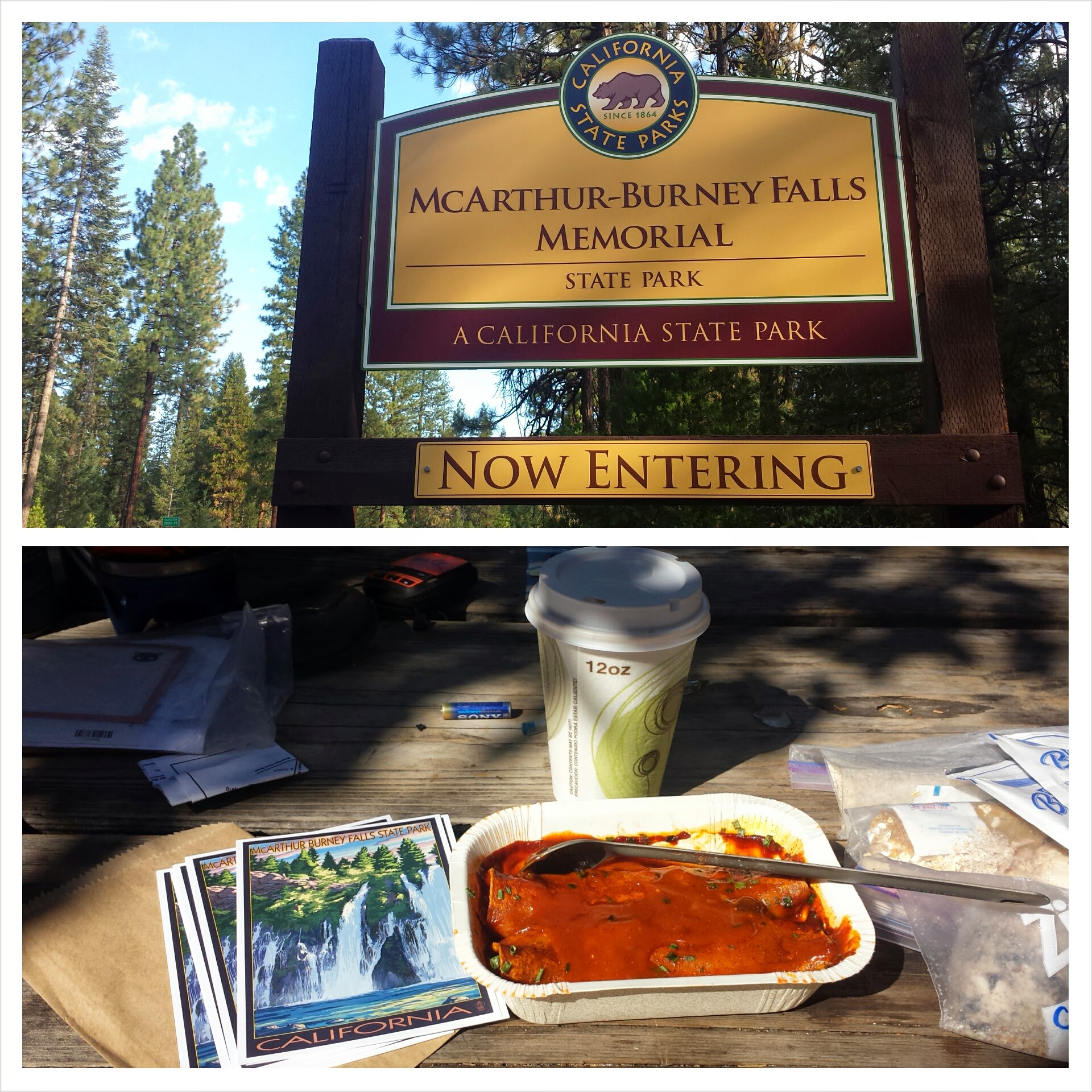
July 12th- 4 miles into Burney Falls and still more to hike!
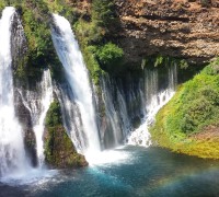
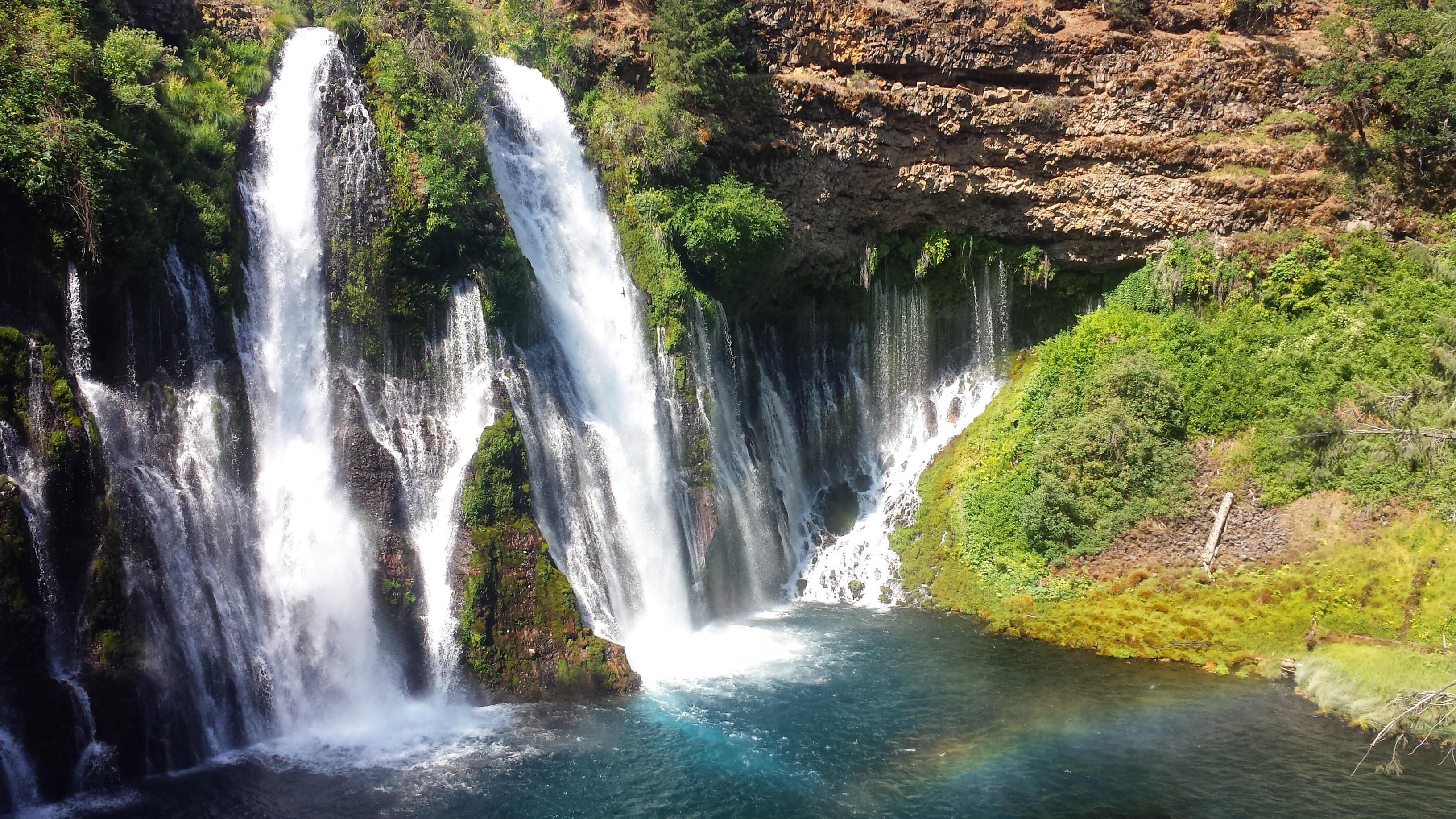
Breakfast at Burney Falls
Burney Falls is so beautiful! I got in early this morning and walked right past the massive and magical waterfalls before hitting up the general store for some breakfast. After uploading this journal, I’ll head out up, up, up out of this giant valley.
It was probably crazy, but I started my hike out of Sierra City at noon when it was supposedly over 100°F. I would have left much earlier in the morning if I hadn’t been seduced by a breakfast in town, updating my iPod, and napping in a comfortable bed.
It was hard to say goodbye to Art again. We had such a great two nights and the lure of returning home with him was strong. I’m so tired, even after taking a couple zero days, my body still hurts and it’s hotter than So. Cal. had been. I wasn’t exactly excited to get back on the trail. At least this time I didn’t cry!
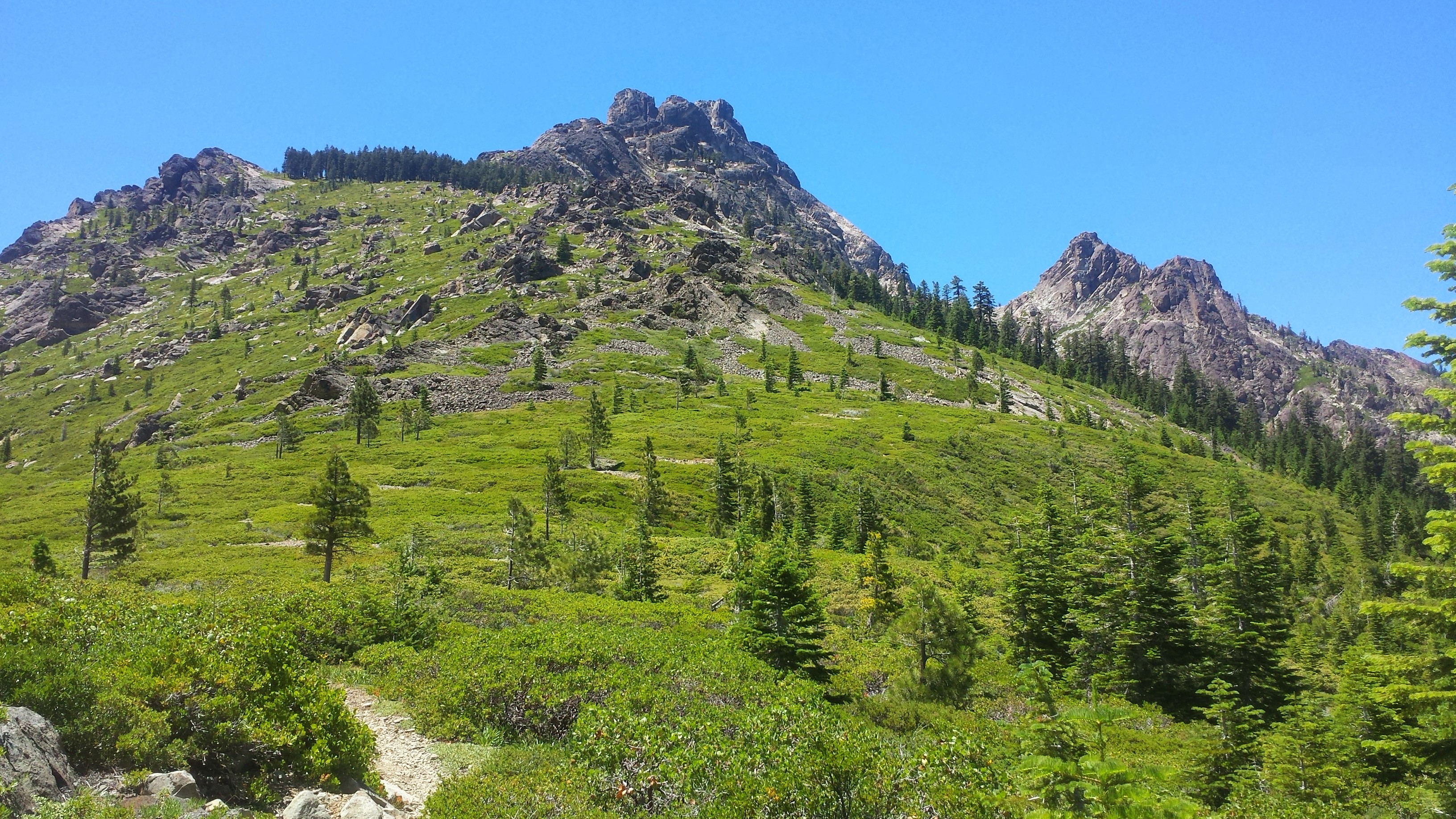
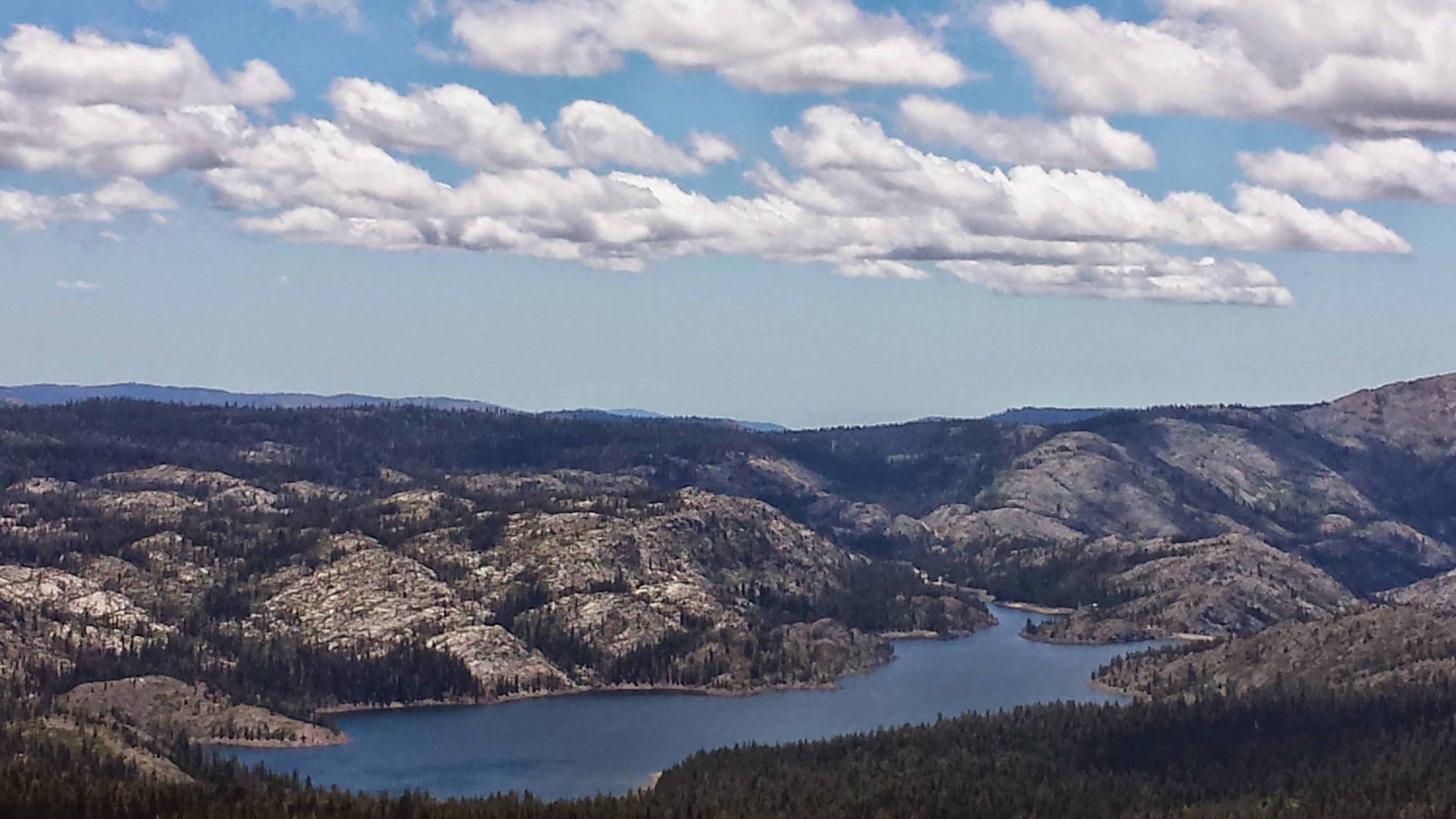
The trail started with an eight-mile climb around the Sierra Buttes. It was so hot that I took breaks to sit in any patch of shade I could find. The first water source I came to was bone dry and the second was a slow seep from a spring. The puddles from the spring were so small, I had to use my syringe to pull out water.
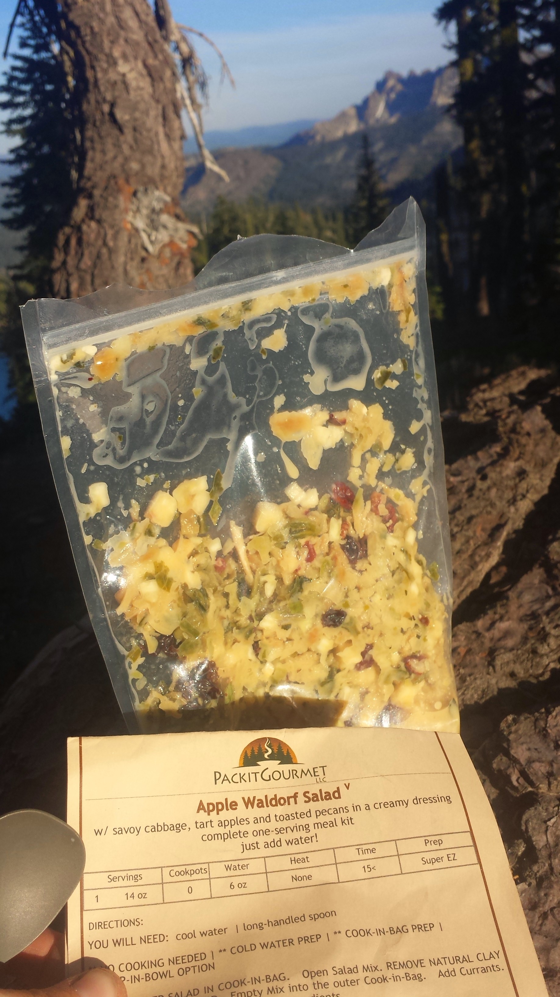
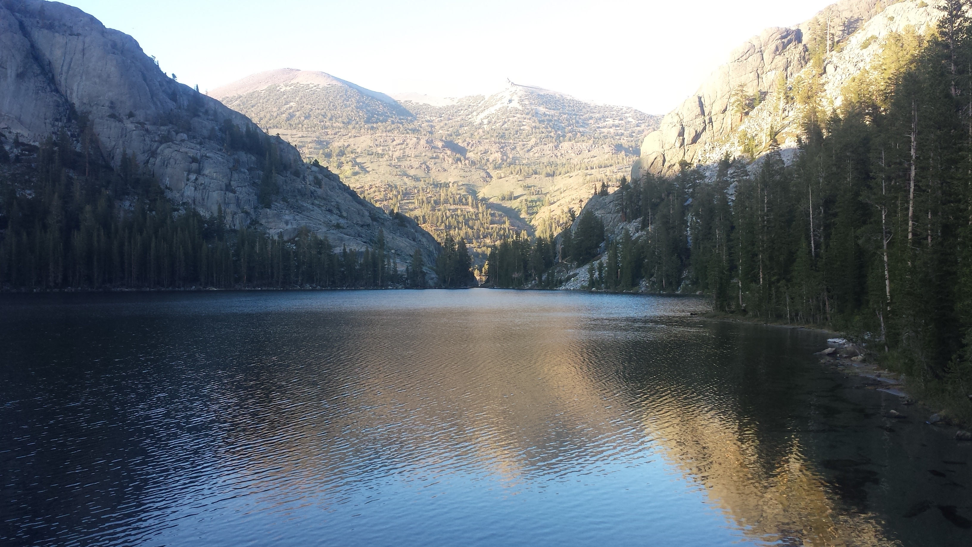
I’m camping near a dirt road above a beautiful lake. My dinner tonight was a prepackaged Apple Waldorf Salad made by Packit Gourmet. It was pretty good for a trail salad, but it was just too much food. I washed down my feet and legs with some wet wipes I found in the hiker box before climbing into my tent. As I approached the tent, I could hear what sounded like tiny raindrops all over the fabric. I looked inside and saw dozens and dozens of little flies bouncing off the walls. It took forever to swish them all out or smash them against the walls.
Packit Gourmet’s Waldorf Salad
I’ve been lying on my sleeping pad working on a crazy knot I just found in my hair. I don’t understand how I got it because I just washed it this morning. I hope I’m not getting dreads.
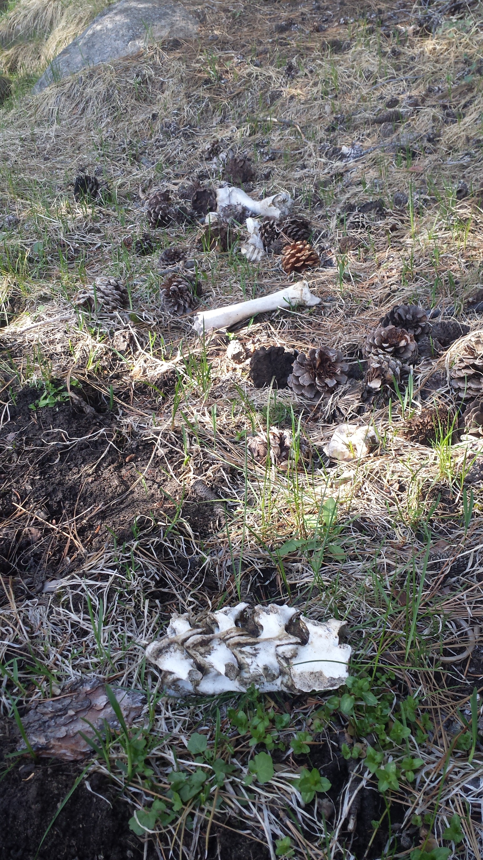
As I worked on the knot, I think I heard a buck- at least, that’s what I’m hoping I just heard! There was first what sounded like wood being broken or beaten. I thought there must be another hiker nearby preparing for a campfire, but the direction from which the sounds came didn’t make sense for there to be a hiker because it was coming from down the hill, away from the available camp spots. Then I heard what sounded like high pitched snorts. I’m guessing that it was a buck doing some territorial thing against a tree. All the same, I’ve brought my other trekking pole inside the tent in case I need to fight anything and my ears are perked up to the max trying to pick out sounds other than the overwhelming buzz of bugs trying to get in my tent.
July 1st- 23 miles
It was so warm last night that I barely used my sleeping bag. I kept waking up in a sweat. I guess this is the Nor. Cal. heat that I’ve heard about.
For the first time, I had a Carnations Instant Breakfast drink. Oh, delicious! Now I know what all the other hikers are going on about. I know it’s just that tasty because sugar is the number one ingredient. Oh, Sugar, why must you be such a great fuel for hikers and also be so bad for me? I’m starting to get sick of some of the food I’m eating. Some of it’s too healthy tasting, some of it’s too junky. I can’t even stand the amount of sugar on my dried pineapple anymore. I think I need more fats and protein, rather than carbs.
I had to ask myself today what it is I look forward to each day out here. I wasn’t feeling particularly motivated today and am not really inspired by my surroundings. The forest is lovely, but there isn’t was much diversity in shapes, colors, or textures out here. So, what is it I look forward to? I love the adventure and being outside. I really love coming across things of beauty like little wildflowers, bodies of water, or grand vistas. I like the exertion, until it hurts too much. I don’t mind being alone, until I get lonely or scared. Something is missing from today. I know learning how to deal with boredom and discomfort are part of the journey, but one never thinks it’ll be as mentally difficult as it really is.
[Update, Nov. 2014: Rereading this paragraph several months after being home is really frustrating. It’s hard for me to remember how challenged I was hiking through Northern California because I’m now sitting at home YEARNing to be back there! I will never again take my journeys for granted. In fact, I’d really like to re-hike this entire stretch, next time with an improved perspective!]
A beautiful young buck walked right through my camp while I was making dinner. His antlers weren’t yet developed and walked by only 20 feet from me. He stopped to look me in the eye, then kept moving. Beautiful.
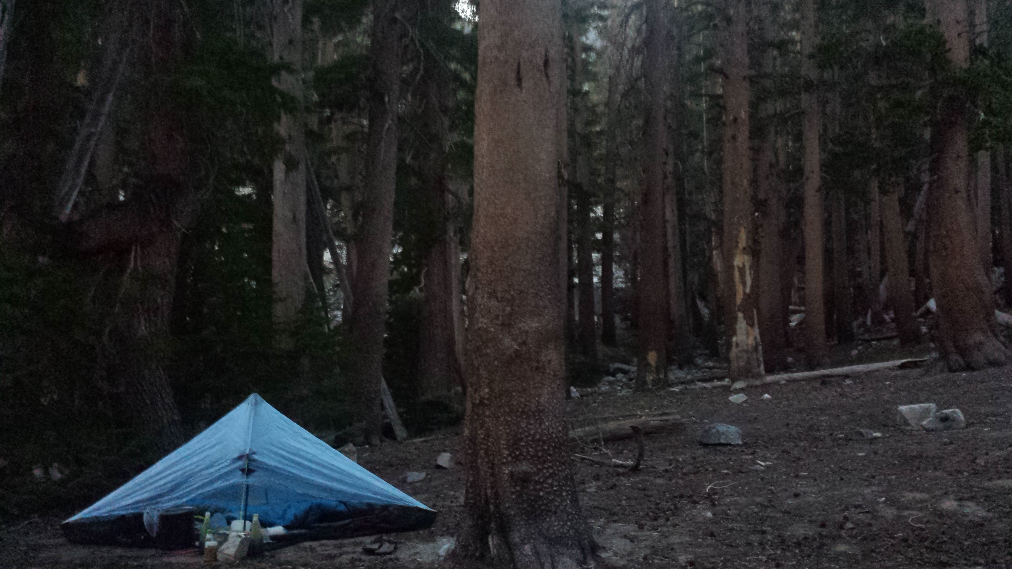
I’ve made a fire to keep me company tonight. I haven’t seen a single person all day and that feels strange after seeing so many familiar faces recently.
Camping near Duck Lake
July 2nd- 27.5 miles
Last night a visitor came to check me out and it scared the *mmm* out of me. Around 10:45, I was woken up by the sound of footsteps crunching across dead branches. I didn’t think it was a person because I hadn’t seen anyone all day and it wasn’t coming from the trail. I quickly sat up, grabbed my flashlight and shined it out from my tent. Two glowing eyes stared back at me from about 20 feet away and it wasn’t a small animal.
I yelled out, “NO! GO AWAY!” as fiercely as I could. It stared at me and slowly turned around. It walked across my line of sight behind the trees and stopped at the trail about 35 feet away. I couldn’t tell what it was, but my mind immediately went to either a bear or lion. I didn’t think a deer would be that loud and it didn’t seem very bothered by my yelling. I kept yelling, trying to sound like an aggressive dog. The animal stood in the trail staring at me; it bobbed it’s head down and up a couple of times, probably trying to get a good look at me.
After what felt like forever, it finally moved away into the trees. I could hear it scratching against a tree, and the wood sounded like it was splintering. I imagined large, sharp claws being sharpened against that tree trunk. I laid back down, still clutching my little light, listening hard. I thought about making a video for the blog at that moment, but I was so frightened and didn’t dare stop listening in case it came back to investigate me. It must’ve been a couple hours until I fell asleep.
This morning, I looked around for any prints on the ground or marks in the tree it had been scratching on. I didn’t see anything that would’ve indicated what kind of animal it had been. There were too many dead branches on the ground for prints and the tree must’ve been further away than I had thought.
I hiked on through the morning, leaving behind the creepy feelings of last night’s campsite. Reaching a road midmorning, I spied a couple coolers stashed by the side of the trail near a road crossing. “Yay! Trail magic! Maybe there’s a Gatorade or cookies!” Alas, I found only trash in the coolers.
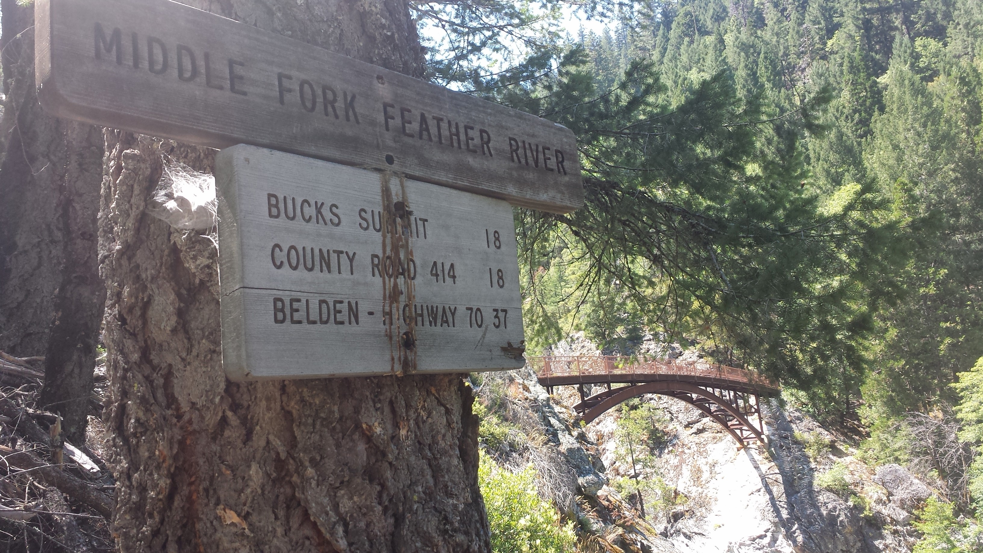
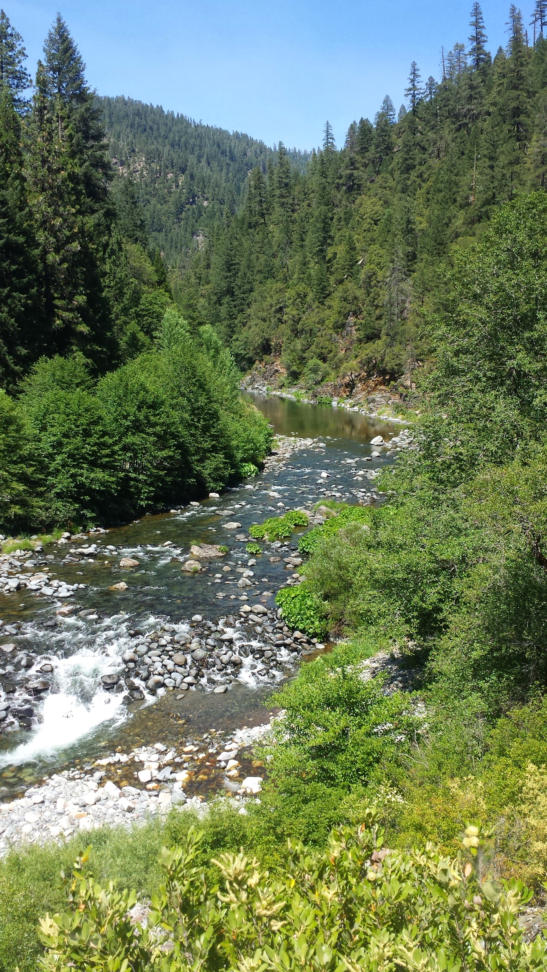
I had a long, slow decent for most of the day toward the Middle Fork Feather River. It was hot and muggy, and the lower I got, the more jungle-like became my surroundings. I don’t know what I was expecting, but it certainly wasn’t a great big river with a massive bridge. It was such a great surprise and it was the perfect temperature for a swim.
Middle Fork Feather River
Middle Fork Feather River
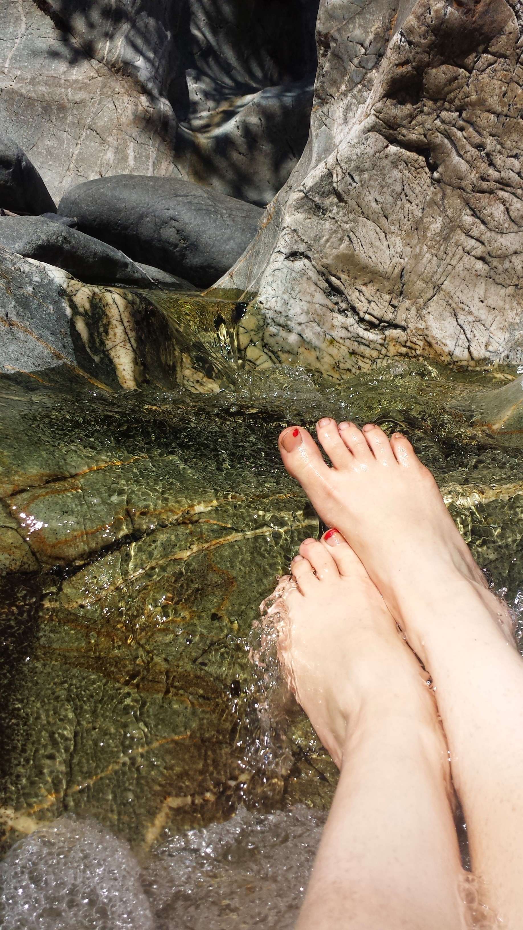
I spent two hours by the river, filtering water, making lunch and then going for a dip. I found a small area among the rocks where the water pooled like in a bathtub, but was flushed through by the rapids. I dunked myself in and it was HEAVEN. I must’ve lounged for 20 minutes before I noticed that I’d knocked what I thought was lichen off the rocks and that it was then attaching itself to me all over my body: leeches. Tiny, squirmy leeches were everywhere and I was frantically trying to find them and pull them all off. UCK! Not so heavenly.
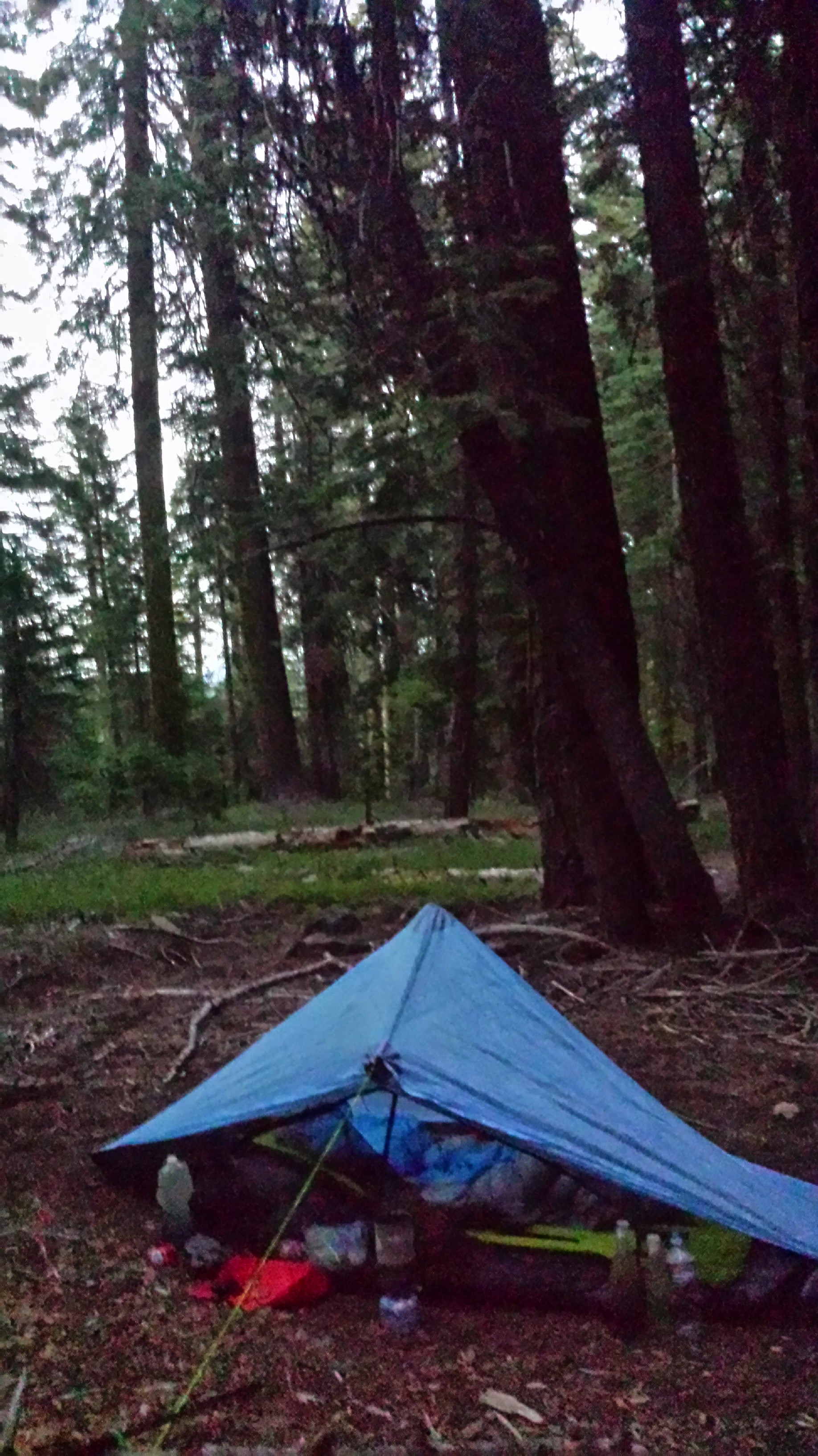
The ten-mile climb out of the canyon was hot and steep. I had intended to only go a couple miles and camp at the next site, but it was dark and rampant with mosquitoes. So, I kept marching on another couple miles to the next site: same story. I ended up hiking all ten miles that evening to reach decent camping. Of course, my feet were hurting by the top of the ridge, but that two hour break really made it possible. If only there could be a beautiful river at 3:00pm every day I hiked, where I could wash and relax for two hours- I’d probably hike 27-28 mikes every day!
July 3rd- 23.5 miles, camping above Belden Town
It was exceptionally hot today. At every water source I came across, I stopped to soak my shirt before continuing on the hike. I carried extra water just so I could pour it over myself when the heat became unbearable.
There seems to be two groups of hikers: those that are putting in 20 to 27 miles each day and those that put in 27 to 32. I must be in the first group and not because I’m lazy. My feet just don’t want to walk more than 23 miles a day. Usually, the first few steps of the day are excruciating and, after about a tenth of a mile, they warmup and give in to the monotony of walking again. They often do great until after I hit mile twelve for the day, then they start asking me, “Are we there yet?” Then they just ache all afternoon until I get into camp. This is our normal routine. Whenever I put in more than 23 miles, however, my feet will hurt ALL THE NEXT DAY, from the very first step to the very last, and that makes it hard to put in the miles.
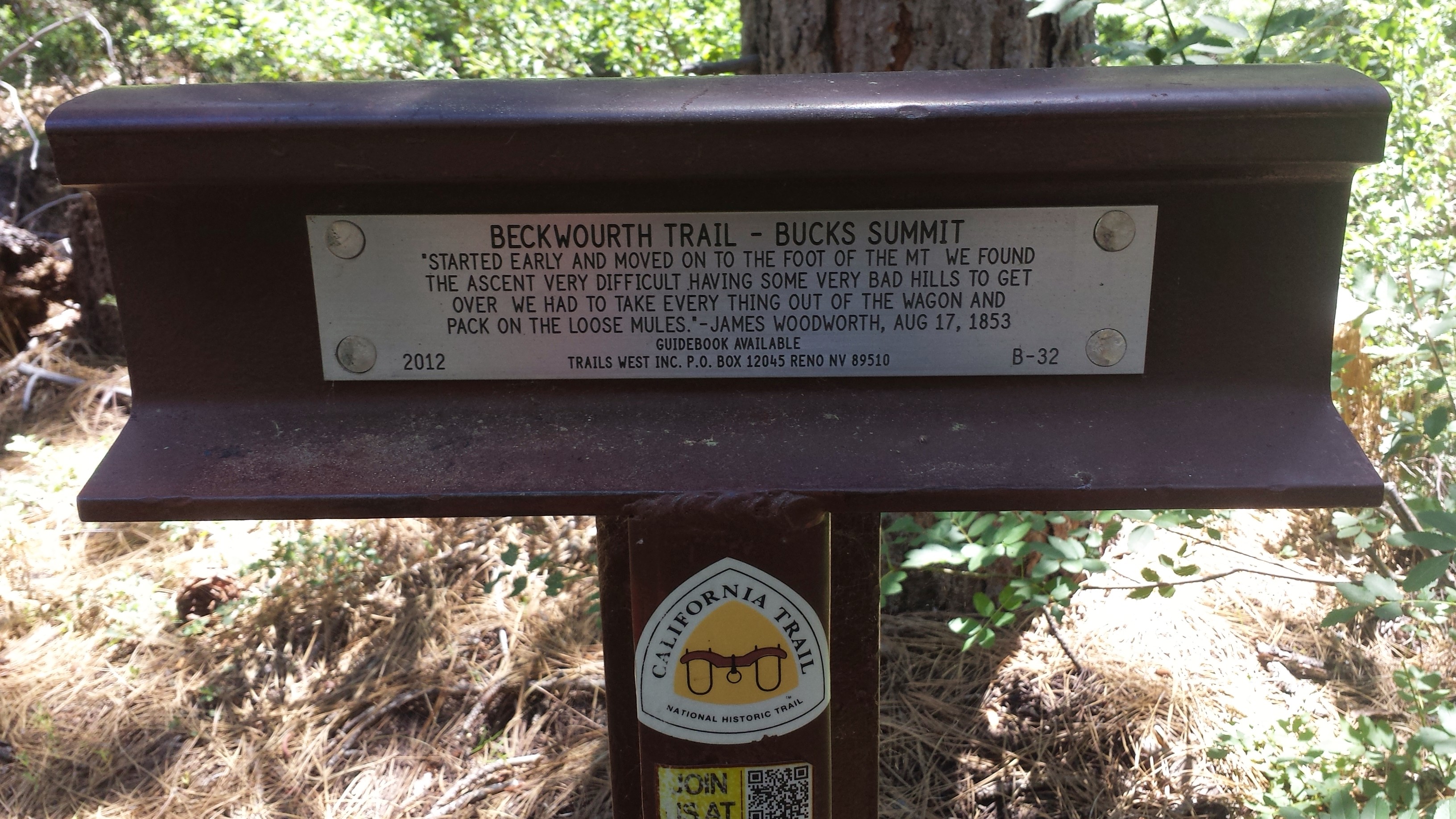
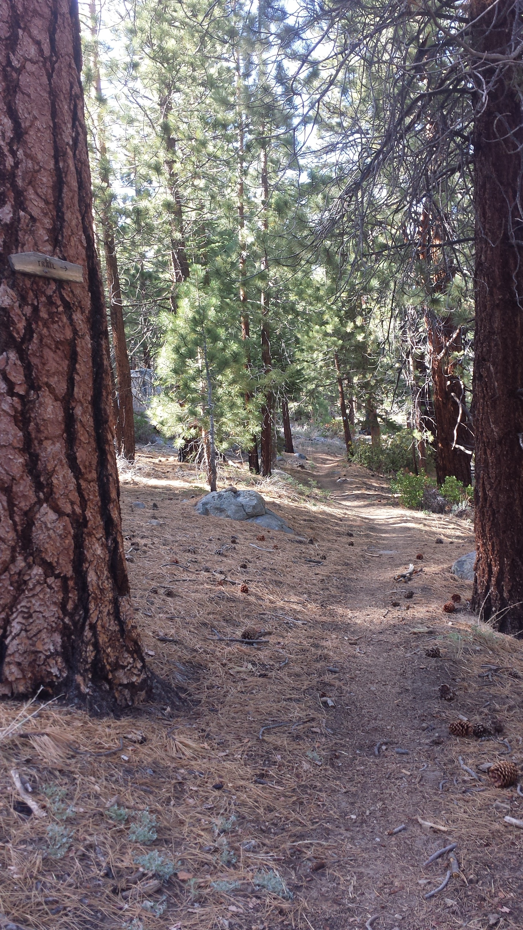
Beckworth Trail- Bucks Summit
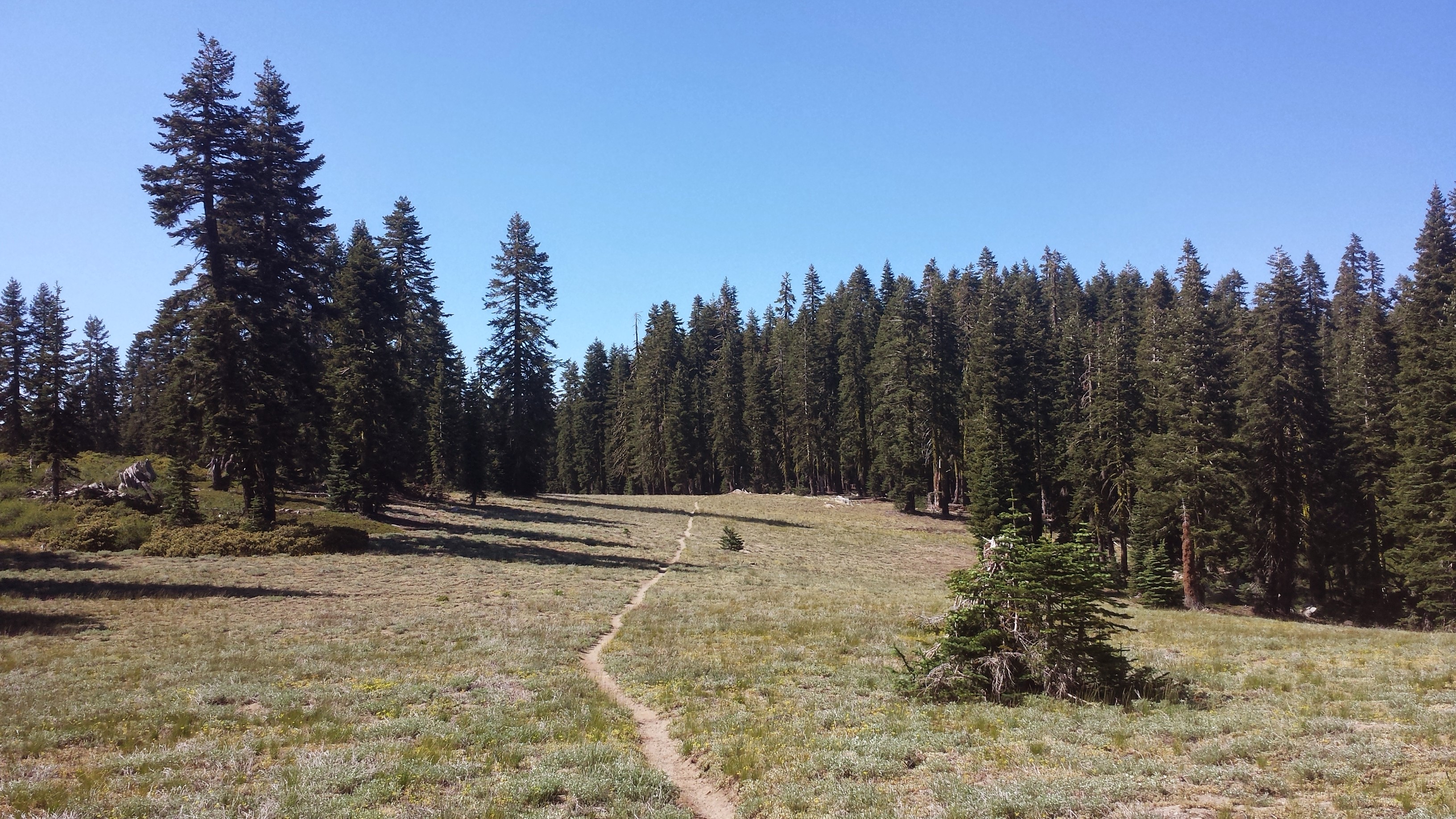
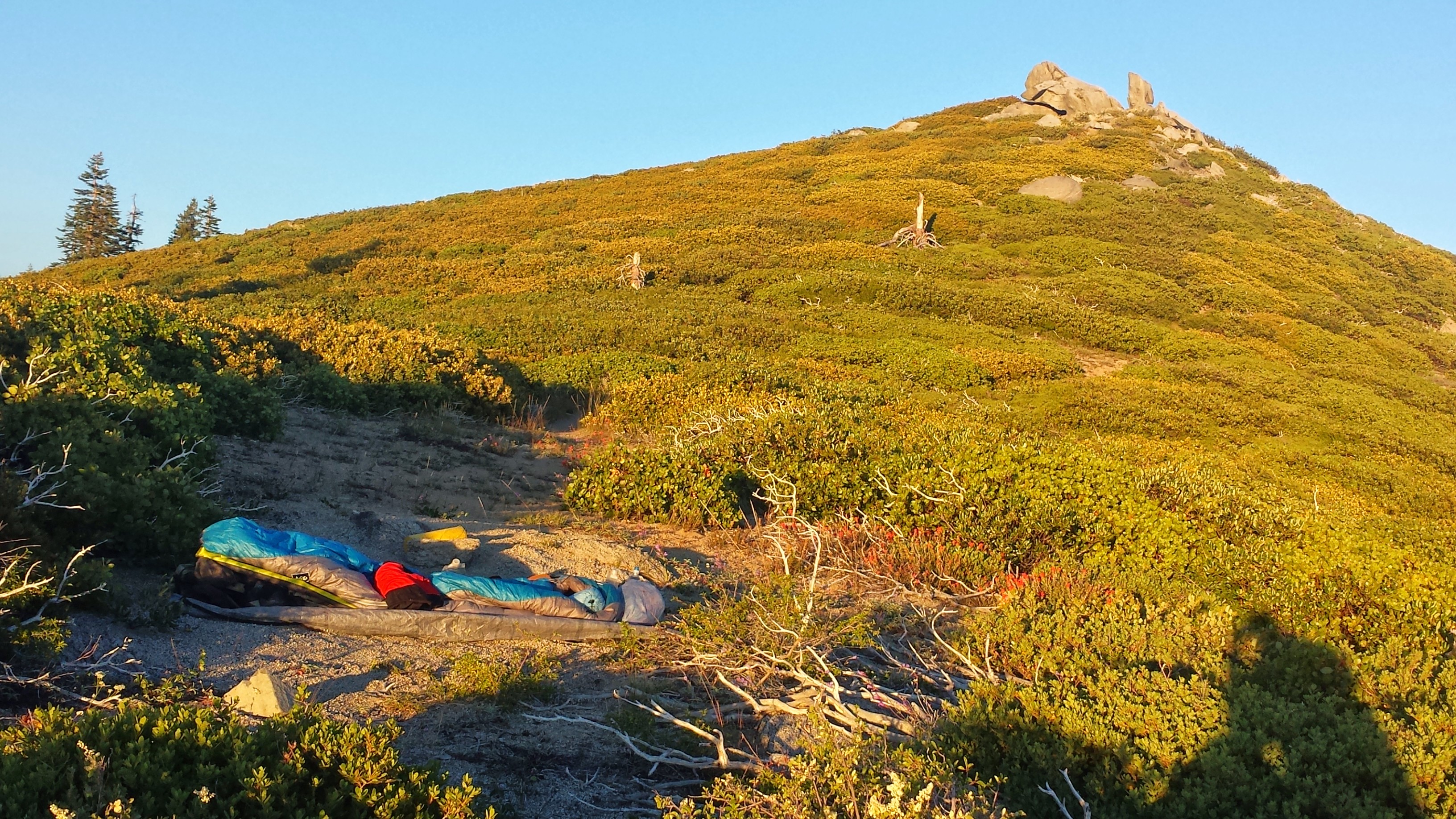
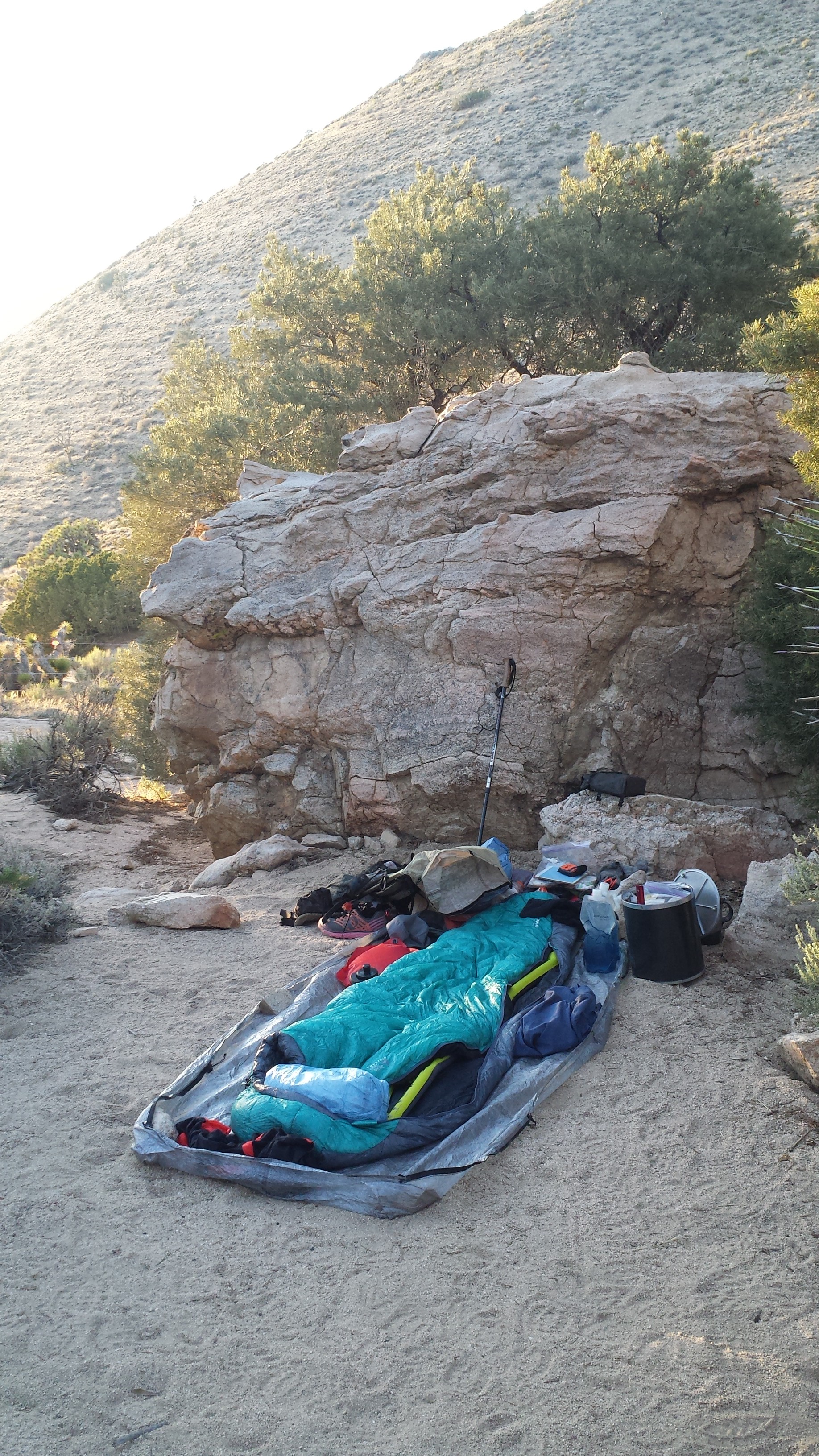
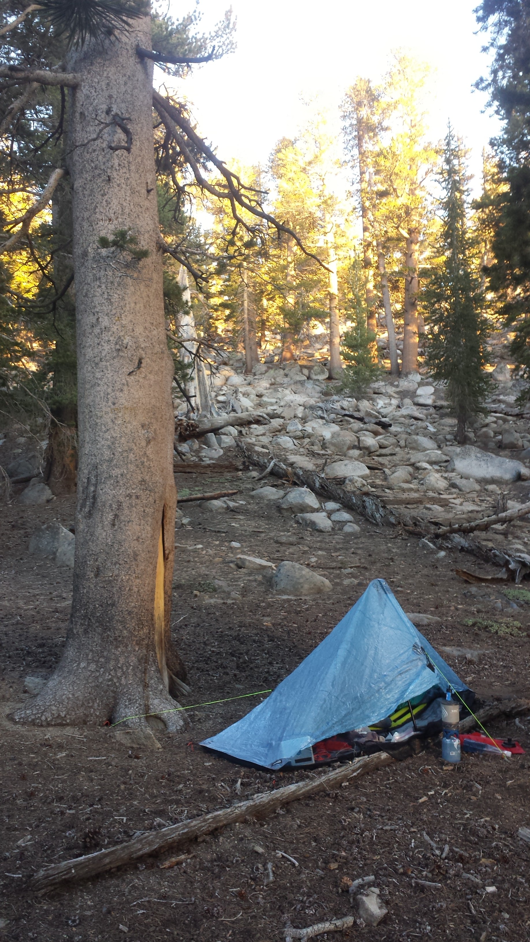
Cowboy camping above Belden
I’m cowboy camping tonight. The land here on this side of the mountian range is more desert-like, with low shrubs and large boulders. It’s not that I’m claustrophobic, but I definitely like being able to see my surroundings. On peaks and in the desert, I can look around and say, “That’s where I’ve been and that’s where I’m going.” In the forests of Northern California, I can’t see past the trees. I’m just surrounded by walls and walls of trees.
I just got sprayed by a skunk. JUST NOW. Holy, $h!#!! I am NOT having good luck with the wildlife. It’s smells, I smell. Great. [Update: That little skunk came charging towards me and was probably surprised by the big human burrito he found in his path. He skidded to a stop just in time for me to shine the light from my cell phone on him. He was adorable: less than a foot long, back arched and tail straight up in the air like a Halloween cat. I’d already heard the little “pppth” sound, but I was secretly hoping he hadn’t actually sprayed me yet. “No…, nooooo. Don’t do it,” I gently tried to coerce him. But it was pointless because just after he sped around and took off, I smelled the stench and could see the yellow stains all along the side of my bag and down jacket. Despite the heat, I stuffed my head entirely in my sleeping bag to block out the smell and dreamed of town food only six miles below.]
July 4th- 6.5 miles, staying with The Braatans in Belden Town
North Fork Feather River, Belden
I got into Belden Town early enough to catch breakfast at the Belden Town Resort. The resort is hosting an electronic music festival and there are TONS of tents all along the river bank. Several hundred people came from all over to attend the concerts, which go on all day long for the weekend.
Belden
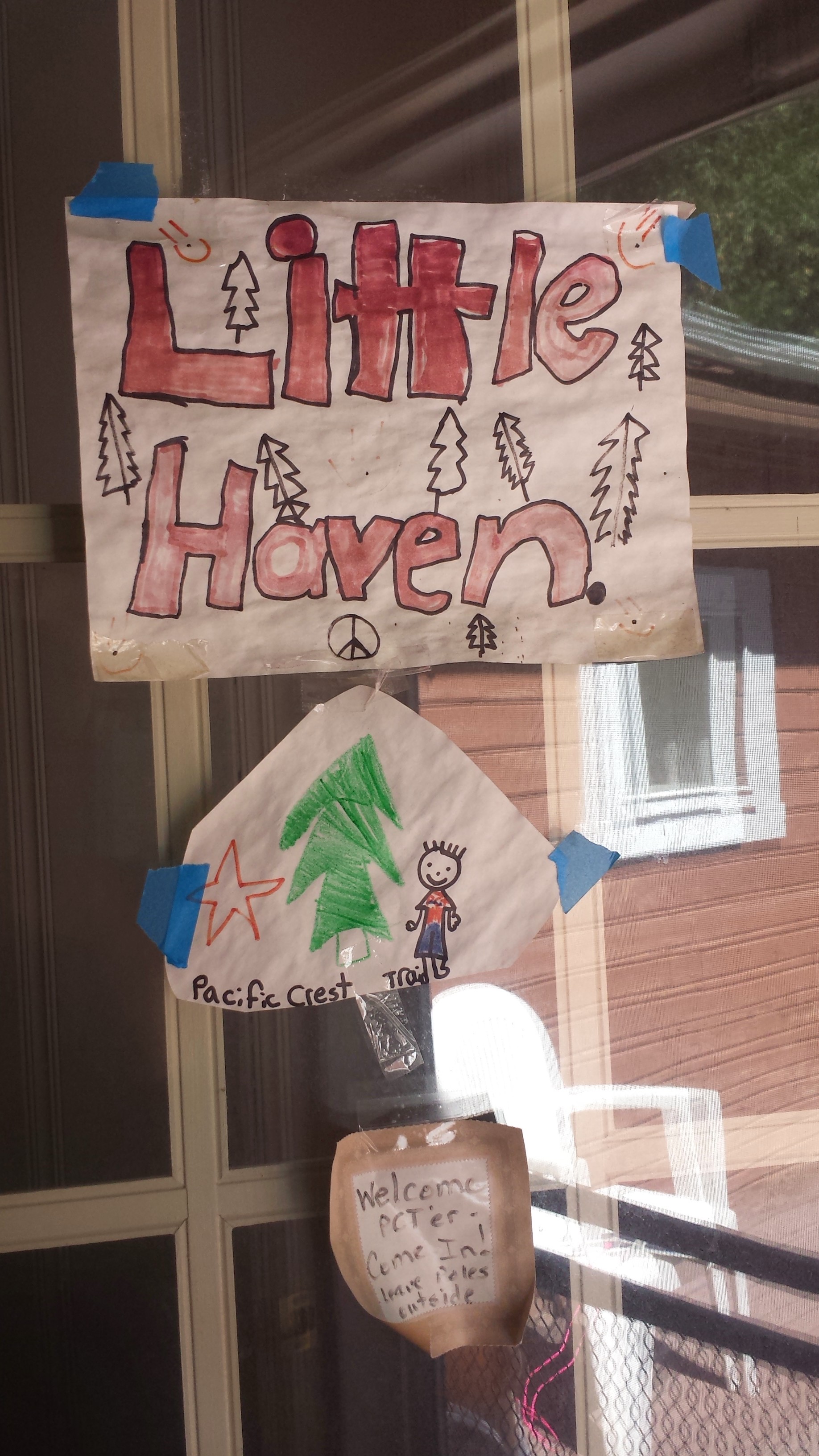
I called the Braatans of Hiker Haven and Brenda Braatan immediately came out to pick me up. They built an addition to their house specifically for PCT hikers, complete with two bedrooms, kitchen and bathroom. By the time I’d showered and napped, three other hikers showed up: Joker, Cracker Keeper, and Glitter. You can check out Glitter’s blog at UltraLightRob.Blogspot.com.
Home of the Braatens
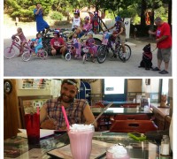
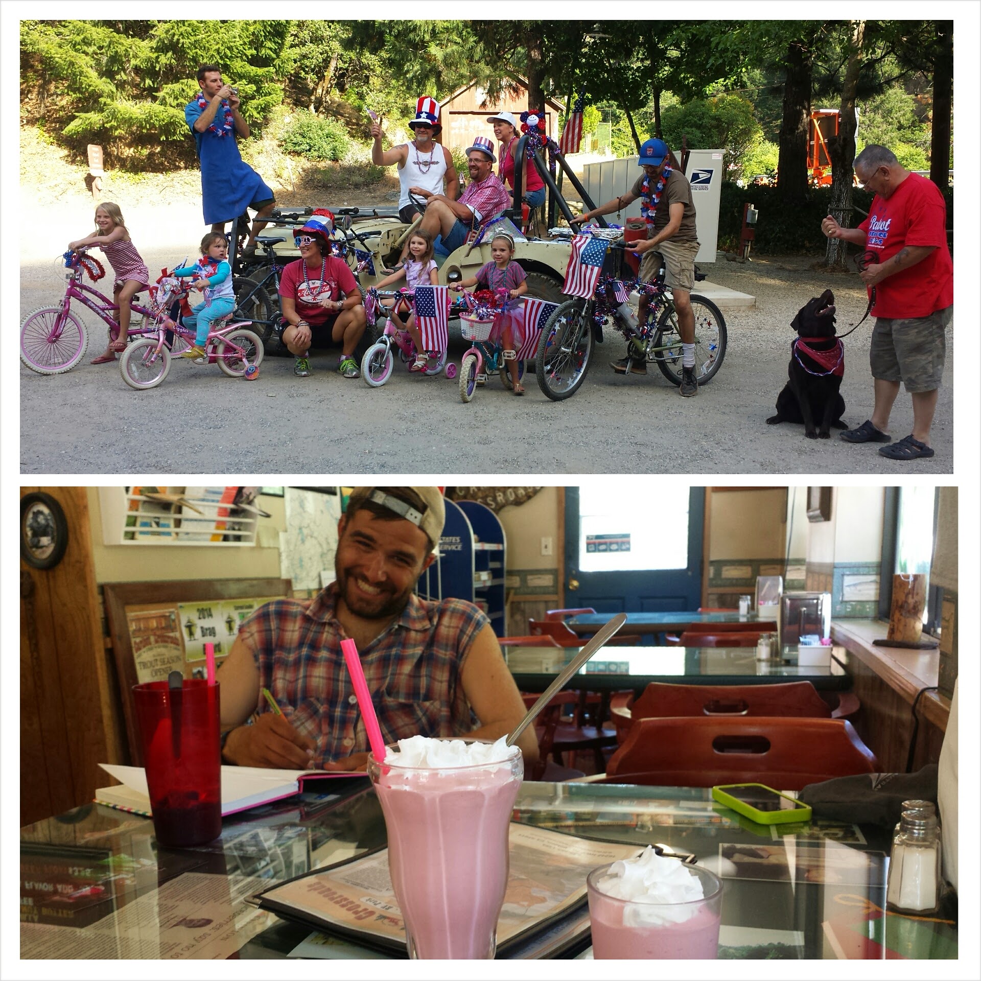
The three of us walked a quarter mile down the road to an RV park for laundry and some pretty famous milkshakes. The Caribou Crossroads milkshakes are famous among the PCT community for being “The Best Milkshakes on the PCT.” The kids at the park wanted to put on a little parade for 4th of July, which was super cute. They decked themselves and their little bicycles out with red, white, and blue streamers, beads, and flags. Someone played some all American country music while they rode in circles around the RV parking lot. It was pretty fun to be a part of their little celebration.
Caribou Crossroads with Glitter
Glitter’s got too much food.
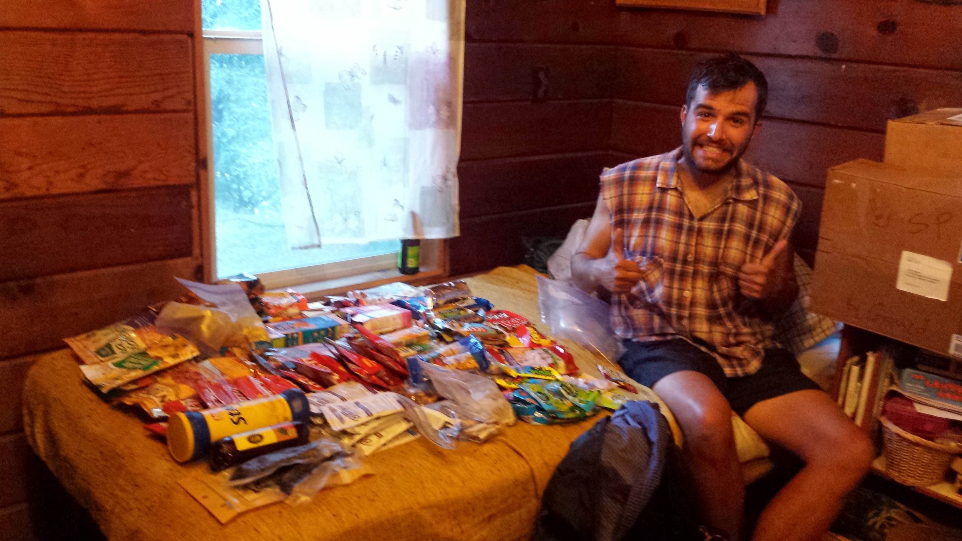
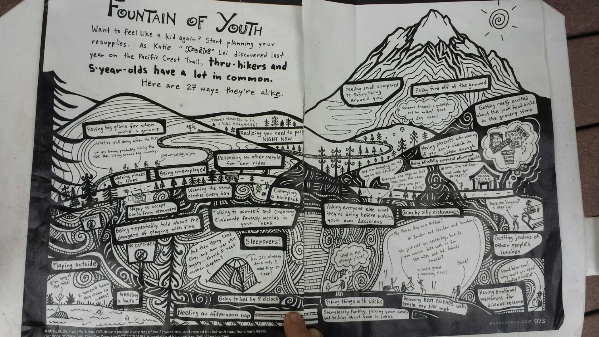
Back at the Braatens, we went through our resupply boxes. Glitter, Joker & Cracker keeper all had WAAAY too much because their parents were sending them extra stuff. All that extra food goes into the hiker boxes where people like me can swap out things their sick of for new goodies. Sometimes people put fun things in the resupply boxes. Another hiker got this tear out from Backpacker Magazine:
Doodles Does the PCT
There are some pretty cute and, might I add, accurate depictions of hikers here. Doodles is a PCT hiker from 2013 who’s compiled and published her art in a book called Doodles Does the Pct.
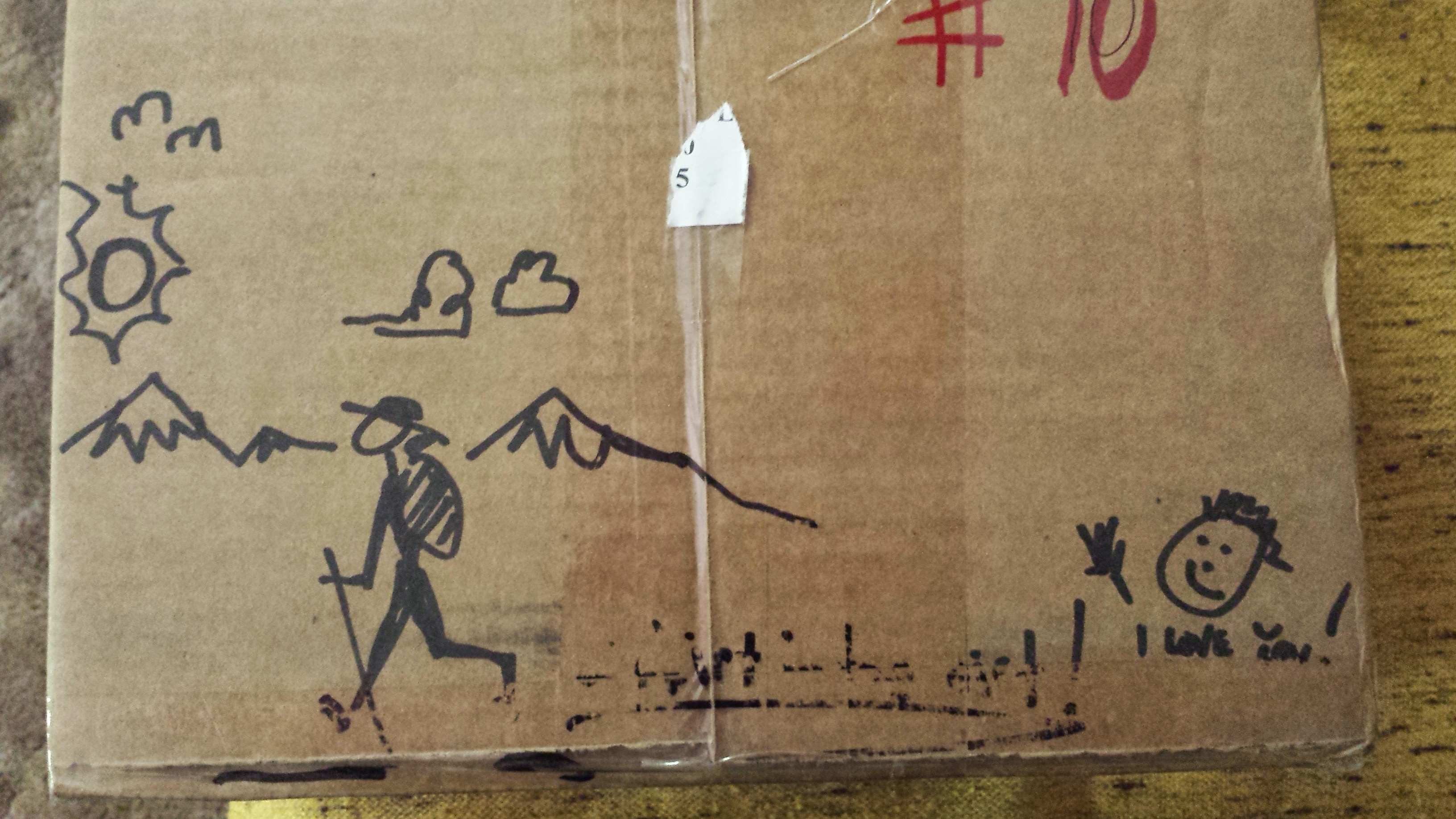
I even got a few doodles of my own from my own resupply honey…
Herrington\'s Sierra Pines: 39.562929, -120.642680
Echo Lake: 38.833796, -120.041573
Sierra City: 39.576519, -120.612566
Peter Grubb Hut: 39.367885, -120.367525
Benson Hut: 39.260938, -120.296369
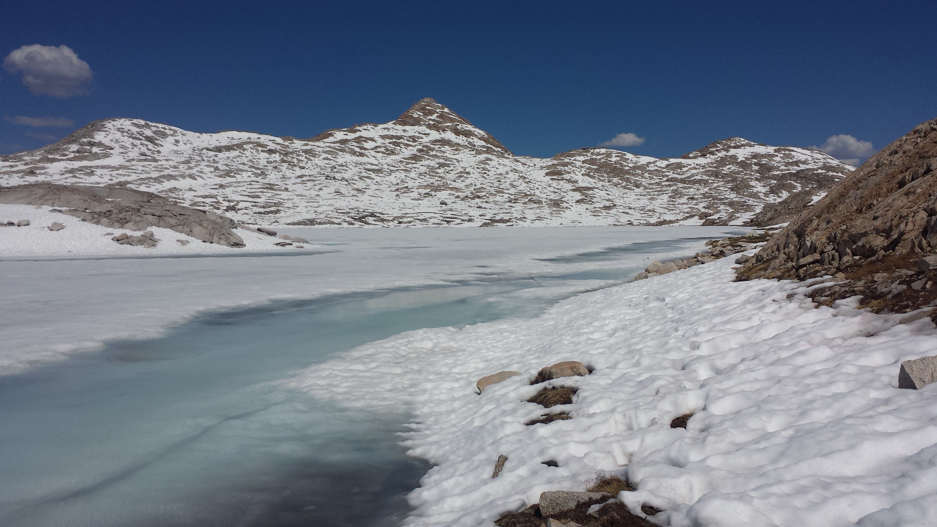
June 23rd- 7 miles, camping at Susie Lake
People might think that town stops mean rest and relaxation for hikers. In reality, there are usually so many chores to be done that napping, etc. doesn’t happen as much as you might expect. I was really hoping to get a nap in before hitting the trail this afternoon, but there were just too many things to do. I had to make phone calls and send emails, check my bank account and bills, organize my gear, fix my tent, duct tape my pack, shower, eat breakfast, mail home my bear canister, and eat lunch. Whew… even now, it seems like a lot. I still didn’t manage to contact my cell carrier to figure out my data plan. It’ll be postponed again.
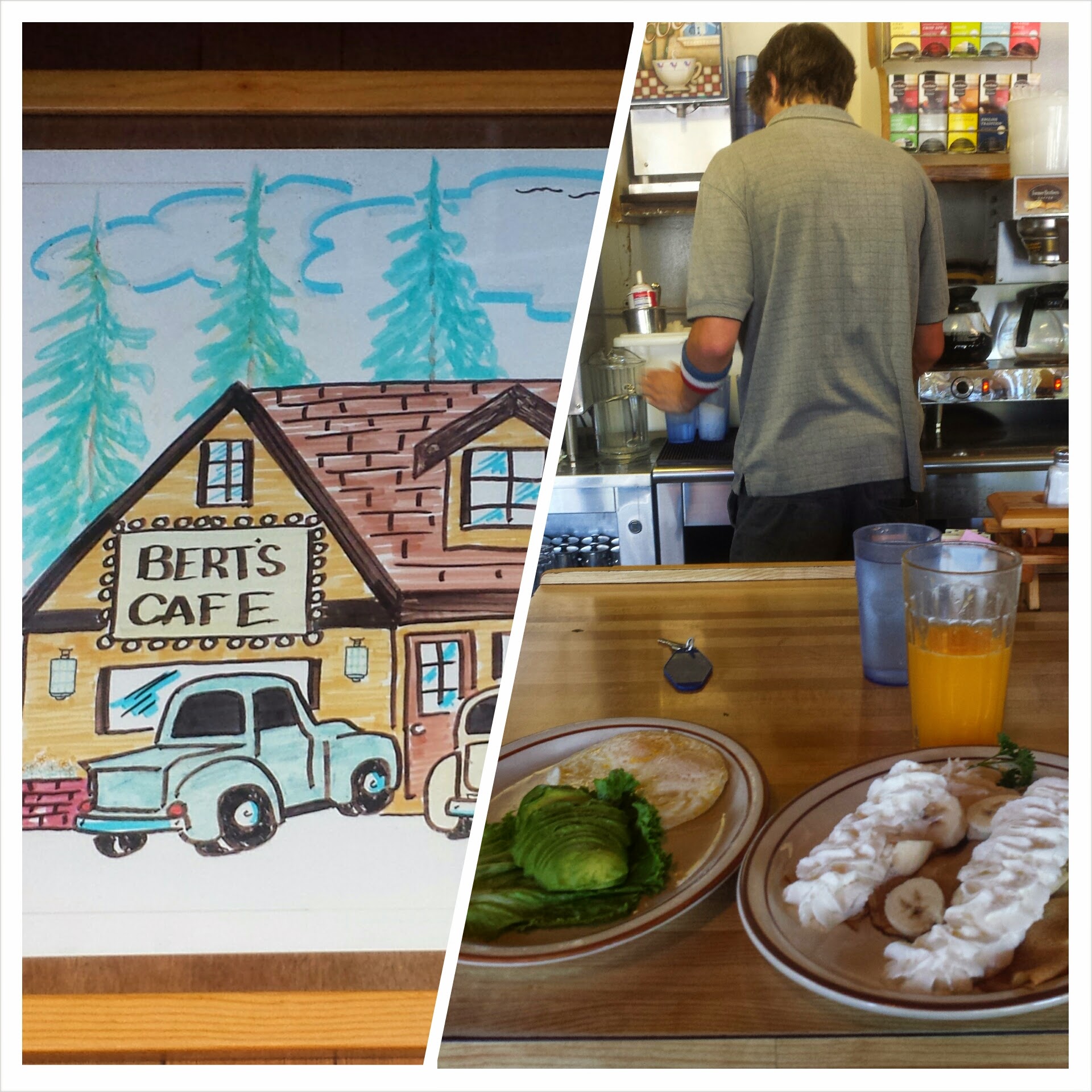
Bert’s Cafe, So. Lake Tahoe
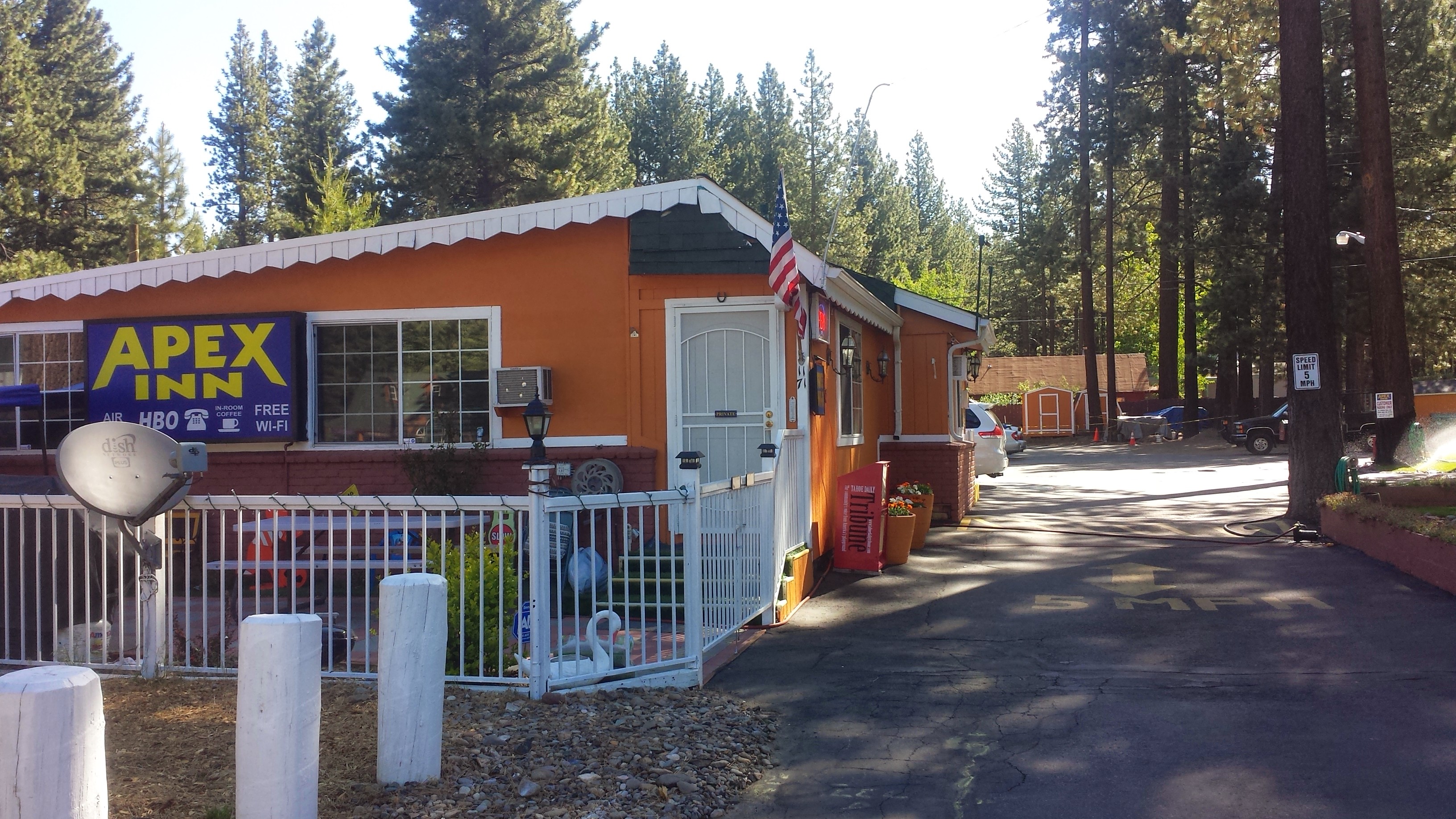
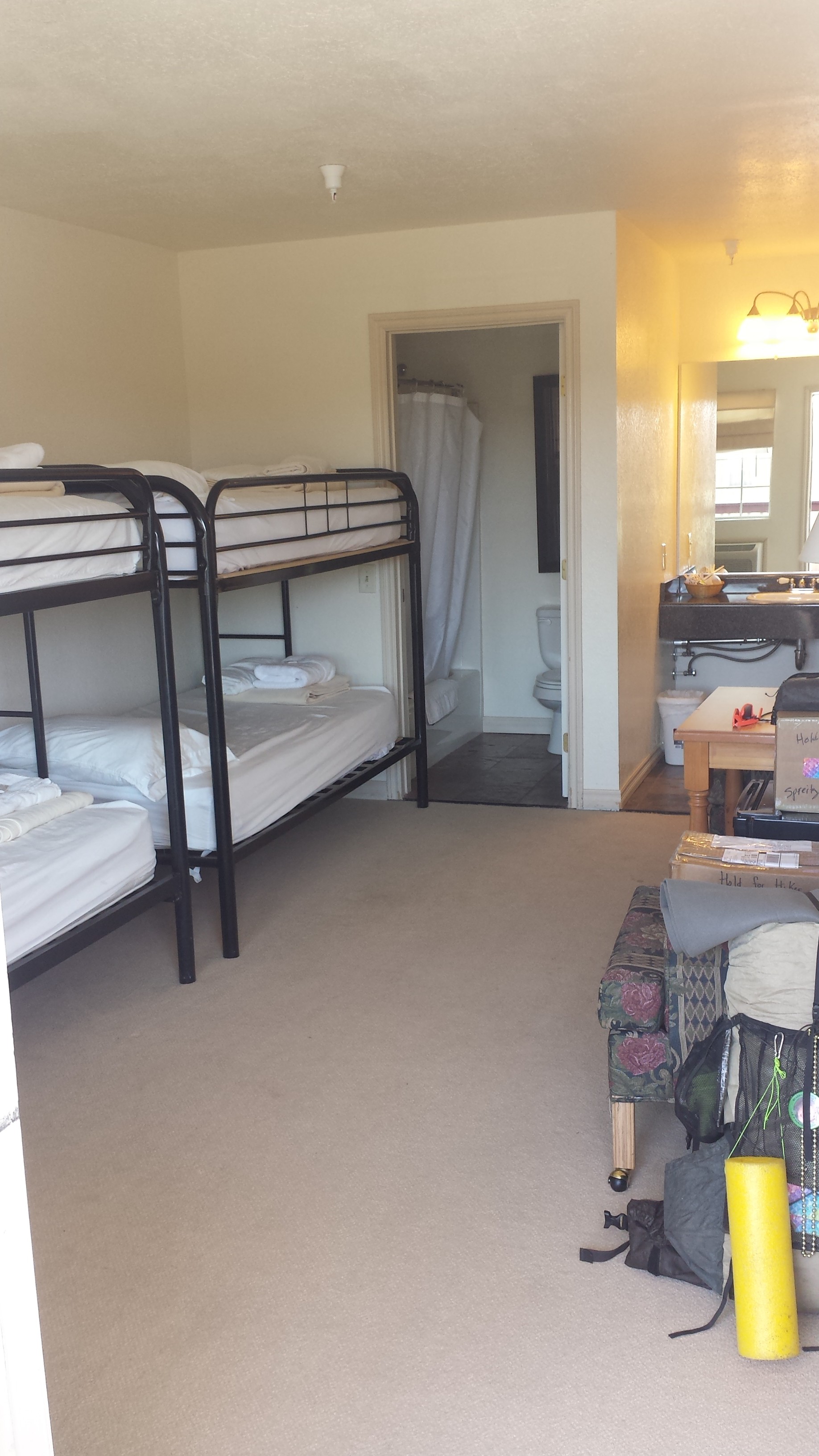
I really enjoyed my stay at the Apex Inn. My super clean room had a mini fridge, a microwave and a coffeemaker, all of which I took full advantage of. I especially loved that it was within walking distance to all of the facilities and shops I needed. They Indian family that runs it were so hospitable and sweet. The hotel owner even shuttled me back to the trail today.
The very affordable & pleasant Apex Inn, So. Lake Tahoe
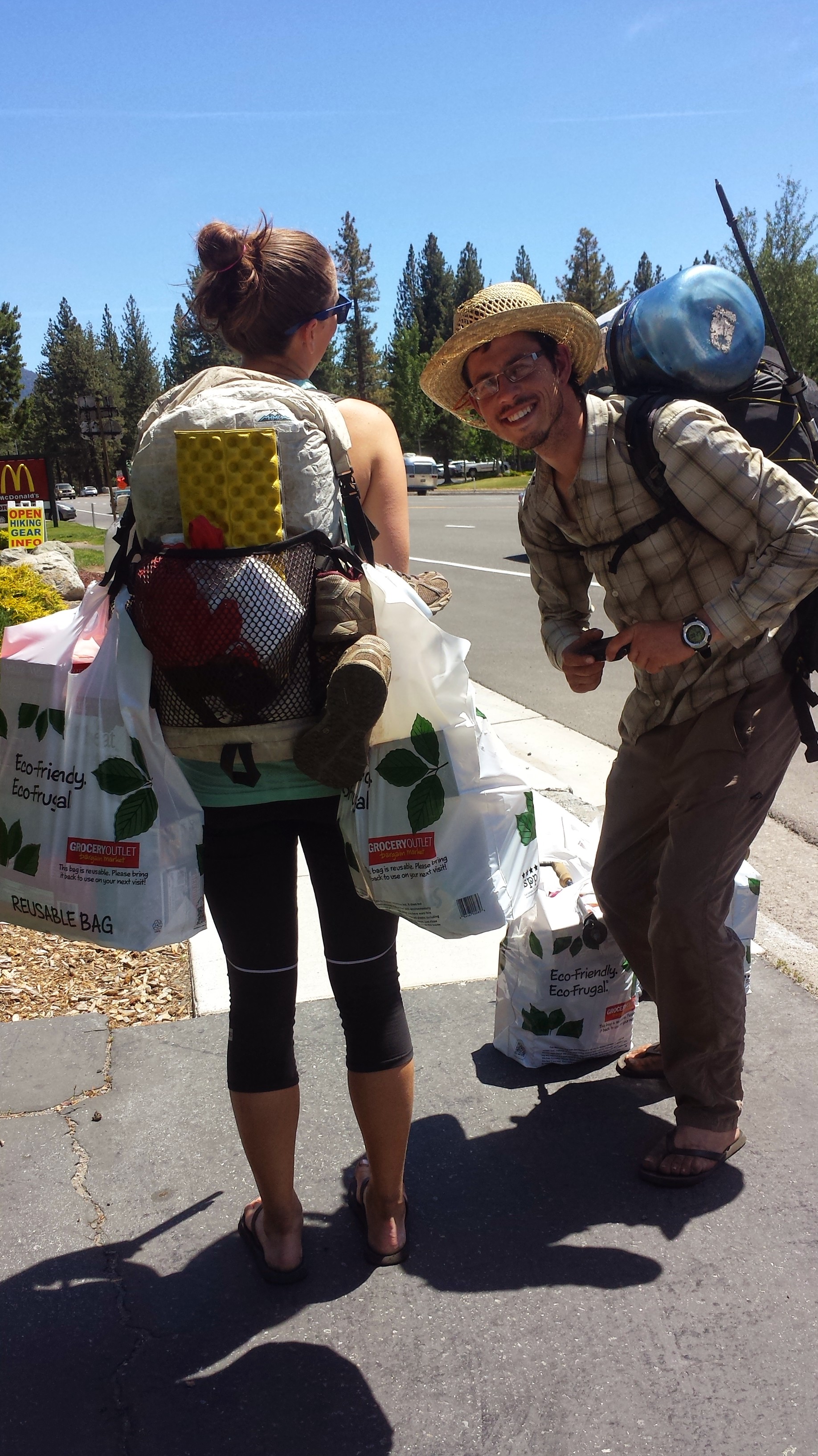
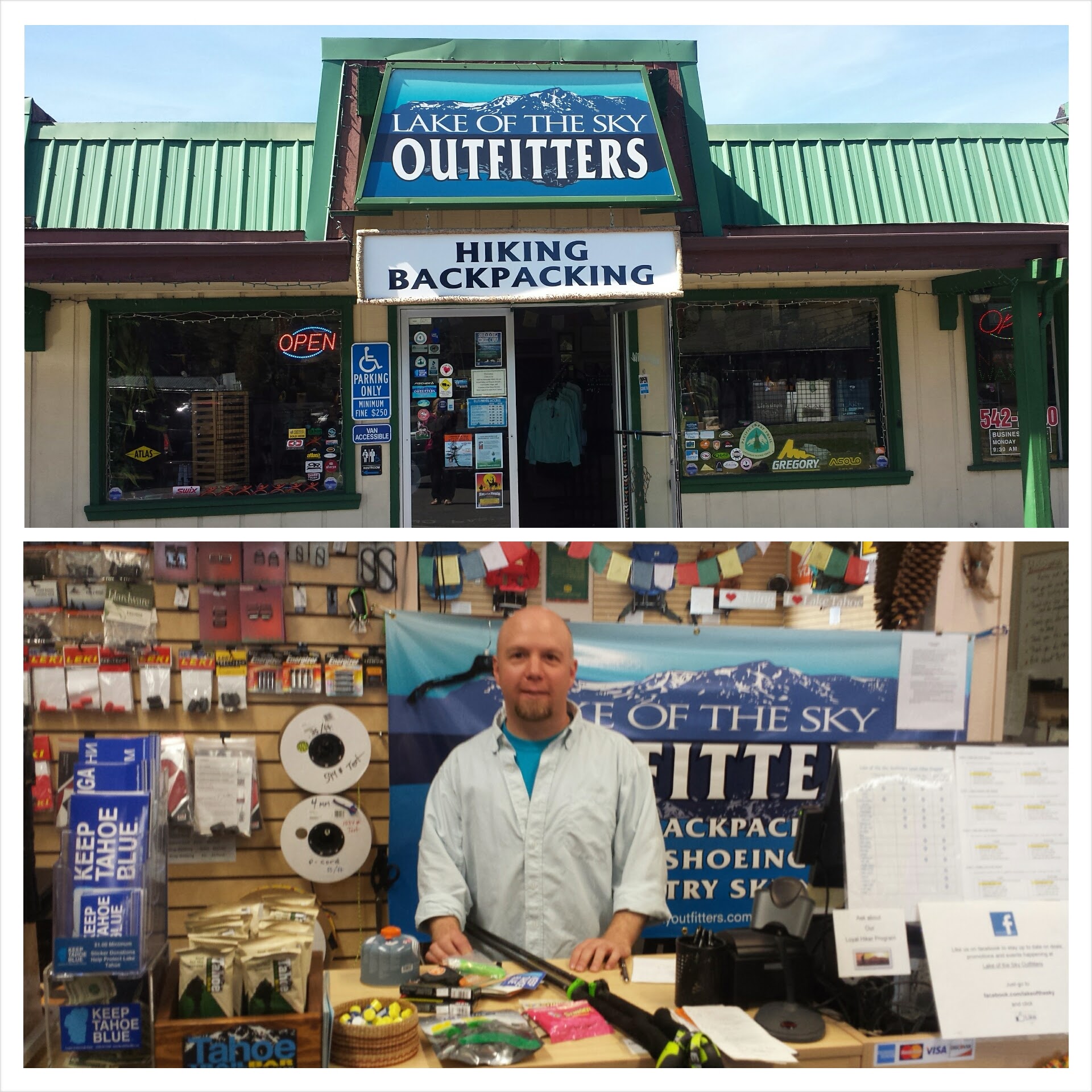
After checking out, I hung out at the Lake of the Sky Outfitters hiker lounge waiting for my ride to finish up his work. While there, I worked on replacing guy lines on my tent and taped up the fraying fabric on my backpack. I bought an awesome stuff sack that can double as a day pack and am using that to store my food in from now on. Lunch was a Subway sandwich. Mmm… Veggie Delight.
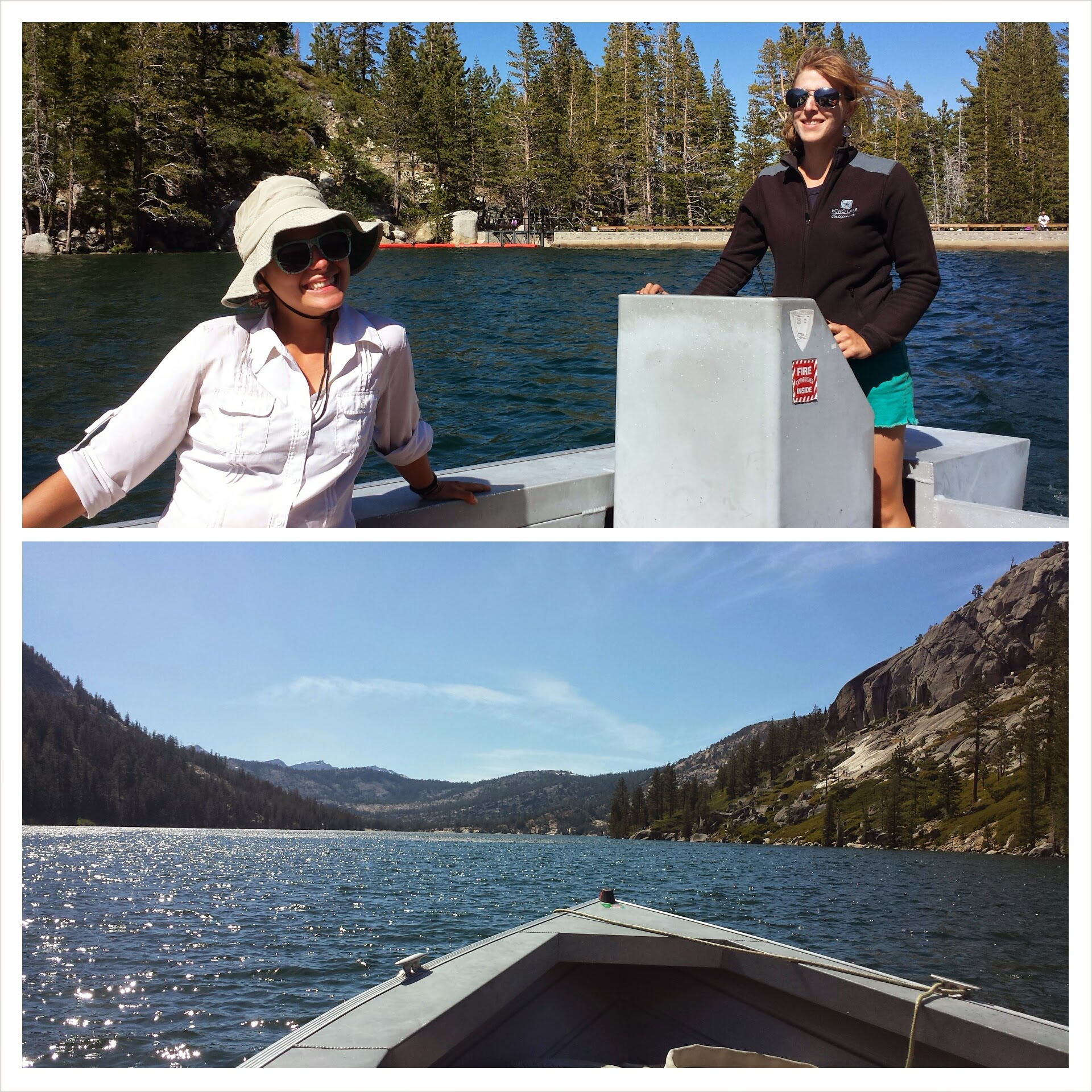
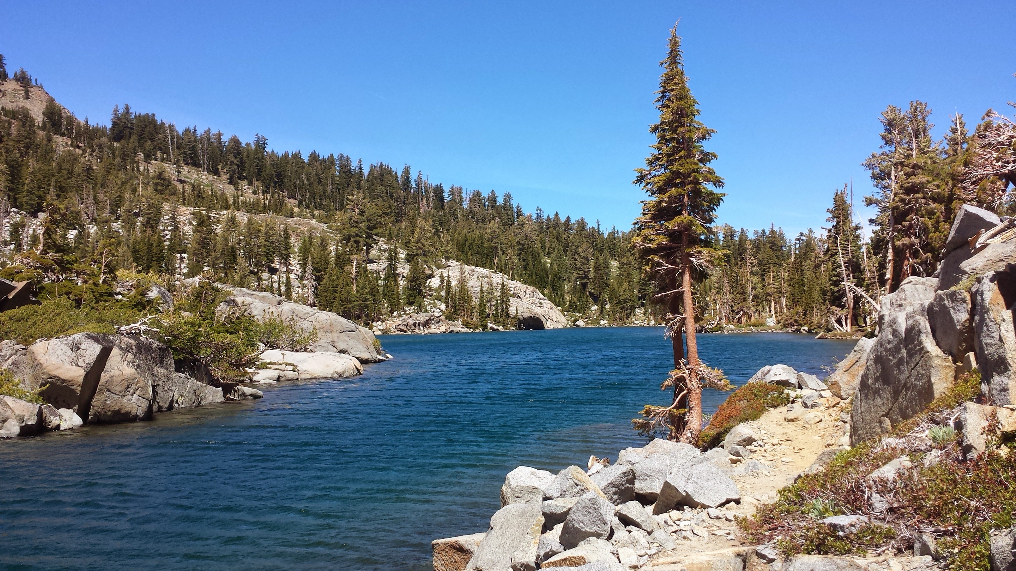
Echo Lake
I rode with the owner of the Apex Inn and his two children back up to Highway 50 and the two miles to Echo Lake. He even waited to be sure I got my Echo Lake resupply package okay before he left.
I lolly gagged at the picnic table sorting my resupply food. Apparently, I never got around to putting in any dinners for this box. I looked closely at the list I made of the box contents and could see my note to myself: “Add 5 dinners.” I had to buy a bunch of top ramen from the Echo Lake Store. Bleh! Another solo lady hiker, trailname “Freedom,” was sorting her box, too. She and I took.the speedboat ferry across the lake to shave off a couple miles and just for fun.
Echo Lake Ferry with Freedom
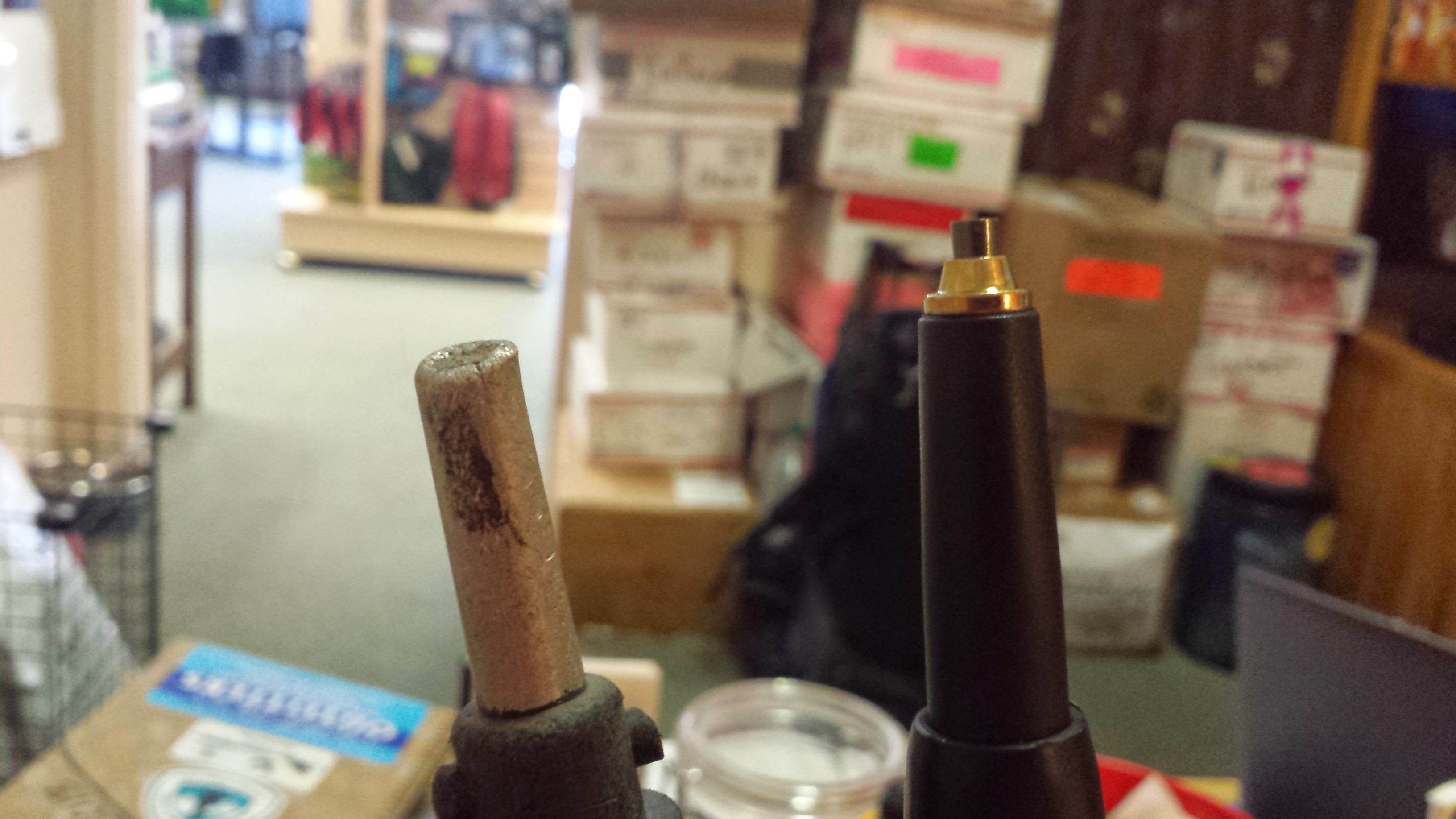
Since I bought two new poles in Tahoe, I now have to get used to hiking with them. They’re much more secure feeling, but it’s kind of like walking with four feet instead of two. I feel a bit like a baby giraffe trying to get the swing of it.
Old trekking pole, new trekking pole
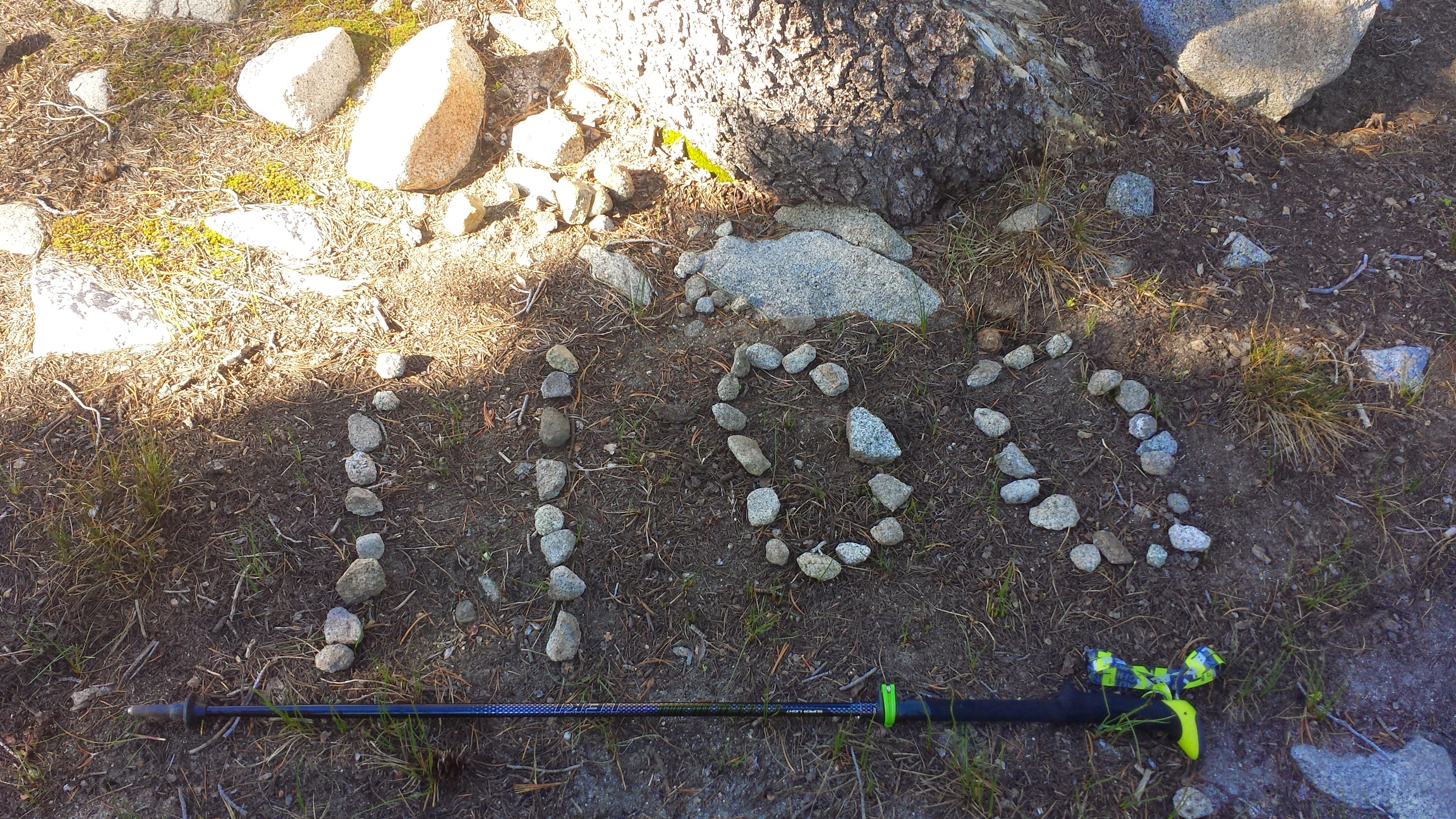
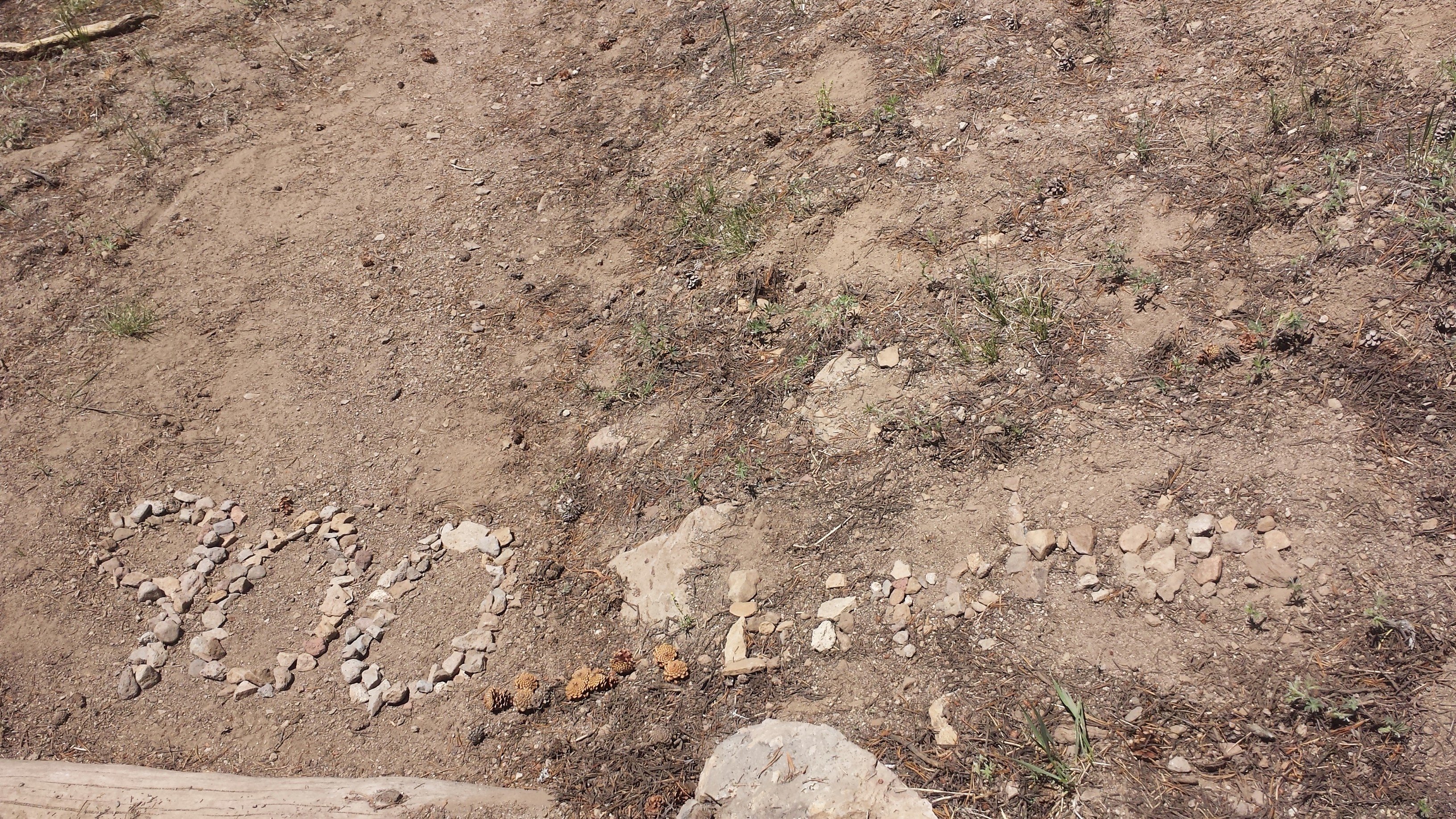
1,100 mile-marker on the PCT
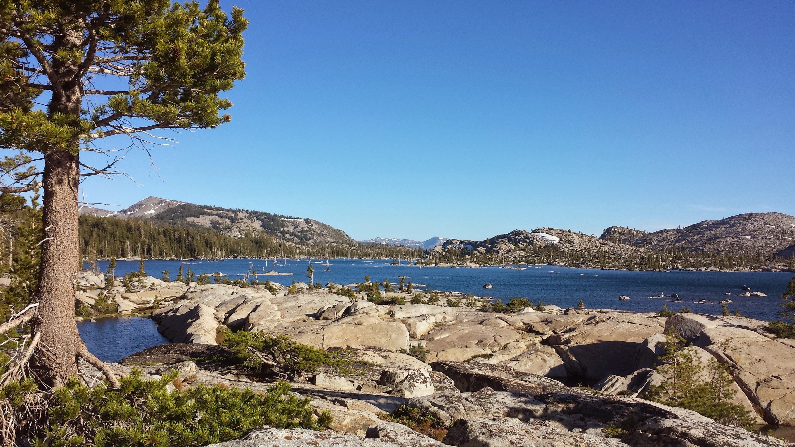
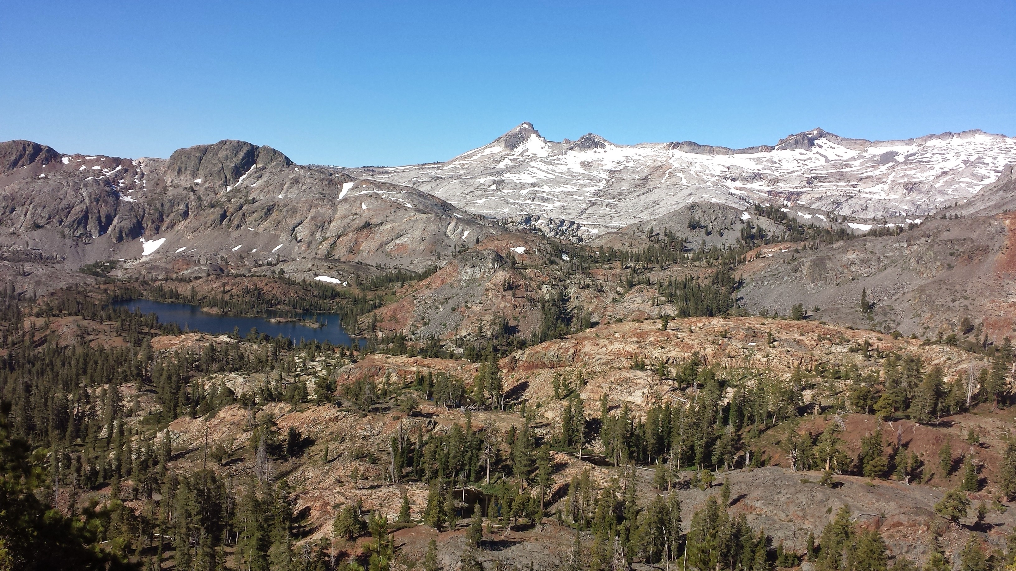
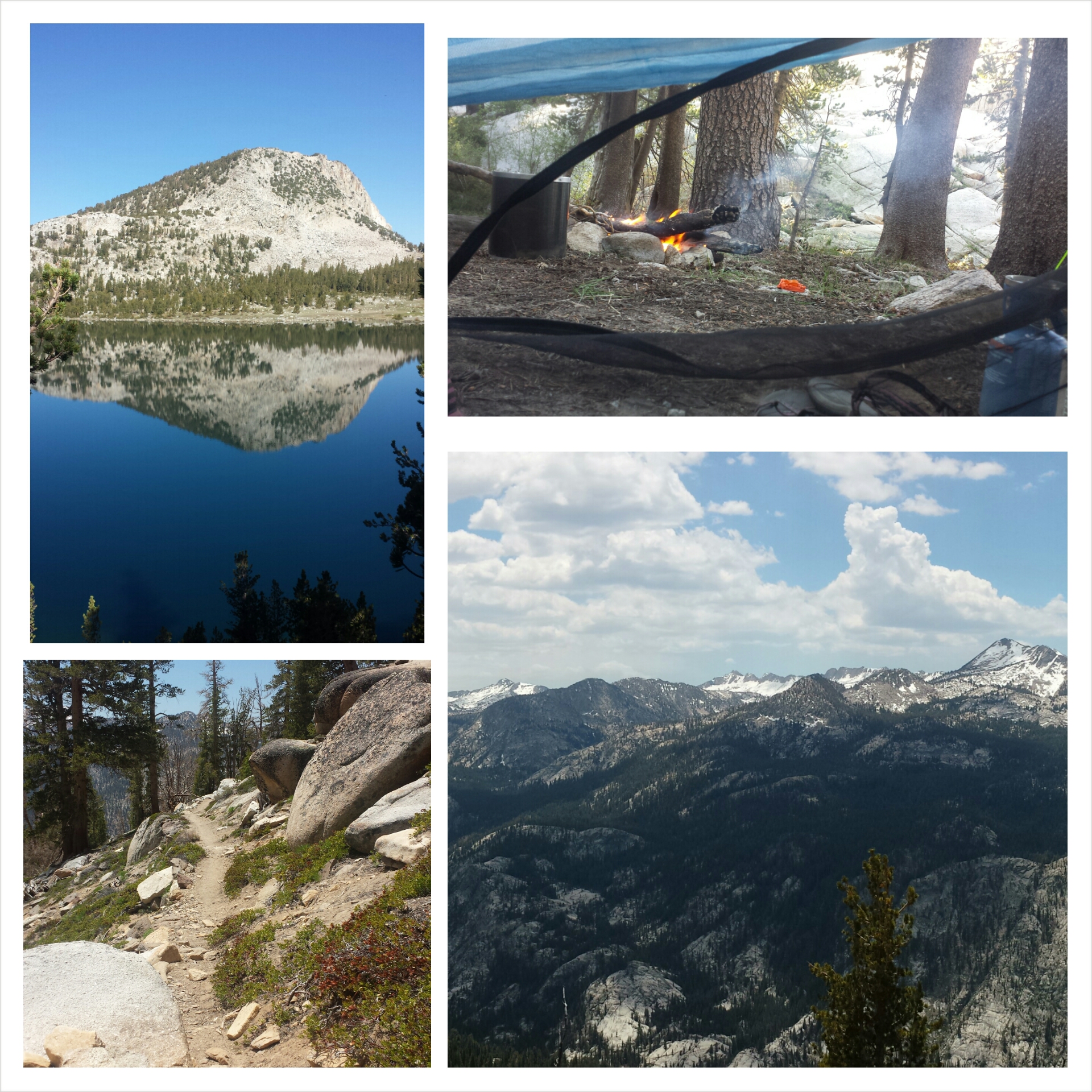
Lake Aloha
I hiked only seven miles today and am camping next to a beautiful little lake, but it’s swarming with mosquitoes. They’re thick in the air and they’re EVERYWHERE! Every time I left and reentered my tent, I spent five minutes smashing all the buggies that snuck in. Little do they know that entering this tent is their DEATH SENTENCE. I’m like a cat, enjoying the chase and kill of its prey! Bwahhhahahaha!
Camping near Susie Lake
June 24th- 21 miles, camping below Barker Pass
It’s funny how you can look at a mountain and get an idea of its shape, dimensions, colors and textures; and all of those things together give you a sense of character for that mountain. You think you KNOW it even because you’ve observed and admired it for so many footsteps or minutes. Then you continue to hike and you get a different perspective on the mountain. Suddenly, it’s not the same mountain you thought you knew, it’s shape is completely different than what you thought and the texture or colors change. These mountains have so much character to me, and, like a good story, the characters are always developing.
So, I guess I had a rough start to the day. I just didn’t feel good in my body, mind, or spirit. I struggled with the uphill climb and struggled with getting my pack comfortable on my sore hip. My feet were sliding around in my shoes as I went over rocky trail because I’m trying new insoles. I’m not sure if it’s my diet, all the exertion over the last month, maybe it’s dealing with the overall discomfort of my body, or maybe I’m just PMSing. I don’t know, but it’s wearing me down. I didn’t bother trying to keep up with T-Fox and Lorax as they past me this morning; I knew I just wasn’t up to it.
Dicks Pass
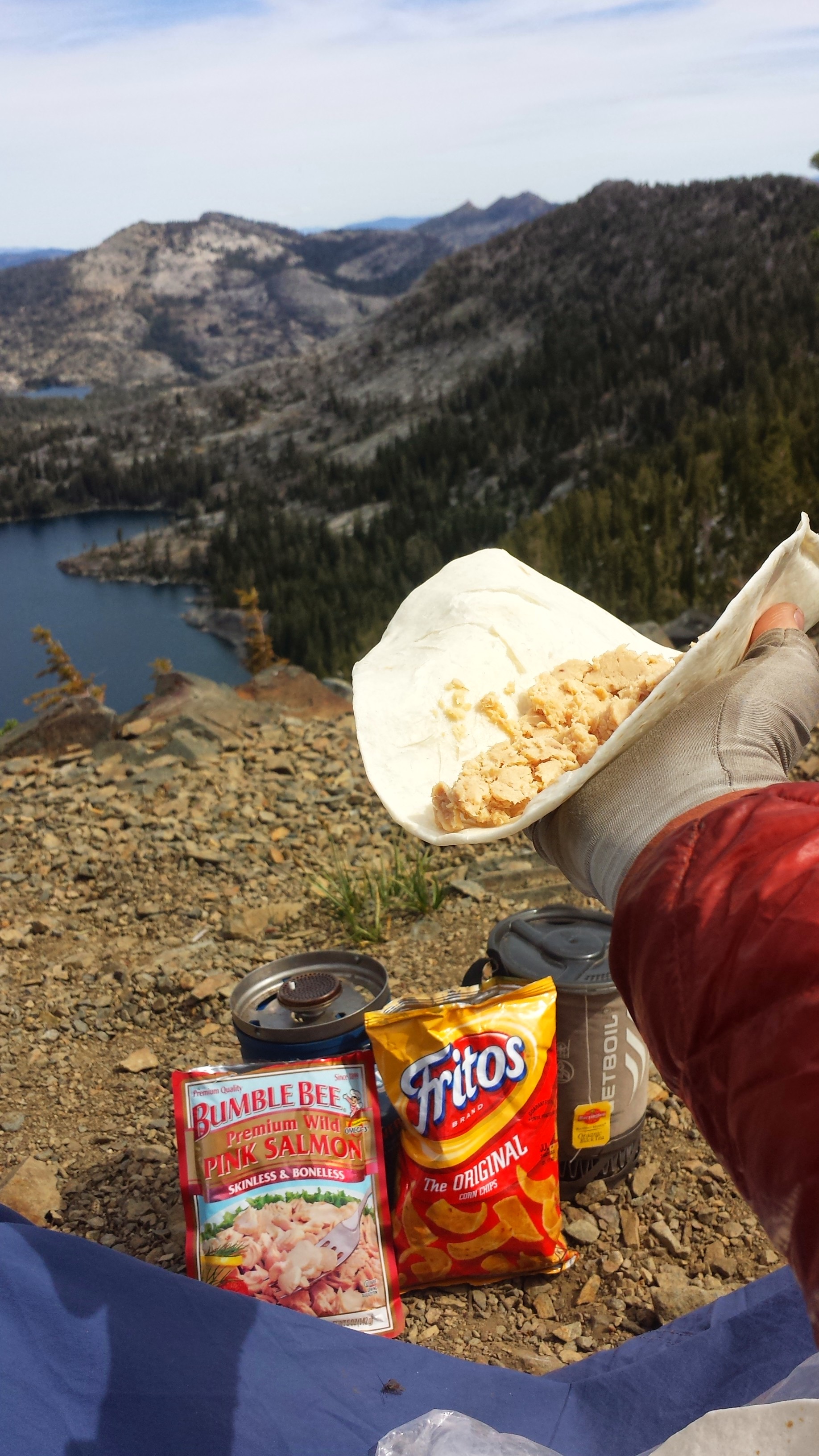
Lunch
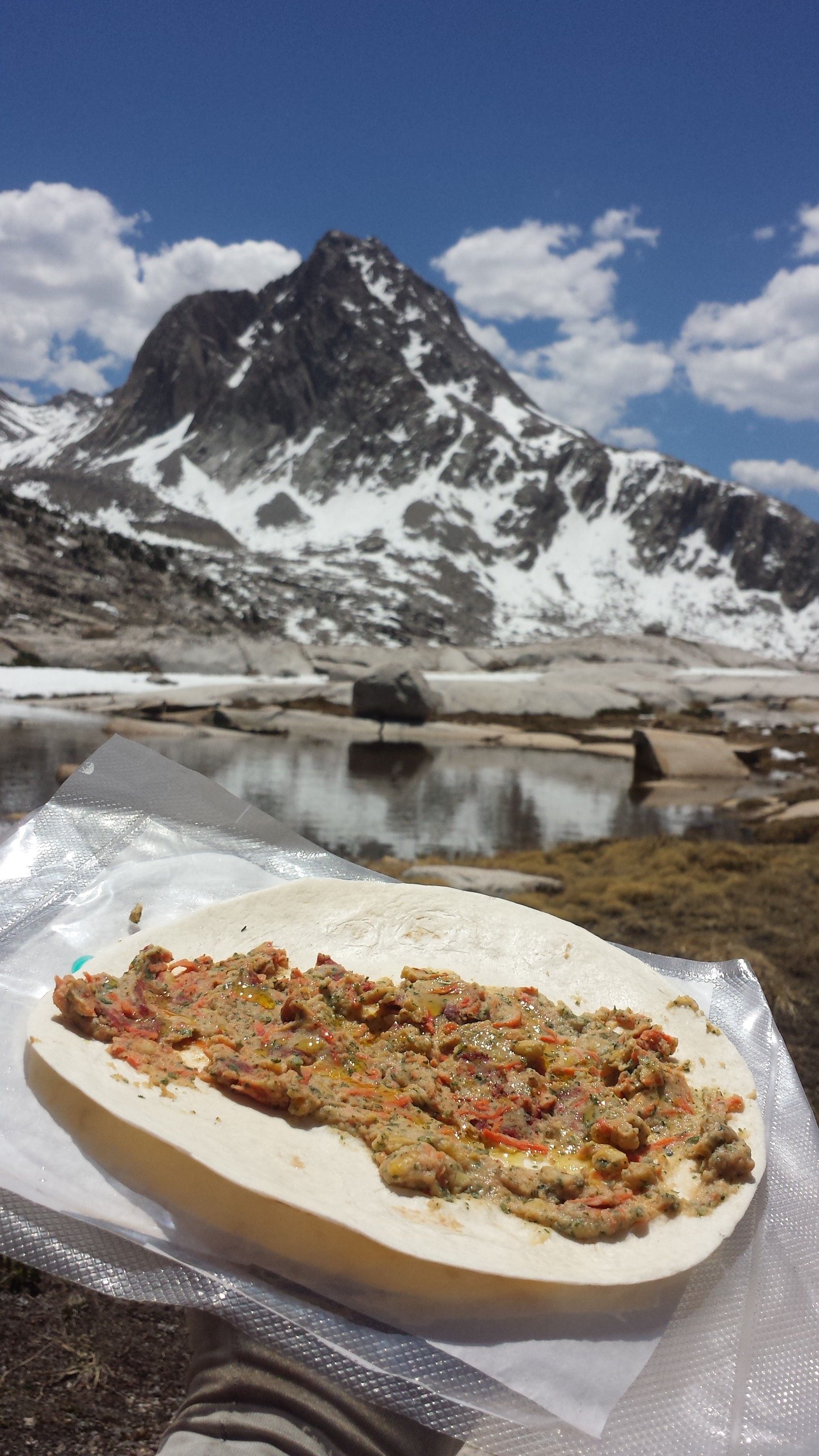
I felt so much better after a second breakfast of salmon wraps, Fritos, and tea. Sounds like exactly the kind of picnic my dad would have, except maybe there’d be a Boddington’s, too! I am my father’s daughter! I hiked well for several more hours and was starting to feel like myself again.
Around 2:00, the ache in my feet came back. Again, I spent the afternoon hobbling mile after mile toward camp. I dreaded taking breaks because it was so much more painful to get up again than it was to just keep moving. How can I make it another 1,030 miles like this?
Freedom, the solo hiker I met at Echo Lake, caught up with me this evening and we’re camping together tonight. She’s a a recent college graduate from Portland and is moving to Germany to manage a family farm when she finishes her hike. Which, I think, is the coolest thing ever.
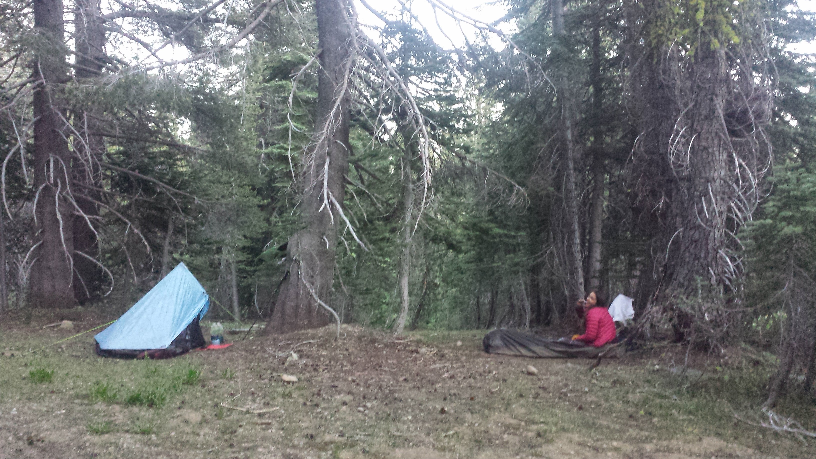
Camping with Freedom
June 25- 20.5 miles
I learned a very important lesson today: caffeine is essential for good hiking in the morning. I flew up Barker Pass and felt great the whole way. Along the way, I talked to a number of day and section hikers. This area is really popular and accessible for that kind of hiking.
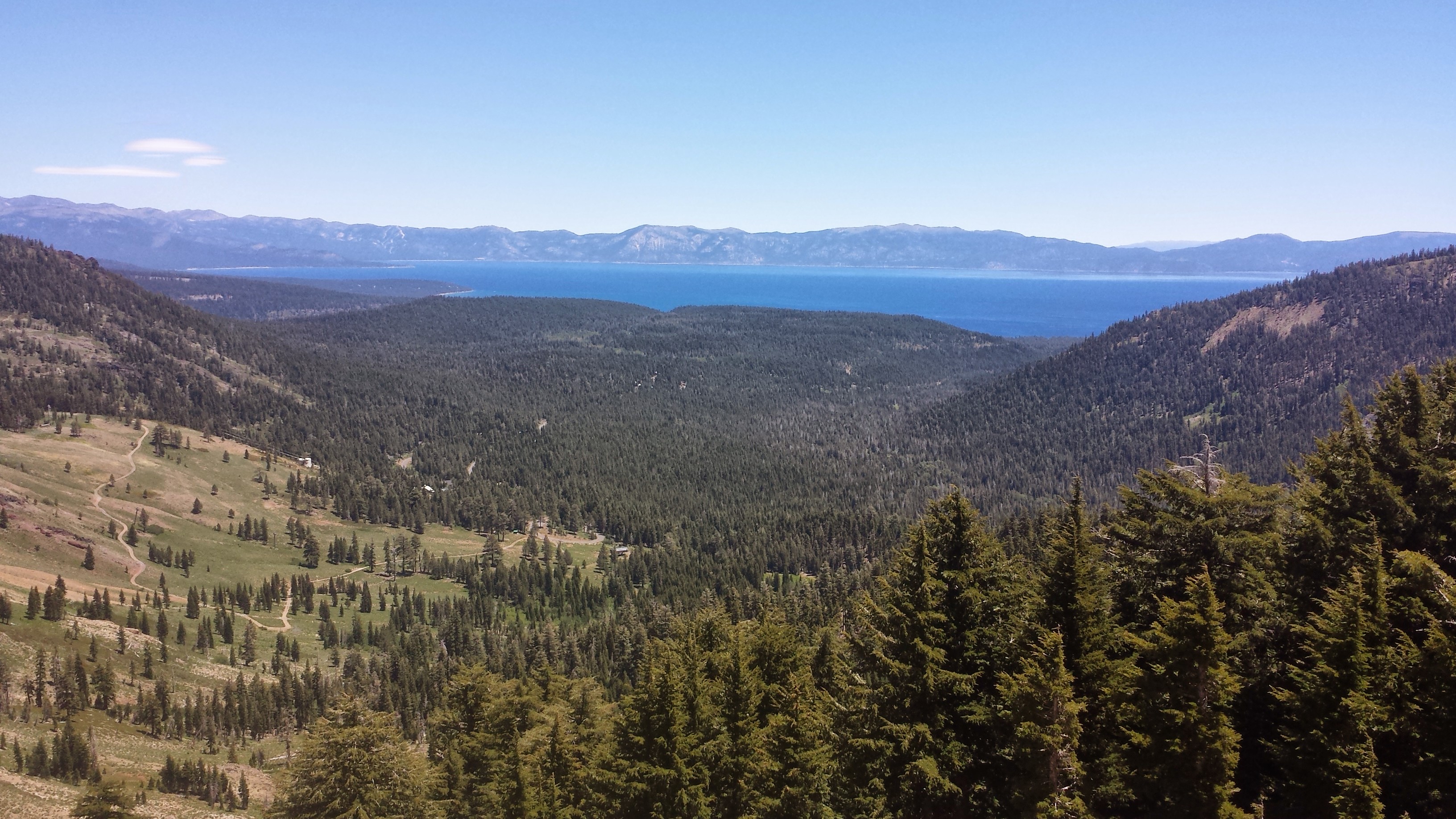
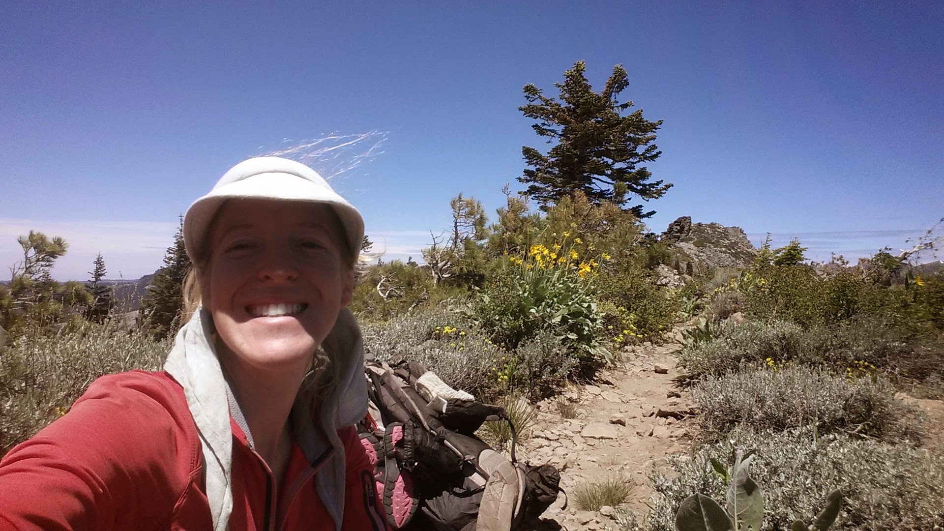
My first view of Lake Tahoe this morning caught me by surprise. It was so beautiful and maps just can’t do it justice. It’s the most majestic lake I’ve ever seen.
The trail weaved in and out of view of the lake. I stopped around noon along a ridge because I had reception and could check my email. While waiting for a video to upload to Vimeo (which never did) I had a tuna wrap for lunch and dried fruit. I’m getting better at eating more of my food, but it’s still hard. When you’re full, you’re FULL- you’re body doesn’t want any more. It makes me sick to my stomach when I force myself to eat any more. Ahh, hiker problems.
Grand vistas of Lake Tahoe
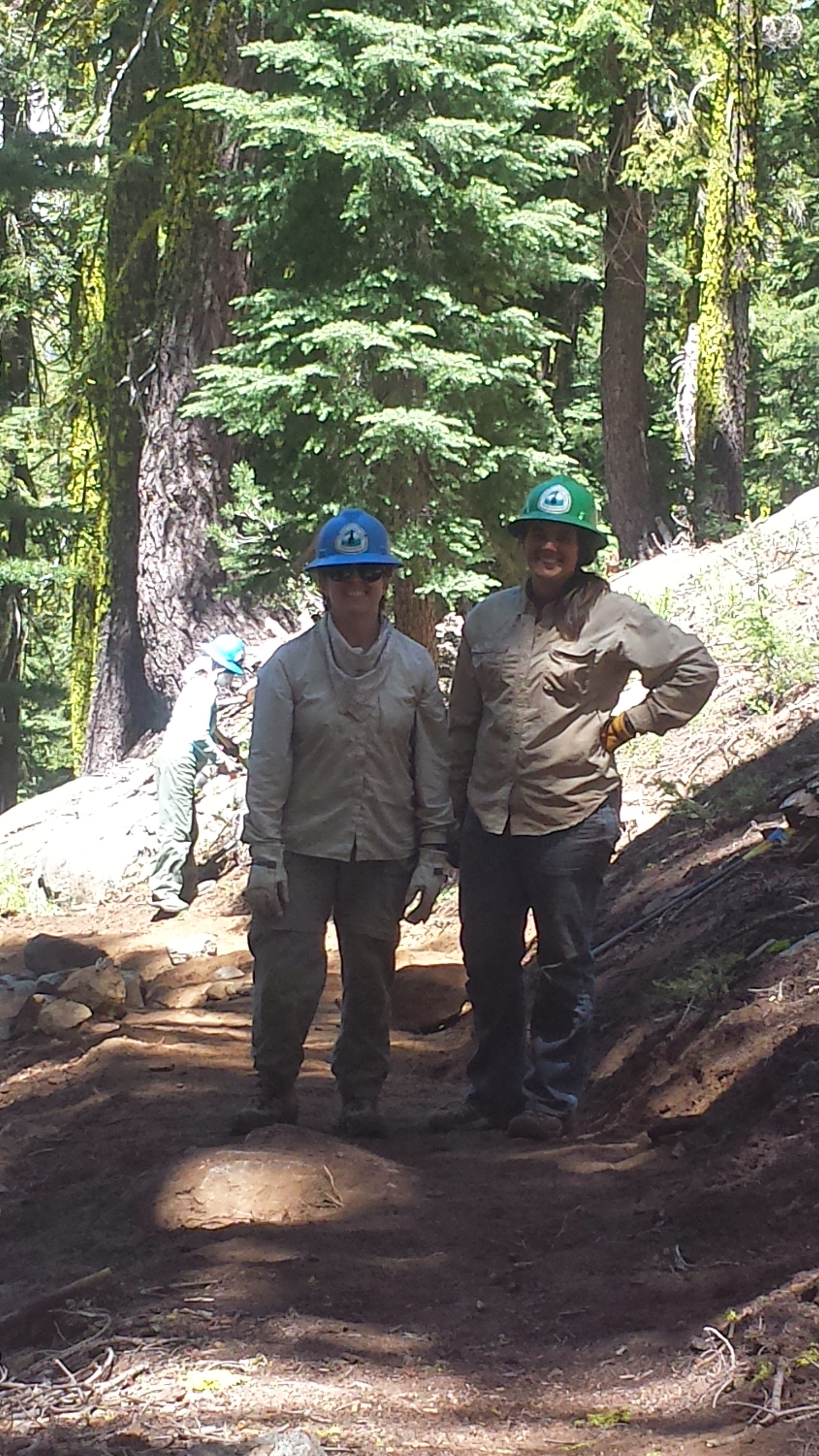
This afternoon I ran into a big group of PCTA trail workers cleaning up the trail. They were a great group of people. They’re collecting videos of hikers saying, “I am the PCTA.” Maybe I’ll be in one of their fundraiser promos! Stay tuned to their website for my moment of fame!
PCTA trail crews
The wind has been strong all day. I’m starting to think it has a vendetta against me. As it blew into the afternoon, a light thunderstorm came with it. I had to stop and change into my long johns and rain gear. Oh, I LOVE my rain gear! I was so comfortable and dry all through the showers.
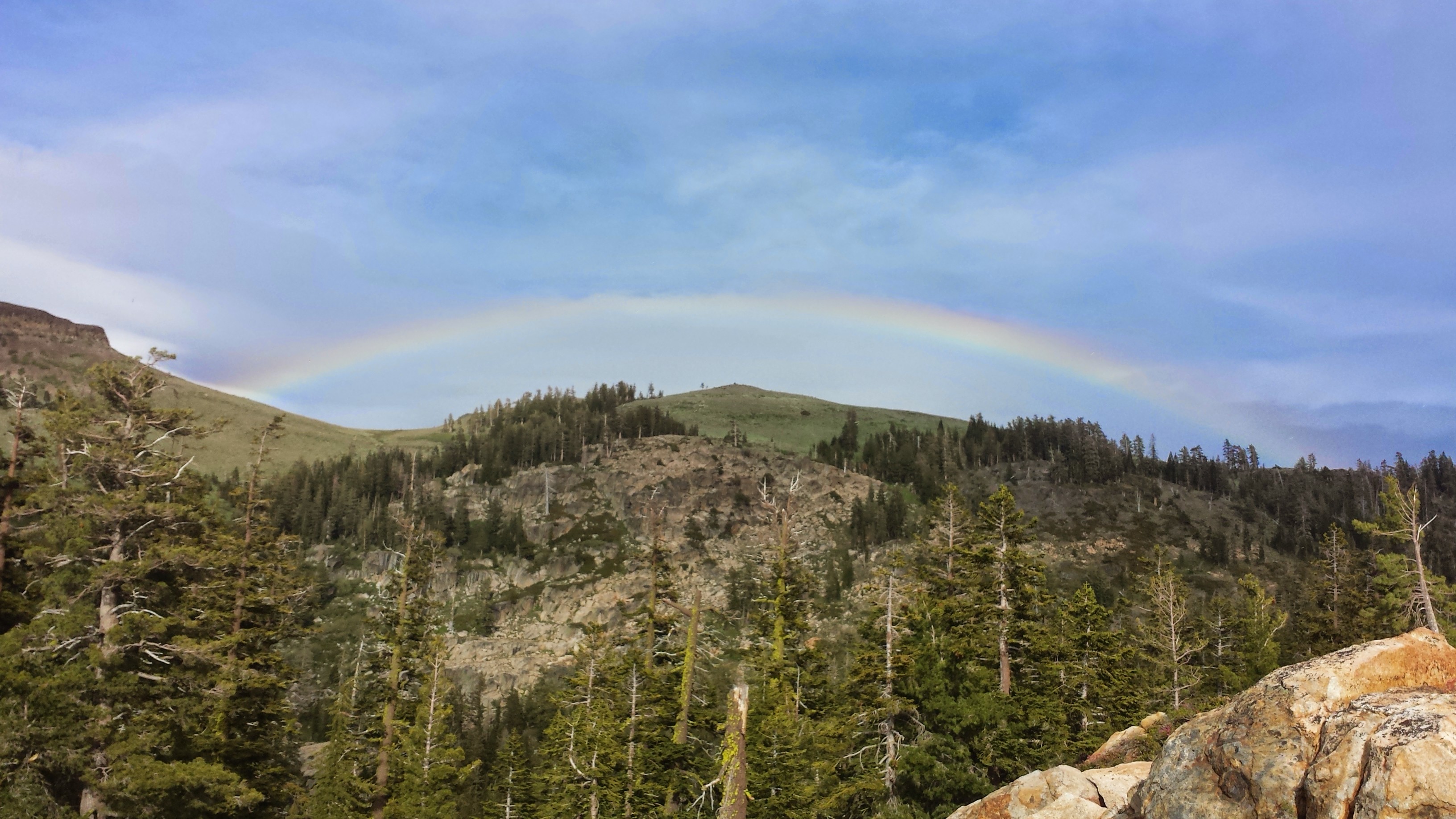
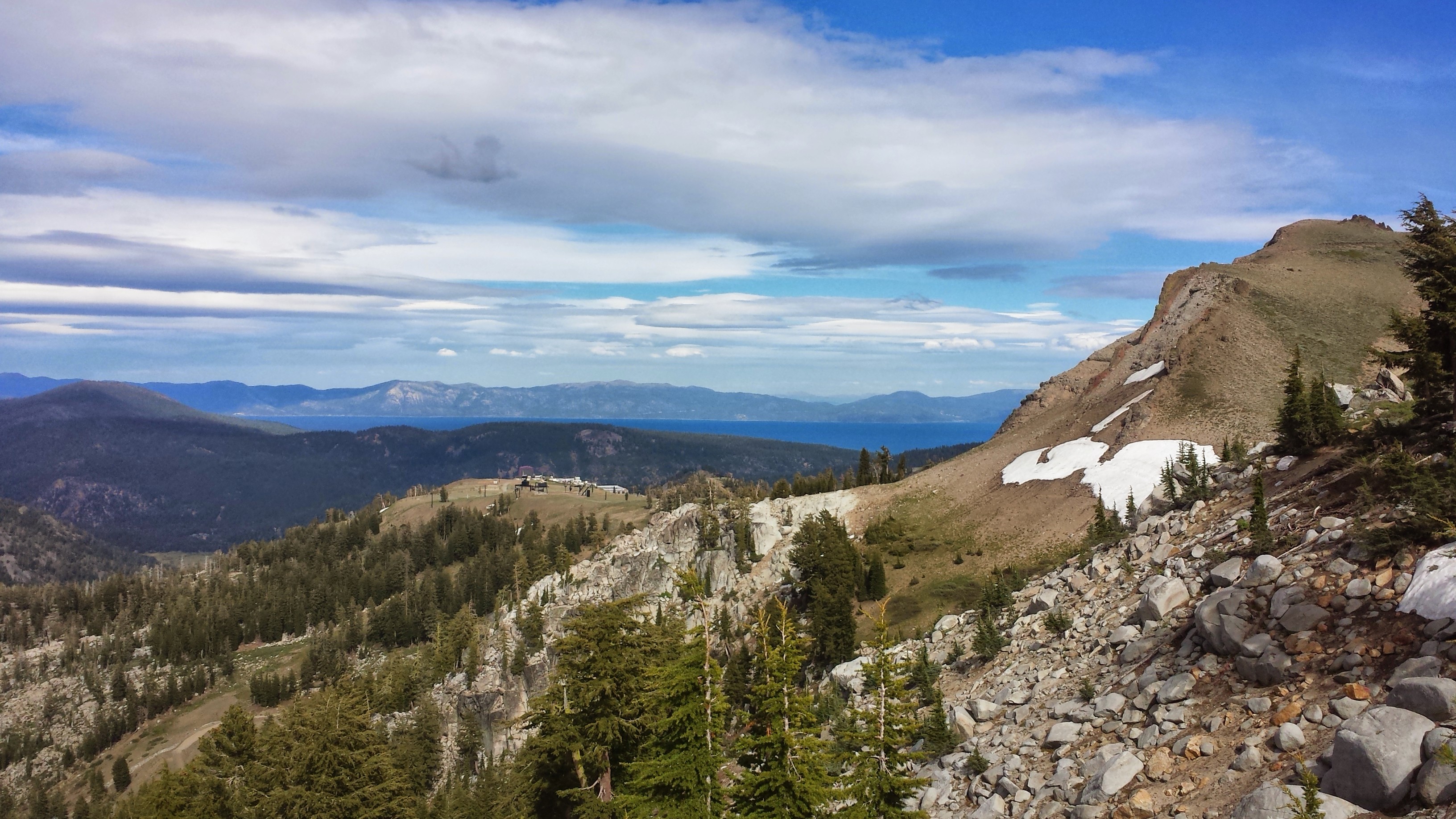
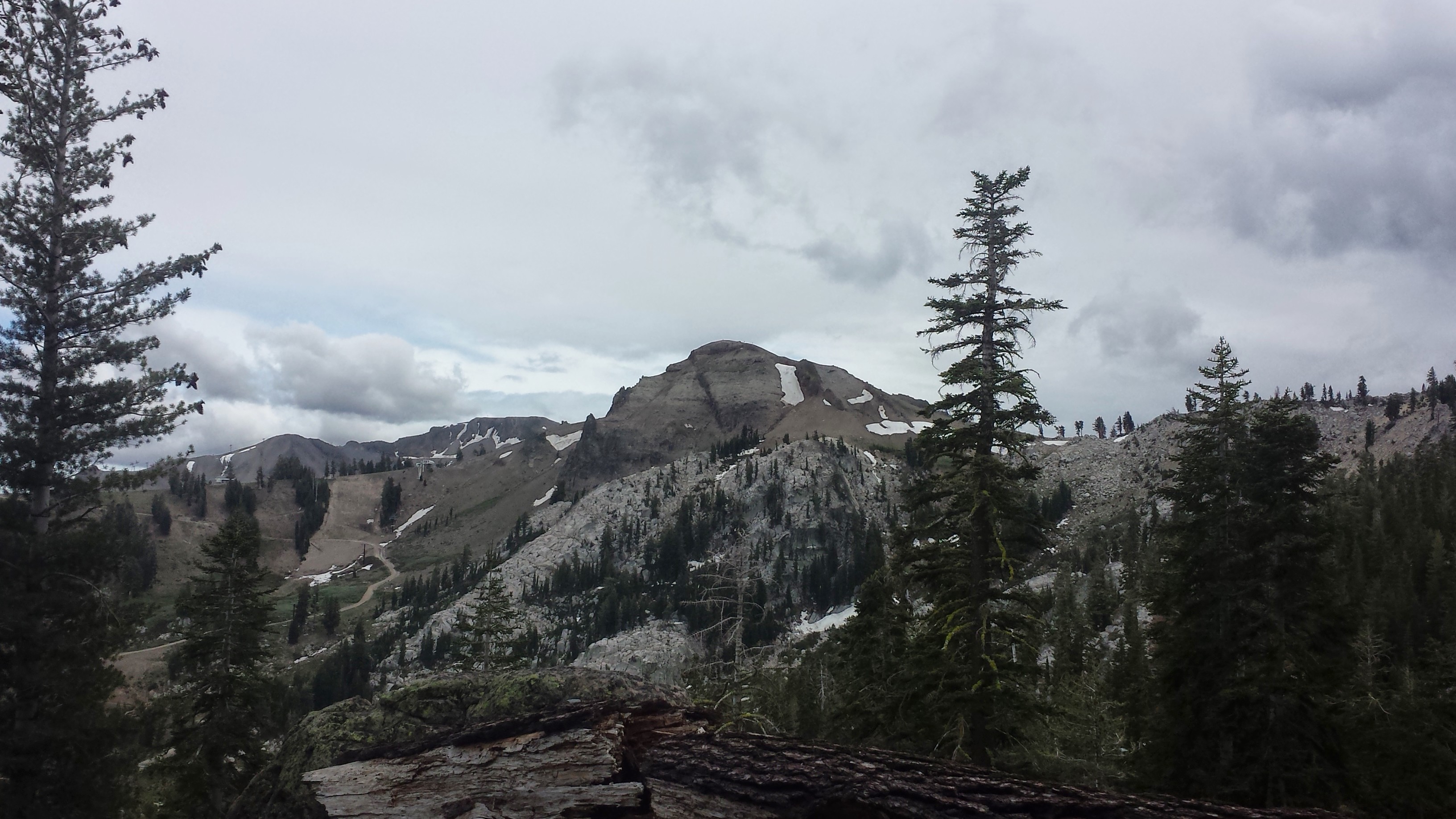
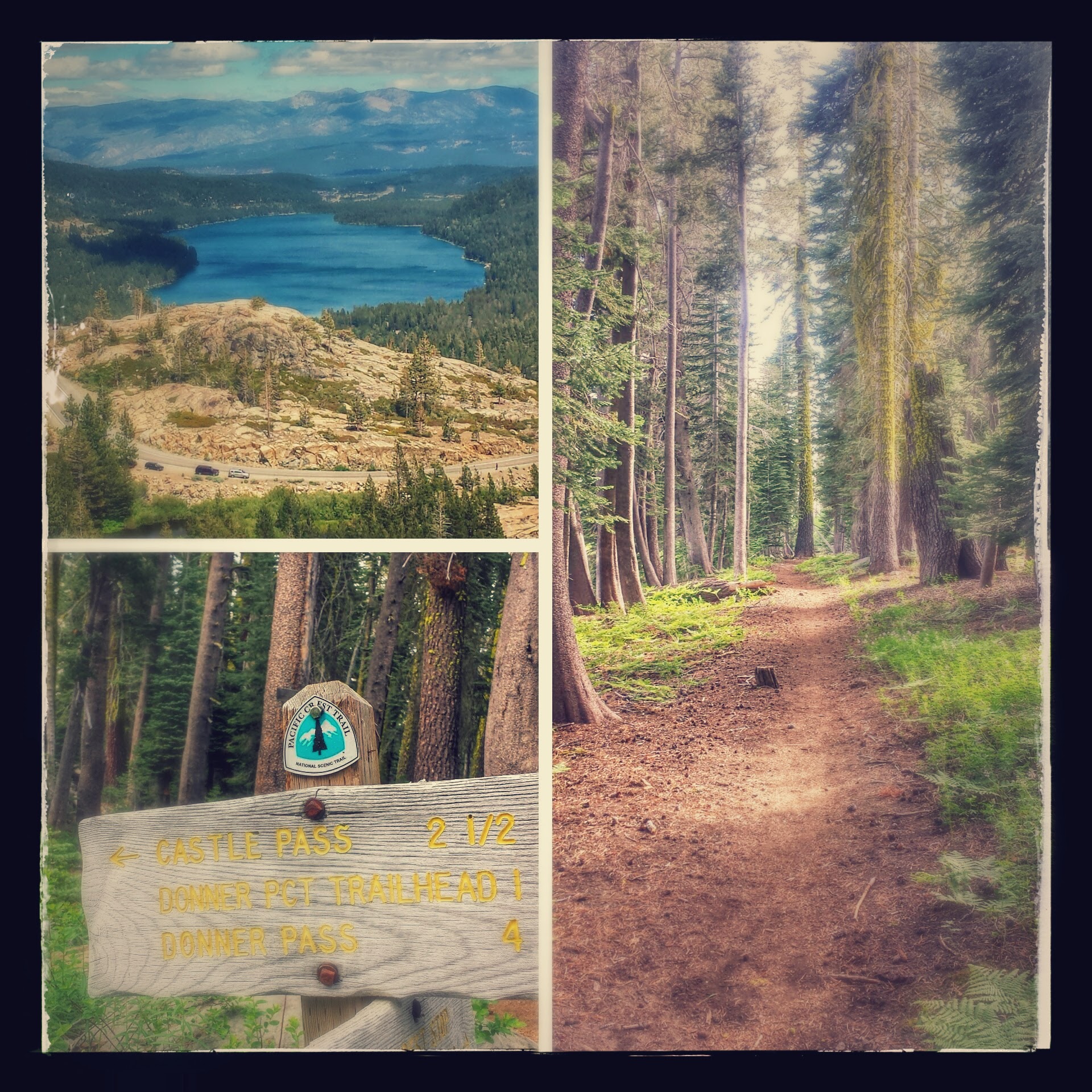
View towards Tinker Knob & Anderson Peak
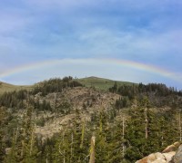
Rainbow!
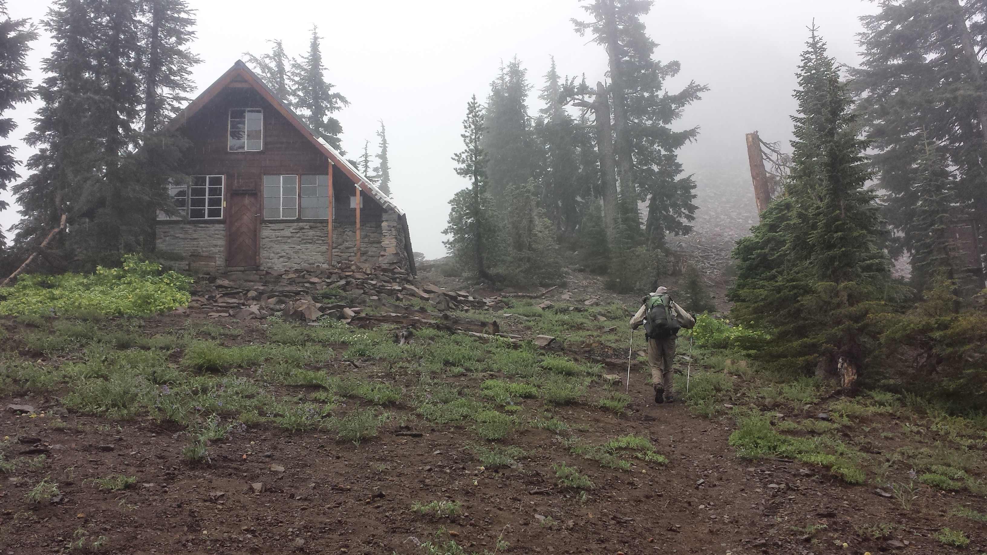
According to Yogi’s PCT guidebook, there is a Sierra Club hut in the area. I thought it would be great to spend the night there, high and dry. I wouldn’t have to unpack my tent or worry about having to dry it out the following day because of rain. I reached the campsite that marks 20 miles for the day, but it was only 6:15. I sat on the ground staring at the maps; if I kept going up the ridge, I’d have to climb four and a half miles with threatening rain clouds looming over my head. I decided it would be better to chance the night in my tent down at the bottom of the climb rather than hike until 9 pm in the wind and rain. Plus, what if the hut was locked? Or if I couldn’t find it because it’s not on the trail? So, here I am, 20.5 miles for the day. I felt like I could’ve done more, but at least it gives my feet a rest.
After a dinner of Knorr’s Pasta Sides, which I’d bought at Echo Lake, three other PCT hikers showed up: Potluck, High-Robics, and Wall-E. They’re setting up camp up the hill in a more exposed area. I hope it’s not too cold there! I think I got the sweet spot protected by the trees.
High-robics & Potluck
The sky is now a beautiful, dynamic tangle of clouds blowing by. I’ve crawled back into my tent because it’s too cold for socializing. Since I had so much time this evening, I did more stretching and foam rolling than I think I’ve done any other night on the trail. I hope I wake up early tomorrow- no more sleeping in!
June 26th-17 miles, staying at the Peter Grub Sierra Club Hut
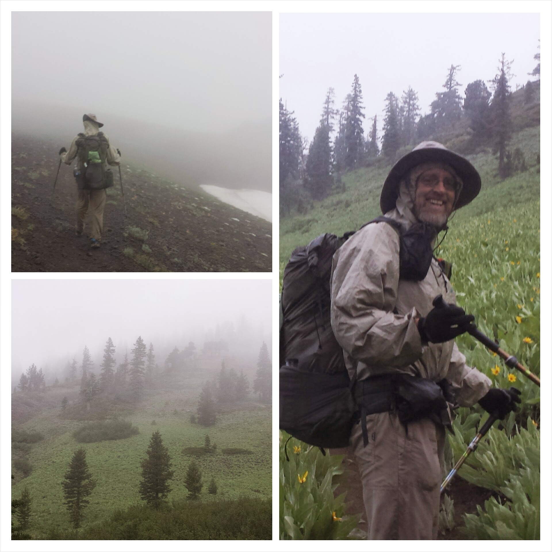
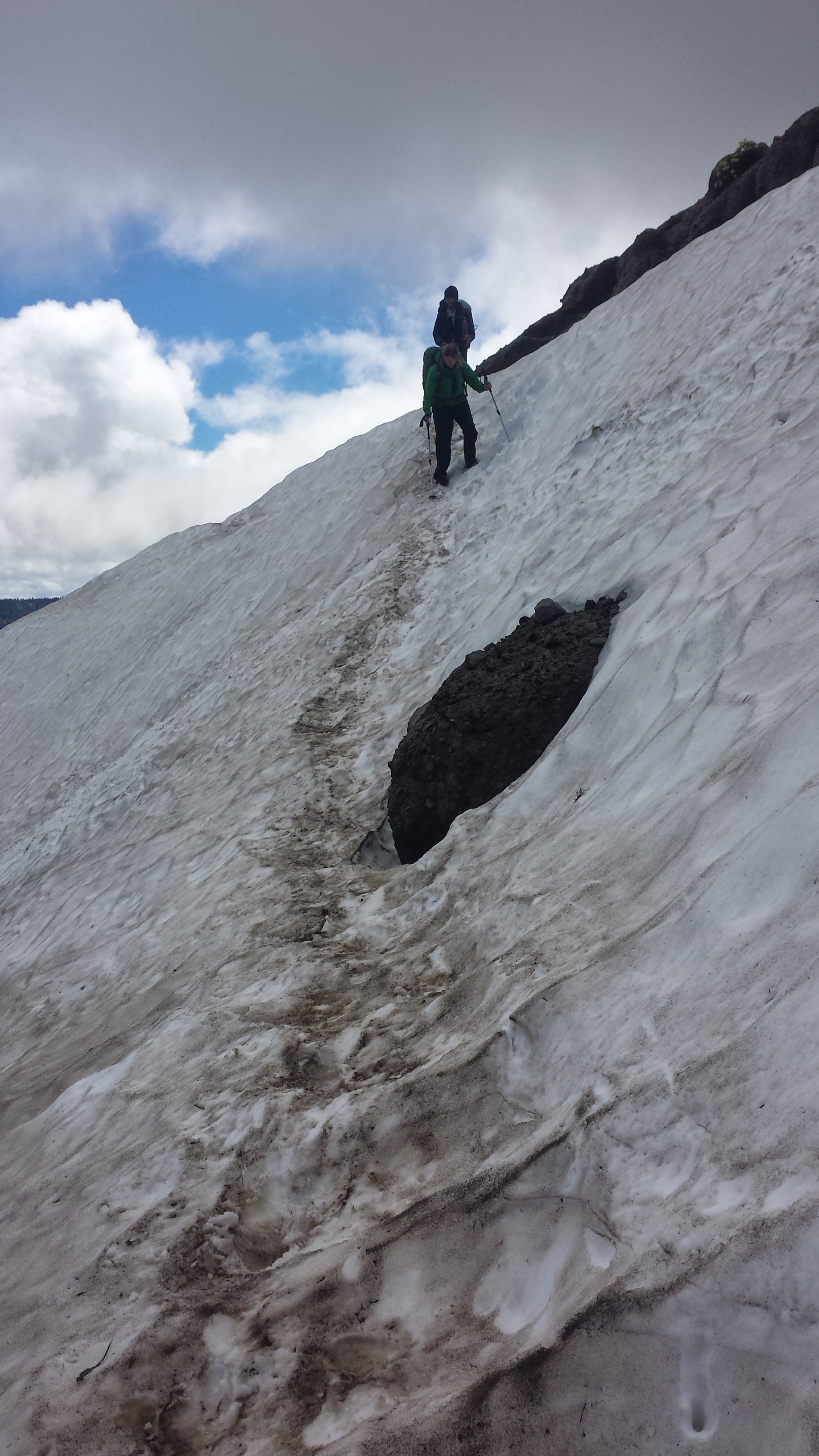
The wind gusted and it rained lightly on and off throughout the night, and it continued into the morning. A Canadian hiker named Early Bee hiked up the ridge with me during the morning storm. He was great to talk to and kept a good pace for me to keep up with him. He lived and worked for about a decade in Saudi Arabia, and since I’ve visited the Middle East, we had some stories to compare.
As we hiked, we came across Crusher and his friend, Section Hiker Katie. I hadn’t seen Crusher since Kennedy Meadows and was so surprised to learn he’d actually been hiking close to me the entire time. He has a wonderful blog that you can read: WesleyTrimble. Three ladies training for an ultra run approached us in their little shorts an t-shirts shivering and wet. They asked us if the weather improved further down where we’d just hiked up from. It definitely didn’t and we recommended they turn around based on how cold they looked. The wind was blowing pretty hard all along the ridge and the rain was coming down harder. Even us hikers, in our long johns and rain gear, we’re getting too cold. We all decided to head for a Sierra Club hut we’d read about in the guidebook.
Hiking with Early B.
Early B. and I reached the area where the hut was said to be and wandered around the hillside looking for it. Just as we were going to head on up the trail, the fog cleared for a moment and I could see the hut on the opposite side of the trail. The guidebook, which is usually dead on, had given the wrong location for the hut. I was delighted to find the runners already stoking a fire inside.
Sierra Club Benson Hut
Joggers, Early B. Katie & Crusher
The seven of us hung out for nearly two hours, drying out and warming up, eating chocolate and drinking tea. The storm cleared up and we were able to head out again toward Donner Pass.
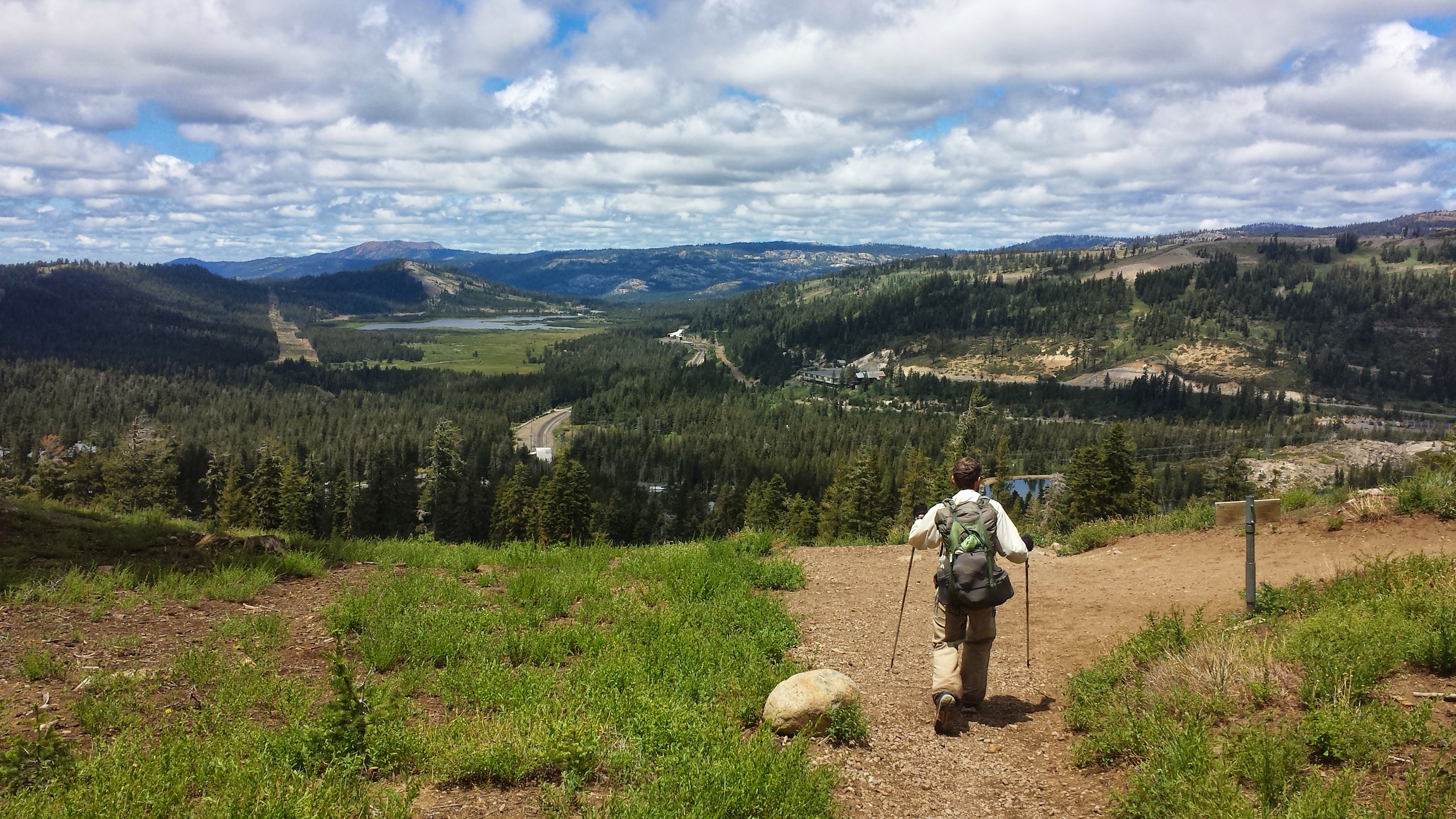
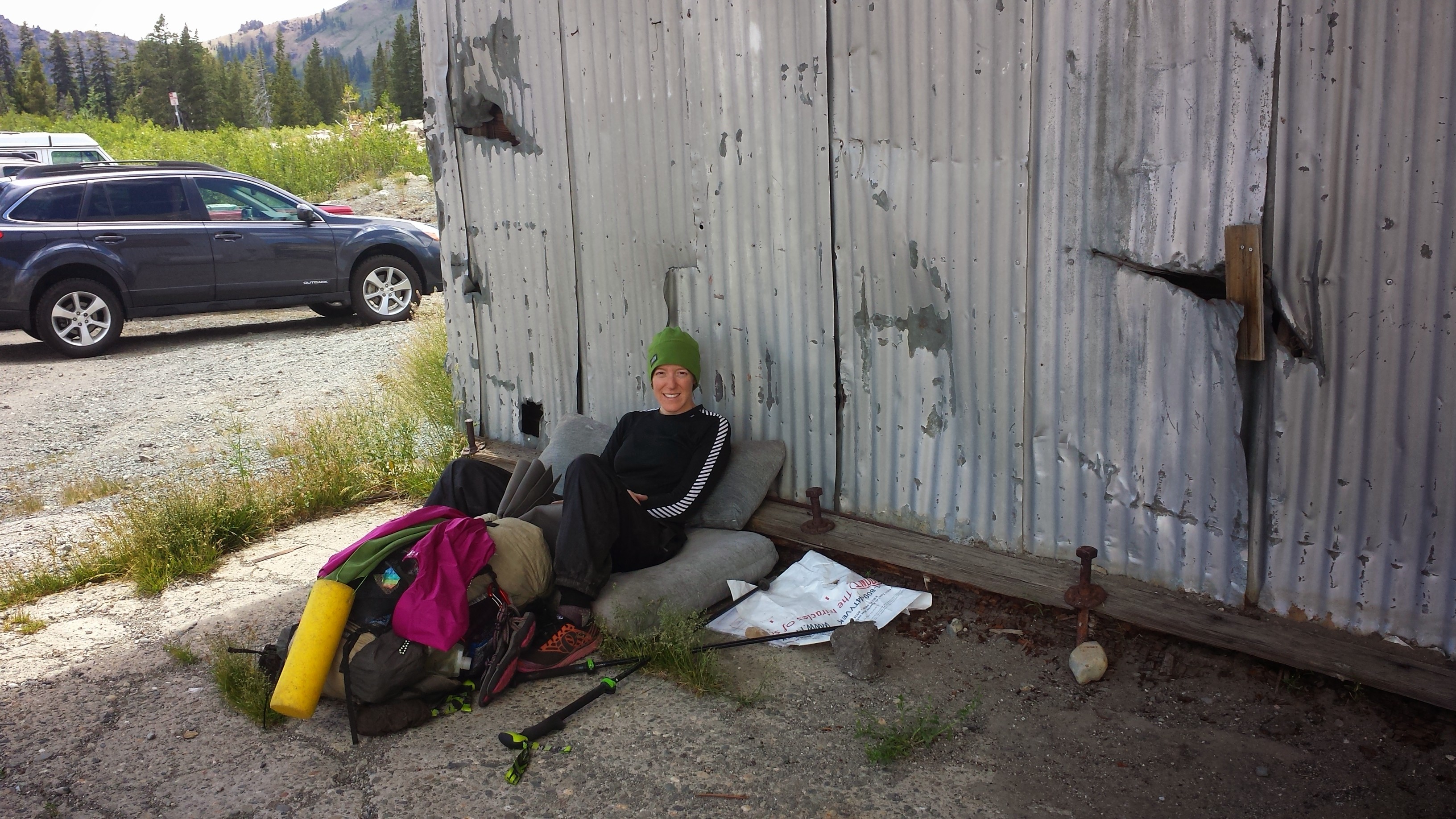
Even though I hadn’t done many miles, I felt so wiped out by the time I reached Highway 40 at Donner Pass. I crashed hard on some chair cushions I found near the trailhead parking lot. I pulled out all my gear and spread it out in the sunshine to dry while I ate lunch.
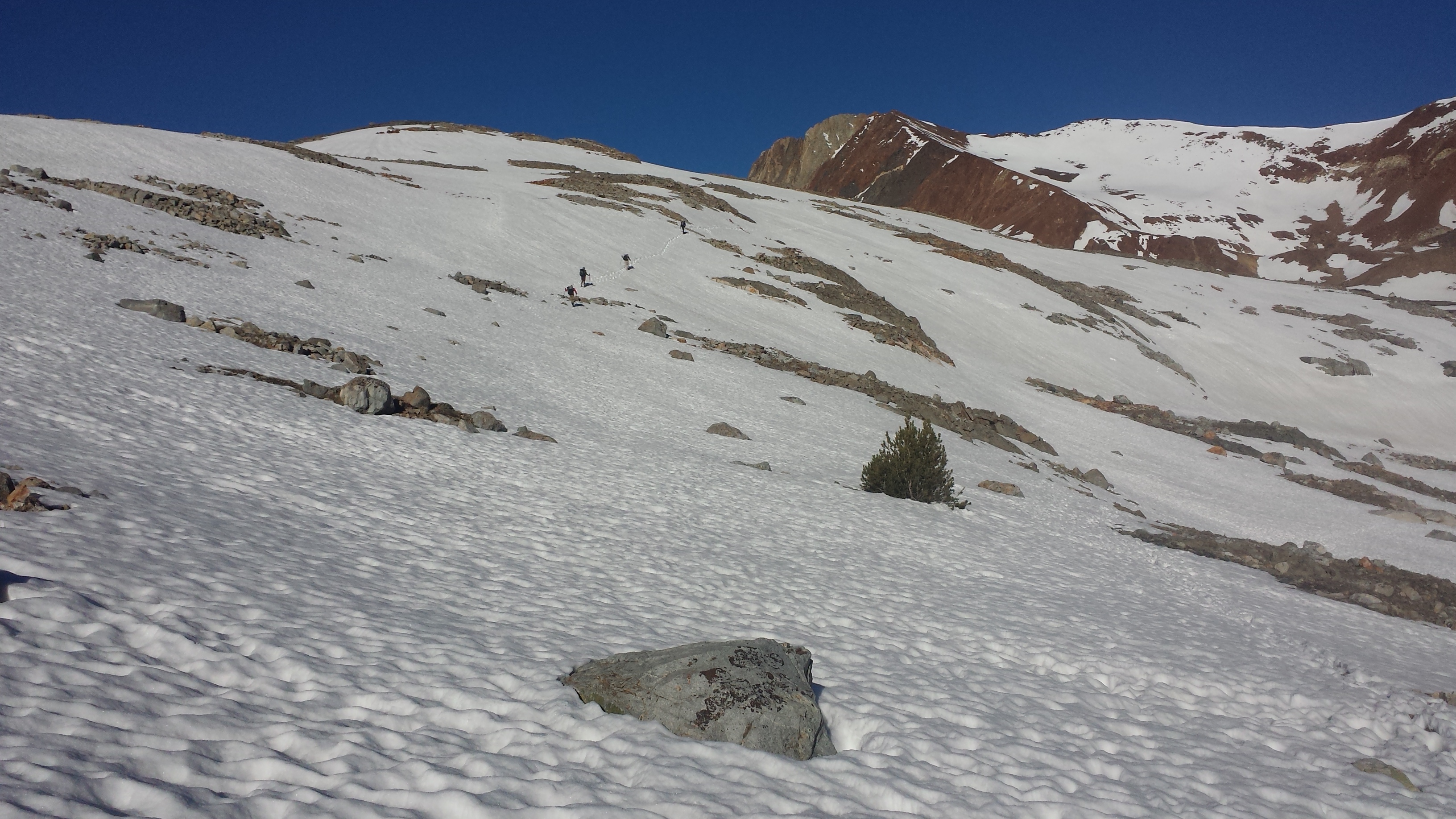
Approaching Donahue Pass
Donahue Pass, Hwy 40
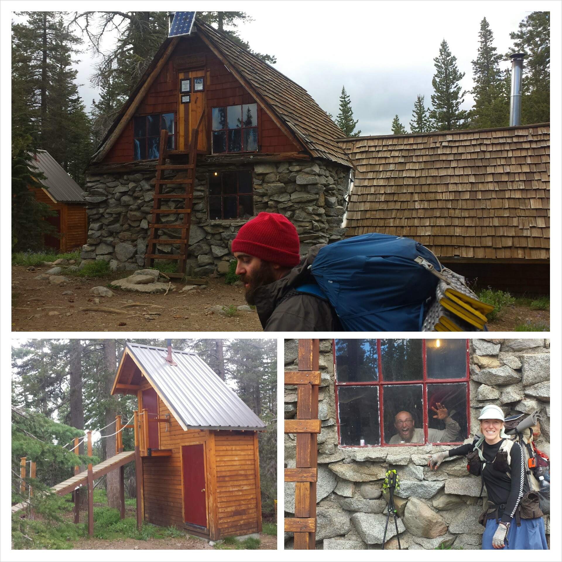
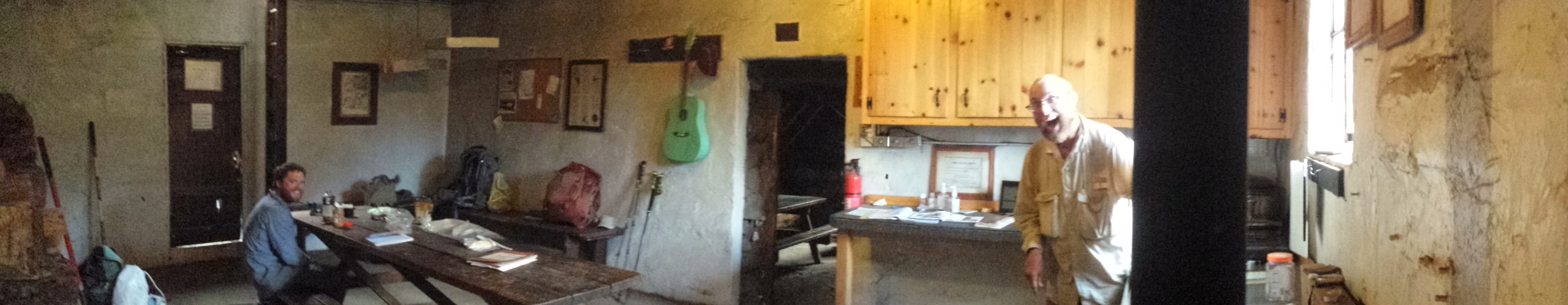
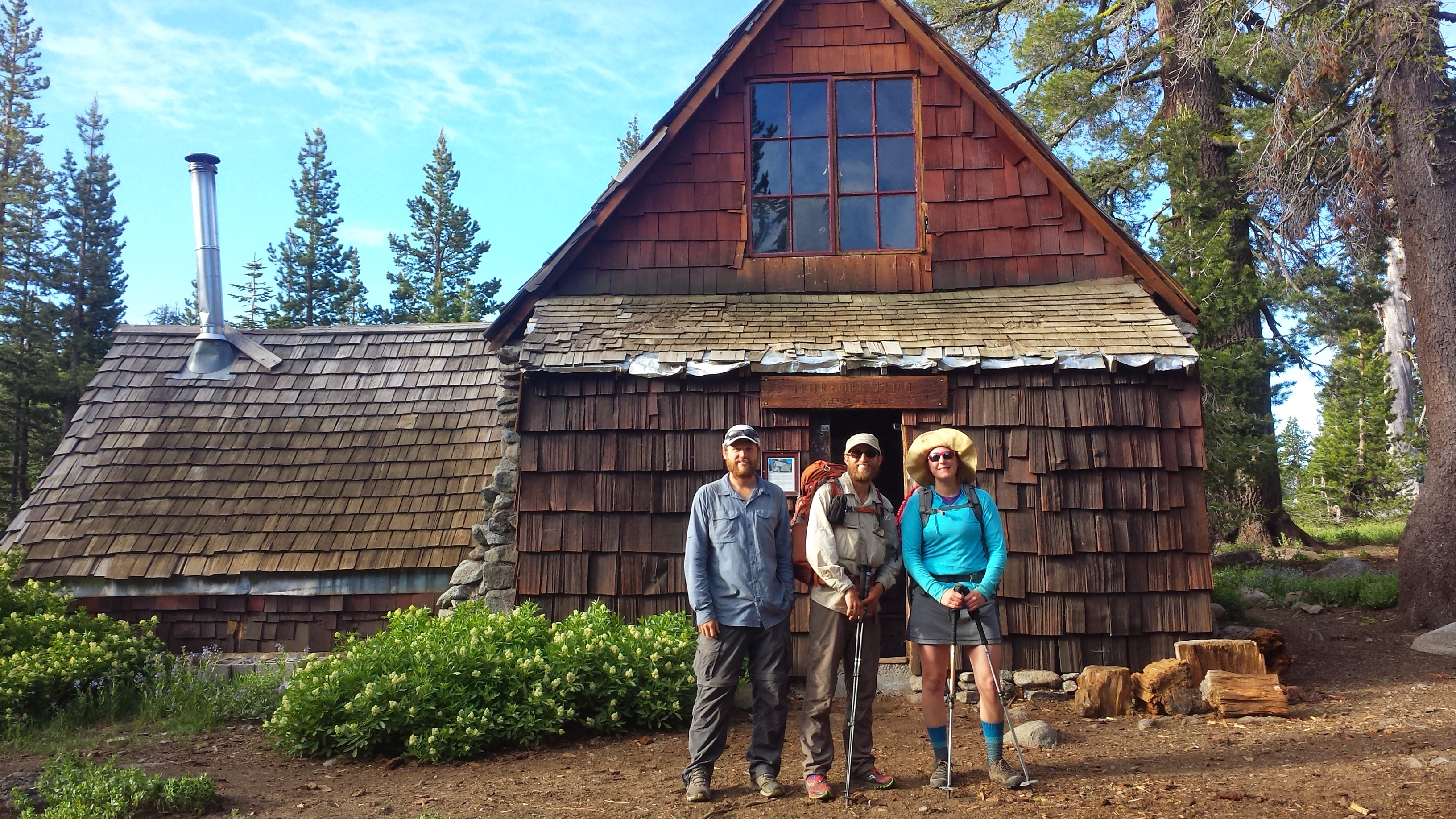
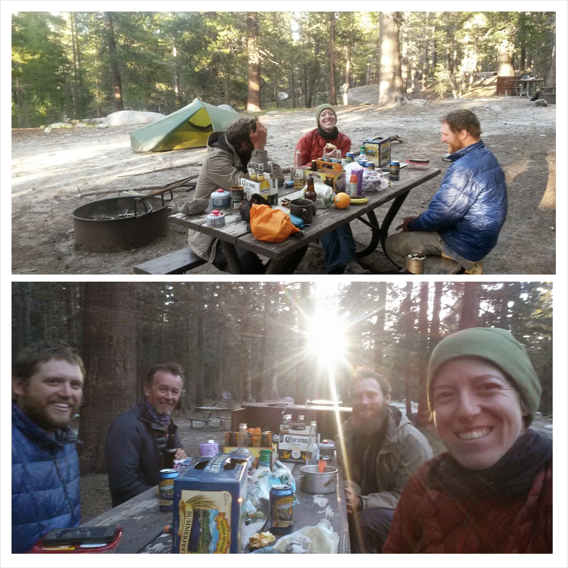
Crusher convinced me to stay at the next Sierra Club hut on the trail, the Peter Grub Hut. It meant I only put in 17 miles for the day, but the hut and the company had a strong pull. Turns out Steve the nurse from Michigan was there, too. It made for a fun little party! Steve finally got a trail name that’s sticking: “Knock Out.” I pride myself in giving it to him back in Tuolumne Meadows after he accidentally punched himself in the face and got a bloody nose. He had been trying to tighten cords on his pack, I think.
Sierra Club Peter Grub Hut with Gas Pedal & Crusher
Peter Grub Hut with Knock Out & Crusher
The hut had three rooms: a kitchen/dining room and a game room room (full of board and card games) on the first floor and an empty attic accessible by a ladder. We all slept on the floor of the attic, sleepover style.
(L->R) Knock Out, Crusher & Katie
June 27th- 23.5 miles
Sleeping in the attic of the hut was awesome except that it didn’t have any working windows to air out the hiker stench. For most of the day, I leapfrogged with T – Fox and Lorax. Update: I posted their blog incorrectly back in the Lone Pine to Reds Meadows Journal. Here it is corrected: DanTaraPCT.
I don’t think I’ve had so many ups and downs on the trail in a single day before. None of them were very bad, but it felt a bit like a roller coaster. It was a great day for loading up on caffeine and hiking to some hip hop!
Lorax & T-Fox
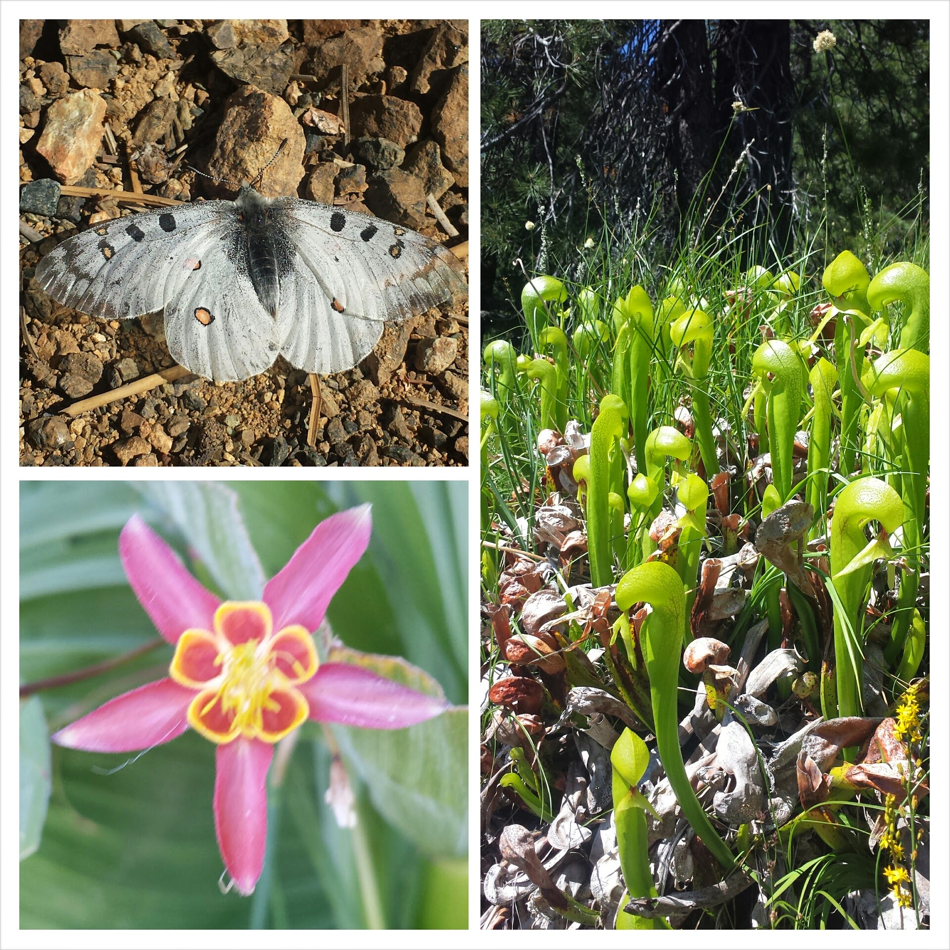
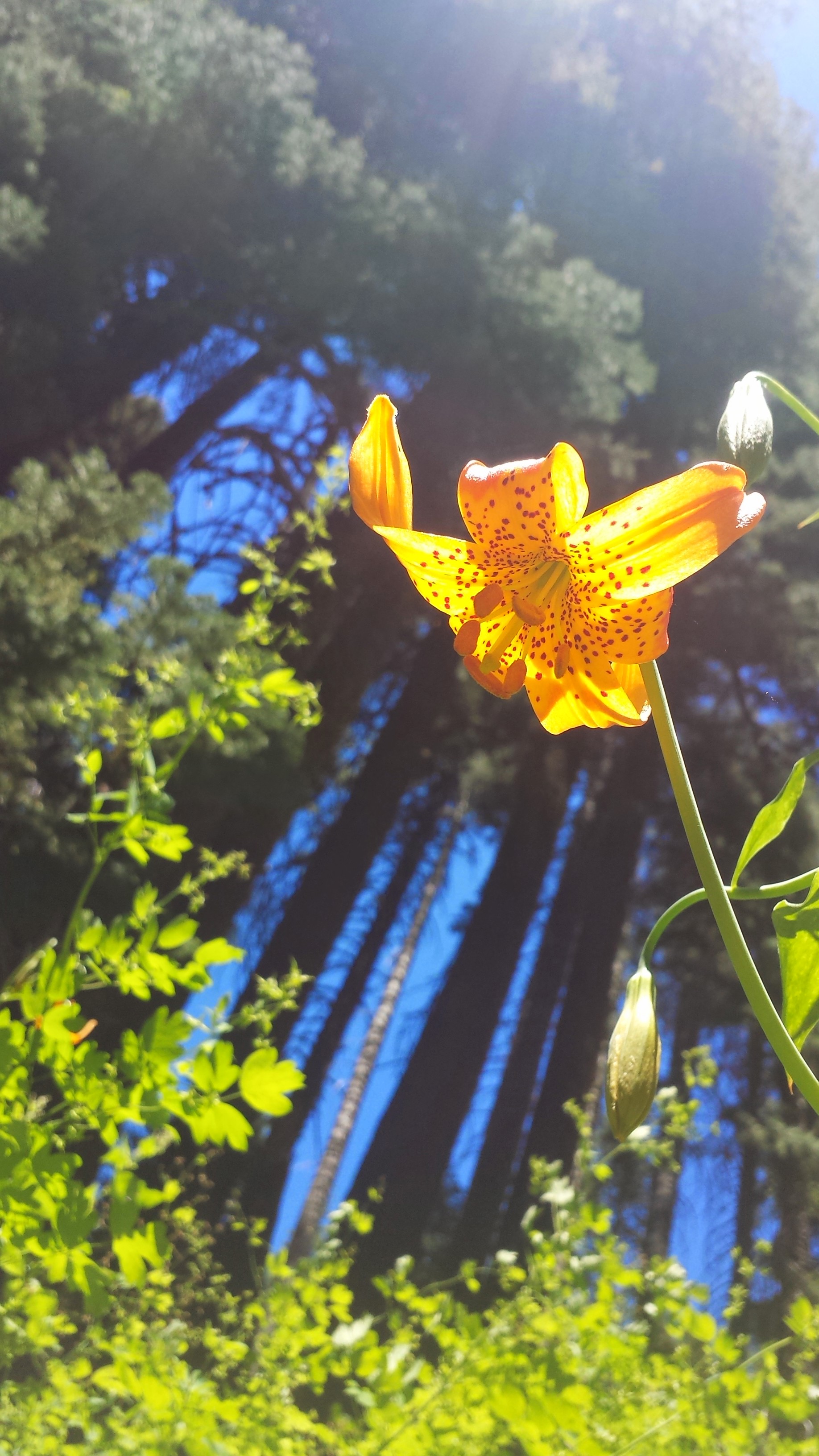
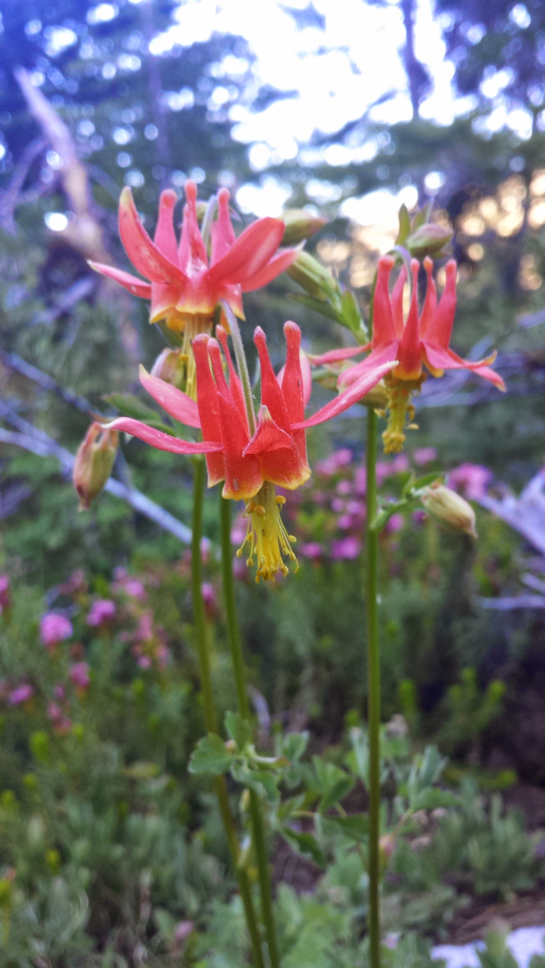
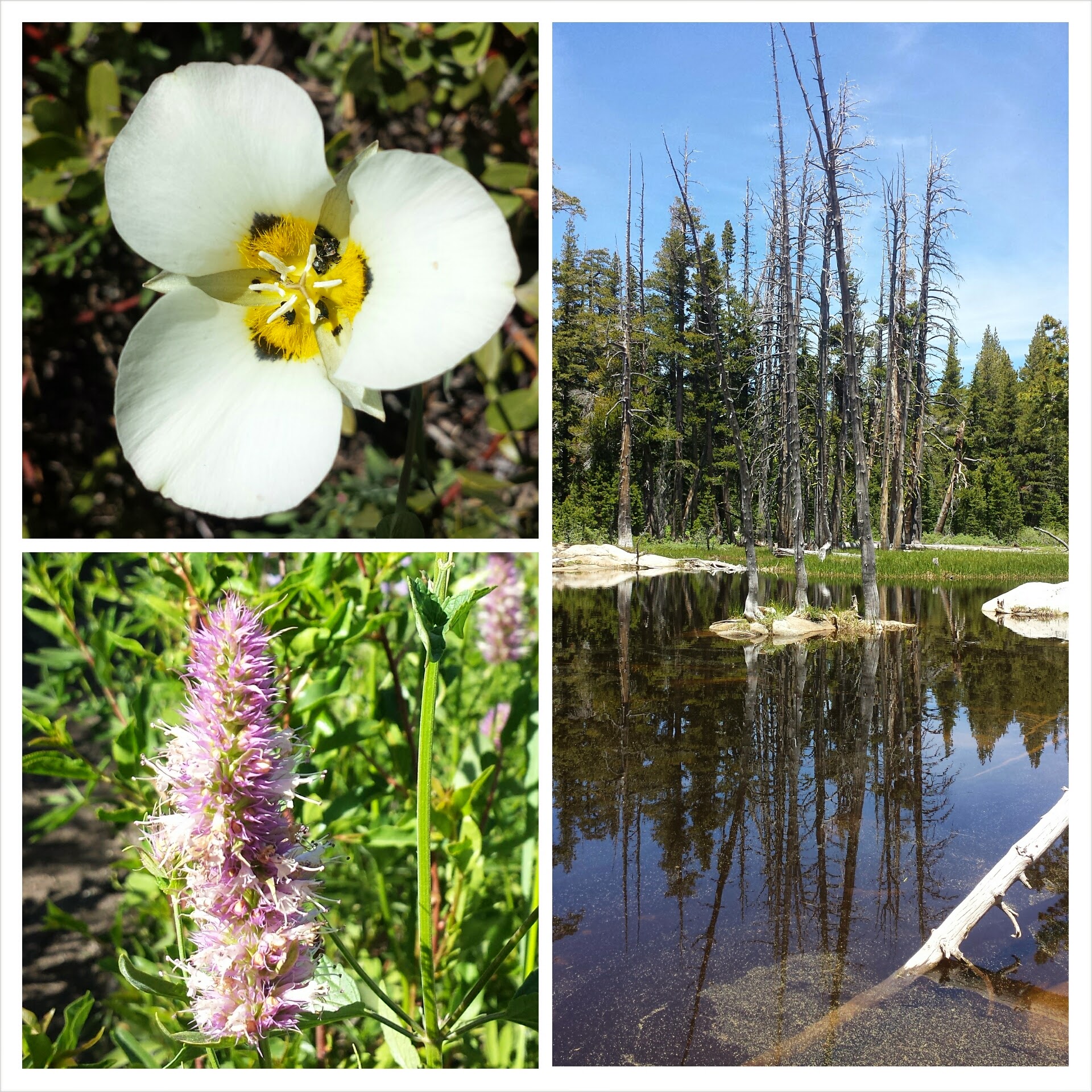
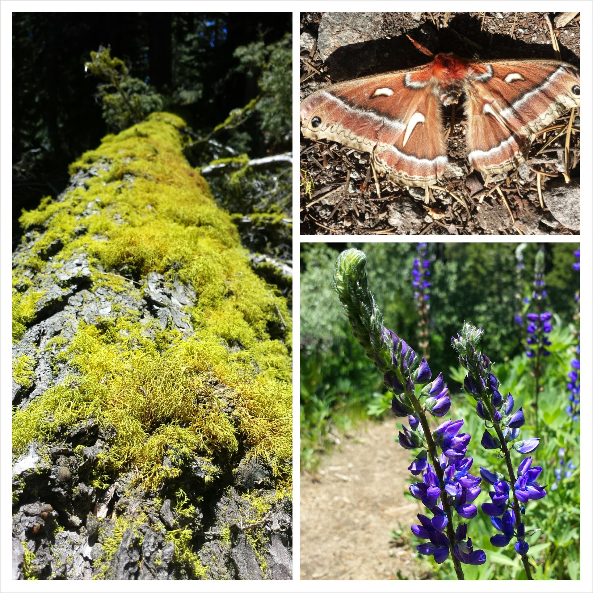
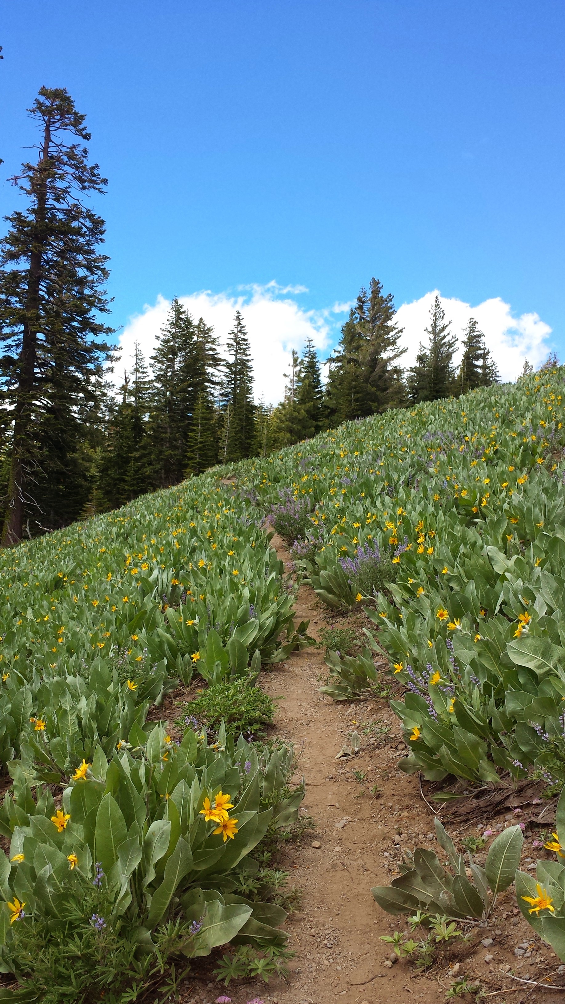
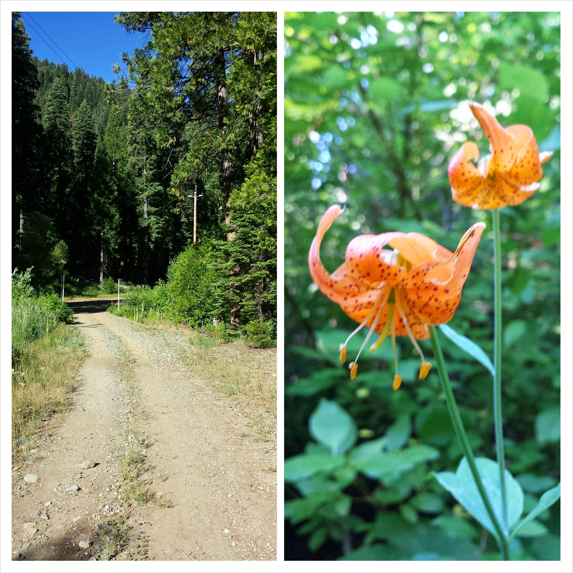
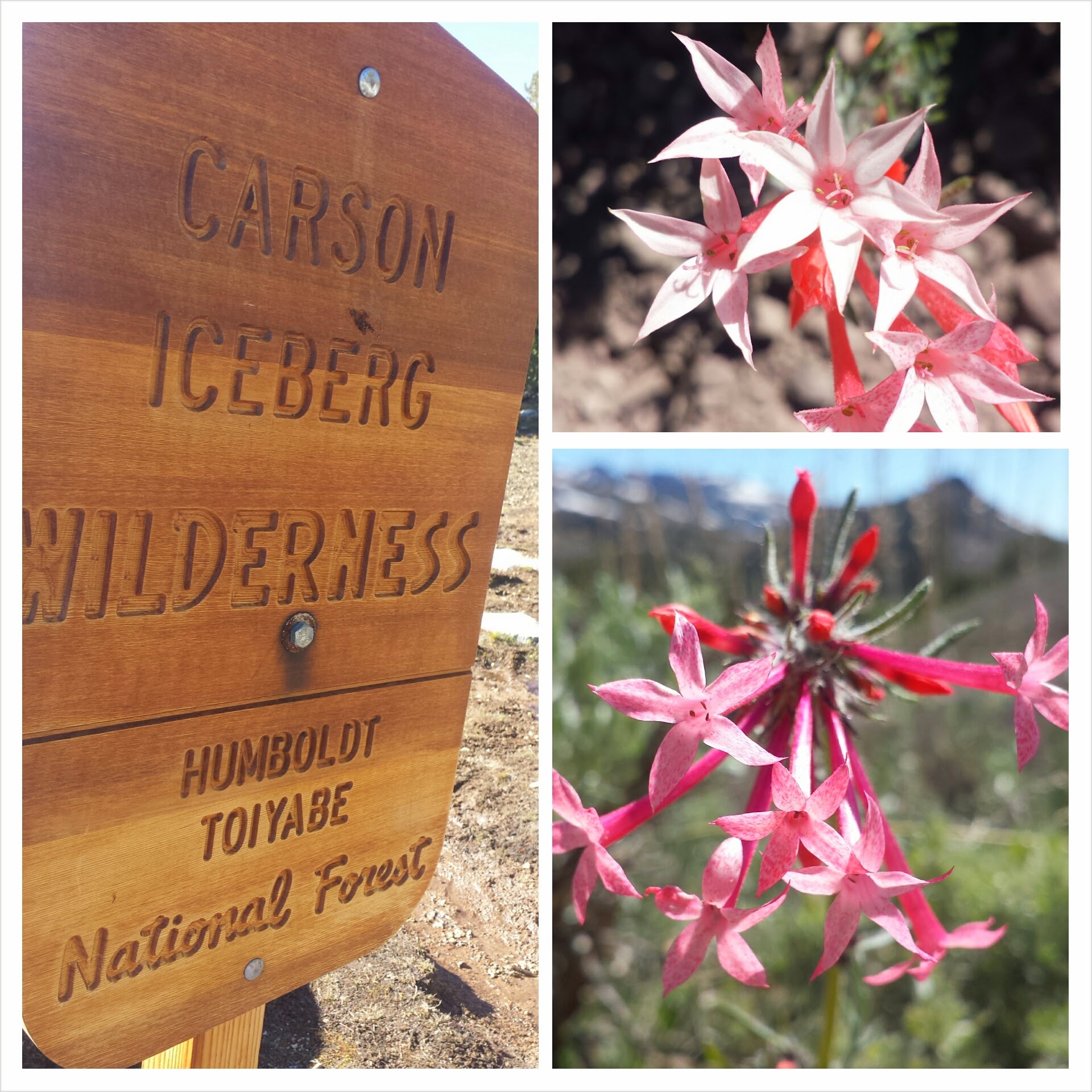
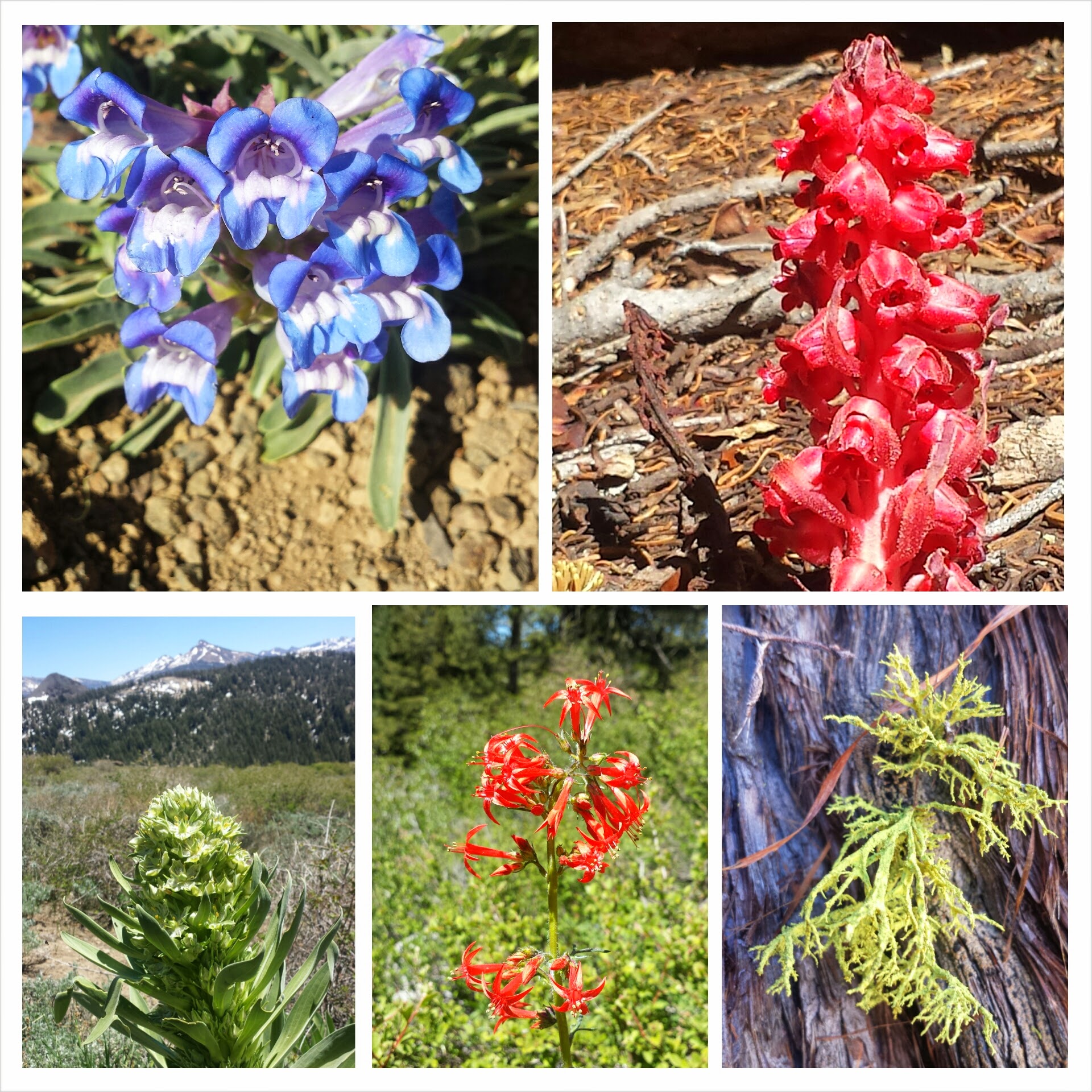
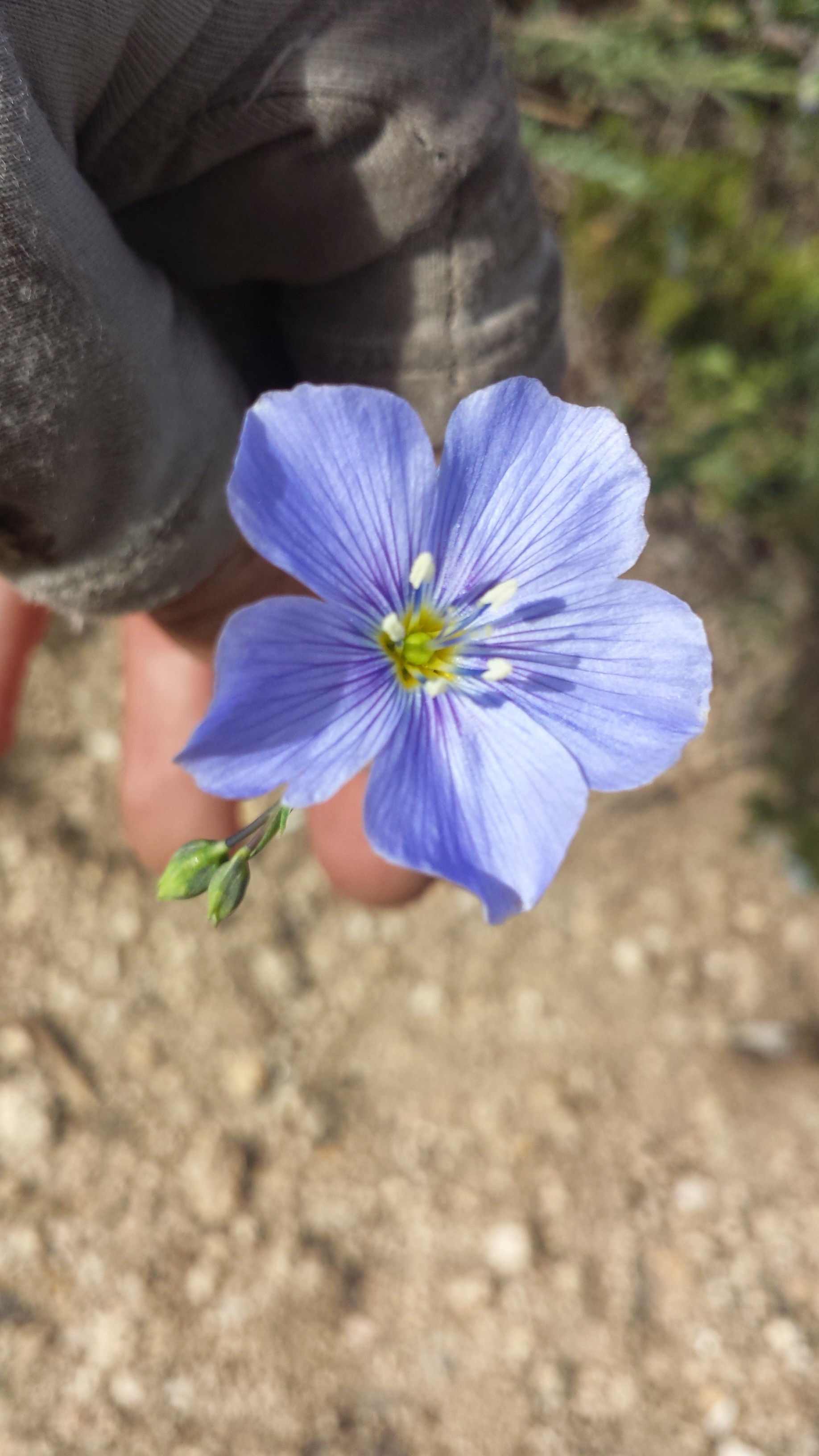
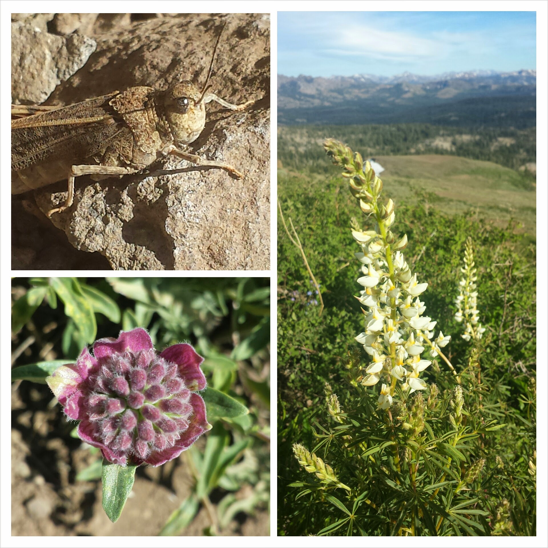
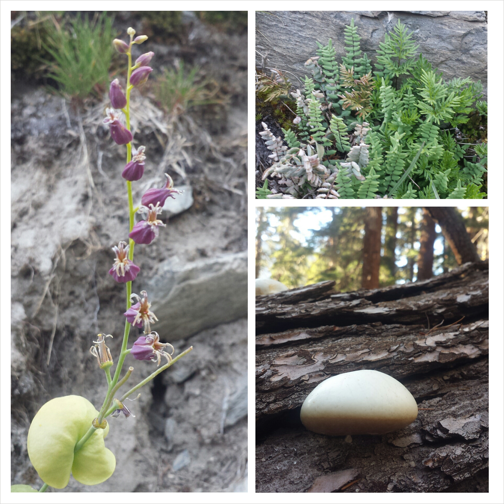
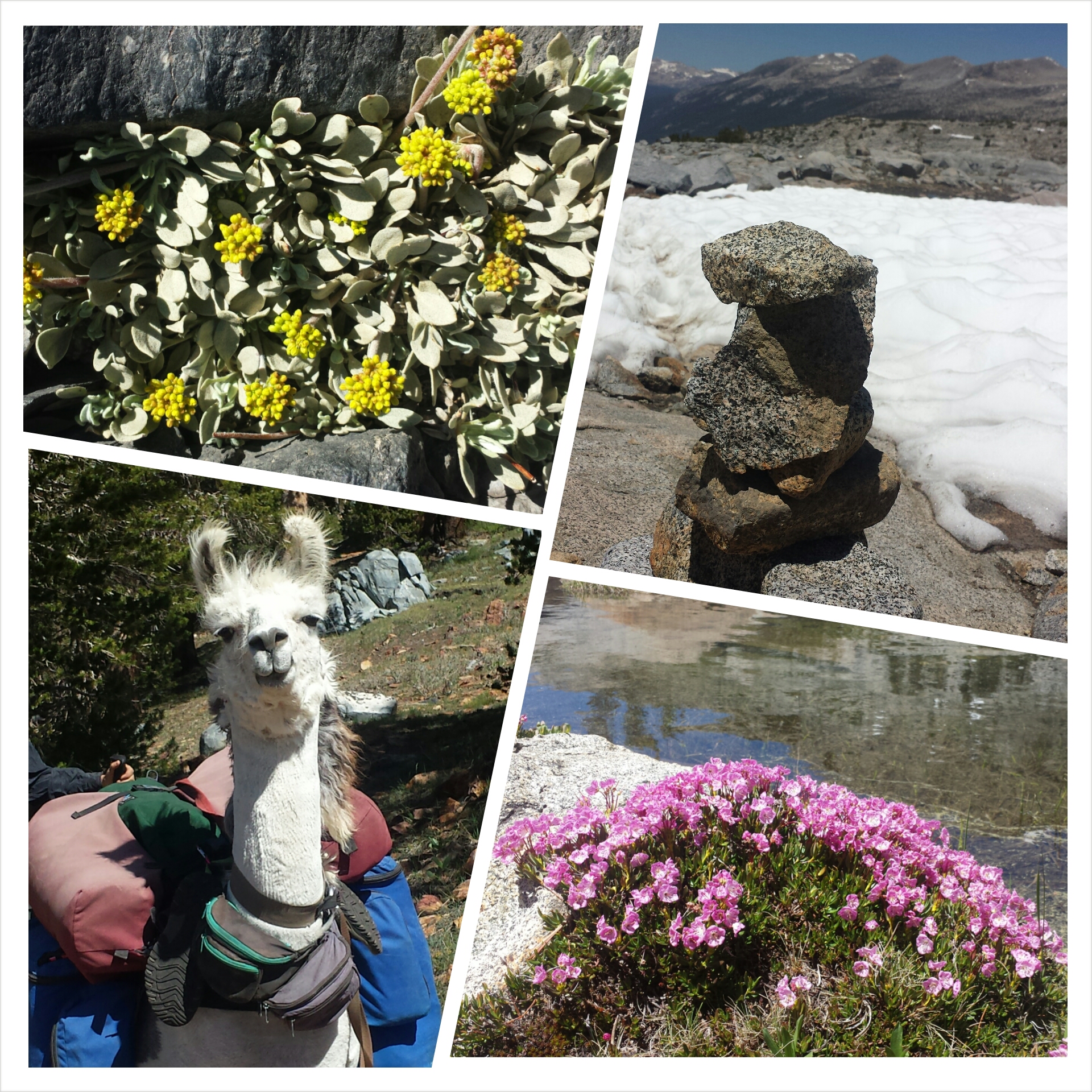
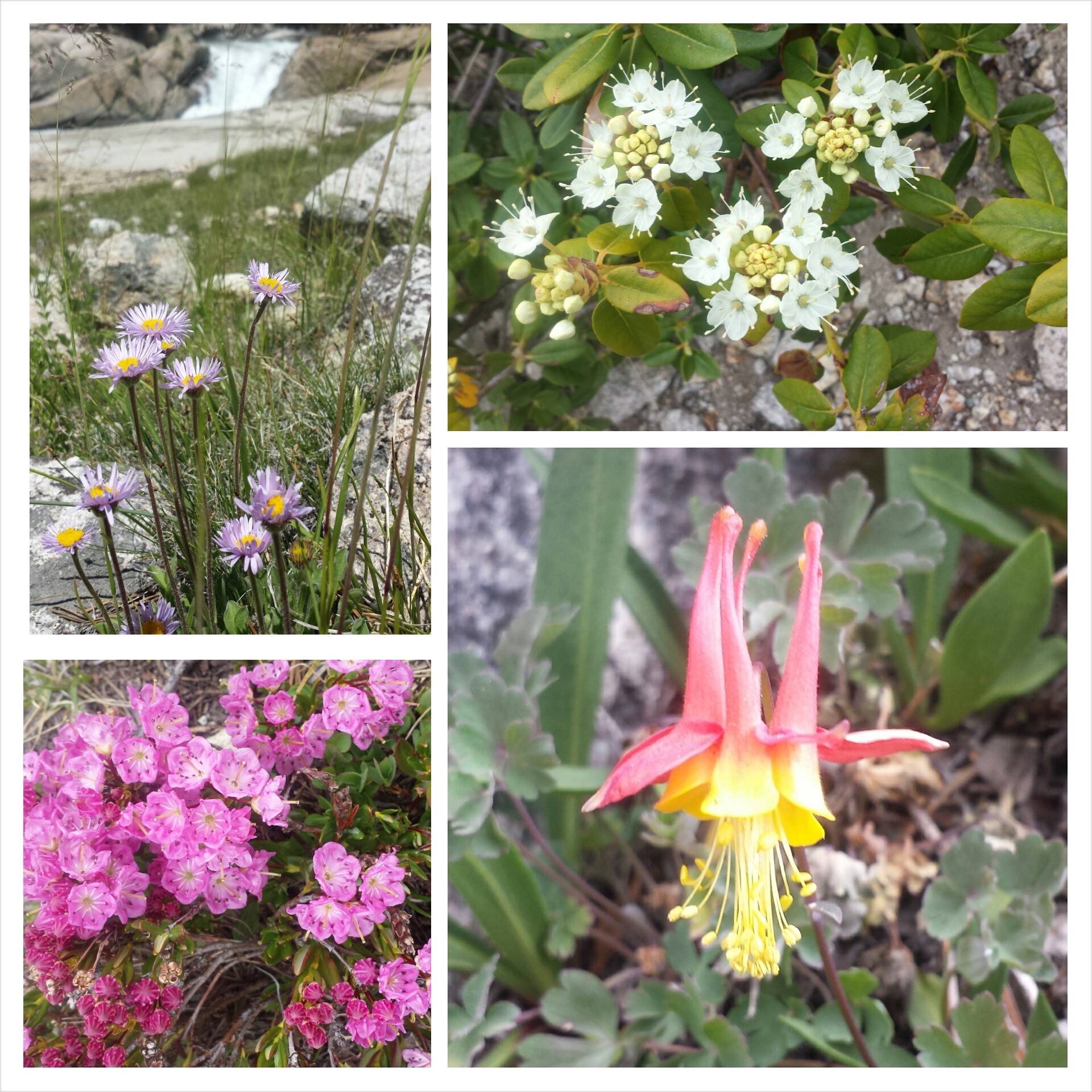
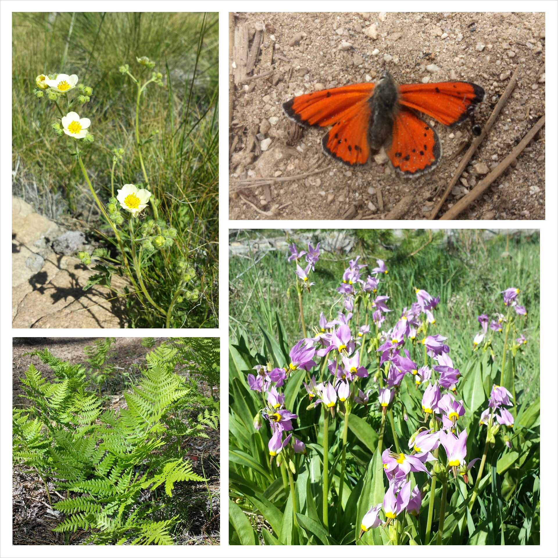
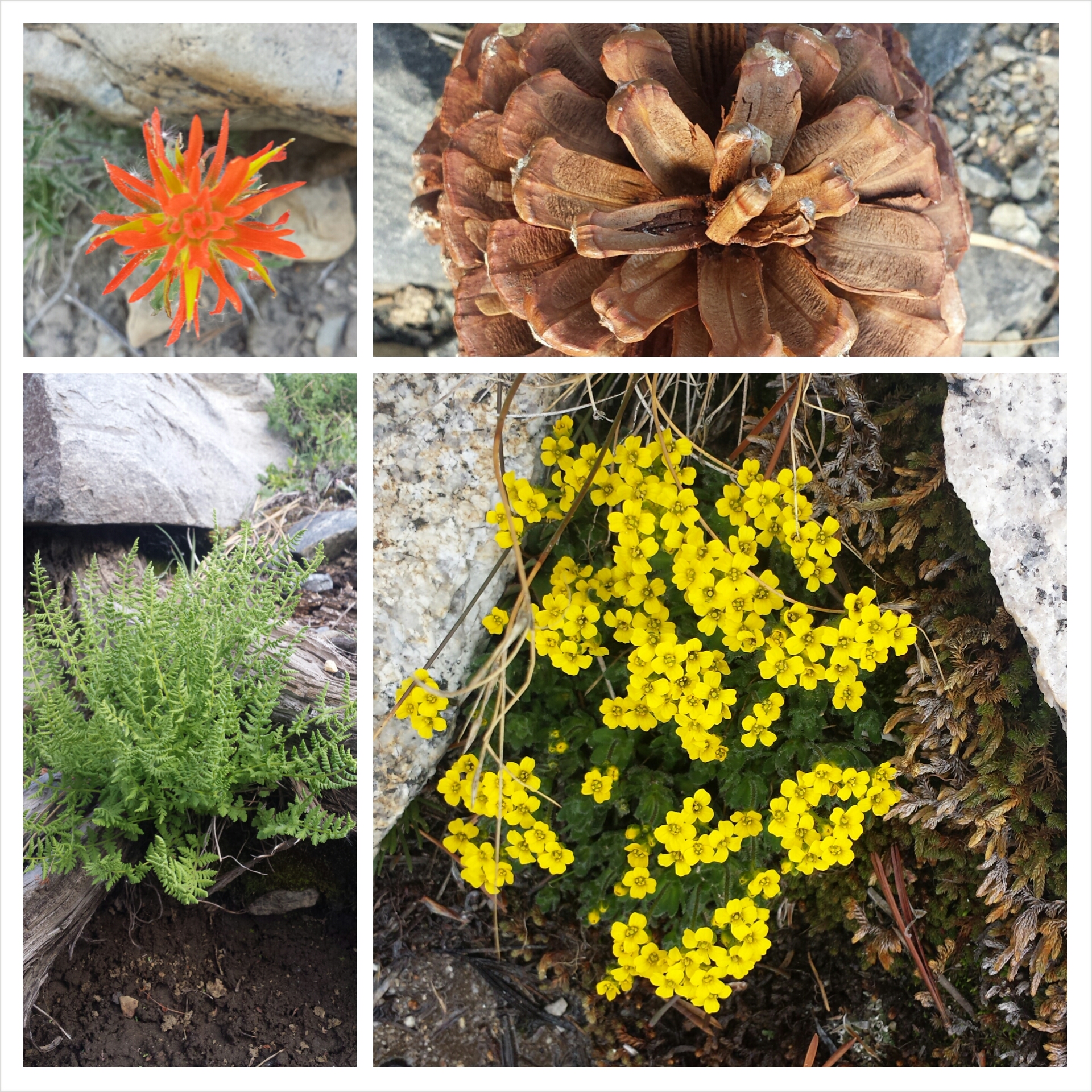
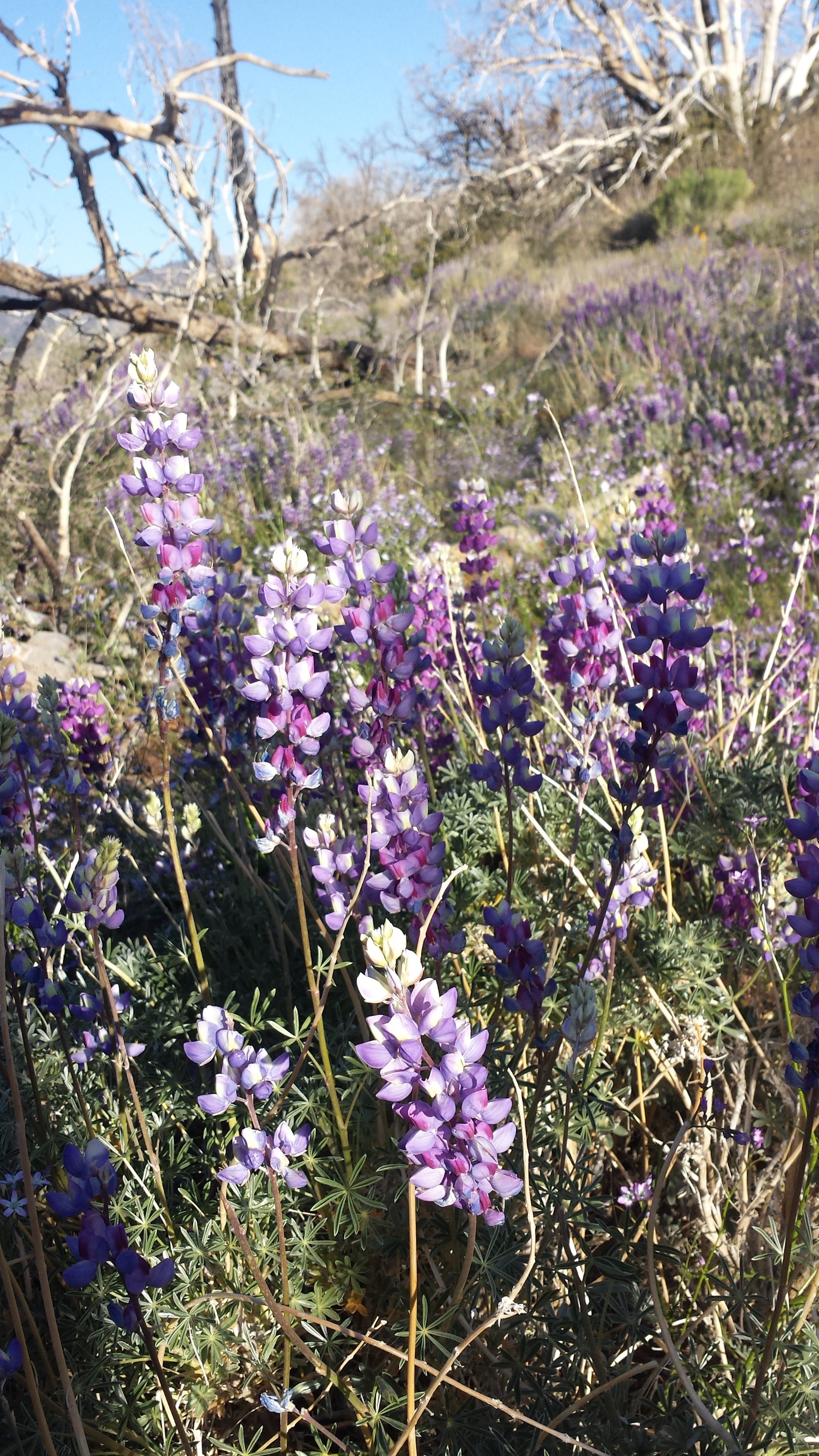
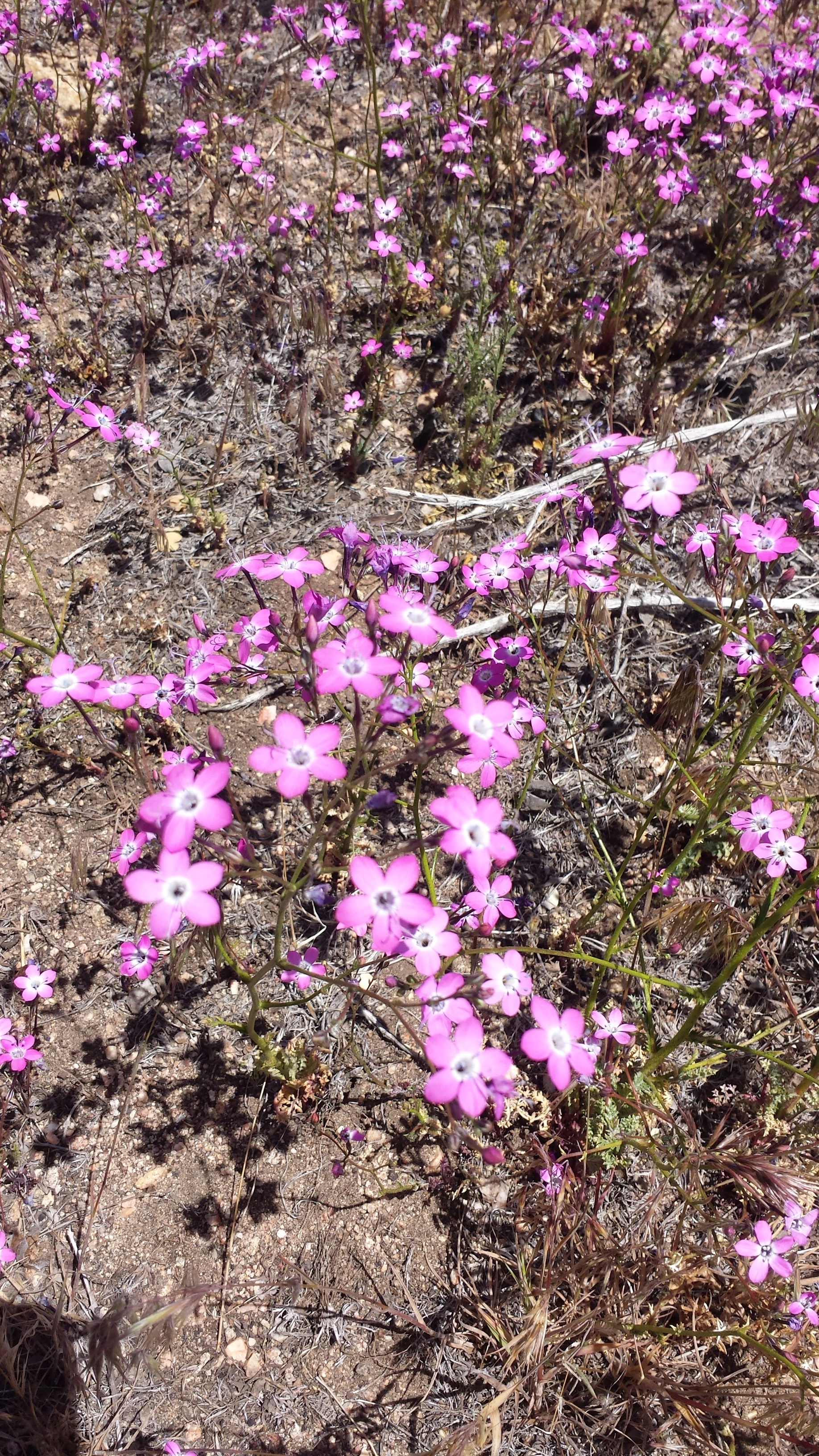
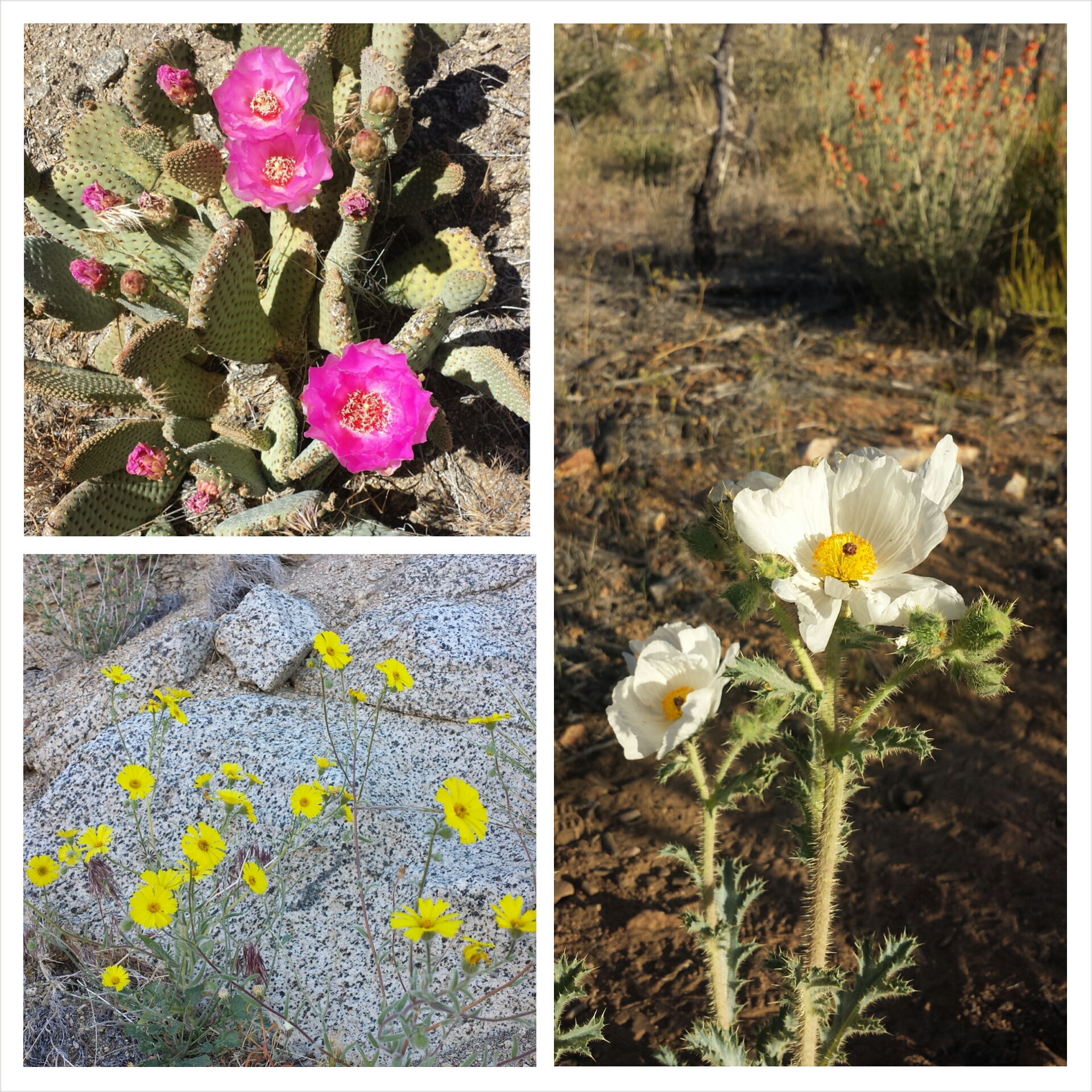
There have been so many wildflowers all through the Sierras. Some are shaped like trumpets, others look like little fireworks or feather dusters. They come in all colors of the rainbow and when growing in patches together, they look just like bouquets from the flower shop. Sometimes, as I walk through the patches of colors, I feel like Dorothy in some alternate Oz universe where the enchanted poppies have been replaced by enchantING orchids, lupine, and mariposa lilies.
I’m cowboy camping under the stars. I’ve missed it: the cool air on my face, the sparkling sky above, and the anticipation of a shoot star at any moment. Tomorrow I’ll be in Sierra City and Art’s driving up to meet me. Yay!
Camping with Lorax & T-Fox
The view from my bed
June 28th- 11 miles, staying at Herrington’s in Sierra City
The laws of the universe must have been turned upside down because I was packed at out of camp by 6 am while T-Fox and Lorax were still eating breakfast. The thought of hot coffee drove me all morning up one last hill, down a very long mountain, and straight into Sierra City
The Red Moose Inn with Crusher, Half & Half, and Liverpool, Sierra City
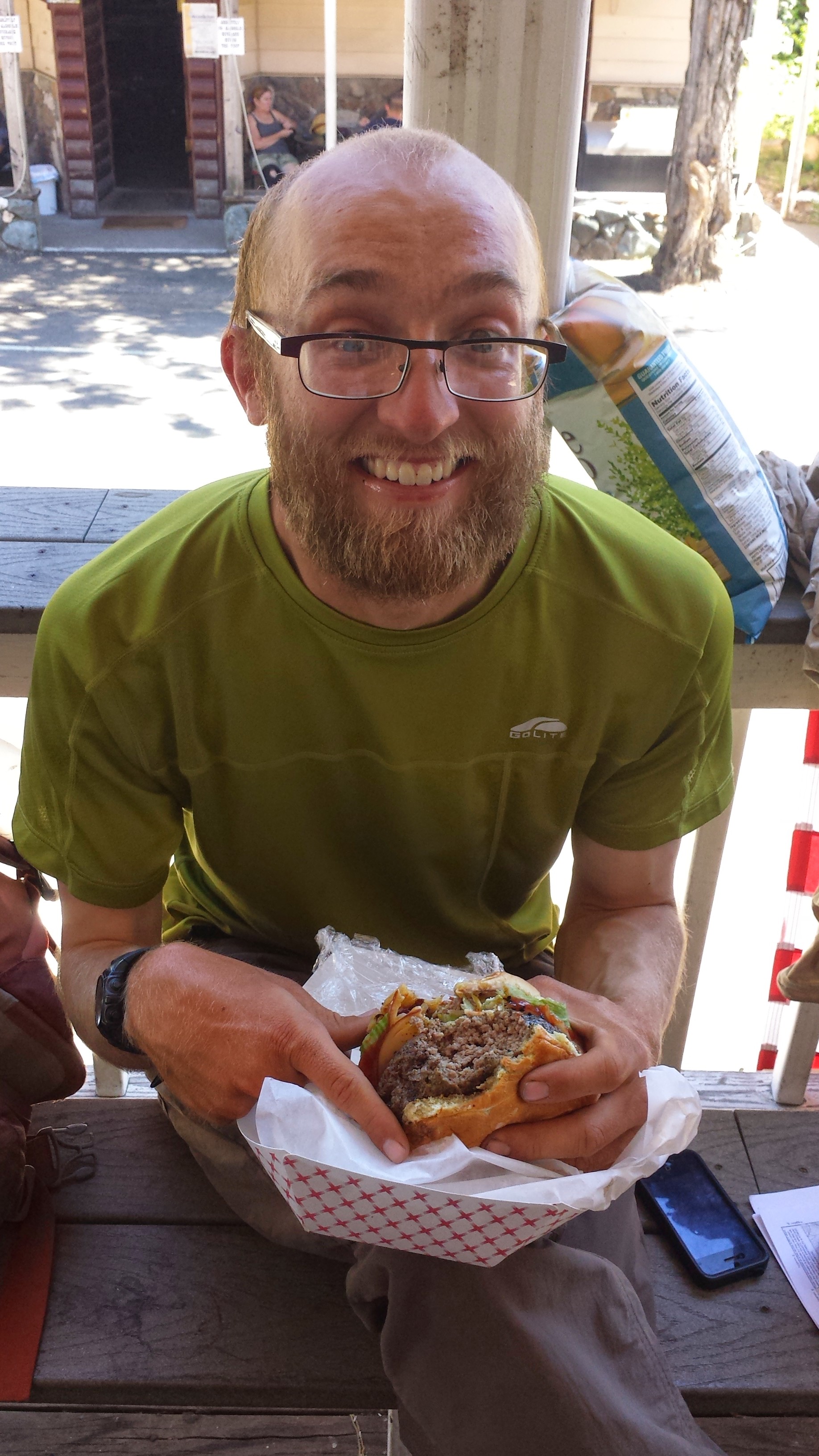
Crusher enjoying a famous Gut Buster Burger
I walked directly into the Red Moose Inn for a late breakfast and was greeted by Crusher, Half & Half (a police officer from Germany), and Liverpool. I thought Liverpool would’ve been several days ahead of me! Numerous hikers showed up throughout the day, most of whom hung out on the Country Store porch eating sandwiches and ice cream. Knock out and I enjoyed some baseball watching and a drumstick dinner from the local saloon before I headed down to Herrington’s Resort for the night. I made sure to stop by the store one last time and grab more juice, ice cream, and pudding. I must’ve been quite a sight carrying my pack, resupply box, trekking poles and groceries a half mile along Highway 49.
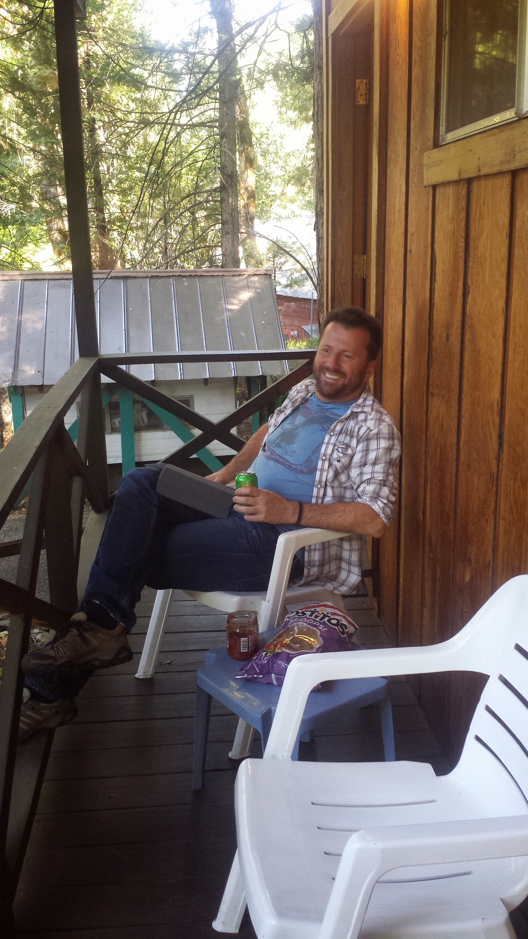
A visit from my honey <3
Art met me a few hours later and he’ll hang out with me while I take a zero tomorrow. We plan on eating lots of chip and dip from the store and I’ve got my fingers crossed for a foot massage!
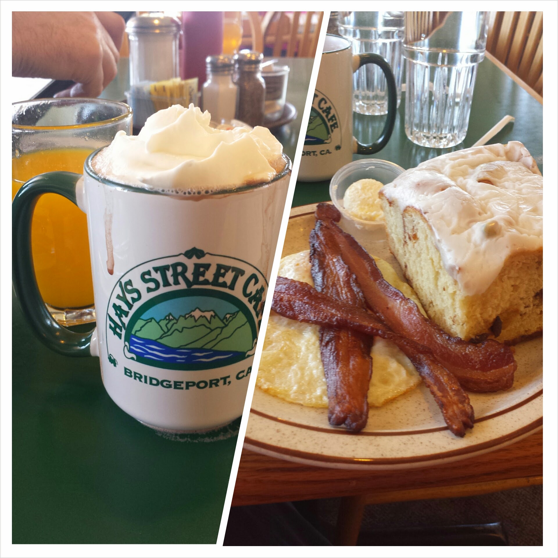
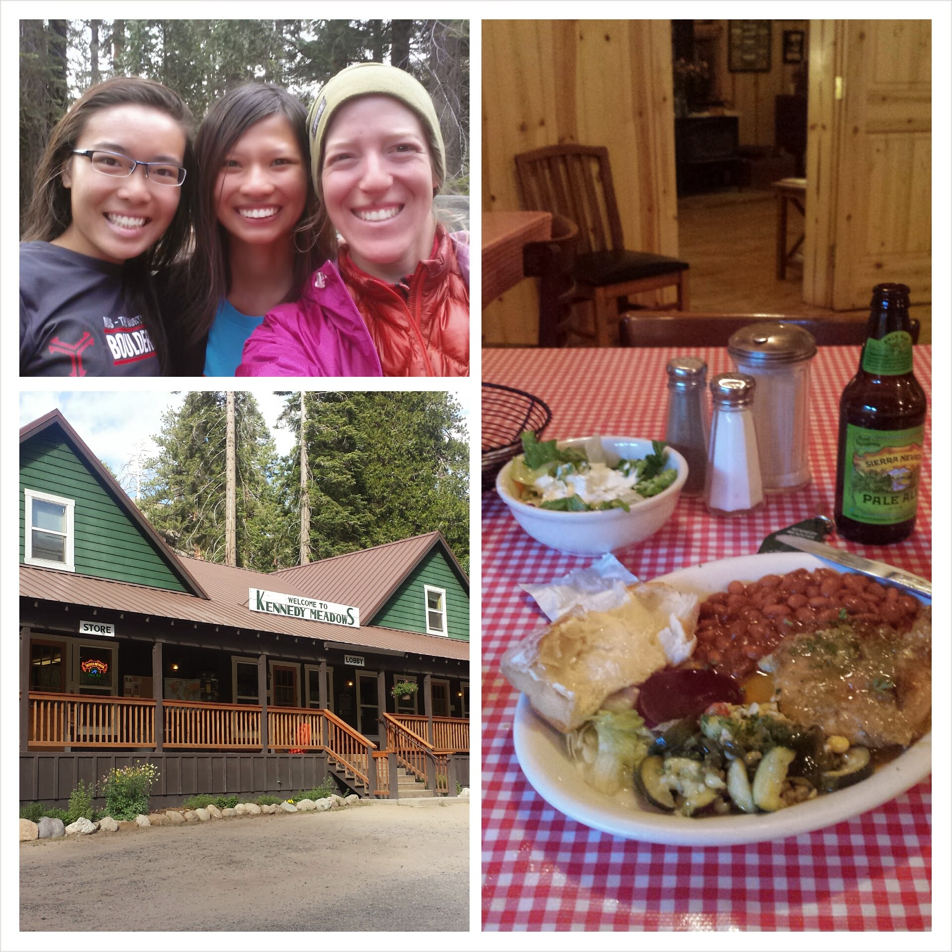
Art and I had a wonderfully relaxing day at Northern Kennedy Meadows, eating and napping. I could’ve napped for a whole week, I was so tired. Since the resort didn’t have working Wi Fi, Art and I drove 30 miles east of the PCT to the little town of Bridgeport on Highway 395. We went to breakfast at the Hays Street Cafe, which was delicious!
Hayes Street Cafe, Bridgeport
Next, we went to a coffee shop that had Wi Fi so I could upload my Vimeo videos and my journals for the last section.
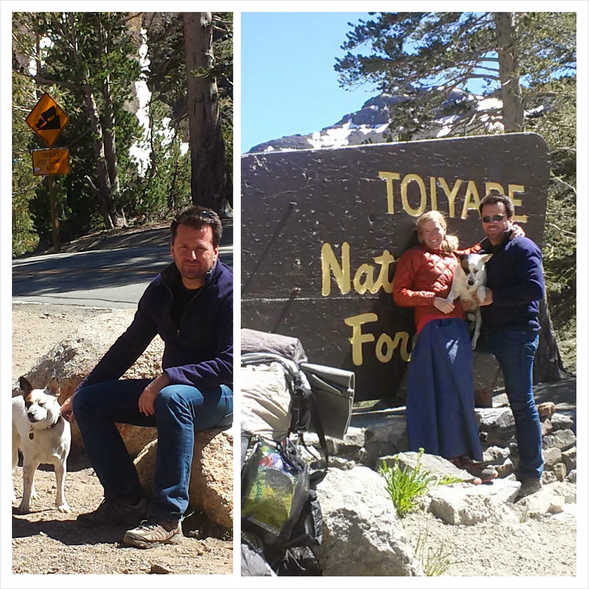
Drop-off from Art & Pepper at Hwy 108
We didn’t get back to the trailhead until 3:30, and I was so tempted to just turn around and stay another night with Art and Pepper in town. It was so hard to say goodbye. We tried to make it quick, but of course we couldn’t.
After making this video on the trail, Art drove the car around the road to catch me one more time where the trail crossed it. That was all I needed to start getting teary eyed. It’s always so quiet after someone you love drops you off at the trail and you head out into the wilderness. It’s just the void of them not being near you is so apparent.
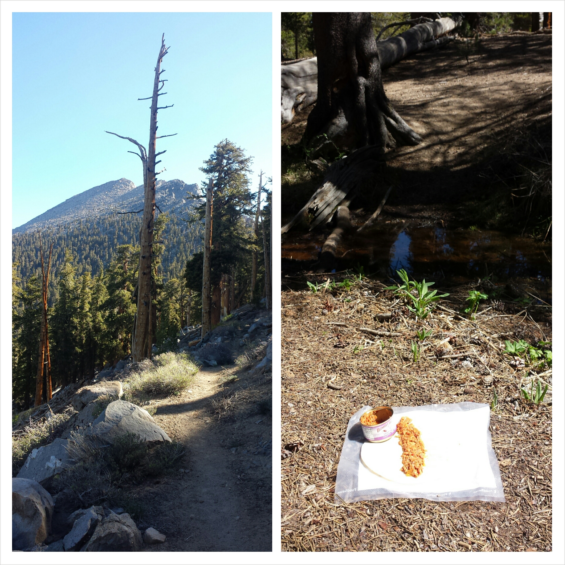
Climbing north out of Sonora Pass
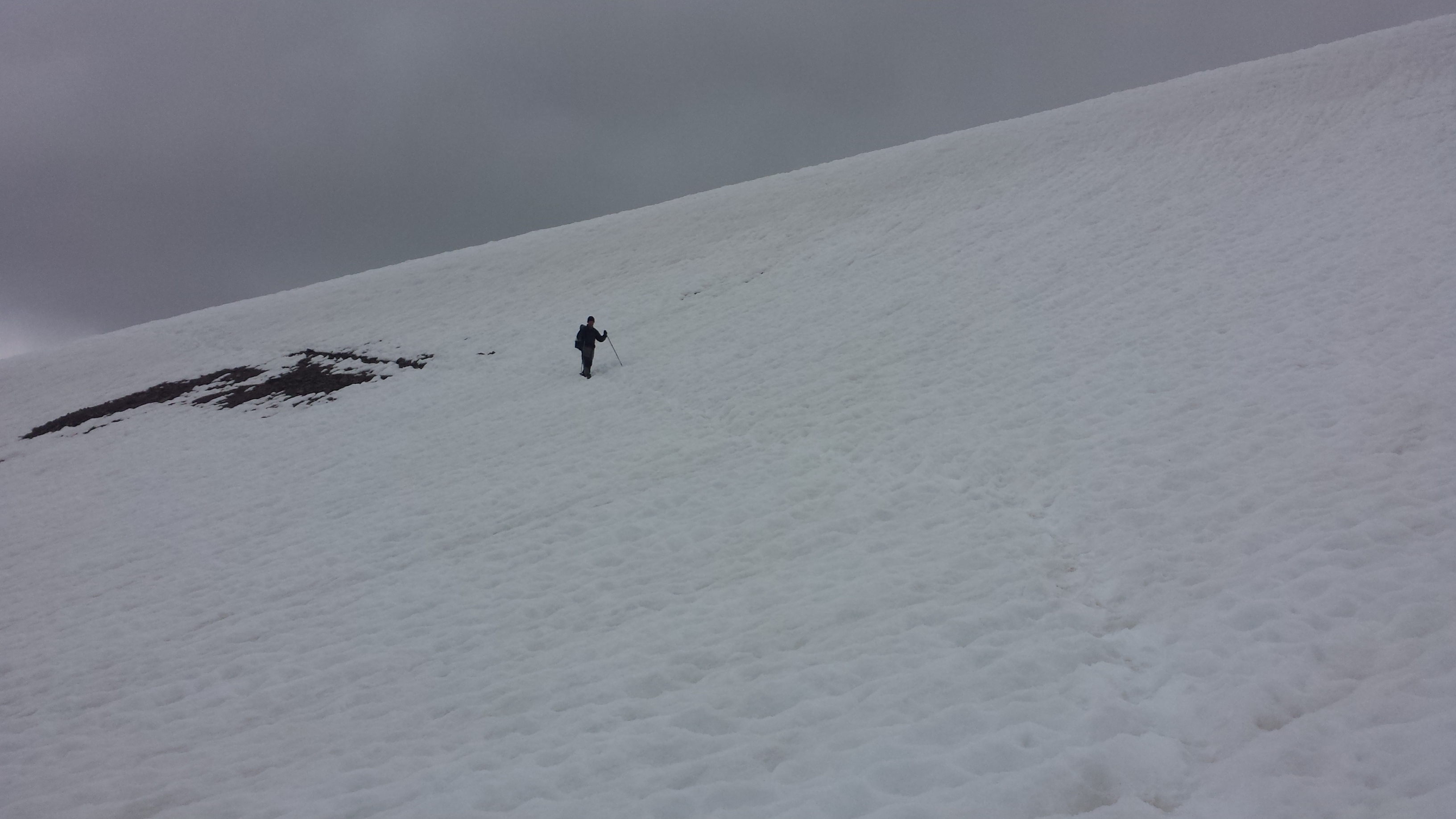
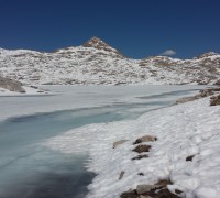
The hike was beautiful all afternoon. I had planned on doing eight miles, but after sloshing through more snow then I expected, I felt like calling it a night early.
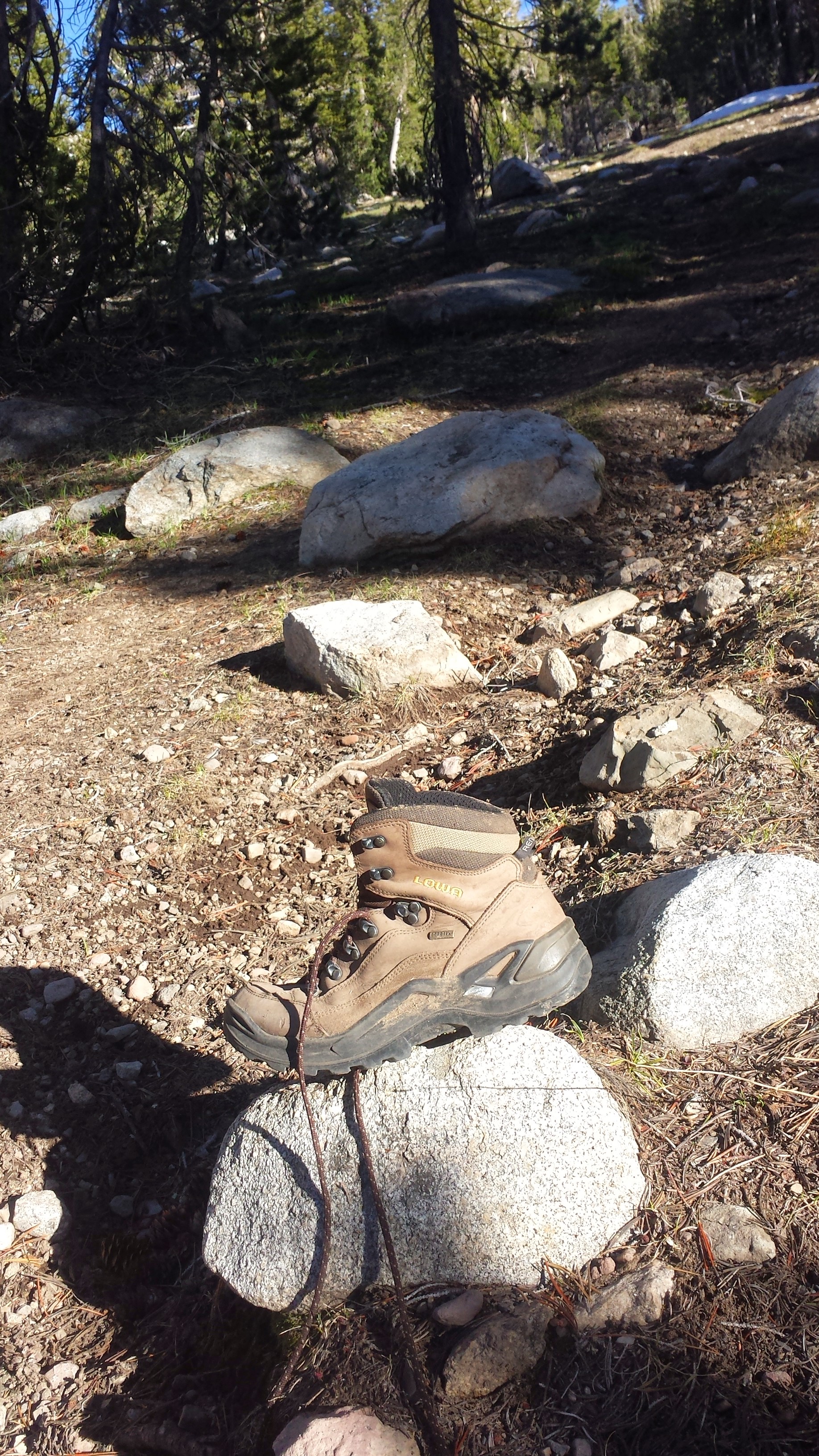
I found Cheryl Strayed’s boot!
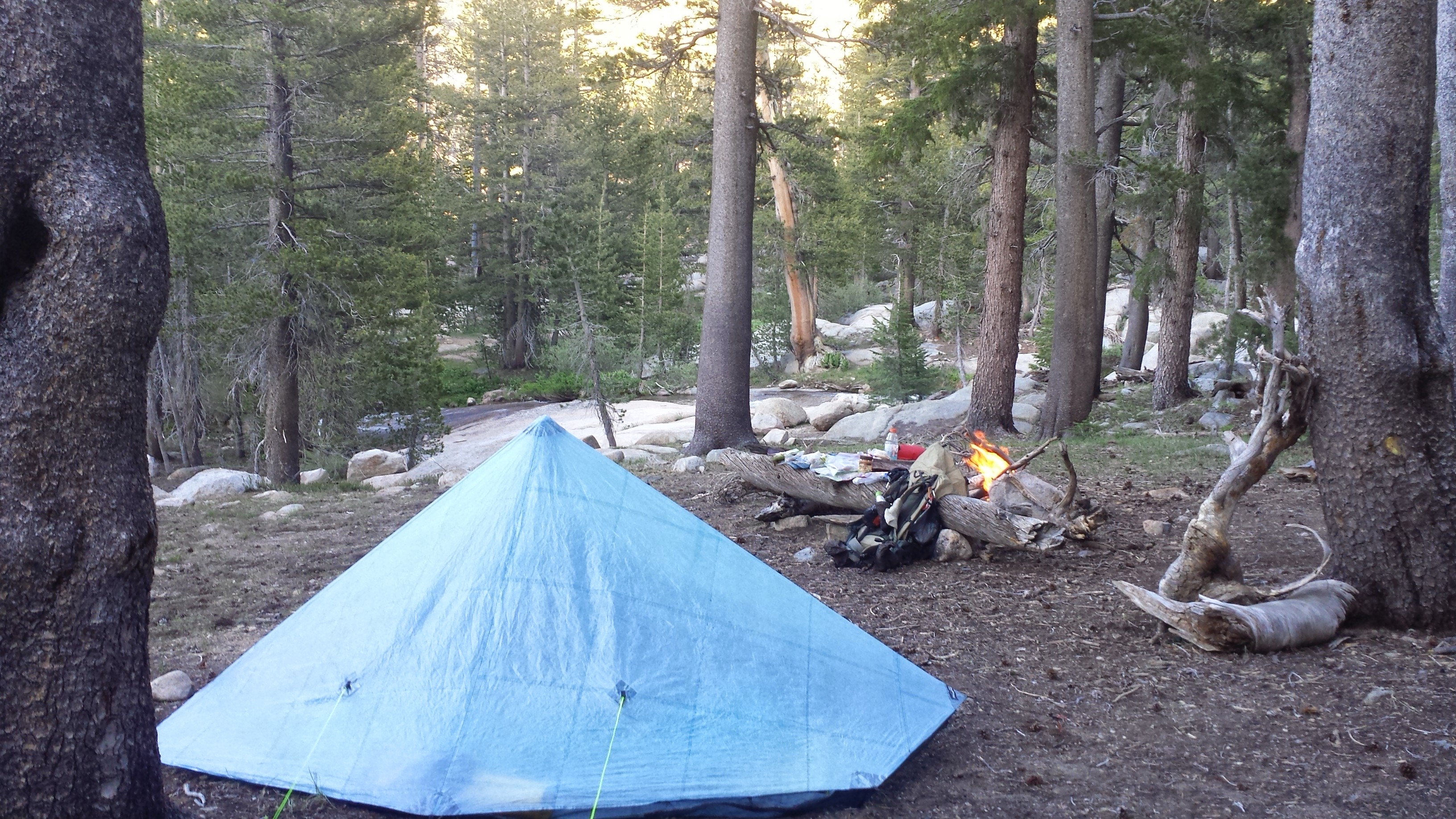
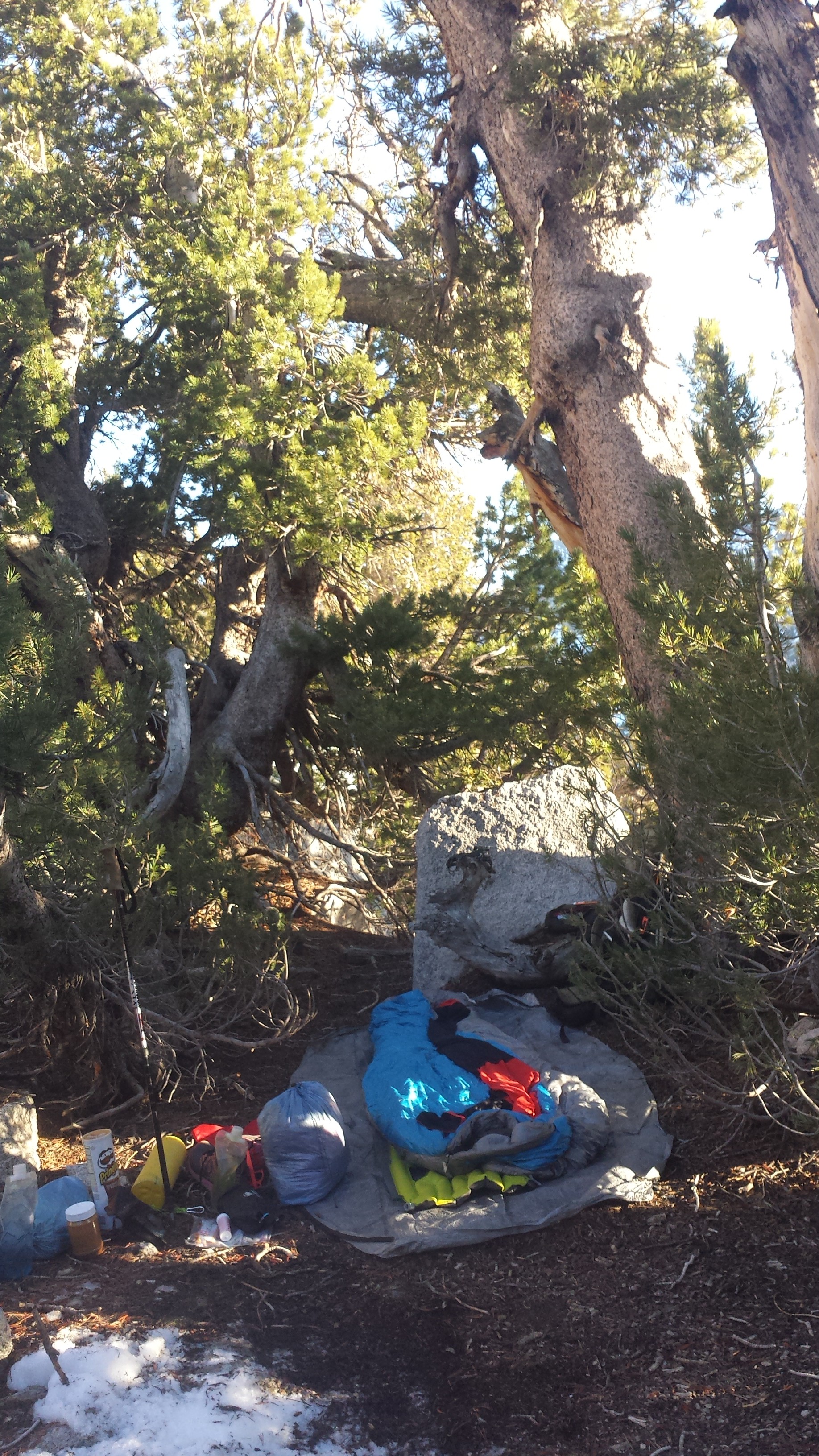
I made a little fire while I tried to organize my food. I’m carrying so much, it’s impossible to fit it all in my bear canister.
Camping near the East Carson River
While back at the resort, I got a look at myself in the mirror at was shocked to see how much weight I’d already lost. I looked like a starvation victim with bones showing in my chest and back, and my arms and hips thinner than I think they’ve ever been in my life. I didn’t think I’d loose this much so quickly and it has me a little concerned. Art and I went through the resort market picking out foods high in protein, fat, and carbs to add to my diet. I’ve been forcing myself to snack today, even when I’m not hungry, on seeds and dried fruit. Tonight I had a salami and cheese tortilla wrap as an appetizer before my home-assembled ramen dinner. I have cookies sitting next to me as I write this, and I really should eat them, but I just can’t get motivated. I’m having tea instead.
June 19th- 24 miles, camping on ridge before Highway 4
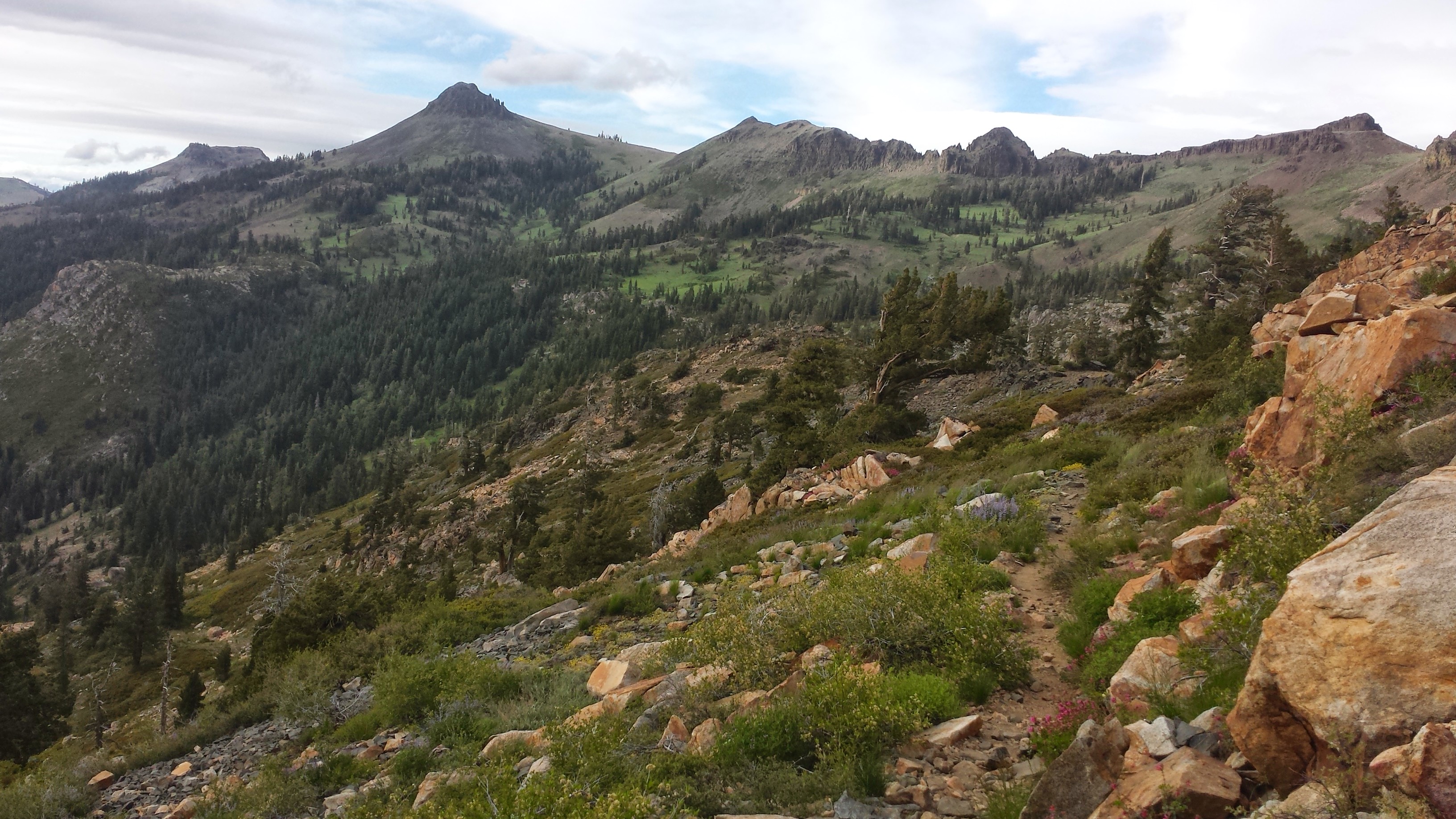
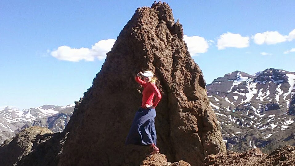
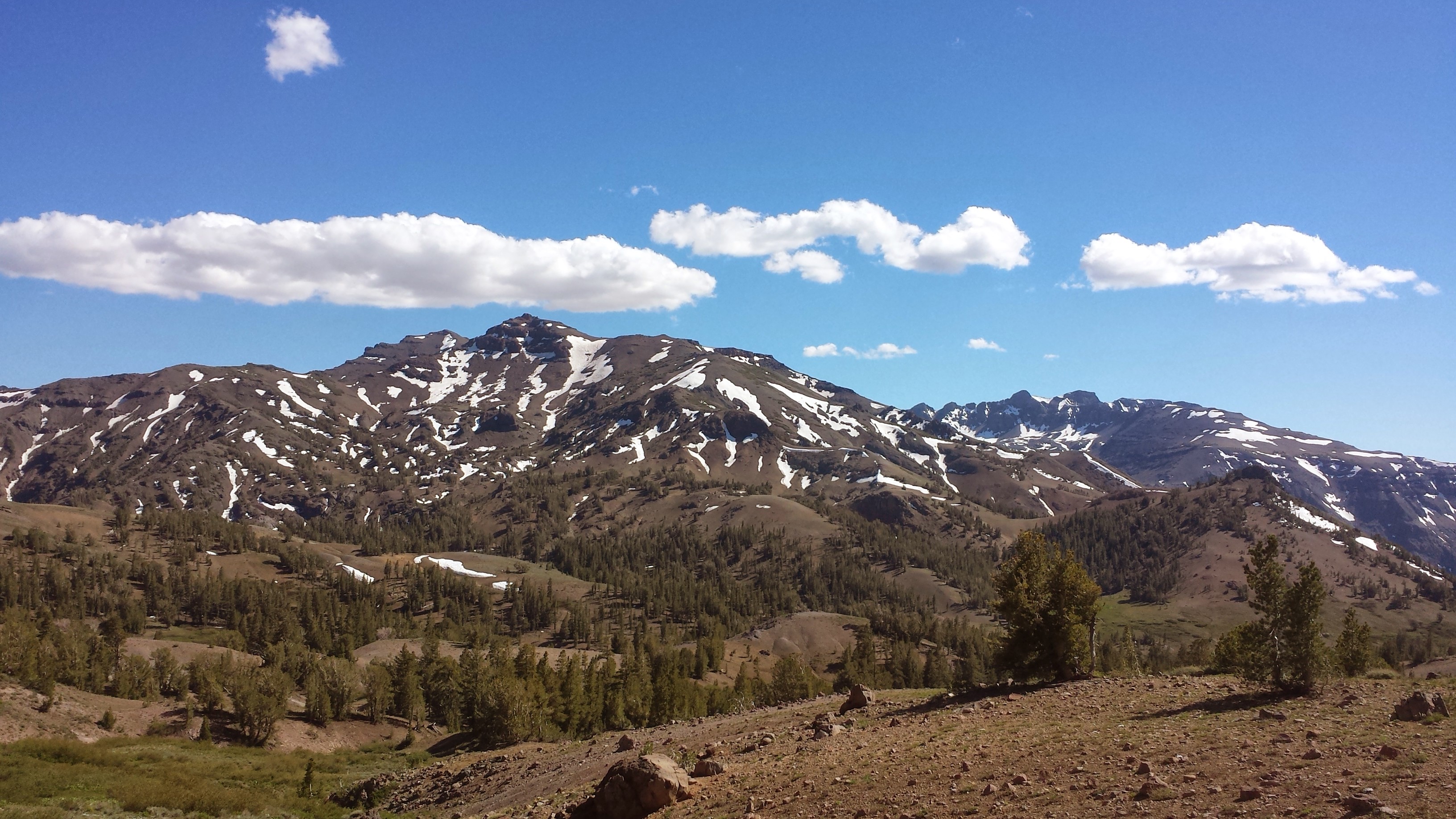
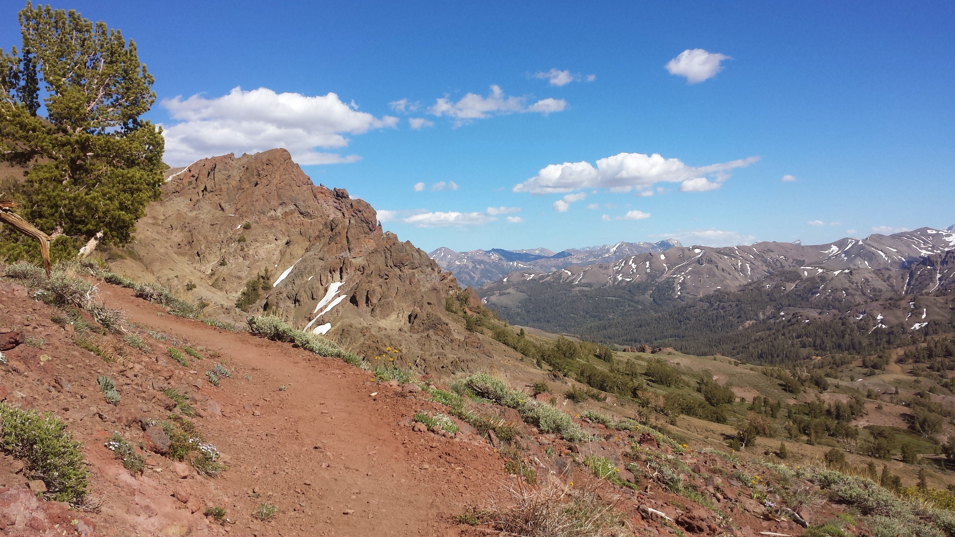
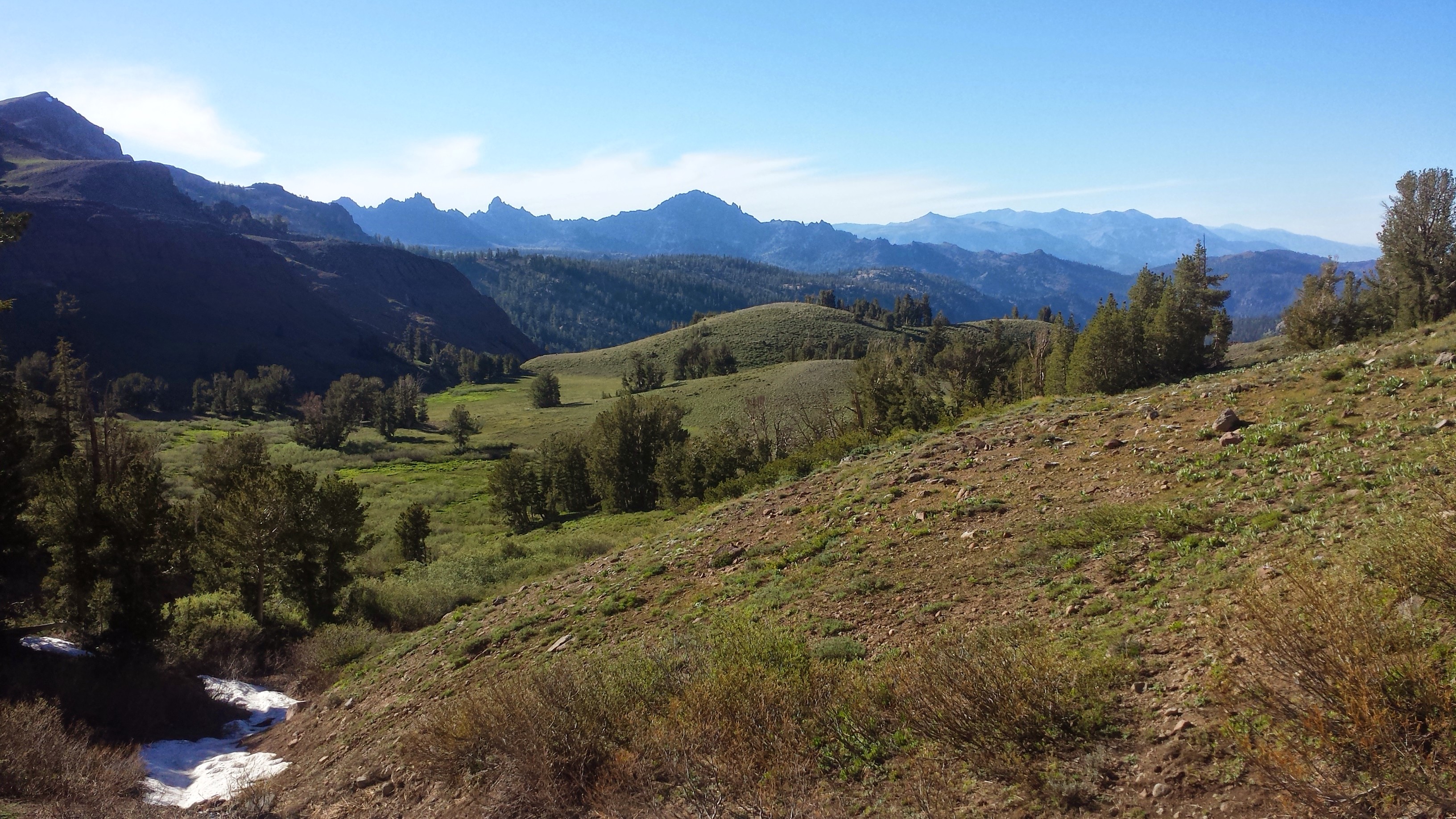
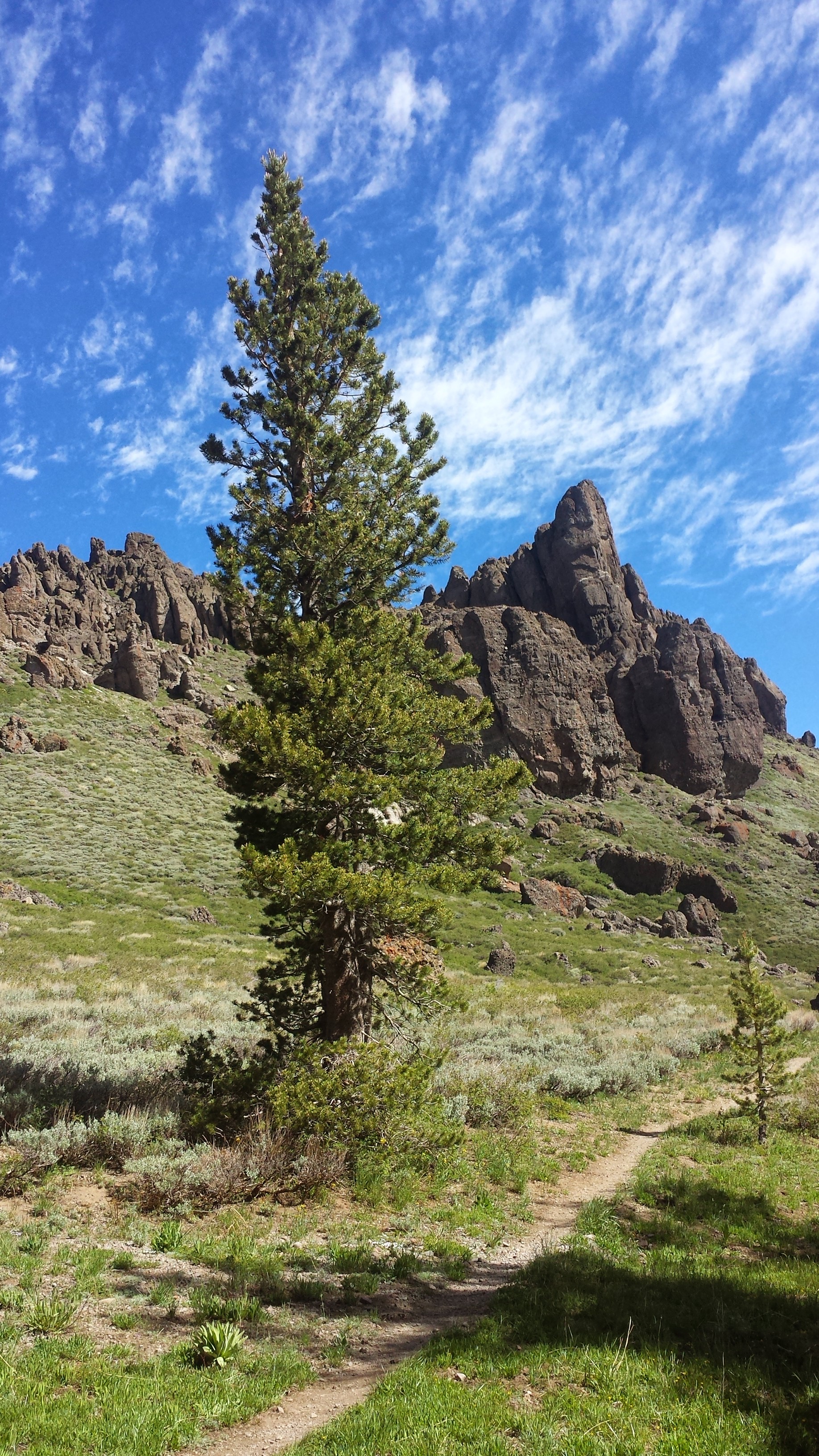
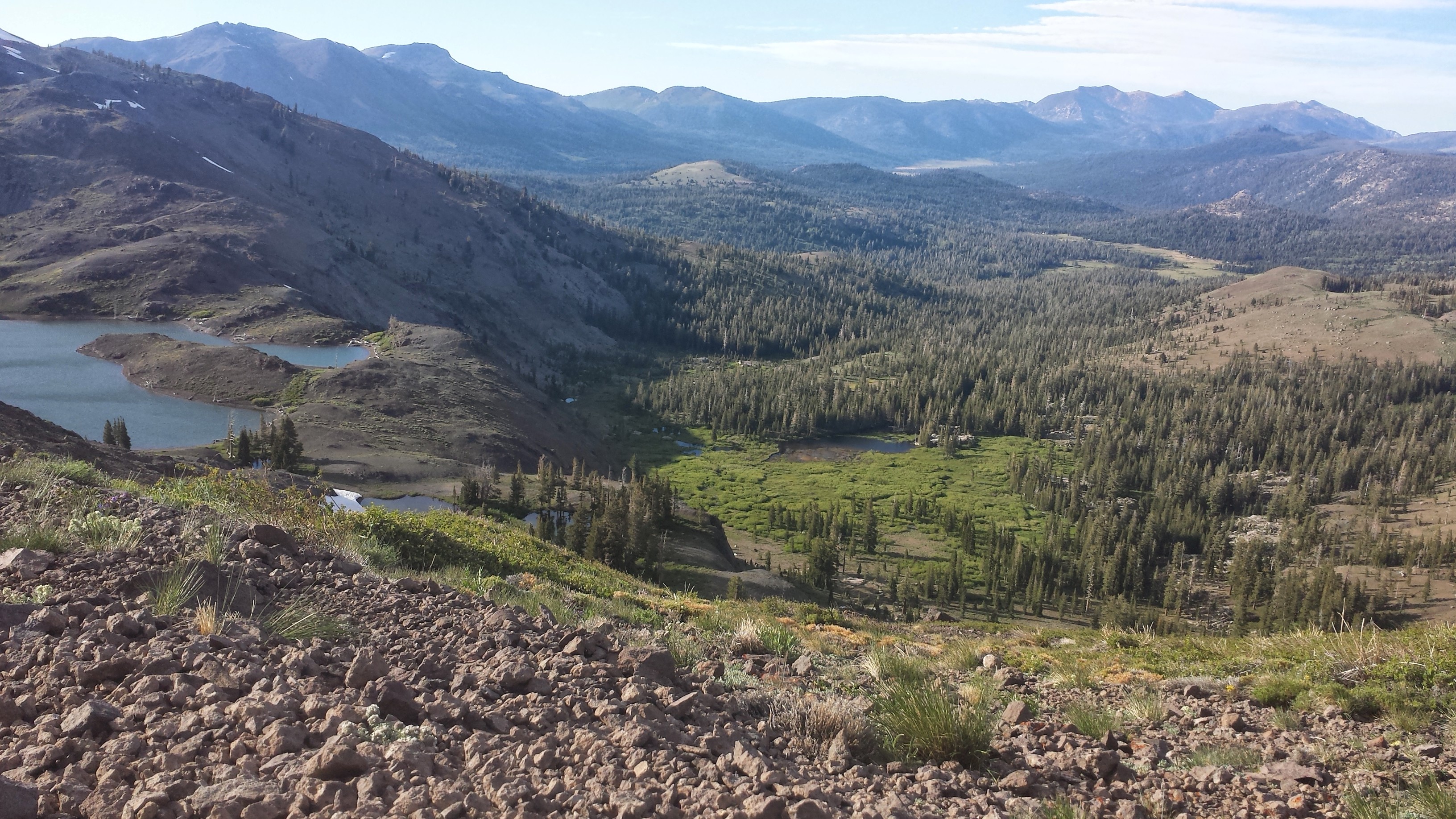
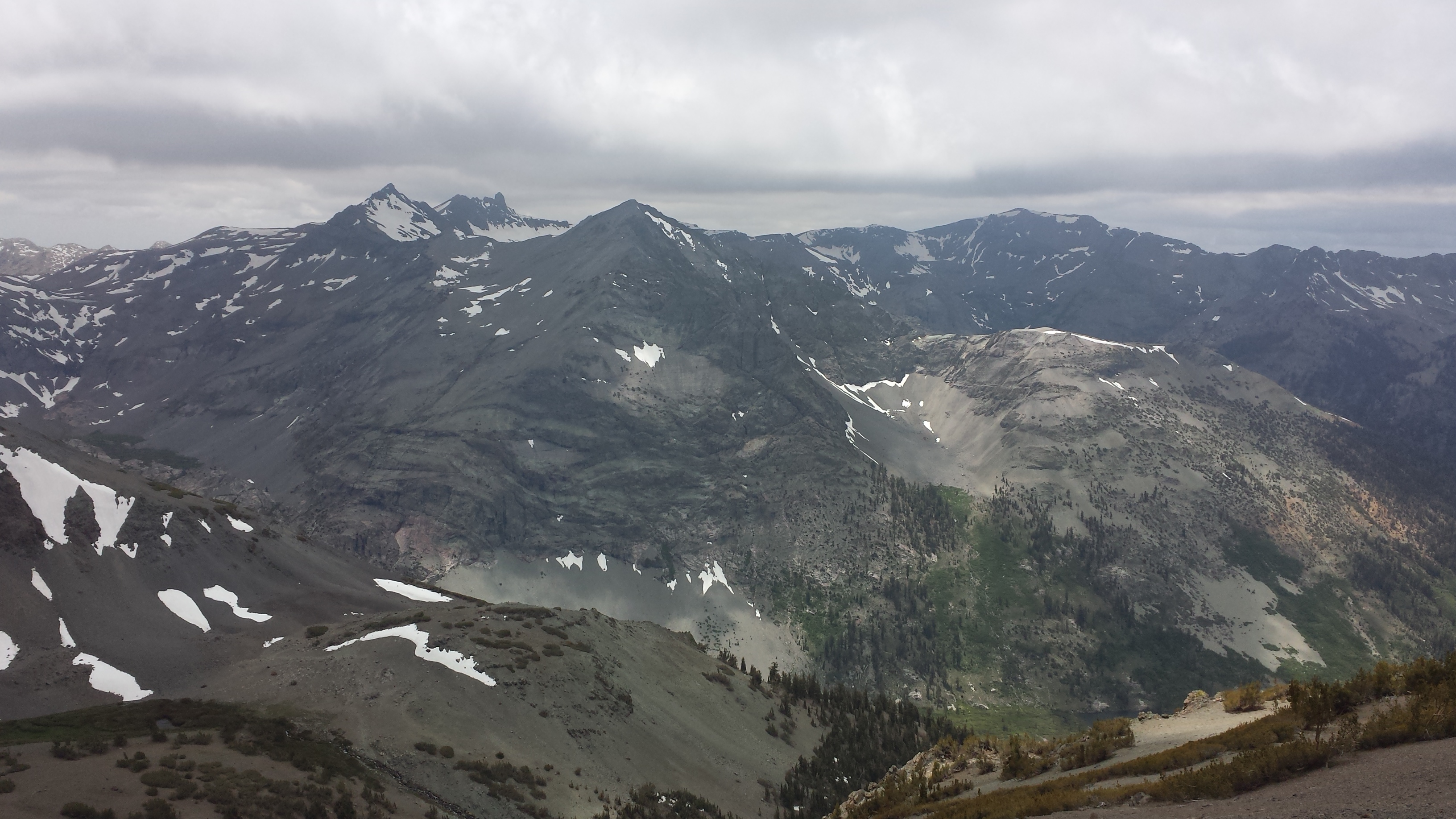
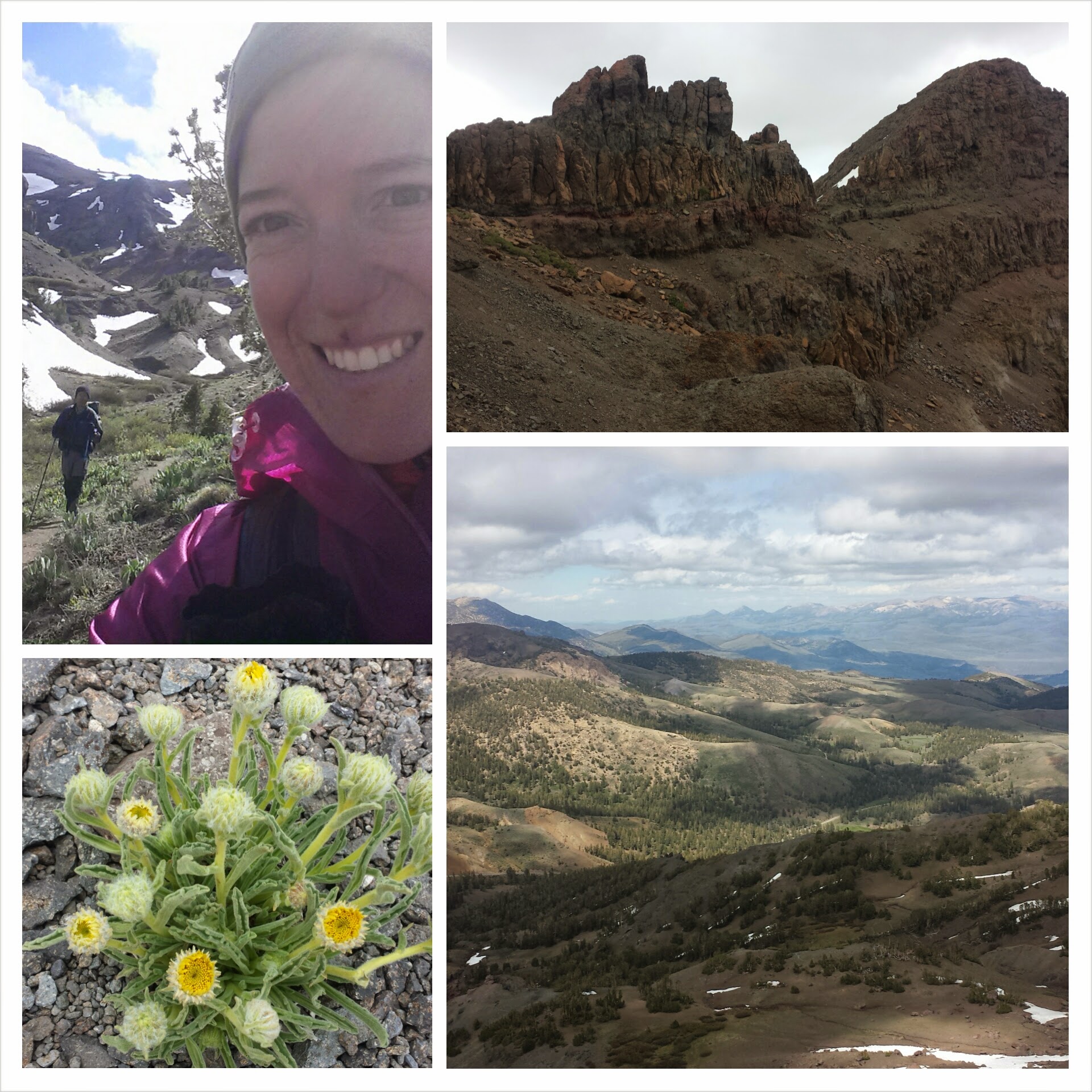
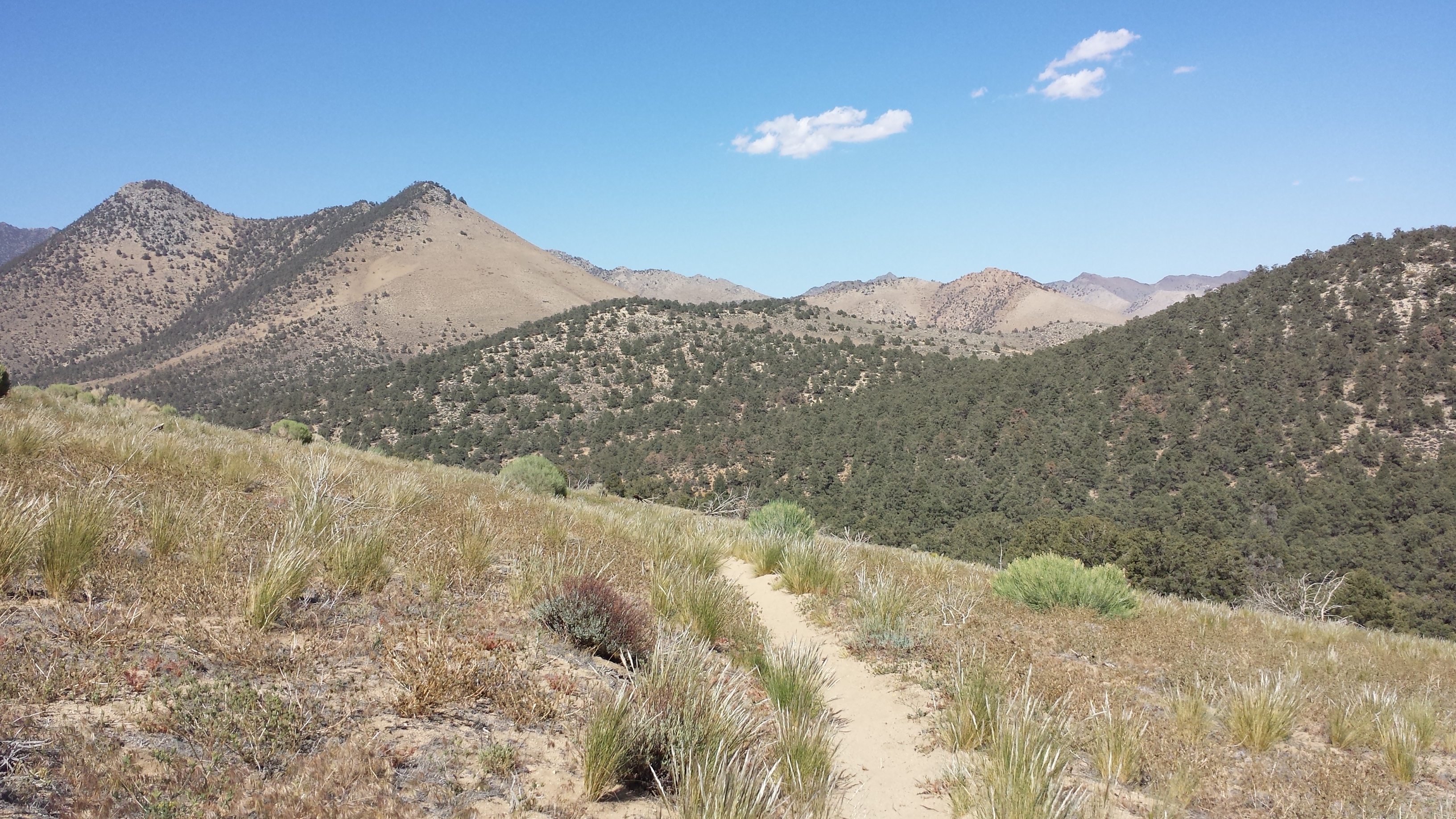
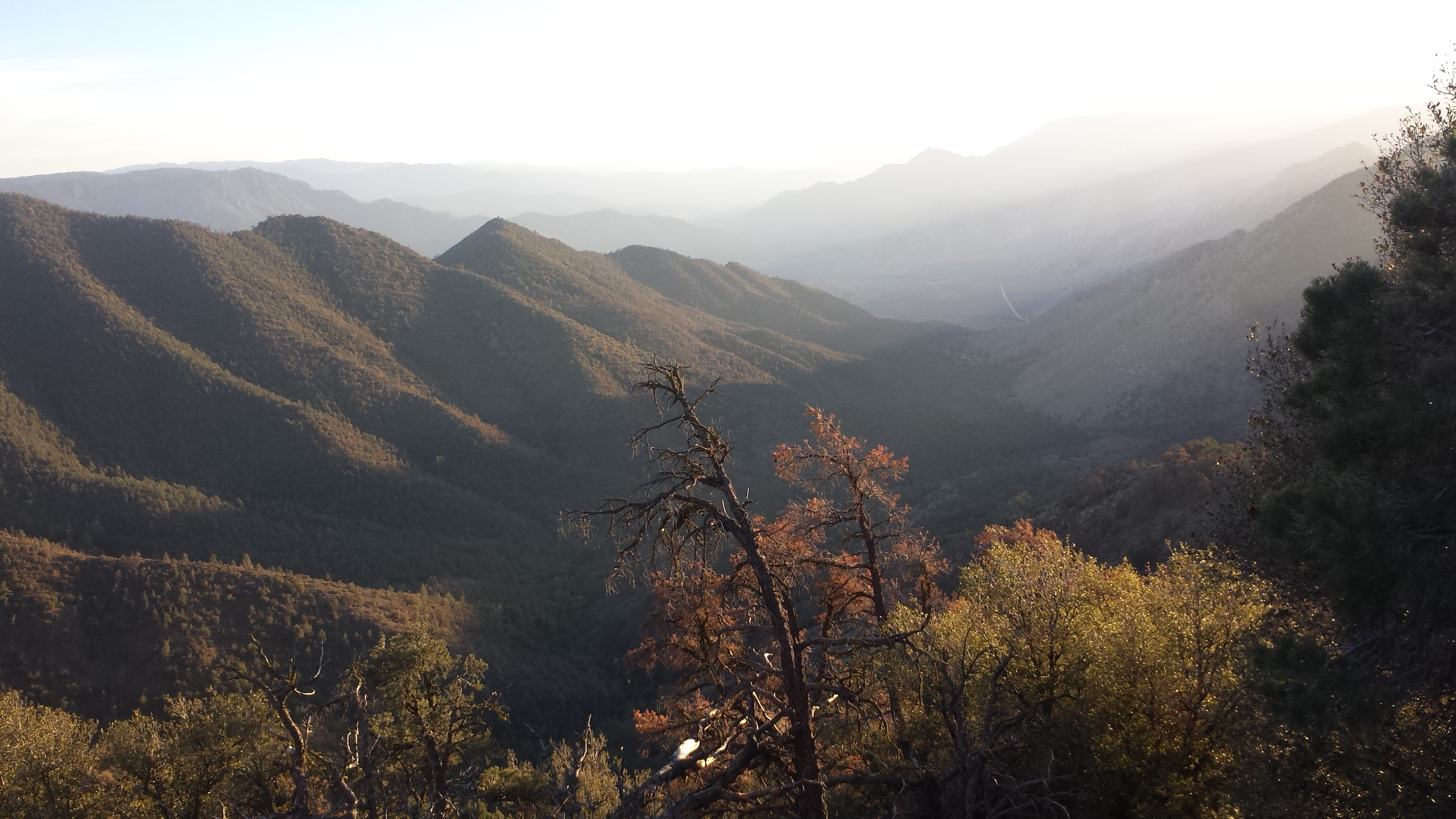
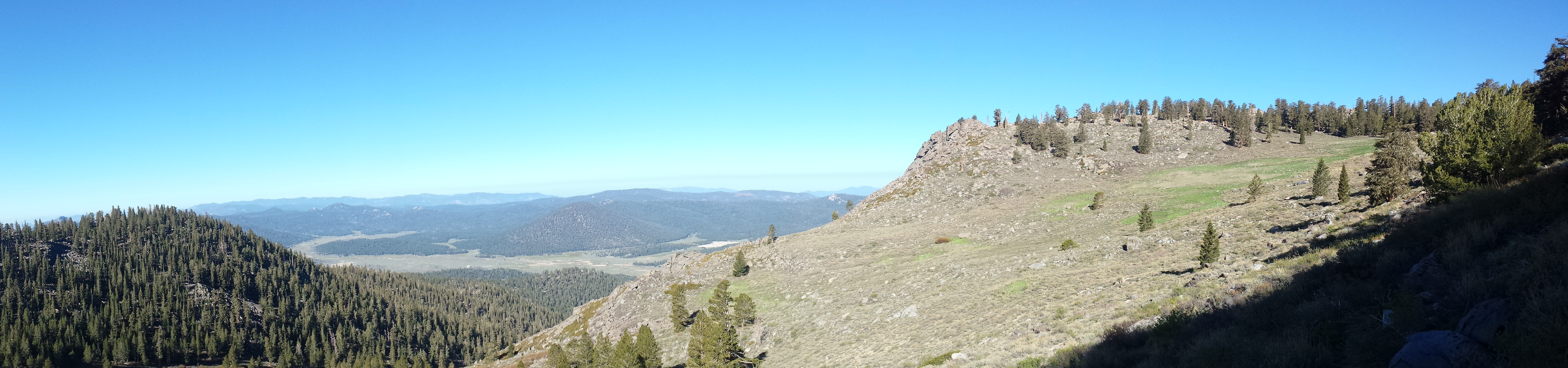
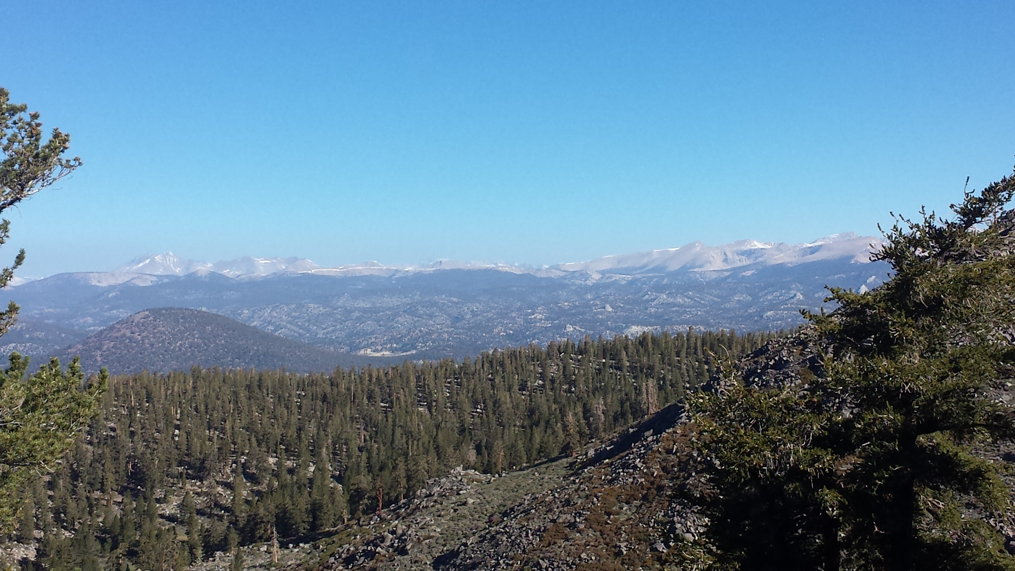
I think Toiyabe might be my new favorite national forest. I never got tired of the red rock mountains or the barren mountain tops or the contrasting colors from green trees and grass to bright little flowers. The mountains here have a southwest look to them. I wish I knew more about geology because I’m sure these rocks have some great story to them.
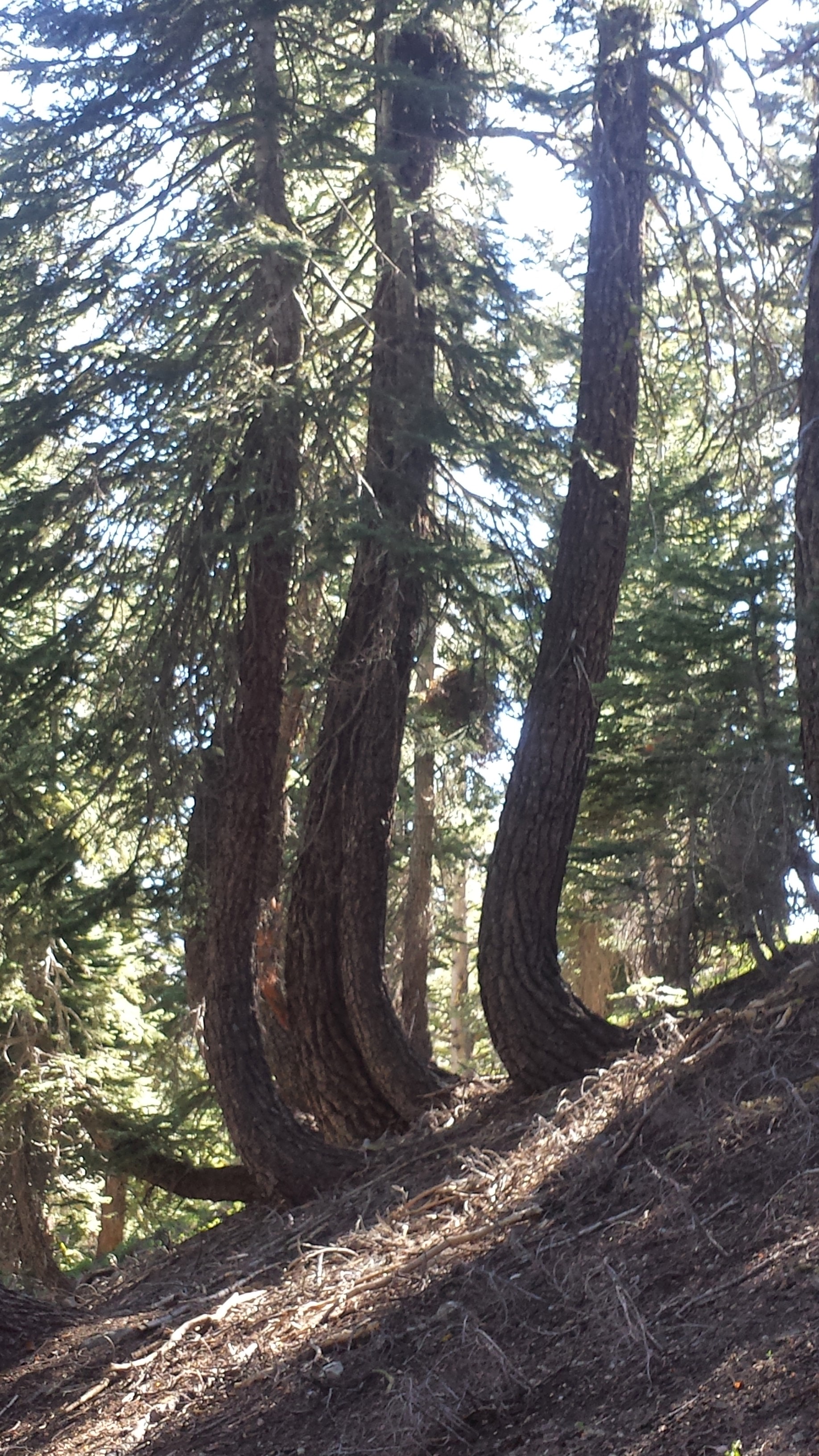
The trail climbed up and down through forest and meadow. The trees remind me of a Salvador Dali painting because they grow in a bent shape to align with the hillside.
Dali trees
All day today my body ached, especially my feet and hips. I’ve noticed that as I loose more weight, my backpack becomes more and more uncomfortable. I’ve had to get creative and use my fleece hat and neck gaiter, my gloves, and my wool socks as padding under the straps.I took a longer than usual lunch break rolling out my feet and eating as much as I could stand.
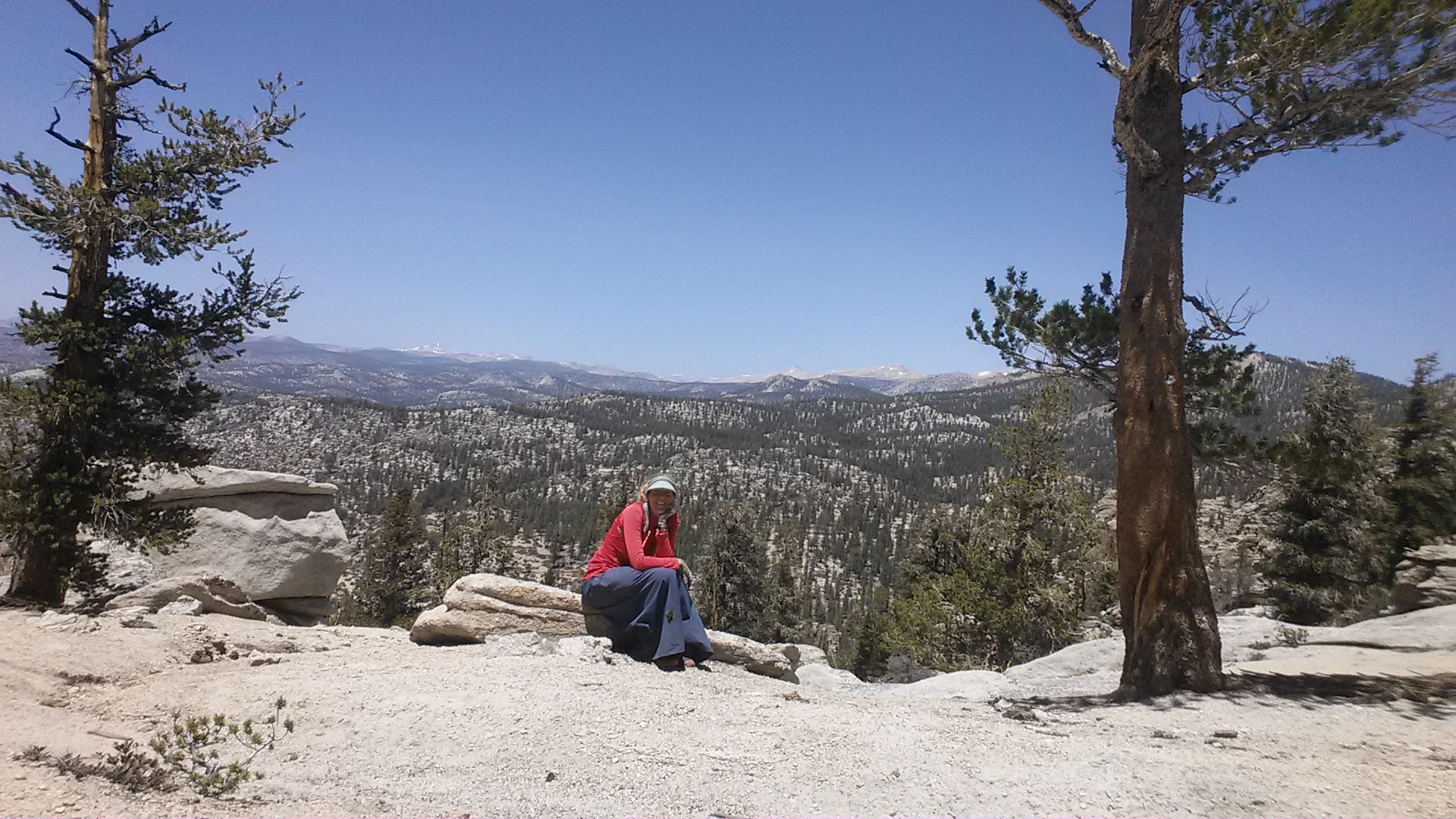
Lunchtime
While looking over my maps and my guidebook last night, I realized that I either have to put in some big miles to reach my next resupply stop before they close for the weekend or take an extra zero day. In order to make it to the post office in Echo Lake by 2 pm on Saturday, I would have to do 26 miles today, 26 miles tomorrow and 18 miles on Saturday, starting at 5am. Since I didn’t make it 26 miles today, I’m debating whether I should just accept another zero day, but possibly take it in South Lake Tahoe instead. At least there I could have amenities and a solid rest in a bed. There’s no guarantee that Echo Lake even has beds available because they’re a summer camp facility for kids. If they DO have beds, though, it’d be way cheaper and logistically easier! Argh, choices.
I groaned pretty much the entire last five miles today. I’m just aching so much. Looking ahead at how many more miles I have until Cascade Locks, I started to get really intimidated. What if my body aches the entire way? What if I loose interest and would just rather be comfortable at home for the rest of the summer? I’d feel like a quitter, even though I know it’s just a hike. I always have the choice to just do what I want, including go home, and having that option so accessible makes sticking to a tough goal even harder.
June 20th- 25 miles, camping above Lost Lakes
This forest continues to enchant me with its colors, forests, open spaces, and dramatic mountains. I slept in again and didn’t start hiking until 8:30. I need to figure out a new hiking plan, I think. Before I began this big hike, I assumed it would be just like when I section hiked. On those shorter hikes, I would wake up early without an alarm and hike at a comfortable speed all day. Now, I’ve got a schedule to stick to if I’m going to reach my goal of Cascade Locks by mid – August. I know I sleep better in the morning, so hiking later and sleeping in makes sense, but I don’t really like hiking until sunset.
The birds all through central California are the most vocal I’ve heard anywhere, and they all have such different bird calls. Some sound like little alarm clocks, others sound like they’re gargling, and I often hear a particular kind of bird asking for a “CHEESEburger.” One kind of bird seems to be having a conversation with itself: “Will you eat this beetle? Yes, I’ll eat that beetle!” I’ve tried so hard to figure out which sounds go with which birds I’ve seen.
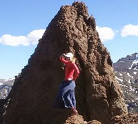
As I looked at the map, I had to wonder about a hill I was approaching named “The Nipple.” Rarely are any of these hills named and for one to be named after a body part seemed especially funny; and then I saw it:
The Nipple 😀
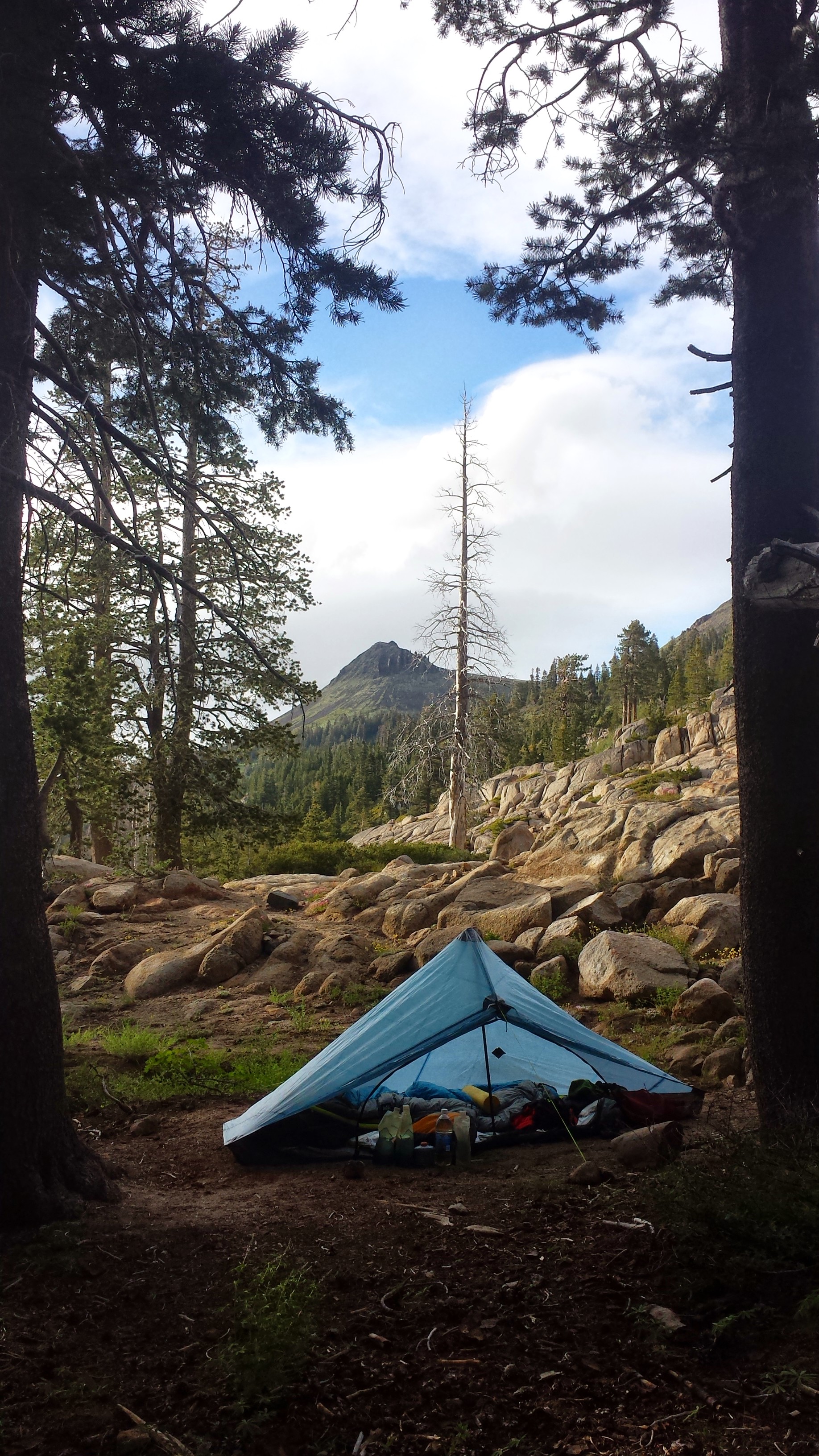
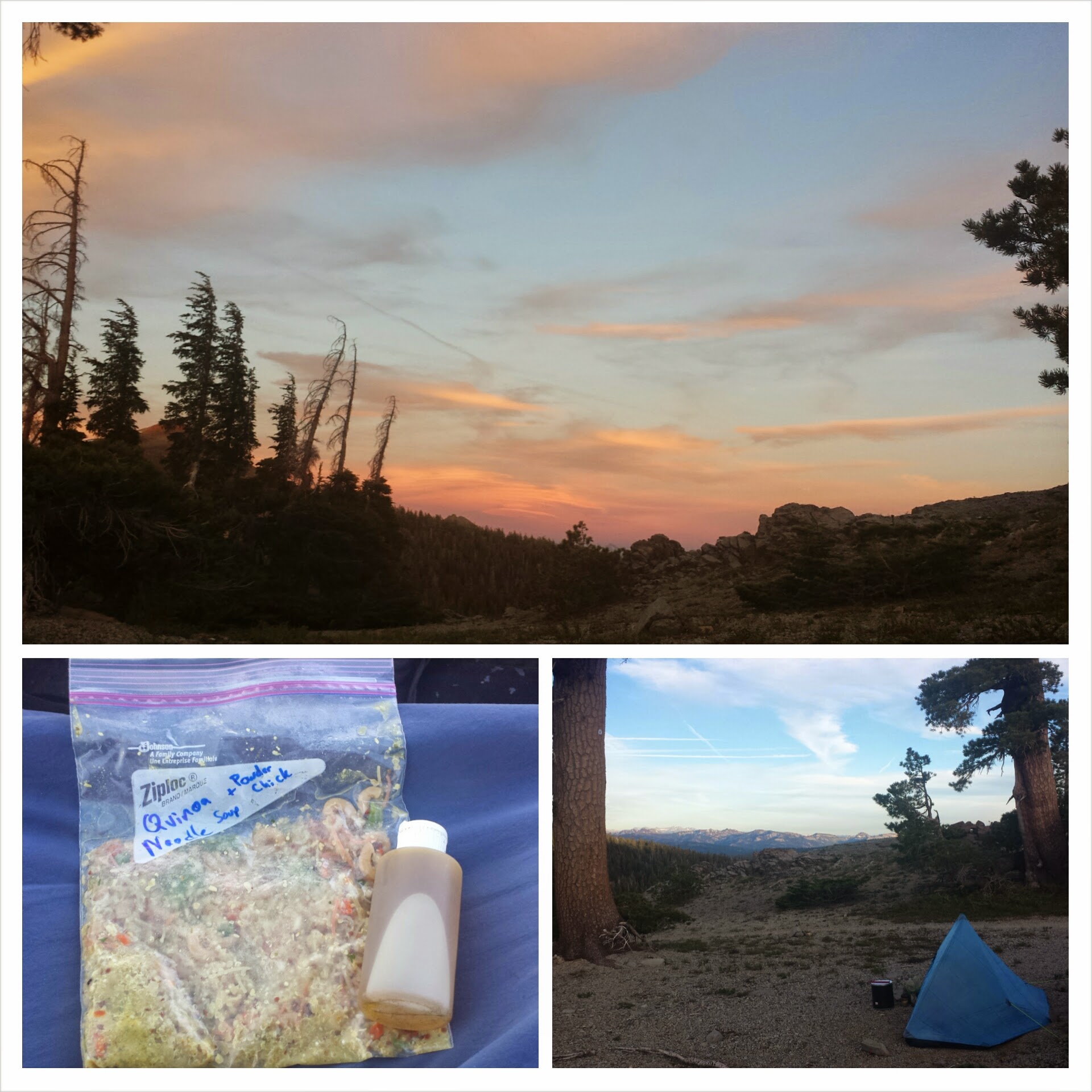
The wind is gusting rather fiercely on and off this evening. I’ve battened down the hatches by placing rocks on top of my tent stakes. I hope they stick!
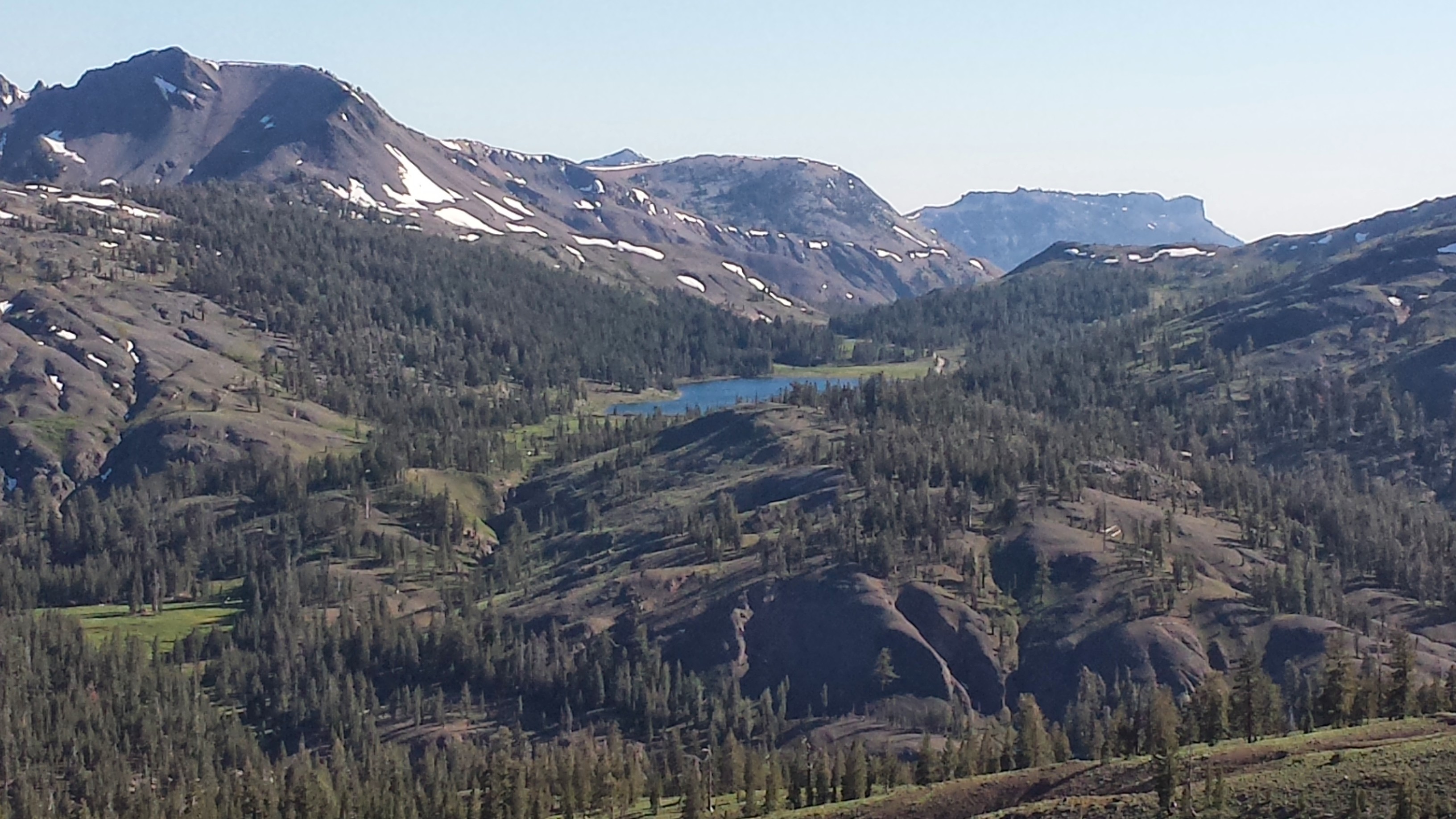
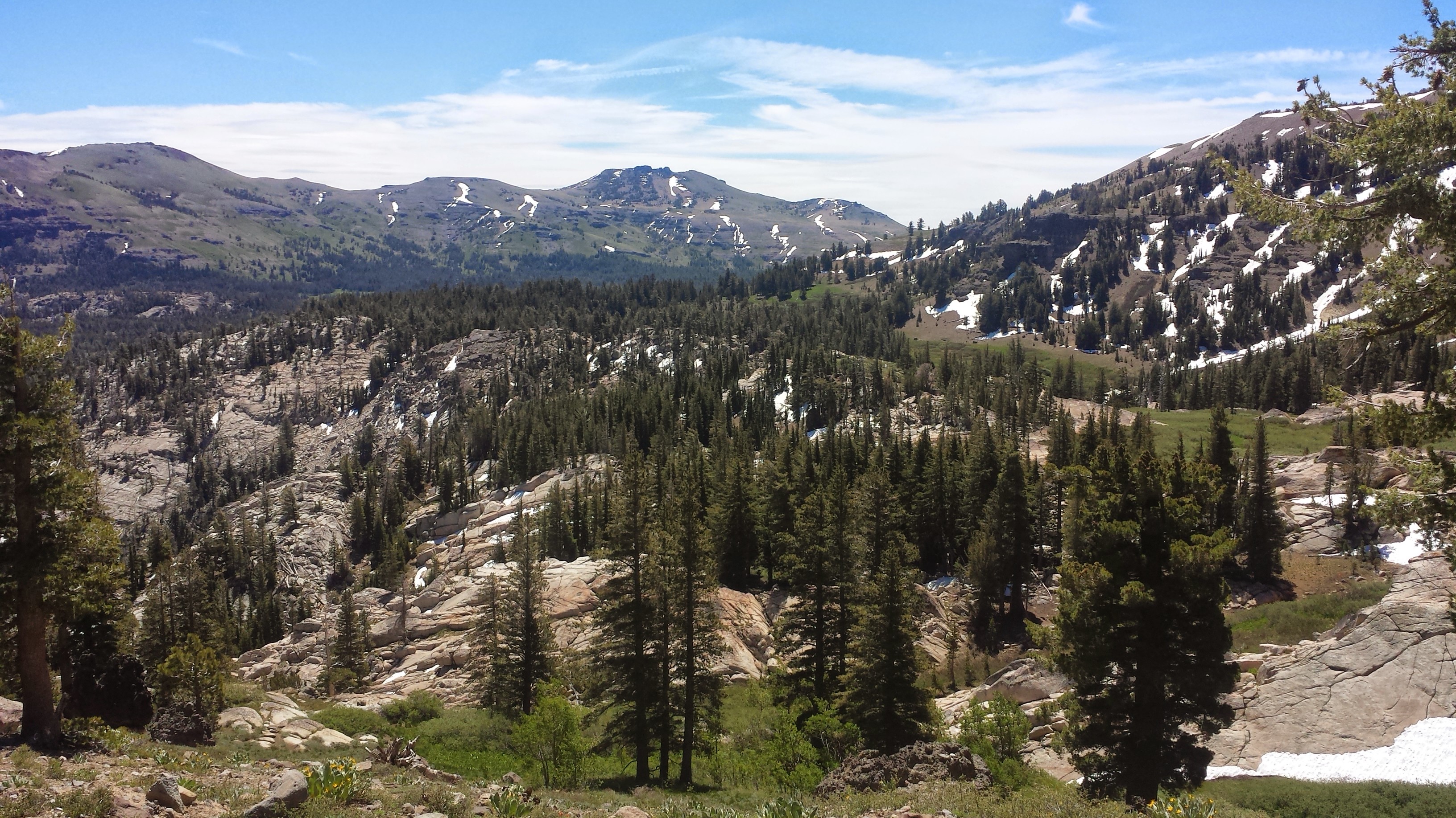
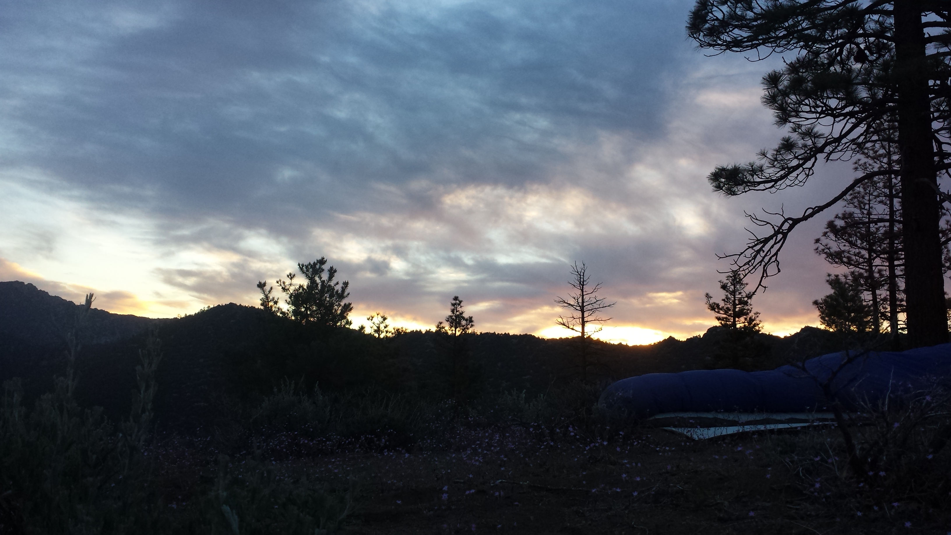
Beautiful views near Lost Lakes
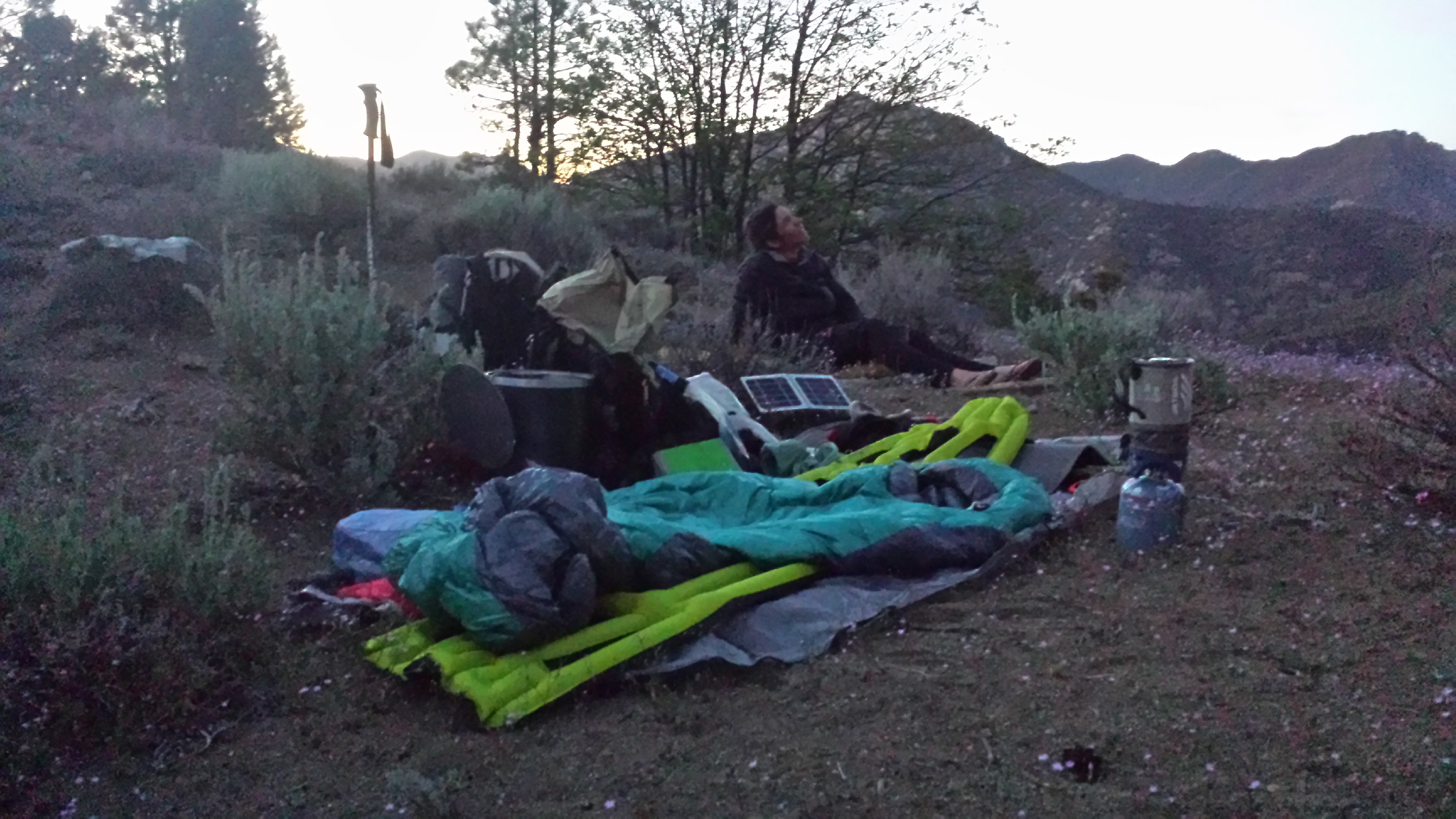
Quinoa noodle soup for dinner & camping near Blue Lakes Road
June 21st- 19.5 miles, staying at the Apex Motel in So. Lake Tahoe
After thinking about all the things I could do in South Lake Tahoe, I convinced myself to take my zero there instead of in Echo Lake. I need to buy some gear, like new trekking poles, fuel, repair goo, water treatment, etc. Also, this will be the last major town until Ashland, Oregon.
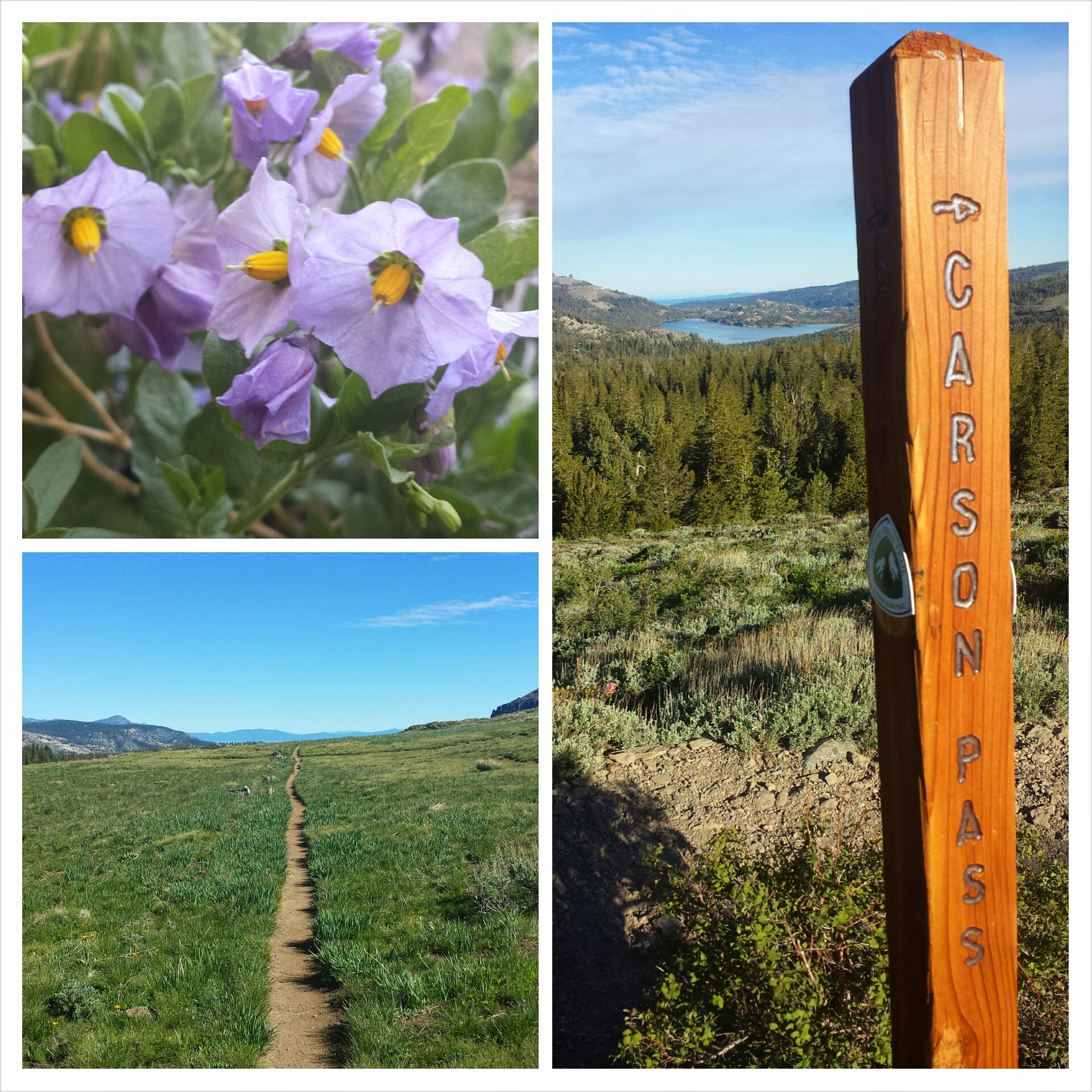
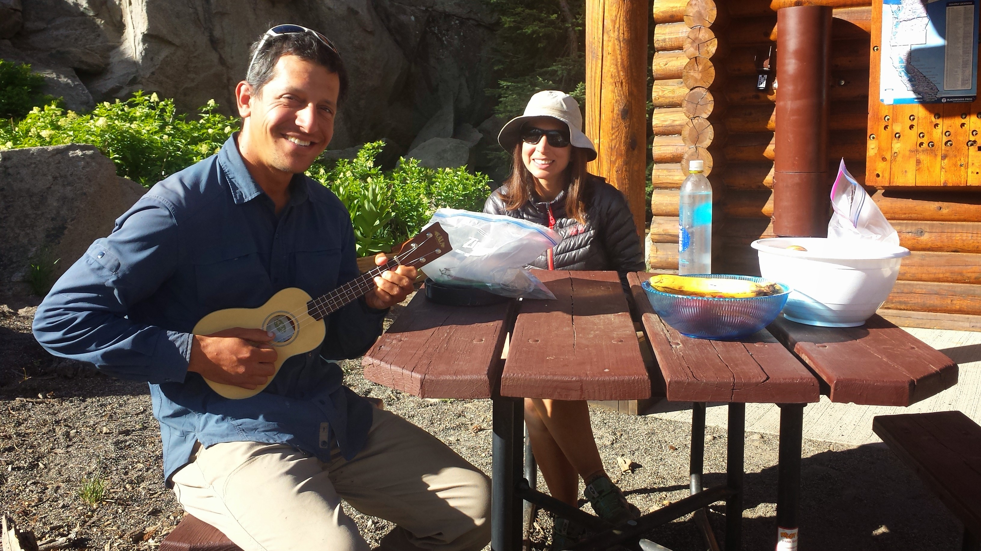
I met two new PCT hikers from Israel at Carson Pass this morning, Roy and Sarah. Roy busted out his ukulele and played for us a bit. It made me regret not bringing my own uke on this trip.
Ray & Sarah from Israel
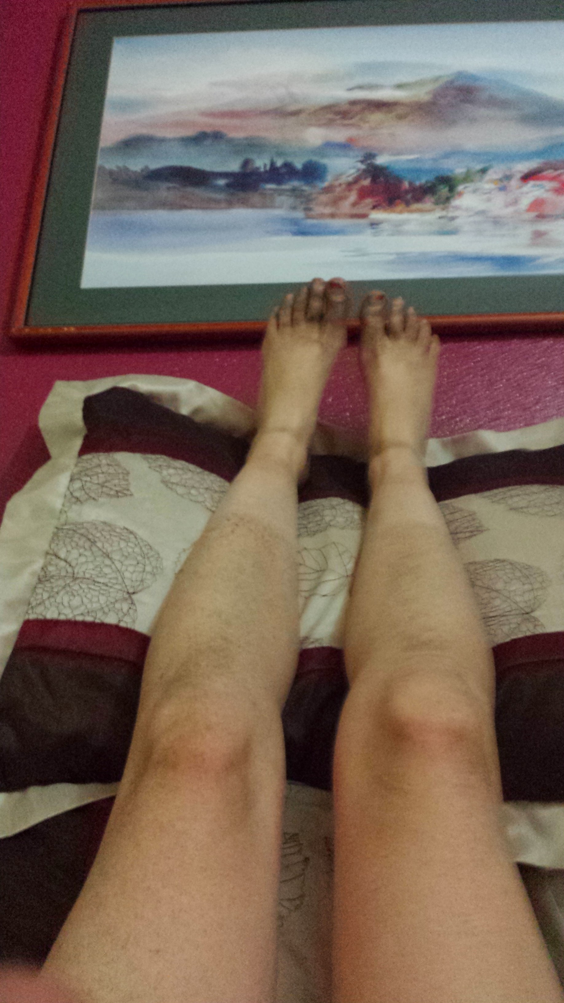
Even though I’ve been excited all day to come into town, I just couldn’t move as fast as I wanted. My feet are so bruised on the bottoms and I’ve had to take way more breaks than usual. I stopped every time I came across a rock or log that looked like a decent seat.
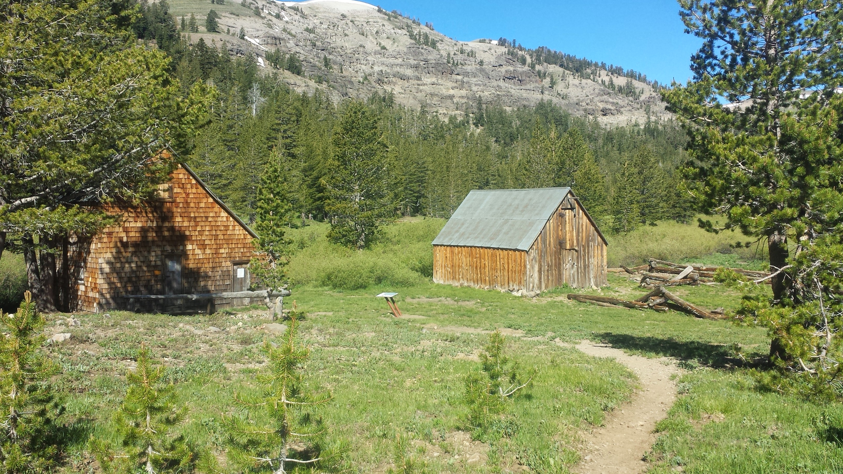
After Carson Pass, I descended into a huge meadow with the Truckee River winding through it. The mosquitoes were awful, so I almost didn’t take the side trip to see the old Meiss cabin. It was built by Louis Meiss in 1878 after he immigrated from Germany. A historical society has renovated his cabin and put up an informational plaque.
Meiss Cabin
It was slow going all afternoon. I fell in a huge mud puddle while trying to cross a stream. (I didn’t take a picture because all I wanted was to keep moving.) I lost the trail twice and had to look for trail markers nailed to trees. And I had to pick my way through a very steep, two-mile long rocky trail downhill to Highway 50.
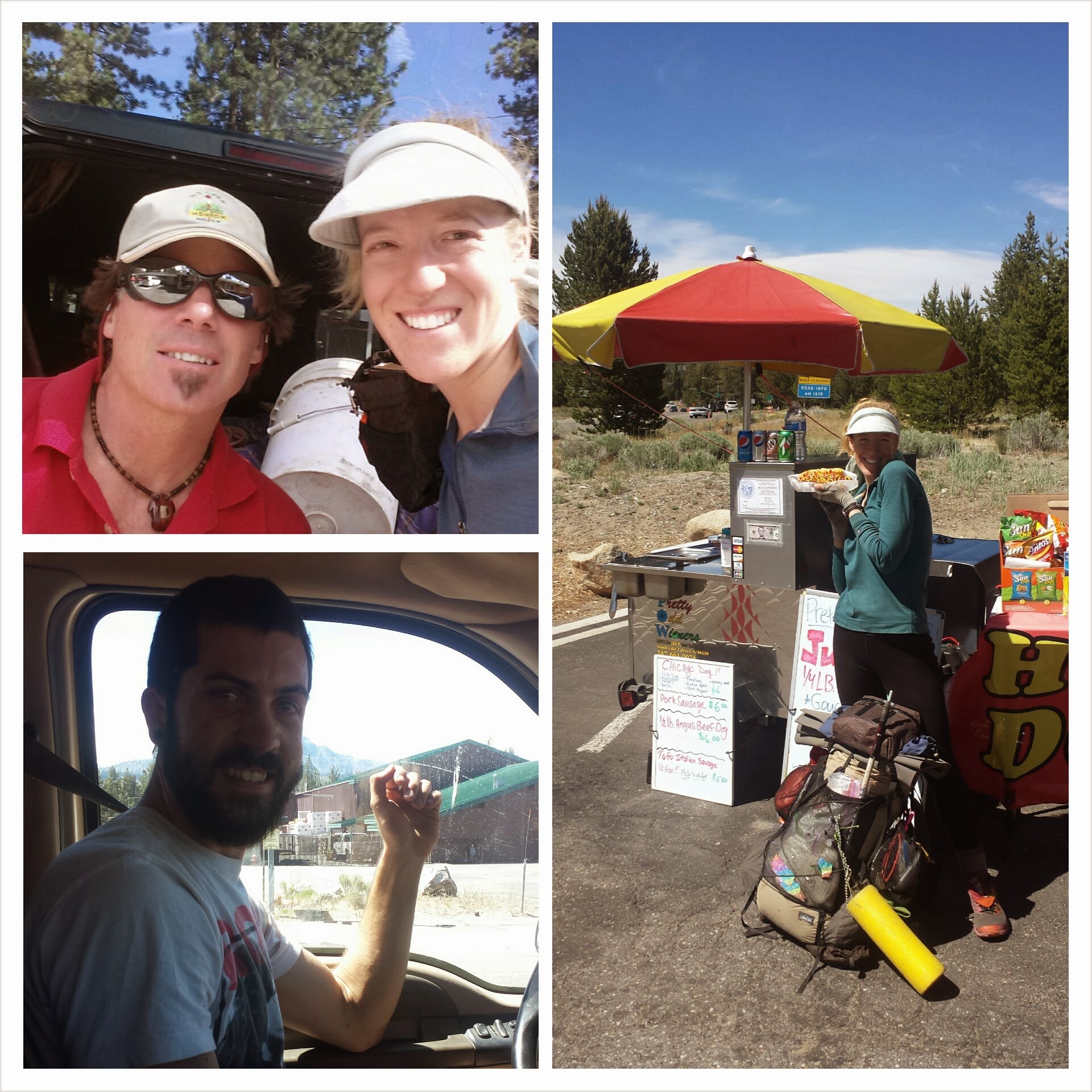
Lucky for me, I had no trouble getting a lift into town! First, Chaz picked me up and dropped me off at a hot dog stand on the outskirts of town. The dog-seller was so excited about the trail that he upgraded my purchase to a meal and gave me a drink and chips for free! Then, a former PCT hiker named Dave gave me a lift to the town center. Dave drove me around, showing me where all the different shops were and helped me find the most affordable hotel. THANK YOU, CHAZ & DAVE!!
Dave (top) & Chaz (bottom)
June 22nd, Zero Day in Tahoe
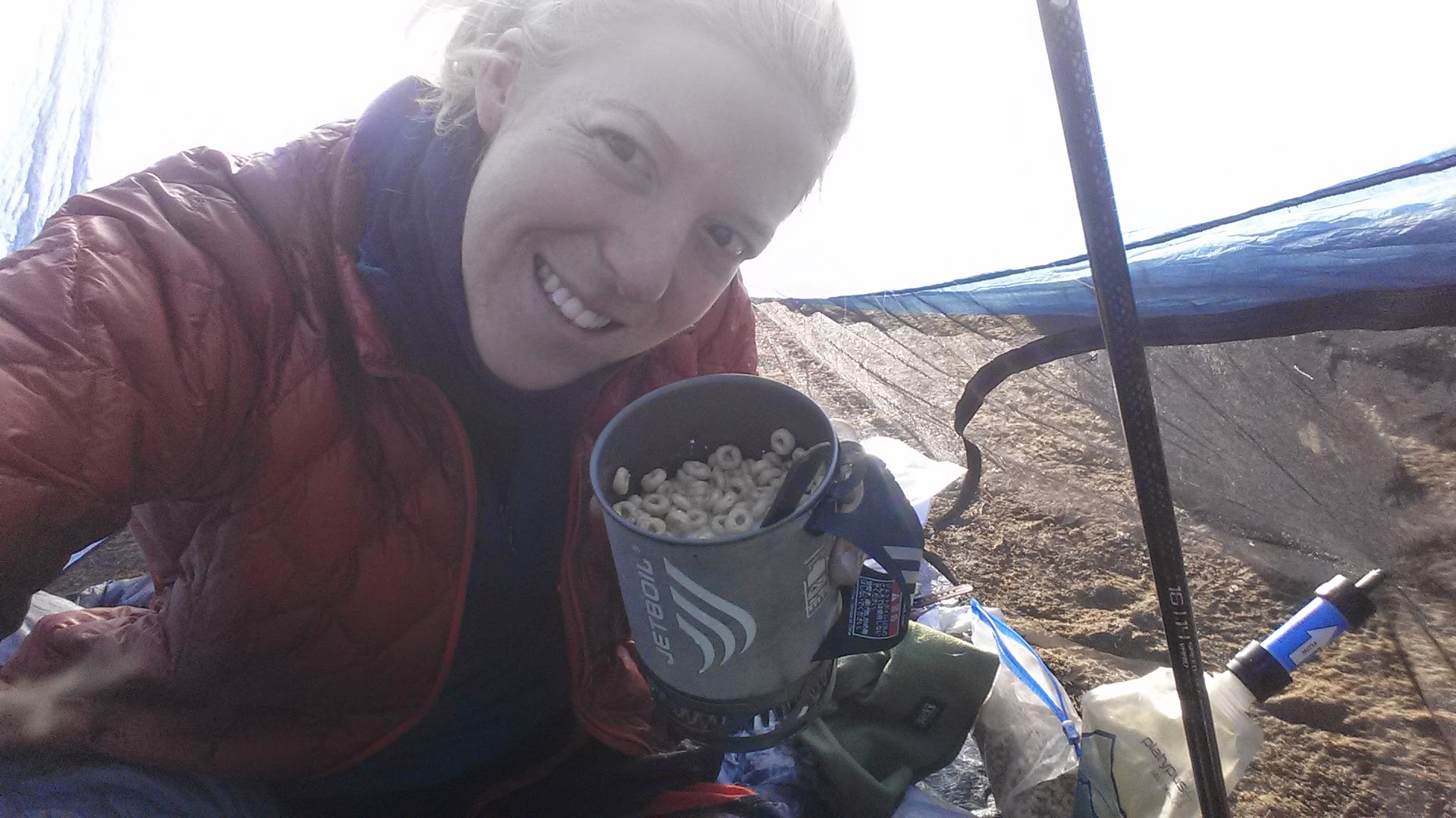
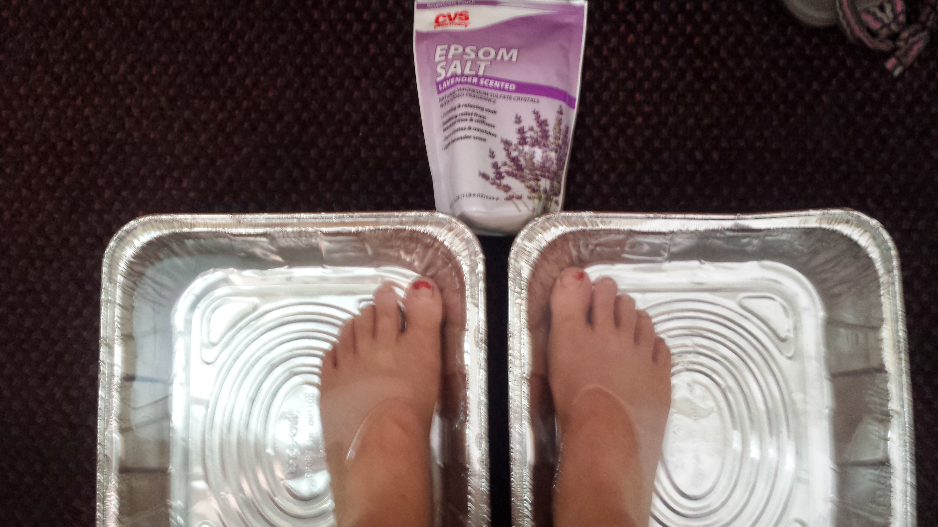
Oh, to lounge all morning in a soft, warm hotel bed after cold, windy nights in a tent. Heavenly! I made coffee and chowed down on Honey Nut Cherrios with half and half. Having bought Epsom salts and disposable aluminum pans, I treated myself to a foot soak.
An epsom salt foot soak
After a good deal of pampering, coffee, and watching Contact on SyFy, I finally roused to do chores and errands. On my way to the laundromat, I ran into Lorax and T-Fox. They were loaded down with groceries from the discount store. They’d bought pints of ice cream for 50 cents and other cheap goodies.
T-Fox & Lorax in So. Lake Tahoe
The Lake of the Sky Outfitters offers PCT hikers not only gear, but they hand you a cold drink and take your picture right when you enter their door. They also have a hiker lounge with Wi Fi and snacks and will watch your pack while you run errands around town.
Everything was within walking distance of my motel, there is even an Italian restaurant next door, which I’d been eyeballing since my arrival yesterday. Tonight, I gave in and it was delicious.
Believe it or not, I was really good about writing my blog on my phone every night this week. When I got to Northern Kennedy Meadows, however, and tried to upload the page using their Wi Fi, everything disappeared. This is what I can remember:
June 11- 11 miles, camping above Shadow Lake on the JMT
Being clean is such a great feeling, unfortunately, my little baby toenail fell off while I was scrubbing in the shower last night. I couldn’t believe it! It’s not like my shoes are too tight or I’m hiking unreasonably long miles. WHY?!? I remembered another girl hiker complaining about her toenails falling off and her solution was to just paint all the toe stubs so they looked like they had nails. Hm… it’s an idea!
Devils Postpile & the nearby San Joaquin River
I hung around Reds Meadows all morning updating the blog, checking emails, and making phone calls. Even though my bag had been packed and ready to go since 7am, it wasn’t until 2:45 that I actually headed out on the trail. I decided to take the Devils Postpile and JMT detours instead of the official PCT. When we hiked the JMT in 2011, there had been too many blown down trees along a particular stretch and we’d taken a detour along the PCT instead. Now I’m hiking that stretch of the JMT I missed in 2011, just to see something new. I’m glad I did; it’s been so scenic with all the lakes. This stretch of the JMT has more mosquitos and elevation changes, but has more lakes and is considered to be more scenic. It did not disappoint! Indeed, the mosquitos were awful and the ups and downs were very up and very down, but the lakes were beautiful.
Shadow Lake on the John Muir Trail
Camping north of Shadow Lake
June 12- 25 miles, camping at Tuolomne Meadows Campground
Tuolumne Meadows in Yosemite National Park has a small store, post office, and grill. I was determined to make it to the grill today and put in 25 miles to make it happen. Unfortunately, the grill doesn’t stay open until 7:00pm until later in the summer, and they closed at 5:00. I missed the burgers! I hobbled into the Backpacker/Walk-in Campground and began pulling everything out of my pack and spreading it out across a picnic table. I spied another PCT backpacker, Steve, that I’ve met several times on the trail and even shared a cabin with in Reds Meadows. He was sharing a table with two other PCT hikers, Liverpool, from Scotland, and Wilhelm, from Amsterdam. They shared their beer, veggies and dip, and cheese with me- it was regular party!
Tuolumne Campground with Steve, Liverpool, and Willem
The 25 mile hike today has really beaten up my feet. It’s not that it was so many miles, but more because so much of the trail in this area is rocky. Dirt has a soft give when your feet hit it and you don’t have to pick your way around uneven rocks. I ♡ dirt.
Donahue Pass had very little snow in comparison to the other high passes. It looked so different from the the last time I passed through, with its colorful July wildflowers. I saw no other PCT hikers the entire day, which was pretty nice. I think I must be between hiker packs right now. So many hikers got off at Mammoth for resupplies and rest.
Lyell Canyon
I was really dragging by the time I reached Lyell Canyon and it’s nine mile long meadow. It was beautiful, but also numbing in a way because my feet were so tired. I pepped up, though, when I saw a golden yellow fuzz ball bounce through the creek, across the meadow and pass before me on the trail. I could swear it was Pooh Bear himself, he was so yellow and cute!
June 13- 15 miles, camping near mile 958
Tuolumne Meadows with Liverpool, Steve, & Mulberry
All the hikers were up early and waiting in line at the grill to order the 1060-calorie buckwheat pancakes. I enjoyed mine with Mulberry, an older hiker from LA that I’d leapfrogged with several times through Section H. Most hikers were also waiting for the post office to open so they could collect their resupply boxes. The post master was thirty minutes late and then gave all the hikers a bad time for spreading our stuff out on the picnic tables. He told us those tables were for the grill (even though we’d just purchased food from the grill) and that we needed to move all our stuff to the picnic tables on the other side of the parking lot. We grumbled and moved; he even helped move some of the gear, but he got extra touchy when I told him he should just put up a sign about where to spread out gear. “We had 50 signs-up last year and no one read them, so we took them all down. Get over it already!” Eeeesh… He became a running joke for the next three days among the hikers.
I hiked most of the day with Liverpool, Steve, and Mulberry along the Tuolumne River and deeper into the changing land of Seciton I. I was amazed at how different the rocks and shapes of the mountains were in such a short distance.
Tuolumne Falls, near Glen Aulin Camp
My feet were still so bruised from the 25 miles over the rocky trail I hiked yesterday, I didn’t hike as far as I’d planned. I stopped at a lovely campsite next to a creek after only 15 miles. It was nice setting up with plenty of sunshine still in the sky and I mucked about in the creek washing my legs and feet.
Just as I was about to dig into my beef stroganoff dinner, Wilhelm, whom we were all sure had been in front of us, came hurrying around the trail. Turns out he had accidentally taken a wrong trail for 2.5 miles and then had to backtrack to the PCT. He was in pretty good spirits considering. He built a small fire to cook his food because he didn’t have a stove, and we talked into the evening about everything from not getting enough food on the trail to politics in Europe and existential books. It ended up being a freezing cold night and we were both cursing out loud every time we woke up from the cold!
June 14- 20 miles, camping near mile 978
I woke up this morning to find my sneakers, socks, and gaiters frozen solid. There was no way I was even going to try putting them on, so I hiked for half the day in my Tevas and night socks. Every time I had a stream crossing, rather than slosh right through, I had to stop, take off my socks, cross, and then put my socks back on.
The trial took us up and down thousands of feet over and over today. It was also exceptionally rocky… my favorite. Every time we went through a canyon, mosquitos would swarm, so there was no stopping! Despite the bugs and difficult trail, the new colors and shapes of the rocks and mountains excited my imagination. The dome-like mountains, rock pathways, and perfectly square canyon walls made me think of a crumbling, lost city overtaken by nature. I could easily see palaces and temples in the mountains, balconies and sidewalks, manicured gardens and ponds, even canals and streets. It was great entertainment and took my mind off my feet.
After talking with Liverpool, I’m pretty sure the animal that startled me was a bear. Deer just silently bounce away and don’t actually hide in the bushes. You’ll always see them dashing away, not crouching behind bushes. Bear encounter number two, YAY!
Liverpool built a fire for us that night and we chatted about life back home. He’s such good company. I think we’re both disappointed by not putting more miles in today, even if the trail was hard!
June 15- 22 miles, camping near the 1000 Mile Mark
With the trail having a much gentler grade and soft pack of dirt today, I was able to put in a good amount of miles. I pushed all the way to the 1000 Mile Mark (on Halfmile’s PCT map), just because it feels good to reach some kind of landmark. There’s an excellent campground here, with a fire pit and log benches. I sat around, after setting up my tent, hoping someone else might show up. I was determined to have some kind of celebration tonight because not only was it an important milestone, but because the fire pit is giant! Since no one came for over an hour, I decided to make a fire just for myself. It was my first fire ever, and I was very proud of myself! After staring a the fire for about twenty minutes, I heard a “Halloooo!” from across the stream. Two minutes later, Liverpool came staggering in, his blisters aching, I’m sure. He said he’d been determined to reach the 1000 Mile Mark as well, and I think he was as equally excited as I was to have a celebration fire.
1000 miles!
The hike earlier today took me up and over a small pass and then though a very long and gradual uphill climb. Wilma Lake was enchanting and I passed Liverpool taping his blisters and enjoying the mosquito free air. He said that every time he had to cross water, he had to re-tape his blisters. For the rest of that day, every time I forded a stream, I thought of him!
Antique license plate trail markers
After practically running through mosquito infested miles of meadows, the trail brought me to Dorothy Lake and it’s pass. There was a wooden sign at the pass marking the boundary between Yosemite Wilderness and the Hoover Wilderness in Toiyabi National Forest. It couldn’t have been better place. Looking behind, I could see the snow-covered, grey rocky mountains of Yosemite and in front, were ruddy brown and barren volcanic mountains. It felt like the perfect place to say, “Goodbye” to Yosemite.
June 16- 19.5 miles, staying at Northern Kennedy Meadows
Today was the best day ever. I woke up in a good mood and stayed there all day long. Maybe it was the change in scenery, maybe it was more nice, soft dirt trail rather than rocks, maybe it was the awesome wind that tried to blow me off the mountain, or maybe it was because I was getting into civilization this evening. Even after sleeping in a bit, I was still packed up and heading out before Liverpool.
All I had to do today was hike up and over a mountain pass, then hitch into Norther Kennedy Meadows. Even though I’ve loved the quintessential Sierra scenery, I’ve been itching to see something new. The ruddy brown mountains I’d seen in the distance yesterday became my wilderness overnight. As the land became drier and browner, the trail began winding higher and higher into the mountains north of Kennedy Canyon. Immediately, I could feel the force of the wind along these mountains; it rivaled the wind of Section F near Tehachapi. I was glad the trail was nearly as wide as a dirt road because I was knocked to my feet twice by the wind! A couple of times, as the wind kicked up fiercely, I would just drop myself to the ground to prevent from being knocked over. I felt like Lieutenant Dan atop the fishing boat in Forest Gump, screaming at the storm to “Bring your worst! I can take it!” All the way over the mountain ridge, with the wind screaming and the dark clouds catching on the top of the mountain, I had the time of my life. I think I may actually prefer the “bad” weather on top of these high mountain passes, as long as I have my warm gear! The view from this temperamental mountain ridge was absolutely spectacular. I could see the snowy High Sierras far to the south and the barren, brown mountains to the west. Liverpool took a shortcut on the side of the mountain, avoiding the switchbacks that I’d taken, and caught up with me about half way across the ridge.
View from near Leavitt Peak
Liverpool near Leavitt Peak
Every time we thought we were done with the snow, there’d be another snow field just around the corner. Even though we were crossing the pass in the afternoon, the cold wind kept the snow pretty cold and firm. Since Liverpool’s always got a great sense of humor, we had a good laugh all the way down to Highway 108. Almost the moment we landed on the road, a sedan swilled around the corner and I threw out my thumb.
Approaching Sonora Pass & Hwy 108
The two girls in the car had been rock climbing in Bishop and were on their way back to San Francisco; they’d also never picked up a hitchhiker before! They drove me ten miles down the highway to the Kennedy Meadows Resort driveway asking questions all the way about my hike. Thank you Jack & Xen! (or is it Zen?)
Northern Kennedy Meadows Resort
Checking into Kennedy Meadows, I decided to get a tiny cabin for myself, since all the lodge rooms were full of Horse Camp kids. As I waited in the general store to pick up my resupply package, I heard the cashier telling someone on the phone, “Well, it says she doesn’t arrive until the 18th. Can you identify her full name?” I could see her pointing at my name on her resupply box list. “That’s me!” I whispered. “Are you talking to my mother?” (because calling my resupply locations sounds just like something my mother would do.) She just smiled and handed the phone over. It was Art trying to arrange a surprise visit on the trail and he had been gauging my arrival time at the resort by watching my GPS dot on SPOT. He drove all night and arrived at 5am with our dog Pepper. It was the best surprise!
I’m camping with twelve other hikers tonight (a German couple called Princess and Mr. Sandals, Moxi, Glitter, Fence, Acron and Estero, and Lingo and Sugar Pine). It’s kind of overwhelming. There was so much discussion about how to fit everyone on the few campsites here. They’re all really nice and seem to have been hiking together since the early days. I’ve squeezed into a cozy spot between trees, but there isn’t enough space for my tent, so I am cow boy camping. I hope I’ll be warm enough with my REI bag and extra long johns. I’m wearing three pairs of socks and a neck gaiter, plus I’ve got my hot water bottle under my feet.
Cowboy camping below Glen Pass
Earlier today, I was still in town working on my blog and getting organized. At the hostel, I met the missing hiker from a few days ago, Paul Turner. We talked for about an hour because he was such an interesting man! He was out hiking because he’s doing a documentary on John Muir and is trying to follow his footsteps. Unfortunately, he had a really bad map and got lost. He ran out of food and water; it’s amazing he made it to safety!
Paul Turner, 78
While working at the cafe in Lone Pine, the creepy hiker that I had met before Horseshoe Meadow, the one that talked too much, came up to me. I hadn’t wanted to mention I had thought he was creepy because I didn’t want to be rude to him on my blog. However, I don’t care now. This man, an older hiker named Periwinkle, is a disabled veteran. He came up and sat down next to me as if he had a secret. He said to me, “You’re a dirty girl, howd you like to make some cash for a private massage?” I was horrified and enraged. In fact, the F-bomb went off like an explosive all over the walls of the cafe. Everyone turned and stared to see what was happening. The cafe owner’s wife asked what was going on and I told her what he said. She immediately told him to leave and not come back.
I was so shook up I had to go wash my face in the restroom. He did leave and I refocused on my work, but I couldn’t get over what just happened. I’ve never had anyone speak to me like that before in my life. It made me so glad I took self defense.
I made sure to tell people about his behavior so that other hikers could be aware of him. I even put a message in to the PCTA so they can also be aware of any kind of harassment on the trail. Talking with other trail folk, I learned that this year there seems to be more problems of harassment than in the past. It’s so heartbreaking to see a trail like this and the type of journey it should be spoiled by a few rotten eggs.
I quickly got a ride from a new friend in Lone Pine to the trailhead at Onion Valley. I was so excited to see Lorax and T-Fox just coming off the trail! We chatted for a while because I just didn’t feel like jumping on the trail yet. Their blog is called DanTerraPCT. I also met a hiker named Homework who’s got a blog, too: SoleToSoil
Onion Valley with T-Fox and Lorax
The hike out of Onion Valley was beautiful. It seemed so much easier than the last time I had come down it. I made sure to leave a note in the snow for my favorite bear family at the top of the pass.
A message to my favorite bear family, Trekkin’ 3D
View from Kersarge Pass
June 4th- 14.5 miles, camping below Pinchot Pass
All day today I was completely captivated by my surroundings. The icy blue lakes and snow covered mountains, roaring rivers and babbling brooks, rich forests and views that only seemed to get better and better we’re all around me.
I awoke pleasantly surprised to not be freezing! I guess my REI bag and extra long johns are working! Cowboy camping is great when the conditions are right- it’s spectacularly beautiful and so easy.
Approaching Glen Pass
Glen Pass was only a mile away, but I was slow to reach it. At first I ran into French Toast and Alpine Start, who were just sticking their heads out of their tent. After catching up with them, I was mesmerized by the beautiful snow and frozen lakes along the ascent to Glen Pass.
Dirt-sicles
The view from the top was incredible. It seemed to reach miles and miles in all directions. The descent was by far the most challenging I’ve ever done. The amount of snow on the north slope and steepness of the mountain make Glen Pass one of the most dangerous. Luckily, I had the microspikes loaned to me from my new friend at the hostel in Lone Pine.
Joker and Cracker Keeper, Glen Pass
Glen Pass
Glen Pass
The switchbacks were completely buried in snow and we had to follow cuts made by previous, braver hikers Slipping on this slope could mean death, broken bones, or just a really fun glissade, but that’s not a chance most of us wanted to take. As we crept lower down the slope, glissading was safer and a few of us did it. I forgot to tie up my skirt into pants and got hard, icy snow burns all up to my cheeks. OUCH! I’m still feeling that one! It was good we did the past in the morning because the snow with harder and easier to walk on.
Woods Creek
For the entire rest of the day, I dilly dallied, oogling the sites and smells of the land. I hiked alone for most of the day, but picked up speed toward the end so I could camp below Pinchot Pass with the hikers I’d met last night. It was a long uphill, though. I think I need to do a better job eating in the second half of the day. My energy wanes, but as soon as I eat a bar or fruit I can fly up these mountains.
Our campsite is near a small, nameless lake. After setting up my gear, I went down to collect water and wash up. Washing my ice burns hurt so much- I hope they go away soon!
Camping below Pinchot Pass
June 5th- ~20 miles, camping near Palisades Creek
Approaching Pinchot Pass
Pinchot Pass and an adolescent grouse
We’re calling this Double Pass Thursday. We conquered Pinchot first and then Mather. Pinchot Pass was beautiful, but uneventful- a relatively easy climb up and over with little snow trouble. We met a ranger on the north side who took our names for permit checking. It was then on to Mather Pass.
(L->R) Glitter, Moxi, Princess, and Mr. Sandals on Pinchot Pass
I almost fell into the river during one of the crossings. It’s good I didn’t because I hadn’t put my electronics into a ziplock first. Bad, lazy hiker…
Creek crossing
I finally met Mr. Cup, the Japanese hiker with a giant pack and a flag coming out the top. He doesn’t speak any English, but he’s quickly becoming one of my favorite hikers.
Mr. Cup, the Japanese hiker
I wonder if he’s ever lonely here in an English-dominated wilderness adventure. Even hikers who come out seeking solitude converse other hikers to get information on trail conditions. Also, town stops and hitchhiking would be harder for him. He has a great of humor, though. In his limited English and with some sign language, he’s already cracked a lot of jokes.
Climbing Mather was breath taking. All these high passes are just so other- worldly with their barren landscapes, snow fields, icy blue lakes, towering peaks and the vast sky above.
Mather Pass
The north side of Mather was extremely dodgy. There was so much snow and it was all soft by the time we reached it in the afternoon. We postholed all the way down and it was pretty scary in some places. Besides the possibility of glissading hundreds of feet into rocks, a posthole can twist your ankle or knee. I almost lost my shoe three times and Fence postholed up to his chest in one place. Since the trail was completely covered in snow, we all just followed various footprints left by previous hikers. Unfortunately, the previous hikers hadn’t gone the right way to follow the trail. We lead ourselves to a steep rocky cliff, which towered above the trail. Everyone took different paths scrambling down the cliff towards the trail below. It took us about three hours to go only a couple miles over Mather Pass.
I descended into Palisades Lakes. Waterfalls came out of the cliffs from every direction and it’s impossible to recapture the beauty. Several of our group, including Princess, Sandals, Glitter and Moxi are staying at the Palisades for the night. I headed down towards Palisade Creek with Fence, Lingo, Sugar Pine, Estero and Acorn to camp with a campfire below the 10,000 foot line. You can check out Sugar Pine and Lingo’s blog at SimplyWanderful.com. It was a long day, but I’m glad we made it lower for a fire!
Hiker with Sugar Pine and Lingo
June 6th- ~12 miles, camping below Muir Pass
Wildflowers
I’m calling this day “Happy Little Trees… and Waterfalls and Flowers.” With only twelve miles to hike to the base camp below Muir Pass, I took my time all day checking out the wildflowers and waterfalls. I’ve never seen so many waterfalls in my life! For most of the day, the trail took me through the forest and alongside both Palisade Creek and Kings River. I stopped by Grouse Meadow overcome by its beauty and decided to take an extra long break there.
Grouse meadow
I stripped down and jump in the river- so cold but so refreshing! No one saw me prancing around naked in the meadow because the trail was behind too many trees. I took the time to dig up some wild onions snacked on them. Yum!
Wild onion
Wildflowers and the JMT
It’s the Emerald King! #ReturnToOz
The end of the hike was all uphill switchbacks, but the campsite is beautiful. A lot of people have trickled into camp here because it’s the last spot before the pass. A couple of hikers went up the pass to camp in the hut at 12,000 feet. I hope it’s comfortable! French Toast and Alpine Start have caught up. Yay! Everyone wanted to try my foam roller after they saw me using it. I have convinced a few people to get one for themselves. Later in the evening, as everyone was counting out their food until their next to resupply. Joker started a food swap. I traded three bars for two Mrs. Fields cookies. I already ate one. 270 calories in one cookie!
Wildflowers
(L->R) Lingo, Alpine Start, French Toast, Estero, and Fence
June 7th- 20 miles, camping near Piute Creek
Approaching Muir Pass
Muir Pass had two miles of snow before the pass and three miles after. With my burned legs, I absolutely wanted to avoid more postholing today. Unfortunately, the snow must’ve known I was coming and softened up early just for me. I was punching through snow and it was only 7am. For the most part, the snow was hard on the south side of the pass. I followed the tracks of a couple hikers who were 30 minutes ahead of me. That was a mistake. Their tracks lead me straight up the side of the mountian and as I looked back, I could see the trail on the other side of the canyon, clear of snow and easy. My stupid path was ten times more difficult than that trail.
Muir Pass
Eventually, at the top of the canyon, I was able to boulder across to the trail and continue up the pass. A lot of other hikers were there, including a couple of my favorites, like French Toast and Alpine. I didn’t stay too long at Muir Hut because I was worried about the snow warming up on the north side.
Lake Wanda
I think it must’ve been a really warm day because that snow softened up quickly. Everyone postholed and slushed down the pass, sometimes we punched through straight into a stream. I hiked most of the way down with Mr. Cup. We had a good time teasing each other every time we postholed. He would yell at me, “Hai! Cohn-sen-TRATE!” He makes me laugh so much.
A hummus wrap lunch below Muir Pass
I pushed hard for the rest of the day so I could put in 20 miles. Everything was downhill, but my body hurt SO much. My hips hurt on one side from my pack. My shoulders hurt because my pack straps were sitting on them too much, as I was trying to lighten the pressure on my hips. My ankle hurts from so much uneven trail.
So tired…
Alas, I made it to Piute Creek. Setting up camp and washing up was so nice tonight. This is the first night in a while when I wasn’t camping with other people. I found a perfect bathing spot on the side of the roaring creek where the water pooled gently between rocks. It also had a perfectly positioned tree root jutting out over the water which I could put my feet up on. I used my spare toothbrush to scrub my body and nails clean. It was COLD, but so refreshing. I had to climb out when my toes and fingers started turning blue.
Bathtime at Piute Creek
Things went downhill after bathtime: ants crawling all over my stuff, my MSR dromlite bag got a tiny tear and leaked inside my tent, my repair goo was dried and clogged, and I tripped over my tent and knocked the whole thing down. I tried to make hot coco with my chocolate whey protein powder, but it was so gross I had to dump it out. It’s just been such a long and tiresome day. I’m excited to reach Vermillion Valley Ranch soon!
Camp at Piute Creek
June 8th- 26.8 miles, camping at Vermillion Valley Ranch
I started hiking at 5:30 am, determined to reach Vermillion Valley Ranch (VVR) that evening. As I past Muir Ranch and began the climb up to Seldon Pass, my knees started to hurt more than ever before on this trip. They must’ve know where they were and remembered how they felt the last time they were here. (When I came down Seldon in 2011 during my JMT hike, I had torn cartilage in both knees.) I gave my knees a pep talk and we made it through the switchbacks. It’s amazing how the mind can trigger pain and remove it, aside from whatever is actually going on with the body.
I didn’t see another hiker until several hours later when I came upon Mr. Cup sitting peacefully next to a creek crossing. I love seeing him. He has such a great energy. I learned that he’s 62 years old, has two daughters and three granddaughters.
I arrived at Seldon Pass completely alone. It was a great feeling. I’d grown accustomed to hiking around other people and forgotten how much I actually like hiking alone. Arriving at the Pass gave me that feeling of solitude and peace that I had so often during my off-season hikes.
Seldon Pass with Mr. Cup
Mr. Cup arrived at the pass about fifteen minutes later. I congratulated him in our silly way and tried to chat with him, but he sh-ed me and said only, “Zen” as he gestured to the view before us. I understood perfectly what he meant and sat in silence enjoying the space around us. Before I left him, he joked about me bringing him a coke when he arrived at VVR the next day.
The hike to VVR was equally quiet, but the switchbacks all day up and down and up and down again wore me out. I was in a lot of pain as I hit the 18-mile mark- my ankle and shoulders hurt, my hips and knees ached- but the call of a hot shower was motivation enough. I put in my earbuds and pushed the pain to the back of my mind. Hiking like this, with your eyes glued to the dirt path before you, puts you into a kind of trance.
Bear Creek
Since the water level in Edison Lake is so low, the evening ferry wasn’t running. I had to hike 8.2 miles around the lake to reach the Ranch. The alternate trail was steeper and buggy-er, even swampy in some places, than I expected. I switched out of my sneakers and into my sandals for the last 2 miles.
A very wet Bear Ridge Trail
Vermillion offers hikers showers, laundry, free camping, a computer, a store, and a diner. While sitting in the diner that evening, a familiar face came up to surprise me. It was Beav, who I met on my Campo to Paradise Cafe hike in December. It was a great surprise! We got caught up and he told me that he had to get off the trail because he hurt his knee going over Muir Pass. We decided to hike together until he got off the trail for Mammoth.
I soaked my laundry in a bucket all night so it’d actually come out on the washer clean this time. After sitting around the fire with a few other hikers, I cowboy camped under the trees for the night.
Vermillion Valley Resort
June 9th- 13 miles, camping near Fish Creek
VVR gave me one of the best nights sleep I’ve had yet on this trip. I woke up at 5:45 to get my laundry done before everyone else got up, but the power isn’t turned on until 7am. I killed time by sorting out the contents of my resupply box. A few things got tossed into the hiker box. (A hiker box is a large box or can for hikers to toss unwanted, but still usable items, such as gear and food, for other hikers to use.) I threw in my extra Nido milk powder, some nuts and fruit. Pulling out all my goodies, I found a few with doodles from Art. That made my morning!
Doodles on my oatmeal resupply
There was a big sign outside the store saying, “Dishwasher wanted in exchange for a meal!” Sold! I enjoyed a double breakfast of pancakes and a breakfast burrito before stepping back into the kitchen to wash all the dishes from the morning. It was fun and totally worth it!
Doing dishes at VVR
While I was still washing dishes, Beav came in to let me know that Mr. Cup had arrived. I quickly grabbed a cold Coke and ran out to meet him, bowing as I presented it. He loved it. I don’t think I’ve seen him smile that big before!
By that time my laundry was in the dryer. When I went to pull it out, I found that instead of just tossing my clean laundry on the table, the next hiker, an older man named Grey Wolf, had neatly folded all of my clothes. I was delighted! I love how so many hikers out here really look out for each and do the sweetest things for one another. You can read Grey Wolf’s blog at MyHikingLife.
After taking care of emails and buying a few items (like tortillas for my new favorite PB & jelly snack), Beav and i took a noon ferry across Lake Edison to rejoin the PCT.
Minaret Falls
We hiked for what seemed like forever up and over Silver Pass that afternoon. Either VVR had made us soft or that mountain was really kicking our butts. We hiked until after dark, but the moon was brilliant and bright, perfect for night hiking.
Silver Pass
Silver Pass
We found an awesome campsite right next to the creek and Beav made a fire to keep away the mosquitoes. I’m getting kind of used to this fire-at-camp thing. Beav made ramen with spam for dinner, which sounded totally gross to me. Of course, I had to taste it and it was DELICIOUS! It was so good, I finished his dinner and then didn’t want any more of my own. I’m definitely going to be making some of that for myself in the future. Spam and ramen, who knew?!
June 10th- 18 miles, staying at Reds Meadows
I awoke to a fire in the firepit this morning. It made me want to stay in bed and just be cozy! Beav was packed up and ready really fast because he’s excited to get into Mammoth. I felt silly trying to pack up so he wasn’t waiting too long. I have a habit of completely unpacking EVERYTHING at night and that means it takes me a while to pack up in the morning. I think it must be a girl thing because I’ve heard other guy hikers complaining about their lady companions doing just that!
We had a two-mile climb to warm us up this morning. For most of the day after that we had alternating small ups and long downs. Every time we had the ups, however, we didn’t hesitate to complain very loudly!
Lake Virginia
900 miles!
Deer Creek
I said goodbye to Beav at the Mammoth turn off and I headed on to Reds Meadows. There are some very dark clouds and thunder, so I think I’ll stay here for the night! I was so excited to see the store and diner were still open. I helped myself to a salad, burger, and milkshake. I’m able to use the Wi Fi here and some JMT hikers have invited me and another PCT hiker, Steve, to share their cabin for the night. Yay!
Reds Meadows Resort
Mooching off JMT hikers with fellow PCT hiker Steve
May 24th, 2014- 7.5 miles, camping at Landers Tank Campground
Back in March, I was kicked off the mountain near Jawbone Canyon Road by a snowstorm. Today, my good friend Carlos drove me all the way out to that same dirt road so I could jump back on the trail. For such a big hike ahead of me, I felt strangely relaxed for the drive. The car couldn’t make it all the way up Jawbone Canyon because the road was too sandy, so I had to walk about a mile to link up with the trail.
Once I was walking, I began to feel so lonely. The silence always takes a while for me to adjust to on the trail. I tried hard not to think about Art or Pepper back home. I miss them and worry about how they’ll do without me, but I have to trust they’ll be okay.
Since I haven’t really been excercising as much as I should’ve been for the last two months off trail, the hiking was a struggle. I was also carrying eight days worth of food for the 100 mile stretch up to Kennedy Meadows. I managed to hike at around 2.5 mph, which felt really good for Day 1! The trail took me through beautiful pine-covered, rocky mountains. I felt so tired by the end of the day, I was overjoyed to reach Landers Tank Campground. Numerous other hikers are camped here in this beautiful meadow. In fact, 15 other hikers signed the trail book. Fifteen! And that probably wasn’t all of the hikers that came through! After section hiking so many miles of Southern California and seeing almost NO ONE on the trail, it feels strange to be out here with so many other people.
The water source is a spring next to a large storage tank. I spent the evening rolling out my muscles with my little travel-sized foam roller. I felt like I had too much weight in my backpack and thought I could just eat as much peanut butter as possible to bring it down a bit. I tried eating the peanut butter by the spoonful, but I almost gagged. I only managed to get two spoonfuls down. Bleh!! I cleared my pallet with a Pad Thai dinner and a cup of tea before going to sleep.
Landers Camp
May 25th, 2014- 22 miles, camping at Bird Spring Pass
Ugh, what a hard day! It was easy flying down the mountain this morning. I met a solo hiker named Crusher (as in Wesley) while filling up water bottles, but he must’ve hiked fast because I didn’t see him again all day. I met a few hikers all traveling together: Duchess, Owen, and Booey. I almost stepped on a little rattlesnake; it’s the first one I’ve seen on the PCT!
A little rattlesnake
Lupin wildflowers
Arriving at Kelso Valley Road, I found an awesome note from Carlos attached to one of my cached water bottles. *Thanks, ‘Los!* There was also some great trail magic offered by the husband of another PCT hiker. He gave me a blue Gatorade and a twinkie. I’m pretty sure I’ve never had Gatorade before in my life and I definitely haven’t had a twinkie since I was 11 years old. They were both delicious! He gave Booey a Subway sandwich!!!
Love note from Carlos 🙂
Kelso Valley Road Trail Magic
After refilling my water bottles, I was moving slow through the heat and the uphill, sandy trail. I loved being in the desert again; the wide open spaces, Joshua Trees, and barren mountains are beautiful. Unfortunately, I wasn’t doing well with the exertion and elevation. I was nauseous and crampy for the rest of the day until I stopped to set up camp.
Find the horny toad!
I leapfrogged with Booey and Duchess throughout the day and camped at the Bird Spring Pass Cache with them and maybe 5 other PCT hikers, including a couple young solo hikers called Clint Westwood and Red Light. They’re all a lot of fun to be around and hope to maybe stick near them, but I’m not sure I can jump back on the trail after two months and keep up with them. Bird Spring Pass doesn’t usually have water, but some generous PCT family member donated 85 gallons of water and cached it here. Another lesson in gratitude presented by the PCT! ♡
85 gallons at Bird Spring Pass
(L -> R) Clint Westwood, Owen, Duchess, Miss America, and Booey
Cowboy camping at Bird Spring Pass
May 26th, 2014- 20 miles, camping at Walker Pass Campground
Climbing out of Bird Spring Pass
I got up early this morning after a windy night, determined to keep up with the herd. One by one, all the hikers climbed slowly out of Bird Spring Pass, and I fell further and further behind. The higher I climbed, the sicker I felt. I knew it was the altitude making me sick, so I just kept taking breaks and drinking water. Eventually, I stopped sitting on rocks and would just lay down completely in the dirt. I felt pretty miserable. The first 10.5 miles of the day were really lovely, winding up through a desert pine forest with views of distant snowy mountains.
The second half of the day was hot, exposed and sandy. Ugh, sand! I’m over you!
Wildflowers
Approaching Walker Pass
I reached the Walker Pass Campground late in the day, but still in time to receive some amazing trail magic. As I walked up to a decorative tent, a little wild child with red curls charged up to me with a Pepsi, a sparkly necklace of plastic beads, and a button saying “Bearbait gave me a drink at Walker Pass.” (The kid was Bearbait, of course.) This magic is hosted by PCT veterans Jackolope, Copper Tone, and Yogi (who wrote my guidebook). They must know how beat down hikers feel after this last stretch and how much they need a little pick – me – up to stay motivated! Copper Tone made me a root beer float and Yogi cooked everyone spaghetti.
Copper Tone and a root beer float, Walker Pass Campground
When I settled in to a beach chair with my soda, I asked the hiker next to me if he’d seen Duchess or Booey pass through. He gave me the rudest response, saying I should just check the trail log, then got up and walked away. I was shocked! I guess not everyone out here is friendly and high on endorphins. Of course, I’d already checked the log and seen they’re names before I entered the campground. I later found out from Clint Westwood that they’d hitched a ride into the nearby town, Lake Isabella. I think most of these thru-hikers have bonded tightly during all the trials and tribulations of Southern California, (which I did solo and during the winter months) and here I am, just jumping in, a stranger to the herd.
Trail magic at Walker Pass Campground
I walked down the road from the trail magic to a spring and washed up my dusty feet, hands, and face. Down there, I met Lucky Strike, a smoker from Tennessee, and Sarge, a young, solo lady hiker- both were super friendly. We all did laundry there together. I hiked up my skirt like a sarong and washed my shirt and undergarments with dignity. They were kinda jealous of the skirt set-up. The skirt is a new item for me. It’s a Macabi skirt, made from the same material as hiking pants, with deep pockets, and snaps to turn it from long to mid-length. I even figured out a way to tie it up and wear it as a miniskirt.
Walker Pass Campground
Actually, the skirt seems to have given me my trail name already. Several people think I look like Lawrence of Arabia with my long skirt and bandana hat. So, they’re calling me Arabia now. I like the name. A single coyote is yipping right now in the distance and I’m sleeping under the stars. I love it.
May 27th, 2014- 22 miles, camping on top of a ridge above Spanish Needle Creek
Take THAT Section F!! On to Section G!
The spaghetti dinner last night gave me so much energy this morning. I met a lot of hikers today, including Sarge and Lucky Strike from last night, Wolf from Denmark, a fun couple called Smiles and Uke-less, and an older fellow named Raven. I saw Crusher, too, who I met back at Landers Tank.
Uni-Twix
The hike started with a great big climb out of Walker Pass. Once on a ridge above the small city of Indian Wells, I was able to check emails and voice mail. Turns out Art won’t be able to meet me in Lone Pine like we’d planned because of work. I texted my resupply angel back home, Jonathan who had driven me to the trail on my very first PCT section hike six months ago. He’s going to send my warmer REI sleeping bag to Lone Pine, so I’ll have it for the higher elevations.
For my students:
Homemade veggie burritos
Soon I descended again into the desert and the heat. Crusher said it was 103°. Ugh… No wonder I felt like melting! Most hikers waited out the heat of the day for 4-5 hours at the little oasis of Joshua Tree Spring. It’s famous for being tainted with uranium, but all the springs in the Sierras have uranium, too. Everyone drinks the water anyways, I just hope my children don’t come out with three eyes!
Big, dead scorpion
Despite the heat, I chose to continue forward. I didn’t drink as much as I should have because the water tasted weird and it made me nervous. I also lost my Zpacks beanie. I had stuck it between my hip and my backpack belt because my hips were hurting and it must’ve fallen out somewhere when I stopped to take off my pack.
A 1/4 of the way to Canada, near Joshua Tree Spring
I planned on camping at the base of a long climb near Spanish Needle Creek, but the campsite look dark and gave me the creeps. (Later, I talked to another hiker, Happy Feet, about it and he’d had the same feeling! He camped there anyways, but had dreamed that night of a mountain lion dropping a carcass outside his tent. He woke up to find his dirty socks in his face. Hahahahah!) Anyhow, I kept hiking on up the mountain hoping to find some descent camping.
Near Spanish Needle Spring
Raven passed me going the opposite direction with nothing but his headlamp and a water bottle. He said he’d lost his smartphone cable to charge his phone somewhere at the bottom of the canyon. He was determined to find it, even if he had to hike 4 miles down! I feel so bad for him. It reminds me of when my phone died at the end of Section E. Most hikers keep everything on their phones: pictures and videos, contact info, maps and data. Loosing that tool feels really crappy.
I found great camping at the top of the ridge along with Sarge, Lucky Strike, and an older lady named Far Walker. It’s dark now and Crusher just showed up with Smiles and Uke-less, and another couple, Josh and Carla. Josh found my hat and carried it hoping to find it’s owner! I’m stoked!
On ridge above Spanish Needle Creek (Sarge in the background)
I’m enjoying ramen noodles with home-dehydrated veggies for dinner. The stars are spectacular tonight and the air is warm, so I’m cowboy camping again.
May 28th, 2014- 20.5 miles, camping at Manter Creek
Last night my body hurt SO MUCH. My muscles keep cramping and ceasing up and it’s SO PAINFUL! My glutes and hips are working so hard during the day and then they just freak out when I’m lying around at night, stationary. Plus, I was sleeping on a slight slope and kept sliding downward. I need be picker about where I sleep.
Sunrise
I awoke to a spectacular sunrise. Several additional hikers had shown up after I’d fallen asleep and had squeezed in to the few flat spots remaining. They must’ve done mist of their hiking in the dark last night to avoid the heat. Sarge Smiles, Uke-less, and Crusher had already left camp. I hiked less than a mile when I got 4G signal, so I uploaded three videos to Vimeo, but it took two hours! I killed time by eating, stretching and singing. Wolf passed by me, and Happy Feet set up nearby to do his morning yoga routine. I ended up playing leapfrog all day with Wolf and Happy Feet, both were great to talk to on breaks. Wolf is soft spoken and quite the thinker, while Happy Feet is vibrant and has a hysterical sense of humor.
(L->R) Happy Feet from Oregon & Wolf from Denmark, Fox Mill Spring
Since the water is so low in most of the creeks, I’ve had to use the Sawyer syringe to such up the water and then squirting it into my bottles. Now my bottles have green and brown muck floating in them. Yuck. Yay, for filters!
Happy Feet and I hiked most of the 6.5 miles downhill to Manter Creek together, joking and laughing and complaining about how long the downhill was to camp. Since a past fire had burned all the trees and brush in the area, we could see the trail winding all the way down. We both agreed we’d rather not see how long the trail was ahead of us, it was almost torture. Happy Feet actually throws away all of his elevation charts that come with the maps because he just doesn’t want to know how much up and downhill he has to do!
Wildflowers
The last turn in the trail presented an expansive view of the Rockhouse Basin which made it all worth it. The large flat basin with both Manter Creek and Southfork Kern River winding through it was surrounded by tall, rocky mountains.
Manter Creek and the Rockhouse Basin
Happy Feet and I joked loudly while we set up our cups and Carla joined us to borrow some fuel. We were so loud we actually got “shh-ed” by Raven. I guess 8:30 is like hiker midnight!
Camping near Manter Creek
We saw a huge jackrabbit go through our camp. He was the size of my dog! At first, I thought he was a deer or sheep!
Kennedy Meadows is only 9.5 miles away and I can’t wait for a shower, laundry, and some Ben and Jerry’s. I hope to use the internet while I’m there and check the weather and current snow conditions. Kennedy Meadows is usually where hikers wait out the snow and weather before heading into the Sierras.
I’m a bit ahead of schedule and since Art won’t be meeting me now, I may push on to Horseshoe Meadow so I can easily get a ride with the weekend campers on Sunday. We’ll see!
May 29th, 2014- 9.7 miles, camping at Kennedy Meadows General Store
I tried out peanut butter and jelly tortillas for breakfast this morning. Delicious! It’s my new favorite!
The hike from Manter Creek to Kennedy Meadows was gentle and scenic. I was so lost in the scenery I didn’t notice Raven say “Hi” as he rested by the trail until I was right next to him. Scarred the beegeebees out of me! I jumped and screamed. He felt bad, but was pretty funny.
Kennedy Meadows General Store, Cheshire Cat on the deck
I was super excited to reach the store, but I felt shy, especially after my experience with the grumpy guy at Walker Pass who gave me the cold shoulder. I was happy to see some familiar faces and I gravitated toward them. I collected my resupply box, took a shower, and then tried to get organized for the next stretch. My brain was so fried, all I ended up doing was shifting things from one pile into another and then back again. Eventually, I got myself together and gave away food I didn’t need to Red Light and Happy Feet.
Resupply box!
Next, I ate a huge guacamole burger and that pint of Ben and Jerry’s I’d been dreaming of for ten miles. I had intended to hike out this afternoon, but Raven convinced me to stay and rest for the night.
Not long after, several of us piled into a car from Grumpy Bear Restaurant down the road and headed off for dinner. I met a few new hikers and got to know Red Light and Wolf a bit better over chicken and baked potatoes. It was nice to get out of the scene at Kennedy Meadows.
Heading to Grumpy Bear Restaurant
I’m now curled up in my sleeping bag under the stars. A few young hikers are nearby playing guitar, singing, and smoking weed. They brought twinkle lights to decorate their camp. I’m enjoying listening to them as I roll out my muscles. I just discovered my little roller fits inside my sleeping bag.
Camping at the Kennedy Meadows General Store
May 30th, 2014- 19.5 miles, camping near Cow Creek at mile 721.5
Leaving Kennedy Meadows
I left Kennedy Meadows early, before they began serving breakfast. I didn’t want to get sucked into staying longer, delicious and delightfully social as it would be. Having only been on the trail a few days, I didn’t feel like my body or nor spirit need that kind if indulgence yet.
The morning hike was cold with the trial winding along the valley floor. Not long into my hike, I came to a lovely footbridge straddling the Southfork Kern River. It was a beautiful site and I found excuses to hang out there for awhile. I charged my phone, ate a PB and jelly tortilla, and took pictures. A Canadian couple named Lorax and T – Fox chatted with me as they pasted. They’re the sweetest.
South Fork Kern River footbridge
The trail climbed and climbed out if the dry Southern Sierras. The scenery and vegetation changed suddenly as I slipped over the top of a pass and down into a huge grassy meadow with a stunning view of snow-dusted mountains. It was Beck Meadow and the trail wound around the hilly side of it, arriving several miles later at another crossing of the Southfork Kern River.
Beck Meadow
View towards Olancha Peak
South Fork Kern River
Lorax and T – Fox were already there stripping down to wash and do laundry. We lounged for over an hour on the soft grass, enjoying the birds and views, but the wind kicked up and made it really chilly. That was the que to pack up and move on!
Residents of the Southfork Kern River bridge
Cold!
Stonehenge of the Kern River… it’s builders remain a mystery today. 😉
Climbing out of the meadow took us 2,000 feet higher into the mountains. I was eyeballing how dry Cow Creek was all the way, hoping there would be water higher up. At one crossing with small, mucky puddles there were some huge animal bones. They must’ve belonged to some really big like a bear, a donkey, or a buck. I didn’t see any teeth marks on them- that would’ve been creepy!
Animal bones near Cow Creek
In the way up the mountain, I passed an older hiker named Pathfinder. He’s famous for updating the PCT Water Report all the time. *Thanks Pathfinder! * He assured me there was water up ahead.
I met up with Lorax and T – Fox again and we camped together for the night. I scrambled over boulders up and down the creek looking for a descent puddle to collect water from, alas, they were all small and yucky. I had to use my syringe again and it took me thirty minutes to collect enough water for dinner, breakfast and the next ten-mile waterless stretch. There’s algae floating in my bottles again.
Camping near Cow Creek
May 31st, 2014- 26 miles, camping at Horseshoe Meadow Campground
T – Fox and Lorax headed out early, but I slept in because I didn’t sleep much last night. My muscles kept cramping again and at one point, my lantern fell on me from the top of my tent. It woke me up and I thought I’d fallen asleep right on the trail. I panicked, thinking, “Where am I? I have to put up my tent! Oh, I’m IN my tent! What’s going on?!” It was pretty funny.
View towards Beck Meadow
Anyway, it was a slow morning and I wasn’t on the trail until 7:30. The view of Beck Meadow was incredible that morning. It’s difficult to comprehend how massive these mountains are, even after I’ve climbed them. All day, I looked behind me to see how far I’ve come. I’m always amazed how far people can walk in just one day.
Leaving the view of Beck Meadow behind brought on a view of the Sierras ahead of me even more beautiful than the previous ones. I kept looking at them as I hiked, which meant I also kept tripping and stubbing my toes.
For the first time ever, I enjoyed my tuna with a couple of tortillas. I LOVE TORTILLAS. They’re delicious, hold your food together, and go with pretty much everything: tuna, PB & J, burritos, hummus. I don’t think I’ll ever hike without them again.
Tuna wrap lunch on the trail
Around mid-day, I came across a hiker I hadn’t met before. He was a voracious talker and weirded me out by talking too much about poop. I moved on as quickly as I could. When I met up with T – Fox and Lorax later that day, they had a good laugh because they’d experienced this same hiker a couple of times before and wondered how I’d handle the situation.
Snow Plant
Since I’d already covered so many miles by speed hiking, I figured a few more to Horseshoe Meadow wouldn’t hurt. I might even be able to get a ride down to Lone Pine that very night!
SNOW!!*!!!*
For the rest of the day,I whipped along the trail aiming for Trail Pass Junction. It was at that trail junction six months ago where I stepped onto the PCT for my first section hike after knee surgery. I didn’t expect to get so emotional when I got there, but I was teary – eyed thinking about my reasons for setting PCT hiking as a goal for and how far I’ve come since that first hike. I was unsure of myself, my skills and my body, I was frightened to be alone in the wilderness, and was so naive compared to what I know now.
With excellent physical therapy and training, my ol’ knees have carried me nearly 700 miles on the PCT alone and are about to carry me another 1,400 to Cascade Locks, Oregon. Taking life’s adversities and sufferings and finding a way to turn them into a great success or joy is what makes life so fulfilling. I haven’t faced every adversity in life the way I have this one, but I hope I do from now on.
Trail Pass Junction
I hiked 2.5 miles down to Horseshoe Meadow, not feeling any of the discomfort that comes with backpacking 26 miles in a day. As I approached the trail head, a couple asked me if I’d seen a missing hiker, 78 year old Paul Turner who was overdue to arrive. I racked my brain, but I’d only seen a few hikers between here and Kennedy Meadows and none met his description. I hope he’s okay.
Horseshoe Meadow, view toward Cottonwood Pass
Stumbling into the campground, I met Wisconsin hikers French Toast and Alpine Start getting ready to head back to the trail the next morning. They’re gentle souls and I hope to see them again. I also met the Dunlap family, who’s dad and two grown sons are hiking the PCT to Crater Lake, Oregon. Their names are Papa Bear, Polar Bear, and Grizzly Bear. They decided to hike together after each of them had brushes with death over the recent past. They’re goal on the trail is to celebrate life and being together. I think that’s awesome. You can check out their Facebook page called Trekkin-3D. Their Mama Bear, Melanie angels them along the way and offered me a ride to Lone Pine in the morning. Yay! The Bear family shared their campfire with French Toast, Alpine Start, and me tonight. It was hard to go back to my cold tent!
June 1st – 3rd, 2014- Whitney Portal Hostel
Mama Bear Melanie brought us hikers fresh apples and grapes for breakfast. Yum! She drove me down to town, chatting with me the whole way about her family and asking me about how I hike as a woman. I felt honored that she’d ask me for so much advice.
I checked into the Whitney Portal Hostel and picked up my resupply boxes which Jonathan had mailed to me. This hostel has great service and rooms. I enjoyed a shower and, after lounging for several hours while videos uploaded to Vimeo, I washed my clothes at the laundromat. I had to wear my rain gear since everything else was in the washer.
Whitney Portal Hostel, Lone Pine
I’ll stay here a couple nights to catch up on sleep and then jump back on the PCT via Onion Valley.
Breakfast with the owner of the Alabama Hills Cafe, Lone Pine
Best late night tacos in Lone Pine, on Willow Street
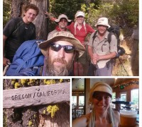
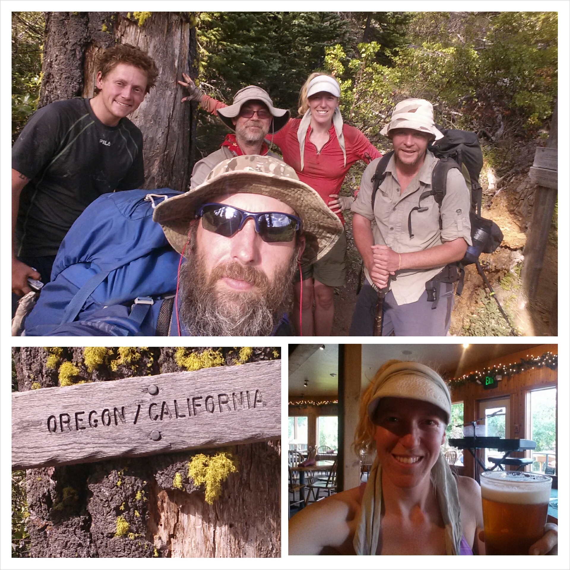
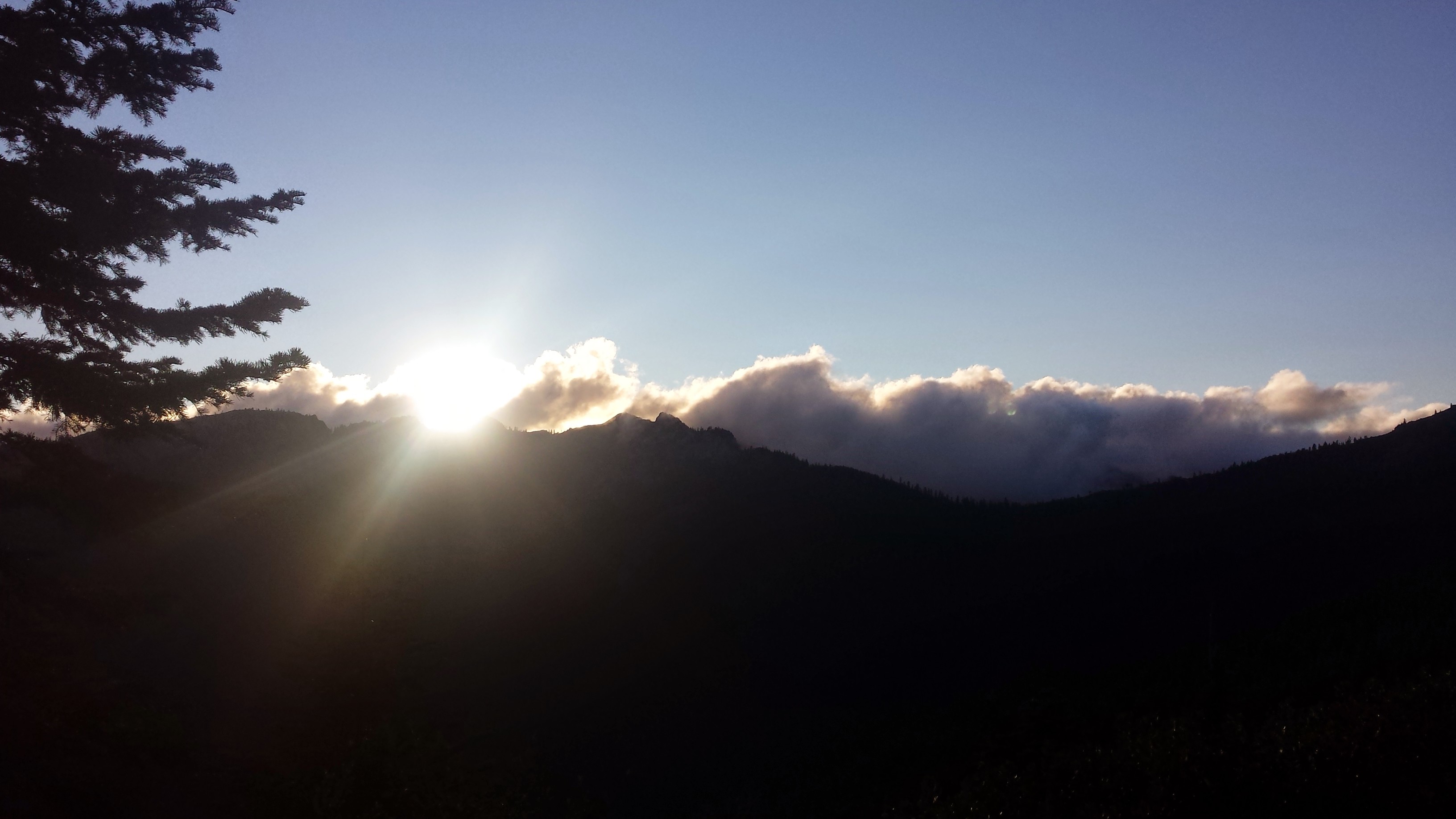 Even though I just had a zero and a near-o day, both my ankles are hurting a lot tonight. I do alright on flat or uphill and even trail; it’s when the trail is rocky or pitched to the left or right that I start hobbling. It has me really worried about doing long term damage.
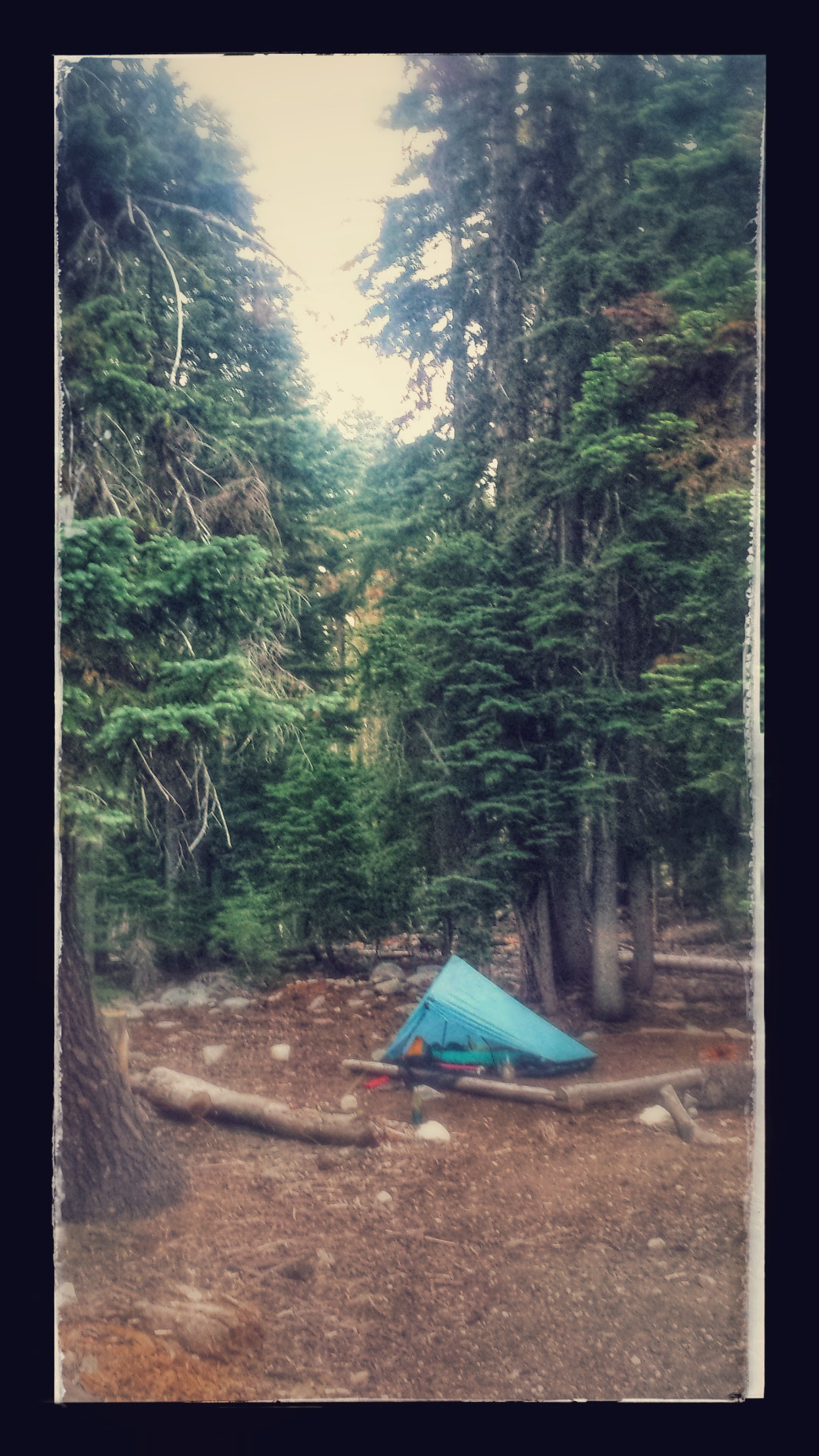

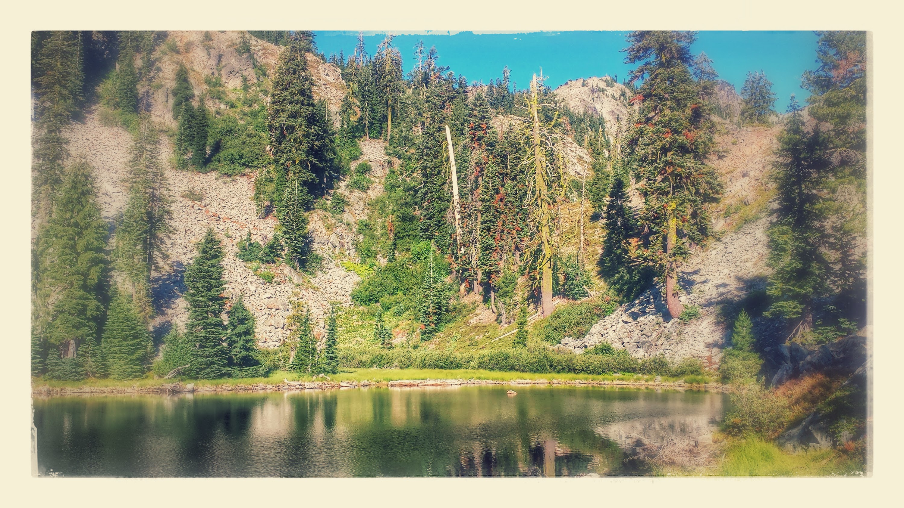
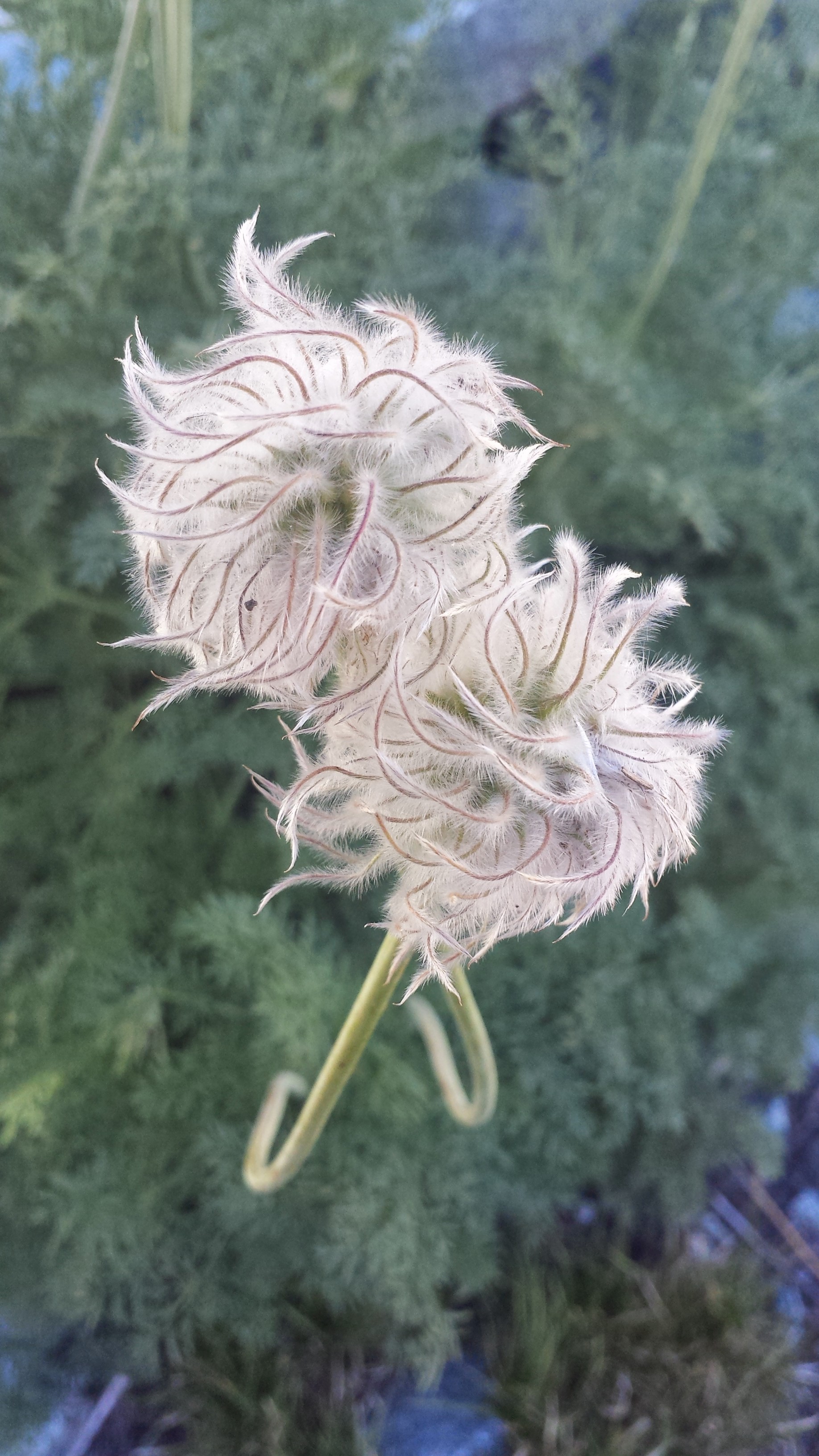
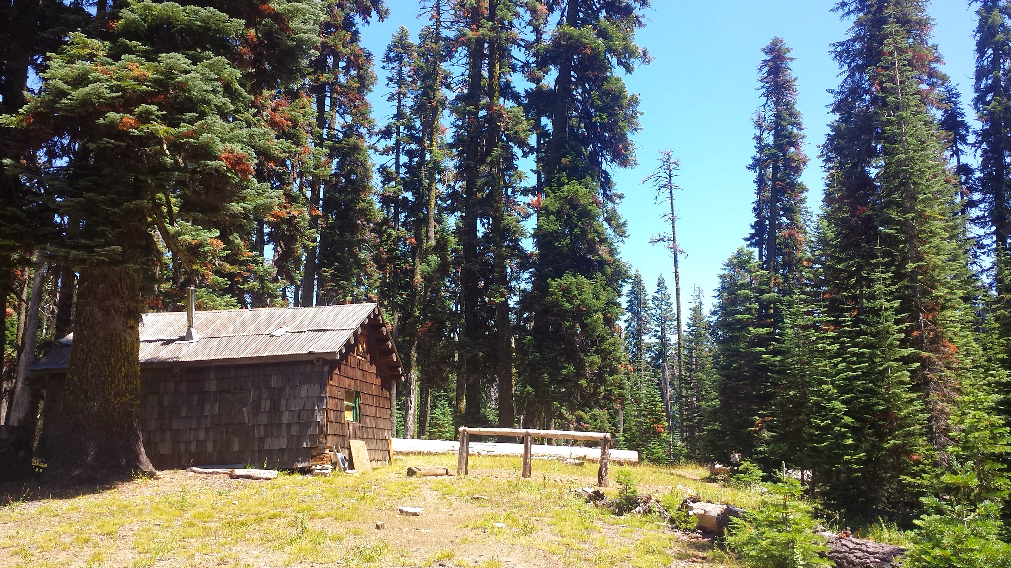
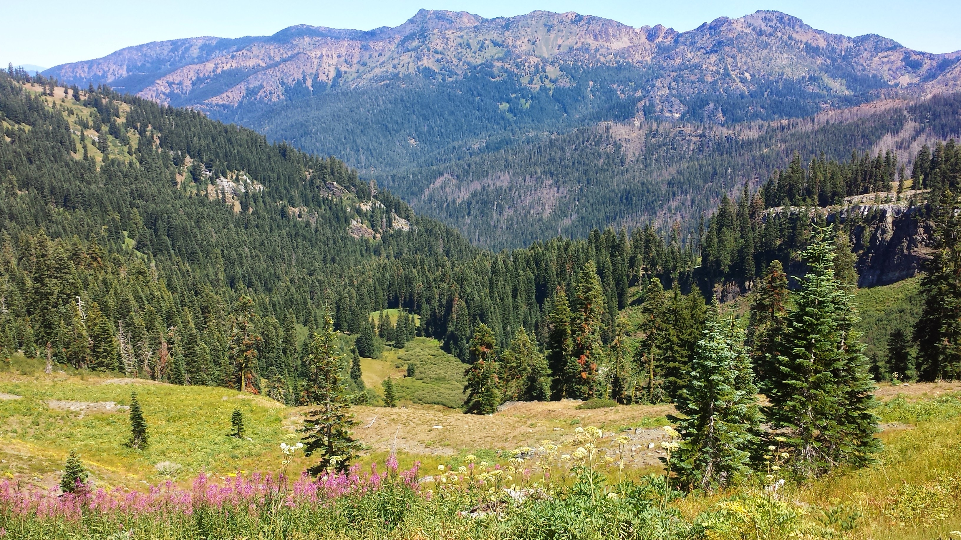
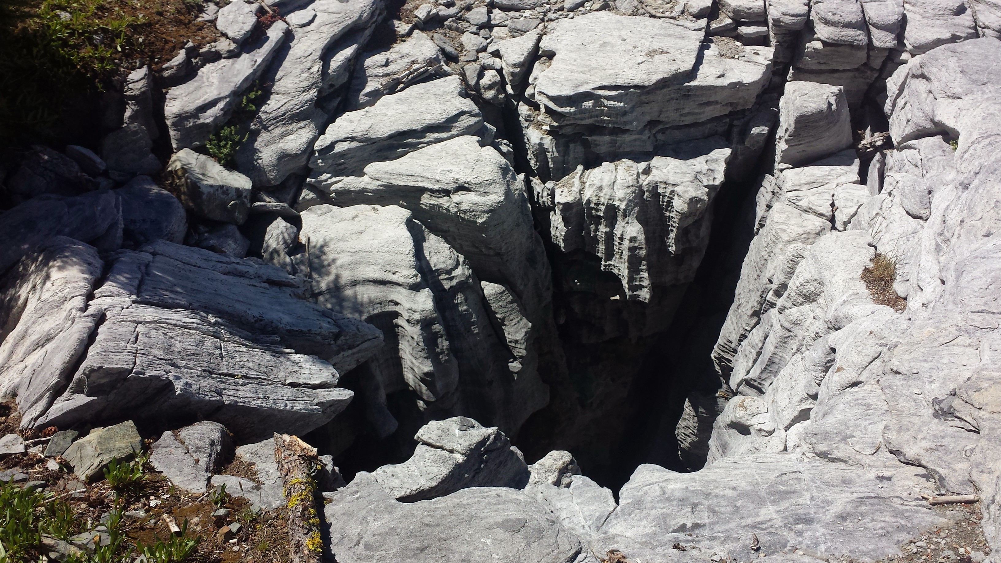
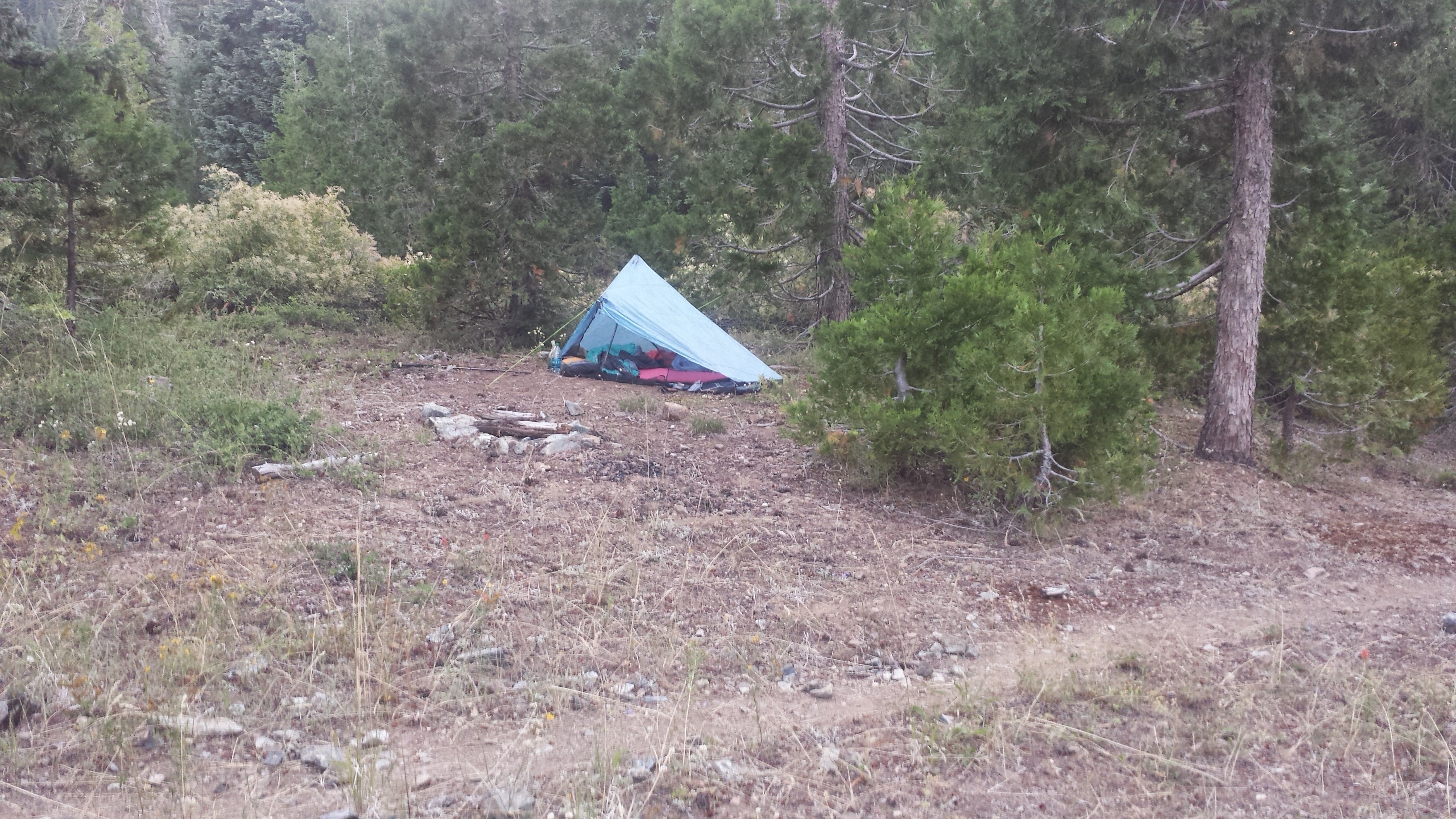
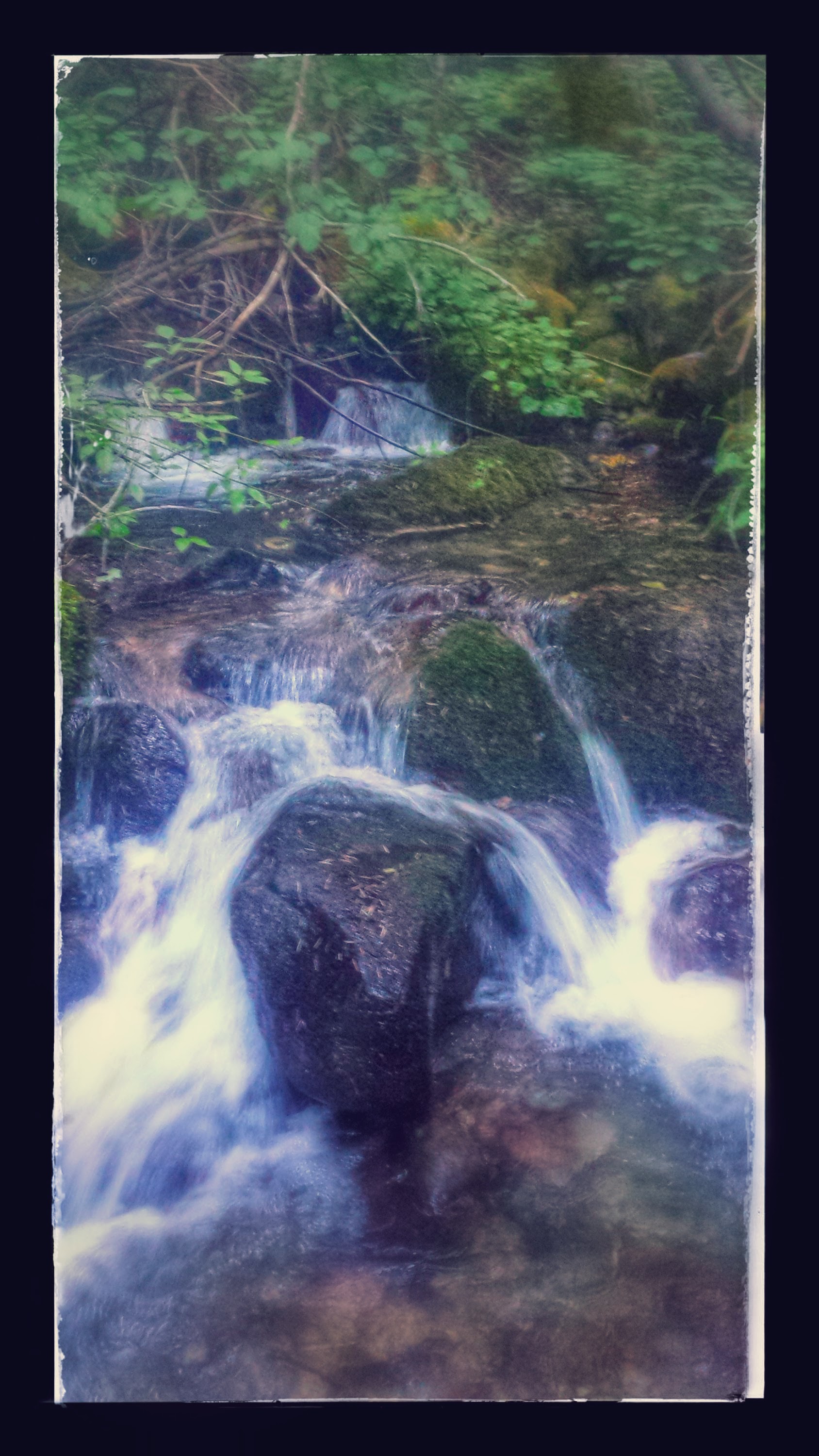
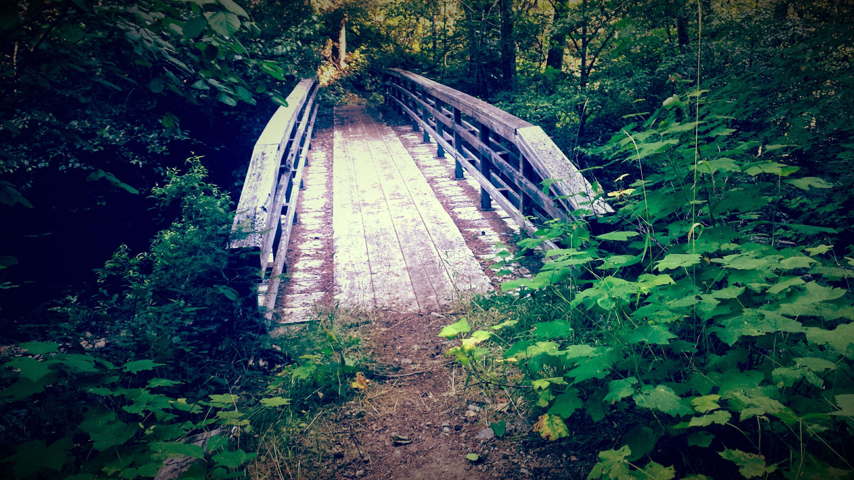
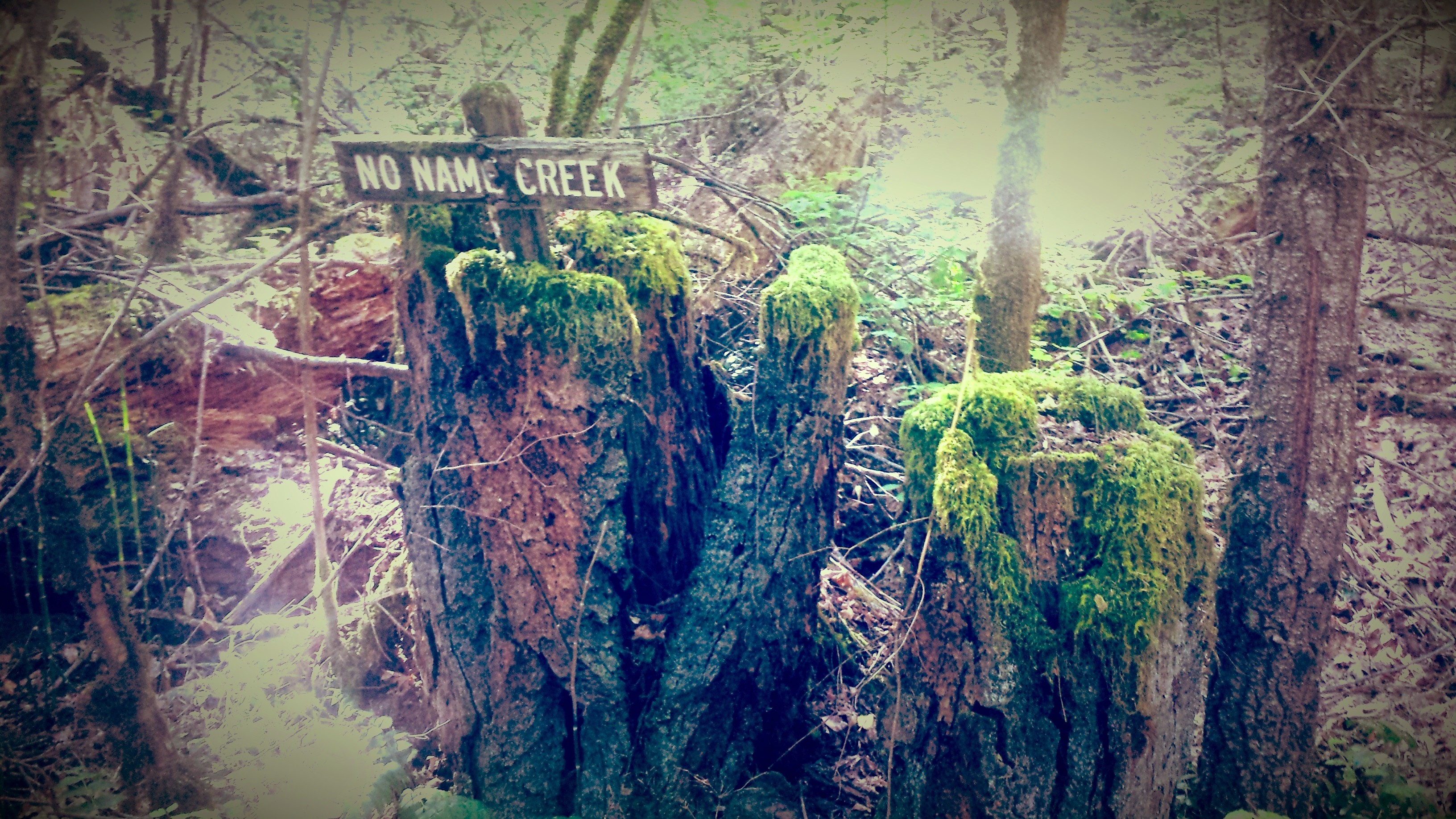
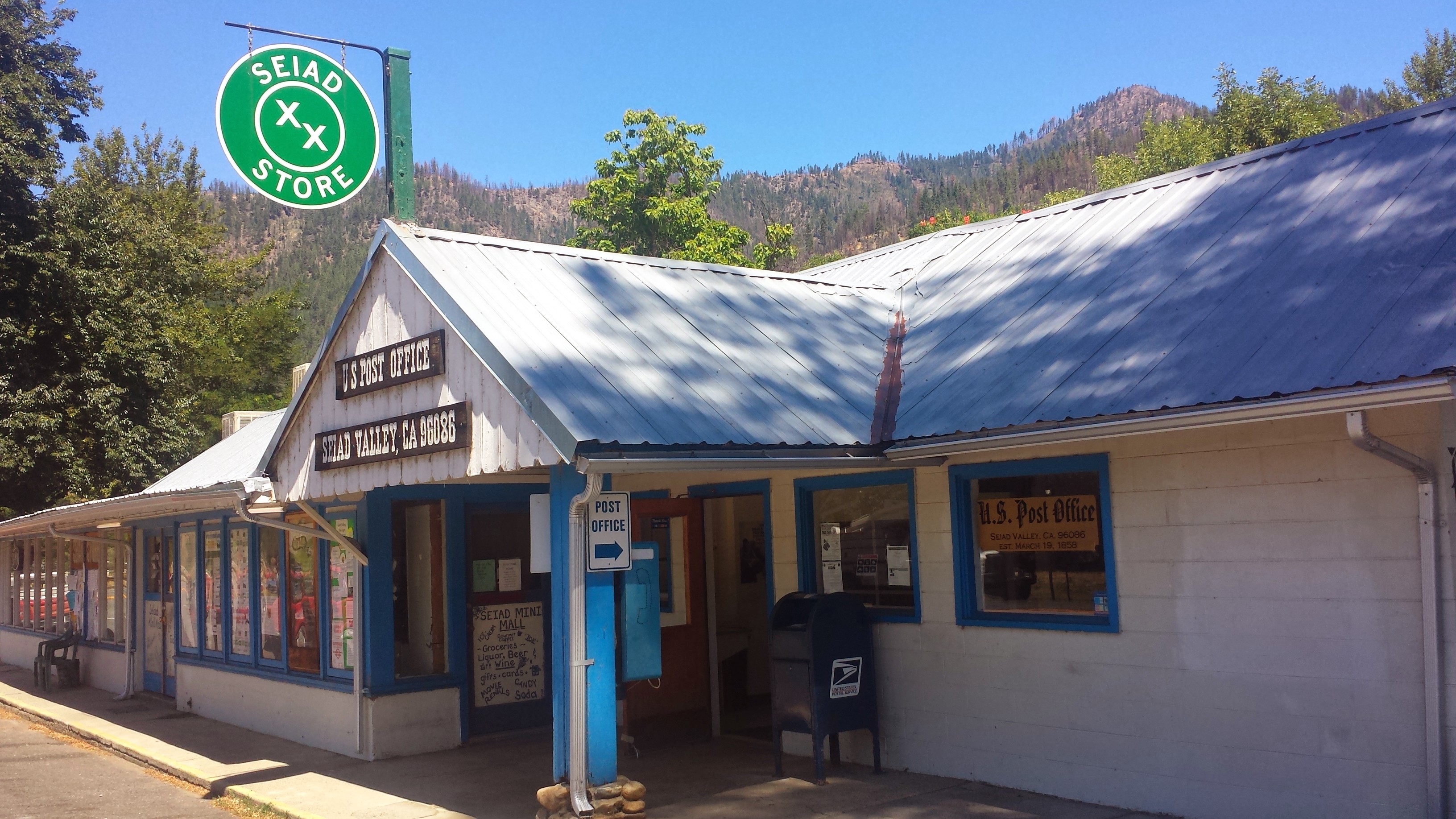
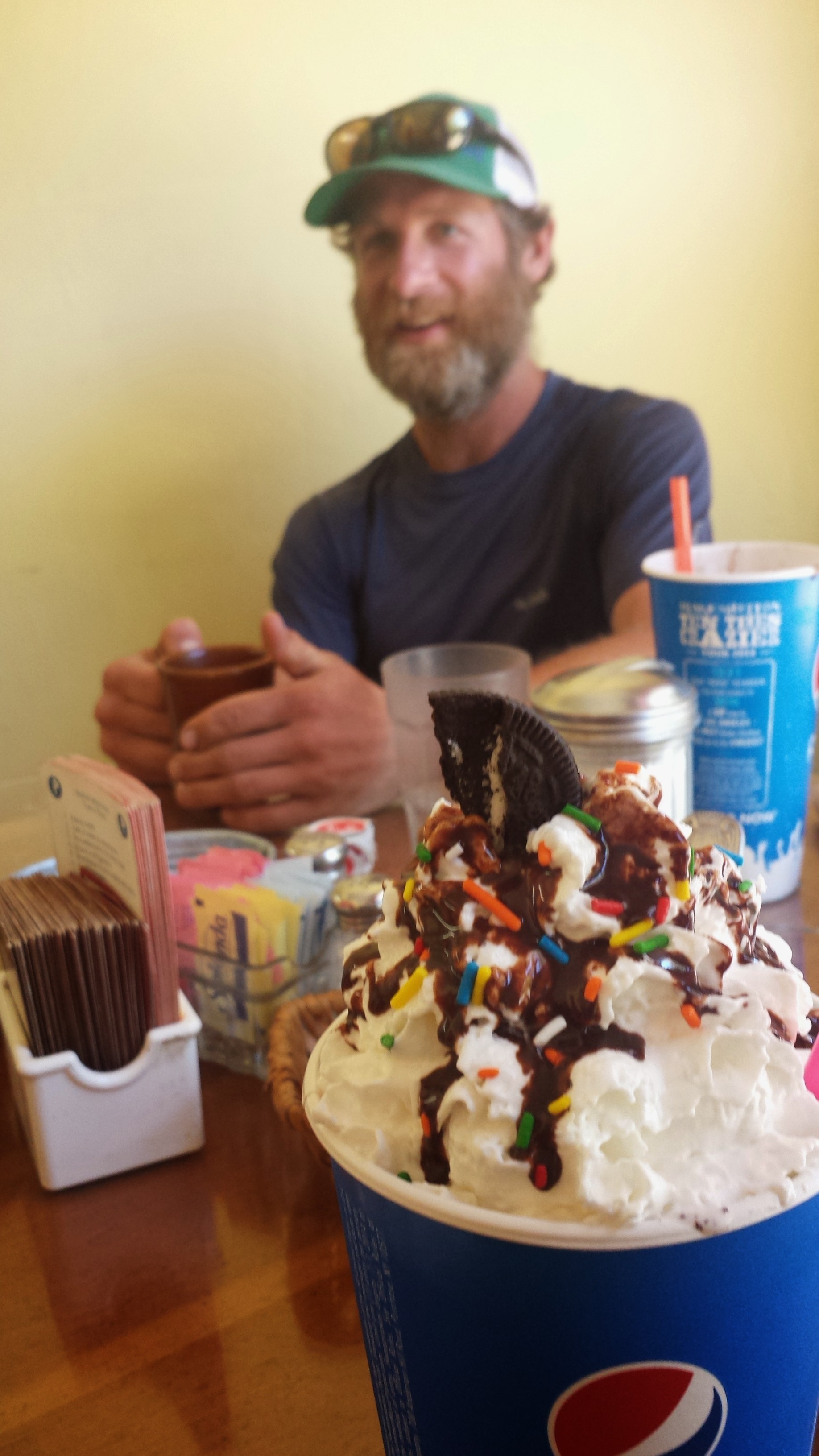
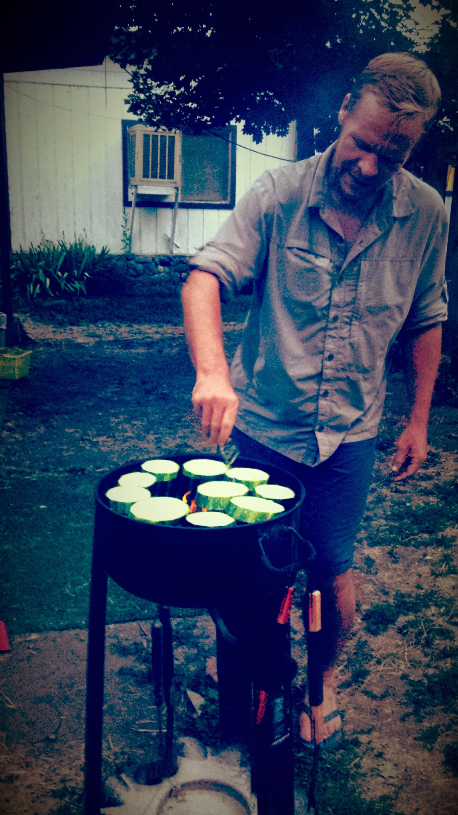
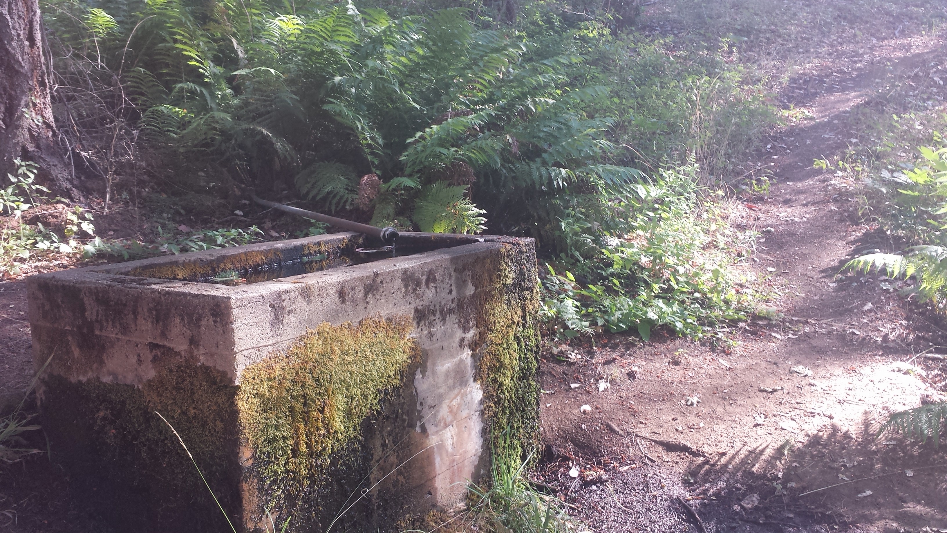
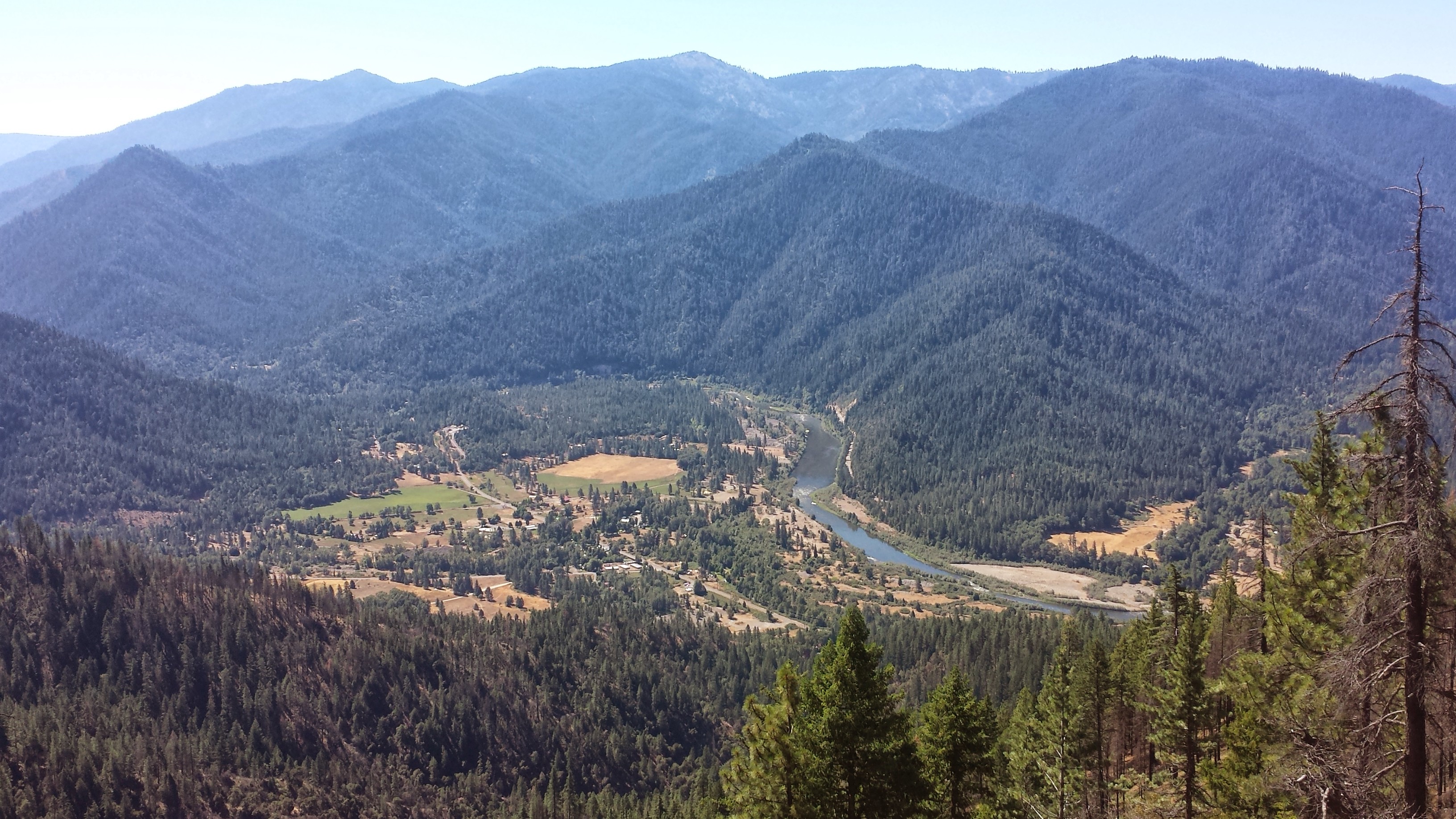
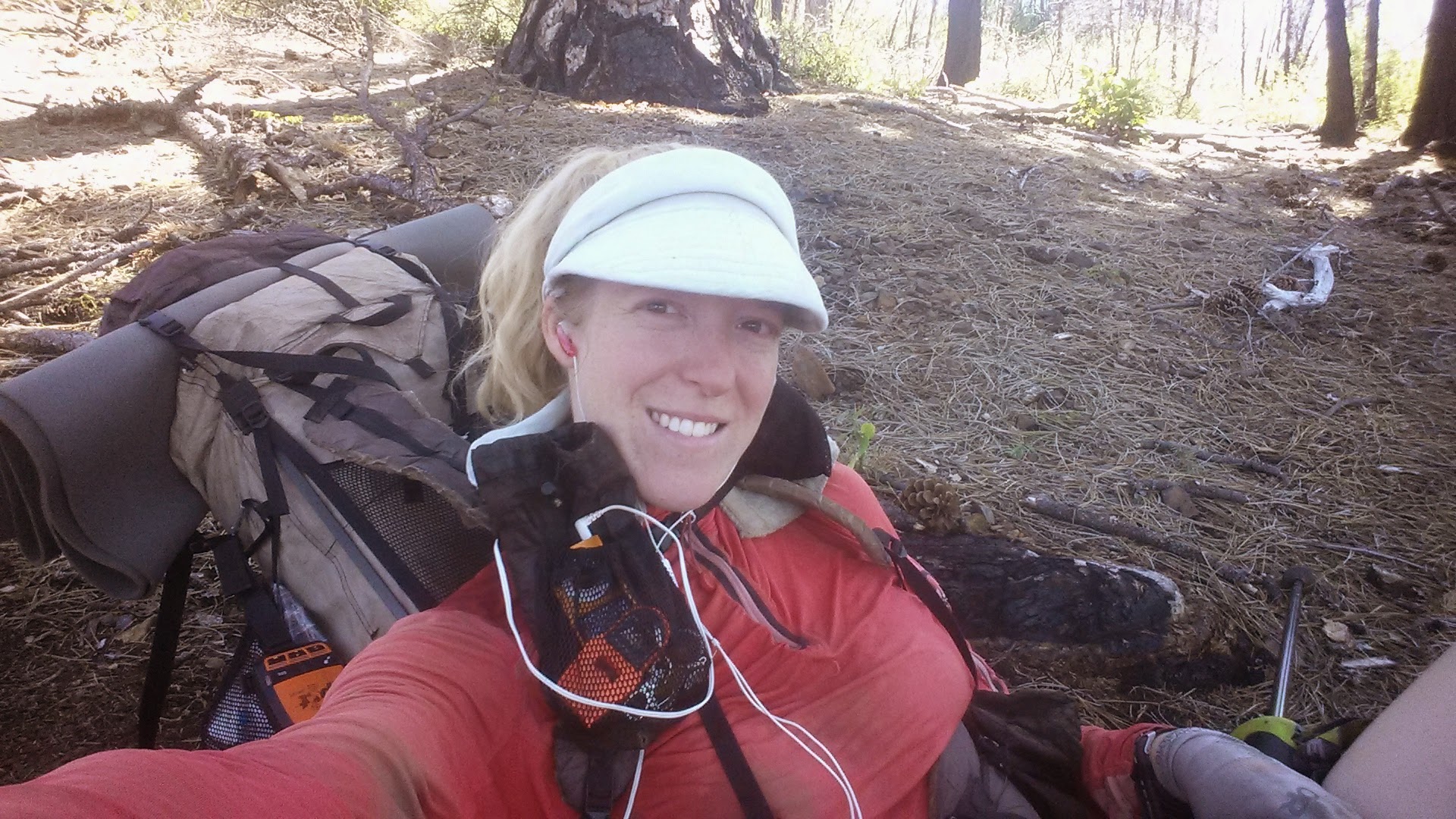
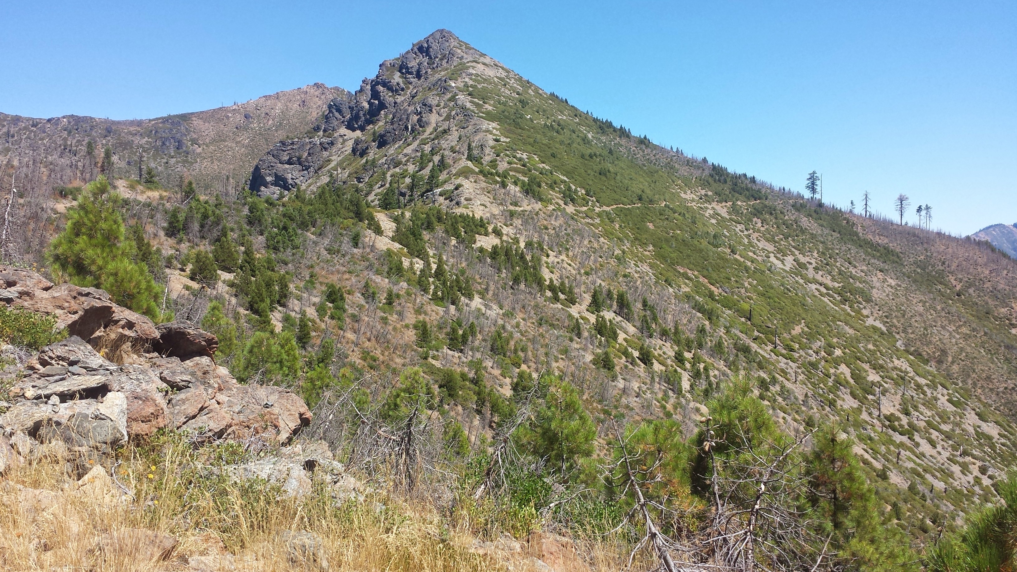
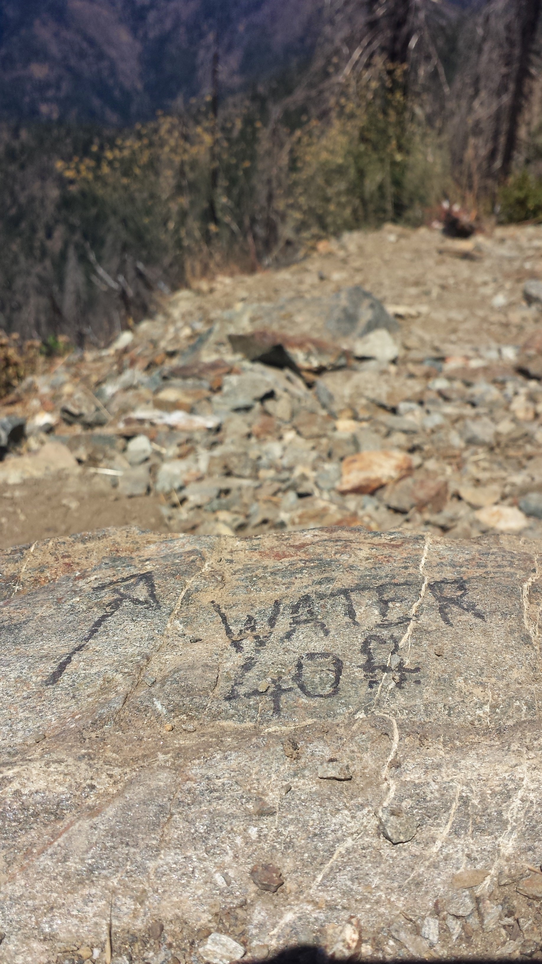
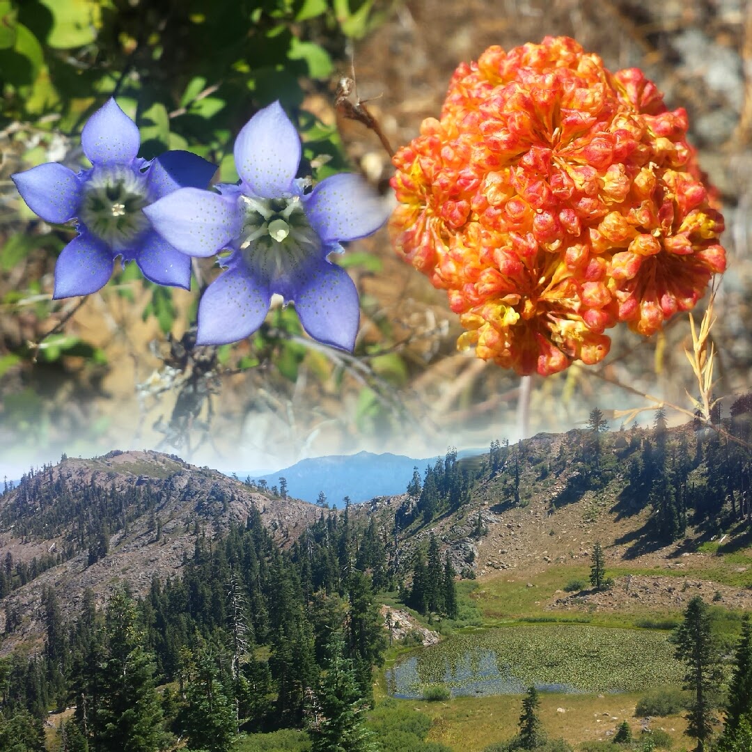
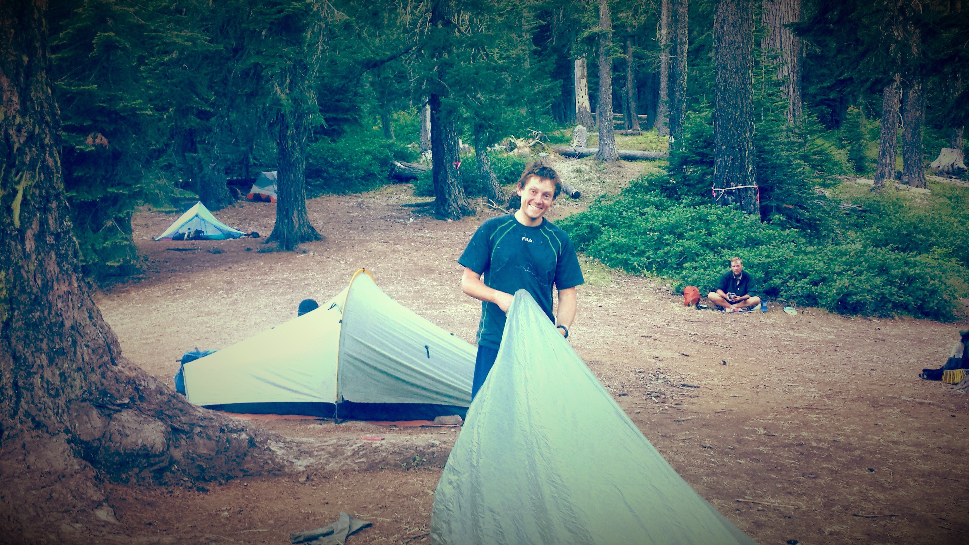
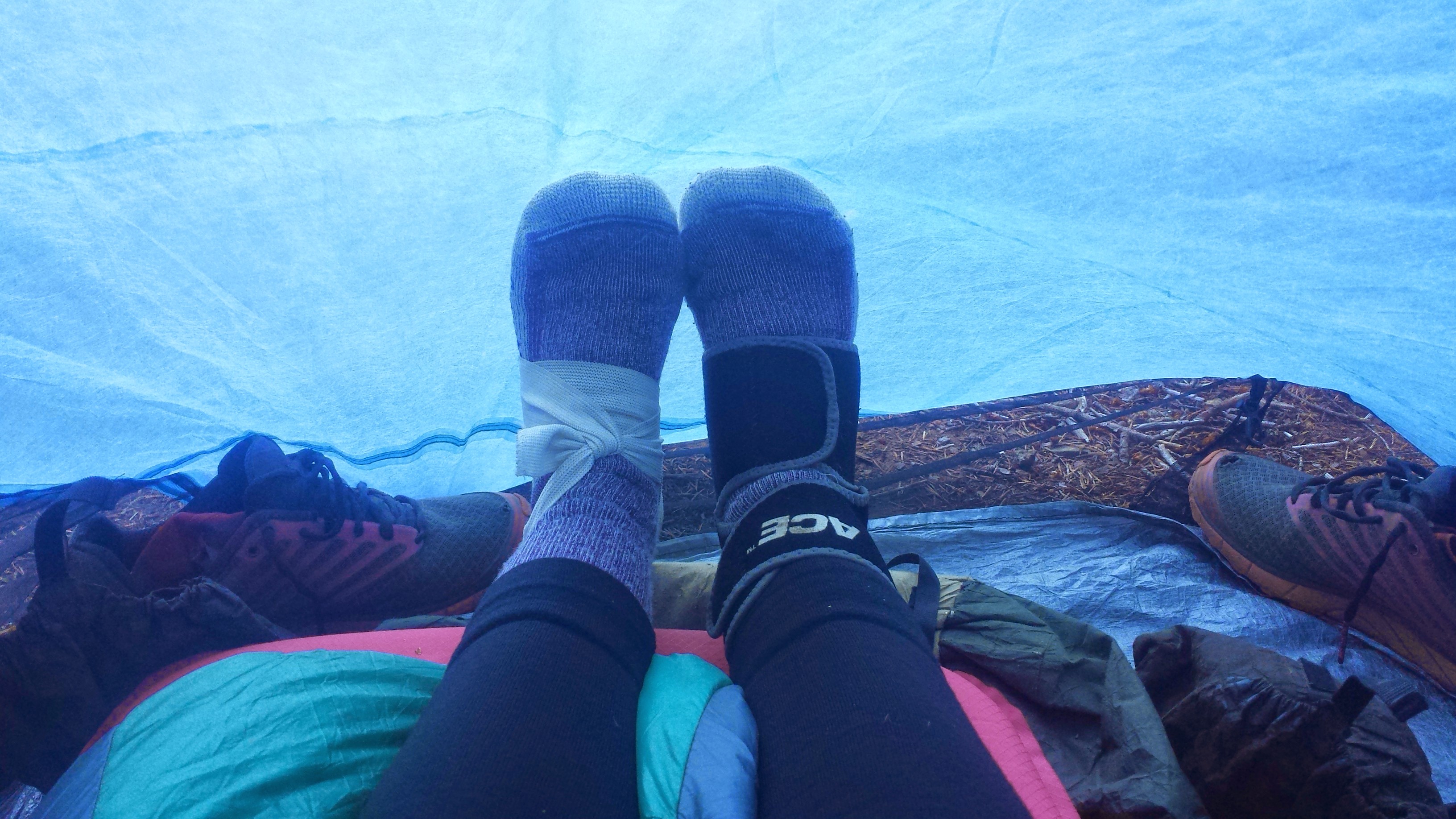
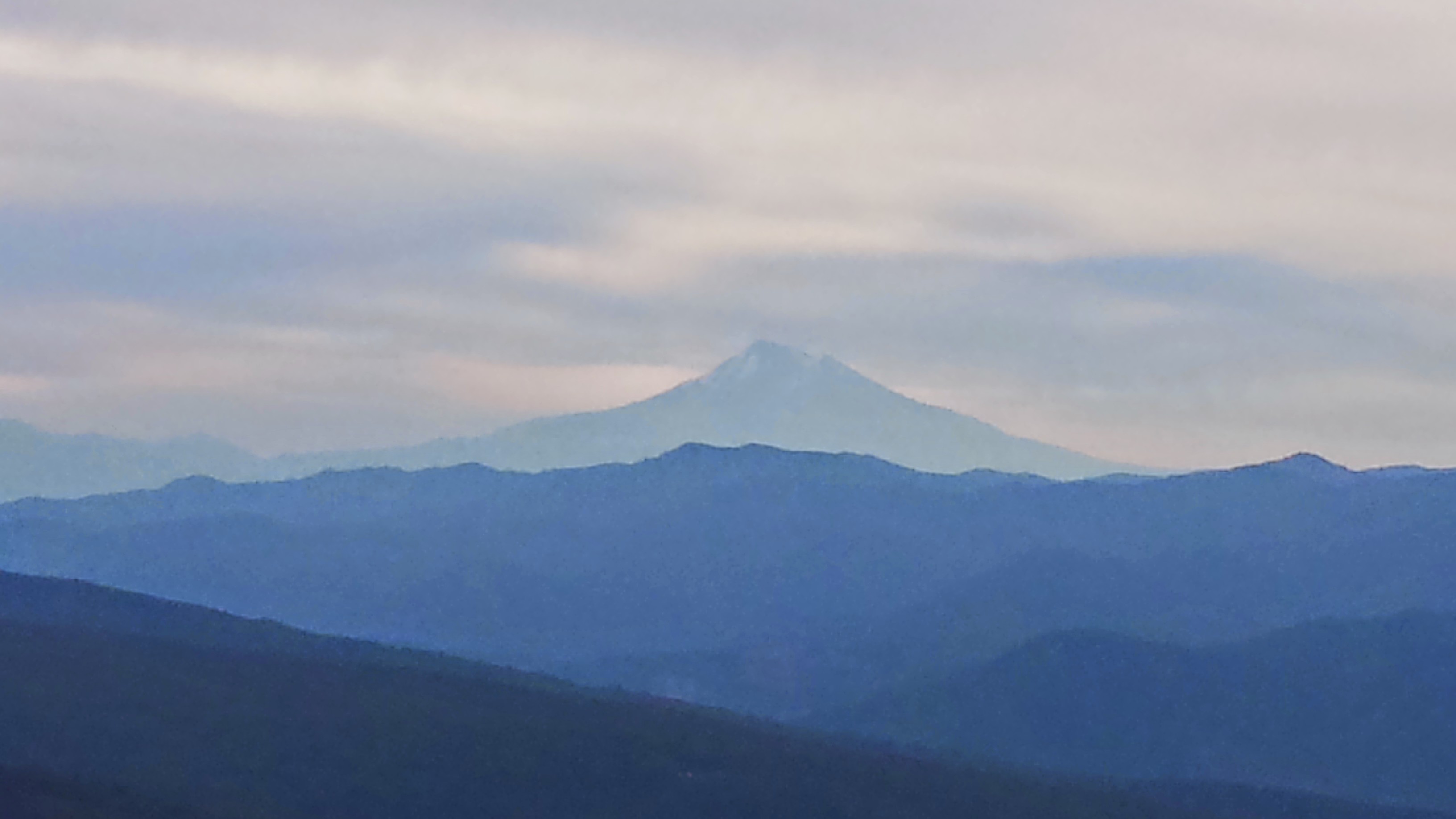
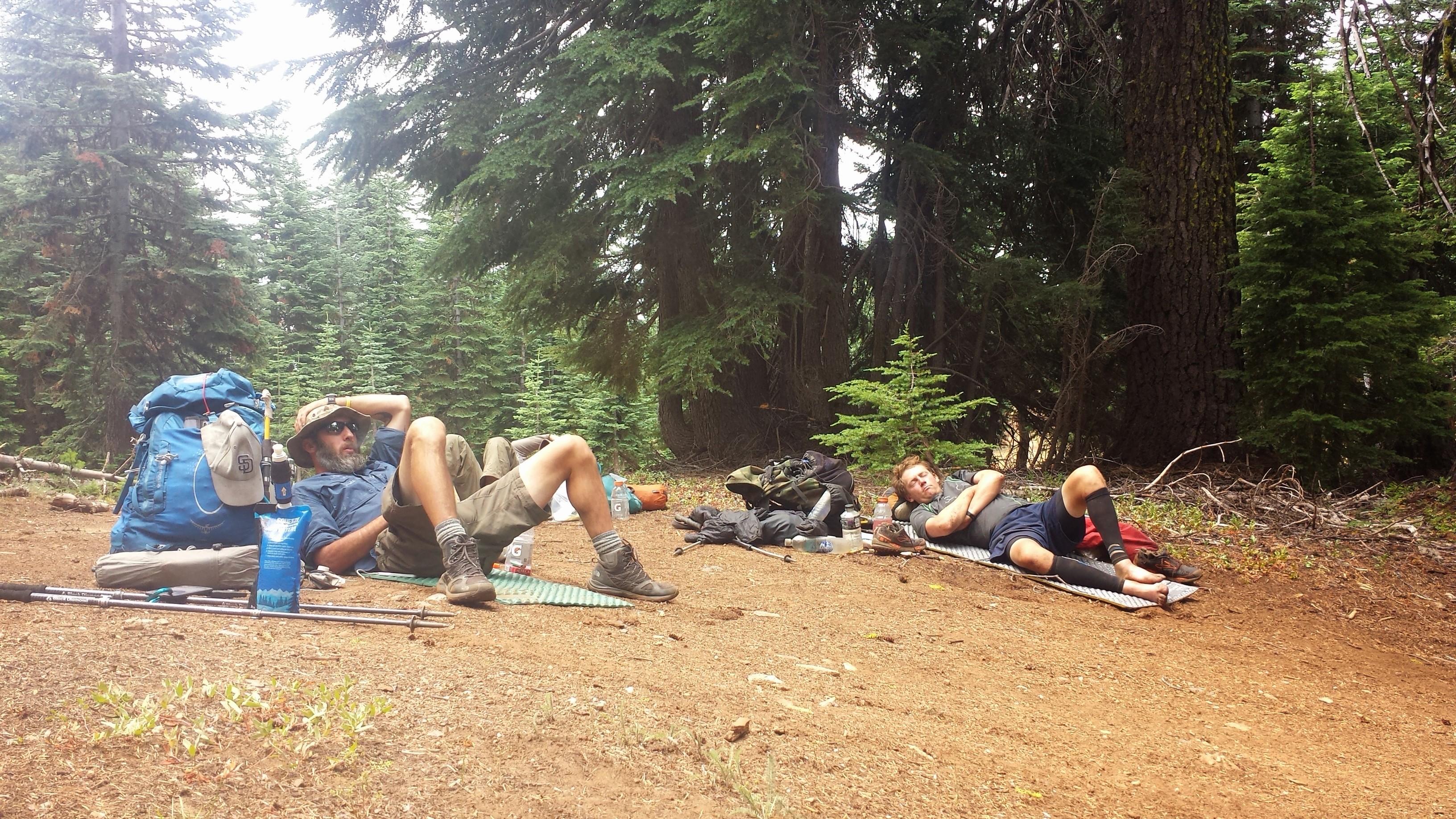
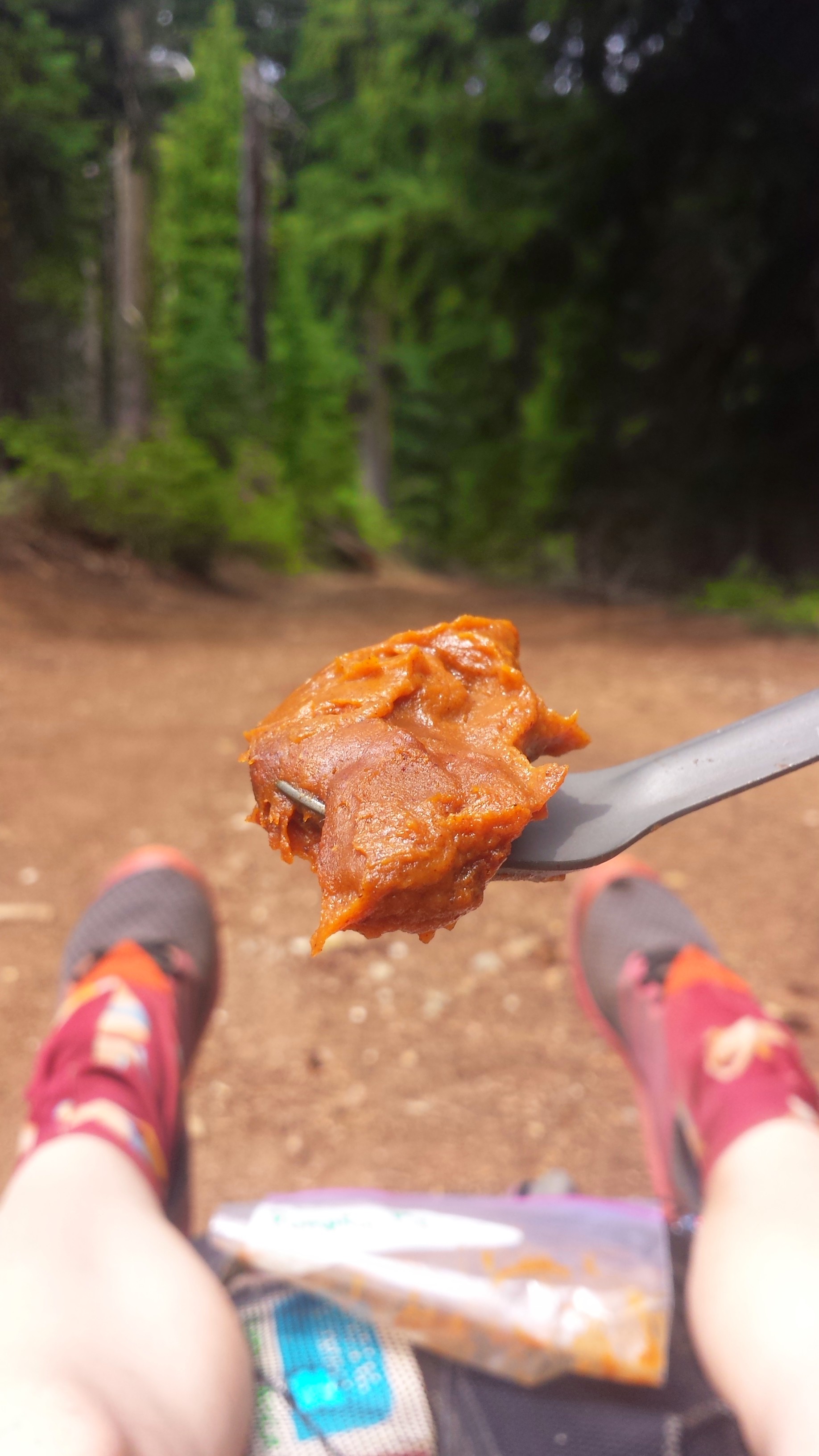
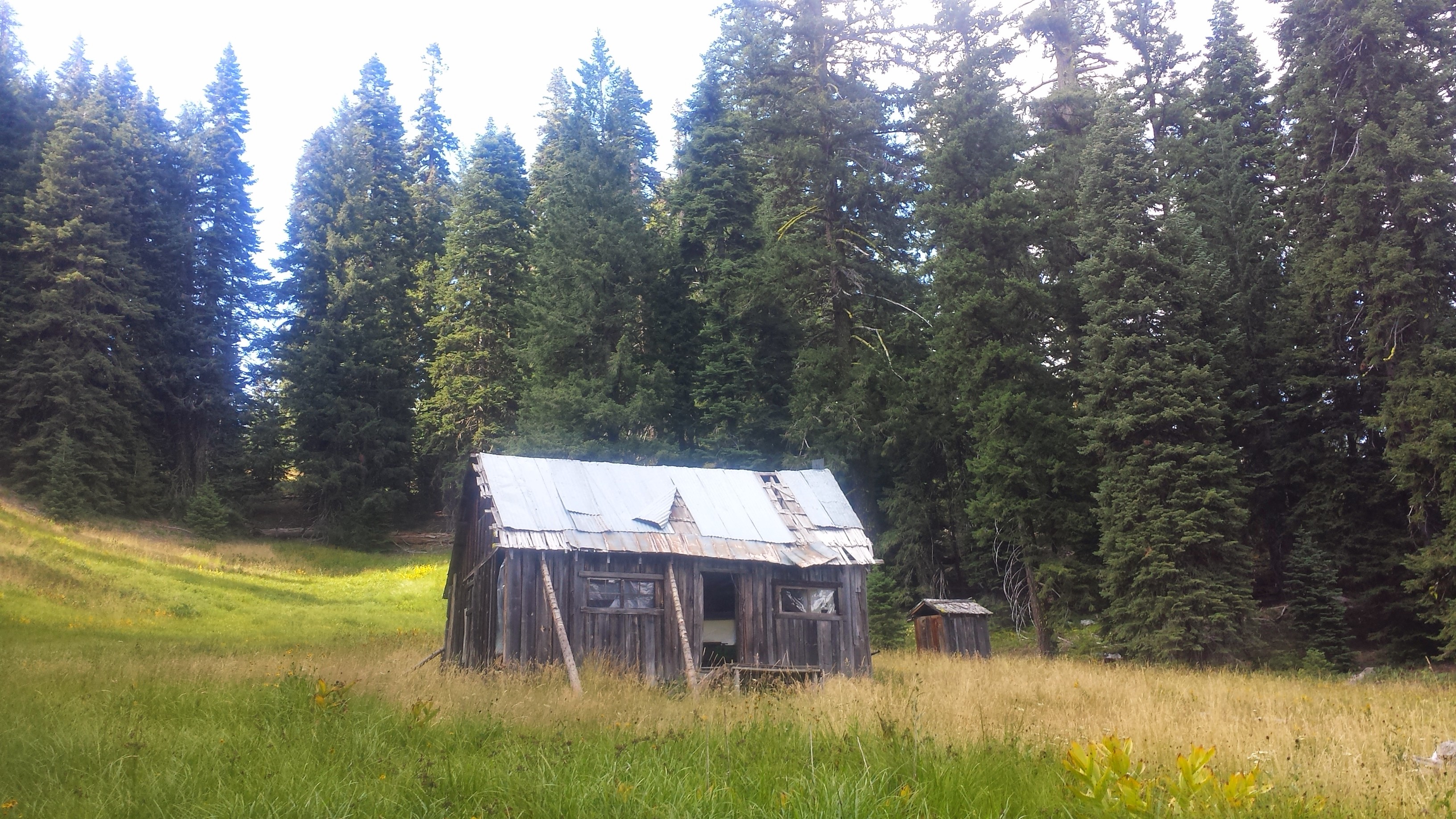
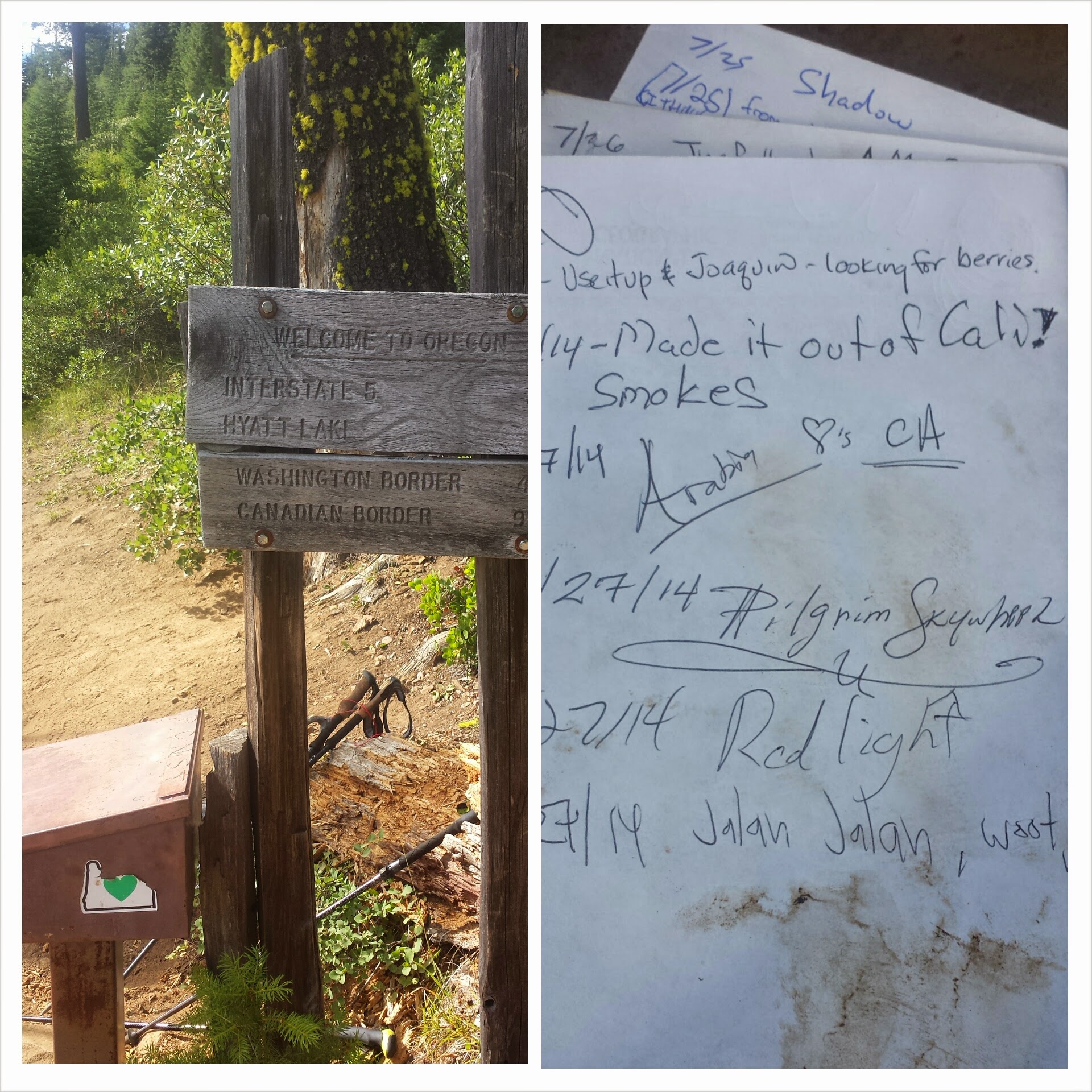
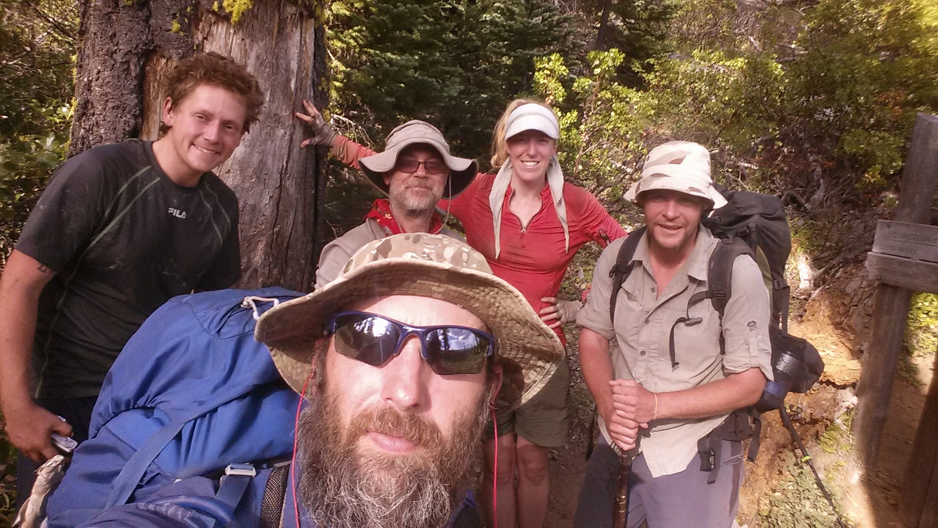
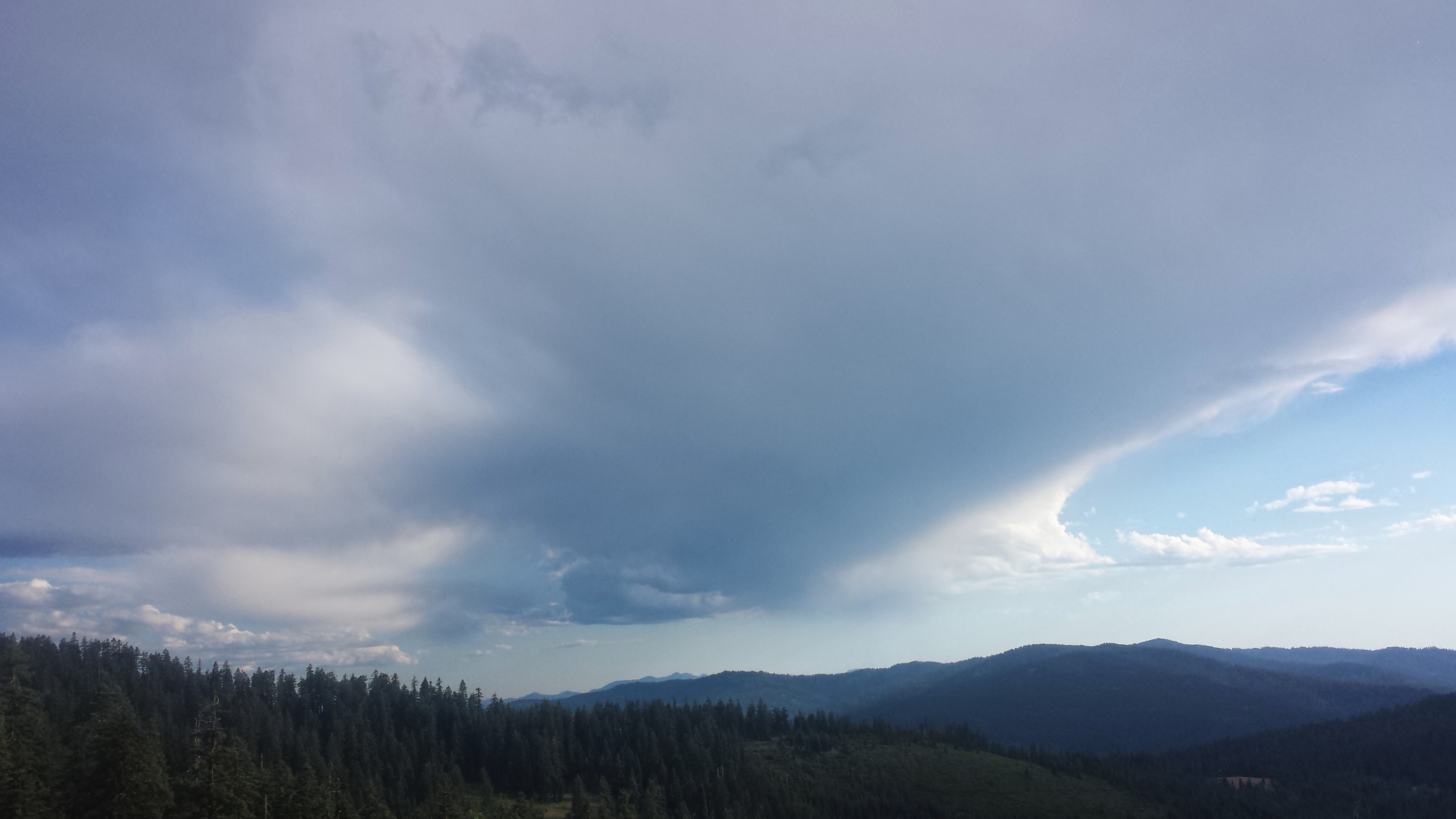
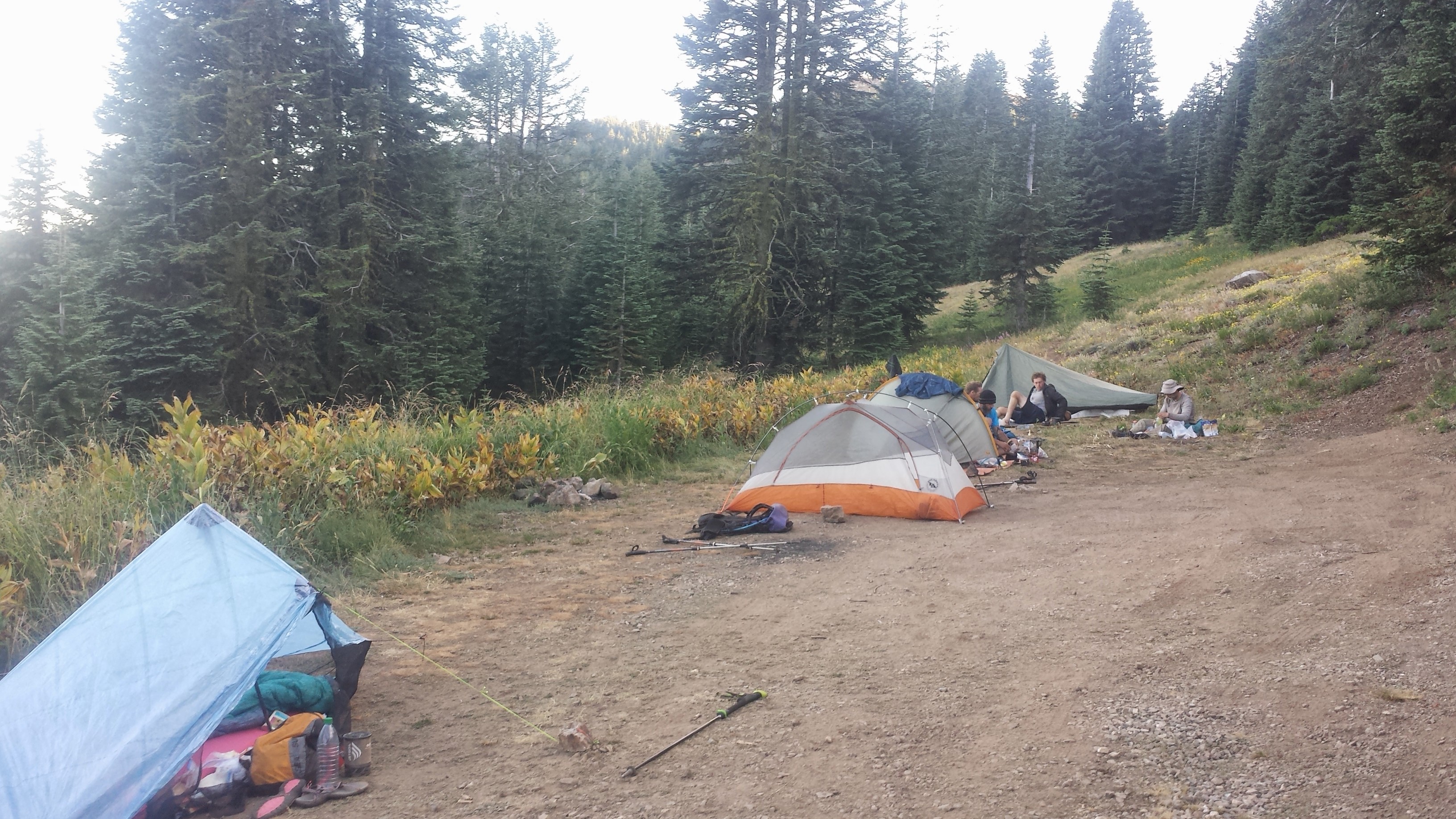
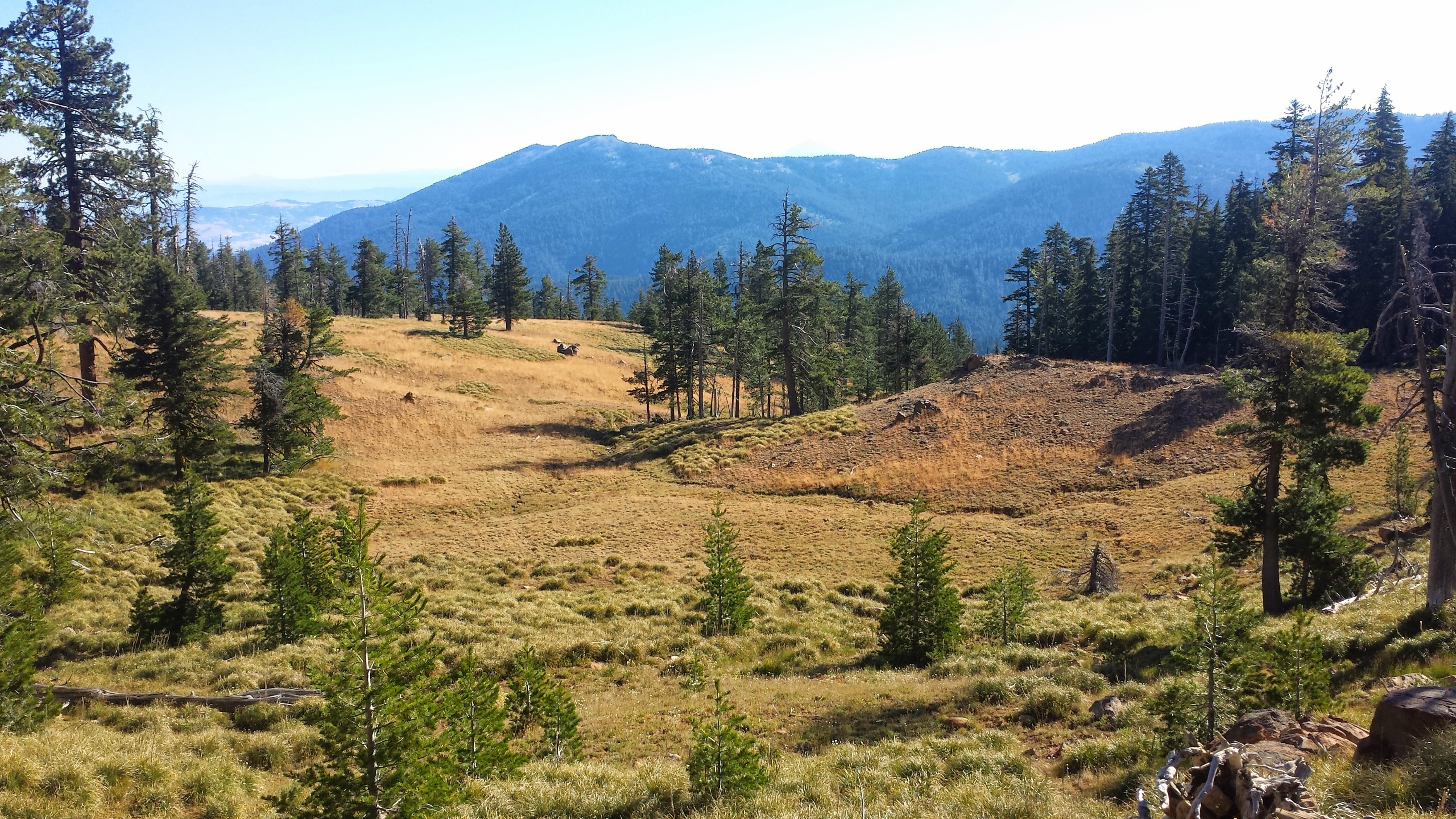
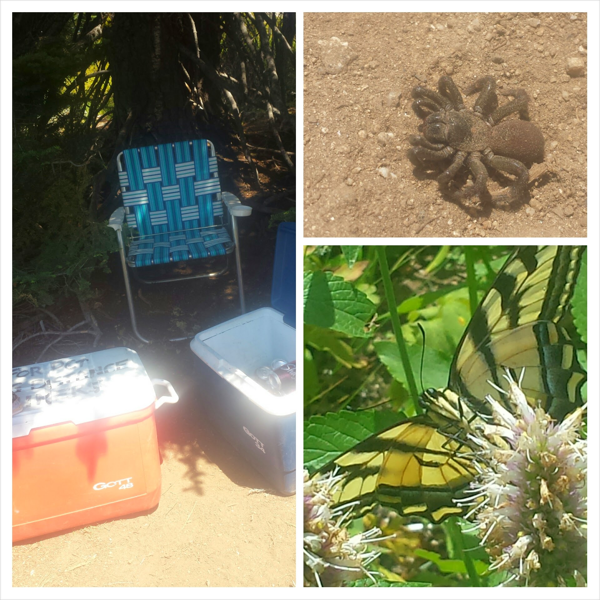
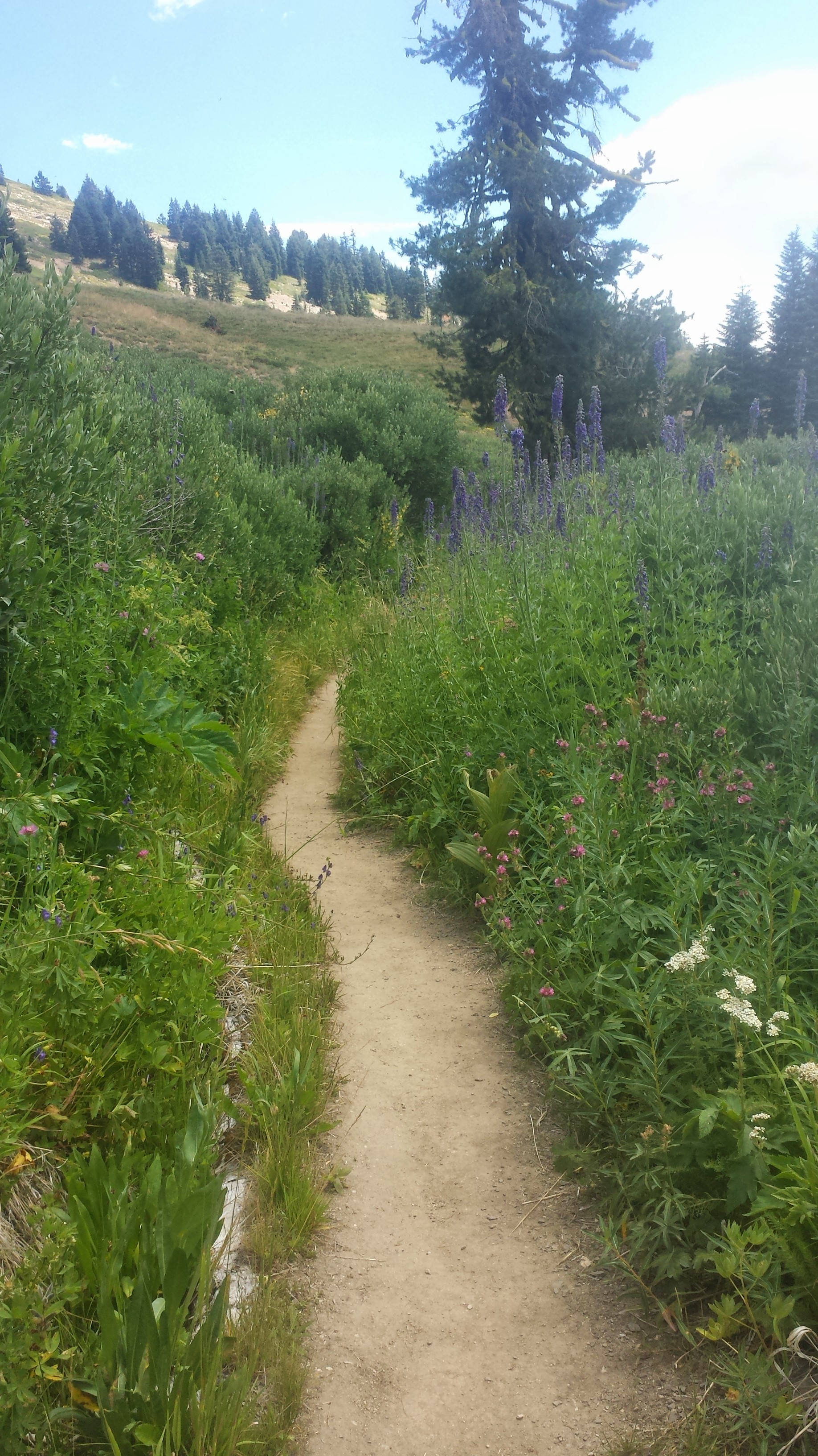 After what felt like a very tedious hike down toward civilization, I met up with Jalan Jalan and Smokes. We tried to stay on the rough trail that would take us to Callahan’s, but lost it past some railroad tracks. We said “Screw it,” bushwhacked through some bushes, and tubbed down a rocky slide t road walk the rest of the way.
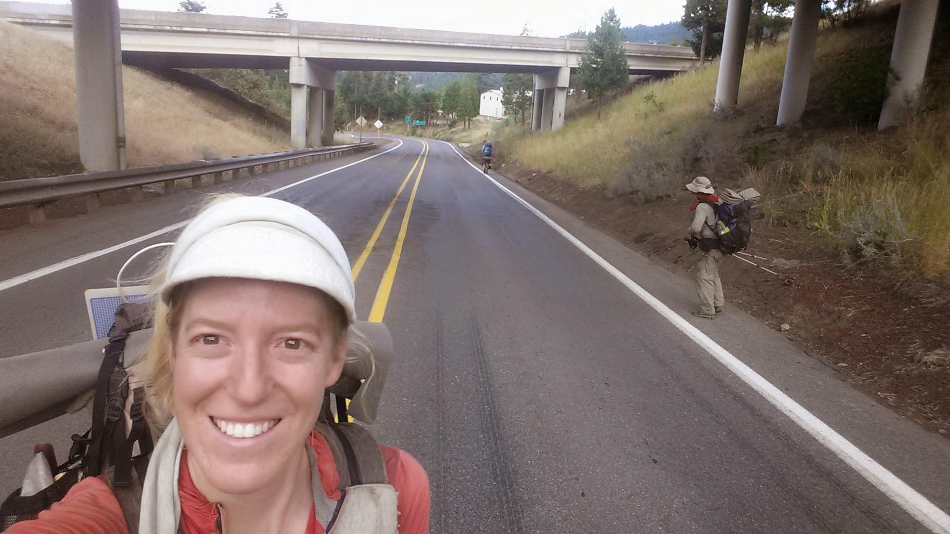
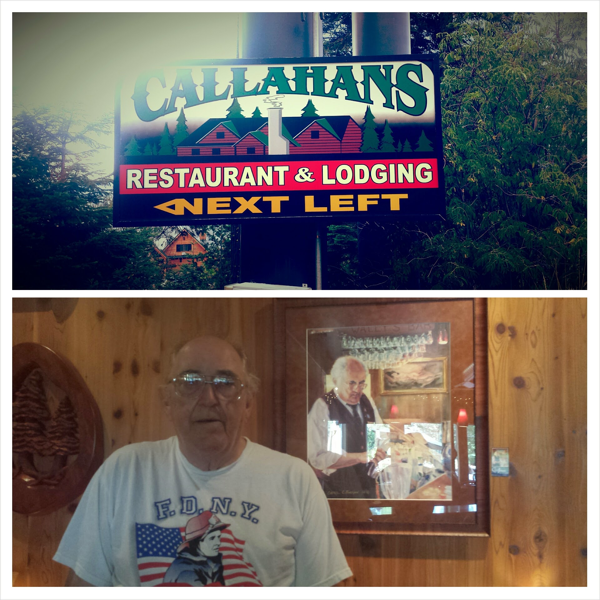 Upon reaching Callahan’s Lodge, the staff show you to the “Hiker Room” (where smelly hikers and their gear are kept separate from other guests) and then present you with a free drink coupon. I dropped my gear, threw my hiking shirt in the trashcan, cashed in my coupon and toasted to all the hikers I could find at the lodge.