Oh, Ashland: the land of Shakespeare, fine dining, out-of-time hippies, and deer who have learned to look both ways before crossing the street. I could sleep wrapped in your warm, dreamy air for days, but it would feel like a dream and I don’t think I could stay with you in bliss forever.
I did indeed stay an extra night in Ashland, thanks to UPS not having the correct address for my resupply package. I got a bed in the girls dorm at The Ashland Hostel, ate an eight-piece chicken picnic while sitting IN Lithia Creek (because it’s too damn hot), saw a movie at the cinema, and am now willing to admit my addiction to root beer floats (they’re so refreshing!).
Chicken picnic and Lithia Creek
Every summer I make it my goal to learn something new; two years ago it was hula hooping. As an adult that had never hooped as a child, it was a challenge for me just to keep the hoop up. Once I learned the flow, however, I was hooked! I found a wobbly, old hoop at the hostel in Ashland and took it to the park in the cool of the evening. Since I don’t think my parents have ever seen me hoop, I decided to make a video just for them.
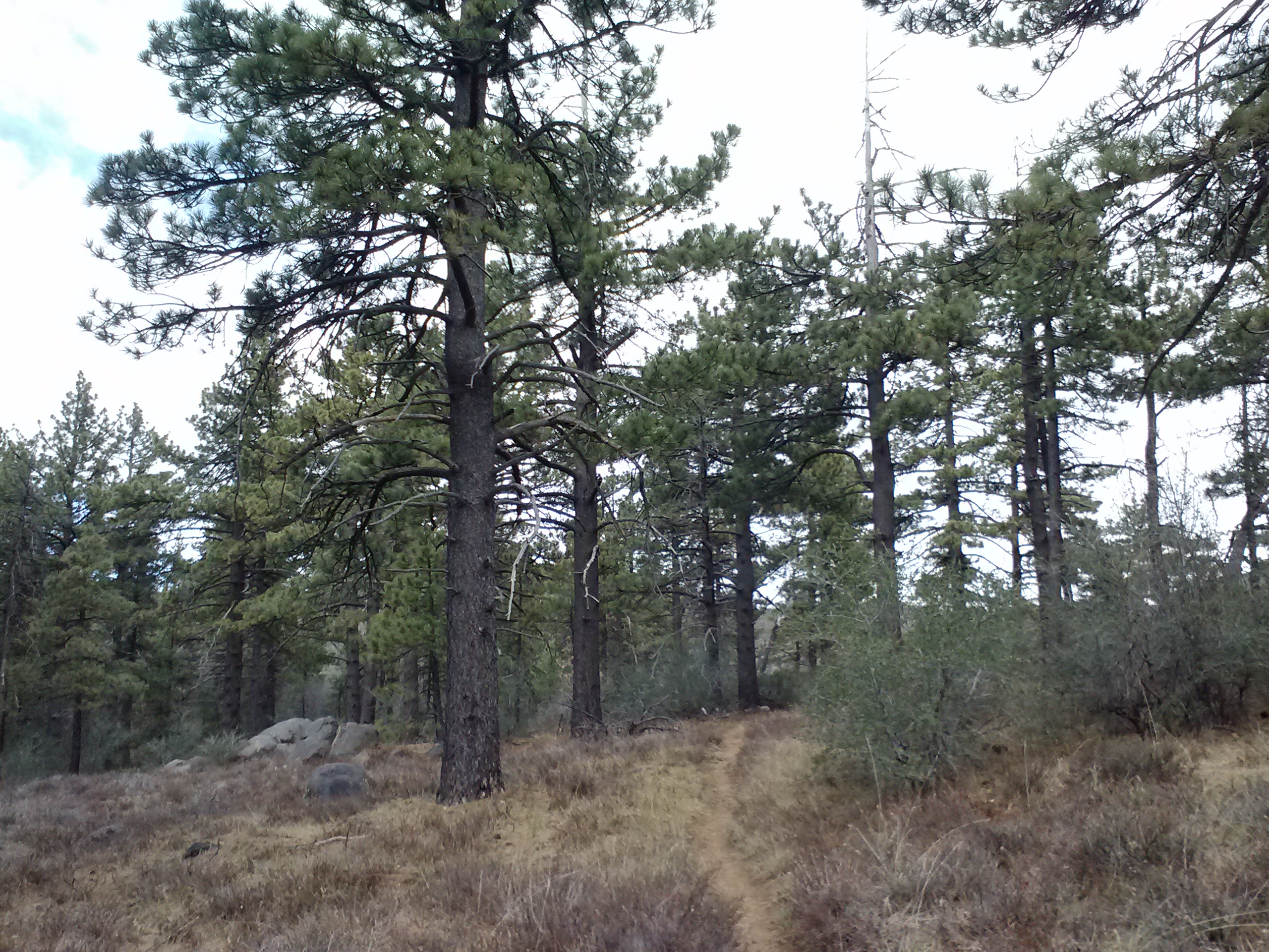
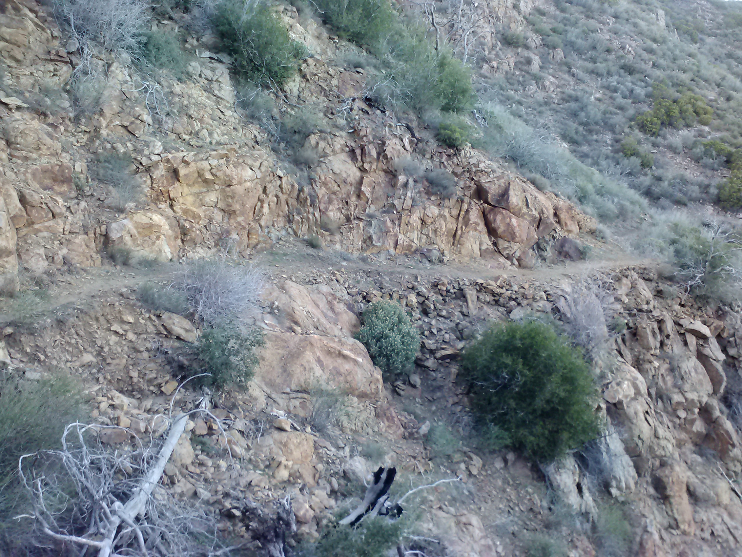
June 30- 8.5 miles, camping near Bean Cabin
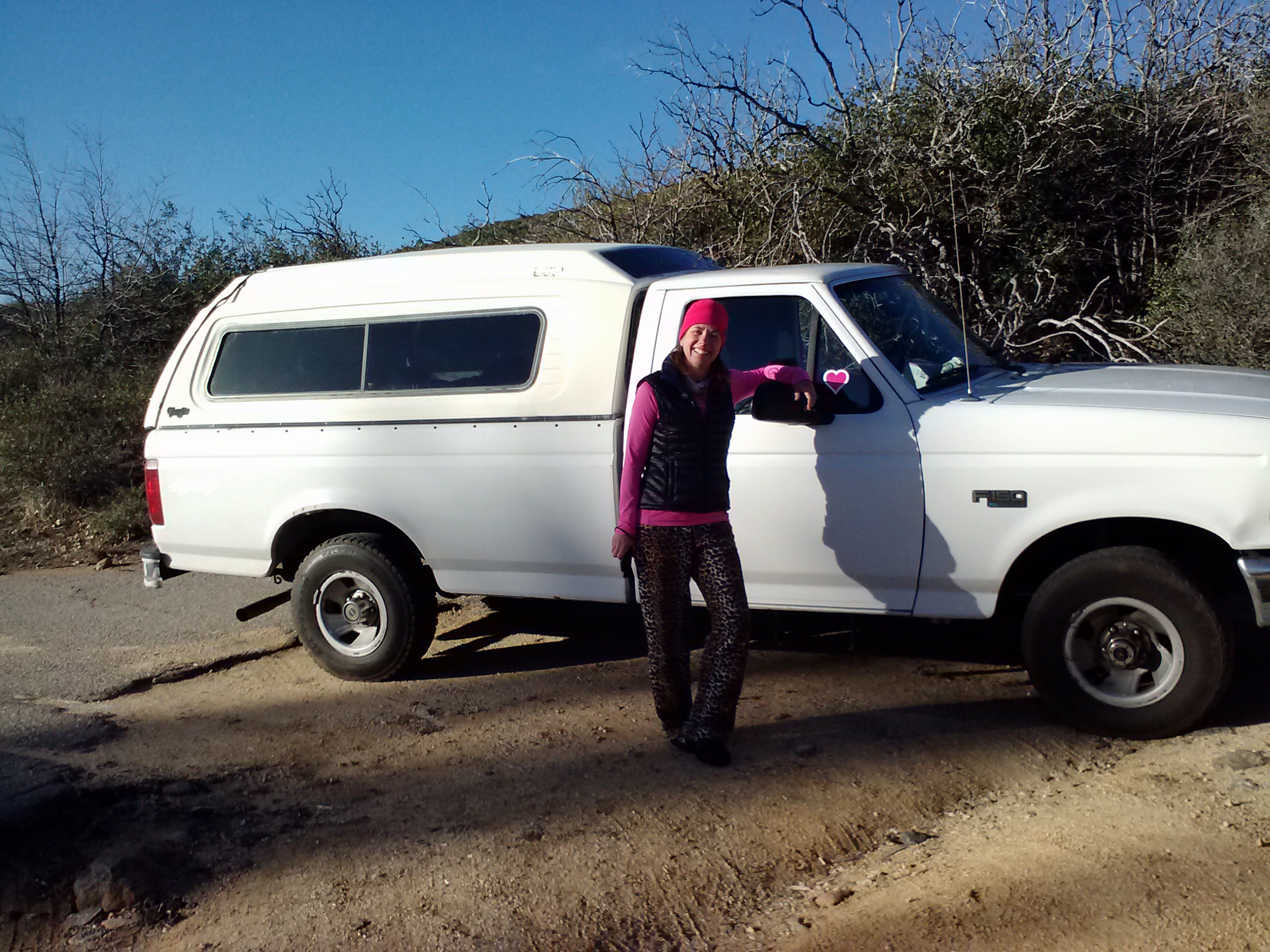
I took a public bus to Interstate 5 on the edge of town, then hitched a ride with a middle aged IT guy from South Oregon University. He dropped me off at the trail at 5pm, just as it started to cool off for the day.
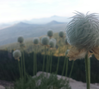
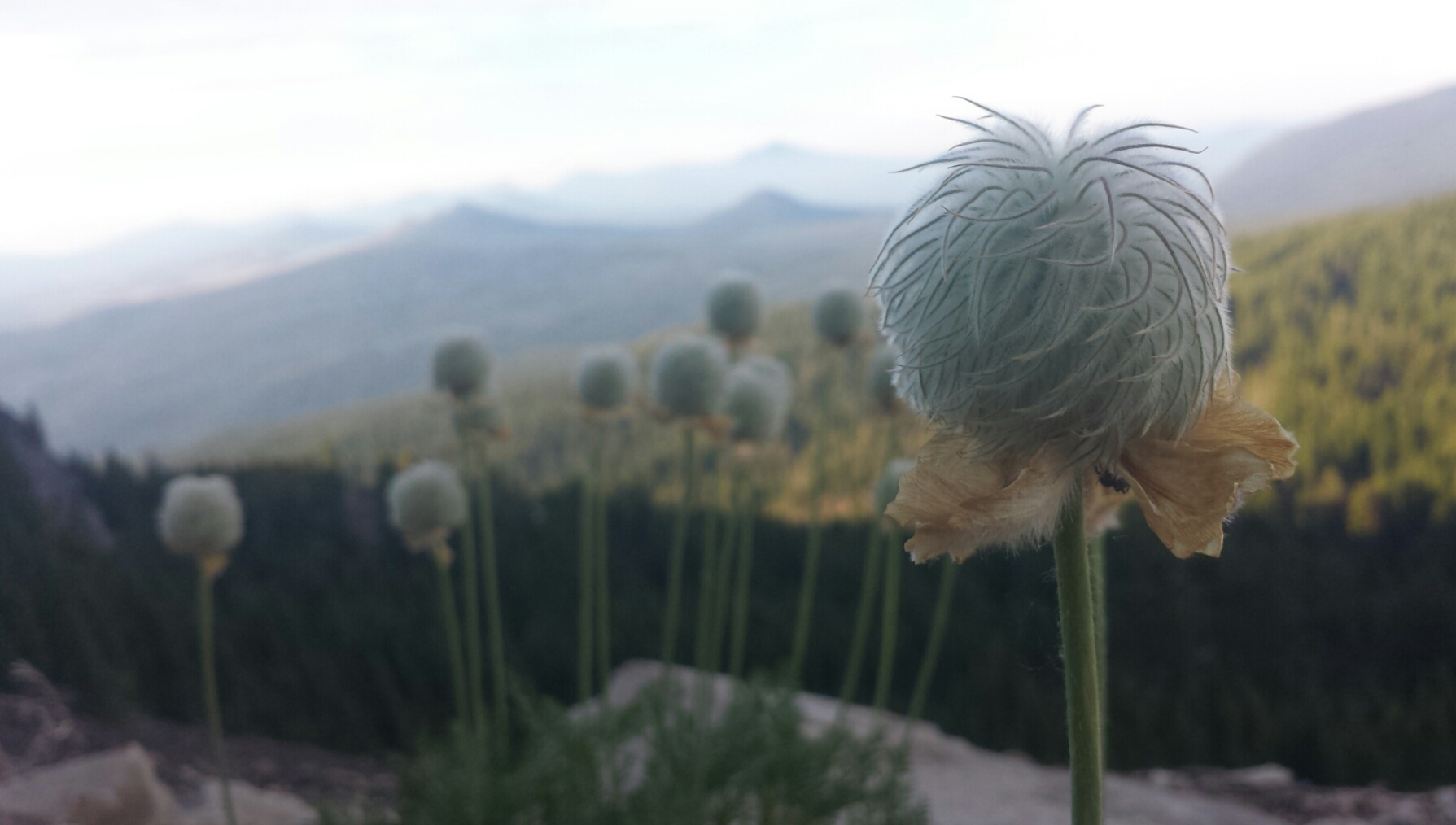
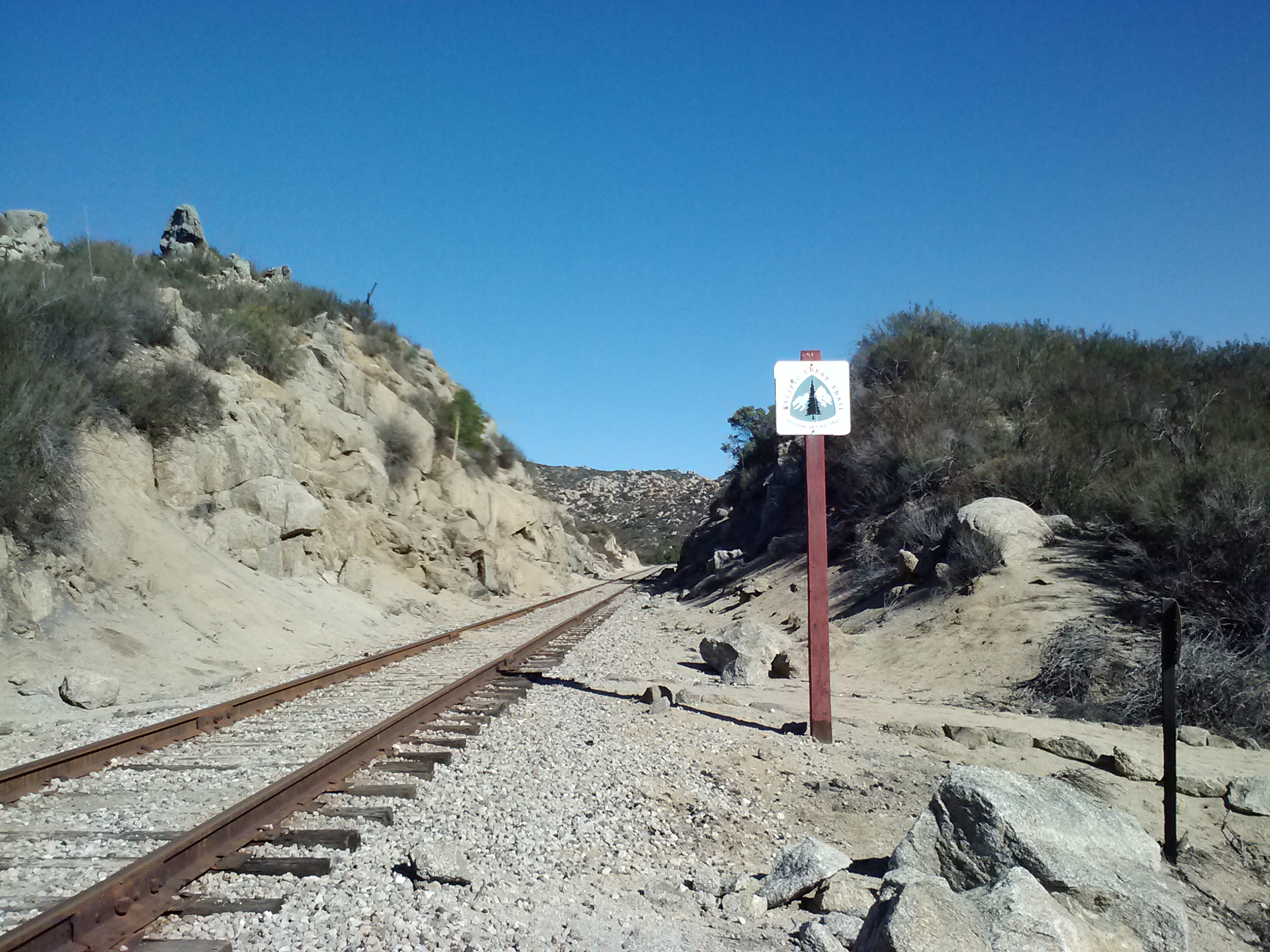
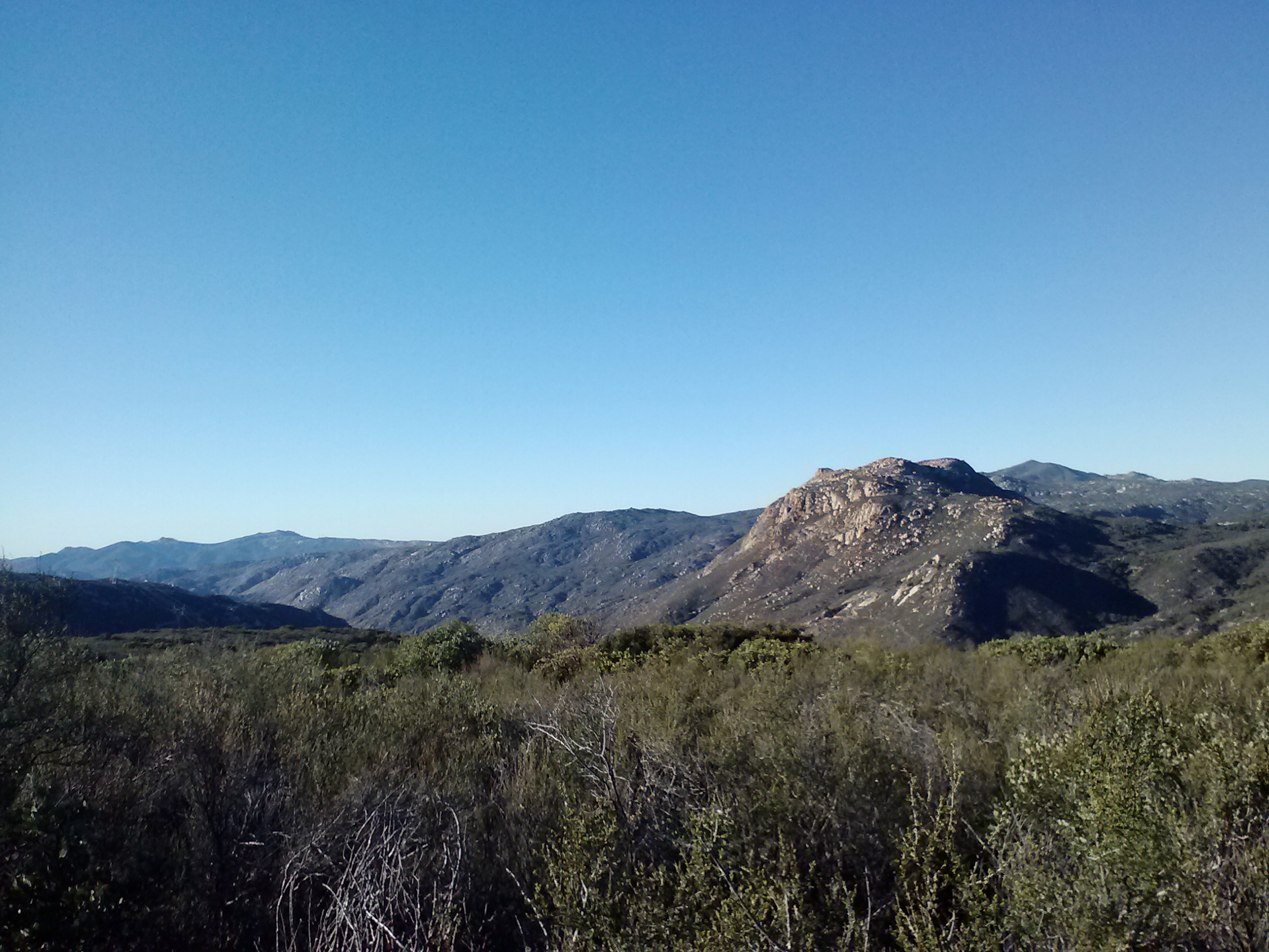
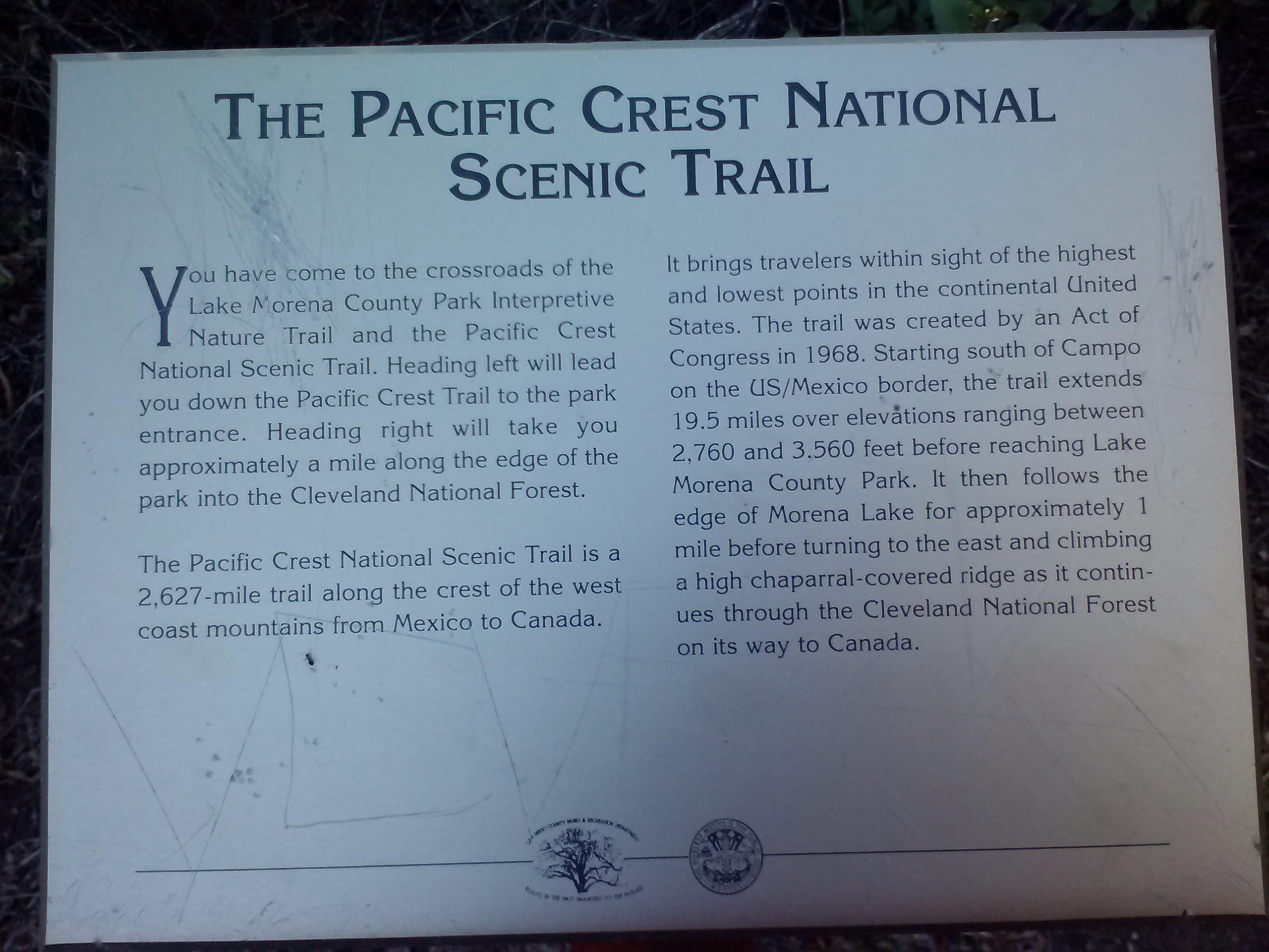
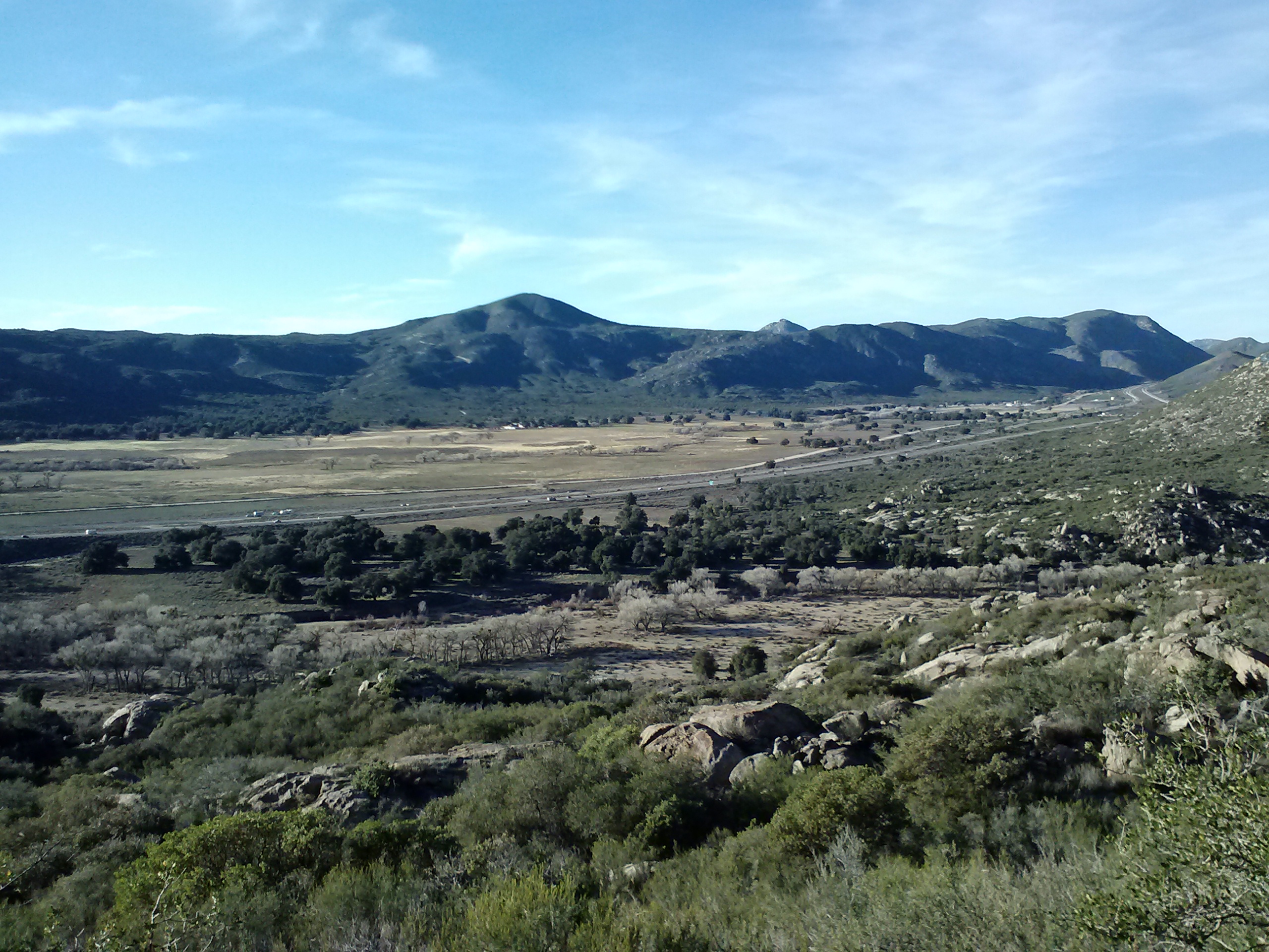
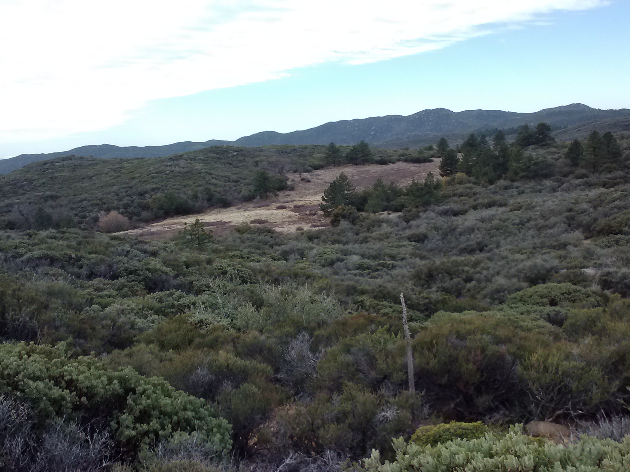
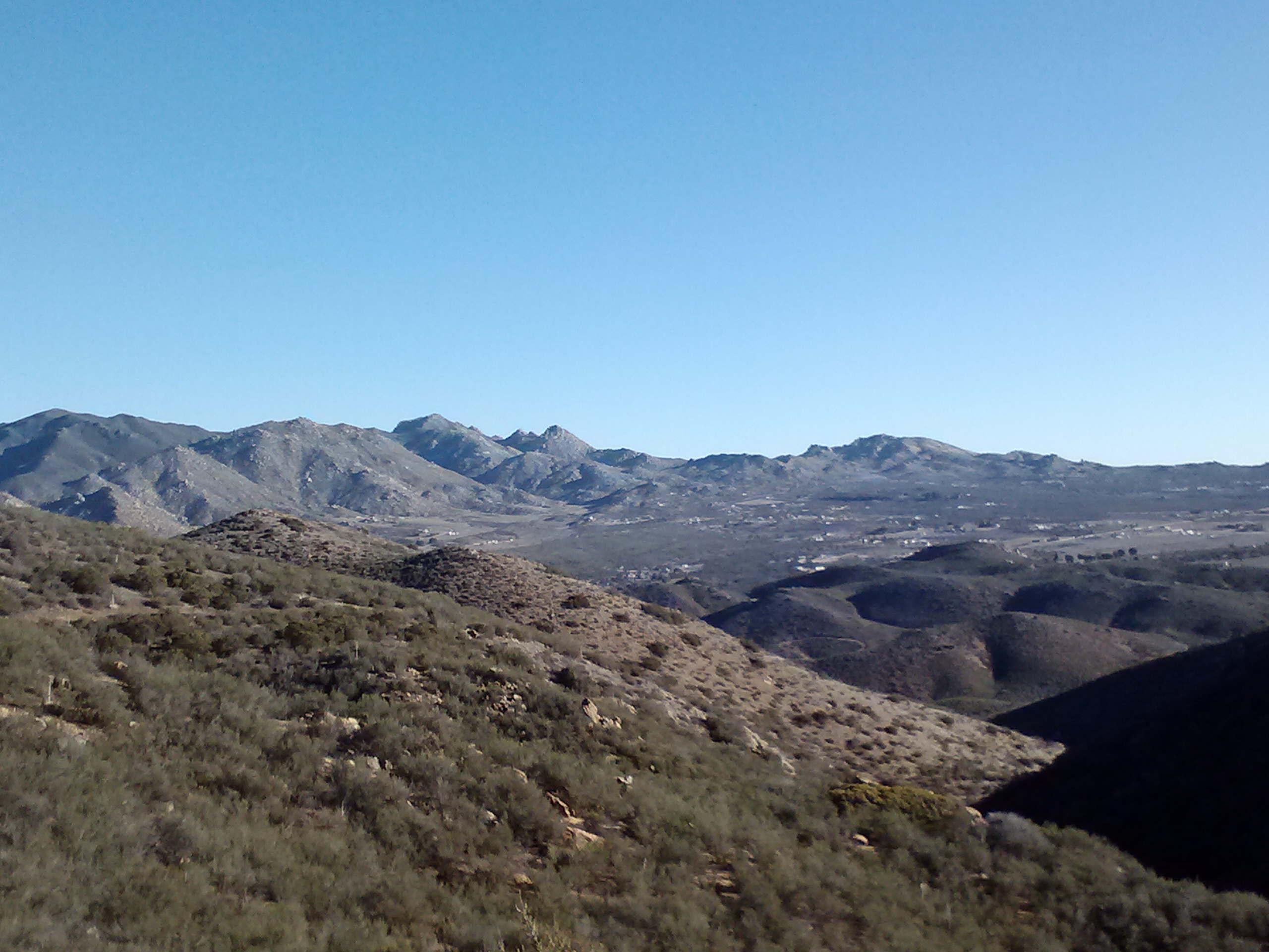
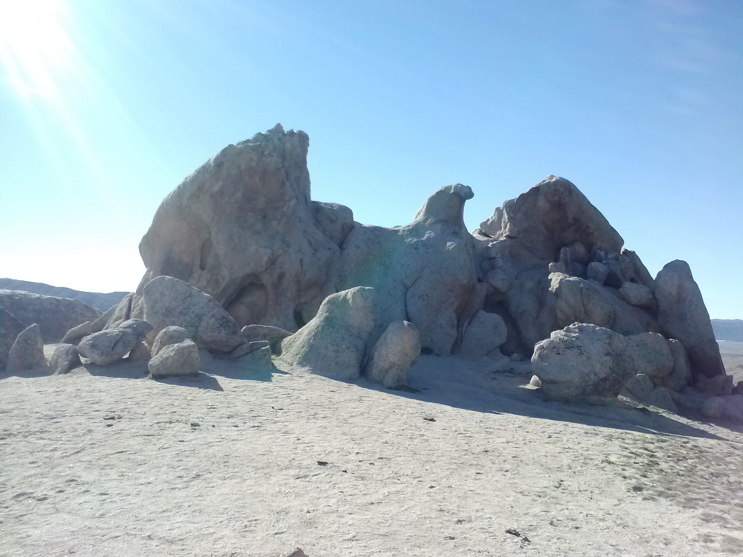
Pilot Rock, a volcanic plug
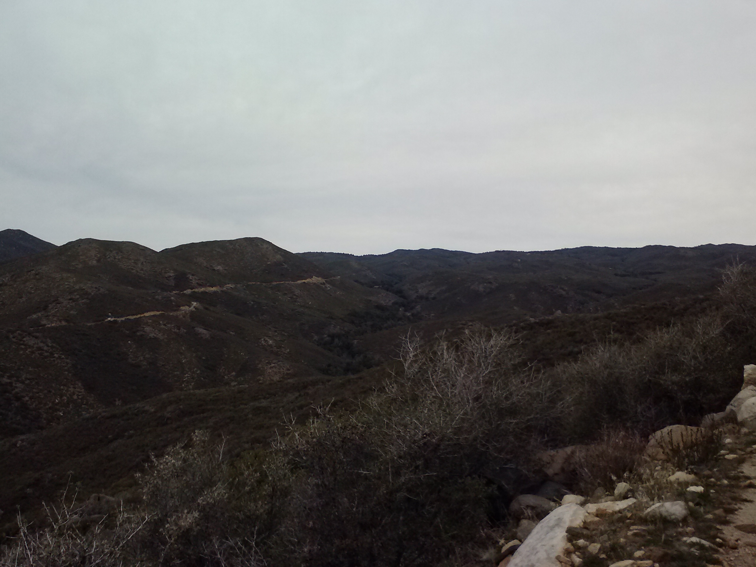
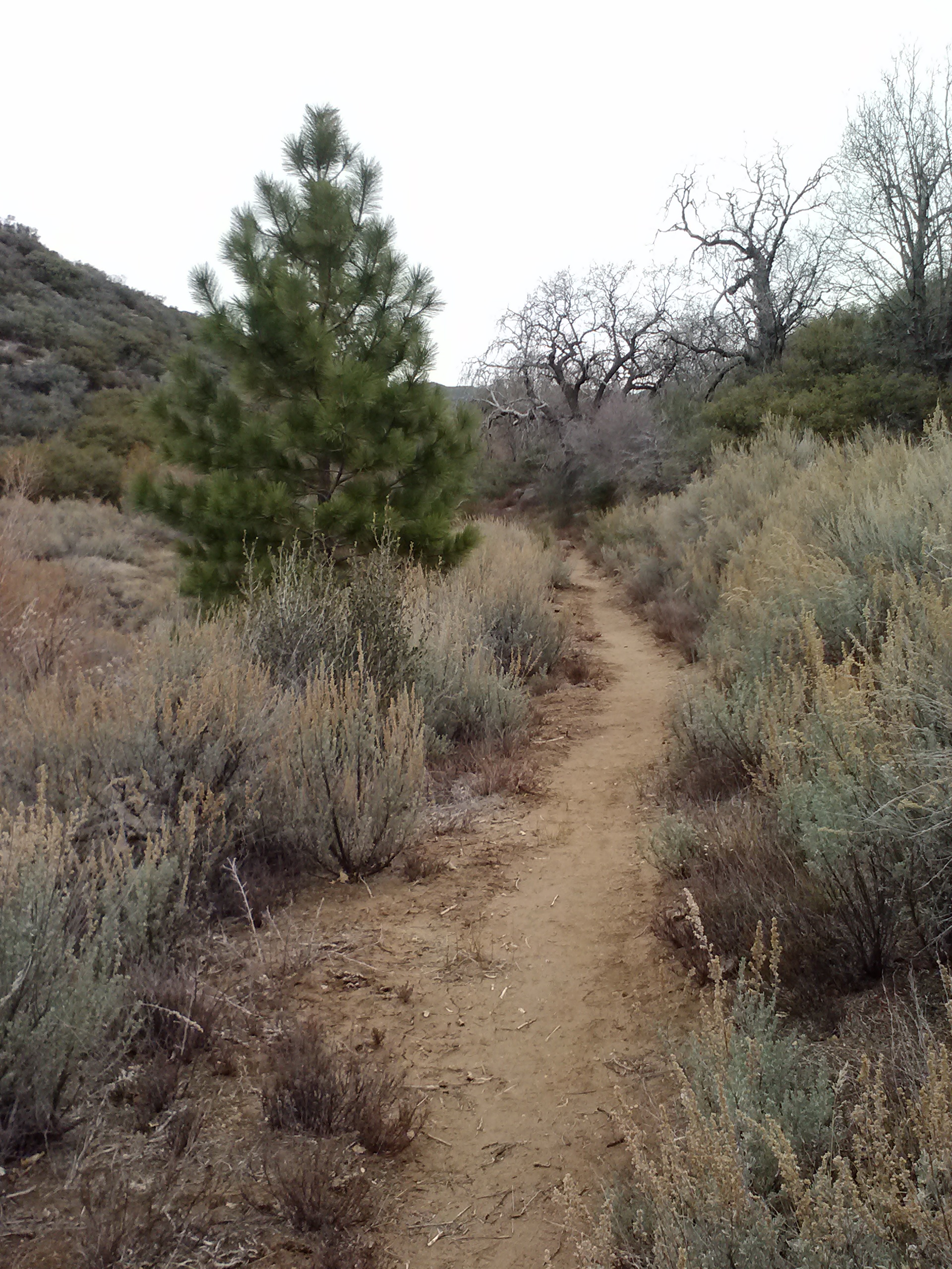
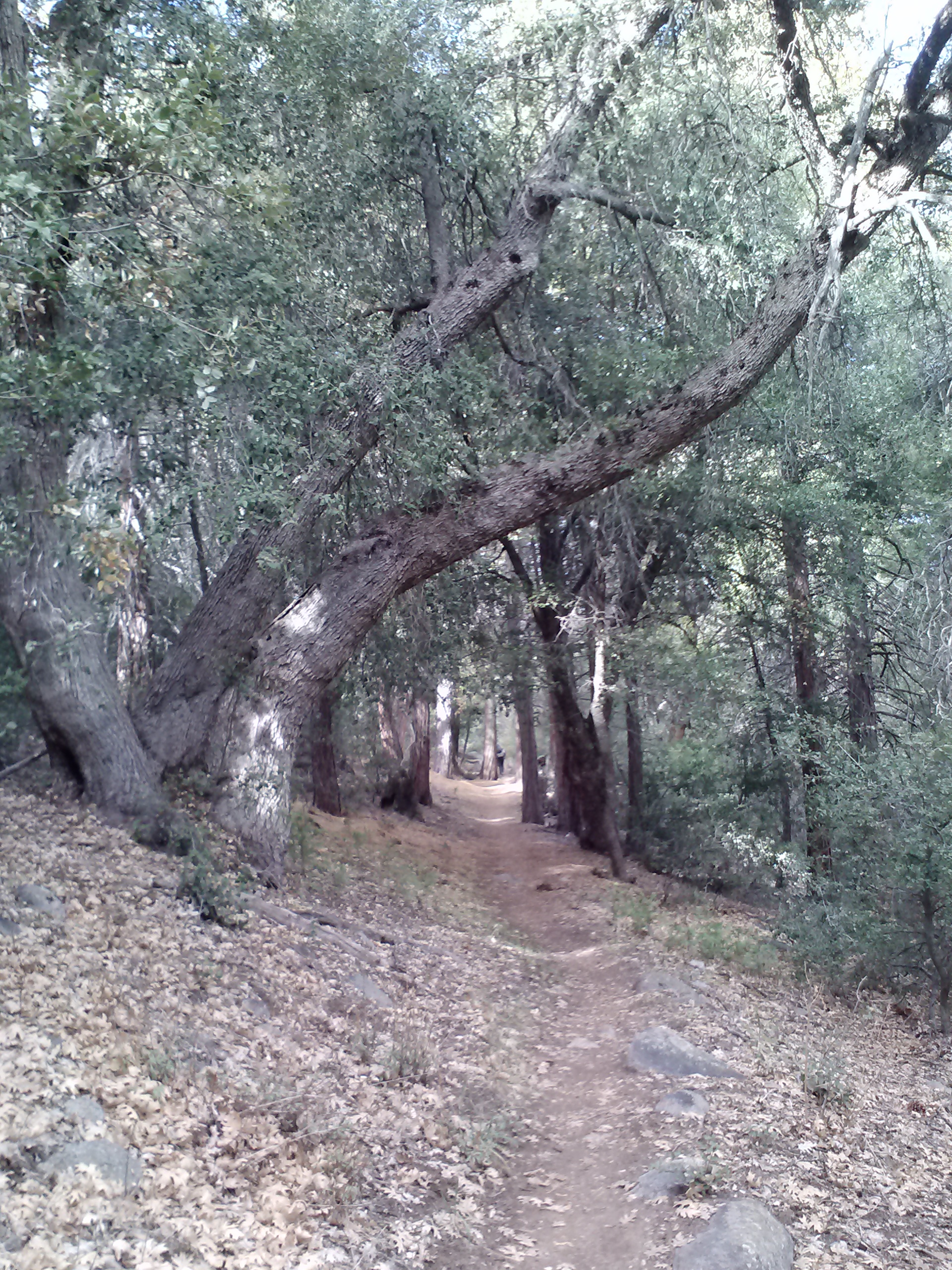
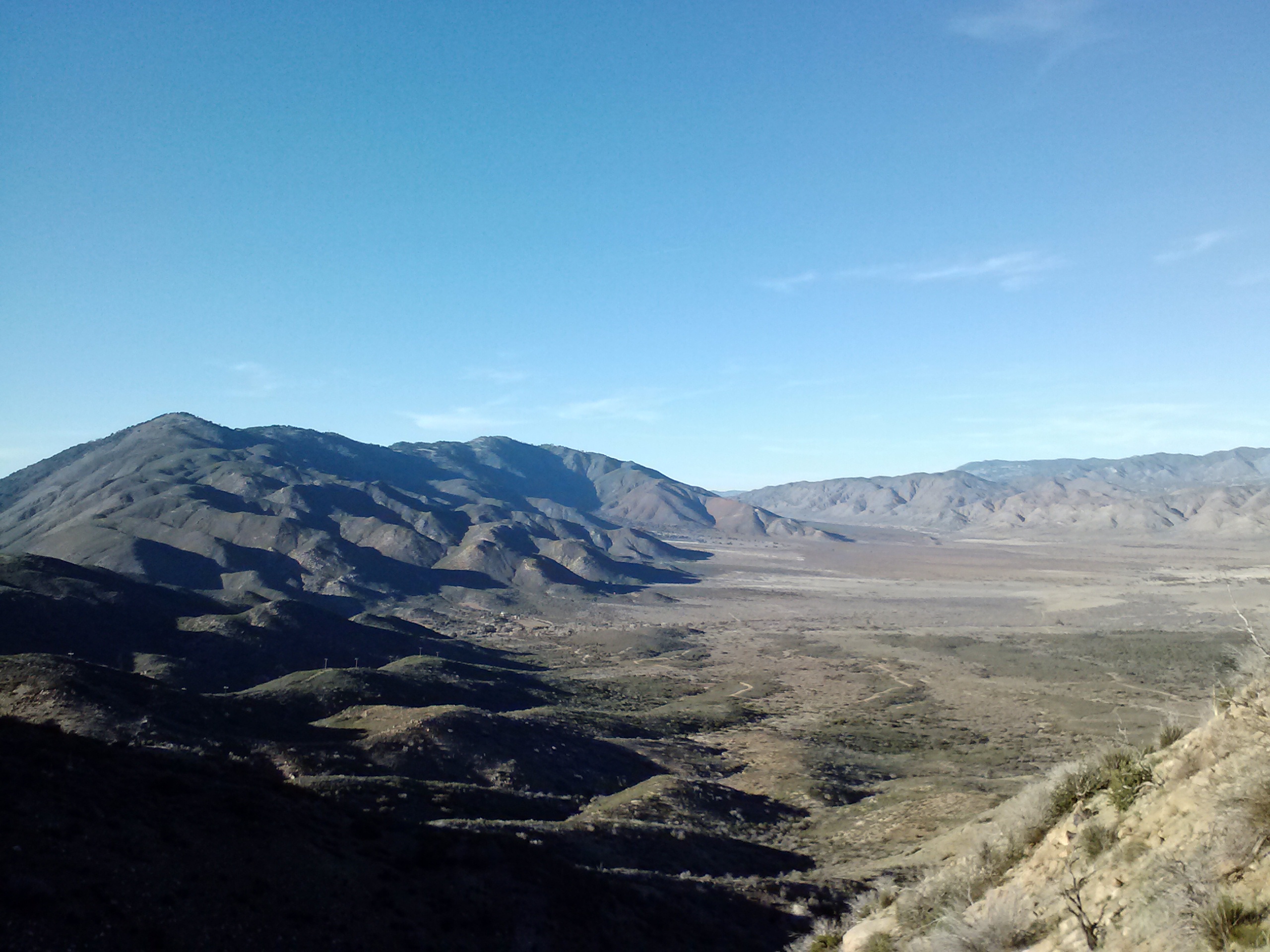
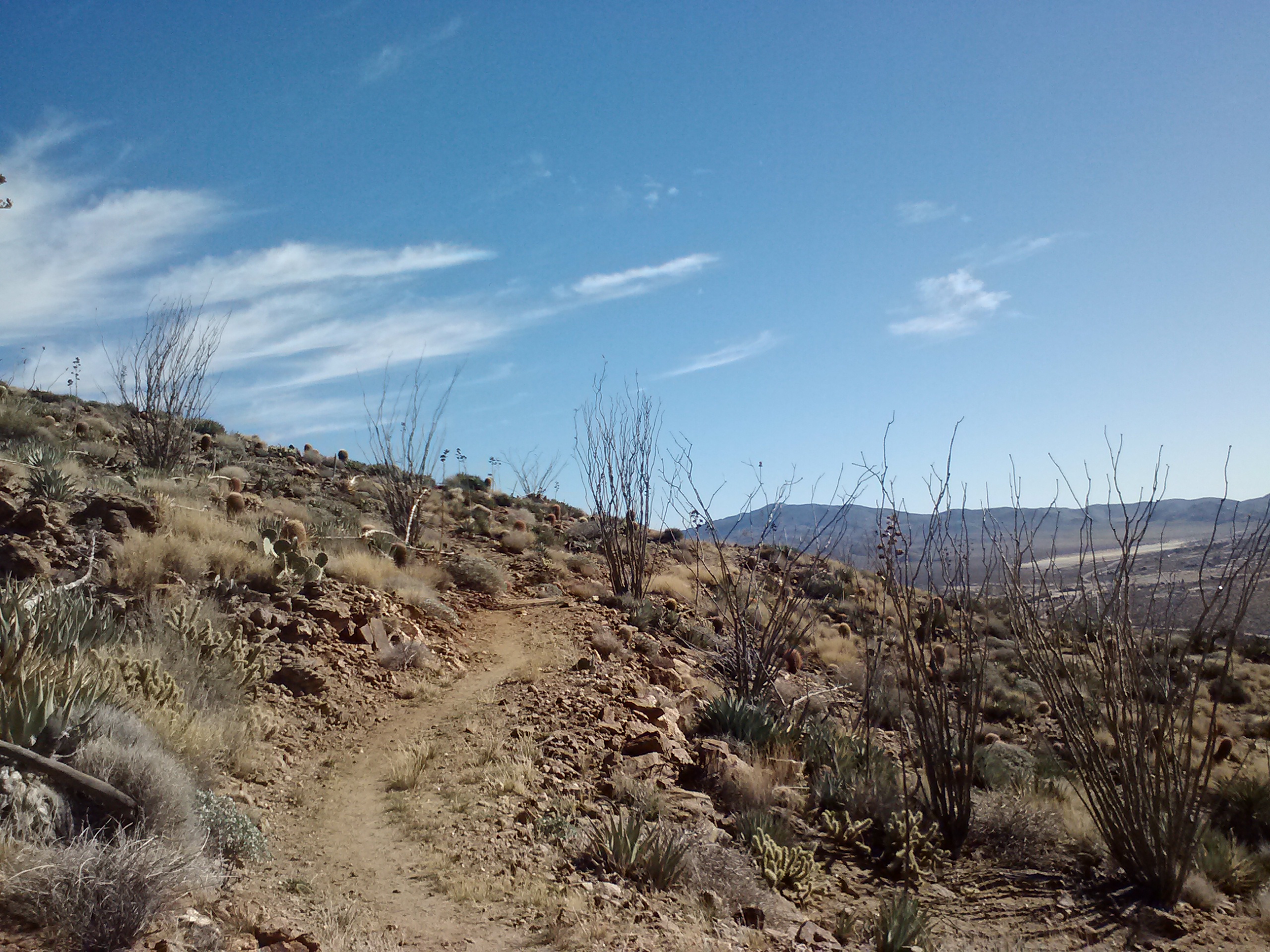
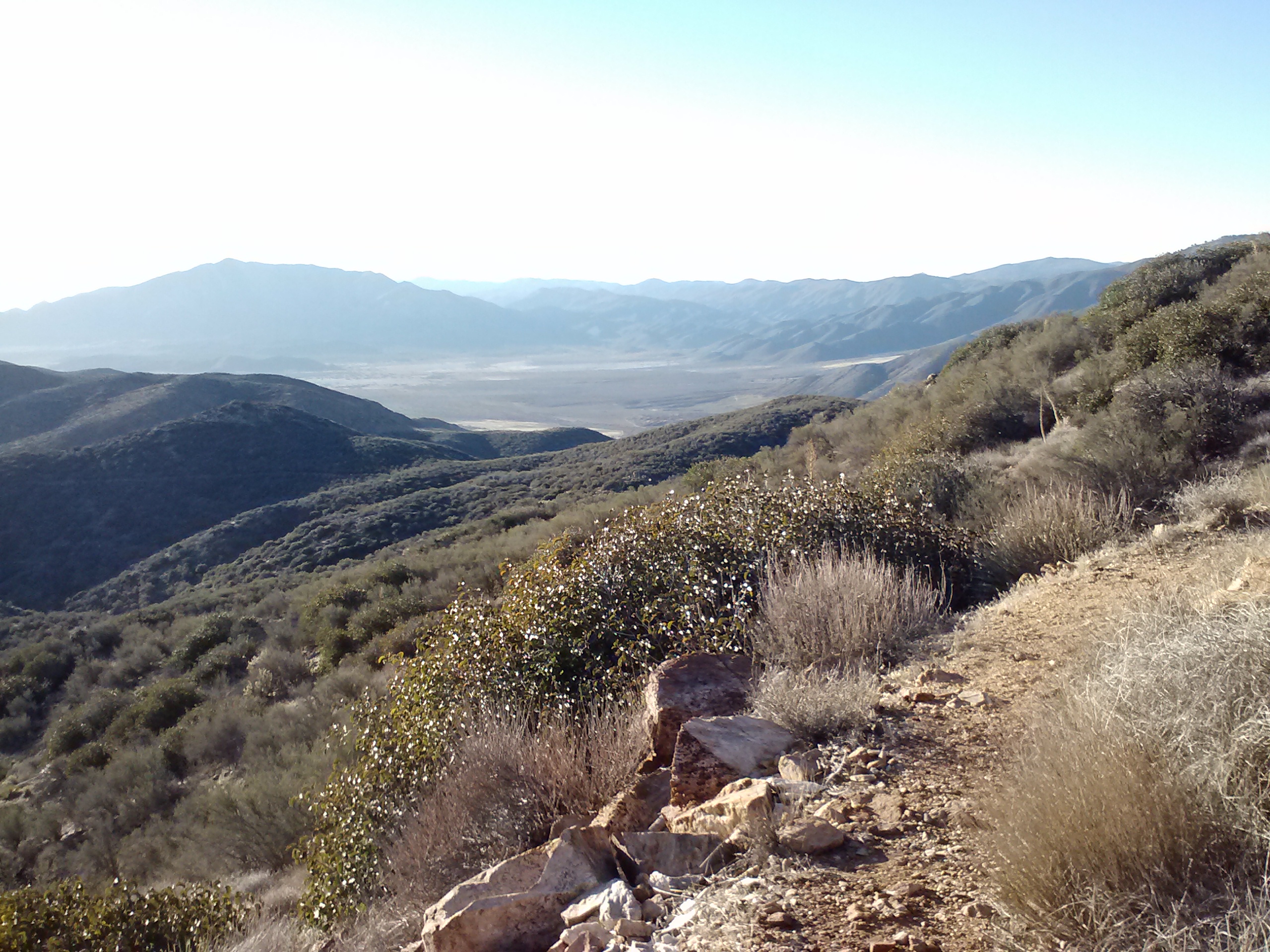
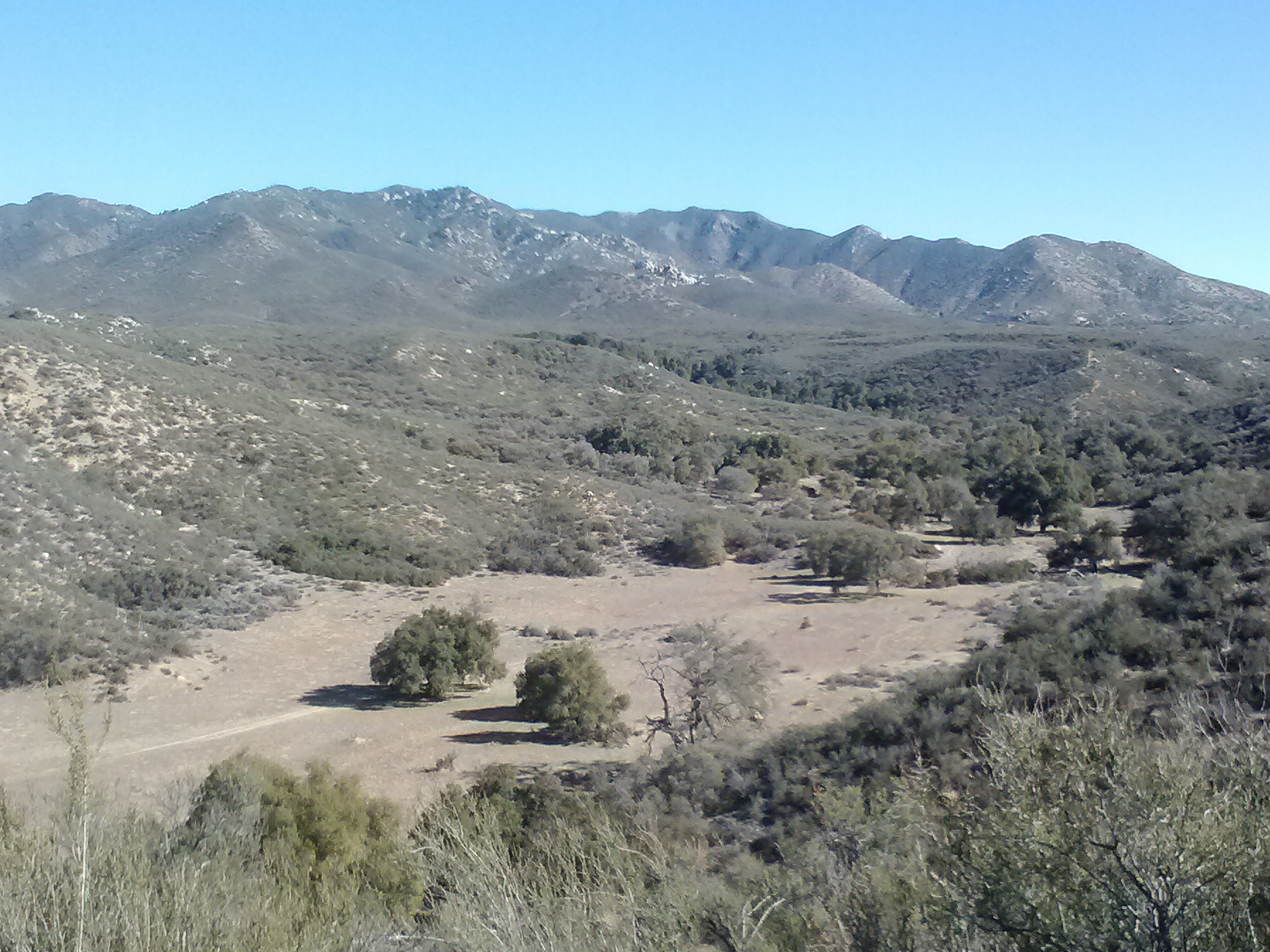
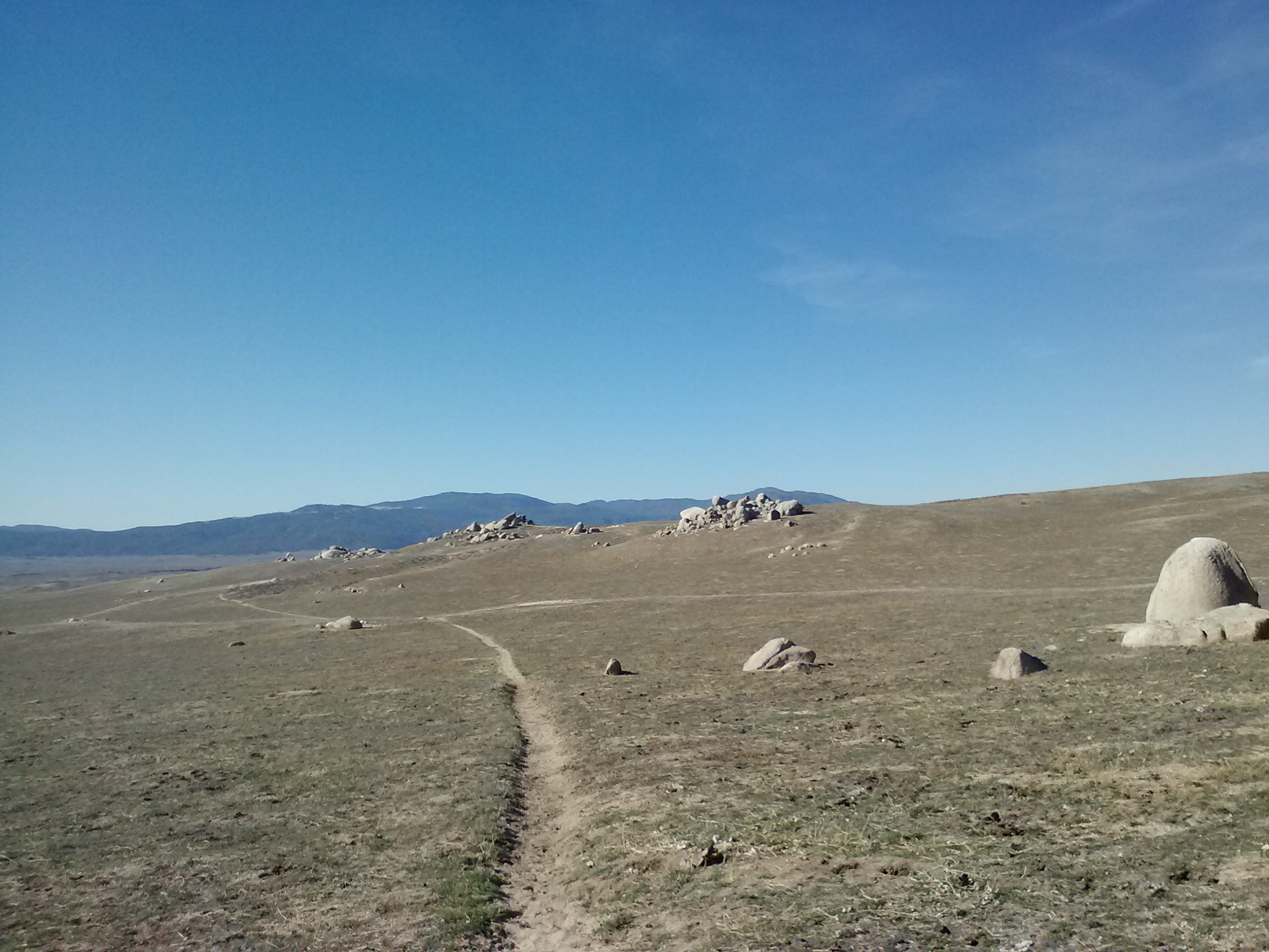
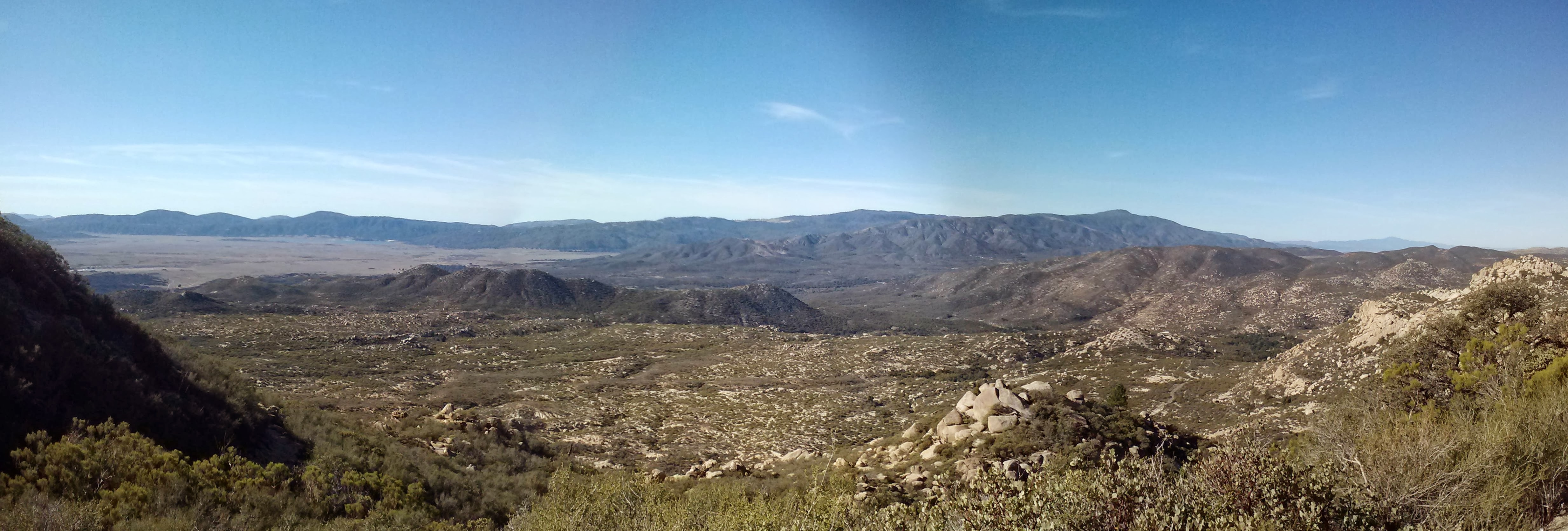
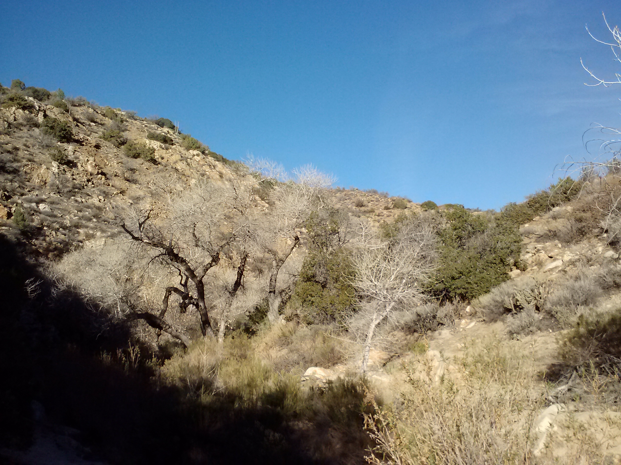
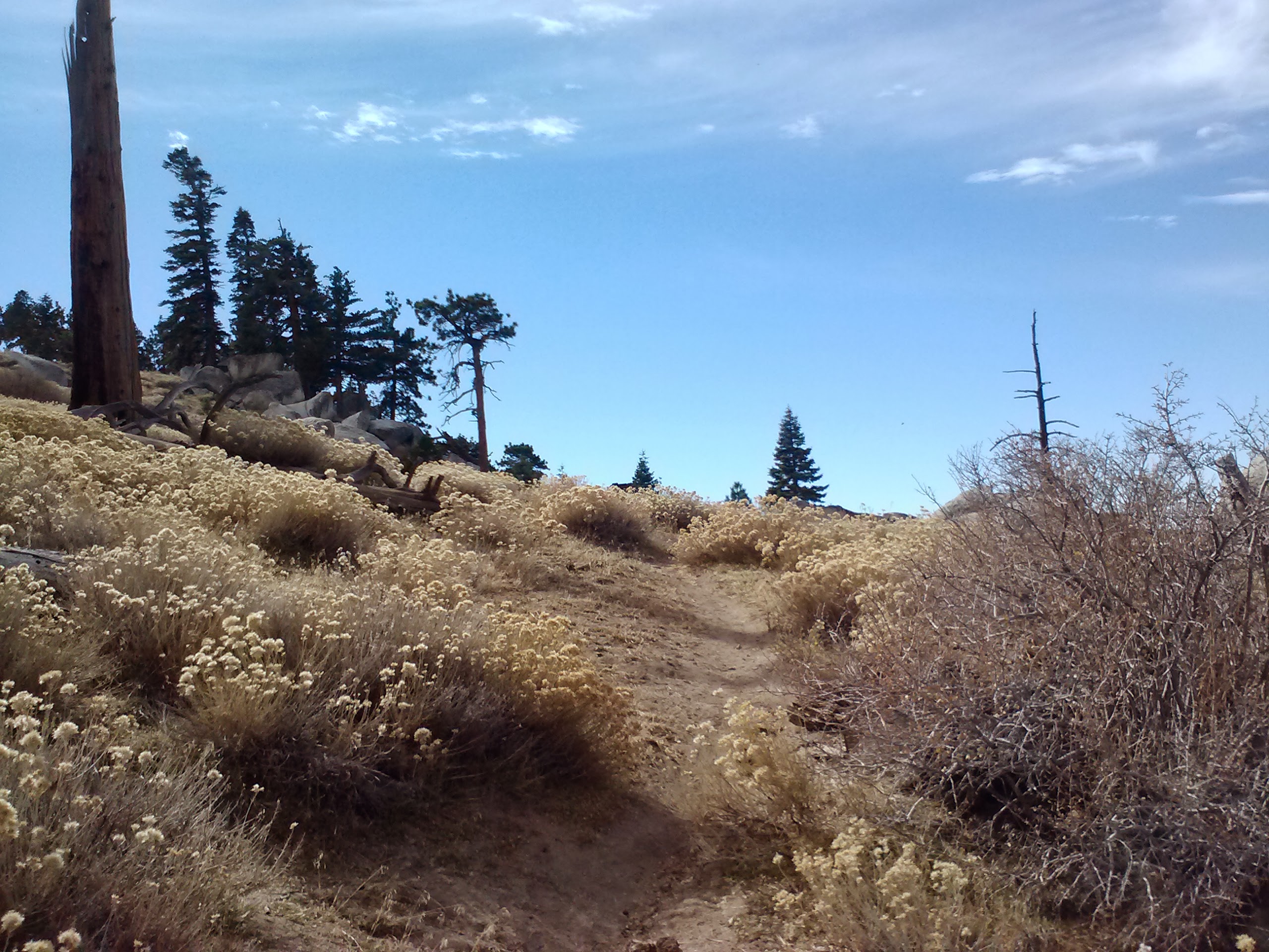
The hike back into the wilderness this evening took me past the stunning Pilot Rock. Other than that, this section will probably be defined by comparatively easy trail winding through rolling hills, meadows of tall grasses and forests of lichen-covered pines.
Eating dinner tonight was a chore because I just wasn’t that hungry. While in town, I stuffed myself silly with food, but I still wanted to eat my dinner so I wouldn’t have to carry it tomorrow.
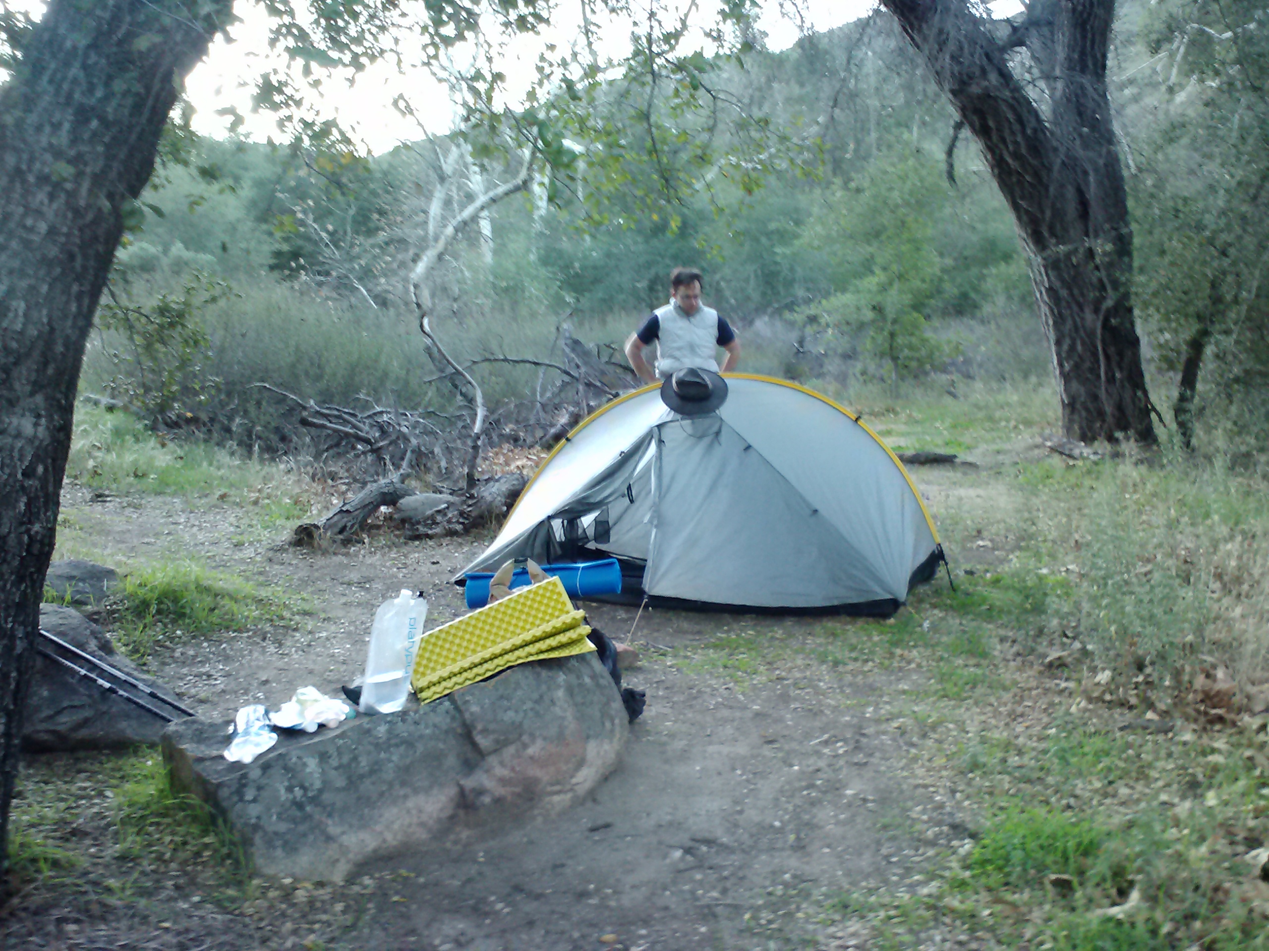
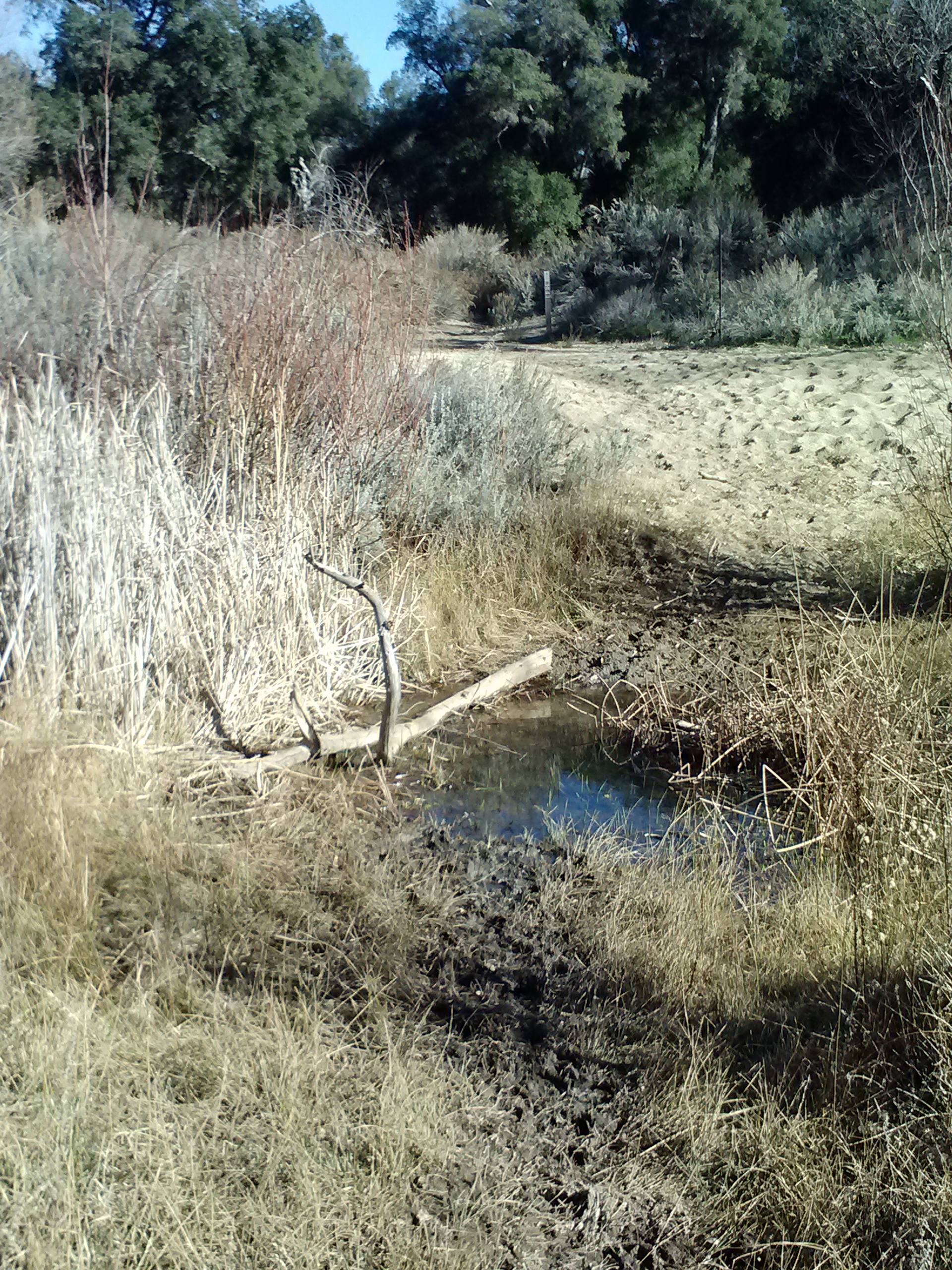
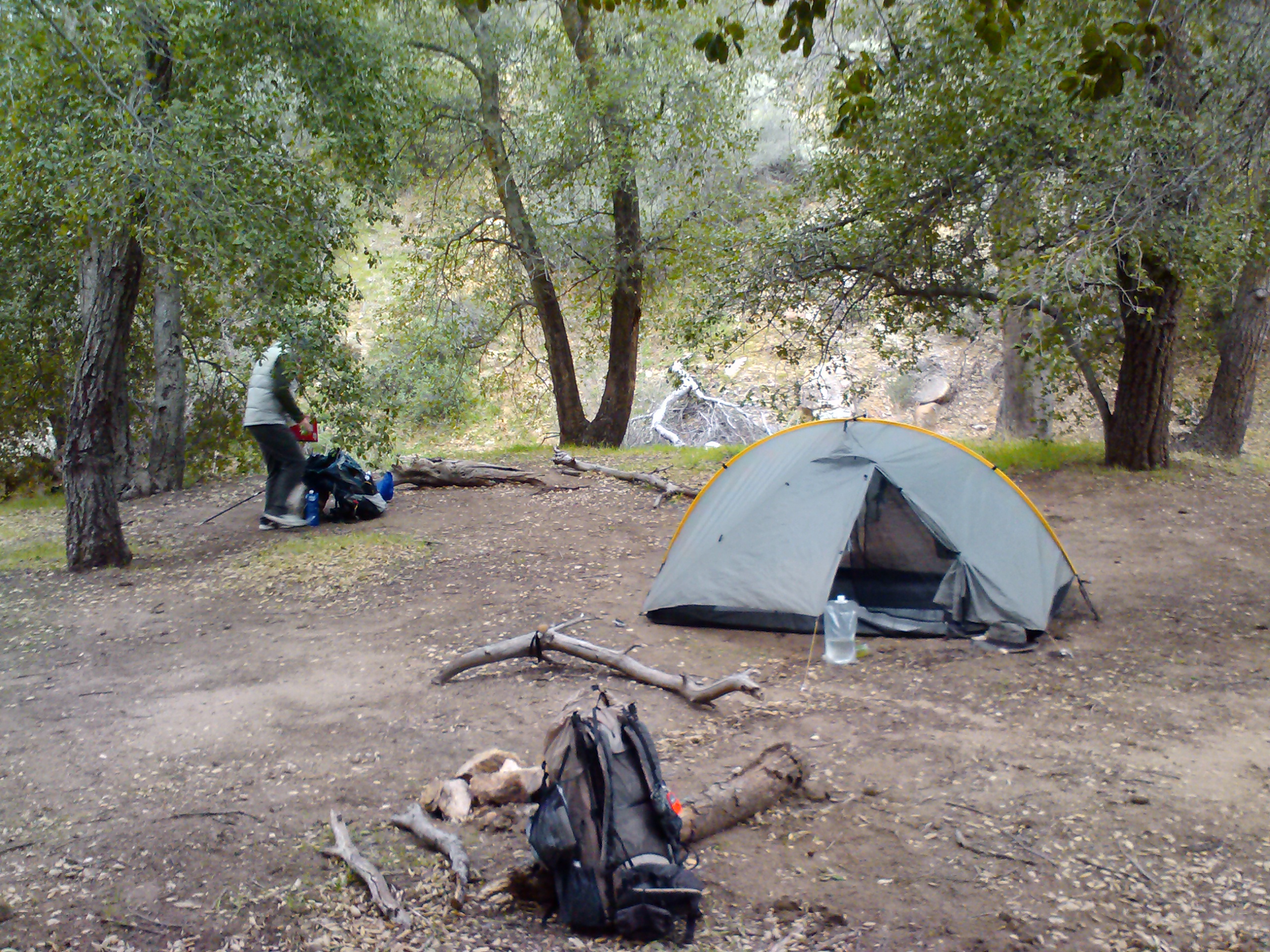
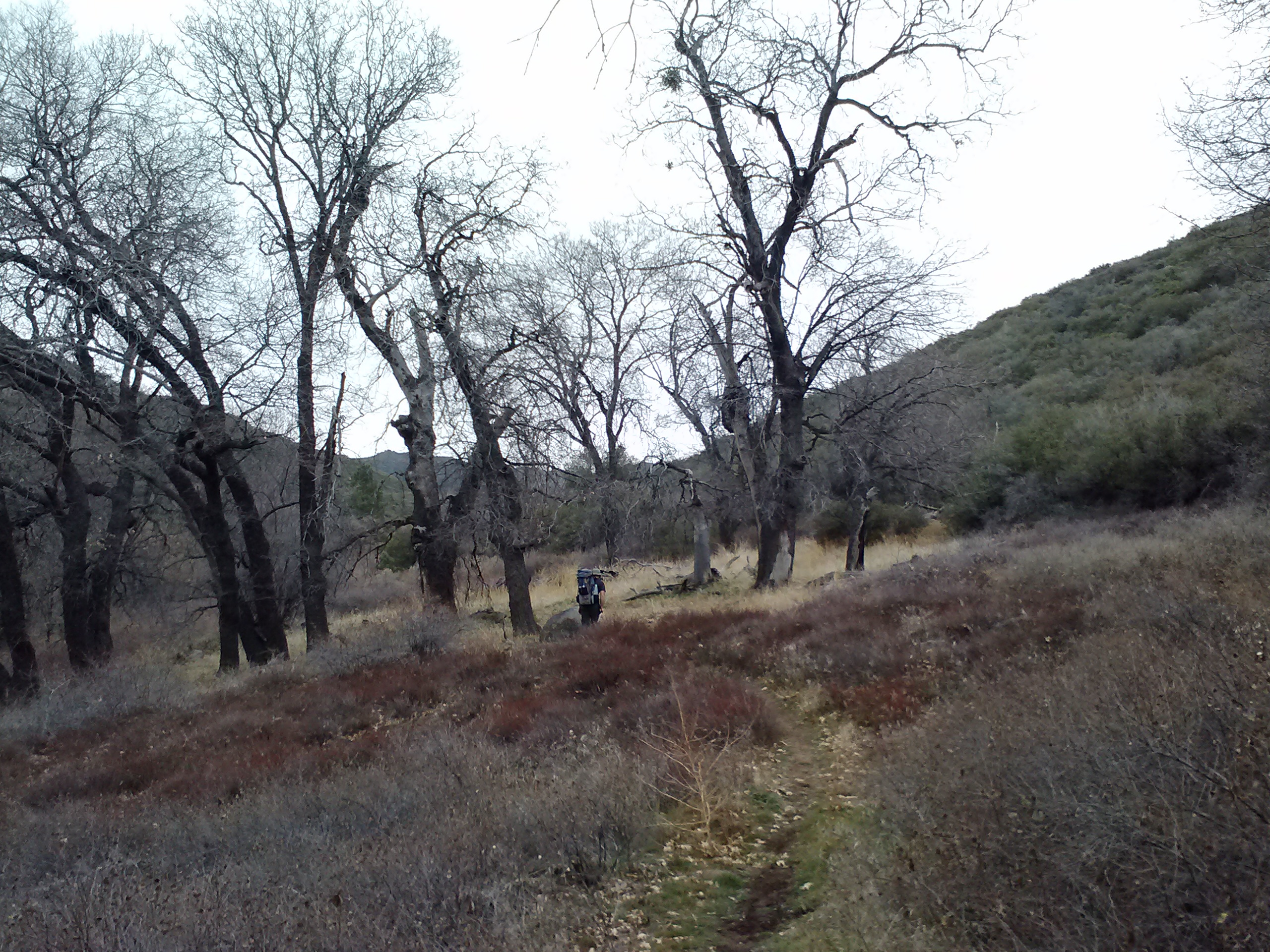
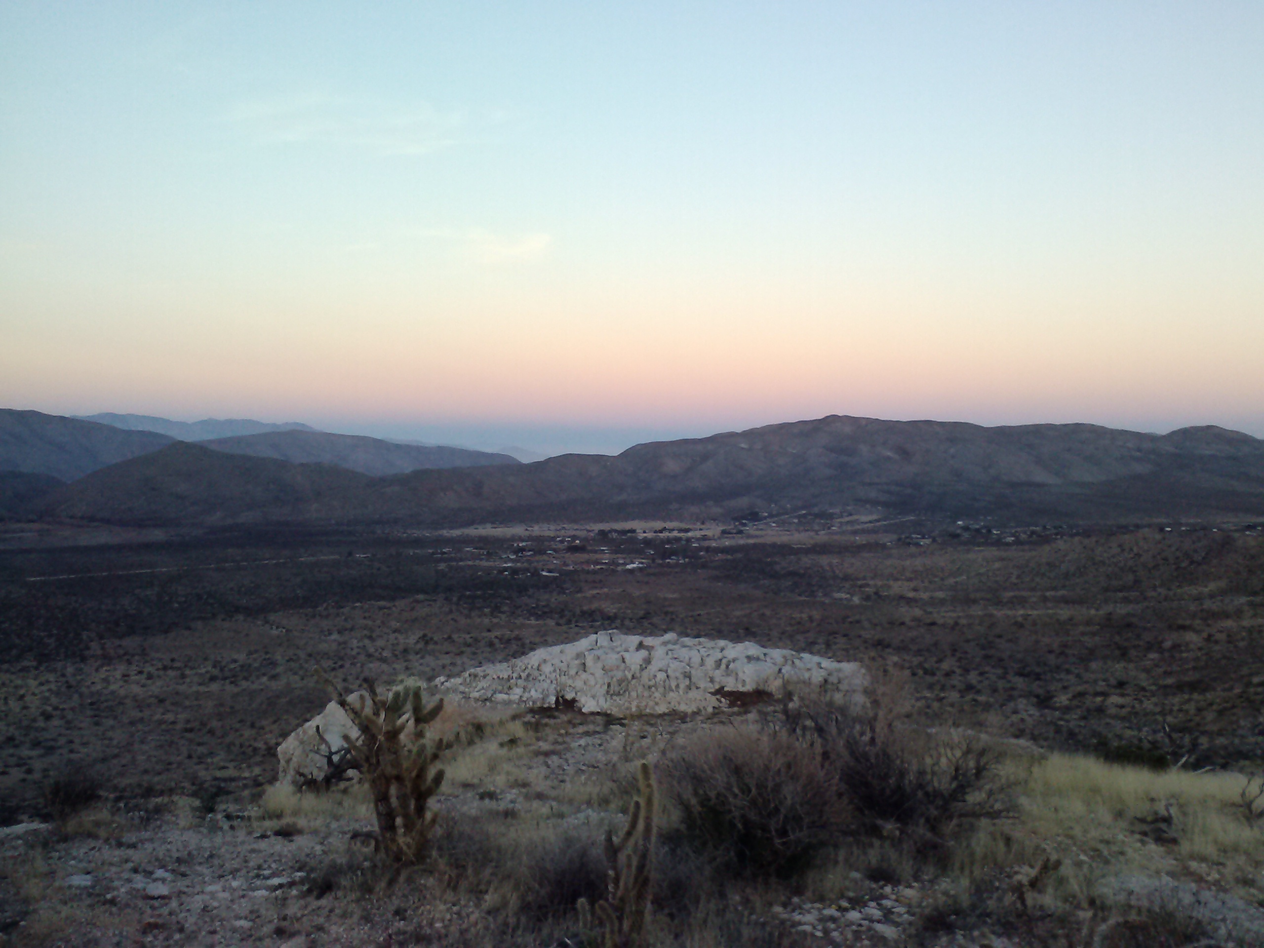
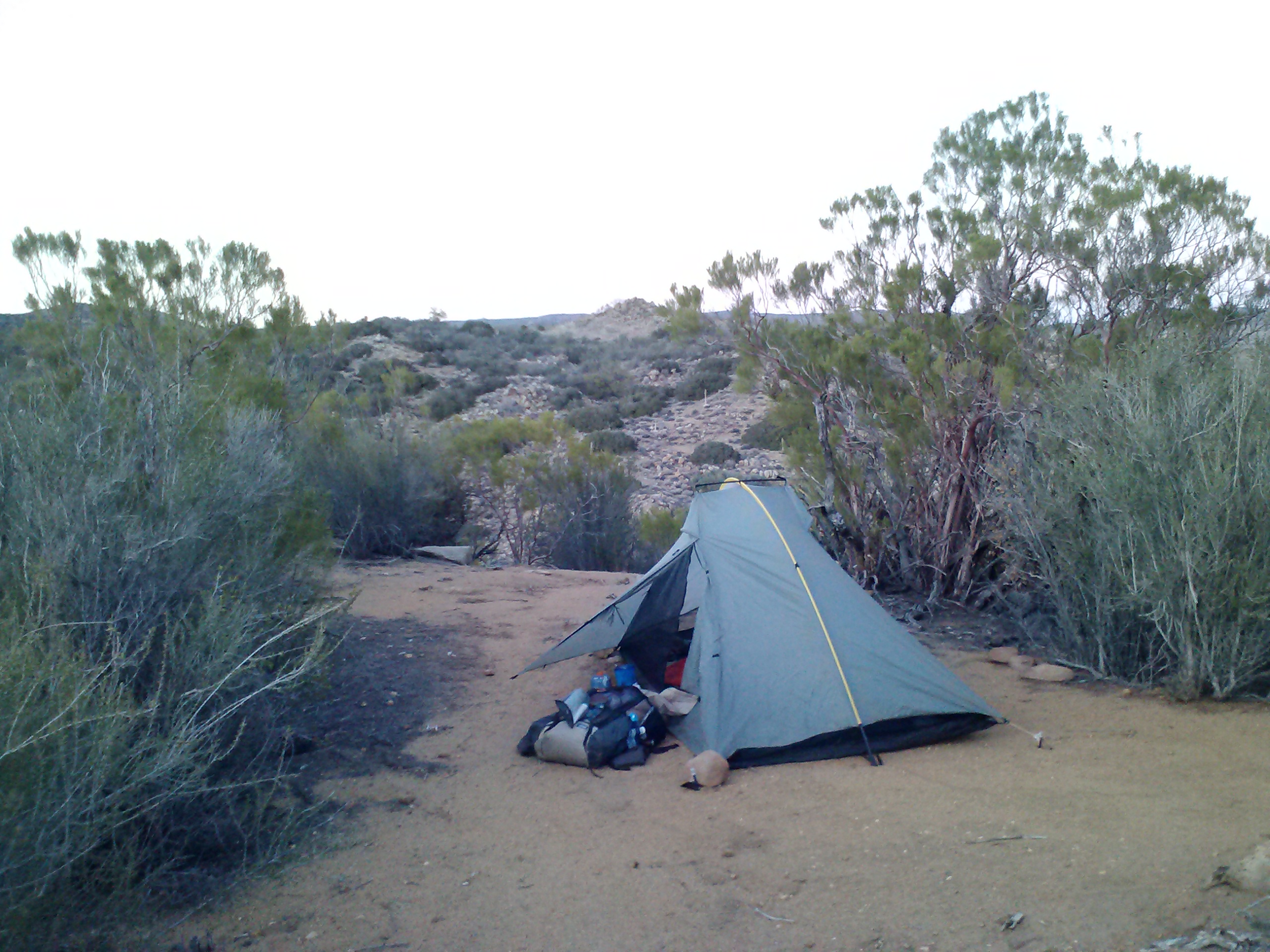
Camping near Bean Cabin
I’m camped near a very small spring and arrived here just as the sun was setting. It’s a warm night which means I can unzip my sleeping bag and use it like a quilt.
July 1- 22 miles, camping at Klum Campground
I had a really rough night last night. I woke up at 2:45 so hungry that I felt sick and dizzy and hot. I’ve experienced this before, so I knew I it was hunger and not a fever, but it was awful. I dug around in my food bag until I found something that I thought I could get down. I had to keep my trash bag handy in case I threw-up, but I successfully ate one fig bar. I just can’t believe that happened after I ate SO MUCH food yesterday!
While laying there trying to will myself back to sleep, an animal, probably a deer, starting walking around my tent site. “Just what I need!” I started singing “Home on the Range” really loudly to frighten it. It worked! Honestly though, it’s hard to be loud when you’re scared.
Around 5:30 am, a hiker named Moritz past by and hollered hello. When he asked if I knew where Blue Moon and Scarecrow were, a voice came from behind some trees, “Hello! We’re here!” We couldn’t believe we’d camped so close together and not known it. They said they slept through my singing last night, to my relief.
PCT hiker Moritz “Cleancut”
I hiked with Moritz for most of the day. His trail name is “Cleancut” because he’s smooth as a baby, while all the other hiker men sport wild and unmaintained beards. I actually first met him a couple of weeks ago in Drakesbad. He managed to catch up to me because he tends to hike 25 to 30, sometimes 40 miles per day. He’s another really interesting person to talk to while hiking. He left college, where he was studying engineering to work on a pearl farm in Australia, so he speaks with a German-Australian accent. He’s addicted to traveling and has been all around the world by the age of thirty-four.
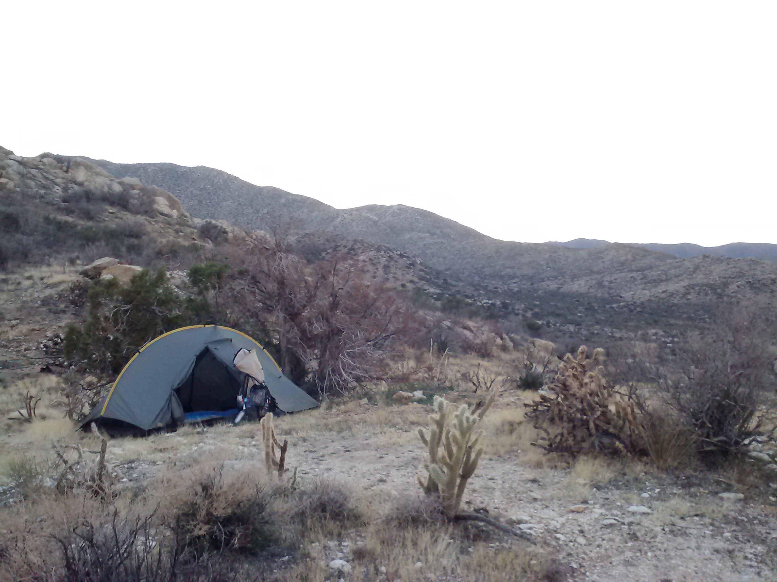
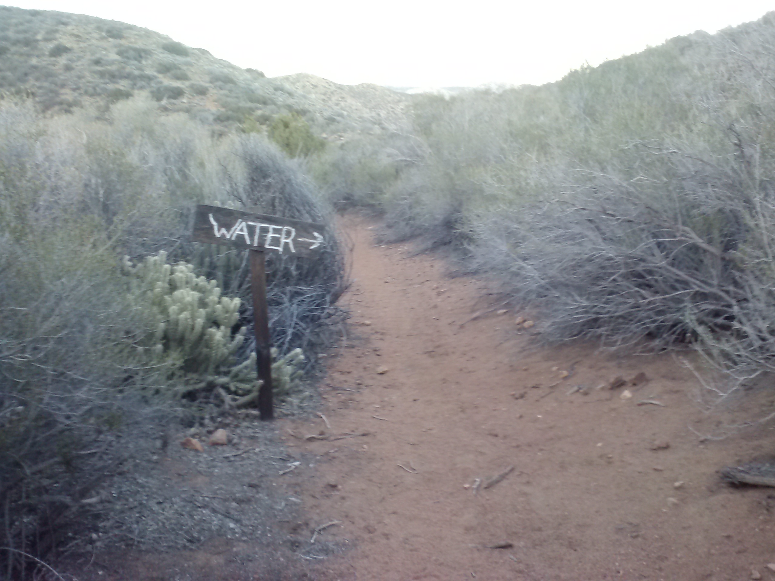
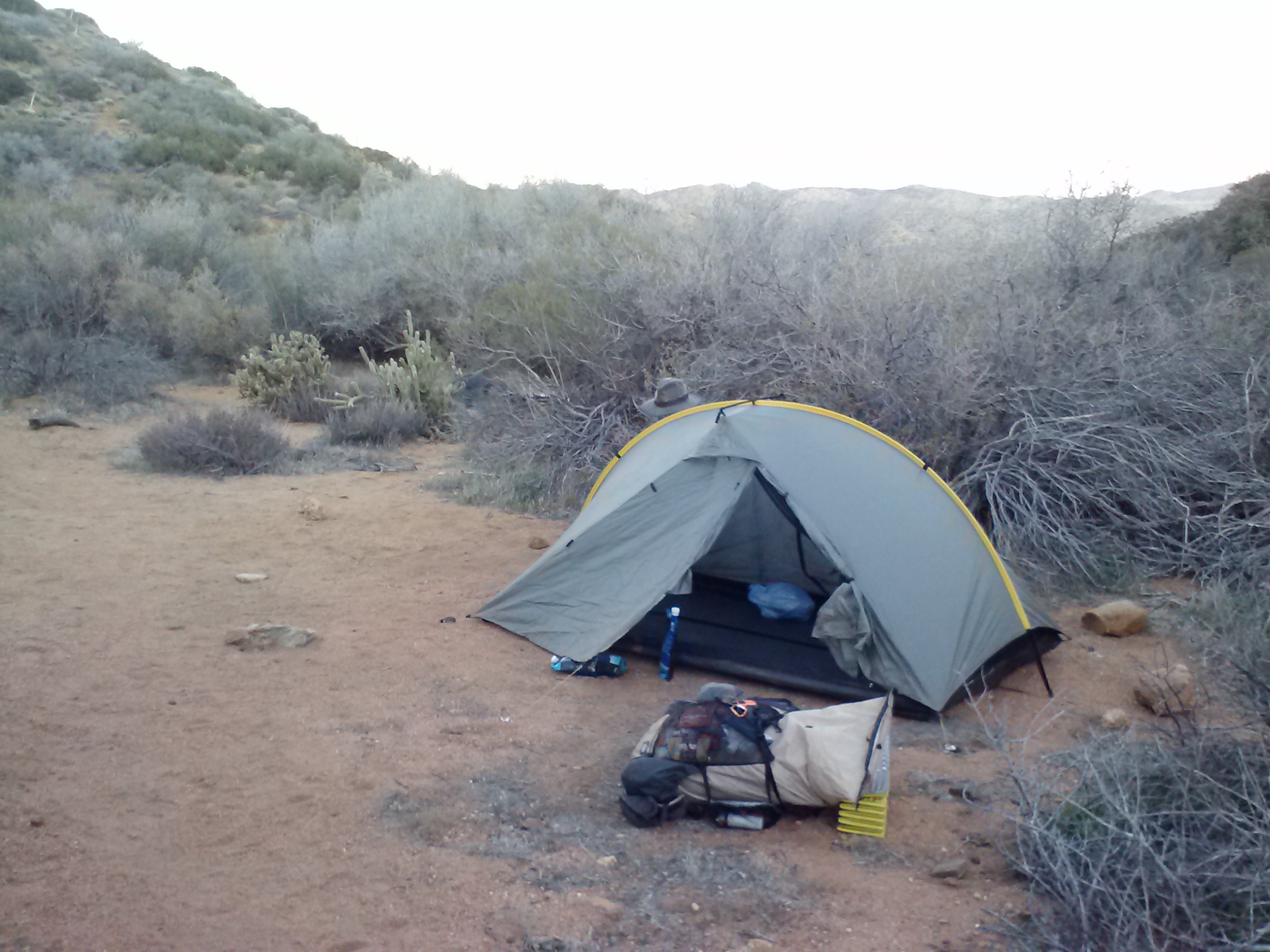
After about 22 miles, I went off-trail to get water and dump trash at the nearby Klum Campground. Unfortunately, the county charges $20 per night for a tent site, which I wasn’t about to pay. There are free showers here, so, with no one around to notice that I wasn’t a paying camper, I slipped in and enjoyed a nice, hot shower. The campground was completely empty except for a single family camping with their RV. It was early, so I hung out by the lake to charge my batteries and made dinner, but by the time I finished, I felt too tired to hike even another half a mile.
Camping at Klum Campground
I chatted with the self-proclaimed red-neck family about whether or not a ranger would be checking in, and they said I should just camp near them. If they ranger did show up, they’d just say I was with them. Yay! I’m hoping to catch up on my sleep tonight and I’m looking forward to having a real bathroom in the morning!
July 2- 23 miles, camping north of Hwy 140
People ask me what I think about while hiking miles and miles everyday. I’ve tried to pay attention to my thinking so I could give them an answer, but unfortunately I don’t think it’ll be very interesting. Here’s what I’ve noticed:
Most of the time I’m thinking about hiking logistics (like pace and schedule), my body (including everything from determining if my aches are serious or not to when and what should I eat), and the trail (views, geology, history, plants). The rest of the time I’m either in music-mode, singing snippets of songs, or trance-mode, when my mind finally goes blank and I’m in a flow: look at the trail, look at the trees, look at the trail, look at the trees, look at the- SQUIRREL!
Burrito lunch
Very rarely do I actually think about deep things or come to any great realizations. I think some people might find this disappointing. I will say this, however, that having this much space in your day for thinking does allow you to more clarity and creativity when thoughts do come up, light or deep as they may be.
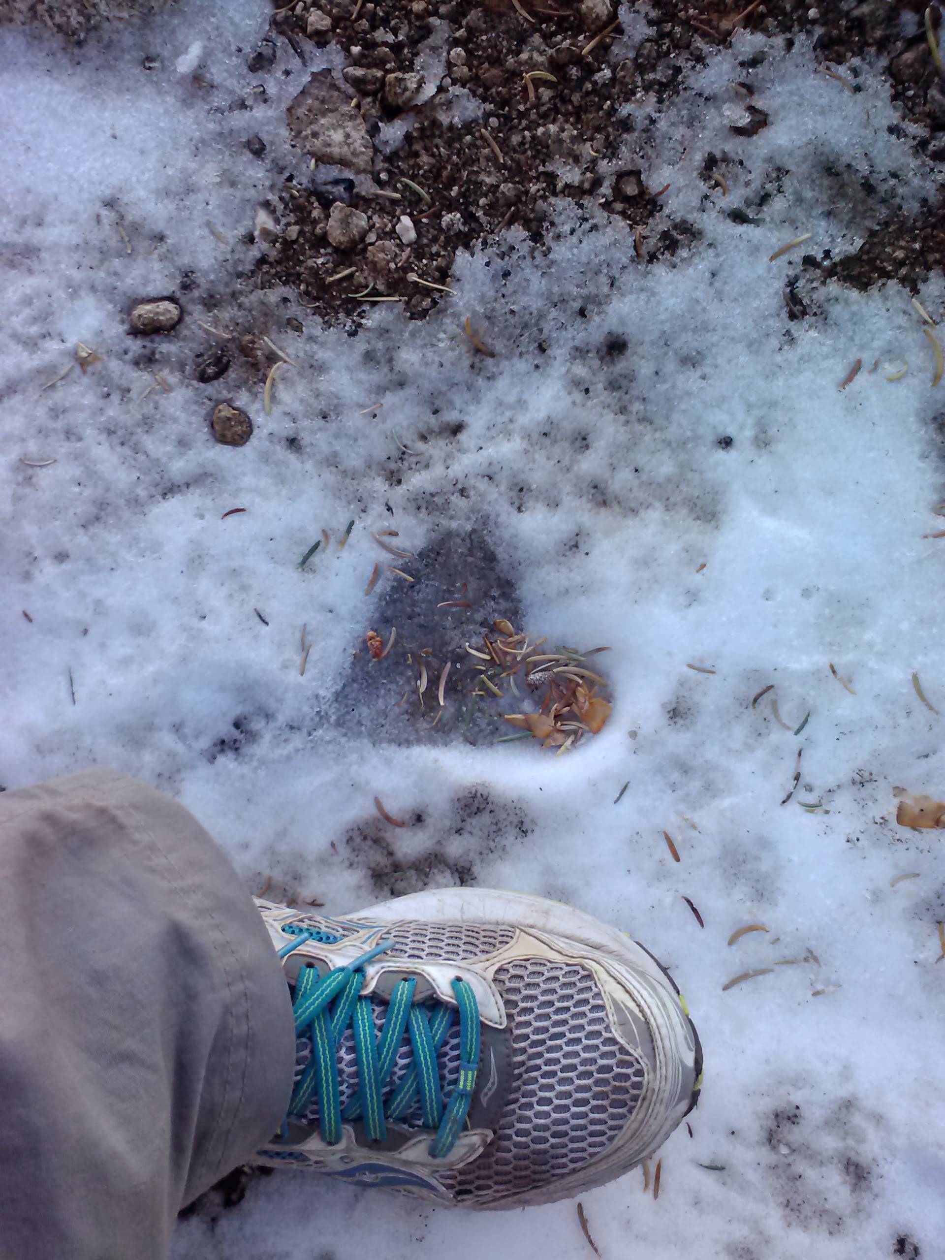
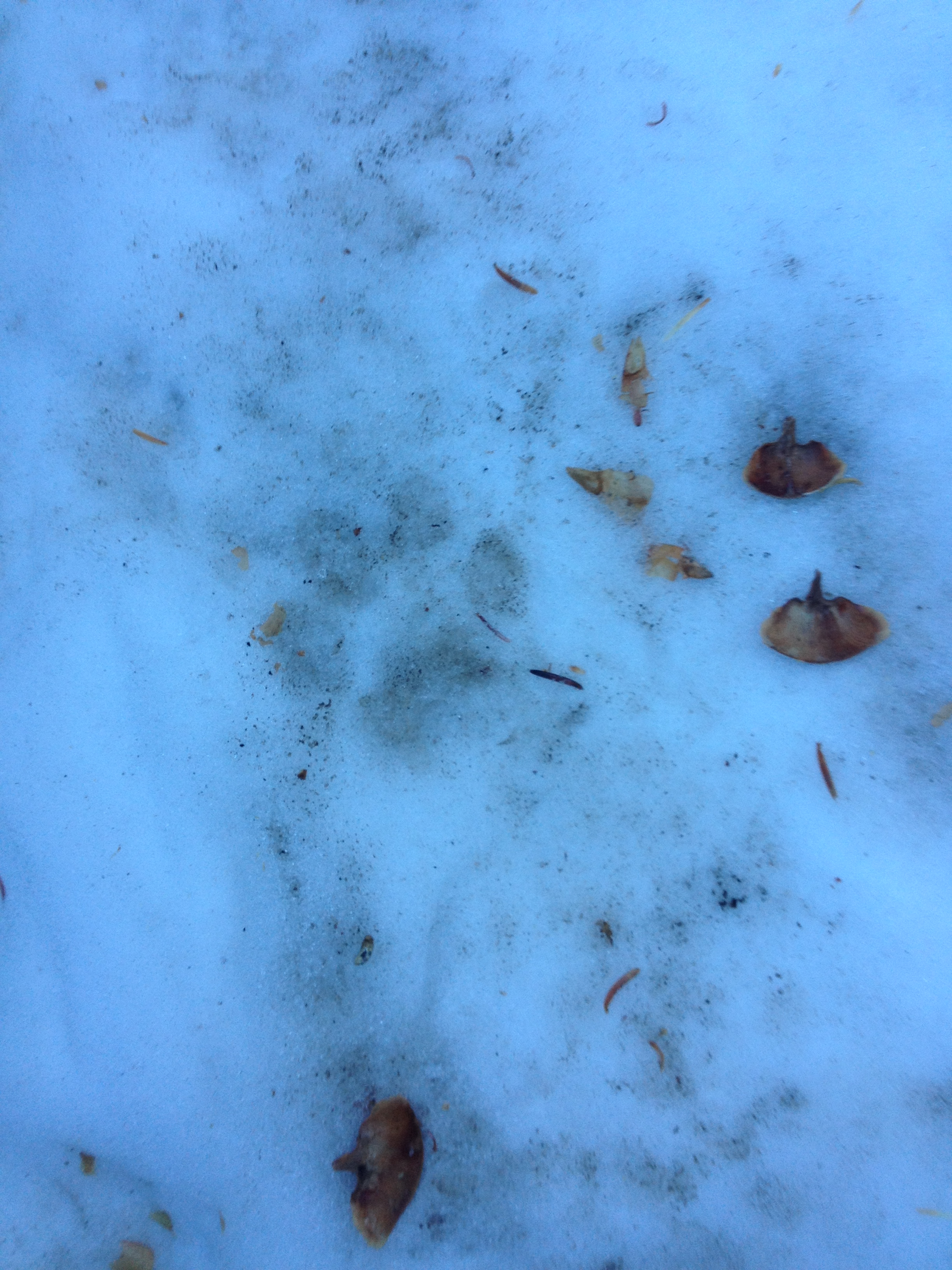
This morning I came across a deer in the trail. I stopped and watched her for a moment and she looked right at me, but didn’t run away. It took me awhile to realize why she hadn’t instantly jumped away- she had a very tiny fawn with her and it was in the middle of breakfast, nursing below her belly. I can’t possibly describe how special this moment was for me to watch. It seemed as if, just then, the forest was sharing something particularly intimate with me.
Mama and baby (look closely!)
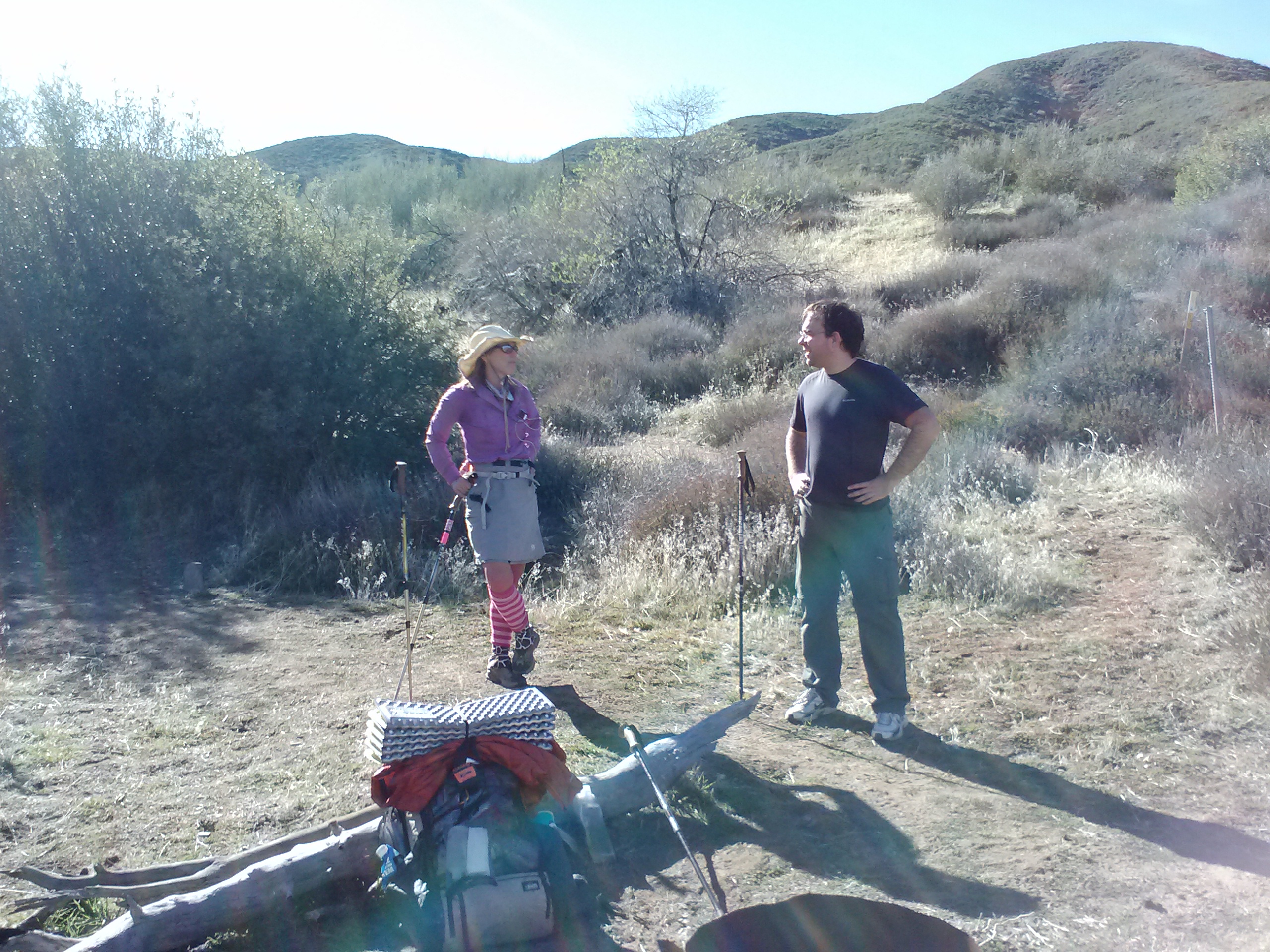
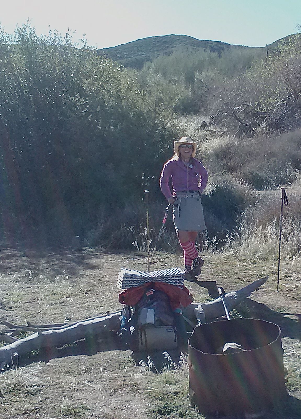
I’m camping tonight with a girl I met in Belden, Haley. She jumped several hundred miles up the trail, similar to me. There’s also an 18-year-old guy camping in this spot and, man, he won’t shut up. I’ve never heard anyone talk so much. He’s just SO excited; it’s like he’s a little puppy or something. I’m about to offer him a sleeping pill. TIME FOR BED!
July 3- 26 miles, camping below Devil’s Peak
Tonight is Double Dinner Friday. It’s also Monster Marshmallows Friday. Whenever I’m close to town, it means I can binge on any extra food I have- I LOVE IT!
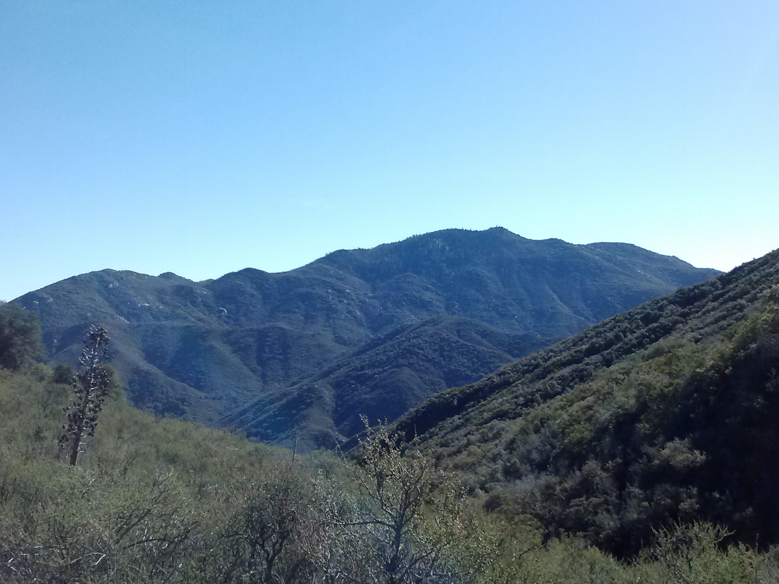
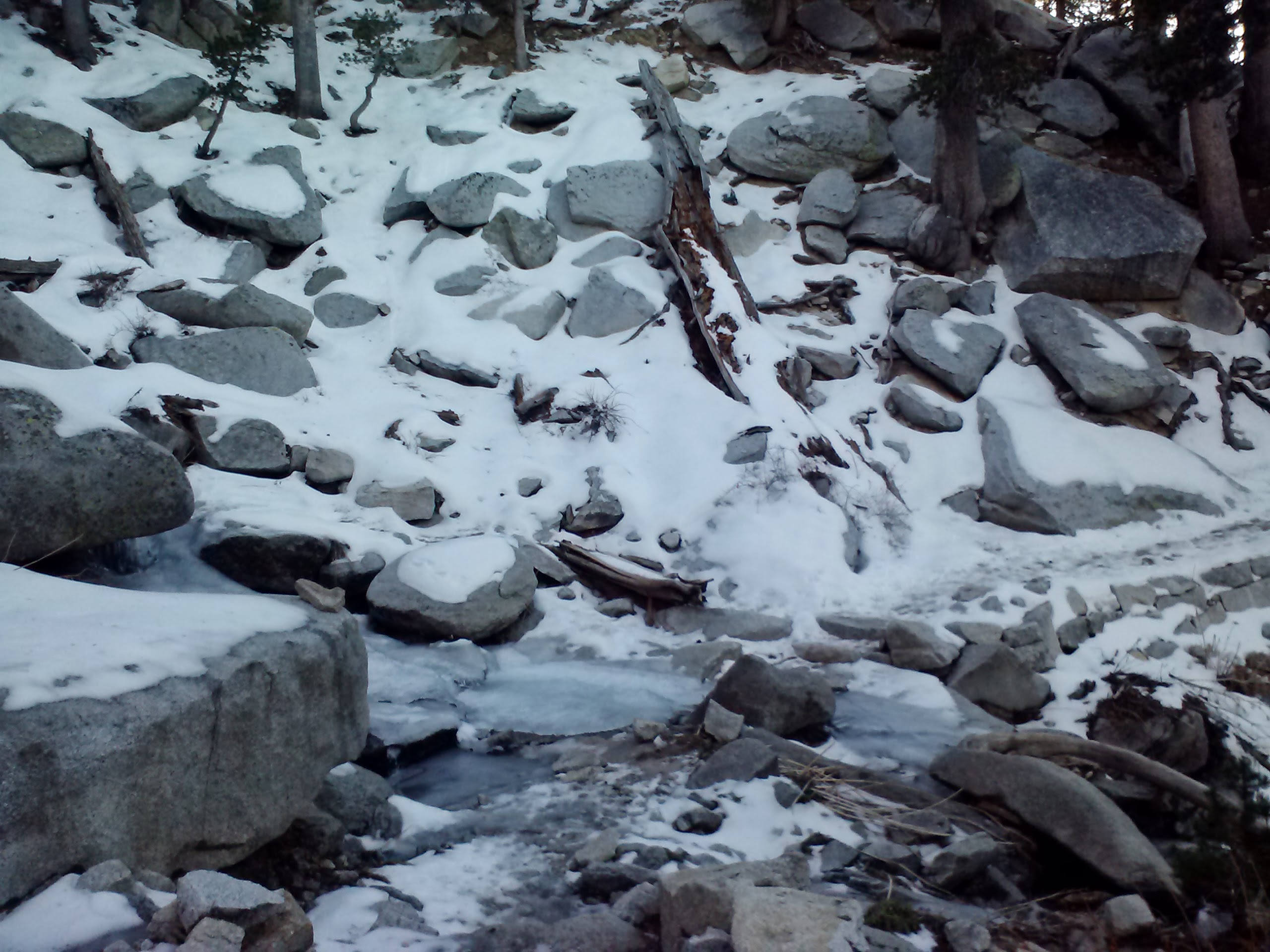
Most of the day was spent walking along gentle trail through dense woods. There weren’t really any views of Mount McLaughlin even though the trail skirted right around it.
I had planned on hiking 23 miles today to a trail junction were I’d find a pond to resupply on water and camp for the night. Unfortunately, that area of the forest was utterly decimated by a recent fire and I couldn’t find the trail junction or the pond. With half a liter of water left and some very tired legs, I started the climb that would take me, in three miles, to the next water.
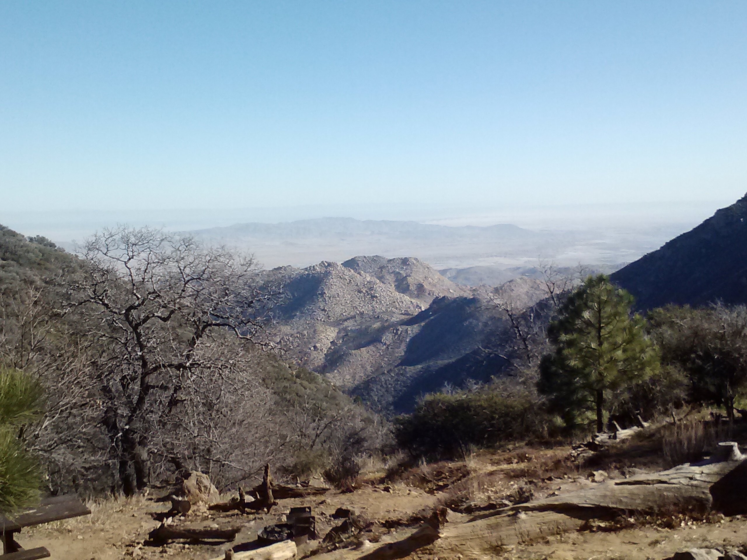
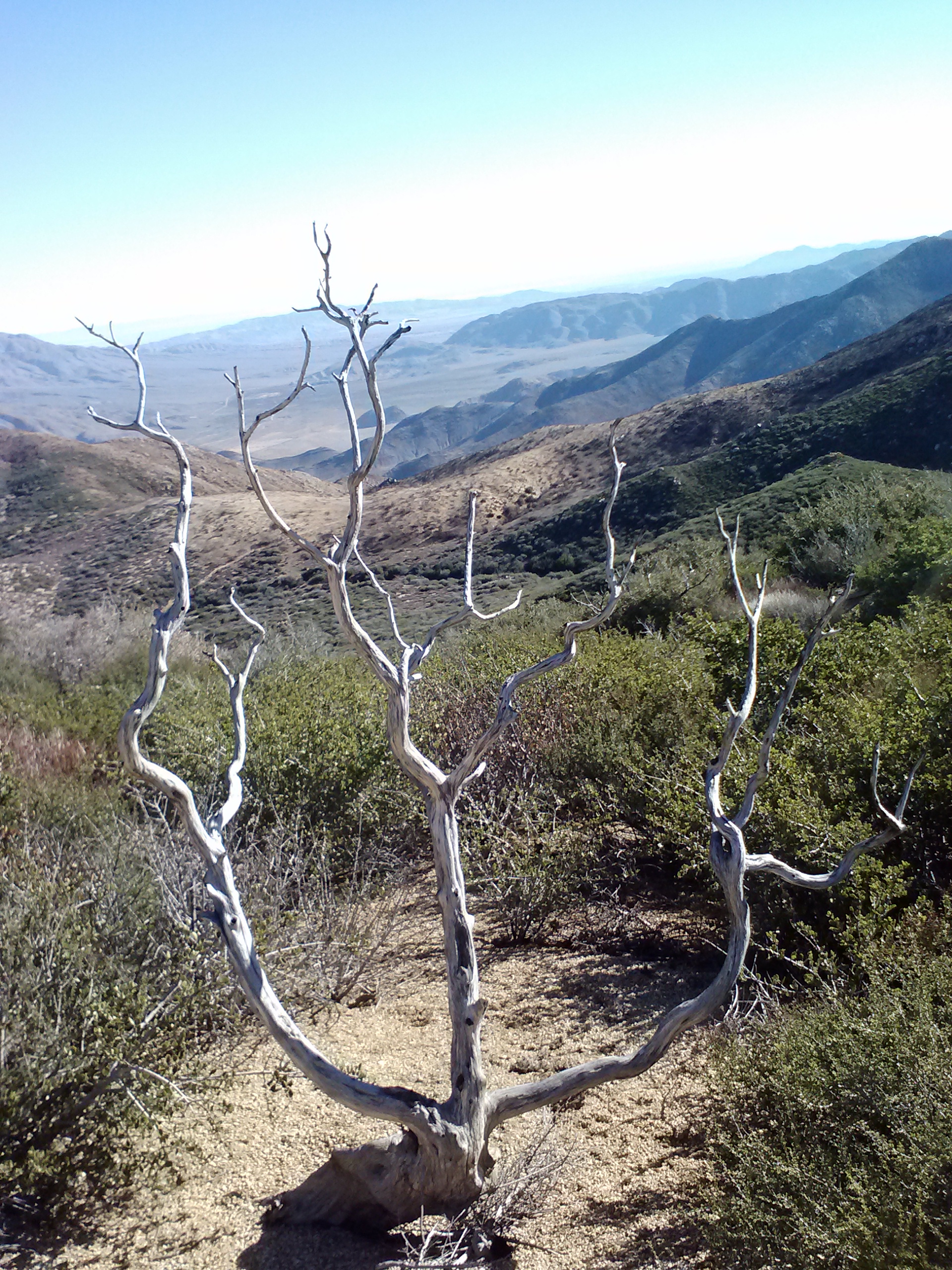
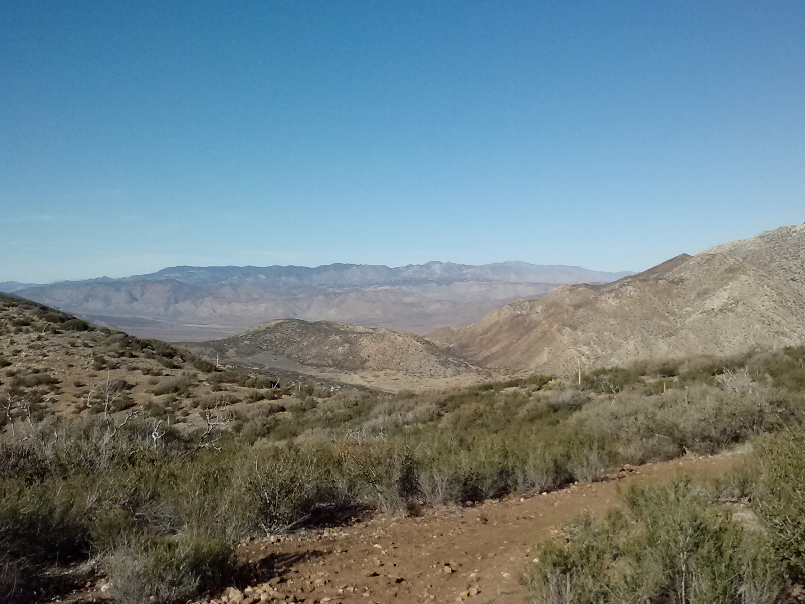
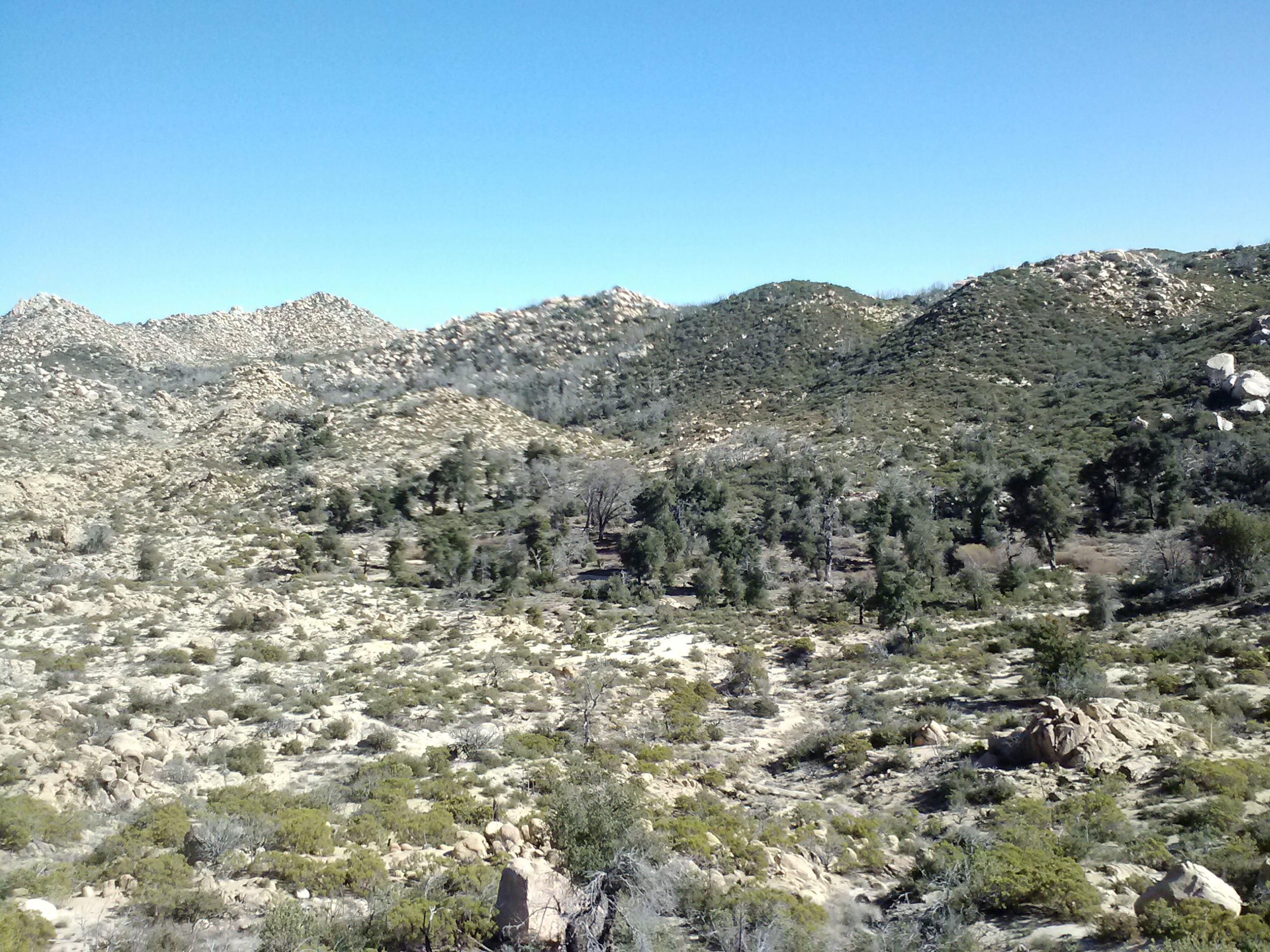
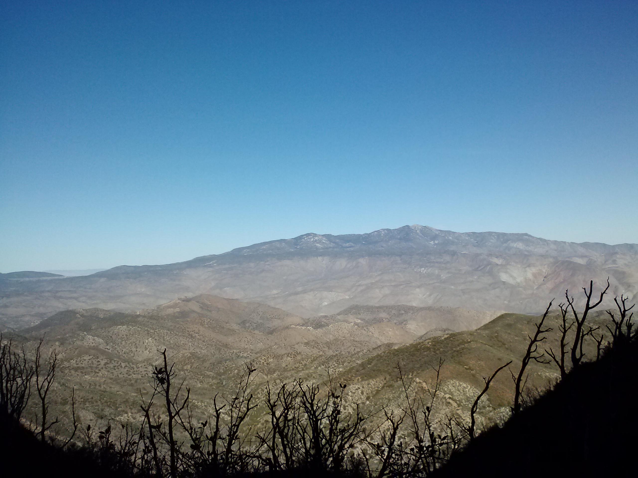
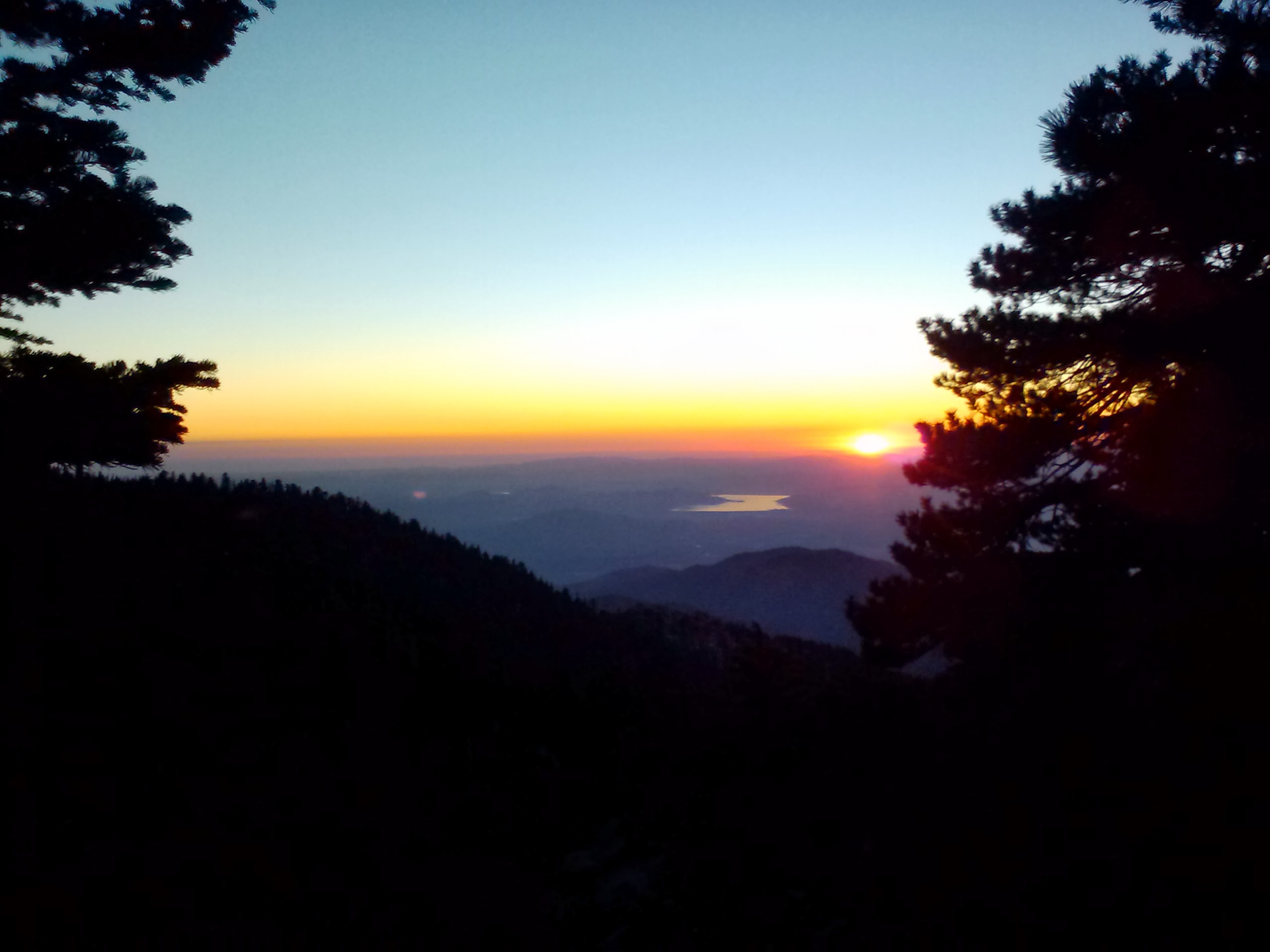
After what has felt like days of thick Oregonian forest with occasional views of gently sloping hills, I was finally presented with spectacular views in all directions. It felt like coming out of a fog into a stunning sunset. To one side, I could see Mount McLaughlin and Klamath Lake; to the other, spreading far to the north, were jagged, shark-toothed peaks, including Mount Thielson.
Grandpa’s beard
I found the water I needed, along with Blue Moon and Scarecrow camping nearby. My muscles are aching so much that no amount of stretching seems to be helping. It’s moments like these that make me wish I had my travel-size foam roller. It’s 22.5 miles to Mazama Village; I don’t know yet if I’ll go all the way tomorrow. I’m pretty sore!
July 4- 23 miles, camping at Mazama Village Campground
Knowing that I’d be sore from yesterday meant I took it super easy this morning. I didn’t hike out of camp until 9:15! The entire day felt strange. The miles were flying by so fast that I wondered if the map was off on it’s distances.
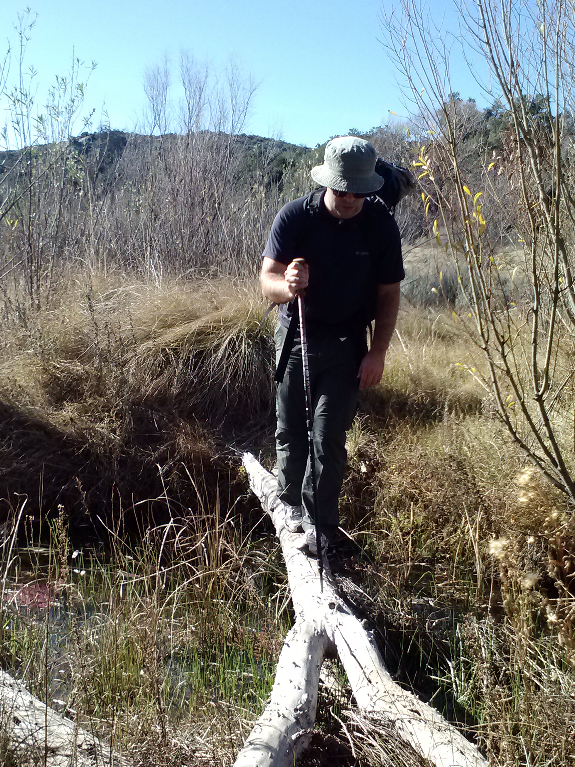
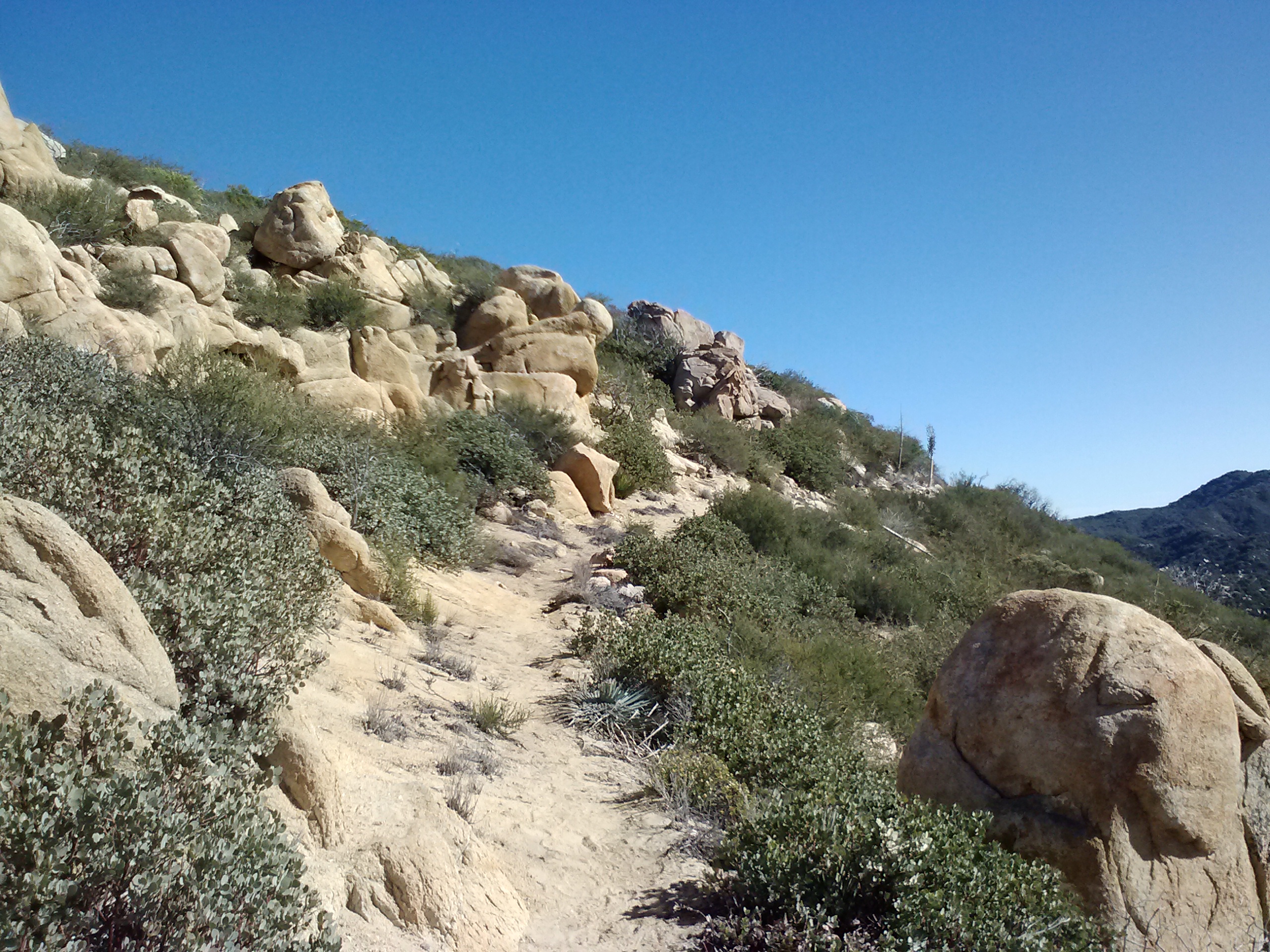
Lost the trail in the blow downs
There were so many people on the trail today. Some were section hikers, others were day hikers, and a few were northbound PCT hikers who were hiking really fast. I hiked with one of them, a lady, for about 30 minutes and eventually dropped back so I wouldn’t have to listen to her negativity any more. One thing she said that really bugged me was that she couldn’t wait to finish the trail because she was sick of it already. My thought was, if you’re not enjoying it anymore, why bother finishing?
It’s normal to have bad days or even bad weeks on the trail, and it’s normal to get so sick of body pains, bugs, the weather, maybe even the monotony of certain sections that you just can’t stand hiking anymore. I once complained to another hiker that I was tired of seeing the same things for days on end and she reminded me that the trail always seems to change, subtly or suddenly, just when you think you’re about to go nuts. After she said this, I made an effort to take more notice of those changes and appreciate them. It’s important to stop hiking sometimes to look around, look up, and even look behind you to notice new views, new colors, or new vegetation.
I like to think of the trail as though it’s an epic novel. If I get bored with one chapter and skim over it, I may miss an important detail that completes the story. When I finish hiking all 2,660 miles, I want to remember every dimension of this experience that I can, and I don’t want to take any aspect of this journey, good or bad, for granted.
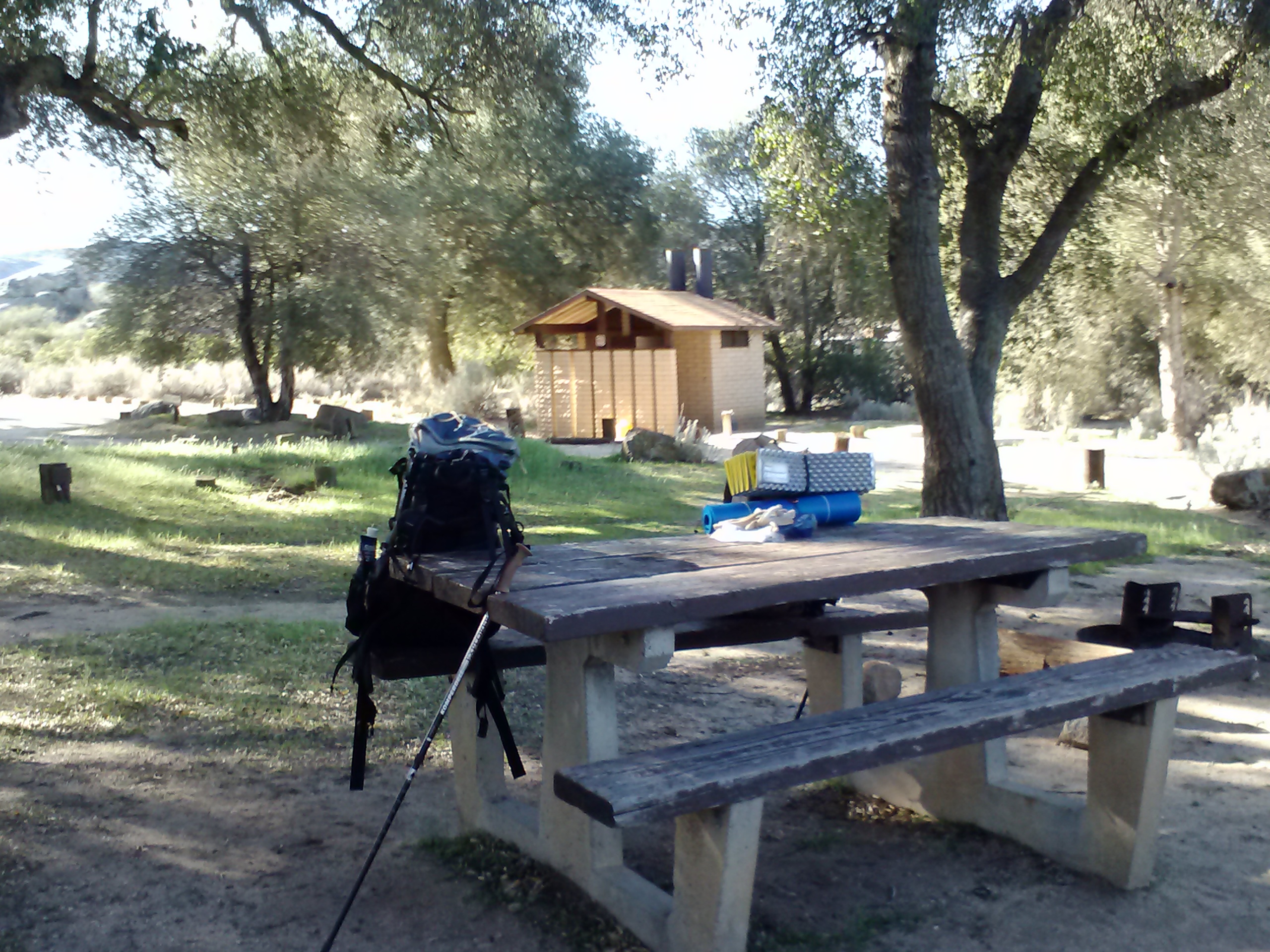
I made it into Mazama Village by 6pm and it’s a zoo! There are so many tourists here for the 4th of July weekend. I quickly got myself a $5 hiker site, took a free, but very cold shower, and then parked myself in the restaurant with Blue Moon and Scarecrow until the manager kicked us out at 9:45.
There are a few other hikers here, including the cousins I met north of Belden (Katia and Olivia), a seasoned southbound hiker named Hardway, and someone I met last year on the PCT, Far Walker! She’s an older lady who has been struggling to section hike the entire PCT despite a bone spur in one of her feet. It’s so fun running into people I’ve met on the trail before because the chances of it just seem so slim. I guess the hiker world is smaller that it seems!
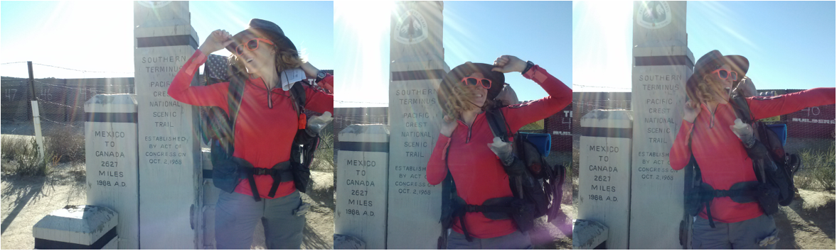
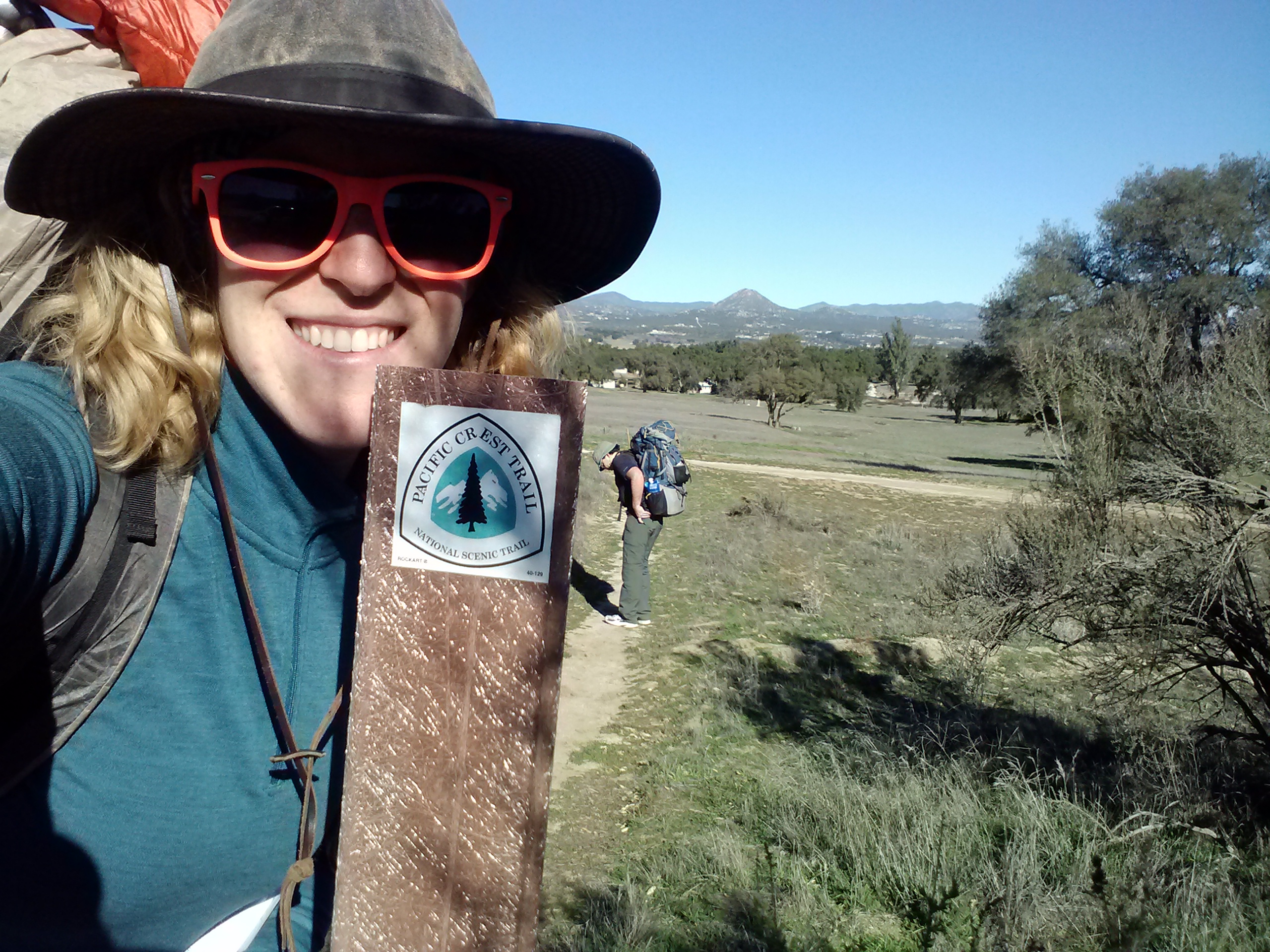
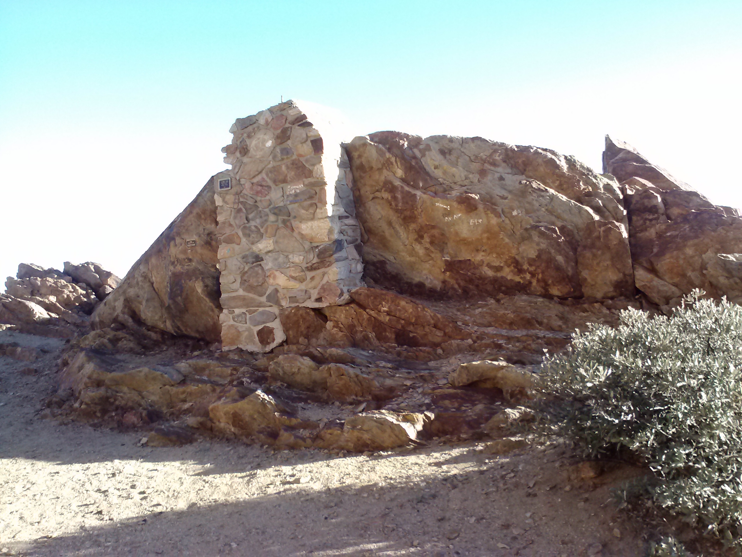
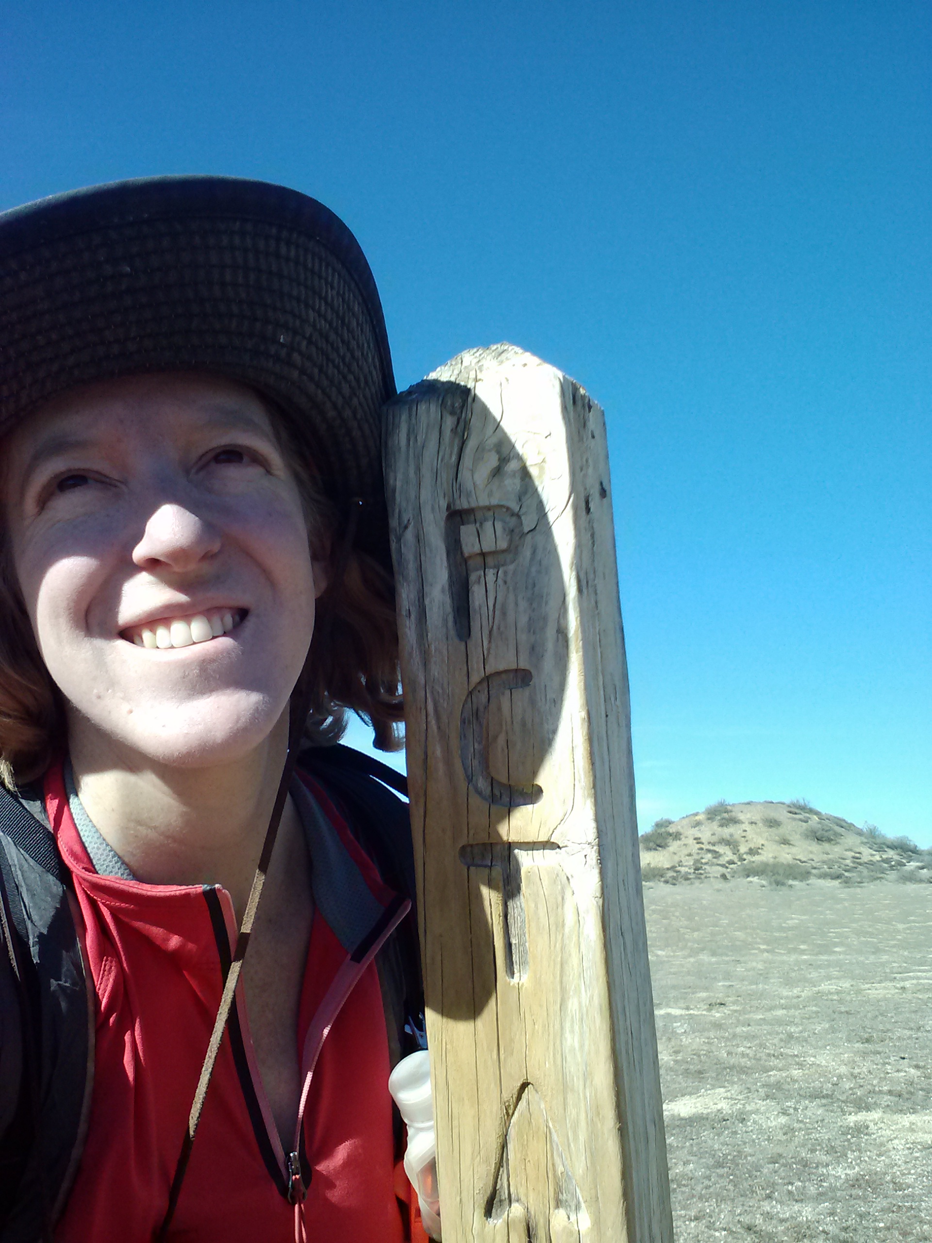
This journey was particularly special to me, mostly because I got to start at the Southern Terminus Monument, which is as awesome as visiting the Great Wall of China or a Mayan pyramid. The monument represents so much to me: an engineering and political miracle, the American frontier, adventure, history, and internal as well as external journeys. Even though I’ve already begun my PCT trek and seen many of the most notable sights, I still felt like a child at the gates to Disneyland as I approached the monument.
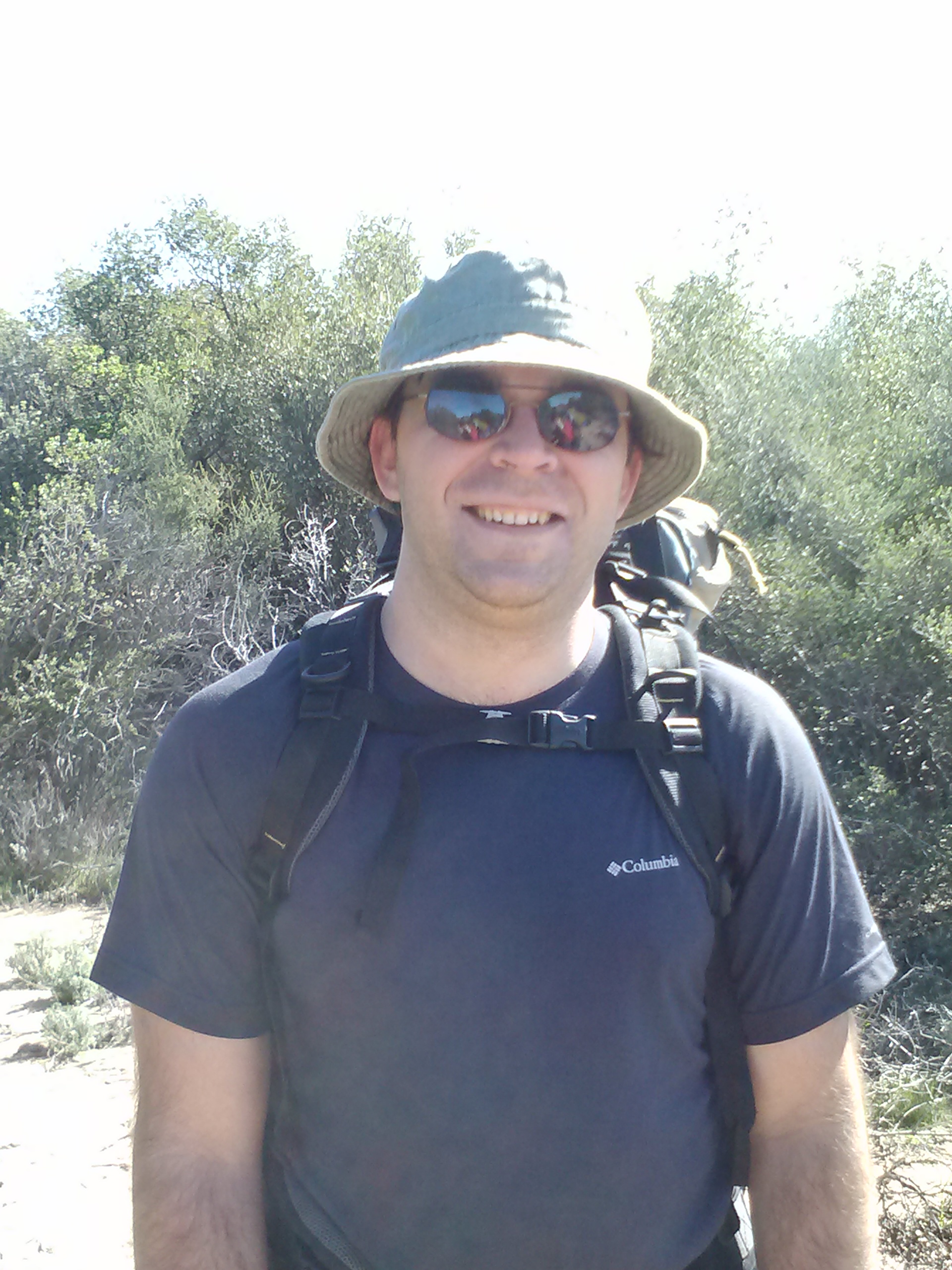
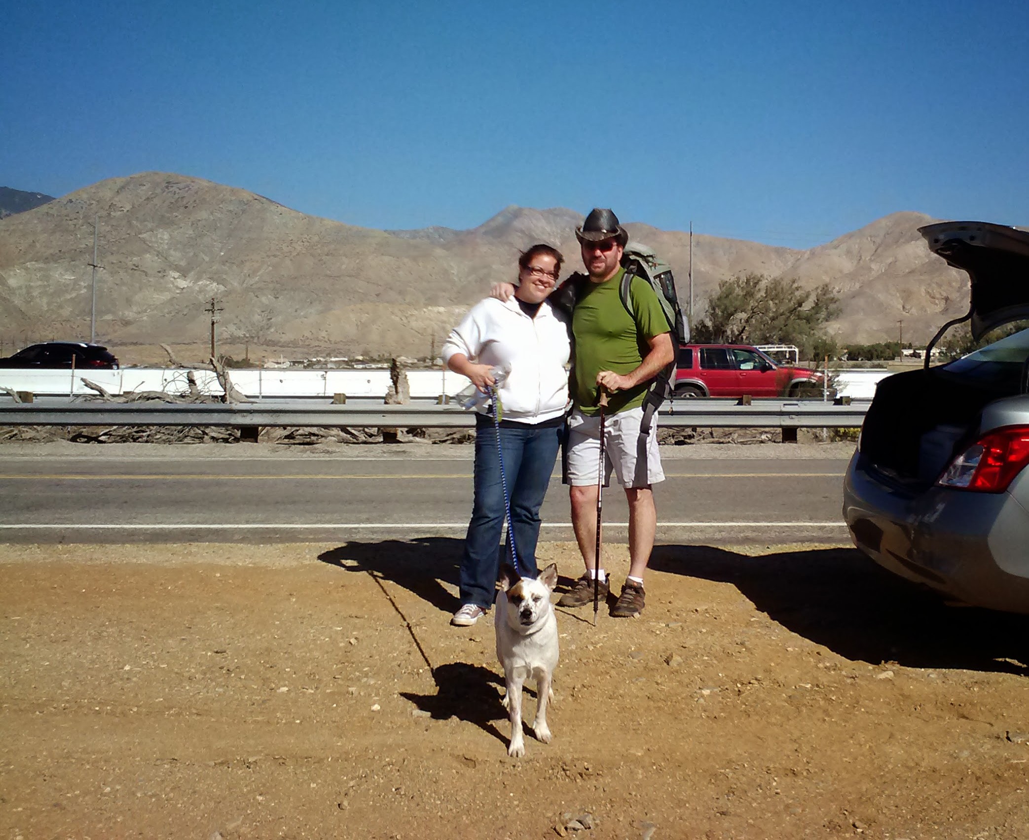
After a quick email blast to a bunch of friends only a few days before the trip, I managed to convince another soul to join me. Ben’s been a good friend since high school and has enjoyed hiking, but had never before done any kind of backpacking. I set him up with my very first backpack, an old Cabela’s model, and other pieces of gear he’d be needing, and crossed my fingers he would enjoy himself. He was definitely up for anything, and that was enough for me!
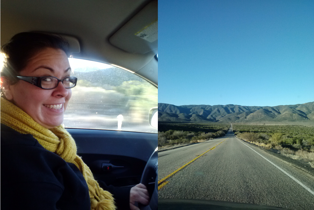
Since Sabrina, my personal trail angel, would be dropping us off at the Mexican border early on December 26, we drove down a day early and spent Christmas evening with her, her boyfriend, and some other friends. It was one of the best Christmas dinners I’ve ever had: prime rib with roasted vegetables, homemade egg nog, soaking in the hot tub with excellent tequilla from Sabrina’s family farm, and fun-loving company.
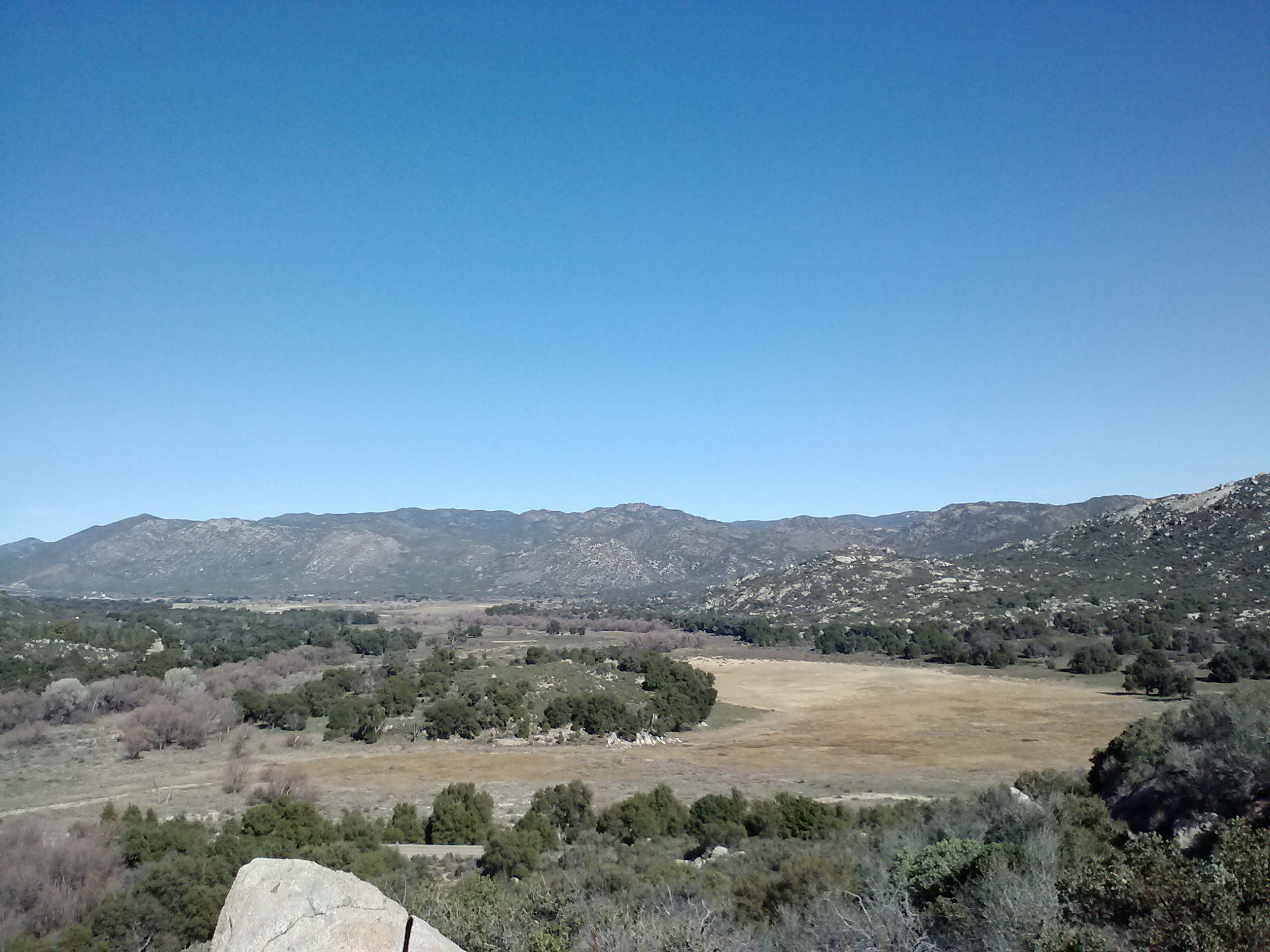
We woke up early on December 26th, hit Starbucks for a couple of 500-calorie breakfast sandwiches and a Walgreens for several gallons of water for the Scissor’s Crossing water cache. I loved the drive and being able to get a glimpse of the land I was about to walk through. The land is so different than the dramatic mountains of the Sierra’s in sections G and H, the San Gabriels of section D, and the San Jacintos of section B which I’ve already hiked.
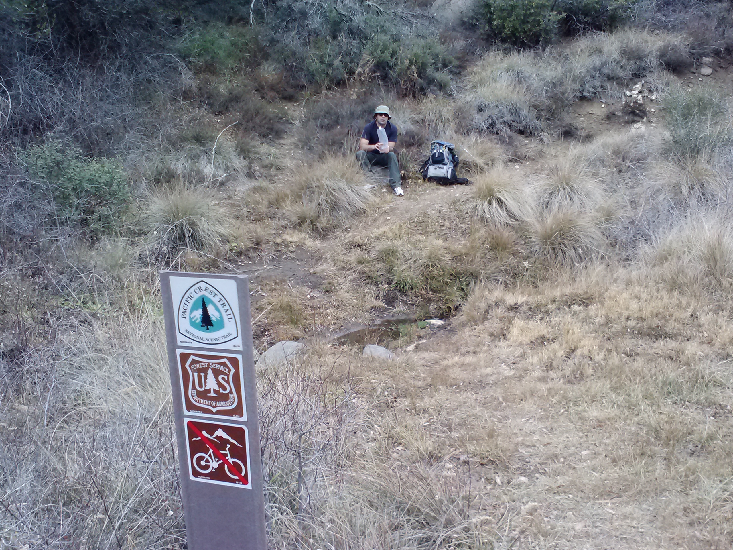
We dropped off water under the bridge at Scissors crossing on Hwy 79, only to find it fully stocked already. It was a relief to see people were still stocking the water caches even though it wasn’t the busy season for hiking.
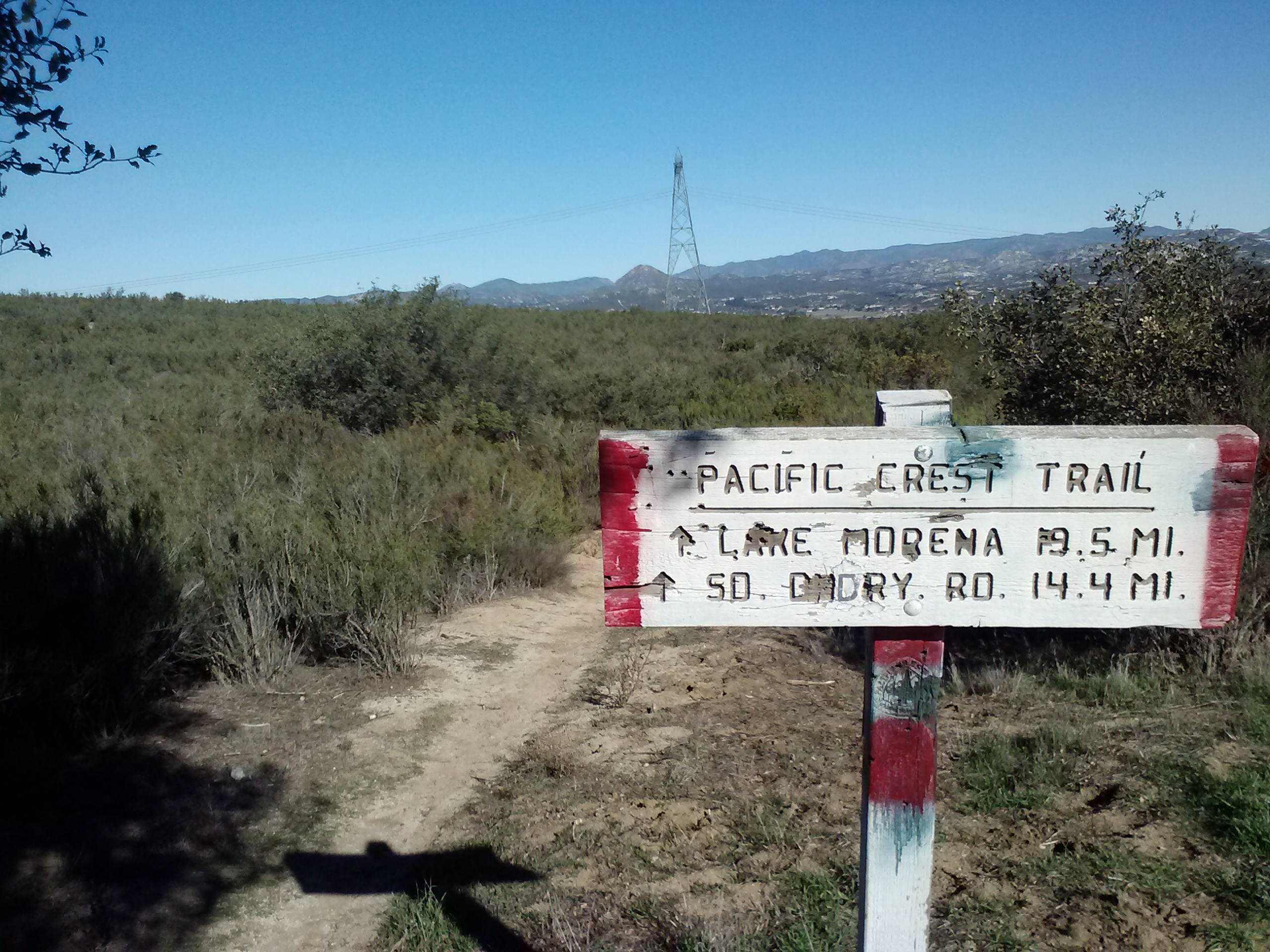
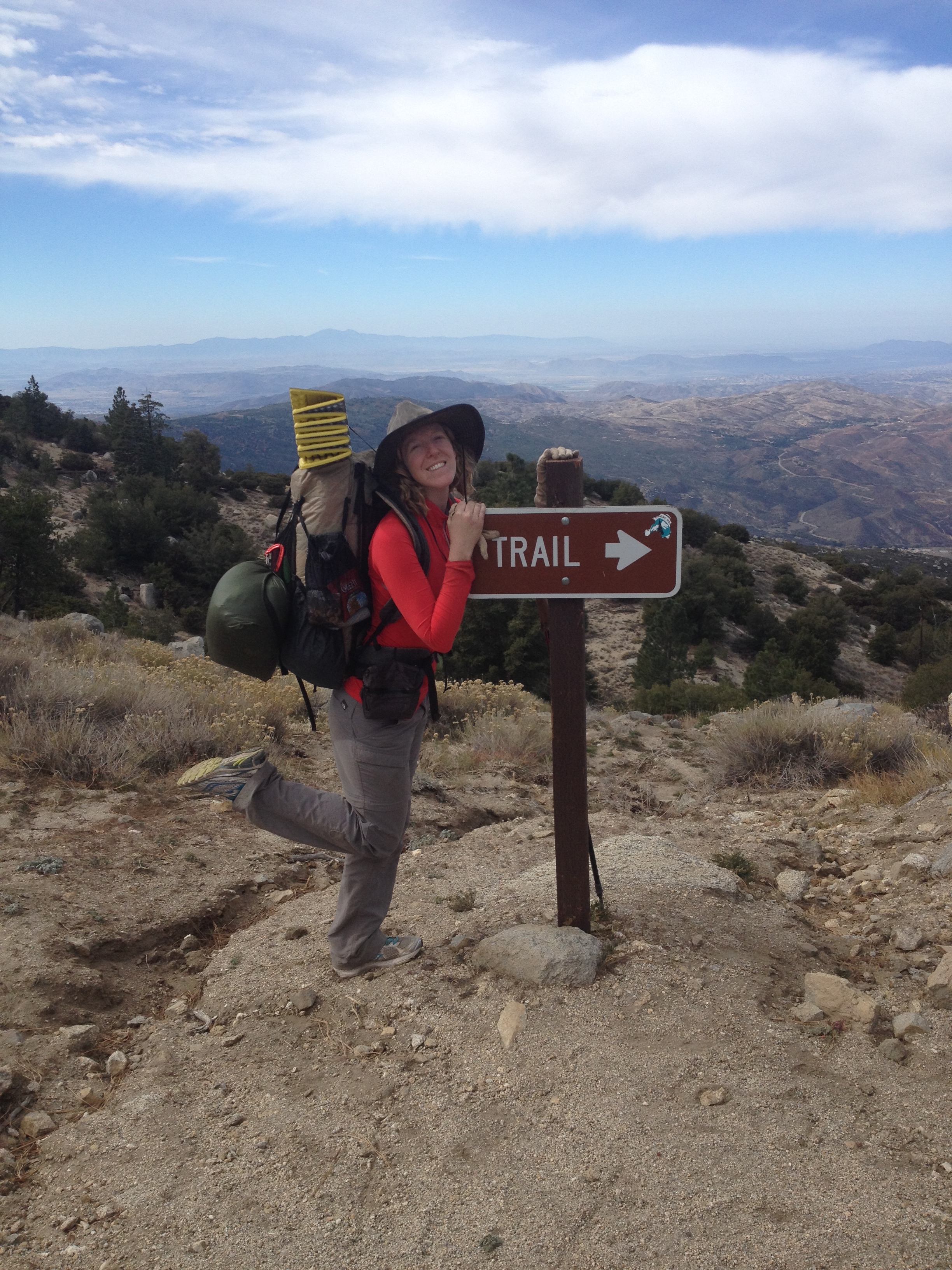
Trailhead of the PCT
Getting settled in, on the trail
I had hoped to hit the trail by 9am at the latest, but alas, it was 10:30 when we finally arrived at the border. We had a good time mucking about at the Mexican border, but it took me a while to realize the trailhead isn’t exactly at the monument. Turns out the official trailhead is about 50 feet north of and across the dirt road from the monument. We said goodbye to Sabrina and set off along the unassuming little trail in the direction of Canada.
I was so excited I think I actually carried the maps in my hands for the entire first couple of hours. At every road crossing, building we passed, stream, gate, or bridge the maps were unrolled and examined. The hike started off windy, but luckily it didn’t last. The temperature was great, maybe in the 60’s?
First railroad crossing
First of many, many gates
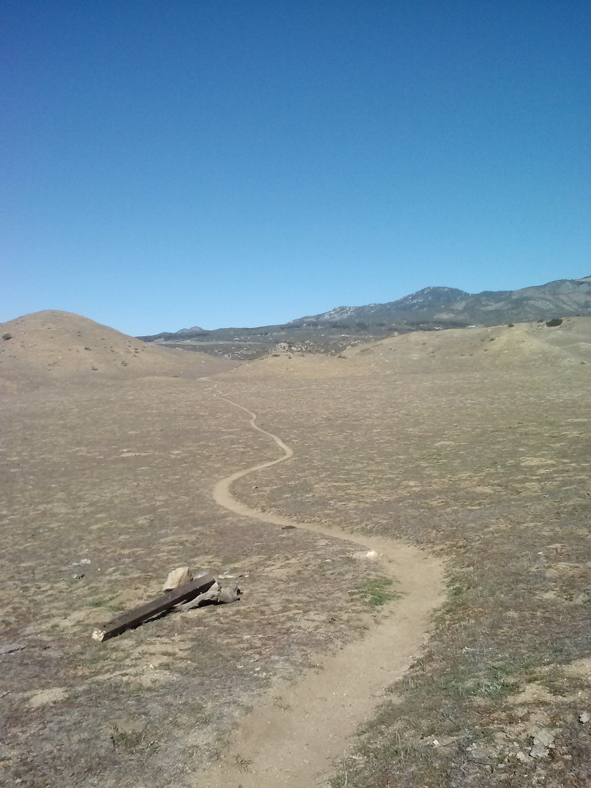
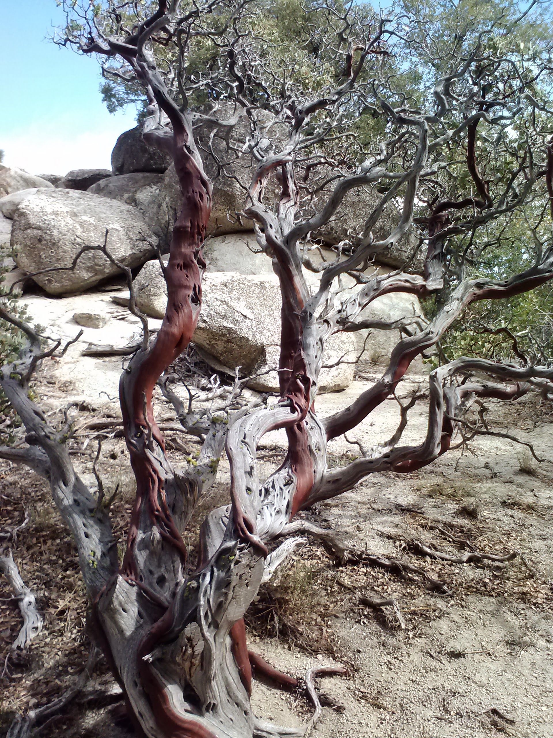
We walked through miles and miles of coyote bush, yucca, sage, and manzanita trees. Every now and again we saw little purple checkerbloom flowers and California buckwheat, but as it was the middle of winter, not much was in bloom. As we slowly climbed the hills, we could look back toward Campo and see Mexico in the distance, with the wall and a few observation towers lining the border.
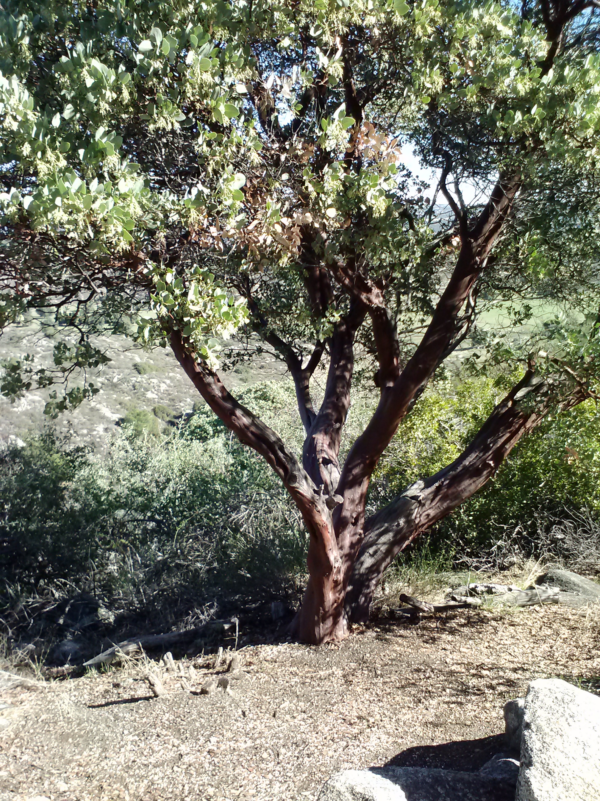
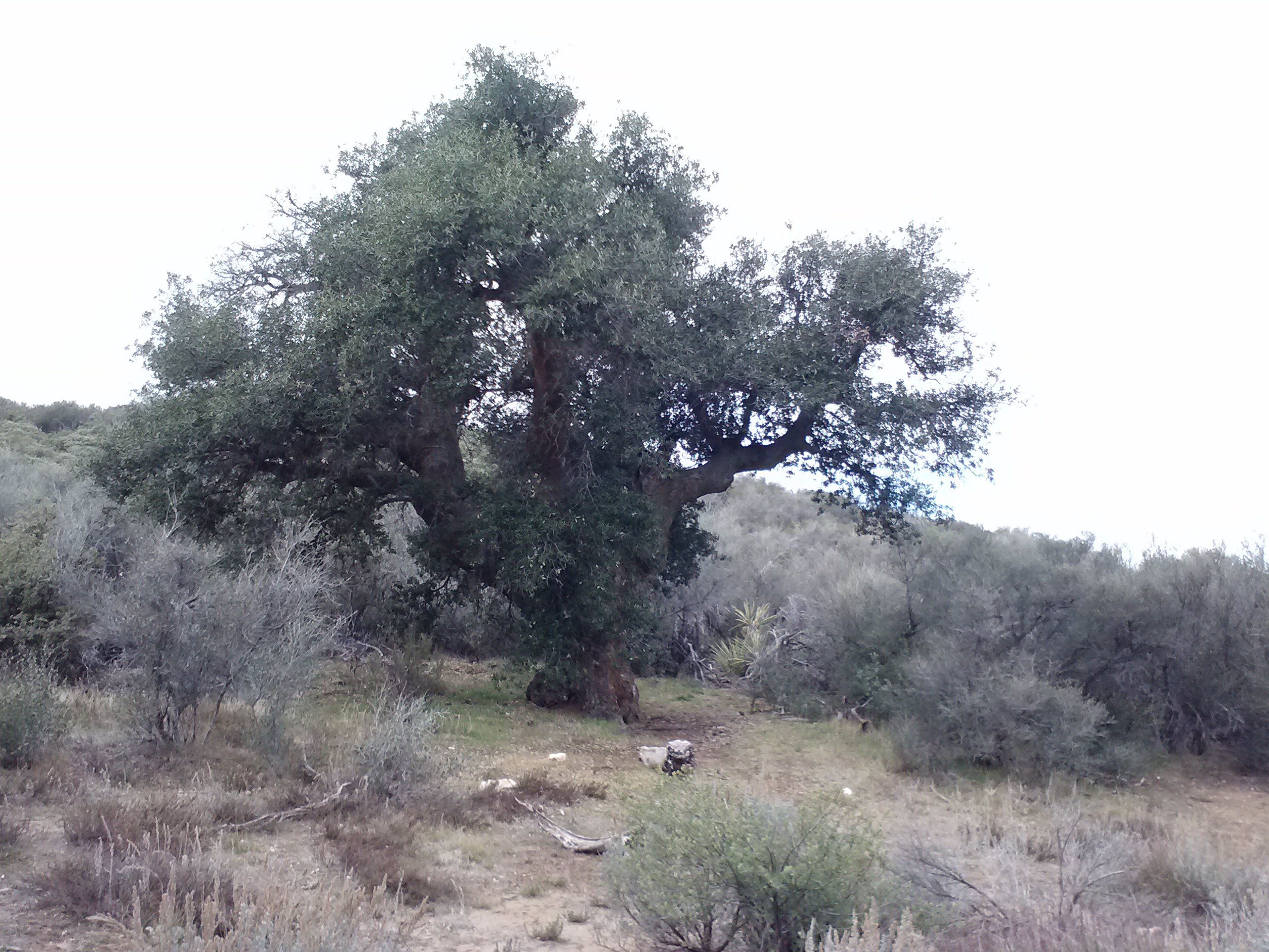
Manzanita tree
Ben bounced along with his pack asking lots of questions about backpacking and the trail. It was pretty cute. We talked a lot that first day, just catching up on life and exchanging ideas. Ben told me some of his blog ideas for his website. He’s one of the smartest people I’ve ever met and philosophizes on everything from the humanities to the sciences. You can check out his excellent writings at OutCreation.com.
By the end of the day, Ben and I were both eager to finally reach our campsite. Our feet and hips felt bruised, and I was glad I decided to only hike 15.5 miles to Hauser Creek. I had originally planed to hike 20 miles the first day to Lake Morena Campground, but changed the itinerary when Ben decided to tag along.
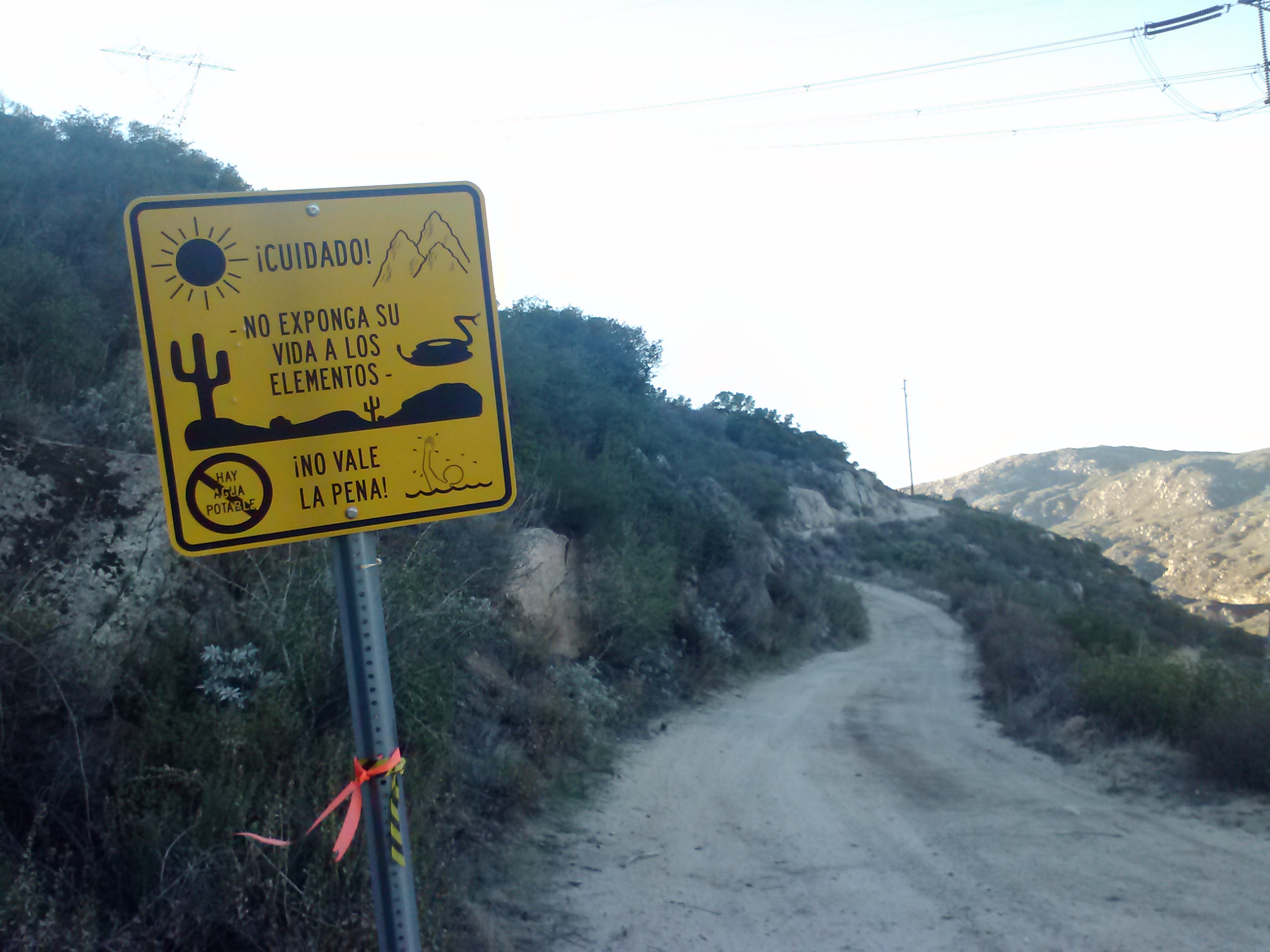
A warning sign for Spanish-speaking travelers
Appraoching Hauser Creek
After setting up the tent, we both stretched and rolled out our muscles on a mini foam roller I’d brought along. My physical therapist had recommended I pick up a foam roller for home use last July, and I love it so much I’ve been bringing a mini 6″ by 12” roller on a few of my backpacking trips. I use the roller specifically to massage my glutes, IT bands, quadriceps. Since all those components work to support the knees, making sure they release their tension is important for proper patella tracking and thus knee comfort.
Despite being at the bottom of a canyon, it was a warm night for us. We enjoyed some Trader Joe’s lentil soup, which I’d dehydrated myself, and lounged around talking in the tent.
Campsite at Hauser Creek
Day 2- 16.5 miles to CS032
Our second day started with a stiff climb out of Hauser Creek. We had only a few miles to hike to reach Lake Morena, where we would refill water bottles and freshen up a bit.
As we approached Lake Morena, we saw more and more tracks in the dirt, but I’m still not that great at telling the difference between cougars and large dogs. For most of the morning, I was pretty convinced the tracks were cat-made.
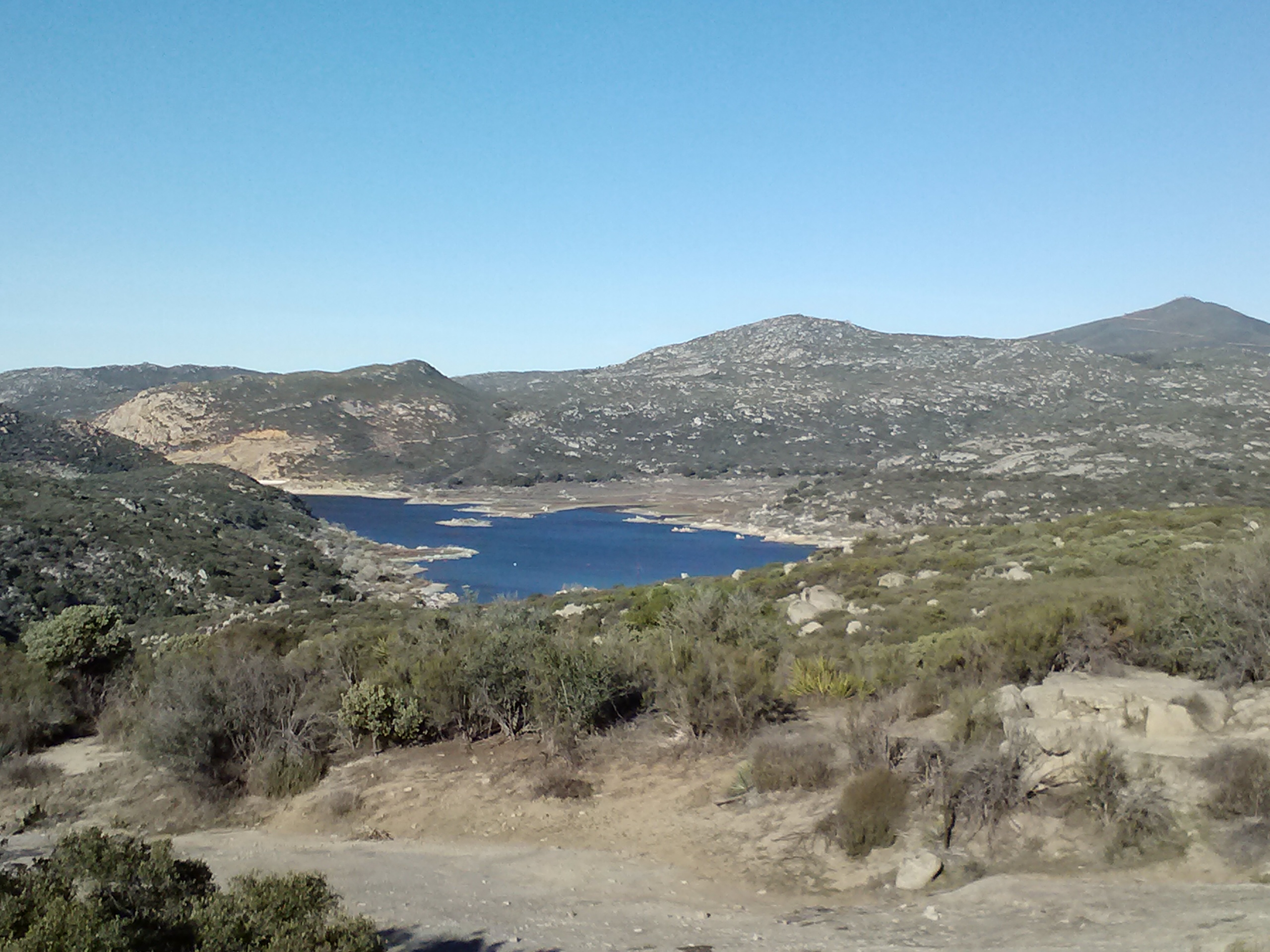
First view of Lake Morena
Lake Morena Nature Trail
Lake Morna was lovely and had excellent facilities. There was a bathroom with showers, but neither Ben or I choose to take advantage of that luxury. I was a bit focused on maintaining a specific hiking pace so we’d reach our campsite that evening near Halfmile’s mile 36. I find that pressure to maintain a good pace to be the biggest drawback to section hiking- I’m always concerned about getting back in time for work. I salivate for the summer when I won’t be constrained by work back home.
Cereal in bag
Lake Morena facilities
We had all the food and supplies we needed, so we didn’t go check out the little grocery store in town. After downing some granola cereal with powdered whole milk and chit-chatting with an equestrian, we road walked out of Lake Morena and back to the dirt trail. It was funny to see Christmas decorations out while hiking because I’ve always associated the PCT with summer!
Leaving Lake Morena
Christmas on the PCT
Ben
Teva Time!
Just outside of Lake Morena, I switched out of sneakers and into my Teva sandals. I LOOOVE hiking in my Tevas because they feel so good, but it inevitably dries out my Northern European skin and leaves my heels cracked. I’m still working on a way to sandal hike all day without this problem- maybe some beeswax would work?
Looking back toward Lake Morena
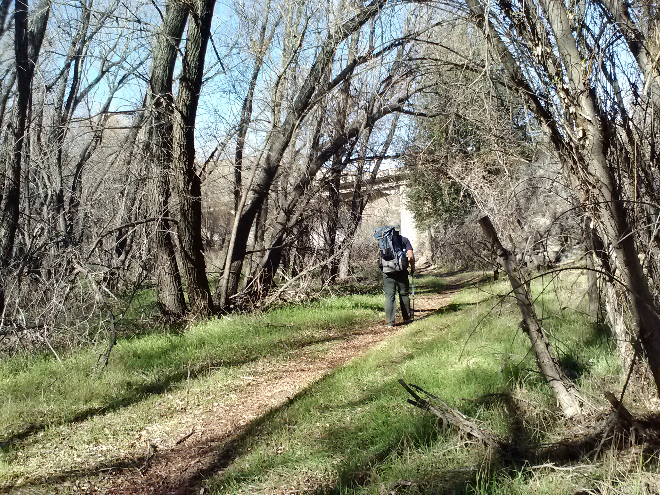
Entering Cottonwood Valley
Cottonwood Creek
Cottonwood Creek Bridge
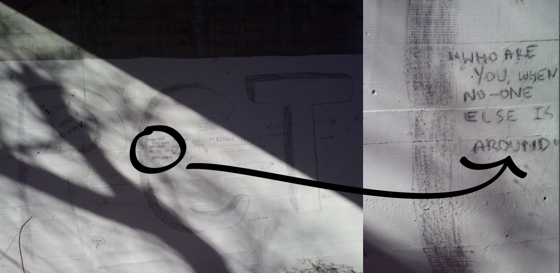
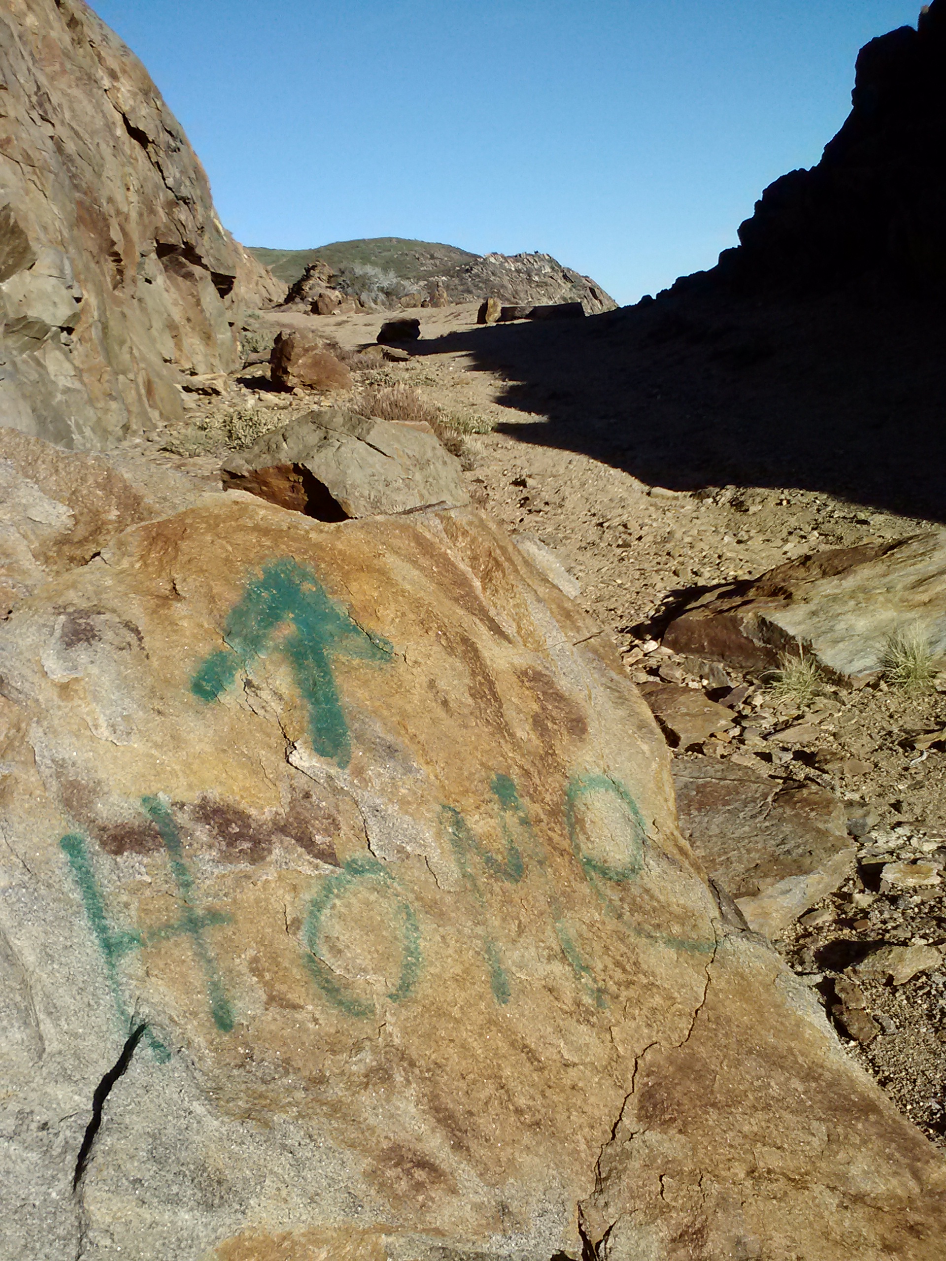
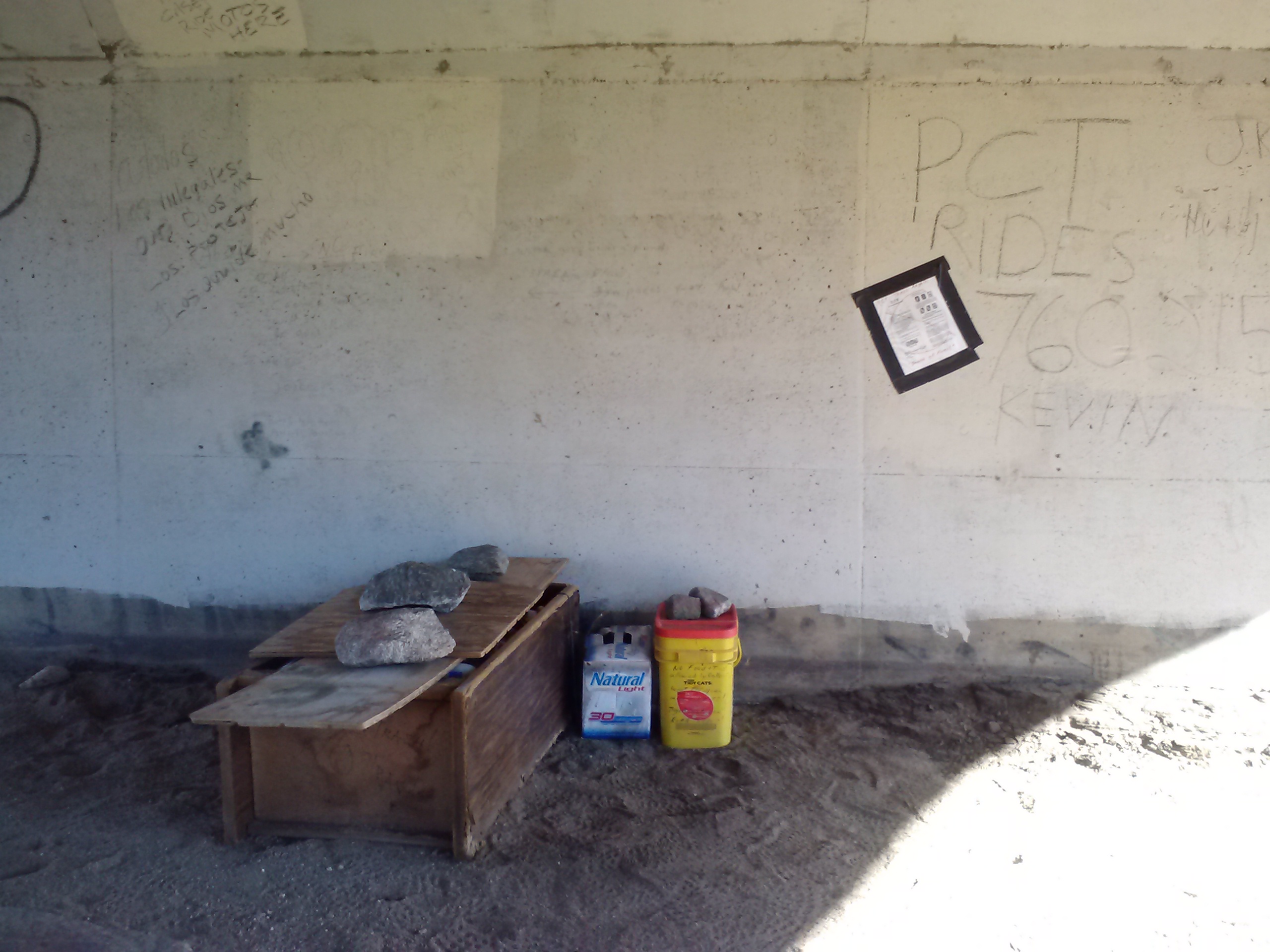
PCT graffiti
Like so many humans before them, PCT hikers love to leave thier mark on the world, to tell all those who follow who they were, what they did, and why they did it. Beneath the Cottonwood Creek bridge is a plethora of PCT graffiti: mostly names and dates, some drawings, obscene and beautiful (also true to human nature throughout history), poetry and quotes. Ben walked right past it all, but I couldn’t pull myself away. It was like walking through Roman or Greek ruins and feeling the weight of human history in the walls.
Someone’s home…? Beneath Cottonwood Creek Bridge
Cottonwood Creek
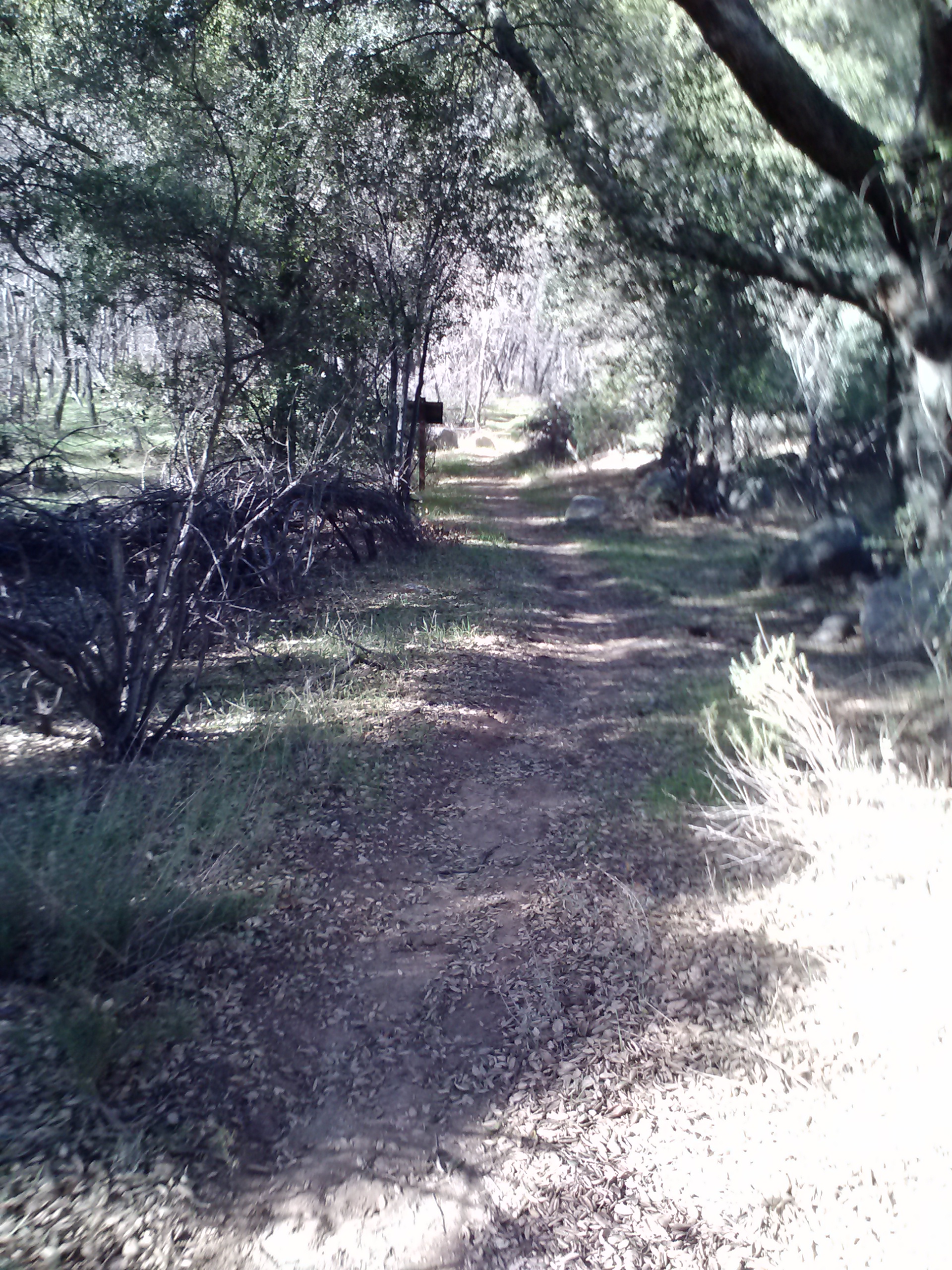
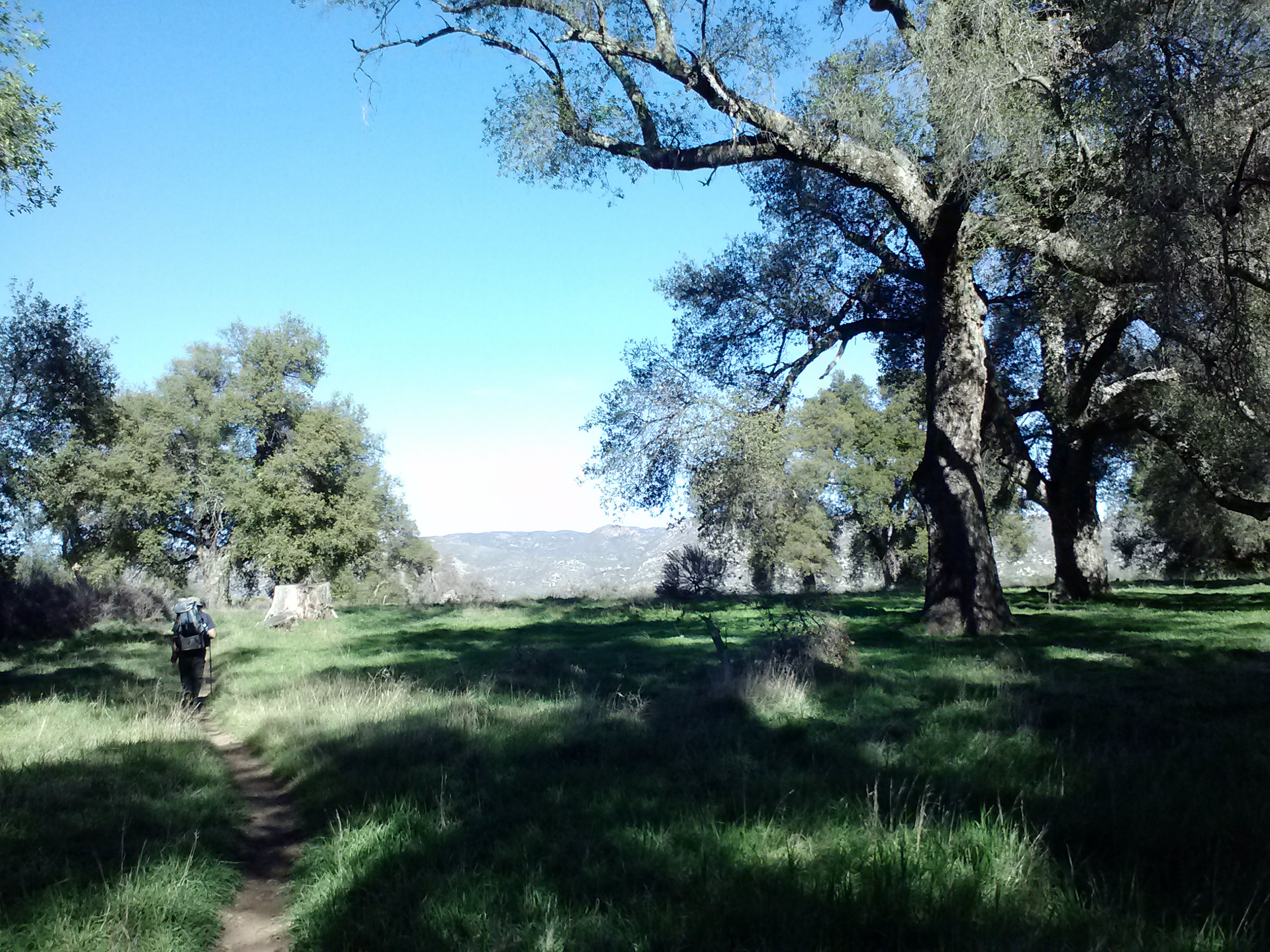
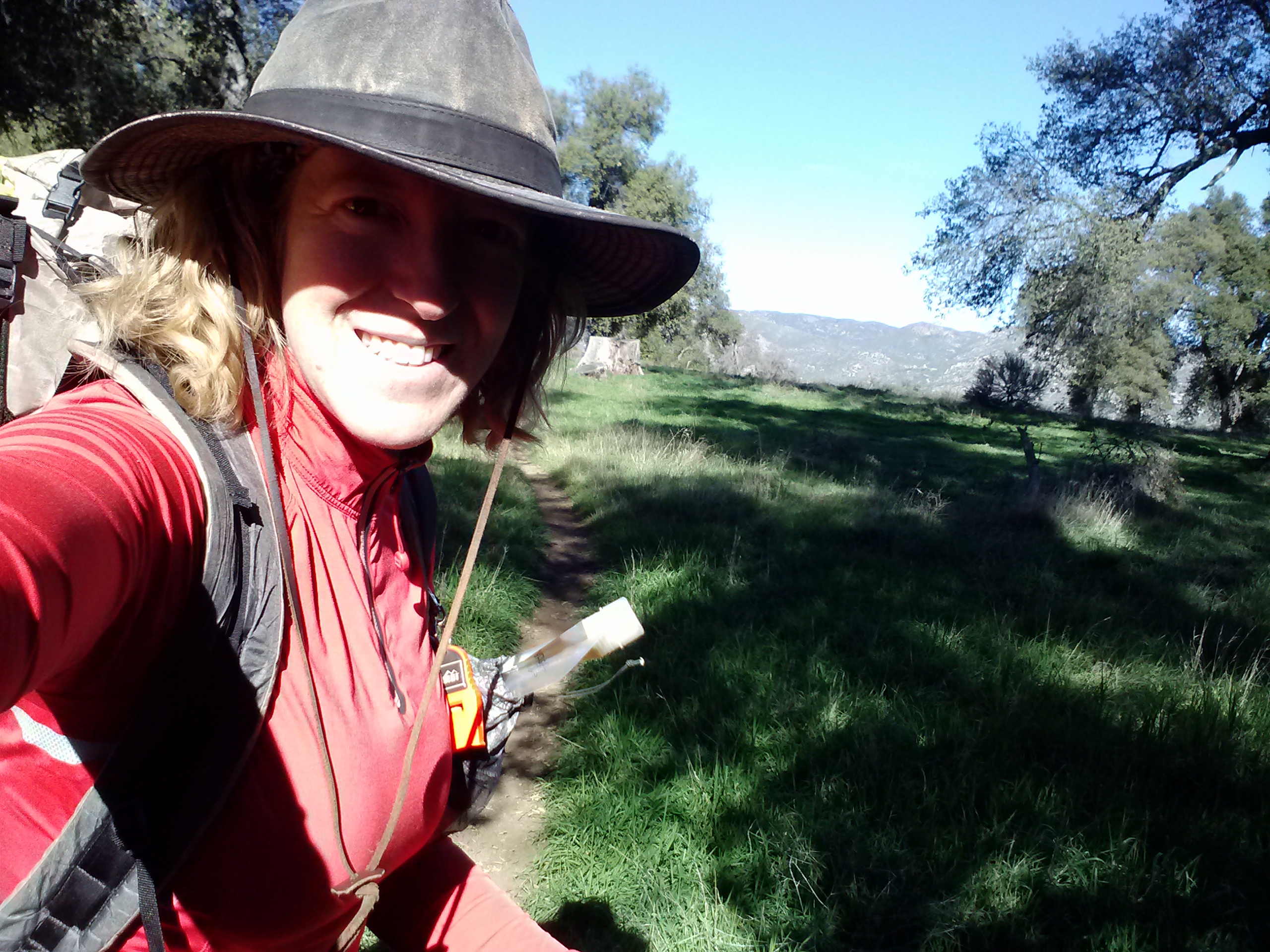
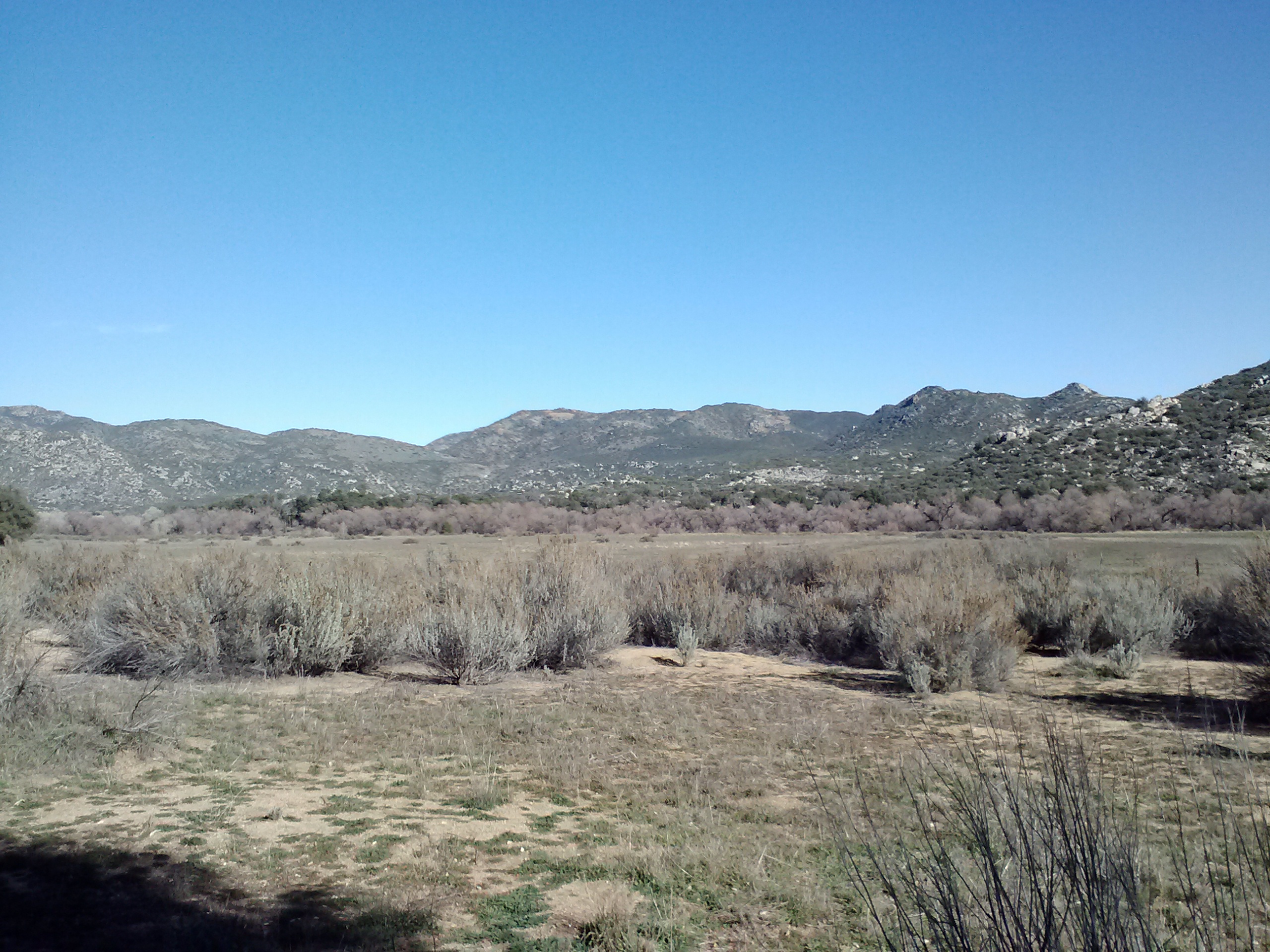
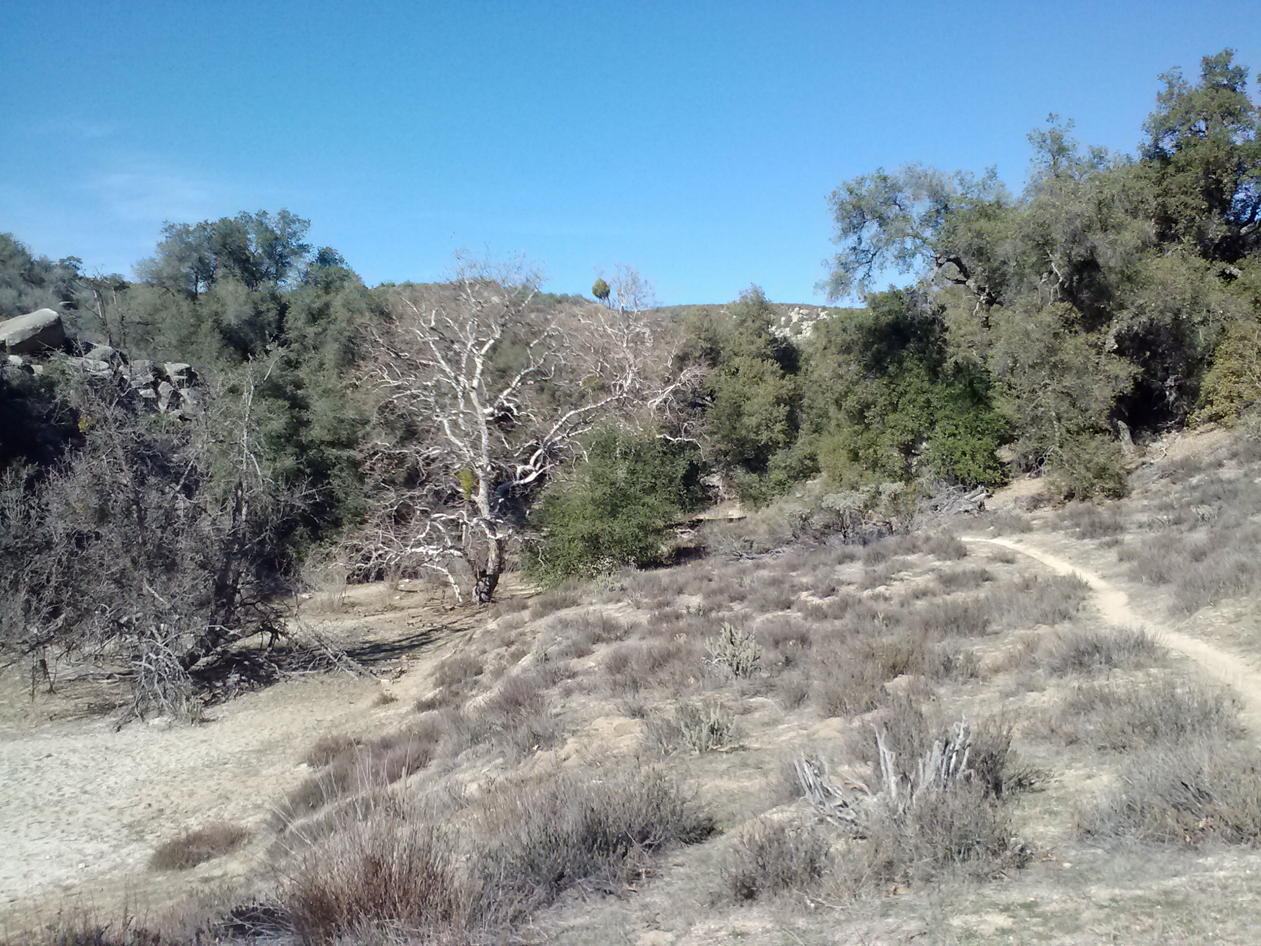
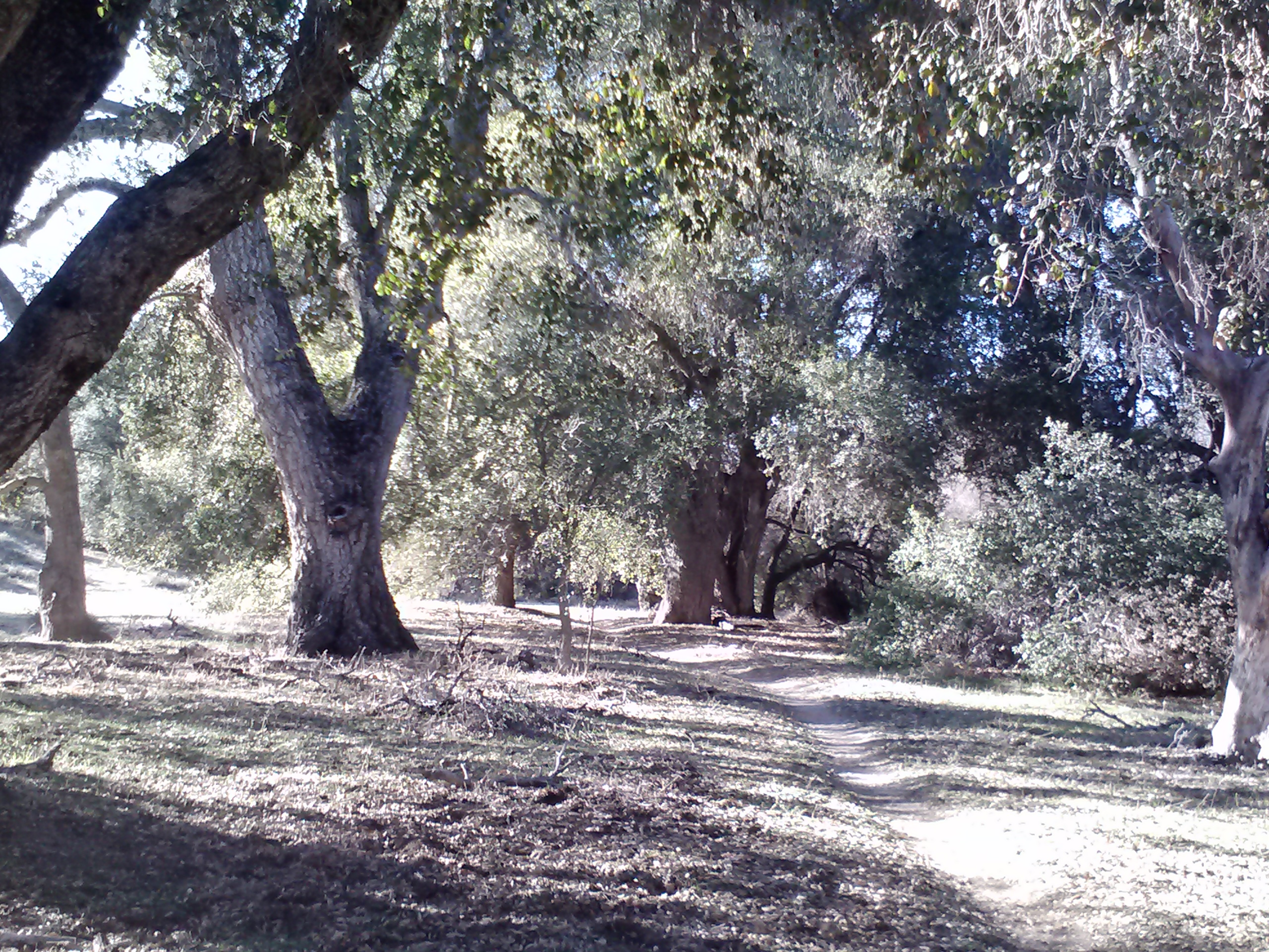
I absolutely fell in love with Cottonwood Valley. The meadows and oak trees were so beautiful and the scenery seemed to changed enough to entertain me. You’ll notice that I took tons of pictures this day.
Second lunch break
Cottonwood Valley
Cottonwood Valley
Cottonwood Valley
Cottonwood Valley
Cottonwood Valley, Cleaveland NF
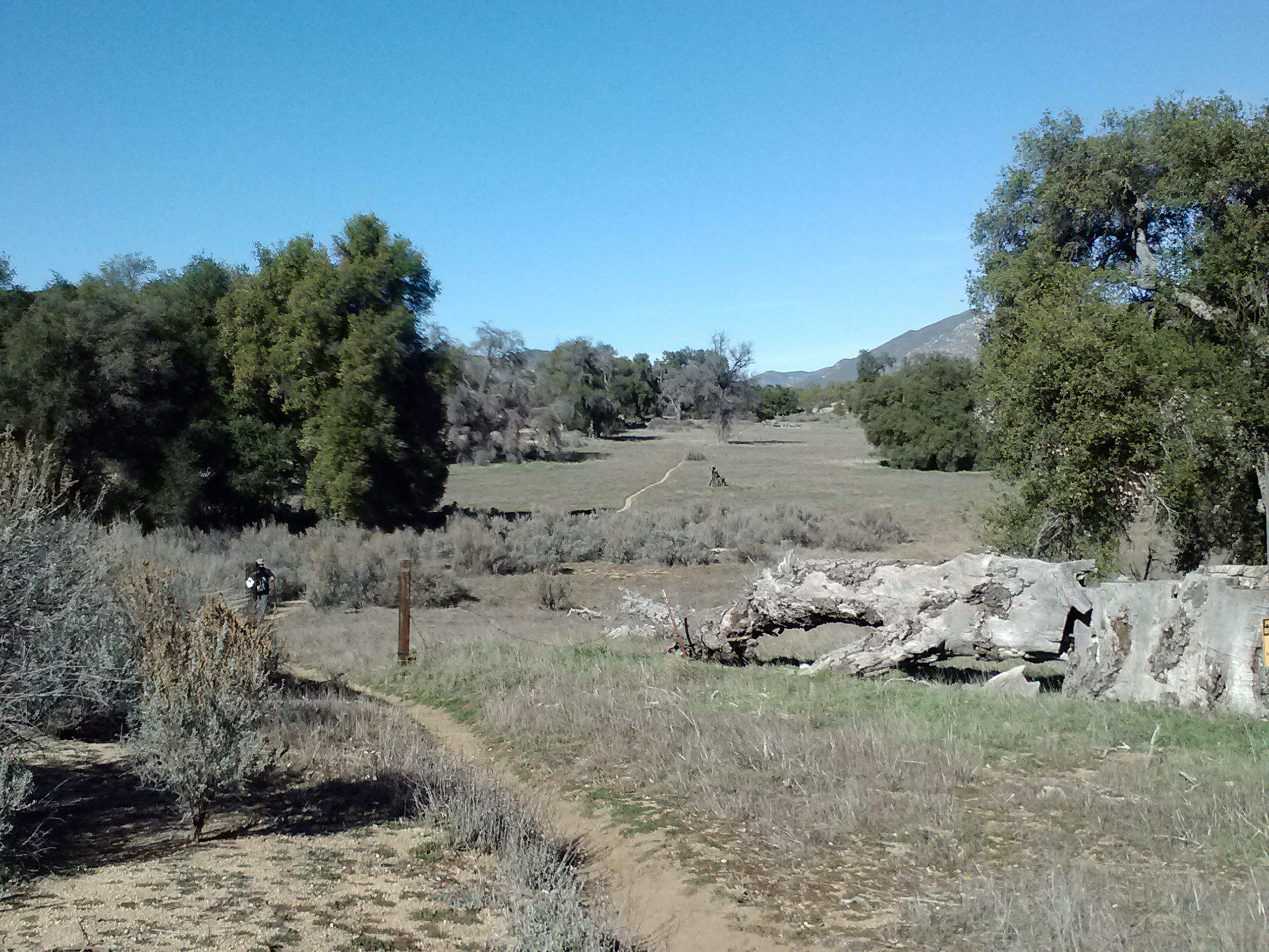
Approaching Boulder Oaks Campground
Our first and only stream crossing 🙁
While at the Boulder Oaks Campground, we chatted with a ranger about any potential marijuana grow sites in the area. He assured us they’d all been pulled out, but to just keep an eye out for any irrigation tubing that wasn’t part of habitat resoration or sketchy looking people without proper hiking gear.
Boulder Oaks Campground, Cleaveland NF
Lunch & mileage
Ben was slowing down by Day 3. His body just wasn’t accostomed to backpacking and his mind had no previous experiences to rely on to tell him all the body aches were normal and temporary. After you’ve got a couple long hikes under your belt, you know which aches and pains need to be immediately attended to and which can be ignored. It’s a great exercise in channeling your focus and emotions. We decided that the campsite at Halfmile’s mile 36 would be too much for the day and aimed instead for a campsite at mile 32 in Fred’s Canyon.
A cathedral beneath Hwy 8
Cottonwood Valley, Cleaveland NF
Cottonwood Valley
A corridor of manzanitas
Looking back toward Hwy 8
At the Kitchen Creek Road crossing
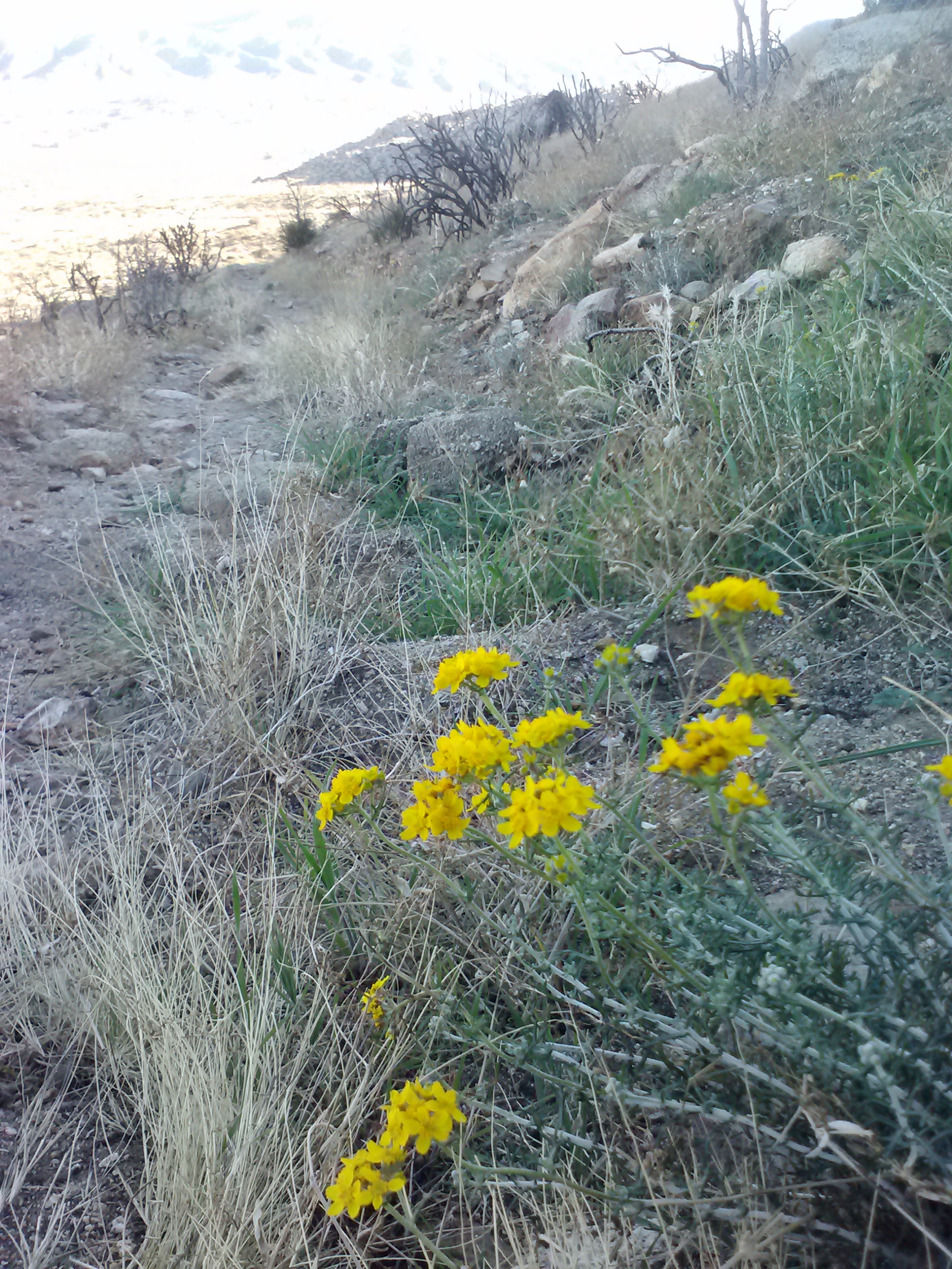
Desert flowers
The day was quickly ending and Ben was struggling. So, I grabbed the tent and hurried ahead to set up camp before it got too dark. Ben meandered on into camp just as I put up the lantern in the tent. After he’d unpacked a bit and came back from changing, he mentioned how dark it was, and I had to laugh because he still had his sunglasses on!
We enjoyed some home-dehydrated black beans and brown rice with veggies and salsa for dinner. I remembered that I’d packed my Kindle, so we busted it out and tried reading about the local geology from the Wilderness Press PCT Guidebook. It was good information, but a bit dry to read. I handed the Kindle off to Ben and he read Hitchhiker’s Guide to the Galaxy to me until I fell asleep.
Sunset just past Kitchen Creek Road
Day 3- 10.5 miles to Mt. Laguna
Fred Canyon campsite at mile 32 (CS032)
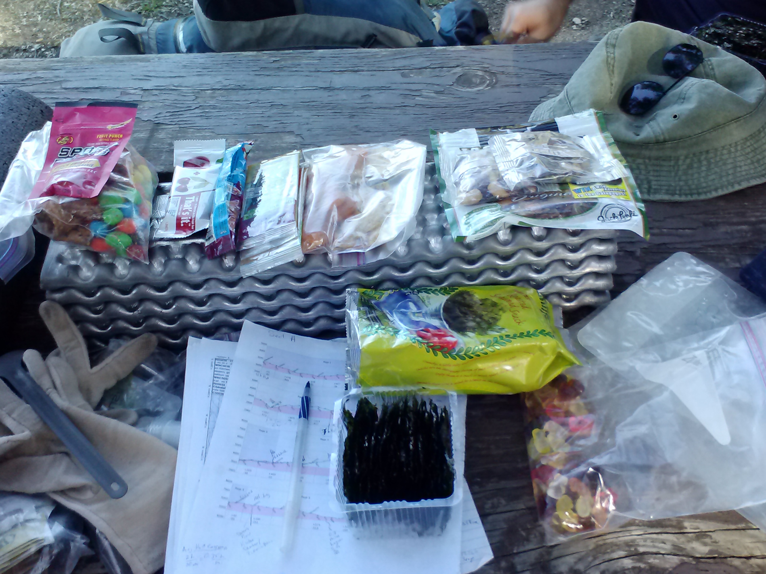
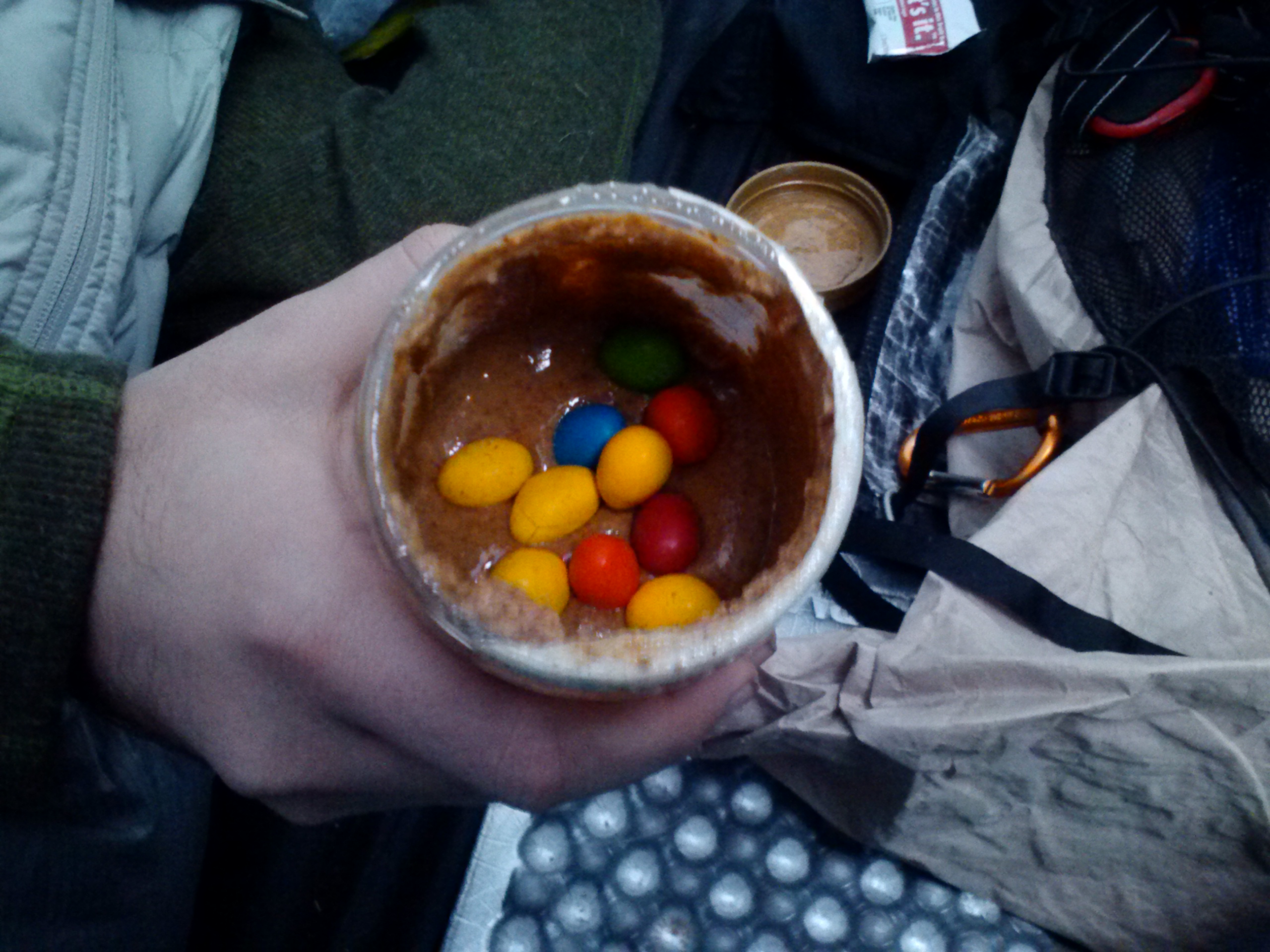
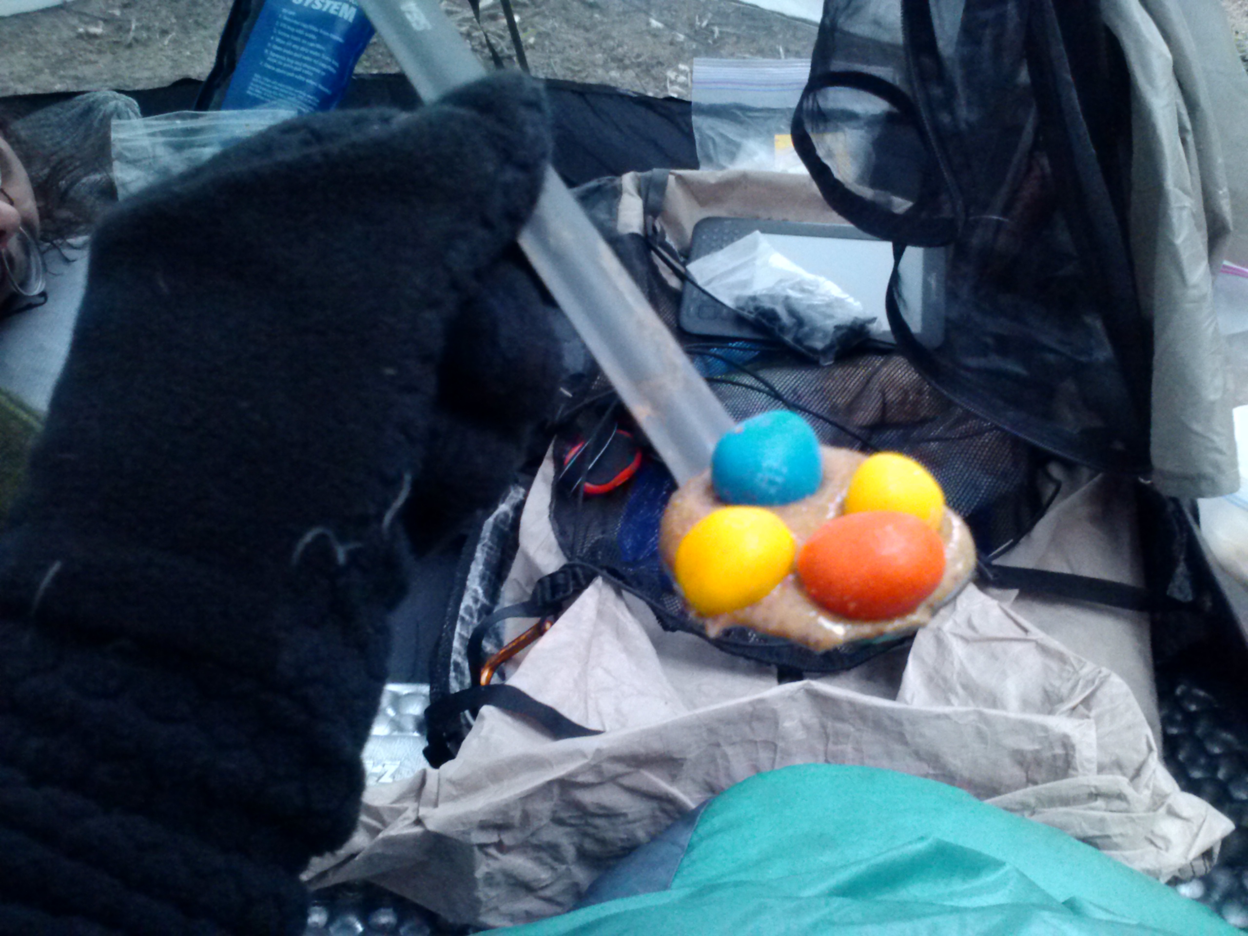
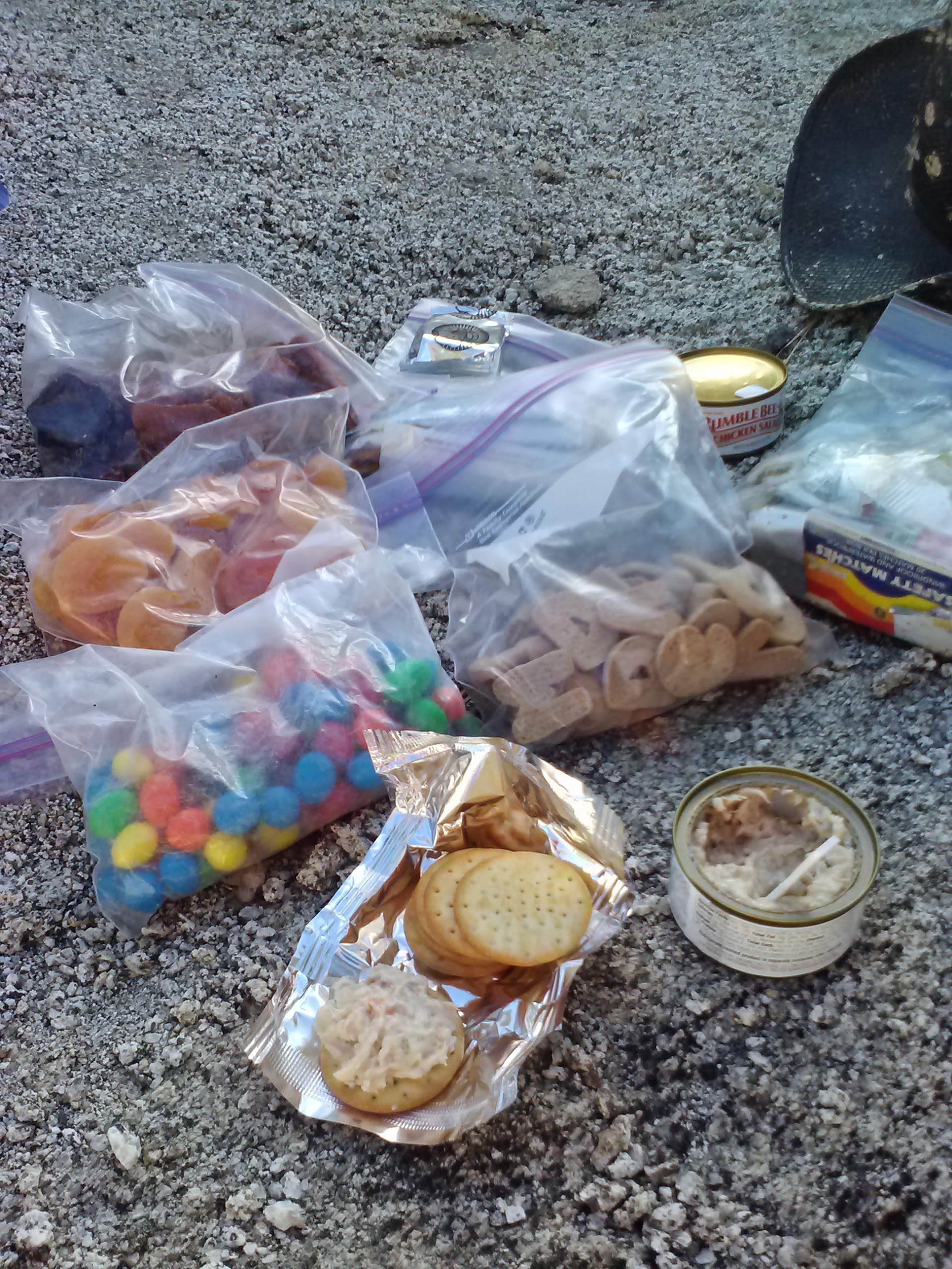
We allowed ourselves to sleep in that morning, knowing we had only 10.5 miles to hike that day. It had been a cold night for me with my 32°F bag, so I’m guessing it got below 30°F, and it made me eager to get up and start moving. Breakfast consisted of fig bars and fruit leather for me and an energy bar for Ben. We also snacked straight out of a jar of almond butter which we dropped peanut M&Ms into (a new favorite of mine!).
Peanut M&M’s in almond butter
Breakfast 🙂
Fred Canyon
Before hitting the trail that morning, Ben expressed concern about whether he should continue past Mt. Laguna or not. He felt he wasn’t in the best of shape to keep up with my itinerary. We decided to wait and see how he felt after we spent an evening in town.
Near mile 33, view towards Fred Canyon Road
Shortly after leaving camp, I came across a sign that read: “Safety Hazard. Unexploded military ordinance in this area. Stay on roads and trails.” So, apparently a military helicopter crashed in the area years ago, but they weren’t able to account for all of the explosive devices it had been carrying. Of course it figures that this would be the exact time when I really felt the need to dig a discrete little off-trail hole. ARgh!
Campsite at mile 36, according to Halfmile’s maps (CS036)
Long Canyon
Long Canyon Creek
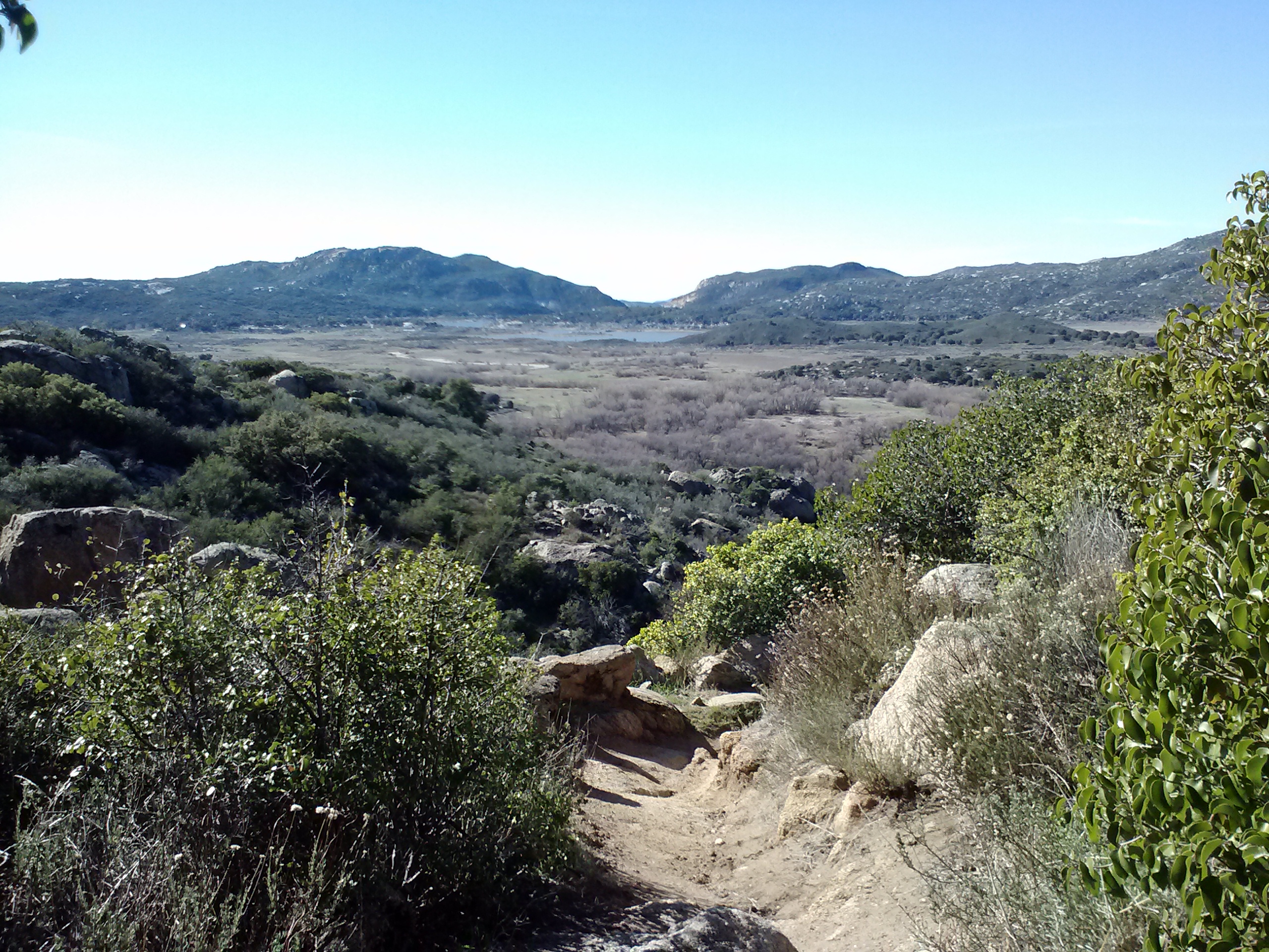
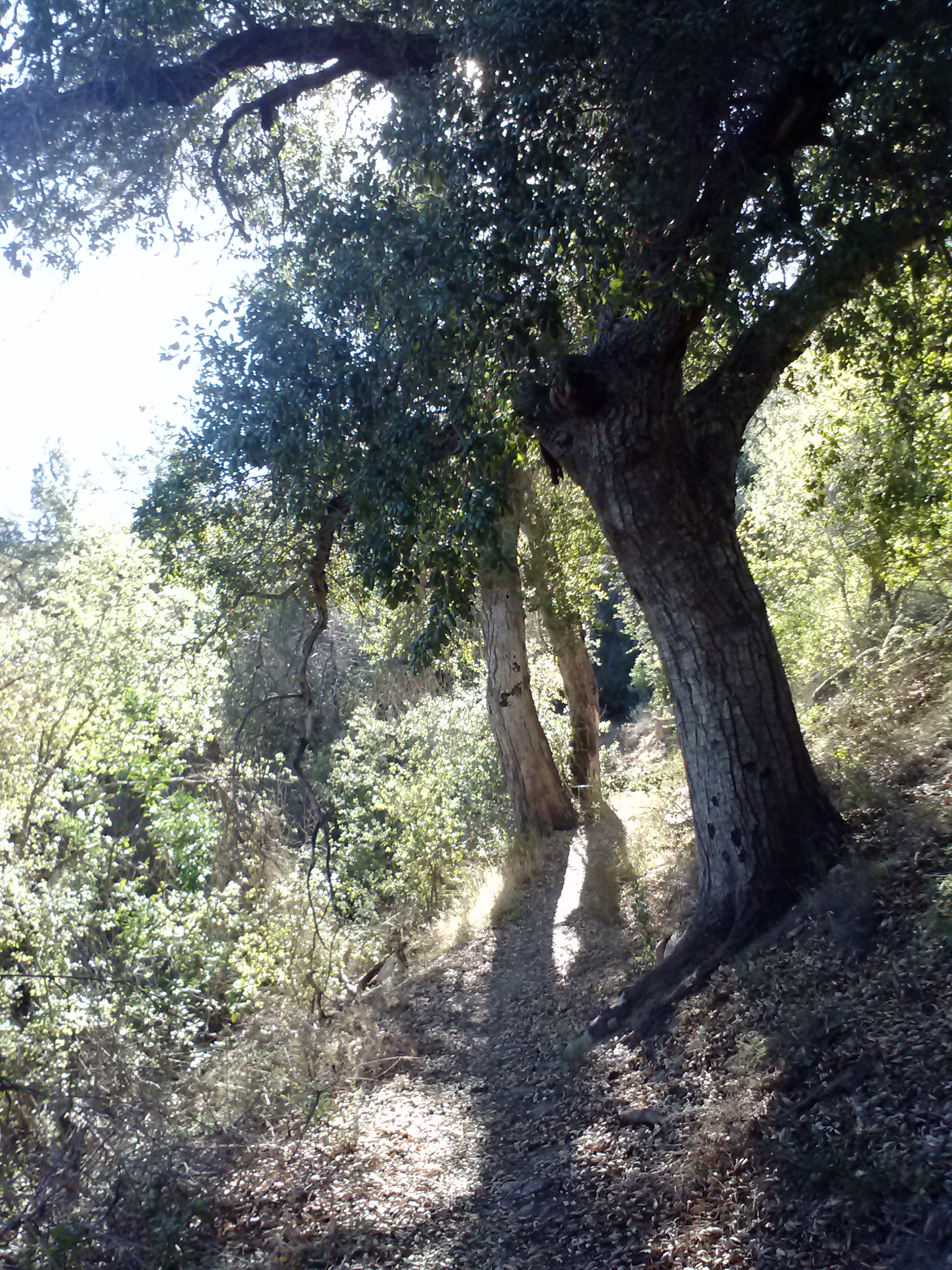
Climbing higher and higher into the Laguna Mountains brought us to Long Canyon, a beautiful little spot with lots of trees and a couple of creeks running through it. It was nice to hike through a different ecosystem and finally see more oaks and a few pine trees. We took a break near Long Canyon Creek, which was flowing lightly, to purify water.
Long Canyon
Long Canyon
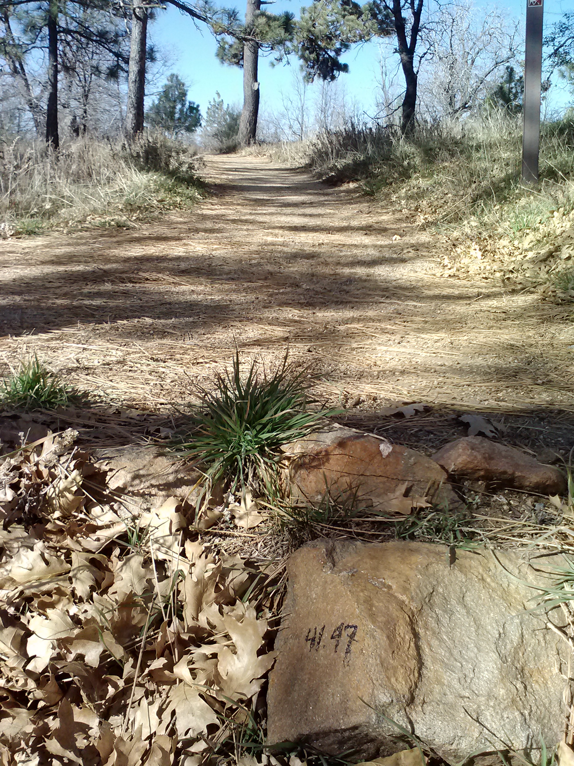
I’m kinda like a horse when it comes to hiking, I always hike faster when I know I’m headed to the barn. Mt. Laguna was my barn for the night and I couldn’t wait to get there. It was so exciting to finally reach the the trail turn-off into Burnt Rancheria Campground which woudl take us into town. We made it into the campground, but then couldn’t find our way out to the street! We walked around in circles for probably 20 or more minutes before making our out to Sunrise Hwy.
Approaching Burnt Rancheria Campground
Turn off for Burnt Rancheria Campground at mile 41.47
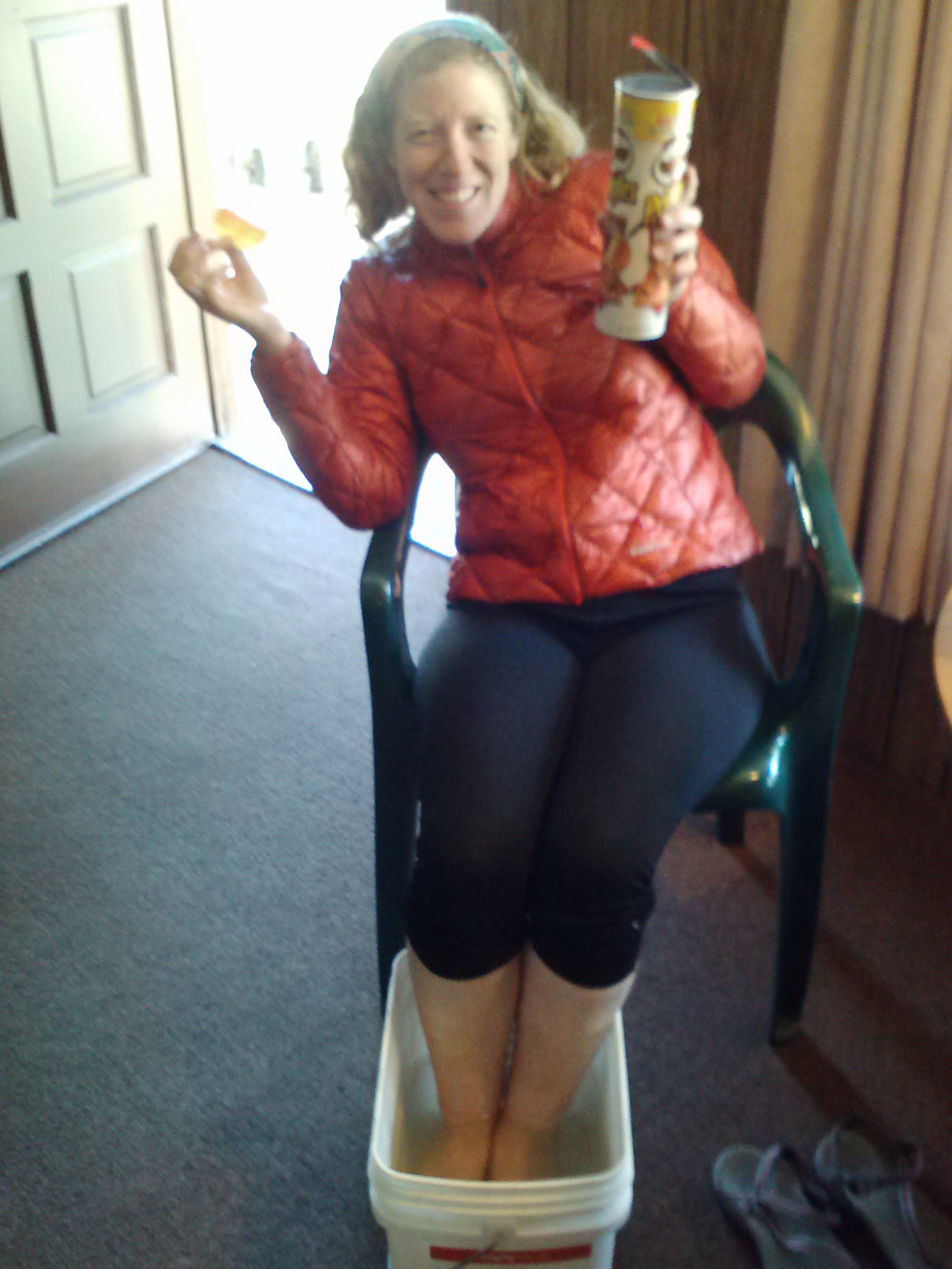
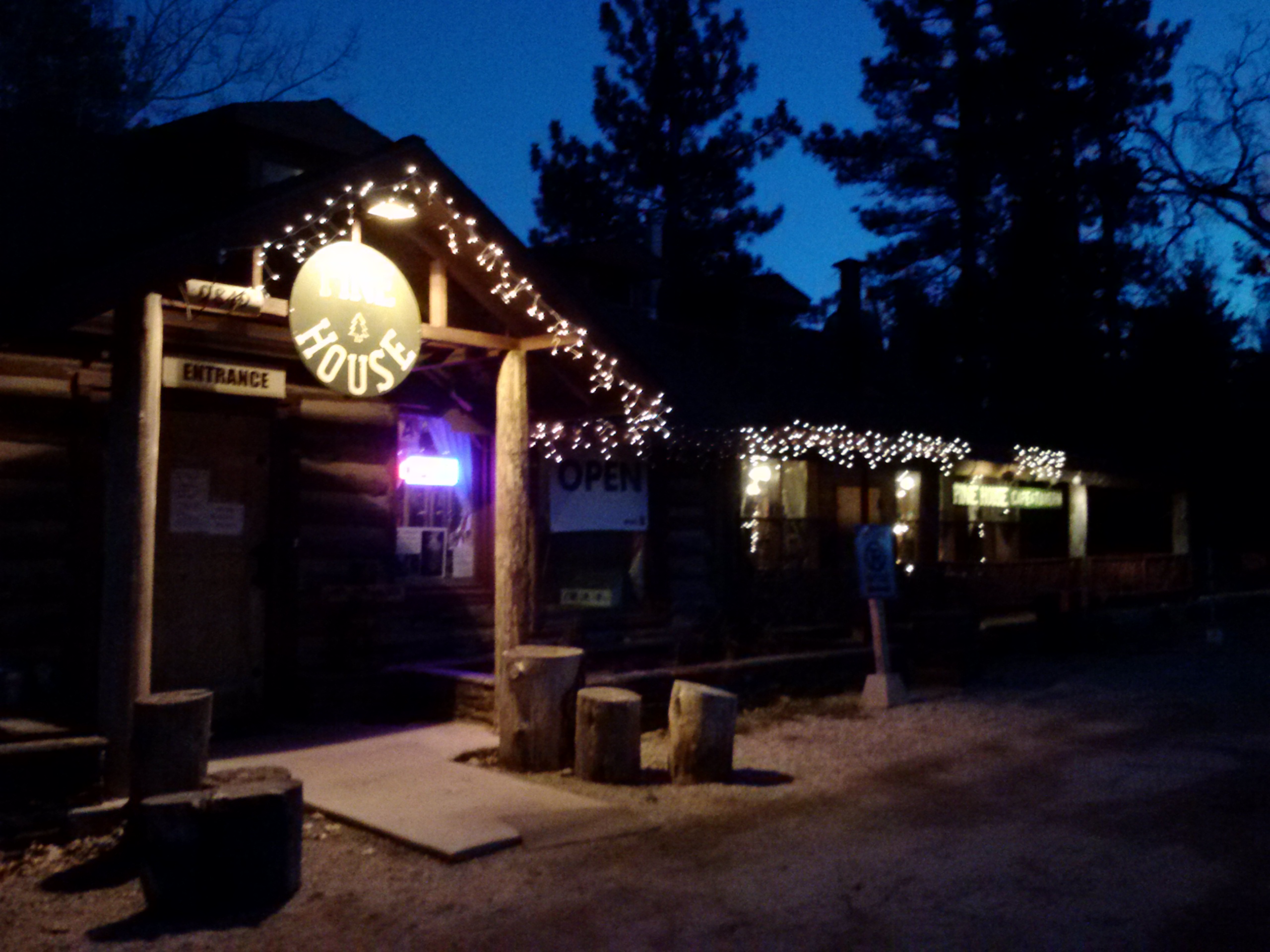
It was 1:20pm when we finally rolled into Mt. Laguna. I hustled up to the Mt. Laguna Lodge while Ben made himself a new friend, Dave Super, at little Mt. Laguna Sport and Supply shop. Dave invited us to join him and a couple other PCT hikers at the Pine House Cafe that night for dinner, which turned out to be an awesome evening of company. The first order of business, however, was to get a room at the lodge and then to shower, do laundry and organize food.
Epsom salt foot soak and Pizza Pringles <3
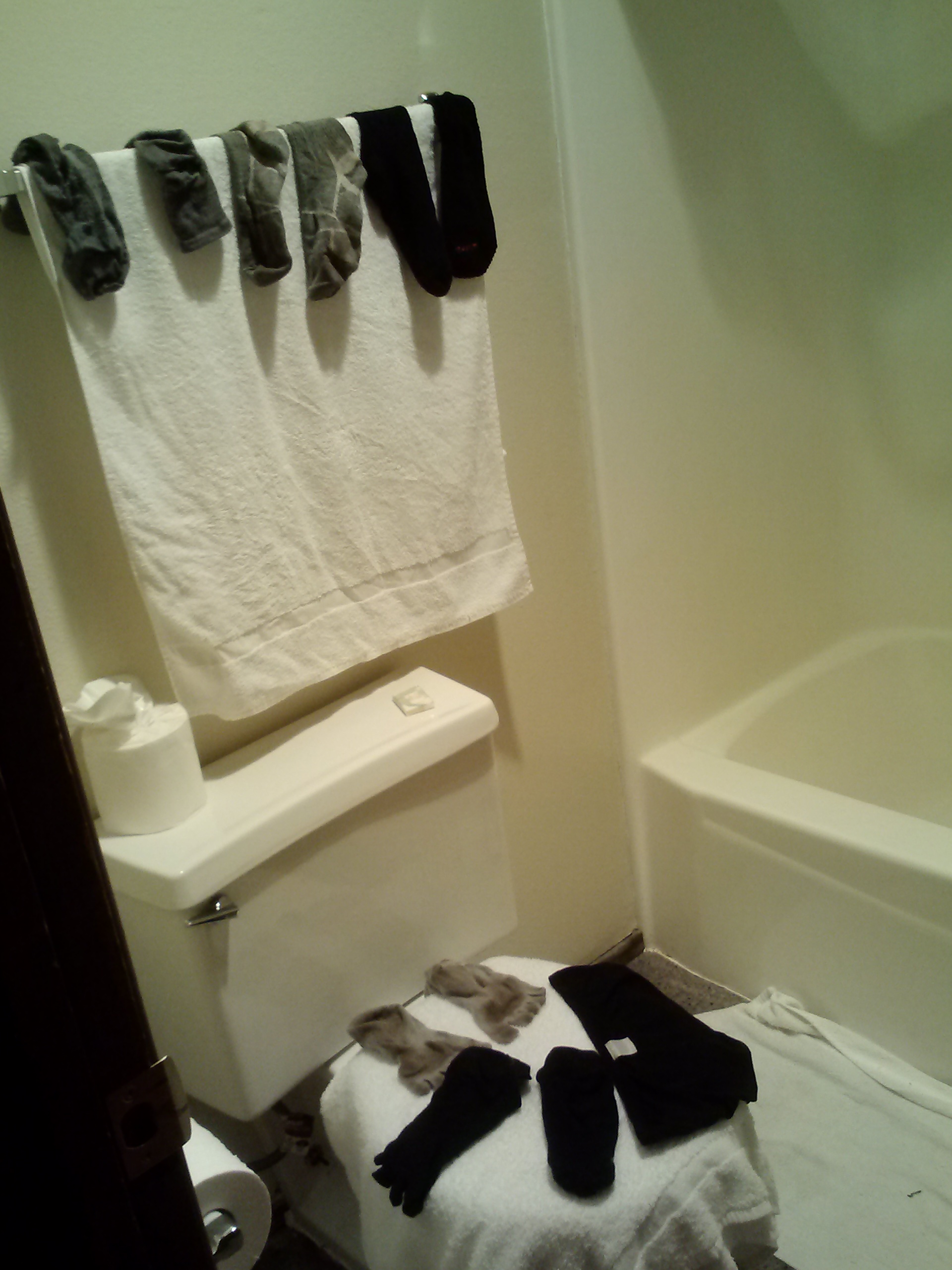
Doing laundry
Pine House Cafe & Tavern
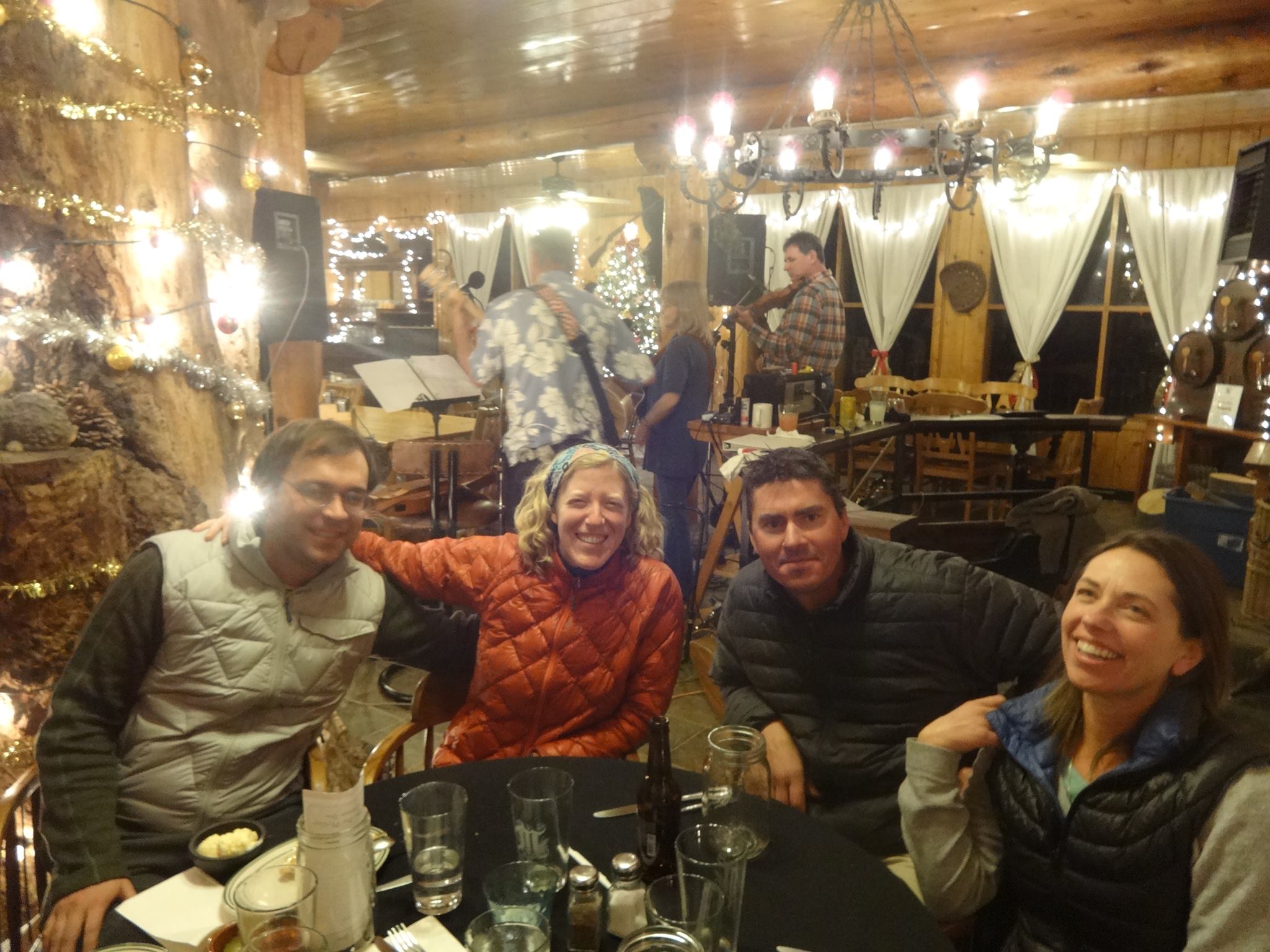
Ben, me, Beav, and Hippie Long Stockings at the Pine House Cafe
That evening we enjoyed the fine company of Dave, the owner of Mt. Laguna’s only sport shop, and two epic hikers, Hippie Long Stocking and Beav (as in Beaver). Beav was hiking from Mexico to Big Bear with another man, Eric, and Hippie was in day hiking with them for the weekend just for the exercise. To say these three hikers were experienced is an understatement. Hippie has hiked the Appalacian Trail three times, the Pacific Crest twice, and plans on hiking the Continental Divide Trail next. Beav has hiked the PCT at least twice and also the Continental Divide. The third hiker, Eric, has hiked the PCT SEVEN TIMES… !!! And I think they said he set the 2005 speed record for a yo-yo hike. (A yo-yo hike is Mexico to Canada and back to Mexico.) Beav, Hippie, and Dave were absolutely awesome, full of advice, stories, and character.
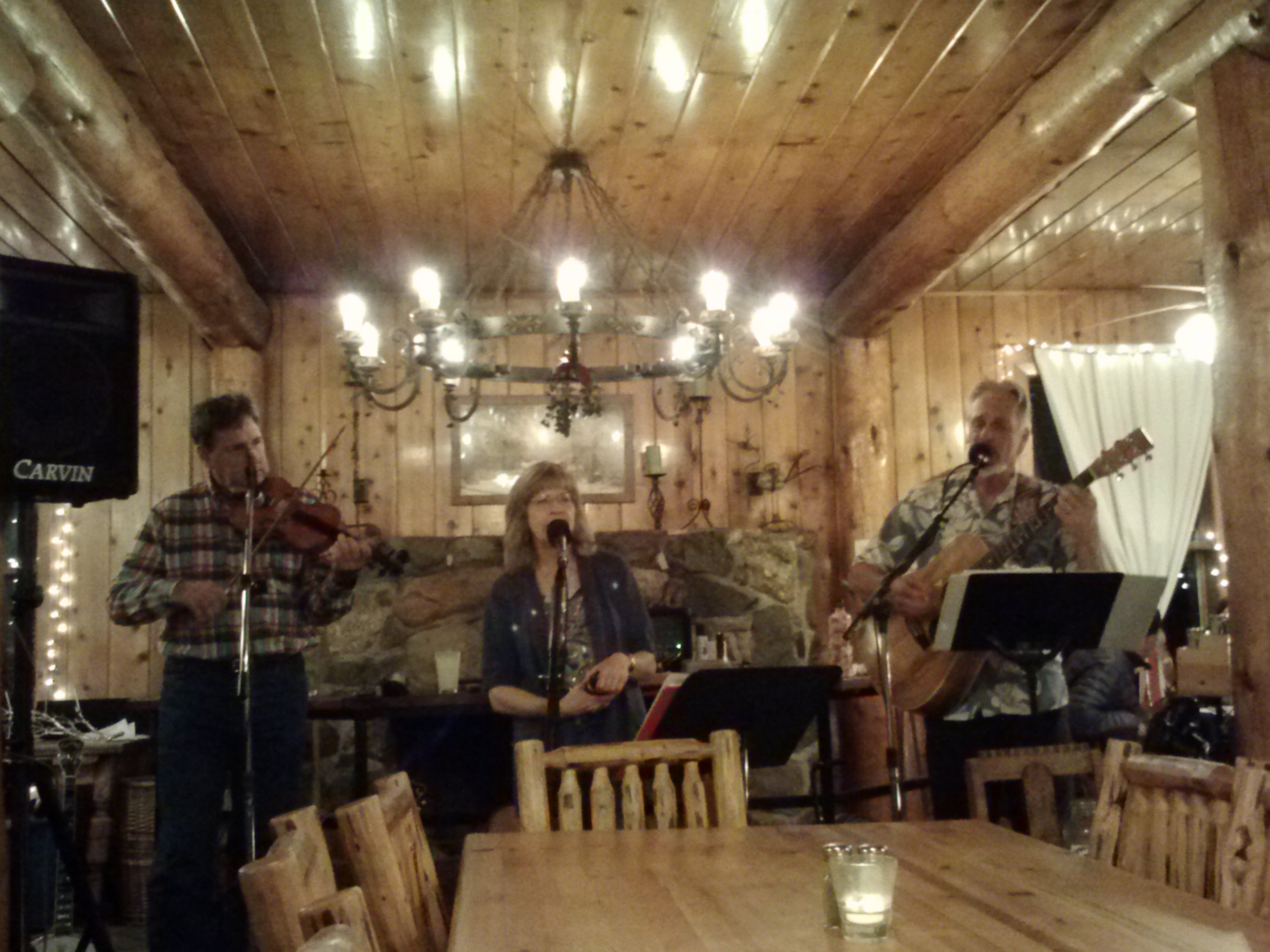
Live music
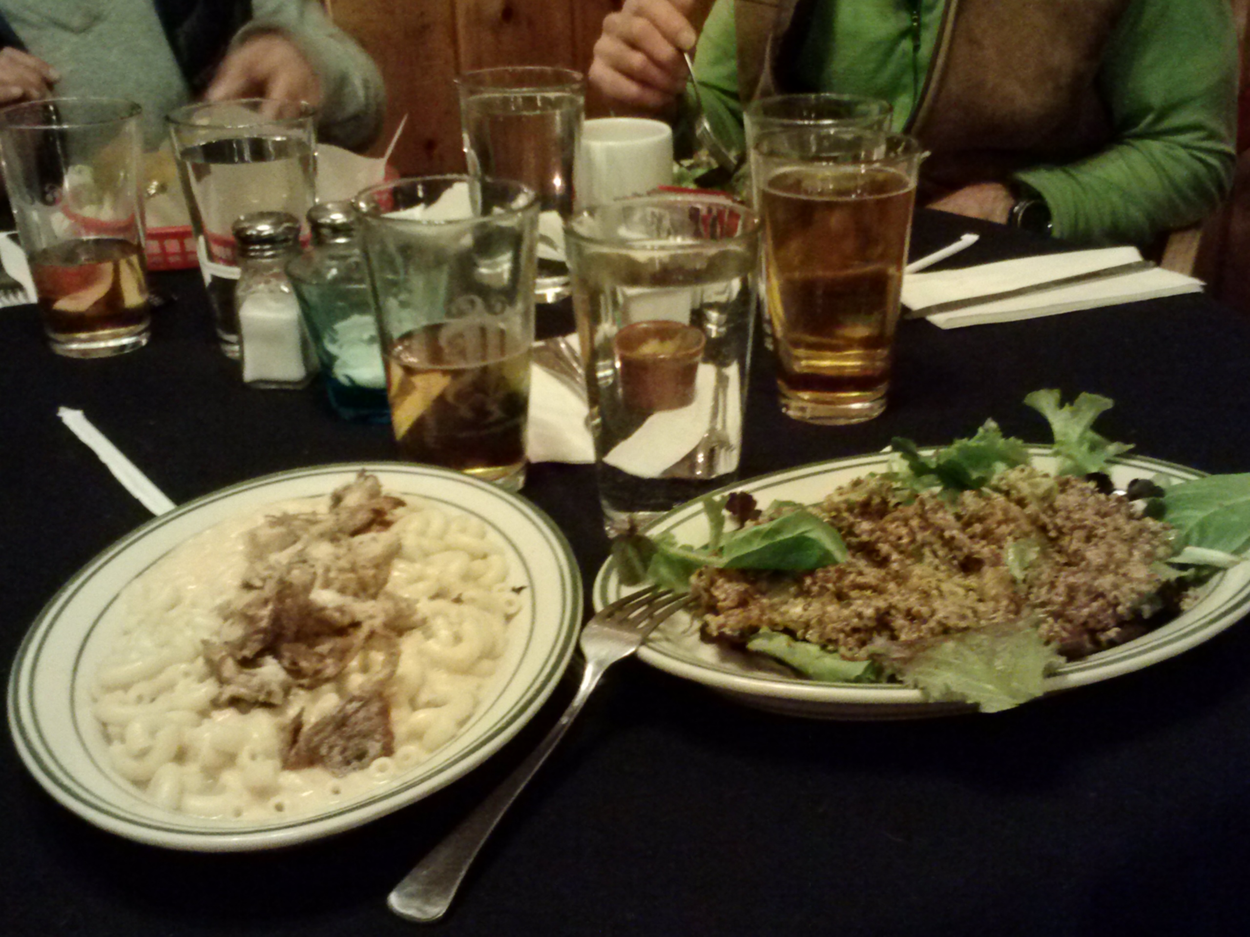
Chicken Mac & Cheese and a Quinoa Avocado Salad at the Pine House Cafe and Tavern
Day 4- 10 miles to Pioneer Picnic Area
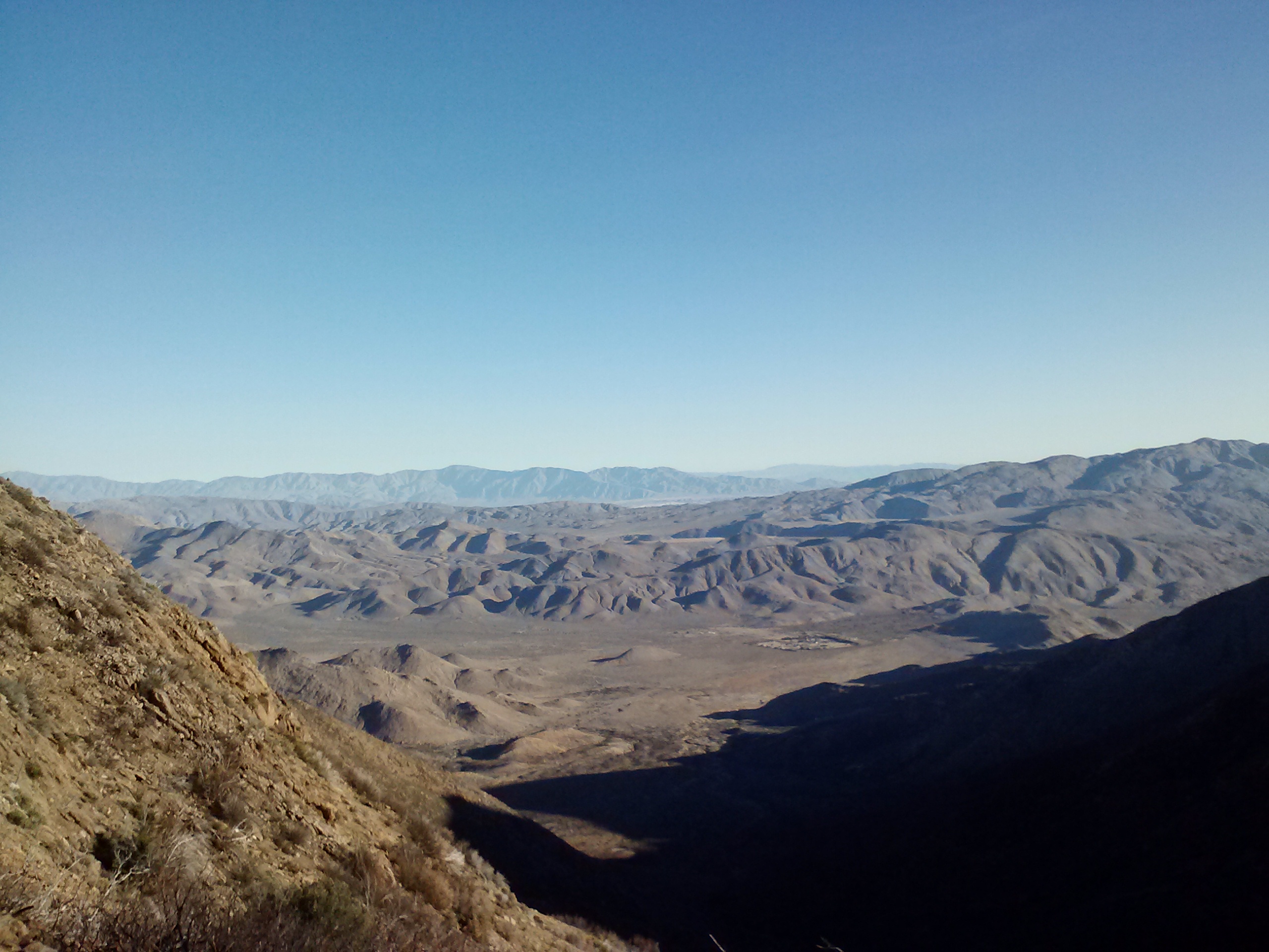
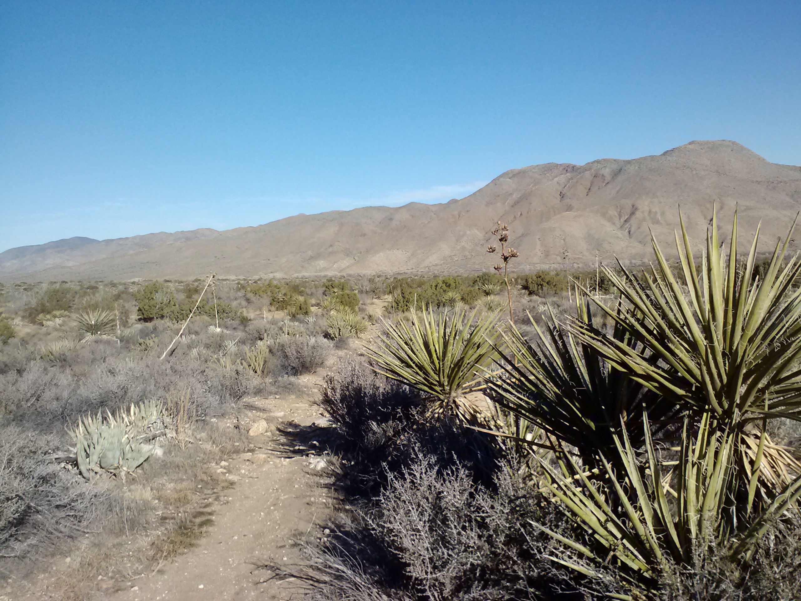
Ben and I left a resupply package with Dave from Laguna Mountain Sport and Suppy, which he would mail on to Warner Springs for us and we set-off around 10:30am. Heading out of Mt. Laguna via Desert View Picnic Area gave us our first view of the Anza-Borrego Desert far below. This desert is named for the Spanish explorer Juan Bautista de Anza and also for bighorn sheep (borrego, in Spanish). It’s California’s largest State Park and the second largest state park in the U.S.
Juan Bautitsta de Anza is well know for a 1,200-mile colonization trail he carved out between Nogales, Arizona and the San Fransico Bay Area. A National Historic Trail for hiking and driving have been established in his name along most of the path he traveled and the State Park contains part of this trail.
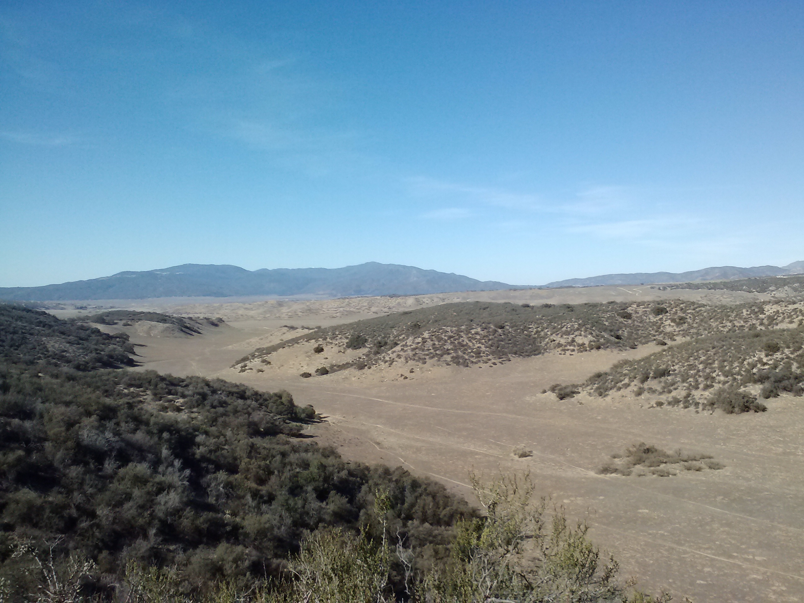
View of the Anza-Borrego Desert from the Desert View Picnic Area
The formation of this desert is actually quite amazing. About 6 million years ago, the area which is now the desert used to be part of the Ancestral Gulf of California. It was rich with sea life until the Ancestral Colorado River began carving out the Grand Canyon and depositting all it’s sediment in the Gulf. As more and more sediment filled it in, the Gulf eventually became a river delta and was receiving three times the amount of rainfall it does today. Imagine woodlands and a savannah teaming with life big and small all across the basin.
Millenia past, and the land slowly changed to desert. The first humans to settle the area were the Kumeyaay people, 1,500 years ago.
Since this land depression, called the Salton Tough, has had such a long and contiunous deposit of sediment, the Anza-Borrego Desert is believed to be the best source of tracking fossils and environmental changes throughout the past 2.5 million years. It’s archelogical finds include plants, mammals, and pre-columbian rock art by Native Americans.
The next 10 miles of trail presented us with the most beautiful views I had seen on the trail so far. Unfortunately, my battery died just after taking the picture at Desert View Picnic Area. I was so bummed. I had kept my smartphone plugged into my solar charger for the entire day before, but because of cloud cover, it never really charged up. When there’s good sunshine, the Suntactics charger works great, but you’re screwed if you’re stuck in shade or a cloudy day.
Ben moved slowly all morning, struggling with the 6,000 ft elevation of the Mt. Laguna area. We took our time, stopping to enjoy the views and stretch. I had hoped spending the night in Mt. Laguna would have helped him more. I always underestimate how much elevation is going to effect the men I drag along on these journeys.
It took us almost 4 hours to hike 6 miles that day and Ben continued to drag more and more. I assured him we could take as much time as he needed and probably camp at Pioneer Picnic Area for the night, and he continued with his internal struggle. Just as we passed a few day hikers coming up Noble Canyon Trail from Sunrise Hwy, Ben stopped in his tracks and said, “I’m done.” He’d been grappling with whether to stay on the trail or not for the past couple of days, and just like that, something inside him said, “Stop here.”
At first, I wasn’t sure if he meant he needed another break or if maybe he meant we could set-up came for the day right in that spot, but when I saw him teetering- I actually thought he might faint!- I knew he meant he was getting off the trail. There were no hard feelings. I’m very proud of him for backpacking 48 miles on his very first trip ever!
We exchanged a few pieces of gear. From him, I grabbed the two-person Tarptent and the Klymite X Frame sleeping pad he’d been using. We also traded sleeping bags. I had been using my 32° Mountain Hardware bag, but had been feeling chilly on the sub 30° nights, so I took the REI 25° Halo bag he’d been using. This meant my pack would be heavier, so I handed off my sandals, my mini foam roller, and an extra thin, foam sleeping pad, which Ben would take home to Santa Barbara for me. Luckily, we were so near Mt. Laguna and Sunrise Hwy he would be able to easily hitch a ride back to town. From there he would figure out a way to get back to Santa Barbara.
We shared a big bear hug and then trotted down the trail in opposide directions, Ben towards the Noble Canyon Trailhead and me towards Canada. I moved fast hoping I could make up for lost time, breezing past all the day hikers. After only 45 minutes, I past a scrappy looking dude with a day pack and a bouncing behind him was a goofy looking lady in a skirt with a pink shirt, pink leg warmers, a cowboy hat, and headphones- it was Hippie! The scrappy dude was her friend Eric who I hadn’t met at dinner the night before because he’d stayed at the campground. She asked where Ben was, I said, “Ben bailed!” She said, “That’s his new trail name!” Sorry Ben. : ? Hippie asked what I was going to do, and I insisted that I was going to KEEP GOING. She suggested staying the night with them at the campground in Mt. Laguna, but “NO! I’m going to KEEP GOING!! I can handle this!” She laughed at me, and then she clarified: she’d come back down Sunrise Hwy that evening and pick me up wherever I decided to jump off, drive me up to Mt Laguna for the night, and then drive me all the way back to the trail in the morning to pick up where I left off. <3 What an awesome lady. I couldn’t believe ANYbody would do that- I was ecstatic at the idea. We agreed to meet around 5:00 near a particular turn-off 6 miles up the trail.
I ended up hiking only a few more miles to Pioneer Mail Picnic Area and then hoped off the trail to Sunrise Highway. I figured I’d wait for her there because I wasn’t sure I had enough sunlight to make it to the designated pick-up stop. Turns out I only had to wait 5 minutes before Hippie’s giant truck, Melissa, pulled up. She and Eric were headed to the town of Julian for pizza and the football game and were going to pick me up on the way back to Mt. Laguna. Seeing as I was there, they dragged me down to Juian- I wasn’t complaining.
It was an evening full of surprises. Once back in Mt. Laguna several hours later, we went on a mission to locate Ben. Once accomplished, we all reconvened at Pine House Cafe for a 2nd night of dinners and drinks with Beav and Dave. I decided to crash with Ben at his lodge room because it would be warmer than the campground, even though Hippie did offer to let me sleep in the back of her truck with her. Staying at the lodge meant another shower and a nice squishy mattess!
Day 5- 21 miles to CS073
Melissa & Hippie
View of the Anza-Borrego Desert from the Pioneer Mail Picnic Area
Just above Pioneer Mail Picnic Area
After a couple of 10-miler days and two nights at the Mt. Laguna Lodge, I felt thoroughly rested up. The trail from Pioneer Mail Picnic Area was mostly flat with a couple of downhill stretches. The old, abandoned Sunrise Highway just above Pioneer had stunning views of the desert valley. I wish I had known more about it’s history before hiking through it; maybe next time I’ll actually read my guide book while I’m out on the trail.
A memorial rock
More PCT graffiti
I passed an interesting memorial rock along the old road. It was covered in 9-10 memorial plaques to different people from all walks of life. Some looked like they might have been outdoor lovers, others military. I’m guessing it was a favorite spot for them and their loved ones scattered their ashes from the top of the rock. It offered an expansive vista thousands of feet about the valley floor.
A couple of scrappy day hikers at CS064
Hippie Long Stocking
After practically skipping down the flat trail for half the day, I finally started descending into a canyon. It was the steepest grade on the PCT I’d seen in all of Section A, so I decided to hike backwards. I’m actually pretty good at it now and it’s not at all hard on the knees!
Once at a campsite at the bottom of the canyon, I stoped for a spicy tuna lunch with crackers and fruit leather. I was a little on edge because it felt so quiet once I’d stopped hiking. From the top of the canyon, I thought I heard someone yell, but no one responded when I called back. I figured maybe some mountain bikers where cruising along the fireroad at the top.
To my surprise ten minutes later, Ben and Hippie came barrelling off the trail into the campsite! Hippie had offered Ben a ride to an Amtrak station, but since his train wasn’t until later that evening, she dragged him out on a day hike to catch me. I was so glad to see them! Ben was up and moving, despite the disappointment of getting off the trail, plus he’d just purchased an awesome Go-Lite backpack of his very own from Dave in Mt. Laguna. He wasn’t turned off to backpacking! He was actually interested in doing it again, and with his OWN gear!! That made me happy.
Hippie gave me some pointers about campsites, told me not to be afriad of the coyotes I’d be hearing at night, and that Beav and Eric were going to jump on the trail at Scissors Crossing tomorrow. She said if I hustled, I might be able to catch-up and hike with them for a bit. Right, fat chance; but still, it motivated me knowing they’d be out there.
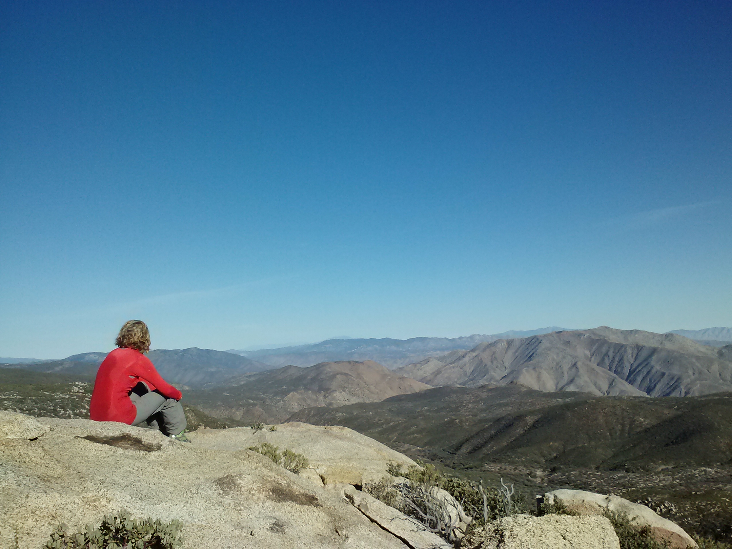
Looking towards San Felipe Valley
I wasn’t sure how far I’d hike that day. I knew there were campsites near Scissors Crossing, but that would’ve made for a 25 mile day which I didn’t feel ready to handle. Instead, I aimed for a lone campsite near Halfmile’s mile 73 on the side of Granite Mountain. It would mean a 21 mile day, but I was hiking really well and sometimes, there just aren’t too many options for campsites. That’s another reason I love using a bivy instead of a tent. I’m constantly seeing spots big enough for my little bivy sack that my one and two-person tents can’t fit into.
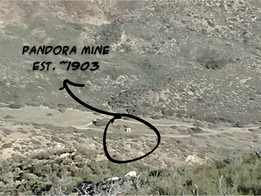
The Pandora Mine at the bottom of Rodriguez Canyon
If you’re into stuff about mines, check out the Mindat.com article on the Royal-Pandora Mines of Rodriguez Canyon here.
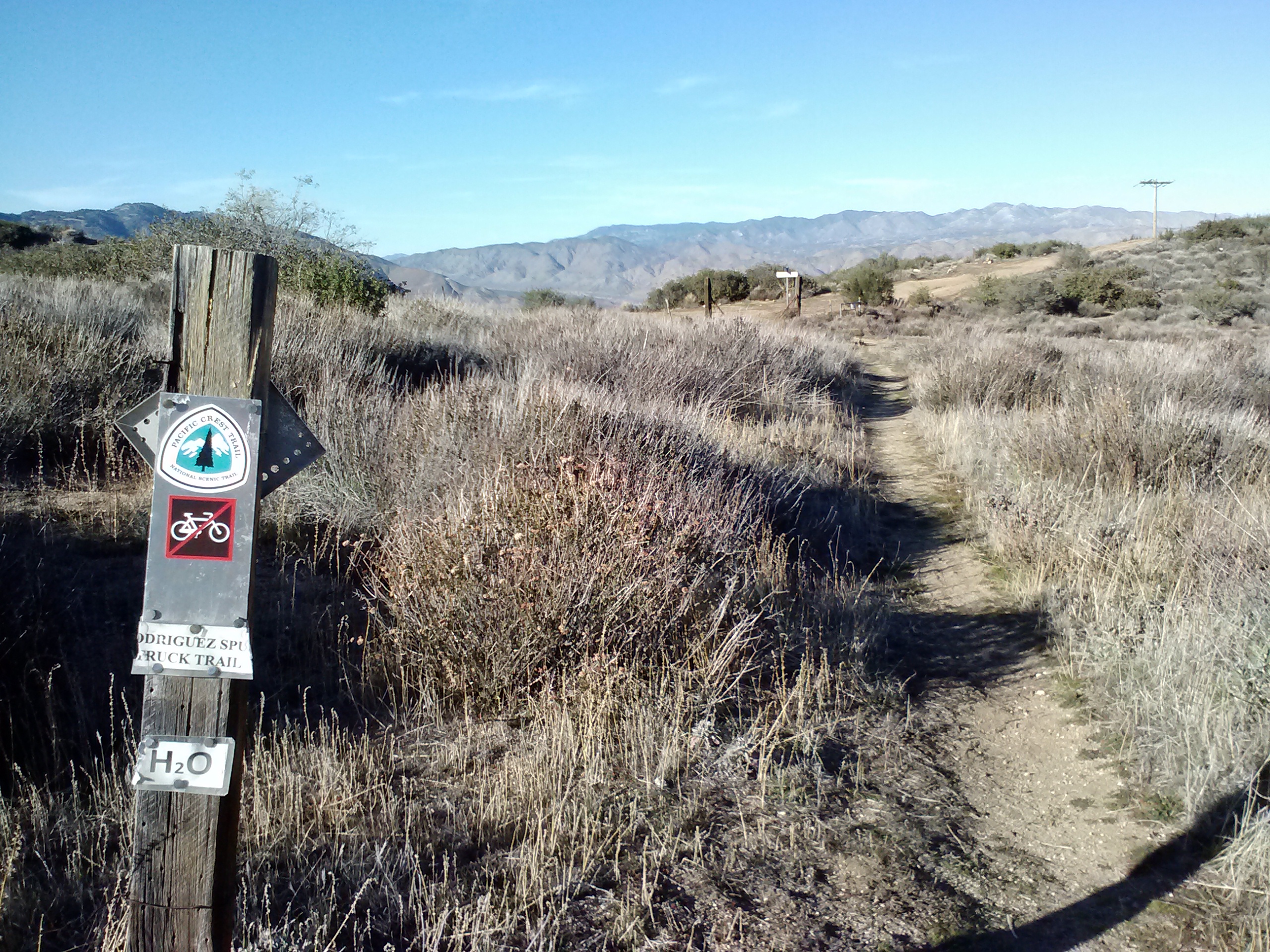
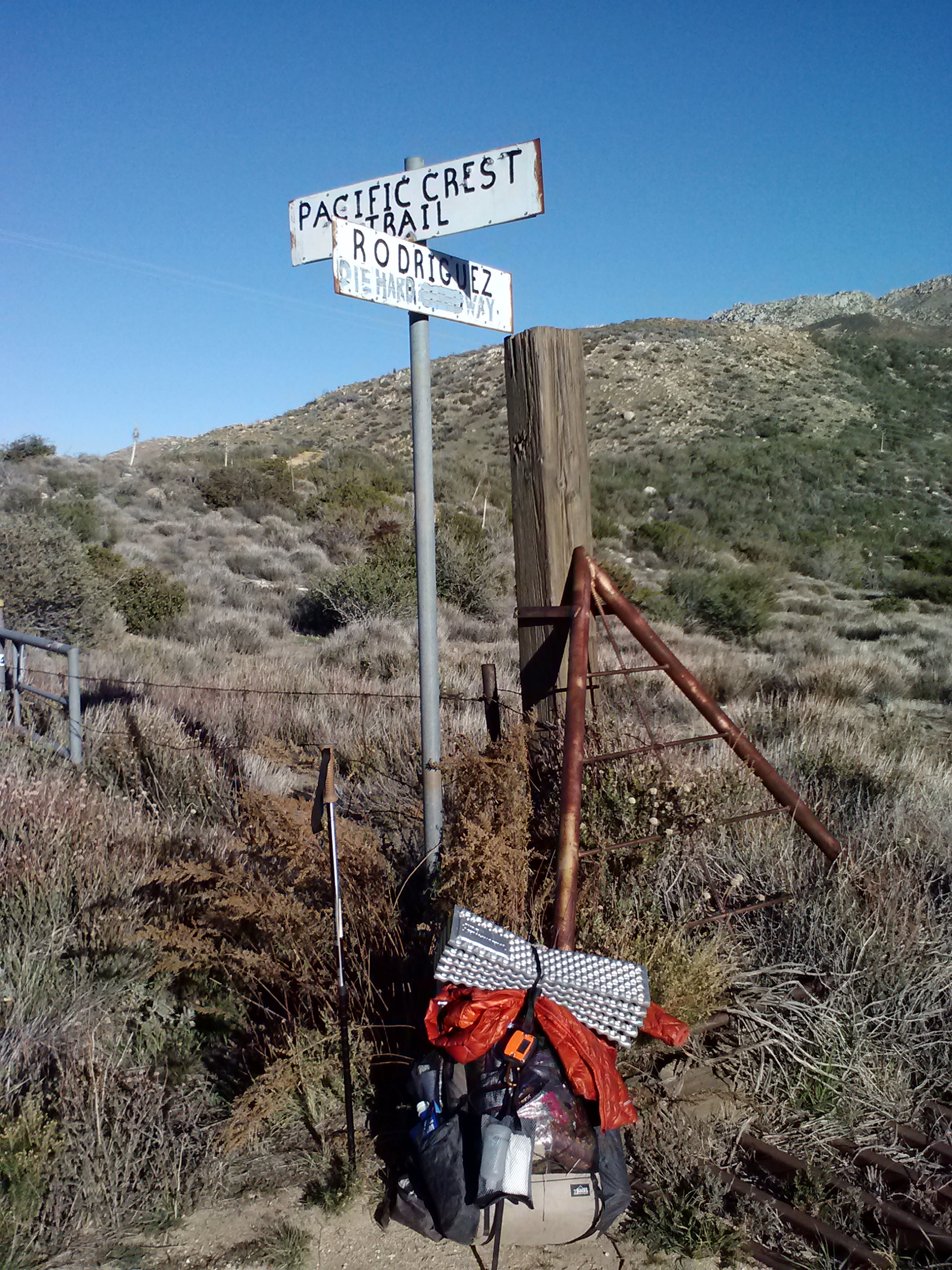
Junction of the PCT and Rodriguez “Die Hard” Way
The Rodriguez Spur Fire Tank hose
The water at Rodriquez Spur Fire Tank was great and it was a lovely spot. I had thought about taking it easy and just camping there for the night, but Hippie had mentioned sometimes the locals aren’t too keen on PCT hikers using that campsite. I think because it’s private land. Her warning was enough to move me along. Plus, what would I do with another 3 hours of daylight if I wasn’t walking?!
I continued walking, seeing a few campsites large enough only for bivy camping. As the afternoon sun sank in the sky, Granite Mountain’s huge shadow spread out over the trail and the valley below. Hiking in shadows always makes it feel like it’s later in the day that it actually is and I picked up the pace to find a good campsite before it got dark.
Entering Earthquake Valley
View of the valley from campsite at mile 73
Campsite at mile 73 (CS073)
I need me some Dirty Girl Gaiters!
I was so grateful to finally arrive at the campsite. My feet and muscles were really aching, I was starting to get cold because I’d been hiking in the shade for over an hour, and I was feeling spooked about being alone. Even as I set up my tent, I kept looking over my shoulder and scanning the ridge above me looking for girl-eating animals. Once inside my tent, though, all those fears melted away. Looking out across the valley with the soft pastel colors of sunset was peaceful and exciting at the same time. I’d put in the mileage, done it alone, and was reaping the benefit looking out of my little front door.
The sky that night was incredible. All the little points of light reminded me of a Native American myth I’d heard as a child about a bird who poked holes in the blanket of night and created the stars. I laid in my tent and looked out the open door waiting for satellites and shooting stars. That evening I saw one of the brightest shooting stars blaze across my view. It was the perfect end to the day.
Day 6- 19 miles to CS093 (Third Gate Cache)
I awoke warm and cozy the next morning because I’d had such a great night’s sleep. It hadn’t been very cold at all on the side of the mountain and my bed had been extra cushy since I doubled up my Thermarest Z-lite and Klymite X Frame sleeping pads. I think that combo is my new favorite camping gear discovery. I’m going to work on making that set-up lighter, maybe cut down the Thermarest to torso length or purchase a torso length version of the X Frame.
Skirting across the valley floor
I had only 3-4 miles to hike before reaching Scissors Crossing. The floor of Earthquake Valley turned out to be way more fun that I thought it would be. It had all sorts of Seussical looking plants, most bigger than I imagined desert plants to be. Scissors Crossing is the junction of Hwy 78 and Country Road S2. This area contains several historic routes and outposts that had been used since the earliest days of Eurpean colonization of Southern California. Check out the Wikipedia article on San Felipe Station, which was used in the 1800’s as a rest stop for travelers, mail delivery, and a military outpost.
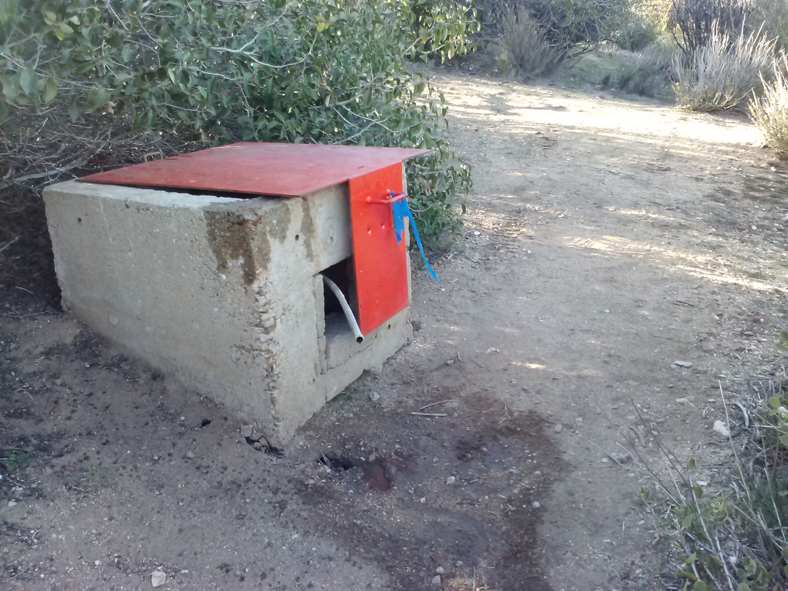
Scissors Crossing Water Cache
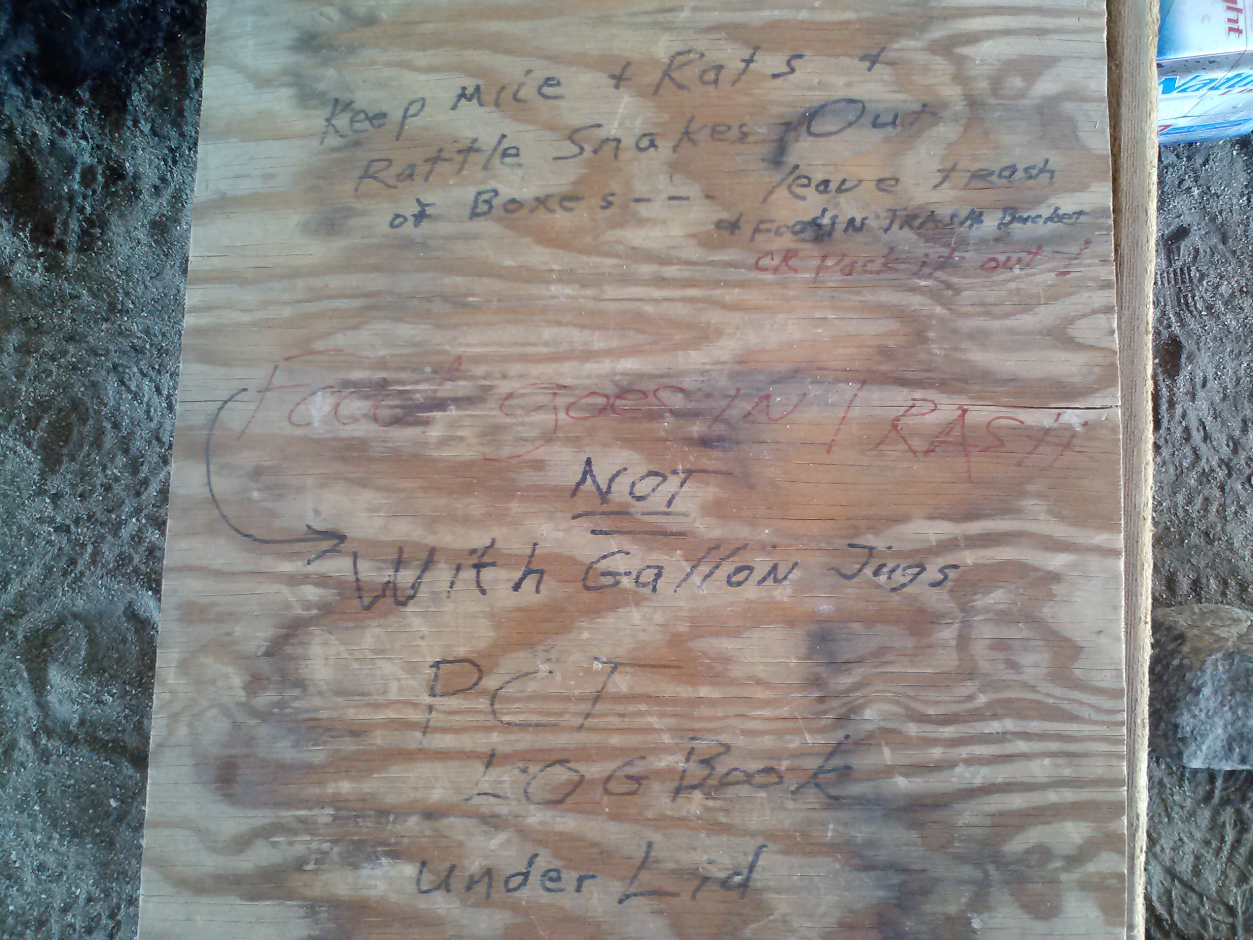
Cache site instructions
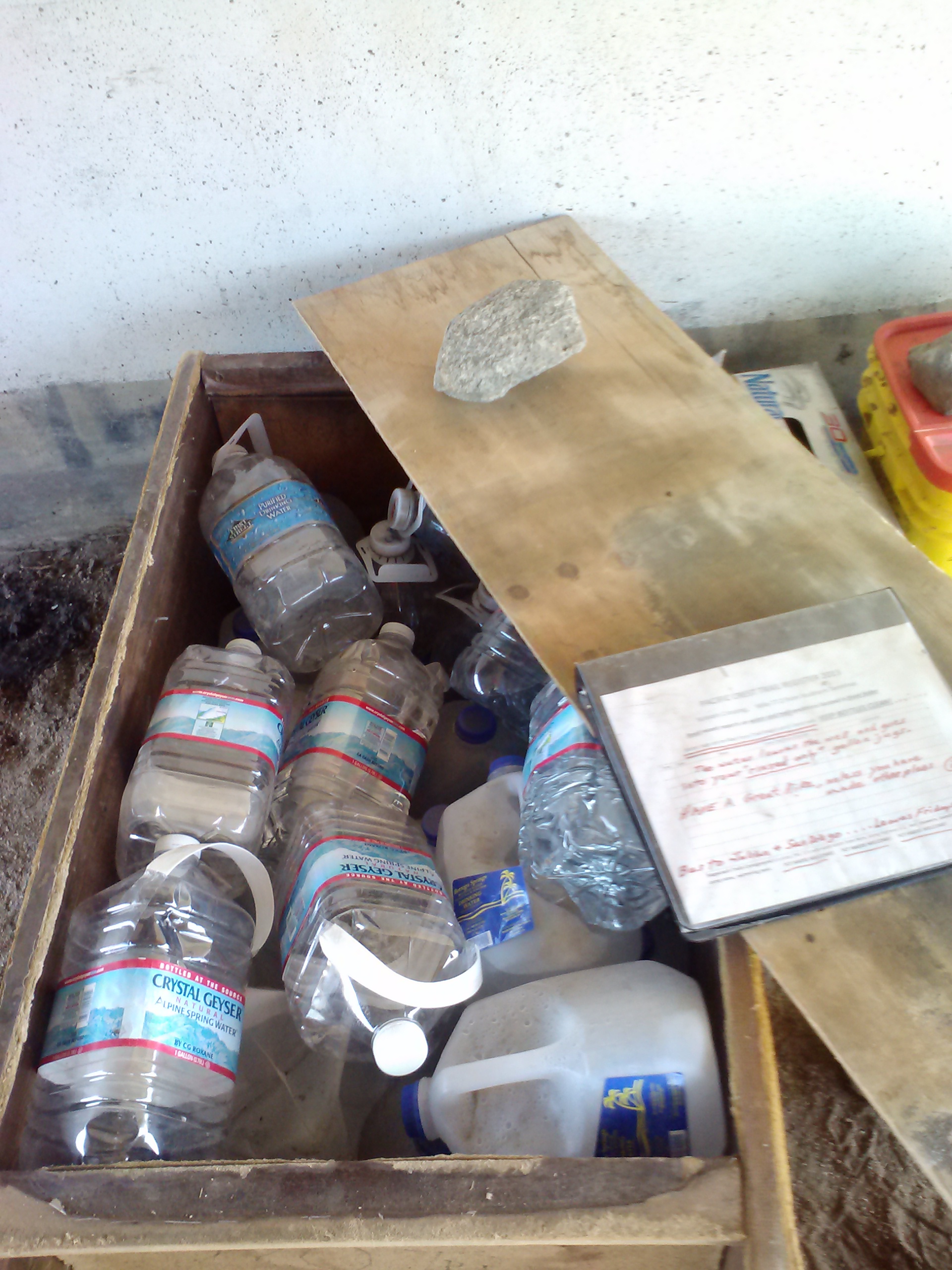
Scissor’s Crossing is a very important stop along the PCT because it’s a water cache in the middle of a very long and very dry stretch of the trail. A local named Larry generously stocks the cache with gallon-sized bottles of water, a trail registry, and a little trash bin, which he empties himself. This was the cache where Ben and I dropped water off to before we hit the trail, not knowing it was so well tended!
Lots of water!
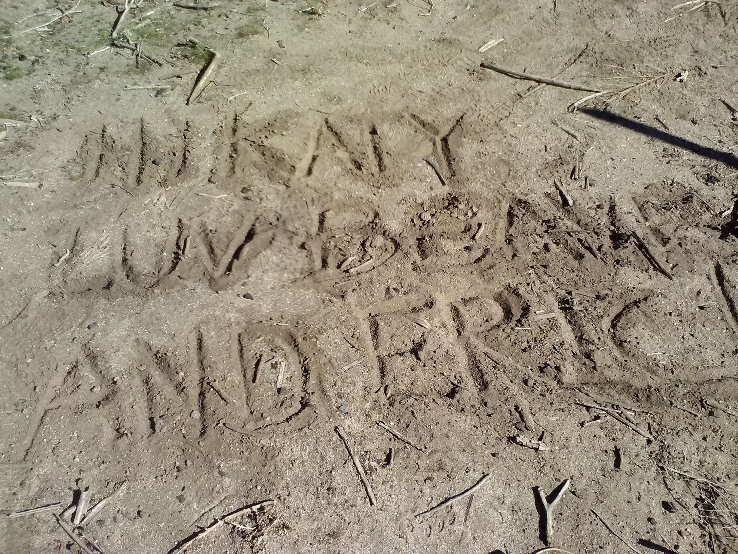
Dirty notes
I hung around the bridge until my solar changer fully charged my phone. As I head out, I noticed a note in the dirt from Eric and Beav. It made my day. I wondered how long ago they’d left the bridge and if, just maybe, I might be able to catch them.
The climb up Grapevine Mountain was exhasuting. It turned out to be a really hot day even though it was December 31st. I was graced by even more beautiful and exotic looking desert plants. They were so elegant they looked like decorations from IKEA… blerg, what does that say about me?
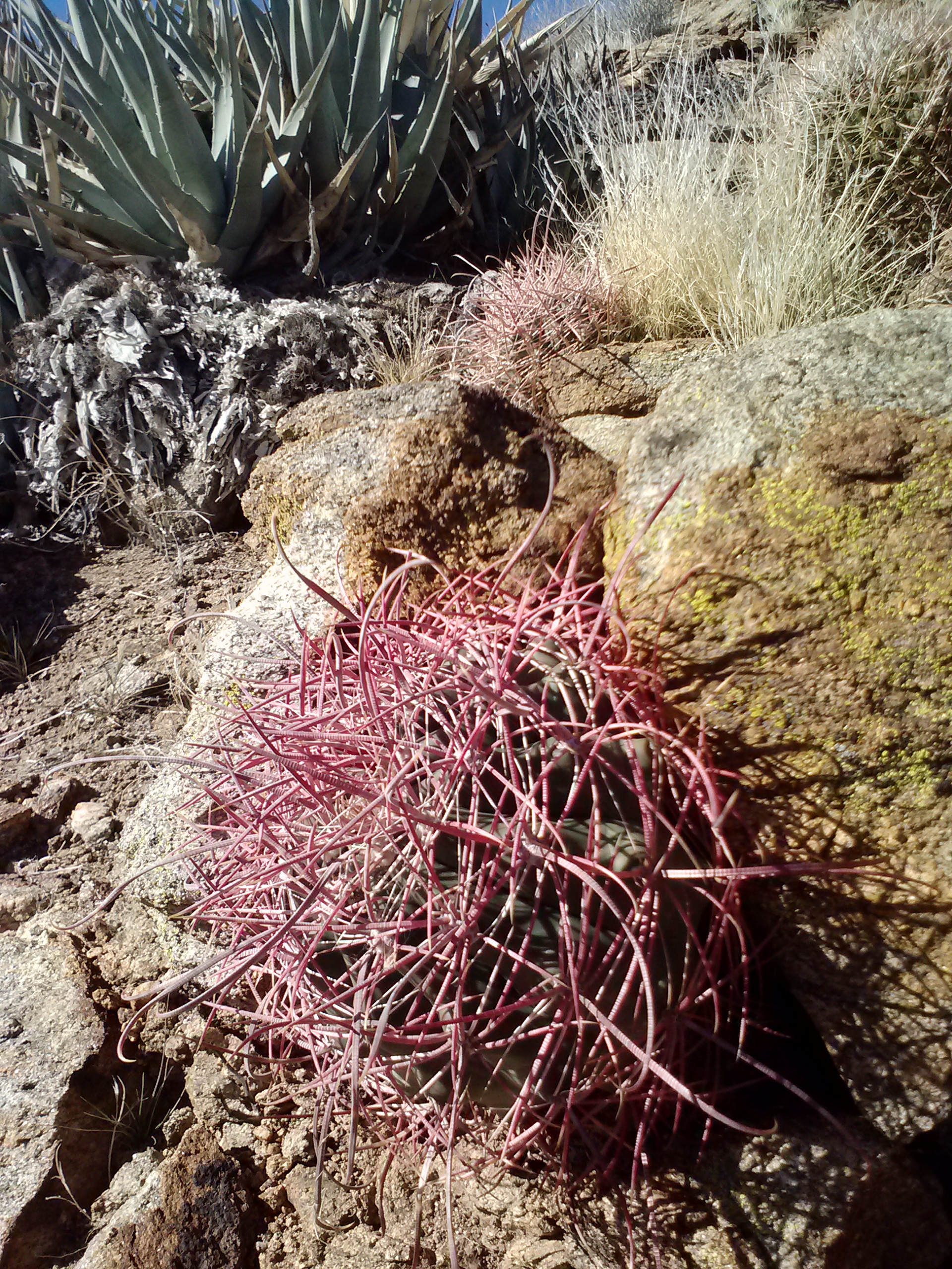
Fishhook cactus
Ocotillo on the San Felipe Hills
Across the San Felipe Valley, on the trail’s western side, are the Volcan Mountains. They create a rainshadow, catching all the rain clouds from the coast, making them wetter, greener, shadier- the ideal choice for the PCT instead of the dry and exposed San Felipe Hills-and they’re privatedly owned. When the trail was being built, the landowners on the Volcan Mountains didn’t allow the trail to cut through their property, so we’re now stuck with the dusty ol’ San Felipe Hills. Thanks, guys!!
I passed a couple older hikers going the opposite direction, and they both said the boys (Eric & Beav) were pretty far ahead. I gave up on the notion of seeing them again. As I approached the top of my climb for the day, the trail leveled out only to produce one very funny looking Eric wearing an Angry Birds beanie. I guess he and Beav had taken a long break and they were just about to shove off again. I was overjoyed to see them, but as Eric started hiking, I knew there was no way I would be able to keep up. Both of them had longer, stronger legs and they carried 8-10 lbs ONLY on their backs. I hadn’t even guessed how much my pack weighed now that I was carrying fuel for two people, the bulky Jetboil, a two-person tent, two sleeping pads, and a heavier sleeping bag. (At least my pack itself was ultralight!)
Eric floated far ahead, but Beav lingered at my pace to chit chat. He was much more social than Eric, and seemed to have a lot on his mind. He’d recently lost both his grandmothers and was now trying to cope with his mother’s illness. Nonetheless, he kept his head up and loved talking, so I enjoyed his company! We reached Third Gate Water Cache to find Eric already curled up in his sleeping bag. Beav griped for awhile about his hyperlight gear set-up saying he missed not having a tent and stove (doing it just so he could keep up with Eric’s crazy pace), all the while I cooked a hot meal from the inside of my cozy tent, siting on my doubled up sleeping pads. I offerd to make him tea, but he passed. It was comforting having the two of them nearby for the night.
Third Gate Water Cache & campsites
Campsite at Third Gate Cache (Halfmile’s CS093)
Day 7- 16 miles to Warner Springs
Eric got up really early to head out. We wished each other “Happy New Year!” and said goodbye. He said I might catch up to them because they’d be resupplying in Ranchita. Beav was up and out 20 minutes later, when the sun finally started to come up. I hiked solo all through the morning, but every now and again I caught a glimpse of Beav just before he turned round bends in the trail far ahead.
Along the San Felipe Hills, view of the San Felipe Valley
The San Ysidro Mountains above Ranchita
It’s always exhilarating to come upon new scenery. The view of the San Ysidro Mountains was fantastic, with their majestically rocky peaks and the rolling hills of the valley below. The little community of Ranchita was somewhere down in that valley, but I would not be visiting as my resupply box was waiting in Warner Springs.
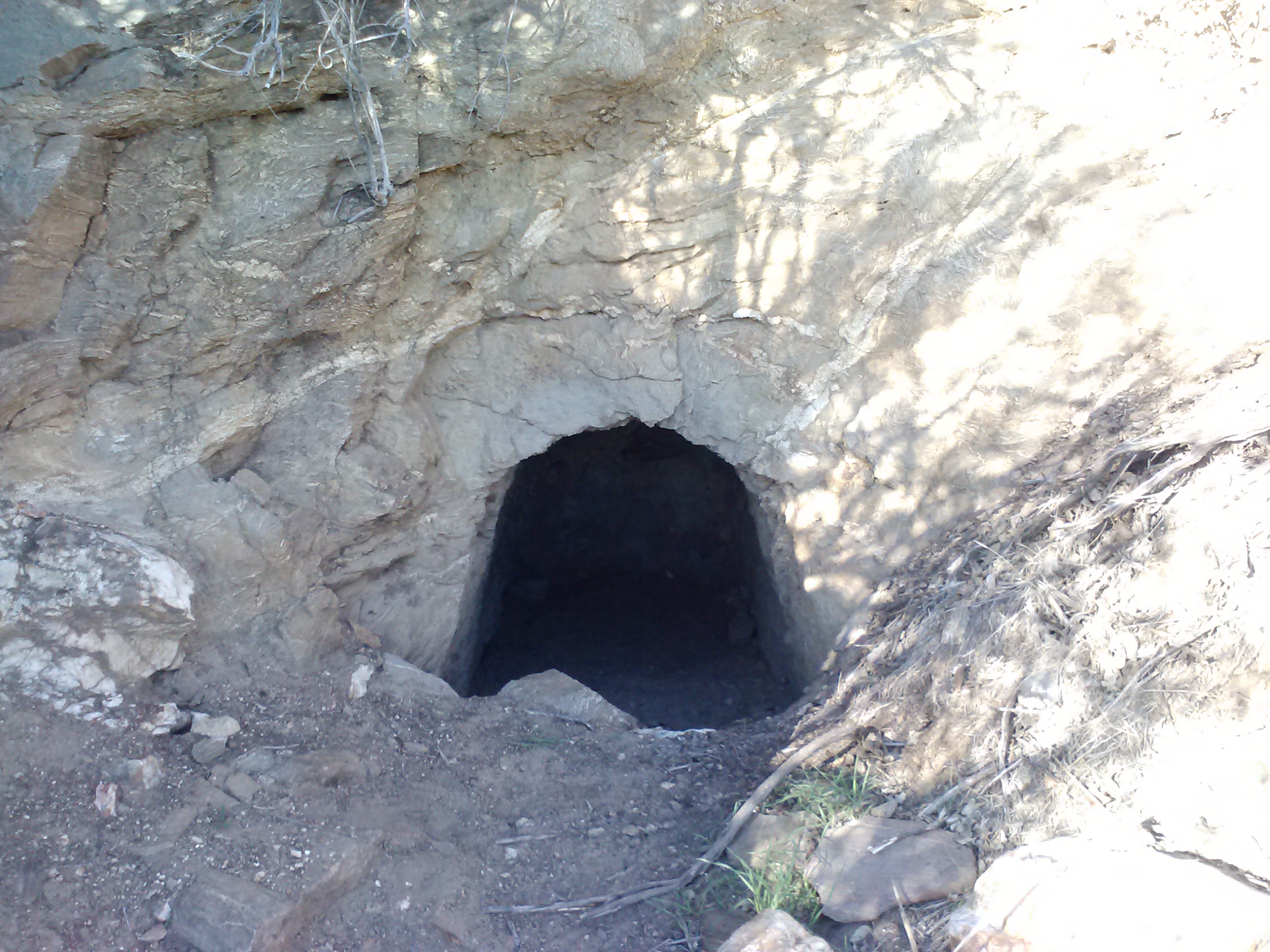
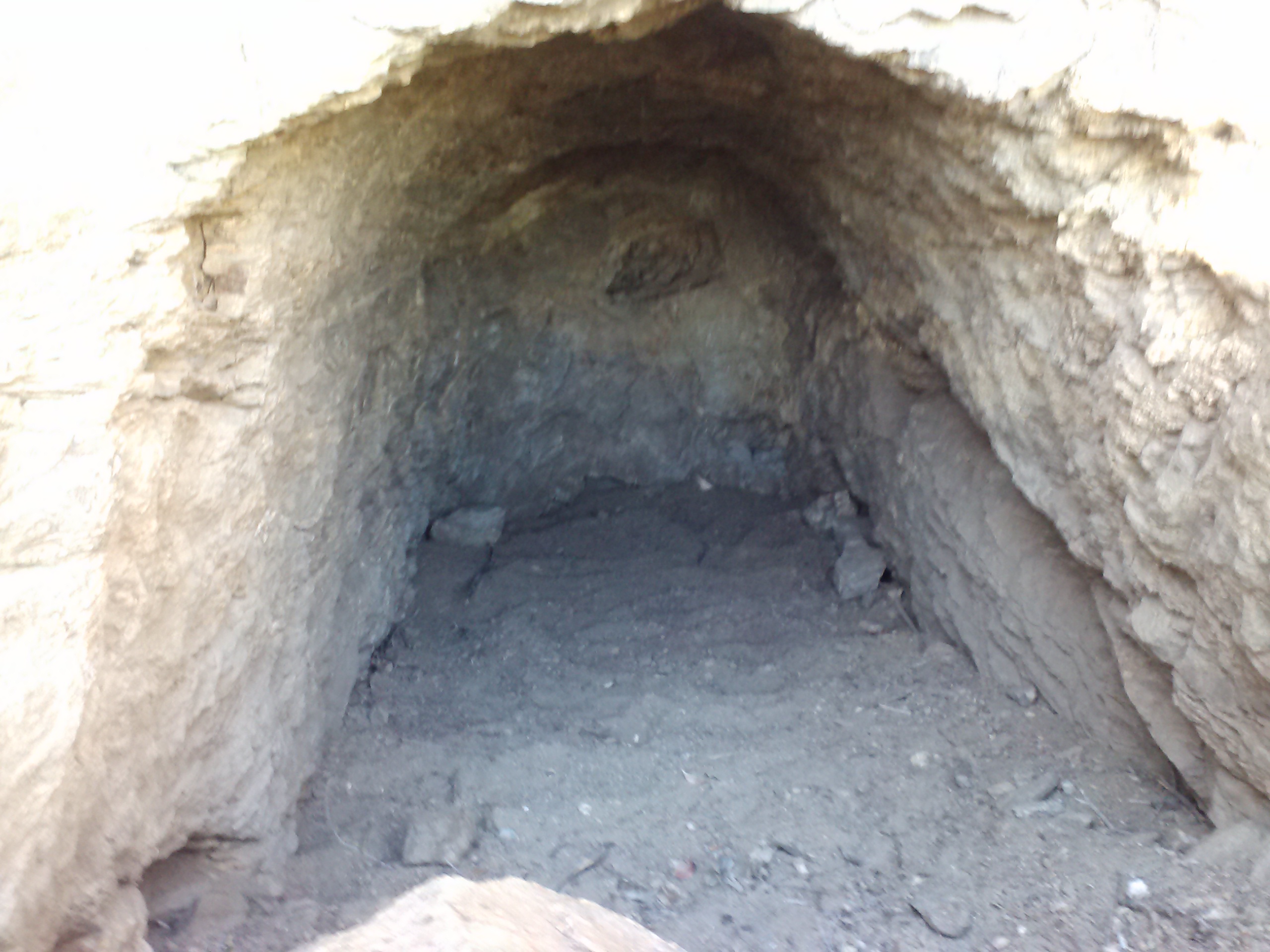
Billy Goat Cave
Billy Goat Cave
Billy Goat Cave is a bit of a landmark in Section B. Some hikers have slept in it, but I think it would creepy. I prefer either a tent or the open sky above me- something about spiders hiding in dark, rocky crevasses. I have to wonder, though, what the cave’s history is- who made it and for what? It’s just so random!
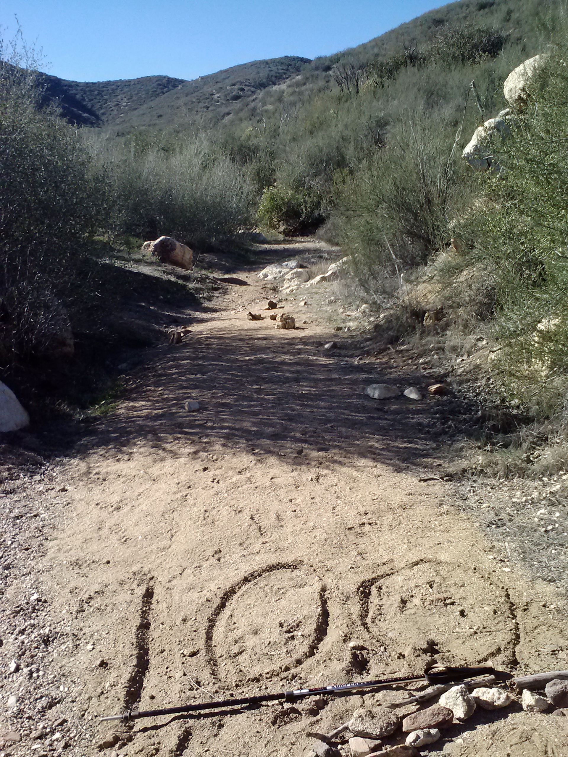
100 miles of Section A completed!
So far, on all of my PCT hikes, every hundred miles have been marked by either an official trail sign, like in Section B, or by assembled rocks and sticks in the dirt. As I knew I was appraoching 100 miles, I kept my eyes out for something, ANYTHING, in the trail. I passed the 100 mile point and there was nothing. I was so bummed! I even double backed thinking I must’ve missed it, but found not a thing. So I made one myself. It was particularly special to me because it was the first time I’d ever done that many miles in a single trip before. Go me!
Shortly after my little 100-mile celebration, I began the descent toward Barrel Springs. Live oaks and tall grasses crowded around the trail. I kept stopping to admire all the vegetation I hadn’t seen before on the trail.
Descending into Canada Verruga
Approaching Barrel Springs
Barrel Springs
I’ll be honest, I had hoped that maybe the boys would be lounging around at Barrel Springs. It would’ve been fun to maybe hitch into Ranchita with them for resupplies, particularly for some Mexican ice cream. They weren’t there, but I hung around Barrel Springs anyway, charging my phone, washing up, and stretching. It was such a beautiful spot, I didn’t really want to leave.
San Jose Del Valle
San Jose Del Valle
Check out how awesomely DIRTY my eyebrows are!
San Jose Del Valle
I see faces… #CarrieWatson
The next several miles through the valley altnerated between open pasture land and oak groves. I saw a number of day hikers, all aiming for Eagle Rock in the middle of San Jose Del Valle. As its name implies, it’s a great big rock shaped astonishingly much like an eagle spreading her wings. I wish there was some information about whether it was ever held sacred by local native americans or not. It’s too stunning to assume it wouldn’t have been used for ceremonies, but there’s no information to verify that.
Approaching Eagle Rock
Eagle Rock
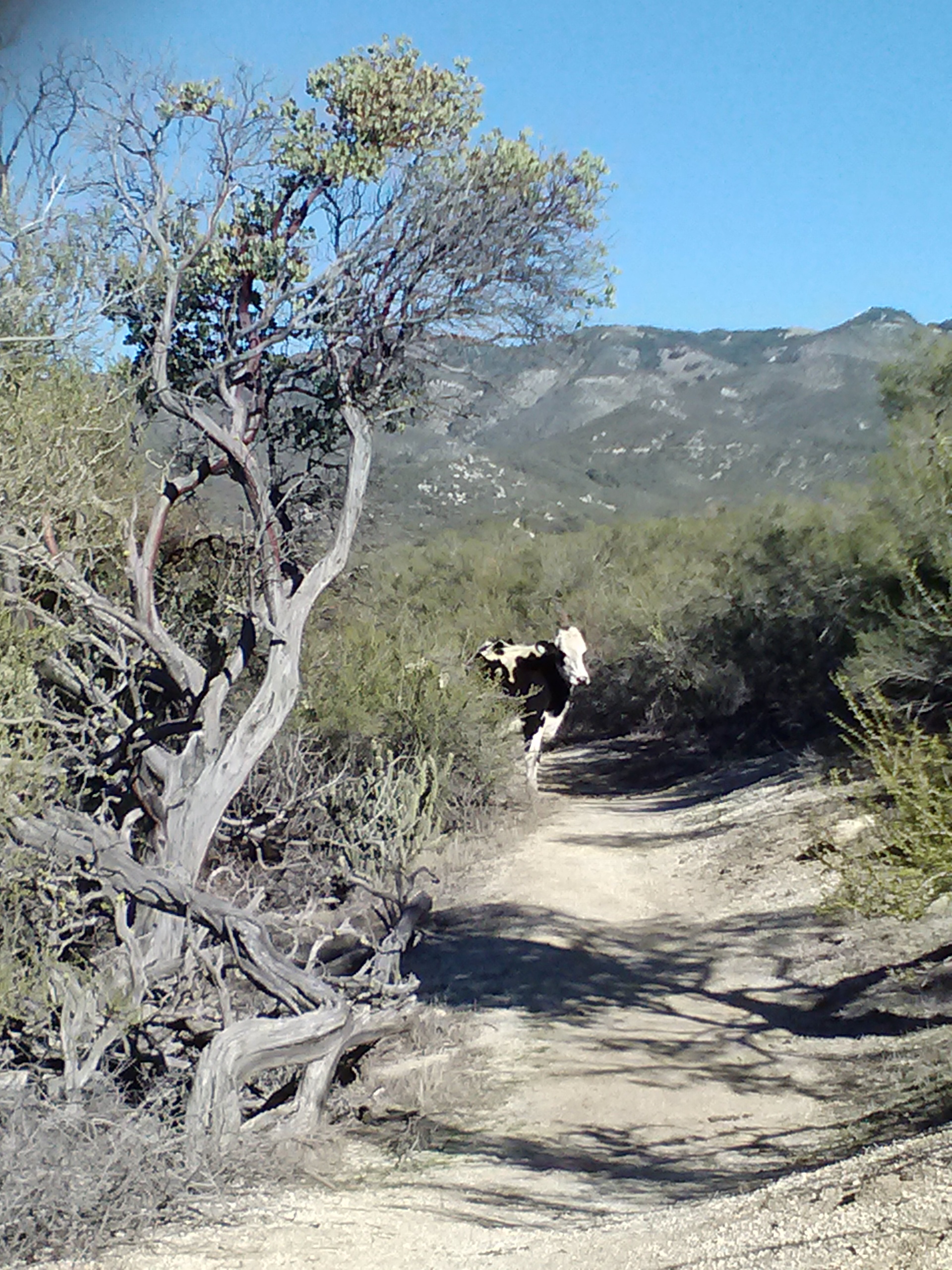
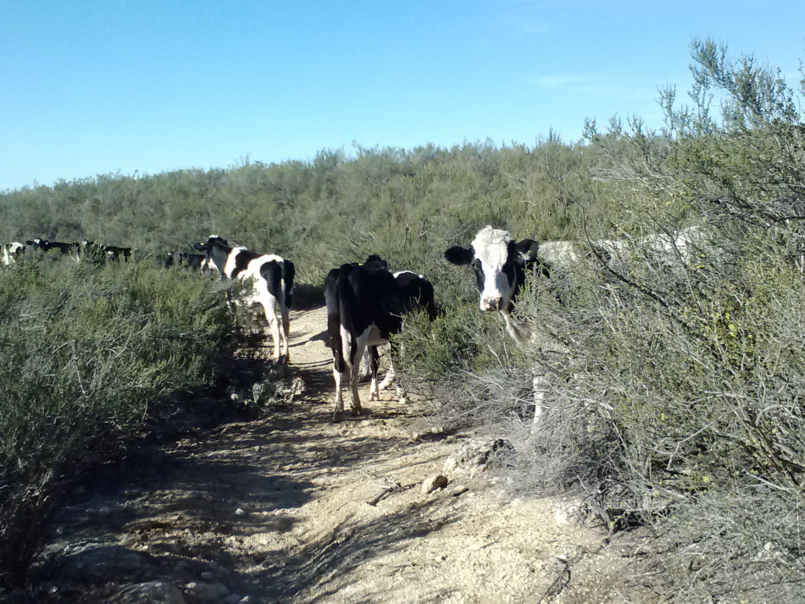
As much as I wanted to, I didn’t hang around Eagle Rock very long because it was SUPER windy. Every time I pulled out my tuna snack lunch, it seemed like all the crackers would blow away. I continued on through the pasture only to be barricaded by a heard of 15 cows. They were curious enough that they wanted to stand a stare at me and didn’t move at all as I approached them, but there was no way to get around or through them. For the next 20 minutes, I shouted “shoo cow!” waited for them to move a few feet, then did it again. It was actually pretty fun.
Traffic jam on the PCT
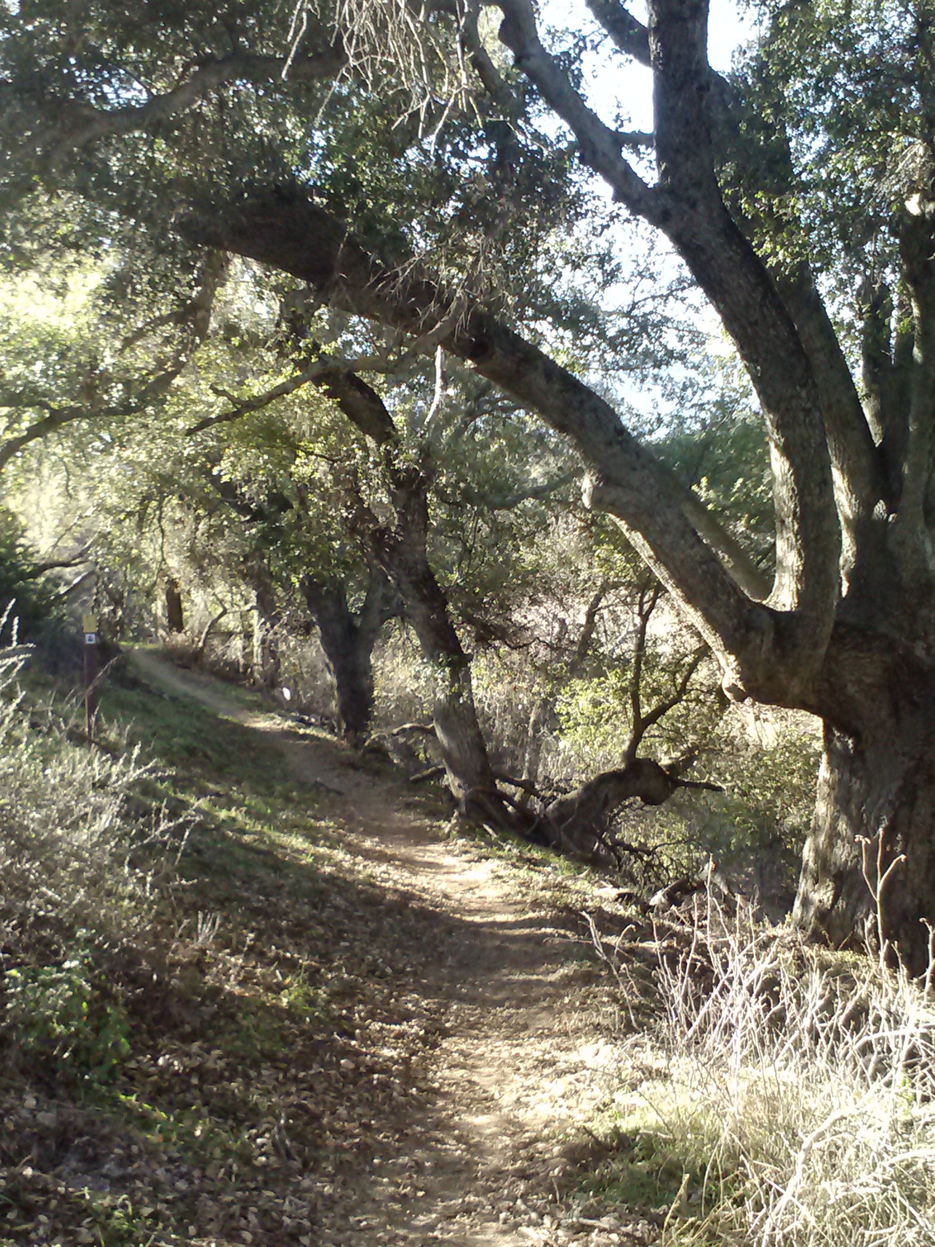
The trail dropped down into a beautiful wooded creek area (Canada Verde) full of oak trees and grasses. It looked so much like home, it felt like I could’ve hiked only a few more feet to a trailhead and hopped into my car.
Approaching Hwy 79 and Warner Springs
Canada Verde
Canada Verde near Warner Springs
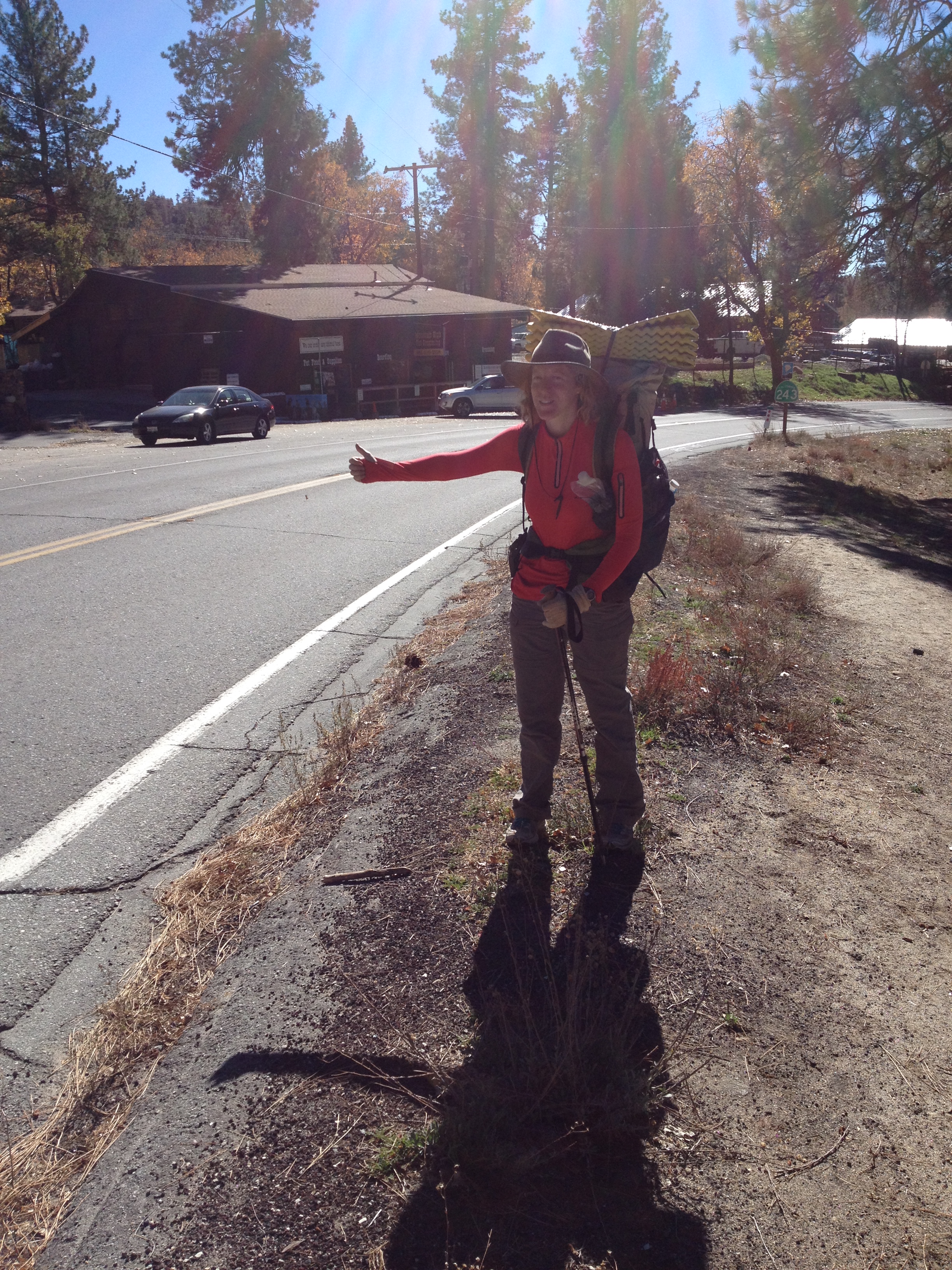
I was overjoyed to reach Highway 79, but it was only 3:00 in the afternoon. Again, I was faced with that dilema of whether to settle in for an early night at an awesome campsite that I could find in the daylight- but probably get bored lying around- or to carry on and potentially have to search for a spot in the dark later. With the knowledge of a Mexican restaurant being only 8 or 9 miles up the road, I decided to make a bit of a celebration out of the day (100 miles of Section A, completo!).
I dropped my pack, flashed my pearly whites and stuck out my thumb. It didn’t take long for a teenager named Joey to pull over. Joey said he was planning to hike the PCT this coming summer, so we nerded out over gear and trail talk. I really hope to see him again in the summer!
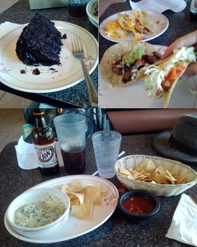
Joey dropped me off in Sunshine Summit, a tiny community with nothing except a few homes and Pancho Villa’s Mexican Restraunt. I think my eyes were bigger than my stomach because I ended up with Spinach and Artickoke dip, four large tacos, and a giant piece of chocolate cake. I couldn’t finish it. : (
It was News Year Day when I had arrived in Warner Springs, and so would have to wait until the next morning to pick up my resupply box at the post office. Still sitting in the Pancho Villa booth, I pulled out my maps and counted all my remaining food. Since I had an extra dehydrated dinner in my pack and had just eaten a huge meal at the restaurant, I figured out I didn’t need to pick up my resupply box after all! I could head out on the trail that evening and be at Paradise Cafe an entire day early.
The waitress at the diner was so uncomfortable with me heading back out alone in case I sprained an ankle or something. She insisted that I go to the Fire Station nearby to let them know I was out there. I did actually look for the station, but couldn’t find it. I wasn’t really worried because I had my SPOT.
I started walking back towards Warner Springs along Highway 79 and stuck out my thumb. It’s important to show your face and smile to drivers so they feel good about stopping for you. It took about ten minutes before an elderly couple pulled over, Malcolm and Barbara. They were so sweet and funny, joking and bickering all the way to the trailhead. Malcolm is from England and is championing the animals of the world with his message about veganism and animal cruelty. He’s been writing songs on the issues and is currently writing a book called Beyond the Animal Farm. You can check out his website here.
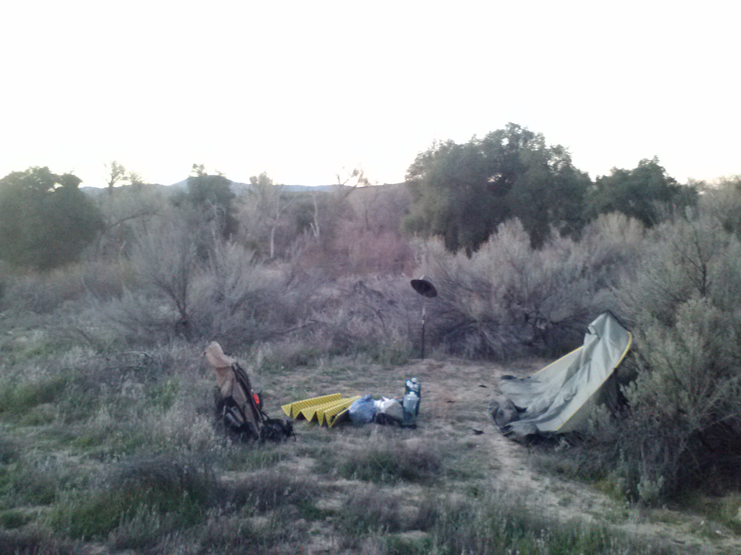
Camp near Hwy 79
I really wasn’t sure where I should sleep that evening, so I just had Barbara and Malcom drop me off right at the trail. I walked only a few minutes before finding a spot along the Agua Caliente creek bed. Hippie’s warnings about a cougar in this area spooked me and I couldn’t get my tent up fast enough. It’s funny how my mind spirals and turns me into such a chicken sometimes, and that being inside my tent, the thin layer of fabric that it is, is the most comforting thing in the world. Makes me feel like some kind of parakeet- just put a covering over me, and I’ll calm down for the night!
Day 8- 25 miles!!
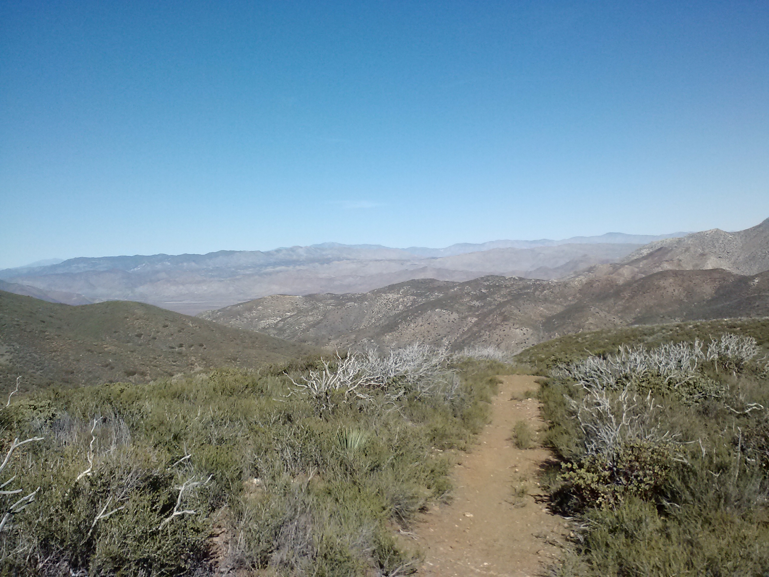
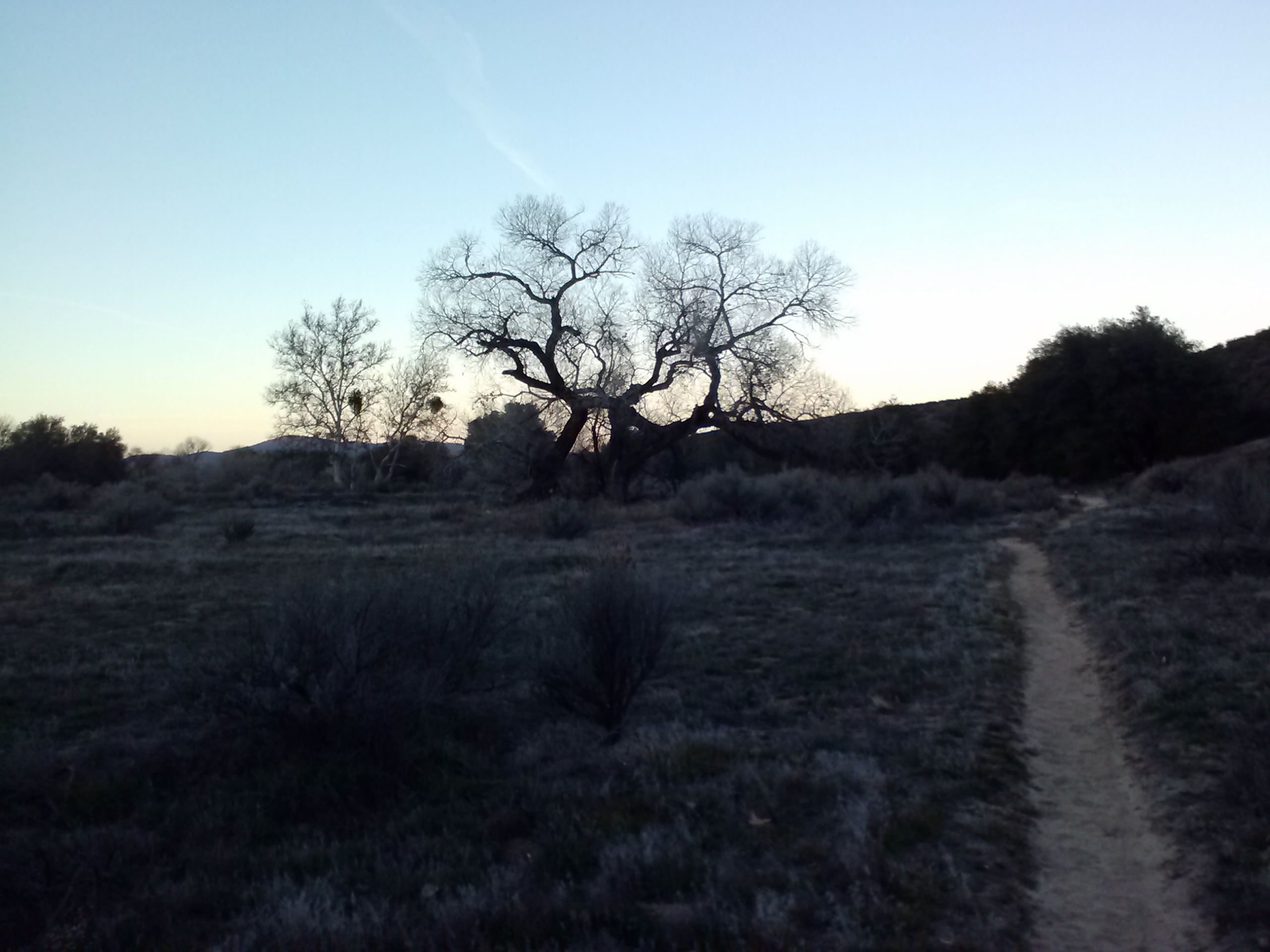
I awoke early and set out with the sunrise. It hadn’t been as chilly in the riverbed as I expected it to be. For the entire morning the trail climbed the mountains above Warner Valley into Cleaveland National Forest. It followed the shady and grassy creek of Agua Calient up to the rocky trail overlooking Indian Flats Road and Chihuahua Valley.
Warner Valley
Just as I rounded a bend to see Hot Spring Mountain, I came across two day hikers. We joked around a bit and they said they’d seen Eric hiking solo about three hours before. In my mind, I calculated that to mean he was already 9 or 10 miles ahead of me. I thought about Beav struggling with his mom’s illness and that he must have decided to get off the trail to be with her. I didn’t blame him; I don’t think I could stay on the trail if I thought somone I loved was deathly ill back home.
Approaching Hot Springs Mountain
Hot Springs Mountain
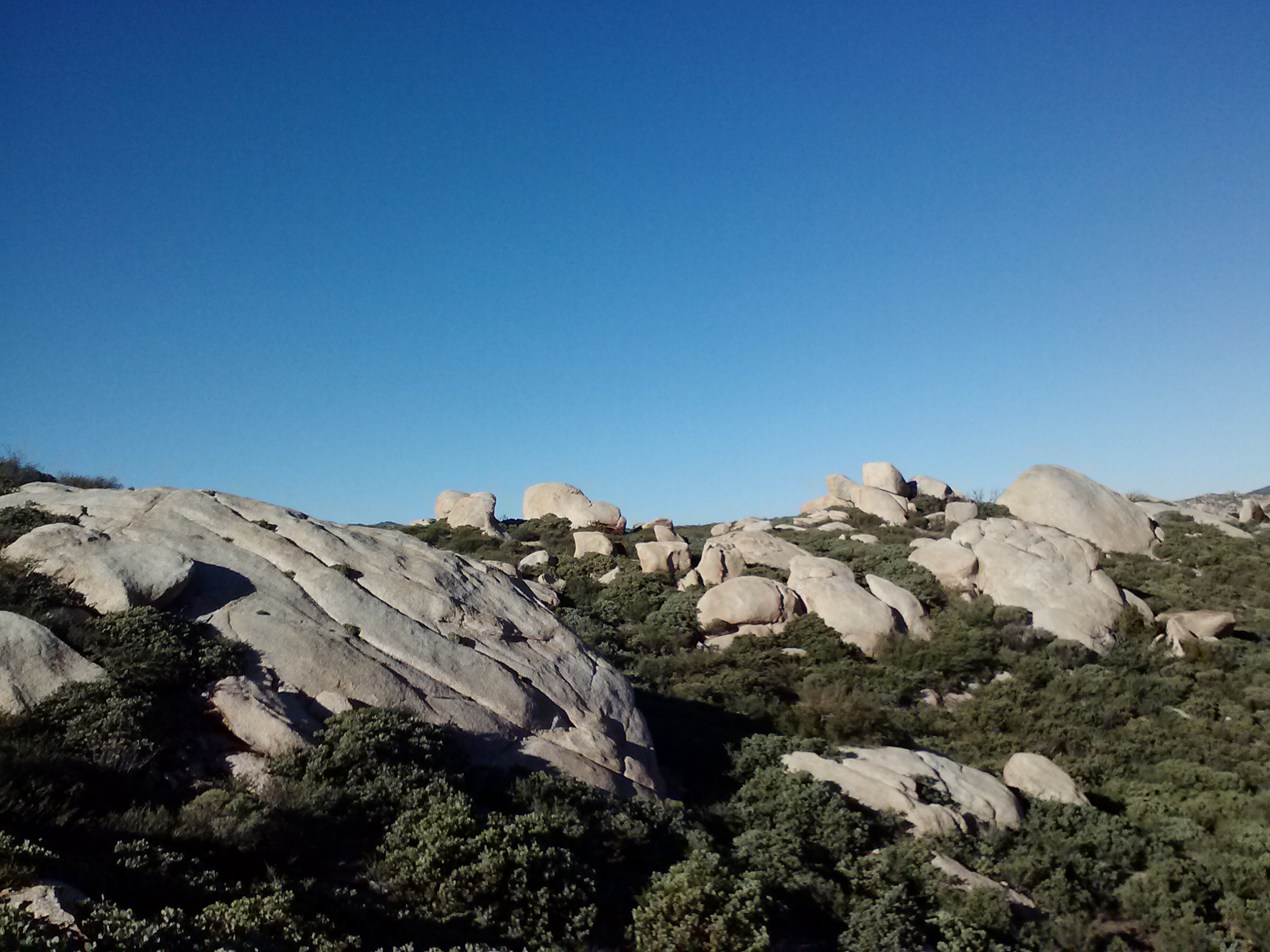
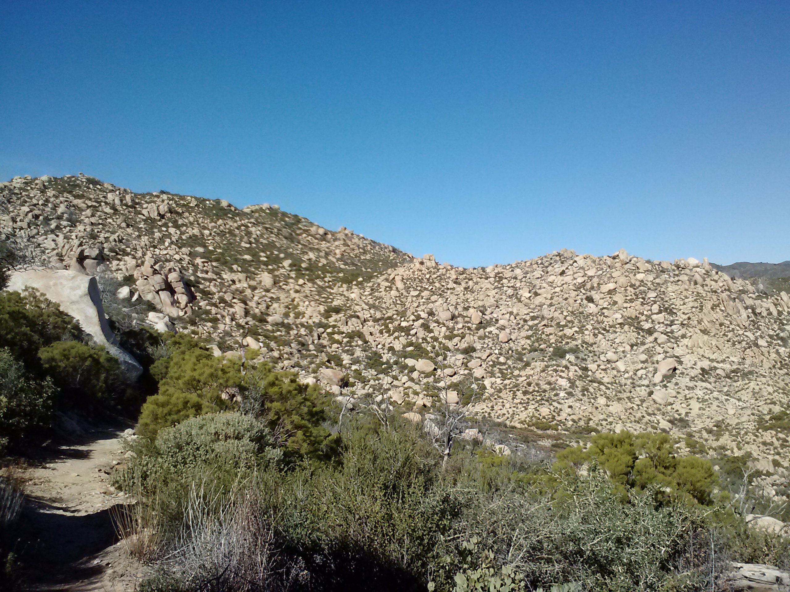
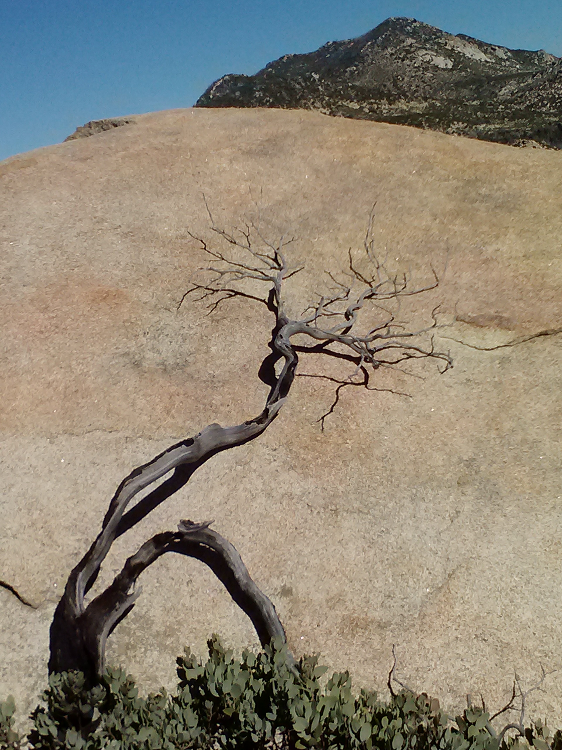
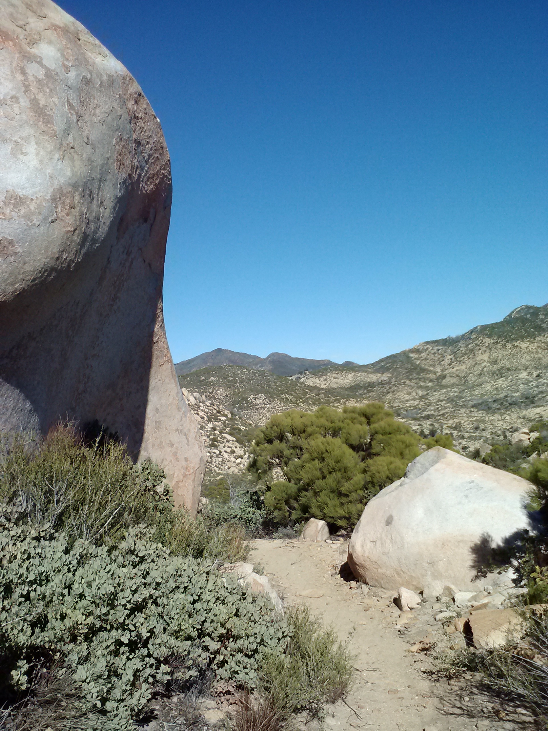
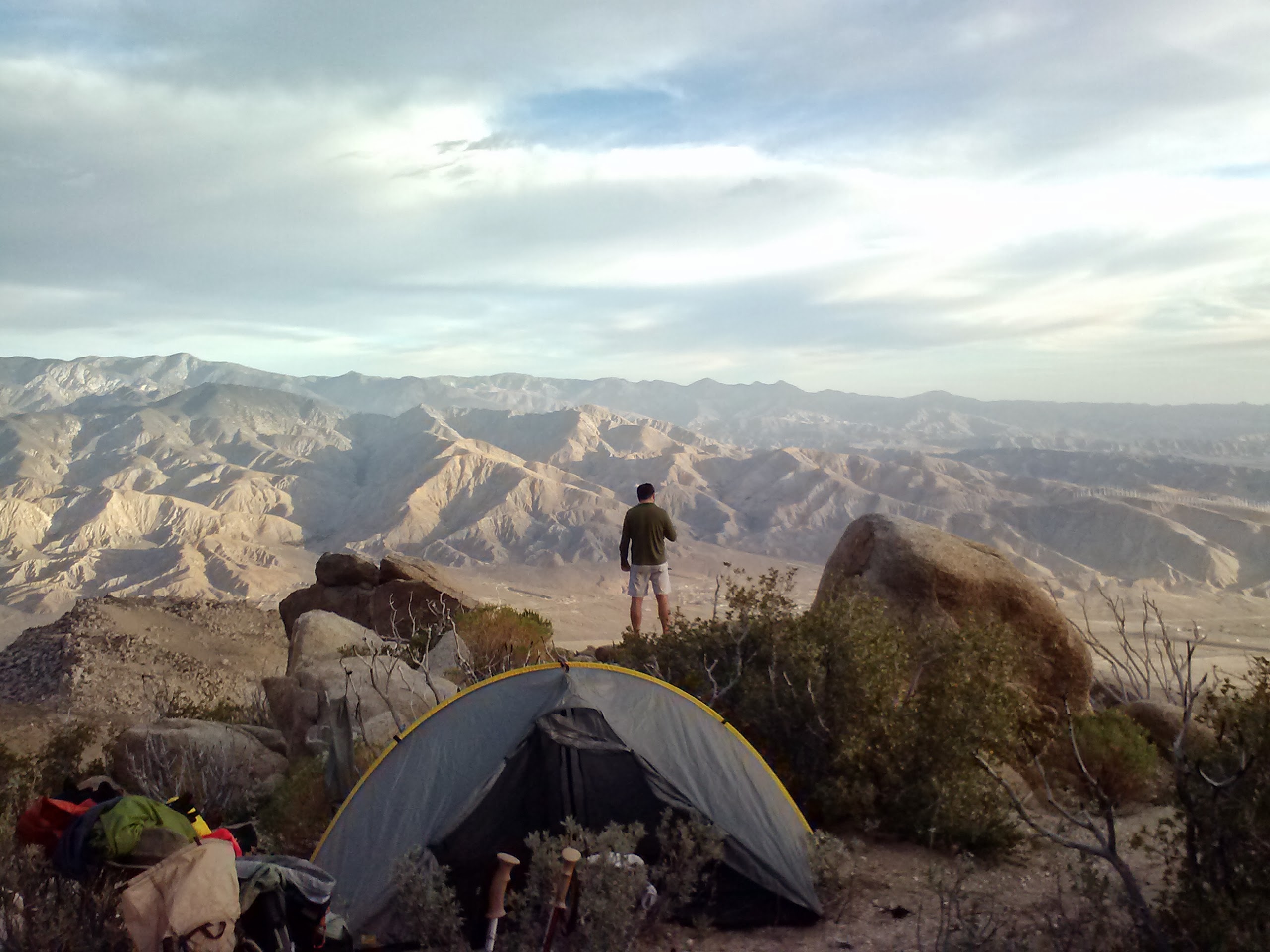
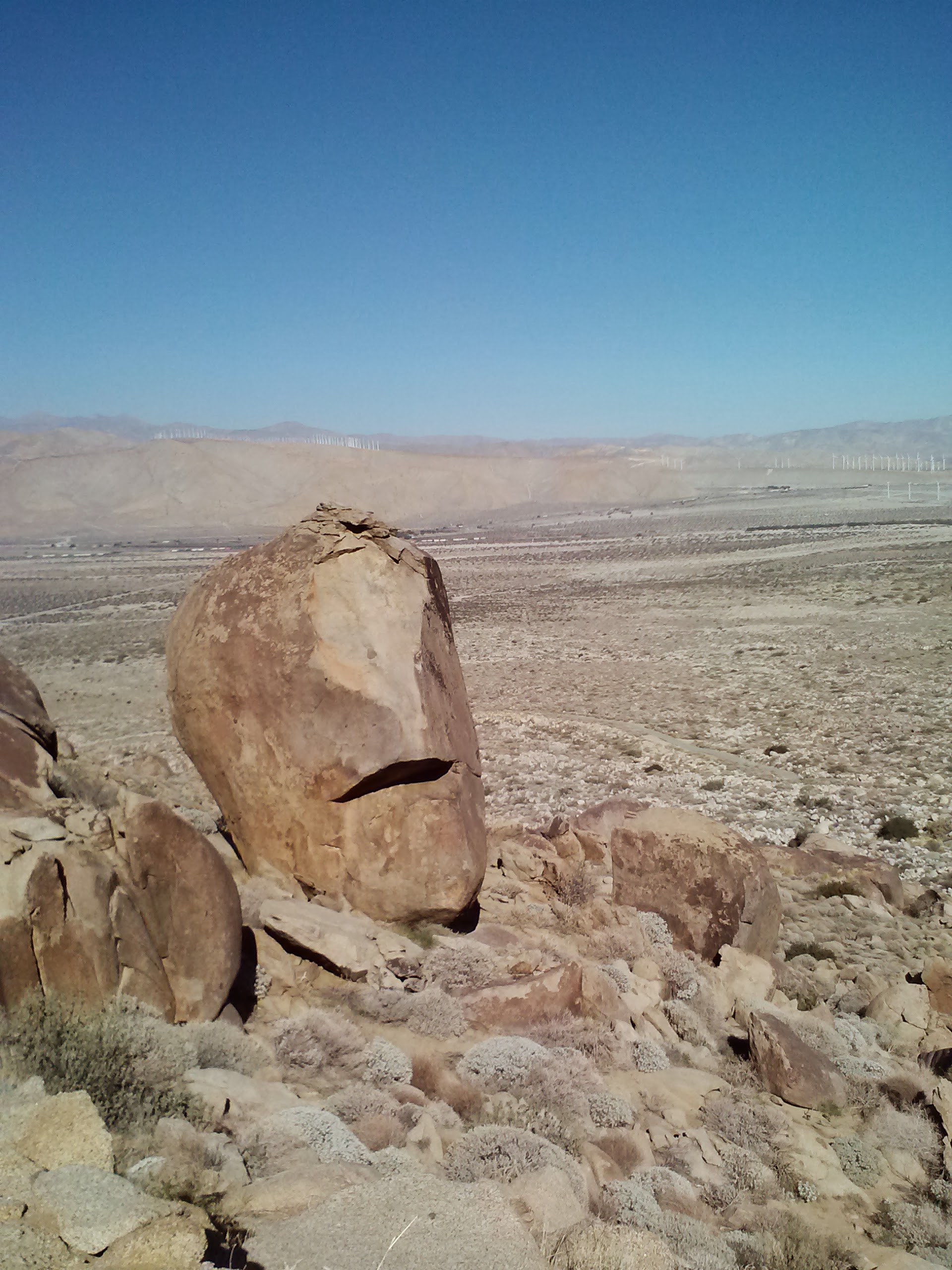
Lost in my thoughts on Beav and my own loved ones, I was completely caught by surprise as I turned a corner and found myself in an entirely different world. I had walked into a small basin at the top of the mountains which seemed to contain all the boulders of Cleaveland Forest. At first I really couldn’t figure out was I was looking at; I don’t think I’ve ever seen more boulders in a single place anywhere else on Earth. Some of the boulders were over ten feet tall! As I walked through the basin, wondrous stories popped into my mind of giants with marbles, and ruined ancient cities forgotten and overtaken by mother nature. I stood for minutes on end looking out over the boulders, wanting to take pictures, but feeling like my camera could never do it justice… and I still don’t think it did!
The lost valley of the giants
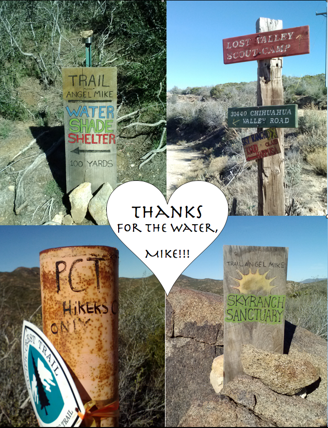
My next water resource was a private home owned by Trail Angel Mike. Mike and his family have generously allowed hikers to refill their bottles from his tank and hose. He also provides excellent signage, so there was no way I could miss it. No one was home, but as I gingerly walked up to the property I saw Eric walking back up to the trail. What a surprise! He confirmed Beav had decided to head home, but that he was aiming for Idyllwild to catch a football game at a bar there. I told him if he was still at Paradise Cafe when my frined Sabrina picked me up, we could give him a lift into Idyllwild.
Excellent signage
Trail Angel Mike’s on Lost Valley Road
After refilling my bottles and jumping back on the trail, I prepared to tackle Combs Peak by eating a bunch of gummy bears and jelly beans. I know candy’s not ideal fuel, but man it works! I was hauling butt over that mountain. I caught sight of Eric every now and again as he rounded bends way in front of me. The view from Combs Peak was incredible: the desert floor below and the San Jacinto Mountains rising above in the north.
The view north toward Mount San Jacinto
Snow on Combs Peak
Descending Combs Peak (Bucksnort Mountain)
I didn’t see Eric again, but knowing he was in front of me was great motivation. I hiked farther than I planned or even expected I could, putting in 25 miles for the day. As the sun began to set, I scanned for possible campsites, but didn’t see much with all the bushes and sloped canyon walls. It’s typically frowned up, but I decided to camp right on the trail for that night. I tried stretching before it got too cold, but I didn’t have enough time. My muscles were so tight that night, they kept waking me up. I had to squirm in my sleeping bad, pulling one knee up to my chest at a time just to get some relief. In the future, I’m going to try and stretch sooner in the evening!
Last night on the trail
Day 9 – 15.5 miles to Paradise Cafe
I was super excited when I woke up because I knew I’d be enjoying a buger, a shower, and a warm bed by the end of the day. Plus I’d get to pick up my precious Pepper Dog from Trail Angel Sabrina’s. <3 Tule Spring was a short hike down the trail that morning, so I got there while it was still rather cold. This skewed my perception of how much water to carry for the day. I took less than two liters rationalizing that it wasn’t a hot day, that I wouldn’t be needing water for cooking, and that I usually carried so much water I had excess at the end of the day (translating to excess weight). I later regretted being so stupid.
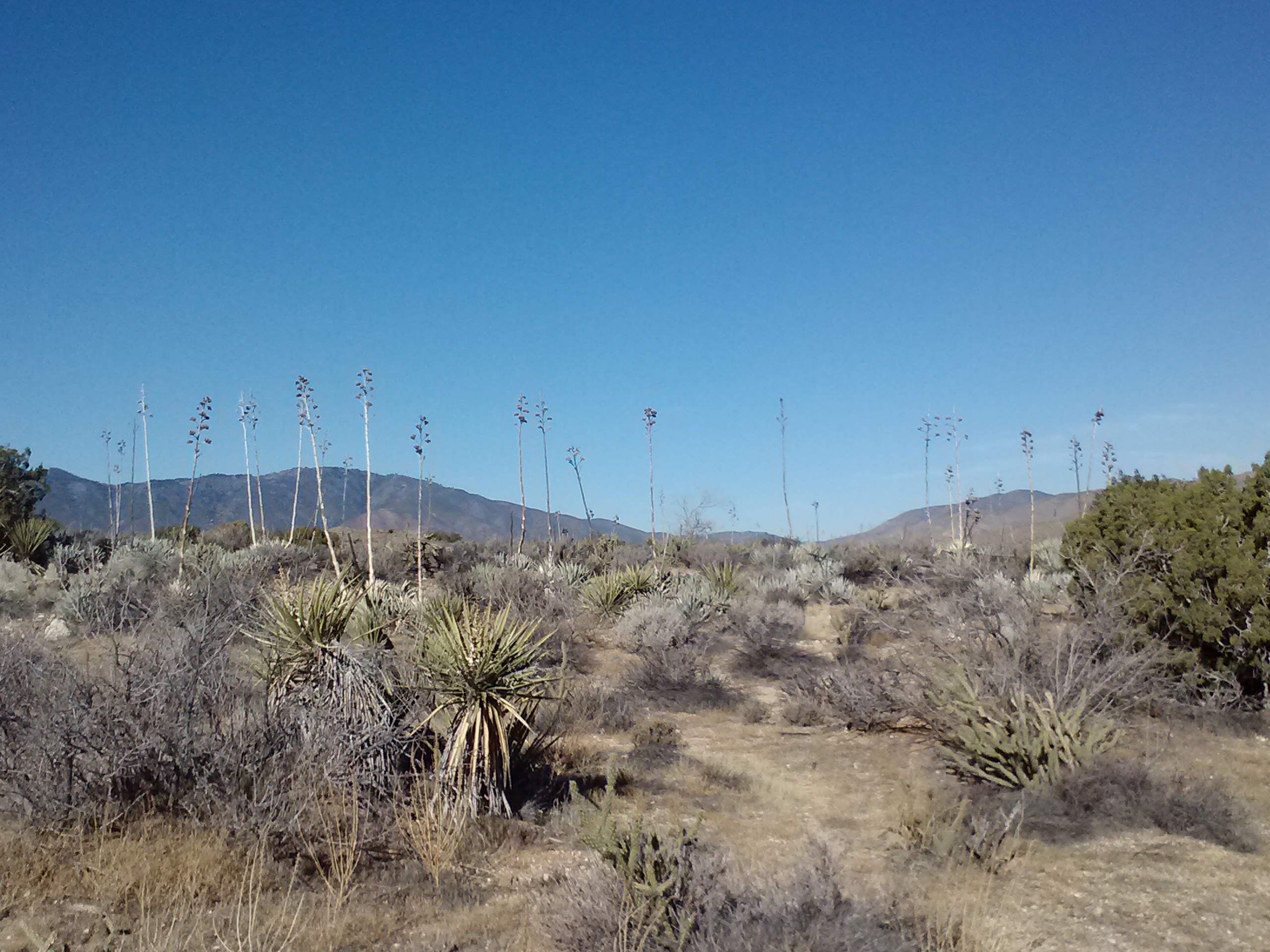
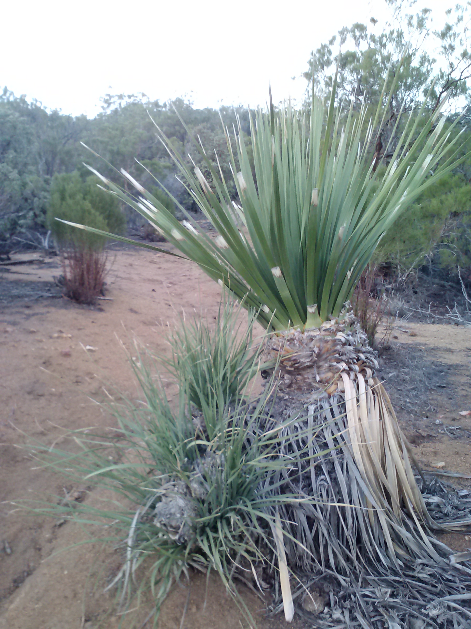
Mojave Yucca (or Spanish Bayonet)
Tule Spring
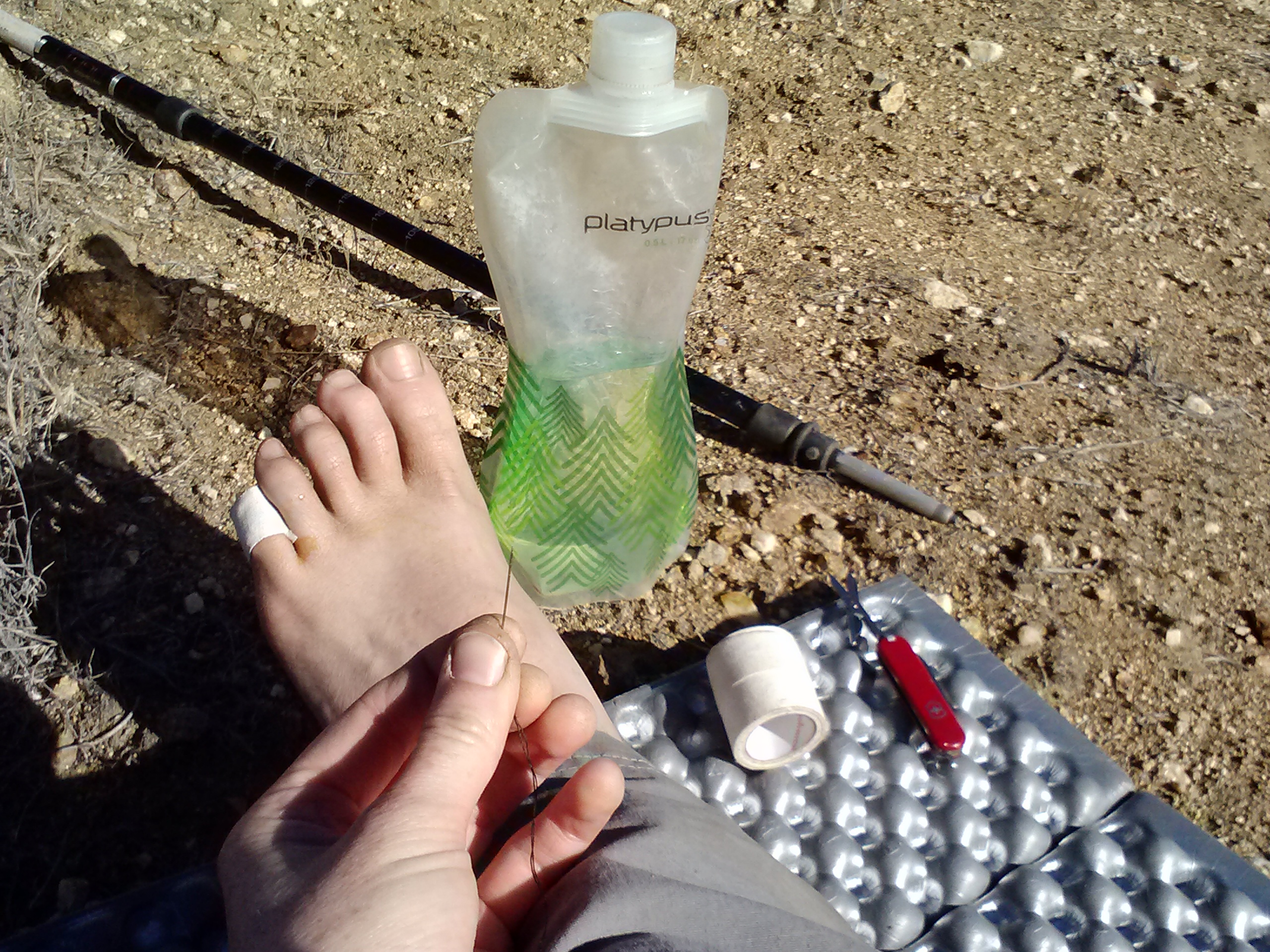
Around mile 140 in Nance Canyon, I felt a sharp pain in my baby toe. Since I haven’t gotten a blister since 2011, I was sure it was only a rock in my shoe. Ever since I’d discovered toe sock liners at John Muir Trail Ranch while hiking the JMT in 2011, I haven’t had a single blister. I was shocked at finding I did indeed have a good sized blister, but excited to have the opportunity to practice my mad blister treatment skills. Also learned during my 2012 JMT hike, my blister treament consists of clearing the area and a threaded needle with iodine, then threading the needle through the blister and cutting the thread, leaving about 0.25 inches sticking out on either end of the blister. The thread wicks out all the oozing fluid (yuck!), allowing the blister to drain and dry out. I then tape it with athletic tape and throw my socks and shoes back on. In the evenings & on breaks, I take the tape off and let the blister air out. Works like a charm!
Nance Canyon
🙁
After Nance Canyon, the trail descends into Cahuilla Valley, named for the native people who once resided there. You can read about them in this Wikipedia article.
Peace Sign
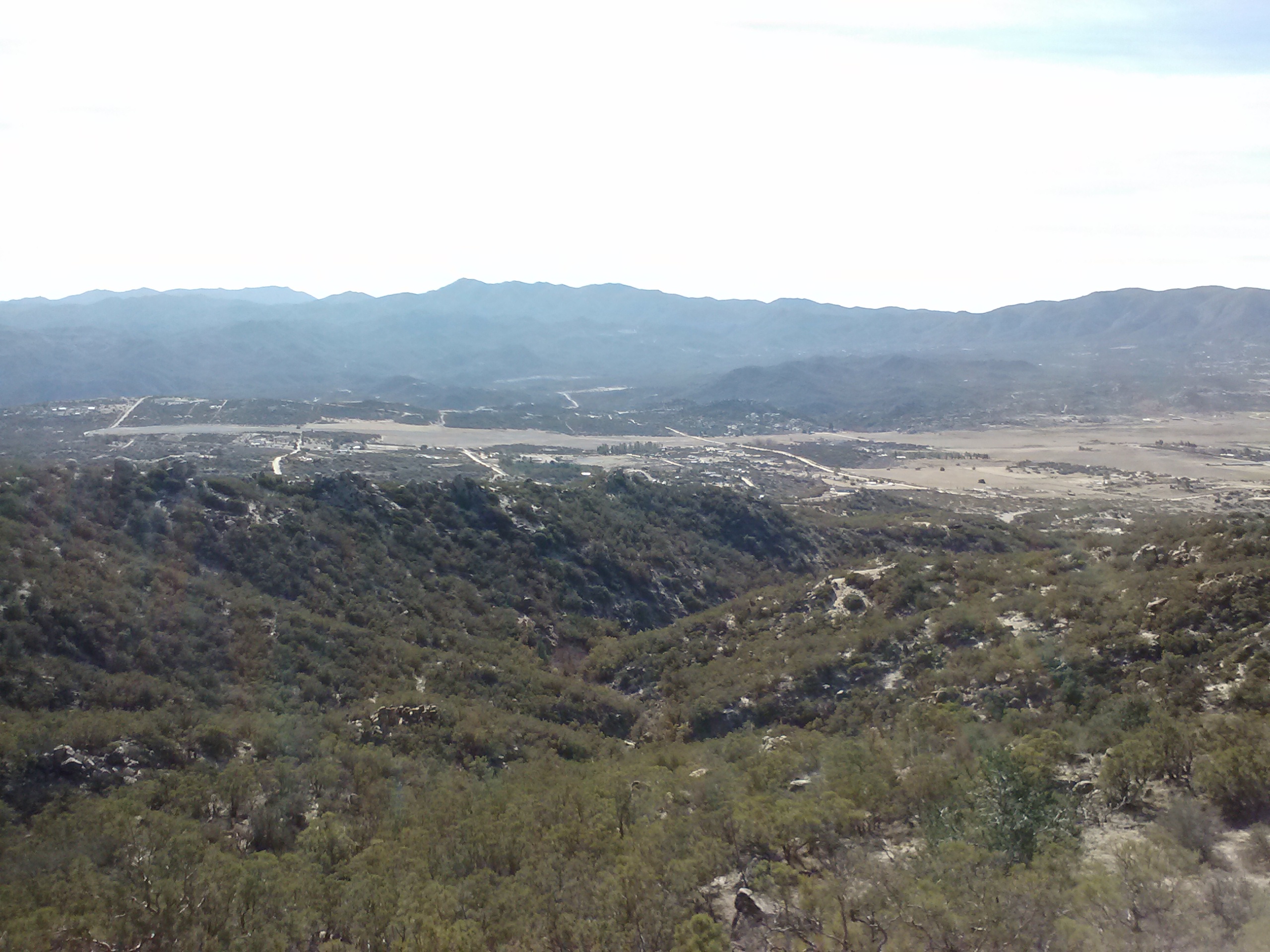
There are so many little surprises on the trail, and you never know what you’re going to stumble upon. This day I came across rocks assembled in a peace sign. Delightful! That delighted feeling only lasted a little while as I climbed Table Mountain and the day became hotter and hotter. I soon realized I had barely over one cup of water left and over ten miles to hike. Blerg.
Cahuilla Valley
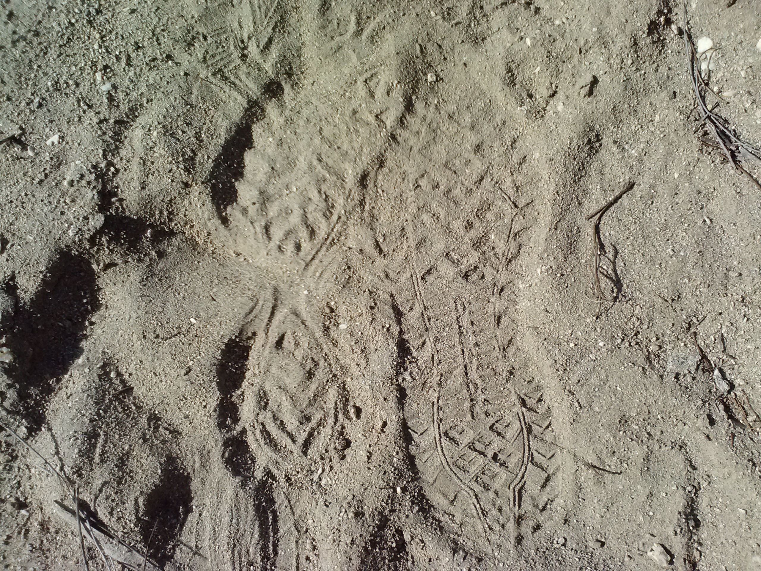
Following footsteps
Part of what made this day so challenging was all the sand I had to hike through. I don’t know what I dislike more, a rocky trail or a sandy trail- probably the sandy one. It takes twice as much effort to climb up soft, shifty trails of sand and it frustrates the hell out of me.
One thing that really kept me sane this day was watching the footprints in the trail. There were two sets of prints I have been following since Scissors Crossing in Seciton A: a smaller set belonging to a hiker only one day ahead of me named Jack Lester and a larger set belong to Eric. I could tell which were Eric’s because his were imprinted OVER Jim’s. I had seen Jack’s name in the trail registries at Scissor’s and at Trail Angel Mike’s, but I never did meet him.
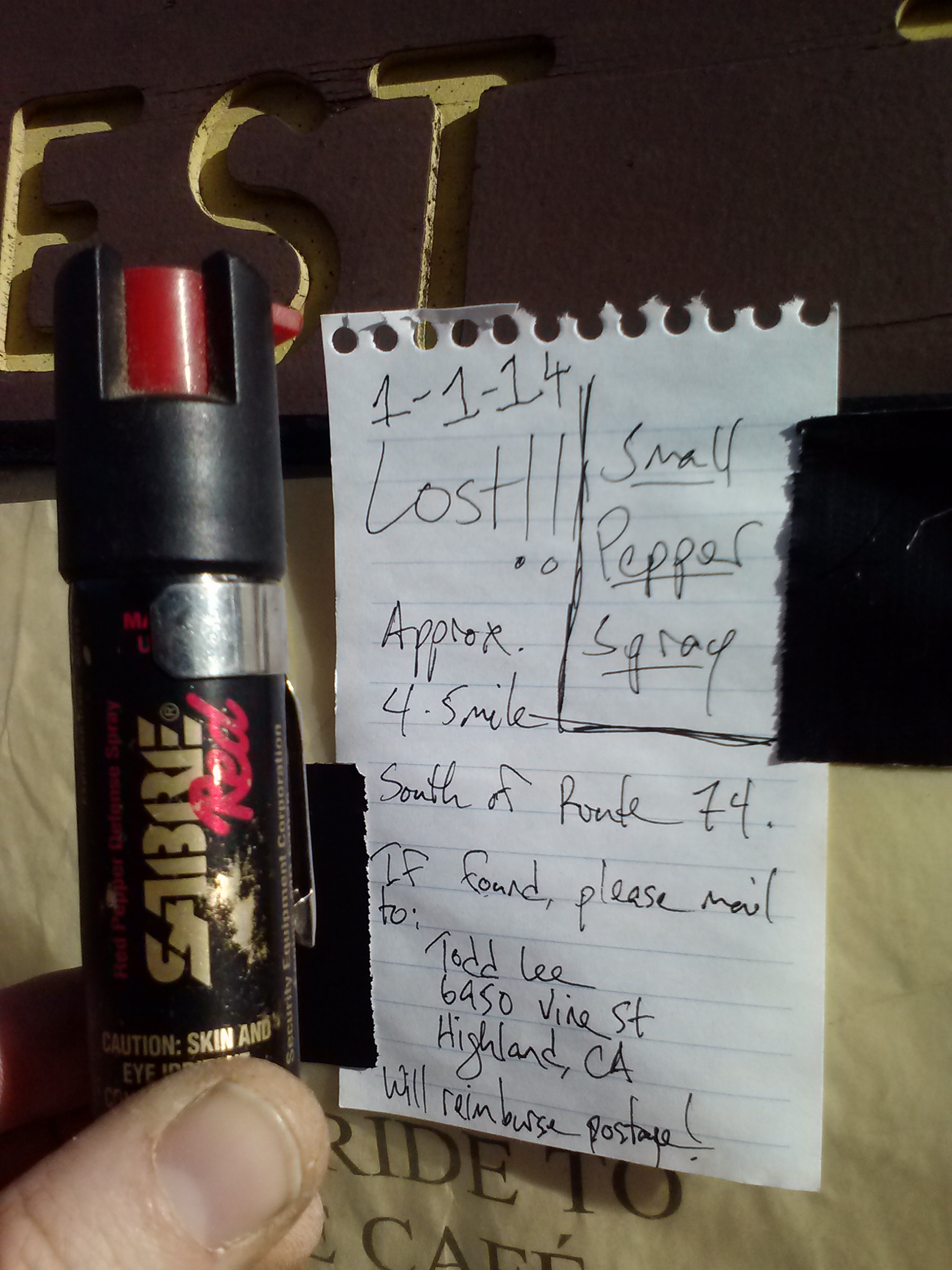
Lost and Found
The trailhead at Highway 74 had several posted signs and messages. One was a note requesting the return of a lost pepper spray, which I had happen to find 10 miles earlier that day. It’ll be fun to mail it back along with a message about where I picked it up.
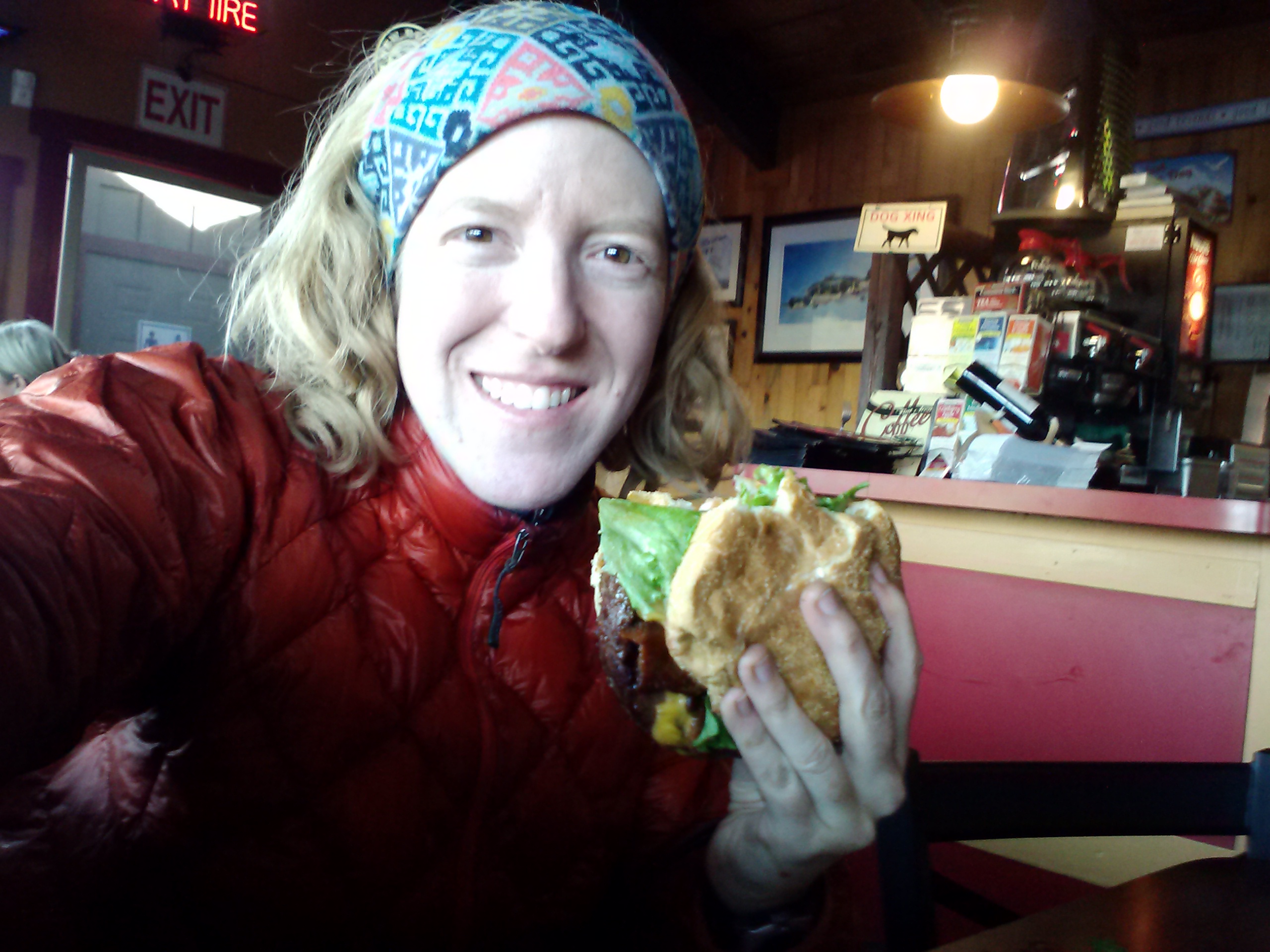
Another sign posted read “Free Rides to Paradise Cafe!” I called the number and in no time flat they were out to pick me up. What service! Within 20 minutes of calling, I was sitting comfortably at the cafe with a beer calling Sabrina for a ride.
While waiting for my burger, the waitress brought out the trail register for the past year. As I flipped through it, I saw Jim’s name, whose footprints I had followed, and all the previous hikers of the season. I remembered reading some of the journals belonging to these hikers over the summer, just after my knee surgery, and dreaming about when I’d finally get the chance to be out on the trail. And there I was, sitting at Paradise with 152 miles just completed and a total of 270 miles of my PCT journey hiked already- it felt great
Our trip began with an early morning drive to Idyllwild to drop off our car & meet Sabrina, our good friend and personal Trail Angel. The plan was to cover 26 miles of Section B in San Jacinto State Park. Sabrina shuttled me, Art, Pepper the dog, & all our camp-crap down to Cabazon on Highway 10. She dropped us off right on the side of the highway, waved goodbye & drove off with Pepper looking horribly concerned in the front seat.
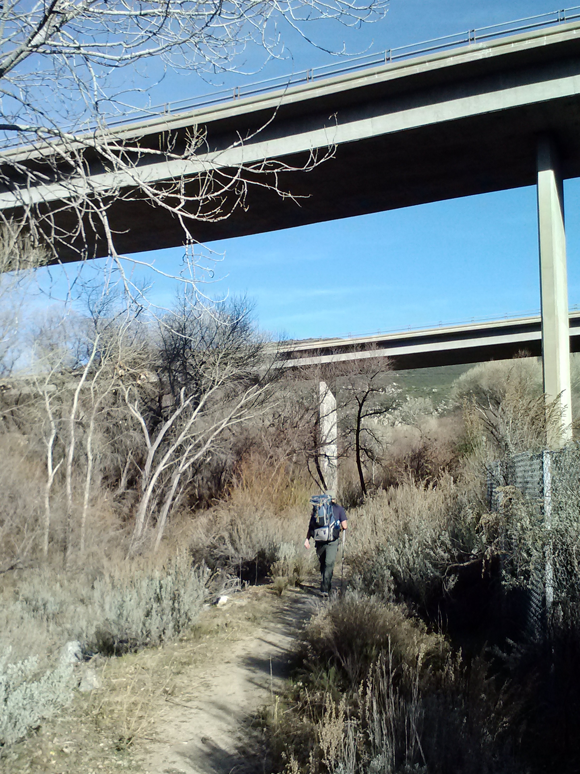
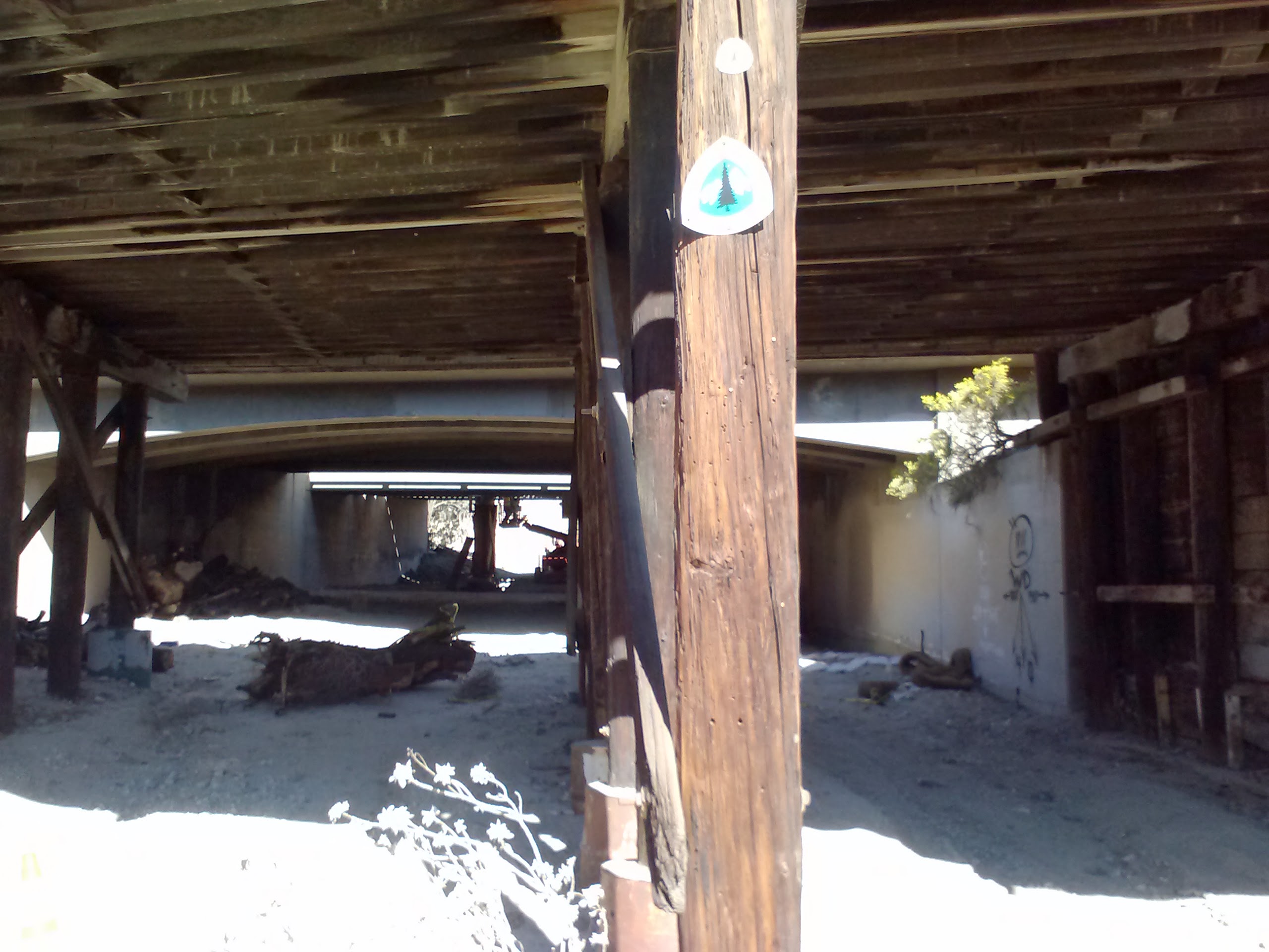
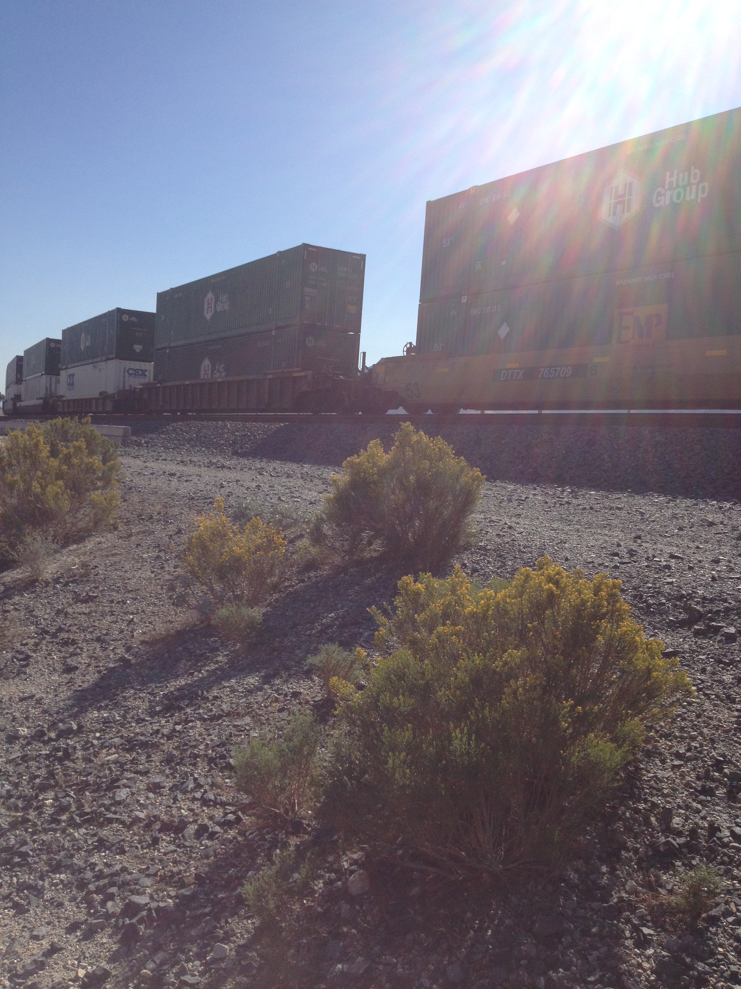
The PCT beneath the train tracks & Hwy 10
Trains alongside Hwy 10 near Cabazon
Cabazon is a small, desert community established in 1870 when Southern Pacific Railroad built a station in the area. It’s mostly known for outlet shopping, a casino, and Claude Bell’s giant dinosaur sculptures (as some may remember from Pee-Wee’s Big Adventure). The PCT slips under the highway and train tracks at this point (PCT mile 209.5), then winds it’s way through the sandy valley. It’s actually really easy to loose the trail here because it washes out so easily in the rain and wind.
PCT mile 209ish. Windmill farm in the distance
After having to continually redirect ourselves back onto the trail, Art & I found ourselves on Snowcreek Canyon Road and in the artsy, little residential community hiding against the base of the mountains. Right then, I had a moment of panic as I believed I’d forgetten to pack matches and couldn’t find any when we checked our packs. In classic hiker trash style, we waltzed up to a gentleman working in his garage and asked if we could buy some matches. He and his wife were kind enough to just give them to us, not to mention they flattered us immensely when they assumed we were PCT Southbound Thu-hikers all the way from Canada!
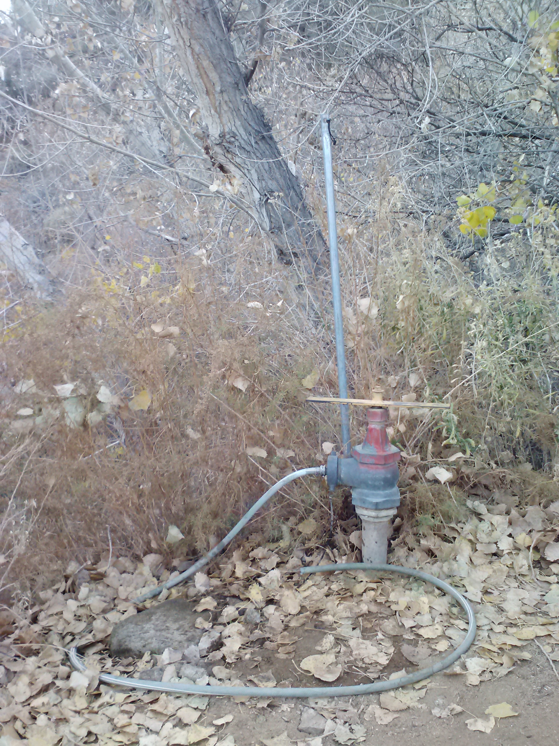
Water Resource at mile 207- just a friendly homeowner on Falls Creek Road sharing his garden hose.
Working our way up Falls Creek Road, we were greeted by a surly looking man in an SUV with high powered binoculars and a hunting camera. He had been watching us climb the road for 20 minutes and kept reversing his SUV until we reached the trail turn-off and a lonesome looking water faucet. As talkative as this guy was, he was SUPER secretive about the water and the agency that owns/guards it. They actually have a man living up the canyon to guard the spring/creek/whatever-it-is 24-7. Our new friend said they especially wanted to keep out hunters and punks. LOL! I wouldn’t argue with that! He showed us photos of the local mountain lioness that prowls the hills… [Small note about me: just thinking about mountain lions gives me the heebeegeebees.] At that point, I hustled Art to get a move on up the trail and away from lion stories.
The Faucet of Golden Water (Water Resource of mile 206)
Climbing above Cabazon
My good friend Carrie has a picture collection of faces she sees in random objects. Now I’m seeing them everywhere, too. Soon as I saw the big potato head rock, I had to snap this one for Carrie!
I see faces…
Sacred Datura, or Morning Glory flowers
As we climbed, the mountain’s shadows quickly start to spread over us and gave the impression it was much later in the day. I kept freaking out, thinking it would be dark soon and we must be hiking too slow. I wasn’t especially keen on night hiking after stories of the local lion.
Still climbing…
200 miles to Mexico…
and 2,450 miles to Canada!
<— —>
This was super fun to see!
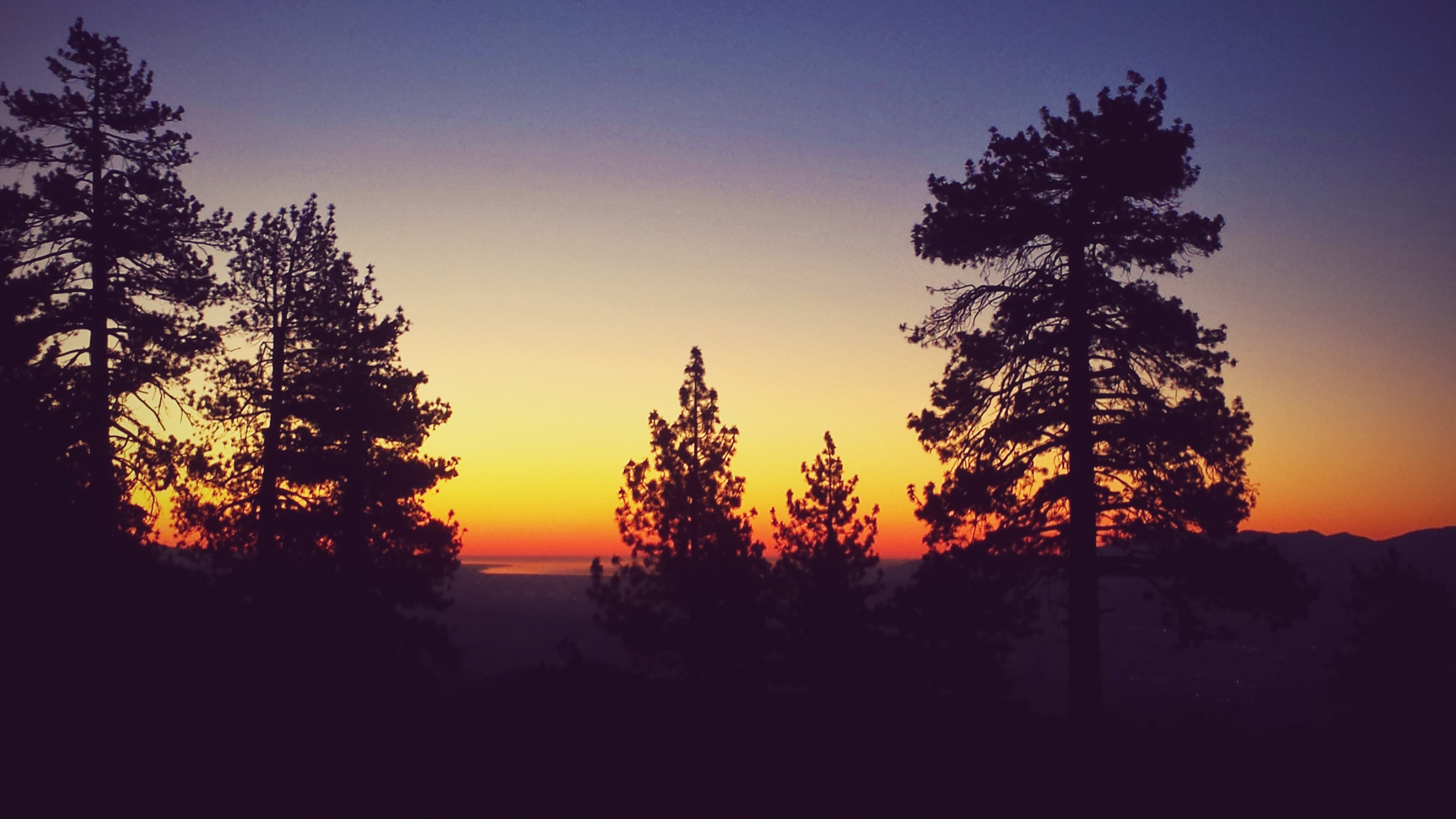
Art and I did end up hiking into the night, which I found spooky because I didn’t have a headlamp good enough for night hiking. I had brought a little Ace Home Improvement headlamp, which is super light, but only good enough for cooking & mucking around in the tent. Since my cell phone was actually brighter than my headlamp, that’s what I had to use. With the help of Halfmile’s maps, we managed to find a sweet campsite near mile 197. The view that evening was so lovely with all the twinkling red windmill lights below in the valley, and there were hundreds of them! The evening was ideal for camping as there was no wind and the air was only a little cool. We brought our Big Anges King Solomon double-wide 15°F sleeping bag for this trip, which made the night extra cozy! Since we weren’t concerned about bears, our Backpacker’s Pantry Jamaican Jerk Rice and Chicken dinner was eaten from inside our sleeping bag.
First night’s campsite, near mile 197.
Day 2- 10 miles
The next morning we awoke to an incredible view of the desert valley. Breakfast consisted of fig bars and fruit leather, plus a protien bar for Artie. I vetoed the hot tea option because we wouldn’t be reaching our next water source for another 10.75 miles. We were pretty slow going day two, as Art wasn’t used to the elevation and we were carrying LOTS of water.
The PCT above Cabazon
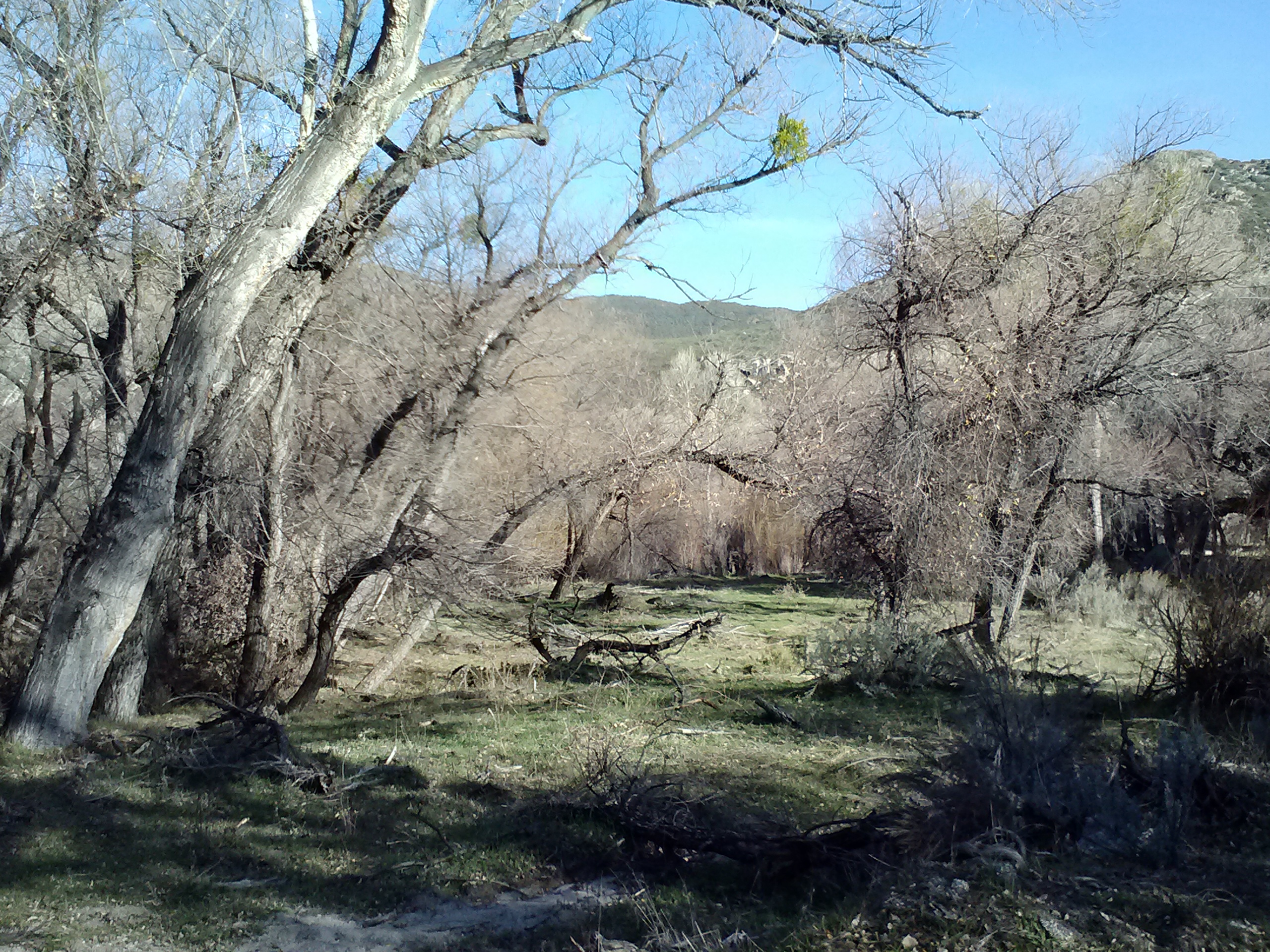
After hiking for so long in the dry, desert habitat, it was satisfying to finally reach some living trees. We stopped there for an early lunch of tuna salad with crackers, cookies, and dried fruit.
Checking our mileage, we noted we’d have to reconsider where we would camp that night, as we were hiking slower than we’d expected. No matter! We were loving being amongst the trees and having expansive views of forest and valley floors.
Manzanita tree
Approaching Fuller Ridge
Around mile 192.5 we came near a dirt road and a trail sign indicating the trail for northbounders. Continuing on what looked VERY much like the only southbound trail option around, we soon found ourselves OFF trail. ARGH! This made for a rather grumpy moment because we were already behind schedule and double backing being, of course, out of the question, we scrambled up the steep, bushy hillside until we found the trail again.
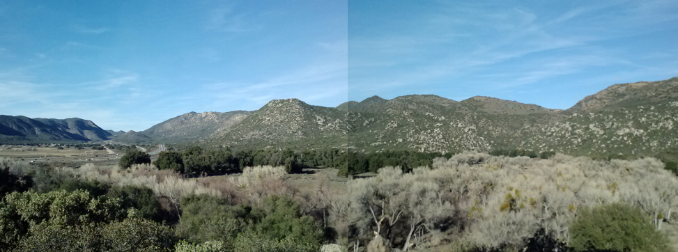
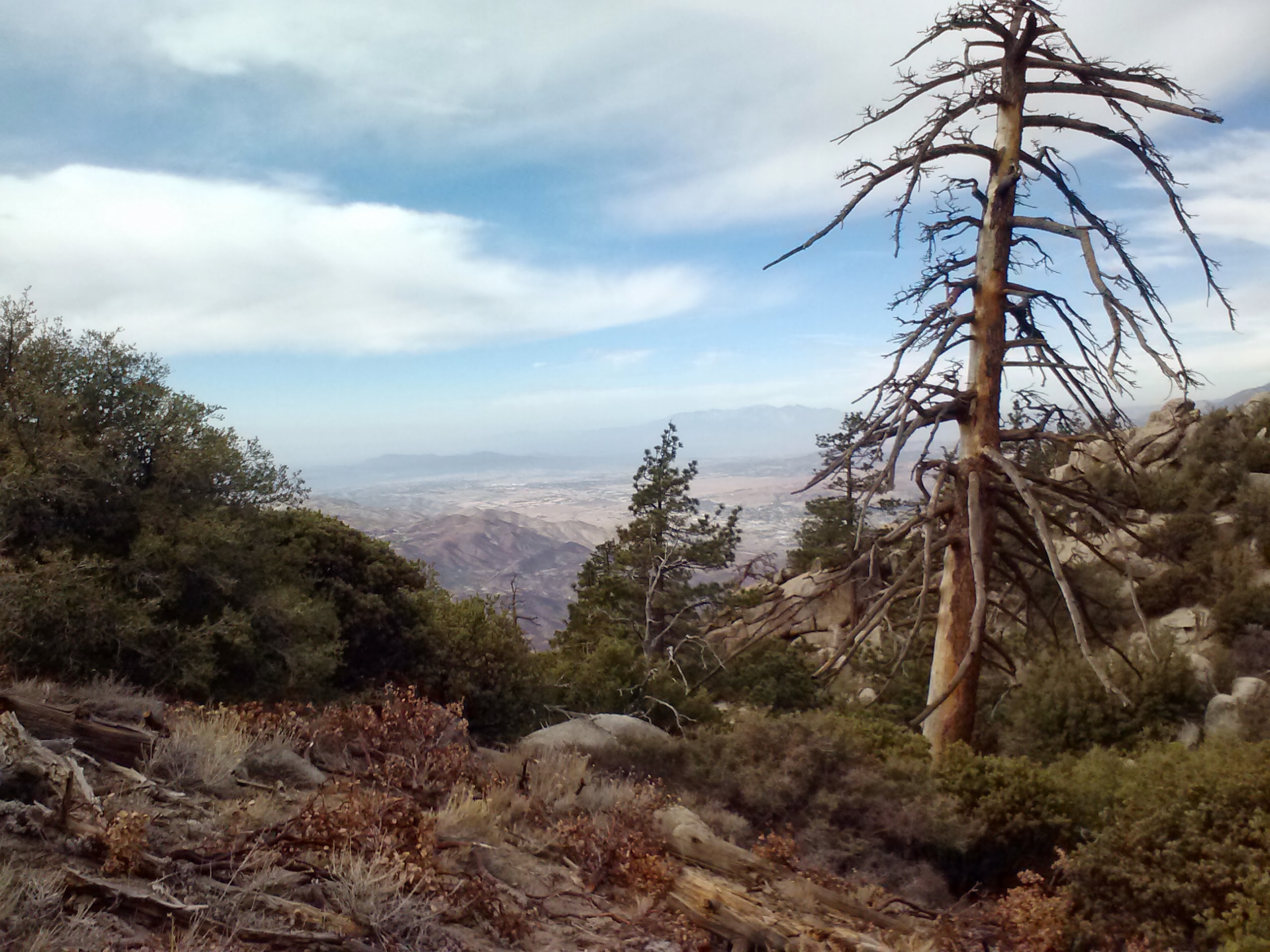
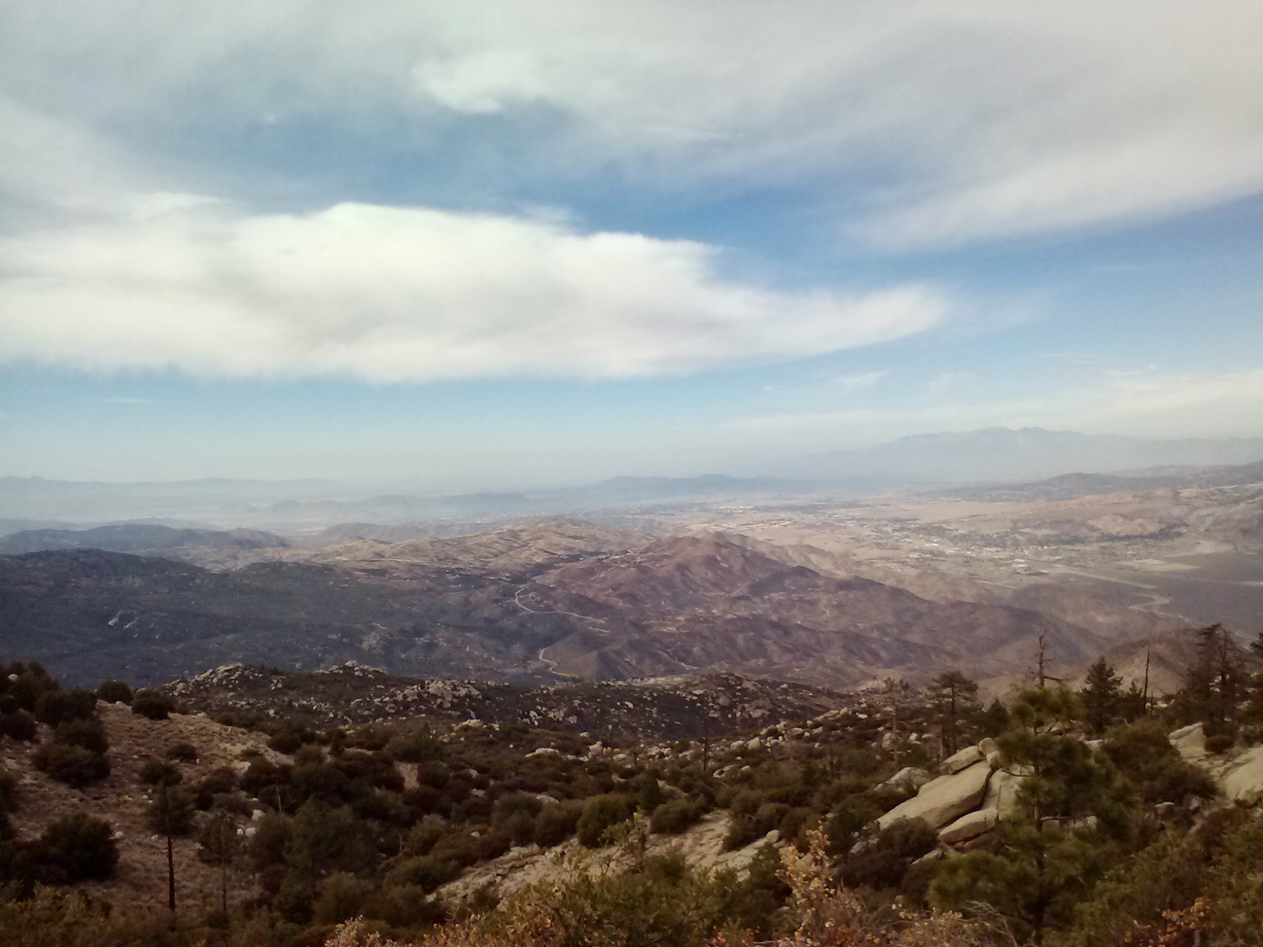
Looking northwest, over Hwy 243
Still approaching Fuller Ridge…
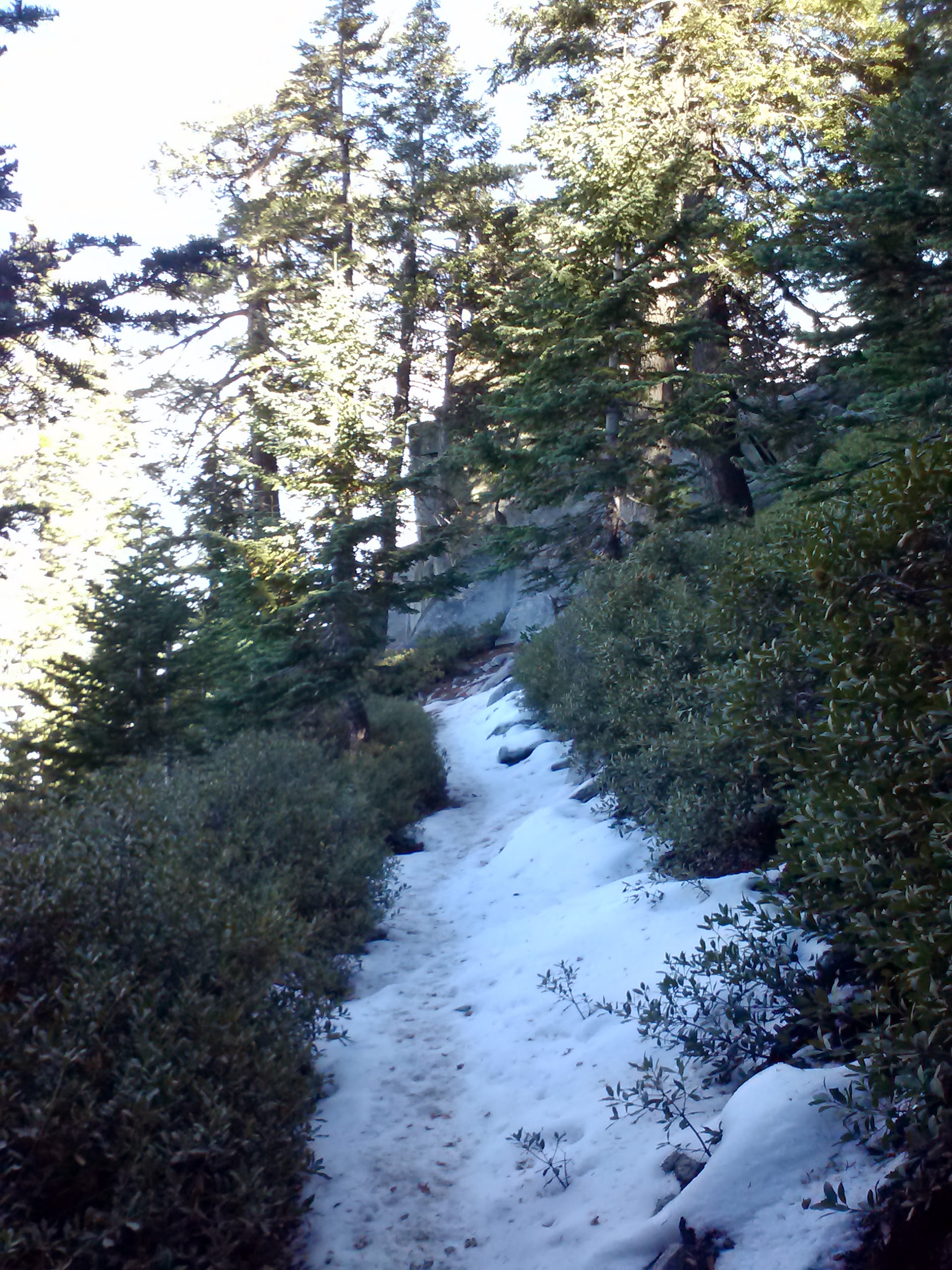
We hustled up the trail and soon found ourselves walking through yet another very different ambience: snow! I’m always getting excited by snow because I grew up in Southern California and never had snow play vacations.
Snow along Fuller Ridge
Much better signage!
Little cougar print?!
I hiked on ahead of Art for the afternoon trying to determine how far a decent campsite would be and how close we could get to the water resource. As the day went on, I saw incredible views, trees, and boulders, but I forgot to actually take pictures! Around mile 187 I found a really great campsite and decided that even though we hadn’t reached the water yet, this was the spot for us. I was also concerned about Art hiking to catch up to me in the dark, especially since I had the map. I dropped my pack, grabbed some water bottles and hiked another half mile up to the North Fork San Jacinto River Tributary. It was super icy and I nearly fell on my butt several times, all for the fun of it!
North Fork San Jacinto River Tributary
Sunrise looking toward Lake Hemet
By the time I returned to my backpack down the hill, Art was lounging comfortably on the rocks. We threw up the tent because the sun was setting fast. I made hot tea and we snacked on jerky and fruit while we waited for our Beef Stroganoff and Beef Chilli Mac to rehydrate. I even ate an entire box of Trader Joe’s Dried Seaweed- it was deliciously salty. It was such an early night for us with the sun going down at 5:00. By 7pm, Art was already asleep! That night was much colder than the first because we were now at an elevation of around 9,000 feet. Art slept like a rock, but I woke up at 3am cold on one side. I kept rotating like a rotisserie chicken against the toasty furnace of Art next to me.
Second night’s campsite near mile 187
Day 3- 6 or 7 miles
A cold morning at camp
We were determined to start hiking by 6am so we could grab second breakfast in Idyllwild. The alarm went off at 5am and we were pretty successful at making tea and eating breakfast, but not so successful at getting out of bed and packing up. It was so chilly out! We both hiked for the first few hours in our long johns and didn’t take them off until we past Strawberry Junction. We made our way back up to the Tributary and, since we made so much tea, we filled up the bottles again. It was a winter wonderland up on that ridge!
Wonderful wintery land!
Coming down the mountain, approaching Deer Spring Trail
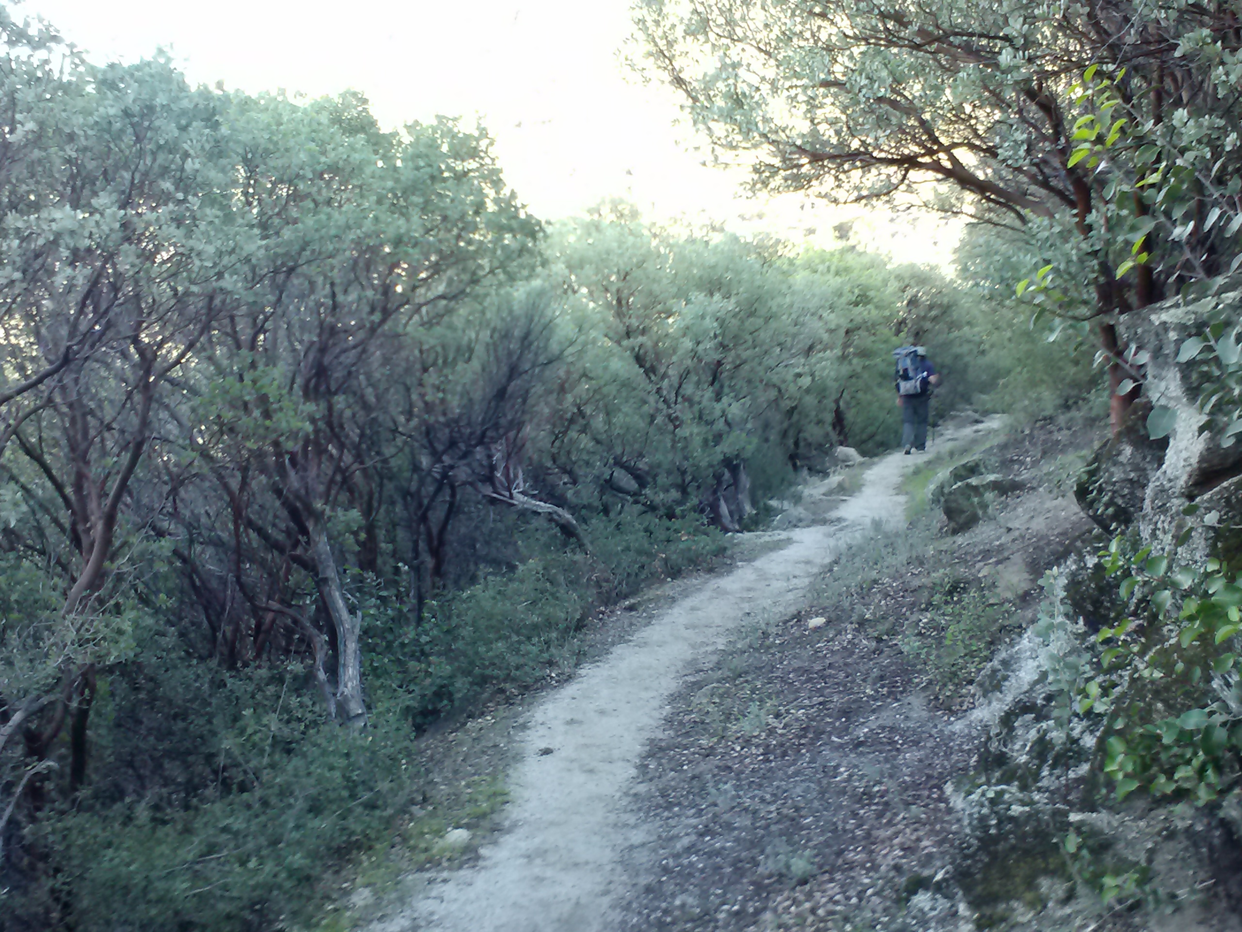
With the promise of a scrumptious meal and cold beer in Idyllwild, we moved pretty fast that morning. We zipped right past Deer Spring— which was still flowing, but looked pretty mucky— and a sweet looking campground with tables and a tap to the spring, still in the process of being built. Approaching Strawberry Junction was exciting because there was an outhouse. Nothing like an outhouse to brighten your day in the woods!
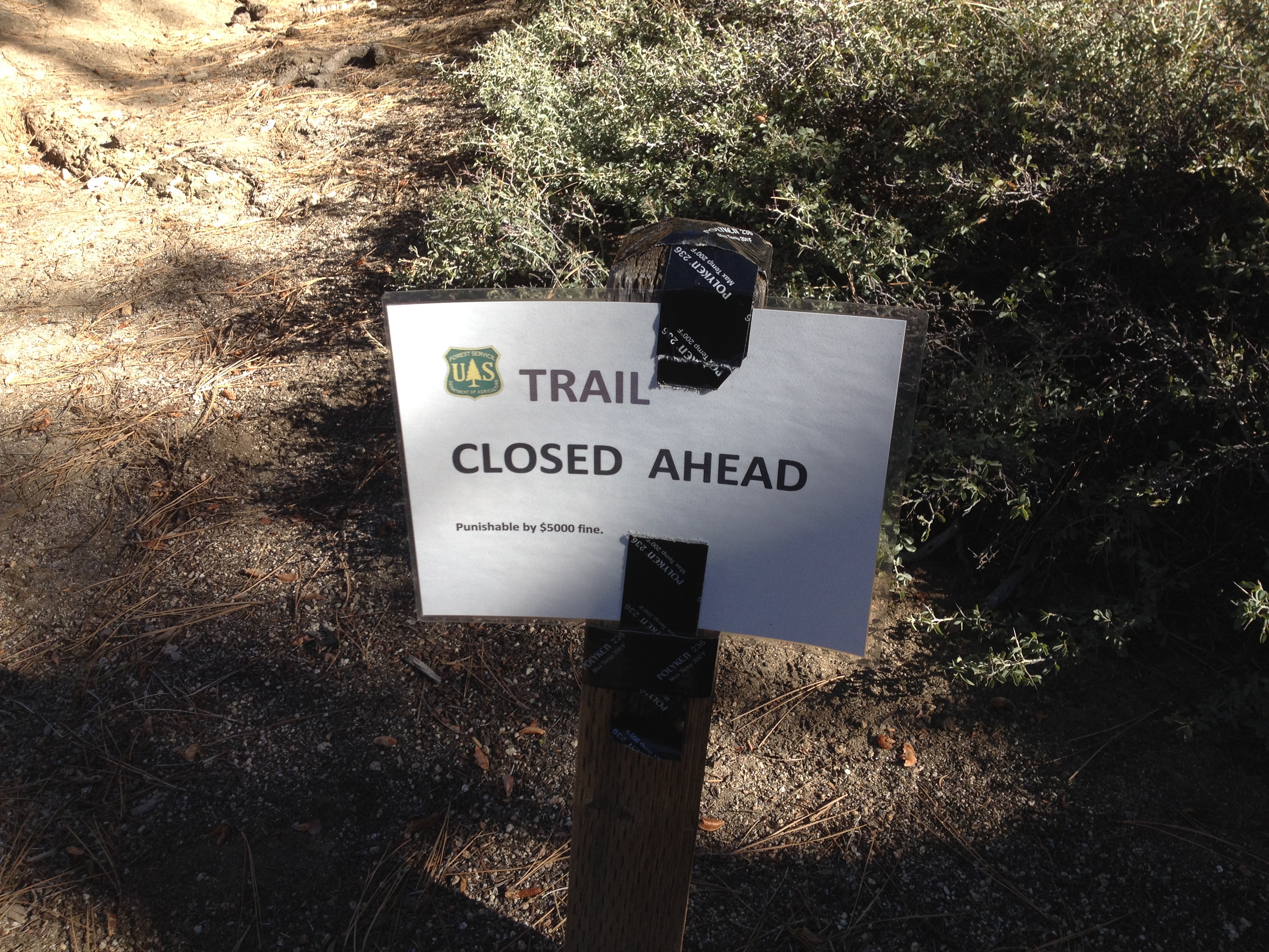
Just south of Strawberry Junction
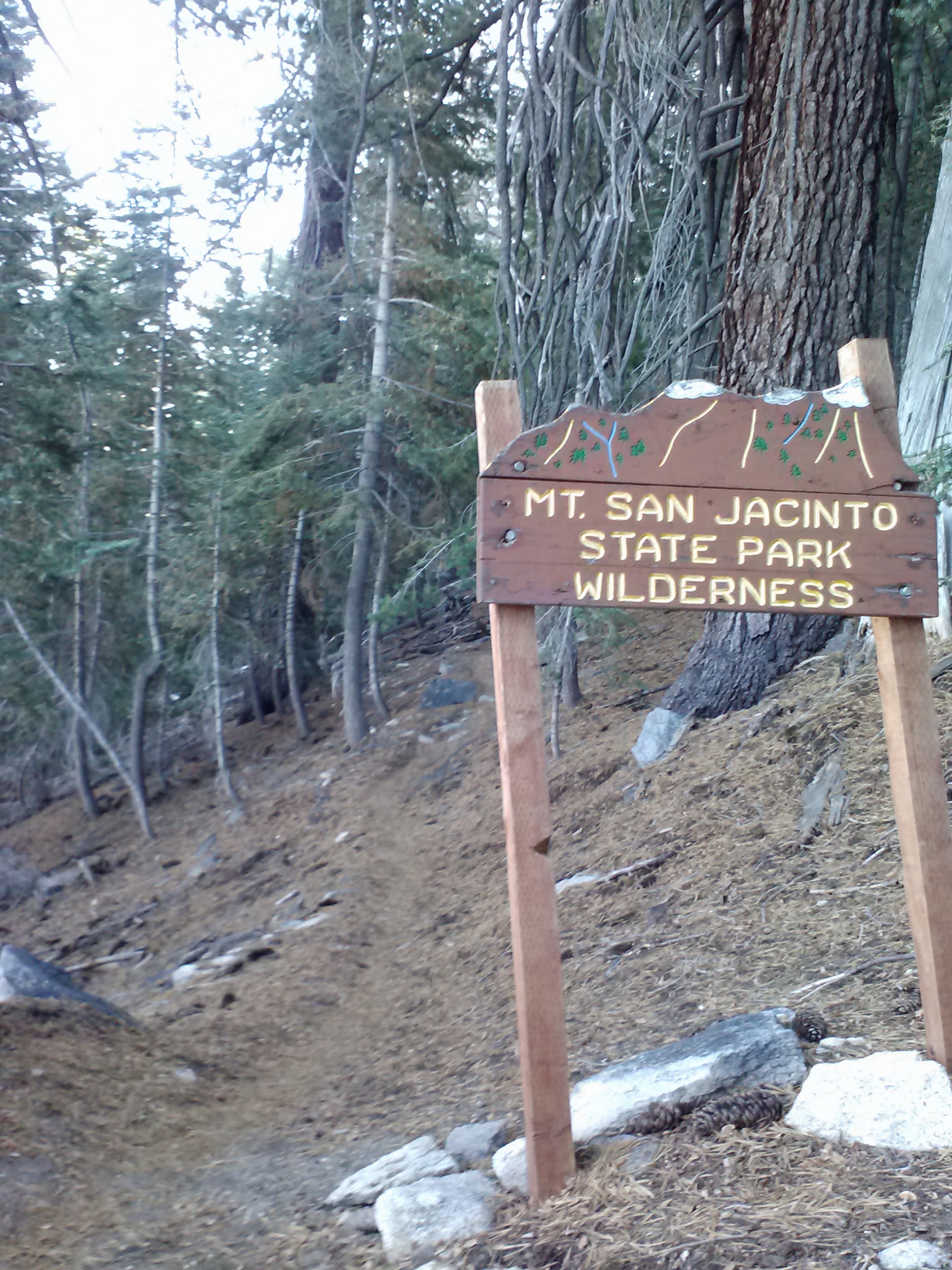
Just past Strawberry Junction, however we came across a trail closure sign. When I planned the trip, I had heard about the PCT being closed from Hwy 74 up to Devil’s Slide, but not up to Strawberry Junction. This meant we had to turn around and hike down Deer Spring Trail to Hwy 243. We road walked back into Idyllwild and then hitched a ride up to our car in Humber Park. It worked out beautifully!
Once at the car, we changed into our street clothes and hurried down to Cafe Aroma in downtown Idyllwild. The local gentleman who’d given us a lift recommend it, and it was DELICIOUS! I think we could’ve stayed there all afternoon if we didn’t need to pick up Pepper from Sabrina and then drive three hours home.