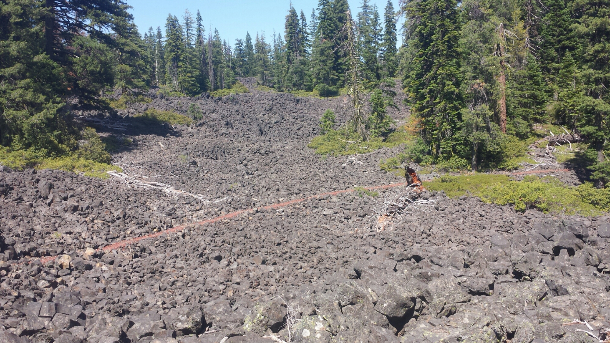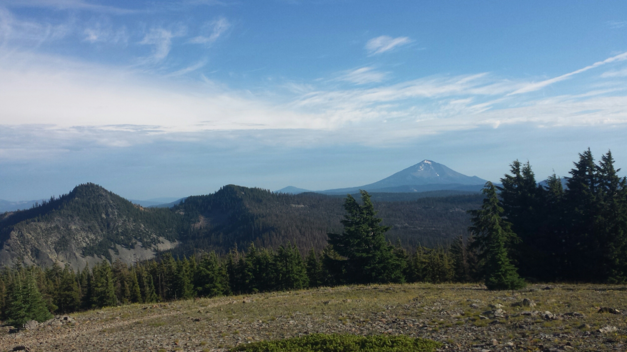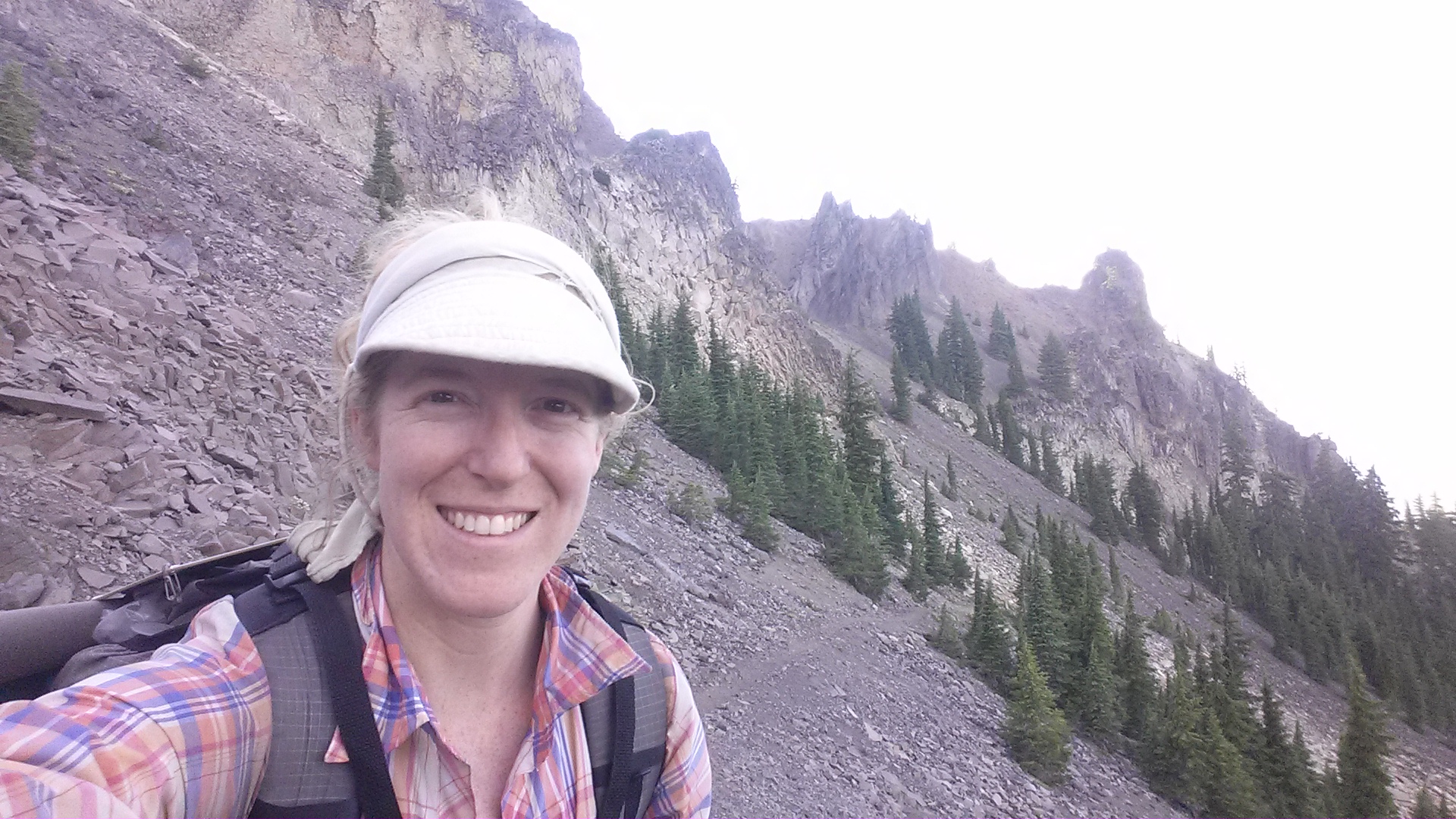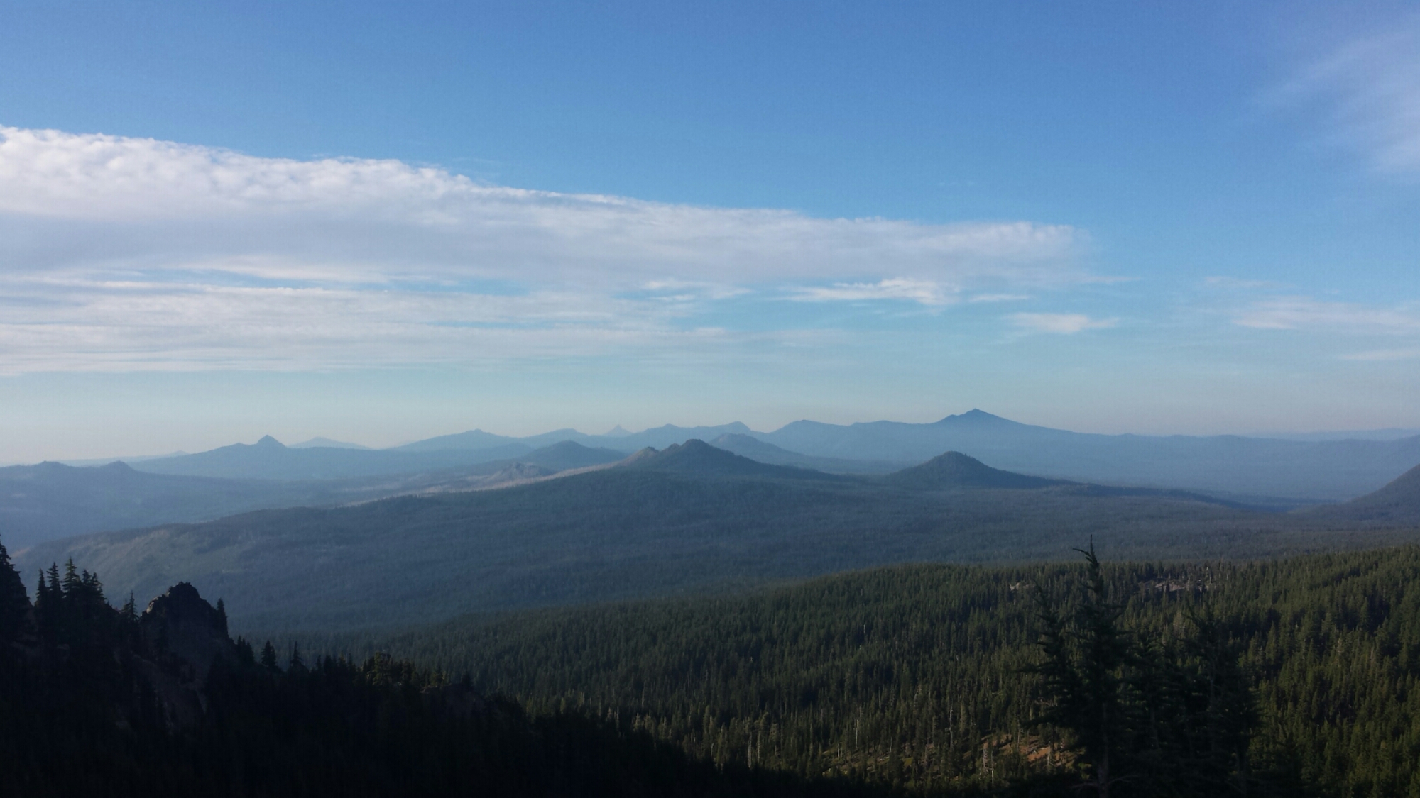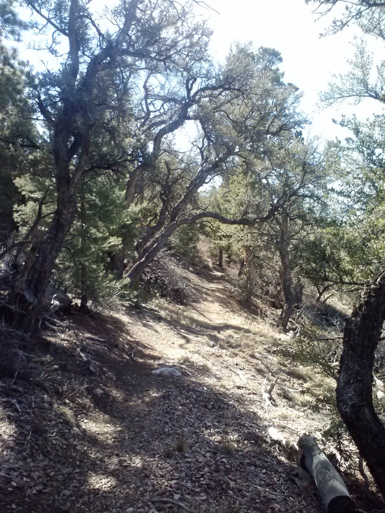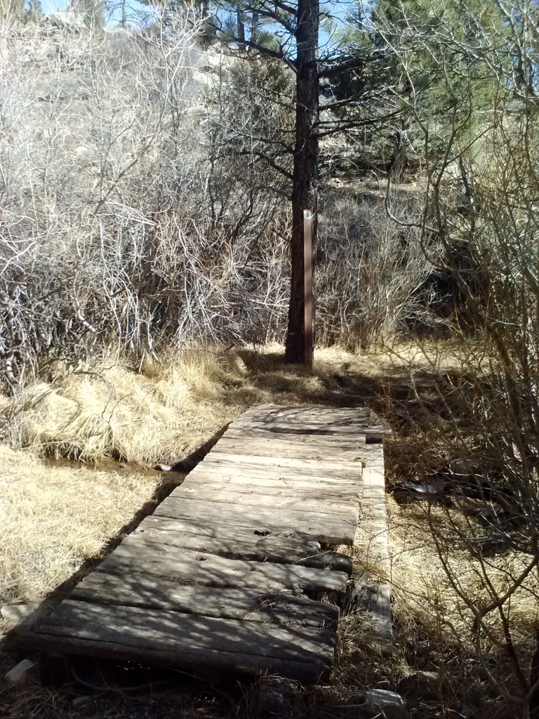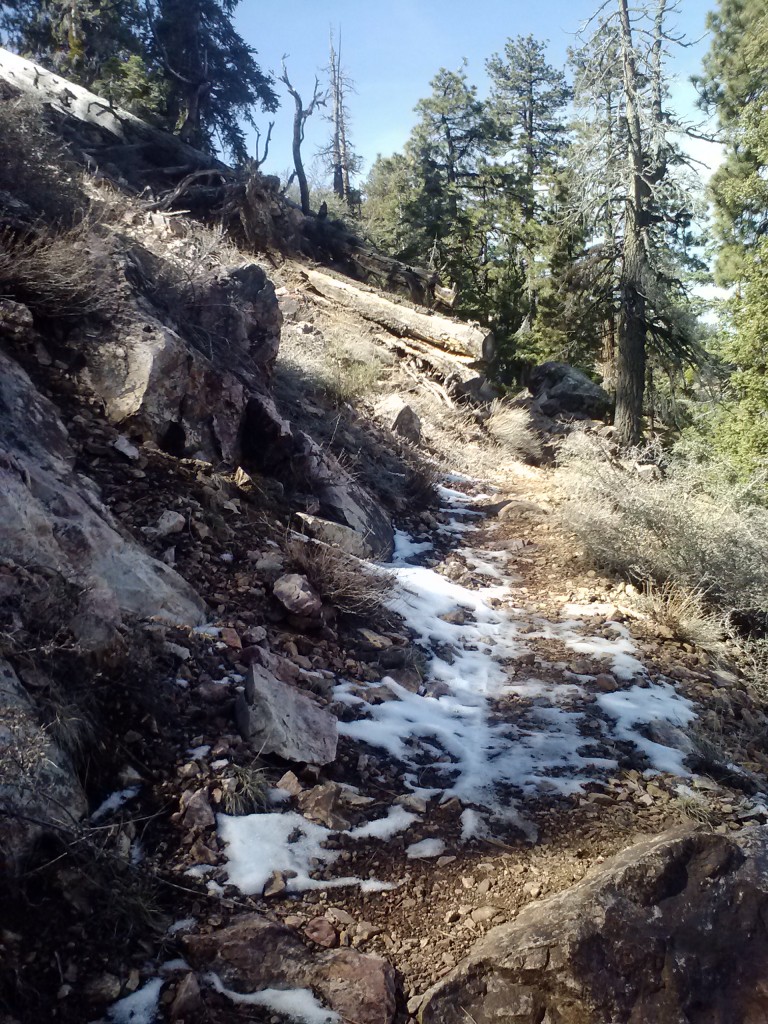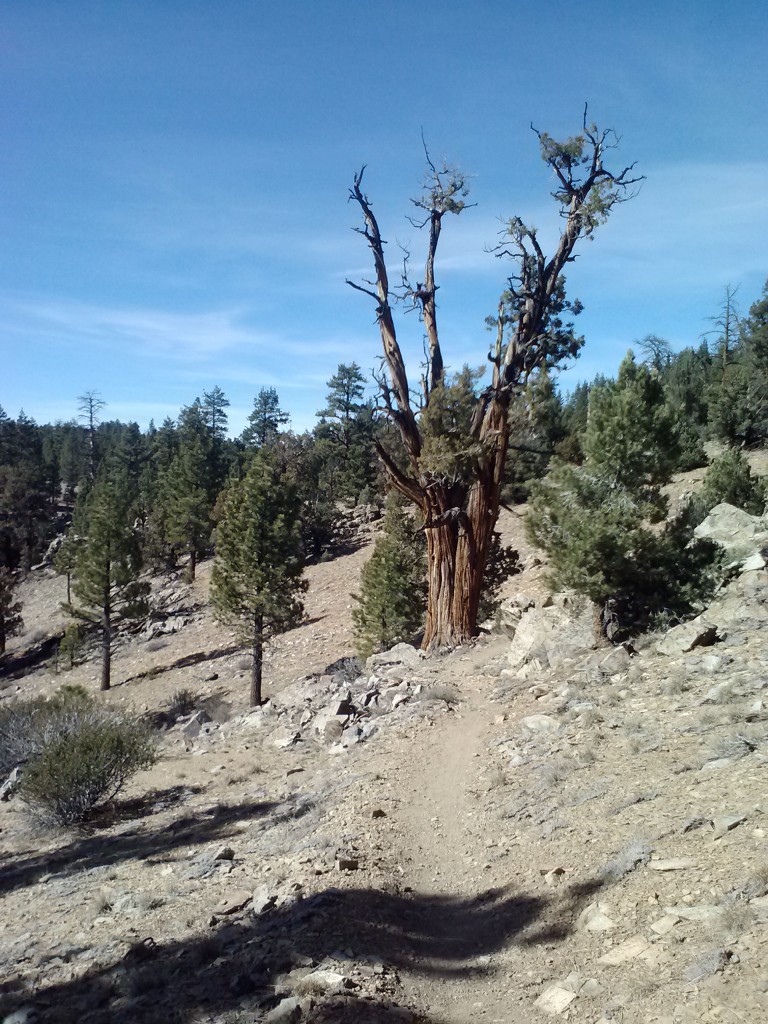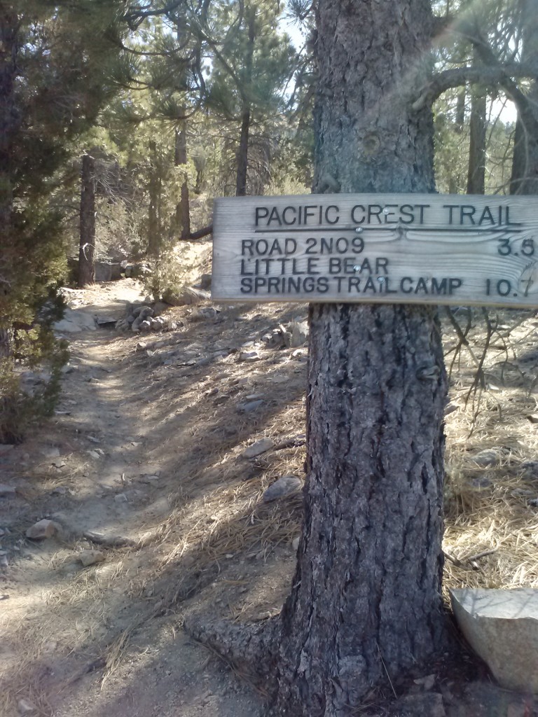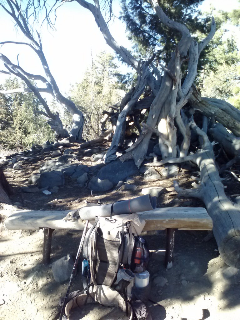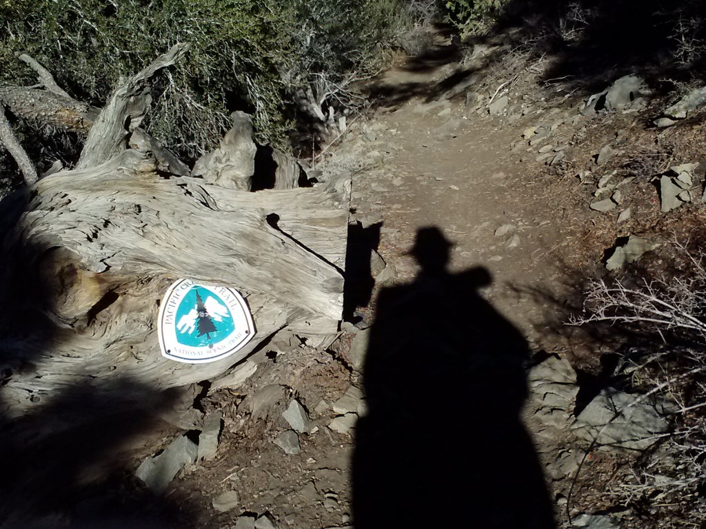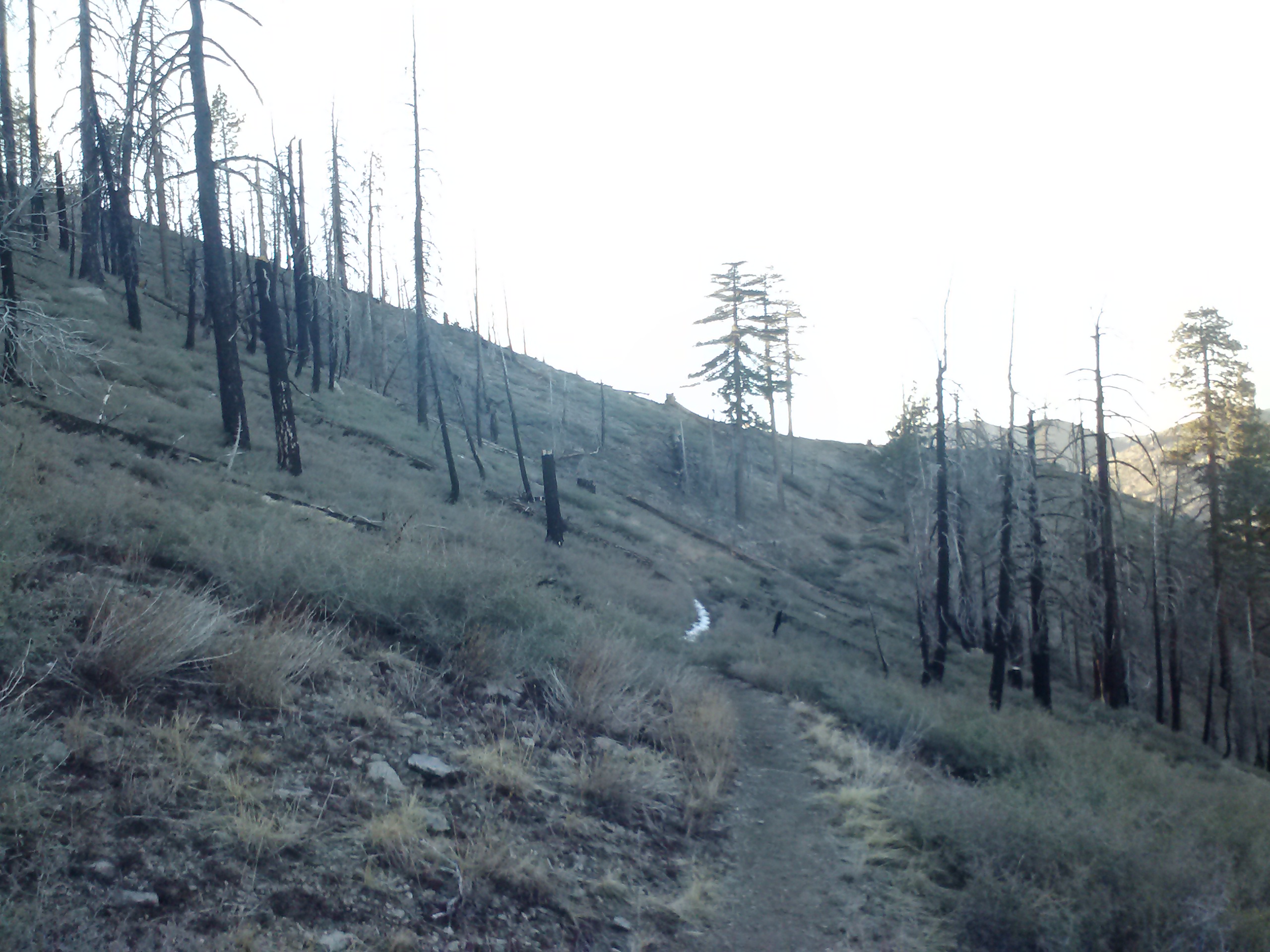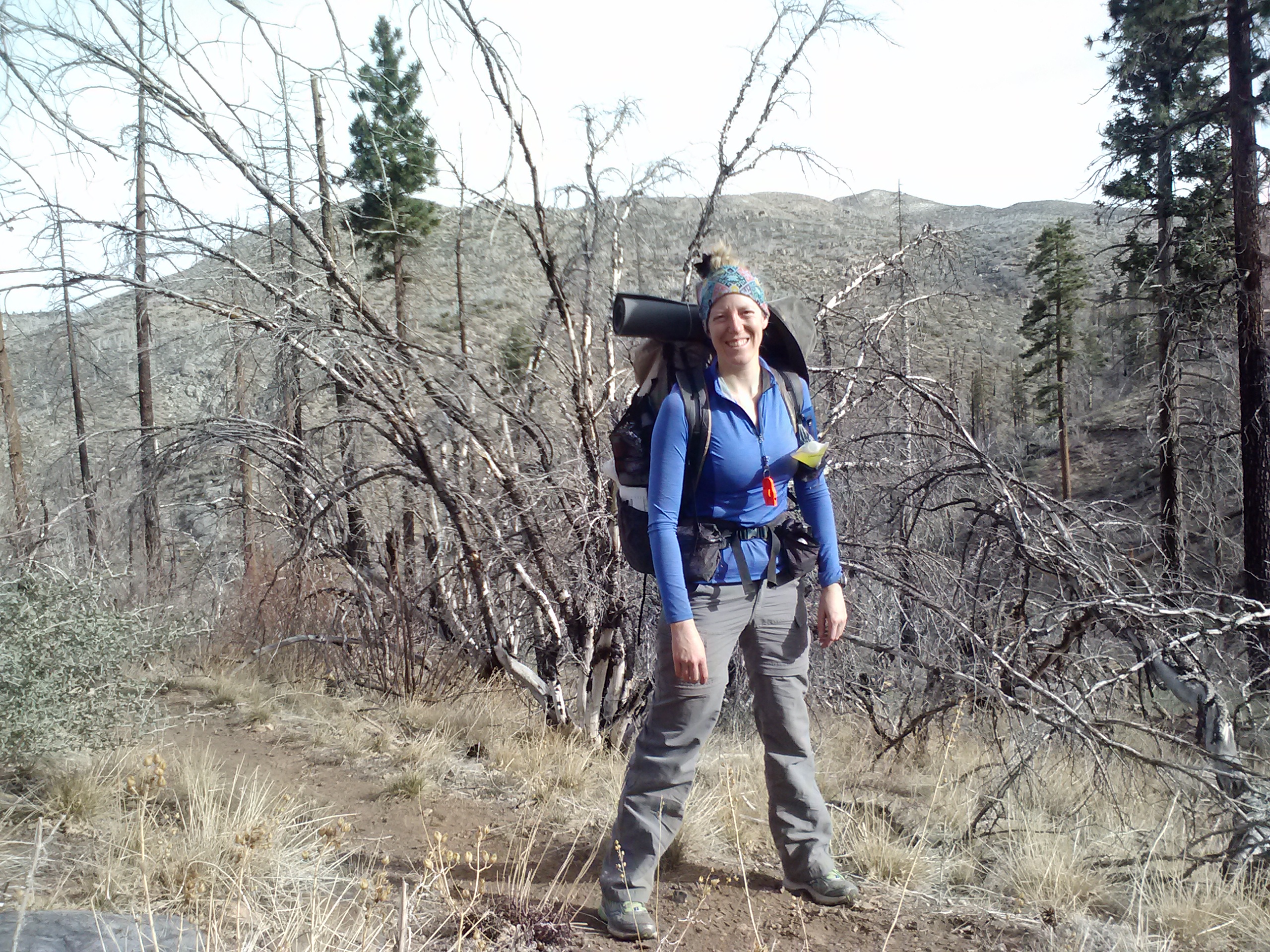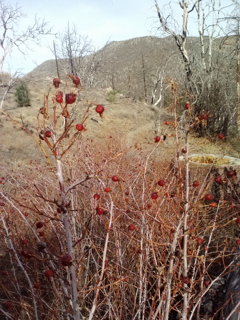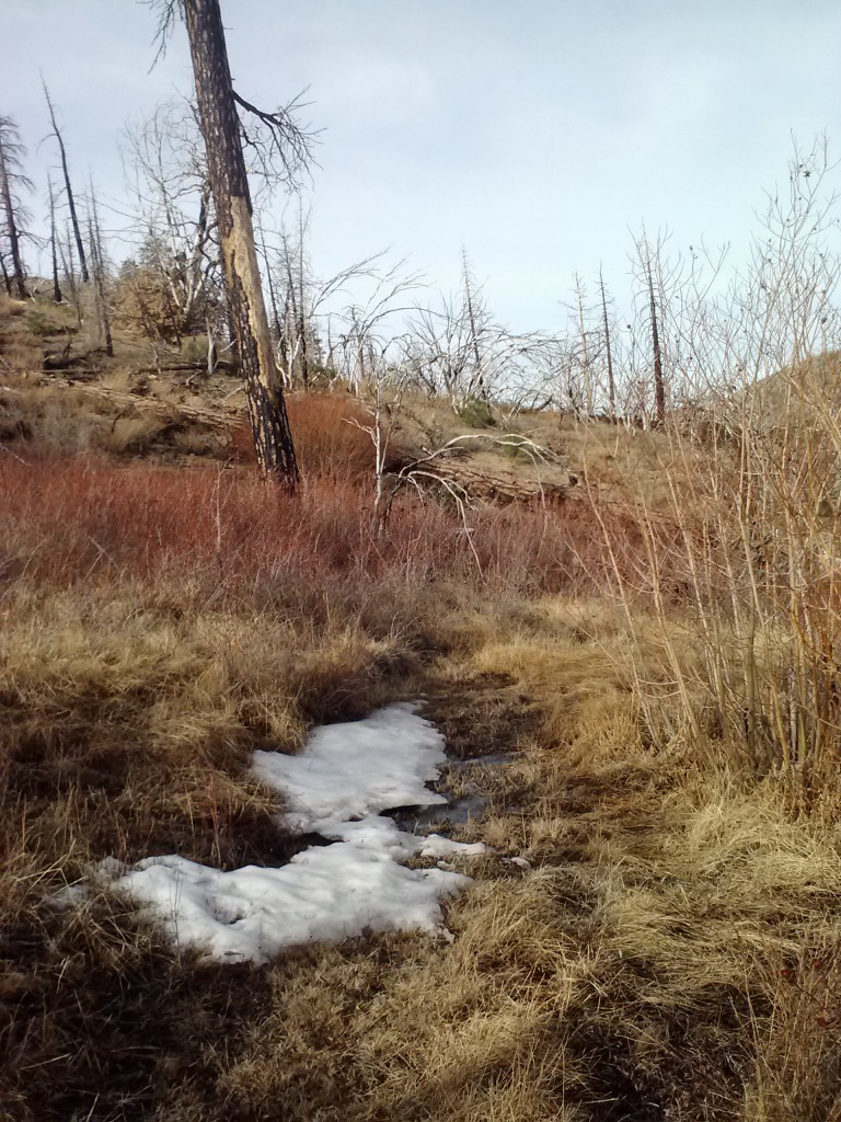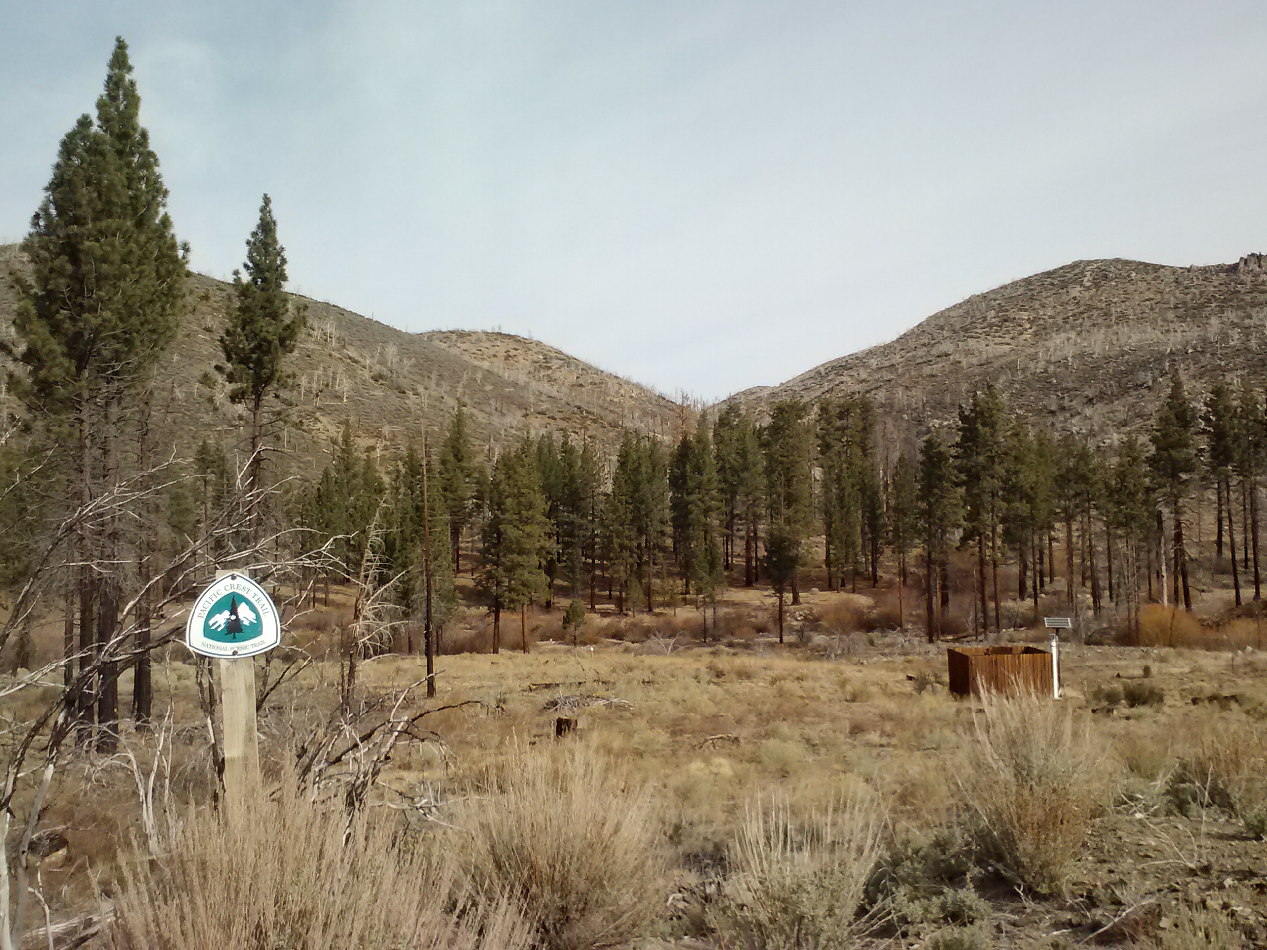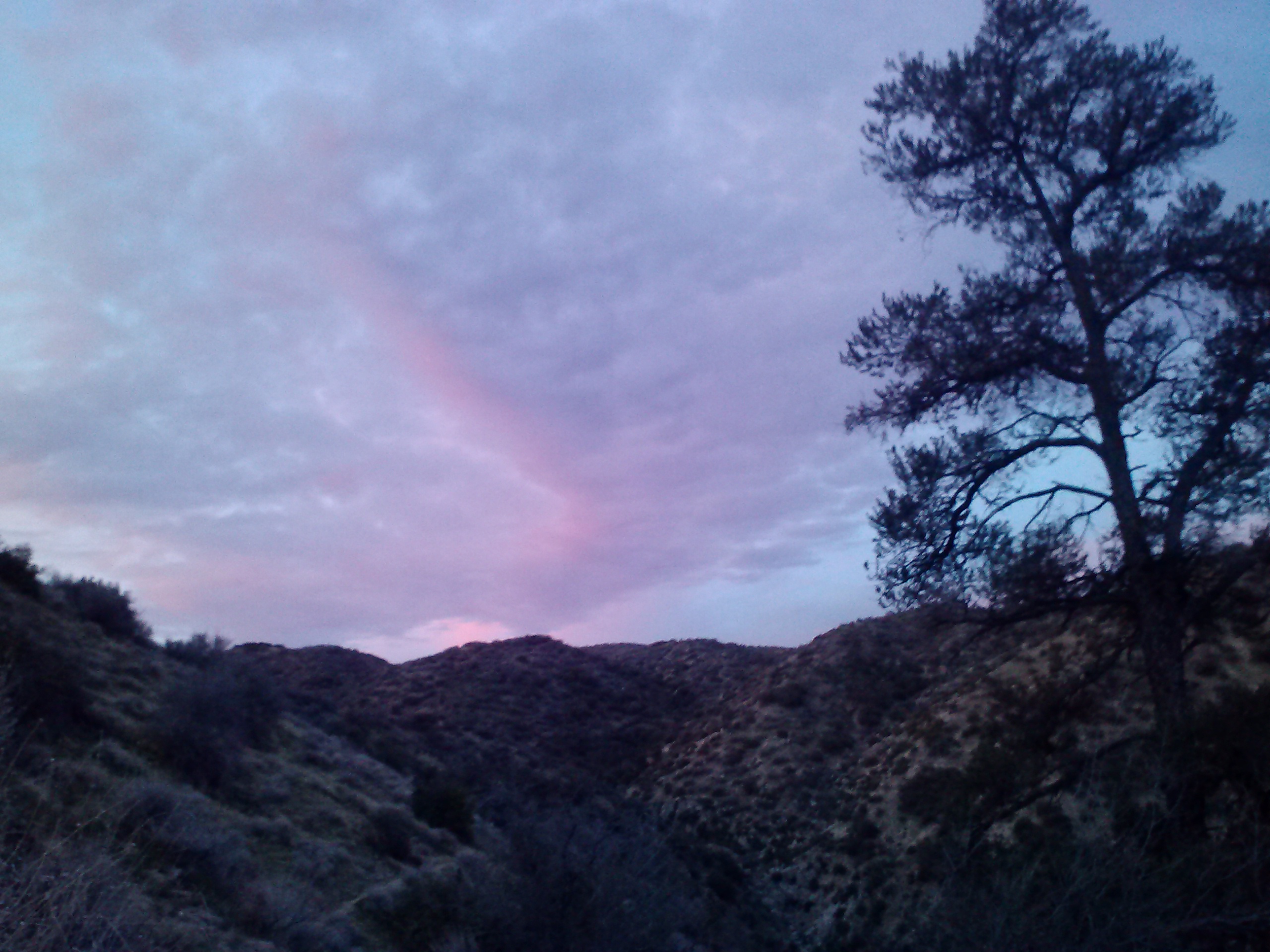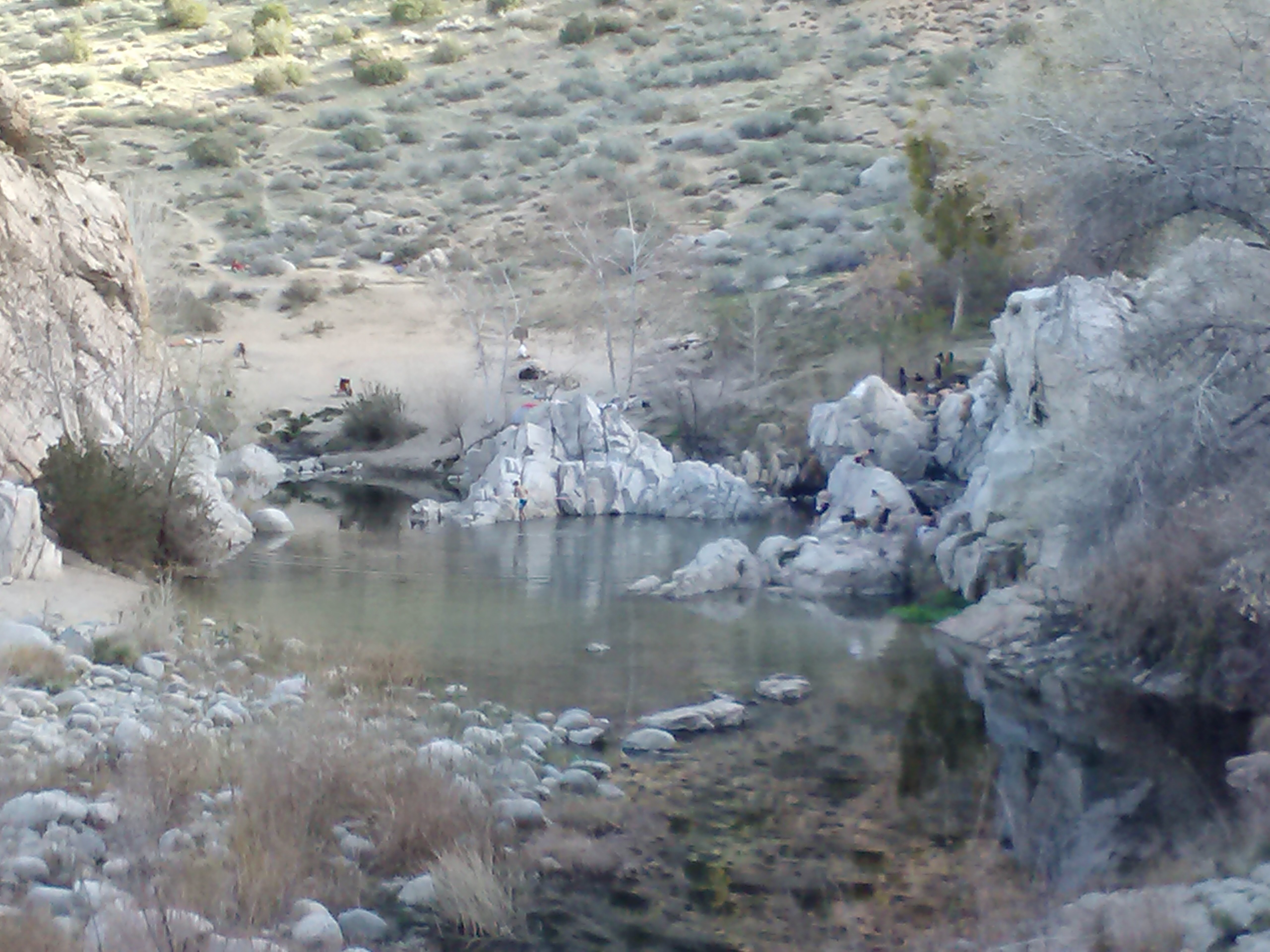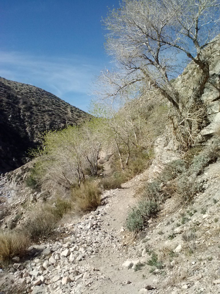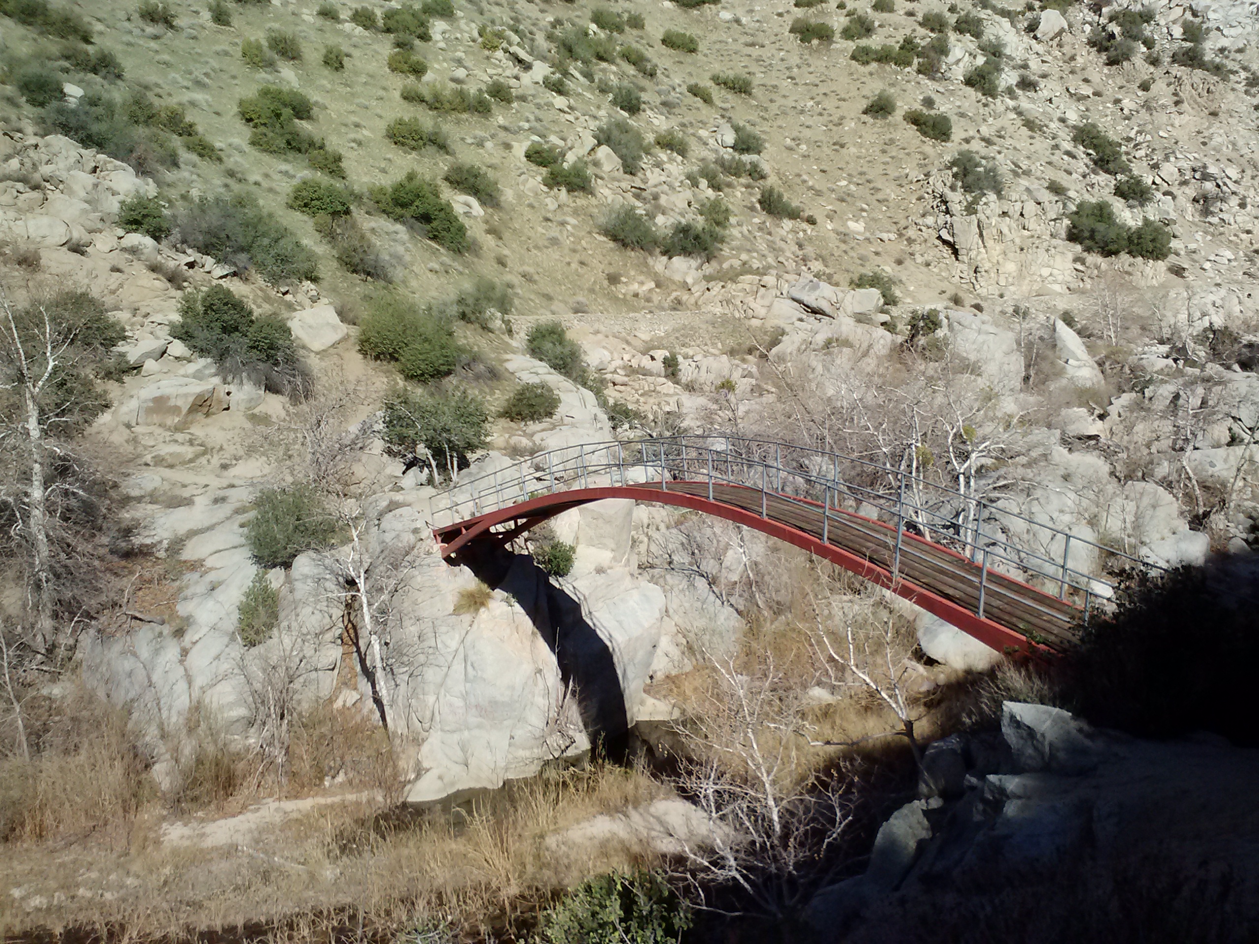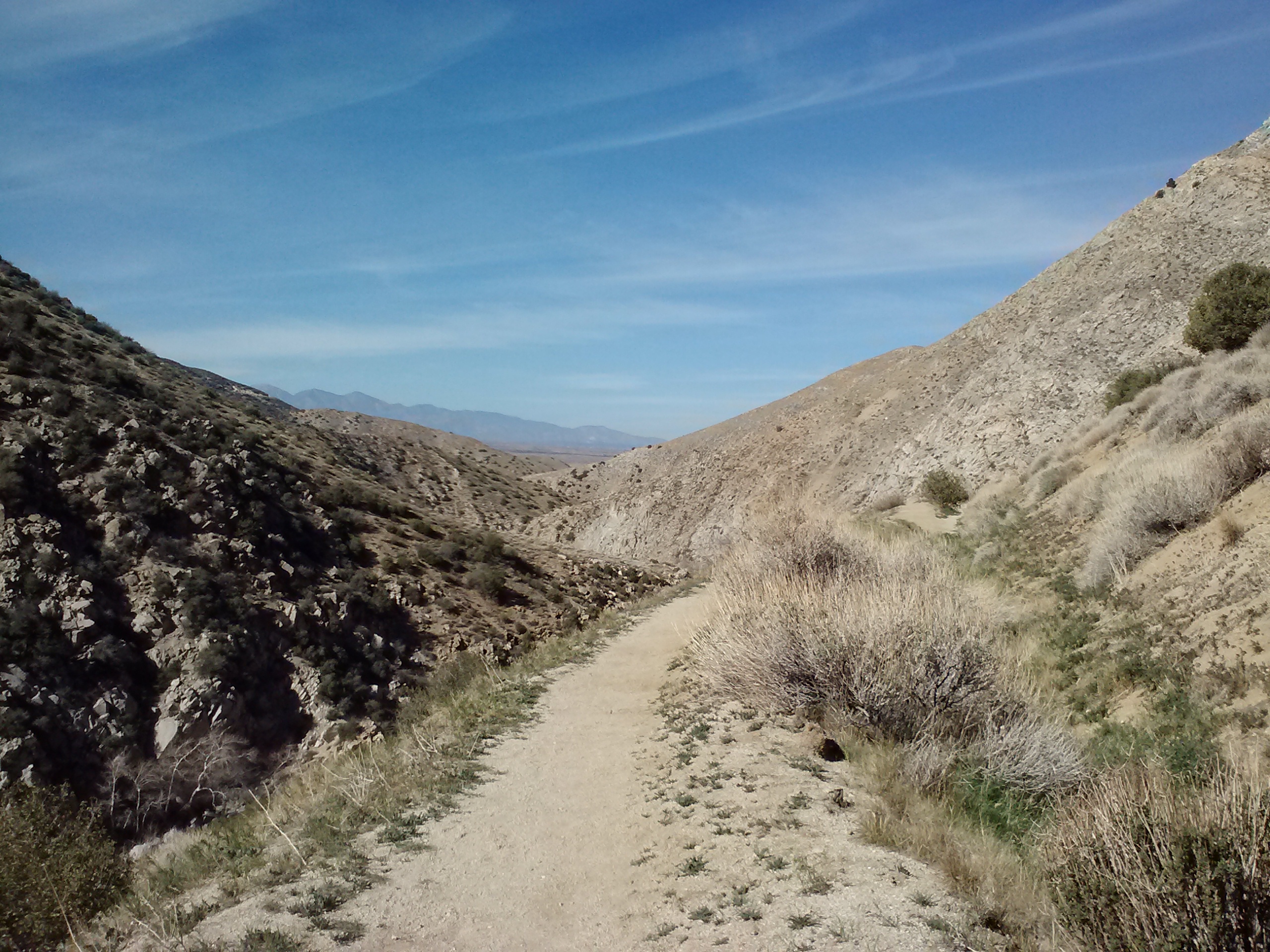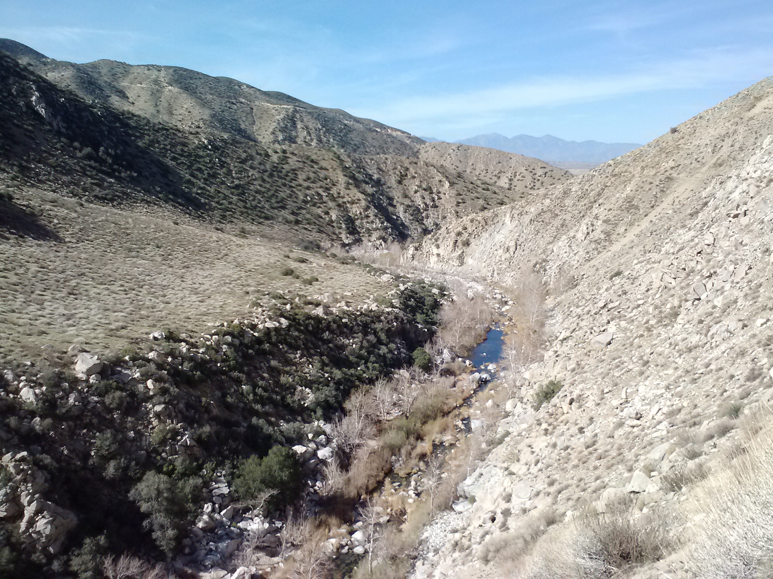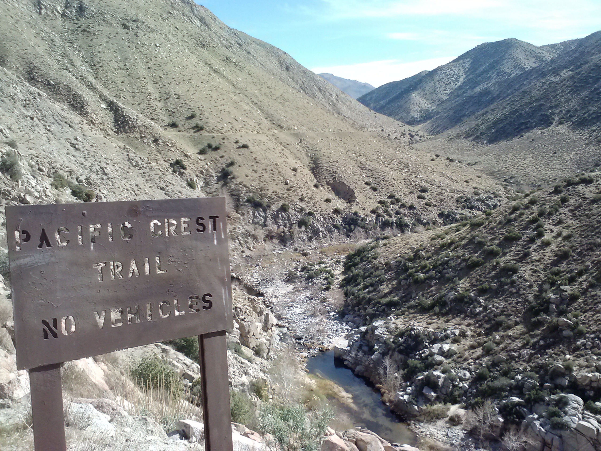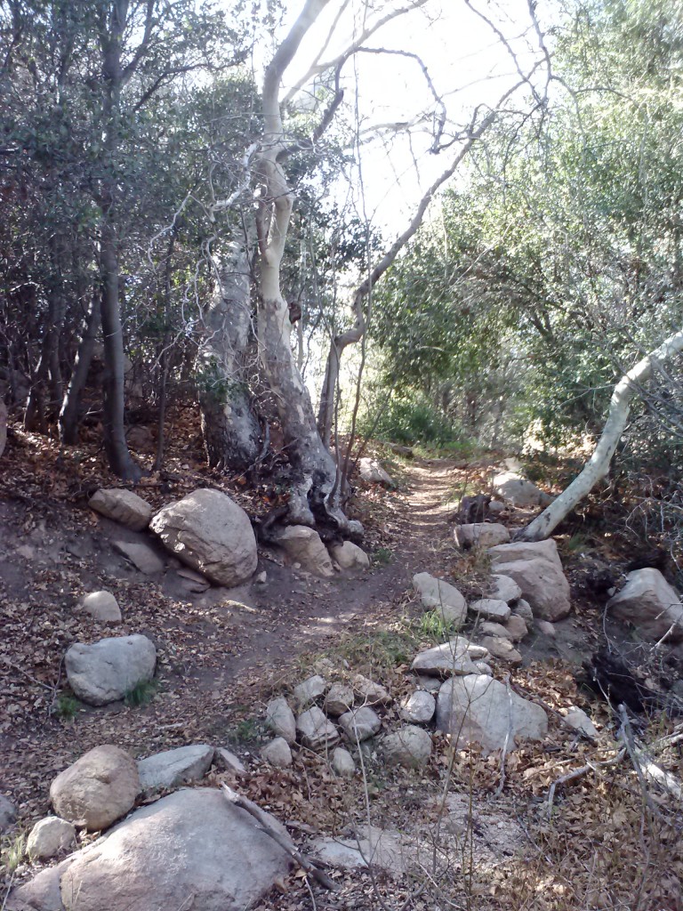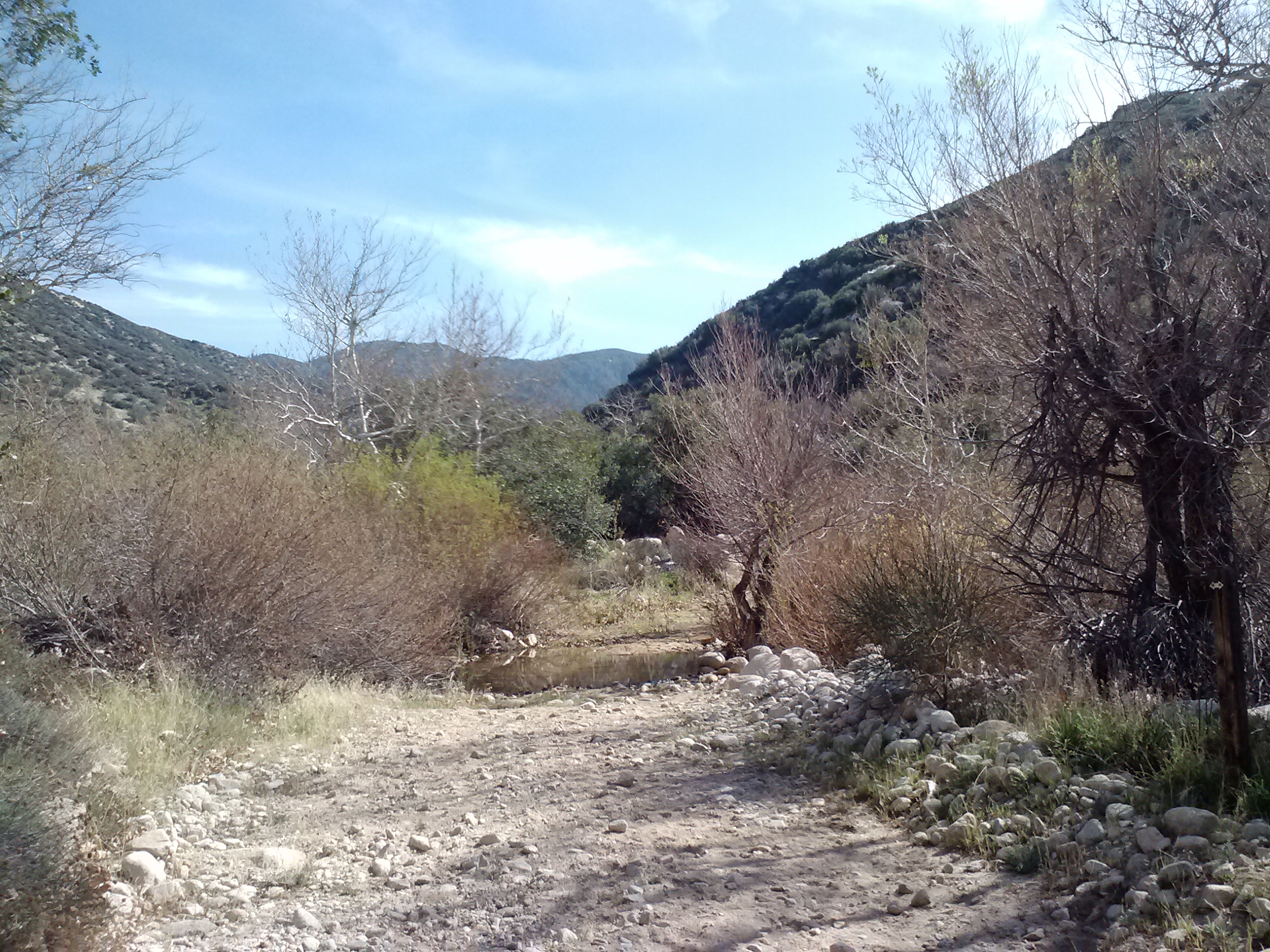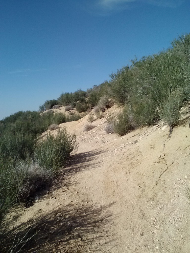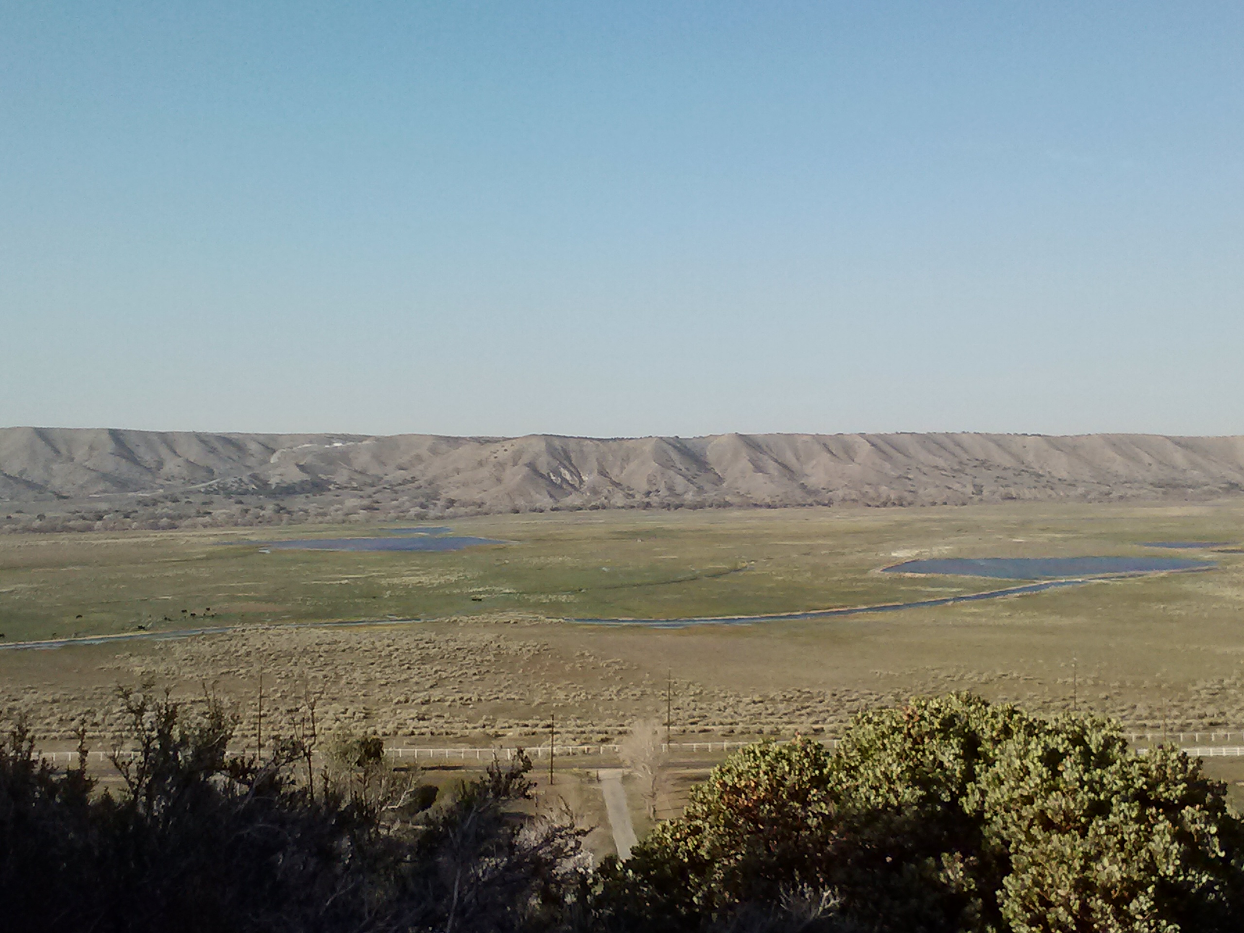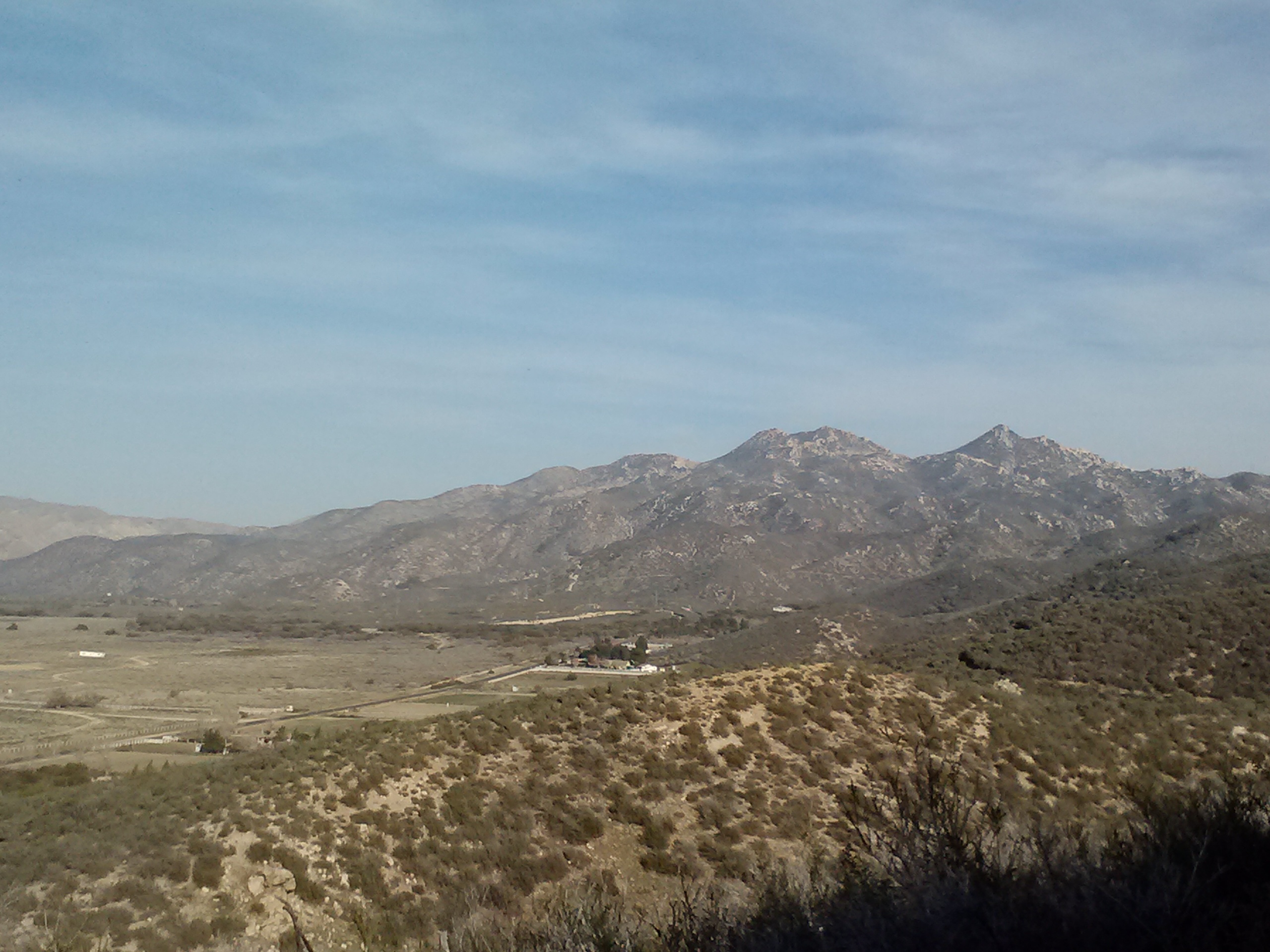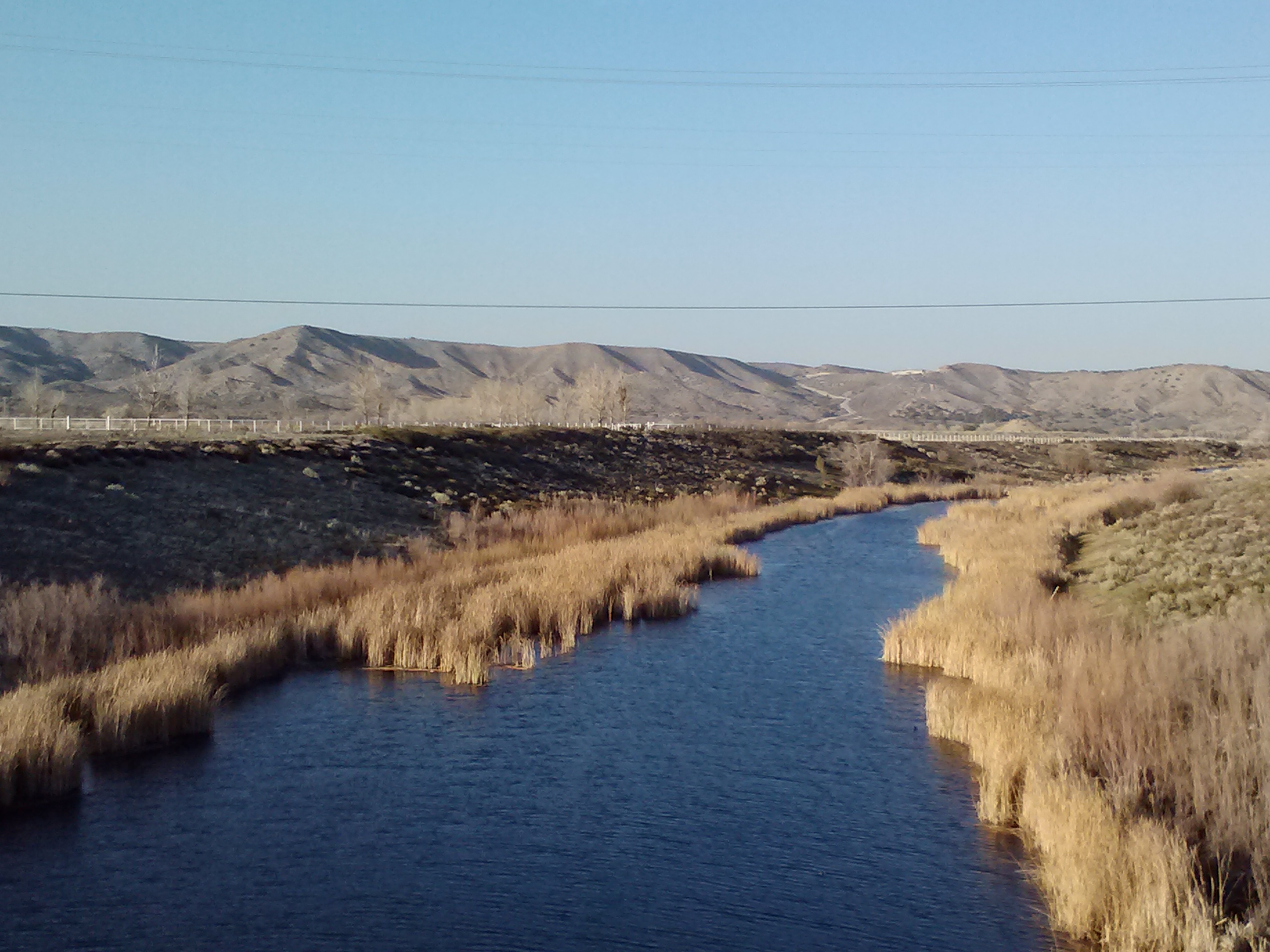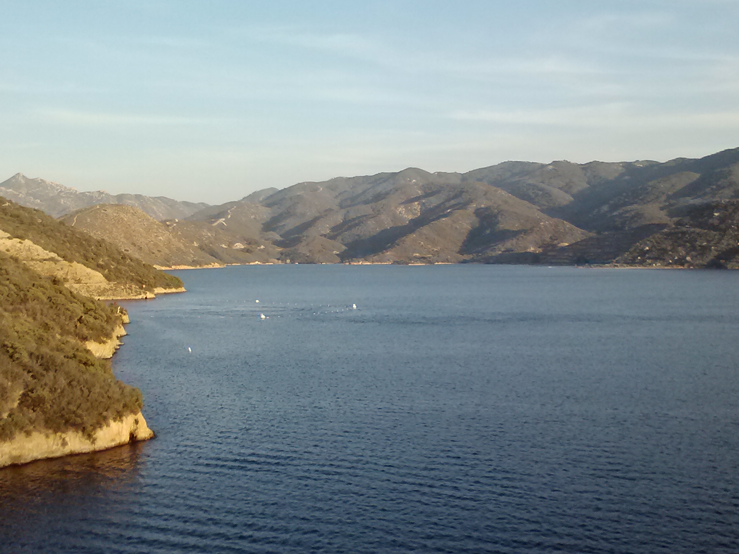
No. 27- Crater Lake to Shelter Cove

loading map - please wait...

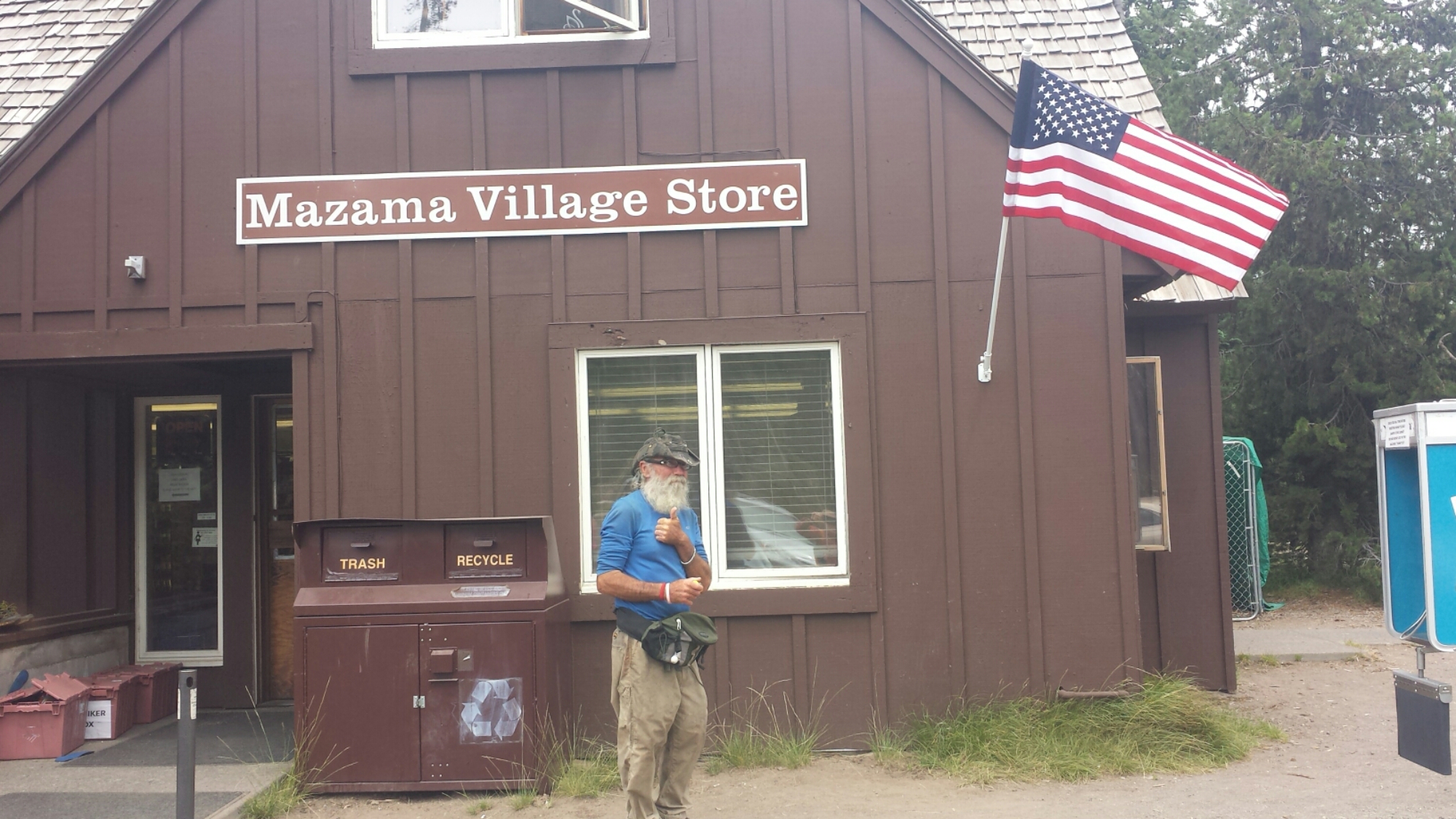
Mazama Village: 42.867529, -122.167295
Shelter Cove Resort: 43.581739, -122.040317
Oregon Skyline Trail: 43.525775, -122.069263


July 6- 15.5 miles, camping in the middle of nowhere

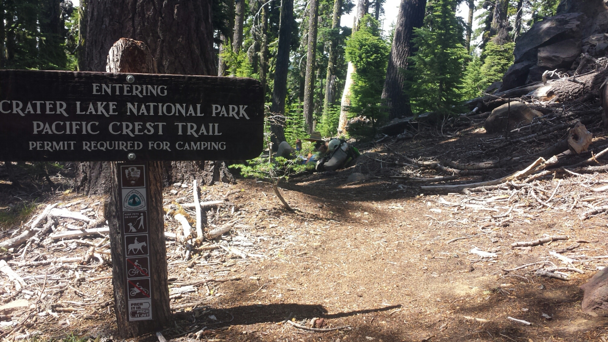
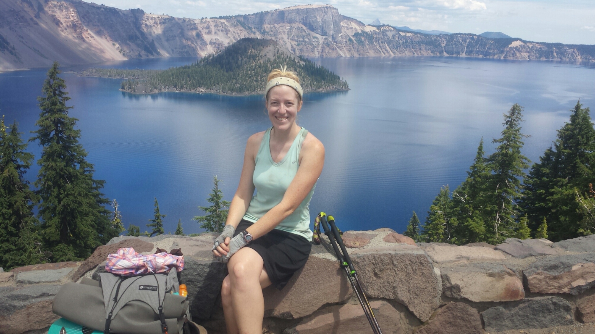
Since this may be the only time in my life when I get to see Crater Lake, I decided to play tourist a bit. I took a shuttle to the park visitor’s center to look at maps of the area and watch a little documentary that covered the geology and history of Crater Lake. I then road walked 3.5 miles up to the lake itself.

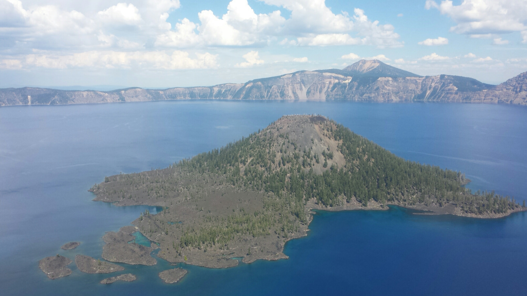
Crater Lake

Crater Lake

It truly is a stunning view and I wished I could have stayed longer to take a boat ride or something. Instead of a touristy boat ride, I settled on walking along the rim to the lodge for a salad and chili. The entire area was crawling with summertime tourists and, despite the beauty of the place, I couldn’t wait to get back on the trail.

image
The native Klamath people have a legend that says the god of the underworld, who lived within Mount Mazama, fell in love with a tribal princess. When she refused to marry him, he took revenge on the tribe by erupting the mountain. Two medicine men threw themselves into the roaring volcano in the hopes of appeasing the angry god. Another god witnessed the bravery of the two men and battled the underworld god until the mountain collapsed, creating the massive crater. The Klamath people still hold Crater Lake as a powerful and sacred place.

Wizard Island

Wizard Island

Mount Mazama once stood as a 12,000 foot tall peak over the place that is now Crater Lake, making it the tallest mountian in Oregon at the time. Around 7,700 years ago, it erupted, decimating everything within a thirty-five mile radius. It is the most massive explosion of the Cascade Range in the past million years. It took 500 million years to build Mount Mazama and only two to three hours for it to collapse to a crater.

View towards Hellman Peak

View towards Hellman Peak

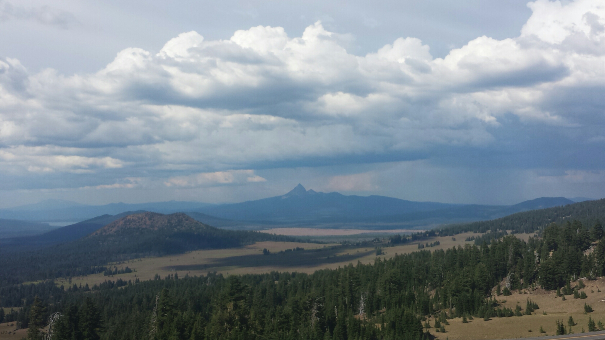
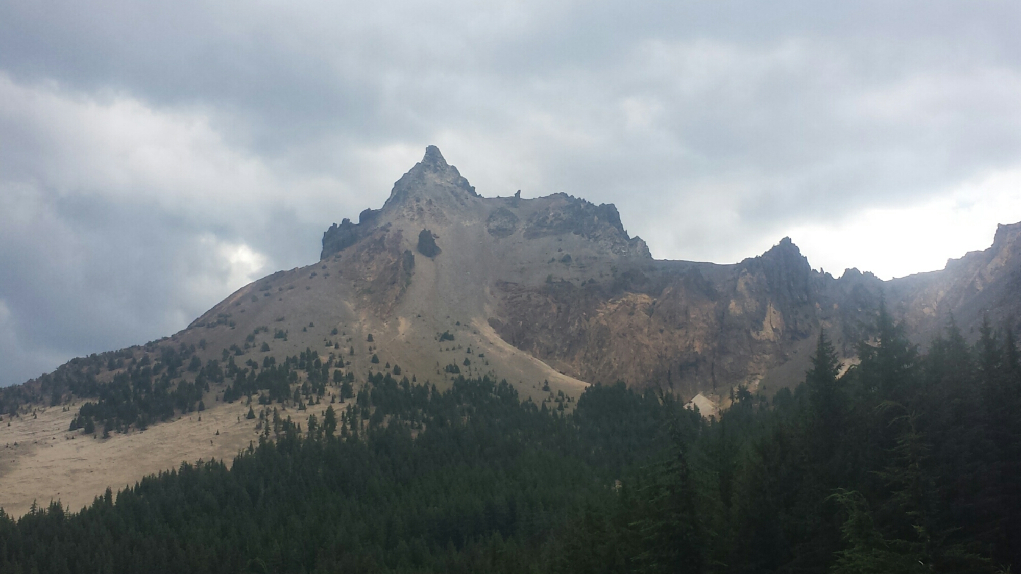
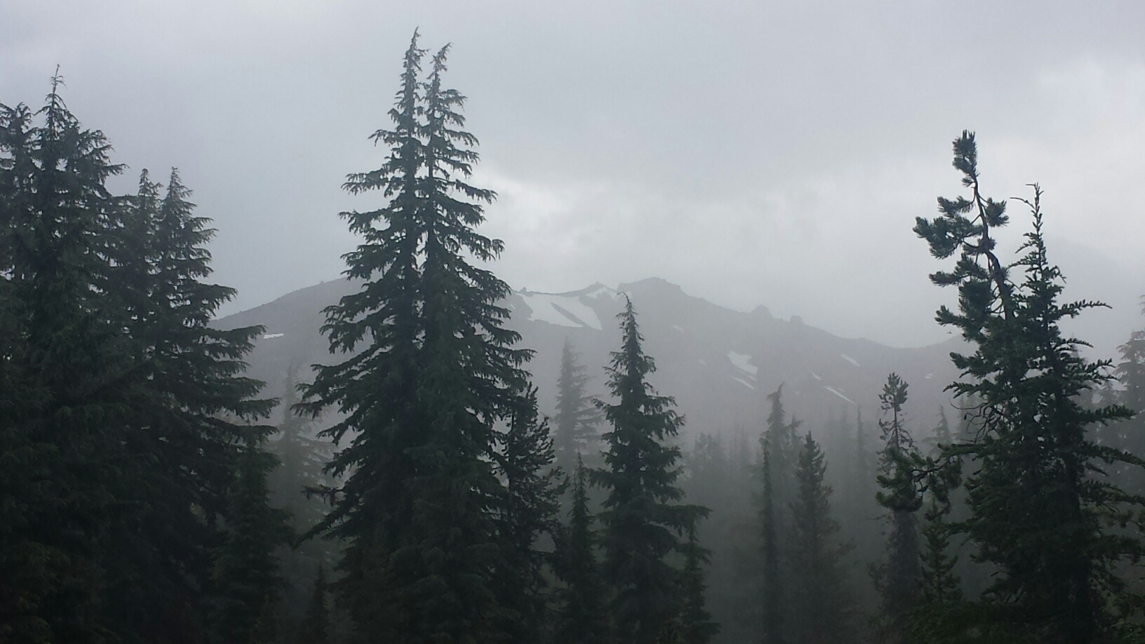
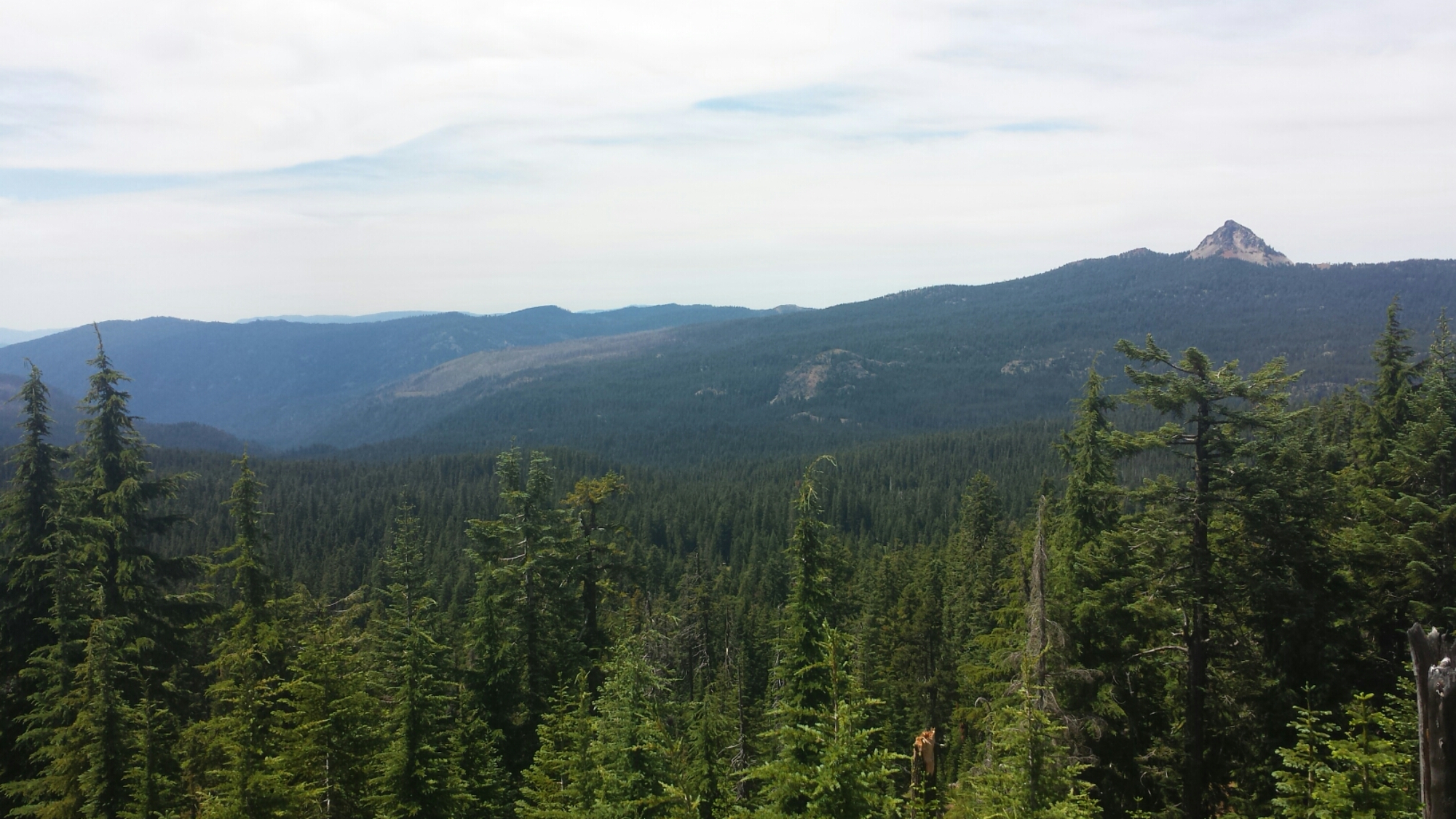
View towards Mount Thielson

View towards Mount Thielson

As years past, snow fell into the crater and melted, eventually filling the crater with some of the purest water on the planet. At 1,943 feet deep Crate Lake is the deepest lake in North America and the seventh deepest in the world.

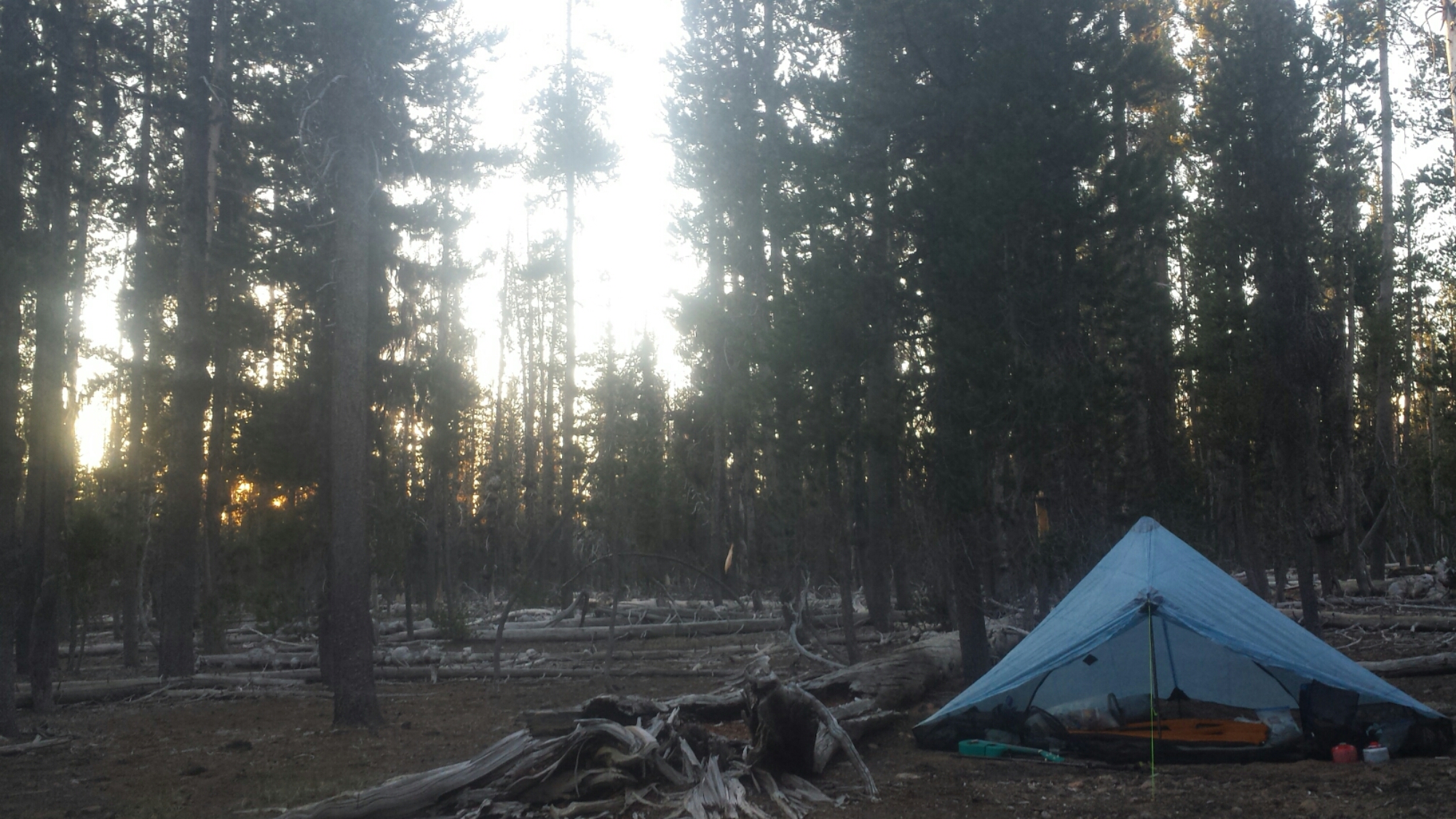
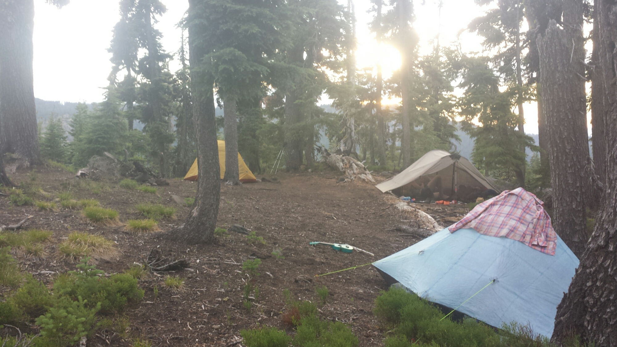
I’m camping alone in what seems like the middle of nowhere. It’s utterly flat and covered in tall, skinny pines. It’s kind of spooky.

Camping in the middle of nowhere

Camping in the middle of nowhere


July 7- 15.5 miles, camping at Thielson Creek

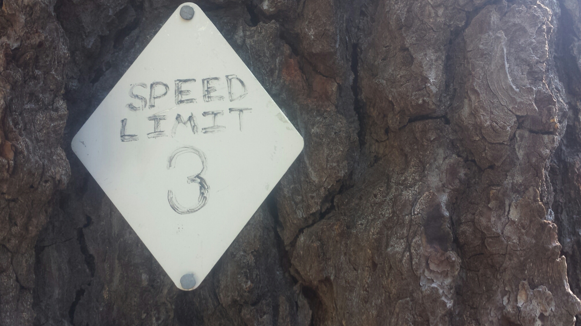
Hiker humor

Hiker humor

I had a Twilight Zone moment this morning. After packing up and hiking for an hour or more, I realized I couldn’t find my bug net. It must’ve gotten pulled off my pack when I’d pushed through some bushes or maybe it fell out when I pulled out my water bottle. I was so disappointed because I knew the bugs were going to be really bad in the upcoming section. An hour later, I found a bug net that looked exactly like mine lying neatly in the middle of the trail. For about three minutes, I panicked and thought this was my bug net and that I must’ve somehow gotten turned around and hiked back in the opposite direction. I was relieved once I verified my location on the GPS and found I hadn’t backtracked. Still, I’m secretly hoping I don’t run into the unlucky hiker who lost their net so I don’t have to give this one back!

As I emerged out of the Pumice Desert, surrounded by a wall of skinny pines, thunder began to rumble above me. I had heard that afternoon storms were rolling in and my response had been, “Good! It’ll cool things down from that heat wave!”

Mount Thielson

Mount Thielson

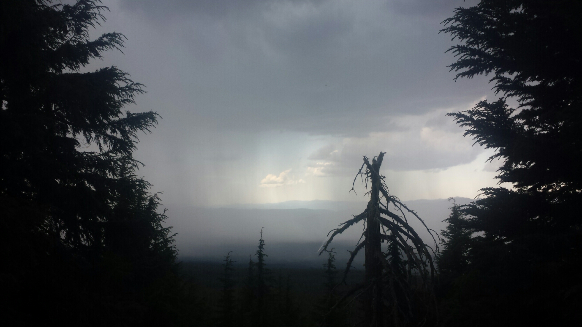
Well, cool down it did- and then it thundered and hailed and brought lightning with it. I had just crested above the tree line below Mount Thielson, also known as the lightning rod of the Cascades, when the lightning flashes began. I tried to count the seconds between the lightning and thunder, but there was so much continous thunder that there was no telling how far away the lightning strikes actually were. With the thunder clouds directly above and the thunder claps roaring continuously like that, it all seemed close enough to me!

Thunderstorms approaching

Thunderstorms approaching

I hustled down into the trees and waited while the hail dumped all around. At times I thought it was letting up and I’d try and make a mad dash along the trail to the next pocket of trees. When a lightening bolt struck just about a mile in front of me, I let out a yelp and my dash turned into a full out run for the trees. I stayed put after that scare and waited until I was sure the lightning had past.

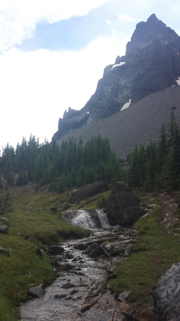
I made it down to Thielson Creek and filled up my bottles. Since it was cold and I was soaked, I decided to set up my tent and rest a for a couple hours while until the rain stopped. I wasn’t sure I wanted to keep hiking up and over the next pass if there was any chance of more lightning. As I lounged and snacked, a southbound hiker approached me and said the pass was indeed nasty and that I should just wait until tomorrow. He gave me one of his extra dinners, too, because he was ahead of schedule.

Thielson Creek

Thielson Creek

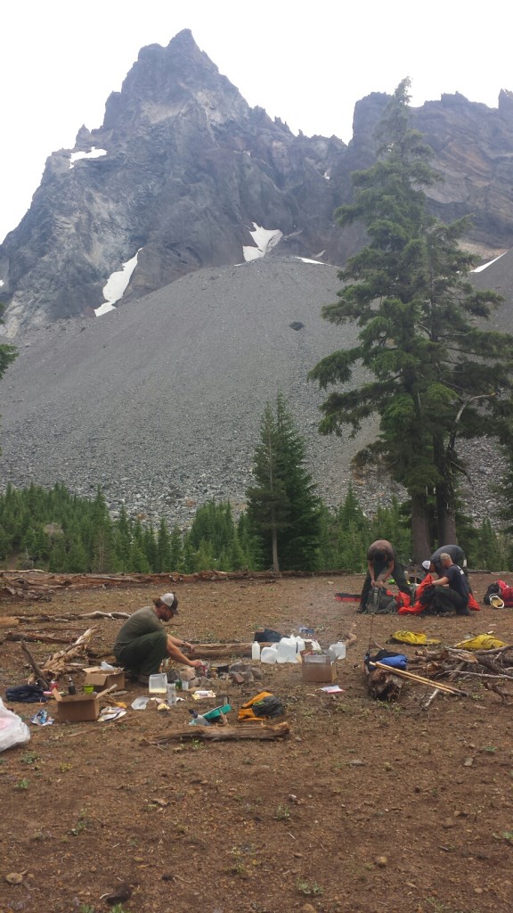
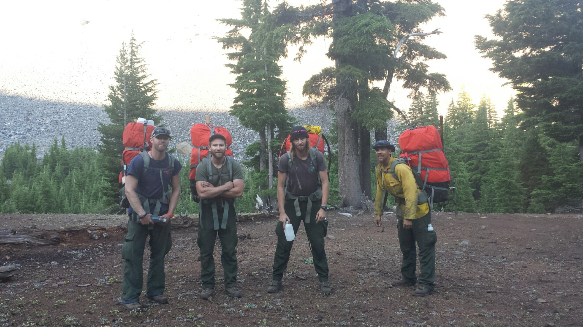
Just as he left, two firemen came down from their hidden camp up the hillside. There were four of them all together and they had repelled in yesterday from a helicopter to handle a small fire started by a hiker. They invited me to their campfire and when four handsome firemen make such an overture, I can’t say no! I set up the rest of my gear for the night and took my dinner and ukulele up to join them.

Firemen below Mount Thielson

Firemen below Mount Thielson

We had a great time playing silly guess-who games and swapping riddles. [Here’s one for you: A man with no eyes saw plums on a tree. He left no plums, he took no plums. How could this be?] I learned from all the chatter on their radio that there were now small fires all around the forest from the lightning strikes. I’m just glad that I wasn’t one of those strikes! I headed back down to my tent around 9:15, full of extra food the firemen insisted on giving me. Ugh, too much food.


July 8- 23 miles, camping at Windigo Pass

It was COLD last night! I kept waking up feeling chilled and damp because it was also humid- such an awful combination. Generally, I haven’t been sleeping too well. My sleeping pad and bag are great, but I just wake up at every sound, especially when I camp alone. I don’t think I’m getting more than six hours of solid rest each night and it’s catching up to me.

They're not too happy about carrying those packs!

They’re not too happy about carrying those packs!

I ate breakfast and packed up quickly so I could get a picture of the firemen before they left. They were just getting ready to put their packs on and head out. Each of them was carrying about 80-90 pounds. They said sometimes their packs weigh as much as 130 pounds. I guess I shouldn’t complain when my backpack never weighs more than 35 pounds!
image

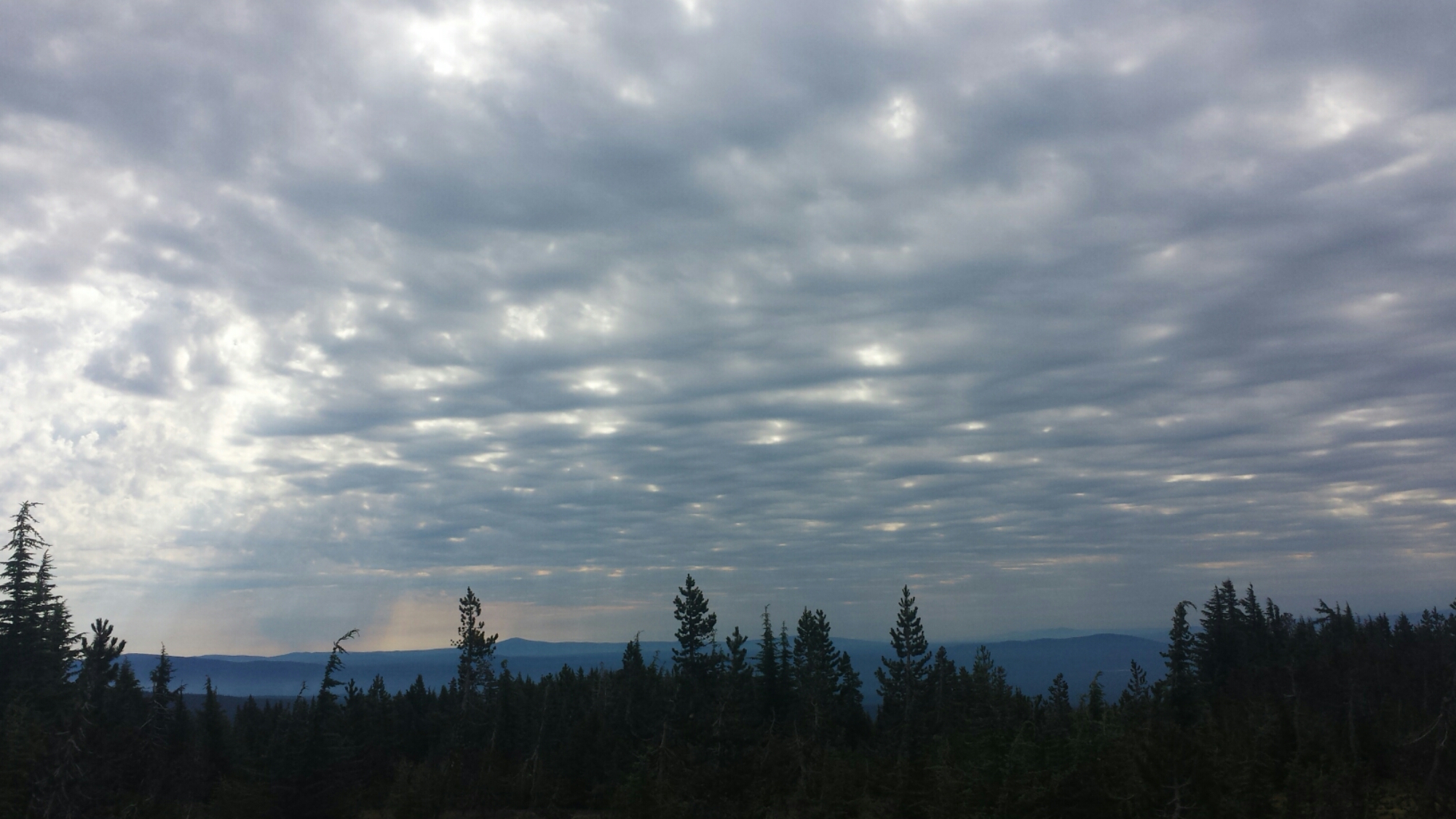
The storm from yesterday had mostly cleared out, leaving only soft, pillowy clouds high in the sky, illuminated to shades of lavender and pink by the morning sun. It was so beautiful and the temperatures stayed low all day.

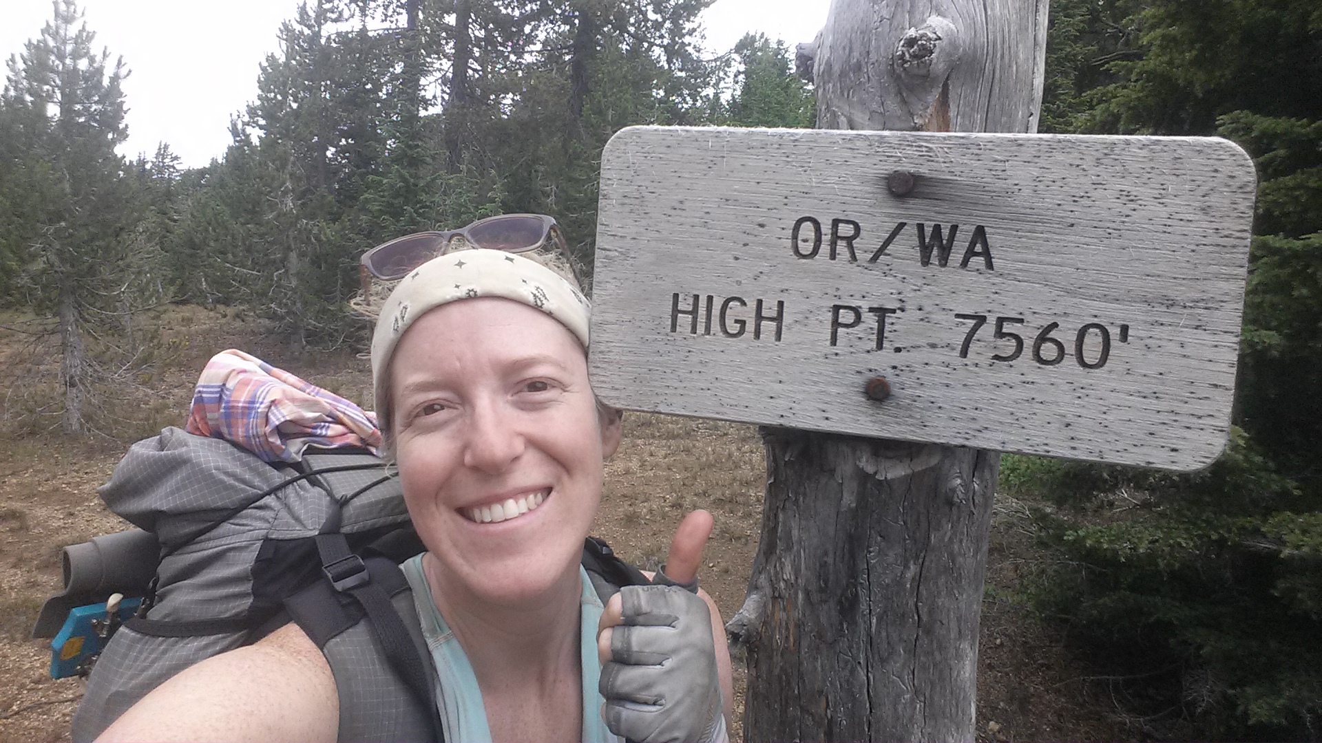
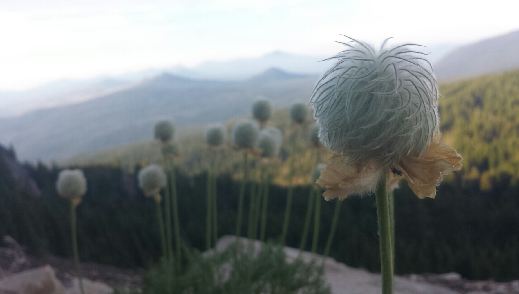
The highest point on the OR/WA PCT

The highest point on the OR/WA PCT

I was so tired today. Most of the day past in a haze and I only perked up when a view or something interesting appeared. A couple of times, I sat directly in the trail, backpack still on, and closed my eyes. Unfortunately, I didn’t actually fall asleep and the drowsiness only got worse. By lunchtime, I turned on my iPod and listened to a few podcasts to keep me at least semi-alert.

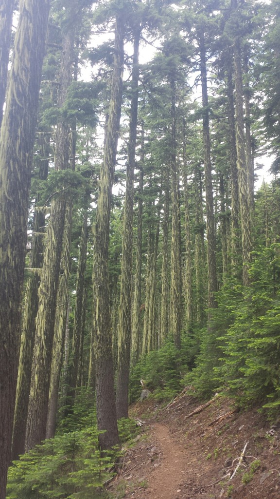
Lichen-bearded trees

Lichen-bearded trees

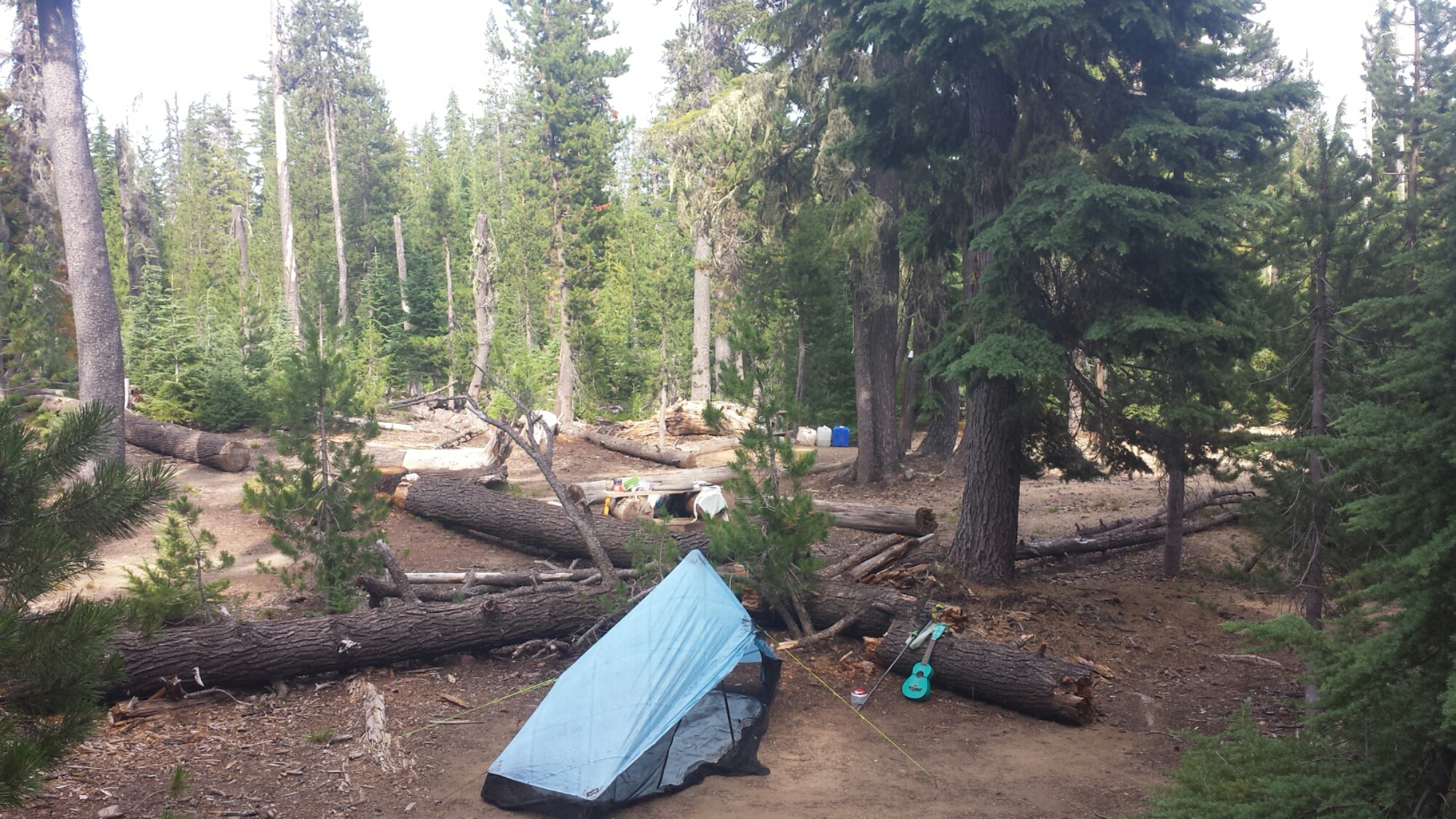
It was only 4:30 when I arrived at Windigo Pass, but I was so exhausted that I decided to stop for the night anyways. I cooked some couscous with veggies and beef-flavored TVP- one of my favorite meals- and charged my iPod in the generous amount of sunlight. A ranger came by to post a sign indicating no campfires and we chatted about the little fires caused by yesterday’s lightning storm. He said they’ve all pretty much been put out and I don’t need to worry about them.

Camping at Windigo Pass

Camping at Windigo Pass

An older couple have driven up and are camping here tonight, too. The husband is section hiking Oregon and got off trail for a week to mend his feet. He’s jumping back on the trail tomorrow morning. It’s nice to have company again!


July 9- 23.5 miles, camping at Diamond View Lake

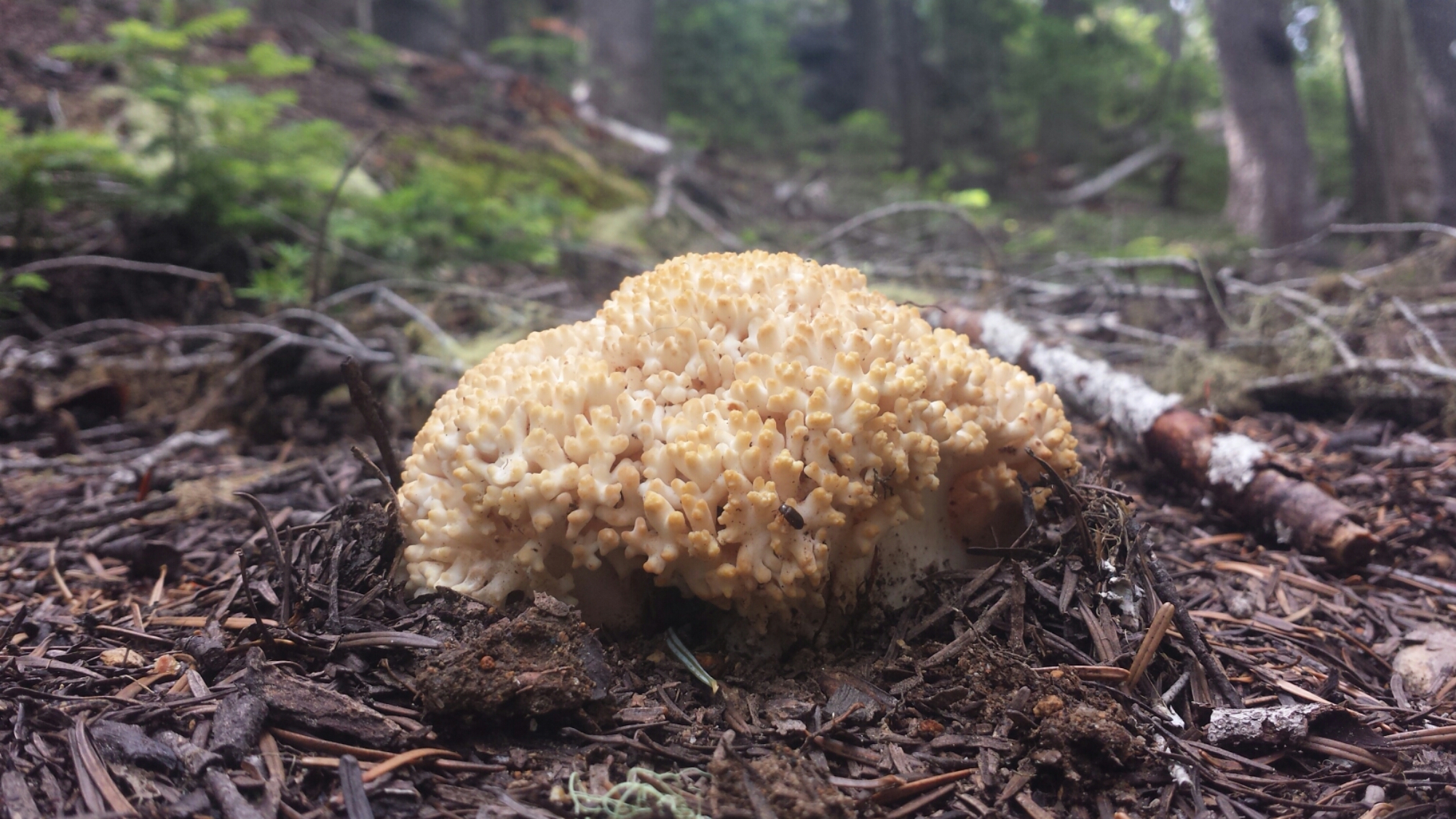
Today Oregon really started to show off some of it’s gems. At the higher elevation, I was able to see views stretching back to Crater Lake and Mount Thielson and forward to Diamond Peak and Three Sisters. Numerous lakes speckled the forests, each one having either clear blue water, green lily pads, or rocky little islands.

Coral fungus?

Coral fungus?

Lunchtime set-up for napping at Summit Lake

Lunchtime set-up for napping at Summit Lake

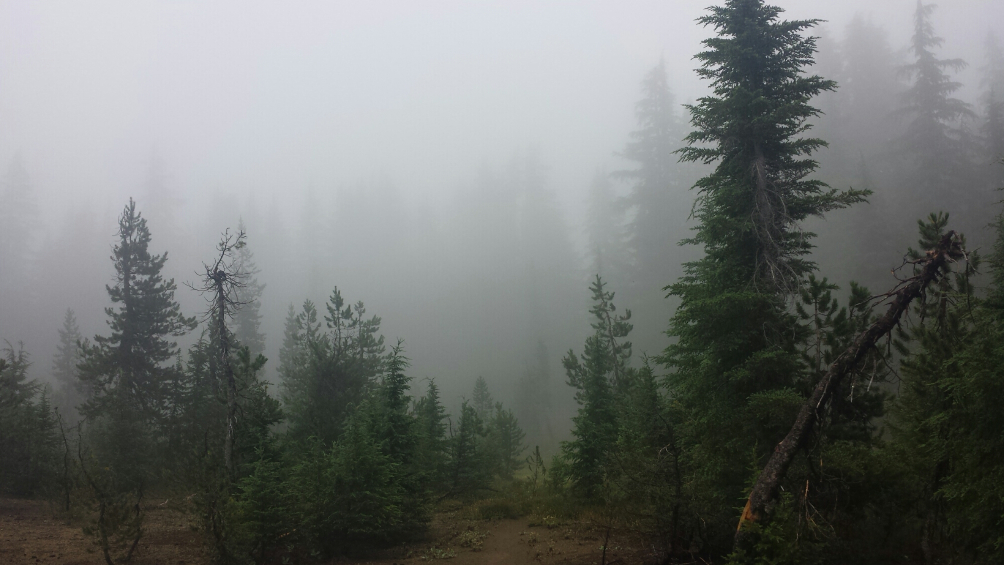
The clouds had been lingering in the sky all day, so I figured they would continue to simply linger and not cause me any problems as I climbed over Diamond Peak this afternoon. Wrong! Around 3:00 a light sprinkle began and as I approached the treeline on Diamond Peak the thunder began to roar.

I wasn’t about to make an attempt going over the peak if lightning might stike, so I put on my parka, covered my pack, and sat under a tree waiting to see how the storm would unfold. Lightning did kick in and I contemplated whether I should set up the tent to wait out the storm for the next two or three hours. As I sat there in the mud, a strike hit less than half a mile from me, in fact, I’m pretty sure it was only a tenth of a mile away. I could see where it hit through the trees and the thunder clash had been simultaneous and terrifying. “Nope, I’m not playing this game today!” I grabbed my pack and trotted down the mountain through the rain and mud.

image

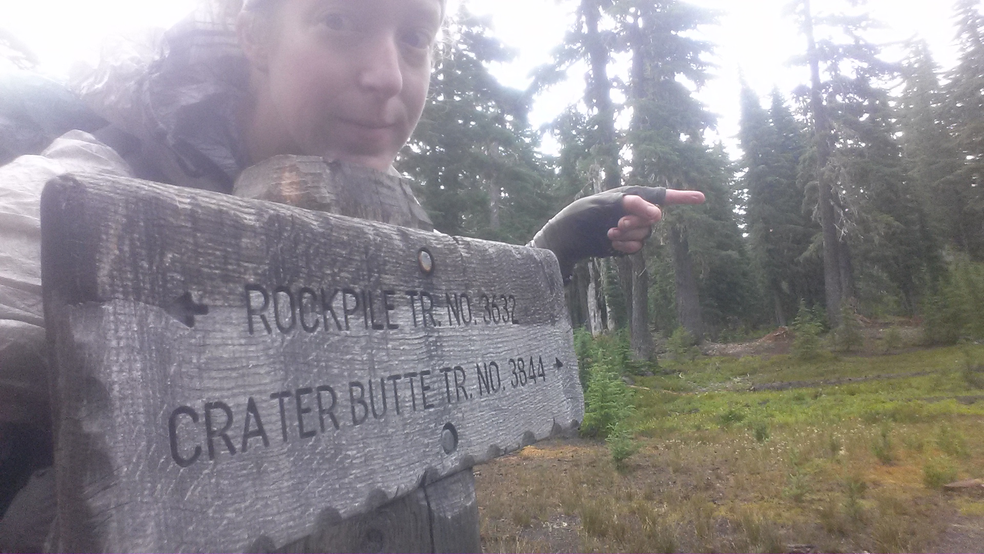
I knew there was another trail I might be able to take as an alternative to the PCT. I stopped under a tree, pulled my parka over me like a tent as I squatted down and looked at all my maps. By piecing together two different maps, I figured I could take the Crater Butte Trail at a lower elevation and connect to the Oregon Skyline Trail, which went parallel to the PCT on the valley floor. SOLD!

image

Looking up towards Diamond Peak

Looking up towards Diamond Peak

The Crater Butte and Skyline Trails turned out to have beautiful views of Diamond Peak once the clouds cleared out. The bugs are eating me alive, but I didn’t want to put too much Deet on on case I wanted to wash in the lake where I planned to camp.

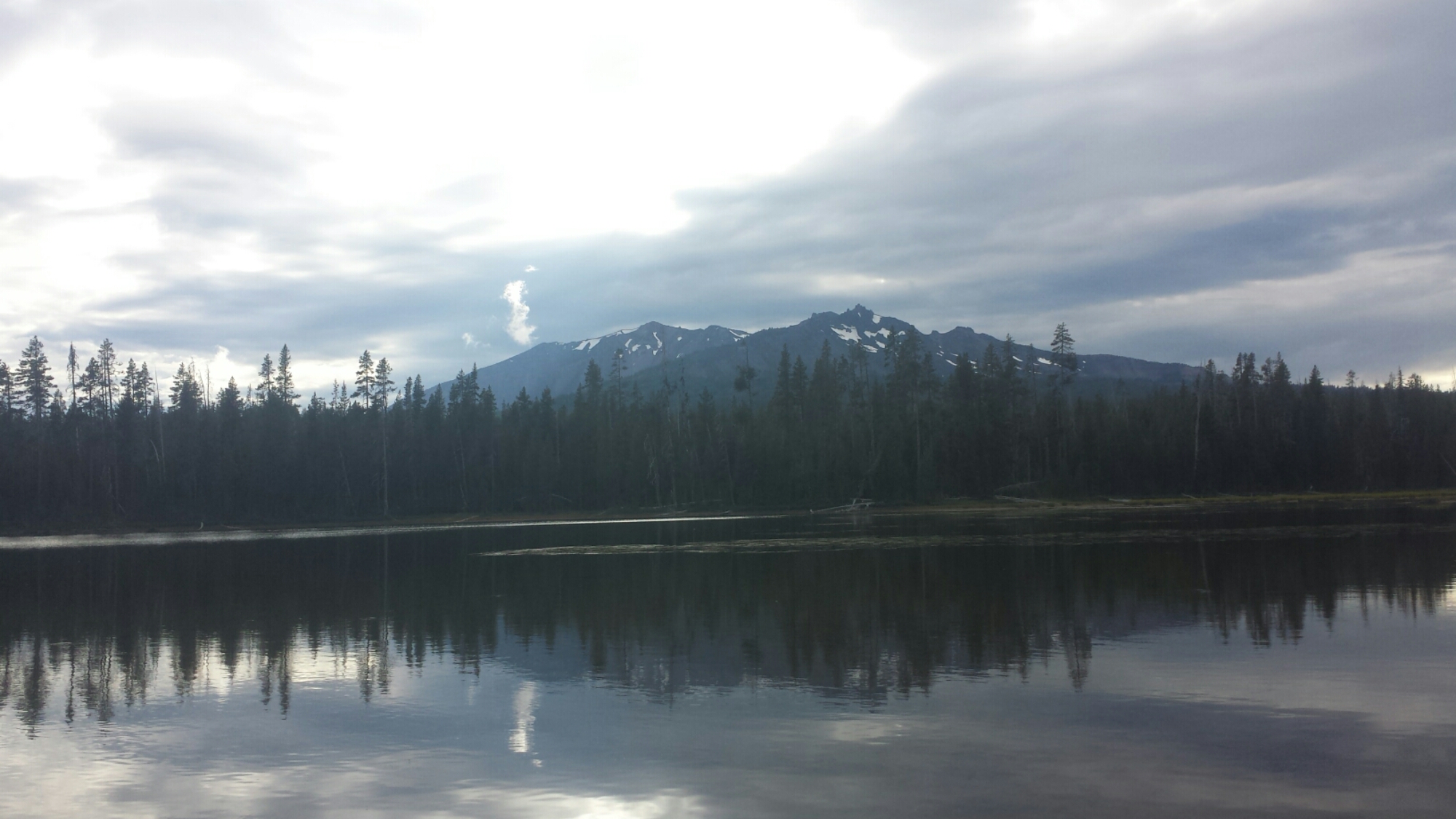
Diamond View Lake

Diamond View Lake

image

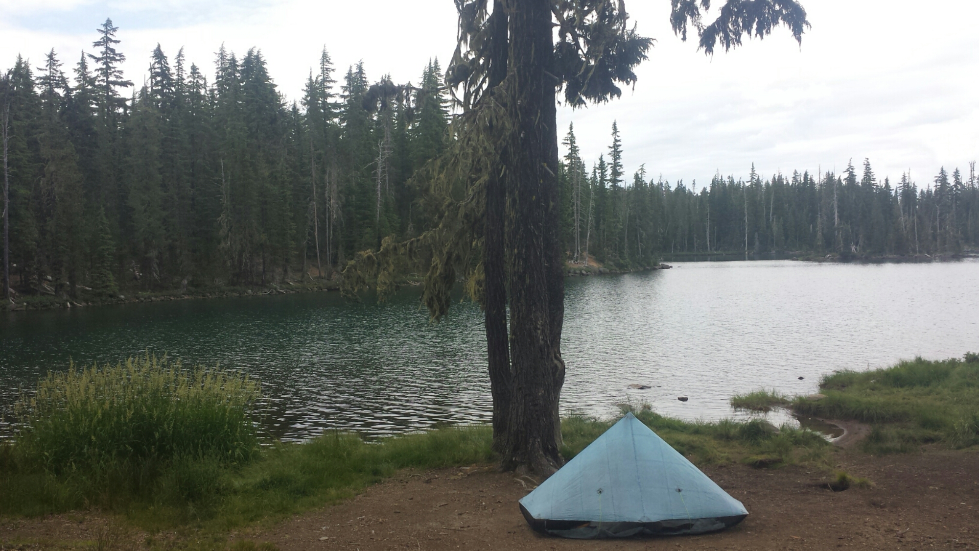
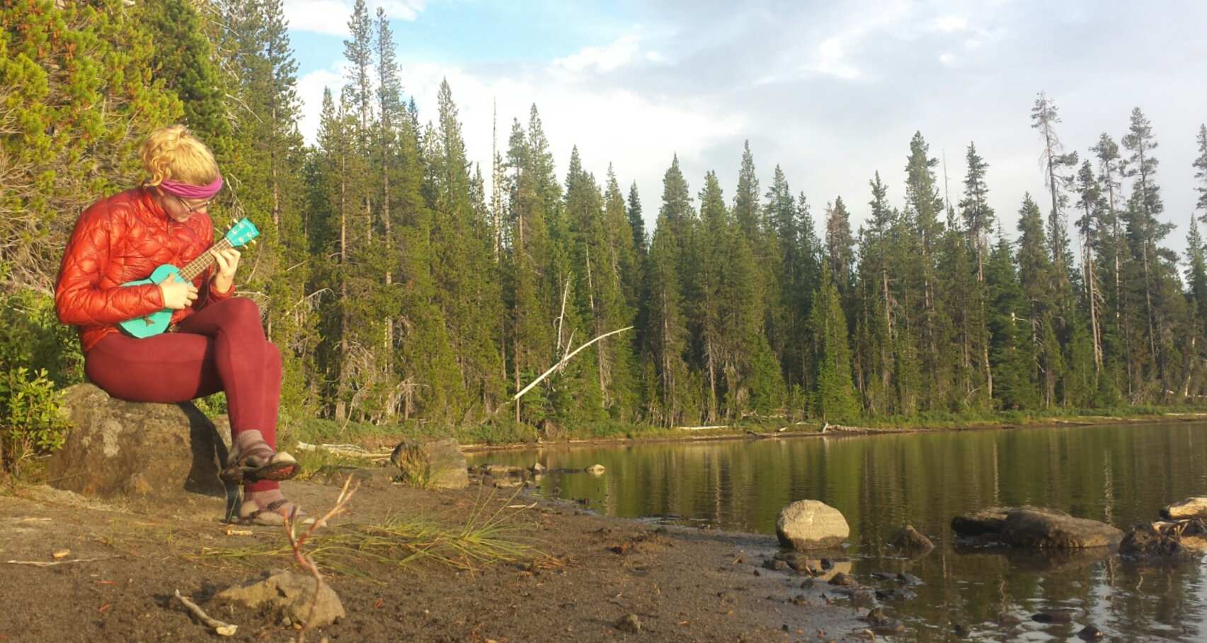
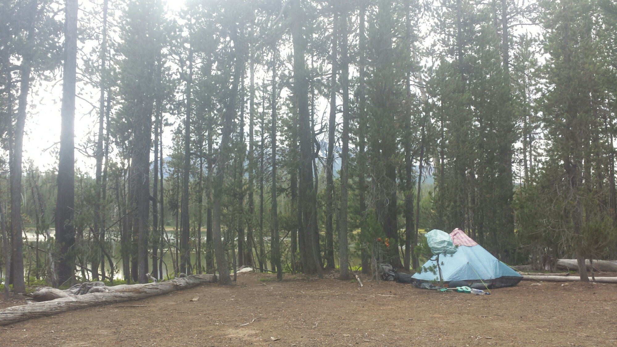
Deet is pretty bad for delicate ecosystems and hikers wearing it can easily contaminate water sources when they wash up directly in the lake or creek. I’ve found a cozy little spot for my tent right next to Diamond View Lake. I took my much anticipated rinse in the lake and played my ukulele on the beach.

Camping at Diamond View Lake

Camping at Diamond View Lake

Tomorrow I’ll have an easy five-mile hike into Shelter Cove, a small lakeside resort holding my resupply box. A light rain has begun sprinkling in the setting sun, creating a sparkling, shimmering surface on Diamond View Lake.


July 9- 5 miles, camping at Shelter Cove


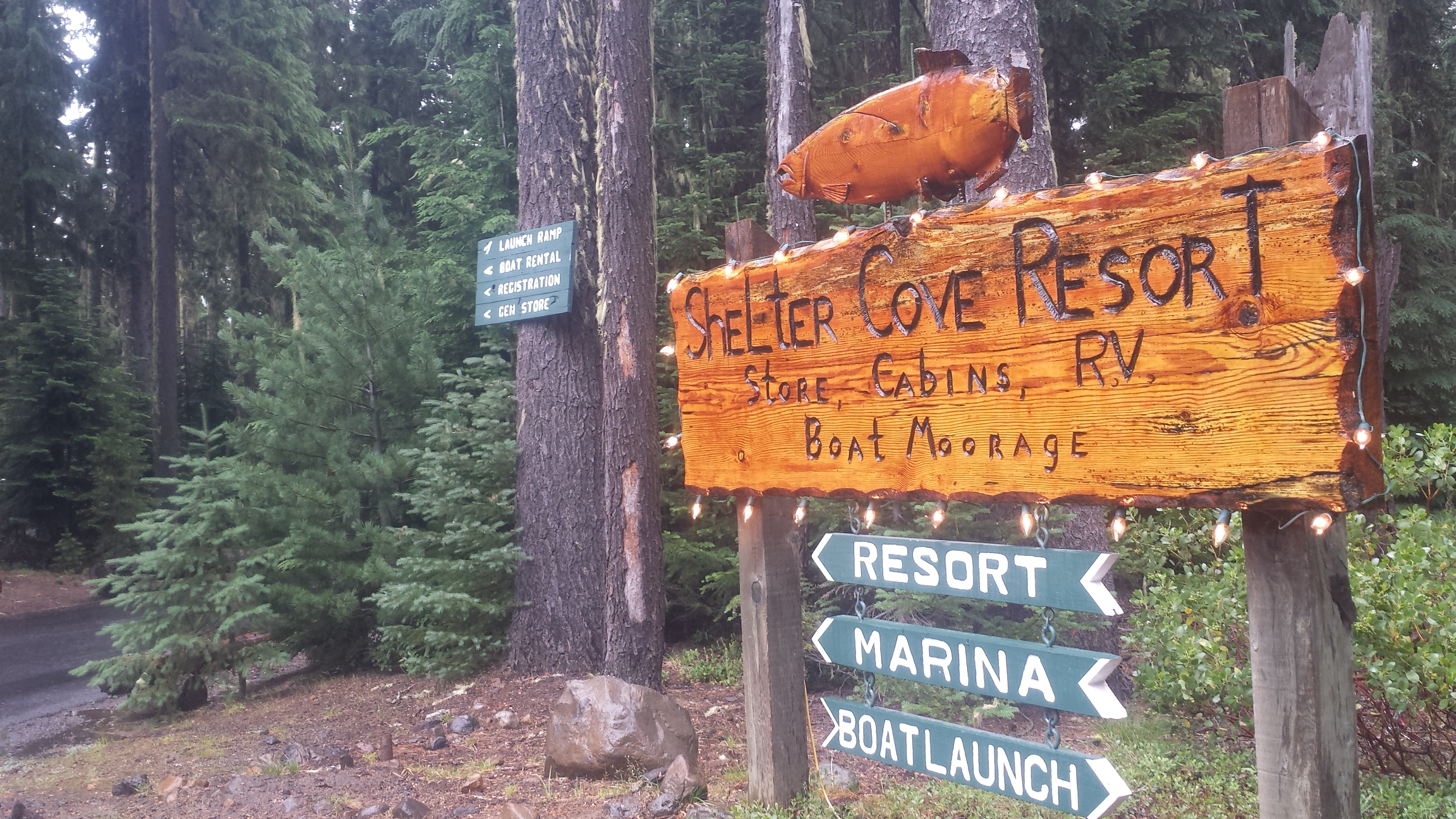
Shelter Cove Resort

Shelter Cove Resort

I hiked into Shelter Cove under a light rain all morning and arrived around 10am. There’s a general store that sells hot dogs and frozen pizzas, which became my breakfast and lunch. I also took a very expensive shower and did my laundry. I’ve been trying to upload videos I made of Crater Lake and the thunderstorm near Mount Thielson all day, but the Wi Fi is experiencing a traffic jam. I’ll try again later tonight once everyone else goes to bed. Ah, the stresses of blogging!
 

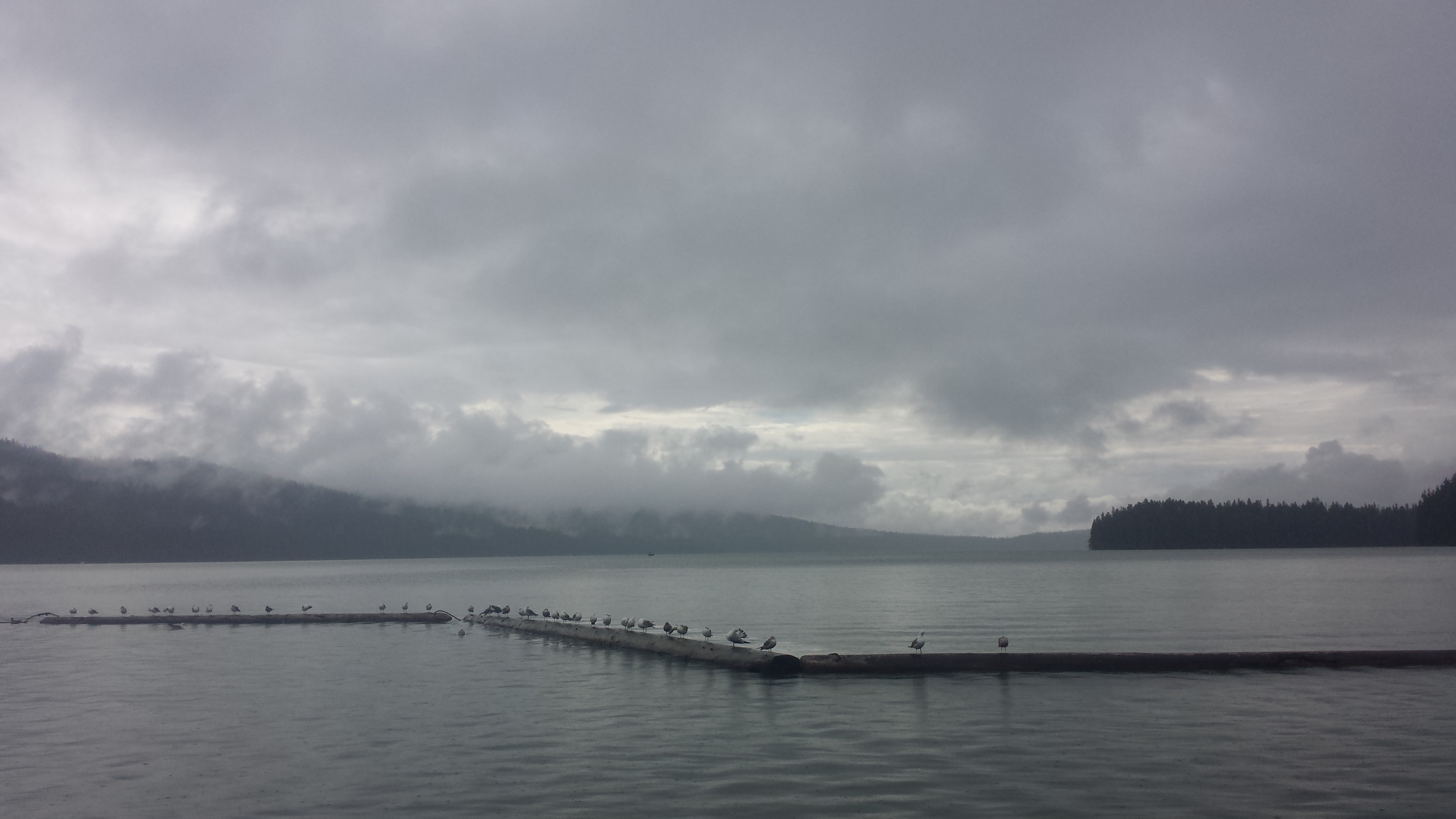
Odell Lake

Odell Lake


Links

No. 28- Shelter Cove to Sisters, July 2015

Mount Mazama USGS Article

Shelter Cove Resort and Marina


No. 26- Ashland to Crater Lake

loading map - please wait...

Callahan\'s: 42.100770, -122.602615
Mazama Village: 42.868441, -122.168478


Oh, Ashland: the land of Shakespeare, fine dining, out-of-time hippies, and deer who have learned to look both ways before crossing the street. I could sleep wrapped in your warm, dreamy air for days, but it would feel like a dream and I don’t think I could stay with you in bliss forever.

I did indeed stay an extra night in Ashland, thanks to UPS not having the correct address for my resupply package. I got a bed in the girls dorm at The Ashland Hostel, ate an eight-piece chicken picnic while sitting IN Lithia Creek (because it’s too damn hot), saw a movie at the cinema, and am now willing to admit my addiction to root beer floats (they’re so refreshing!).

Chicken picnic and Lithia Creek

Chicken picnic and Lithia Creek

Every summer I make it my goal to learn something new; two years ago it was hula hooping. As an adult that had never hooped as a child, it was a challenge for me just to keep the hoop up. Once I learned the flow, however, I was hooked! I found a wobbly, old hoop at the hostel in Ashland and took it to the park in the cool of the evening. Since I don’t think my parents have ever seen me hoop, I decided to make a video just for them.


June 30- 8.5 miles, camping near Bean Cabin

I took a public bus to Interstate 5 on the edge of town, then hitched a ride with a middle aged IT guy from South Oregon University. He dropped me off at the trail at 5pm, just as it started to cool off for the day.

image

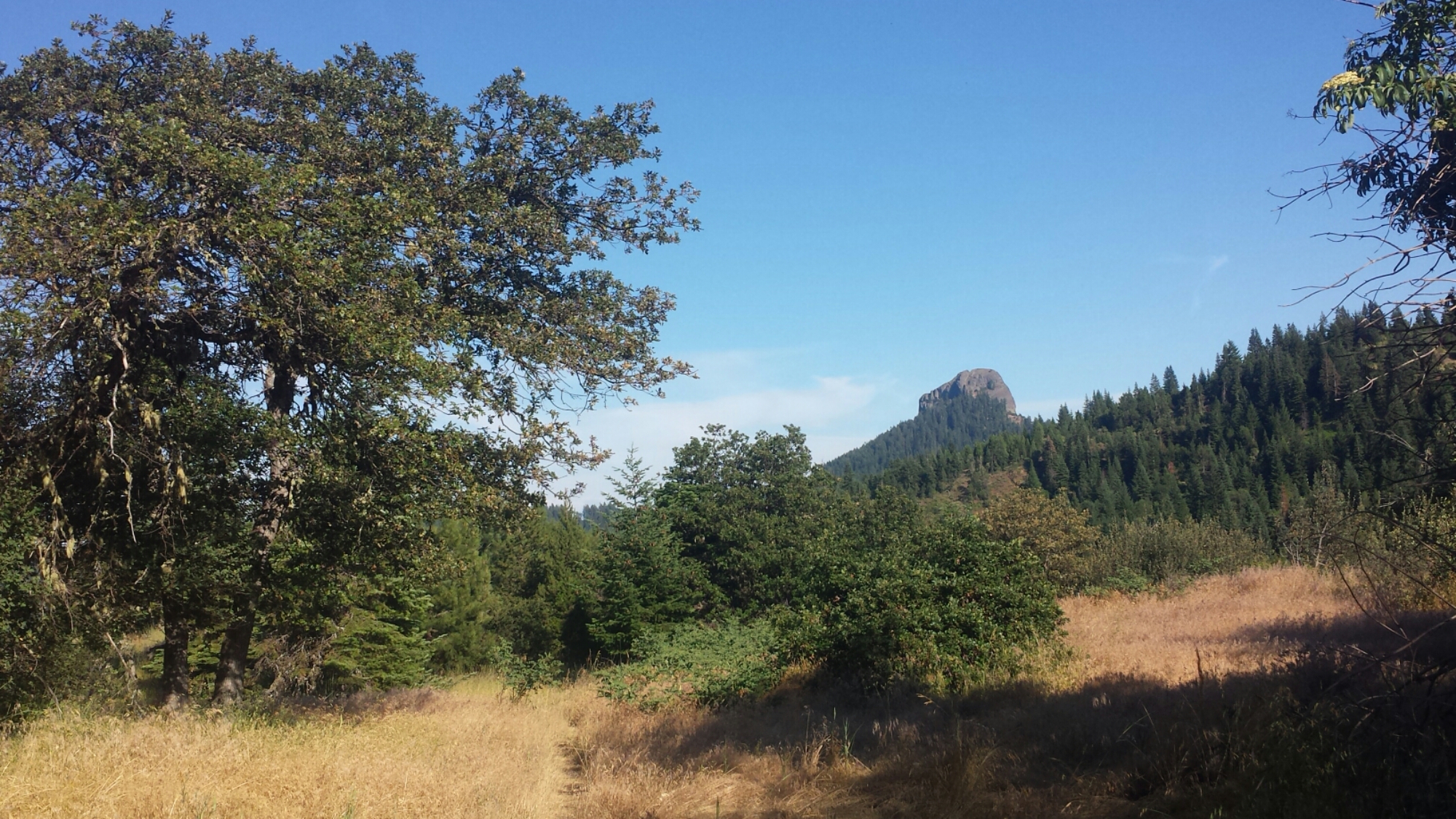
Pilot Rock, a volcanic plug

Pilot Rock, a volcanic plug

The hike back into the wilderness this evening took me past the stunning Pilot Rock. Other than that, this section will probably be defined by comparatively easy trail winding through rolling hills, meadows of tall grasses and forests of lichen-covered pines.

image

Eating dinner tonight was a chore because I just wasn’t that hungry. While in town, I stuffed myself silly with food, but I still wanted to eat my dinner so I wouldn’t have to carry it tomorrow.

Camping near Bean Cabin

Camping near Bean Cabin

I’m camped near a very small spring and arrived here just as the sun was setting. It’s a warm night which means I can unzip my sleeping bag and use it like a quilt.

image


July 1- 22 miles, camping at Klum Campground

I had a really rough night last night. I woke up at 2:45 so hungry that I felt sick and dizzy and hot. I’ve experienced this before, so I knew I it was hunger and not a fever, but it was awful. I dug around in my food bag until I found something that I thought I could get down. I had to keep my trash bag handy in case I threw-up, but I successfully ate one fig bar. I just can’t believe that happened after I ate SO MUCH food yesterday!

While laying there trying to will myself back to sleep, an animal, probably a deer, starting walking around my tent site. “Just what I need!” I started singing “Home on the Range” really loudly to frighten it. It worked! Honestly though, it’s hard to be loud when you’re scared.

Around 5:30 am, a hiker named Moritz past by and hollered hello. When he asked if I knew where Blue Moon and Scarecrow were, a voice came from behind some trees, “Hello! We’re here!” We couldn’t believe we’d camped so close together and not known it. They said they slept through my singing last night, to my relief.

PCT hiker Moritz "Cleancut"

PCT hiker Moritz “Cleancut”

I hiked with Moritz for most of the day. His trail name is “Cleancut” because he’s smooth as a baby, while all the other hiker men sport wild and unmaintained beards. I actually first met him a couple of weeks ago in Drakesbad. He managed to catch up to me because he tends to hike 25 to 30, sometimes 40 miles per day. He’s another really interesting person to talk to while hiking. He left college, where he was studying engineering to work on a pearl farm in Australia, so he speaks with a German-Australian accent. He’s addicted to traveling and has been all around the world by the age of thirty-four.

image

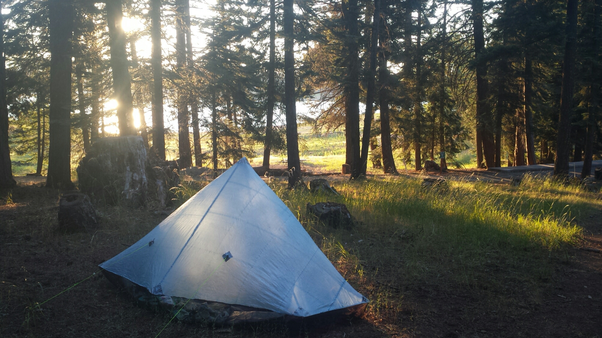
After about 22 miles, I went off-trail to get water and dump trash at the nearby Klum Campground. Unfortunately, the county charges $20 per night for a tent site, which I wasn’t about to pay. There are free showers here, so, with no one around to notice that I wasn’t a paying camper, I slipped in and enjoyed a nice, hot shower. The campground was completely empty except for a single family camping with their RV. It was early, so I hung out by the lake to charge my batteries and made dinner, but by the time I finished, I felt too tired to hike even another half a mile.

Camping at Klum Campground

Camping at Klum Campground

I chatted with the self-proclaimed red-neck family about whether or not a ranger would be checking in, and they said I should just camp near them. If they ranger did show up, they’d just say I was with them. Yay! I’m hoping to catch up on my sleep tonight and I’m looking forward to having a real bathroom in the morning!
image


July 2- 23 miles, camping north of Hwy 140

image

People ask me what I think about while hiking miles and miles everyday. I’ve tried to pay attention to my thinking so I could give them an answer, but unfortunately I don’t think it’ll be very interesting. Here’s what I’ve noticed:

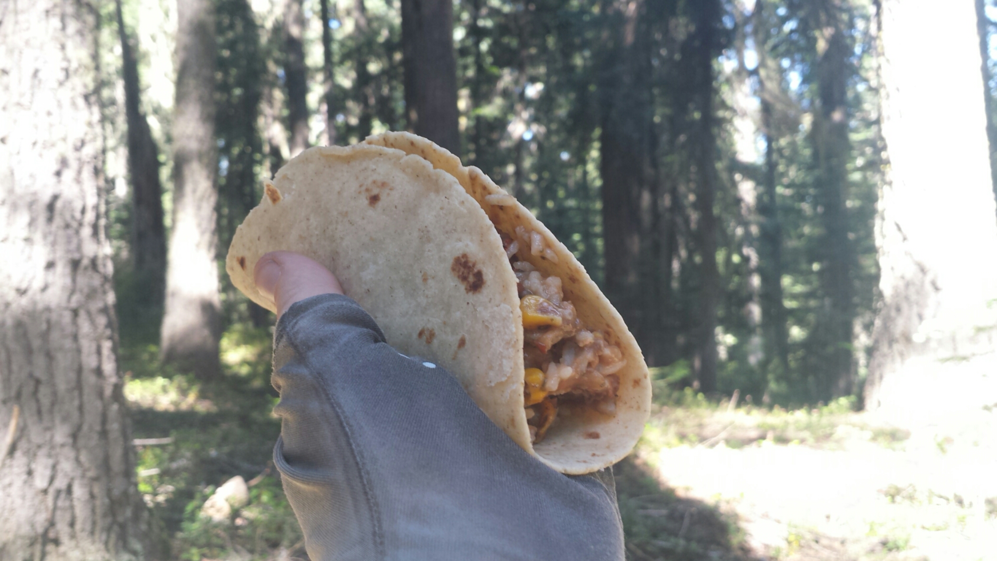
Most of the time I’m thinking about hiking logistics (like pace and schedule), my body (including everything from determining if my aches are serious or not to when and what should I eat), and the trail (views, geology, history, plants). The rest of the time I’m either in music-mode, singing snippets of songs, or trance-mode, when my mind finally goes blank and I’m in a flow: look at the trail, look at the trees, look at the trail, look at the trees, look at the- SQUIRREL!

Burrito lunch

Burrito lunch

Very rarely do I actually think about deep things or come to any great realizations. I think some people might find this disappointing. I will say this, however, that having this much space in your day for thinking does allow you to more clarity and creativity when thoughts do come up, light or deep as they may be.

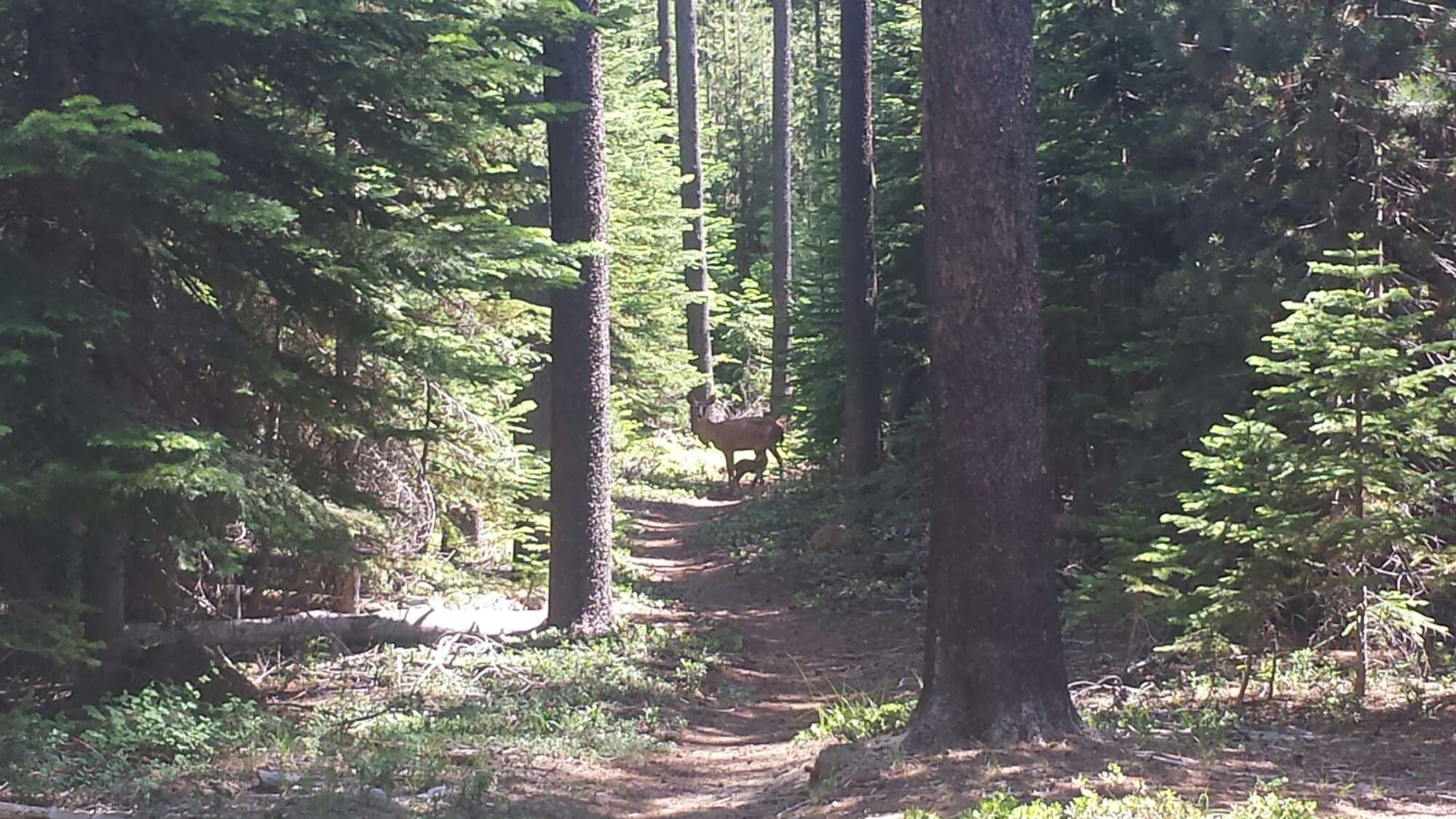
This morning I came across a deer in the trail. I stopped and watched her for a moment and she looked right at me, but didn’t run away. It took me awhile to realize why she hadn’t instantly jumped away- she had a very tiny fawn with her and it was in the middle of breakfast, nursing below her belly. I can’t possibly describe how special this moment was for me to watch. It seemed as if, just then, the forest was sharing something particularly intimate with me.

Mama and baby (look closely!)

Mama and baby (look closely!)

image

I’m camping tonight with a girl I met in Belden, Haley. She jumped several hundred miles up the trail, similar to me. There’s also an 18-year-old guy camping in this spot and, man, he won’t shut up. I’ve never heard anyone talk so much. He’s just SO excited; it’s like he’s a little puppy or something. I’m about to offer him a sleeping pill. TIME FOR BED!


July 3- 26 miles, camping below Devil’s Peak

Tonight is Double Dinner Friday. It’s also Monster Marshmallows Friday. Whenever I’m close to town, it means I can binge on any extra food I have- I LOVE IT!

Most of the day was spent walking along gentle trail through dense woods. There weren’t really any views of Mount McLaughlin even though the trail skirted right around it.

image

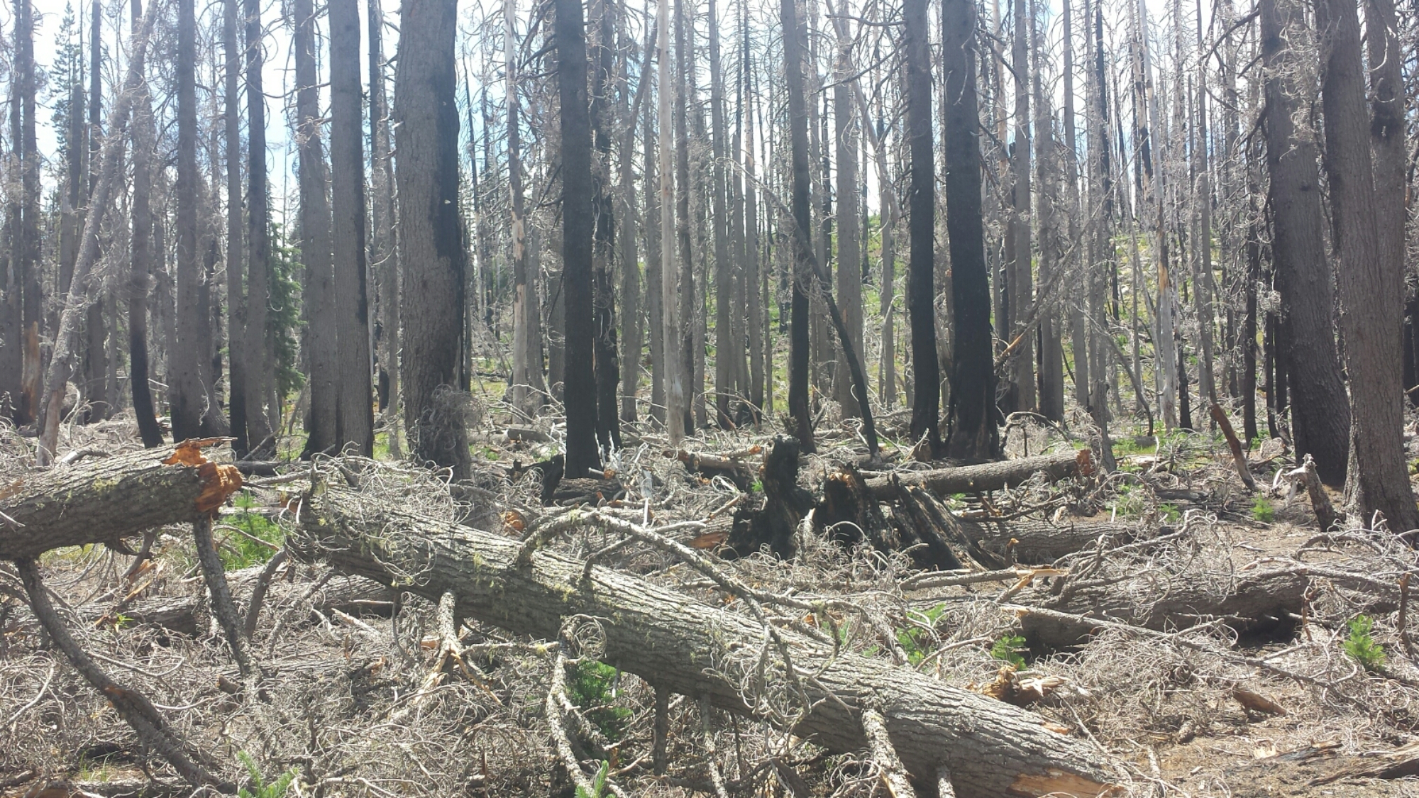
I had planned on hiking 23 miles today to a trail junction were I’d find a pond to resupply on water and camp for the night. Unfortunately, that area of the forest was utterly decimated by a recent fire and I couldn’t find the trail junction or the pond. With half a liter of water left and some very tired legs, I started the climb that would take me, in three miles, to the next water.

After what has felt like days of thick Oregonian forest with occasional views of gently sloping hills, I was finally presented with spectacular views in all directions. It felt like coming out of a fog into a stunning sunset. To one side, I could see Mount McLaughlin and Klamath Lake; to the other, spreading far to the north, were jagged, shark-toothed peaks, including Mount Thielson.

Grandpa's beard

Grandpa’s beard

image

image

I found the water I needed, along with Blue Moon and Scarecrow camping nearby. My muscles are aching so much that no amount of stretching seems to be helping. It’s moments like these that make me wish I had my travel-size foam roller. It’s 22.5 miles to Mazama Village; I don’t know yet if I’ll go all the way tomorrow. I’m pretty sore!

image


July 4- 23 miles, camping at Mazama Village Campground

Knowing that I’d be sore from yesterday meant I took it super easy this morning. I didn’t hike out of camp until 9:15! The entire day felt strange. The miles were flying by so fast that I wondered if the map was off on it’s distances.

Lost the trail in the blow downs

Lost the trail in the blow downs

There were so many people on the trail today. Some were section hikers, others were day hikers, and a few were northbound PCT hikers who were hiking really fast. I hiked with one of them, a lady, for about 30 minutes and eventually dropped back so I wouldn’t have to listen to her negativity any more. One thing she said that really bugged me was that she couldn’t wait to finish the trail because she was sick of it already. My thought was, if you’re not enjoying it anymore, why bother finishing?

image

It’s normal to have bad days or even bad weeks on the trail, and it’s normal to get so sick of body pains, bugs, the weather, maybe even the monotony of certain sections that you just can’t stand hiking anymore. I once complained to another hiker that I was tired of seeing the same things for days on end and she reminded me that the trail always seems to change, subtly or suddenly, just when you think you’re about to go nuts. After she said this, I made an effort to take more notice of those changes and appreciate them. It’s important to stop hiking sometimes to look around, look up, and even look behind you to notice new views, new colors, or new vegetation.

I like to think of the trail as though it’s an epic novel. If I get bored with one chapter and skim over it, I may miss an important detail that completes the story. When I finish hiking all 2,660 miles, I want to remember every dimension of this experience that I can, and I don’t want to take any aspect of this journey, good or bad, for granted.

image

I made it into Mazama Village by 6pm and it’s a zoo! There are so many tourists here for the 4th of July weekend. I quickly got myself a $5 hiker site, took a free, but very cold shower, and then parked myself in the restaurant with Blue Moon and Scarecrow until the manager kicked us out at 9:45.

There are a few other hikers here, including the cousins I met north of Belden (Katia and Olivia), a seasoned southbound hiker named Hardway, and someone I met last year on the PCT, Far Walker! She’s an older lady who has been struggling to section hike the entire PCT despite a bone spur in one of her feet. It’s so fun running into people I’ve met on the trail before because the chances of it just seem so slim. I guess the hiker world is smaller that it seems!

PCT hiker Hardway at Mazama Village

PCT hiker Hardway at Mazama Village


Links

Installment No. 27- Mazama Village to Shelter Cove, 2015


Crater Lake Wikipedia Article


Installment No. 20 of My PCT Journey

No. 20- Silverwood Lake to Vincent Gap, 2015

loading map - please wait...

Silverwood Lake: 34.288212, -117.356000
McDonald\'s: 34.309519, -117.471185
Evergreen Cafe: 34.360088, -117.634027
Vincent Gap: 34.373611, -117.752282


Day 1- 18.8 miles, camping near Swarthout Canyon Road

This is one of the final “connect-the-dots” hikes for me in Southern California. I’d hiked all of So. Cal. except a section near Idyllwild closed due to fire damage and a 30-mile chunk between Silverwood Lake and Acorn Trail. My plan this time was to start at Silverwood Lake and hike past Acorn Trail to connect the dots and shake-down some new gear.

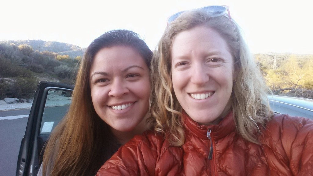
Trail Angel Sabrina

Trail Angel Sabrina

After an incredibly fun weekend of some music teachers’ workshops and hanging out with Sabrina, Sabrina and I drove early in the morning to the San Gabriel Mountains. We’d planned on leaving my car at Eagles Roost Picnic Area, but as we drove higher into the mountains, I relearned the importance of checking the forest road conditions before heading out. It turned out that Highway 2 was closed starting at Vincent Gap near the base of Mount Baden Powell and parking at Eagles Roost was out of the question. Oh, well!  One thing I’ve learned about the trail is that you have to be flexible with your plans and that you’ll probably still have a great time!  So, we left my car at Vincent Gap and Sabrina dropped me off at Silverwood Lake.

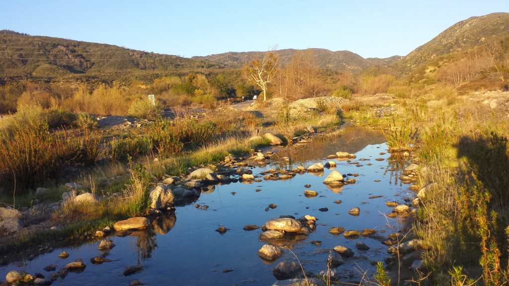
Outlet creek at Silverwood Lake

Outlet creek at Silverwood Lake

The morning drop off wasn’t exactly smooth sailing. As we approached Silverwood Lake, I realized my MSR dromedary bag was leaking all over the inside of my pack. We u-turned it back down to the gas station at Cajon Pass and bought me four big bottles of water. What else went wrong? After leaving my house for Sabrina’s, I realized I’d forgotten my water treatment, my trekking poles, my camp spoon, and sunscreen. I had to find an REI to stock up on a new Sawyer Squeeze Filter and a spoon. Also, my totally awesome Suntactics solar charger turned out to be dead.  WhAAAAAAT??? That meant I couldn’t use up precious battery life listening to any podcasts or tunes with my awesome, new plastic cup speaker system (compliments of Ka’eo, Sabrina’s finance). I’m usually so organized with my gear that I really couldn’t fathom all of these problems happening at once.

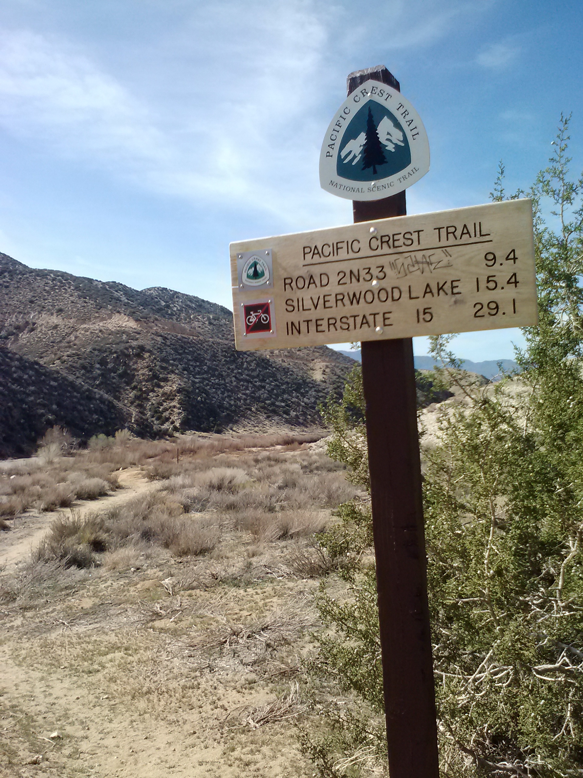
Trailhead at Silverwood Lake

Trailhead at Silverwood Lake

None-the-less, I was determined to hike and hike I did! The morning was spectacular and I was excited to be back on the trail, even if just for a little shake-down hike. I tried several new things this trip:

Gossamer Gear Gorilla Backpack- I used it for the first time on a hike in November and I’m still trying to get used to it.

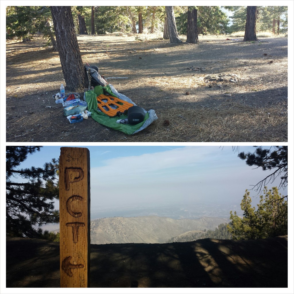
Klymit X-Lite torso sleeping pad- I’ve been resisting torso pads for a long time, thinking they wouldn’t be comfortable. Klymit has been kind enough to sponsor me and sent me an X-Lite pad to try out. I loved their full-size version, X-Frame, when I used it last summer, so I was excited to try out the torso size.

Stove-less meals- I love my hot drinks and meals, so I’ve also resisting trying the stove-less approach. This time around, I left the stove at home and packed lots of jerky, bars, and dehydrated meals that taste good cold (lentils, mango sweet rice, and pasta salad).

Boots instead of trail runners- Trail runner are so flexible and lightweight, but the boots offer more longevity and ankle stability. After rolling my ankle too many times last summer on the PCT and burning through hundreds of dollars replacing worn-out trail runners, I thought I’d give boots a try. Using my REI dividend, I purchases a pair of Merrell Moab Ventilators.

Homemade smart-phone speakers- Sabrina’s boyfriend, Ka’eo, made some great speakers out of a paper towel  roll and two plastic cups. We fixed it up so it could sit just on top of my packet with my phone securely positioned in it, yet still easily accessible for those photogenic moments. Being made out of cheap materials means it doesn’t matter if they get damaged on the trail and they’re easy to replace.

image

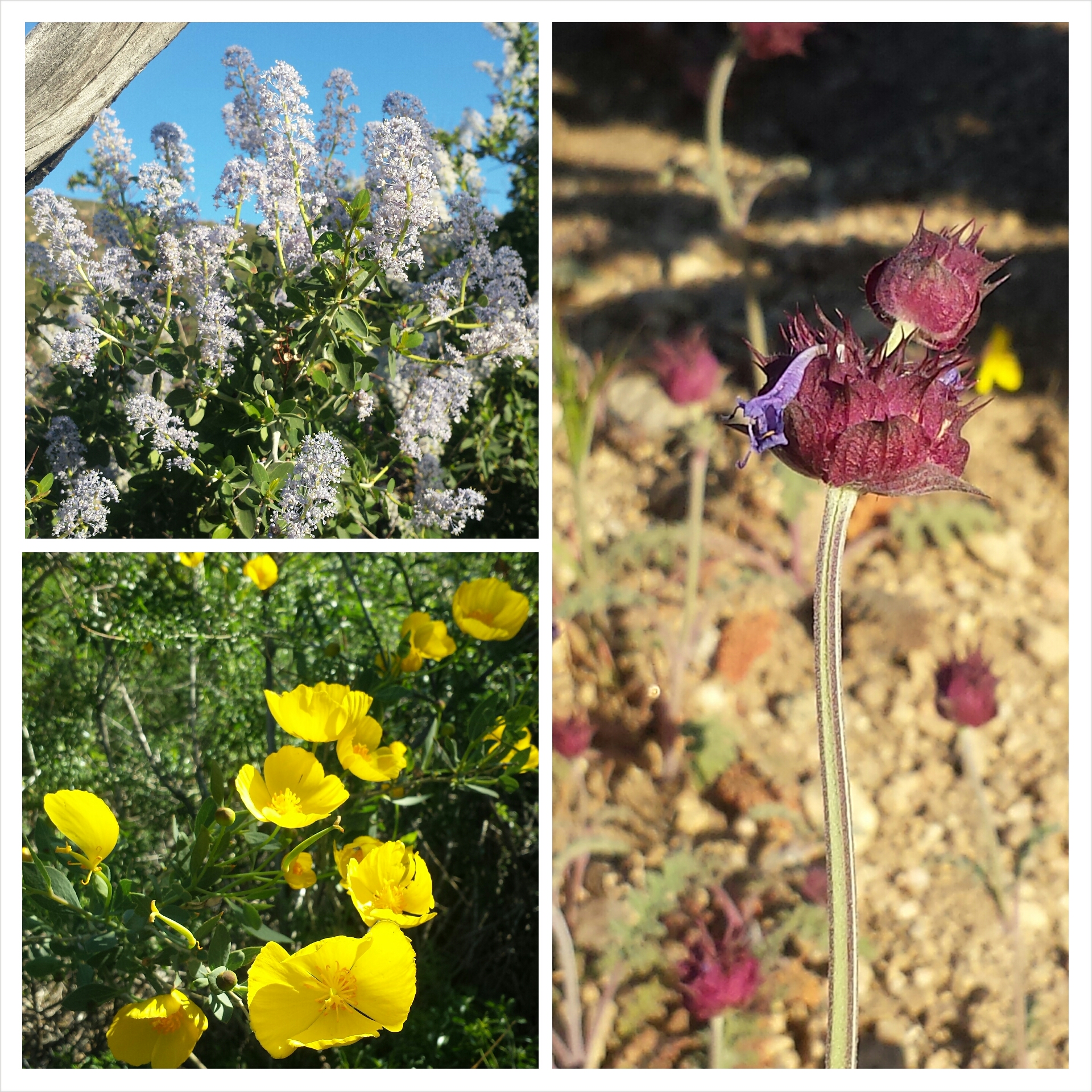
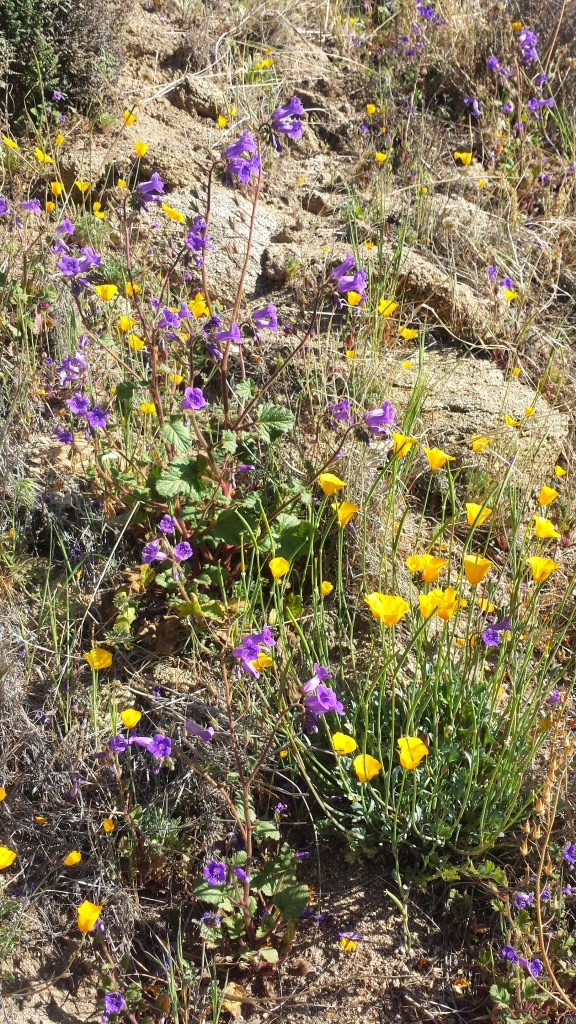
Wildflowers

Wildflowers

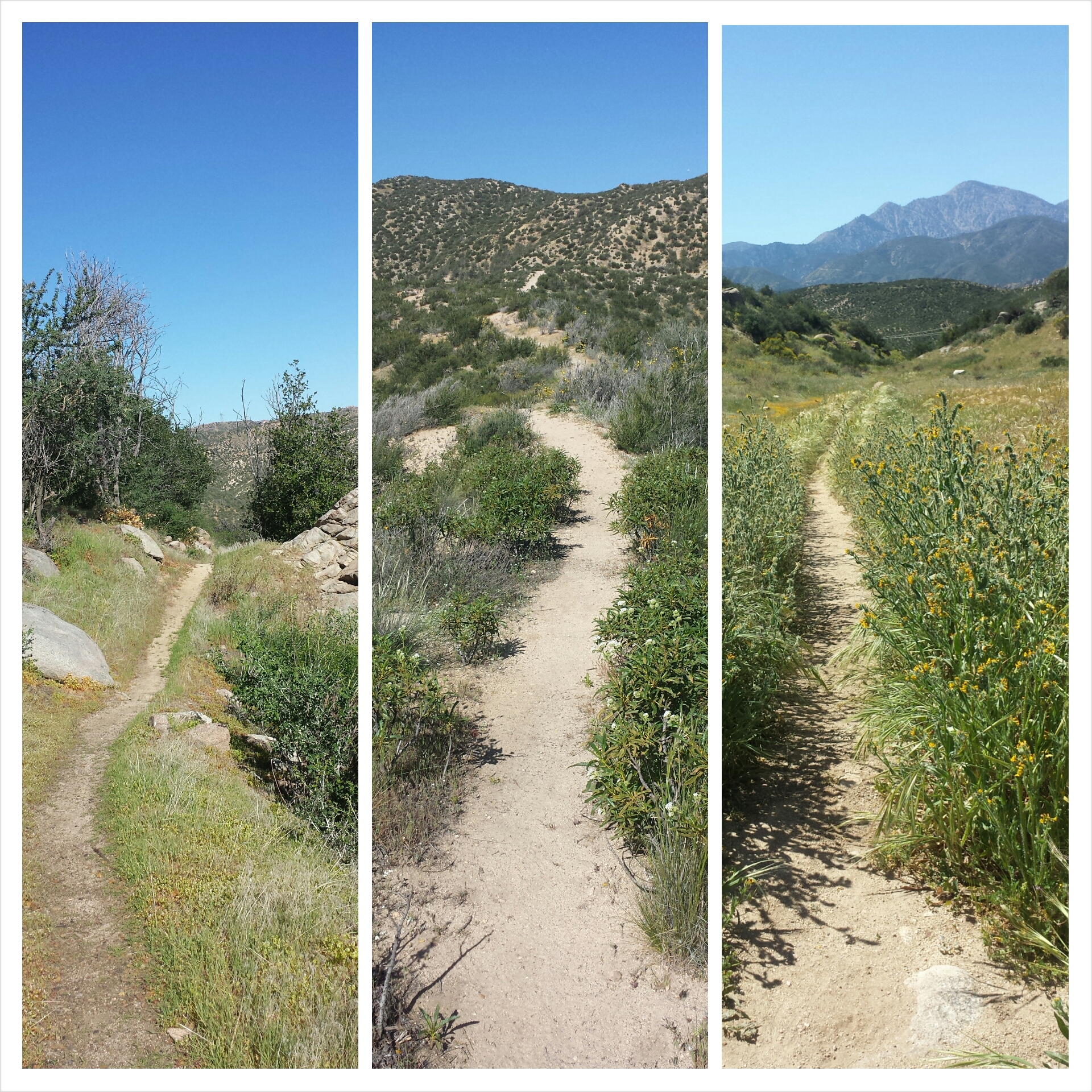
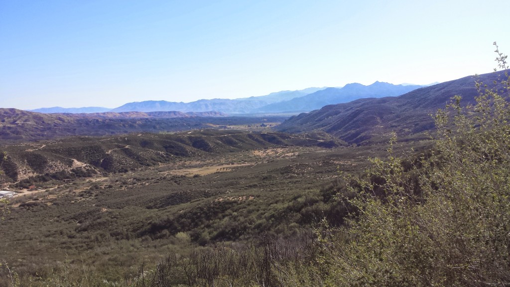
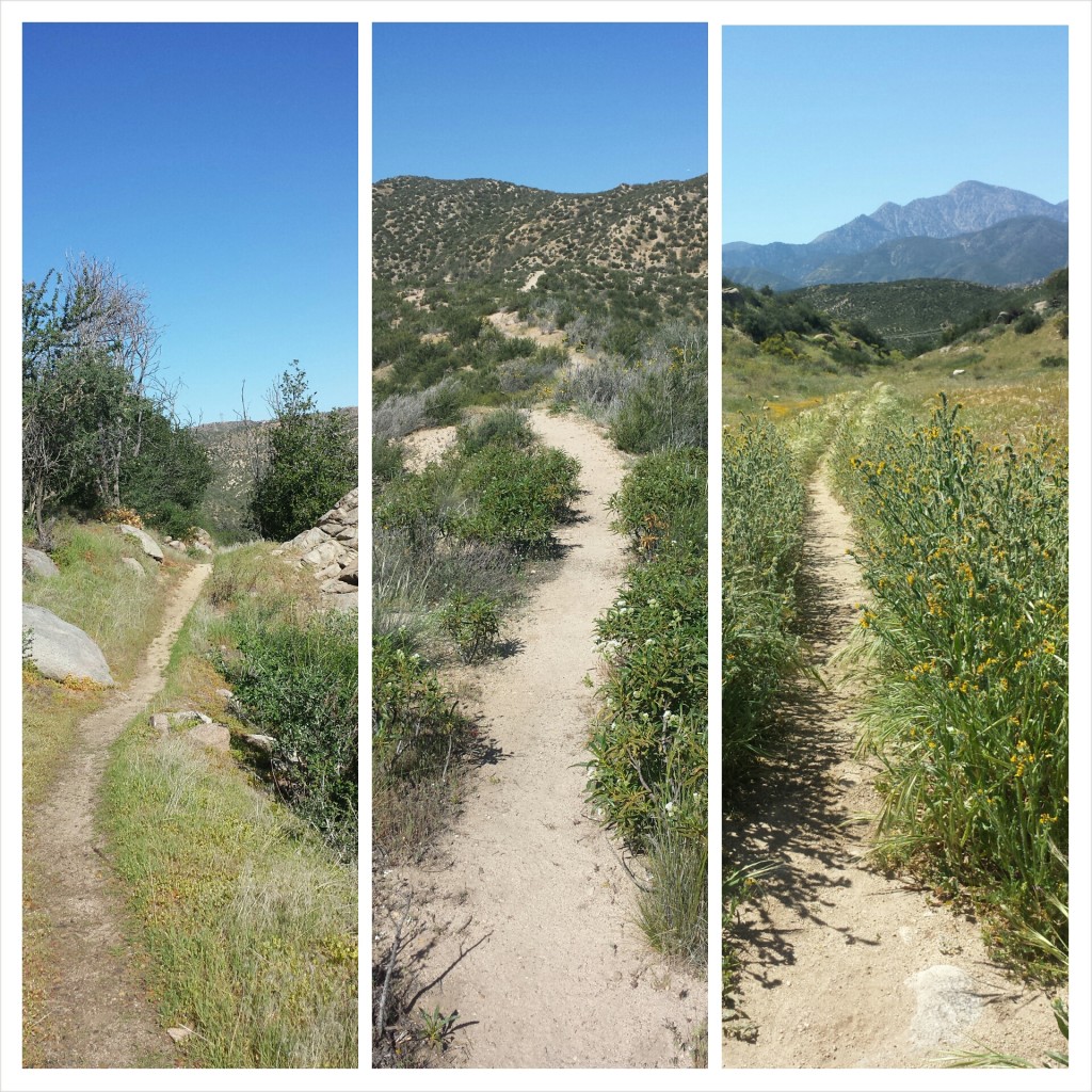
It was a short climb out of the Silverwood Lake area and soon I was skirting the edge of Summit Valley, exposed under the hot sun, but winding in and out of shaded gullies sprinkled with wildflowers. Something about Summit Valley pulls me back in time to the pioneers who attempted to settle there in the mid-1800’s and even further back to the native people who’d lived there for centuries.

View of Summit Valley towards Mojave Forks

View of Summit Valley towards Mojave Forks

I came across so many more snakes this day on the trail than I’ve ever seen in my life. I don’t know if it was the heat or maybe it’s just this section of trail, but I had several rattlesnakes buzz at me from trail-side bushes, and multiple garden snakes and even a gopher snake crossed my path!

pct_section_c_san_bernardino_mountains_trail.jpg


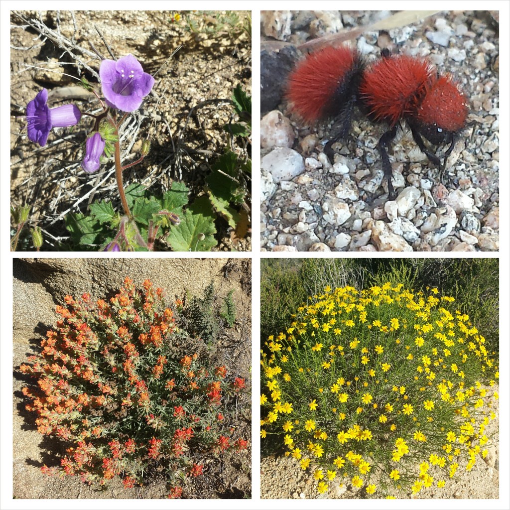
Wildflowers and a velvet ant

Wildflowers and a velvet ant

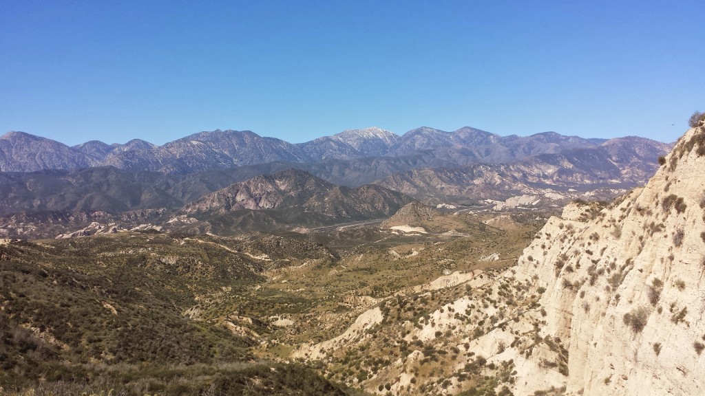
Coming out of Little Horsethief Canyon, named for a supposed Native American horsethief, presented spectacular views to the north of the San Andres fault cutting between the San Gabriel and San Bernardino Mountains. From there, it was all downhill to Highway 15 and the promise of McD0nald’s delights!

View towards the San Gabriel Mountains, Highway 15, and the San Andreas Fault

View towards the San Gabriel Mountains, Highway 15, and the San Andreas Fault


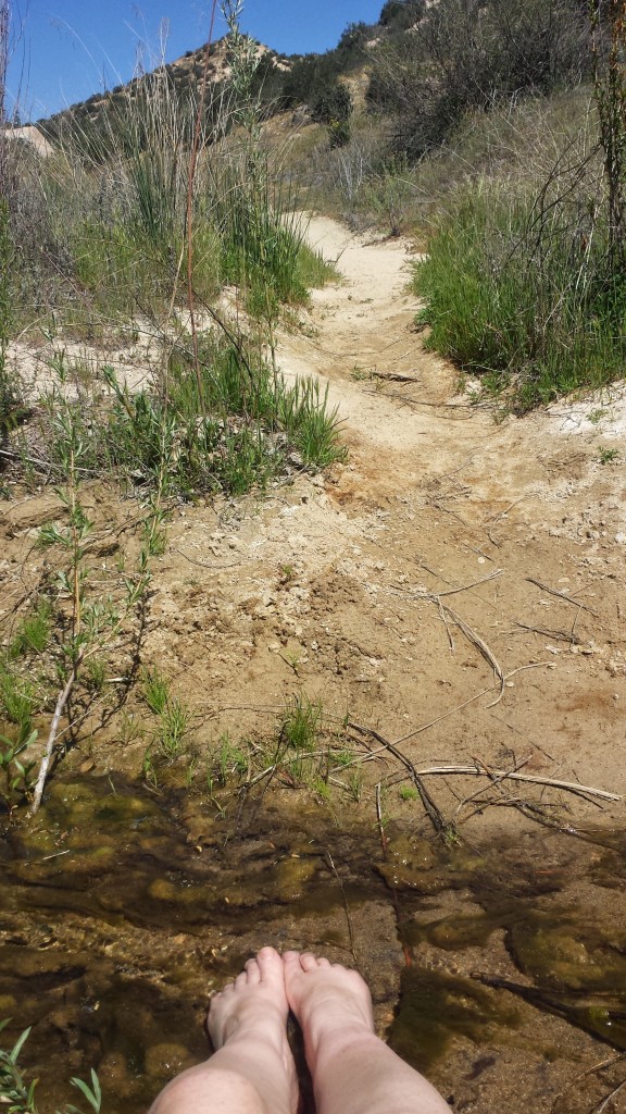
Just before hitting Highway 15, I decided to stop and soak my feet in the tiny Crowder Canyon Creek. My feet were aching in my brand new boots and it was the only creek I’d probably come across in this section. I sometimes get so focused on putting in miles, that I forget to stop and enjoy the “nooks and crannies” of the trail. To me, a nook or cranny of the trail might be a delightful view, shady tree, or cool stream. There are really so many that it’s difficult to take them all in generously and still stay on schedule.

Still, I’m making an effort to enjoy them longer because I also need the recovery time! It took me over a month last summer to realize how important recovery time is when doing long-distance hiking. An hour or two break mid-afternoon will gain me not only enjoyment and sanity, but also an additional chunk of miles at the end of the day that I probably wouldn’t otherwise have been able to do!

Crowder Canyon Creek

Crowder Canyon Creek

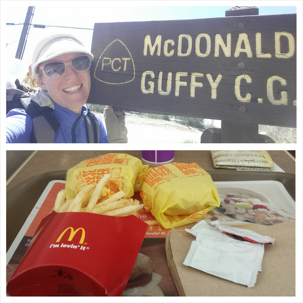
Arriving at Highway 15 marked my completion of Section C, officially!  YAY! It took three separate section hikes, but I managed to do it. Time to celebrate with some junk food.

McDonalds at Cajon Pass

McDonalds at Cajon Pass

I felt so dirty in McDonalds. I knew I was smelly from the exceptionally hot thirteen mile hike I’d just put in, but it was more than that- maybe it was the fact that I don’t usually eat fast food; maybe it was the contrast of standing in line with my pack next to people in their heels heading to work. Whatever it was, I couldn’t stand to stay there too long. If I was going to look like a street urchin, then I’d rather lounge on the grass than inside a McDonalds. I took two full hours lounging on that grass before jumping back on the trail.

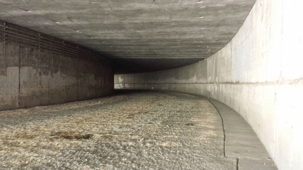
Walking under Highway 15

Walking under Highway 15


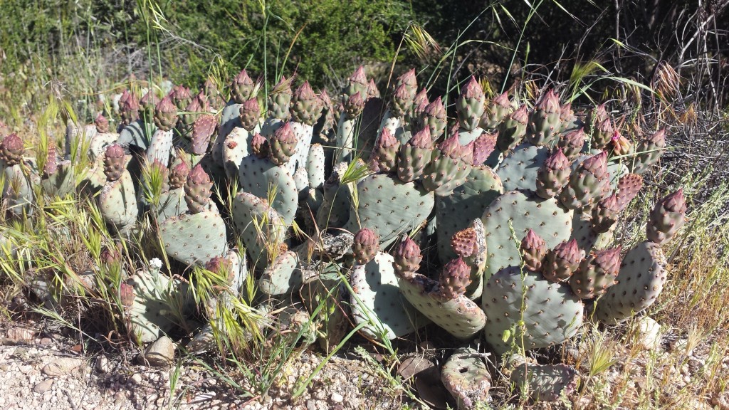
Bearvertail Cactus ready to bloom

Bearvertail Cactus ready to bloom

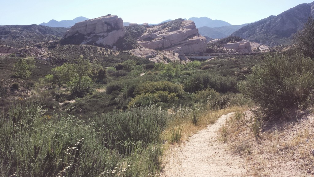
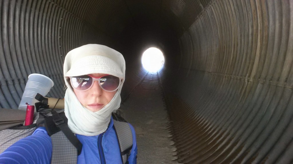
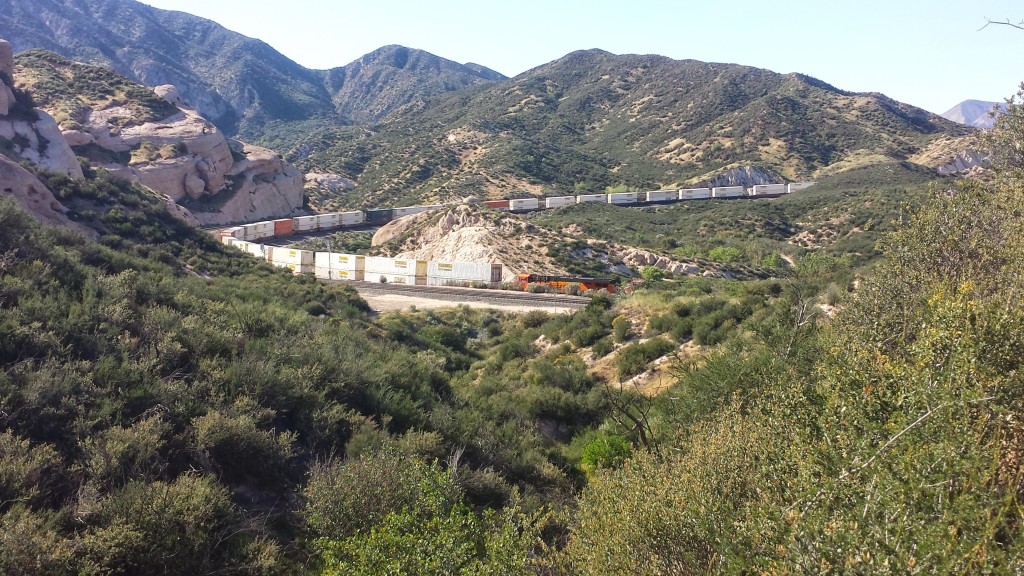
The next section of the trail, California PCT Section D, begins by winding around Ralston Peak, amongst the stark Mormon Rocks and over and under the high-traffic railroads. It was so hot and the sun was reflecting off the pale, sandy trail. I wrapped my Billi Bandana hat around my face to protect my poor Irish-German skin as best I could. By the way, I LOVE my Billi Bandana.  It’s been one of my favorite and most versatile pieces of gear, plus it now feels like part of my identity.

Mormon Rocks

Mormon Rocks


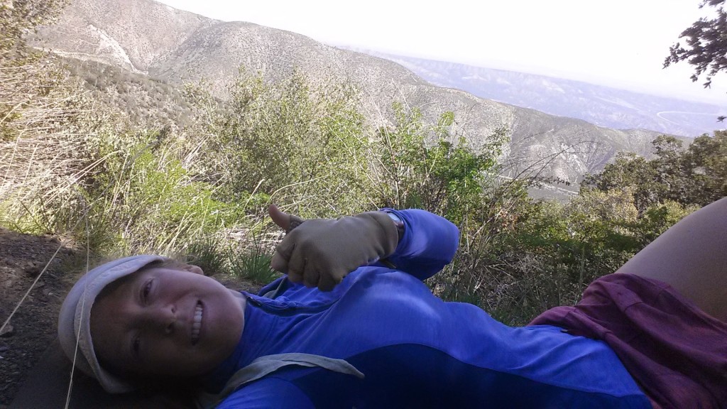
Sportin' the Billi Bandana

Sportin’ the Billi Bandana


Trains near Ralston Peak

Trains near Ralston Peak

My poor feet were killing me on the last couple of miles.  I really wanted to camp at the base of the big climb I was approaching so I could hit it early in the morning, but that meant I had to put in over five more miles after leaving Highway 15. My feet were hating me. I haven’t really been hiking since November because I’ve been working so much, plus the new boots felt heavy and cumbersome. Surprisingly, the bottoms of my feet felt okay, while my ankles felt bruised from having so much material supporting them.

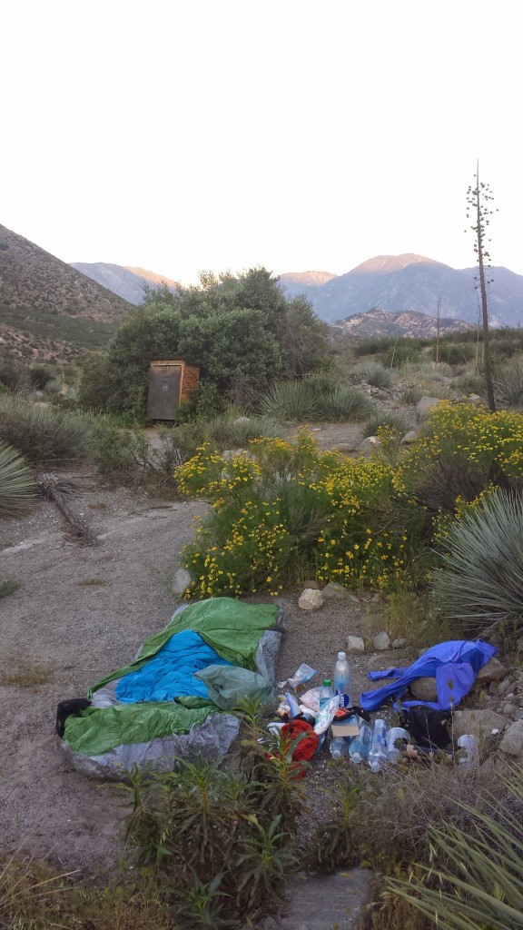
I stopped at a campsite twenty to thirty feet from the dirt Swarthout Canyon Road. I felt comfortable, lying out exposed under the desert sky. A few cars drove by around sunset; I suspect they were ranch workers heading home, but I was glad I was tucked out of view. You never know what kind of people may be looking for fun on a dirt road in the desert. I was still full from my double cheeseburger lunch, so dinner consisted of only nuts and some cookies.

Campsite near Swarthout Road

Campsite near Swarthout Road


Day 2- 14.5 miles, camping along Blue Ridge


With a massive climb ahead of me, I quickly wrapped-up camp, shook up some Starbucks Via and Carnation’s Instant Breakfast in a bottle, and hit the trail. After just a few steps, I laid eyes on an incredibly beautiful coyote. He stood in the bushes just ahead of me and I stopped to watch him. I knew that the moment I reached for my camera, he would’ve dashed away, so I left my camera in my hip belt pocket and savored the moment. It made me happy to see him so healthy looking.

Approaching the climb out of Lone Pine Canyon

Approaching the climb out of Lone Pine Canyon

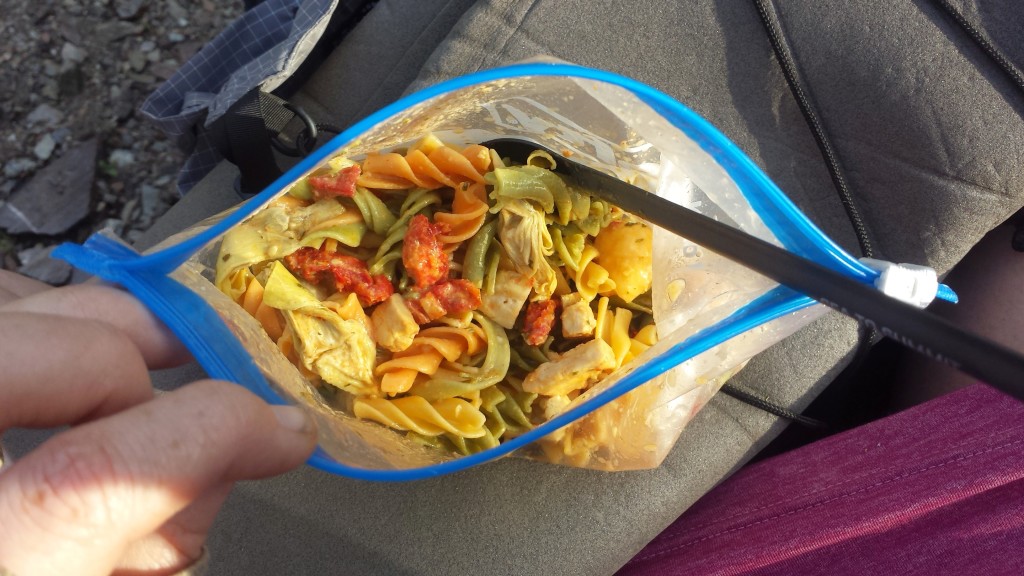
I tried a couple new recipes just for this trip. By going stove-less, I saved on weight, allowing me to carry the 6.5 liters of water I needed to hike out of Cajon Pass. Any dehydrated or freeze-dried meal can be rehydrated with cold water, but some just taste better hot. (It’s probably more of a psychological/emotional experience than taste.) Keeping that in mind, I assembled a pasta salad with sun dried tomatoes, freeze-dried chicken, dehydrated artichokes, and olive oil dressing. I added just enough water to cover the food the night before and the next morning it was fantastic!

Pasta salad with chicken, tomatoes, & artichokes

Pasta salad with chicken, tomatoes, & artichokes


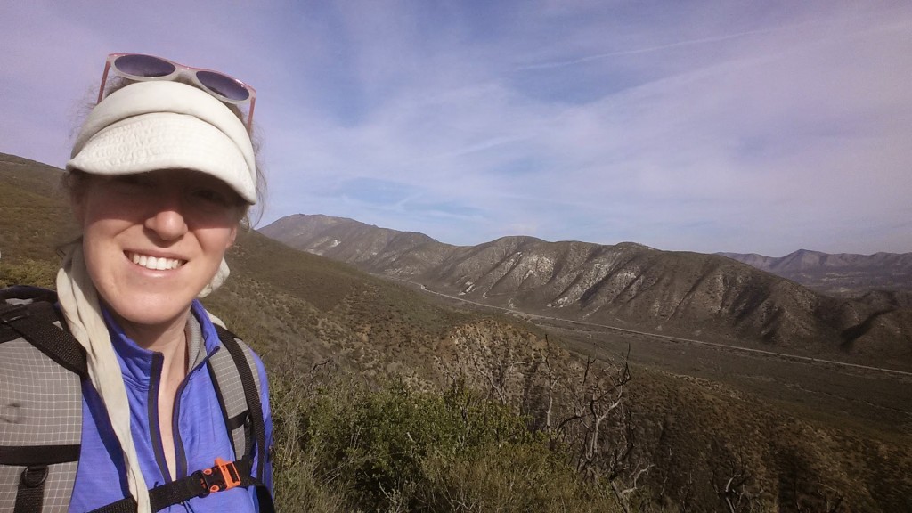
On the ridge above Lone Pine Canyon

On the ridge above Lone Pine Canyon


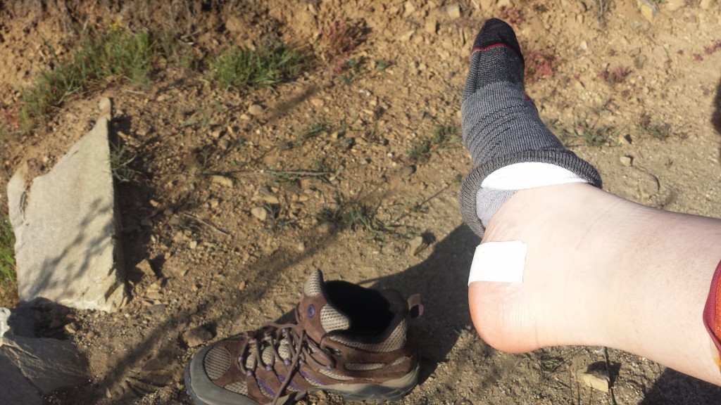
Treating my hotspots

Treating my hotspots


Mount Ralston and Lone Pine Canyon

Mount Ralston and Lone Pine Canyon


pct-section-d-40-upper-lytle-creek-ridge

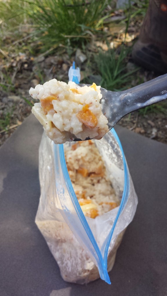
Another heat-free meal I really enjoyed on this trip was my mango sweet rice recipe. I assembled pre-cooked and dehydrated jasmine rice, dehydrated mangos, Nido whole milk, sugar, almond floor, and some crunchy, slivered almonds to make this tasty meal.

Mango Sweet Rice

Mango Sweet Rice

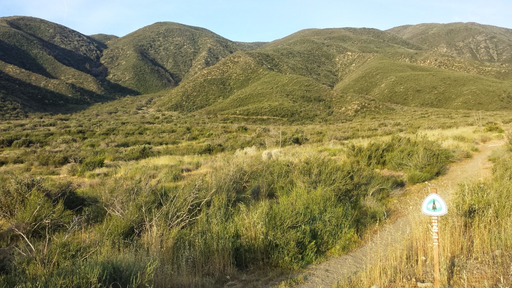
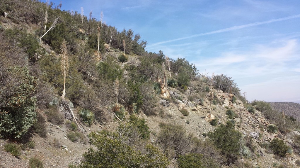
Exposed desert trail

Exposed desert trail


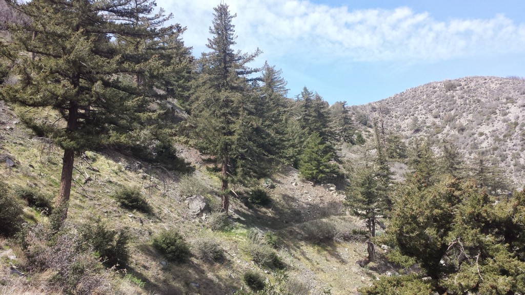
Finally, trees!

Finally, trees!

The higher I climbed, the cooler it got. It was surprising how hot it had been several thousand feet below, but on the ridge, it was getting windy and cold! I stopped for camp much early than I typically do, but my body was saying, “I’m done!” and it was a very pretty spot. I laid my shirt out to dry in the remaining sunlight while I unpacked and messed around with my bivy set-up. I could tell it was going to be a very cold and blustery night, but there was nothing I could do about it, so I might as well just hunker down and brace for it.

It was indeed pretty damn cold, but my new sleeping pad worked great and the only cold spots I had were from the wind blowing across the top of my bivy. I periodically peeked out of my bag throughout the night in the hopes of seeing the sun rising. The city lights of Hesperia below were beautiful and comforting in my solitude.

Campsite along Blue Ridge

Campsite along Blue Ridge


Day 3- 12 miles

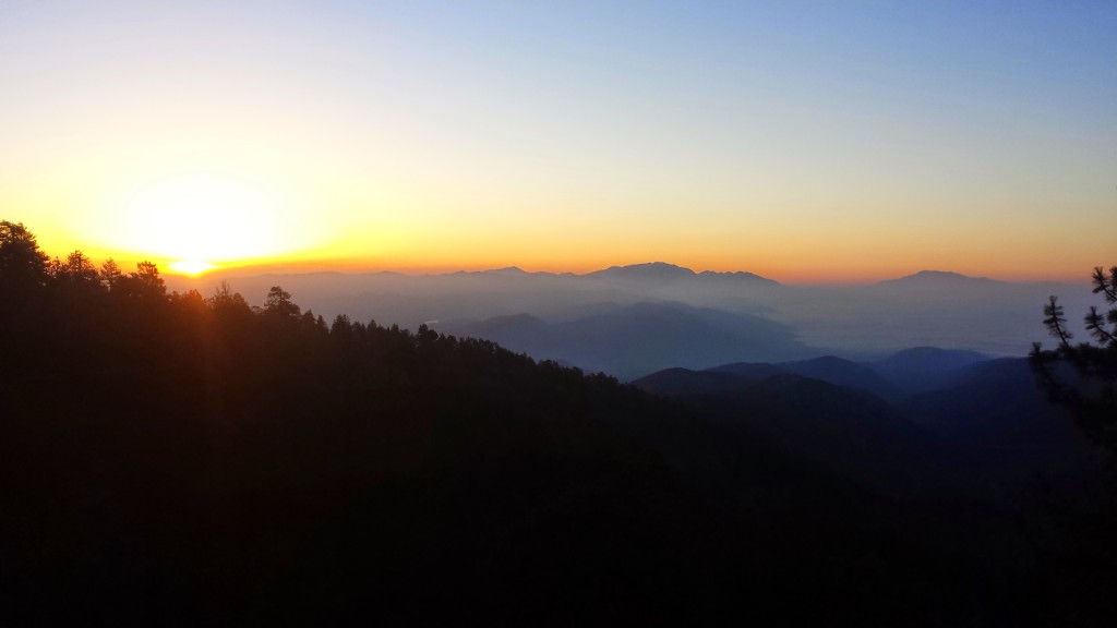
Sunrise in the San Gabriels

Sunrise in the San Gabriels

Knowing that this morning I would have a relatively easy 12 mile hike to my car and then a fun meal in Wrightwood motivated me to get hiking before the sun rose.  The morning clouds hung low between the mountains and it felt great to hike so early amongst the trees.  Between the Fall of 2013 and Spring of 2014, I section hiked all of Section D except for the portion from Cajon Pass to Acorn Trail.  This trip would finally mark my completion of both Sections C and D!


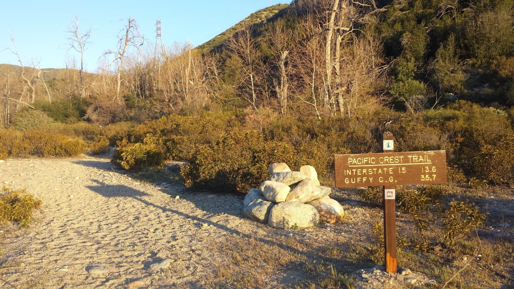
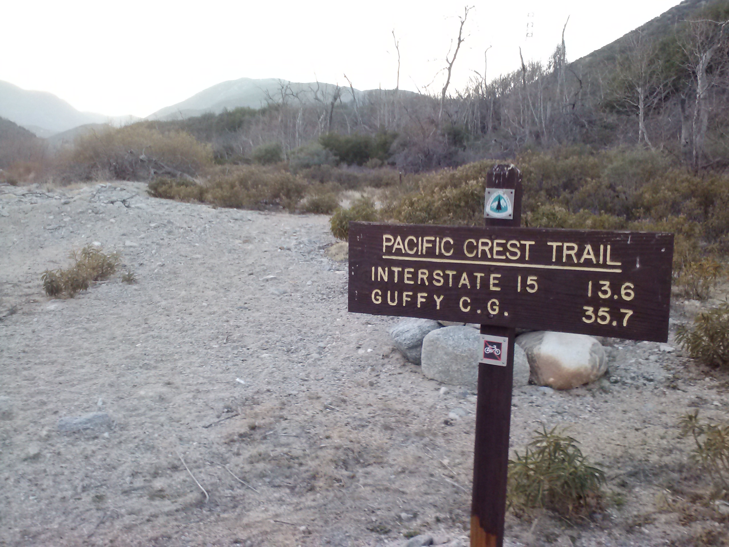
Most PCT hikers refer to the PCT Water Report for information on water sources along the trail. It relies on hikers to check out the sources and report back. When no one has reported on a particular source for over a month, the reliability of that source becomes questionable, especially in Southern California. Without the security of an updated Water Report, hikers sometimes have to carry twice as much water. I try to report back on every source I see because I know how valuable that information is for hikers coming after me. One such source that’s been neglected on recents reporting is Guffy Spring. It’s located nearly 300 yards off the PCT down a VERY steep trail. What a pain in the butt trying to reach it; no wonder no one’s bothered checking on it!

Guffy Spring

Guffy Spring


pct-section-d-64-san-gabriel-mountains


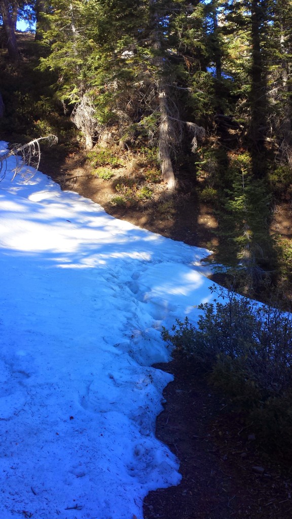
Only a bit of snow.

Only a bit of snow.

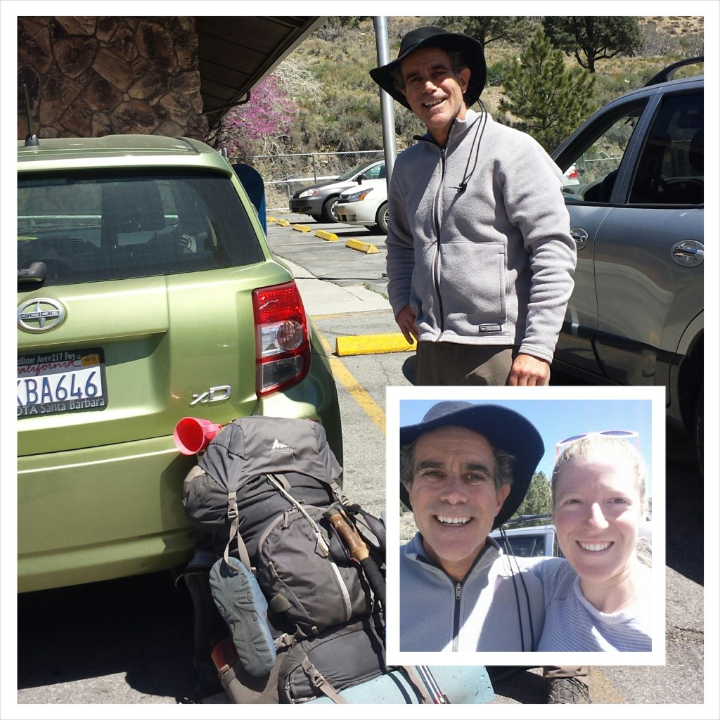
As I neared the first crossing of Highway 2, I passed my first fellow hiker.  His name’s Yardsale and has been section hiking the entire PCT (like me!) over the last couple of years.  He’s almost finished!  His pack was gigantic, with additional items tied on with cord.  Apparently, he got his name from spreading out all his gear at each campsite as though he’s at a yard sale.  Sounds familiar!  Yardsale was section hiking all of Section D and needed a ride into Wrightwood to pick up resupplies.  I told him if he still needed a ride after I hiked to Vincent Gap, I’d pick him up.

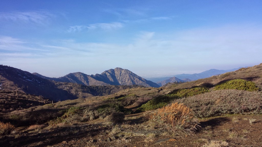
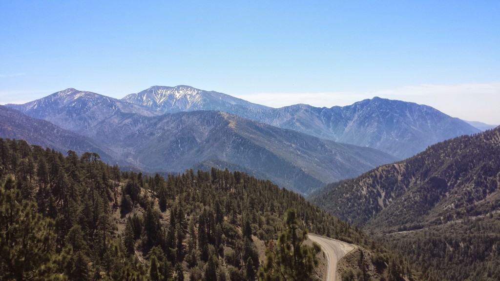
View south towards Mount Baldy

View south towards Mount Baldy

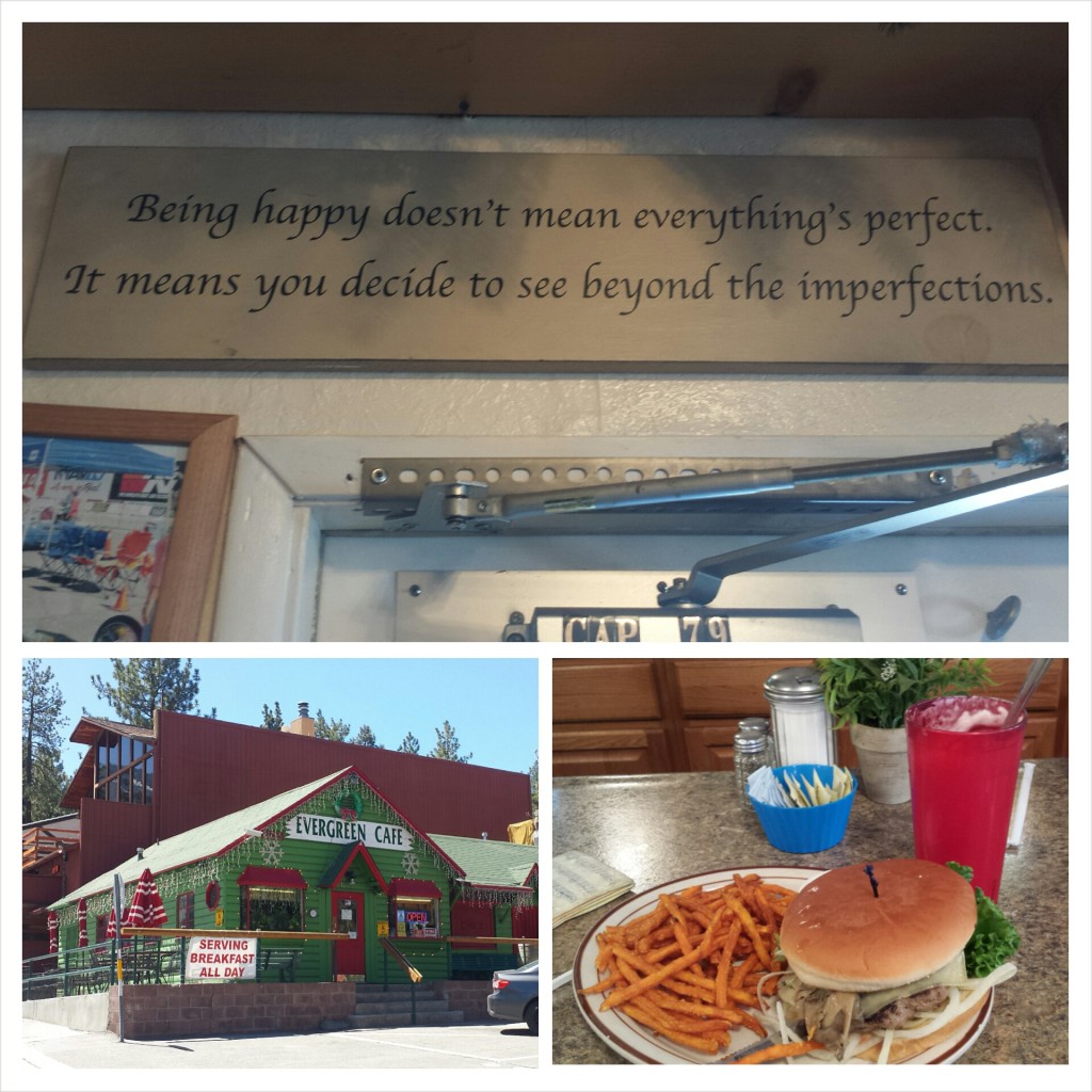
I scooped up Yardsale and dropped him off at the Wrightwood Post Office, then promptly took myself out to lunch at Evergreen Cafe.  I was still feeling dizzy and nauseous from the altitude, so most of my mushroom burger and milkshake went uneaten.

Epic PCT section hiker Yardale

Epic PCT section hiker Yardale

Despite my achy feet, feeling out of shape, and putting up with the cold wind and the hot sun, I still feel like this was a really successful hike.  I was able to check out some new gear and check up on the old.  I’m feeling much more prepared for my upcoming summer hike of 1,500 miles.  Now, I just need to assemble my meals, pack my resupply boxes, and get in shape!

Evergreen Cafe

Evergreen Cafe


Links

Preparing for Installments 21-34: Tahoe to CANADA

Klymit X-lite Sleeping Pad

PCT Water Report

Evergreen Cafe

PCT Section C San Bernardino National Forest Whitewater River


Installment No. 19 of My PCT Journey

No. 19- Cabazon to Big Bear, 2014

loading map - please wait...

Cabazon: 33.939835, -116.695147
Whitewater Preserve: 33.989345, -116.655836
Highway 18 near Big Bear: 34.290552, -116.802435
Coon Creek Cabin: 34.148607, -116.711540


Day 1- 8 miles, camping at Whitewater Preserve

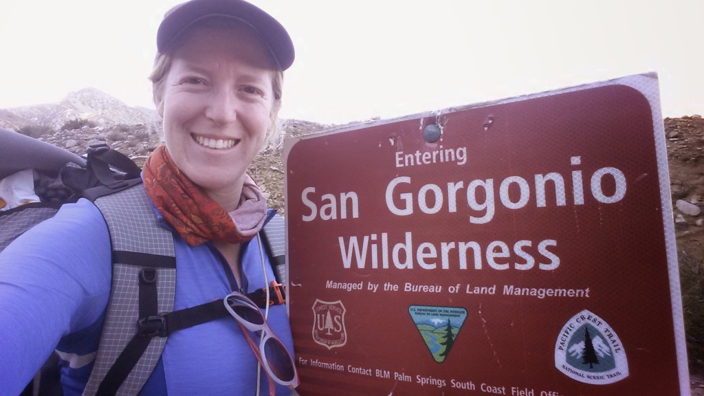
PCT Section C San Gorgonio Wilderness Cabazon

Trail Angel Sabrina

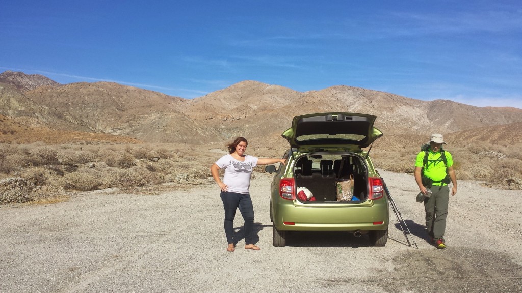
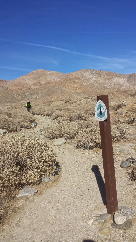
This past summer, I was lucky enough to hike 1,100 miles through Central and Northern California.  Before that, I section hiked most of Southern California, but there are still a few little gaps in my So. Cal. PCT hikes. This trip would knock out one of the remaining chunks from Cabazon to Big Bear. I invited my good friend Ben, who hiked part of Section A with me nearly a year ago, to hike with me and Sabrina, my personal trail angel, dropped us off at the trailhead.

PCT Section C San Gorgonio Wilderness Cabazon


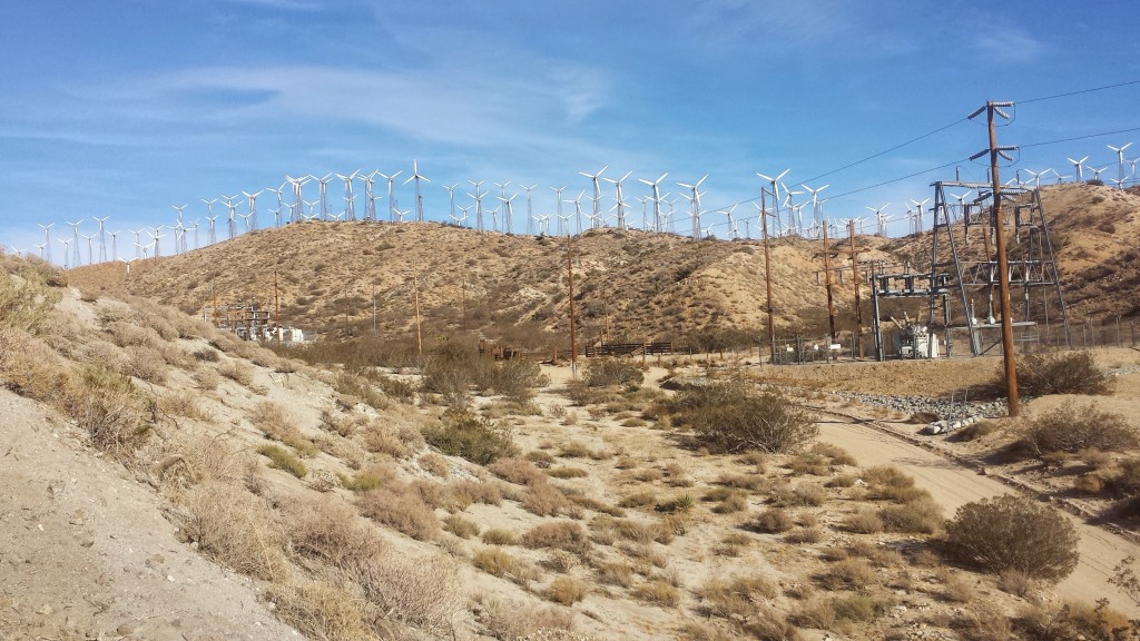
PCT Section C San Gorgonio Wilderness Cabazon Mesa Wind Farm

Mesa Wind Farm


PCT Section C San Gorgonio Wilderness


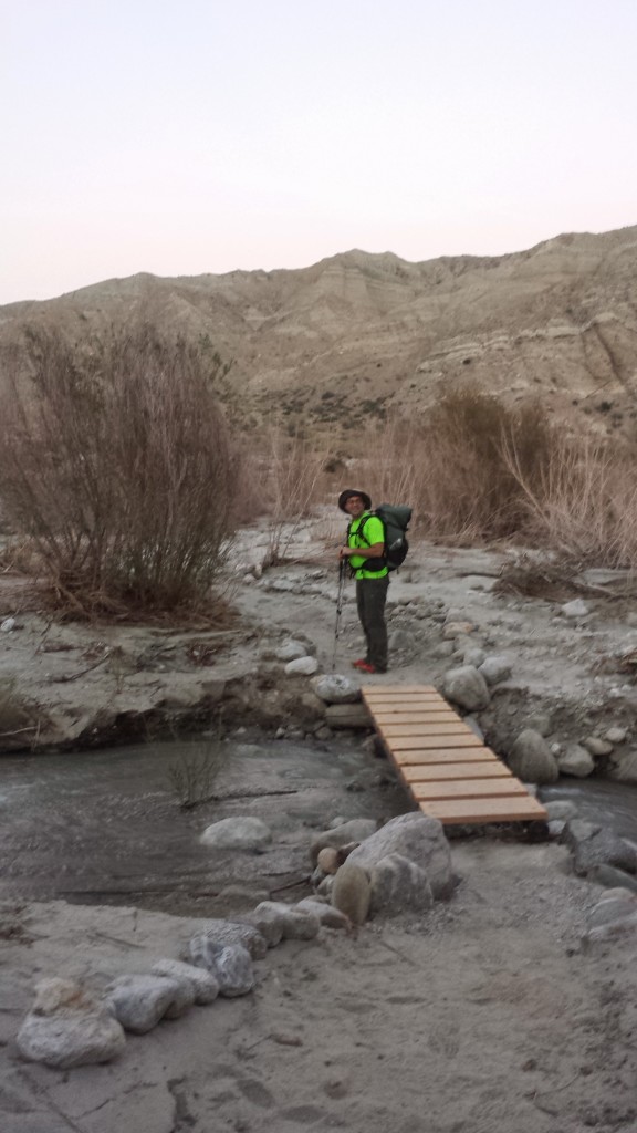
PCT Section C San Gorgonio Wilderness Whitewater Preserve

Approaching Whitewater Preserve

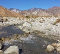
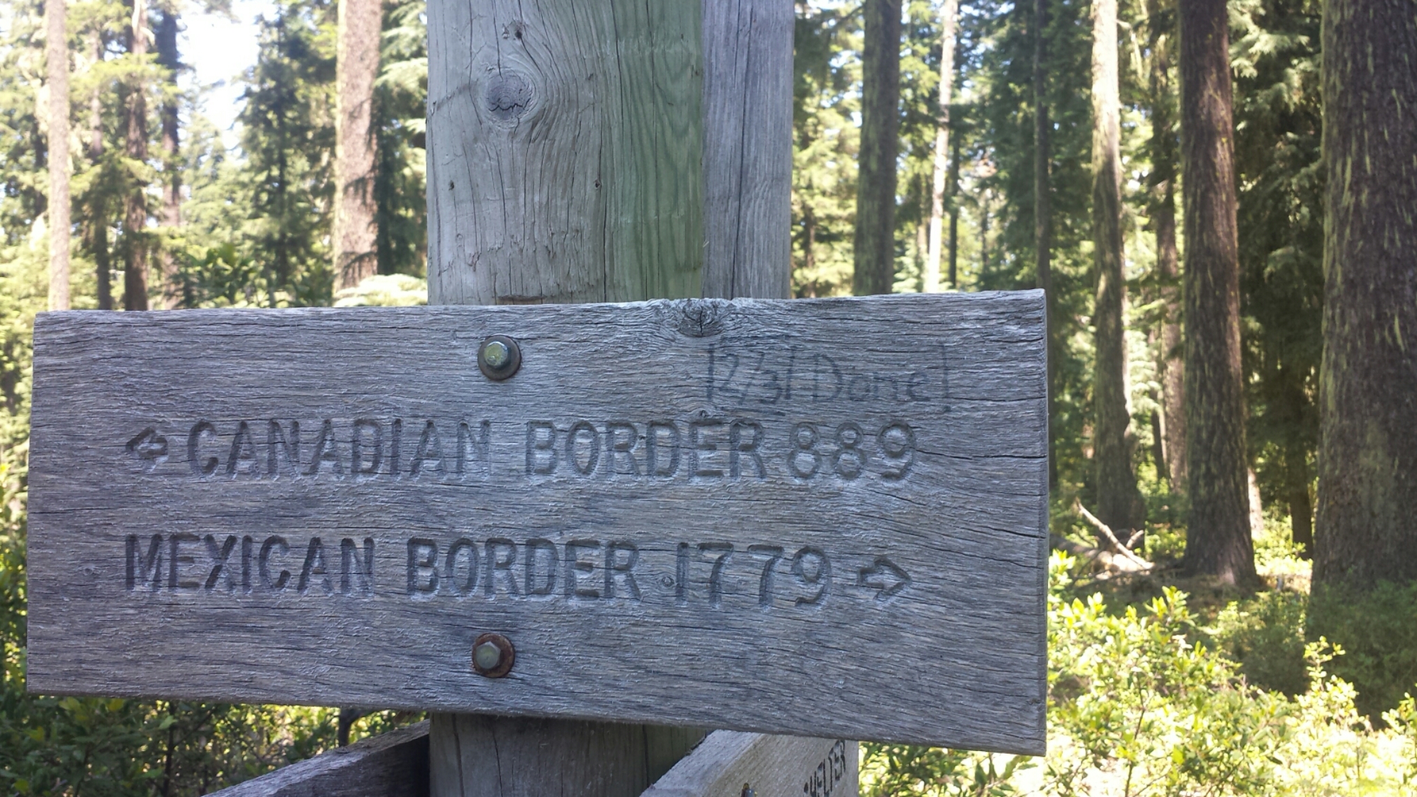
We aimed to camp at Whitewater Preserve for the first night because it was an easy 9 miles and was the next available water source outside of Cabazon. The preserve was awesome! The rangers were so hospitable, the grounds were lovely, the water was on tap and the bathrooms had plumbing! We also met a southbound hiker who was fun to chat with over dinner.
 

Day 2- 14 miles, camping next to Mission Creek

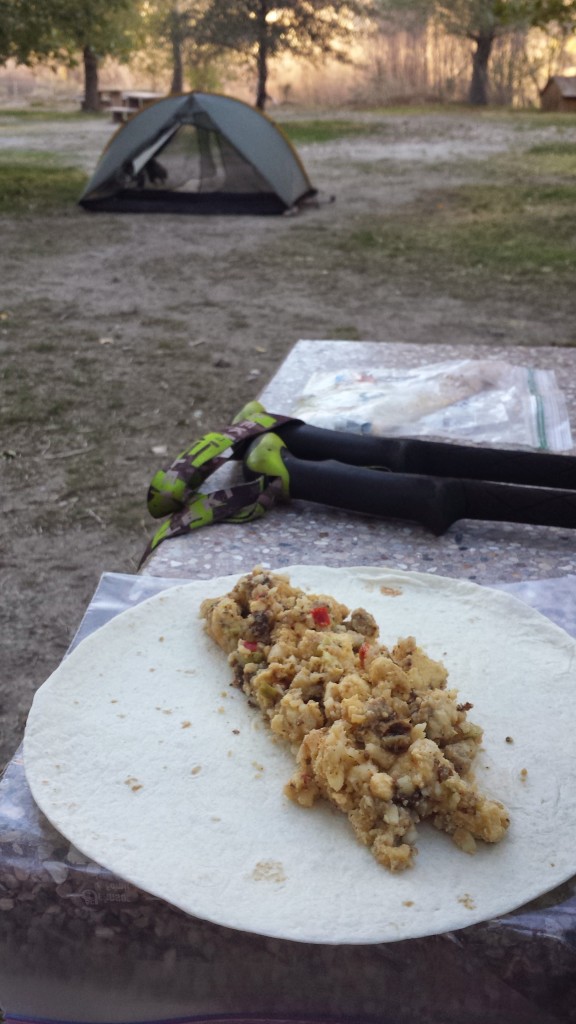
Mountain House Breakfast Skillet

Mountain House Breakfast Skillet


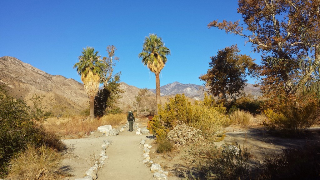
PCT Section C San Gogonio Wilderness Whitewater Preserve

Whitewater Preserve


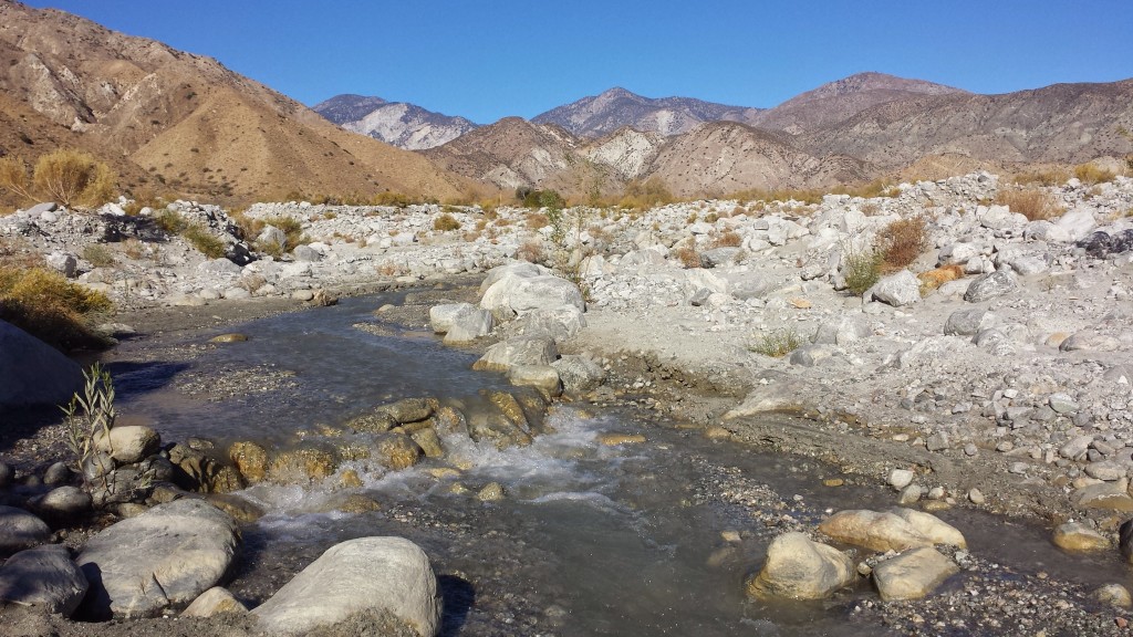
PCT Section C San Bernardino National Forest Whitewater River

Whitewater River

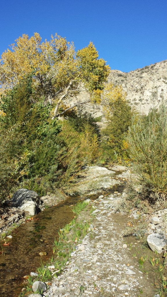
All day long, the trail wound higher and higher into the San Bernardino Mountains. It was such a gradual uphill, that it was easy to forget you were evening climbing! Once we connected up with Mission Creek, the trail followed the narrow and bushy canyon, never leaving the gently flowing water.
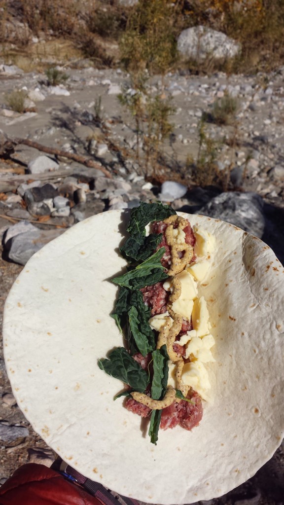
PCT Section C San Bernardino National Forest trail food lunch

Salami, cheddar, and kale wrap


PCT Section C San Bernardino National Forest Mission Creek

Mission Creek


PCT Section C San Bernardino National Forest Mission Creek

Oasis near Mission Creek


PCT Section C San Bernardino National Forest

I was glad to have Ben camping with me because I had the mountain lion heebee jeebees again. There are certain places where I seem to get spooked; it might be a good instinct or it might be my imagination. I got really spooked when I heard movement from the other side of the creek, but it turned out to be three more southbound hikers trying to find the trail in the bushes. We chatted for a bit and they said they knew my friend Just So Fresh, who I hiked northbound with this summer. I was stoked to hear he was still going strong and would finish on time.


Day 3-14.25 miles, camping at Coon Creek Cabin

PCT Section C San Bernardino National Forest Mission Creek

Last night’s campsite at mile 232

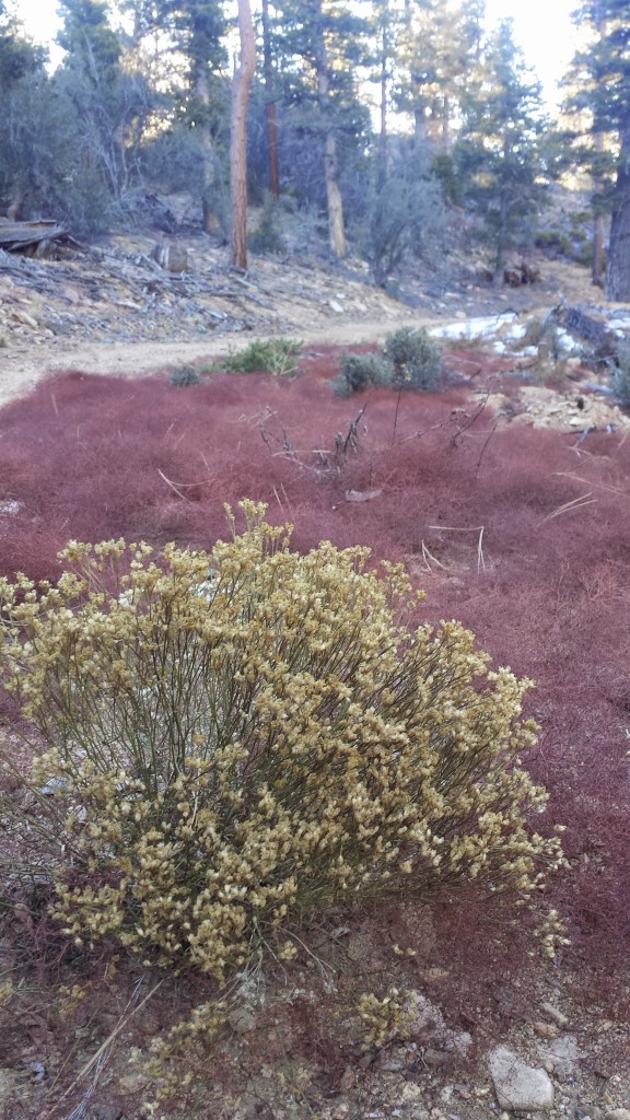
We had a massive climb ahead of us, so we got up early and hit the trail. Despite the struggle with the altitude, the day was delightfully scenic. It’s always fun to watch the earth and plant life evolve from one elevation to another.

PCT Section C San Bernardino National Forest plants


PCT Section C San Bernardino National Forest


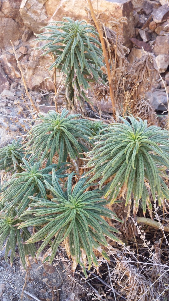
PCT Section C San Bernardino National Forest plants poodle dog bush

Poodle Dog Bush


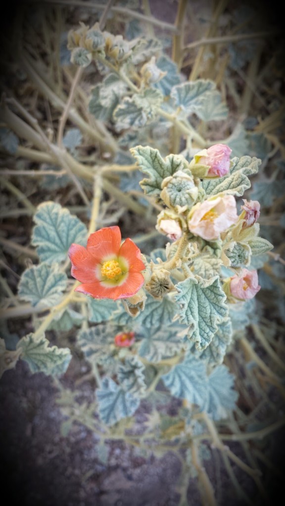
PCT Section C San Bernardino National Forest wildflower apricot mallow

A small desert bloom: Apricot Mallow


PCT Section C San Bernardino National Forest

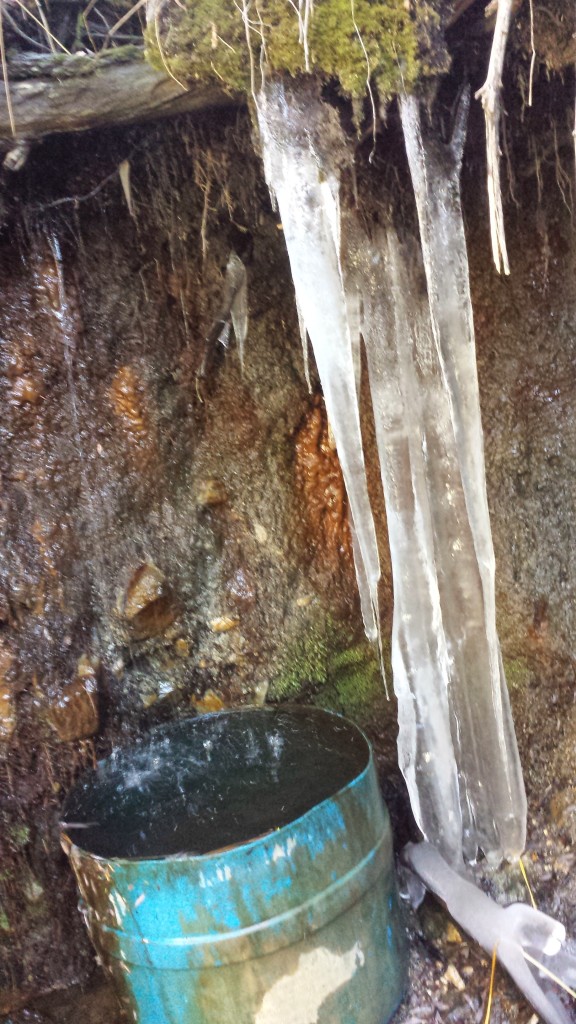
Reaching Mission Spring was a great respite. We were relieved to know it was flowing well and it meant we’d have a mostly flat 6.5 miles of hiking for the rest of the day. Knowing that, we took a generous break, napping a little and eating lunch.

PCT Section C San Bernardino National Forest Mission Spring

Icicles at Mission Spring


PCT Section C San Bernardino National Forest


PCT Section C San Bernardino National Forest

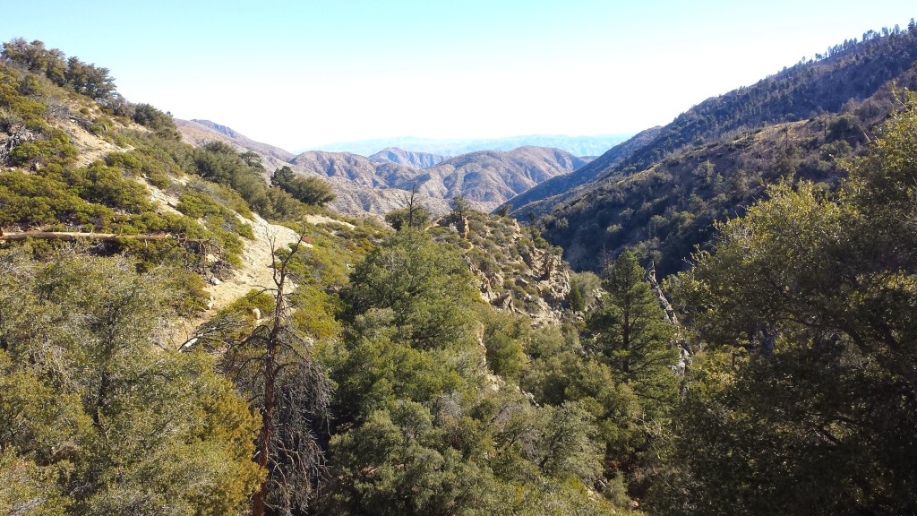
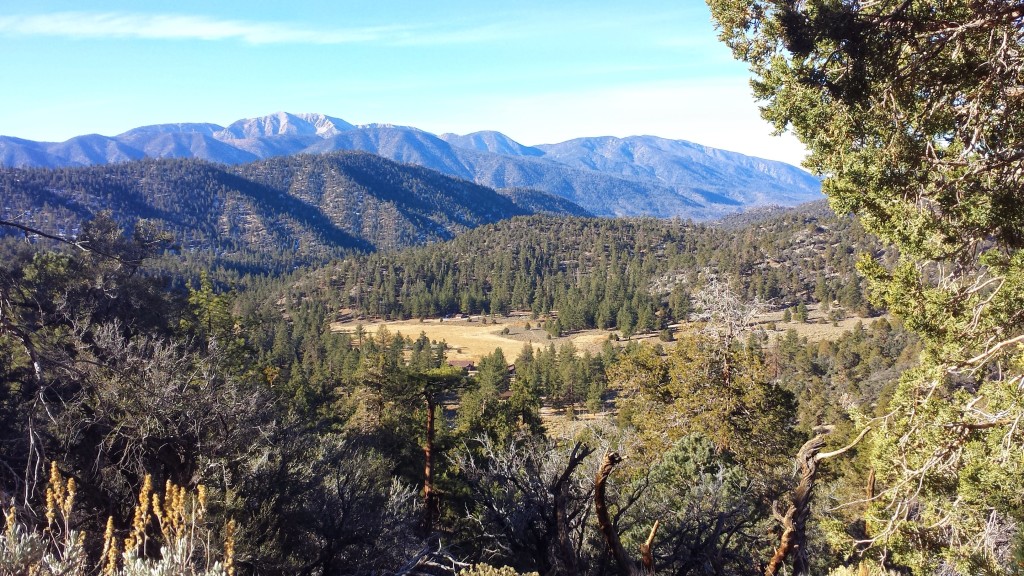
Looking south toward Joshua Tree National Park

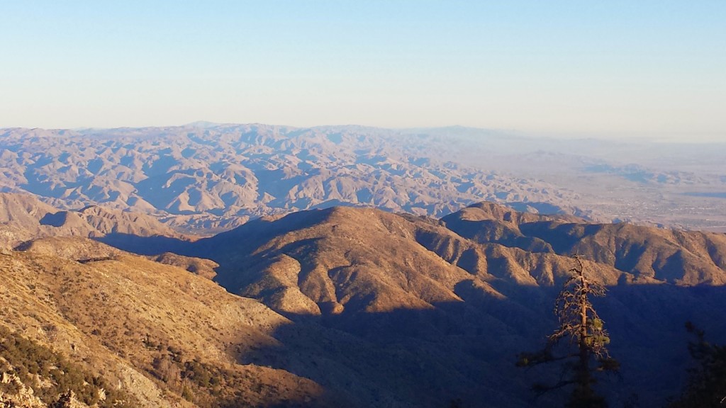
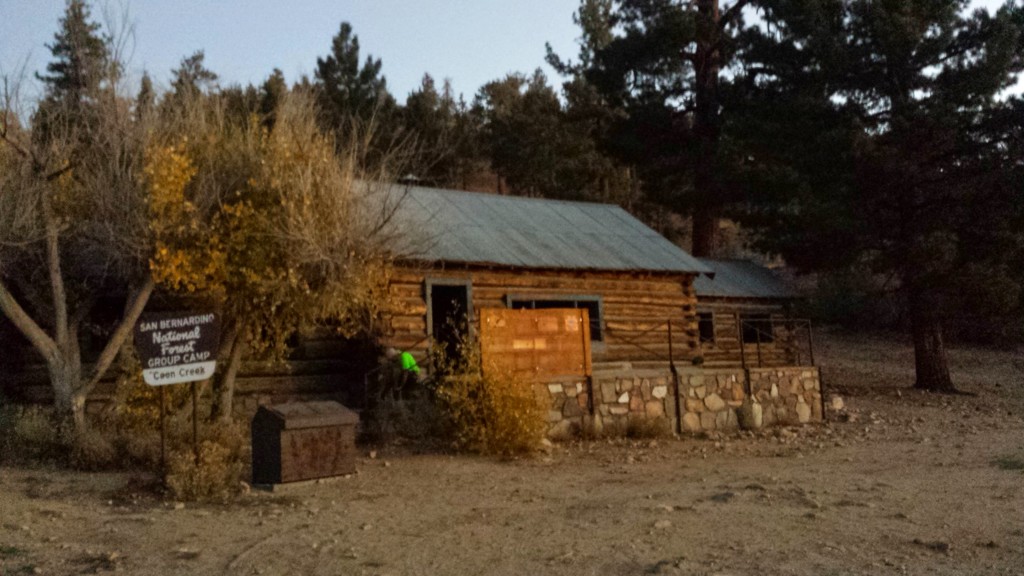
Ben and I pushed hard so we could enjoy sleeping inside the Coon Creek Cabin. It meant we could build a fire in the fireplace, spread out as much as we liked, and not have to set up the tent. The views from the nearby cliff towards Palm Springs and Joshua Tree National Park were incredible.

PCT Section C San Bernardino National Forest Coon Creek Cabin

Coon Creek Cabin


Day 4- 15.5 miles, camping near mile 262.5

It felt so good and yet so strange to be hiking the PCT again after my big journey. I’ve missed being on the trail: getting the fresh air and exercise, being challenged by the elements, my mind, and my body, and being perpetually thrilled by the Earth’s beauty. I struggled with the thought of only being allowed to be out again for a short while, even if the constraints keeping me from walking more were placed there by myself. Somehow I felt like I wasn’t able to appreciate it as much if couldn’t be allowed to keep walking for as long as my legs would carry me. Of course, that’s all speculation, and part of me feels silly for it. There are plenty of advantages that section hiking has over thru-hiking.

PCT Section C San Bernardino National Forest wildflowers plants


PCT Section C San Bernardino National Forest

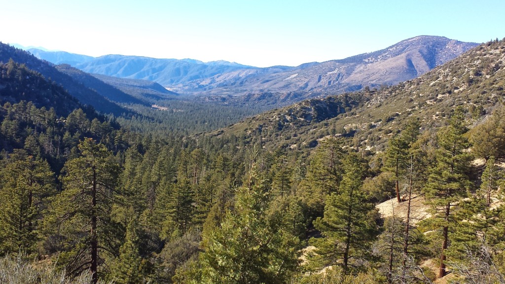
Looking toward San Gorgonio Mountain

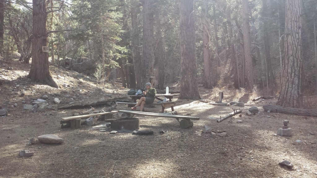
We were now up high and amongst beautiful pine forest. I felt so out of shape and my feet were aching from not having hiked much since July. The scenery more than made up for my bodily pains and we ended up having another really nice day. We took another long lunch break at the beautiful Arrastre Trail Camp and even saw a herd of wild burros that caught us completely by surprise.

PCT Section C San Bernardino National Forest Arrastre Trail Camp

Arrastre Trail Camp


PCT Section C San Bernardino National Forest


PCT Section C San Bernardino National Forest

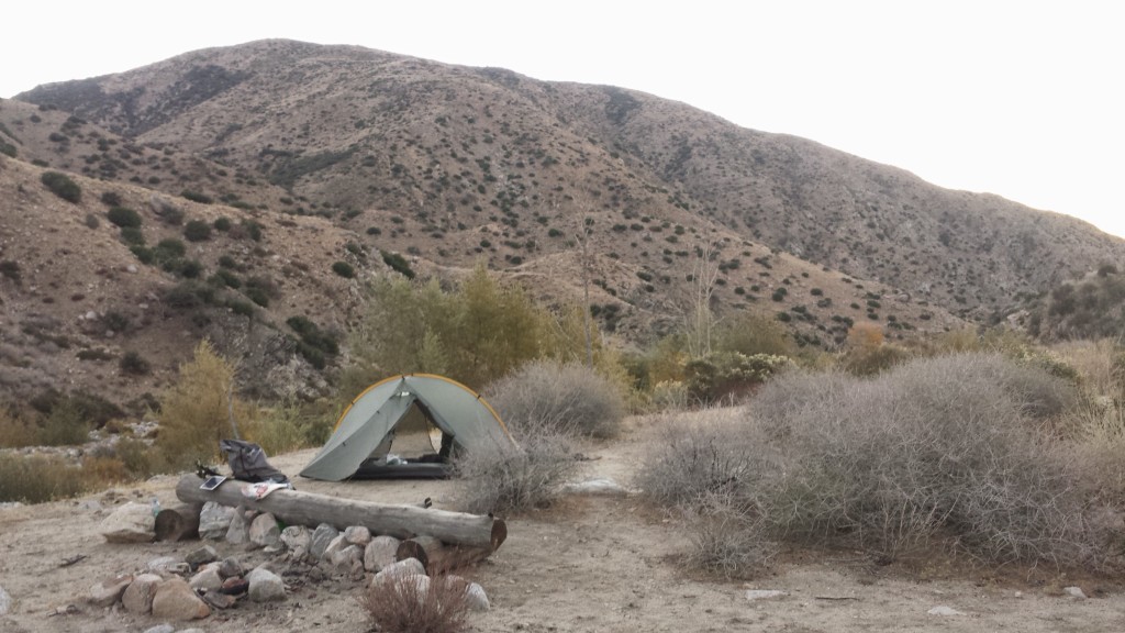
Camping near mile 262.5

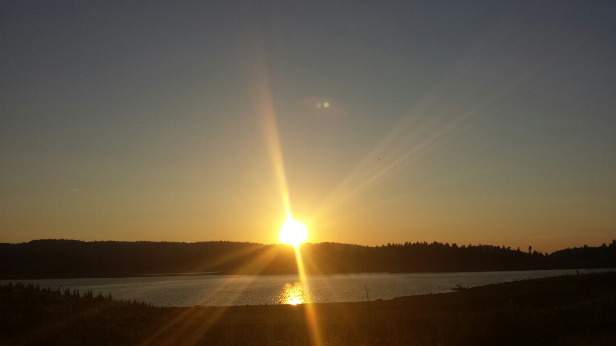
Ben and I camped on a ridge above the desert floor and were graced with a spectacular sunset. We enjoyed each other’s company while munching on left over gold fish crackers and jerky, taking it all in. Ben said he’s not sure long distance hiking is really his thing. I bet he’d get into it more if he could do it his own way, and not get dragged out by me! I also think once he gets past the idea that hiking feels good in the body, he’d understand the hook. Hiking doesn’t usually feel good in the body, it feels good in the soul and the mind.  There’s a mental release from the body’s aches that have to happen before you can really feel good out there.
PCT Section C San Bernardino National Forest


PCT Section C San Bernardino National Forest

Ben enjoying the sunset


Day 5- 3.75 miles

Sabrina picked us up after an easy hike to Highway 18. Being the angel that she is, she and her boyfriend, Terry, surprised Ben and me with a Thanksgiving Turkey dinner. The night before, they had run to the store, bought all the fixings, and starting cooking the next morning at 5AM!  It was amazing!
It was a joy to be on the trail again and connect a few more of my PCT So. Cal dots.  Can’t wait for the next trip!
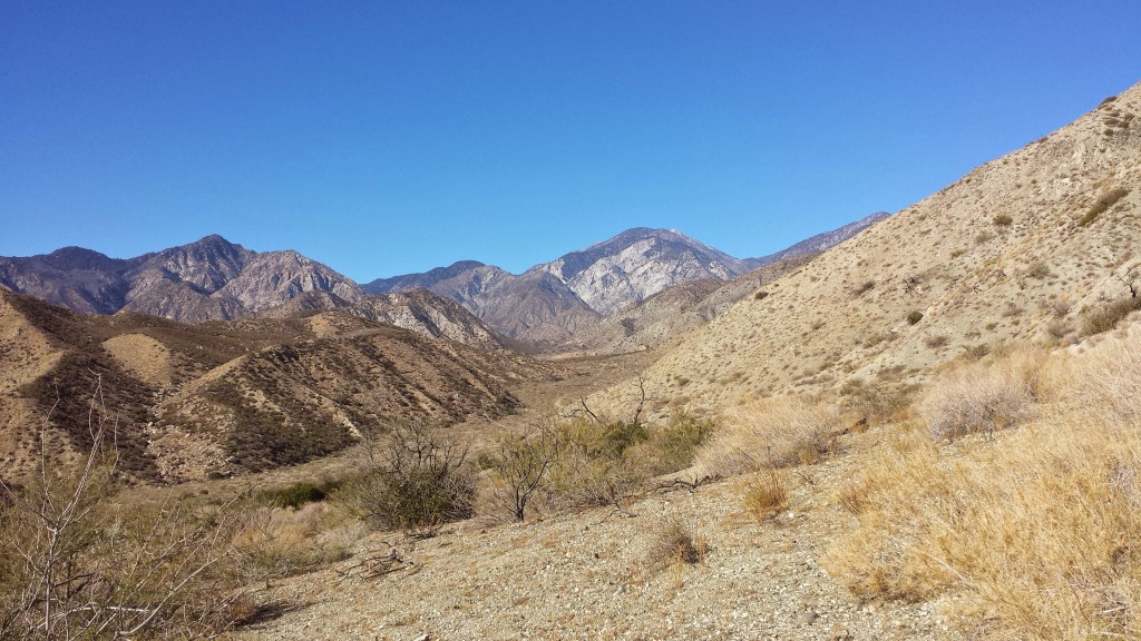
PCT Section C San Bernardino National Forest


Links

Installment No. 20- Silverwood Lake to Vincent Gap

Whitewater Preserve 


style=”display:inline-block;width:320px;height:100px”
data-ad-client=”ca-pub-6269729938434418″
data-ad-slot=”5716075289″>
Big Bear to Silverwood Lake, Feb 2014

Installment No. 6 of My PCT Journey

[Disclaimer: This is not one of my happier journal entries. In fact, it’s a bit of downer!]

Saying goodbye to Pepper

Saying goodbye to Pepper

With a four-day weekend in February and the weather looking good, I wasn’t about to waste any days I could spend hiking. So, the night before Valentines day, Art followed me all the way to Silverwood Lake where we left my car. We then drove over to Big Bear Lake and stayed the night in the charming Vintage Resort. Our room had a fire in the fireplace going as we walked in the door, after midnight, and included a waffle breakfast the next morning. I highly recommend them!


No. 6- Big Bear to Silverwood Lake, 2014

loading map - please wait...

Highway 18 near Big Bear: 34.290552, -116.802349
Silverwood Lake: 34.289045, -117.365870


Day 1: 18 miles

Art dropped me off at the Highway 18 PCT crossing near Baldwin Lake. Despite the beautiful weather, the grand vistas, and the knowledge that this shouldn’t be a terribly difficult hike, I didn’t feel great hitting the trail. It’s rare that Art and I both have time off because of our weird work schedules and I chose to spend the weekend hiking instead of hanging out with him. He would’ve hiked with me if he didn’t have to return to work on Sunday.


View towards the southern reaches of the Mojave Desert

View towards the southern reaches of the Mojave Desert


The trail began at 7,000 feet with views of the southern end of the Mojave Desert. It was a toasty warm day, and since the PCT Water Report hadn’t been updated on several of the water sources for this section, my backpack was heavy with water. The birds were wonderful all along this section, called Nelson Ridge. I have no idea what kind of birds they were, if they were having a normal day or a really great day, but they were all twittering, trilling, and cooing to each other. I kept stopping just to listen to them!


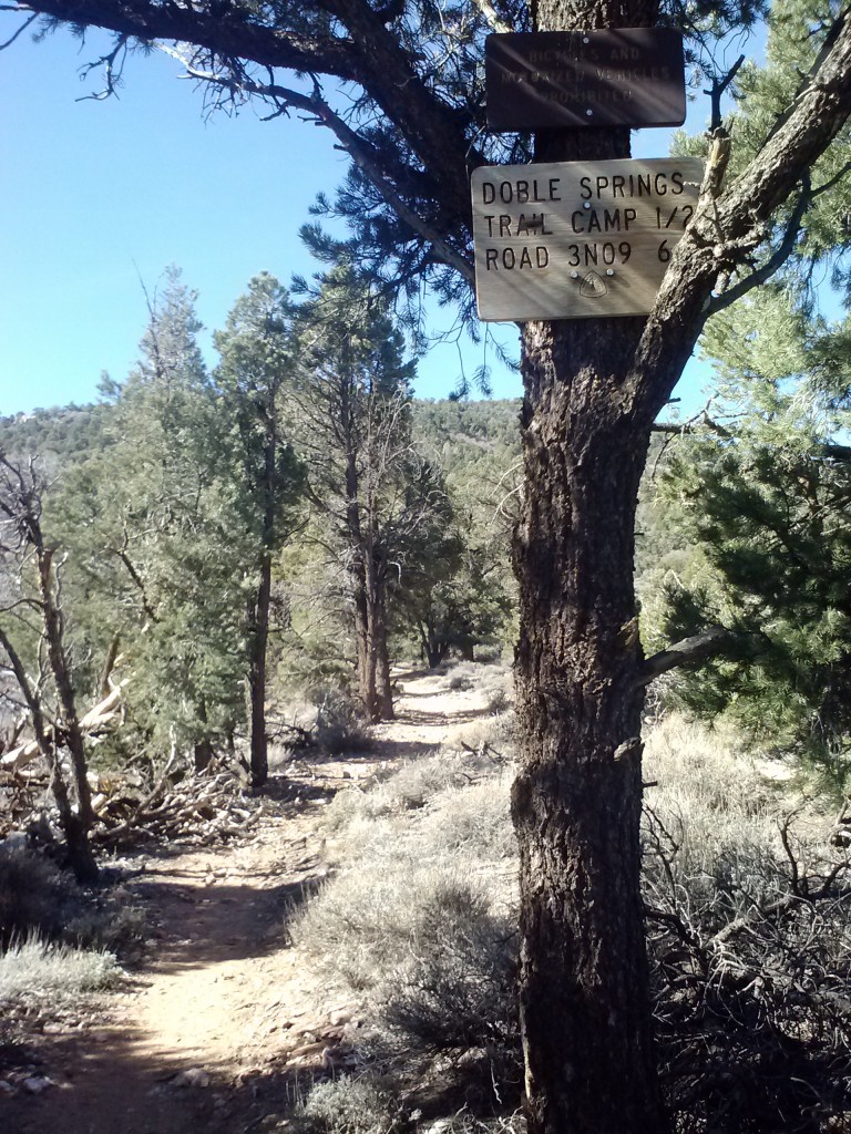
Sign for Doble Camp

Sign for Doble Camp


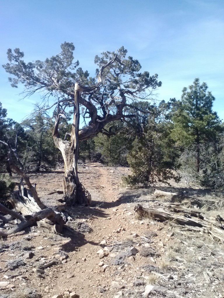
Just before the climb over Gold Mountain began, I passed the trial for Doble Camp, named for the old mine just uphill from it. Gold Mountain was the only bit of uphill I had to do on this trip- which, honestly, felt kinda weird.

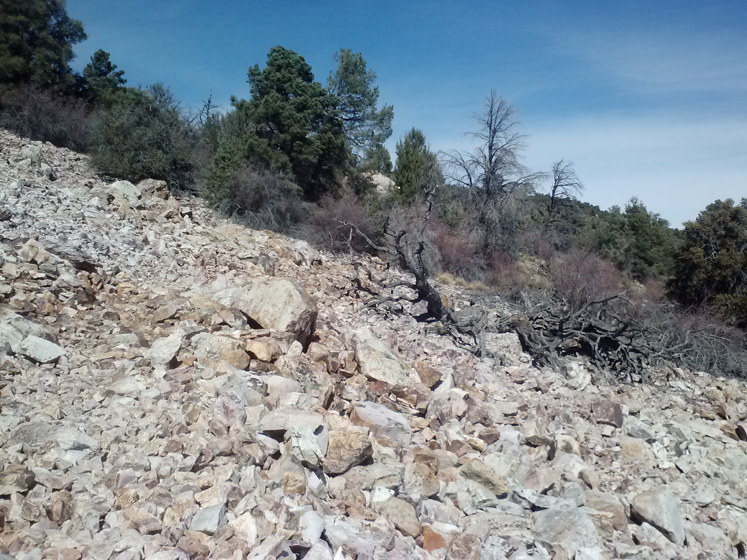
Rocky trail, climbing Gold Mountain

Rocky trail, climbing Gold Mountain


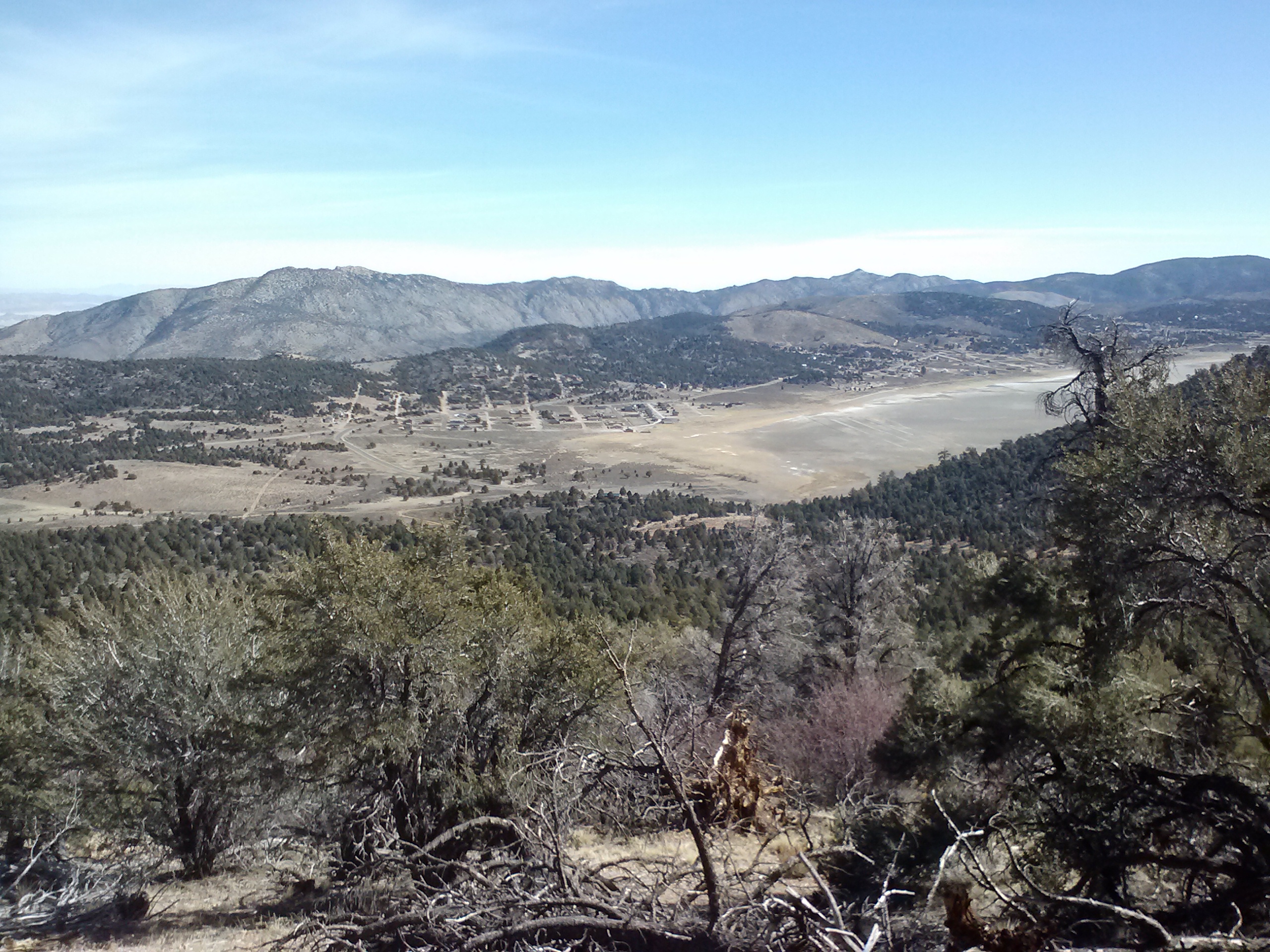
View towards the dry lakebed of Baldwin Lake

View towards the dry lakebed of Baldwin Lake

Baldwin Lake is named after the owner of Doble Mine, Elias J. “Lucky” Baldwin. The Wilderness Press PCT Guidebook offers an excellent history of the Goldrush fever that spread over the San Bernardinos in the 1860’s and ’70’s. The short of it is, after the discovery of placer gold (small bits of gold found in creek and hillside deposits) in Holcomb Valley, the San Bernardinos were overrun with panners for about a decade. Miners soon moved in, too, searching for the “Mother Load,” or the source of all the placer gold, deep in the mountains. Doble mine was one of the many mines which never did find the “Mother Load” and recoup their investors’ millions.

pct-section-c-219


pct-section-c-220


Since the west coast has received so little rain this season, I was pleased to find at least a few patches of snow here and there. The lack of snow has definitely made hiking more accessible for me during the winter months, but I’m worried the water resources will be all dried up by the time the thru-hiker herd moves through later this Spring.


Caribou Creek

Caribou Creek

A tiny bit of snow :(

A tiny bit of snow


Caribou Creek was delightfully sweet and a surprise! I hadn’t expected it to have any water at all, so I’d carried plenty of water to get me all the way to Holcomb Creek. It was just a little run of water under a tiny little bridge, but it was enough to lift up my mood. I could’ve sunbathed and napped there on the bridge all day, it was so lovely!

pct-section-c-216

pct-section-c-209


pct-section-c-208

The more I hiked this day, the more depressed I got. The scenery was really lovely and the hiking was pretty easy, but I really missed Art. It was the first time I’ve ever really felt lonely on the trail.

An unexpected little picnic table

An unexpected little picnic table


View north towards Delamar Mountain

View north towards Arrastre Falt

The ghost town of Belleville lies sleeping somewhere near Arrastre Flat. It was errected as a prospectors camp during the Goldrush and was apparently one tough place, with a recorded 40 men dying by either hanging or gun fight. Political affiliations in the Civil War were a touchy subject for the prospectors and numerous fights to the death ensued. The town’s notable spots (building foundations, graves, the hanging tree, etc.) are spread out between Van Duessen Road, named for the town’s blacksmith, and Holcomb Road, named for William Holcomb who first discovered the placer gold. The town itself was named after the first baby born there, the blacksmith’s daughter, Belle.

At the crossroads for Bertha Peak

At the crossroads for Bertha Peak


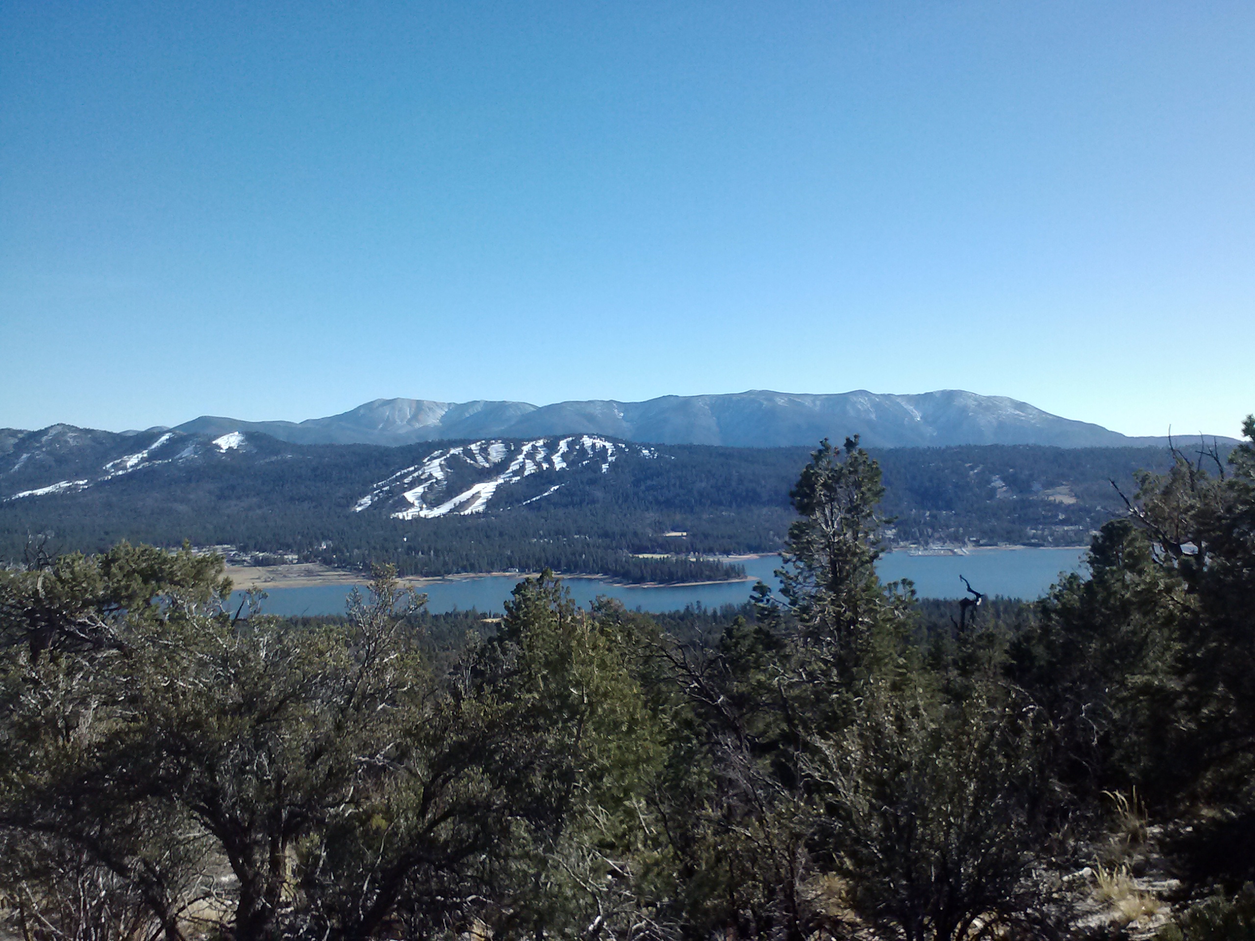
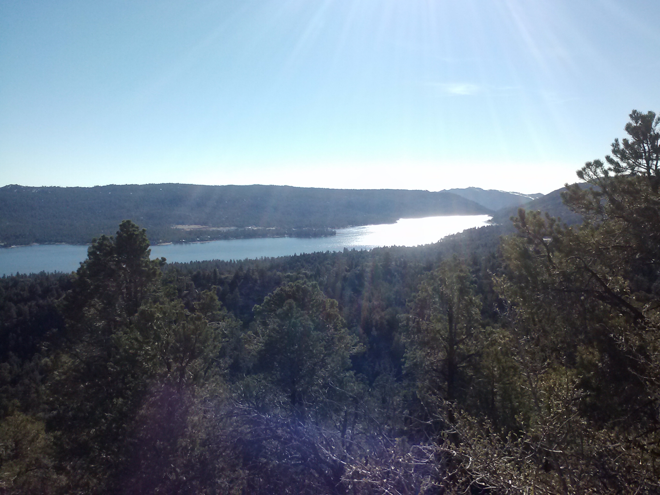
Big Bear Lake

Big Bear Lake


Big Bear Lake

Big Bear Lake

Reaching the view of Big Bear Lake had me almost on the point of tears. By this time I was really lonely, and I had only been dropped off a couple of hours prior! I know that if I called, Art could easily come pick me up. I could’ve hiked down Cougar Crest Trail to wait for him in Big Bear, saying “To Hell with these shenanigans!” I could even just have called to say “hi,” but I didn’t. I knew that even dailing his number would probably turn on the water works, so I left my phone in the hip belt pocket and carried on.

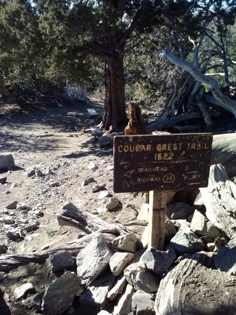
Junction for Cougar Crest Trail

Junction for Cougar Crest Trail


Cougar Crest

Cougar Crest


Trail marker

Trail marker

Sometimes I think hiking is all I can do to feel better when I’m miserable on the trail. Since I’m usually alone, there’s no one to talk to or complain to or joke with, no one to play cards with- maybe I should learn solitaire- no one to play silly, little games with me. There’s no escaping my emotions- wherever I go, there I am- and I have to talk myself out of those spirals of darkness before I make myself too miserable. After all, I’m the only company I’ve got!


pct-section-c-195


Some good advice… :)

Some good advice…

Arriving at Polique Canyon Road, I was greeted by two very small hikers. The older one was incredibly social, the other incredibly shy. To my delight, the social one offered me a bagel and warned me to look out for Sasquatches- yes, plural. He was pretty charming.

pct-section-c-189


A quary

A quary

I continued along the trail, climbing lower and lower through a previously burned area. I was determined not to feel lonely, and all that determination channeled into hiking towards Little Bear Spring Camp.

pct-section-c-186

I decided that camping at Little Bear Spring would be colder than up on the hillside, so I started keeping an eye out for a flat spot to camp somewhere on the hill before Little Bear. I passed an AMAZING campsite, but decided to pass it up in the effort to put in a few more miles. I do this quite often when I’m hiking alone. There’s something about hiking with a partner that makes me go easy on the mileage. I always want them to really enjoy their campsite, plus if you set-up camp with daylight to burn, it’s always more fun with a buddy.


pct-section-c-182

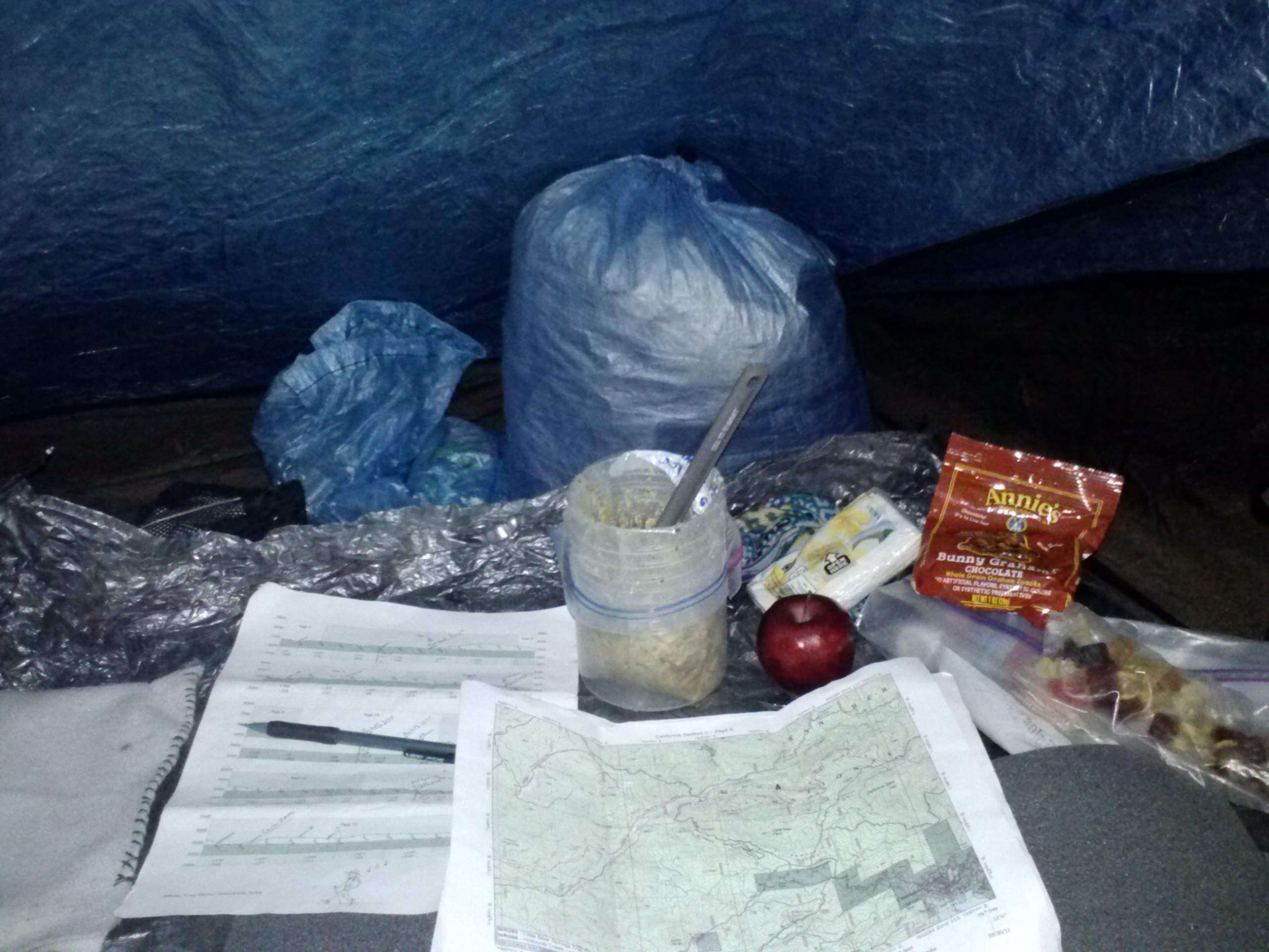
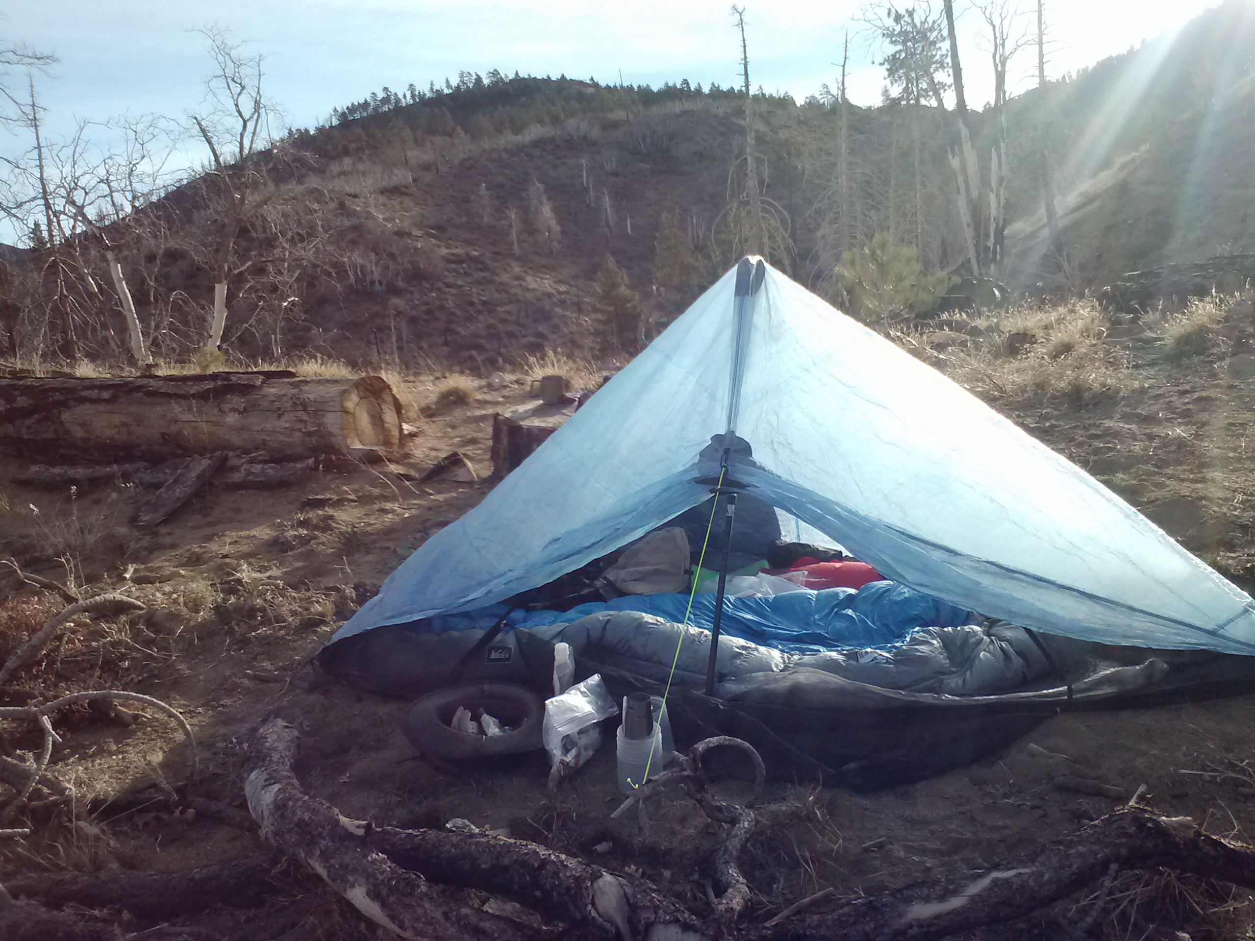
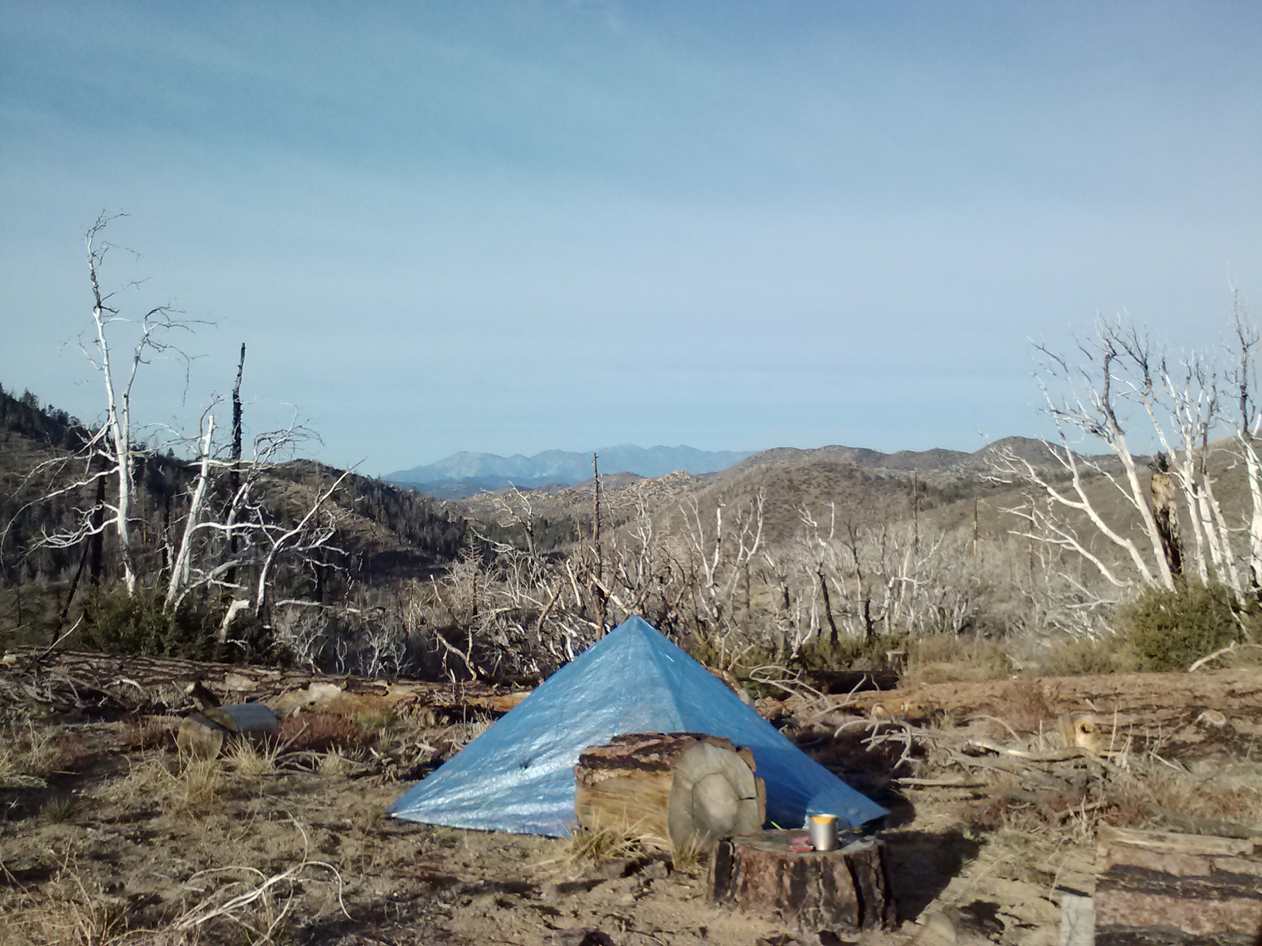
I settled myself on a nice lookout around mile 283.75. It had been cleared already by the last fire to pass through the forest, so I just had to level out the dirt a bit. This took forever because there seemed to be little gopher holes caving in whenever I moved the dirt. I set up my Zpacks Hexamid tent and settled in for the evening with a chicken and asparagus dinner from Paleo Meals To Go. (Their meals are pretty big, so at home I added dried brown rice and split it into two servings.) It would’ve been a delicious meal if I hadn’t forgotten I was supposed to add my own salt. I spent the rest of the evening staring at my maps and snacking on an apple, gummy bears, and gram cracker cookies.

pct-section-c-180

Sunset from camp


An evenings entertainment

An evening’s entertainment


Day 2: 19.75 miles to Deep Creek

Zpacks Hexamid Tent

Zpacks Hexamid Tent


pct-section-c-176

I <3 my tent

The morning started off with a cup of tea and a Twix bar for breakfast (not the healthiest, but one of my favorites). I slept really well despite the super bright moon shining through my tent all night. I was glad I’d decided to camp up on the hill because at around 9:00 the night before several jeeps roared right past Little Bear Spring Camp on a dirt road and made their way up the other side of the canyon. I think if I’d been closer to the passing jeeps, it would’ve scared the beejeebers out of me.

I was feeling much better than the day before, not as sad and lonely. It’s probably just me, but there’s something about getting past that first day and night on the trail. After that, I wake up feeling strong, capable, and adjusted.


pct-section-c-170

Little red berries

The only snow I saw all day.

The only snow I saw all day.

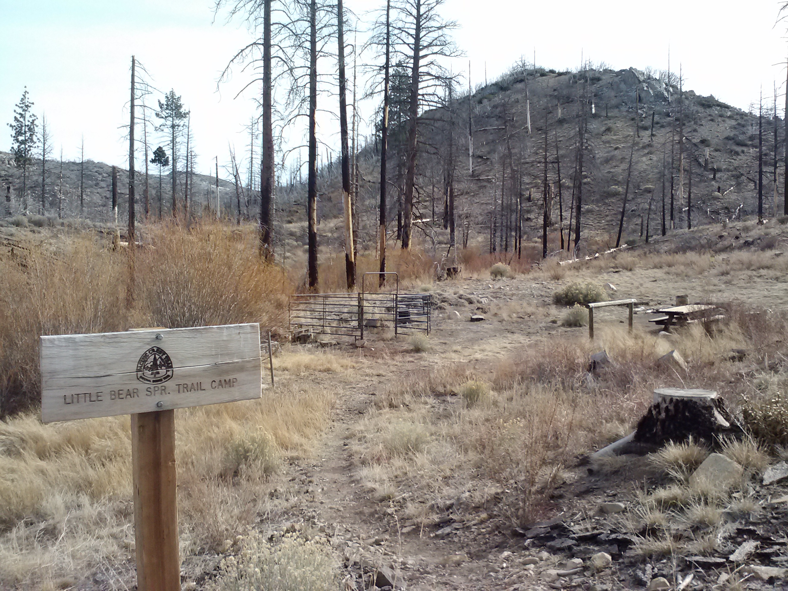
Little Bear Spring Camp had a picnic table, an outhouse, and a horse corral. There were some really nice tent sites across the creek from the main camp.

Little Bear Spring Outhouse

Little Bear Spring Outhouse


Little Bear Spring Camp

Little Bear Spring Camp

From here on, almost the entire way to Mojave Forks, I would follow a creek: first Holcomb and later Deep Creek. Holcomb Creek was really beautiful.  It had pines and willows along its banks, interesting rock formations, ducks and squirrels. There are apparently also beavers along Holcomb Creek who dam up the flow and flood Forest Route 3N93, but I didn’t see any.

Hauser Creek

Holcomb Creek


pct-section-c-163

Near Coxey Road


Road walk

Road walking FR 3N93


Hauser Creek

Holcomb Creek

The trail diverged from the creek for a few miles and I could feel the heat start to get to me.  Looking out over the chaparral to the north, I could see the San Gabriel Mountains in the distance.  It felt great to think about closing the gap between this trip and my previous PCT hikes in the San Gabriels, but I would have to do that another time.


LOVE fresh apples! (Compliments of The Vintage Resort.)

LOVE fresh apples! (Compliments of The Vintage Resort.)


Looking toward Mt. Baldy

Looking toward Mt. Baldy


Hauser Creek

Holcomb Creek


Hauser Creek

Holcomb Creek


Naked break time. :)

Naked break time


Near Crab Flats Road

Near Crab Flats Road

It was so warm that I couldn’t wait to climb back down into the cool canyon of Holcomb Creek. In fact, when I finally reached it, I stripped down to go for a swim. The water was so icy cold I ended up only dipping my legs in and splashing it over the rest of myself. Feeling refreshed after my birdie bath, I sailed along the trail towards Bench Camp and Deep Creek.


pct-section-c-132

Water plants

Holcomb Creek

Holcomb Creek


Holcomb Crossing Group Campsite

Holcomb Crossing Group Campsite

The next several miles were really beautiful. There were tall pine trees and the creek was flowing well. I seemed to have gotten past my loneliness of the previous day and had found my stride.

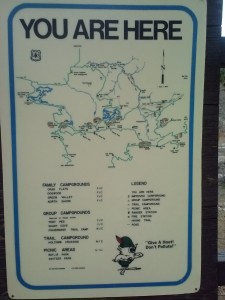
Bench camp was a fairly large camp with spots for numerous tents. It also had a huge “You Are Here” map posted, which I thought was really random. It took me forever to figure out that “Here” was just a screw drilled into the map. It would’ve been a nice place to stay if it wasn’t the middle of the day and I wasn’t hoping to cover another ten or more miles for the day.

This made me laugh

This made me laugh

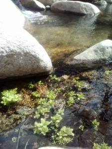
Unnamed(?) Spring near Bench Camp

An unnamed(?) Spring near Bench Camp


pct-section-c-113

I came upon an older couple day hiking down from Lake Arrowhead Hospital. They had all sorts of questions about the trail and it was nice to have the company for a bit. They walked along with me for a while, but eventually they moved ahead because I was loaded down with my pack.

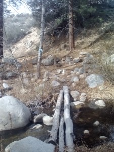
Deep Creek Footbridge

Deep Creek Footbridge


Deep Creek

Deep Creek

As I approached the Deep Creek footbridge and Splinters Cabin, I could hear and see all sorts of off-roading activity. I had thought that maybe I’d stay at Splinter’s Cabin for the night, but seeing how many people were there, I decided to keep moving.

I could easily see where Deep Creek got it’s name: it had some of the deepest pools of water I’ve ever seen in a creek. No wonder people flock here to swim and fish for trout. It made me think of Art because his favorite thing about hiking is finding the best swimming holes. I had conflicted feelings about the trail being so far up the canyon walls from the creek. I wished I was closer so I could get a better look at the pools and maybe even go for a swim, but at the same time I knew that it was the inaccessilbity of Deep Creek that keeps it pristine.

Deep Creek

Deep Creek

Since the trail along Deep Creek basically follows a narrow path just along the steep canyon walls of the creek, there really were no places to camp.  I kept thinking that if I’d had my bivy sack, I’d have more possibilities; or I could just cowboy camp, if needed!  I did manage to find one spot, and actually sat myself down on it for a while contemplating mileage.  At that point, I knew if I squeezed in a bit more mileage, I could reach my car by the next day.  I missed my honey and my dog- so that was motivation!  I picked myself up and pushed on another couple of miles until I eventually found a spot wide enough for my tent.  As the sun was just going down, I kicked the dirt around unti it was nice and flat, and threw up my shelter.

Inside the tent

Inside the tent


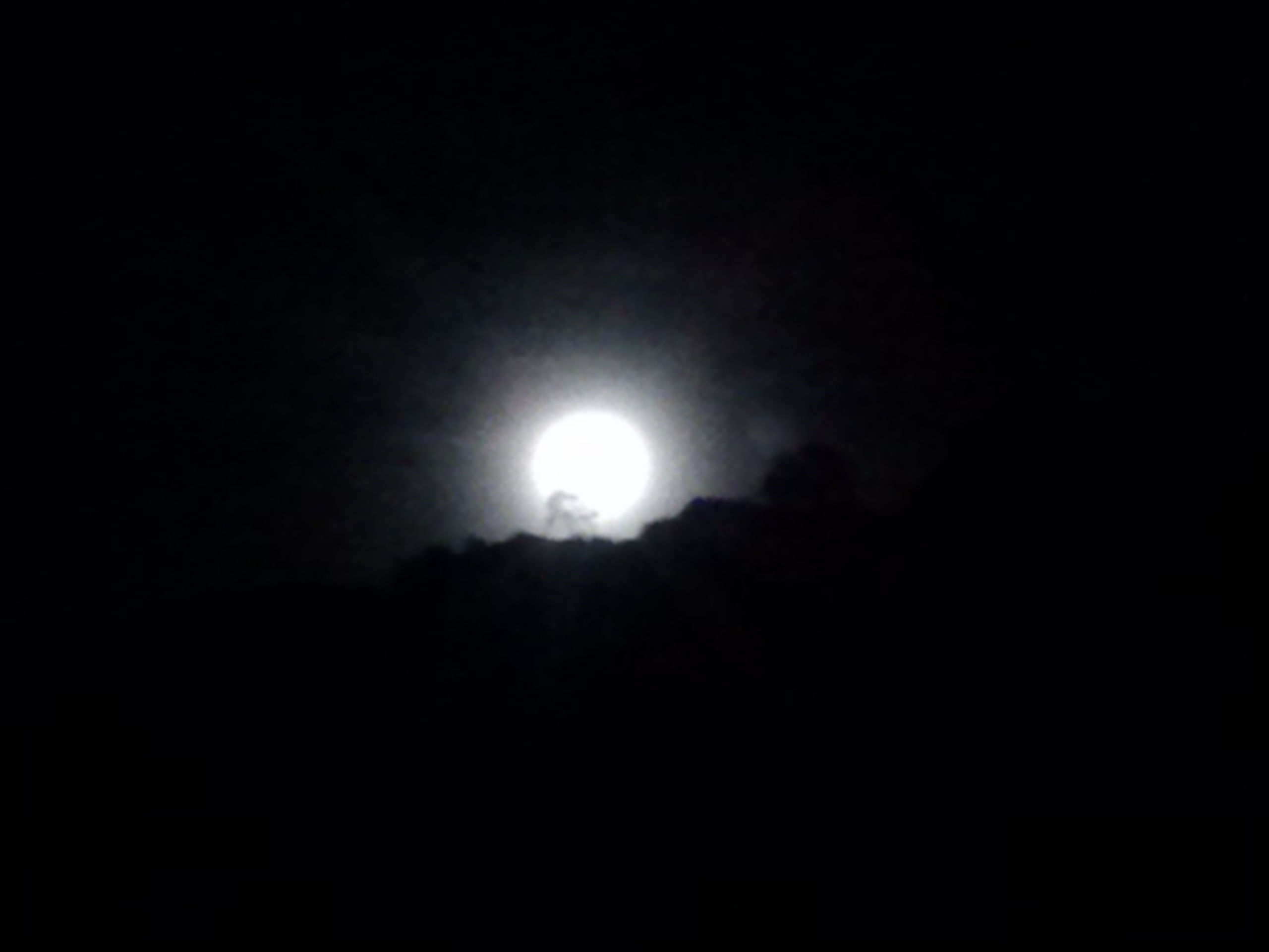
An other worldly moonrise silhouetting a lone tree.

An other worldly moonrise silhouetting a lone tree.

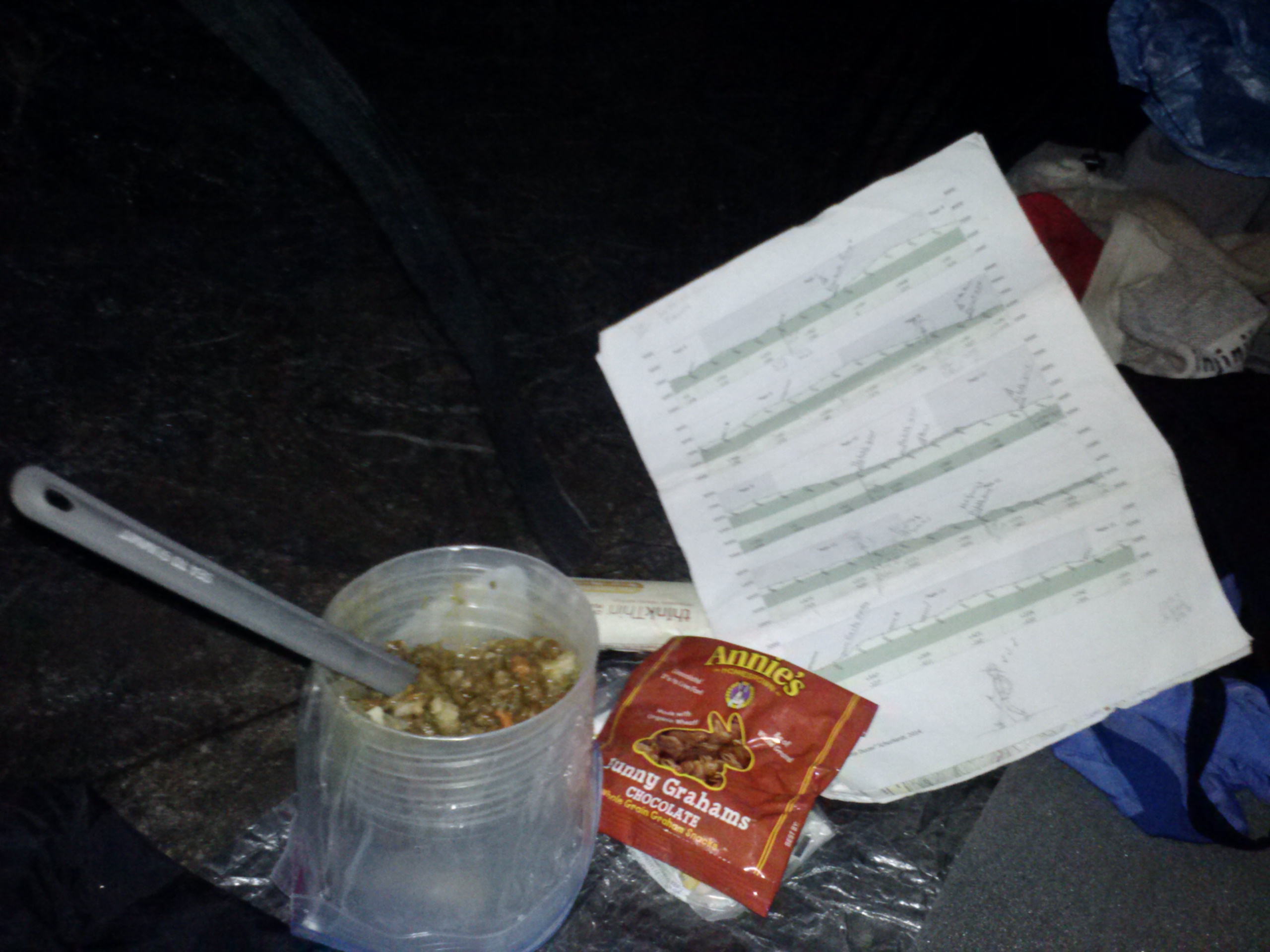
That evening I enjoyed some home dehydrated Trader Joe’s lentil soup- delicious! It’s one of my favorite trail dinners. To fill out the soup even more, I’ve started adding dehydrated veggies and potatoes. I layed around staring at maps, counting my food, and reading my Kindle until my lantern battery died.  That was a bummer and put a stop on the evening’s entertainment until the moon started to rise. At first I thought there were car headlights on the canyon ridge, but soon that pearly orb crept up higher to perfectly silhouette a tree. I do believe it was the most beautiful moonrise I’ve ever seen in my life. I only wish my smartphone camera had been able to take a better picture.


 Day 3: 25.75 miles to Silverwood Lake

Dawn at Deep Creek

Dawn at Deep Creek

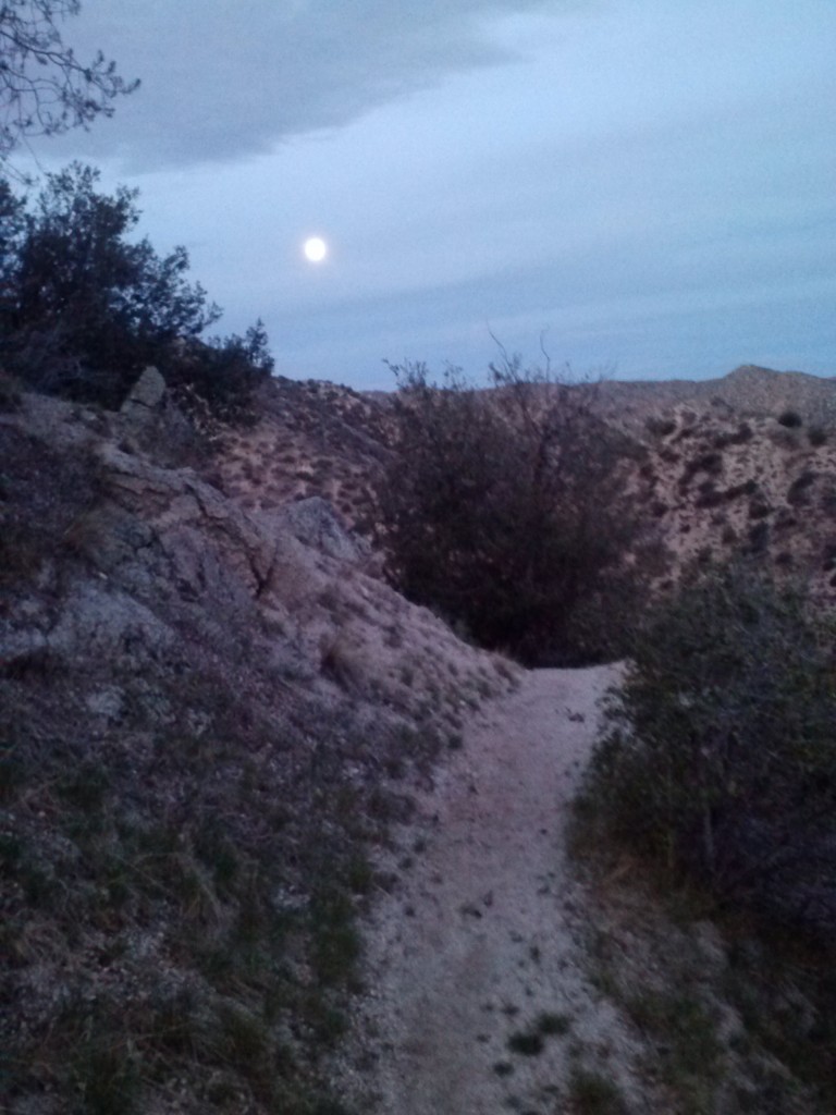
With over 25 miles to cover before reaching my car, I packed up early, before the sun even rose. The glorious moon of the night before was still hanging in the sky with candy pink clouds as I set out along Deep Creek again.

Walking with the moon

Walking with the moon


Cotton Candy Pink Clouds

Cotton Candy Pink Clouds

My next destination was the well attended Deep Creek Hot Springs. I was really looking forward to a soak in the hot springs, but I was pretty turned off by the amount of trash and human waste I came across as I approached the area. There might have been more than 30 people camped there for the holiday weekend, and you could tell they’d partied hard. Beer cans, food wrapers, and filthy towels were strewn about, and three dogs scavenged through it all for good pickings.

Deep Creek Hot Springs

Deep Creek Hot Springs

I hung out long enough to filter water and chat with an old hippie about nothing being sacred or secret any more. It made me think hard about posting my trail journals online. It’s because of the internet that so many people now know about these special places and trails. It’s how I and so many others found out about the PCT in the first place- and now they estimate 1,000 people will attempt to hike the PCT this year! I only hope that my post, along with all the others out there, will inspire people not only to get out and experience these special places, but to treasure them enough to care for and respect them.

pct-section-c-52


Another footbridge

Another footbridge

Leaving the party and all the trash behind I pushed onward, only to be disappointed further in humanity. I past numerous graffiti on the canyon’s rocky walls and swimming holes. At this point, I’m trying hard to view it as historically cultural because if I view it the other way, I just get super pissed off. I also packed out a ridiculous amount of trash and plastic water bottles I picked up along the trail. Parts of the trail were incredibly eroded from the high numbers of people coming out for the swimming holes.

pct-section-c-49

I thought about the San Bernardino Mountains and particularly the Deep Creek area being an oasis of nature amongst the urban sprawl of Southern California. With the population as high as it is in Southern California, the innate need humans have to be close to nature, and the accessiblity of wilderness being so limited, it’s no wonder these areas see the amount of use that they do. What I can’t get past is how people can value it enough to travel to and hike into it, but not enough to pack out their trash or save the spray cans for urban artwork.

Trail erosion on a side path leading to a swimming hole

Trail erosion on a side path leading to a swimming hole


Deep Creek

Deep Creek


Leaving Deep Creek

Leaving Deep Creek

I was relieved to finally leave Deep Creek. I have a hard time facing such overwhelmingly large problems (in my mind). I am often left feeling like any contribution I make would be so small in comparison to the overall issue.

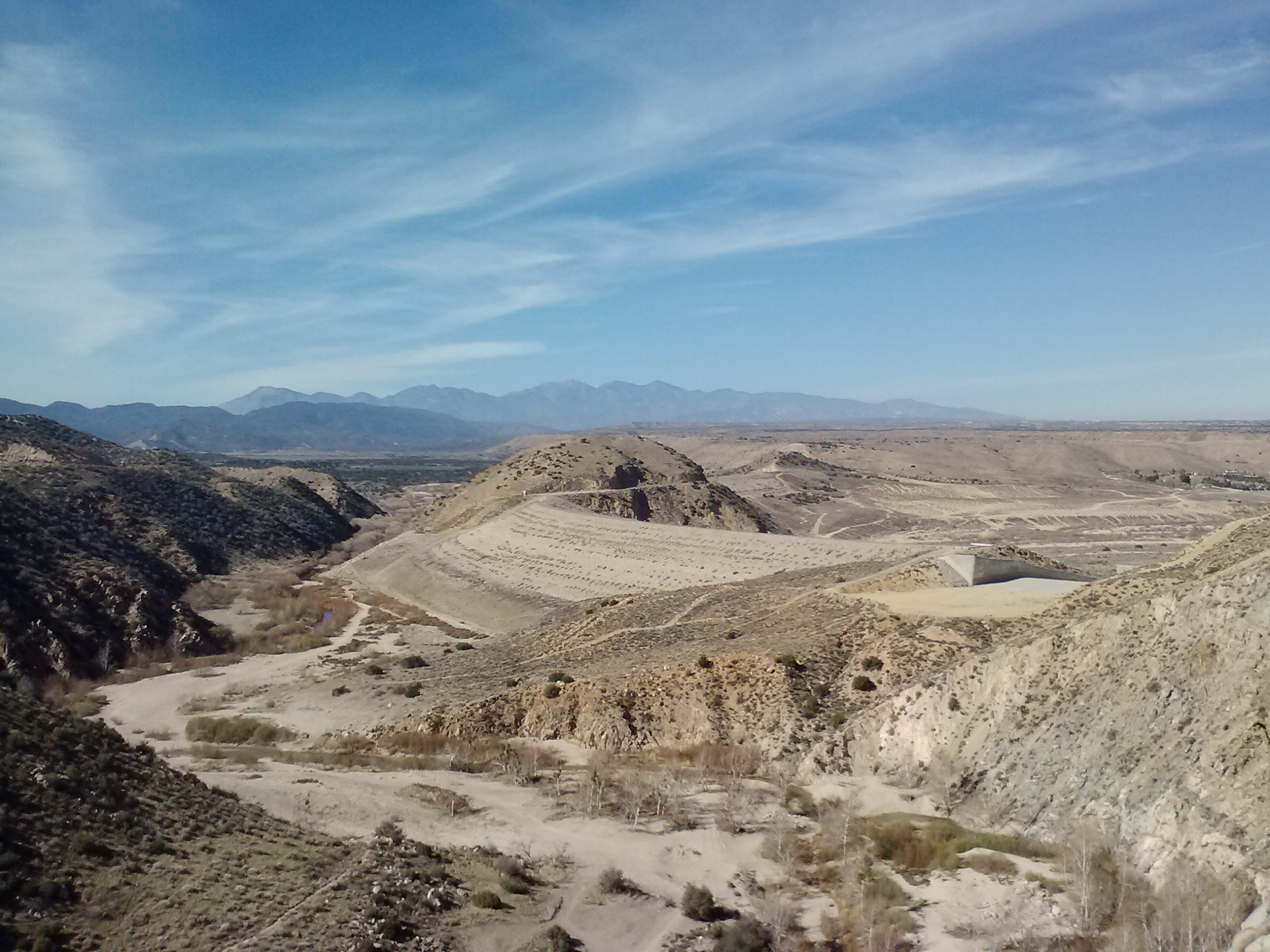
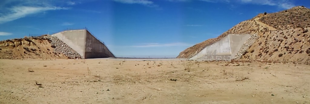
Every now and again the Wilderness Press Guidbook can be pretty funny. While reading the section on the Mojave Forks spillway dam, I came across this:  “This mammoth flood-control dam, over a mile long, is an example of overkill, since West Fork Mojave River and Deep Creek don’t have that much flow.” Later it mentions that the engineers must’ve been expecting a “flood of biblical proportions” to come down upon the valley.

Mojave Forks Dam

Mojave Forks Dam


Mojave Forks Spillway

Mojave Forks Spillway

My faith in humanity had yet to be restored as I hiked along the creek bed. After having passed several signs about endangered toads living in the area, I couldn’t believe it when a 4WD truck roared its engines back and forth through the creek bed, the small children laughing with delight in the backseat. I briefly pictured myself the savior of dozens of arroyo southwestern toads by placing myself in the middle of the creek between the truck and it’s path. (Google them- they’re pretty cute!) Alas,I restrained myself from potentially being run over by a trashy family of ignorant specimens of modern humanity, and hiked onward to Highway 173.

Big Bear to Silverwood Lake, Feb 2014

15.4 miles to Silverwood Lake

Near Mojave Forks

Near Mojave Forks


It turns out there used to be a village called Atongai in just this area once belonging to the native Mojave people. It was first visited in 1776 by a padre of the de Anza expedition, which carved out a path from Arizona to present-day San Fransisco. Only a couple years after missionaries moved in and built a mission, these fierce people rose up and killed all of the missionaries. And now, years later, a huge pointless dam sits atop the village site.

Mojave Forks, looking toward Mt. Baldy

Mojave Forks, looking toward Mt. Baldy

This last section turned out to be harder than the first day. Not only was I emotionally burnt at this point in the day, my feet were starting to hurt- which I wasn’t used to dealing with- and it was HOT! I’ve been lucky with my feet since I started section hiking the PCT. I’ve had only one blister in 337 miles and my feet almost never hurt. I think I just upped my mileage too fast on this short trip. I had orginally planned on doing the 63.5 miles over four days, but instead was doing it in three.

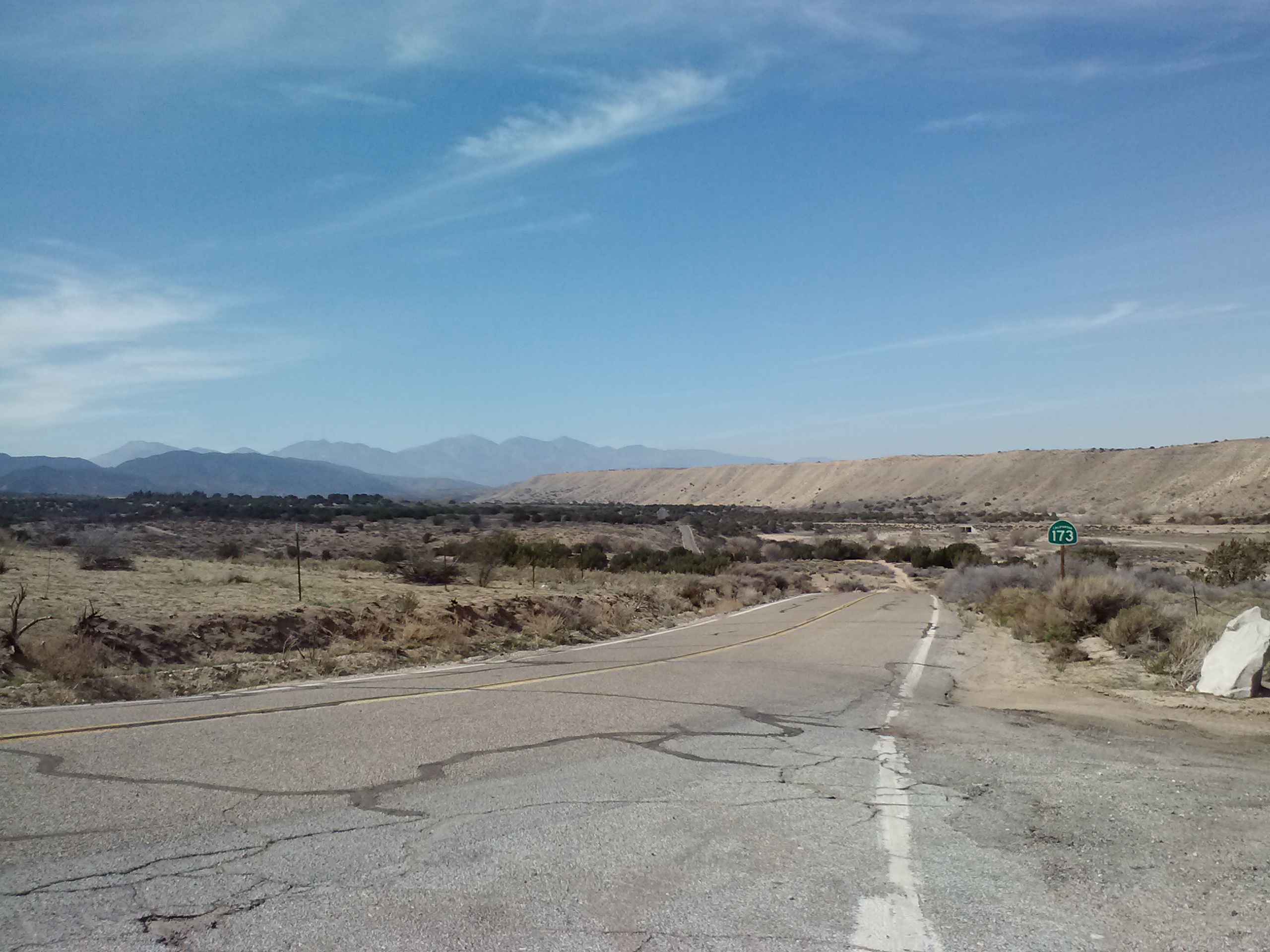
Hwy 173

Hwy 173

Mojave Forks

Mojave Forks

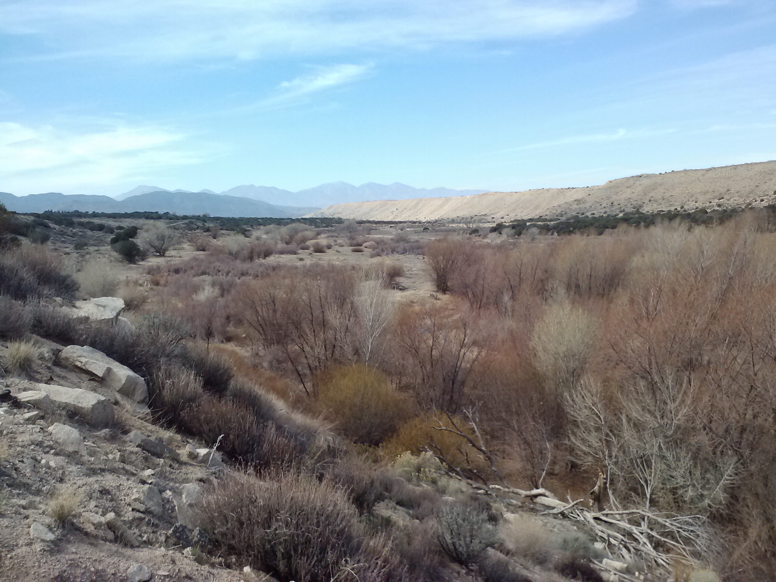
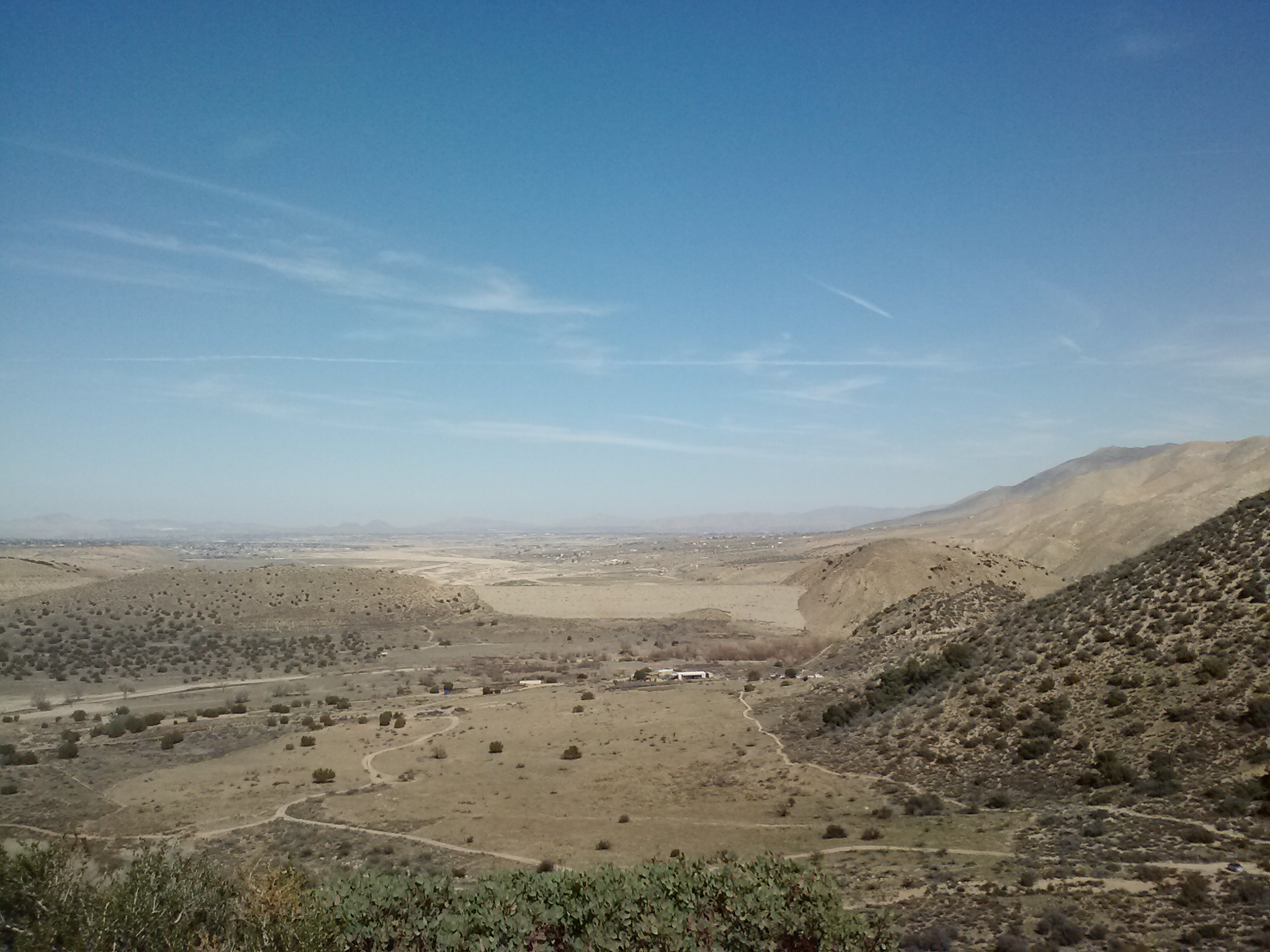
Highway 173 had a modest beauty to it as it stretched across Summit Valley, the San Gabriels mounting on the horizon. The trail soon climbed enough to give a good view across the valley and remained almost entirely flat all the way to the Cedar Springs Dam. This led to a rather monotonous hike skirting the valley side. The monotony was broken only by a few encounters with little springs or tree shaded gullies.

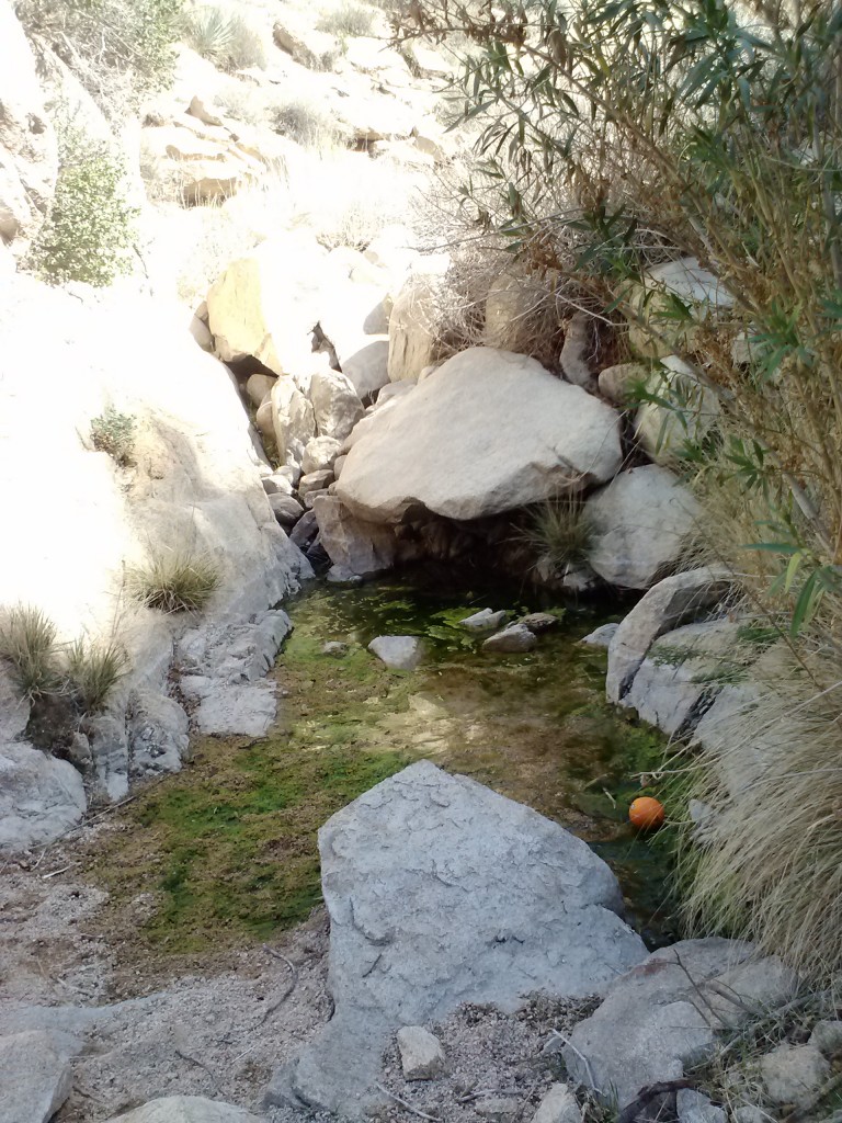
A trailside spring- with a floating orange.

A trailside spring- with a floating orange


A moment of shade

A moment of shade


Grass Valley

Grass Valley

As I was trying to put in the miles, I wasn’t stopping to rest much along this section. One of the few times I did, however, landed me right on top of a bee which stung me in the back of my thigh.  Ugh.

Desert trail

Desert trail


Mojave Forks Reservoir (valley)

Mojave Forks Reservoir (valley)


pct-section-c-17


Cedar Springs Dam outlet

Cedar Springs Dam outlet

Just past Cedar Springs Dam, the trail climbs steeply up to Silverwood Lake. I felt really exhausted climbing over the hill and just as I stopped to rest for a bit, I found a tick on my chest. I yelled “To hell with this, I’m getting the f— out!” and I promptly hauled by butt over the hill.

Silverwood Lake

Silverwood Lake

Real nice, People! >: (

> :  (


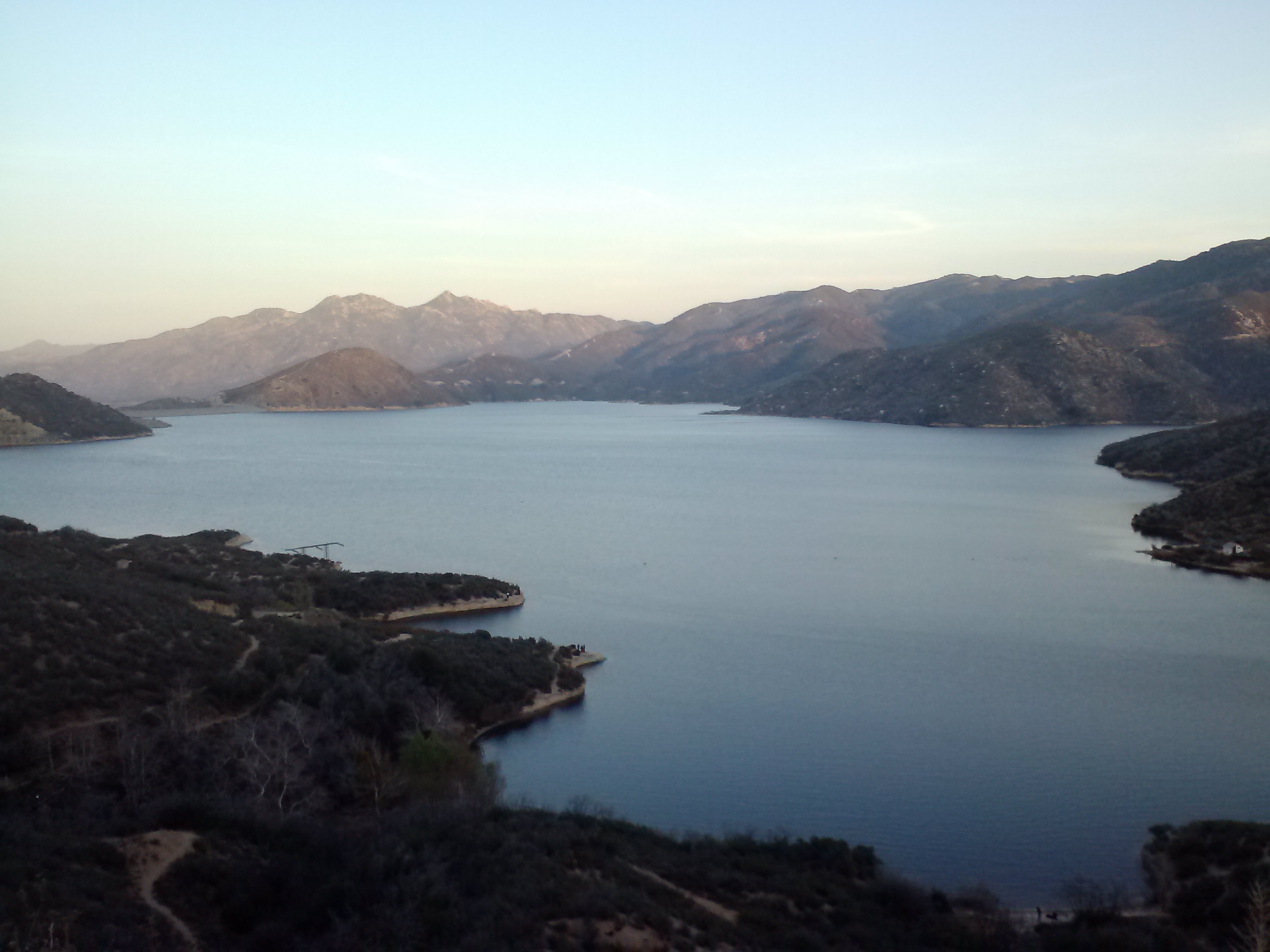
The view of Silverwood Lake was exceptionally rewarding, particularly because I knew my car was only a few miles away at this point. There were a few boats out on the lake and fishermen on the lake shore. Silverwood Lake is creased all around with little trails and dirt roads. As much as I tried, I couldn’t seem to stay on the PCT’s path. I somehow managed to find myself half way up a hill heading towards Highway 138. By then, however, I really didn’t care. I didn’t feel like turning around and continuing to fish for the trail, potentially adding more footsteps and hours to this trip. I ended up road walking back to the Silverwood Lake exit.


Silverwood Lake

Silverwood Lake

Almost there!

Almost there!

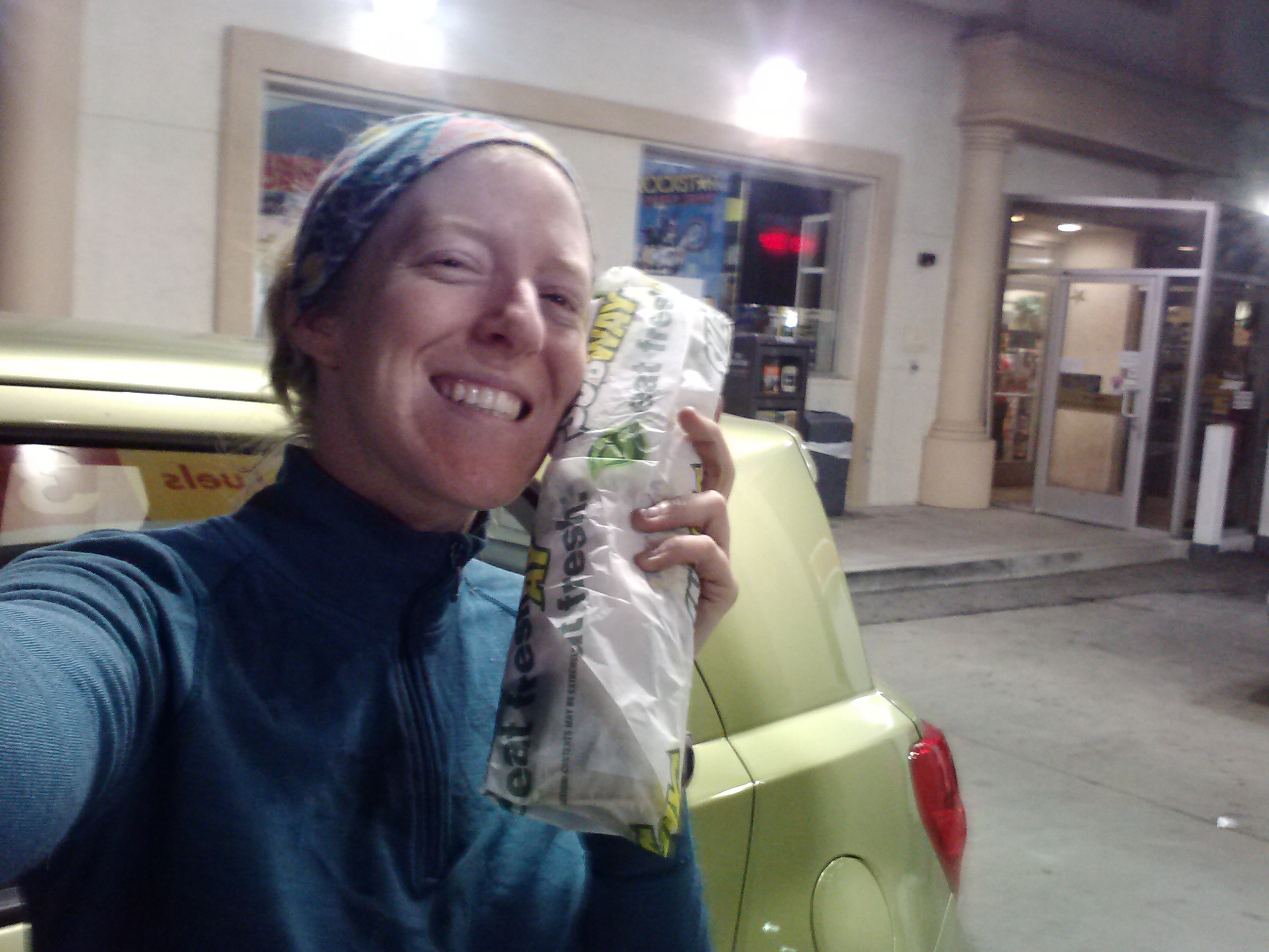
Since my car was parked half a mile down the road to the campgrounds, I found the PCT again and hustled up over the last gentle hill I had for the day. I reached my car just as the sun went down and sped off toward Cajon Pass, where I knew a Subway sandwich shop awaited me. [Update: The allergies I thought I was suffering over this trip turned out to be a nasty cold. No wonder I was so cranky!]

Foot-long Veggie Delight from Subway. :D

Foot-long Veggie Delight from Subway. 😀


Links

Installment No. 7 of My PCT Journey- Hiker Town to Jawbone Canyon Road

PCT Guidebook by Wilderness Press

De Anza National Historic Trail

Paleo Meals To Go

Belleville Ghost Town

The Vintage Resort