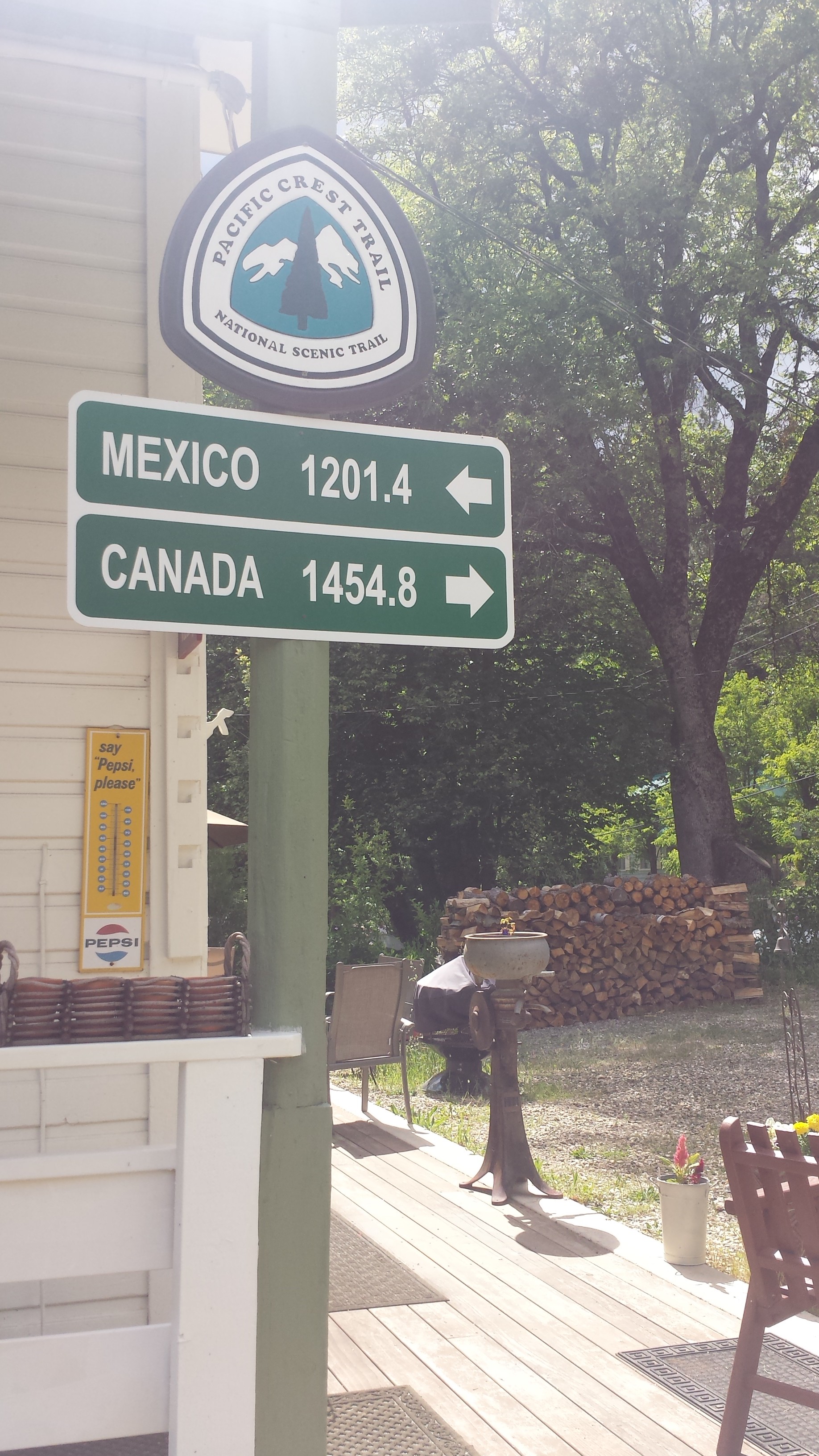
loading map - please wait...
August 18- Hitching to Chelan

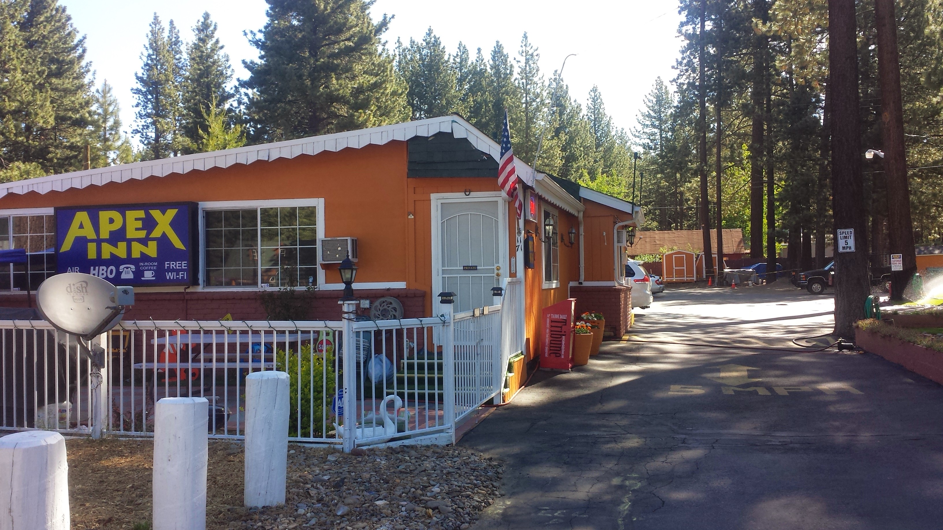
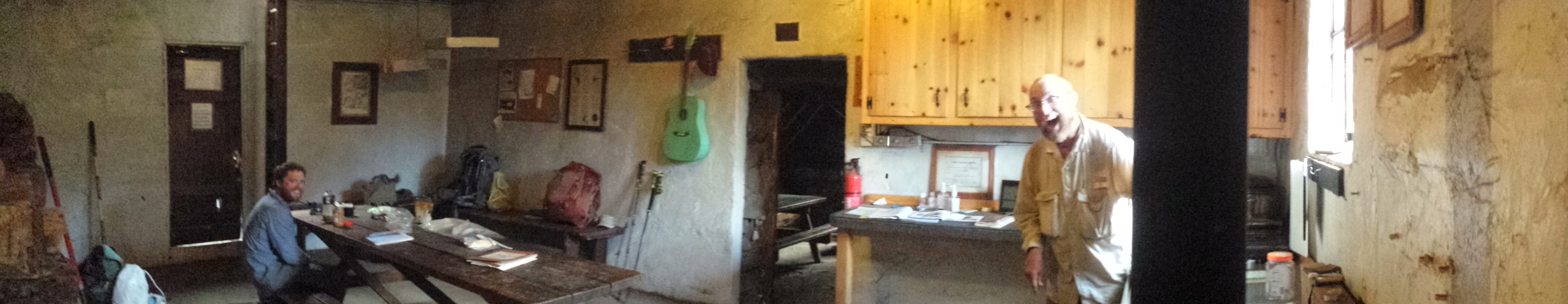
The Dinsmores’ Hiker Haven
The Wolverine Fire has closed a large chunk of the PCT between Stevens Pass and Stehekin. There is no going through it and the fire is still out of control, so it will be quite a while until that section reopens. We had two options once we left the Dinsmore’s Hiker Haven: 1) hike about 30 miles out of Stevens Pass to Suiattle Road and then either road walk or hitch about 110 miles up to Rainy Pass, which is north of Stehekin, or 2) hitch from Stevens Pass to Chelan and take a ferry across Lake Chelan up to Stehekin. The ferry sounds like a lot more fun and will probably be more scenic, so that’s our plan.

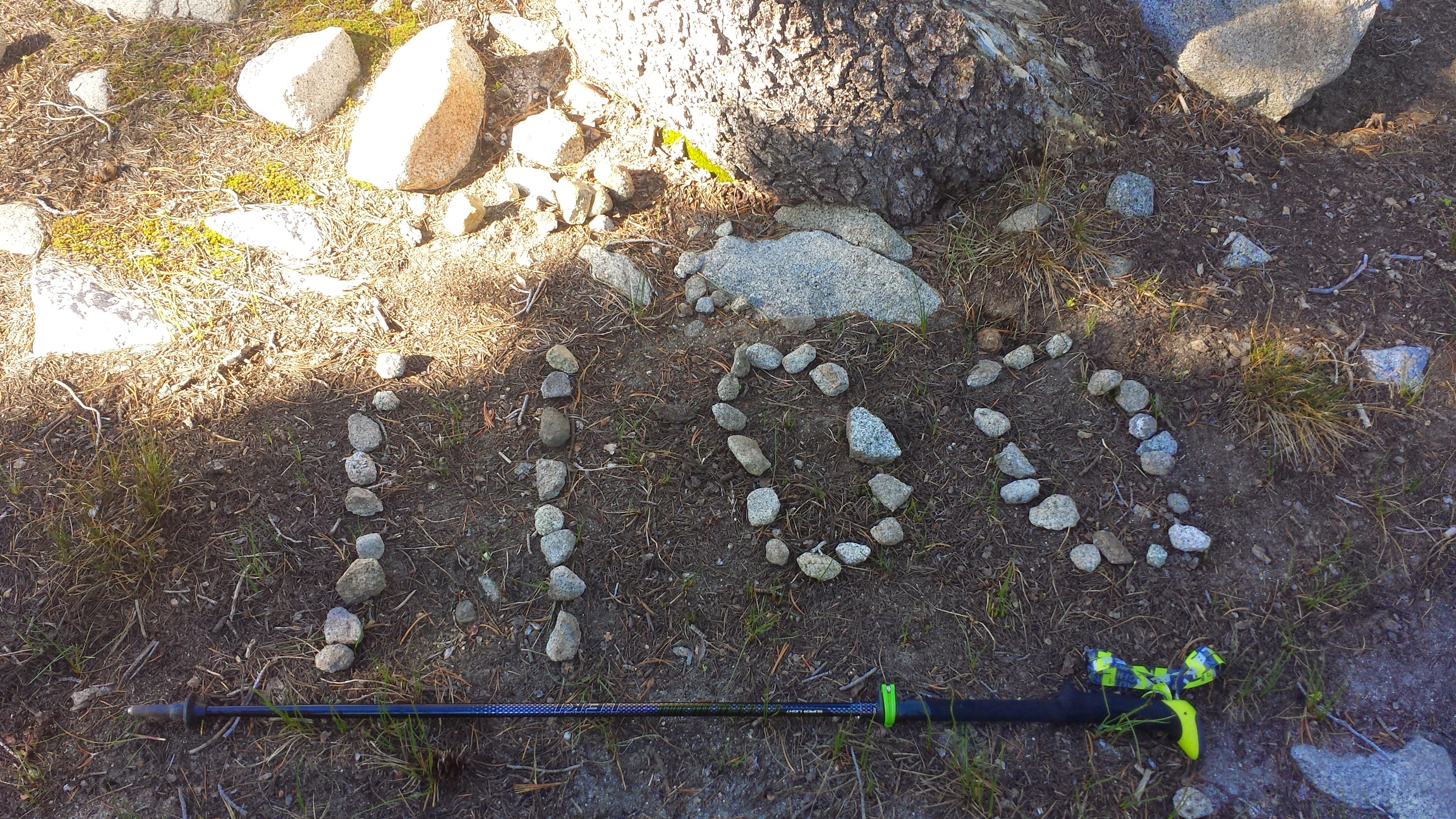
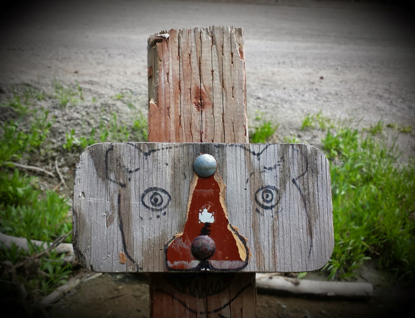
Awesome doodles from Artie on my Dinsmore’s resupply box
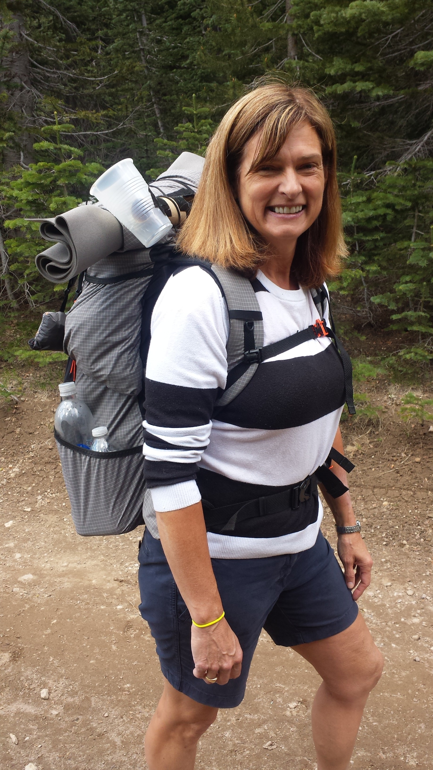
After collecting my resupply box and admiring all the doodles my boyfriend put on it (it’s always easy to identify my box because it has the best doodles!), we set out for Chelan. Our detour started with hitchhiking from Baring to Sunnyslope with a tye-dye clothed kid named Nolan. He was driving to Montana to study ecology at one of the universities there. He let us out on the side of the highway and then we walked down the off-ramp until we connected to “Alternate Highway 97.” We’d planned on hitching from there to Chelan, but happened upon a bus stop that would take us there directly. Since buses are generally easier and nicer than hitchhiking, we opted to wait for the bus.

Waiting for the bus to Chelan
With the Wolverine and the Chelan Complex Fires only a few miles away, the town of Chelan is incredibly smokey and ashy. I couldn’t believe how many people had stayed in town with the air quality being so bad. It burned my throat and made my eyes water. After buying our tickets from the ferry office, we took refuge in a restaurant and went back and forth over whether to stealth camp or pay $24 to camp at the RV campground. I hate paying that much money just to pitch my tent and I really don’t like RV campgrounds, but stealth camping comes with its own set of problems. You’re lucky if only the cops bother you, but more likely you’ll have crack heads or homeless people thinking you’re “one of them.” That didn’t really bother Khalil, but, as a woman, it bothered me.
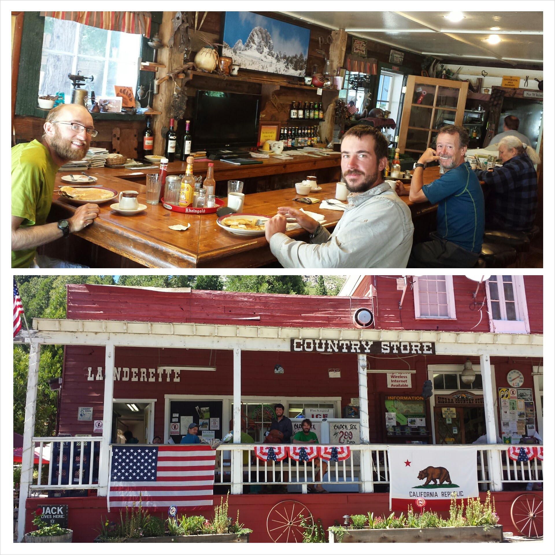
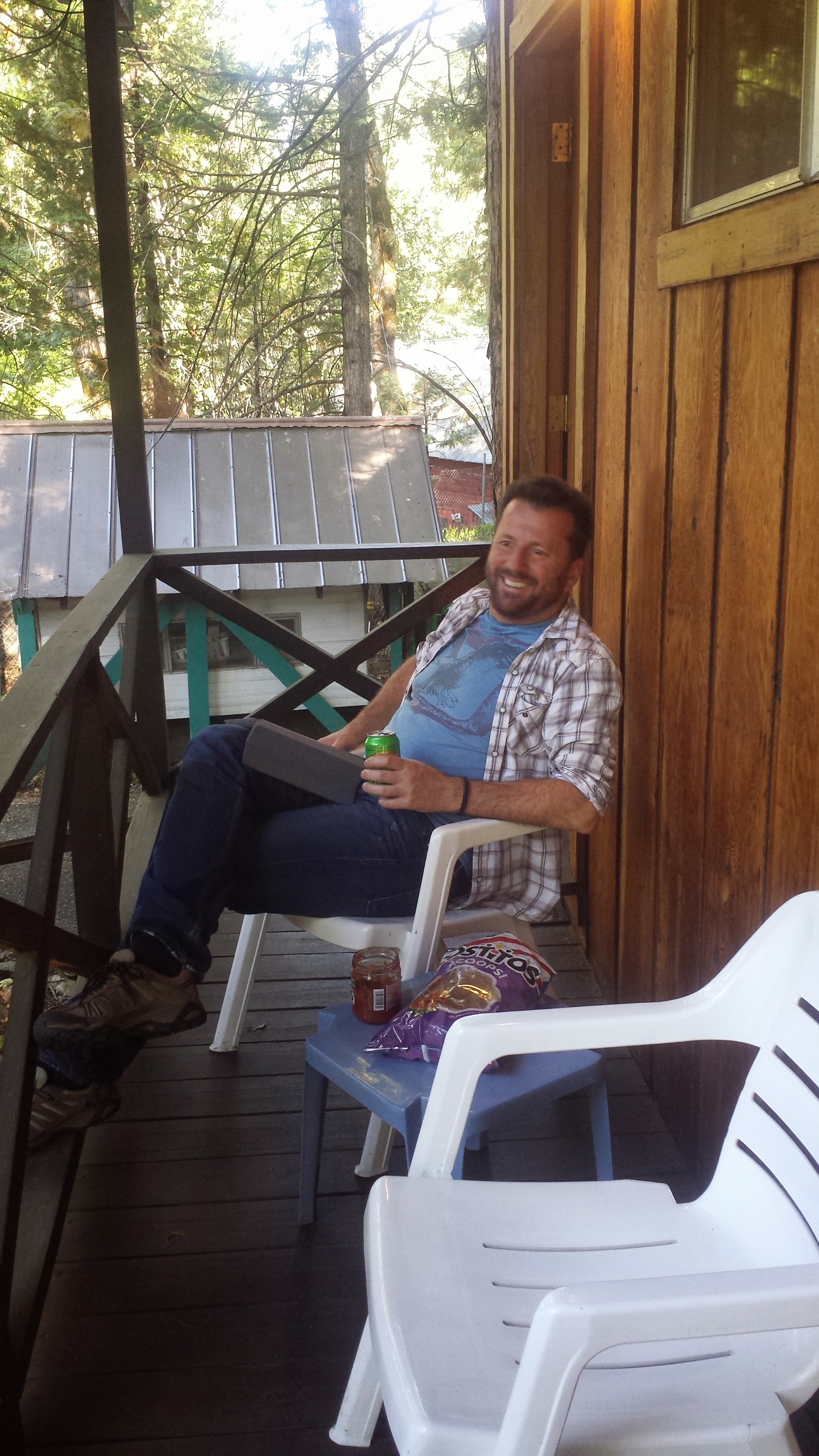
As we began our walk down the street toward the RV campground, a couple from the restaurant approached us and asked if we were hikers and needed a place to stay for the night. They had a great big house which they were in the process of converting into a Bed & Breakfast and they offered us rooms! They weren’t exactly trail angels, just local people who cared and were in the habit of helping anyone who’d been evacuated from the fire. Their names are Mark and Michelle and they are absolutely delightful. I hope I can return to their B. & B. some day to repay their kindness.

Angels Mark & Michelle
August 19- 7 miles, camping at High Bridge Campground
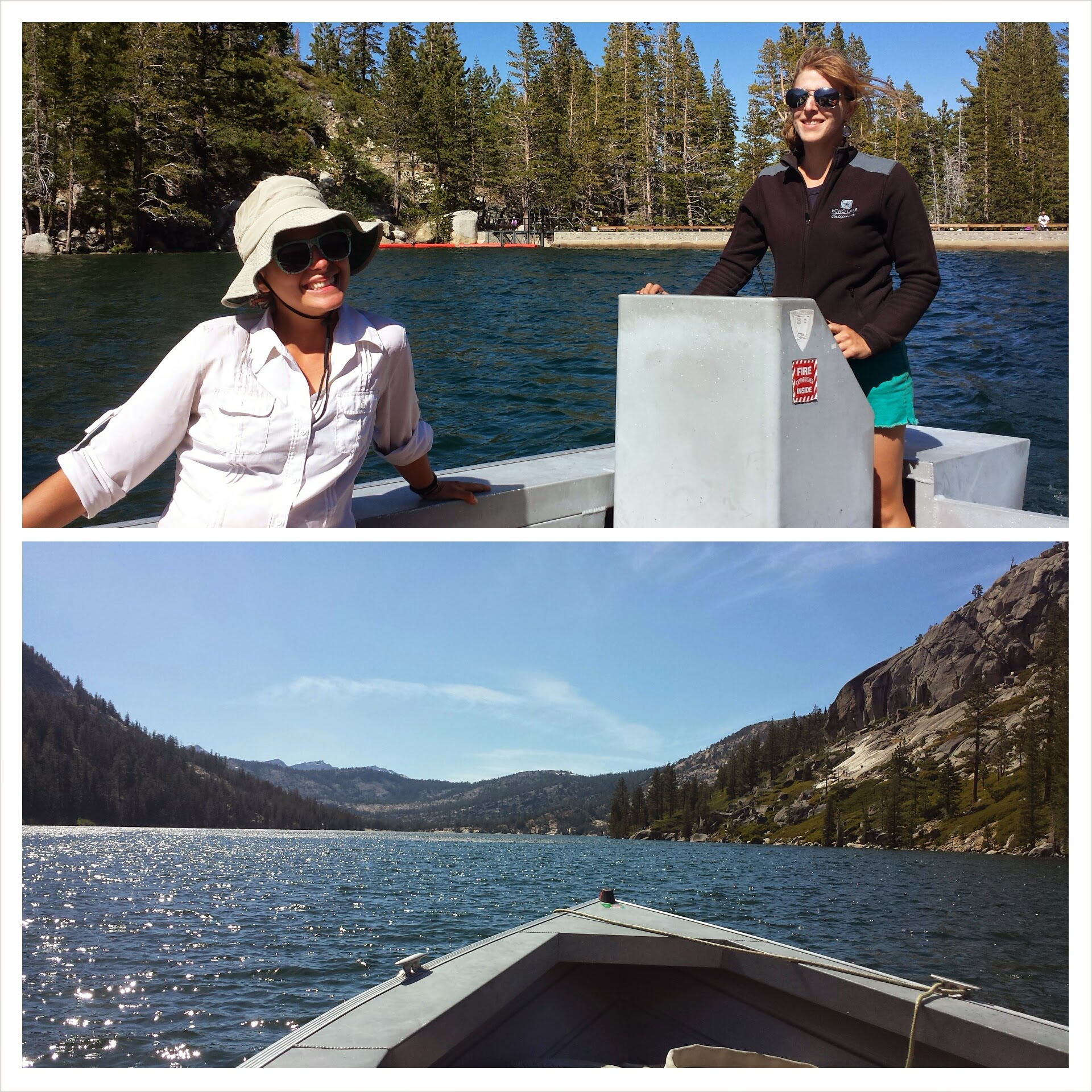
In the morning, Michelle drove us to the ferry that would take us to Stehekin. We met a hiker named Distance while boarding the ferry, one of the only other 30-somethings I’ve met on the trail. The three of us huddled by the snack bar waiting for it to open so we could buy expensive muffins and Jimmy Dean microwavable sandwiches for breakfast. The people behind us must have been miffed because we practically cleaned out the muffin selection and all the half and half.

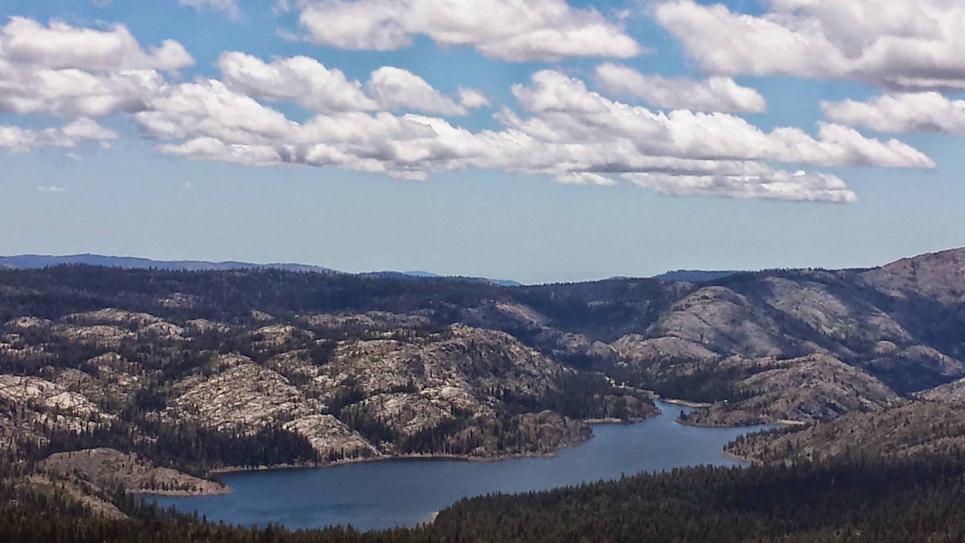
Smoke over Lake Chelan
Distance taught Khalil and I how to play Rummy 500 and we spent most of the four hour boat ride trying to master it. There wasn’t much point hanging out on the deck outside because the smoke was so thick and unpleasant.

Khalil & Distance on the Lake Chelan Ferry
About halfway across the lake, Khalil had the great idea to return to Chelan, rent kayaks, and then paddle our way across the 52-mile lake. Sounded like a great idea, except that we don’t know the first thing about kayaking and we have about zero upper body strength right now, so we wouldn’t really know how long it would take to kayak the lake. I’m all for spontaneous adventures, but I just wasn’t sure how well this one would pan out. He was so gung ho about the idea that he even offered to pay for the return ferry trip to Chelan and the kayak rentals.

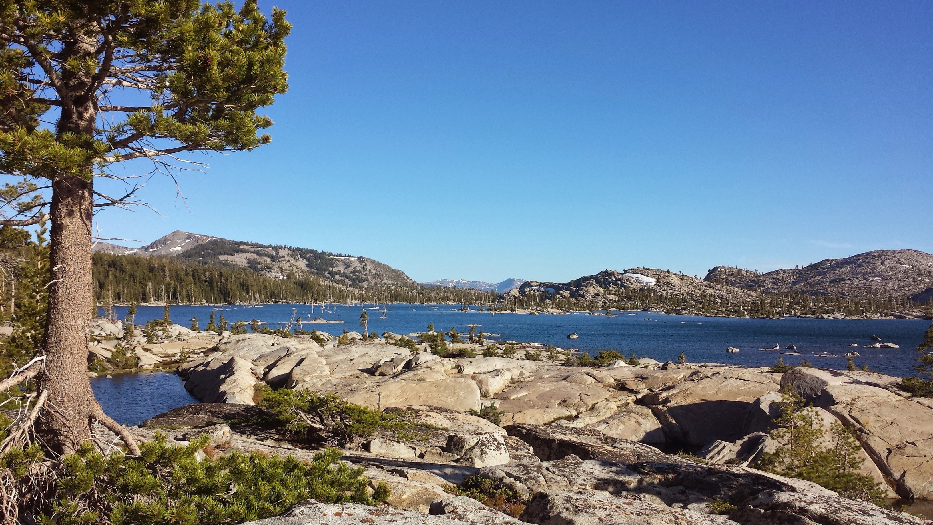
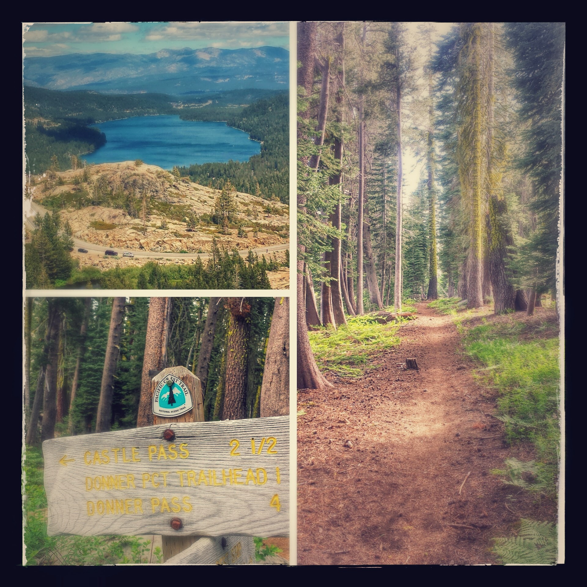
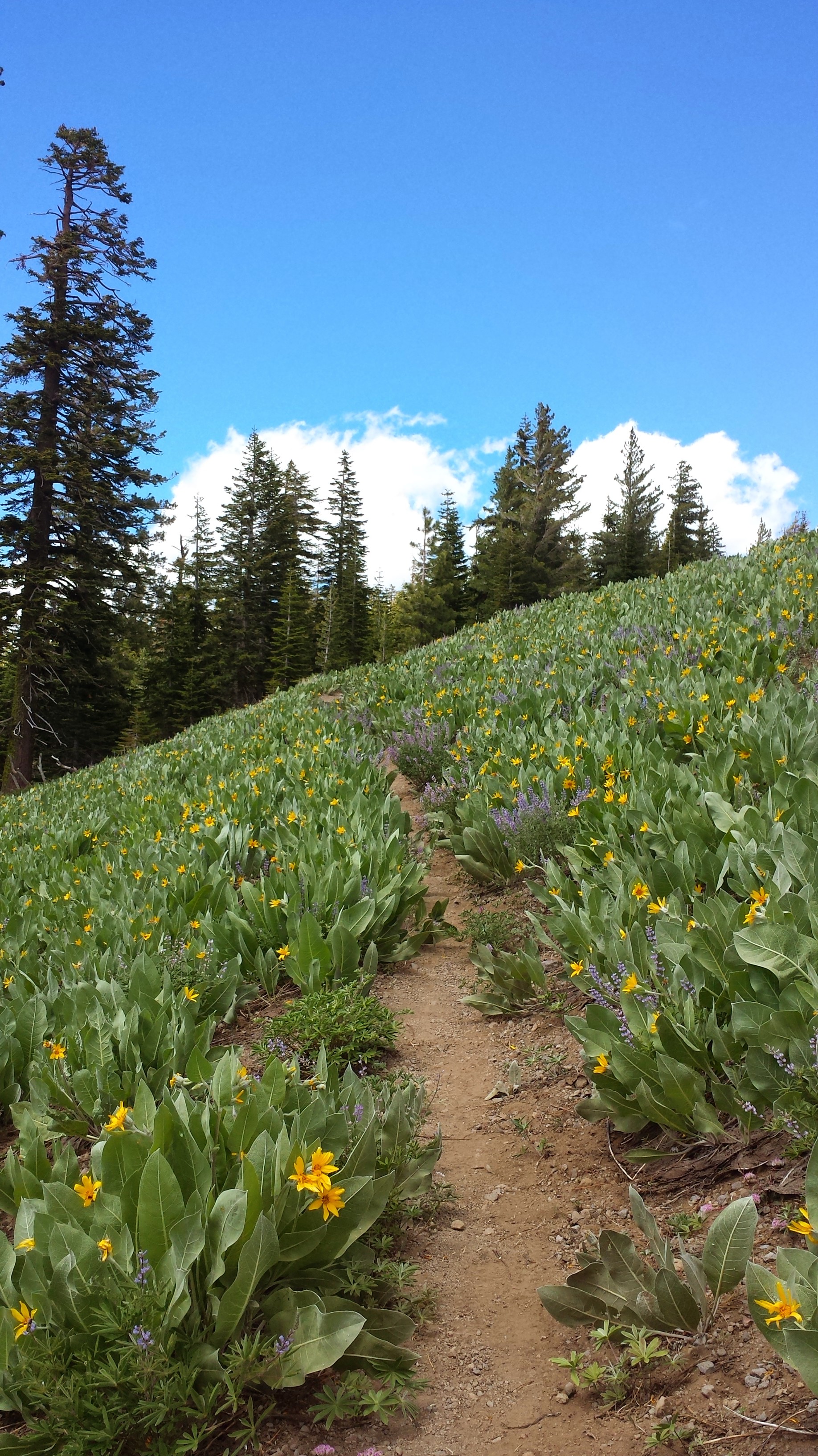
Entering North Cascades National Park
Once the ferry landed in Stehekin, we talked to a ranger about kayaking and she, very sweetly, called every single kayak outfitter in Chelan on our behalf. Not one of them was willing to rent us kayaks for an overnight trip. They all said that only experienced kayakers should attempt paddling through the very windy and potenialy dangerous “Narrows” of Lake Chelan. I was secretly relieved and we began our road walk to the PCT.
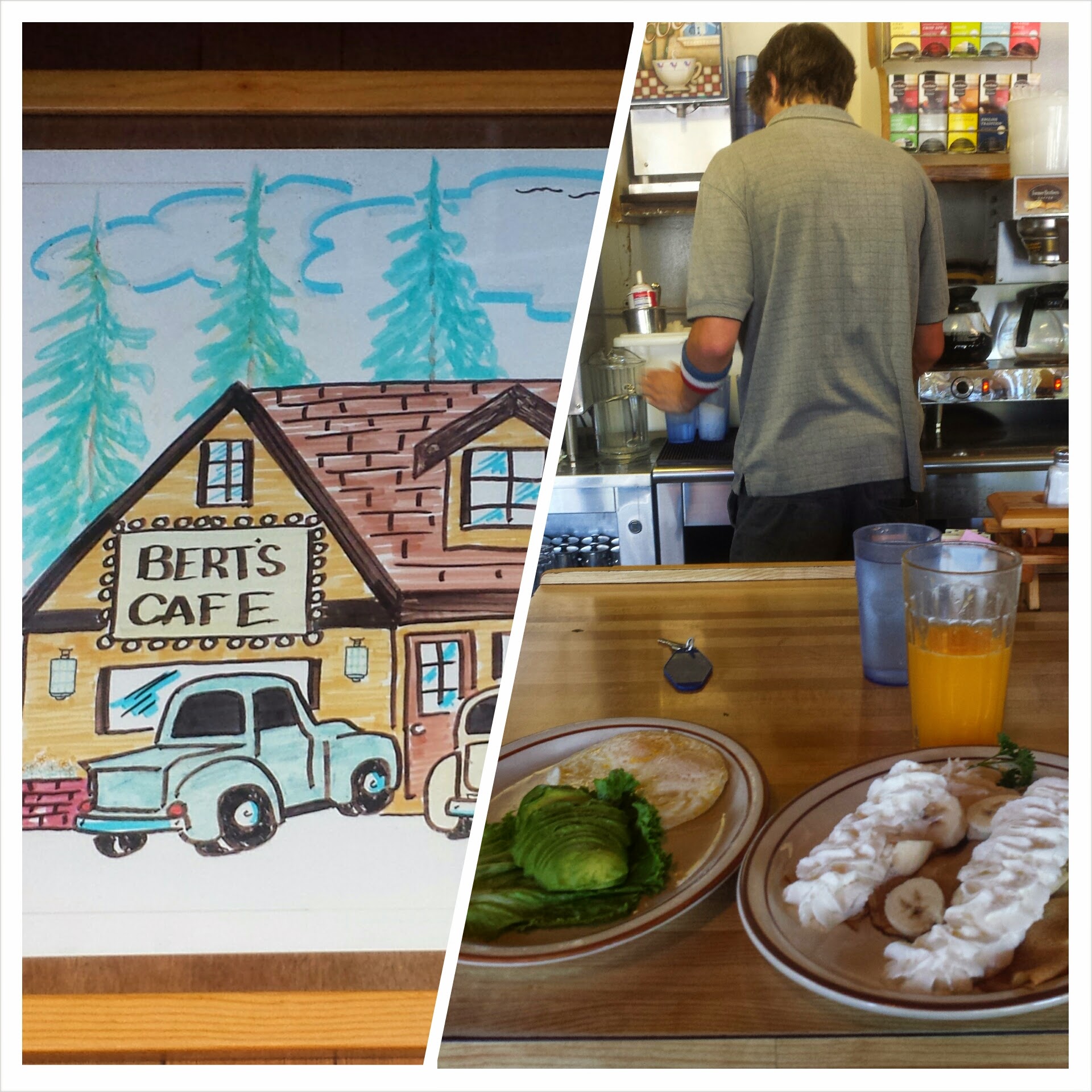
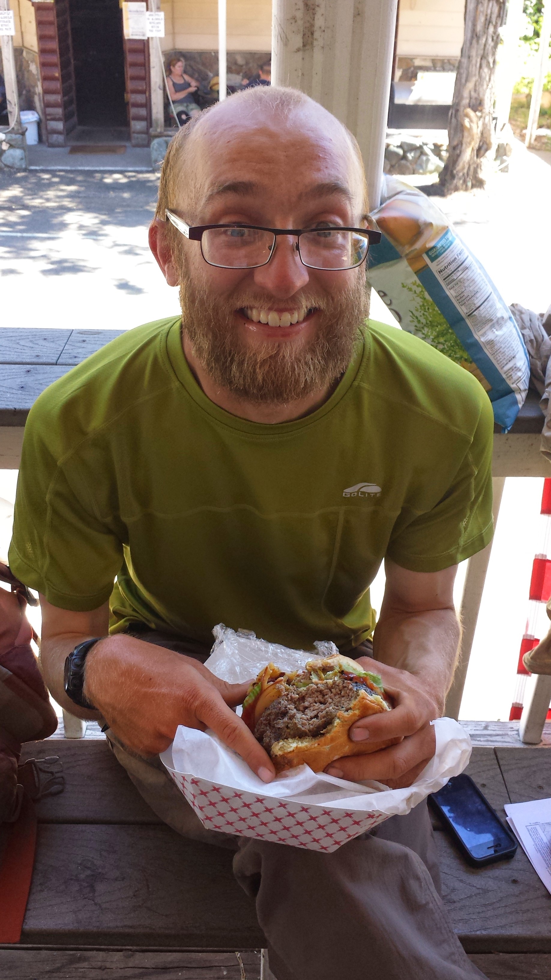
The dirt road from tiny Stehekin to the PCT is about eleven miles, but about two miles in is a well known bakery. We stopped there for a huge lunch and then Khalil headed out toward the trail, determined to walk as much as possible. Since I’d forgotten to charge my phone, I decided to hang back for an hour, using the bakery outlets and enjoying more juice and cookies.

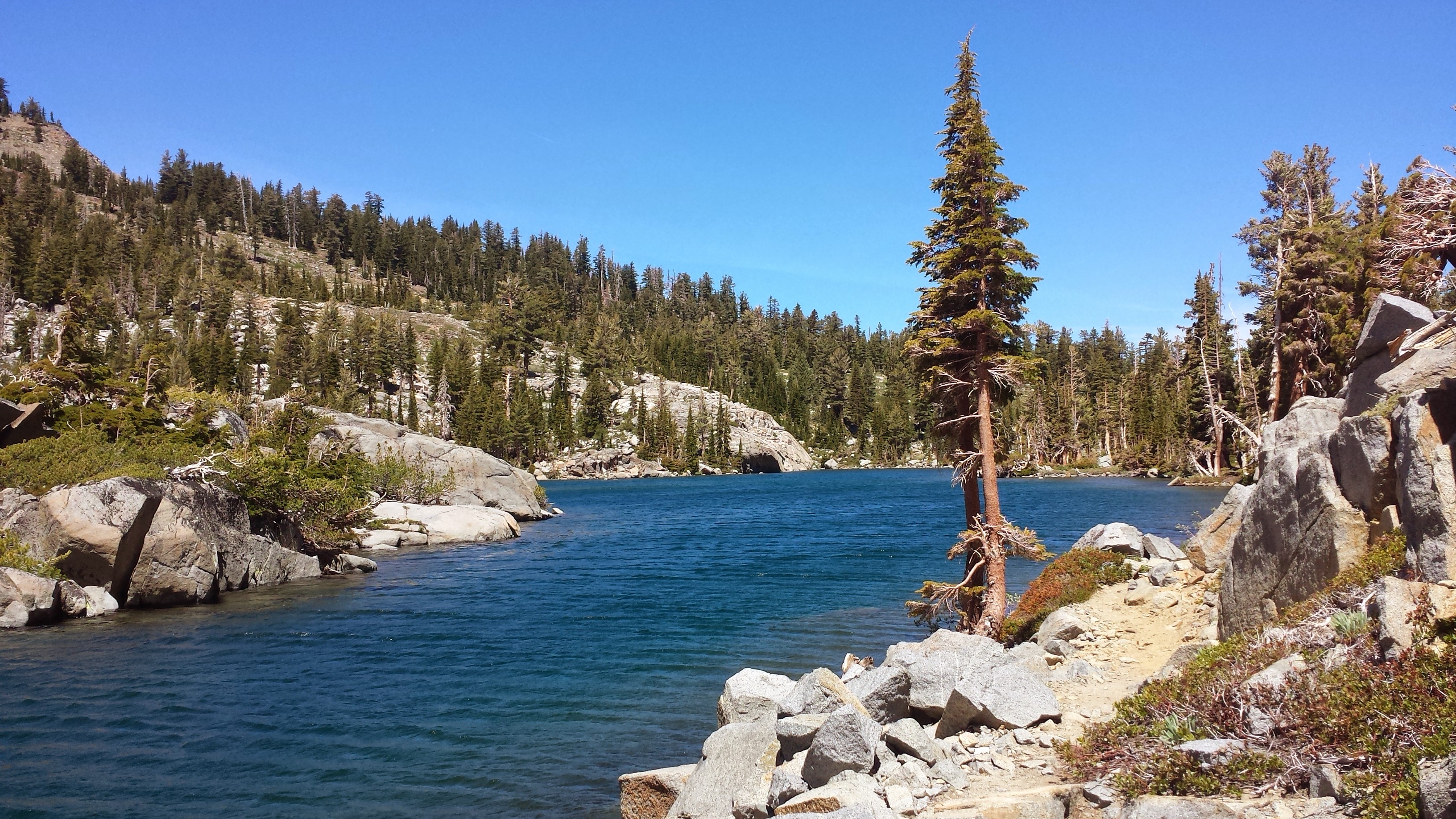
The Stehekin River
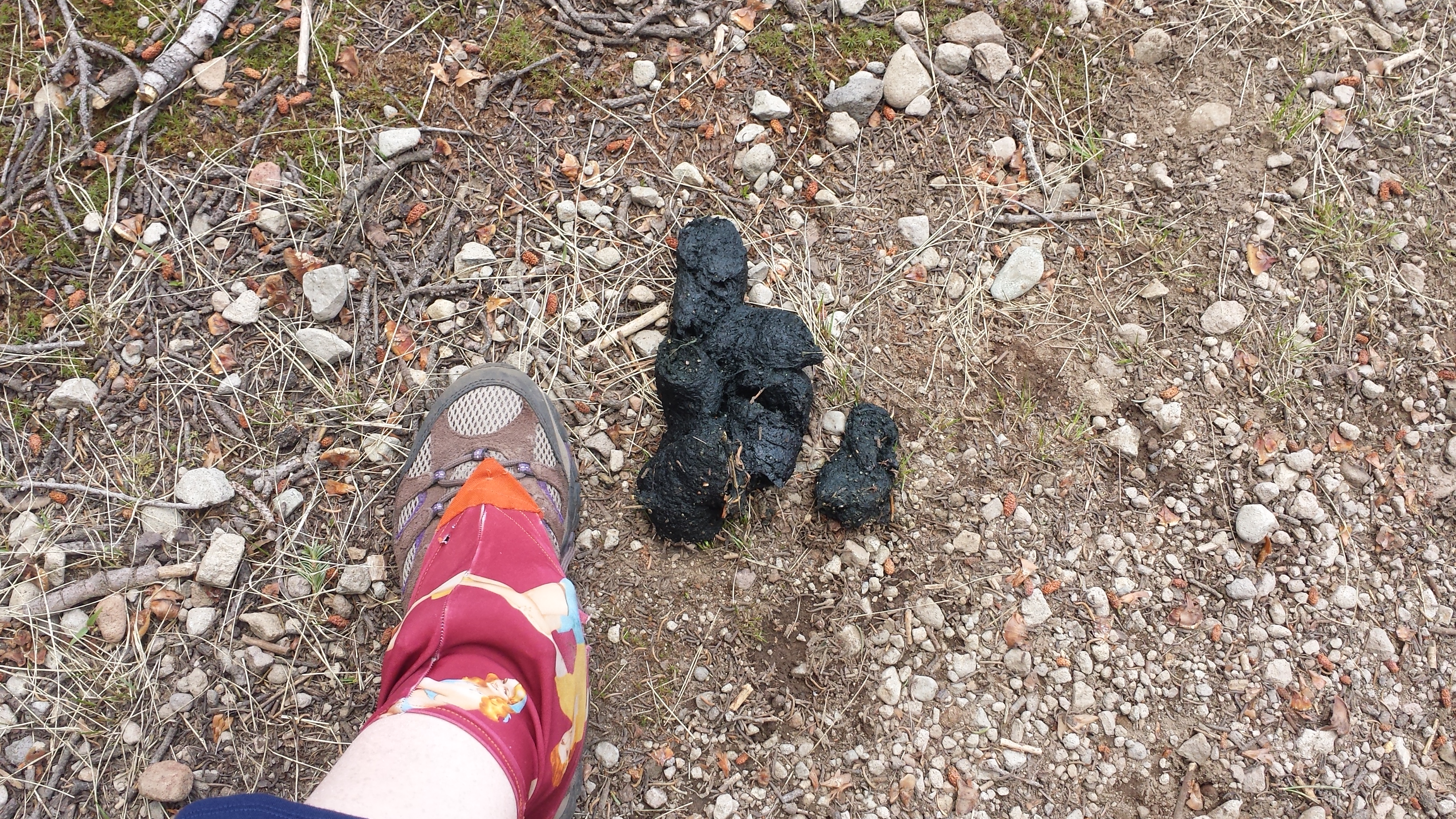
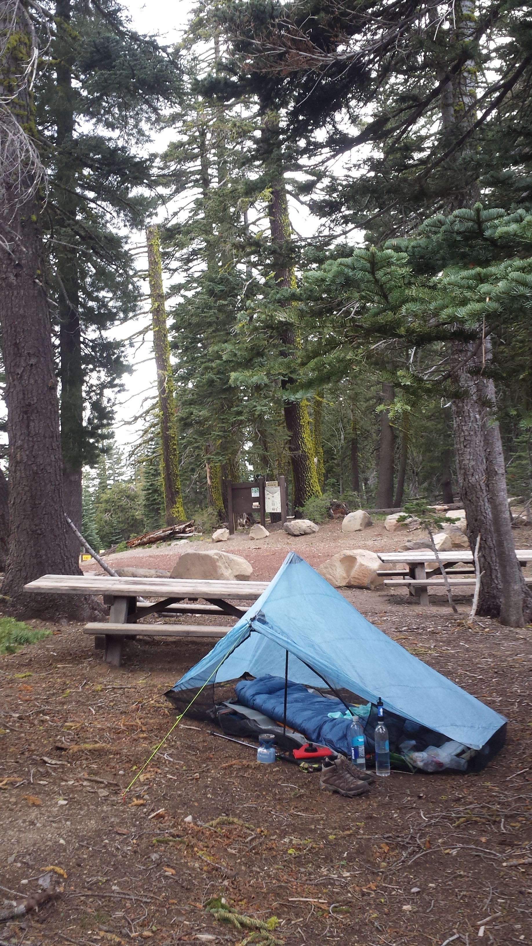
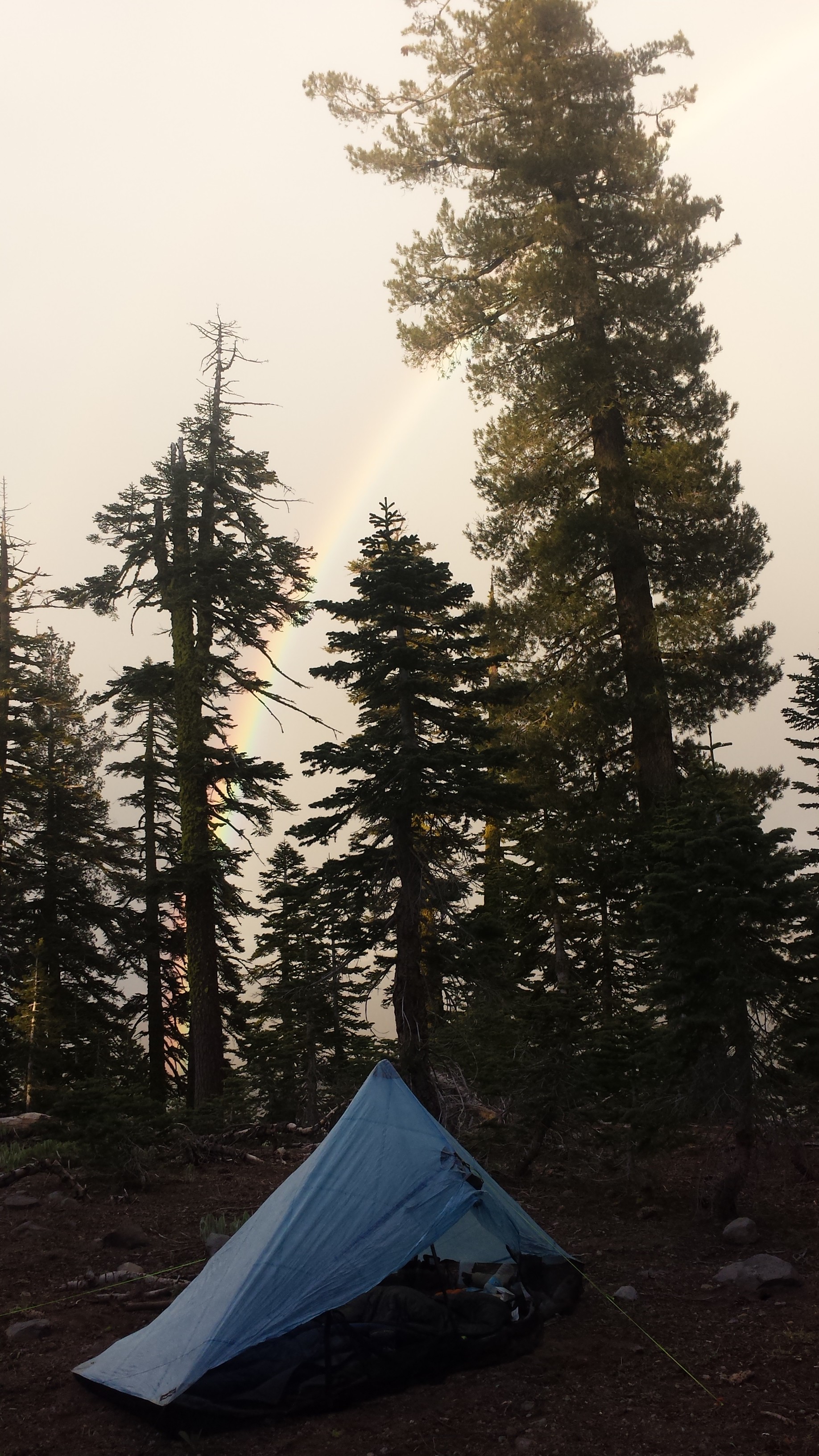
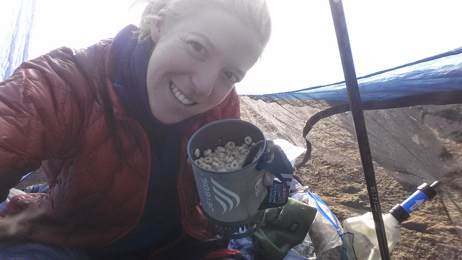
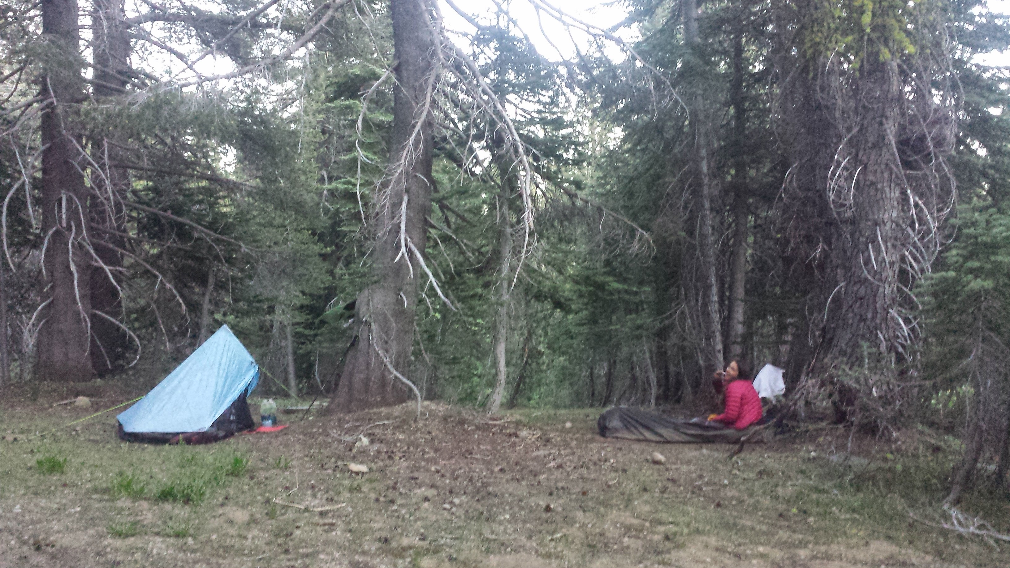
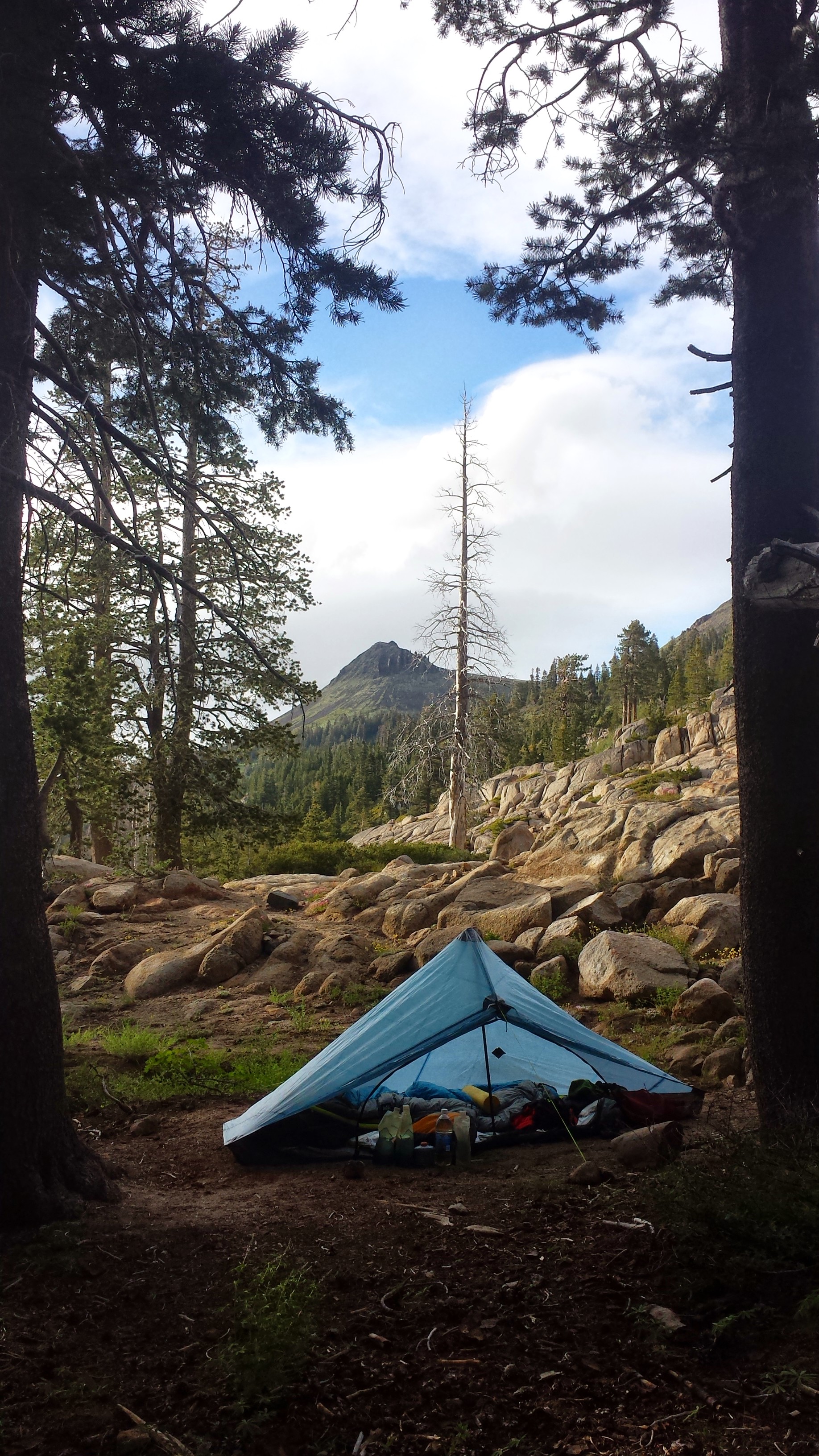
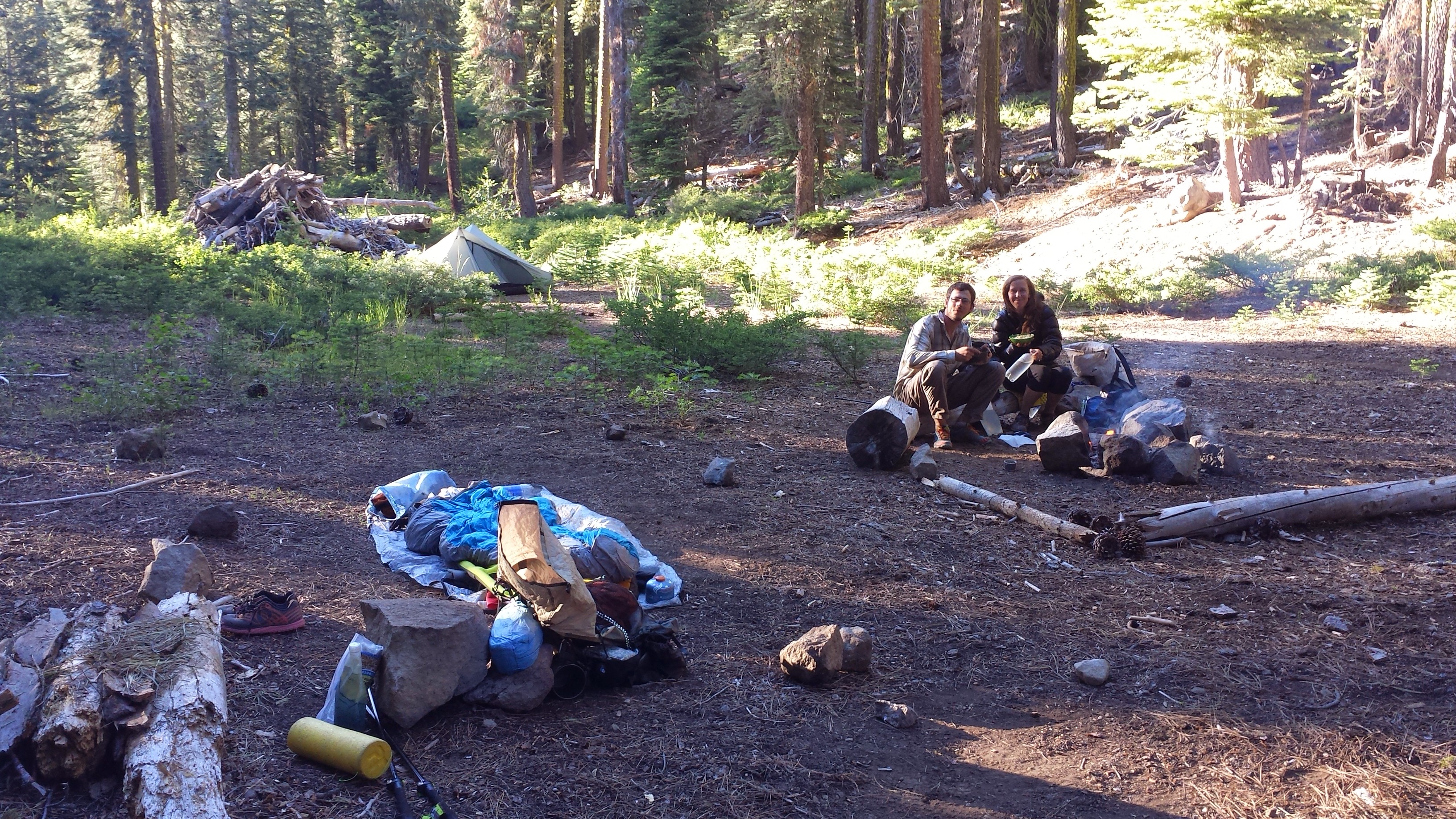
We’re camping tonight near the Stehekin River at High Bridge Campground. It’s practically glamping (glamorous camping) because the site has a shelter and a privy, complete with T.P. and hand sanitizer. I should sleep well tonight because I’ve put all my food in a bear box and the mice should have no reason to harass me.

High Bridge Campground
August 20- 20 miles, camping at Rainy Pass Trailhead
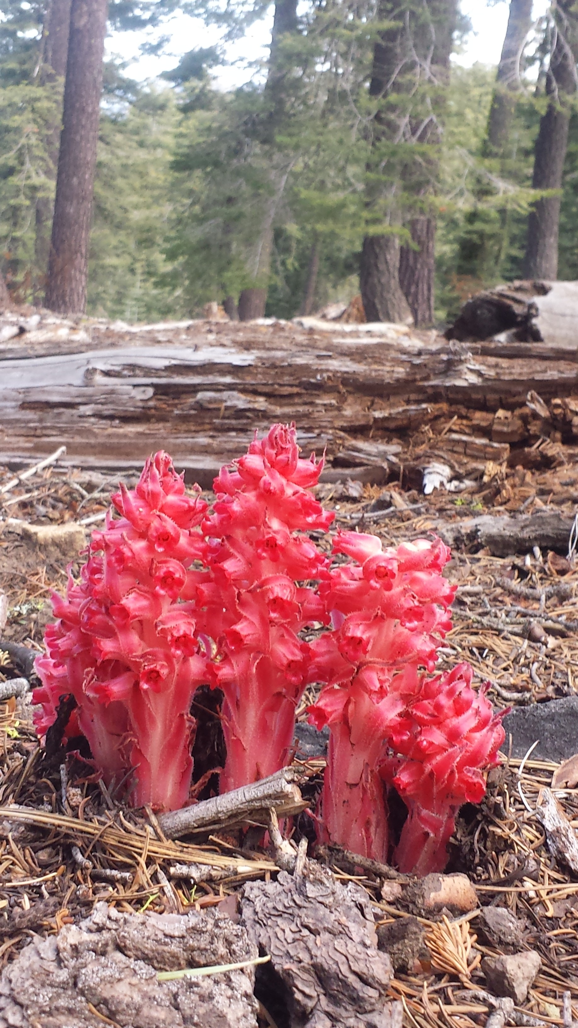
Just before hitting the trail, a few section hikers recommended continuing along the dirt road until it connected with the PCT. We went for it and then, instead of reconnecting with the trail, we decided to stay along the beautiful banks of the Stehekin River, bushwhacking and rock climbing along an “impassable trail.” Khalil was loving it, exclaiming that THIS is how he expected the PCT would be before he came to the U.S. and that THIS is how he really wanted to experience nature- with no human signs around, not even a trail.

Impassable… SHmimpassable!

Off trail along the Stehekin River

The Stehekin River
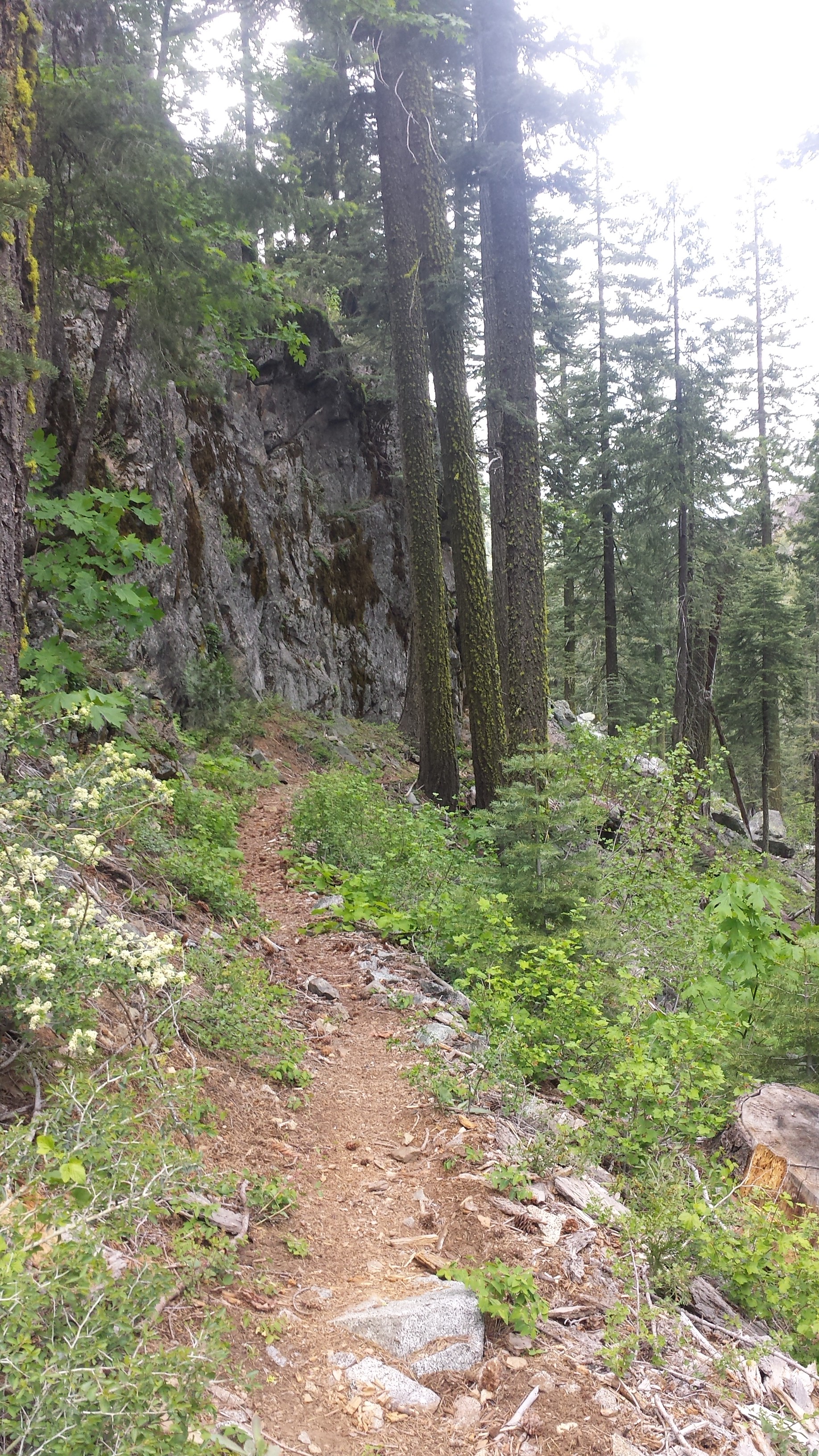
Once we were back on the PCT, we were climbing north through a long, hot canyon. The elevation is really low in this section and there wasn’t much shade on the trail. The heat wiped me out and, even though the trail was pretty easy, I felt exhausted.

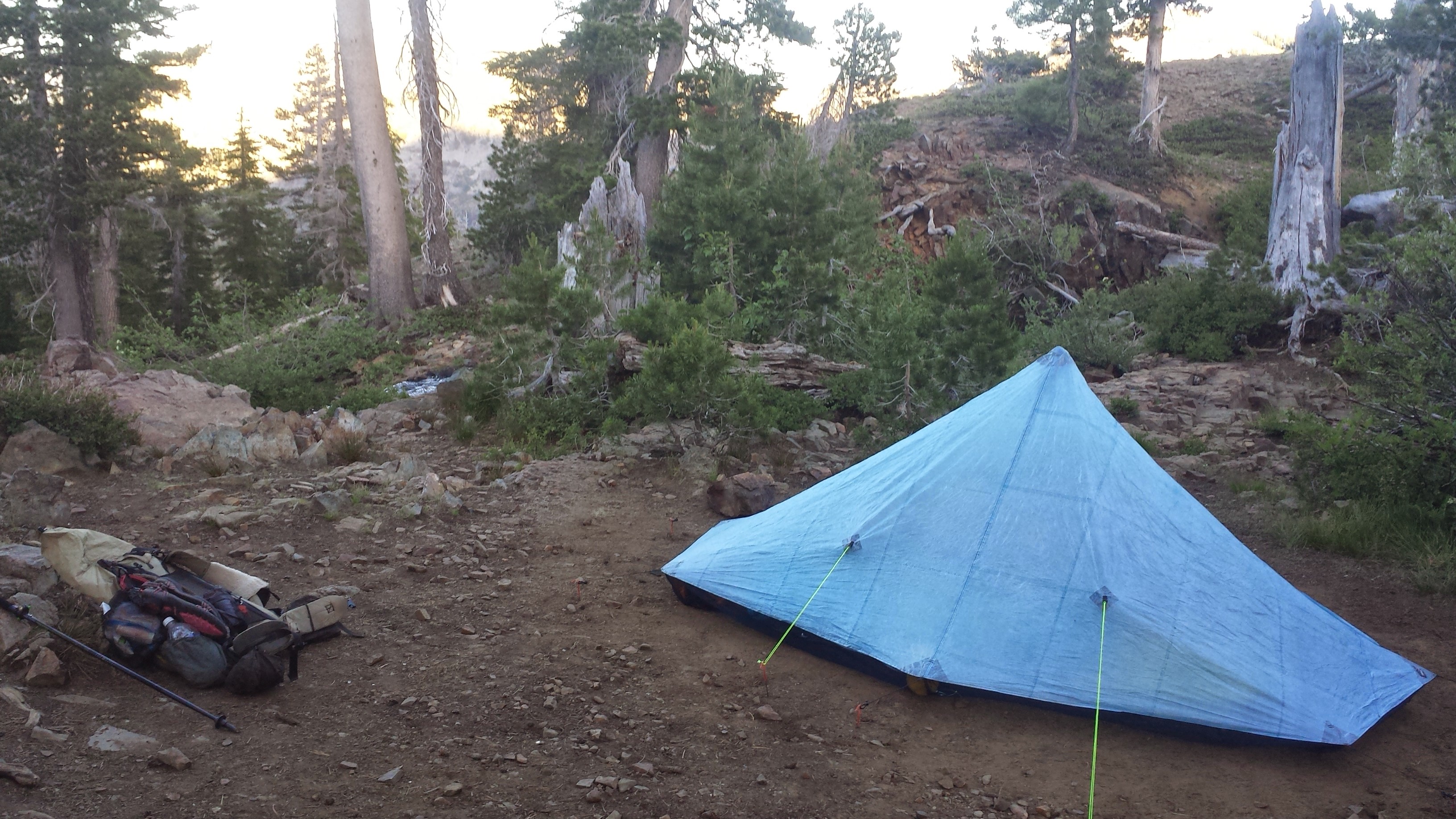
As the sun was preparing to set, Khalil and I were struggling to decide where to camp. I was super tired and convinced him we should just camp at the Rainy Pass Trailhead, which isn’t really a campsite. We collected water from a nasty looking pond next to the highway and pitched our tents on the only flat spots around, right next to the outhouse. The smell isn’t as bad as you might think and I’m too tired to care anyway.

Camping at Rainy Pass
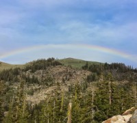
August 21- 20.5 miles, camping on Glacier Pass

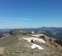
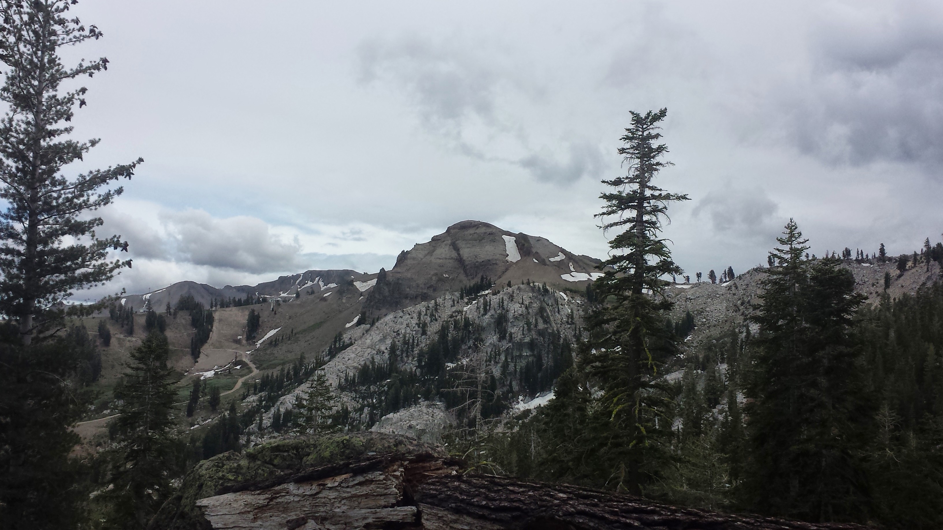
Looking towards Fisher Peak
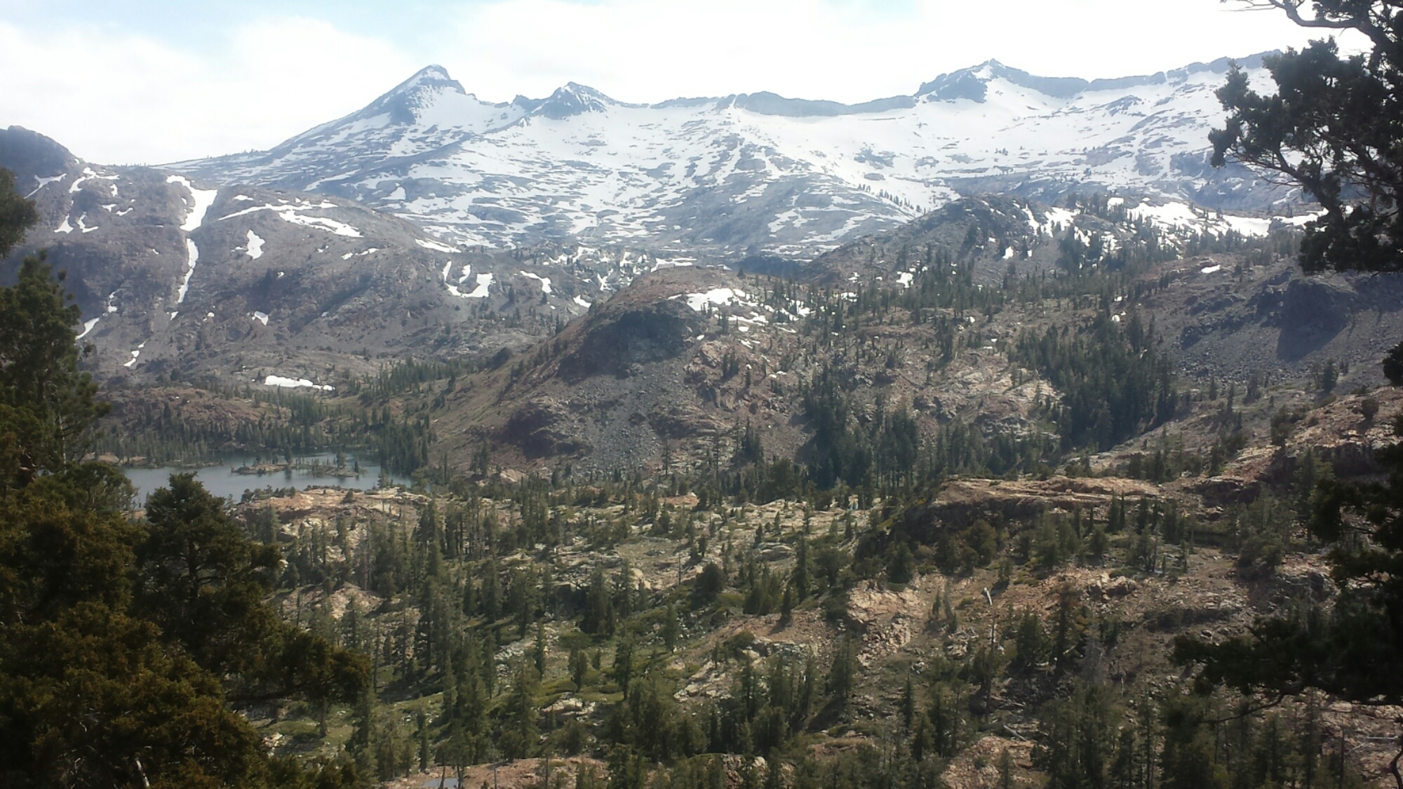
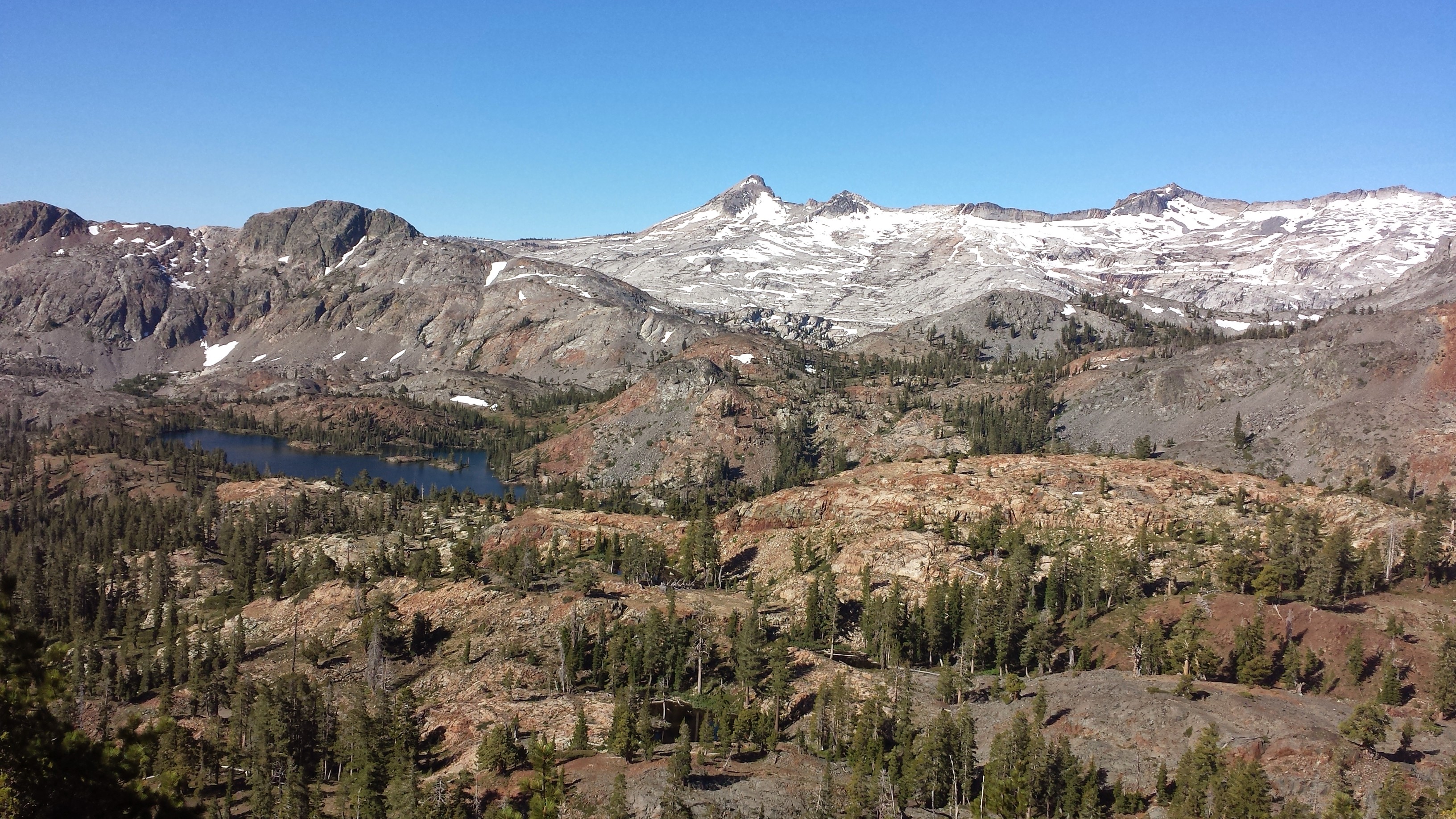
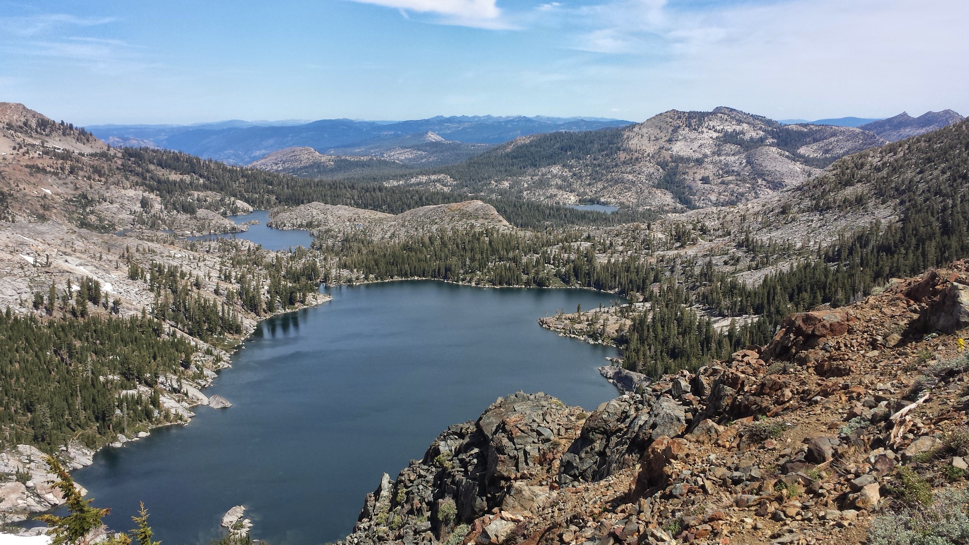
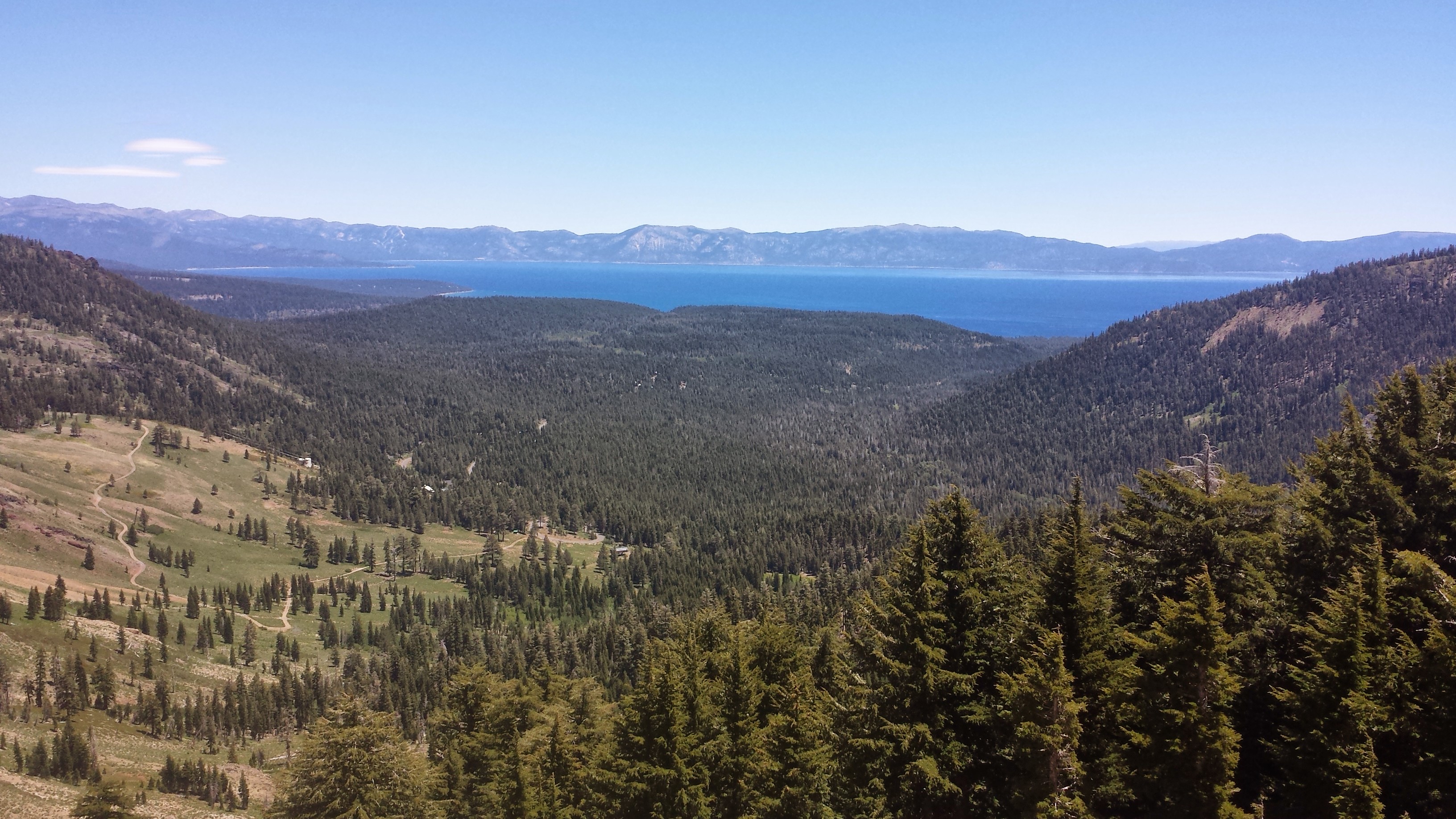
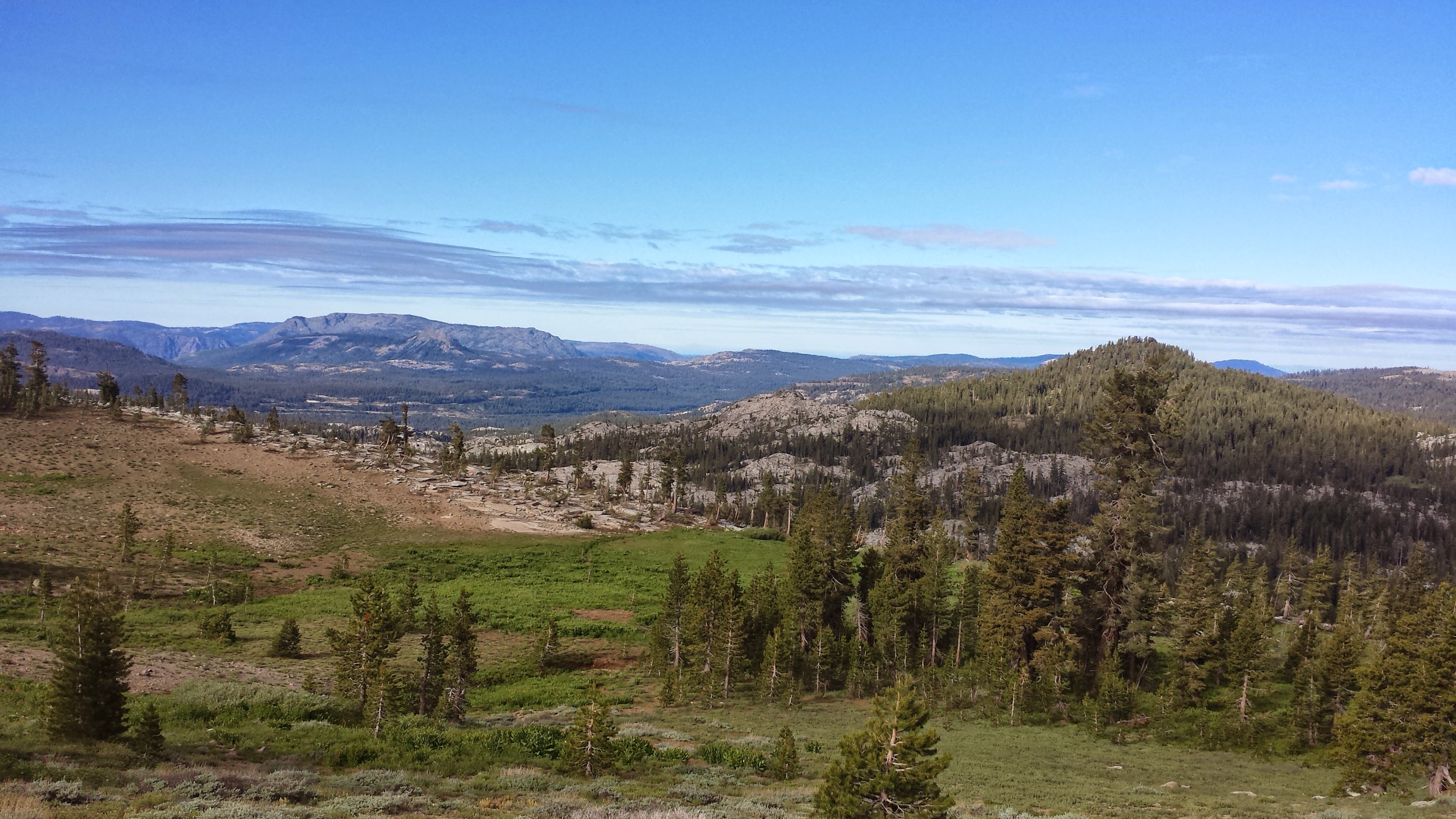
I’ve been told that the North Cascades have some of the best scenery along the trail. Unfortunately, because of the detour and having to skip the entire section between Stevens Pass and Stehekin, I missed some of that beautiful land. Today, as we hiked out of Rainy Pass and up high along a mountain crest, I got to see a taste of that famous North Cascade beauty.

Viewing Hinkhouse Peak, Silver Star Mountain, and Vasiliki Ridge
In stark contrast to yesterday, rain clouds threatened to dump on us today and a cold wind relentessly chilled me to the bone. Stopping for snack breaks was almost miserable and I actually hiked in multiple layers and my gloves, something I never do because hiking usually really warms me up.

Mount Hardy (left) and Tower Mountain (right)

Appropriate for the weather today, our camp is located on what’s called Glacier Pass and I’m dreading how chilly it might get tonight. When it’s this cold, I start sipping my hot coco with a spoon to savor its sweet warmth and hopefully not go to bed cold.
August 22- 21 miles, camping near Shaw Creek

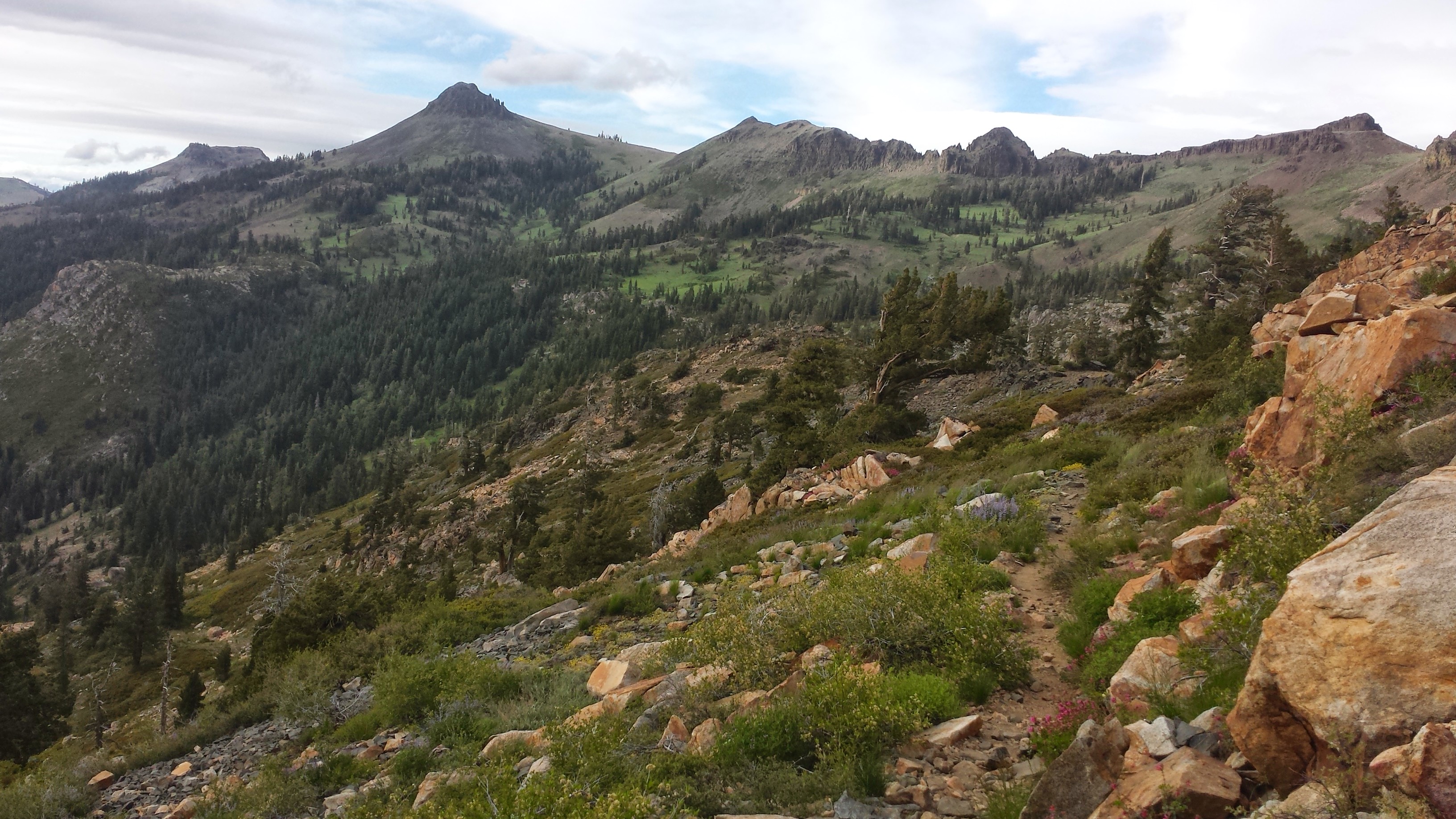
Anzurite Peak (L) and Mount Ballard (R)
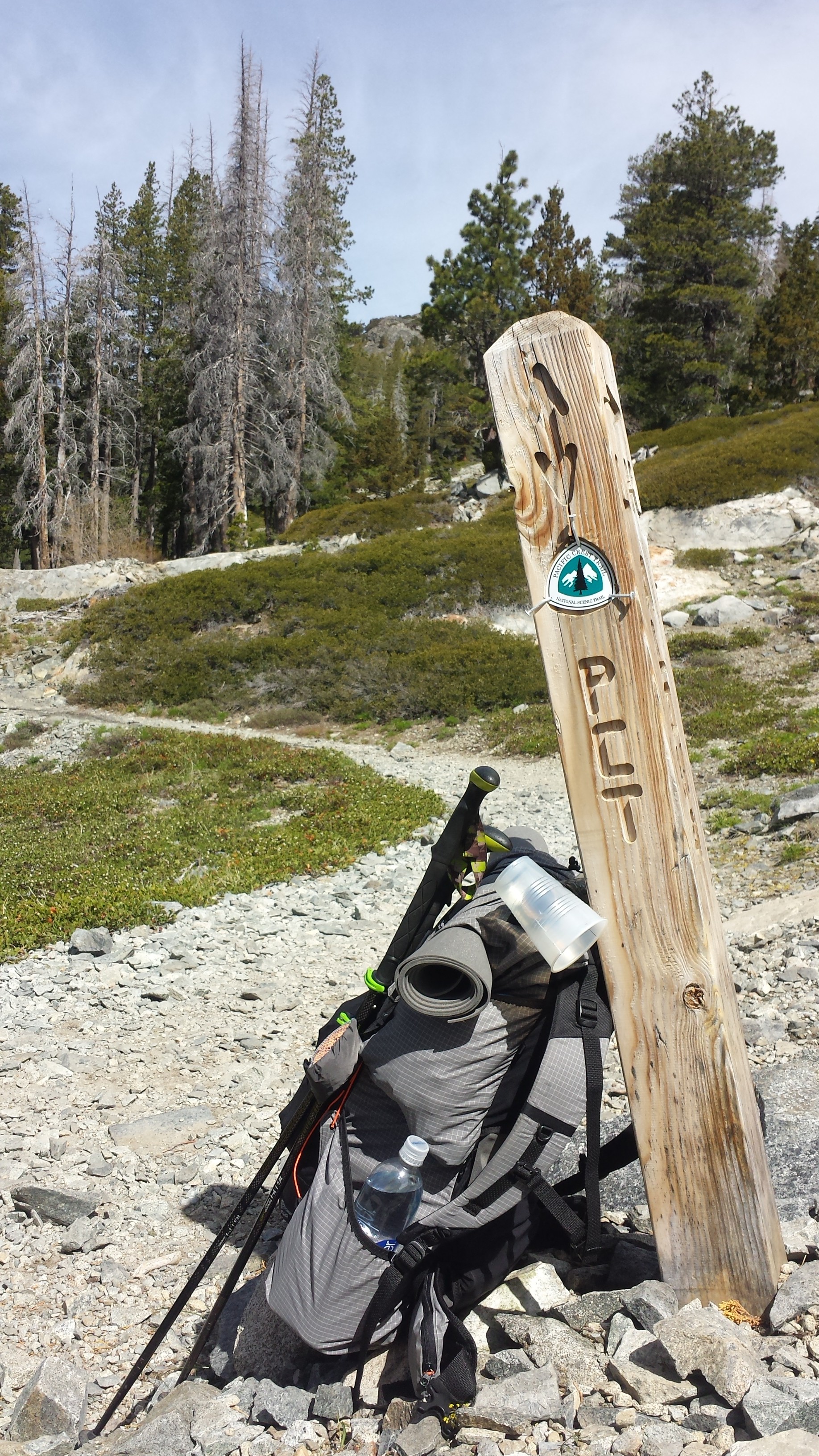
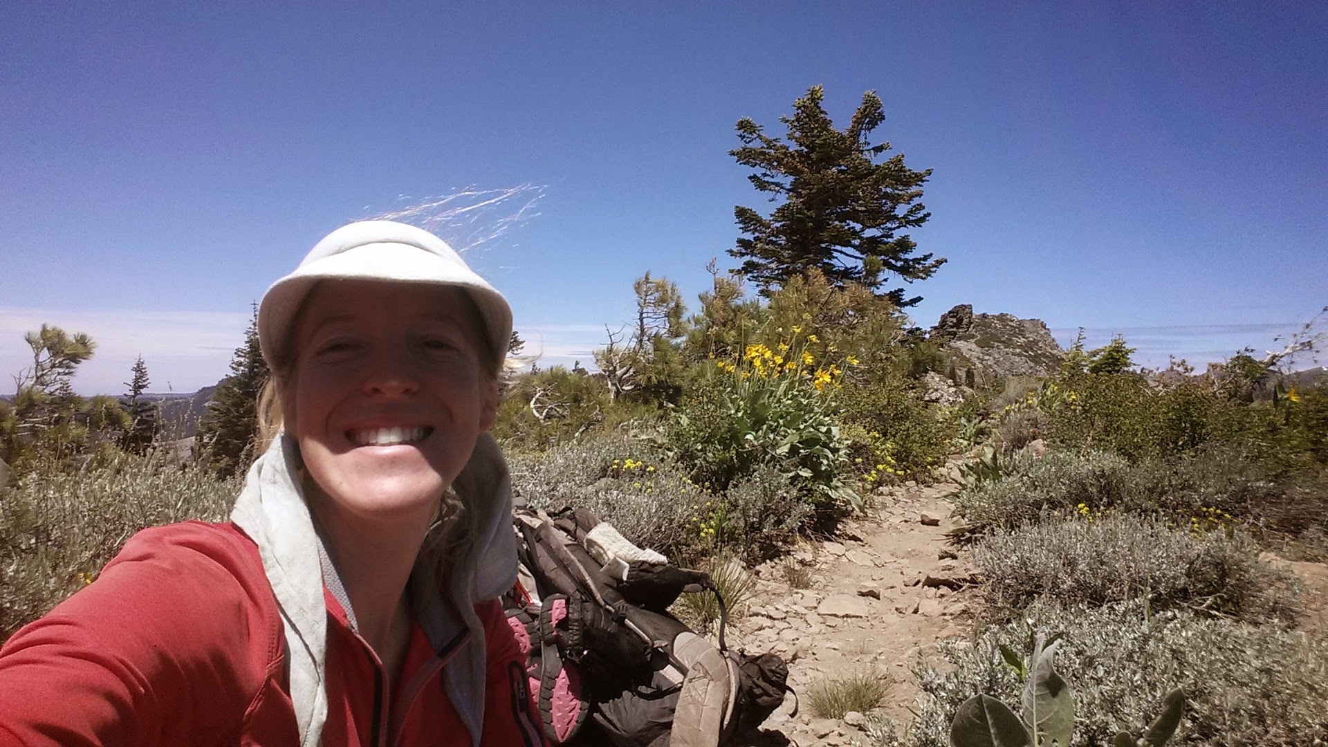
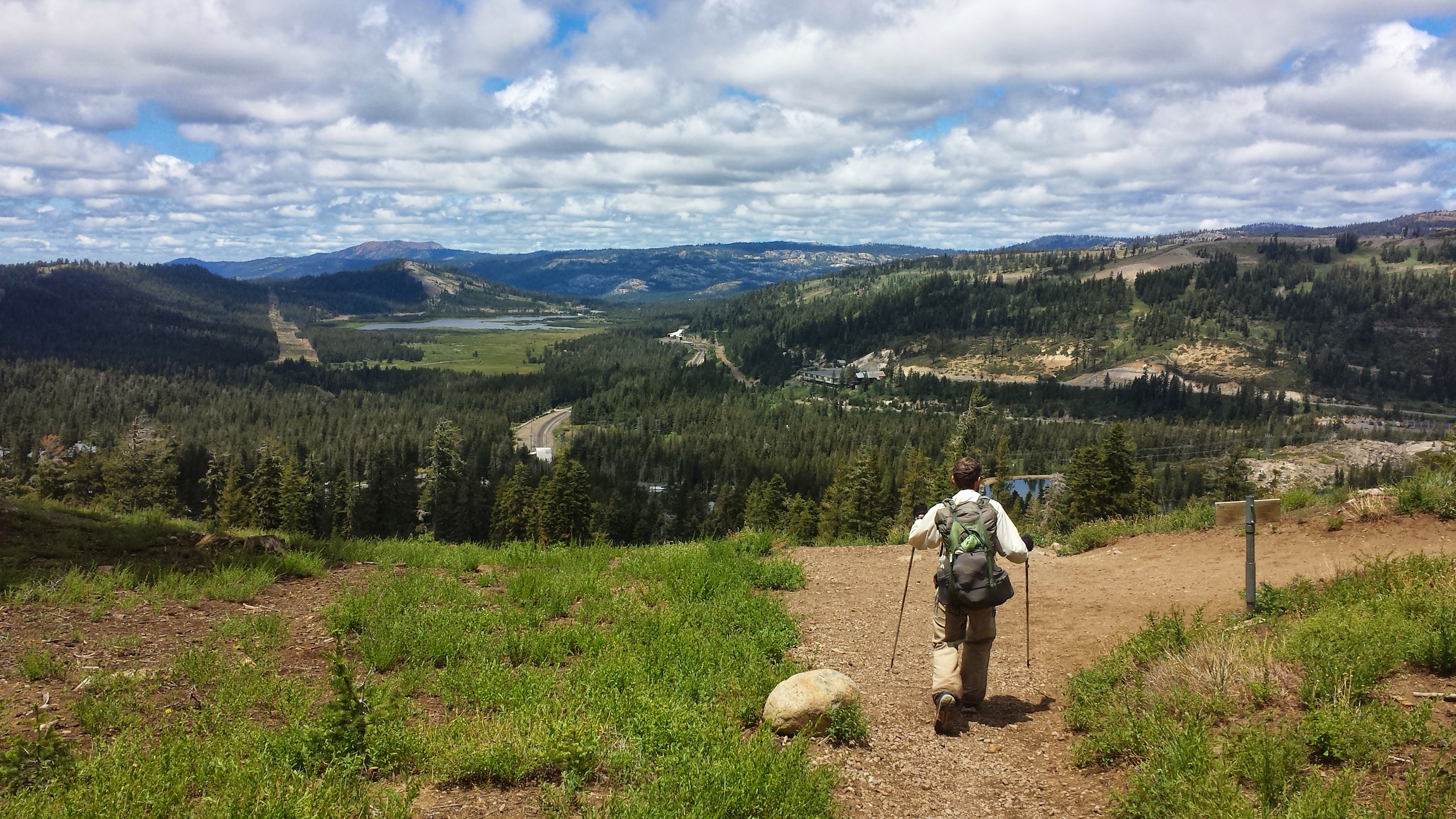
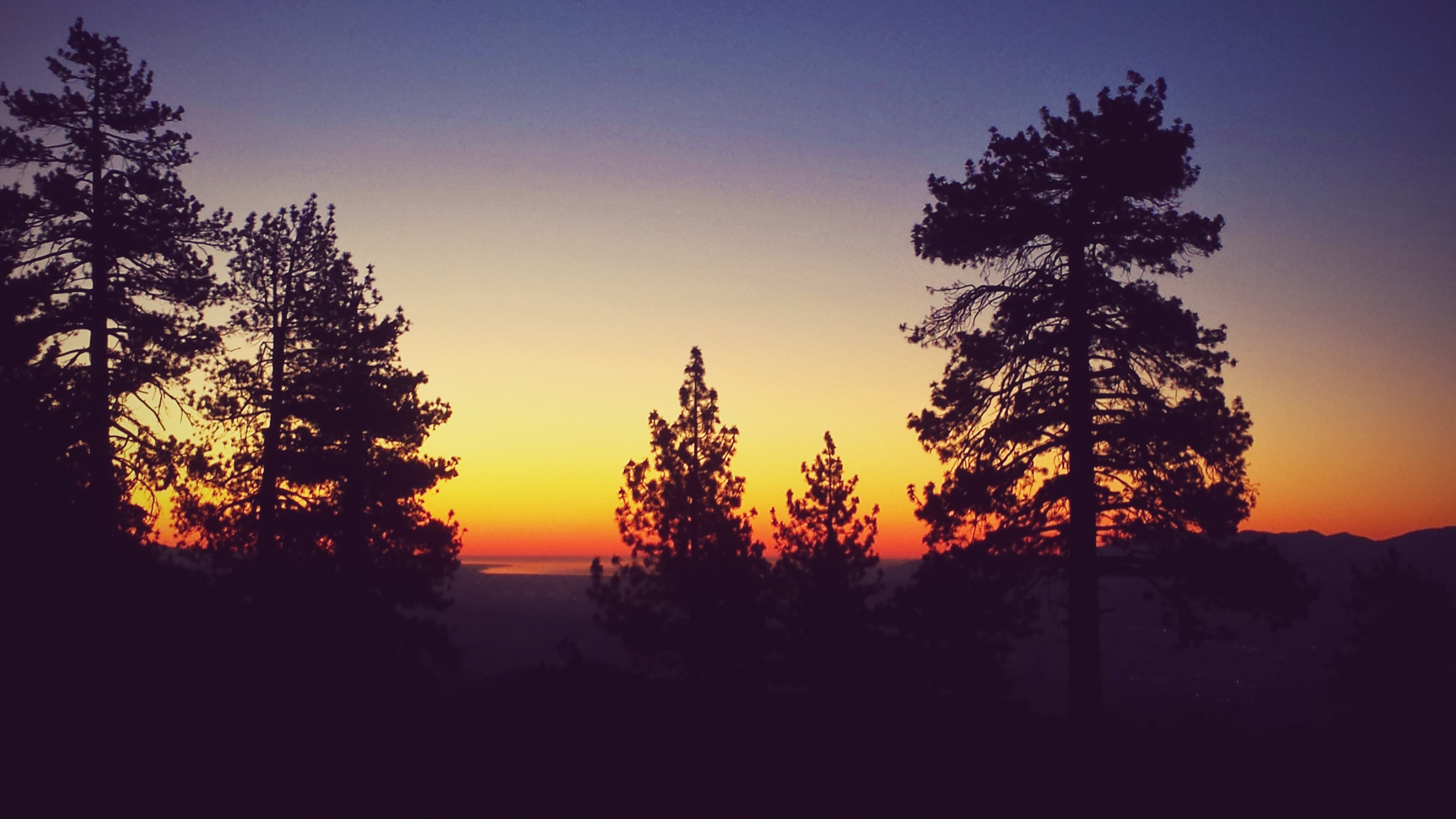
This day surprised me with a completely different landscape than I expected. Once we climbed out of Glacier Pass and up to a ridge, a view of rugged, rocky, and dry mountains stretched before us. The treeless landscape made the trail visible for miles ahead along the ridge and through distant passes. It reminded me so much of Southern California, specifically of the Southern Sierras and the Tehachapi Mountains that rise out of the dry Mojave Desert. Somehow, it seems appropriate for the end of the trail to remind me so much of the beginning.


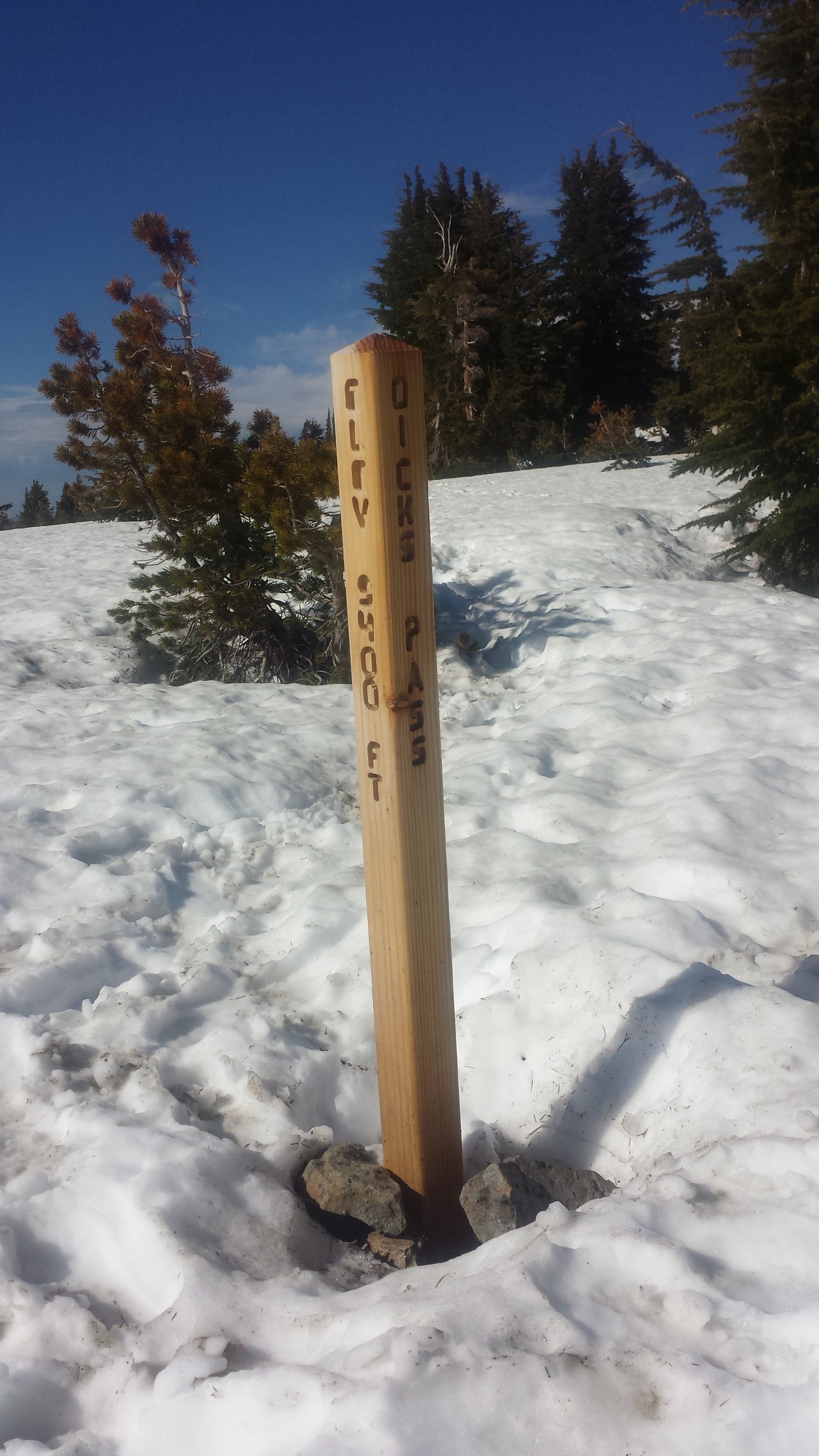
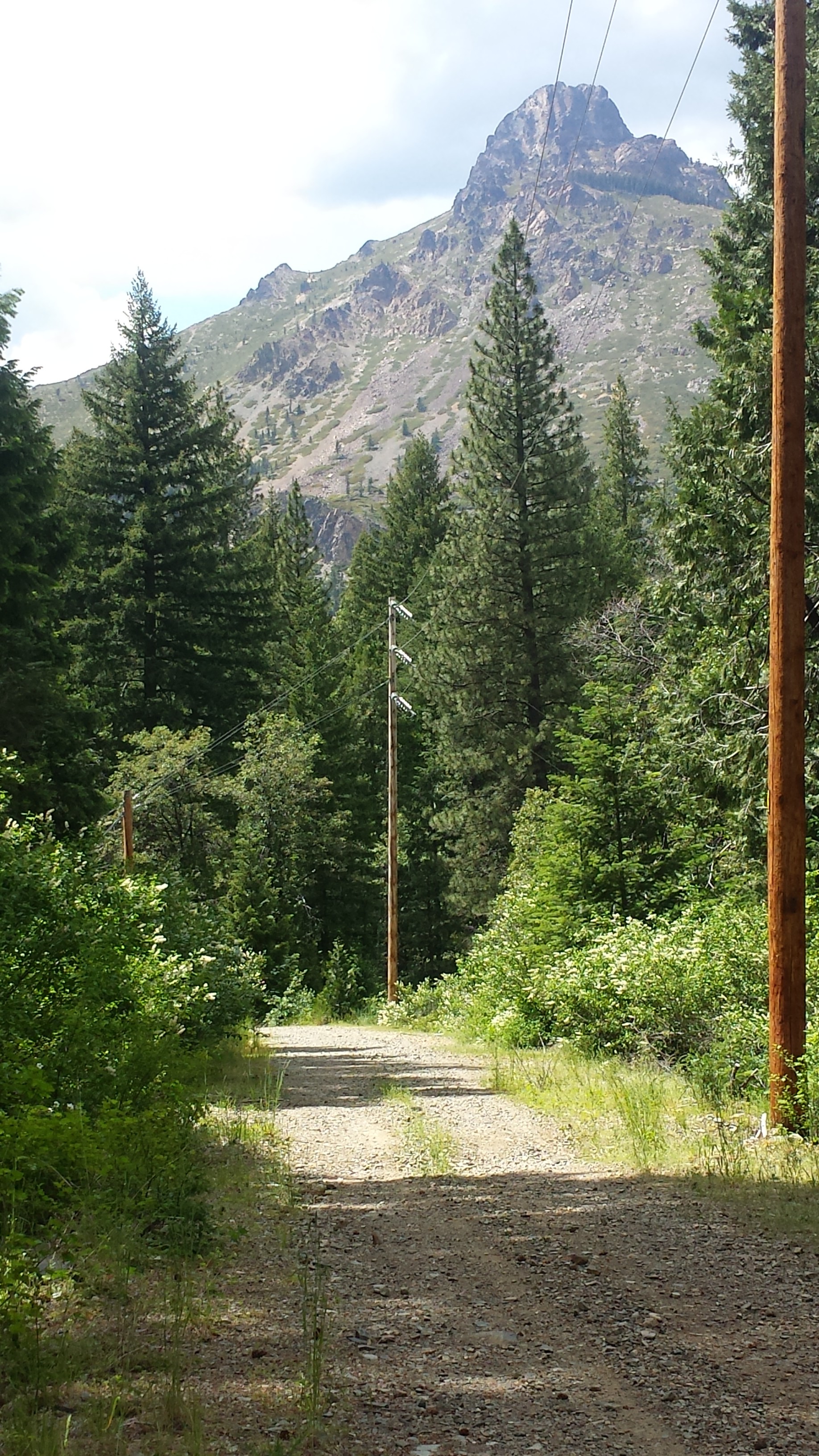
The very last road the PCT crosses before the Canadian border is Hart’s Pass. Any hikers not planning on entering Canada either hitch or road walk thirty miles from here to the nearest town. Lucky for us, someone left a last little bit of trail magic on the road in the form of a cooler filled with cans of Bud Light. Whoohoo!


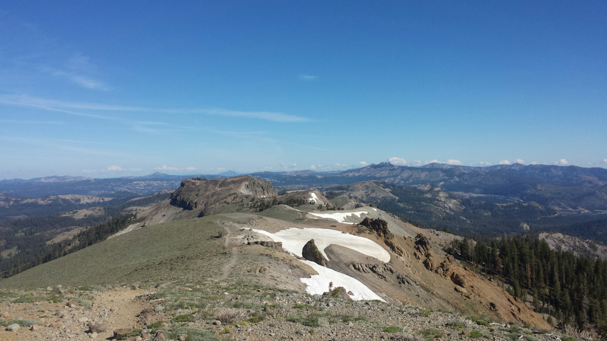
Hart’s Pass Ranger Station
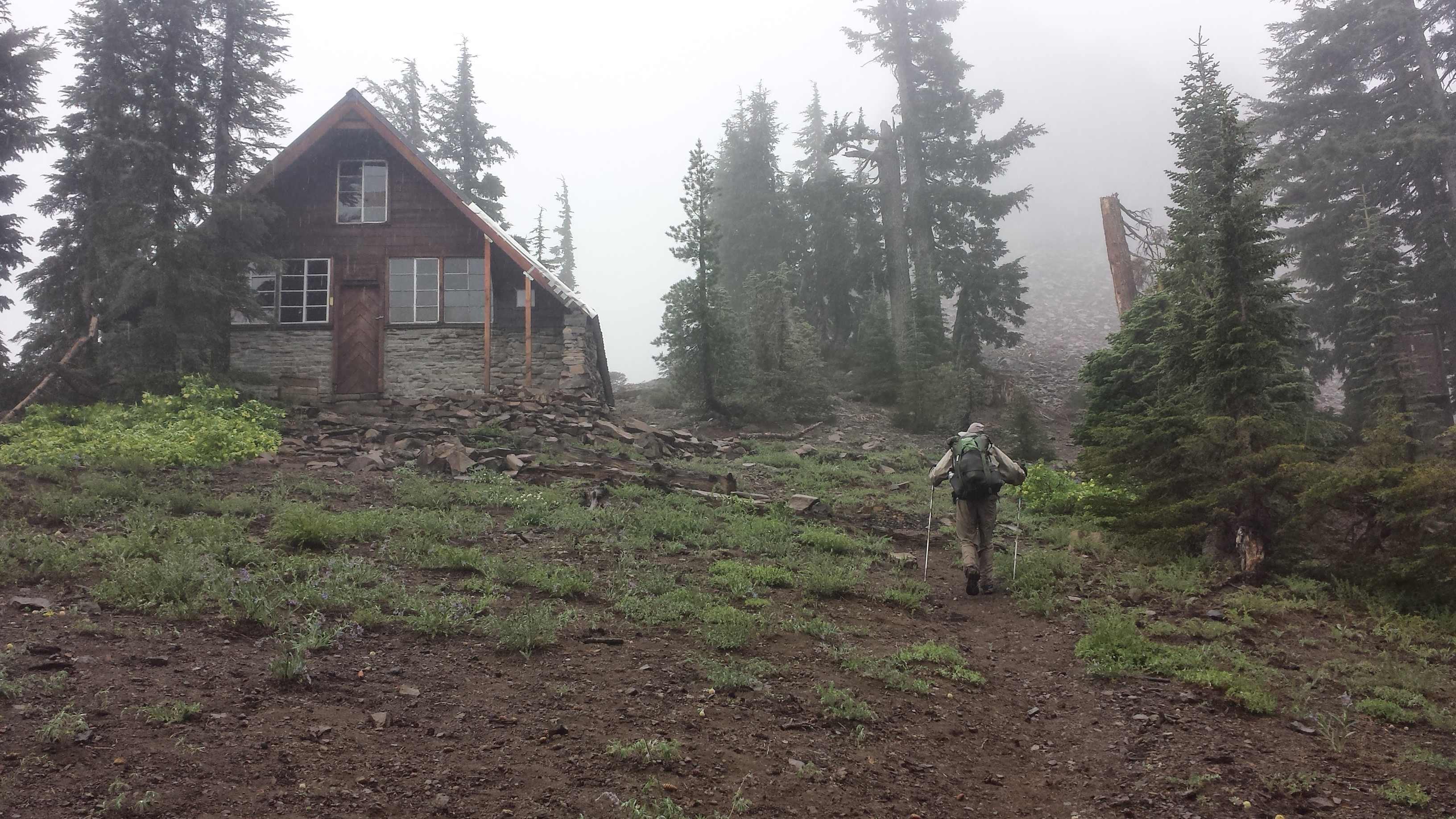
Hart’s Pass is just a dirt road with a ranger station and an outhouse, but it has the last trail register before Monument 78 at the border. I didn’t see many of the signatures of hikers that should be ahead of us in this register and wondered if they weren’t able to hike onward to Canada from here. The section from Rainy Pass to Hart’s Pass was recently closed due to fire and had just reopened before Khalil and I set out from Stehekin. There have been so many fires, some small and some big, and they’re reeking havoc on the hiking season and the resources of the fire fighters and forest service. If I had to guess, it seems like many hikers chose to end their hike at or shortly after Stevens Pass because the fire closures made a direct route to Canada just impossible.

North of Hart’s Pass
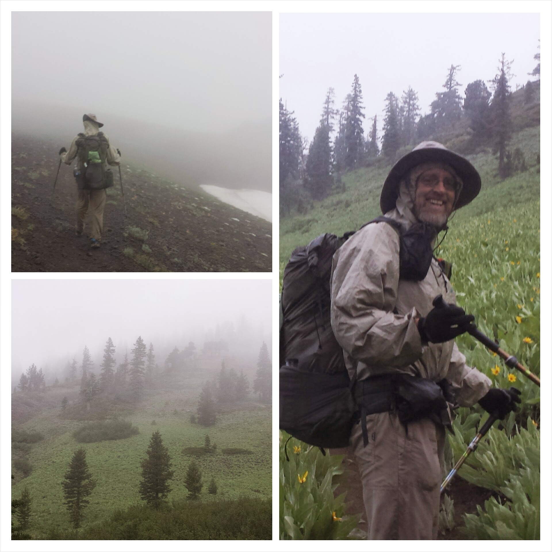
After Harts Pass, the trail climbed up into golden grassy mountains that looked even more like Southern California. Smoke from an additional nearby fire at Ross Lake, called the Upper Skagit Fire, was blowing in and obscuring our views of valley floors and mountain tops. This is the most smokey air I’ve had to hike in and I had a really difficult time with it. I became nauseous and dizzy and even thought I might pass out during one climb. The nausea took away my appetite, so I wasn’t eating as much as I should have, and that just made me feel even worse. I was hiking so slowly, maybe a mile an hour. If I wasn’t such a mouth-breather, it probably would’ve been much better, but I think my nose is just too small for that.

A smokey valley

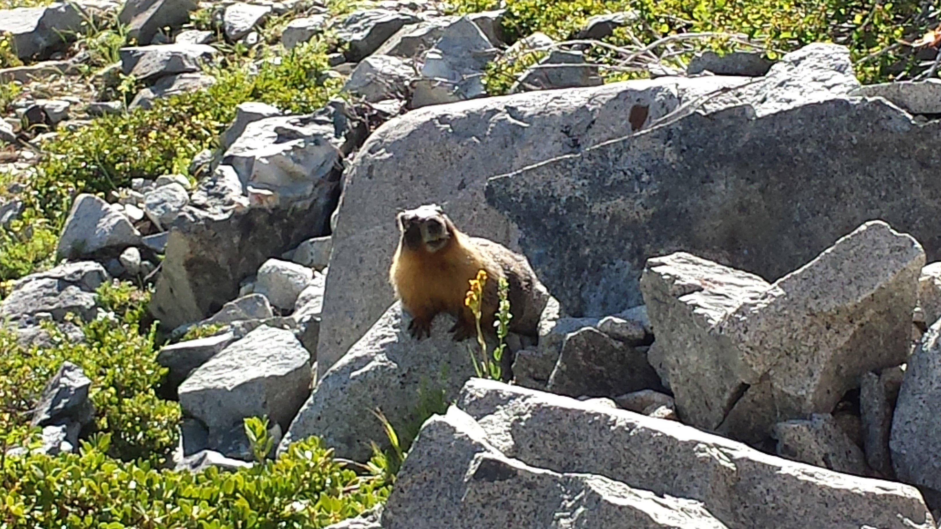
A doe-eyed visitor
We were visited by a couple of deer at our campsite tonight and one in particular was very determined to lick up Khalil’s pee near a tree. They love the salt and can really be a nuisance around camp. Khalil actually lost one of his shirts to a deer when he left it to dry overnight on a branch. The deer stole the shirt, he chased after it, but the deer wouldn’t drop it. The next morning, he found it half chewed up down the trail.
August 23- 20 miles, camping near Castle Creek in Manning Park

Hiking in smoke
This has to have been one of this worst hiking days I’ve ever had. Smoke sucks and it’s mucking up my whole style. The nausea and dizziness hit me harder today that yesterday and, unfortunately, it put me in a really lousy mood for the majority of the day.

Powder Mountain
I could tell that we were hiking through some beautiful mountains, but they were barely visible behind the smoke. It wasn’t until late afternoon, when we’d finished most of our ascent for the day and the smoke lightened up, that I started to feel like myself again and could really enjoy the last few miles of Washington.

Near Devil’s Backbone

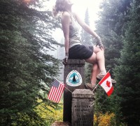
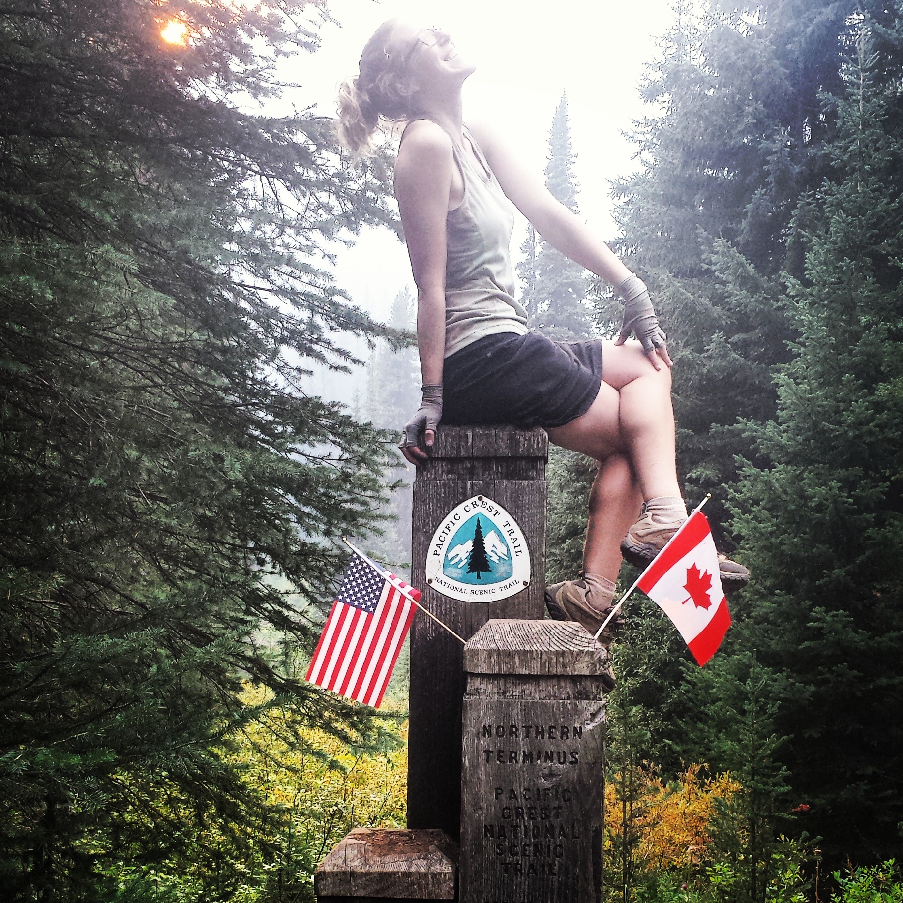
We reached the monument after a few switchbacks just as the sun was slipping behind the hills. There weren’t any tears or even shouts of joy- in fact, it was rather a quiet moment. I struggled to reflect on everything that had brought me to this moment and to find words to write in the trail register that could really sum up my hike. The best I could up with is that this journey has been about a sense of adventure and curiosity and, to borrow a phrase from John Luther Adams, connecting with something larger and older in this world that we usually forget about in our daily civilized lives. Living this closely with and really immersed in nature and weather has been humbling and inspiring. I will forever be grateful for this experience and hope dearly that I can do it again somewhere, sometime.

J.O.Y. at Monument 78

Camping at Crystal Creek
There’s an established campsite about a quarter mile after the monument within the Canadian border where we’re staying tonight. Two other hikers are here with us, a couple of 70-somethings who section hiked Washington. It’s hard to believe this is the last night in my tent and I’m savoring the comfort it gives me. Khalil and I are celebrating by cooking a double serving of potatoes and sharing our dinners with each other, a kind of hiker feast/pot luck. He even packed out a picnic-friendly half carafe box of wine so we could really toast to the trail.
August 24- Hitched to Vancouver
Not even on my very last night would the mice leave me alone. There wasn’t even food in my tent and they still helped themselves to exploring around and chewing on my gear. I forget the score now, but the mice have clearly won.

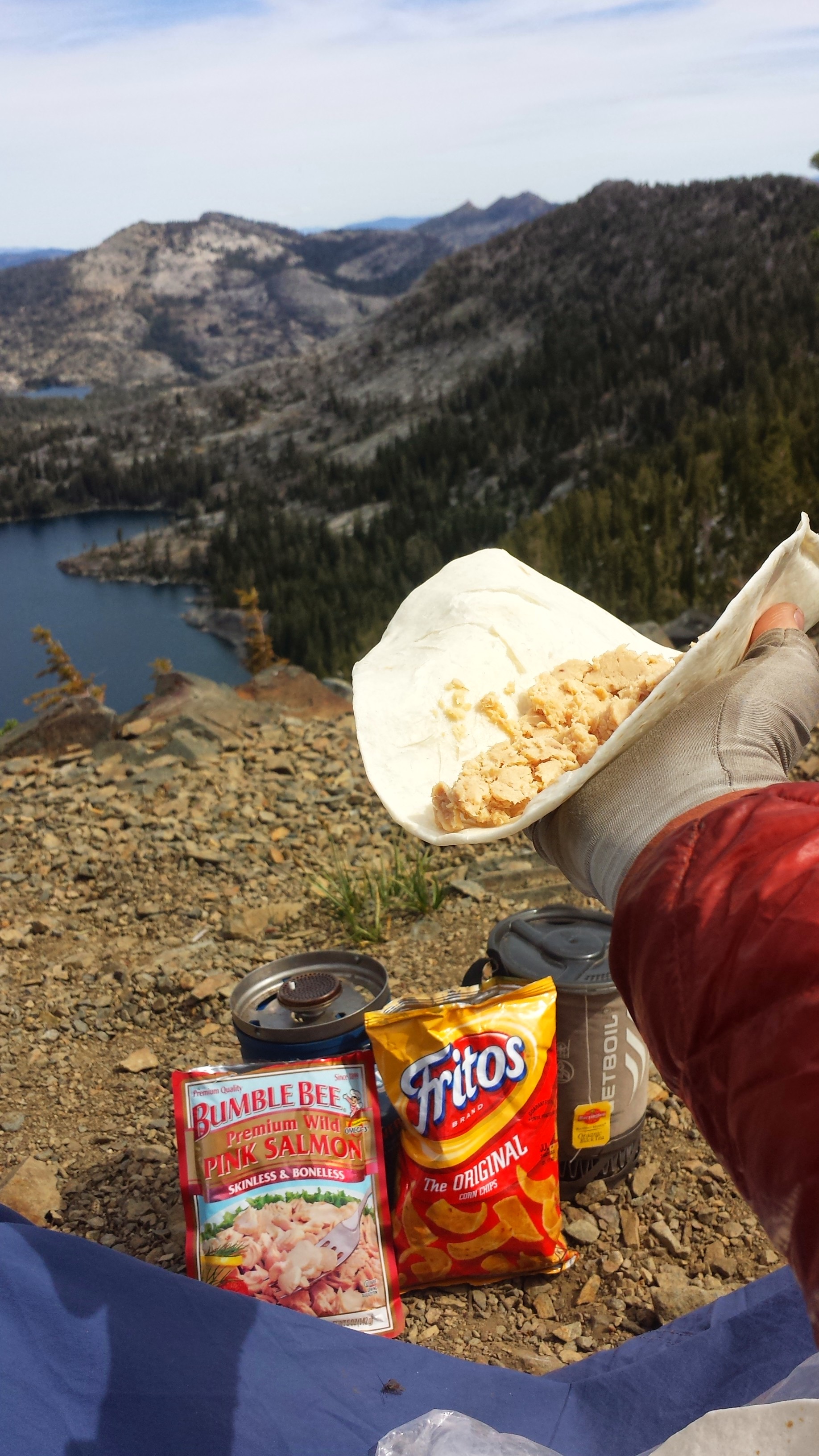
Last breakfast on trail: Fritos & coffee
Since I ran out of fuel making dinner last night, my breakfast consisted of cold coffee and Carnations mixed in my little soda bottle and Fritos crumbs. Ah, I will miss this!

Last bit of trail into Manning Park
The Manning Park Resort is pretty much the only thing around the official end of the PCT. They offer thru-hikers a free shower and drink, preferably hikers take the shower before going into the restaurant for the drink. We were too hungry to care, so we bee-lined it to the restaurant first for lunch.


Hitching to Vancouver
It took us about an hour to hitch a ride, but we were lucky enough that the first car to stop was on his way directly to Vancouver, a two and a half hour ride. Our driver, Andrew, dropped us off in the middle of downtown where we then needed to take a bus to the hostel on the outskirts of Vancouver. We didn’t have any Canadian currency, so I just worked my magic on the bus driver, trying to explain how we just walked into Canada in the middle of nowhere and Manning Park didn’t have any currency exchange- needless to say, he let us ride for free. Vancouver is beautiful; I wish I could spend a couple of days here exploring. Tomorrow I’ll do some errands, hopefully visit the famous Museum of Anthropology, and we’ll have dinner with Kurt, who I hiked with in Oregon. By Wednesday, I’ll be on an airplane home to California and, soon after, back to my life of music and teaching.

View of Vancouver’s skyline from Jericho Beach
It’s been a wild ride ever since I started section hiking back in August of 2013. Like your very first love, the dreaming, planning, and experience of hiking the Pacific Crest Trail will forever hold a special place in my heart. I wish that everyone can have the vision, courage, and energy to fulfill their own dreams, whether they be outdoor adventures, educational or professional goals, or of personal growth. Life is short and, if we choose to see them, opportunities are all around us.

Thank you to everyone who has followed along and supported me. Until the next adventure, HAPPY TRAILS!