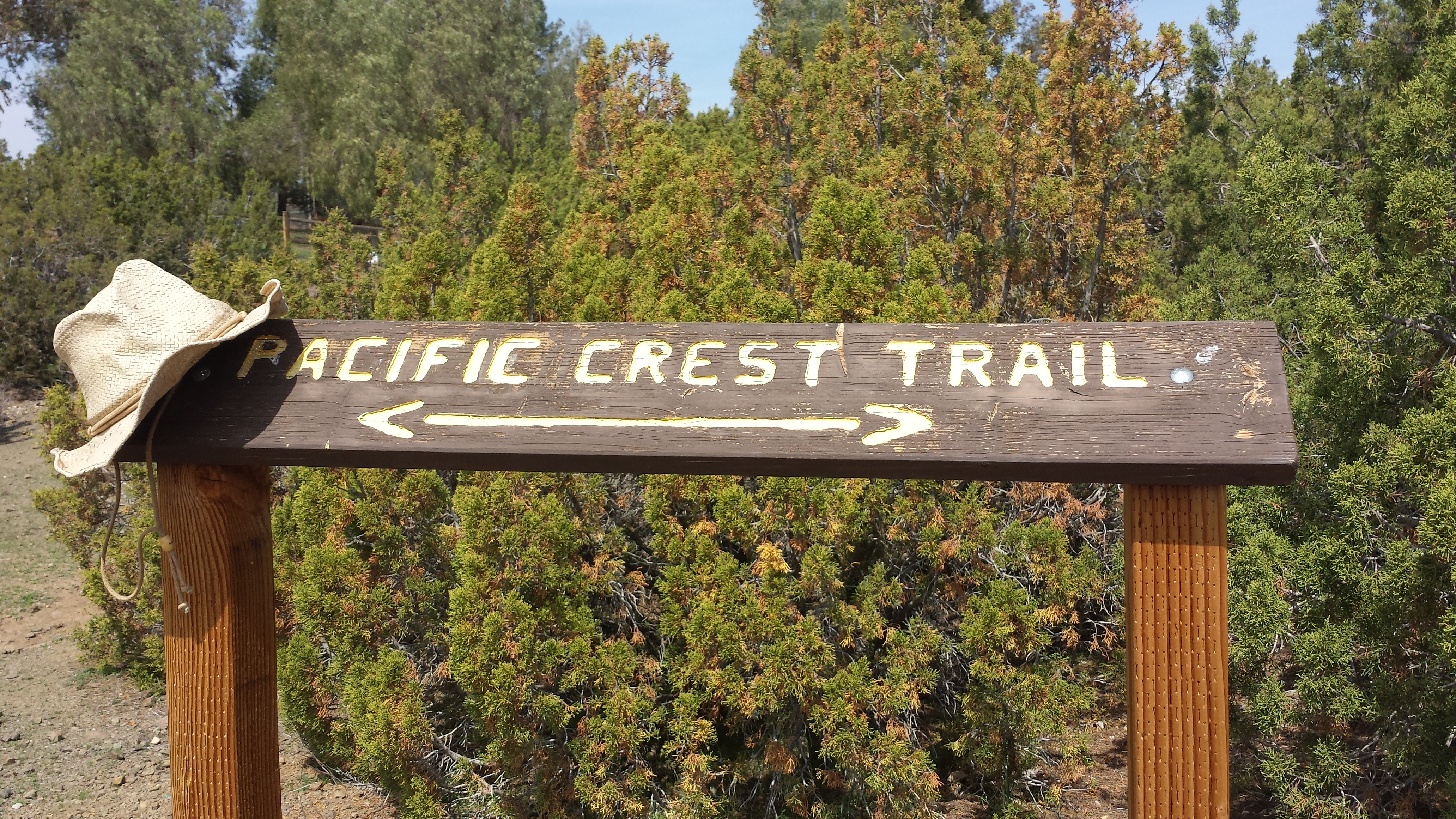
Installment No. 8 of My PCT Journey
loading map - please wait...
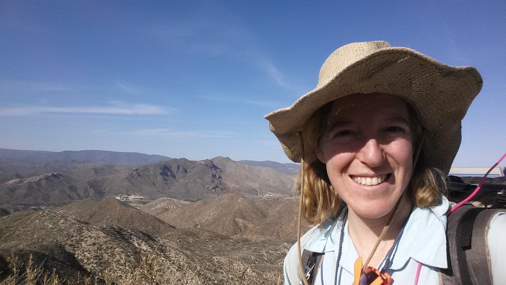
Having been thwarted in my efforts to reach Kennedy Meadows Campground in InyoKern National Forest, I decided to head south to the lower elevations of Angels National Forest.
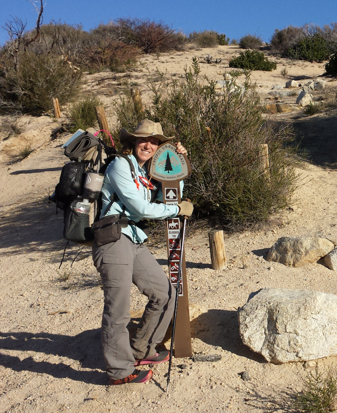
Day 1: 25.5 miles to the Acton Kamp of America (KOA)
Starting out at Angeles Forest Hwy
Climbing north from Angeles Forest Hwy
I had been to this area before when I hiked from Mill Creek Station southbound to Cloudburst Summit (PCT Installment No. 3). Seeing this land again felt so familiar and comforting. I must say, that’s the nice thing about section hiking. When I section hike one area, I usually get to visit it again when I hike the neighboring sections.
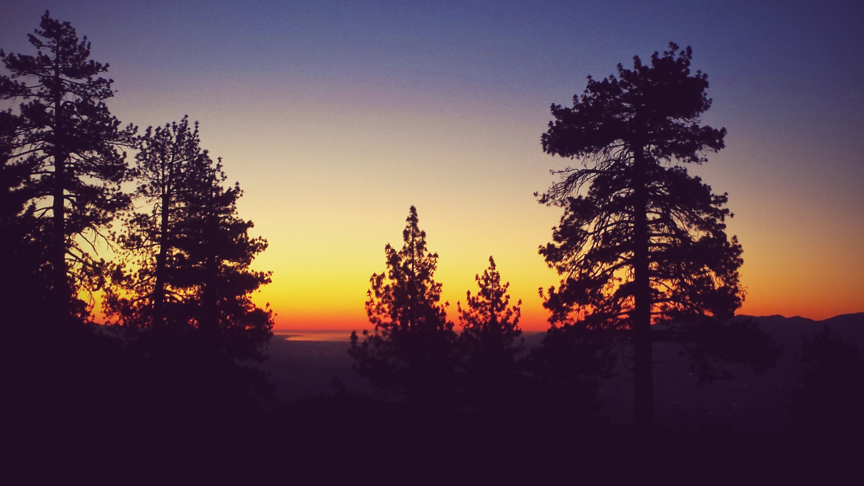
Looking towards Mt. Gleason
Fun Fact: This area, like so many other parts of the California mountains, was a staging ground for a gold rush in the 1880’s.The miners were supposedly looking for the legendary Los Padres Mine or “Fathers’ Mine.” The legend goes that a group of Spanish Franciscans mined and stored silver and gold near Pine Mountain sometime between 1748 and 1848. The mine and all its storage was forced to be abandoned during the political upheavals of the Mexican independence in 1821, the secularization of the Ventura Mission in 1836, and the Mexican-American War in the late 1840’s. The mine has never been found.
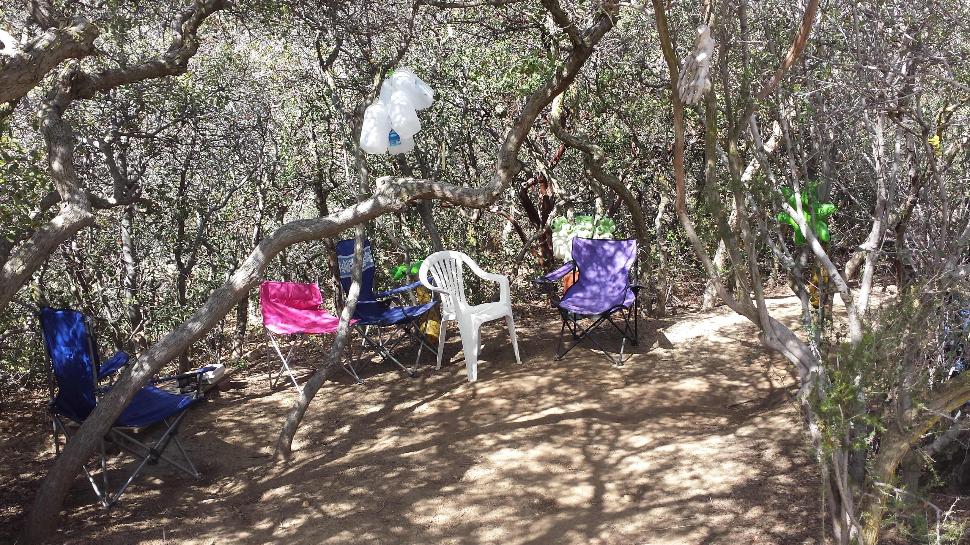
Poodle Dog City
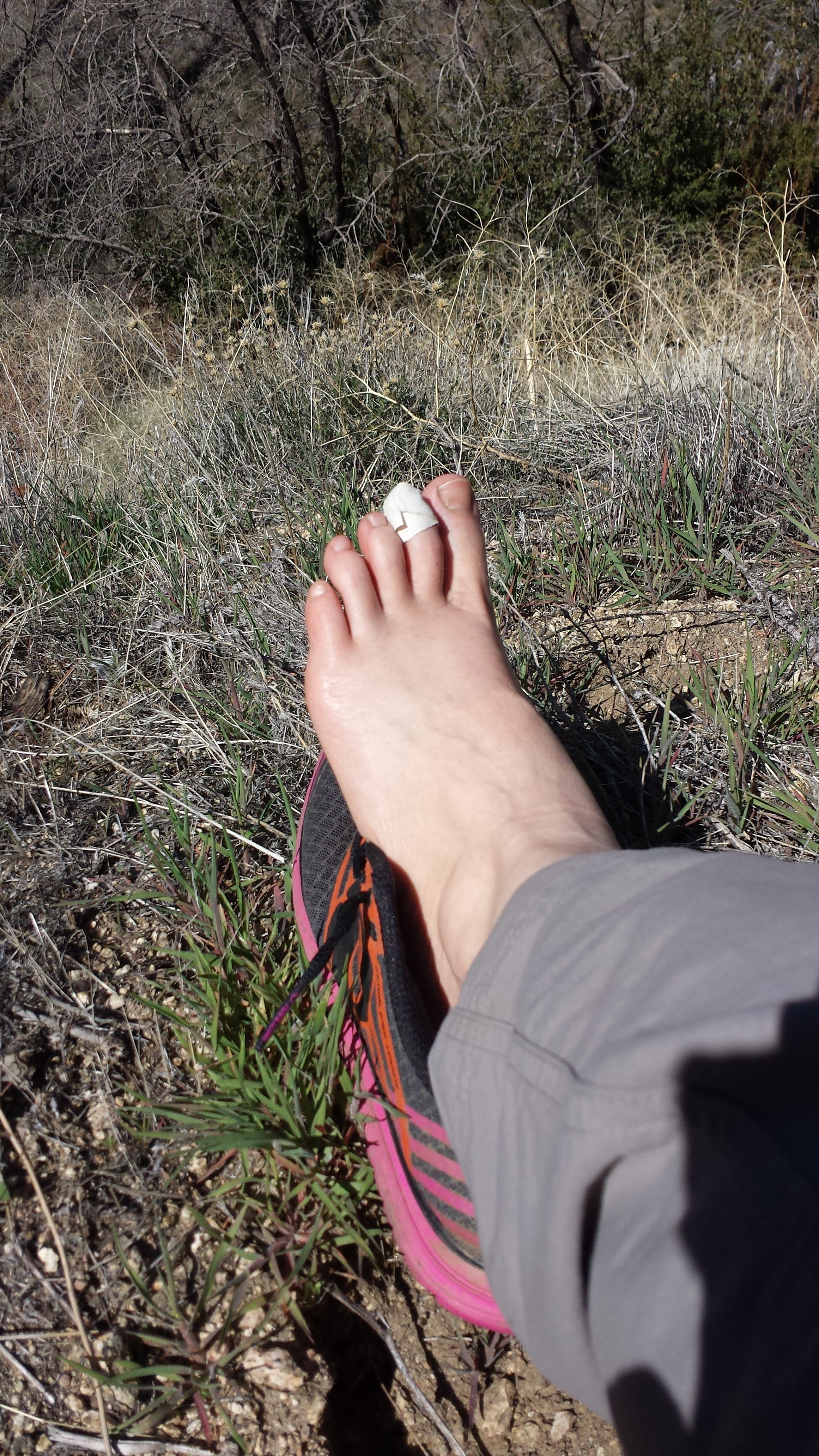
Treating a hotspot
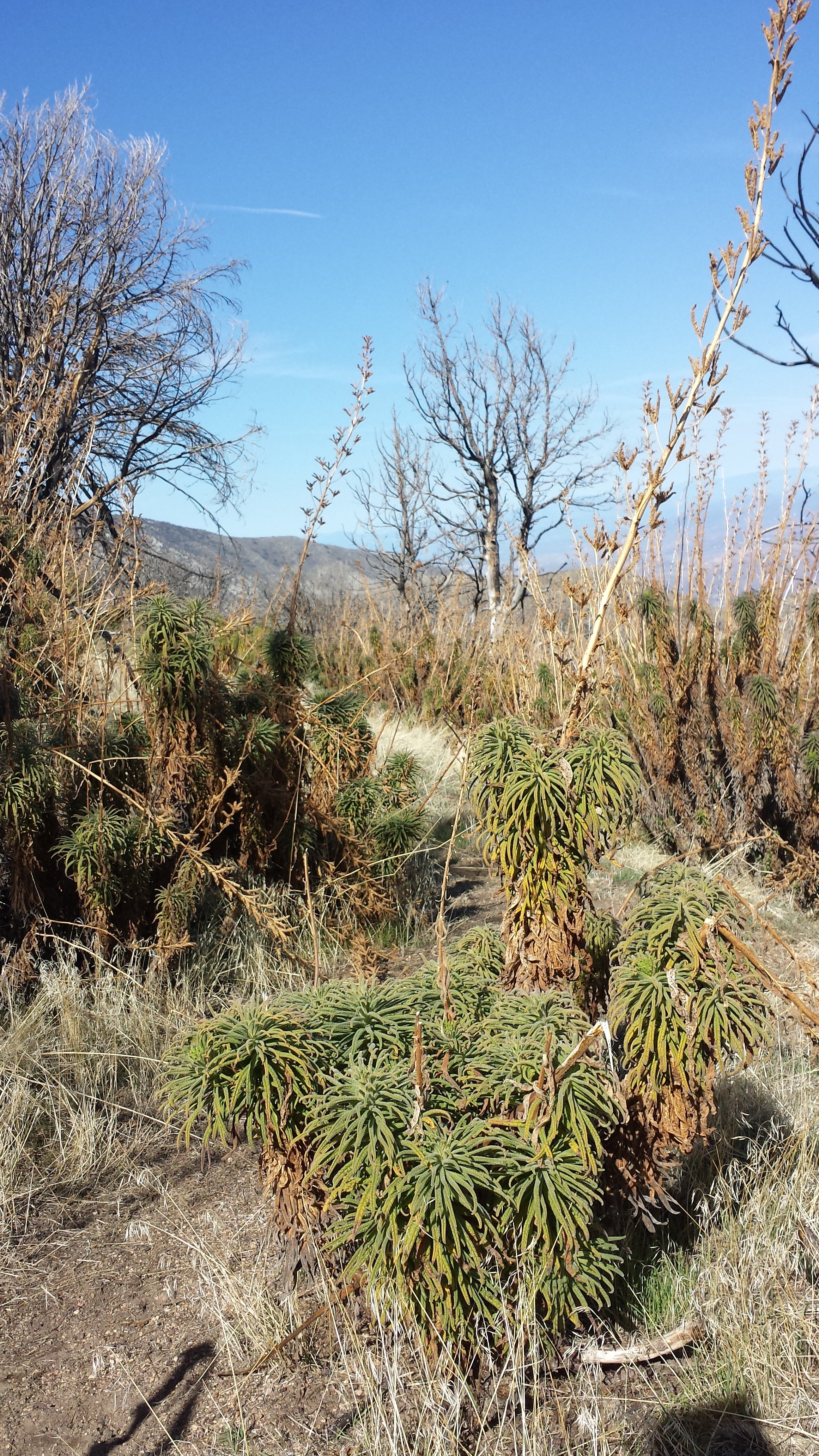
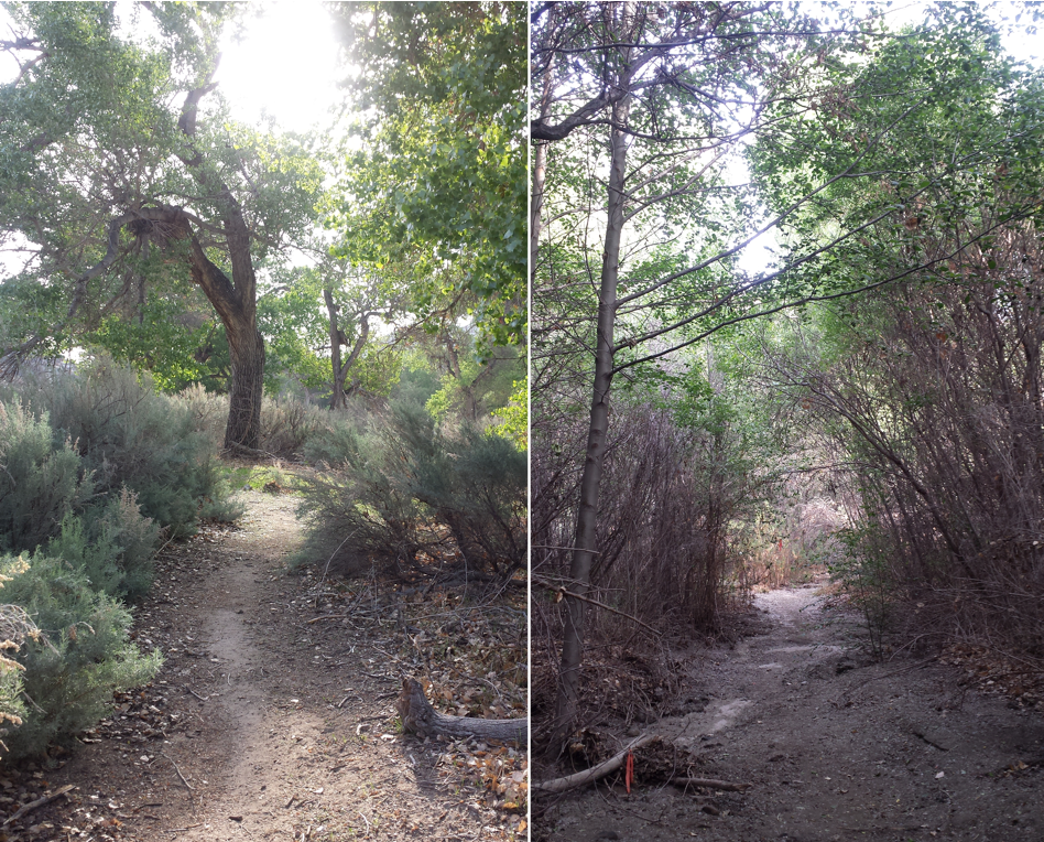
As I hiked, I could see Highway 14 stretching far into the east and, to the north, the recently snow-capped Tehachapi Mountains. I was glad to hiking in warmer and drier weather. Many parts of this section were overgrown with grass and bushes, including the nasty, but sweet-smelling Poodle Dog bush.
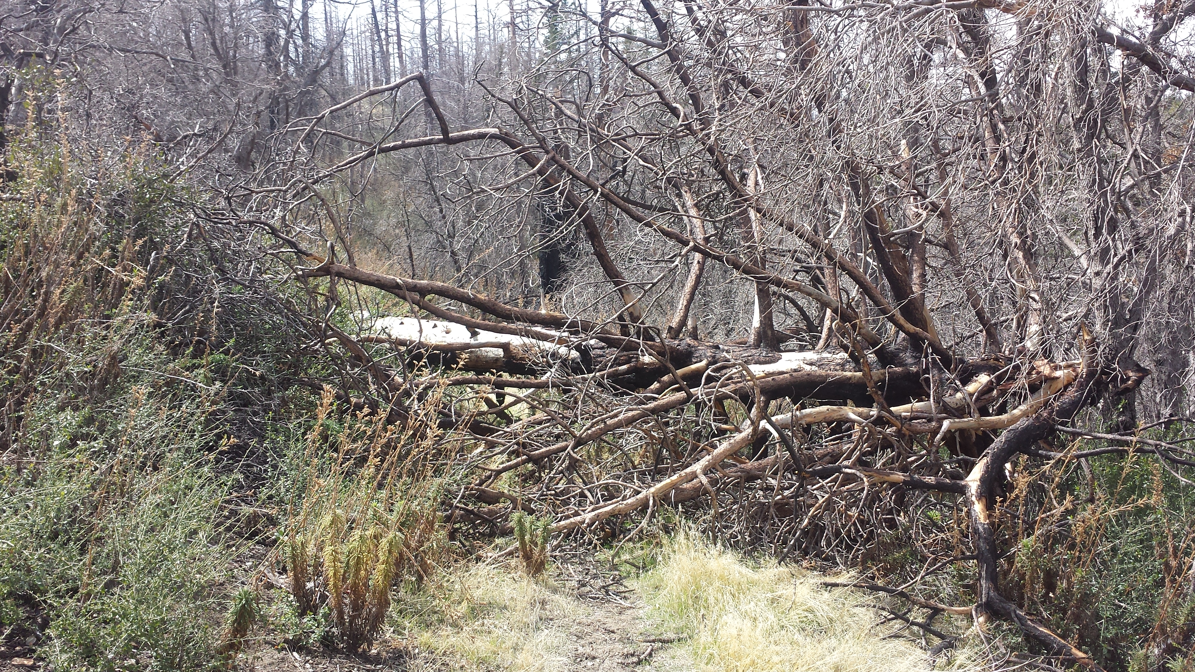
Climbing over downed trees
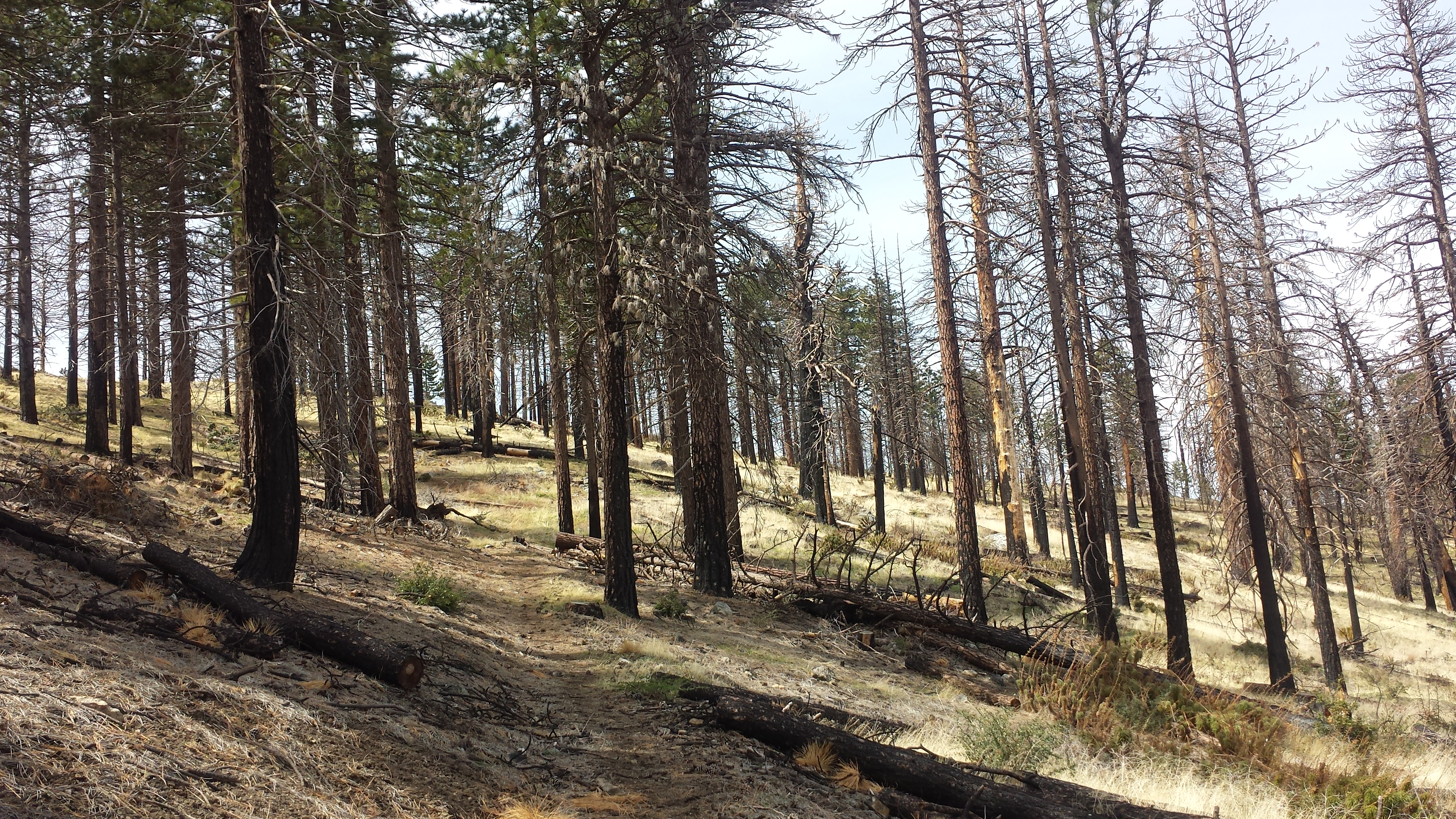
Approaching the top of Mt. Gleason
There is a mountain near Mt. Gleason named for my mother’s great-grandfather, Mendenhall Peak. The Summitpost.org site mistakenly states the peak was named for mom’s grandfather, William Mendenhall, who was a superintendent to the Forest. William actually named the peak and the nearby fire road after HIS father, who was killed by a rock slide in the area when William was a young man. The pass over Mt. Gleason offered sweeping views of the area, but I couldn’t figure out which distance peak was Mendenhall.
I had considered camping at Messenger Flats just below Mt. Gleason, or perhaps farther at the North Fork Ranger Station for the night. Messenger Flats did look like a really nice place, with healthy pines, tables, and bathrooms. The lure of showers, however, pushed me towards Acton’s Kamp of America (KOA), and so I flew right on past the Flats.
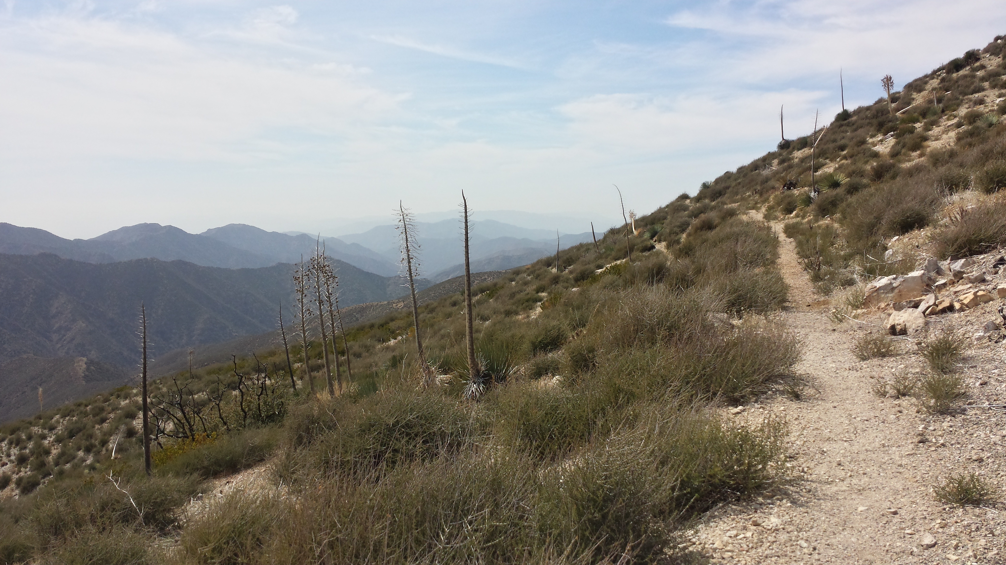
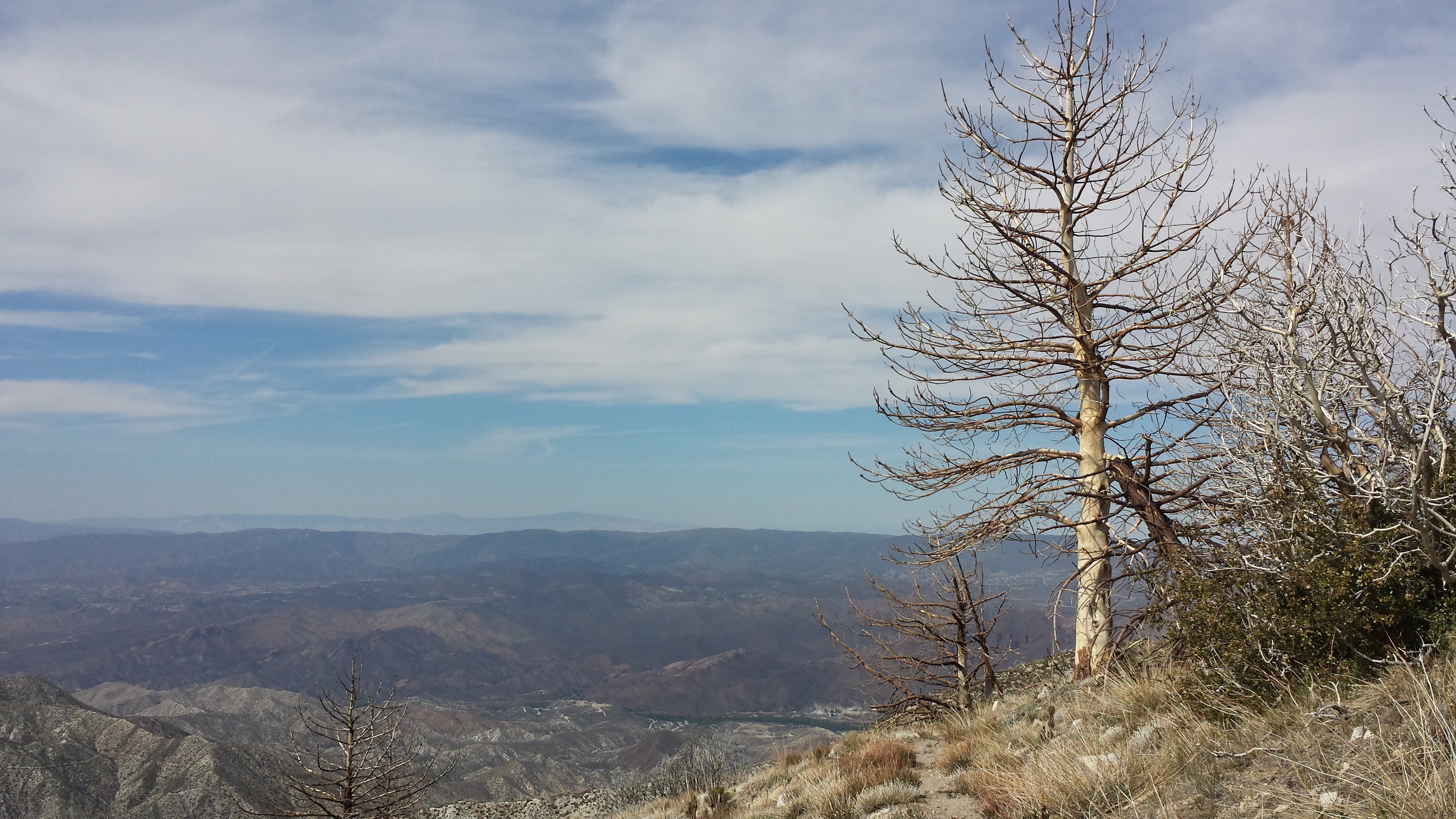
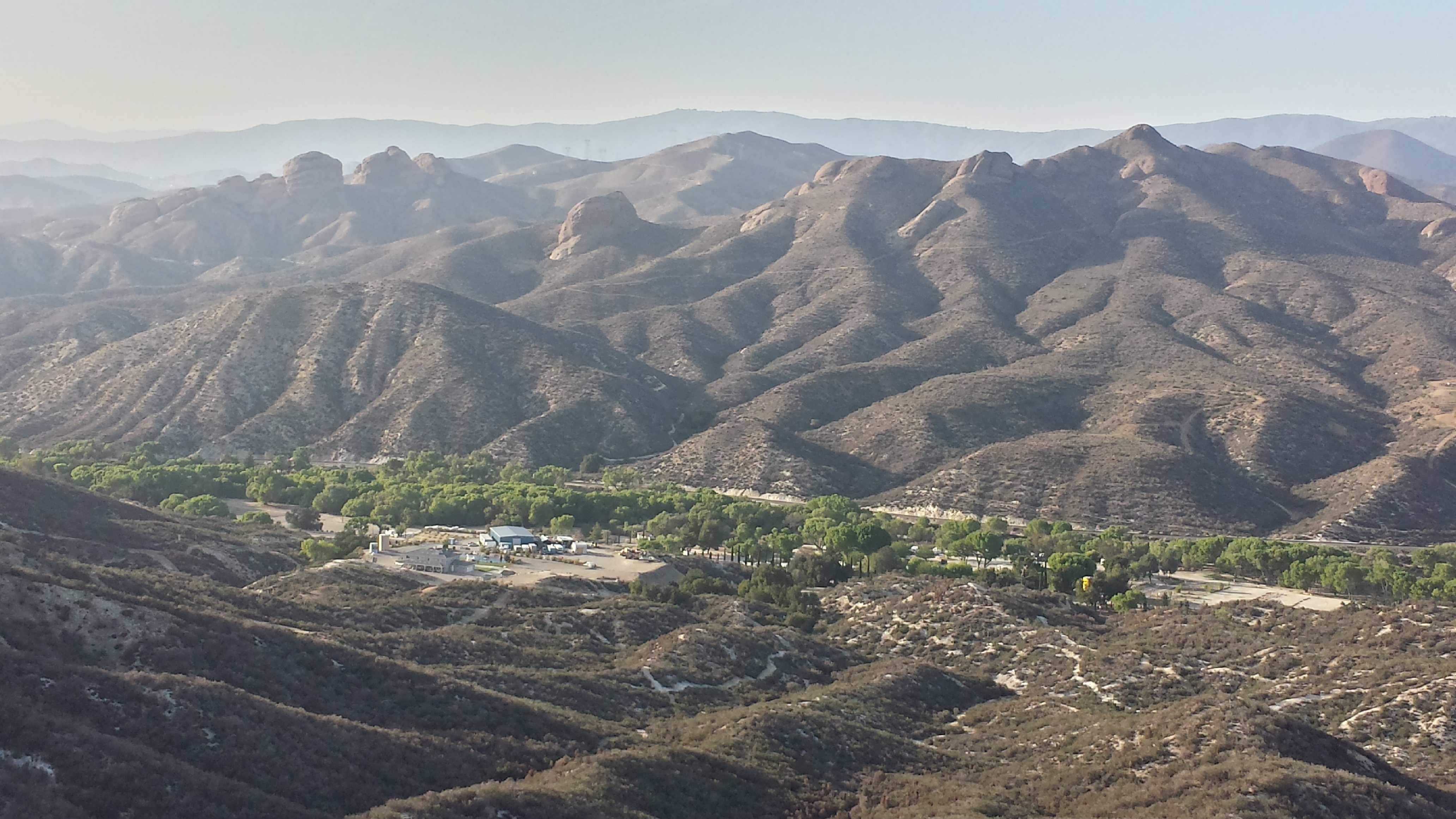
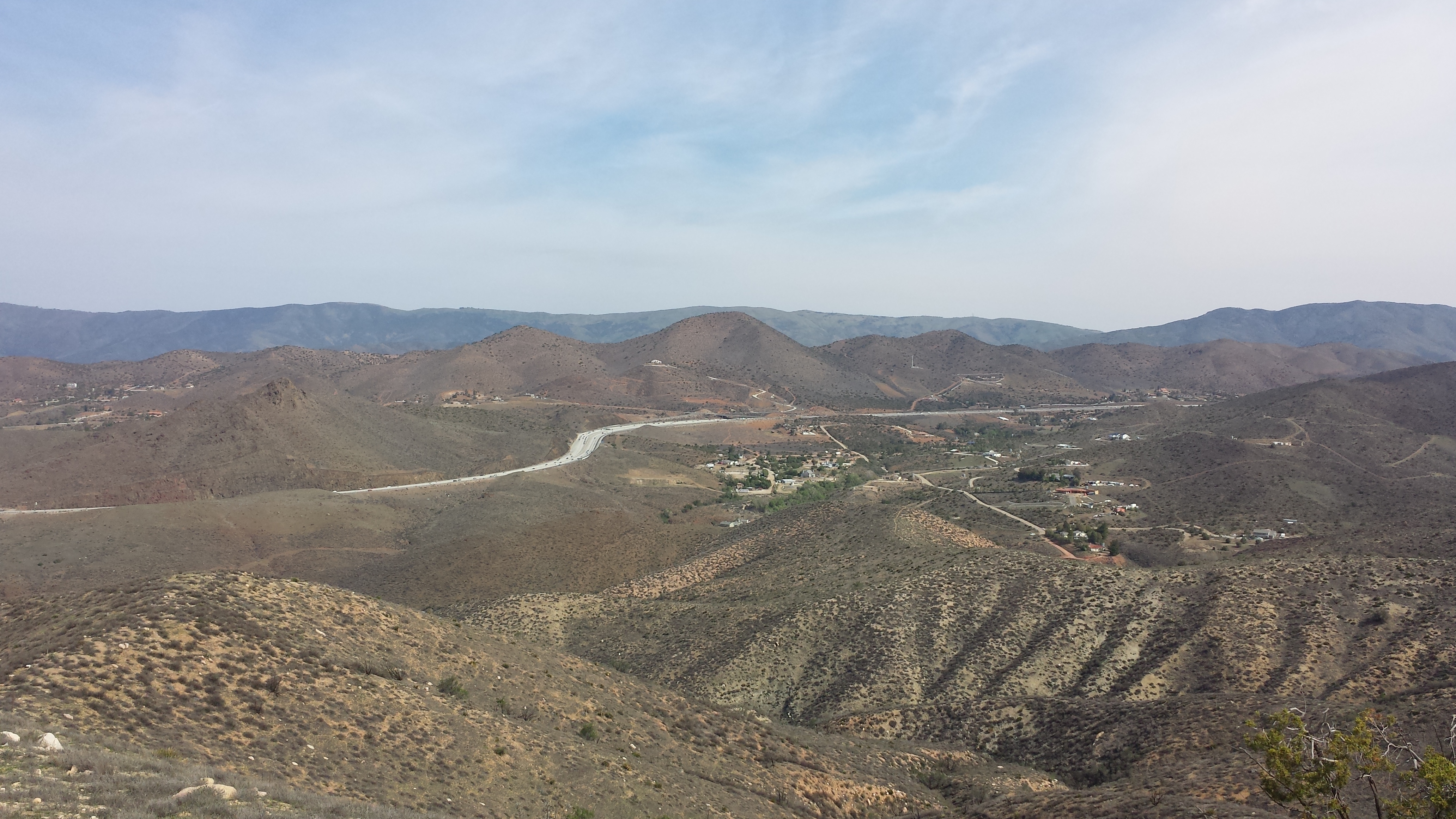
The vistas spread before me on the north side of Mt. Gleason were incredible. The desert land looked so barren, but the mountains, hills, and valleys created a dynamic texture against the blue sky. Around 17 miles into the day, I reached the North Fork Ranger Station. It provided tables, bathrooms and a map of the entire Angeles National Forest. It was fun and so rewarding to look at the map and see how much of that land I’d already walked through.
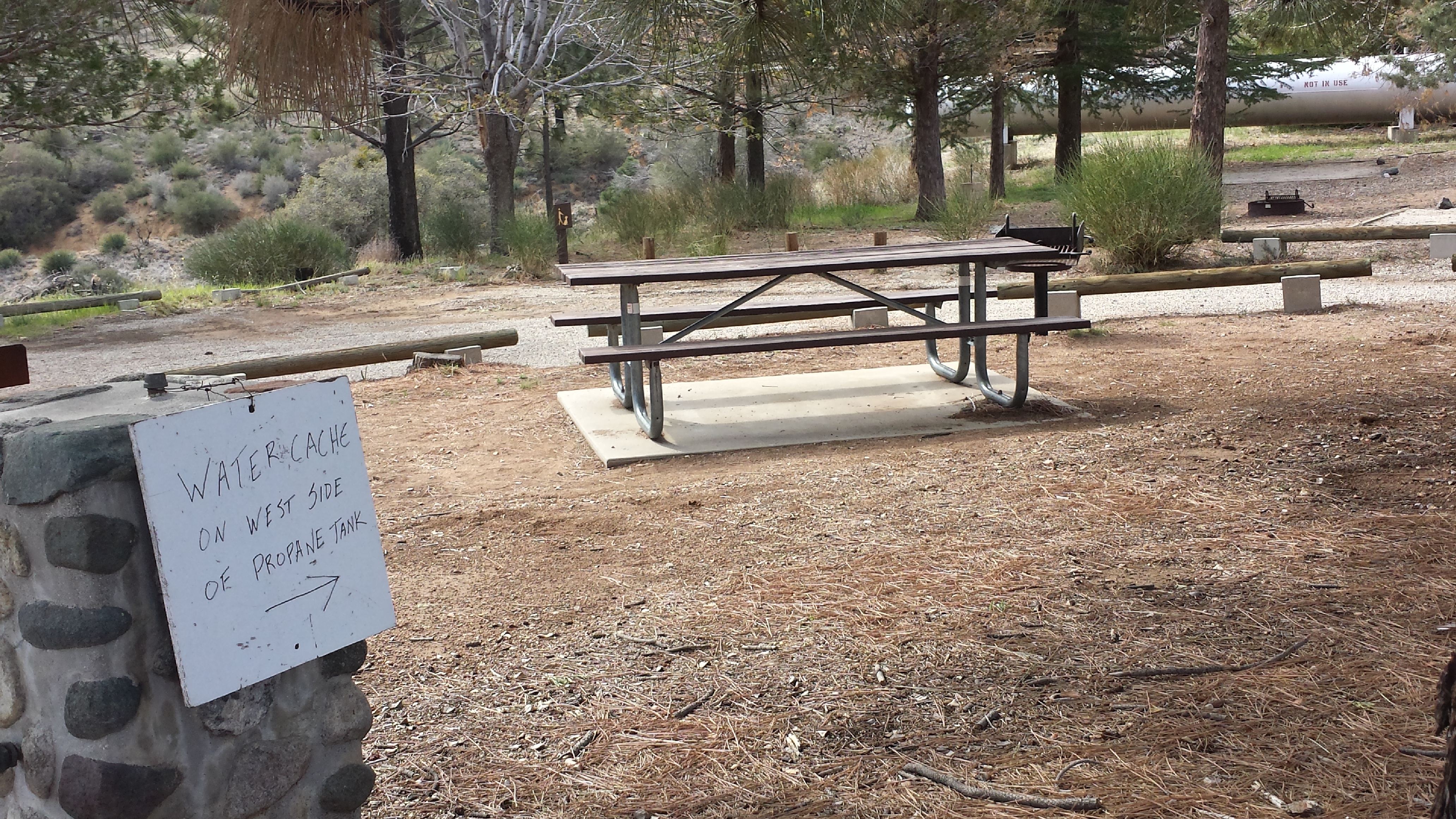
Water cache provided by the ranger at the North Fork Station
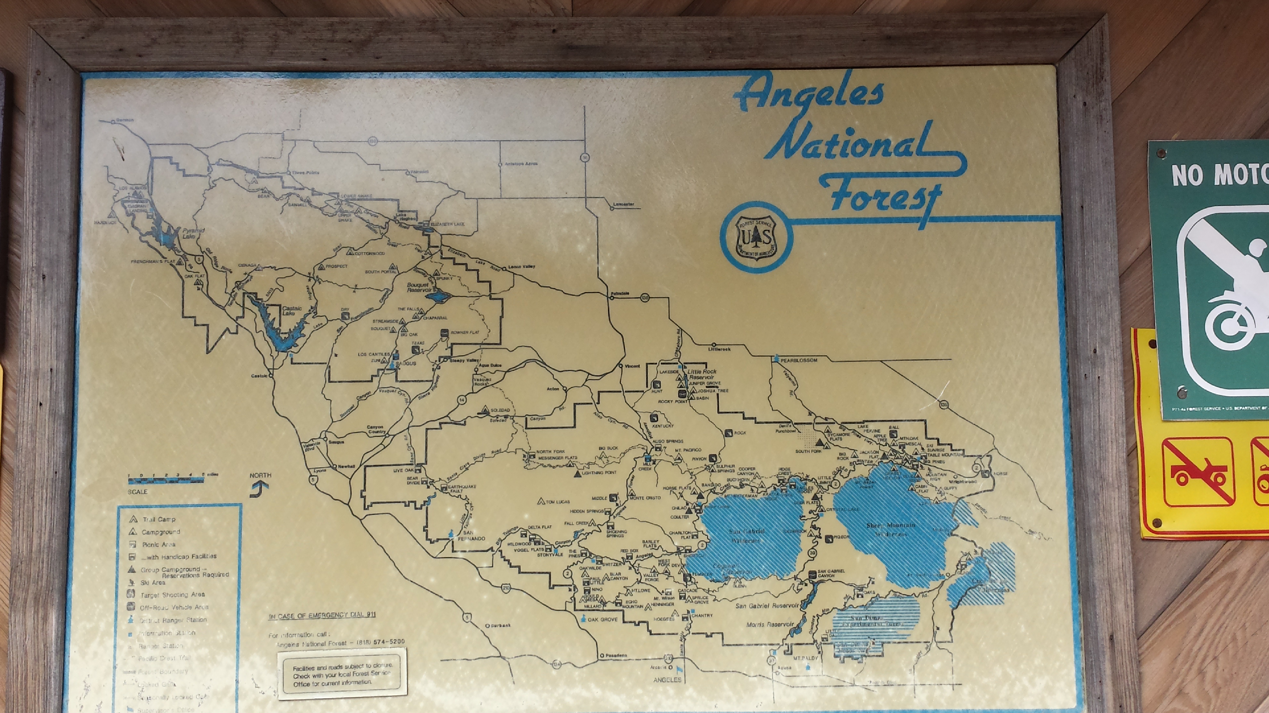
Map at the North Fork Ranger Station
It was a long downhill hike towards Soledad Canyon. My feet, hips, and shoulders were aching from the mileage I was pushing for, but the views and wildflowers made up for the aches and pains. Since I had cell phone reception, I got to talk to my brother for about 30 minutes during the remaining downhill miles. Talking to him while in the middle of nowhere lifted my spirits!
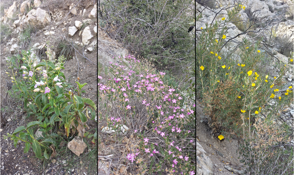
Section D wildflowers
Reaching the Kamp of America felt like a milestone. I was excited to set up camp on luxuriously flat grass and bathe in the hot KOA showers. The office was already closed when I arrived, but I found a couple of PCT section hikers who’d already set-up their tent and I just camped near them. Just by coincidence, they were hiking the exact same section as me, from Mill Creek Station to Hiker Town.
Soledad Canyon, home of the Santa Clara River and the Acton KOA
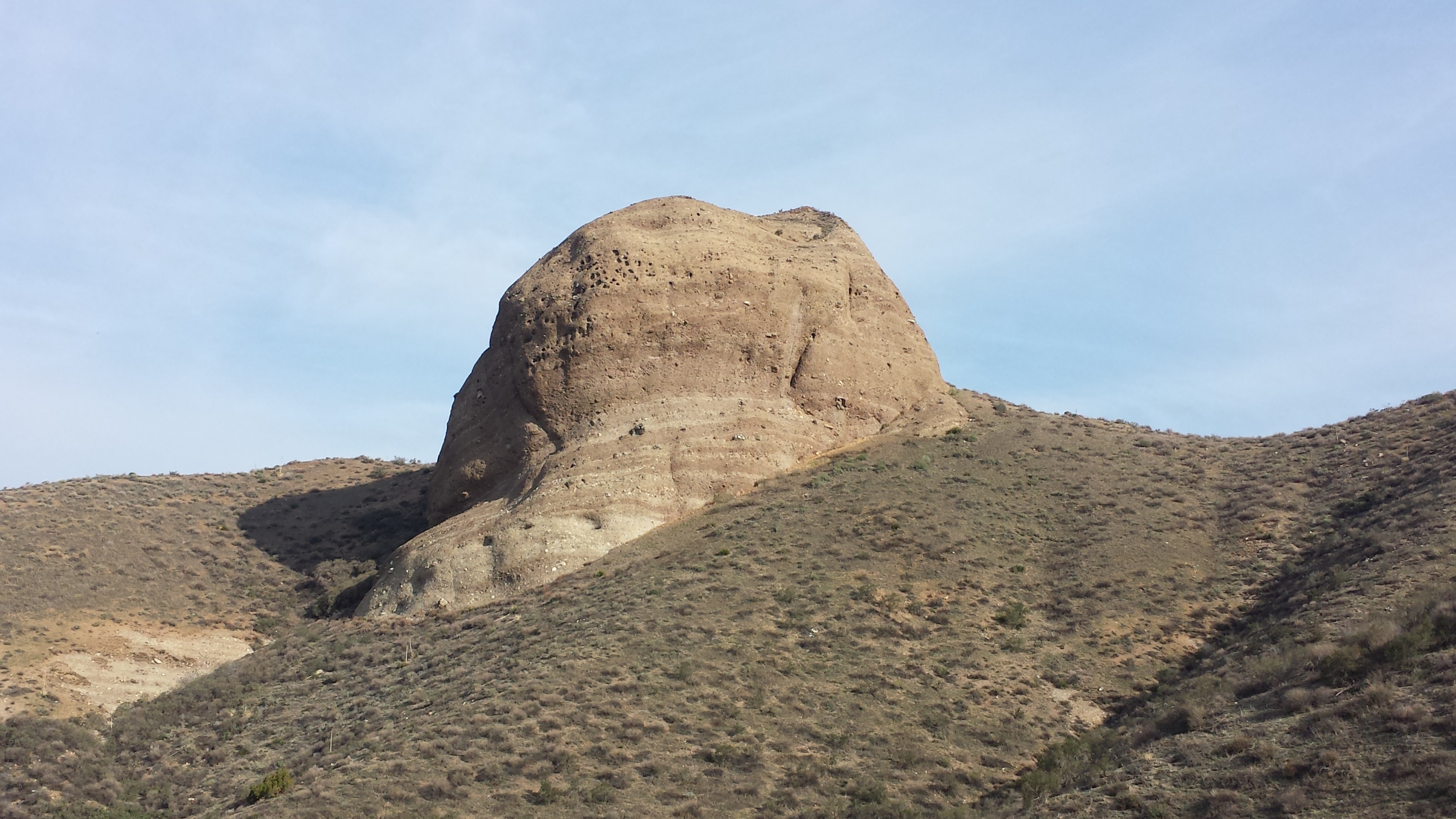
23 million year-old rock formations of Soledad Canyon
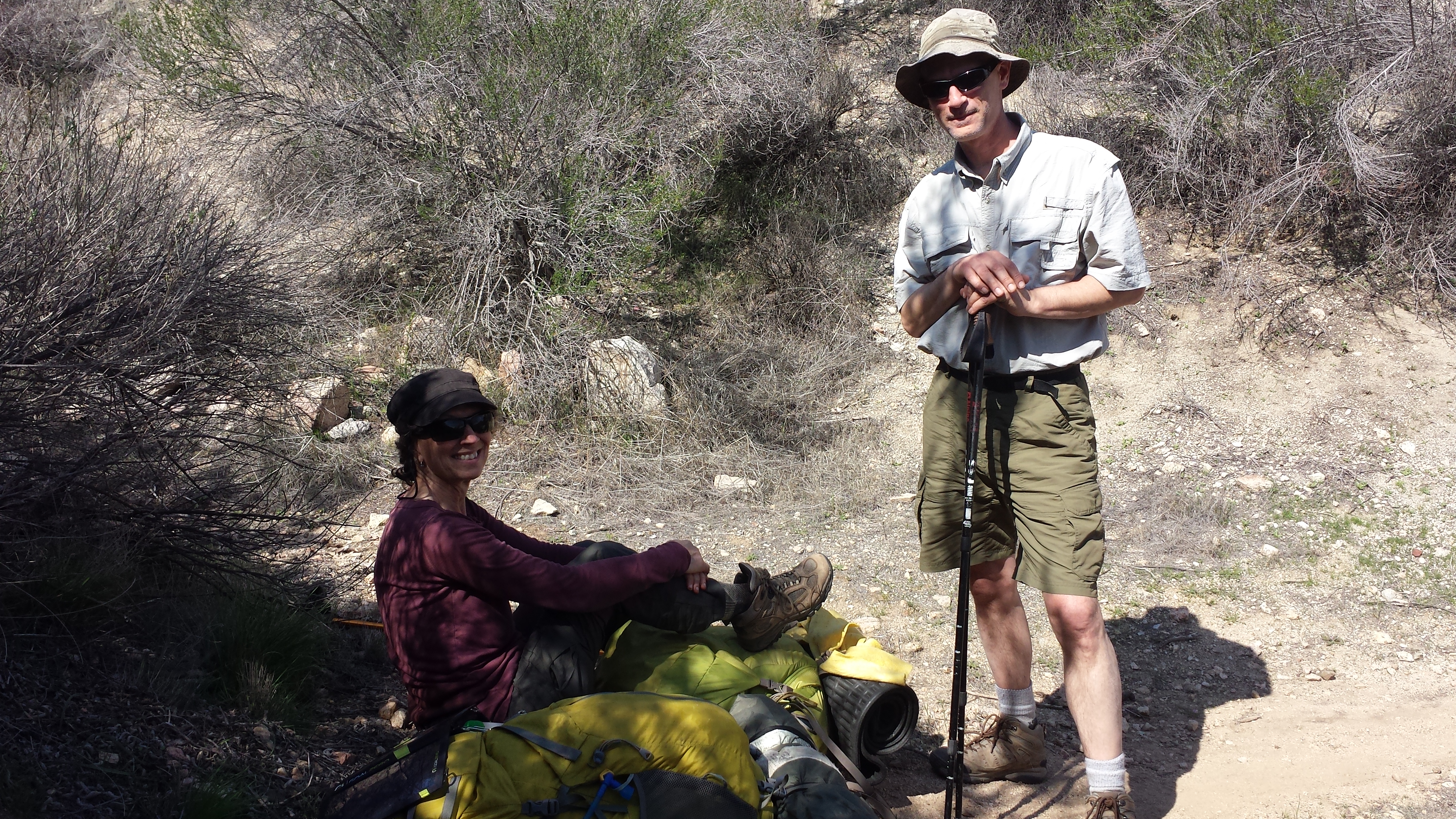
Their names were Lynn and Patty, or 3-Guy and Glow in the Dark, respectively. It turns out I had actually read about Patty in Muk Muk’s post about crossing the Mojave Desert. In 2013, another hiker named UB- oddly enough, the same UB who had been three days north of me from Hiker Town to Tehachapi- had arranged for a Glow in the Dark night hike to honor Patty’s fight against cancer. She earned her trail name just after she began radiation treatment and joked about being so radiated that she could probably glow in the dark!
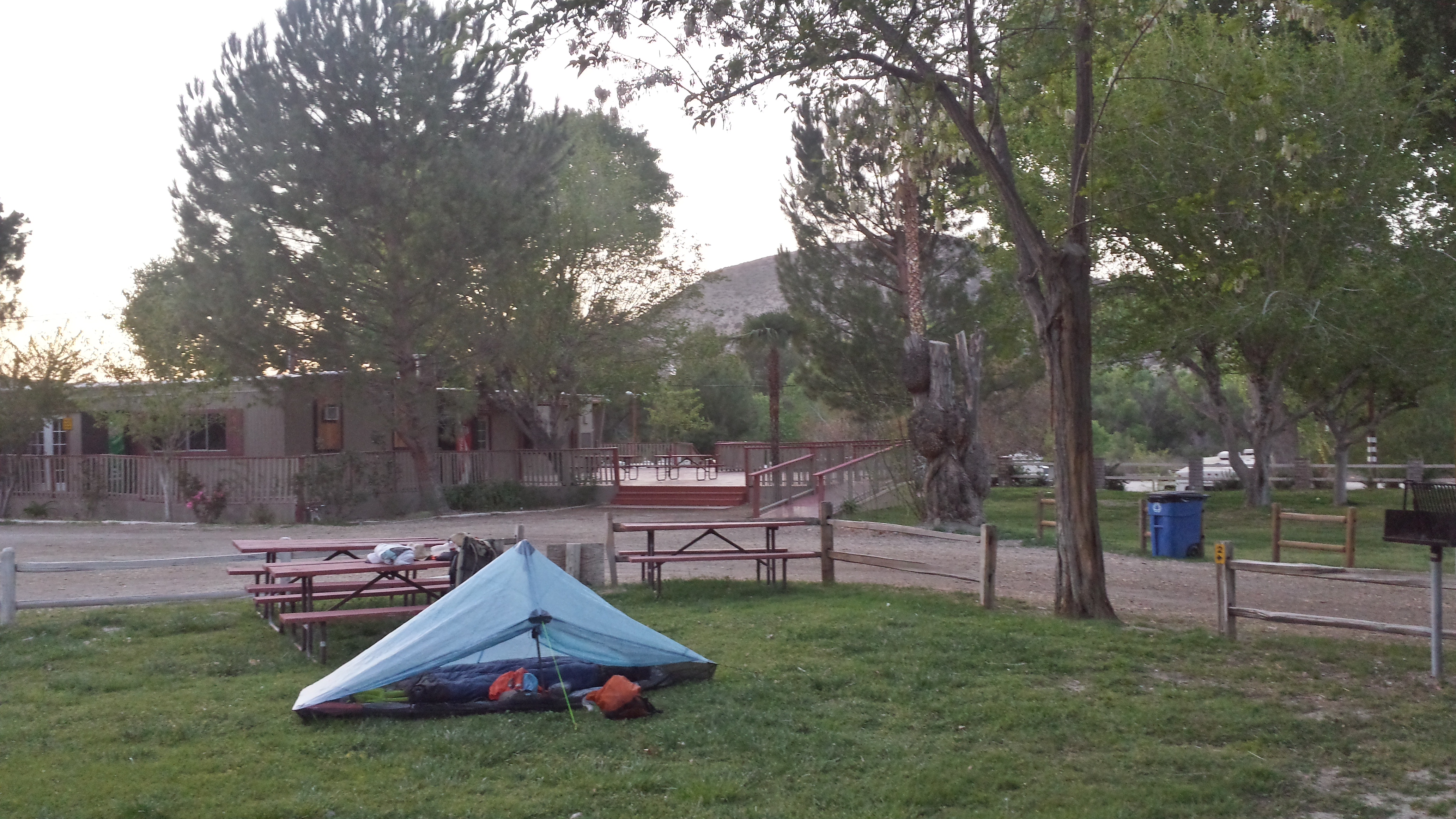
At the Acton Kamp of America (KOA)
Patty and Lynn regularly blog about their fun and informative PCT section hiking and on hiking with cancer. You can check it out at the McShapPCTJournal website.
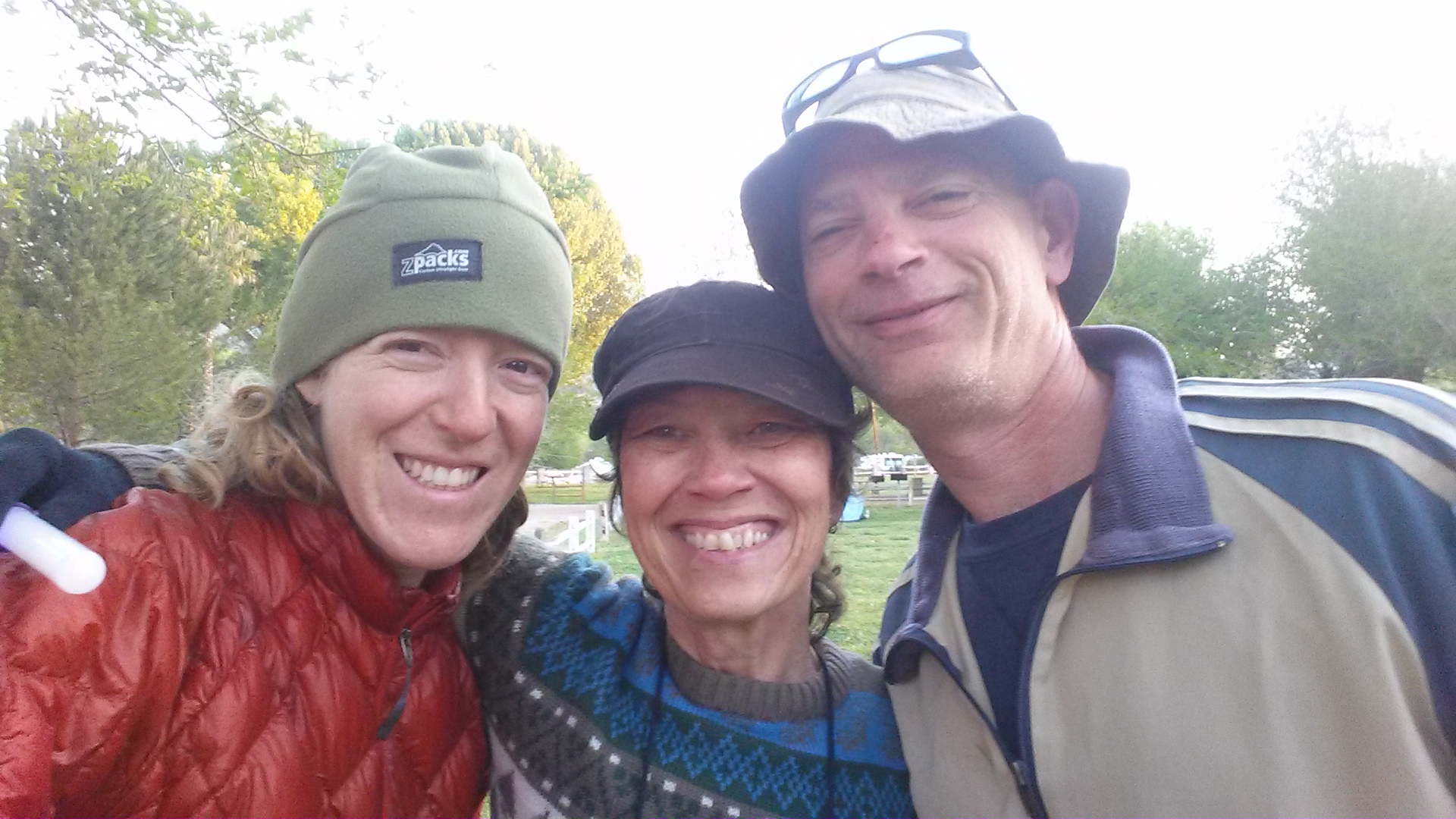
(R-L) 3-Guy, Glow in the Dark, and me
After I hastily threw up my tent and showered (using hand soap from the sink and paper towels to dry off), I joined Lynn and Patty for dinner. I cooked a home-assembled miso noodle soup for dinner and Patty made smores for dessert. We chatted for most of the night about everything from trail life to real life. It was delightful meeting such fun, intelligent, and like-minded people!
I fell asleep that night to the sound of a nearby boy scout troop, KOA golf carts, and the roars of African lions from the local wildlife preserve.
Day 2: 18.3 miles
Since I’d hiked so many miles the day before, I allowed myself to take time in the morning. Patty and Lynn packed up early, hoping to put in a fair amount of miles. The very last bit of Section D takes the trail through the Santa Clara Riverbed and past some interesting rock formations. Somewhere in this area, the Golden Spike ceremony took place in 1993 to commemorate the completion of building the entire Pacific Crest Trail.
The Santa Clara Riverbed
I see faces. #CarrieWatson
The trail was dry and winding all the way to Highway 14. After about seven miles, I finally caught up to Glow in the Dark and 3-Guy. I’ve got to say, it’s been really fun having other hikers on the trail with me. As a section hiker, I don’t often run into many PCT hikers, let alone repeatedly!
View of Hwy 14 near Agua Dulce
Glow in the Dark and 3-Guy along the PCT
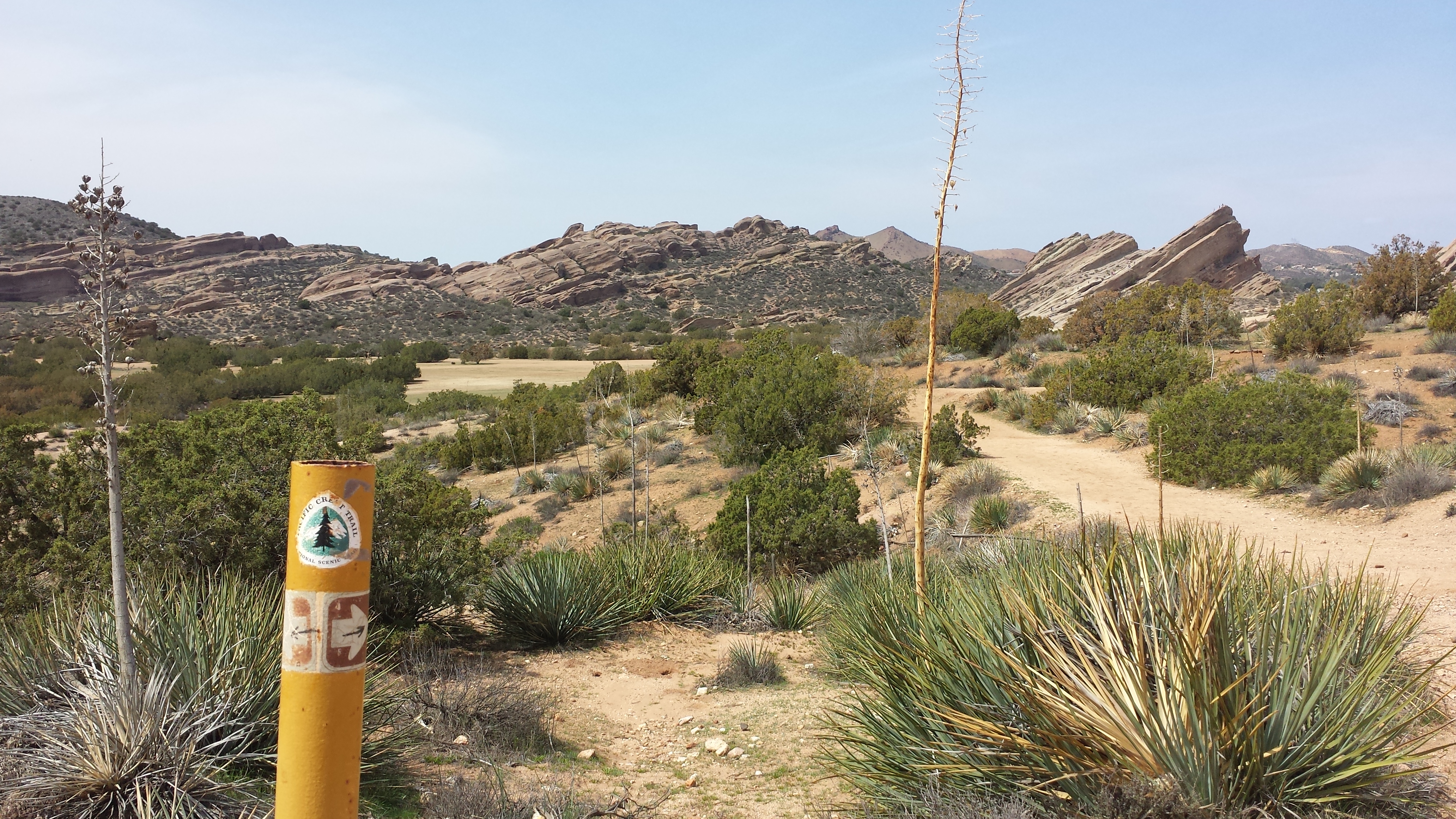
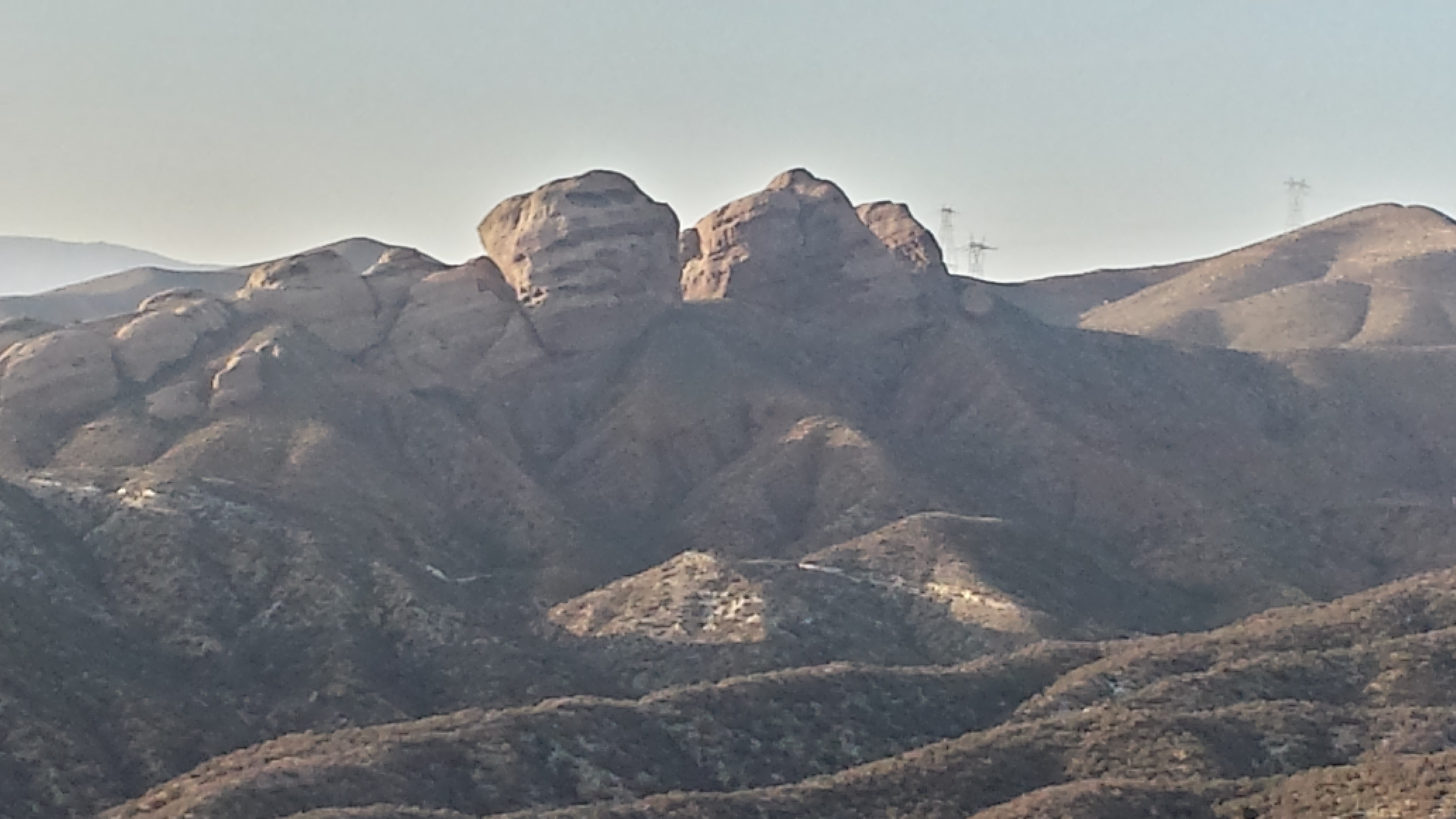
Vasquez Rocks County Park was really stunning. Day hikers abounded, but it didn’t take away from the striking beauty of the massive 25 million year-old rock formations the trail winds through. The park is named for Tiburcio Vasquez, a bandit who hid out in the rocks from 1873-74.
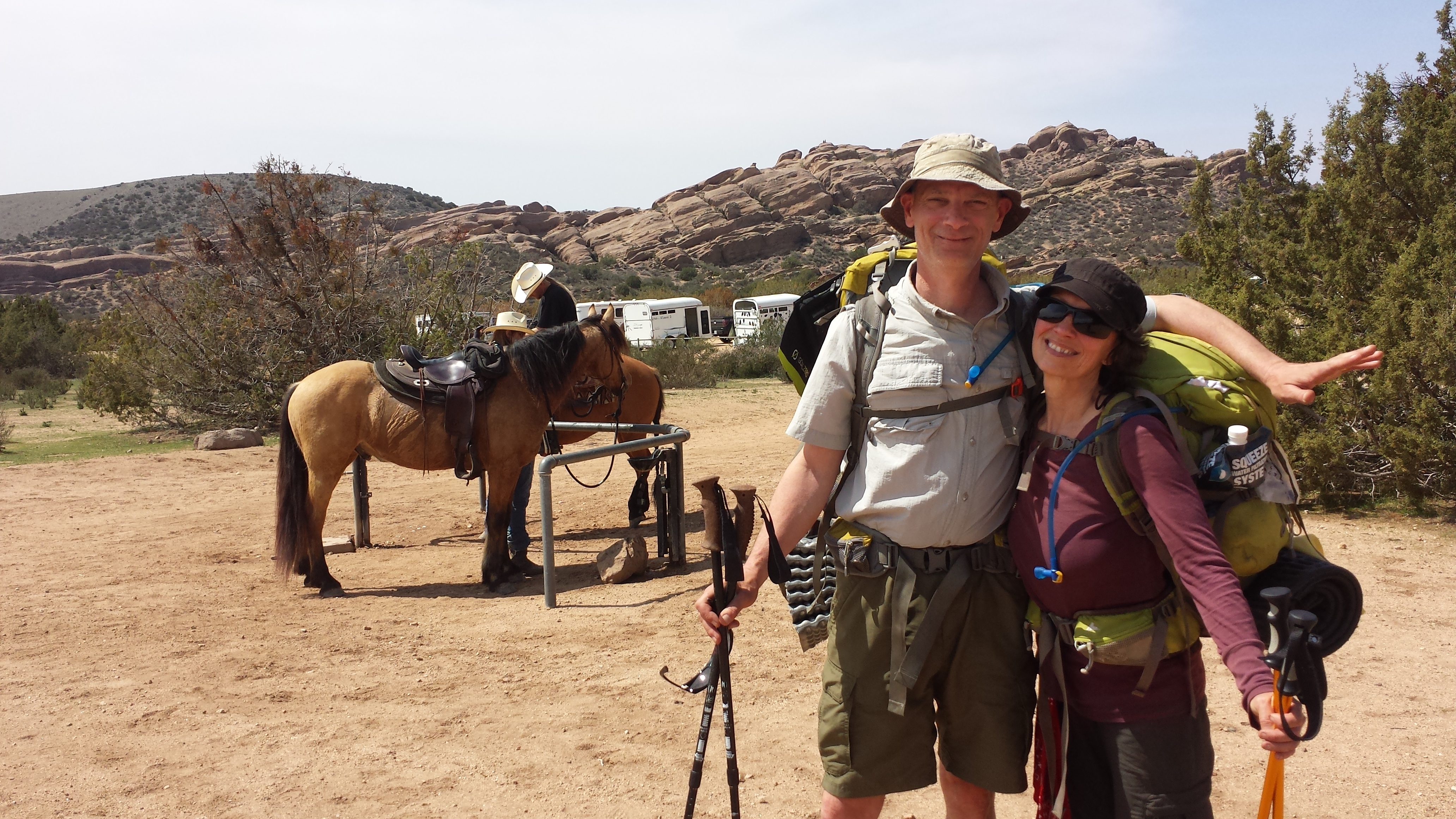
3-Guy and Glow in the Dark at Vasquez Rocks
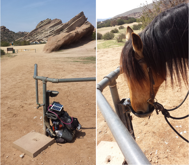
I refilled my water bottles at the drinking fountain- which, by the way, is shared with the horses. They have a separate little spigot with a nose pedal. When the horses press the pedal with their noses, the water pours out for them. Indeed, they appeared to be enjoying playing with the pedals!
Water fountain at Vasquez Rocks
Just past Vasquez Rocks County Park, Agua Dulce provided the comforts of Sweetwater Cafe. I ordered a giant salad, sandwich, and iced tea, which were all delicious. The waitress was surprised to see any PCT hikers coming through in March because the thru-hiker herd usually passes through Agua Dulce in late April. I hung around for about an hour hoping Lynn and Patty might catch-up, but they seemed to have taken their time back at the Park.
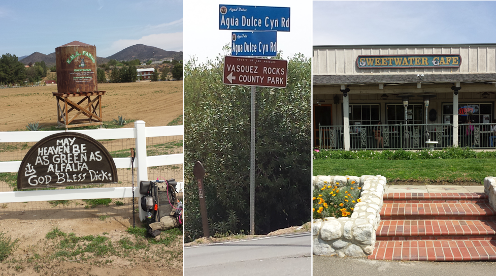
Agua Dulce, Ca
Officially entering Section E of the PCT brought me to Mint Canyon and a very long climb out of it. I was aiming for a campsite just at the top of the ridge, which would put me near Bear Spring. The hillsides in this stretch were as green as Ireland and covered with wildflowers.
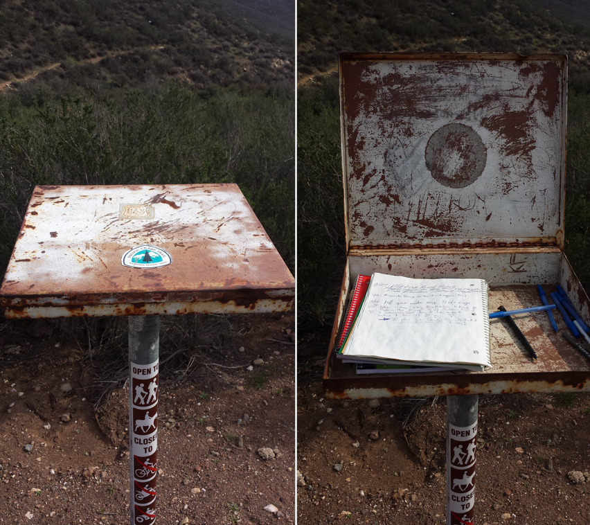
Trail Registry in Mint Canyon near mile 458.5
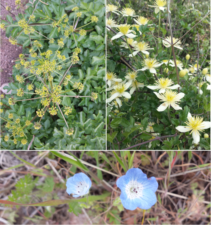
Section E Wildflowers
The wind began to kick up just as I pulled out my tent. Looking up questioningly at the sky, I wondered if the storm I had escaped near Tehachapi would be back with a vengence tonight. I secured my tent in what seemed to be the most protected spot on the ridge and placed big rocks on the tent stakes.
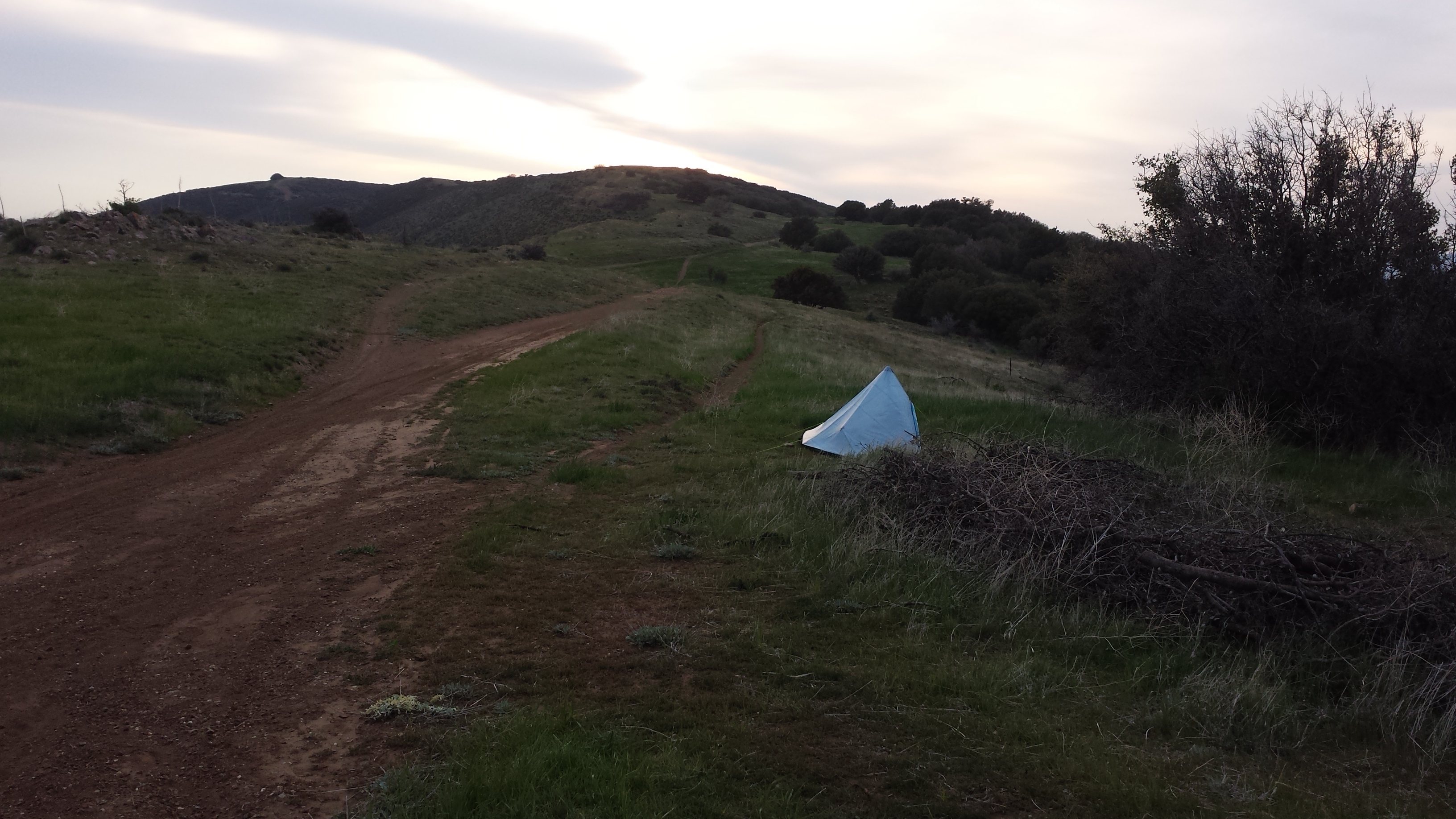
Campsite just above Bear Spring
It rained on and off throughout the night, but it was merely a spattering in comparison to what I will now refer to as the Piute Mountains Incident. I curled up with my hot water bottle and enjoyed a dinner of Mountain House’s Beef Chilli Mac before falling asleep.
Day 3: 22 miles to Lake Hughes
I awoke to one of the most beautiful mornings. The rain clouds from the night before, now empty of their moisture, hung lightly in the canyons of Soledad and Agua Dulce.
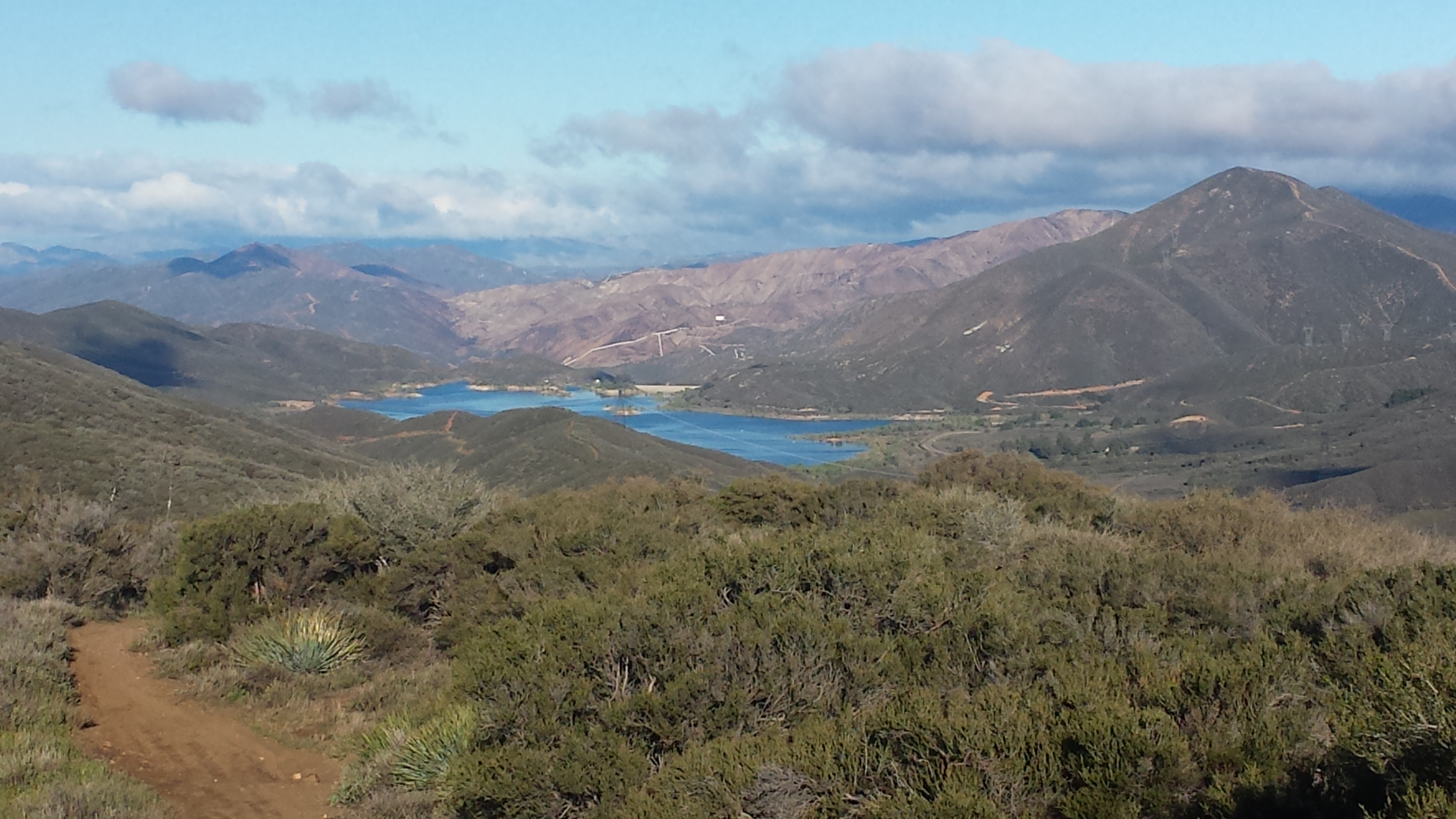
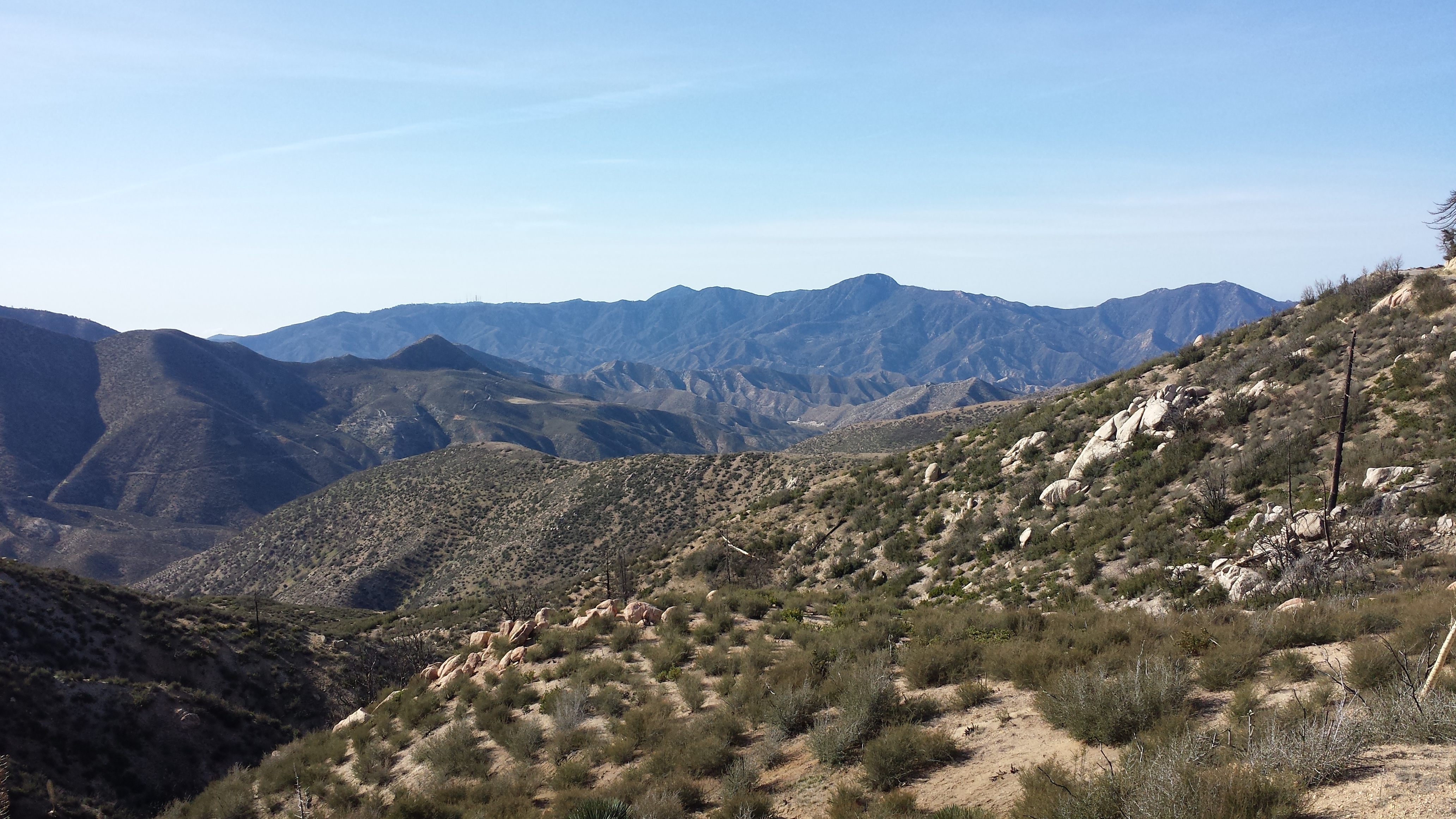
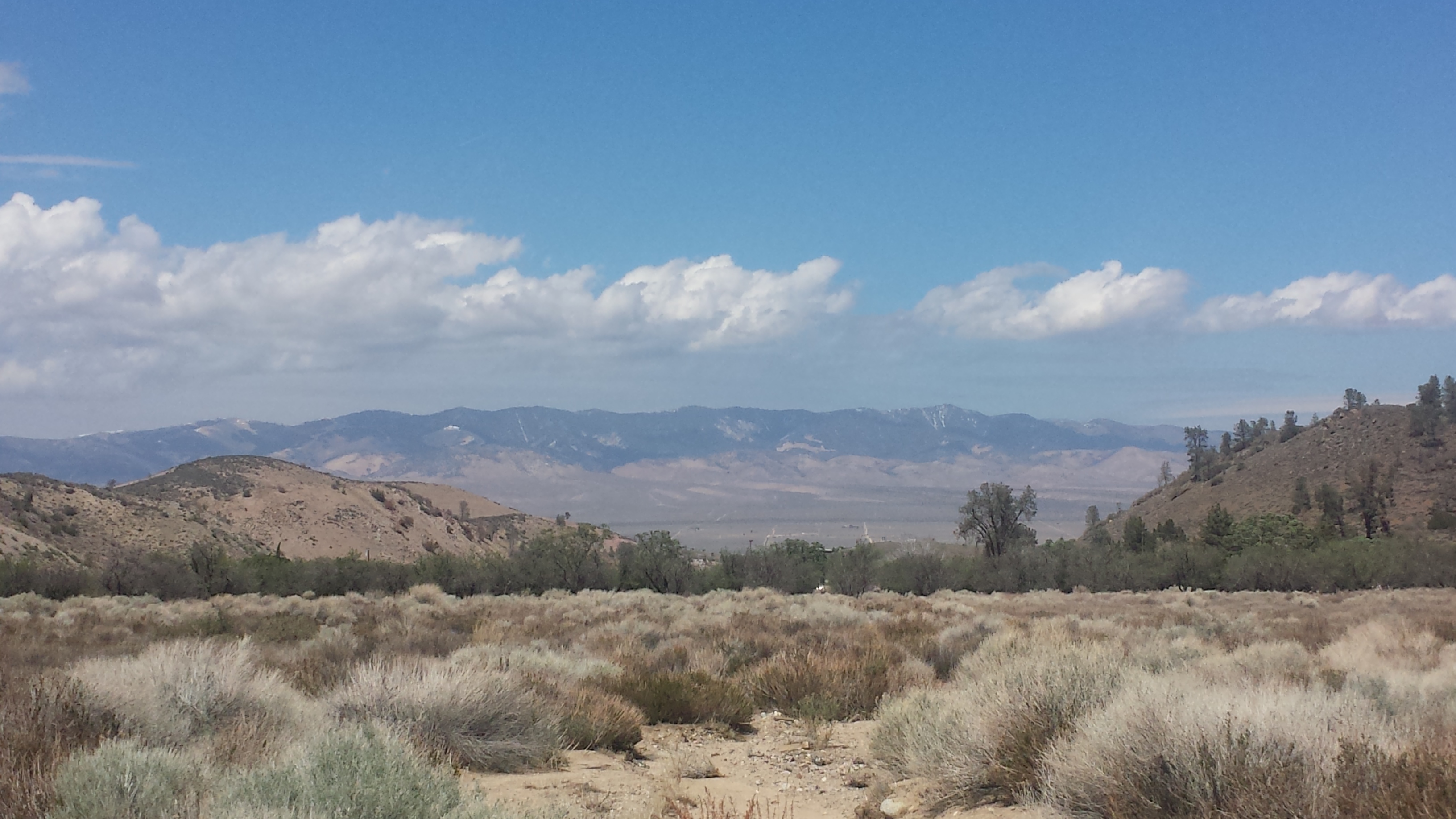
Looking toward Bouquet Canyon Reservoir and the burned/closed area
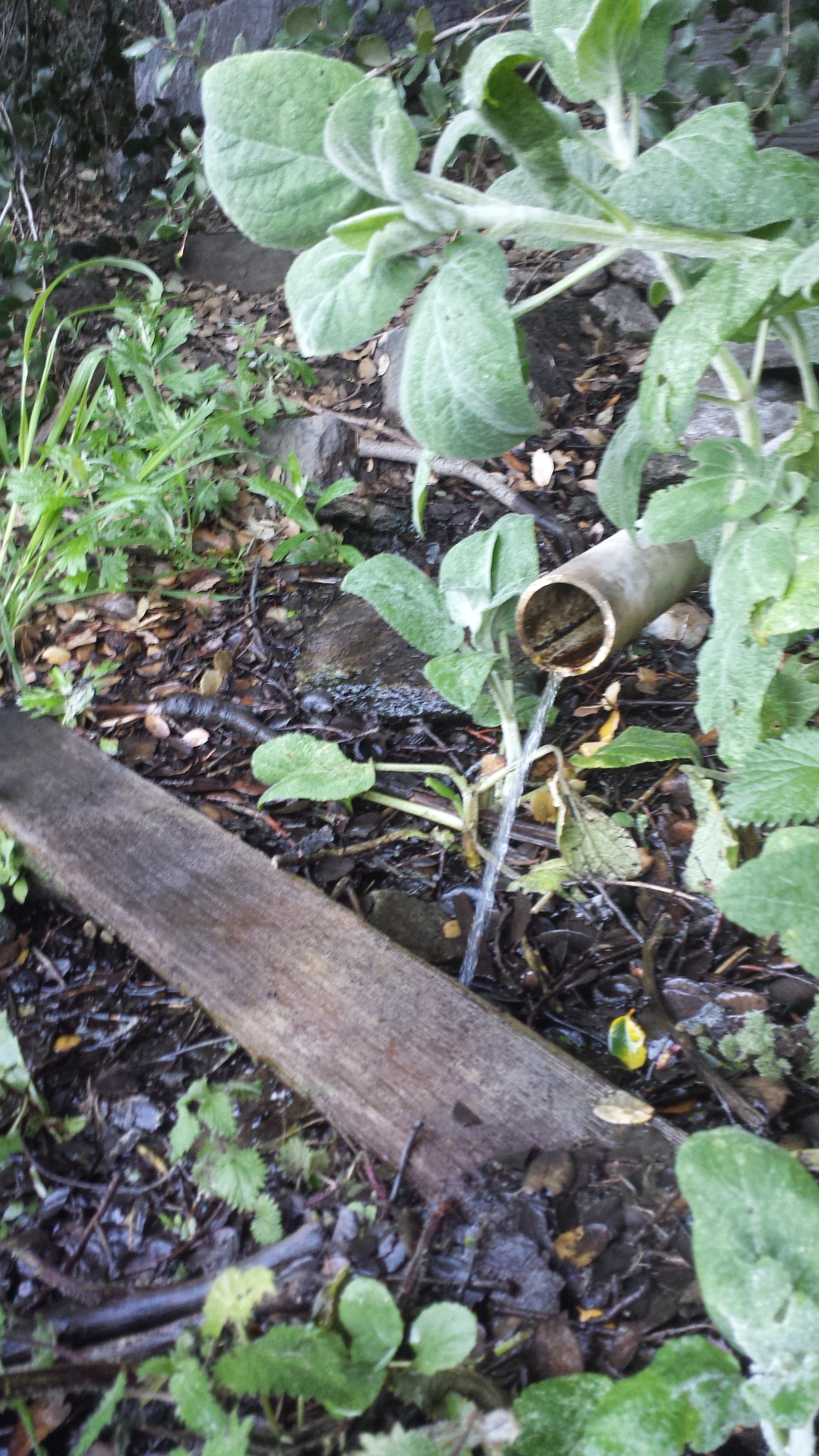
Bear Spring
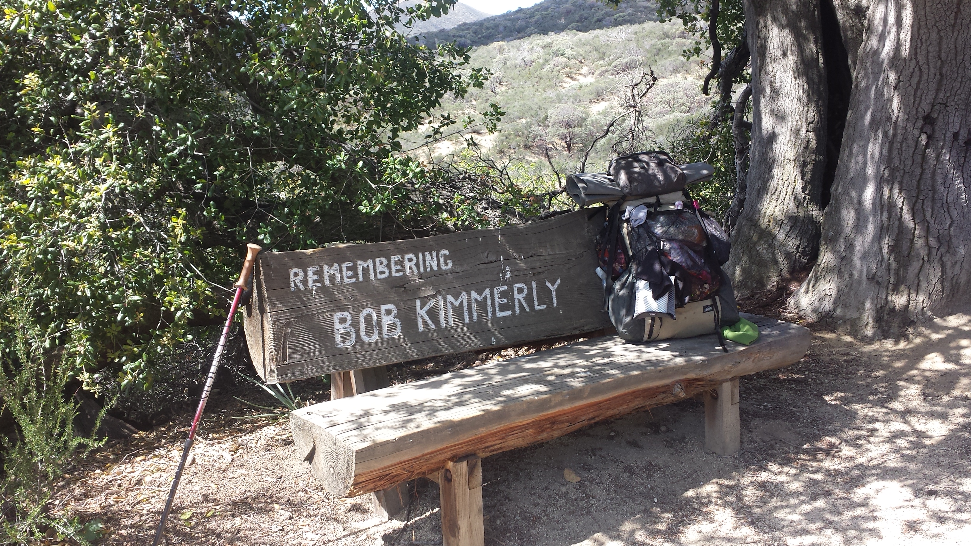
Just after refilling my bottles at Bear Spring, I began to encounter more and more people. Some were camping, most others were trail running in preparation for the Leona Divide 50/50 Race. There is a bench along the PCT dedicated to the man who mapped out the Leona Divide Race, which made an excellent rest spot.
The trail was relatively flat, but didn’t inspire me much. Maybe I’m just not that into chaparral, or maybe it was because the trail didn’t offer many views in this section, but I felt bored. I hurried past the Oasis Water Cache, which is usually stocked with fun things like juice, soda, chips, etc. Once I noticed it was empty, I moved on. I guess I’m just too early in the season for those kinds of treats.
The famous Oasis Cache of Section E
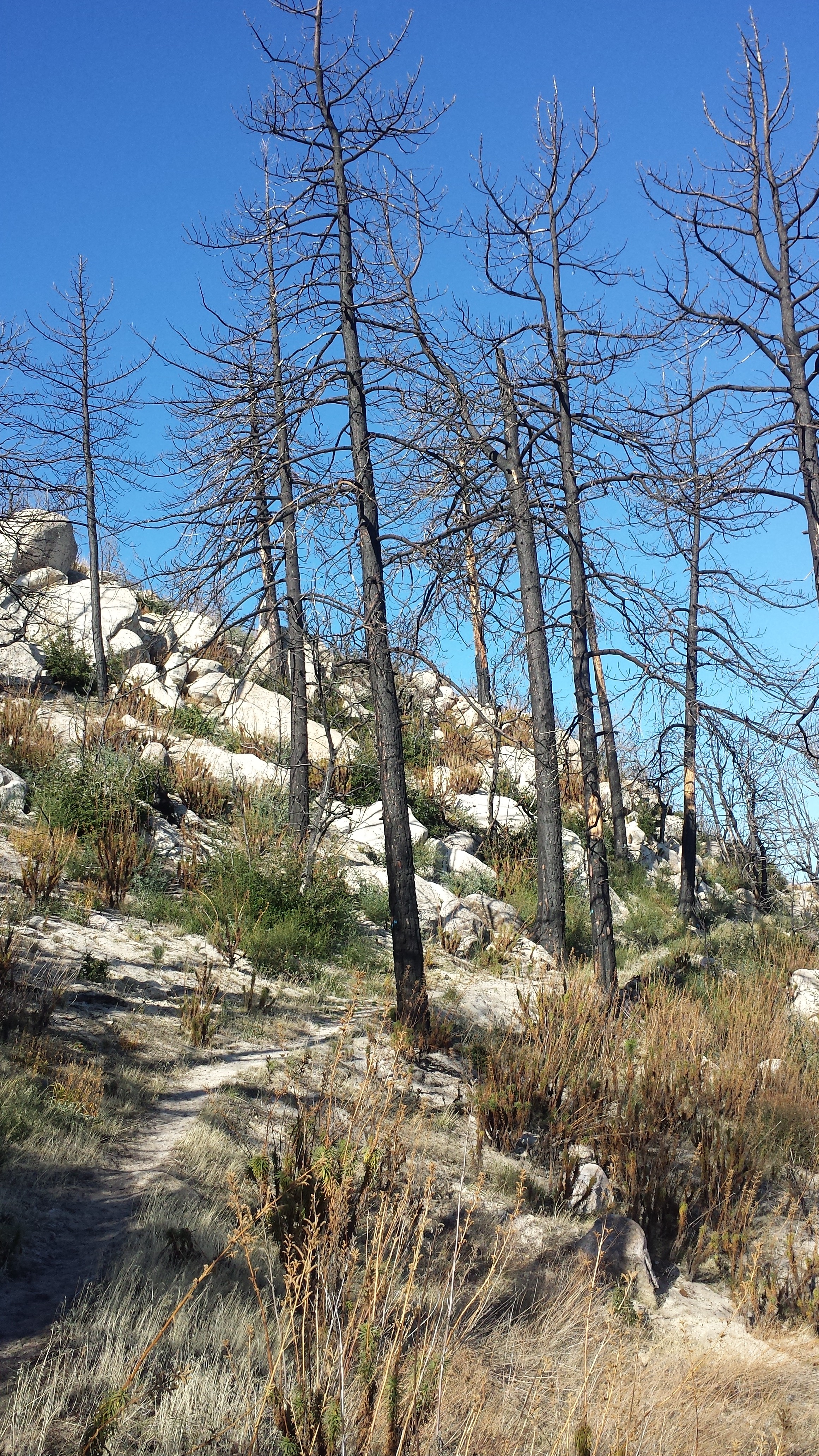
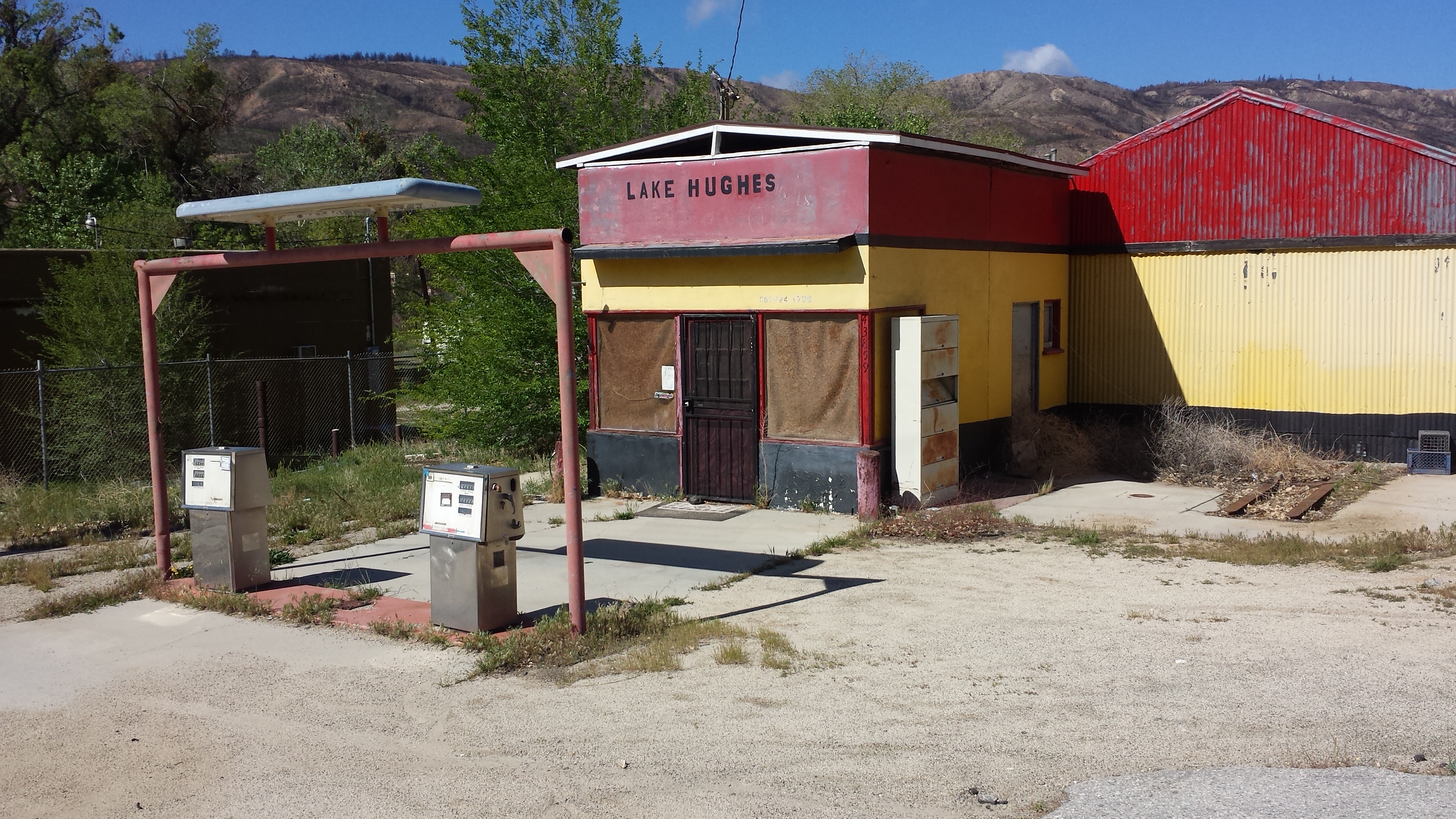
The Powerhouse fire of 2013 burned 30,000 acres and has closed the PCT from San Francisquito Road at mile 478.5 to Pine Canyon Road at mile 511. As a detour, I had to depart the trail an San Francisquito Road and road walk seven miles to Lake Hughes. I planned on staying at The Rock Inn for the night and then would road walk the remaining fourteen miles to Hiker Town on Hwy 138.
The road walk was actually really lovely. There were great views, interesting homes, and curious livestock to great along the way. I got numerous odd looks entering the Inn with my backpack, everyone in the restaurant seemed to be either a local or a biker. The Inn staff were incredibly hospitable and immediately made sure I was comfortably set up with a room. Since my Kindle broke at some point during the Piute Mountains Incident, I grabbed a random book from the Inn’s library and made my way downstairs for dinner.
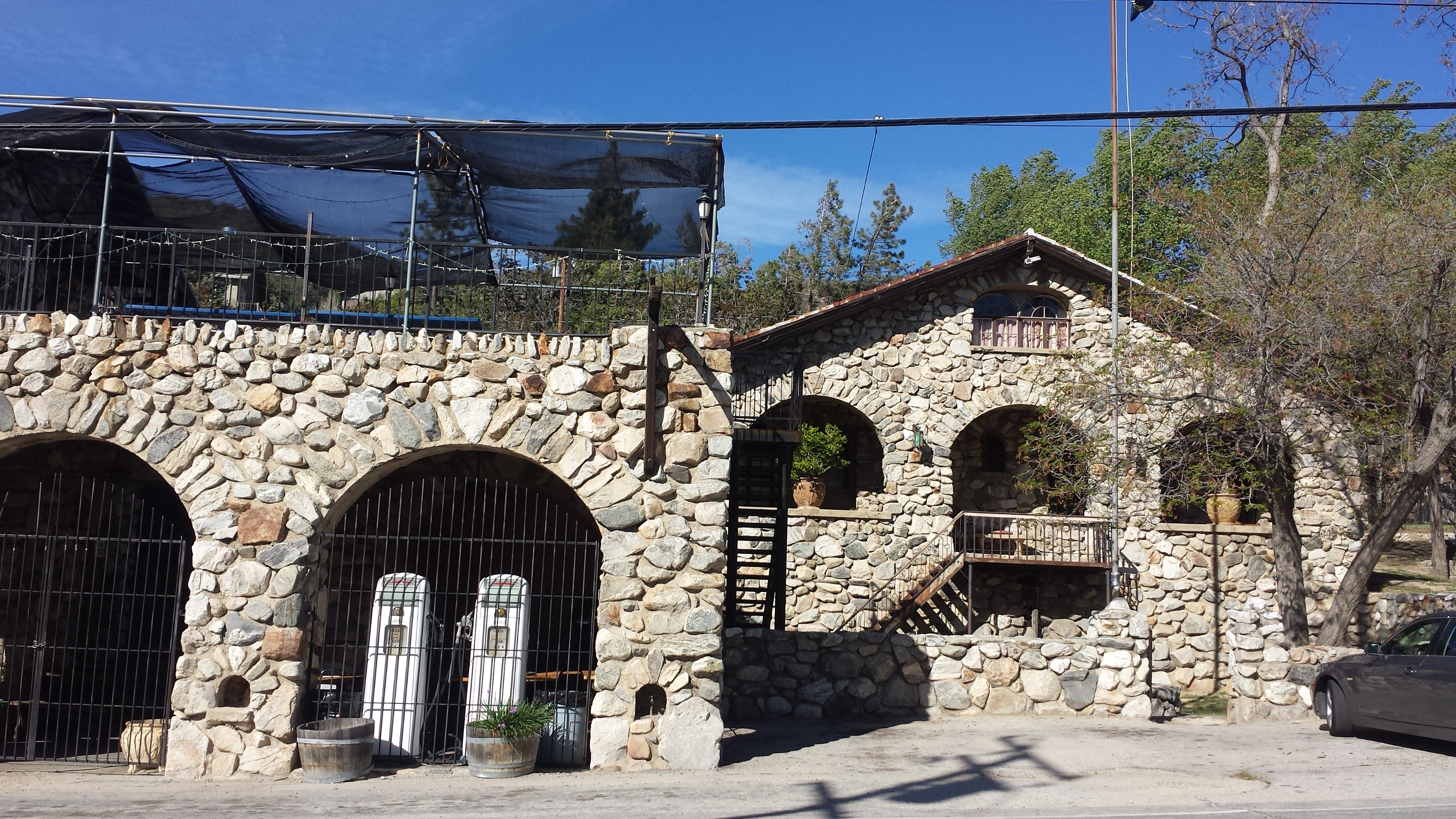
The Rock Inn of Lake Hughes, Ca
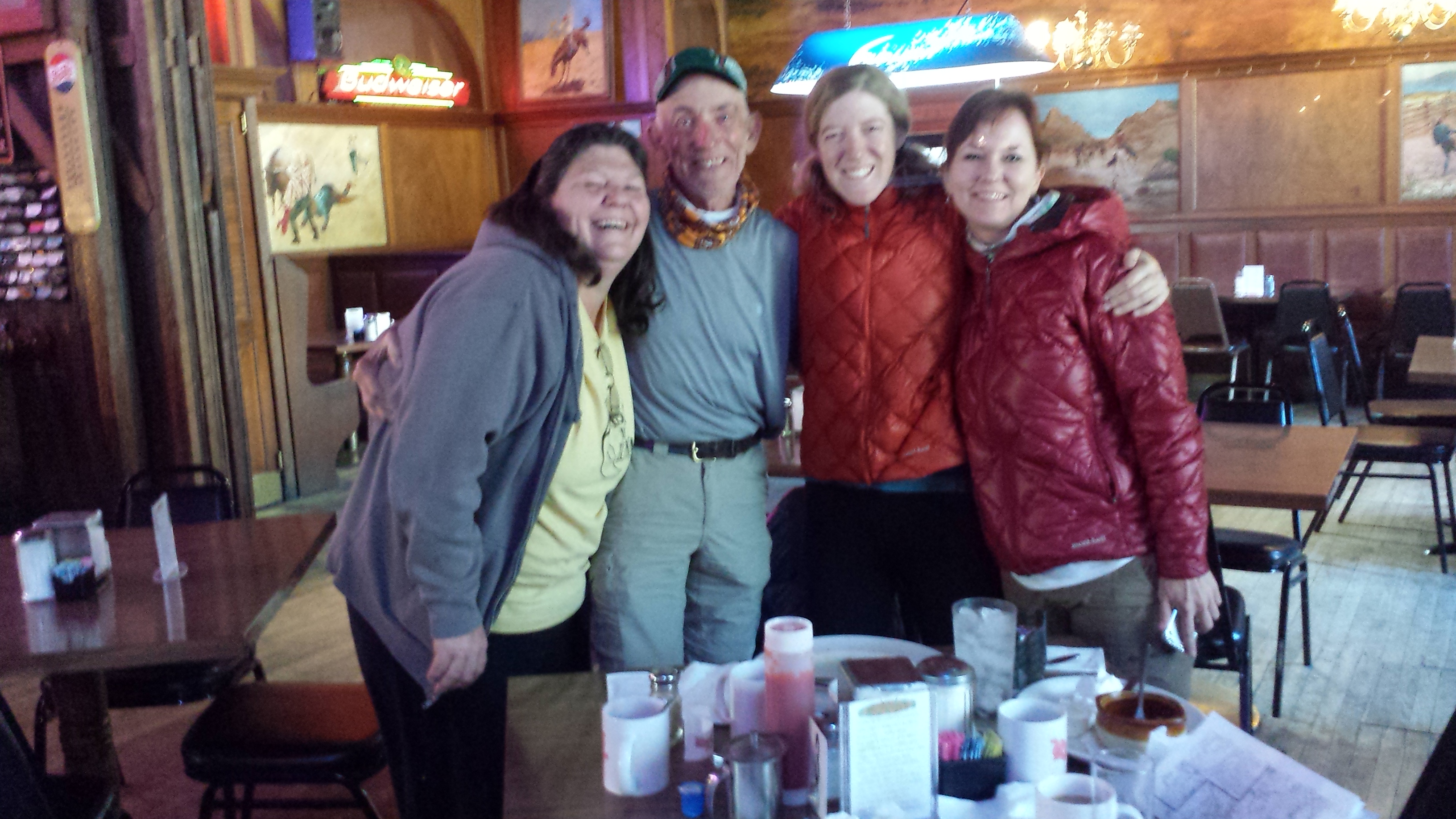
Waiting for my burger and beer, I heard a familiar laugh coming form the bar and couldn’t quite believe that the man I was looking at was actually a friend and colleague from back home. I texted Tony, “Are you at a bar in Lake Hughes?” Two minutes later, I see Tony’s head pop and swivel around like a meerkat’s. We had a good laugh at the unbelievable coincidence of running into each other in a place so far removed from home, we might as well be in China! Turns out, Tony was rehearsing with a friend, Chalo, who lives in Lake Hughes. Rounds of tequilla, story telling, and music making followed through the night.
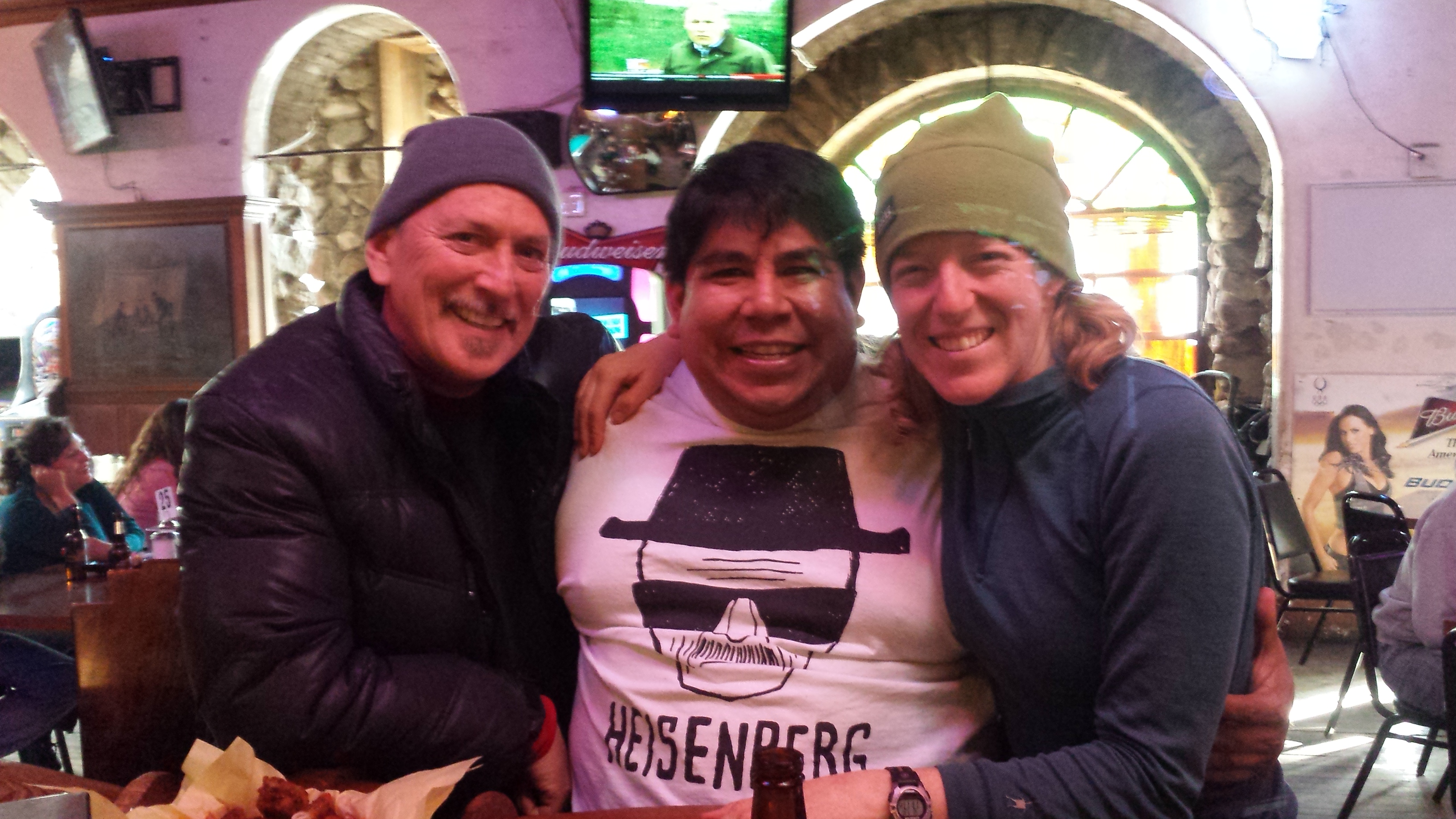
Chalo, Tony, and me at The Rock Inn
Day 4: 14.2 miles to Hiker Town
The last morning of this trip brought me a massive breakfast at the Inn and the joy of meeting two more PCT hikers and the famous Trail Angel Terry Anderson. Terry and her husband host hikers a couple of miles down San Francisquito Road in the opposite direction from Lake Hughes at their home, Casa de Luna. Two section hikers from North Carolina, Susan and her dad, had decided to stay with the Anderson’s for the night and then got a ride into Lake Hughes for breakfast. I had actually meet Susan and her dad the previous day near the Oasis Cache. They were adorable and fun, and Terry’s knowledge and enthusiasm was wonderful.
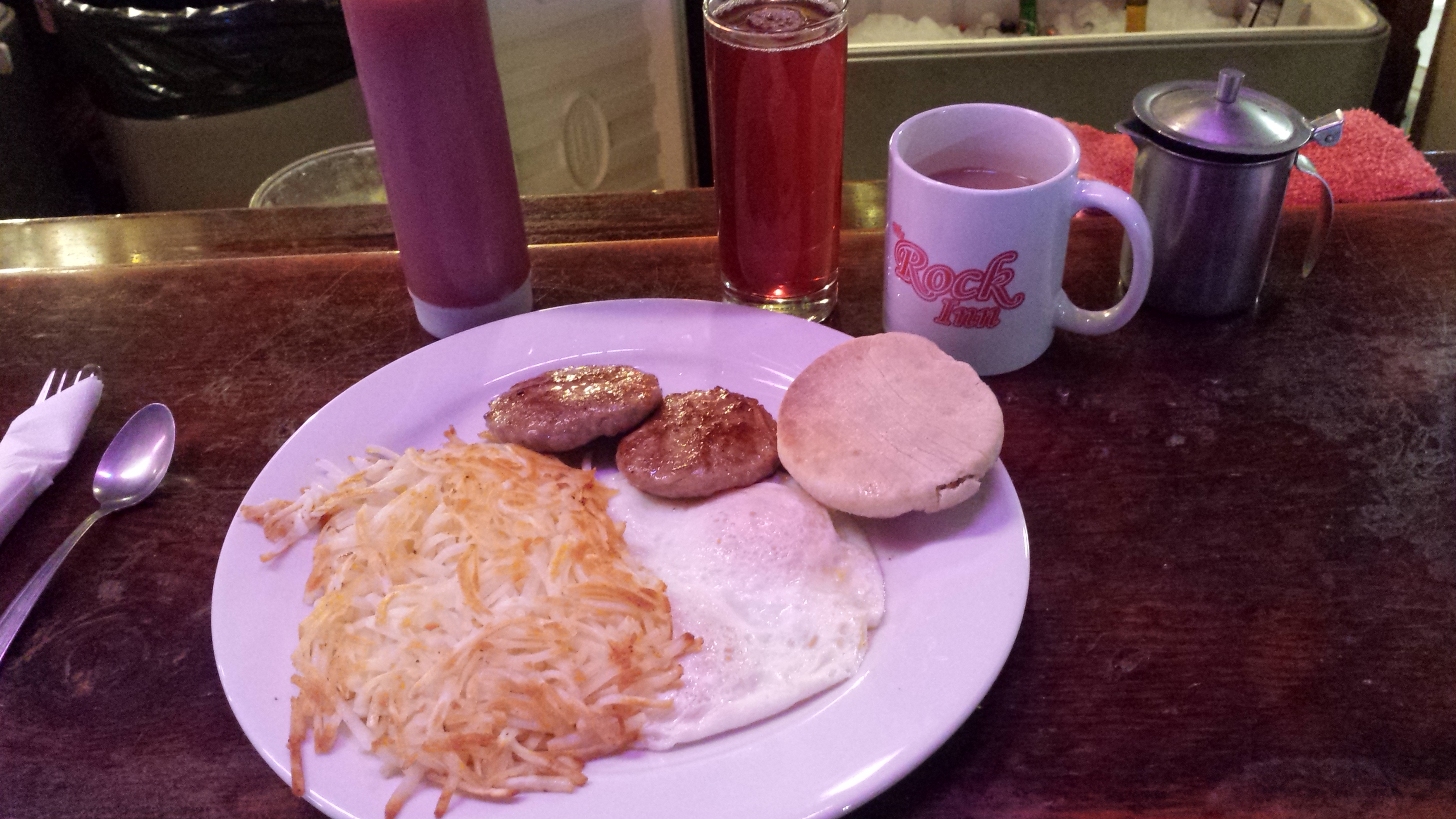
Breakfast at The Rock Inn
Trail Angel Terry Anderson, “Dad,” me, and Susan
The road walk to Hiker Town was nice, but I did miss the trail. Looking at the burnt hillsides, I could tell that absolutely nothing had survived the fire, and that meant there were no roots holding the soil together. If the trail had been open to PCT hikers, there would be tremendous erosion by the foot traffic and absolutely no shade.
Lake Hughes road walking
Approaching Hwy 138 and the Mojave Desert
I had originally started this hiking trip with plans of heading from Hiker Town north to Kennedy Meadows. A small, but powerful storm dissuaded me from that goal and it gave me the opportunity to be creative and flexible in my approach to the trail. Instead of the 184 miles I had intended, I hiked 160 miles, saw some lands I had never seen, revisited some familiar turf, meet new friends, and was the recipient of great, great generosity. I hope I can continue to carry the gratefulness, awe, and spontaneity this trip has brought me for years to come.
Hiker Town
Links
Installment No. 9- Jawbone Canyon Road to Lone Pine
Glow in the Dark & 3-Guy’s Blog
style=”display:inline-block;width:320px;height:100px”
data-ad-client=”ca-pub-6269729938434418″
data-ad-slot=”5716075289″>
Kate….
Installments 7 and 8 were great!!!
S-Daddy
Katie, (we could call you skirt…)
Loved reading your posts! I like the history you put into it. And your video was not boring:)
And loved even more meeting you! Thanks for including us. Ours will be up soon.
I’ll send you pictures we took soon too.
Patti & Lynn AKA Glow and 3-Guy
Yay! I can’t wait to read your version of the adventure! And I’ve got several pictures I need to send to you, too!
P.S. I like “skirt” 🙂
It seems you photographed more flowers, they are so delicate!
Aren’t those Soledad Rock formations something!!!
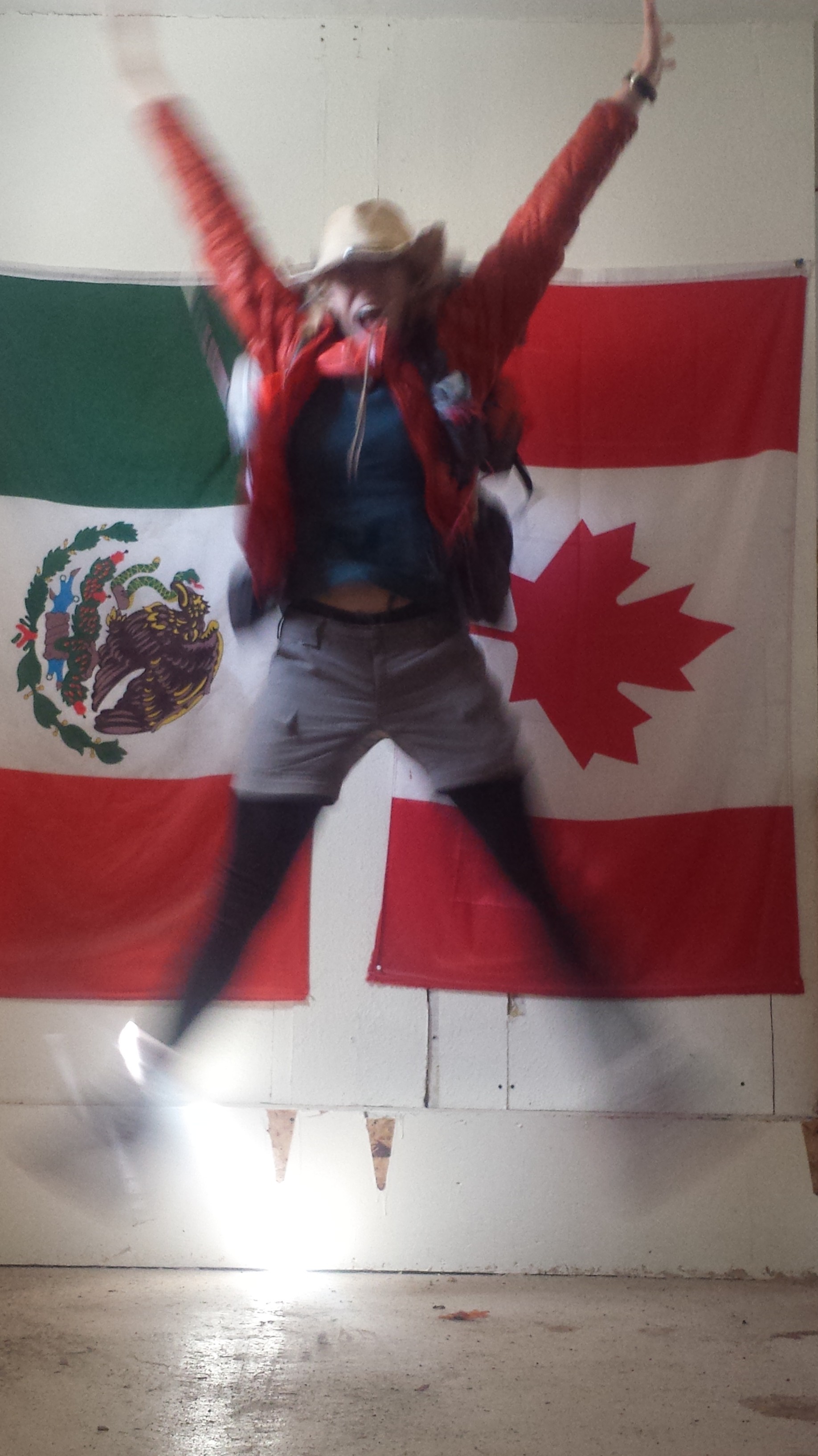
That is such a cool photo… jumping between the two flags-Canada’s and Mexico’s.
Right now, I could go for a Rock Inn breakfast… you’re amazing!
— Mom