“The whole range, seen from the plain, with the hot sun beating upon its southern slopes, wears a terribly forbidding aspect. There is nothing of the grandeur of snow, or glaciers, or deep forests, to excite curiosity or adventure; no trace of gardens or waterfalls. From base to summit all seems gray, barren, silent — dead, bleached bones of mountains, overgrown with scrubby bushes, like gray moss. But all mountains are full of hidden beauty” -John Muir (1918). Chapter 11: The San Gabriels. In Steep Trails.
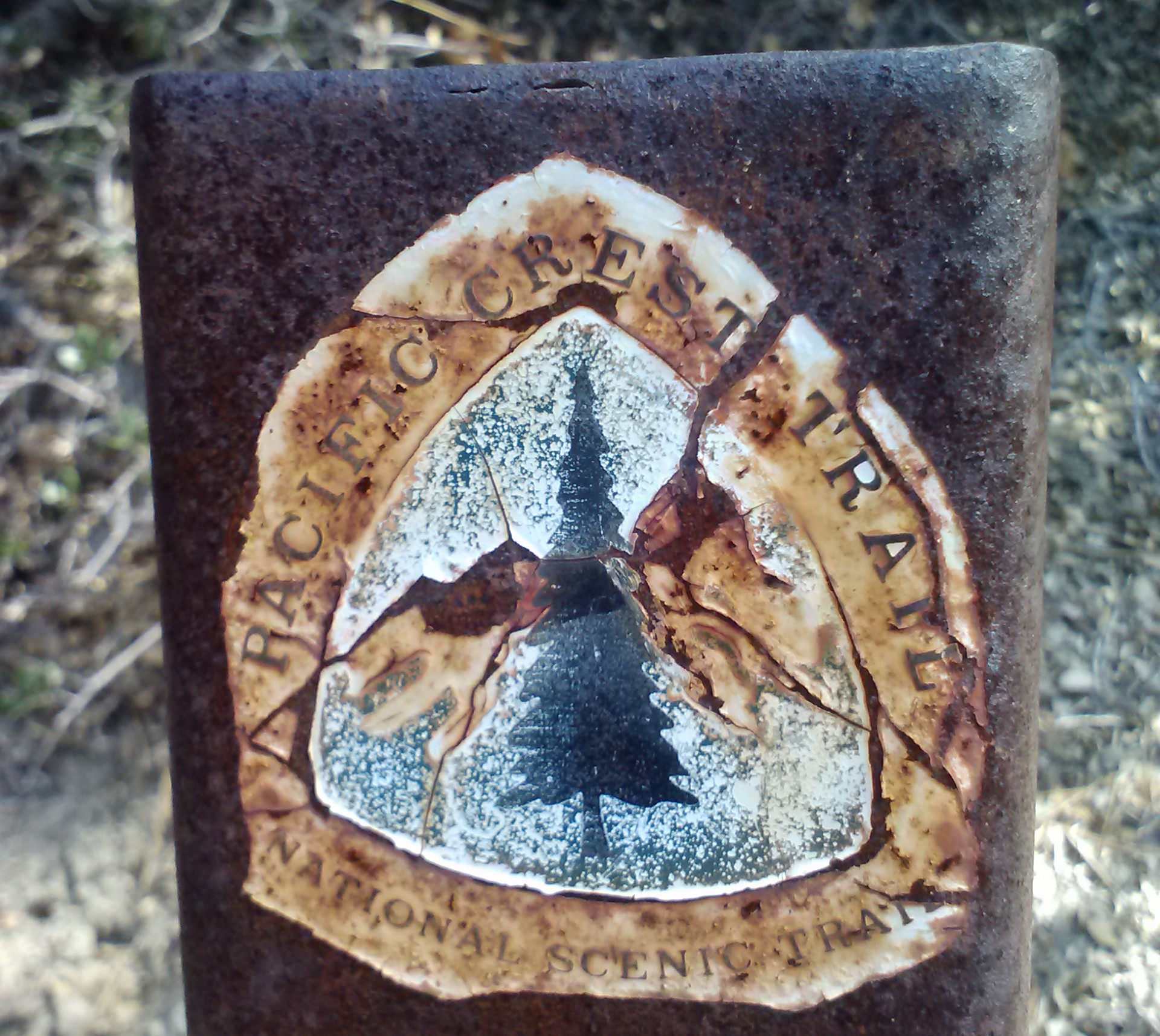
Installment No. 3 of My PCT Journey
loading map - please wait...
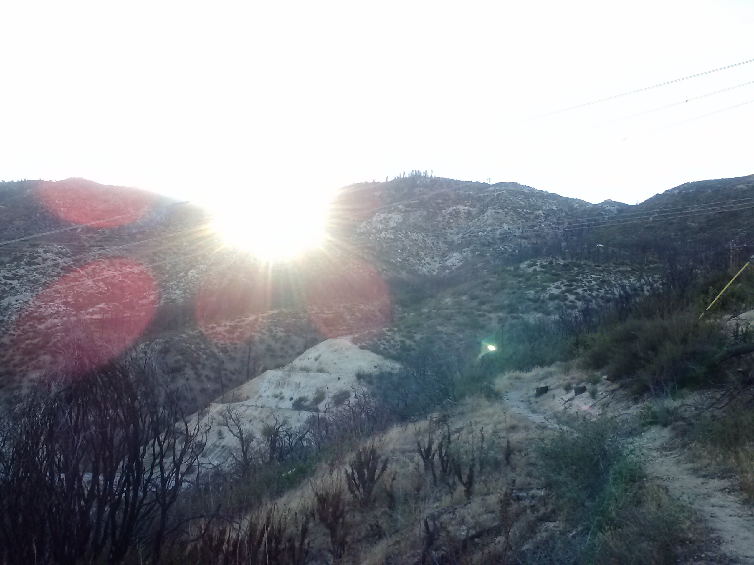
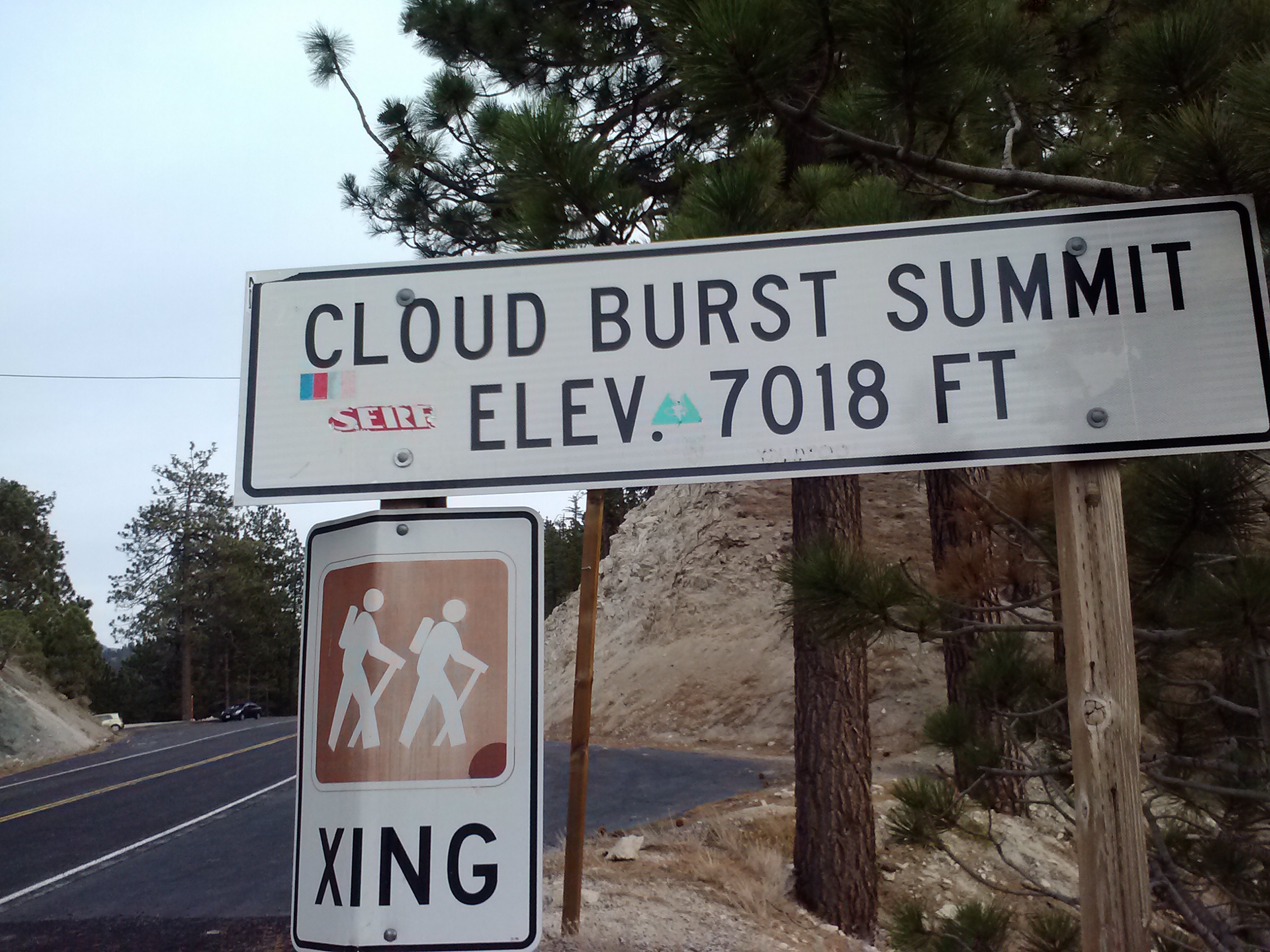
My next PCT journey took me again through Angeles National Forest and Section D of the PCT. This 20.5 mile day hike began with Sabrina, my personal trail angel, shuttling me from Cloudburst Summit down to Mill Creek Summit Station. With so many miles to put in and with daylight savings approaching, I started hiking just as the sun was coming up over the hill. It was beautiful to watch and great to hike in the morning shade.
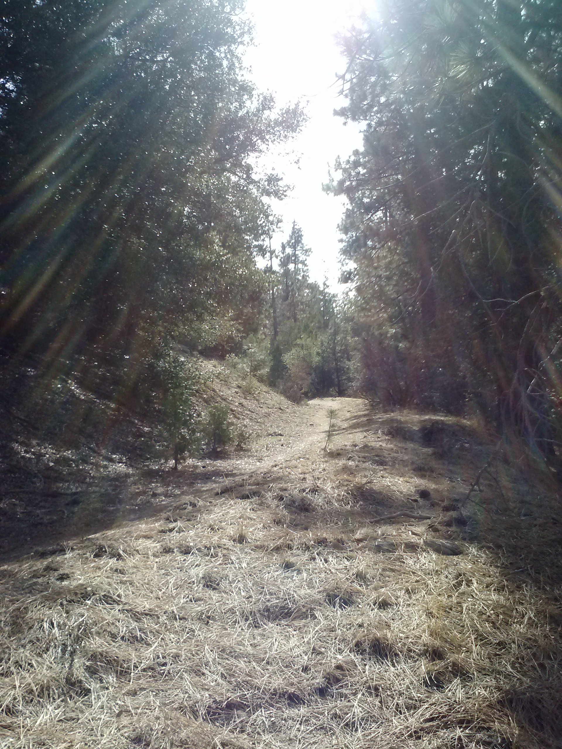
Heading up the trail from Mill Creek Summit Station
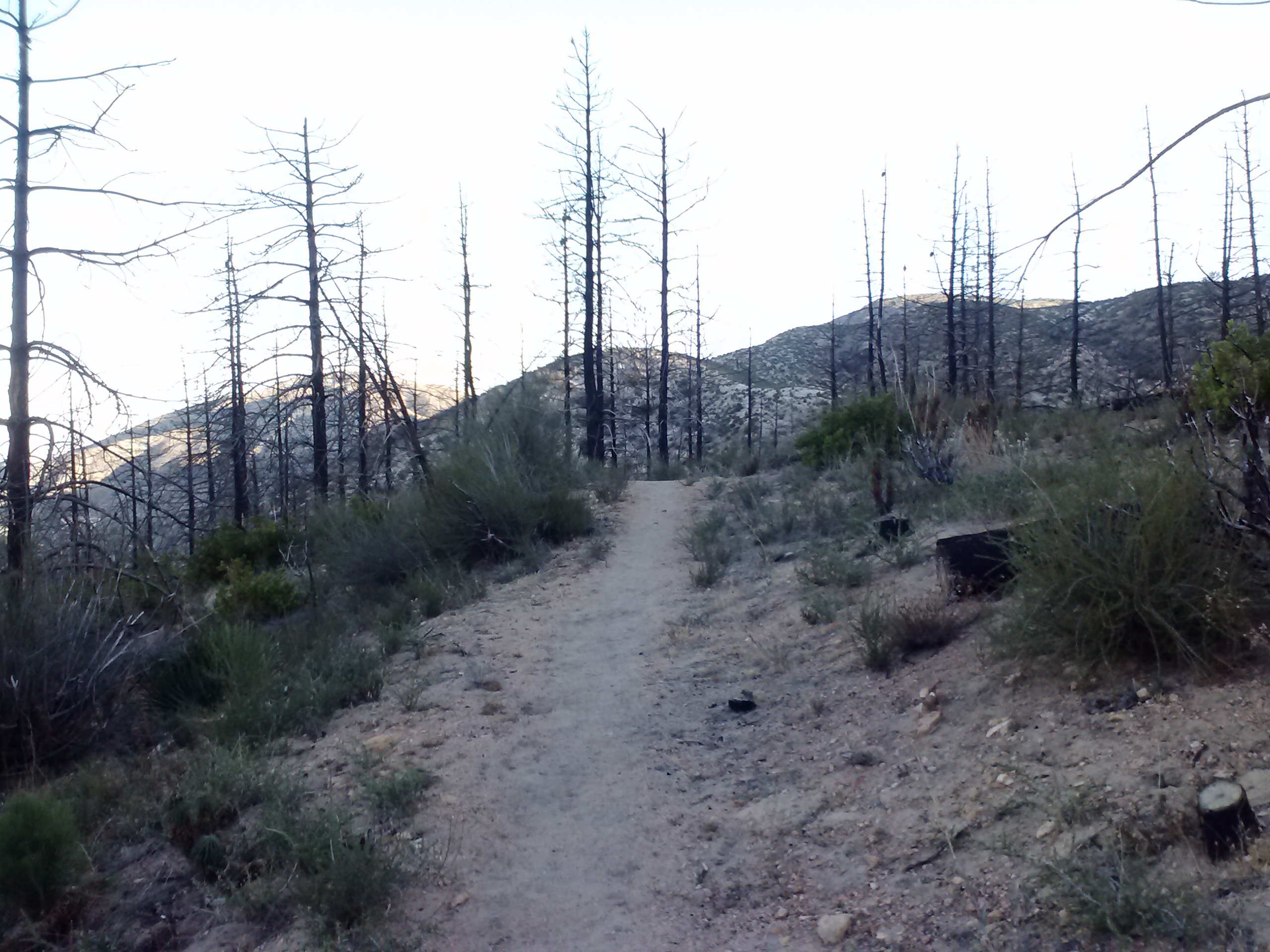
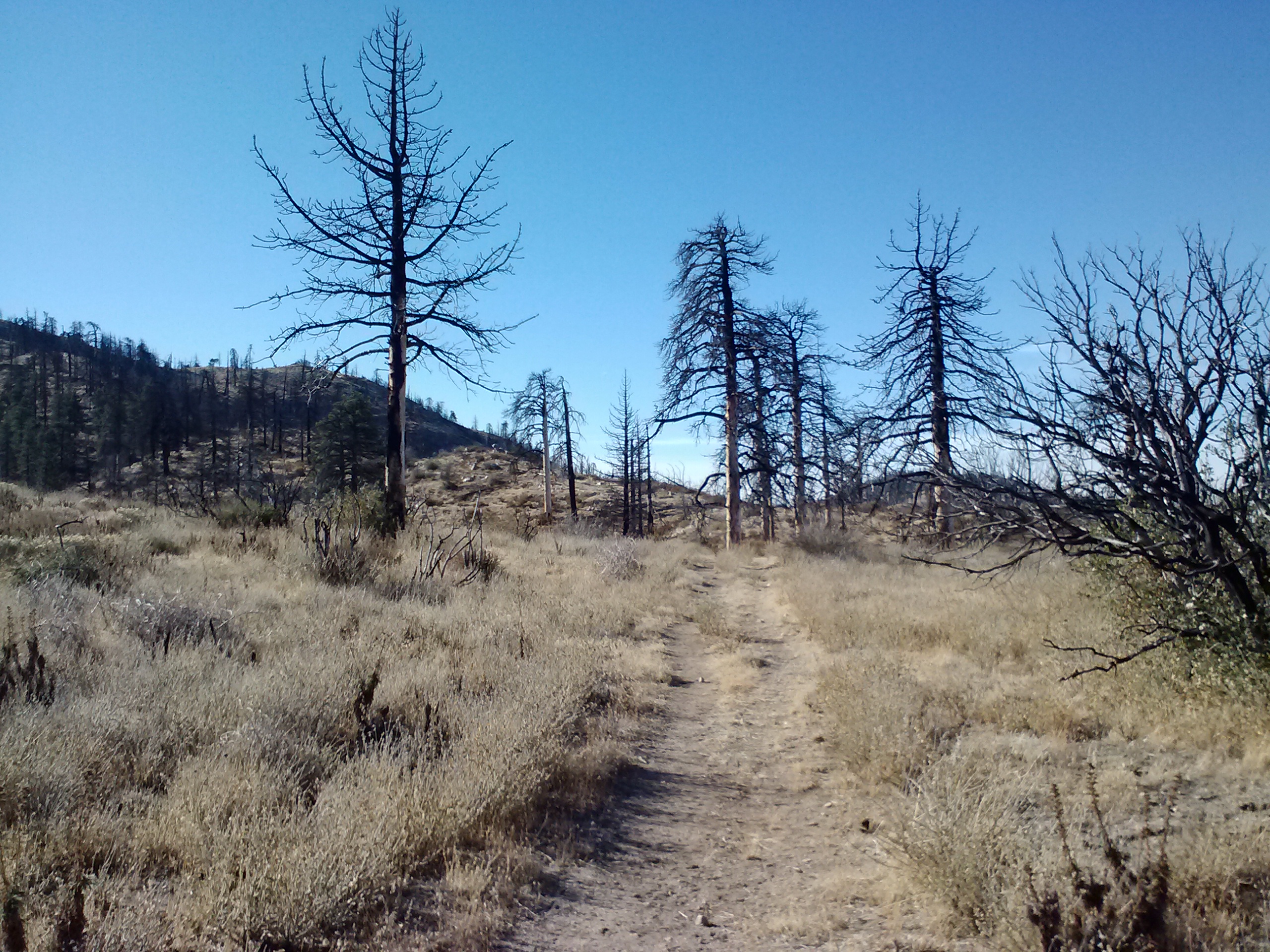
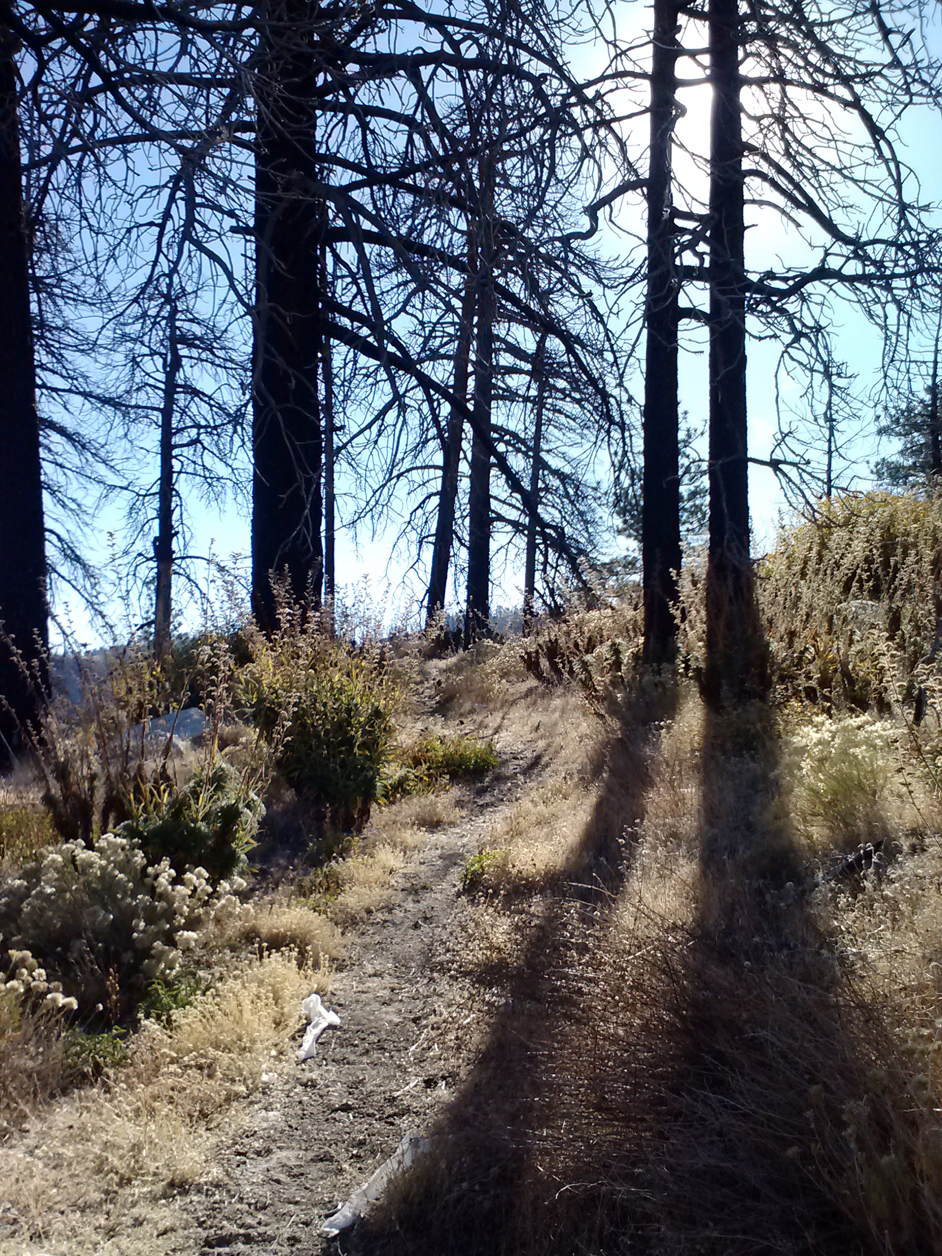
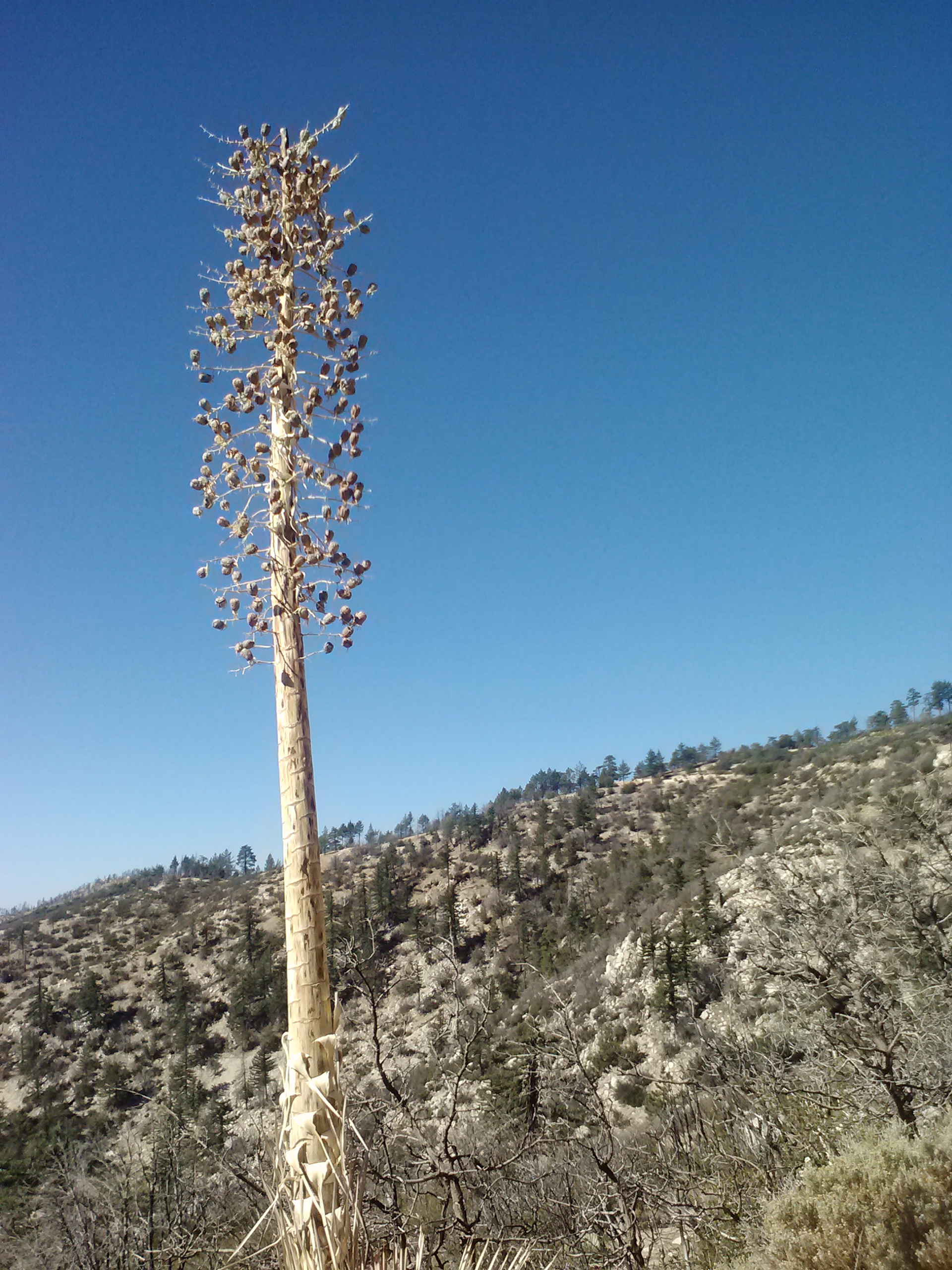
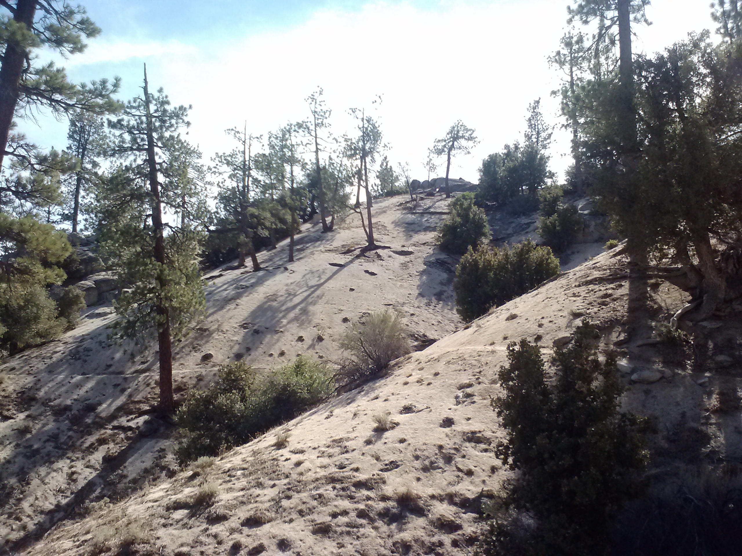
Skeleton trees
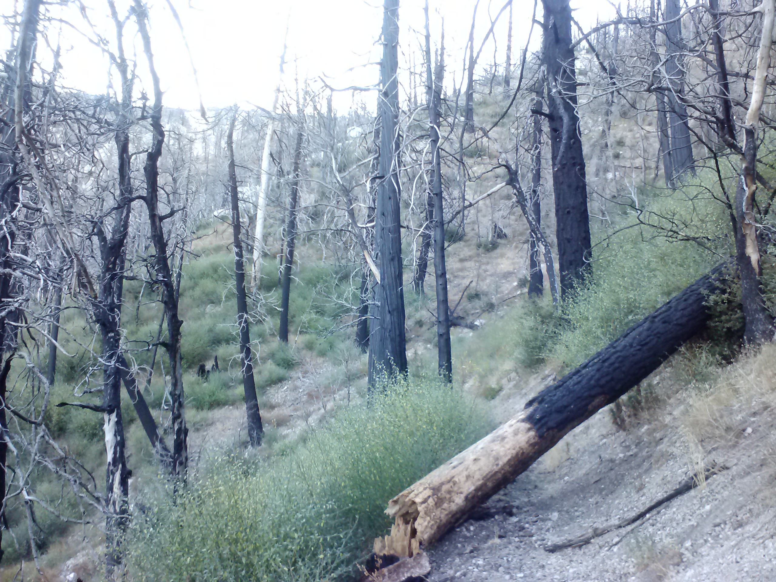
Leftover trees from the 2009 Station Fire
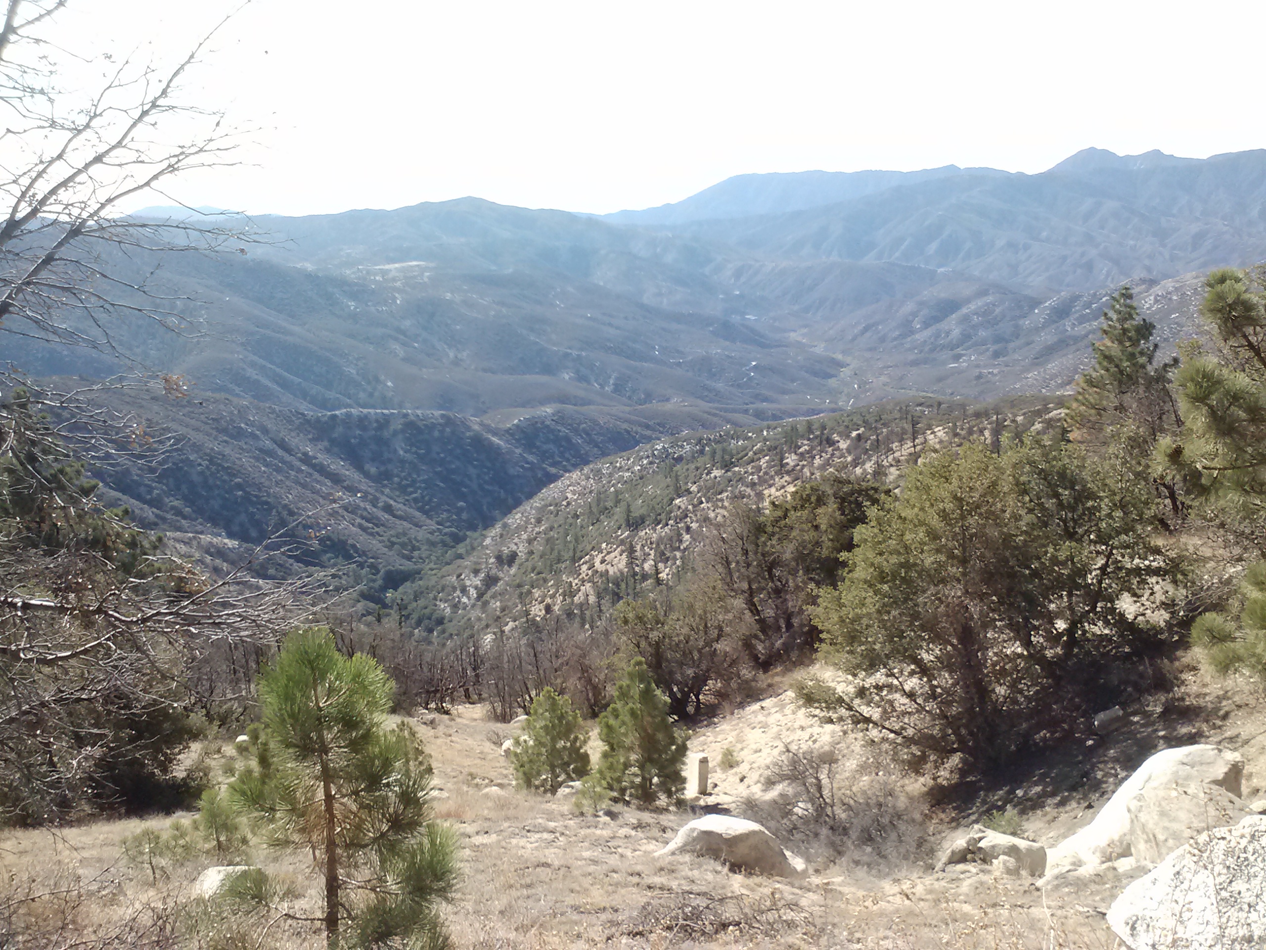
The 2009 Station Fire left this entire area toasted and barren. There were no live trees left, but mother nature moves quickly and the new growth was billowing up around the skeleton pines. The trail climbed slowly, as it would all day, and soon I was able to get views of the valleys below.
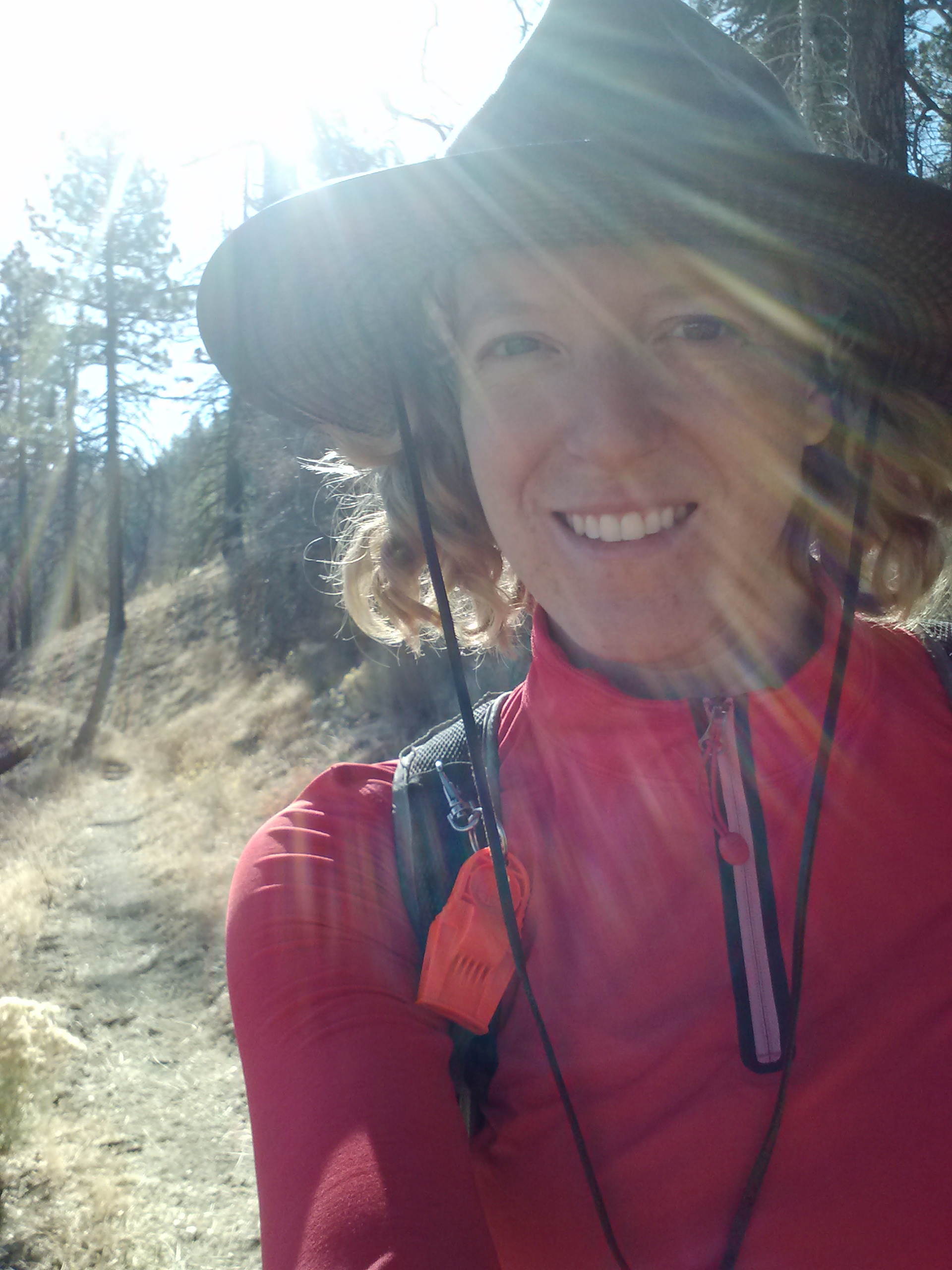
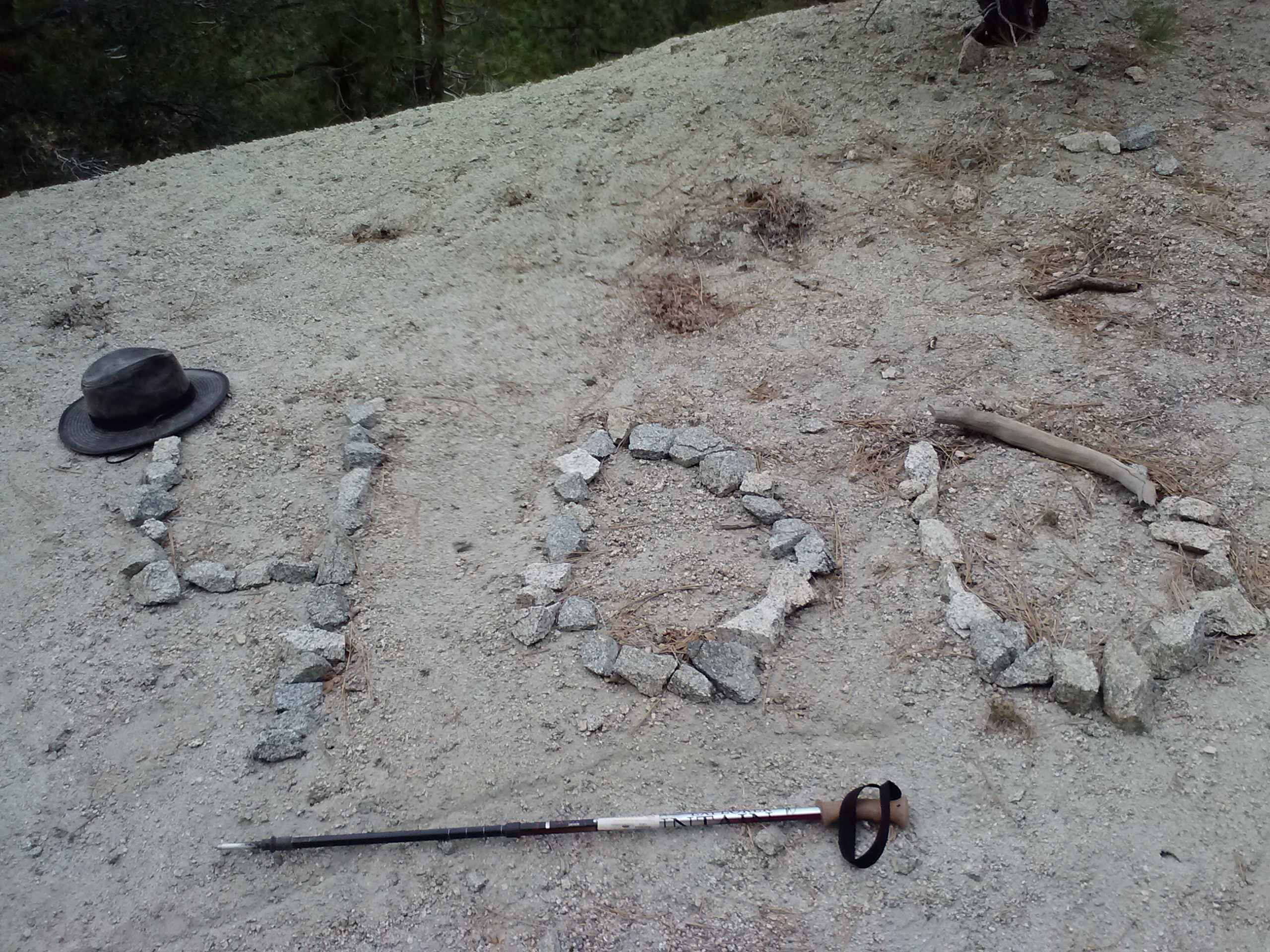
Not too far into the hike, I was startled by gun shots and wasn’t really sure if I should be concerned or not about stray bullets hitting me. Luckily, I had worn my red hiking shirt and hoped that’d be enough differeniate me from someone’s potential jerky.
Looking down on Mill Creek Summit Station
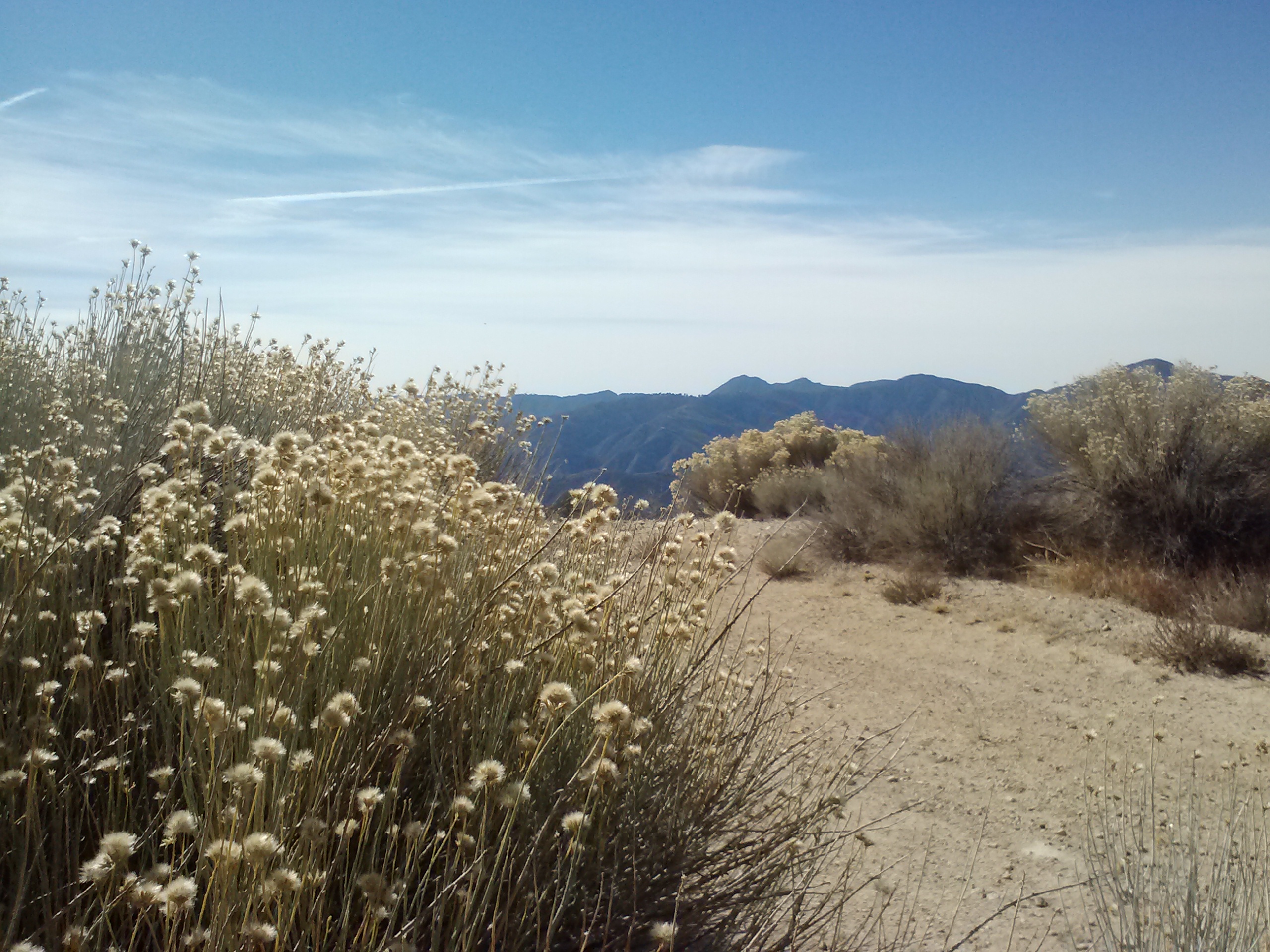
It was a dry, dry desert out there, and yet it had a stark kind of beauty. I really enjoyed the views and the little surprises of nature along the way. I came across a spring emerging directly out of the bottom of a tree and Poodle-dog bush is always entertaining because it looks like something straight out of a Dr. Seuss book. It also has an interesting odor, a bit like beer, and I could usually smell it before I saw it. When I first caught the scent, I thought for sure some hunters had dumped a bunch of beer somewhere. As funny as Poodle-dog bush looks and sounds, it can give you a horrible itchy, sore rash, so avoid it!!
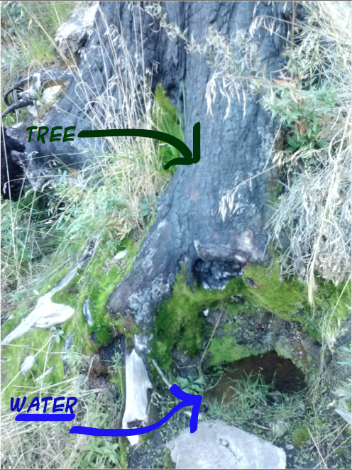
Tree Spring
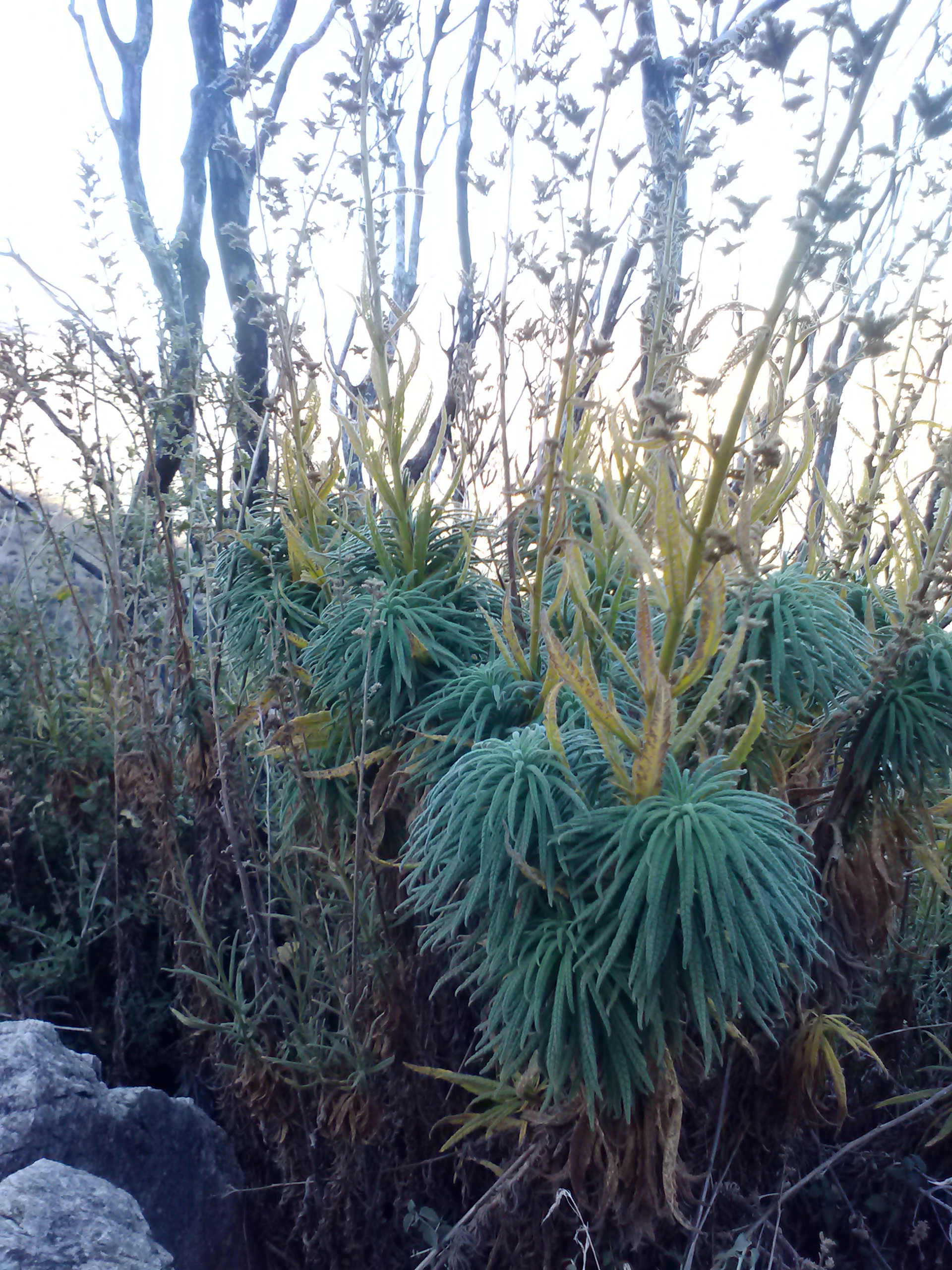
Poodle-dog Bush
“Not even in the Sierra have I ever made the acquaintance of mountains more rigidly inaccessible. … But in the very heart of this thorny wilderness, down in the dells, you may find gardens filled with the fairest flowers, that any child would love, and unapproachable linns lined with lilies and ferns, where the ousel builds its mossy hut and sings in chorus with the white falling water.” -John Muir (1918). Chapter 11: The San Gabriels. In Steep Trails.
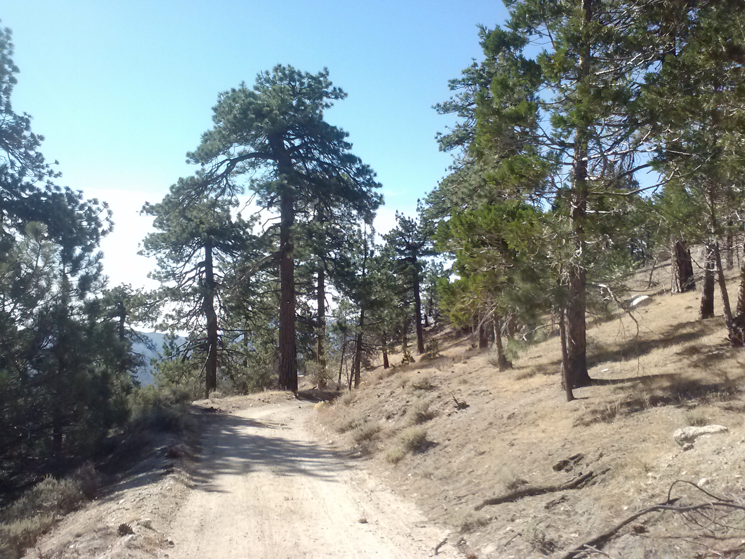
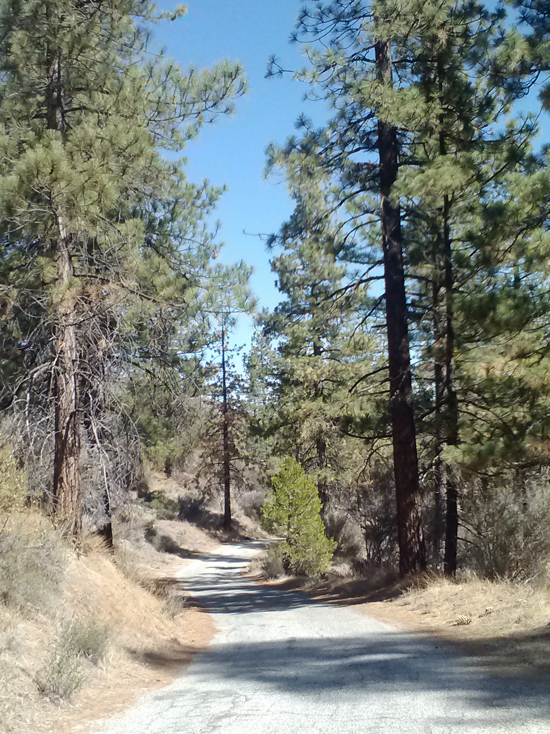
Approaching mile 415, the forest began to fill in around me. The land looked more and more like the trail I had hiked near Guffy Campground on the other side of Angeles National Forest with Penderoso and Jeffrey Pines.
Reachings the trees
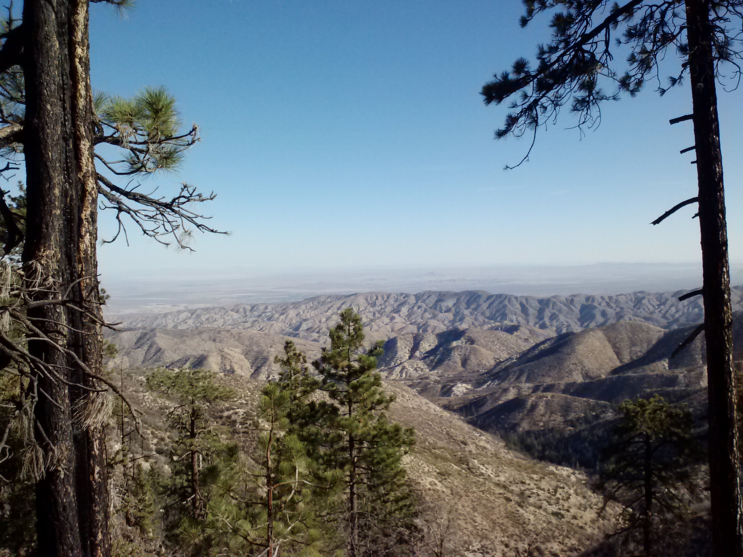
View towards Palmdale
As I approached Pacifico Mountain, I began to keep an eye out for the dirt road which I would be detouring on. The trail going around Pacifico Mtn. had recently been reported to be overgrown with unavoidable Poodledog Bush. I decided to walk along Pacifico Mountain Road leaving the PCT at mile 413.3 and rejoining it at Pinyon Flats. The detour was roughly 4.5 miles along the very rutted and dusty Pacifico road and a tiny, but paved road called Little Rock Truck Trail. The junction of Pacifico Mtn. Rd. & Little Truck Trail had a small parking area and quite a few trucks and vans were parked there, probably belonging to hunters.
Road walking on Pacifico Mountain Rd.
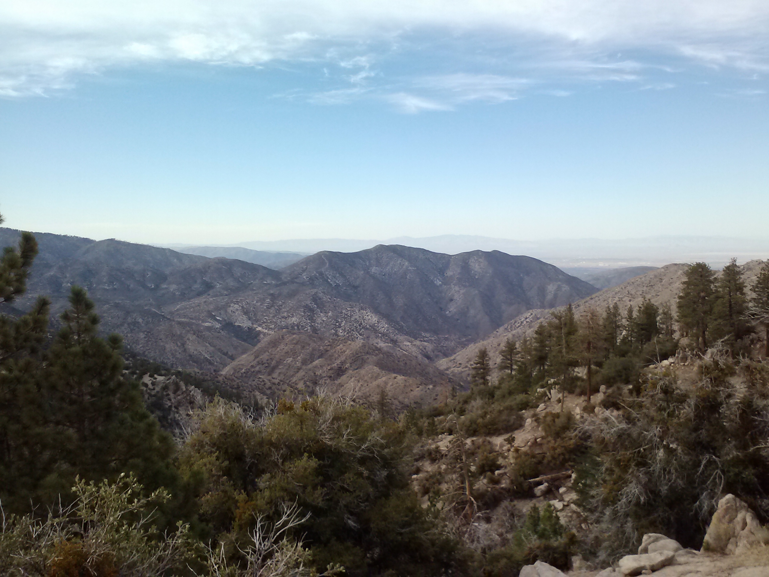
Angeles National Forest, looking south
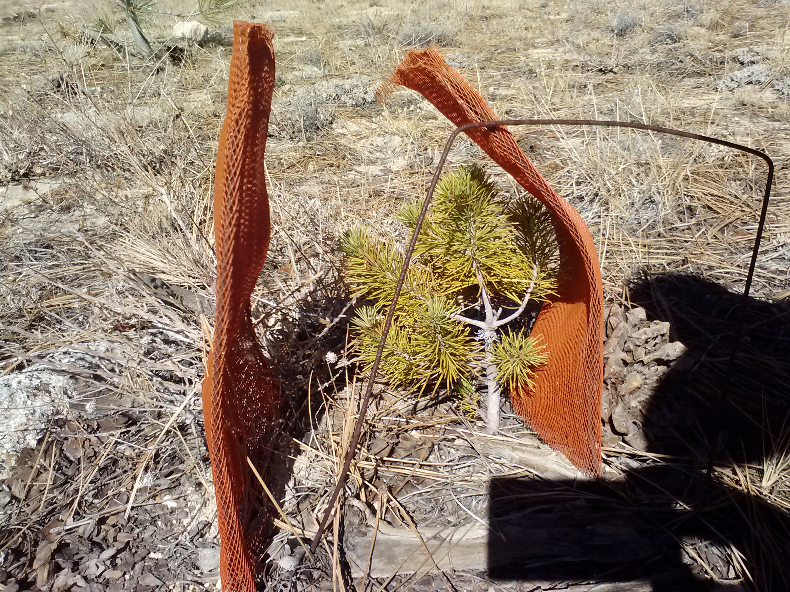
Baby tree!
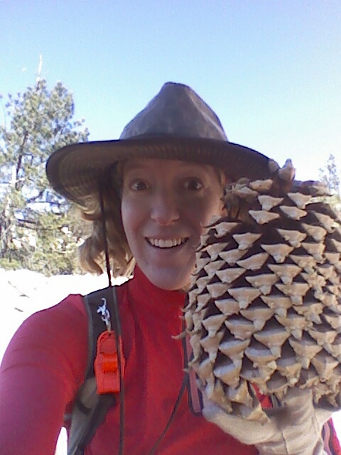
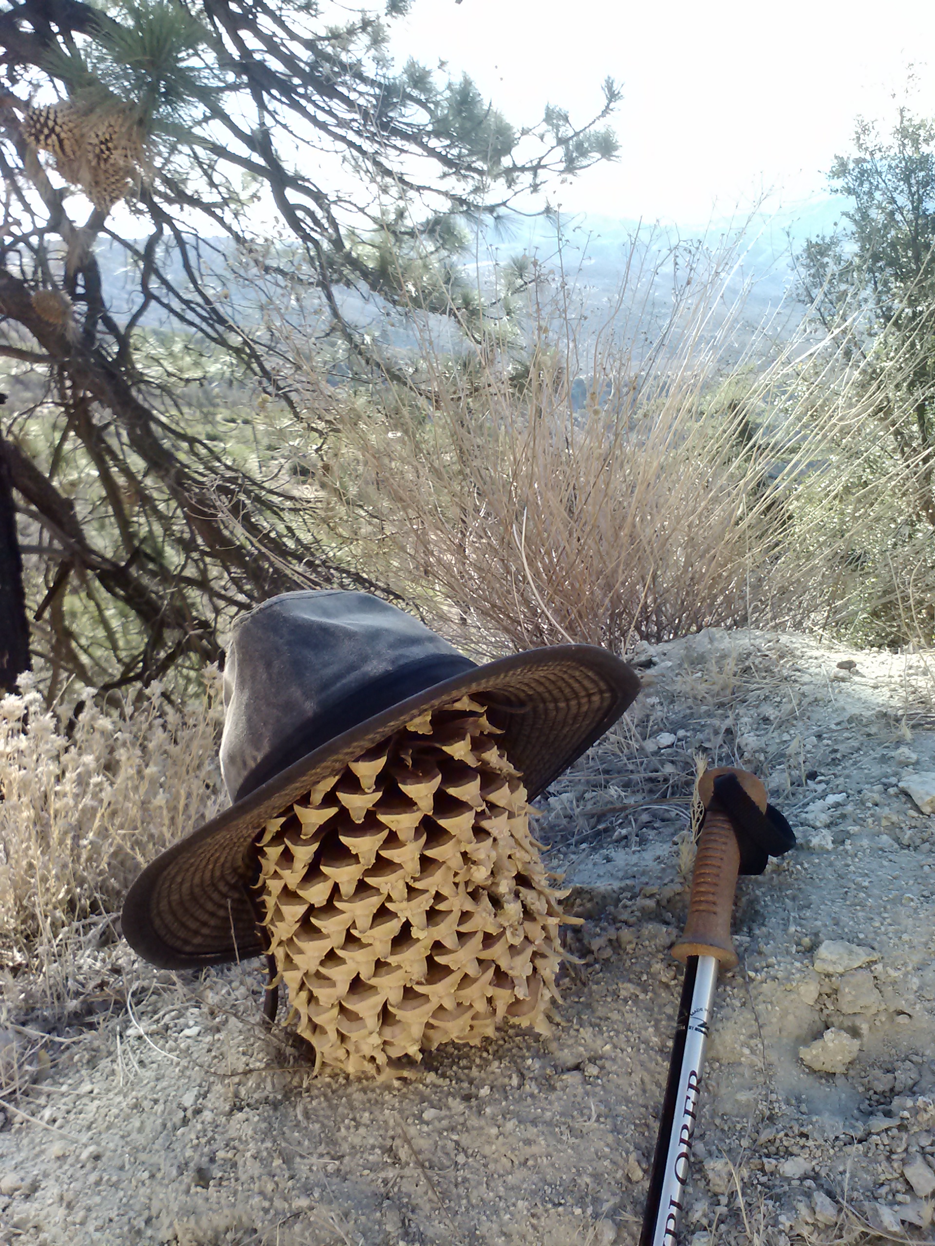
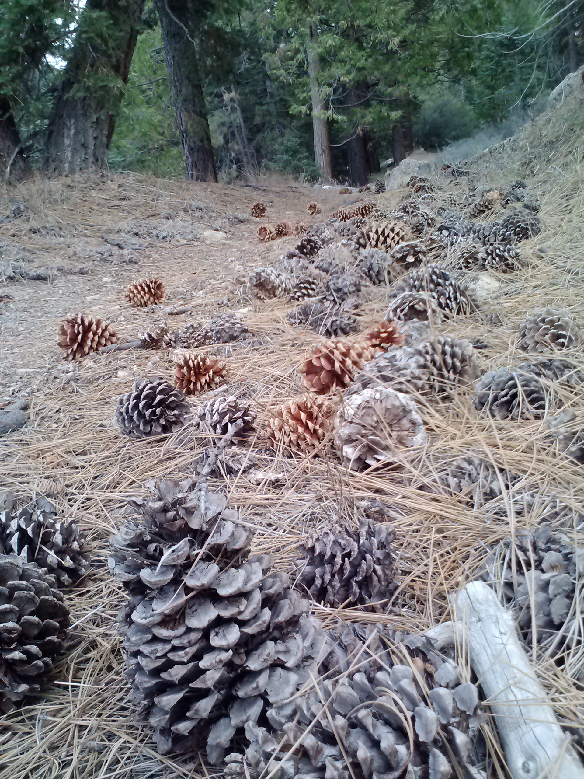
I have never seen larger pine cones in my life than I did that morning walking along Pacifico Mountain Road. They were bigger than my head! I kept looking around trying to figure out which trees they were coming from, but couldn’t spot any equally impressive trees. I’m guessing they came from the older pines, got so big in the Spring that they dropped off, and now all those pine trees have no cones whatsoever.
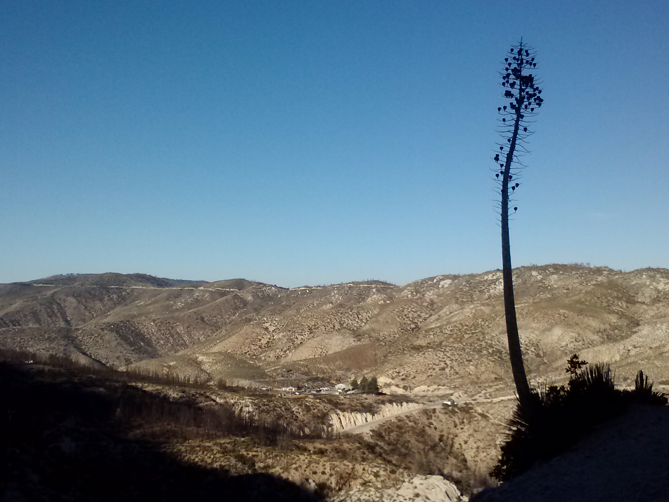
A Yucca plant
Much later in the day, when talking with my mom, she filled me in on a very personal family history she had with the San Gabriel Mountains. As a child, her grandfather had been taken by his father and his brothers on trips through those mountains. On one of these trips, a rockslide caught the young men by surprise and critically injured the father. They carried him back to civilization and got him to a hospital where he died within a few days. Years later, that child grew up and became a ranger for the very same mountains who took his father’s life. It was the early days of the Angeles National Forest, California’s very first National Forest, and he honored his father by naming Mendenhall Peak and Mendenhall Ridge Road after him.
Pacifico Mountain Rd.
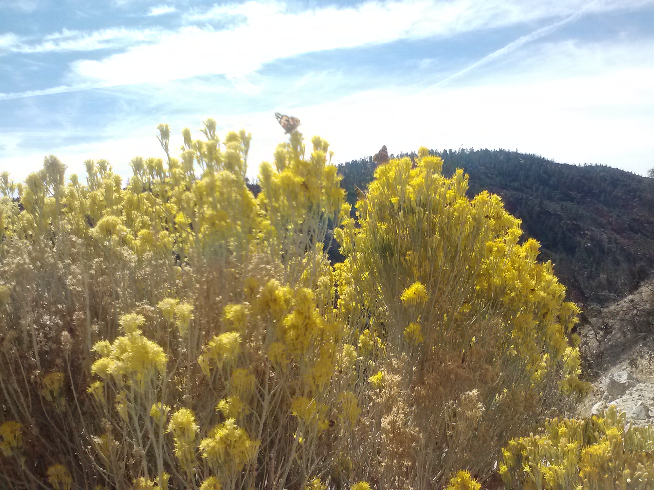
Butterflies on wildflowers
Little Rock Truck Trail
The PCT follows a small road after Pinyon Flats for a bit and then turns off as a footpath at mile 407. There’s a water resource called Sulpher Springs near this turn off, but somehow I missed it. It didn’t matter much, as I had brought all my water for the day with me. It’s just always fun to investigate things along the trail, especially water sources.
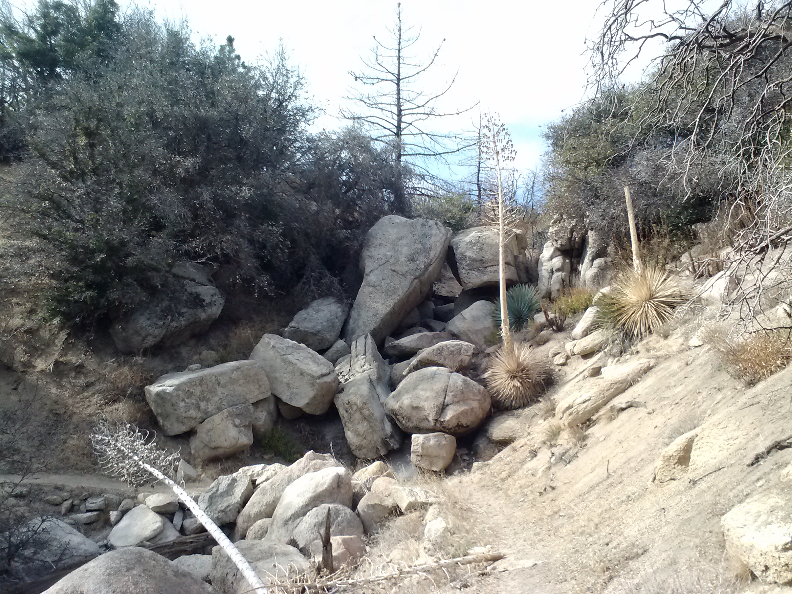
Near PCT mile 407
Through this next stretch, I saw several very old looking PCT signs and wondered if they might have been some of the original signs posted in the early 1970’s.
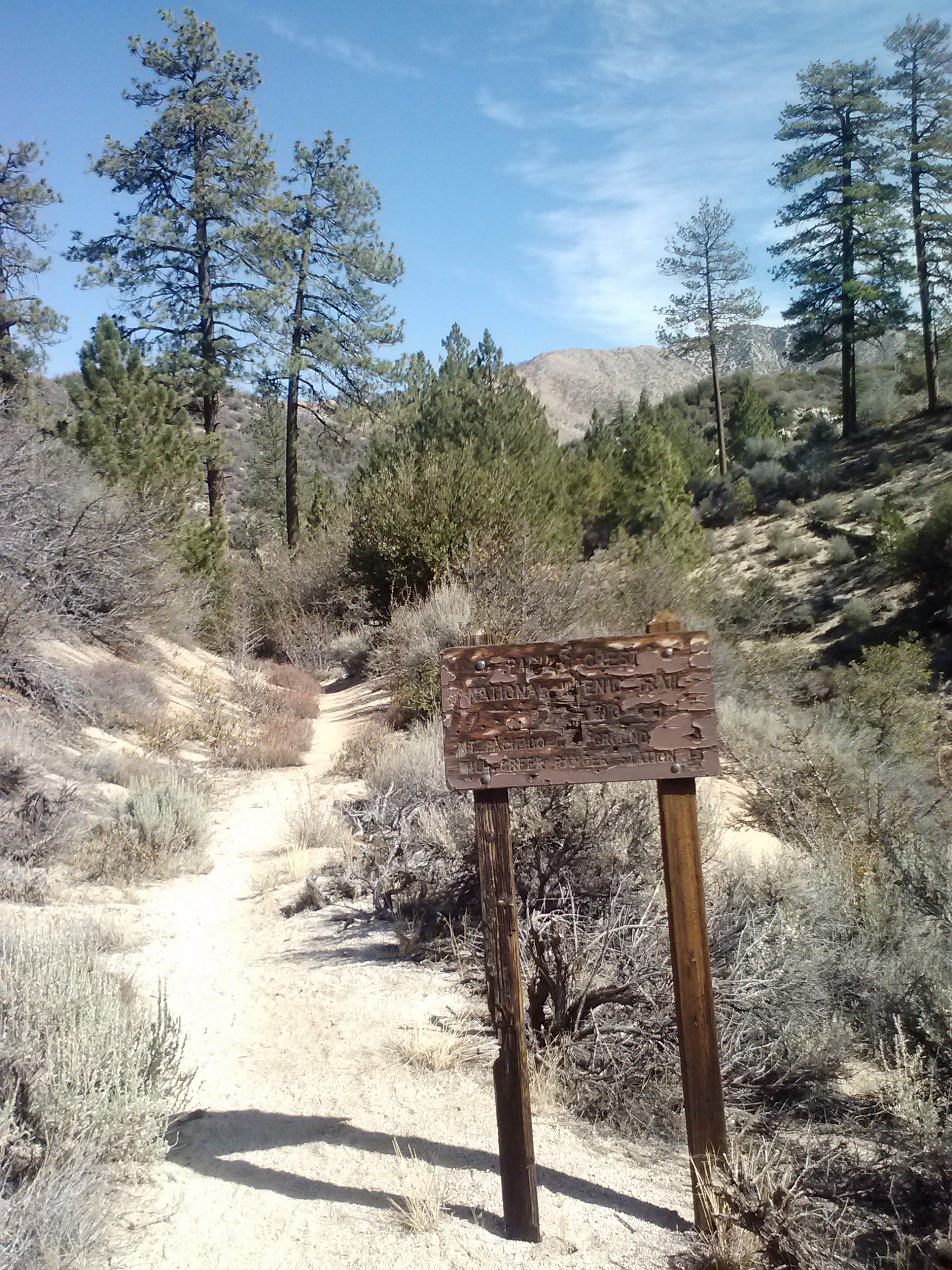
Old PCT sign
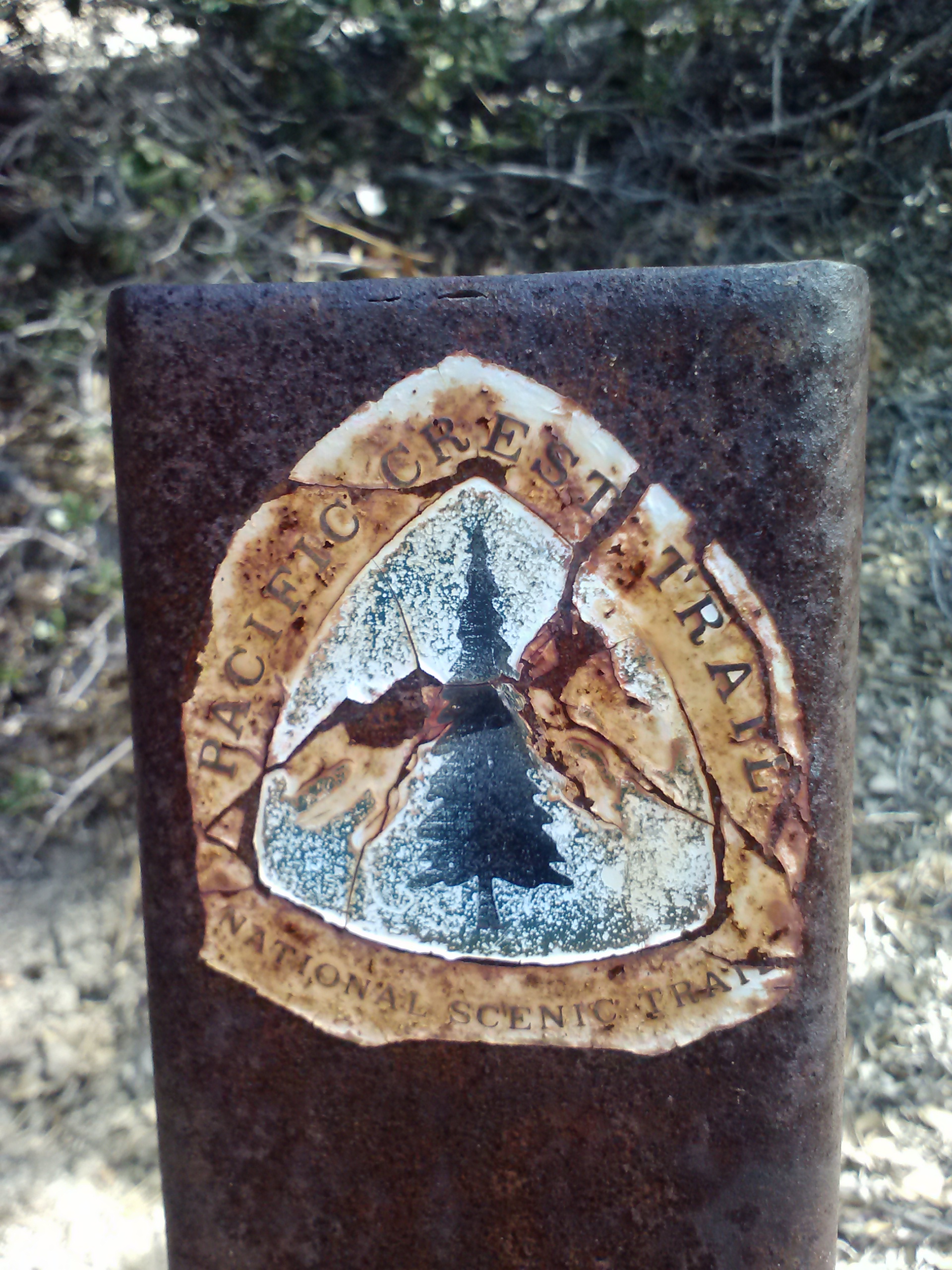
Another old trail post
I passed a large family doing a day hike, including a tiny little girl attached to her mother with a pink stretchy leash. I thought to myself, I must be getting close to the highway and picnic area if SHE’s out here. It’s great to see people hiking with their small children, it sets a precedent for that child and helps them build a relationship with the natural world that so rarely happens in modern cities these days.
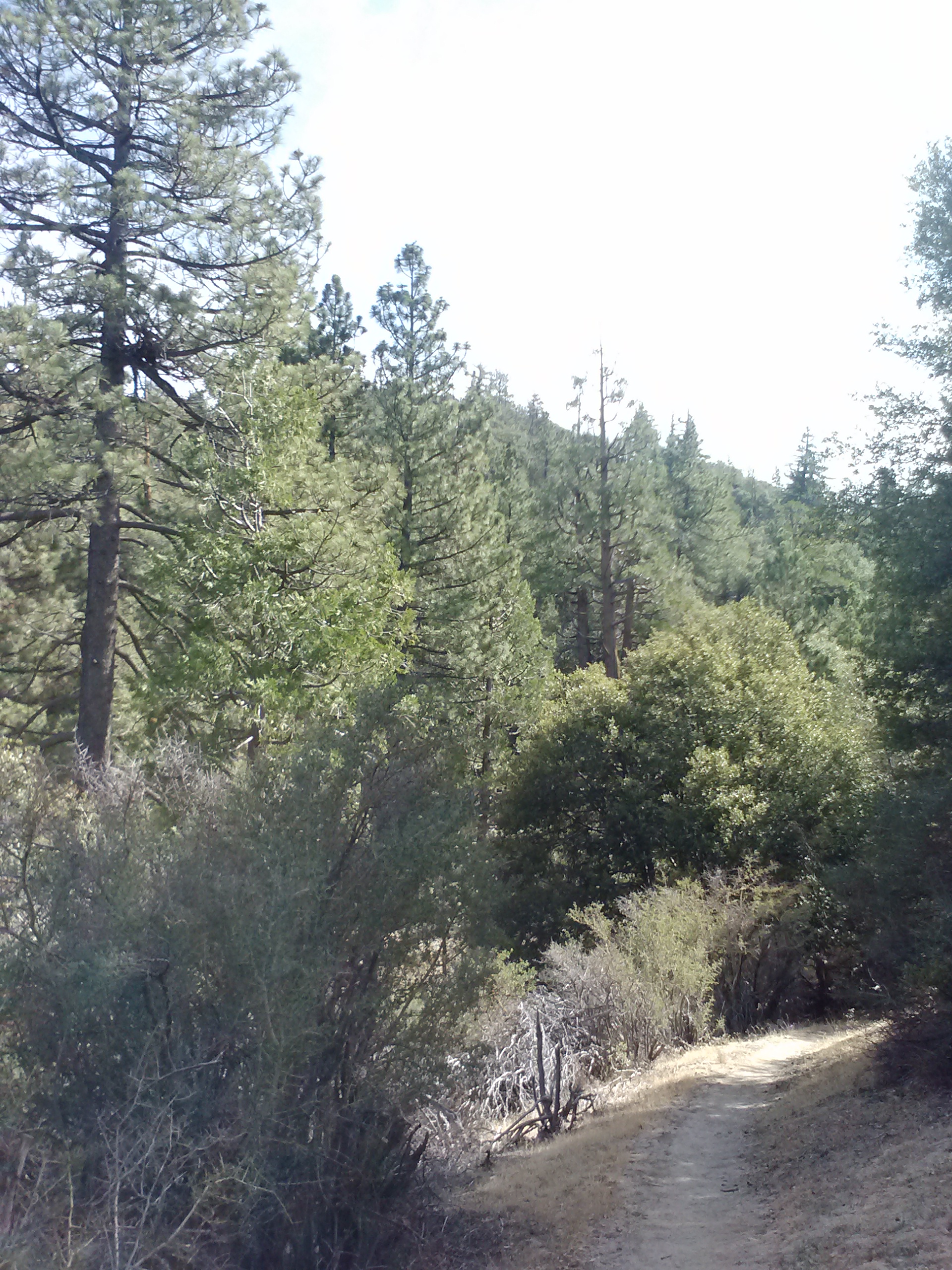
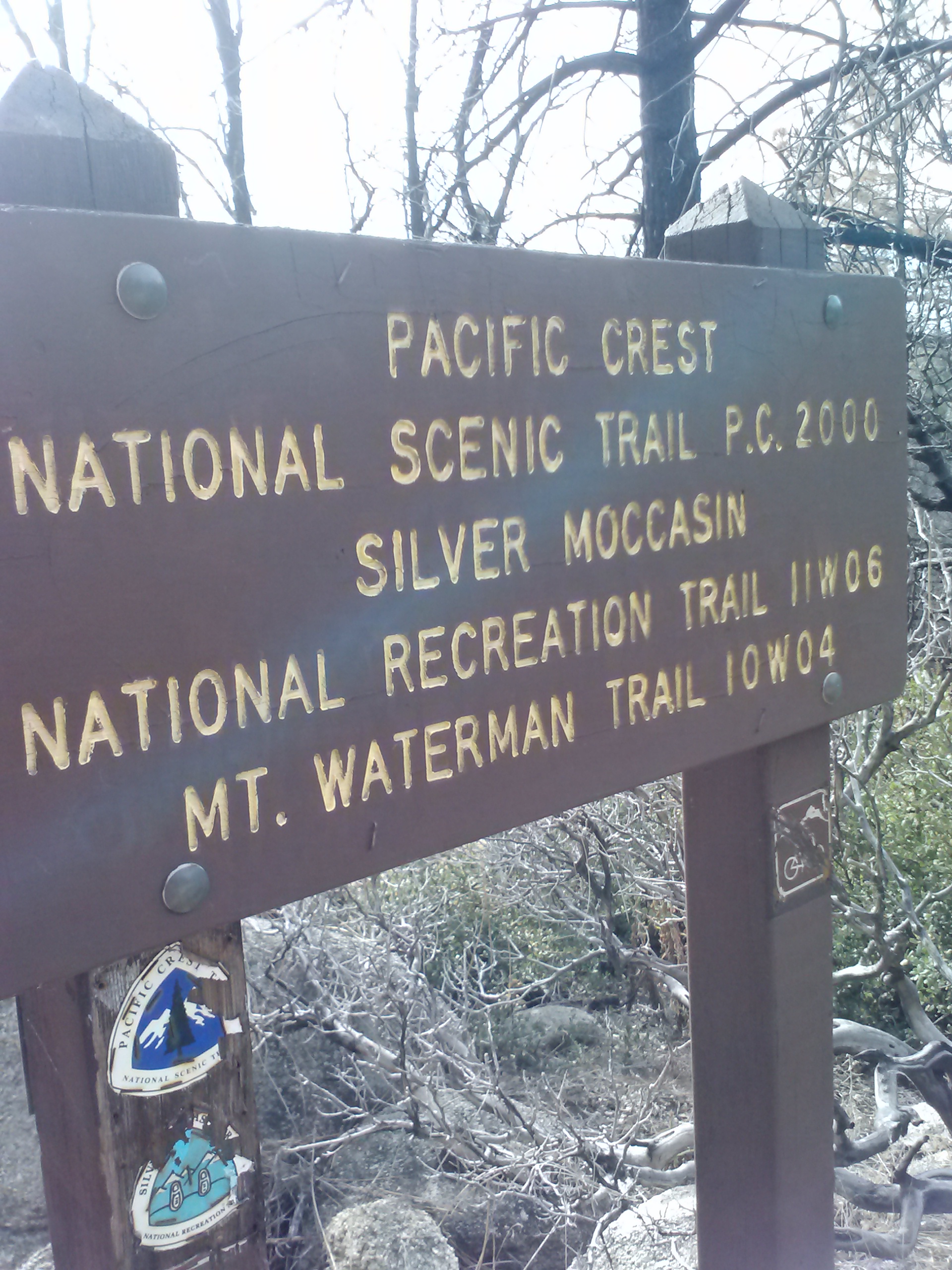
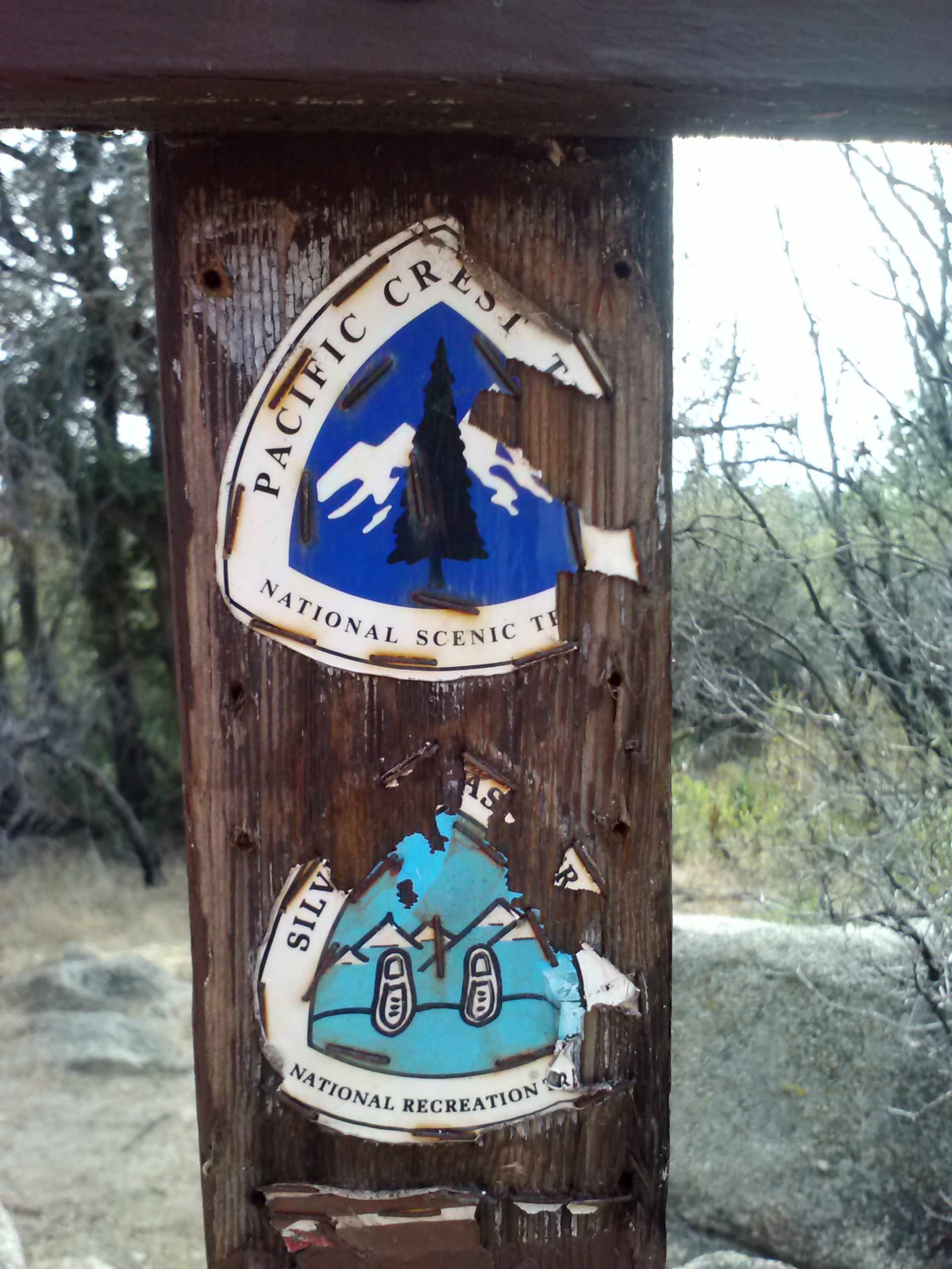
Just after Three Points Picnic Area and the Hwy 2i crossing, the PCT merges with the very old Silver Moccasin Trail (SMT). This trail originated as frequently used footpaths by the Tongva people, a Los Angeles area Native American tribe. Later, Anglo settlers used the same paths for hunting and in 1942 it was officially designated a wilderness trail by the Boy Scouts. Parts of this trail are narrow footpaths, others look like they were once dirt roads that have been washed out season after season.
Three Points Picnic Area
Stepping onto the Silver Moccasin Trail
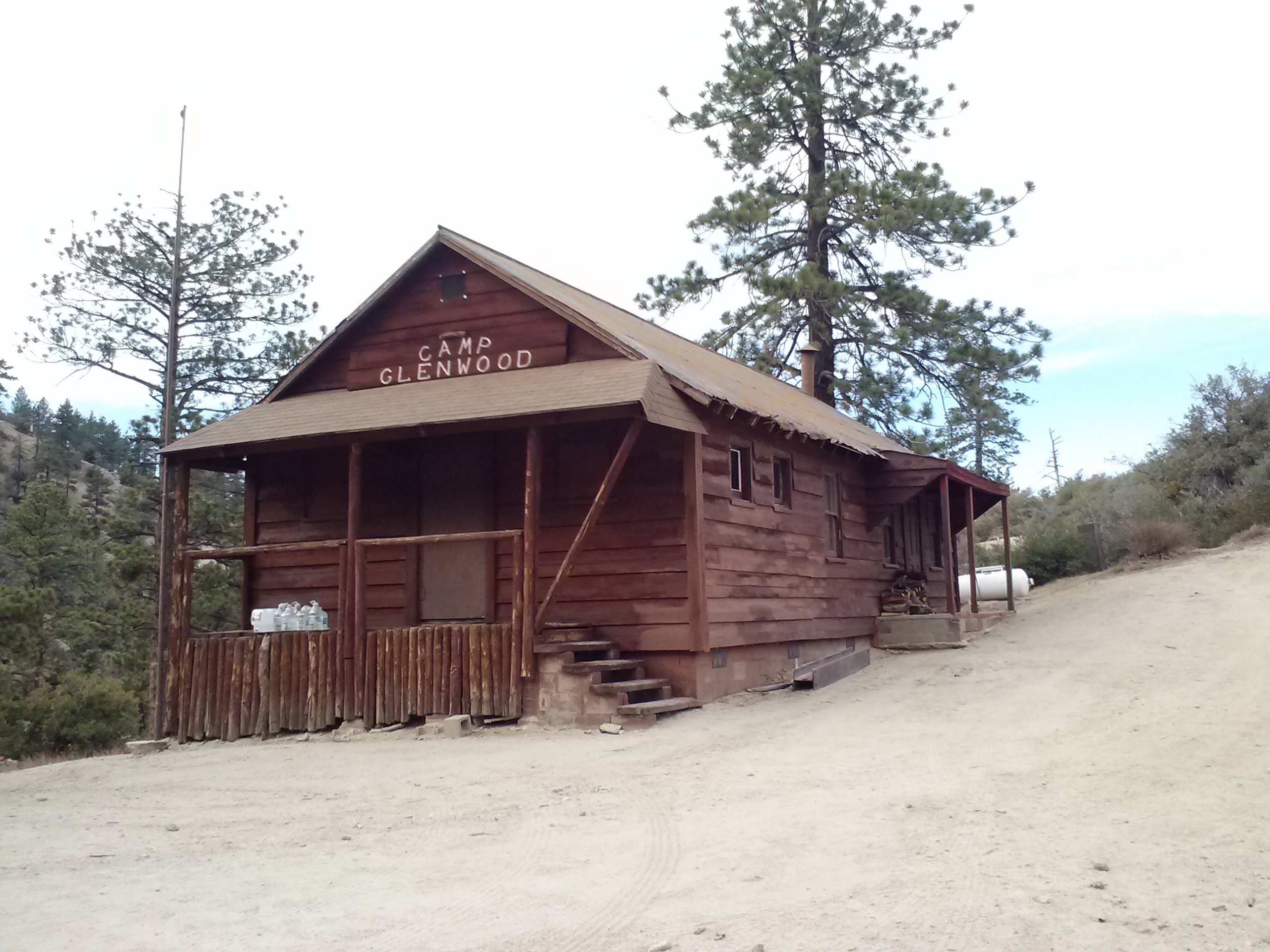
Camp Glenwood
PCT 400 mile marker
As I was pushing up toward the Hwy 2g crossing, I almost trotted right past the 400 mile marker. Even though I’m section hiking Southern California and the mile markers don’t indicate how far I’ve come or how far I have to go, I’m always still excited to see them. In a way, they are still milestones for me. As I hike through the various sections, I’m slowly filing in the gaps on my map and each mile marker is symbolic of that section being completed, no matter the order or date of when I hiked it.
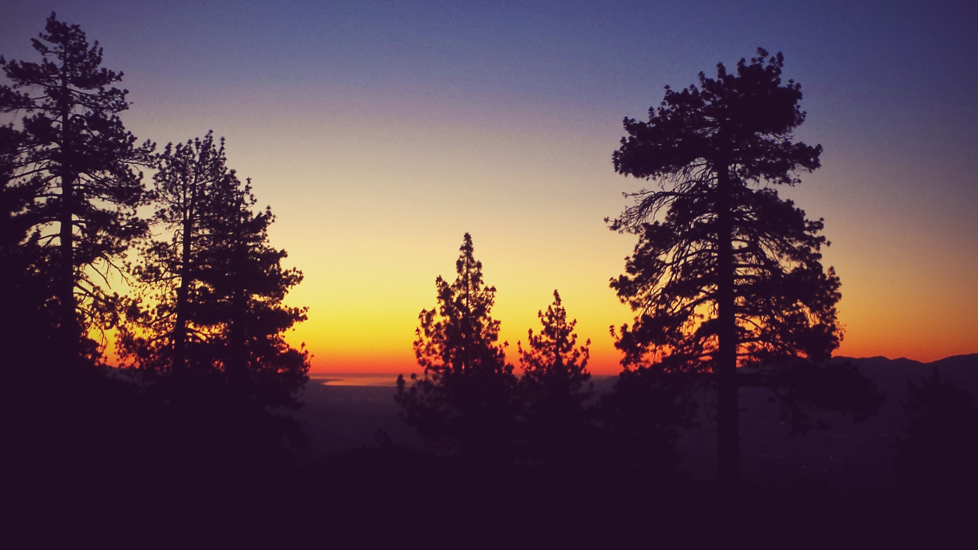
It wasn’t long after that I finally came out to Hwy 2f and Cloudburst Summit. It felt good to put in my second ever 20-miler day and I looked back along the mountains I had just climbed up with great satisfaction. As I was planning on a much earned dinner in a diner, I changed into some clean clothes before driving out of Angeles National Forest. My diner of choice that evening was Hill Street Cafe in La Canada Flintridge. I treated myself to a Tequila Lime Linguine with Blackened Chicken and Bell Peppers, a chocolate shake and a salad. It was absolutely excellent and I highly recommend it to everyone, coming off a mountain or not!
View north towards Mill Creek from Cloudburst

Hill Street Cafe, La Canada-Flintridge
Links
Installment No. 4 of My PCT Journey- Cabazon to Idyllwild
John Muir’s Steep Trails, Chapter 11: “The San Gabriels”
style=”display:inline-block;width:320px;height:100px”
data-ad-client=”ca-pub-6269729938434418″
data-ad-slot=”5716075289″>
I like the charts. I like the John Muir quotations. I liked the views, particularly on the clear day you had that day!!!