loading map - please wait...
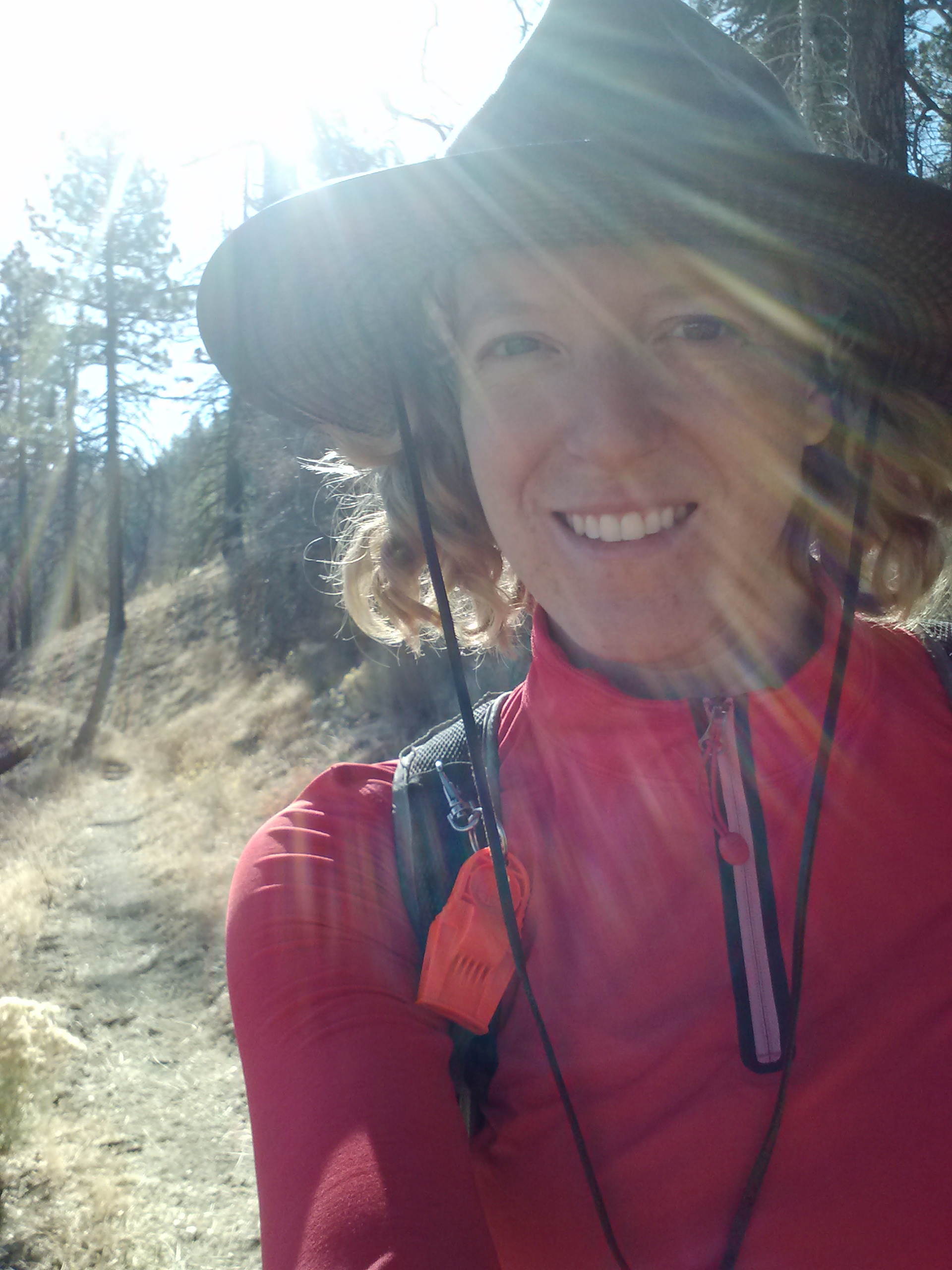
July 6- 15.5 miles, camping in the middle of nowhere
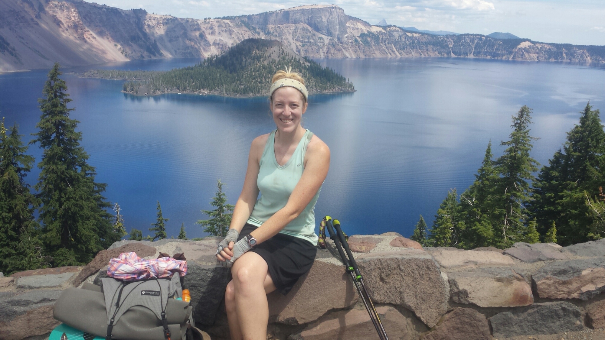
Since this may be the only time in my life when I get to see Crater Lake, I decided to play tourist a bit. I took a shuttle to the park visitor’s center to look at maps of the area and watch a little documentary that covered the geology and history of Crater Lake. I then road walked 3.5 miles up to the lake itself.

Crater Lake
It truly is a stunning view and I wished I could have stayed longer to take a boat ride or something. Instead of a touristy boat ride, I settled on walking along the rim to the lodge for a salad and chili. The entire area was crawling with summertime tourists and, despite the beauty of the place, I couldn’t wait to get back on the trail.
The native Klamath people have a legend that says the god of the underworld, who lived within Mount Mazama, fell in love with a tribal princess. When she refused to marry him, he took revenge on the tribe by erupting the mountain. Two medicine men threw themselves into the roaring volcano in the hopes of appeasing the angry god. Another god witnessed the bravery of the two men and battled the underworld god until the mountain collapsed, creating the massive crater. The Klamath people still hold Crater Lake as a powerful and sacred place.

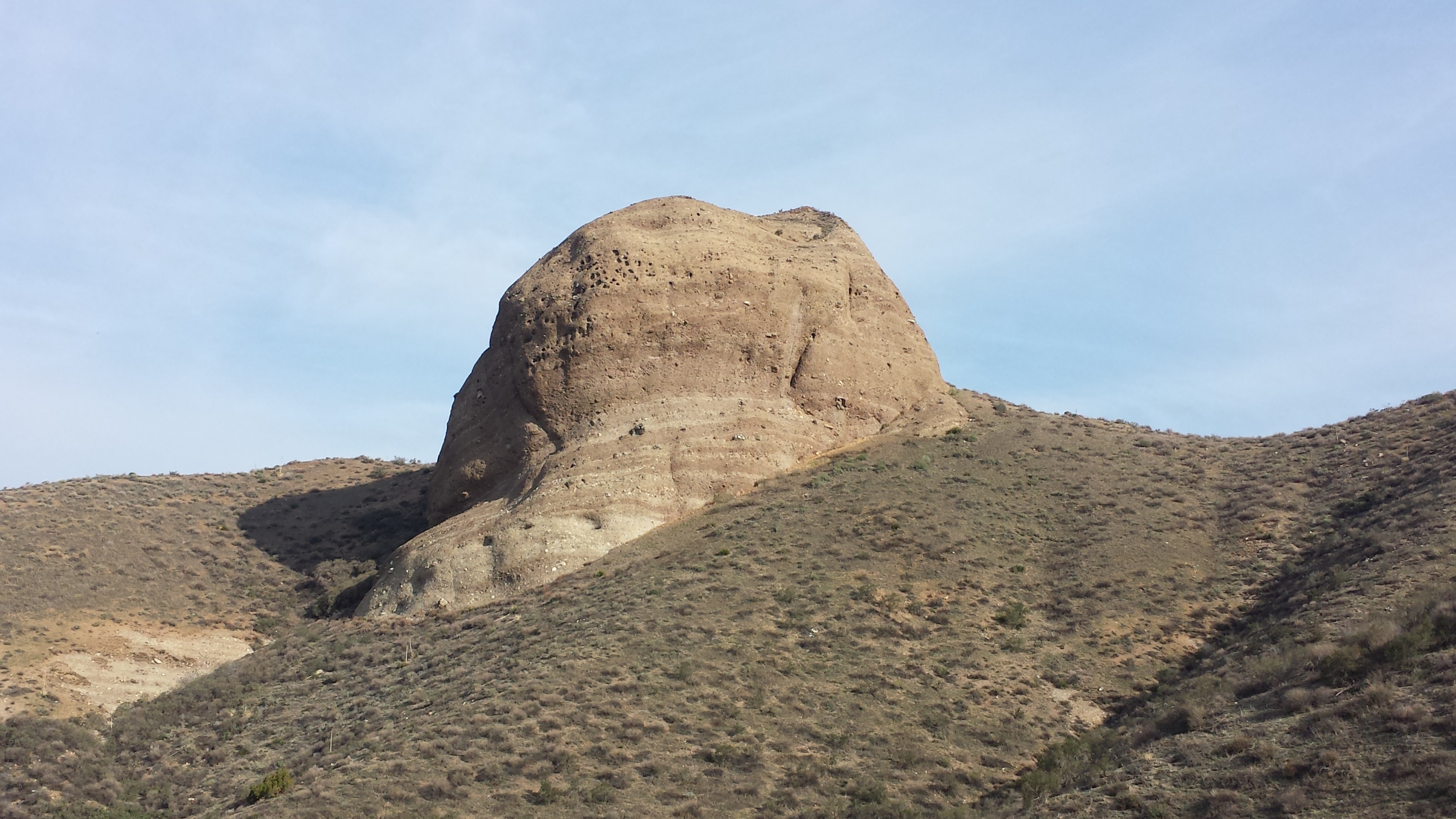
Wizard Island
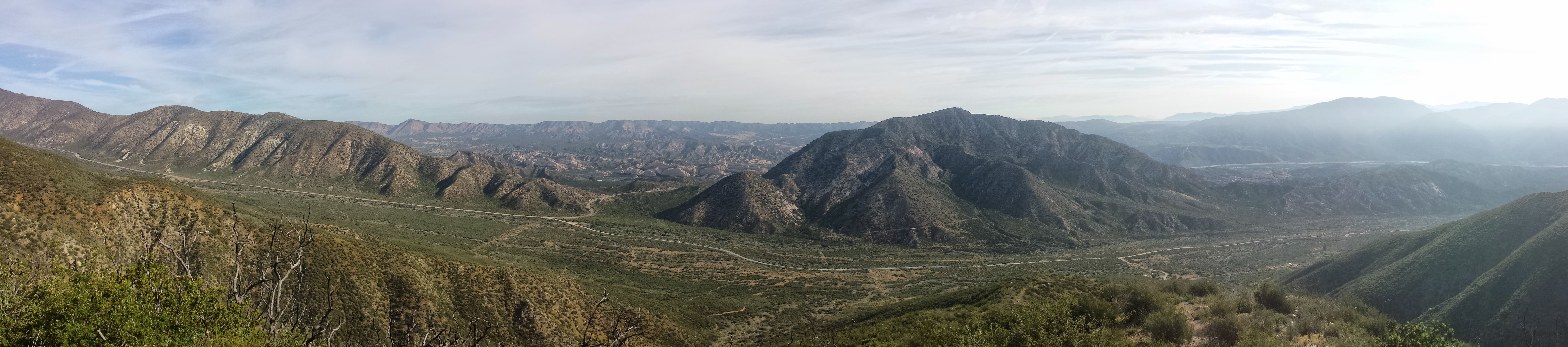
Mount Mazama once stood as a 12,000 foot tall peak over the place that is now Crater Lake, making it the tallest mountian in Oregon at the time. Around 7,700 years ago, it erupted, decimating everything within a thirty-five mile radius. It is the most massive explosion of the Cascade Range in the past million years. It took 500 million years to build Mount Mazama and only two to three hours for it to collapse to a crater.

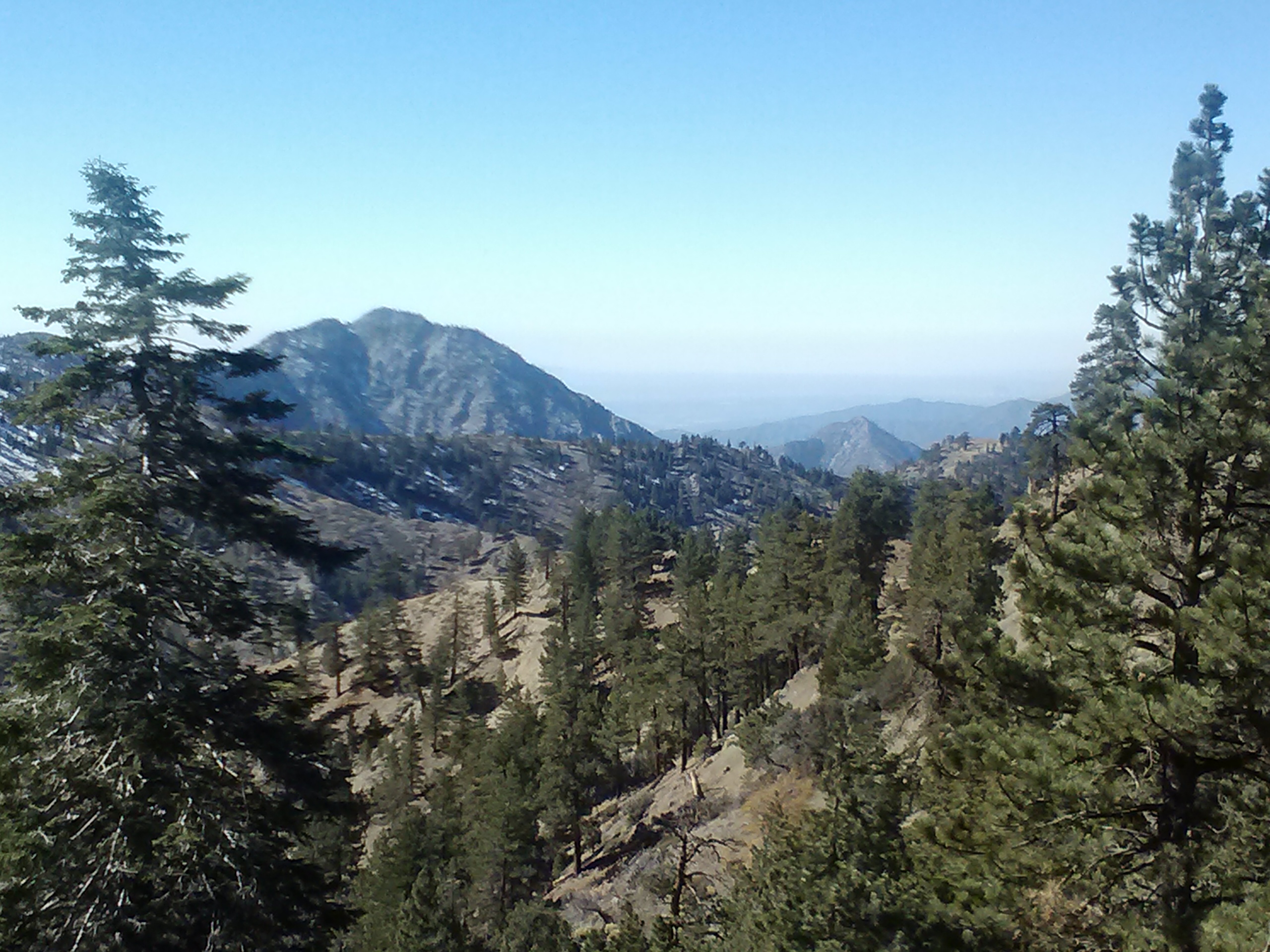
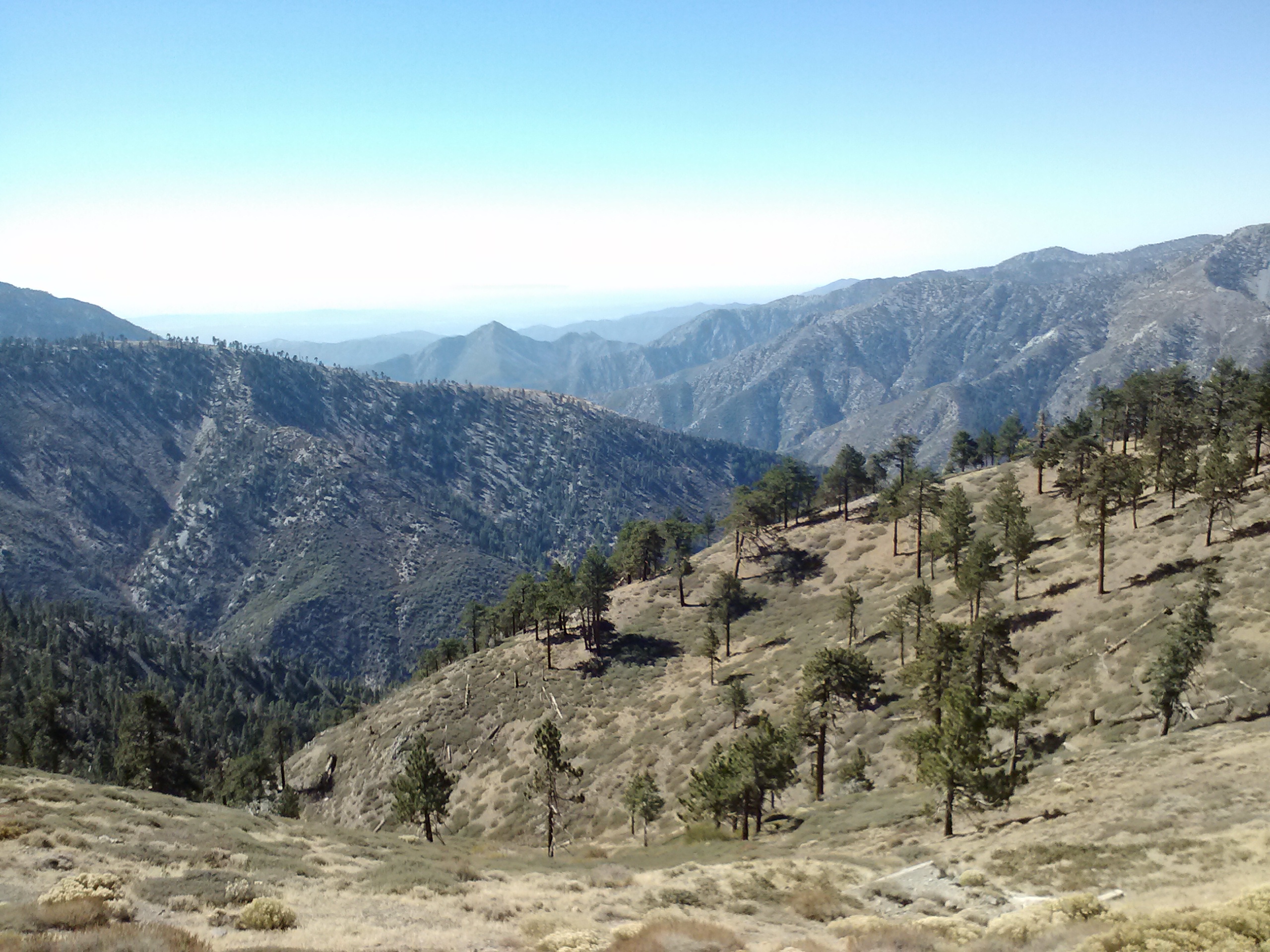
View towards Hellman Peak

View towards Mount Thielson
As years past, snow fell into the crater and melted, eventually filling the crater with some of the purest water on the planet. At 1,943 feet deep Crate Lake is the deepest lake in North America and the seventh deepest in the world.
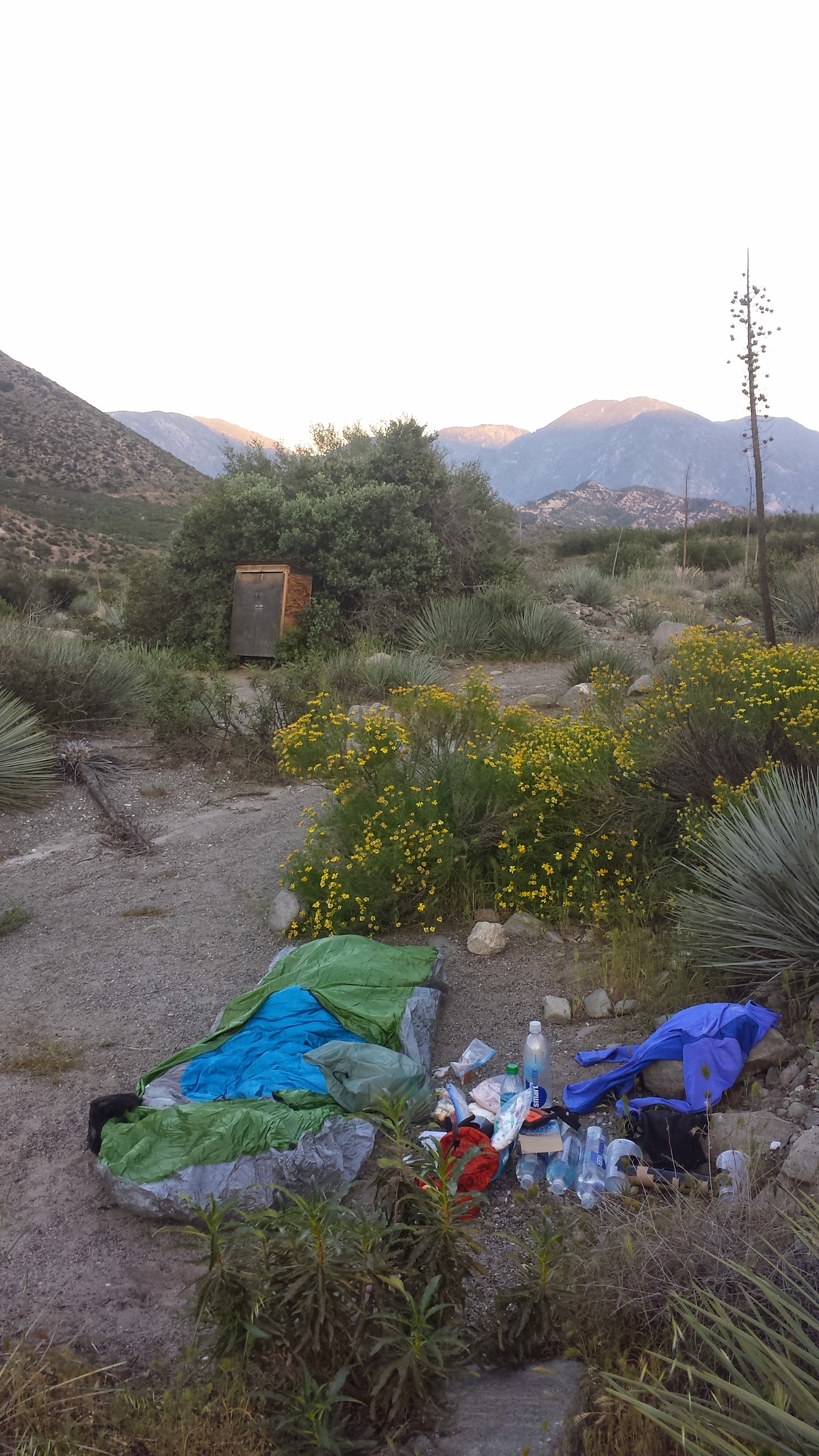
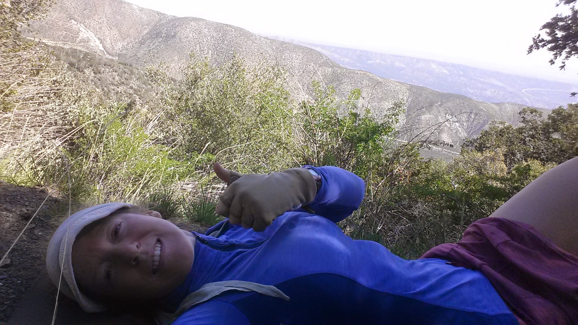
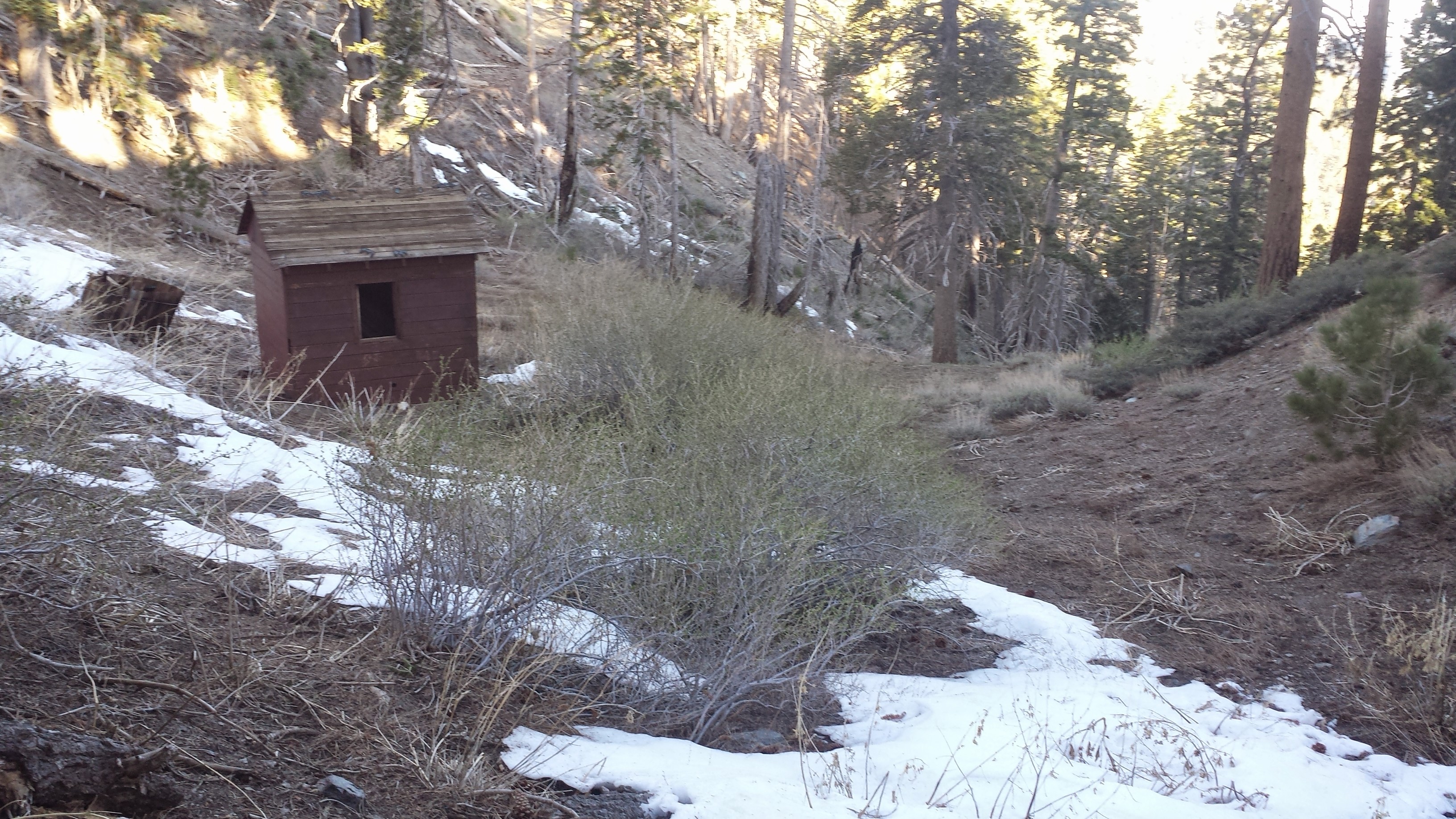
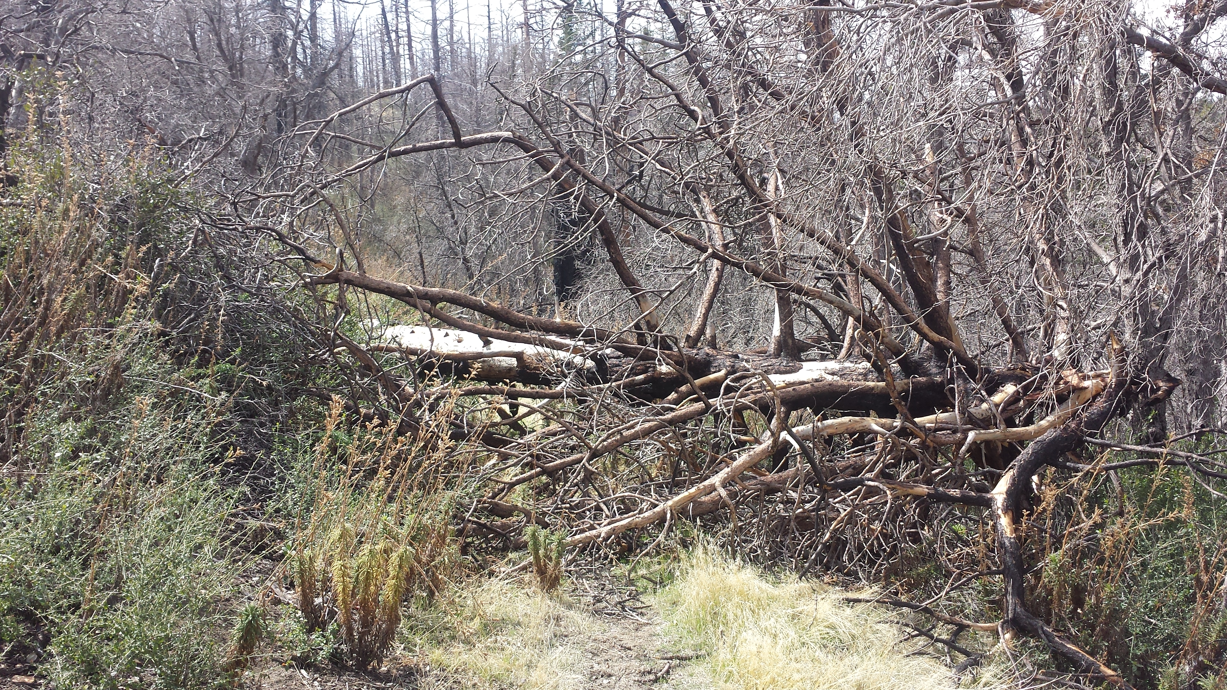
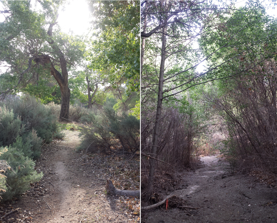
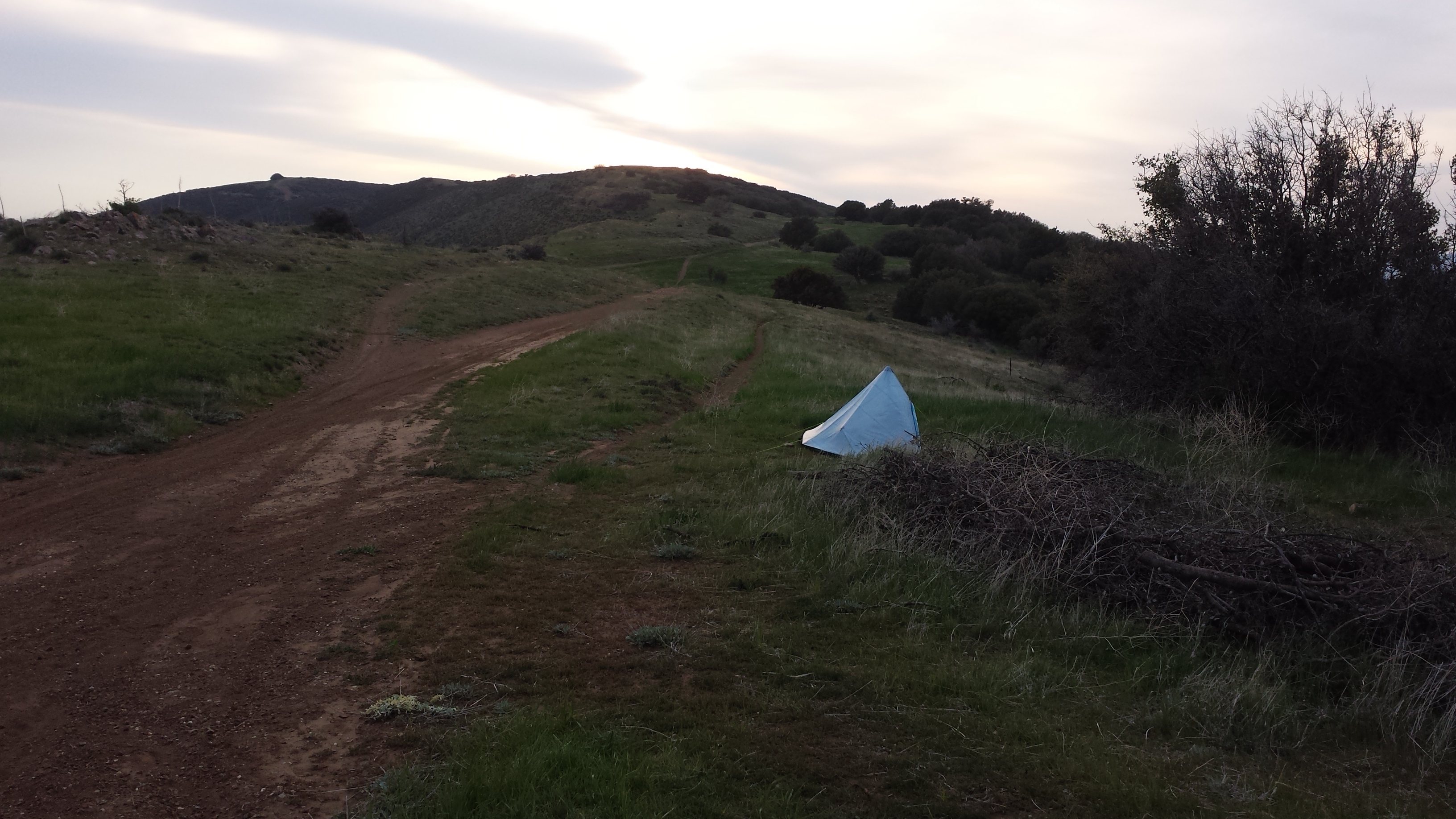
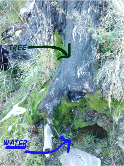
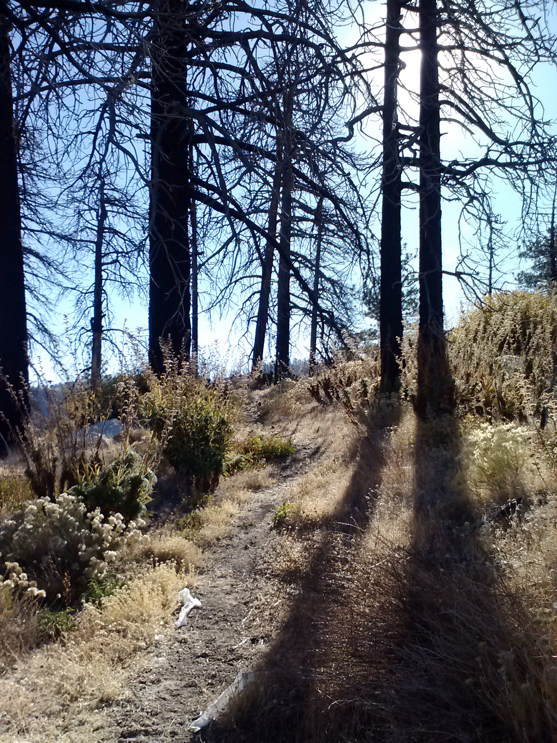
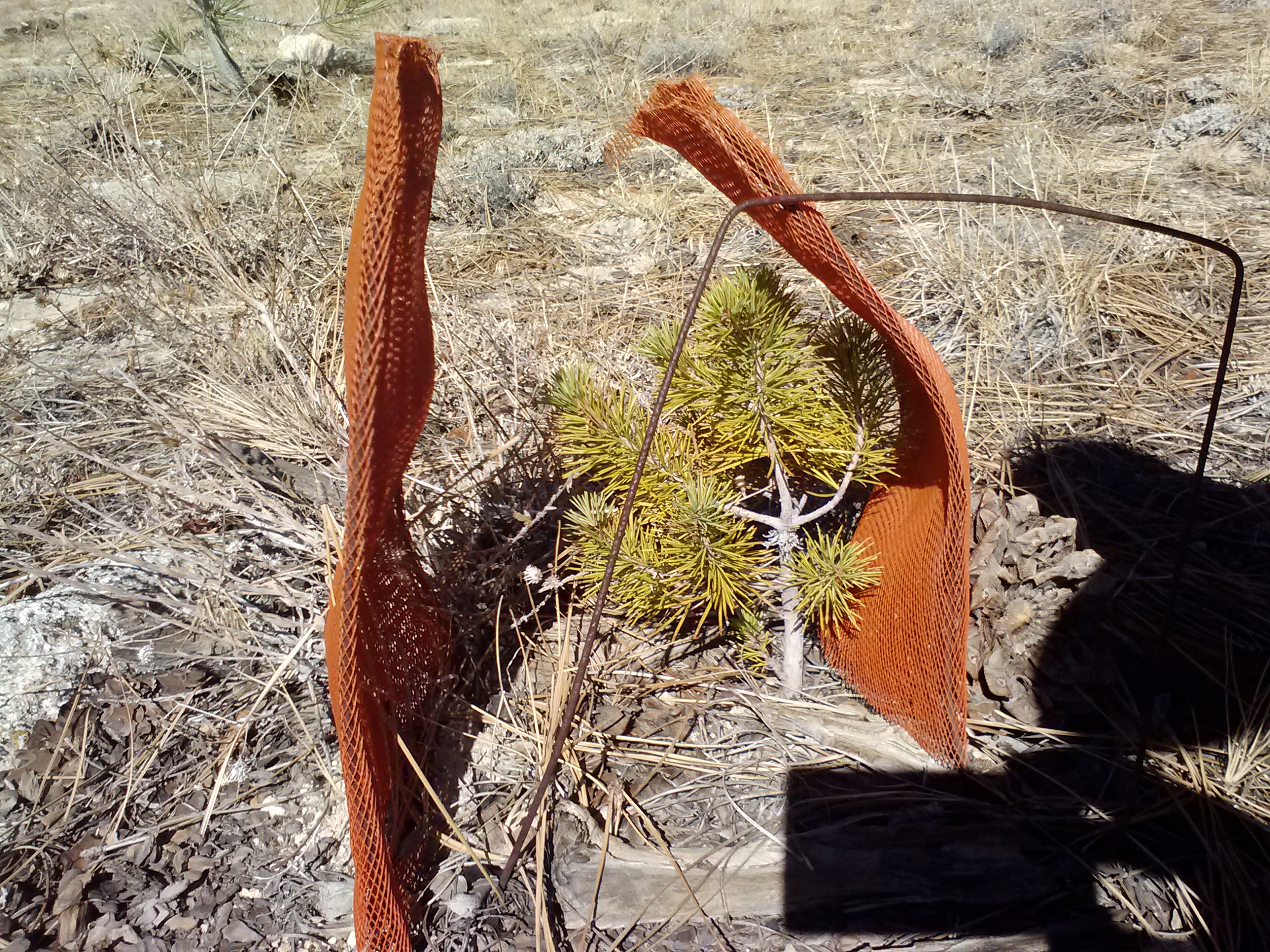
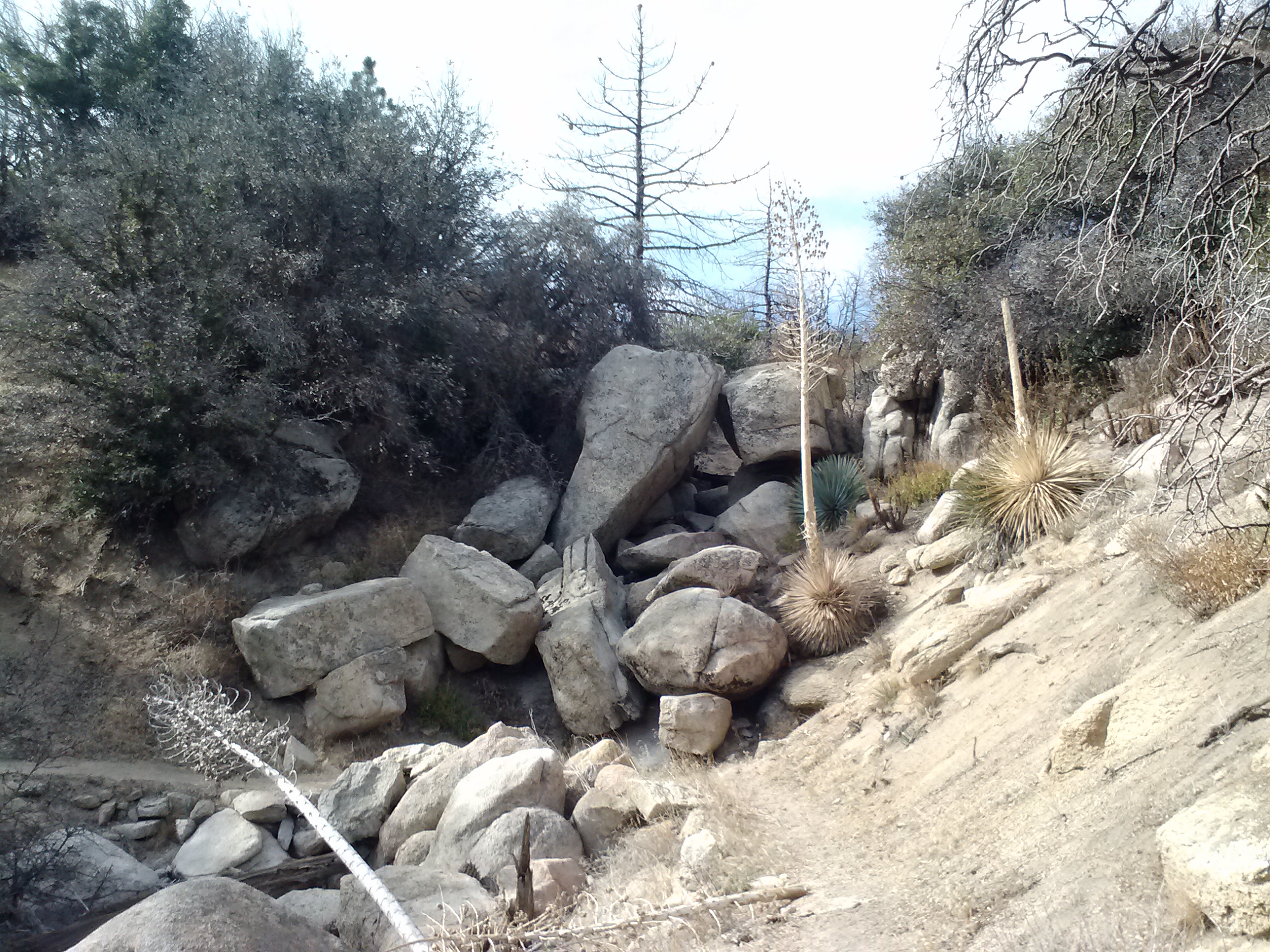
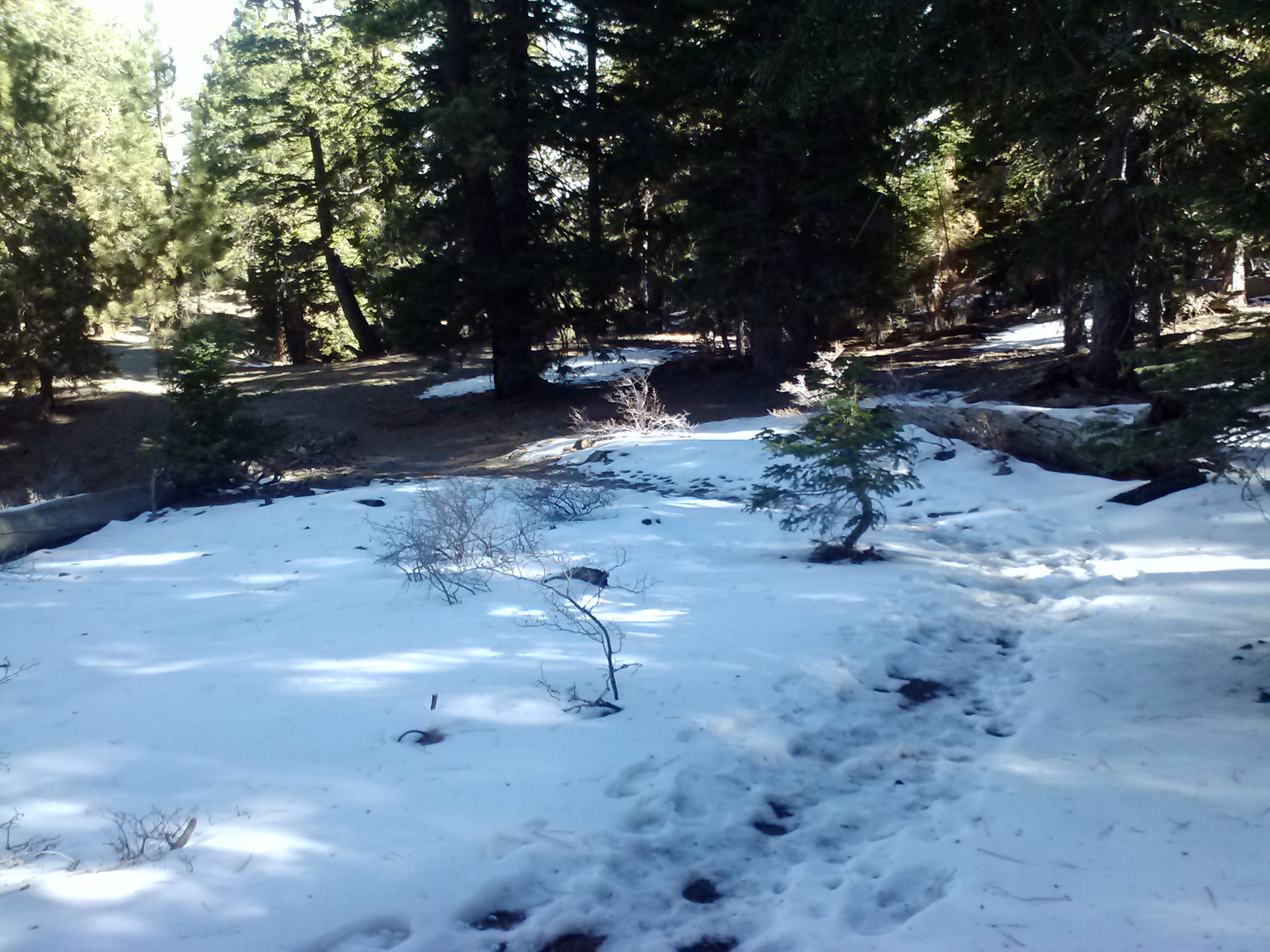
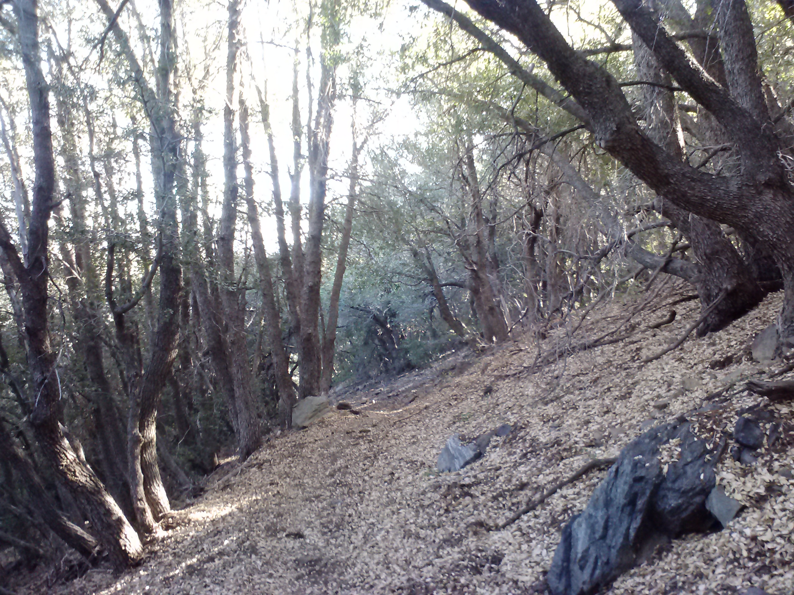
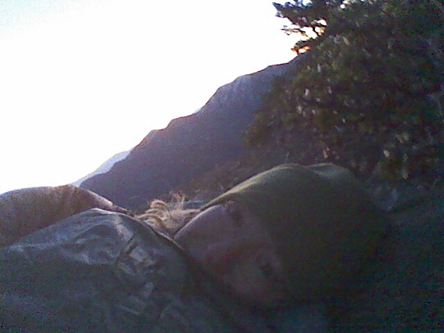
I’m camping alone in what seems like the middle of nowhere. It’s utterly flat and covered in tall, skinny pines. It’s kind of spooky.

Camping in the middle of nowhere
July 7- 15.5 miles, camping at Thielson Creek

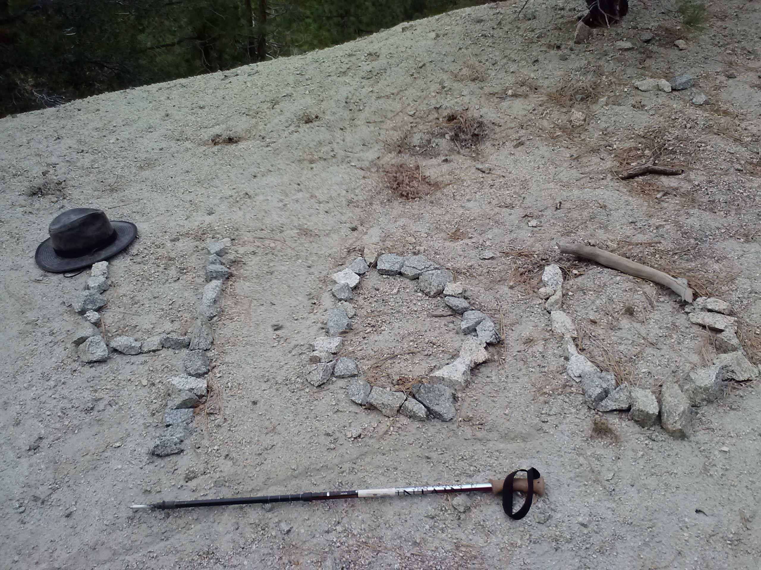
Hiker humor
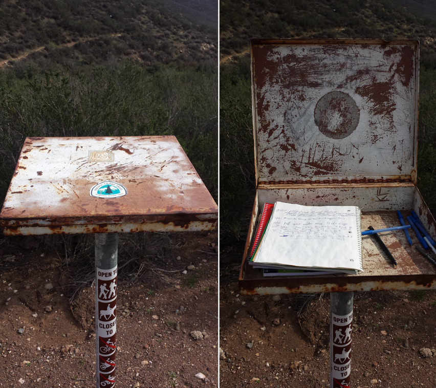
I had a Twilight Zone moment this morning. After packing up and hiking for an hour or more, I realized I couldn’t find my bug net. It must’ve gotten pulled off my pack when I’d pushed through some bushes or maybe it fell out when I pulled out my water bottle. I was so disappointed because I knew the bugs were going to be really bad in the upcoming section. An hour later, I found a bug net that looked exactly like mine lying neatly in the middle of the trail. For about three minutes, I panicked and thought this was my bug net and that I must’ve somehow gotten turned around and hiked back in the opposite direction. I was relieved once I verified my location on the GPS and found I hadn’t backtracked. Still, I’m secretly hoping I don’t run into the unlucky hiker who lost their net so I don’t have to give this one back!
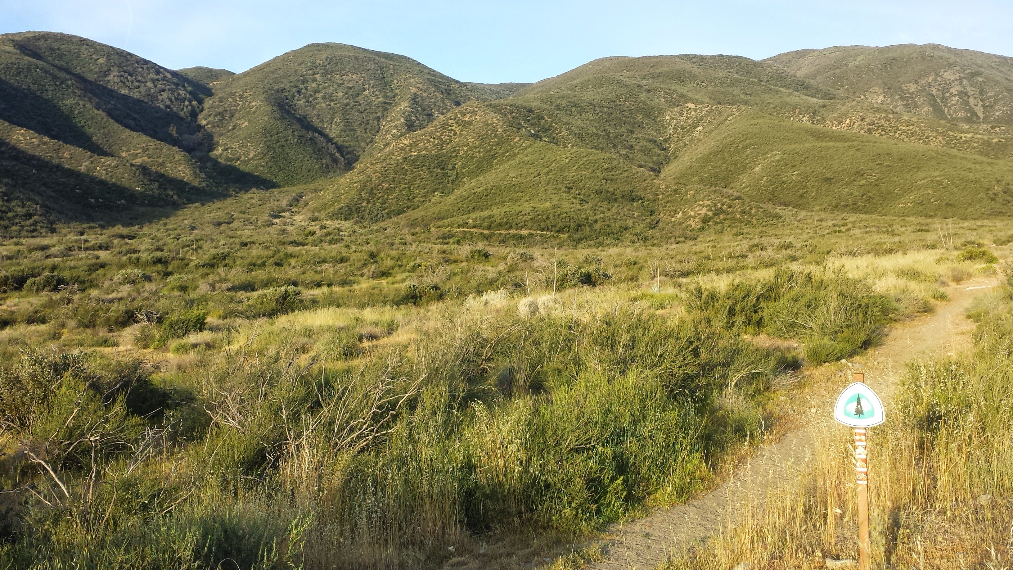
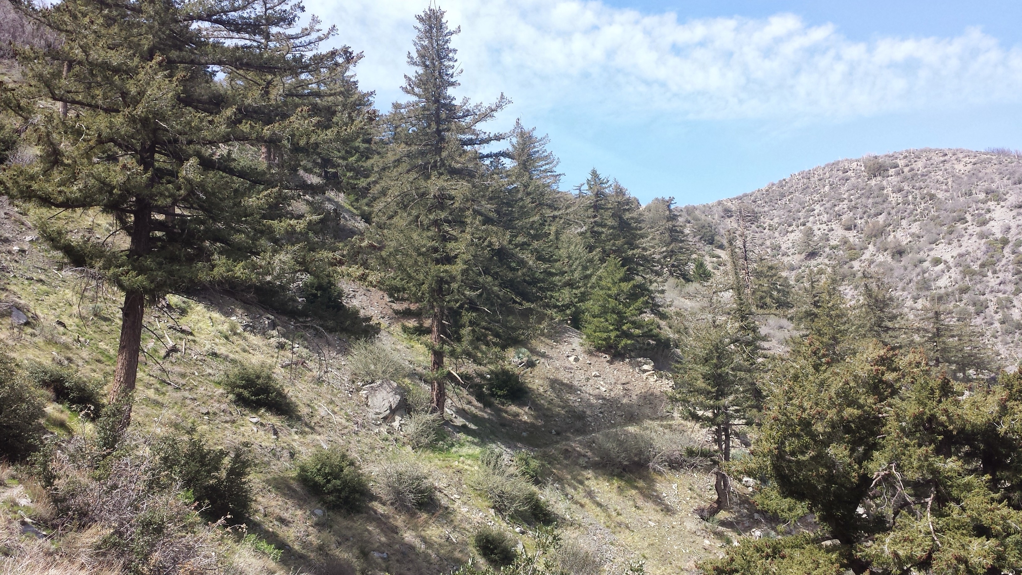
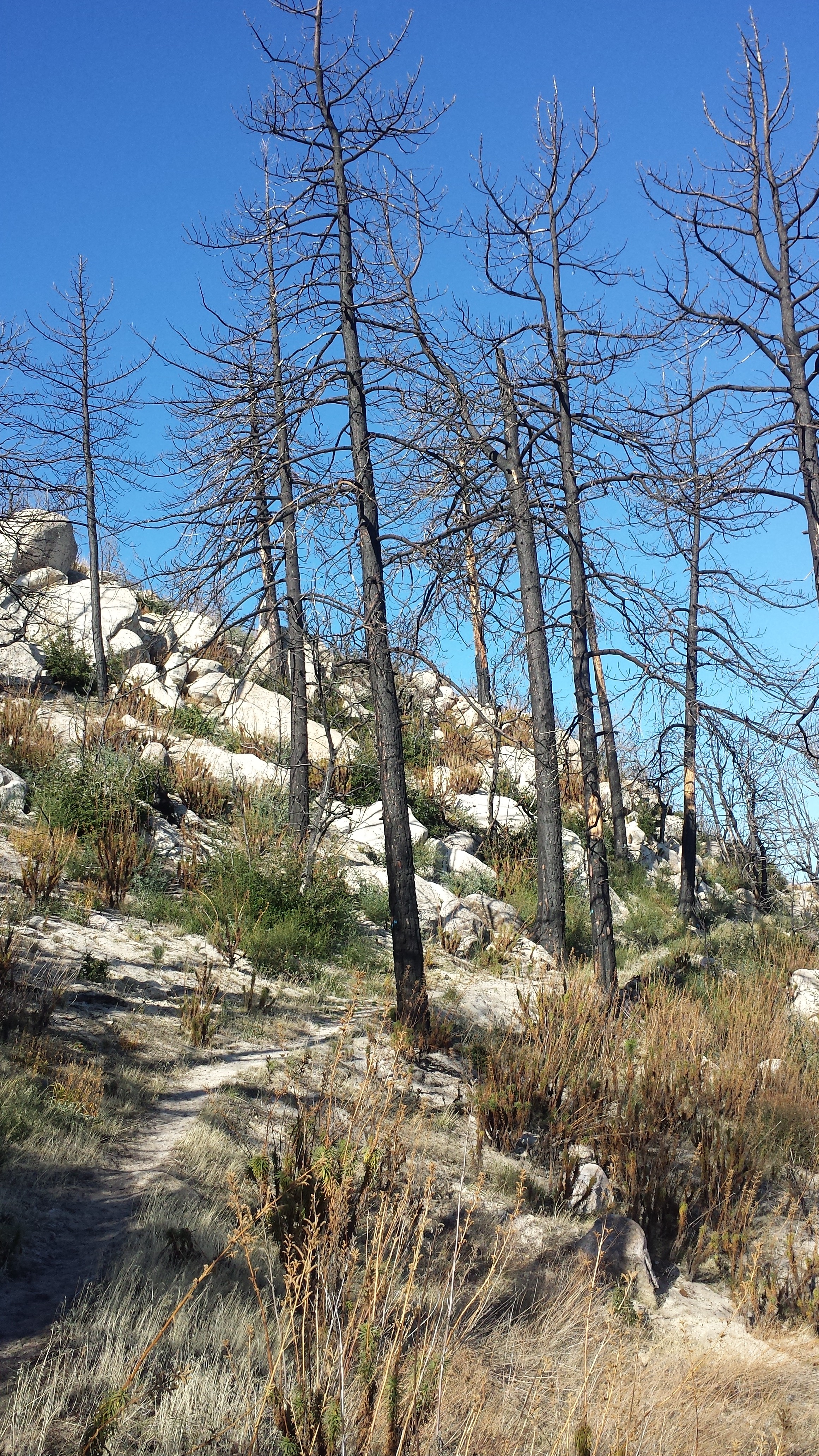
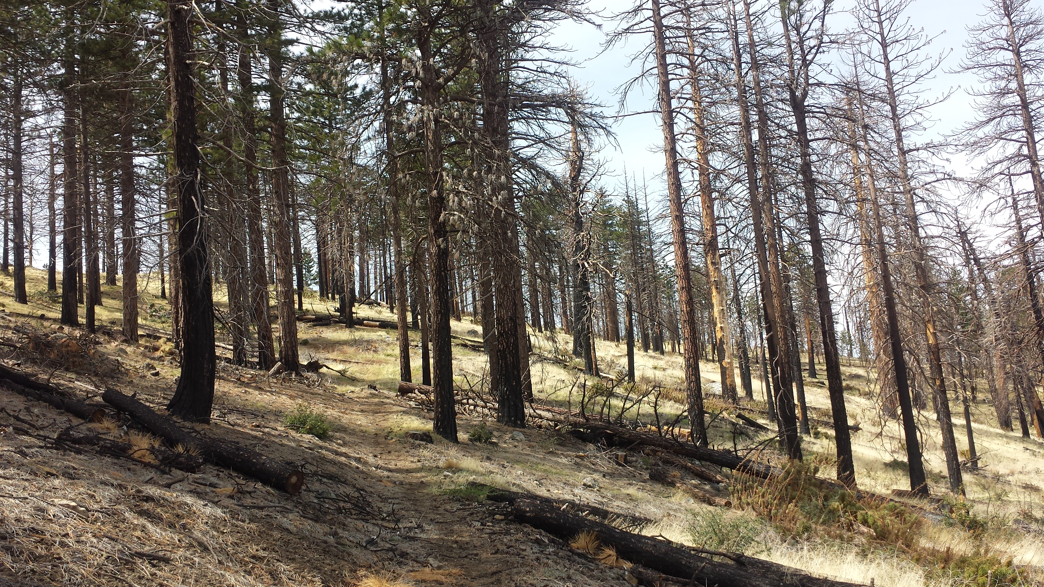
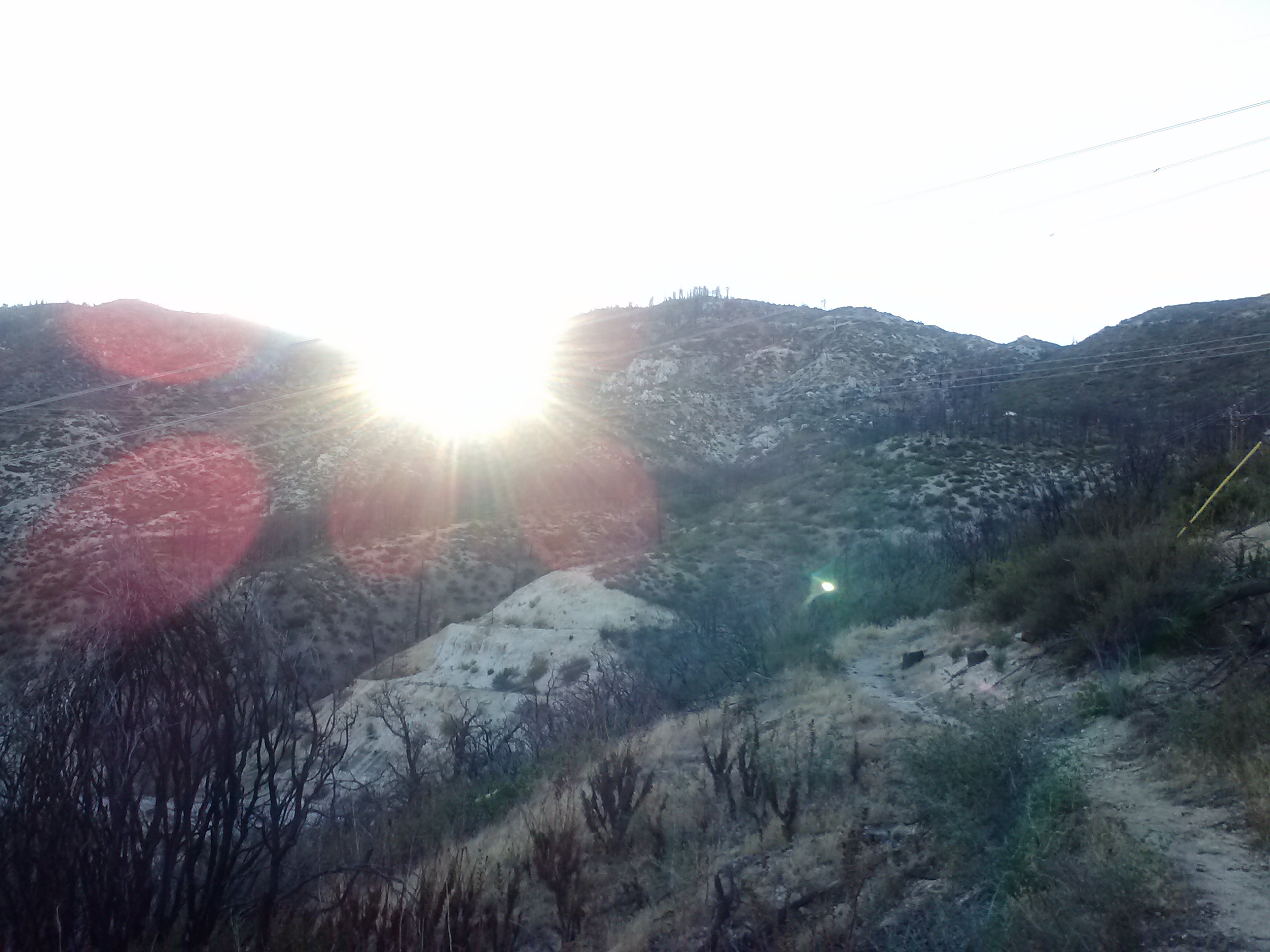
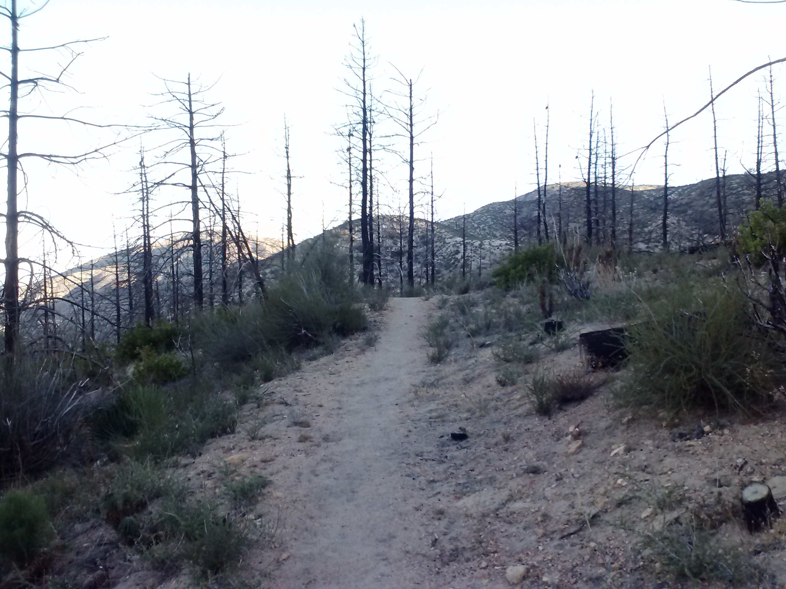
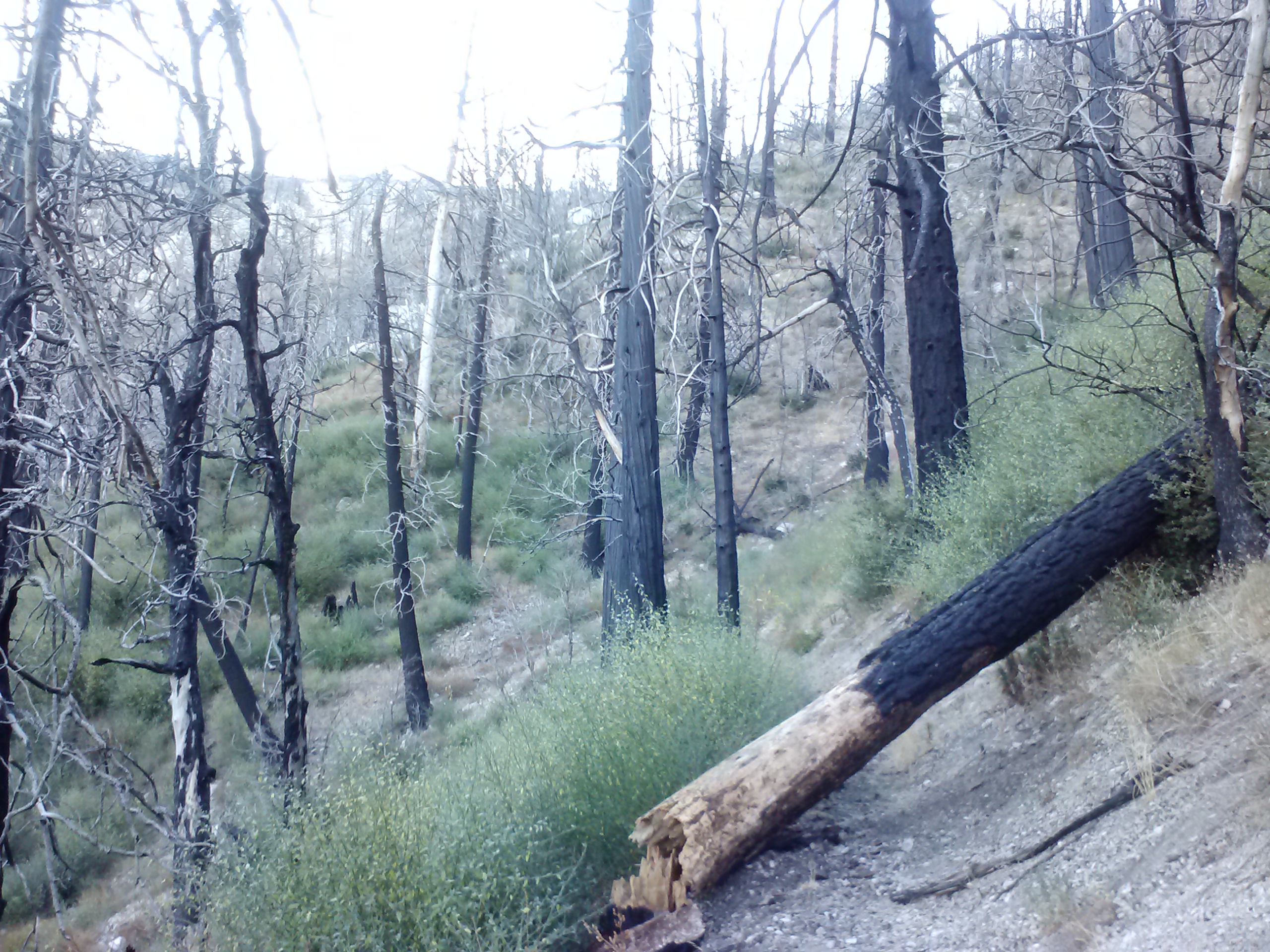
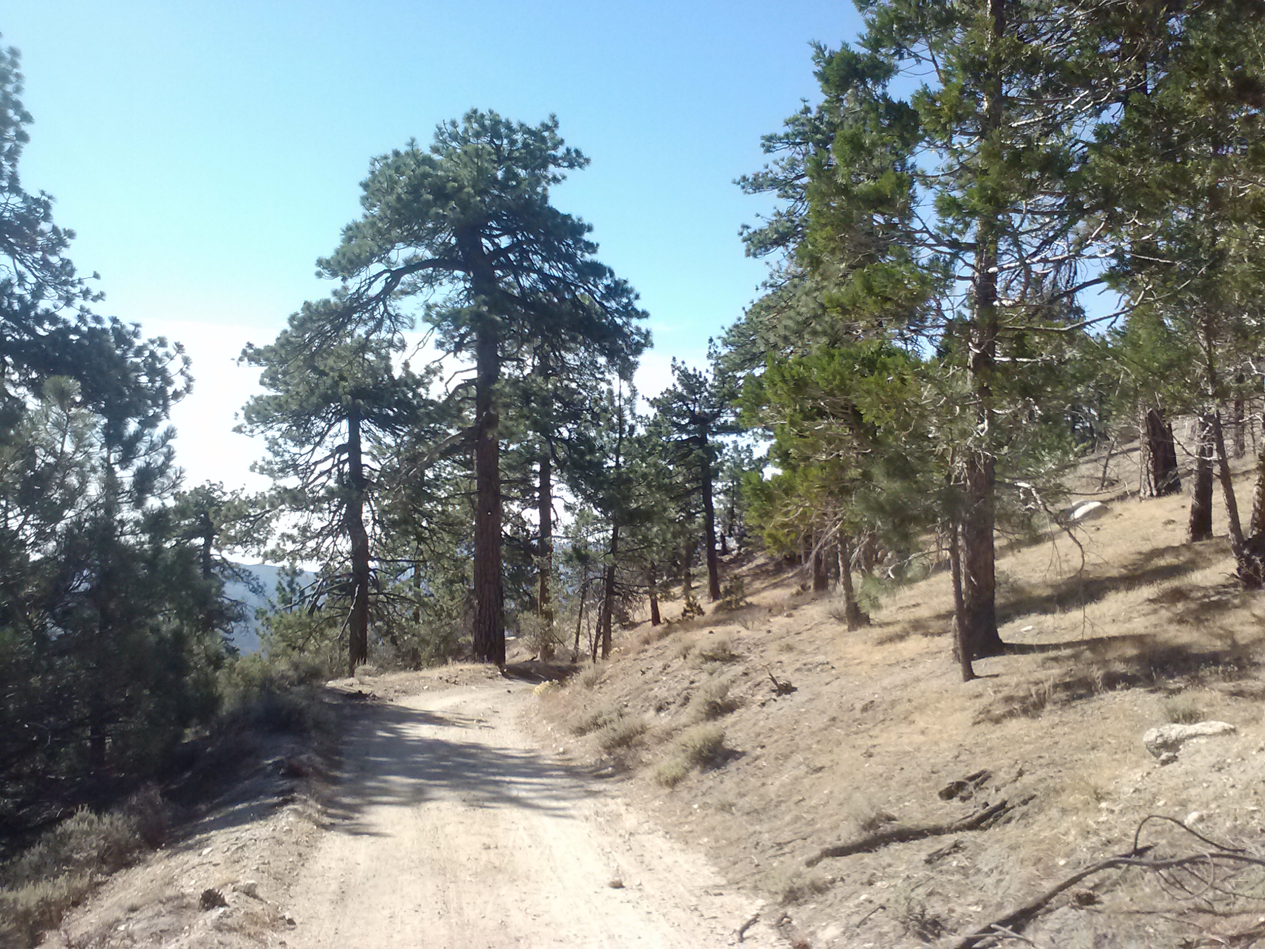
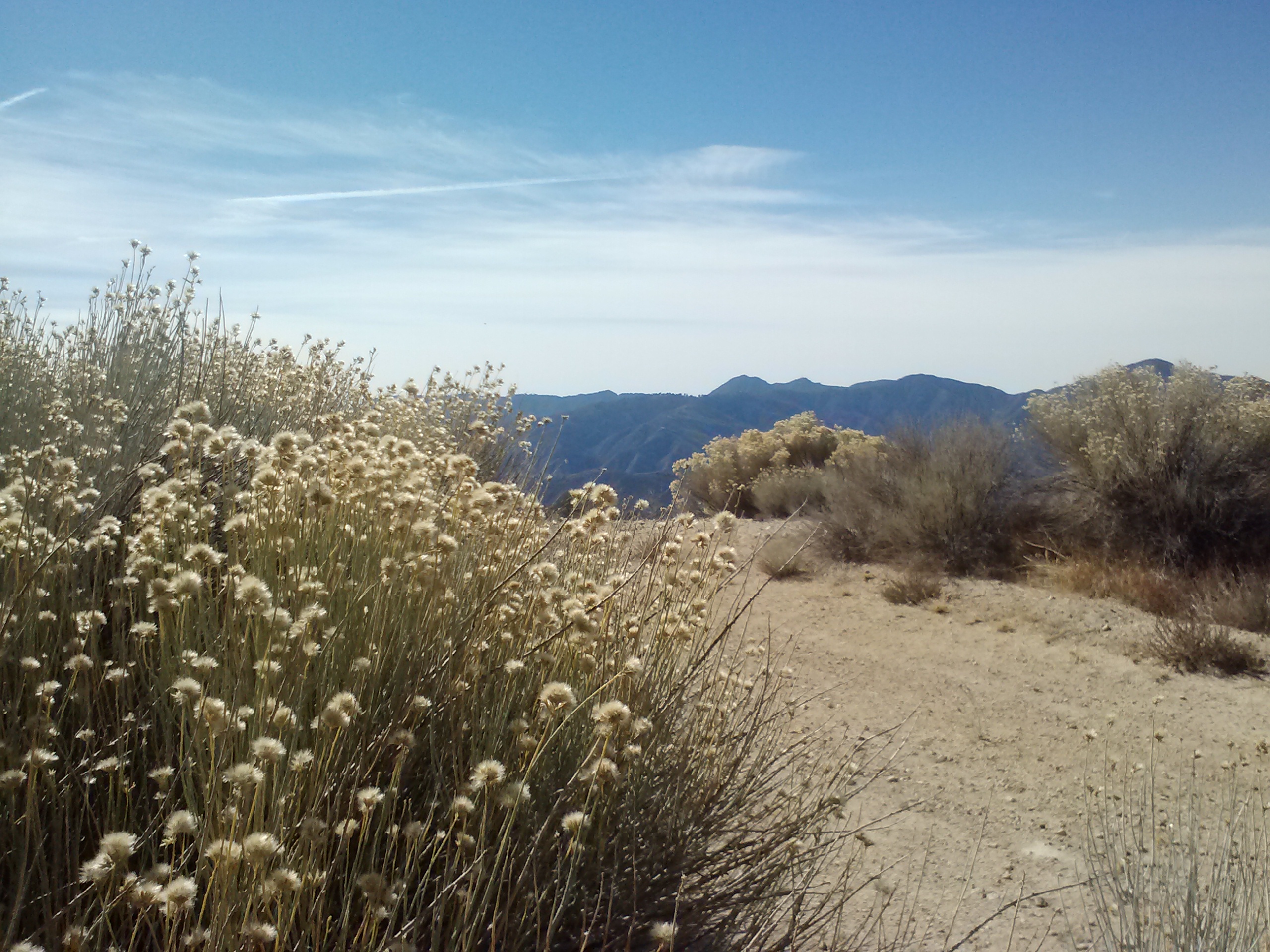
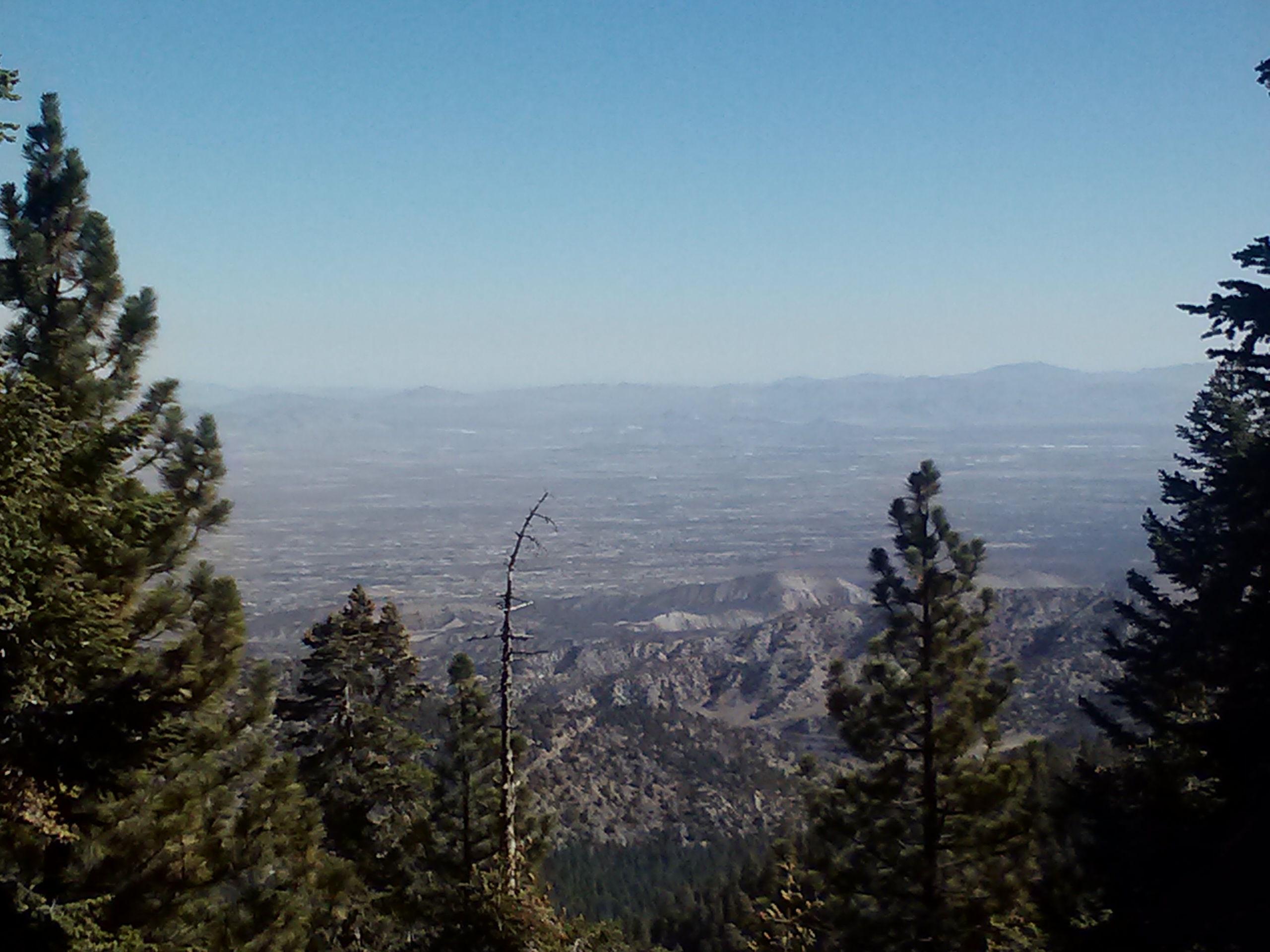
As I emerged out of the Pumice Desert, surrounded by a wall of skinny pines, thunder began to rumble above me. I had heard that afternoon storms were rolling in and my response had been, “Good! It’ll cool things down from that heat wave!”

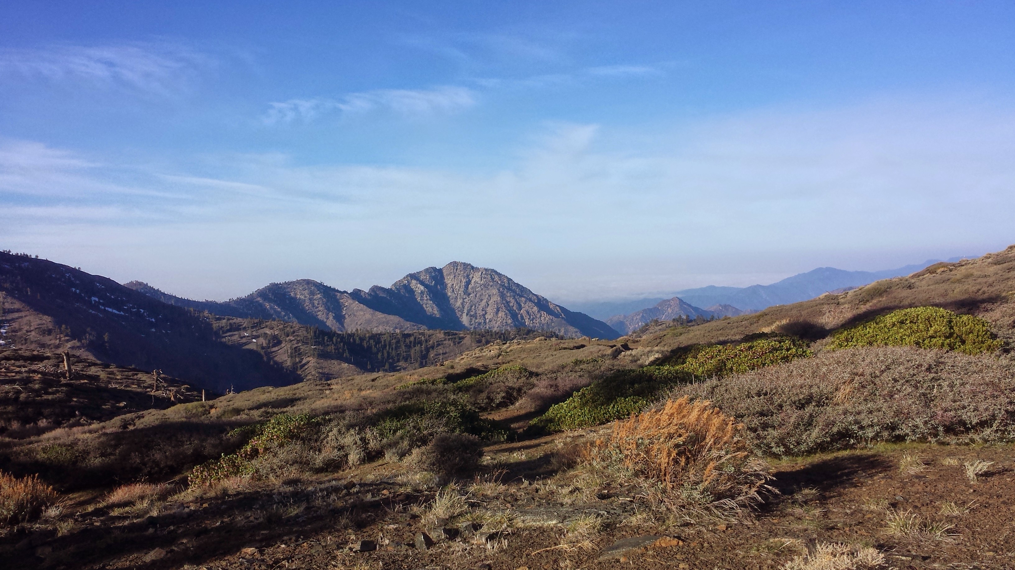
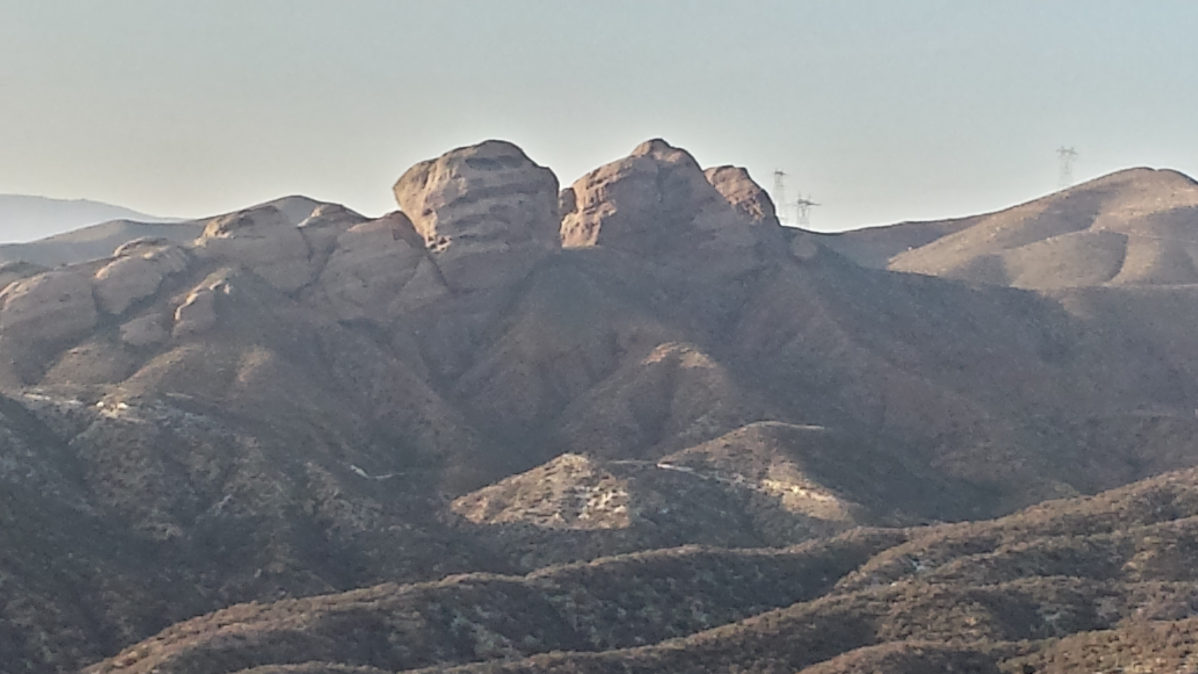
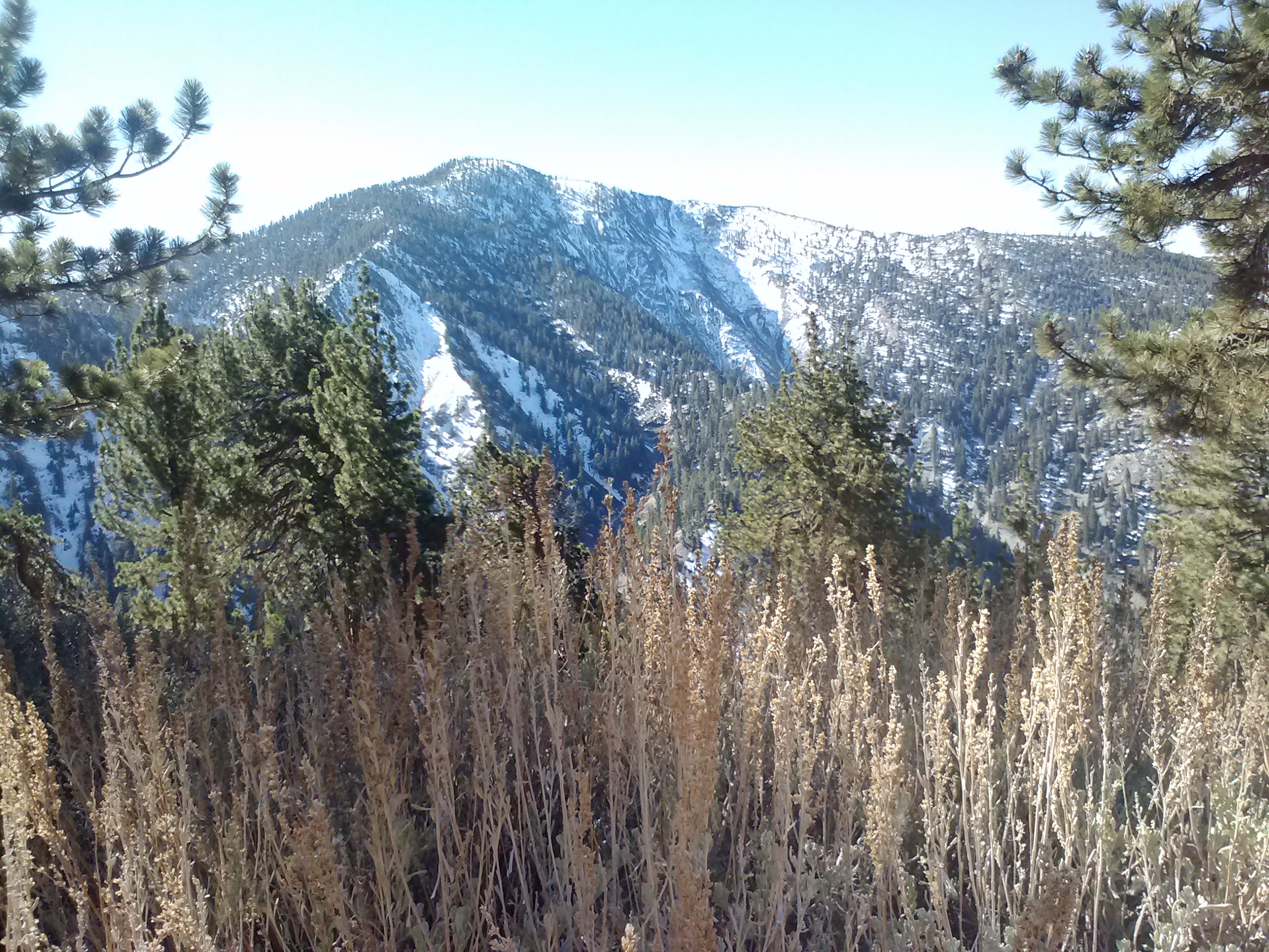
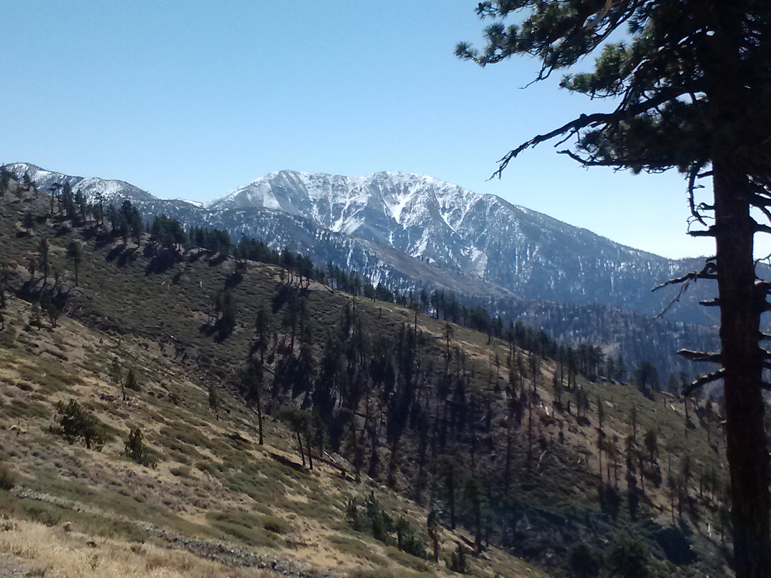
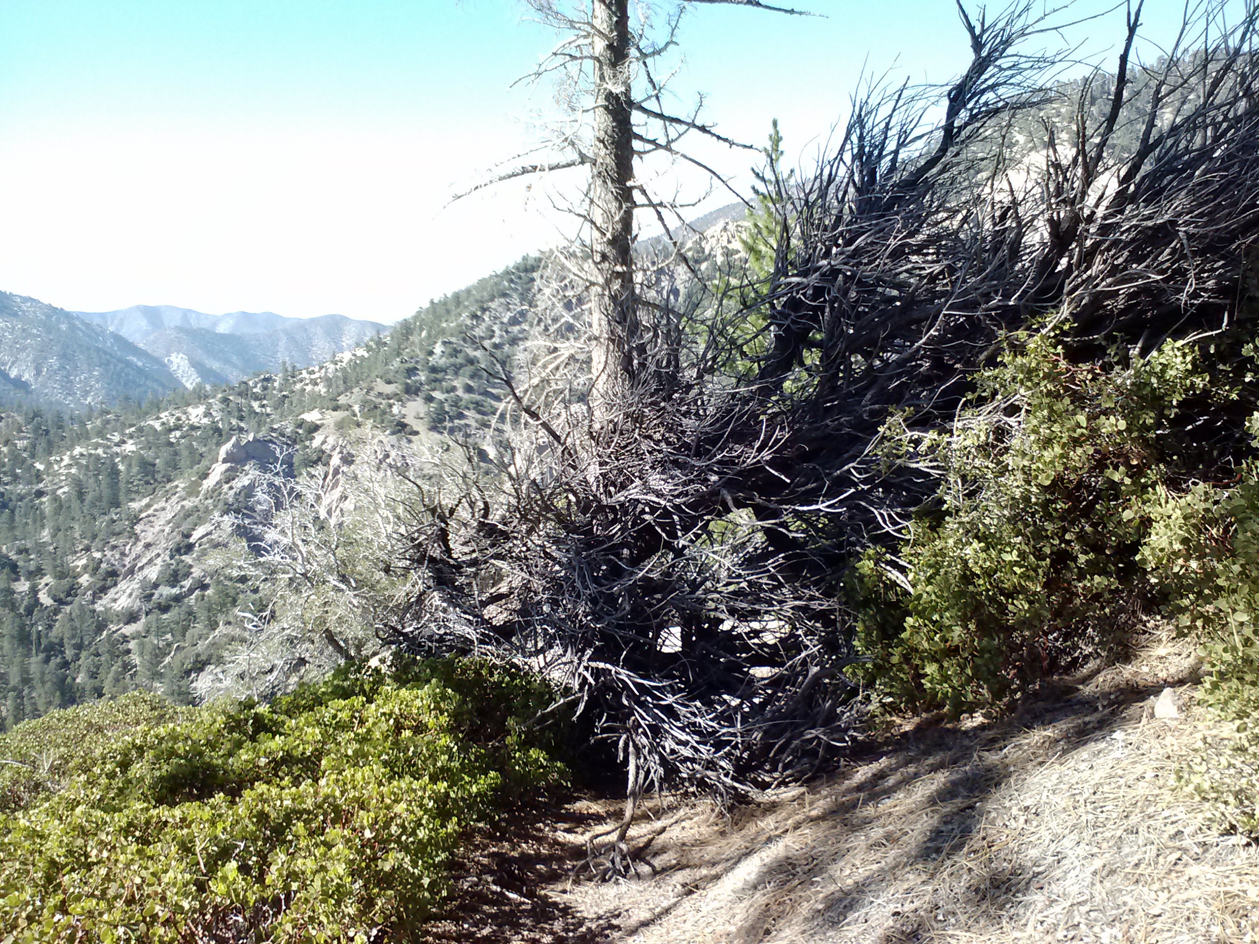
Mount Thielson
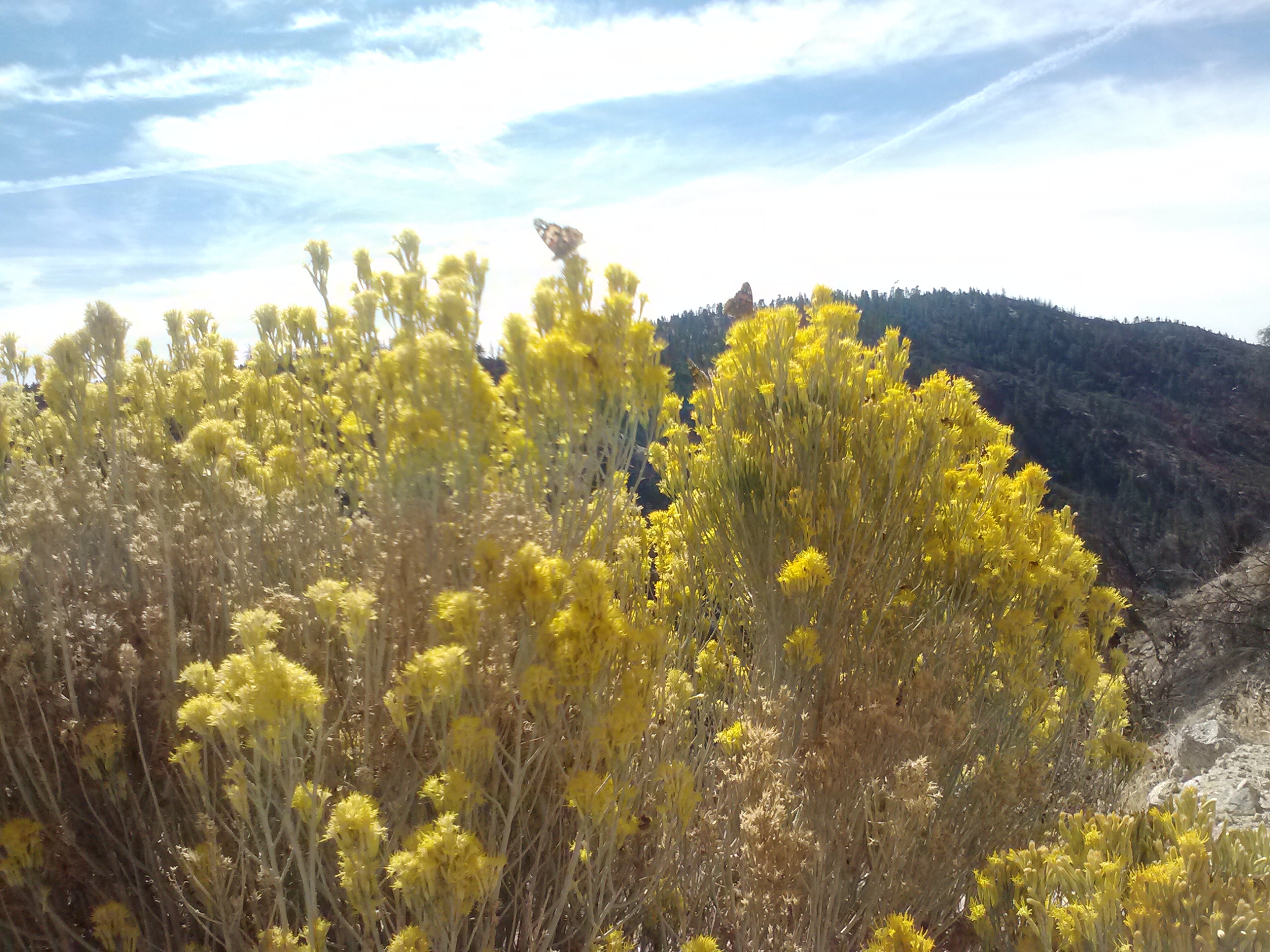
Well, cool down it did- and then it thundered and hailed and brought lightning with it. I had just crested above the tree line below Mount Thielson, also known as the lightning rod of the Cascades, when the lightning flashes began. I tried to count the seconds between the lightning and thunder, but there was so much continous thunder that there was no telling how far away the lightning strikes actually were. With the thunder clouds directly above and the thunder claps roaring continuously like that, it all seemed close enough to me!

Thunderstorms approaching
I hustled down into the trees and waited while the hail dumped all around. At times I thought it was letting up and I’d try and make a mad dash along the trail to the next pocket of trees. When a lightening bolt struck just about a mile in front of me, I let out a yelp and my dash turned into a full out run for the trees. I stayed put after that scare and waited until I was sure the lightning had past.
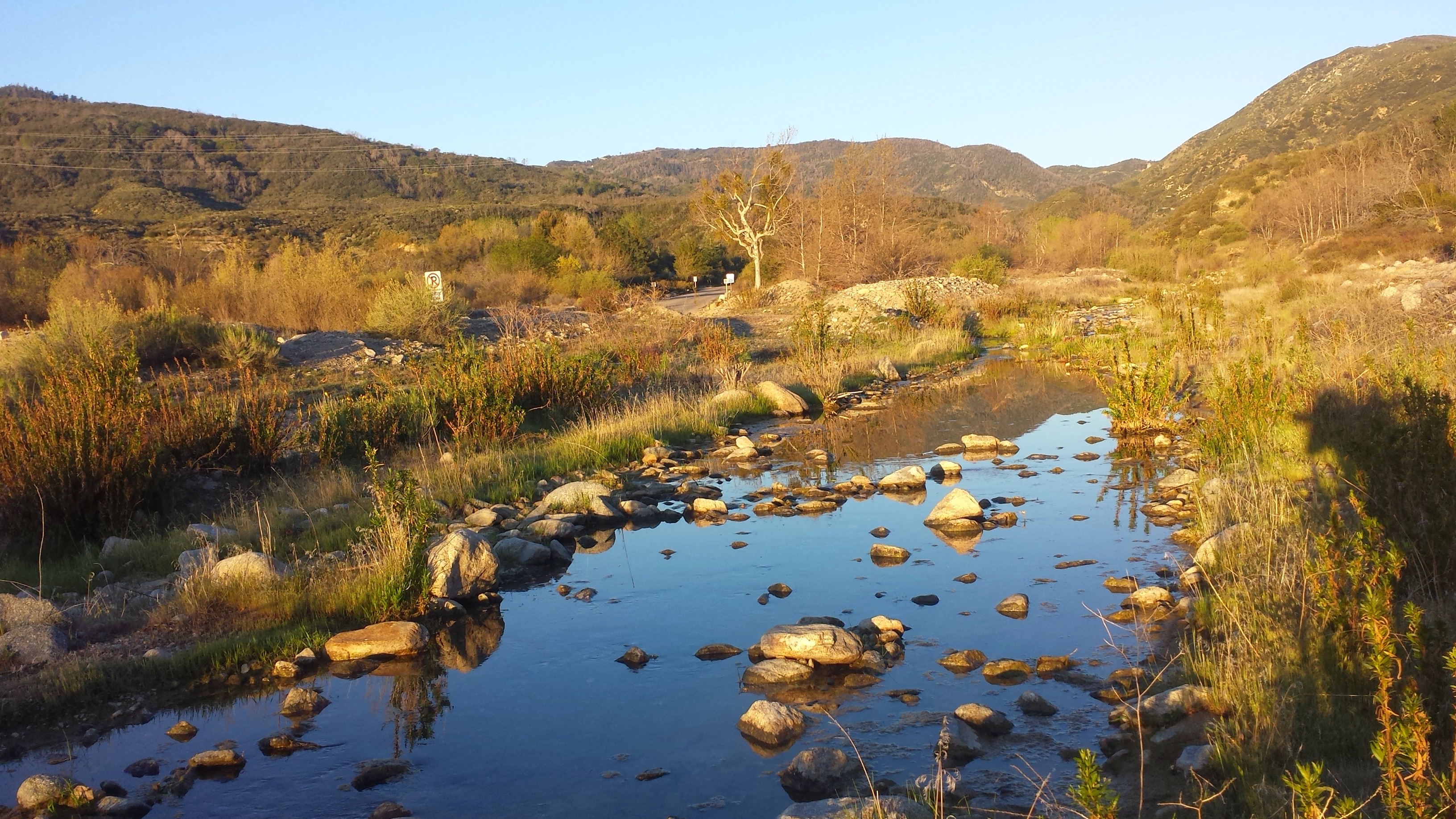
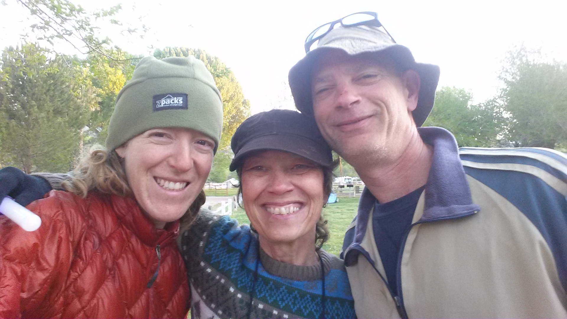
I made it down to Thielson Creek and filled up my bottles. Since it was cold and I was soaked, I decided to set up my tent and rest a for a couple hours while until the rain stopped. I wasn’t sure I wanted to keep hiking up and over the next pass if there was any chance of more lightning. As I lounged and snacked, a southbound hiker approached me and said the pass was indeed nasty and that I should just wait until tomorrow. He gave me one of his extra dinners, too, because he was ahead of schedule.
Thielson Creek
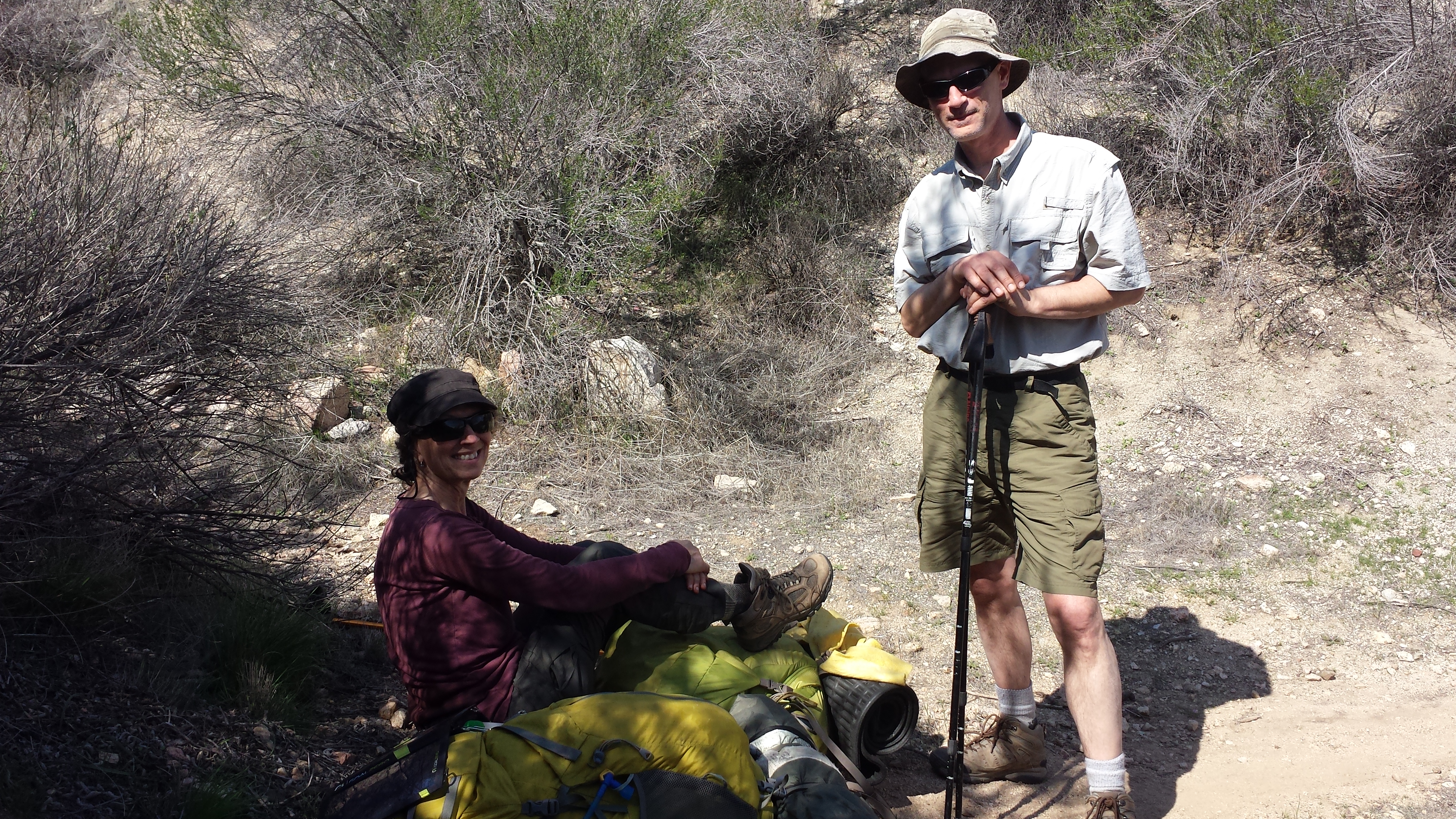
Just as he left, two firemen came down from their hidden camp up the hillside. There were four of them all together and they had repelled in yesterday from a helicopter to handle a small fire started by a hiker. They invited me to their campfire and when four handsome firemen make such an overture, I can’t say no! I set up the rest of my gear for the night and took my dinner and ukulele up to join them.

Firemen below Mount Thielson
We had a great time playing silly guess-who games and swapping riddles. [Here’s one for you: A man with no eyes saw plums on a tree. He left no plums, he took no plums. How could this be?] I learned from all the chatter on their radio that there were now small fires all around the forest from the lightning strikes. I’m just glad that I wasn’t one of those strikes! I headed back down to my tent around 9:15, full of extra food the firemen insisted on giving me. Ugh, too much food.
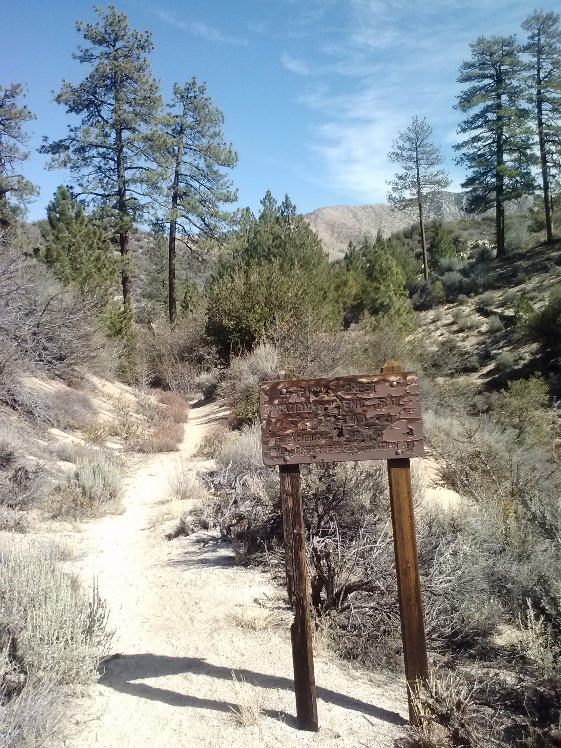
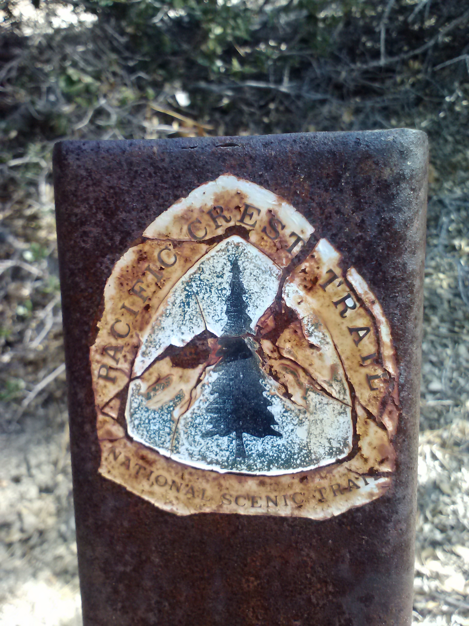
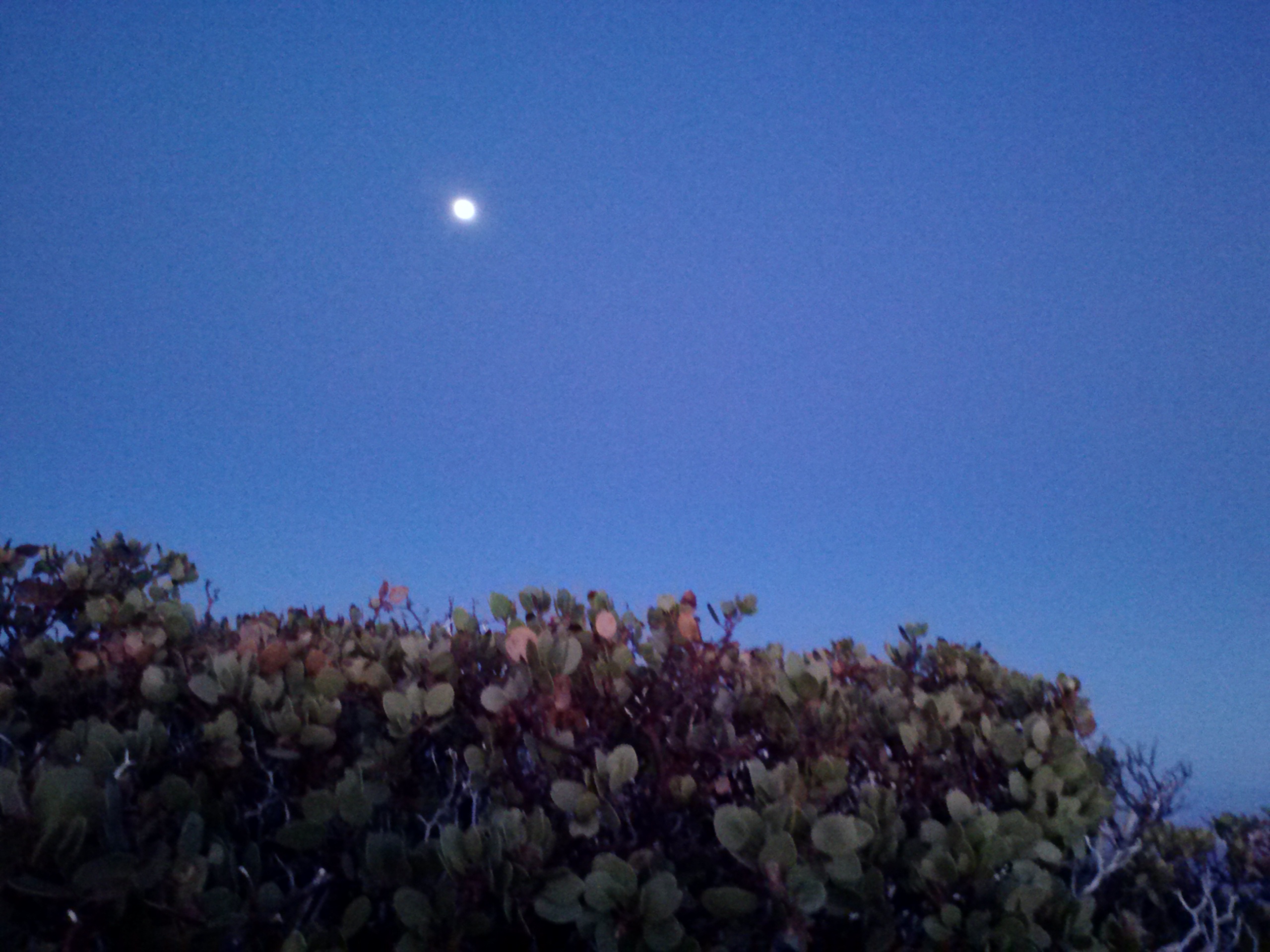
July 8- 23 miles, camping at Windigo Pass
It was COLD last night! I kept waking up feeling chilled and damp because it was also humid- such an awful combination. Generally, I haven’t been sleeping too well. My sleeping pad and bag are great, but I just wake up at every sound, especially when I camp alone. I don’t think I’m getting more than six hours of solid rest each night and it’s catching up to me.

They’re not too happy about carrying those packs!
I ate breakfast and packed up quickly so I could get a picture of the firemen before they left. They were just getting ready to put their packs on and head out. Each of them was carrying about 80-90 pounds. They said sometimes their packs weigh as much as 130 pounds. I guess I shouldn’t complain when my backpack never weighs more than 35 pounds!

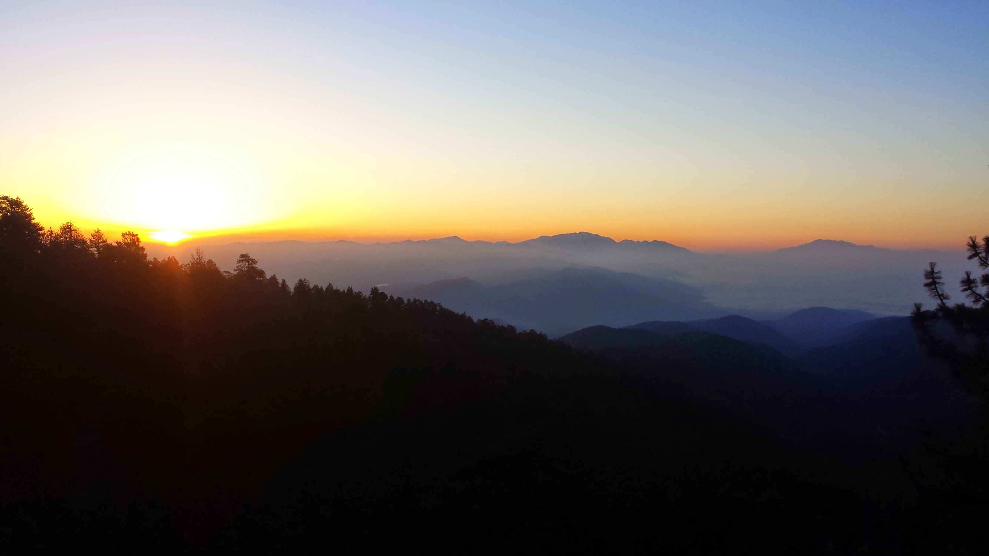
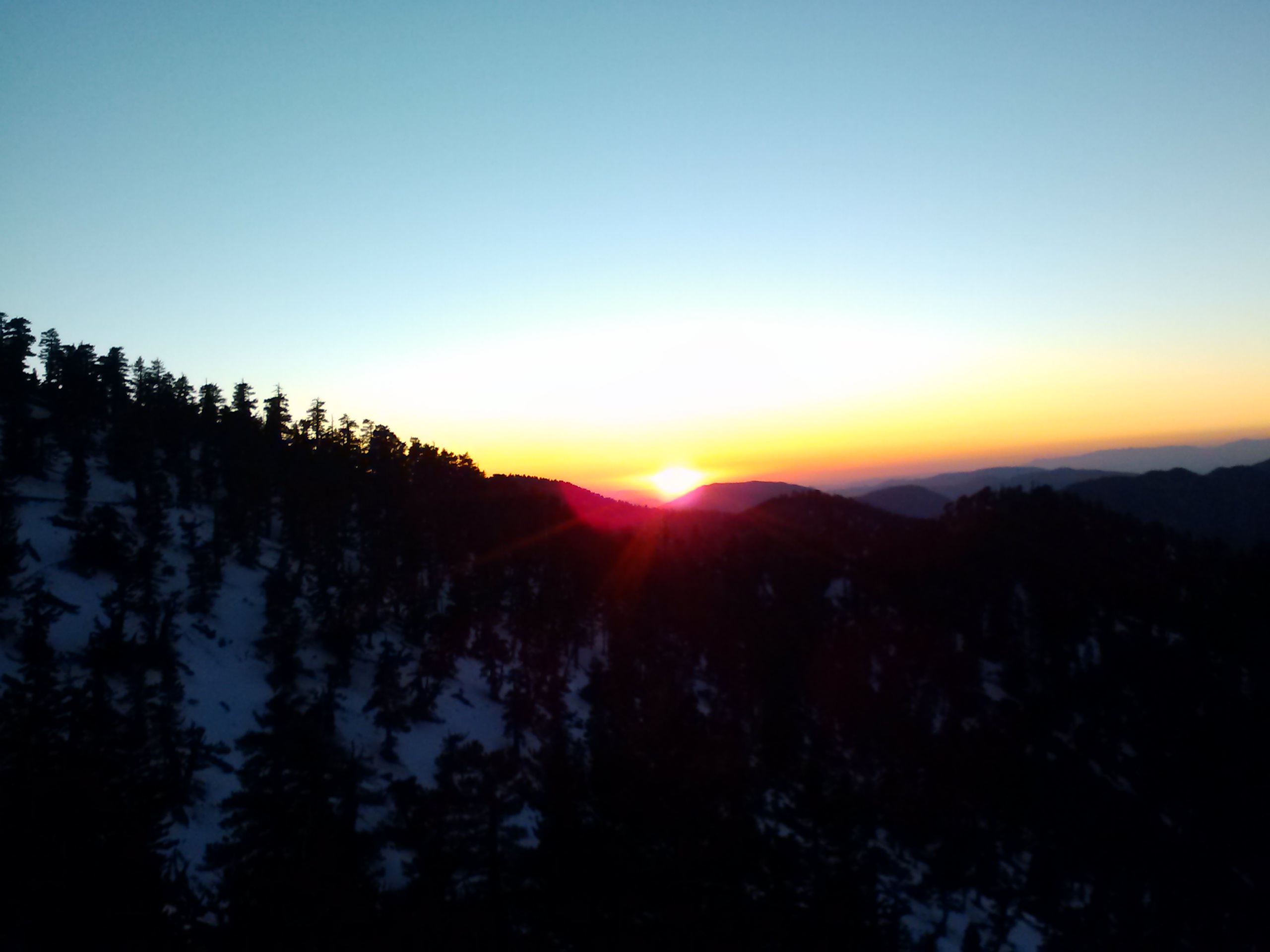
The storm from yesterday had mostly cleared out, leaving only soft, pillowy clouds high in the sky, illuminated to shades of lavender and pink by the morning sun. It was so beautiful and the temperatures stayed low all day.

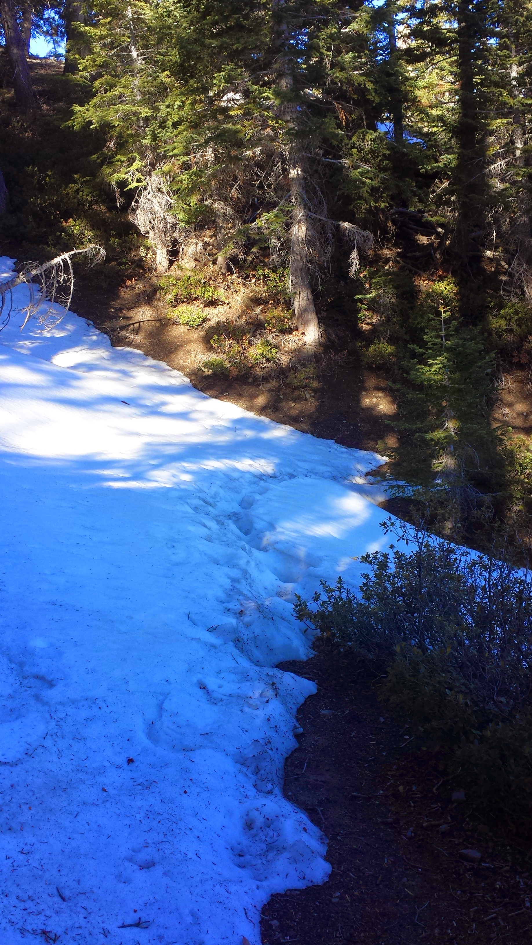
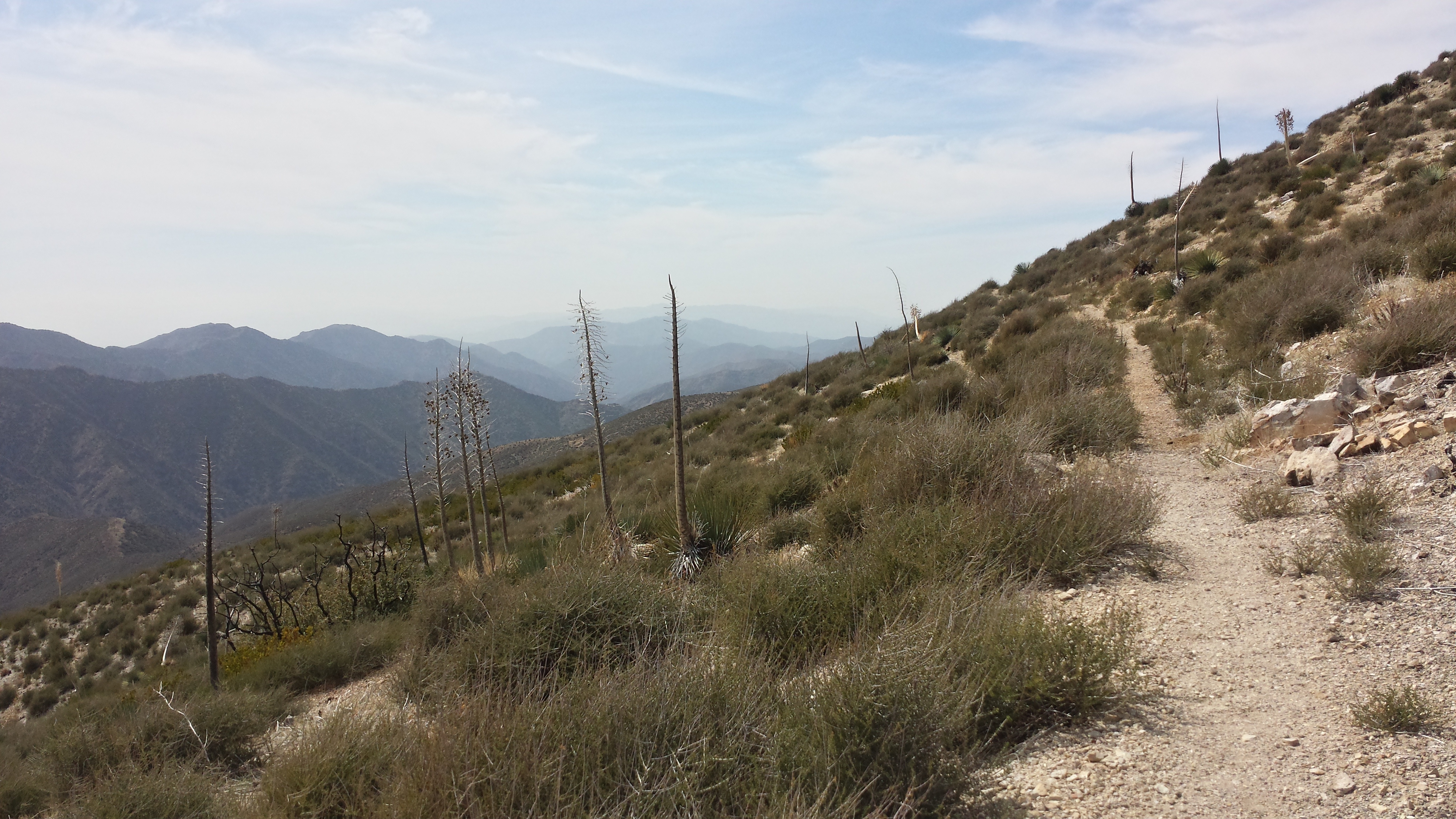
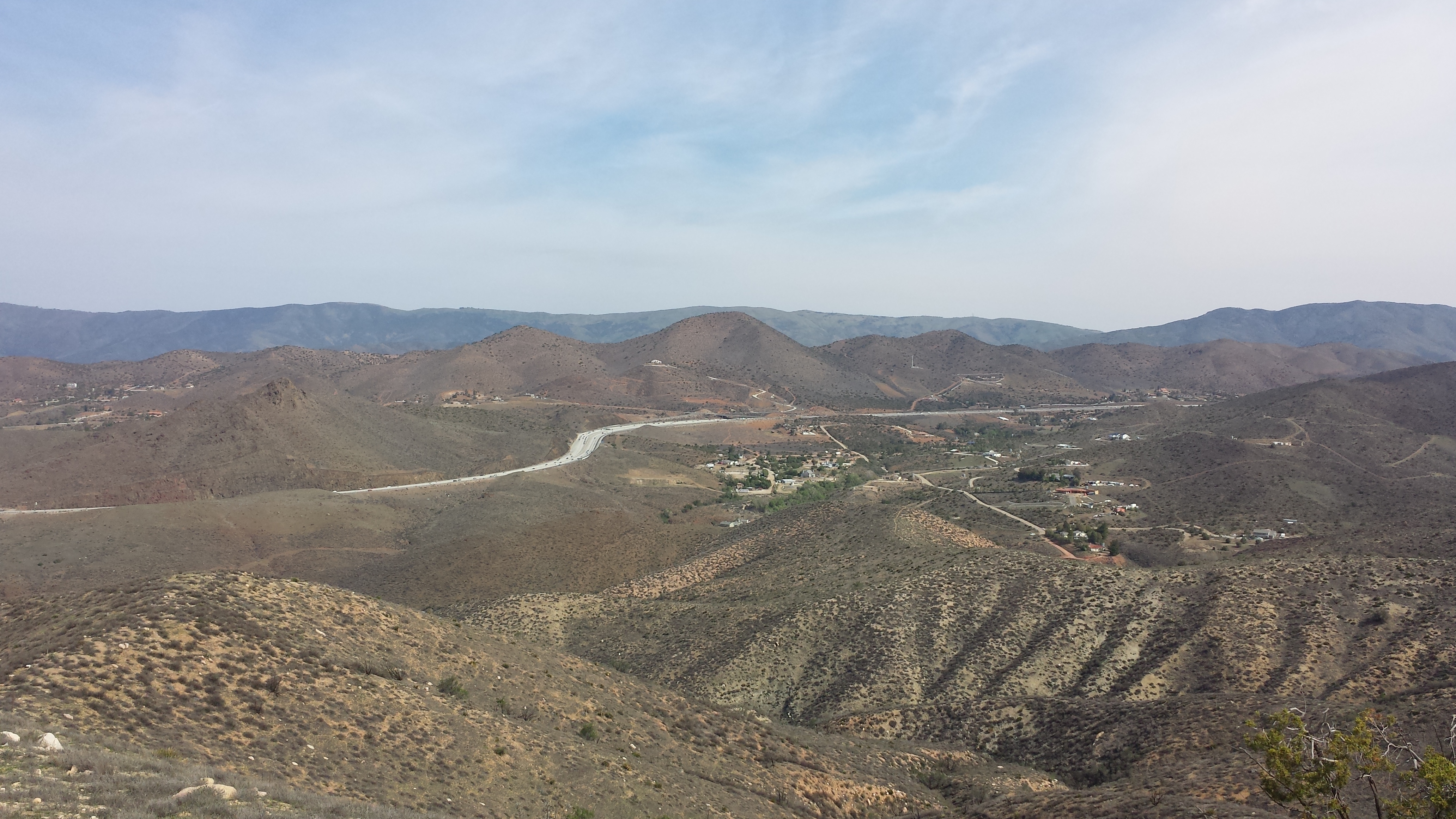
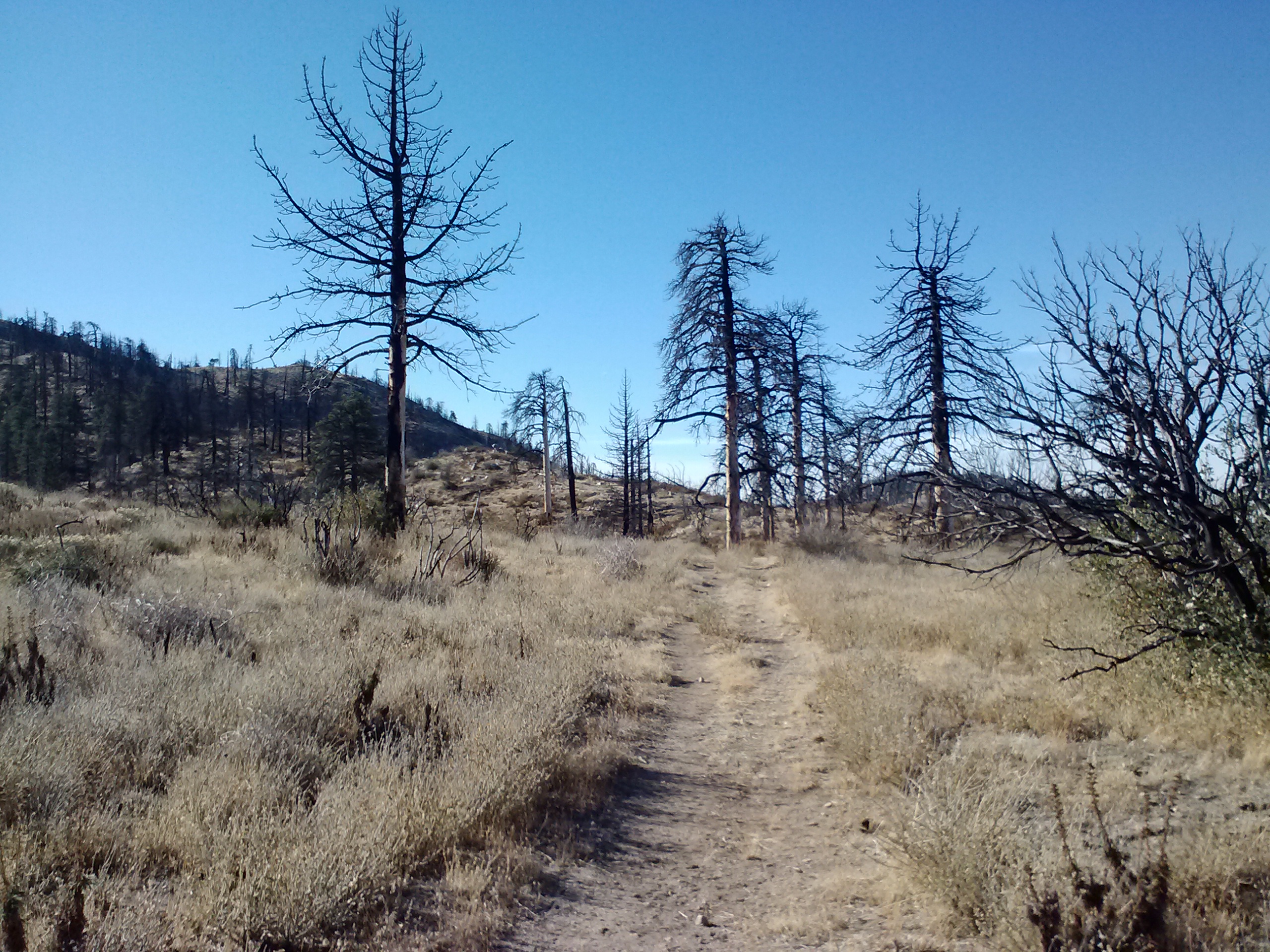
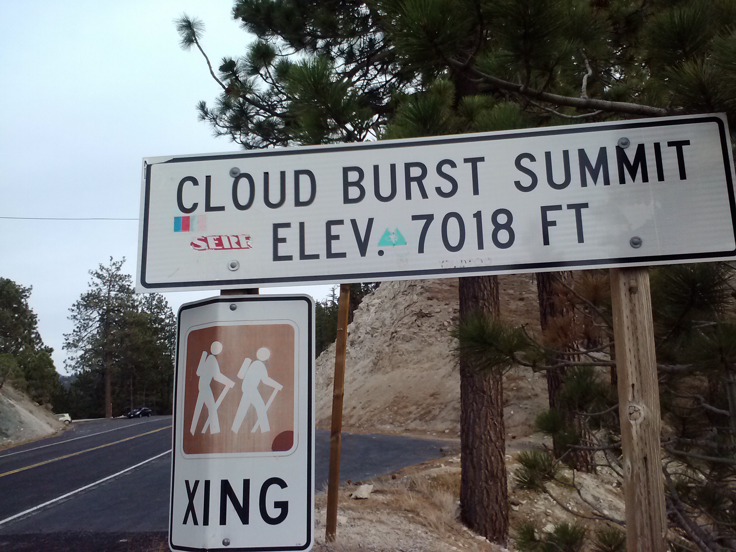
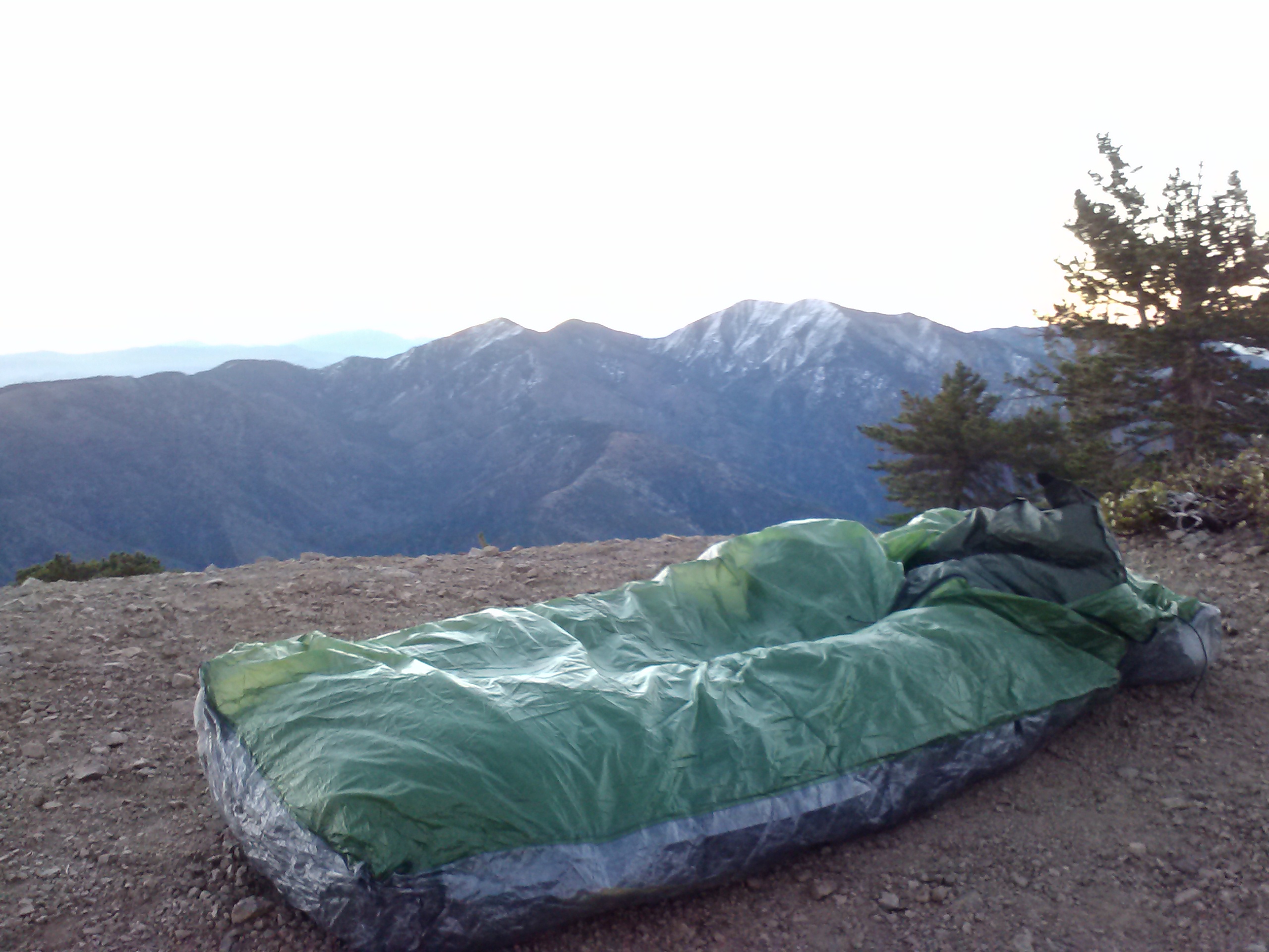
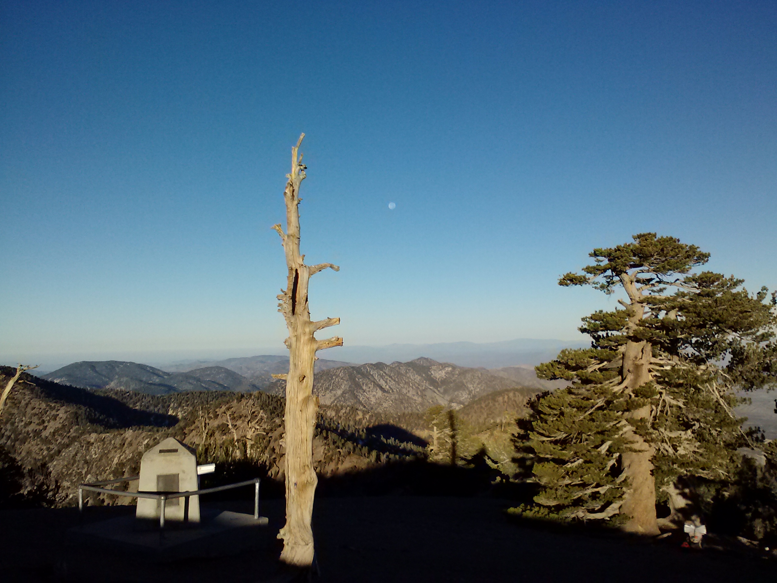
The highest point on the OR/WA PCT
I was so tired today. Most of the day past in a haze and I only perked up when a view or something interesting appeared. A couple of times, I sat directly in the trail, backpack still on, and closed my eyes. Unfortunately, I didn’t actually fall asleep and the drowsiness only got worse. By lunchtime, I turned on my iPod and listened to a few podcasts to keep me at least semi-alert.
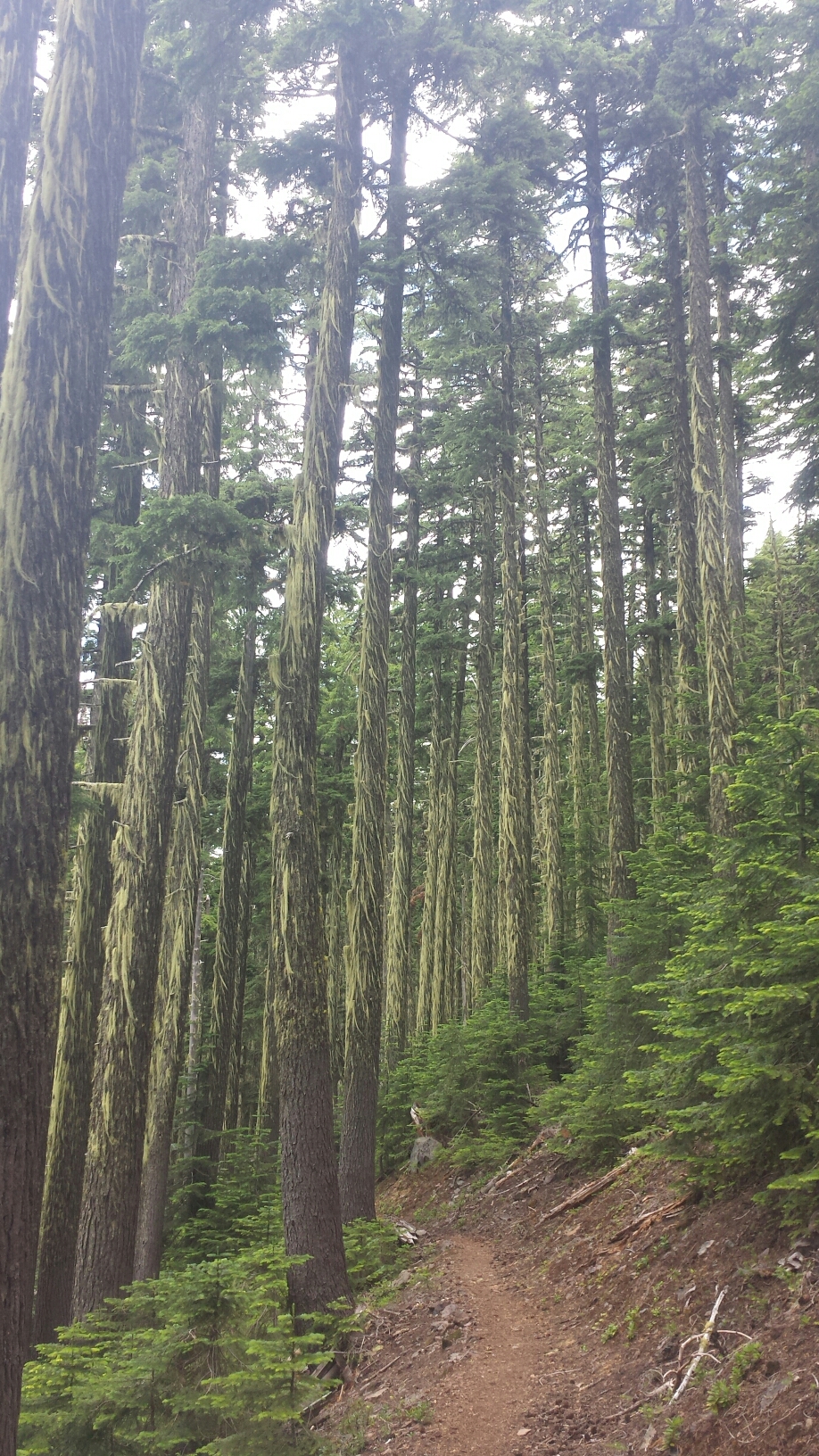
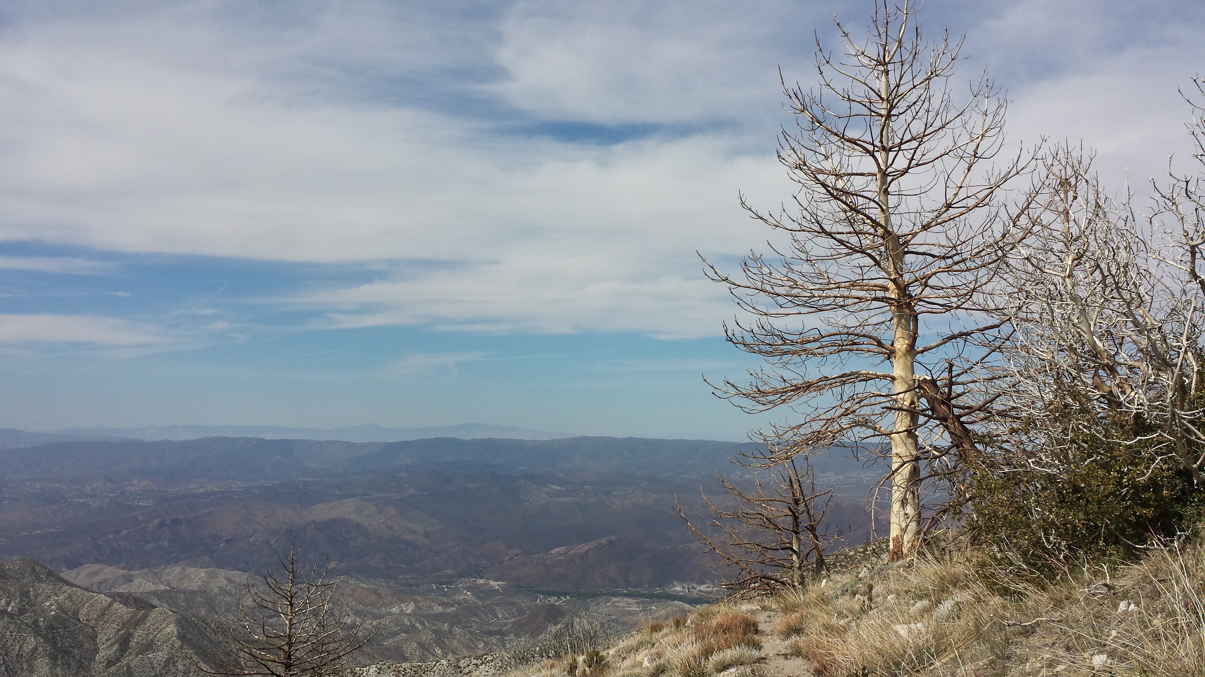
Lichen-bearded trees
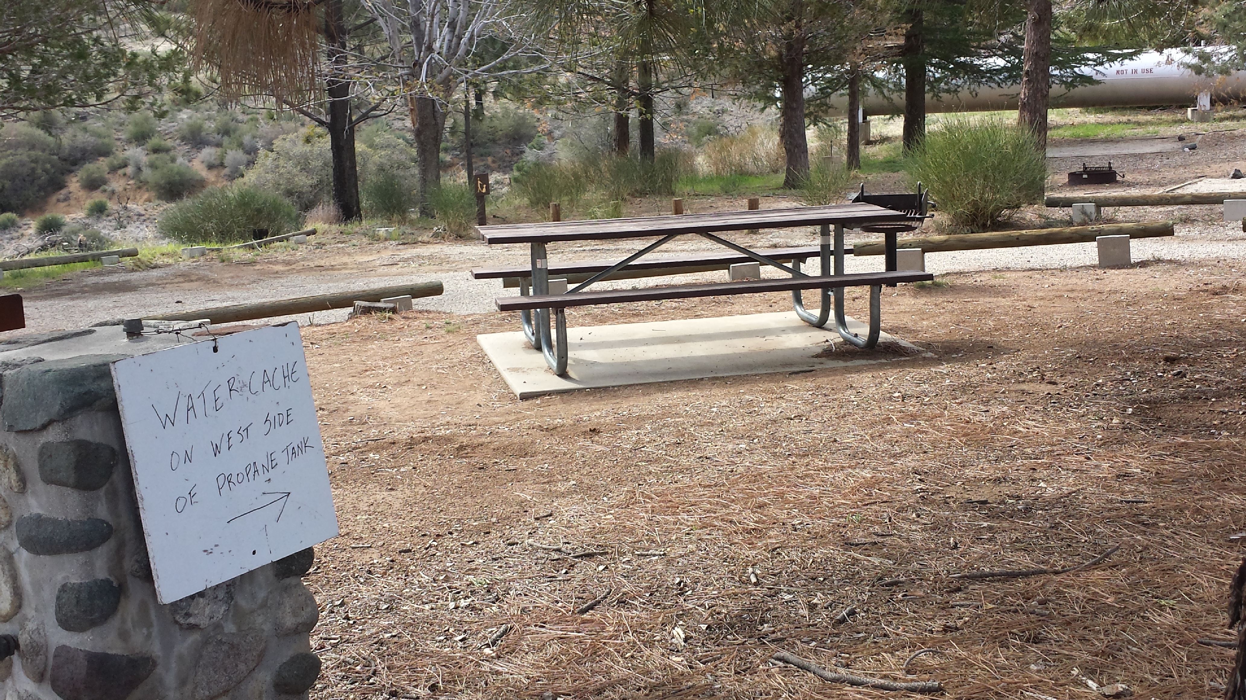
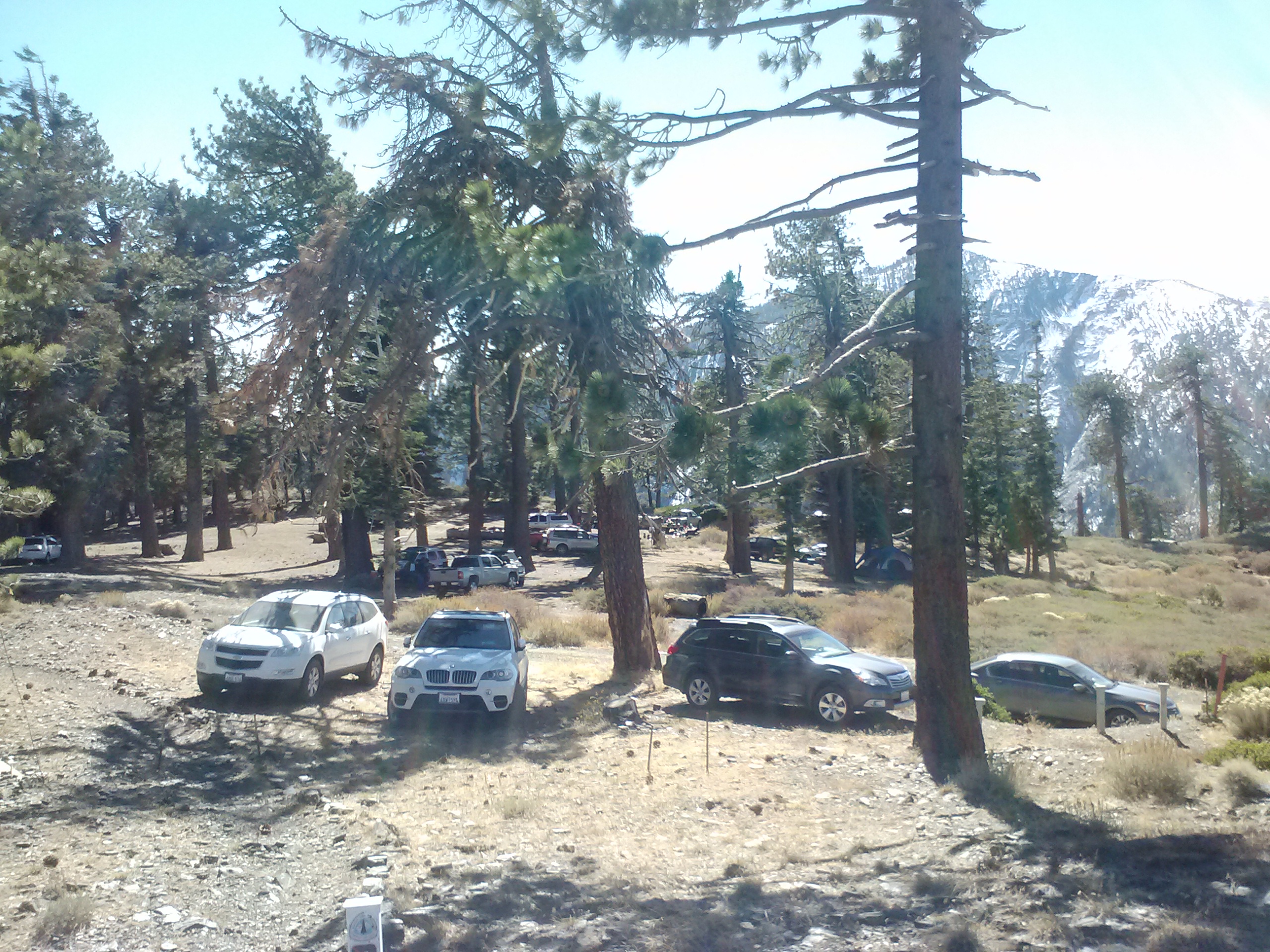
It was only 4:30 when I arrived at Windigo Pass, but I was so exhausted that I decided to stop for the night anyways. I cooked some couscous with veggies and beef-flavored TVP- one of my favorite meals- and charged my iPod in the generous amount of sunlight. A ranger came by to post a sign indicating no campfires and we chatted about the little fires caused by yesterday’s lightning storm. He said they’ve all pretty much been put out and I don’t need to worry about them.

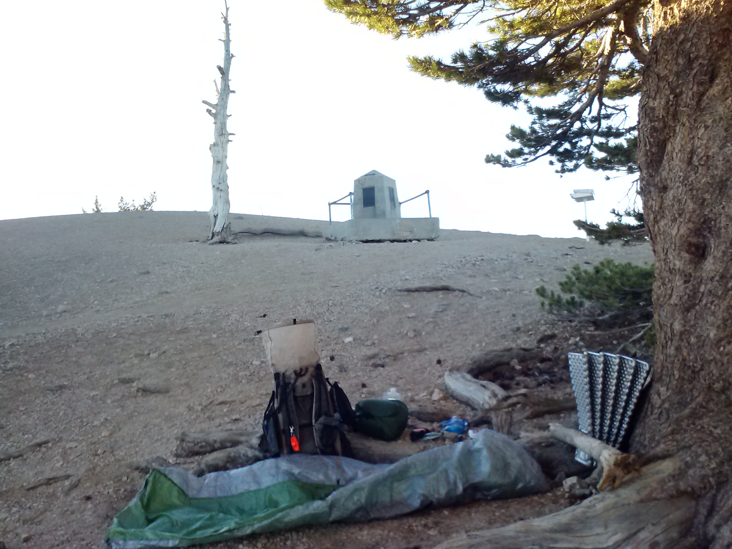
Camping at Windigo Pass
An older couple have driven up and are camping here tonight, too. The husband is section hiking Oregon and got off trail for a week to mend his feet. He’s jumping back on the trail tomorrow morning. It’s nice to have company again!
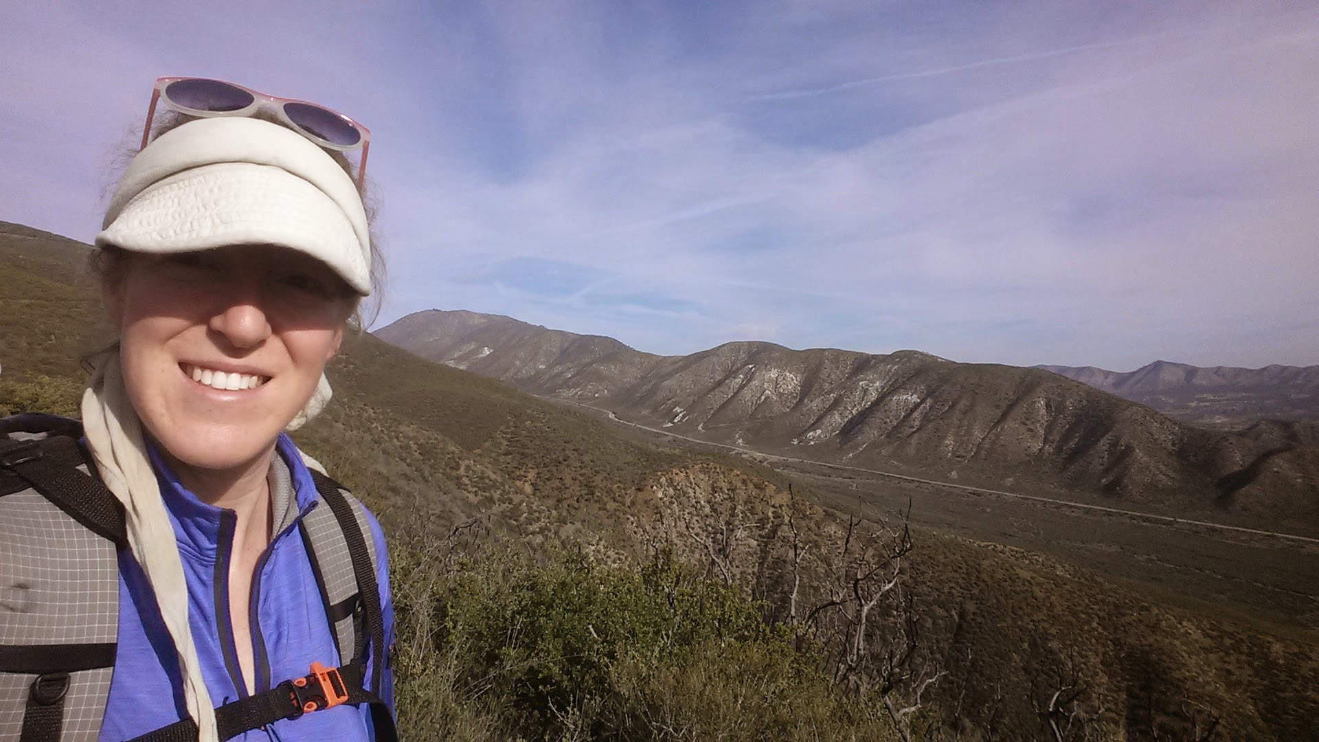
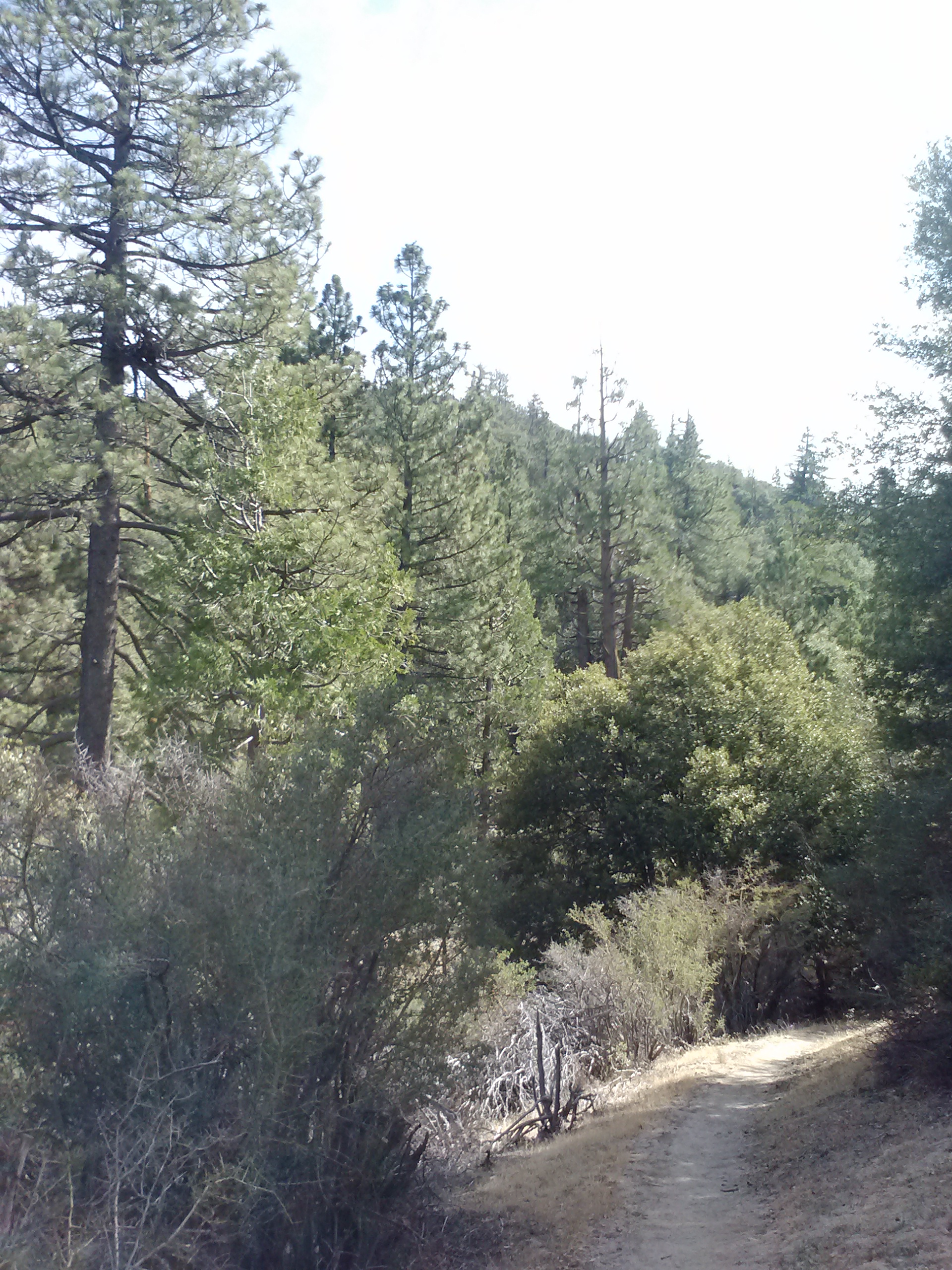
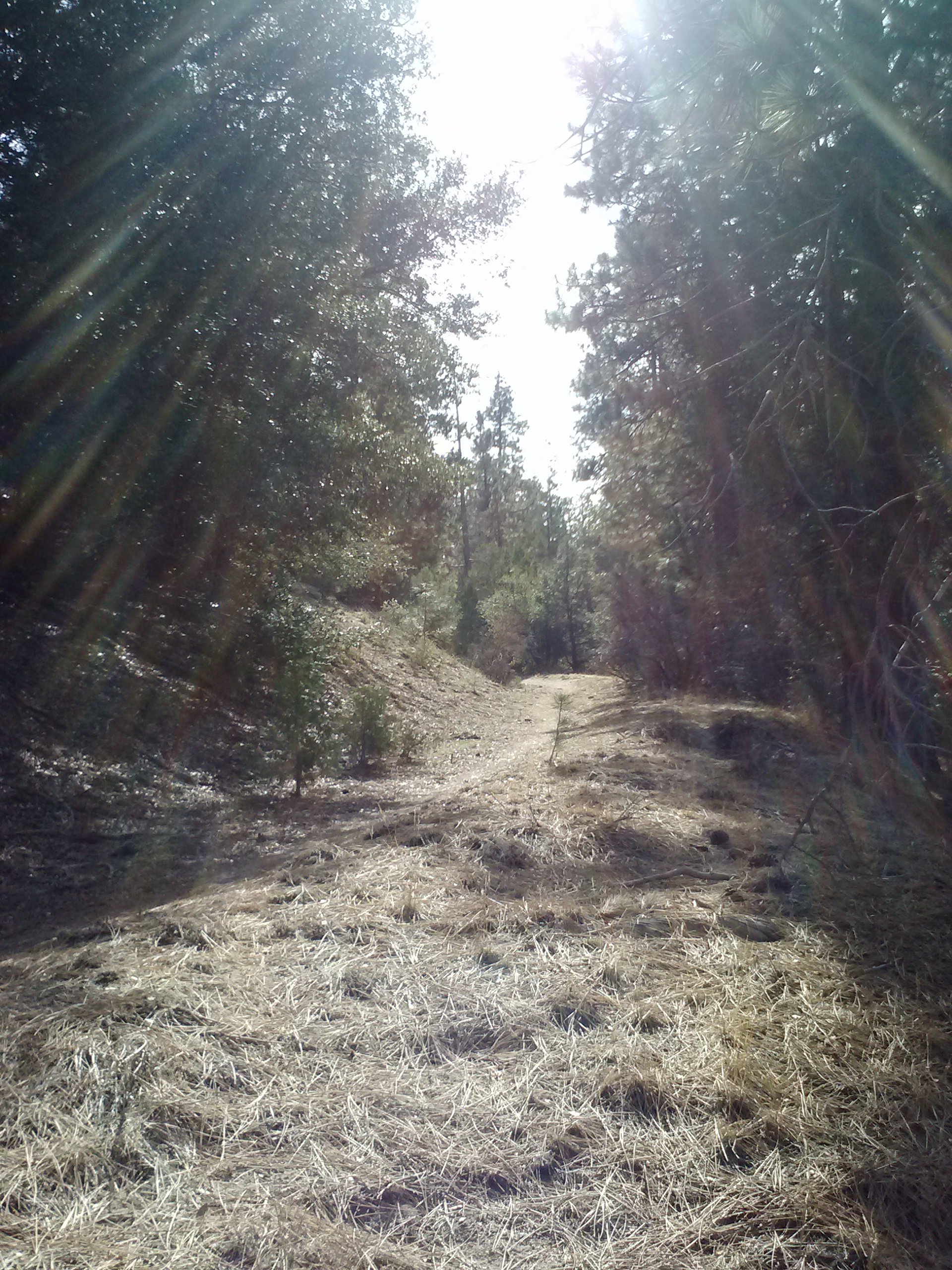
July 9- 23.5 miles, camping at Diamond View Lake
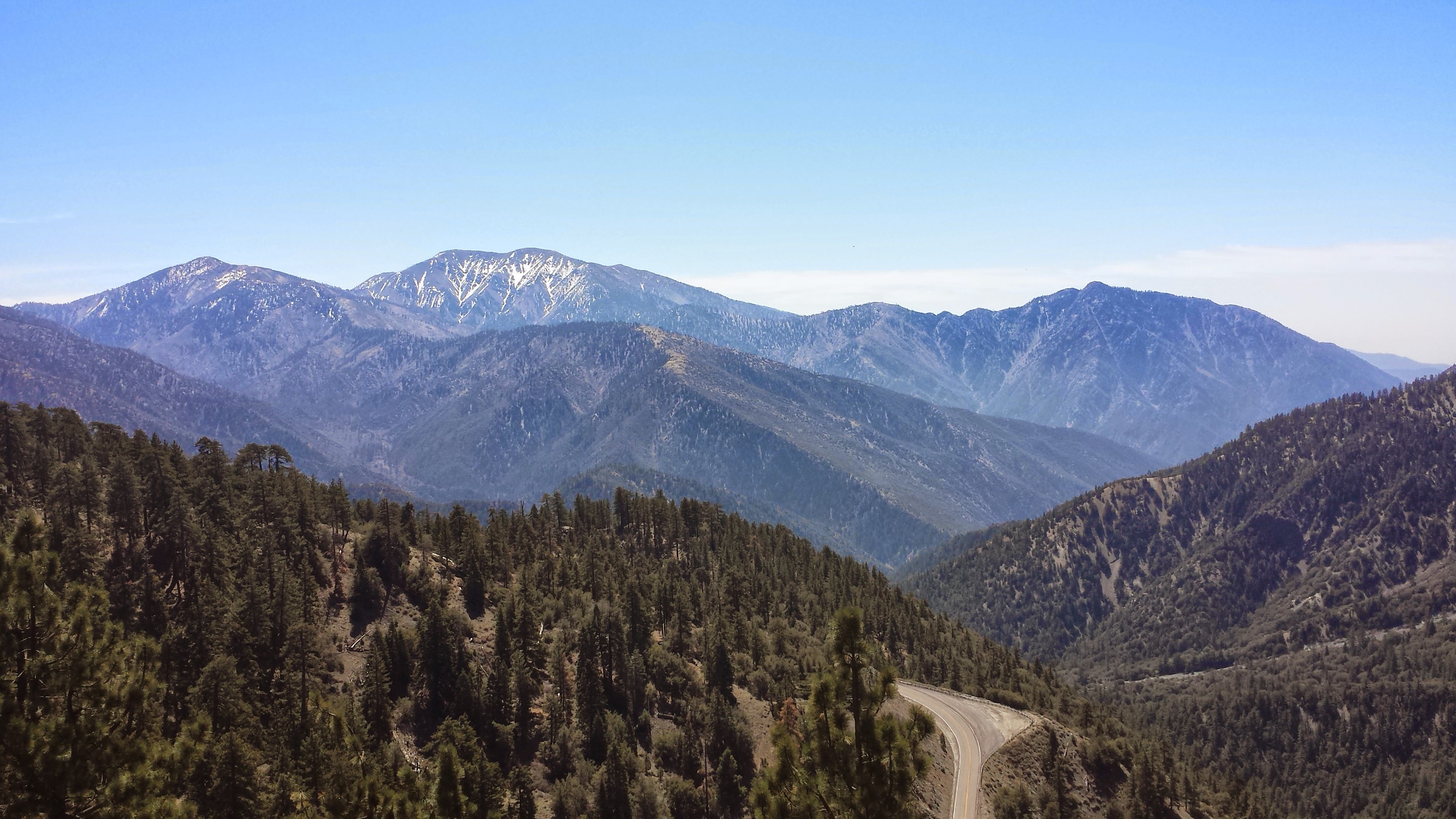
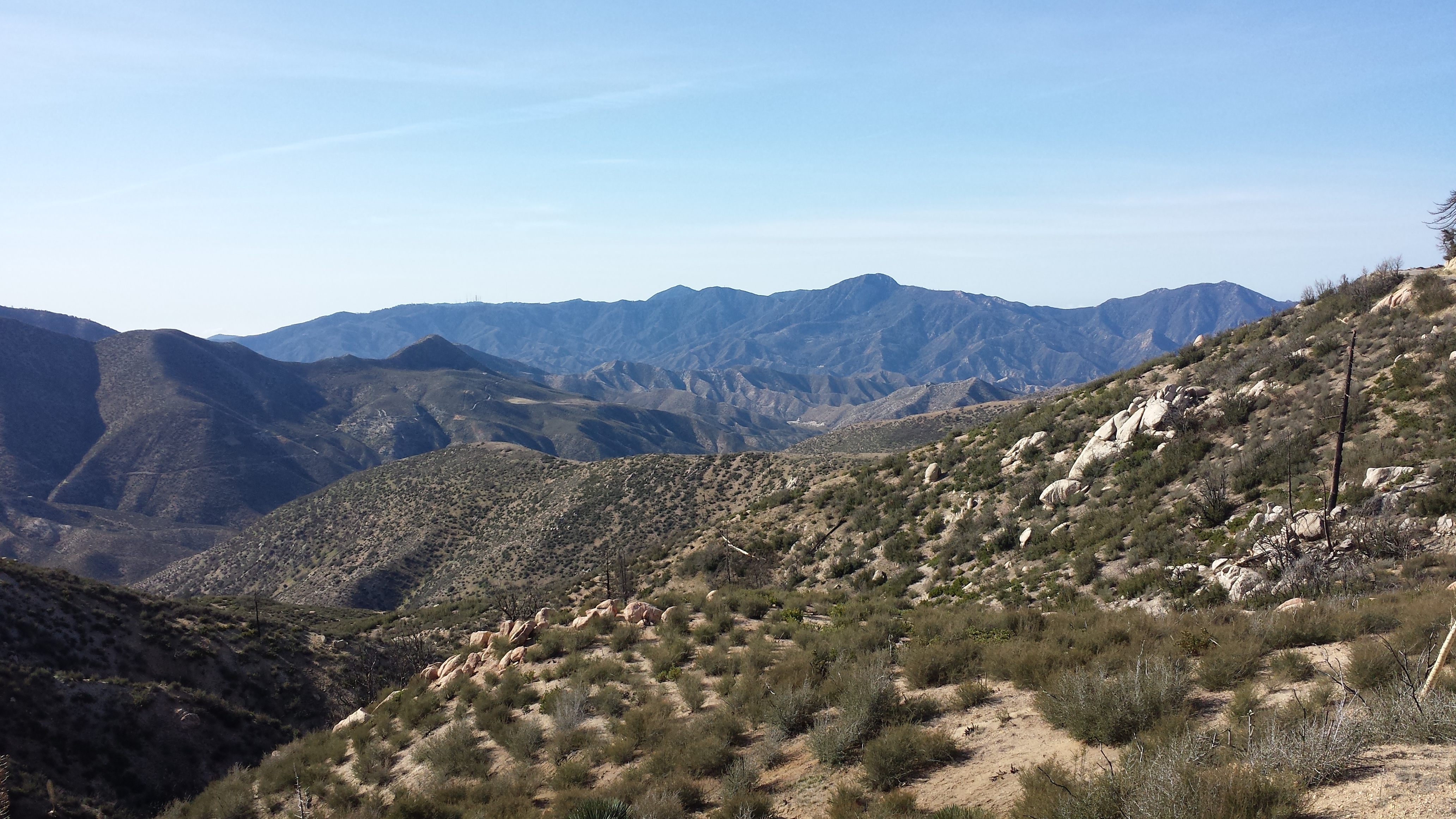
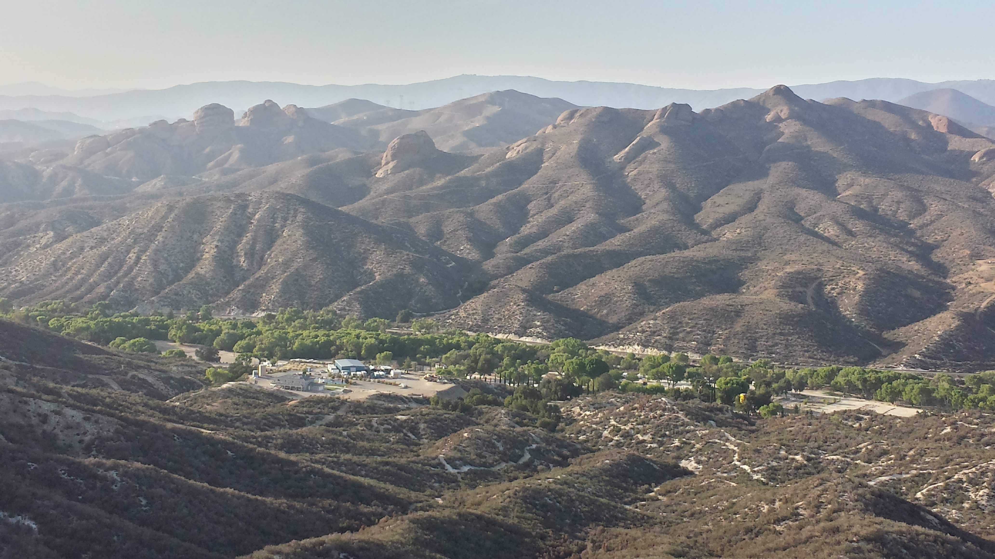
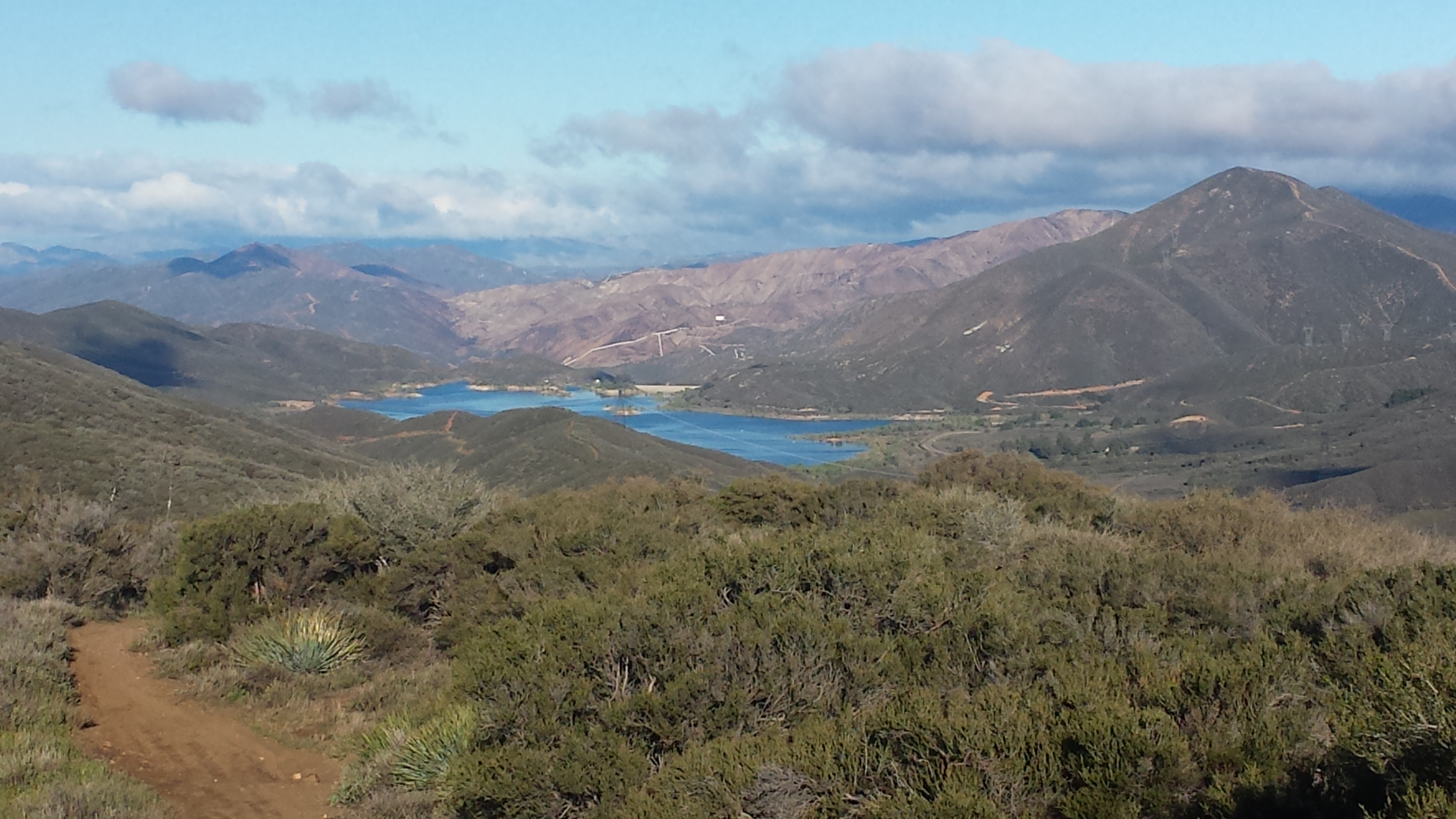
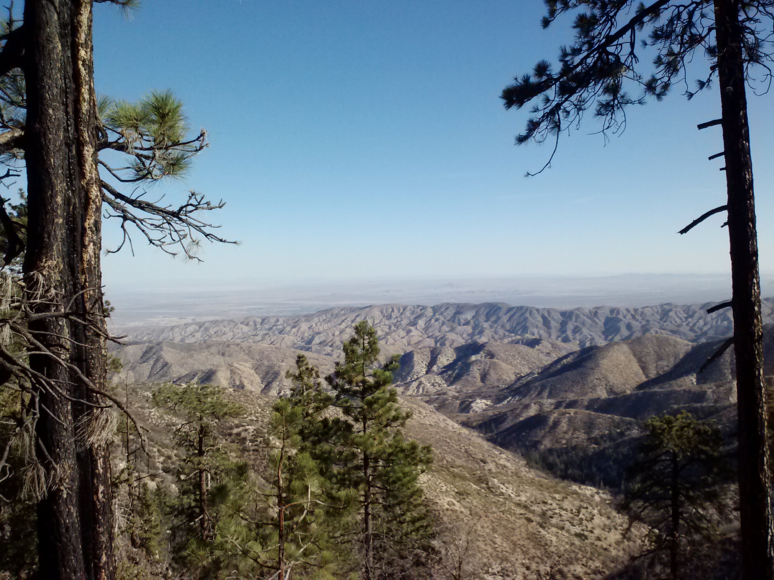
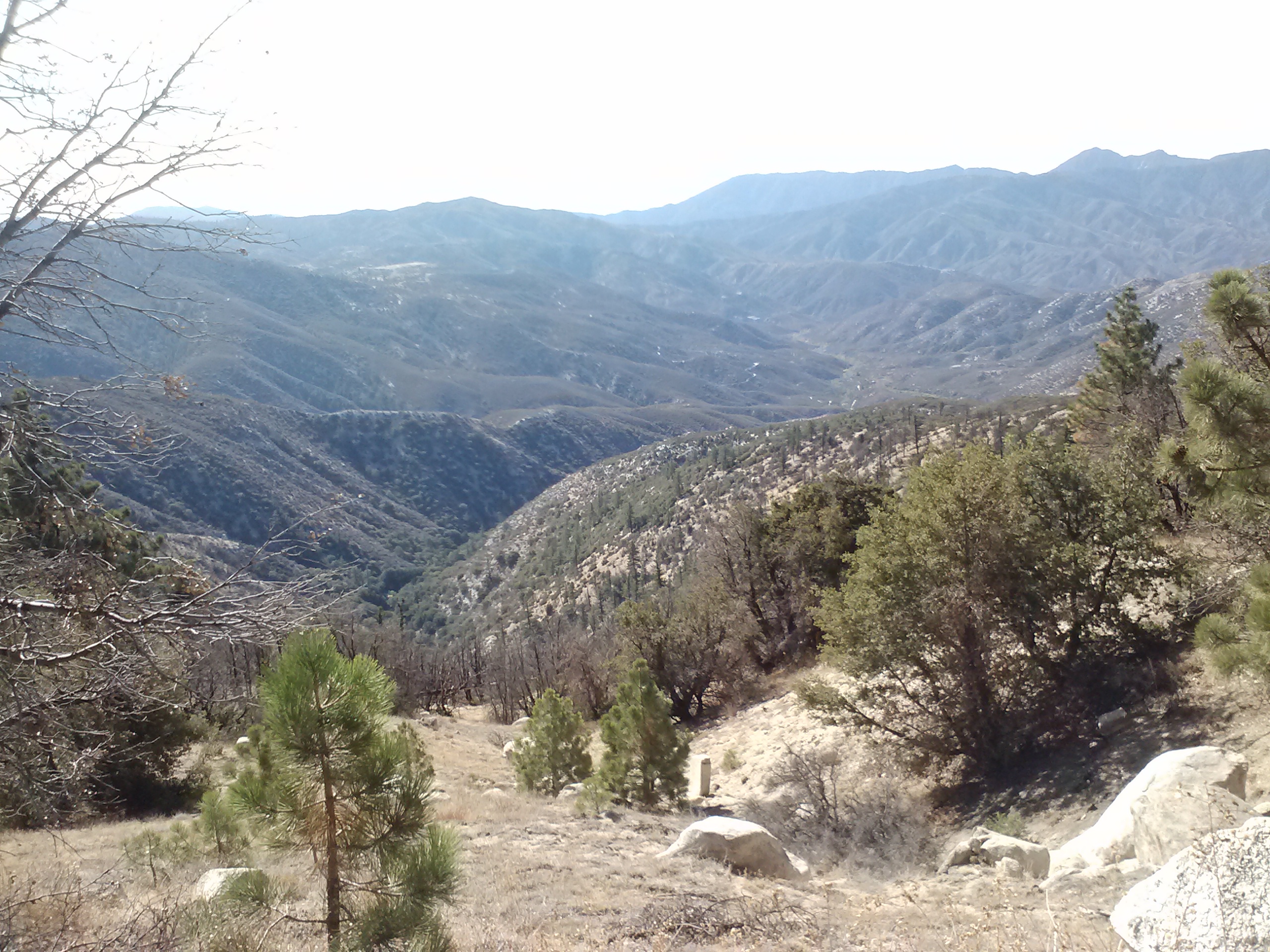
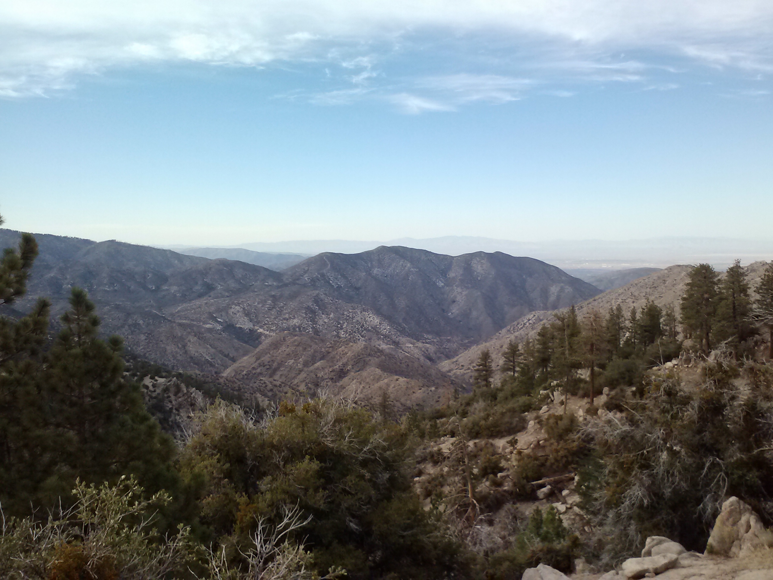
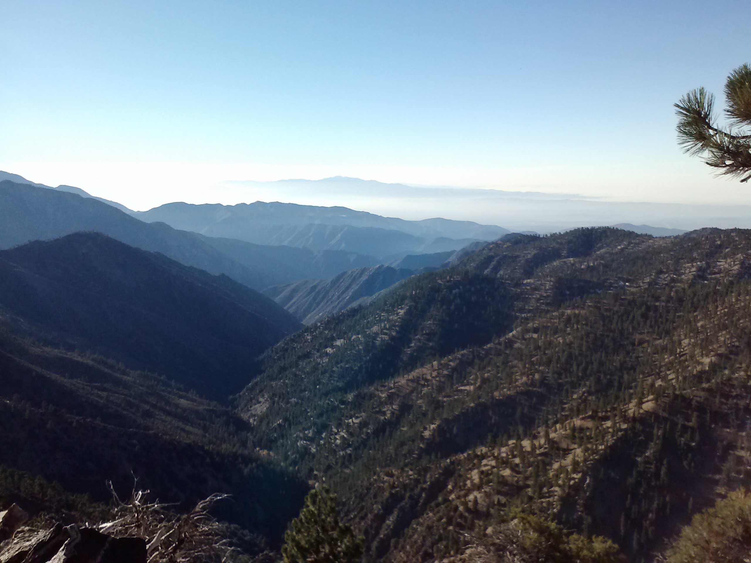
Today Oregon really started to show off some of it’s gems. At the higher elevation, I was able to see views stretching back to Crater Lake and Mount Thielson and forward to Diamond Peak and Three Sisters. Numerous lakes speckled the forests, each one having either clear blue water, green lily pads, or rocky little islands.

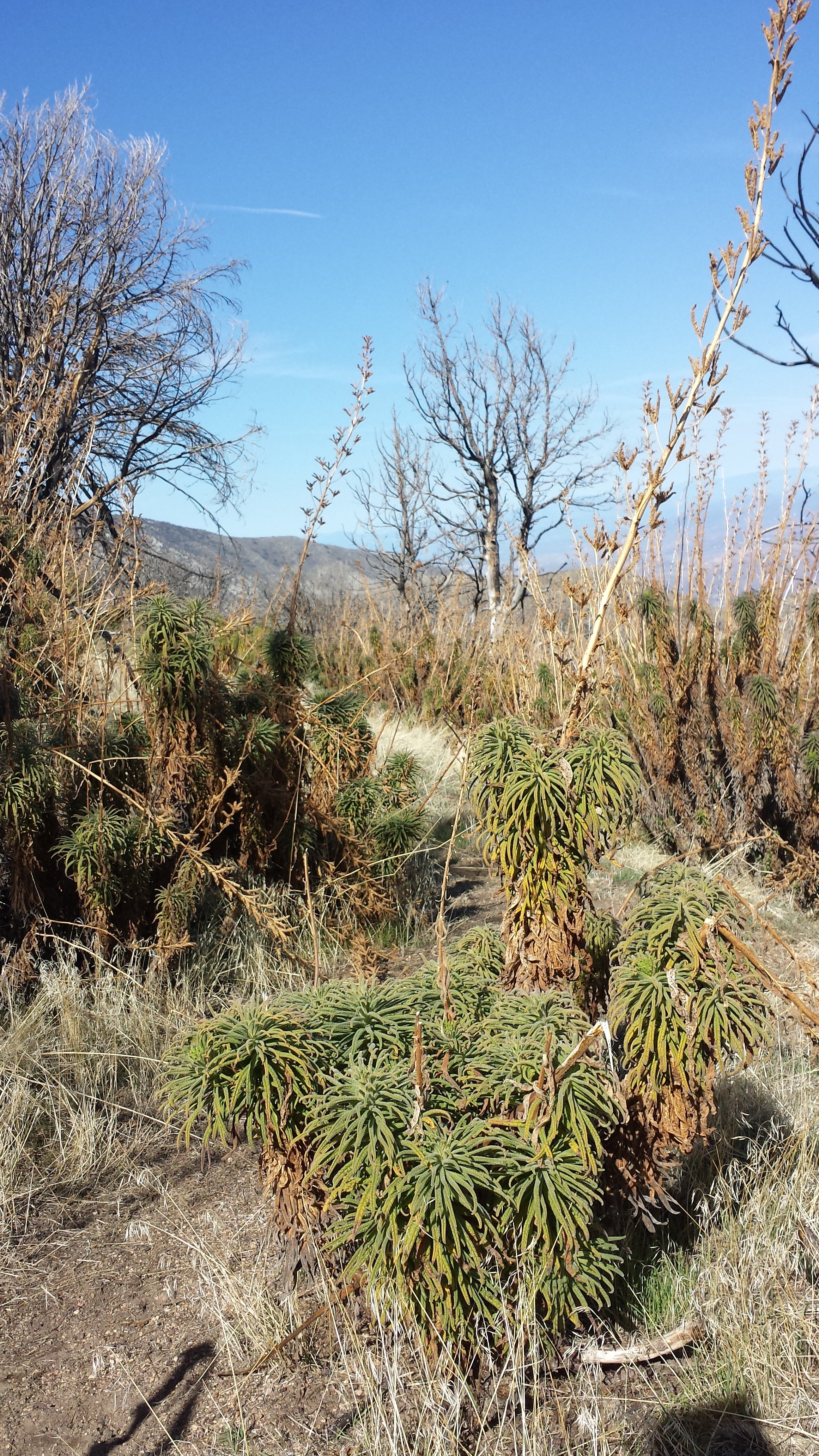
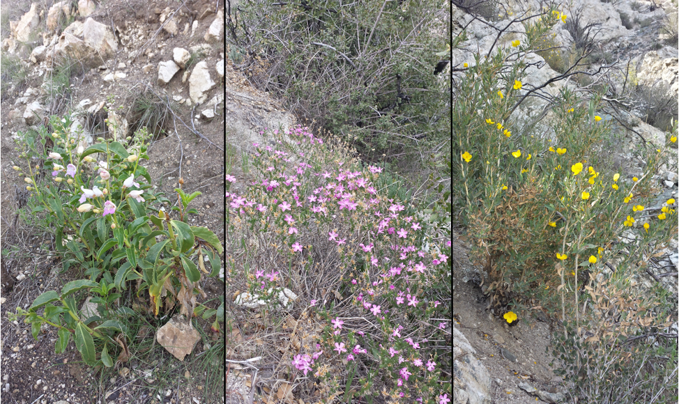
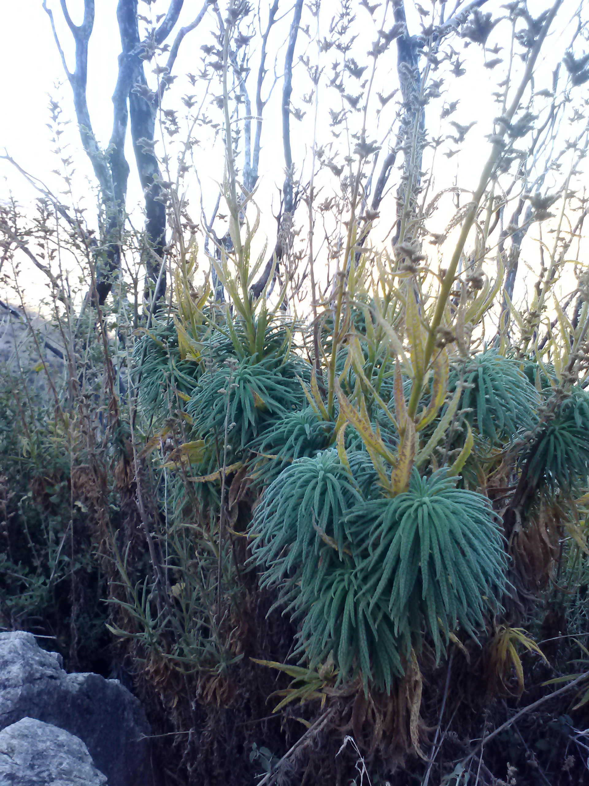
Coral fungus?

Lunchtime set-up for napping at Summit Lake
The clouds had been lingering in the sky all day, so I figured they would continue to simply linger and not cause me any problems as I climbed over Diamond Peak this afternoon. Wrong! Around 3:00 a light sprinkle began and as I approached the treeline on Diamond Peak the thunder began to roar.
I wasn’t about to make an attempt going over the peak if lightning might stike, so I put on my parka, covered my pack, and sat under a tree waiting to see how the storm would unfold. Lightning did kick in and I contemplated whether I should set up the tent to wait out the storm for the next two or three hours. As I sat there in the mud, a strike hit less than half a mile from me, in fact, I’m pretty sure it was only a tenth of a mile away. I could see where it hit through the trees and the thunder clash had been simultaneous and terrifying. “Nope, I’m not playing this game today!” I grabbed my pack and trotted down the mountain through the rain and mud.

I knew there was another trail I might be able to take as an alternative to the PCT. I stopped under a tree, pulled my parka over me like a tent as I squatted down and looked at all my maps. By piecing together two different maps, I figured I could take the Crater Butte Trail at a lower elevation and connect to the Oregon Skyline Trail, which went parallel to the PCT on the valley floor. SOLD!


Looking up towards Diamond Peak
The Crater Butte and Skyline Trails turned out to have beautiful views of Diamond Peak once the clouds cleared out. The bugs are eating me alive, but I didn’t want to put too much Deet on on case I wanted to wash in the lake where I planned to camp.

Diamond View Lake

Deet is pretty bad for delicate ecosystems and hikers wearing it can easily contaminate water sources when they wash up directly in the lake or creek. I’ve found a cozy little spot for my tent right next to Diamond View Lake. I took my much anticipated rinse in the lake and played my ukulele on the beach.

Camping at Diamond View Lake
Tomorrow I’ll have an easy five-mile hike into Shelter Cove, a small lakeside resort holding my resupply box. A light rain has begun sprinkling in the setting sun, creating a sparkling, shimmering surface on Diamond View Lake.
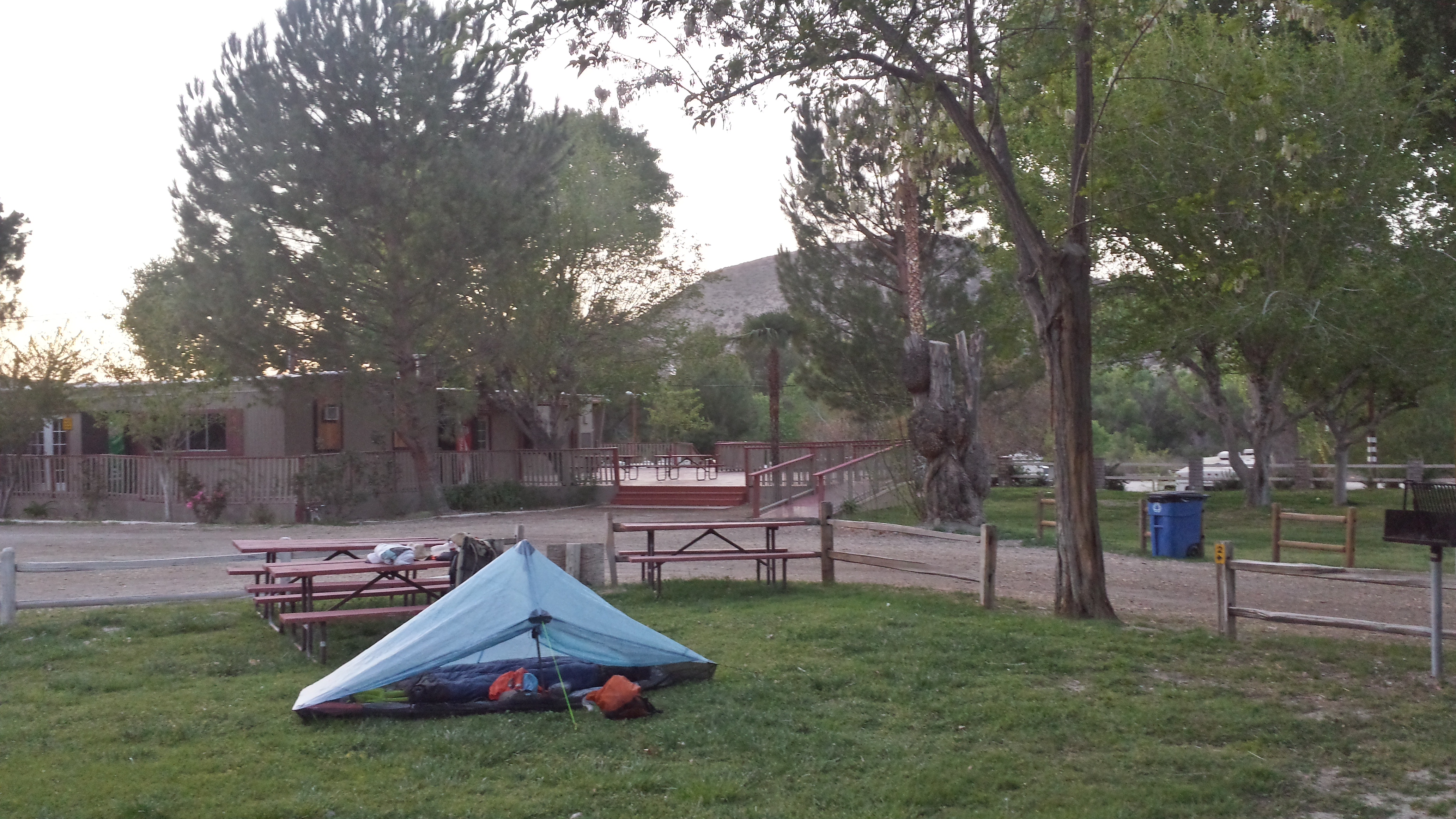
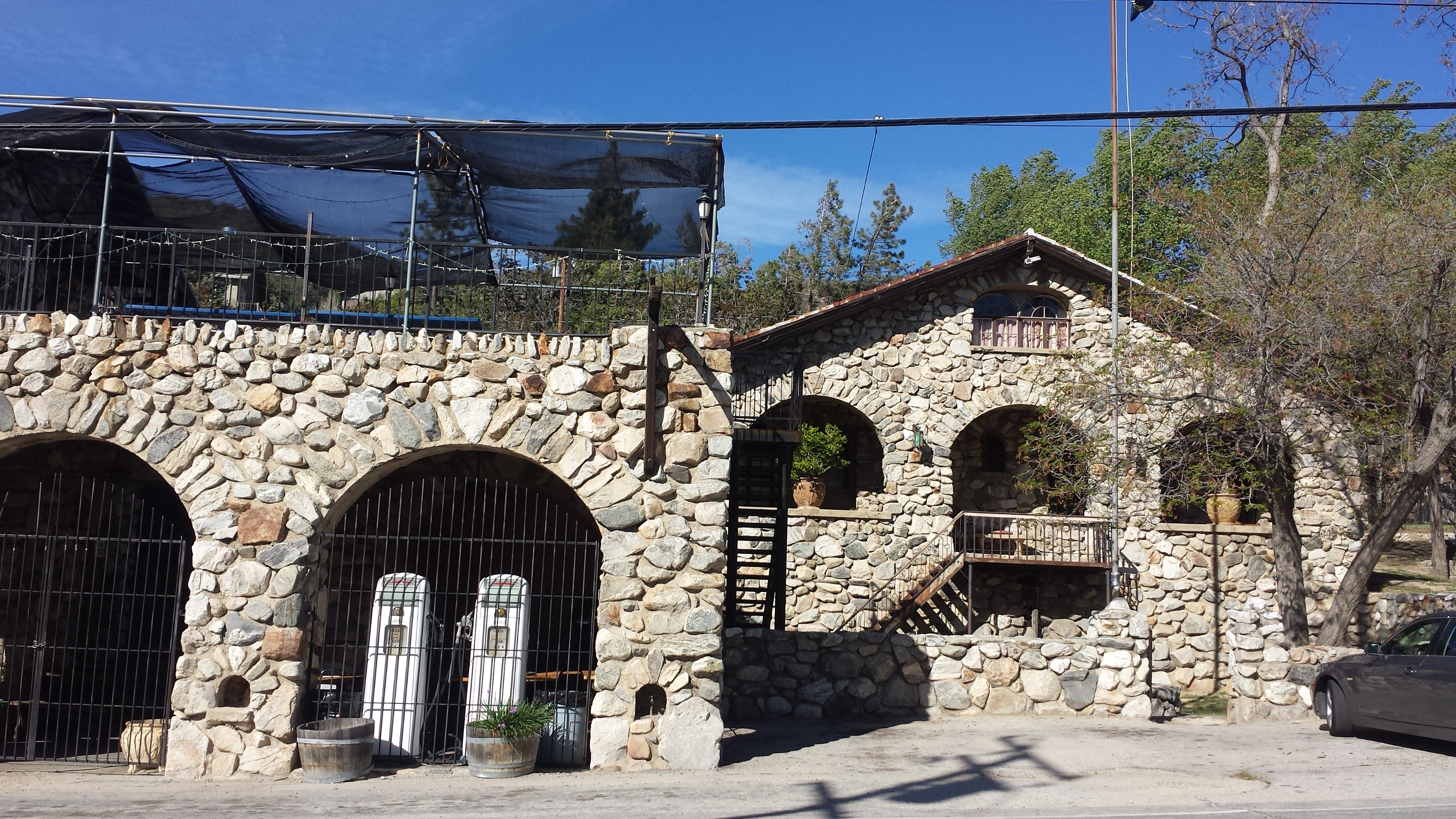
July 9- 5 miles, camping at Shelter Cove
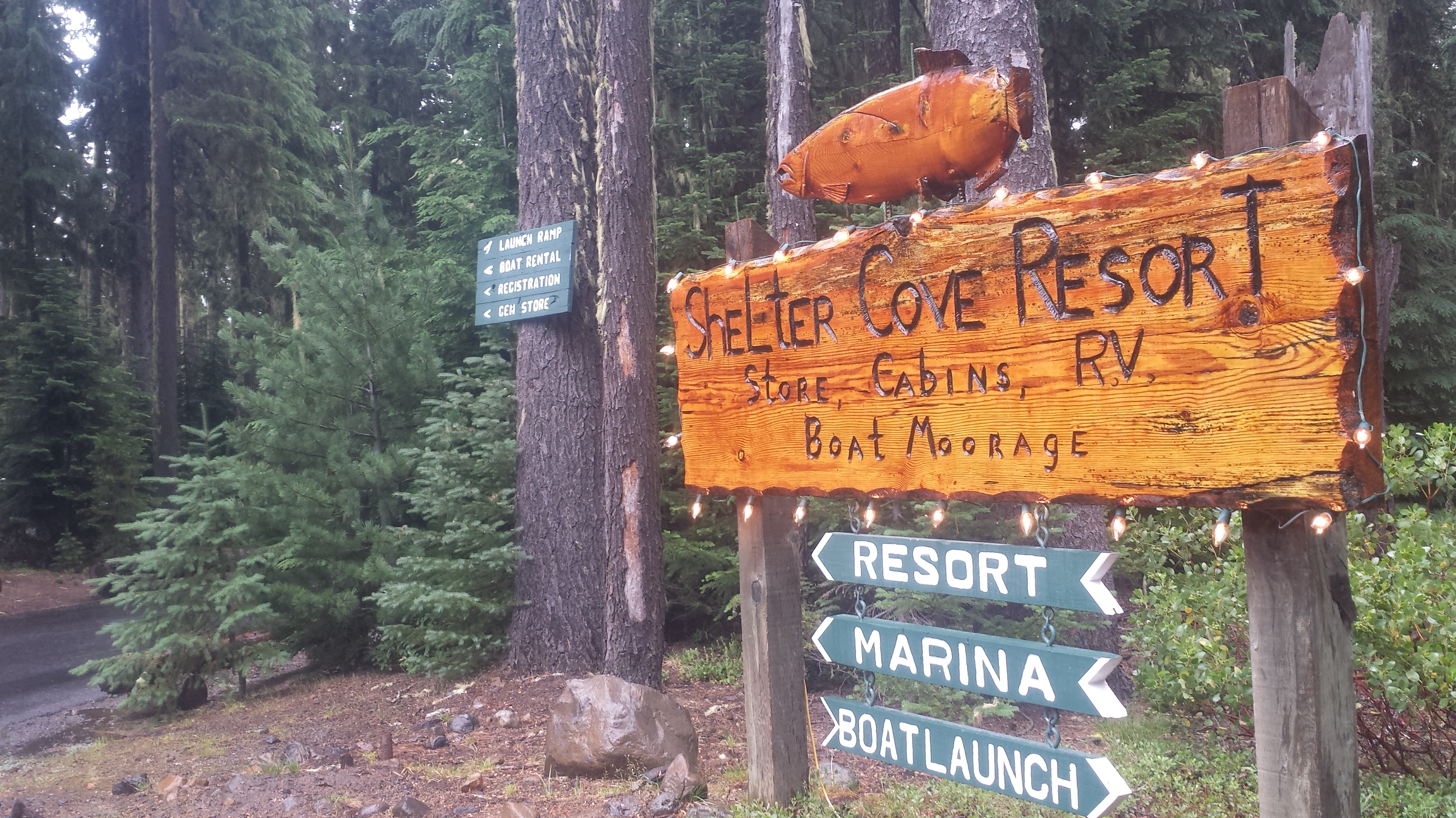
Shelter Cove Resort
I hiked into Shelter Cove under a light rain all morning and arrived around 10am. There’s a general store that sells hot dogs and frozen pizzas, which became my breakfast and lunch. I also took a very expensive shower and did my laundry. I’ve been trying to upload videos I made of Crater Lake and the thunderstorm near Mount Thielson all day, but the Wi Fi is experiencing a traffic jam. I’ll try again later tonight once everyone else goes to bed. Ah, the stresses of blogging!
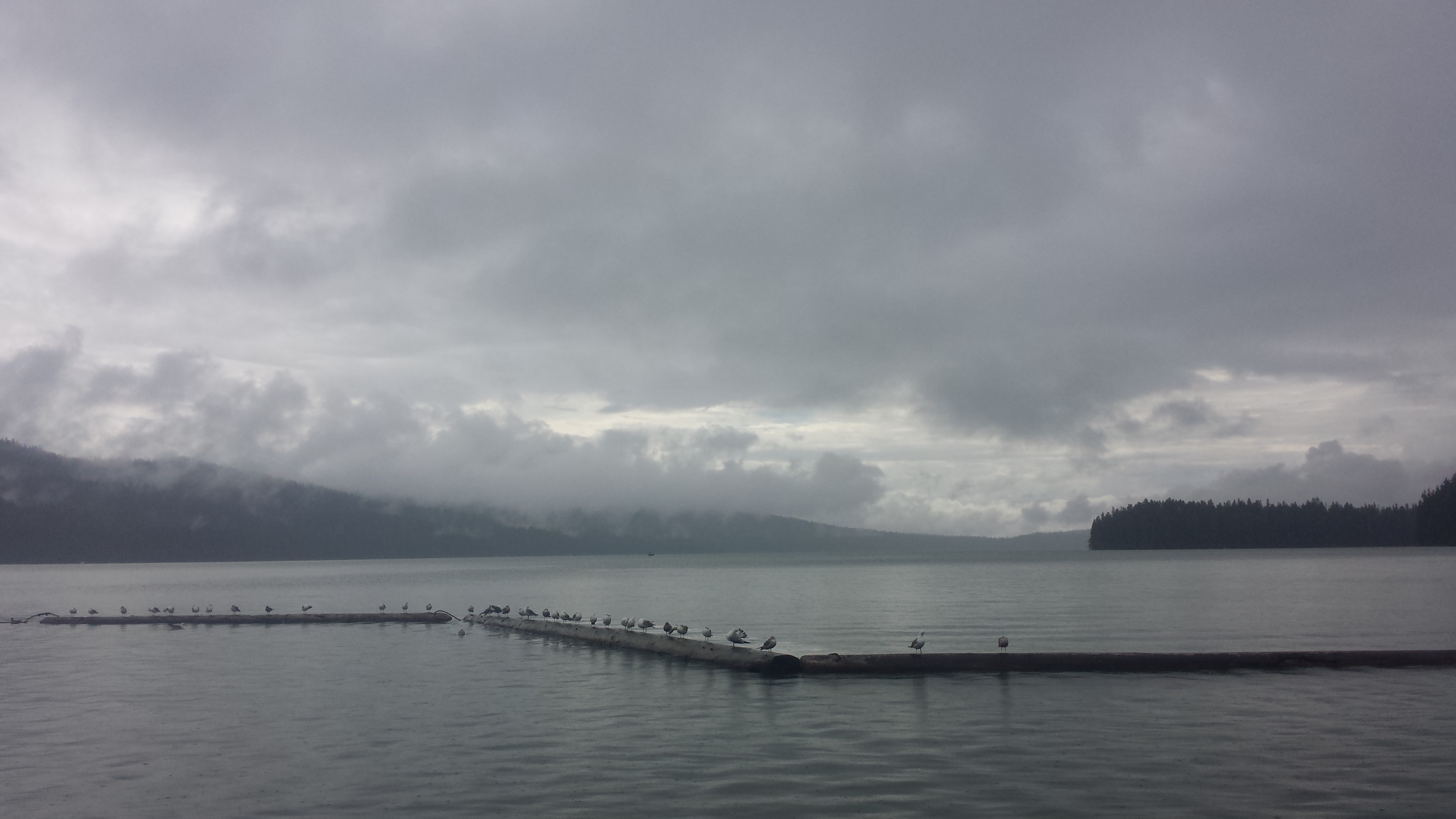
Odell Lake