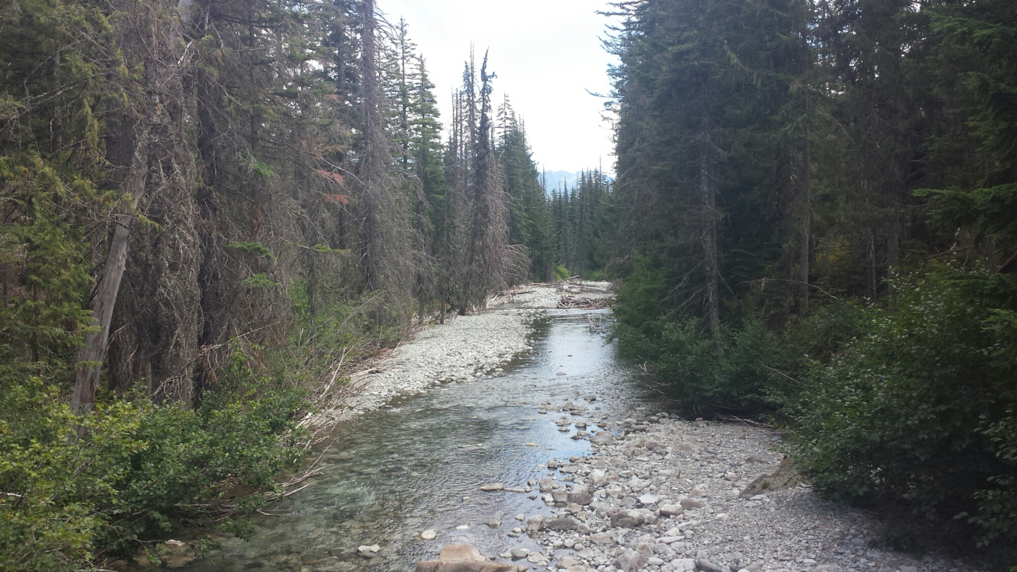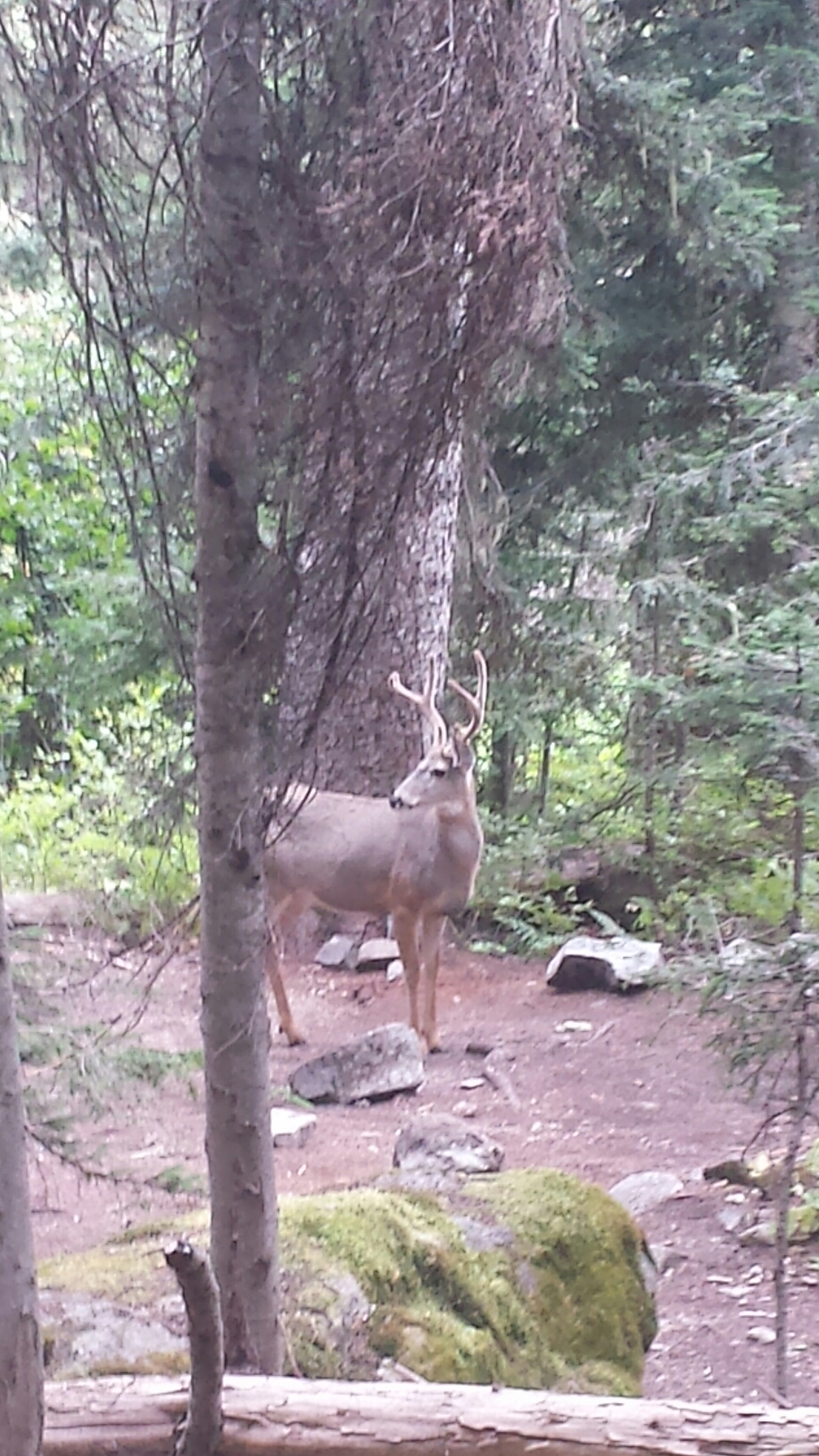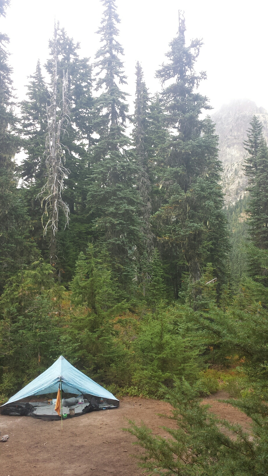
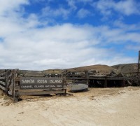
Santa Rosa Island

loading map - please wait...

Santa Rosa Island: 34.001443, -120.048981

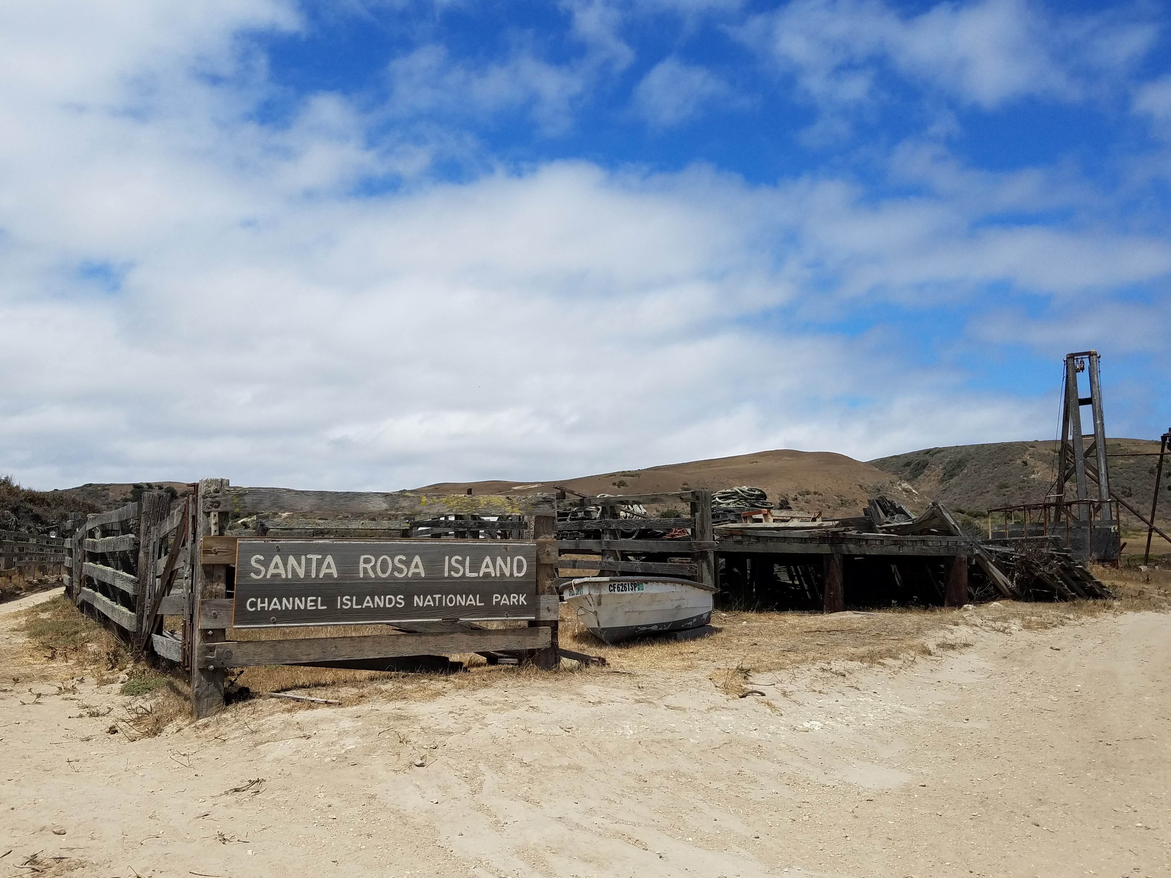
About 30 miles west of the Southern California coast lays the quiet realm of the Channel Islands National Park. Totaling 390 sq. miles the park is composed of five islands: Santa Barbara Island, Anacapa, Santa Cruz, Santa Rosa, and San Miguel. There are several other islands not included in the park: Catalina, which is overseen by a conservation agency, and San Clemente and San Nicholas, which are both controlled by the U.S. Navy. Previously occupied by cattle and sheep ranchers, the Northern islands of Santa Cruz, Santa Rosa, and San Miguel are slowly making a comeback to their natural states.

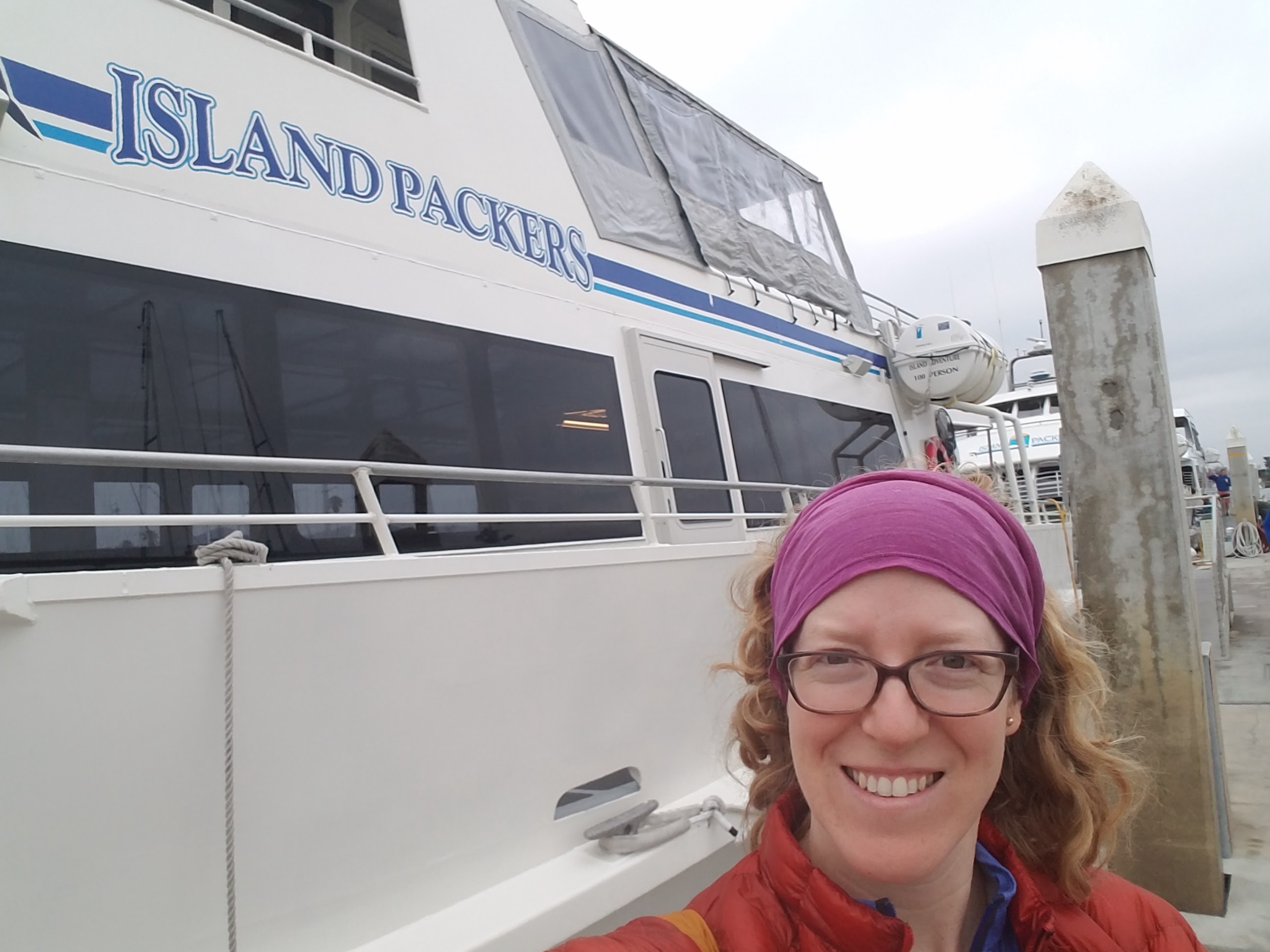
The most popular way of accessing the park is by the Island Packers Ferry out of Ventura, Ca. A round ticket will cost you $114 per person and since Santa Rosa doesn’t receive as many visitors as Santa Cruz, the ferry only stops there three to four times per week. While the final destination is the pier at Becher’s Bay, the ferry ride also takes you on a guided tour of interesting sites, including Anacapa and Santa Cruz Islands, the oil derricks, and whale watching. The tour offered a tremendous amount of information about the natural and social history of the channel and the islands. The ferry itself sports an indoor lower deck with tables and a snack bar, and, on the upper deck, open-air benches with fantastic views.

Island Packers Ferry

Island Packers Ferry

Day 1- 17.5 miles

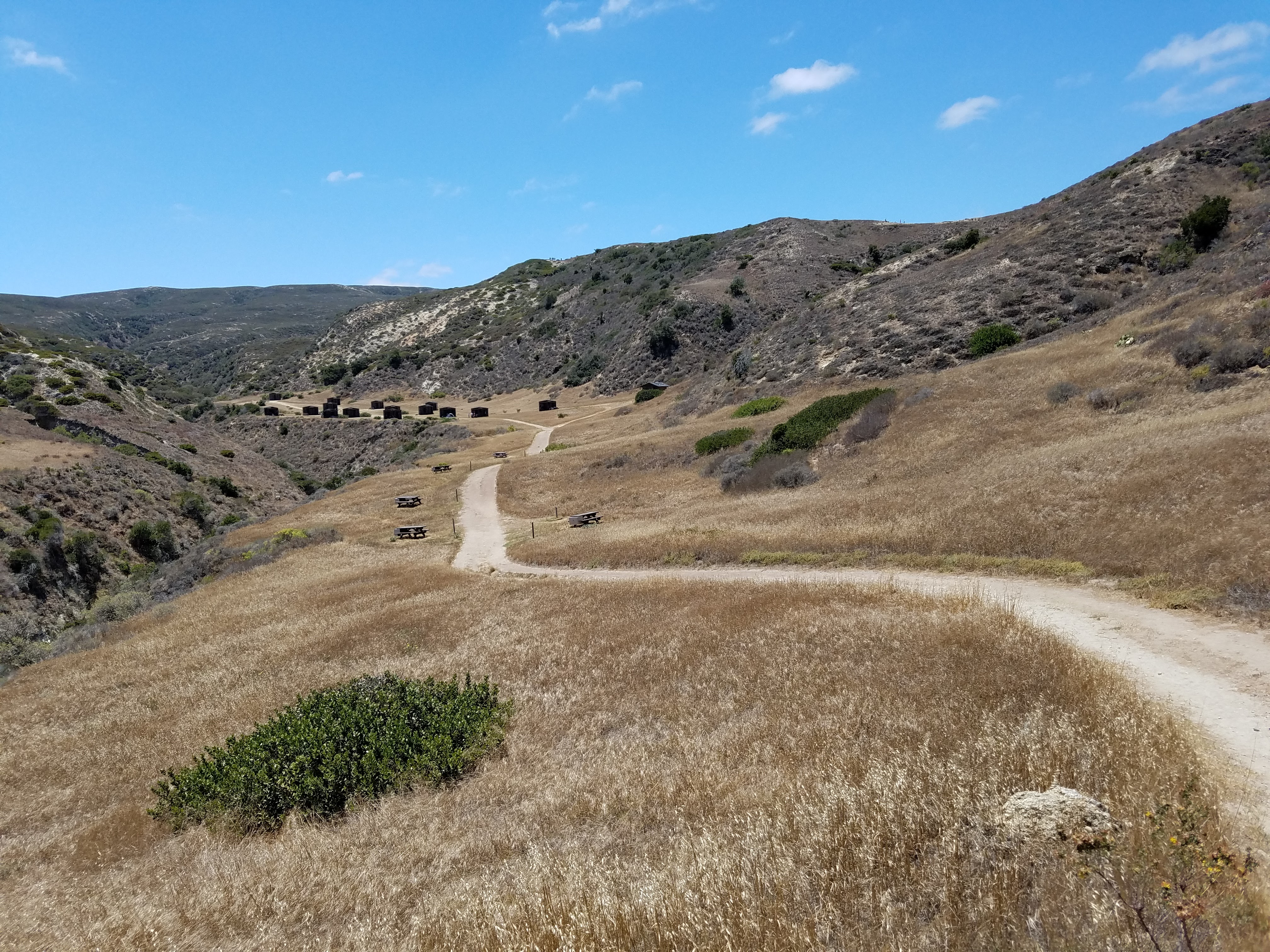
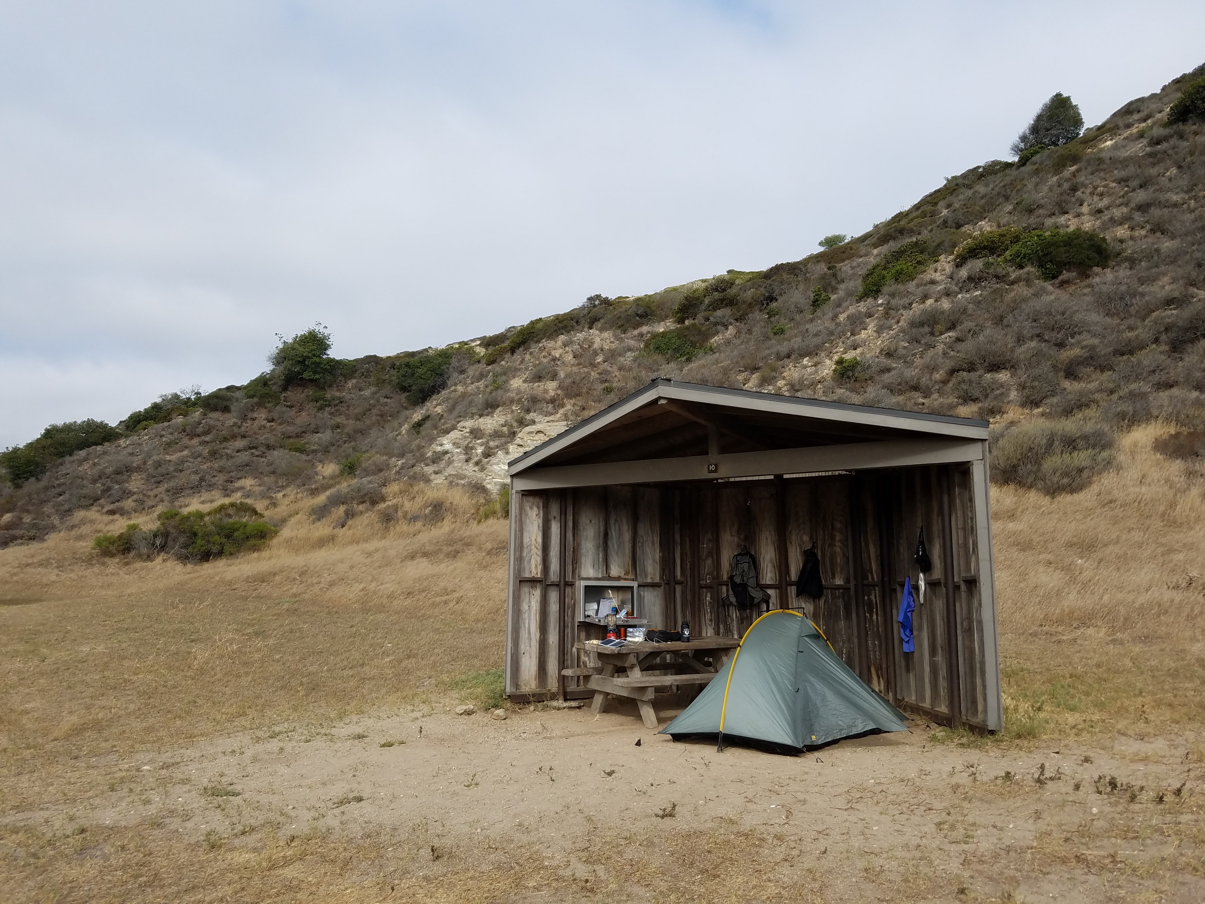
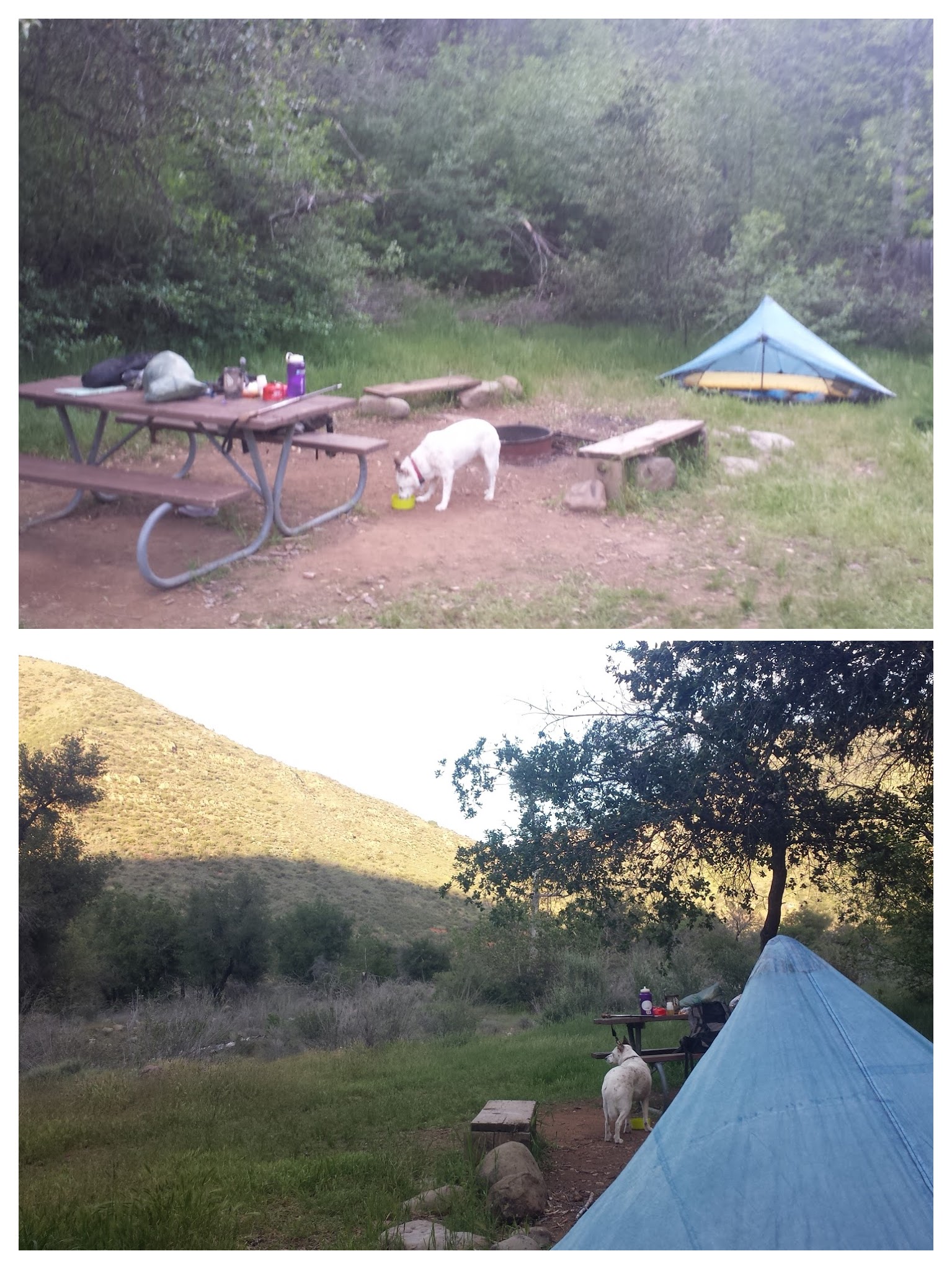
After a brief check-in with the ranger, I set off for the mile and half walk to the campground. It was much hotter than I expected. Cool ocean breezes swept and curled along the coastline, but the inland rock heated the air along the road until it sizzled with little heatwaves. To help protect campers from the fierce Pacific winds, the campground is tucked into Water Canyon about a quarter mile in from the beach. Each site is equipped with a three-walled shelter, a picnic table and a food storage box. It has three spigots with potable water, two very clean bathrooms, an outdoor sink, and even a shower. I was impressed! Before booking your ferry ride, be sure to reserve your campsite on Santa Rosa for $15/night.

The campground on Santa Rosa Island

The campground on Santa Rosa Island

Not wanting to waste a moment, I immediately found my campsite, organized my gear, and re-packed my bag for a long day hike. My destination was Lobo Canyon, a long, but worthwhile hike of Santa Rosa. The canyon itself is 4.5 miles from the campground along a dirt road called Smith Highway, after which hikers can take a foot trail through the canyon an additional 2 miles to its mouth where it enters the Pacific Ocean.

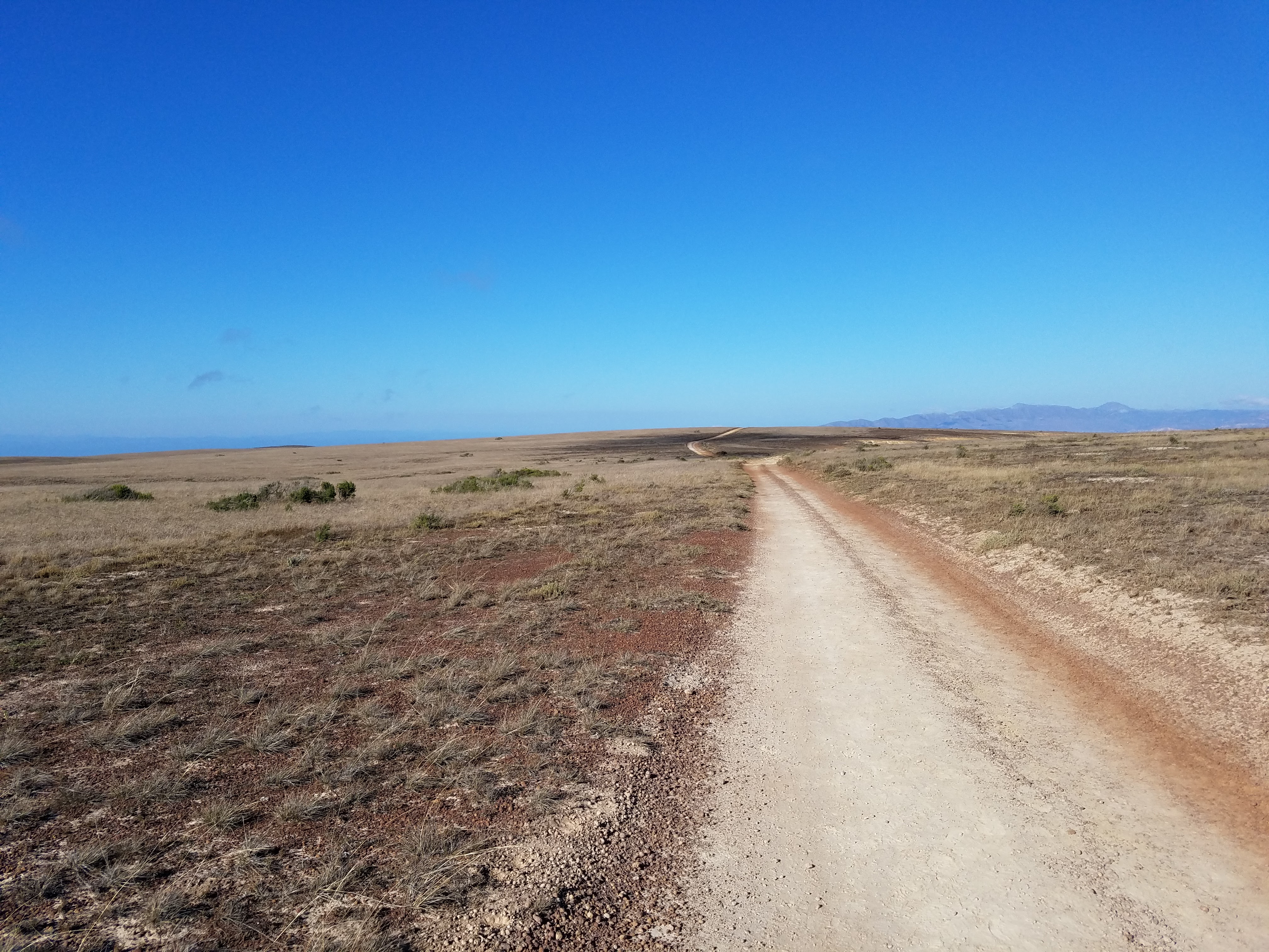
Smith Highway, Santa Cruz Island in the distance

Smith Highway, Santa Cruz Island in the distance

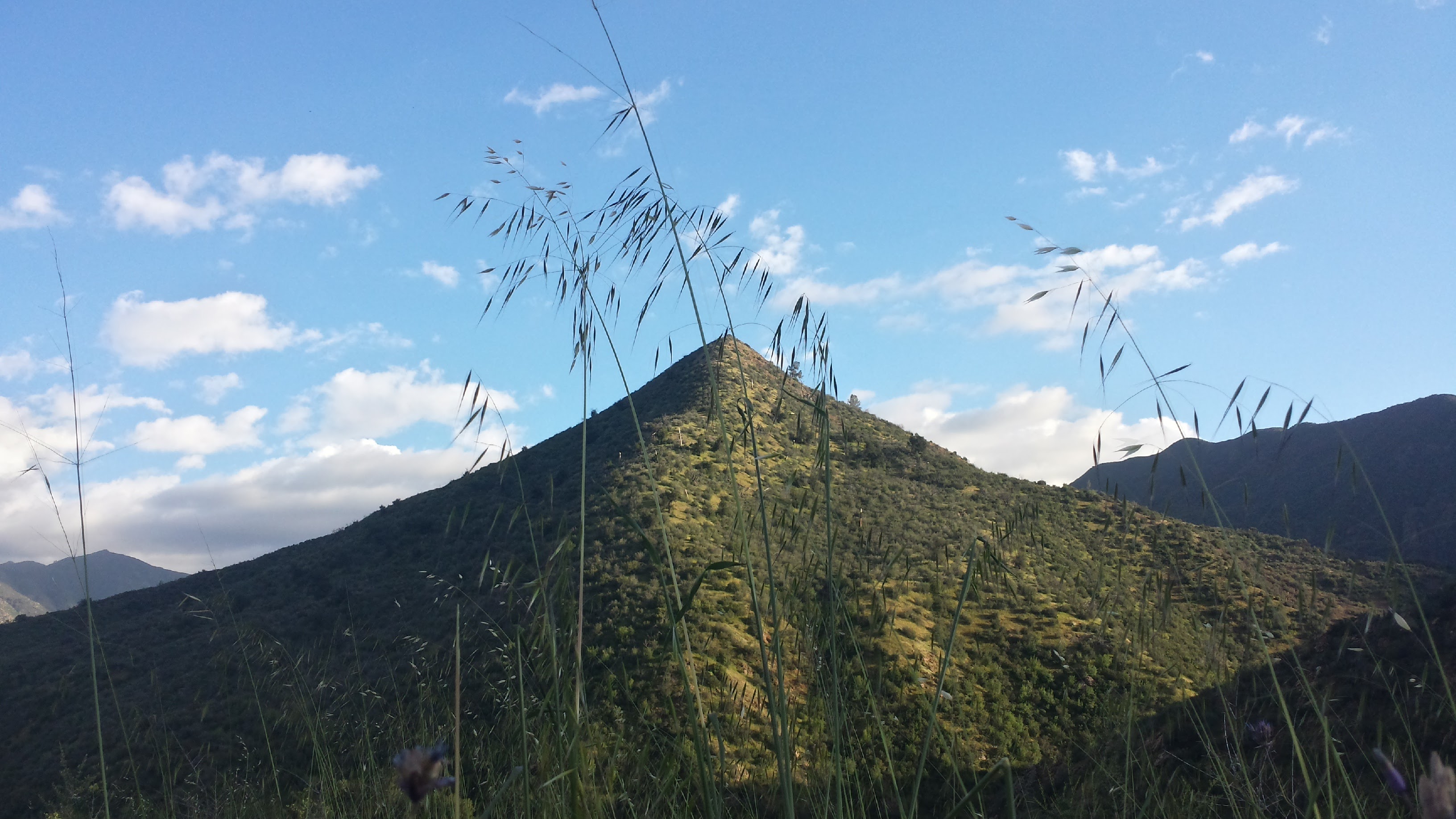
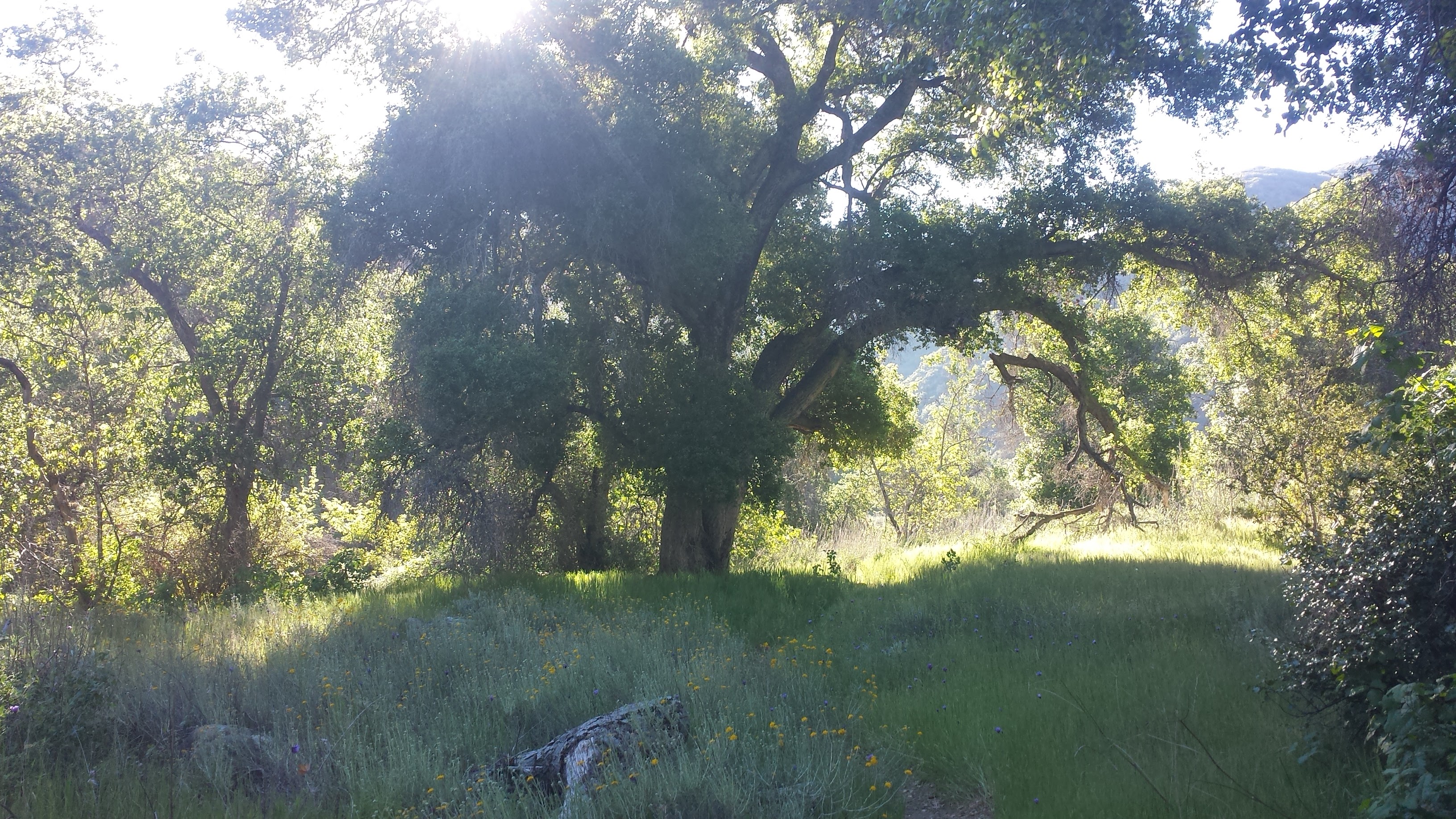
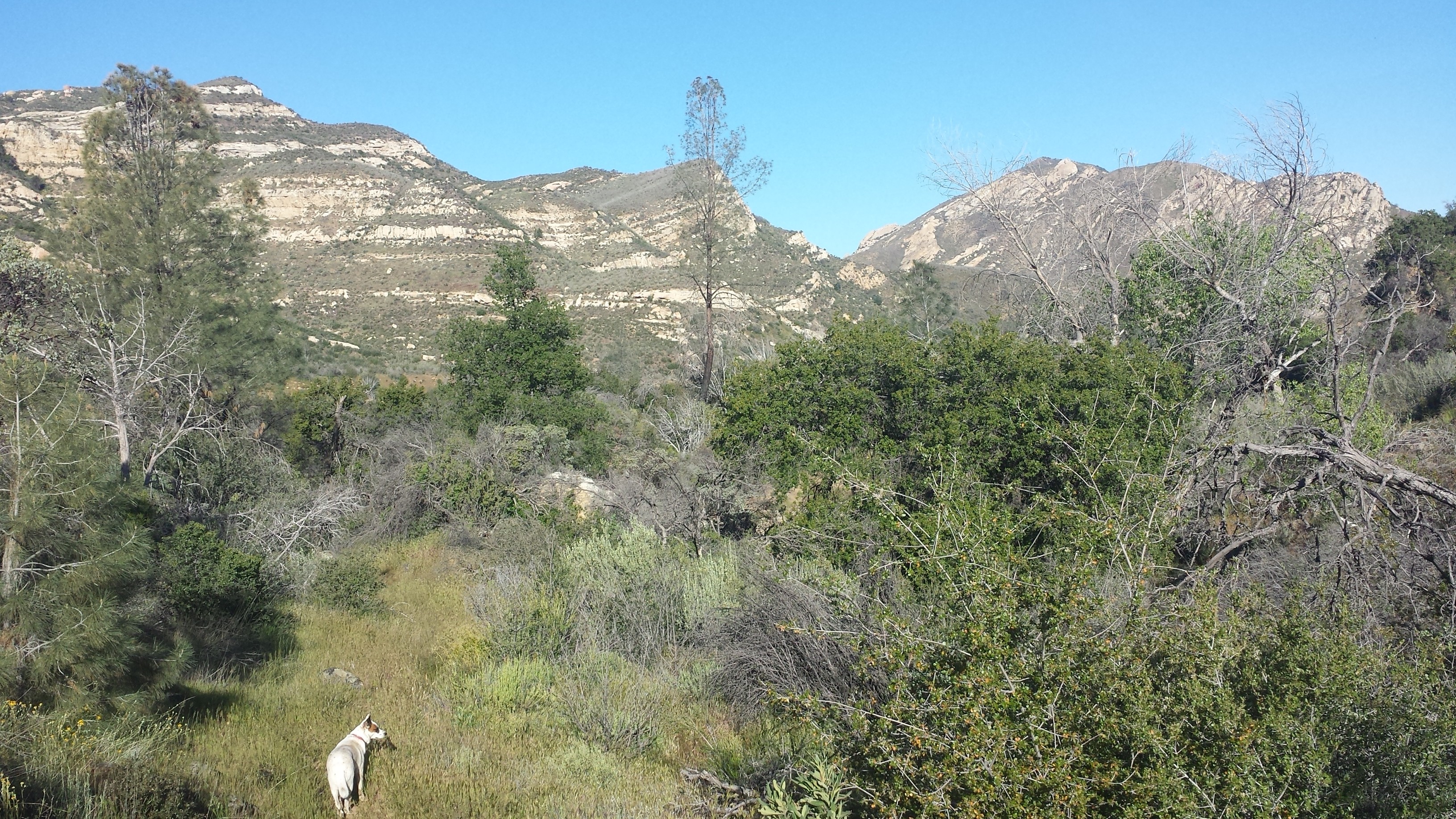
As I climbed the hill away from Bechers Bay and the pier, the view of Santa Cruz to the south emerged behind me as though the island itself was rising from the sea. It’s hard to describe the magnificence of these islands, particularly Santa Cruz. Viewed from the mainland, one would assume the islands look just the same as the hillsides and cliffs of Ventura County. Their unique beauty, however, can only be appreciated by those who see them up close. The textures and colors of Santa Cruz’s edges are colorful, like rainbows of rock, and vary from soft, crumbling walls and fortress-like hardened lava to smooth, sandy beaches. Its mountains have distinct characters in their shapes and heights, forming gullies, gorges, and valleys between them.

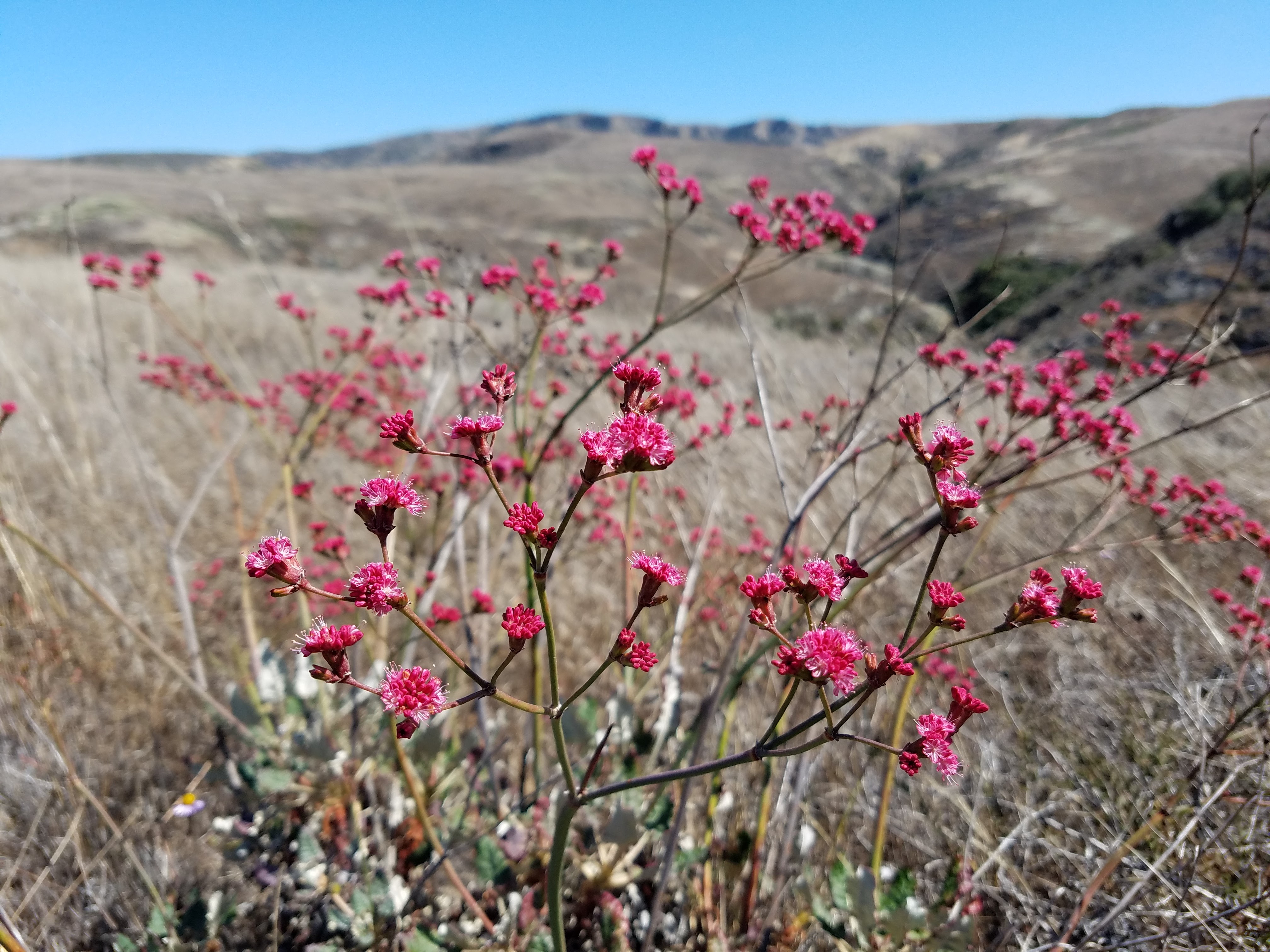
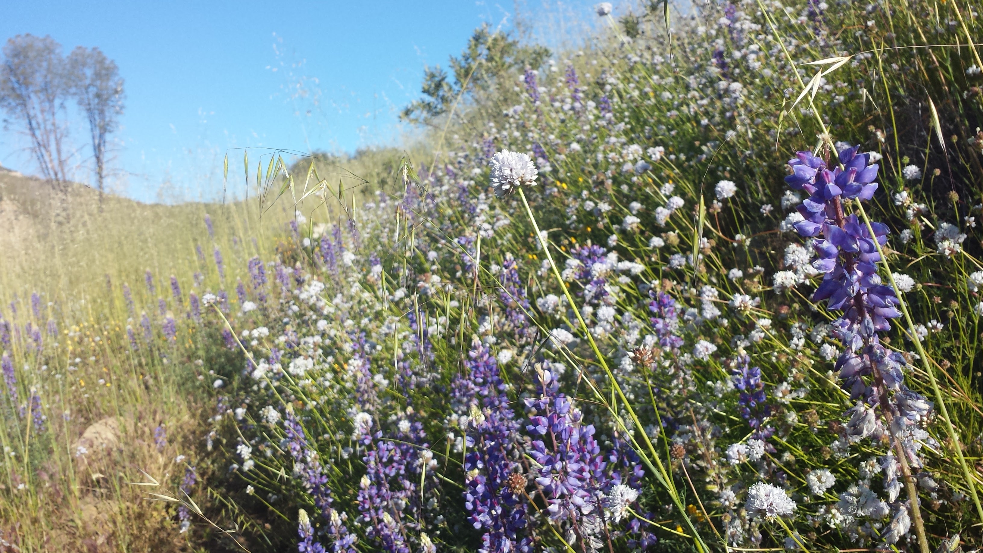
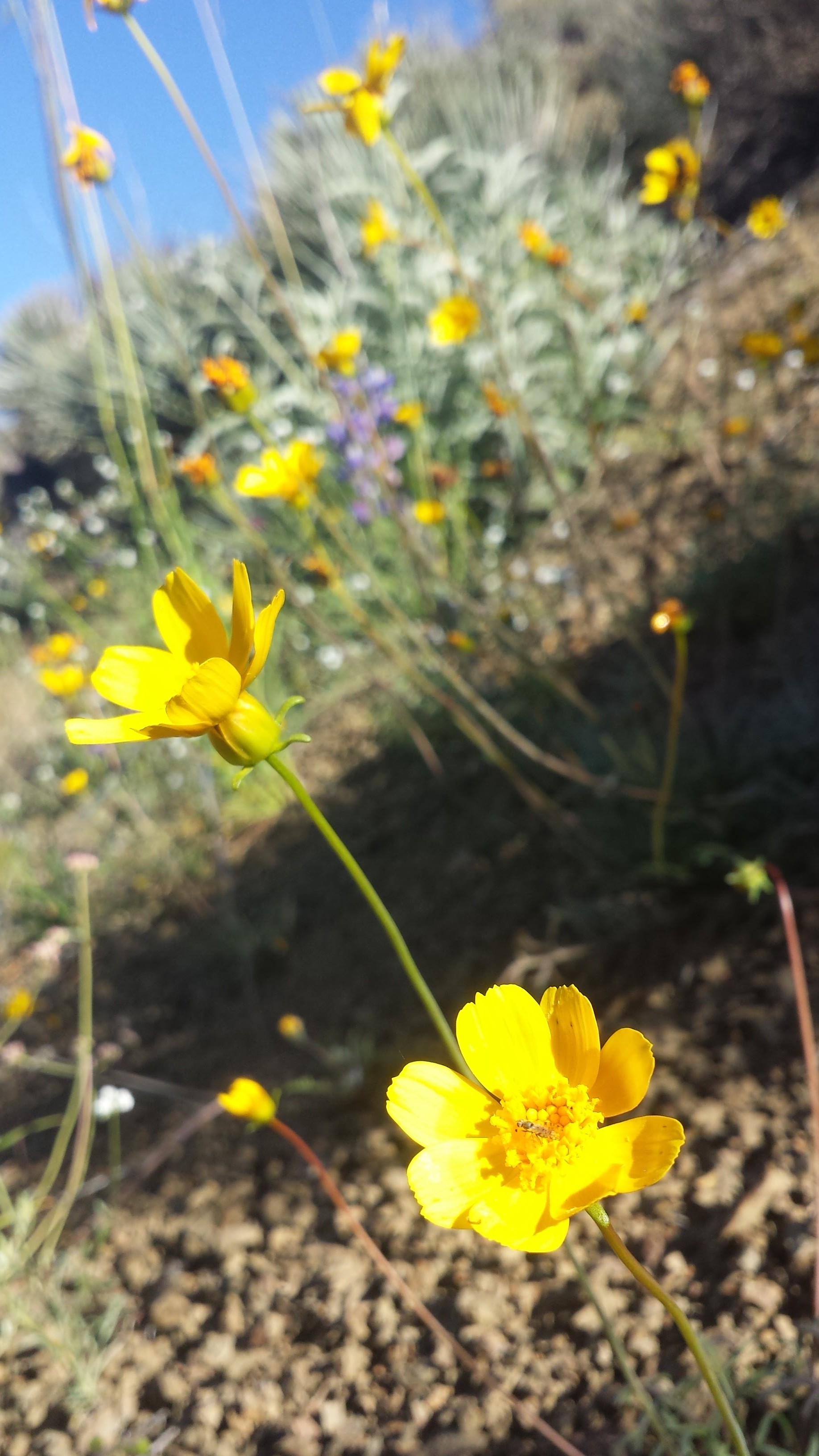
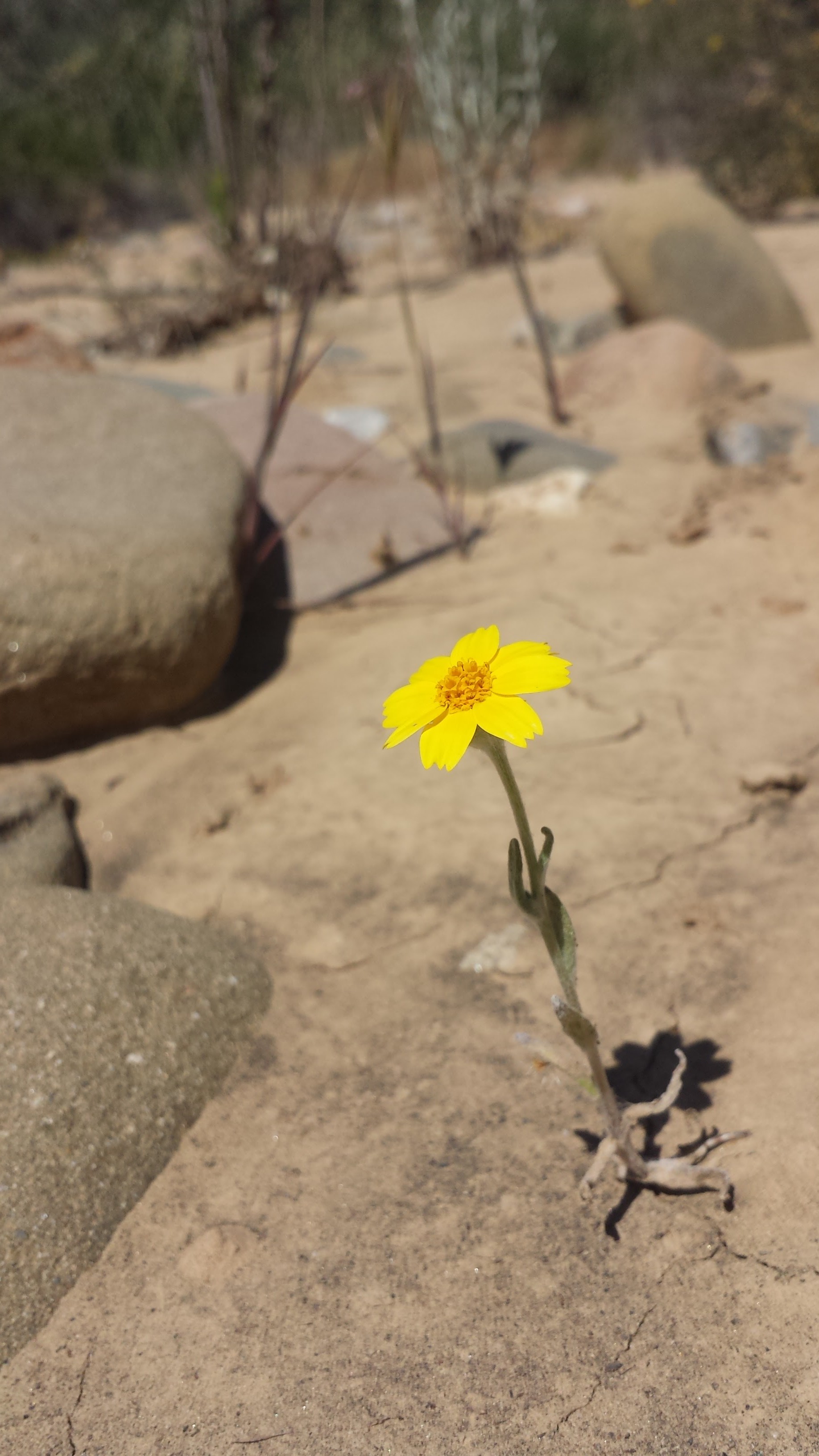
Wildflowers

Wildflowers

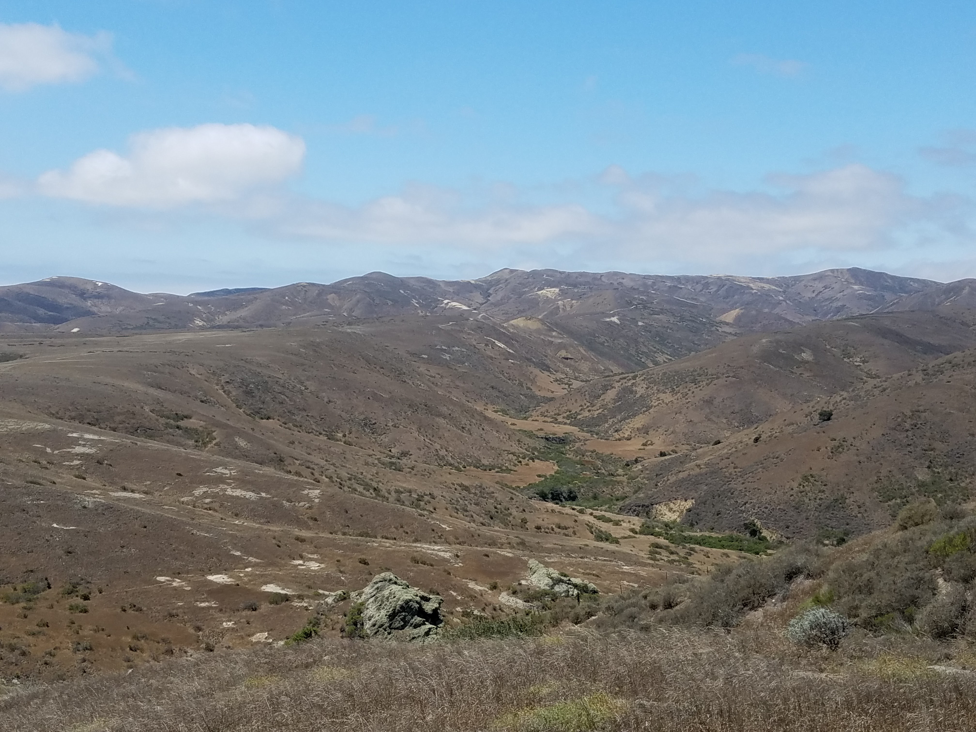
As I approached the top of my climb, the plateaus of Santa Rosa’s eastern coast opened up before me. The dirt road gently rolled on and on over the gentle, grassy slopes. The land was so smooth here that I had the sensation of standing still while the earth moved beneath me with each step I took. It’s a feeling I’ve had before and is hard to describe- like the world is some virtual reality while I walk along a treadmill.

At the junction for Carrington Point, I sat myself down in the dirt to admire the view of Santa Cruz and the brown Santa Rosa mountains contrasting against the bright blue sky. I snacked on my jerky and fig bars, enveloped by silenced; not even the sound of ocean waves seemed to carry up this barren road. I leaned back on my pack, legs splayed before me and tipped my hat over my face. Twenty minuets later I woke up in a daze, not entirely sure where I was- I’ll blame it on the motion sickness drugs I took earlier in the day.

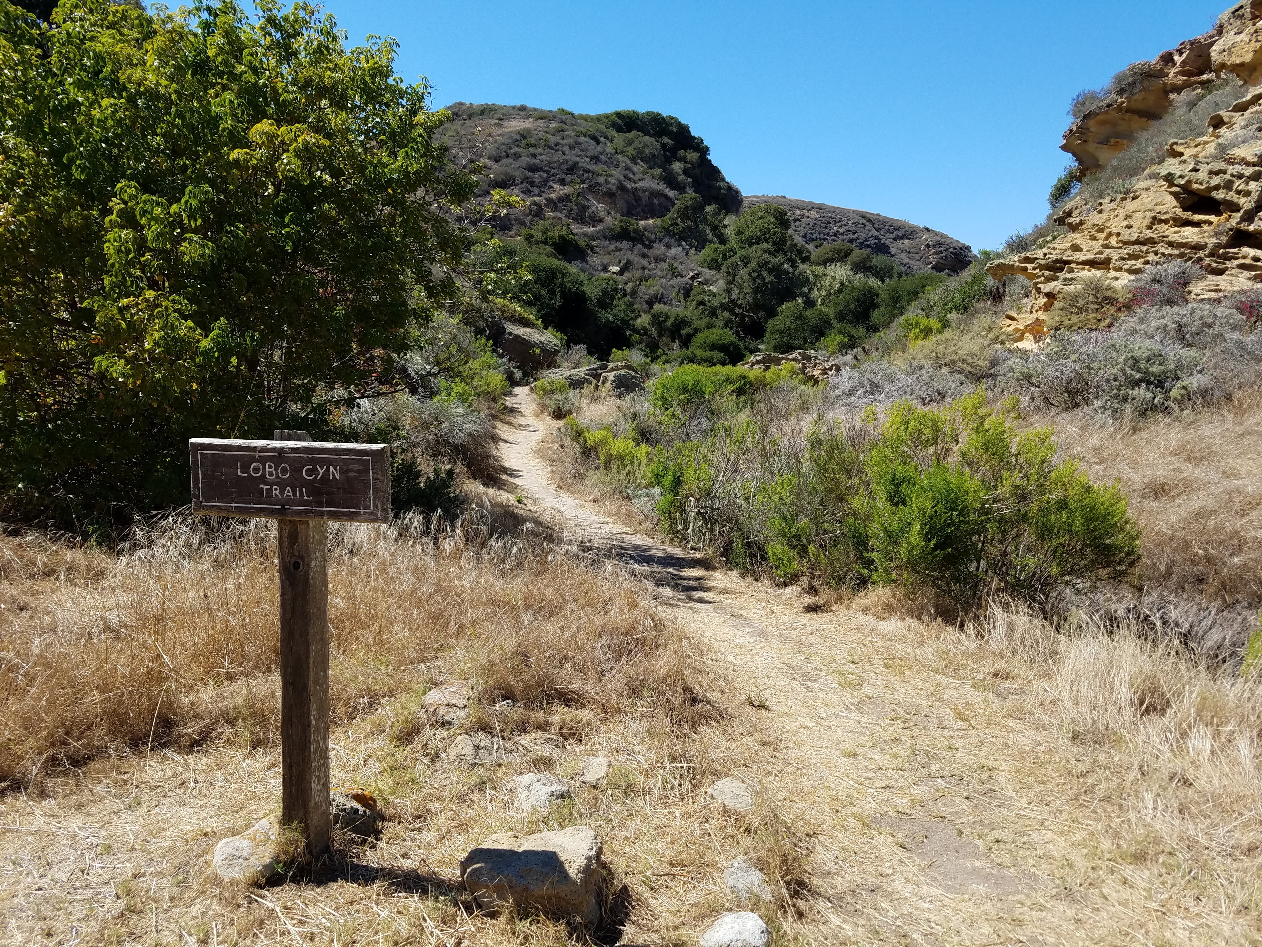
Lobo Canyon Trailhead

Lobo Canyon Trailhead

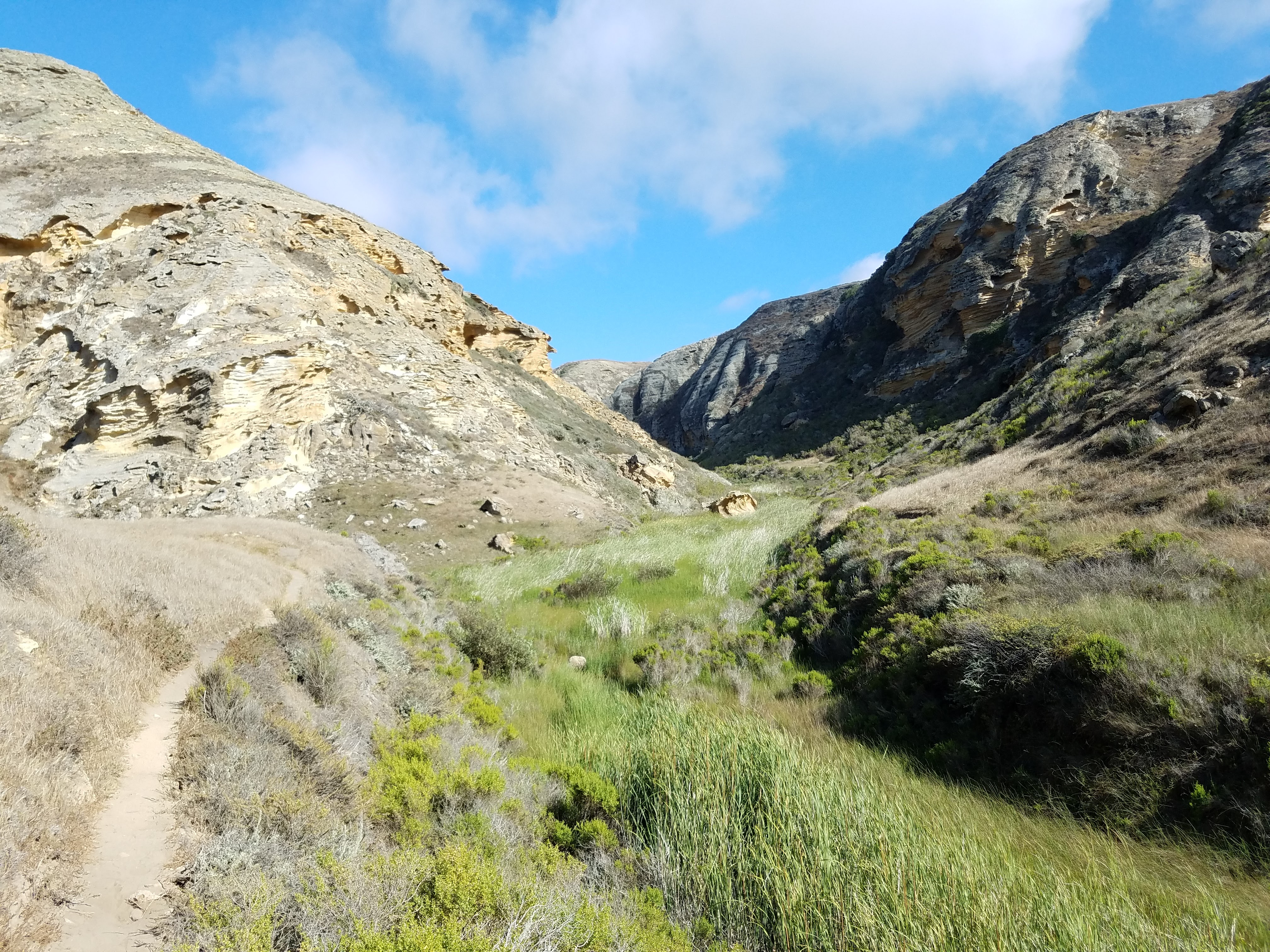
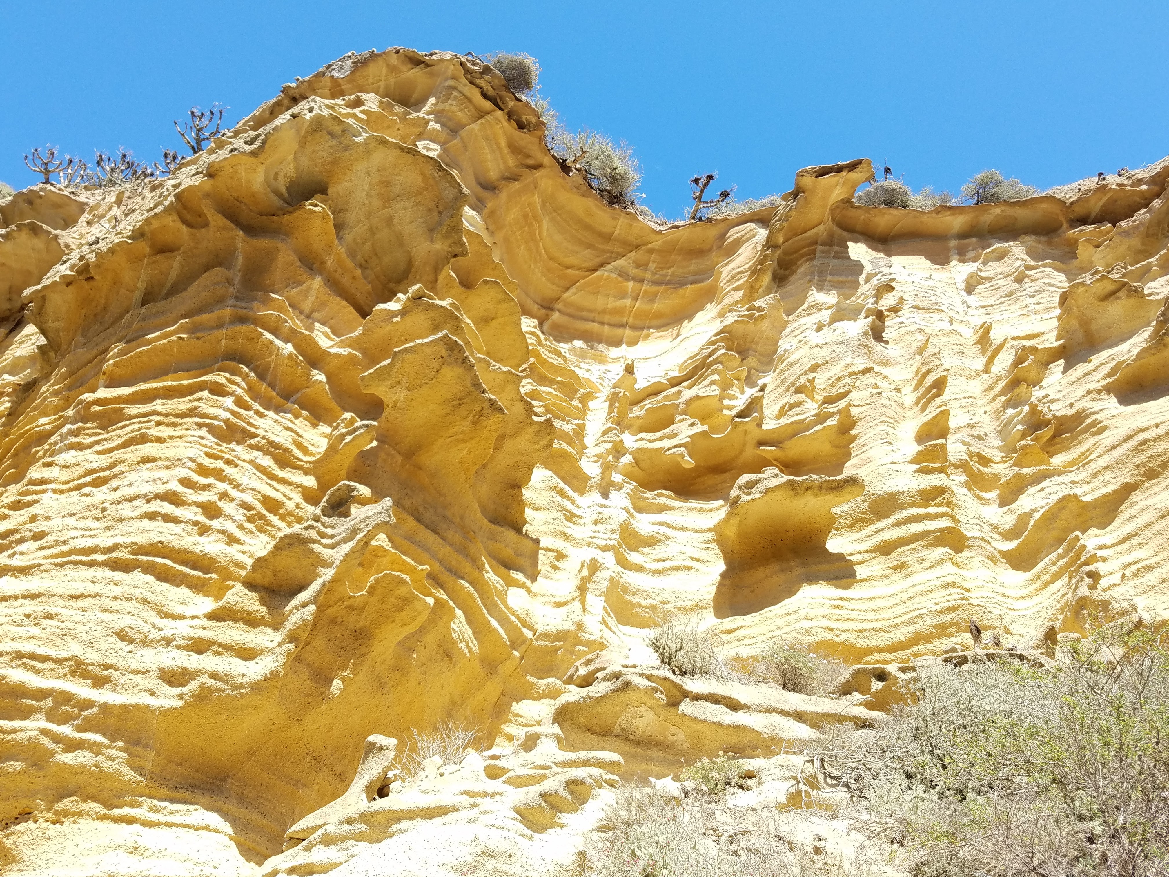
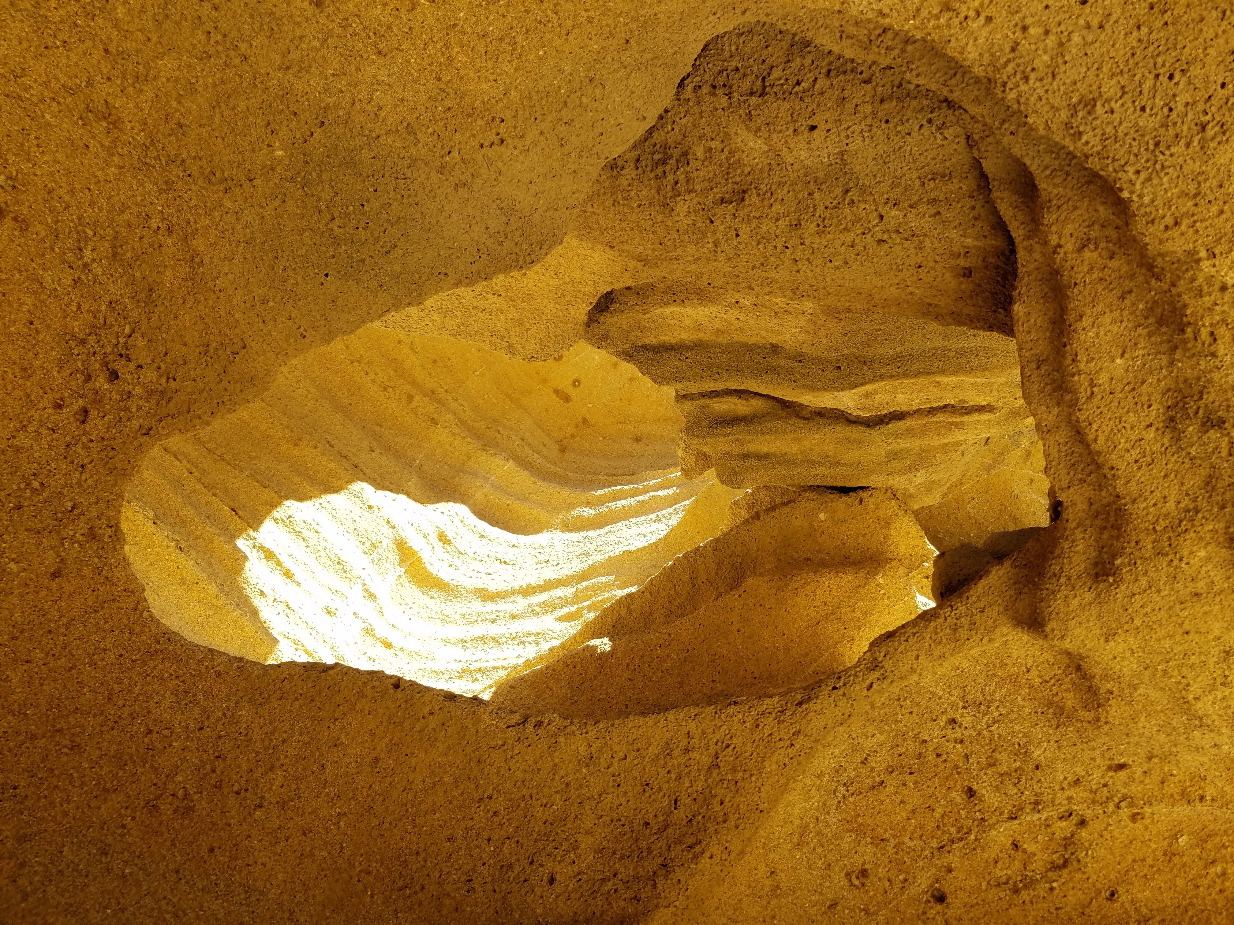
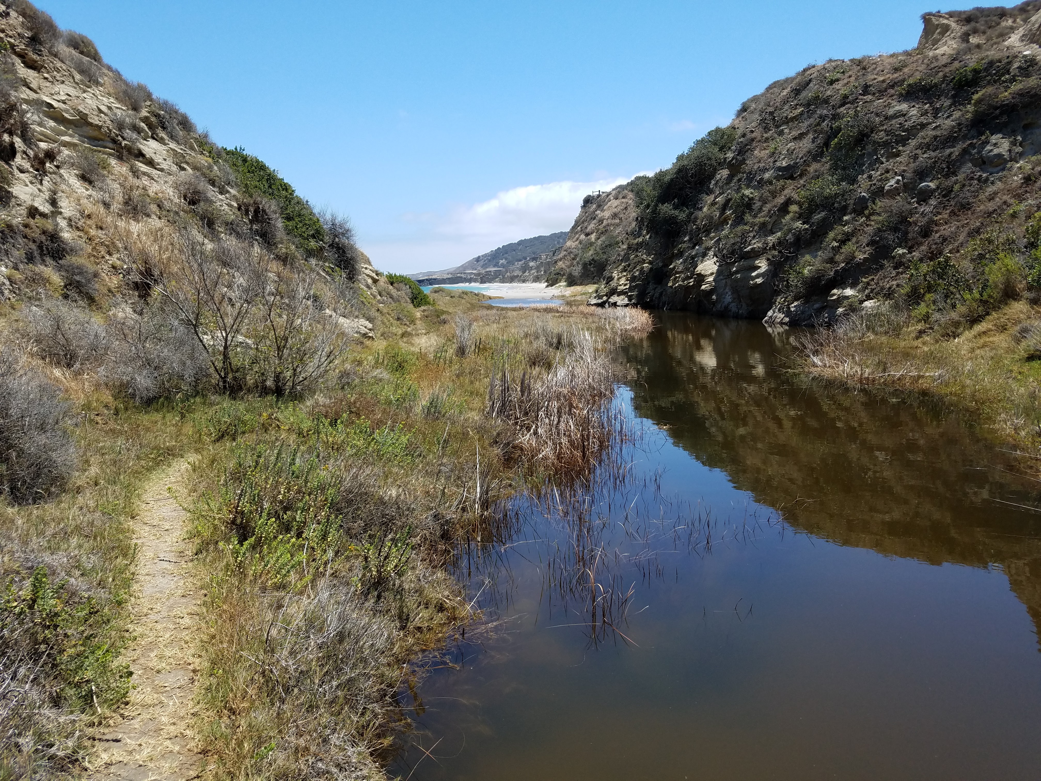
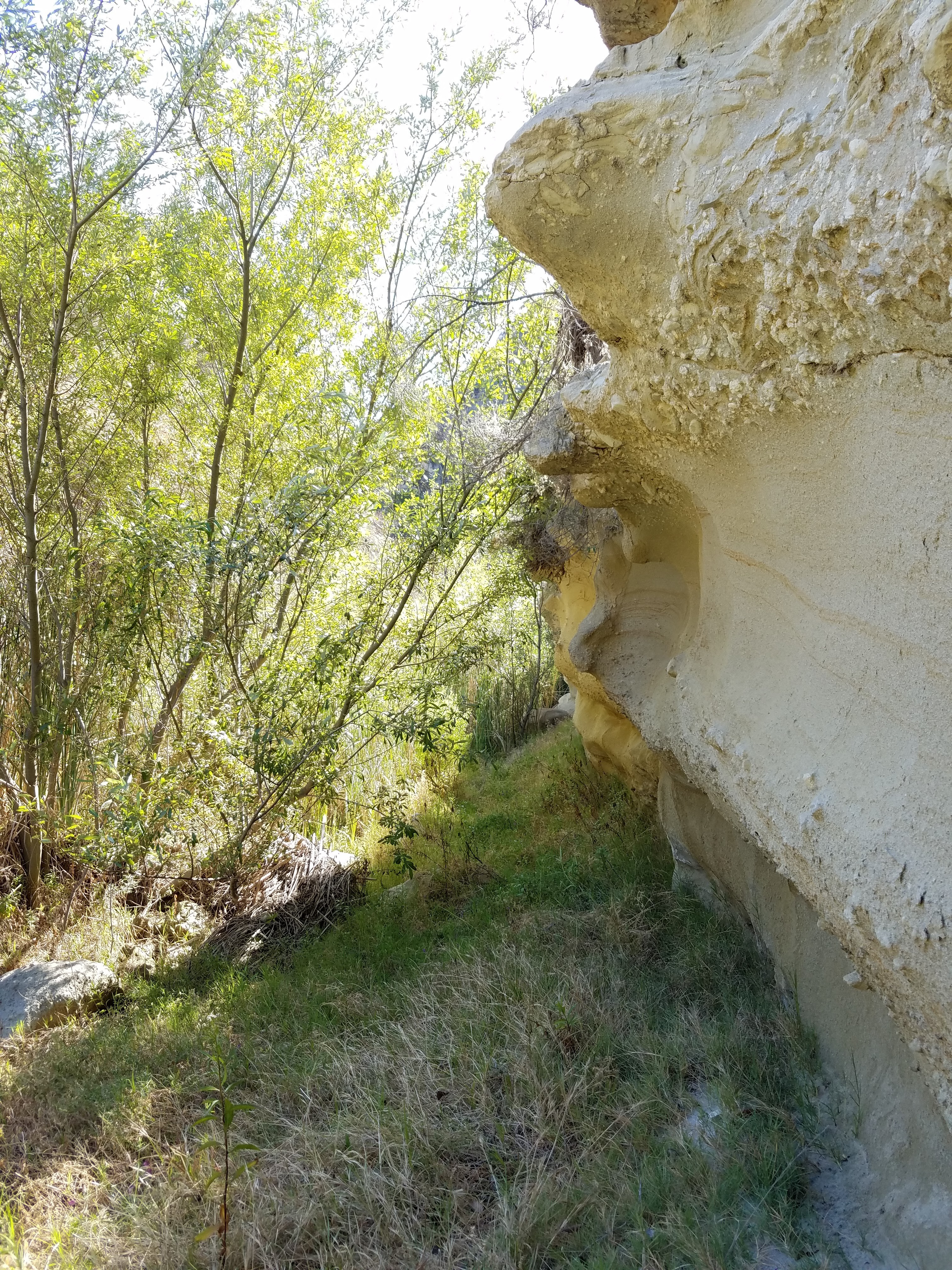
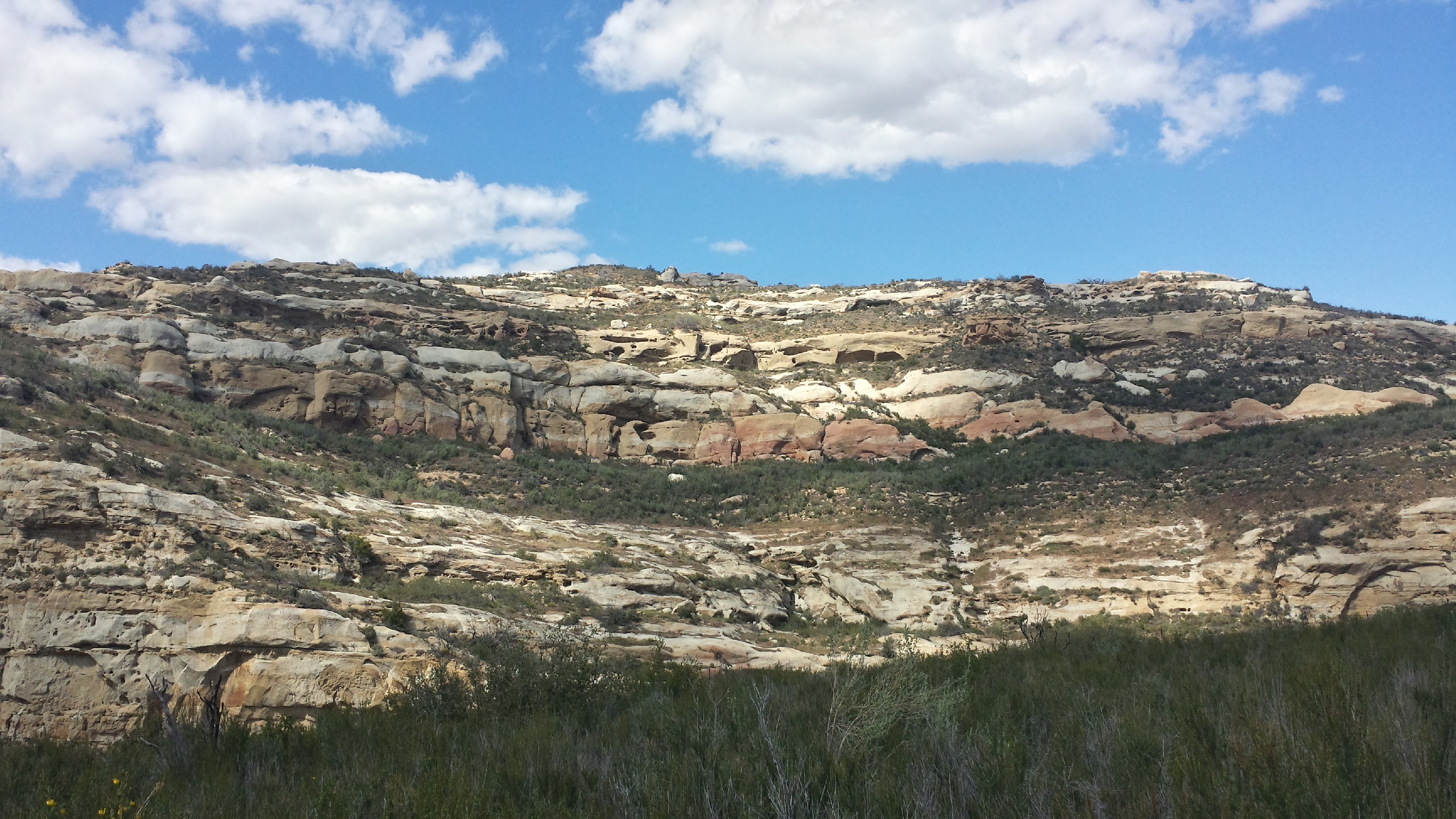
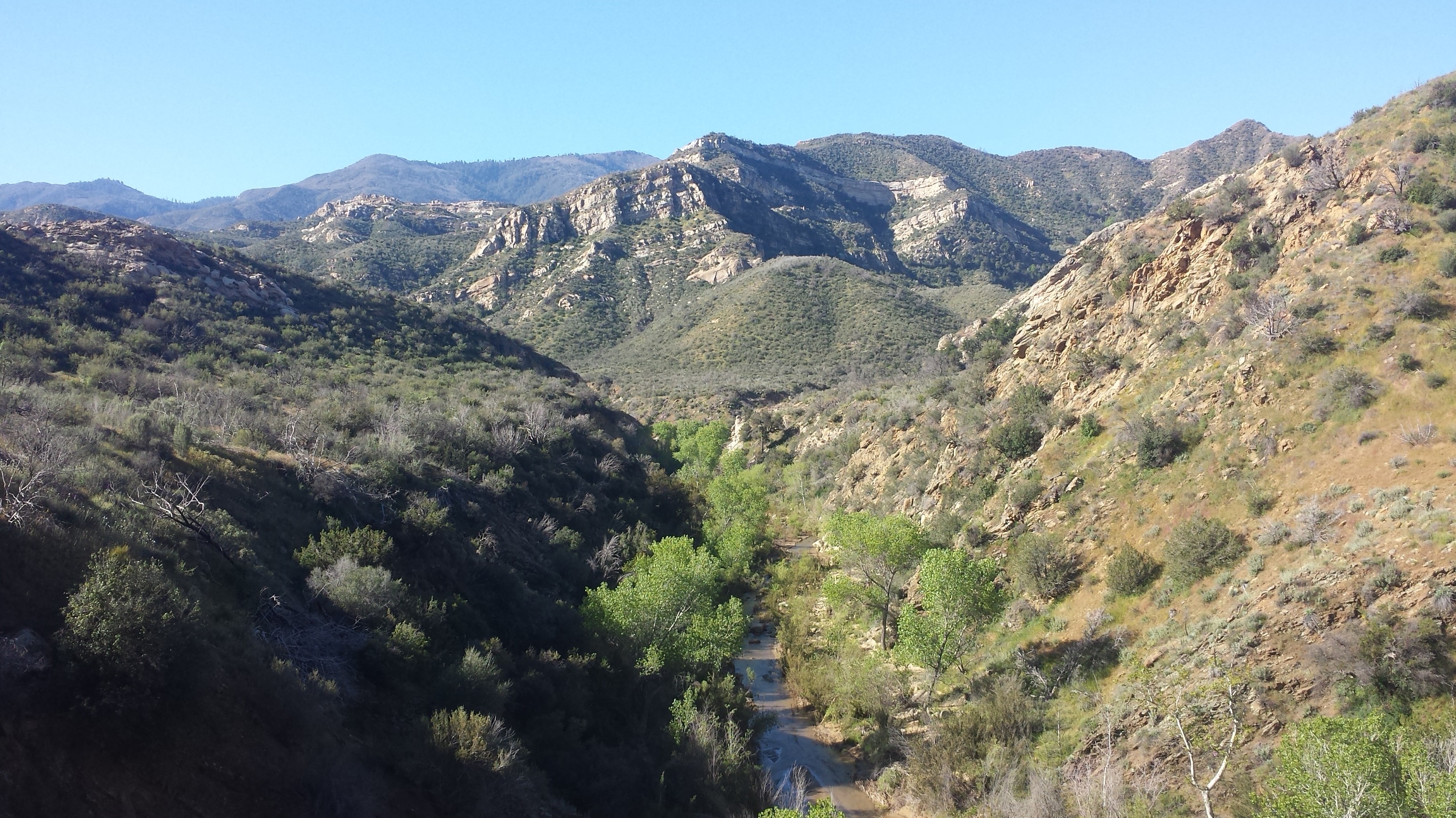
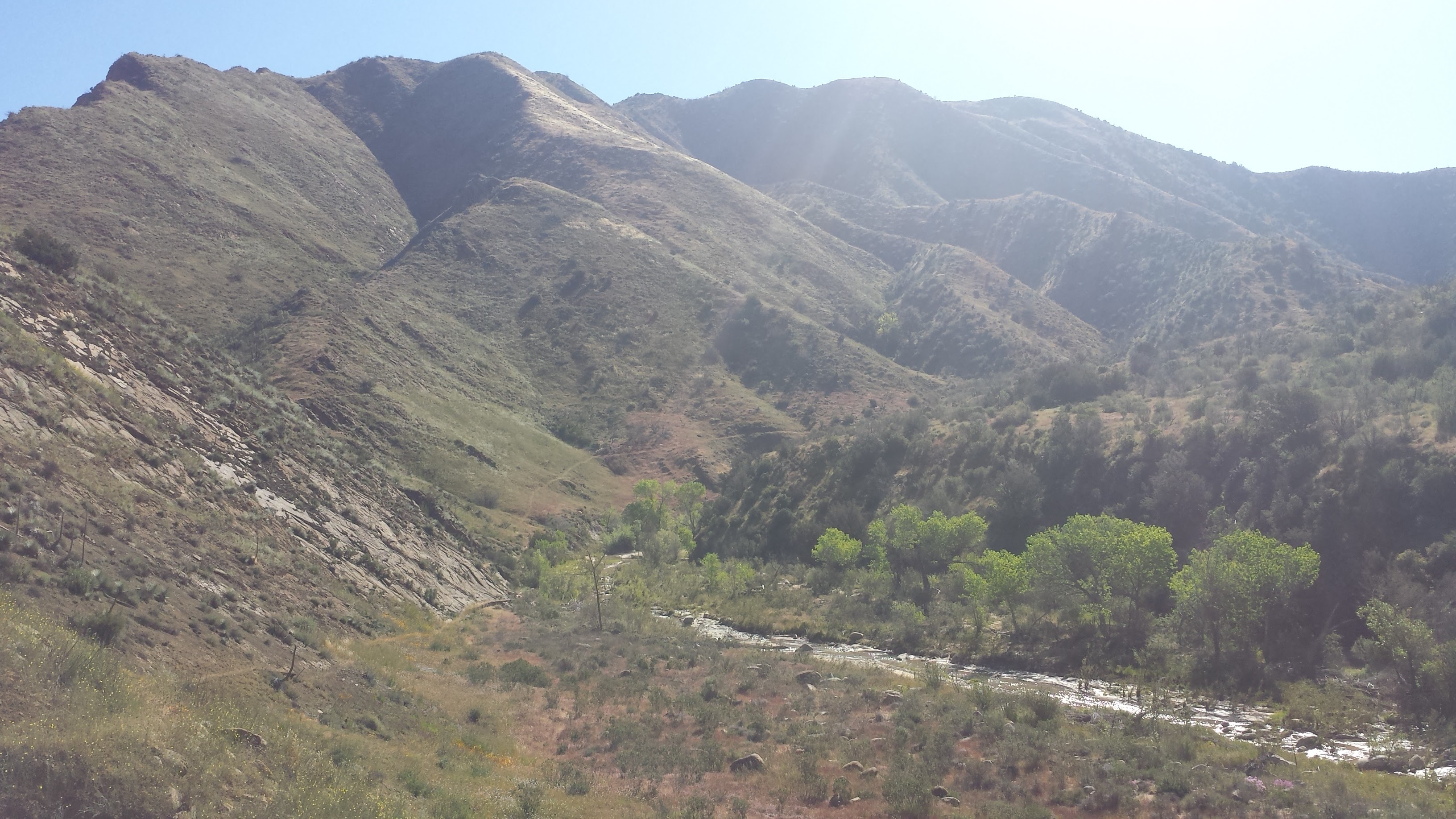
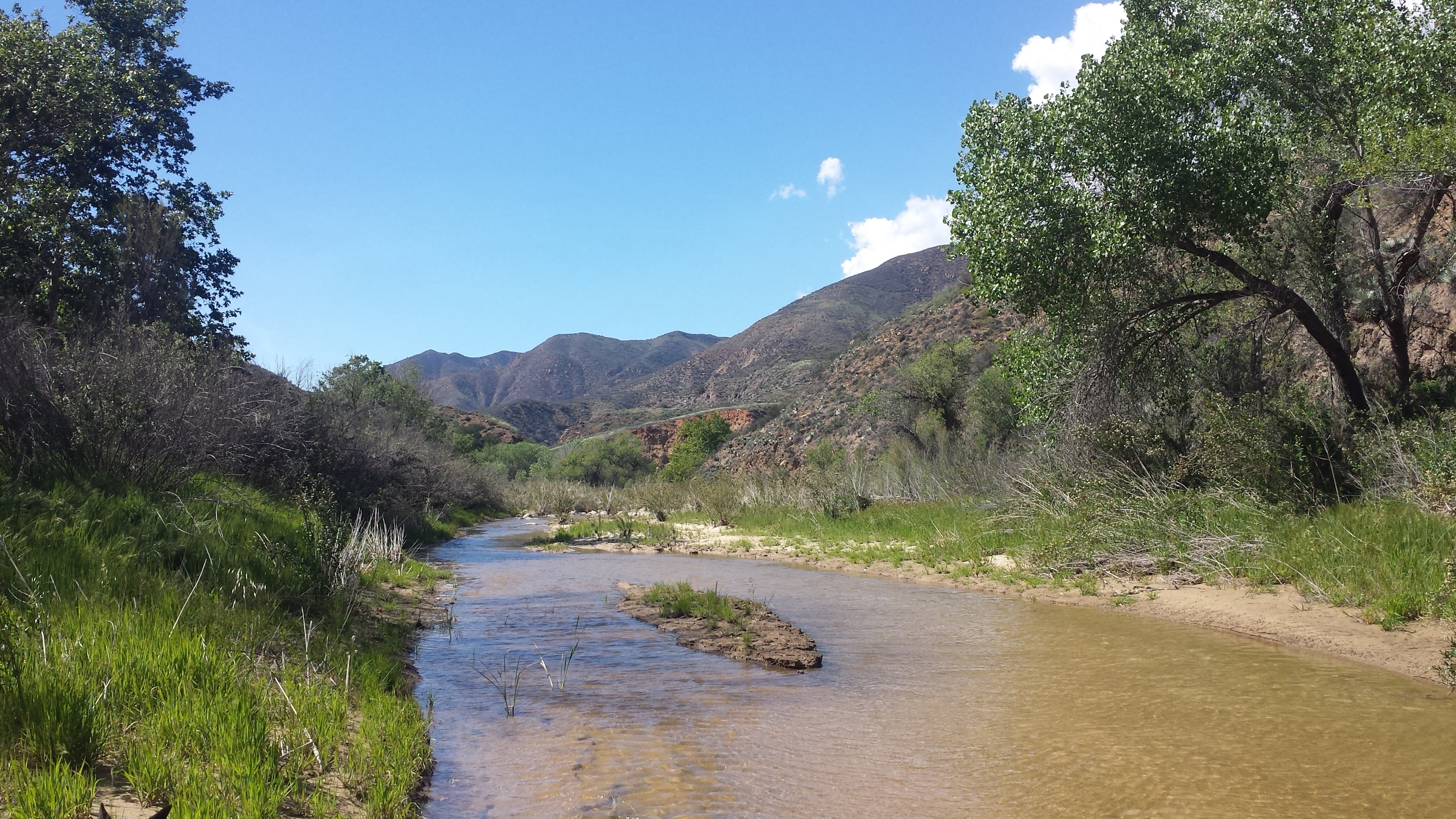
After winding miles along the wide open coastal terrace, Smith Highway drops suddenly into Lobo Canyon. This canyon has been carved by wind and water for millennia to reveal, beneath the grey outer crust, golden sandstone ribbons and waves of siltstone. In the protection of the canyon, trees, bushes and flowers are free to grow tall and create a very different world than that of the plains. A small, perennial creek feeds all the life in this canyon including rich vegetation, Island Foxes, deer mice, gopher snakes, lizards, and birds.

Lobo Canyon

Lobo Canyon

Just a few miles past Lobo Canyon along the Smith Highway, one will find Arlington Canyon. I had toyed with the idea of hiking out to Arlington, but decided to save it for another trip. In 1960, an archeologist found the remains of a man embedded in the steep canyon walls. It’s been determined that this body had been resting in the canyon for 12,900 years. This find makes Santa Rosa Island one of the oldest sites for human existence in North America.

As I try to wrap my mind around the implications of this find, I’m transported back 13,000 to 20,000 ago to when Paleocoastal people were migrating south along the American continents. Imagining small tribes of those people migrating via the coast with boats– which, in itself is something else to wrap my mind around; I don’t think most of us today understand how sophisticated ancient humans were- and that nearly everywhere they went, they were the first ones there. These people arrived in new lands every couple of generations or so and formed their homes and livelihoods from the resources at hand, using a body of knowledge passed down through oral traditions. The ingenuity and resiliency of the human species never ceases to amaze me.

Lobo Canyon Walls

Lobo Canyon Walls

Lobo Canyon

Lobo Canyon

After an easy and charming two miles, Lobo Canyon empties into the Pacific Ocean with a small, white beach at its mouth. Looking to the east, one can see Carrington Point, where, in 1994, the nearly complete remains of a pygmy mammoth were found. It was the first of about 160 mammoth sites around the island.

During the last ice age, the sea levels were about 100 meters lower than they are today and the northern islands were actually linked as one large island called Santa Rosae. At that time, massive 14-foot tall Columbian Mammoths from the mainland swam across the channel, then only 5 miles wide, and roamed the 733 square mile island. As the sea levels rose, Santa Rosae began to take shape as the smaller separate islands we know today and, with the area of dry land mass steadily shrinking, only the smallest of the Columbian Mammoths could manage to find enough fresh water and food to survive. As 30,000 years of mammoth generations past, they evolved into a dwarf version of their ancestor, reaching only 5- to 6-feet tall. While it remains a mystery why the Pygmy mammoths died out, it does seem to be before humans began settling the island. (It comforts me to know that at least this species wasn’t wiped out by us!)

Lobo Canyon Drainage

Lobo Canyon Drainage

After a long and beautiful hike back to the campground, I laid out my gear to cowboy camp in my little wooden shelter. A few mosquitos caught me off guard- I hadn’t expected any on the island, since it’s relatively dry here- but they really didn’t bother me. As the evening grew dark, massive spiders came out of their hiding spots to work around the corners of the shelter roof- again, I wasn’t really bothered by these insects and I continued to make myself comfortable in my bag. However, as I snuggled in for the night, my eyes came across a tiny insect crawling slowly along a stud on the wall- a tick. And at that, I was setting up my tent! The only insect that really gives me the heebee jeebies is the tick. Maybe it’s the fact that they latch on and don’t let go or maybe it’s the threat of Lyme disease, but I just can’t tolerate them.

Santa Rosa Island Campground

Santa Rosa Island Campground

Day 2- 6 miles

The night was beautiful! Safely tucked away from the ticks, I laid in my tent and gazed out at the bright stars and brighter lights of the squid fishing boats. Dozens of the little boats were spread out on the water between Santa Rosa and Santa Cruz, each one lit up and together they looked like a floating city. A single fishing boat set off a firework to commemorate the 4th of July and I fell asleep imagining thousands of soft squid rushing around the boats in beautiful, swirling collectives soon to their meet their end.

Torrey Pines Trailhead

Torrey Pines Trailhead

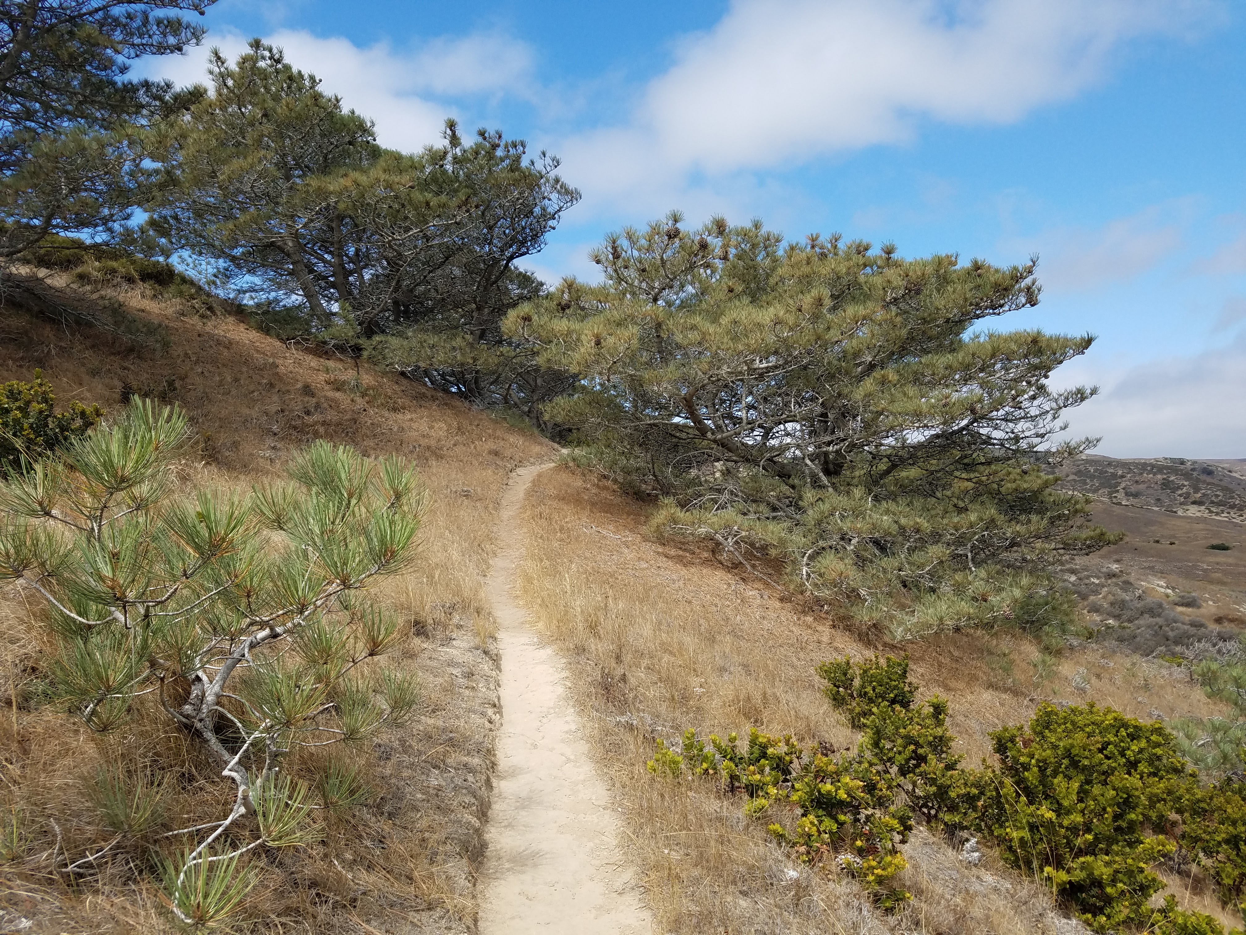
A visit to the endangered Torrey pines of Santa Rosa makes a beautiful day hike, made all the more special by the scarcity of trees in general on the island. There is one other grove of these ancient trees in the entire world and it’s way down in San Diego. Some scientists theorize that these two groves were once joined and were separated tens of thousands of years ago by shifting plates. Everything on this island seems to be a constant reminder of how all life is ultimately subject to the laws of nature and the rock and water that make up this planet.

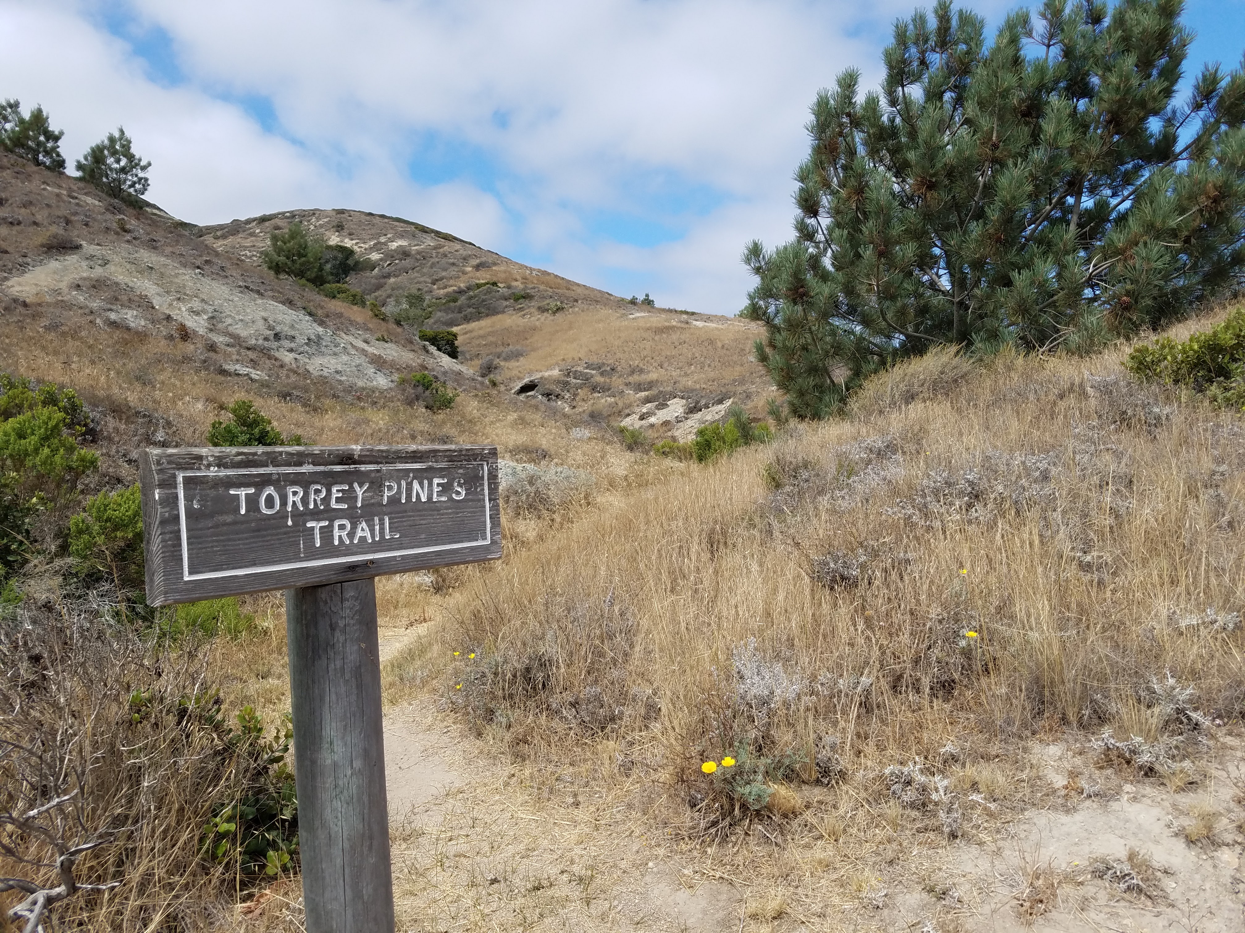
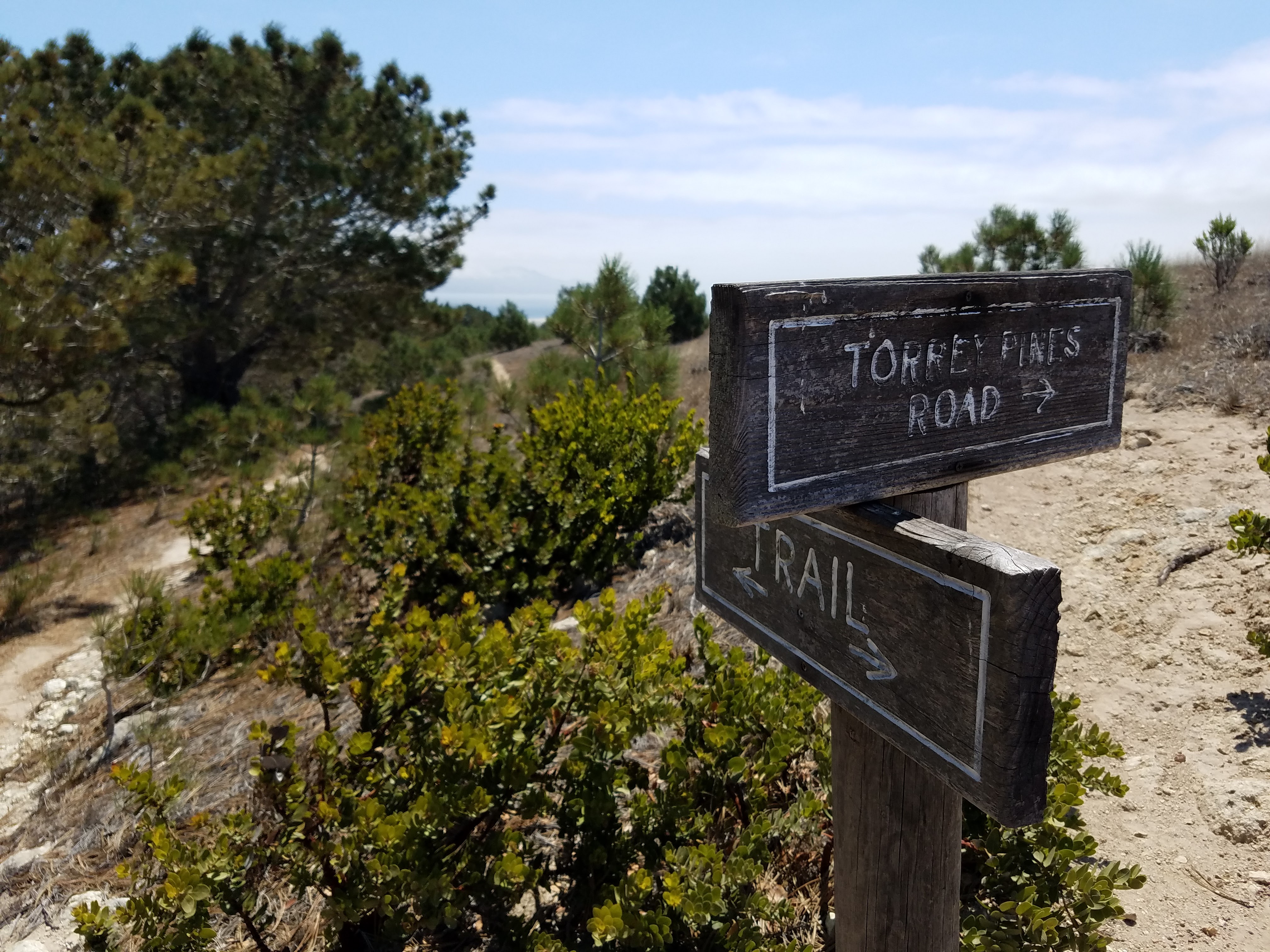
The hike begins along the Coastal Road and then breaks off up the hillside at the Torrey Pines Trailhead. It was hot again and without much wind, so I was able to use my awesome trekking umbrella. (I LOVE MY UMBRELLA! I snatched it out of a hiker box while hiking the PCT and shipped it home- one the best decisions I ever made.)

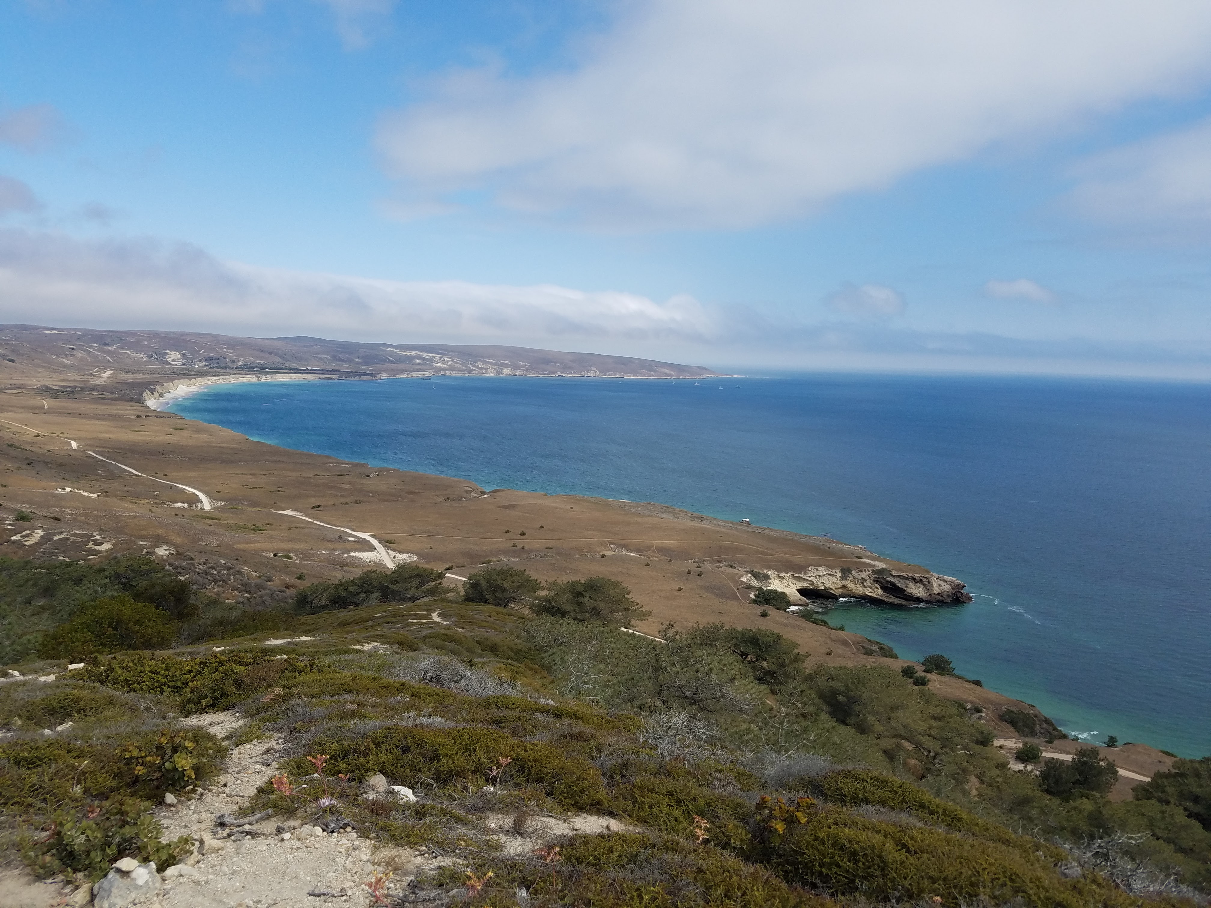
View toward Becher's Bay from the Torrey Pines Trail

View toward Becher’s Bay from the Torrey Pines Trail

Once on the Torrey Pines Trail, it was a steep climb up the hill, but the views were spectacular. Gazing out over the bright blue ocean and the perfectly scooped bay, I imagined the grand Spanish ships of Cabrillo and Vizcaino sailing past in 1542 and 1602 “discovering” California. Their sails would have been broad and white, beautiful to see, like giant birds on the ocean; and then I imagined if they had never come- I imagined the entire American continents as if Europe had never come. How would the communities have developed? What would the land be like without so many people?

Torrey Pines Trail

Torrey Pines Trail

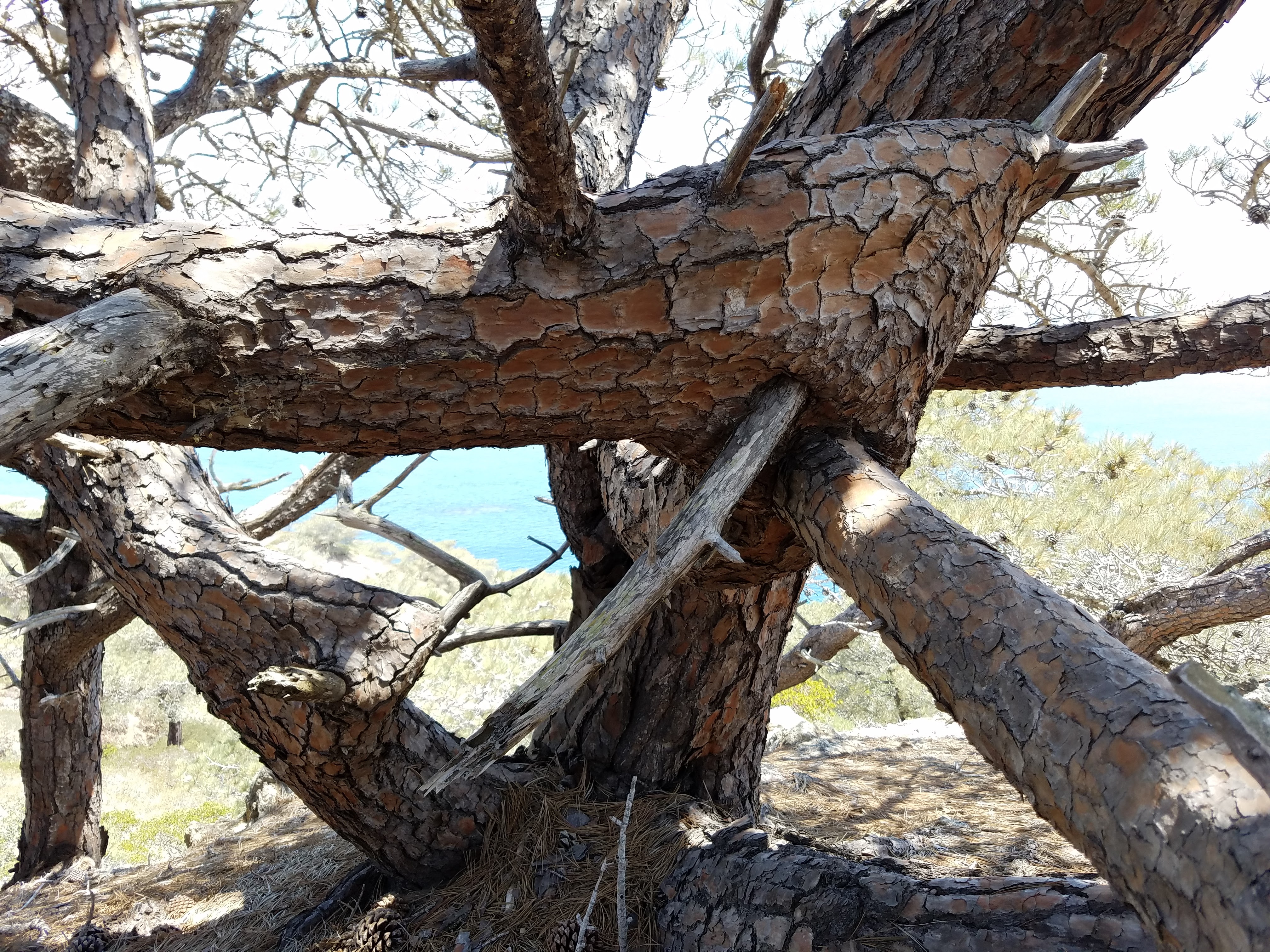
The Torrey pines grow tall and thick from the side of the island, but their bodies are twisted and gnarled by the seasons of strong winds. It’s startling to see how malformed these trees are- their branches clearly broken in half so badly that you’d think they’d just heal as a stump, amputees in the ongoing battles with the elements of Nature; but each tree continues to grow, twisting back on itself, sometimes enveloping other branches along the way. Every single pine seemed to have its own story of trauma and healing; and here they still stand with their branches blocking out the sun, the last of their kind, separated by hundreds of miles from their last living kindred. The greatest threat they face now is not the wind, but the drought.

I sat in the soft, yellow dirt of the trail, completely alone, and looked up at these amazing trees. I placed my hands on them, feeling their rough, scab-like bark, hoping to feel even a little bit of their history and what makes them so resilient. I was grateful for the solitude; I don’t think I would’ve been able to have the same experience surrounded by tourists, the way the giant redwoods of Yosemite often are.

A Torrey Pine

A Torrey Pine

A Torrey Pine

A Torrey Pine

Emerging from the grove at the top of the hill brought me to the junction with another dirt road. There seems to be an endless amount of dirt roads on Santa Rosa, mostly remnants of the ranching days. When planning my day, I had imagined myself to be a hiking machine, energetically traversing the island via these roads, and that, after visiting the pines, I’d hike across the interior plains and up on the mountain ridges until I reached the wide Pacific on the western shore of the island.

Torry Pines Road

Torry Pines Road

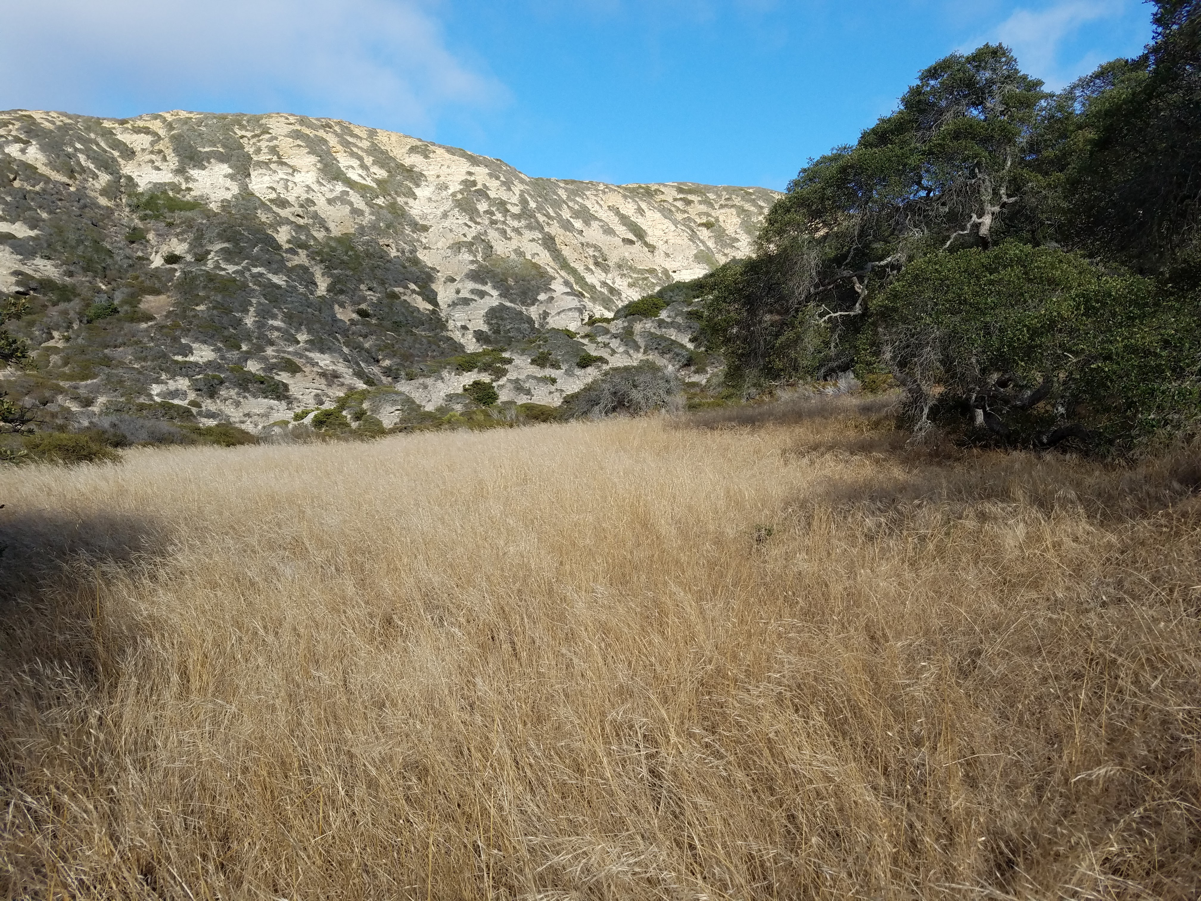
Water Canyon

Water Canyon

Once I hit the road, though, I slowed down. I couldn’t charge onward because I just kept sitting in the dirt looking at every little thing and every view. I wanted to absorb as much as I could of this place, and hiking quickly didn’t feel like the best way to do that. I was tired, too; all my insides felt sloshy and heavy, like a slushy, but a lot hotter. I could’ve just napped in the trail, just as I did yesterday. Rather than push onward or sleep on the hillside, though, I decided to loop back to the beach and relax down there.

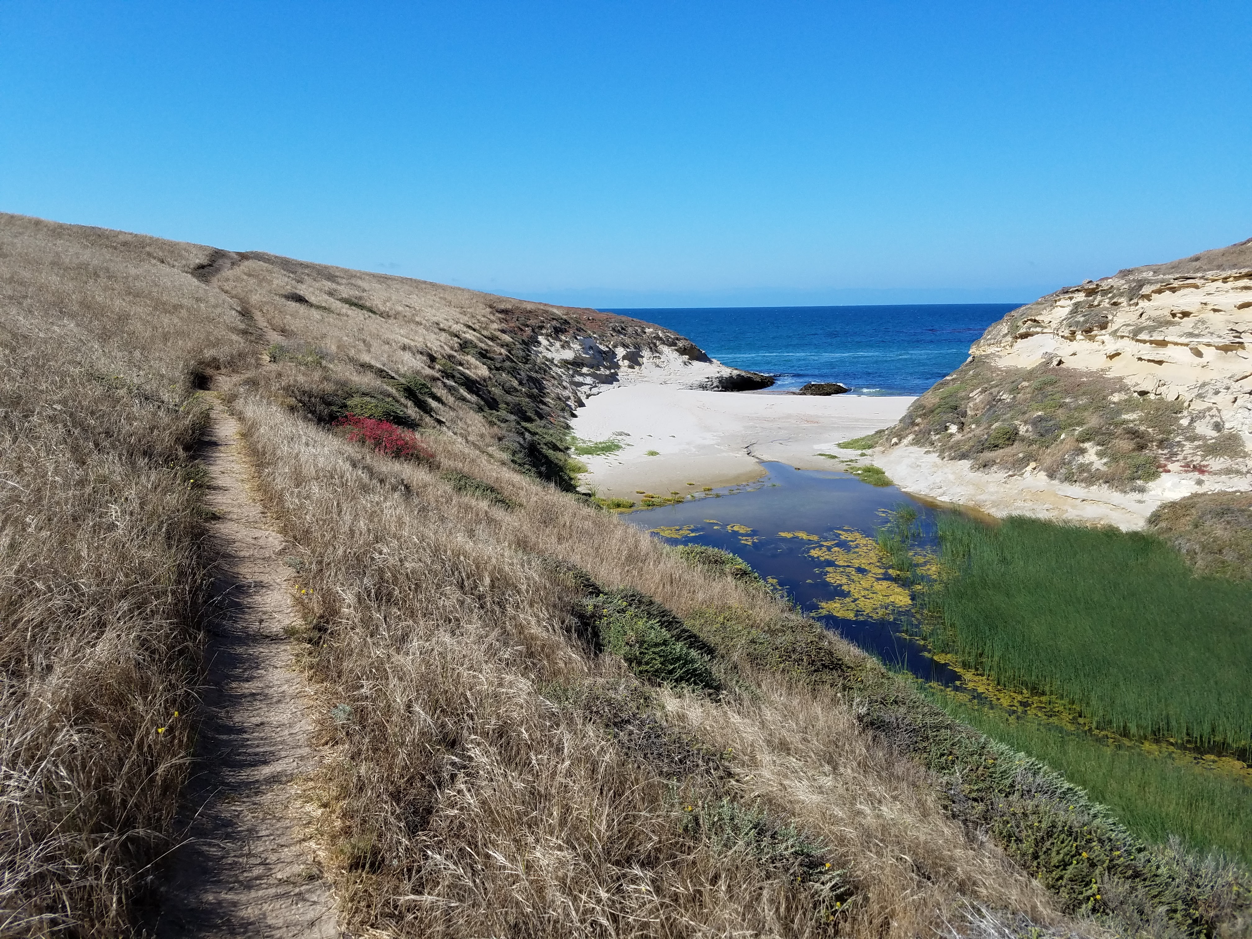
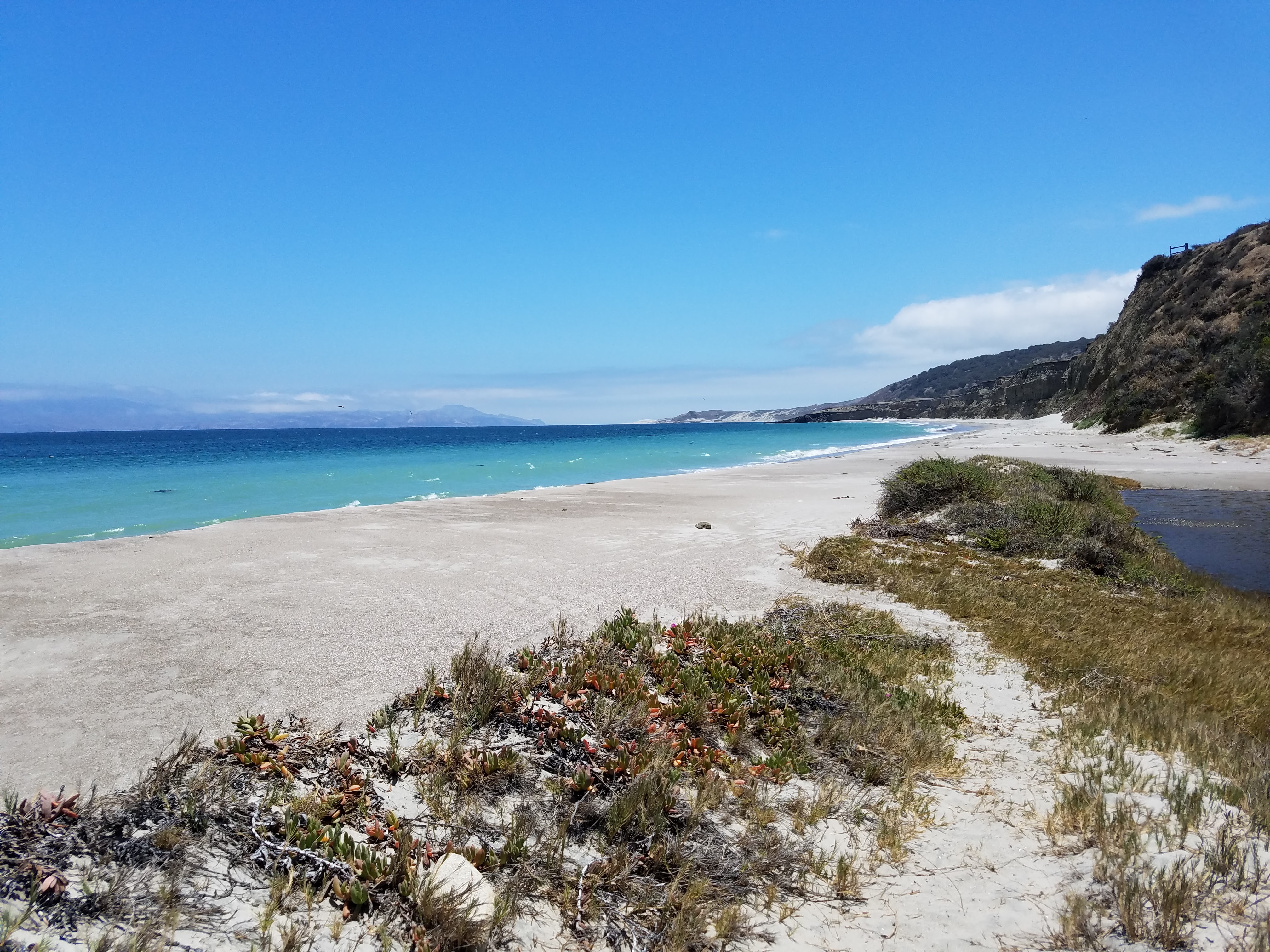
The beaches of Santa Rosa are exquisitely beautiful with waters of electric blue, soft sands like baker’s flour, and empty enough to make you feel you’re on a deserted island. The only drawback to a day on a Santa Rosa beach is the wind- it can be fierce and unrelenting.

Water Canyon Drainage

Water Canyon Drainage

Water Canyon Beach

Water Canyon Beach

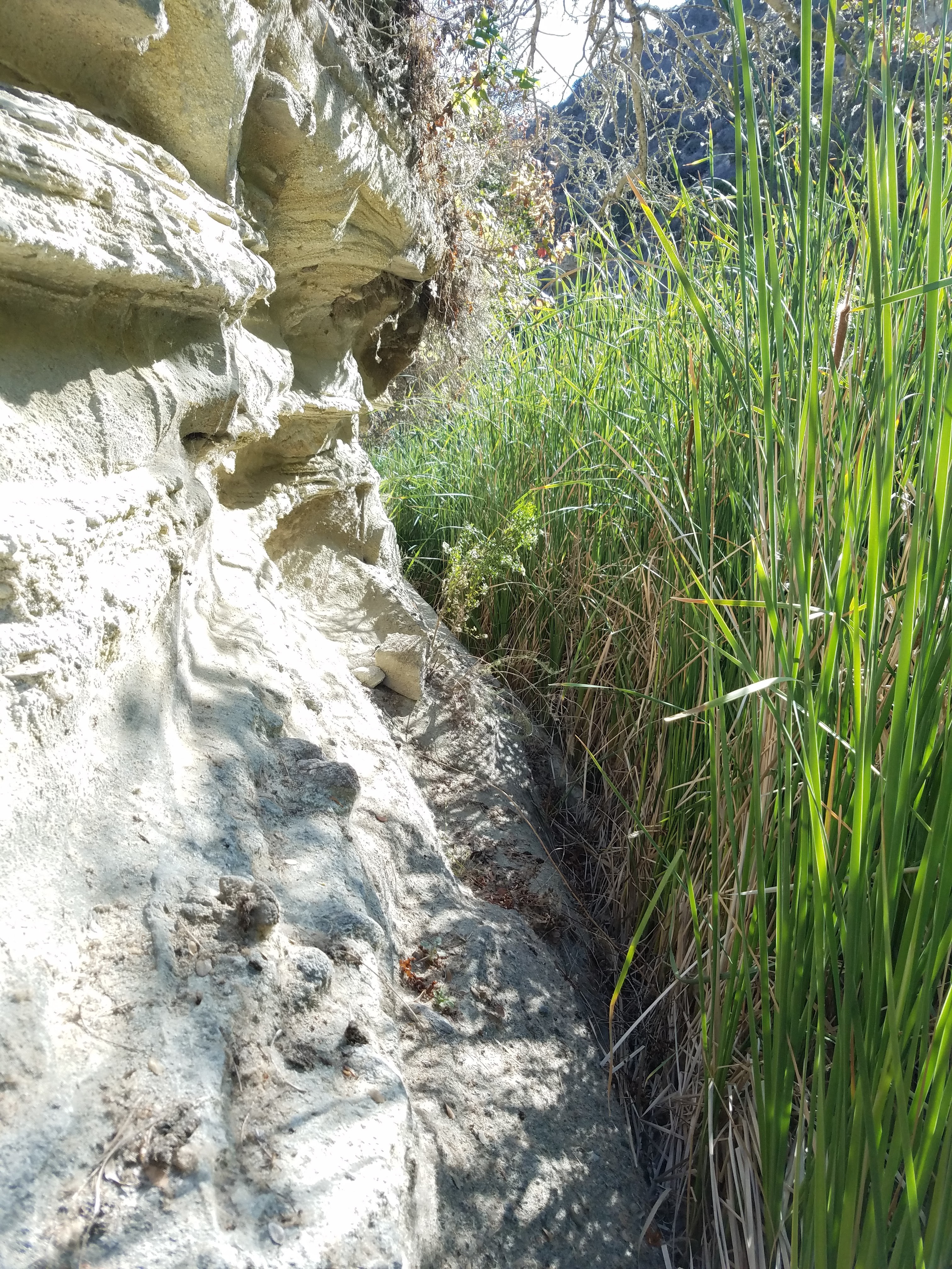
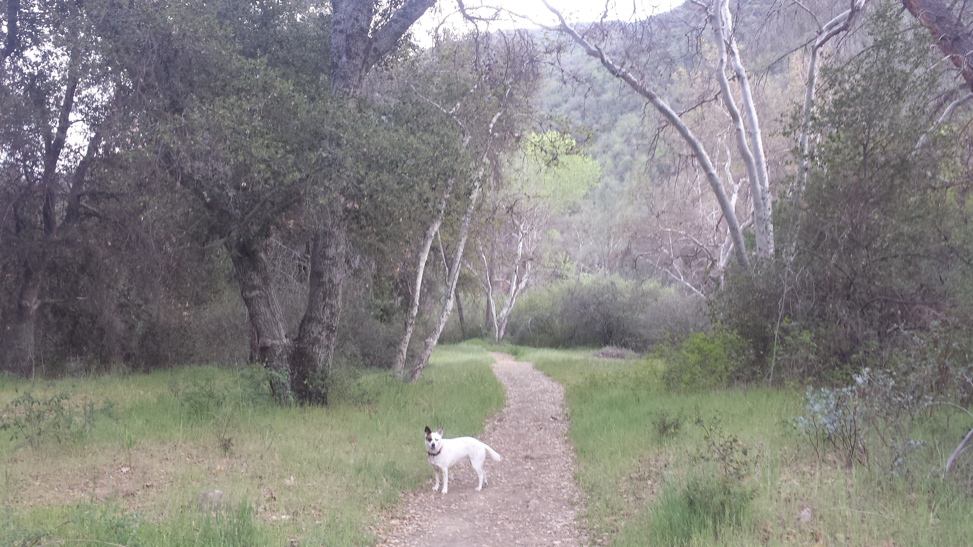
After a couple hours of mucking about on the beach and a few half-awake catnaps, I dragged myself back to the campground in Water Canyon. I’d noticed a trail heading back into the canyon behind camp and decided to do some exploring. The trail disappears about 30 feet in and I attempted to push my way through the riparian jungle of Water Canyon Creek. The curtains of reeds turned into walls of reeds, so dense there was no way to push through without face-fulls of dust and pollen.

Exploring Water Canyon off-trail

Exploring Water Canyon off-trail

A jungle of a drainage

A jungle of a drainage

I scrambled up the canyon wall until I was up above the creek on the sloping chaparl-covered hillside. I picked my way around the low chaparral, finding the edges of  the canyon cliffs and the tops of the hills- just to get views into the hidden corners of the canyon. I’m pretty sure that if I’d stayed along the creek, I could’ve made my way all the way up to the canyon’s top and the mountain ridge- maybe next time. On my way back to camp, I came across bleached bones scattered and piled between the bushes. At first, my inner archeologist jumped at the find, but as soon as I saw they were just deer bones my excitement dwindled. With the rich archeological history on this island, part of me had high hopes of finding some kind of artifact, even if it was a piece of ancient trash.

Exploring Water Canyon off-trail

Exploring Water Canyon off-trail

Back at camp, I found every item in my tent completely covered in a fine layer of sand. Even thought I’d battened down the hatches and closed the tent up tight, the wind had still managed to coat everything with sand. I shook out my sleeping bag, but couldn’t be bothered with cleaning much else, so I slept with the dirt and the sand, feeling it buildup on my skin. That night I slept deeply and dreamed of the electric blue ocean.

Day 3- 9 miles

After ditching my trans-island hike yesterday, I wasn’t about to bail on my last opportunity for a good climb before catching the ferry back to the mainland. Black Mountain is probably the most accessible peak to summit on Santa Rosa, since it’s covered in utility roads and isn’t too far from the pier and the campground. I woke up early-ish, packed all my gear up, and stashed it under a picnic table near the trailhead.

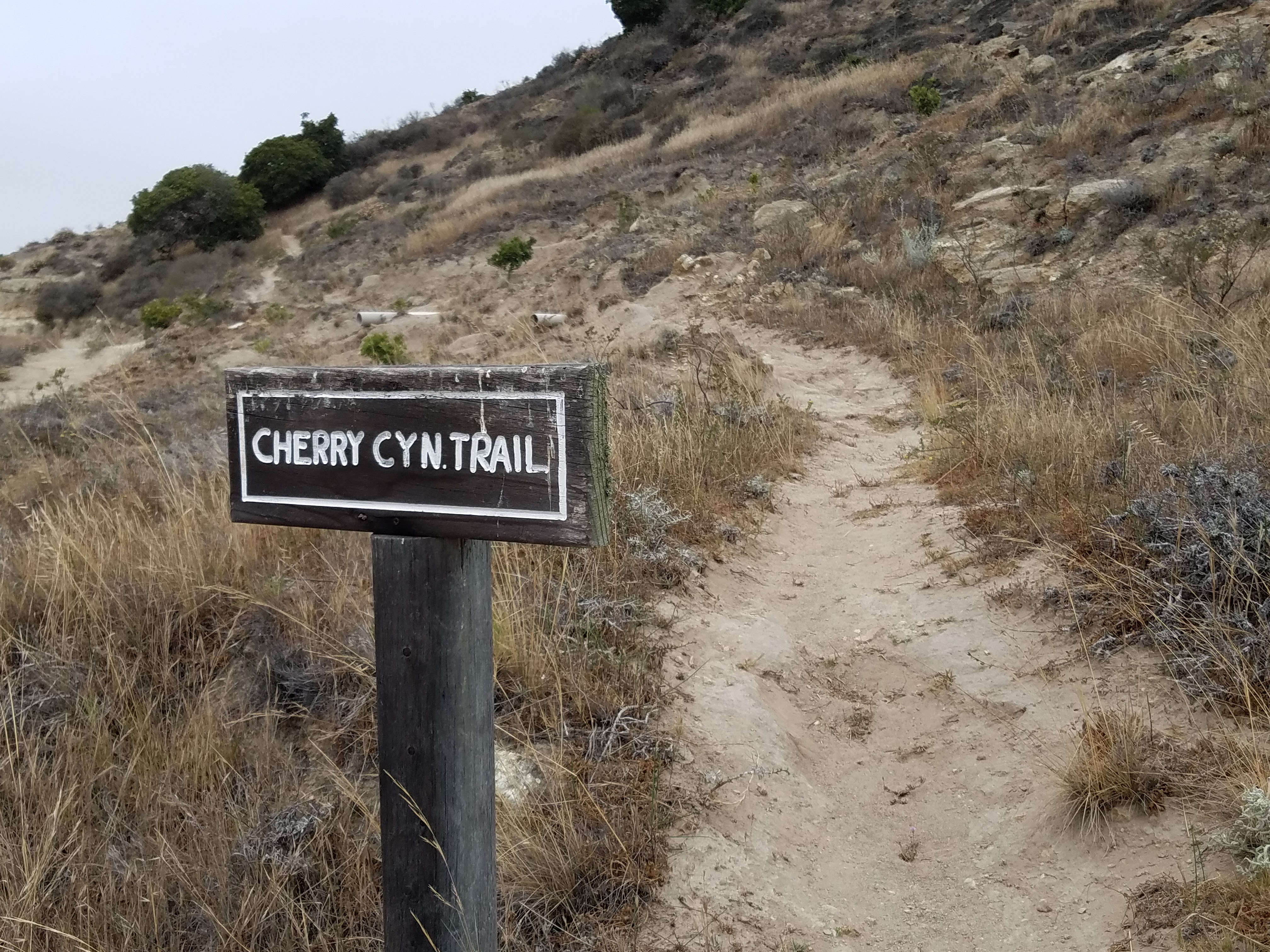
Cherry Canyon Trailhead

Cherry Canyon Trailhead

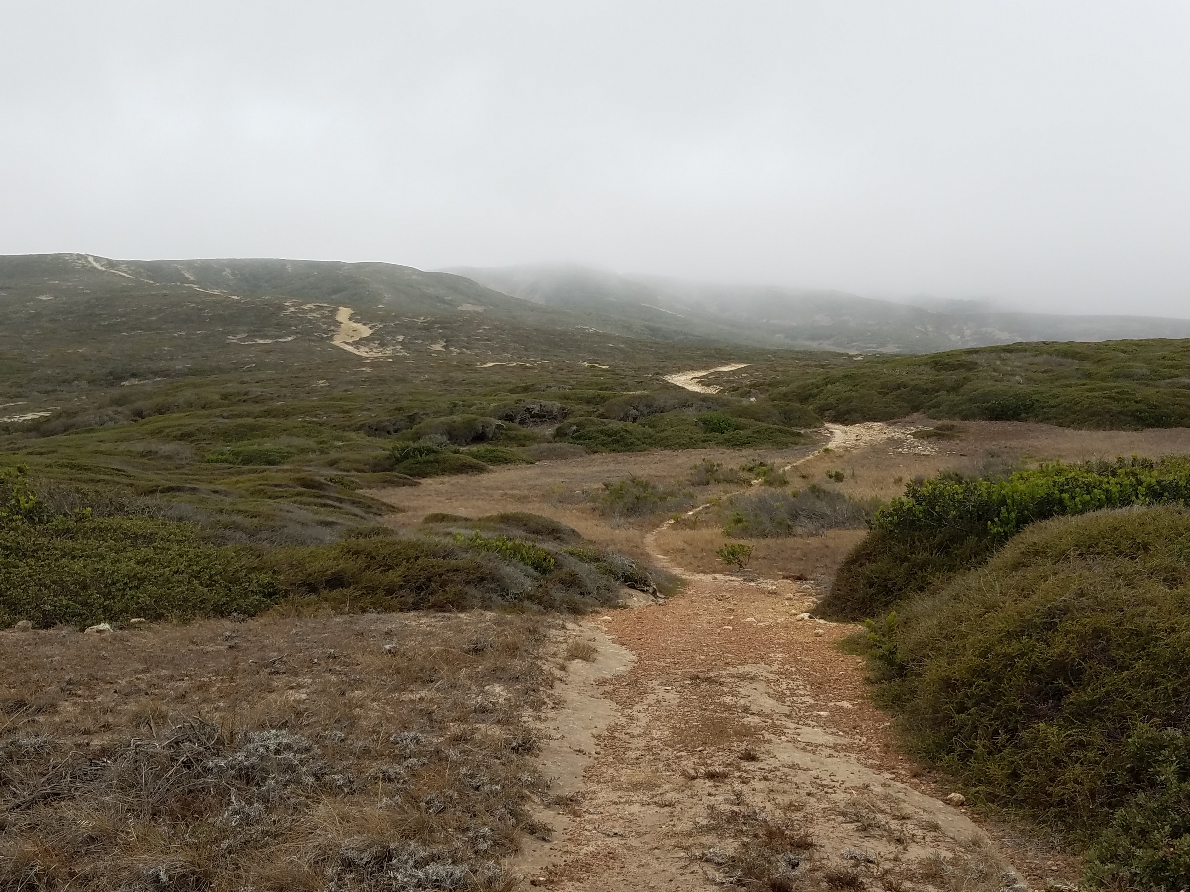
The morning was damp and foggy, blocking the view of the mountain, but it was beautiful. This grey ambiance, more than bright, sunny blue skies, transports me through time. I have no idea why- maybe I have some kind of association between fog and history, which sounds like I probably watched Time Bandits too many times as a kid. Still, wandering along through the grasses, my boots kicking loose white and yellow rocks, I visualized the land around me inhabited by the Chumash and their predecessors, their huts with seal skins drying outside, dark-haired children playing with toys of rock and wood, and middens piled high with discarded shells.

Climbing Telephone Road toward Black Mountain

Climbing Telephone Road toward Black Mountain

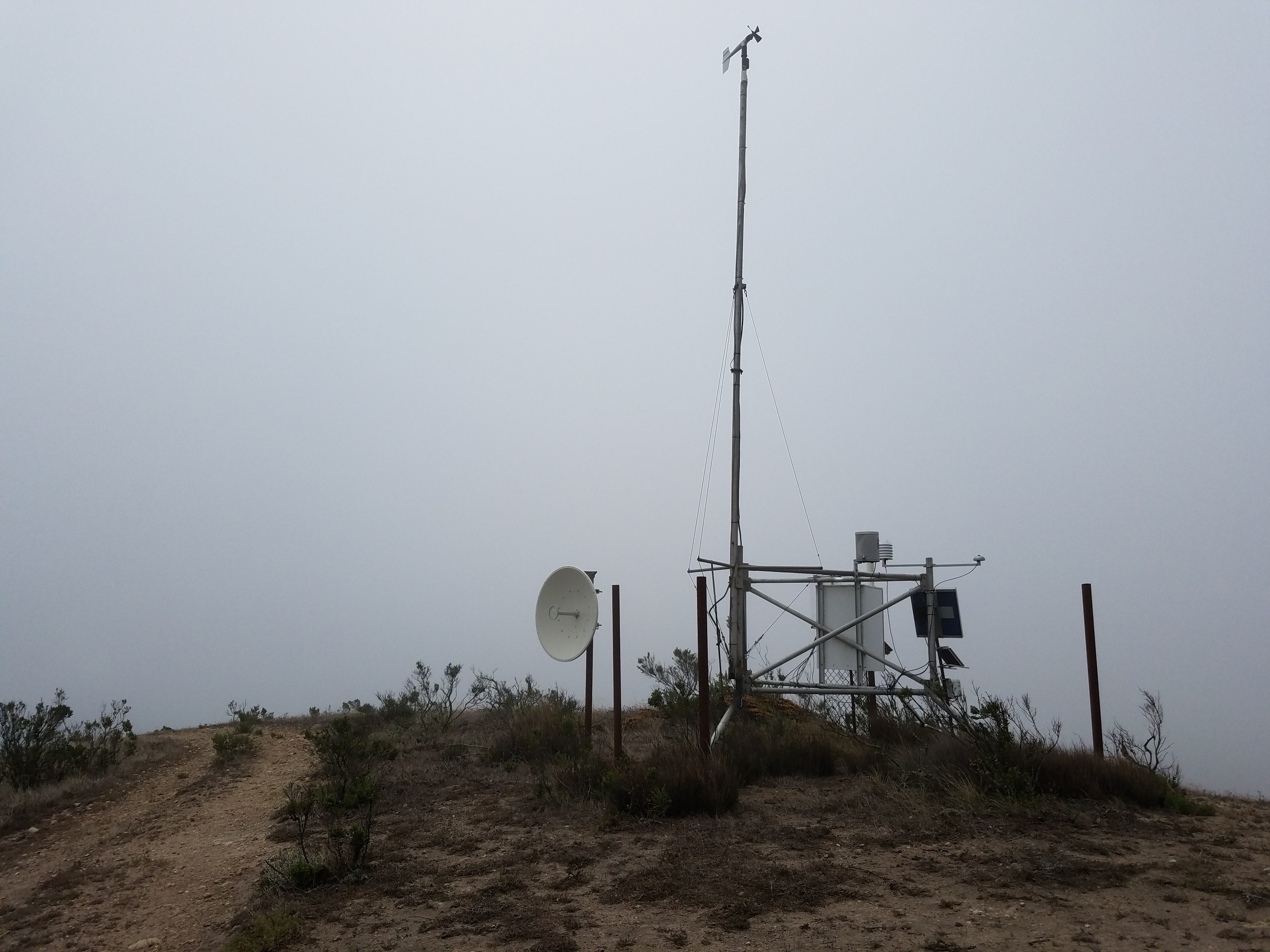
Weather station atop Black Mountain

Weather station atop Black Mountain

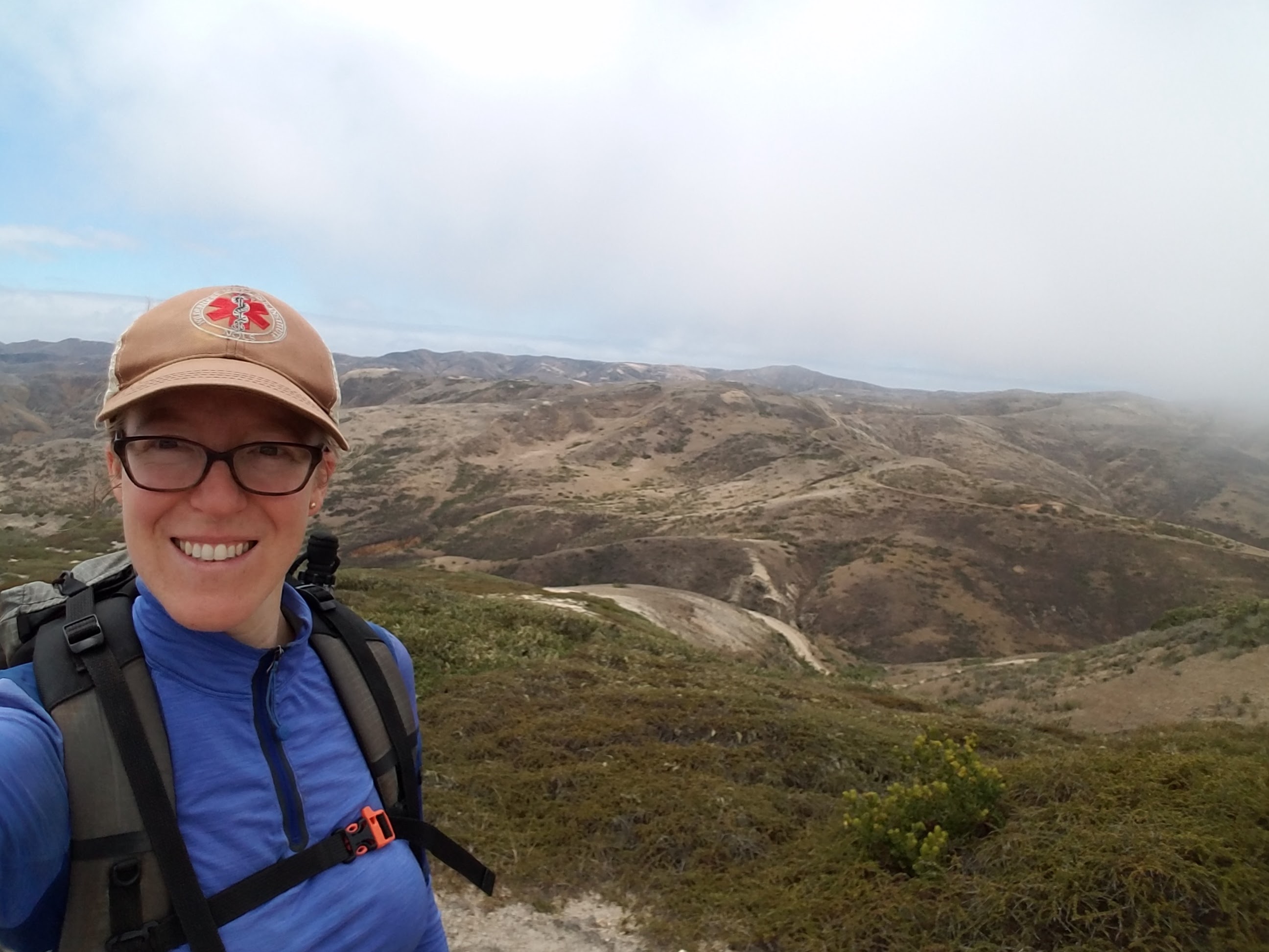
It was a very steep uphill climb all the way to the summit with wet fog plowing into me and shrouding my views, and the only treat I had on top was the small, mechanical weather station, complete with a fog harp collecting condensation from the air. On clear days, Black Mountain offers spectacular views of Santa Cruz, San Miguel and the surrounding peaks of Santa Rosa. The fog just started to clear on the south side of the island as I was heading down, so I was able to grab one summit photo!

Channel-Islands-National-Park-Santa-Rosa-Island-228-Black-Mountain-Hike-Summit

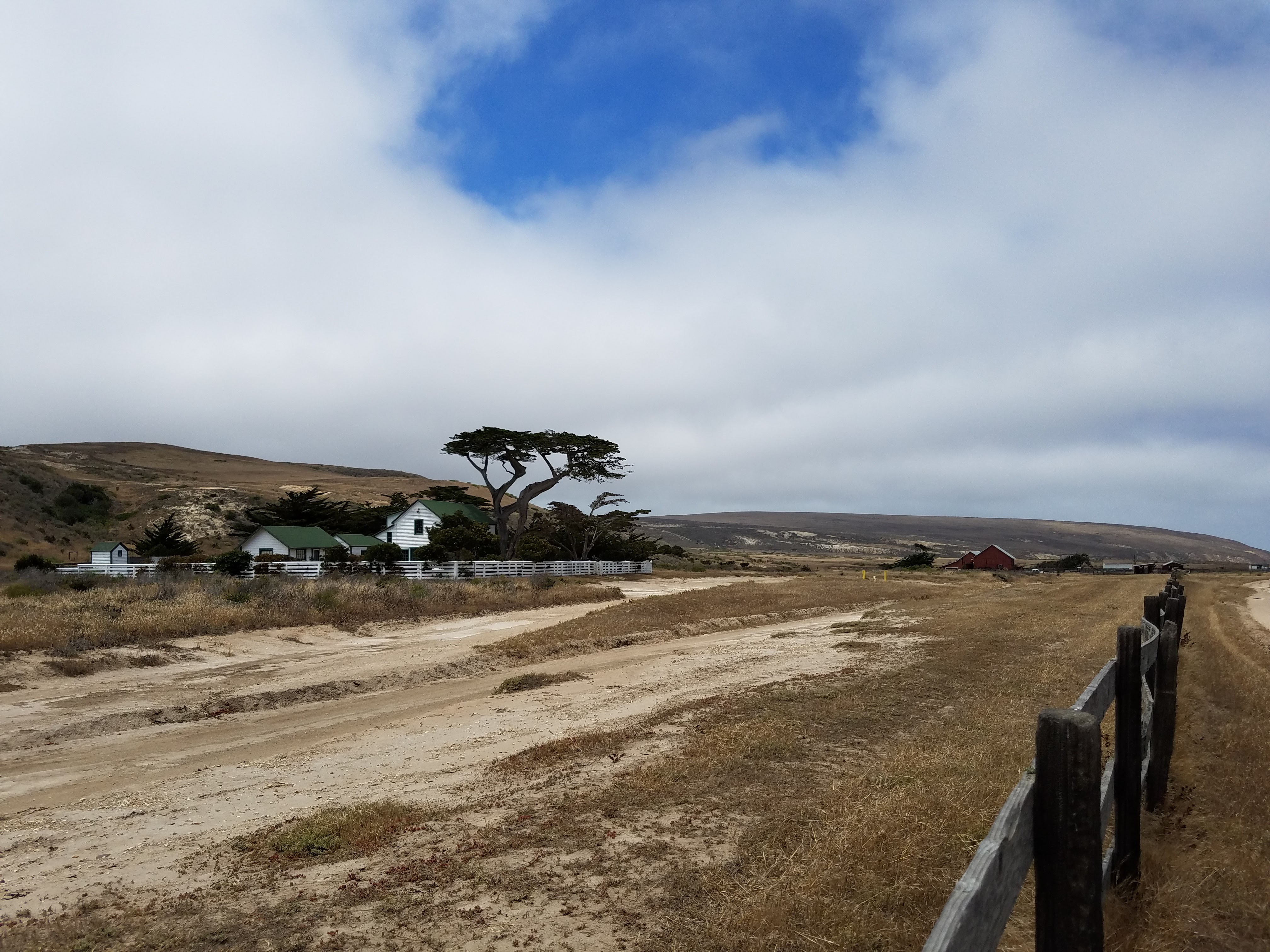
The old Vail and Vickers Ranch House

The old Vail and Vickers Ranch House

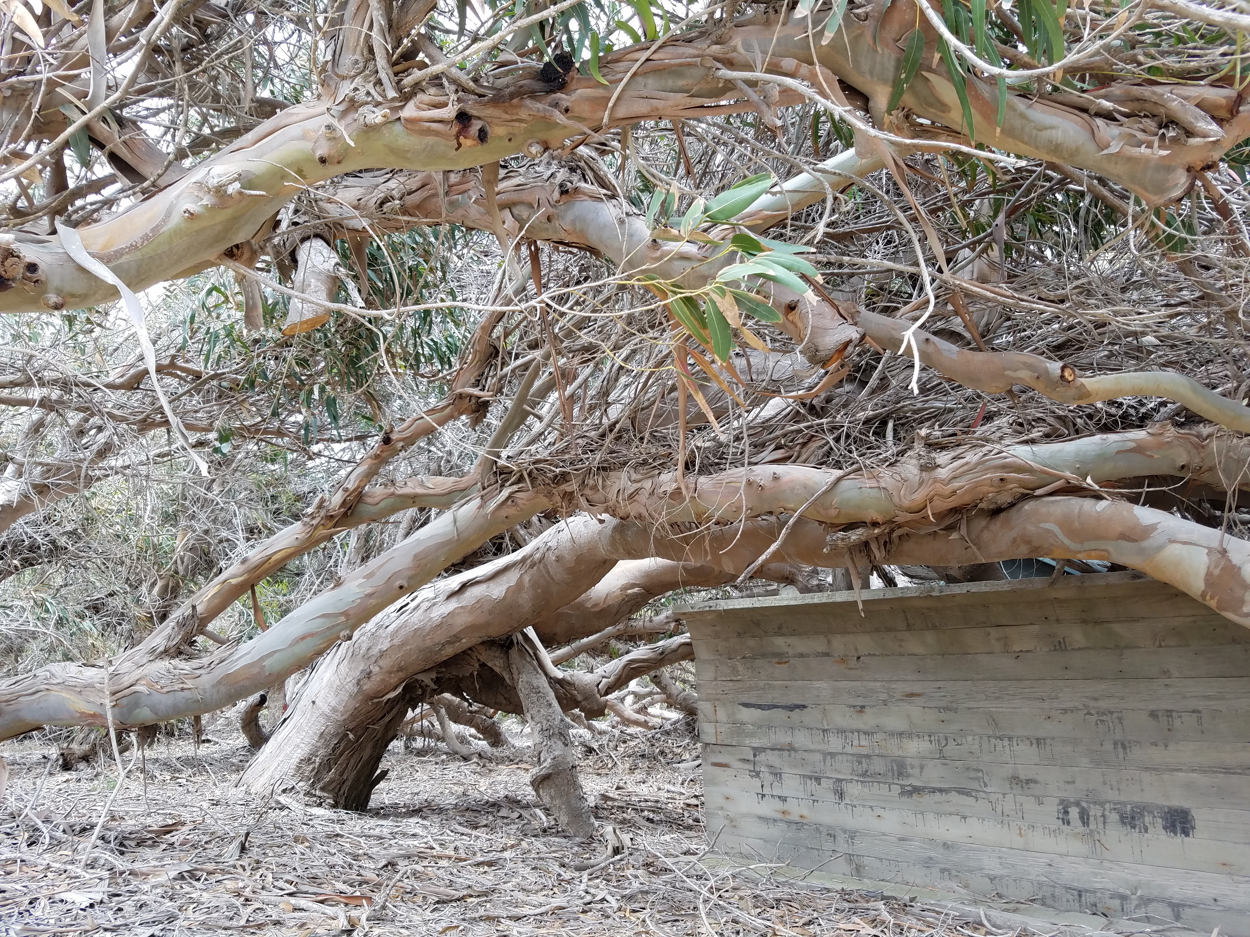
I collected my stashed gear from the trailhead and walked the mile-long dirt road back toward the pier. Along the way, I was sidetracked by a row of eucalyptus trees between the beach and the ranch house. The trees were clearly planted to be a wind break, but, like the Torrey pines, they’d been molded and transformed until they barely resembled the tall, pole-like eucalyptus most of us are familiar with in California. The trees were bent nearly in half, folding themselves low against the earth. Walking among them felt like walking under water: their trunks seemed to ripple with unseen currents, their ruddy bark peeling, curling and swirling and their long, green finger leaves added to the texture of a kelp forest.

Windswept eucalyptus

Windswept eucalyptus

As the ferry pulled away from the island, the views of it’s rugged coastal cliffs contrasted with its white beaches and golden plains, all topped by its numerous smooth mountains. Once again, I’m drawn back in time, visualizing the larger land mass of Santa Rosae and that now-submerged land teeming with life and activity. The closer the ferry takes me to the mainland, the thicker the marine layer around Santa Rosa becomes, until, eventually, it is nothing more than a faint darkness on the horizon, collecting fog and clouds around its rugged, grassy body.

Channel-Islands-National-Park-Santa-Rosa-Island-237

Links

The Official NPS Website for Santa Rosa Island
NPS Hiking Information

NPS Santa Rosa Interpretive Guide

The Channel Islands in the Terminal Pleistocene

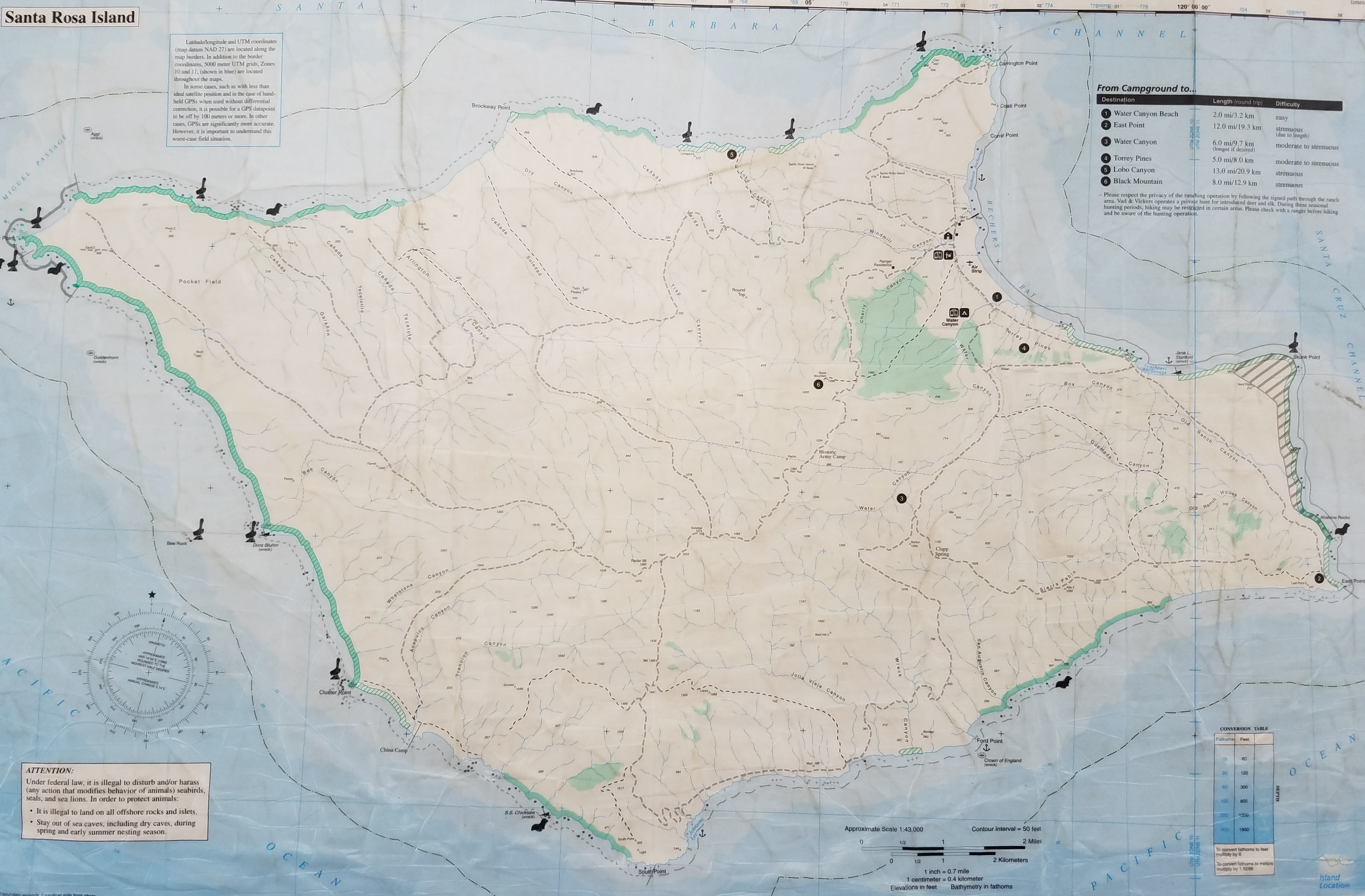
Map of Santa Rosa's roads and trails

Map of Santa Rosa’s roads and trails

Lower Sisquoc Loop, San Rafael Wilderness, March 2016


Lower Sisquoc Loop

loading map - please wait...

Nira Campground: 34.770654, -119.937436
Manzana Schoolhouse: 34.825658, -119.994829
South Fork Ranger Station Cabin: 34.759459, -119.772110
Rattlesnake: 34.835505, -119.947701
Help from Amy & Dean: 34.802880, -119.986625


The Los Padres National Forest is a gem of true California wilderness, though it is often overshadowed by other recreational areas like Big Sur, the Sierras and the Mojave Desert. In the early days of California, it offered essential routes, hunting grounds, and homesteading for Spanish immigrants and Western pioneers; and for thousands of years prior, it was home to the native Chumash, Salinan, and Esselen people. Today, this forest protects some the most incredible rock art of ancient California peoples and unique and endangered animal species, such as the California Condor and the Arroyo Toad.

Though I have lived as its neighbor for my entire life, I’ve ventured into the depths of the Los Padres only a few times and never on my own. I’ve been intimidated by reports of difficult trail, if any was to be found, and feared the scenery would not be rewarding enough for the effort to see it. How could it possibly compare to all the beauty I experienced on the Pacific Crest Trail over the last two and a half years and why would I want to bother with bushwhacking when there are easier trails to hike?

I swallowed my doubts and decided to give this forest a chance. This trip took me on a 43-mile loop around Hurricane Deck in the San Rafael Wilderness, through some of the most scenic land and rugged trail; it opened my eyes to a different kind of adventure: a beautifully savage one and it nearly broke my heart.


Day 1- 2.6 miles to Fish Camp

Driving along Amour Ranch Road toward the San Rafael Wilderness, McKinley Peak in the center.

Driving along Amour Ranch Road toward the San Rafael Wilderness, McKinley Peak in the center.

After a four day skiing and hiking vacation in Shaver Lake with Art and our Queensland Heeler, Pepper, I came home exhausted, but ready for some time on the trail. Art stayed home to work on his paintings, while I headed out late in the afternoon with trepidation and excitement. I don’t usually bring our dog with me out of concern for her well-being, but I decided that because I wouldn’t be logging lots of miles every day, this would be a good trip to bring her on.

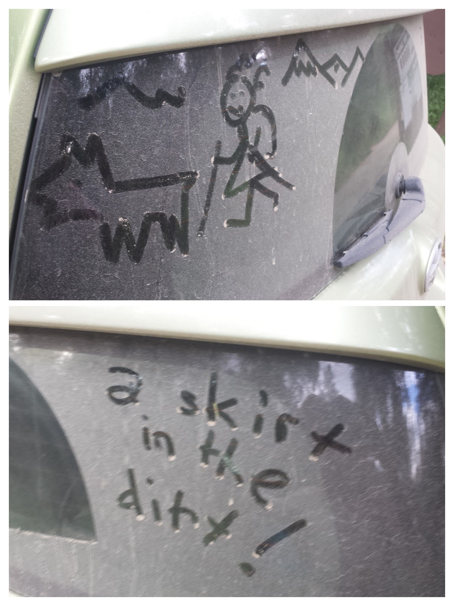
A fun surprise on my rear window from Artie.

A fun surprise on my rear window from Artie.

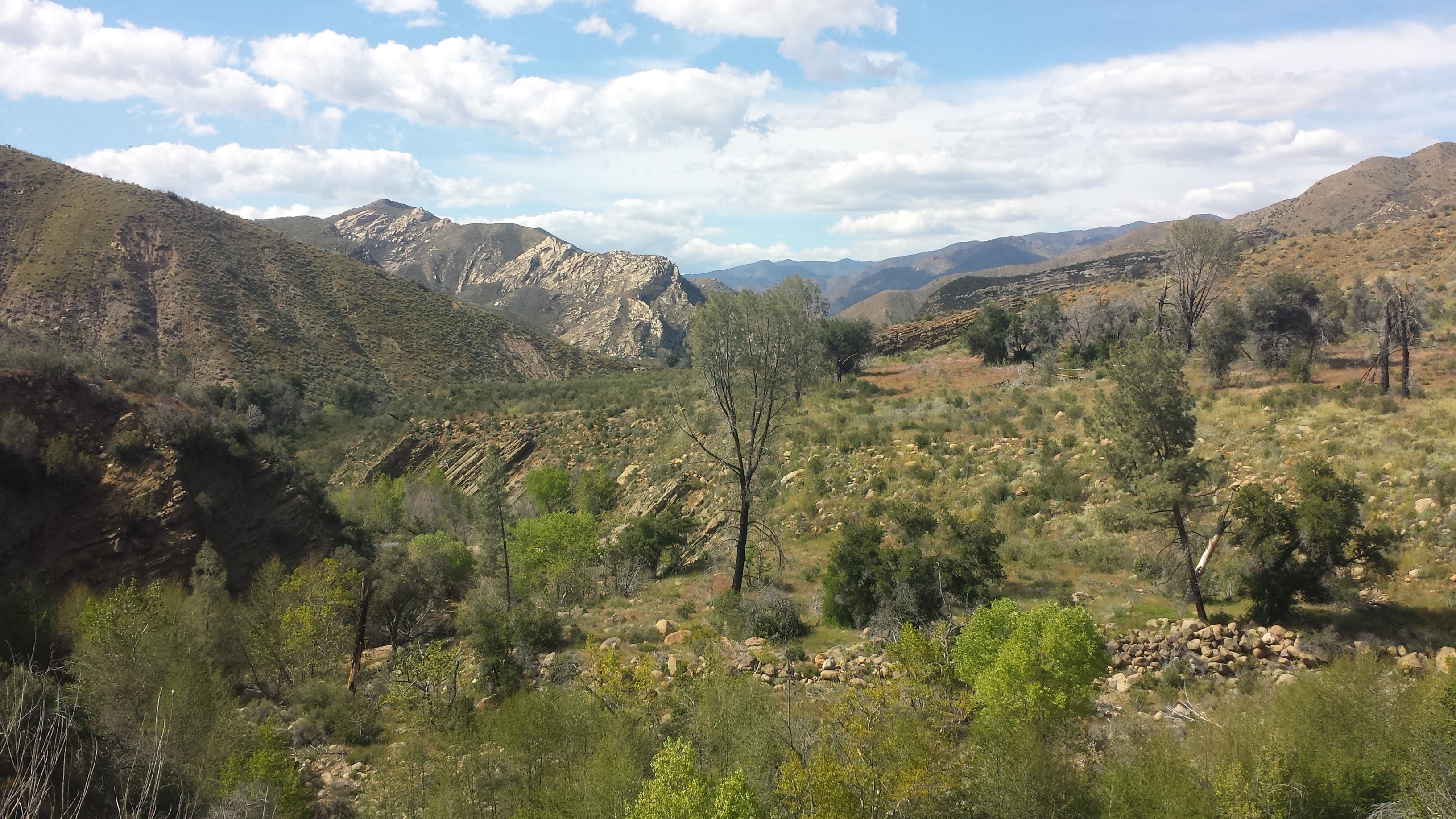
We headed out from Nira Campground along the Manzana Trail at 5:30 in the afternoon. The weather was perfect, the trail was clear, and all the Spring Break campers seemed to be sticking near their cars. The trail follows Manzana Creek along the western side of Hurricane Deck, a large Miocene sandstone formation that separates the Sisquoc River from Manzana Creek. It’s considered to be a very short mountain range, but being a single sandstone formation, Hurricane Deck can also be viewed as a very large mountain.

The Manzana Trailhead at Nira Campground.

The Manzana Trailhead at Nira Campground.


Indian Paintbrush

Indian Paintbrush

This area of California can be exceptionally hot in the summer time and the creeks are often dry from around June through November, with little water during the months of December and January. That being said, the ideal time to explore the Los Padres is in the Spring, when the creeks are full, the hills are green and the famous wildflowers of the area are in full bloom.

Lost Valley Camp along Manzana Trail.

Lost Valley Camp along Manzana Trail.

Unlike most of the camps I visited along the Pacific Crest Trail, the Los Padres campsites almost always have picnic tables, fire pits and thrones. (Thrones are exposed outdoor toilets, sometimes with a single wall for privacy.) Though it may not feel as wild having a table and toilet at your service, it offers a safe place to build fires in this tinder-box of a forest and a nice respite from the struggles of route-finding during the day.

Looking south along Manzana Creek.

Looking south along Manzana Creek.


Tall grasses, blue skies and chaparral-covered mountains are quintessential Los Padres.

Tall grasses, blue skies and chaparral-covered mountains are quintessential Los Padres.

We stopped at Fish Camp for the night, with not a soul nearby. There was water in the creek and the valley opened up around the camp allowing the last rays of sunshine to grace us. Although she’s gone camping before, Pepper really isn’t used to sleeping outside. The openness and exposure seems to freak her out- maybe it’s because she lives in an apartment with me and Art or maybe it’s because she was traumatized as a pup living as a stray.

Even if she’s been exposed to poison oak, I’ll keep Pepper inside the tent with me at night; I just give her a dirt bath first. Tonight she sat upright, on high alert, trying hard to peer through the bug netting of the tent, which was held up by safety pins because the zipper wore out after 2,600 on the PCT. I finally just pulled her inside the sleeping bag with me and cuddled her until we both fell asleep, my arm numb under the weight of her.

Fish Camp

Fish Camp


Day 2- 12.8 miles to South Fork Station

Winding through grasses and oak trees.

Winding through grasses and oak trees.

All day, the trail was easy to follow- no climbing over downed trees or pushing through thick bushes. I was absolutely delighted! The map I use was created by local cartographer Bryan Conant and he indicates clear trail with a yellow line and rugged to no trail with a purple line. The entire Manzana Trail is yellow- whoohoo!

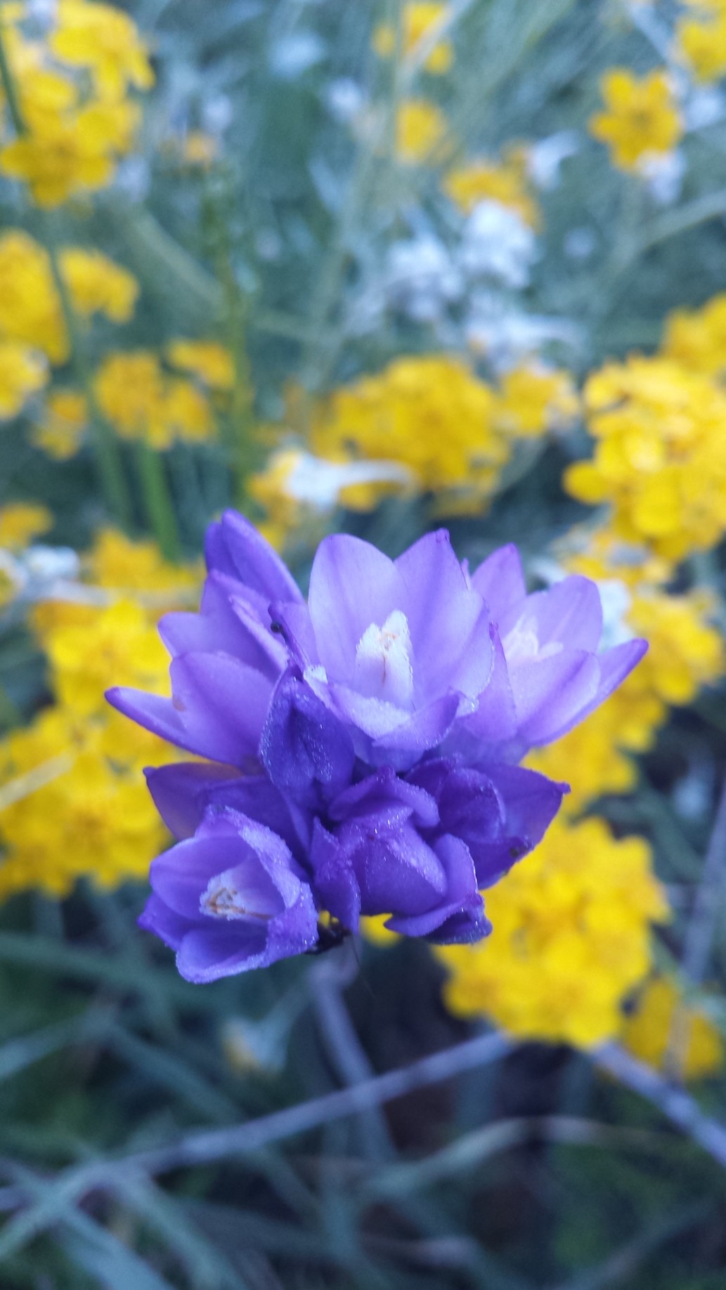
Purplehead wildflowers, also called Blue Dicks

Purplehead wildflowers, also called Blue Dicks

The California wildflowers lived up to their reputation with popping colors of red, yellow, orange, purple and soft blues and whites. The Purplehead wildflowers, I learned, were an important part of the native American diet. Their starchy corms, or bulbs, are enjoyed by not only humans, but also bears, mule deers, rabbits, pigs, and gophers. Once the bulb is dug up, it aerates the soil and aids in controlling the plant population.

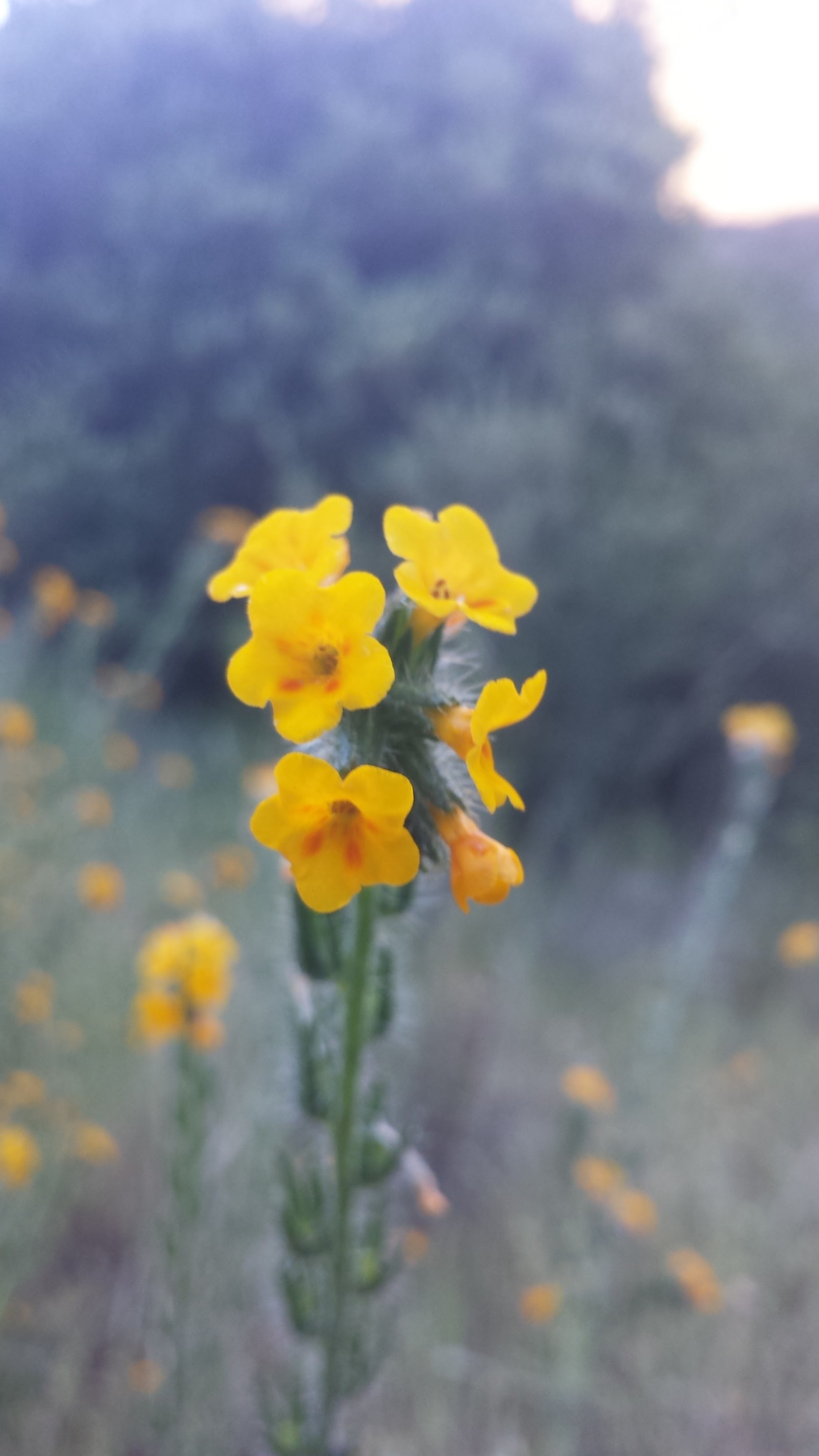
Bristly Fiddleneck wildflower

Bristly Fiddleneck wildflower


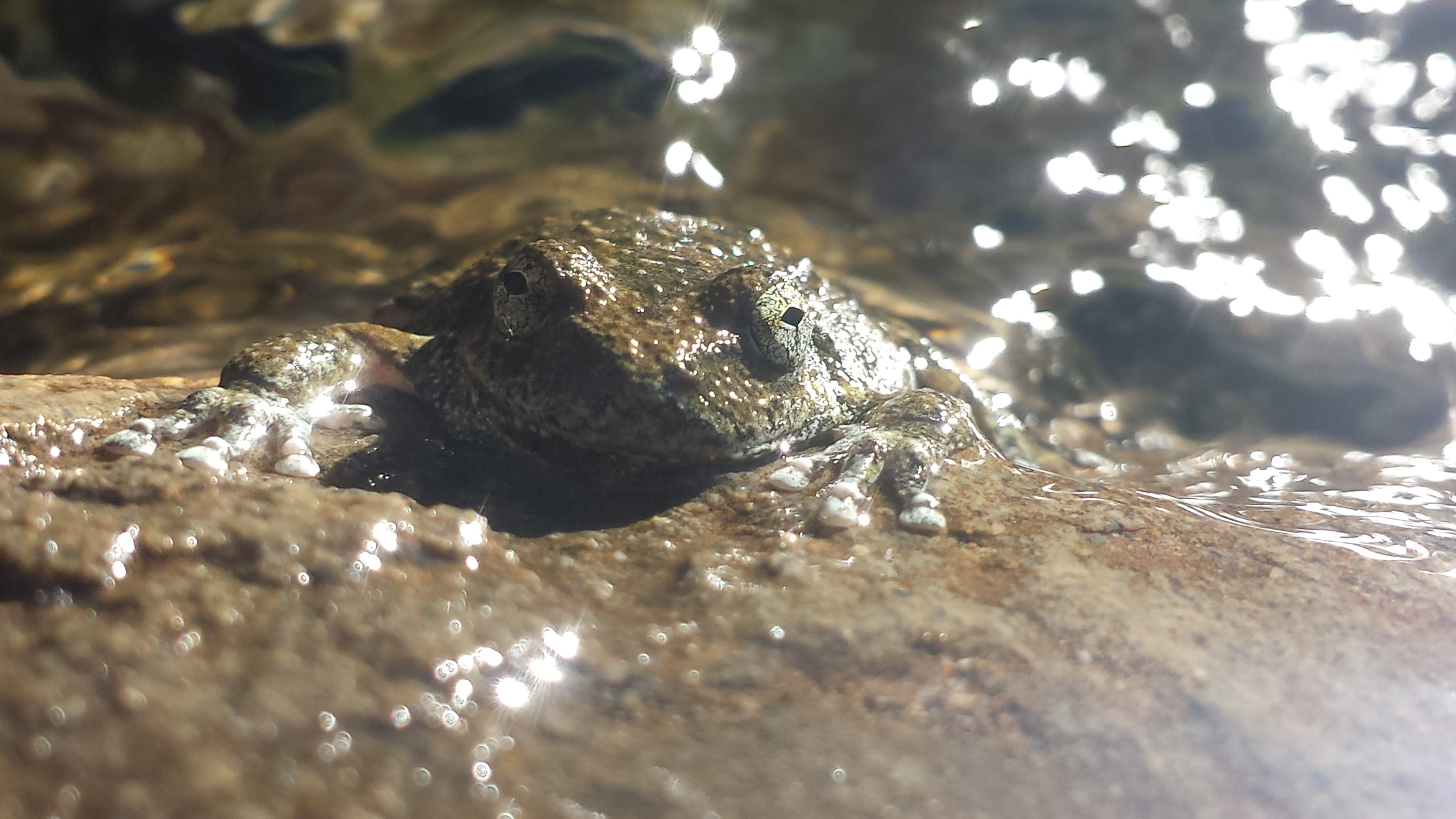
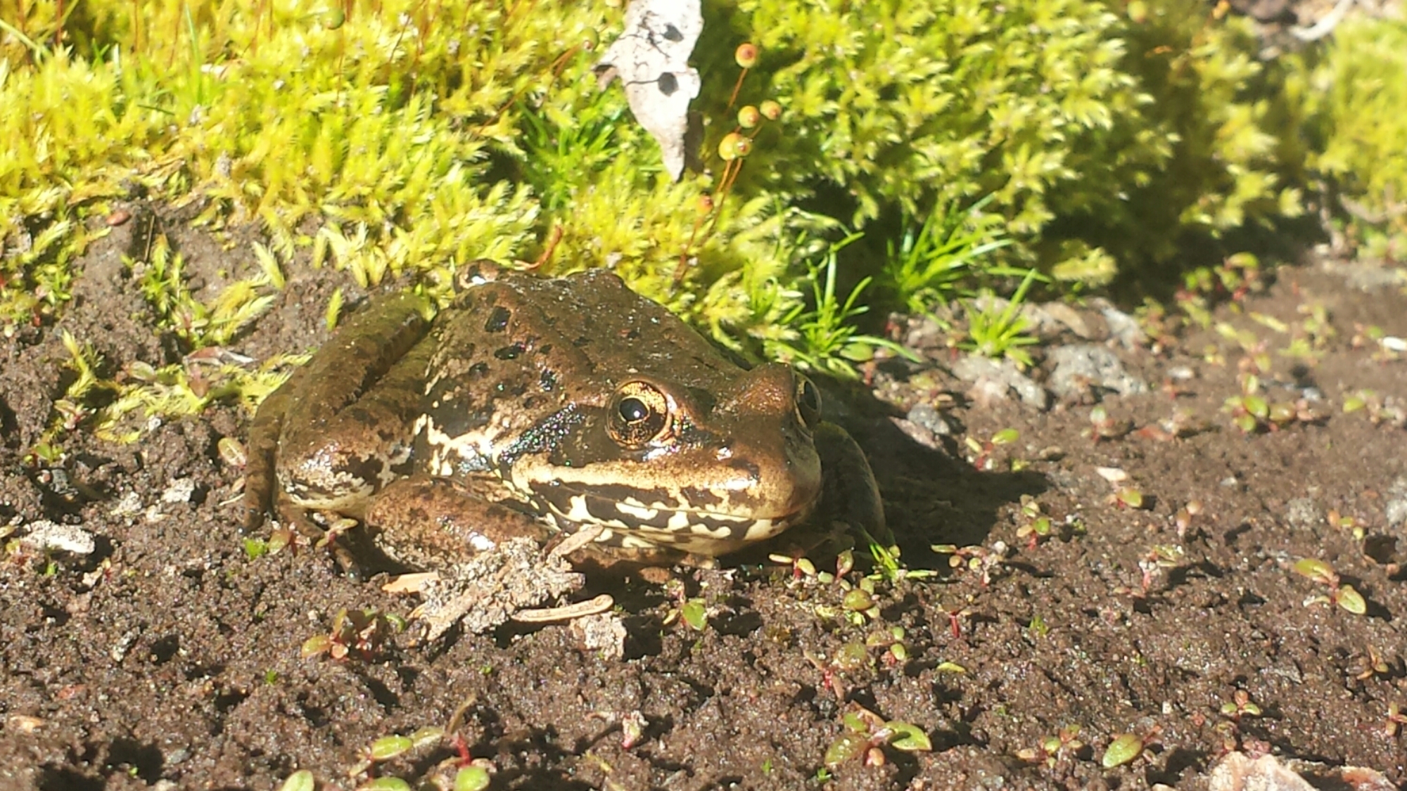
Foothill Yellow Legged Frog

Foothill Yellow Legged Frog


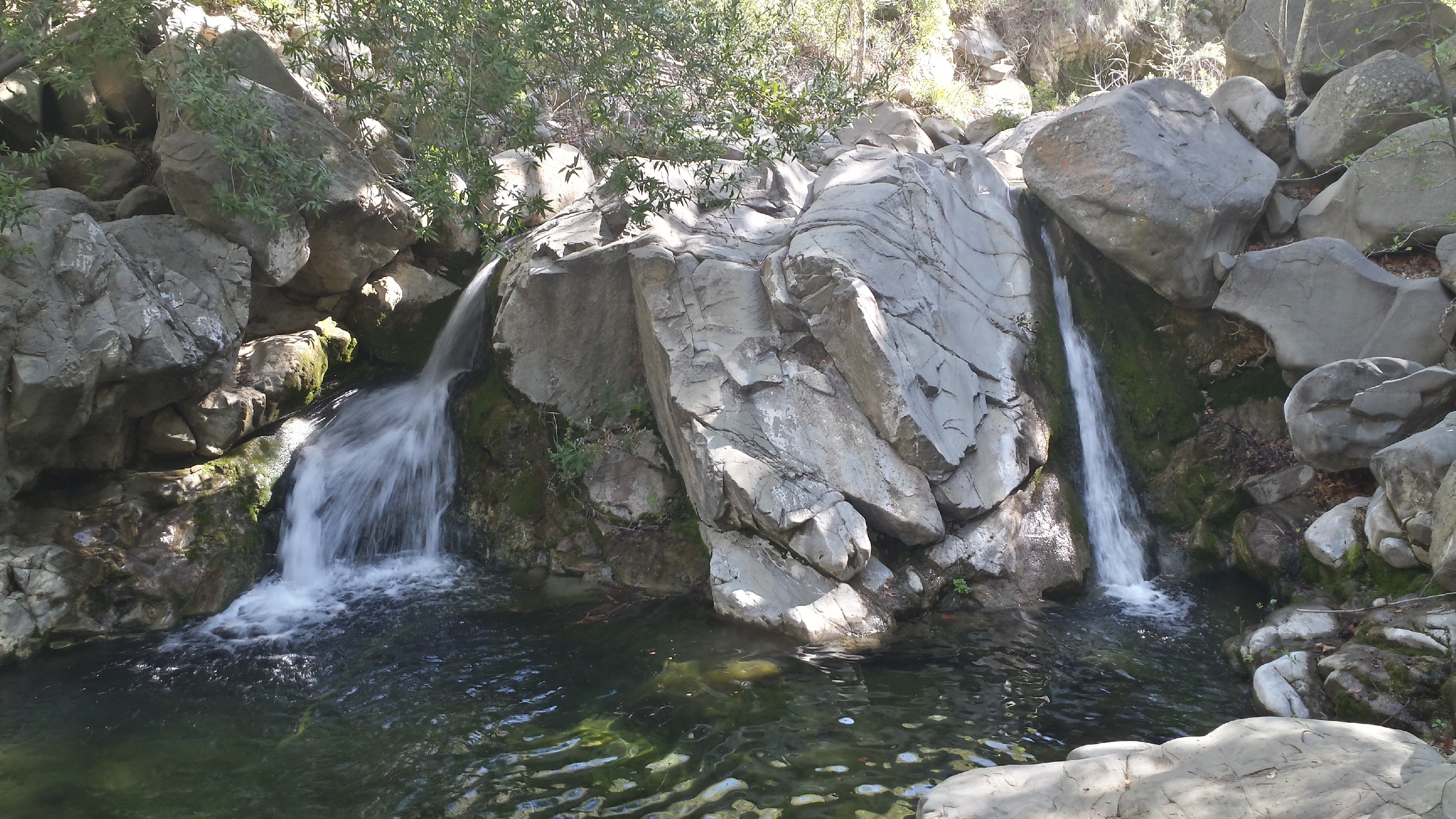
Waterfalls at Manzana Narrows Campsite

Waterfalls at Manzana Narrows Campsite

It didn’t take us long to reach the popular Manzana Narrows Camp. This site, sandwiched between sandstone canyon walls, is large enough for scout troops or school groups and is situated directly next to a swimming hole decorated with two beaming waterfalls. It’s here that I learned Pepper is a ratter. Normally trotting safely behind me, she went straight for a juicy rat eating leftover camp food and, to my surprise, my docile, city-dog caught it! She dropped the screaming rat as soon as I barked at her, but I think she was feeling pretty proud of herself. The rat seemed shaken up, but unharmed and dashed away through the dead oak leaves.

A classic Los Padres trail marker

A classic Los Padres trail marker


Pepper with my Gossamer Gear backpack

Pepper with my Gossamer Gear backpack

The Manzana trail soon leaves the cool, shade of the creek and switchbacks up to the stunning White Ledge Canyon. This high canyon is one of the most spectacular areas of the Los Padres, with sandstone formations protruding from the grassy earth and pine trees growing in the crevasses between them. If I had more time, I would’ve explored these rocks in the hopes of finding a secret cave or sacred artwork, perhaps dating back 10,000 or more years. As it was, I remained on the trail, stopping frequently to eyeball the rock walls and caves for any signs of artwork. The exact locations of known rock art are kept secret to protect them from vandalism.

Along White Ledge Canyon

Along White Ledge Canyon


Shallow pools in the sandstone near Happy Hunting Ground Camp

Shallow pools in the sandstone near Happy Hunting Ground Camp


Exposed Miocene and Creteceous Age sandstone (That's 23 to 65 million years old!)

Exposed Miocene and Creteceous Age sandstone (That’s 23 to 65 million years old!)


Looking north toward the Sisquoc River drainage

Looking north toward the Sisquoc River drainage

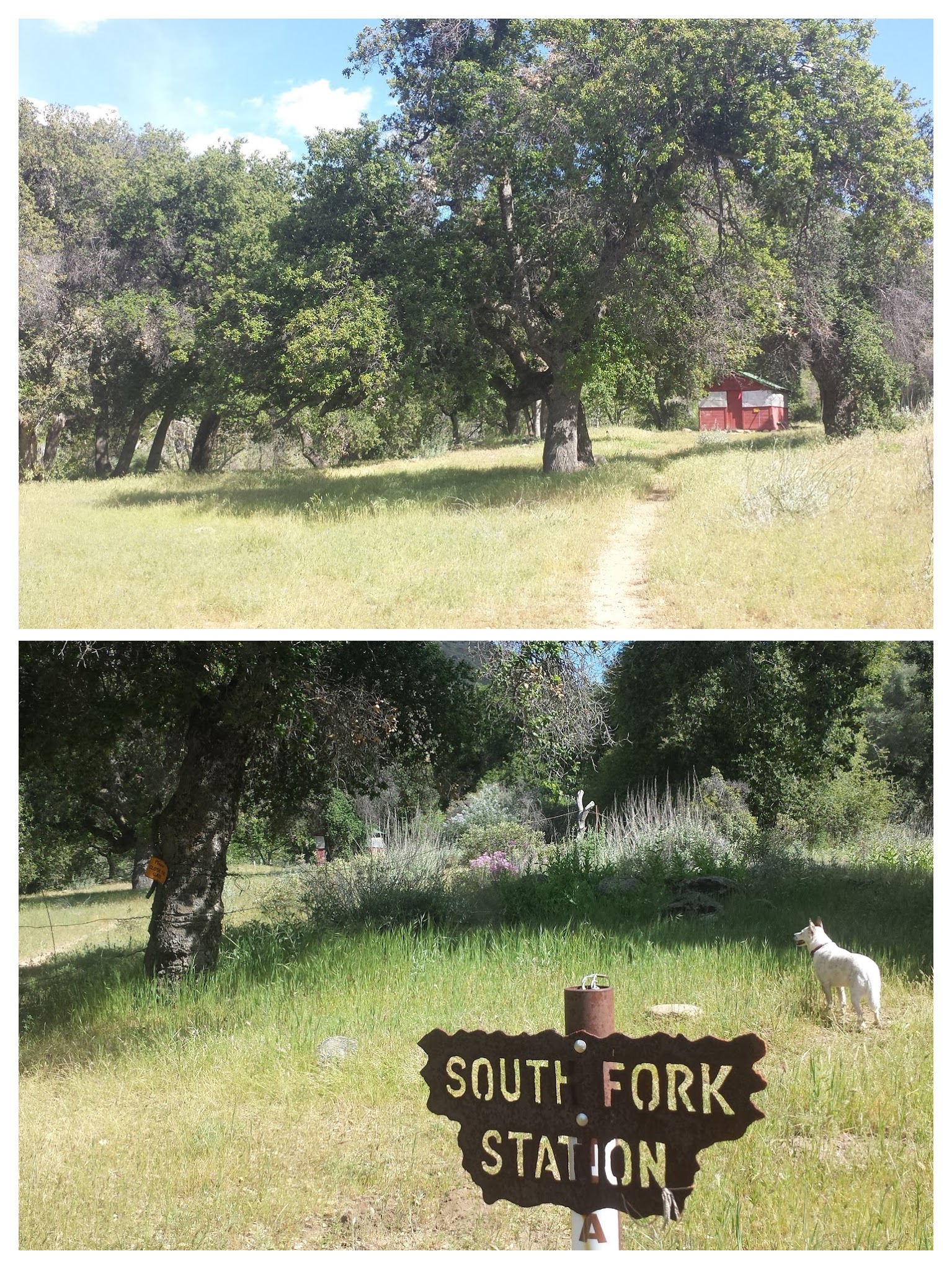
Pepper & I arrived at the South Fork Ranger Station around 3pm and helped ourselves to relaxing in the cool and bug-free cabin. The cabin is primarily used by the Volunteer Wilderness Rangers who maintain the trails, but they leave it unlocked for hikers to enjoy as well. The cabin is furnished with two cots, a wood-burning stove, and a tiny table complete with a red-checkered tablecloth. The shutters opened from the outside allowing generous light in, while screens kept the flies out.

South Fork Ranger Station Cabin

South Fork Ranger Station Cabin

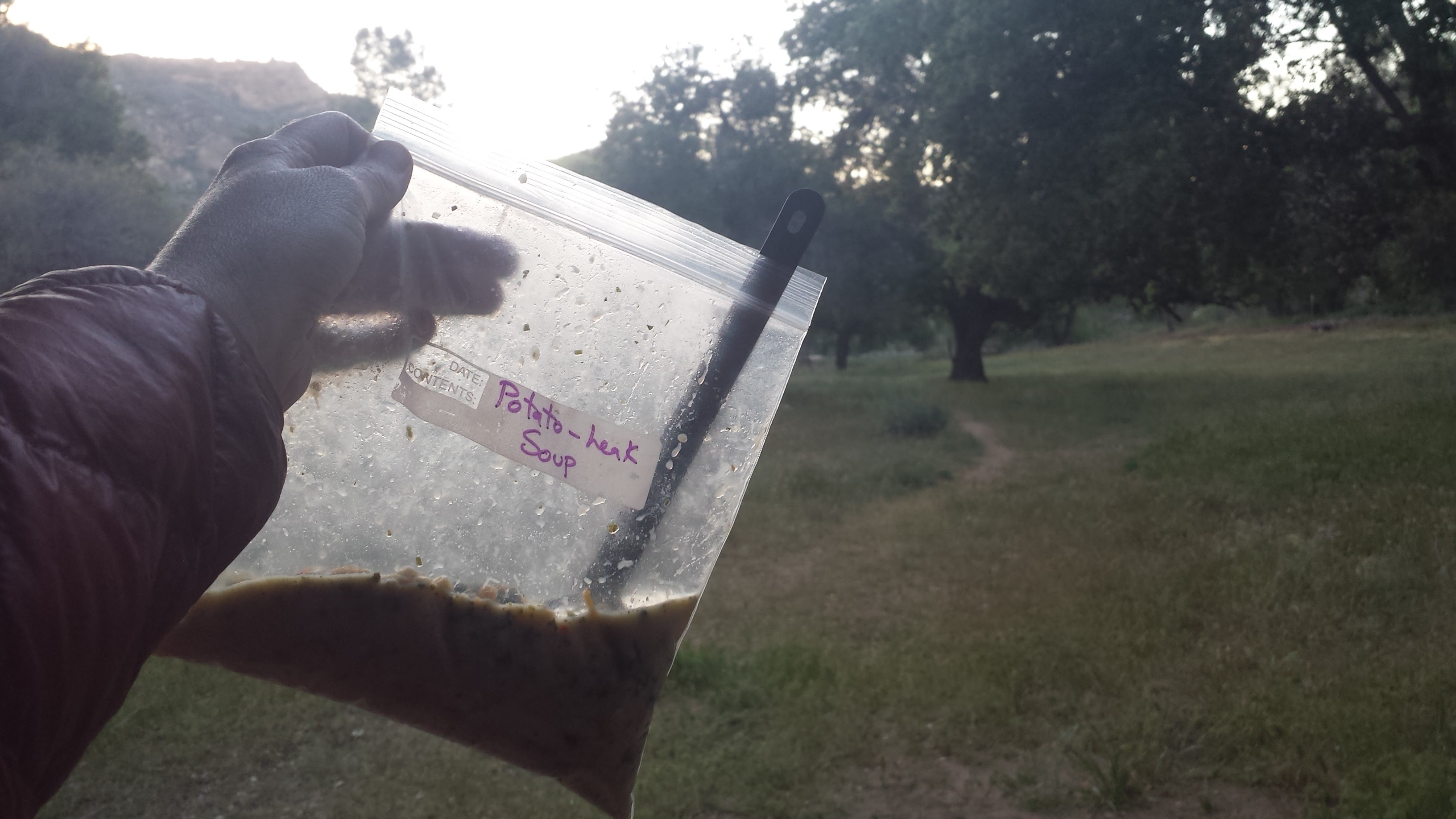
After relaxing for about an hour, I secured the shutters and packed up my gear, ready to move onward, but Pepper made it very clear that she wasn’t interested in hiking. She just stared at me, even as I walked away from the cabin and made ready to leave through the gate. The 12.8 miles we’d hiked so far are the furthest she’s ever hiked in her little, doggie life and she was worn out. I had originally planned on hiking a southern loop along the Sisquoc, but it would require us putting in 15 miles each day. Knowing that this may be too much for Pepper, I had a back-up itinerary of 10-miles per day around the northern Sisquoc loop and decided to make a final call once we reached South Fork. Well, this was it, she was saying “No, way!” to 15 miles and we settled in at the cabin for the night. There was a tennis ball on the shelf and she didn’t seem too tired to play catch while I enjoyed a homemade dinner!


Potato Leak Soup for dinner!

Potato Leak Soup for dinner!


Day 3- 11.8 miles to Miller Canyon

Wild purple Lupin along the trail

Wild purple Lupin along the trail

I knew that today would be a more difficult hike, given that Bryan’s maps showed the Sisquoc River Trail as purple, and not the friendly shade of yellow; but no purple line on a map ever prepares you for the harsh reality of bushwhacking through jungle-like riparian woodland and thick grasslands. The morning began with a clear-enough path and beautiful views of sandstone-layered hills. Slowly and before my eyes, the land transformed from lush, green that had surrounded Manzana Creek and the South Fork Sisquoc, to dense river vegetation cutting through tall desert hills.

Los-Padres-National-Forest-San-Rafael-Wilderness-133Sisquoc-River-Trail


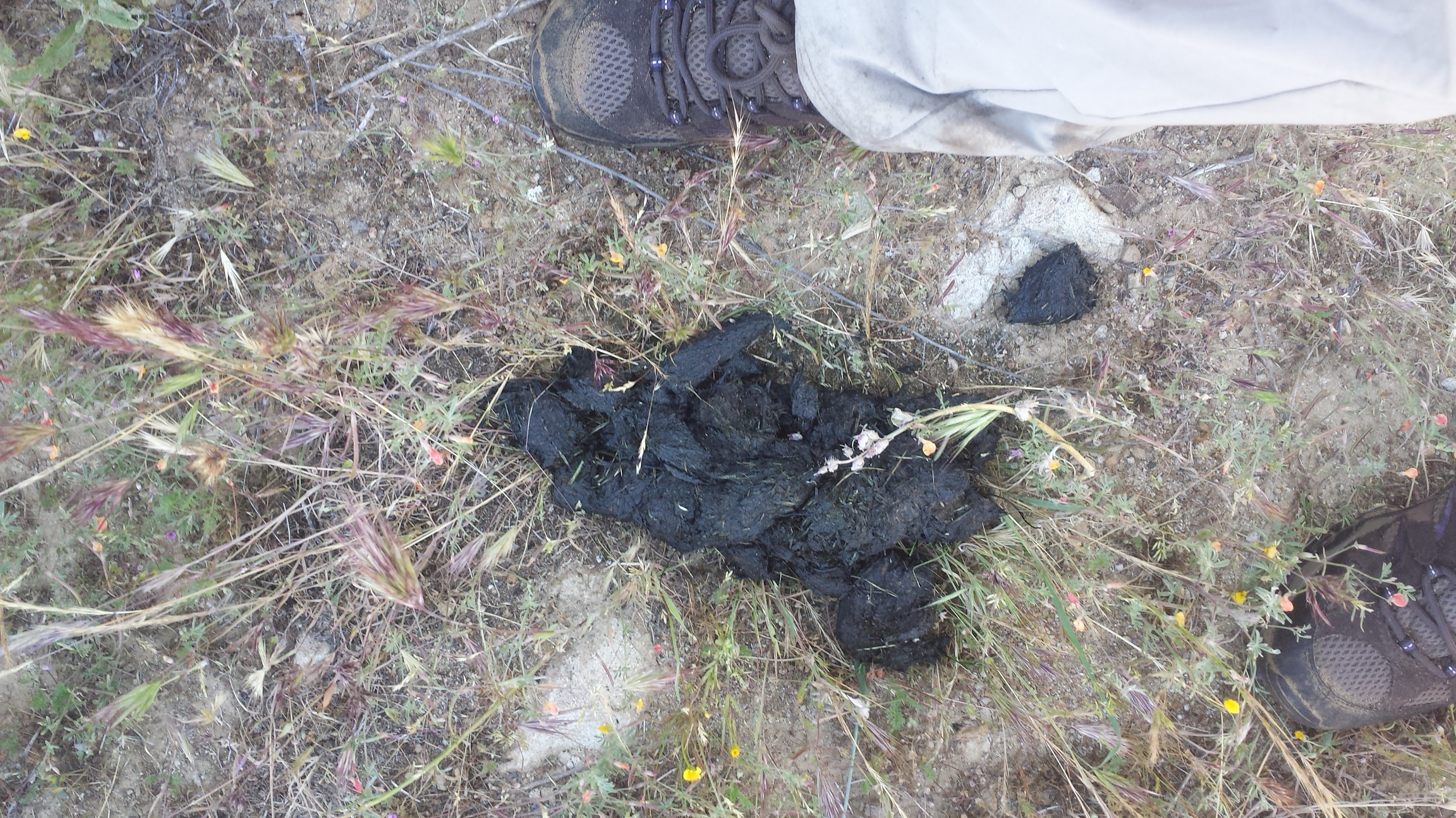
Black bear scat

Black bear scat


Looking west, back towards South Fork Station

Looking west, back towards South Fork Station


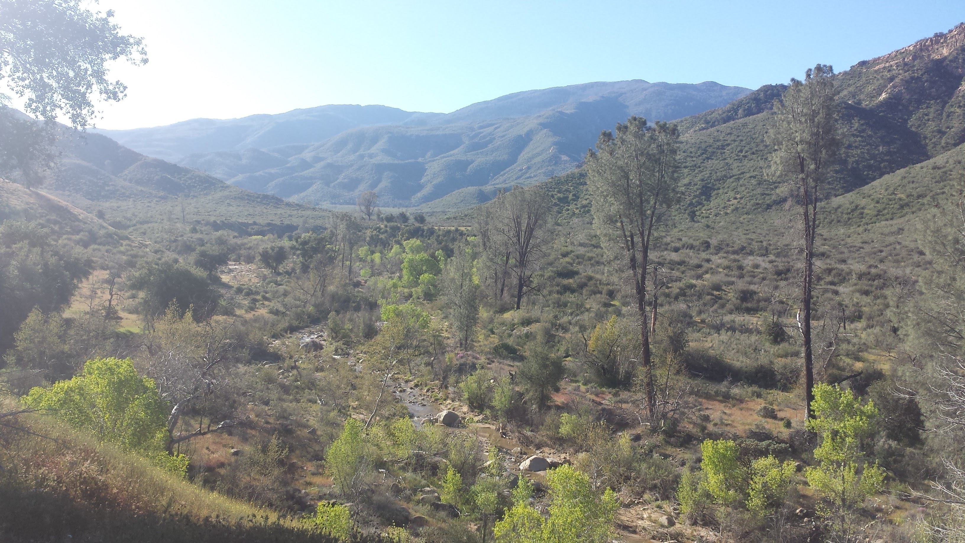
The Sisquoc River

The Sisquoc River


Small, yet hardy desert blooms

Small, yet hardy desert blooms


Note the trail winding along the hillside.

Note the trail winding along the hillside.

As the canyon around the Sisquoc narrowed, the trail transformed from overgrown grass to crumbling rock, clinging to the canyon sides. Eventually, the canyon opened up to form the Sisquoc River Valley, once home to about twenty homesteads housing two hundred religious settlers during the late 1800’s. Lead by fellow settler Hiram Preserved Wheat (1822-1903), these spiritual people believed in the power of faith healing and healing through the “laying-on of hands.”

The Sisquoc River

The Sisquoc River


Ruins from homesteaders

Ruins from homesteaders

The remains of these settlers can still be seen today: fragments of rock chimneys and rusted farm equipment have sat quietly for over 100 years in the grasses above the river. The settlers raised livestock, which they would drive into town via a wagon road through the Sisquoc Valley, and had gardens and orchards of grapes, apples, melons, beans and potatoes. As rain became more scarce over the years and access to the only road connecting them to town was denied by a local ranch, the settlers were forced to sell their prospects and relocate. For more fascinating information on these settlers, check out E. R. Blakey’s book, A Historical Overview of the Los Padres, or Jame’s Wapotich’s Blogpost, Trail Quest: Sisquoc River, Part 2.

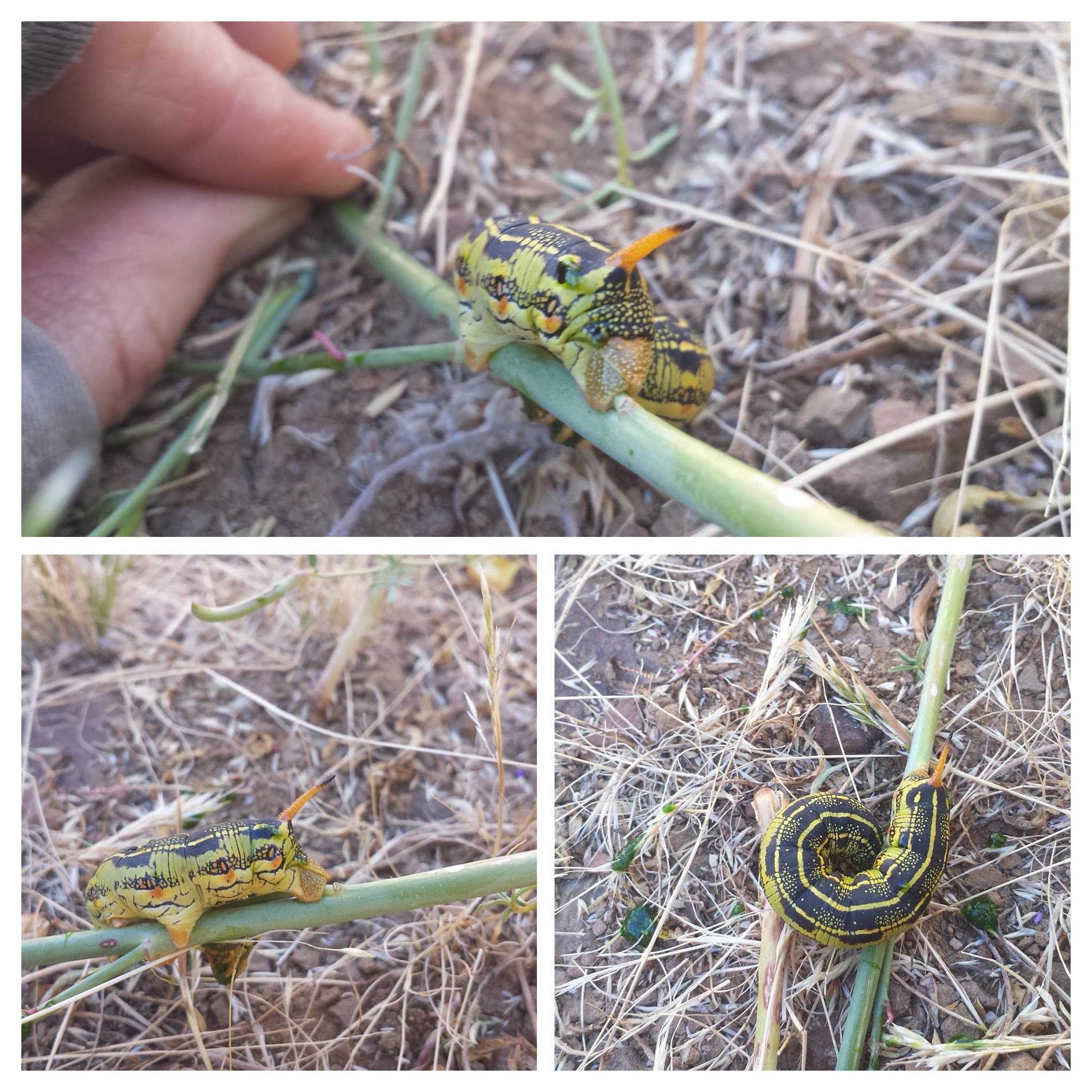
A White Lined Sphinx caterpillar

A White Lined Sphinx caterpillar

I learned quickly that the Sisquoc River Valley has a pattern: the river wraps around brief stretches of grassland, which gives way to rocky cliffs as the river changes direction, forcing the trail to cross the river and climb up to the next grassland on the opposite side. Following the trail requires spotting a cairn or piece of faded red flagging on the opposite side of the river and then following the path of grass that’s about a foot shorter than the surrounding grass. At times, I just walked along the sandy riverbed or directly in the river itself because I couldn’t find where the trail picked up or because I simply couldn’t stand the foxtails getting stuck in my shoes any longer. Next time, I’m wearing my heavy-duty REI gaiters. Oh, yeah, and I’m bringing my bug net for the incessant flies!

Los-Padres-National-Forest-San-Rafael-Wilderness-165-Sisquoc-River-Trail

There’s a saying I’ve heard, “If you’re not crawling on your hands and knees, you’re not in the Los Padres.” It definitely seemed to be true today. Every time the trail dropped back down to cross the river, I became tangled and caught in thickets of young willows and alder trees, pillowed by tall grass and deep mud. It was like navigating a maze of vines, wooden cages and quicksand, and I was Tarzan.

At times the river or the mud was too deep for Pepper and I would scoop her up and haul her across. More than once, I fell ass-first and Pepper face-first into the water. Normally a very quiet dog, she’d make a surprised and displeased grunt every time we took a tumble- she quickly learned to not squirm whenever we went through this process. Otherwise, she became very good at finding her own ways- drier ways- of crossing the Sisquoc.

Crawling on all fours!

Crawling on all fours!


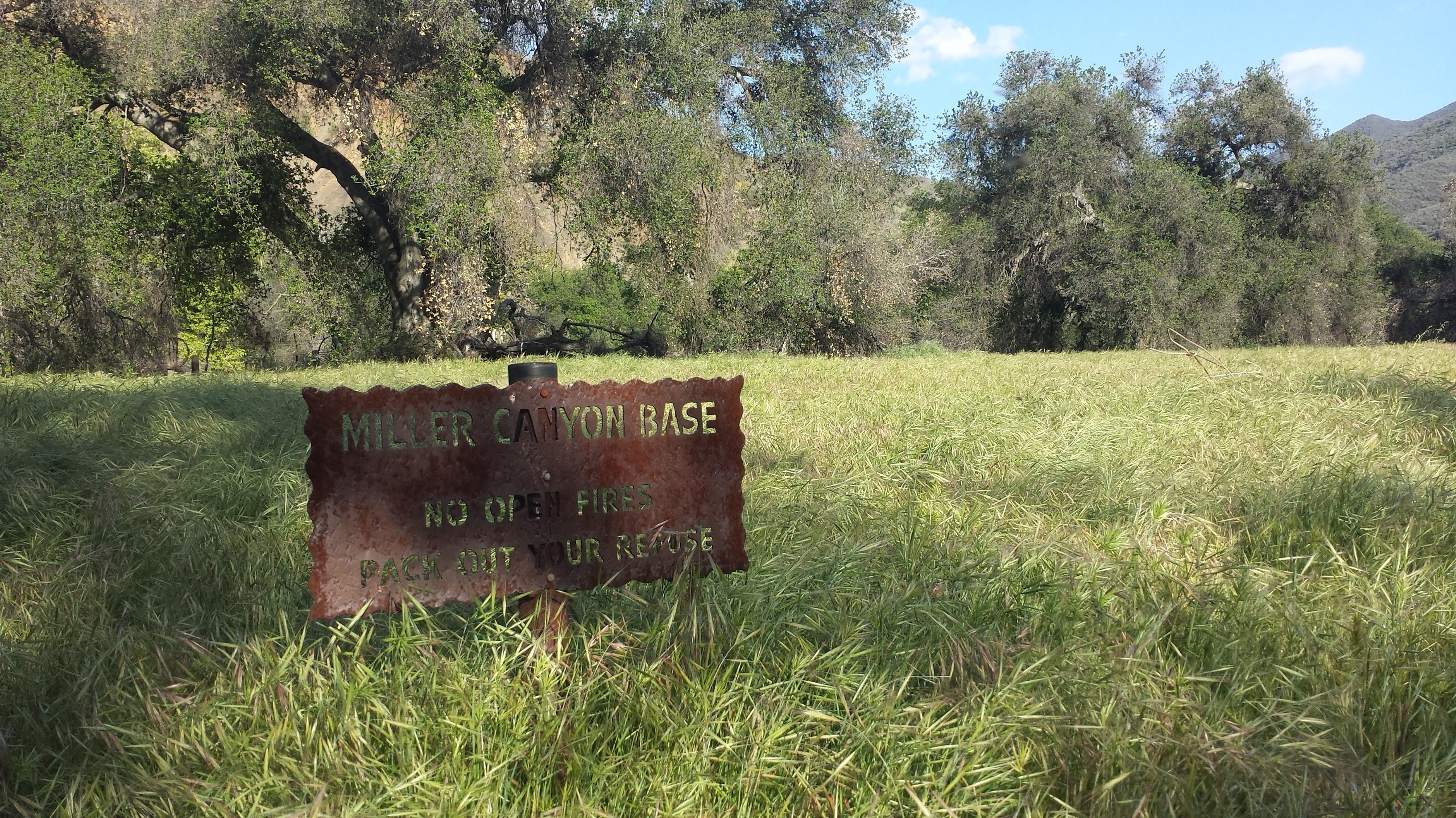
A very overgrown Miller Canyon Base Camp

A very overgrown Miller Canyon Base Camp

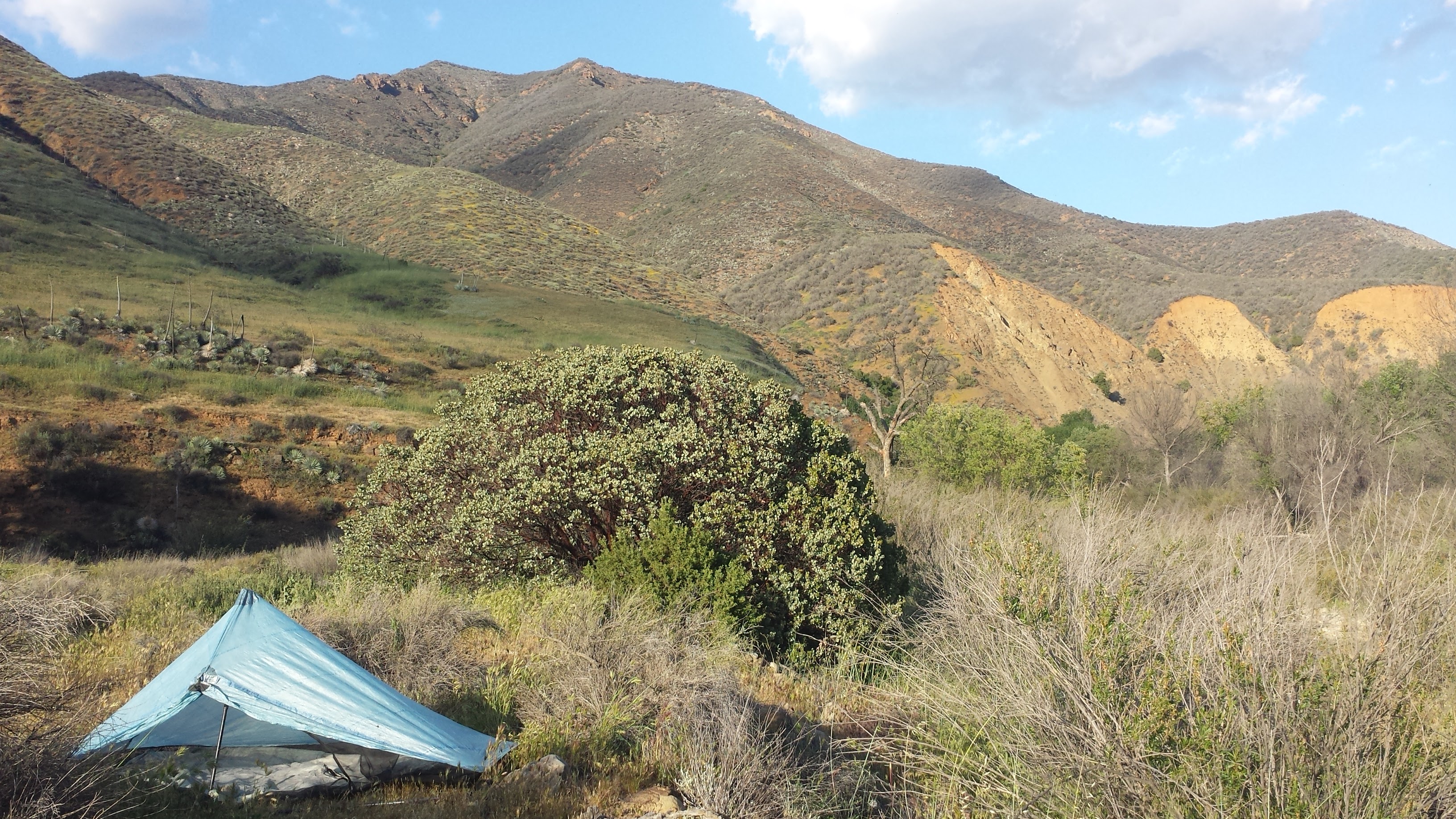
Since Miller Canyon Base Camp was completely overgrown, though a beautiful site, I decided to hike onwards in search of a friendlier campsite. We found it at the very next river crossing. Pepper plopped herself down in the shade next to the river as I cleared a space on the bank above for our tent. I spent the evening playing in the water, while Pepper took anther dirt bath, and enjoyed the last rays of sunshine in the quiet air of the valley. I watched Pepper try to sniff crane flies and butterflies as they bounced through the air around her head. It was sweet and beautiful to watch and I felt perfectly at home.

Camping near Miller Canyon

Camping near Miller Canyon


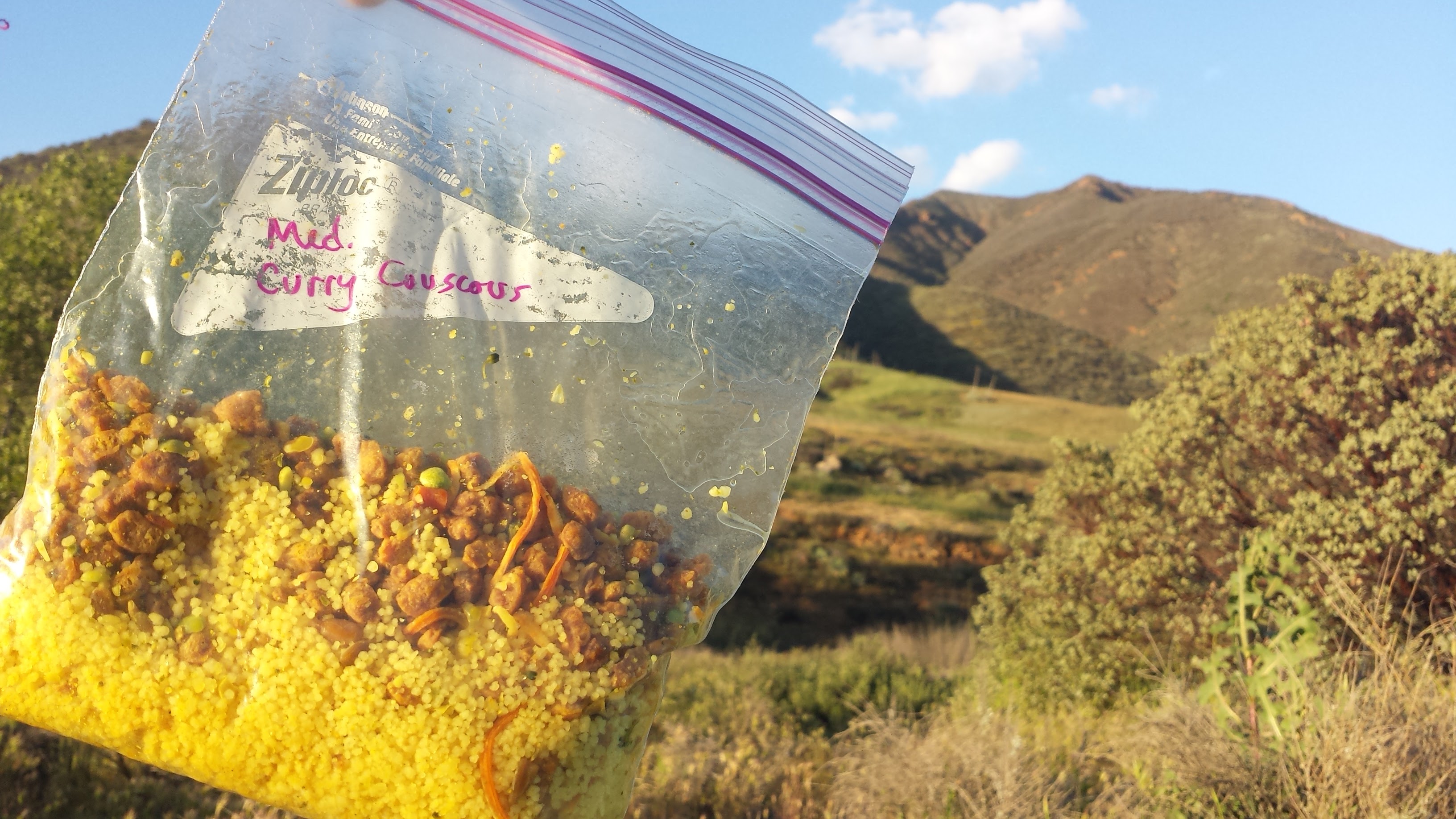
Mediterranean Curry Couscous for dinner.

Mediterranean Curry Couscous for dinner.


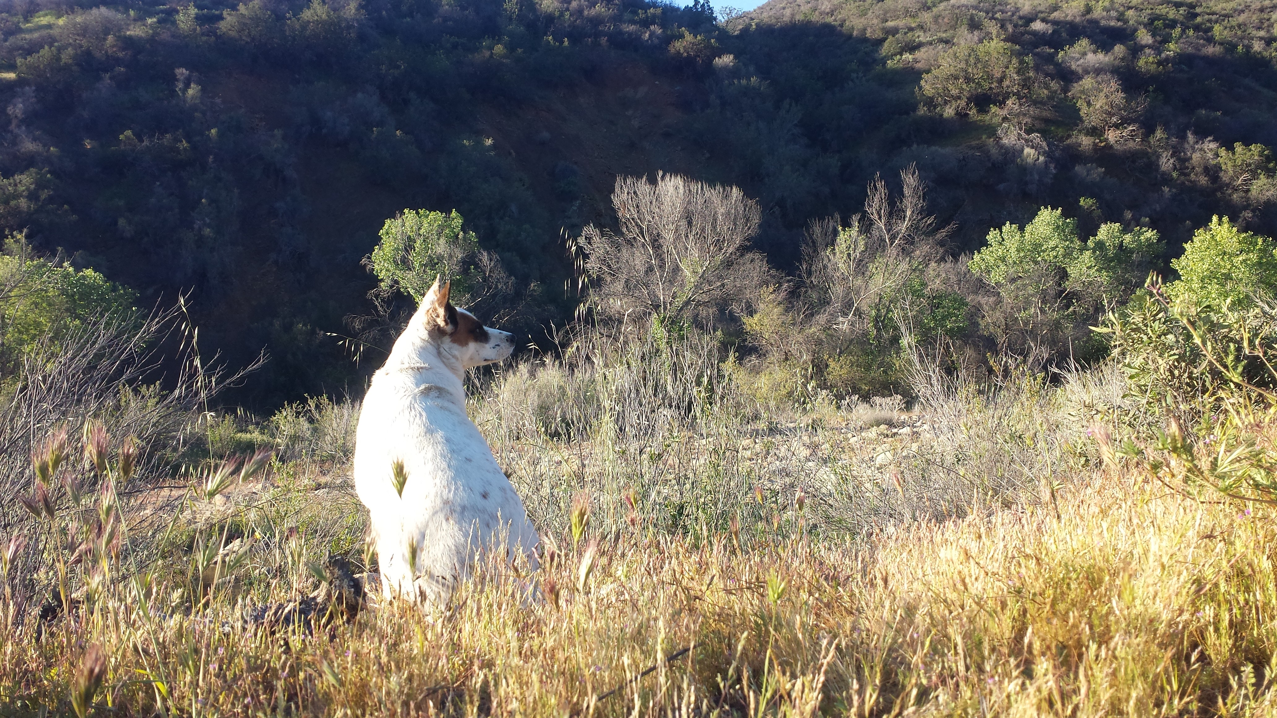
Pepper enjoying the quiet scenery of the evening.

Pepper enjoying the quiet scenery of the evening.


Day 4- 17 miles to Nira Campground

Chalk lettuce

Chalk lettuce

There were many times yesterday when I was fed up with the trail. I was angry at the sharp, painful foxtails that stuck to me as I hiked through overgrown grass, frustrated with the seemingly impenetrable riverside foliage that forced me to crawl, stumble backwards into mud, or whacked me with a face-full of dusty leaves and absolutely beside myself when I’d look upon the opposite canyon wall to see a clear trail that I just couldn’t reach. This lasted for hours until I realized that the Los Padres required me to seriously adjust my attitude.

A faded red flag

A faded red flag

It was time to slow down, to enjoy the route-finding and rich details that can be discovered at this careful pace. I learned that a hike of 11-12 miles in the Los Padres backcountry was something to be very, VERY proud of at the end of the day. This realization hit me like a single, soft bell chime- I’ve been hiking the Pacific Crest Trail for two years in a row, which is practically a walk in the park compared to exploration of this remote land.

Leftover equipment from homesteaders

Leftover equipment from homesteaders


Remains of a pioneer farm house

Remains of a pioneer farm house


A bloom in the riverbed

A bloom in the riverbed


Grasslands of the Los Padres

Grasslands of the Los Padres


Los-Padres-National-Forest-San-Rafael-Wilderness-209-Sisquoc-River-Trail

Pepper seemed to be doing better this morning than the previous two days- she was energetic and brave, bounding ahead through bushes and crossing the river without any encouragement from me. When we first adopted Pepper, she was very shy and absolutely terrified of wide, open spaces. Just taking her on a walk was an ordeal- she’d freeze and look around for signs of danger. Only bite-sized pieces of hot dog seemed enticing enough to shed her fear and moved forward through the big, scary world.

These days, Pepper is a bright, friendly pup who could walk herself to the park down the street if we let her. She’s the most naturally obedient and docile dog I’ve ever owned; she’s so submissive, she even tries to roll underneath our neighbors’ terriers and chihuahuas. Today, I became careless in my responsibility to her. It was so delightful watching her bravely want to lead the hike that I forgot about the danger it put her in.

Pepper in the grass

Pepper in the grass

Shortly after the above picture was taken, around noon, Pepper walked directly into a full grown rattlesnake and it bit before it could even rattle a warning. Being ten or so feet behind, I could hear the snake as I watched her immediately and confusedly u-turn back toward me. My initial thought was, “Good dog, you know not to check it out, good dog!” And then I saw her hind leg curled up as she limped closer to me. She attempted to walk a few more feet before she collapsed like a block into the sandy riverbed and then pulled herself with her three working paws into the shade of a boulder.

I rolled Pepper onto her back and looked frantically for a bite mark, and there it was: two small puncture wounds directly in her heel, small drops of blood already showing. Twenty-five percent of the time rattlesnakes do not inject their venom, but I wasn’t about to sit around to watch her suffer just to find out how much poison this snake had delivered. I don’t have any children- so all my maternal instincts have gone straight into this wonderful dog who has been our companion and side-kick for years. Without a second thought, I pulled out half my gear, lifted Pepper, hind legs first, into my backpack, and hoisted her 40 pound body onto my back. Placing her wound below her heart would help slow the poison disseminating in her small system.

We didn’t trek long before we ran into another rattlesnake, stretched under the shade of a manzanita bush. I felt my anger well up immediately, but rather than waste time hating on the random animal, I skirted around it until I came to a wall of crumbling rock that was apparently the trail. Even if I didn’t have Pepper on my back, it would’ve been a struggle to climb up it, so I detoured back toward the now aggravated snake and down a gully into the riverbed. Some kind of wildlife alarm must have gone off, because not five minutes of walking along the riverbed, we ran into a small black bear. He was meandering along the sand and turned, startled to look at us. The bear dashed ahead, but continued in the same direction as us along the river. Three times, the bear dashed ahead along the river before he figured out that I wasn’t going to change course and he finally turned up the riverbank and disappeared into the alders and grass.

I carried Pepper for five miles before we reached a clear trail at the Manzana Schoolhouse Camp. Exhausted and concerned about dehydrating or injuring myself, I stopped to rest before continuing along the Manzana Trail toward Nira Campground. I set the backpack with Pepper inside carefully on the ground and gently pulled her out to exam the wound. Her hind leg was now swollen and black with oozing blood. Rattlesnake venom prevents blood from clotting and causes blood vessels to leak like a wet sponge; victims eventually die from heart failure. I reached for my water bottle in the side pocket of my pack only to find I’d lost it somehow. Frustration, anger, and fear of loosing my loving dog now overwhelmed me and I finally let out a desperate scream. Once out, I couldn’t stop it, I screamed and I cried and screamed again. The water was no big deal; I could drink directly from Manzana Creek and worry about giardia later, but I did not want to loose my dog. All I could think was, “She’s too good to die like this!”

At that moment, two hikers heading toward the schoolhouse cabin, came around the bend and eased my nerves. They gave me a spare water bottle and helped me situate Pepper on my back again. I hiked onward, my shoulders and hips aching from the weight of her and my mind frantically analyzing the situation, “What’s my pace? Am I hiking fast enough to save her life? Will I get to the car before dark? … Headlamp’s in the side pocket; spare battery’s in the top pocket. … I’ll have reception on the road near the shooting range- should I call the vet first or Art? … There’s a packet of almond butter in your pocket- eat it so you have energy to hike faster.”

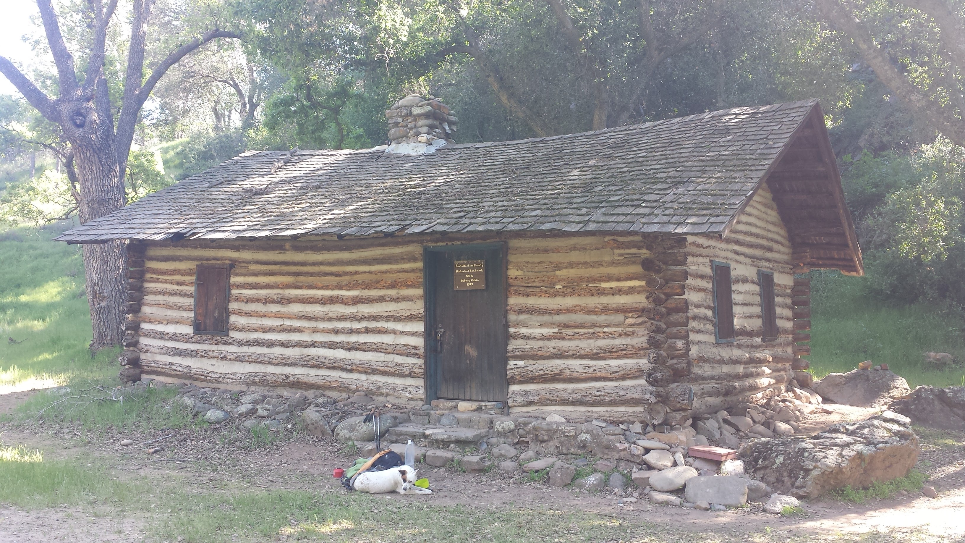
Taking a break at Dabny Cabin (built in 1914)

Taking a break at Dabny Cabin (built in 1914)

After another two miles, I stopped at a fork in the trail, confused about which branch to take, and a family of four emerged from a side trail. Amy and Dean, along with their two kids, Eric and Emma, were out for a day hike and they immediately offered to help carry Pepper the remaining six miles to my car. I couldn’t believe my luck. In that moment, I was so grateful I had to suck in my sobs because I didn’t want to unnerve them. Dean carried Pepper like a marine. He hiked so fast that the rest of us struggled to keep up. With his and Amy’s help, Pepper was packed securely in the front seat of my car and we were on our way to a vet before sunset.


The Follow-up

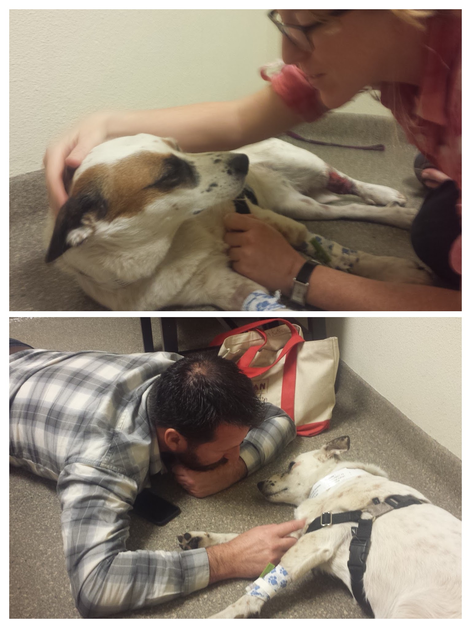
Pepper received the finest medical treatment a dog could get for three full days and has pulled through to fight another one. She will continue to need medical attention from our regular vet for the next two to three weeks as we monitor the damage done to her blood and attempt to save the tissue around the bite on her leg.

Visiting Pepper at the doggie hospital.

Visiting Pepper at the doggie hospital.

I have learned a lot since she was bit. I was careless and irresponsible, and even though it was for a short time, it nearly cost her her life. While hiking the PCT, I was often teased for being overly cautious when it came to safety on the trail and I’ve now seen first hand how ugly and heart breaking it can be when hikers become lax with safety. Before taking Pepper on a hiking trip again, I will participate in a training program which will teach her to smell, recognize and avoid rattlesnakes and am considering giving her the rattlesnake vaccine, both of which I never knew existed until now. While she usually hikes behind me when I ask her to, I’ll be more proactive about keeping her there and not allowing her to trail blaze in front. Even on a leash, she would’ve reached the snake before me and still been bitten, so the most important things I can do now are train and vaccinate her.

Art has made several points to alleviate my guilt. First, this accident could’ve happened along any of the front country trails or open spaces that she and I hike weekly. It’s true that I’ve seen more snakes in the Santa Barbara front country than I have anywhere else while hiking. The difference is that accessibility to help in the front country is much higher than deeper in the mountains. Also, if I had been walking in front, the snake could have easily struck me instead and though I’ve carried a SPOT device with S.O.S. messaging for over two years, I didn’t have it with me on this trip. I canceled my membership because I didn’t think I’d need it this year. If I had been bitten, I would’ve had no way of requesting help and the chances of being found by another hiker in that remote area are miniscule. That dog may have just saved MY LIFE. Words cannot express how grateful Art and I are for the help of Amy and Dean and the expertise of the veterinarians- without them, I may not be sitting here now with Pepper safely at home.

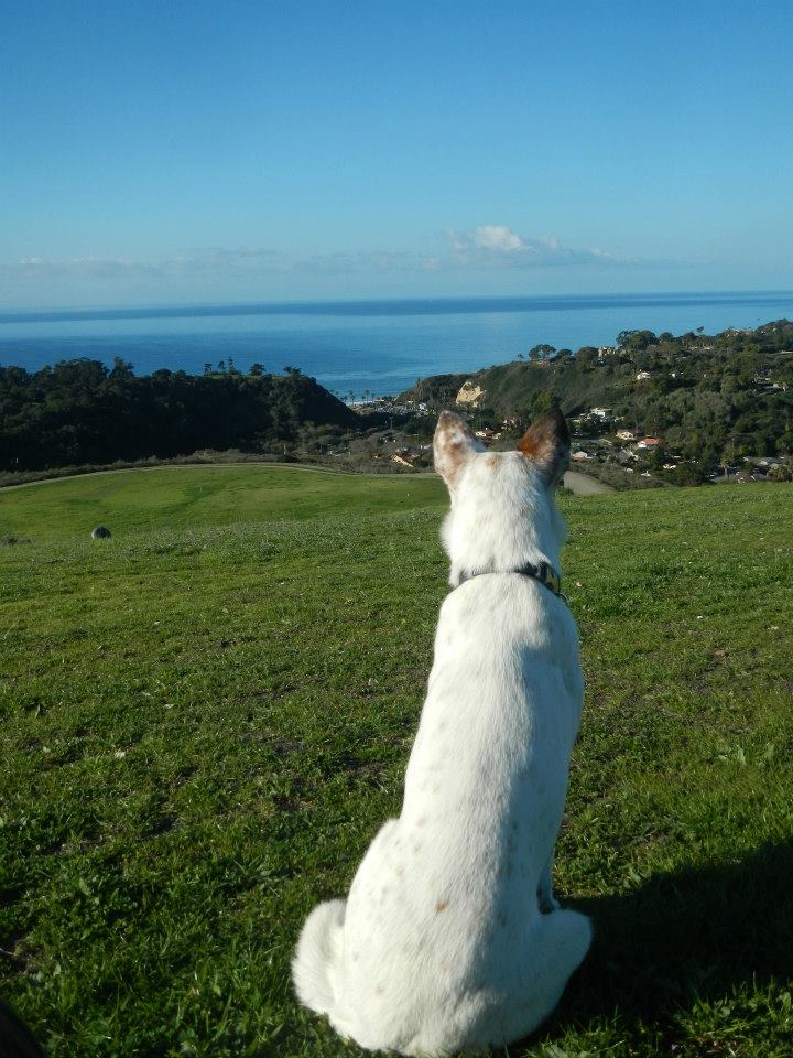
Pepper the dog

Pepper the dog

Links- Snake Safety

Training your Dog to Recognize & Avoid Snakes- Youtube Video

Snake Safety Information from the Forest Service

Canine Rattlesnake Vaccine


Links- Los Padres Information

Bryan Conant’s Maps of the Los Padres

Hike Los Padres

San Rafael Wilderness Wikipedia Article


No. 34- Stevens Pass to CANADA, 2015

loading map - please wait...

Stevens Pass: 47.746222, -121.085933
Manning Park: 49.063453, -120.786651
Northern Monument: 49.000042, -120.799999
Rainy Pass: 48.517903, -120.735211
Chelan: 47.844757, -120.019080
Wolverine Fire: 48.183028, -120.682068
Upper Skagit Complex Fire: 48.697306, -121.183319
Chelan Complex Fire: 47.919103, -119.967957
Hart\'s Pass: 48.720542, -120.669794


August 18- Hitching to Chelan

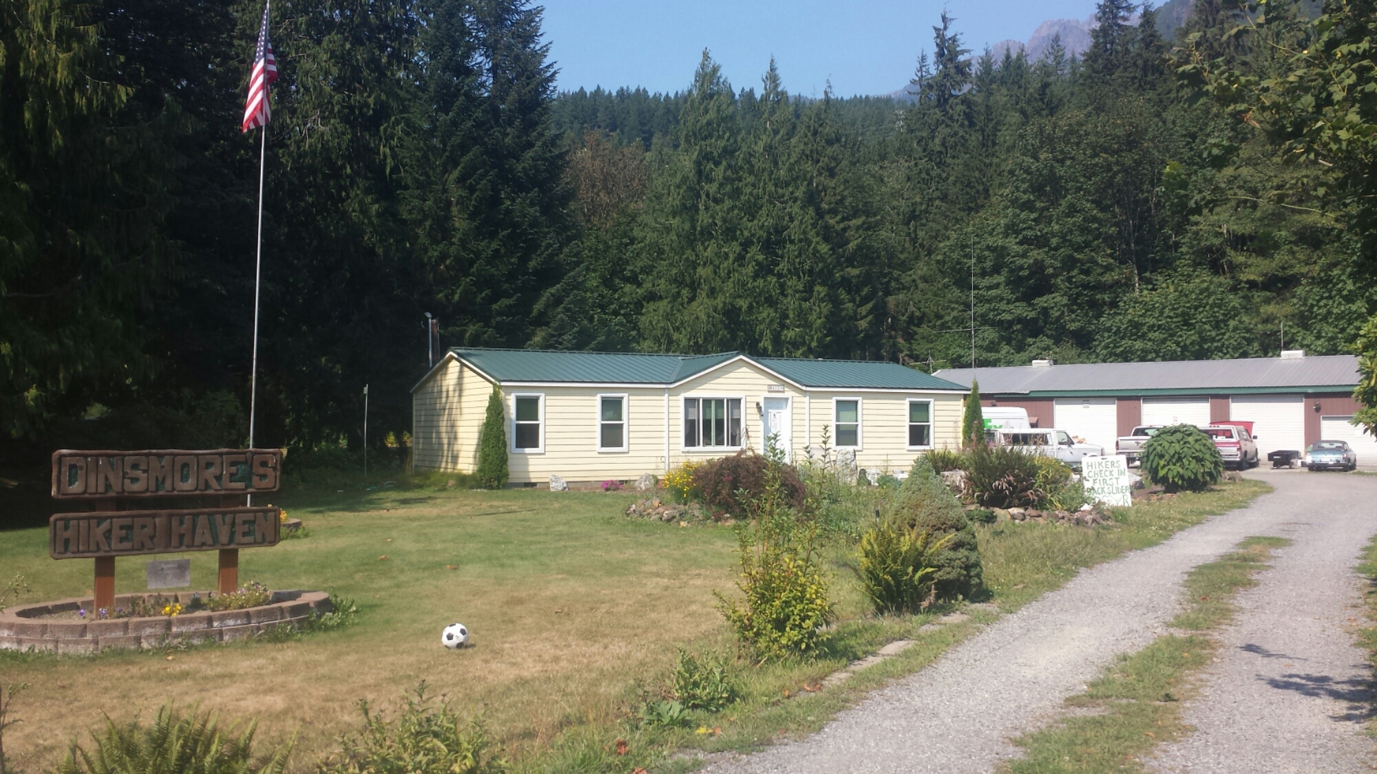
The Dinsmores' Hiker Haven

The Dinsmores’ Hiker Haven

The Wolverine Fire has closed a large chunk of the PCT between Stevens Pass and Stehekin. There is no going through it and the fire is still out of control, so it will be quite a while until that section reopens. We had two options once we left the Dinsmore’s Hiker Haven: 1) hike about 30 miles out of Stevens Pass to Suiattle Road and then either road walk or hitch about 110 miles up to Rainy Pass, which is north of Stehekin, or 2) hitch from Stevens Pass to Chelan and take a ferry across Lake Chelan up to Stehekin. The ferry sounds like a lot more fun and will probably be more scenic, so that’s our plan.

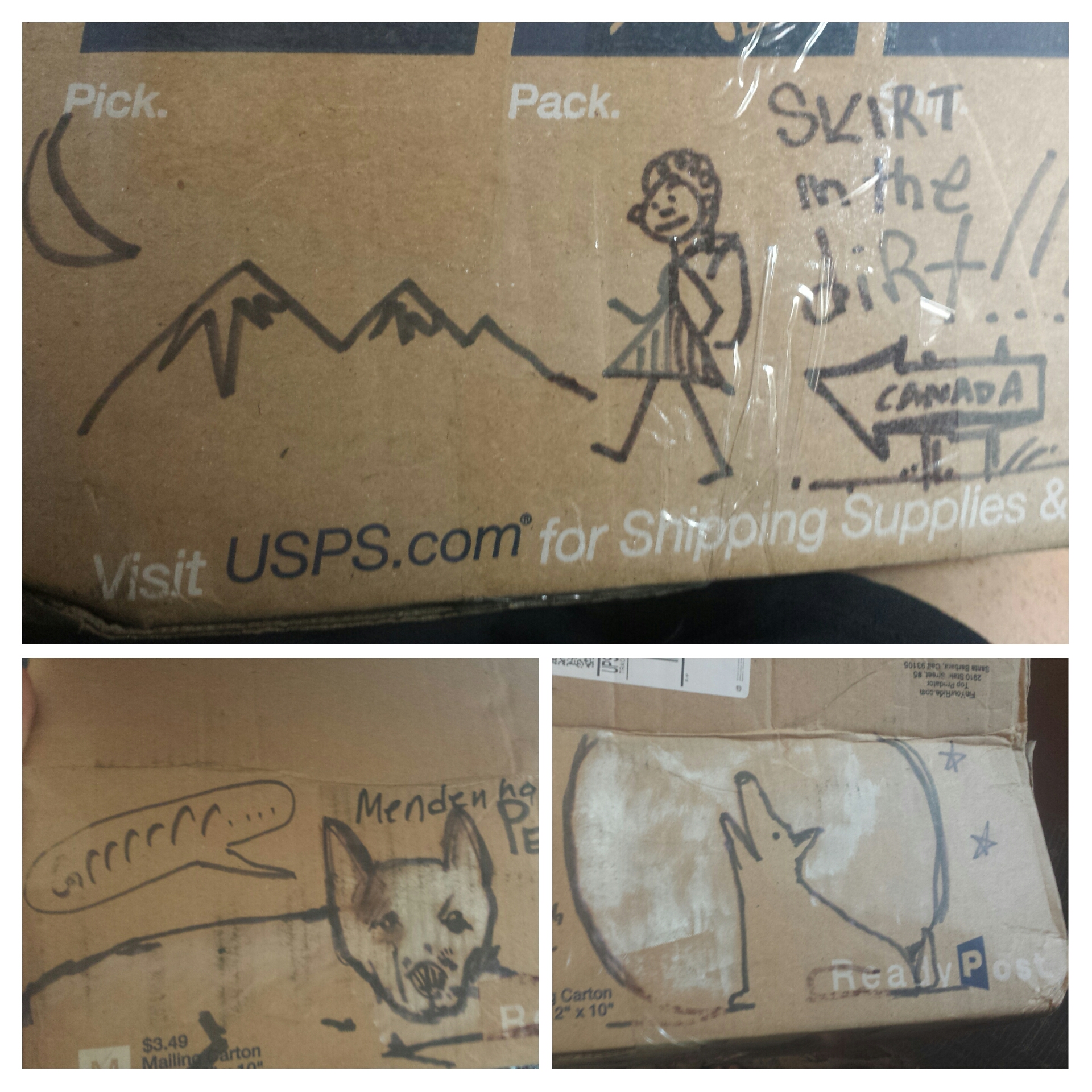
Awesome doodles from Artie on my Dinsmore's resupply box

Awesome doodles from Artie on my Dinsmore’s resupply box

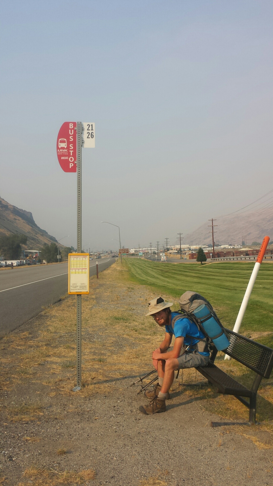
After collecting my resupply box and admiring all the doodles my boyfriend put on it (it’s always easy to identify my box because it has the best doodles!), we set out for Chelan. Our detour started with hitchhiking from Baring to Sunnyslope with a tye-dye clothed kid named Nolan. He was driving to Montana to study ecology at one of the universities there. He let us out on the side of the highway and then we walked down the off-ramp until we connected to “Alternate Highway 97.” We’d planned on hitching from there to Chelan, but happened upon a bus stop that would take us there directly. Since buses are generally easier and nicer than hitchhiking, we opted to wait for the bus.

Waiting for the bus to Chelan

Waiting for the bus to Chelan

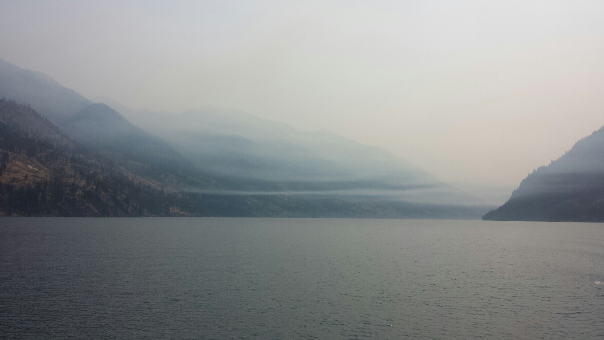
With the Wolverine and the Chelan Complex Fires only a few miles away, the town of Chelan is incredibly smokey and ashy. I couldn’t believe how many people had stayed in town with the air quality being so bad. It burned my throat and made my eyes water. After buying our tickets from the ferry office, we took refuge in a restaurant and went back and forth over whether to stealth camp or pay $24 to camp at the RV campground. I hate paying that much money just to pitch my tent and I really don’t like RV campgrounds, but stealth camping comes with its own set of problems. You’re lucky if only the cops bother you, but more likely you’ll have crack heads or homeless people thinking you’re “one of them.” That didn’t really bother Khalil, but, as a woman, it bothered me.

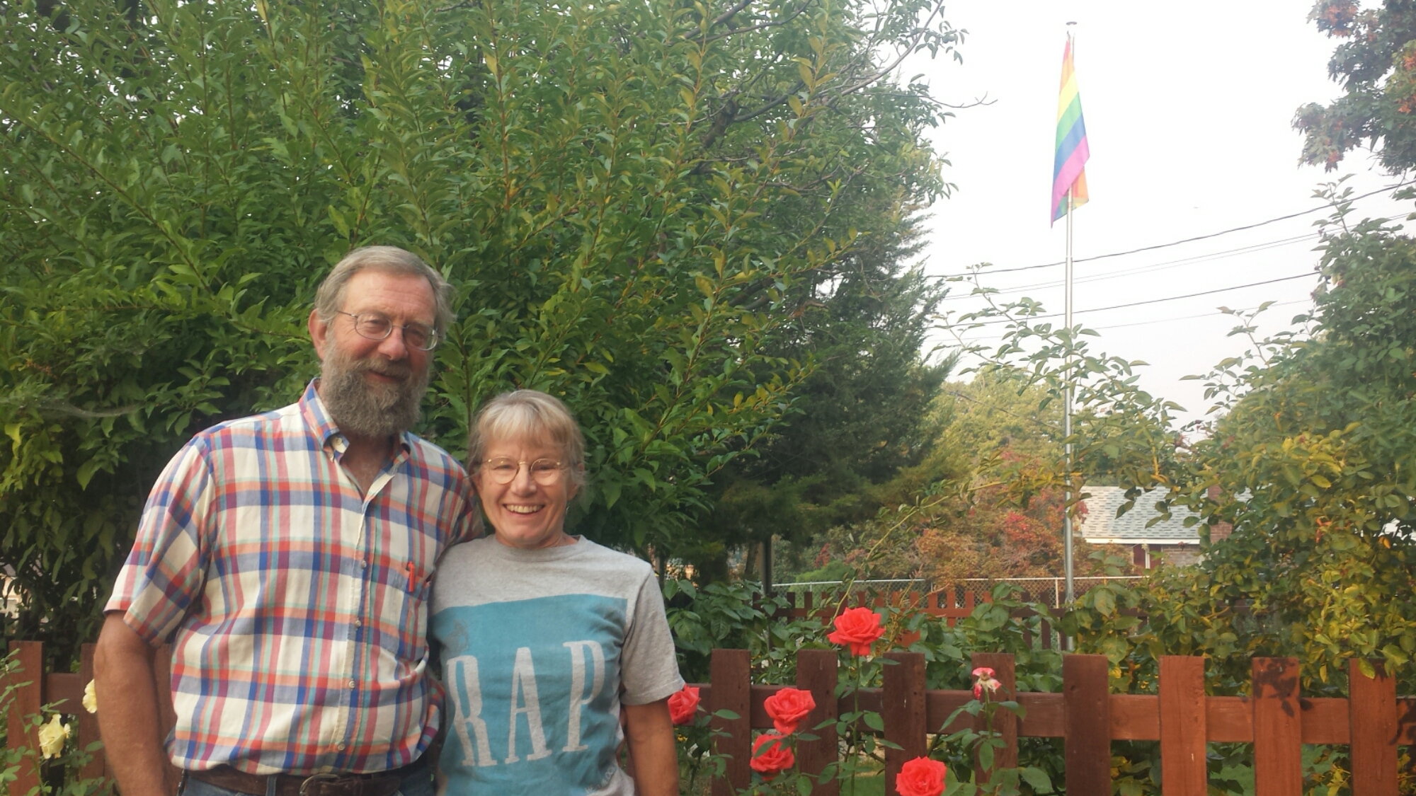
As we began our walk down the street toward the RV campground, a couple from the restaurant approached us and asked if we were hikers and needed a place to stay for the night. They had a great big house which they were in the process of converting into a Bed & Breakfast and they offered us rooms! They weren’t exactly trail angels, just local people who cared and were in the habit of helping anyone who’d been evacuated from the fire. Their names are Mark and Michelle and they are absolutely delightful. I hope I can return to their B. & B. some day to repay their kindness.

Angels Mark & Michelle

Angels Mark & Michelle


August 19- 7 miles, camping at High Bridge Campground

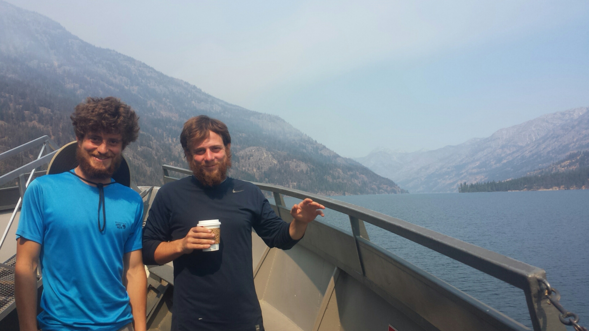
In the morning, Michelle drove us to the ferry that would take us to Stehekin. We met a hiker named Distance while boarding the ferry, one of the only other 30-somethings I’ve met on the trail. The three of us huddled by the snack bar waiting for it to open so we could buy expensive muffins and Jimmy Dean microwavable sandwiches for breakfast. The people behind us must have been miffed because we practically cleaned out the muffin selection and all the half and half.

Smoke over Lake Chelan

Smoke over Lake Chelan

Distance taught Khalil and I how to play Rummy 500 and we spent most of the four hour boat ride trying to master it. There wasn’t much point hanging out on the deck outside because the smoke was so thick and unpleasant.

Khalil & Distance on the Lake Chelan Ferry

Khalil & Distance on the Lake Chelan Ferry

About halfway across the lake, Khalil had the great idea to return to Chelan, rent kayaks, and then paddle our way across the 52-mile lake. Sounded like a great idea, except that we don’t know the first thing about kayaking and we have about zero upper body strength right now, so we wouldn’t really know how long it would take to kayak the lake. I’m all for spontaneous adventures, but I just wasn’t sure how well this one would pan out. He was so gung ho about the idea that he even offered to pay for the return ferry trip to Chelan and the kayak rentals.

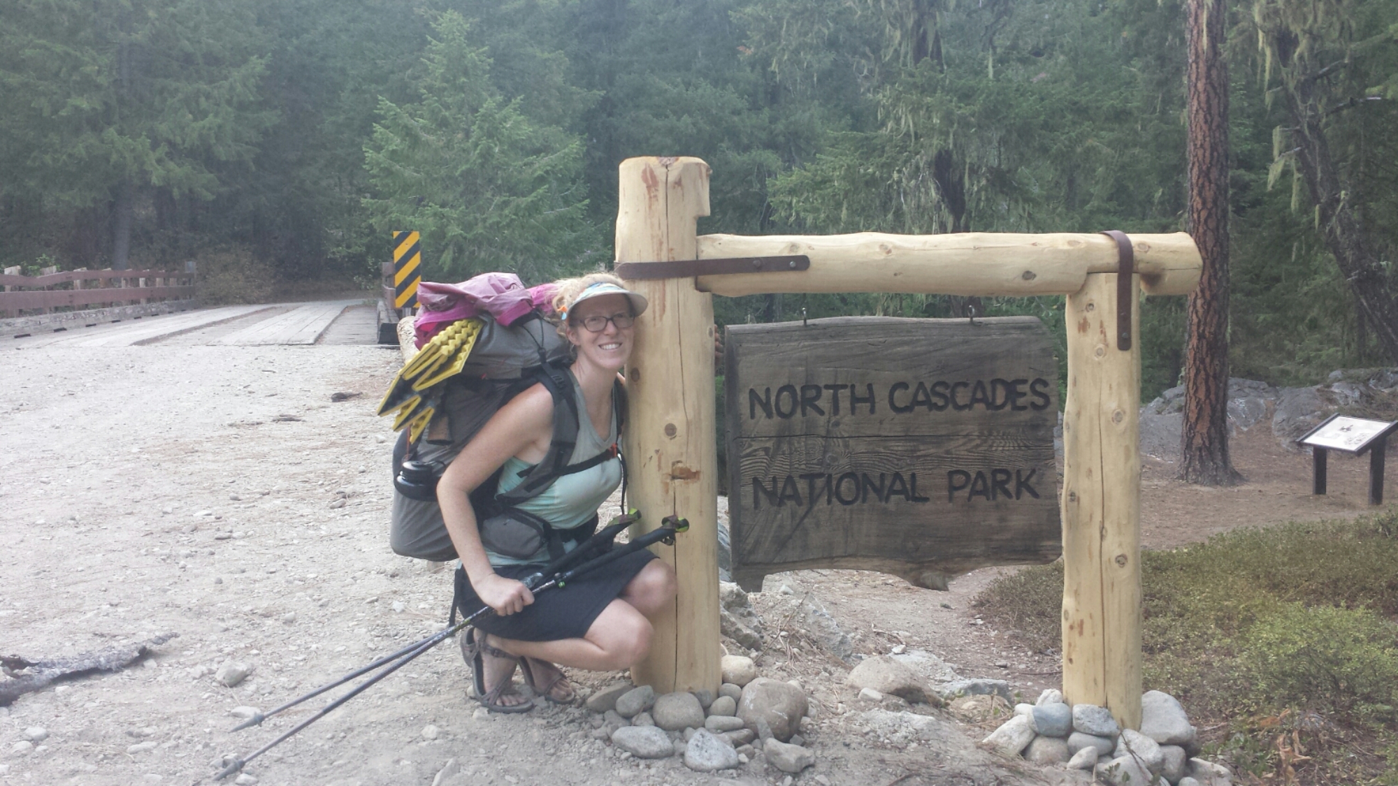
Entering North Cascades National Park

Entering North Cascades National Park

Once the ferry landed in Stehekin, we talked to a ranger about kayaking and she, very sweetly, called every single kayak outfitter in Chelan on our behalf. Not one of them was willing to rent us kayaks for an overnight trip. They all said that only experienced kayakers should attempt paddling through the very windy and potenialy dangerous “Narrows” of Lake Chelan. I was secretly relieved and we began our road walk to the PCT.

The dirt road from tiny Stehekin to the PCT is about eleven miles, but about two miles in is a well known bakery. We stopped there for a huge lunch and then Khalil headed out toward the trail, determined to walk as much as possible. Since I’d forgotten to charge my phone, I decided to hang back for an hour, using the bakery outlets and enjoying more juice and cookies.

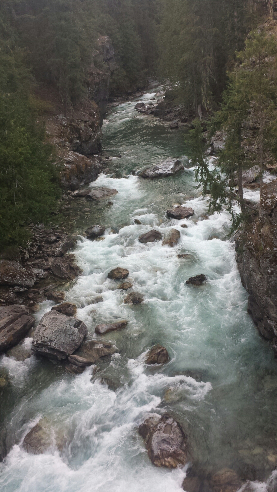
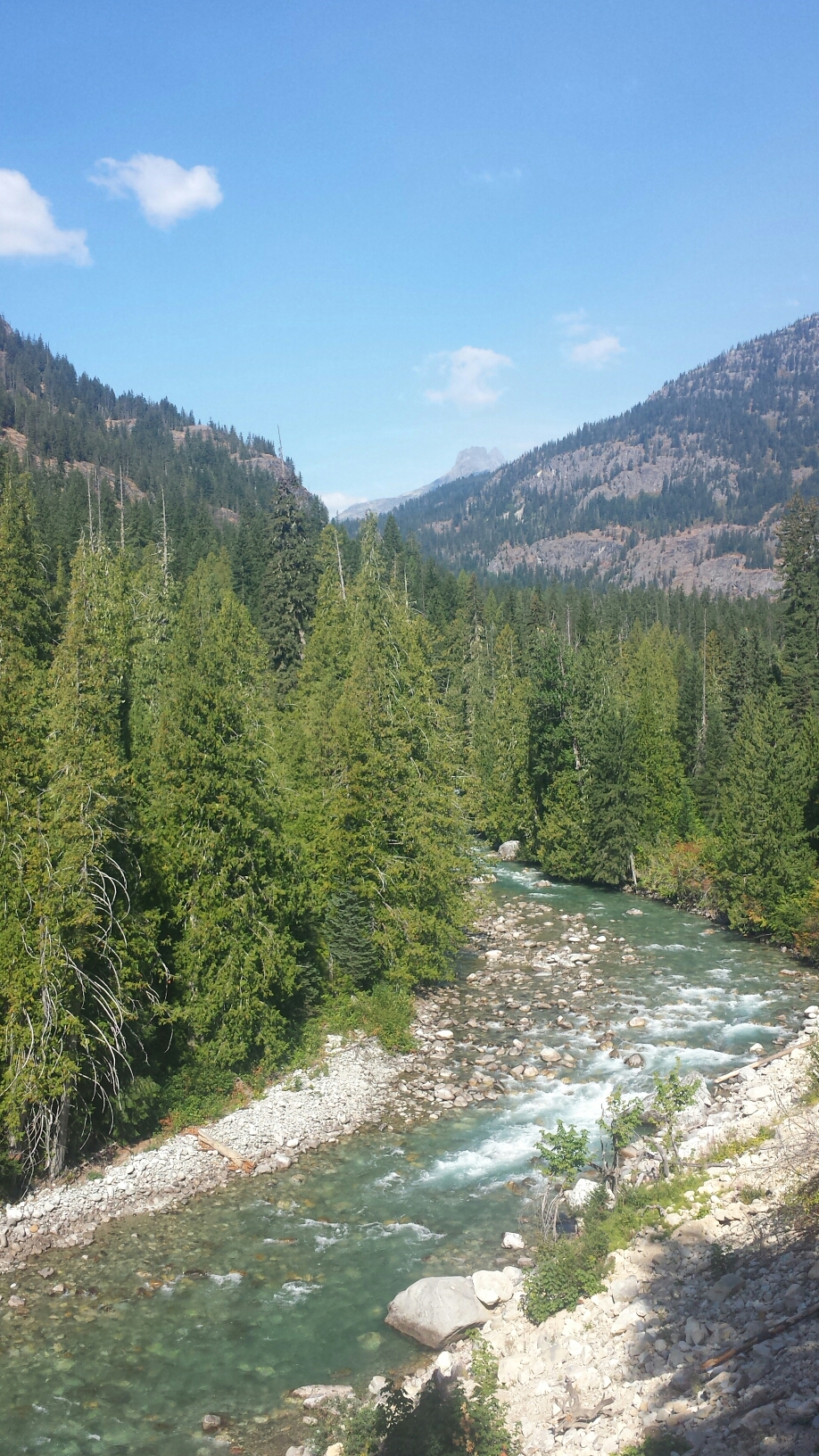
The Stehekin River

The Stehekin River

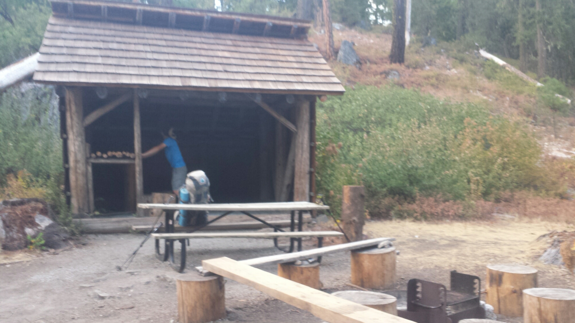
We’re camping tonight near the Stehekin River at High Bridge Campground. It’s practically glamping (glamorous camping) because the site has a shelter and a privy, complete with T.P. and hand sanitizer. I should sleep well tonight because I’ve put all my food in a bear box and the mice should have no reason to harass me.

High Bridge Campground

High Bridge Campground


August 20- 20 miles, camping at Rainy Pass Trailhead

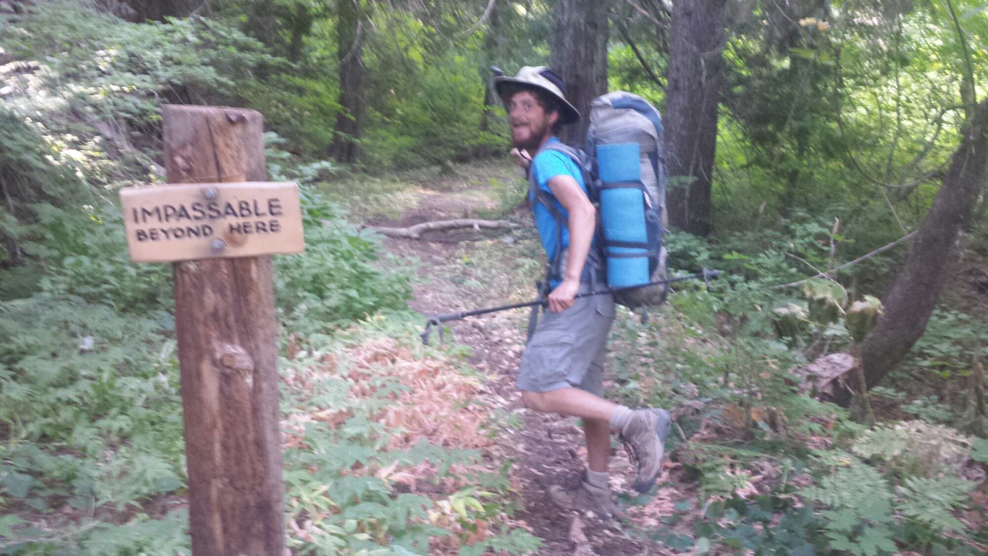
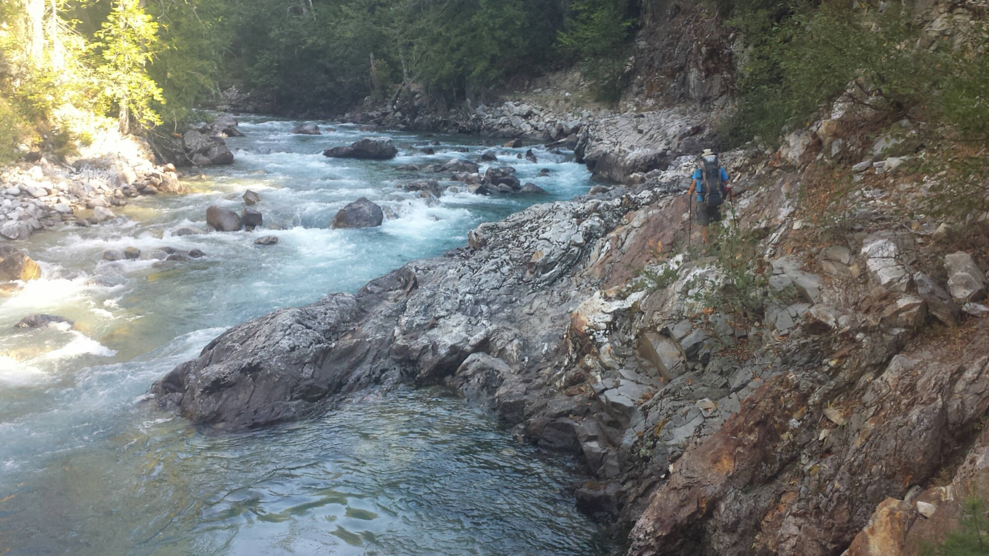
Just before hitting the trail, a few section hikers recommended continuing along the dirt road until it connected with the PCT. We went for it and then, instead of reconnecting with the trail, we decided to stay along the beautiful banks of the Stehekin River, bushwhacking and rock climbing along an “impassable trail.” Khalil was loving it, exclaiming that THIS is how he expected the PCT would be before he came to the U.S. and that THIS is how he really wanted to experience nature- with no human signs around, not even a trail.

image

Impassable… SHmimpassable!


Off trail along the Stehekin River

Off trail along the Stehekin River


The Stehekin River

The Stehekin River

Once we were back on the PCT, we were climbing north through a long, hot canyon. The elevation is really low in this section and there wasn’t much shade on the trail. The heat wiped me out and, even though the trail was pretty easy, I felt exhausted.

image

As the sun was preparing to set, Khalil and I were struggling to decide where to camp. I was super tired and convinced him we should just camp at the Rainy Pass Trailhead, which isn’t really a campsite. We collected water from a nasty looking pond next to the highway and pitched our tents on the only flat spots around, right next to the outhouse. The smell isn’t as bad as you might think and I’m too tired to care anyway.

Camping at Rainy Pass

Camping at Rainy Pass


August 21- 20.5 miles, camping on Glacier Pass

Looking towards Fisher Peak

Looking towards Fisher Peak

I’ve been told that the North Cascades have some of the best scenery along the trail. Unfortunately, because of the detour and having to skip the entire section between Stevens Pass and Stehekin, I missed some of that beautiful land. Today, as we hiked out of Rainy Pass and up high along a mountain crest, I got to see a taste of that famous North Cascade beauty.

Viewing Hinkhouse Peak, Silver Star Mountain, and Vasiliki Ridge

Viewing Hinkhouse Peak, Silver Star Mountain, and Vasiliki Ridge

In stark contrast to yesterday, rain clouds threatened to dump on us today and a cold wind relentessly chilled me to the bone. Stopping for snack breaks was almost miserable and I actually hiked in multiple layers and my gloves, something I never do because hiking usually really warms me up.

Mount Hardy (left) and Tower Mountain (right)

Mount Hardy (left) and Tower Mountain (right)

image

Appropriate for the weather today, our camp is located on what’s called Glacier Pass and I’m dreading how chilly it might get tonight. When it’s this cold, I start sipping my hot coco with a spoon to savor its sweet warmth and hopefully not go to bed cold.


August 22- 21 miles, camping near Shaw Creek

Anzurite Peak (L) and Mount Ballard (R)

Anzurite Peak (L) and Mount Ballard (R)

This day surprised me with a completely different landscape than I expected. Once we climbed out of Glacier Pass and up to a ridge, a view of rugged, rocky, and dry mountains stretched before us. The treeless landscape made the trail visible for miles ahead along the ridge and through distant passes. It reminded me so much of Southern California, specifically of the Southern Sierras and the Tehachapi Mountains that rise out of the dry Mojave Desert. Somehow, it seems appropriate for the end of the trail to remind me so much of the beginning.

image


image

The very last road the PCT crosses before the Canadian border is Hart’s Pass. Any hikers not planning on entering Canada either hitch or road walk thirty miles from here to the nearest town. Lucky for us, someone left a last little bit of trail magic on the road in the form of a cooler filled with cans of Bud Light. Whoohoo!
image

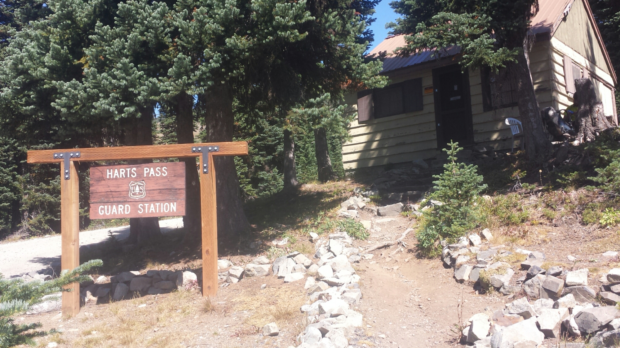
Hart's Pass Ranger Station

Hart’s Pass Ranger Station

Hart’s Pass is just a dirt road with a ranger station and an outhouse, but it has the last trail register before Monument 78 at the border. I didn’t see many of the signatures of hikers that should be ahead of us in this register and wondered if they weren’t able to hike onward to Canada from here. The section from Rainy Pass to Hart’s Pass was recently closed due to fire and had just reopened before Khalil and I set out from Stehekin. There have been so many fires, some small and some big, and they’re reeking havoc on the hiking season and the resources of the fire fighters and forest service. If I had to guess, it seems like many hikers chose to end their hike at or shortly after Stevens Pass because the fire closures made a direct route to Canada just impossible.

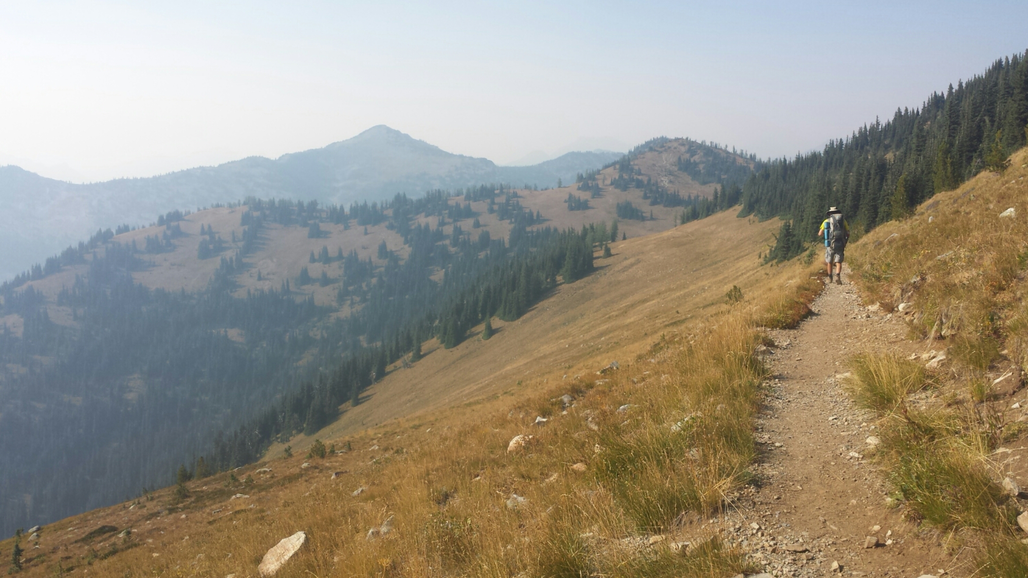
North of Hart's Pass

North of Hart’s Pass

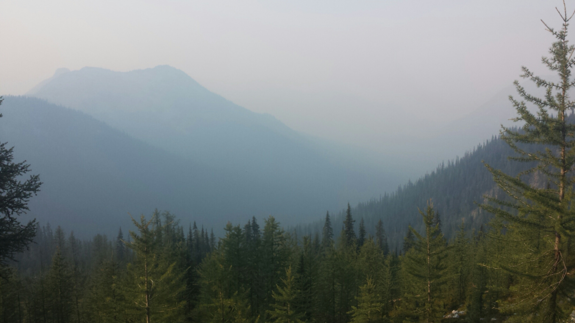
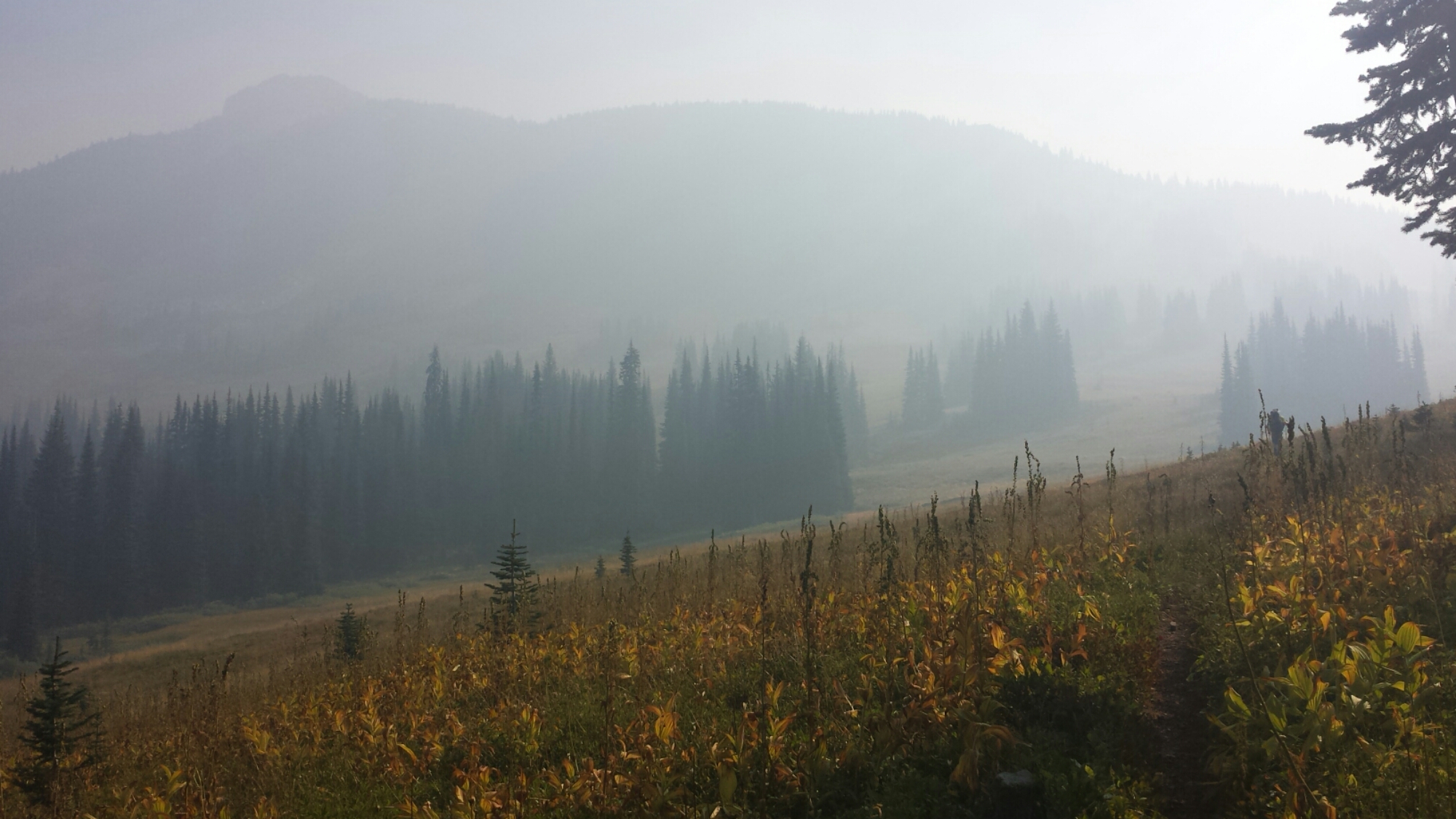
After Harts Pass, the trail climbed up into golden grassy mountains that looked even more like Southern California. Smoke from an additional nearby fire at Ross Lake, called the Upper Skagit Fire, was blowing in and obscuring our views of valley floors and mountain tops. This is the most smokey air I’ve had to hike in and I had a really difficult time with it. I became nauseous and dizzy and even thought I might pass out during one climb. The nausea took away my appetite, so I wasn’t eating as much as I should have, and that just made me feel even worse. I was hiking so slowly, maybe a mile an hour. If I wasn’t such a mouth-breather, it probably would’ve been much better, but I think my nose is just too small for that.

A smokey valley

A smokey valley


A doe-eyed visitor

A doe-eyed visitor

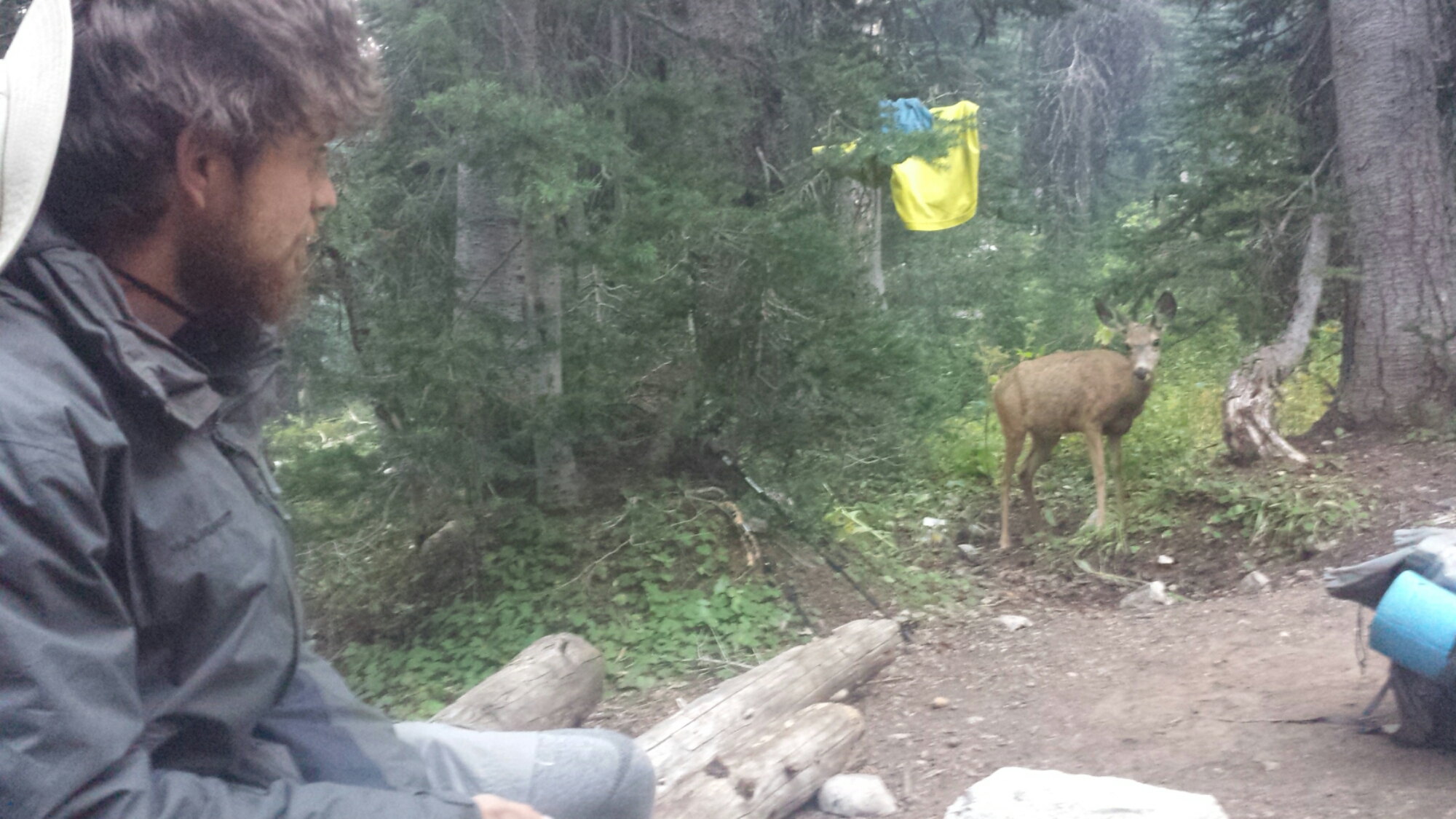
We were visited by a couple of deer at our campsite tonight and one in particular was very determined to lick up Khalil’s pee near a tree. They love the salt and can really be a nuisance around camp. Khalil actually lost one of his shirts to a deer when he left it to dry overnight on a branch. The deer stole the shirt, he chased after it, but the deer wouldn’t drop it. The next morning, he found it half chewed up down the trail.


August 23- 20 miles, camping near Castle Creek in Manning Park

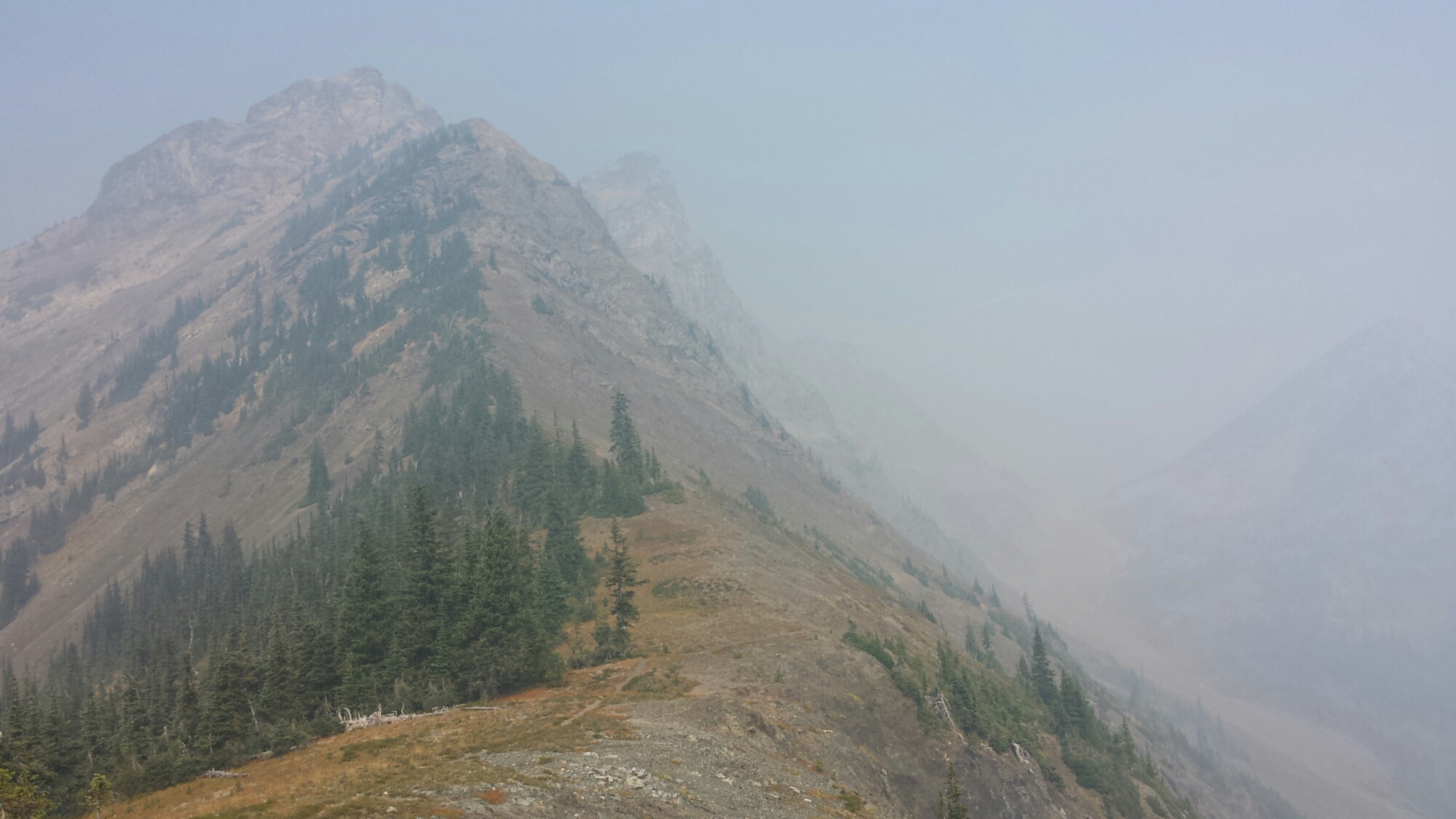
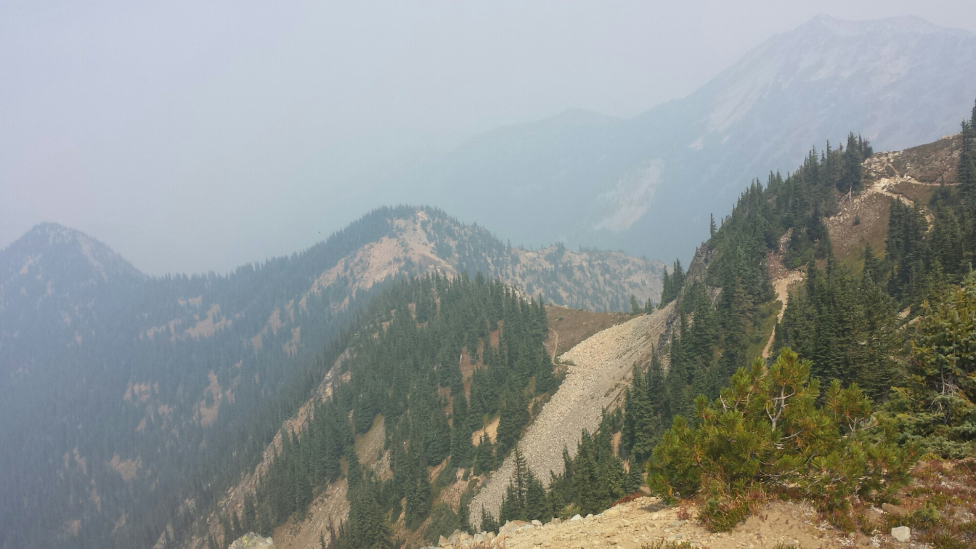
Hiking in smoke

Hiking in smoke

This has to have been one of this worst hiking days I’ve ever had. Smoke sucks and it’s mucking up my whole style. The nausea and dizziness hit me harder today that yesterday and, unfortunately, it put me in a really lousy mood for the majority of the day.

Powder Mountain

Powder Mountain

I could tell that we were hiking through some beautiful mountains, but they were barely visible behind the smoke. It wasn’t until late afternoon, when we’d finished most of our ascent for the day and the smoke lightened up, that I started to feel like myself again and could really enjoy the last few miles of Washington.

Near Devil's Backbone

Near Devil’s Backbone


image

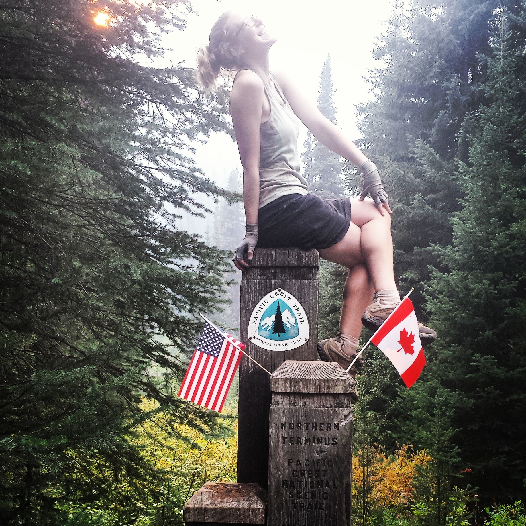
We reached the monument after a few switchbacks just as the sun was slipping behind the hills. There weren’t any tears or even shouts of joy- in fact, it was rather a quiet moment. I struggled to reflect on everything that had brought me to this moment and to find words to write in the trail register that could really sum up my hike. The best I could up with is that this journey has been about a sense of adventure and curiosity and, to borrow a phrase from John Luther Adams, connecting with something larger and older in this world that we usually forget about in our daily civilized lives. Living this closely with and really immersed in nature and weather has been humbling and inspiring. I will forever be grateful for this experience and hope dearly that I can do it again somewhere, sometime.

J.O.Y. at Monument 78

J.O.Y. at Monument 78


Camping at Crystal Creek

Camping at Crystal Creek

There’s an established campsite about a quarter mile after the monument within the Canadian border where we’re staying tonight. Two other hikers are here with us, a couple of 70-somethings who section hiked Washington. It’s hard to believe this is the last night in my tent and I’m savoring the comfort it gives me. Khalil and I are celebrating by cooking a double serving of potatoes and sharing our dinners with each other, a kind of hiker feast/pot luck. He even packed out a picnic-friendly half carafe box of wine so we could really toast to the trail.


August 24- Hitched to Vancouver

Not even on my very last night would the mice leave me alone. There wasn’t even food in my tent and they still helped themselves to exploring around and chewing on my gear. I forget the score now, but the mice have clearly won.

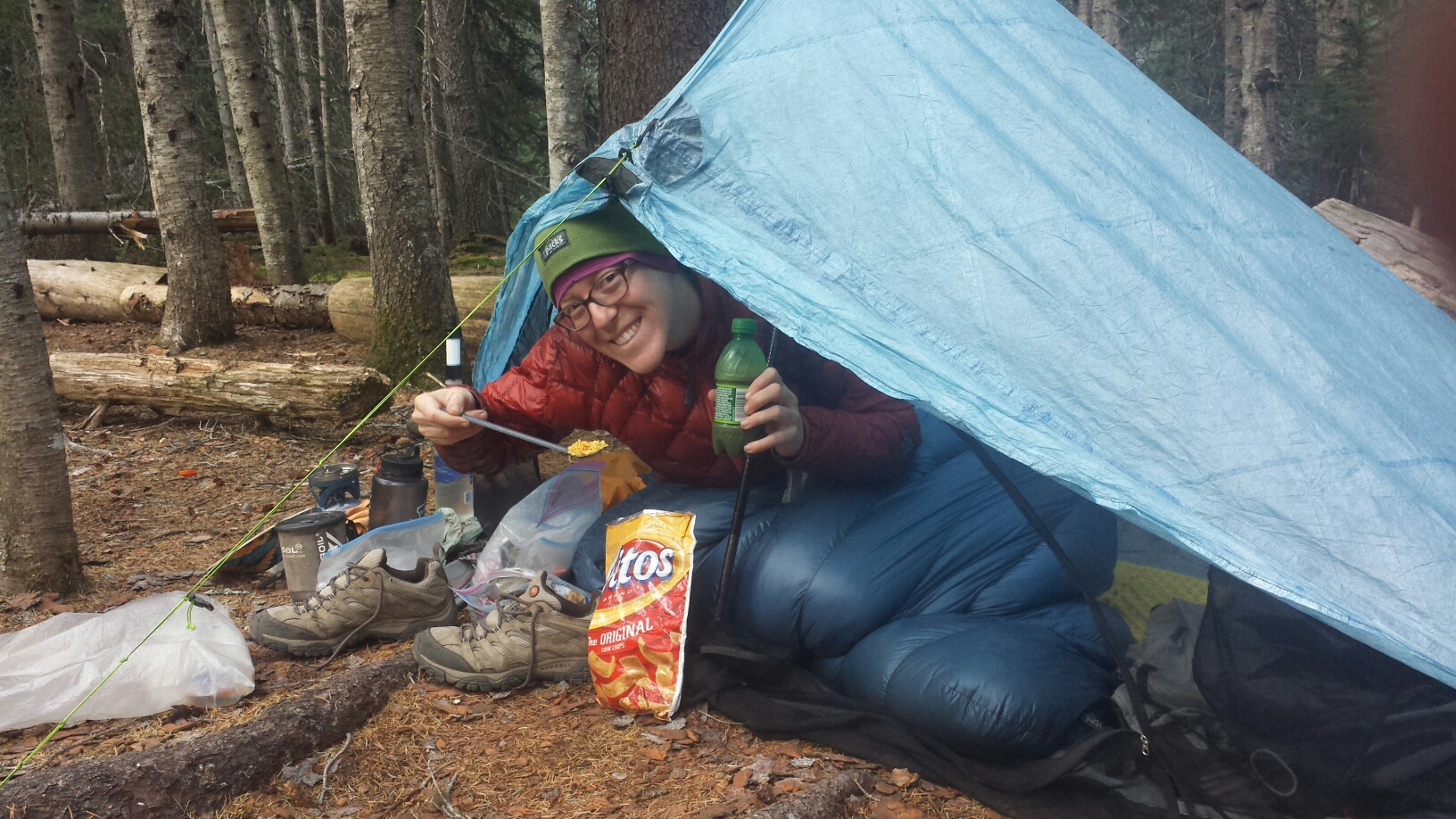
Last breakfast on trail: Fritos & coffee

Last breakfast on trail: Fritos & coffee

Since I ran out of fuel making dinner last night, my breakfast consisted of cold coffee and Carnations mixed in my little soda bottle and Fritos crumbs. Ah, I will miss this!

Last bit of trail into Manning Park

Last bit of trail into Manning Park

The Manning Park Resort is pretty much the only thing around the official end of the PCT. They offer thru-hikers a free shower and drink, preferably hikers take the shower before going into the restaurant for the drink. We were too hungry to care, so we bee-lined it to the restaurant first for lunch.
image

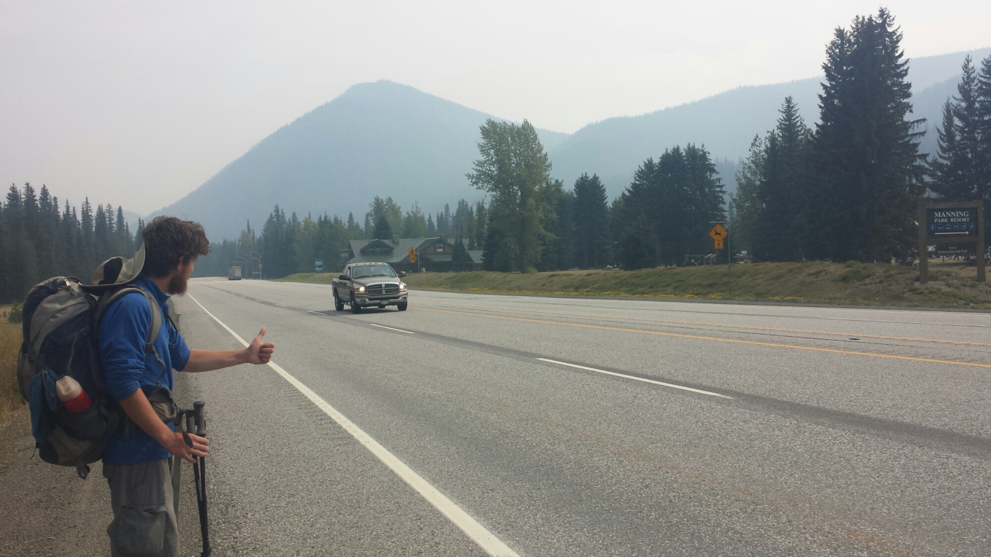
Hitching to Vancouver

Hitching to Vancouver

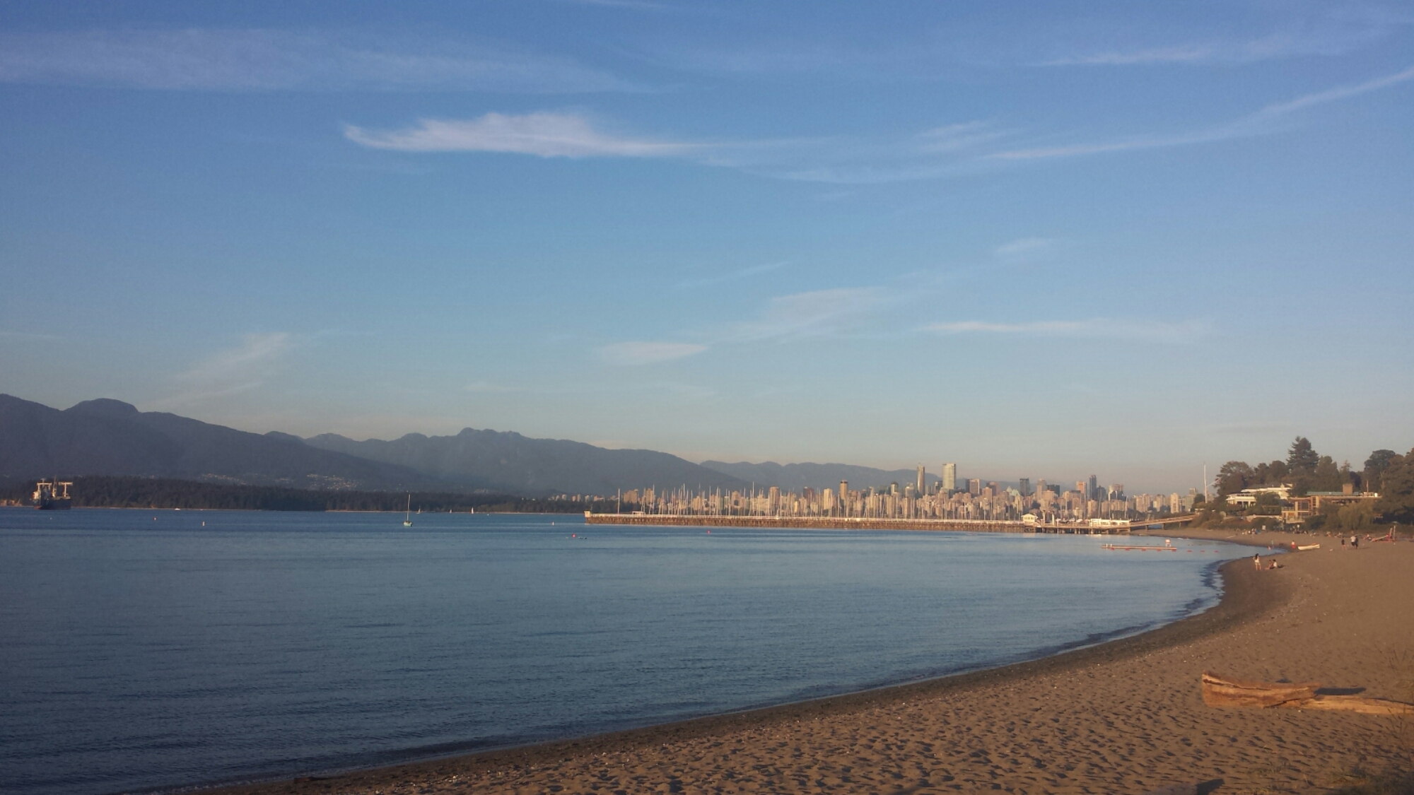
It took us about an hour to hitch a ride, but we were lucky enough that the first car to stop was on his way directly to Vancouver, a two and a half hour ride. Our driver, Andrew, dropped us off in the middle of downtown where we then needed to take a bus to the hostel on the outskirts of Vancouver. We didn’t have any Canadian currency, so I just worked my magic on the bus driver, trying to explain how we just walked into Canada in the middle of nowhere and Manning Park didn’t have any currency exchange- needless to say, he let us ride for free. Vancouver is beautiful; I wish I could spend a couple of days here exploring. Tomorrow I’ll do some errands, hopefully visit the famous Museum of Anthropology, and we’ll have dinner with Kurt, who I hiked with in Oregon. By Wednesday, I’ll be on an airplane home to California and, soon after, back to my life of music and teaching.

View of Vancouver's skyline from Jericho Beach

View of Vancouver’s skyline from Jericho Beach

It’s been a wild ride ever since I started section hiking back in August of 2013. Like your very first love, the dreaming, planning, and experience of hiking the Pacific Crest Trail will forever hold a special place in my heart. I wish that everyone can have the vision, courage, and energy to fulfill their own dreams, whether they be outdoor adventures, educational or professional goals, or of personal growth. Life is short and, if we choose to see them, opportunities are all around us.
image

Thank you to everyone who has followed along and supported me. Until the next adventure, HAPPY TRAILS!


Links

The Lake Chelan Ferry

Stehekin

Manning Park Lodge

Museum of Anthropology, U.B.C.

No. 33- Snoqualmie Pass to Stevens Pass

loading map - please wait...

Snoqualmie Pass: 47.392335, -121.400094
Baring, Wa: 47.773161, -121.485382
Stevens Pass: 47.746222, -121.085933

**UPDATE (8/30): Somehow I accidentally reverted this post to “draft” & lost most of my text. I’ve had to update and republish it.  Sorry, friends, the extra email!**

August 13- 8 miles, camping at Ridge Lake

It took me longer than I expected to get out of town this morning, but that seems to been the norm. I hiked up the 2,500-foot climb with a hiker named Seven, short for “Seven Summits.” Betwwen 40 and 56 years old, he summitted the highest mountains on all seven continents, and now, at 58 or so, he’s thru-hiking the PCT. I asked him to tell me his story as we knocked out the climb and it kinda got my mountaineering juices going. He’s such a modest man and said he was shy about having his picture taken, so I don’t have one to post here.

This is my foot's LEAST FAVORITE kind of trail.

This is my foot’s LEAST FAVORITE kind of trail.

The climb really took it out of me today. Maybe it was the four days of food I was carrying, maybe it was the smokey air, maybe my town stay has made me a softie, but I am absolutely drained. When I reached Ridge Lake, I went for a swim and filtered some water, with every intention of putting in another eight miles.

image

Two southbound hikers said that all the streams for the next twelve miles are dry, though, and since I only have the capacity to carry two liters of water, dry camping in the middle of a twelve mile stretch is out of the question. It’s a dry year, but this is actually the first time I’ve come across usually reliable sources that are now dry. Lucky for me that the hiker community is really good at spreading news via word of mouth.

image

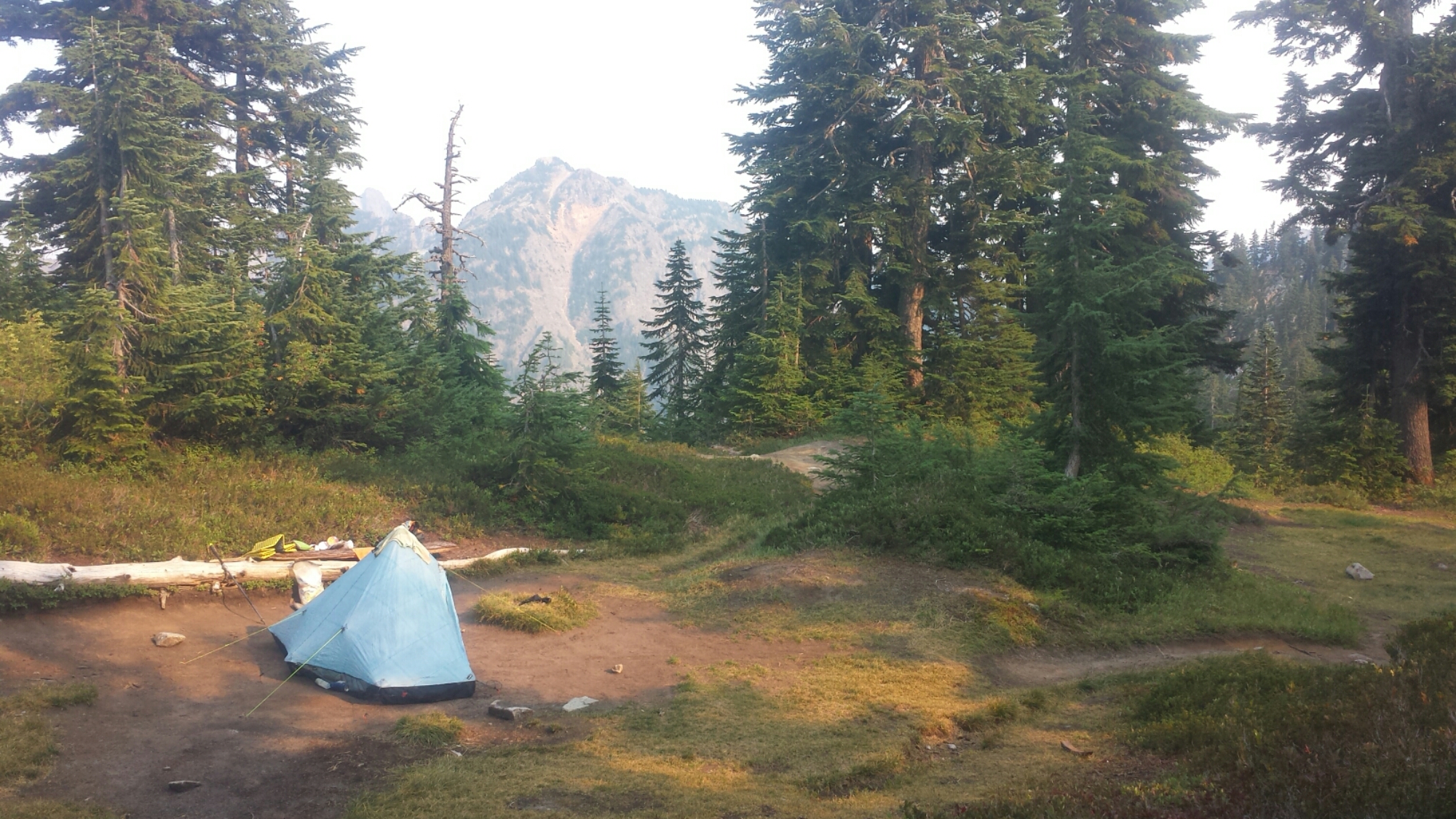
I’ve found a really nice campsite near the lake and am bracing for some rain. The weather report said we’d have thunderstorms all tomorrow- I just hope there’s no lightning. : /

image

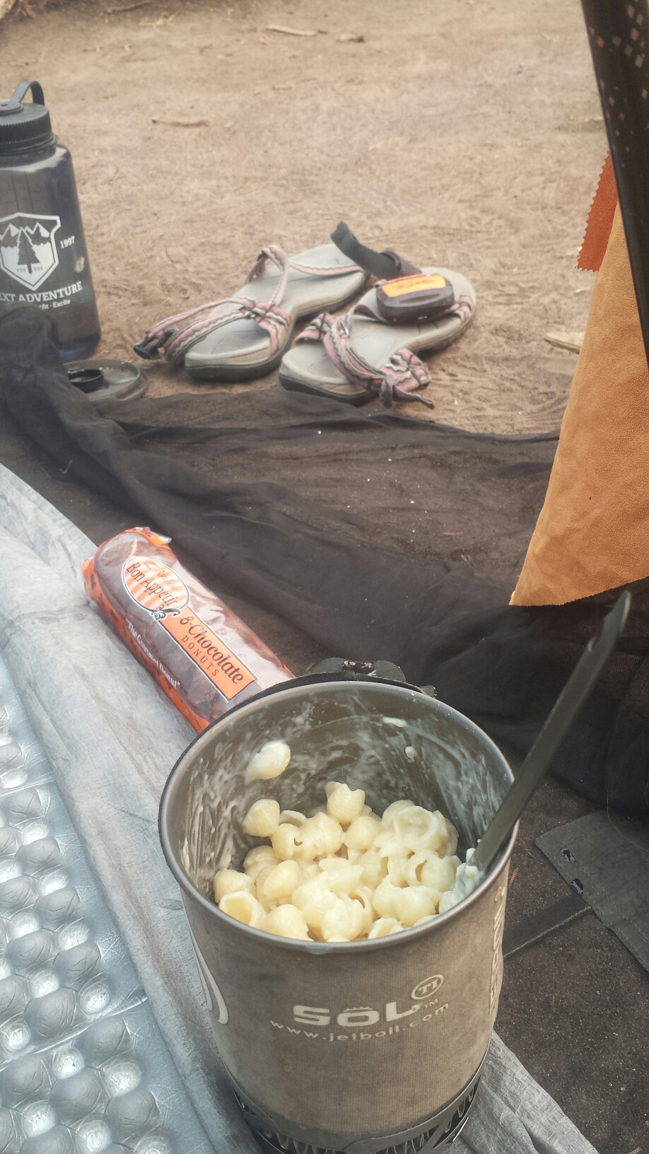
Mac & cheese dinner

Camping near Ridge Lake

Camping near Ridge Lake

August 14- 15 miles, camping in Lemah Meadow

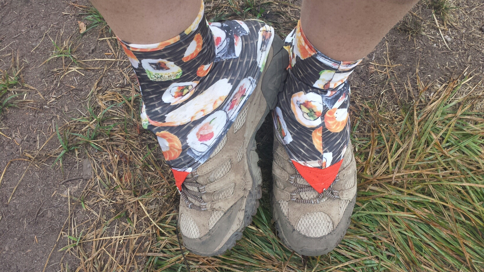
When I lost my old boots in Cascade Locks, I also lost my gaiters. I loved those gaiters! They had the cutest little pin-up girl print. I ordered new gaiters from Dirty Girl Gaiters and had then shipped to Snoqualmie Pass. This new pair has a sushi print and am posting a picture here before they get covered in mud and dirt.

New sushi-patterned gaiters

New sushi-patterned gaiters

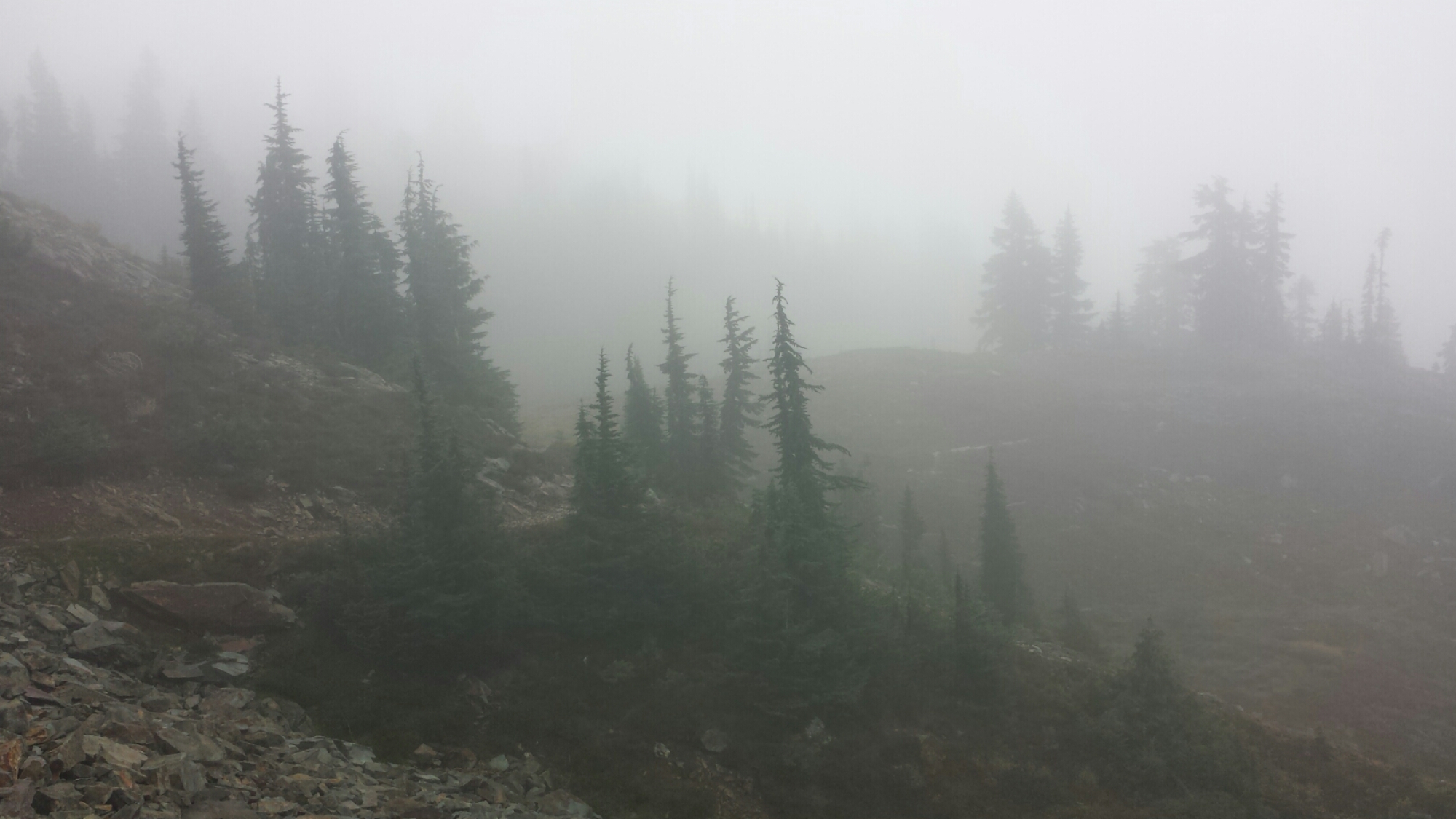
The clouds completely engulfed the trail today; it was like hiking in another world. When there a no views to admire, I end up focusing on the small things, like details in the trail or plants and little animals. It also makes for a much more internal hike because I’ll really get absorbed in my thoughts.

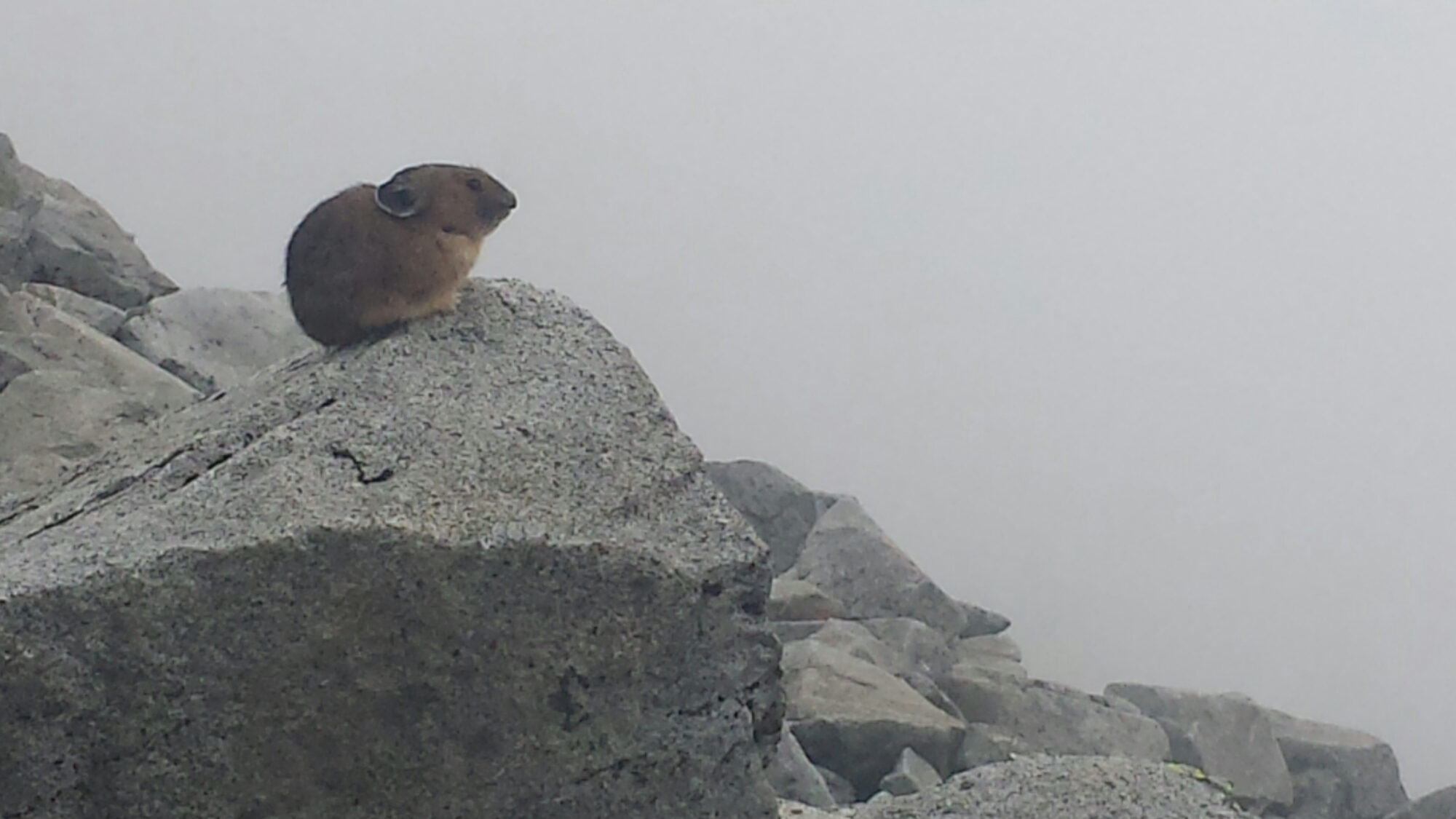
A small thing... a pika

A small thing… a pika

image

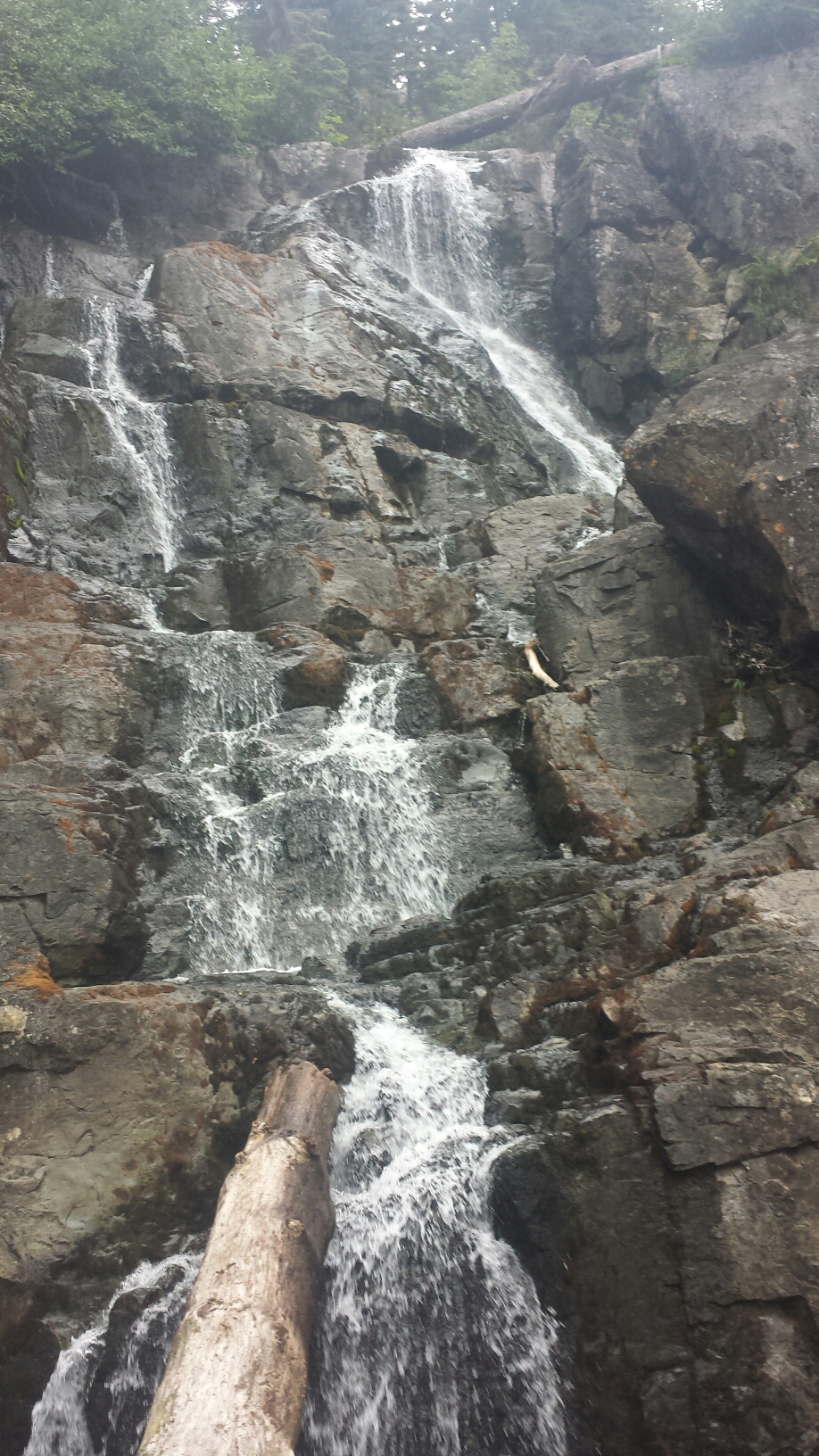
Delate Creek

Delate Creek

It was a wet and very cold day ALL day long. I hiked for most of the day with a Finnish college students named Bambi Magnet, who was vibrant and fun. His passion for everything on the trail, even getting slammed by super cold rain clouds, is really contagious.

image

Lemah Creek and Bambi Magnet

Lemah Creek and Bambi Magnet

By the early afternoon, we were out of the clouds and skirting along the lower elevations of Lemah Meadow. I lingered just below the beginning of the climb up to the next ridge, eyeballing the rain clouds and wind. It looked like pretty unpleasant weather up there and my guide book described only a few, rather exposed campsites. I really didn’t feel like putting up with wind and rain all night, so, even though it was still the afternoon, I set-up camp. With so much time on my hands and stuck inside my tent, I busied myself with sodoku, reading, and snacking on treats. It’s super cold and I’m wearing EVER piece of clothing I have- I really hope it’s not too miserable tonight.

August 15- 21 miles, camping at Deep Lake

Overcoat Peak

Overcoat Peak

The rain turned out to be the least of my concerns last night. Washington mice have yet again demonstrated their stealth, cunning and determination to eat my food. With the zipper on my tent broken, I’m practically at their mercy. They walk in like they own the place and poke around for anything tasty to eat- last night, it was my chicken noodle soup. I’m really regretting not having my Ursack anymore because now I have to sleep with my food huddled inside my sleeping bag. I used to go to sleep in fear of large animals that would eat me, now it’s about the little ones that eat my chicken noodle soup. Mice 5, Katie 10.

image

Drying out my gear above Waptus Lake

Drying out my gear above Waptus Lake

It turns out I made a good decision climbing the ridge last night. If I had, I would have missed out on the incredible views. These mountain are as rugged, beautiful and dynamic as the Sierras. After climbing out of Lemah Meadow and coming around to the north side of the ridge, I was greeted with views of Waptus Lake in a deep valley and grand, rocky peaks topped with clouds. With views like these, the day went by quickly.

Bears Breast Mountain

Bears Breast Mountain

Other than Bambi Magnet yesterday, I’ve seen almost no thru-hikers in this section. My guess is that most must have stayed in Snoqualmie to avoid storm and now I’m in a little vacuum between groups. The solitude has been nice and given me ample time to reflect on this summer’s journey, but it will be nice to hike with Khalil again once he catches up to me.

Waptus River

Waptus River

image

A bunny!

A bunny!

I’ve made it 21 miles today and am camping near the beautiful Deep Lake. The wind has started blowing and the clouds are rolling in over Cathedral Rock. I’ve found a protected little campsite nestled in the trees near the lake, but it’s still so cold that I’m, again, wearing all of my clothing. I’ve tried to barricade my tent and have packed my food tightly under my pillow. Here’s hoping for no mice tonight!

Cathedral Rock above Deep Lake

Cathedral Rock above Deep Lake

Camping at Deep Lake

Camping at Deep Lake

August 16- 23 miles, camping at Mig Lake

Deep Lake

Deep Lake

It was another beautiful day today. The views were spectacular and the weather was great. Despite the cold and another sleepless night of mice, I was up early and heading over Cathedral Pass. At the top of the climb, I caught a glimpse of what I thought was a distant cloud, but turned out to be a snow-covered Mount Rainier.

image

Wildflower

My opinion on trail nudity: It feels wonderful to swim or sunbathe with minimal to no clothing while on the trail. It’s a rare opportunity to be exposed to the elements and comfortable in your skin while NOT in the privacy of your home. As beautiful as the human body is, however, not everyone wants to see it and some decorum is required when in the presence of other people. I am always careful to never expose myself around children, anyone that may be uncomfortable with nudity, and anyone that may make ME uncomfortable. When I do chose to shed my digs, I’ll usually do it away from the trail in a spot where I can easily reclaim some privacy, if called for. If I or anyone else might feel uncomfortable, I’d rather keep my underwear on and maybe my bra, too. I try to remember that wilderness parks are still public parks and common courtesy should always be maintained.

By the way, the picture below was taken by member of a women’s hiking group and no one was offended in the process. : )

Lounging by Deception Lake

Lounging by Deception Lake

image

Cathedral Rock on the far left

Cathedral Rock on the far left

It turned out to be a hot afternoon and the trail climbed up, then down, then up and down again over ridges. Reaching the pass near Surprise Mountain gave me views to the north of the jewel-like Trap Lake and a very smokey sky. The Wolerine and Chelan Complex Wildfires are raging through the areas just north of Stevens Pass and have even closed part of the PCT. I’ll have to get more information in town on the closure and possible detours, but the thought of having skip a section or even end my hike is disappointing. I know the Pacific Northwest Trail (PNT) runs near the PCT in this area, so it’s possible that I could always come back some year to hike the PNT and tag in the remaining sections of the PCT.

Trap Lake and smoke in the distance

Trap Lake and smoke in the distance

My feet actually felt rather sore from all the miles tonight, a feeling I haven’t had in some time. It was a good feeling! And definitely better than some of the other pains I’ve been dealing with during this summer. I ended up plugging into my iPod and listening to podcasts to motivate me through the last few miles to Mig Lake. There are two other tents across the lake, but I’ve found a small outcropping on the opposite side that will give me the illusion of solitude. It’s hot enough for another swim, but this lake looks pretty brown and I’d probably come out dirtier than I went it, so I’m going to pass on a bath tonight.

Camping at Mig Lake

Camping at Mig Lake

August 17- 7.5 miles, camping at The Dinsmores

The Dinsmores are a couple of PCT enthusiasts who live west of Stevens Pass in Baring, Washington. They’re some SERIOUS trail angels. They’ve built a couple facilities on their property to house, bath, feed, launder, and support thru-hikers and I’m really looking forward to staying there tonight. After hiking about seven miles to the highway, I taped a note for Khalil near the trailhead explaining how to find the Dinsmores, cleaned up in the parking lot bathroom and changed my shirt, then headed out to hitch a ride.

Lake Susan Jane and the Southern Divide Ridge

Lake Susan Jane and the Southern Divide Ridge

Cresting over the Southern Divide Ridge

Cresting over the Southern Divide Ridge

A nice local dropped me off in Skykomish so I could use the library and have lunch at the only restaurant around. Just as I was polishing off my milkshake and burger, in walked Khalil. He was supposed to be at least a day and a half behind me still, so I couldn’t believe he was waltzing into the restaurant. I watched him hobble around the tables and resist the waitress when she tried to get him to put his pack outside. He plopped down in the chair, completely facing me and still didn’t seem to realize I was sitting right in front of him. It was pretty funny, so I really just had to watch him for a couple more minutes and see how long this might go on.

Even after I called his name, he looked at me so dazed and confused. I was really laughing so hard because his expression was hilarious and then there was the absurdity of us arriving at the pass on the same day and finding ourselves in the same restaurant. He said he hiked a thirtyfive-mile day and at least one, maybe two, thirty-mile days to catch up. He’s one crazy Austrian, but I’m glad that I’ve got my friend back.

Stevens Pass

Stevens Pass

Links

Installment No. 34- Stehekin to CANADA, 2015

Dirty Girl Gaiters

The Wolverine Fire

Pacific Northwest Trail

Dinsmores Hiker Haven


No. 32- White Pass to Snoqualmie Pass

loading map - please wait...

White Pass: 46.637222, -121.391665
Snoqualmie Pass: 47.418796, -121.411972
Anderson Lake: 46.831543, -121.474972


August 6- 10 miles, camping below Naches Peak

With all my running around the little town of Packwood, trying to find Wi Fi strong enough to upload my blog, I didn’t have enough time to hitch back to the trail, like I’d hoped. Instead, I spent another night at the Packwood Station Bunkhouse with Kinky Camel and southbound hiker Sequoia. We repeated our family-style spaghetti dinner and waffle breakfast, since they were a hit. After breakfast, Kinky Camel and Sequoia decided they’d head into Seattle for gear and I did a couple more errands around Packwood.

Trail Magic at Chinook Pass

Trail Magic at Chinook Pass

I knew I wanted to hike with Day Tripper and 1-Step, but they were already a day ahead of me and I didn’t think I’d be able to catch them. Instead of hiking out of White Pass, I decided to hitch up trail about 30 miles to Chinook Pass and then hike southbound to see them. After receiving a bit of trail magic at Chinook Pass and hiking southbound for five miles, I found them lounging naked in the sun next to Anderson Lake.

image

Hiking southbound from Chicknook Pass

They convinced me that I wasn’t missing anything too special between White Pass and Anderson Lake, so, once they were fully clothed, I made a U-turn and hiked northbound with them back toward Chinook Pass. Purists may scoff at me, but hiking north with them felt like the right move, even if it meant missing out on 30 miles of the PCT.

Day Tripper and 1-Step

Day Tripper and 1-Step

We’re camping just south of the pass, near Naches Peak. 1-Step wants to do 26-mile days so he can maintain his schedule. I hope I can keep up with them; it’s going to be an early start tomorrow morning.

August 7- 23 miles, camping at Urich Camp

Last night, I was awoken by the calls of coyotes roaming around the mountain – at least I think they were coyotes. Day Tripper and 1-Step get up early, so that means I was up and hiking with them by 6:30am.

image

The views were beautiful all day, but Rainier remained shrouded in clouds. At times, it was difficult to tell the difference between the white clouds and the white snow of Rainier.

The most beautiful sight we saw all day, though, was a small black fox. We were sitting on Sourdough Gap admiring the view when I spotted the little guy walking up the switchbacks below us. We thought he’d sense us and turn another direction, but he stayed his course while we stayed as still and quite as we could. I didn’t dare take out my camera because I didn’t want to miss a moment of seeing this special animal. That handsome fox trotted all the way up the trail and went right on by, just three feet from Day Tripper and looking us straight in the eyes, as though he saw hikers all the time on his daily route over Sourdough Gap. It was magical!

image

My foot seems to be recovering, but I stepped on a rock wrong mid-day and felt it achy and cranky all the way to camp. I left 1-Step and Day Tripper lounging at a lunchtime spring and hiked slowly ahead of them for the afternoon. I originally wanted to stop after 18 miles because my foot hurt, but with rain clouds building, it seemed like a better idea to head for a shelter called Urich Cabin.

image

This shelter is nicer than most I’ve seen. There are three section hikers staying here also and someone else has left a trail magic cooler full of juice and chips. The section hikers have set up their beds in the loft and Day Tripper and 1-Step are sleeping near the door, so that leaves the back corner for me.

image

Unfortunately, there are mice here, which is common for mountain shelters, but after my last dealing with a mouse, I’m not looking forward to tonight. I’ve packed my food in my backpack, wrapped the pack with my rain jacket, and stuck it under my feet. If any mouse messes with it, I’ll end up cuddling it in my arms.


August 9- 20.7 miles, camping on a ridge

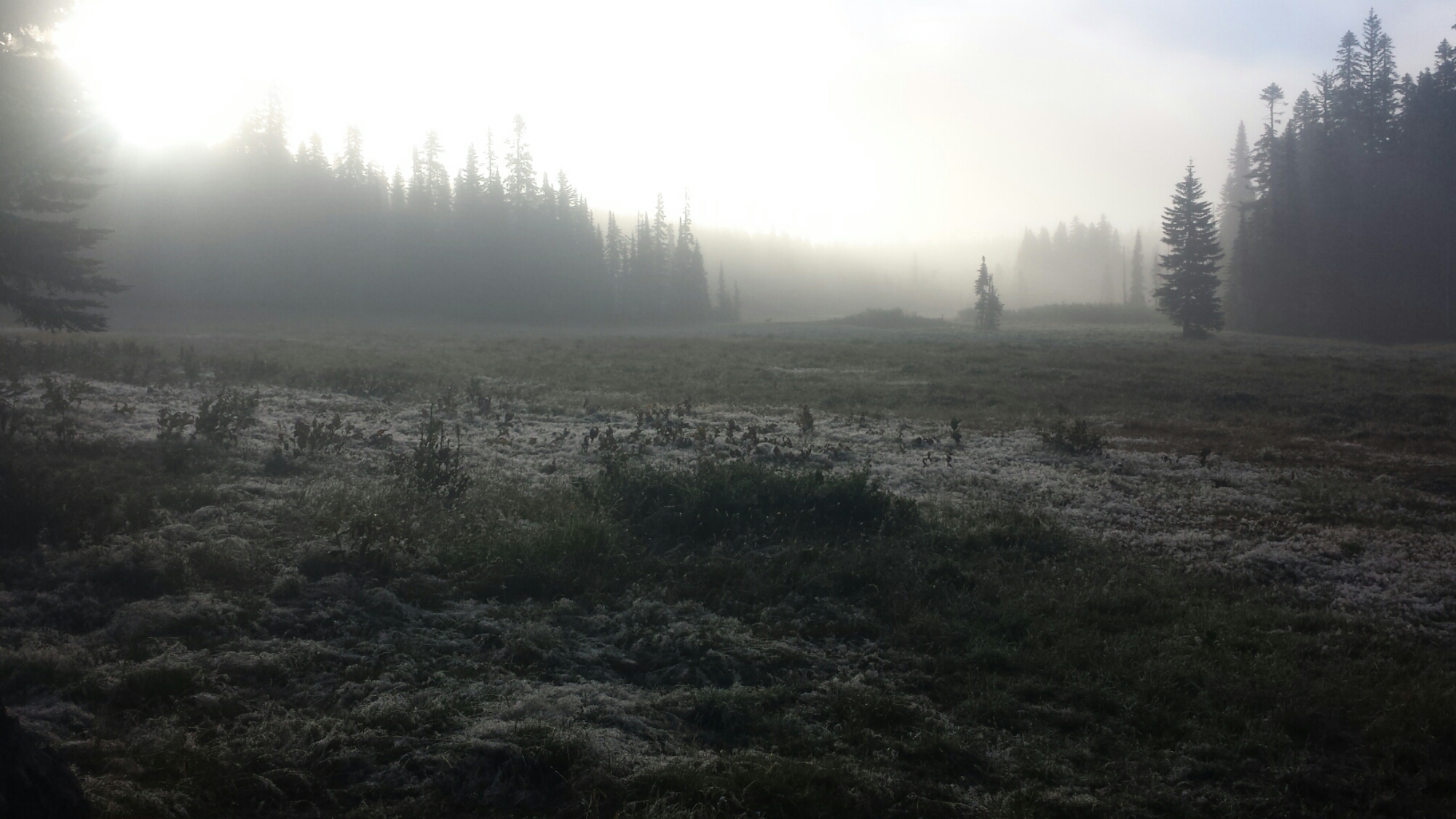
It was a very misty morning and the dew collected on all the grass and leaves, looking like crystal frost. If I’d camped last night, all of my gear would’ve been soaked through with condensation. The mist cleared as soon as the sun came over the treetops. I had looked away for one minute and the world outside completely changed to blue skies.

Morning mist in Government Meadow

Morning mist in Government Meadow

In 1853, a pioneer party called the Longmire Wagon Train made camp on this meadow for two days before descending to the Puget Sound. Knowing bits of history like that make the hike so much more interesting. I love imagining how those people lived, what they felt and thought about during their own journeys and what they hoped the future would hold.

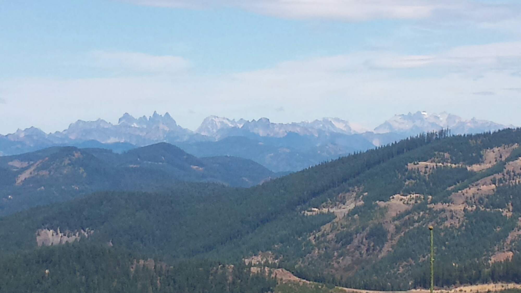
North towards the Wenatchee Mountains

North towards the Wenatchee Mountains

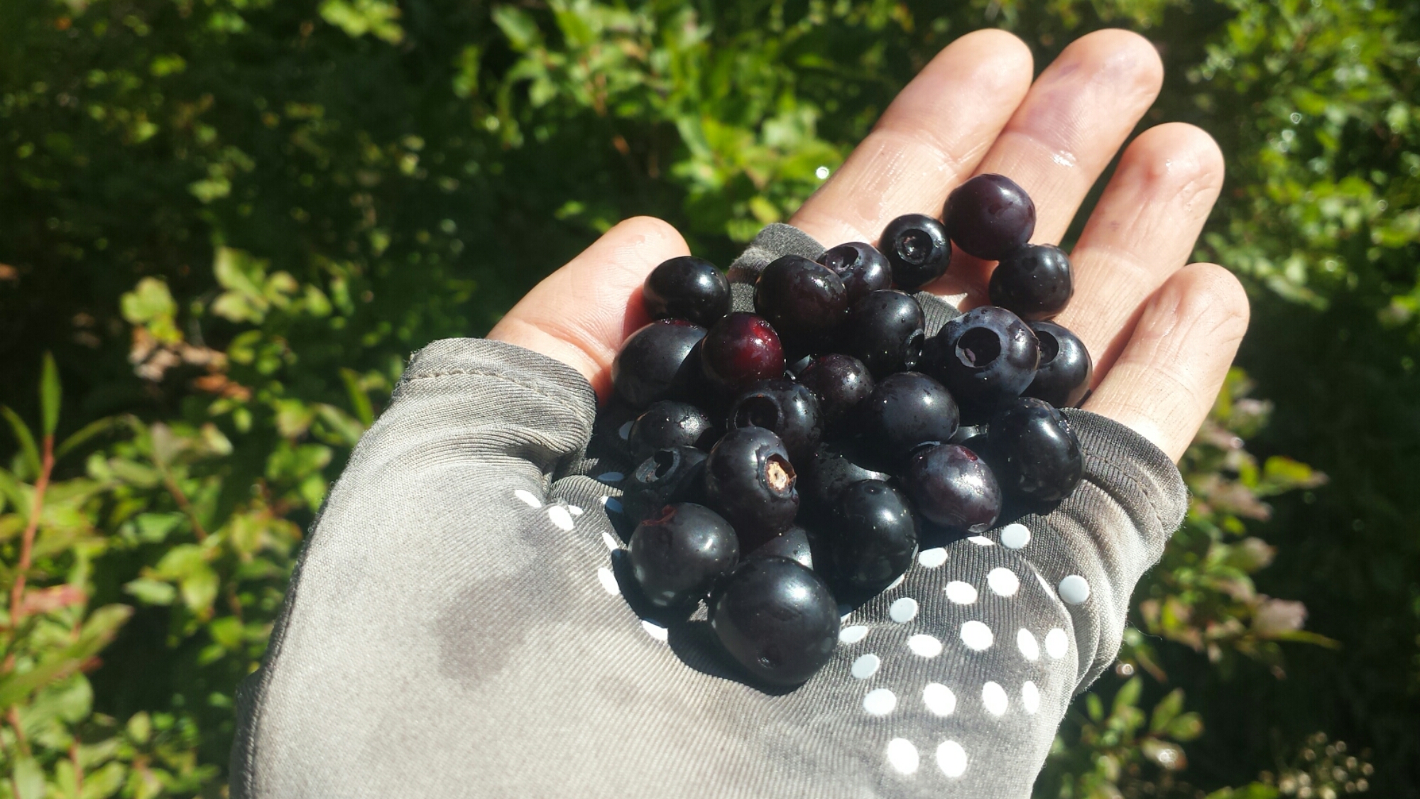
All day, I was hung up in huckleberry bushes. It became a compulsion to scan the sides of the trail for ripe, juicy berries and my hand would dash out to grab them as I walked. I thought about pulling out my pot and filling it with berries, but I was just too lazy. The trail seemed to provide plenty, so there was no need to stockpile them.

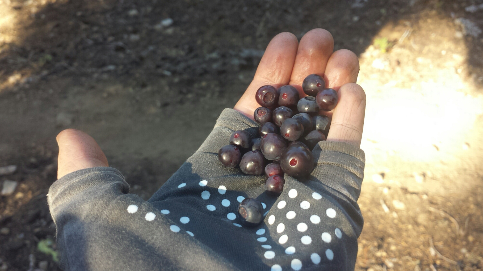
Wild huckleberries

Wild huckleberries

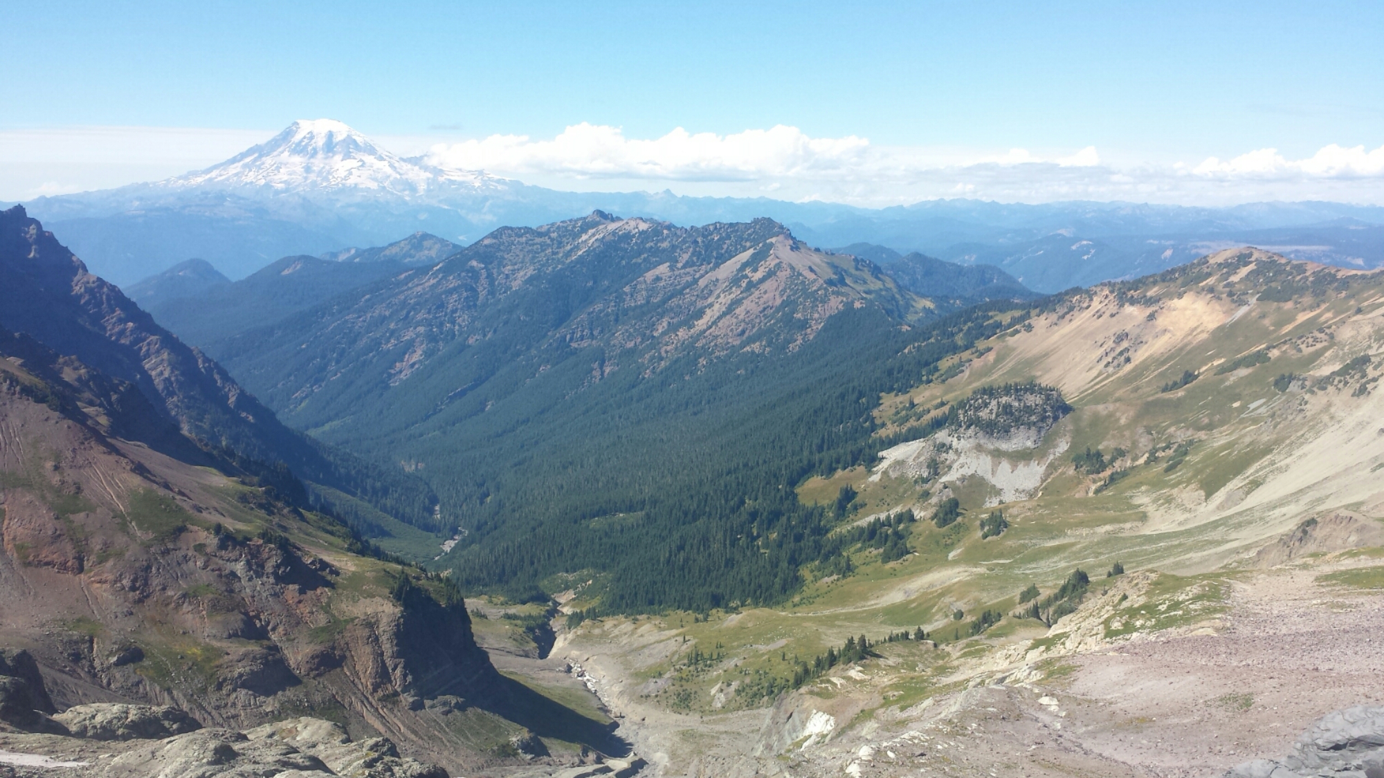
I finally got some amazing views of Mount Rainier today. Even at this distance, it’s such an impressive mountain: it’s base decorated with tall, jagged rocks like sentinels; blue, cracked glaciers draping its sides; and it’s peak wide and expansive, practically touching the sky.


Finding myself

Finding myself

I wasn’t sure how far I’d make it today with my foot, but I took it slow and steady and made it further than I thought. I found a lovely spot on a high ridge with views to the north of the rugged Wenatchee Mountains. I can also see what I think is the smoke from the massive forest fire north of Skykomish. I’ll have to detour around that fire, missing out on some beautiful land. In the meantime, the sunset is gorgeous and Day Tripper and 1-Step just showed up to camp with me.

Sunset over the Wenatchee Mountains

Sunset over the Wenatchee Mountains

August 10- 23.25 miles, camping at Lodge Lake

There was a light rain around 4 am that woke woke me up. I love the sound of rain on my tent- I feel so protected and cozy inside, as long as it’s not freezing cold. By 8am my tent was dry, I said goodbye to 1-Step and Day Tripper, and I was hiking off the ridge.

image

Lunchtime

The trail wound down and up, down and up, and more down, down, down all day long. I saw a few southbound hikers, but no one else, and the trail was thick with view-blocking trees, which made the day pretty meditative. I went into trance mode and had to remind myself to look up and around so I didn’t miss anything.

image

image

Interstate 90 near Snoqualmie Pass

Interstate 90 near Snoqualmie Pass

I’m calling it a night just two miles short of Snoqualmie Pass with its hotel and restaurants. My foot did really well until the late afternoon, when the trail became really rocky. My back tingles have also returned. It’s bizarre, they seem to pop up when my pack is at its lightest, but the pins and needles are super painful. I think it would be better not to push it tonight and then have a “Nero” Day tomorrow. I’m still hoping I’ll make it to Canada, but I need a healthy back and both feet to do it! I’m camping alone, for the first time in awhile, at Lodge Lake. At this point in my hike, I actually really love camping alone, a stark contrast to my first days on the trail.

Lodge Lake

Lodge Lake

image

August 11- 2.5 miles, staying at the Summit Inn

This morning, I had a super easy 2 miles along the trail and then down a ski lift road to Snoqualmie Pass. I piled up on breakfast at the Pancake House and was ready to nap and do laundry when the Summit Inn clerk said there would be no check-ins until 3pm. Argh! I was SO ready to just relax and get organized, now I’m stuck hanging out in the hotel lobby for six hours. I was tempted to maybe hitch to another town and stay at a different hotel, but I ran into Blue Moon and Scarecrow who convinced me the Summit Inn was worth the wait.
image

Seven hours later… I grabbed some Korean Bibimbap and convenience store junk food and settled in for the evening with some classic films. My resupply package seems to be M.I.A.- I may have to hitch down the road 20-40 miles to locate it tomorrow.

image

August 12- ZERO DAY, staying at the Summit Inn

I must’ve been super exhausted because I slept about eleven hours last night and still could’ve slept more. For about an hour, I was hurrying to eat breakfast- which happened to be a bacon-filled pancake topped with ice cream- wash my clothes in the sink and pack my bag so I could check out on time. Thinking about everything that I still needed to do today, I decided I should just stay another night. I still needed to line-dry my clothes, call my bank, call Apple Customer Care, call loved ones, post to my blog, and locate my resupply box. A little more sleep wouldn’t hurt either.

image

image

And so, here I am, another night at the Summit Inn. I’ll head out tomorrow morning and still won’t be behind in my schedule. Whoohoo!


Links

Installment No. 33- Snoqualmie Pass to Stevens Pass, 2015

Summit Inn


No. 31- Trout Lake to White Pass, 2015

loading map - please wait...

Trout Lake, WA: 45.997343, -121.528137
White Pass: 46.627749, -121.423645
Packwood: 46.606501, -121.670644

August 2- 10 miles, camping at Sheep Lake

We got really lucky with our hitchhiking this morning. While we were having breakfast in White Salmon, a young guy named Sklyer overhead us talking about getting back to the trail and offered us a ride to Trout Lake. After he dropped Khalil and I off at the cafe so I could charge my phone, he ran home and grabbed his baby girl, Nova, and came back to join us for a game of Monopoly. It was a lot more fun with three players and Nova was one of the sweetest babies I’d ever met.

Monopoly with Khalil, Skyler and baby Nova

Monopoly with Khalil, Skyler and baby Nova

Once Khalil had wiped Skyler and I clean of all our assets, we headed back to the road and hitched a ride with a girl. It’s incredible how much the locals support the hikers- even when they couldn’t give us a ride, cars would pull over just to chat.

image

I think I may have overdone it on my food for this section. I made the mistake of shopping for snacks before eating lunch, so I grabbed all sorts of goodies that I probably don’t need. For lunch, I tossed out my homemade chicken veggie wraps in favor of salami wrapped in ghee and a tortilla- super, duper fatty!

Salami & ghee wrap

Salami & ghee wrap

The trail climbed up towards Mount Adams through recently burned forest. Since I’m trying to take care of my foot, we planned to hike only ten miles to a little pond below the peak of Adams. Honestly, today gave me some of the best views I’ve seen in Washington so far. The closer I got to Mount Adams, the more beautiful it became. Unfortunately, a smokey sky from a nearby fire and rain clouds blocked the views of Mount Rainier and Goat Rocks.

Mount Adams

Mount Adams

It was nice having lots of time at camp this evening. I went through all my food and listened to Khalil chide me on not eating enough in town and then carrying too much in my pack. He stopped lecturing me once I offered him some bars and jerky. Now he’s quiet in his tent munching away at that extra food I carried all the way up here.

I also had time to stretch and work on my sore foot. It’s hard to tell if it’s getting better, probably because it truly needs about a week of rest. *Sigh.* It’s a difficult choice between staying on trail with an injury and getting off trail when you’re so close to finishing. Tomorrow we head into Goat Rocks Wilderness, which is often featured in PCT calendars because it’s so scenic. I hope the clouds clear so I can really see it in all its glory

Camping at Sheep Lake

Camping at Sheep Lake


August 3- 22 miles, camping at a little unnamed pond

Today was so beautiful. The trail began by skirting around Mount Adams, as it usually does to these great volcanic peaks, giving us views of not only the surrounding area, but also the 12,281-foot peak. Unfortunately, the smokey and rainy clouds from yesterday still lingered in the sky, blocking the views of Mount Saint Helens and Mount Rainier.

Mount Adams and Adams Glacier

Mount Adams and Adams Glacier

Mount Adams has an incredible glacier pouring down along its northwest side. The guidebook describes it as a great frozen waterfall, and it truly looks that way. With strikingly blue ice, it’s edges stood like tall, vertical cliffs on the outcrops of the mountain, as through a great knife had sliced through and taken out entire sections.

Crossing Adams Creek

Crossing Adams Creek


image

Glimpsing Goat Rocks


image

Killen Creek

I was able to hike relatively pain free today, with the help of the doctor’s cream and some naproxen. Having dealt with repeative stress injuries in the past has made me very sensitive to the fact that I may be doing permanent damage while covering up the pain. When Khalil and I hit twenty-two miles, we both felt good enough to hike an additional three or four for a better campsite, but I knew it wouldn’t be a good idea for my foot. So, we’re camping near a mucky pond with no spectacular view. He’s been really patient with me and my injury. I appreciate that- I just don’t want to interfere with the way he would prefer to hike.

image

Camping at the unnamed pond


August 4- 21.5 miles, camping below Tieton Pass

I had heard that Goat Rocks Wilderness was beautiful, but I really wasn’t prepared for how stunning it would be. It seemed that every turn around a corner or over a pass brought greater and greater beauty. We got our first clear view of Mount Rainier today, a queen towering 14,410 feet into the air and drapped with a diamond-like necklace of glaciers.

image

Looking south toward Mount Adams


Crossing a small glacier below Snowy Mountain

Crossing a small glacier below Snowy Mountain


Mount Rainier viewed from Snowy Mountain

Mount Rainier viewed from Snowy Mountain


The trail itself was also more interesting than it has been in awhile. We climbed through forests and rocky shale, crossed snow, and teetered on the edge of steep cliffs. It was thrilling! It also brought challenges for my little foot, and I fell on my backside heading down the rocky north side of Knife’s Edge. I think the foot is improving, but not very quickly.

image

Knife’s Edge on the left, Snowy Mountain glaciers on the right


Knife's Edge

Knife’s Edge

The first campsite we came to was near a grassy, muddy pond, and just didn’t look too appealing, so we hiked another mile to a trail junction near a stream. It’s really chilly tonight, maybe the first real chill I’ve felt in weeks. Still, I made sure to play some ukulele because I plan on mailing it home at the next post office I reach. My hope is that lightening my load will help my injured foot.

Camping below Tieton Pass

Camping below Tieton Pass


August 5- 12.5 miles to White Pass, staying in Packwood

image

It was a delightful and scenic twelve miles to White Pass this morning. We had more views of Mount Rainier and Khalil has decided to attempt a summit. Since I’m on more of a schedule than he is and I don’t have the technical skills for a summit like Rainier, I will not be joining him.

Approaching White Pass

Approaching White Pass

We made it to White Pass around noon, after taking a “shortcut” along a ski slope. I picked up my resupply box and a sweet letter from my boyfriend’s mom and did laundry at the little gas station. After talking to other hikers, we decided the nearby town of Packwood would be a great place to stay for the night. A trail angel took Khalil, myself and two other hikers, Day Tripper and 1-Step, the 25 miles down into town. We’re all staying at a hostel-like bunkhouse called the Pack Station.

Off-roading down a ski slope toward White Pass

Off-roading down a ski slope toward White Pass

image

Trail Mail! <3

I really didn’t feel like dining out and since the bunkhouse has a big communal kitchen, I made a big spaghetti and meatball dinner. It was so nice sitting family-style around the table and swapping stories with other hikers. This community of wonderful people is half of the joy of hiking the PCT.

Spaghetti dinner with Khalil, Sequoia, Kinky Camel, Day Tripper, and 1-Step

Spaghetti dinner with Khalil, Sequoia, Kinky Camel, Day Tripper, and 1-Step


August 6- Hoping to hike out!

Everyone got together this morning and pitched in to make a fantastic breakfast. We had waffles, French toast, bacon, eggs, fruit with yogurt and coffee. Khalil is heading out today to Mount Rainier National Park in the hopes of summitting the mountain. We said goodbye for a second time on the trail (the first was back in Burney). Who knows what the trail will bring and with a trail name like “I’ll be back,” we may just run into each other again!

image

Breakfast with Khalil, 1-Step, Sequoia, and Kinky Camel

I hope to hikenout with 1-Step and his girlfriend, Day Tripper, this afternoon,vif I can get my blog uploaded. 1-Step isn’t a doctor, but he knows feet pretty well from years of hiking and did a bit of work on my injured foot. My next stop is Snoqualmie Pass and I hope to make it all the way to Canada, but I’m just taking it one day at a time.

image

1-Step working on my foot


Links

Installment No. 32- White Pass to Snoqualmie Pass, Aug. 2015

Packwood Station Bunkhouse


No. 30- Cascade Locks to Trout Lake, 2015

loading map - please wait...

Bridge of the Gods, Cascade Locks: 45.662374, -121.901348
Trout Lake, WA: 45.997343, -121.528137
White Salmon: 45.727619, -121.486462


July 27- 4 miles, camping at Gillette Lake

After a fantastic weekend in Portland with Art and good friends, I was back in Cascade Locks meeting up with some hikers I hadn’t seen in a while. Khalil, Blue Moon, Scarecrow and Chuck Wagon were there and planning to head out later in the day. Kurt was also in Cascade Locks and had just finished his section hike of Oregon.

image

Blue Moon, Scarecrow and Kurt in Cascade Locks

I headed out late in the afternoon and only put in four miles before stopping at Gillette Lake for the night. I didn’t take any pictures because it really wasn’t too inspiring and my feet were aching a bit.

image

Washington side of the bridge

Unfortunately, I now have a new pair of hiking shoes. I say “unfortunately” because I actually lost my old boots when I got on the bus to Portland last week. I must’ve set them down somewhere in town when I switched into my sandals, but didn’t realize I was missing them until I was boarding the bus. The new shoes are lighter, but not as comfortable and cushioned as my old boots had been. My feet are feeling a little tender and I hope I can break these shoes in soon, or it’s going to be a long 500 miles to Canada.


July 28- 21 miles, camping on a dirt road

Last night, I stepped out of my tent to make a phone call to Artie. I still had cell service because we were so close to the highway. When I came back to my tent, I found a fat mouse scurrying around inside. We both squealed as I tried to shoo him out. The damage was done, however. He had already chewed into my tortillas- I was so pissed at myself. Tortillas are worth their weight in gold on the trail.

image

The Columbia River

After that, the fat mouse knew exactly where to find tasty food and spent all night trying to get at it again. I woke up multiple times, hearing him chewing at the side of my tent, but I didn’t think it would go beyond me having to occasionally slap the ground and scare him away. I was wrong. Hours later, I awoke to that same fat mouse crawling over my head trying to get the tortillas that I’d stashed under my makeshift pillow. I jumped up and mercilessly shooed him out again and then searched around the tent for the hole he created. I patched it up with duct tape and then examined all my food. This time, he managed to chew into a bag of cookies and my Nido milk; he also left me little bits of mouse poop to clean up. More than being woken up with the mouse crawling over my head and more than having to clean up his poop, I was heartbroken at the loss of my cookies. I saved what I could of the tortillas and milk.

image

Lunchtime chicken & veggie wrap

Washington is similar to Oregon with its forests and Cascade Mountains, but the days of gentle elevation changes are gone. Here begins some of the steepest gains and losses on the trail with little to no flat stretches to recover on. The day was full of ups and downs through moss-covered trees and rocky stream beds. My muscles haven’t been used like this for awhile and my feet are still getting used to my new shoes.

image

Mossy trees


image

Great big clovers

It’s such a nice, warm, bugless night and it was already past sunset when I reach my campsite, that I decided to cowboy camp. It’s been awhile since I’ve done it because bugs were a problem through most of Oregon. My only concern tonight is keeping the rodents at bay. I’ve bagged all my food and wrapped it in my smelly hiking shirt- I plan to cuddle my treasured snacks like a teddy bear all night. No one will come between me and my food!

image

Camping on a dirt road


July 29- 21 miles, camping at an unnamed spring

image

Bunker hill

It was a beautiful day, but I really struggled with my feet and the big climbs. I hit a couple nice spots near rivers and creeks and was very happy to take big breaks.

image

Wind River


Besides still breaking in my new shoes, my foot is still giving me problems from when I smashed it with my water bottle while crossing Russell Creek near Mount Jefferson. The ache is in the front middle of my foot and it’s very slightly swollen. I’m going to give it another five days to see if it gets better or not. I’m hoping it’s just a very bad bruise and nothing more serious.

image

Mount Adams

I camping near an ice-cold spring tonight with some thru-hikers I’ve just met: Ice Cream, Thunder Thighs and Toasted Toe- all really fun and equally miffed about the sudden changes in elevation.

image

Camping near an unnamed spring


July 30- 26 miles, camping near Mosquito Lake

image

Our unnamed spring

Despite my achy feet, I decided to hike 26 miles today. The water was spaced out about ten miles apart at two places, a lake for lunchtime and a creek for dinner and camping. The heat has also really turned up, so all morning I was dripping with sweat and plopping down in the trail for water breaks.

image

My lunchtime spot, Blue Lake, couldn’t have been more heavenly. It was deep with clear, turquoise water and lined with tall pines. I couldn’t resist jumping in along with a troop of boy scouts that was camping there. We rested on the lake shore for two hours, swimming, eating, and sorting through our food bags rationing out what we could eat.

image

Blue Lake


I have been exceptionally hungry during this stretch. I think it’s because of all the elevation changes and the increase in calories it takes to go over them. Since I was so hungry and trying to do 26 miles today, I opted to have my big homemade pasta dinner for lunch. My veggie chicken wrap that I’ve been having for lunches doesn’t seem to have enough calories. I’ve actually been eating my tortillas with ghee that I grabbed out of a hiker box instead of the veggies and chicken because the ghee has more fat.

image

Junction Lake

After lunch, it was time for more asprin and some tunes. All afternoon, I bounced down the trail to Billy Joel, Pharrell Williams, and James Brown. It’s amazing what a difference music can make in one’s mood. I’m not saying it took away my pain, just made it easier to cope with- and the asprin took the edge off.

image

A glimpse of Mt. Adams through the trees

I reached the creekside campsite after 9pm and met up with Toasted Toe, who I met last night. Even before I could put my pack down, he requested some uke music. How could I refuse? I serenaded him with a few tunes until it was too dark to see and then had to set up my tent.

Since I ate my dinner for lunch and really didn’t feel like having the veggie wrap for dinner, I just had a protein bar, some chocolate covered sunflower seeds and a cup of cocoa. Seems like a good enough dinner to me!


July 30- 10 miles, camping at the Trout Lake County Park

With only ten miles to the Trout Lake turn off, I slept in until 8:30. It was a hot, but shadey hike all morning and I even caught some trail magic at the road. An old Mexican man who’d been mushroom hunting in the forest picked up a few hikers and he blasted classic rock through his beat up minivan speakers all the way into town.

image

Toasted Toe


image

Cream soda trail magic

My right foot is in a lot of pain, so I’ve decided to head 25 miles down the road to White Salmon where I can see a doctor and maybe get an x-ray. I really hope I don’t have a stress fracture or anything like that, but I at least need to know if continuing my hike would do more damage.

I had lunch at the diner, got a campsite at the county park— for a whooping $18 and not including the shower!— and am now hanging out in a tiny cafe where I can charge my phone. There’s a Monopoly board game… maybe I can convince Khalil to play and take my mind off discouraging thoughts.


August 1- ZERO DAY

I hitched into the town of White Salmon and I found myself back on the beautiful Columbia River. A second hitch took me to the local emergency room to check out my foot pain.

image
The good news is that no fracture is showing up on the x-ray. The bad news is that my injury could really be anything from a developing fracture that’s still too small to see, to nerve damage, to a basic overuse injury. The doctor recommended rest and prescribed a topical cream for pain. Since I’m so close, I don’t want to throw in the towel just yet. I plan to take at least one rest day and then continue my hike with a conscious effort to take it easy. If it gets worse, I’ll know I need to get off trail and finish some other time.


Links

Installment No. 31- Trout Lake to White Pass, Aug. 2015

Trout Lake


No. 29- Sisters to Portland, 2015

loading map - please wait...

MacKenzie Pass, Hwy 242: 44.259840, -121.809772
Big Lake Youth Camp: 44.370742, -121.866188
Timberline Lodge: 45.331181, -121.711223
Bridge of the Gods, Cascade Locks: 45.662374, -121.901348
Olallie Lake, OR: 44.813797, -121.788962


July 15- 12 miles, camping at Big Lake Youth Camp

After a morning at the Sister’s Public Library and the local pizzaria, I hitched a ride out of town with two retired couples on their way to visit the lava field at McKenzie Pass. The forest service built an observation deck, called the Dee Wright Observatory, using the local lava rock, so it looks like an evil fortress of Mordor. From the observatory, I could see all the way from Middle Sister to Mount Jefferson.

My drivers atop the Dee Wright Observatory

My drivers atop the Dee Wright Observatory

The lava field around McKenzie Pass is the result of multiple lava flows from various sources during the last 3,000 years. The large lava rocks that make this place so formidable were created when surface flows cooled and hardened while hotter lava contined to flow underneath, cracking the harder surface lava, sort of like ice cracking on the surface of a river. The pass was once an old pioneer wagon road- I can’t even imagine how difficult it would have been getting across these rocks with a wagon and oxen, but it was supposedly easier than the route going over North Sister.

Looking north toward Mt. Washington

Looking north toward Mt. Washington


Looking south toward North & Middle Sisters

Looking south toward North & Middle Sisters

My Billi Bandana has finally fallen apart and since the rainy days have passed and the sun is shining, I needed to pick up a new visor. Sisters had a touristy little shop with $2 visors, but they were all ridiculous- the only thing to do was pick out the MOST ridiculous one I could find. It was a tie between a blue Hawaiian theme or gold glitter. I also packed out a bag of four very greasy donuts- I had to pack my trekking poles in my bag because I couldn’t hold them and my precious donuts at the same time.

New aloha visor and packed out donuts

New aloha visor and packed out donuts

The twelve mile hike across the lava field and through burned, sandy forest was exhausting. I made it to the Seventh Day Adventist Big Lake Youth Camp just in time to see all the campers filing down for campfire singing. I made myself scarce and hung out in the hiker hut until 11pm sorting my resupply box and and cringing at the prospect of carrying five days worth of food. To save weight, I ended up dumping my guide book pages for Sections F and G and meticulously weighed bars and meals to see which ones I should leave behind in the hiker box. Since hikers aren’t technically allowed to camp on the property, I’m camping down by the lake with another hiker, Jelly Dog, who I met near Elk Lake. We both seem to be night owls, a rarity among hikers.

Sorting my resupply box at Big Lake Youth Camp

Sorting my resupply box at Big Lake Youth Camp


July 16- 16 miles, camping near Koko Lake

Blue Moon, Scarecrow, and Chuck Wagon showed up this morning hoping to grab breakfast at the camp’s cafeteria, but they missed it, so they’re going to wait until lunch. The camp doesn’t charge hikers anything for holding packages or showers or even meals. They only ask for a donation, which I feel is pretty amazing.

Blue Moon at Big Lake Youth Camp

Blue Moon at Big Lake Youth Camp


image

I dilly-dallied in the hiker hut until 1:00 before heading out with my pack heavy with food. It was a hot and exposed hike for the majority of the day. All these forests were burned last year, leaving rolling hills stickered with pointy, dead trees and looking like porcupine backs. The soil is also sandy and it seemed that it took twice as much effort to climb as usual. It was almost like walking on a treadmill- take one step, slide halfway back, take another step, slide halfway back.

image

Three-Fingered Jack

The highlight of the day was passing by Three-Fingered Jack. It’s characterized by incredibly even layers of red and yellow rock, which indicate regular and steady flows that came from the volcano that once stood here. Both Mt. Washington and Three-Fingered Jack are the hard, rocky cores of ancient volcanos that remained after glaciers and weather eroded their soft outer layers.

Camping near Koko Lake

Camping near Koko Lake

I’ve met up with four men section hiking Oregon together and am camping with them tonight. They’ve brought along a guitar and I’ve busted out the uke for a little jam session, althouth they’re much better than I am. The wind is super chilly tonight and doesn’t seem to be calming down. I’ve already rotated my tent to help keep the wind out, but I think it’s going to be a cold night!

Lone Hawk, Cap, Stitch, and Scotland (L -> R)

Section hikers Lone Hawk, Cap, Stitch, and Scotland (L -> R)


July 17- 23 miles, camping near Scout Lake

I seem to have finally hiked myself out of the burn zone. Mount Jefferson loomed before me all day long and it’s round, snowy beauty is stunning. Even years after the explorers Lewis and Clark named this mountain after their president, local white pioneers called it Squawtit, for reasons that I’ll let you work out on your own. Recent legislation has since recognized how offensive this name was to local tribes and pushed to officially name the mountian “Jefferson.” I don’t see why they couldn’t have “officially” named it whatever name the local tribe had for it in the first place.

Mt. Jefferson and Cathedral Rocks

Mt. Jefferson and Cathedral Rocks

One of my trekking poles has broken. Argh! My gear is starting to fall apart. Luckily for me, one of the men I camped with last night and have leap-frogged with today had spare duct tape wrapped around his trekking pole. My pole has lost the bolt that stabilizes it and it was as loosey-goosey as a pogo stick. Together, two of the men jerry-rigged my pole with the duct tape and since they’re retired firemen, we joked that they were performing emergency medical attention. Hopefully, my other pole holds out because I need at least one trekking pole to be adjustable and hold up my tent.

A couple firemen fixing my trekking pole

A couple firemen fixing my trekking pole

Russell Creek is noted in multiple guidebooks as being tricky and potenialy dangerous to cross. It streams down Mount Jefferson directly from a glacier, so it’s flow is much higher later in the day after hours of sunshine. I reached this creek around 7pm- not ideal. One look at the creek and I thought, “No problem! It’s a low snow year and the water is low.” I looked at all the rocks and determined how I’d hop across. Pack on, boots on, I hopped from one rock to the next until I realized the next hop was more of a leap.

After examining the rocks more closely, I knew I’d have to just ford the creek. Being too lazy to hop my way back to the shore, I began the very bad idea of trying to pull my sandals out of my backpack and change into them while balancing on a rock in the middle of the rushing creek. BAD IDEA. My water bottle fell out of the side pocket of my backpack that I was still wearing and slammed bulls eye onto my big toe. It hurt so bad! A big purple welt rose up as I dunked my foot in the icy water.

image

Russell Creek rushing down the side of Mt. Jefferson


Russell Creek

Russell Creek

I managed to get both sandals on and crossed through the milky, ice cold creek. Since volcanic silt clouded the creek water, I had to just feel my way around the rocks with my poles, water up to my knees. The current was surprisingly strong. Once on the other side, I plopped down to examine my swollen toe and say “Screw it!” to the idea of a 25-mile day.

image

I hobbled into a popular camping area called Jefferson Park around 7:45 pm. It’s a beautiful Alpine park just below Mount Jefferson and is very accessible to overnight campers. To prevent crowds from destroying delicate ecosystems in the park, the forest service has established campsites connected by little trails. That, combined with the numerous weekend campers, makes the entire area feel more like a city park than a wilderness area.

image

Camping near Scout Lake

I think my toe is going to hurt a lot tomorrow- sounds like a good excuse to sleep in and take it easy.


July 18- 22.5 miles, camping at Trooper Spring

Jefferson Park

Jefferson Park

Sleep in, I did, indeed! I actually slept until 8:45 and didn’t set out until 10am. That’s practically sacrilegious on long distance hikes. It felt strange for the sun to be so high when I started walking- strange and HOT!

Looking north toward Mount Hood

Looking north toward Mount Hood

Olallie Lake is a small fishing and boating campground with a teeny, tiny store. Despite the size, it’s one of the best stops I’ve had along the trail. They had everything a hiker would want, particularly a lovely air of simplicity. I grabbed two blood orange Pelegrino sodas, two Kit Kat bars, and a bag of chips and sat on the little porch, staring out at the lake and Mount Jefferson in the distance. I sat there mindlessly enjoying the view and the quiet for an hour before I hiked back out to the trail.

Ollie Lake and Mt. Jefferson

Ollie Lake and Mt. Jefferson

Another hiker has pointed out wild huckleberries to me. I’ve been hesitant to eat things I find on the trail if I’m not 100% sure what they are, but the berry beast has been unleashed! Instead of looking at trees or the trail, my eyes are quickly scanning the trailside bushes for the best looking berries. “Oh, there’s a ripe one!” Stop hiking and grab it. “That one looks good.” Stop hiking and scramble through the bushes to pick it. “That one’s giant!” Stop and practically tumble into the bushes after the holy of holies berry.

Wild and VERY edible Huckleberries

Wild and VERY edible Huckleberries

Water is few and far between in this section, and that means hikers are crowding around water sources. When I arrived at Trooper Spring, two other hikers, Crosscut and Paparazzi, were already here. Jelly Dog showed up just as the sun was setting and squeezed into the tiny, remaining flat spot. Paparazzi and Crosscut are already asleep, but Jelly seems to be eating a late dinner of Fritos. (I would recognize the sound of a Fritos bag anywhere.)

Camping near Trooper Spring

Camping near Trooper Spring


July 19- 23.5 miles, camping at Timothy Lake

Power lines

Today was pretty uneventful, probably the most uneventful day of the entire trail. When I start taking pictures of power lines, you know it’s not a good sign.

Around 5:00 I finally reached the very large Timothy Lake. There was no question- I breaked for two hours, went swimming, read my book and made a burrito. After I packed up and started hiking with the intention of putting in another two miles, I thought to myself, “Hold on! Don’t you kinda wanna go swimming again??” And I answered myself, “Yup!” So, I stopped at the next decent campsite, setup my tent and jumped back into the lake. I air-dried while reading in my tent and drinking hot coco. It was such a great end to such a boring day!

Timothy Lake

Timothy Lake

Jelly Dog rolled in, again, just as the sun was setting. He had just spent dinner with some equestrian PCTer’s. After finding a piece of their gear and then returning it, they treated him to bratwurst and numerous screw drivers, luxuries permitted by having pack animals. By the time he reached my campsite, he was toasted. He practically melted into the ground as he leaned against a tree, backpack still on- I thought he would fall asleep right there! He did manage to get his tent up, but fell asleep before he inflated his sleeping pad. I heard him around 11pm finally coming to and getting his bedding organized. I couldn’t help but laugh out loud at him.

Camping at Timothy Lake

Camping at Timothy Lake


July 19- 20 miles, camping near Timberline Lodge

Today started the same as yesterday: no views except for trees, moss, and bear grass. Periodically, a sudden a view of the monstrous Mount Hood would cut through the trees and take my breath away. The trail climbed and climbed, which was no big deal because I was pumped full of carbs and caffeine (a powerful combination). When the trail turned sandy, though, then I was crawling. Again with the “one step forward, slide half a step back” routine. The promise of good food at the ski resort, Timberline Lodge, propelled me forward, one step at a time.

Mount Hood

Mount Hood


Lupin

Lupin


Mount Hood

Mount Hood

I set up my tent near the trail before making my way down to the lodge. I had a bit of re-entry anxiety trying to get through the crowds of tourists and dealing with the stressed out lodge employees. Even on a Monday, the lodge and ski lifts were crawling with people.

I grabbed a super expensive dinner at one of the three restaurants here, then went for a second dinner at the pizza pub with Jelly and another hiker named Barefoot. Yup, you read that right: I Double Dinnered tonight. I’d better head out soon or it’ll be too dark to find my tent up the hill.

Second dinner with Jelly Dog and Barefoot

Second dinner with Jelly Dog and Barefoot


July 21- 12 miles, camping at Muddy Fork

Timberline Lodge is famous for the breakfast buffet at it’s Cascadia Dining Hall. For just $14.95, you can have all the decadence of cheddar scrambled eggs, applesauce pancakes with fruit compote, waffles with real maple syrup, smoked pork sausage and bacon, roasted potatoes with root vegetables, corned beef hash, house-made yogurt and pastries, and coffee that your tummy can handle. Joining me in the extravagance, were hikers Barefoot and Crosscut.

Breakfast with Crosscut

Breakfast with Crosscut

Just as I was leaving, I noticed my big toe was feeling uncomfortable and tight in my shoe. This isn’t the same toe that I smashed with my water bottle back at Russell Creek; that toe still hurts, but now the other one is acting up. I ignored it. The hike away from Timberline Lodge was just as sandy as it was going to it and my toe seemed to be getting worse with each mile.

Only 550 miles to go!

Only 550 miles to go!


image

Mt. Hood, towering cliffs and a waterfall

Eventually, when every step began to hurt, I stopped and pulled my boots and socks off to examine the swollen toe. It was clearly infected, but not through any open wound or bite. I think some bacteria must’ve gotten in between the nail and the side of my toe and now it’s swelling up like a red balloon. After cleaning it with water, I treated it with iodine, covered it with a bandaid to keep out the dirt, and then wrapped it with athletic tape to keep the bandaid on.

An unhappy toe

An unhappy toe

I took an alternate trail which past by the cascading, 120 foot tall Ramona Falls and through a moss-carpeted, alder forest. Here’s some interesting facts on Ramona Falls by William Sullivan from the Oregon.com website:

“History: When Sam Barlow was pioneering a wagon route around Mt. Hood as an Oregon Trail shortcut in 1845, his group ran out of time, left their wagons on the east side of the mountain, and hiked past present-day Timberline Lodge and Ramona Falls in order to reach the safety of the Willamette Valley before winter set in. The pioneers who named the Sandy River thought its milky color was caused by sand. In fact the stream carries glacial silt-rock powdered by the weight of Mount Hood’s glaciers.

Geology: Ramona Falls has such a lovely shape because it cascades over the remnants of a columnar basalt lava flow. When basalt lava cools slowly enough, it fractures into a hexagonal pattern perpendicular to the cooling surface. Later erosion has broken these basalt columns into a stair-stepped honeycomb.”

image

Ramona Falls

My toe was so sore I could only hike twelve miles and stopped just before a raging creek called Muddy Fork. I treated my toe with a couple salt compresses then treated it with alcohol. It’s nice to have the campsite to myself, but the solitude seemed to be playing tricks on my mind. I don’t usually get scared anymore when I’m alone, but I kept having the feeling someone was just behind me ready to club or grab me. While sitting on a log, sorting through my bag and cooking dinner, I kept looking over my shoulder. Even when I looked into the water in my pot, I seemed to see a figure standing over me, even though I knew it was only a reflection of the tree branches. The only thing I could do to shake the feeling was get out the ukulele and play a few songs until it became dark.

Camping near Muddy Fork

Camping near Muddy Fork


July 22- 23.5 miles, camping near Eagle Creek

With the trees shading me from the morning sun, I slept longer than I meant. My toes both still hurt, but I think the swelling has gone down on the infected one. I crossed paths with two sets of southbound hikers this morning. Most of them started at or near the Canadian border just about three weeks ago and they’re starting to trickle by and bringing with them lots of information on the trail through Washington.

"Bridge" across Muddy Fork

“Bridge” across Muddy Fork

All morning, I hiked through dense forests and clouds until finally around 1:00, the clouds began to clear and the trees opened up to reveal the majestic Mount Hood. It looked like an island in a sea of rolling and roaring green waves.

Mt. Hood

Mt. Hood


image

The next view, several hours later, was to the snowy peaks to the north. Another hiker left a piece of notebook paper under a trail marker showing which peaks are which far in the distance. Unfortunately, because of the clouds, I could really only see Mount Adams. Usually, from this spot, hikers can also see Mount Saint Helens, an active volcano, and Mount Rainer.

Looking north towards Mt. Adams

Looking north towards Mt. Adams

I’ve decided to take a scenic alternate to the PCT called the Eagle Creek Trail. This trail drops steeply to the jungle-like forests along the well-known Eagle Creek. Just around sunset, I was passing up multiple campsites near the creek, waiting for the perfect one. I wanted to camp alone again, since I’ve camped with other people so often in Oregon, and I wanted it to be a nice spot. The campsite I found couldn’t have been more perfect. It was secluded from the trail and other sites, no one else was camped there, and it had a trail leading to a deep, clear swimming hole. Even after 9:00 at night, I slipped into that clear pool, dunked my head and washed all the dust of Oregon from me. Tomorrow I will walk into Washington!

Eagle Creek jungle

Eagle Creek jungle


Camping near Eagle Creek

Camping near Eagle Creek


July 23- 10 miles, staying in Portland

Eagle Creek is famous in Oregon for it’s impressive and beautiful waterfalls. The trail was carved out of the cliff sides along the creek years ago by trail builders and occasionally offers a metal cable for hikers to hold onto while they walk past 100-200 foot drops. The trail took me past Twister Falls, a 200 foot, two-tier waterfall and also the 160 foot Tunnel Falls. Trail builders actually carved out a tunnel behind the waterfall for hikers to pass through.

Tunnel Falls

Tunnel Falls

Another excerpt from William Sullivan on Eagle Creek from Oregon.com:

History: Built in the 1910s to accompany the opening of the Columbia River Highway, the Eagle Creek Trail was blasted out the cliffs with dynamite by Italian engineers. The area above the 800-foot-elevation mark was officially designated Wilderness in 1984.

Geology: The many layers of columnar basalt exposed in the cliffs of Eagle Creek are all part of the massive lava outpourings that inundated 50,000 square miles of Eastern Washington, Eastern Oregon and Idaho to a depth of up to a mile 10 to 17 million years ago. These rock floods surged down the ancient Columbia River to the sea, pushing the river north to its present location.”

Trail along the cliff

Trail along the cliff


I reached Cascade Locks around noon and was instantly greeted with the expansive Columbia River and the Bridge of the Gods spanning across it. Since I have friends in Portland, I plan to take two bus rides later today to get into the city. With about five hours to kill, I refueled at the Bridgeview Diner and then moseyed over to the RV park for laundry and a shower. I’ll hang out in Portland for several days because my honey-bunny, Art, is coming for a mid-hike visit. Can’t wait to see him!

Cascade Locks and the Bridge of the Gods

Cascade Locks and the Bridge of the Gods


Links

Installment No. 30- Cascade Locks to Trout Lake, July 2015

McKenzie Pass History- The Oregon Encyclopedia

Olallie Lake Resort

Timberline Lodge

Ramona Falls Trail

Eagle Creek Trail


No. 28- Shelter Cove to Sisters, 2015

loading map - please wait...

Shelter Cove Resort: 43.576598, -122.037077
Elk Lake Resort: 43.980261, -121.806241
Sisters, OR: 44.290949, -121.549212
MacKenzie Pass: 44.259840, -121.809772


July 11- 12.5 miles, camping at Bobby Lake

(L-R) Scarecrow, Blue Moon, Garage Man, Max, Chuck Wagon, Slow and Steady, and Seven

(L-R) Scarecrow, Blue Moon, Garage Man, Max, Chuck Wagon, Slow and Steady, and Seven

I left Shelter Cove around 10:30, but because I found 4G service on top of a ridge, I sat in the trail for about three hours finally uploading my video and blog post. By the time I was finished, my phone battery was down to 4%.

Another PCT hiker named Kurt caught up to me while I was wrapping up my post and we ended up hiking together for the rest of the day. I originally met Kurt (from Canada) at Mazama Village near Crater Lake. He’s section hiking the entire state of Oregon and since he’s still kind of fresh on the trail, his feet are killing him. He’s had some of the worst blisters I’ve ever seen!

Bobby Lake

Bobby Lake

(L-R) Me, Slow & Steady, Seven, and Kurt

(L-R) Me, Slow & Steady, Seven, and Kurt

We stopped at Bobby Lake at 5:30, only twelve and a half miles from Shelter Cove, because his feet were hurting and I really didn’t feel like pushing hard the first day out of town. Plus, Bobby Lake is really beautiful with some great campsites. Seven and Slow and Steady showed up later that evening and the four of us had a really great time that evening together, passing the ukulele around and talking.

I first met Slow and Steady and her boyfriend Seven when I was hitchhiking from Yreka to Etna. They’re hiking from Castella, Oregon to Skykomish, Washington during their break from nursing school. Together, they speak the most musical Spanish I’ve ever heard.

Camping at Bobby Lake

Camping at Bobby Lake


July 12- 23.5 miles, camping at “S” Lake

Rain, rain, rain. It rained most of the day, but since there was only a little thunder and no lightning, I found the rain really lovely. In a way, I think it made this section more interesting because there aren’t any views other than the dense evergreen forests and numerous lakes and ponds.
image


I hiked with Kurt again in the afternoon. I really enjoy his company. He has an unassuming clarity of thought and eloquence that’s just charming. We probably won’t see too much of each other because he hikes fewer miles than I do each day, but I hope we run into each other somewhere else on the trail!
image

Around 8pm, I was winding down a hill and heard loud laughing echoing upward. I assumed there must be several people camping and was surprised to find only a single girl. She was soaking wet in yoga pants and a cotton t-shirt, struggling to put up a tarp using athletic tape, and laughing hysterically. Honestly, she looked a little nuts like that and seemed to be totally unprepared for camping in the rain, but at least she was having a sense of humor about it. I gave her my spare twine and we secured her tarp well enough, but she’ll still probably have a cold, wet night.

Tarp troubles for hiker "Bookworm"

Tarp troubles for hiker “Bookworm”

I plodded on through the rain for another mile or so until I decided I just needed to stop at the very next lake, whatever it was. It turned out to be little “S” Lake with three section hikers and a southbound hiker all squeezed onto a little peninsula. They had a large fire going and were telling dirty jokes.

“Room for one more?” I shouted through the rain.

They were so jovial and welcoming around their campfire that I really couldn’t have picked a better spot. The rain continued late into the evening and I had to wipe down the tent several times to make sure my sleeping bag didn’t get wet while I slept. I boiled some water and poured it into my dromedary bag. It feels quite cozy with the hot water bottle inside my sleeping bag, a good book in my hand and all the noises of rain, hiker snoring and hiker farting outside. These have to be the gas-iest hikers I’ve ever camped with in my life!

Gasey hikers at "S" Lake

Gasey hikers at “S” Lake


July 13- 22 miles, camping near Mesa Creek

The morning was fresh and clean with only traces of last night’s storm clouds left in the sky. Everything I had was damp or wet through. I reluctantly put on my still soaked socks and boots, wrapped up my wet tent, and hiked into a very misty morning.

Mist on Mac Lake

Mist on Mac Lake

I had read in Yogi’s Guide that Elk Lake Resort was only a mile off trail and so, when I arrived at the turn off at 11:15 am, it was hard to say “No” to the idea of a hot lunch, bathrooms and electrical outlets. The resort was much like Shelter Cove, except that it’s Wi Fi was twenty times better and they had a restaurant with really great food. I ordered a salad, a pulled pork sandwich (I seem to be on a pork kick recently), a beer and a mint n’ chip milkshake. Four hours later I was finally rambling back up the trail, reminding myself that beer and hiking don’t really mix.

Elk Lake Resort

Elk Lake Resort


image


Broken Top Mountain

Broken Top Mountain

I wasn’t prepared for the stark change in scenery I was walking into and it completely caught me by surprise. I came out from the dense trees onto Wickiup Plain and ran smack into a view of Le Conte Crater, Rock Mesa, and South Sister peak all lined up perfectly.

Wickiup Plain with Le Conte Crater (covered in trees), Rock Mesa (in the middle), and South Sister (with clouds)

Wickiup Plain with Le Conte Crater (covered in trees), Rock Mesa (in the middle), and South Sister (with clouds)

Le Conte Crater is a cinder cone created 6,000 to 8,000 years ago by volcanic eruptions. The Wickiup Plain was created by older lava flows dating back 20,000 years. The massive and desolate Rock Mesa formed when a vent erupted only 2,000 years ago. The guide book notes that because the lava from the vent was so viscous, it cooled and solidified before completely spreading out over the plain, leaving the lava piled high above as a mesa and looking very much like a tidal wave frozen in time.

Wickiup Plain and, on the left, the side of Rock Mesa

Wickiup Plain and, on the left, the side of Rock Mesa

South Sister is one of three volcanic mountains for which this wilderness area is named. It’s the youngest of the three peaks and because it hasn’t been exposed to any more than the two most recent glaciation periods, it hasn’t suffered much from erosion. Thus it’s retained it’s lovely symetry and is also the tallest of the three Sisters at 10,300 feet. It’s still an active volcano and is closely monitored by researchers.
image

I’m camping tonight in a meadow just below South Sister. The clouds are rolling by the peak and I keep looking out of my tent to catch a glimpse of her red-headed summit. Since I had a couple hours of daylight remaining, I washed up with a little dromedary bag shower (which was very cold), played ukulele and read a book I picked up for free at Shelter Cove. The zipper on my tent is being finicky and I hope I can nurse it for another six weeks of use. If I’m lucky, the bugs won’t be too bad in Washington and then I won’t even need the zipper. [Fingers crossed!]

Camping near Mesa Creek

Camping near Mesa Creek

The view of South Sister from my tent

The view of South Sister from my tent


July 14- 20 miles, camping at the Sisters’ City Campground

Middle Sister

Middle Sister

Once I had climbed out of the meadows and trees, I entered what looked like an alien world. Black obsidian glass framed the trail for several miles and when the sunlight broke through the clouds the hills sparkled like glitter.

Black Obsidian

Black Obsidian


image

Obsidian Falls

Rather suddenly, the obsidian gave way to rough, dull lava rocks of reds, greys, and black. This was an enormous field of lava, covering 65 square miles from South Sister and Rock Mesa to Mount Washington. It was the largest lava flow of the Cascade Mountains since the Pliestocene era. When I reached the top of my climb and could see how far the field extended, it brought images to mind of entire continents forming by eruptions greater than this one.

Climbing Big Brother, trail on the right side

Climbing Big Brother, trail on the right side


North Sister (L) and Middle Sister (R) with Collier Glacier

North Sister (L) and Middle Sister (R) with Collier Glacier


Collier Cone

Collier Cone


I hadn’t planned on visiting the city of Sisters, but, again, it seemed like the timing was right and the amenities tempting. Also, I just started having some strange pins and needles along my back today and a couple of half days in a row probably wouldn’t be a bad idea. I think I might have a pinched nerve, but I’m not sure if it’s from my pack or from how I use my trekking poles.

(L->R) Mt. Washington, Three Fingered Jack, Mount Jefferson, and Mt. Hood (way in the distance)

(L->R) Mt. Washington, Three Fingered Jack, Mount Jefferson, and Mt. Hood (way in the distance)

I was picked up by a family of four on their way home from a biking and kayaking trip. They squeezed me and my pack in even though their truck was full to the brim. The two kids, college students, are planning to bike down Highway 1 in August. The parents picked me up because they pictured their own children standing on the side of the road and hoped that good people would stop for them. I like their reasoning!

North and Middle Sisters

North and Middle Sisters

They drove me fifteen miles into town and dropped me off at the city campground, where hikers and bikers can set up their tents and shower for $5 per night. I’m sharing the space with a Belgian family who are cycling from Portland to San Francisco with their two little kids. They’re shy, but very sweet and the kids are playing with my ukulele.

Camping at the city's Creekside Campground

Camping at the city’s Creekside Campground


Links

Installment No. 29- Sisters to Cascade Locks, July 2015

Elk Lake Resort and Marina

The Three Sisters Wikipedia Article

Sisters City Creekside Campground


No. 27- Crater Lake to Shelter Cove

loading map - please wait...

Mazama Village: 42.867529, -122.167295
Shelter Cove Resort: 43.581739, -122.040317
Oregon Skyline Trail: 43.525775, -122.069263


July 6- 15.5 miles, camping in the middle of nowhere

Since this may be the only time in my life when I get to see Crater Lake, I decided to play tourist a bit. I took a shuttle to the park visitor’s center to look at maps of the area and watch a little documentary that covered the geology and history of Crater Lake. I then road walked 3.5 miles up to the lake itself.

Crater Lake

Crater Lake

It truly is a stunning view and I wished I could have stayed longer to take a boat ride or something. Instead of a touristy boat ride, I settled on walking along the rim to the lodge for a salad and chili. The entire area was crawling with summertime tourists and, despite the beauty of the place, I couldn’t wait to get back on the trail.

image
The native Klamath people have a legend that says the god of the underworld, who lived within Mount Mazama, fell in love with a tribal princess. When she refused to marry him, he took revenge on the tribe by erupting the mountain. Two medicine men threw themselves into the roaring volcano in the hopes of appeasing the angry god. Another god witnessed the bravery of the two men and battled the underworld god until the mountain collapsed, creating the massive crater. The Klamath people still hold Crater Lake as a powerful and sacred place.

Wizard Island
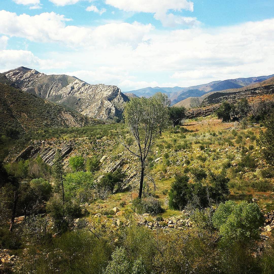
Wizard Island

Mount Mazama once stood as a 12,000 foot tall peak over the place that is now Crater Lake, making it the tallest mountian in Oregon at the time. Around 7,700 years ago, it erupted, decimating everything within a thirty-five mile radius. It is the most massive explosion of the Cascade Range in the past million years. It took 500 million years to build Mount Mazama and only two to three hours for it to collapse to a crater.
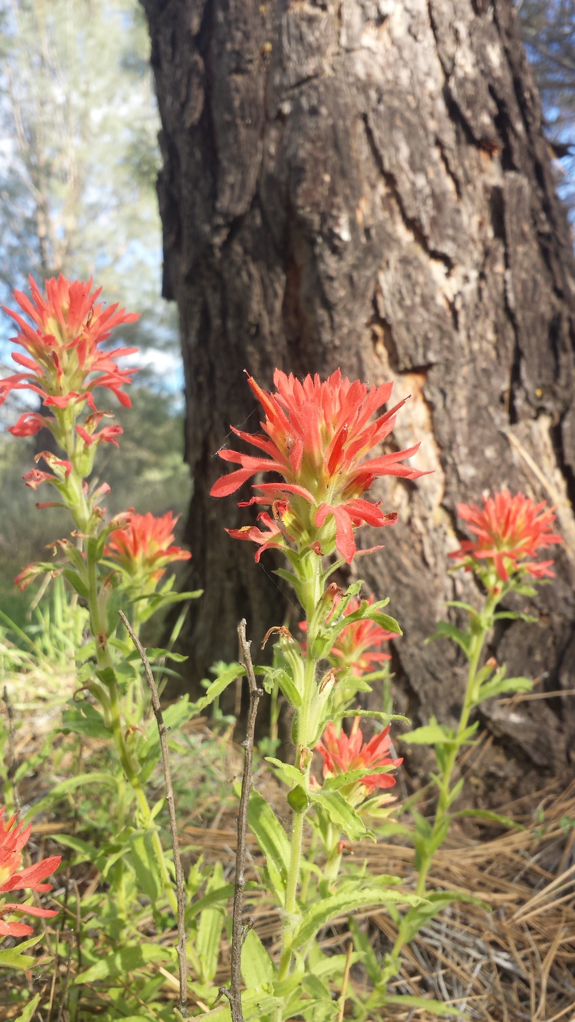
View towards Hellman Peak

View towards Hellman Peak

View towards Mount Thielson

View towards Mount Thielson

As years past, snow fell into the crater and melted, eventually filling the crater with some of the purest water on the planet. At 1,943 feet deep Crate Lake is the deepest lake in North America and the seventh deepest in the world.
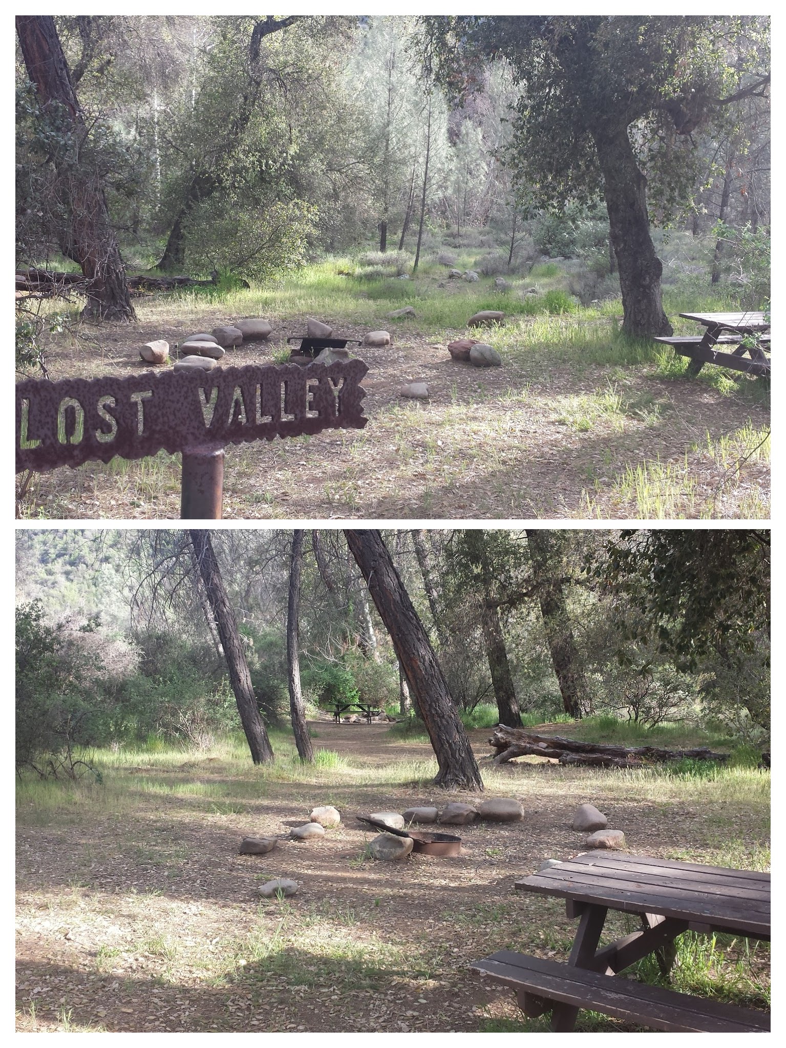
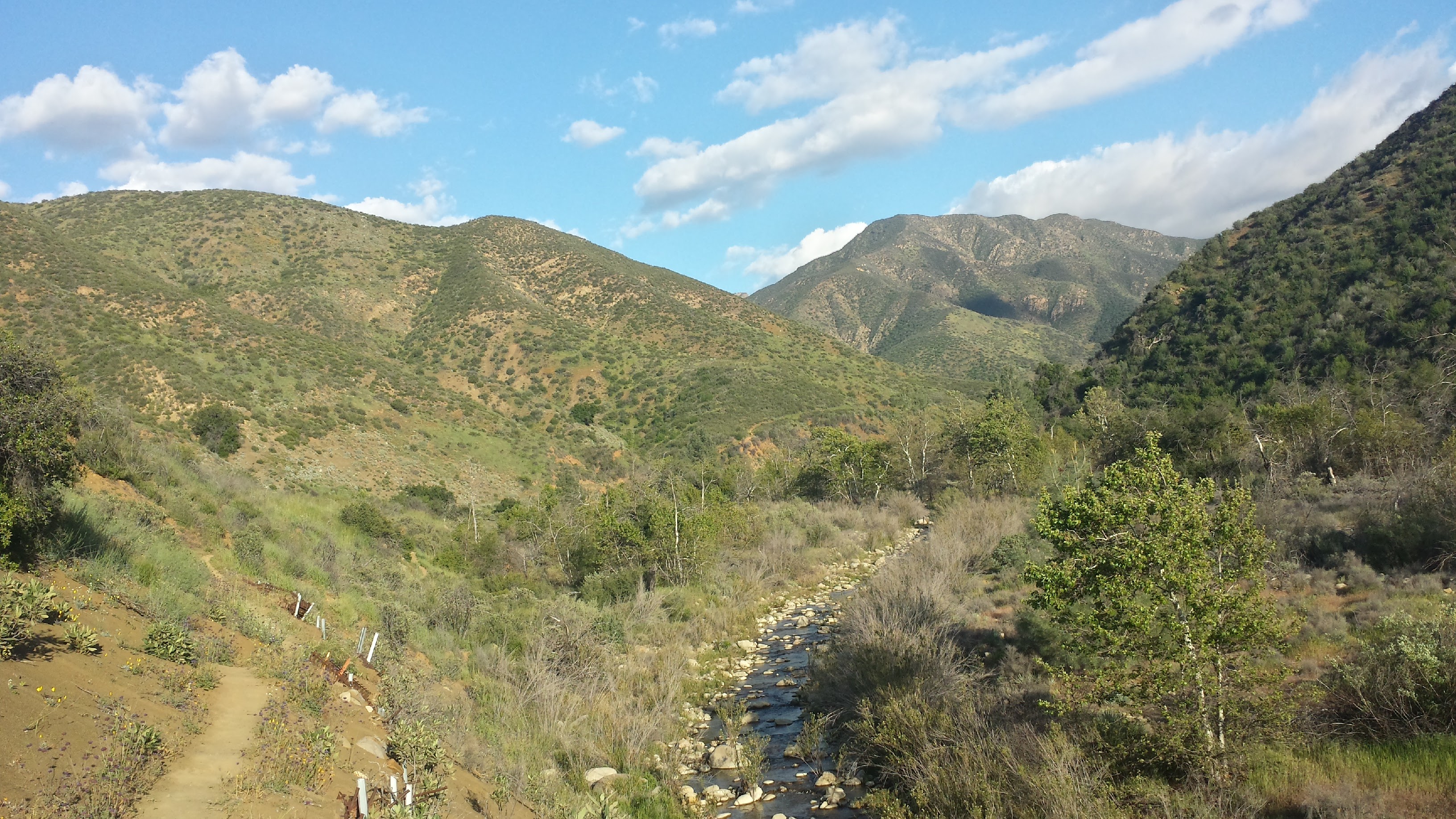
I’m camping alone in what seems like the middle of nowhere. It’s utterly flat and covered in tall, skinny pines. It’s kind of spooky.
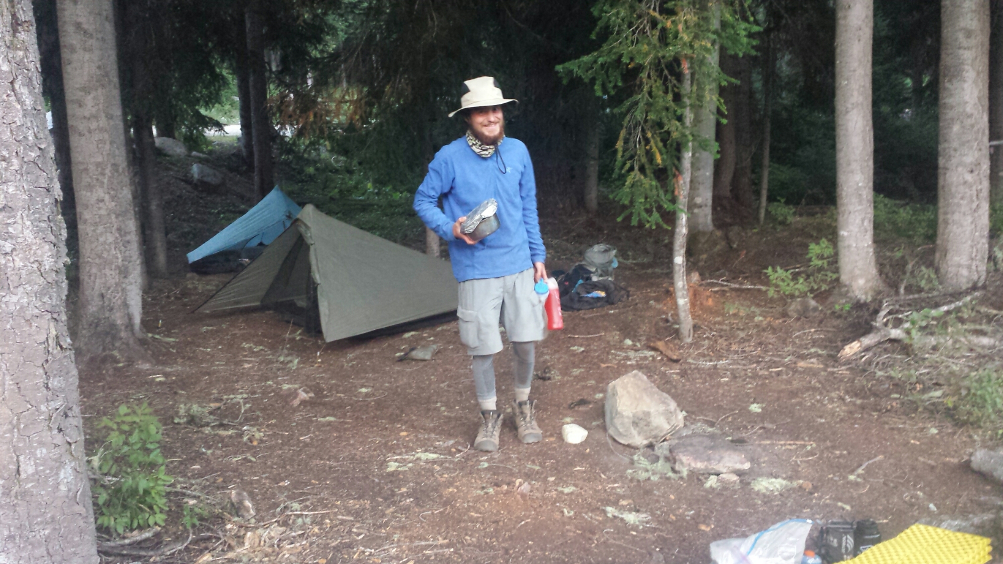
Camping in the middle of nowhere

Camping in the middle of nowhere


July 7- 15.5 miles, camping at Thielson Creek

Hiker humor

Hiker humor

I had a Twilight Zone moment this morning. After packing up and hiking for an hour or more, I realized I couldn’t find my bug net. It must’ve gotten pulled off my pack when I’d pushed through some bushes or maybe it fell out when I pulled out my water bottle. I was so disappointed because I knew the bugs were going to be really bad in the upcoming section. An hour later, I found a bug net that looked exactly like mine lying neatly in the middle of the trail. For about three minutes, I panicked and thought this was my bug net and that I must’ve somehow gotten turned around and hiked back in the opposite direction. I was relieved once I verified my location on the GPS and found I hadn’t backtracked. Still, I’m secretly hoping I don’t run into the unlucky hiker who lost their net so I don’t have to give this one back!

As I emerged out of the Pumice Desert, surrounded by a wall of skinny pines, thunder began to rumble above me. I had heard that afternoon storms were rolling in and my response had been, “Good! It’ll cool things down from that heat wave!”

Mount Thielson

Mount Thielson

Well, cool down it did- and then it thundered and hailed and brought lightning with it. I had just crested above the tree line below Mount Thielson, also known as the lightning rod of the Cascades, when the lightning flashes began. I tried to count the seconds between the lightning and thunder, but there was so much continous thunder that there was no telling how far away the lightning strikes actually were. With the thunder clouds directly above and the thunder claps roaring continuously like that, it all seemed close enough to me!

Thunderstorms approaching

Thunderstorms approaching

I hustled down into the trees and waited while the hail dumped all around. At times I thought it was letting up and I’d try and make a mad dash along the trail to the next pocket of trees. When a lightening bolt struck just about a mile in front of me, I let out a yelp and my dash turned into a full out run for the trees. I stayed put after that scare and waited until I was sure the lightning had past.

I made it down to Thielson Creek and filled up my bottles. Since it was cold and I was soaked, I decided to set up my tent and rest a for a couple hours while until the rain stopped. I wasn’t sure I wanted to keep hiking up and over the next pass if there was any chance of more lightning. As I lounged and snacked, a southbound hiker approached me and said the pass was indeed nasty and that I should just wait until tomorrow. He gave me one of his extra dinners, too, because he was ahead of schedule.

Thielson Creek

Thielson Creek

Just as he left, two firemen came down from their hidden camp up the hillside. There were four of them all together and they had repelled in yesterday from a helicopter to handle a small fire started by a hiker. They invited me to their campfire and when four handsome firemen make such an overture, I can’t say no! I set up the rest of my gear for the night and took my dinner and ukulele up to join them.

Firemen below Mount Thielson

Firemen below Mount Thielson

We had a great time playing silly guess-who games and swapping riddles. [Here’s one for you: A man with no eyes saw plums on a tree. He left no plums, he took no plums. How could this be?] I learned from all the chatter on their radio that there were now small fires all around the forest from the lightning strikes. I’m just glad that I wasn’t one of those strikes! I headed back down to my tent around 9:15, full of extra food the firemen insisted on giving me. Ugh, too much food.


July 8- 23 miles, camping at Windigo Pass

It was COLD last night! I kept waking up feeling chilled and damp because it was also humid- such an awful combination. Generally, I haven’t been sleeping too well. My sleeping pad and bag are great, but I just wake up at every sound, especially when I camp alone. I don’t think I’m getting more than six hours of solid rest each night and it’s catching up to me.

They're not too happy about carrying those packs!

They’re not too happy about carrying those packs!

I ate breakfast and packed up quickly so I could get a picture of the firemen before they left. They were just getting ready to put their packs on and head out. Each of them was carrying about 80-90 pounds. They said sometimes their packs weigh as much as 130 pounds. I guess I shouldn’t complain when my backpack never weighs more than 35 pounds!
image

The storm from yesterday had mostly cleared out, leaving only soft, pillowy clouds high in the sky, illuminated to shades of lavender and pink by the morning sun. It was so beautiful and the temperatures stayed low all day.

The highest point on the OR/WA PCT

The highest point on the OR/WA PCT

I was so tired today. Most of the day past in a haze and I only perked up when a view or something interesting appeared. A couple of times, I sat directly in the trail, backpack still on, and closed my eyes. Unfortunately, I didn’t actually fall asleep and the drowsiness only got worse. By lunchtime, I turned on my iPod and listened to a few podcasts to keep me at least semi-alert.

Lichen-bearded trees

Lichen-bearded trees

It was only 4:30 when I arrived at Windigo Pass, but I was so exhausted that I decided to stop for the night anyways. I cooked some couscous with veggies and beef-flavored TVP- one of my favorite meals- and charged my iPod in the generous amount of sunlight. A ranger came by to post a sign indicating no campfires and we chatted about the little fires caused by yesterday’s lightning storm. He said they’ve all pretty much been put out and I don’t need to worry about them.

Camping at Windigo Pass

Camping at Windigo Pass

An older couple have driven up and are camping here tonight, too. The husband is section hiking Oregon and got off trail for a week to mend his feet. He’s jumping back on the trail tomorrow morning. It’s nice to have company again!


July 9- 23.5 miles, camping at Diamond View Lake

Today Oregon really started to show off some of it’s gems. At the higher elevation, I was able to see views stretching back to Crater Lake and Mount Thielson and forward to Diamond Peak and Three Sisters. Numerous lakes speckled the forests, each one having either clear blue water, green lily pads, or rocky little islands.

Coral fungus?

Coral fungus?

Lunchtime set-up for napping at Summit Lake

Lunchtime set-up for napping at Summit Lake

The clouds had been lingering in the sky all day, so I figured they would continue to simply linger and not cause me any problems as I climbed over Diamond Peak this afternoon. Wrong! Around 3:00 a light sprinkle began and as I approached the treeline on Diamond Peak the thunder began to roar.

I wasn’t about to make an attempt going over the peak if lightning might stike, so I put on my parka, covered my pack, and sat under a tree waiting to see how the storm would unfold. Lightning did kick in and I contemplated whether I should set up the tent to wait out the storm for the next two or three hours. As I sat there in the mud, a strike hit less than half a mile from me, in fact, I’m pretty sure it was only a tenth of a mile away. I could see where it hit through the trees and the thunder clash had been simultaneous and terrifying. “Nope, I’m not playing this game today!” I grabbed my pack and trotted down the mountain through the rain and mud.

image

I knew there was another trail I might be able to take as an alternative to the PCT. I stopped under a tree, pulled my parka over me like a tent as I squatted down and looked at all my maps. By piecing together two different maps, I figured I could take the Crater Butte Trail at a lower elevation and connect to the Oregon Skyline Trail, which went parallel to the PCT on the valley floor. SOLD!

image

Looking up towards Diamond Peak

Looking up towards Diamond Peak

The Crater Butte and Skyline Trails turned out to have beautiful views of Diamond Peak once the clouds cleared out. The bugs are eating me alive, but I didn’t want to put too much Deet on on case I wanted to wash in the lake where I planned to camp.

Diamond View Lake

Diamond View Lake

image

Deet is pretty bad for delicate ecosystems and hikers wearing it can easily contaminate water sources when they wash up directly in the lake or creek. I’ve found a cozy little spot for my tent right next to Diamond View Lake. I took my much anticipated rinse in the lake and played my ukulele on the beach.

Camping at Diamond View Lake

Camping at Diamond View Lake

Tomorrow I’ll have an easy five-mile hike into Shelter Cove, a small lakeside resort holding my resupply box. A light rain has begun sprinkling in the setting sun, creating a sparkling, shimmering surface on Diamond View Lake.


July 9- 5 miles, camping at Shelter Cove


Shelter Cove Resort

Shelter Cove Resort

I hiked into Shelter Cove under a light rain all morning and arrived around 10am. There’s a general store that sells hot dogs and frozen pizzas, which became my breakfast and lunch. I also took a very expensive shower and did my laundry. I’ve been trying to upload videos I made of Crater Lake and the thunderstorm near Mount Thielson all day, but the Wi Fi is experiencing a traffic jam. I’ll try again later tonight once everyone else goes to bed. Ah, the stresses of blogging!


Odell Lake

Odell Lake


Links

No. 28- Shelter Cove to Sisters, July 2015

Mount Mazama USGS Article

Shelter Cove Resort and Marina