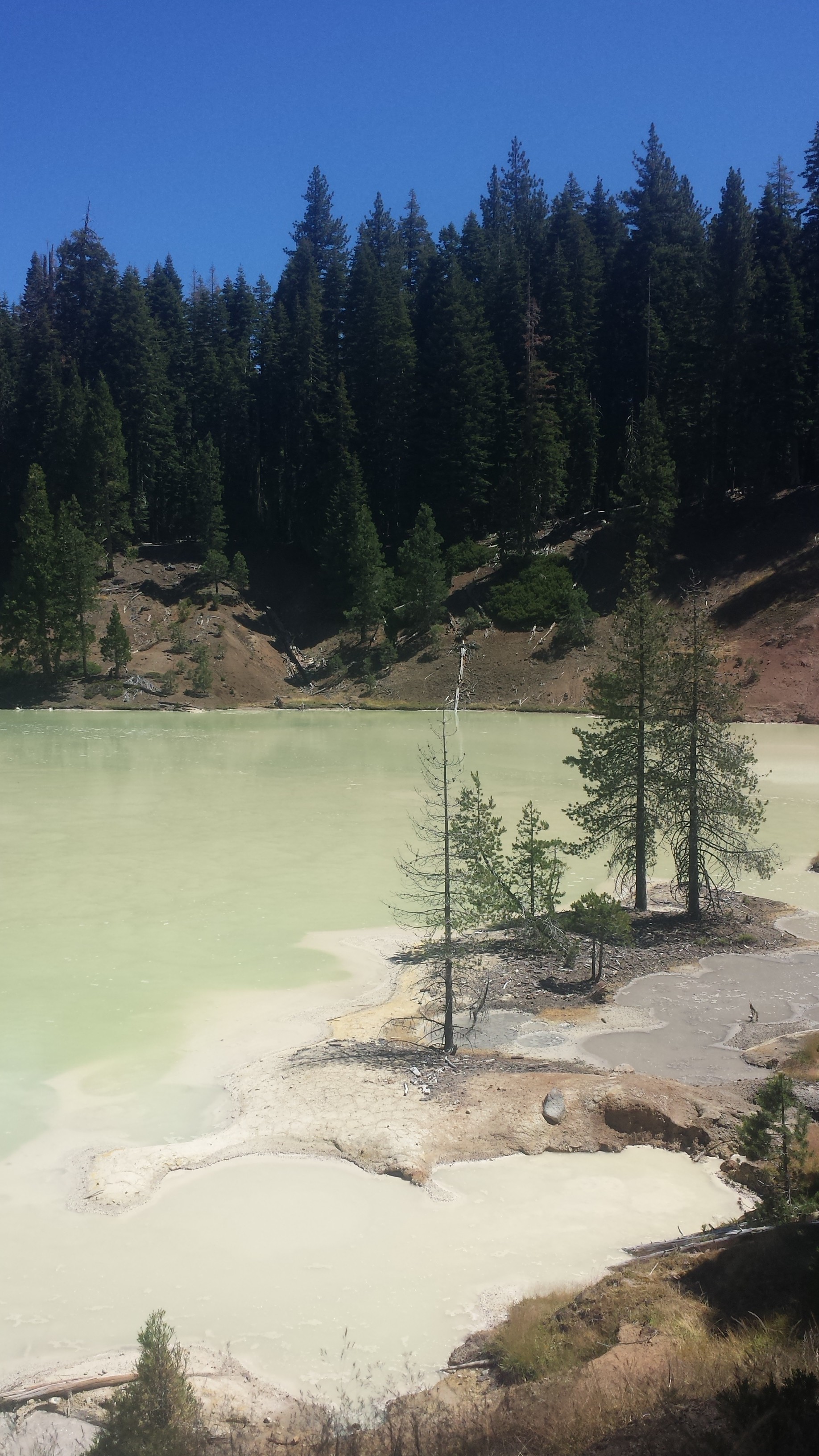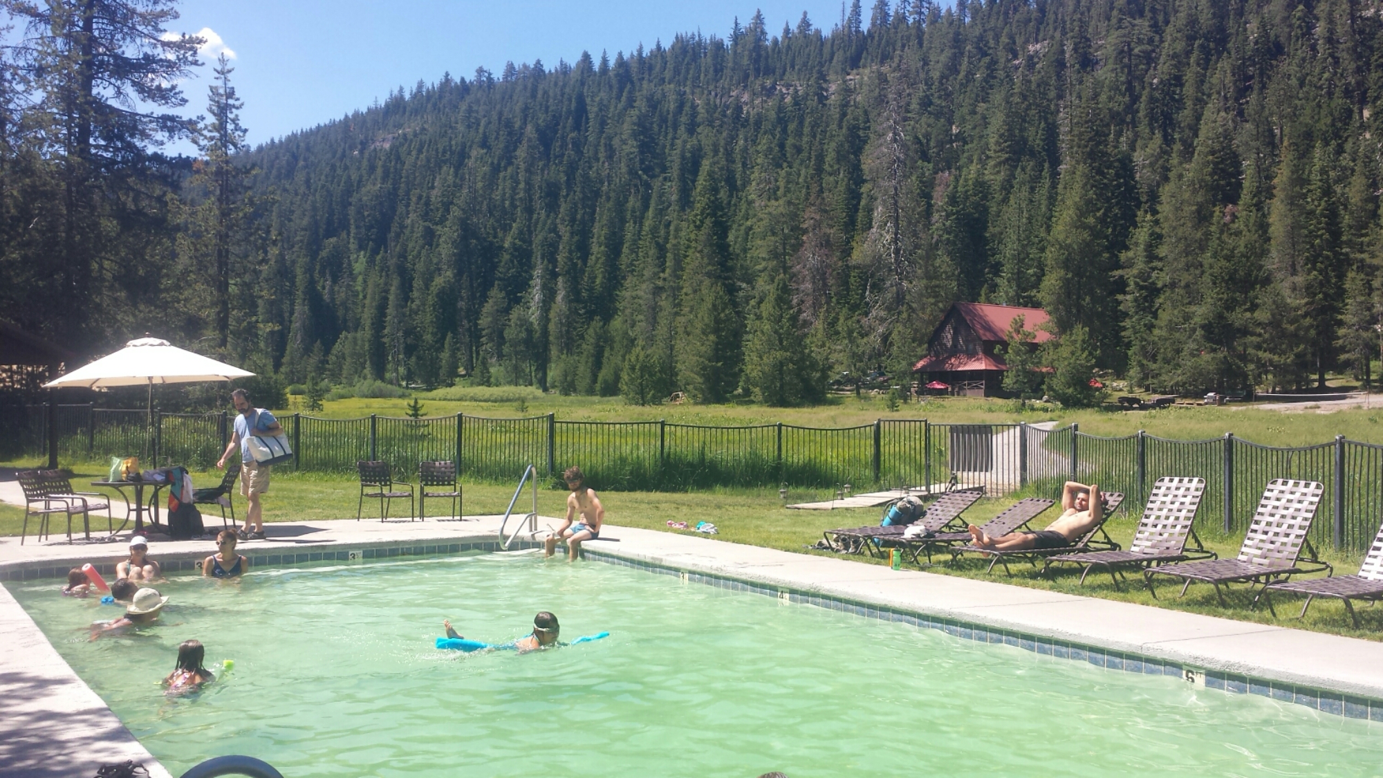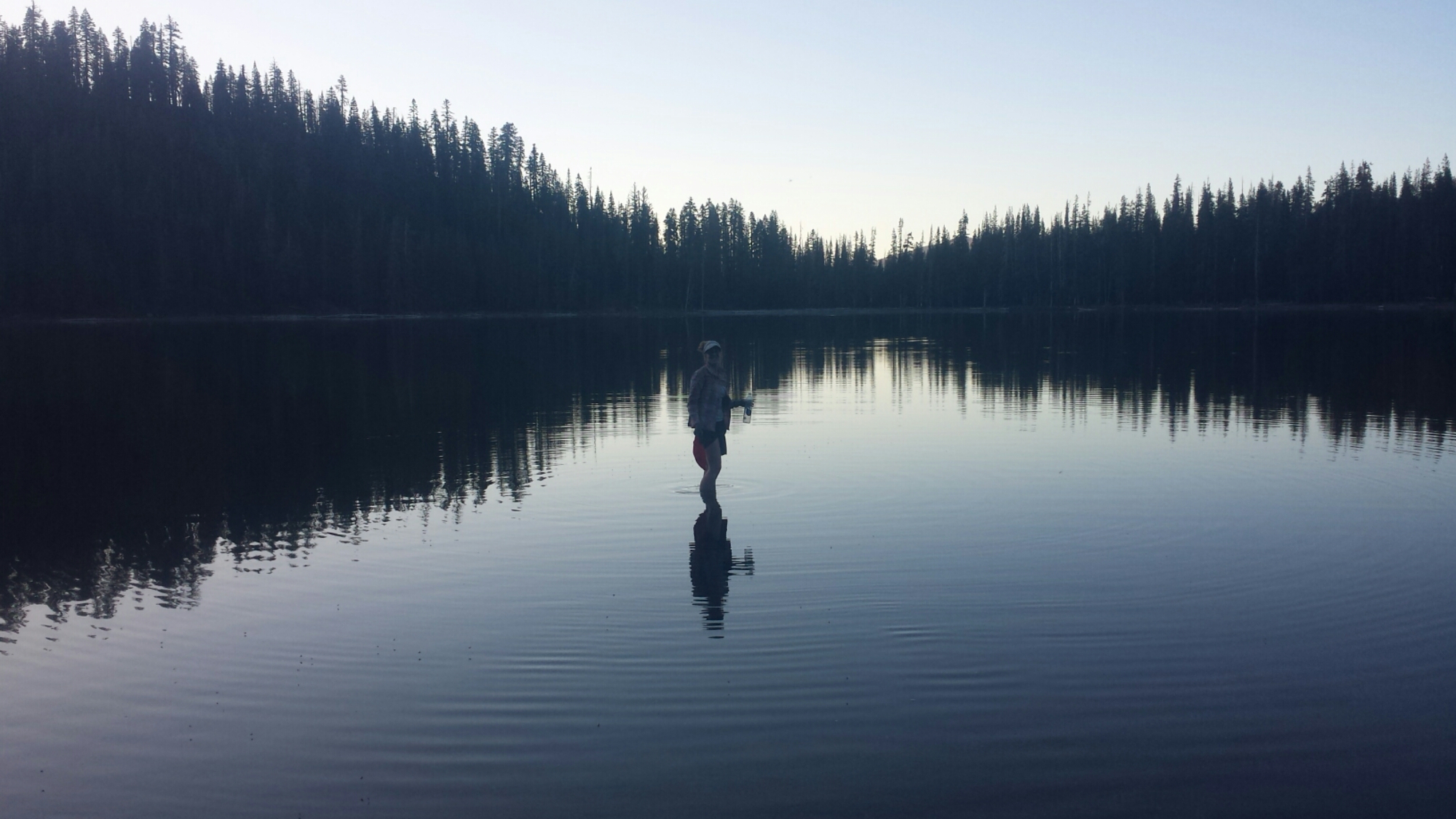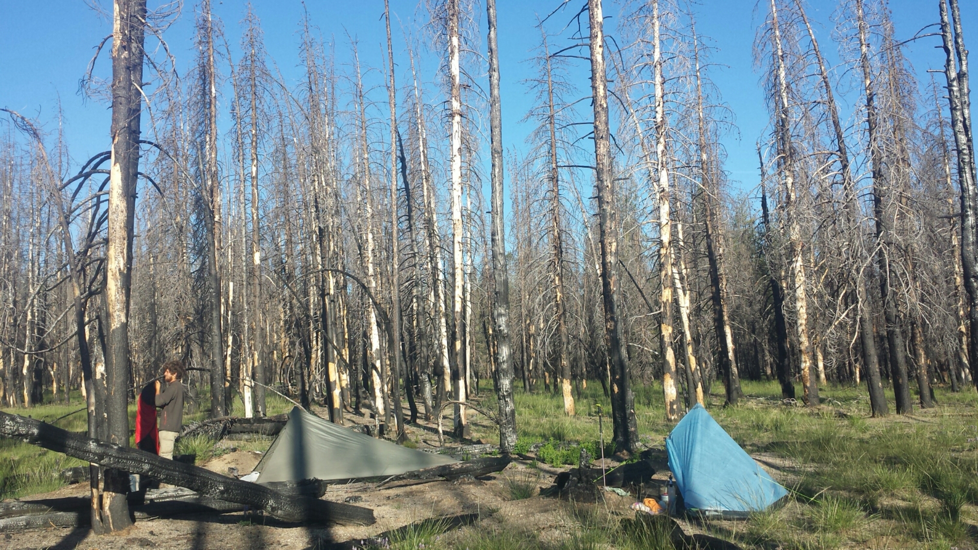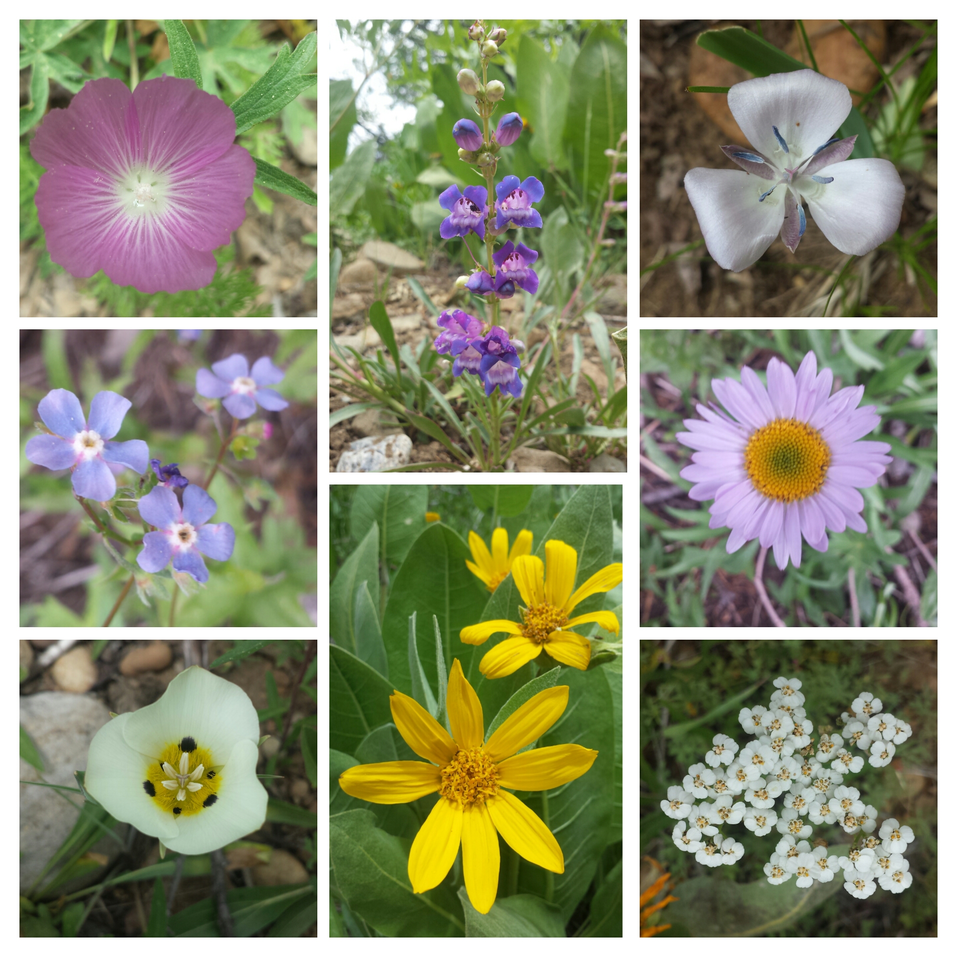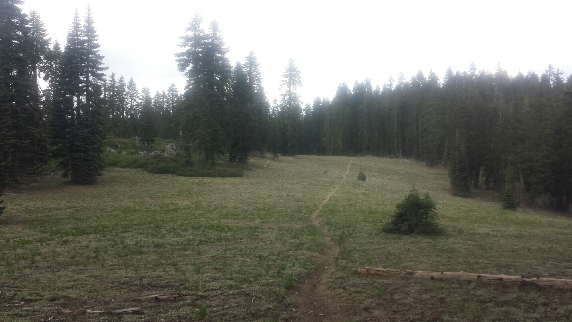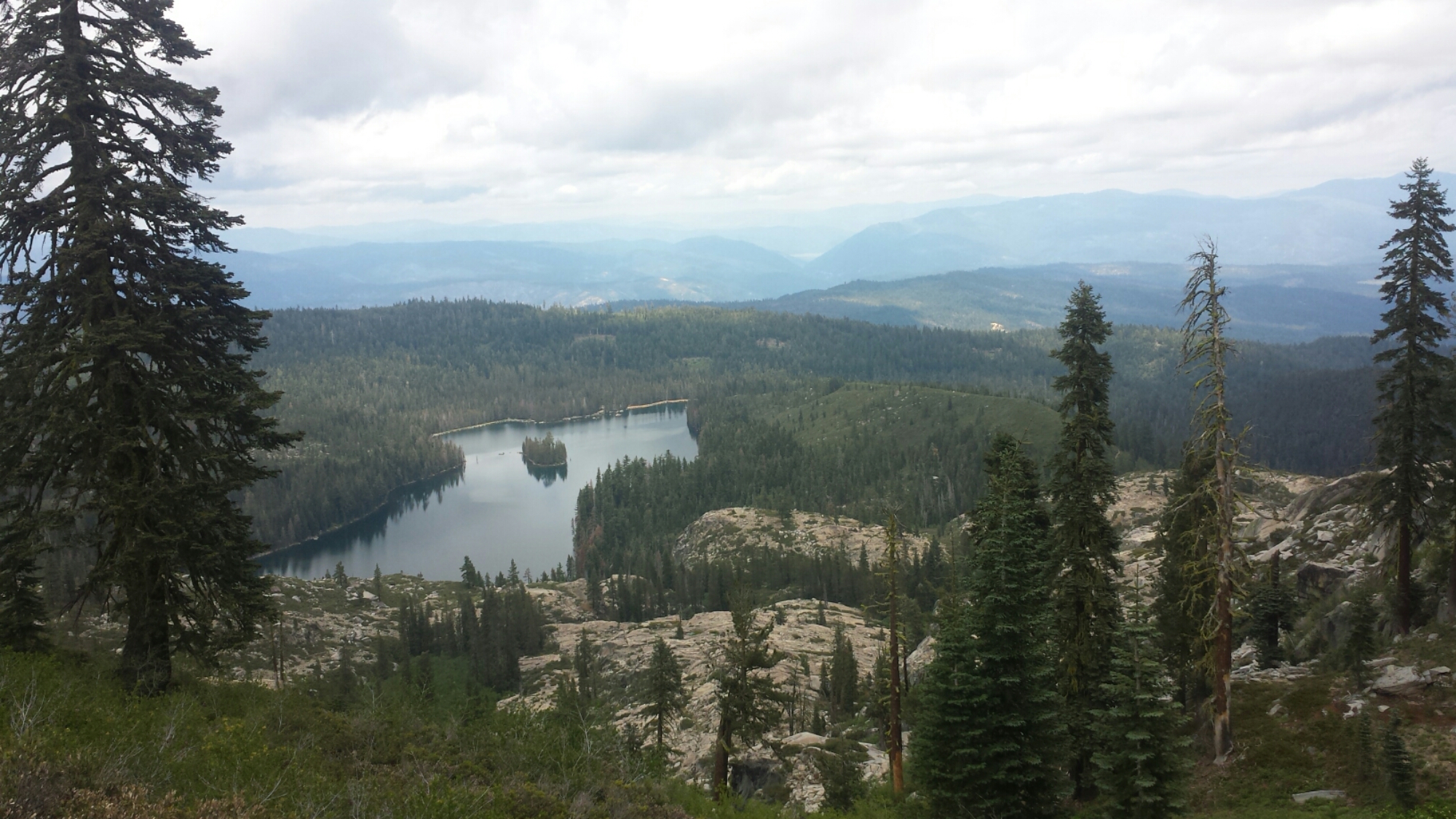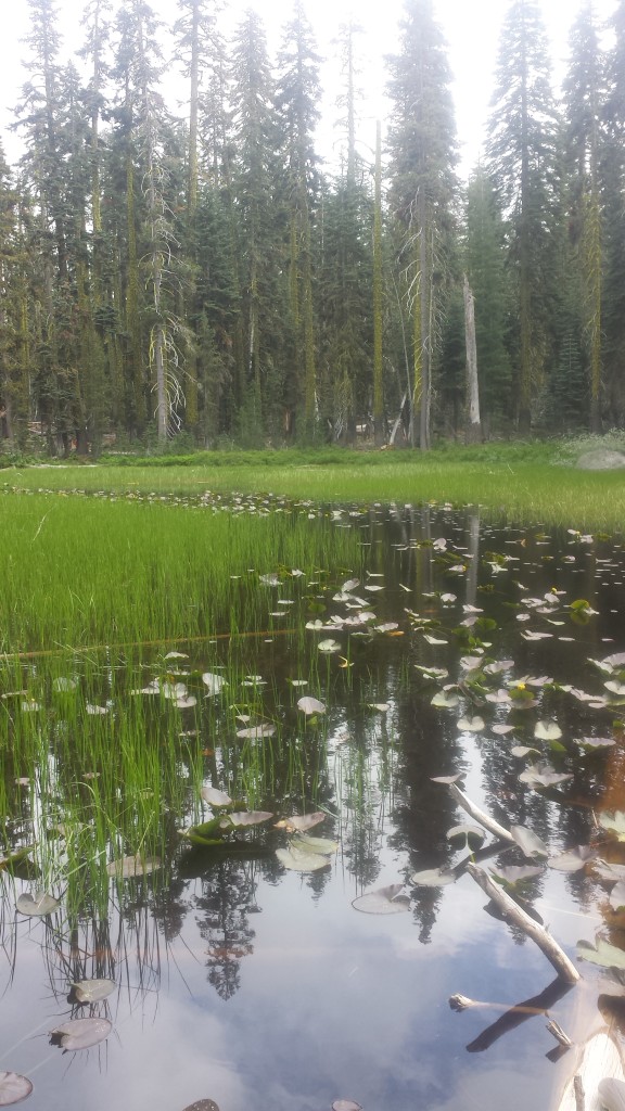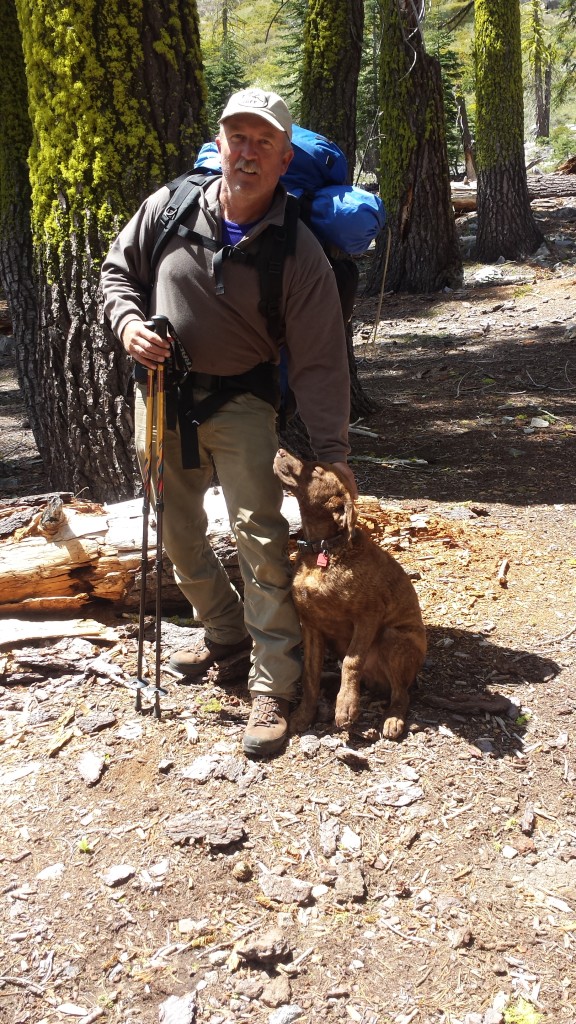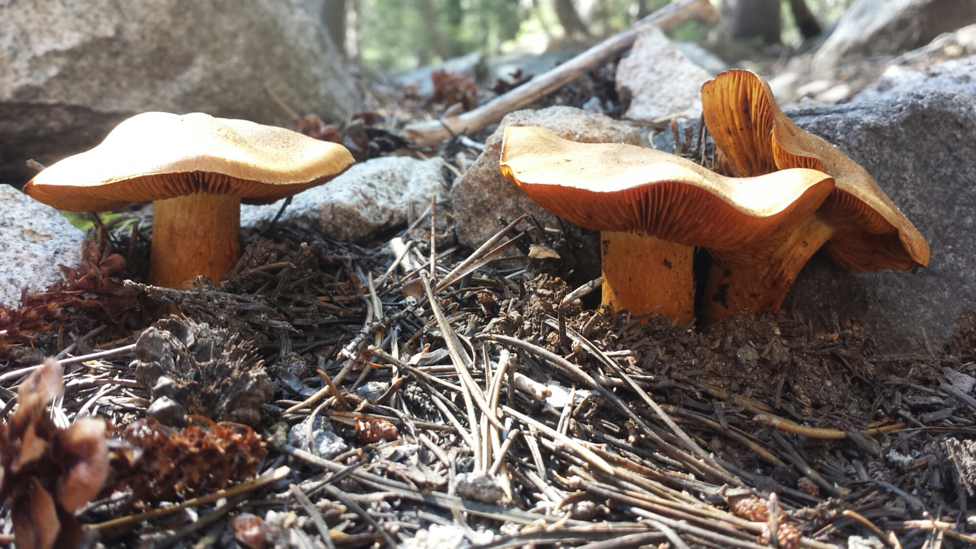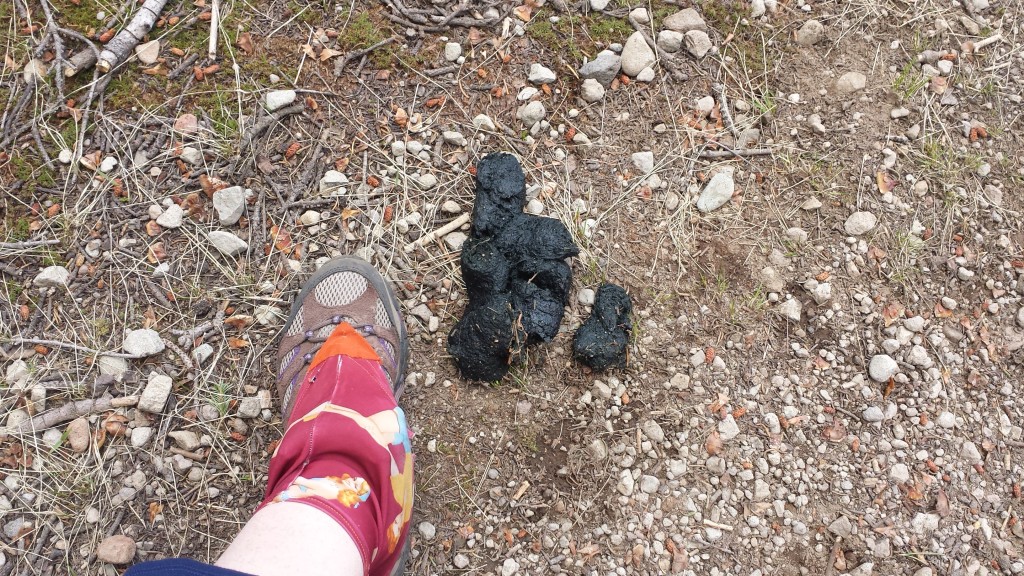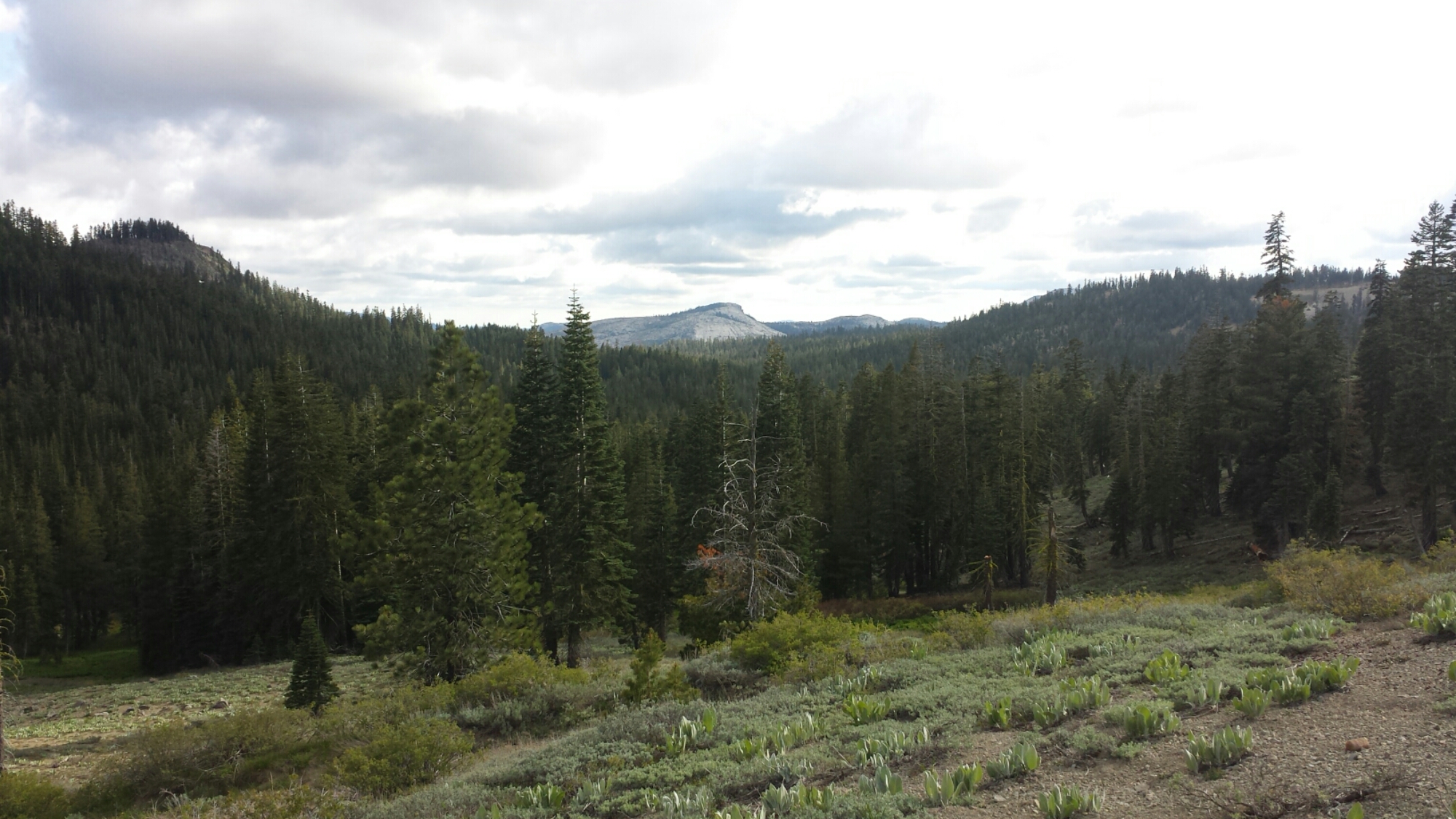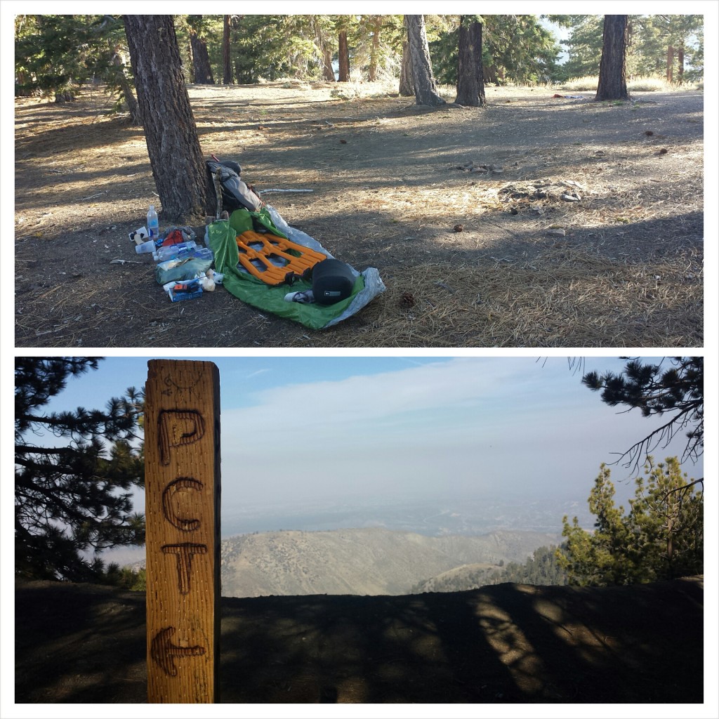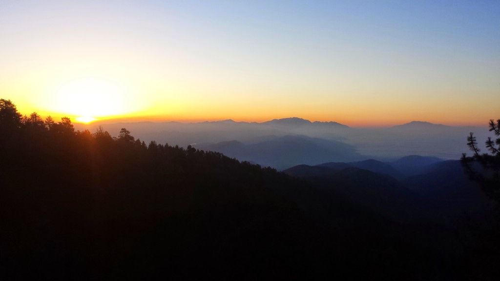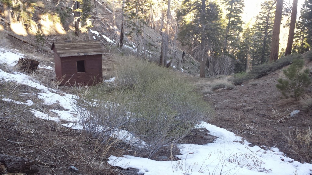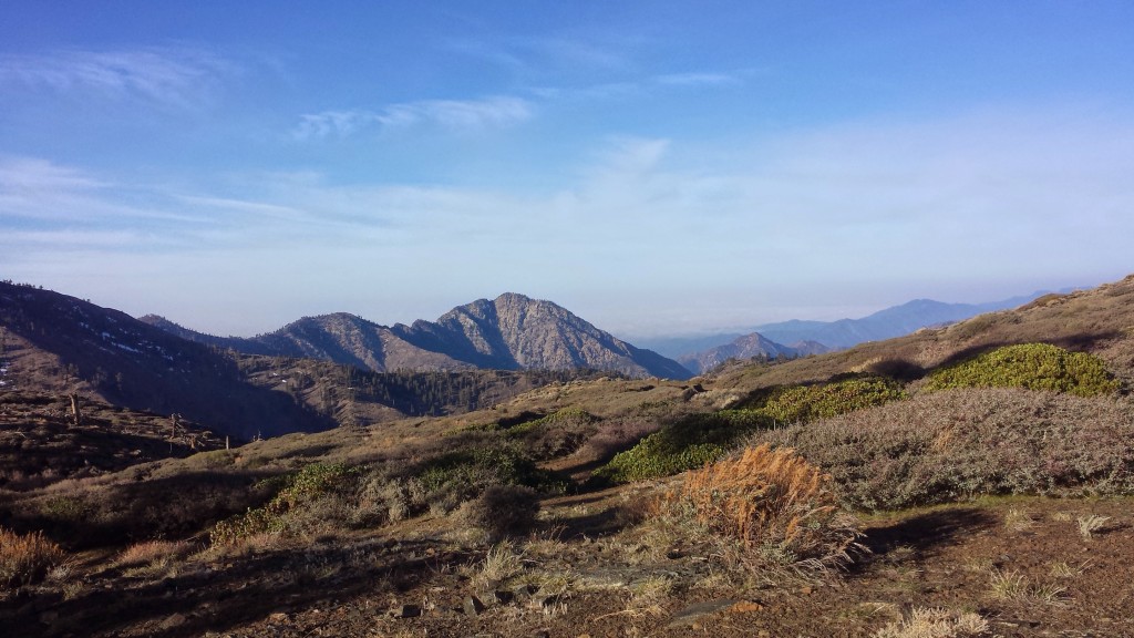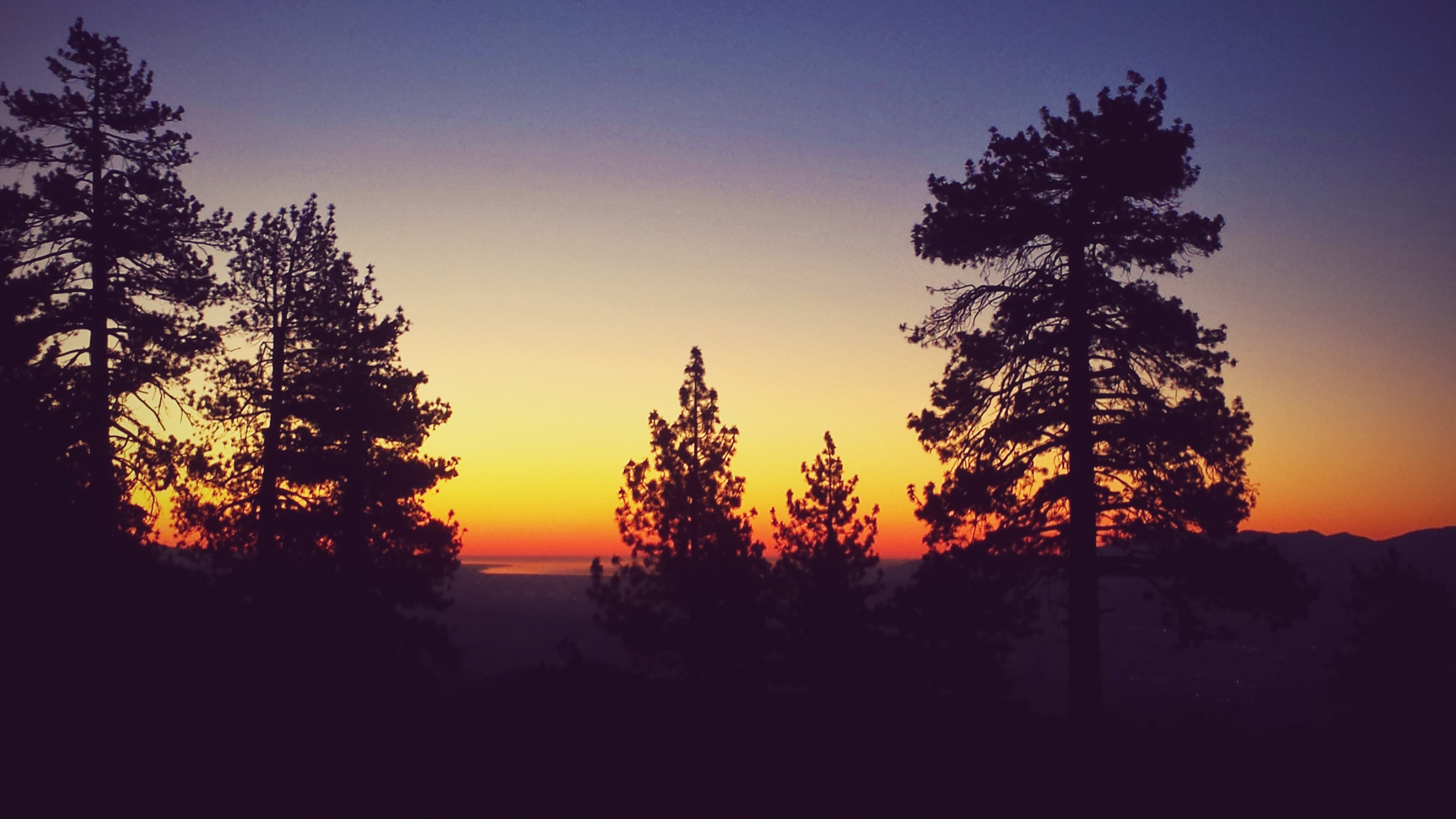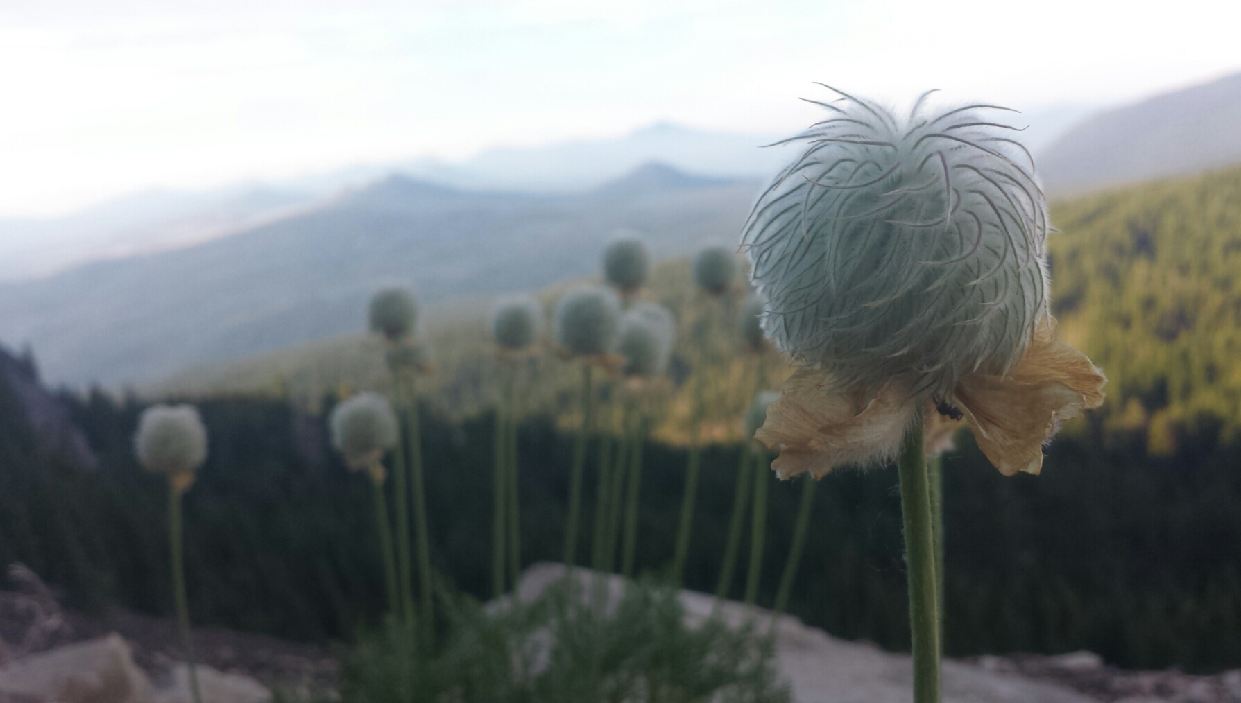
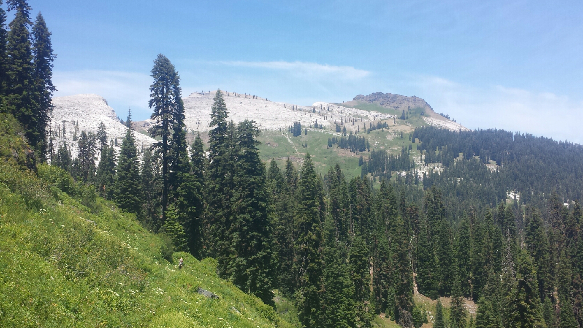
No. 26- Ashland to Crater Lake

loading map - please wait...

Callahan\'s: 42.100770, -122.602615
Mazama Village: 42.868441, -122.168478


Oh, Ashland: the land of Shakespeare, fine dining, out-of-time hippies, and deer who have learned to look both ways before crossing the street. I could sleep wrapped in your warm, dreamy air for days, but it would feel like a dream and I don’t think I could stay with you in bliss forever.

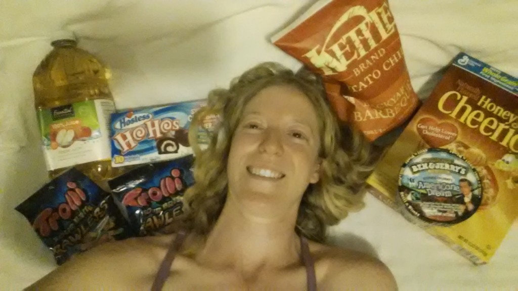
I did indeed stay an extra night in Ashland, thanks to UPS not having the correct address for my resupply package. I got a bed in the girls dorm at The Ashland Hostel, ate an eight-piece chicken picnic while sitting IN Lithia Creek (because it’s too damn hot), saw a movie at the cinema, and am now willing to admit my addiction to root beer floats (they’re so refreshing!).

Chicken picnic and Lithia Creek

Chicken picnic and Lithia Creek

Every summer I make it my goal to learn something new; two years ago it was hula hooping. As an adult that had never hooped as a child, it was a challenge for me just to keep the hoop up. Once I learned the flow, however, I was hooked! I found a wobbly, old hoop at the hostel in Ashland and took it to the park in the cool of the evening. Since I don’t think my parents have ever seen me hoop, I decided to make a video just for them.


June 30- 8.5 miles, camping near Bean Cabin

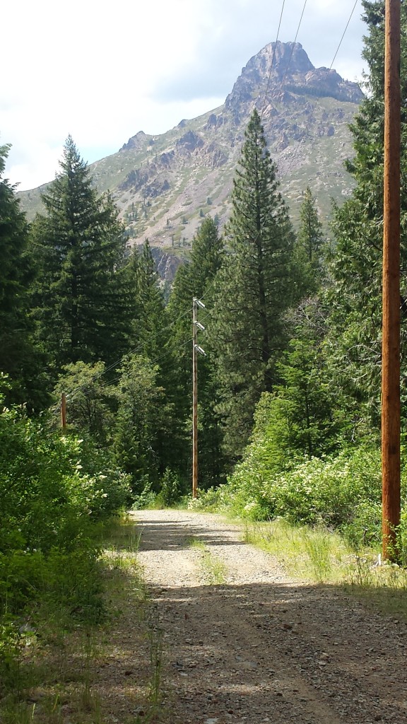
I took a public bus to Interstate 5 on the edge of town, then hitched a ride with a middle aged IT guy from South Oregon University. He dropped me off at the trail at 5pm, just as it started to cool off for the day.

image

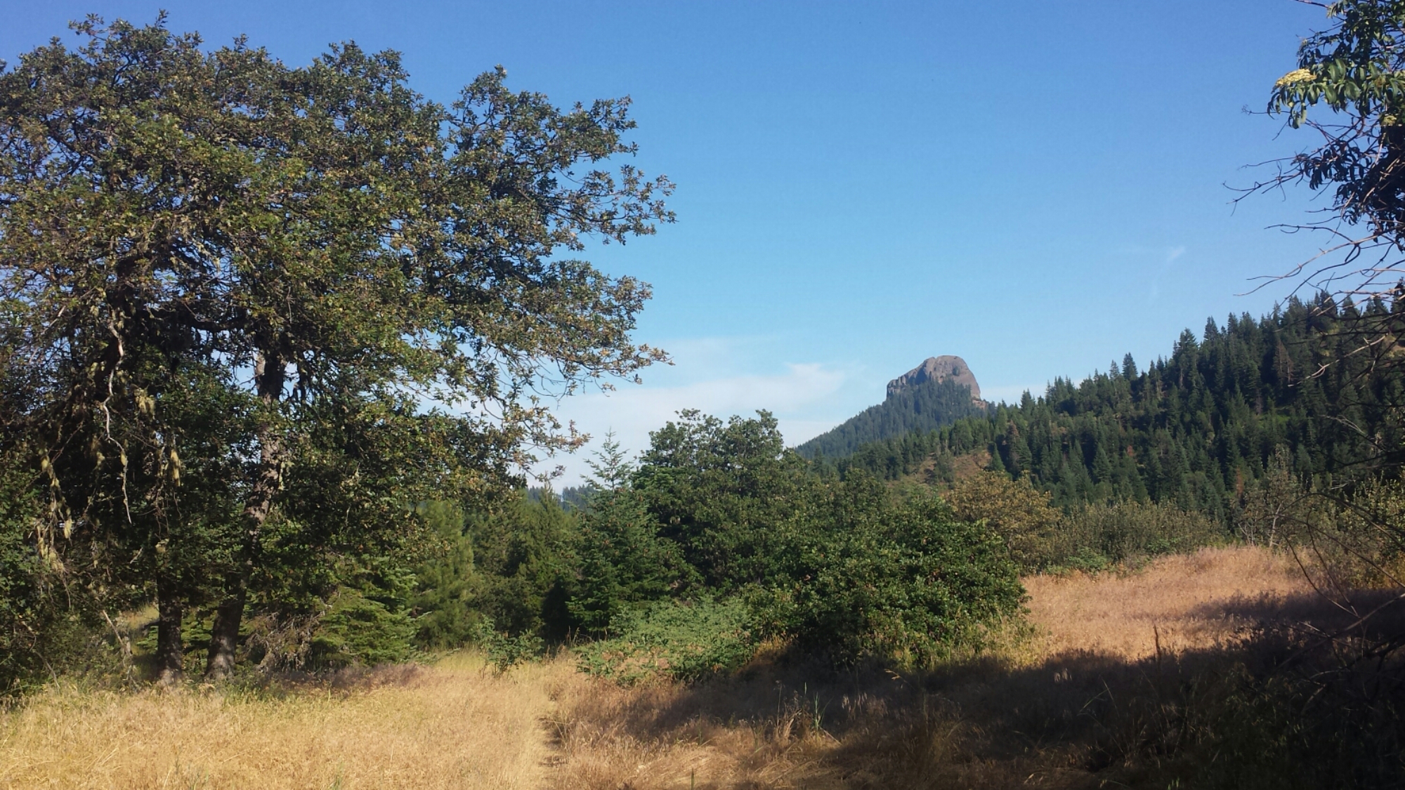
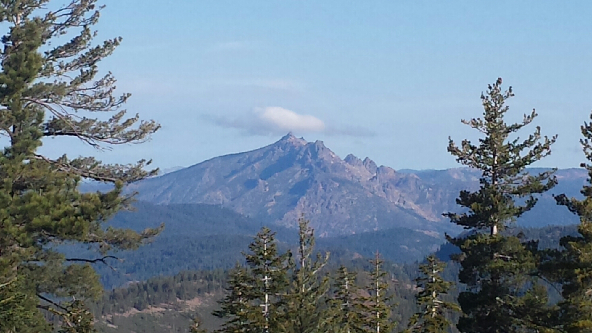
Pilot Rock, a volcanic plug

Pilot Rock, a volcanic plug

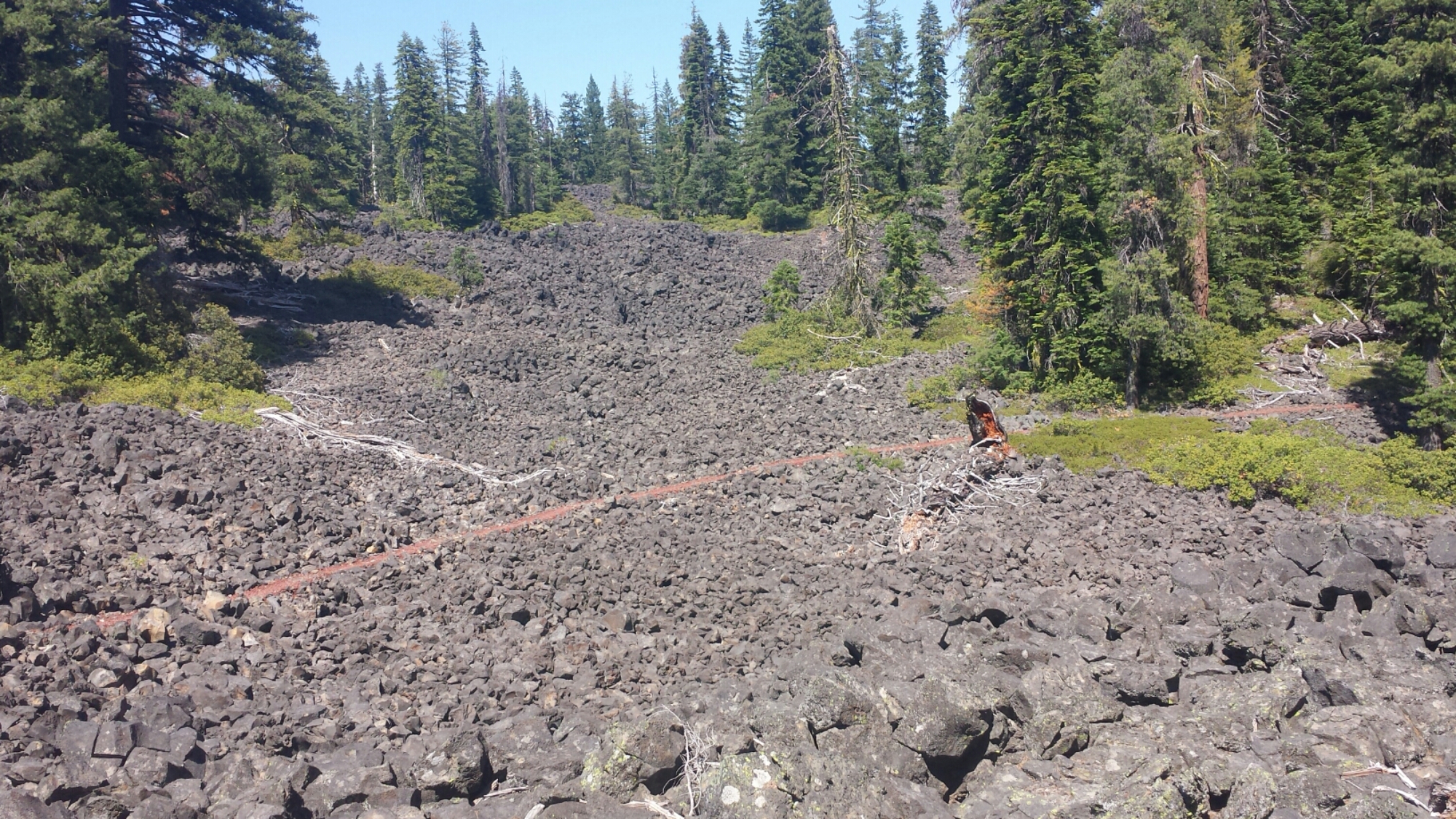
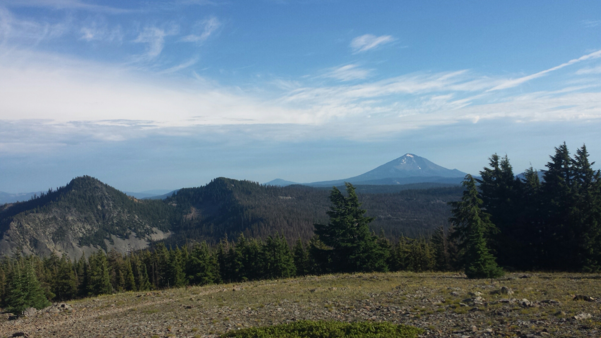
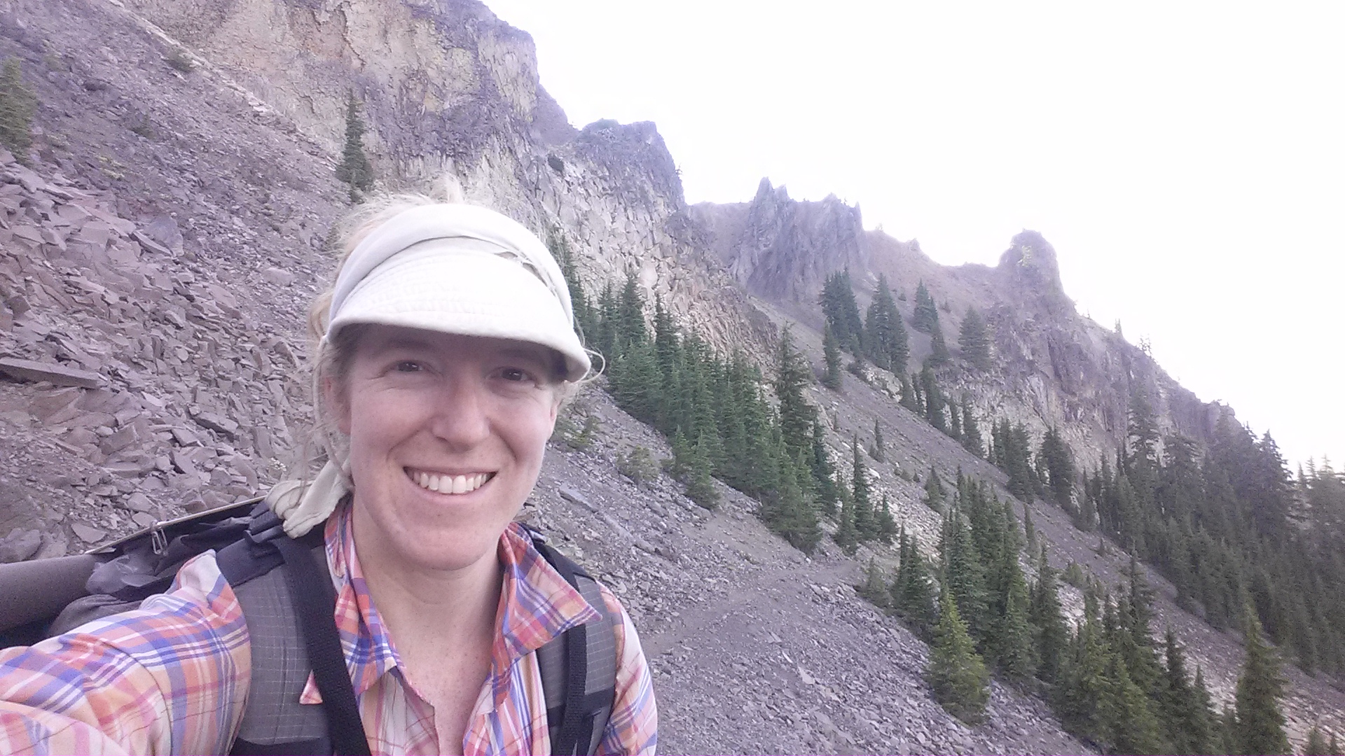
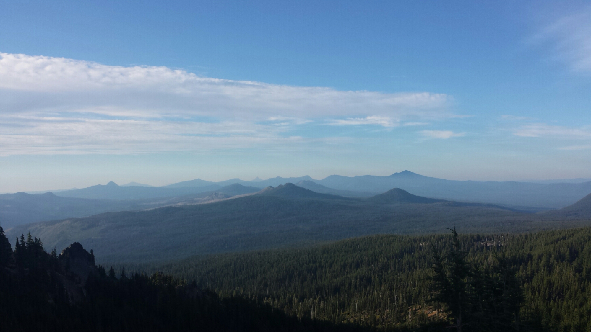
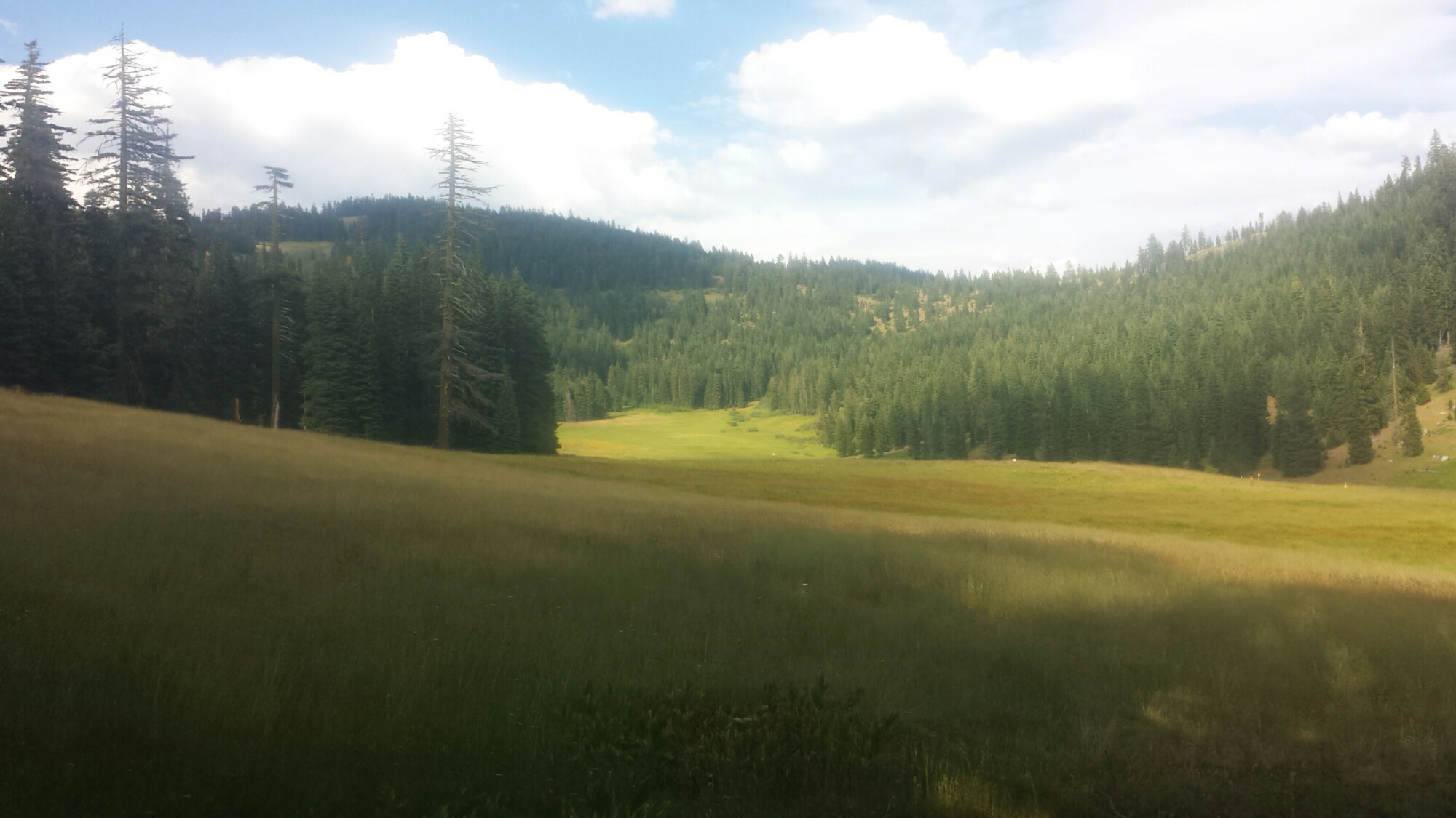
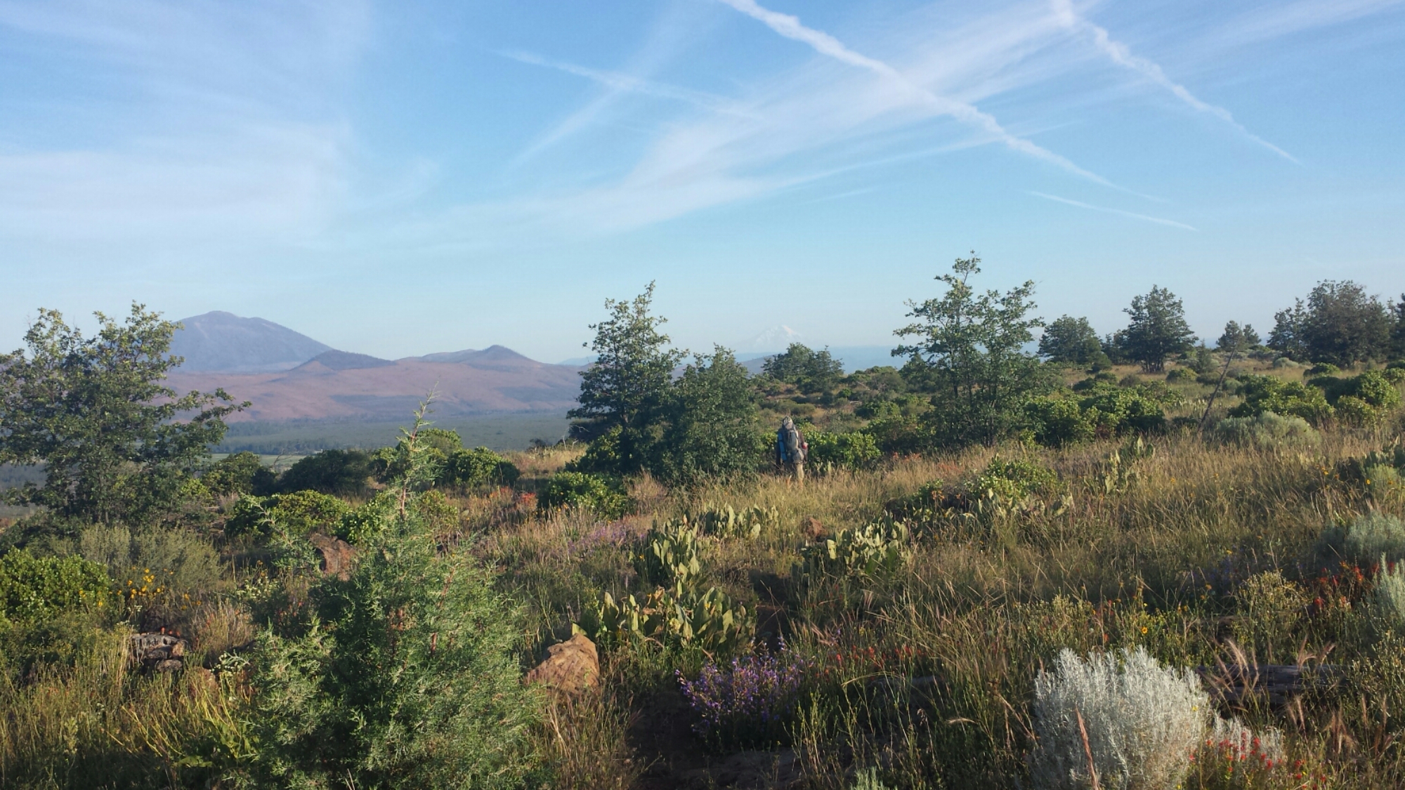
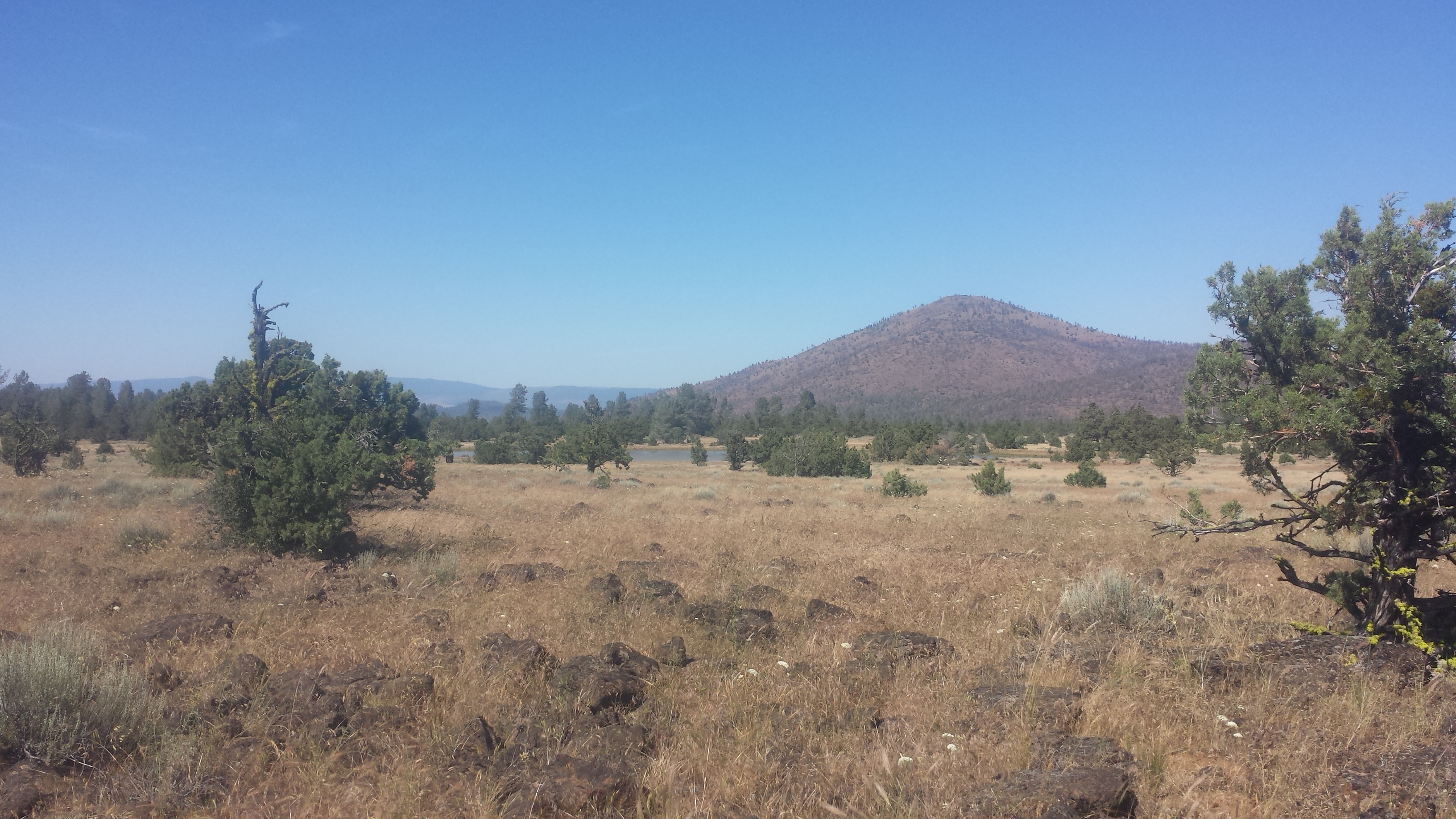
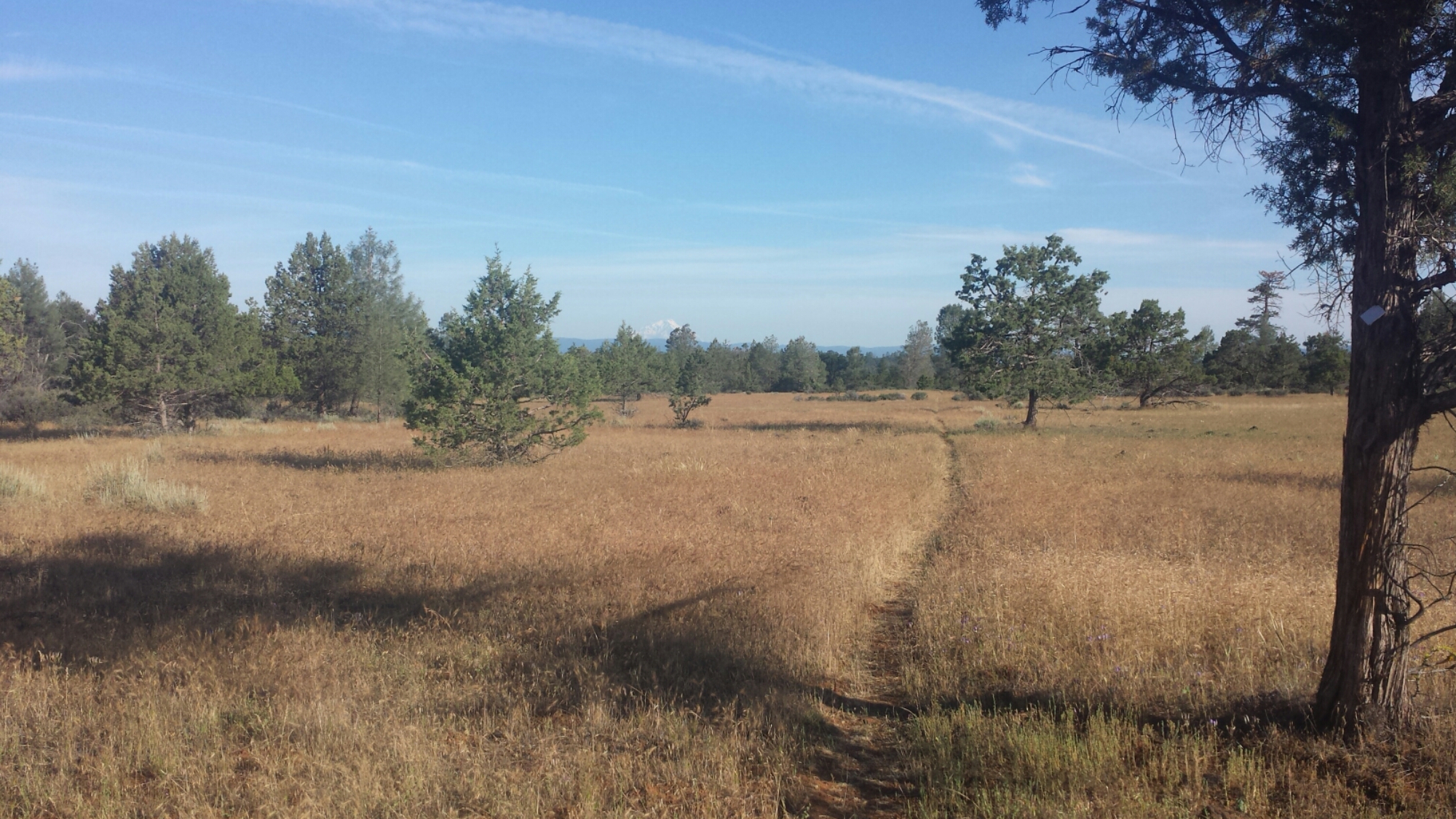
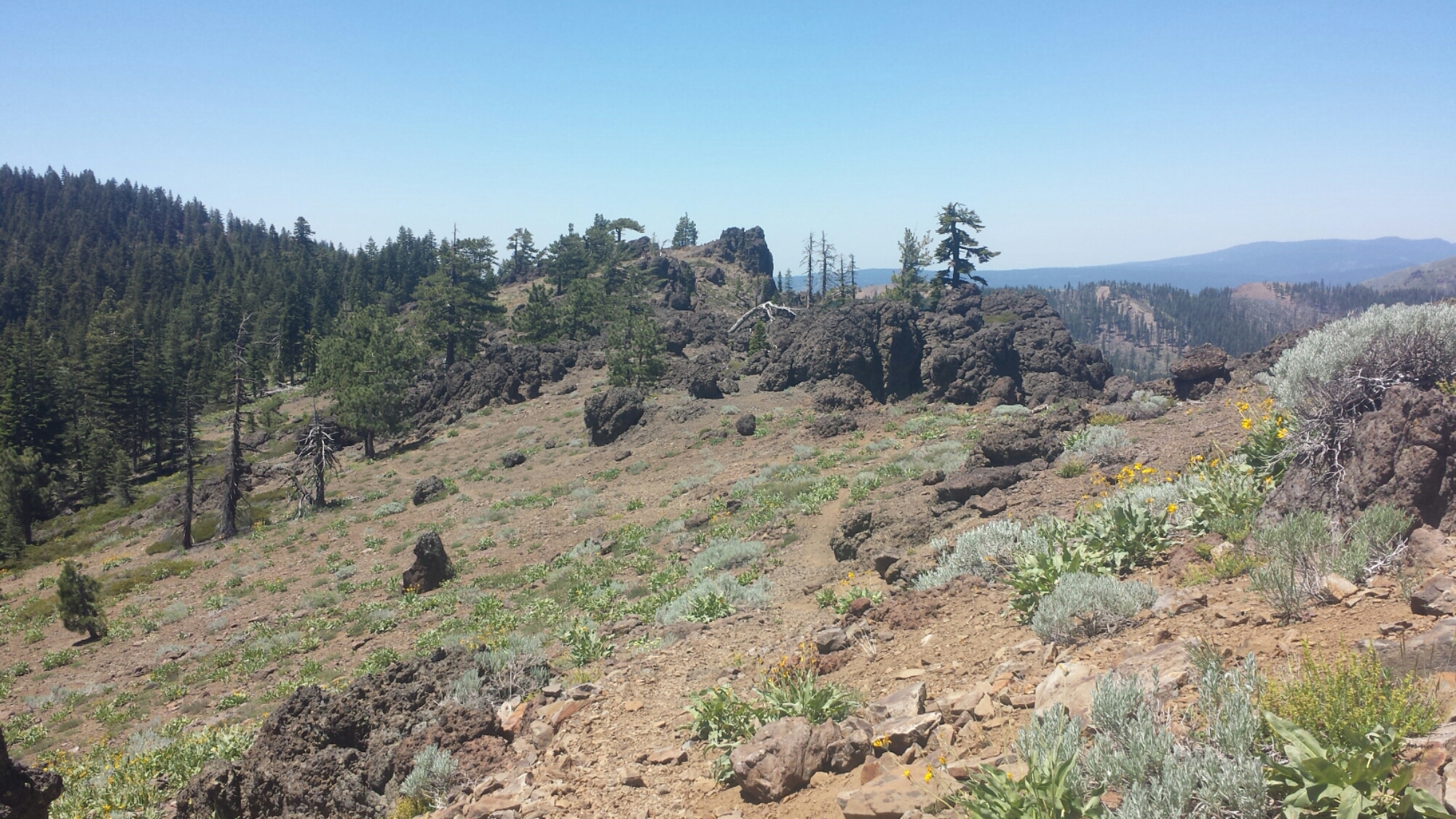
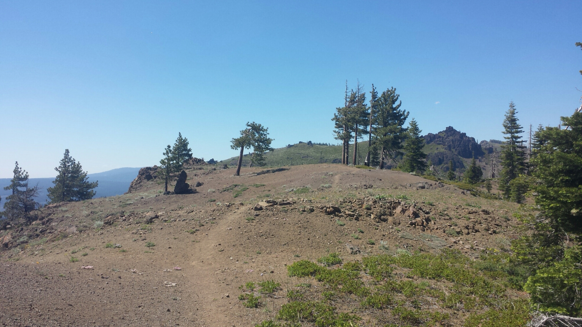
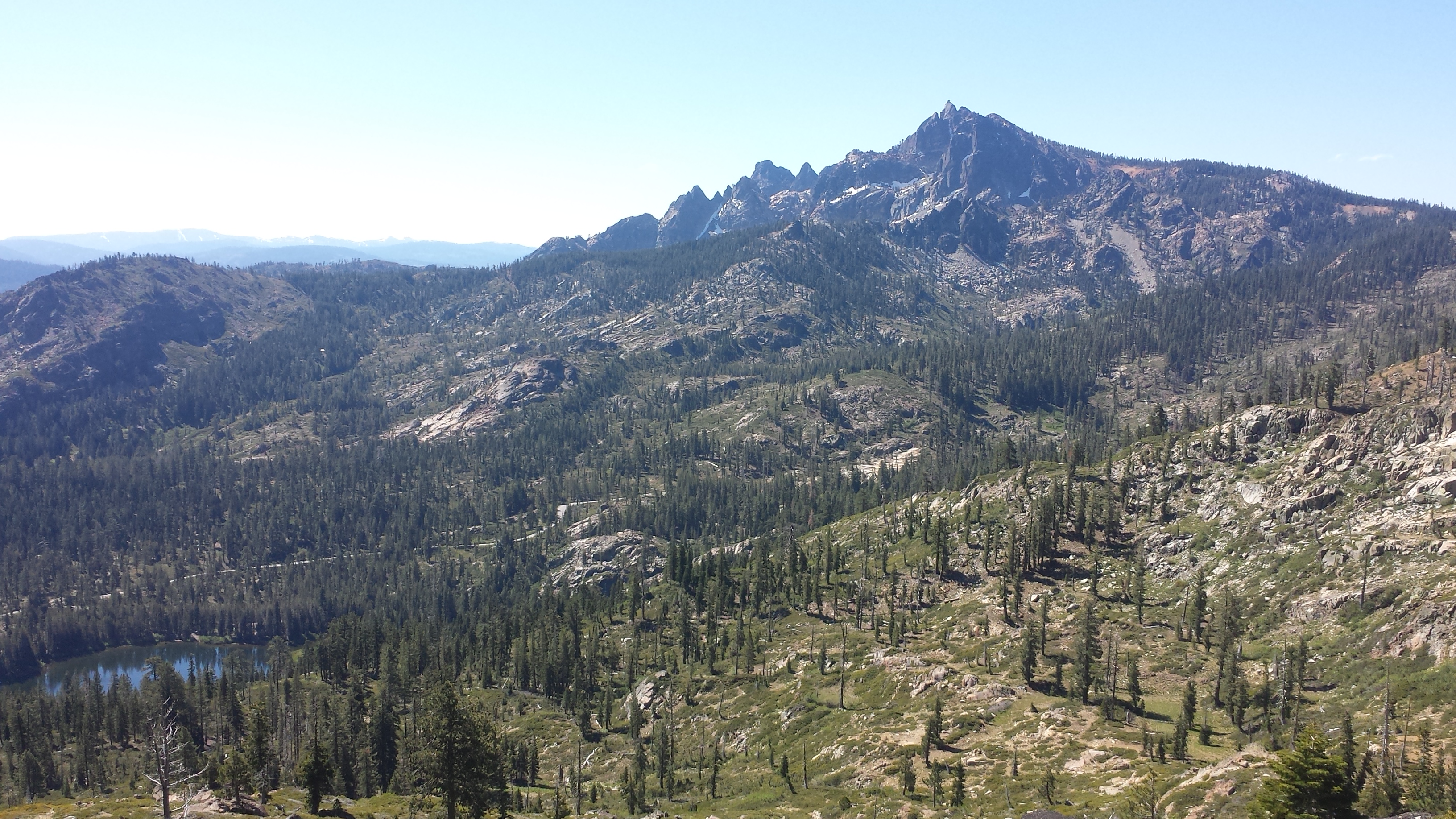
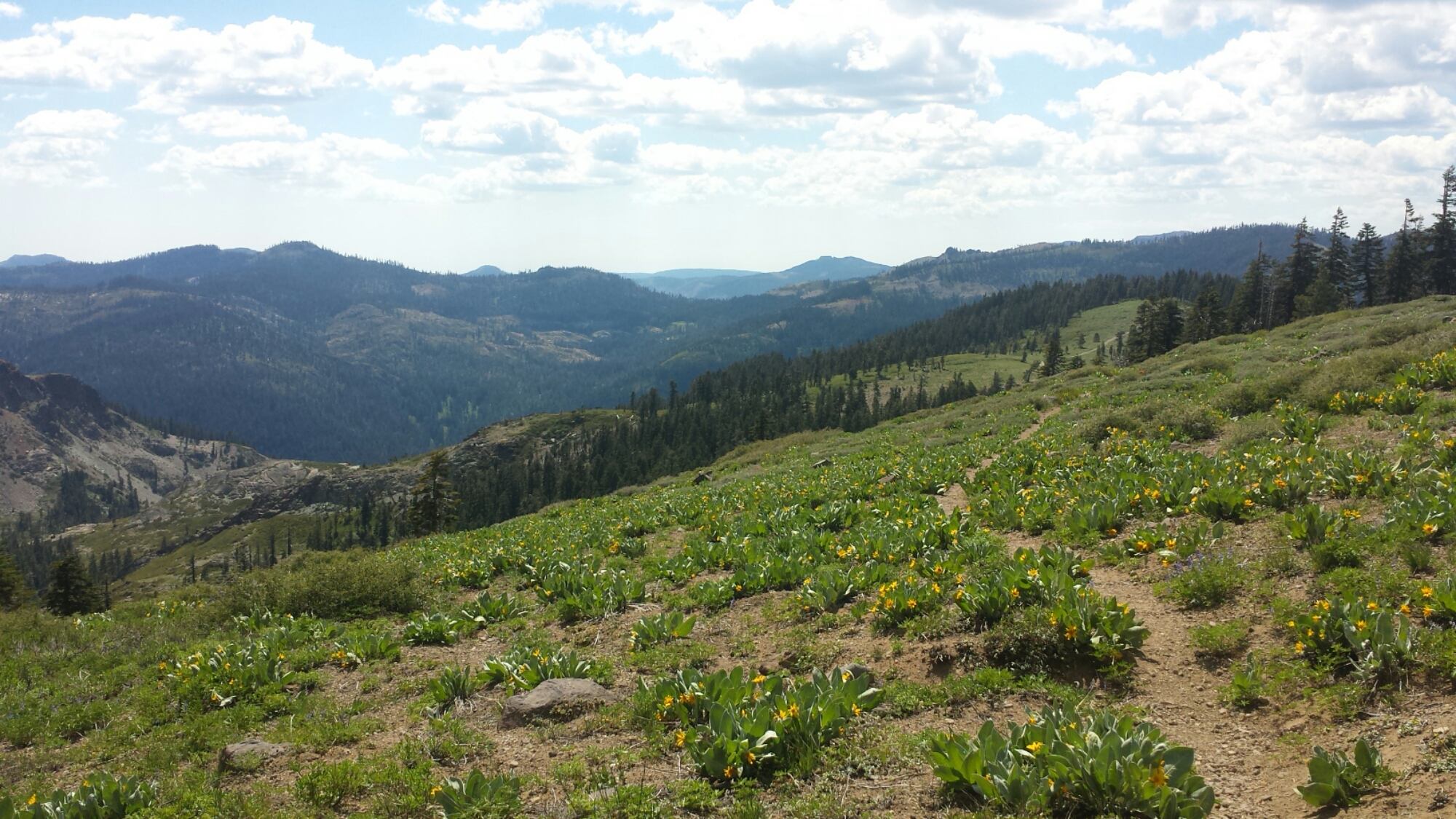
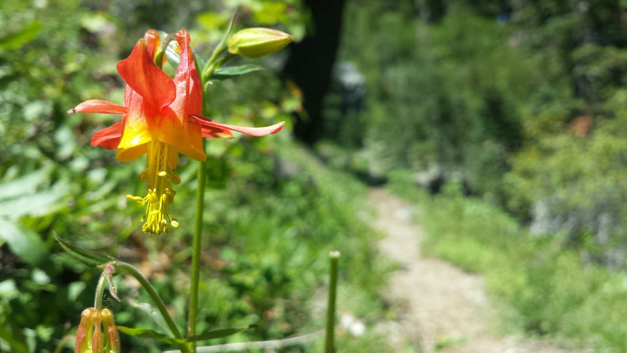
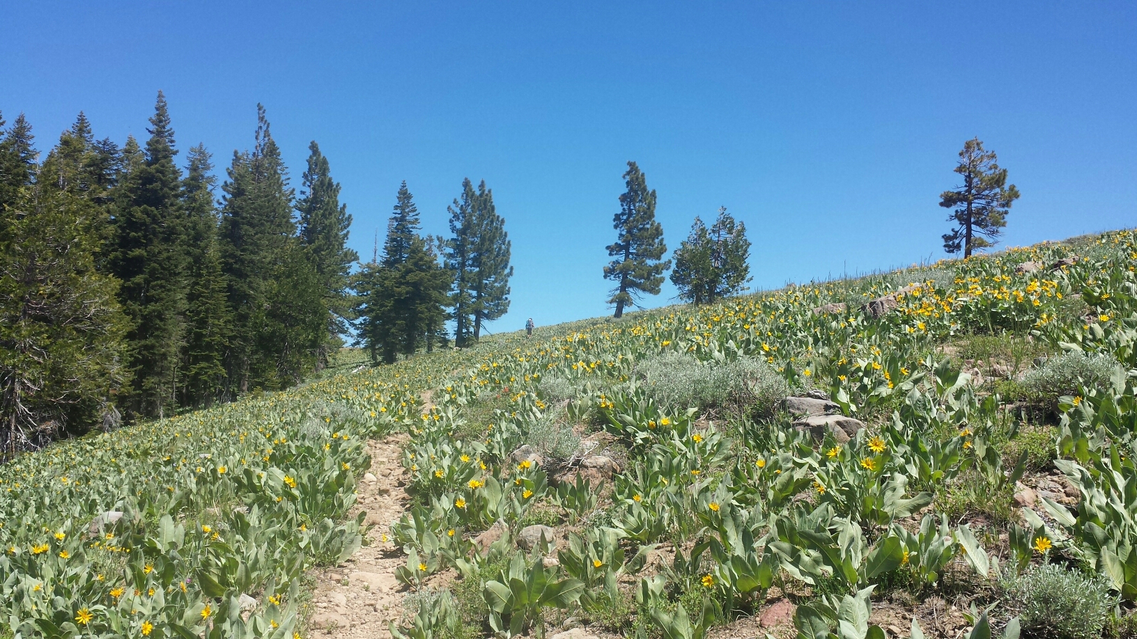
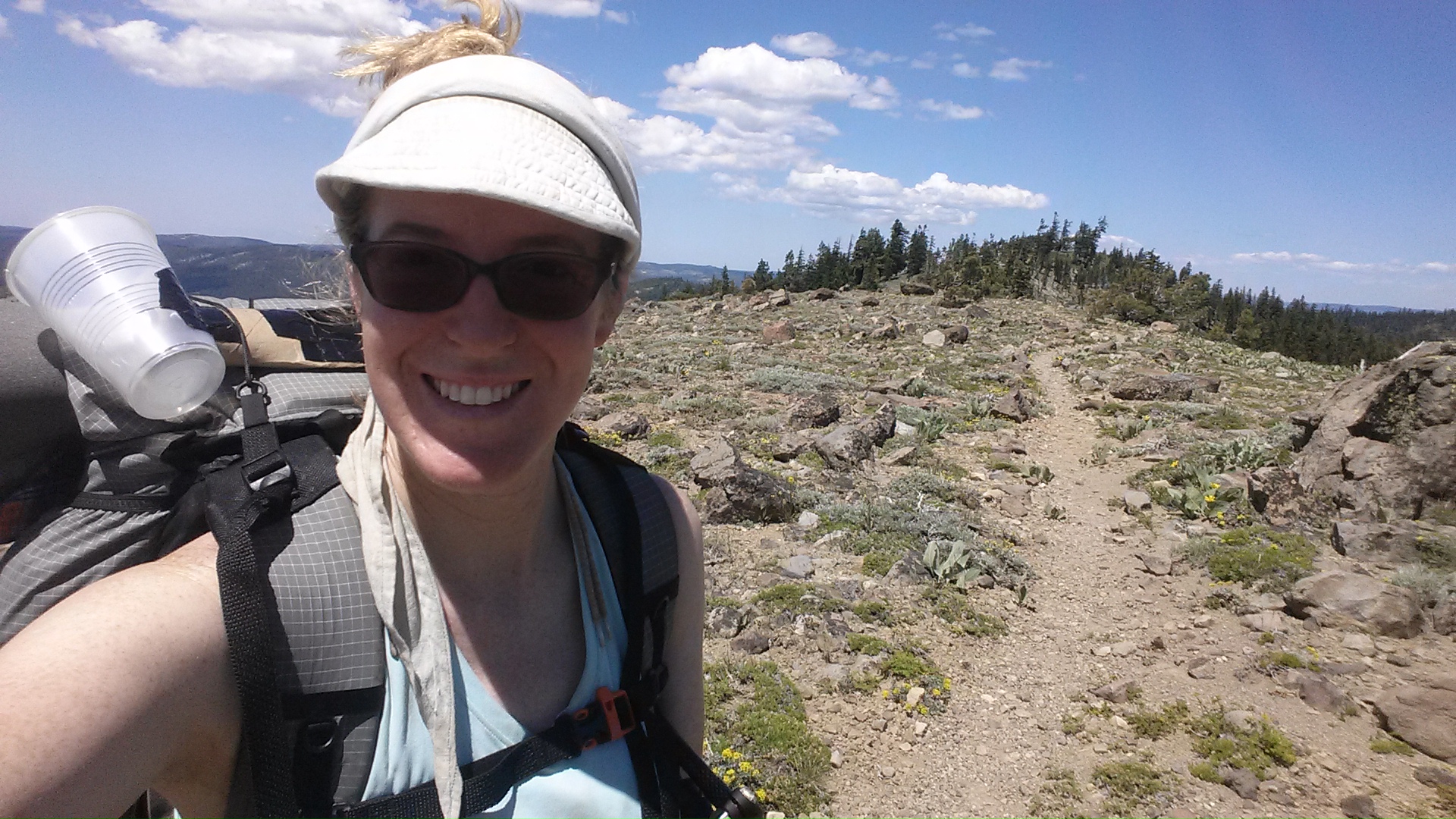
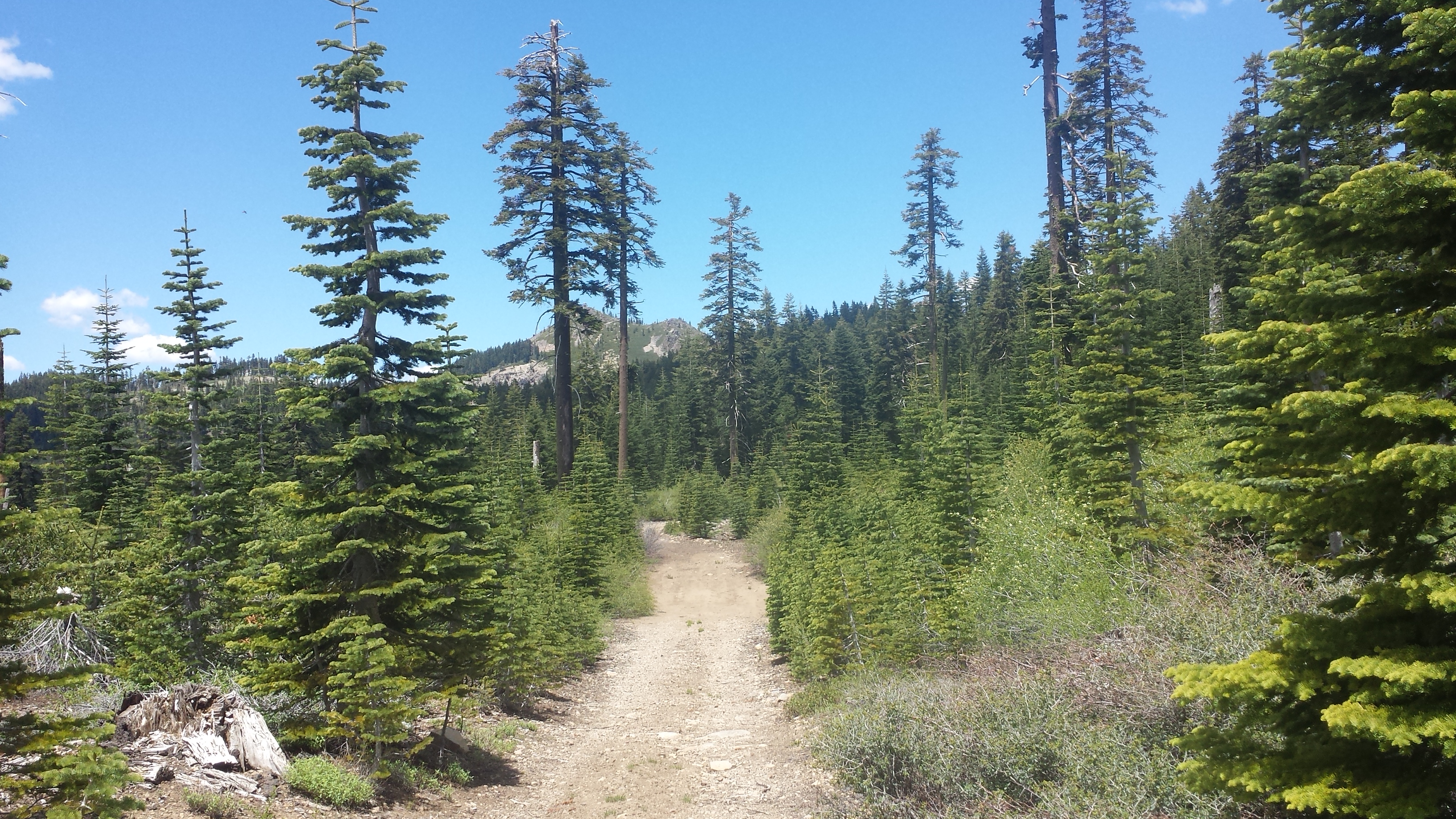
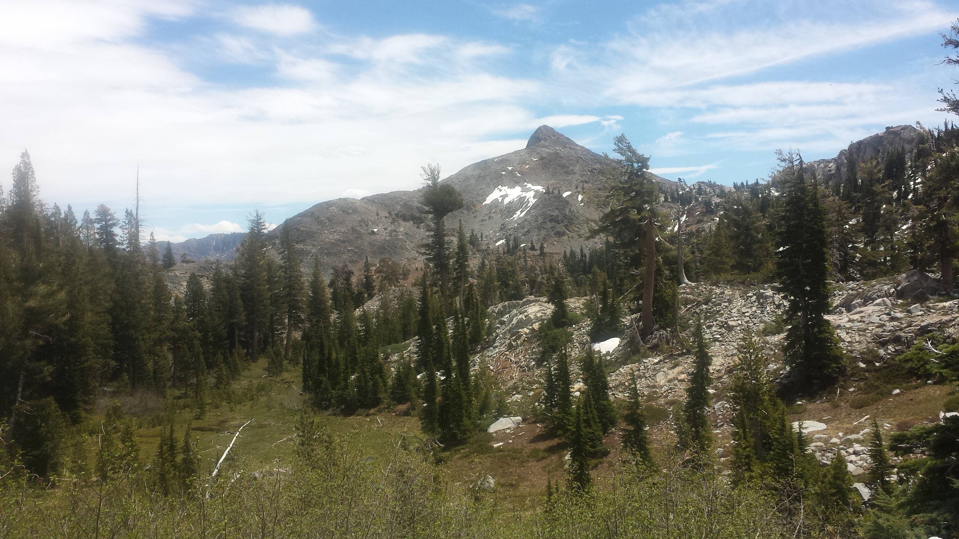
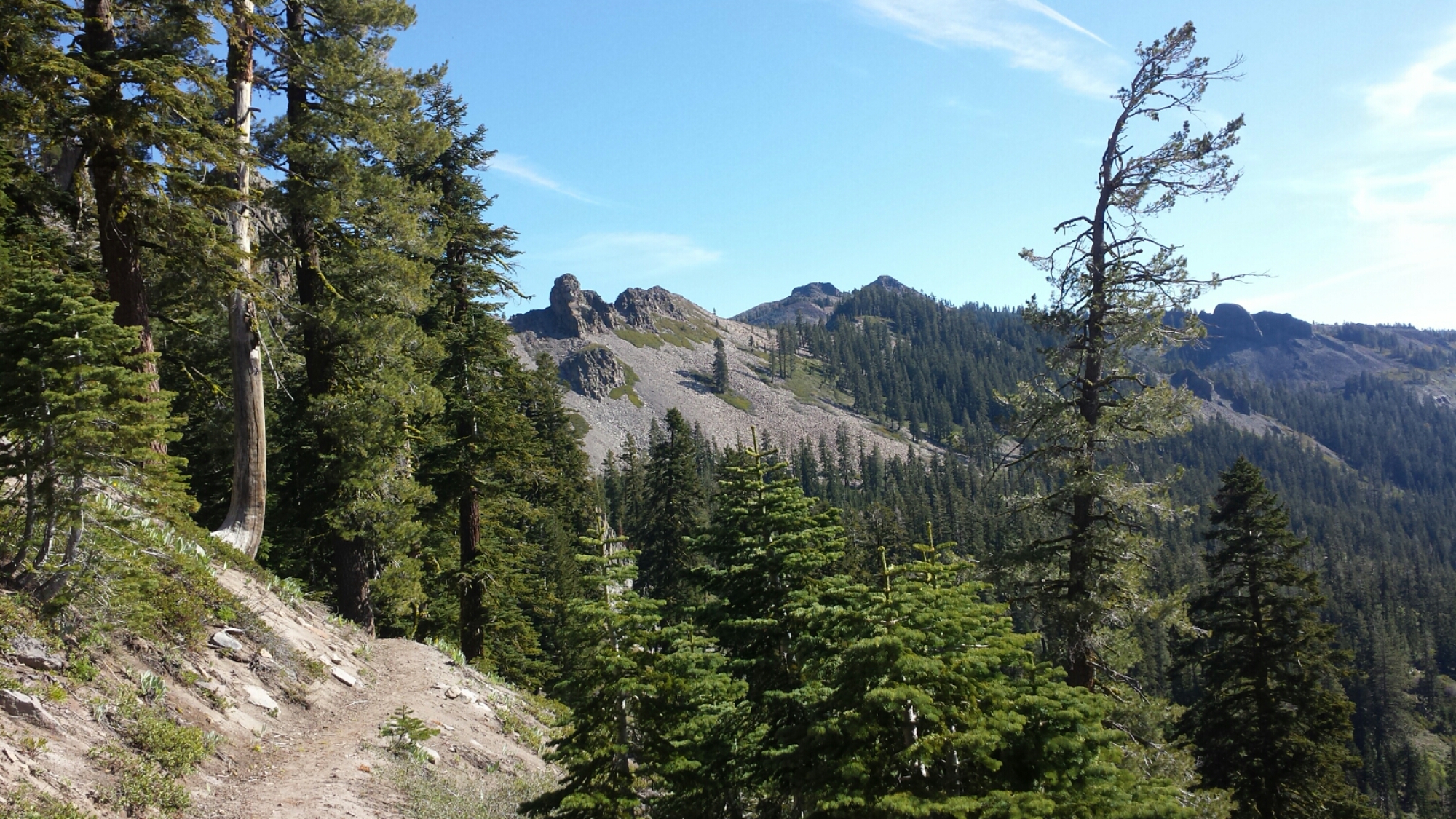
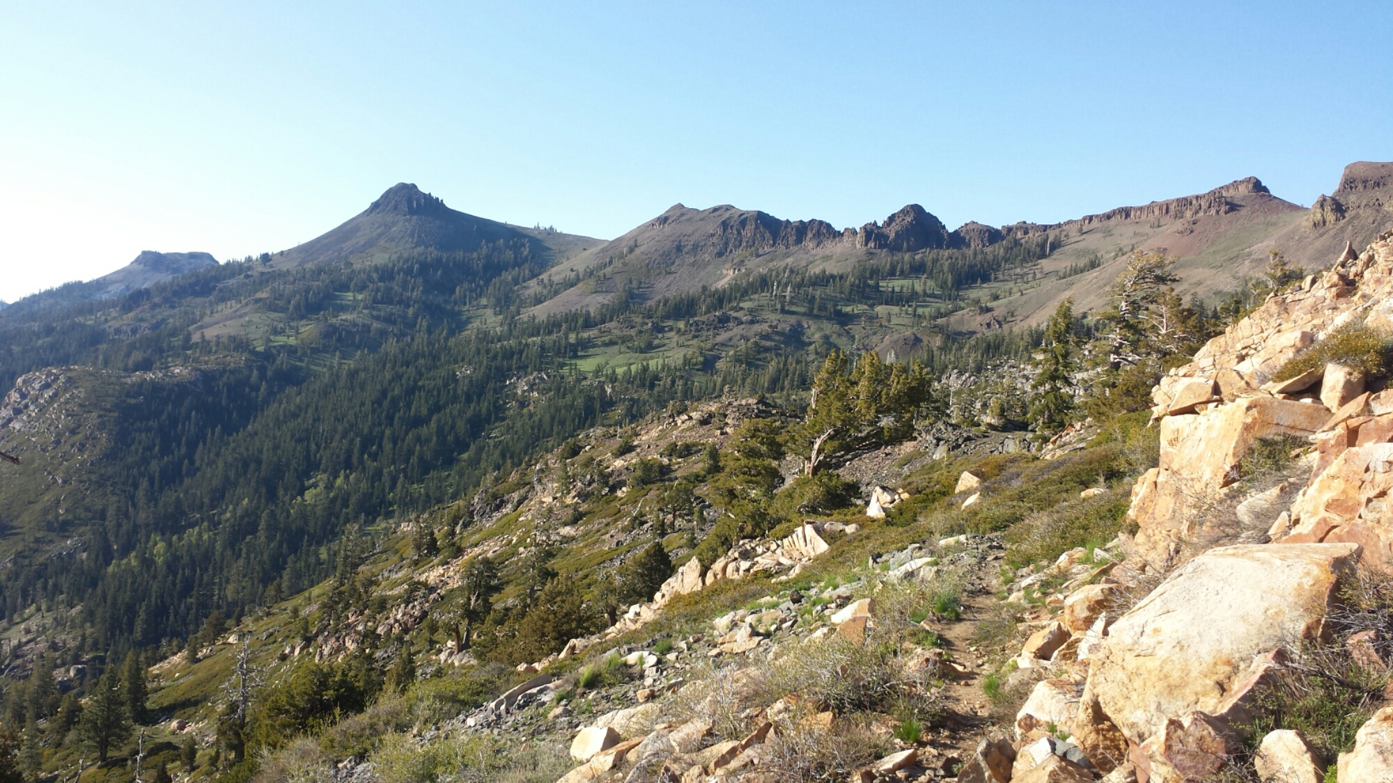
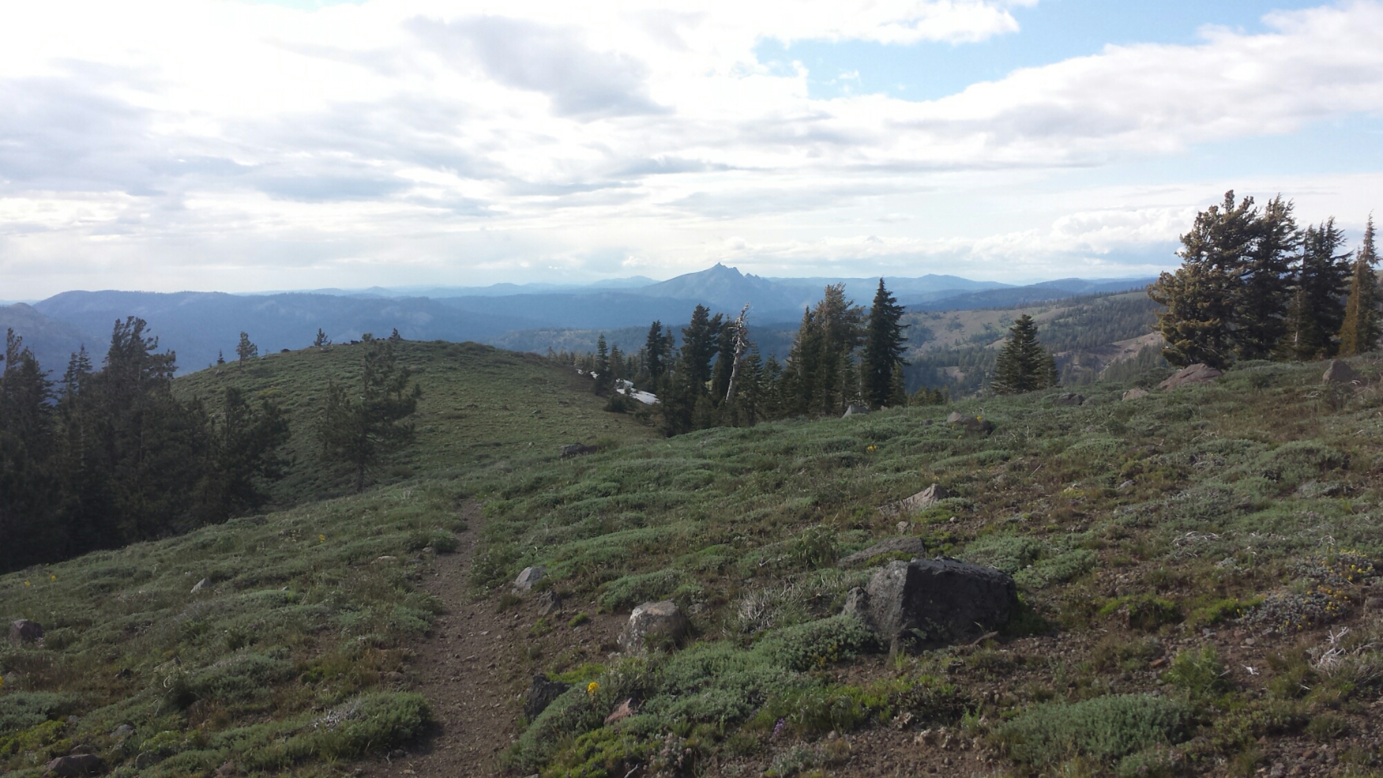
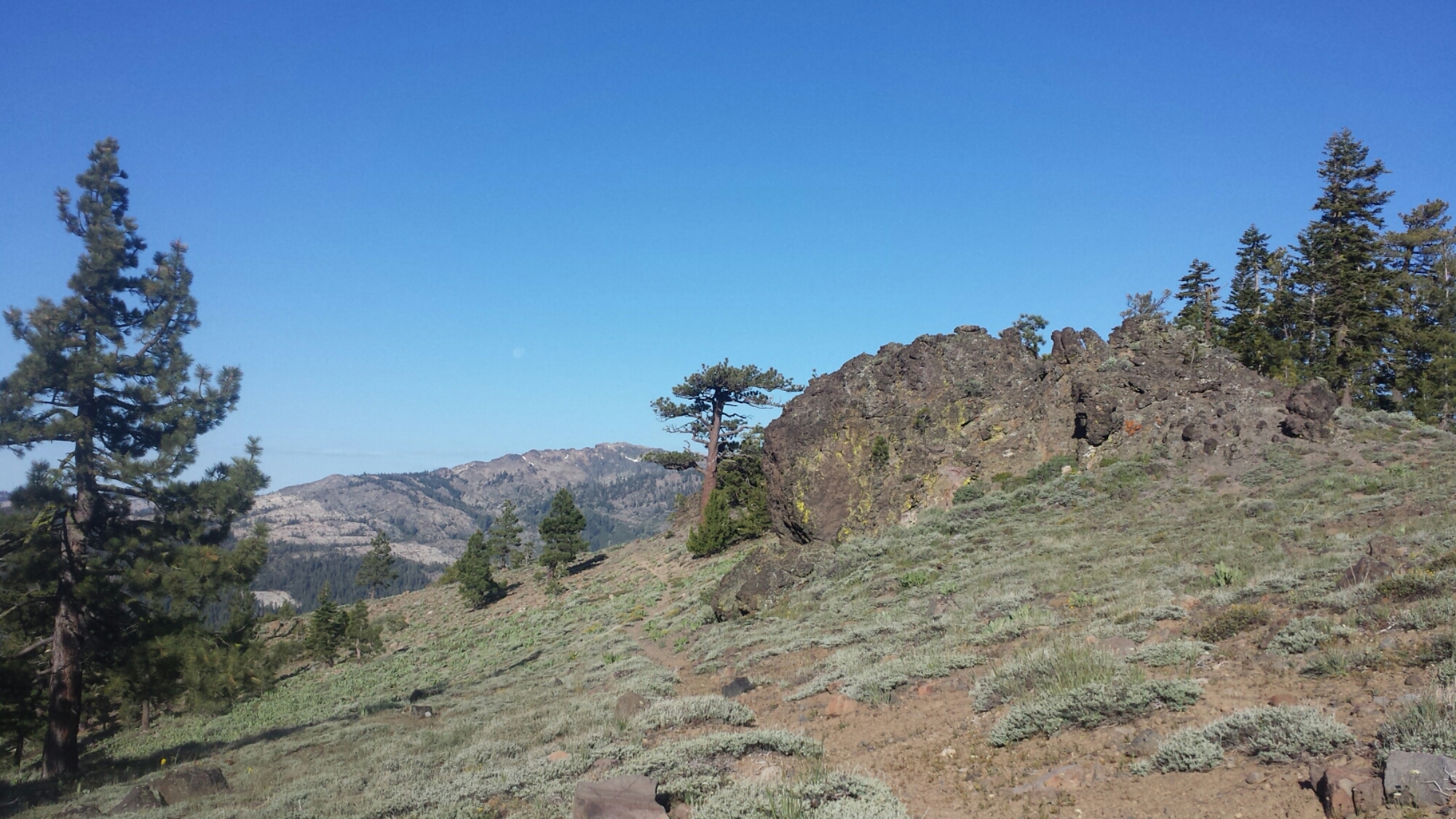
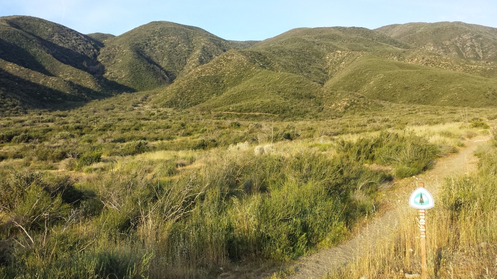
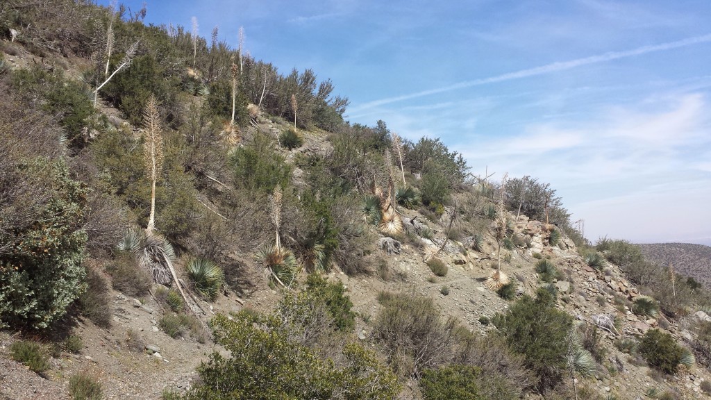
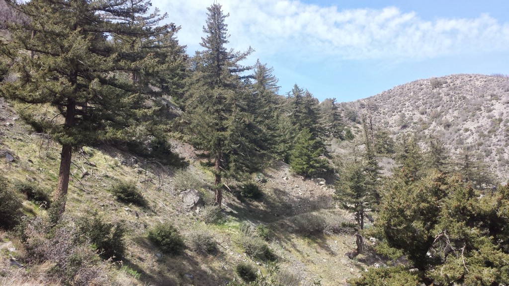
The hike back into the wilderness this evening took me past the stunning Pilot Rock. Other than that, this section will probably be defined by comparatively easy trail winding through rolling hills, meadows of tall grasses and forests of lichen-covered pines.

image

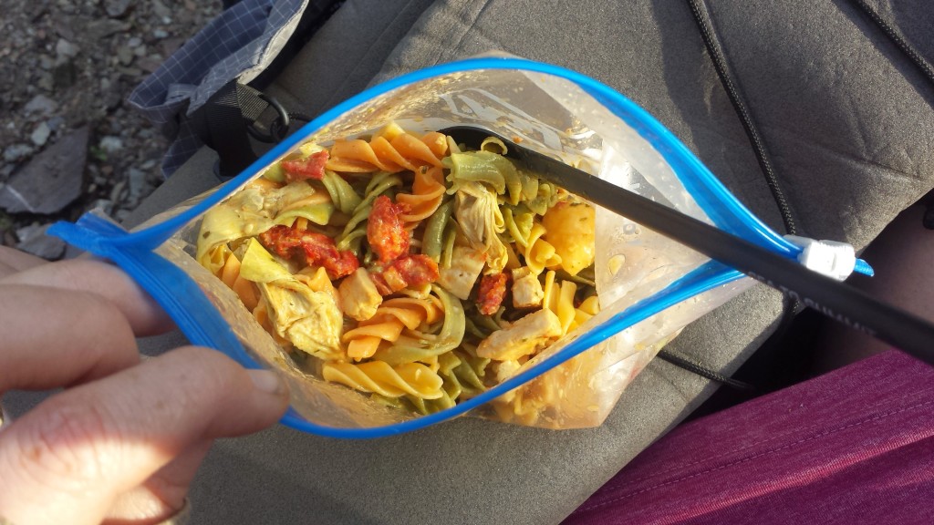
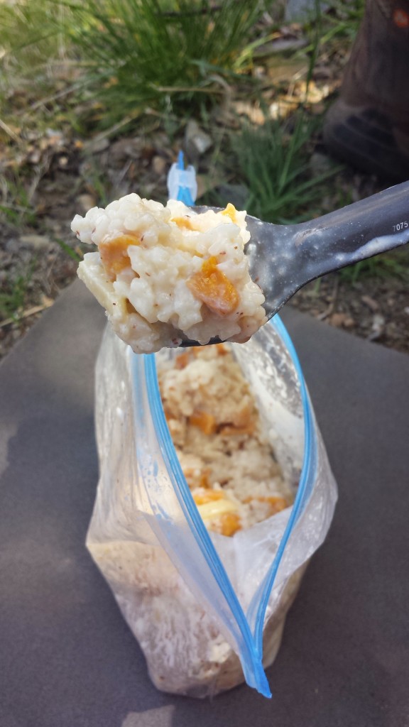
Eating dinner tonight was a chore because I just wasn’t that hungry. While in town, I stuffed myself silly with food, but I still wanted to eat my dinner so I wouldn’t have to carry it tomorrow.

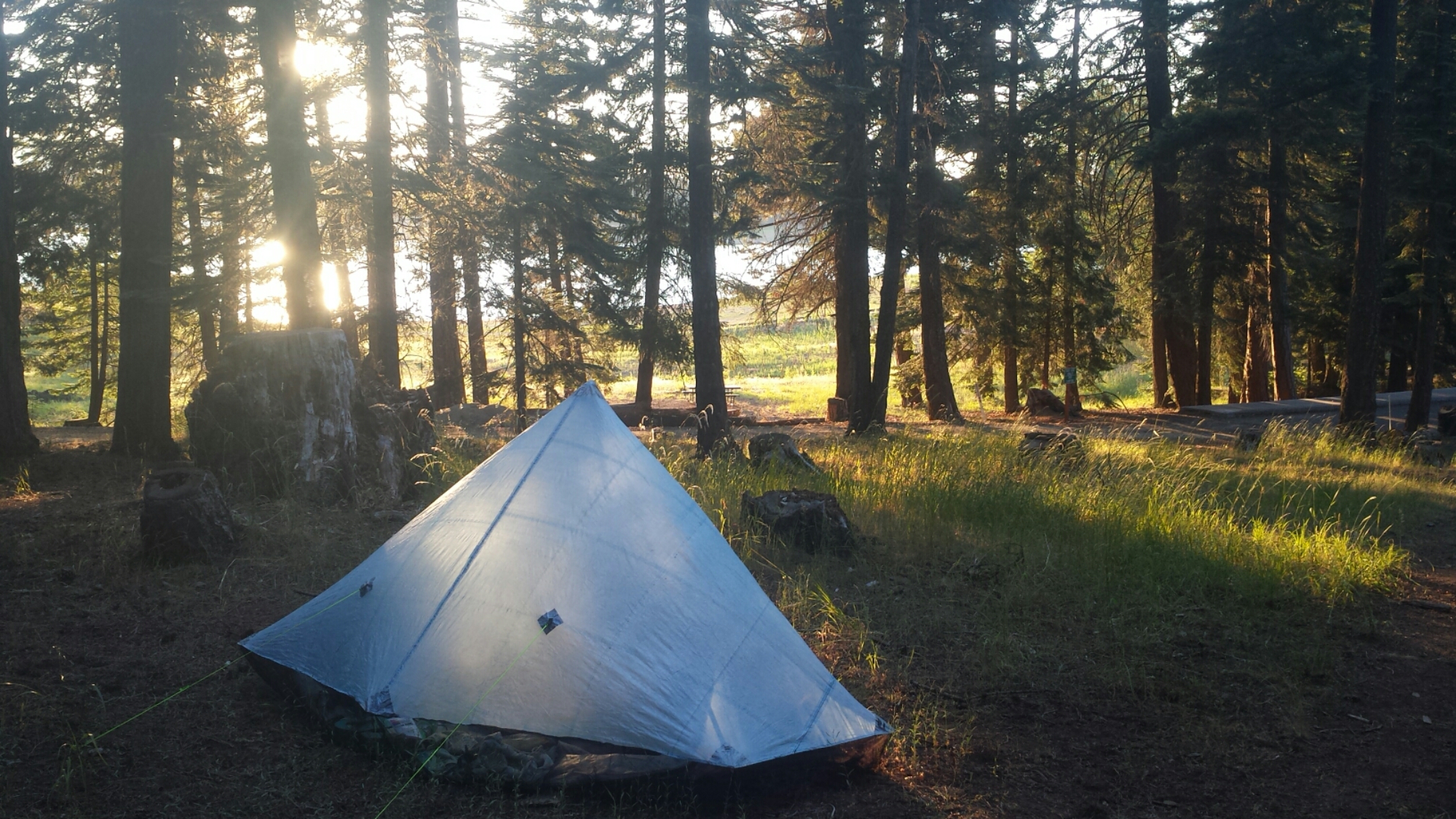
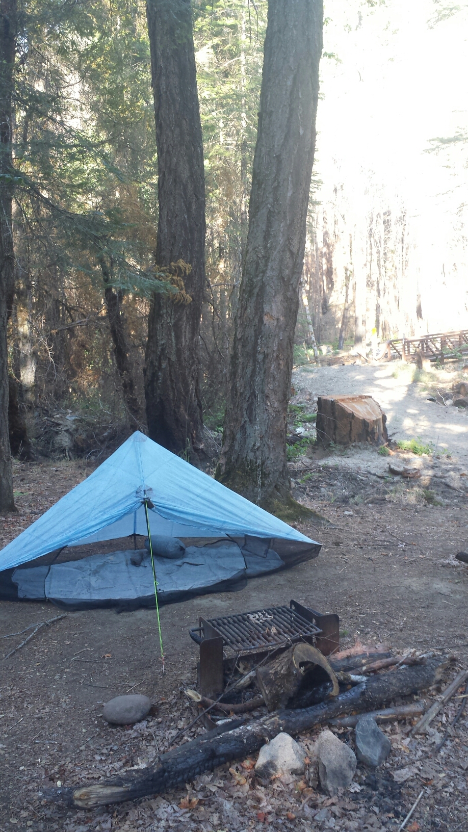
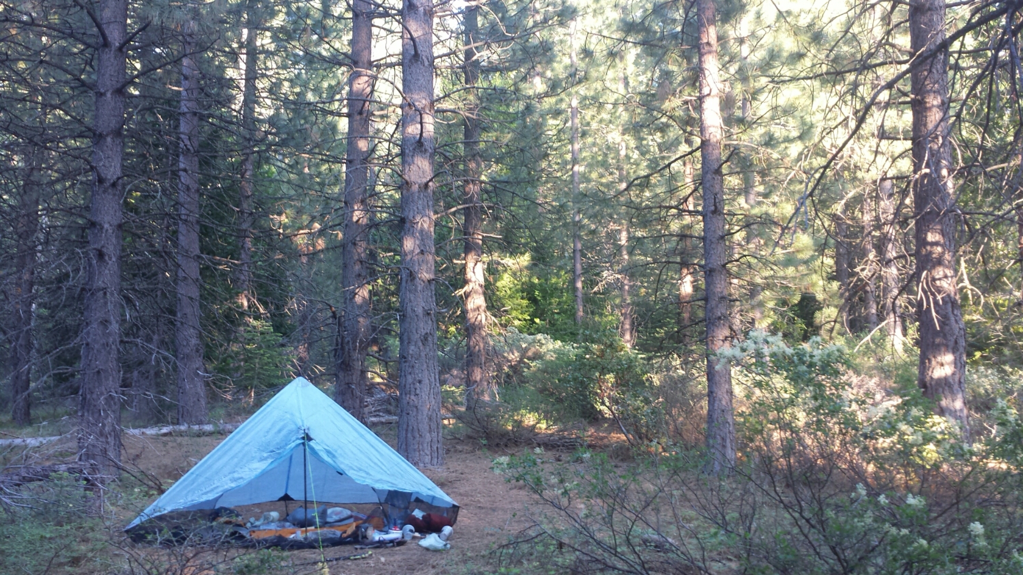
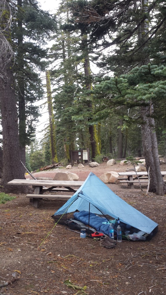
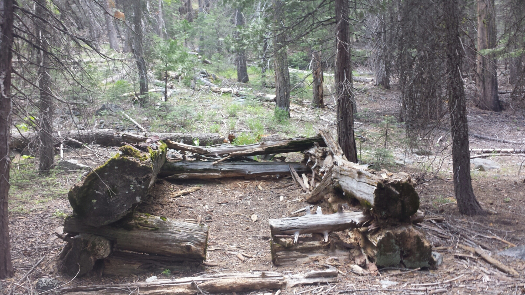
Camping near Bean Cabin

Camping near Bean Cabin

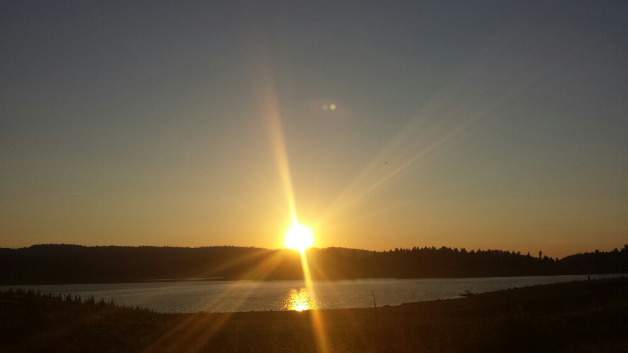
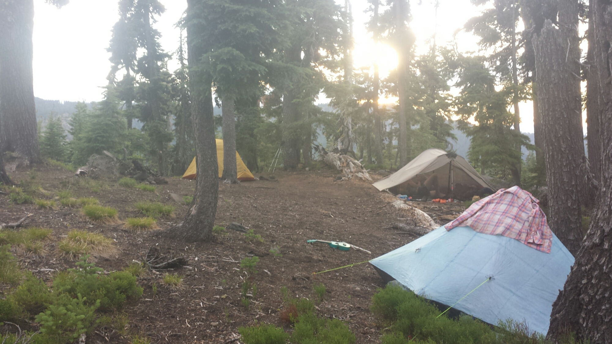
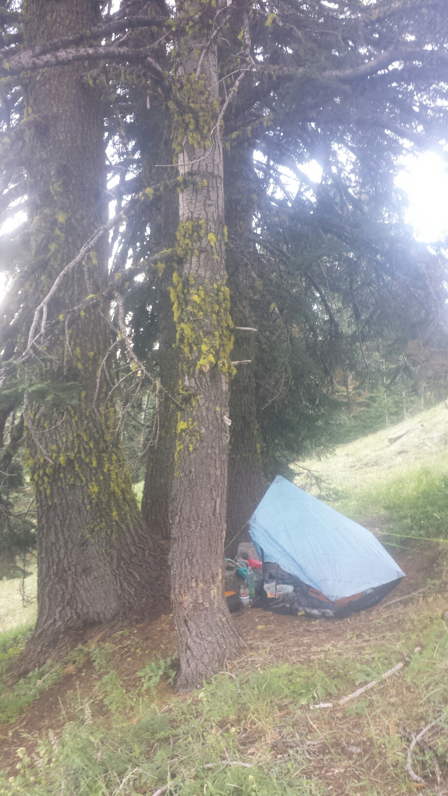
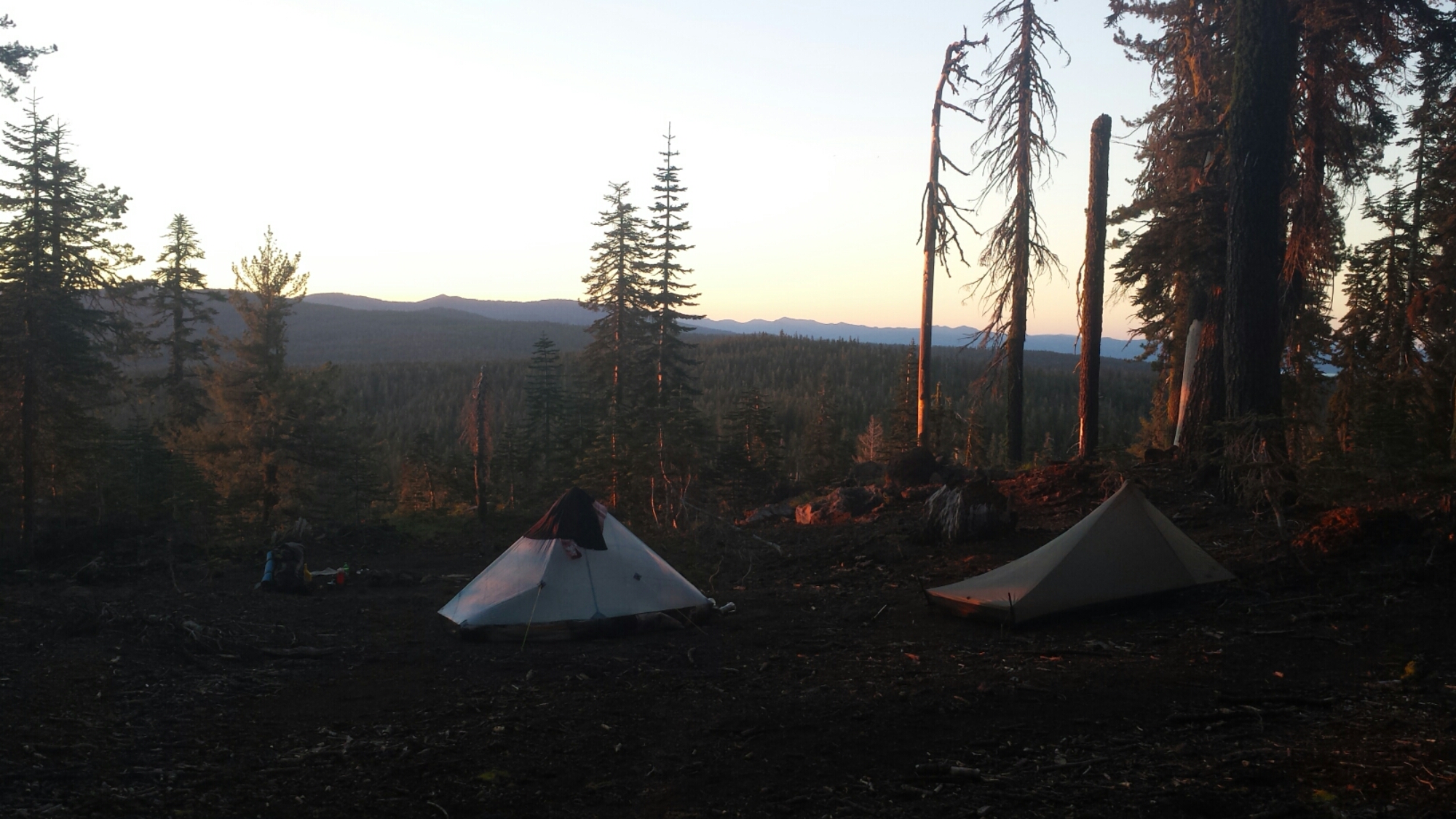
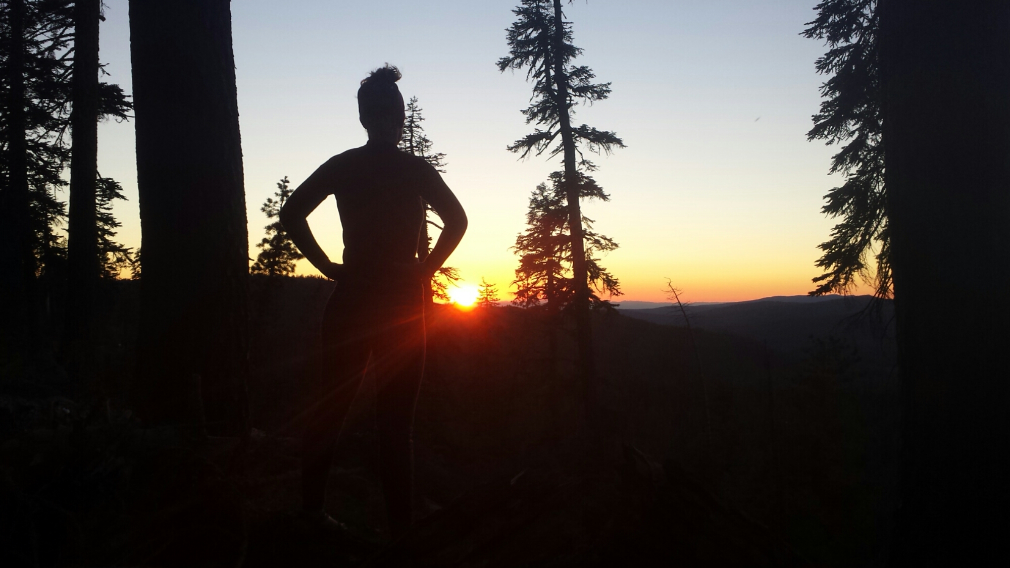
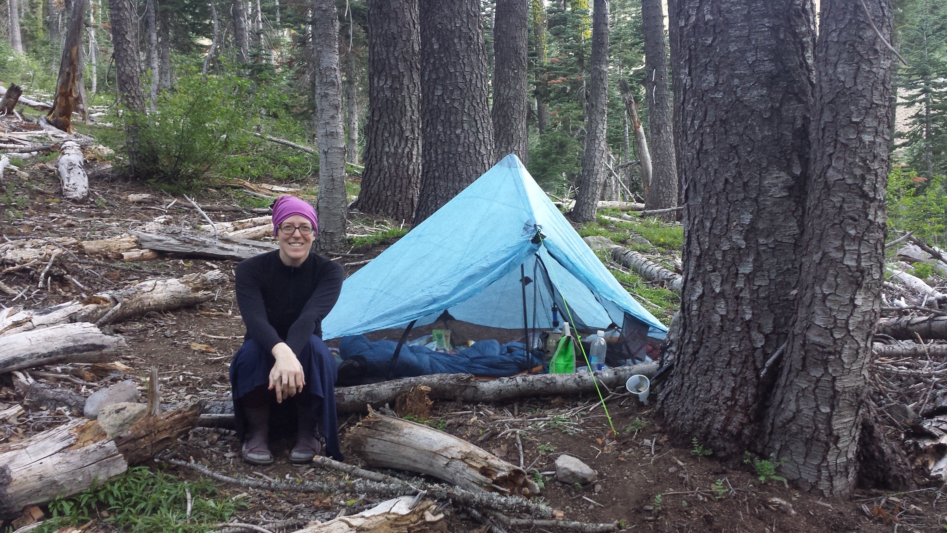
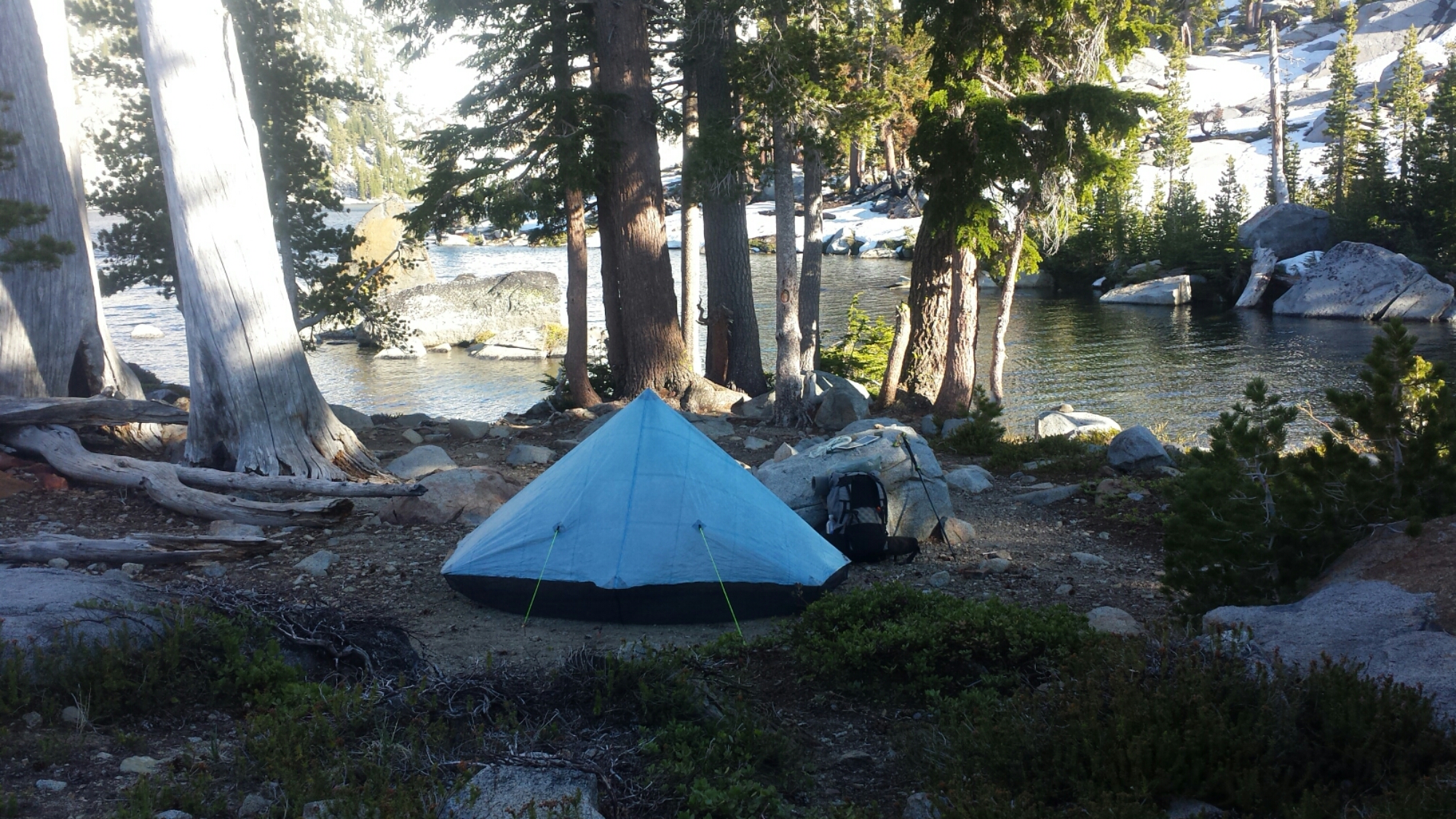
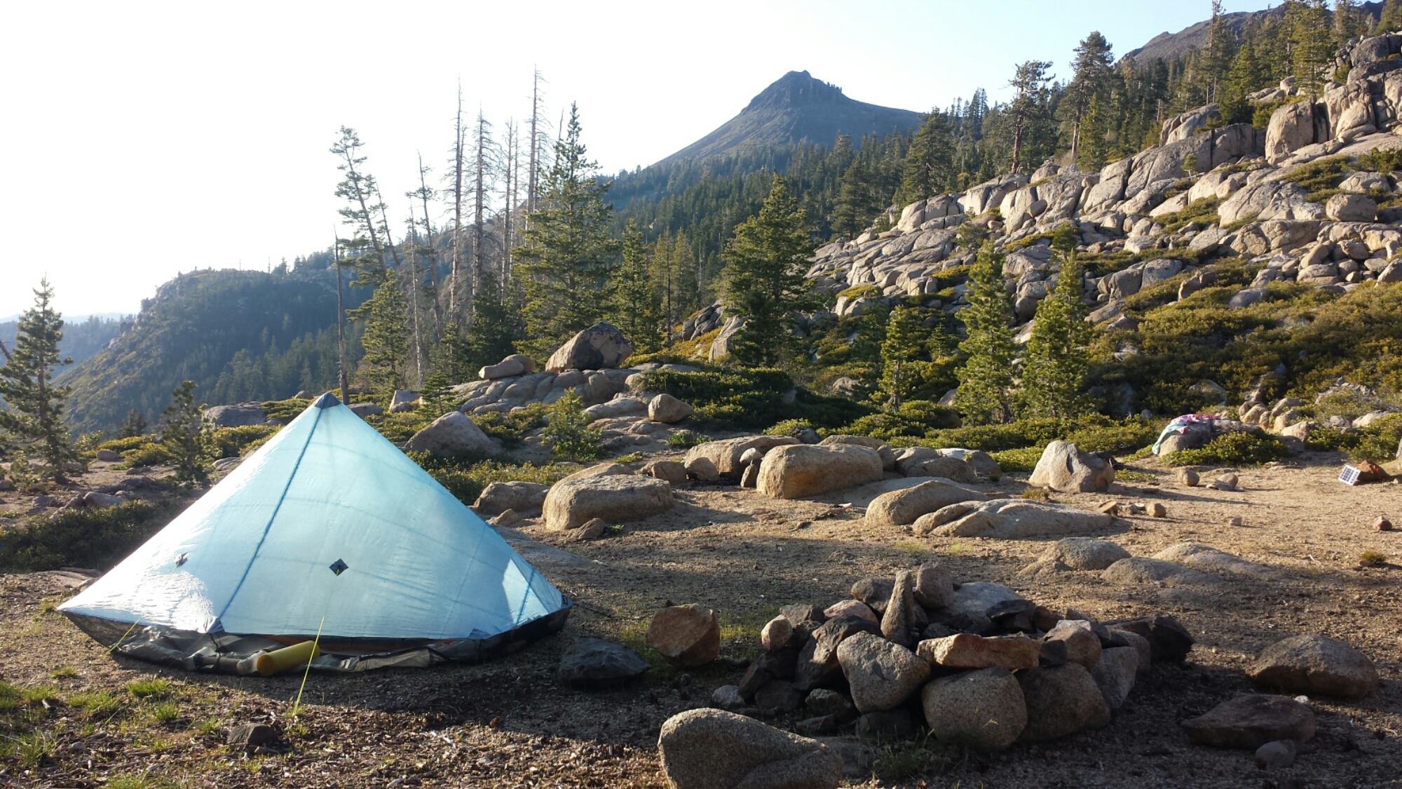
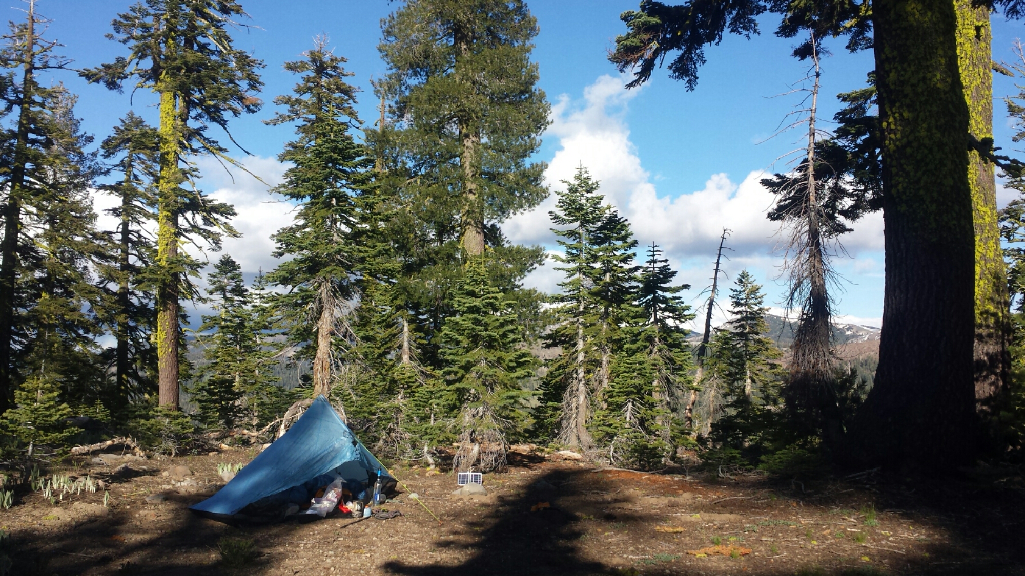
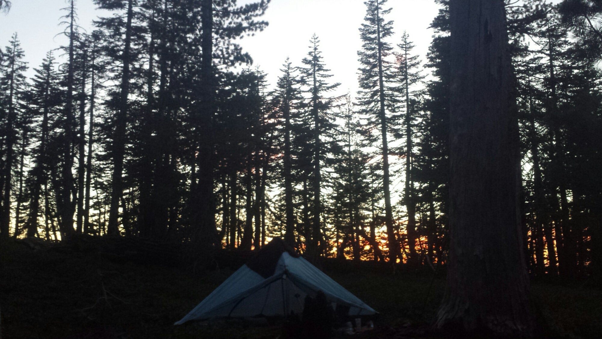
I’m camped near a very small spring and arrived here just as the sun was setting. It’s a warm night which means I can unzip my sleeping bag and use it like a quilt.

image


July 1- 22 miles, camping at Klum Campground

I had a really rough night last night. I woke up at 2:45 so hungry that I felt sick and dizzy and hot. I’ve experienced this before, so I knew I it was hunger and not a fever, but it was awful. I dug around in my food bag until I found something that I thought I could get down. I had to keep my trash bag handy in case I threw-up, but I successfully ate one fig bar. I just can’t believe that happened after I ate SO MUCH food yesterday!

While laying there trying to will myself back to sleep, an animal, probably a deer, starting walking around my tent site. “Just what I need!” I started singing “Home on the Range” really loudly to frighten it. It worked! Honestly though, it’s hard to be loud when you’re scared.

Around 5:30 am, a hiker named Moritz past by and hollered hello. When he asked if I knew where Blue Moon and Scarecrow were, a voice came from behind some trees, “Hello! We’re here!” We couldn’t believe we’d camped so close together and not known it. They said they slept through my singing last night, to my relief.

PCT hiker Moritz "Cleancut"

PCT hiker Moritz “Cleancut”

I hiked with Moritz for most of the day. His trail name is “Cleancut” because he’s smooth as a baby, while all the other hiker men sport wild and unmaintained beards. I actually first met him a couple of weeks ago in Drakesbad. He managed to catch up to me because he tends to hike 25 to 30, sometimes 40 miles per day. He’s another really interesting person to talk to while hiking. He left college, where he was studying engineering to work on a pearl farm in Australia, so he speaks with a German-Australian accent. He’s addicted to traveling and has been all around the world by the age of thirty-four.

image

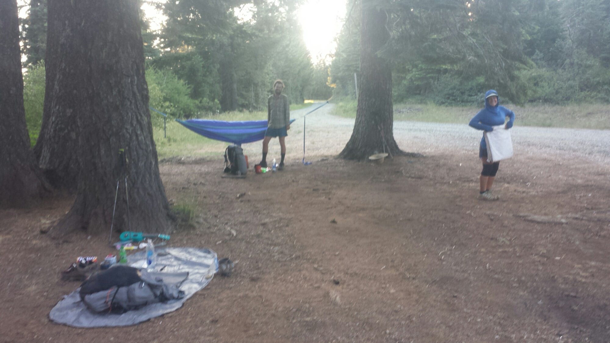
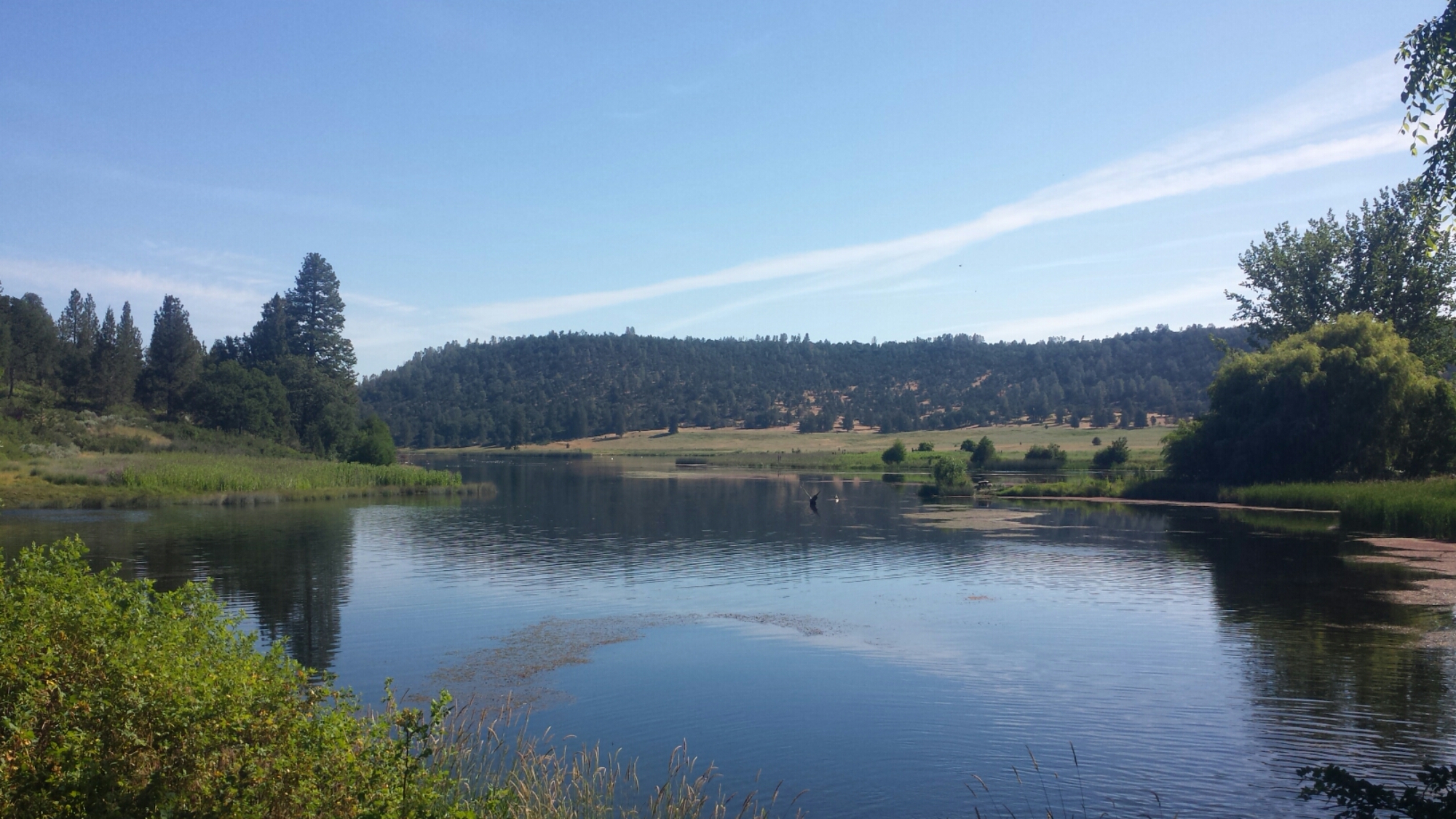
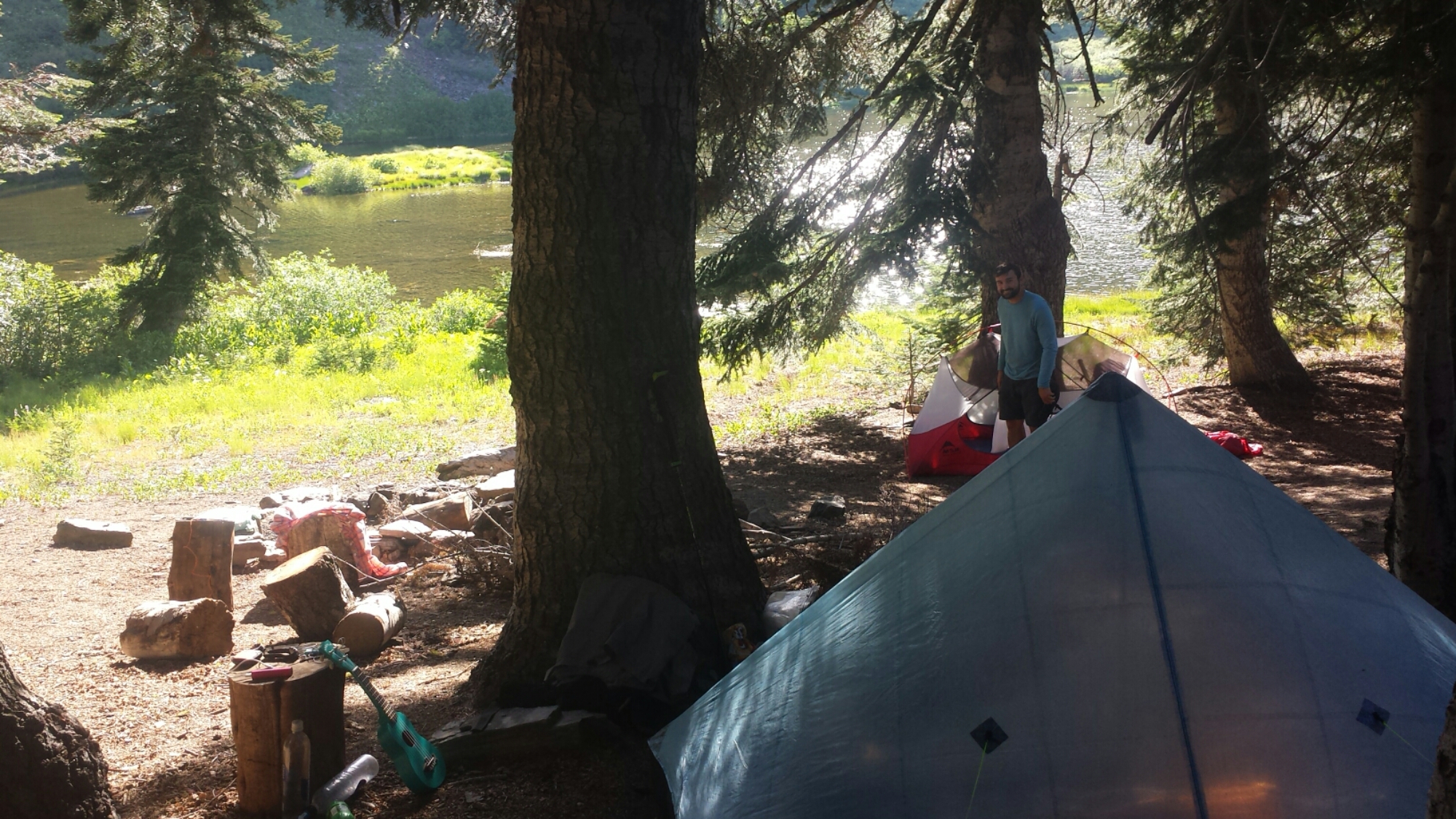
After about 22 miles, I went off-trail to get water and dump trash at the nearby Klum Campground. Unfortunately, the county charges $20 per night for a tent site, which I wasn’t about to pay. There are free showers here, so, with no one around to notice that I wasn’t a paying camper, I slipped in and enjoyed a nice, hot shower. The campground was completely empty except for a single family camping with their RV. It was early, so I hung out by the lake to charge my batteries and made dinner, but by the time I finished, I felt too tired to hike even another half a mile.

Camping at Klum Campground

Camping at Klum Campground

I chatted with the self-proclaimed red-neck family about whether or not a ranger would be checking in, and they said I should just camp near them. If they ranger did show up, they’d just say I was with them. Yay! I’m hoping to catch up on my sleep tonight and I’m looking forward to having a real bathroom in the morning!

image


July 2- 23 miles, camping north of Hwy 140

image

People ask me what I think about while hiking miles and miles everyday. I’ve tried to pay attention to my thinking so I could give them an answer, but unfortunately I don’t think it’ll be very interesting. Here’s what I’ve noticed:

Most of the time I’m thinking about hiking logistics (like pace and schedule), my body (including everything from determining if my aches are serious or not to when and what should I eat), and the trail (views, geology, history, plants). The rest of the time I’m either in music-mode, singing snippets of songs, or trance-mode, when my mind finally goes blank and I’m in a flow: look at the trail, look at the trees, look at the trail, look at the trees, look at the- SQUIRREL!

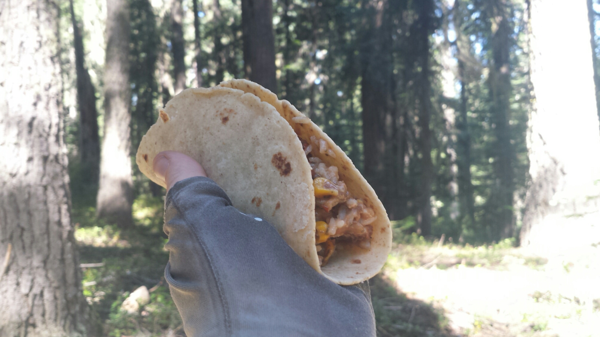
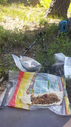
Burrito lunch

Burrito lunch

Very rarely do I actually think about deep things or come to any great realizations. I think some people might find this disappointing. I will say this, however, that having this much space in your day for thinking does allow you to more clarity and creativity when thoughts do come up, light or deep as they may be.

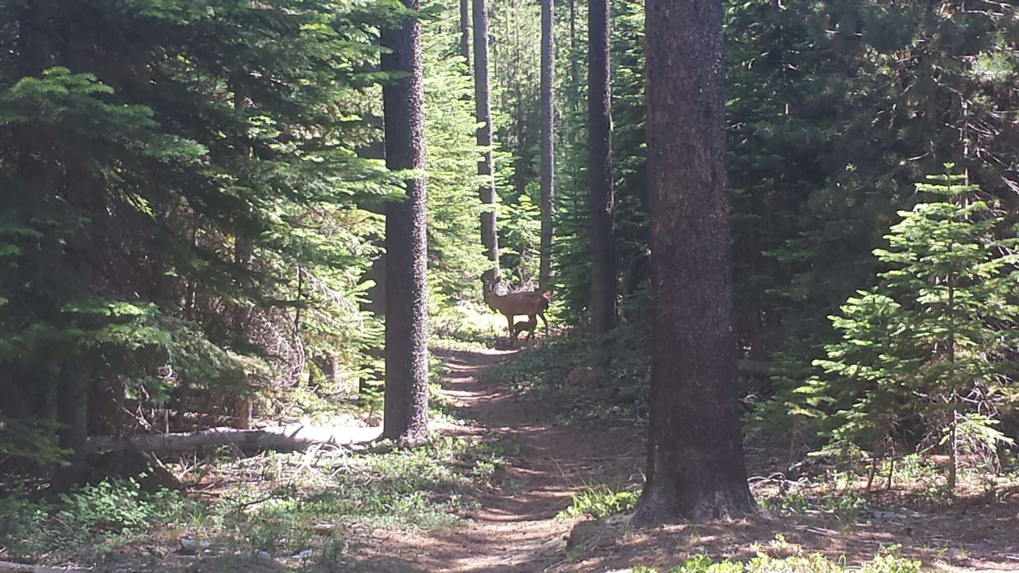
This morning I came across a deer in the trail. I stopped and watched her for a moment and she looked right at me, but didn’t run away. It took me awhile to realize why she hadn’t instantly jumped away- she had a very tiny fawn with her and it was in the middle of breakfast, nursing below her belly. I can’t possibly describe how special this moment was for me to watch. It seemed as if, just then, the forest was sharing something particularly intimate with me.

Mama and baby (look closely!)

Mama and baby (look closely!)

image

I’m camping tonight with a girl I met in Belden, Haley. She jumped several hundred miles up the trail, similar to me. There’s also an 18-year-old guy camping in this spot and, man, he won’t shut up. I’ve never heard anyone talk so much. He’s just SO excited; it’s like he’s a little puppy or something. I’m about to offer him a sleeping pill. TIME FOR BED!


July 3- 26 miles, camping below Devil’s Peak

Tonight is Double Dinner Friday. It’s also Monster Marshmallows Friday. Whenever I’m close to town, it means I can binge on any extra food I have- I LOVE IT!

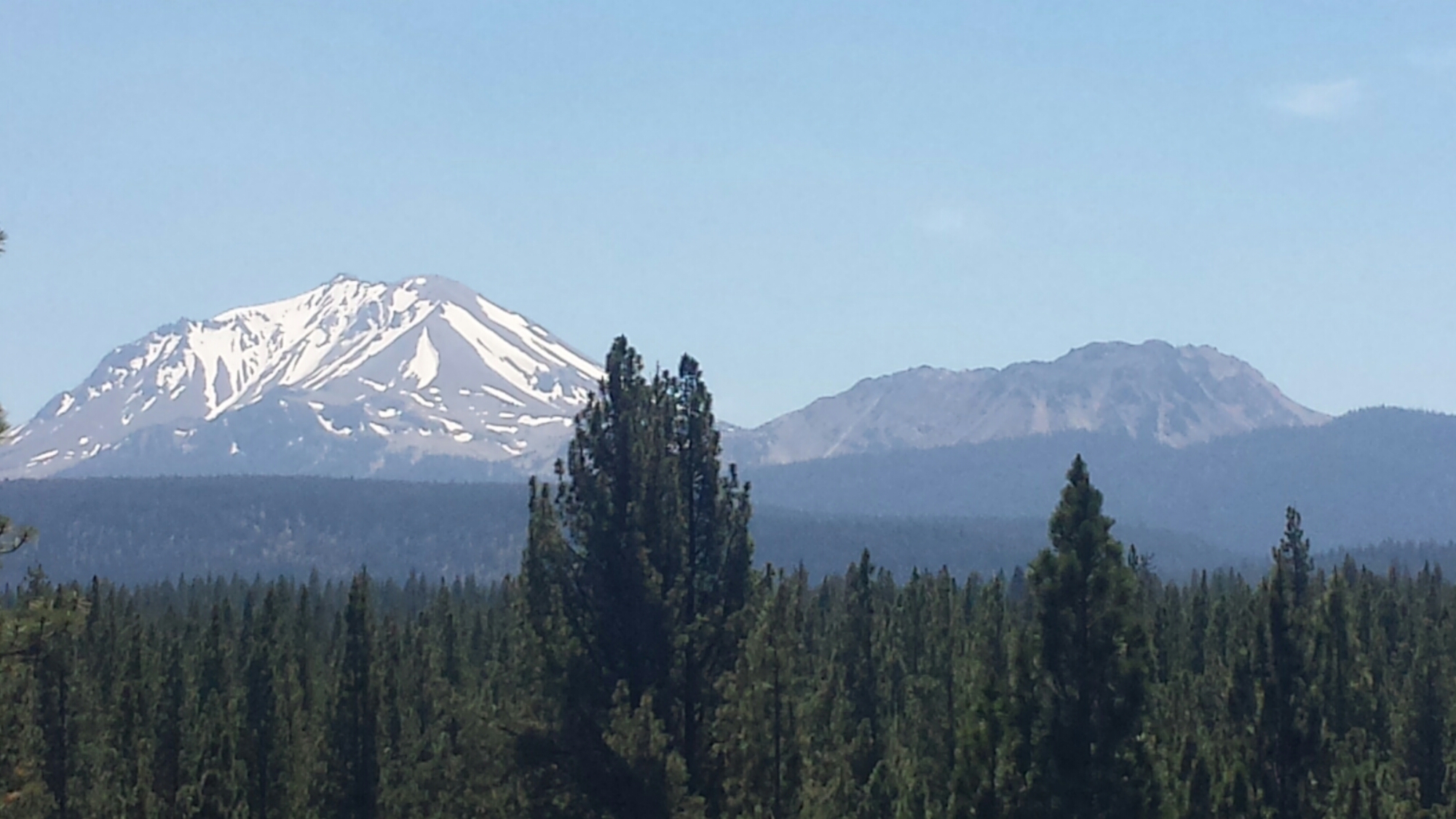
Most of the day was spent walking along gentle trail through dense woods. There weren’t really any views of Mount McLaughlin even though the trail skirted right around it.

image

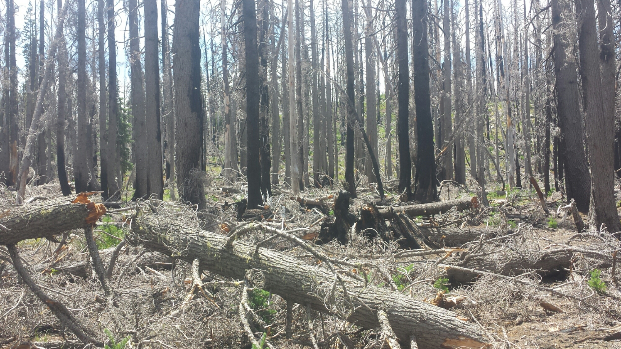
I had planned on hiking 23 miles today to a trail junction were I’d find a pond to resupply on water and camp for the night. Unfortunately, that area of the forest was utterly decimated by a recent fire and I couldn’t find the trail junction or the pond. With half a liter of water left and some very tired legs, I started the climb that would take me, in three miles, to the next water.

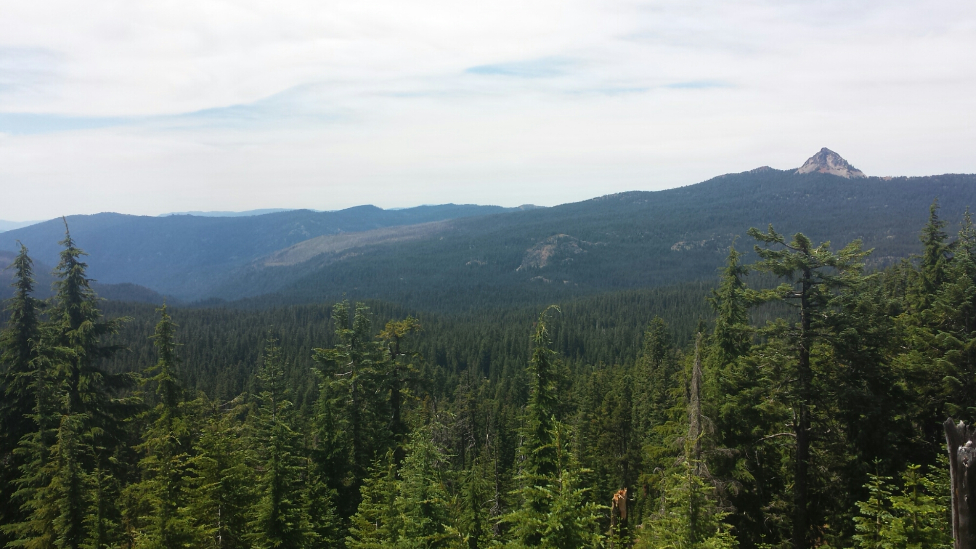
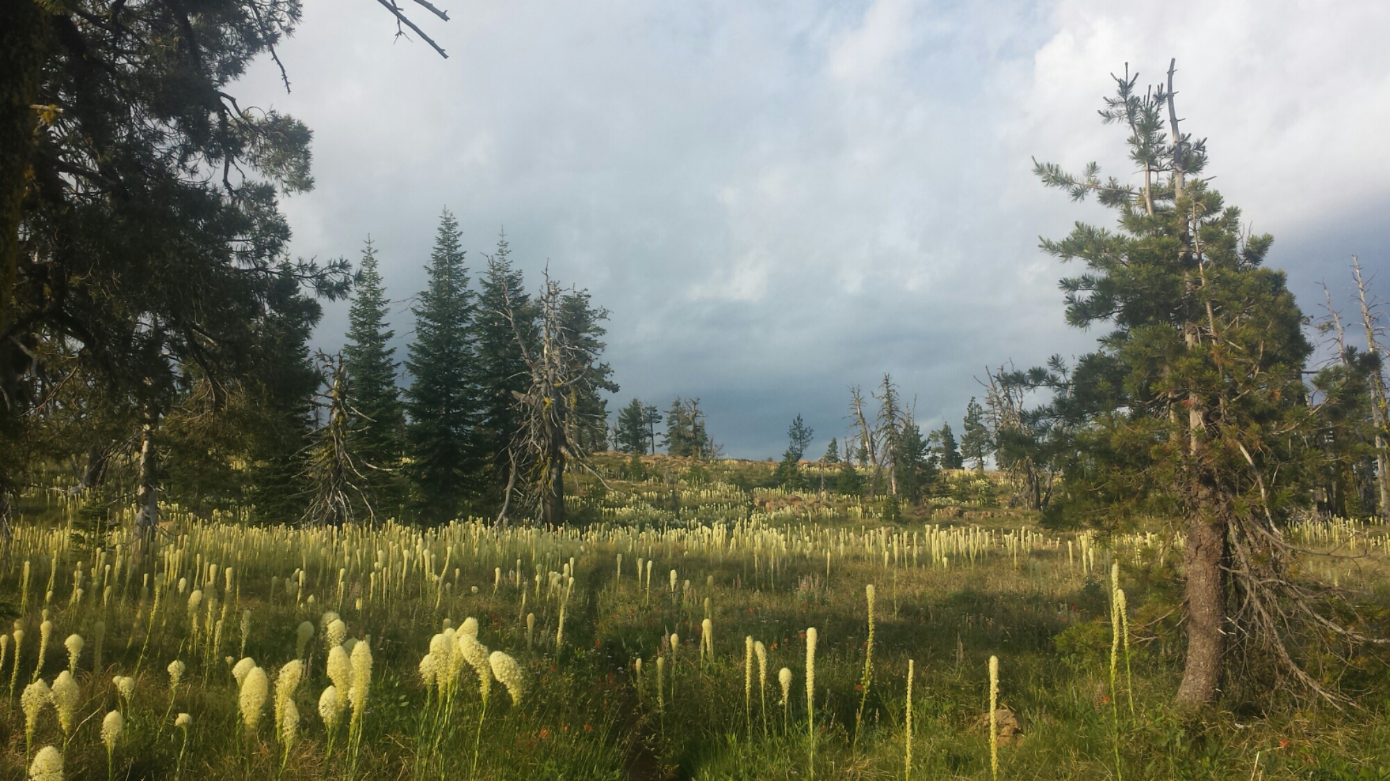
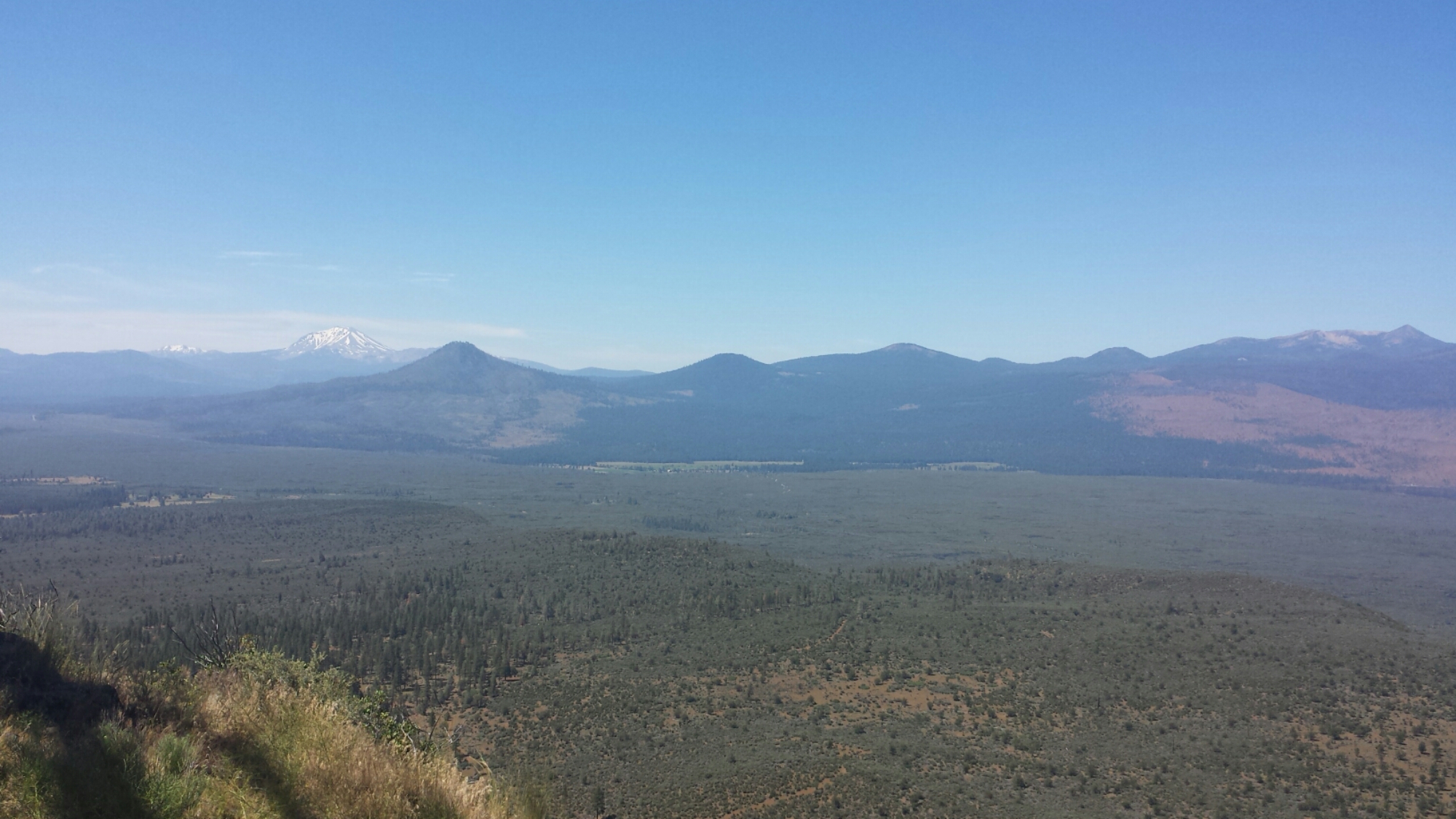
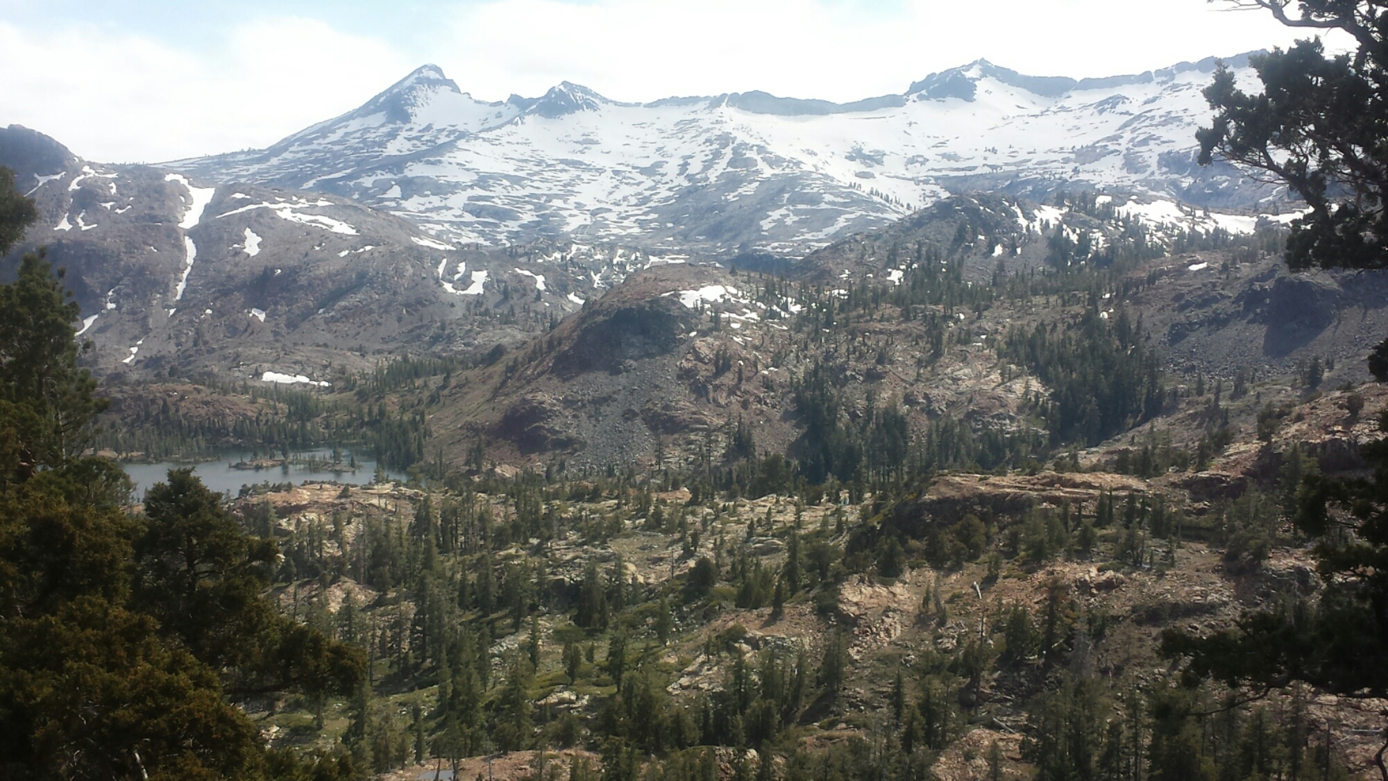
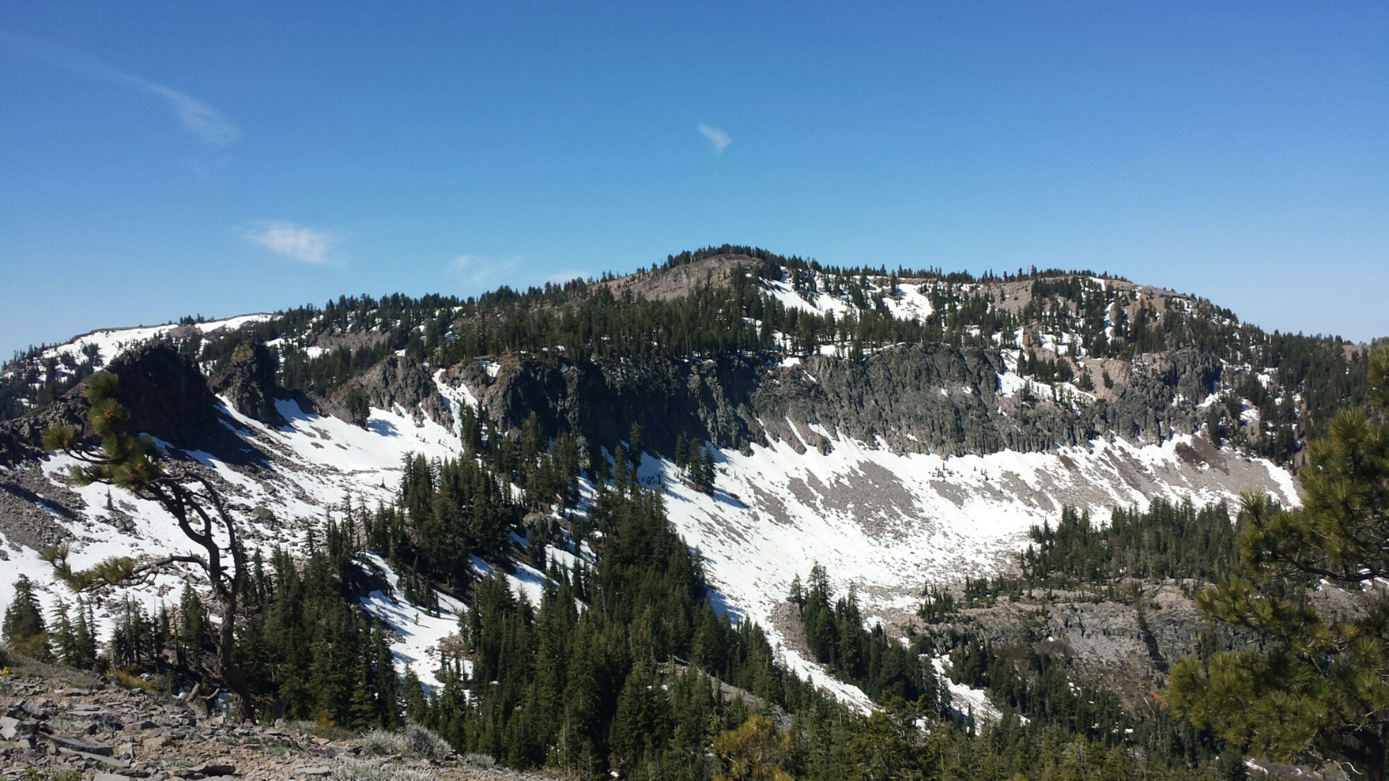
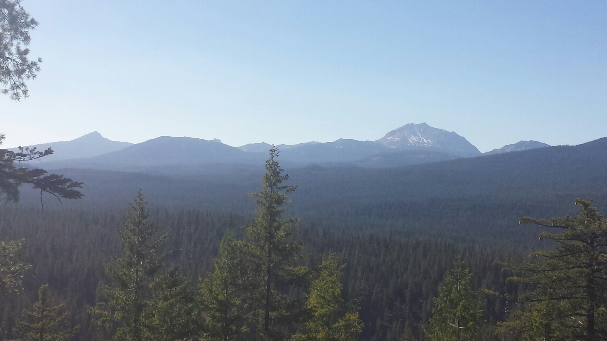
After what has felt like days of thick Oregonian forest with occasional views of gently sloping hills, I was finally presented with spectacular views in all directions. It felt like coming out of a fog into a stunning sunset. To one side, I could see Mount McLaughlin and Klamath Lake; to the other, spreading far to the north, were jagged, shark-toothed peaks, including Mount Thielson.

Grandpa's beard

Grandpa’s beard

image

image

I found the water I needed, along with Blue Moon and Scarecrow camping nearby. My muscles are aching so much that no amount of stretching seems to be helping. It’s moments like these that make me wish I had my travel-size foam roller. It’s 22.5 miles to Mazama Village; I don’t know yet if I’ll go all the way tomorrow. I’m pretty sore!

image


July 4- 23 miles, camping at Mazama Village Campground

Knowing that I’d be sore from yesterday meant I took it super easy this morning. I didn’t hike out of camp until 9:15! The entire day felt strange. The miles were flying by so fast that I wondered if the map was off on it’s distances.

Lost the trail in the blow downs

Lost the trail in the blow downs

There were so many people on the trail today. Some were section hikers, others were day hikers, and a few were northbound PCT hikers who were hiking really fast. I hiked with one of them, a lady, for about 30 minutes and eventually dropped back so I wouldn’t have to listen to her negativity any more. One thing she said that really bugged me was that she couldn’t wait to finish the trail because she was sick of it already. My thought was, if you’re not enjoying it anymore, why bother finishing?

image

It’s normal to have bad days or even bad weeks on the trail, and it’s normal to get so sick of body pains, bugs, the weather, maybe even the monotony of certain sections that you just can’t stand hiking anymore. I once complained to another hiker that I was tired of seeing the same things for days on end and she reminded me that the trail always seems to change, subtly or suddenly, just when you think you’re about to go nuts. After she said this, I made an effort to take more notice of those changes and appreciate them. It’s important to stop hiking sometimes to look around, look up, and even look behind you to notice new views, new colors, or new vegetation.

I like to think of the trail as though it’s an epic novel. If I get bored with one chapter and skim over it, I may miss an important detail that completes the story. When I finish hiking all 2,660 miles, I want to remember every dimension of this experience that I can, and I don’t want to take any aspect of this journey, good or bad, for granted.

image

I made it into Mazama Village by 6pm and it’s a zoo! There are so many tourists here for the 4th of July weekend. I quickly got myself a $5 hiker site, took a free, but very cold shower, and then parked myself in the restaurant with Blue Moon and Scarecrow until the manager kicked us out at 9:45.

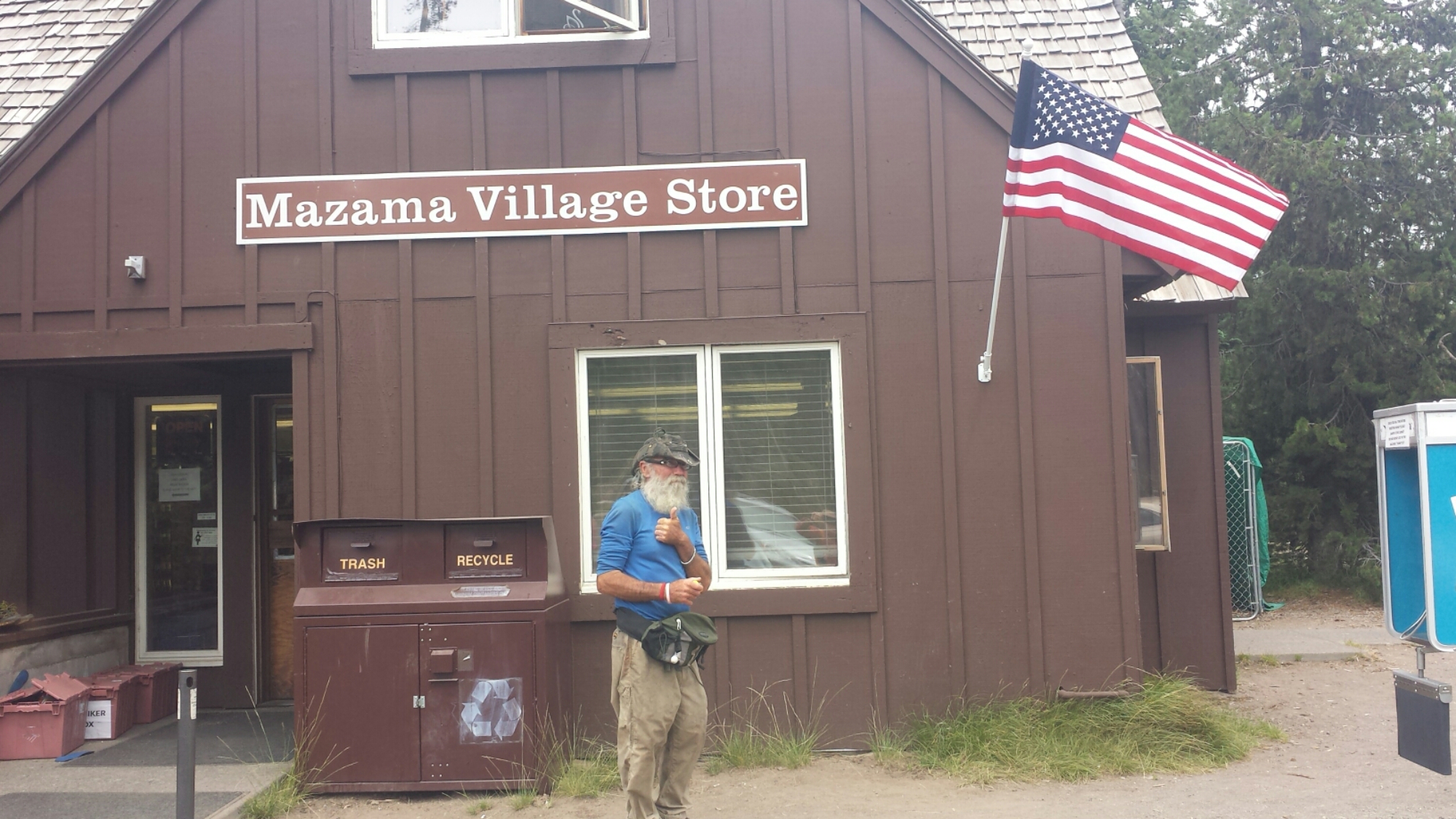
There are a few other hikers here, including the cousins I met north of Belden (Katia and Olivia), a seasoned southbound hiker named Hardway, and someone I met last year on the PCT, Far Walker! She’s an older lady who has been struggling to section hike the entire PCT despite a bone spur in one of her feet. It’s so fun running into people I’ve met on the trail before because the chances of it just seem so slim. I guess the hiker world is smaller that it seems!

PCT hiker Hardway at Mazama Village

PCT hiker Hardway at Mazama Village


Links

Installment No. 27- Mazama Village to Shelter Cove, 2015
 

Crater Lake Wikipedia Article


No. 25- Etna to Ashland

loading map - please wait...

Etna, CA: 41.456807, -122.894755
Yreka, CA: 41.735419, -122.634471
Seiad Valley, CA: 41.840406, -123.192549
Horsetail Falls: 41.928183, -123.129491
Callahan\'s Lodge: 42.073846, -122.602530
Ashland Hostel: 42.200173, -122.717193


June 23- 11.5 miles, camping near Shelley Fork Trail

This morning I attempted to pick up my resupply box from the Ashland post office, but it hadn’t arrived yet. So, I’ve decided to head back to the trail without it. Not to worry! I will actually be back in Ashland within a week and can pick it up then. After looking over my itinerary and talking with Art, I figured out I can still hike part of Northern California. Kim gave me a ride to Yreka this morning, I hitched a ride to Etna, and then got another ride up to the trail. I was hiking by 2:45 and it felt great.

Yreka was a strange place to hitch hike. Kim dropped me off near Highway 3 and I stood about thirty minutes with my “PCT Hiker” sign before anyone stopped. The first car had a man and a woman- I thought, “Fantastic, a lady’s in the car. I’ll feel safer.” Then the man asked me if I’d like to make some money so I could get my ride to Etna. Uh… nope! Don’t need money; I just wanted a ride. I’m pretty sure he was a pimp and the lady was working for him.

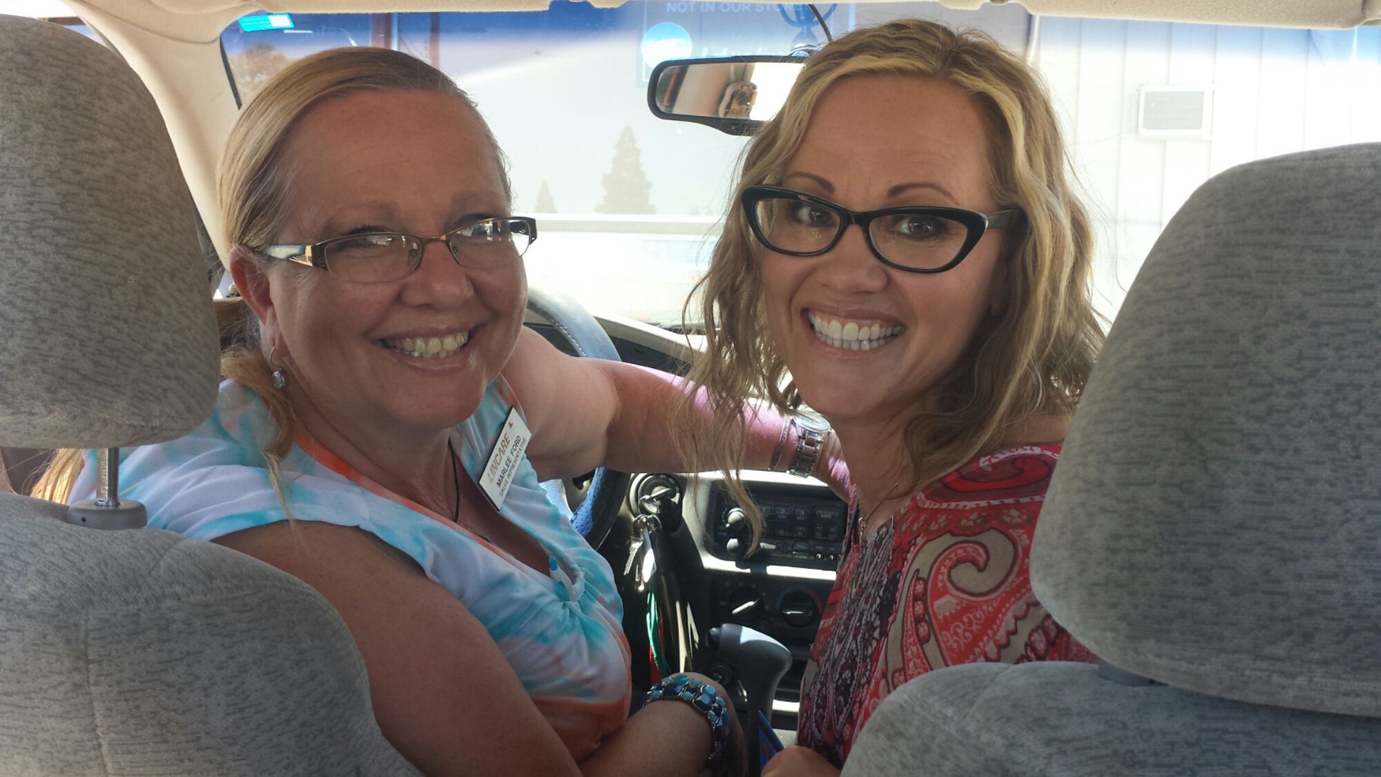
The second car that pulled up was driven by Michelle and Marlee- a couple of medical sales reps on their way to a lunch date in Etna. Lucky me! We had a great time in the car together. The two were adamant about me carrying some kind of weapon, which I’m currently not. I said I didn’t want a lethal weapon turned against me. Marlee, who is a gun owner herself, said if men just see that you have a gun, they won’t mess with you. “You don’t even need a real one! Get a water gun!” Michelle was so enthusiastic about this idea and my hike that she used her iPhone to order me a fake gun and holster on Amazon and it’s being shipped to Ashland. Ha! I’m excited to see it. Thanks, Michelle!

Marlee and Michelle

Marlee and Michelle

Marlee and Michelle dropped me off at Etna’s little grocery store so I could stock up for the next section. I’m not going to be eating as well as I usually do when I have my own resupplies. Oh, well!

I stopped in at the hiker-friendly bed and breakfast, Alderbrook Manor, to get a ride up the mountain. While there, I met several other hikers: Blue Moon and Scarecrow, a husband and wife from Wrightwood, and Janet, who is section hiking southbound. Janet had an awful story about loosing her sleeping bag several nights ago.

Bear Scare!

Bear Scare!

She was camping near Seiad Valley and had a bear bothering her at night. Despite yelling at him, he kept trying to get her food, which she’d hung in the tree. She decided to pack up, dawn her headlamp and hike away from the bear. But he followed her! It freaked her out so much that she lost the trail in the dark. She headed down to a lake that she thought she knew, but it turned out to be a different lake, and as she spent most of the next day bushwhacking her way back to the trail her sleeping bag fell off the top of her pack. She didn’t realize it was missing until that evening when she set up camp. She had to go three nights without a sleeping bag until she reached Etna! She’s ordered a new bag and will hang out at Alderbrook Manor until it arrives. I made sure to cook dinner before reaching my camp for tonight. I don’t want any bear problems!

Scarecrow and Blue Moon

Scarecrow and Blue Moon

Blue Moon, Scarecrow and I caught a ride out of Etna with Dave, the owner of Alderbrook. I’m so happy I’ll be able to hike the Marble Mountain Wilderness again and visit Seiad Valley. Etna and Seiad Valley are a couple of my favorite town stops along the PCT.

image

I hiked with Scarecrow and Blue Moon for a couple of hours, but lost them when I went off trail for water and cooking dinner. I’ve found a lovely spot to camp tonight along a ridge looking down on Etna and Mount Shasta shining in the distance.

Camping near Shelley Fork Trail

Camping near Shelley Fork Trail


June 24- 18 miles, camping at Paradise Lake

image

I started out this morning feeling pretty slow, even though I was hiking at a good speed. I just didn’t have much energy and my body was struggling to readjust to the trail. If you ever thru-hike, don’t ever take five days off in a row- it’ll totally screw up your momentum.

The sunrise was spectacular, but that also meant my tent heated up quickly. So much for sleeping in!

image


wpid-pct-section-q-16-marble-mountain-wilderness-flower.jpg


I’m so glad I made the effort to rehike this Wilderness. It’s so beautiful with its dramatic and colorful mountains and abundant meadows blanketed with wildflowers. I like to imagine that a rainbow just dumped it’s colors all over these meadows, creating the rich variety of flowers this wilderness offers.

White Mountain

White Mountain


wpid-pct-section-q-31-marble-mountain-wilderness-flower.jpg

As I approached Marble Valley, I saw a little black bear running across the meadow below me. I was too slow to catch him with my camera, but he moved gracefully for such a large animal. Shortly after the bear, I was taking a long lunch break and playing my new ukulele when two chipmunks or ground squirrels showed up and hung out with me on the log where I sat. They just hung out, it seemed, to listen to the music. I felt like a regular Snow White! Then I realized they were interested in any crumbs I left from lunch. I bet Snow White had crumbs, too.

image


wpid-pct-section-q-38-marble-mountain-wilderness.jpg

It’s supposed to warm up to 102° tomorrow and 107° the following day. That’s going to stink because those are the two days when I’ll be hiking in and out of Seiad Valley. The climb out of Seiad Valley is notoriously hot, dry, and difficult. I’m hoping to camp tomorrow night just outside of town so I don’t have to pay for tenting and then I’ll hike in for lunch, wait out the afternoon heat, and hike a few more miles in the evening.
image

I put it a relatively easy eighteen miles today to camp at Paradise Lake with Heather and David, a couple of PCT hikers I met this morning. This site truly feels like Paradise. The temperature is perfect, there aren’t any bugs, the tent sites are flat, and the water is warm (even though the lake mud sucks you down about three feet!). Getting into camp early allowed ample time for wading in the lake, chit chatting, and playing some ukulele. I’m lying in my tent now, listening to hundreds of frogs croaking in the lake. It’s wonderful.

image


June 25- 20.2 miles, camping at Grider Creek Campground

image


image

The majority of the descent today went through a recently burned area. As a result, there was less shade than I had been hoping for in this 100° weather. As soon as I came to a little creek, I stripped out of my shirt and skirt and laid directory in the shallow water. Two of the bridges crossing Grider Creek were also out, which meant fording the shallow, but wide creek. For the last eight miles, I popped on my sandals and happily just walked right through the water whenever the trail allowed. Overall, I laid down in the creek three times this afternoon because it was just so hot.
image

image

The Grider Creek campground is not quite as I remembered it. There are bulldozer tracks everywhere and many of the trees have been chopped as firewood. I’m sure that’s a normal way for maintaining trees in campgrounds, but it doesn’t feel as nice. There wasn’t anyone else in the entire campground, so it felt kinda creepy. I made dinner and rinsed in the creek, but decided that if things didn’t feel right, I might just pack up and hike the six and a half miles into town. Just as I was starting to feel comfortable, David and Heather showed up. Heather practically bounced into camp and David looks like he can’t wait to drop his pack and rinse off.

Grider Creek Campground

Grider Creek Campground


June 26- 18.5 miles, camping at Cook and Green Pass

Klamath River

Klamath River

It was a hot, six and a half mile road walk into Seiad Valley this morning. I met up with David and Heather at the cafe and had myself a bacon and avocado burger with a banana milkshake for breakfast. I love Seiad Valley Cafe. The owner is an older, single woman who cooks, waitresses, and cleans the tiny cafe with the periodic help of her daughter. The food has always been delicious and the milkshakes are the best I’ve ever had. Two hours later, I showed up for a grilled cheese with cottage cheese and pineapple.

Heather and David at Seiad Valley Cafe

Heather and David at Seiad Valley Cafe

It was incredibly hot today, but lucky for me, some light thunder clouds rolled in later in the afternoon. The RV park allows hikers to lounge and camp on their lawn and also provides showers and laundry. I showered and then tried to nap in the heat, waiting to start my hike out until it cooled off. Bruce, the RV park manager recommended an alternate route up the mountain: a road walk along Seiad Creek Road that parallels the trail but is shaded and follows a creek.

image

I headed out of town at 5:30 and decided to take the road walk alternate. I’m glad I did! Since I hiked the trail last summer, it was nice to take a different path and see new things. The road took me past Horsetail Falls, which had a large pool perfect for dipping in. I couldn’t resist! It was 8:30pm and I was soaked through with sweat.

Horsetail Falls

Horsetail Falls

I had another mile and a half climb to the top of the pass, where I’m camped tonight. It was dark by the time I arrived, but the moon was bright and the dirt road was easy to walk. Blue Moon and Scarecrow are camped here, too, but already alseep. I’m cowboy camping under the silhouettes of trees- it’s almost too hot to use a sleeping bag.


June 27- 26.2 miles, campingat Sheep Camp Spring

Scarecrow and Blue Moon, Cook and Green Pass

Scarecrow and Blue Moon, Cook and Green Pass

My phone isn’t charging very well, so you’ll have to excuse the brevity of this post! It was a beautiful hike to Oregon today, canopied by light thunder clouds and sprinkles of rain.
image


Donomore Meadows

Donomore Meadows


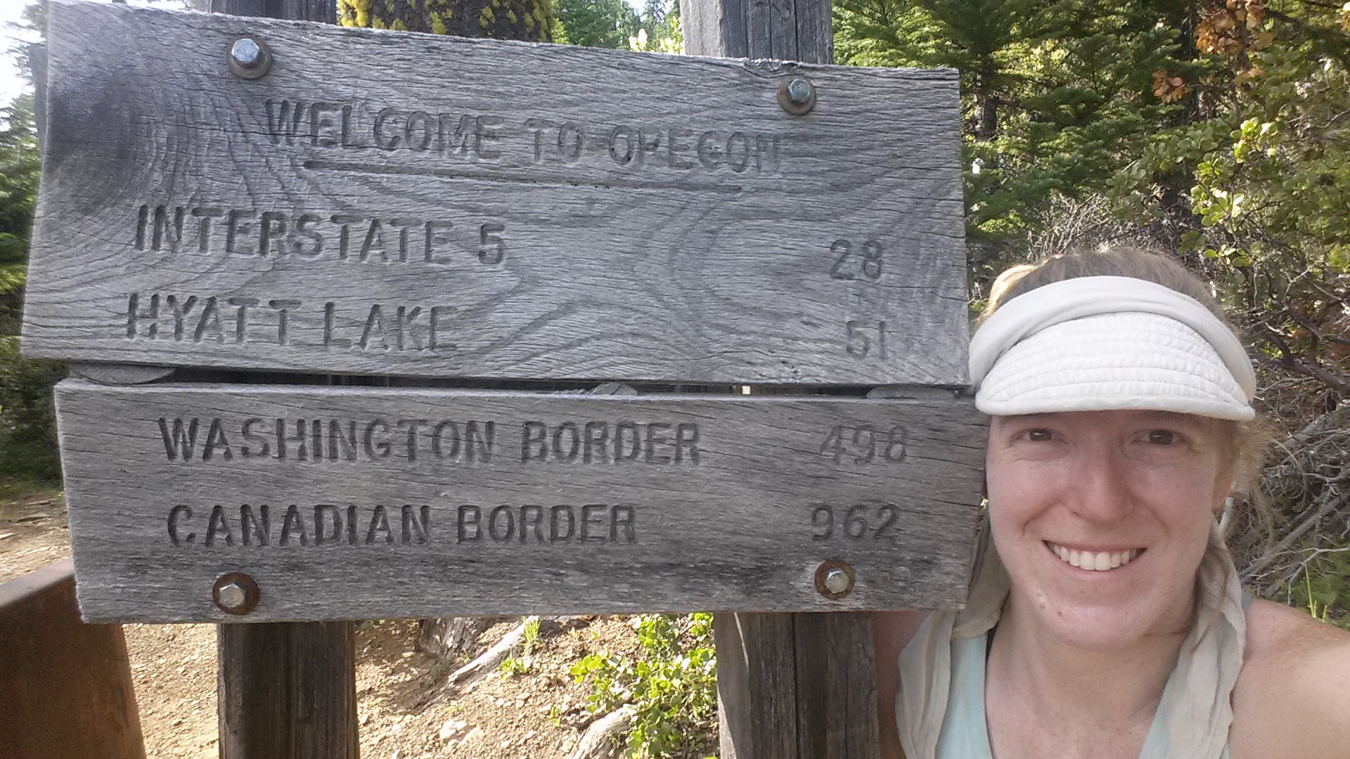
Welcome to Oregon!

Welcome to Oregon!

I was surprised to find how good I felt after hitting the twenty mile mark today, so I just kept going to the next water source at Sheep Camp Spring. The sunset is beautiful- soft pink clouds wrapped gently around Mount Shasta, it’s stark, white and grey lines peeking through.

image

Camping at Sheep Camp Spring


image


June 28- miles, 23.5 miles, staying at Callahan’s Lodge

The light clouds from yesterday returned today, thank God! Despite the cloud cover, it was still hot and I eventually couldn’t tell which drops on my skin were sweat and which were rain.
image

image

The majority of the twenty-three miles today were downhill and easy, so I made it to Interstate 5 and Callahan’s Lodge by 3pm. By 5:30, I’d taken a jacuzzi bath, done laundry, napped, and was enjoying a free beer on the deck, compliments of the Lodge. I’m in heaven! Tomorrow I’ll hitch into Ashland to run errands at the post office, library, and grocery store. We’ll see if the Ashland vortex sucks me in for an additional night!

A little bit of trail magic!

A little bit of trail magic!


Clouds atop Mount Shasta

Clouds atop Mount Shasta


Links

Installment No. 26- Ashland to Mazama Village, July 2015

Alderbrook Manor

Callahan’s Mountain Lodge

No. 24- Drakebad to Burney, June 2015


No. 24- Drakesbad Ranch to Burney, 2015
loading map - please wait...

Drakesbad Guest Ranch: 40.444177, -121.403831
Ashland, OR: 42.194576, -122.709477
Redding, CA: 40.586540, -122.391675
Burney, CA: 40.882381, -121.660820


June 16- 19 miles, camping on Hat Creek Rim

Camping in the burned forest meant that I and all my gear were really ashy and I felt just filthy the entire day. It was entirely downhill to Old Station for seventeen miles and my feet were starting to ache. I stopped at Hat Creek so I could soak them for a bit in the cool water and I hiked the remaining five or so miles in my sandals.

Wildflowers along the trail

Wildflowers along the trail

Hat Creek

Hat Creek

Lassen Peak and Brokeoff Mountain

Lassen Peak and Brokeoff Mountain

I had been hoping for a milkshake when I arived at the RV park on the edge of town, but the deli was closed- no milkshake! The resupply options were also pretty pathetic, so I decided to go to the fill-up station four and a half miles down the road. My feet were so tender I decided to hitch a ride with an elderly man in an old Cadillac.

image

While at the fill-up station, I managed to consume about 2,000 calories of ice cream, a burrito, juice, and Twinkies. It seemed like a good idea at the time, but then I felt sick. While nursing my feet in a salt soak and rubbing my tummy, a couple of PCT hikers named Oak and Cyprus showed up. Cyprus is a retired dental hygienist and Oak was an engineer in the oil industry. They were very cute with their gear chat (we both love Zpacks products) and all the research they did to prepare for their trip. They’re also keeping a blog on their hike: Retire2Hike. Check it out!

Hat Creek Rim is a strikingly beautiful and formidable forty mile stretch of the Modoc Plateau in Central California. It was formed one million years ago when shifting fault lines dropped a section of the plateau 1,000 feet, leaving a stark, rocky cliff up to the rim. The PCT follows about twenty miles of the cliff rim: a relatively flat trail, though rugged, exceptionally hot and exposed. It is also one of the longest stretches of trail (thirty miles) without any natural water sources because all the water drains into a lost underground creek.

Fortunately for most hikers, a couple trail angles maintain a water cache about halfway through this section. Still, my pack was loaded with water (I don’t like to rely on water caches and I personally believe caches should be saved for emergencies). Since this is such a hot section, I opted to wait until the evening to head up the rim, camp and then get up early the next morning.

Mount Shasta Sunset

Mount Shasta Sunset

At the top of the climb to Hat Creek Rim, there is an overlook that offers an incredible view all the way from Lassen Peak to Mount Shatsa, and I hiked as fast as I could to catch both of those beautiful mountains in the sunset light.

I hiked until dark and accidentally startled another hiker, Clean Cut from Germany. He was cowboy camping (camping without a tent) and it inspired me to cowboy camp tonight, too. I hiked further up the trail to a grove of trees, rolled out my mat in the open air and am star gazing. No bugs and the weather is perfect- it’s beautiful!


June 17- 22.5 miles, camping near Cassle Falls River Road

Hat Creek Rim

Hat Creek Rim

Miserable. That’s what I was today- just plain miserable. I can’t believe how quickly I turned from feeling great and really enjoying every day to struggling so much I couldn’t wait to stop nearly every moment of the day. I loved the views, but the ache of my feet threatened to overpower my enjoyment of the trail.

Looking south toward Mt. Lassen

Looking south toward Mt. Lassen

Shasta Daisies

Shasta Daisies

image

My feet started aching after only a few miles, but I was still able to hike 9.3 miles by 10am- that’s almost a Ten By Ten! After about thirteen miles, I reached the water cache and I needed a BIG break. I put my feet up and napped for three and a half hours.

image

The rest helped, but I was still struggling with my feet. I found several blisters I didn’t know I had and other spots were just plain bruised. I was basically hobbling down the trail, wincing every time my foot rolled over a rock and rubbed a tender spot- and there are a lot of rocks on this section of trail! In fact, for most of the hike along the Rim, I was tripping and stumbling over rough lava rocks that stuck up out of the red earth.

Looking back toward Lassen Peak

Looking back toward Lassen Peak


After about 22 miles, I came to the only possible location for camping among the very rocky lava field. I tried cowboy camping again because I enjoyed it so much last night, but the mosquitoes soon showed up and I had to throw up the tent before I was eaten alive. It’s warmer inside my tent anyhow.

PCT-CA-Section-N-138-Lassen-Forest-hat-creek-rim


June 18- 8 miles, staying in Burney

It was a super easy eight miles to Burney today. I accidentally slept longer than I planned, but the sun woke me anyhow. I hiked three miles to the Crystal Lake Fish Hatchery where I could fill up on water and use their restrooms.

image

Since I planned to hitch hike from the trailhead into downtown Burney, I wanted to get as clean as possible. I stripped down to wash my shirt in the bathroom sink just as a ranger opened the door. I thought, “Oh, man, I’m gonna get busted for being Hiker Trash,” but the moment he saw me standing there in my underwear, he jumped back and apologies just poured from his mouth. It was pretty funny. Being part of the county Fish and Game department, the rangers are very accommodating to hikers and they had no problem with me practically taking a bath in the sink.

So, let’s talk about what it means to be Hiker Trash. The term refers to any trashy behavior that you would normally see in homeless people or punks, but are now being acted out by completely respectable and formerly civilized folk. These behaviors include, but are not limited to:

•Being incredibly dirty and smelly all the time

•Living out of a bag

•Bathing, sleeping, or generally hanging out in places you’re not supposed to (and then having the cops shoo you away)

•Eating copious amounts of “unhealthy” food

•Talking shamelessly about bodily functions

•Mooching food or rides from other hikers or proper folk

•Going to the bathroom in random and bizarre places

•Cursing, singing, and crying at the drop of a hat

•Running around in little to no clothing (they say that if you don’t see any naked hikers, you’re not on the PCT!)

•Appearing to have no job and no care in the world other than meeting one’s basic needs of eating, sleeping, and moving.

Crystal Lake

Crystal Lake

Once on the highway, I alternated between road walking and attempting to hitch a ride. I’ve always had a hard time staying put while I hitched if my destination was close enough to walk to. I’ve got this thing about taking matters into my own hands as much as possible when it comes to situations like hitch hiking. I walked probably about a mile and a half before an elderly man picked me up and drove me the remaining six miles to town.

Hiker Trash Oak and Cyprus

Hiker Trash Oak and Cyprus

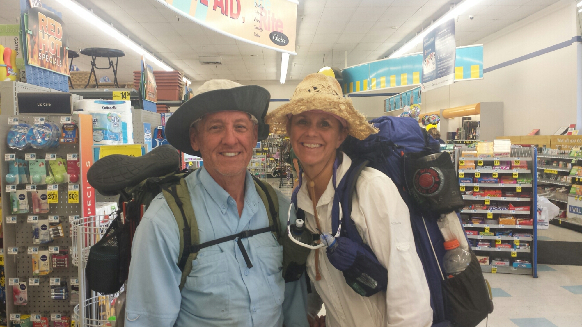
I ran into Oak and Cyprus (Hiker Trash!) at the Rite-Aid, a couple of nice elderly ladies bought lunch for me at the diner (just because they wanted to be a part of the journey), and I’ve got myself a comfy bed at the Charm Motel for the night. Nice day.


June 19- 0 miles or 300 miles? Staying in Ashland

So, this morning I got on a bus to Redding, then another bus to Medford, and finally a third bus to Ashland, skipping about 300 miles of the PCT that I originally planned on thru-hiking. Ever since my first week on the trail, I’ve felt the pressure of my schedule pushing me along and essentially limiting my trail experience. As a teacher, I’m able to take a generous amount of time off every summer, but my plan to hike 1,570 miles from Echo Lake to Canada had me arriving home one, maybe two, days before I needed to be back at work. I think it was a bit headstrong of me to assume I’d feel good about this schedule while on the trail. There are days when I hike more miles than I expect and it puts me ahead of schedule, but then there are days when something comes up (weather, detours, side-trips, rest days) and I don’t want to feel the stress of not being able to finish my hike.

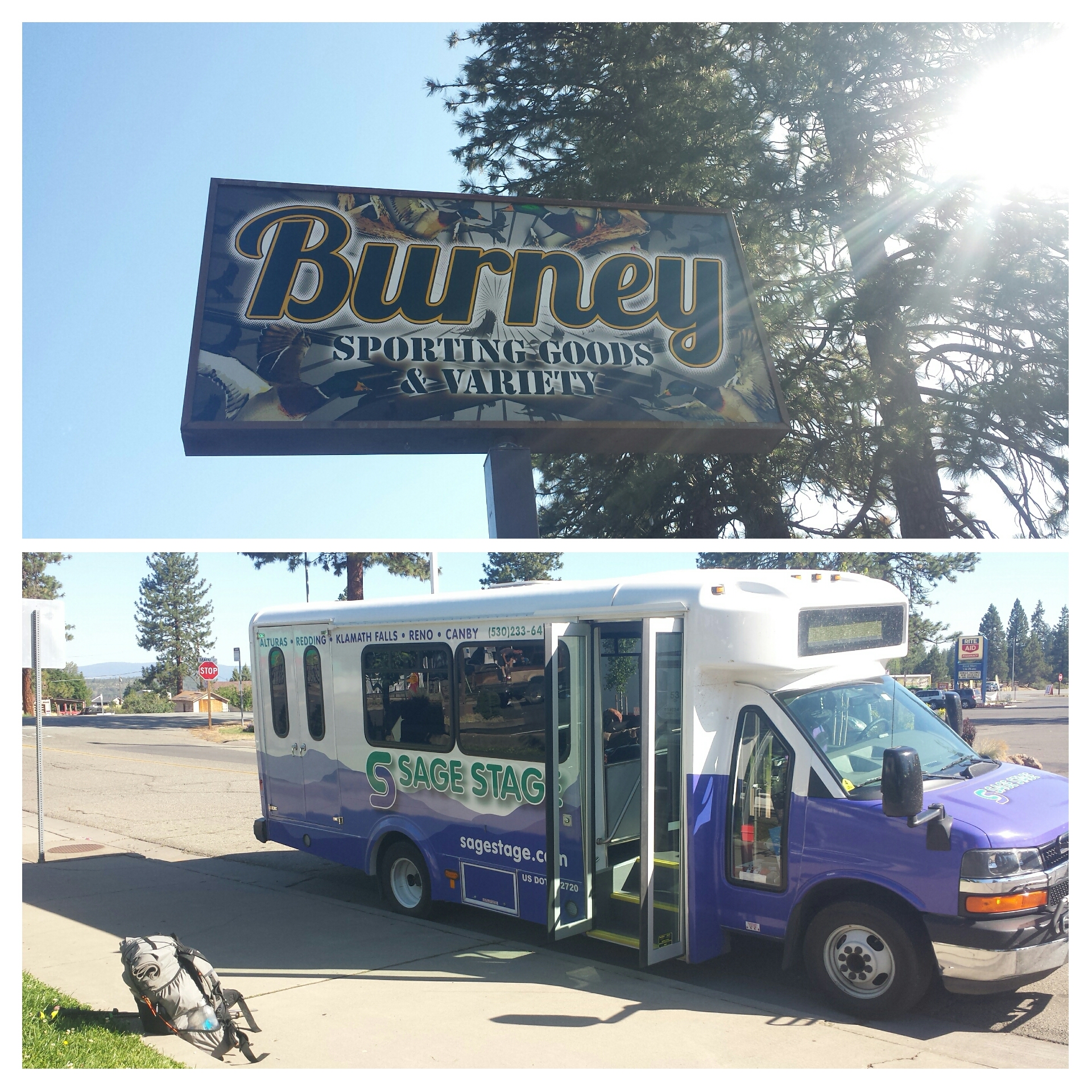
Burney bus to Redding

Burney bus to Redding

My goal this summer is primarily to finish hiking the PCT, that means Ashland to Canada, not Echo Lake to Canada. Rehiking Northern California was just an extra treat, so I’ve made the choice to skip from Burney to Ashland and then reevaluate my itinerary. I may still be able to hike some of Northern California- we’ll see.

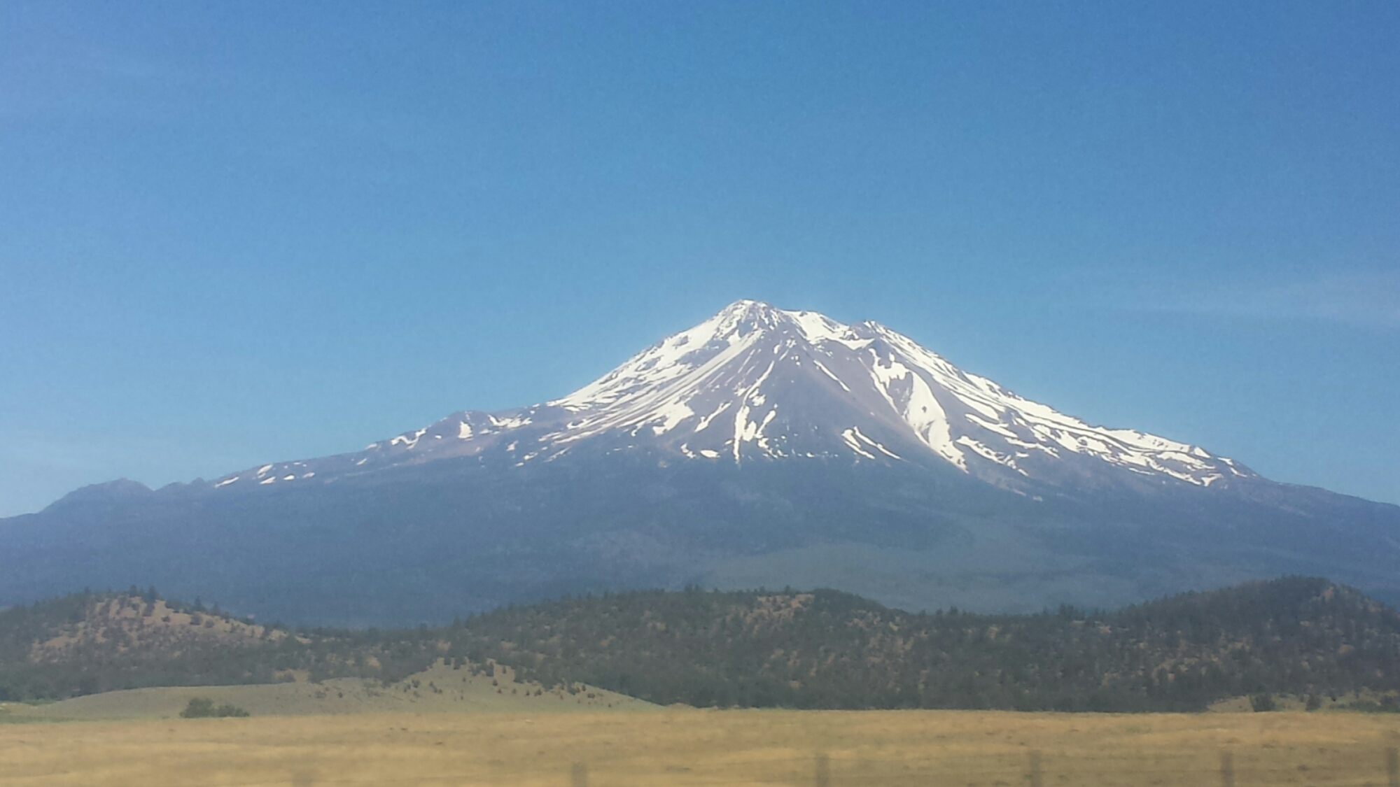
Goodbye, Mount Shasta

Goodbye, Mount Shasta

I caught an early bus to Redding and then waited around the Greyhound station for my bus to Medford. The wait felt pretty depressing. I’m confident in my decision, but that doesn’t make it less disappointing. I’ll miss hiking the Russian Wilderness and the Trinity Alps.

The methheads at the station were a nuisance. One of them was making googly eyes and poiting at me, he even tried to give me his number. This caught the attention of the only other non-drug addict at the station and she leaned over, gave him the hairy eyeball and the middle finger. Her name is Carrie and she was heading to Shasta. Once on the bus, she said, “you sit in the front with me and when I get off, you STAY in the front!” She grew up on a campground in the Shasta area and was a regular tour guide along the ride. Thank you, Carrie! You made that bus ride so much better!

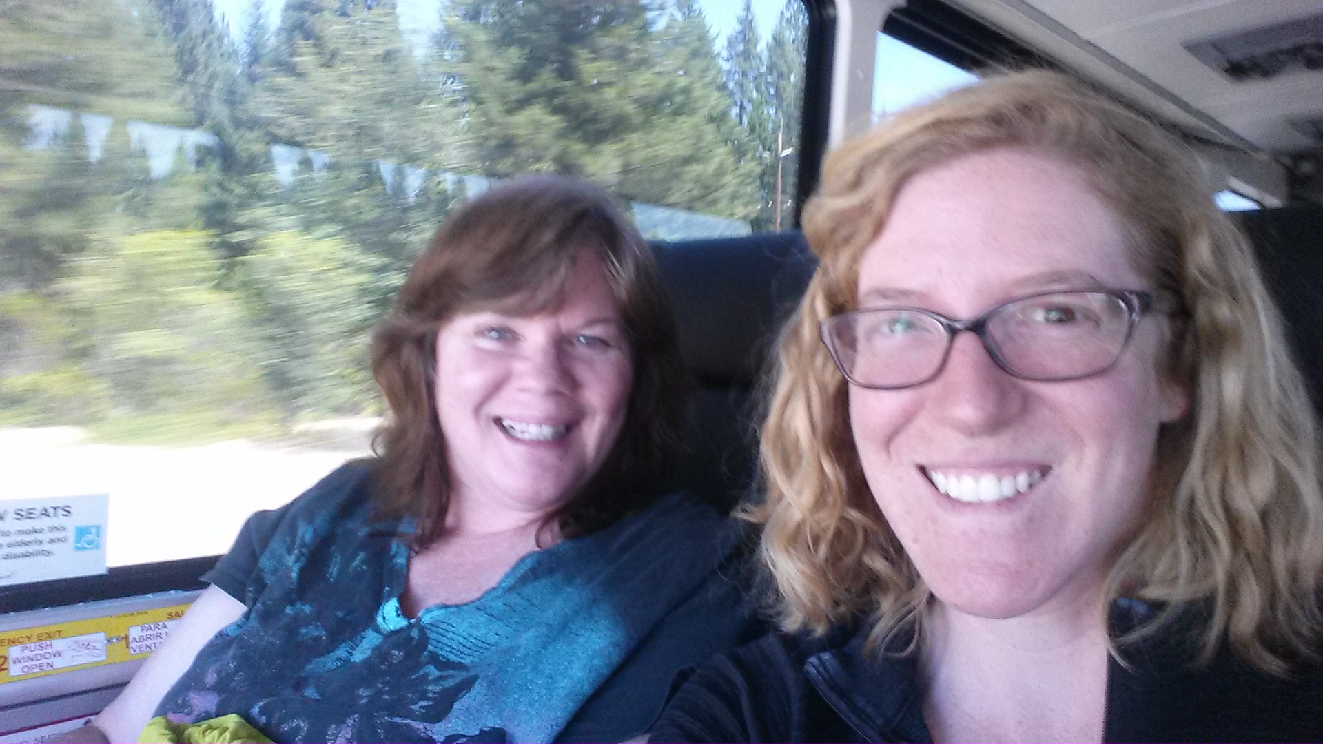
Riding the Greyhound with Carrie

Riding the Greyhound with Carrie

I have a good friend in Ashland with whom I lived and played in a string quartet with during graduate school. I’ll stay with her until my resupply box arrives on Tuesday, then I’ll hike out once more. Since Kim’s an active musician in the area, she’s hooking me up with tickets to orchestra concerts and plays at the Oregon Shakespeare Festival. Woot!

The last bus dropped me off right at a grocery store and I couldn’t help but go shopping! I made the excuse of needing groceries for the next several days plus wanting to stock Kim’s fridge for her. I was grabbing everything that looked tasty, like cheese, veggies, salami, and peaches. It wasn’t until I was in the checkout line that I realized I might not be able to carry everything to Kim’s apartment. Nonetheless, in classic Hiker Trash style, I managed it.

Too much to carry?

Too much to carry?

I spent several days in Ashland while I waited for a resupply box to arrive. During that time, I took full advantage of all of Ashland’s fine delicacies and delights! I attended one outdoor Baroque concert at a winery and two plays at the Oregon Shakespeare Festival, went to the lake with some friends, wined and dined early in the morning and late into the evening, and generally relaxed in the soothing atmosphere of this wonderful town.

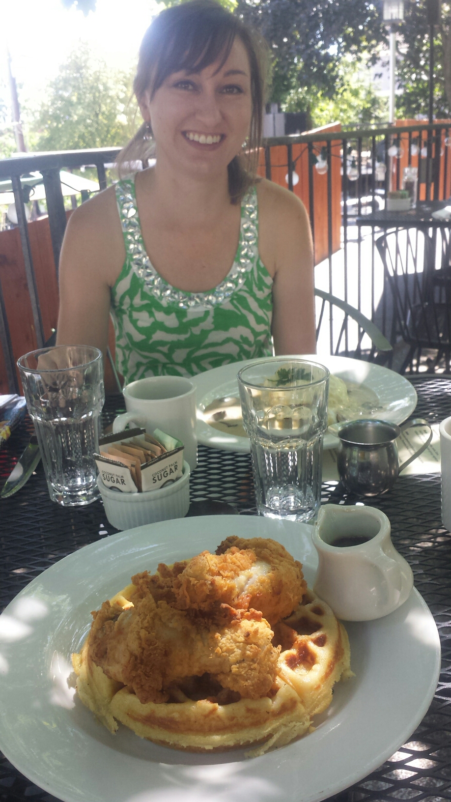
Chicken and waffles with Kim

Chicken and waffles with Kim

Afternoon bliss at Emigrant Lake

Afternoon bliss at Emigrant Lake


Links

Installment No. 25- Etna to Ashland, 2015
Oregon Shakespeare Festival


No. 23- Belden to Drakesbad Ranch, 2015
loading map - please wait...

Belden: 40.005997, -121.249132
Drakesbad Guest Ranch: 40.444177, -121.403831
Prospect Peak: 40.572940, -121.345807


June 12- 14.5 miles, camping at Frog Spring

After taking an entire day of rest, also called a Zero Day, I was ready to tackle the 5,000-foot climb out of the Belden Town canyon. Last night, I camped on the banks of the Feather River, near the Belden Town Resort with a 22-year-old lady hiker named Haley. We took a couple dips in the river and enjoyed the warm weather with a couple of beers and lots of eating. It was a very lazy day, to say the least. I almost lost my phone, though, when the river current increased and flooded the beach, along with my cell phone and external battery. I had to buy three lousy boxes of instant rice from the resort store and bury my phone in it. It survived- lucky me! The Beldon staff saved the bag of rice and labeled it “The Phone Dehydrator” for the next idiot who leaves their phone on the beach.

Goodbye, Belden!

Goodbye, Belden!

I’ve been dreading this climb for several days, but before I knew it, I were past the hottest and most exposed part of the trail. It’s amazing how fast you can hike after three cups of coffee and a good night’s sleep. The air was heavey with humidity and the sweet smell of Northern Californian wildflowers, all of which are in bloom right now.

PCT-CA-Section-N-14-Lassen-National-Forest-Flower

With “I’ll be back” hiking in front of me, he kept kicking up all the pollen from the flowers and grasses. I could see the clouds of it billowing behind him and I then had to walk through it. It gave me the worst allergies I’ve ever had hiking. I was sneezing and blowing my nose in my hanky for miles. Eventually, I couldn’t stand it and I also couldn’t hike as fast anymore, so I dropped back and hiked alone.

All morning, I focused on the place where the trail crossed Chips Creek. I knew there would be an opportunity to dip in the shallow pool and lounge for a bit. The water was almost too cold, but it felt wonderful to go in quickly and dunk. I then grabbed my bag of Fritos and water bottle and threw my sleeping pad out on a large rock to dry off. It was HEAVENLY!

Waterfall along the trail

Waterfall along the trail

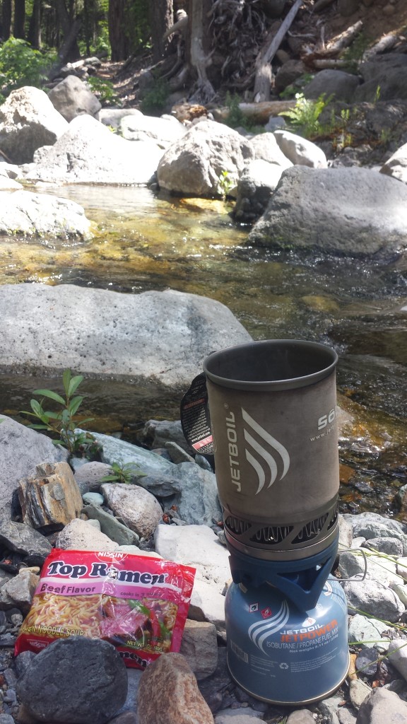
Ramen for lunch by Chips Creek

Ramen for lunch by Chips Creek

Climbing higher past Chips Creek became more and more beautiful. Section N and Lassen National Forest is one of my favorite places on the PCT, excluding the initial climb, of course. There were so many downed trees as I crested the mountain. One of the things I’m most afraid of are trees falling on me while I sleep in my little tent. This is why windy nights really freak me out. Luckily, it’s a beautiful night with no wind and minimal mosquitoes.

Camping at Frog Spring

Camping at Frog Spring

It’s nice camping with “I’ll be back” again. He eats all my leftovers that I can’t manage. We joked about this being a symbiotic relationship because he gets more food and I don’t have to carry it! He’s also fun to talk with because he’s interested in many things, he’s opinionated, and he screws up his words a lot, which is always entertaining. He’s particularly chatty tonight because he’s had way too much sugar. Even now, while I write in my tent, he’s yakking on about something over in his tent. Makes me laugh.
image


June 13- 20.5 miles, camping below Butt Mountain

Yup, you read that right. It is indeed called Butt Mountain. What I want to know is what’s the difference between a butt and a butte, and is it pronounced with a short “u” or long “u.” There are also a number of PCT jokes that fly around about the distance from Butt Mountain to Dick’s Pass, but I won’t get too crass and go into them here.
image

I got off to a late start this morning: 9 AM! I was trying to call Drakesbad to find out if the guest ranch had a computer I could use and there was a bit of reception at Frog Spring. I didn’t get an answer because it’s Saturday and no one picked up, but, I decided, that if they didn’t have one, I could wait until I got to the library in Burney.

Cold Spring

Cold Spring

image

The hike was pretty easy today, without many large changes in elevation. The only challenge was that all but one of the water sources for the day were off-trail by 0.3 to 0.5 miles, and usually down a steep spur trail. They were also spaced further apart than in any of the recent sections through the Sierras. This meant having to either carry water for 8 to 12 mile chunks or adding more mileage by visiting more water sources. I chose to just carry more, and it was the heaviest my pack has been since Echo Lake!
image
The trail provided fantastic views of distant Lassen Peak and Brokeoff Mountain. At 10,460 feet tall and 27,000 years old, Lassen is a relatively young, active volcano and is part of a chain that extends all the way through Cascade Range. It’s technically a lava dome and it last erupted in 1915. It’s much older neighbor, Brokeoff, over 500,000 years old, used to belong to the ancient stratovolcano called Mount Tehama, now-eroded to merely Brokeoff Mountain, and was once much taller than Lassen is today.

Mount Lassen in the distance

Mount Lassen in the distance

I hiked alone for most of the day, but later in the day I met Katia and Olivia from Washington DC. They’re cousins and are hiking various sections of the trail for the entire summer.

image

Katia & Olivia, cousins from Washington D.C.

image

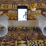
For the last three uphill miles of the day, I turned on some music and popped my phone into my homemade plastic cup speakers. I think I need to make a fresh set because these honeys are on their last legs. I guess rain, sun, and getting smashed by trees and puppies will do that to speakers made out of a paper towel tube and two plastic cups!

“I’ll be back” fumbled up to the campsite tonight looking really tired. He immediately ate at least one bar, maybe two before making dinner. We’re both in our tents for an early night. He’s passed out already, but I’m listening to the deer meander around camp. I’ve brought all my gear inside my tent because I don’t want to wake up in the night finding the deer licking my trekking pole. They like the salt on the handles.

image


June 14- 20 miles, camping at the North Fork Feather River

Itchy and Scratchy- that’s what I’m naming my two legs now. I’m so covered in mosquito bites, that my legs are swollen and it takes all my willpower to resist pulling my own skin off. The only relief I can get is when I take a dip in really cold water to numb the bites and then slather on the anti-itch cream.

PCT Midpoint Monument

PCT Midpoint Monument

I passed the PCT midpoint early this morning. This means I’m now closer to Canada than I am to Mexico. If I were to drive from Mexico to Canada it’d be 1,200 miles.

image

It was a fairly boring and uneventful hiking day. There wasn’t much to see between all the trees, except occasionally Lassen and Brokeoff, way in the distance. The PCT doesn’t actually climb either of those peaks, which is a shame, but it can be done as a side trip.

image

Highway 36 near Chester had some special trail magic: coolers full of water and extra backpacking food, a binder full of information on what the little town of Chester offers, and the contact info for a local trail angel. “I’ll be back” was super excited and instantly set to eating a Mountain House meal he found in the cooler.

Our goal for this evening was the North Fork Feather River. It’s much smaller than it’s two sister rivers, but it’s still a lovely place to camp. Unfortunately, there are hundreds of teeny, tiny flies that like to bite hikers, so it’s not quite heaven. Tomorrow will be exciting: a geyser, a boiling mud lake, and lunch at Drakesbad Guest Ranch!

image

North Fork Feather River


June 15- 19.5 miles, camping near Prospect Peak

What a fantastic day! I felt like a regular tourist: sightseeing, eating in a restaurant, and lounging by a pool. We hiked ten miles to Drakesbad Guest Ranch and along the way we visited Terminal Geyser and Boiling Mud Lake. Lassen Volanic National Park has a number of sights such as these and two of them are near the PCT.

Terminal Geyser

Terminal Geyser

Terminal Geyser

Terminal Geyser

Boiling Mud Lake

Boiling Mud Lake

We arrived at Drakesbad just in time for lunch. They serve a buffet so we loaded up on salads, fruit, sandwiches, cookies and coffee. “I’ll be back” had two sandwiches, a plate of salad, and six oatmeal cookies all by himself. The Ranch policy is that hikers who buy a meal can also take a shower and use the hot spring pool. So, we definitely took advantage of it!

image

Drakesbad Guest Ranch

We decided to hike an additional ten miles tonight, but the bugs were absolutely monstrous for about six of those miles. Every time I stopped, they would swarm me- there was no escape. We practically ran for those six miles. I didn’t think it was possible to change my shirt while hiking with a backpack, but I did it!

image

Collecting water from Lower Twin Lake

We hiked into the evening and once we were out of the bug zone, it was lovely. The temperature was cool, the trail was soft and gentle, and the stars began to come out- we even saw the space station float by before it dipped below the horizon. We’re camping below Prospect Peak, a late-Ice Age shield volcano, surrounded by dead lodgepole pines. There’s no wind tonight, so I’m not worried about one falling on me!

image

Camping below Prospect Peak


Links

Installment No. 24- Drakesbad to Burney, June 2015
Drakesbad Guest Ranch

Lassen Volanic National Park


The Sierra Buttes, viewed from the north.


No. 22- Sierra City to Belden, 2015
loading map - please wait...

Highway 49 near Sierra City: 39.580952, -120.608940
Belden: 40.004870, -121.257648
Buck\'s Lake Lodge : 39.875768, -121.174587


June 6- 5 miles, camping below the eastern Sierra Buttes
I awoke to the sounds of a kitchen getting ready to serve breakfast: the clanking of pans and chopping of veggies. It was so comforting and, since my room was right next to the dining hall, made me want to walk out for coffee in my pj’s. I restrained myself and was fully dressed when I joined a couple of section hikers at the bar. Their names are Betsy and Anar and they just retired four weeks ago. Now they’re hiking from Tahoe to Portland and have no idea what they’re going to do next in life. I love people like that.

image

After checking out of the Red Moose Inn, I bummed around the porch of the Sierra Country Store because it had excellent Wi Fi. I uploaded my blog, checked emails, and made a couple phone calls. Every time I thought I was ready to head back to the trail, the afternoon thunderstorm would kick up and start dumping again. It went on like that all afternoon, alternating between beautiful sunlight and rain. I waited some more and ordered a hot dog and an Oreo milkshake to pass the time. I met a few other hikers, including 46 year old Free Range from Maui, 22 year old “I’ll be back” from Austria, and a very old Colonel Tom Parker who is hiking the entire trail with his Border Collie, Bob Dylan. I asked him if he had any problems with the “No Dog” policy in national parks and he just replied, “I don’t like anyone who doesn’t like dogs,” and left it at that.
image

“I’ll be back” and I left town at the same time. We hiked up part of the mountain together talking about Europe, backpacking, and family. He kept hiking when I finally dropped my pack at the only tenting space within this seven mile climb. He wanted to get closer to the top if the mountain and the spring there. At four more miles away and at 6:30 in the evening, I had no interest in joining him. I’m getting quite used to this whole stopping by 6:30 routine. I’m now lying in my tent, watching the the most beautiful cloud-scapes drift by, listening to some very light rain, and missing Artie very much.

Camping below the Sierra Buttes

Camping below the Sierra Buttes

image


June 7- 24 miles, camping near Nelson Creek

image

I didn’t plan on hiking 24 miles, but here I am, sore muscles and all. I woke up early and climbed four miles before I ran into “I’ll be back” eating ramen for breakfast. I waited for him to finish up and we ended up hiking most of the day together.

The Sierra Buttes, viewed from the north.

The Sierra Buttes, viewed from the north.

image

It was really nice to have the company, even though I can’t understand his English half the time. He’s considerate and funny and we seem to hike at about the same pace. I learned he quit school after ninth grade and became an iron worker when he was fifteen. He saved money over the next years so he could come to the US just to hike the PCT.

I stopped to take a nap around lunch time and he hiked onward. I had my first ramen of the summer for lunch today- oh, so delicious! I can’t stand Top Ramen at home, but on the trail the sodium and 380 calories of a pack of beef flavored noodles are a treat!

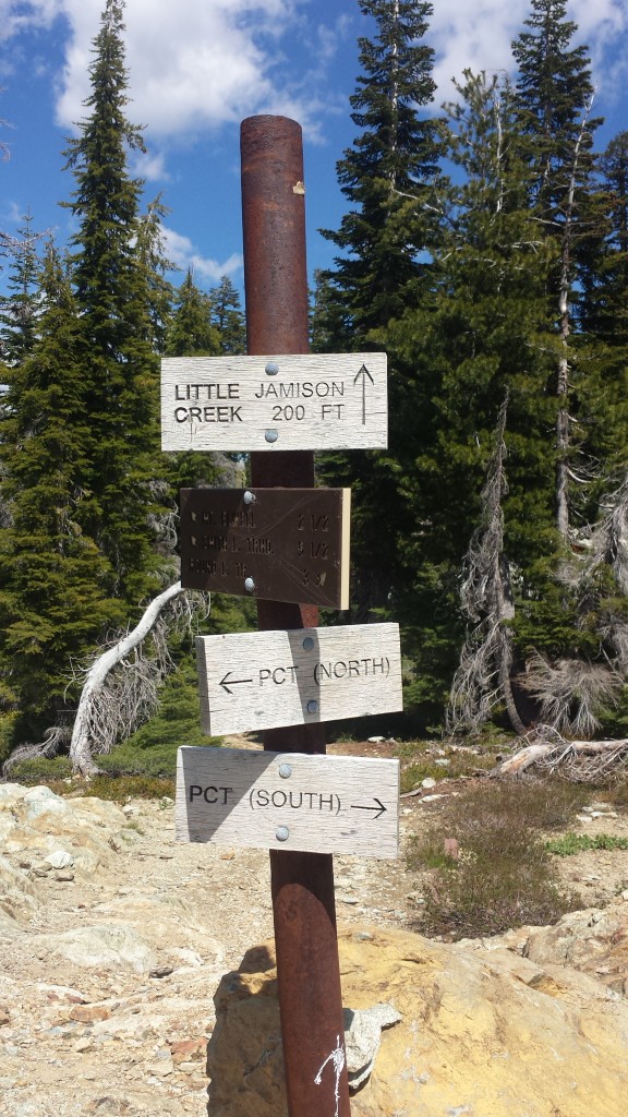
Little Jamison Creek

Little Jamison Creek

There was a huge section of the trail today that I had no memory of from last summer. It felt very strange and I kept checking the map to make sure I was on the correct trail. When I hiked through here last time I must’ve either been having a bad day or hiking really fast. Those are the two things that seem to cause blocks in my memory of the scenery. I made an extra effort today to look around and notice the land and views because I don’t want to miss any of it- not with the amount of effort it takes to be here!
image


PCT-CA-Section-M-18-Plumas-National-Forest

I caught up with “I’ll be back” late in the afternoon at a spring and I toyed with the idea of going further just to have someone to camp with- it’s less scarey that way. I actually prefer camping on ridges or mountain tops because I like having the sunshine and views, but there really wasn’t any good camping when we hit the last ridge of the day. My feet and knees and even my arms were crying to be done, but I totterred down to the next canyon for better camping.

PCT-CA-Section-M-20-Plumas-National-Forest


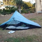
My Zpacks Hexamid Solo Tent

My Zpacks Hexamid Solo Tent

June 8- 20 miles, camping near Fowler Lake

It was up, up, up today and my feet are mad at me for hiking 24 miles yesterday. The beautiful scenes and flowers and “I’ll be back’s” company made the day really nice and took my mind off my feet.

image

The trail wound up through the mountains, passing Mount Etna and Mount Stafford, then it spit us out on a ridge, where we then stayed for the rest of the day. Etna and Stafford are both leftover plugs from a very large, ancient volcano. We saw so many different kinds of earth today, ranging from softer loooking late Paleozoic ocean sediments to newer volcanic flows that make up the majority of the dramatic-looking peaks. The ridge slowly made it’s way lower and lower and will eventually bring us to the Middle Fork Feather River tomorrow.
image

image

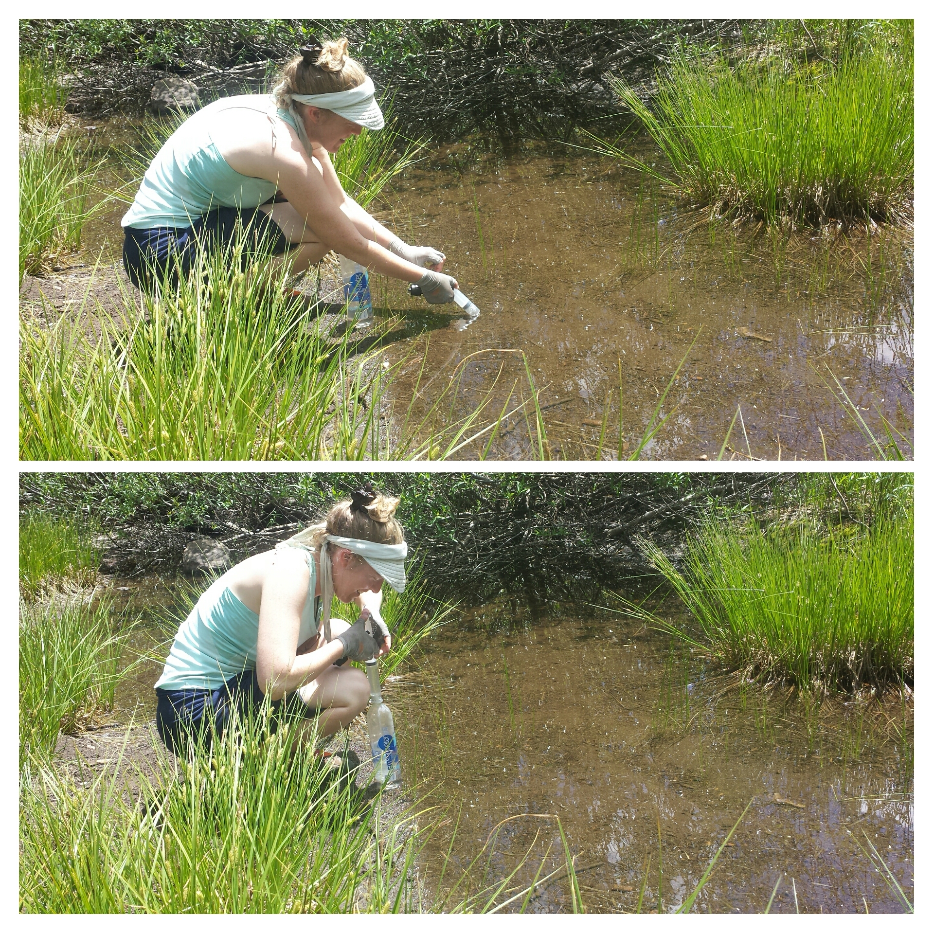
We had to come off the ridge to get water from Duck Soup Pond, which is actually as gross as it sounds. Pond water at these elevations tend to have a lot of pollen, debris, animal waste (from frogs, fish, rodents) and algae. We used the syringe from my Sawyer water filter to sick up slightly cleaner water just below the surface.

image

Burrito lunch

Burrito lunch


PCT-CA-Section-M-44-Plumas-National-Forest

After we stopped at the last spring, I told “I’ll be back” I didn’t think I’d hike as far as him today. My feet feel so bruised and for all my talk of never getting blisters, I think I’ve gotten one. Argh!

image


PCT-CA-Section-M-50-Plumas-National-Forest-flower

I’m now camped by a lake that I can’t even see because the vegetation is so dense. The mosquitoes are awful and there’s not a lot of light here, but I don’t feel like hiking further. I’m also going to forgo cooking a meal so I don’t create any tasty smells for animals. My dinner tonight is a jerky stick, some fruit leather and chocolate covered sunflower seeds.

Sometimes I love my tent so much- like right now. Here I am lying comfortably inside with the buzz of mosquitoes all around, and not one can get me! It also gives me a faint sense of protection from “scarey monsters.” Still, I’m shouting out a sharp “Hey!” at practically every twig snapping and strange animal sound. The funniest is when I actually shout at myself because the noise I heard was just my sleeping bag against the tent or my nose whistling.

Camping near Fowler Lake

Camping near Fowler Lake


June 9- 23 miles, staying at the Bucks Lake Lodge

With the help of my iPod and an audio book, I was able to tune out the spooky sounds and eventually fall asleep. Unfortunately, my morning didn’t start out so well. I usually keep my coffee and Carnations outside the tent while I pack up, but, because of the mosquitoes, I had it inside and managed to spill it all over my groundsheet. On the upside, none of it got on my sleeping bag or pad.

Not a good morning.

Not a good morning.

It was all downhill to the Feather River and even though it was only 9:15 when I got there, it was already plenty warm enough for a dip in the cold water.

image

Swinning hole at the Middle Fork Feather River

Swimming hole at the Middle Fork Feather River

Last time I took a dip here, I managed to get myself covered in leeches. I was careful not to let that happen again! I spent about two hours rinsing out my clothes, cleaning coffee off the groundsheet, and swimming. I made a pot of ramen as an early lunch and, yup, knocked it over, spilling all the noodles over the rocks. Noooooo! I collected up the soggy mess and buried it up the hill. It was very disappointing.

image

It was an incredibly hot eleven-mile out of the Feather River canyon. I was guzzling the water down just as quickly as I seemed to sweat it out. Every little creek or spring I passed became a cool oasis where I’d lounge for as long as I could stand the mosquitoes.

Filtering water

Filtering water


Bear Creek

Bear Creek


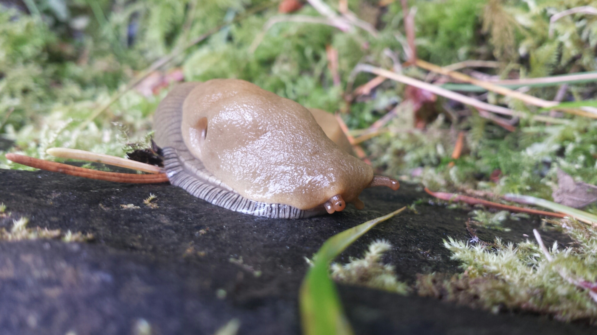
Banana Slug

Banana Slug

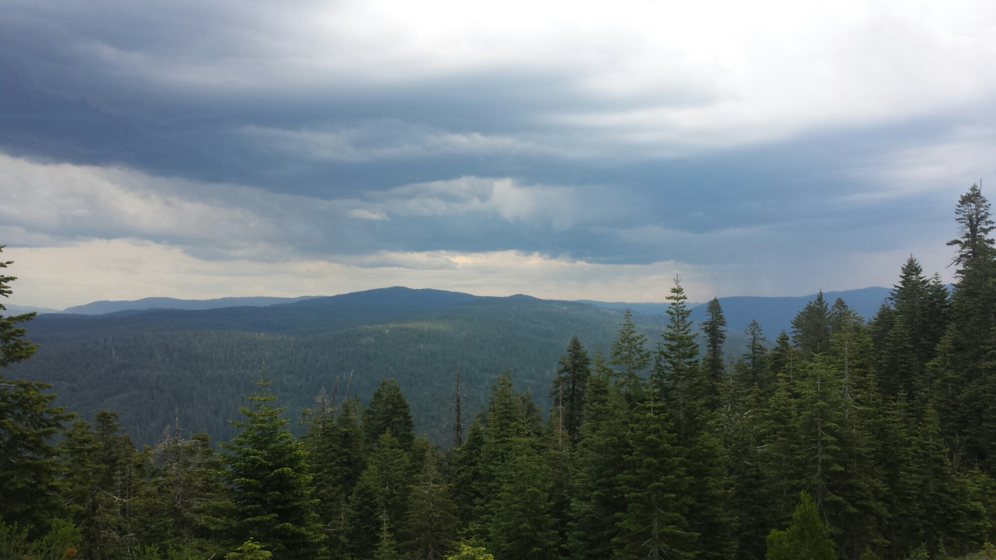
It took me four hours to climb, climb, climb to the top of the ridge. I was getting so sick of climbing and seeing nothing but trees that I began fantasizing about the views on top and the flat trail I’d soon be reaching. As soon as I crested the ridge, though, a storm with some pretty vicious sounding thunder claps was rolling in. It was beautiful to watch, but once the lightning started I had to hustle off the ridge.

Thunderclouds

Thunderclouds

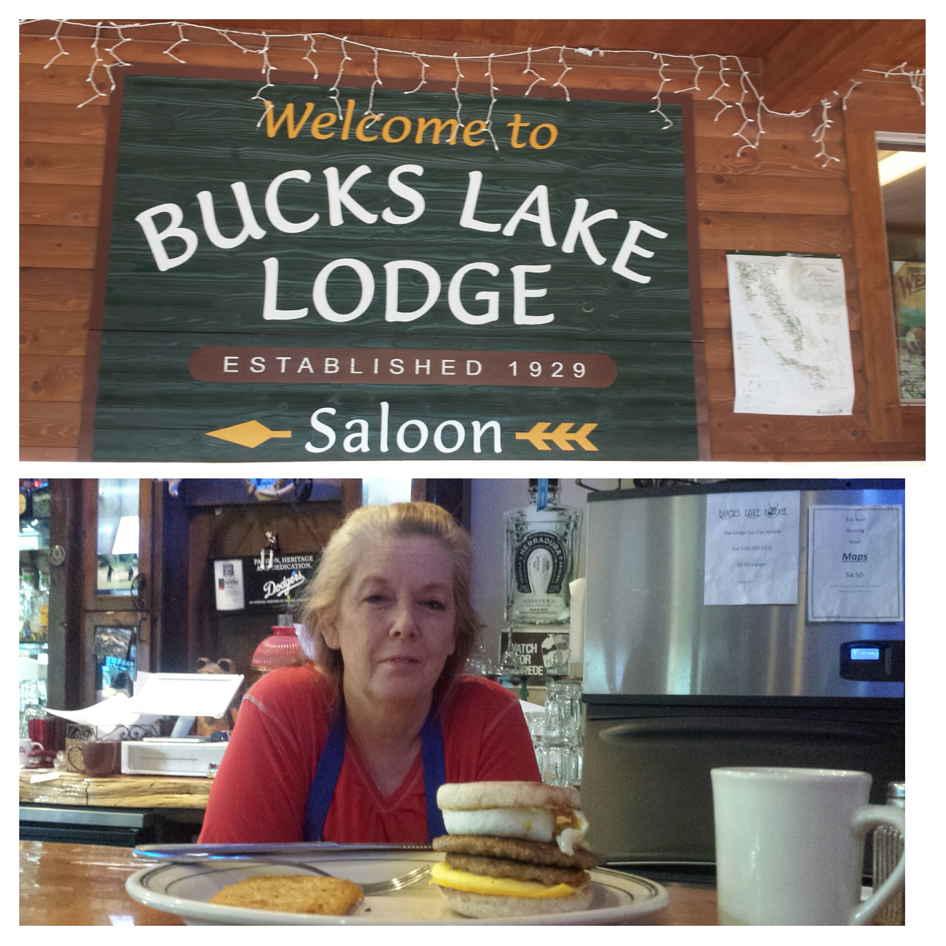
I had planned to camp right on the ridge near Lookout Rock, but the lightning motivated me to hike onward to lower ground. By that point, I was so close to Big Creek Road that I figured I might as well try and make it into Buck’s Lake and get a room at the Lodge. I sat by the side of the road for about an hour and neither of the two cars that passed picked me up. I called the lodge and the manager sent a truck out to pick me up. Whoohoo! Thank you, Rebecca of Buck’s Lake!


June 10- 19 miles, staying in Belden

Rebecca of Bucks Lake Lodge

Rebecca of Bucks Lake Lodge

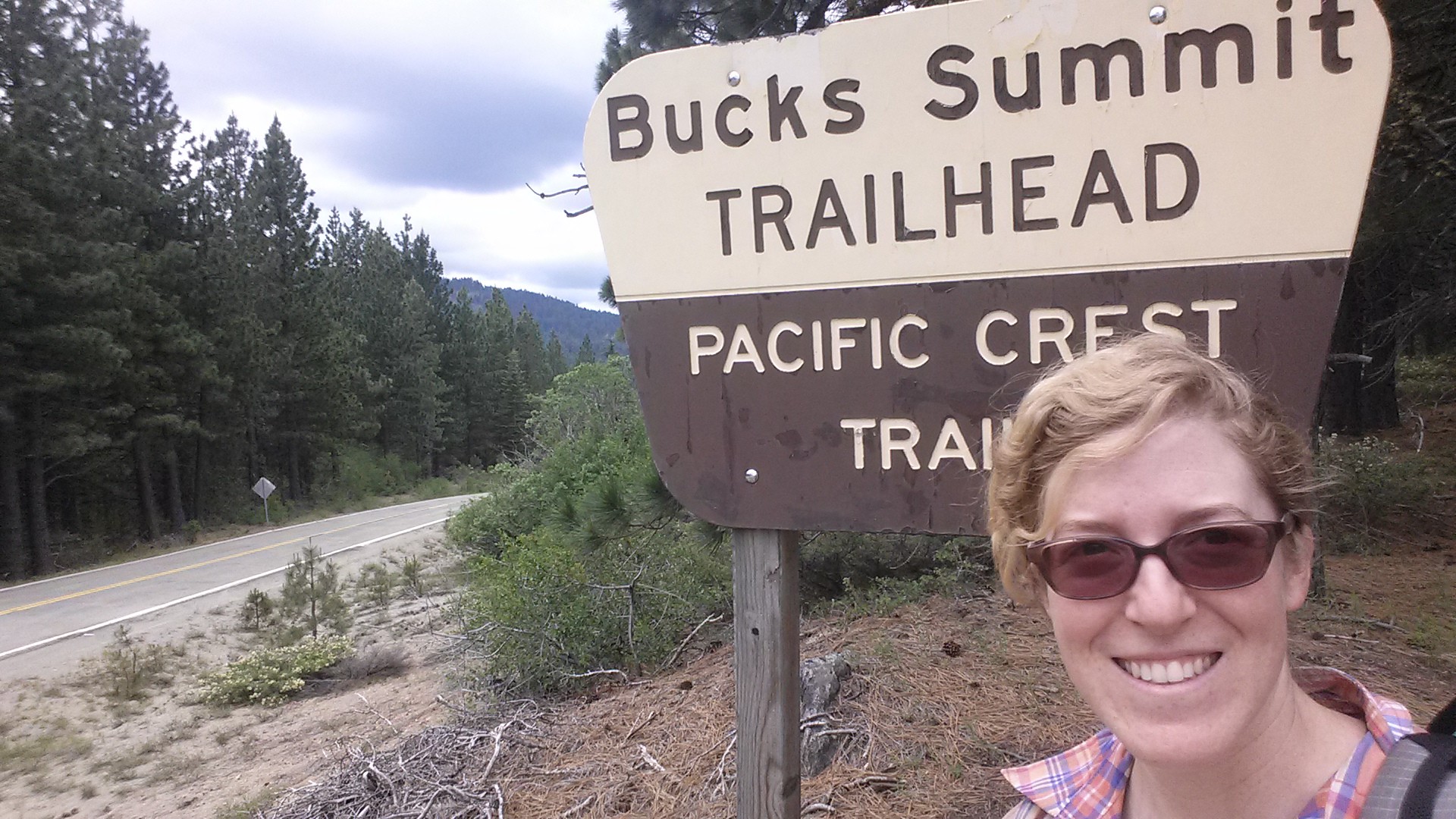
Rather than get up at the crack of dawn, I opted to sleep in until 8 AM and then have breakfast at the lodge. My feet had been so sore last night that I really needed to take it easier. Rebecca made me a fantastic double egg, double pattie breakfast sandwich then drove me to the Buck’s Summit Trailhead.

wpid-pct-section-m-72-bucks-lake-wilderness.jpg


Since it was less than twenty miles to Belden, I decided to just go the entire way. This made the day feel like a simple day hike and just a beautiful walk in the woods. Wildflowers were blooming all around that I stopped every few feet to snap a picture of a different bloom!

Wildflowers of Bucks Wilderness

Wildflowers of Bucks Wilderness

It was truly so beautiful today. With the trail scraping up into the clouds, the temperature was cool and the views were other wordly. It was a stark contrast to the heat I experienced here last summer.

image

image


PCT-CA-Section-M-99-Bucks-Lake-Wilderness-lake


image

The descent to Belden took me down 5,000 feet. It’s got to be the hardest descent on the entire trail, not even Mt. Whitney feels this steep and monotonous. There were so many switchbacks that I had to start counting them to keep my sanity. I would shout the switchback number out loud when I came to it, trying to coach myself on. Although, I think I probably sounded more like the Count from Sesame Street: “Ten! Ten Switchbacks! Ha, ha, ha!”

image

I made it into Belden in time to catch dinner at the resort restaurant and then call the local trail angel for a pick-up. Brenda Braatan hosts hundreds of hikers every year. She and her husband built an addition on their house just for the hikers to stay in. She has a one-night-only policy, so I’ll be heading back to the resort for a rest day tomorrow and camp on the their property beside the river. After a zero day, bright and early, I’ll start the 5,000 foot climb into Section N. At least on this side of the Belden canyon, the trail will climb straight back into the mountain canyon and have no maddening switchbacks!


Links

Installment No. 23- Belden to Drakesbad, 2015
Bucks Lake Lodge

Installment No. 21 of My PCT Journey

No. 21- Echo Lake to Sierra City, 2015
loading map - please wait...

Peter Grubb Hut: 39.367885, -120.367525
Benson Hut: 48.216038, 16.378984
Echo Lake: 38.833796, -120.041573
Sierra City: 39.566488, -120.634069
Donner Pass: 39.316968, -120.325656
Claire Tappaan Lodge : 39.317959, -120.350900

May 31- 13.5 miles, camping at Dick’s Lake

After a long drive to South Lake Tahoe and a ferry ride across Echo Lake, I was once again standing in a familiar spot with my backpack. Art had to say a quick goodbye because the ferry was waiting to return, but it felt too quick. I had been nervous about starting this hike since last night and I really wanted a long hug.

5-PCT-CA-Section-K-Desolation-Wilderness-1

image

Lake Aloha

Throughout the day, I found myself comparing my speed to how fast I hiked last year. When I came through here in 2014, my feet were killing me, I was exhausted, and I’m pretty sure I was also PMSing. Today, I knew that I was walking slowly, but I felt so much stronger. The reason I had such a difficult time here before was because I had already been on the trail for 450 miles. I’m anticipating having that same struggle this year after the same distance, somewhere near Etna or Seiad Valley.

image

13-PCT-CA-Section-K-Desolation-Wilderness-9

I saw numerous day hikers and overnight hikers off and on and met one PCT hiker named Beavers going southbound. He was actually a northbound hiker, but was hiking the section from Sierra City to Lone Pine southbound in the hopes the snow levels in the High Sierras would be more manageable when he reached them. With the drought this year, a lot of hikers have hit the Sierras early and didn’t expect as much snow as there actually is; now they’re either plugging through it or flip-flopping around it.

View towards Pyramid Peak and Susie Lake

View towards Pyramid Peak and Susie Lake

Fun Fact: 13,000 years ago, the valleys of Desolation Wilderness were carved out by great glaciers, pushing out all the top soil and leaving only the hard rock beneath. That’s why the trees and vegetation are so sparse and hence the name of this wilderness!

Dick's Pass, looking toward Dick's Peak

Dick’s Pass, looking toward Dick’s Peak

Dick's Pass, elevation: 9,400 ft

Dick’s Pass, elevation: 9,400 ft

The weather and the scenery was so beautiful and it was delightful to see differences from last summer. There is still quite a bit of snow, particularly on the north side of Dick’s Pass.

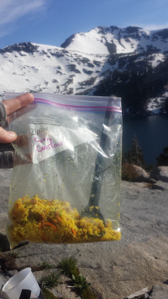
Couscous Dinner above Dick's Lake

Couscous Dinner above Dick’s Lake

Dick's Lake

Dick’s Lake

I’m camping at Dick’s Lake, just below the pass and the there are a number of other overnight hikers here. It’s actually a bit crowded. I’ve found a spot next to a kid named Jacob from North Carolina. We chatted a bit and he gave me some extra bottled water so I didn’t have to filter from the lake. The wind really kicked up and I was hoping it would die down after the sun set. It’s blowing so hard that it’s whipping through my tent, kicking the sand in and blowing my guidebook pages out and straight into the lake! Jacob tried to help me grab them all, but one, unfortunately, has been lost to Dick’s Lake. Wind 1. Katie 0.

Camping at Dick's Lake

Camping at Dick’s Lake

The wind is screaming outside my little tent and I’m having trouble writing this because I have to keep stabilizing my pole so the tent doesn’t collapse. I haven’t experienced wind like this since the Tehachapi Mountains above Mojave. Really, PCT?? You couldn’t wait at least a couple of nights before throwing me something like this?! I think this is going to be a really long night.

June 1- 17.5 miles, camping at Barker Pass

Last night my tent fell down twice, I had to get out and restaked it three times, and the sand blew right through my tent netting getting all over my gear and face. At 1 AM, I seriously considered just packing up for a new site, but didn’t want to deal with putting everything back in my pack. By the morning, only three stakes were still anchored and my tent was practically blowing away. As soon as it was light out, I packed up and found a protected spot to eat breakfast and have some coffee. Wind 2. Katie 0.

image

I had a lot of ups and downs today. The majority of my day was spent walking through dense forest with a flooded trail and downed trees. The “tunnel of trees” trail days, as I call them, are difficult for me mentally. Throw in some achy body parts and I start wondering if I made the right decision coming out here. Soon after these demoralizing thoughts, though, I’ll see some adorable mushrooms, a waterfall, or another hiker and I’m right back on track.

image

I must’ve seen about 10 southbound PCT hikers and I’ve been leapfrogging all day with a section hiker named, Jim. He and his dog, Bochi, are hiking from Highway 50 to Donner Pass. We chatted by a lake while we were both taking lunch breaks and his dog completely stole my heart. I told him I was worried I might be hiking slower than I’d planned and that I might run low on food. He was all too happy to hand over one of his freeze dried meals because he was carrying too much weight- his pack was 80 lbs!!

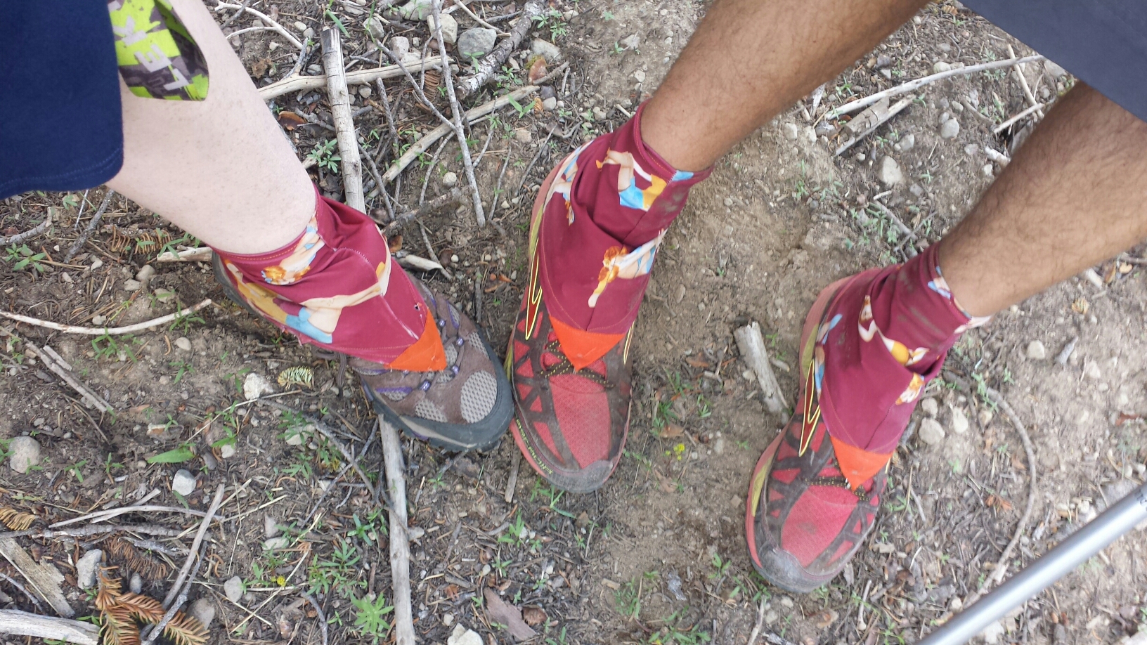
My Dirty Girl Gaiter twin!

My Dirty Girl Gaiter twin!

Jim and Bochi

Jim and Bochi

image

Something I’m trying to do differently this time is not cook and eat where I camp. The smells are just so tempting for bears and there seem to be a lot in this area. There’ve been bear signs along the trail all day long and just as I was thinking I should stop to eat soon, I came across a very fresh pile of scat- steamy fresh! I didn’t see the bear, but I’m going to be careful about my food!

Bear scat

Bear scat

View from Barker Pass

View from Barker Pass

I’ve made it the 17.5 miles that I’d hoped to do today and am camping at Barker Pass. The picnic tables and outhouse made the goal even sweeter! Jim and Bochi are camped nearby. It’s gonna be another cold and windy night and it looks like it may rain, too. If it’s as bad as last night, I swear I’m going to sleep in the picnic area privy!

Camping at Barker Pass

Camping at Barker Pass

June 2- 18.5 miles, camping below Anderson Peak

Good morning!

Good morning!

I was awoken with a friendly face this morning as Bochi the pup tried to join me in my sleeping bag. He managed to pee on my sandals, which was no big deal and pretty funny. The weather turned out to be beautiful last night and, after getting some much needed rest, I felt good about hiking over eighteen miles for today.

image

image

After saying goodbye to Jim and Bochi, I didn’t see a single soul all day. I didn’t feel lonely or scared because it just felt so good to be out here. Despite some windy patches, the weather was really nice and the trail didn’t throw me any curve balls.

View of Lake Tahoe

View of Lake Tahoe

Looking towards Anderson Peak and Tinker Knob

Looking towards Anderson Peak and Tinker Knob

All day long, I wound along ridges with breathtaking views around me. At lunchtime, I stopped for an hour at a creek to wash my legs, filter water, and charge my phone. I wanted to take a nap, too, but felt like I needed to get moving. I still had seven and a half miles to go to reach the campsite I was aiming for tonight. I popped an asprin and a caffeine tablet and tackled the three-mile climb ahead of me.

image

image

Tinker Knob

Tinker Knob

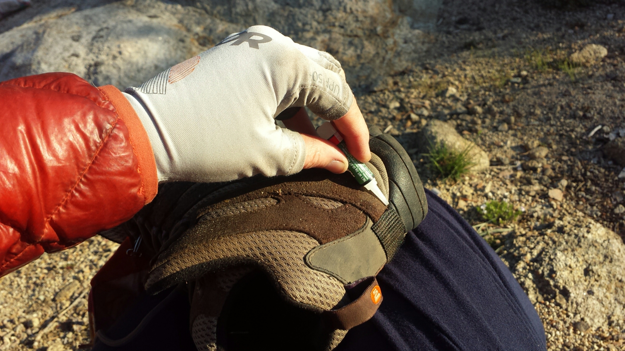
It paid off. With plenty of daylight to spare, I reached my camp next to the headwaters of the Middle Fork American River and just below the climb to Anderson Peak. It feels so nice to have a couple of hours of daylight to muck about before going to sleep. I was able to dry out my shirts, repair the velcro on my shoes for my gaiters, fix one of my guy lines, filter all my water, and sort my food for the next three days. There’s nothing like that feeling of being productive to put the cherry on top of my day!

Camping below Tinker Knob

Camping below Tinker Knob

Fixing my gaiter velcro

Fixing my gaiter velcro

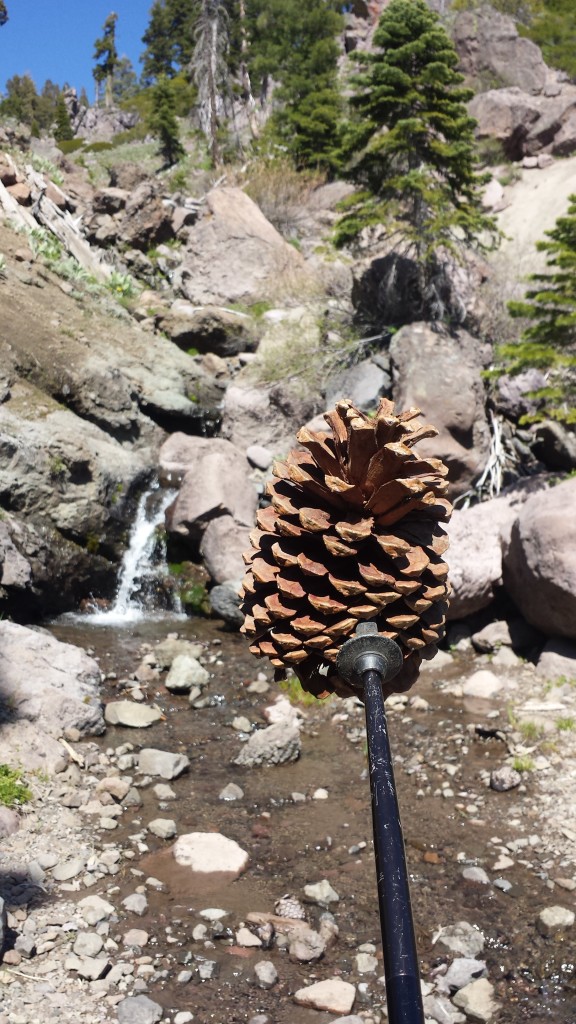
Today, more than before, I found myself walking in spirit with many of the hikers I met last year on the trail. Things I saw and places I past reminded me of sharing some great experiences with those friends. Tonight I raise a toast of hot cocoa to those hikers: Duchess, Booey, Crusher, Sugar Pine and Lingo, Knockout and Liverpool, Beav, Smokes, Lorax and T-fox, Glitter, Red Light, Butters and Just So Fresh- the list could go on (don’t you love hiker names?). Thank you, kids, for making last summer so memorable!

Playing pine cone games & thinking of Butters

Playing pine cone games & thinking of Butters

image

June 3- 13.5 miles, staying at the Claire Tappaan Lodge

What a roller coaster today has been! I went from feeling really great, to not; then to being angry and frustrated, to resigned and even delighted.

image

I was up early because it was especially cold this morning. When it’s that chilly, sometimes the only thing to do to get warm is hike. So, hike I did! I was lucky enough to see a couple of bears on my mile and a half climb to Tinker Knob. One was a medium sized black bear and the other was a massive, brown bear. I couldn’t believe how big he was- almost the size of a small car! He was probably 700 lbs. I clacked my poles together and shouted “Hey, bears!” They turned and ran right off the trail and down into the trees.

Bear print!

Bear print!

By 8 AM I had already climbed to the top of the ridge and felt great. The views were not only spectacular, but also new for me. The last time I walked the ridge was in a rain storm and could only see ten feet in front of my face. I had no idea what I’d missed out on. Today I could see as far as the Sierra Buttes above Sierra City towering sharply on the horizon.

Looking towards Castle Peak from Anderson Peak

Looking towards Castle Peak from Anderson Peak

I stopped at the Sierra Club Benson Hut, just to check it out and use the outhouse. Somehow, it didn’t seem as awesome as last summer when I took shelter in it during the storm. It needs some TLC.

The Sierra Club Benson Hut

The Sierra Club Benson Hut

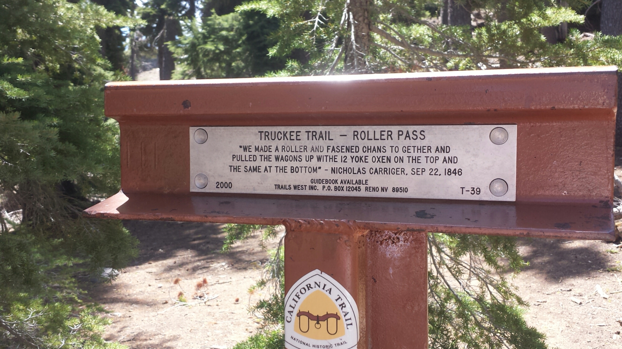
The trail goes right through Roller Pass, which is where pioneers hauled wagons up from the meadow and over the cliff using oxen. One of the things I love about being on the trail is that it takes you through so many historical sites and really brings to life, for me, what the early settlers must have experienced. I’m always impressed by the guts of any pioneer or immigrant to put it all on the line and seek something better than what they were born into. I’d like to think that I may have inherited some of that brazen sense of adventure from my own pioneer ancestors.

Roller Pass

Roller Pass

image

Coming down toward Donner Pass became more and more difficult. I was tired and my feet were feeling really bruised from the rocky trail. By the time I reached the Donner Pass rest area at Interstate 80, I was itching to be done with my day. Unfortunately, multiple day hikers had told me bad weather is coming in and it seemed to be getting started already. The clouds were heavy, the temperature had dropped and I couldn’t decide if I should keep hiking or get a room somewhere.

Donner Pass

Donner Pass

Just four miles up the trail was the Peter Grub Sierra Club Hut that I knew I could stay in for the night. Unfortunately, my batteries were all running low and I couldn’t get any info on how bad these storms might be. I didn’t particularly want to get out there, run out of juice on my phone with no sunshine to recharge it and also risk getting stuck in my tent all day because of a really bad storm. If I couldn’t hike because of weather, I’d rather stay in town than in my tent.

I pulled out my guidebook and called the number of a local Sierra Club Lodge. They picked me right up and got me to the lodge in time for dinner with the other guests. It’s a great little gem and as frustrated as I got trying to make up my mind about coming here, I’m glad I did! For $70, you get a teeny bunk room, dinner, breakfast, a bagged lunch, free laundry, free Wi Fi, and use of the private hot tub. Plus ,by staying here you help support the Sierra Club and keep the lodge open for future use.

The Sierra Club Claire Tappan Lodge

The Sierra Club Claire Tappan Lodge

A bunkroom at the Claire Tappaan Lodge

A bunkroom at the Claire Tappaan Lodge

At dinner, I met Ed and Meredith, a couple of engineers from New Jersey. They’re in California for Ed to participate a fundraising bike ride of 100-miles! They were really fun to talk with, both of them being intelligent, active and lighthearted.

I was determined to not get stuck for another night in Soda Springs, so I came up with some game plans to hike through the storms. The weather report showed the storms hitting for only a couple hours in the afternoon for the next couple of days and that the wind wouldn’t be above ten miles an hour. Done! If the wind isn’t gusting, I can handle everything else: rain, hail, snow, thunder and lightening. I studied the map and figured I could hike from valley to valley, keeping an eye on the weather and staying off the ridges if it looked dangerous. I picked a couple of tent sites that looked protected in case I really needed to hunker down.

Now I need to charge my phone and get some sleep.

June 4- 17.5 miles, camping on a ridge near mile 1178.5

After breakfast burritos and coffee and waiting for my skirt to dry in the drier, Ed and Meredith drove me out to a trailhead that connected me to the PCT. They hiked with me as far as the Peter Grub Sierra Club Hut and it was great to have their company. They were really delightful to be around and Meredith even carried my pack for most of it, just to see what it felt like! With service like that they should be charging money!

Meredith carrying my pack

Meredith carrying my pack

Peter Grub Sierra Club Hut

Peter Grub Sierra Club Hut

Not long after Meredith and Ed said goodbye, the thunder started to roll in. I was able to hike for awhile in the light rain, but when it started coming down harder, I had to stop and put all my rain gear on. The rain turned to hail and bit sharply on my bare hands, but I was still having a good time! Having the proper gear and no wind makes all the difference in situations like this.

 Storm clouds near Donner Pass

Storm clouds near Donner Pass

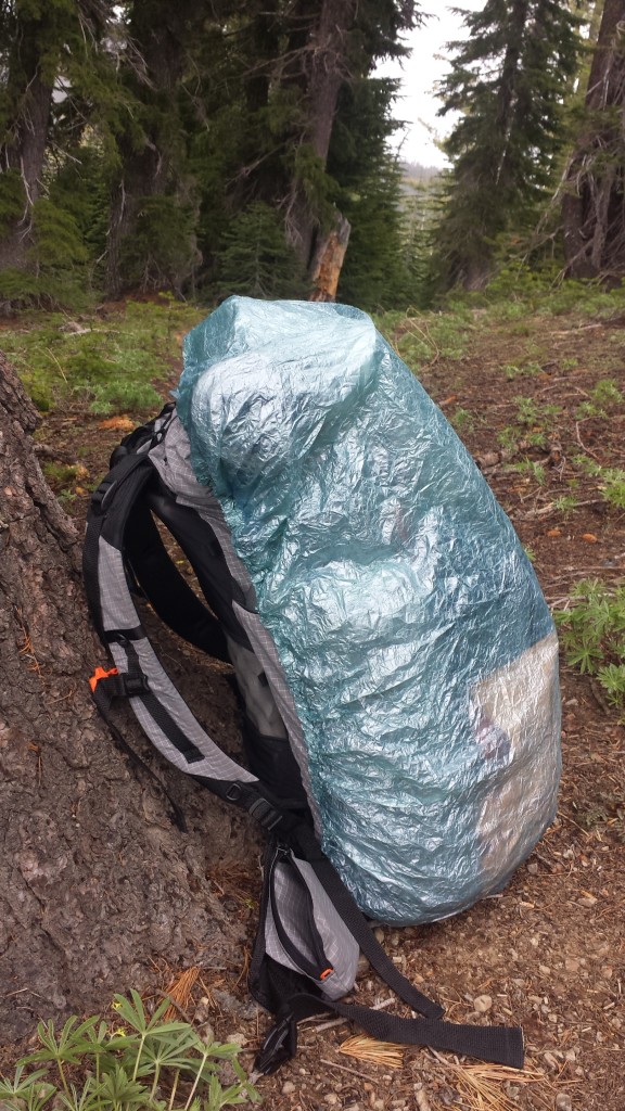
Ultralight ZPacks pack cover

Ultralight ZPacks pack cover

Tom's Valley

Tom’s Valley

It was beautiful watching the clouds roll through, twisting around each other in shades of greys and dark blues. I actually really enjoy hiking in weather like this because it’s so different from the usual hiking day and beautiful to watch.

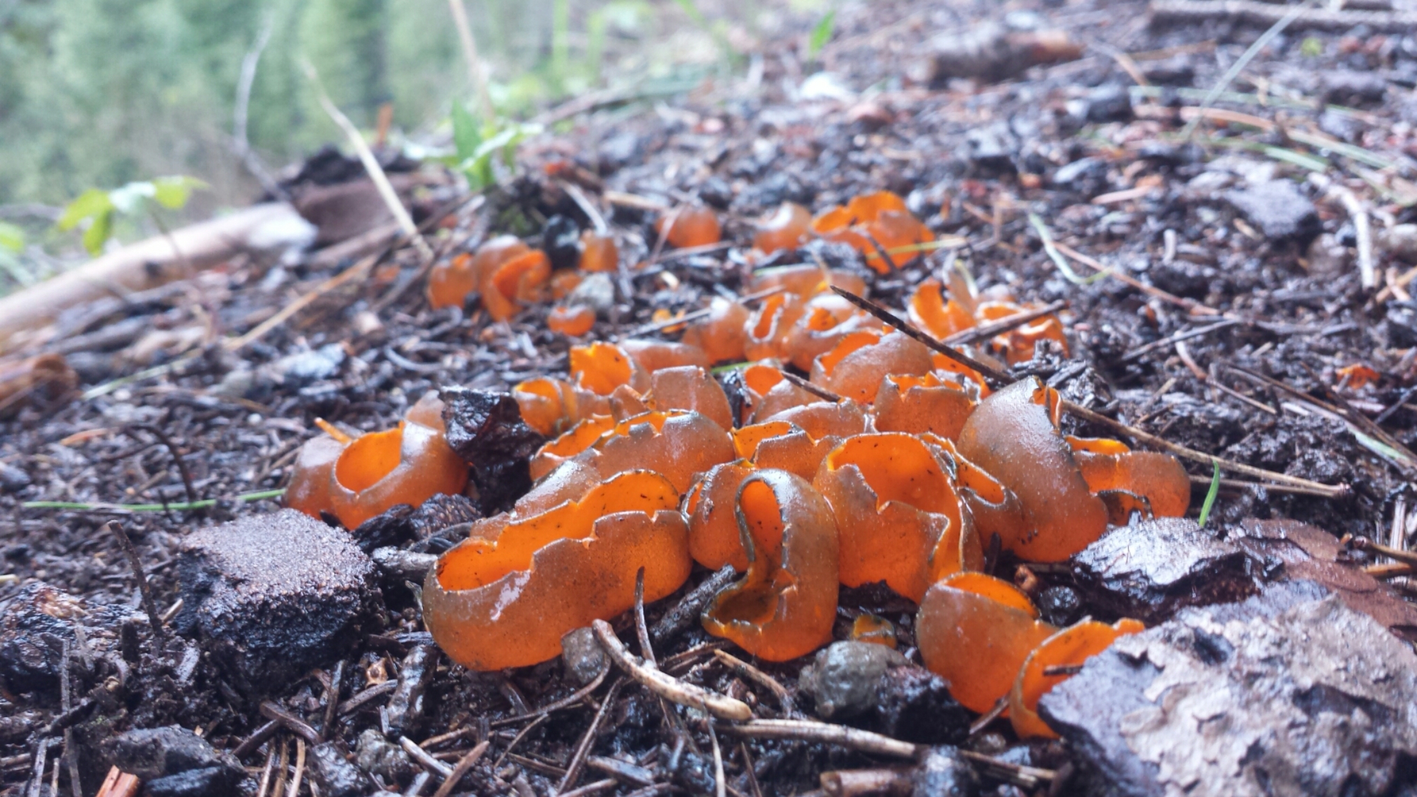
Fungus

Fungus

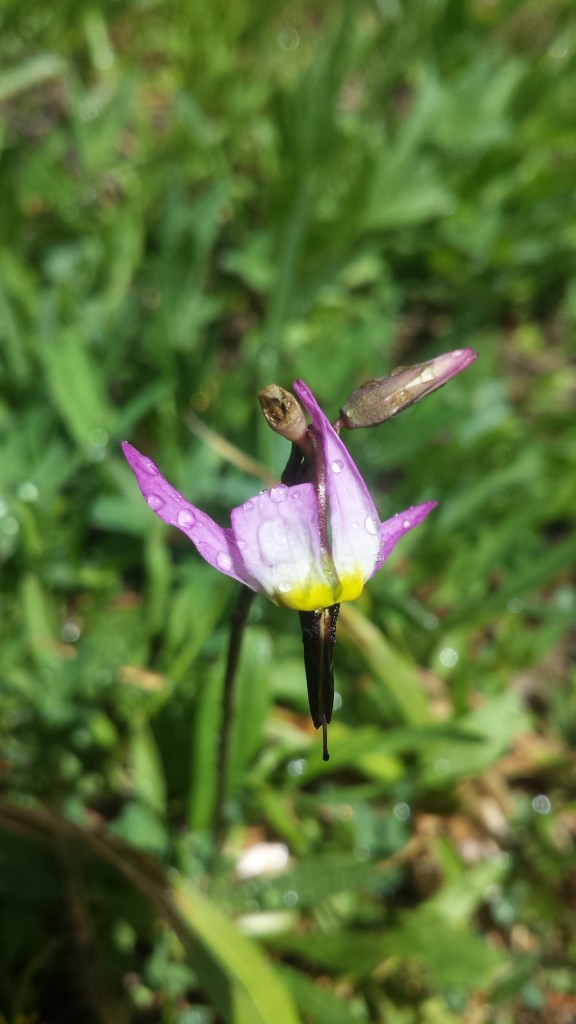
An orchid

An orchid

Looking towards the Sierra Buttes

Looking towards the Sierra Buttes

Around 6 PM, I stopped to make camp because I was feeling sore and the mileage would work out nicely getting into Sierra City in two days. I’m still trying to shake the mentality that I need to hike at least twenty miles each day. Eventually, I will, but not for this first week. Plus, I love having so much daylight left when I get to camp.

image

As I lay in my tent eating a dinner of jerky, a protein bar, fruit leather and hot cocoa, a light rain began spattering my tent. I looked out and saw a perfect rainbow arching just above me. I’m not superstitious, but rainbows always seem like a good omen.

Rainbow!

Rainbow!

June 5- 19.5 miles, staying at the Red Moose Inn

I woke up to a chilly morning breeze and a very wet tent. It must’ve rained more during the night and I tried my best to dry the tent off with my nano towel and wysi wipes. Nothing’s worse than a tent that smells like mildew. It was so cold, I didn’t feel like getting up and going- contrasting to the motivation a cold morning gave me a couple days ago! Since I pack the sleeping bag in the bottom of backpack, I couldn’t pack anything until I was willing to get out of my bag. So, all I managed to do was move things from one side of my tent to the other for about an hour while I made coffee and breakfast.
image

The Sierra Buttes

The Sierra Buttes

By 10 AM, I felt ready for a nap. As tired as I may be, I’ve never been good ant napping, but I made an attempt anyways. I plopped down right on the side of the trail and lay there, just listening to the birds for about fifteen minutes.

image

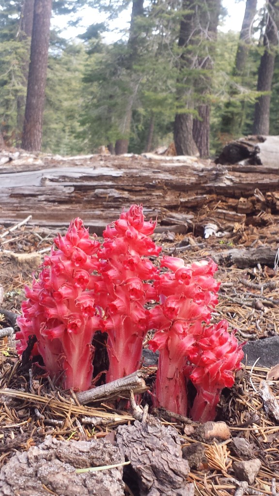
Snow plant

Snow plant

It was nineteen and a half miles all downhill today, and beautiful! I didn’t plan on hiking all the way to Sierra City, but by the time I reached the turn off for the town it was only three in the afternoon. When I’m that close to town, it’s hard not to go all the way. When you’re not focusing too hard on a goal, sometimes you can be surprised by how far you’ve come, especially when it’s all downhill!

PCT-CA-Section-L-46-Plumas-National-Forest

Old structure, maybe a horse corral?

Old structure, maybe a horse corral?

Road walking along Wild Plum Road

I’m sitting in the Sierra Hotel bar now, watching Jeopardy with the locals and enjoying a Hot Toady. It’s the only place in town with Wi Fi strong enough to upload my videos. I love meeting the locals and hearing their stories- like the bartender who’s worked at this mountain bar for 15 years, now it’s being bought up by a city slicker investor and and he has no idea what he’ll do next for a job.

Town shoes1

Town shoes!

Sierra City

Sierra City

I’ve picked up my resupply box from the Sierra Country Store and need to go through all the food for the next section. I’m procrastinating because I know I have more food than I’ll need for the next four and a half to five days. I’ll have to put some of it in the hiker box at the store, but I also hate wasting food.

I’m looking forward to a hardy breakfast in the morning and wondering if I’ll get stuck in town for most of tomorrow, enjoying the amenities it offers.

Links

Installment No. 22- Sierra City to Belden, 2015
Roller Pass

Claire Tappan Sierra Club Lodge

Sierra City

PCT-2015-hiking-map

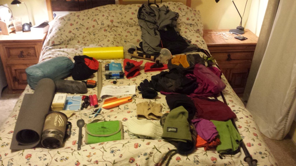
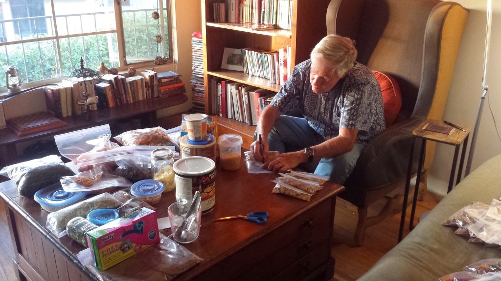
It’s T minus six days. My boxes are packed (except for a few more cocoa packets), my gear is set (except I’m still waiting for my new sleeping bag to arrive), and I’ve been hiking daily (but only for two days straight). Am I ready? Psh, yeah- in all the right ways I’m ready. I’ve got the essentials in my gear and resupply boxes and if I have to get in shape while on trail, then so be it. If I’ve learned anything from my long hike last summer, it’s that it’s just not worth it to stress over the details of the trip. I’m going to have a great time, and I’ll probably have an even better time if I LET GO of those little details!

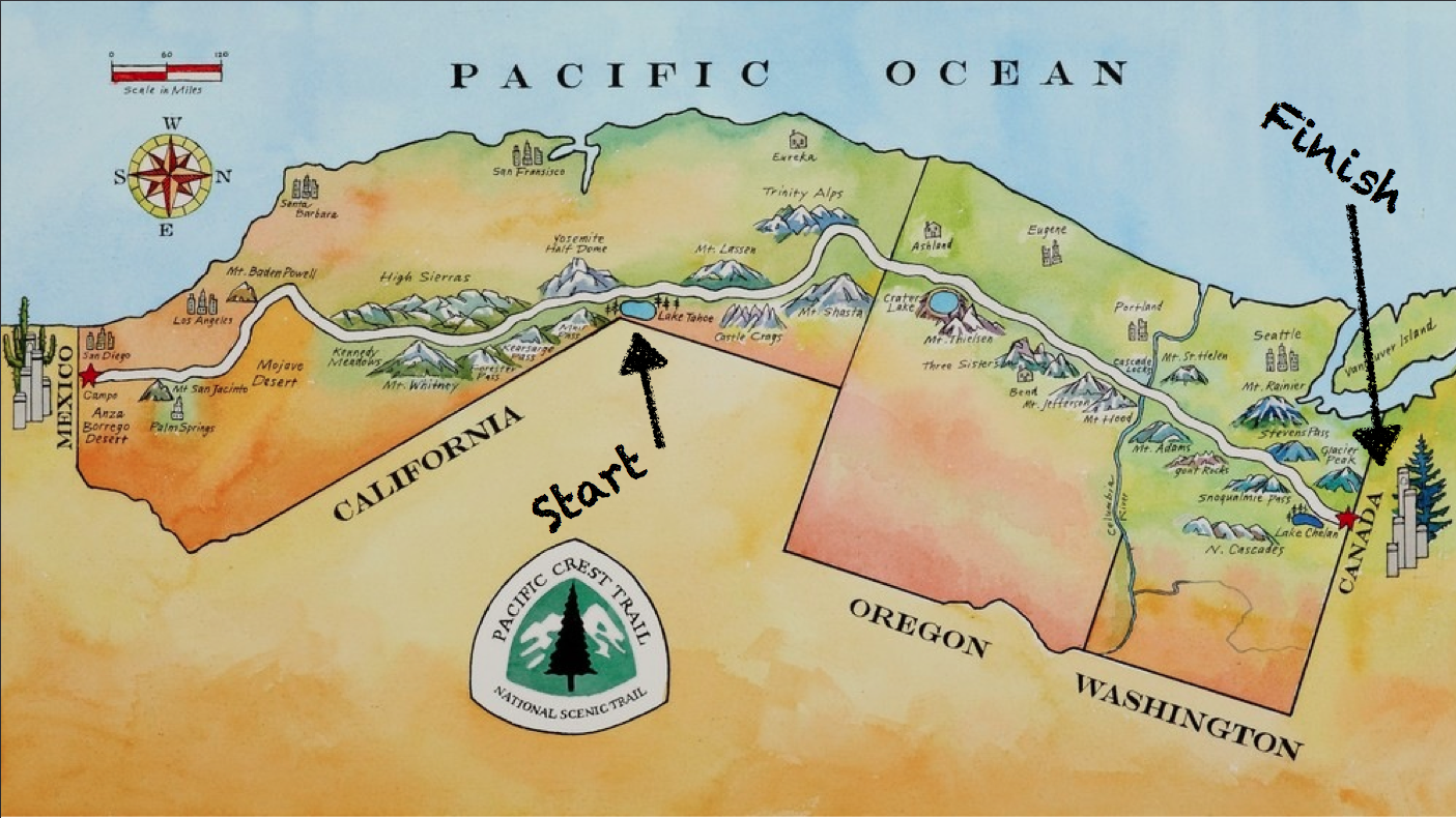
Many of you know that ever since I had knee surgery to repair torn cartilage, I’ve made it my goal to hike the entire 2,650 miles of the Pacific Crest Trail. Since August of 2013, I’ve been section hiking California’s PCT, completing 1,726 miles, and this summer I aim to hike all the way from Lake Tahoe to Canada and finish the trail once and for all.

Yes, you’re right, I AM re-hiking the 632 miles from Tahoe to Oregon. Why do that, when I’ve only got to hike 900-something miles to officially finish the trail?  Short answer: because it’s FUN! Long answer: last summer I hiked just over 1,100 miles and by the time I was getting off the trail, I felt like I was just hitting my stride. I want to know what it feels like to hike more than 1,100 miles. Will it feel better or worse? Eh, probably about the same as last year. Will I reach some kind of athletic nirvana state? Probably not, but I still want to feel it for myself. Will I be kicking myself after I’ve hiked 900 miles, saying “I could’ve been done already!” Probably, but it’ll be worth it.

What am I doing differently this time?

New gear:

To see a complete list of my gear for this hike, check out my 2015 PCT Gear List.
1)  Zpacks 20° sleeping bag– replacing my REI Women’s Halo 32° bag. This new Zpacks bag will be warmer and roomier, yet lighter than any of my other sleeping bags. Because Zpacks specializes in customizing gear for individuals, I was able to select a bag that fits my unique height and desire for extra width as an added luxury. I can’t wait to try it; I only hope it arrives in time!

2)  Gossamer Gear Mariposa backpack– replacing my Zpacks Arcblast pack. I really, really loved my Zpacks Arblast, but I need something with a bit more durability. So, I’m opting for added weight in exchange for longevity. These things are all about comprises!

3)  Klymit X-lite Torso Pad– replacing my Klymit Interia X-frame. The X-frame was a fantastic sleeping pad and because it was so awesome, I had a good feeling about the torso pad version when Klymit came out with it. I’ve used this pad for two nights and it did not disappoint. I’m really looking forward to showing it off to all the Thermarest-carrying hikers.

4)  Columbia Women’s Insect Blocker Shirt– I didn’t pay too much attention to what kind of shirt I wore last year. This year, I’m going all out. The Columbia shirt not only has built-in insect shield, but also a UPF of 30, moisture wicking, and will look cute layered with a tank top. Cuteness aside, layering is important while hiking. It’s nice to have options while out in the elements: long sleeves or short, pop the collar or not, unbuttoned or buttoned. These little things make a big difference in sun protection and comfort in the cold and heat.

5)  Humble Chic Convertible Dress Skirt– replacing my Macabi skirt. The Macabi skirt is a great product. It’s durable, versatile, and just screams “Little House on the Prairie.” It’s great to be practical about your trail clothing, but if you’re out there for months, you still need to maintain your personality. The Macabi skirt was everything I needed it to be, except I got sick of everyone asking if I was Amish. Anyways, I’m excited to try out this completely random dress I found on Amazon. I like that it’s long enough to hide my underwear when I’m sitting and short enough to be cute. I’ll let you know how it works out!

*UPDATE: this skirt was a horrible idea. I eventually switched to using a Mountain Hardware Dynama Skirt.

Assessing my gear

Assessing my gear

New Food:

To see how I organize my resupply boxes, check out my recent post on What To Put In Your Resupply Box.

This time around, I have a much better idea of what kind of food I will need and want on the trail. I’ve cut out the products I didn’t care for last summer and have diversified everything from my bars and jerky to my meals and sugary treats. I’m also taking into consideration how fun it is to buy treats, junk food, and new kinds of foods at town stops, so my resupplies allow a bit of room for spontaneous shopping!

1)  Hot cocoa and marshmallows in EVERY box- last summer I ended up buying hot cocoa packets at every town I stopped in for resupply. It was a major bonus when I found brands that had mini marshmallows in the cocoa mix, but they were had to find and there were never enough marshmallows. This year, I’m taking matters into my own hands. I’ve bought enough organic hot cocoa for every resupply box, plus I’ve packaged more than enough mini marshmallows for every single cup of hot cocoa.

2)  Given my fair skin and family history of skin cancer, my doctor is practically insisting I take a supplement called Astaxanthin to help protect me from sun damage, just for the duration of the hike. It’s made from a Hawaiian algae and somehow helps the body control oxidative responses to UV exposure, i.e. it’ll help prevent sunburn and skin cancer from the inside out. I’m not much of a pill-popper, so I’ll let you know how this goes.

3)  Couscous, ramen, and mac and cheese– the favorite nourishment of hikertrash around the world. Last year, I discovered half way through the summer how awesome I felt after eating simple carbs, a.k.a. junk food, because my cells were so depleted of glucose. Ramen became crack to me. This year, I’m acknowledging my addiction to, and genuine need for, glucose in the healthiest way I can: I’m packing a moderate serving of these dishes in each resupply and pairing them with healthy protein and fats to off-set the inevitable blood sugar spikes that they bring.

4)  Speaking of healthy protein and fats, I dished out the cash and bought about $240 worth of high quality jerky from Simply Snackin’. They offer an incredible assortment of beef, chicken and venison jerky and it’s all delicious! After about 450 miles of my last hike, I looked like a starvation victim. Then I upped my fat and protein intake by adding more olive oil and jerky to my diet. Since fat burns slower than carbs and the protein helped repair muscles, I was able to sustain energy much better. I plan to eat two to three jerky bars per hiking day. Check out Brenda Braaten’s excellent article on thru-hiker nutrition: Pack Light, Eat Right.

Putting Dad to work assembling dehydrated meals.

Putting Dad to work assembling dehydrated meals.

Remaining To-Dos:

Hike more

Pack cocoa packets into my resupply boxes

Cross my fingers and hope my sleeping bag arrives in time

Upgrade my cell phone data plan (so I can surf the web and upload videos)

Unsubscribe from unwanted emails (so they don’t clog my inbox)

Put all left over gear and backpacking food into storage

Go to the salon for a hair cut

Mail out Fathers’ Day cards (can’t forget this!)

Throw any remaining cares to the wind- because if they’re not done by now, they’re not that important!

Me just after 1,000 miles on the trail last year. Photo taken by Ian Tuttle of Porcupine Photography.

Me just after 1,000 miles on the trail last year. Photo taken by Ian Tuttle of Porcupine Photography.

Links

PCT Installment No. 21- Echo Lake to Sierra City, June 2015
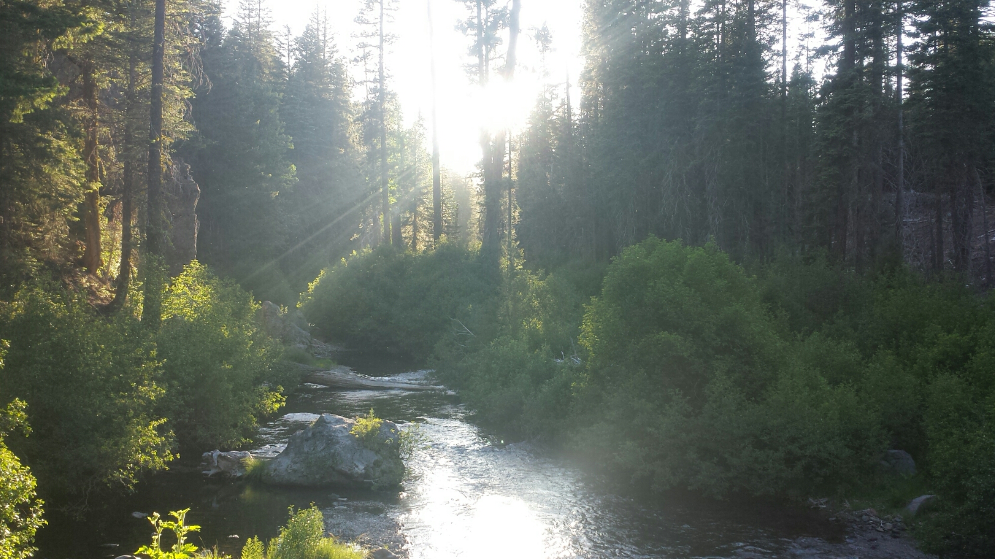
2015 PCT Gear List
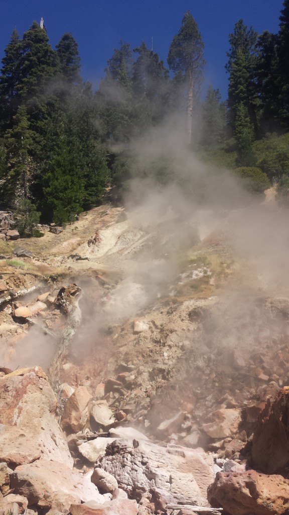
PCT Section O Shasta Trinity National Forest Shasta City

Junk food heaven  in Mount Shasta (not my typical resupply!)

When reading the guidebooks for resupply strategies, you’re given all the information you need to decide WHERE and HOW to resupply, but not necessarily WHAT and HOW MUCH to resupply. Brenda Braaten published a great article called Pack Light, Eat Right explaining how proteins, carbs, and fats all contribute to thru-hiker nutrition. Essentially, you’re going to need a lot of all three to sustain energy, weight and muscle mass, and nutrients. Packing a variety in meals and snacks are crucial to maintaining interest in your food, so don’t plan on eating beans and rice for every single meal!

Deciding on whether to buy food in a resupply town or ship yourself a box is a personal decision. Guidebooks usually give pretty good descriptions on what kinds of food you can count on buying in a town, i.e. whether the town has a full grocery store or just a convenience store. I like to count on having a variety of healthy foods that I know I’ll enjoy, so I always ship myself a box. Since it is fun to buy junk food and specialty items in town, I allow a bit of room in each resupply for spontaneous purchases.

Laying down the cash to buy 3-5 months worth of food all at once before a thru-hike can be painful, but if you look for sales and buy in bulk you’ll save yourself hundreds of dollars. I personally use Amazon Prime because it gives me free 2-day shipping and great prices on bulk and non-bulk items alike. With Amazon Prime, you can also have things shipped directly to you on the trail, like new shirts or gear. To see what foods I like to pack, check out my pages on dinners, lunches and snacks, and breakfasts.

One of my shipments from Amazon.com

One of my shipments from Amazon.com


So, what goes IN the each box?

For my 2015 PCT hike from Tahoe to Canada, I’m using Craig’s PCT Planner. This online planner helps you determine how many days it will take you to hike from one resupply town to the next. You don’t need to use an online planner to figure out the time between resupplies, but it certainly makes it easier! Once you have the number of days for a section, you can add up all the meals, snacks, and miscellaneous items that meet your caloric and personal needs.  Here’s how I break it down:

Meals: 3 per day. I stopped caring whether I ate breakfast foods for dinner or vice versa. Calories are calories, and a good meal is simply that, no matter what time of day it is.

Jerky: 2 per day. Buy more in town if you need more. My favorite brand is Simply Snackin and homemade jerky is delicious!

Bars: 2-3 per day. Buy more in town if you need more. This include brands like Luna, Kind, Cliff, Lara, Nature Valley Fig Bars etc.

Fruit: 2 per day. Buy more in town if you need more. This include items like dried fruit and fruit leather.

Other snacks: 2-3 per day. Buy more in town if you need more. This include nuts, packed olives, peanut/almond butter and jelly packets, cereal with milk, chips, Welch’s fruit snacks, tortillas, etc.

Cookies/Candy: 1 package per day. Buy more in town if you need more. This include Oreos, Nutterbutters, peanut M&M’s, TJ’s chocolate covered sunflower seeds, dark chocolate peanut butter cups, etc.

Instant coffee & Carnations Instant Breakfast: 1 each per day.

Ramen: 1-2 per resupply box.

Instant pudding: 1 per resupply box. Separate the dry mix into three or four baggies & add Nido whole milk and nuts. On trail, add water to the baggie.  See my desserts page for ideas.

Beverages: 2-3 per day. This includes True Lemon, Nuun tablets, and powdered Gatorade.

Nido whole milk: 4-6 tablespoons per day (equates to 2 cups of milk). Measure out how much milk you’ll need for a section, taking into account if you’ll add it to coffee, oatmeal, cereal, hot cocoa, etc., and put it in a ziplock baggie for the box.

Olive oil: 1-2 tablespoons per day. I measure out my olive oil into a travel size bottle, pour that oil into vacuum sealable bags and stick them in the freezer. Once frozen, you can then vacuum seal the bag and throw it in your resupply box.

Fish oil pills: 2 per day.

Toothpaste: 1 travel size tube per 5 day period. This means you won’t necessarily have a tube in each resupply box.

Wysi Wipes: 6 per day. Just add water, and voila!  You’ll have yourself a little wet towelette for cleaning dirty parts.

Kleenex pack &/or toilet paper: 1 package per week. I don’t use toilet paper anymore, so I don’t pack it. I use a pee rag & wysi wipes. The Kleenex is for my face.

Flossers & Q-tips: 1 flosser per day & 1 Q-tip for every other day. These little things are supper important for not being gross on the trail. How many you choose to pack will depend on how often you personally use these items at home.

Trashbag: 1 per resupply box. I use gallon size freezer ziplock bags to store by trash while I’m hiking. It’s nice to get a fresh one in your resupply box.

Maps: pack only the map pages you’ll need to reach your next resupply town.  If you need to see what’s beyond that town, use your smartphone apps.

Guidebook: tear out all the pages from your guidebook(s) and pack only the pages you’ll need to reach the next town, just like the maps. Yogi’s guidebooks intentionally have perforated pages just for this reason.

Town treats: throw in anything you think you’d like to have in a particular town: maybe sample sizes of facial wash and shampoo; maybe a nice dress because you’ll be staying in town for a while visiting family; maybe a Soduku book or a magazine.

Also, you might want to take a picture with your phone of each of the resupply lists you finalize.  Then, when you’re on the trail, you can look up what’s in each box before you get to town.

A sample resupply: 4.2 days from Sierra City to Belden.

A sample resupply: 4.2 days from Sierra City to Belden.

Be sure to look at the ingredients and calories for the foods you’re selecting. Your body will thank you for opting for healthier foods without high fructose corn syrup and partially hydrogenated oils. Also, check to make sure you’re hitting enough calories for an average day. If your current food selections aren’t offering enough, then either up the amount of food you’ll pack for each day or choose foods with more calories.


Putting It All Together

Meals, meals, and more meals all over the spare bed!

Meals, meals, and more meals all over the spare bed!

Designate one room in your home to being the PCT resupply center. Print out the lists for each resupply box. Lay out all your food items and put out a paper bag for each resupply. Then start throwing things from your resupply lists into each bag and check them off your list as you go. Make sure you label which bag is which. When the bags are ready for packaging, throw all the contents in the appropriate sized box for shipping.

You might want to have whoever is mailing the boxes leave them open, just in case you need them to throw something else in before they ship it (like new shoes or additional food). Or maybe you want everything sealed and ready to go because then you can pay for the postage on all the boxes before you leave for your hike. It’s a pretty fun process, so try not to panic at how heavy you think your resupply is going to be when you have to carry it out of town!

pct-section-d-10-billi-bandana-2

There are few things that give me as much satisfaction as figuring out the best gear for a trip. All the research that goes into finding the perfect piece of gear, comparing functionality, comfort, weight, and price pays off in creating the best possible experience on the trail. People often exclaim that they couldn’t possibly carry all the necessary gear or hike without certain creature comforts. With enough research, you can find great gear to meet your needs and your comforts without breaking your back, and that will make or break your experience.

The value of all this gear is just below $3,000. That’s a lot of money for a hobby, but when you consider how much people spend on vacations, cycling gear, or computer hobbies, then $3,000 sounds more reasonable. Most of us can’t drop $3,000 just before a thru-hike, so if you plan it right, you can get away with paying much, much less.  Buying items on sale or gently-used second hand over the course of a couple years meant I probably only spent around $2,000.

My base weight (the pack weight excluding all consumables and worn items) for my upcoming 3 month hike comes to 11.8 lbs., or 12.7 lbs. if I include the trekking poles. Whoohoo! Considering how many electronics I’m bringing, I’d say that’s pretty good. After adding in consumables such as sunscreen, food, and water, my pack weight will range from 20 – 30 lbs. There are a few undecided items sitting on the sidelines: a Golite Chrome Dome Umbrella (8 oz) and a warmer, yet heavier wool cap.


ItemWeightPriceLink
Gossamer Gear Mariposa Backpack
gossamer-gear-mariposa-backpack
27 oz
*Came with hip belt pockets and a chest strap emergency whistle.
$222Gossamer Gear
Zpacks Backpack Cover
Ultralight ZPacks pack cover
1.2 oz$44Zpacks Backpack Cover
Zpacks Hexamid Solo Tent + 8 Zpacks stakes
14.4 oz$430Zpacks
Zpacks Groundsheet Poncho5.1 oz$155Zpacks Groundsheet Poncho
Zpacks 20° Sleeping Bag + roll top bag
20.4 oz$410Zpacks Sleeping Bag
Klymit Interia X-Lite
Klymit Interia X-lite
6.1 oz
6.9 oz with the pump
$69.95Klymit Interia X-Lite
Gossamer Gear Thinlight Pad
2.8 oz$16Gossamer Gear
Ursack s29 Bearbag
Ursack-s29-bearbag
7.3 oz
*Update: I ditched this bag after Nor. Cal. and then wished I hadn't because the rodents were a nuisance!
$68.88Ursack Bearbag
Jetboil Sol Ti Cook System
Jet Boil Sol Ti Cook System
8.5 oz$149.95Jetboil Sol Titanium Cooking System (Sand)
Packit Gourmet Cook-in-Cozy
1.75 oz$5.99Packit Gourmet
Sea To Summit Alpha Light Long Handled Spoon
sea_to_summit_alpha_light_long_spoon
0.4 oz$10.99Sea To Summit Alpha Light Long Spoon
Sawyer Squeeze Mini Water Filter
Sawyer-mini-water-filtration-system
3 oz$16.13Sawyer Mini Water Filtration System
MSR 2L DromLite Bag
MSR-DromLite-Bag
4.6 oz for the 2L bag$29.95MSR DromLite Bag
Gossamer Gear Trowel
gossamer_gear_ultralight_backpacking_trowle
0.6 oz$19.99Gossamer Gear Trowel
Zpacks Ultralight Toothbrush
zpacks-toothbrushjpg
0.23 oz for the toothbrush and the handle extension$2.95Zpacks Toothbrush
Nano PackTowl Towel- Medium
packtowl-nano-light-towel
0.9 oz$10.95Packtowl Nano Light Towel
Victorinox Swiss Army Pocket Knife
Victorinox-Swiss-Army-Classic-SD-Pocket-Knife
0.75 oz$14.48Victorinox Swiss Army Pocket Knife
Needle and thread
needle-and-thread
0.04 oz
Mini Nail Clippers
Mini-Nail-Clipper
0.52 oz$3
Black Diamond Spot Headlmap
Black-diamond-spot-headlamp
3.25 oz$30Black Diamond Spot Headlamp
SPOT Gen 3 locator beacon
spot-gen-3-gps
4 oz$150SPOT Store
Suntactics Solar Charger-5
8.5 oz$129.99Suntactics sCharger
PowerGirl 3000 mAh External Battery with LED Flashlight
PowerGirl-External-Battery-3000mAh-Battery-with-LED-Flashlight
2.68 oz$13.95PowerGirl External Battery 3000mAh
Eversame Durable USB Cable
Eversame USB Cable
0.68 oz$1.10Eversame Nylon Braided Durable USB Cable
Smartphone: Samsung Galaxy S44.59 oz
Lifeproof Nuud smartphone case
1.6 oz$31.95LifeProof Nuud Samsung Galaxy S4 Case
Joby GripTight Gorillapod Smartphone StandJoby-gorilla-pod-griptight_stand2.4 oz
*Update: only used it a couple times, but was SO glad I had it!
$21.95Joby GorillaPod Stand for Smartphones
iPod Nano + Roo Case
2012-ipodnano-specs-size_GEO_US
1.4 oz$199Apple iPod Nano
Noot Earbuds
Noot Classic Earbuds
0.42 oz$8.99Noot® Classic Earbuds
Halfmile's Navigation App
0 ozFREEHalfmile's PCT Map App
Guthook's Navigation Apps
0 oz$24Guthook Hikes App
Travel Wall Charger
ztech-home-travel-wall-charger-usb
0.64 oz$4Travel Wall Charger
Homemade Plastic Cup Speakers
plastic-cup-speakers-1
1.24 ozFREE
Passport + Tyvek wallet with ID, health insurance card, and credit card
Dynomighty-tyvek-wallet
1.2 oz for the passport
0.98 for the wallet and it's contents
$9.50 for the walletDynomighty Tyvek Wallet
Sea to Summit Ultra-Sil Day Pack/Stuff Sack
Sea-to-Summit-ultra-sil-day-pack-stuff-sack
2.4 oz$32Sea to Summit Ultra-Sil Day Pack
Leki Micro Vario Carbon Trekking Poles
Leki-micro-vario-carbon-trekking-poles
15.6 oz$179LEKI Micro Vario Carbon Trekking Poles
Tevas Women's Zirra Sandals
Teva-Women-Zirra-Sandal
6.7 oz$69.96Teva Women's Zirra Sandal
Montbell Ex Down Jacket
Montbell-Ex-down-jacket
4.5 oz$199Montbell Ex Down Jacket
Montbell SPMW High Neck Shirt
Montbell-spmw-high-neck-wool-shirt
7.1 oz$89Montebell
Icebreaker Everyday Leggings
Icebreaker-everyday-leggins
8 oz$47.99Icebreaker Women's Everyday Leggings
Icebreaker Neckie (Flexi Half Chute)
Icebreaker-half-flexi-chute-neckie
3.2 oz
*Also worked great as a head rag.
$14.99Icebreaker Flexi Chute
Icebreaker Quantum Gloves
Icebreaker-quantum-gloves
1.7 oz$16.53Icebreaker Quantum Gloves
Zpacks Mirco Fleece Hat0.95 oz$12.95Zpacks Micro Fleece Hat
REI Merino Wool Socks
rei-merino-wool-socks
2.86 oz$14.50REI Merino Wool Socks
Sierra Designs Microlight Rain Pants
sierra-designs-microlight-2-rain-pants
6.5 oz$45REI
Billi Bandana
pct-section-d-10-billi-bandana-2
1.86 oz
(worn item)
$18.95Billi Bandana
Outdoor Research Spectrum Sun Gloves
Outdoor-research-spectrum-sun-gloves
0.6 oz
(worn item)
$24Outdoor Research Spectrum Sun Glove
Columbia Insect Blocker II Long Sleeve Shirt with UPF 30
Columbia Insect Blocker Long Sleeve Shirt
5.36 oz
(worn item)
*Update: this was a fantastic shirt, but I ditched it once I hit the Nor. Cal humidity. I sweated so much more with it than without.
$70Columbia Insect Blocker II Long Sleeve Shirt with UPF 30
Asics Racerback Tank
asics-racerback-tank-top
2.5 oz
(worn item)
*Update: I loved this shirt!
$35Asics Racerback Tank
Mountain Hardware Dynama Skirt
5.0 oz
(worn item)
*Update: I started this hike in a longer cotton skirt, but couldn't stand it. This M.H. skirt was comfortable, breathable and durable.
$55Mountain Hardwear Dynama Skirt
Injinji Toe Socks
Injinji-toe-socks
1.52 oz
(worn item)
$15Injinji Mini-Crew Toe Socks
REI CoolMax Socks
REI-coolmax-socks
(worn item)$11.50REI CoolMax Socks
Merrell Moab Ventilator Mid Hiking Boots
Merrell-moab-ventilator-mid-hiking-boot-womens
(worn item)$99.95REI


Installment No. 20 of My PCT Journey

No. 20- Silverwood Lake to Vincent Gap, 2015

loading map - please wait...

Silverwood Lake: 34.288212, -117.356000
McDonald\'s: 34.309519, -117.471185
Evergreen Cafe: 34.360088, -117.634027
Vincent Gap: 34.373611, -117.752282


Day 1- 18.8 miles, camping near Swarthout Canyon Road

This is one of the final “connect-the-dots” hikes for me in Southern California. I’d hiked all of So. Cal. except a section near Idyllwild closed due to fire damage and a 30-mile chunk between Silverwood Lake and Acorn Trail. My plan this time was to start at Silverwood Lake and hike past Acorn Trail to connect the dots and shake-down some new gear.

Trail Angel Sabrina

Trail Angel Sabrina

After an incredibly fun weekend of some music teachers’ workshops and hanging out with Sabrina, Sabrina and I drove early in the morning to the San Gabriel Mountains. We’d planned on leaving my car at Eagles Roost Picnic Area, but as we drove higher into the mountains, I relearned the importance of checking the forest road conditions before heading out. It turned out that Highway 2 was closed starting at Vincent Gap near the base of Mount Baden Powell and parking at Eagles Roost was out of the question. Oh, well!  One thing I’ve learned about the trail is that you have to be flexible with your plans and that you’ll probably still have a great time!  So, we left my car at Vincent Gap and Sabrina dropped me off at Silverwood Lake.

Outlet creek at Silverwood Lake

Outlet creek at Silverwood Lake

The morning drop off wasn’t exactly smooth sailing. As we approached Silverwood Lake, I realized my MSR dromedary bag was leaking all over the inside of my pack. We u-turned it back down to the gas station at Cajon Pass and bought me four big bottles of water. What else went wrong? After leaving my house for Sabrina’s, I realized I’d forgotten my water treatment, my trekking poles, my camp spoon, and sunscreen. I had to find an REI to stock up on a new Sawyer Squeeze Filter and a spoon. Also, my totally awesome Suntactics solar charger turned out to be dead.  WhAAAAAAT??? That meant I couldn’t use up precious battery life listening to any podcasts or tunes with my awesome, new plastic cup speaker system (compliments of Ka’eo, Sabrina’s finance). I’m usually so organized with my gear that I really couldn’t fathom all of these problems happening at once.

Trailhead at Silverwood Lake

Trailhead at Silverwood Lake

None-the-less, I was determined to hike and hike I did! The morning was spectacular and I was excited to be back on the trail, even if just for a little shake-down hike. I tried several new things this trip:

Gossamer Gear Gorilla Backpack- I used it for the first time on a hike in November and I’m still trying to get used to it.

Klymit X-Lite torso sleeping pad- I’ve been resisting torso pads for a long time, thinking they wouldn’t be comfortable. Klymit has been kind enough to sponsor me and sent me an X-Lite pad to try out. I loved their full-size version, X-Frame, when I used it last summer, so I was excited to try out the torso size.

Stove-less meals- I love my hot drinks and meals, so I’ve also resisting trying the stove-less approach. This time around, I left the stove at home and packed lots of jerky, bars, and dehydrated meals that taste good cold (lentils, mango sweet rice, and pasta salad).

Boots instead of trail runners- Trail runner are so flexible and lightweight, but the boots offer more longevity and ankle stability. After rolling my ankle too many times last summer on the PCT and burning through hundreds of dollars replacing worn-out trail runners, I thought I’d give boots a try. Using my REI dividend, I purchases a pair of Merrell Moab Ventilators.

Homemade smart-phone speakers- Sabrina’s boyfriend, Ka’eo, made some great speakers out of a paper towel  roll and two plastic cups. We fixed it up so it could sit just on top of my packet with my phone securely positioned in it, yet still easily accessible for those photogenic moments. Being made out of cheap materials means it doesn’t matter if they get damaged on the trail and they’re easy to replace.

image

Wildflowers

Wildflowers

It was a short climb out of the Silverwood Lake area and soon I was skirting the edge of Summit Valley, exposed under the hot sun, but winding in and out of shaded gullies sprinkled with wildflowers. Something about Summit Valley pulls me back in time to the pioneers who attempted to settle there in the mid-1800’s and even further back to the native people who’d lived there for centuries.

View of Summit Valley towards Mojave Forks

View of Summit Valley towards Mojave Forks

I came across so many more snakes this day on the trail than I’ve ever seen in my life. I don’t know if it was the heat or maybe it’s just this section of trail, but I had several rattlesnakes buzz at me from trail-side bushes, and multiple garden snakes and even a gopher snake crossed my path!

pct_section_c_san_bernardino_mountains_trail.jpg


Wildflowers and a velvet ant

Wildflowers and a velvet ant

Coming out of Little Horsethief Canyon, named for a supposed Native American horsethief, presented spectacular views to the north of the San Andres fault cutting between the San Gabriel and San Bernardino Mountains. From there, it was all downhill to Highway 15 and the promise of McD0nald’s delights!

View towards the San Gabriel Mountains, Highway 15, and the San Andreas Fault

View towards the San Gabriel Mountains, Highway 15, and the San Andreas Fault


Just before hitting Highway 15, I decided to stop and soak my feet in the tiny Crowder Canyon Creek. My feet were aching in my brand new boots and it was the only creek I’d probably come across in this section. I sometimes get so focused on putting in miles, that I forget to stop and enjoy the “nooks and crannies” of the trail. To me, a nook or cranny of the trail might be a delightful view, shady tree, or cool stream. There are really so many that it’s difficult to take them all in generously and still stay on schedule.

Still, I’m making an effort to enjoy them longer because I also need the recovery time! It took me over a month last summer to realize how important recovery time is when doing long-distance hiking. An hour or two break mid-afternoon will gain me not only enjoyment and sanity, but also an additional chunk of miles at the end of the day that I probably wouldn’t otherwise have been able to do!

Crowder Canyon Creek

Crowder Canyon Creek

Arriving at Highway 15 marked my completion of Section C, officially!  YAY! It took three separate section hikes, but I managed to do it. Time to celebrate with some junk food.

McDonalds at Cajon Pass

McDonalds at Cajon Pass

I felt so dirty in McDonalds. I knew I was smelly from the exceptionally hot thirteen mile hike I’d just put in, but it was more than that- maybe it was the fact that I don’t usually eat fast food; maybe it was the contrast of standing in line with my pack next to people in their heels heading to work. Whatever it was, I couldn’t stand to stay there too long. If I was going to look like a street urchin, then I’d rather lounge on the grass than inside a McDonalds. I took two full hours lounging on that grass before jumping back on the trail.

Walking under Highway 15

Walking under Highway 15


Bearvertail Cactus ready to bloom

Bearvertail Cactus ready to bloom

The next section of the trail, California PCT Section D, begins by winding around Ralston Peak, amongst the stark Mormon Rocks and over and under the high-traffic railroads. It was so hot and the sun was reflecting off the pale, sandy trail. I wrapped my Billi Bandana hat around my face to protect my poor Irish-German skin as best I could. By the way, I LOVE my Billi Bandana.  It’s been one of my favorite and most versatile pieces of gear, plus it now feels like part of my identity.

Mormon Rocks

Mormon Rocks


Sportin' the Billi Bandana

Sportin’ the Billi Bandana


Trains near Ralston Peak

Trains near Ralston Peak

My poor feet were killing me on the last couple of miles.  I really wanted to camp at the base of the big climb I was approaching so I could hit it early in the morning, but that meant I had to put in over five more miles after leaving Highway 15. My feet were hating me. I haven’t really been hiking since November because I’ve been working so much, plus the new boots felt heavy and cumbersome. Surprisingly, the bottoms of my feet felt okay, while my ankles felt bruised from having so much material supporting them.

I stopped at a campsite twenty to thirty feet from the dirt Swarthout Canyon Road. I felt comfortable, lying out exposed under the desert sky. A few cars drove by around sunset; I suspect they were ranch workers heading home, but I was glad I was tucked out of view. You never know what kind of people may be looking for fun on a dirt road in the desert. I was still full from my double cheeseburger lunch, so dinner consisted of only nuts and some cookies.

Campsite near Swarthout Road

Campsite near Swarthout Road


Day 2- 14.5 miles, camping along Blue Ridge


With a massive climb ahead of me, I quickly wrapped-up camp, shook up some Starbucks Via and Carnation’s Instant Breakfast in a bottle, and hit the trail. After just a few steps, I laid eyes on an incredibly beautiful coyote. He stood in the bushes just ahead of me and I stopped to watch him. I knew that the moment I reached for my camera, he would’ve dashed away, so I left my camera in my hip belt pocket and savored the moment. It made me happy to see him so healthy looking.

Approaching the climb out of Lone Pine Canyon

Approaching the climb out of Lone Pine Canyon

I tried a couple new recipes just for this trip. By going stove-less, I saved on weight, allowing me to carry the 6.5 liters of water I needed to hike out of Cajon Pass. Any dehydrated or freeze-dried meal can be rehydrated with cold water, but some just taste better hot. (It’s probably more of a psychological/emotional experience than taste.) Keeping that in mind, I assembled a pasta salad with sun dried tomatoes, freeze-dried chicken, dehydrated artichokes, and olive oil dressing. I added just enough water to cover the food the night before and the next morning it was fantastic!

Pasta salad with chicken, tomatoes, & artichokes

Pasta salad with chicken, tomatoes, & artichokes


On the ridge above Lone Pine Canyon

On the ridge above Lone Pine Canyon


Treating my hotspots

Treating my hotspots


Mount Ralston and Lone Pine Canyon

Mount Ralston and Lone Pine Canyon


pct-section-d-40-upper-lytle-creek-ridge

Another heat-free meal I really enjoyed on this trip was my mango sweet rice recipe. I assembled pre-cooked and dehydrated jasmine rice, dehydrated mangos, Nido whole milk, sugar, almond floor, and some crunchy, slivered almonds to make this tasty meal.

Mango Sweet Rice

Mango Sweet Rice

Exposed desert trail

Exposed desert trail


Finally, trees!

Finally, trees!

The higher I climbed, the cooler it got. It was surprising how hot it had been several thousand feet below, but on the ridge, it was getting windy and cold! I stopped for camp much early than I typically do, but my body was saying, “I’m done!” and it was a very pretty spot. I laid my shirt out to dry in the remaining sunlight while I unpacked and messed around with my bivy set-up. I could tell it was going to be a very cold and blustery night, but there was nothing I could do about it, so I might as well just hunker down and brace for it.

It was indeed pretty damn cold, but my new sleeping pad worked great and the only cold spots I had were from the wind blowing across the top of my bivy. I periodically peeked out of my bag throughout the night in the hopes of seeing the sun rising. The city lights of Hesperia below were beautiful and comforting in my solitude.

Campsite along Blue Ridge

Campsite along Blue Ridge


Day 3- 12 miles

Sunrise in the San Gabriels

Sunrise in the San Gabriels

Knowing that this morning I would have a relatively easy 12 mile hike to my car and then a fun meal in Wrightwood motivated me to get hiking before the sun rose.  The morning clouds hung low between the mountains and it felt great to hike so early amongst the trees.  Between the Fall of 2013 and Spring of 2014, I section hiked all of Section D except for the portion from Cajon Pass to Acorn Trail.  This trip would finally mark my completion of both Sections C and D!


Most PCT hikers refer to the PCT Water Report for information on water sources along the trail. It relies on hikers to check out the sources and report back. When no one has reported on a particular source for over a month, the reliability of that source becomes questionable, especially in Southern California. Without the security of an updated Water Report, hikers sometimes have to carry twice as much water. I try to report back on every source I see because I know how valuable that information is for hikers coming after me. One such source that’s been neglected on recents reporting is Guffy Spring. It’s located nearly 300 yards off the PCT down a VERY steep trail. What a pain in the butt trying to reach it; no wonder no one’s bothered checking on it!

Guffy Spring

Guffy Spring


pct-section-d-64-san-gabriel-mountains


Only a bit of snow.

Only a bit of snow.

As I neared the first crossing of Highway 2, I passed my first fellow hiker.  His name’s Yardsale and has been section hiking the entire PCT (like me!) over the last couple of years.  He’s almost finished!  His pack was gigantic, with additional items tied on with cord.  Apparently, he got his name from spreading out all his gear at each campsite as though he’s at a yard sale.  Sounds familiar!  Yardsale was section hiking all of Section D and needed a ride into Wrightwood to pick up resupplies.  I told him if he still needed a ride after I hiked to Vincent Gap, I’d pick him up.

View south towards Mount Baldy

View south towards Mount Baldy

I scooped up Yardsale and dropped him off at the Wrightwood Post Office, then promptly took myself out to lunch at Evergreen Cafe.  I was still feeling dizzy and nauseous from the altitude, so most of my mushroom burger and milkshake went uneaten.

Epic PCT section hiker Yardale

Epic PCT section hiker Yardale

Despite my achy feet, feeling out of shape, and putting up with the cold wind and the hot sun, I still feel like this was a really successful hike.  I was able to check out some new gear and check up on the old.  I’m feeling much more prepared for my upcoming summer hike of 1,500 miles.  Now, I just need to assemble my meals, pack my resupply boxes, and get in shape!

Evergreen Cafe

Evergreen Cafe


Links

Preparing for Installments 21-34: Tahoe to CANADA

Klymit X-lite Sleeping Pad

PCT Water Report

Evergreen Cafe