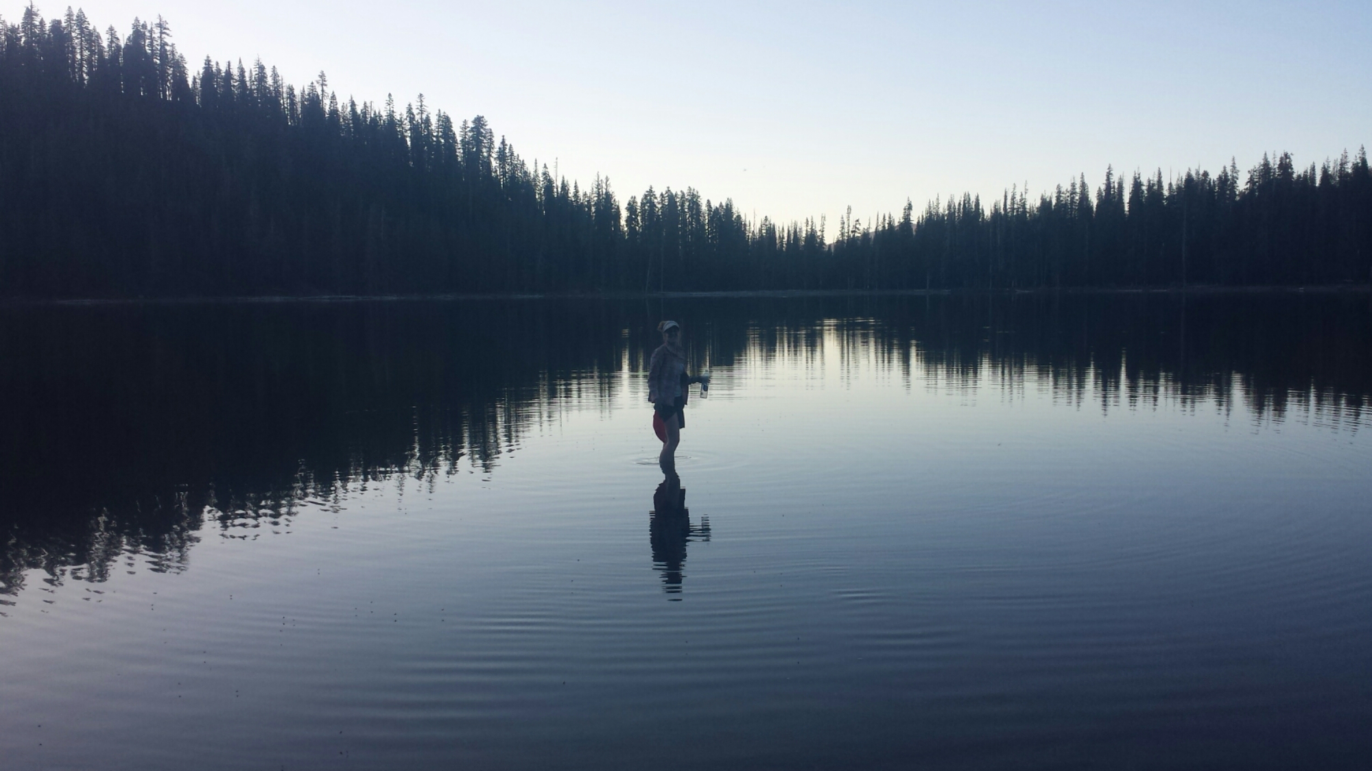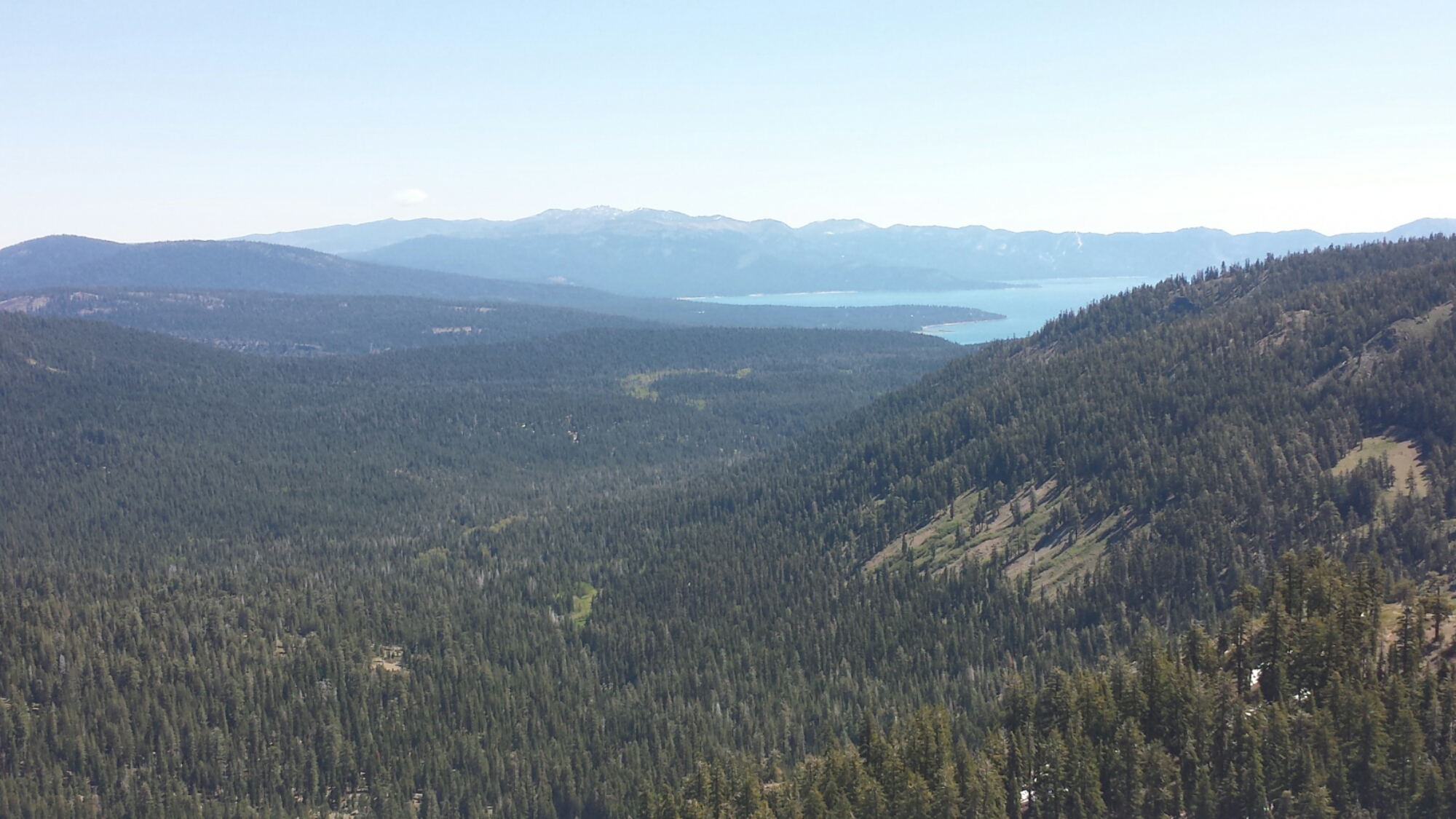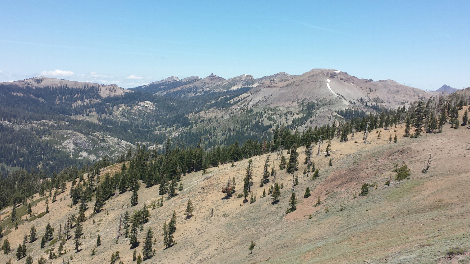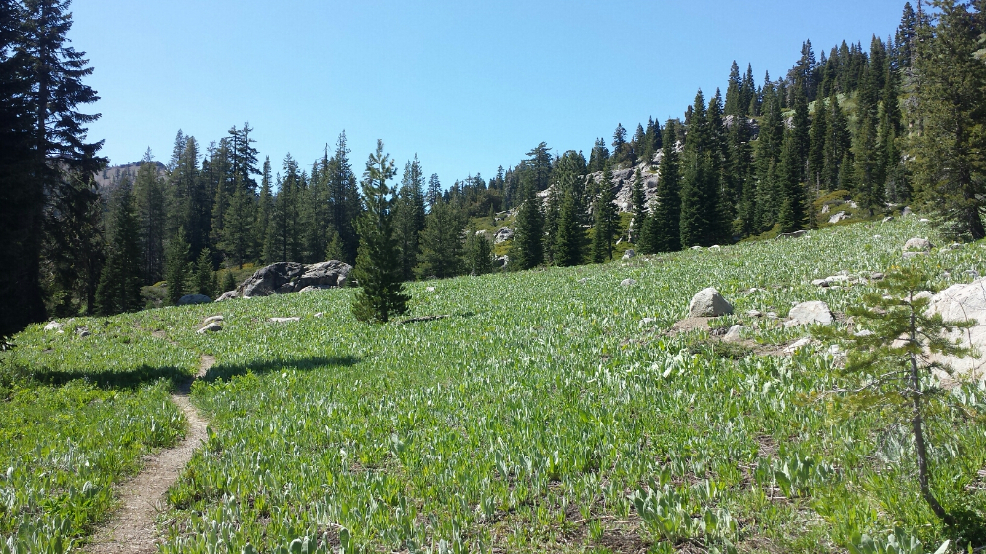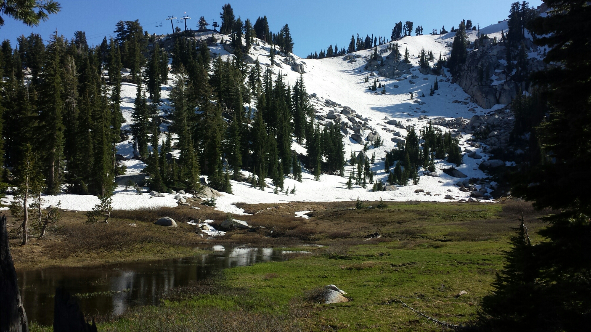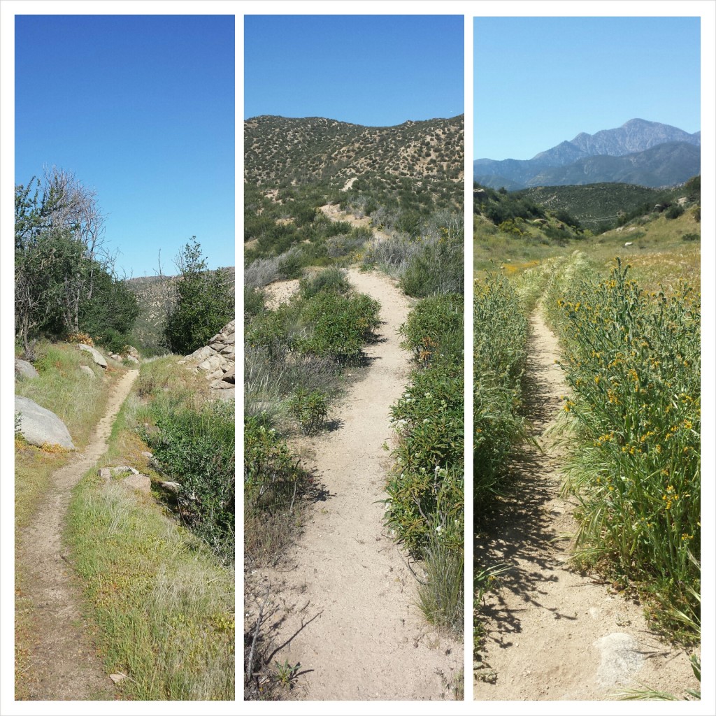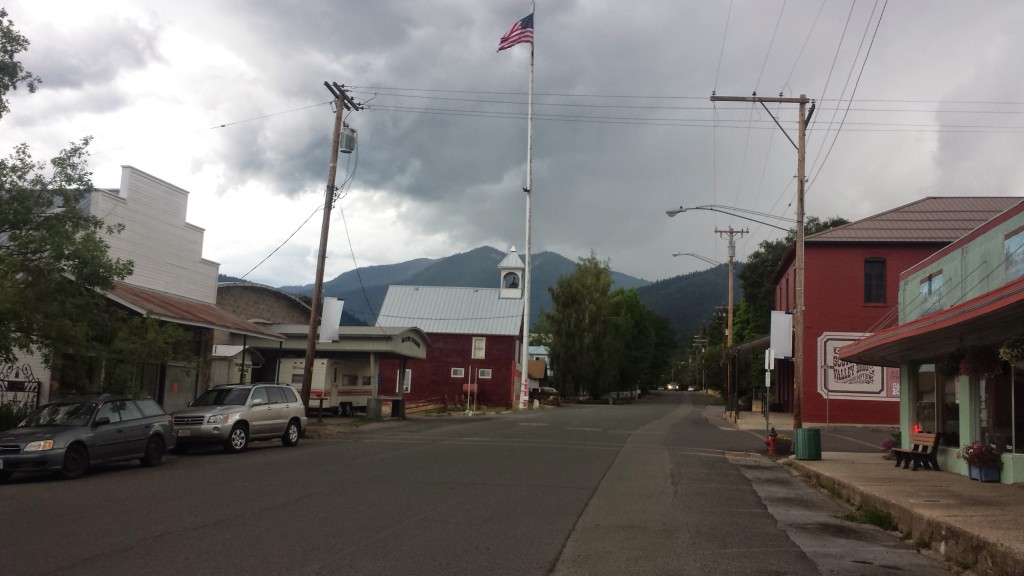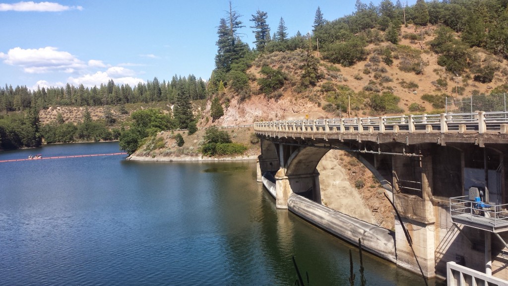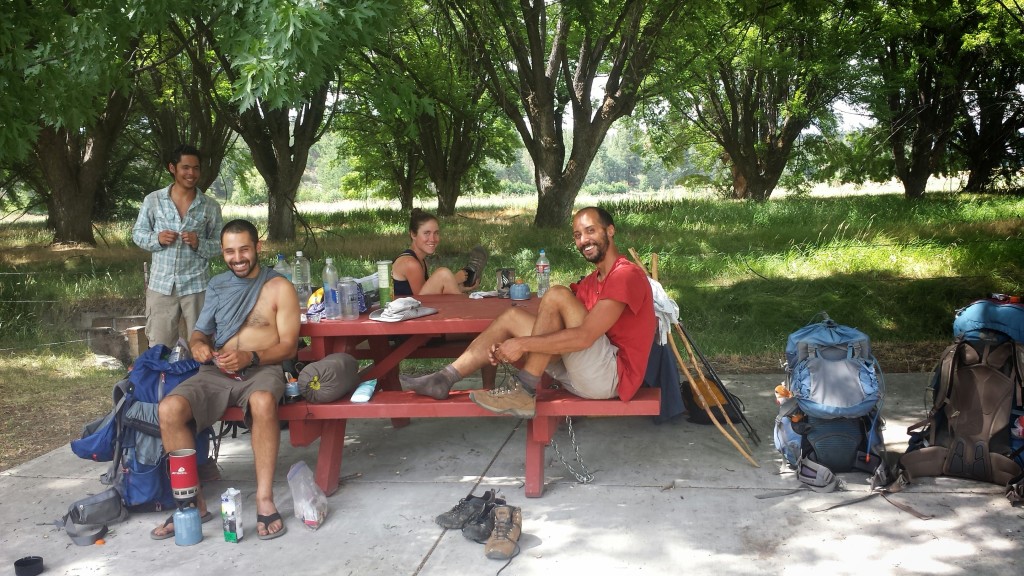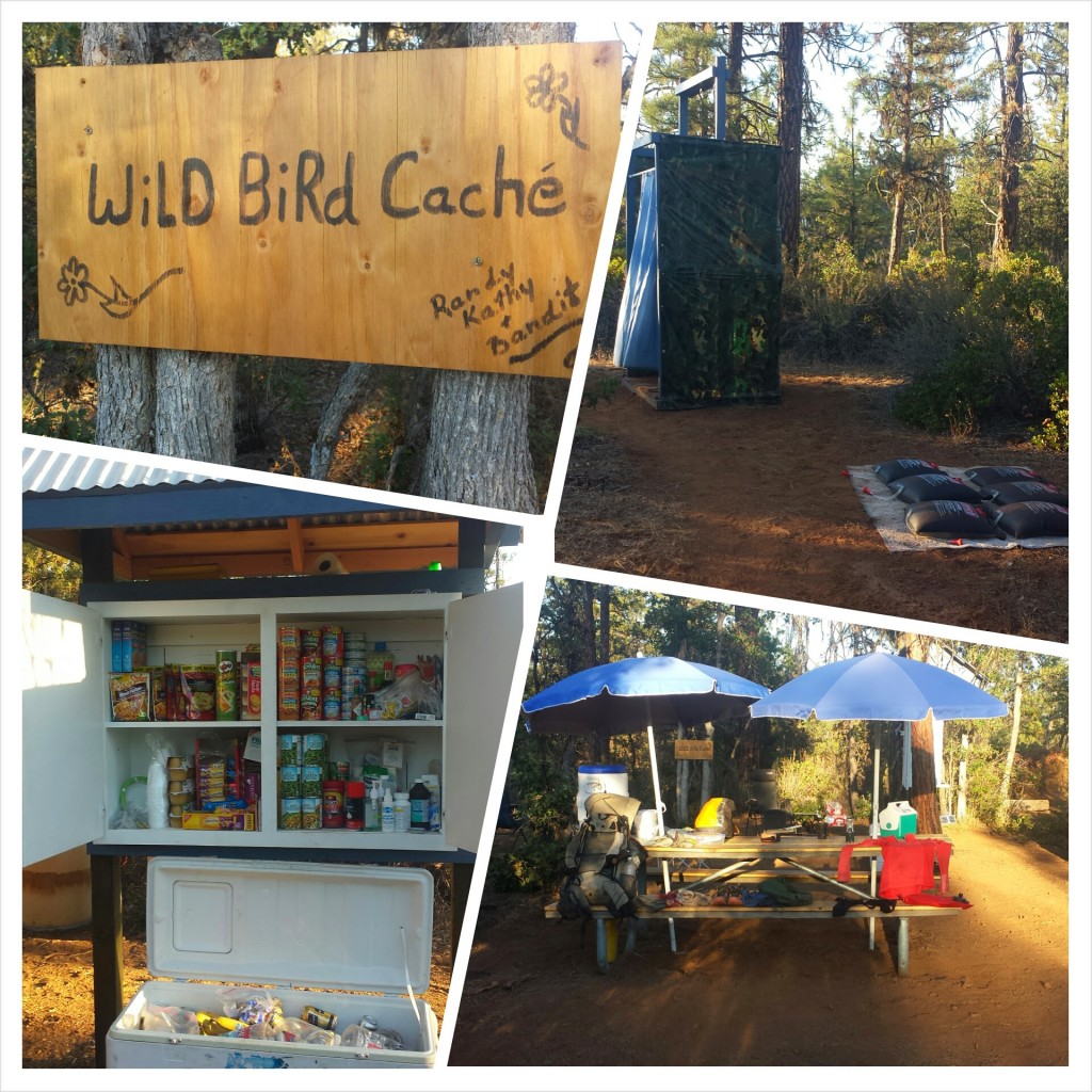
No. 24- Drakebad to Burney, June 2015


No. 24- Drakesbad Ranch to Burney, 2015

loading map - please wait...

Drakesbad Guest Ranch: 40.444177, -121.403831
Ashland, OR: 42.194576, -122.709477
Redding, CA: 40.586540, -122.391675
Burney, CA: 40.882381, -121.660820


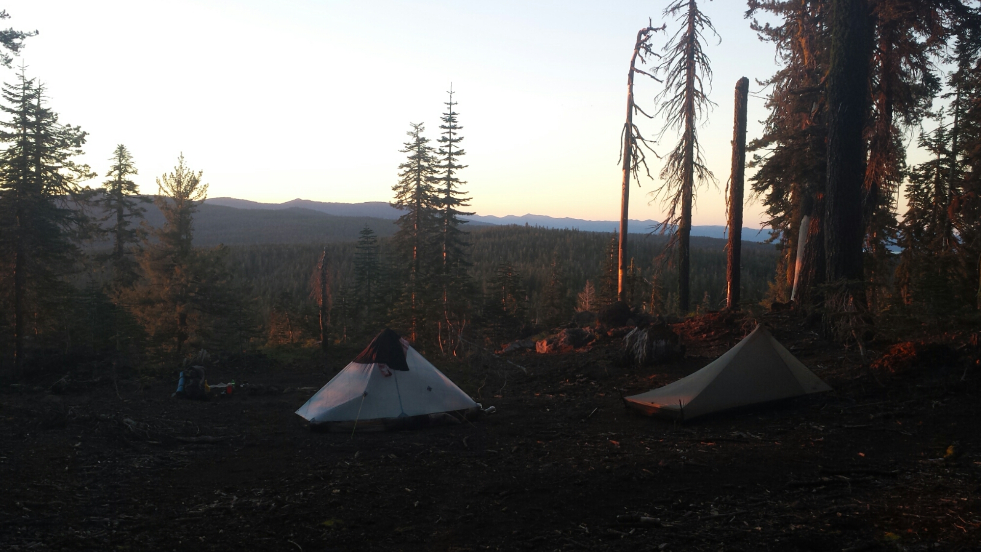
June 16- 19 miles, camping on Hat Creek Rim

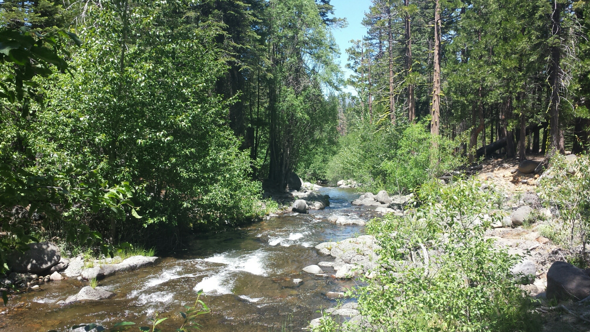
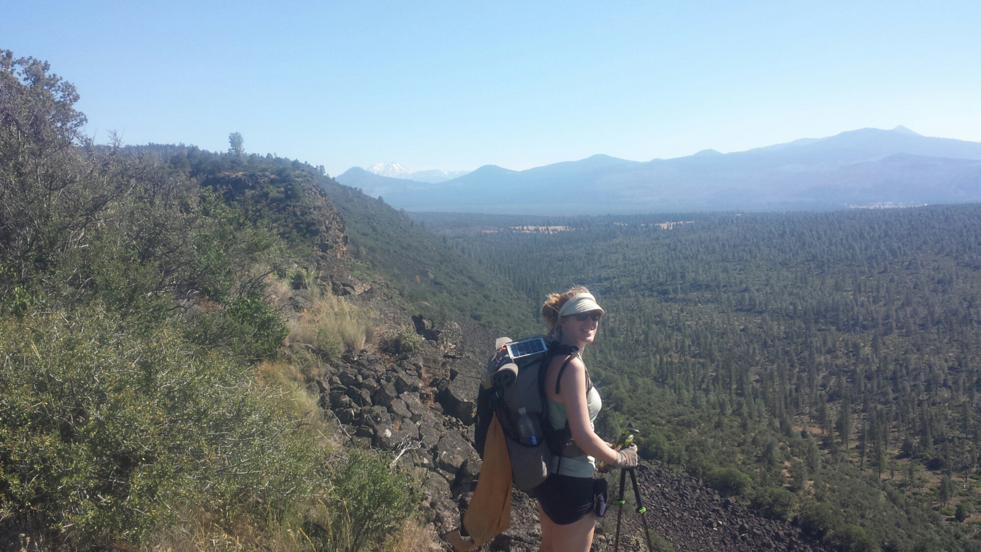
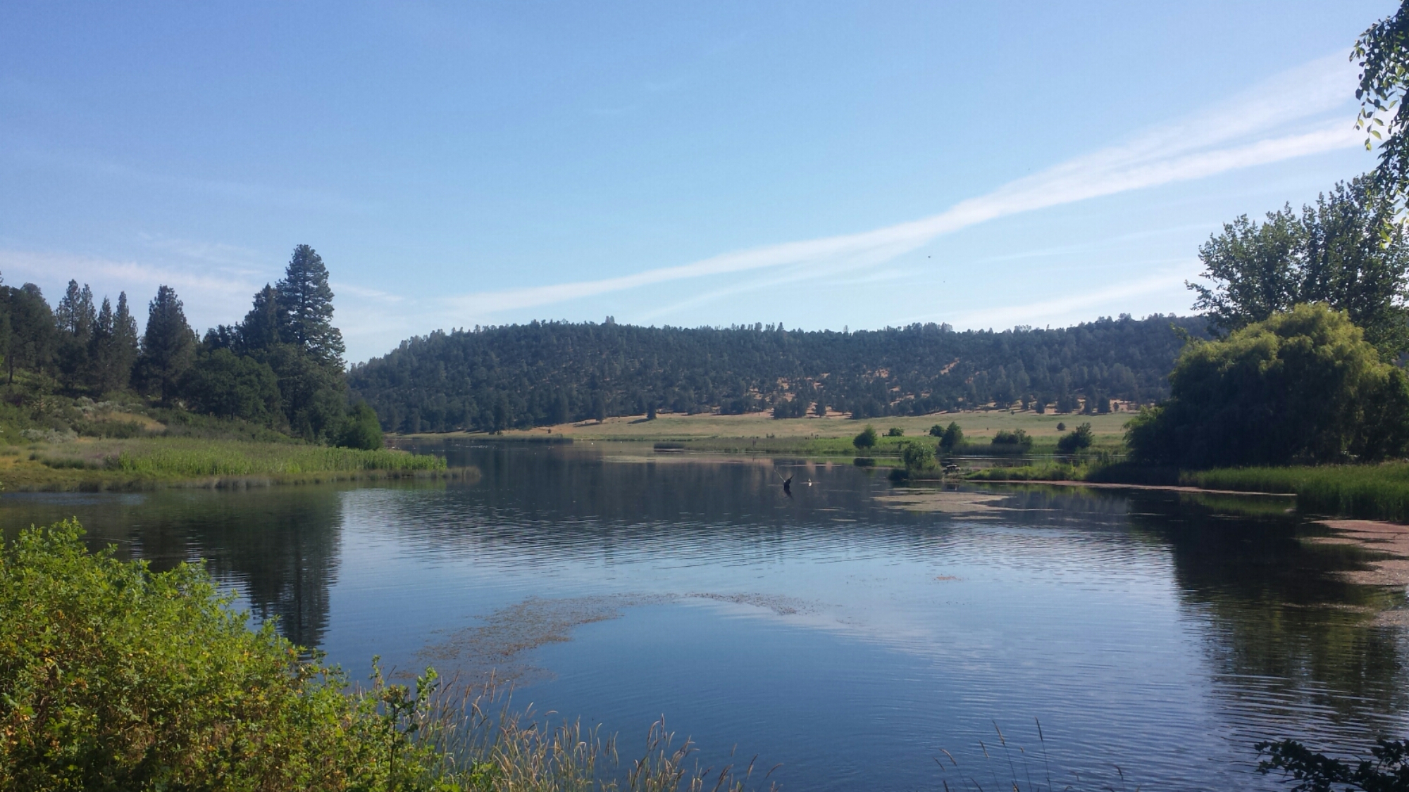
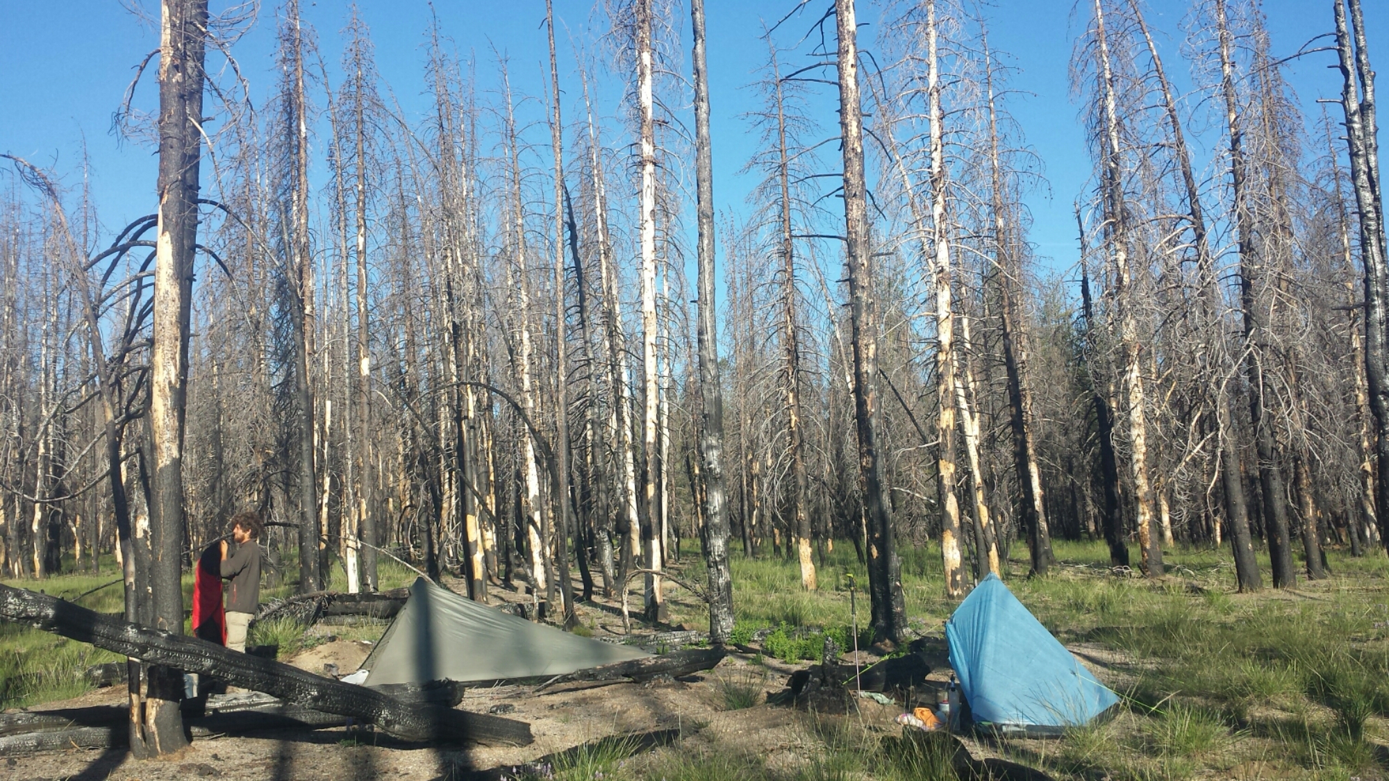
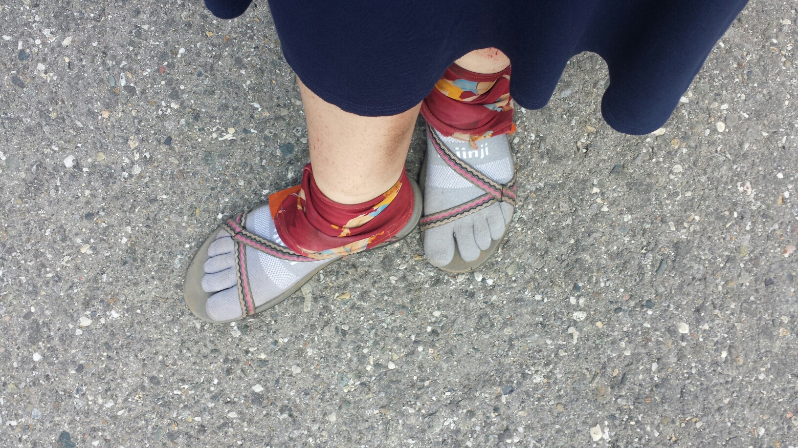
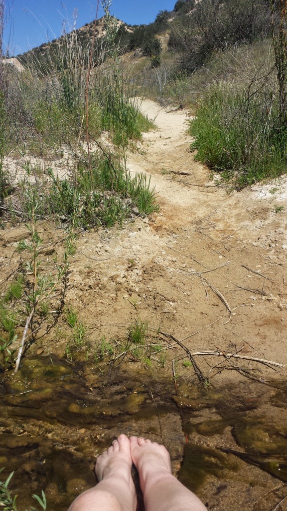
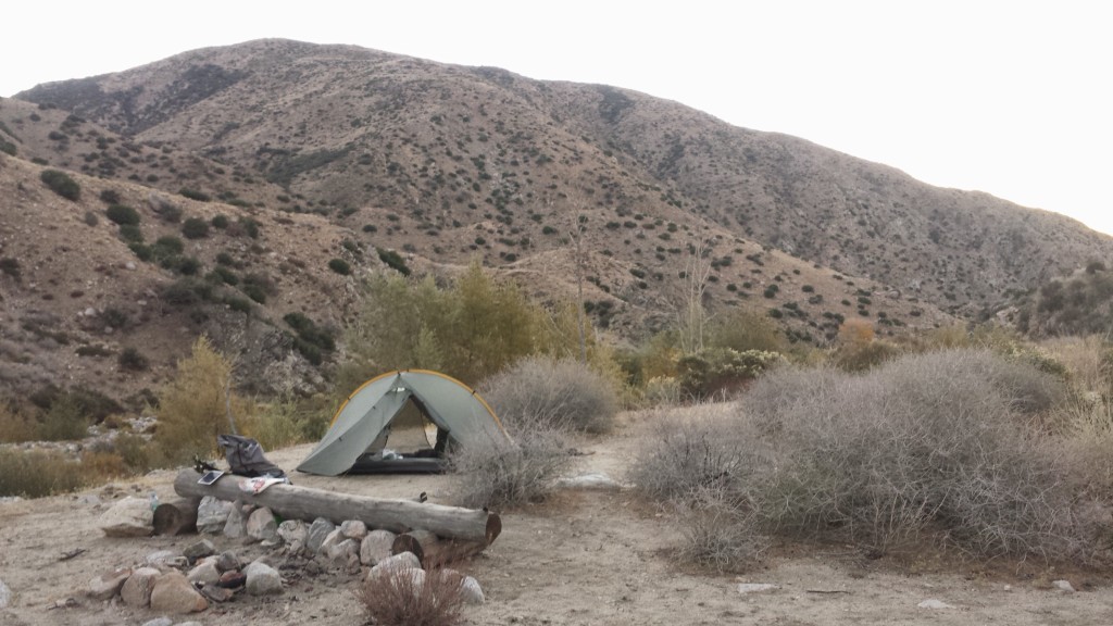
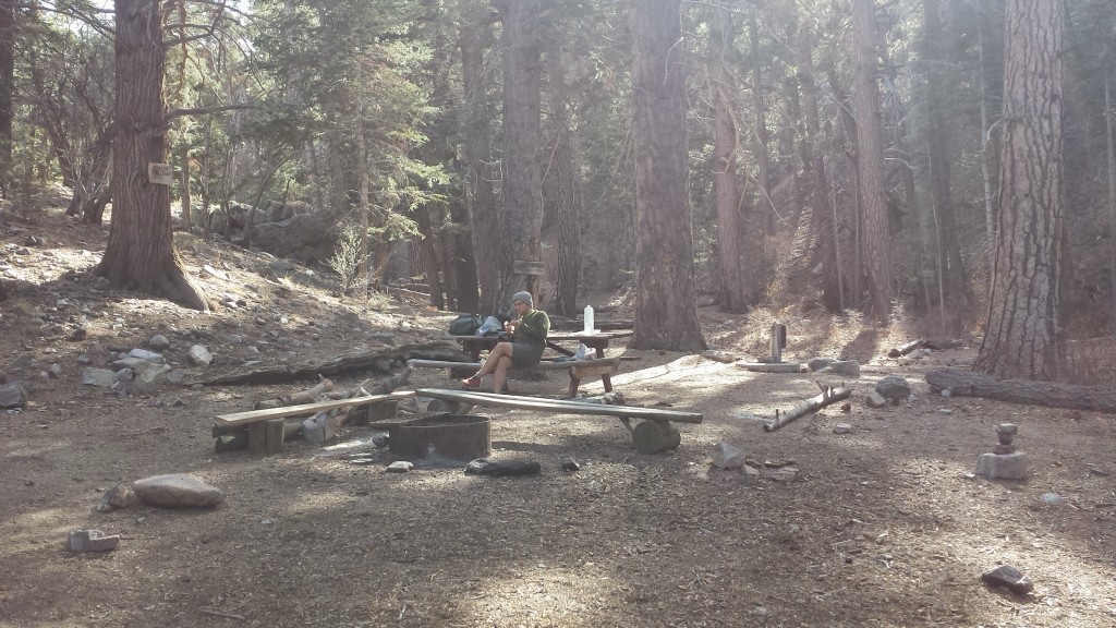
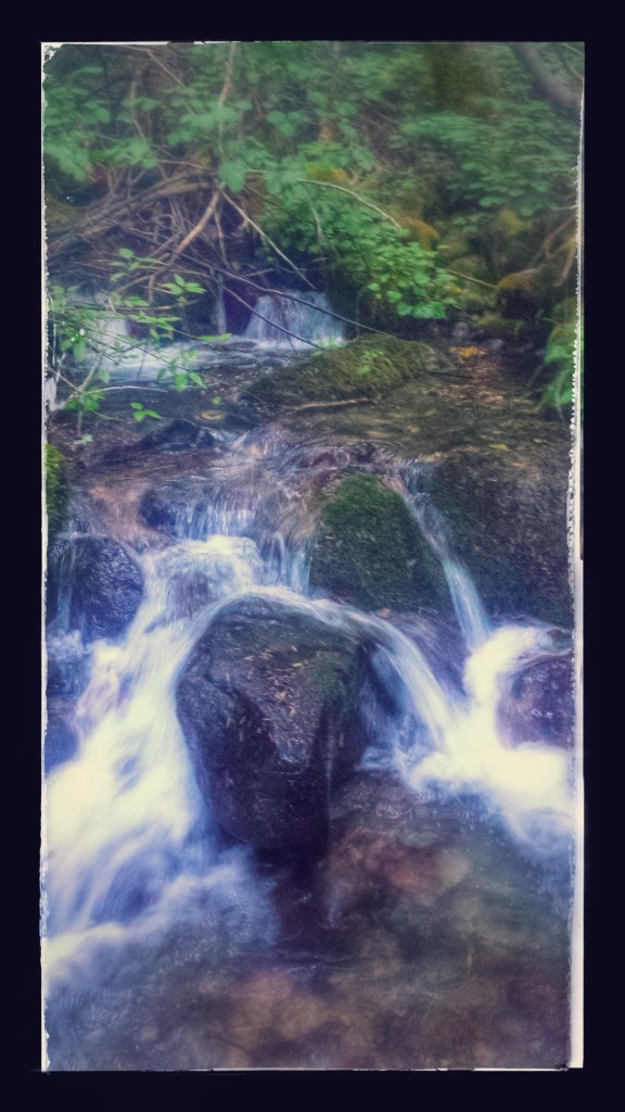
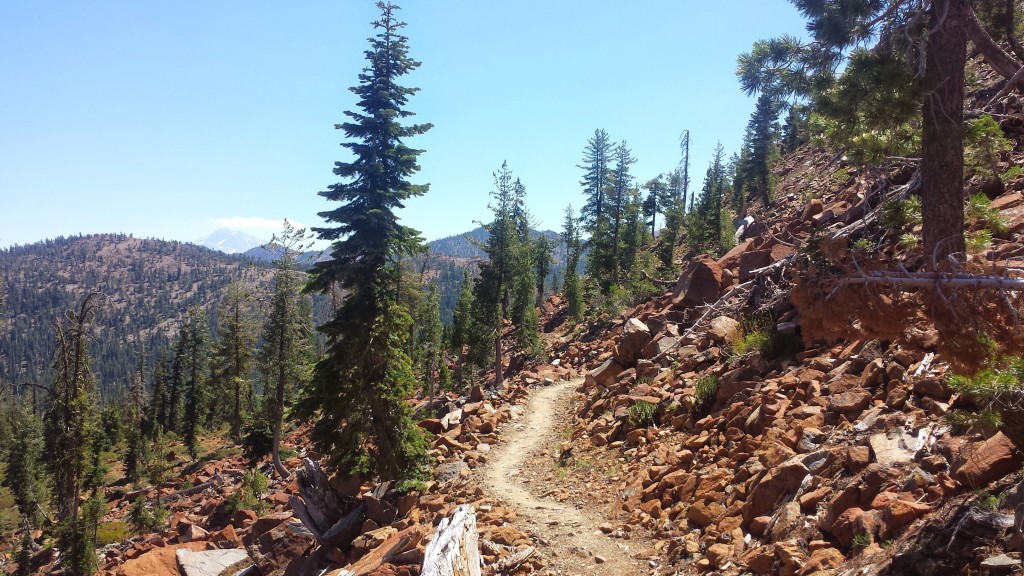
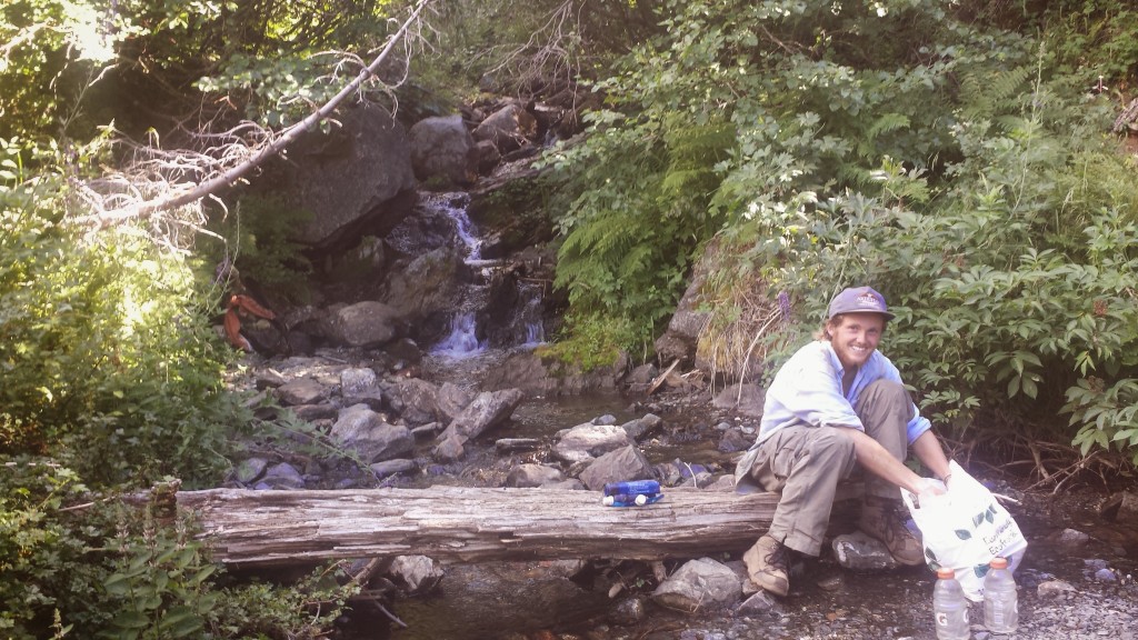
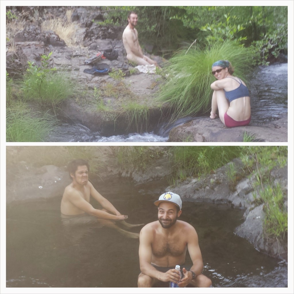
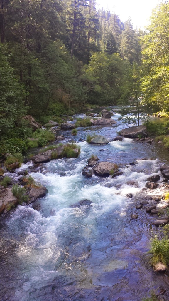
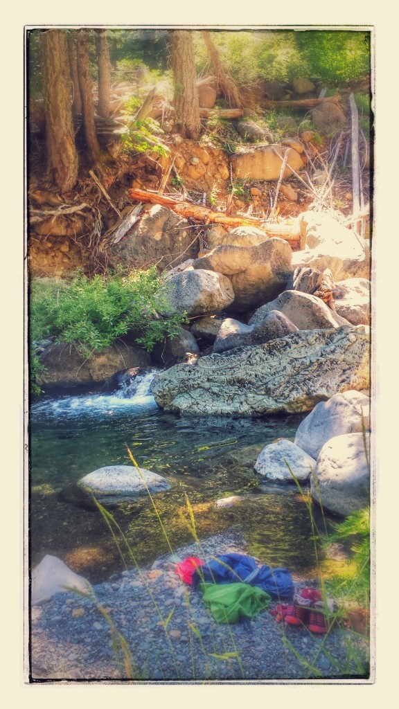
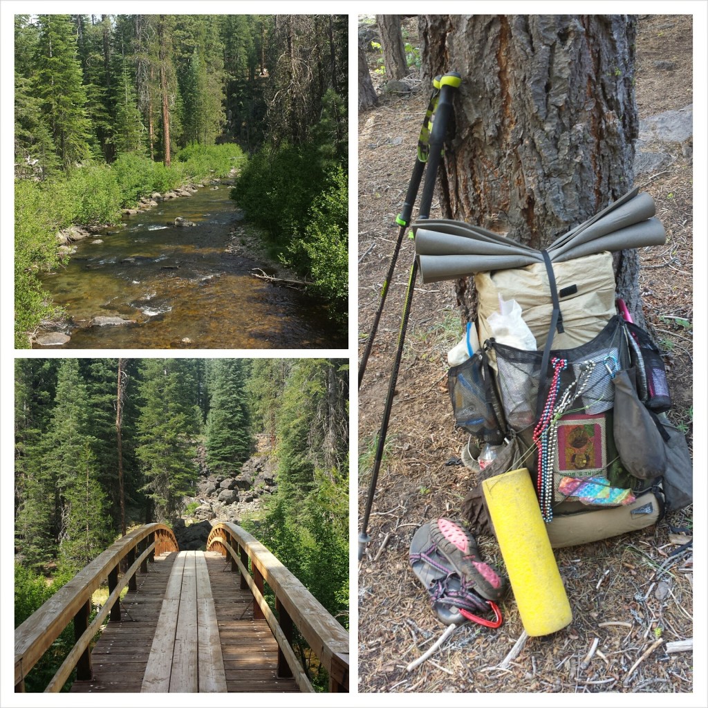
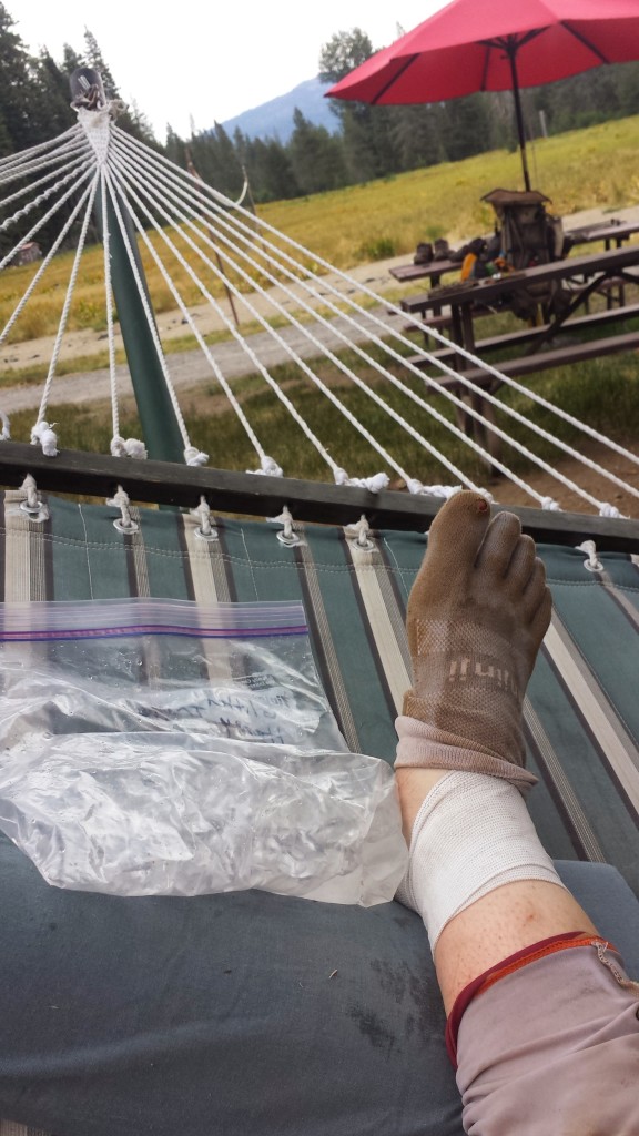
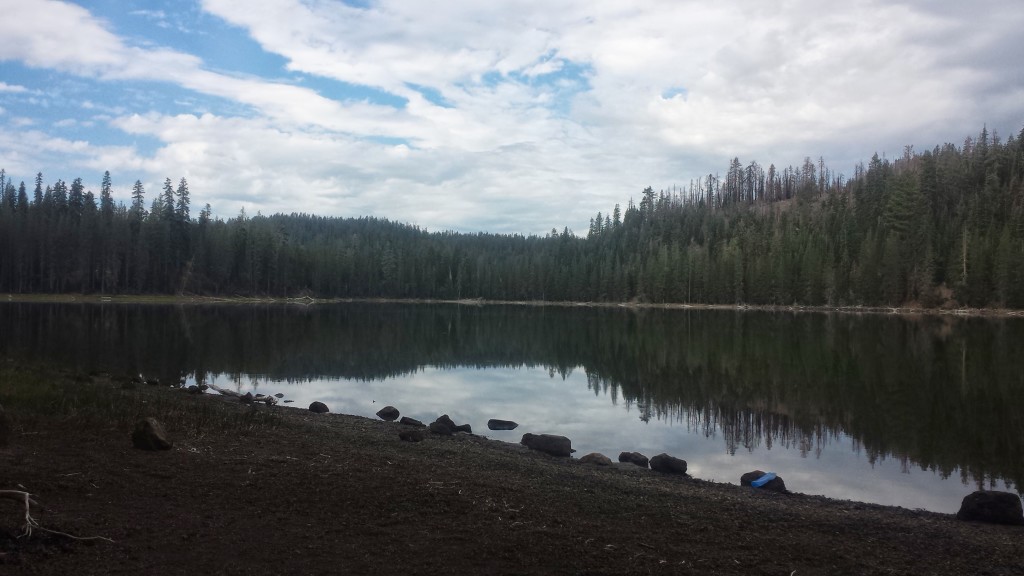
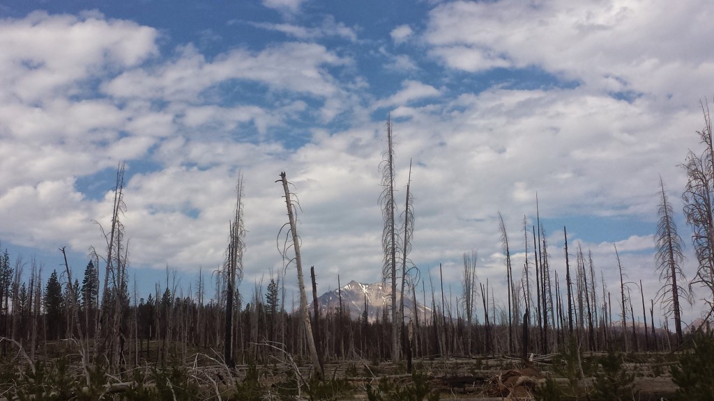
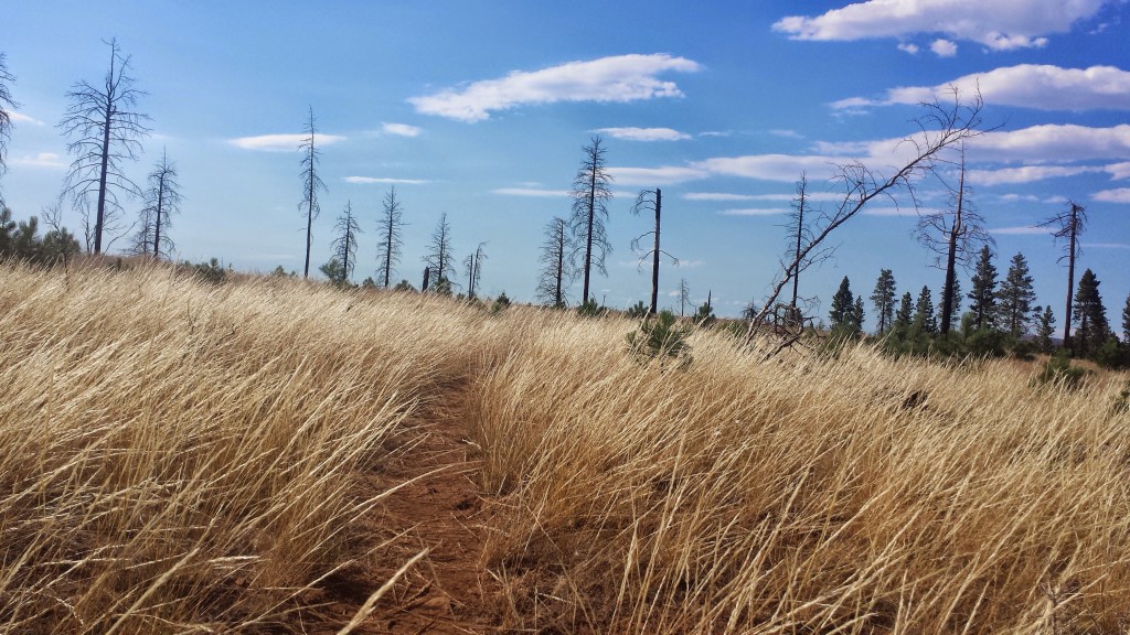
Camping in the burned forest meant that I and all my gear were really ashy and I felt just filthy the entire day. It was entirely downhill to Old Station for seventeen miles and my feet were starting to ache. I stopped at Hat Creek so I could soak them for a bit in the cool water and I hiked the remaining five or so miles in my sandals.

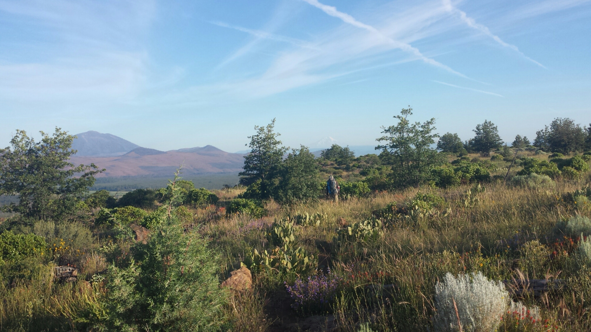
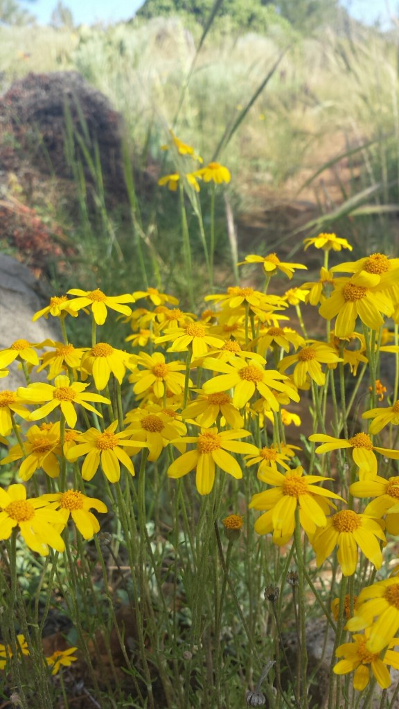
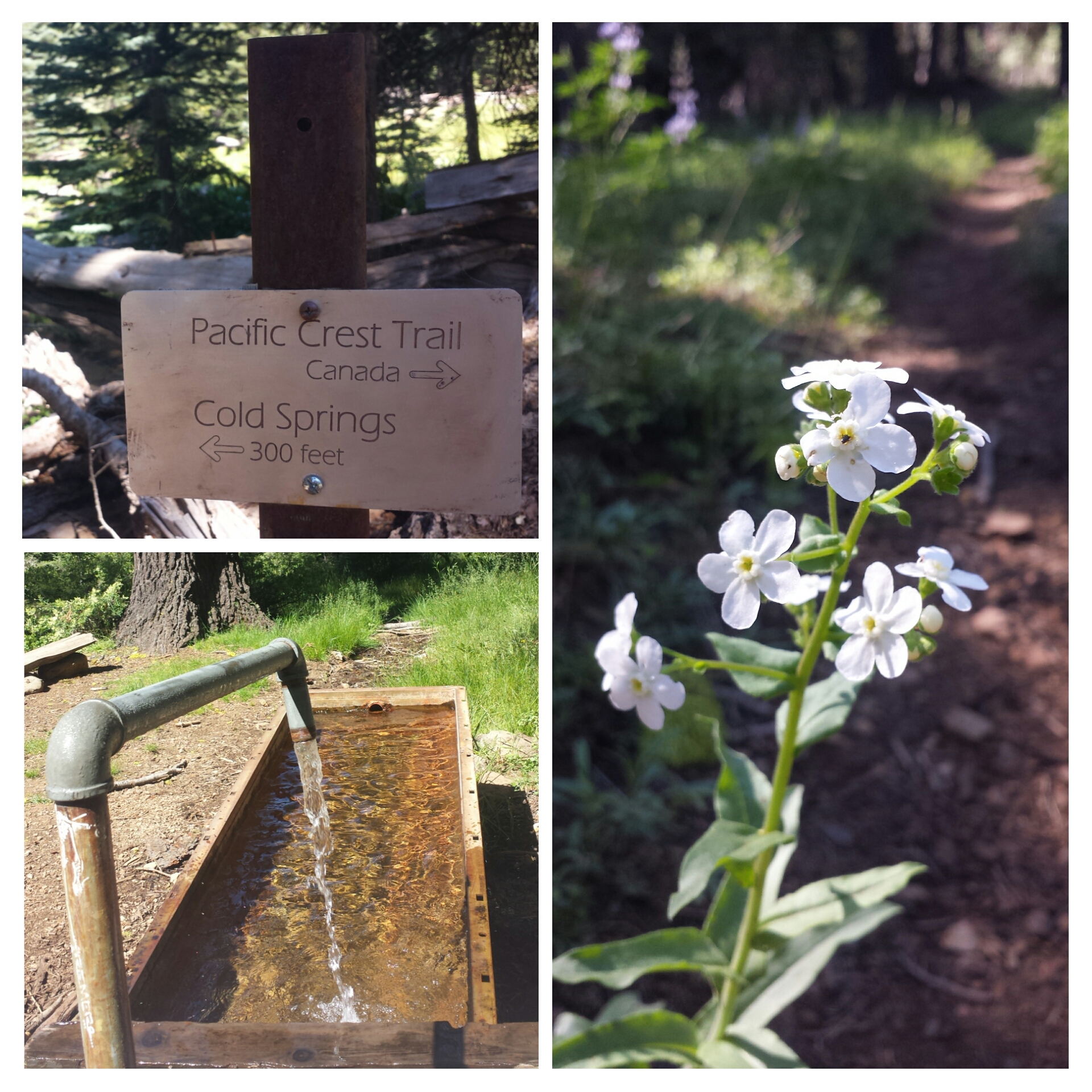
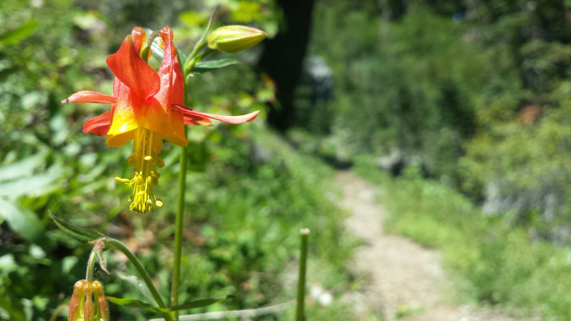
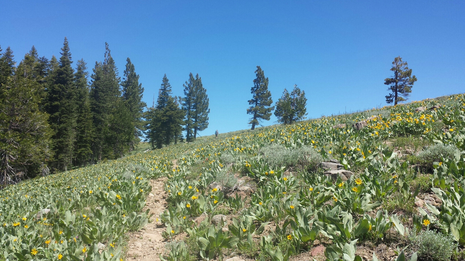
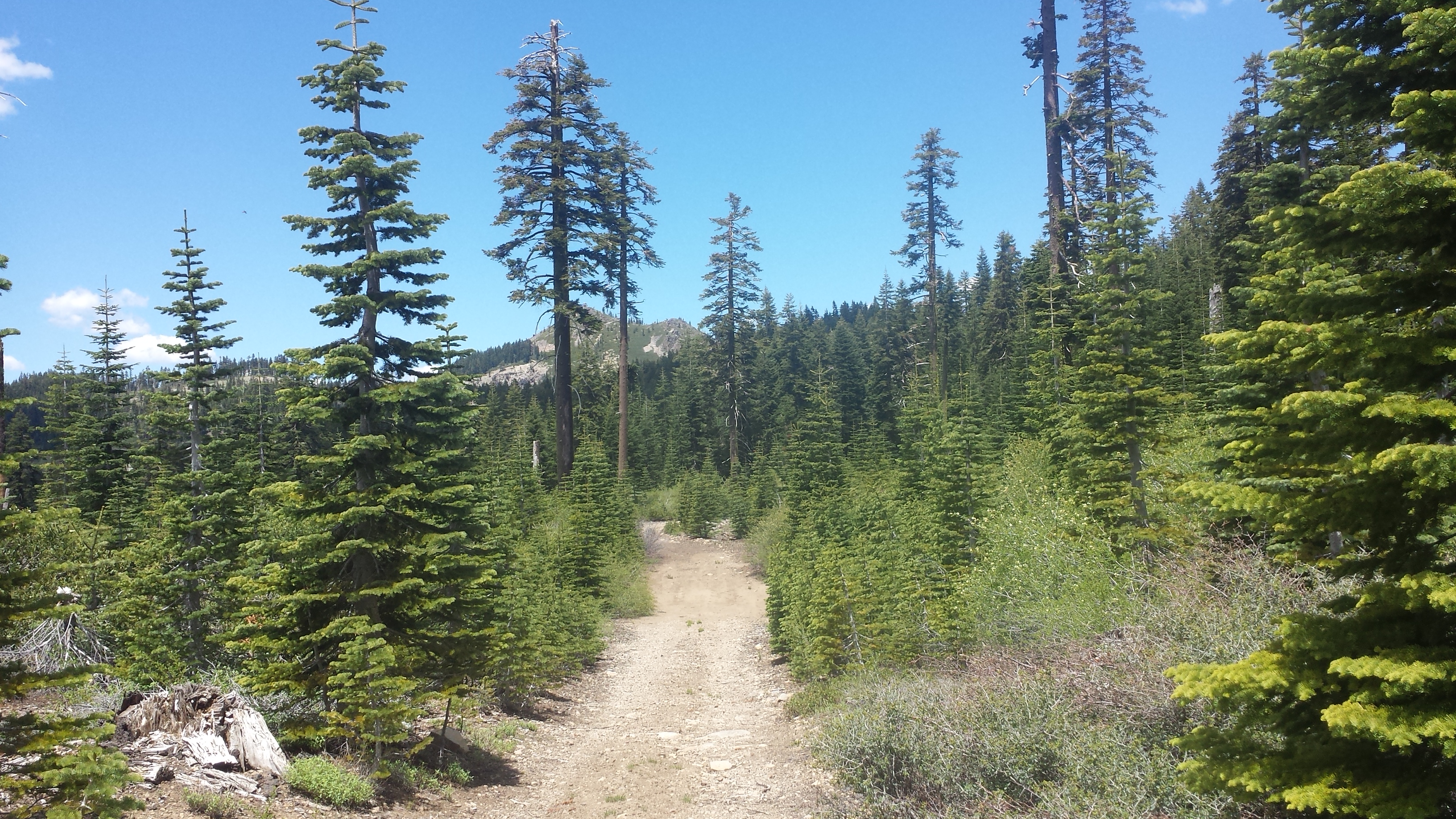
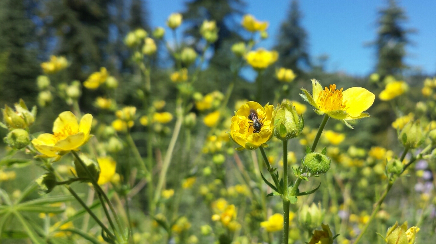
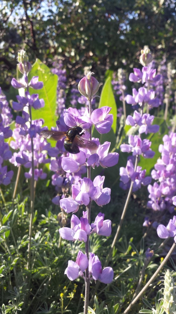
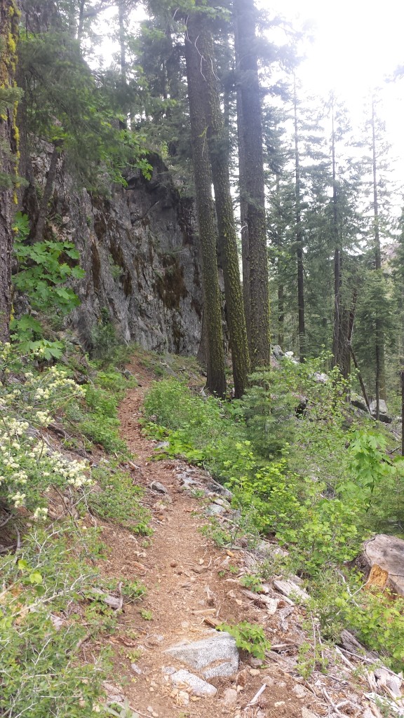
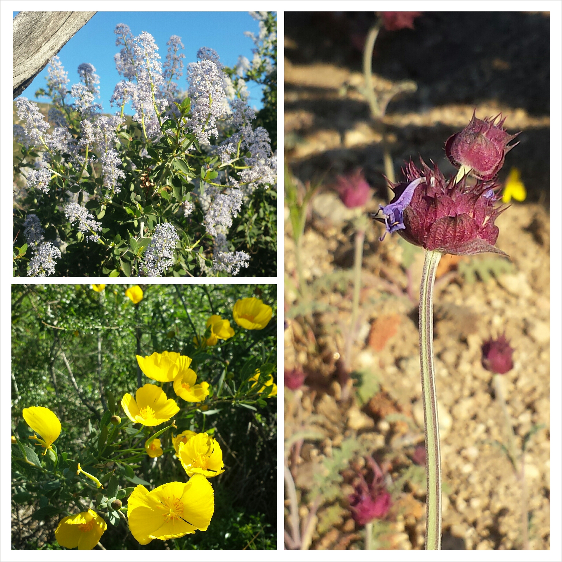
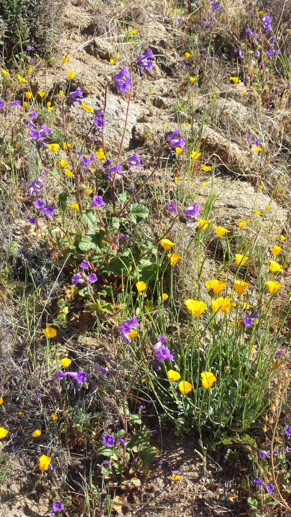
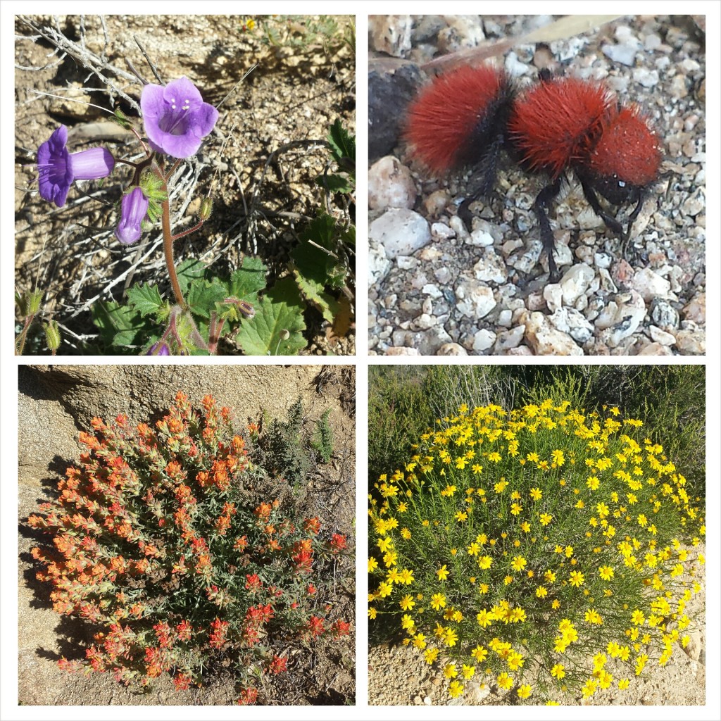
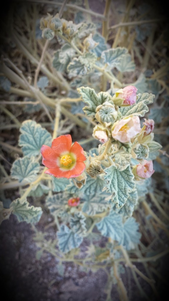
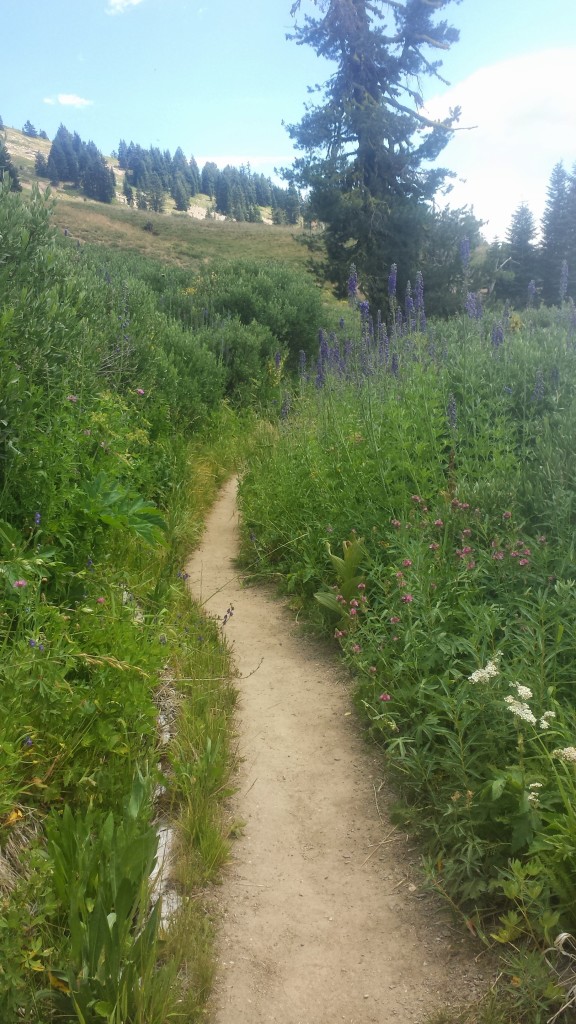
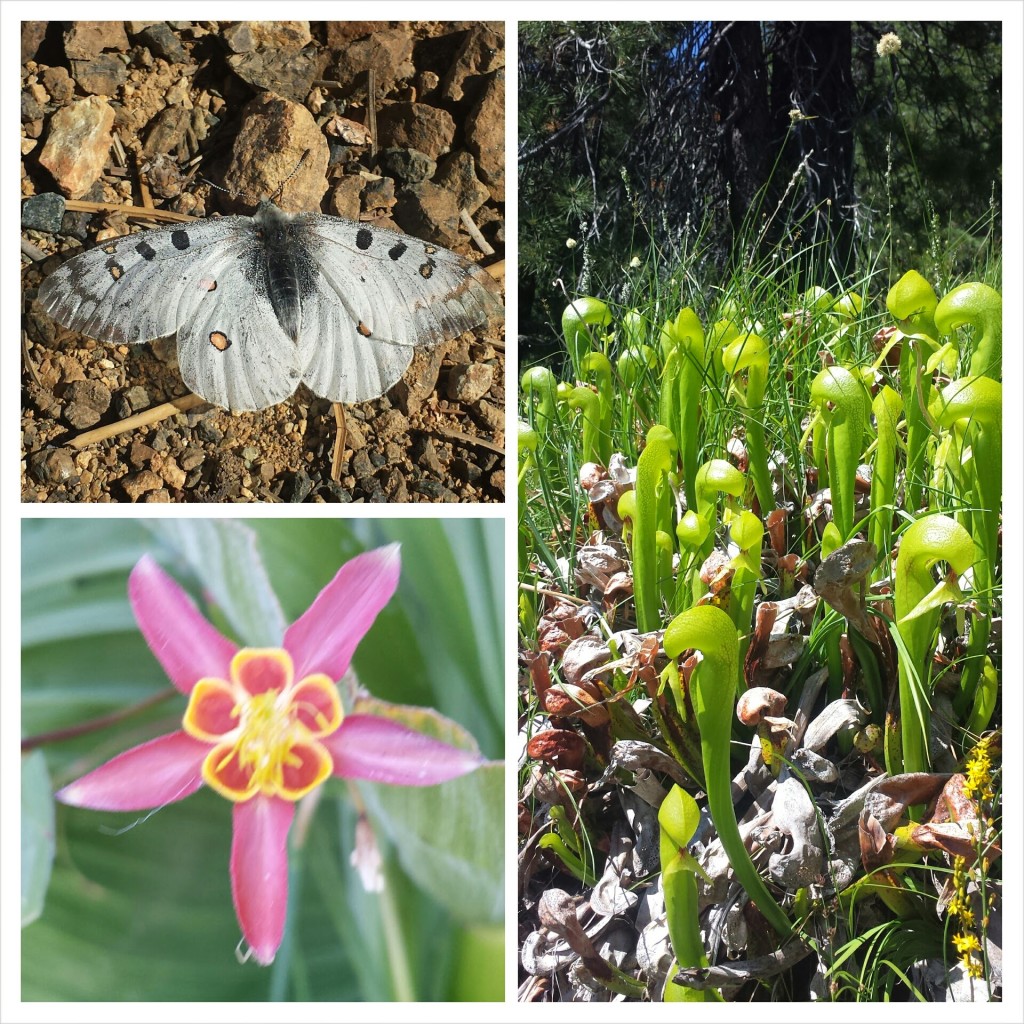
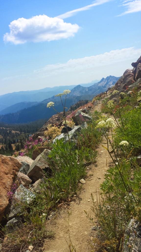
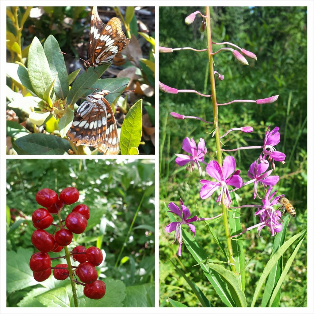
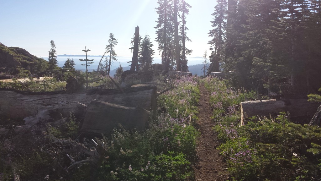
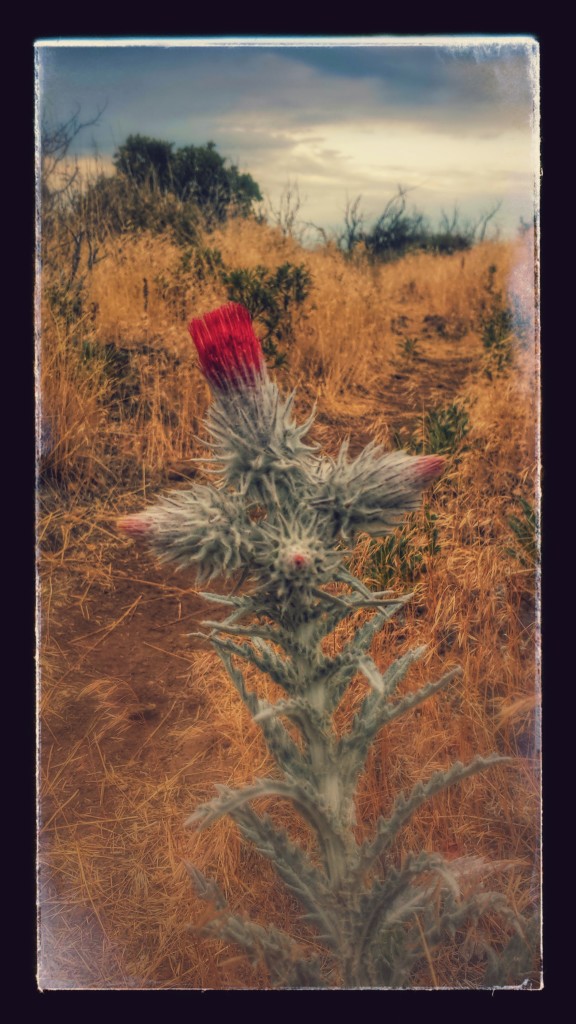
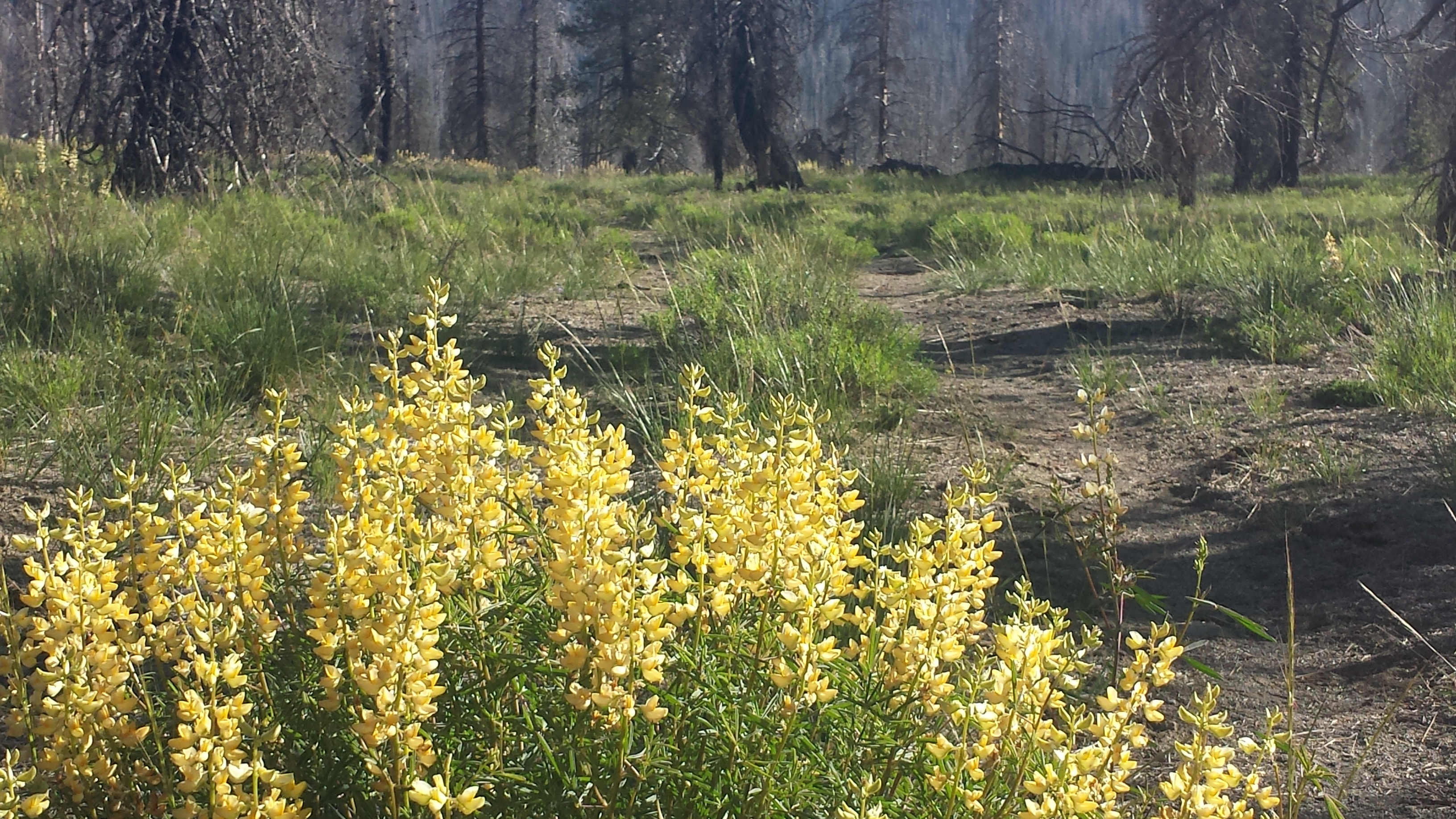
Wildflowers along the trail

Wildflowers along the trail

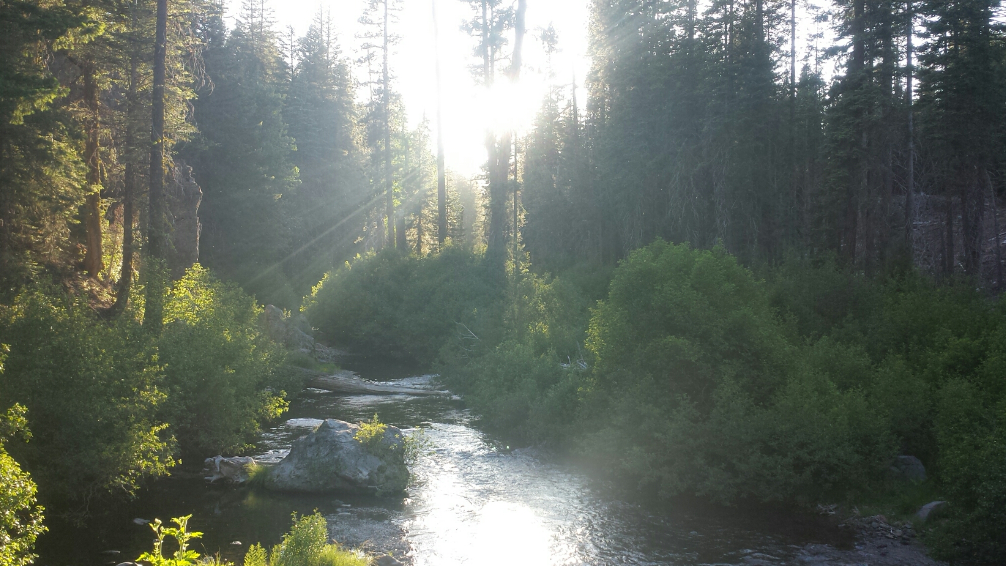
Hat Creek

Hat Creek

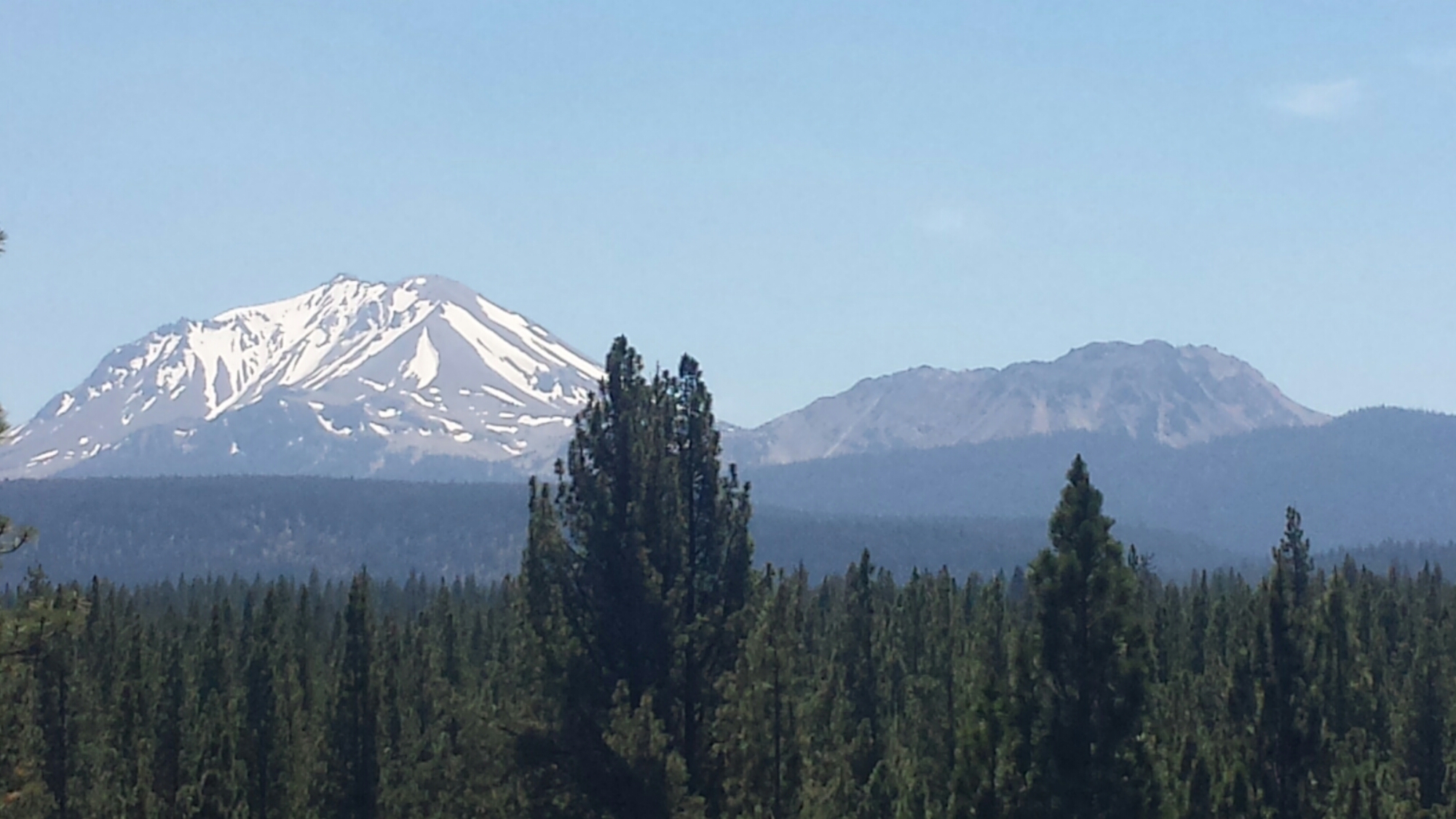
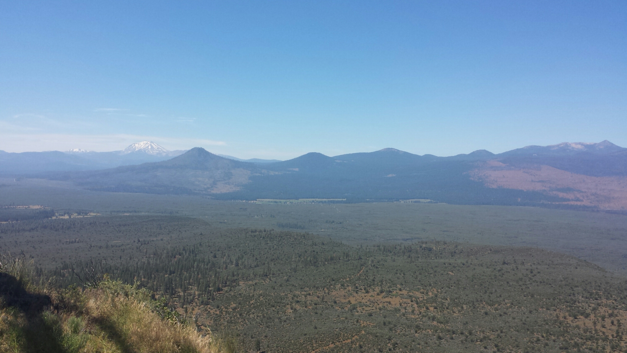
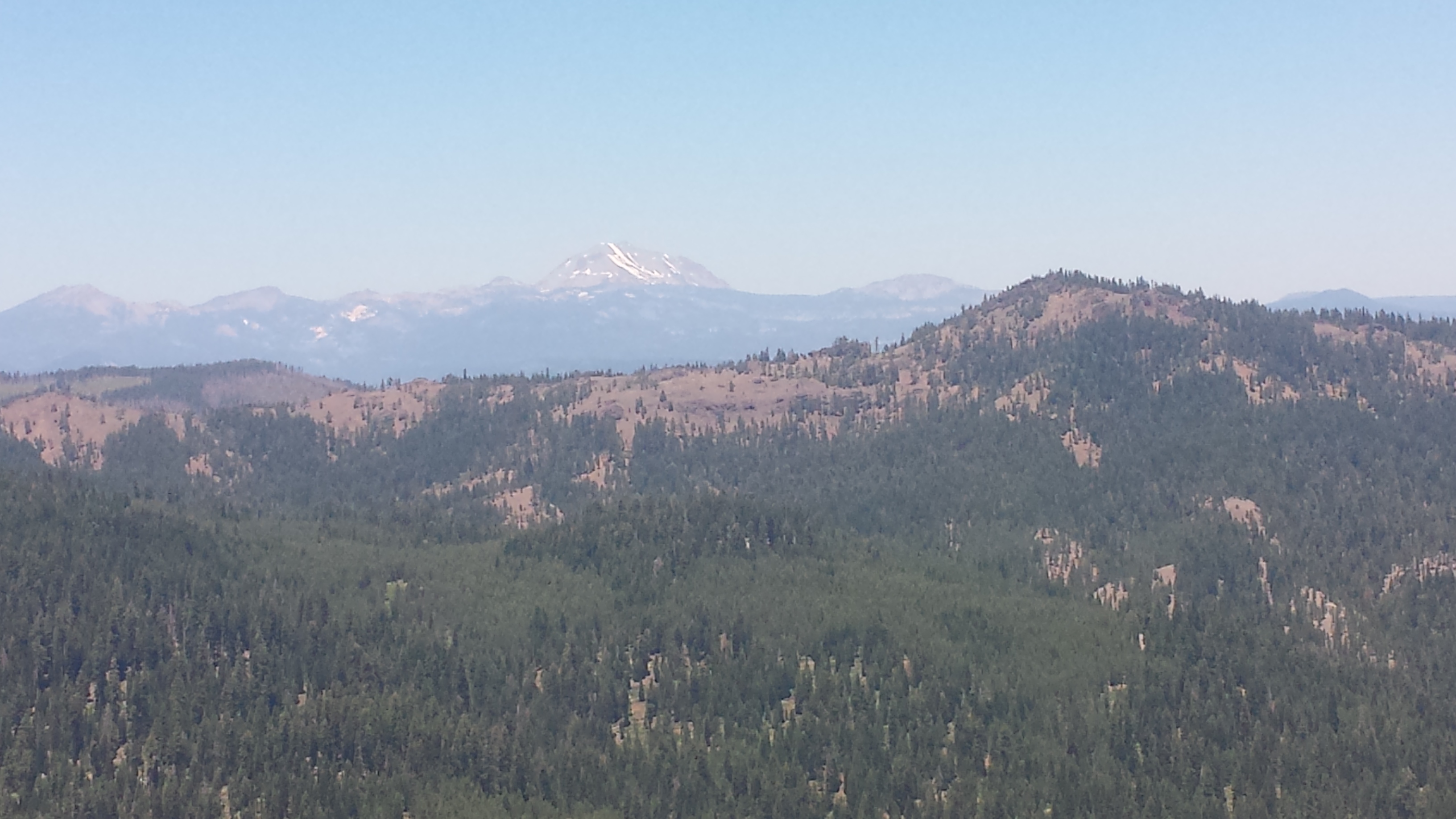
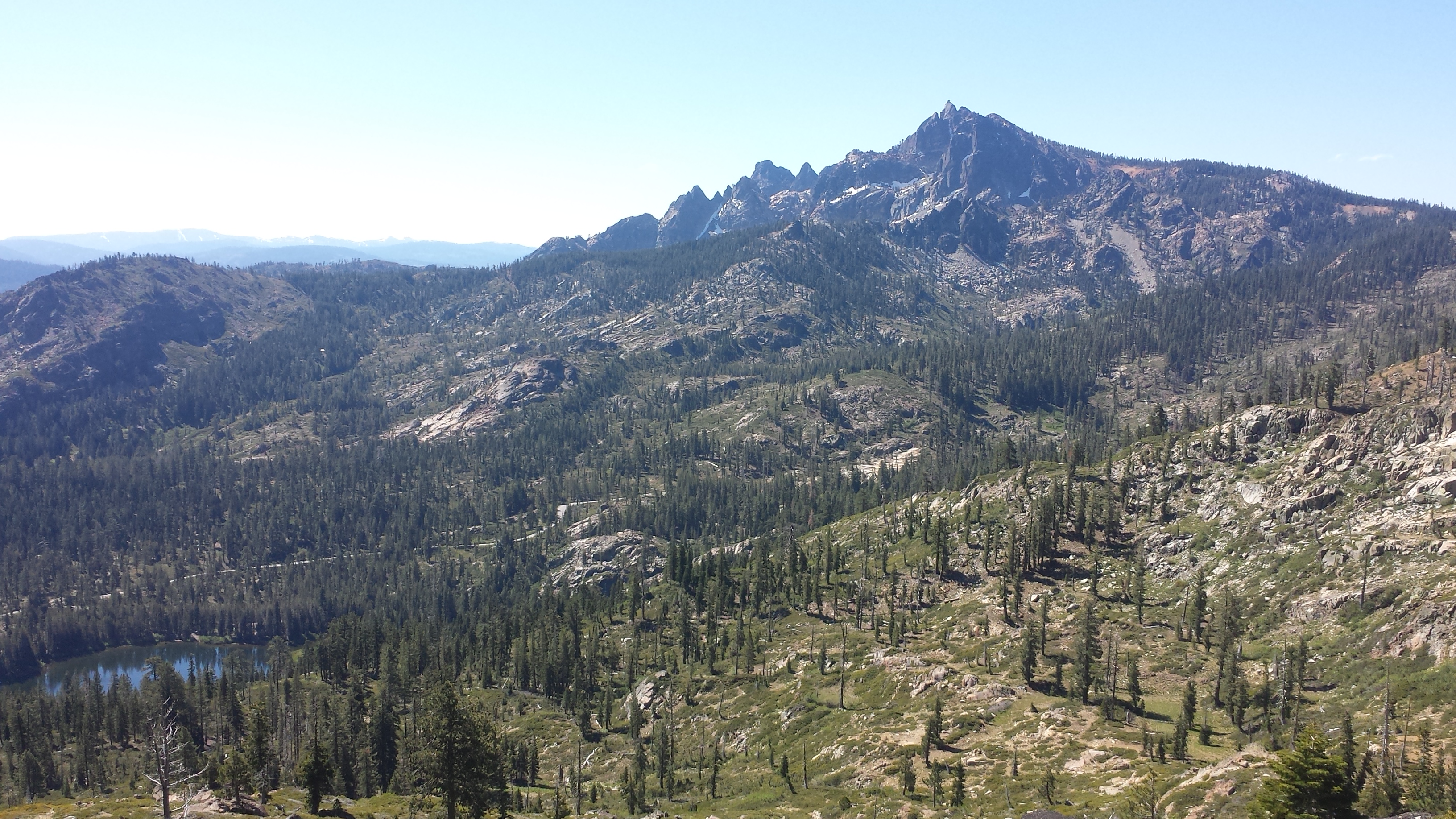
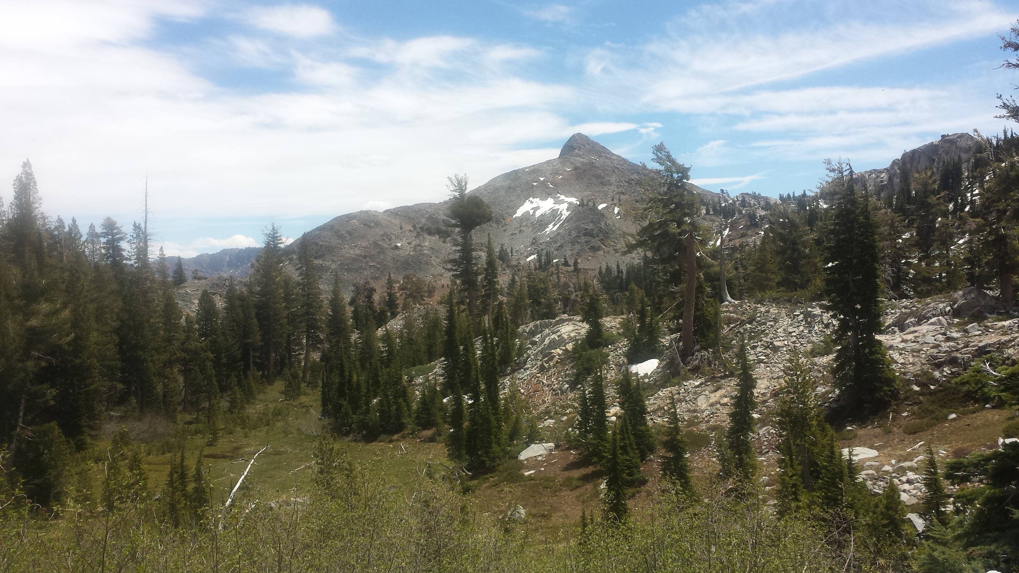
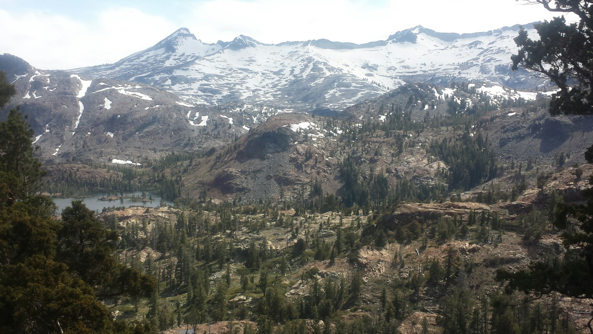
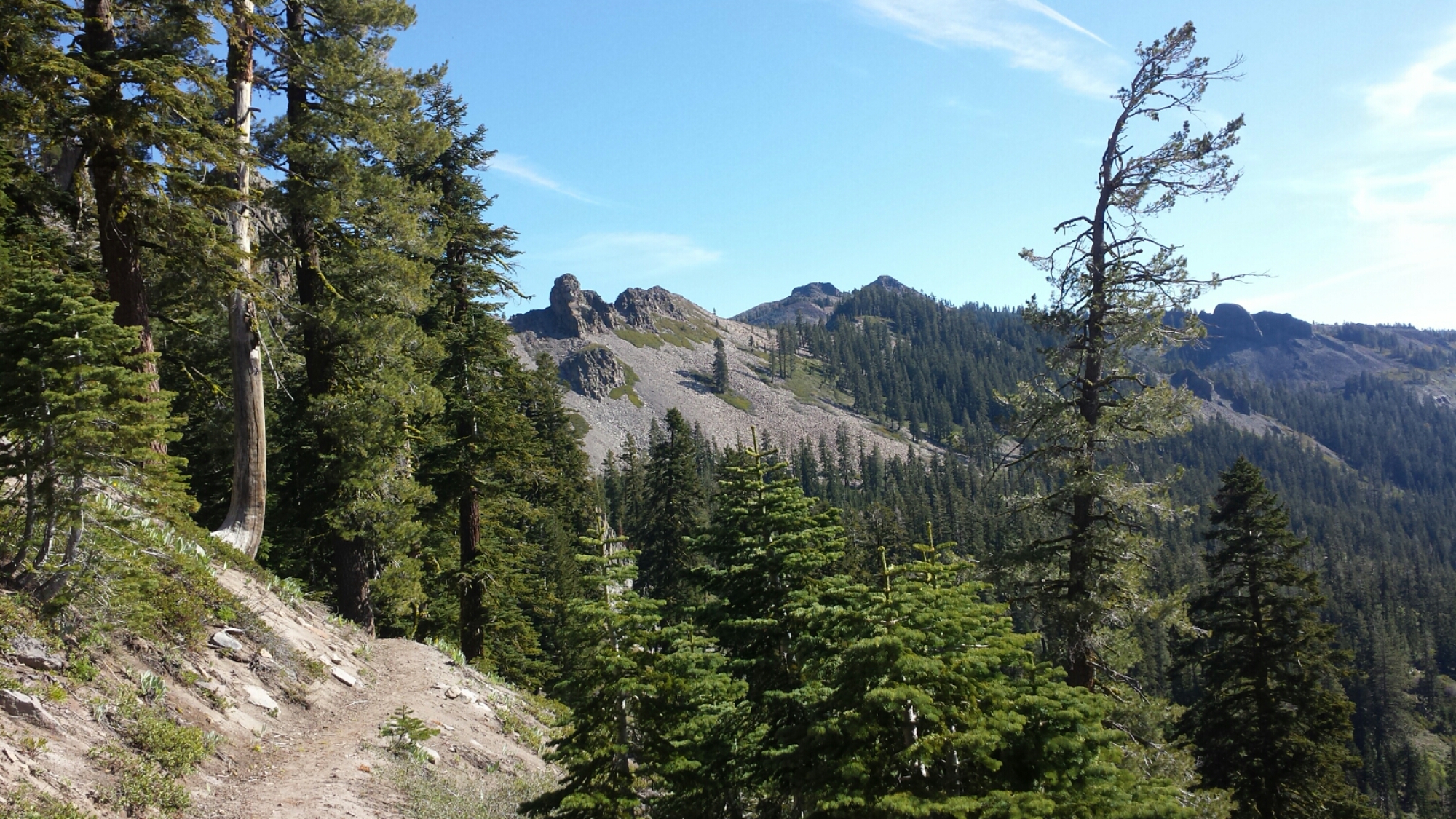
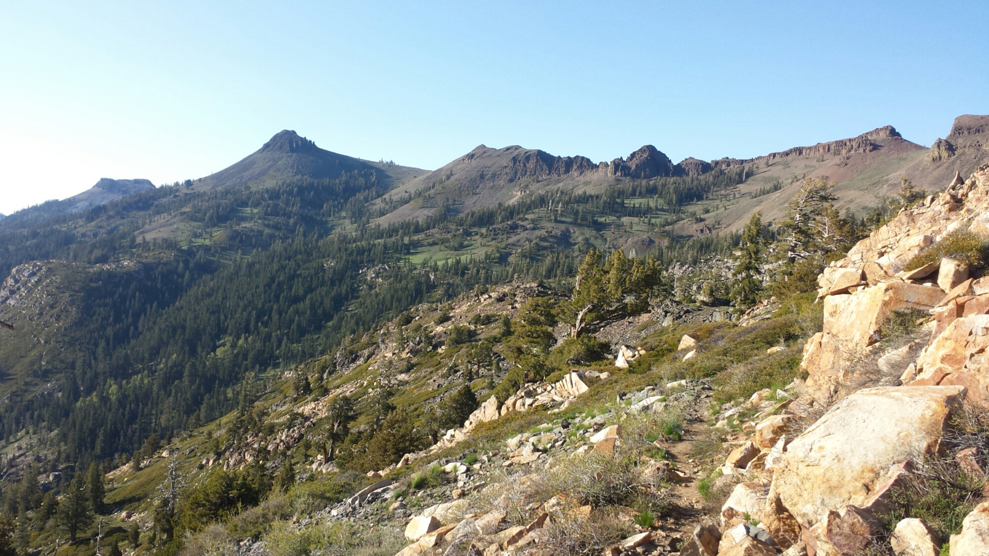
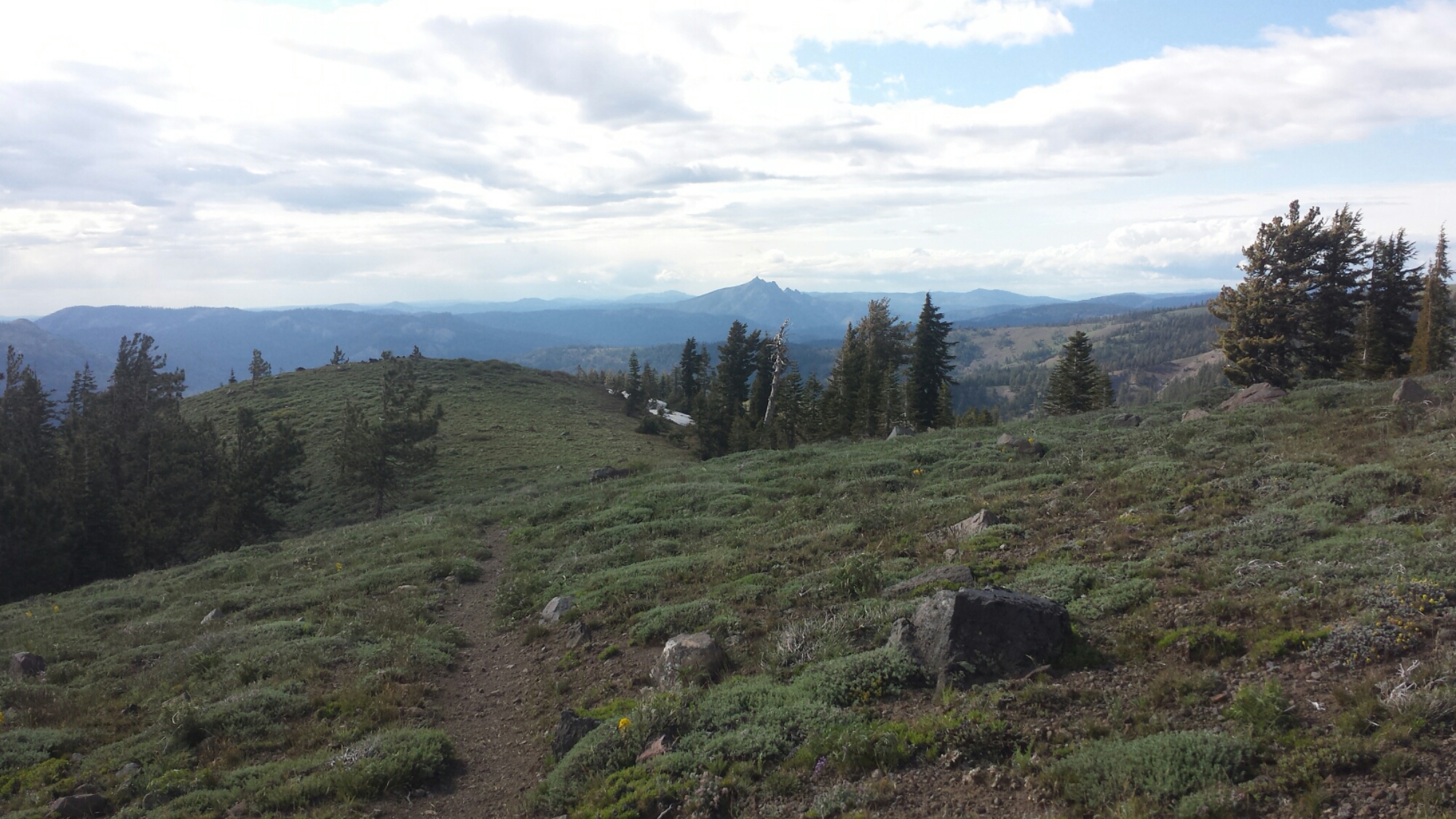
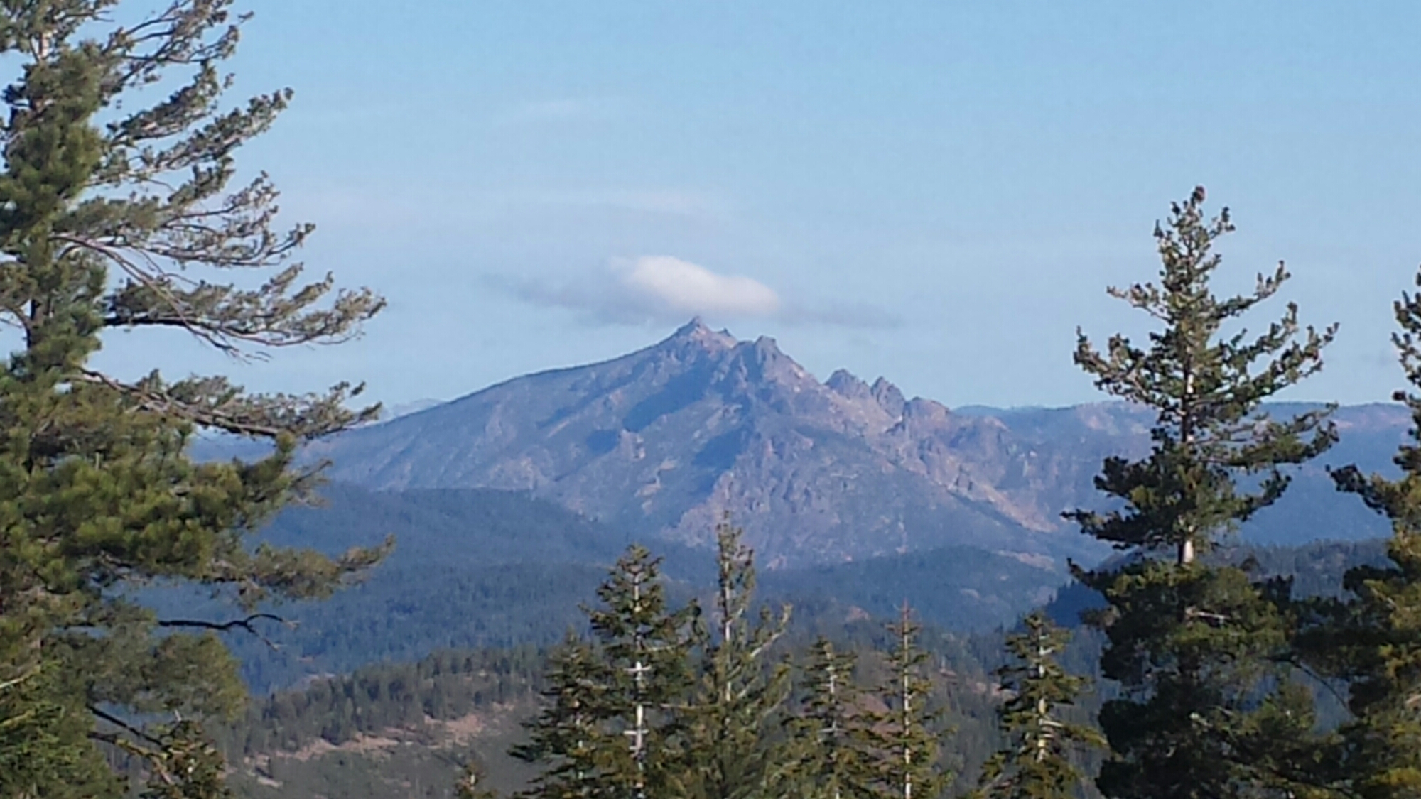
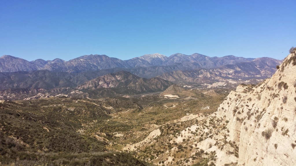
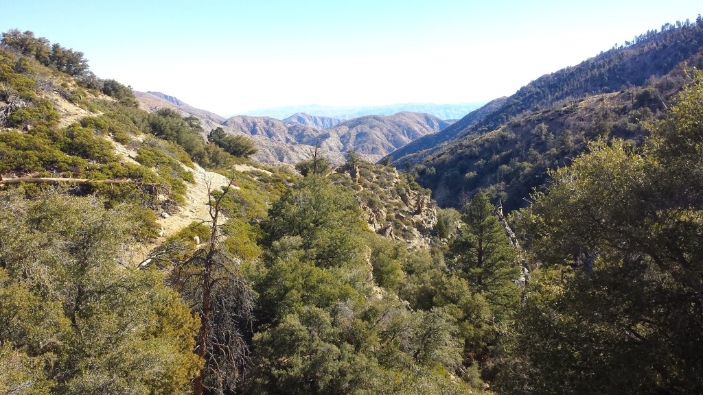
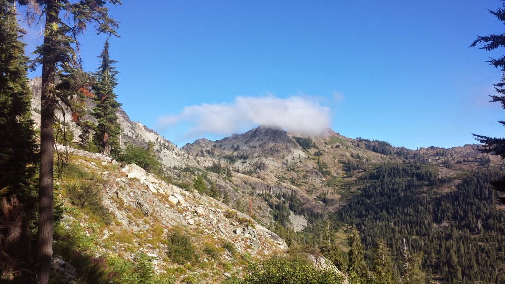
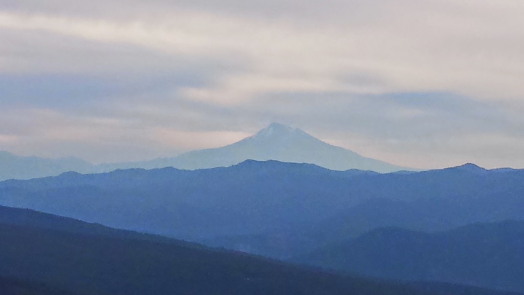
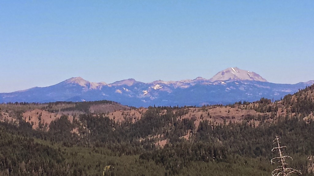
Lassen Peak and Brokeoff Mountain

Lassen Peak and Brokeoff Mountain

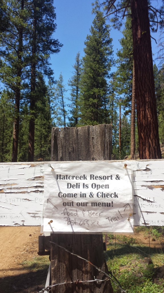
I had been hoping for a milkshake when I arived at the RV park on the edge of town, but the deli was closed- no milkshake! The resupply options were also pretty pathetic, so I decided to go to the fill-up station four and a half miles down the road. My feet were so tender I decided to hitch a ride with an elderly man in an old Cadillac.

image

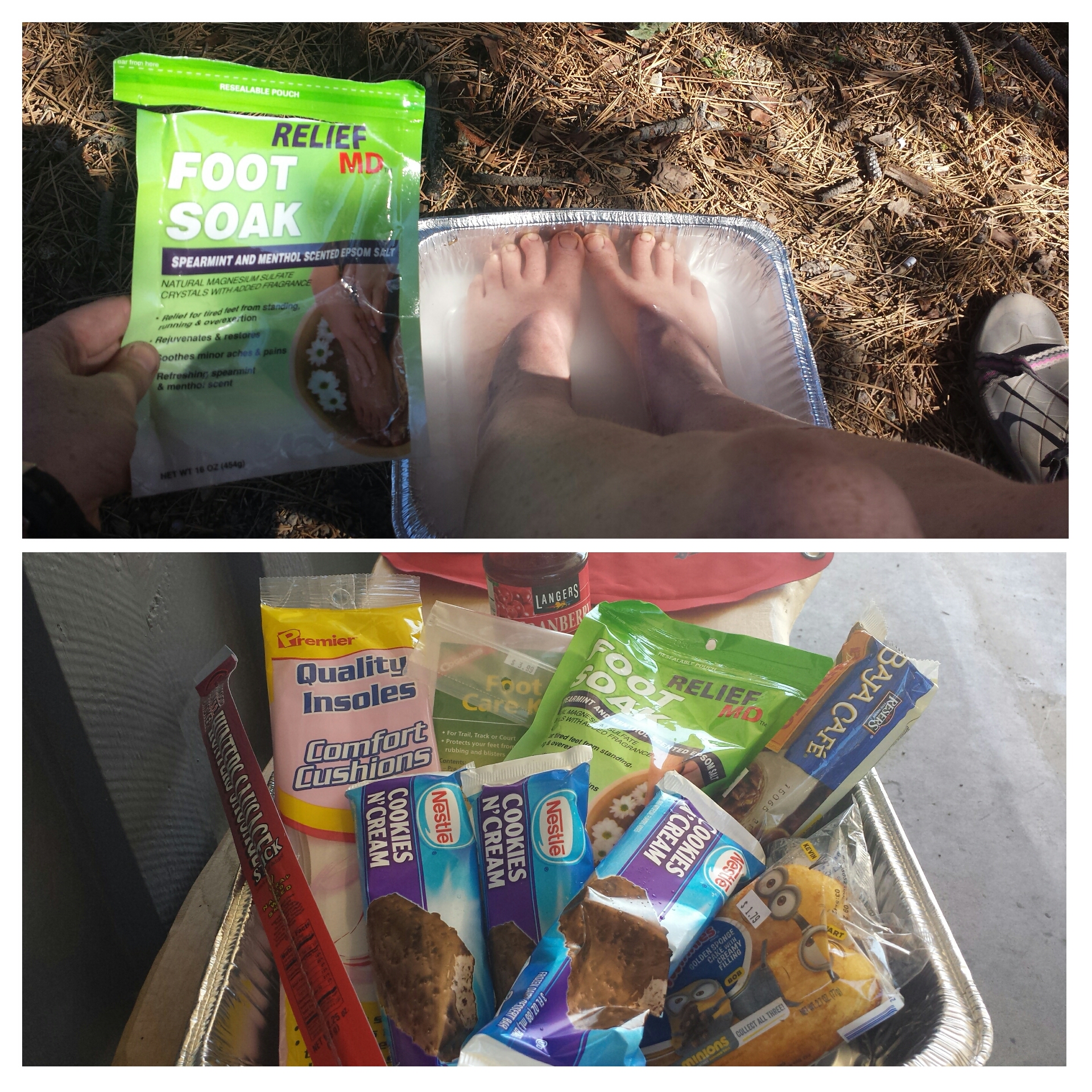
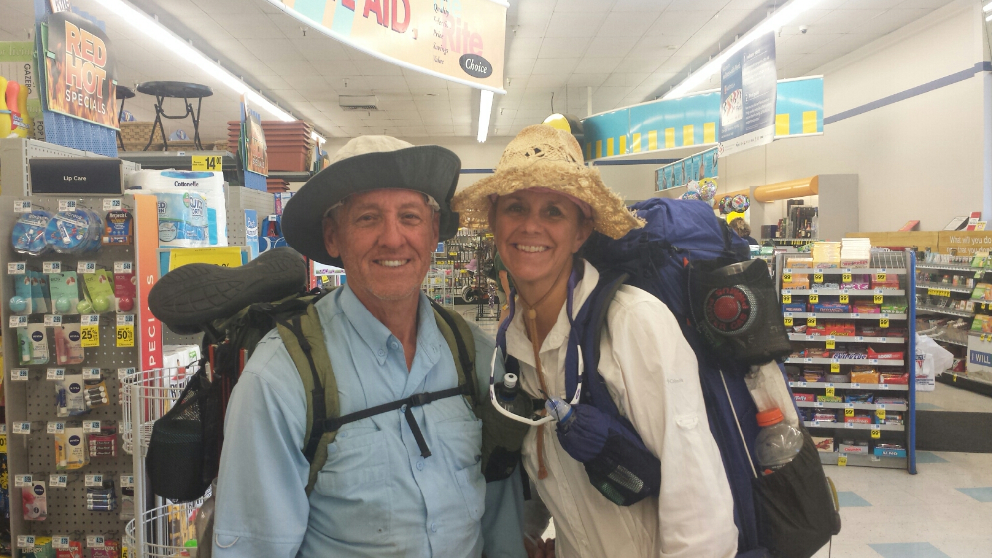
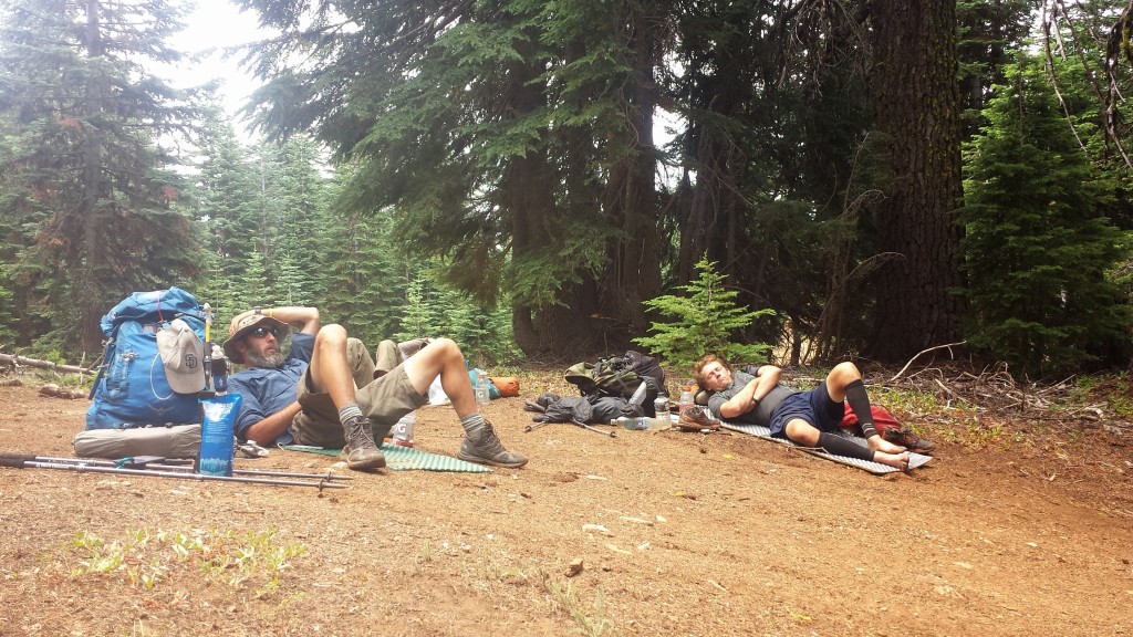
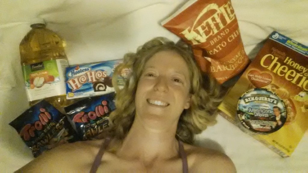
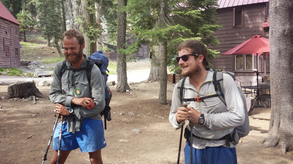
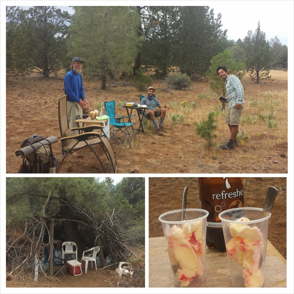
While at the fill-up station, I managed to consume about 2,000 calories of ice cream, a burrito, juice, and Twinkies. It seemed like a good idea at the time, but then I felt sick. While nursing my feet in a salt soak and rubbing my tummy, a couple of PCT hikers named Oak and Cyprus showed up. Cyprus is a retired dental hygienist and Oak was an engineer in the oil industry. They were very cute with their gear chat (we both love Zpacks products) and all the research they did to prepare for their trip. They’re also keeping a blog on their hike: Retire2Hike. Check it out!

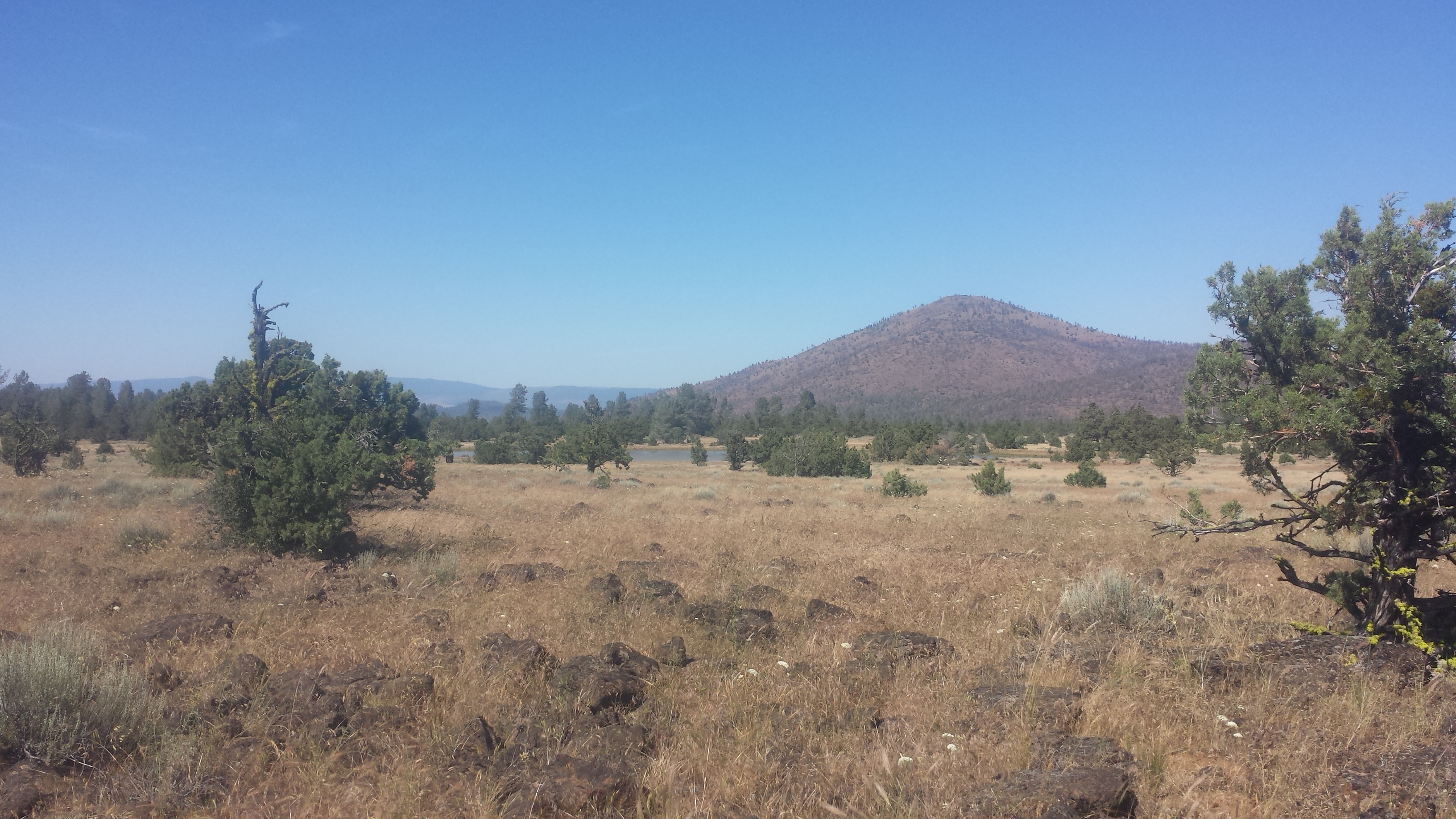
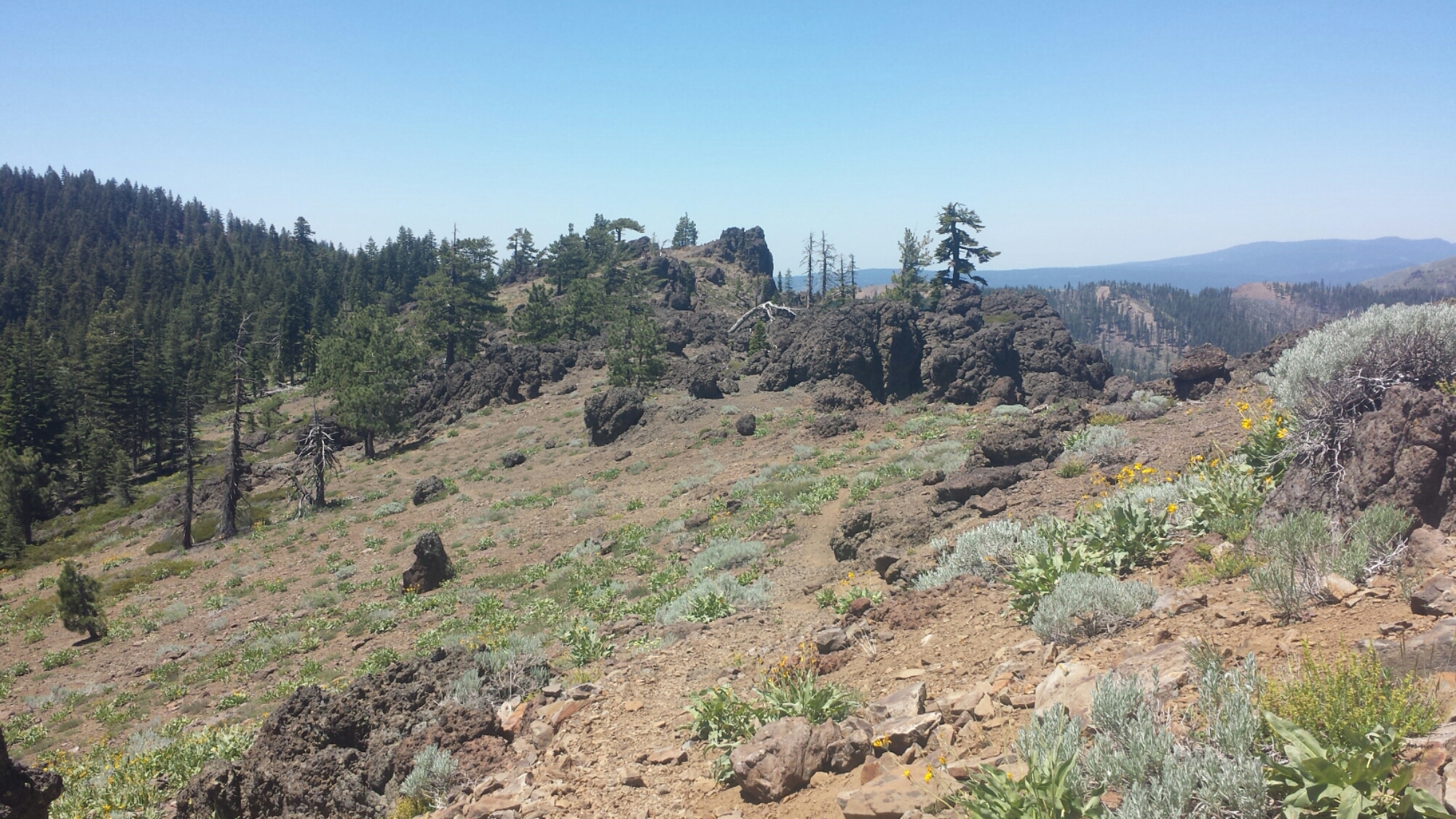
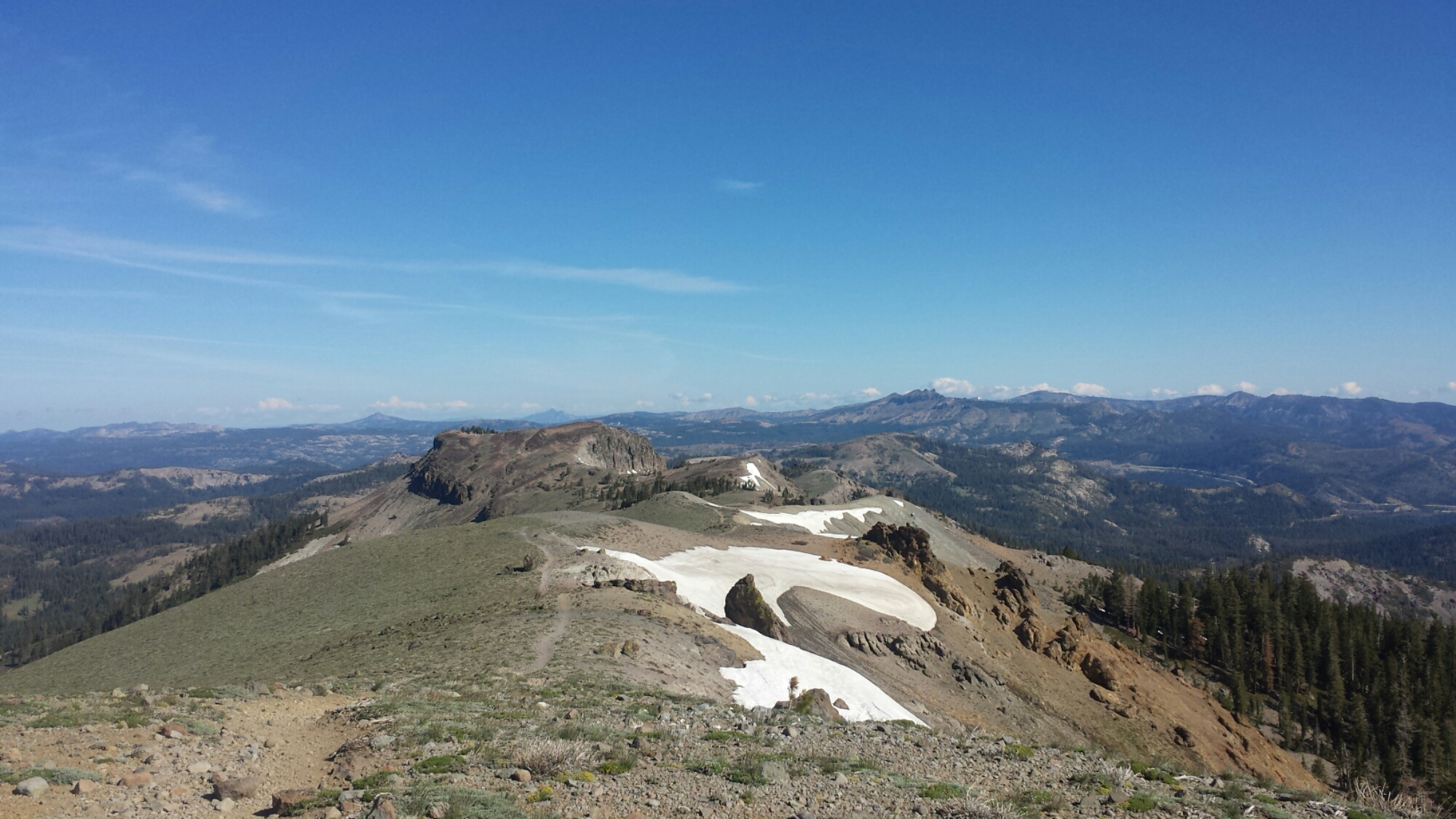
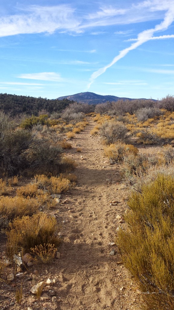
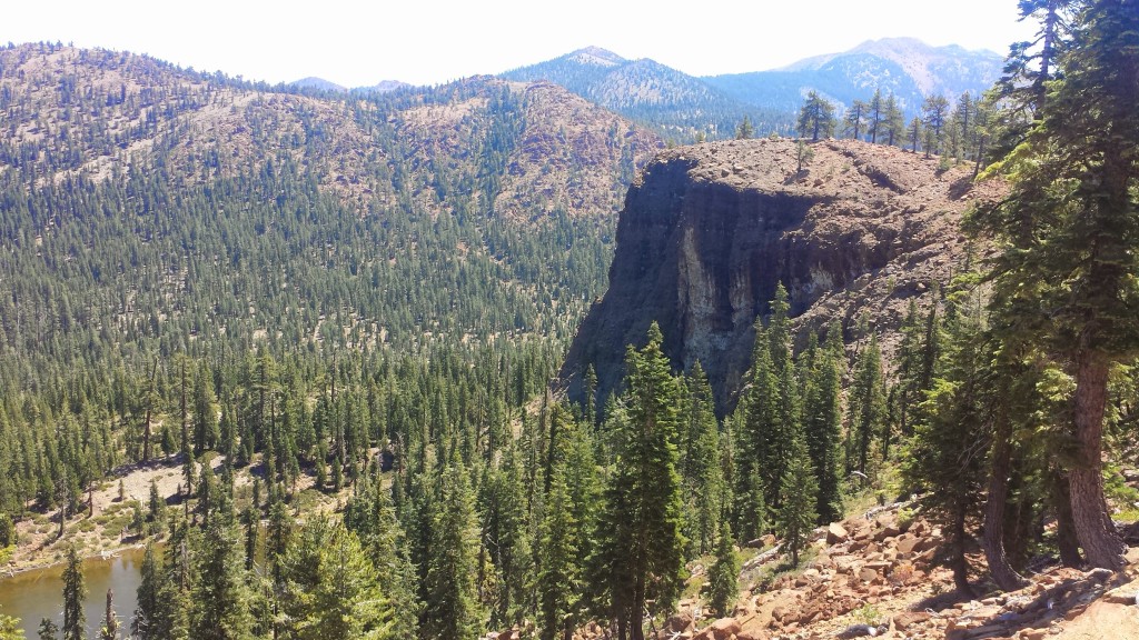
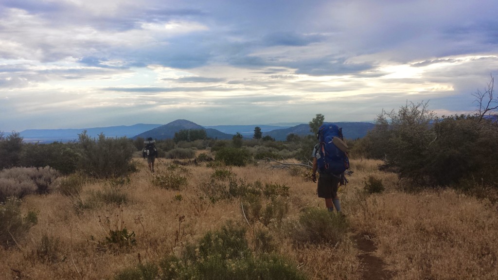
Hat Creek Rim is a strikingly beautiful and formidable forty mile stretch of the Modoc Plateau in Central California. It was formed one million years ago when shifting fault lines dropped a section of the plateau 1,000 feet, leaving a stark, rocky cliff up to the rim. The PCT follows about twenty miles of the cliff rim: a relatively flat trail, though rugged, exceptionally hot and exposed. It is also one of the longest stretches of trail (thirty miles) without any natural water sources because all the water drains into a lost underground creek.

Fortunately for most hikers, a couple trail angles maintain a water cache about halfway through this section. Still, my pack was loaded with water (I don’t like to rely on water caches and I personally believe caches should be saved for emergencies). Since this is such a hot section, I opted to wait until the evening to head up the rim, camp and then get up early the next morning.

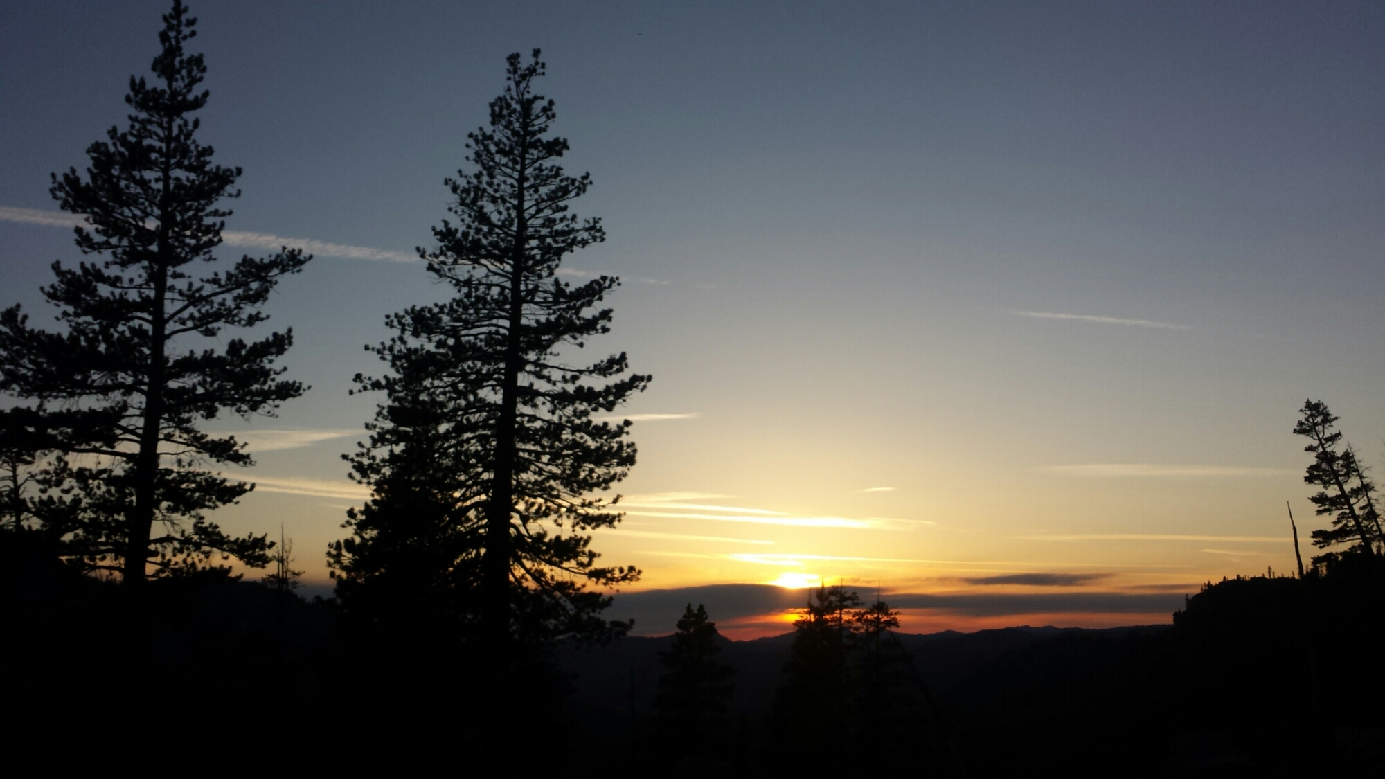
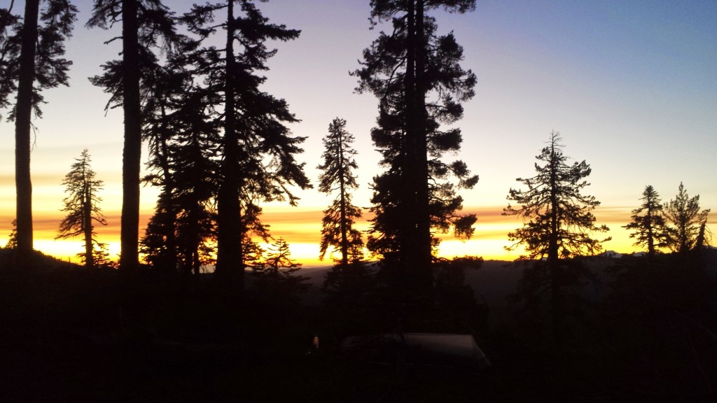
Mount Shasta Sunset

Mount Shasta Sunset

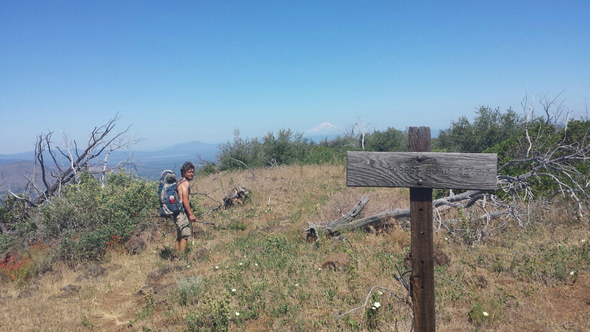
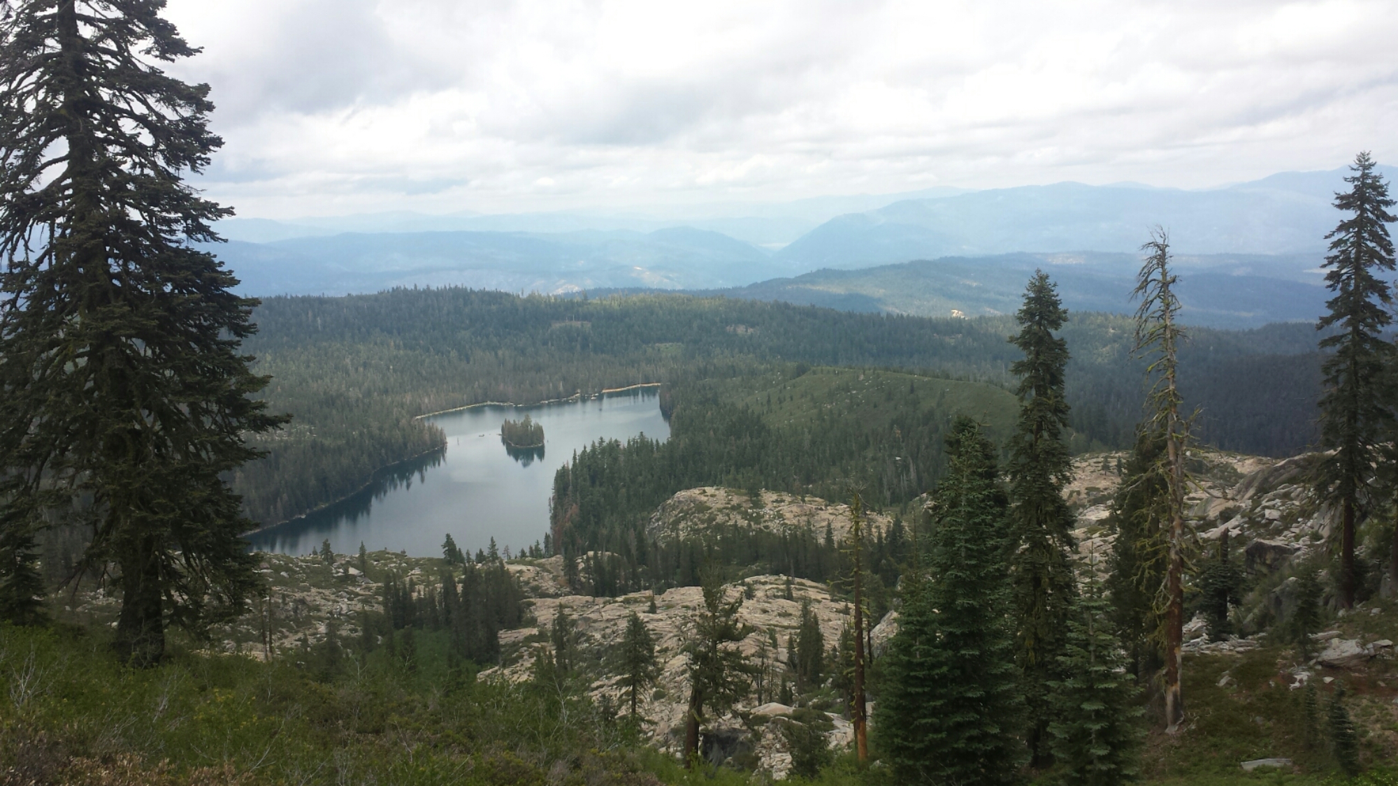
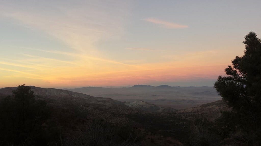
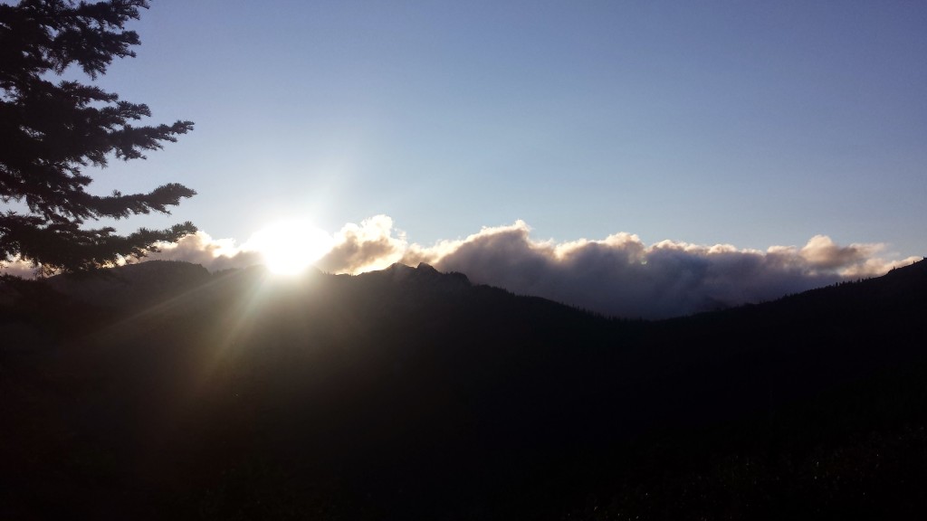
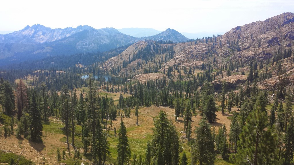
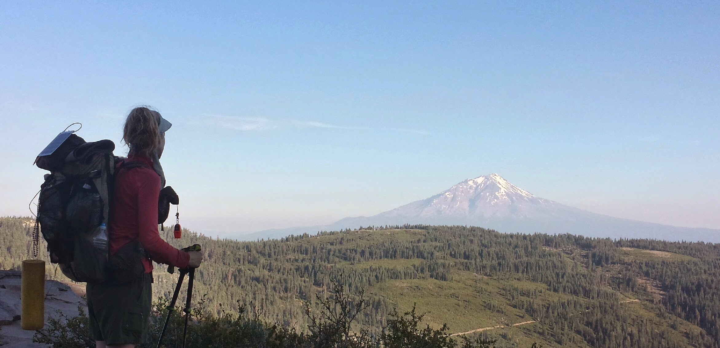
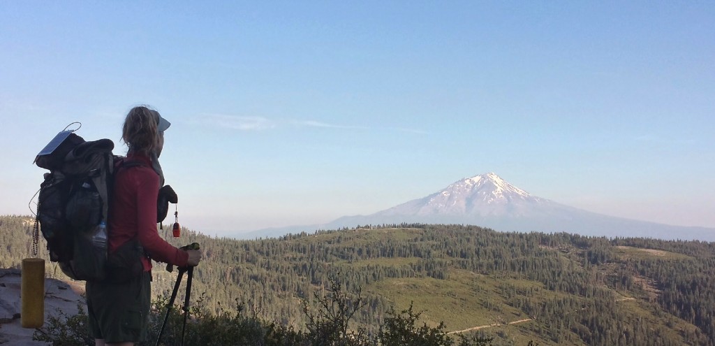
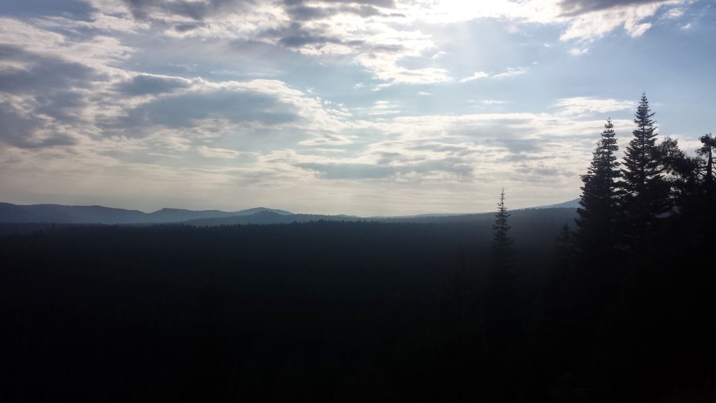
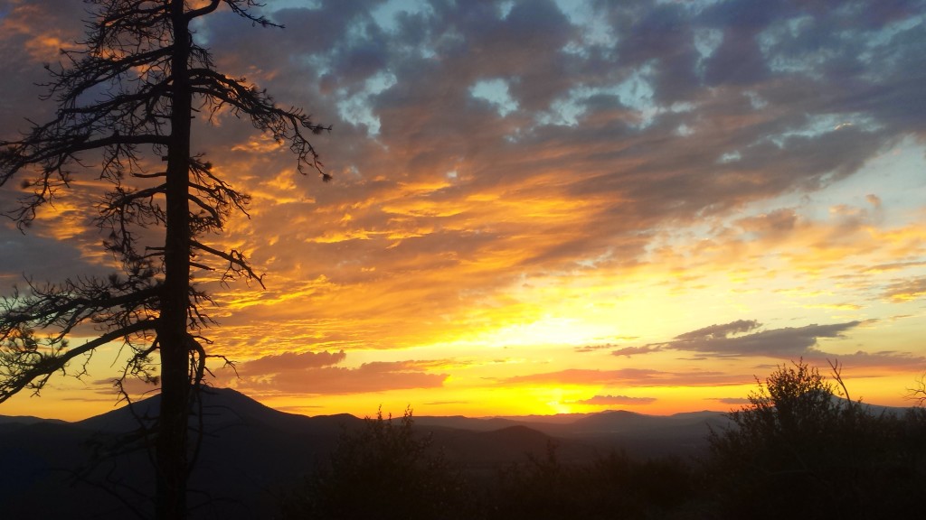
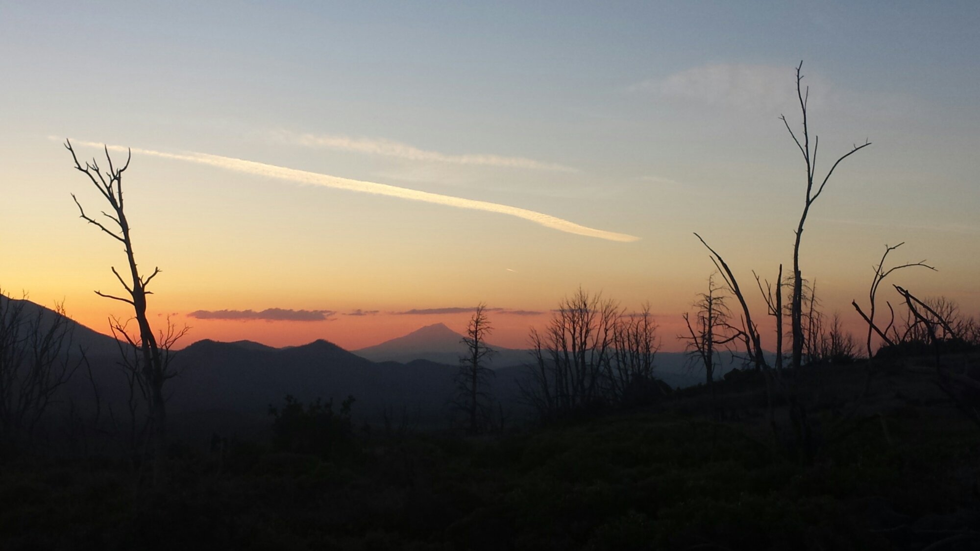
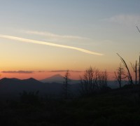
At the top of the climb to Hat Creek Rim, there is an overlook that offers an incredible view all the way from Lassen Peak to Mount Shatsa, and I hiked as fast as I could to catch both of those beautiful mountains in the sunset light.

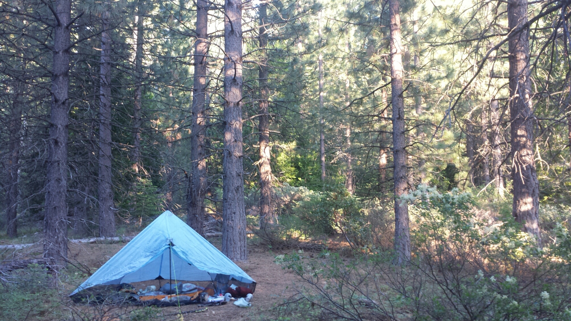
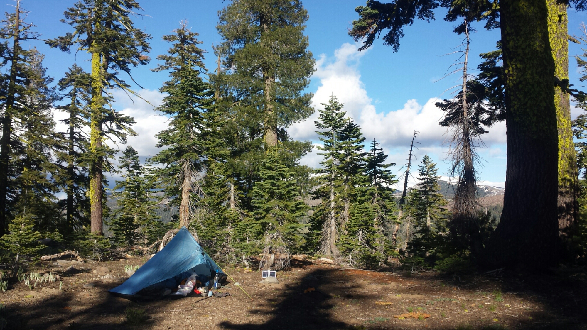
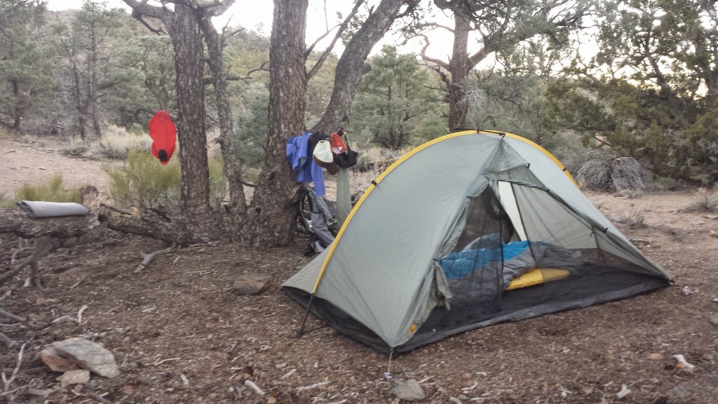
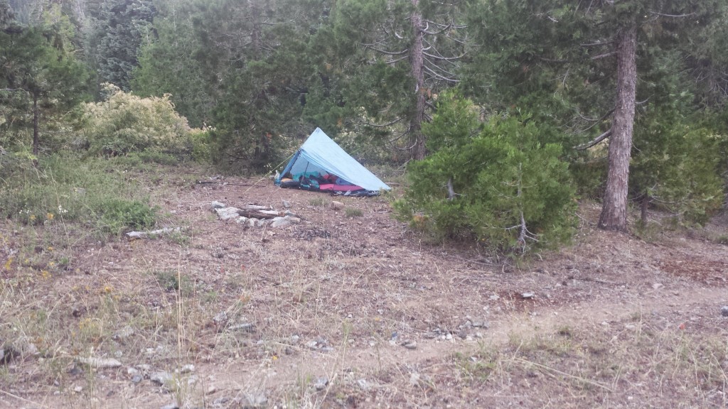
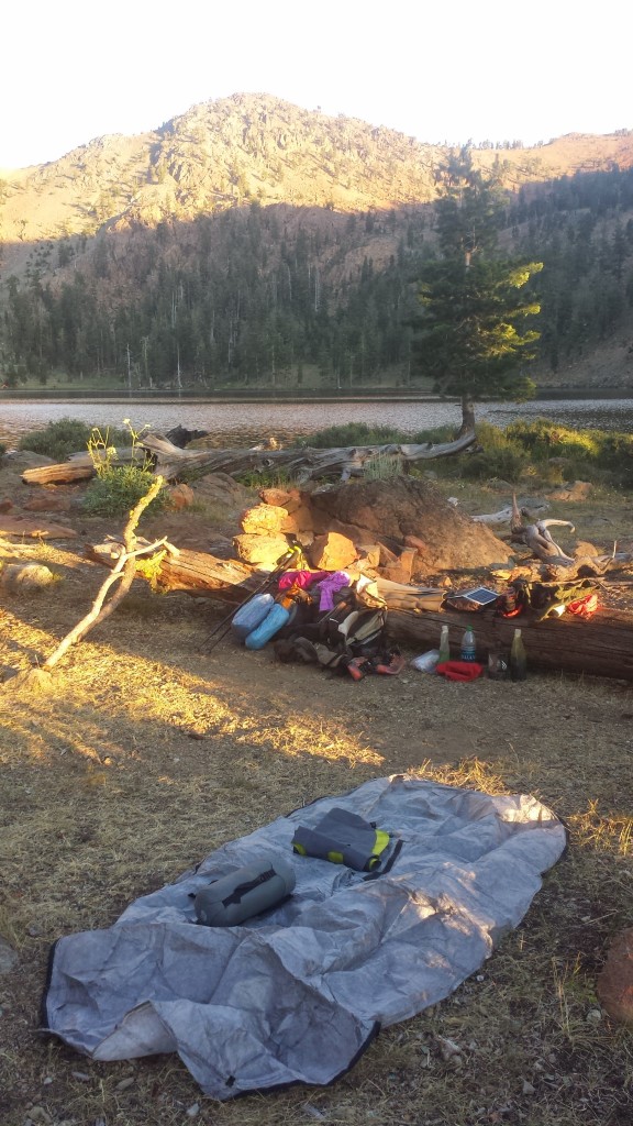
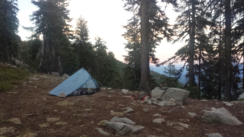
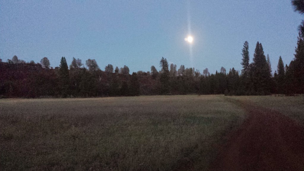
I hiked until dark and accidentally startled another hiker, Clean Cut from Germany. He was cowboy camping (camping without a tent) and it inspired me to cowboy camp tonight, too. I hiked further up the trail to a grove of trees, rolled out my mat in the open air and am star gazing. No bugs and the weather is perfect- it’s beautiful!


June 17- 22.5 miles, camping near Cassle Falls River Road

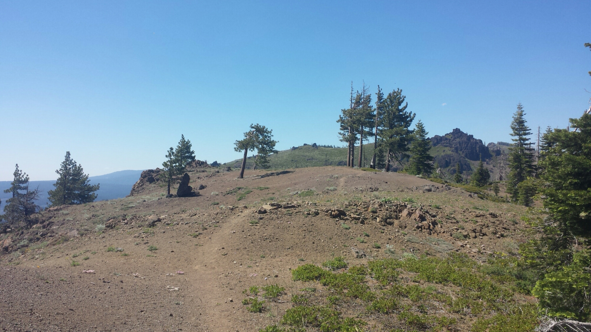
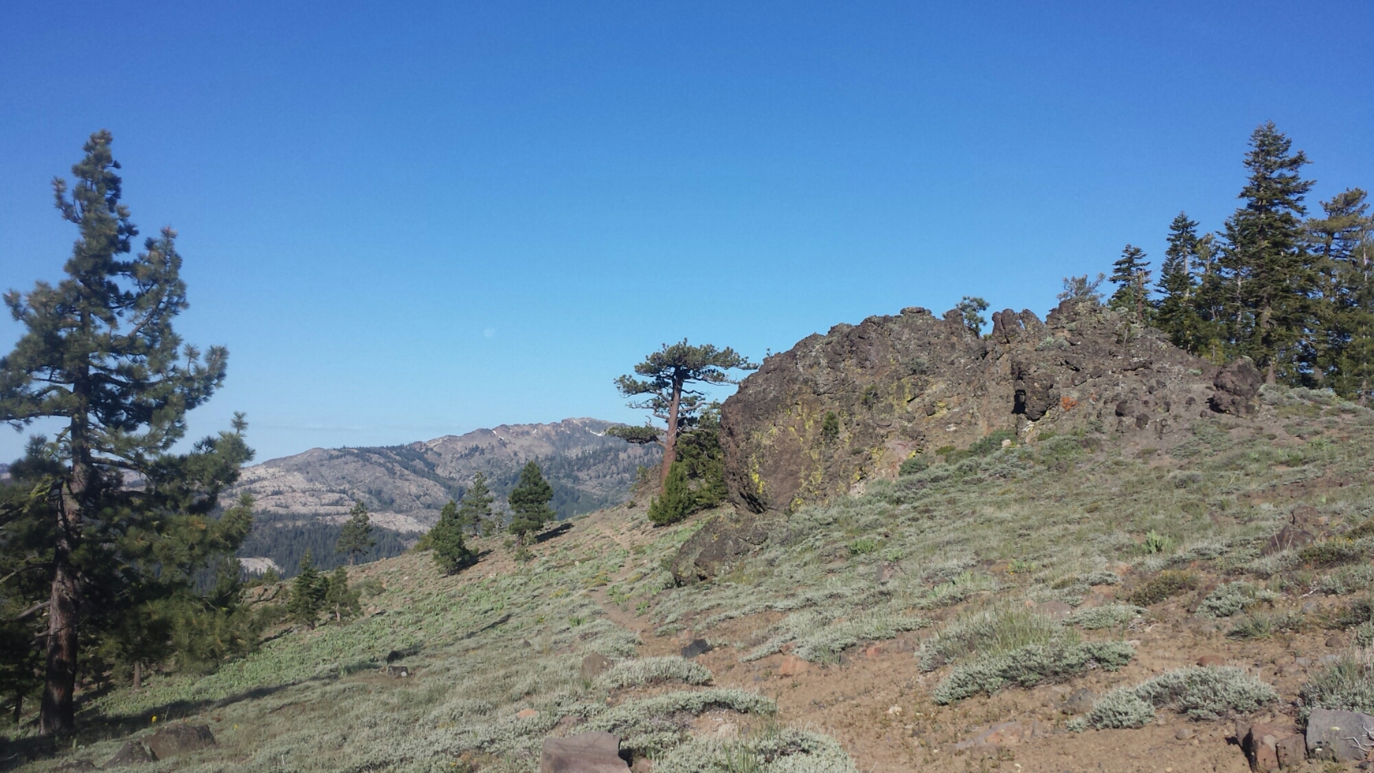
Hat Creek Rim

Hat Creek Rim

Miserable. That’s what I was today- just plain miserable. I can’t believe how quickly I turned from feeling great and really enjoying every day to struggling so much I couldn’t wait to stop nearly every moment of the day. I loved the views, but the ache of my feet threatened to overpower my enjoyment of the trail.

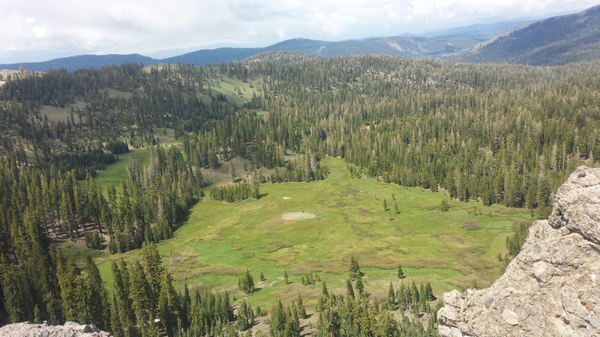
Looking south toward Mt. Lassen

Looking south toward Mt. Lassen

Shasta Daisies

Shasta Daisies

image

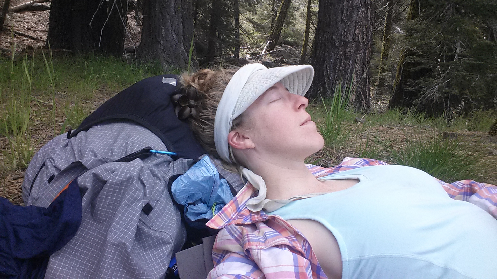
My feet started aching after only a few miles, but I was still able to hike 9.3 miles by 10am- that’s almost a Ten By Ten! After about thirteen miles, I reached the water cache and I needed a BIG break. I put my feet up and napped for three and a half hours.

image

The rest helped, but I was still struggling with my feet. I found several blisters I didn’t know I had and other spots were just plain bruised. I was basically hobbling down the trail, wincing every time my foot rolled over a rock and rubbed a tender spot- and there are a lot of rocks on this section of trail! In fact, for most of the hike along the Rim, I was tripping and stumbling over rough lava rocks that stuck up out of the red earth.

Looking back toward Lassen Peak

Looking back toward Lassen Peak


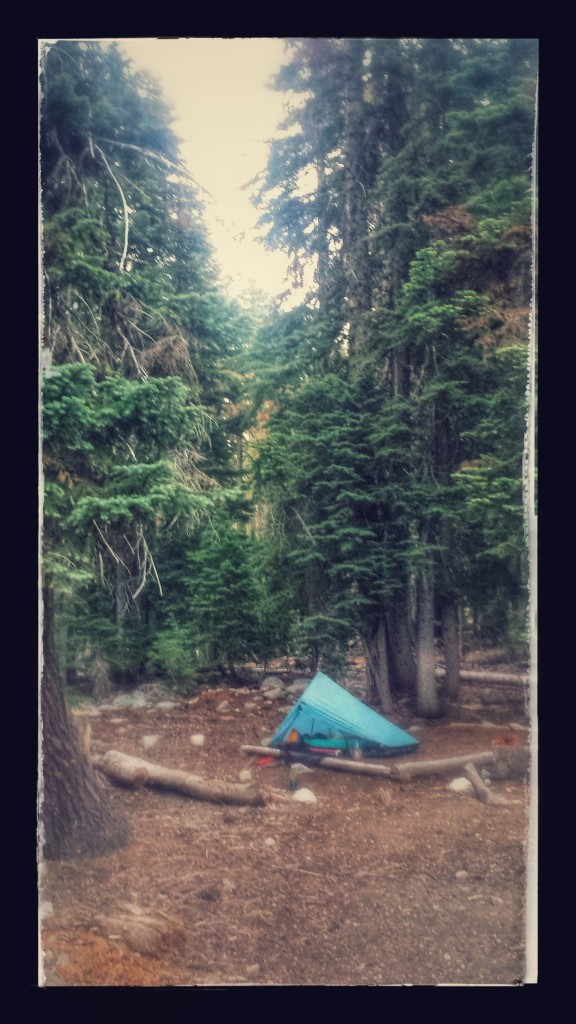
After about 22 miles, I came to the only possible location for camping among the very rocky lava field. I tried cowboy camping again because I enjoyed it so much last night, but the mosquitoes soon showed up and I had to throw up the tent before I was eaten alive. It’s warmer inside my tent anyhow.

PCT-CA-Section-N-138-Lassen-Forest-hat-creek-rim


June 18- 8 miles, staying in Burney

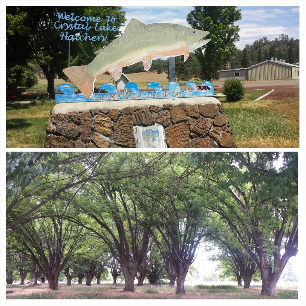
It was a super easy eight miles to Burney today. I accidentally slept longer than I planned, but the sun woke me anyhow. I hiked three miles to the Crystal Lake Fish Hatchery where I could fill up on water and use their restrooms.

image

Since I planned to hitch hike from the trailhead into downtown Burney, I wanted to get as clean as possible. I stripped down to wash my shirt in the bathroom sink just as a ranger opened the door. I thought, “Oh, man, I’m gonna get busted for being Hiker Trash,” but the moment he saw me standing there in my underwear, he jumped back and apologies just poured from his mouth. It was pretty funny. Being part of the county Fish and Game department, the rangers are very accommodating to hikers and they had no problem with me practically taking a bath in the sink.

So, let’s talk about what it means to be Hiker Trash. The term refers to any trashy behavior that you would normally see in homeless people or punks, but are now being acted out by completely respectable and formerly civilized folk. These behaviors include, but are not limited to:

•Being incredibly dirty and smelly all the time

•Living out of a bag

•Bathing, sleeping, or generally hanging out in places you’re not supposed to (and then having the cops shoo you away)

•Eating copious amounts of “unhealthy” food

•Talking shamelessly about bodily functions

•Mooching food or rides from other hikers or proper folk

•Going to the bathroom in random and bizarre places

•Cursing, singing, and crying at the drop of a hat

•Running around in little to no clothing (they say that if you don’t see any naked hikers, you’re not on the PCT!)

•Appearing to have no job and no care in the world other than meeting one’s basic needs of eating, sleeping, and moving.

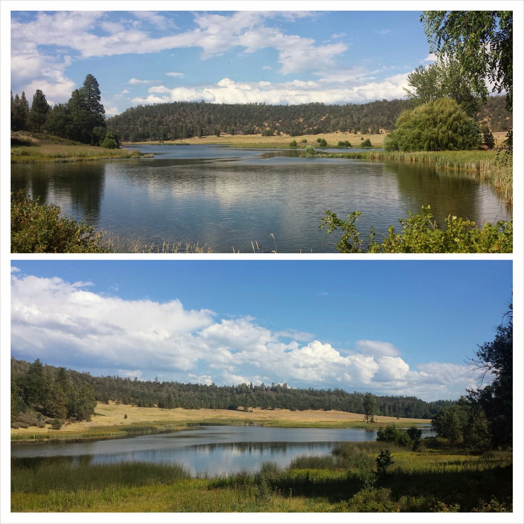
Crystal Lake

Crystal Lake

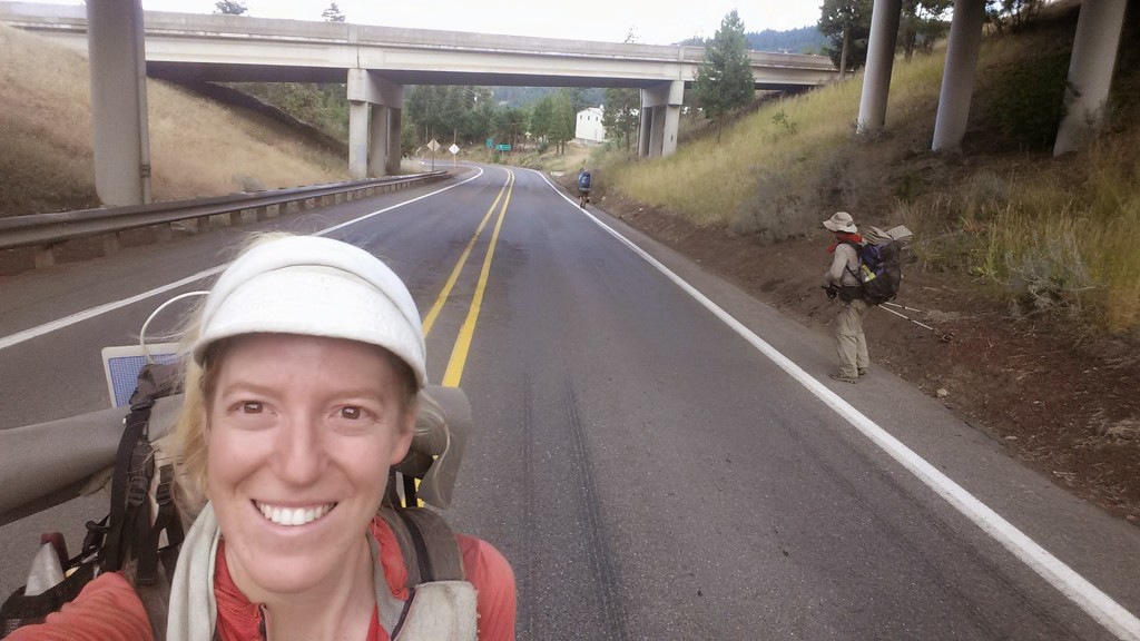
Once on the highway, I alternated between road walking and attempting to hitch a ride. I’ve always had a hard time staying put while I hitched if my destination was close enough to walk to. I’ve got this thing about taking matters into my own hands as much as possible when it comes to situations like hitch hiking. I walked probably about a mile and a half before an elderly man picked me up and drove me the remaining six miles to town.

Hiker Trash Oak and Cyprus

Hiker Trash Oak and Cyprus

I ran into Oak and Cyprus (Hiker Trash!) at the Rite-Aid, a couple of nice elderly ladies bought lunch for me at the diner (just because they wanted to be a part of the journey), and I’ve got myself a comfy bed at the Charm Motel for the night. Nice day.


June 19- 0 miles or 300 miles? Staying in Ashland

So, this morning I got on a bus to Redding, then another bus to Medford, and finally a third bus to Ashland, skipping about 300 miles of the PCT that I originally planned on thru-hiking. Ever since my first week on the trail, I’ve felt the pressure of my schedule pushing me along and essentially limiting my trail experience. As a teacher, I’m able to take a generous amount of time off every summer, but my plan to hike 1,570 miles from Echo Lake to Canada had me arriving home one, maybe two, days before I needed to be back at work. I think it was a bit headstrong of me to assume I’d feel good about this schedule while on the trail. There are days when I hike more miles than I expect and it puts me ahead of schedule, but then there are days when something comes up (weather, detours, side-trips, rest days) and I don’t want to feel the stress of not being able to finish my hike.

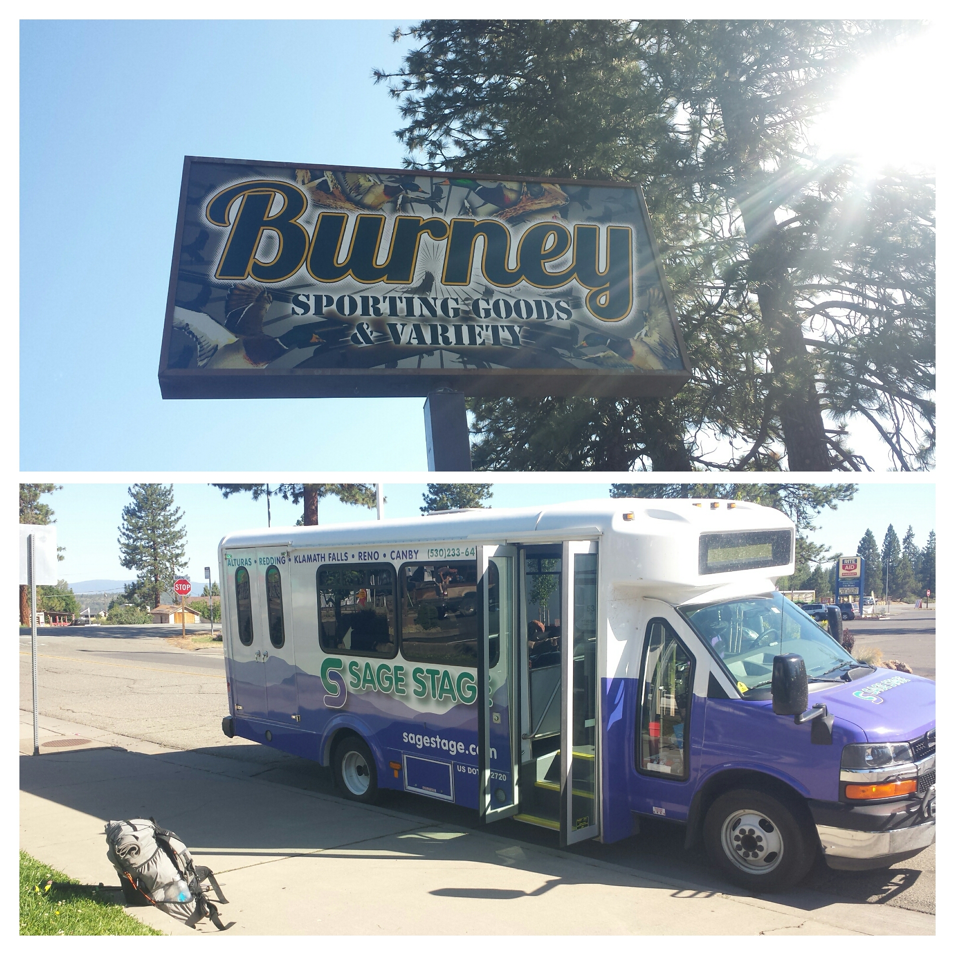
Burney bus to Redding

Burney bus to Redding

My goal this summer is primarily to finish hiking the PCT, that means Ashland to Canada, not Echo Lake to Canada. Rehiking Northern California was just an extra treat, so I’ve made the choice to skip from Burney to Ashland and then reevaluate my itinerary. I may still be able to hike some of Northern California- we’ll see.

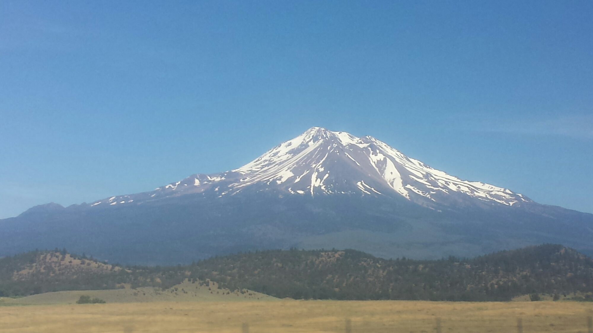
Goodbye, Mount Shasta

Goodbye, Mount Shasta

I caught an early bus to Redding and then waited around the Greyhound station for my bus to Medford. The wait felt pretty depressing. I’m confident in my decision, but that doesn’t make it less disappointing. I’ll miss hiking the Russian Wilderness and the Trinity Alps.

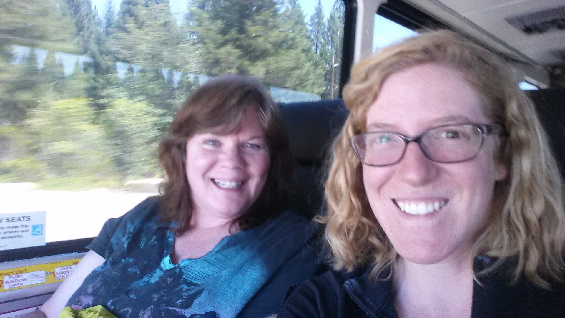
The methheads at the station were a nuisance. One of them was making googly eyes and poiting at me, he even tried to give me his number. This caught the attention of the only other non-drug addict at the station and she leaned over, gave him the hairy eyeball and the middle finger. Her name is Carrie and she was heading to Shasta. Once on the bus, she said, “you sit in the front with me and when I get off, you STAY in the front!” She grew up on a campground in the Shasta area and was a regular tour guide along the ride. Thank you, Carrie! You made that bus ride so much better!

Riding the Greyhound with Carrie

Riding the Greyhound with Carrie

I have a good friend in Ashland with whom I lived and played in a string quartet with during graduate school. I’ll stay with her until my resupply box arrives on Tuesday, then I’ll hike out once more. Since Kim’s an active musician in the area, she’s hooking me up with tickets to orchestra concerts and plays at the Oregon Shakespeare Festival. Woot!

The last bus dropped me off right at a grocery store and I couldn’t help but go shopping! I made the excuse of needing groceries for the next several days plus wanting to stock Kim’s fridge for her. I was grabbing everything that looked tasty, like cheese, veggies, salami, and peaches. It wasn’t until I was in the checkout line that I realized I might not be able to carry everything to Kim’s apartment. Nonetheless, in classic Hiker Trash style, I managed it.

Too much to carry?

Too much to carry?

I spent several days in Ashland while I waited for a resupply box to arrive. During that time, I took full advantage of all of Ashland’s fine delicacies and delights! I attended one outdoor Baroque concert at a winery and two plays at the Oregon Shakespeare Festival, went to the lake with some friends, wined and dined early in the morning and late into the evening, and generally relaxed in the soothing atmosphere of this wonderful town.
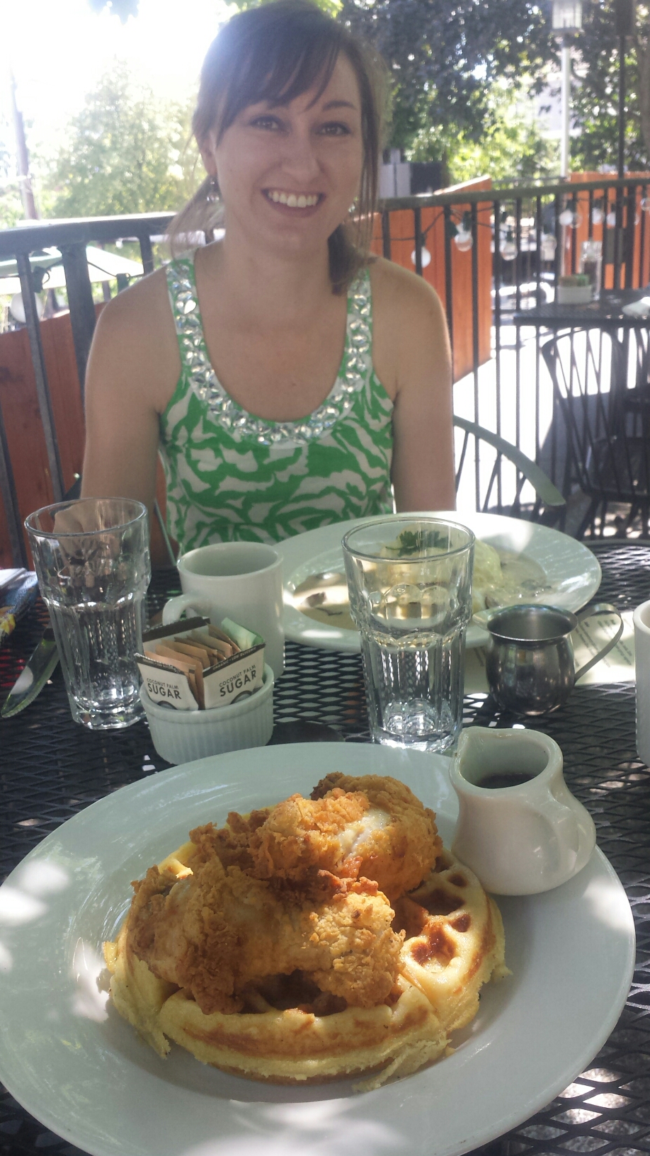
Chicken and waffles with Kim

Chicken and waffles with Kim

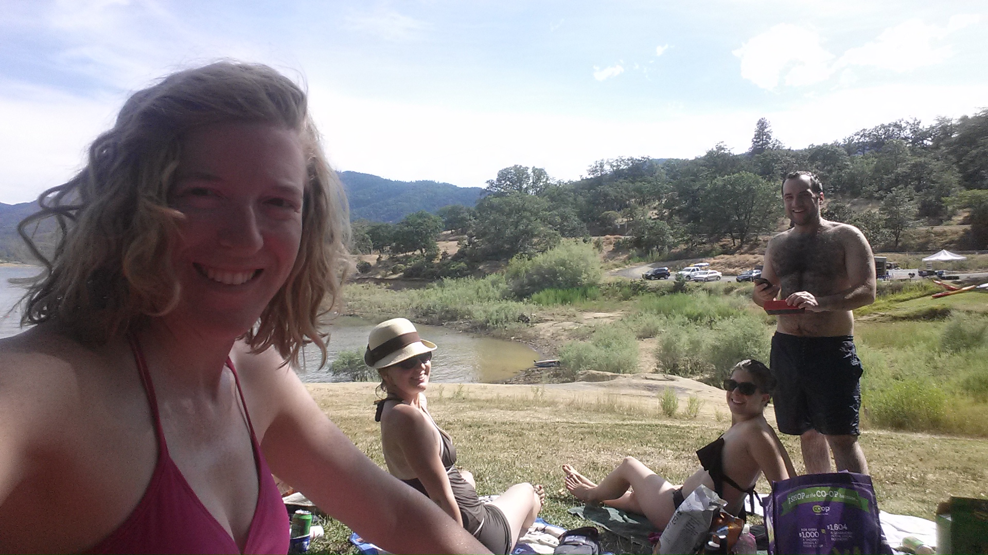
Afternoon bliss at Emigrant Lake

Afternoon bliss at Emigrant Lake


Links

Installment No. 25- Etna to Ashland, 2015

Oregon Shakespeare Festival


No. 23- Belden to Drakesbad Ranch, 2015

loading map - please wait...

Belden: 40.005997, -121.249132
Drakesbad Guest Ranch: 40.444177, -121.403831
Prospect Peak: 40.572940, -121.345807


June 12- 14.5 miles, camping at Frog Spring

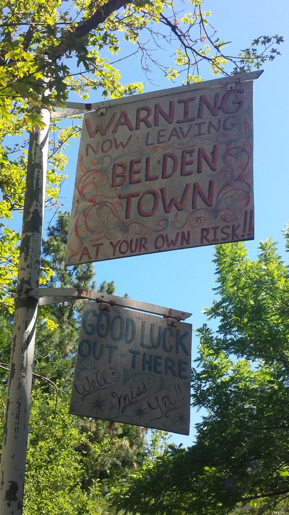
After taking an entire day of rest, also called a Zero Day, I was ready to tackle the 5,000-foot climb out of the Belden Town canyon. Last night, I camped on the banks of the Feather River, near the Belden Town Resort with a 22-year-old lady hiker named Haley. We took a couple dips in the river and enjoyed the warm weather with a couple of beers and lots of eating. It was a very lazy day, to say the least. I almost lost my phone, though, when the river current increased and flooded the beach, along with my cell phone and external battery. I had to buy three lousy boxes of instant rice from the resort store and bury my phone in it. It survived- lucky me! The Beldon staff saved the bag of rice and labeled it “The Phone Dehydrator” for the next idiot who leaves their phone on the beach.

Goodbye, Belden!

Goodbye, Belden!

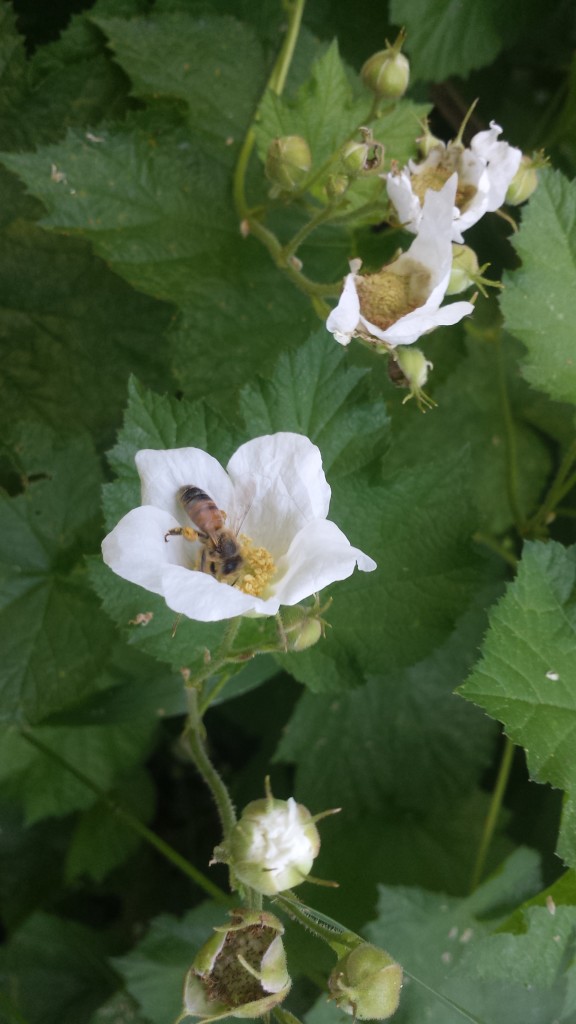
I’ve been dreading this climb for several days, but before I knew it, I were past the hottest and most exposed part of the trail. It’s amazing how fast you can hike after three cups of coffee and a good night’s sleep. The air was heavey with humidity and the sweet smell of Northern Californian wildflowers, all of which are in bloom right now.

PCT-CA-Section-N-14-Lassen-National-Forest-Flower

With “I’ll be back” hiking in front of me, he kept kicking up all the pollen from the flowers and grasses. I could see the clouds of it billowing behind him and I then had to walk through it. It gave me the worst allergies I’ve ever had hiking. I was sneezing and blowing my nose in my hanky for miles. Eventually, I couldn’t stand it and I also couldn’t hike as fast anymore, so I dropped back and hiked alone.

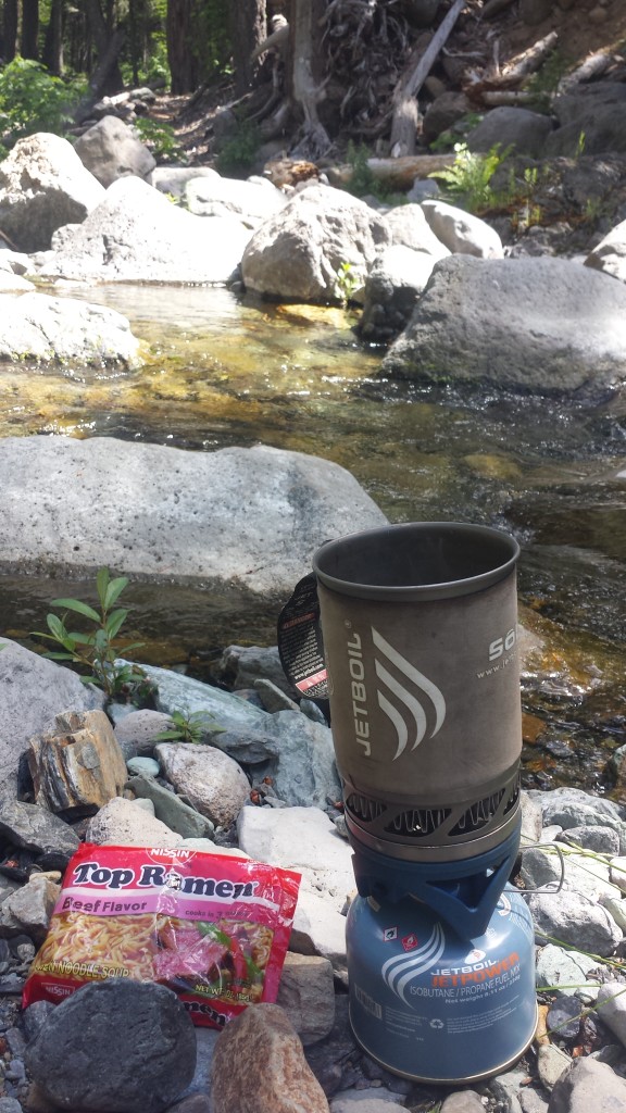
All morning, I focused on the place where the trail crossed Chips Creek. I knew there would be an opportunity to dip in the shallow pool and lounge for a bit. The water was almost too cold, but it felt wonderful to go in quickly and dunk. I then grabbed my bag of Fritos and water bottle and threw my sleeping pad out on a large rock to dry off. It was HEAVENLY!

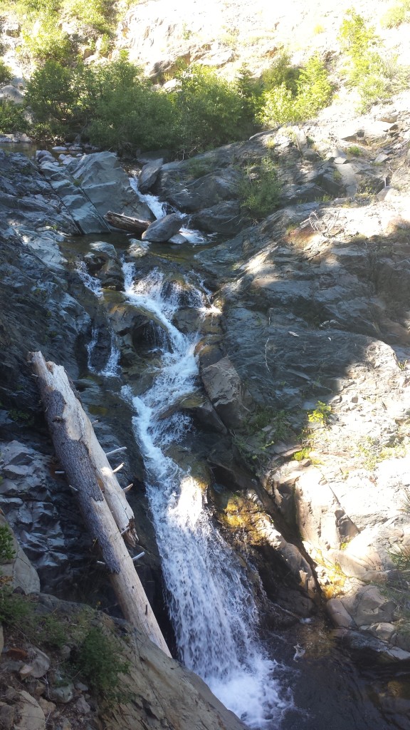
Waterfall along the trail

Waterfall along the trail

Ramen for lunch by Chips Creek

Ramen for lunch by Chips Creek

Climbing higher past Chips Creek became more and more beautiful. Section N and Lassen National Forest is one of my favorite places on the PCT, excluding the initial climb, of course. There were so many downed trees as I crested the mountain. One of the things I’m most afraid of are trees falling on me while I sleep in my little tent. This is why windy nights really freak me out. Luckily, it’s a beautiful night with no wind and minimal mosquitoes.

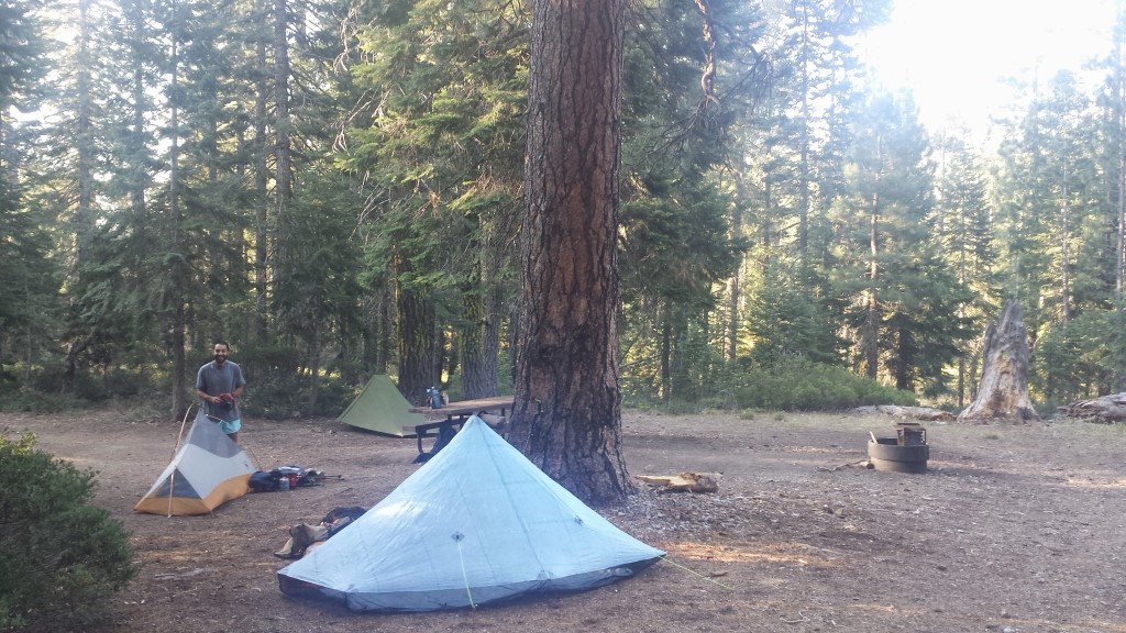
Camping at Frog Spring

Camping at Frog Spring

It’s nice camping with “I’ll be back” again. He eats all my leftovers that I can’t manage. We joked about this being a symbiotic relationship because he gets more food and I don’t have to carry it! He’s also fun to talk with because he’s interested in many things, he’s opinionated, and he screws up his words a lot, which is always entertaining. He’s particularly chatty tonight because he’s had way too much sugar. Even now, while I write in my tent, he’s yakking on about something over in his tent. Makes me laugh.
image


June 13- 20.5 miles, camping below Butt Mountain

Yup, you read that right. It is indeed called Butt Mountain. What I want to know is what’s the difference between a butt and a butte, and is it pronounced with a short “u” or long “u.” There are also a number of PCT jokes that fly around about the distance from Butt Mountain to Dick’s Pass, but I won’t get too crass and go into them here.
image

I got off to a late start this morning: 9 AM! I was trying to call Drakesbad to find out if the guest ranch had a computer I could use and there was a bit of reception at Frog Spring. I didn’t get an answer because it’s Saturday and no one picked up, but, I decided, that if they didn’t have one, I could wait until I got to the library in Burney.

Cold Spring

Cold Spring

image

The hike was pretty easy today, without many large changes in elevation. The only challenge was that all but one of the water sources for the day were off-trail by 0.3 to 0.5 miles, and usually down a steep spur trail. They were also spaced further apart than in any of the recent sections through the Sierras. This meant having to either carry water for 8 to 12 mile chunks or adding more mileage by visiting more water sources. I chose to just carry more, and it was the heaviest my pack has been since Echo Lake!
image
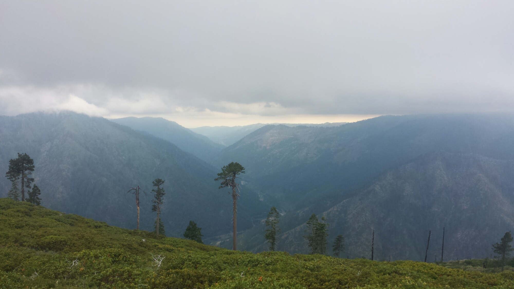
The trail provided fantastic views of distant Lassen Peak and Brokeoff Mountain. At 10,460 feet tall and 27,000 years old, Lassen is a relatively young, active volcano and is part of a chain that extends all the way through Cascade Range. It’s technically a lava dome and it last erupted in 1915. It’s much older neighbor, Brokeoff, over 500,000 years old, used to belong to the ancient stratovolcano called Mount Tehama, now-eroded to merely Brokeoff Mountain, and was once much taller than Lassen is today.

Mount Lassen in the distance

Mount Lassen in the distance

I hiked alone for most of the day, but later in the day I met Katia and Olivia from Washington DC. They’re cousins and are hiking various sections of the trail for the entire summer.

image

Katia & Olivia, cousins from Washington D.C.

image

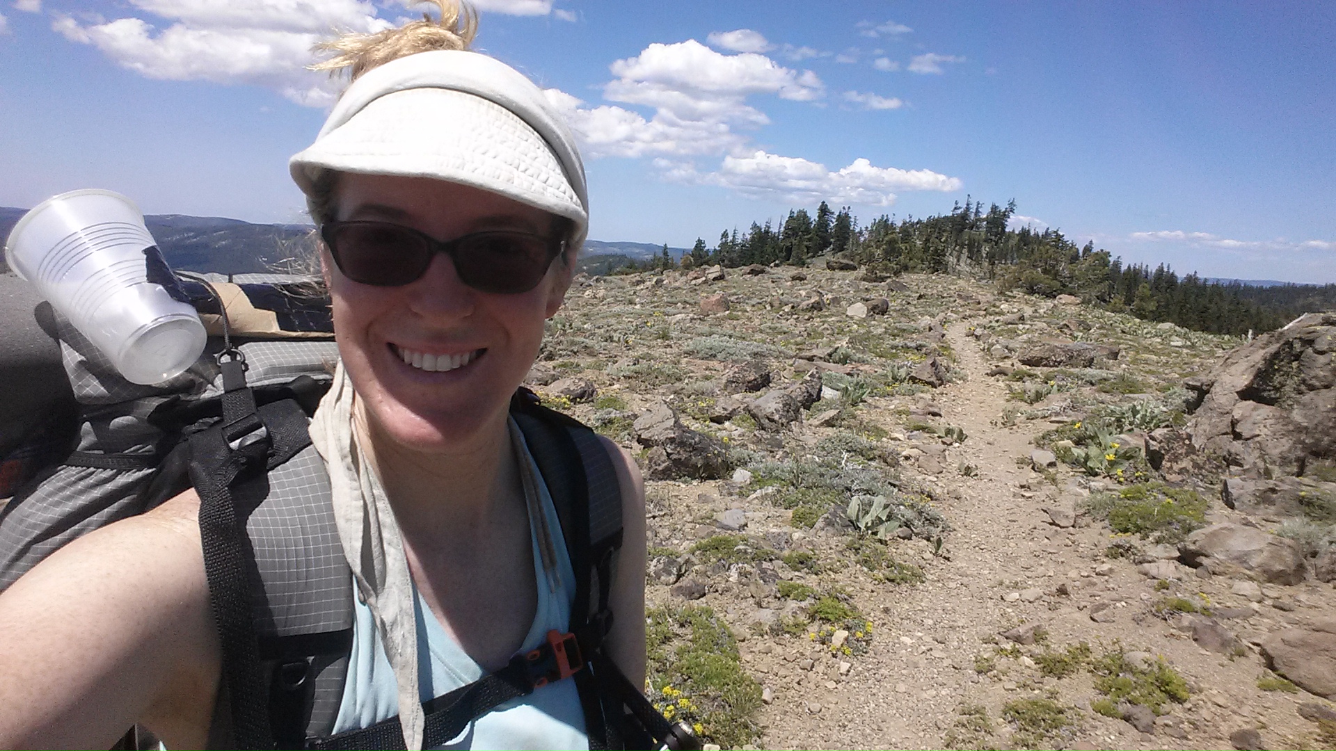
For the last three uphill miles of the day, I turned on some music and popped my phone into my homemade plastic cup speakers. I think I need to make a fresh set because these honeys are on their last legs. I guess rain, sun, and getting smashed by trees and puppies will do that to speakers made out of a paper towel tube and two plastic cups!

“I’ll be back” fumbled up to the campsite tonight looking really tired. He immediately ate at least one bar, maybe two before making dinner. We’re both in our tents for an early night. He’s passed out already, but I’m listening to the deer meander around camp. I’ve brought all my gear inside my tent because I don’t want to wake up in the night finding the deer licking my trekking pole. They like the salt on the handles.

image


June 14- 20 miles, camping at the North Fork Feather River

Itchy and Scratchy- that’s what I’m naming my two legs now. I’m so covered in mosquito bites, that my legs are swollen and it takes all my willpower to resist pulling my own skin off. The only relief I can get is when I take a dip in really cold water to numb the bites and then slather on the anti-itch cream.

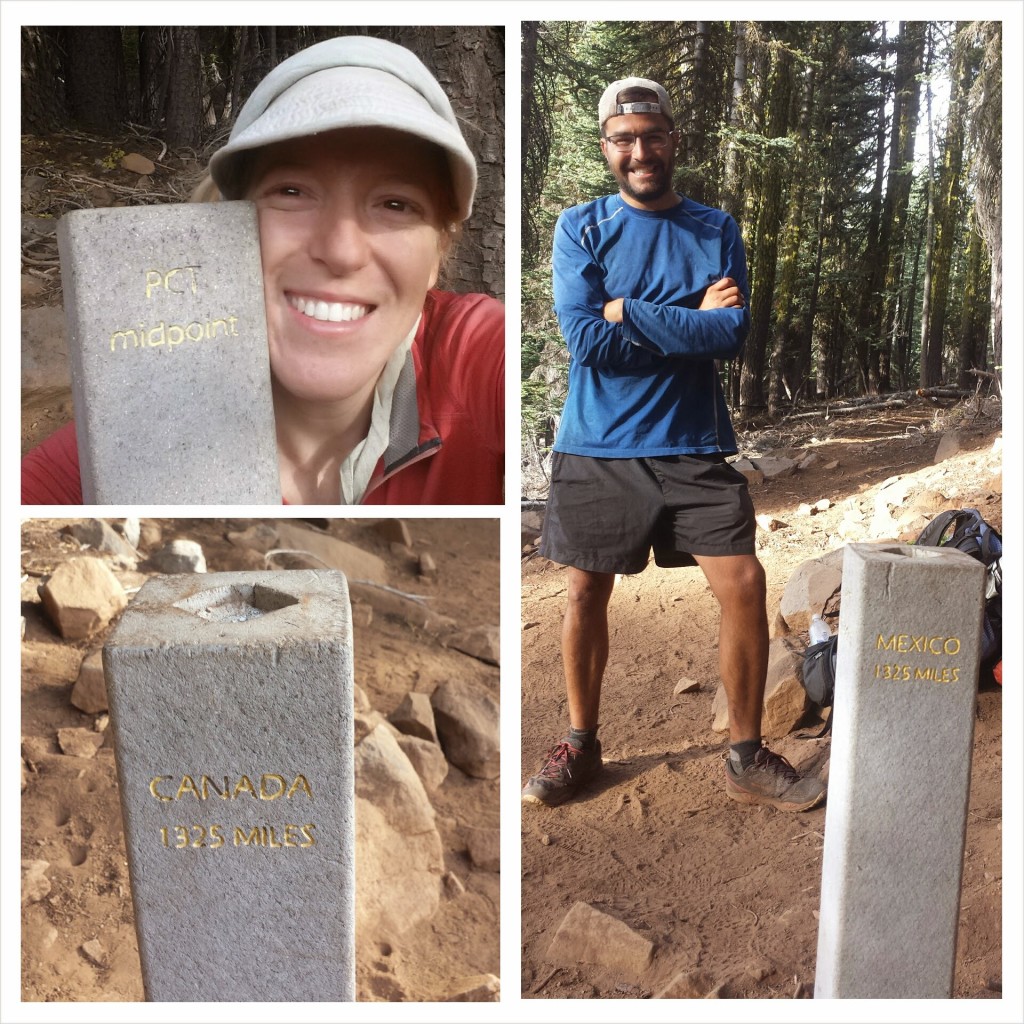
PCT Midpoint Monument

PCT Midpoint Monument

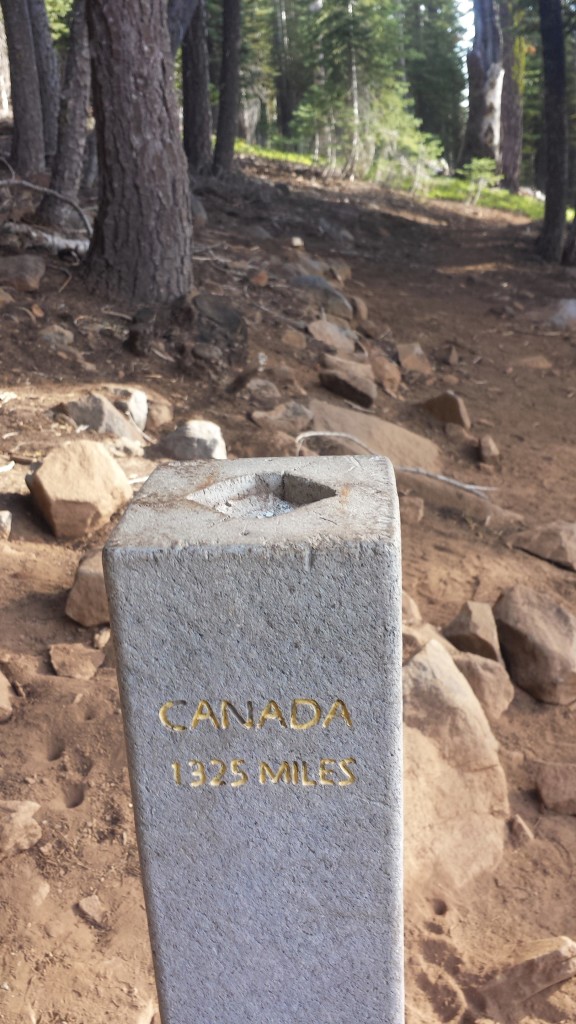
I passed the PCT midpoint early this morning. This means I’m now closer to Canada than I am to Mexico. If I were to drive from Mexico to Canada it’d be 1,200 miles.

image

It was a fairly boring and uneventful hiking day. There wasn’t much to see between all the trees, except occasionally Lassen and Brokeoff, way in the distance. The PCT doesn’t actually climb either of those peaks, which is a shame, but it can be done as a side trip.

image

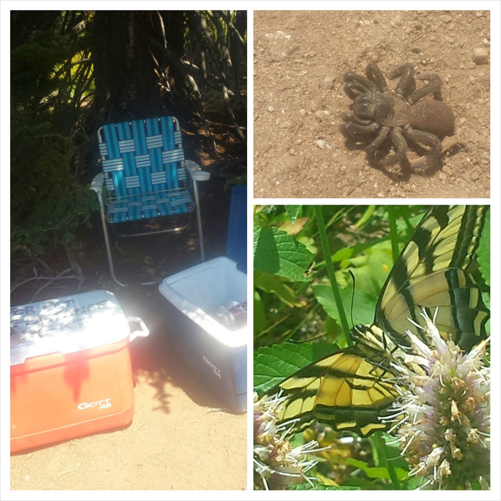
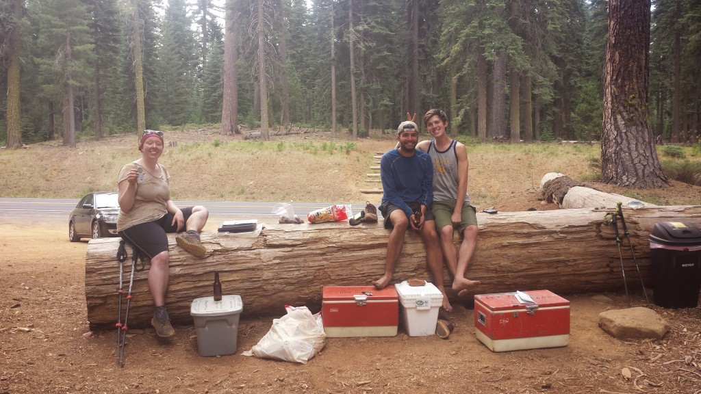
Highway 36 near Chester had some special trail magic: coolers full of water and extra backpacking food, a binder full of information on what the little town of Chester offers, and the contact info for a local trail angel. “I’ll be back” was super excited and instantly set to eating a Mountain House meal he found in the cooler.

Our goal for this evening was the North Fork Feather River. It’s much smaller than it’s two sister rivers, but it’s still a lovely place to camp. Unfortunately, there are hundreds of teeny, tiny flies that like to bite hikers, so it’s not quite heaven. Tomorrow will be exciting: a geyser, a boiling mud lake, and lunch at Drakesbad Guest Ranch!

image

North Fork Feather River


June 15- 19.5 miles, camping near Prospect Peak

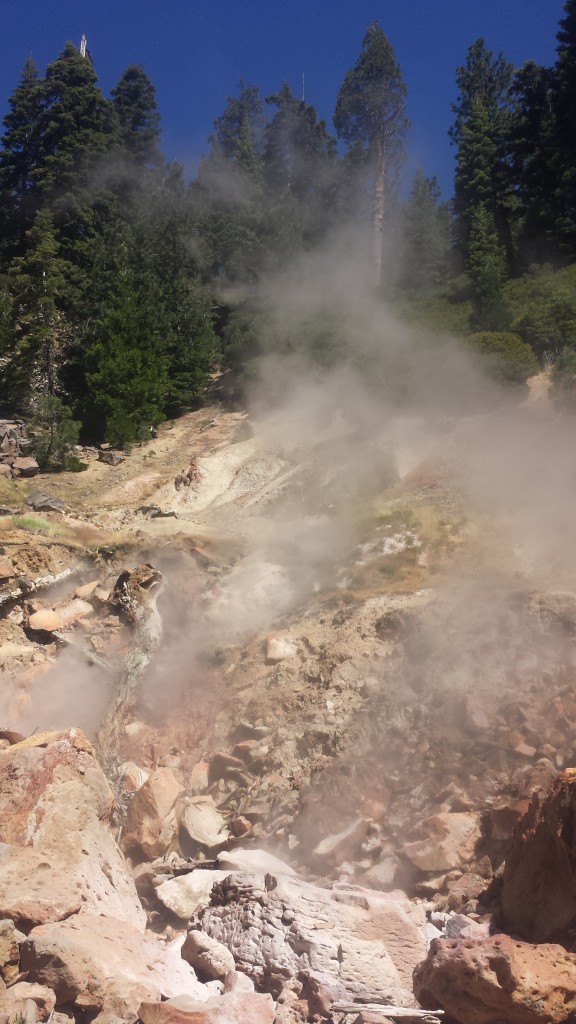
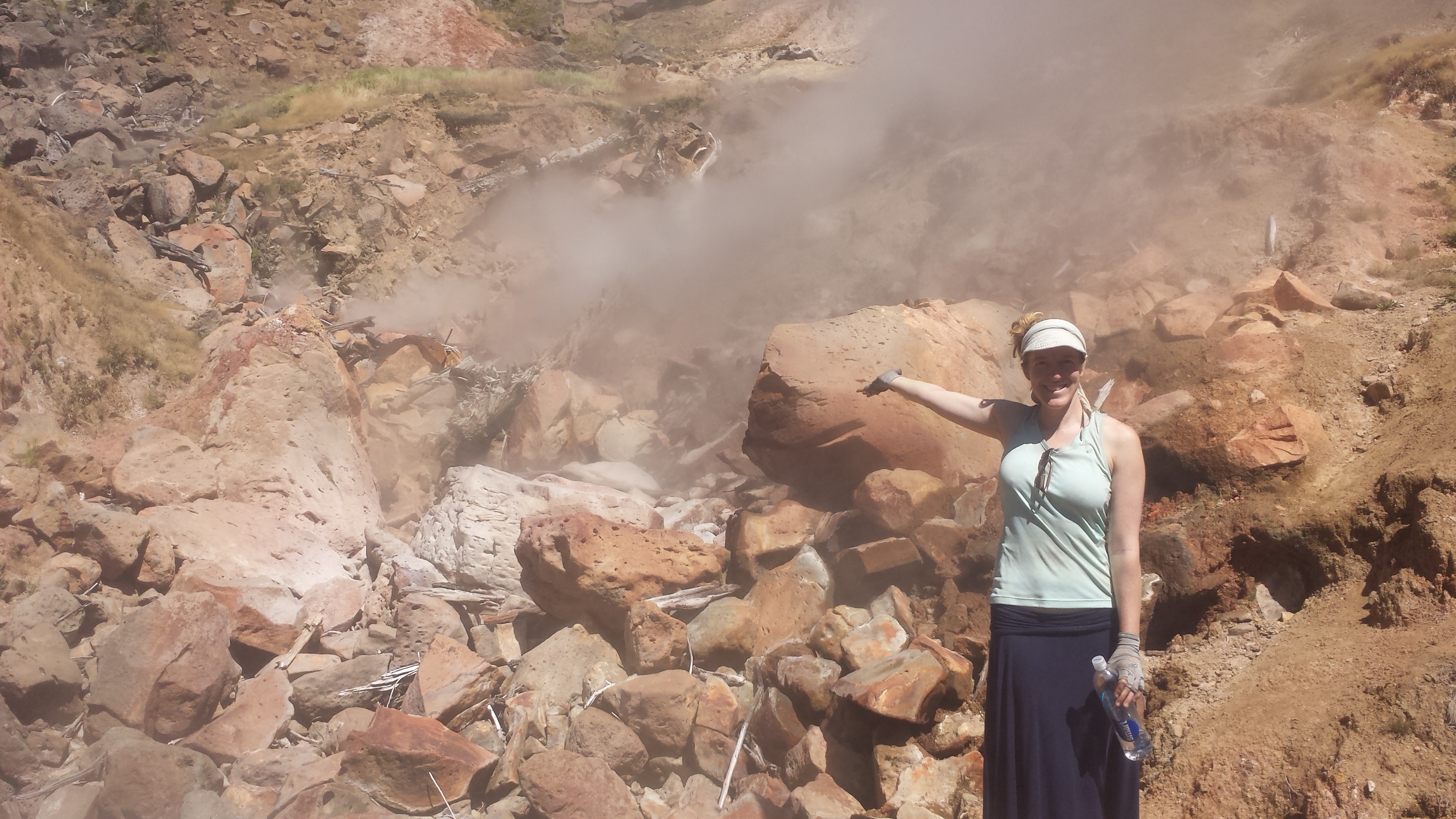
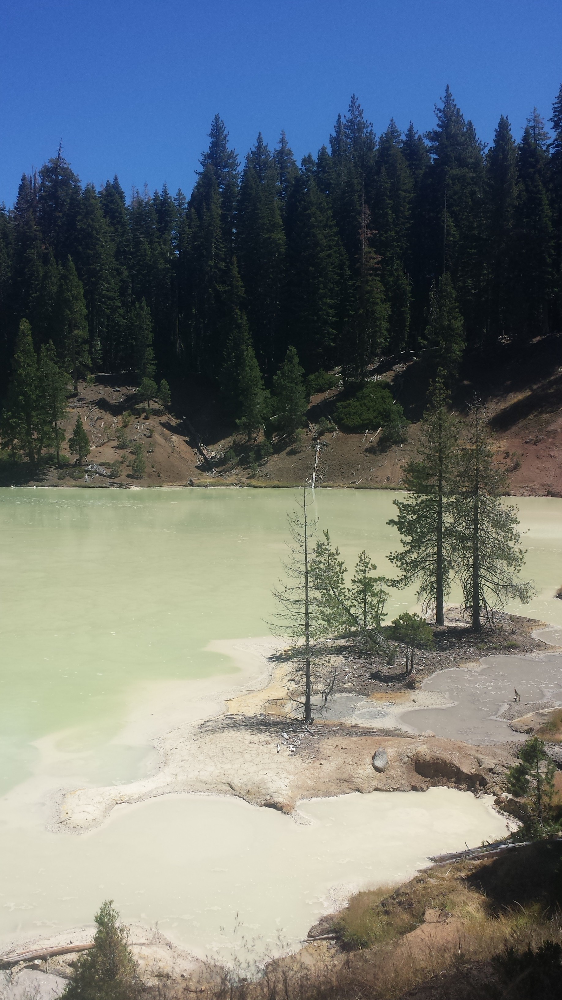
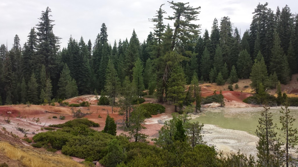
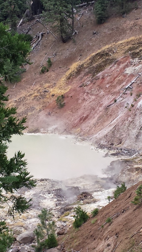
What a fantastic day! I felt like a regular tourist: sightseeing, eating in a restaurant, and lounging by a pool. We hiked ten miles to Drakesbad Guest Ranch and along the way we visited Terminal Geyser and Boiling Mud Lake. Lassen Volanic National Park has a number of sights such as these and two of them are near the PCT.

Terminal Geyser

Terminal Geyser

Terminal Geyser

Terminal Geyser

Boiling Mud Lake

Boiling Mud Lake

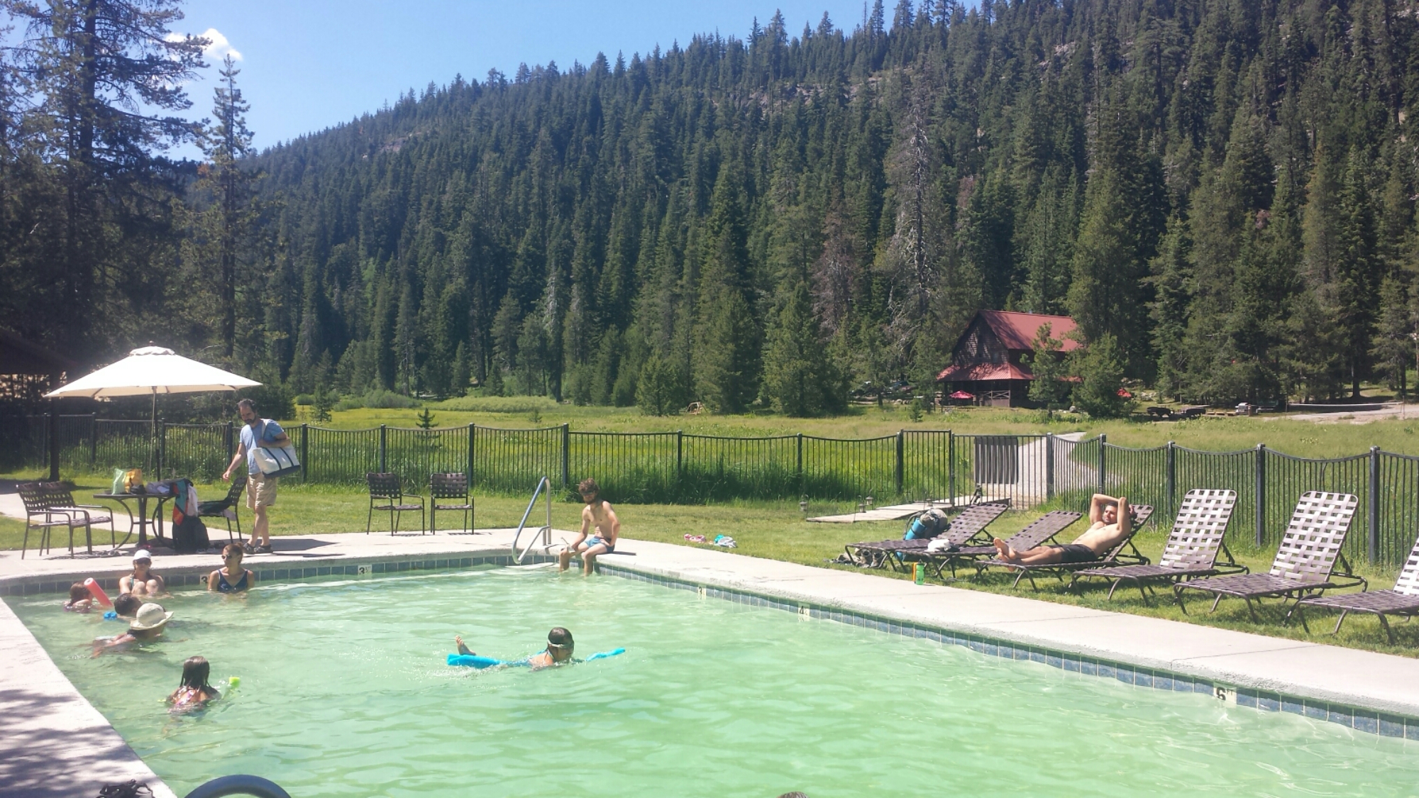
We arrived at Drakesbad just in time for lunch. They serve a buffet so we loaded up on salads, fruit, sandwiches, cookies and coffee. “I’ll be back” had two sandwiches, a plate of salad, and six oatmeal cookies all by himself. The Ranch policy is that hikers who buy a meal can also take a shower and use the hot spring pool. So, we definitely took advantage of it!

image

Drakesbad Guest Ranch

We decided to hike an additional ten miles tonight, but the bugs were absolutely monstrous for about six of those miles. Every time I stopped, they would swarm me- there was no escape. We practically ran for those six miles. I didn’t think it was possible to change my shirt while hiking with a backpack, but I did it!

image

Collecting water from Lower Twin Lake

We hiked into the evening and once we were out of the bug zone, it was lovely. The temperature was cool, the trail was soft and gentle, and the stars began to come out- we even saw the space station float by before it dipped below the horizon. We’re camping below Prospect Peak, a late-Ice Age shield volcano, surrounded by dead lodgepole pines. There’s no wind tonight, so I’m not worried about one falling on me!

image

Camping below Prospect Peak


Links

Installment No. 24- Drakesbad to Burney, June 2015

Drakesbad Guest Ranch

Lassen Volanic National Park


The Sierra Buttes, viewed from the north.


No. 22- Sierra City to Belden, 2015

loading map - please wait...

Highway 49 near Sierra City: 39.580952, -120.608940
Belden: 40.004870, -121.257648
Buck\'s Lake Lodge : 39.875768, -121.174587


June 6- 5 miles, camping below the eastern Sierra Buttes

I awoke to the sounds of a kitchen getting ready to serve breakfast: the clanking of pans and chopping of veggies. It was so comforting and, since my room was right next to the dining hall, made me want to walk out for coffee in my pj’s. I restrained myself and was fully dressed when I joined a couple of section hikers at the bar. Their names are Betsy and Anar and they just retired four weeks ago. Now they’re hiking from Tahoe to Portland and have no idea what they’re going to do next in life. I love people like that.

image

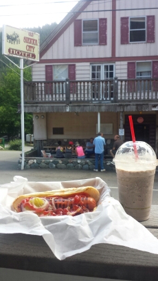
After checking out of the Red Moose Inn, I bummed around the porch of the Sierra Country Store because it had excellent Wi Fi. I uploaded my blog, checked emails, and made a couple phone calls. Every time I thought I was ready to head back to the trail, the afternoon thunderstorm would kick up and start dumping again. It went on like that all afternoon, alternating between beautiful sunlight and rain. I waited some more and ordered a hot dog and an Oreo milkshake to pass the time. I met a few other hikers, including 46 year old Free Range from Maui, 22 year old “I’ll be back” from Austria, and a very old Colonel Tom Parker who is hiking the entire trail with his Border Collie, Bob Dylan. I asked him if he had any problems with the “No Dog” policy in national parks and he just replied, “I don’t like anyone who doesn’t like dogs,” and left it at that.
image

“I’ll be back” and I left town at the same time. We hiked up part of the mountain together talking about Europe, backpacking, and family. He kept hiking when I finally dropped my pack at the only tenting space within this seven mile climb. He wanted to get closer to the top if the mountain and the spring there. At four more miles away and at 6:30 in the evening, I had no interest in joining him. I’m getting quite used to this whole stopping by 6:30 routine. I’m now lying in my tent, watching the the most beautiful cloud-scapes drift by, listening to some very light rain, and missing Artie very much.

Camping below the Sierra Buttes

Camping below the Sierra Buttes

image


June 7- 24 miles, camping near Nelson Creek

image

I didn’t plan on hiking 24 miles, but here I am, sore muscles and all. I woke up early and climbed four miles before I ran into “I’ll be back” eating ramen for breakfast. I waited for him to finish up and we ended up hiking most of the day together.

The Sierra Buttes, viewed from the north.

The Sierra Buttes, viewed from the north.

image

It was really nice to have the company, even though I can’t understand his English half the time. He’s considerate and funny and we seem to hike at about the same pace. I learned he quit school after ninth grade and became an iron worker when he was fifteen. He saved money over the next years so he could come to the US just to hike the PCT.

I stopped to take a nap around lunch time and he hiked onward. I had my first ramen of the summer for lunch today- oh, so delicious! I can’t stand Top Ramen at home, but on the trail the sodium and 380 calories of a pack of beef flavored noodles are a treat!

Little Jamison Creek

Little Jamison Creek

There was a huge section of the trail today that I had no memory of from last summer. It felt very strange and I kept checking the map to make sure I was on the correct trail. When I hiked through here last time I must’ve either been having a bad day or hiking really fast. Those are the two things that seem to cause blocks in my memory of the scenery. I made an extra effort today to look around and notice the land and views because I don’t want to miss any of it- not with the amount of effort it takes to be here!
image


PCT-CA-Section-M-18-Plumas-National-Forest

I caught up with “I’ll be back” late in the afternoon at a spring and I toyed with the idea of going further just to have someone to camp with- it’s less scarey that way. I actually prefer camping on ridges or mountain tops because I like having the sunshine and views, but there really wasn’t any good camping when we hit the last ridge of the day. My feet and knees and even my arms were crying to be done, but I totterred down to the next canyon for better camping.

PCT-CA-Section-M-20-Plumas-National-Forest


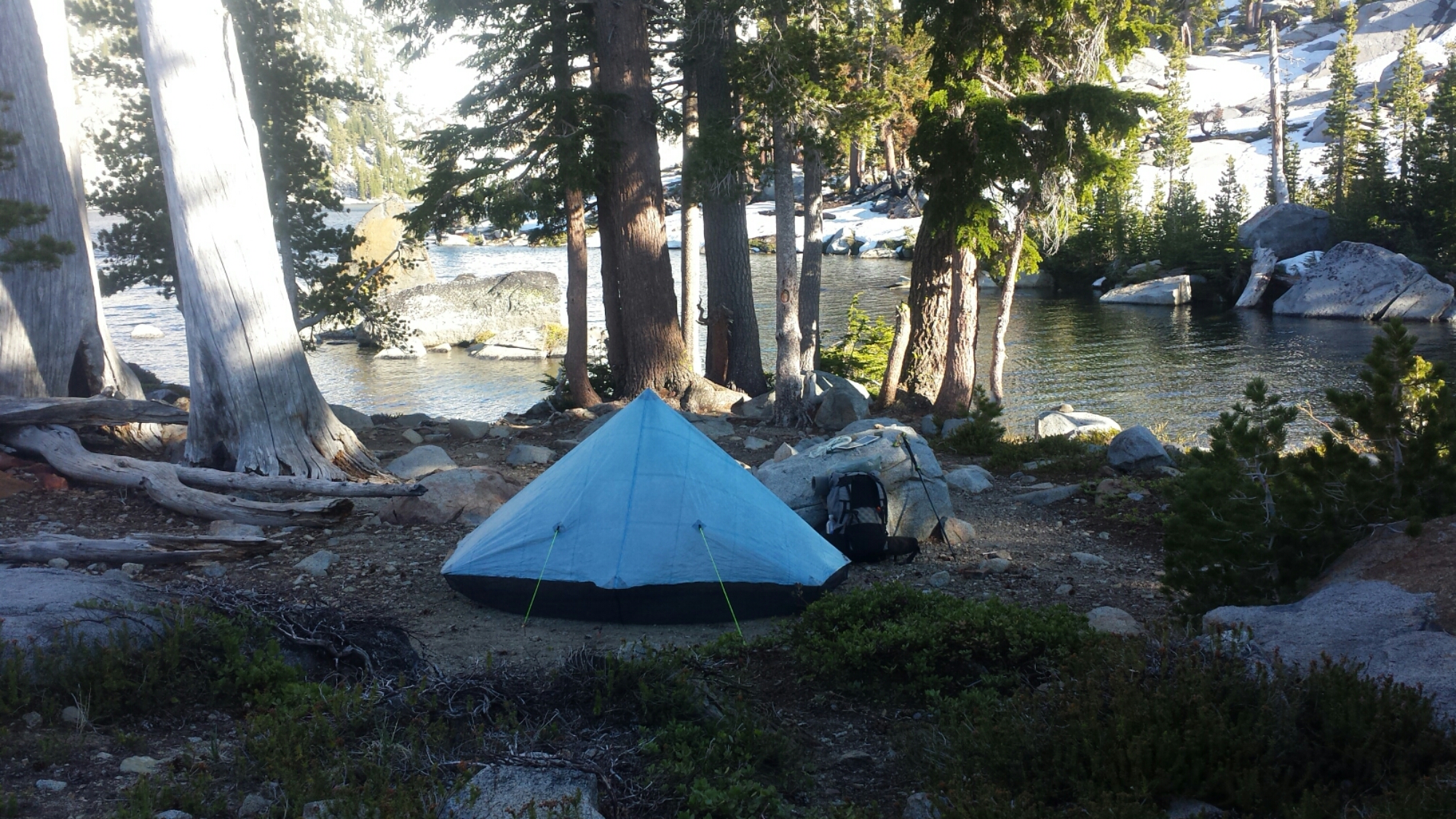
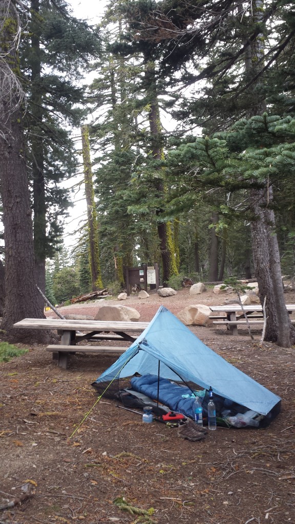
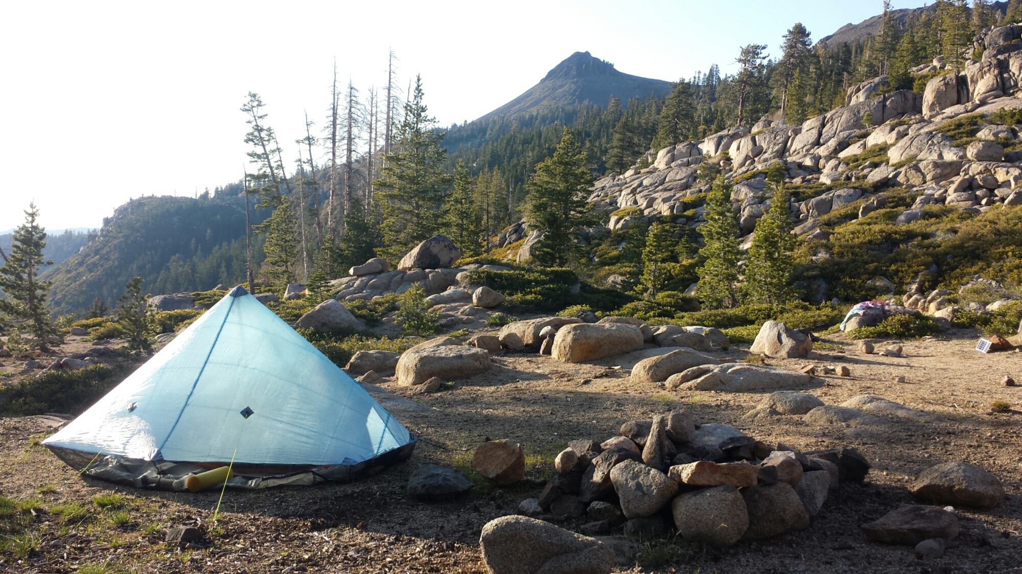
My Zpacks Hexamid Solo Tent

My Zpacks Hexamid Solo Tent

June 8- 20 miles, camping near Fowler Lake

It was up, up, up today and my feet are mad at me for hiking 24 miles yesterday. The beautiful scenes and flowers and “I’ll be back’s” company made the day really nice and took my mind off my feet.

image

The trail wound up through the mountains, passing Mount Etna and Mount Stafford, then it spit us out on a ridge, where we then stayed for the rest of the day. Etna and Stafford are both leftover plugs from a very large, ancient volcano. We saw so many different kinds of earth today, ranging from softer loooking late Paleozoic ocean sediments to newer volcanic flows that make up the majority of the dramatic-looking peaks. The ridge slowly made it’s way lower and lower and will eventually bring us to the Middle Fork Feather River tomorrow.
image

image

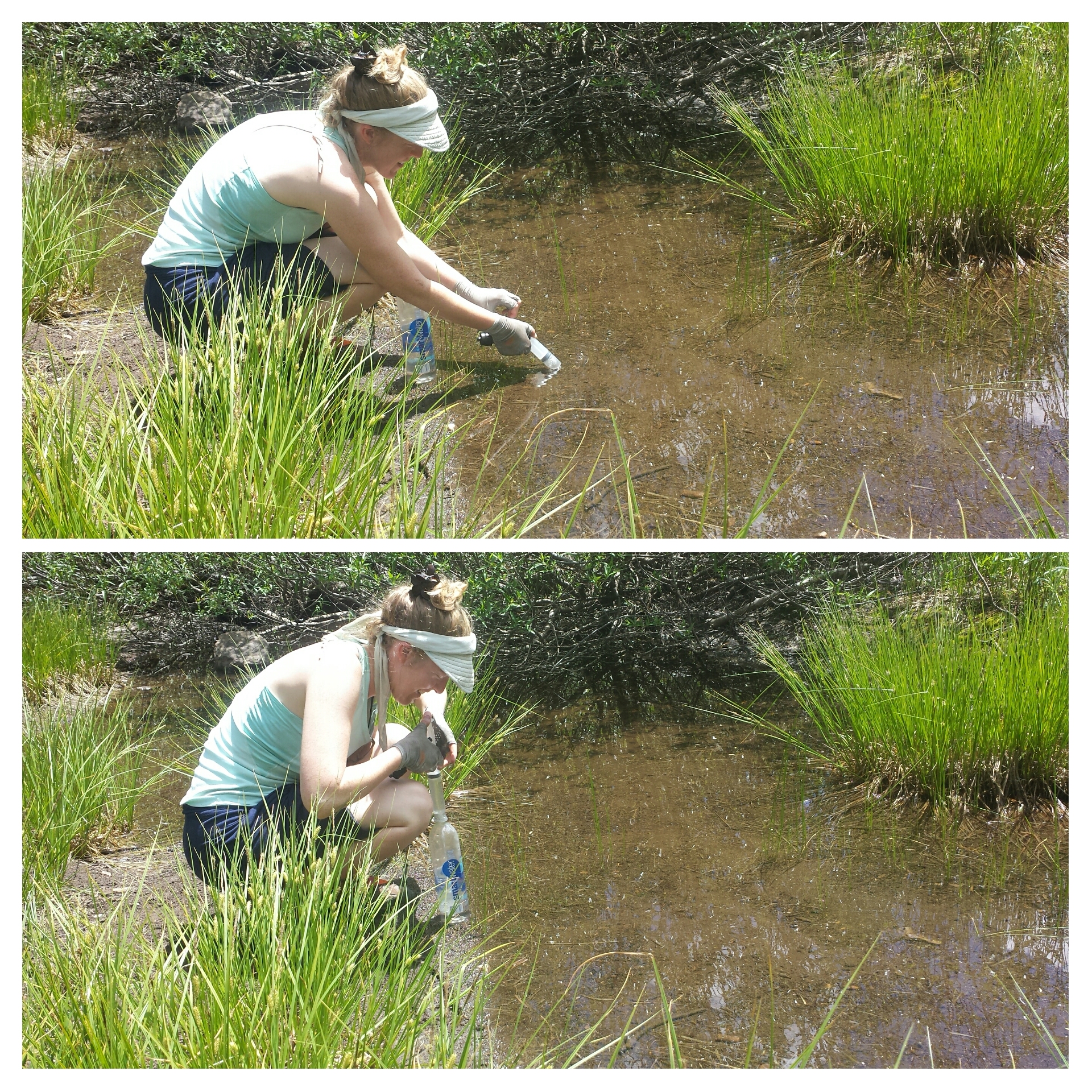
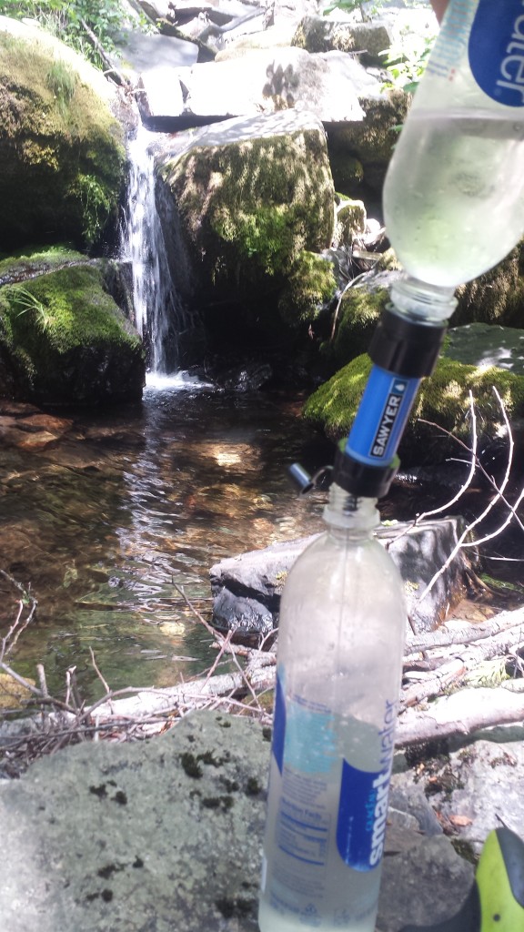
We had to come off the ridge to get water from Duck Soup Pond, which is actually as gross as it sounds. Pond water at these elevations tend to have a lot of pollen, debris, animal waste (from frogs, fish, rodents) and algae. We used the syringe from my Sawyer water filter to sick up slightly cleaner water just below the surface.

image

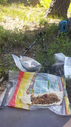
Burrito lunch

Burrito lunch


PCT-CA-Section-M-44-Plumas-National-Forest

After we stopped at the last spring, I told “I’ll be back” I didn’t think I’d hike as far as him today. My feet feel so bruised and for all my talk of never getting blisters, I think I’ve gotten one. Argh!

image


PCT-CA-Section-M-50-Plumas-National-Forest-flower

I’m now camped by a lake that I can’t even see because the vegetation is so dense. The mosquitoes are awful and there’s not a lot of light here, but I don’t feel like hiking further. I’m also going to forgo cooking a meal so I don’t create any tasty smells for animals. My dinner tonight is a jerky stick, some fruit leather and chocolate covered sunflower seeds.

Sometimes I love my tent so much- like right now. Here I am lying comfortably inside with the buzz of mosquitoes all around, and not one can get me! It also gives me a faint sense of protection from “scarey monsters.” Still, I’m shouting out a sharp “Hey!” at practically every twig snapping and strange animal sound. The funniest is when I actually shout at myself because the noise I heard was just my sleeping bag against the tent or my nose whistling.

Camping near Fowler Lake

Camping near Fowler Lake


June 9- 23 miles, staying at the Bucks Lake Lodge

With the help of my iPod and an audio book, I was able to tune out the spooky sounds and eventually fall asleep. Unfortunately, my morning didn’t start out so well. I usually keep my coffee and Carnations outside the tent while I pack up, but, because of the mosquitoes, I had it inside and managed to spill it all over my groundsheet. On the upside, none of it got on my sleeping bag or pad.

Not a good morning.

Not a good morning.

It was all downhill to the Feather River and even though it was only 9:15 when I got there, it was already plenty warm enough for a dip in the cold water.

image

Swinning hole at the Middle Fork Feather River

Swimming hole at the Middle Fork Feather River

Last time I took a dip here, I managed to get myself covered in leeches. I was careful not to let that happen again! I spent about two hours rinsing out my clothes, cleaning coffee off the groundsheet, and swimming. I made a pot of ramen as an early lunch and, yup, knocked it over, spilling all the noodles over the rocks. Noooooo! I collected up the soggy mess and buried it up the hill. It was very disappointing.

image

It was an incredibly hot eleven-mile out of the Feather River canyon. I was guzzling the water down just as quickly as I seemed to sweat it out. Every little creek or spring I passed became a cool oasis where I’d lounge for as long as I could stand the mosquitoes.

Filtering water

Filtering water


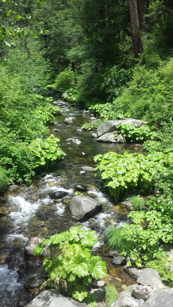
Bear Creek

Bear Creek


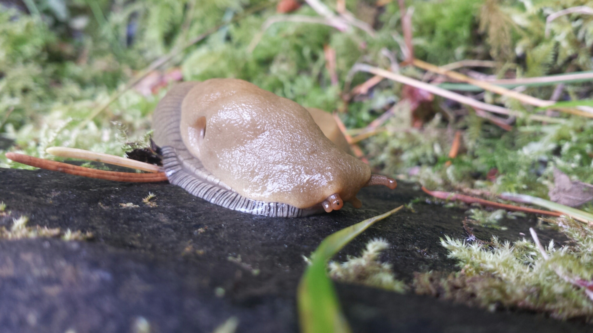
Banana Slug

Banana Slug

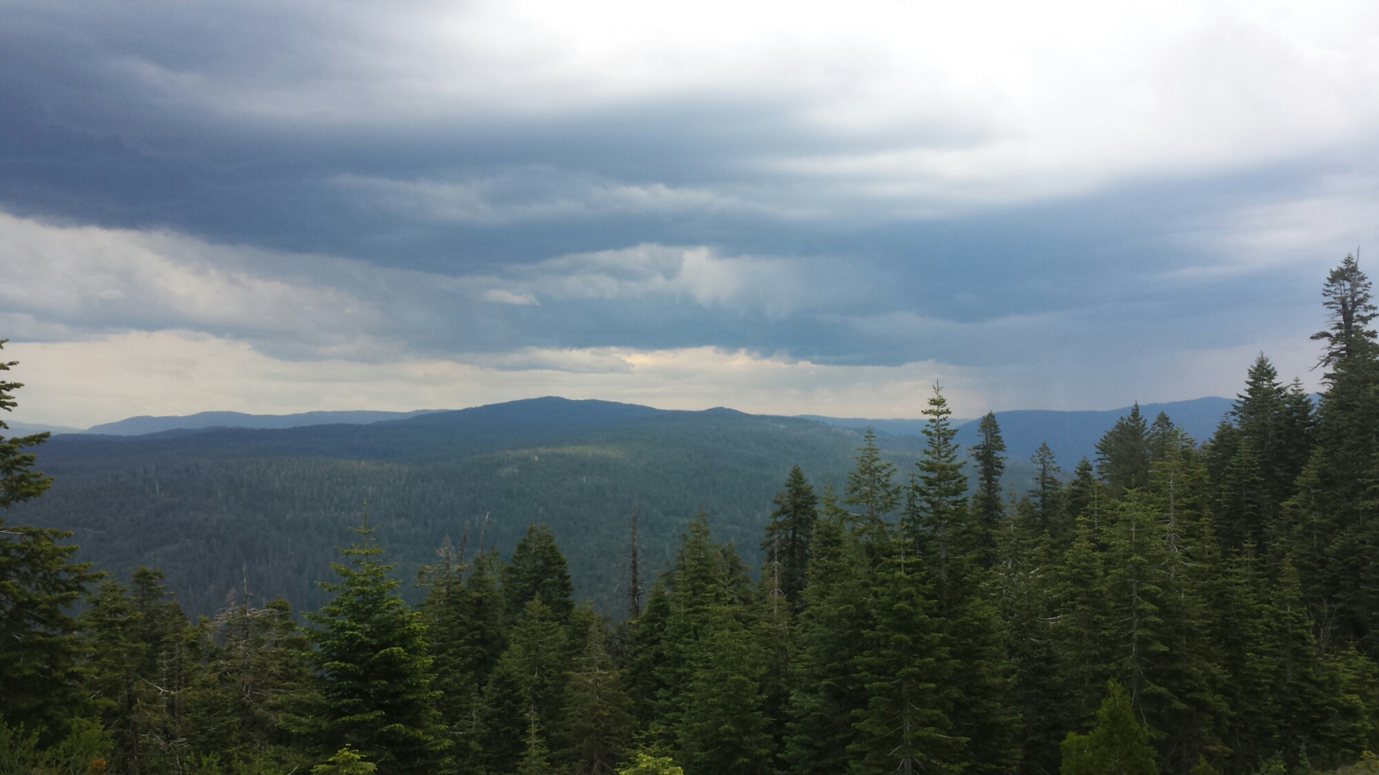
It took me four hours to climb, climb, climb to the top of the ridge. I was getting so sick of climbing and seeing nothing but trees that I began fantasizing about the views on top and the flat trail I’d soon be reaching. As soon as I crested the ridge, though, a storm with some pretty vicious sounding thunder claps was rolling in. It was beautiful to watch, but once the lightning started I had to hustle off the ridge.

Thunderclouds

Thunderclouds

I had planned to camp right on the ridge near Lookout Rock, but the lightning motivated me to hike onward to lower ground. By that point, I was so close to Big Creek Road that I figured I might as well try and make it into Buck’s Lake and get a room at the Lodge. I sat by the side of the road for about an hour and neither of the two cars that passed picked me up. I called the lodge and the manager sent a truck out to pick me up. Whoohoo! Thank you, Rebecca of Buck’s Lake!


June 10- 19 miles, staying in Belden

Rebecca of Bucks Lake Lodge

Rebecca of Bucks Lake Lodge

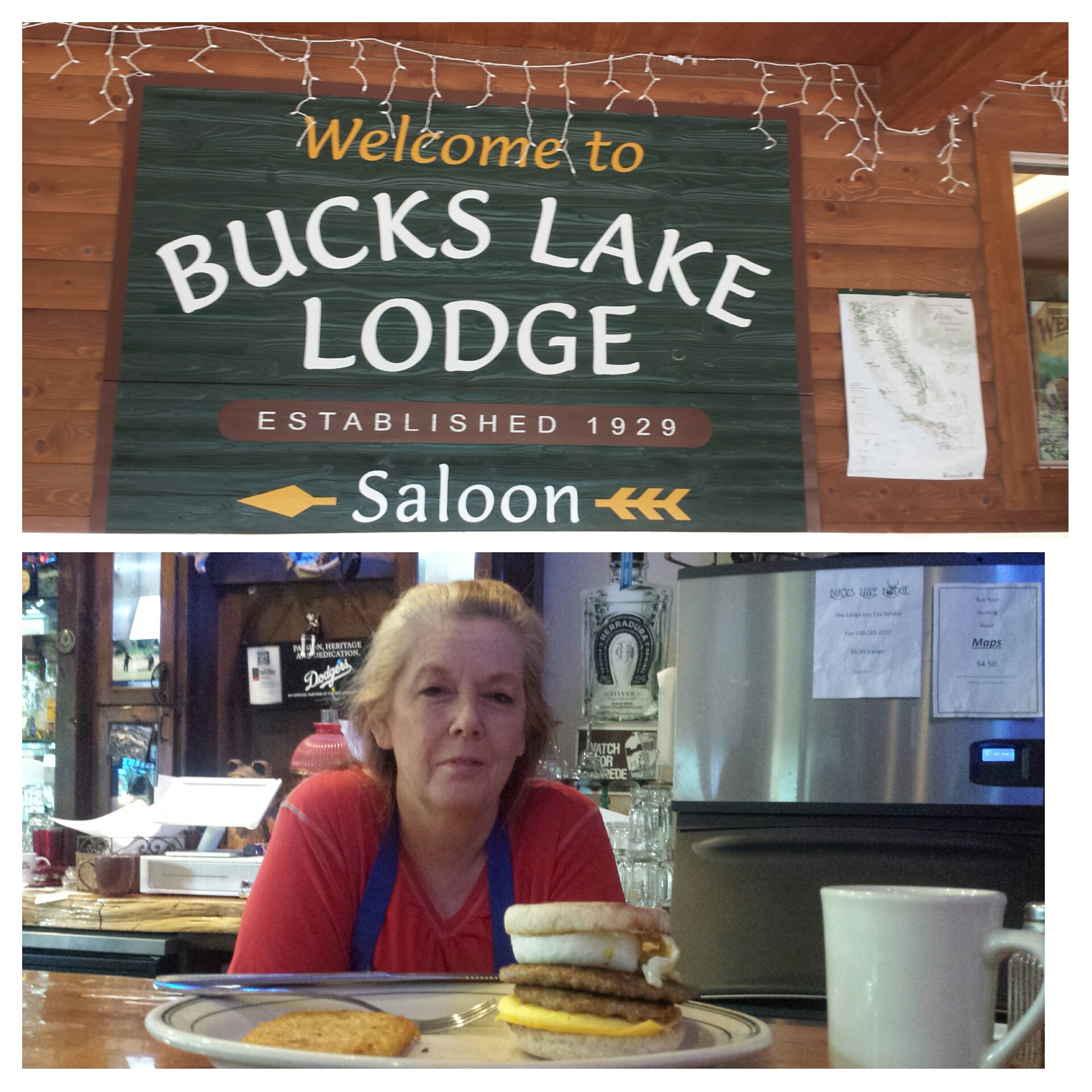
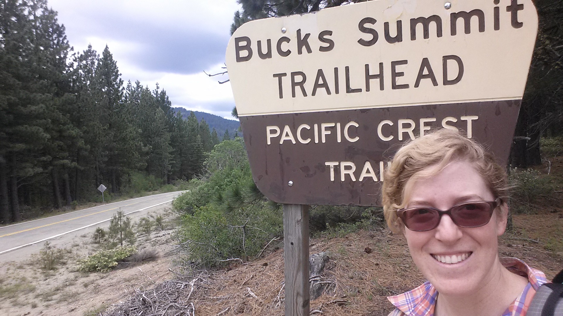
Rather than get up at the crack of dawn, I opted to sleep in until 8 AM and then have breakfast at the lodge. My feet had been so sore last night that I really needed to take it easier. Rebecca made me a fantastic double egg, double pattie breakfast sandwich then drove me to the Buck’s Summit Trailhead.

wpid-pct-section-m-72-bucks-lake-wilderness.jpg


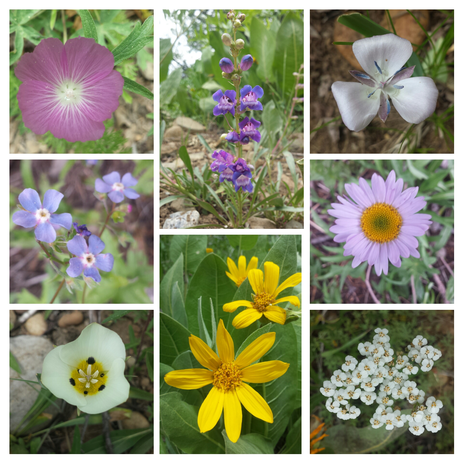
Since it was less than twenty miles to Belden, I decided to just go the entire way. This made the day feel like a simple day hike and just a beautiful walk in the woods. Wildflowers were blooming all around that I stopped every few feet to snap a picture of a different bloom!

Wildflowers of Bucks Wilderness

Wildflowers of Bucks Wilderness

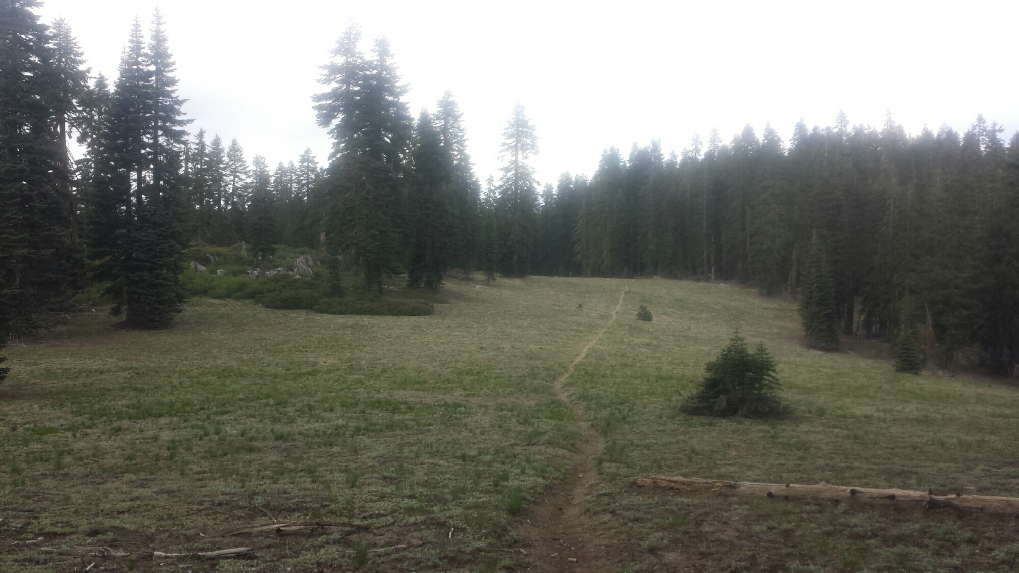
It was truly so beautiful today. With the trail scraping up into the clouds, the temperature was cool and the views were other wordly. It was a stark contrast to the heat I experienced here last summer.

image

image


PCT-CA-Section-M-99-Bucks-Lake-Wilderness-lake


image

The descent to Belden took me down 5,000 feet. It’s got to be the hardest descent on the entire trail, not even Mt. Whitney feels this steep and monotonous. There were so many switchbacks that I had to start counting them to keep my sanity. I would shout the switchback number out loud when I came to it, trying to coach myself on. Although, I think I probably sounded more like the Count from Sesame Street: “Ten! Ten Switchbacks! Ha, ha, ha!”

image

I made it into Belden in time to catch dinner at the resort restaurant and then call the local trail angel for a pick-up. Brenda Braatan hosts hundreds of hikers every year. She and her husband built an addition on their house just for the hikers to stay in. She has a one-night-only policy, so I’ll be heading back to the resort for a rest day tomorrow and camp on the their property beside the river. After a zero day, bright and early, I’ll start the 5,000 foot climb into Section N. At least on this side of the Belden canyon, the trail will climb straight back into the mountain canyon and have no maddening switchbacks!


Links

Installment No. 23- Belden to Drakesbad, 2015
Bucks Lake Lodge

Installment No. 21 of My PCT Journey

No. 21- Echo Lake to Sierra City, 2015

loading map - please wait...

Peter Grubb Hut: 39.367885, -120.367525
Benson Hut: 48.216038, 16.378984
Echo Lake: 38.833796, -120.041573
Sierra City: 39.566488, -120.634069
Donner Pass: 39.316968, -120.325656
Claire Tappaan Lodge : 39.317959, -120.350900

May 31- 13.5 miles, camping at Dick’s Lake

After a long drive to South Lake Tahoe and a ferry ride across Echo Lake, I was once again standing in a familiar spot with my backpack. Art had to say a quick goodbye because the ferry was waiting to return, but it felt too quick. I had been nervous about starting this hike since last night and I really wanted a long hug.

5-PCT-CA-Section-K-Desolation-Wilderness-1

image

Lake Aloha

Throughout the day, I found myself comparing my speed to how fast I hiked last year. When I came through here in 2014, my feet were killing me, I was exhausted, and I’m pretty sure I was also PMSing. Today, I knew that I was walking slowly, but I felt so much stronger. The reason I had such a difficult time here before was because I had already been on the trail for 450 miles. I’m anticipating having that same struggle this year after the same distance, somewhere near Etna or Seiad Valley.

image

13-PCT-CA-Section-K-Desolation-Wilderness-9

I saw numerous day hikers and overnight hikers off and on and met one PCT hiker named Beavers going southbound. He was actually a northbound hiker, but was hiking the section from Sierra City to Lone Pine southbound in the hopes the snow levels in the High Sierras would be more manageable when he reached them. With the drought this year, a lot of hikers have hit the Sierras early and didn’t expect as much snow as there actually is; now they’re either plugging through it or flip-flopping around it.

View towards Pyramid Peak and Susie Lake

View towards Pyramid Peak and Susie Lake

Fun Fact: 13,000 years ago, the valleys of Desolation Wilderness were carved out by great glaciers, pushing out all the top soil and leaving only the hard rock beneath. That’s why the trees and vegetation are so sparse and hence the name of this wilderness!

Dick's Pass, looking toward Dick's Peak

Dick’s Pass, looking toward Dick’s Peak

Dick's Pass, elevation: 9,400 ft

Dick’s Pass, elevation: 9,400 ft

The weather and the scenery was so beautiful and it was delightful to see differences from last summer. There is still quite a bit of snow, particularly on the north side of Dick’s Pass.

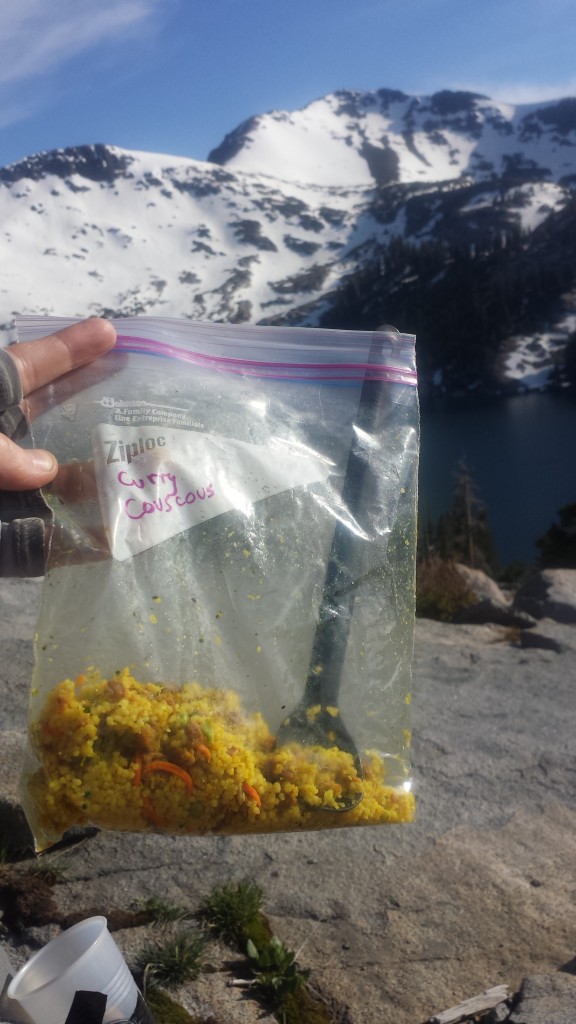
Couscous Dinner above Dick's Lake

Couscous Dinner above Dick’s Lake

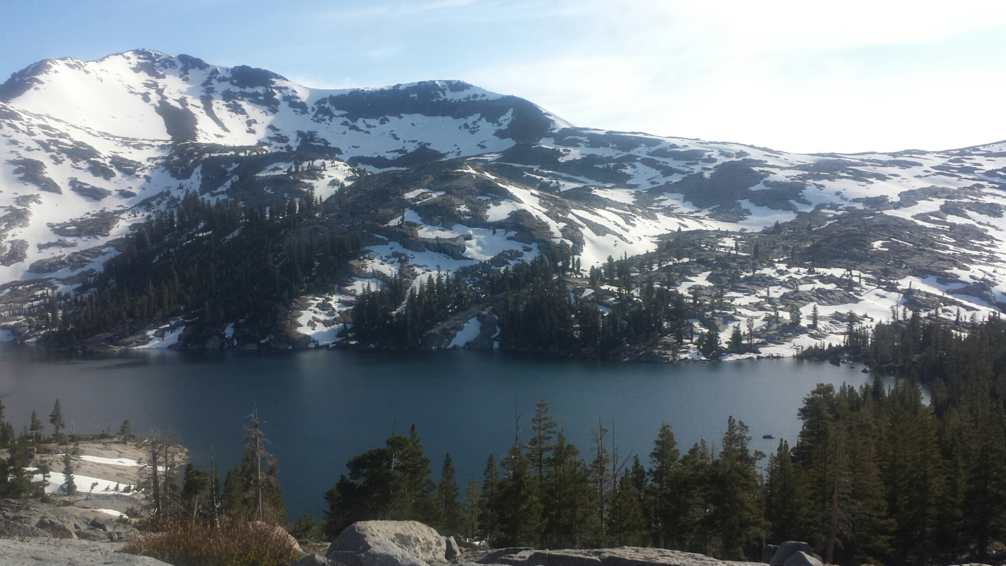
Dick's Lake

Dick’s Lake

I’m camping at Dick’s Lake, just below the pass and the there are a number of other overnight hikers here. It’s actually a bit crowded. I’ve found a spot next to a kid named Jacob from North Carolina. We chatted a bit and he gave me some extra bottled water so I didn’t have to filter from the lake. The wind really kicked up and I was hoping it would die down after the sun set. It’s blowing so hard that it’s whipping through my tent, kicking the sand in and blowing my guidebook pages out and straight into the lake! Jacob tried to help me grab them all, but one, unfortunately, has been lost to Dick’s Lake. Wind 1. Katie 0.

Camping at Dick's Lake

Camping at Dick’s Lake

The wind is screaming outside my little tent and I’m having trouble writing this because I have to keep stabilizing my pole so the tent doesn’t collapse. I haven’t experienced wind like this since the Tehachapi Mountains above Mojave. Really, PCT?? You couldn’t wait at least a couple of nights before throwing me something like this?! I think this is going to be a really long night.

June 1- 17.5 miles, camping at Barker Pass

Last night my tent fell down twice, I had to get out and restaked it three times, and the sand blew right through my tent netting getting all over my gear and face. At 1 AM, I seriously considered just packing up for a new site, but didn’t want to deal with putting everything back in my pack. By the morning, only three stakes were still anchored and my tent was practically blowing away. As soon as it was light out, I packed up and found a protected spot to eat breakfast and have some coffee. Wind 2. Katie 0.

image

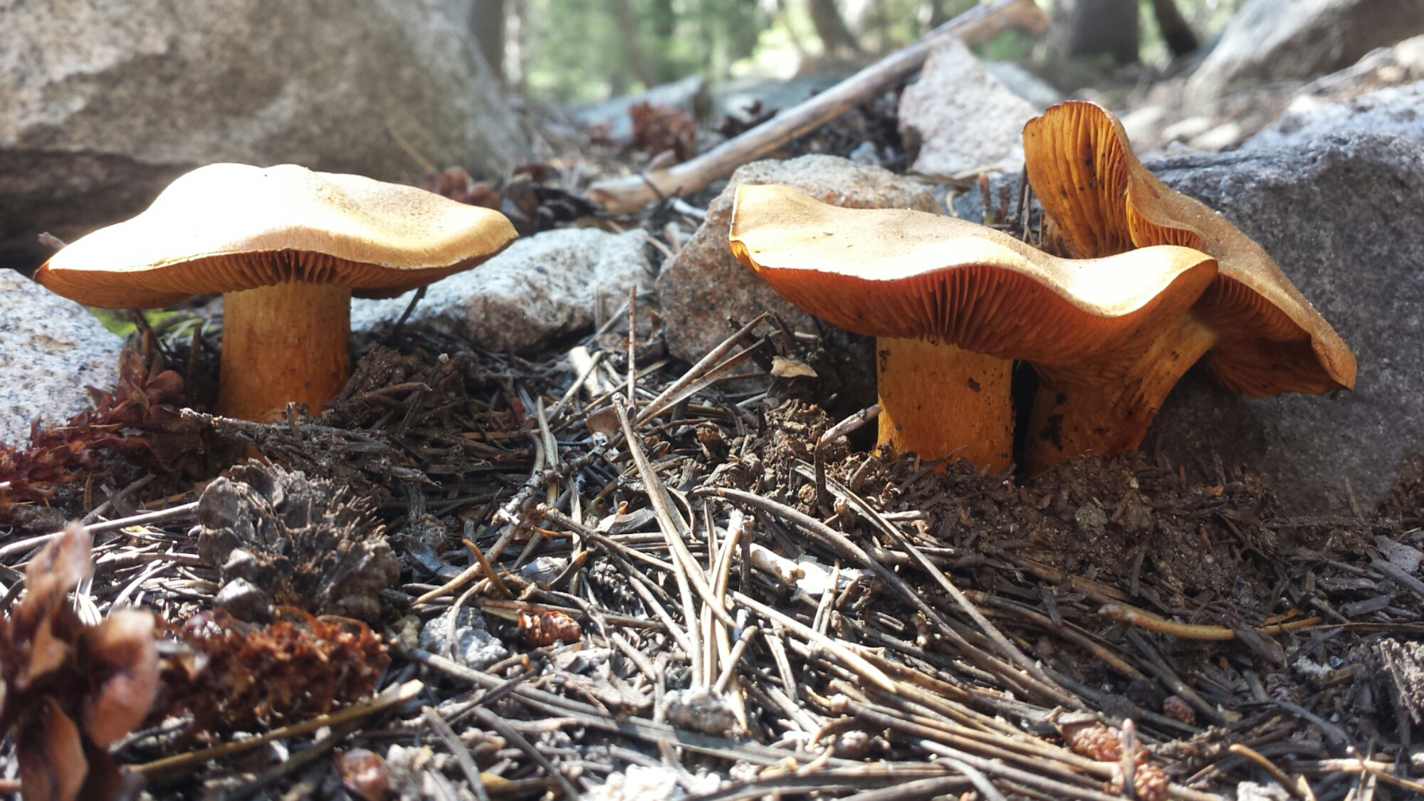
I had a lot of ups and downs today. The majority of my day was spent walking through dense forest with a flooded trail and downed trees. The “tunnel of trees” trail days, as I call them, are difficult for me mentally. Throw in some achy body parts and I start wondering if I made the right decision coming out here. Soon after these demoralizing thoughts, though, I’ll see some adorable mushrooms, a waterfall, or another hiker and I’m right back on track.

image

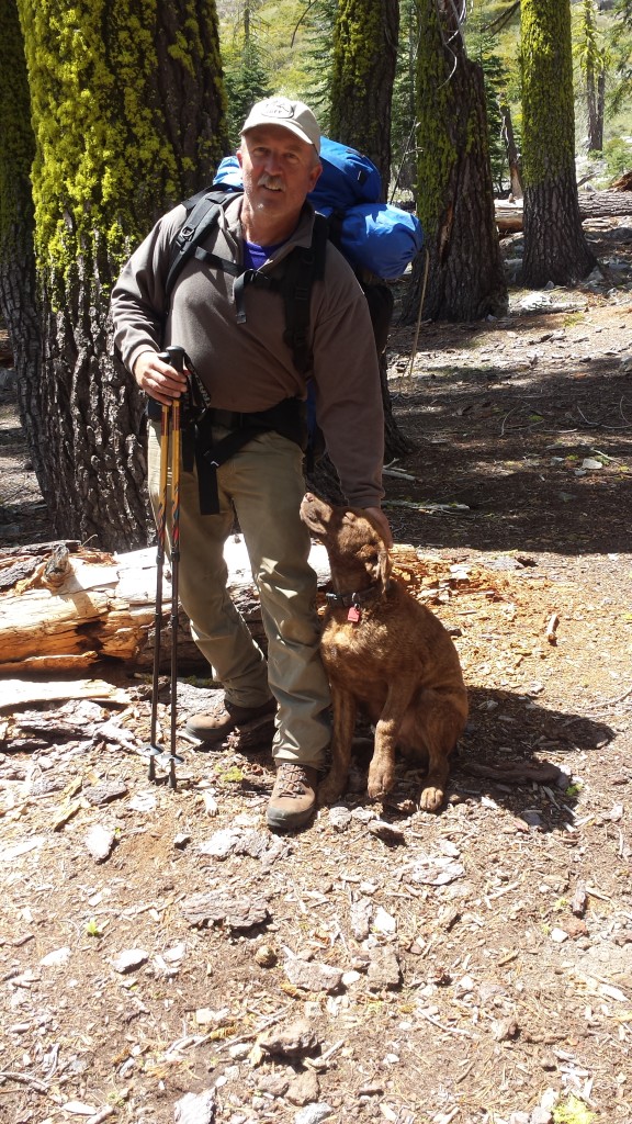
I must’ve seen about 10 southbound PCT hikers and I’ve been leapfrogging all day with a section hiker named, Jim. He and his dog, Bochi, are hiking from Highway 50 to Donner Pass. We chatted by a lake while we were both taking lunch breaks and his dog completely stole my heart. I told him I was worried I might be hiking slower than I’d planned and that I might run low on food. He was all too happy to hand over one of his freeze dried meals because he was carrying too much weight- his pack was 80 lbs!!

My Dirty Girl Gaiter twin!

My Dirty Girl Gaiter twin!

Jim and Bochi

Jim and Bochi

image

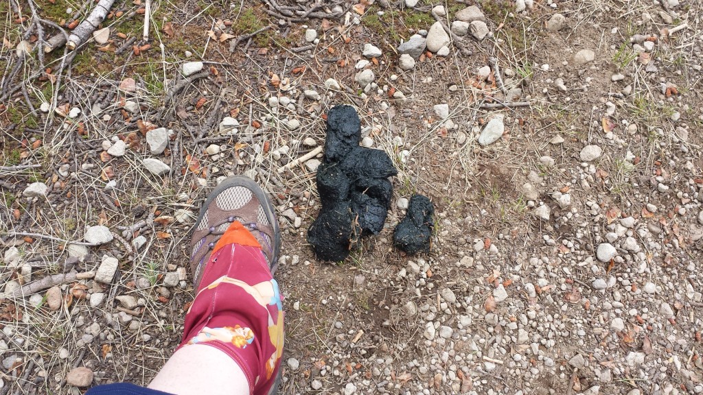
Something I’m trying to do differently this time is not cook and eat where I camp. The smells are just so tempting for bears and there seem to be a lot in this area. There’ve been bear signs along the trail all day long and just as I was thinking I should stop to eat soon, I came across a very fresh pile of scat- steamy fresh! I didn’t see the bear, but I’m going to be careful about my food!

Bear scat

Bear scat

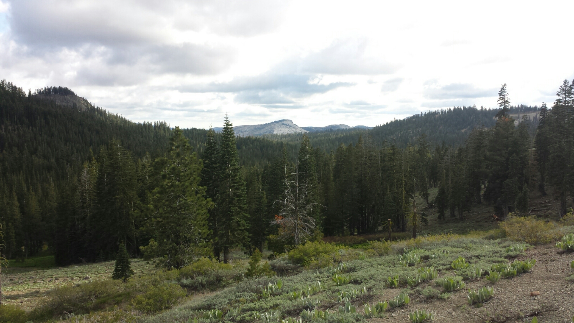
View from Barker Pass

View from Barker Pass

I’ve made it the 17.5 miles that I’d hoped to do today and am camping at Barker Pass. The picnic tables and outhouse made the goal even sweeter! Jim and Bochi are camped nearby. It’s gonna be another cold and windy night and it looks like it may rain, too. If it’s as bad as last night, I swear I’m going to sleep in the picnic area privy!

Camping at Barker Pass

Camping at Barker Pass

June 2- 18.5 miles, camping below Anderson Peak

Good morning!

Good morning!

I was awoken with a friendly face this morning as Bochi the pup tried to join me in my sleeping bag. He managed to pee on my sandals, which was no big deal and pretty funny. The weather turned out to be beautiful last night and, after getting some much needed rest, I felt good about hiking over eighteen miles for today.

image

image

After saying goodbye to Jim and Bochi, I didn’t see a single soul all day. I didn’t feel lonely or scared because it just felt so good to be out here. Despite some windy patches, the weather was really nice and the trail didn’t throw me any curve balls.

View of Lake Tahoe

View of Lake Tahoe

Looking towards Anderson Peak and Tinker Knob

Looking towards Anderson Peak and Tinker Knob

All day long, I wound along ridges with breathtaking views around me. At lunchtime, I stopped for an hour at a creek to wash my legs, filter water, and charge my phone. I wanted to take a nap, too, but felt like I needed to get moving. I still had seven and a half miles to go to reach the campsite I was aiming for tonight. I popped an asprin and a caffeine tablet and tackled the three-mile climb ahead of me.

image

image

Tinker Knob

Tinker Knob

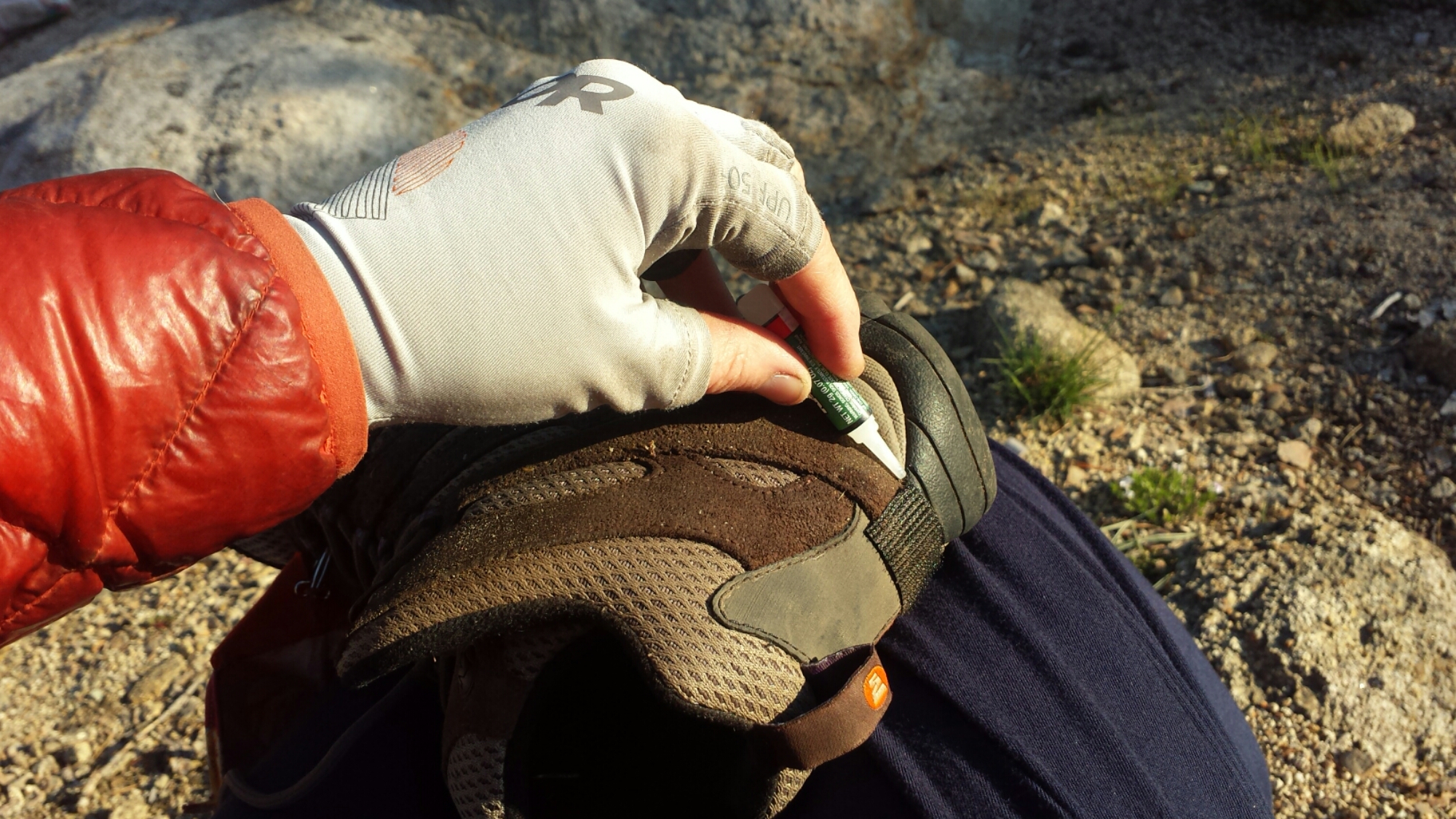
It paid off. With plenty of daylight to spare, I reached my camp next to the headwaters of the Middle Fork American River and just below the climb to Anderson Peak. It feels so nice to have a couple of hours of daylight to muck about before going to sleep. I was able to dry out my shirts, repair the velcro on my shoes for my gaiters, fix one of my guy lines, filter all my water, and sort my food for the next three days. There’s nothing like that feeling of being productive to put the cherry on top of my day!

Camping below Tinker Knob

Camping below Tinker Knob

Fixing my gaiter velcro

Fixing my gaiter velcro

Today, more than before, I found myself walking in spirit with many of the hikers I met last year on the trail. Things I saw and places I past reminded me of sharing some great experiences with those friends. Tonight I raise a toast of hot cocoa to those hikers: Duchess, Booey, Crusher, Sugar Pine and Lingo, Knockout and Liverpool, Beav, Smokes, Lorax and T-fox, Glitter, Red Light, Butters and Just So Fresh- the list could go on (don’t you love hiker names?). Thank you, kids, for making last summer so memorable!

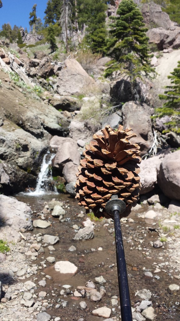
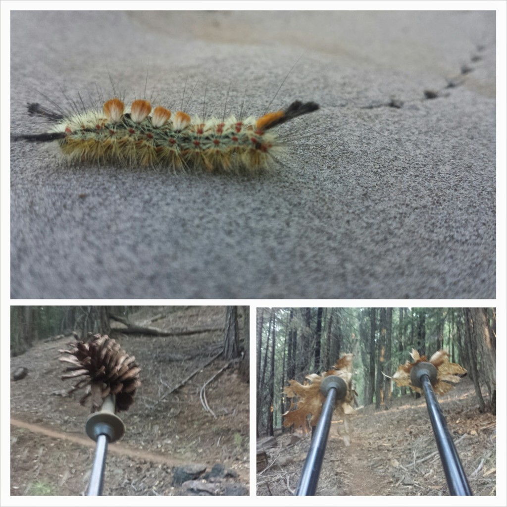
Playing pine cone games & thinking of Butters

Playing pine cone games & thinking of Butters

image

June 3- 13.5 miles, staying at the Claire Tappaan Lodge

What a roller coaster today has been! I went from feeling really great, to not; then to being angry and frustrated, to resigned and even delighted.

image

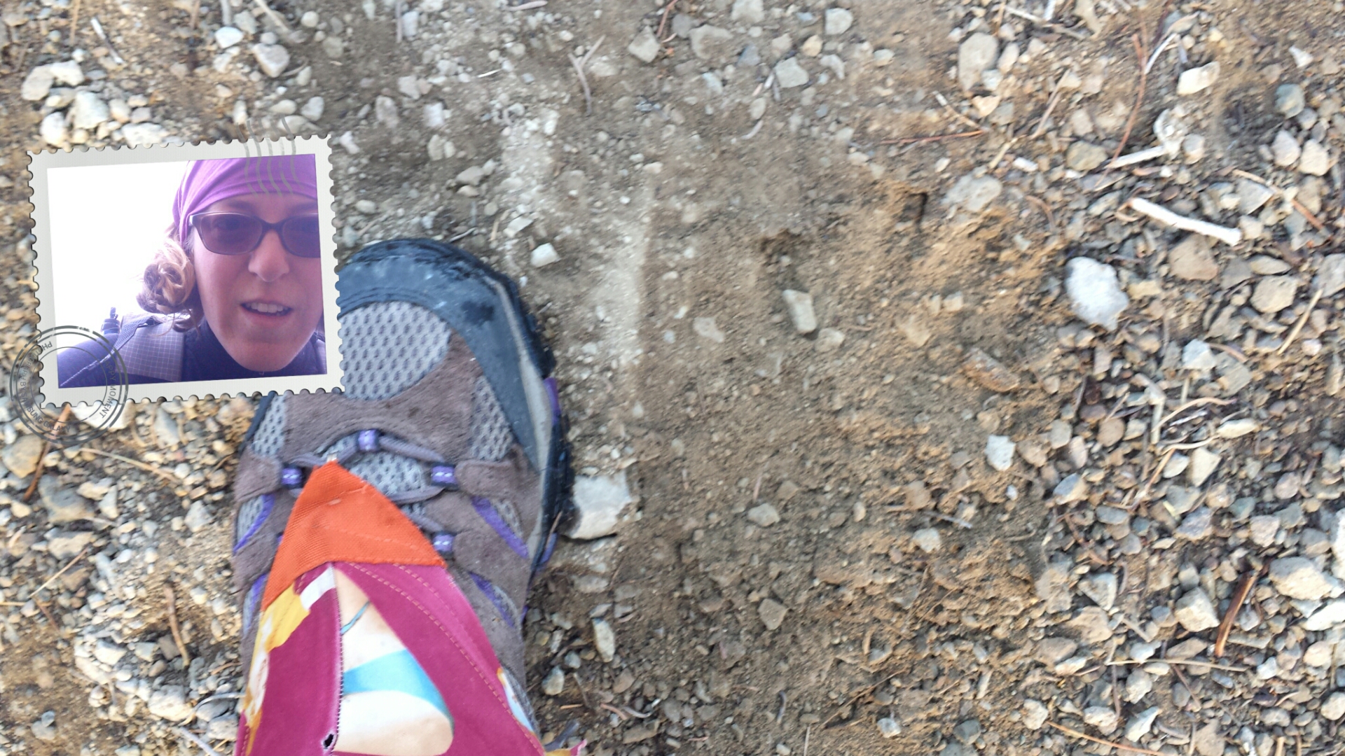
I was up early because it was especially cold this morning. When it’s that chilly, sometimes the only thing to do to get warm is hike. So, hike I did! I was lucky enough to see a couple of bears on my mile and a half climb to Tinker Knob. One was a medium sized black bear and the other was a massive, brown bear. I couldn’t believe how big he was- almost the size of a small car! He was probably 700 lbs. I clacked my poles together and shouted “Hey, bears!” They turned and ran right off the trail and down into the trees.

Bear print!

Bear print!

By 8 AM I had already climbed to the top of the ridge and felt great. The views were not only spectacular, but also new for me. The last time I walked the ridge was in a rain storm and could only see ten feet in front of my face. I had no idea what I’d missed out on. Today I could see as far as the Sierra Buttes above Sierra City towering sharply on the horizon.

Looking towards Castle Peak from Anderson Peak

Looking towards Castle Peak from Anderson Peak

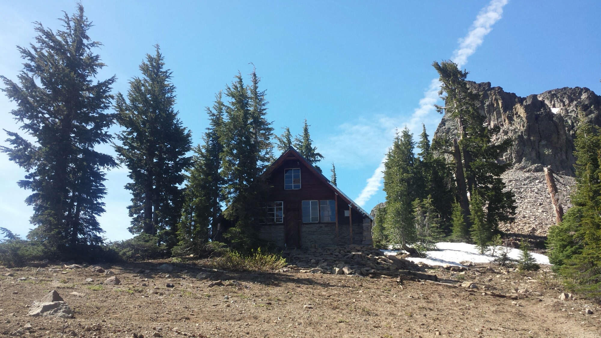
I stopped at the Sierra Club Benson Hut, just to check it out and use the outhouse. Somehow, it didn’t seem as awesome as last summer when I took shelter in it during the storm. It needs some TLC.

The Sierra Club Benson Hut

The Sierra Club Benson Hut

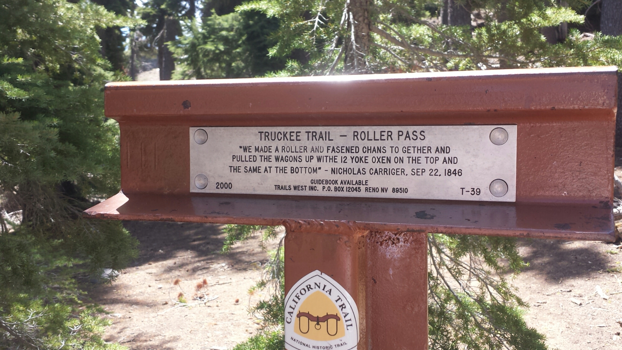
The trail goes right through Roller Pass, which is where pioneers hauled wagons up from the meadow and over the cliff using oxen. One of the things I love about being on the trail is that it takes you through so many historical sites and really brings to life, for me, what the early settlers must have experienced. I’m always impressed by the guts of any pioneer or immigrant to put it all on the line and seek something better than what they were born into. I’d like to think that I may have inherited some of that brazen sense of adventure from my own pioneer ancestors.

Roller Pass

Roller Pass

image

Coming down toward Donner Pass became more and more difficult. I was tired and my feet were feeling really bruised from the rocky trail. By the time I reached the Donner Pass rest area at Interstate 80, I was itching to be done with my day. Unfortunately, multiple day hikers had told me bad weather is coming in and it seemed to be getting started already. The clouds were heavy, the temperature had dropped and I couldn’t decide if I should keep hiking or get a room somewhere.

Donner Pass

Donner Pass

Just four miles up the trail was the Peter Grub Sierra Club Hut that I knew I could stay in for the night. Unfortunately, my batteries were all running low and I couldn’t get any info on how bad these storms might be. I didn’t particularly want to get out there, run out of juice on my phone with no sunshine to recharge it and also risk getting stuck in my tent all day because of a really bad storm. If I couldn’t hike because of weather, I’d rather stay in town than in my tent.

I pulled out my guidebook and called the number of a local Sierra Club Lodge. They picked me right up and got me to the lodge in time for dinner with the other guests. It’s a great little gem and as frustrated as I got trying to make up my mind about coming here, I’m glad I did! For $70, you get a teeny bunk room, dinner, breakfast, a bagged lunch, free laundry, free Wi Fi, and use of the private hot tub. Plus ,by staying here you help support the Sierra Club and keep the lodge open for future use.

The Sierra Club Claire Tappan Lodge

The Sierra Club Claire Tappan Lodge

A bunkroom at the Claire Tappaan Lodge

A bunkroom at the Claire Tappaan Lodge

At dinner, I met Ed and Meredith, a couple of engineers from New Jersey. They’re in California for Ed to participate a fundraising bike ride of 100-miles! They were really fun to talk with, both of them being intelligent, active and lighthearted.

I was determined to not get stuck for another night in Soda Springs, so I came up with some game plans to hike through the storms. The weather report showed the storms hitting for only a couple hours in the afternoon for the next couple of days and that the wind wouldn’t be above ten miles an hour. Done! If the wind isn’t gusting, I can handle everything else: rain, hail, snow, thunder and lightening. I studied the map and figured I could hike from valley to valley, keeping an eye on the weather and staying off the ridges if it looked dangerous. I picked a couple of tent sites that looked protected in case I really needed to hunker down.

Now I need to charge my phone and get some sleep.

June 4- 17.5 miles, camping on a ridge near mile 1178.5

After breakfast burritos and coffee and waiting for my skirt to dry in the drier, Ed and Meredith drove me out to a trailhead that connected me to the PCT. They hiked with me as far as the Peter Grub Sierra Club Hut and it was great to have their company. They were really delightful to be around and Meredith even carried my pack for most of it, just to see what it felt like! With service like that they should be charging money!

Meredith carrying my pack

Meredith carrying my pack

Peter Grub Sierra Club Hut

Peter Grub Sierra Club Hut

Not long after Meredith and Ed said goodbye, the thunder started to roll in. I was able to hike for awhile in the light rain, but when it started coming down harder, I had to stop and put all my rain gear on. The rain turned to hail and bit sharply on my bare hands, but I was still having a good time! Having the proper gear and no wind makes all the difference in situations like this.

 Storm clouds near Donner Pass

Storm clouds near Donner Pass

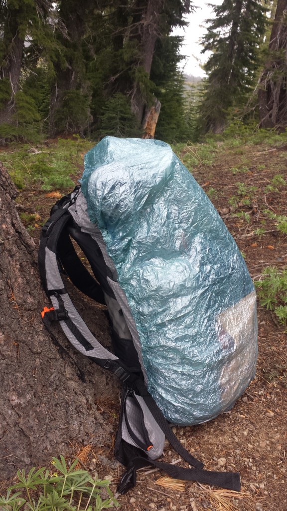
Ultralight ZPacks pack cover

Ultralight ZPacks pack cover

Tom's Valley

Tom’s Valley

It was beautiful watching the clouds roll through, twisting around each other in shades of greys and dark blues. I actually really enjoy hiking in weather like this because it’s so different from the usual hiking day and beautiful to watch.

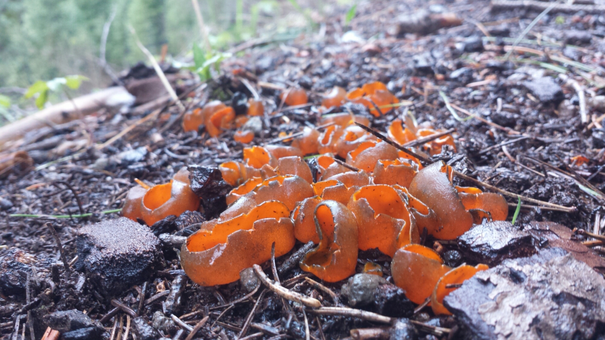
Fungus

Fungus

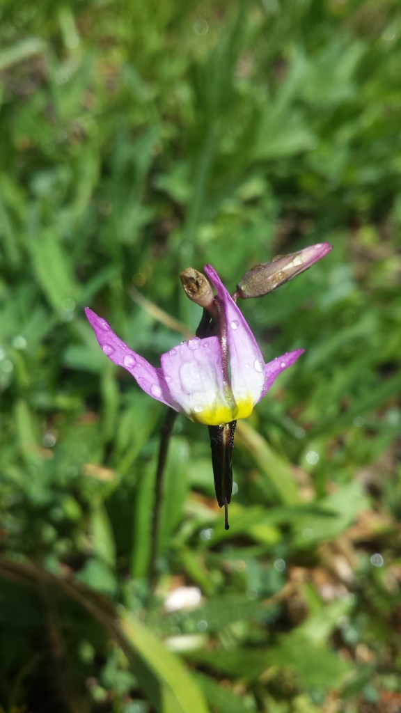
An orchid

An orchid

Looking towards the Sierra Buttes

Looking towards the Sierra Buttes

Around 6 PM, I stopped to make camp because I was feeling sore and the mileage would work out nicely getting into Sierra City in two days. I’m still trying to shake the mentality that I need to hike at least twenty miles each day. Eventually, I will, but not for this first week. Plus, I love having so much daylight left when I get to camp.

image

As I lay in my tent eating a dinner of jerky, a protein bar, fruit leather and hot cocoa, a light rain began spattering my tent. I looked out and saw a perfect rainbow arching just above me. I’m not superstitious, but rainbows always seem like a good omen.

Rainbow!

Rainbow!

June 5- 19.5 miles, staying at the Red Moose Inn

I woke up to a chilly morning breeze and a very wet tent. It must’ve rained more during the night and I tried my best to dry the tent off with my nano towel and wysi wipes. Nothing’s worse than a tent that smells like mildew. It was so cold, I didn’t feel like getting up and going- contrasting to the motivation a cold morning gave me a couple days ago! Since I pack the sleeping bag in the bottom of backpack, I couldn’t pack anything until I was willing to get out of my bag. So, all I managed to do was move things from one side of my tent to the other for about an hour while I made coffee and breakfast.
image

The Sierra Buttes

The Sierra Buttes

By 10 AM, I felt ready for a nap. As tired as I may be, I’ve never been good ant napping, but I made an attempt anyways. I plopped down right on the side of the trail and lay there, just listening to the birds for about fifteen minutes.

image

Snow plant

Snow plant

It was nineteen and a half miles all downhill today, and beautiful! I didn’t plan on hiking all the way to Sierra City, but by the time I reached the turn off for the town it was only three in the afternoon. When I’m that close to town, it’s hard not to go all the way. When you’re not focusing too hard on a goal, sometimes you can be surprised by how far you’ve come, especially when it’s all downhill!

PCT-CA-Section-L-46-Plumas-National-Forest

Old structure, maybe a horse corral?

Old structure, maybe a horse corral?

Road walking along Wild Plum Road

I’m sitting in the Sierra Hotel bar now, watching Jeopardy with the locals and enjoying a Hot Toady. It’s the only place in town with Wi Fi strong enough to upload my videos. I love meeting the locals and hearing their stories- like the bartender who’s worked at this mountain bar for 15 years, now it’s being bought up by a city slicker investor and and he has no idea what he’ll do next for a job.

Town shoes1

Town shoes!

Sierra City

Sierra City

I’ve picked up my resupply box from the Sierra Country Store and need to go through all the food for the next section. I’m procrastinating because I know I have more food than I’ll need for the next four and a half to five days. I’ll have to put some of it in the hiker box at the store, but I also hate wasting food.

I’m looking forward to a hardy breakfast in the morning and wondering if I’ll get stuck in town for most of tomorrow, enjoying the amenities it offers.

Links

Installment No. 22- Sierra City to Belden, 2015

Roller Pass

Claire Tappan Sierra Club Lodge

Sierra City


Installment No. 20 of My PCT Journey

No. 20- Silverwood Lake to Vincent Gap, 2015

loading map - please wait...

Silverwood Lake: 34.288212, -117.356000
McDonald\'s: 34.309519, -117.471185
Evergreen Cafe: 34.360088, -117.634027
Vincent Gap: 34.373611, -117.752282


Day 1- 18.8 miles, camping near Swarthout Canyon Road

This is one of the final “connect-the-dots” hikes for me in Southern California. I’d hiked all of So. Cal. except a section near Idyllwild closed due to fire damage and a 30-mile chunk between Silverwood Lake and Acorn Trail. My plan this time was to start at Silverwood Lake and hike past Acorn Trail to connect the dots and shake-down some new gear.

Trail Angel Sabrina

Trail Angel Sabrina

After an incredibly fun weekend of some music teachers’ workshops and hanging out with Sabrina, Sabrina and I drove early in the morning to the San Gabriel Mountains. We’d planned on leaving my car at Eagles Roost Picnic Area, but as we drove higher into the mountains, I relearned the importance of checking the forest road conditions before heading out. It turned out that Highway 2 was closed starting at Vincent Gap near the base of Mount Baden Powell and parking at Eagles Roost was out of the question. Oh, well!  One thing I’ve learned about the trail is that you have to be flexible with your plans and that you’ll probably still have a great time!  So, we left my car at Vincent Gap and Sabrina dropped me off at Silverwood Lake.

Outlet creek at Silverwood Lake

Outlet creek at Silverwood Lake

The morning drop off wasn’t exactly smooth sailing. As we approached Silverwood Lake, I realized my MSR dromedary bag was leaking all over the inside of my pack. We u-turned it back down to the gas station at Cajon Pass and bought me four big bottles of water. What else went wrong? After leaving my house for Sabrina’s, I realized I’d forgotten my water treatment, my trekking poles, my camp spoon, and sunscreen. I had to find an REI to stock up on a new Sawyer Squeeze Filter and a spoon. Also, my totally awesome Suntactics solar charger turned out to be dead.  WhAAAAAAT??? That meant I couldn’t use up precious battery life listening to any podcasts or tunes with my awesome, new plastic cup speaker system (compliments of Ka’eo, Sabrina’s finance). I’m usually so organized with my gear that I really couldn’t fathom all of these problems happening at once.

Trailhead at Silverwood Lake

Trailhead at Silverwood Lake

None-the-less, I was determined to hike and hike I did! The morning was spectacular and I was excited to be back on the trail, even if just for a little shake-down hike. I tried several new things this trip:

Gossamer Gear Gorilla Backpack- I used it for the first time on a hike in November and I’m still trying to get used to it.

Klymit X-Lite torso sleeping pad- I’ve been resisting torso pads for a long time, thinking they wouldn’t be comfortable. Klymit has been kind enough to sponsor me and sent me an X-Lite pad to try out. I loved their full-size version, X-Frame, when I used it last summer, so I was excited to try out the torso size.

Stove-less meals- I love my hot drinks and meals, so I’ve also resisting trying the stove-less approach. This time around, I left the stove at home and packed lots of jerky, bars, and dehydrated meals that taste good cold (lentils, mango sweet rice, and pasta salad).

Boots instead of trail runners- Trail runner are so flexible and lightweight, but the boots offer more longevity and ankle stability. After rolling my ankle too many times last summer on the PCT and burning through hundreds of dollars replacing worn-out trail runners, I thought I’d give boots a try. Using my REI dividend, I purchases a pair of Merrell Moab Ventilators.

Homemade smart-phone speakers- Sabrina’s boyfriend, Ka’eo, made some great speakers out of a paper towel  roll and two plastic cups. We fixed it up so it could sit just on top of my packet with my phone securely positioned in it, yet still easily accessible for those photogenic moments. Being made out of cheap materials means it doesn’t matter if they get damaged on the trail and they’re easy to replace.

image

Wildflowers

Wildflowers

It was a short climb out of the Silverwood Lake area and soon I was skirting the edge of Summit Valley, exposed under the hot sun, but winding in and out of shaded gullies sprinkled with wildflowers. Something about Summit Valley pulls me back in time to the pioneers who attempted to settle there in the mid-1800’s and even further back to the native people who’d lived there for centuries.

View of Summit Valley towards Mojave Forks

View of Summit Valley towards Mojave Forks

I came across so many more snakes this day on the trail than I’ve ever seen in my life. I don’t know if it was the heat or maybe it’s just this section of trail, but I had several rattlesnakes buzz at me from trail-side bushes, and multiple garden snakes and even a gopher snake crossed my path!

pct_section_c_san_bernardino_mountains_trail.jpg


Wildflowers and a velvet ant

Wildflowers and a velvet ant

Coming out of Little Horsethief Canyon, named for a supposed Native American horsethief, presented spectacular views to the north of the San Andres fault cutting between the San Gabriel and San Bernardino Mountains. From there, it was all downhill to Highway 15 and the promise of McD0nald’s delights!

View towards the San Gabriel Mountains, Highway 15, and the San Andreas Fault

View towards the San Gabriel Mountains, Highway 15, and the San Andreas Fault


Just before hitting Highway 15, I decided to stop and soak my feet in the tiny Crowder Canyon Creek. My feet were aching in my brand new boots and it was the only creek I’d probably come across in this section. I sometimes get so focused on putting in miles, that I forget to stop and enjoy the “nooks and crannies” of the trail. To me, a nook or cranny of the trail might be a delightful view, shady tree, or cool stream. There are really so many that it’s difficult to take them all in generously and still stay on schedule.

Still, I’m making an effort to enjoy them longer because I also need the recovery time! It took me over a month last summer to realize how important recovery time is when doing long-distance hiking. An hour or two break mid-afternoon will gain me not only enjoyment and sanity, but also an additional chunk of miles at the end of the day that I probably wouldn’t otherwise have been able to do!

Crowder Canyon Creek

Crowder Canyon Creek

Arriving at Highway 15 marked my completion of Section C, officially!  YAY! It took three separate section hikes, but I managed to do it. Time to celebrate with some junk food.

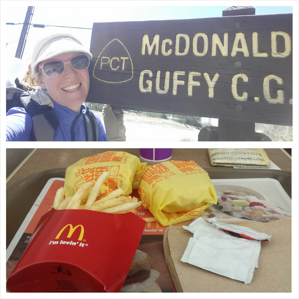
McDonalds at Cajon Pass

McDonalds at Cajon Pass

I felt so dirty in McDonalds. I knew I was smelly from the exceptionally hot thirteen mile hike I’d just put in, but it was more than that- maybe it was the fact that I don’t usually eat fast food; maybe it was the contrast of standing in line with my pack next to people in their heels heading to work. Whatever it was, I couldn’t stand to stay there too long. If I was going to look like a street urchin, then I’d rather lounge on the grass than inside a McDonalds. I took two full hours lounging on that grass before jumping back on the trail.

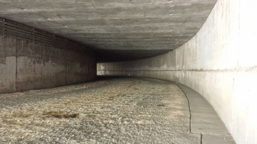
Walking under Highway 15

Walking under Highway 15


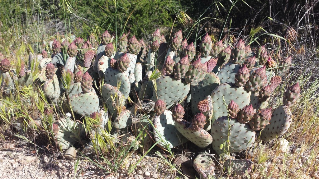
Bearvertail Cactus ready to bloom

Bearvertail Cactus ready to bloom

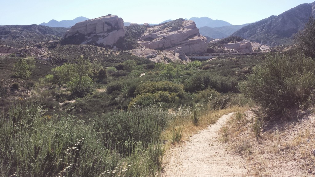
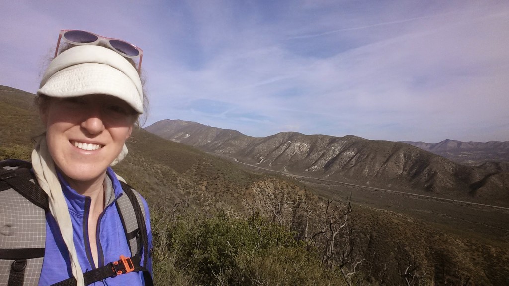
The next section of the trail, California PCT Section D, begins by winding around Ralston Peak, amongst the stark Mormon Rocks and over and under the high-traffic railroads. It was so hot and the sun was reflecting off the pale, sandy trail. I wrapped my Billi Bandana hat around my face to protect my poor Irish-German skin as best I could. By the way, I LOVE my Billi Bandana.  It’s been one of my favorite and most versatile pieces of gear, plus it now feels like part of my identity.

Mormon Rocks

Mormon Rocks


Sportin' the Billi Bandana

Sportin’ the Billi Bandana


Trains near Ralston Peak

Trains near Ralston Peak

My poor feet were killing me on the last couple of miles.  I really wanted to camp at the base of the big climb I was approaching so I could hit it early in the morning, but that meant I had to put in over five more miles after leaving Highway 15. My feet were hating me. I haven’t really been hiking since November because I’ve been working so much, plus the new boots felt heavy and cumbersome. Surprisingly, the bottoms of my feet felt okay, while my ankles felt bruised from having so much material supporting them.

I stopped at a campsite twenty to thirty feet from the dirt Swarthout Canyon Road. I felt comfortable, lying out exposed under the desert sky. A few cars drove by around sunset; I suspect they were ranch workers heading home, but I was glad I was tucked out of view. You never know what kind of people may be looking for fun on a dirt road in the desert. I was still full from my double cheeseburger lunch, so dinner consisted of only nuts and some cookies.

Campsite near Swarthout Road

Campsite near Swarthout Road


Day 2- 14.5 miles, camping along Blue Ridge


With a massive climb ahead of me, I quickly wrapped-up camp, shook up some Starbucks Via and Carnation’s Instant Breakfast in a bottle, and hit the trail. After just a few steps, I laid eyes on an incredibly beautiful coyote. He stood in the bushes just ahead of me and I stopped to watch him. I knew that the moment I reached for my camera, he would’ve dashed away, so I left my camera in my hip belt pocket and savored the moment. It made me happy to see him so healthy looking.

Approaching the climb out of Lone Pine Canyon

Approaching the climb out of Lone Pine Canyon

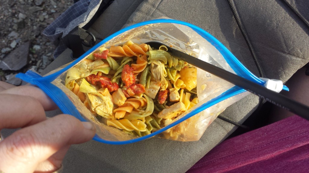
I tried a couple new recipes just for this trip. By going stove-less, I saved on weight, allowing me to carry the 6.5 liters of water I needed to hike out of Cajon Pass. Any dehydrated or freeze-dried meal can be rehydrated with cold water, but some just taste better hot. (It’s probably more of a psychological/emotional experience than taste.) Keeping that in mind, I assembled a pasta salad with sun dried tomatoes, freeze-dried chicken, dehydrated artichokes, and olive oil dressing. I added just enough water to cover the food the night before and the next morning it was fantastic!

Pasta salad with chicken, tomatoes, & artichokes

Pasta salad with chicken, tomatoes, & artichokes


On the ridge above Lone Pine Canyon

On the ridge above Lone Pine Canyon


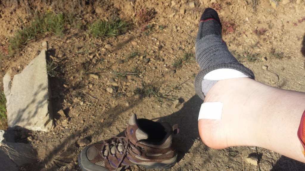
Treating my hotspots

Treating my hotspots


Mount Ralston and Lone Pine Canyon

Mount Ralston and Lone Pine Canyon


pct-section-d-40-upper-lytle-creek-ridge

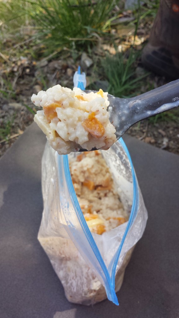
Another heat-free meal I really enjoyed on this trip was my mango sweet rice recipe. I assembled pre-cooked and dehydrated jasmine rice, dehydrated mangos, Nido whole milk, sugar, almond floor, and some crunchy, slivered almonds to make this tasty meal.

Mango Sweet Rice

Mango Sweet Rice

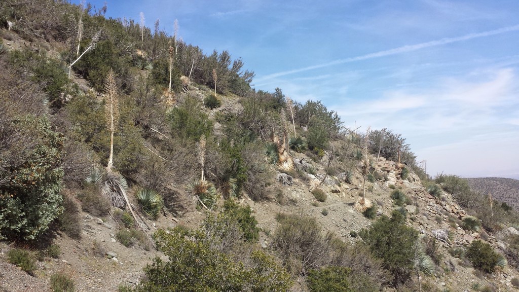
Exposed desert trail

Exposed desert trail


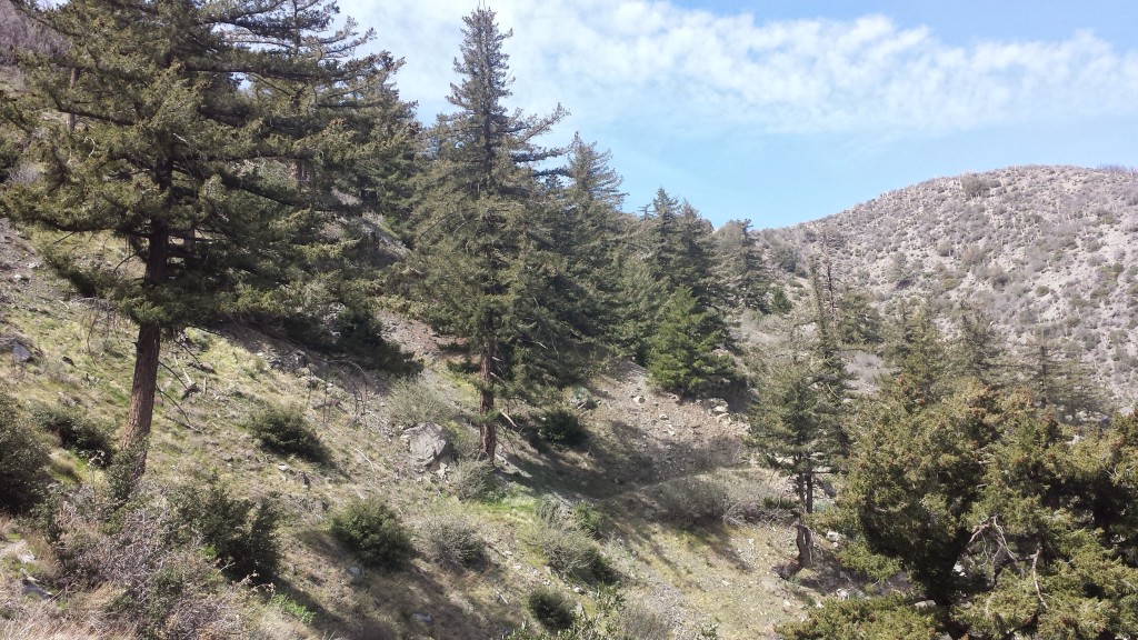
Finally, trees!

Finally, trees!

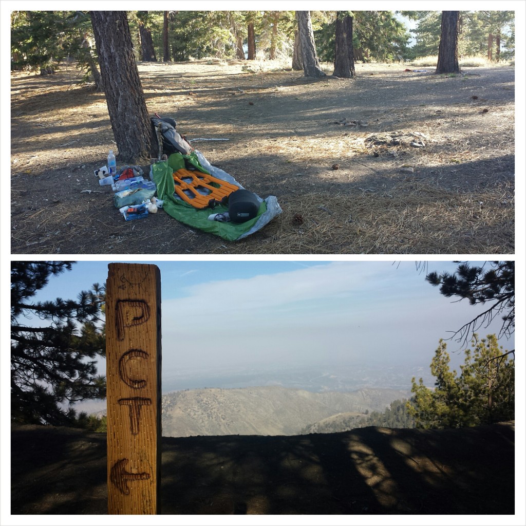
The higher I climbed, the cooler it got. It was surprising how hot it had been several thousand feet below, but on the ridge, it was getting windy and cold! I stopped for camp much early than I typically do, but my body was saying, “I’m done!” and it was a very pretty spot. I laid my shirt out to dry in the remaining sunlight while I unpacked and messed around with my bivy set-up. I could tell it was going to be a very cold and blustery night, but there was nothing I could do about it, so I might as well just hunker down and brace for it.

It was indeed pretty damn cold, but my new sleeping pad worked great and the only cold spots I had were from the wind blowing across the top of my bivy. I periodically peeked out of my bag throughout the night in the hopes of seeing the sun rising. The city lights of Hesperia below were beautiful and comforting in my solitude.

Campsite along Blue Ridge

Campsite along Blue Ridge


Day 3- 12 miles

Sunrise in the San Gabriels

Sunrise in the San Gabriels

Knowing that this morning I would have a relatively easy 12 mile hike to my car and then a fun meal in Wrightwood motivated me to get hiking before the sun rose.  The morning clouds hung low between the mountains and it felt great to hike so early amongst the trees.  Between the Fall of 2013 and Spring of 2014, I section hiked all of Section D except for the portion from Cajon Pass to Acorn Trail.  This trip would finally mark my completion of both Sections C and D!


Most PCT hikers refer to the PCT Water Report for information on water sources along the trail. It relies on hikers to check out the sources and report back. When no one has reported on a particular source for over a month, the reliability of that source becomes questionable, especially in Southern California. Without the security of an updated Water Report, hikers sometimes have to carry twice as much water. I try to report back on every source I see because I know how valuable that information is for hikers coming after me. One such source that’s been neglected on recents reporting is Guffy Spring. It’s located nearly 300 yards off the PCT down a VERY steep trail. What a pain in the butt trying to reach it; no wonder no one’s bothered checking on it!

Guffy Spring

Guffy Spring


pct-section-d-64-san-gabriel-mountains


Only a bit of snow.

Only a bit of snow.

As I neared the first crossing of Highway 2, I passed my first fellow hiker.  His name’s Yardsale and has been section hiking the entire PCT (like me!) over the last couple of years.  He’s almost finished!  His pack was gigantic, with additional items tied on with cord.  Apparently, he got his name from spreading out all his gear at each campsite as though he’s at a yard sale.  Sounds familiar!  Yardsale was section hiking all of Section D and needed a ride into Wrightwood to pick up resupplies.  I told him if he still needed a ride after I hiked to Vincent Gap, I’d pick him up.

View south towards Mount Baldy

View south towards Mount Baldy

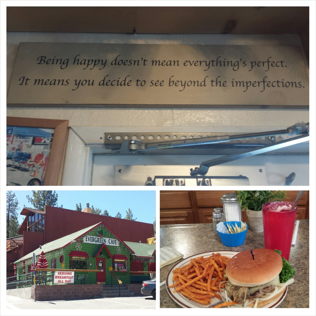
I scooped up Yardsale and dropped him off at the Wrightwood Post Office, then promptly took myself out to lunch at Evergreen Cafe.  I was still feeling dizzy and nauseous from the altitude, so most of my mushroom burger and milkshake went uneaten.

Epic PCT section hiker Yardale

Epic PCT section hiker Yardale

Despite my achy feet, feeling out of shape, and putting up with the cold wind and the hot sun, I still feel like this was a really successful hike.  I was able to check out some new gear and check up on the old.  I’m feeling much more prepared for my upcoming summer hike of 1,500 miles.  Now, I just need to assemble my meals, pack my resupply boxes, and get in shape!

Evergreen Cafe

Evergreen Cafe


Links

Preparing for Installments 21-34: Tahoe to CANADA

Klymit X-lite Sleeping Pad

PCT Water Report

Evergreen Cafe

PCT Section C San Bernardino National Forest Whitewater River


Installment No. 19 of My PCT Journey

No. 19- Cabazon to Big Bear, 2014

loading map - please wait...

Cabazon: 33.939835, -116.695147
Whitewater Preserve: 33.989345, -116.655836
Highway 18 near Big Bear: 34.290552, -116.802435
Coon Creek Cabin: 34.148607, -116.711540


Day 1- 8 miles, camping at Whitewater Preserve

PCT Section C San Gorgonio Wilderness Cabazon

Trail Angel Sabrina

This past summer, I was lucky enough to hike 1,100 miles through Central and Northern California.  Before that, I section hiked most of Southern California, but there are still a few little gaps in my So. Cal. PCT hikes. This trip would knock out one of the remaining chunks from Cabazon to Big Bear. I invited my good friend Ben, who hiked part of Section A with me nearly a year ago, to hike with me and Sabrina, my personal trail angel, dropped us off at the trailhead.

PCT Section C San Gorgonio Wilderness Cabazon


PCT Section C San Gorgonio Wilderness Cabazon Mesa Wind Farm

Mesa Wind Farm


PCT Section C San Gorgonio Wilderness


PCT Section C San Gorgonio Wilderness Whitewater Preserve

Approaching Whitewater Preserve

We aimed to camp at Whitewater Preserve for the first night because it was an easy 9 miles and was the next available water source outside of Cabazon. The preserve was awesome! The rangers were so hospitable, the grounds were lovely, the water was on tap and the bathrooms had plumbing! We also met a southbound hiker who was fun to chat with over dinner.


Day 2- 14 miles, camping next to Mission Creek

Mountain House Breakfast Skillet

Mountain House Breakfast Skillet


PCT Section C San Gogonio Wilderness Whitewater Preserve

Whitewater Preserve


PCT Section C San Bernardino National Forest Whitewater River

Whitewater River

All day long, the trail wound higher and higher into the San Bernardino Mountains. It was such a gradual uphill, that it was easy to forget you were evening climbing! Once we connected up with Mission Creek, the trail followed the narrow and bushy canyon, never leaving the gently flowing water.

PCT Section C San Bernardino National Forest trail food lunch

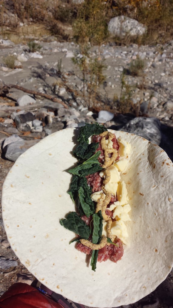
Salami, cheddar, and kale wrap


PCT Section C San Bernardino National Forest Mission Creek

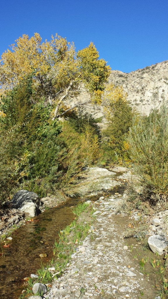
Mission Creek


PCT Section C San Bernardino National Forest Mission Creek

Oasis near Mission Creek


PCT Section C San Bernardino National Forest

I was glad to have Ben camping with me because I had the mountain lion heebee jeebees again. There are certain places where I seem to get spooked; it might be a good instinct or it might be my imagination. I got really spooked when I heard movement from the other side of the creek, but it turned out to be three more southbound hikers trying to find the trail in the bushes. We chatted for a bit and they said they knew my friend Just So Fresh, who I hiked northbound with this summer. I was stoked to hear he was still going strong and would finish on time.


Day 3-14.25 miles, camping at Coon Creek Cabin

PCT Section C San Bernardino National Forest Mission Creek

Last night’s campsite at mile 232

We had a massive climb ahead of us, so we got up early and hit the trail. Despite the struggle with the altitude, the day was delightfully scenic. It’s always fun to watch the earth and plant life evolve from one elevation to another.

PCT Section C San Bernardino National Forest plants


PCT Section C San Bernardino National Forest


PCT Section C San Bernardino National Forest plants poodle dog bush

Poodle Dog Bush


PCT Section C San Bernardino National Forest wildflower apricot mallow

A small desert bloom: Apricot Mallow


PCT Section C San Bernardino National Forest

Reaching Mission Spring was a great respite. We were relieved to know it was flowing well and it meant we’d have a mostly flat 6.5 miles of hiking for the rest of the day. Knowing that, we took a generous break, napping a little and eating lunch.

PCT Section C San Bernardino National Forest Mission Spring

Icicles at Mission Spring


PCT Section C San Bernardino National Forest


PCT Section C San Bernardino National Forest

Looking south toward Joshua Tree National Park

Ben and I pushed hard so we could enjoy sleeping inside the Coon Creek Cabin. It meant we could build a fire in the fireplace, spread out as much as we liked, and not have to set up the tent. The views from the nearby cliff towards Palm Springs and Joshua Tree National Park were incredible.

PCT Section C San Bernardino National Forest Coon Creek Cabin

Coon Creek Cabin


Day 4- 15.5 miles, camping near mile 262.5

It felt so good and yet so strange to be hiking the PCT again after my big journey. I’ve missed being on the trail: getting the fresh air and exercise, being challenged by the elements, my mind, and my body, and being perpetually thrilled by the Earth’s beauty. I struggled with the thought of only being allowed to be out again for a short while, even if the constraints keeping me from walking more were placed there by myself. Somehow I felt like I wasn’t able to appreciate it as much if couldn’t be allowed to keep walking for as long as my legs would carry me. Of course, that’s all speculation, and part of me feels silly for it. There are plenty of advantages that section hiking has over thru-hiking.

PCT Section C San Bernardino National Forest wildflowers plants


PCT Section C San Bernardino National Forest

Looking toward San Gorgonio Mountain

We were now up high and amongst beautiful pine forest. I felt so out of shape and my feet were aching from not having hiked much since July. The scenery more than made up for my bodily pains and we ended up having another really nice day. We took another long lunch break at the beautiful Arrastre Trail Camp and even saw a herd of wild burros that caught us completely by surprise.

PCT Section C San Bernardino National Forest Arrastre Trail Camp

Arrastre Trail Camp


PCT Section C San Bernardino National Forest


PCT Section C San Bernardino National Forest

Camping near mile 262.5

Ben and I camped on a ridge above the desert floor and were graced with a spectacular sunset. We enjoyed each other’s company while munching on left over gold fish crackers and jerky, taking it all in. Ben said he’s not sure long distance hiking is really his thing. I bet he’d get into it more if he could do it his own way, and not get dragged out by me! I also think once he gets past the idea that hiking feels good in the body, he’d understand the hook. Hiking doesn’t usually feel good in the body, it feels good in the soul and the mind.  There’s a mental release from the body’s aches that have to happen before you can really feel good out there.

PCT Section C San Bernardino National Forest


PCT Section C San Bernardino National Forest

Ben enjoying the sunset


Day 5- 3.75 miles

Sabrina picked us up after an easy hike to Highway 18. Being the angel that she is, she and her boyfriend, Terry, surprised Ben and me with a Thanksgiving Turkey dinner. The night before, they had run to the store, bought all the fixings, and starting cooking the next morning at 5AM!  It was amazing!

It was a joy to be on the trail again and connect a few more of my PCT So. Cal dots.  Can’t wait for the next trip!

PCT Section C San Bernardino National Forest


Links

Installment No. 20- Silverwood Lake to Vincent Gap

Whitewater Preserve 


style=”display:inline-block;width:320px;height:100px”
data-ad-client=”ca-pub-6269729938434418″
data-ad-slot=”5716075289″>


No. 18- Sawyers Bar Road to Callahan's

loading map - please wait...

Seiad Valley Cafe: 41.842157, -123.196275
Callahan\'s: 42.073846, -122.602530
Sawyers Bar Road: 41.347523, -123.042395


July 23rd- 10.5 miles, camping in Shelly Meadows

While in Etna, we had to celebrate Red Light’s 30th birthday.  A group of us staying at Alderbrook went to the local pub and I couldn’t help buying him a brownie sundae.  Red Light and I first met near So. Kennedy Meadows when we camped near each other.

PCT Section P Etna Alderbrook Manor

Birthday Boy Red Light & Trail Angel Lion Heart/ JSF at the Alderbrook grill

Dave from Alderbrook Manor drove four of us hikers to the trail late this afternoon.  One of the hikers has pushed forward and the other two are behind me. I’m camped out at a beautiful spot next to a meadow, but there are cow pies everywhere.   Since the stream water is completely mucked up with cow pies and muddy hoof prints, I’ve decided not to take any water from here.  I’ll have to use it sparingly to make it to the next water source, but I really don’t want to worry about giardia.

PCT Section Q Klamath National Forest Marble Mountain WildernessEven though I just had a zero and a near-o day, both my ankles are hurting a lot tonight.  I do alright on flat or uphill and even trail; it’s when the trail is rocky or pitched to the left or right that I start hobbling.  It has me really worried about doing long term damage.

PCT Section Q Klamath National Forest Marble Mountain Wilderness Shelly Meadows

Campsite at Shelly Meadows


July 24th- 26.7 miles

I love this wilderness.  Like Toiyabe, Klamath forest is rich in colors, rock formations, lakes, and wildflowers.  The views today were so lovely and I took my time enjoying them.  Today I felt more like myself, like the me that started this hike full of wonder and joy at all the little details.  Don’t get me wrong!  I’ve been enjoying myself out here, but the physical and mental exertions have taken their toll over the weeks.  These beautiful views have rejuvenated me!

PCT Section Q Klamath National Forest Marble Mountain Wilderness

Approaching the Marble Mountains


PCT Section Q Klamath National Forest Marble Mountain Wilderness Marten Lake

Marten Lake


PCT Section Q Klamath National Forest Marble Mountain Wilderness

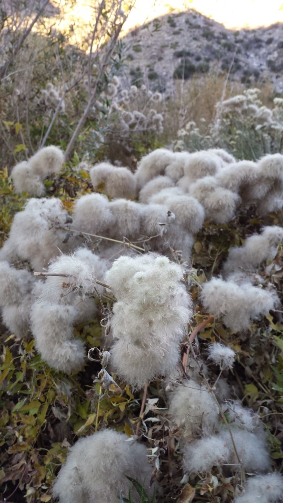
Grandpa’s Beard

I took my lunch break next to an abandoned forest service hut in Marble Valley.  I wanted to take a siesta, but was anxious about putting in enough miles for the day.  I settled for a power nap while I waited for my water to filter.

PCT Section Q Klamath National Forest Marble Mountain Wilderness Marble Valley Ranger Cabin

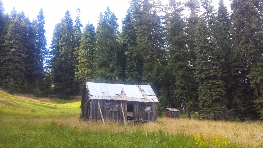
Marble Valley Ranger Cabin (abandoned)


PCT Section Q Klamath National Forest Marble Mountain Wilderness Grider Creek wildflowers


Part way up Black Marble Mountain I came upon a cave next to the trail.  It was beautifully shaped, probably by lava flows, but didn’t seem easy to crawl into.  I was definitely curious to see what might be hidden down in its depths.

PCT Section Q Klamath National Forest Marble Mountain Wilderness Cave Black

Cave near Black Marble Mountain


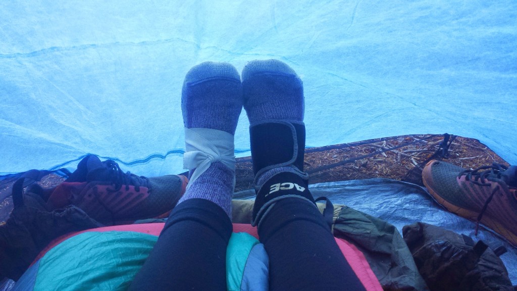
I’ve picked a  weird spot for camp tonight.  I meant to go further, but my feet are hurting too much and I think I’ve put in my dues for the day.  I came across a dirt road and found a fire ring with what looked like a flat enough spot for my tent.  It took awhile, though, to flatten it out properly and clear all the rocks using my feet and snow stake.  My plantar fasciitis was really bad today.  Another hiker said I need to get a brace that keeps the foot flat and the tendon stretched during the night.  I’ve rigged up my ankle brace and an ace bandage on each of my feet for tonight.  Hopefully, tomorrow won’t be as painful.

PCT Section Q Klamath National Forest Marble Mountain Wilderness


July 25th- 18.25 miles, camping at Seiad Valley RV Park

I only had about eighteen miles to hike into Seiad Valley today.  It was all downhill or flat and mostly followed Grider Creek.  The forest was thick and jungle-like in the canyon around the creek- probably what the Washington forests will look like.  I had fun today playing with the vintage filter on my camera.

PCT Section Q Klamath National Forest Marble Mountain Wilderness Grider Creek

Grider Creek


There were a couple of really beautiful spots where I almost stopped to lounge or swim, but I didn’t because I wanted to make it to Seiad Valley before the post office and cafe closed.  It made me think a lot about whether or not I had taken enough time during this hike to thoroughly enjoy the little moments and spaces the trail had to offer or if I had hurried past them because I was determined to get somewhere else.  I came to the conclusion that yes, there were days when I’d past up some special spaces in the name of mileage or destination and I felt some regret for those lost moments.

There were other days, however, when I took the time to absorb and appreciate the “nooks and crannies,” as I call them, of the trail.  I think, overall, I’ve really appreciated all the trail had to offer.  It’s very difficult to stop and play in those small spaces every day when you’re thru-hiking because you have to work within certain constraints, like weather, supplies, and towns. It’s also interesting to notice the shift from being a child of wonder in the woods some days to being so comfortable in the wilderness that it feels like walking through your own home.  However comfortable I’ve become, though, that childlike wonder always stirs up again when I enter a new kind of land or environment.

PCT Section Q Klamath National Forest Marble Mountain Wilderness Grider Creek Grider Creek footbridge

Grider Creek footbridge


PCT Section Q Klamath National Forest Marble Mountain Wilderness No Name Creek

No Name Creek

I made it into Seiad Valley with plenty of time to enjoy the cafe and the post office. I had lunch with Brad, a thru-hiker I met in Mt. Shasta at the only restaurant in town, the Seiad Cafe. We both indulged in the cafe’s delicious and decadent milkshakes. He had a chocolate raspberry shake and I had an Oreo cupcake shake. Despite the claim of the Caribou RV Resort in Belden having the best shakes, I think Seiad Cafe blows them out of the water!

PCT Section Q Klamath National Forest Seiad Valley Post Office State of Jefferson

Seiad Valley Post Office


PCT Section Q Klamath National Forest Seiad Valley Cafe milkshake

Lunch with Brad a the Seiad Cafe


PCT Section Q Seiad Valley

Pilgrim grilling a giant zucchini


July 26th- 15.5 miles, camping at Cook & Green Pass

After an amazing breakfast at Seiad Cafe, I hiked out of town with Jalan Jalan. He and I met at Alderbrook Manor in Etna and he’s section hiking a big chunk of the PCT, like I am. I love his trail name, which he gave himself. While traveling in Indonesia, he got tired of people always asking him where he was going, so he started answering them “Jalan jalan,” which means, “I’m just wandering around.” My feet were hurting a lot this morning, so I let him hike on ahead. I resigned to distracting myself from the pain with podcasts as I slowly began the 5,000 foot climb ahead of me.

PCT Section R Klamath National Forest Siskiyou Mountains Seiad Valley Fern Spring

Fern Spring


PCT Section R Klamath National Forest Siskiyou Mountains Seiad Valley Klamath River

Seiad Valley & the Klamath River


PCT Section R Klamath National Forest Siskiyou Mountains

Backpacks make nice backrests.

I soon understood why so many hikers start this section either in the evening or early morning.  It was blazing hot, barrenly exposed, and steep all the way up.  Looking ahead at the trail and seeing not one tree for shade is so discouraging!  Without any nice places to stop, It meant I just kept plugging along, one foot in front of the other.

PCT Section R Klamath National Forest Siskiyou Mountains Middle Devils Peak

Middle Devils Peak


PCT Section R Klamath National Forest Siskiyou Mountains trail marker Lookout Spring

Trail marker for Lookout Spring


PCT Section R Klamath National Forest Siskiyou Mountains Lilypad Lake wildflowers

Lillypad Lake

I hadn’t thought much about where I was going to camp for the night.  I had played with the idea of putting in twenty miles, but knew that would probably mean getting in late to a waterless camp.  Not feeling particularly motivated, but also not ready to stop for the day, I meandered up to Cook and Green Pass prepared to fill up my bottles and keep moving.  To my surprise, I found Smokes, Pilgrim, and Jalan Jalan lounging about and their tents pitched.  Not long after, Red Light showed up, so I threw in the towel and called it a party.  I’m camping with the guys tonight!

PCT Section R Klamath National Forest Siskiyou Mountains Cook Green Pass

Red Light setting up camp and Pilgrim in the background, at Cook and Green Pass


PCT Section R Klamath National Forest Siskiyou Mountains hiker plantar fsciitis

Treating my plantar fasciitis


July 27th- 26 miles, camping at Sheep Camp Spring

Today was my last day in California for this section hike.  It’s so exciting to know you’ll be reaching some milestone this very day.  It brings out strength and renewed passion for the hike throughout the day.  I was particularly enchanted by a misty view of Mt. Shasta far in the distance.  At this point, the trail has curved around that majestic mountain making a giant letter “C” for 220 miles.


PCT Section R Klamath National Forest Siskiyou Mountains Mount Shasta

Mount Shasta

Throughout the day, our little tribe of hikers would spread out like an accordion while we walked and then collapse back on itself for breaks.  Solitude and peace are wonderful to experience while in the woods, but after weeks of it, it’s so fun to share ideas, stories, and jokes with fellow human beings.

PCT Section R Klamath National Forest Siskiyou Mountains hiker trash

Lunchbreak, (L->R) Smokes, Jalan Jalan, Red Light


PCT Section R Klamath National Forest Siskiyou Mountains trail hiker food pumpkin pie

Pumpkin pie for lunch


PCT Section R Klamath National Forest Siskiyou Mountains Donomore Meadows cabin

Abandoned cabin in Donomore Meadows


PCT Section R Klamath National Forest Siskiyou Mountains Oregon border trail register

Trail register at the CA-OR border

I reached the California-Oregon border just after Smokes and we squeezed into the little bit of shade there was to wait for Jalan, Red Light, and Pilgrim.  Watching the others come across the border and celebrate the 1700 miles they just walked and the 900-somehting miles left, made me wish I was continuing all the way to Canada with them.  But, alas, I am now on the home stretch of my hike for this summer.

PCT Section R Klamath National Forest Siskiyou Mountains Oregon border trail hiker trash

CA-OR border, (L->R) Red Light, Smokes, Jalan Jalan, me, Pilgrim

Oregon welcomed us with a lovely afternoon thunderstorm.  In fact, it was so refreshing that it truly felt like a rain brought on to celebrate our own achievements.

PCT Section R Klamath National Forest Siskiyou Mountains

Light afternoon thunderstorm


PCT Section R Klamath National Forest Siskiyou Mountains Sheep Camp Spring

Camping at Sheep Camp Spring


July 28th- 25 miles, staying in Ashland

PCT Section R Klamath National Forest Siskiyou Mountains

There’s been a lot of talk about how easy and flat Oregon will be.  “You’ll be putting in 30+ miles each day, no problem,” is what everyone says.  Somehow, I don’t think that’s actually true.  Just past the border yesterday, we were already climbing, climbing, climbing.  Today was nothing but little ups followed by little downs.  I think the elevation changes are so small that they look insignificant on the elevation charts, but there are so many of them that it actually adds up to quite a bit of gain and loss throughout the day!

PCT Section R Klamath National Forest Siskiyou Mountains trail magic bugs Oregon

Trail magic and big, Orgonian bugs!


PCT Section R Klamath National Forest Siskiyou Mountains wildflowers trailAfter what felt like a very tedious hike down toward civilization, I met up with Jalan Jalan and Smokes.  We tried to stay on the rough trail that would take us to Callahan’s, but lost it past some railroad tracks.  We said “Screw it,” bushwhacked through some bushes, and tubbed down a rocky slide t road walk the rest of the way.

PCT Section R Klamath National Forest Siskiyou Mountains Callahans

Almost to Callahan’s


PCT Section R Klamath National Forest Siskiyou Mountains Callahans bartenderUpon reaching Callahan’s Lodge, the staff show you to the “Hiker Room” (where smelly hikers and their gear are kept separate from other guests) and then present you with a free drink coupon.  I dropped my gear, threw my hiking shirt in the trashcan, cashed in my coupon and toasted to all the hikers I could find at the lodge.

PCT Section R Klamath National Forest Siskiyou Mountains Callahans first beer free

The first beer’s free!


PCT Section R Klamath National Forest Siskiyou Mountains Callahans hiker trash

Road Runner, Jalan Jalan, me, Red Light, Smokes, Justin


The closer and closer I got to Ashland, the more life back home was on my mind:  work, relationships, hobbies, and goals.  I think what I will miss most of all from the trail is the quiet mind and the clear sense of direction I had every single day.  That’s something that I don’t tend to have at home.  There are always so many things going on simultaneously that my daily goals always pulled me in five different directions.  While hiking, I had only one goal each day:  to wake up and walk.  I hope I can carry some of the simplicity of the trail back to my home life, and I’m already eagerly looking forward to next summer when I’ll finish the Oregon and Washington sections of the PCT.

PCT Section R Ashland

Celebrating with Kim!


Links

Installment No. 19- Cabazon to Big Bear, Nov. 2014

Wiki Article on the State of Jefferson

Callahan’s Mountain Lodge

Oregon Shakespeare Festival of Ashland

No. 17- Castella to Etna, 2014

loading map - please wait...

Castella: 41.148804, -122.317382
Dog Trail: 41.161839, -122.369843
Etna: 41.453222, -122.897646
Sawyers Bar Road: 41.395677, -122.995462


July 17- 7 or 8 miles, camping at Disappearing Creek

Mount Shasta was a quirky, but great little town.  The contrast of the new age crystal shops and Galactic Meetings of the Goddess Pele against the conservative, mountain town vibe created an interesting and entertaining environment.  I was able to do my laundry, a bit of grocery shopping, use the computers at the library, and catch up with friends and family while in town.  This morning I had breakfast with Pixel, Shazam and Free Refill- a German hiker I met at Drakesbad Ranch.
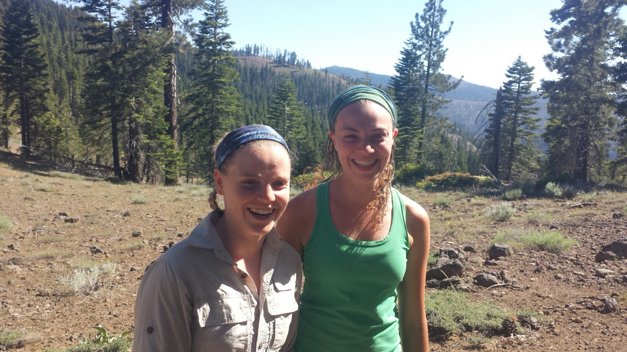
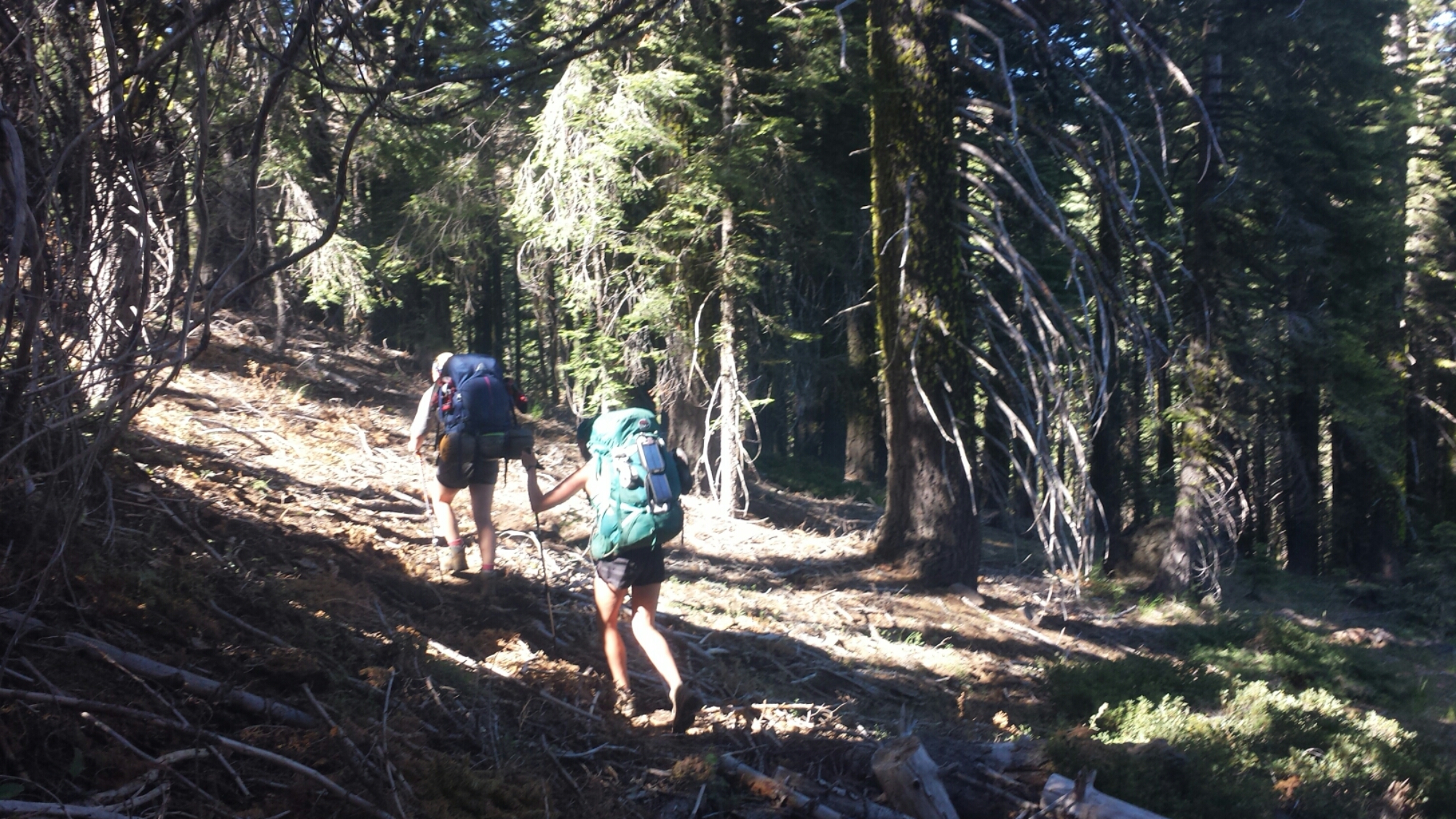
I had planned on taking the public bus up to the little town of Castella, but when the post master said I wouldn’t make it before she closed at 3:00, I had to quickly get ready for hitching a ride.  I grabbed a paper placemat from the pizza restaurant where I had planned to eat lunch and wrote in big letters “PCT CASTELLA”.  Then, with my pack on and my arms full of groceries, pizza, and a milkshake, I headed to the interstate.  I figured it was important for me to have the sign to differentiate myself from the multitude of drifters in Mt. Shasta, often called Rainbow People by the locals.


PCT Section P Castle Crags Ammiratis Market

Ammiratis Market, Castle Crags

I was lucky enough to be picked up by a previous PCT hiker from last season.  He introduced himself with his trail name, Booty.  After hiking the trail, he’d decided to return to the Shasta area and work on a horse ranch.

I collected my resupply box from the post office and learned that they’d actually been robbed a few days earlier. The crooks took a bunch of hiker boxes- I had to laugh because they must have been pretty disappointed to only score several months worth of Snickers bars and socks!  The post master said they’d found my box outside the office, as though the thieves had thought to take it, but then didn’t.  I’m relieved!  I was also delighted to receive some real mail today!  It was great getting postcards and notes from loved ones, including some artwork from my honey:

PCT Section P Castle CragsI took my box and pizza and headed to the little general store next door.  It was so hot that the only thing to do was grab an iced tea and wait for it to cool off.  Another hiker named Mathew was hanging around, too.  I’d actually met him first at the Middle Fork Feather River, just after my leeches incident.   He seemed much more sociable this time, maybe because I had more clothes on or maybe because he was bored.  We both decided to head out around 5 or 6pm.  Before I left, a bunch of hikers showed up and sprawled out in front of the store to wait for rides into town.  Hikers are pretty good at getting as comfortable as possible pretty much ANYWHERE.
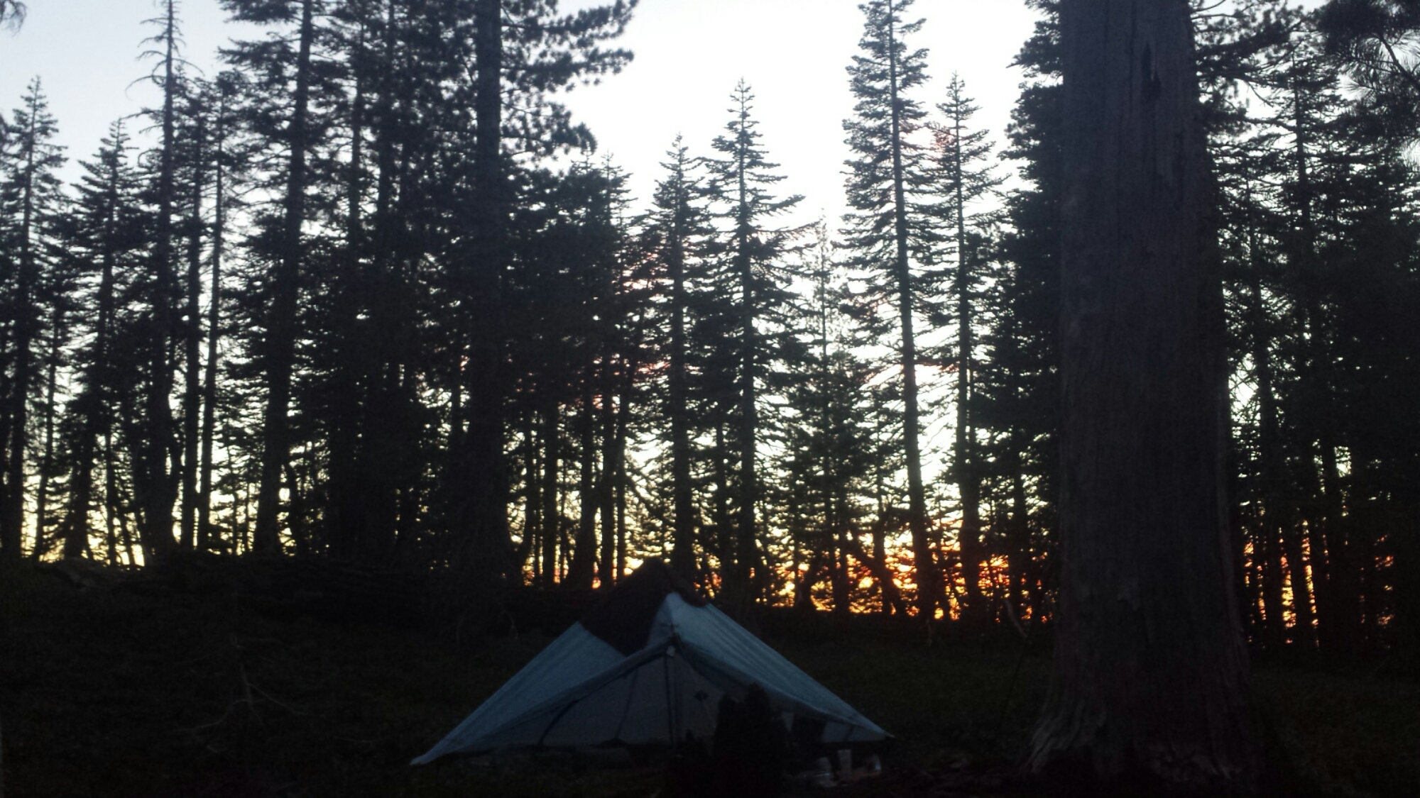
PCT Section P Castle Crags Ammiratis Market hiker trash

Hiker Trash (L->R) Brad, Acorn, Cheese, Soapbox, Bagins, & Choop

Instead of road walking two miles back along Interstate 5 to the PCT, I decided to walk along a State Park Road for several miles and then take a short side trail up to rejoin the PCT.  It was a beautiful road, lined with blackberry bushes and occasional glimpses of Castle Crags through the trees.

PCT Section P Shasta Trinity National Forest Castle Crags

Road Walking to the PCT

Once I was on the trail, I hiked another four miles up the canyon behind the famous Castle Crag Mountain.  I reached a campsite at an appropriately named dry creek, Disappearing Creek, just as it as getting too dark to see.  Hoping to find Mathew here, I called out, but instead of Mathew’s, came the voice of Strawberry.  I met Strawberry first after passing the PCT midpoint with Glitter.  She’s been joined by her sister and they’re both crammed into a tiny one – person tent!
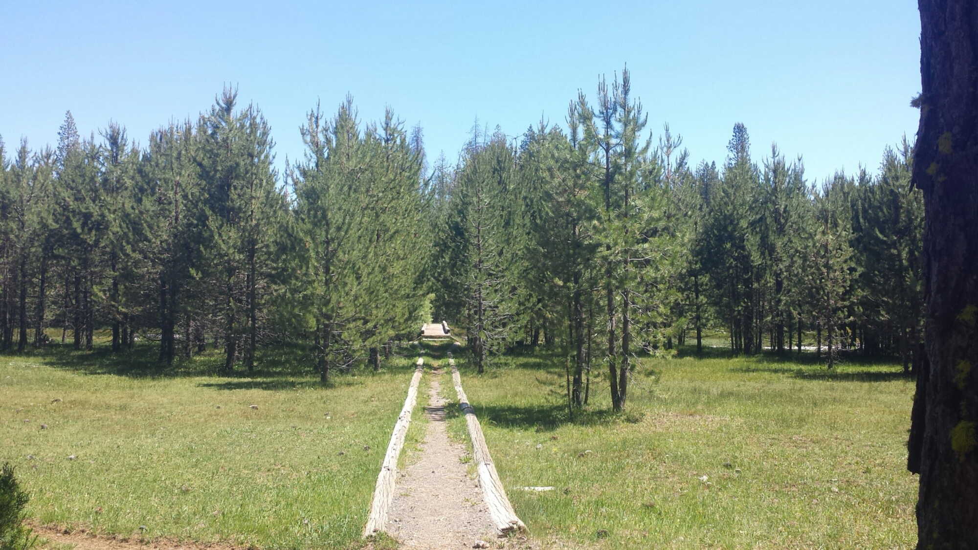
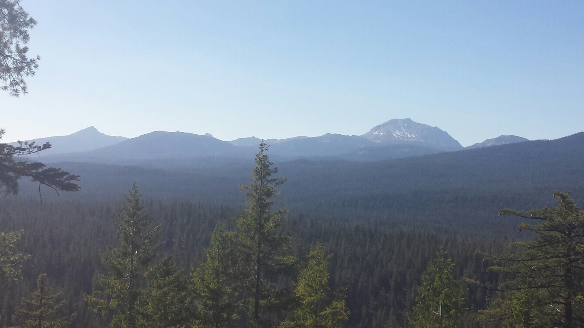
 

July 18th – 24.5 miles

Two hikers named Mike and Micah showed up at camp last night around 11:30pm. I’d heard of this pair, but hadn’t met them yet. Mike got really excited when he saw my foam roller hanging from my pack. He said he wished he had one because he’s been having some problems in his legs and hips. And, just like that, the roller was his! I haven’t really needed it for awhile and so I just passed it along to him.
It was a huge climb leaving Disappearing Creek in the morning. I met up with JSF at a spring. He had left Mt. Shasta earlier than me and had camped at the top of the climb last night.

PCT Section P Shasta Trinity National Forest Castle Crags classic Datsun

Some classic Datsuns out for a mountain drive


PCT Section P Shasta Trinity National Forest Castle Crags Wilderness


PCT Section P Shasta Trinity National Forest Scott Mountains dirty girl gaiters


PCT Section P Shasta Trinity National Forest Castle Crags Wilderness hiker

(L->R) Mike, JSF, Micah & Justin taking a break at a spring

JSF and I pushed on to Dead Fall Lake for the night. There are so many weekend hikers camping here because it’s only 2 two or three miles from a road. The lake is so beautiful, though, and it reminds me of Toiyabe National Forest.


PCT Section P Shasta Trinity National Forest Scott Mountains Deadfall Lake

Cowboy camping at Deadfall Lake


July 19th- 24.5 miles, camping at Scott Mountain Summit Campground

PCT Section P Shasta Trinity National Forest Scott Mountains


PCT Section P Shasta Trinity National Forest Scott Mountains Cement Bluff

Cement Bluff

It was a foggy morning for me mentally. I just felt tired and out of it for most of the day, maybe because the trail was really flat, maybe because of the humidity, or maybe I’m just tired. I stopped by a spring midday and made some banana oatmeal and coffee- breakfast can be served all day on the PCT!

PCT Section P Shasta Trinity National Forest Scott Mountains trail food oatmeal

Banana Oatmeal & coffee


PCT Section P Shasta Trinity National Forest Scott Mountains wildflowersAfter getting some caffeine in my system and trying to keep up with a hiker named Cliff for the afternoon, I was able to put in some good miles. When I arrived at Scott Summit, I saw that Justin had set up his tent in the middle of a bunch of manzanitas because he didn’t realize there’s actually a campground just around the corner. He was too tired to move his tent, but it seemed silly for him to stay in the bushes, so I moved it for him! The campground is small, but it has a privy! JSF and Cliff have joined us, too, for the night.

PCT Section P Shasta Trinity National Forest Scott Mountains Scott Summit Campground

Camping at Scott Summit Campground


July 20th- 26 miles, camping near Carter Summit

Sorry folks, I’m too tired to write much tonight, but below are some pictures from today. The most exciting thing that happened all day was the clanking of cowbells hidden in the trees. I never did manage to get a glimpse of the cows though!

PCT Section P Shasta Trinity National Forest Scott Mountains


PCT Section P Shasta Trinity National Forest Scott Mountains

Justin at the Scott River


PCT Section P Shasta Trinity National Forest Scott Mountains wildflower


PCT Section P Shasta Trinity National Forest Scott Mountains Russian Wilderness Carter Summit

Camping near Carter Summit


July 21st- 14 miles, staying at Alderbrook Manor

PCT Section P Shasta Trinity National Forest Russian Wilderness

Just So Fresh early in the morning & enter the Russian Wilderness


PCT Section P Shasta Trinity National Forest Scott Mountains 1600 mile marker

1,600 mile marker on the PCT

Today’s a big day for both JSF and me. He hit his 500 mile mark and I hit 1,000 miles for this section hike. I’m tired and fairly beat up, but it feels great to know I’ve just walked 1,000 miles in one go!

When I arrived at Etna Summit where the trail crosses the road, a San Francisco photographer named Ian was hanging out taking portraits of PCT hikers. He offered me some strawberries and chips and then took my picture with a really fancy, old Polaroid camera. He’s collecting all the portraits and hopes to make a project of some kind out of them eventually. You can check out his wonderful artwork at Porcupine Photography.

PCT Section P Shasta Trinity National Forest Scott Mountains Porcupine Photography

Ian, photographer from San Fransisco


PCT Section P Shasta Trinity National Forest Scott Mountains Lake

The folks from Alderbrook Manor came to pick me up from the trail and I’ve reserved a room in their B & B for the night. Etna is possibly my favorite town stop so far on the PCT. The town is so welcoming to hikers, it has great history, and every thing is walking/biking distance. It turns out that the Alderbrook owners, Dave and Vicky Harrison, are originally from the same area as my family and were friends with my uncle for years and years!

PCT Section P Shasta Trinity National Forest Scott Mountains Etna Alderbrook Manor Bed and Breakfast

Alderbrook Manor, Etna


PCT Section P Shasta Trinity National Forest Scott Mountains Etna Bobs Ranch House dining

(L->R) Me, Blanco, Justin, Free Refill, & JSF at Bob’s Ranch House, Etna


PCT Section P Shasta Trinity National Forest Scott Mountains Etna Downtown City

Storm brewing over downtown Etna

I’ll be hanging out in Etna for a few days while I wait for a new sleeping pad to arrive. I broke the valve on my Klimit X-Frame a couple weeks ago and have managed to still use the pad, but it’s been totally flat for several nights now and I’m tired of sleeping on the ground. I don’t mind waiting, though, because there are some gnarly thunderstorms moving through the next couple of days!


Links

Installment No. 18- Etna to Ashland

Ian’s Photography (Porcupine Photography)– Check out his beautiful portraits & blog!

Alderbrook Manor

PCT Section O Shasta Trinity National Forest Mount Shasta


No. 16- Burney Falls to Castle Crags, Hwy 5, 2014

loading map - please wait...

Burney Falls : 41.013796, -121.649362
Castella: 41.148317, -122.315340


July 12- 9.5 miles, camping at Rock Creek

After updating the blog at Burney Falls State Park, and eating lots of expensive general store food, I finally hit the trail with Butters and JSF around 3:30.  We’d planned to hike thirteen miles to get ourselves up a large climb, but once we arrived at Rock Creek, those plans completely disintegrated.

PCT Section O Pit River Number Three Dam Lake Britton Burney Falls State Park

Lake Britton Dam

It had been around 105°F and I was swimming in my own hot, salty sweat by the time we got to the creek.  A husband and wife from Texas, Pixel and Shazam, were already camped there and lounging in the water.  It was so cool and refreshing that we just couldn’t motivate ourselves to keep climbing in the heat.  Since there weren’t any more spots to camp, Butters and I decided to sleep directly on the bridge.  The bridge made JSF nervous, so he spent thirty minutes trying to make a spot decent enough for his tent.

PCT Section O Shasta Trinity National Forest Rock Creek

Rock Creek


PCT Section O Shasta Trinity National Forest Rock Creek footbridge


July 13- 24.5 miles

Today went by in a blur.  There weren’t many views other than dense, grey forests and it was really muggy all day.  I crossed paths with a PCT hiker who’d decided to turn around and head back to Burney because he’d contracted giardia.  Giardia is a bacteria you can get from not properly purifying water contaminated by animal waste.  Certain areas of the PCT are notorious for having contaminated water because cows roam the land and linger by the water sources.

PCT Section O Shasta Trinity National Forest


PCT Section O Shasta Trinity National Forest blue lizard

Radioactive lizard?

Not soon after, I met a girl named Wardrobe by a stream. She’s just gotten back on the trail after taking a break in Burney because of a giardia infection, too! That’s the seventh hiker I’ve heard about getting sick in this region, and since giardia takes 9-15 days to show symptoms, I’ve been doing the math to determine where everyone may have contracted it.  I’ve been pretty good about always filtering or treating my water with iodine, and I’m crossing my fingers I stay healthy!

PCT Section O Shasta Trinity National Forest Lorax Dr. Suess Unless

“Unless someone like you cares a whole awful lot, nothing is going to get better. It’s not.” The Lorax by Dr. Suess


PCT Section O Shasta Trinity National Forest Mount Shasta

Mount Shasta in the distance

Butters is camping with Duchess and a Southern hiker named Bird Food. I’ve climbed up the ridge to camp with JSF and Wardrobe. The moon is a spectacular blood red- I hope there isn’t a fire!


July 14- 24.5 miles, camping at Fitzhugh Gulch Creek

I woke up to mosquito bites on my face and a wet sleeping bag.  There was so much humidity in the air last night that all of our gear was damp the next morning.  Argh!  JSF traded me half of his Mountain House breakfast skillet for some tortillas, so that made up for the inconvenience of the humidity.  It tasted SO delicious!  We slathered salsa packets from Taco Bell on the egg-hash brown-sausage mixture and it was heaven.
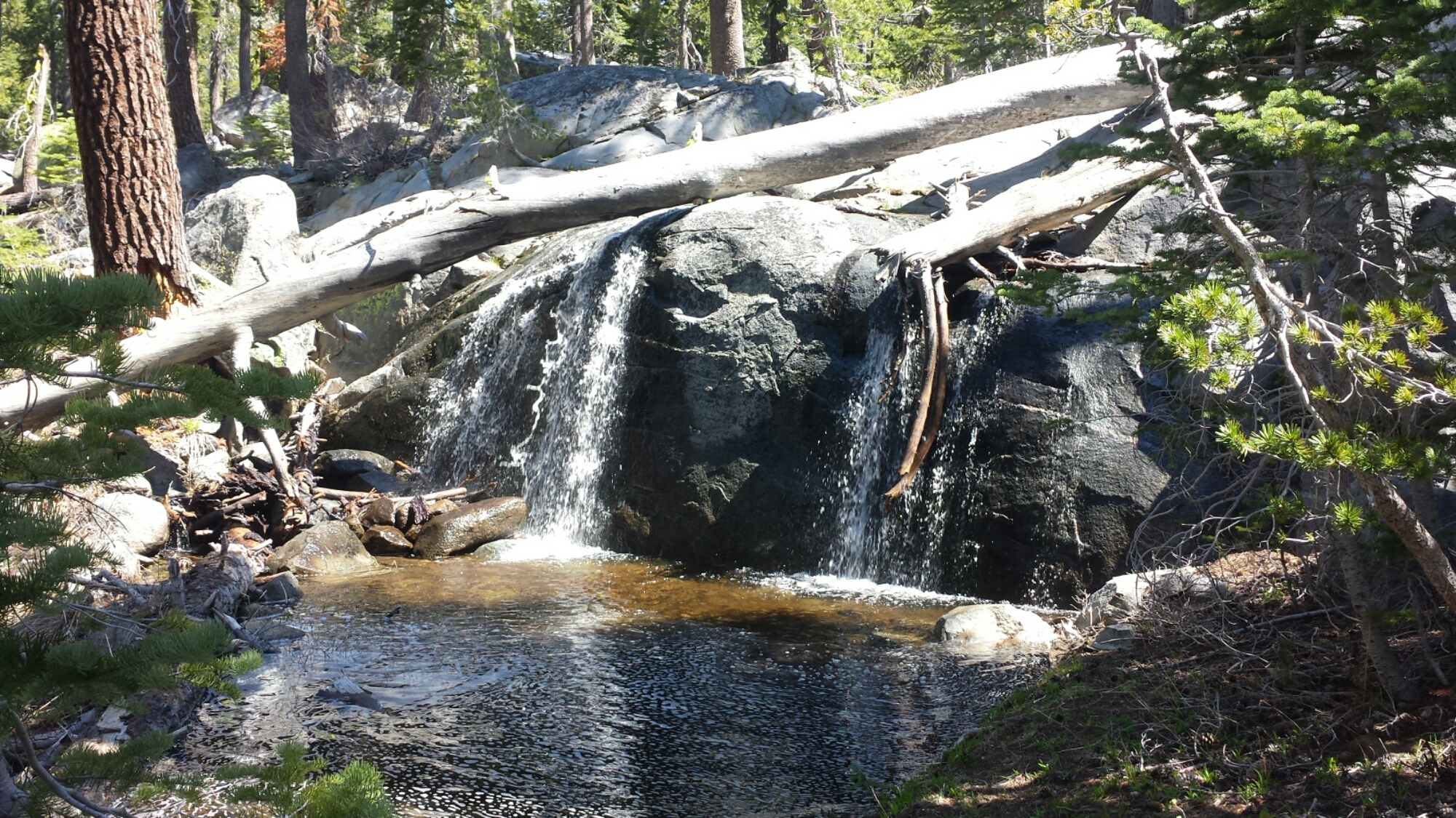
PCT Section O Shasta Trinity National Forest Mount Shasta

Mount Shasta

I was happy to have views of distant mountain peaks again as the trees opened up.  Mount Shasta never failed to catch me by surprise as I came around a corner or up over a ridge.  To the south, I could still see a very faint Mount Lassen and couldn’t believe that I’d already walked that far from it.
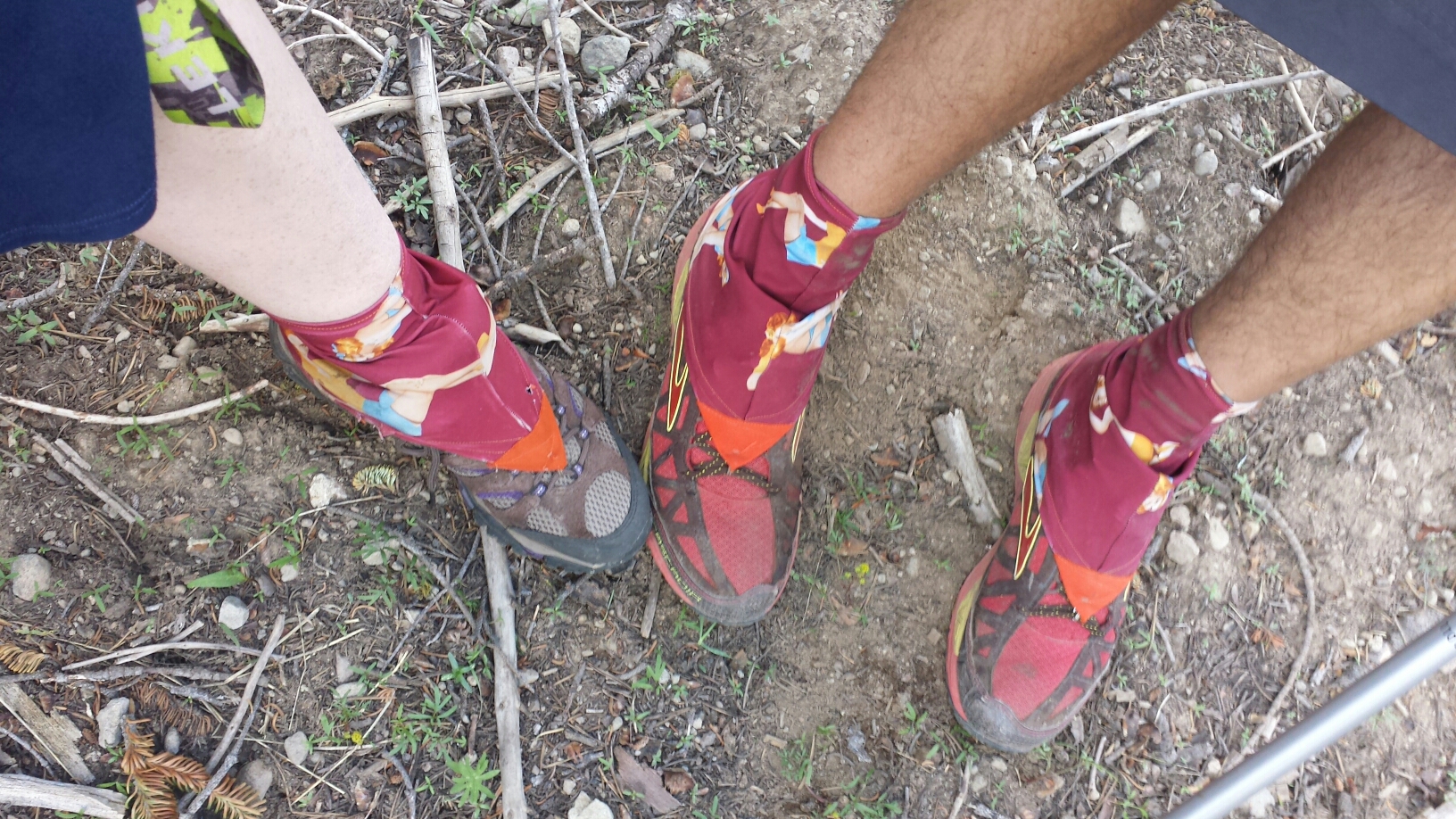
PCT Section O Shasta Trinity National Forest wildflowers


PCT Section O Shasta Trinity National Forest McCloud River

The McCloud River

When the weather sucks and your body hurts, the dirt path before you often becomes your only focus. You get tunnel vision as you stare downward and focus on just putting one foot in front of the other. I hiked like this for almost an hour and as I turned around a rocky corner I was startled by the rattle and hiss of a mid-length rattlesnake. He was coiled, cornered between the rock and my path, and his diamond head was looking straight at me. I couldn’t jump back fast enough. In fact, I couldn’t really jump at all, just fail my piles in front of me as I scooted back. Once he had his space, he slithered across the trail in front of me and down off the trail.

PCT Section O Shasta Trinity National Forest McCloud River rattlesnakeI didn’t feel the adrenaline until he was clear, but I suddenly felt how close I’d been to some real danger. A movie played through my head of what might have happened had I not moved fast enough. I was glad to know I had the SOS button on my SPOT right next to me on my pack.

PCT Section O Shasta Trinity National Forest McCloud River heat

It’s too HOT!

The campsite at Fitzhugh Gulch Creek wasn’t as inviting as I’d imagined, being dark, muggy, cramped, and mosquito infested, but Pixel and Shazam were! I set up my tent in a tiny spot directly across from them. Not much later Wardrobe and JSF also showed up and squeezed in around the bushes.

PCT Section O Shasta Trinity National Forest McCloud River Fitzhugh Gulch Creek

Little tent village at Fitzhugh Gulch Creek


July 15- 28.5 miles, staying in the town of Mt. Shasta

Today turned out to be a double accomplishment for me: my first ten-by-ten AND my biggest milage day to date! A ten – by – ten is when you hike ten miles by 10am. I’ve never been able to do it because I never woke up early enough or hiked fast enough. It only took the threat of 100°+ temperatures, two big climbs, and the potential of an air conditioned room to motivate me to wake up at 4:30 this morning. I don’t see this becoming a regular thing, though. I’ve noticed there’s a proportional relationship between the alarm time and my pack up time. The earlier I set my alarm, the slower I actually pack up.

PCT Section O Shasta Trinity National Forest Squaw Valley Creek footbridge

Squaw Valley Creek

As I hiked up the second big climb of the day, I could hear Prague Rock coming from speakers above me. I soon caught up to it and met Tuk Tuk and Rickshaw. They are both hiking with carts that strap to their hips and backs. The carts looked pretty cool, but I wondered how well they’d do over the rocky trails of Yosemite Wilderness.

PCT Section O Shasta Trinity National Forest mono walkers rickshaw tuk tuk

Rickshaw and Tuk Tuk with their MonoWalkers


Another bonus accomplishment today was hitting the 1,500 mile mark of the PCT!

PCT Section O Shasta Trinity National Forest 1500 miles

1,500 mile mark!

As I reached the road that lead to Interstate 5 and looked around at the deserted road with no buildings anywhere, I wondered if I might have to camp for the night or even hike five miles down to Dunsmuir. I was looking at my maps and standing like a deer I the middle of the road when a delivery van pulled up. Paul, who works for the Parks Service asked if I was lost. When I told him I was heading to the interstate to catch a ride to Mt. Shasta. He said, “There’s no way you’re catching a ride from here. I’ll take ya.” And just like that, I was on my way into town!

PCT Section O Shasta city

Paul, my ride into Shasta. THANK YOU, Paul!


PCT Section O Shasta cityI got myself a room at the simple, but cozy Travel Inn and some diner at a Thai restaurant down the street. I also found the only grocery store in town open past 8pm:

PCT Section O Shasta Trinity National Forest Shasta City

Shasta Heaven!


Links

Installment No. 17- Mount Shasta to Etna

Giardia Information

Rickshaw & Tuk Tuk’s Blog

The MonoWalker


PCT Section N Lassen National Forest Burney Falls State Park
No. 15- Belden to Burney Falls, 2014

loading map - please wait...

Belden: 40.005997, -121.249132
Old Station: 40.675352, -121.430765
Subway Cave: 40.684673, -121.419697
Drakesbad Guest Ranch: 40.444177, -121.403831
PCT Midpoint: 40.209884, -121.355839
Burney Falls: 41.013796, -121.649362


July 5th- 14.4 miles, camping near Frog Spring

It was 85°F in Belden when I left after 11am. I really meant to leave sooner, but I wanted to update the blog while I had service. Since the video uploading took so long, I walked to the store and bought batteries and a $3 Nestlé Crunch ice cream. I know I paid way too much for the ice cream, but it was SO HOT. Just as I began heading up the trail, I realized I’d left my trekking poles back at the trail angel’s house. Argh! Laurie Braatan drove them out to me fifteen minutes later. THANK YOU, LAURIE!

PCT Section N Plumas National Forest Belden

Climbing out of Belden


PCT Section N Plumas National Forest wildflower springI was practically melting all the way up the mountain. The trail climbed 6,000 feet over 13 miles- up, up, UP all day. Once again, I did my routine of soaking my shirt in every stream I crossed. When I came to a stream big enough for a dip, I didn’t hesitate to strip down and jump in!

PCT Section N Plumas National Forest

Chips Creek

I’ve been kind of nervous all day. This is the area where, last summer, a PCT hiker was stalked by a mountain lion all night. It sat outside her tent, walked around it, and was very interested in her. That was Muk Muk, a hiker from New Zealand, and she made a number of videos throughout that night about the ordeal and her fear. I really, really don’t want a mountain lion encounter.

As I came around a bend in the trail, I spotted a man in a green vest, holding a clipboard, standing and just staring at some bushes. His name was Dick and he works as a botanist for the Forest Service. He was examining some endangered succulents that had been reported in the area. As he was heading in my direction up the mountain, we hiked together for about two miles. It turns out that his daughter and son are hiking the PCT and are in Tahoe right now. So, he seemed excited to get to know who was on the trail. We said goodbye when I stopped to get water and cook dinner. He was meeting a colleague who was waiting with a jeep on one of the dirt roads.

PCT Section N Plumas National Forest botanist

Dick the Botanist

Just after Dick left, Wall-E showed up. His claim to fame is that he’s only had to dig a hole in the woods a total of ten times since he started at the Mexican border. Every other time he’s had to go no. 2, he’s managed to hike himself to a privy. We hiked the remaining miles up the mountain toward the campsite at Frog Spring. The poor man had to get off trail in Chico to see a doctor for foot pain. He learned there that he’d broke a bone in his foot! I can’t believe he’s still hiking! He’s actually really bummed about the whole thing and is trying to reconcile himself to hiking gentler and then exiting at Ashland.

We reached Frog Spring and Glitter was camped here, too. Yay! We made a fine little party for the night. Both Glitter and Wall-E and super early risers, and I definitely cherish a good sleepin’ in, so I probably won’t see them in the morning. I think I’ll try to catch up to them later in the day though.

PCT Section N Plumas National Forest frog spring Wall-E Glitter hikers

Camping at Frog Spring with Wall-E and Glitter


PCT Section N Plumas National Forest


July 6th- 20 miles

PCT Section N Plumas National Forest


PCT Section N Plumas National Forest Frog Spring

Leaving Frog Spring

Wall-E was up and on the trail by 6 am this morning. Oh, I wish I could do that! I’ve tried hard to be a morning hiker because it really is so beautiful and you can get so many miles in early, but I’m just not a morning person. Glitter slept in for once because he doesn’t have far to go to meet his boyfriend in Chester tomorrow morning.

PCT Section N Lassen National Forest Cold Springs Trough

Cold Springs Trough

For most of the morning, the trail wove in and out of view of Mt. Lassen in the distance. I think it’s a dormant volcano. I’m excited to see volcanic rock formations again because they’re just so striking against the soft forest and blue sky. I’m also glad to be out of the dense forests of Section M. They were kind of creepy and I like having a view!

PCT Section N Lassen National Forest Mount Lassen

Views of Mount Lassen

I moved pretty slow all morning. No matter how much or what I eat, I just feel really tired. I don’t think I’m getting enough sleep at night.

I’ve really missed reading while I’ve been out here, and often found myself reading and rereading my maps and guidebook pages. While at the Braatans in Belden, I decided to pick up a paperback and have taken longer than usual breaks today enjoying reading it. It’s Imperial Woman by Pearl S. Buck, a historical fiction about Tzu Hsi, empress of China in the late 19th Century. I’d read a couple of Buck’s books in college and high school, so her name stood out from the piles of other authors on the bookshelf. So far, I’m really enjoying it!

PCT Section N Lassen National Forest giant pine coneI came across a note that Dick the botanist left for his PCT hiking son and daughter. I imagined the two kids spotting it and their reactions- I thought it was so sweet, I even got a little teary eyed!

PCT Section N Lassen National Forest

Dick’s note for his kids, Stampede & Theo

Glitter caught up to me during my long lunch of ramen, homemade jerky from my Dad, and specially mailed dark chocolate from my mom. We hiked together all afternoon and both really seemed to be struggling with our energy for the day. His excuse is that his body is shifting into “town gear.” I don’t know what my excuse is.

PCT Section N Lassen National Forest hiker Glitter

Hiking with Glitter

Our last climb of the day wasn’t a bad one, but we were both huffing and puffing, taking breaks every five minutes, and thoroughly ready to stop for the day. It’s funny how we’ve hiked so many miles and have conquered the Sierras, but we just turned into babies climbing up a simple thousand foot mountain.

When we reached our site for the night, we both crawled straight into our tents. I was ravenous and inhaled more jerky and a dinner of couscous with chicken and veggies. I’ve been nursing two cups of hot coco since and picking carefully at the Fritos that are supposed to be for tomorrow. I’m just so hungry! I rationed out my food for the next two days and totally fell short of what I’ll need. Glitter gave me an extra rice dinner he had since he’s heading into town and won’t need it. ♡♡♡

PCT Section N Lassen National Forest


July 7th- 24 miles

The exact midpoint of the PCT changes every year because the trail itself changes, but reaching that monument is still an accomplishment. It feels great to know we’re now just a little bit closer to Canada than we were to Mexico.

PCT Section N Lassen National Forest midpoint monument Glitter

PCT Midpoint


PCT Section N Lassen National Forest midpoint trail registry

Midpoint trail registry

Glitter and I hiked at turbo speed all morning, we were both excited to reach Highway 36 for some treats. Glitter’s boyfriend, Ethan, drove all night to meet him and brought all sorts of goodies: brownies, chips, even kombucha! Another long distance section hiker named Strawberry hung out, too. She’s hiking the entire northern half of the trail.

PCT Section N Lassen National Forest Highway 36 Glitter Strawberry hikers trail magic

Strawberry, Glitter, & Ethan at Hwy 36


I was so excited to see that my favorite bear family, Trekkin 3-D, had just signed the trail log book that morning. I hope I can catch up to them soon! You can follow them on their Facebook page here.

PCT Section N Lassen National Forest Highway 36It was so hot all day, and muggy, too. I pressed on toward the next water source, a much smaller version of the North Fork Feather River. I just couldn’t wait to get there and wash the sweat off my body. No one was there except a couple PCT hikers I hadn’t met yet. They were napping in their tent and didn’t look like they’d be back on the trail any time today.

PCT Section N Lassen National Forest North Fork Feather River

North Fork Feather River

I almost stayed at the river, too. In fact, three tines I started to unpack and then changed my mind. I thought it’d be nice to camp by the water, but the campsite left wasn’t that great with some sags (dead trees with the potential of falling) around. I thought, “Well, I’ll just go to the next one a mile away.” I didn’t like that one either; it was too dark in the trees. Here I am now, at a campsite I made myself on top of the ridge, four extra miles from the river. At least I’m that much closer to showers, laundry, and a hot meal at Drakesbad Guest Ranch!

PCT Section N Lassen National Forest


July 8th- 8.5 miles, camping at King’s Creek

The forests of Northern California are beautiful, but there’s a whole lot of the same view: trees, trees, rolling hill glimpsed through trees, and more trees. Part of the reason so many thru-hikers get off the trail in Northern California is because it’s not as scenic; hikers start to get bored and they’re no longer distracted from their physical pain by the stunning beauty around them. I myself am struggling with it. Most hikers I talk to are having the same thoughts and feelings. Some days or hours I’m ready to get off trail at the very next town and on others I want to see it all the way through to at least Ashland, Oregon.

I was really excited to hike past a boiling mud lake this morning. In my mind, it would be an oasis of entertainment within a desert of pine trees, a diversion from the monotony of the forest. It was pretty cool; I definitely thought it would be stinkier. It’s too bad there wasn’t a cooler lake nearby to take a mud bath in!

PCT Section N Lassen National Forest Boiling Mud Lake

Boiling Mud Lake

PCT Section N Lassen National Forest Boiling Mud Lake

Boiling Mud Lake

PCT Section N Lassen National Forest Boiling Mud Lake Caution Sign

Boiling Mud Lake


I hadn’t originally planned on going to Drakesbad, but my guidebook said the RV park with the showers and laundry in Old Station might be closed. Since I really cherish my weekly showers, I decided to head to Drakesbad. In order to get a shower at the guest ranch, PCT hikers must first buy a meal. I wasn’t exactly going to say “no” to that, so I got up early to get a breakfast at Drakesbad, thinking I’d then shower and head straight out. Yeah, right.

PCT Section N Lassen National Forest Drakesbad Guest Ranch breakfast

Breakfast at Drakesbad Guest Ranch

I had a very loooong breakfast, sipping my coffee and reading. Then I discovered the bathtub room in the shower building, where I spent an entire hour and three refills of hot water in the tub. I could’ve left after that, but I wanted to charge my iPod, so I laid in the hammock and ate ice cream while I waited. When my old friends from Section F showed up, Duchess and Booey, I had to get caught up with them. Then my favorite bear family (Trekkin 3-D) waltzed in! That was it, I wasn’t going anywhere anytime soon.

PCT Section N Lassen National Forest Drakesbad Guest Ranch breakfast


PCT Section N Lassen National Forest Drakesbad Guest Ranch hikers Booey Duchess

Booey and Duchess


I decided to forfeit my plan of putting in another 18 miles for the day and hiked with Trekkin 3-D to a campsite only 2.5 miles away.

PCT Section N Lassen National Forest hikers

Grizzly Bear

PCT Section N Lassen National Forest

Papa Bear

Shortly after eating dinner, the dark clouds that had been dancing around us all day finally began to thunder. Just as it began to lightly rain, Smiles and Uke-less walked in! I haven’t seen them since Section F- I love seeing all these familiar faces! Uke-less gave me a fancy Ace ankle wrap insisting he doesn’t need it anymore. THANK YOU, UKE-LESS!

PCT Section N Lassen National Forest hikers Smiles Uke-less

Uke-less and Smiles

My ankle has rolled one too many times and is now in kind of bad shape. Every morning since just before Belden, it hurts so much I wonder if I’ll be able to hike on it. The pain goes away after about fifteen minutes of gentle hiking and for the rest of the day, I hike very carefully. While in Belden, my ankle was actually really swollen, so I’ve also tried to “ice” it in cold streams when I can.

I’m laying in my tent now, listening to the light rain splatter on my tent. With its spaciousness, good light, and the nearby creek, this is definitely one of the nicest campsites I’ve stayed at over the last couple weeks, made all the nicer by the company! I’m hungry again, so I’m making hot coco and another rice dinner. What an awesome night.


July 9th- 21 miles, staying in Old Station

PCT Section N Lassen National Forest boardwalk

Boardwalk

I hiked for the morning with Papa, Grizzly and Polar Bear. The trail was so flat and clear though, that I flew the 21 miles into Old Station. The forest changed from dense and dark to spacious and light. The land was flat as a pancake except for a few small buttes. Mount Lassen could be seen towering in the distance for miles and I wondered why the PCT didn’t take a route closer to it.

PCT Section N Lassen National Forest lakeI pulled out my iPod for the long hike to help propel me forward. It’s amazing how powerful music is! Having a beat to move to and elevate my endorphins was better than caffeine. I think Smiles and Uke-less who were hiking behind me probably thought I was hilarious as I danced and skipped down the trail.

PCT Section N Lassen National Forest Mount Lassen

Mount Lassen in the distance


PCT Section N Lassen National Forest Old Station

Approaching Old Station, trees, trees, trees…

I arrived at Old Station at 2:00, giving me plenty of time to hit up the post office, the deli, the showers, and the store. I grabbed my resupply box from the post master and planned to mail home my skunky sleeping bag. In the meantime, I pigged out on a burger and milkshake, then went straight into a food coma. I knew the post office closed at 4:30, but was distracted by the departure of the Bear family (they’re leaving to hike to a section in the Sierra they skipped before). Just as they pulled away, I saw the post master climbing into her car at 4:31. Argh!

PCT Section N Lassen National Forest Hatcreek Resort Old Station

Since I now need to wait for the post office to open in the morning, I’ve ended up paying way too much to stay the night at the RV resort. At least now I can ice my ankle and shower, and Ghostbusters is on TV!


July 10th- 13.5 miles, camping at “Lookout Site”

The next 35 miles, called the Hat Creek Rim, has no natural water sources near the trail. It also tends to be exceptionally hot and exposed. Most hikers plan to hike out late afternoon and go as far as they can into the evening. The next day they get up early and get off the Rim by noon.

My plan was to road walk to a cafe two miles down for breakfast and then hang out at Subway Cave (a local park) until it cooled off. As I walked down the two lane highway, a truck passed me, made two u-turns, then pulled over. Jim, the driver, leaned out and said, “You’re not gonna rob me, are ya?!” He said he felt sorry for me walking in the heat with my pack. He sat with me at the cafe and I bought him a coffee while he told me his life story. He’s 73, never went to high school and has lived off the grid his entire life. As a child, he and his siblings would trap squirrels for food. He’s very proud of a reading class he’s been taking in his community and the progress he’s made with it.  : )  Good for you, Jim!

PCT Section N Lassen National Forest Hatcreek Rim Old Station

Jim

Subway Cave is a lava cave that formed when this valley was covered with hot lava 30,000 years ago. As the lava flowed, the outer layers cooled and hardened while the inner layers continued to move forward. Eventually the inner flow drained and only the outer, hard layer remained. I was so surprised the cave didn’t smell like pee or have any graffiti!

PCT Section N Lassen National Forest Hatcreek Rim Old Station Lava Cave

Lava Cave


PCT Section N Lassen National Forest Hatcreek Rim Old Station Lava Cave

Lava Cave

I hiked past sunset to take advantage of the cooler night air. The view from the rim was beautiful: Mt. Lassen to the south, Mt. Shasta to the north, and the valley of Hat Creek spread between them. I’m camping next to a small Forest Service radio tower. Every now and again, a robotic voice from inside the control shed shouts out the date and time. It startled me at first, now it’s just funny. It looks like thunderstorm clouds tonight!

PCT Section N Lassen National Forest Hatcreek Rim Old Station

Hatcreek Rim


PCT Section N Lassen National Forest Hatcreek Rim Old Station Sunset

July 11th- 25 miles, camping at Arkright Flat

Last night, two more PCT hikers showed up at 11:30: Butters, who I met in Old Station, and a flip flop hiker named Just So Fresh. A flip flop hiker is one who starts in the middle of the trail, goes one direction, then jumps to the other end and hikes the opposite direction. Just So Fresh got his name from the northbound hikers who thought he was fresh as a baby when he started at Tahoe. Butters got his name from eating rancid Spam and then vomiting for two days straight. At first he thought it was his butter that made him sick, hence the name.

PCT Section N Lassen National Forest Hatcreek Rim hikers Butters Just So Fresh

Hiking with Butters and Just So Fresh

Butters and Just So Fresh were super fun to hike with for the day. Butters has a pine cone game he plays: stab randomly at cones with your poles as you hike, if you’re able to pick one up, then you try and toss it at a target, usually the hiker in front of you! There are also PCT points you can earn: pick up a piece of trash, “LEAVE NO TRACE, EARN 10 POINTS!” Clear a rock off the trail, “TRAIL MAINTAINACE, EARL 5 POINTS!” Just So Fresh is carrying a 45-pound pack and is still breaking in his feet.

PCT Section N Lassen National Forest Hatcreek Rim wildflower

There’s a water cache maintained in the area by locals where we filled up our bottles. There was also an RV parked nearby belonging to the famous Copper Tone! He’s been driving around California, popping up on the trail and making strawberry swirl root beer floats for hikers. ♡♡♡

PCT Section N Lassen National Forest Hatcreek Rim Copper Tone Trail magic hikers Butters Just So Fresh

Copper Tone’s Trail Magic with JSF and Butters

Light thunderstorms sprinkled on and off all day. It was the most perfect weather for hiking the Hat Creek Rim. Lava fields spread out along the valley floor to our left and the trail slowly made it’s way lower and lower toward them.

PCT Section N Lassen National Forest Hatcreek Rim


PCT Section N Lassen National Forest Hatcreek RimReaching the valley floor, the land around us looked more like an African plain and Mt. Shasta in the distance looked like Mt. Kilamanjaro. The trail eventually took us across to a state fish hatchery with picnic tables and grass. A French couple whom I’d leapfrogged with for several days, Marianne and Mathew, showed up to relax with us. We spread out our mats on the grass and dozed for a couple hours. It was one of the best afternoons I’ve every had: lying in the grass, the warm air around me like a soft blanket, and occasional gentle drops of rain on my legs.

PCT Section N Lassen National Forest


PCT Section N Lassen National Forest Crystal Lake Fish Hatchery

Crystal Lake Hatchery


PCT Section N Lassen National Forest Crystal Lake Fish Hatchery hikers

(L -> R) Butters, JSF, Marianne, Mathew

Butters and Just So Fresh stopped at Highway 299 to hitch a ride into the town of Burney for a resupply. I kept moving hoping to get closer to Burney Falls State Park.

PCT Section N Lassen National Forest Crystal Lake Fish Hatchery

Crystal Lake

The Wild Bird Cache is famous for being some of the most epic trail magic a PCT hiker will encounter. I had no idea: there was a cooler full of cold drinks, chocolate, and applesauce, a cabinet stocked with canned foods and medical supplies, a picnic table for hikers to sign their names on, a gas-powered stove, lounge chairs, and a solar shower! I stayed for an hour at the little oasis, making dinner and showering, before heading on for a few more miles.

PCT Section N Lassen National Forest wild bird cache trail magic

Trail magic


PCT Section N Lassen National Forest Arkright Flat

Moonrise at Arkright Flat


July 12th- 4 miles into Burney Falls and still more to hike!

PCT Section N Lassen National Forest Burney Falls State Park

Breakfast at Burney Falls

Burney Falls is so beautiful! I got in early this morning and walked right past the massive and magical waterfalls before hitting up the general store for some breakfast. After uploading this journal, I’ll head out up, up, up out of this giant valley.

PCT Section N Lassen National Forest Burney Falls State Park Waterfall

Burney Falls


Links

Installment No. 16- Burney Falls State Park to Mount Shasta

Drakesbad Guest Ranch

Trekkin 3-D’s Facebook Page (The Bear Family)

Subway Cave Visitor Information

McArther-Burney Falls State Park