loading map - please wait...
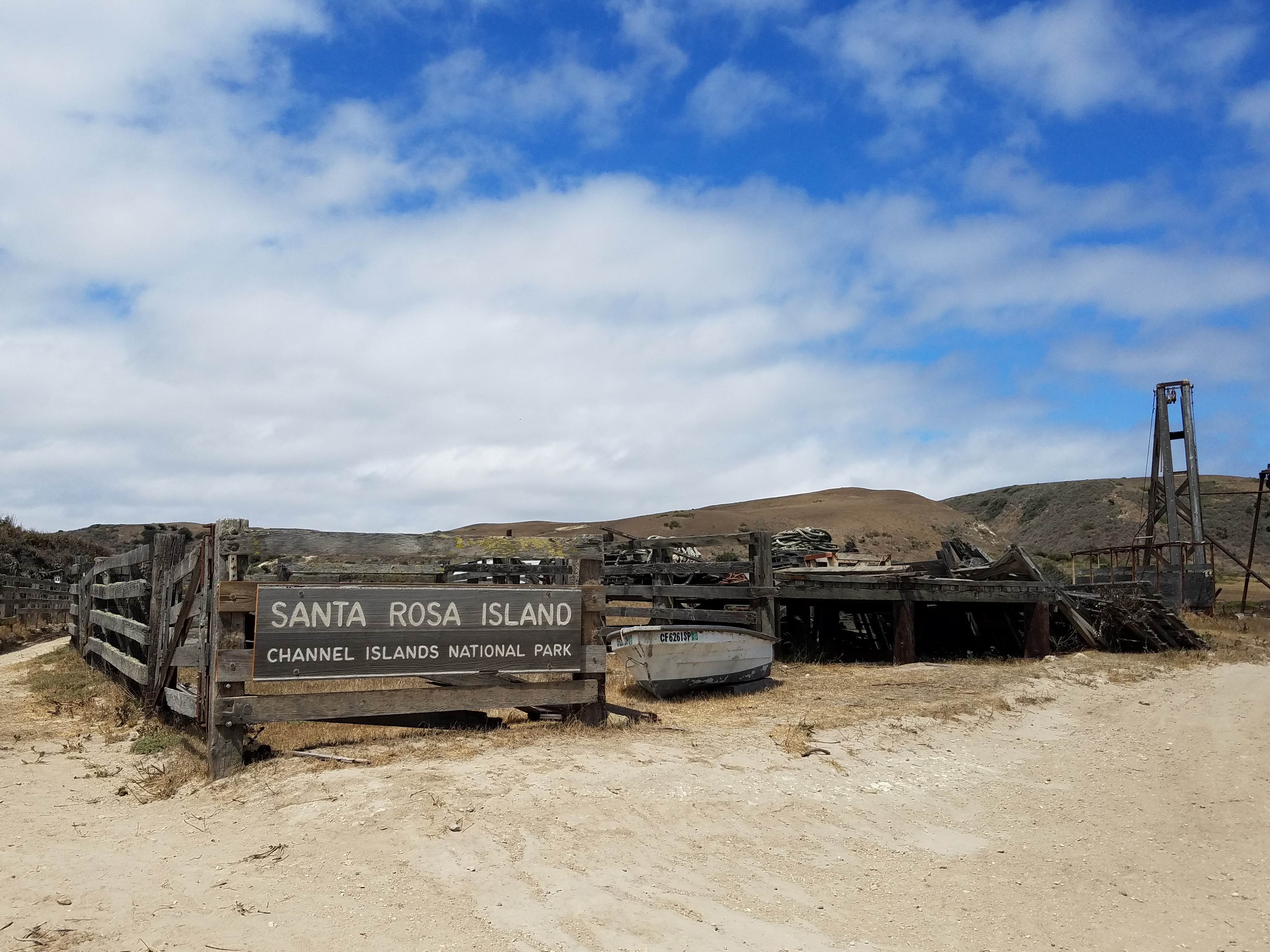
About 30 miles west of the Southern California coast lays the quiet realm of the Channel Islands National Park. Totaling 390 sq. miles the park is composed of five islands: Santa Barbara Island, Anacapa, Santa Cruz, Santa Rosa, and San Miguel. There are several other islands not included in the park: Catalina, which is overseen by a conservation agency, and San Clemente and San Nicholas, which are both controlled by the U.S. Navy. Previously occupied by cattle and sheep ranchers, the Northern islands of Santa Cruz, Santa Rosa, and San Miguel are slowly making a comeback to their natural states.
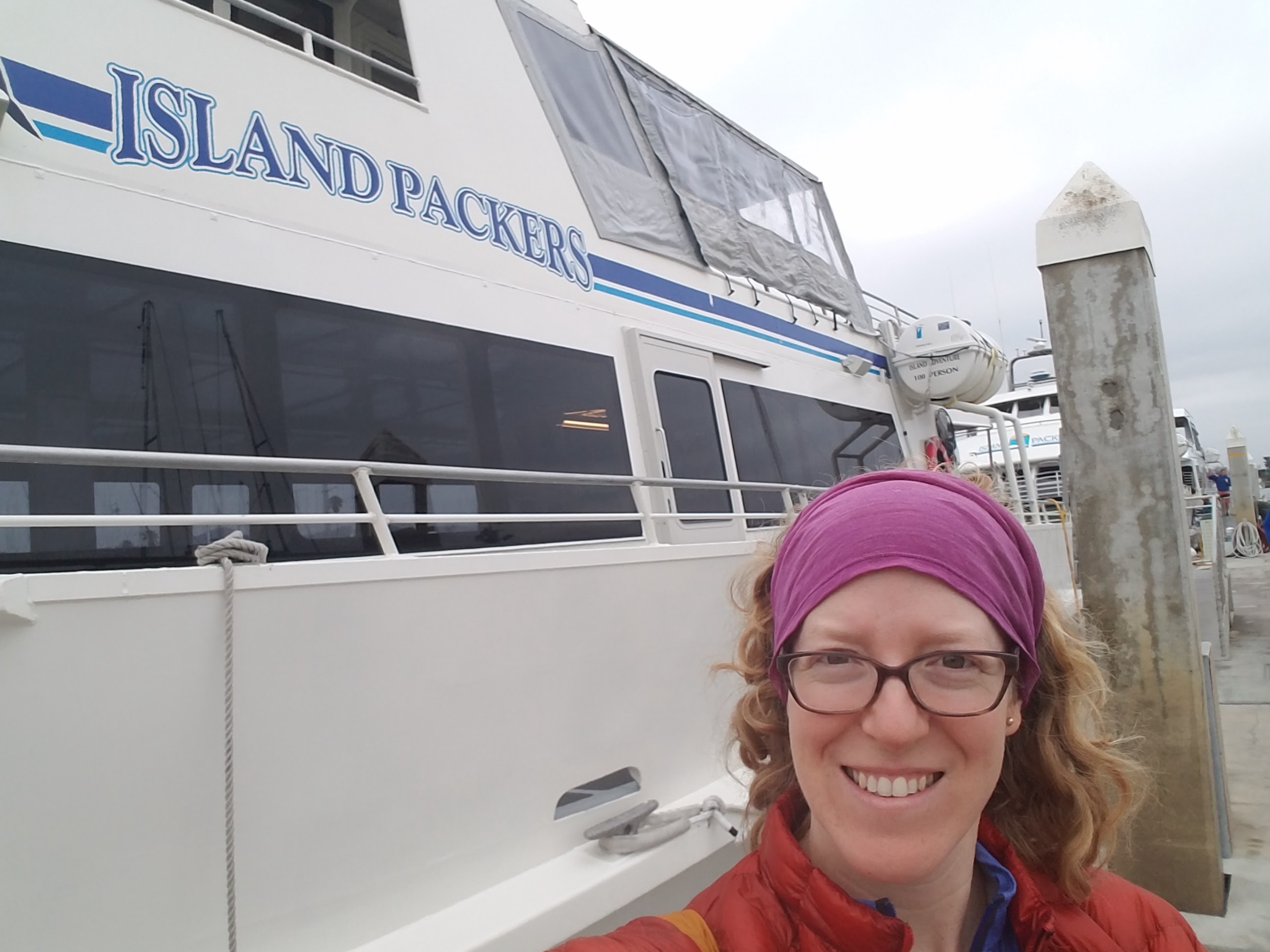
The most popular way of accessing the park is by the Island Packers Ferry out of Ventura, Ca. A round ticket will cost you $114 per person and since Santa Rosa doesn’t receive as many visitors as Santa Cruz, the ferry only stops there three to four times per week. While the final destination is the pier at Becher’s Bay, the ferry ride also takes you on a guided tour of interesting sites, including Anacapa and Santa Cruz Islands, the oil derricks, and whale watching. The tour offered a tremendous amount of information about the natural and social history of the channel and the islands. The ferry itself sports an indoor lower deck with tables and a snack bar, and, on the upper deck, open-air benches with fantastic views.
Day 1- 17.5 miles
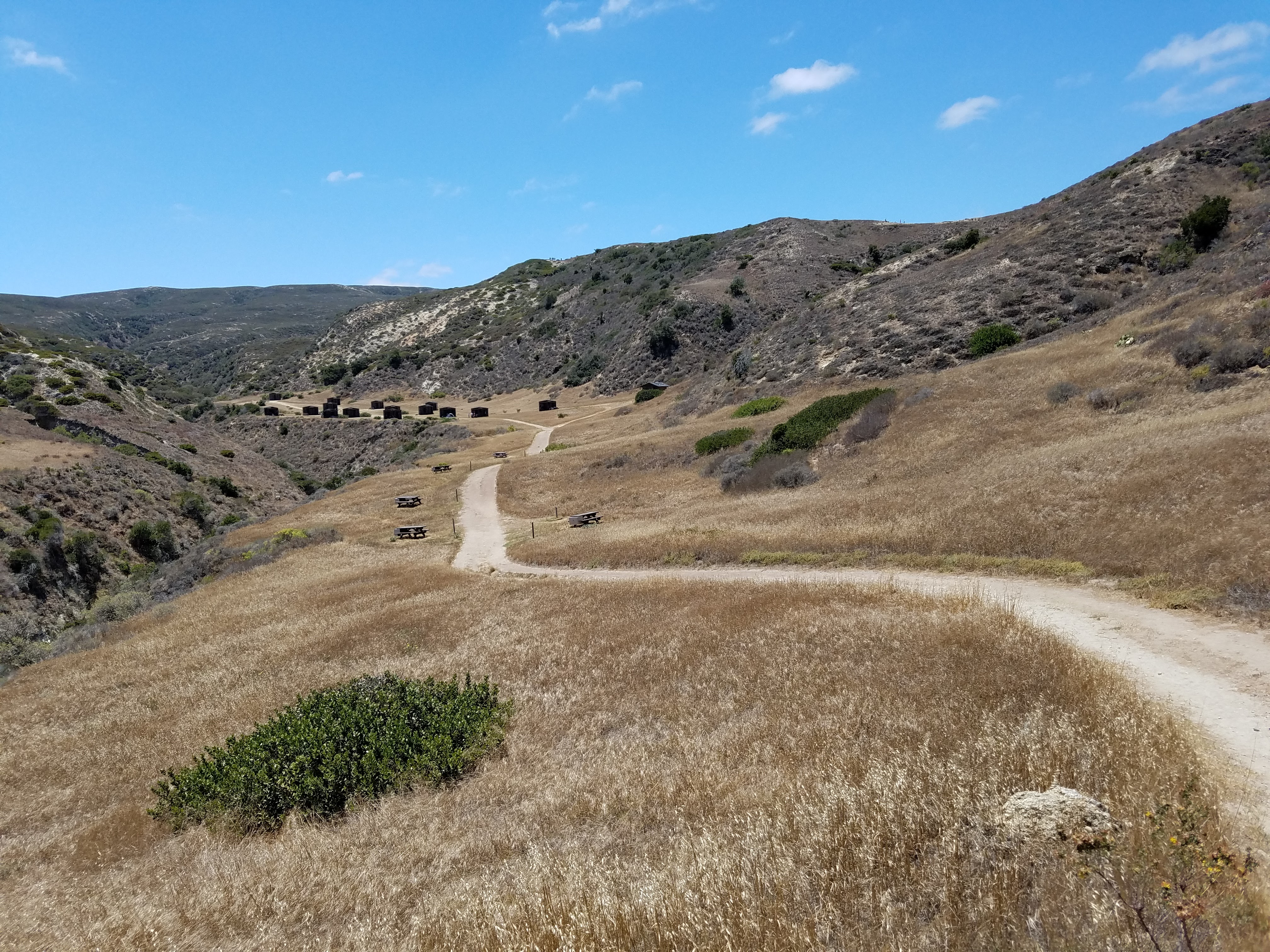
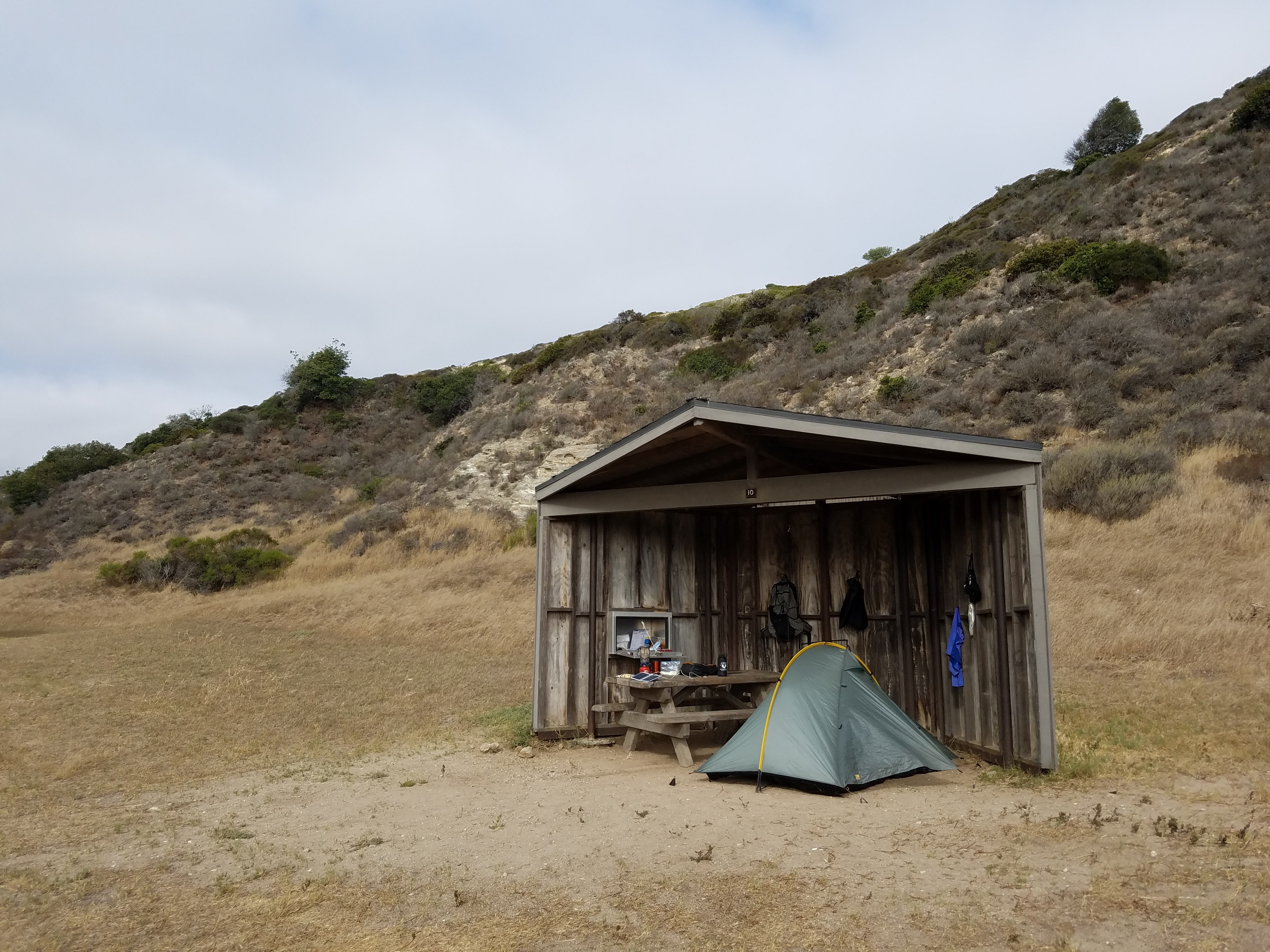
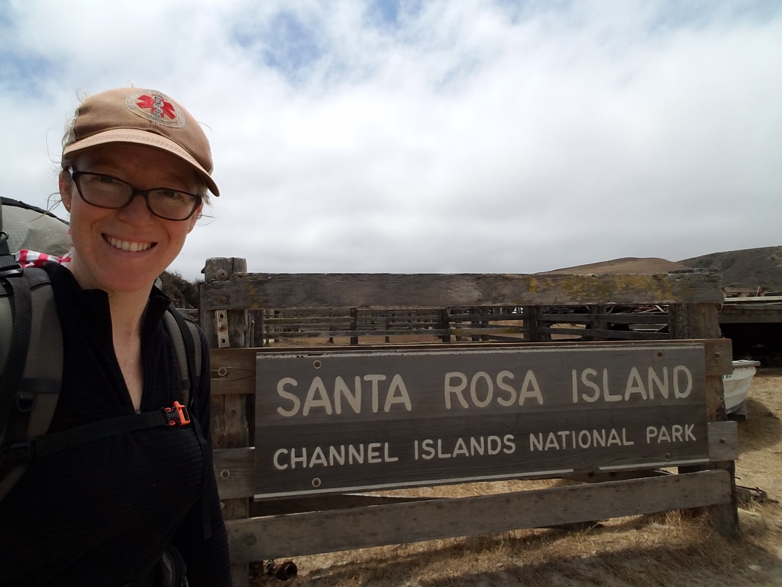
After a brief check-in with the ranger, I set off for the mile and half walk to the campground. It was much hotter than I expected. Cool ocean breezes swept and curled along the coastline, but the inland rock heated the air along the road until it sizzled with little heatwaves. To help protect campers from the fierce Pacific winds, the campground is tucked into Water Canyon about a quarter mile in from the beach. Each site is equipped with a three-walled shelter, a picnic table and a food storage box. It has three spigots with potable water, two very clean bathrooms, an outdoor sink, and even a shower. I was impressed! Before booking your ferry ride, be sure to reserve your campsite on Santa Rosa for $15/night.
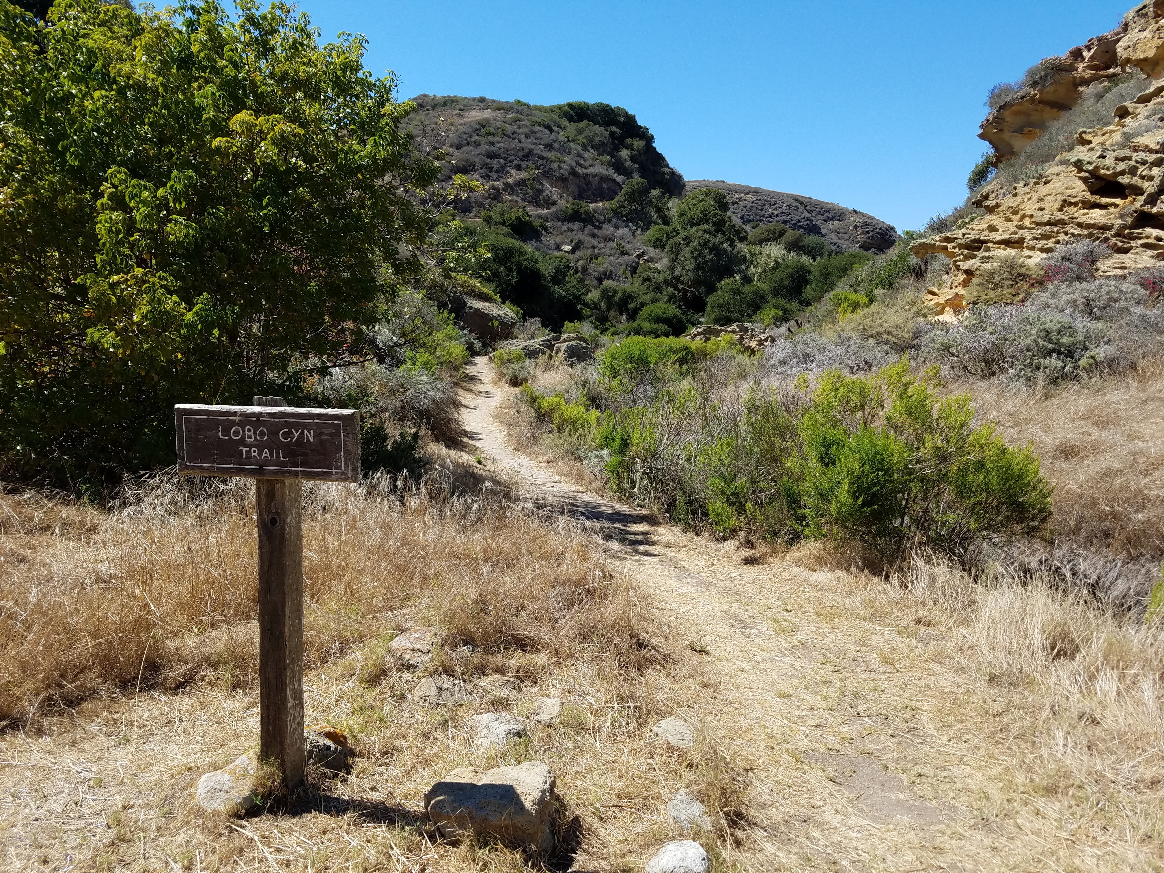
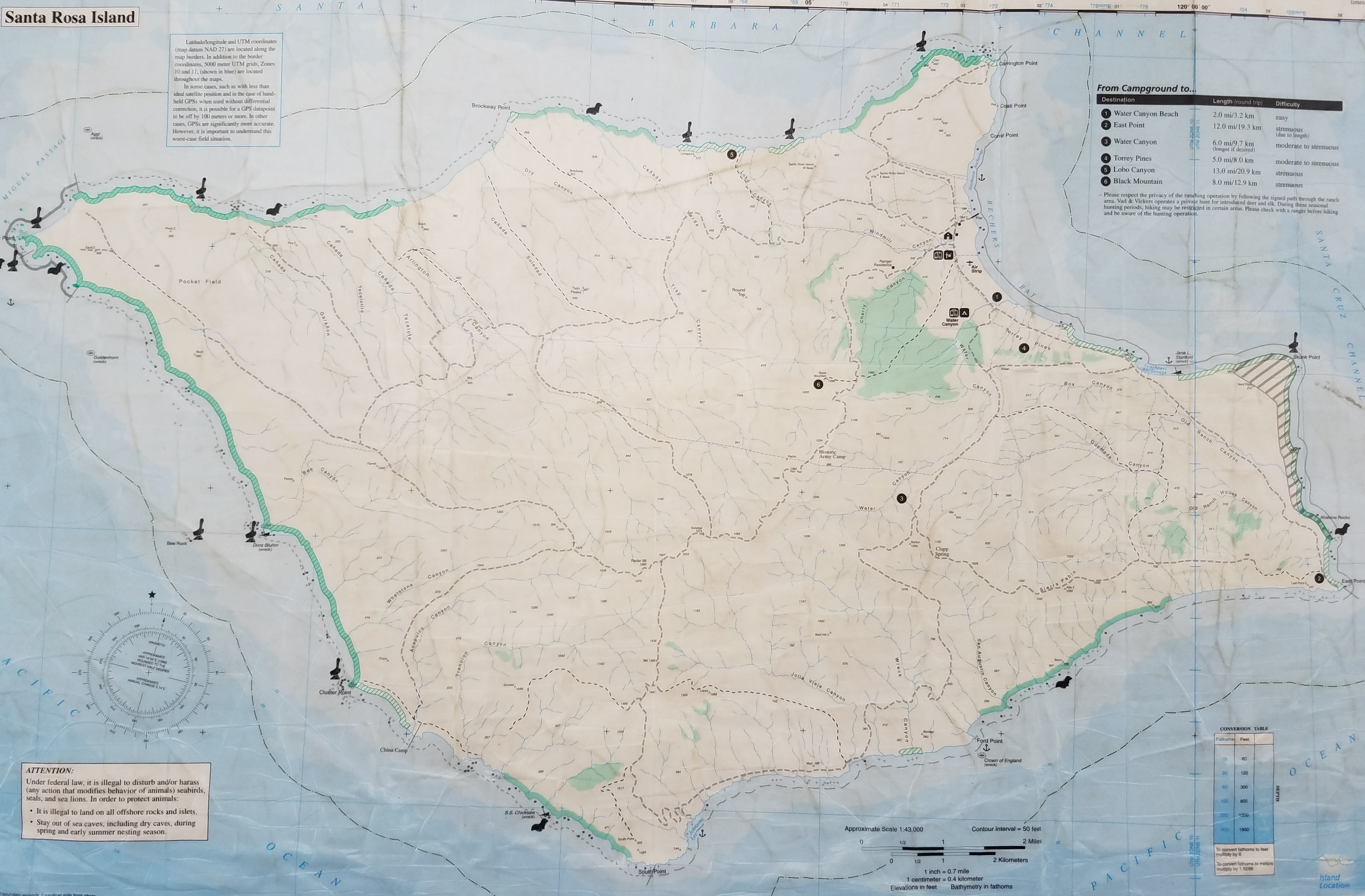
Not wanting to waste a moment, I immediately found my campsite, organized my gear, and re-packed my bag for a long day hike. My destination was Lobo Canyon, a long, but worthwhile hike of Santa Rosa. The canyon itself is 4.5 miles from the campground along a dirt road called Smith Highway, after which hikers can take a foot trail through the canyon an additional 2 miles to its mouth where it enters the Pacific Ocean.
As I climbed the hill away from Bechers Bay and the pier, the view of Santa Cruz to the south emerged behind me as though the island itself was rising from the sea. It’s hard to describe the magnificence of these islands, particularly Santa Cruz. Viewed from the mainland, one would assume the islands look just the same as the hillsides and cliffs of Ventura County. Their unique beauty, however, can only be appreciated by those who see them up close. The textures and colors of Santa Cruz’s edges are colorful, like rainbows of rock, and vary from soft, crumbling walls and fortress-like hardened lava to smooth, sandy beaches. Its mountains have distinct characters in their shapes and heights, forming gullies, gorges, and valleys between them.
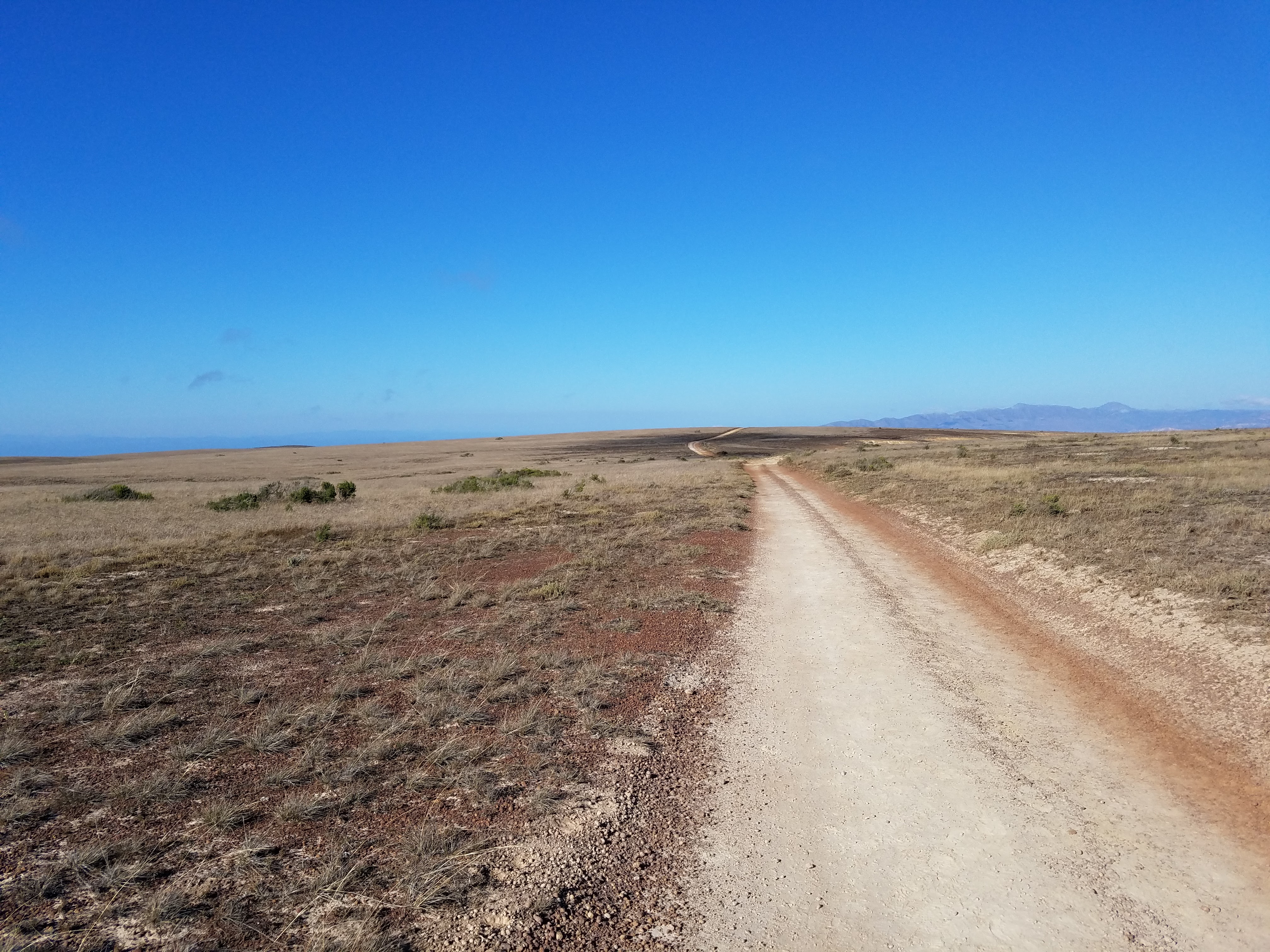
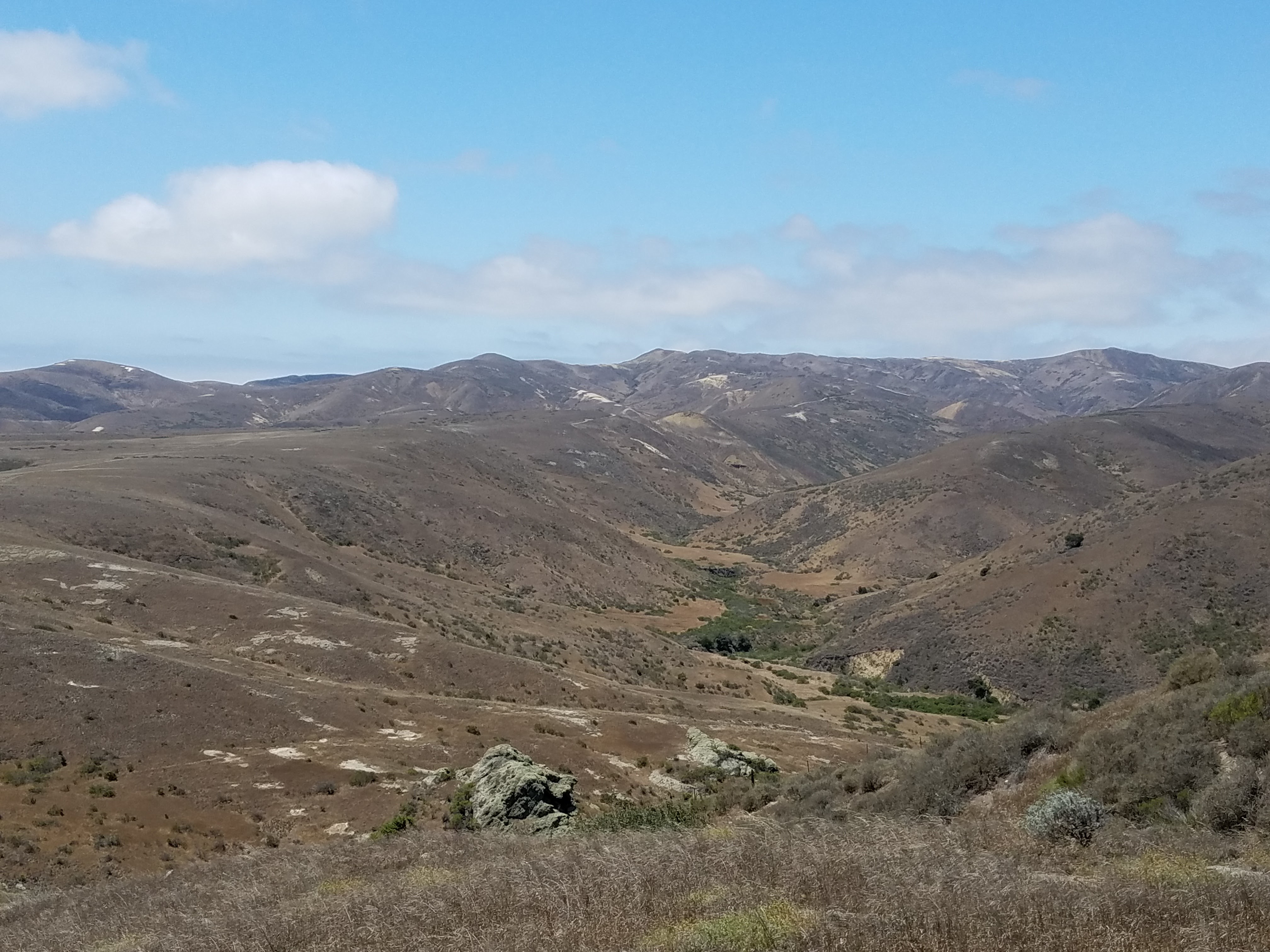
As I approached the top of my climb, the plateaus of Santa Rosa’s eastern coast opened up before me. The dirt road gently rolled on and on over the gentle, grassy slopes. The land was so smooth here that I had the sensation of standing still while the earth moved beneath me with each step I took. It’s a feeling I’ve had before and is hard to describe- like the world is some virtual reality while I walk along a treadmill.
At the junction for Carrington Point, I sat myself down in the dirt to admire the view of Santa Cruz and the brown Santa Rosa mountains contrasting against the bright blue sky. I snacked on my jerky and fig bars, enveloped by silenced; not even the sound of ocean waves seemed to carry up this barren road. I leaned back on my pack, legs splayed before me and tipped my hat over my face. Twenty minuets later I woke up in a daze, not entirely sure where I was- I’ll blame it on the motion sickness drugs I took earlier in the day.
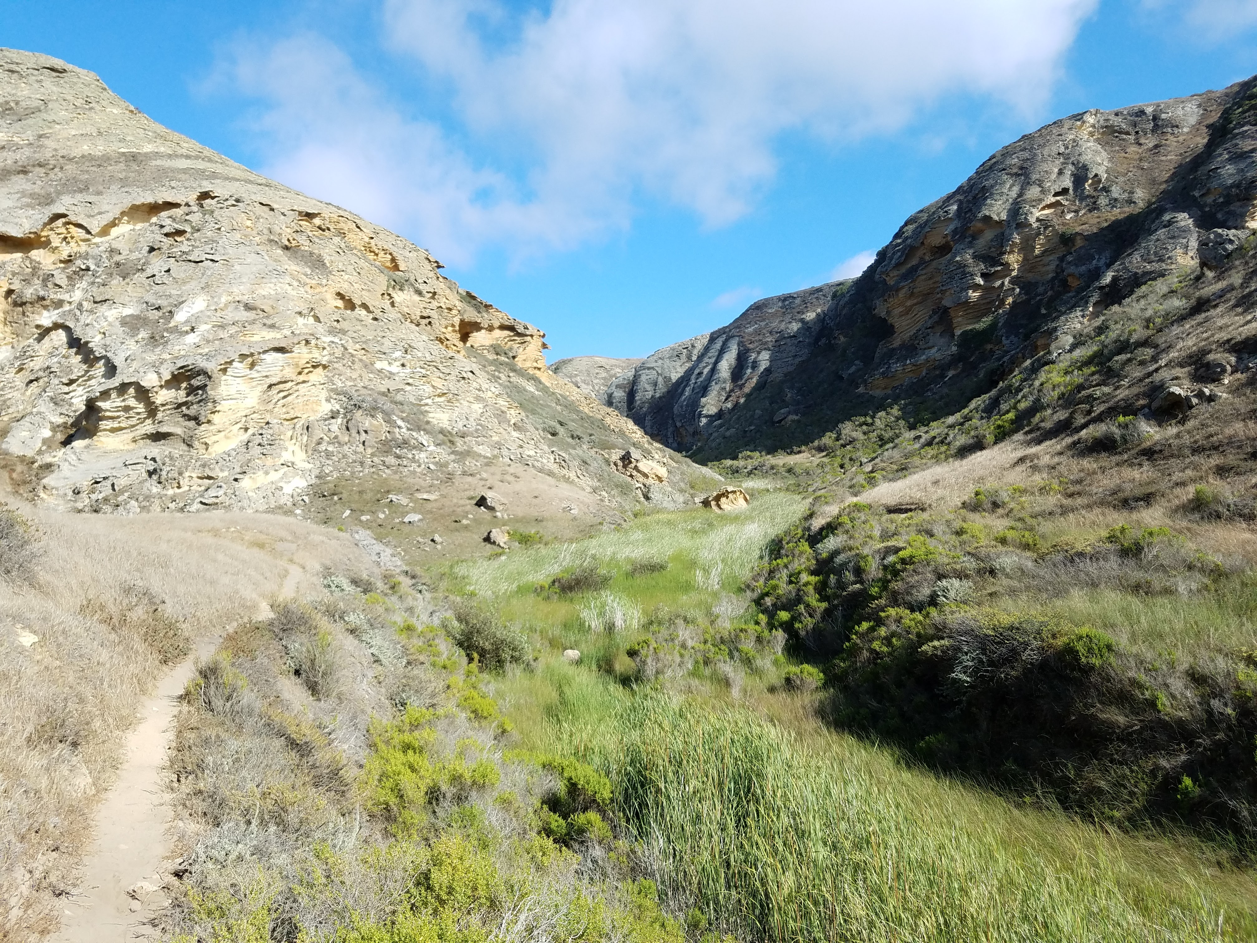
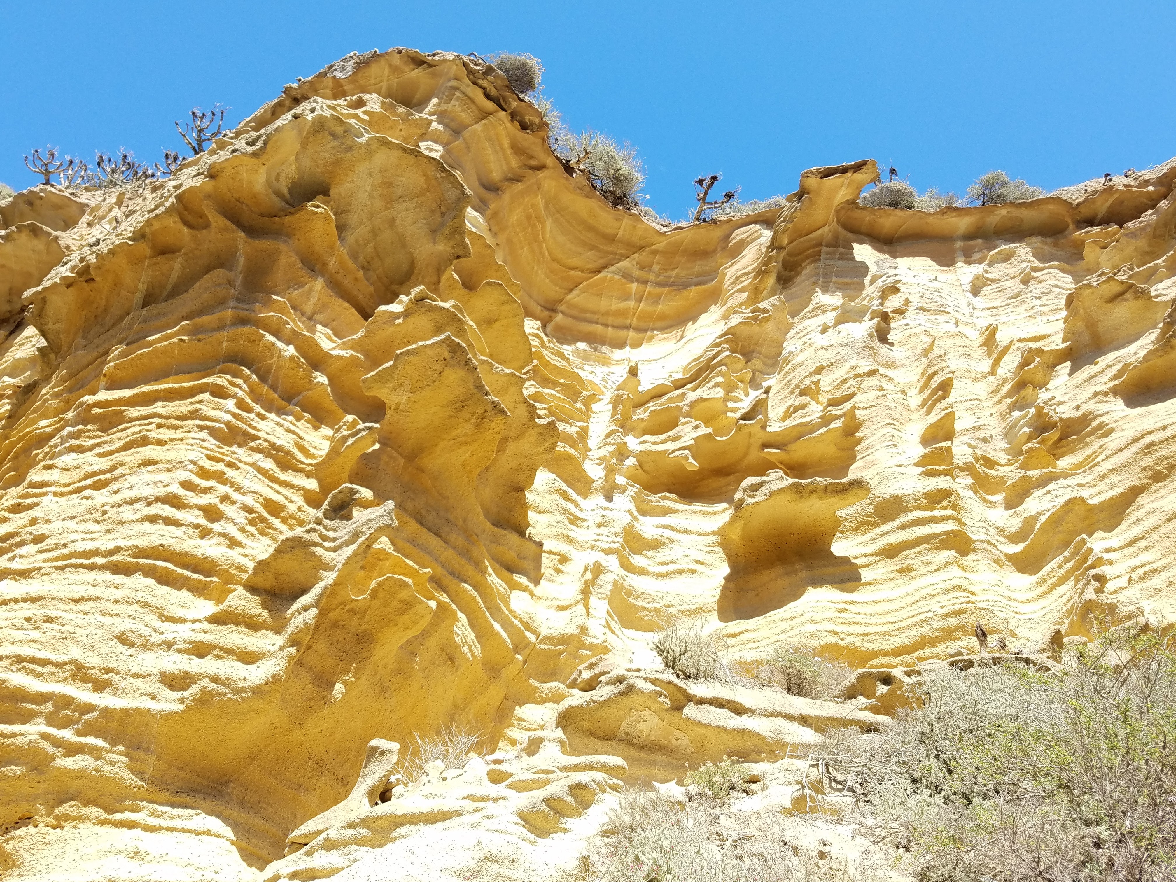
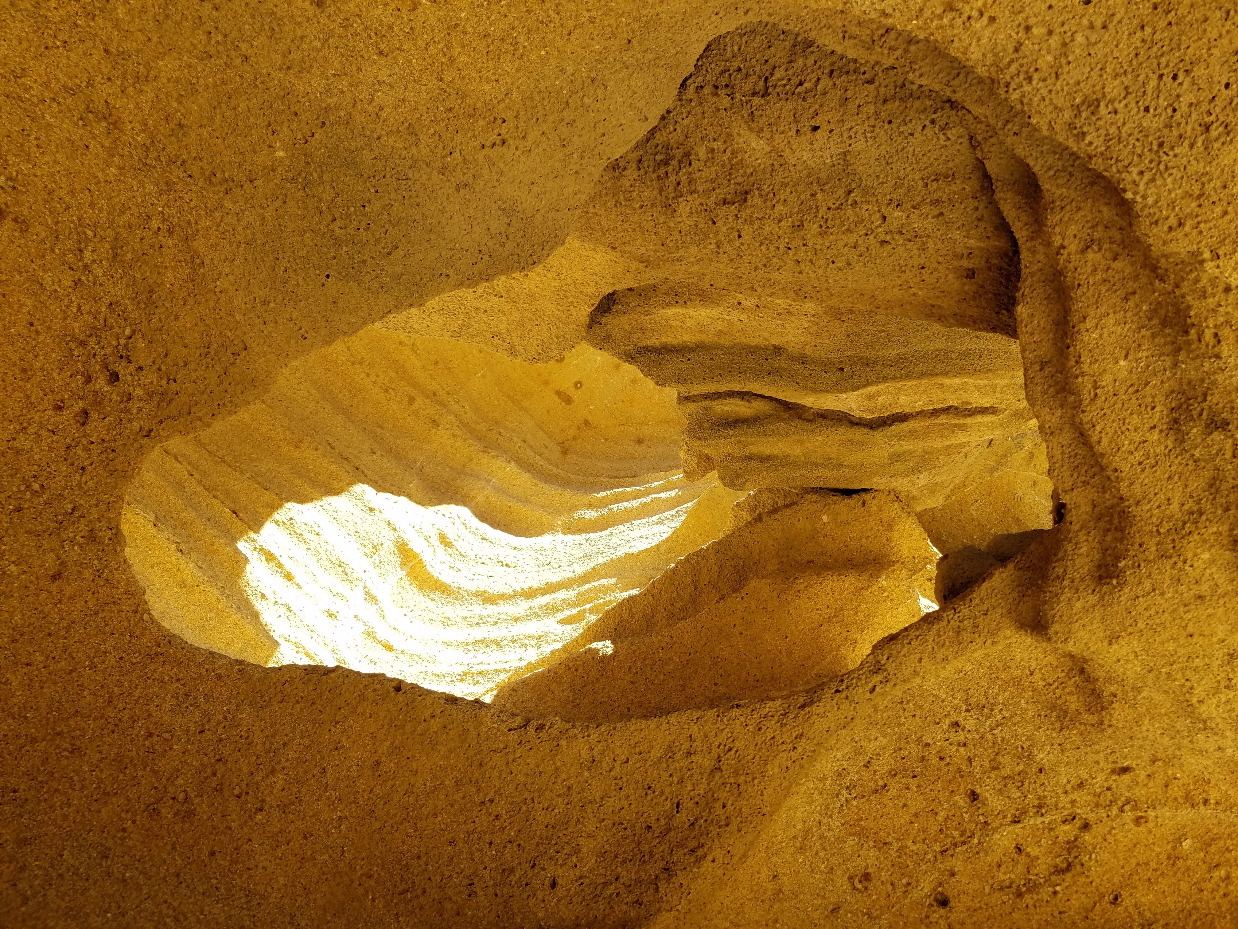
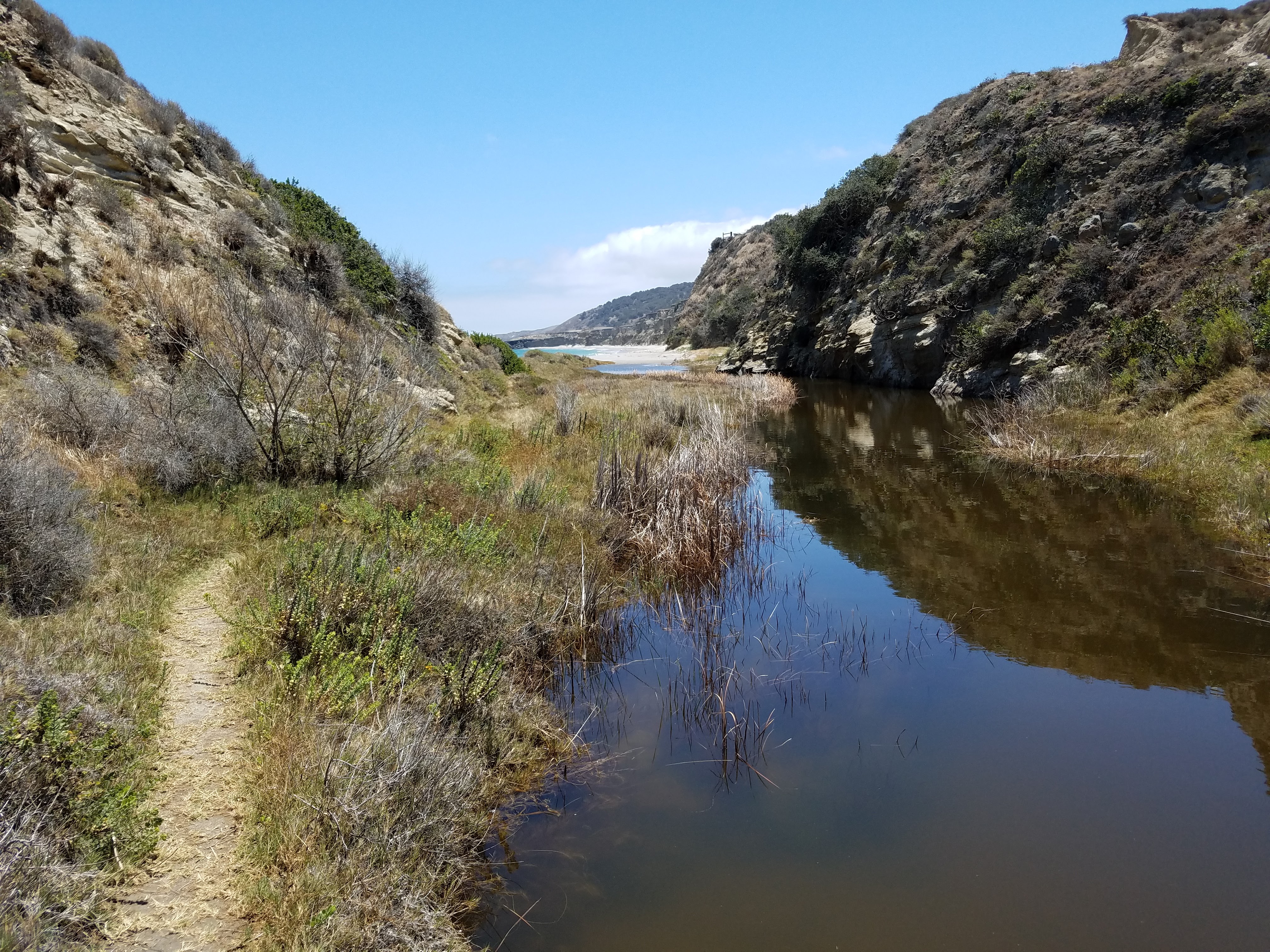
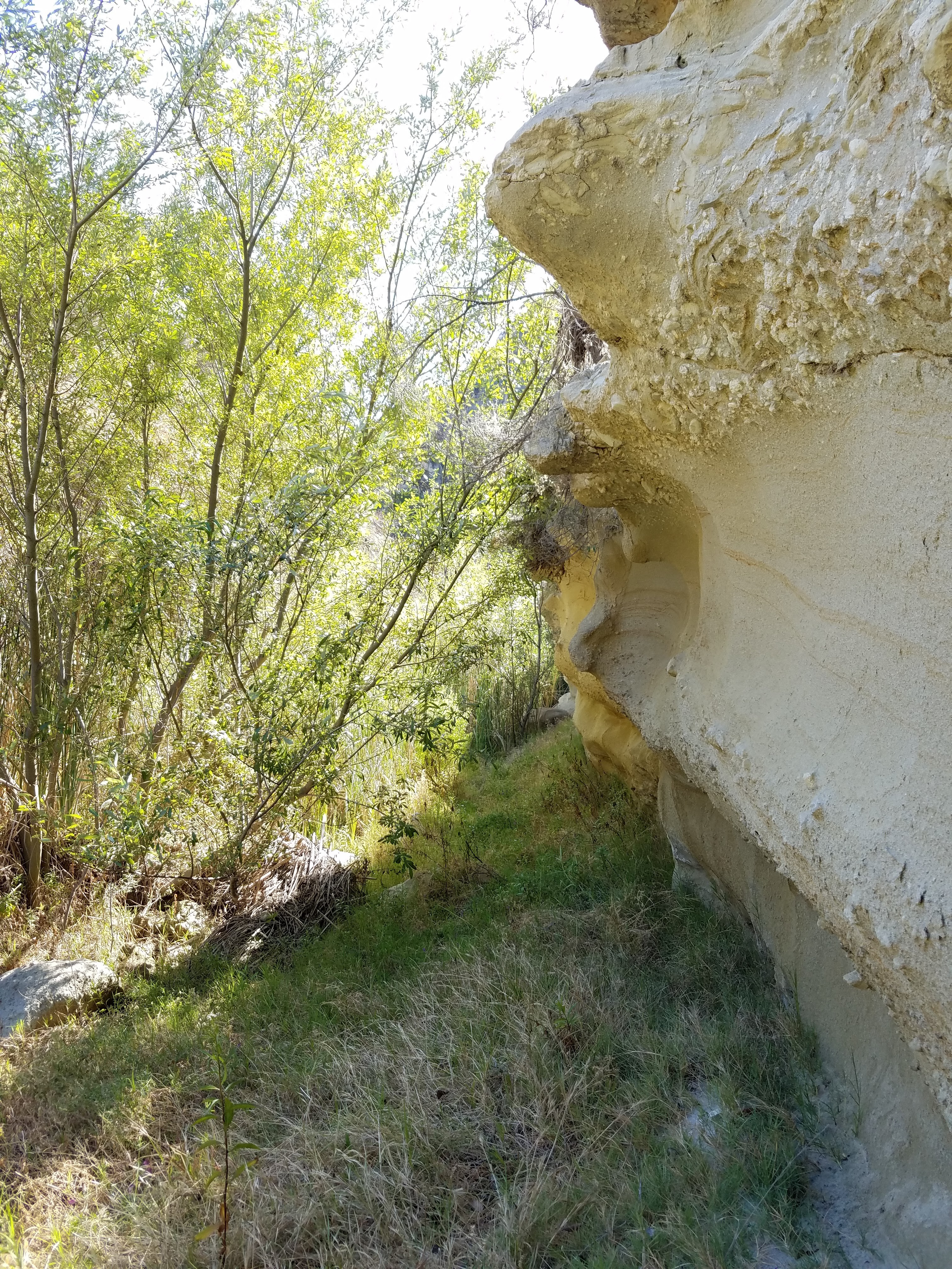
After winding miles along the wide open coastal terrace, Smith Highway drops suddenly into Lobo Canyon. This canyon has been carved by wind and water for millennia to reveal, beneath the grey outer crust, golden sandstone ribbons and waves of siltstone. In the protection of the canyon, trees, bushes and flowers are free to grow tall and create a very different world than that of the plains. A small, perennial creek feeds all the life in this canyon including rich vegetation, Island Foxes, deer mice, gopher snakes, lizards, and birds.
Just a few miles past Lobo Canyon along the Smith Highway, one will find Arlington Canyon. I had toyed with the idea of hiking out to Arlington, but decided to save it for another trip. In 1960, an archeologist found the remains of a man embedded in the steep canyon walls. It’s been determined that this body had been resting in the canyon for 12,900 years. This find makes Santa Rosa Island one of the oldest sites for human existence in North America.
As I try to wrap my mind around the implications of this find, I’m transported back 13,000 to 20,000 ago to when Paleocoastal people were migrating south along the American continents. Imagining small tribes of those people migrating via the coast with boats– which, in itself is something else to wrap my mind around; I don’t think most of us today understand how sophisticated ancient humans were- and that nearly everywhere they went, they were the first ones there. These people arrived in new lands every couple of generations or so and formed their homes and livelihoods from the resources at hand, using a body of knowledge passed down through oral traditions. The ingenuity and resiliency of the human species never ceases to amaze me.
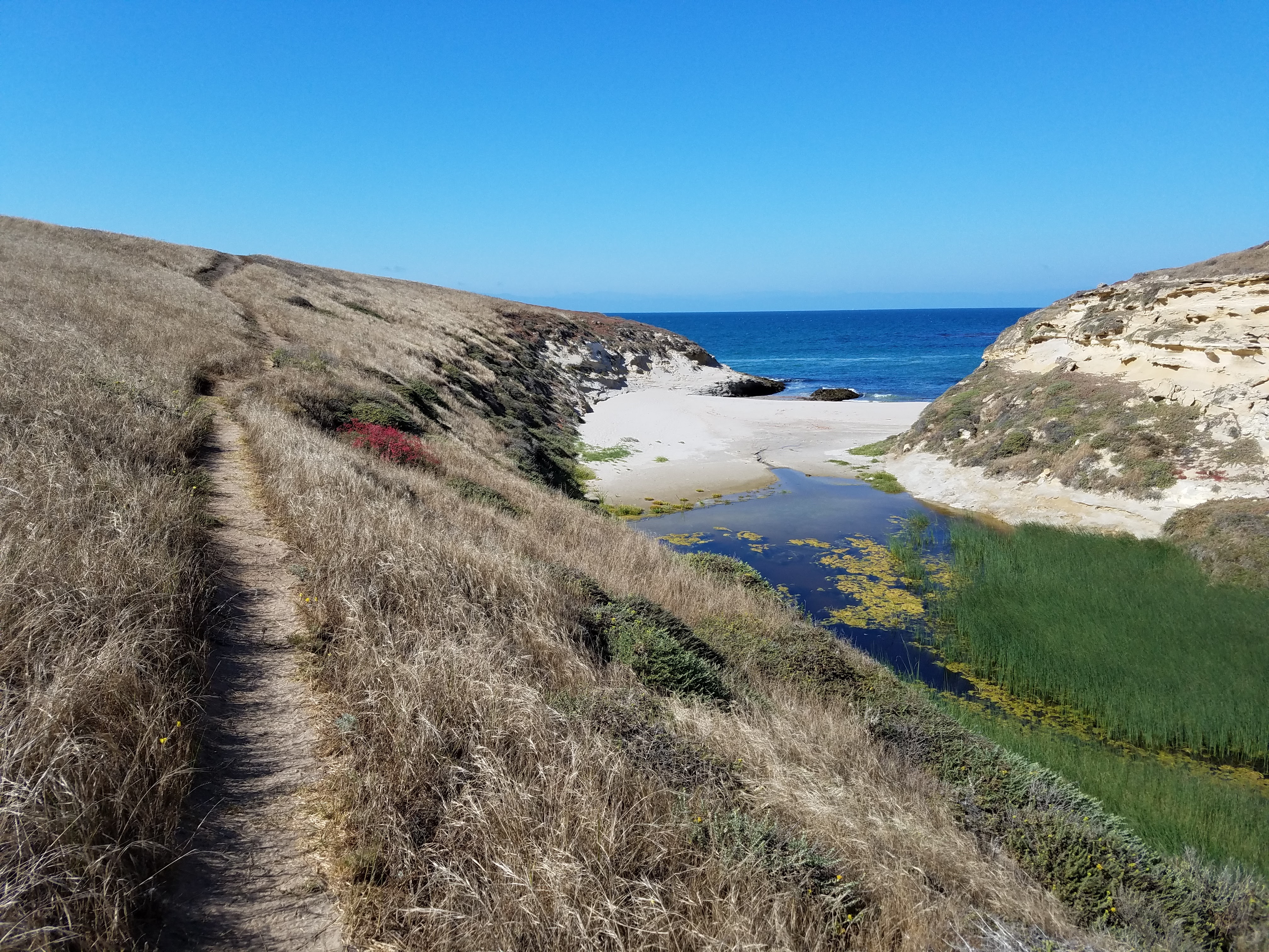
After an easy and charming two miles, Lobo Canyon empties into the Pacific Ocean with a small, white beach at its mouth. Looking to the east, one can see Carrington Point, where, in 1994, the nearly complete remains of a pygmy mammoth were found. It was the first of about 160 mammoth sites around the island.
During the last ice age, the sea levels were about 100 meters lower than they are today and the northern islands were actually linked as one large island called Santa Rosae. At that time, massive 14-foot tall Columbian Mammoths from the mainland swam across the channel, then only 5 miles wide, and roamed the 733 square mile island. As the sea levels rose, Santa Rosae began to take shape as the smaller separate islands we know today and, with the area of dry land mass steadily shrinking, only the smallest of the Columbian Mammoths could manage to find enough fresh water and food to survive. As 30,000 years of mammoth generations past, they evolved into a dwarf version of their ancestor, reaching only 5- to 6-feet tall. While it remains a mystery why the Pygmy mammoths died out, it does seem to be before humans began settling the island. (It comforts me to know that at least this species wasn’t wiped out by us!)
After a long and beautiful hike back to the campground, I laid out my gear to cowboy camp in my little wooden shelter. A few mosquitos caught me off guard- I hadn’t expected any on the island, since it’s relatively dry here- but they really didn’t bother me. As the evening grew dark, massive spiders came out of their hiding spots to work around the corners of the shelter roof- again, I wasn’t really bothered by these insects and I continued to make myself comfortable in my bag. However, as I snuggled in for the night, my eyes came across a tiny insect crawling slowly along a stud on the wall- a tick. And at that, I was setting up my tent! The only insect that really gives me the heebee jeebies is the tick. Maybe it’s the fact that they latch on and don’t let go or maybe it’s the threat of Lyme disease, but I just can’t tolerate them.
Day 2- 6 miles
The night was beautiful! Safely tucked away from the ticks, I laid in my tent and gazed out at the bright stars and brighter lights of the squid fishing boats. Dozens of the little boats were spread out on the water between Santa Rosa and Santa Cruz, each one lit up and together they looked like a floating city. A single fishing boat set off a firework to commemorate the 4th of July and I fell asleep imagining thousands of soft squid rushing around the boats in beautiful, swirling collectives soon to their meet their end.
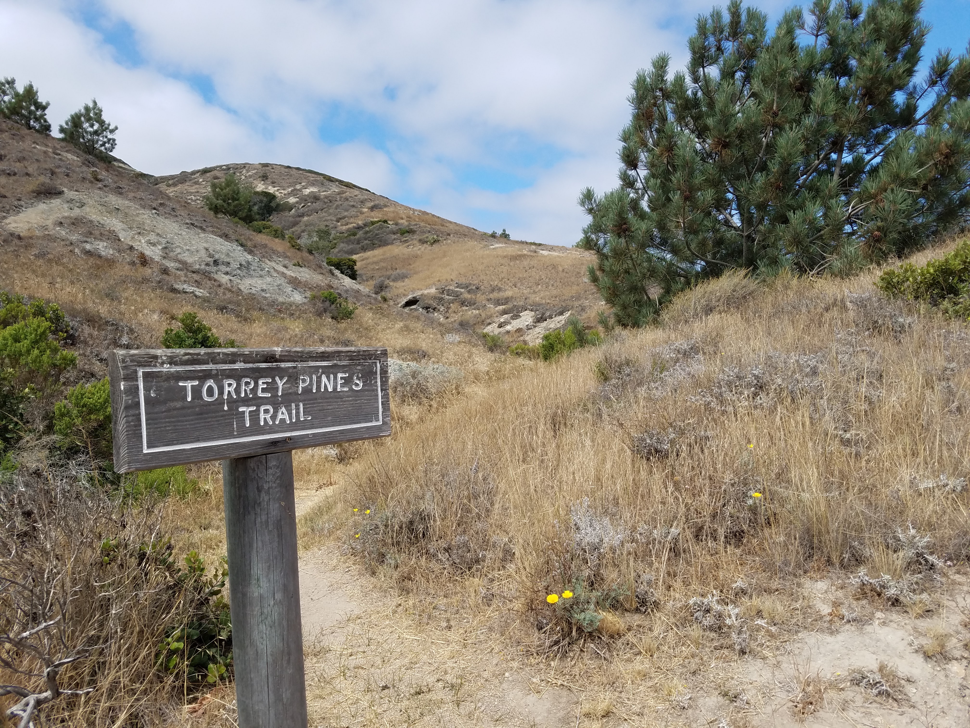
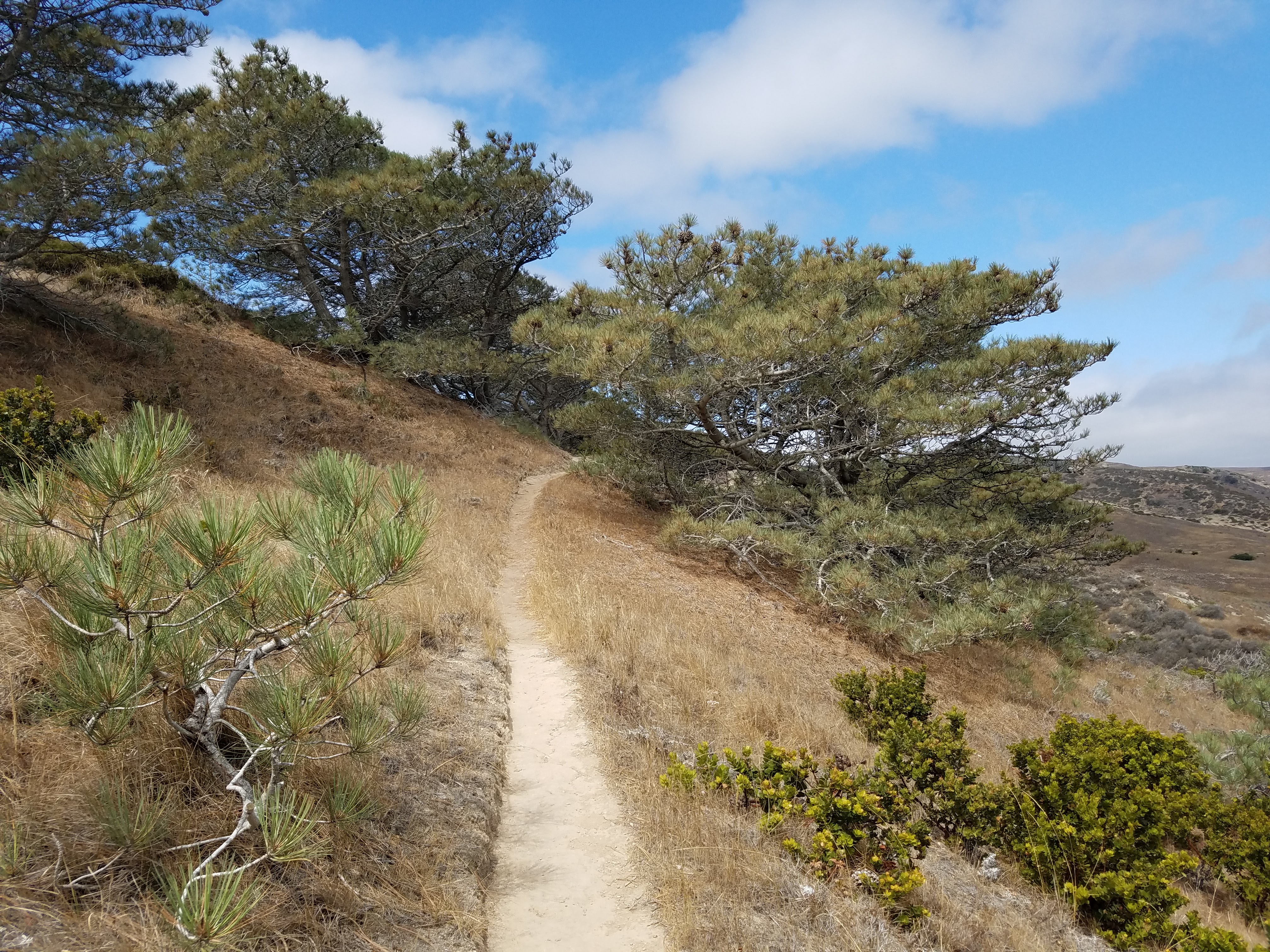
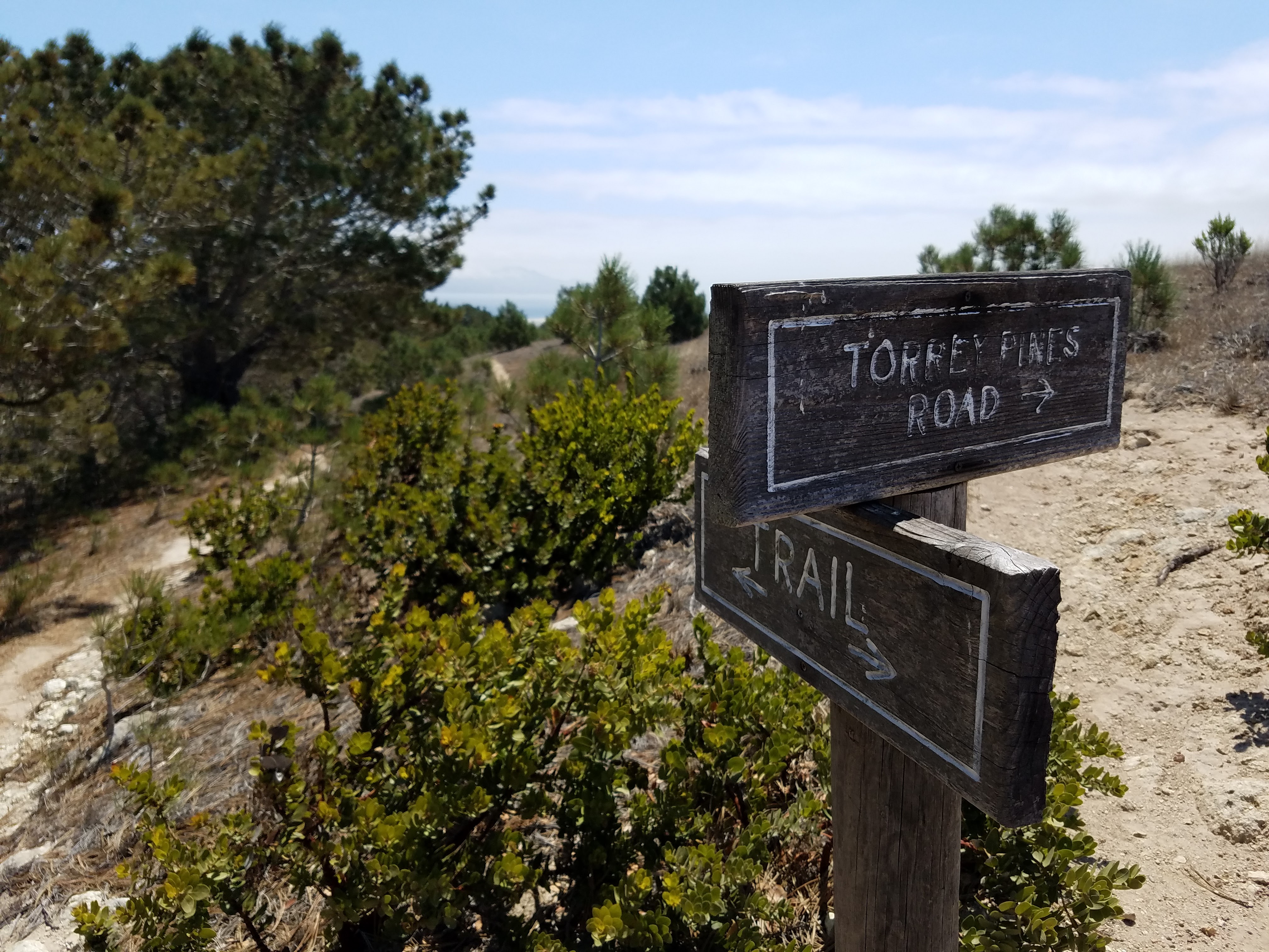
A visit to the endangered Torrey pines of Santa Rosa makes a beautiful day hike, made all the more special by the scarcity of trees in general on the island. There is one other grove of these ancient trees in the entire world and it’s way down in San Diego. Some scientists theorize that these two groves were once joined and were separated tens of thousands of years ago by shifting plates. Everything on this island seems to be a constant reminder of how all life is ultimately subject to the laws of nature and the rock and water that make up this planet.
The hike begins along the Coastal Road and then breaks off up the hillside at the Torrey Pines Trailhead. It was hot again and without much wind, so I was able to use my awesome trekking umbrella. (I LOVE MY UMBRELLA! I snatched it out of a hiker box while hiking the PCT and shipped it home- one the best decisions I ever made.)
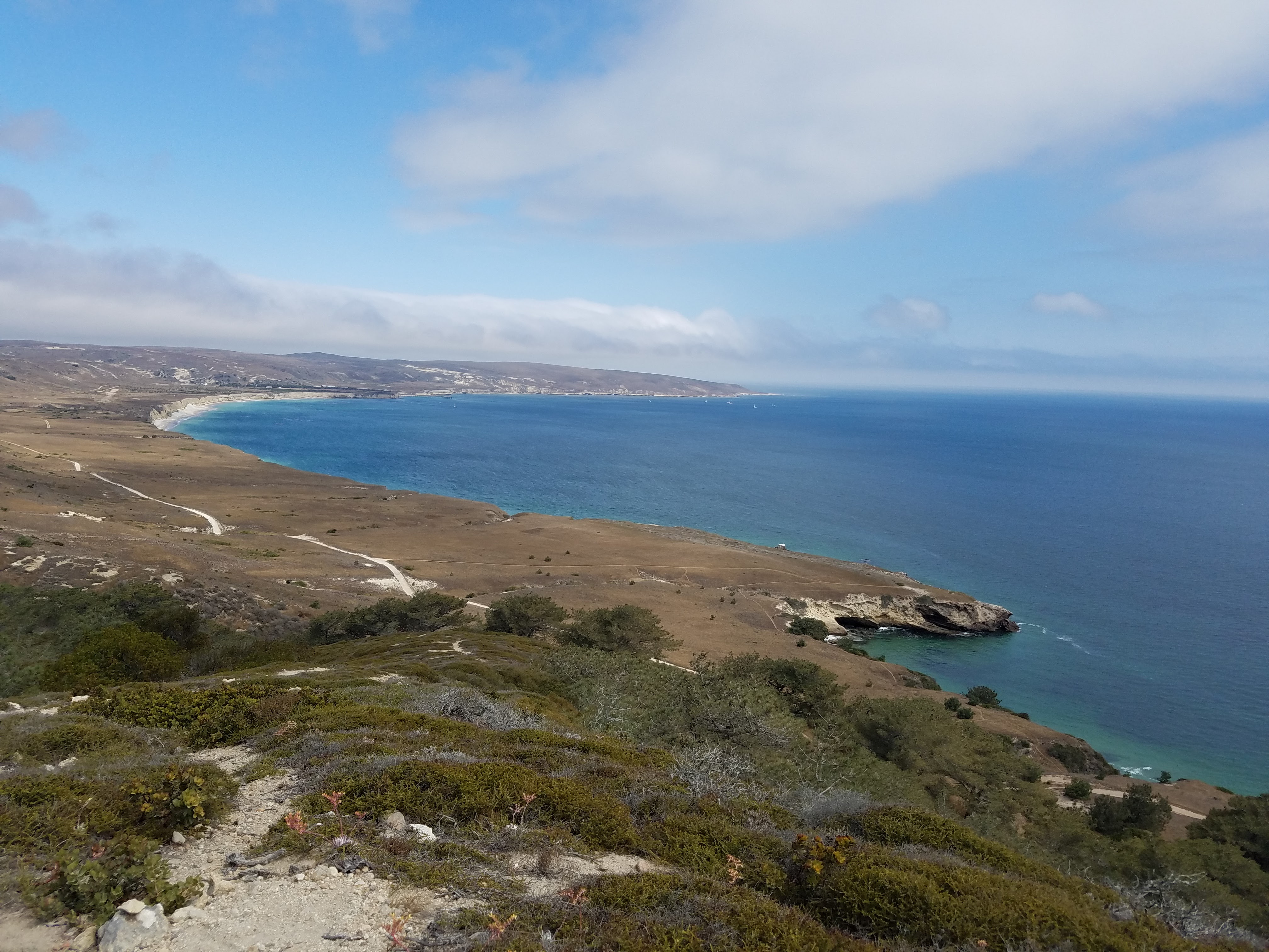
Once on the Torrey Pines Trail, it was a steep climb up the hill, but the views were spectacular. Gazing out over the bright blue ocean and the perfectly scooped bay, I imagined the grand Spanish ships of Cabrillo and Vizcaino sailing past in 1542 and 1602 “discovering” California. Their sails would have been broad and white, beautiful to see, like giant birds on the ocean; and then I imagined if they had never come- I imagined the entire American continents as if Europe had never come. How would the communities have developed? What would the land be like without so many people?
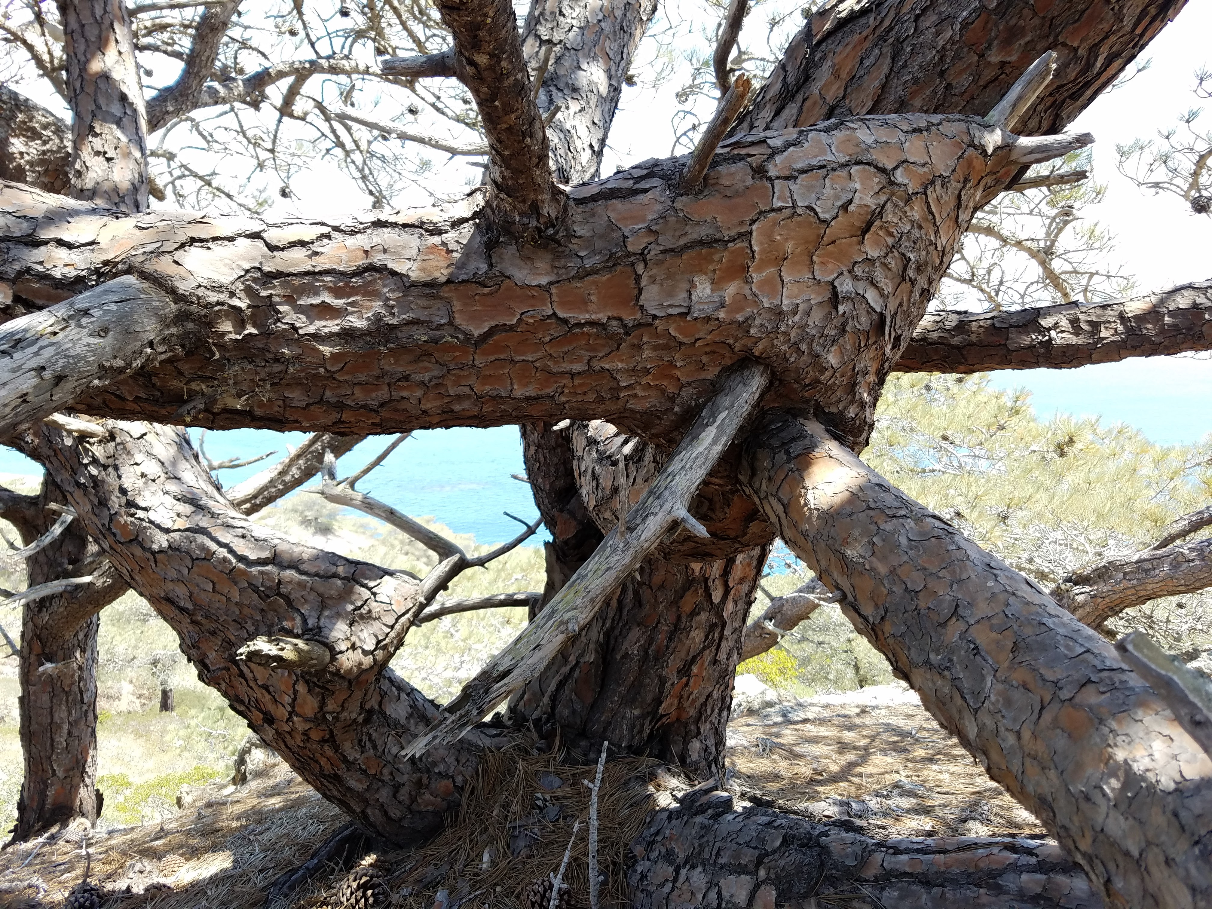
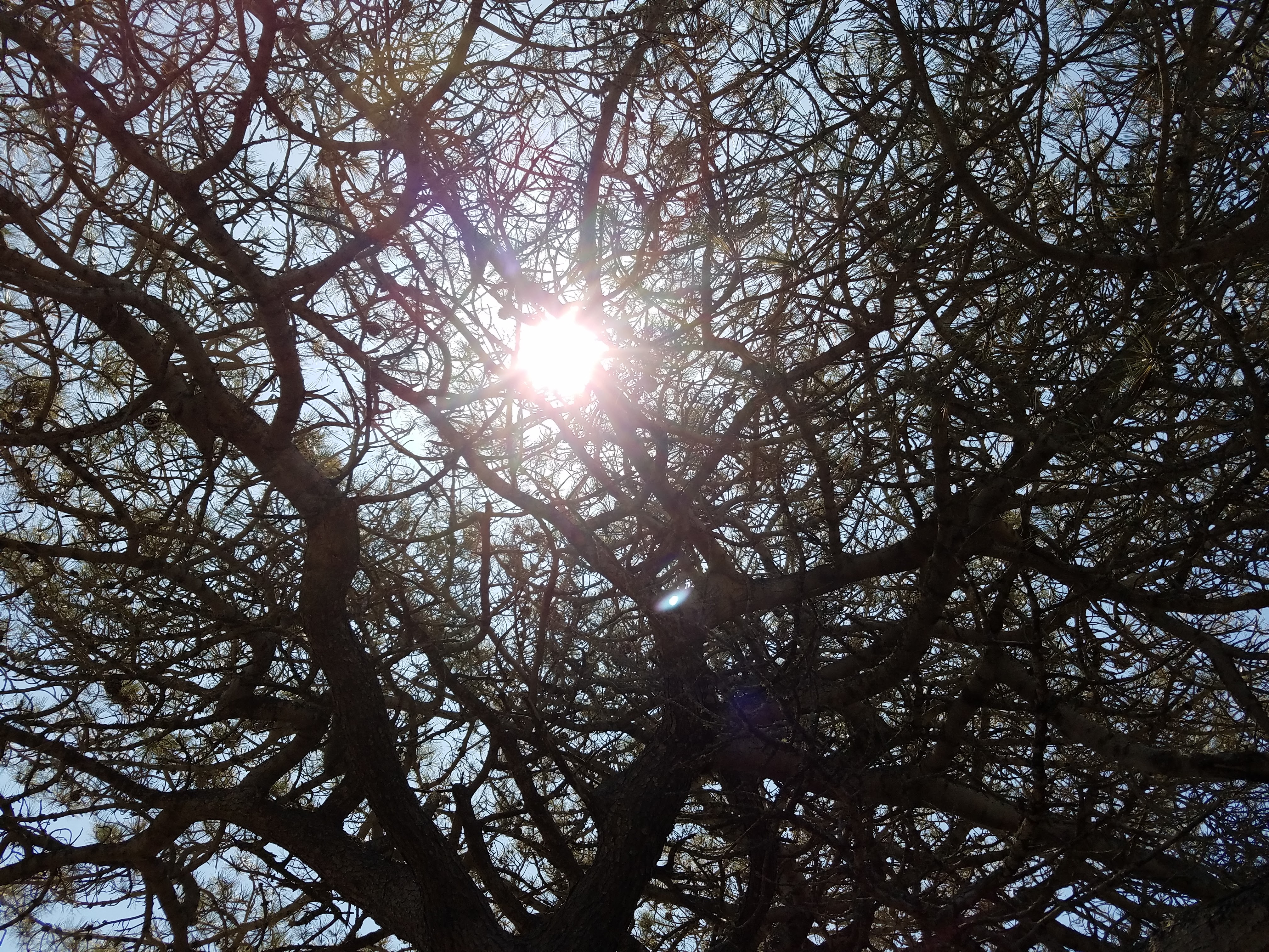
The Torrey pines grow tall and thick from the side of the island, but their bodies are twisted and gnarled by the seasons of strong winds. It’s startling to see how malformed these trees are- their branches clearly broken in half so badly that you’d think they’d just heal as a stump, amputees in the ongoing battles with the elements of Nature; but each tree continues to grow, twisting back on itself, sometimes enveloping other branches along the way. Every single pine seemed to have its own story of trauma and healing; and here they still stand with their branches blocking out the sun, the last of their kind, separated by hundreds of miles from their last living kindred. The greatest threat they face now is not the wind, but the drought.
I sat in the soft, yellow dirt of the trail, completely alone, and looked up at these amazing trees. I placed my hands on them, feeling their rough, scab-like bark, hoping to feel even a little bit of their history and what makes them so resilient. I was grateful for the solitude; I don’t think I would’ve been able to have the same experience surrounded by tourists, the way the giant redwoods of Yosemite often are.
Emerging from the grove at the top of the hill brought me to the junction with another dirt road. There seems to be an endless amount of dirt roads on Santa Rosa, mostly remnants of the ranching days. When planning my day, I had imagined myself to be a hiking machine, energetically traversing the island via these roads, and that, after visiting the pines, I’d hike across the interior plains and up on the mountain ridges until I reached the wide Pacific on the western shore of the island.
Once I hit the road, though, I slowed down. I couldn’t charge onward because I just kept sitting in the dirt looking at every little thing and every view. I wanted to absorb as much as I could of this place, and hiking quickly didn’t feel like the best way to do that. I was tired, too; all my insides felt sloshy and heavy, like a slushy, but a lot hotter. I could’ve just napped in the trail, just as I did yesterday. Rather than push onward or sleep on the hillside, though, I decided to loop back to the beach and relax down there.
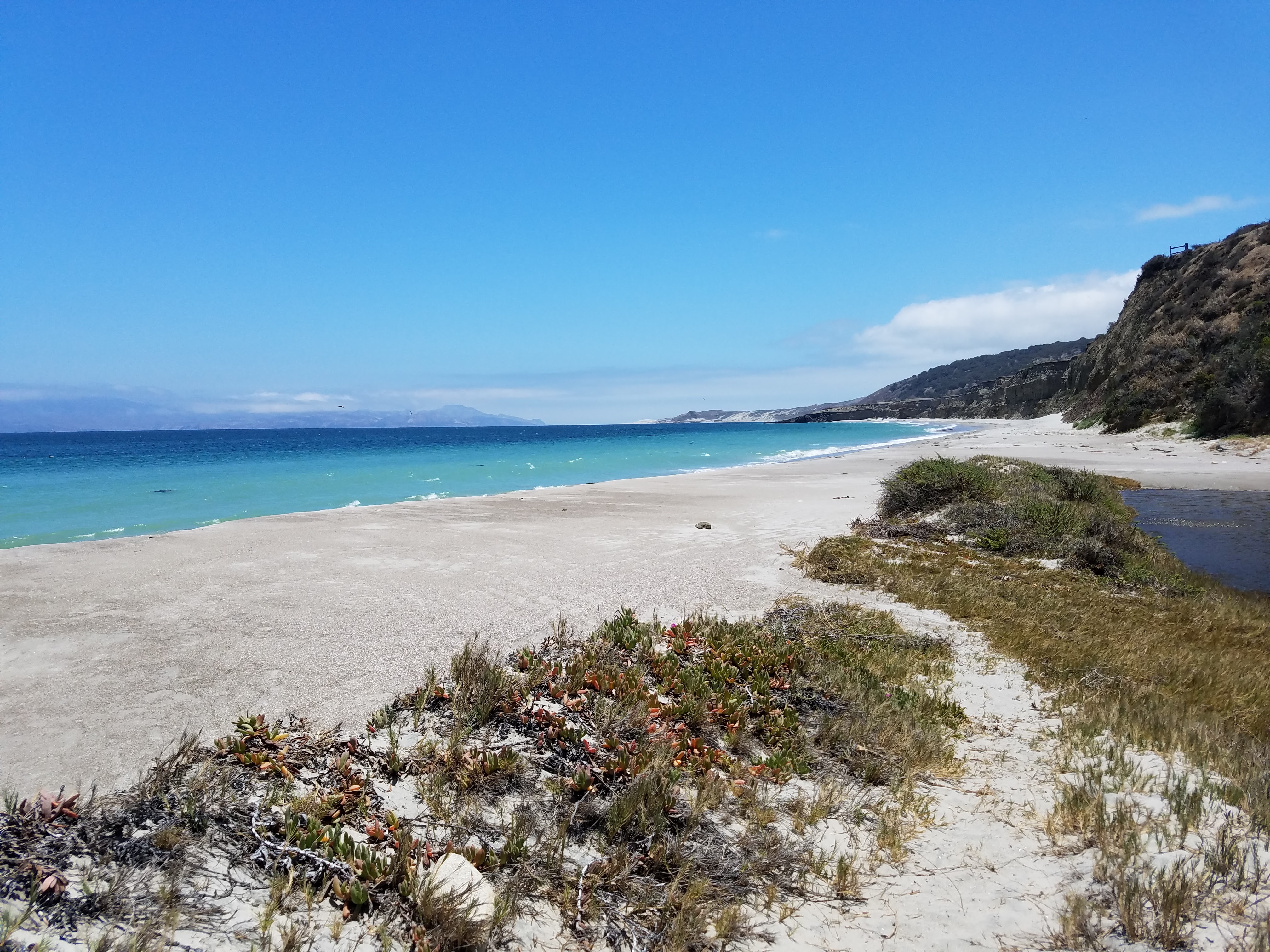
The beaches of Santa Rosa are exquisitely beautiful with waters of electric blue, soft sands like baker’s flour, and empty enough to make you feel you’re on a deserted island. The only drawback to a day on a Santa Rosa beach is the wind- it can be fierce and unrelenting.
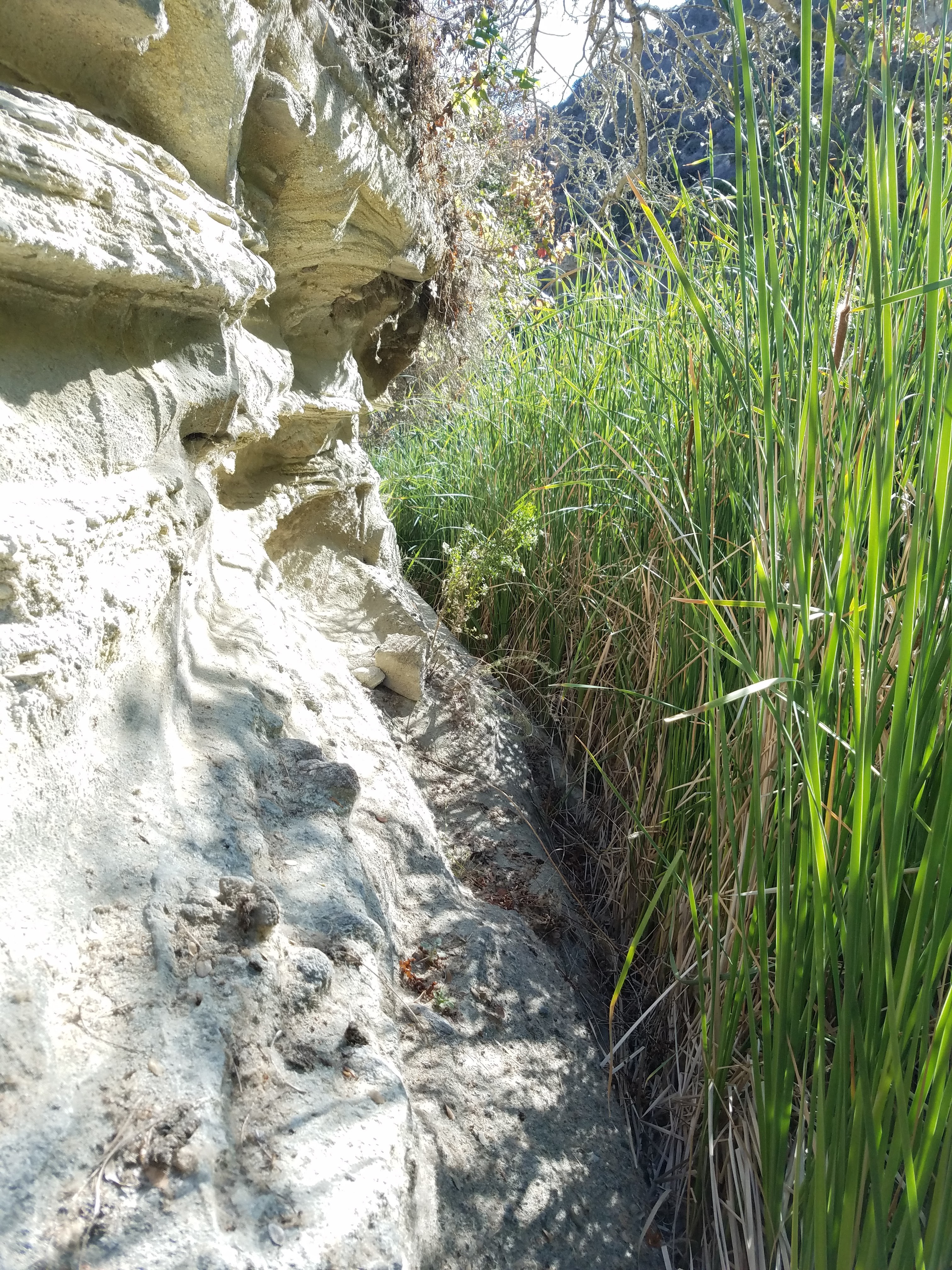
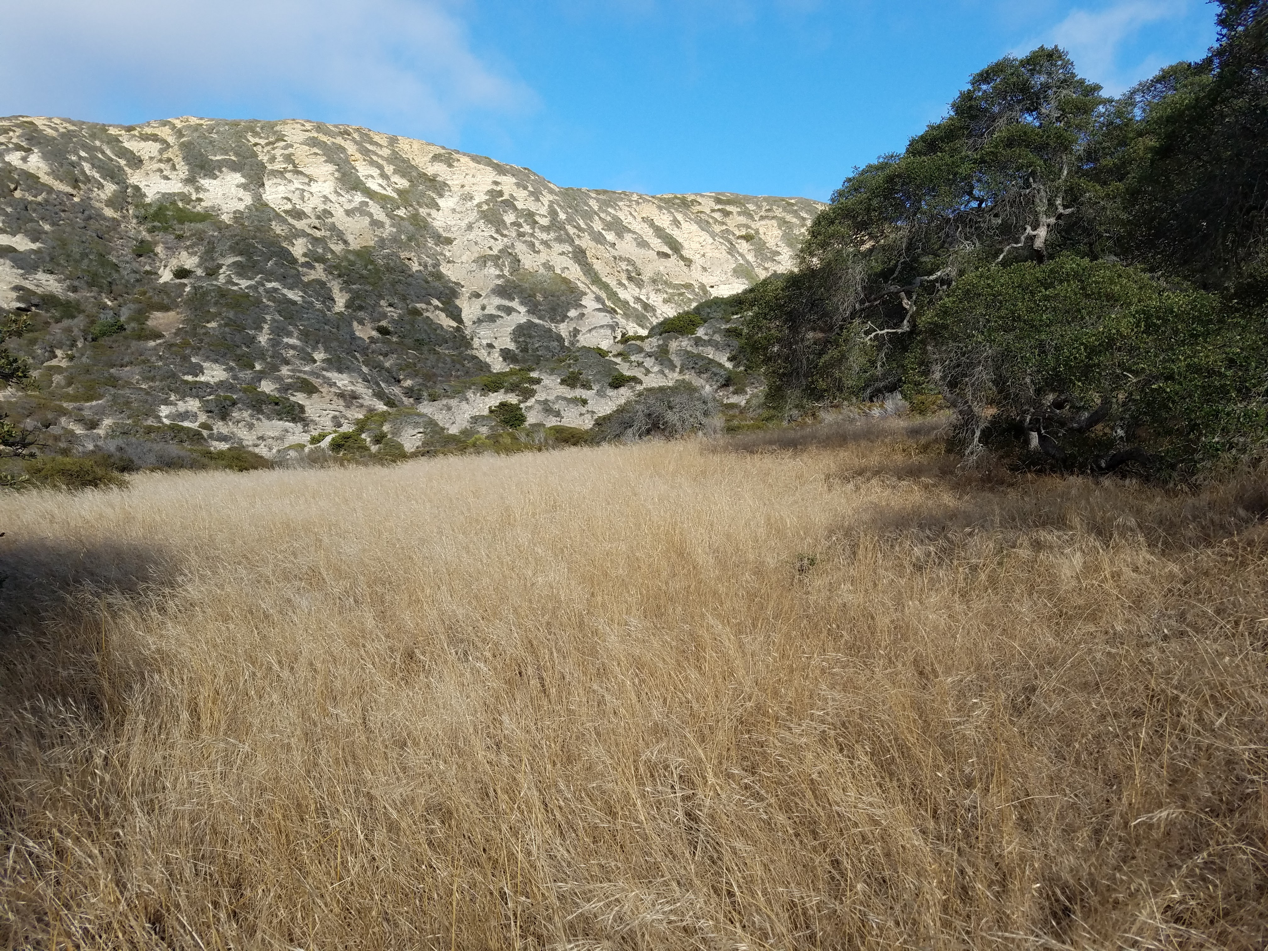
After a couple hours of mucking about on the beach and a few half-awake catnaps, I dragged myself back to the campground in Water Canyon. I’d noticed a trail heading back into the canyon behind camp and decided to do some exploring. The trail disappears about 30 feet in and I attempted to push my way through the riparian jungle of Water Canyon Creek. The curtains of reeds turned into walls of reeds, so dense there was no way to push through without face-fulls of dust and pollen.
I scrambled up the canyon wall until I was up above the creek on the sloping chaparl-covered hillside. I picked my way around the low chaparral, finding the edges of the canyon cliffs and the tops of the hills- just to get views into the hidden corners of the canyon. I’m pretty sure that if I’d stayed along the creek, I could’ve made my way all the way up to the canyon’s top and the mountain ridge- maybe next time. On my way back to camp, I came across bleached bones scattered and piled between the bushes. At first, my inner archeologist jumped at the find, but as soon as I saw they were just deer bones my excitement dwindled. With the rich archeological history on this island, part of me had high hopes of finding some kind of artifact, even if it was a piece of ancient trash.
Back at camp, I found every item in my tent completely covered in a fine layer of sand. Even thought I’d battened down the hatches and closed the tent up tight, the wind had still managed to coat everything with sand. I shook out my sleeping bag, but couldn’t be bothered with cleaning much else, so I slept with the dirt and the sand, feeling it buildup on my skin. That night I slept deeply and dreamed of the electric blue ocean.
Day 3- 9 miles
After ditching my trans-island hike yesterday, I wasn’t about to bail on my last opportunity for a good climb before catching the ferry back to the mainland. Black Mountain is probably the most accessible peak to summit on Santa Rosa, since it’s covered in utility roads and isn’t too far from the pier and the campground. I woke up early-ish, packed all my gear up, and stashed it under a picnic table near the trailhead.
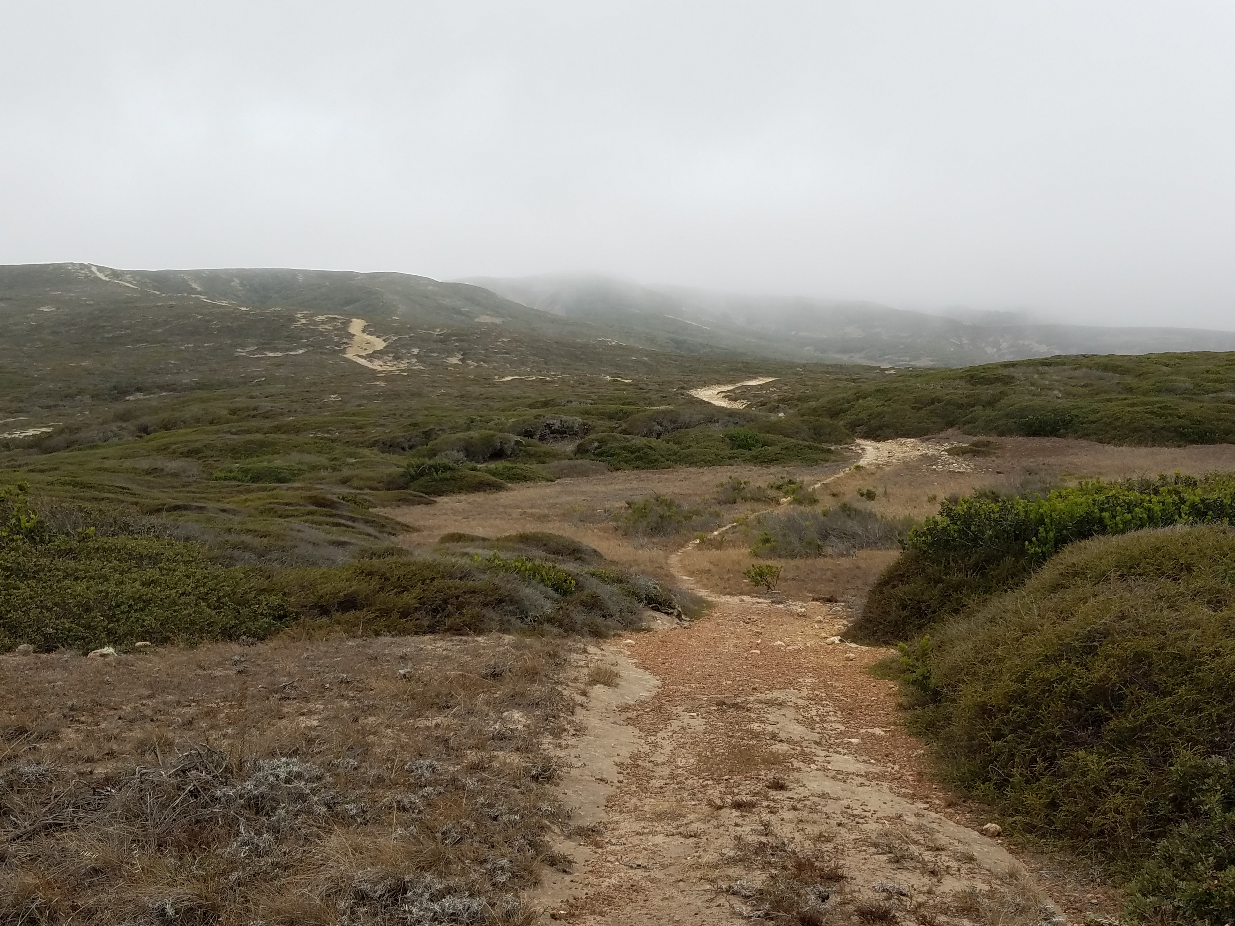
The morning was damp and foggy, blocking the view of the mountain, but it was beautiful. This grey ambiance, more than bright, sunny blue skies, transports me through time. I have no idea why- maybe I have some kind of association between fog and history, which sounds like I probably watched Time Bandits too many times as a kid. Still, wandering along through the grasses, my boots kicking loose white and yellow rocks, I visualized the land around me inhabited by the Chumash and their predecessors, their huts with seal skins drying outside, dark-haired children playing with toys of rock and wood, and middens piled high with discarded shells.
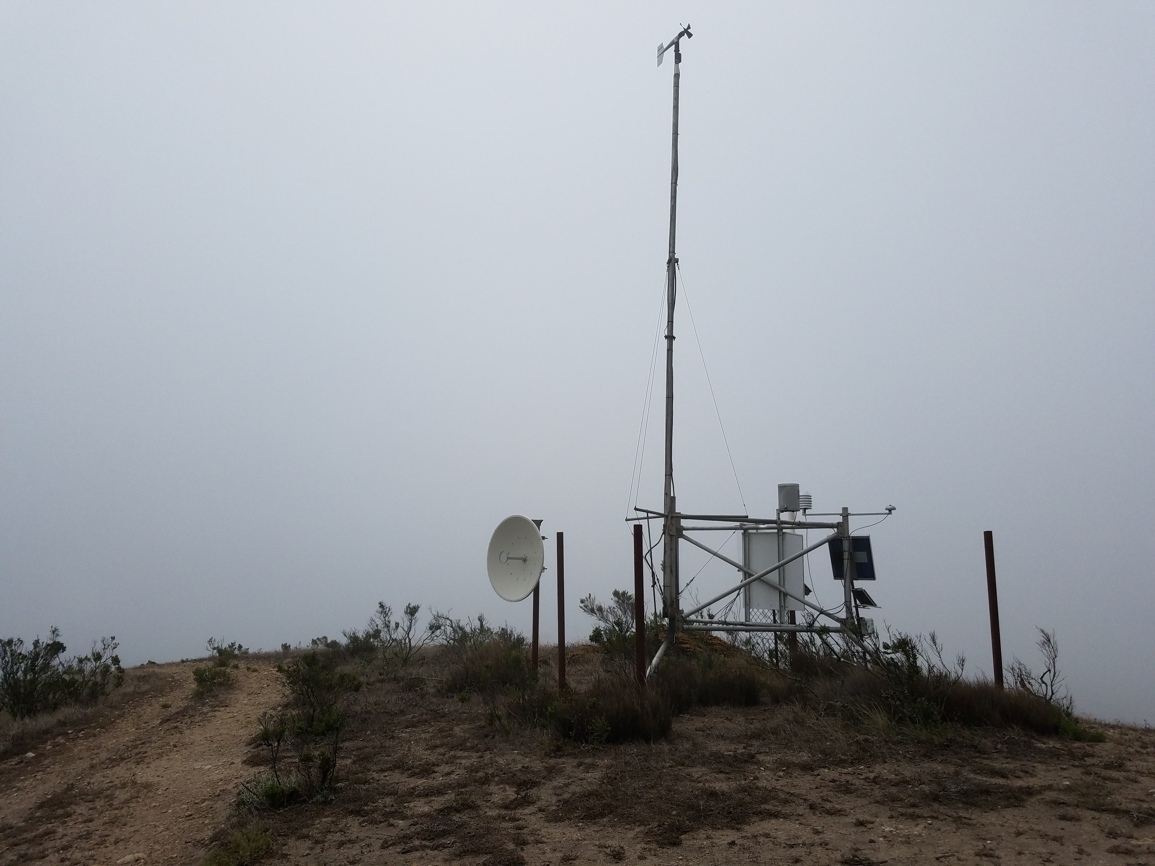
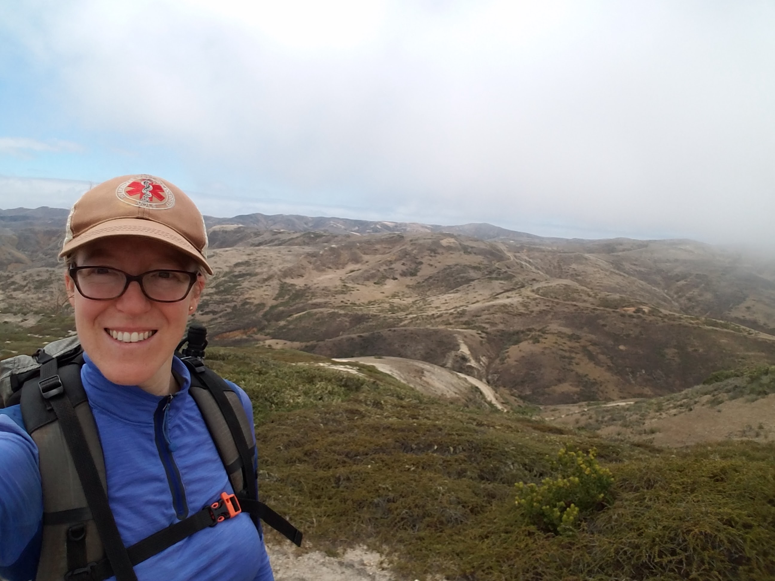
It was a very steep uphill climb all the way to the summit with wet fog plowing into me and shrouding my views, and the only treat I had on top was the small, mechanical weather station, complete with a fog harp collecting condensation from the air. On clear days, Black Mountain offers spectacular views of Santa Cruz, San Miguel and the surrounding peaks of Santa Rosa. The fog just started to clear on the south side of the island as I was heading down, so I was able to grab one summit photo!
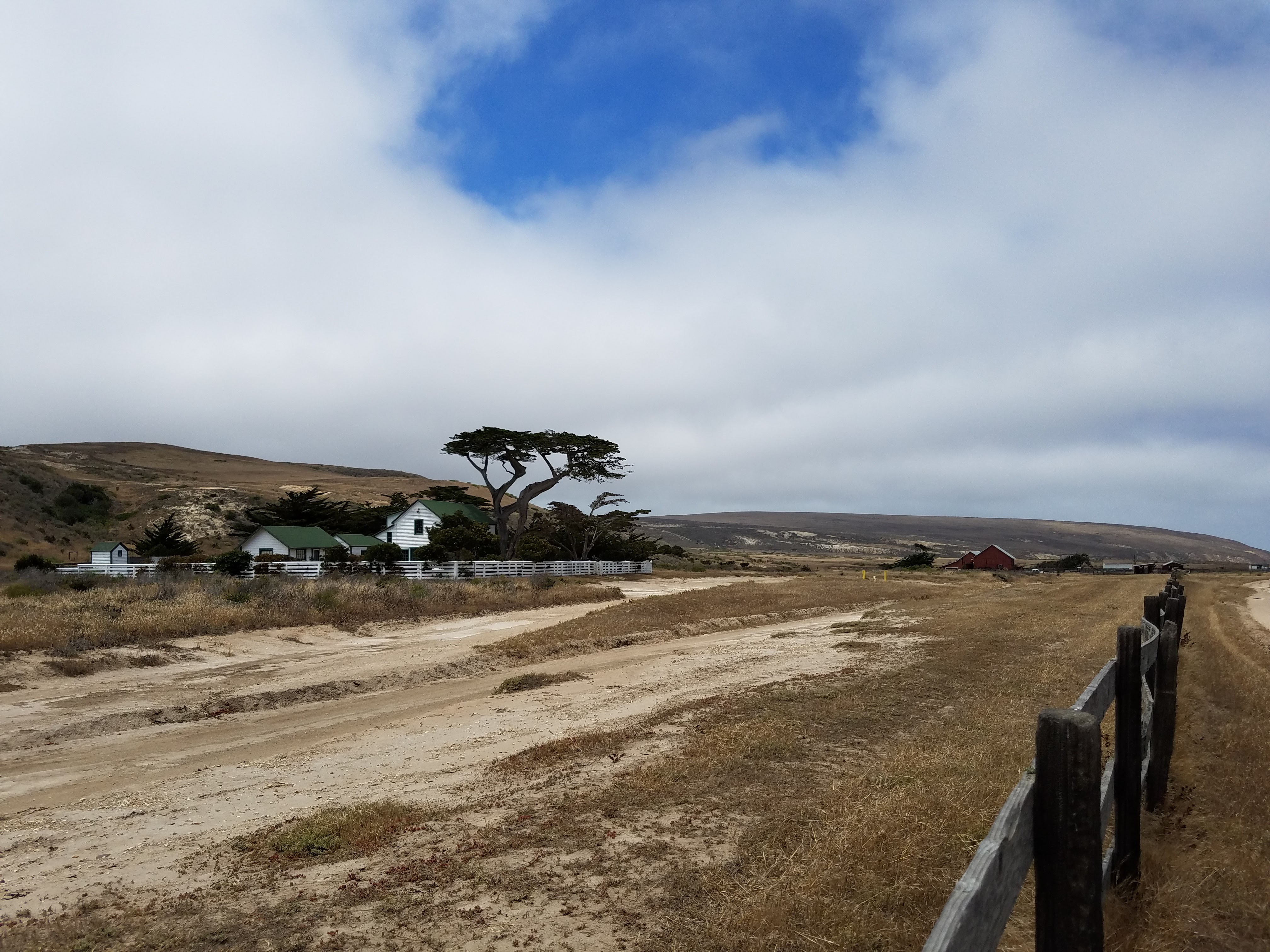
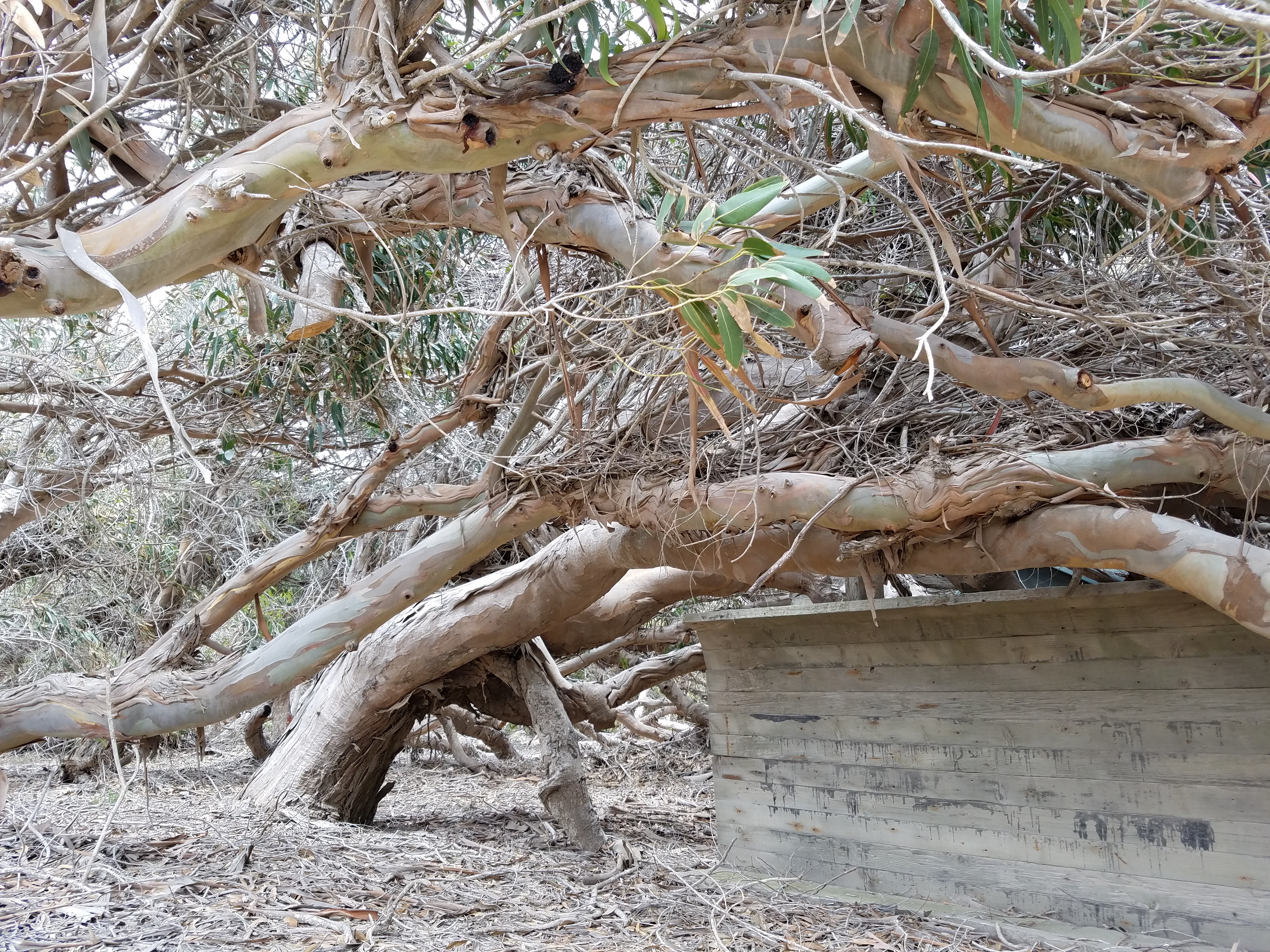
I collected my stashed gear from the trailhead and walked the mile-long dirt road back toward the pier. Along the way, I was sidetracked by a row of eucalyptus trees between the beach and the ranch house. The trees were clearly planted to be a wind break, but, like the Torrey pines, they’d been molded and transformed until they barely resembled the tall, pole-like eucalyptus most of us are familiar with in California. The trees were bent nearly in half, folding themselves low against the earth. Walking among them felt like walking under water: their trunks seemed to ripple with unseen currents, their ruddy bark peeling, curling and swirling and their long, green finger leaves added to the texture of a kelp forest.
As the ferry pulled away from the island, the views of it’s rugged coastal cliffs contrasted with its white beaches and golden plains, all topped by its numerous smooth mountains. Once again, I’m drawn back in time, visualizing the larger land mass of Santa Rosae and that now-submerged land teeming with life and activity. The closer the ferry takes me to the mainland, the thicker the marine layer around Santa Rosa becomes, until, eventually, it is nothing more than a faint darkness on the horizon, collecting fog and clouds around its rugged, grassy body.
Links
The Official NPS Website for Santa Rosa Island
I love reading about your adventures and also wondered about hiking the Channel Islands. I think we will have to put that on our bucket list.
I too often think of the ancient people that lived where I hike. I enjoy history
We just got done hiking Tuolomne to taboose pass ( south side of Mather)
Happy hiking Katie!
You’re a kindred spirit, Patti! Can’t wait to see your post on that section. It’s such an incredible area. 🙂
I want to camp solo here and I’m excited when I saw your video on youtube! I love your write-up! Thanks for sharing!
Thank you! I’m so glad you enjoy the video and blog and hope you get out to Santa Rosa for your trip. Please send me a follow up- I’d love to know how it goes!
Wonderful account. A great mix of an interpretive account of the island combined with your own personal experience. Thanks for posting this. –
Thanks, Tom! It was a wonderful place to visit and I hope to make it back for more exploring.