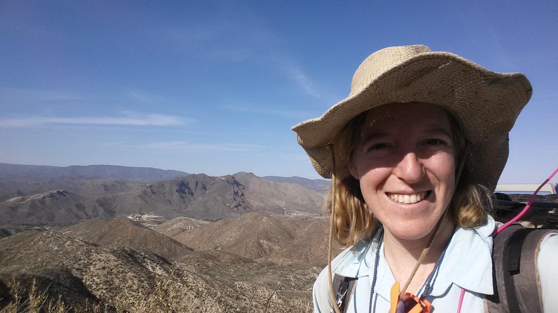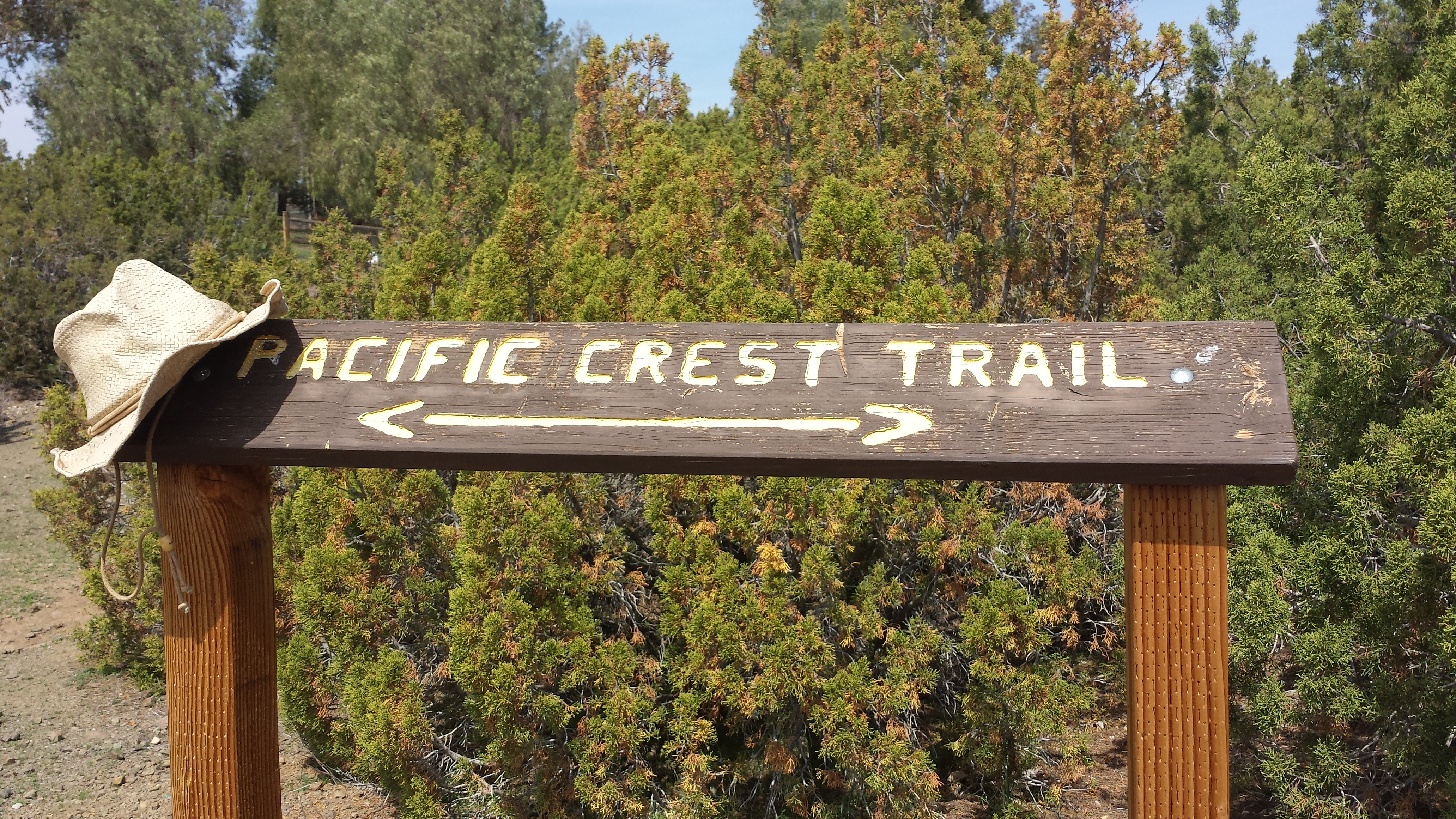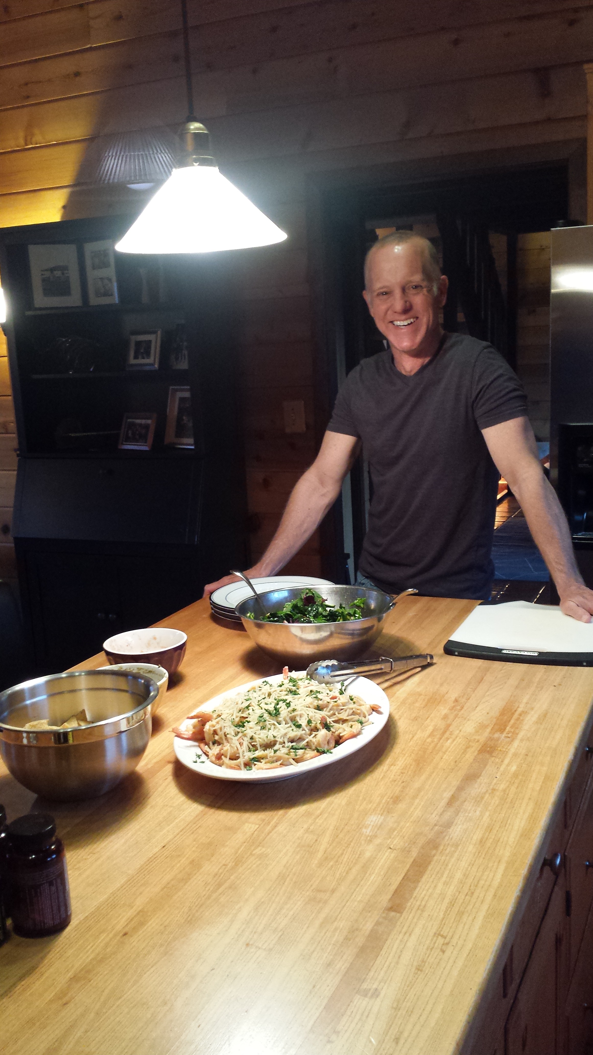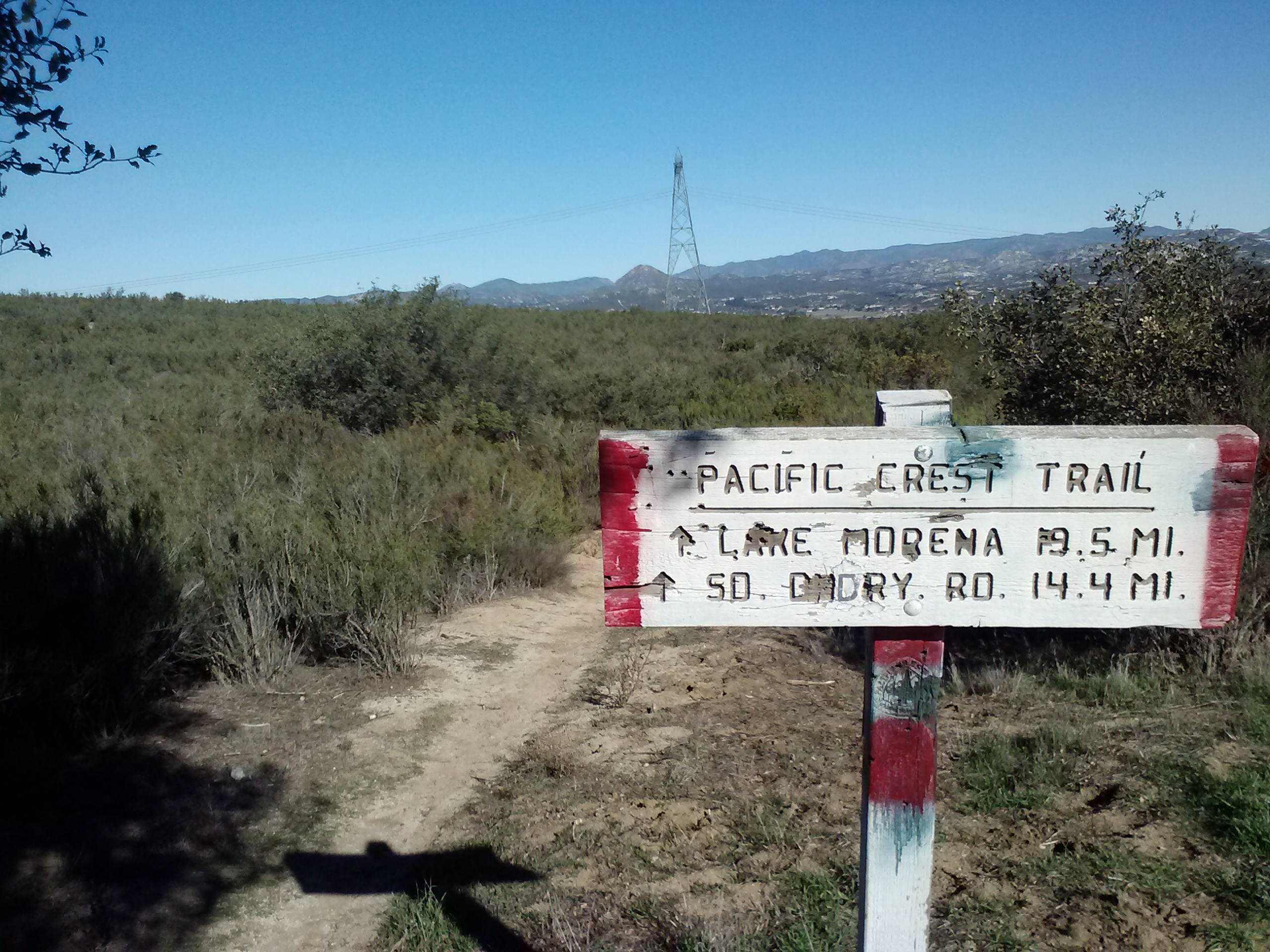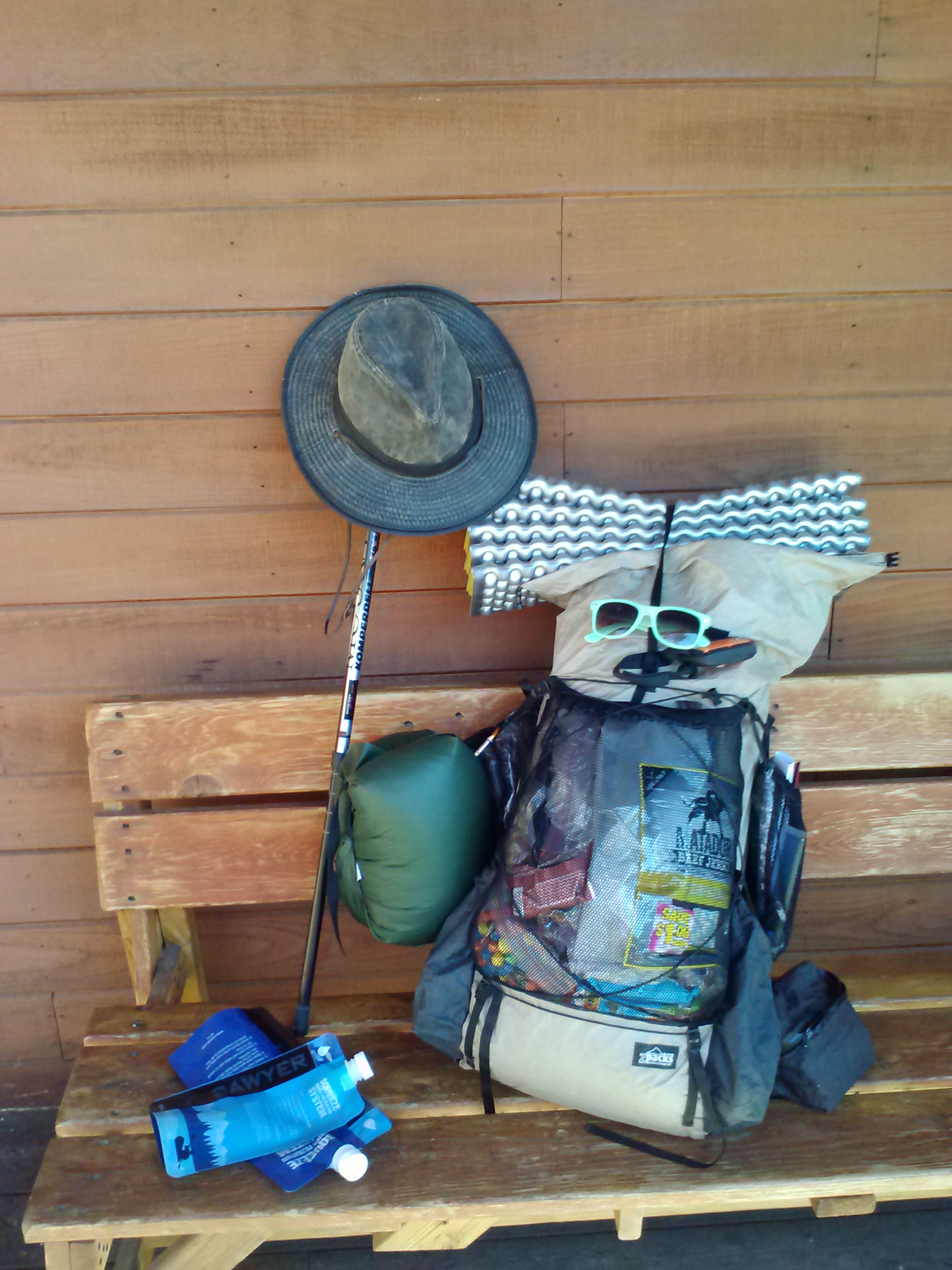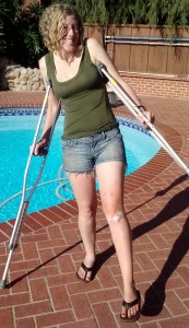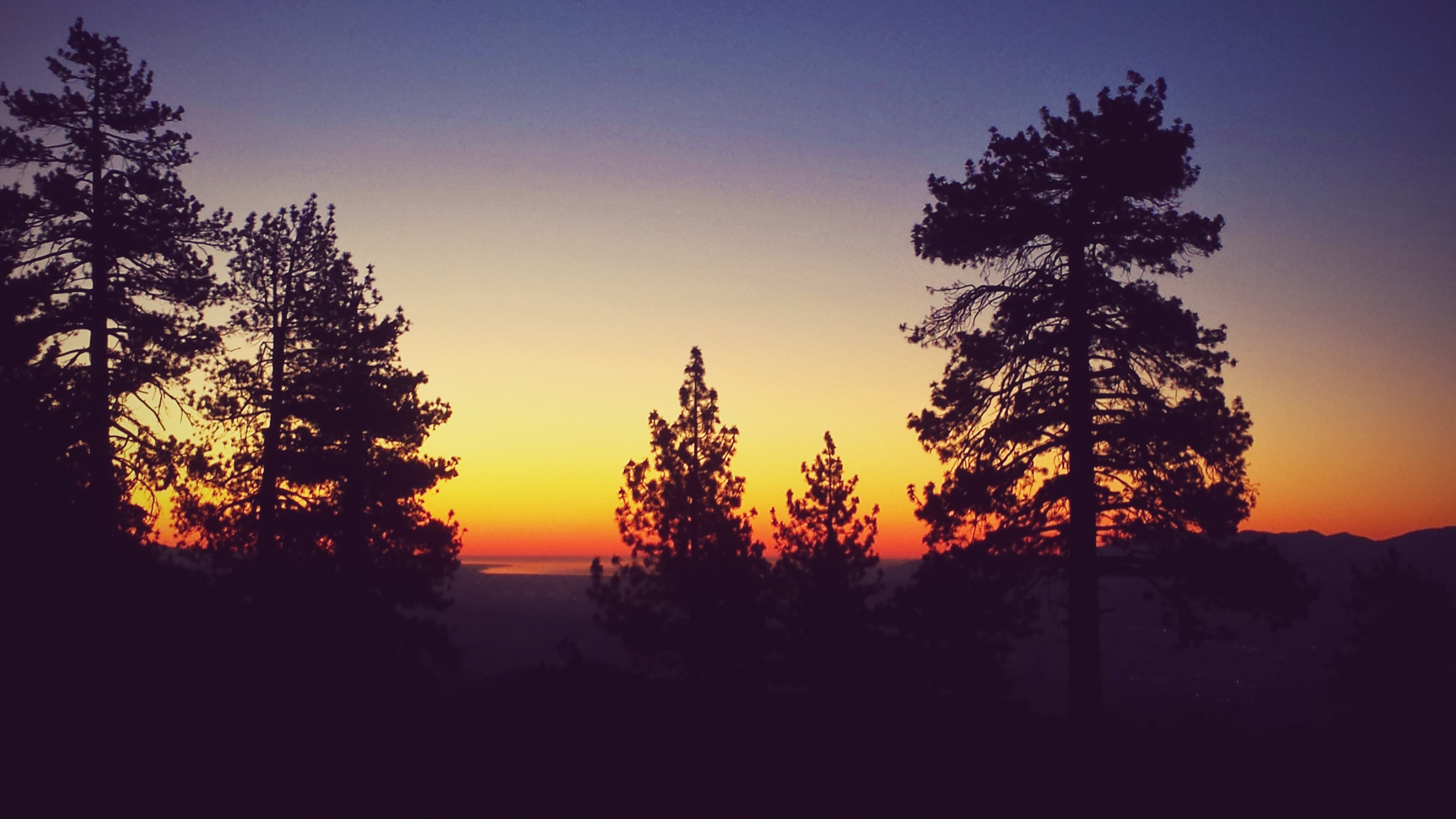
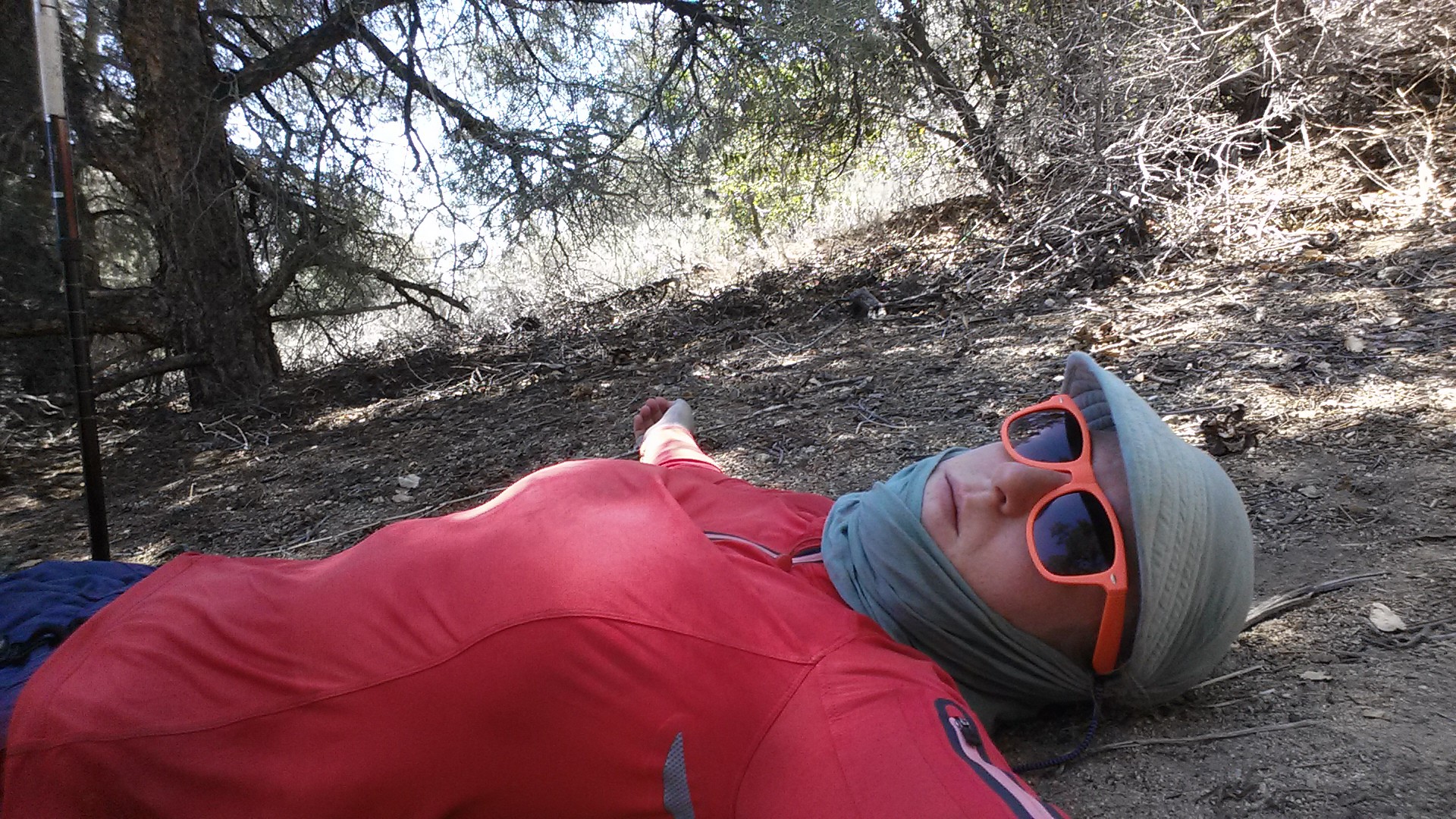
*This is my first post using my smartphone. Please bear with me as I learn how to use this WordPress app!!
loading map - please wait...
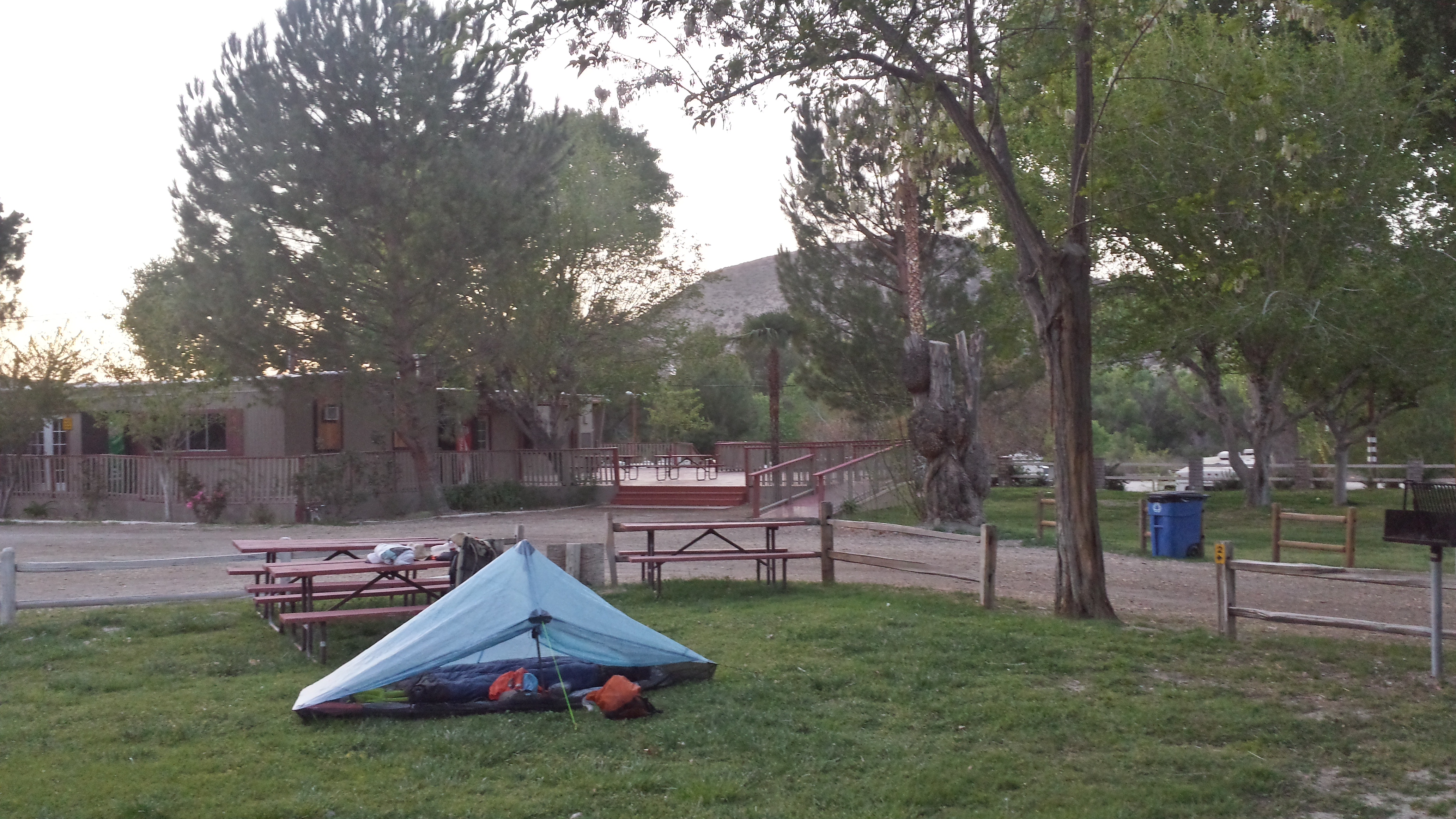
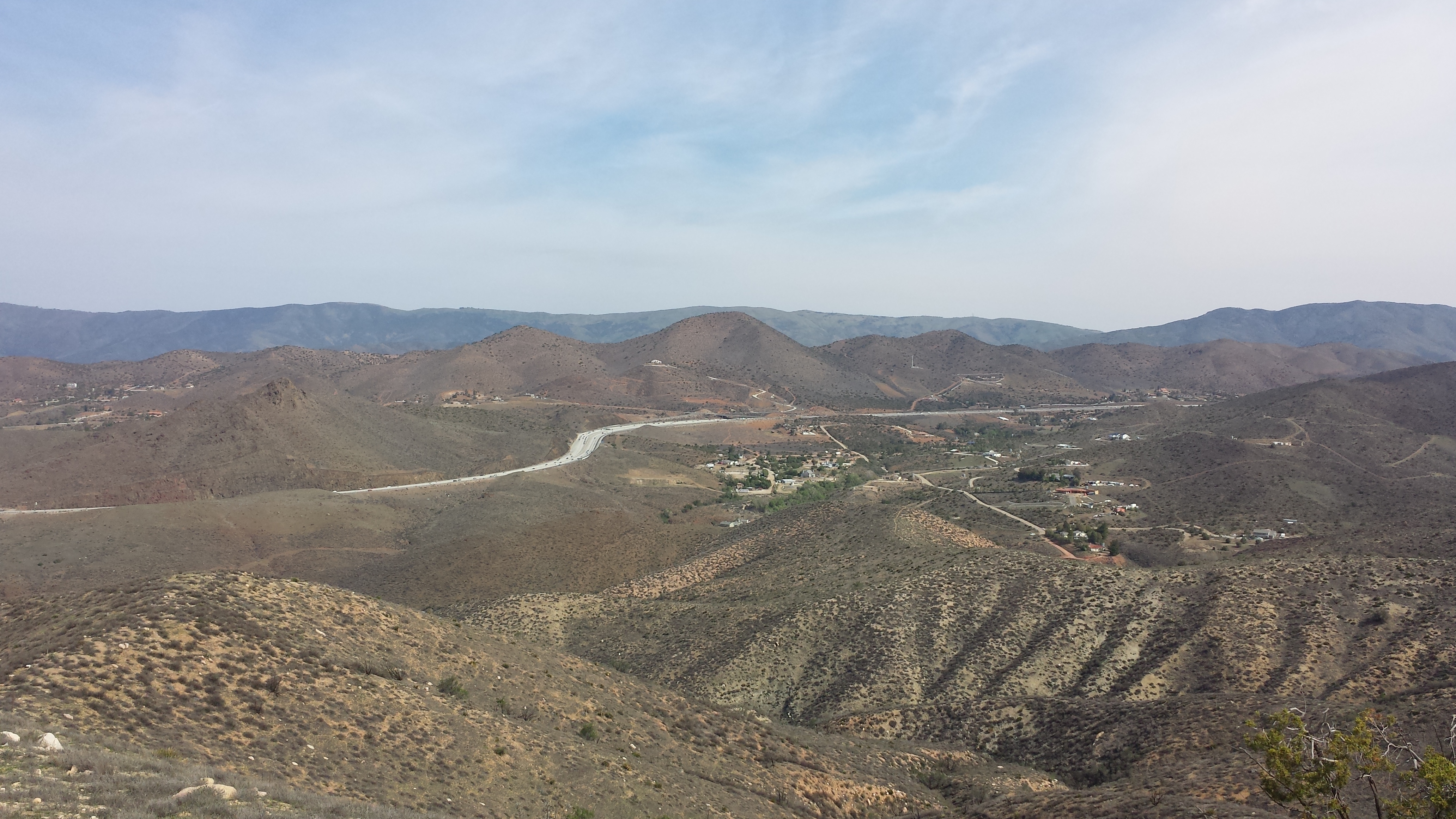
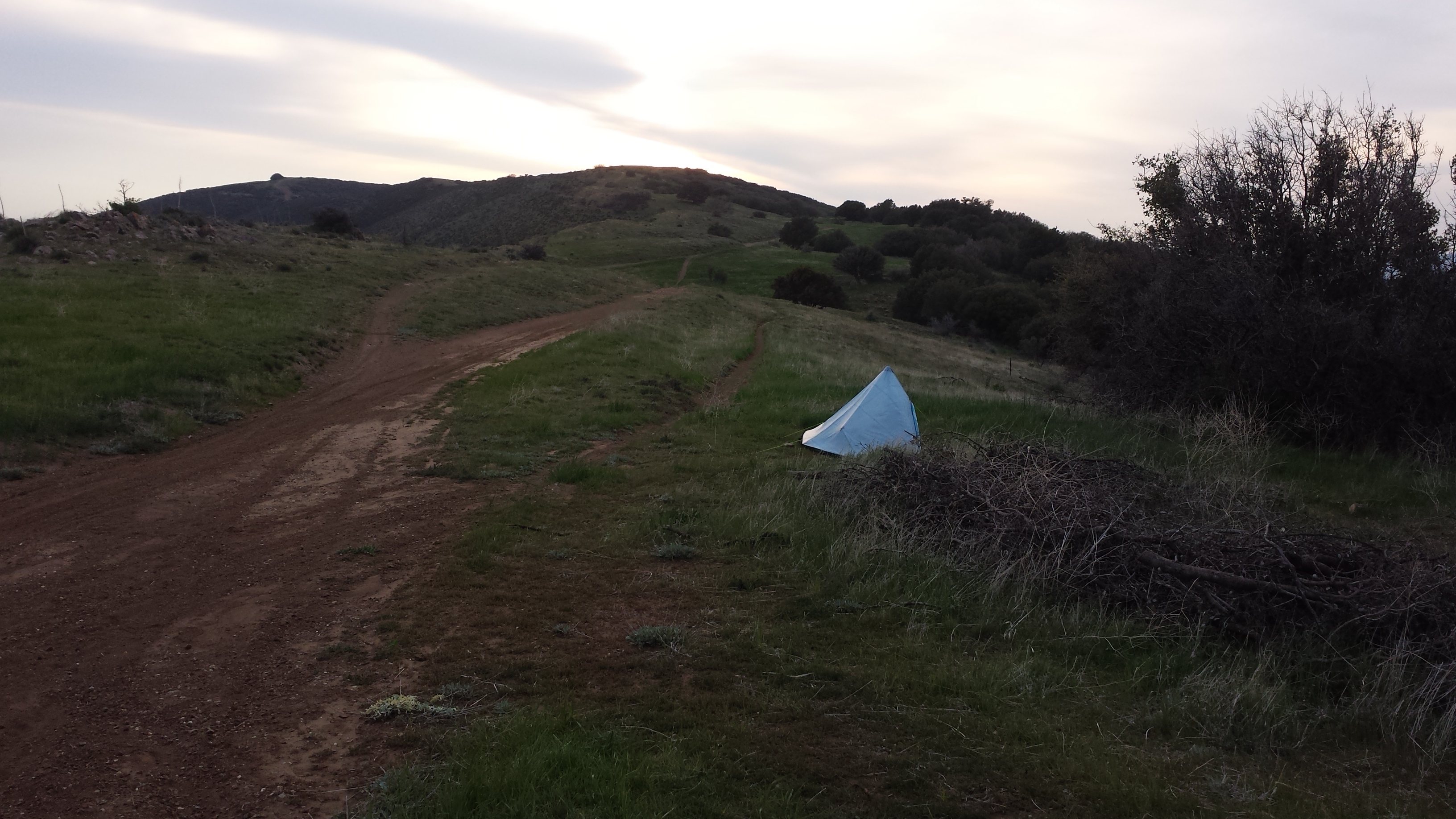
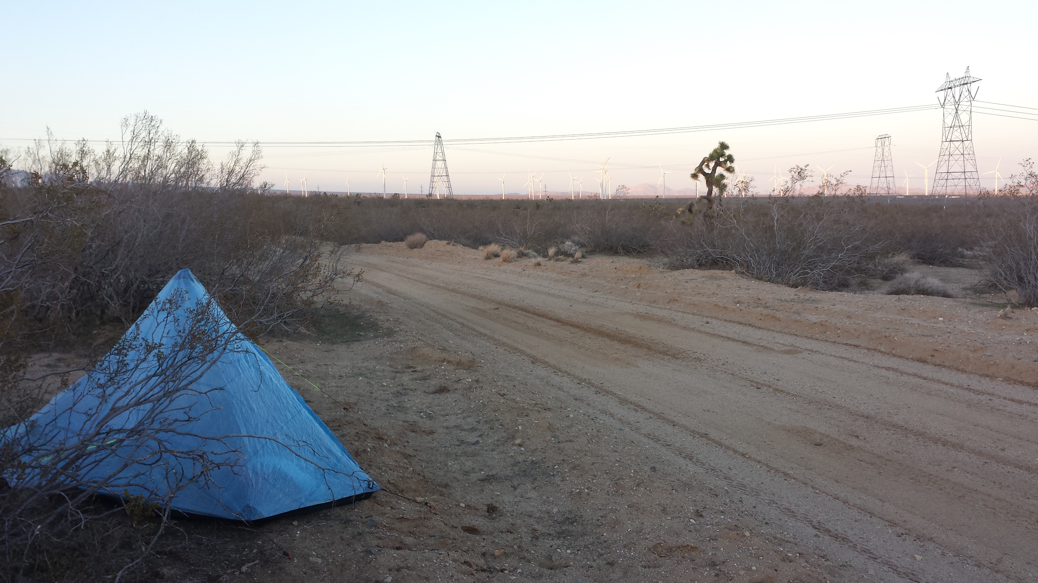
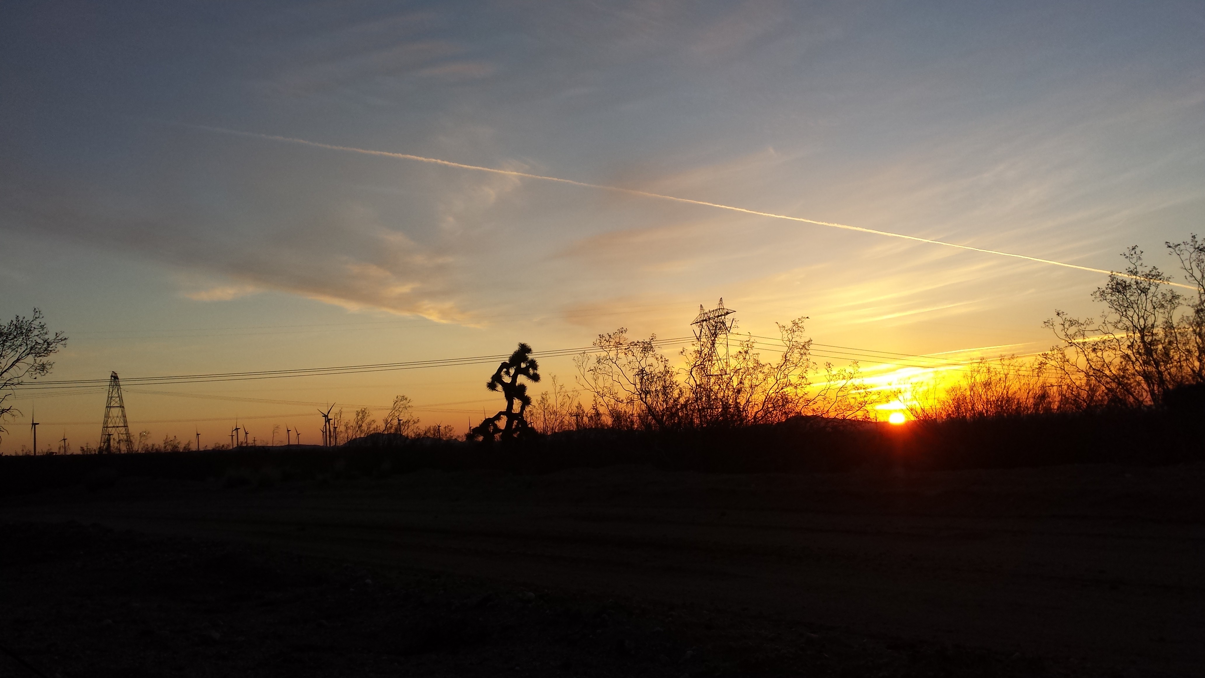
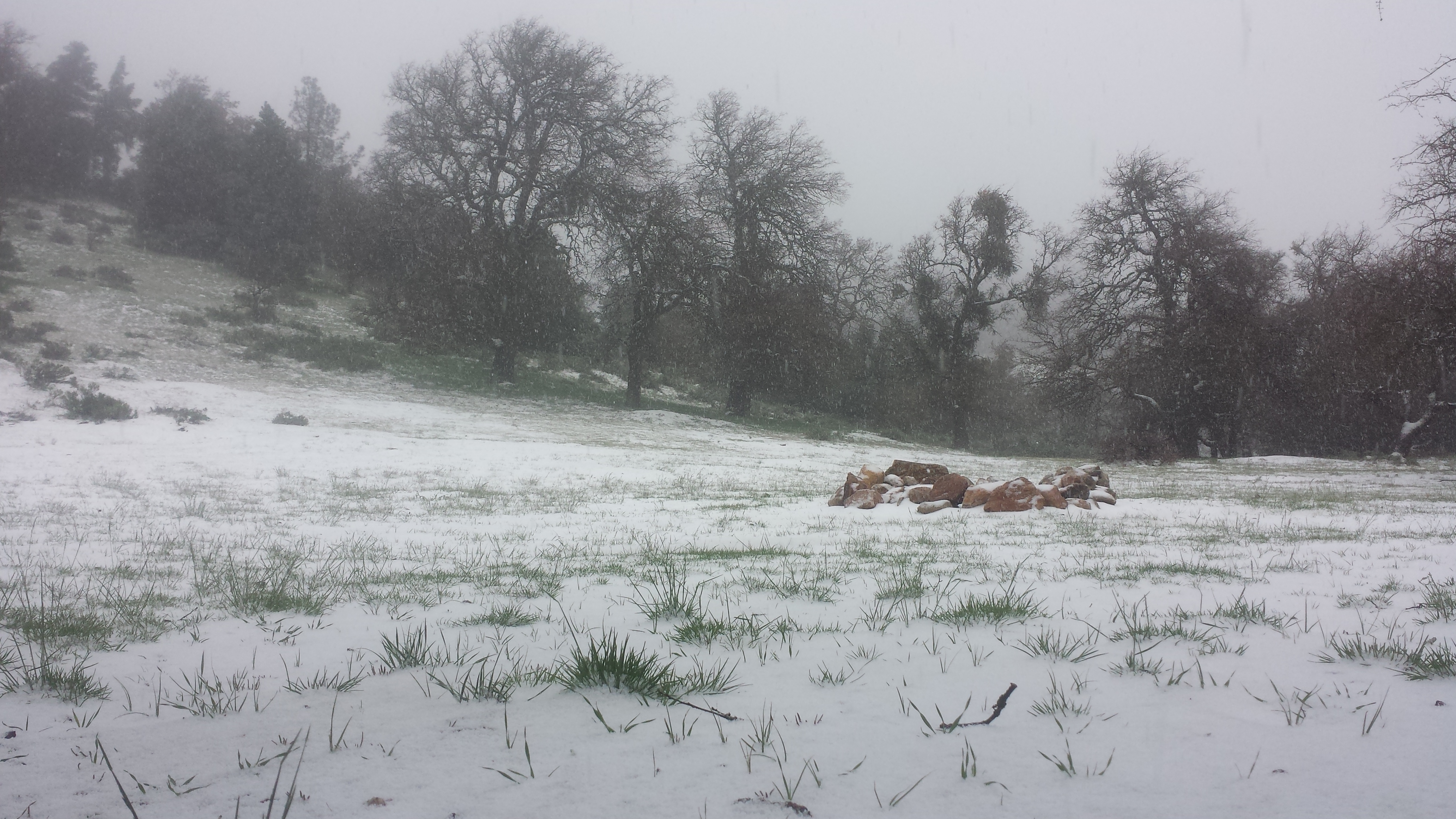
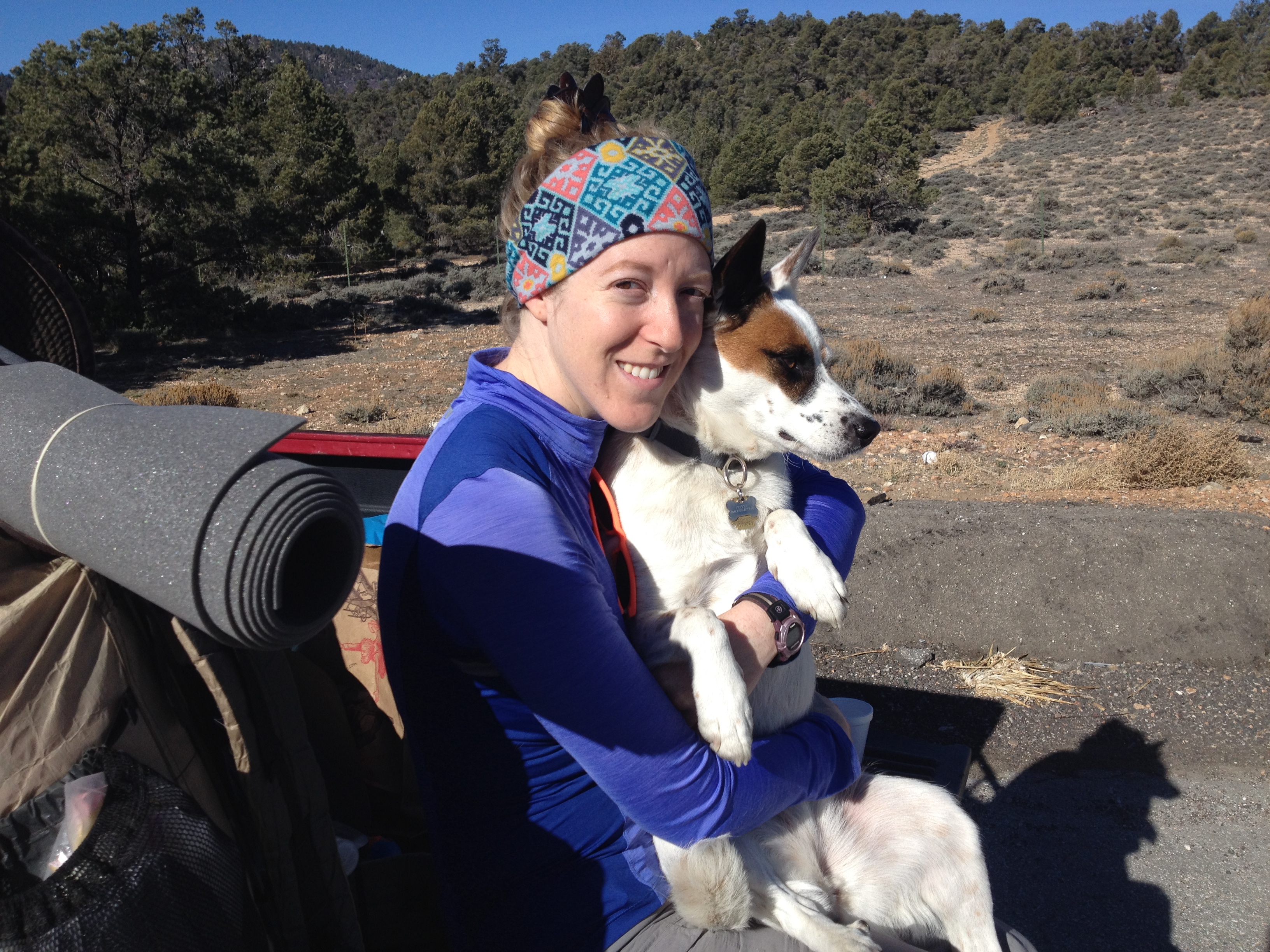
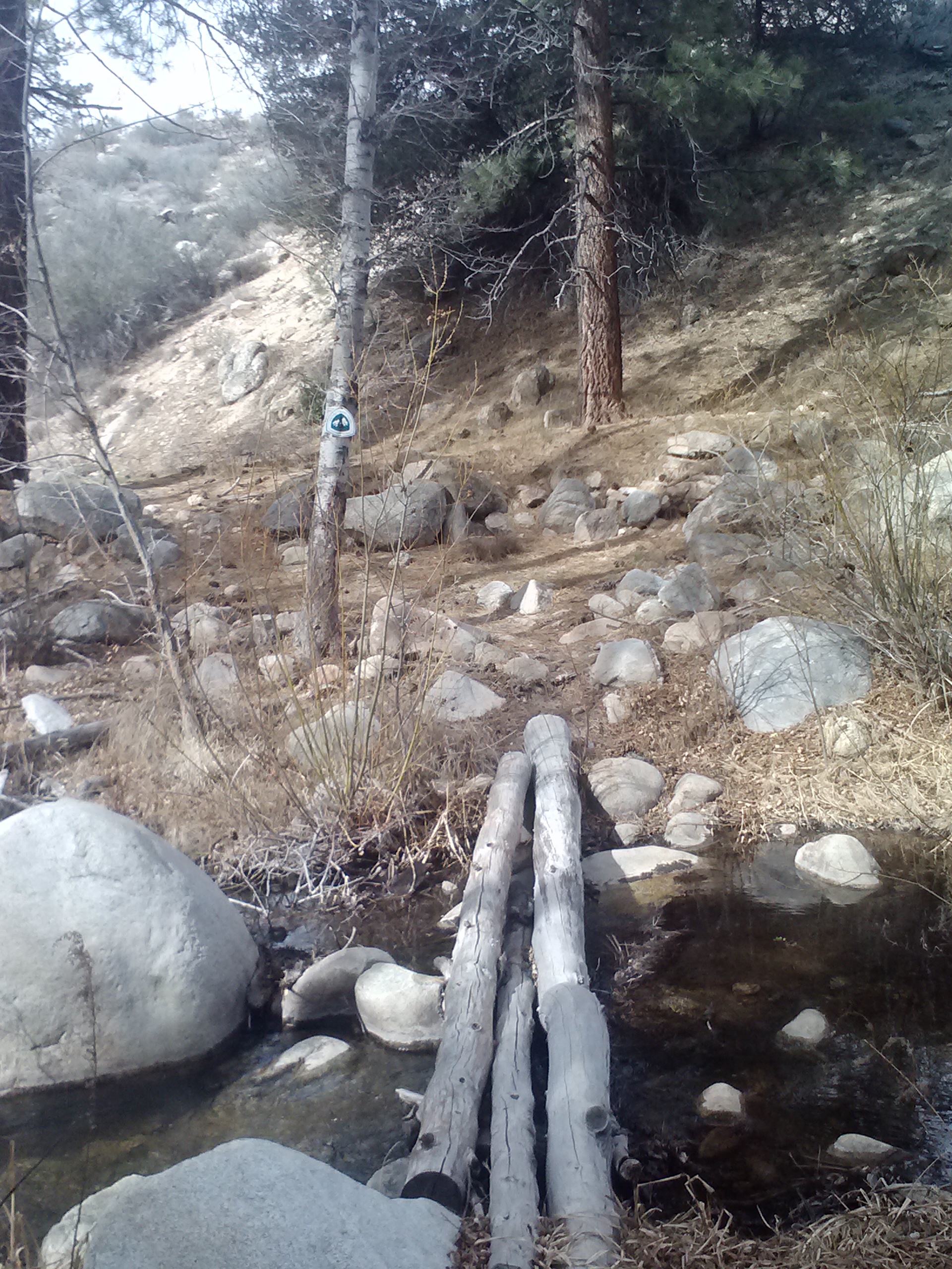
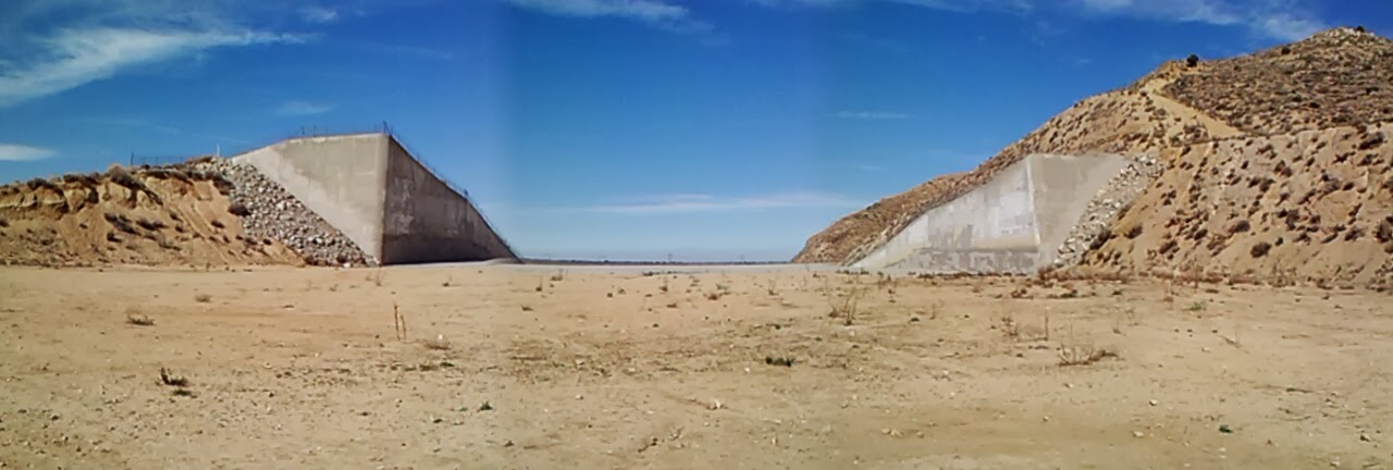
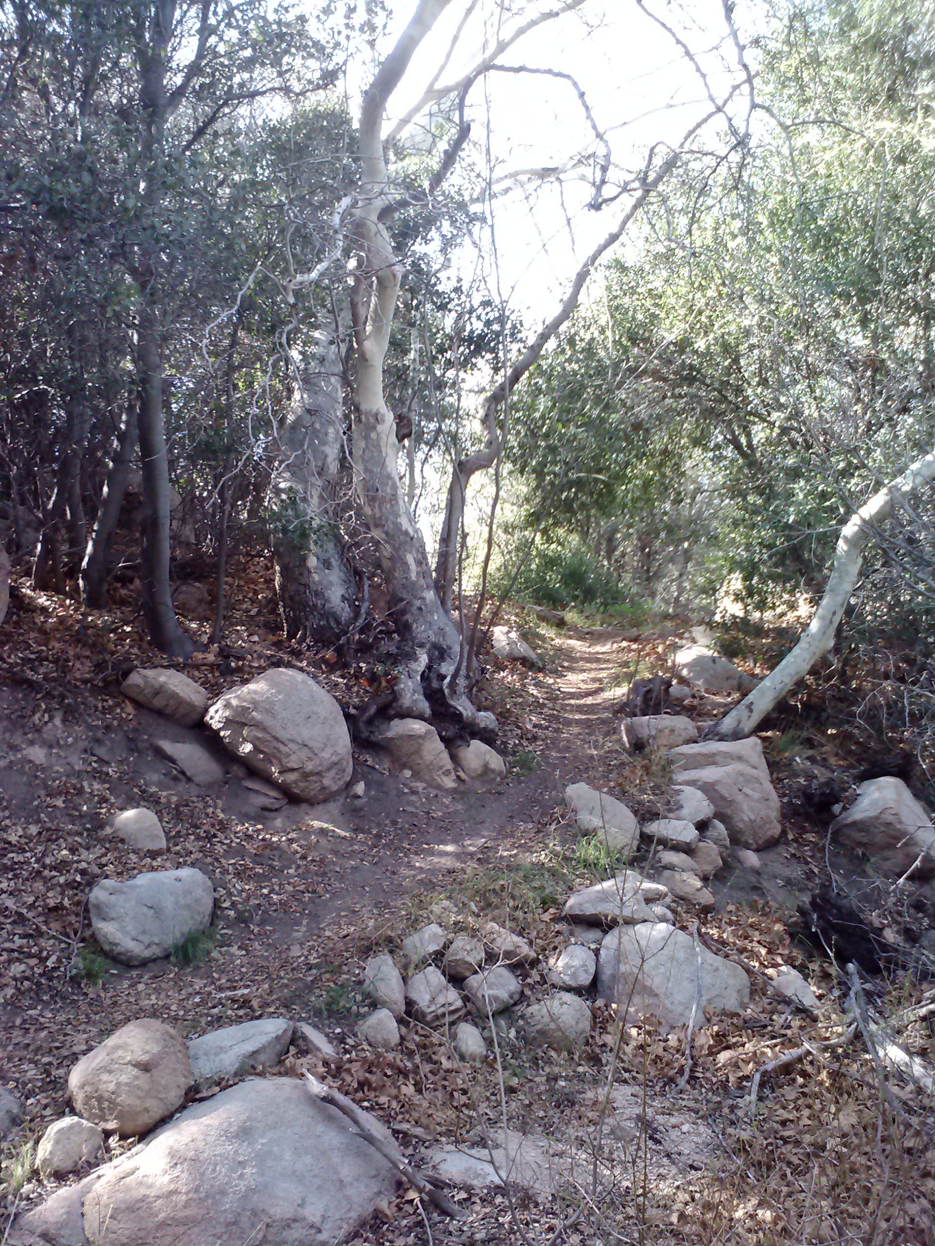
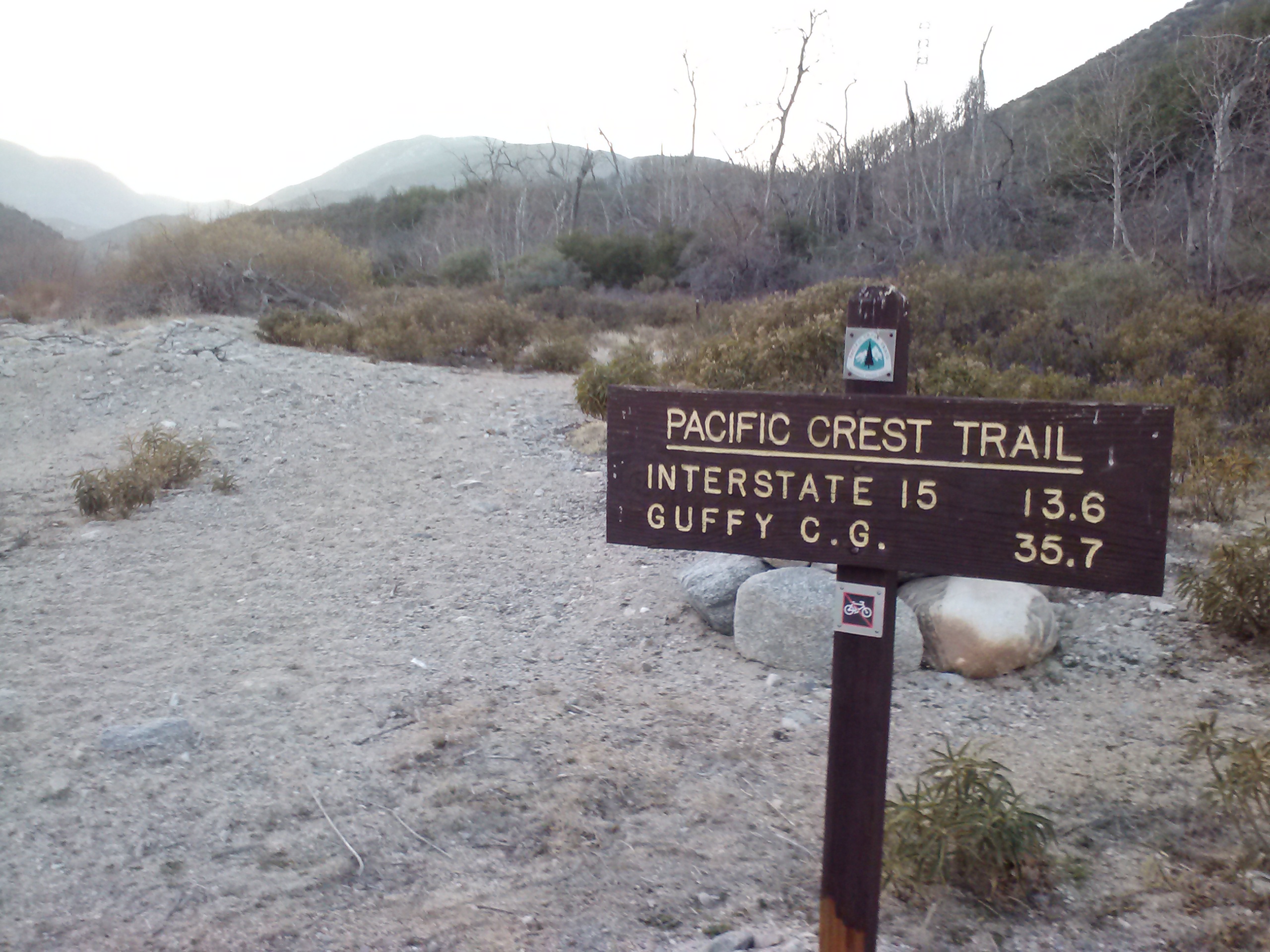
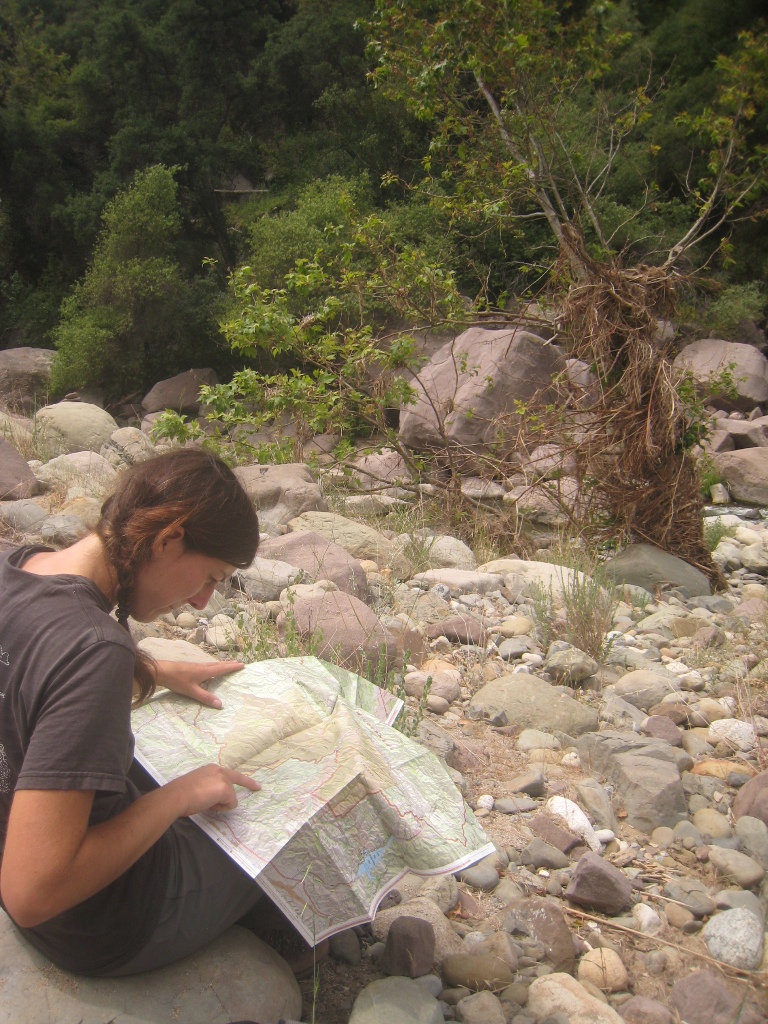
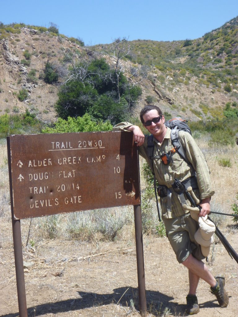
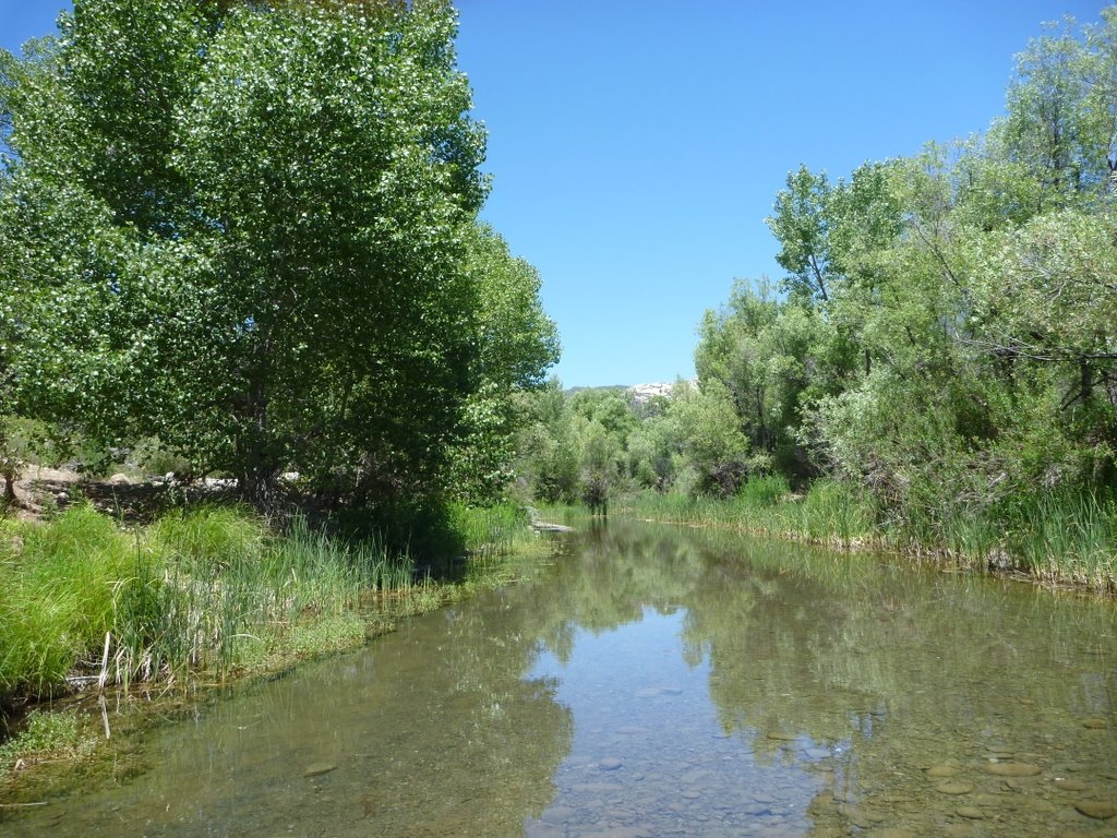
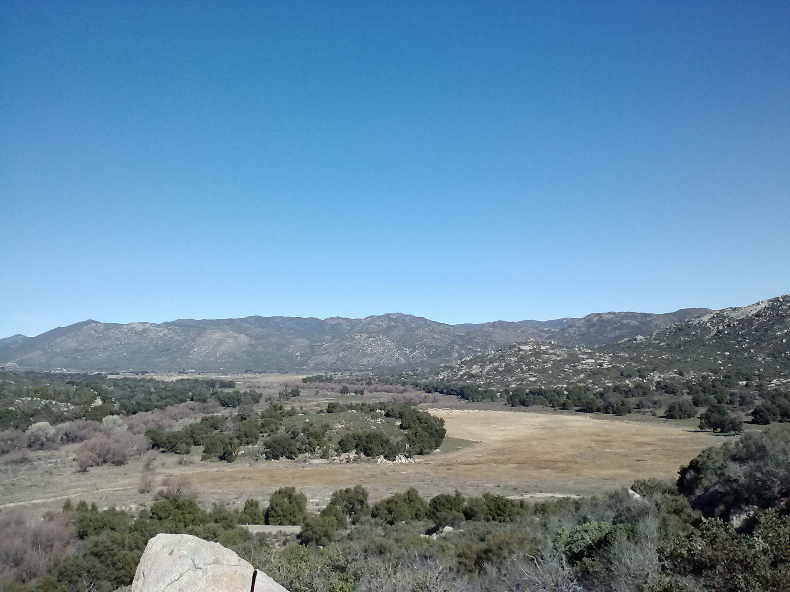
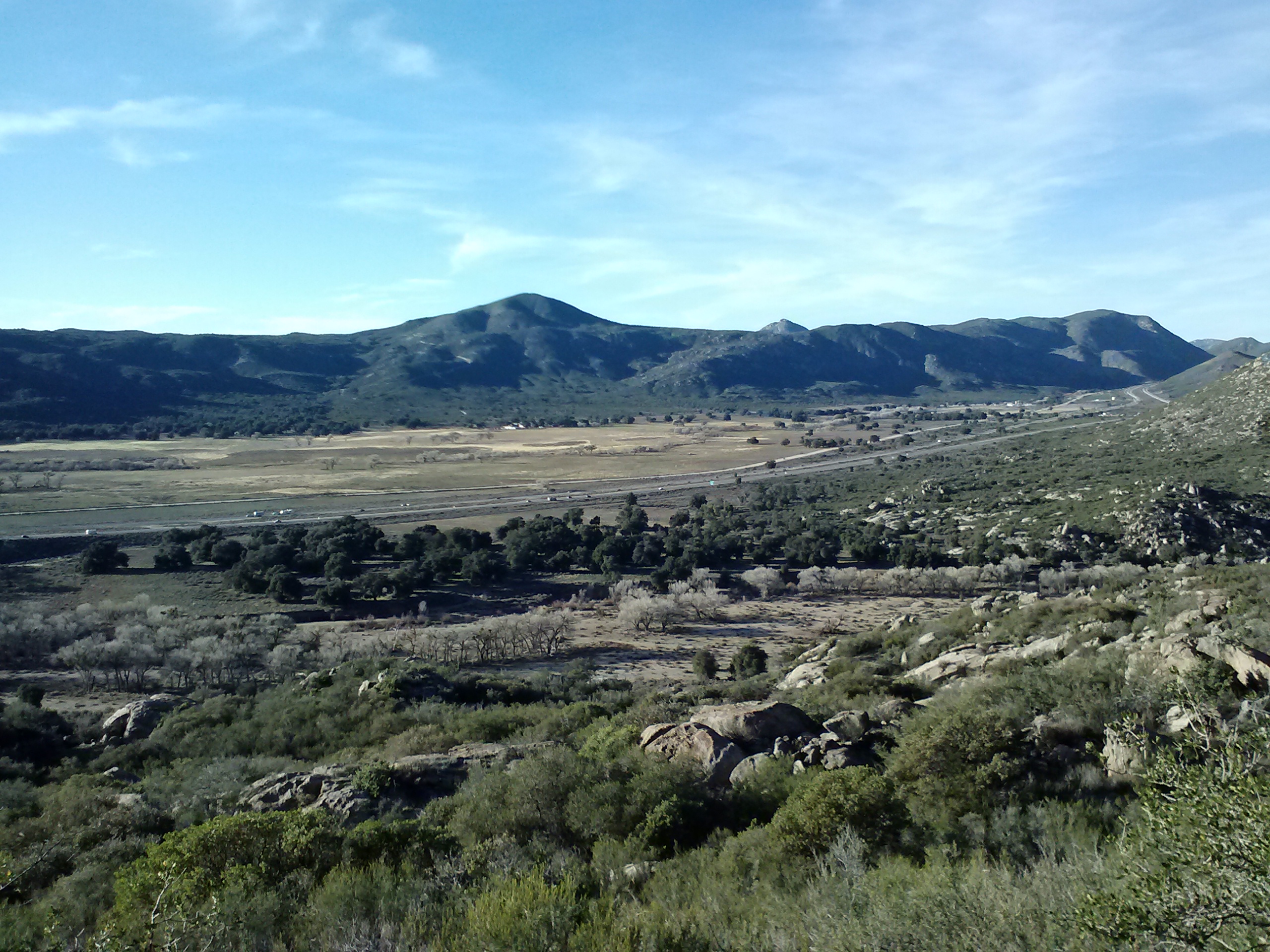
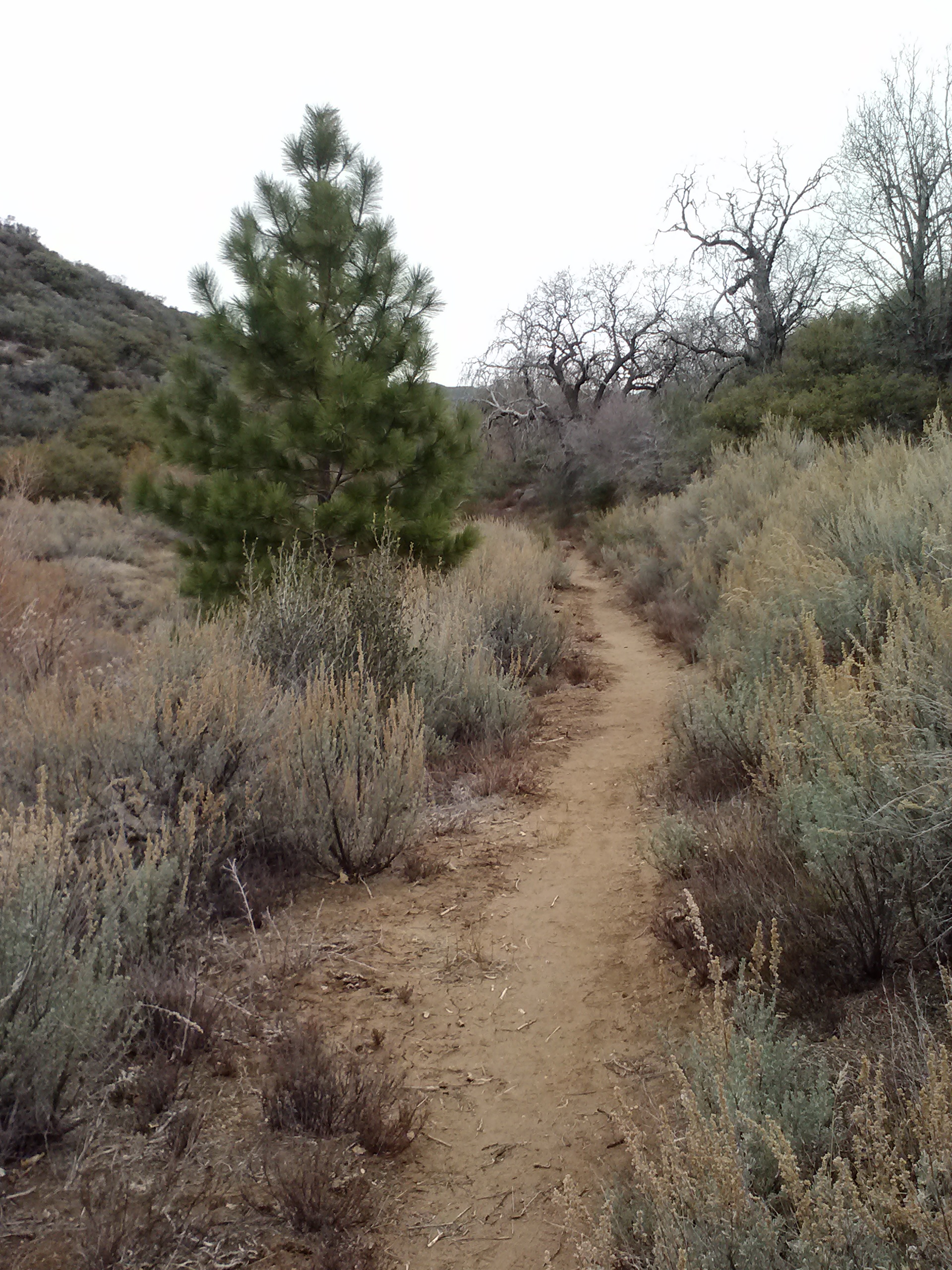
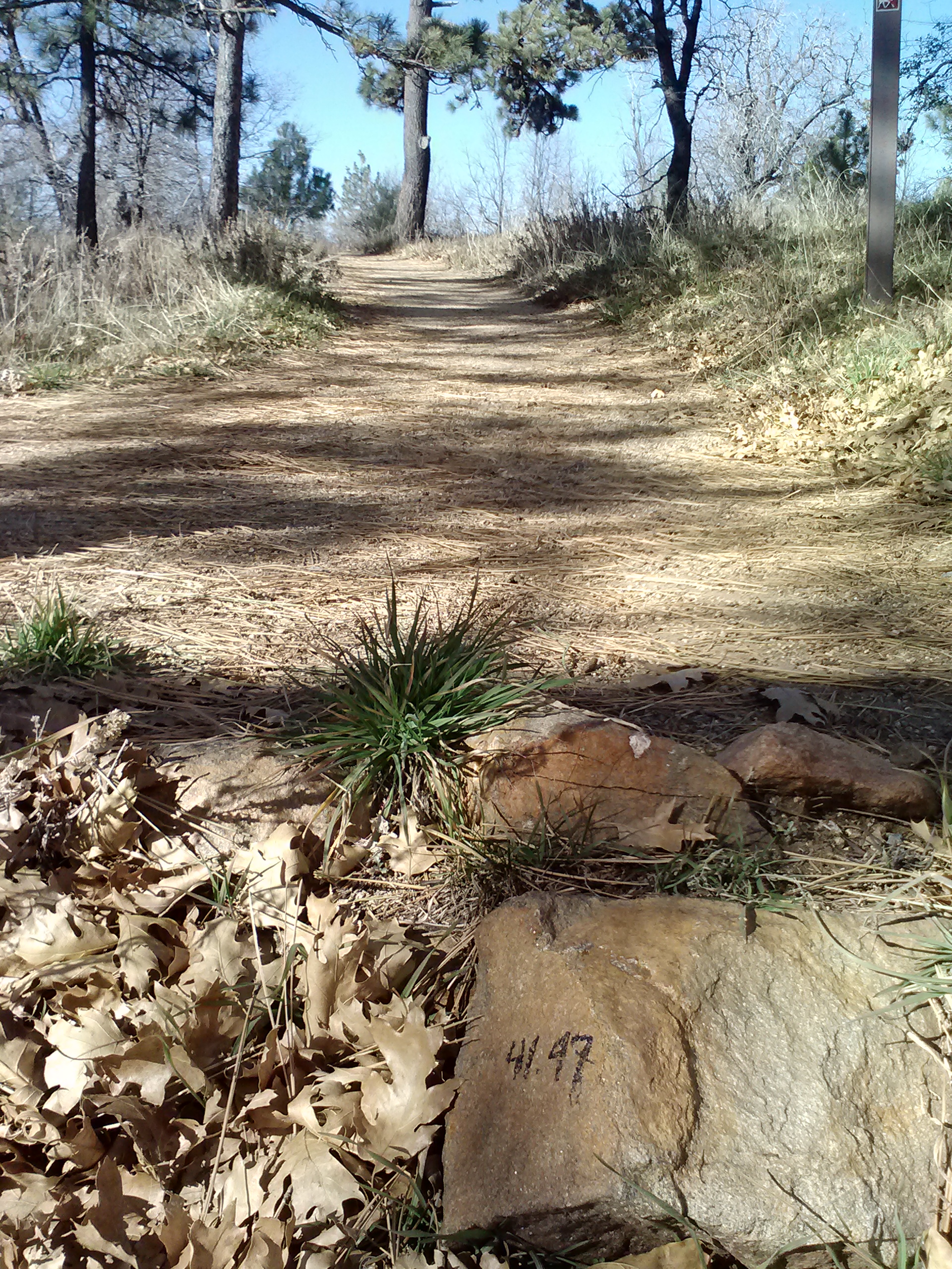
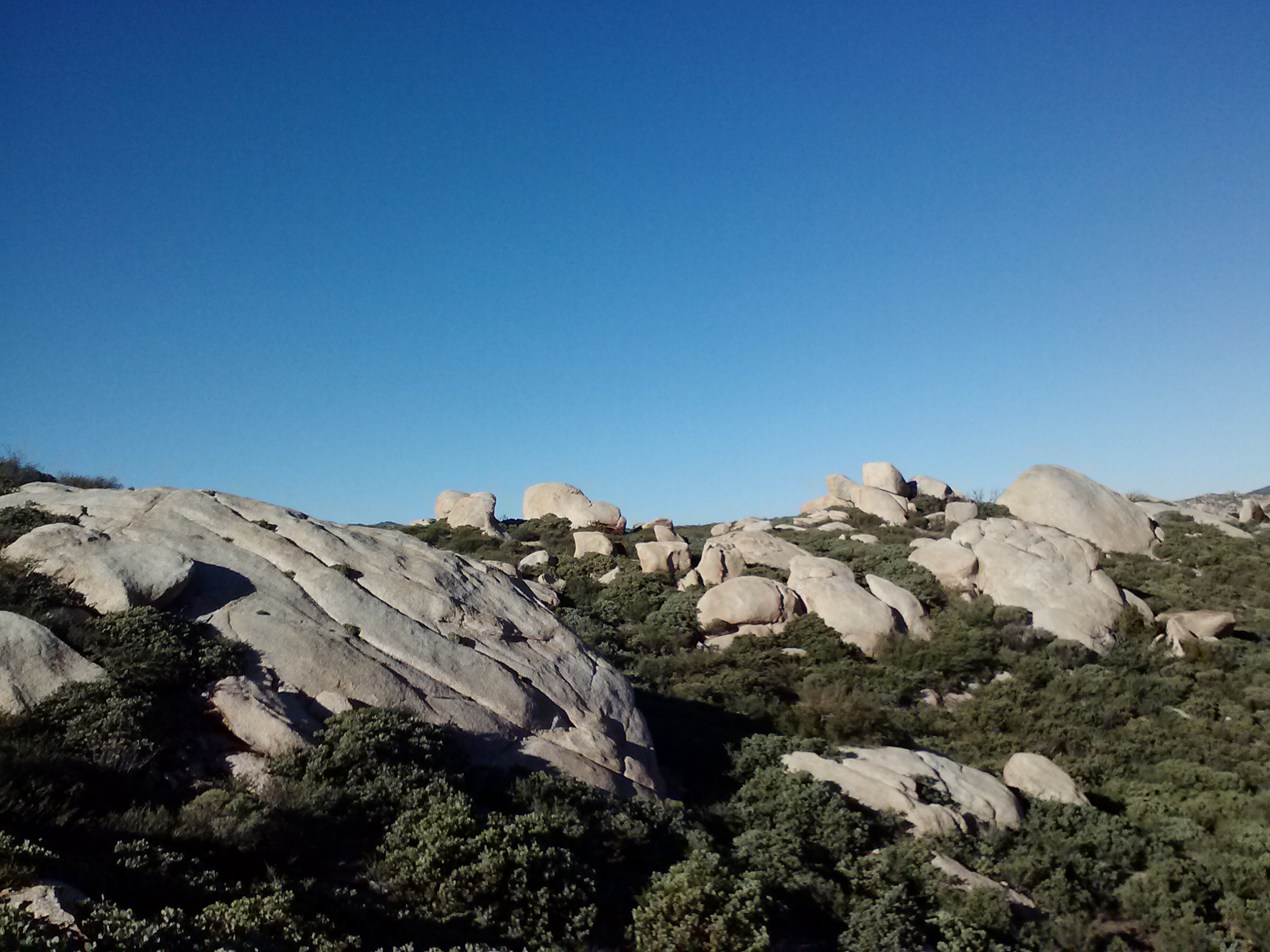
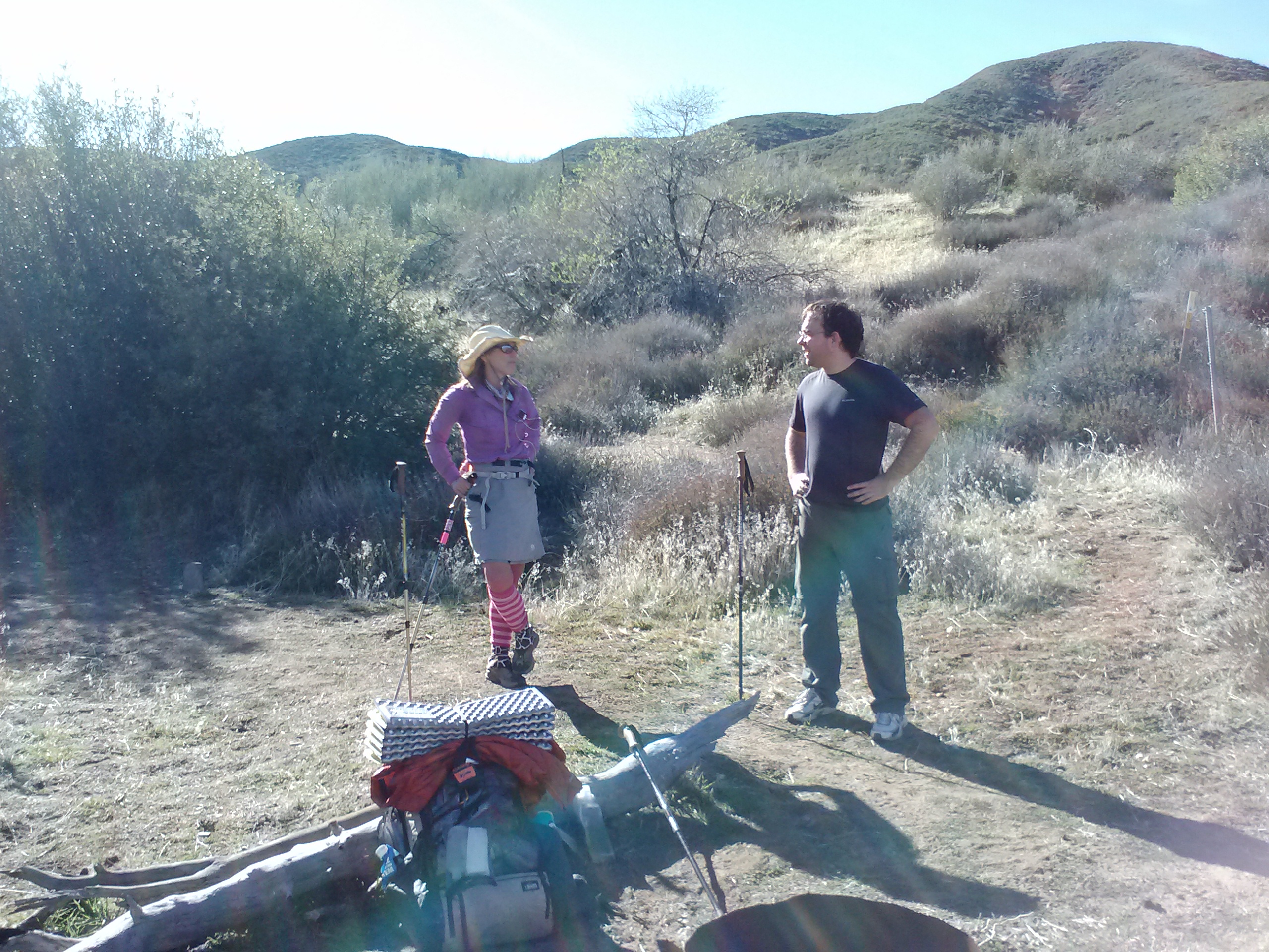
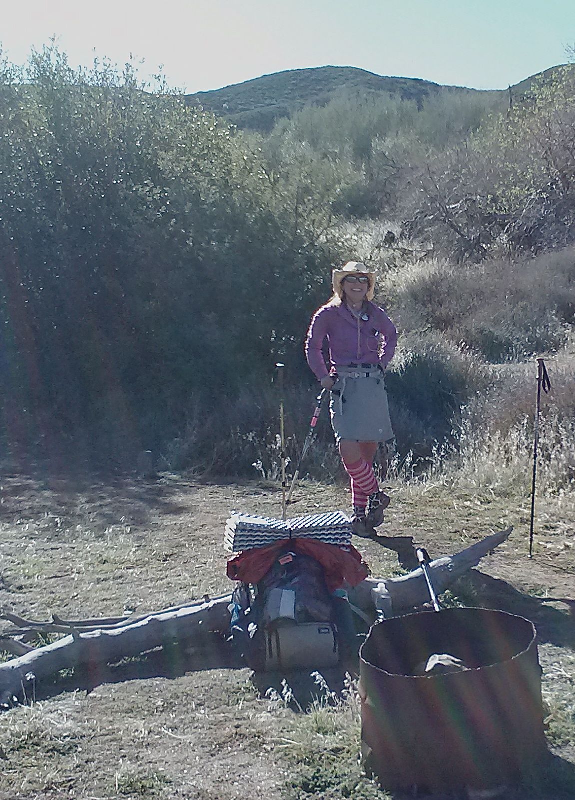
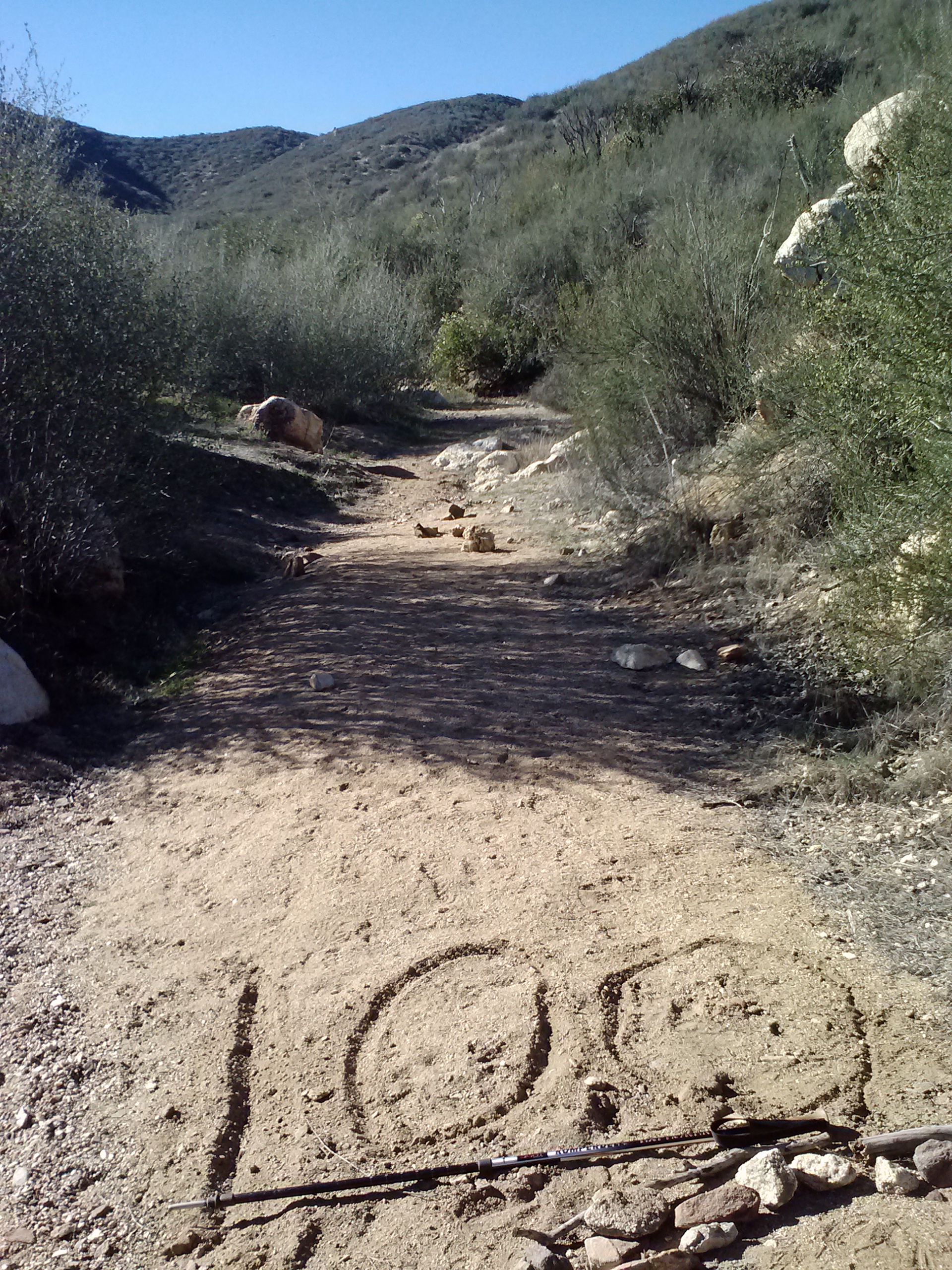
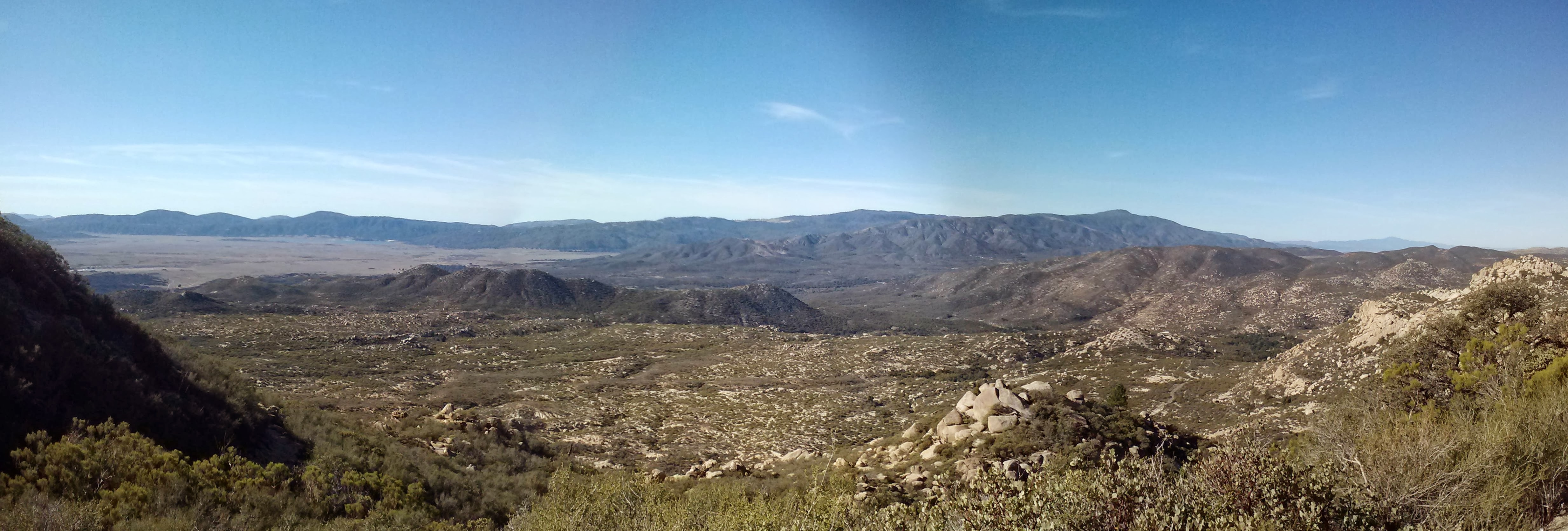
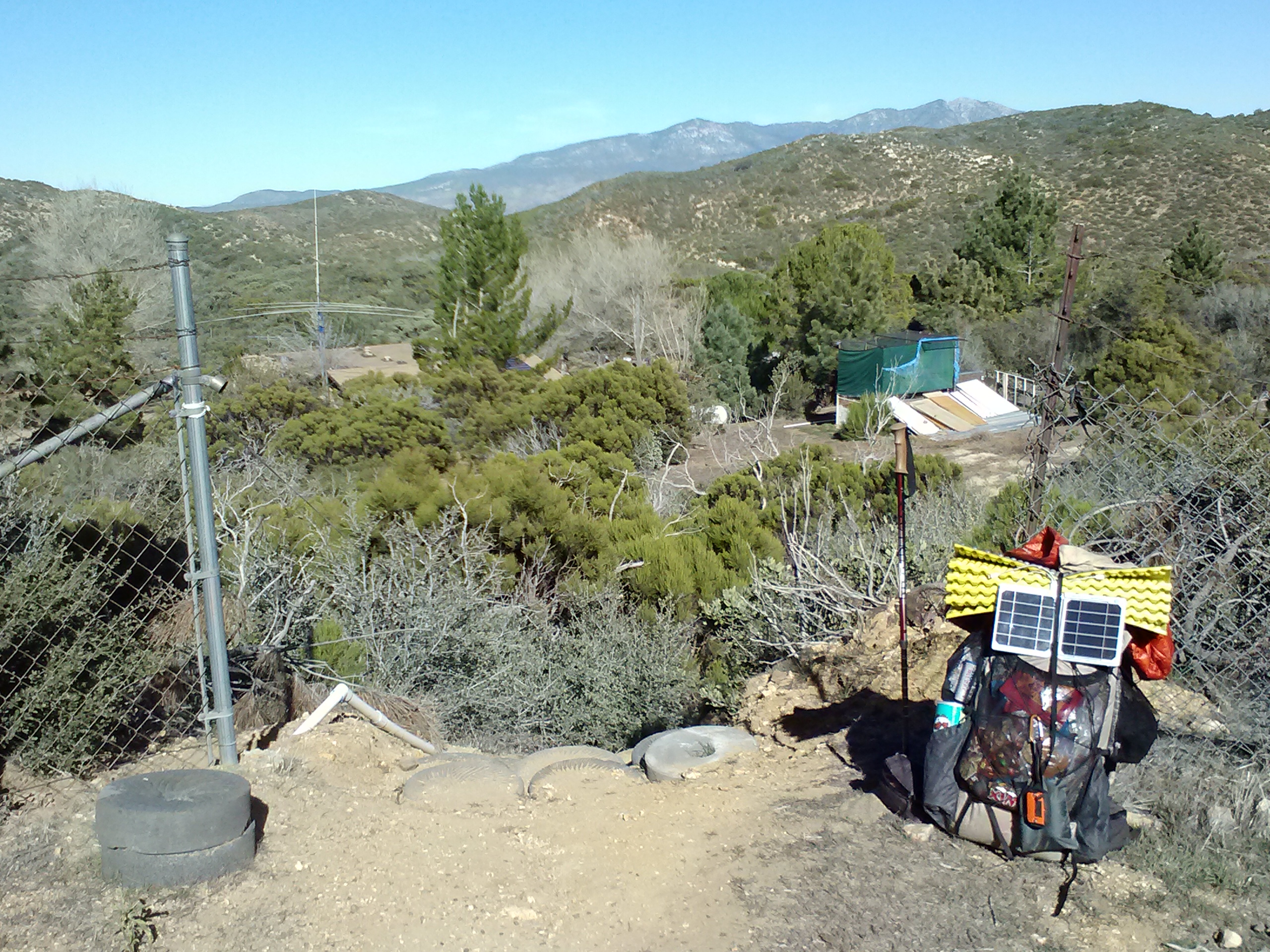
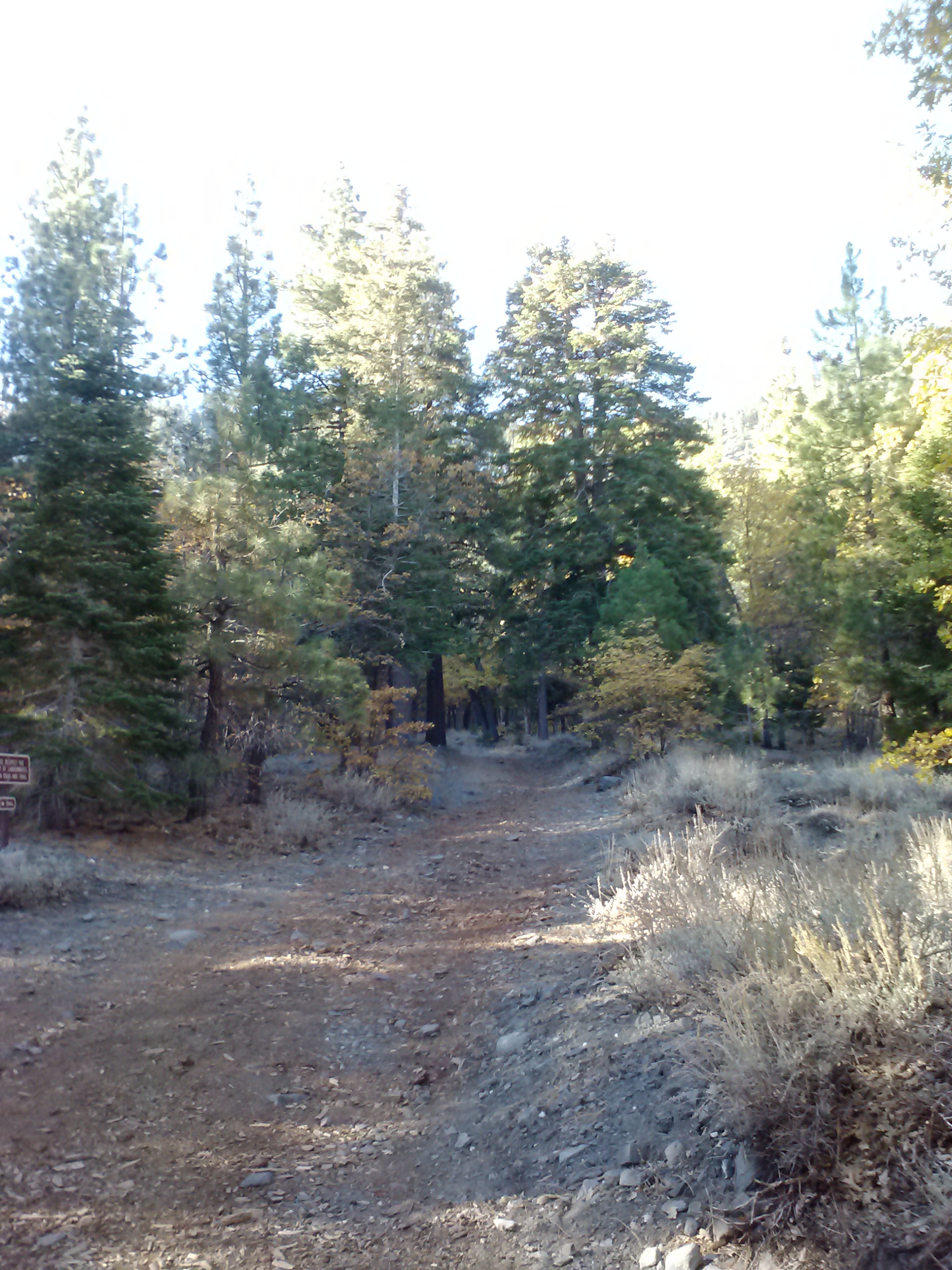
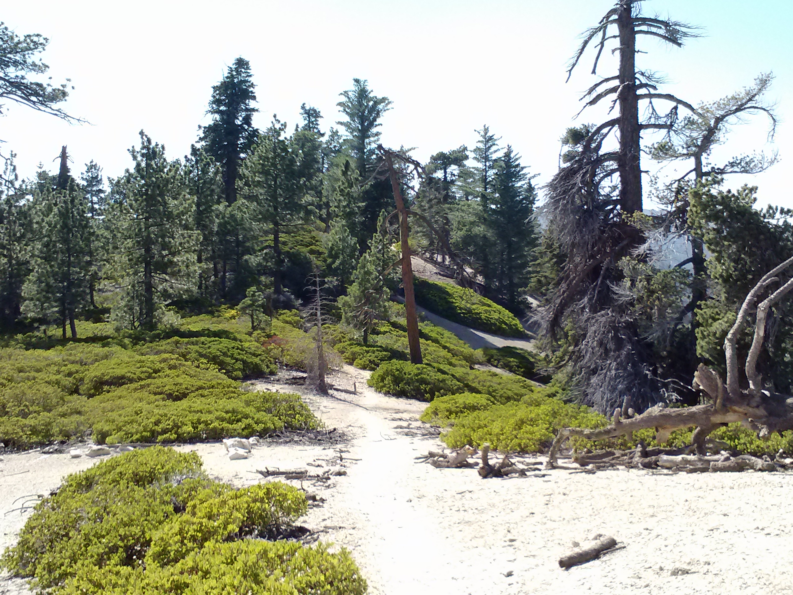
May 24th, 2014- 7.5 miles, camping at Landers Tank Campground

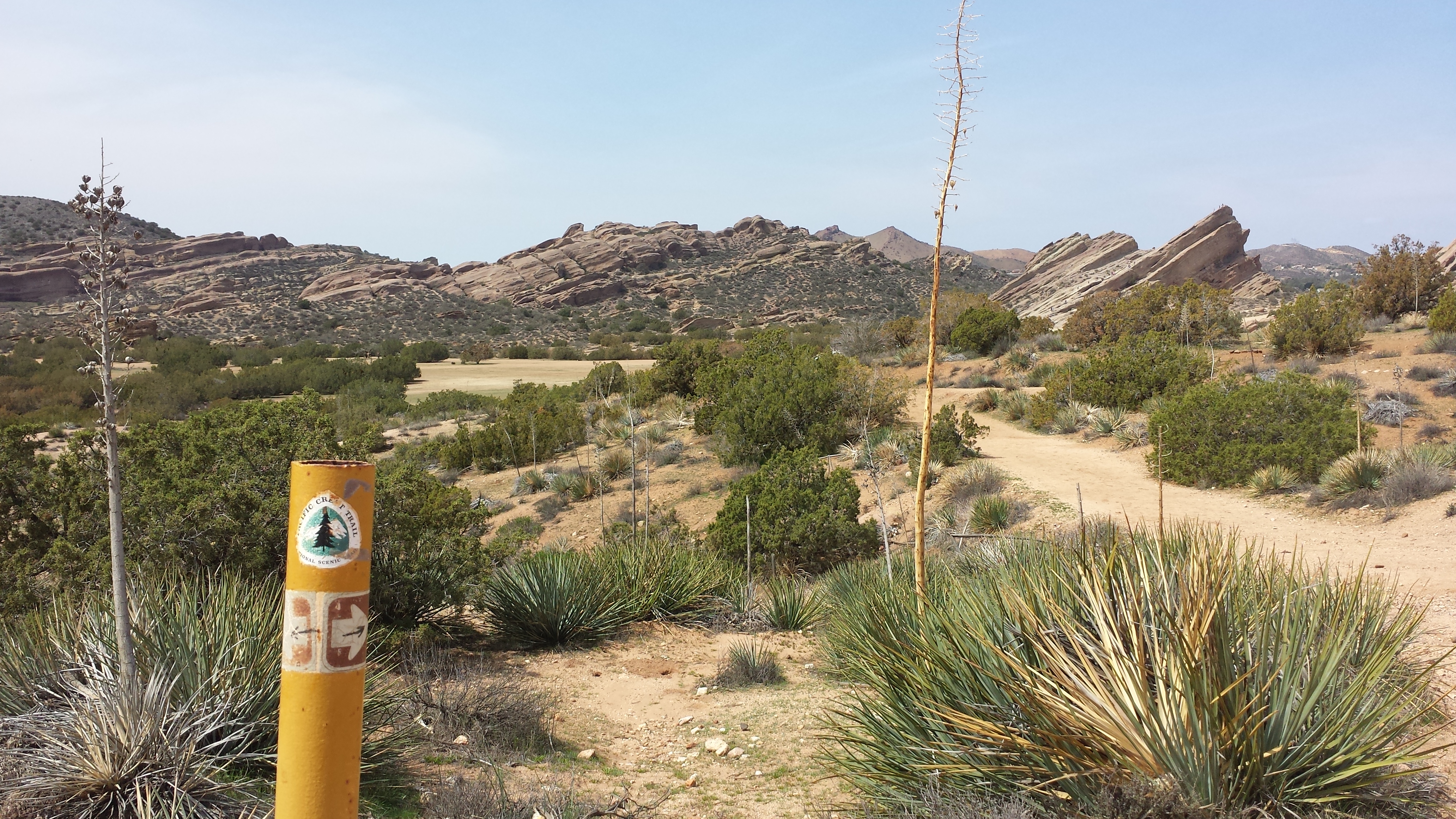
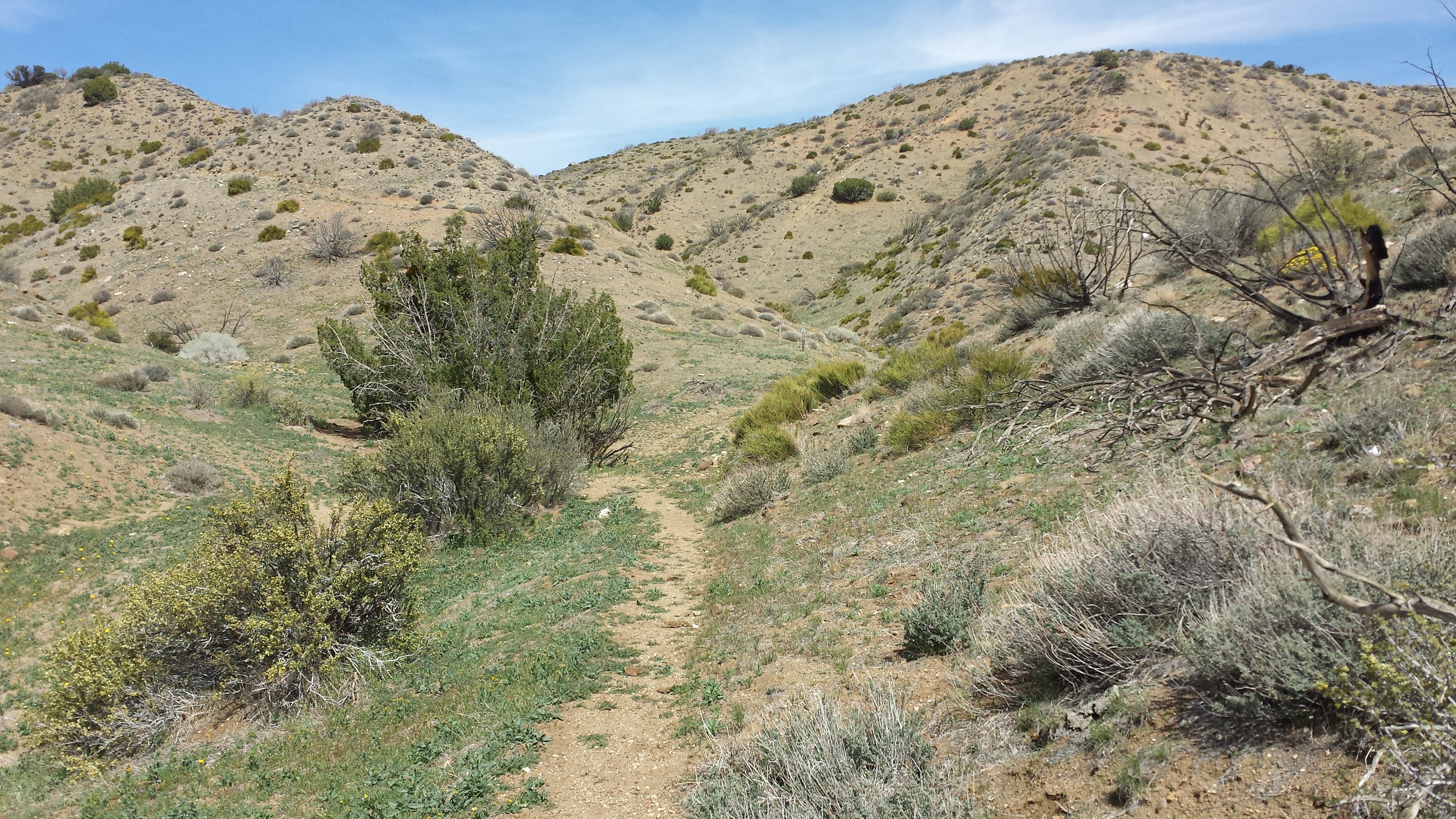
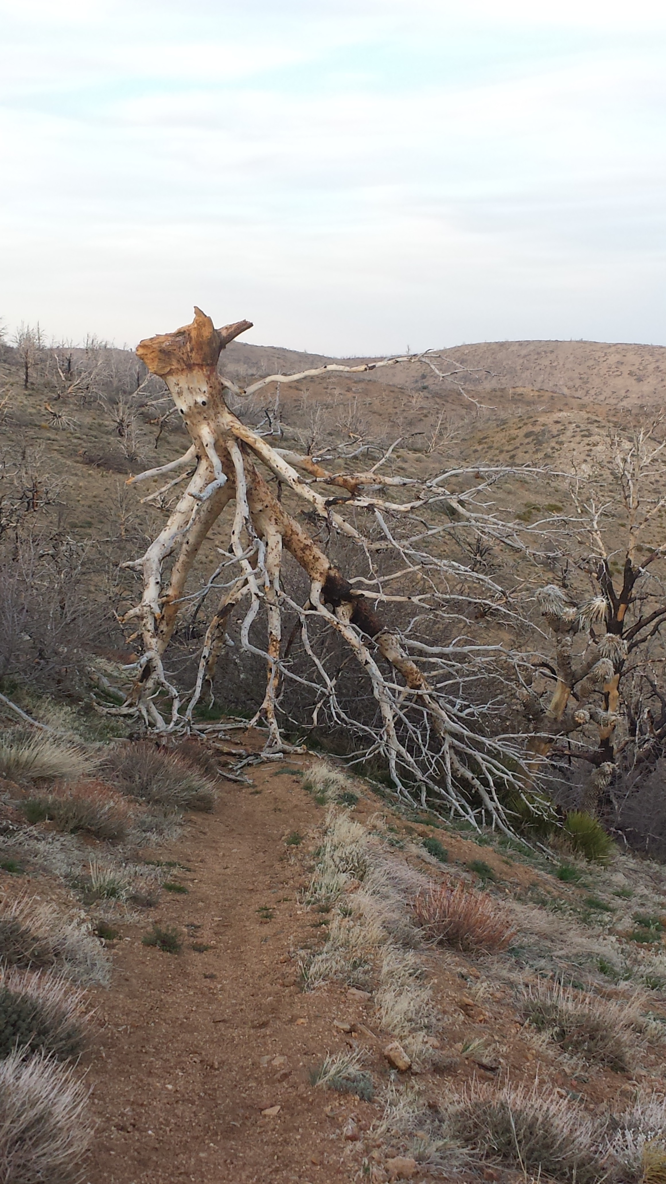
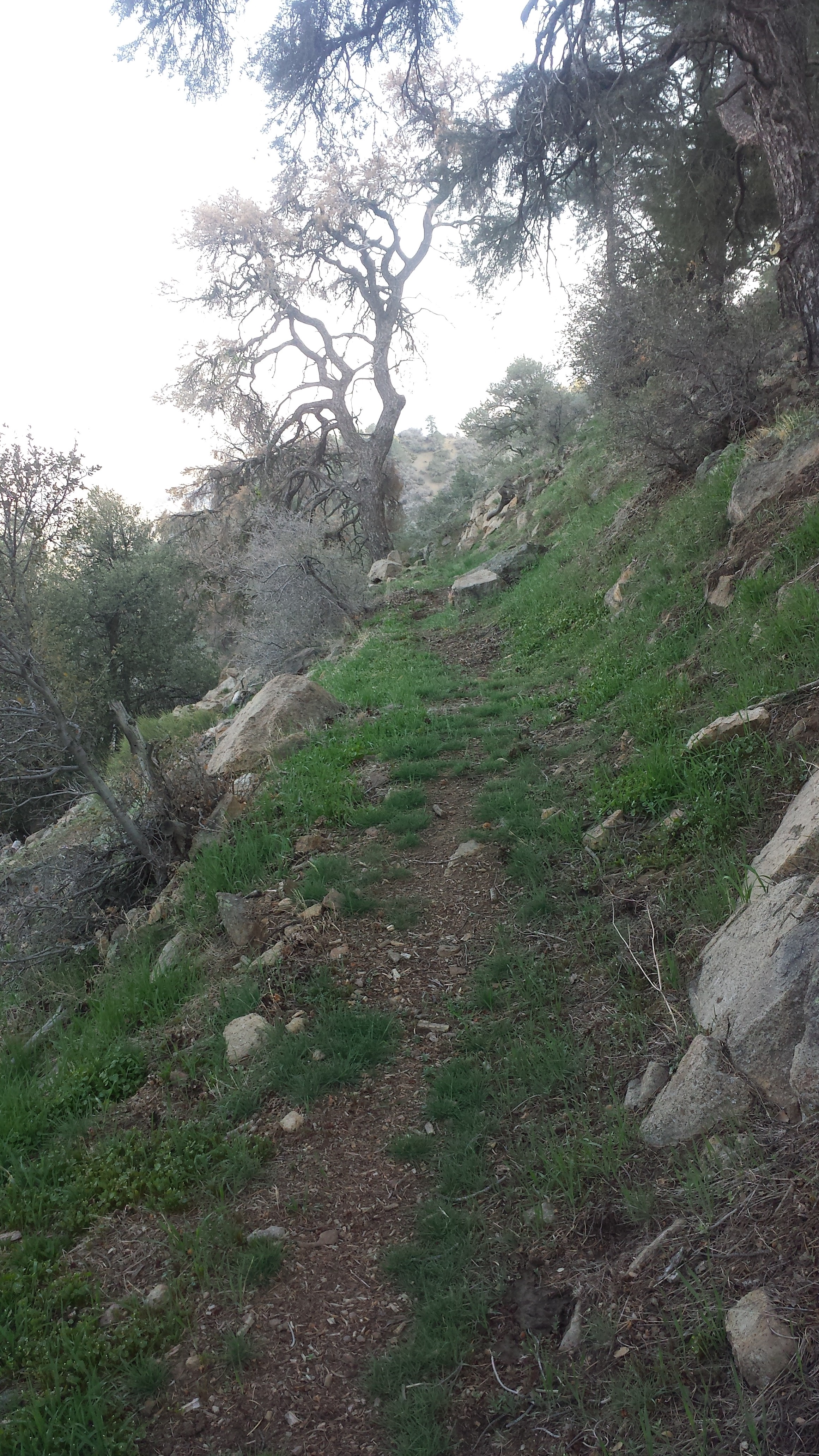
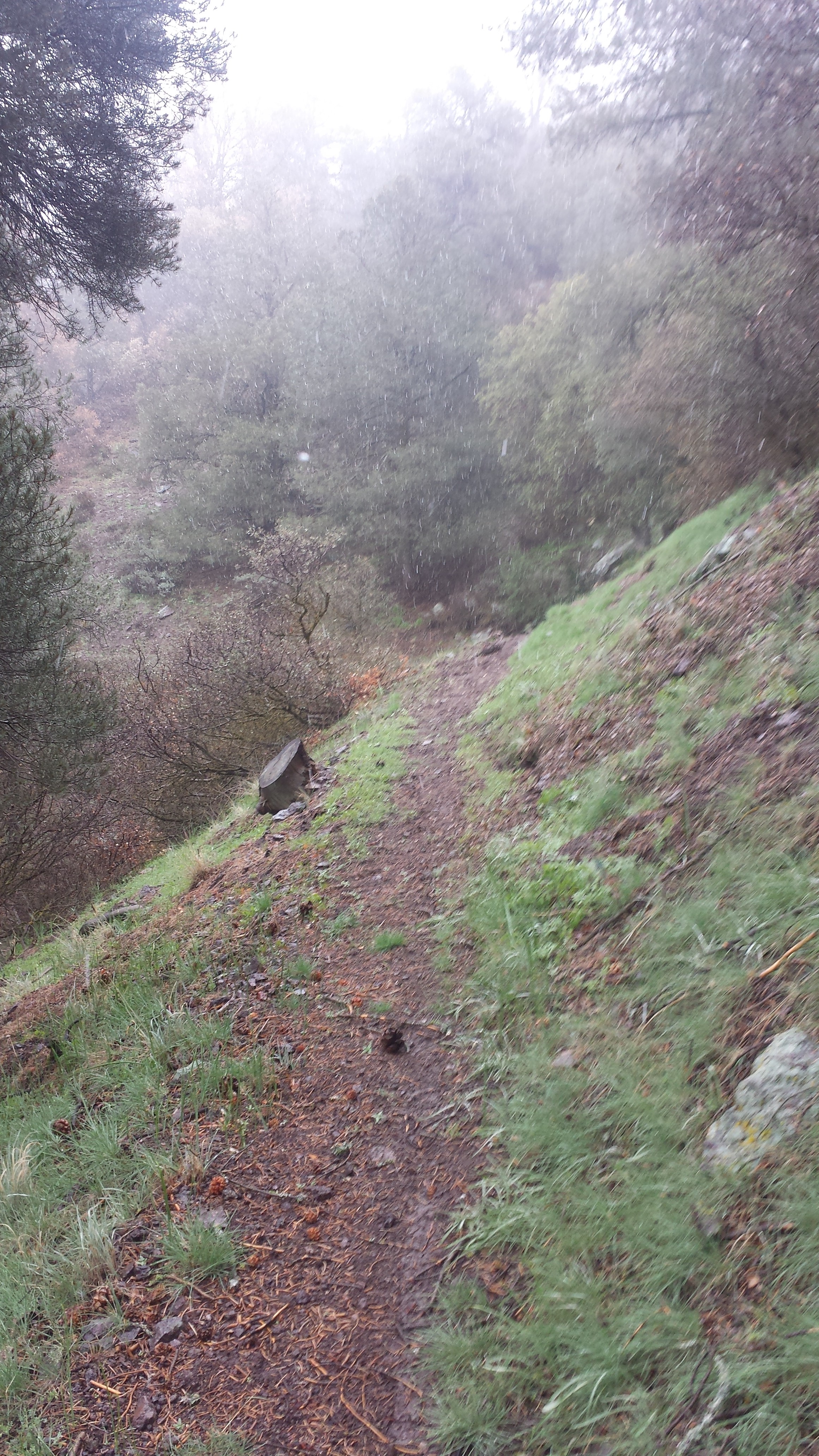
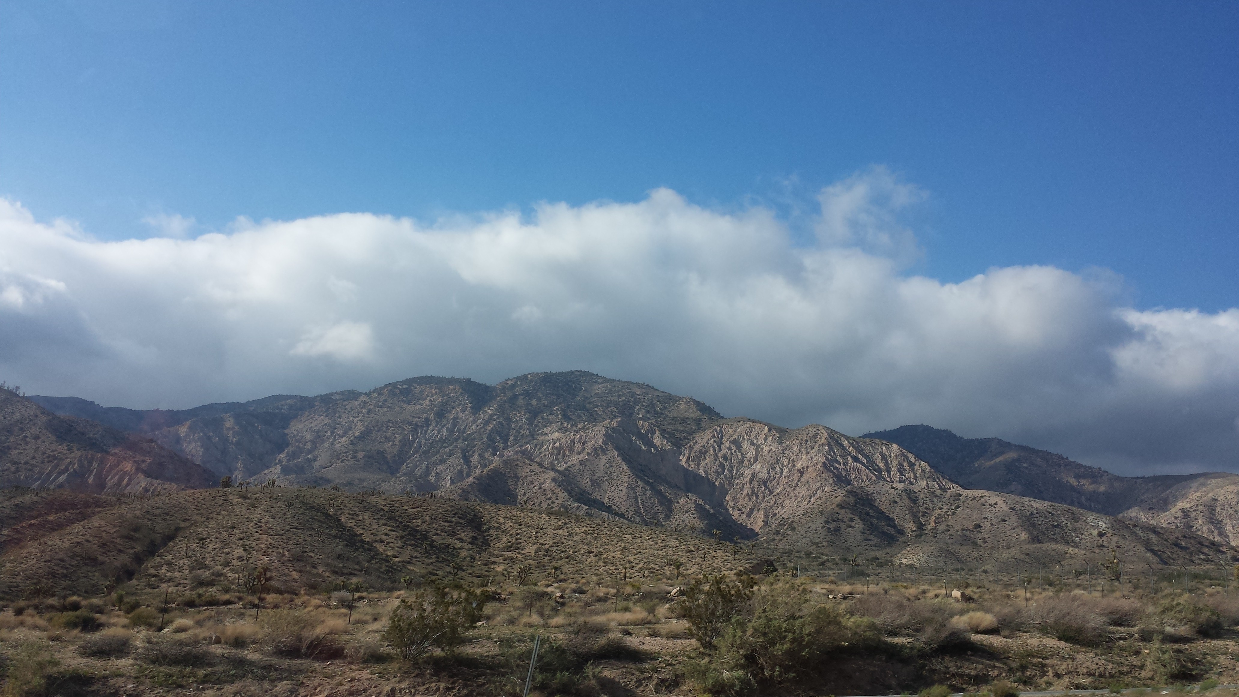
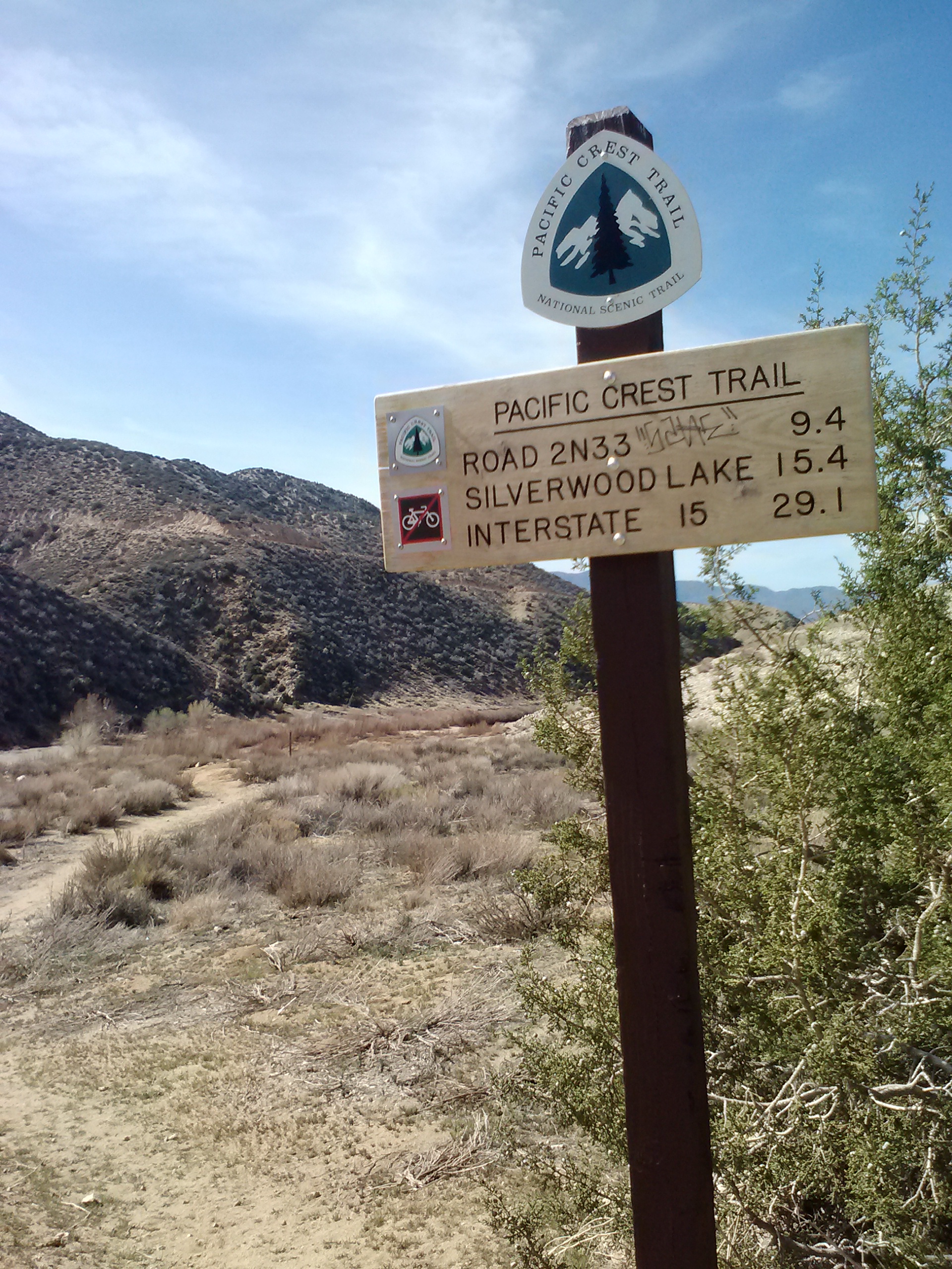
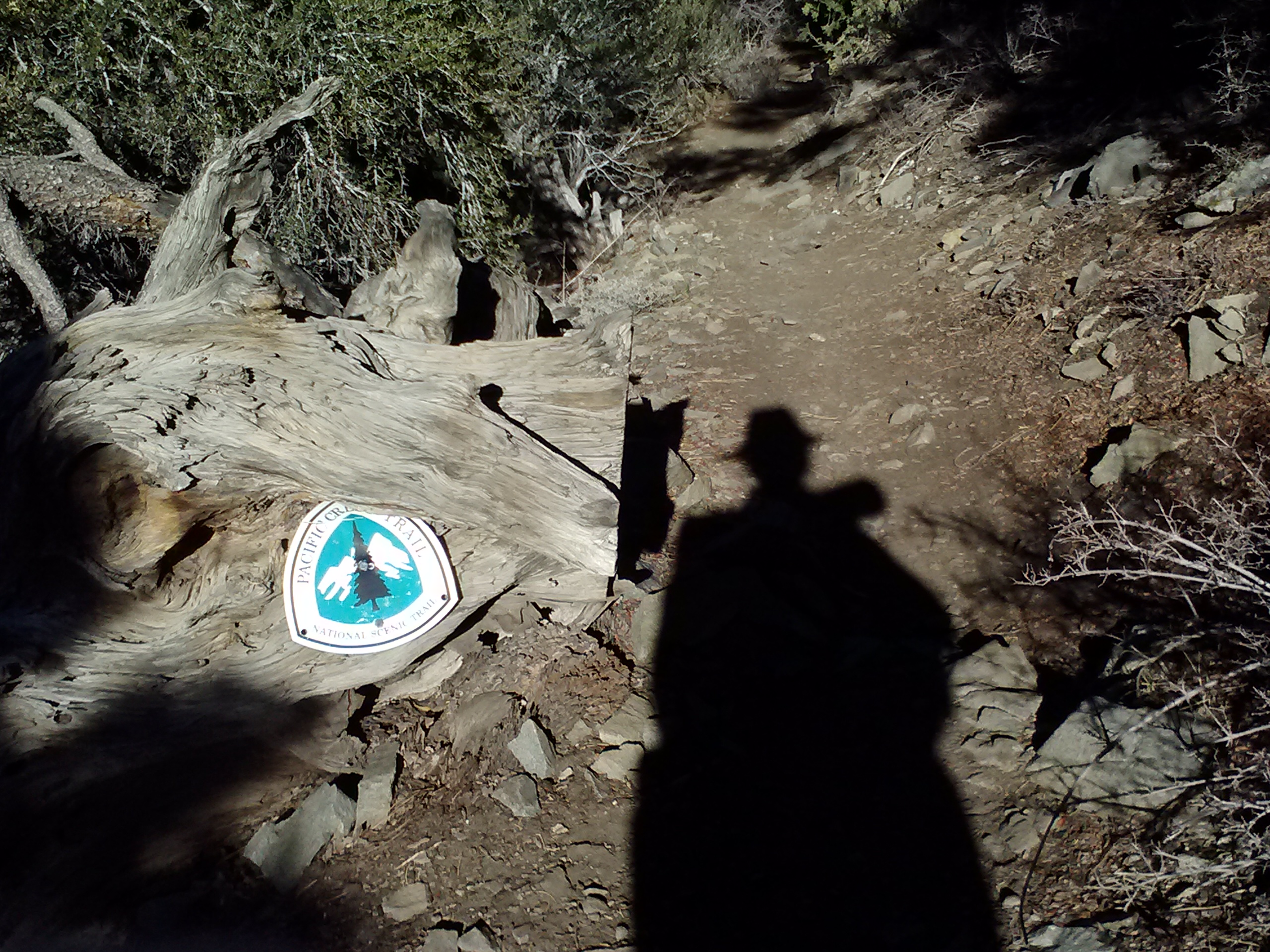
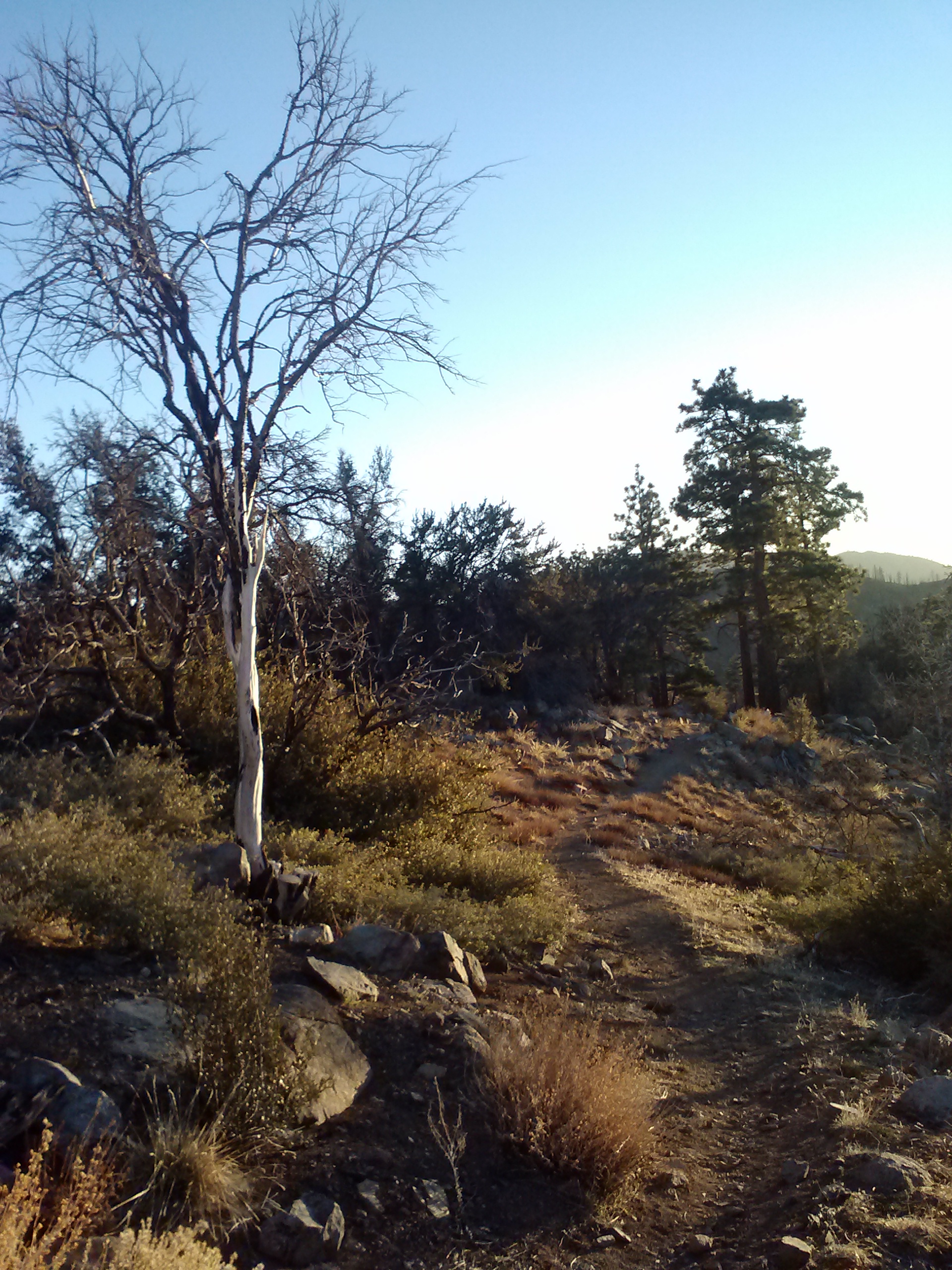
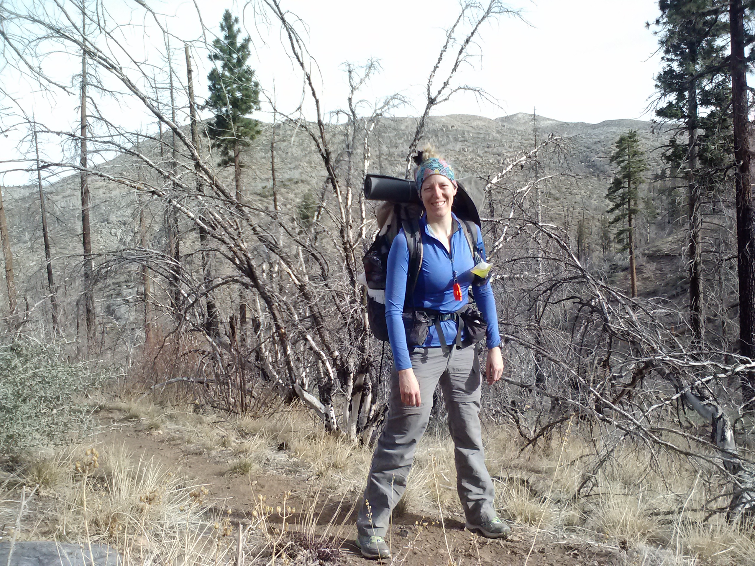
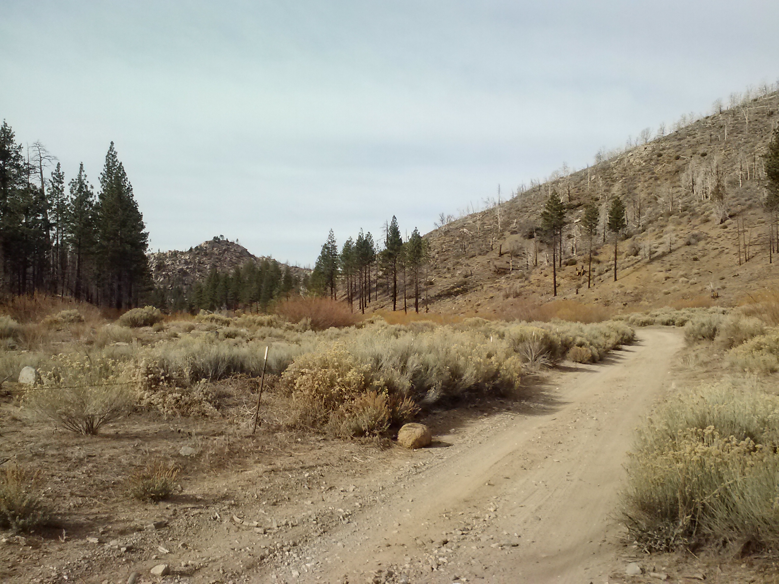
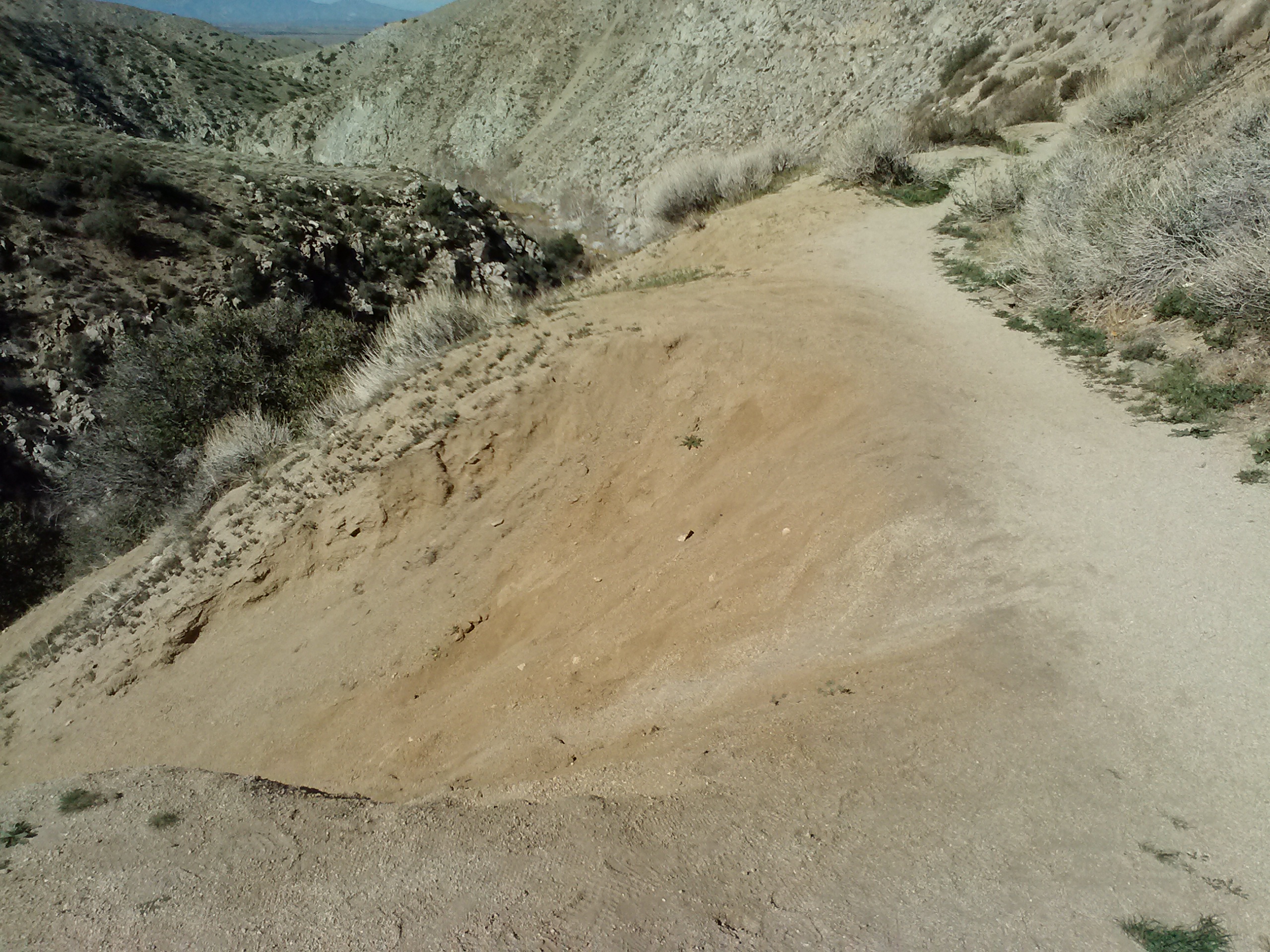
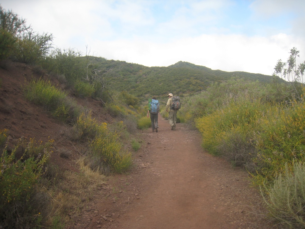
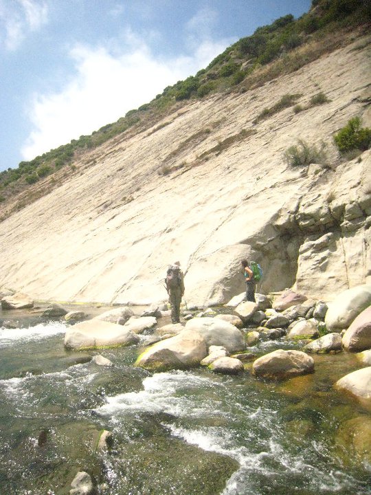
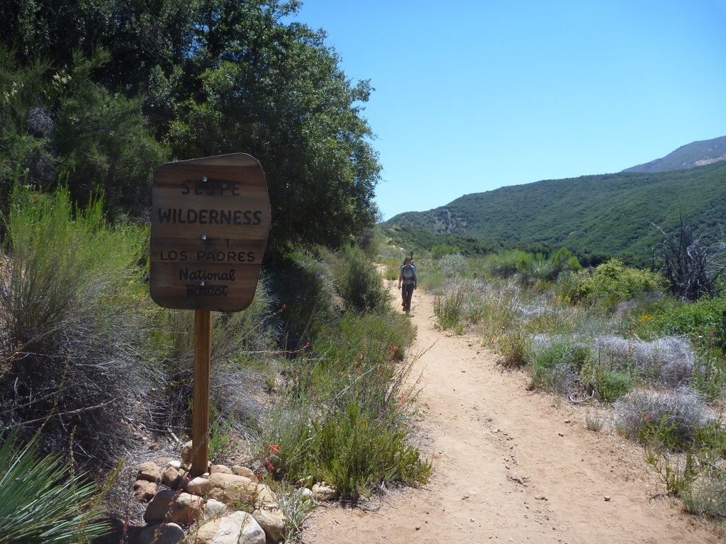
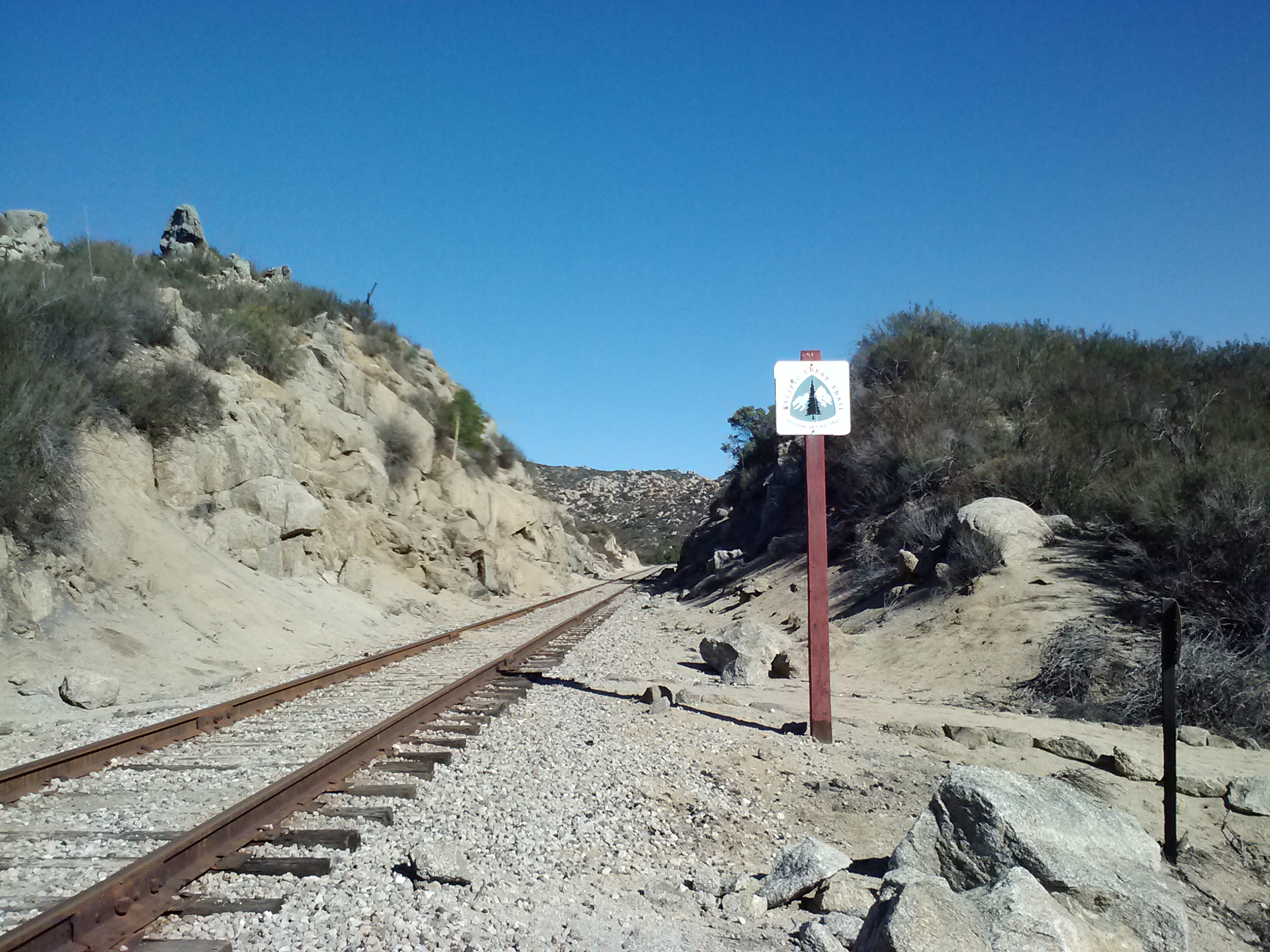
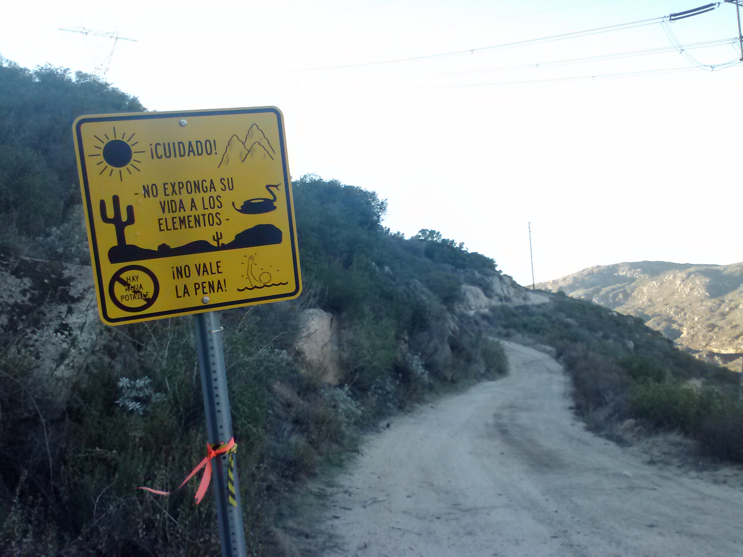
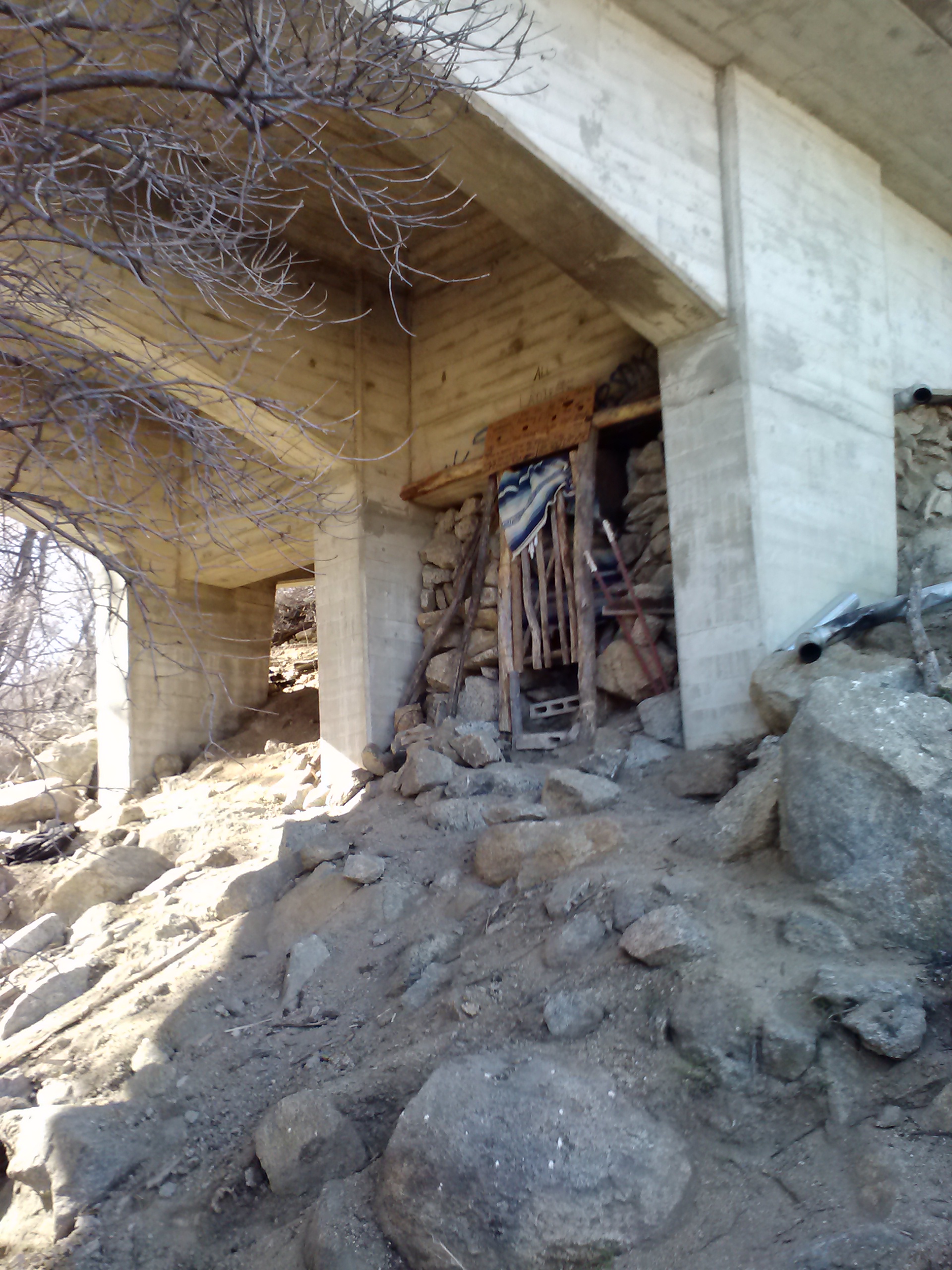
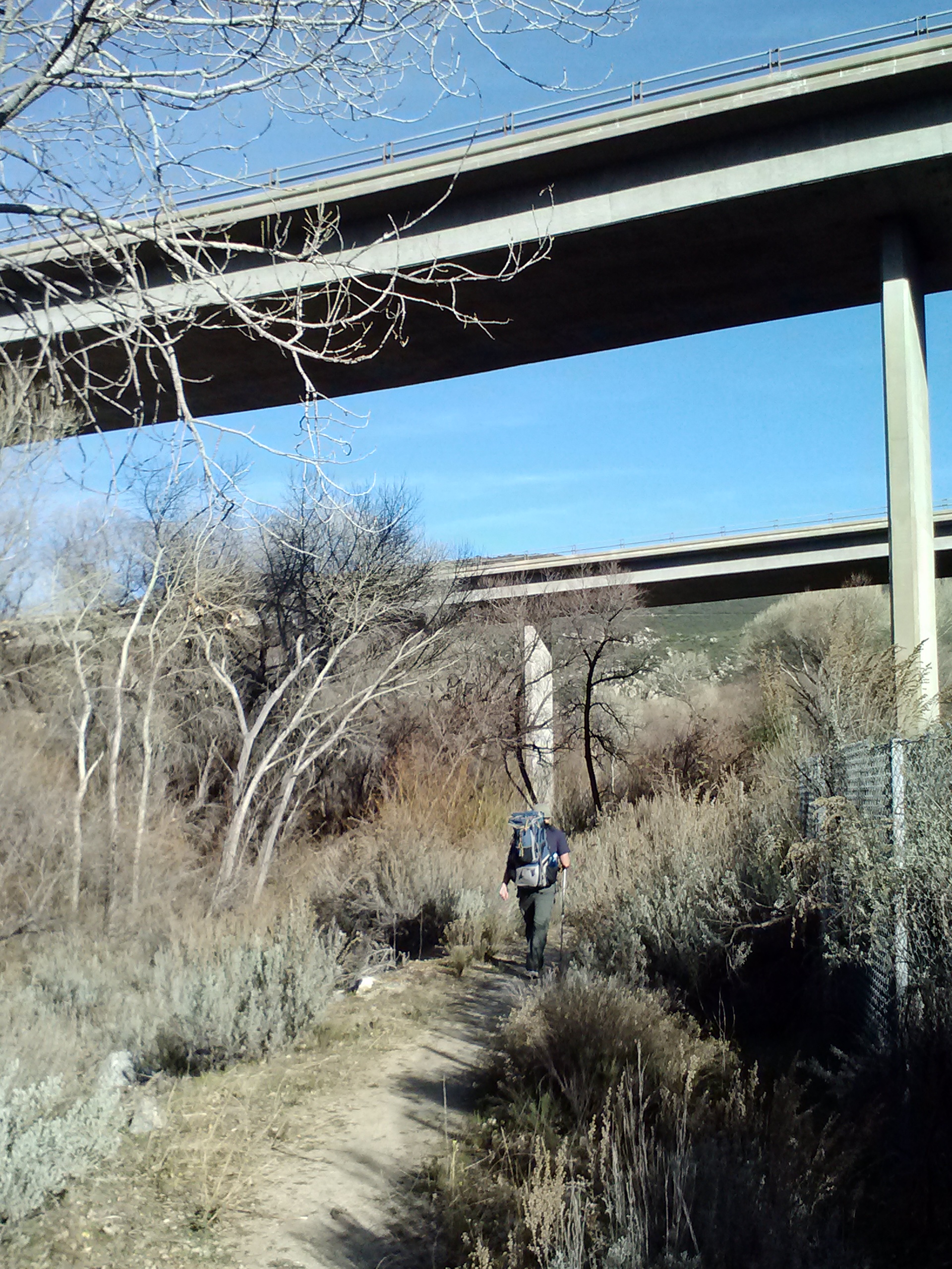
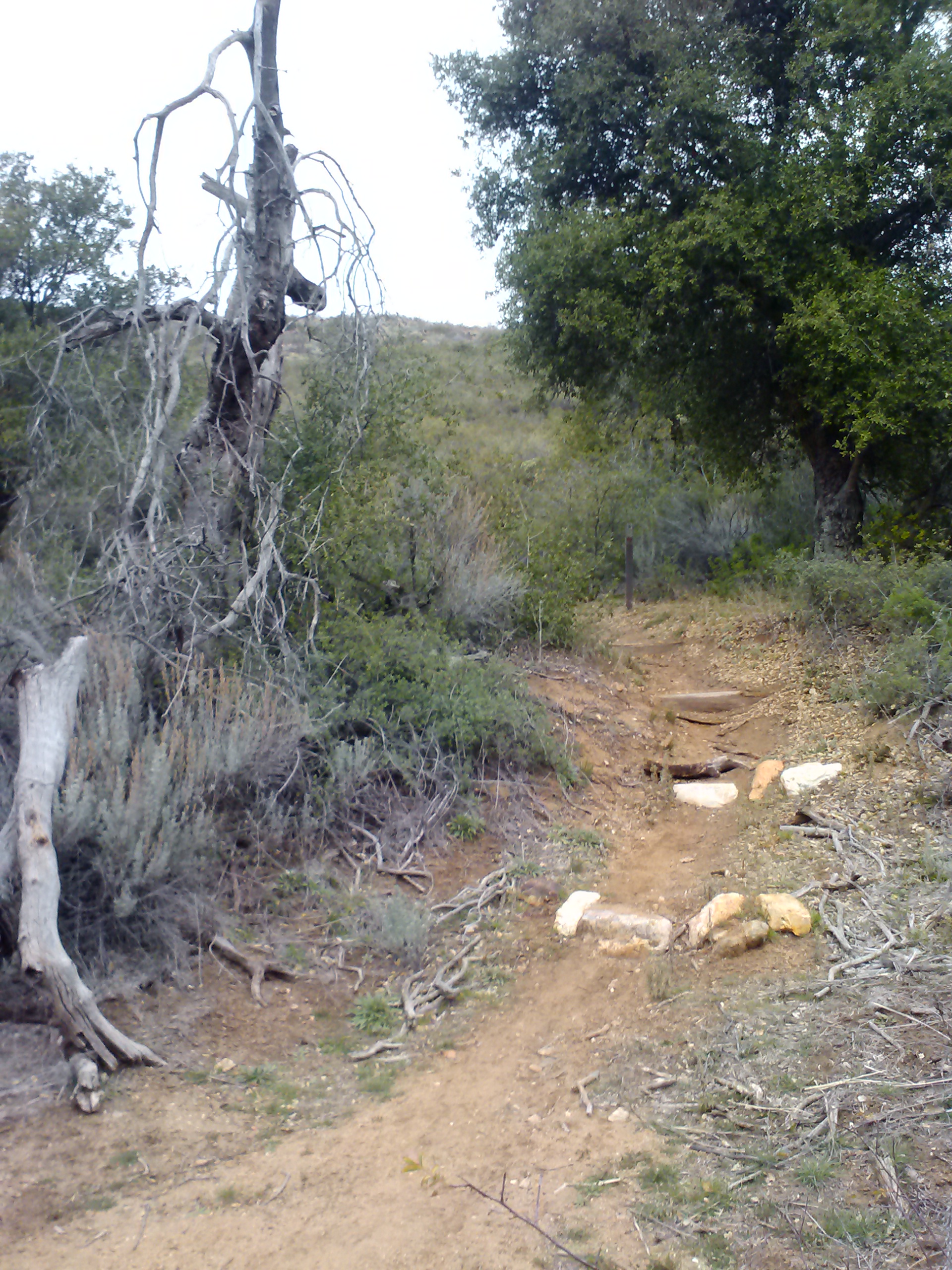
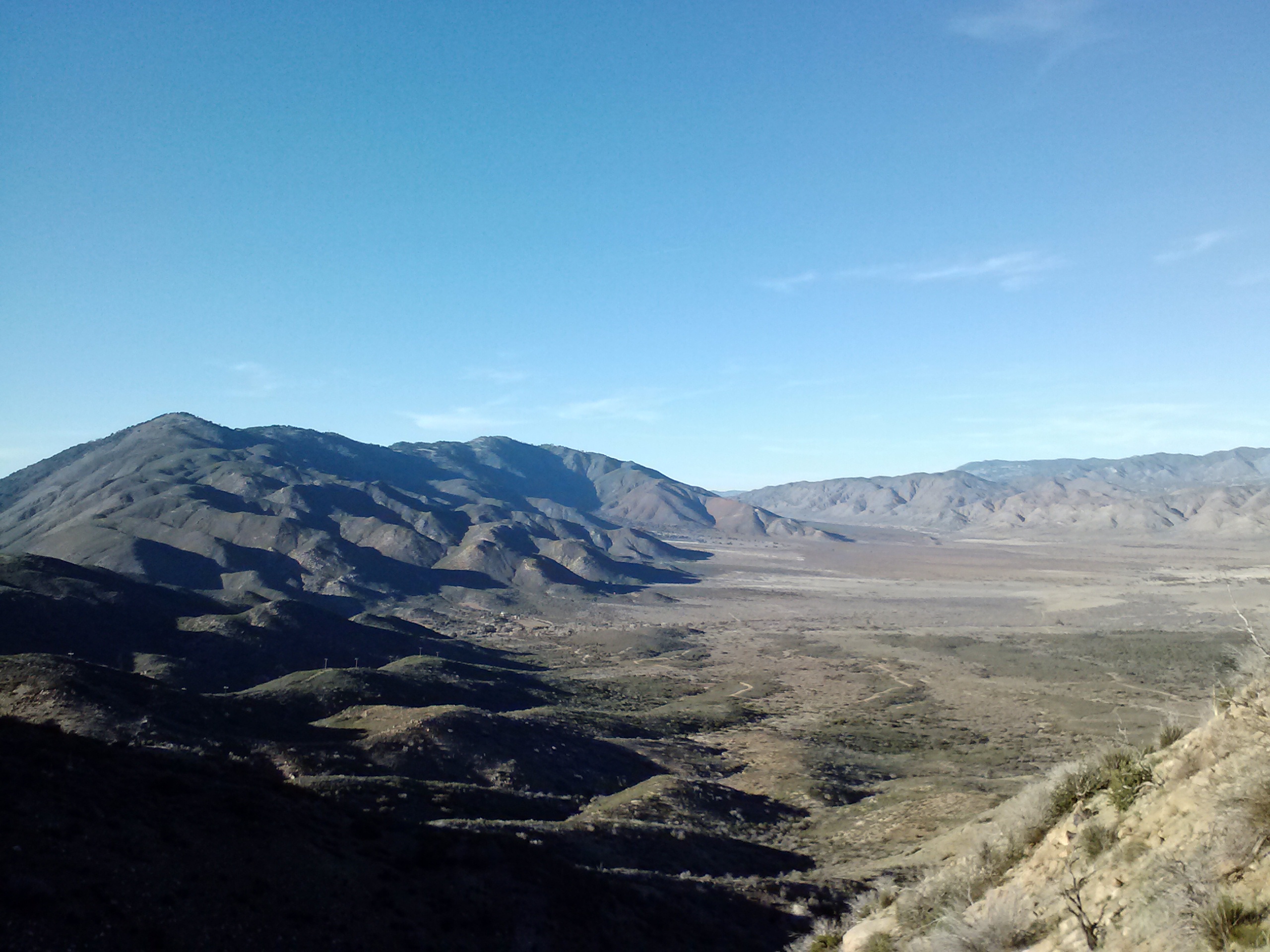
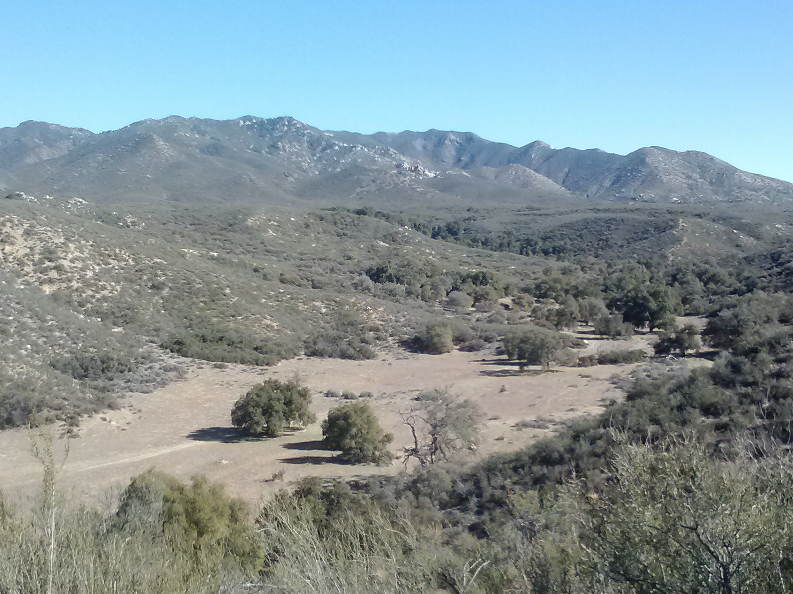
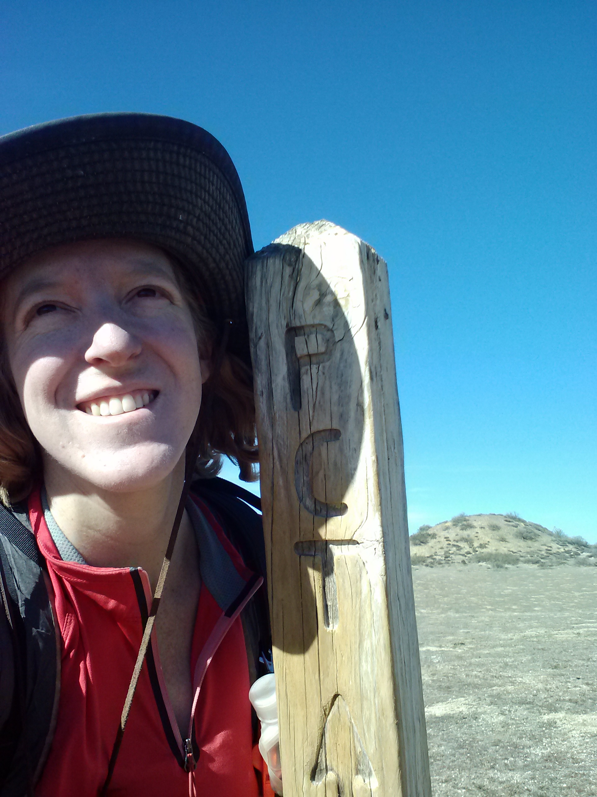
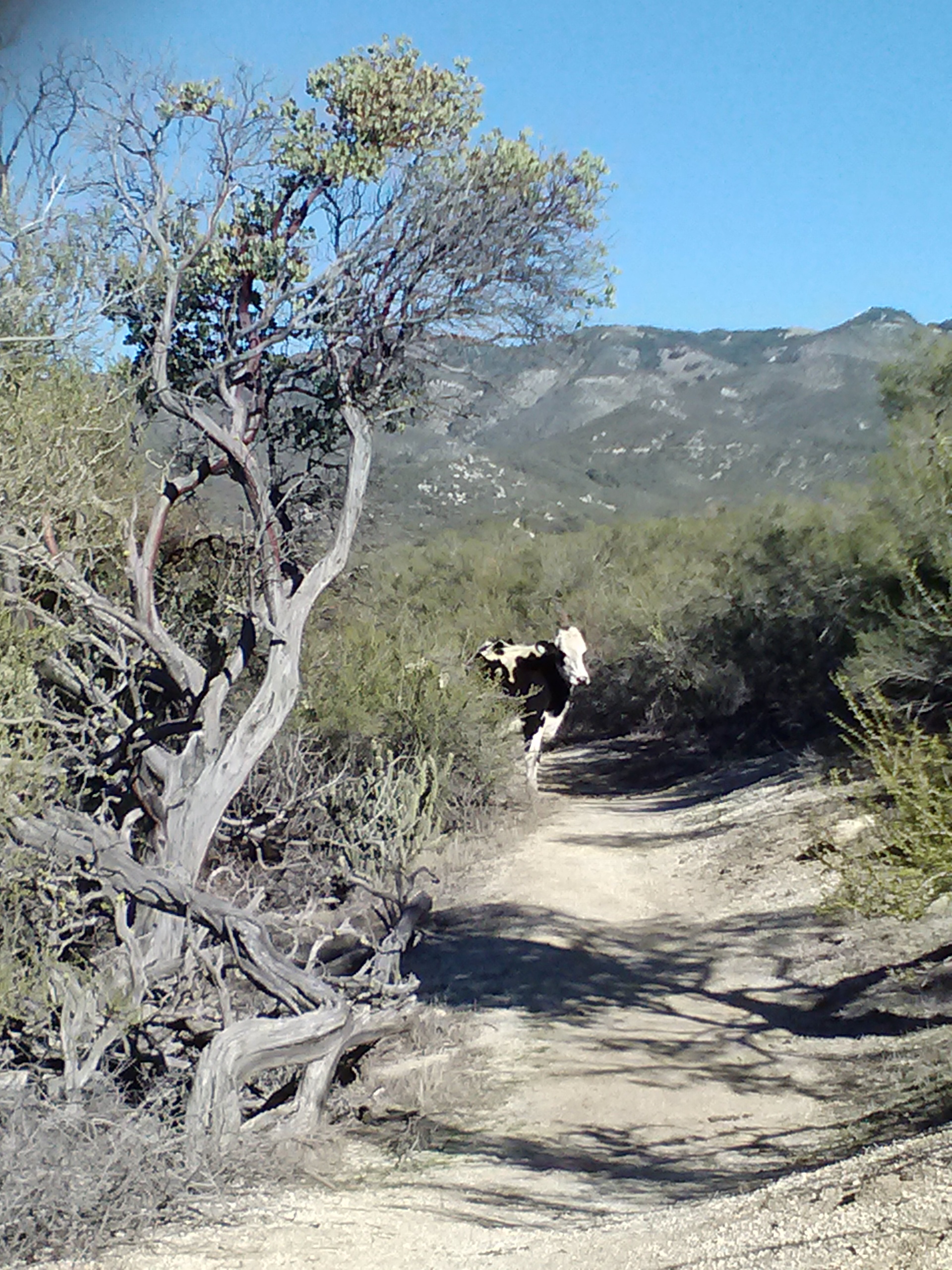
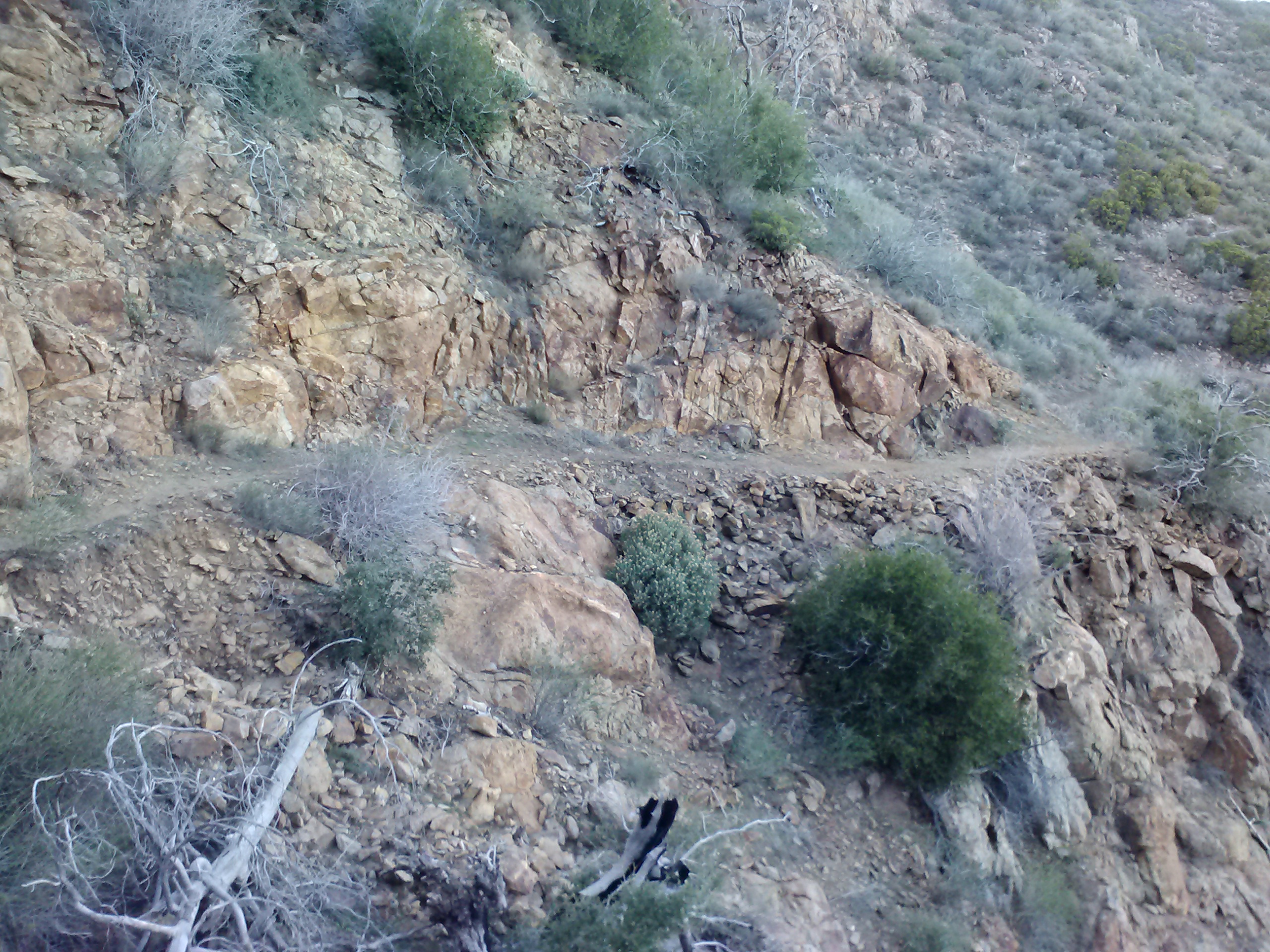
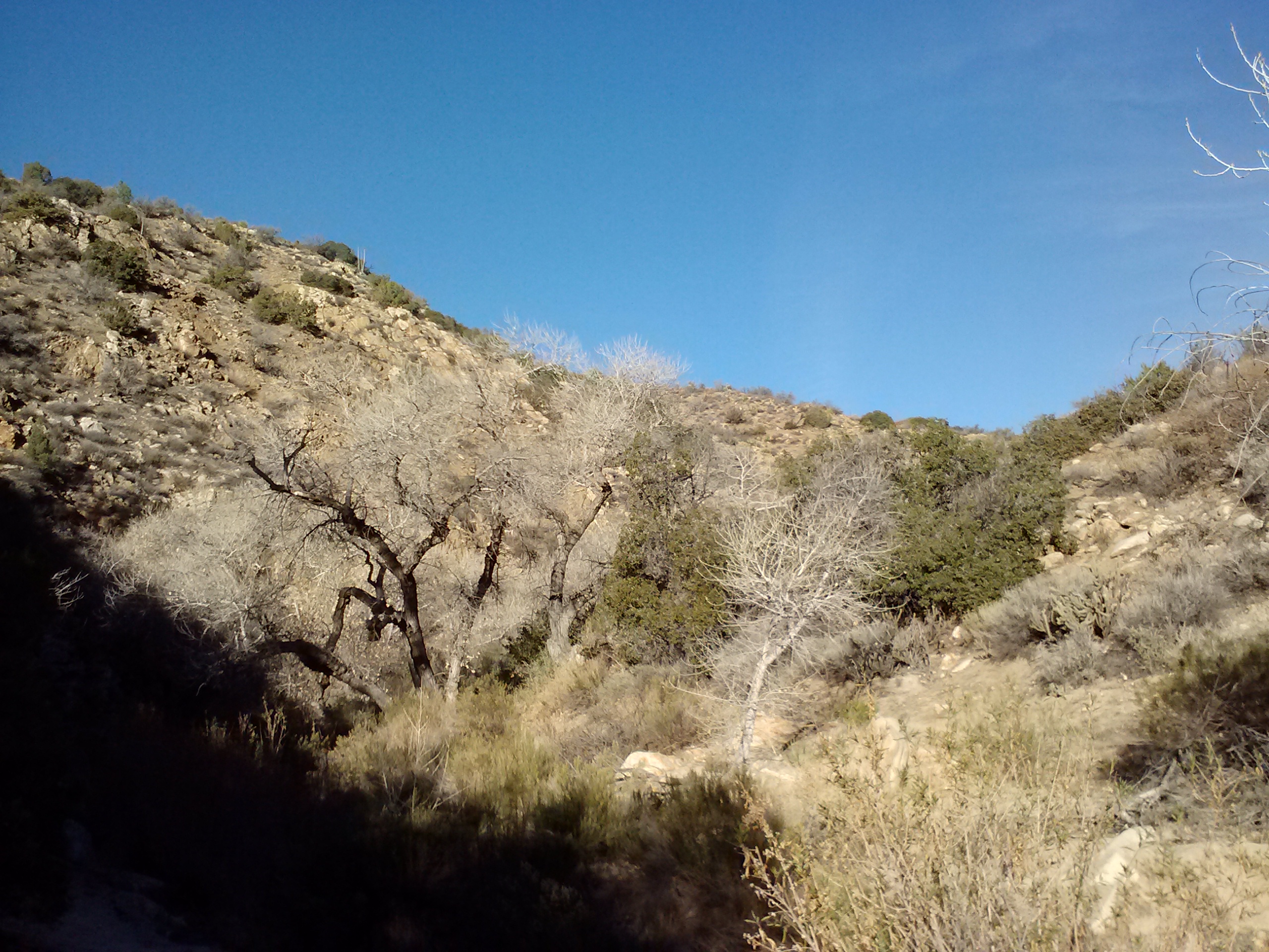
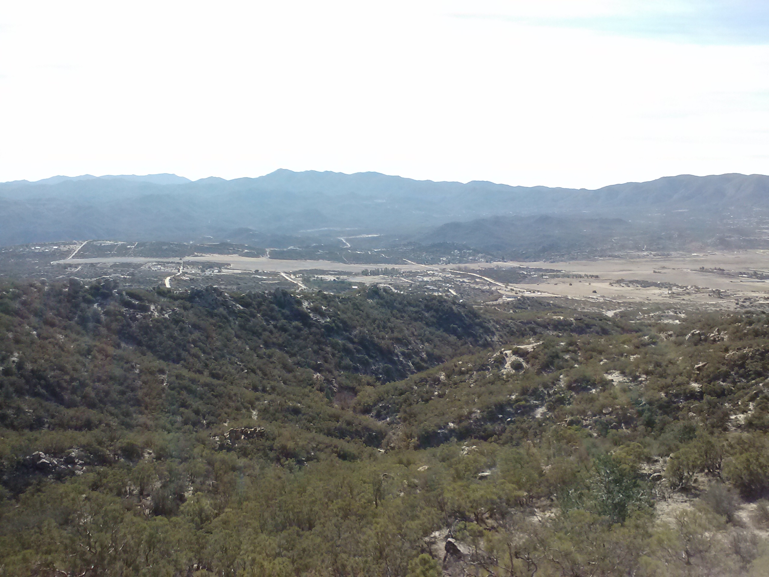
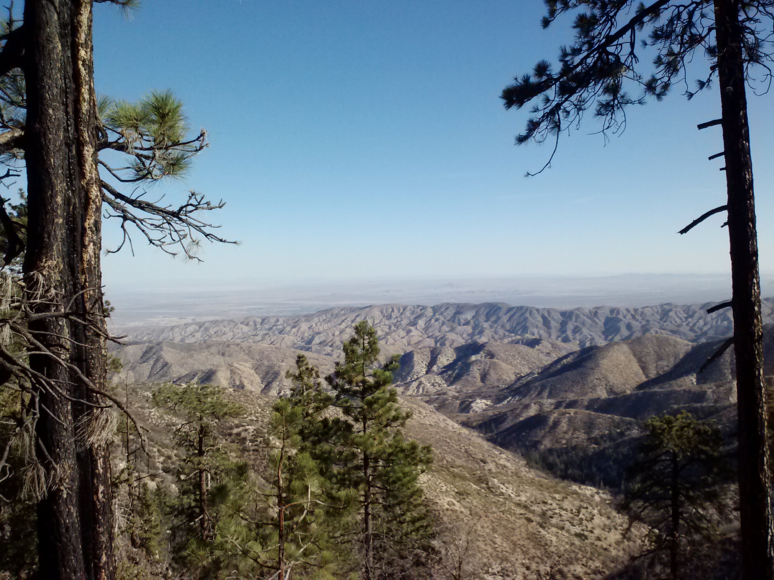
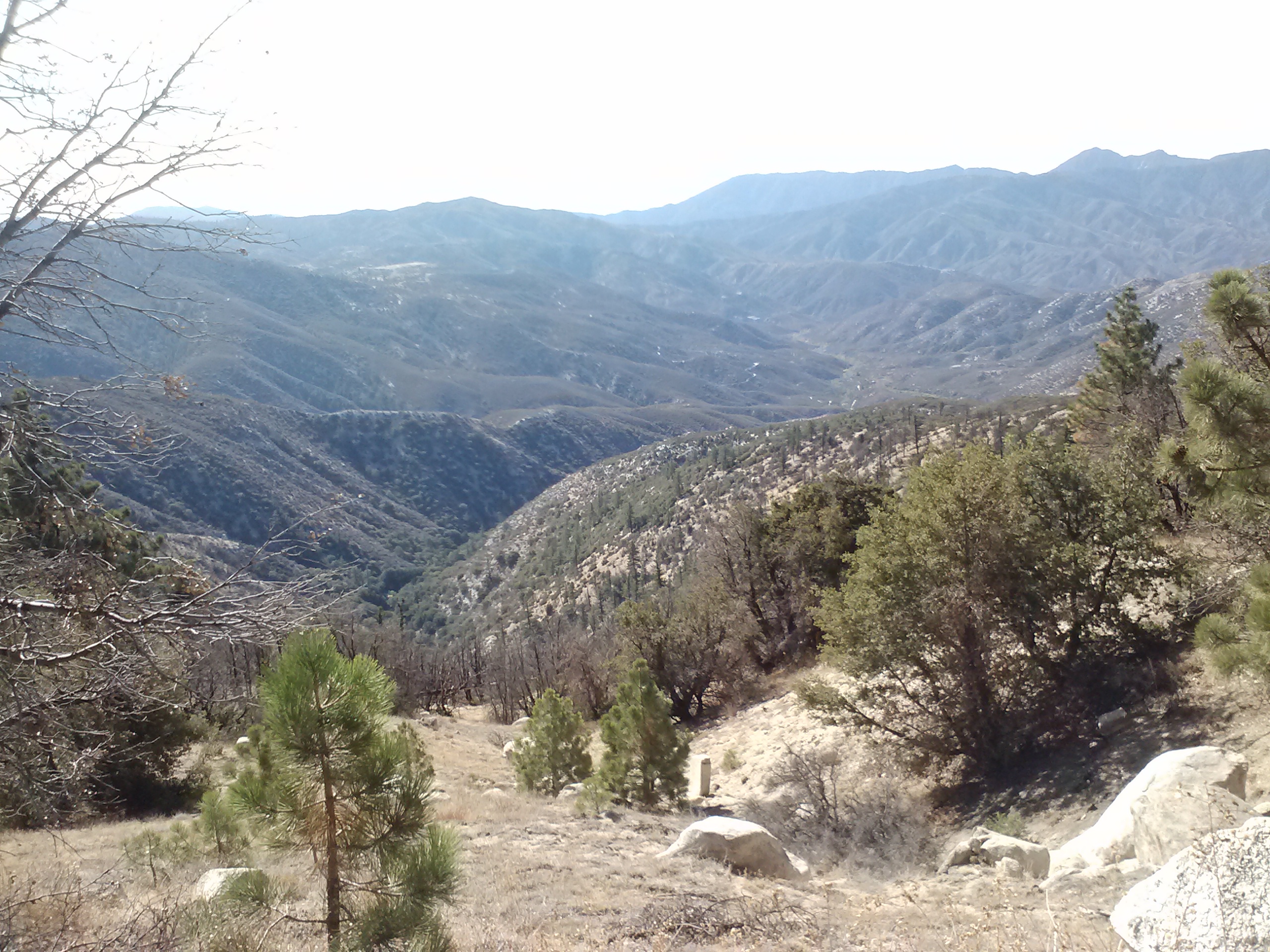
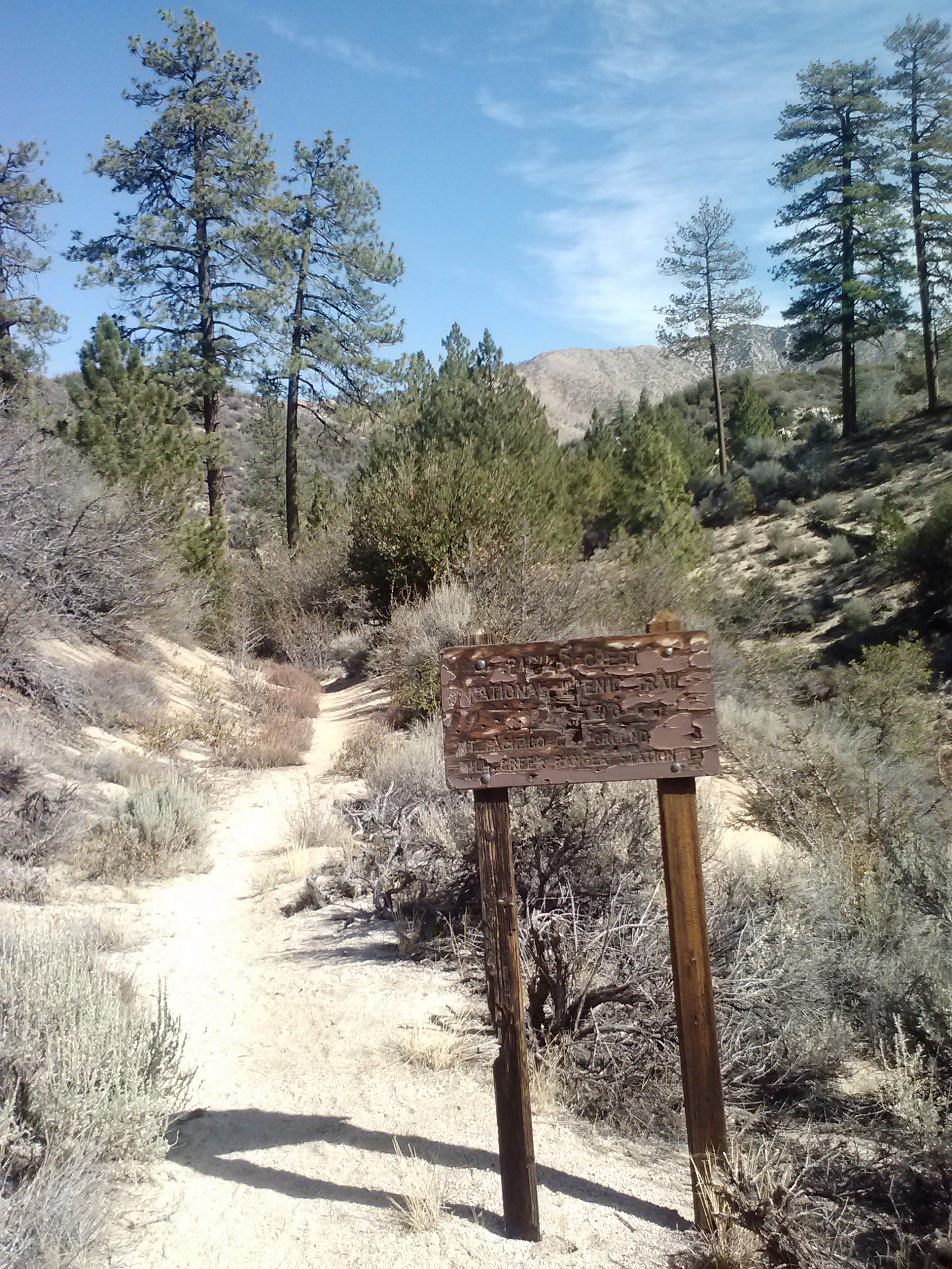
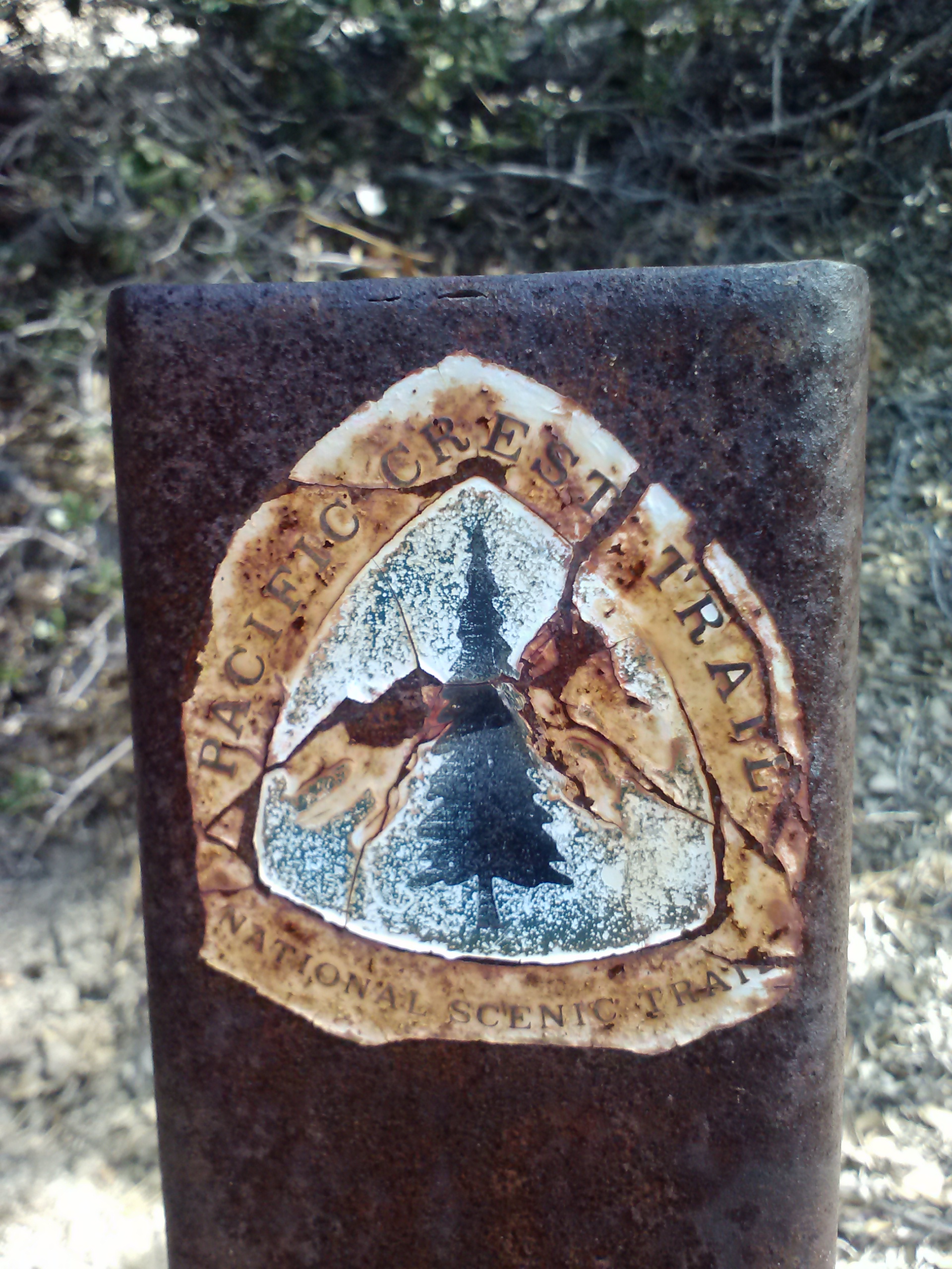
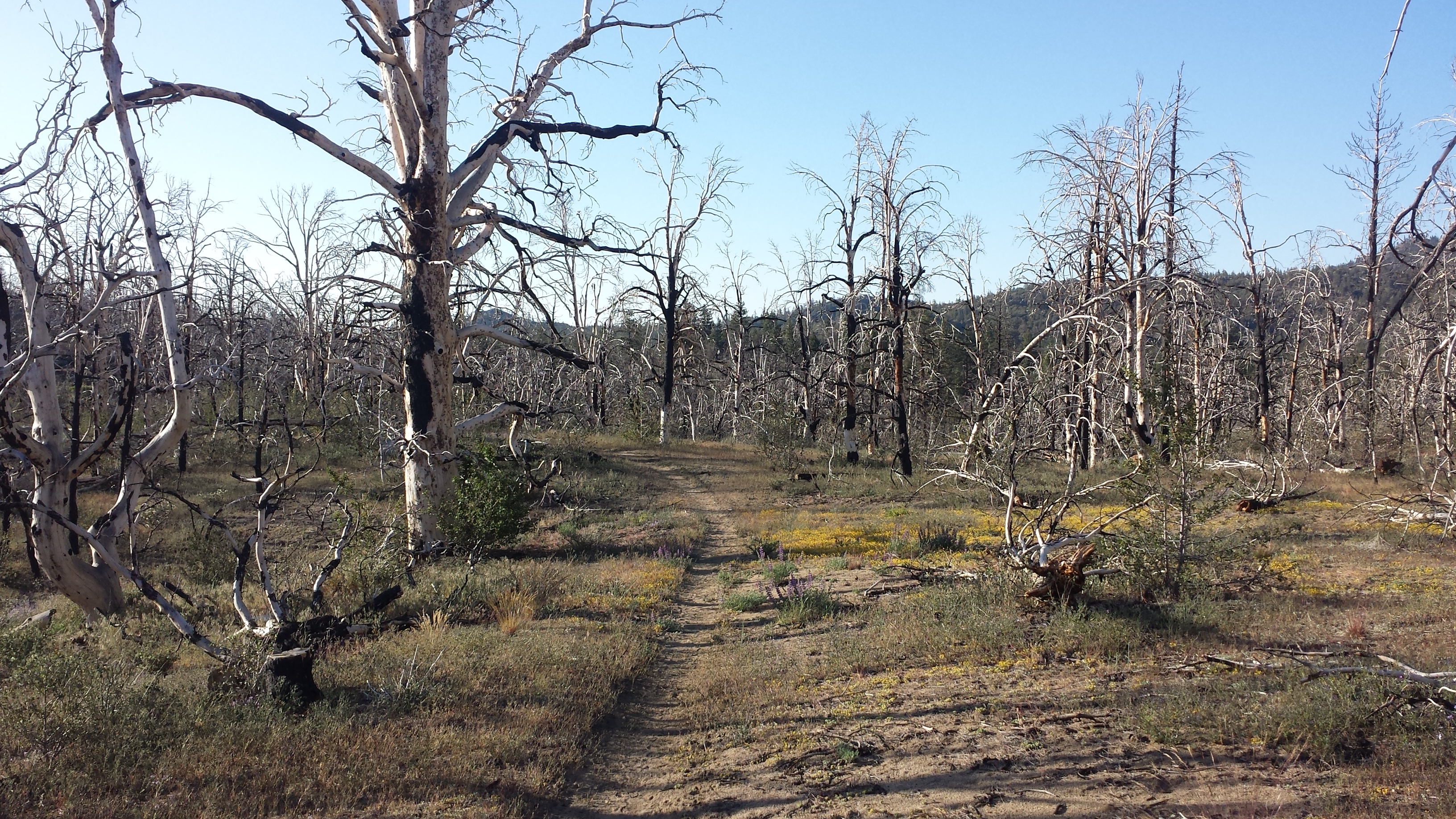
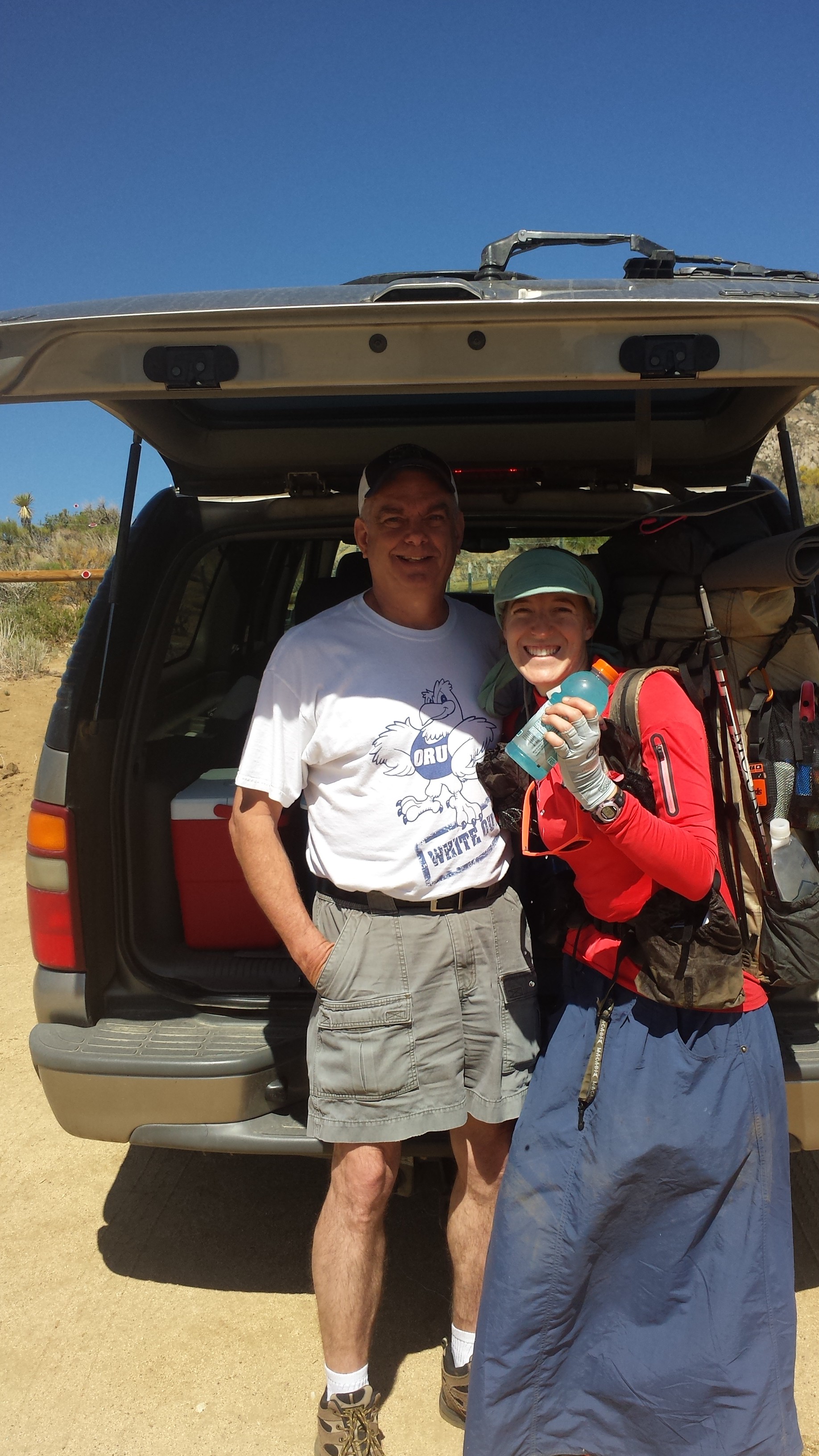
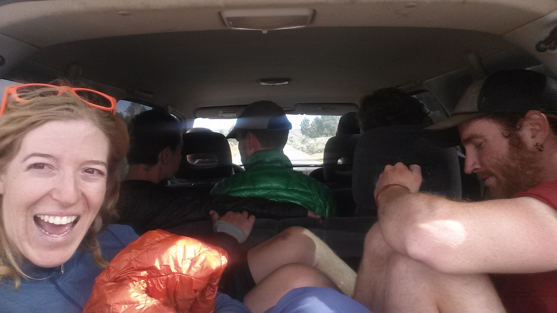
Back in March, I was kicked off the mountain near Jawbone Canyon Road by a snowstorm. Today, my good friend Carlos drove me all the way out to that same dirt road so I could jump back on the trail. For such a big hike ahead of me, I felt strangely relaxed for the drive. The car couldn’t make it all the way up Jawbone Canyon because the road was too sandy, so I had to walk about a mile to link up with the trail.
Once I was walking, I began to feel so lonely. The silence always takes a while for me to adjust to on the trail. I tried hard not to think about Art or Pepper back home. I miss them and worry about how they’ll do without me, but I have to trust they’ll be okay.

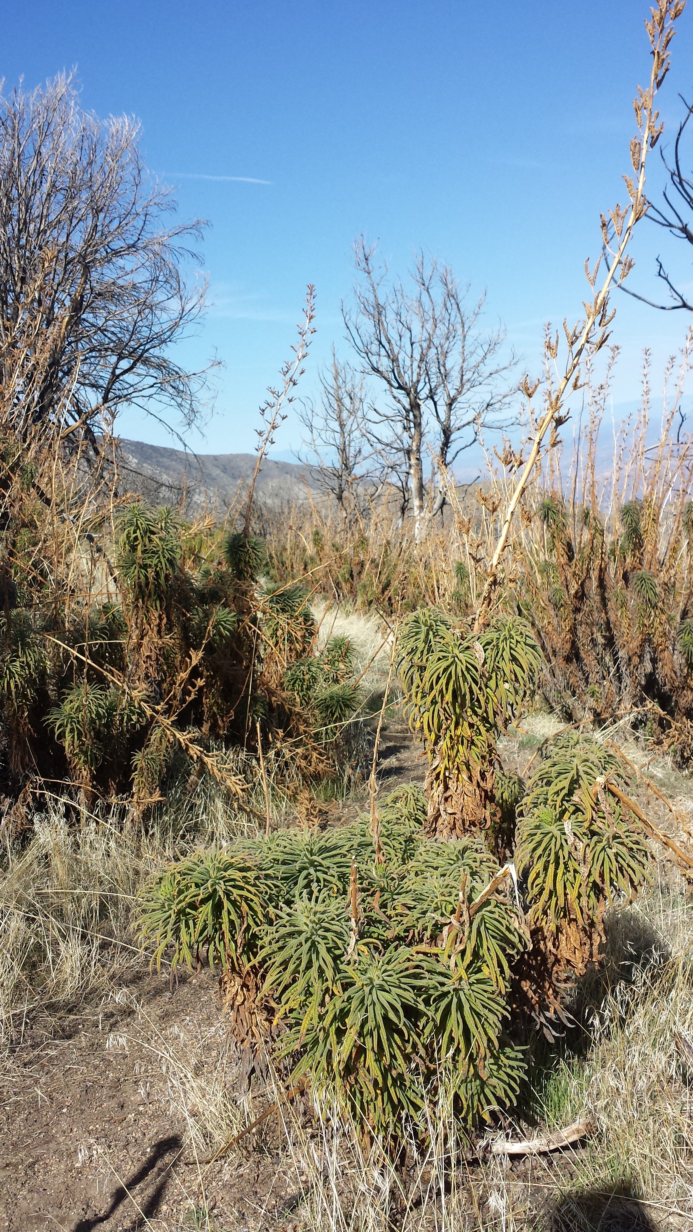
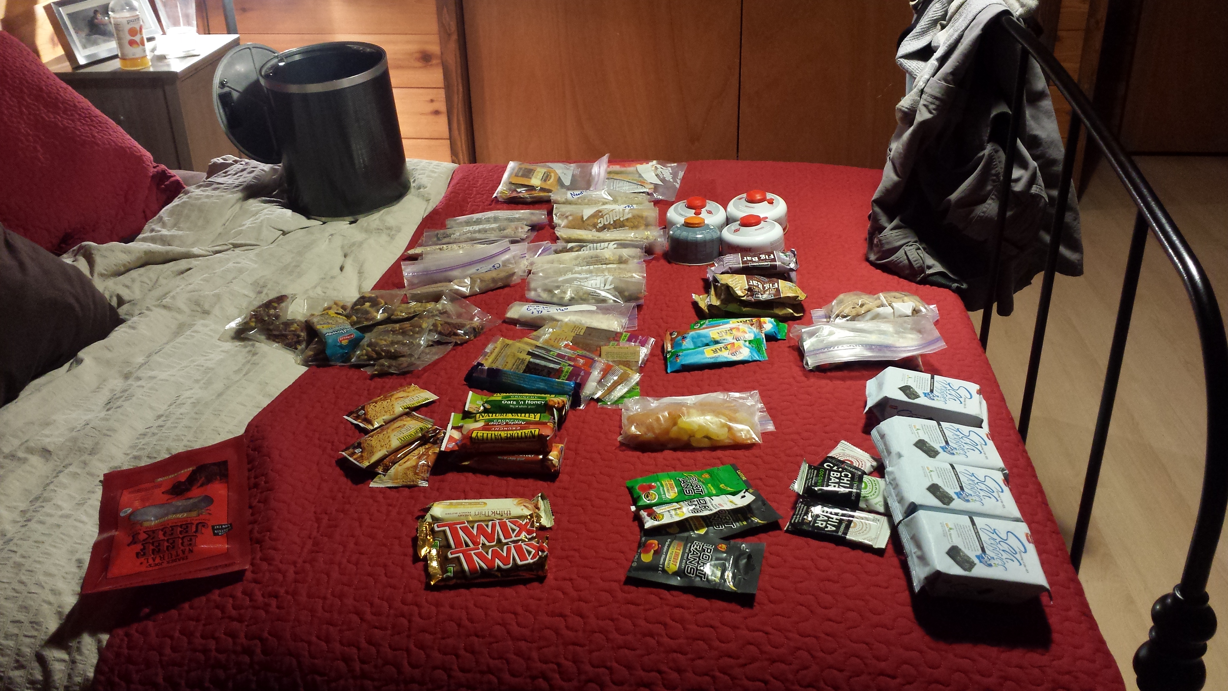
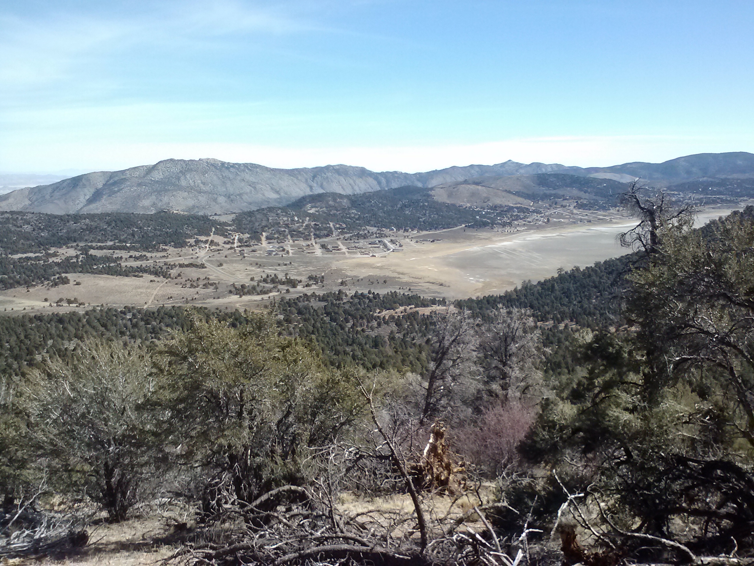
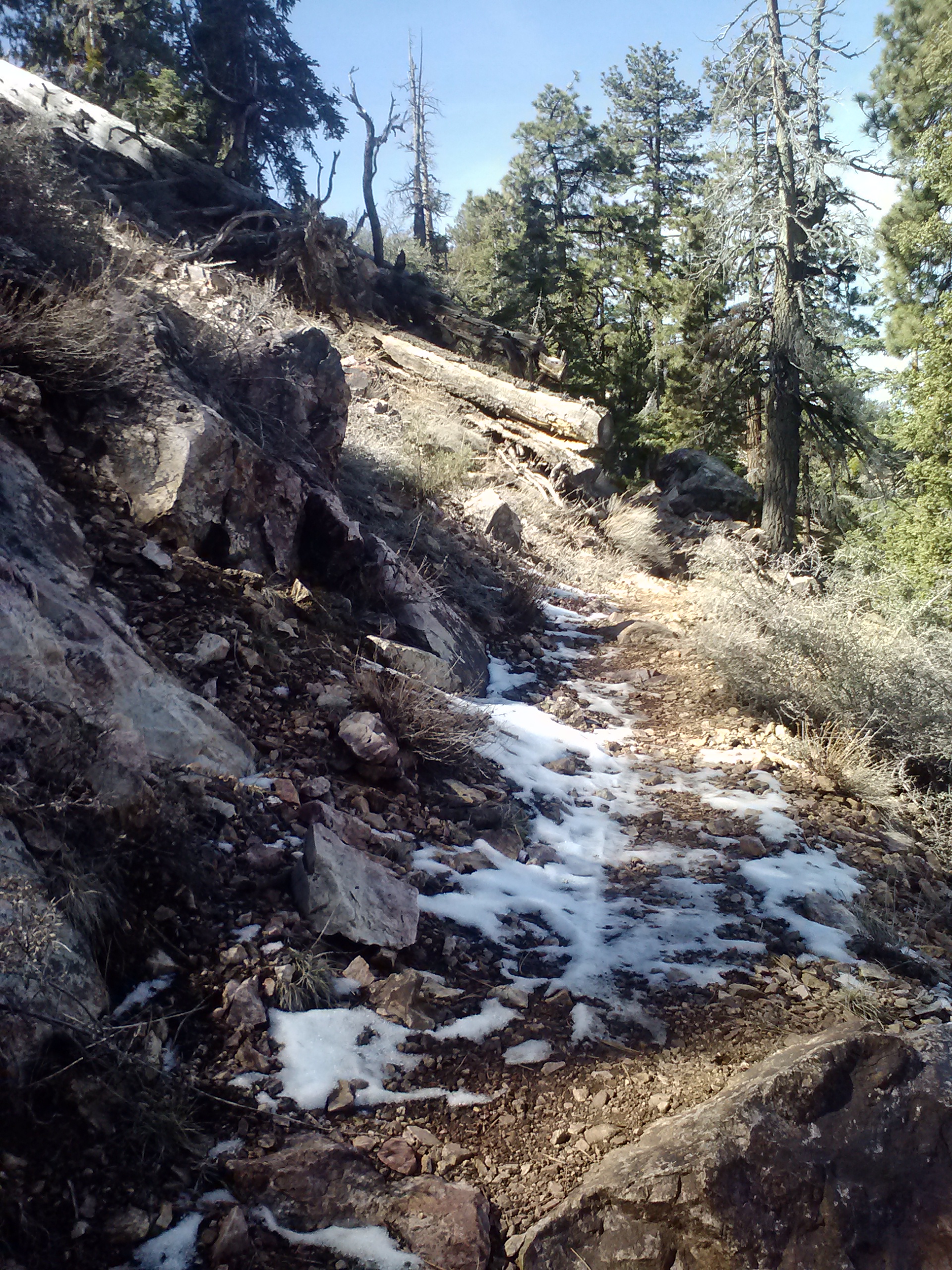
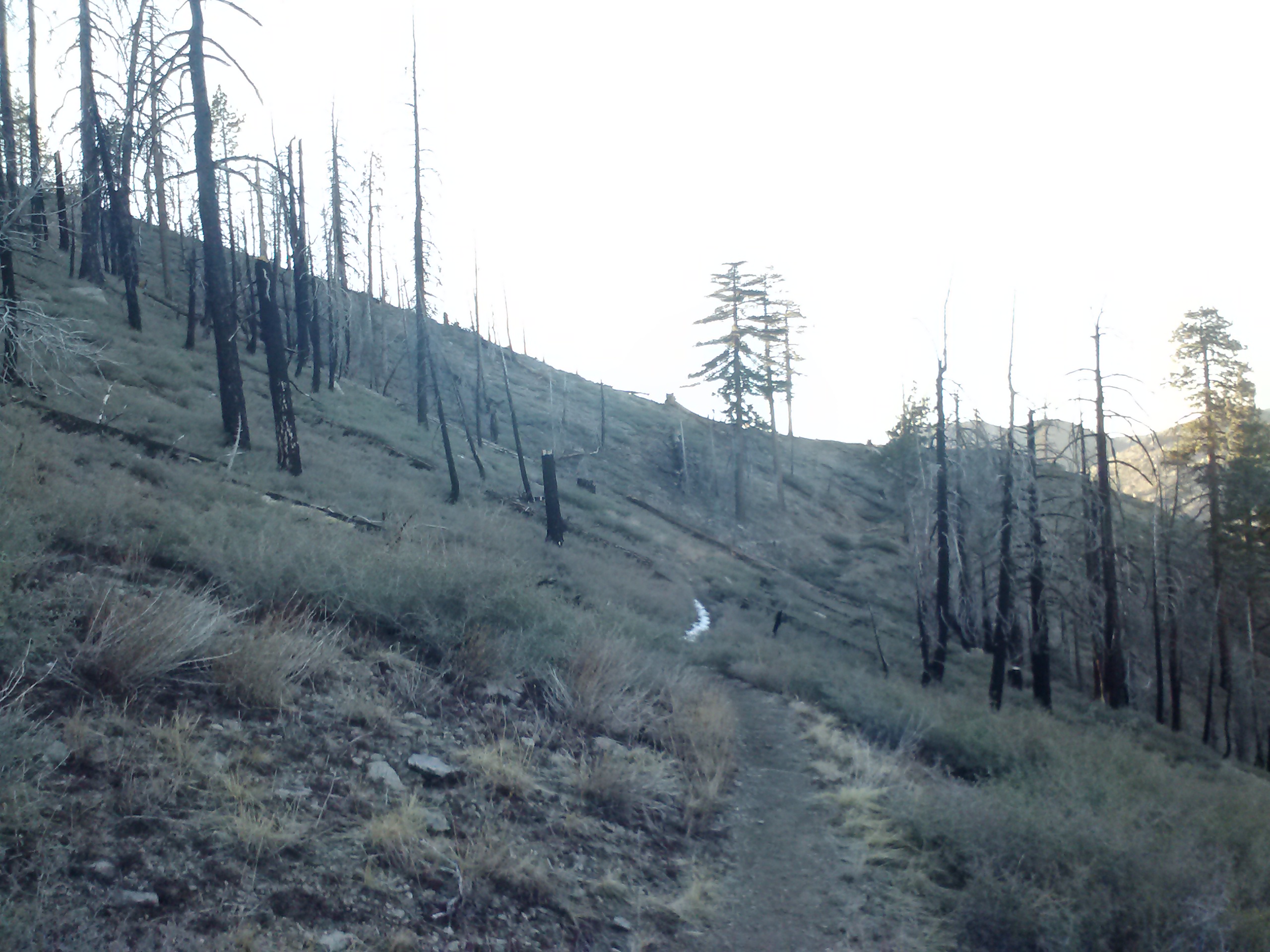
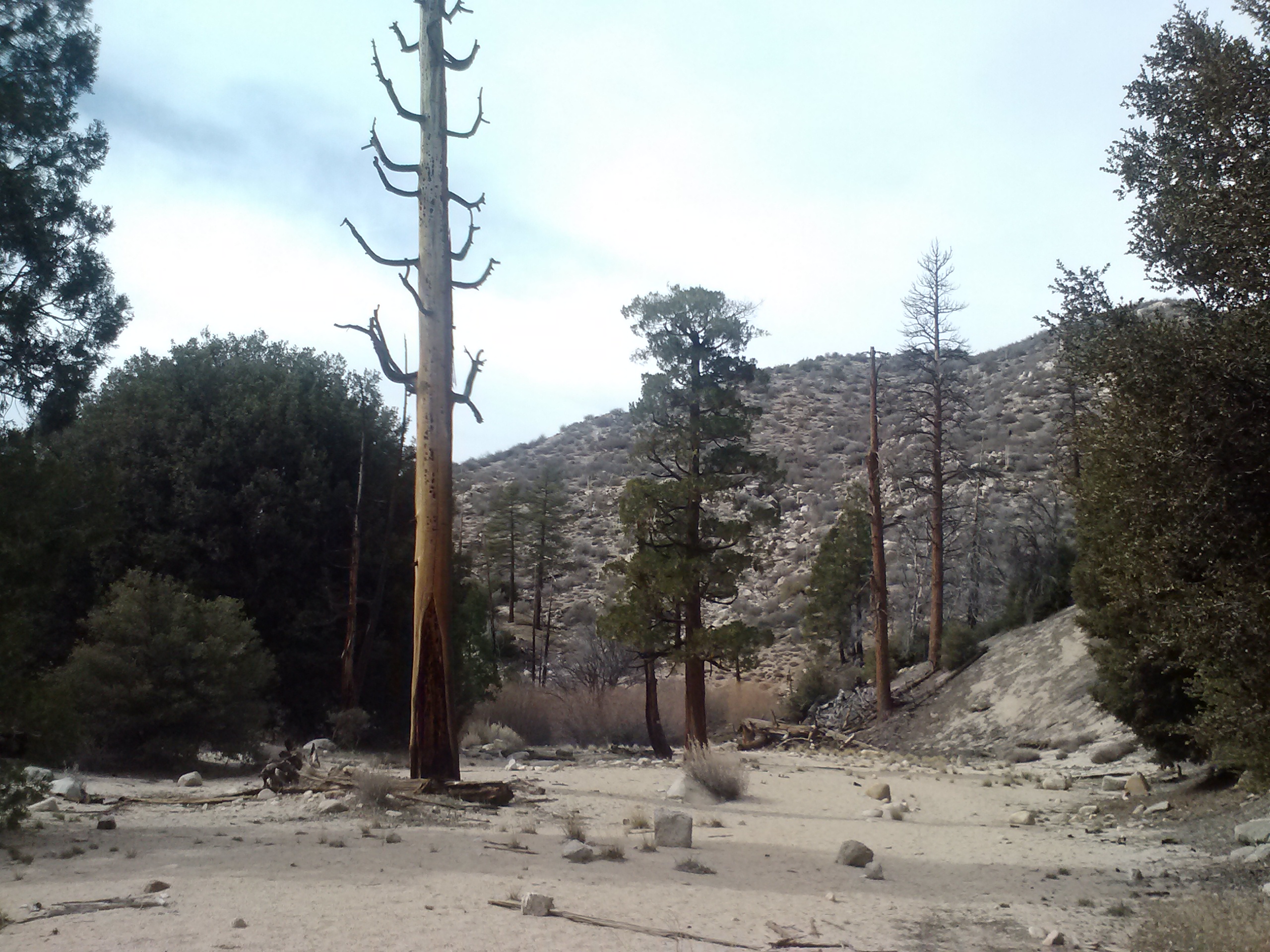
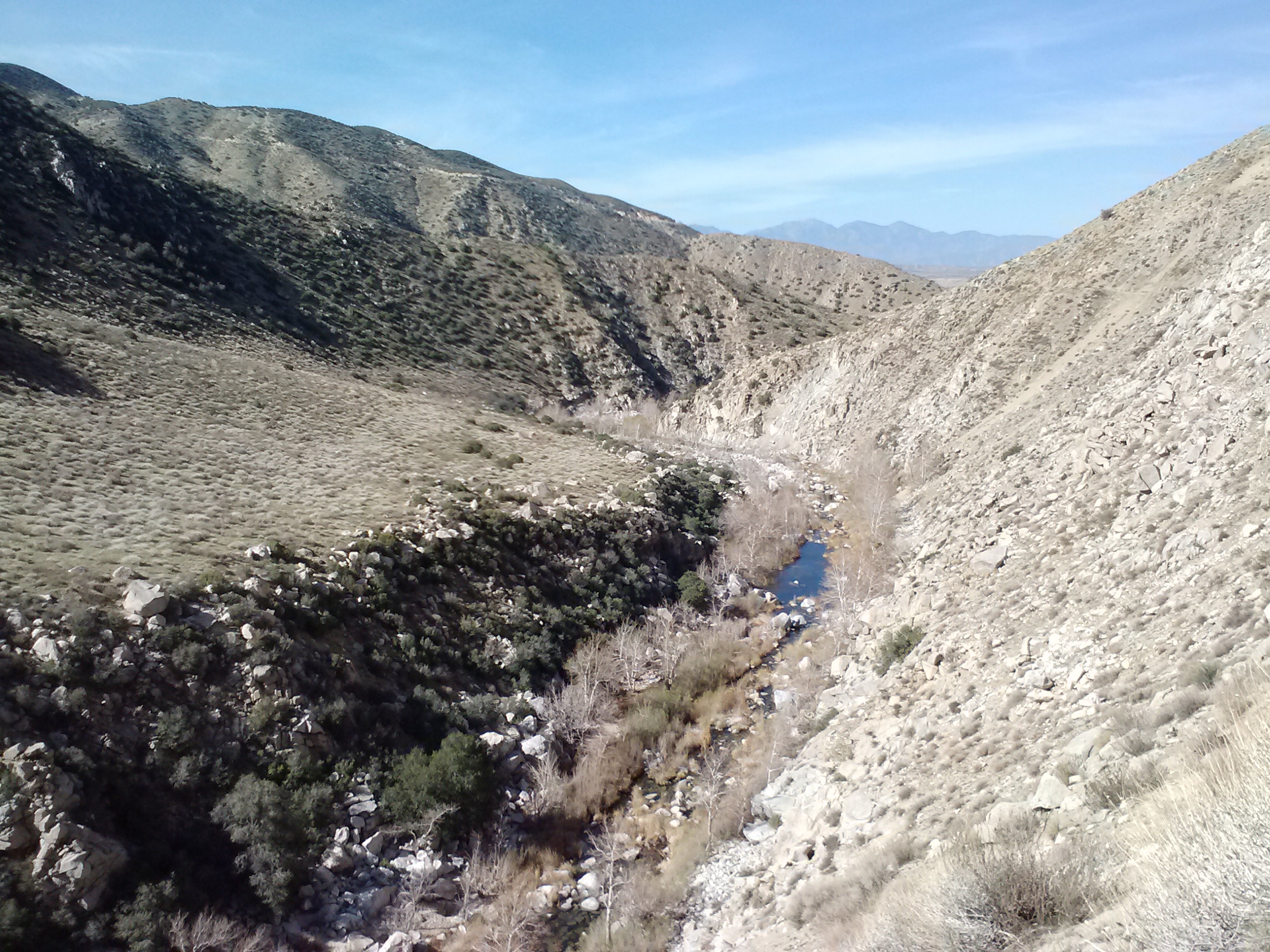
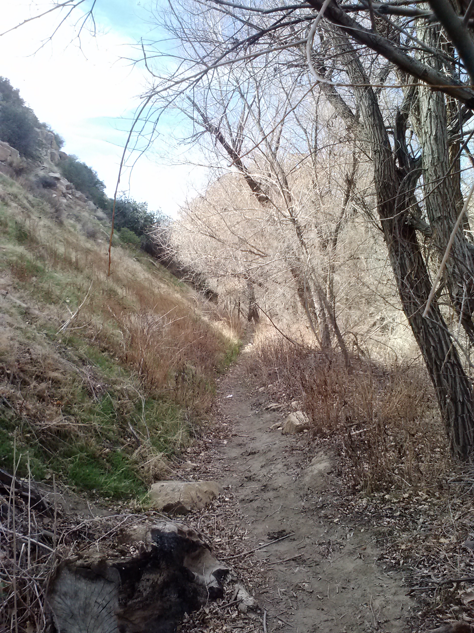
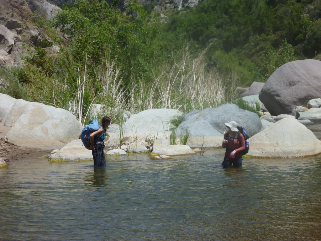
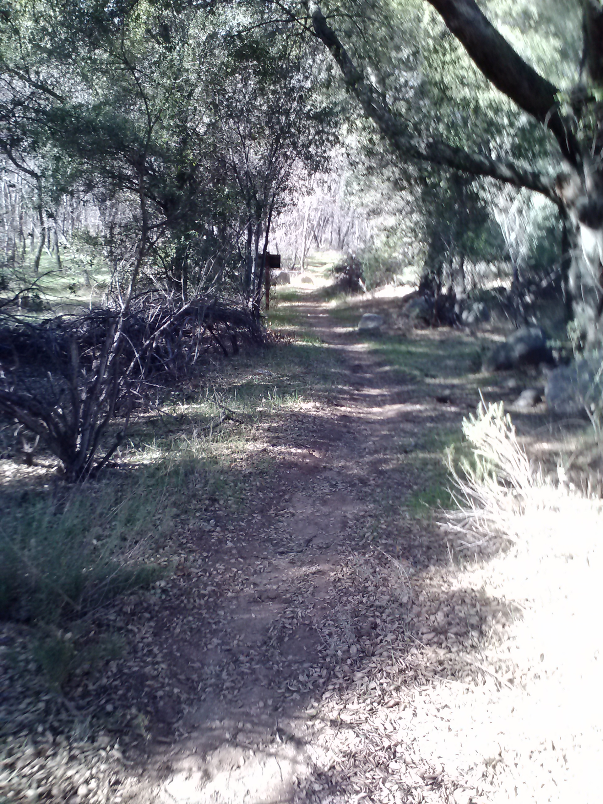
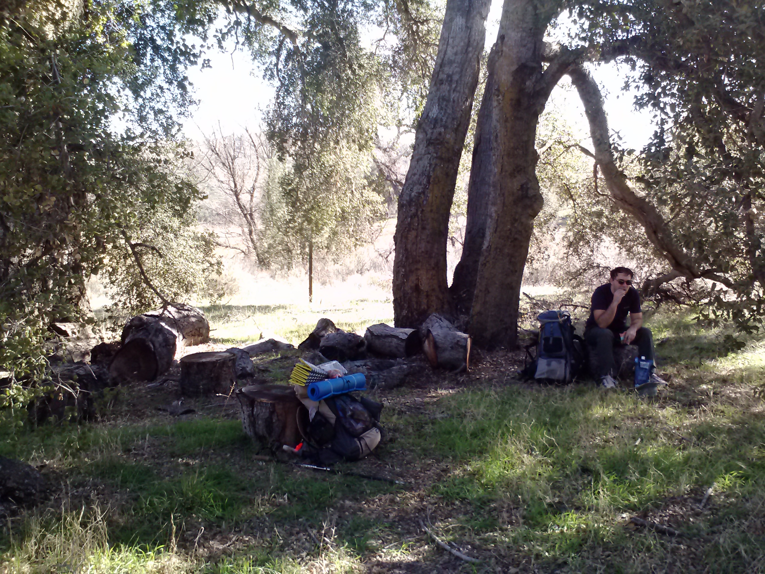
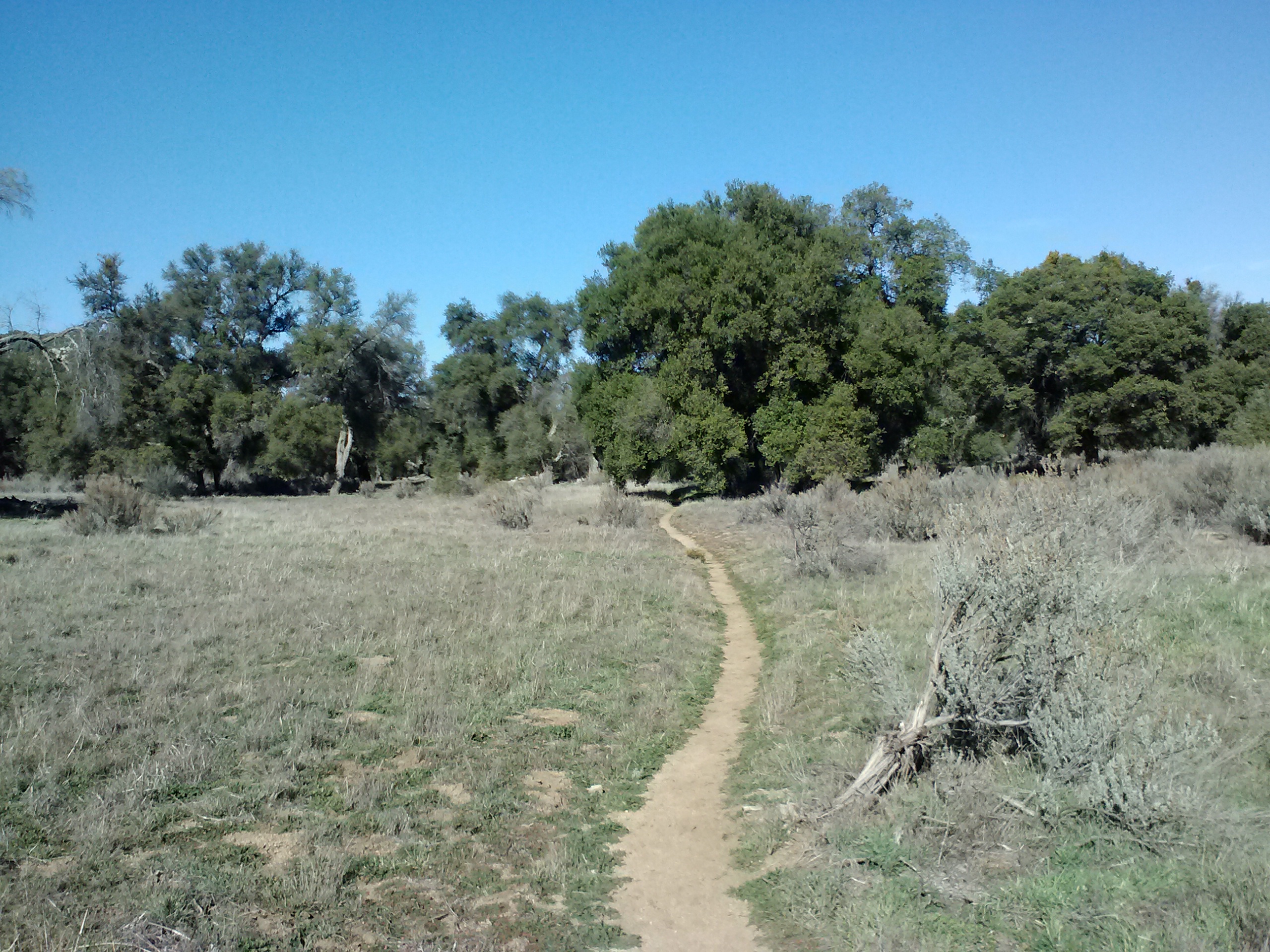
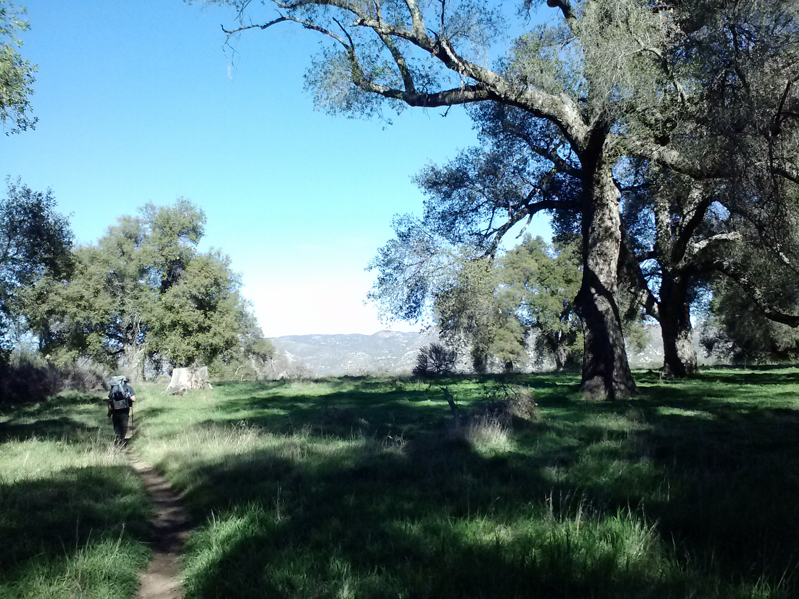
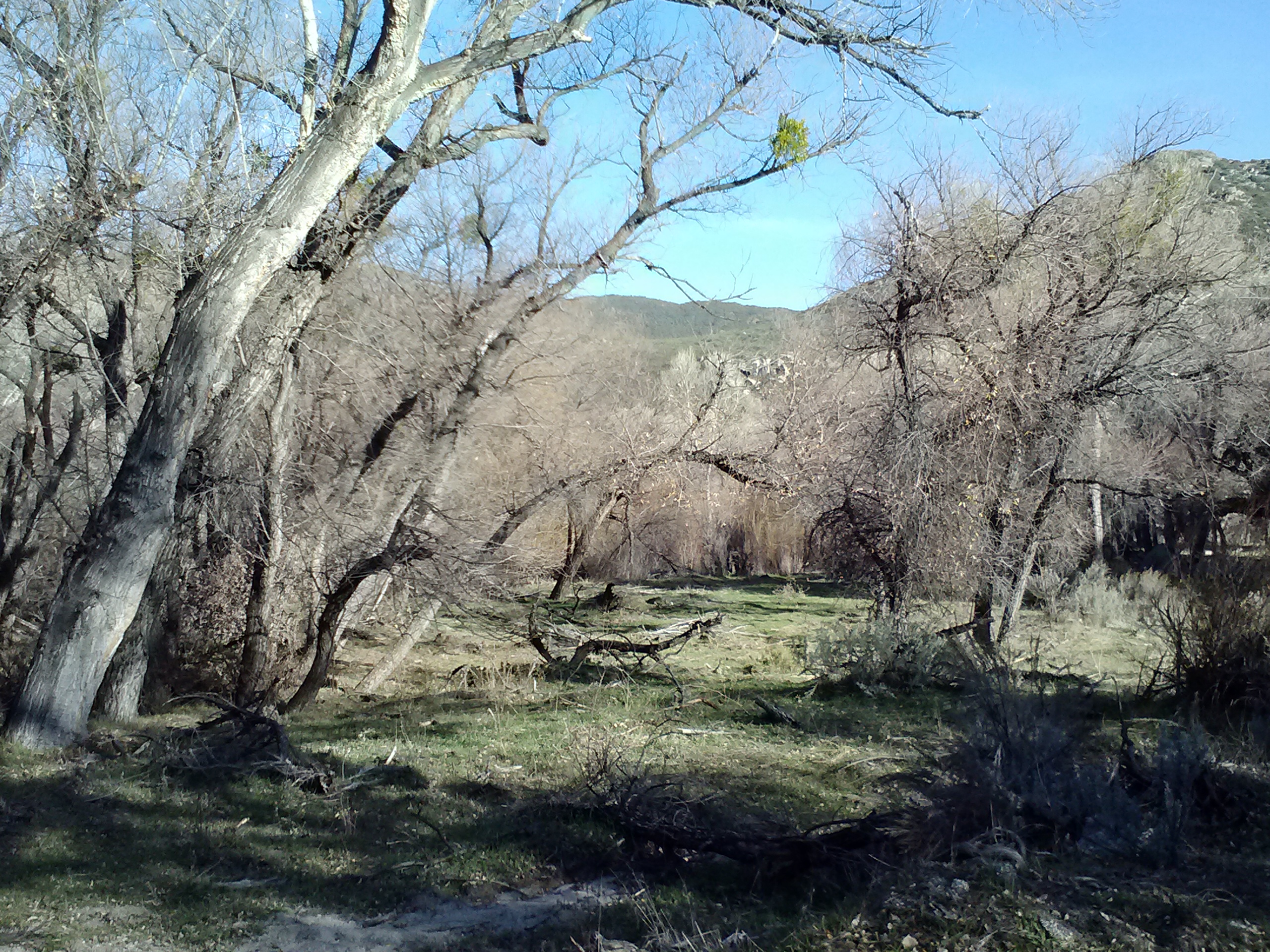
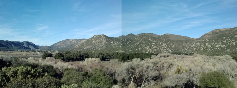
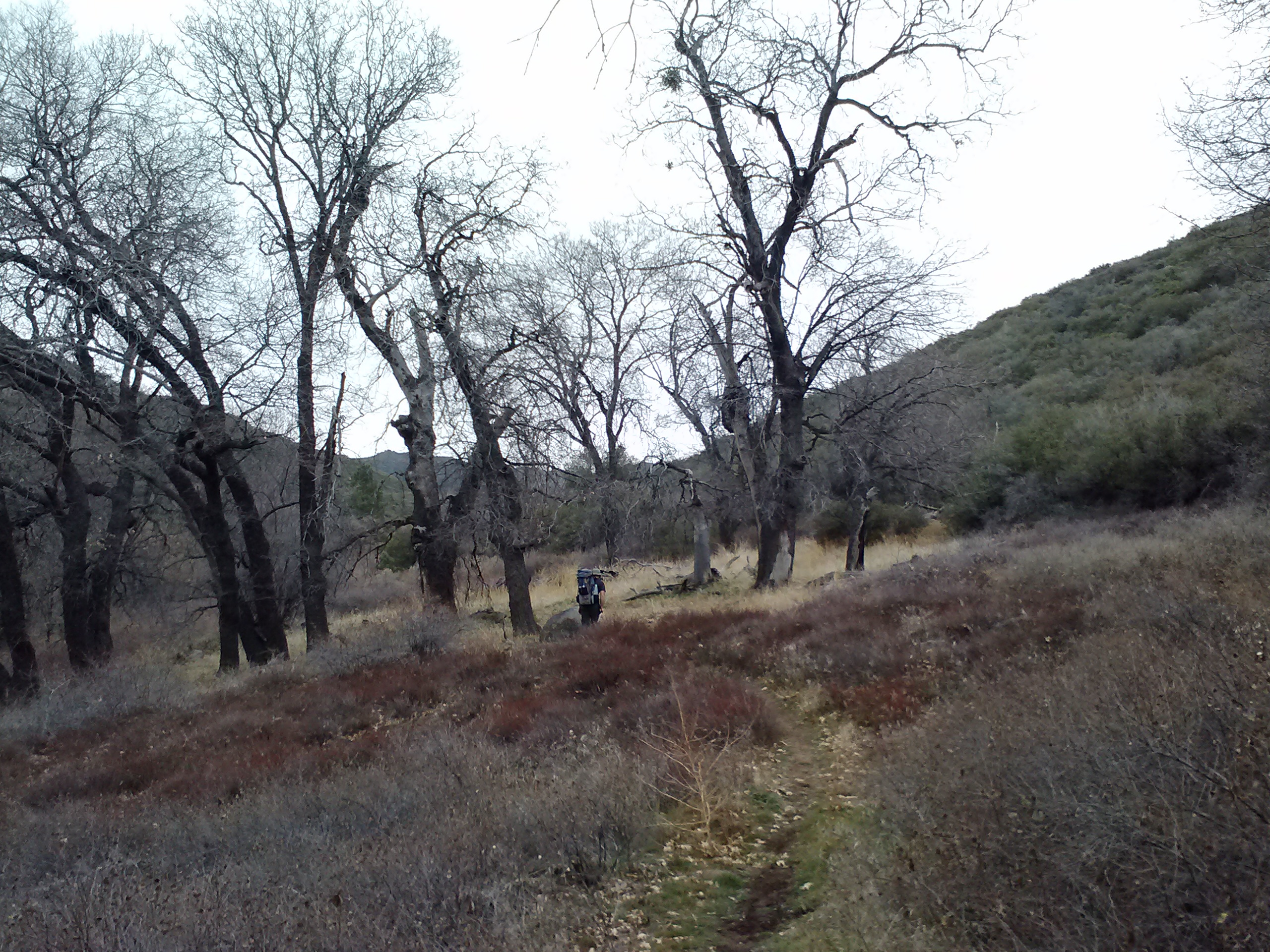
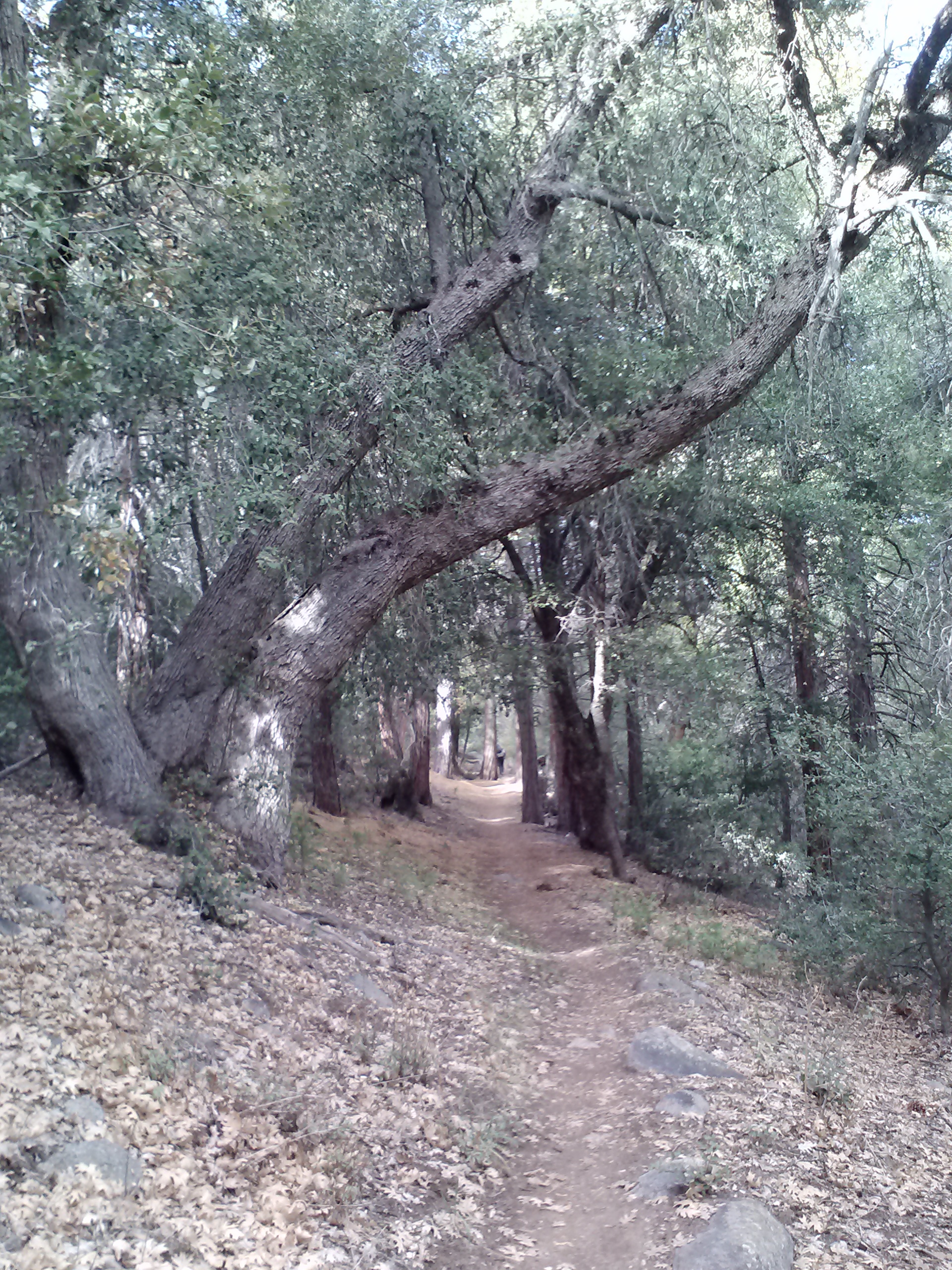
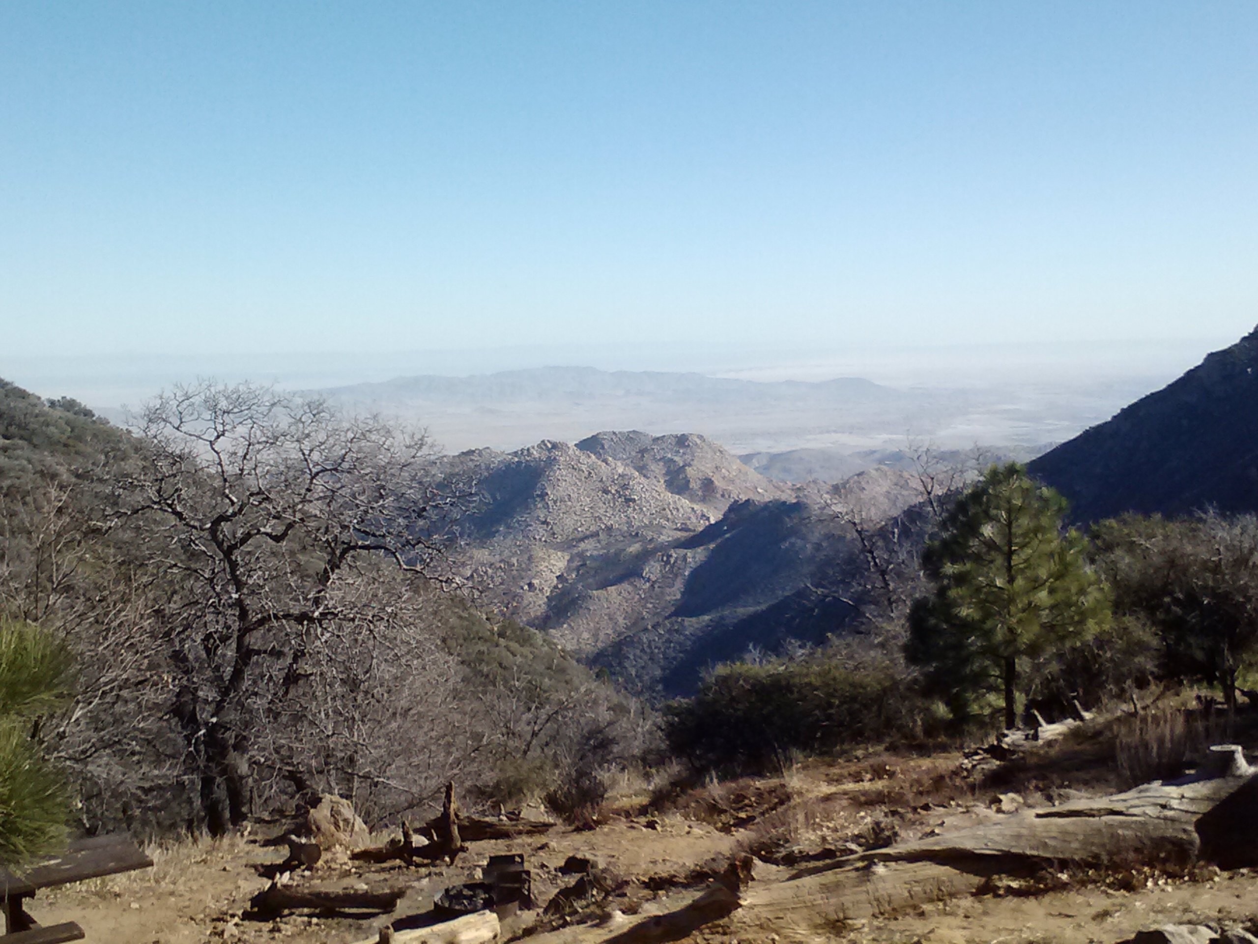
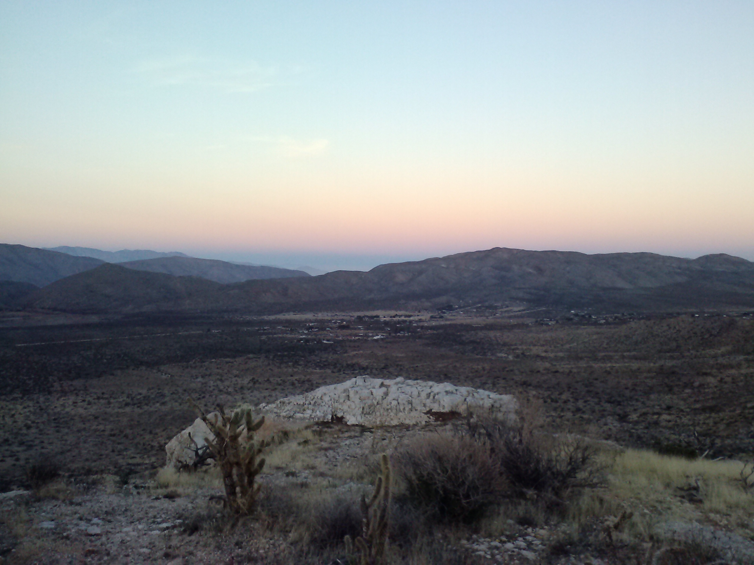
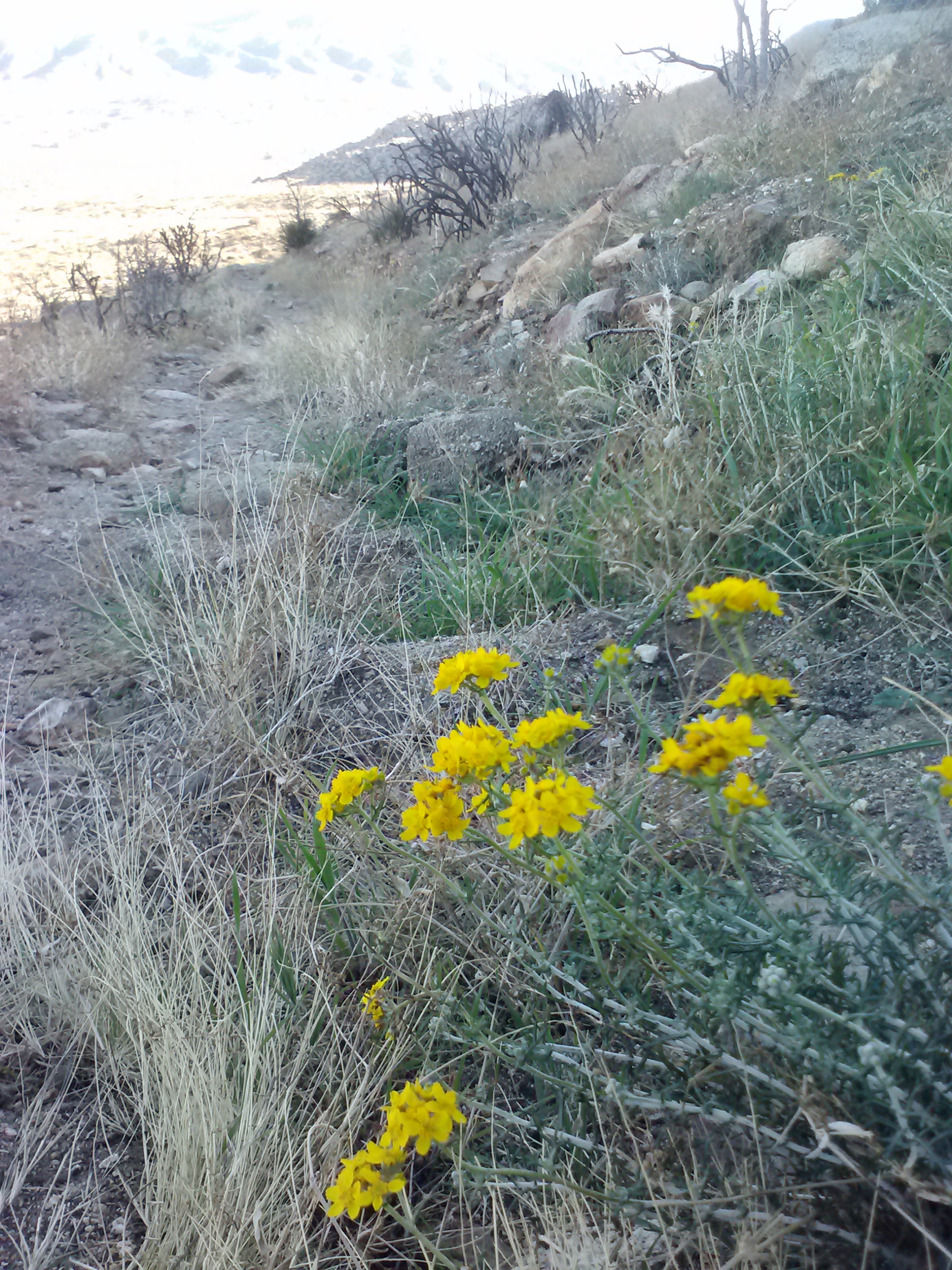
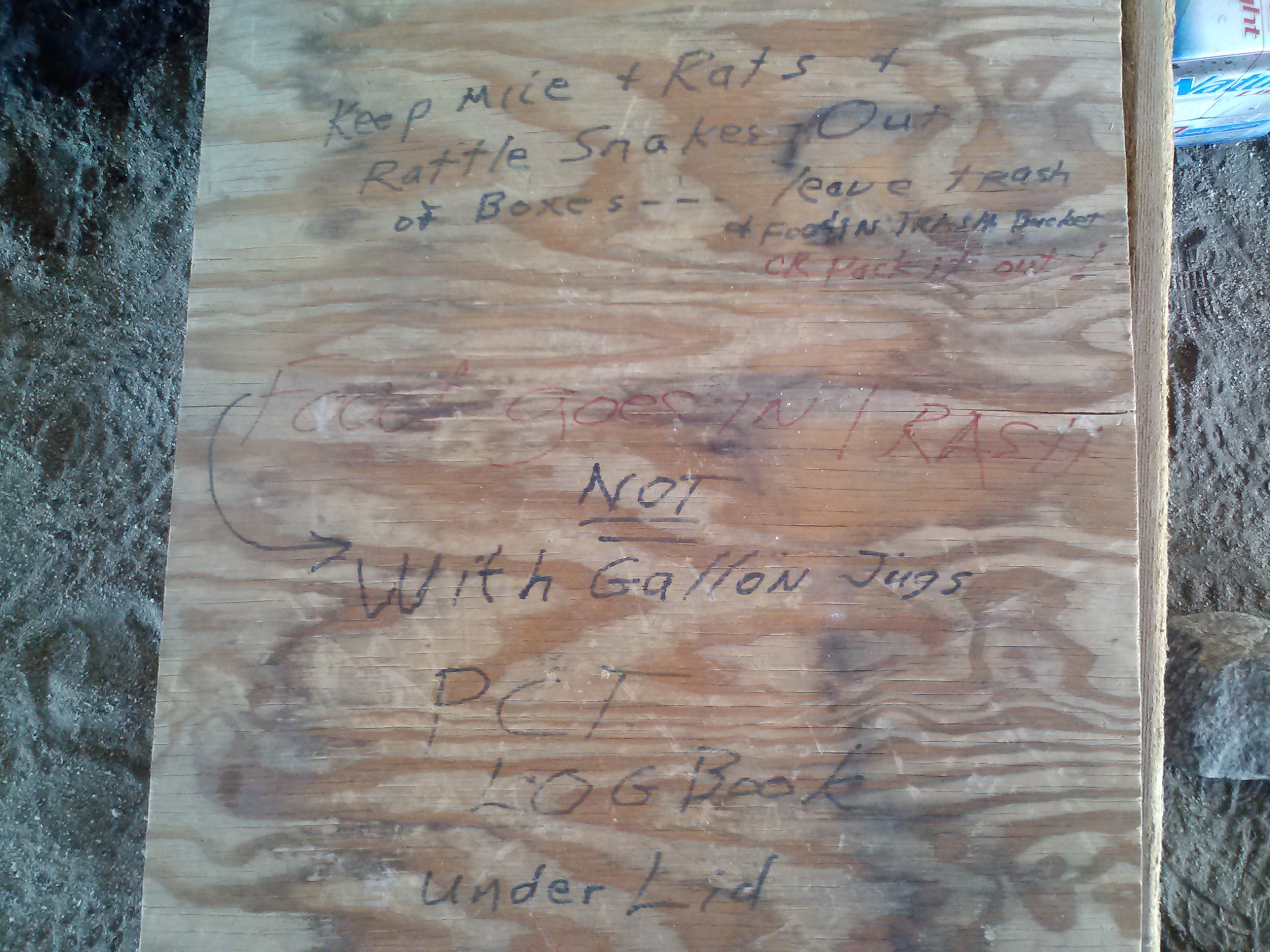
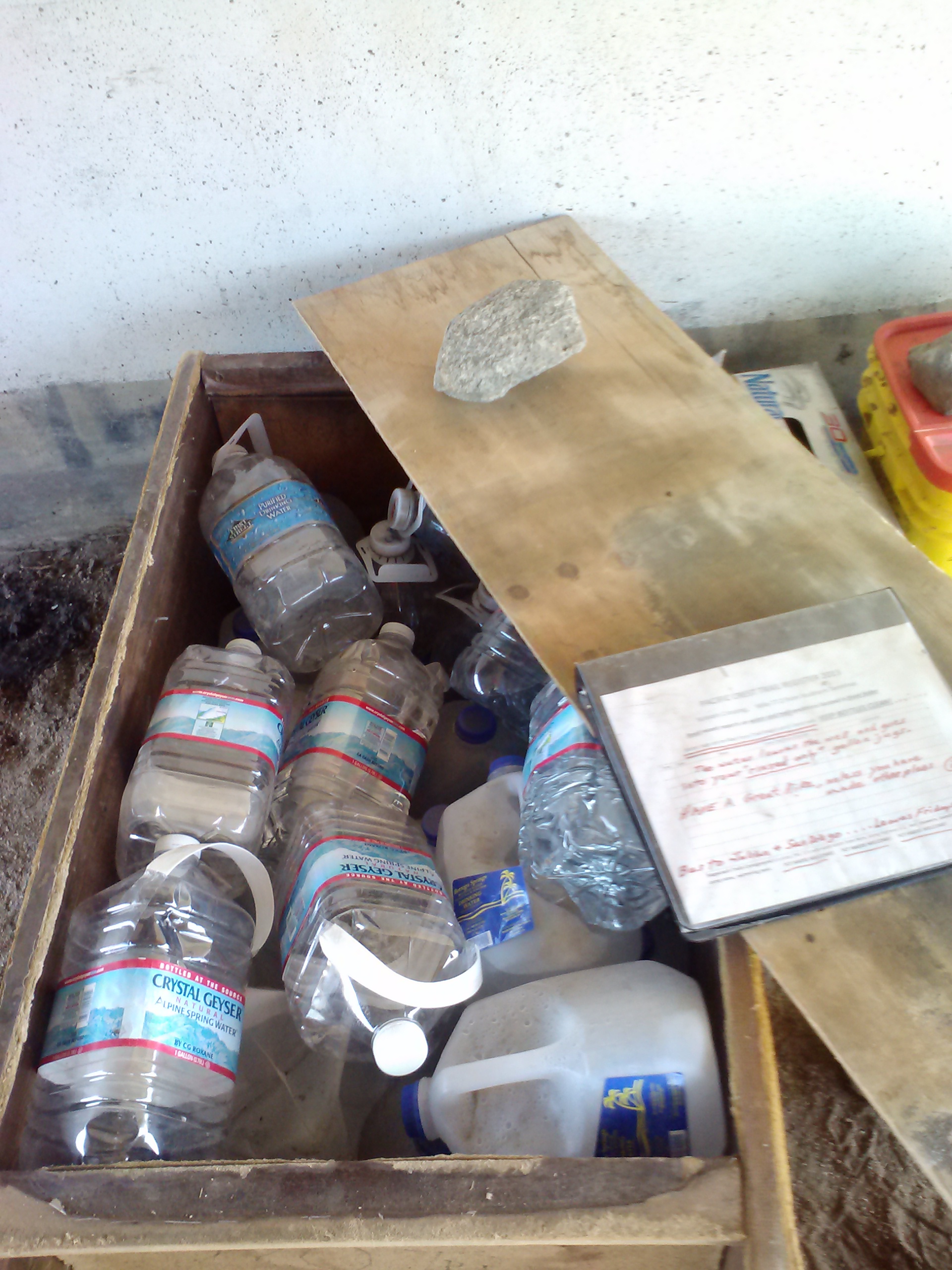
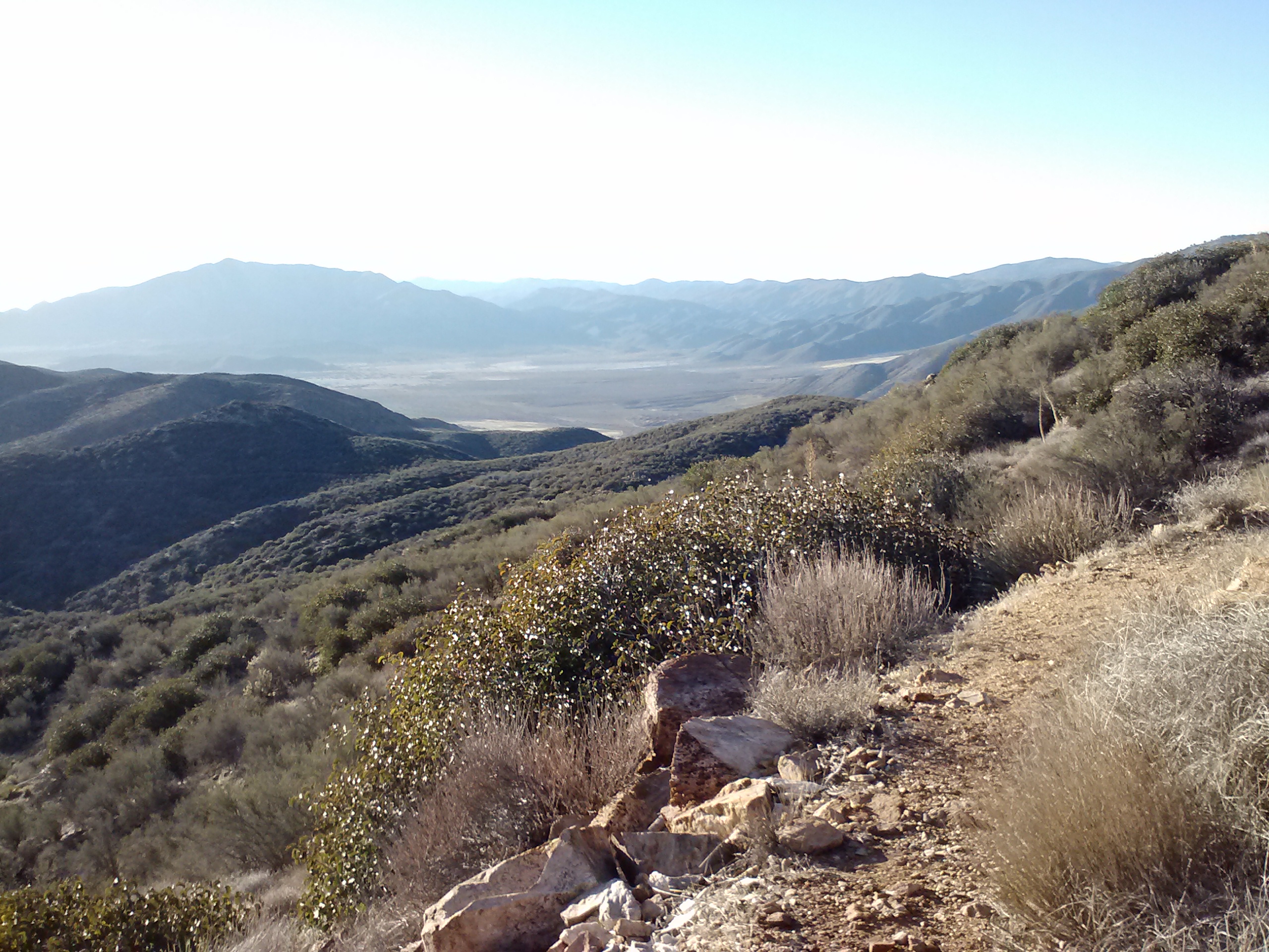
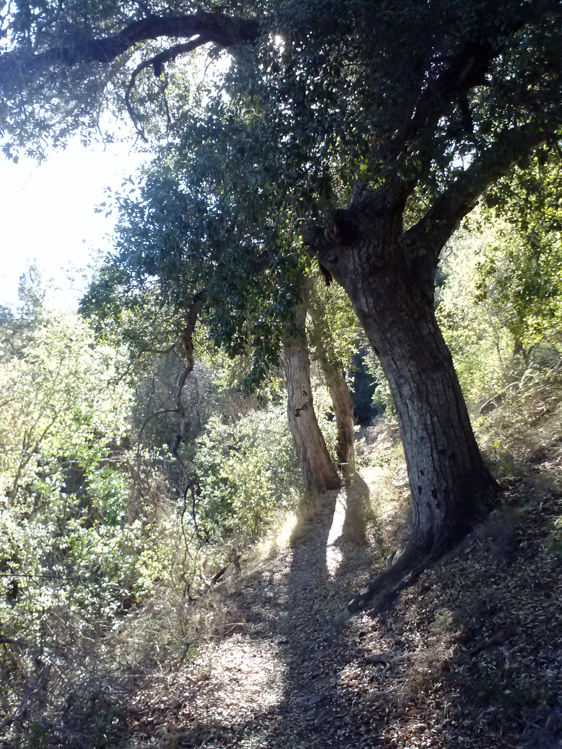
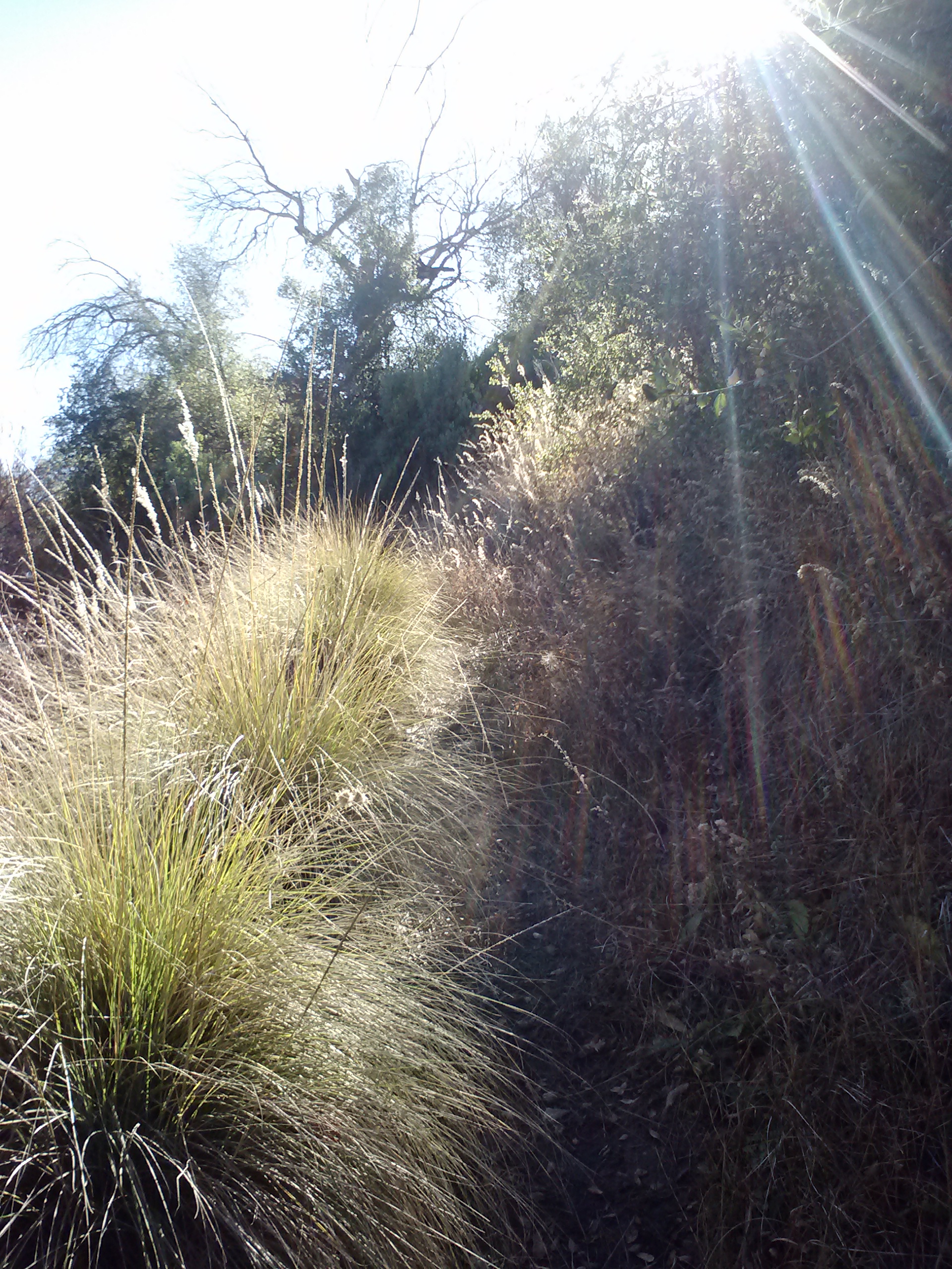
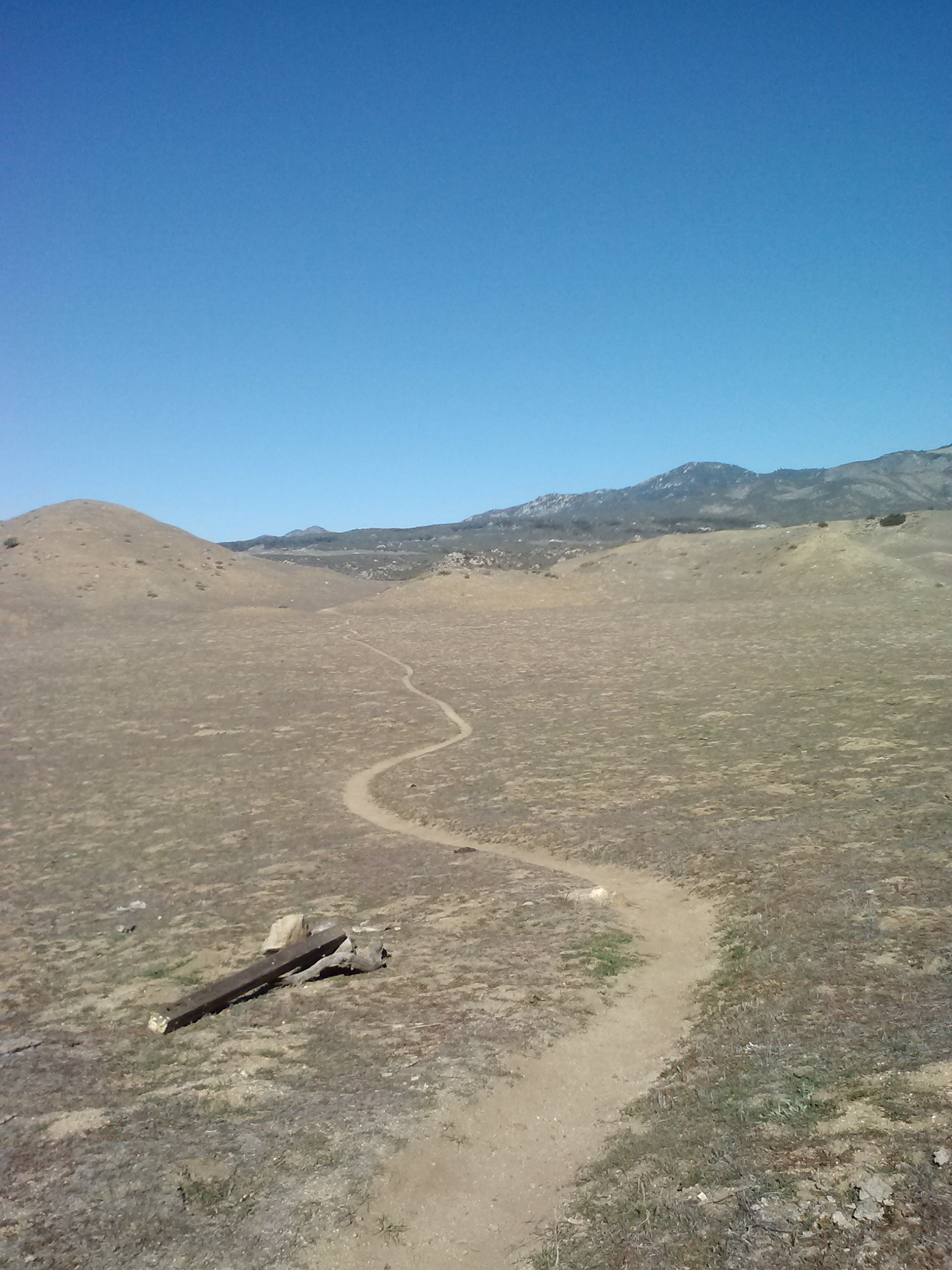
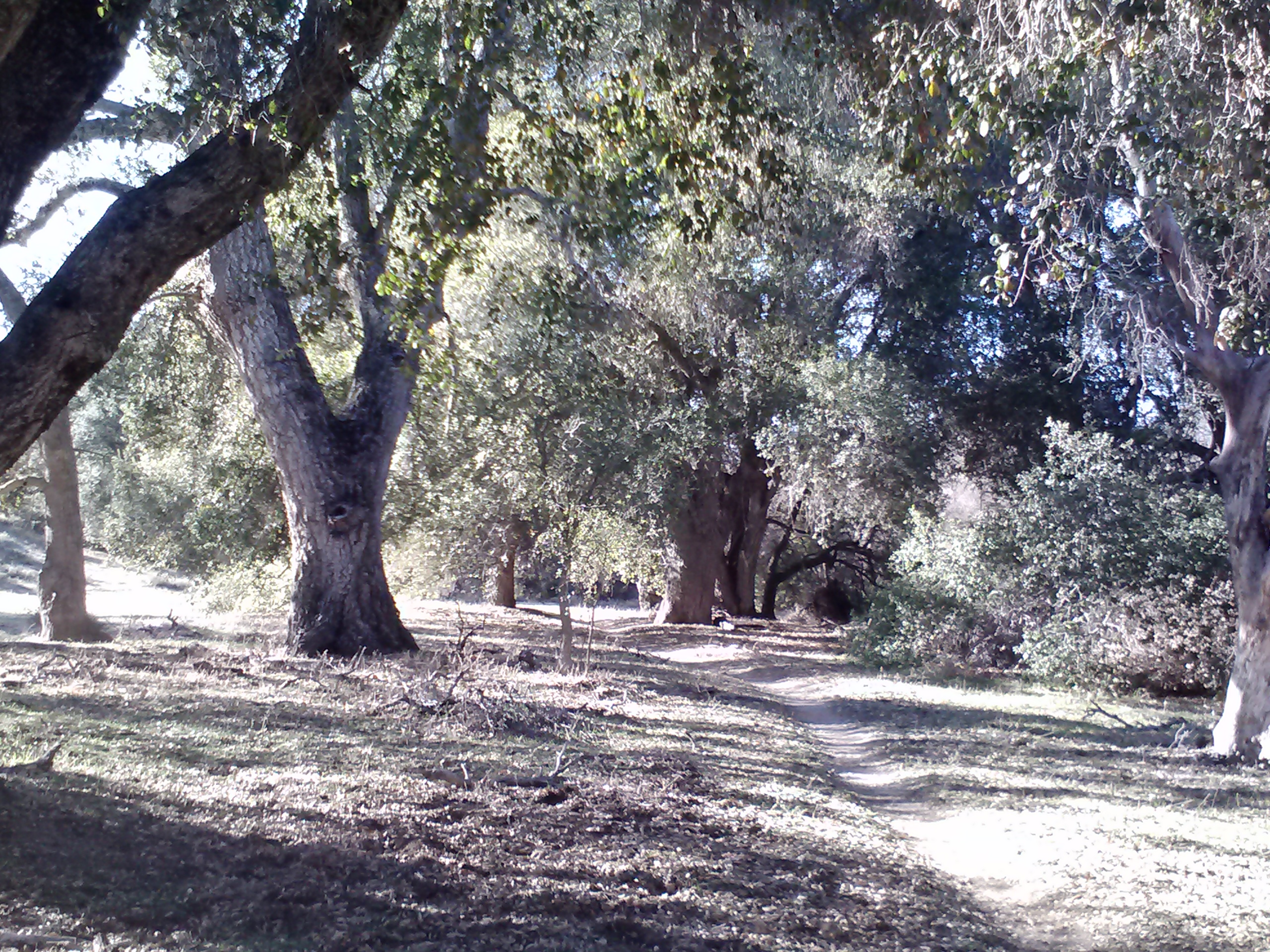
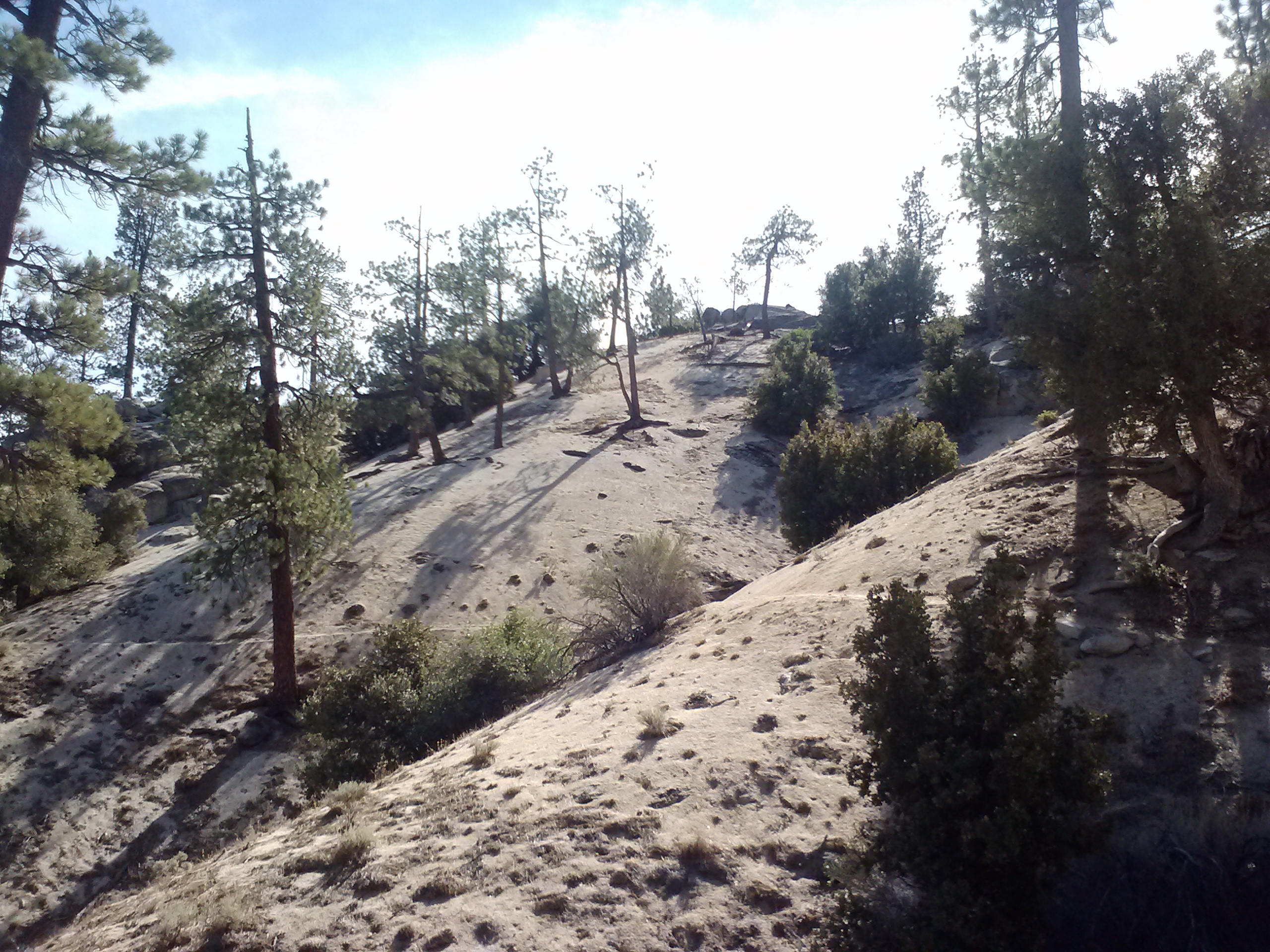
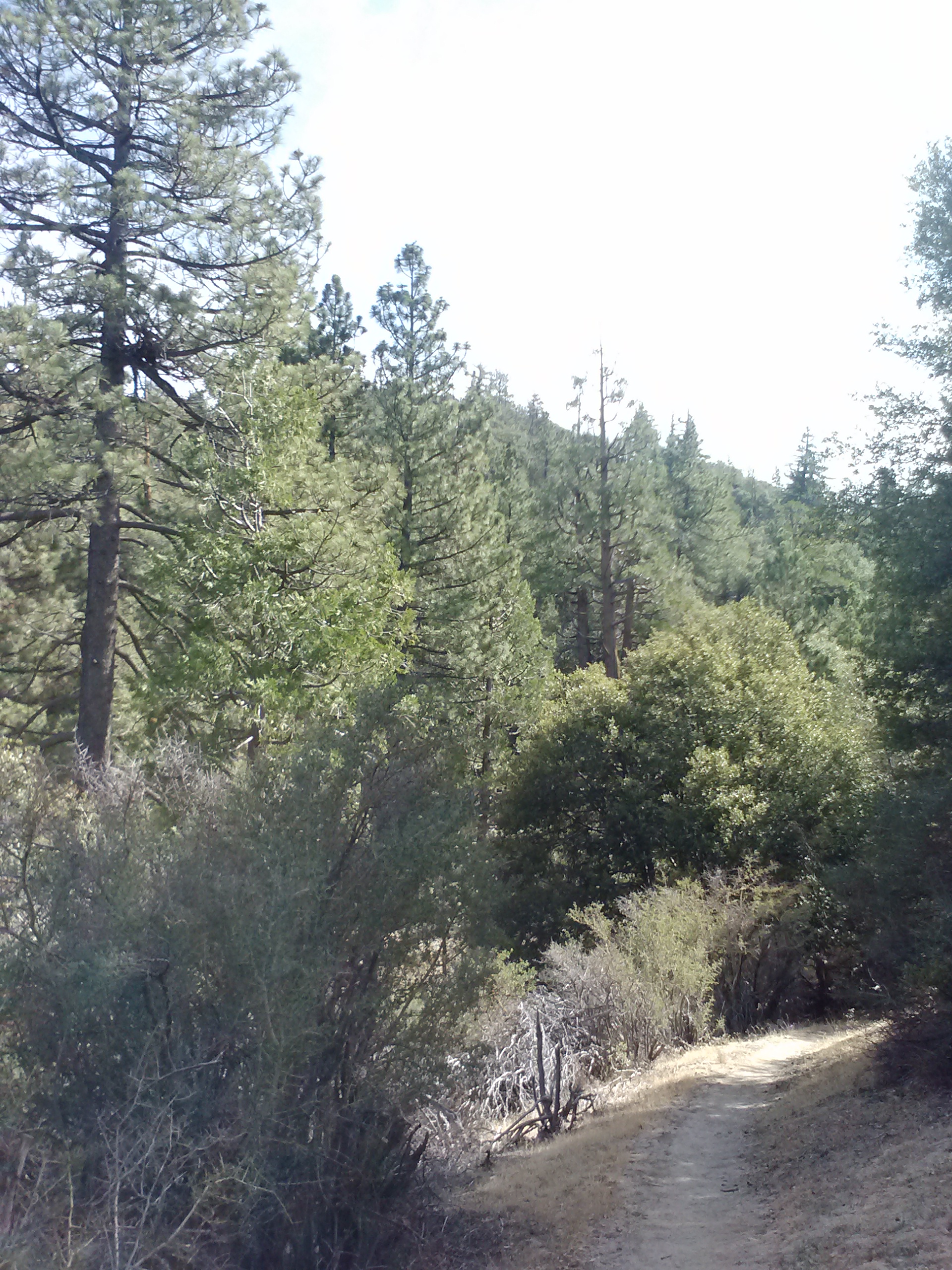
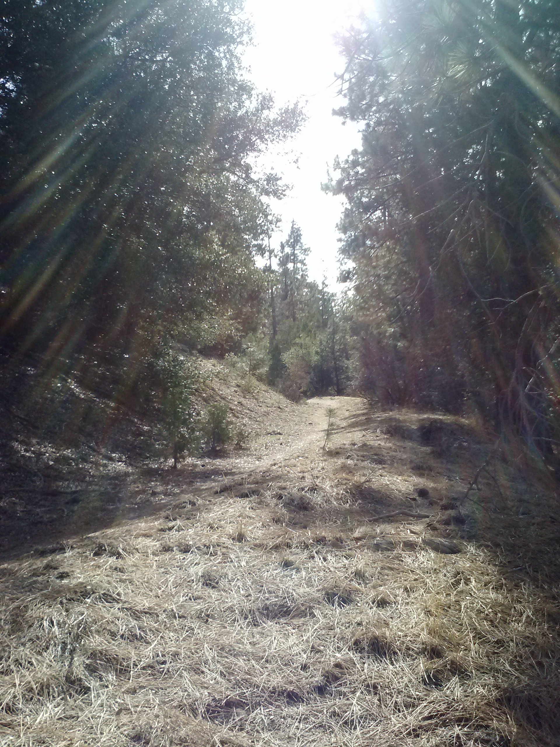
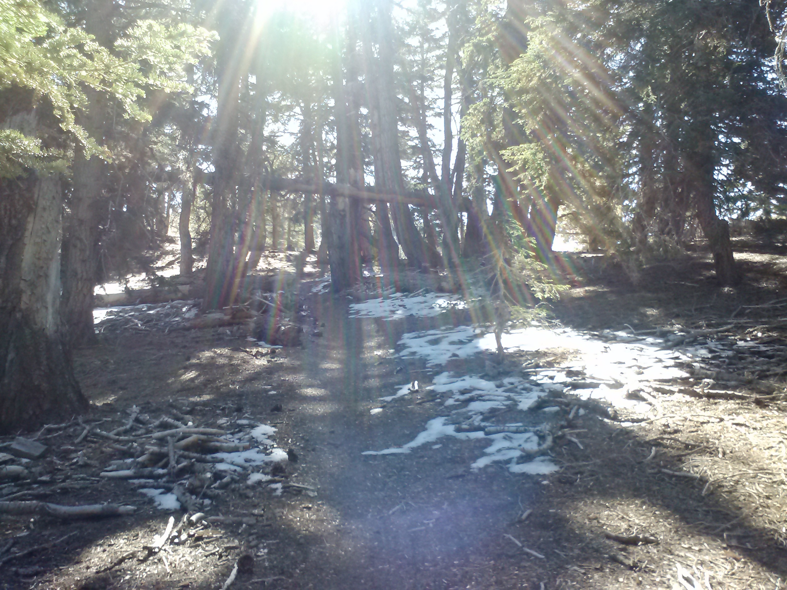
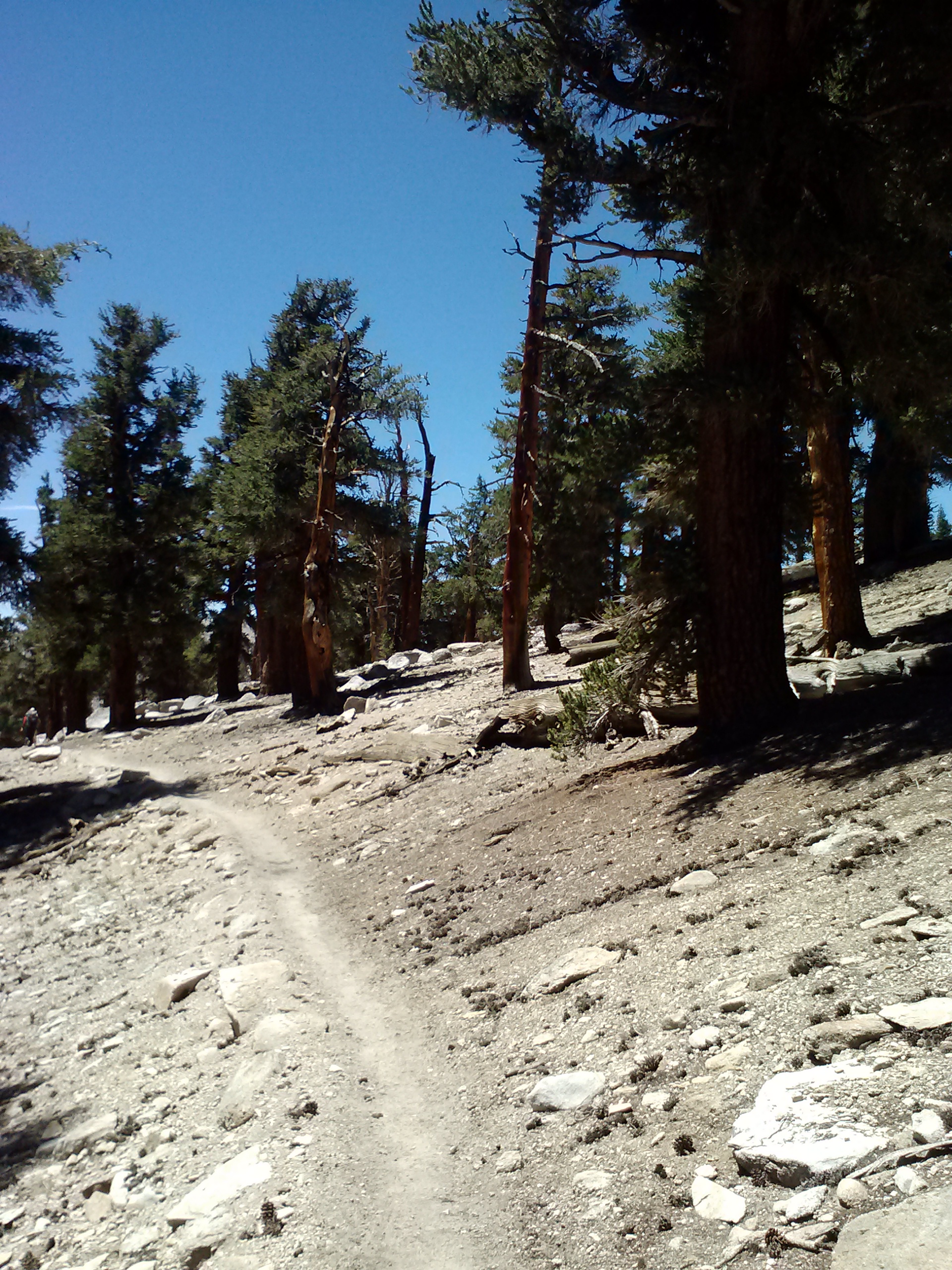
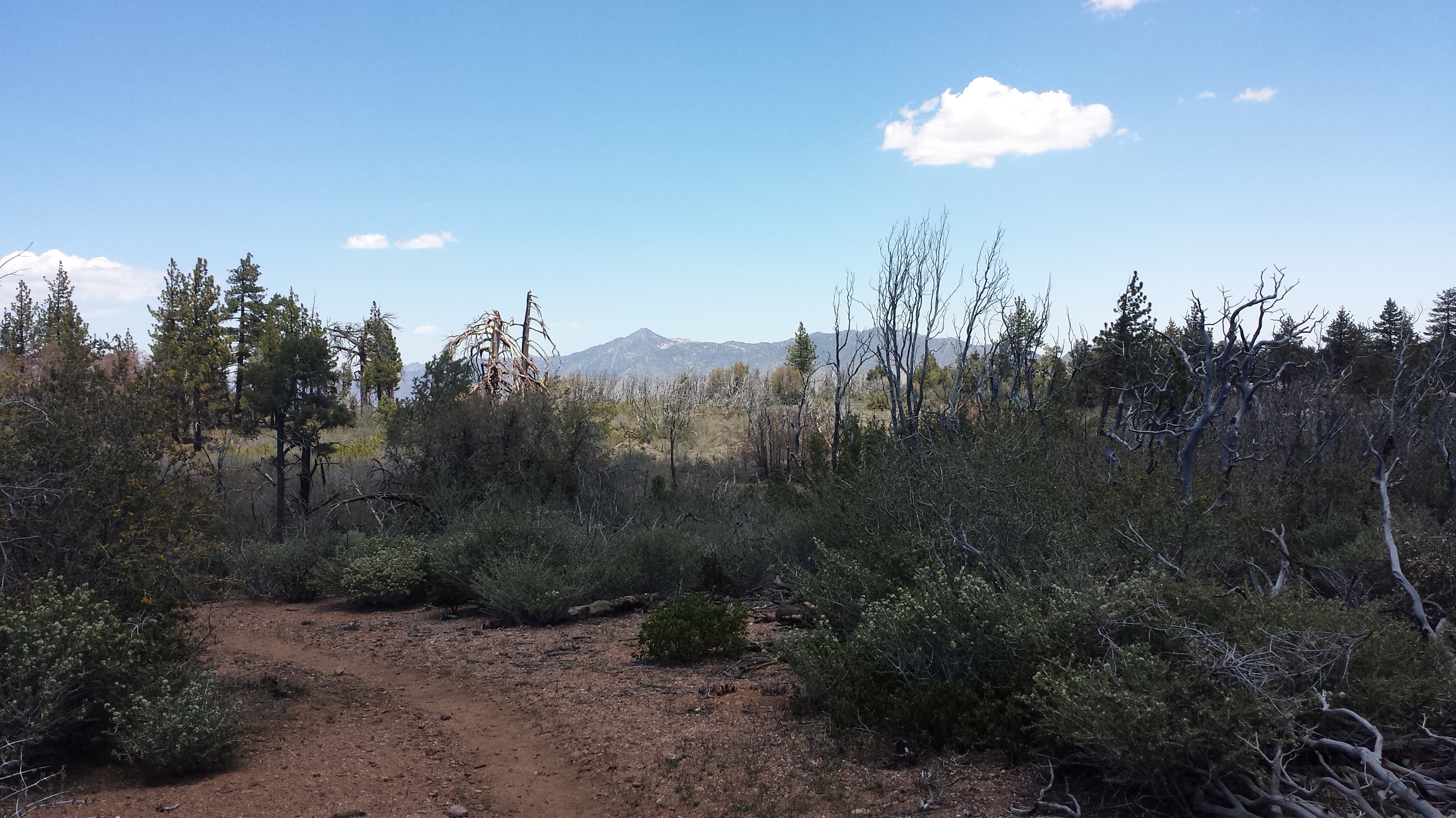
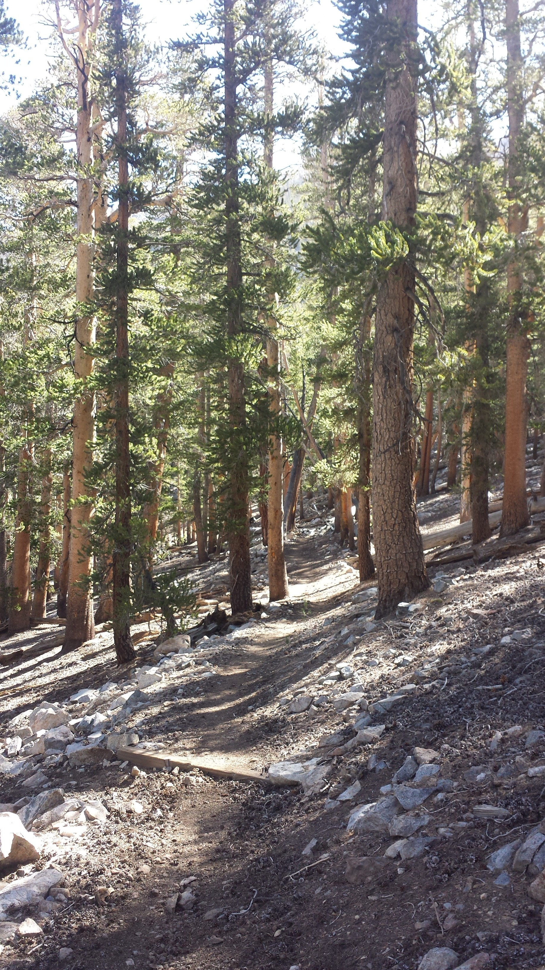
Since I haven’t really been excercising as much as I should’ve been for the last two months off trail, the hiking was a struggle. I was also carrying eight days worth of food for the 100 mile stretch up to Kennedy Meadows. I managed to hike at around 2.5 mph, which felt really good for Day 1! The trail took me through beautiful pine-covered, rocky mountains. I felt so tired by the end of the day, I was overjoyed to reach Landers Tank Campground. Numerous other hikers are camped here in this beautiful meadow. In fact, 15 other hikers signed the trail book. Fifteen! And that probably wasn’t all of the hikers that came through! After section hiking so many miles of Southern California and seeing almost NO ONE on the trail, it feels strange to be out here with so many other people.
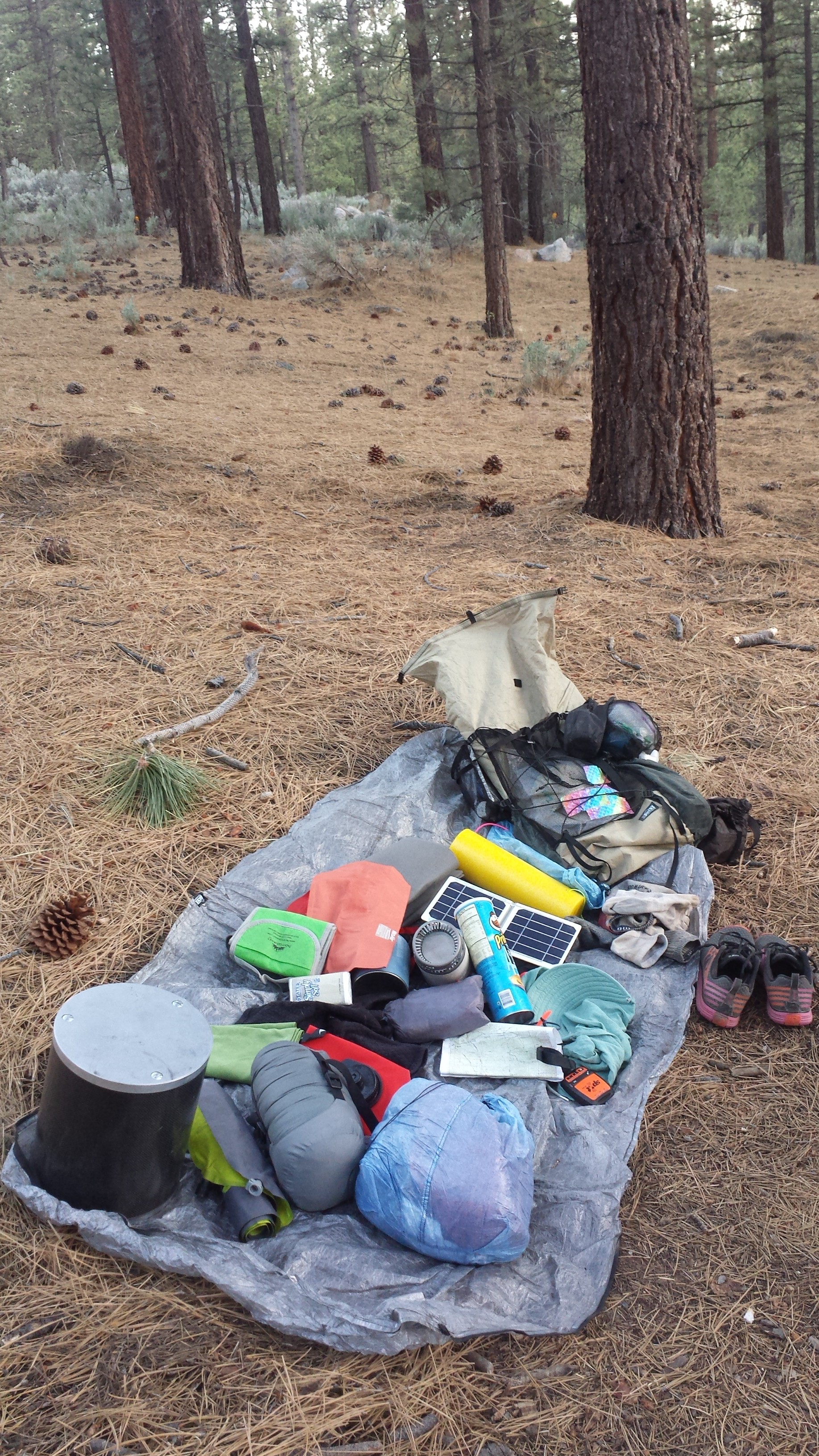
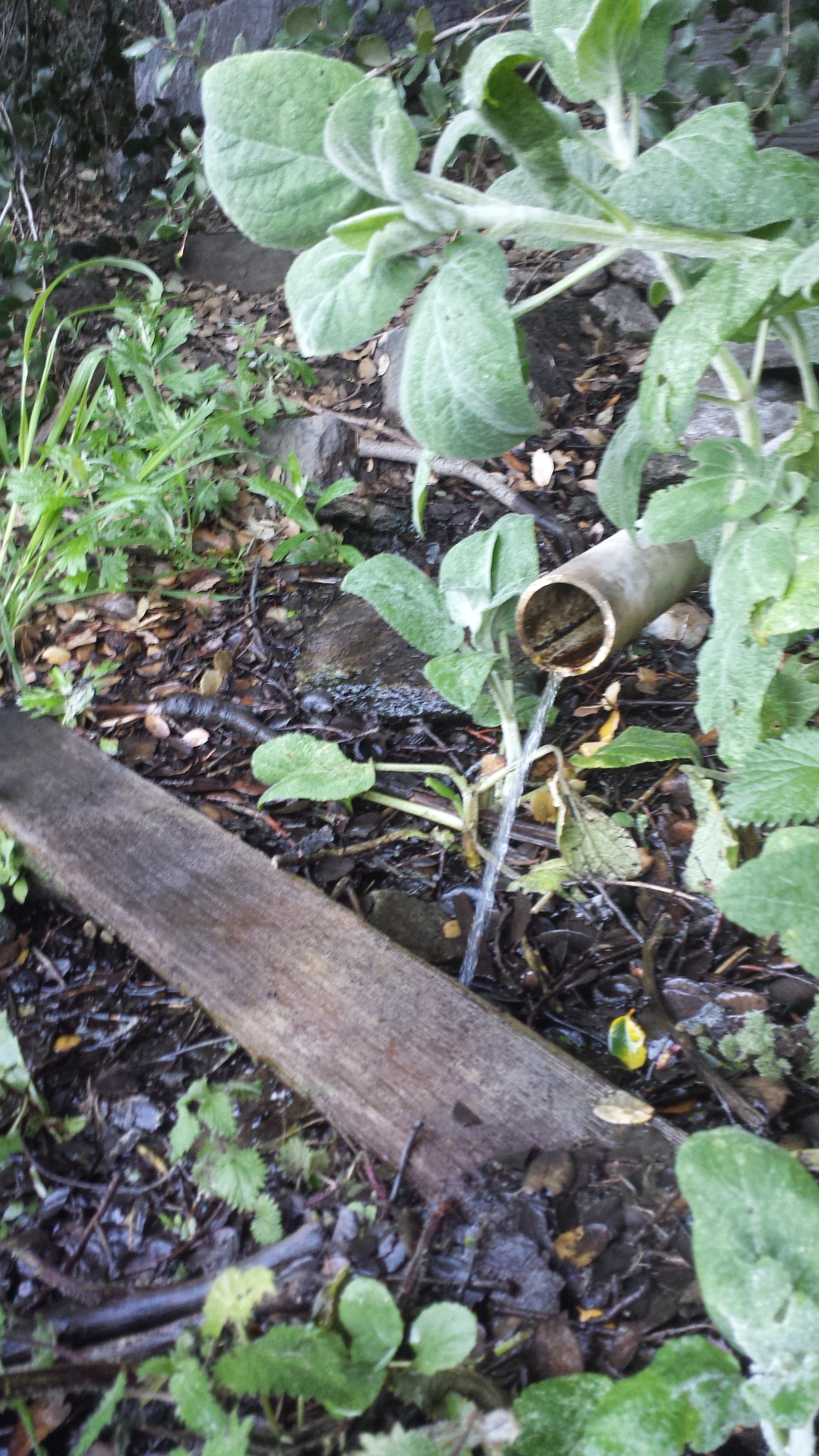
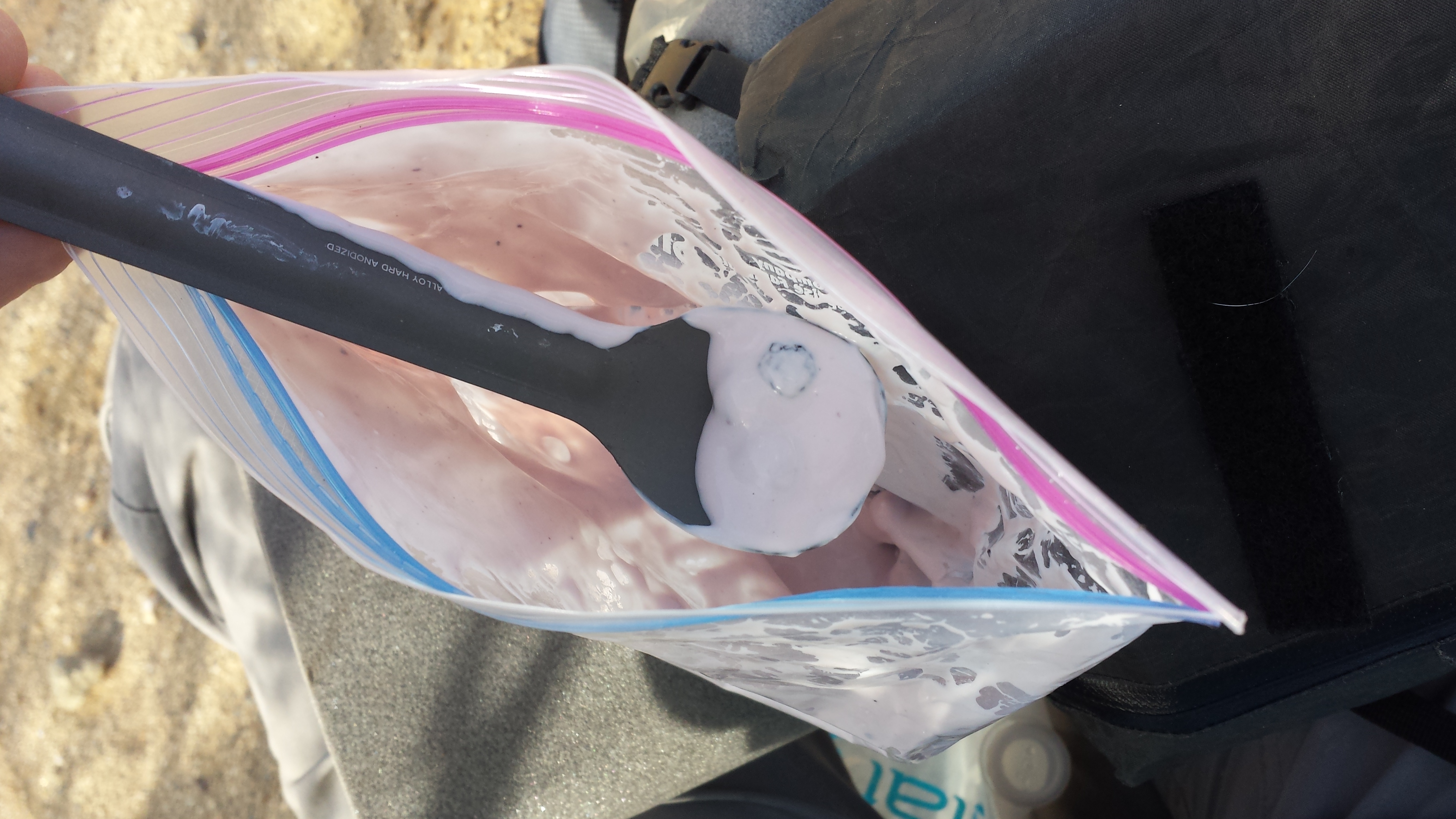
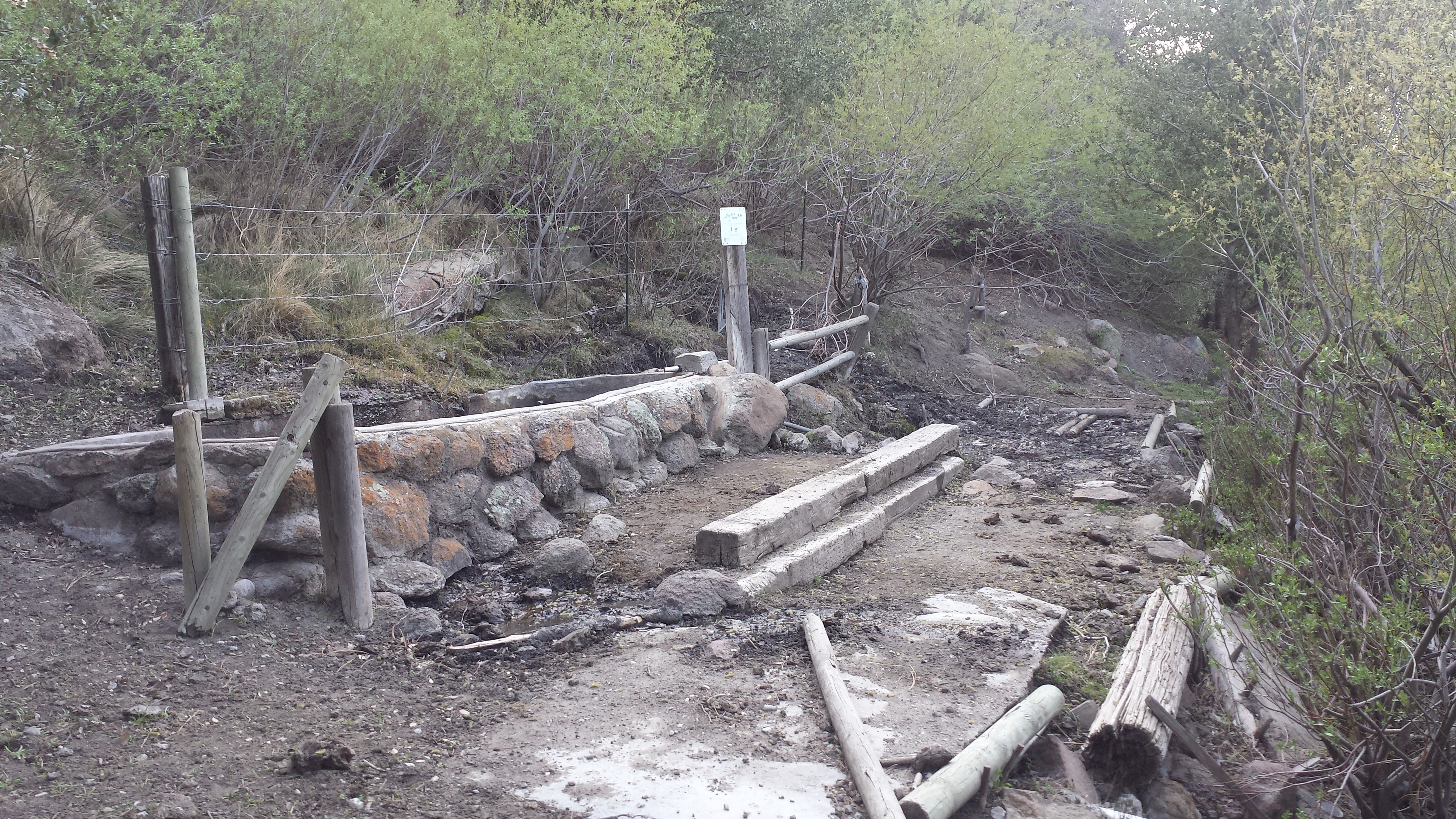
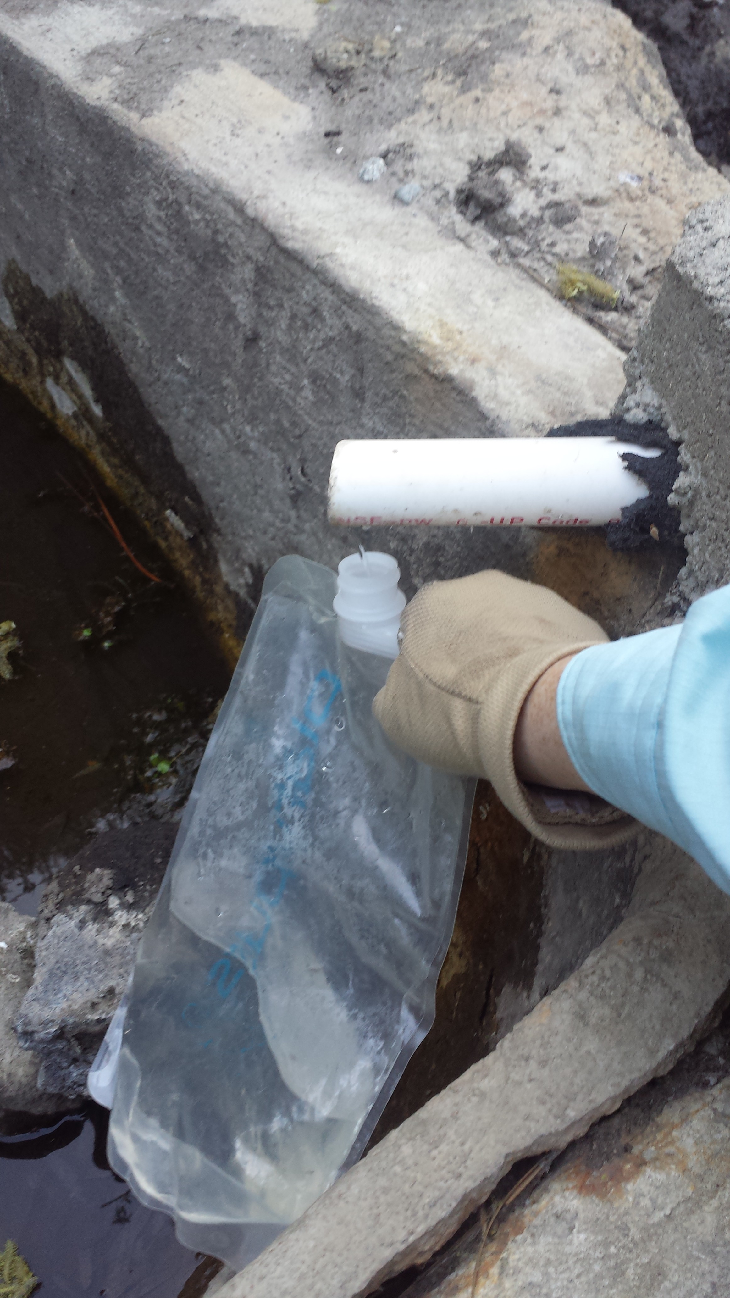
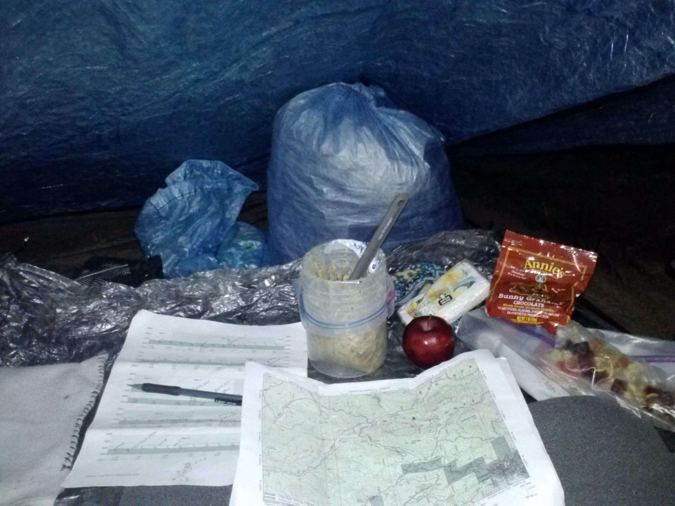
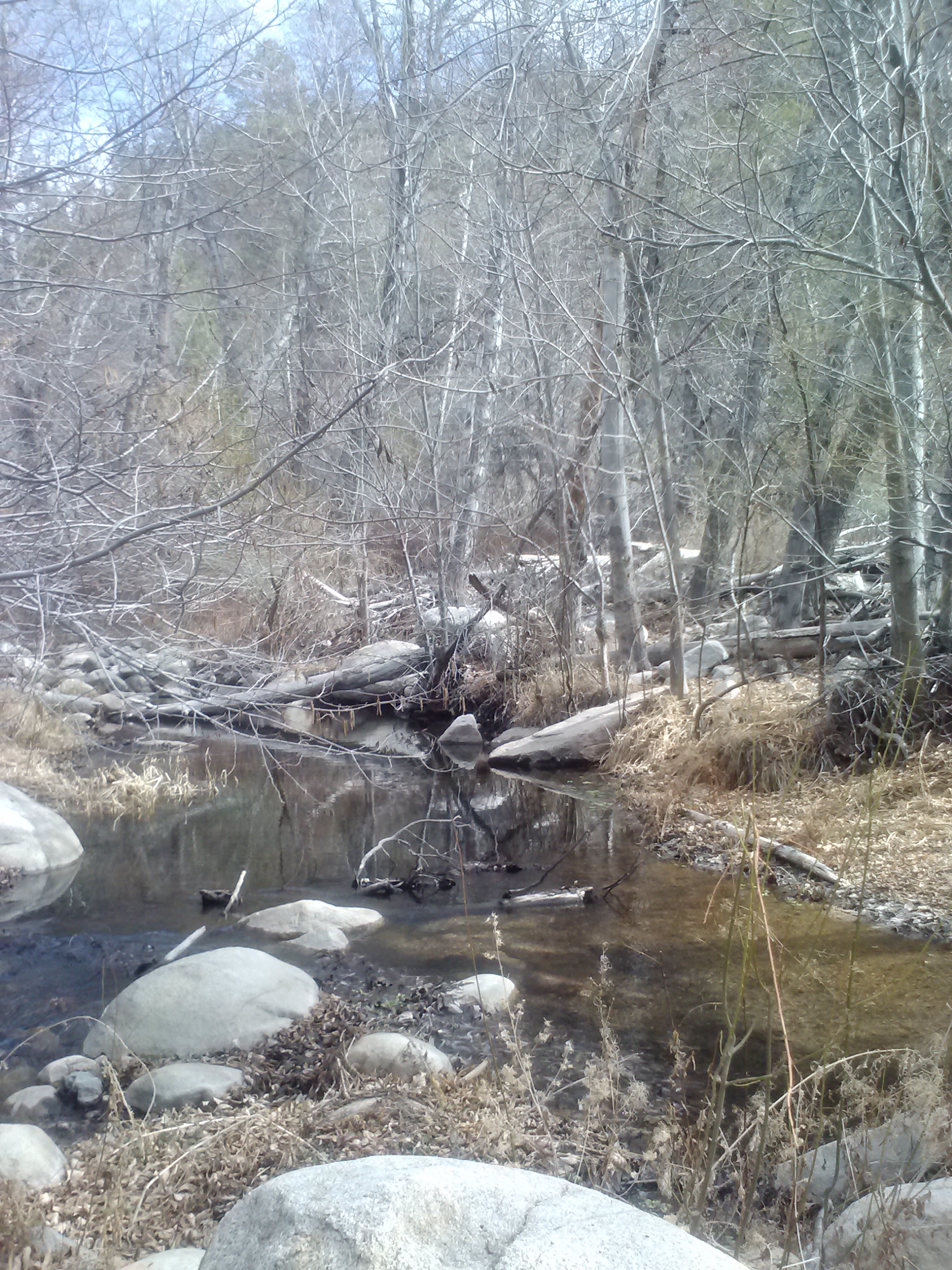
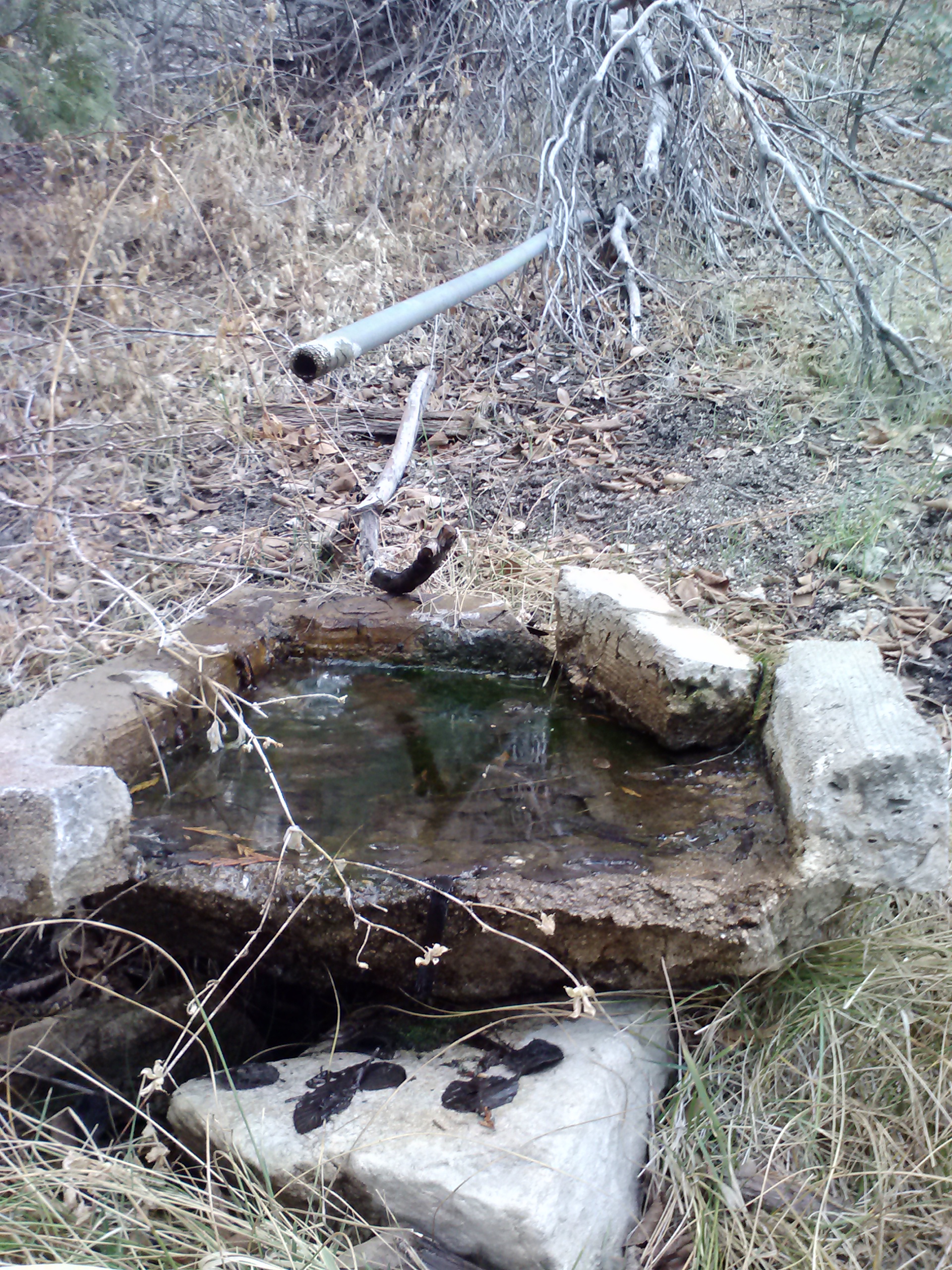
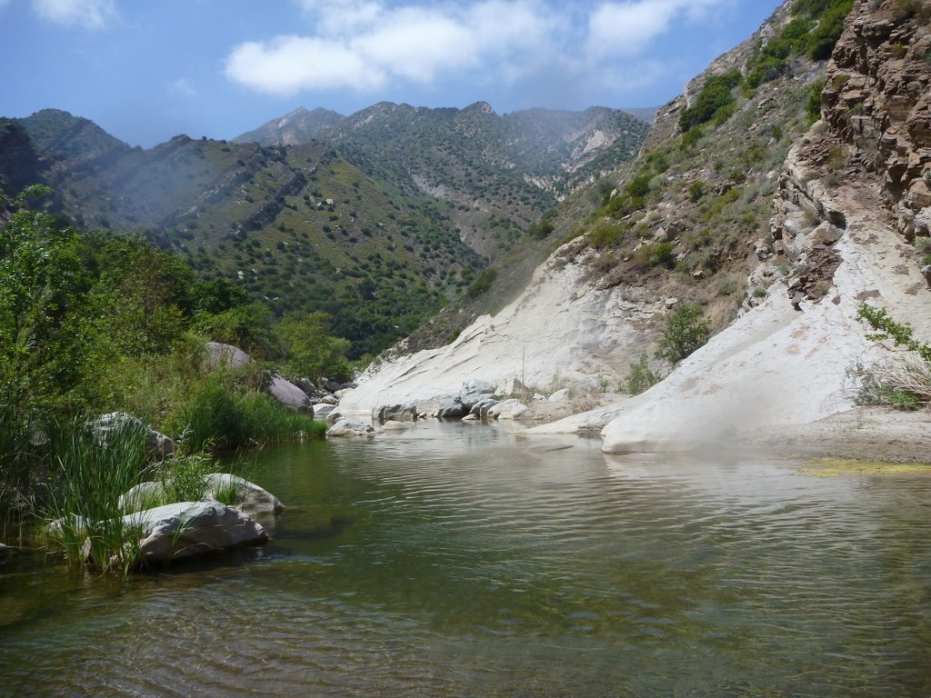
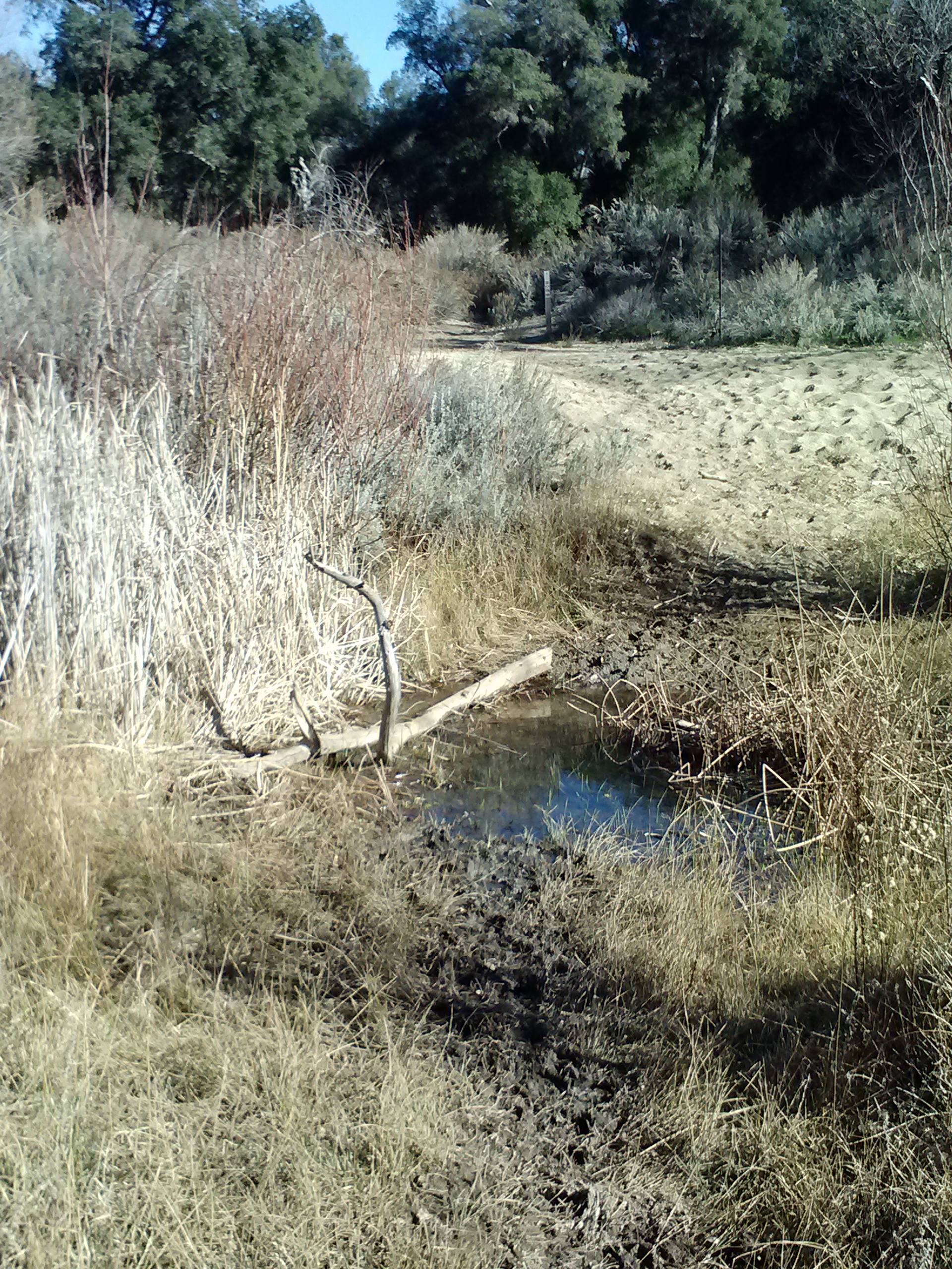
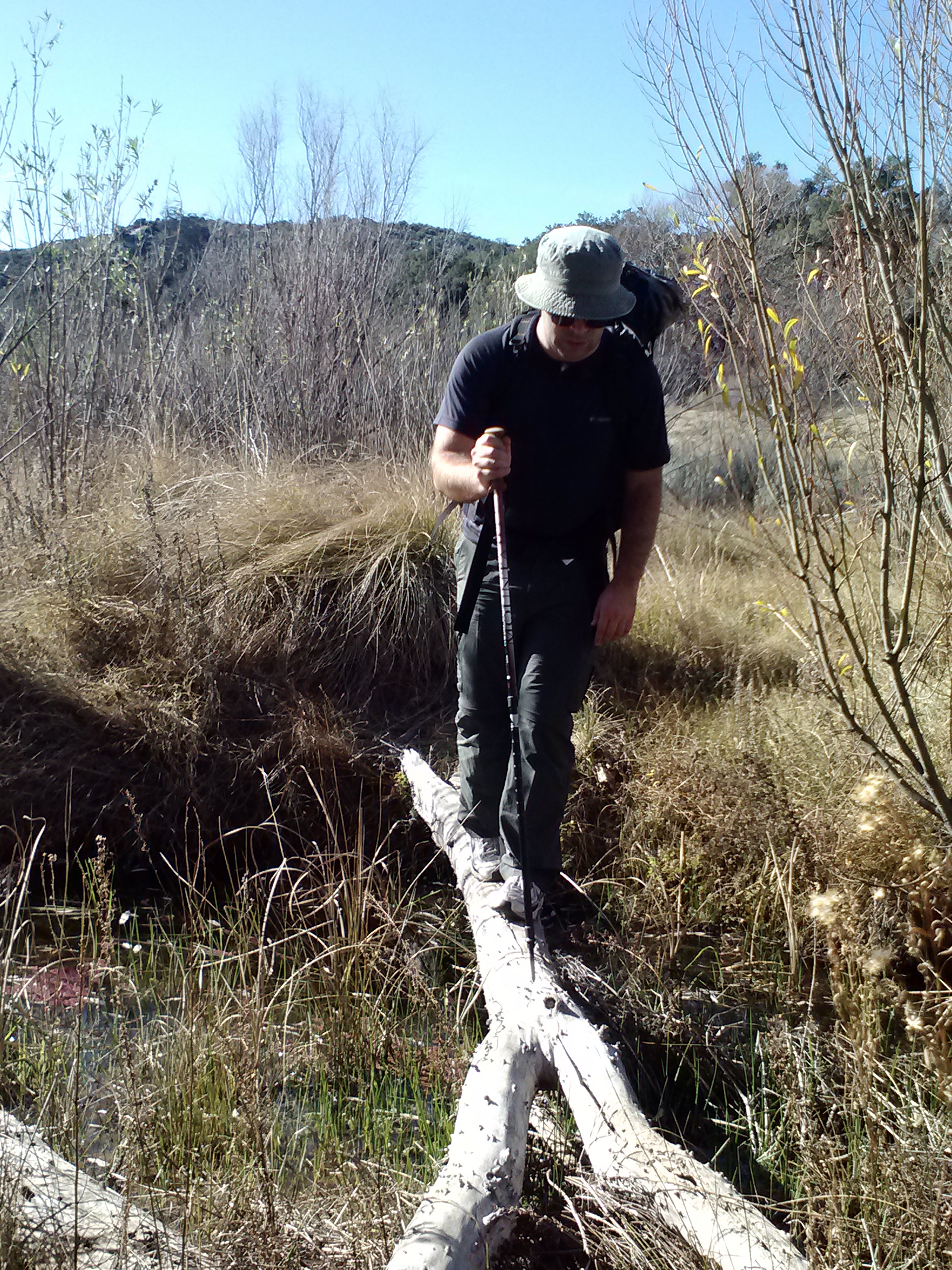
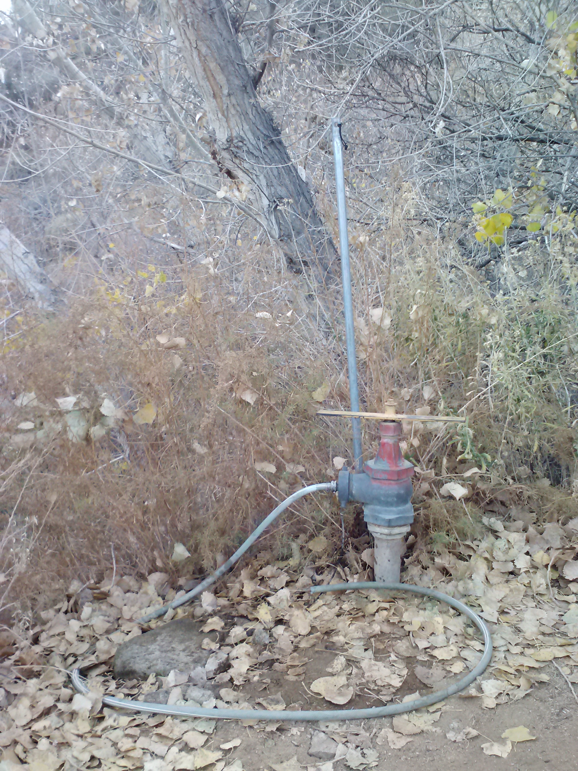
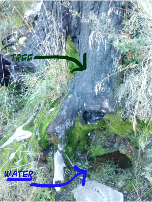
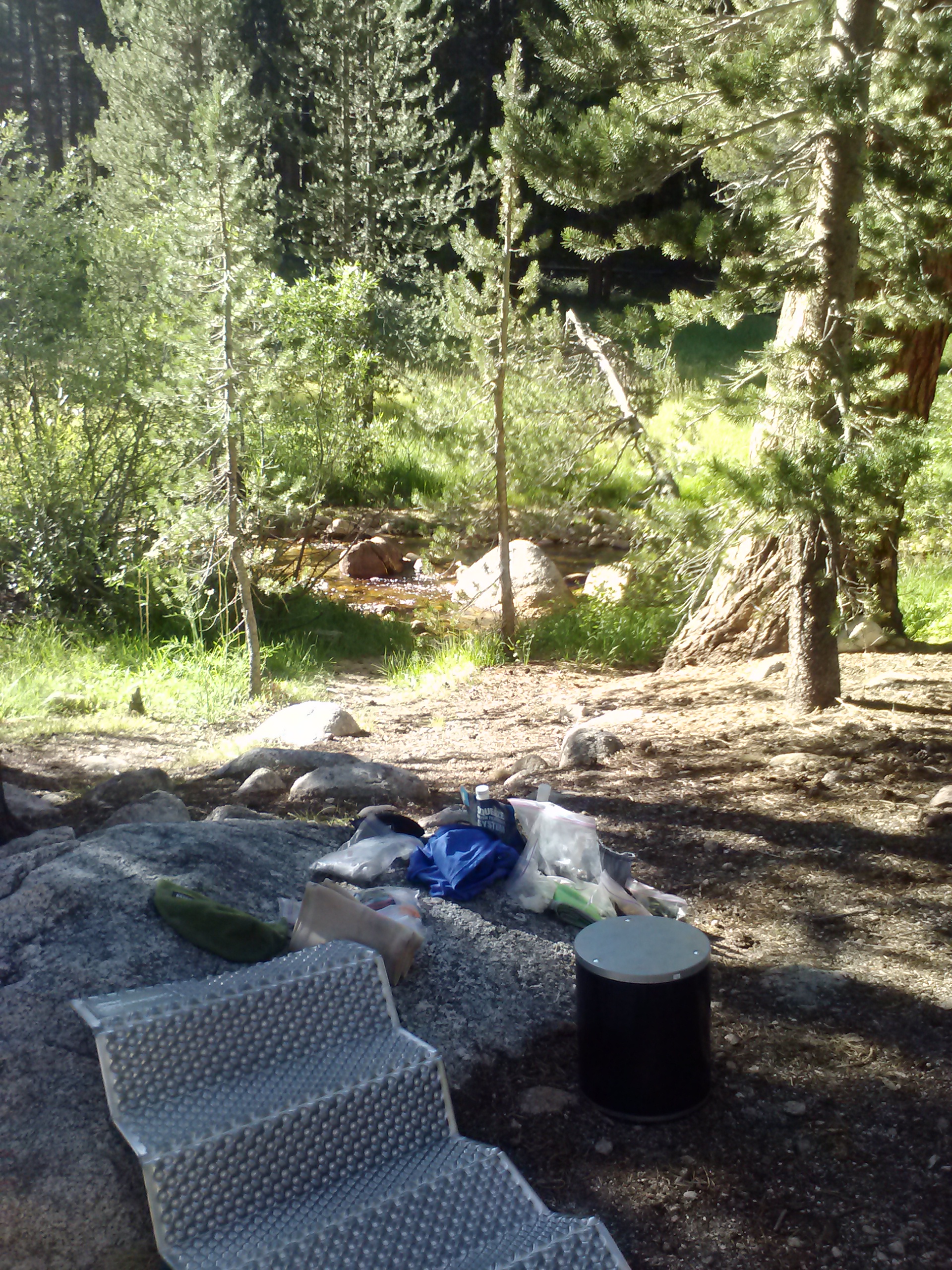
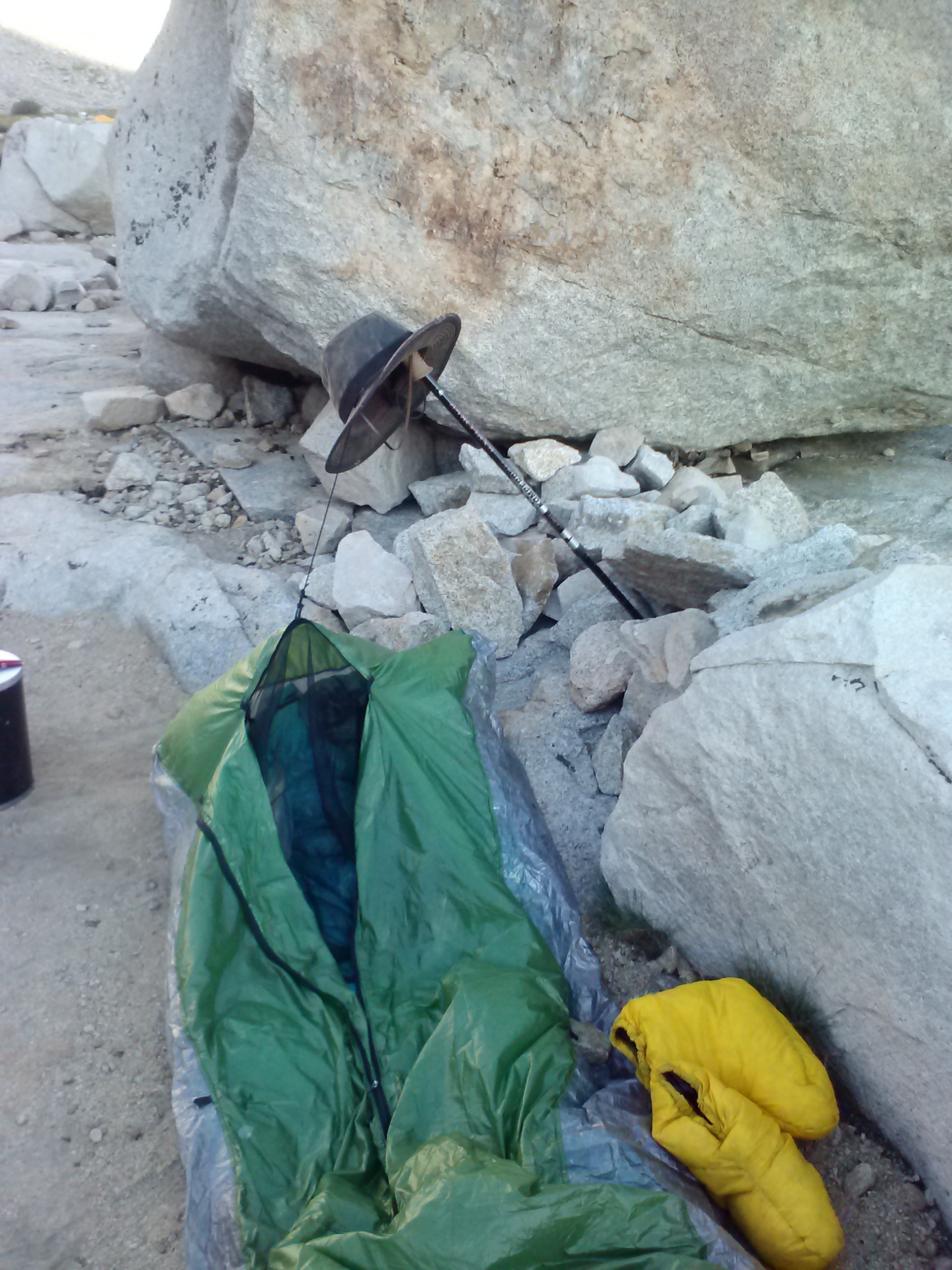
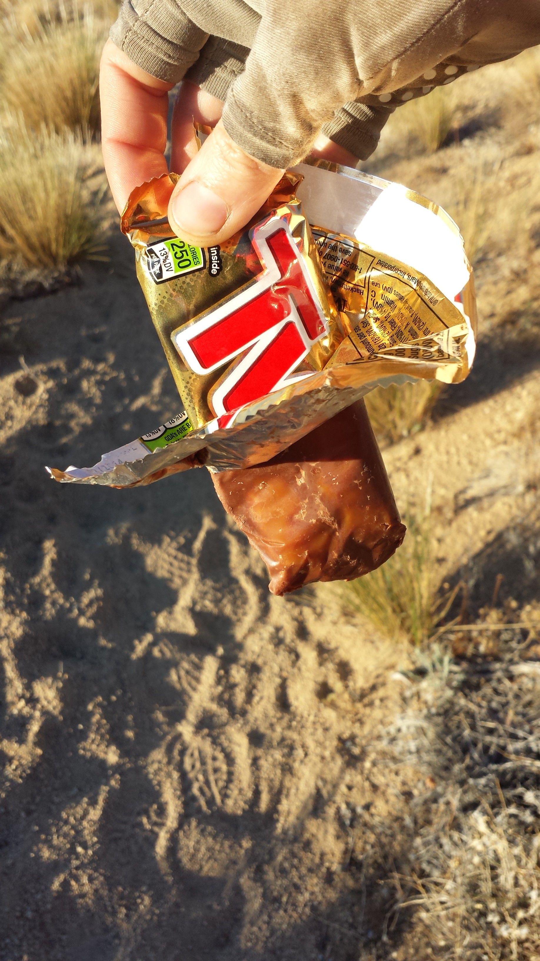
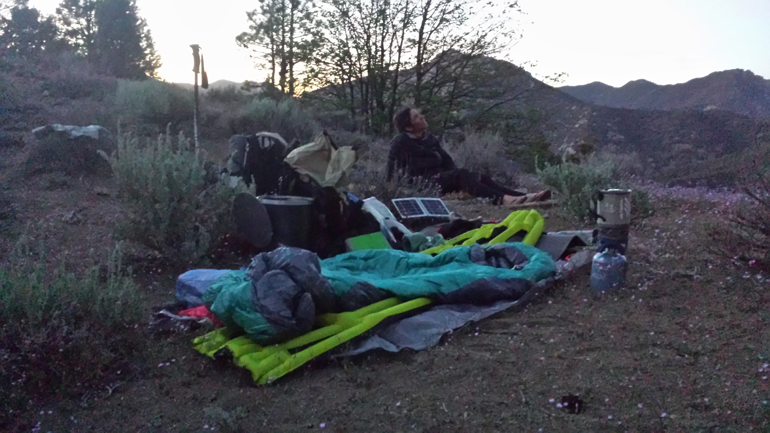
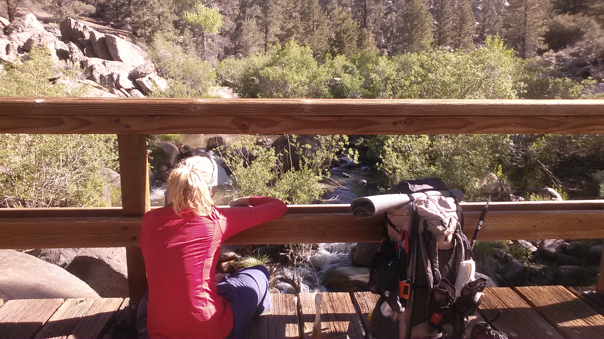
The water source is a spring next to a large storage tank. I spent the evening rolling out my muscles with my little travel-sized foam roller. I felt like I had too much weight in my backpack and thought I could just eat as much peanut butter as possible to bring it down a bit. I tried eating the peanut butter by the spoonful, but I almost gagged. I only managed to get two spoonfuls down. Bleh!! I cleared my pallet with a Pad Thai dinner and a cup of tea before going to sleep.
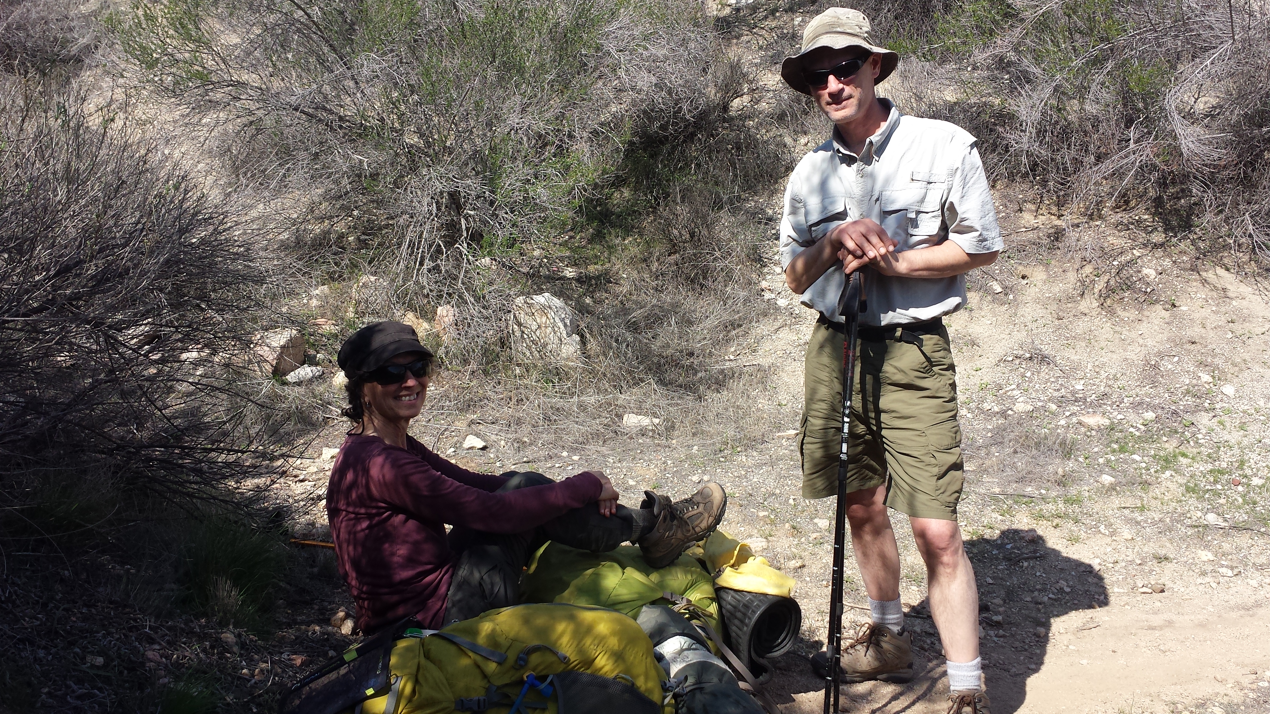
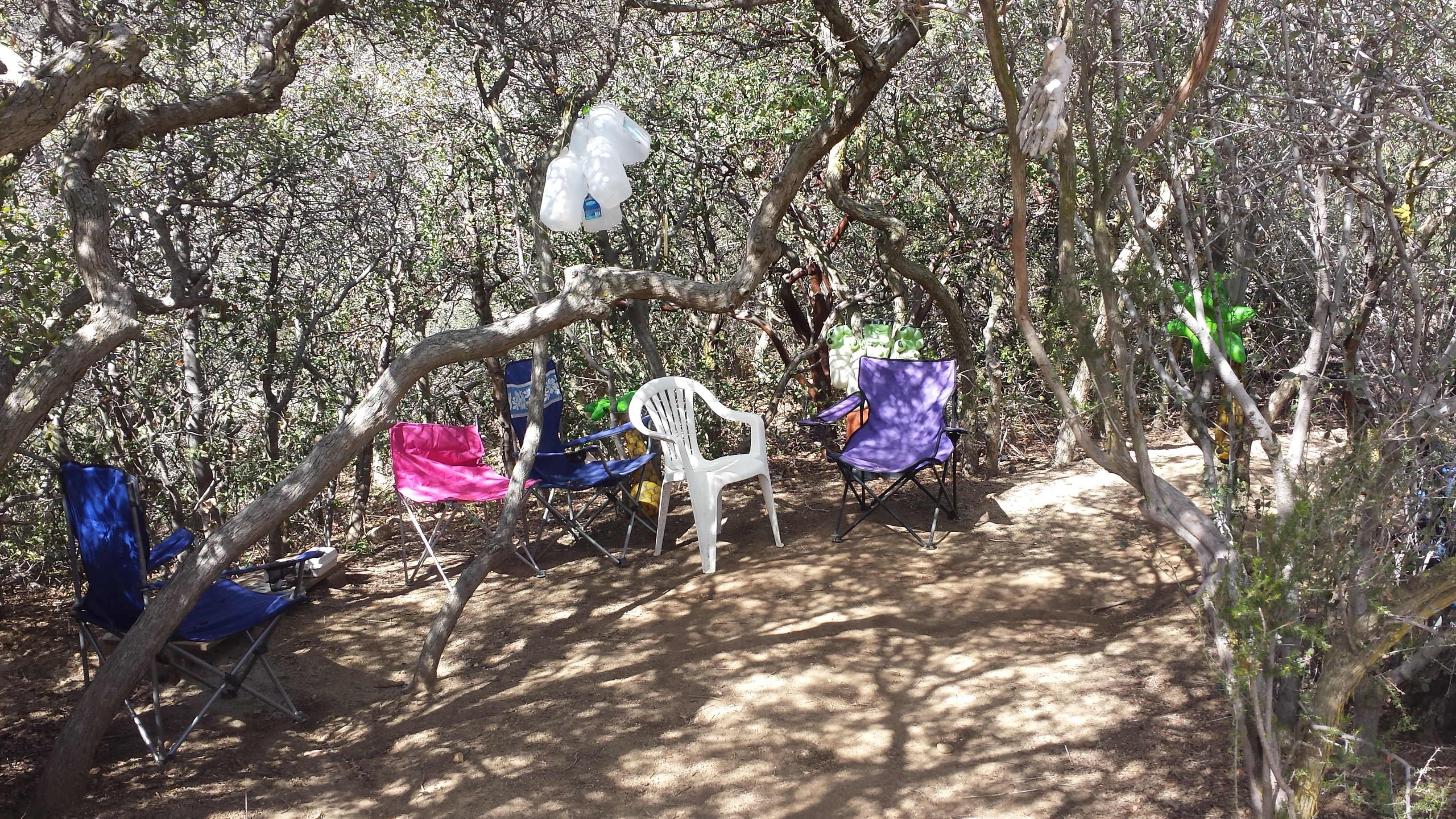
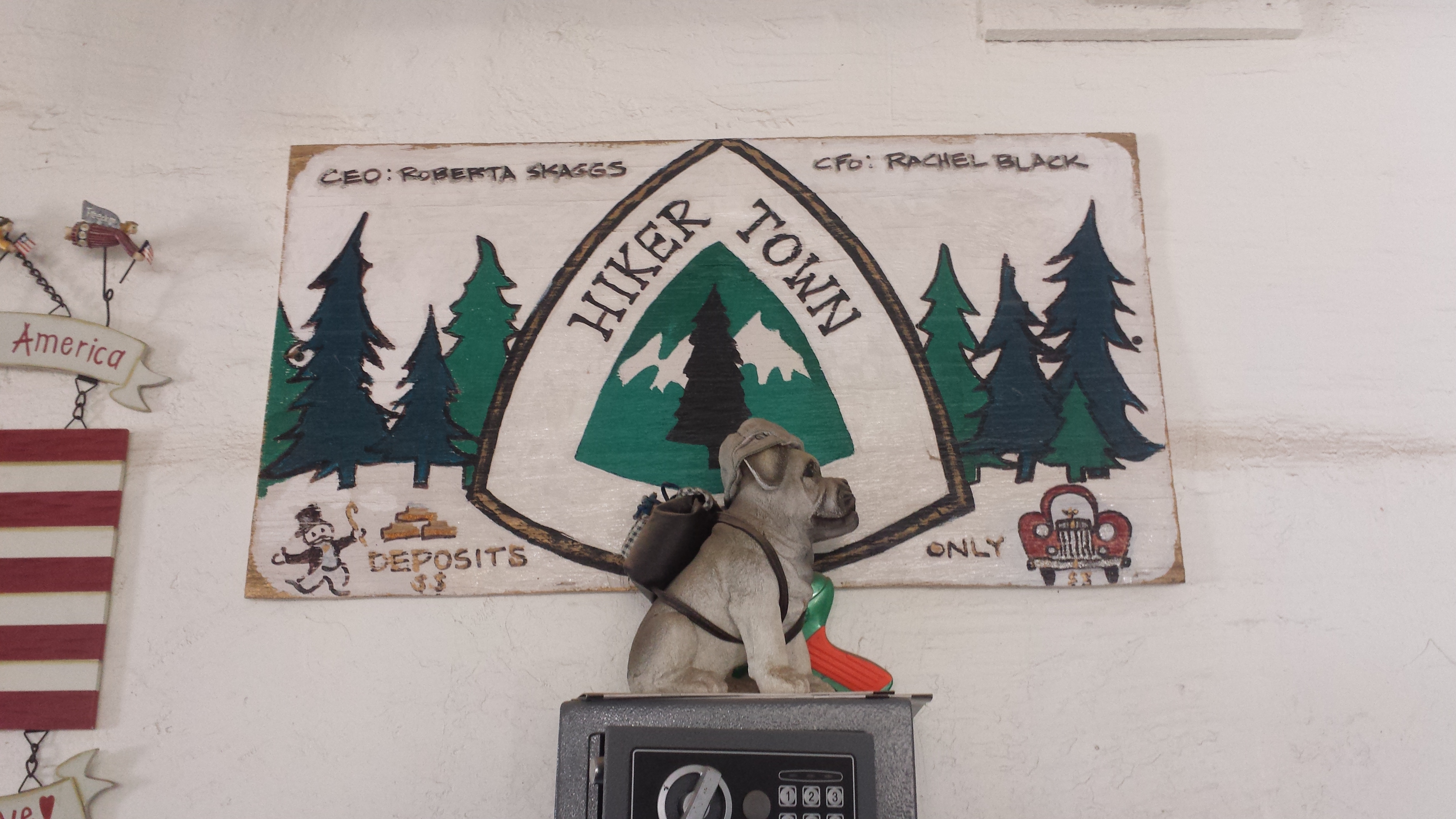
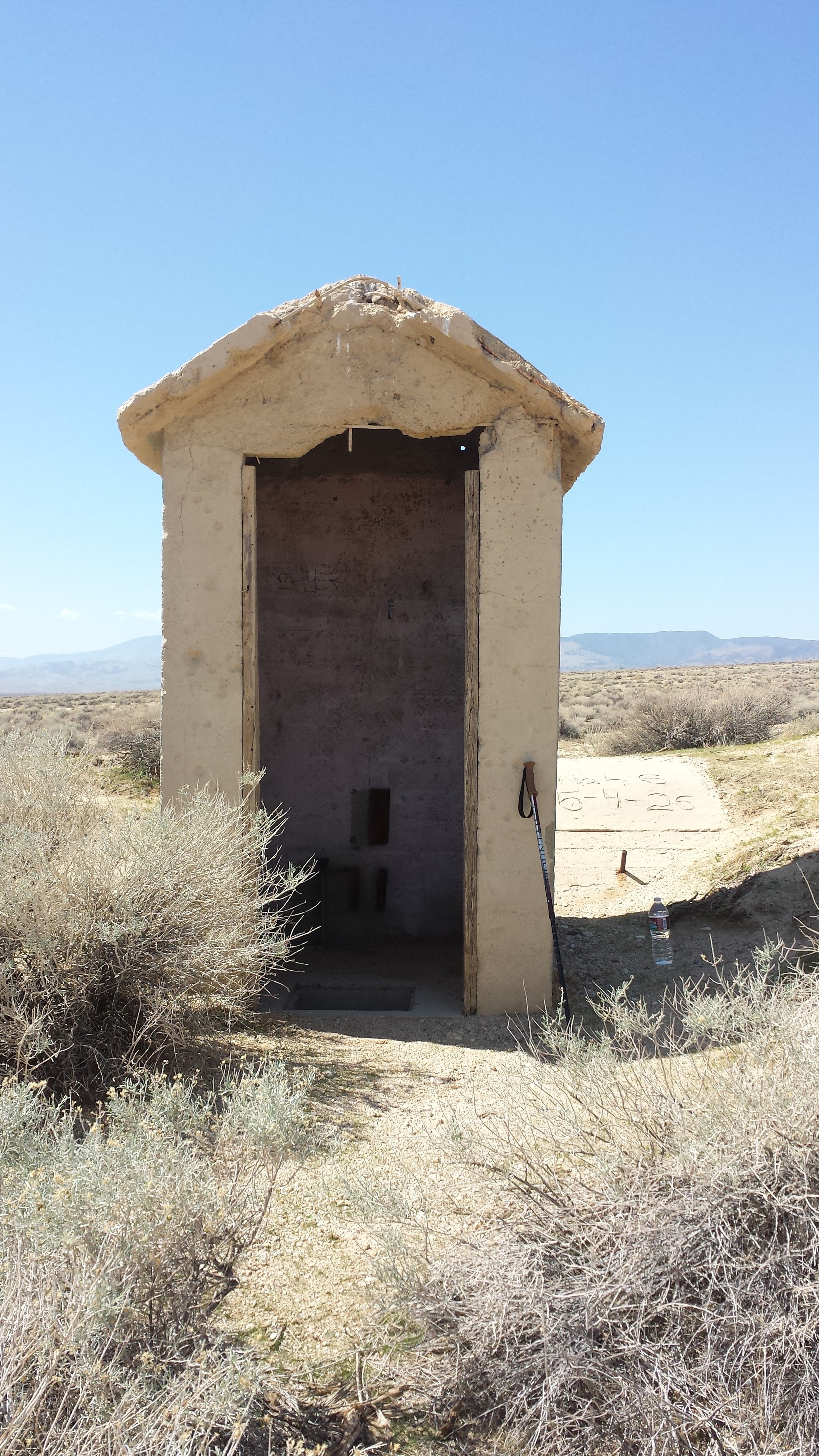
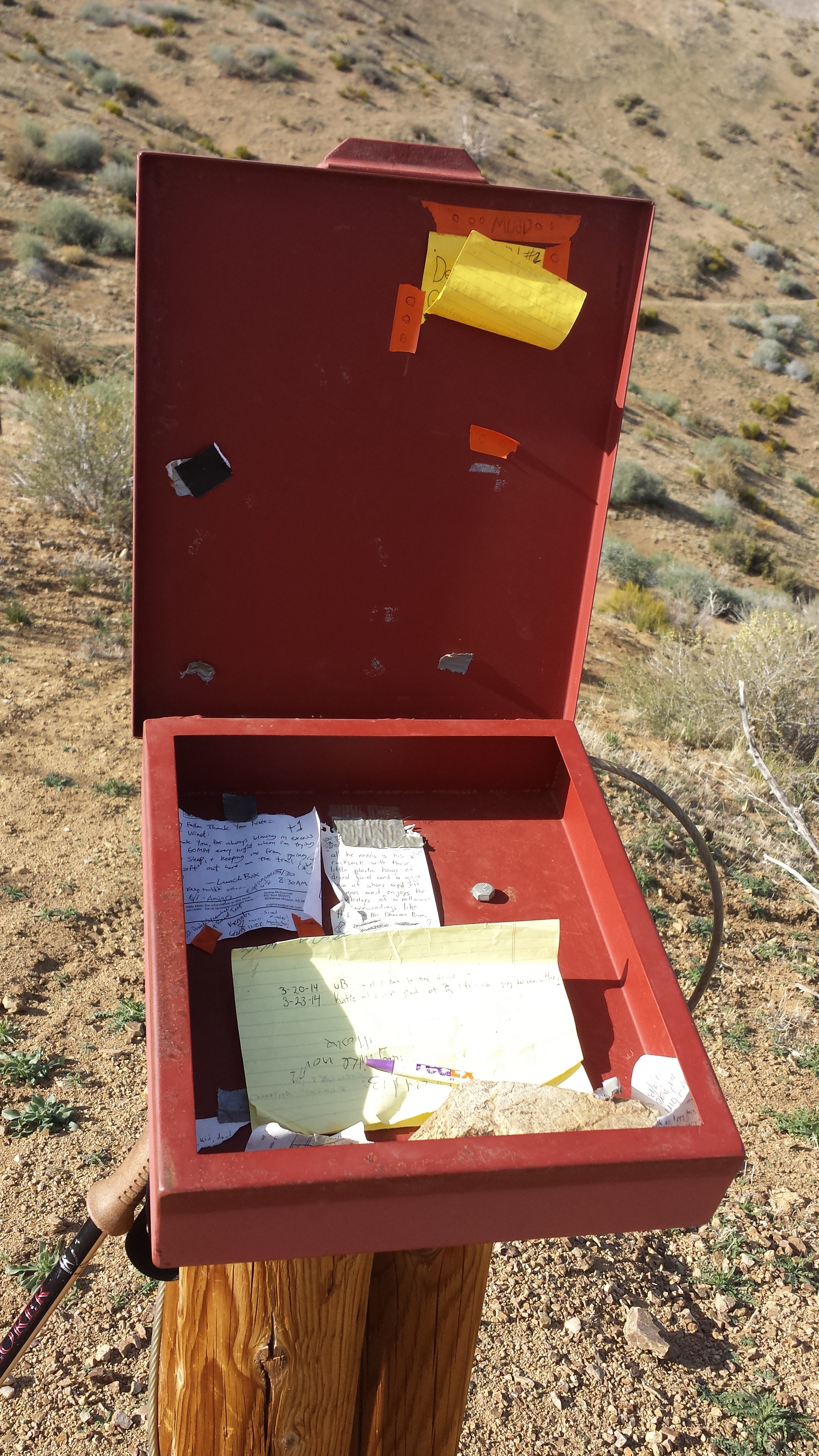
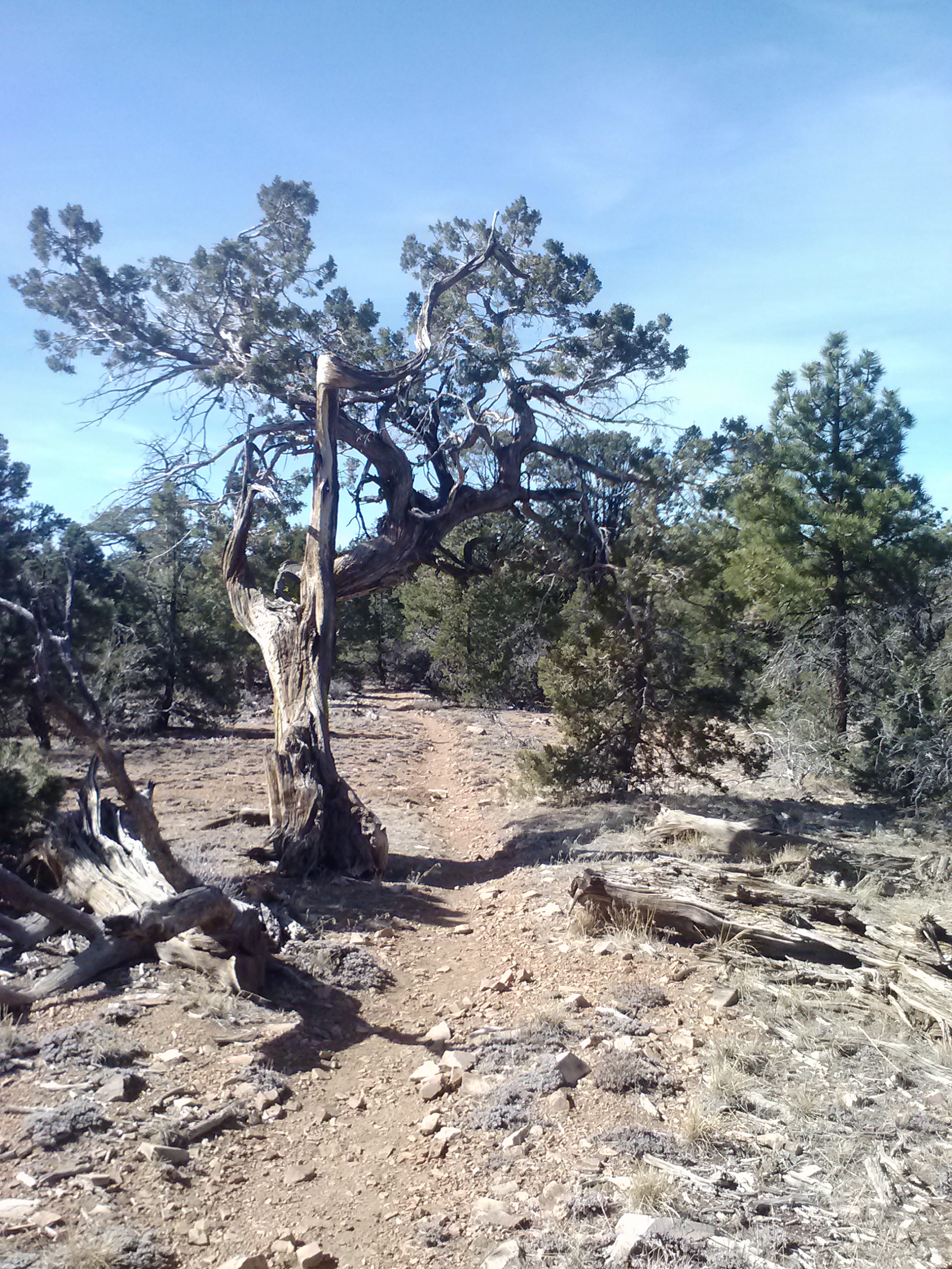
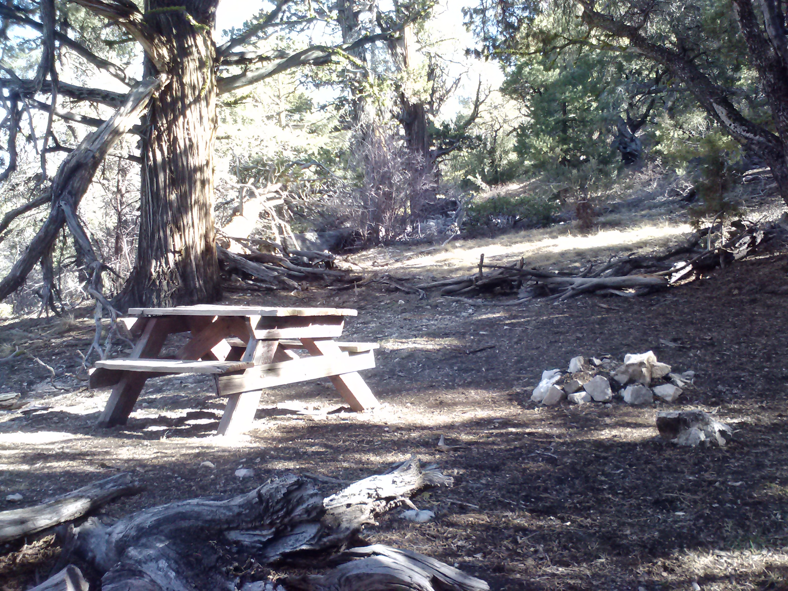
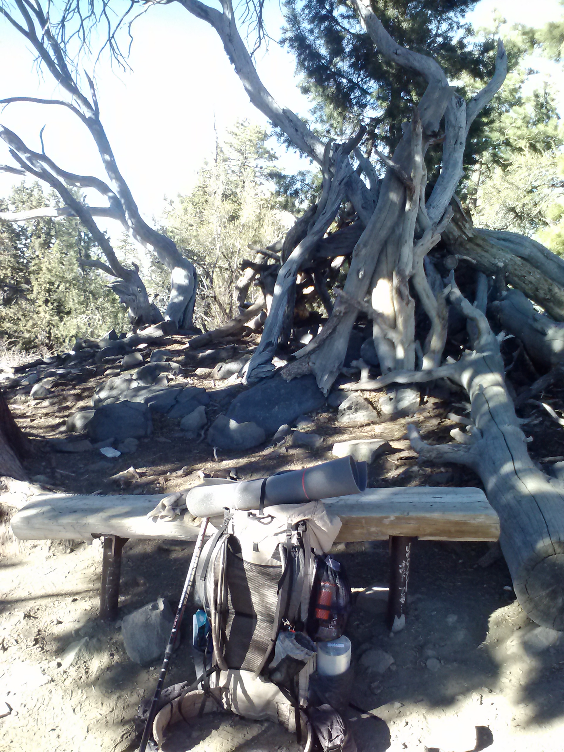
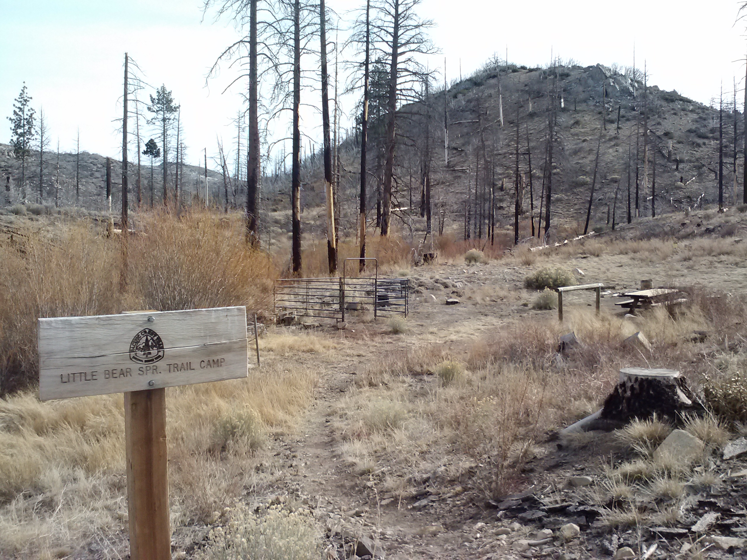
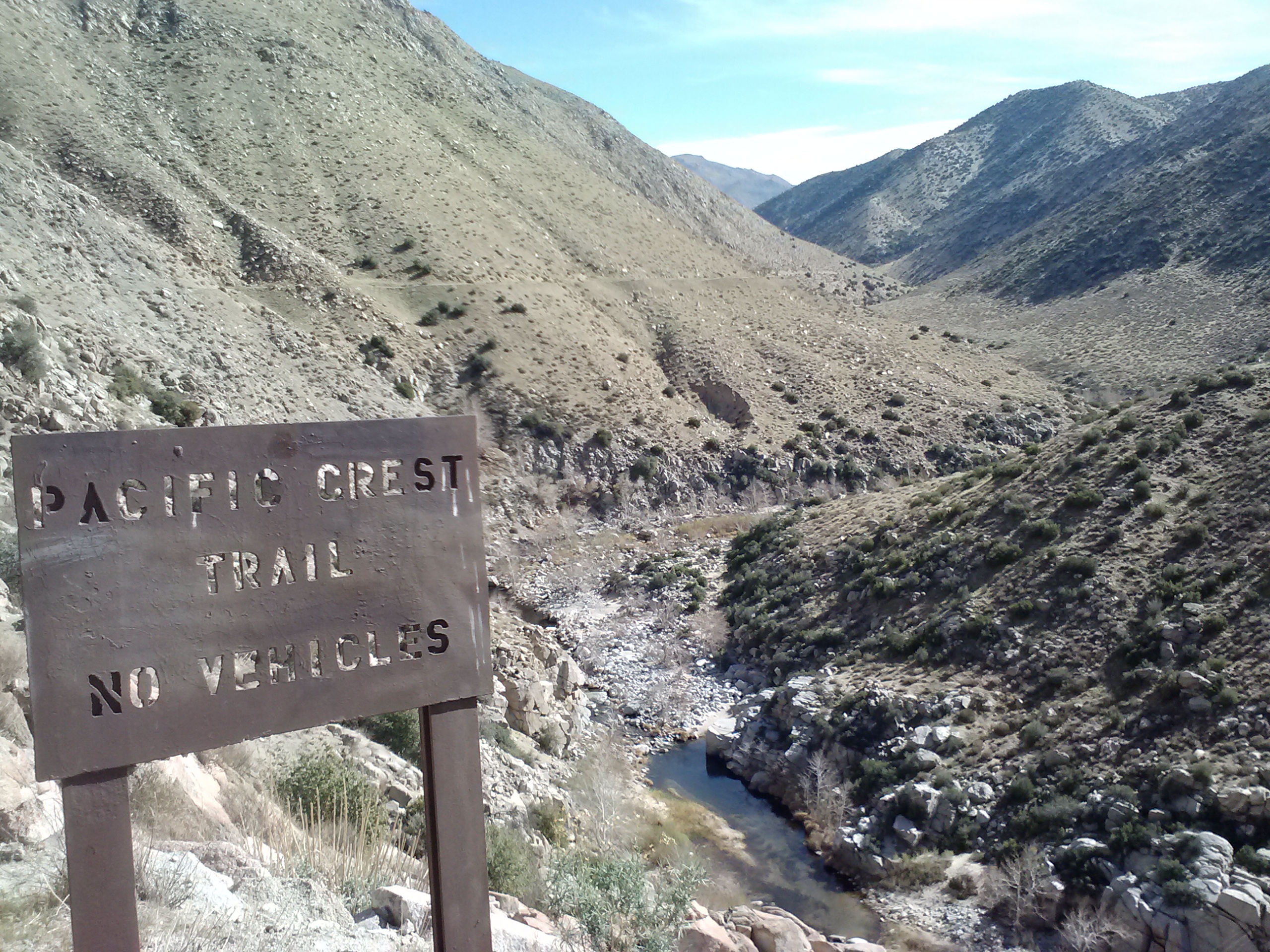
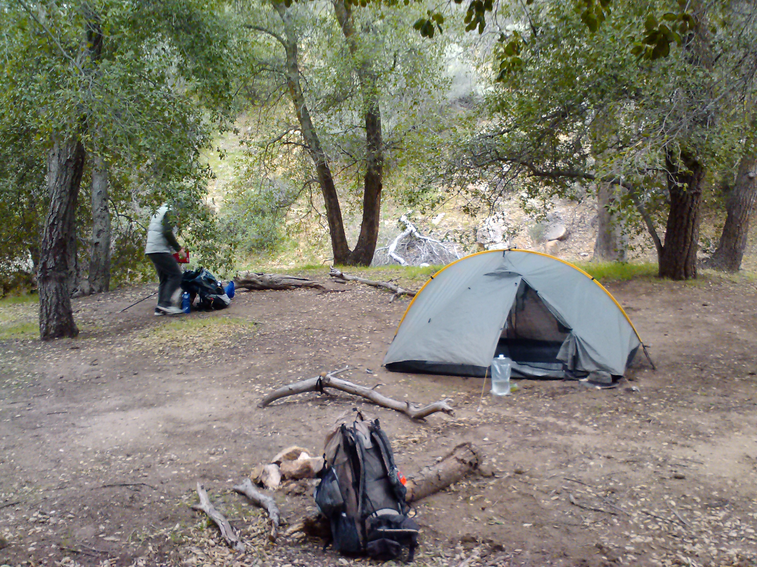
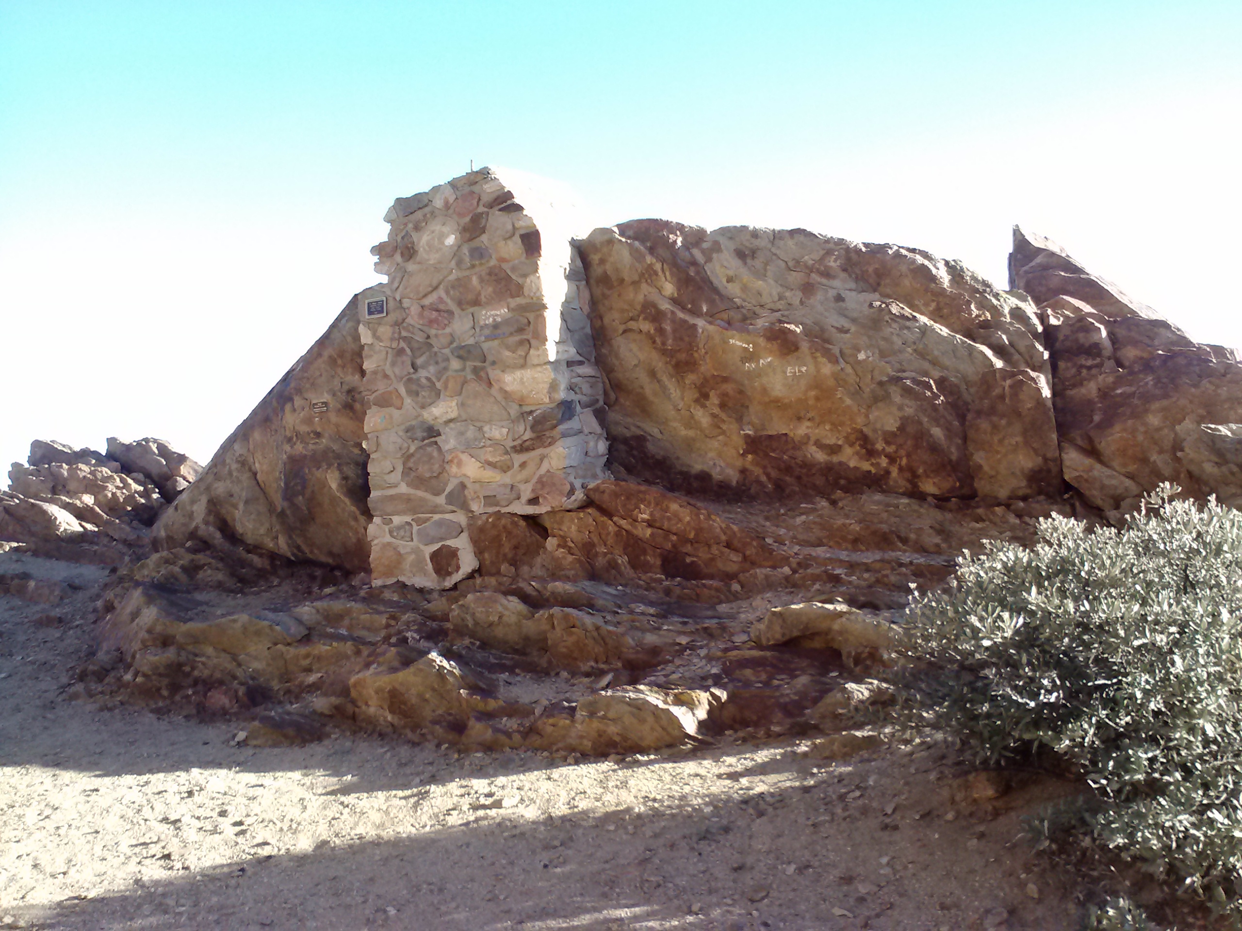
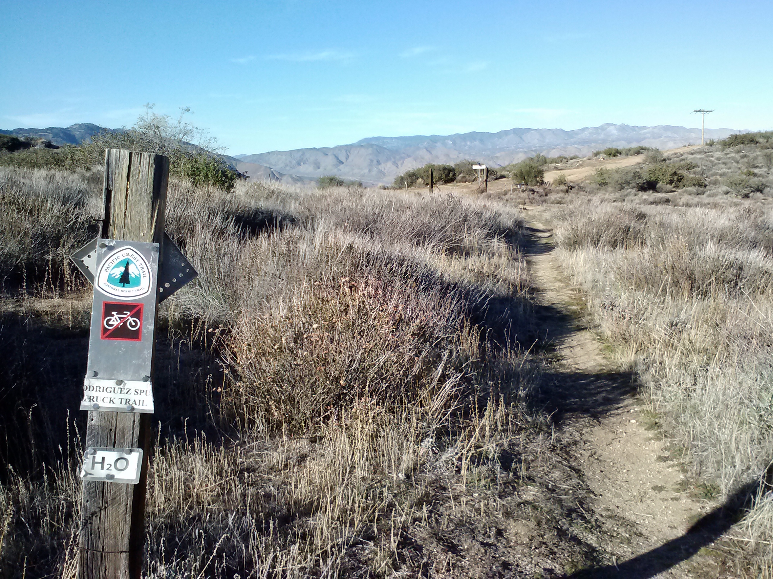
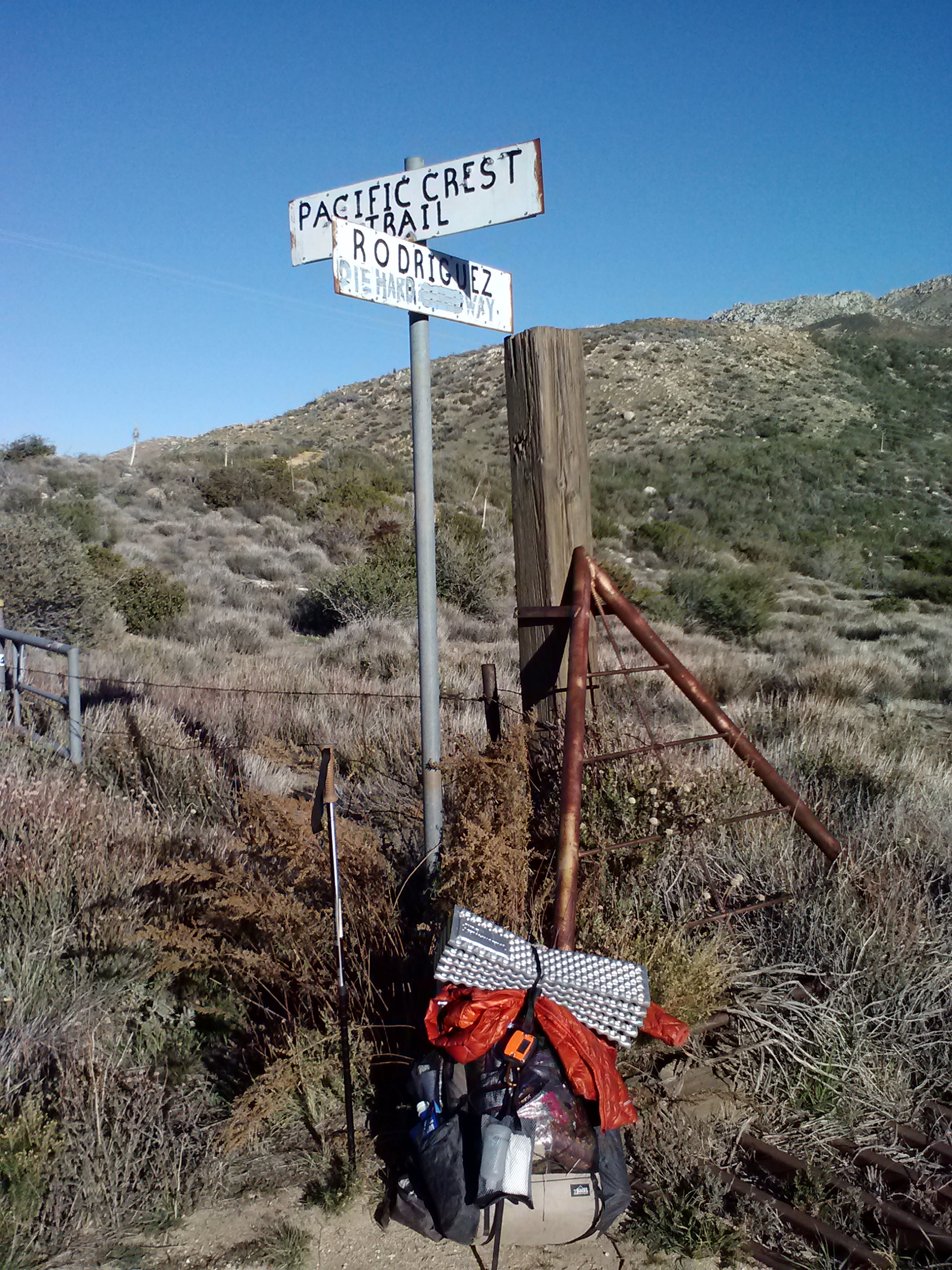
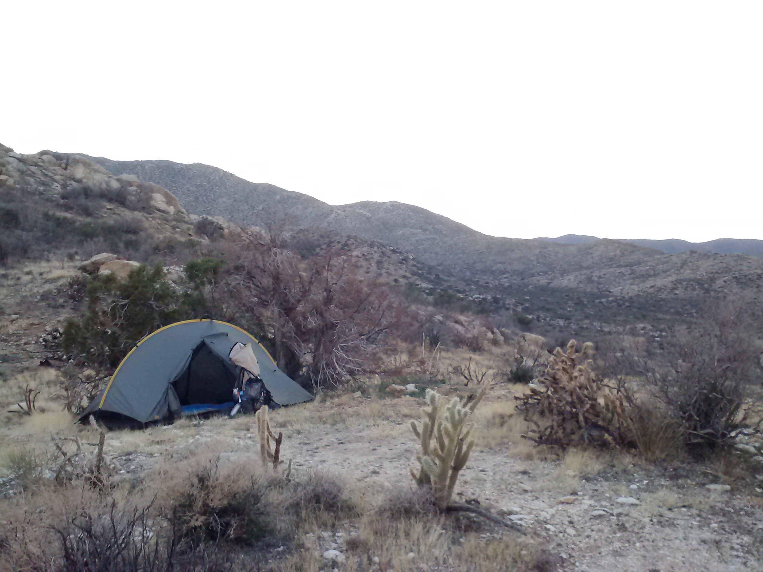
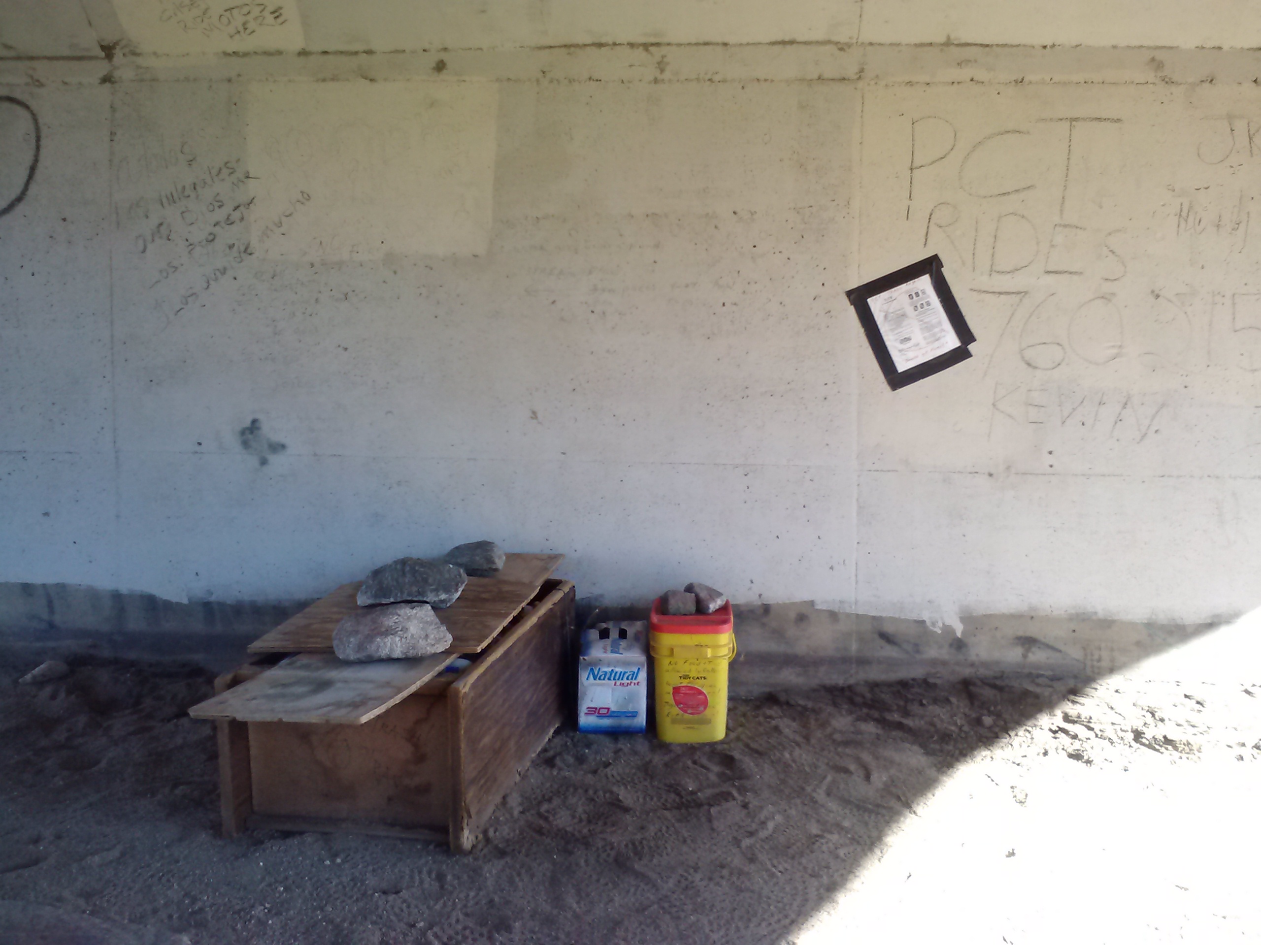
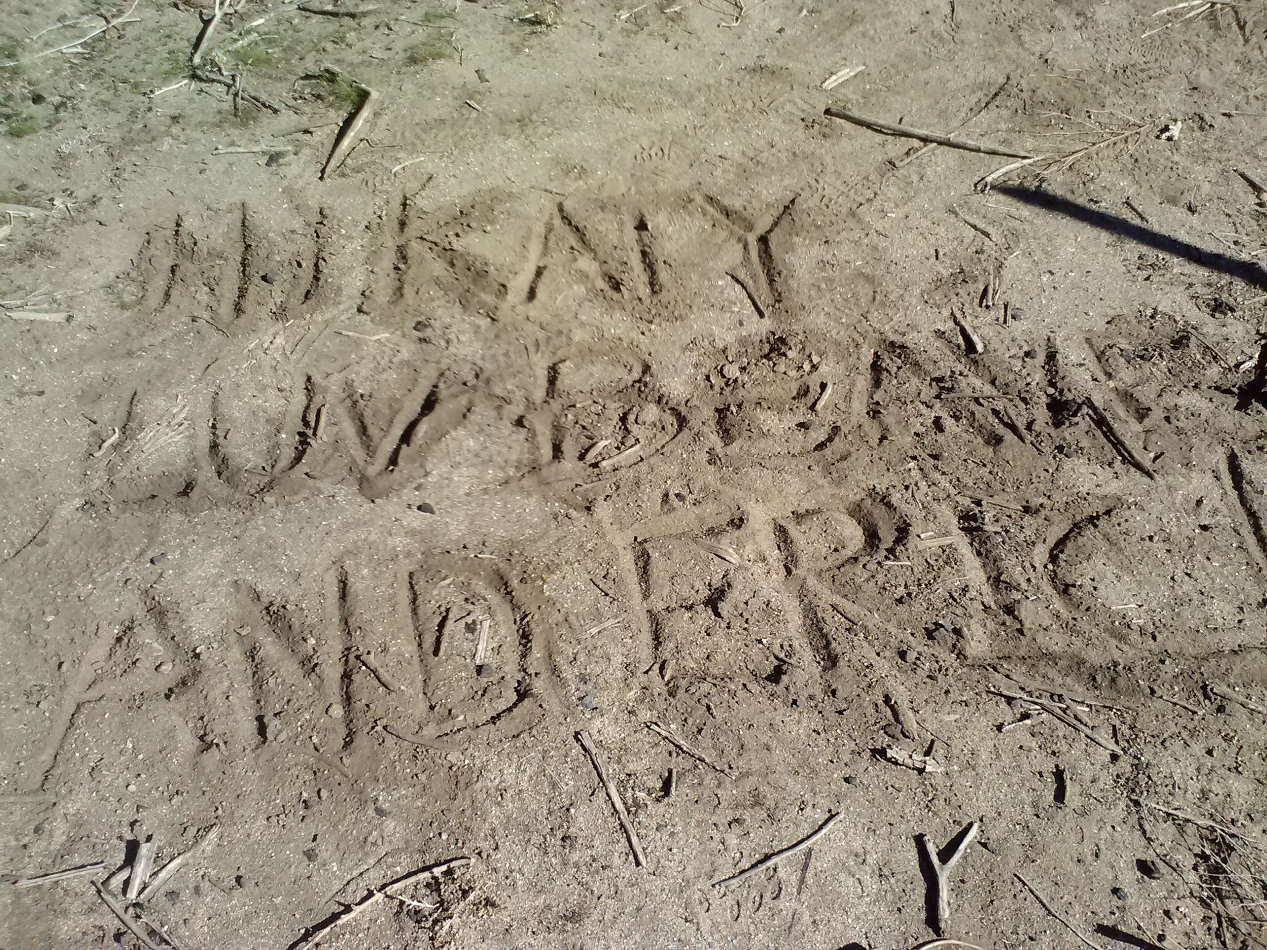
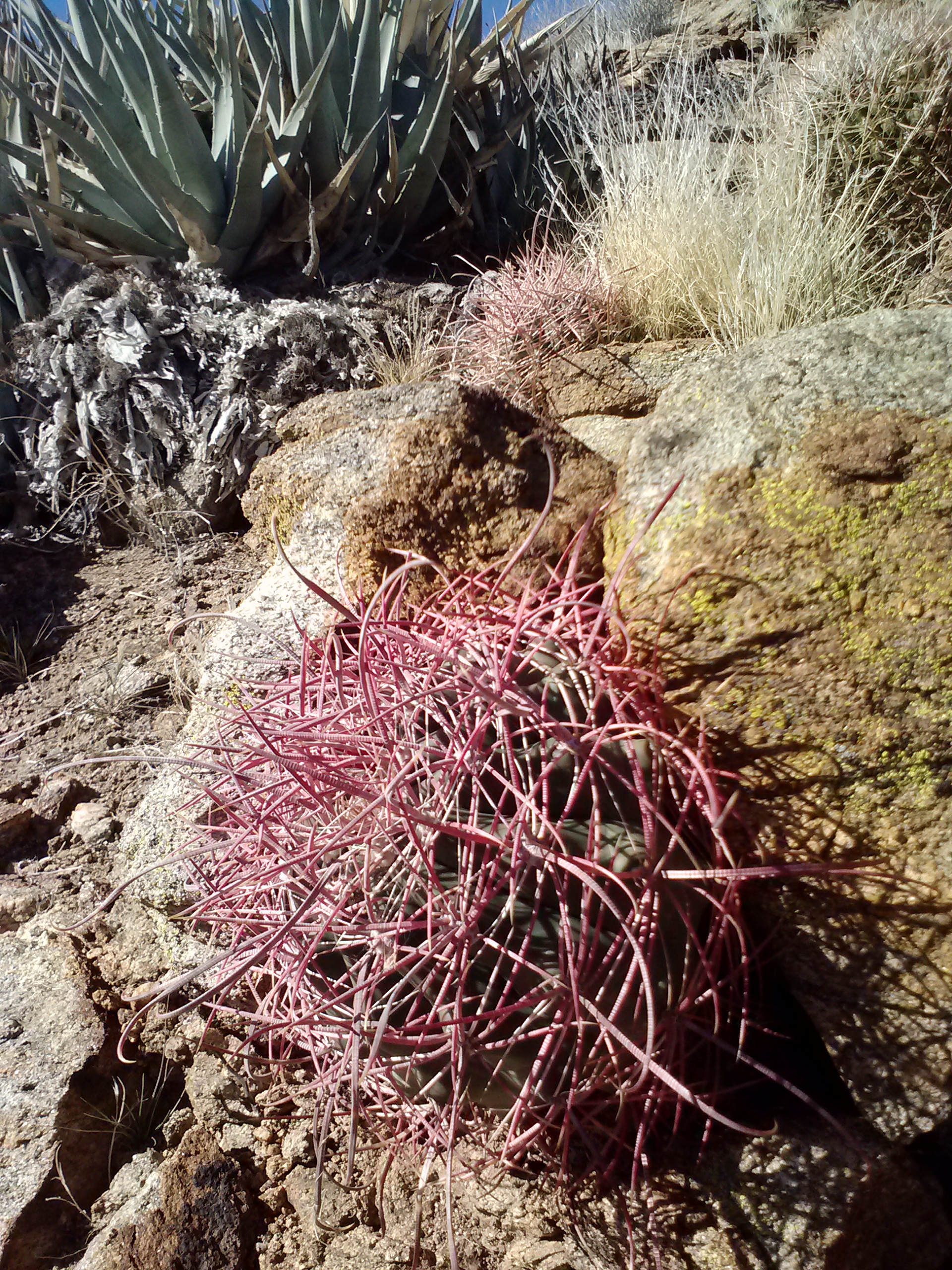
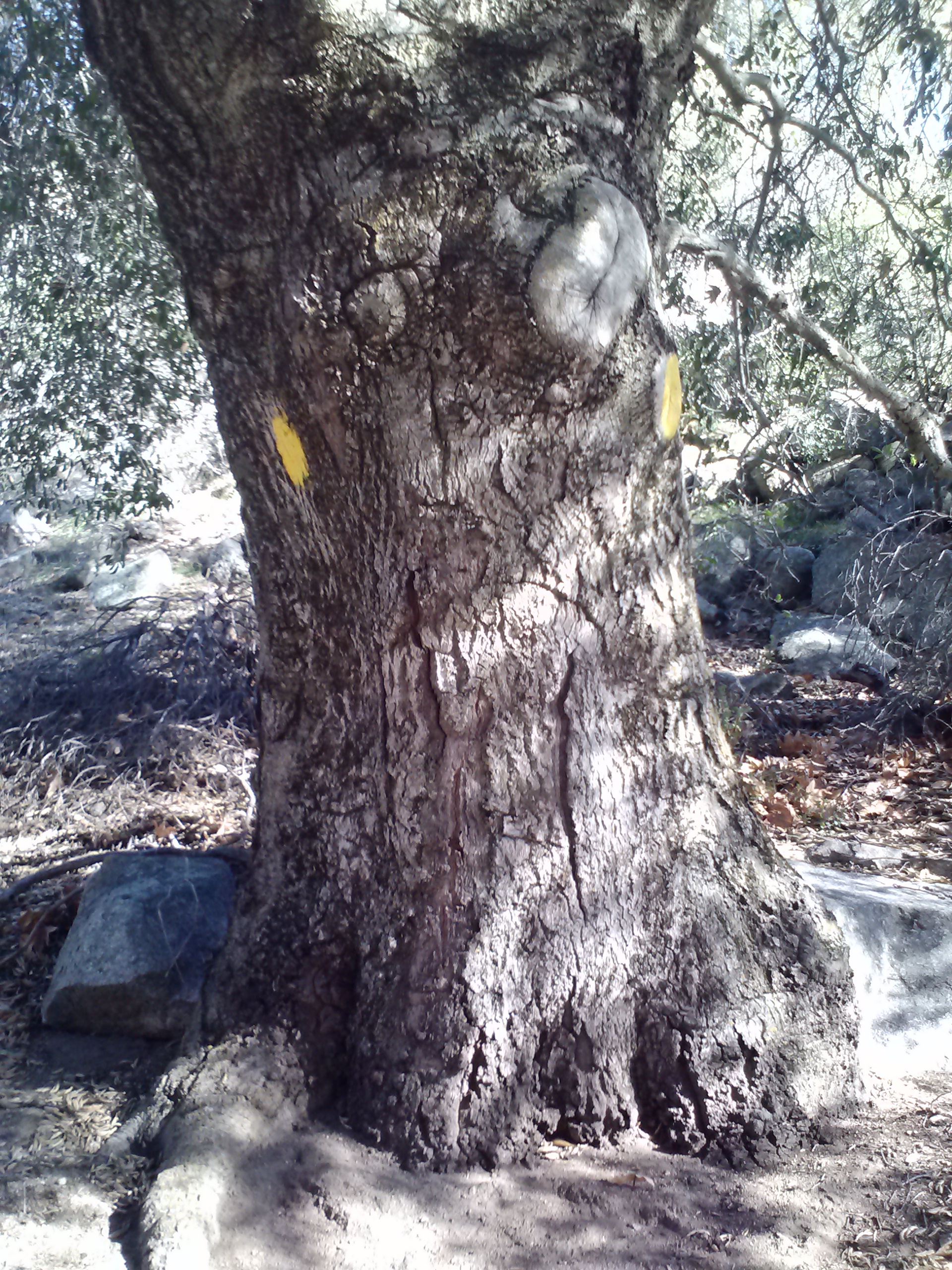
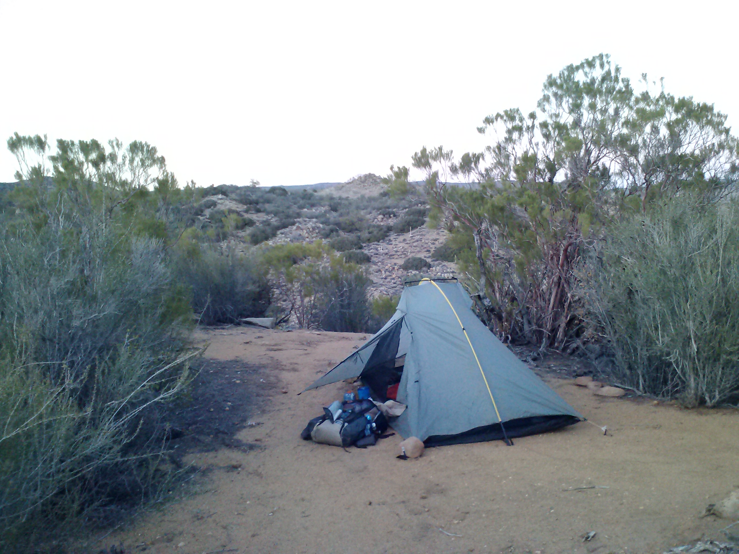
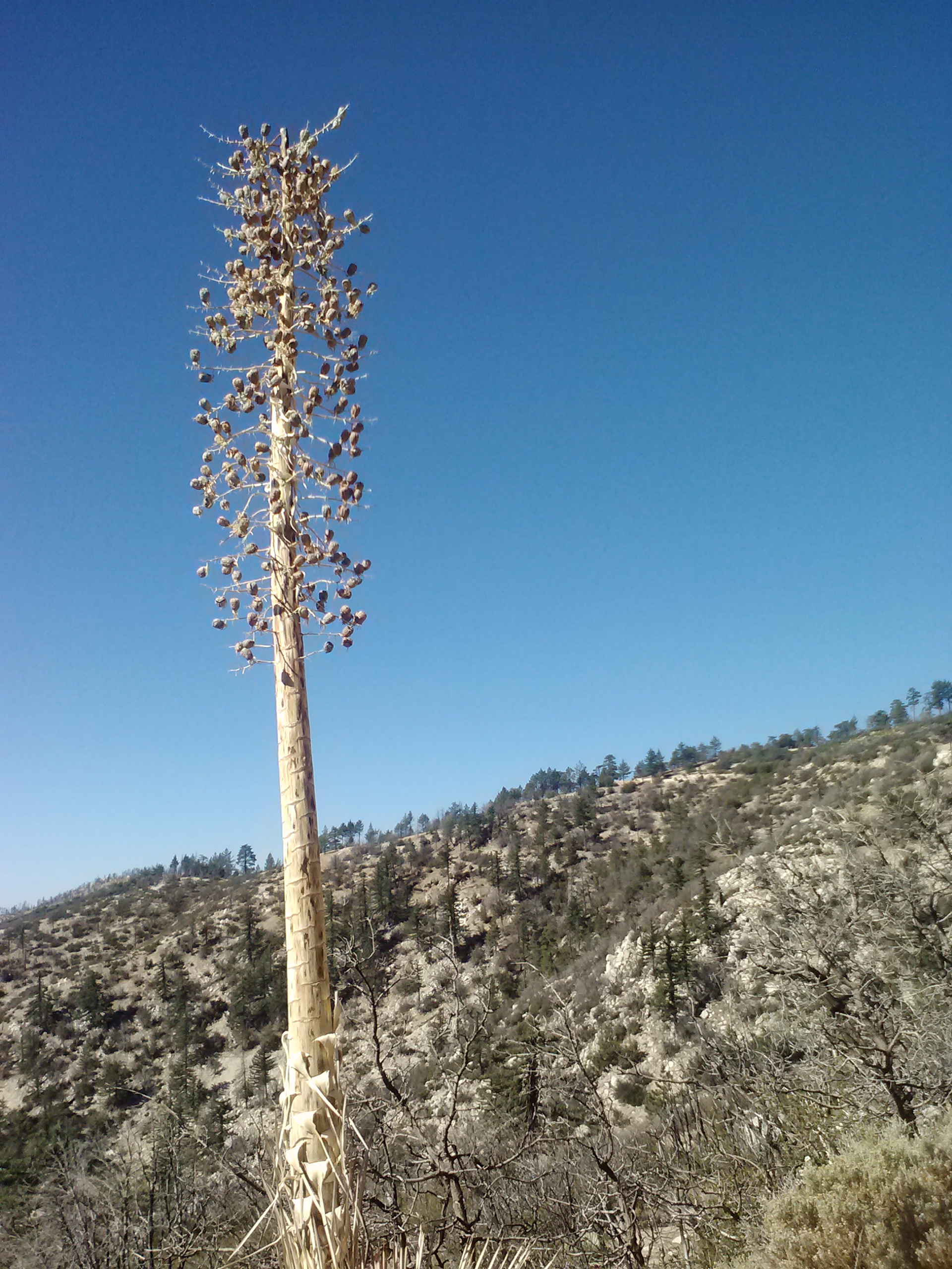
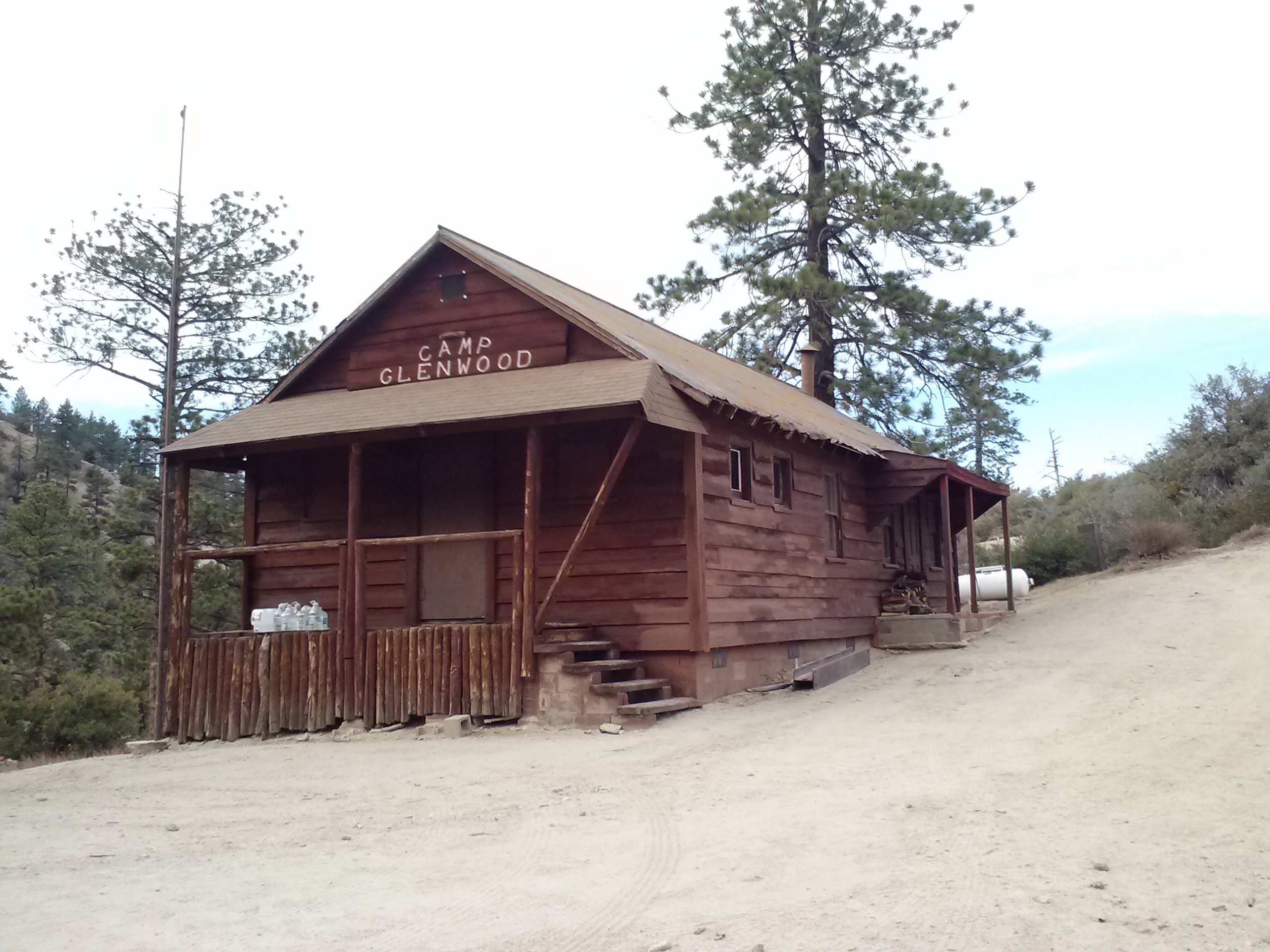
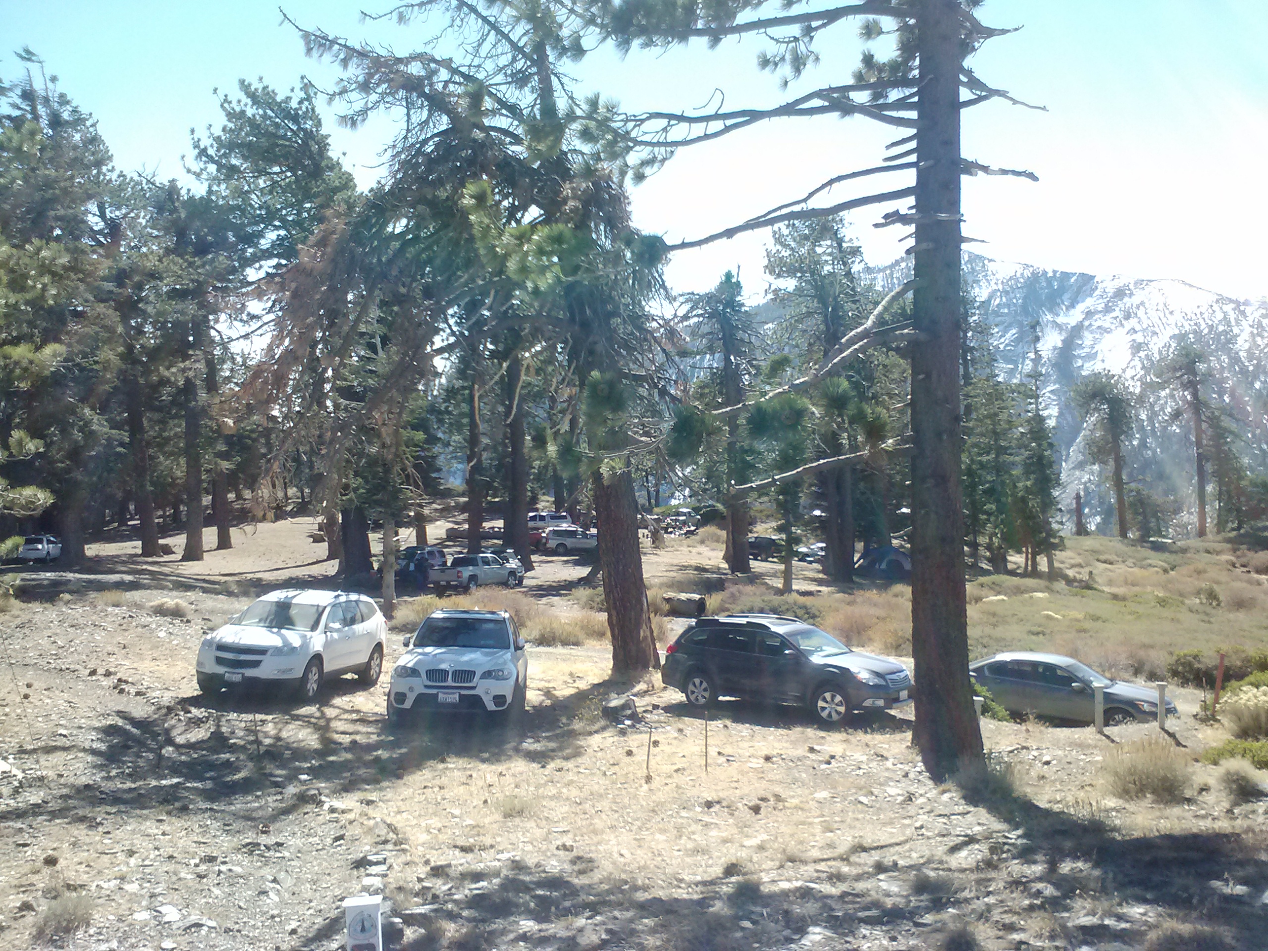
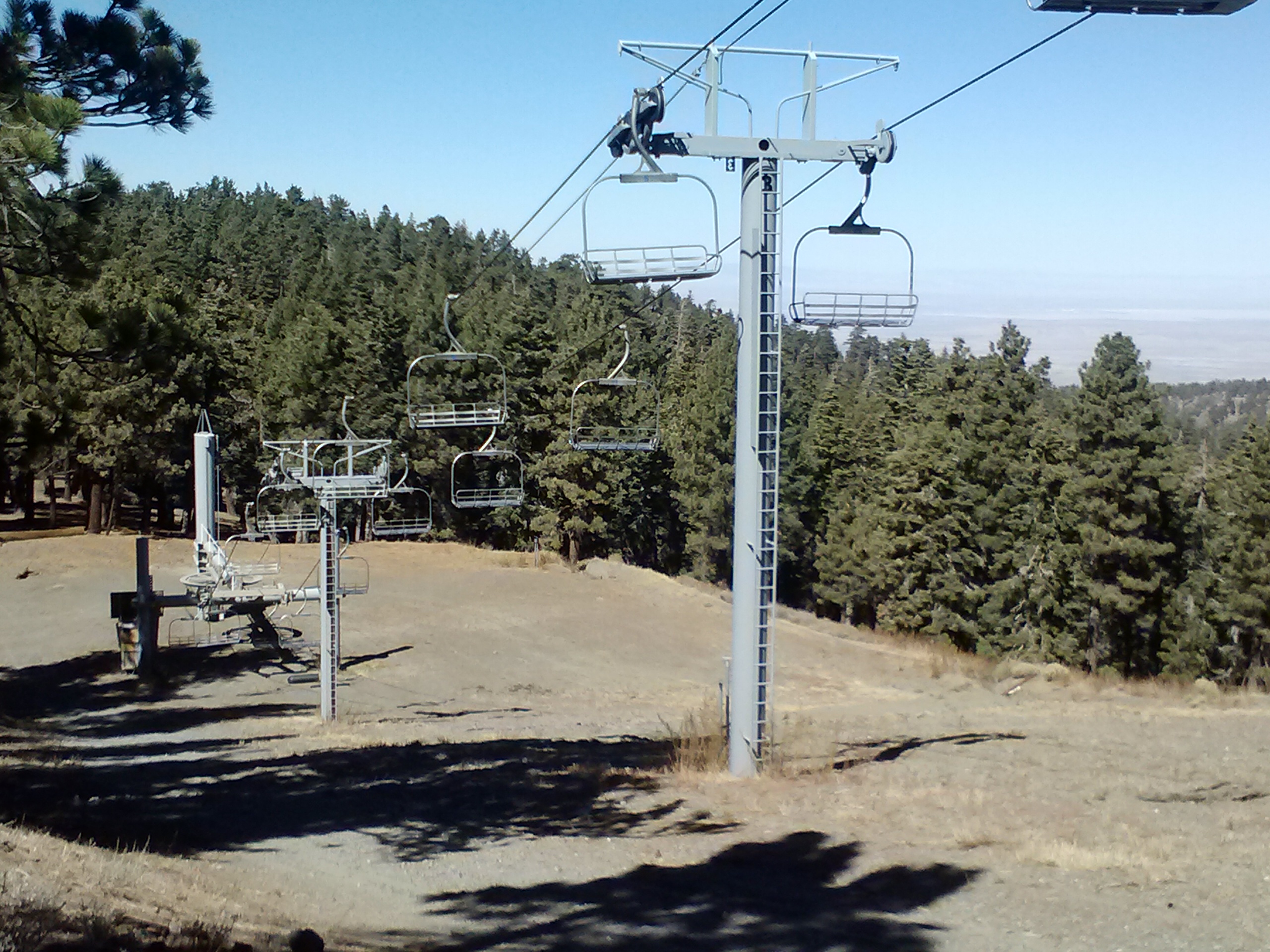
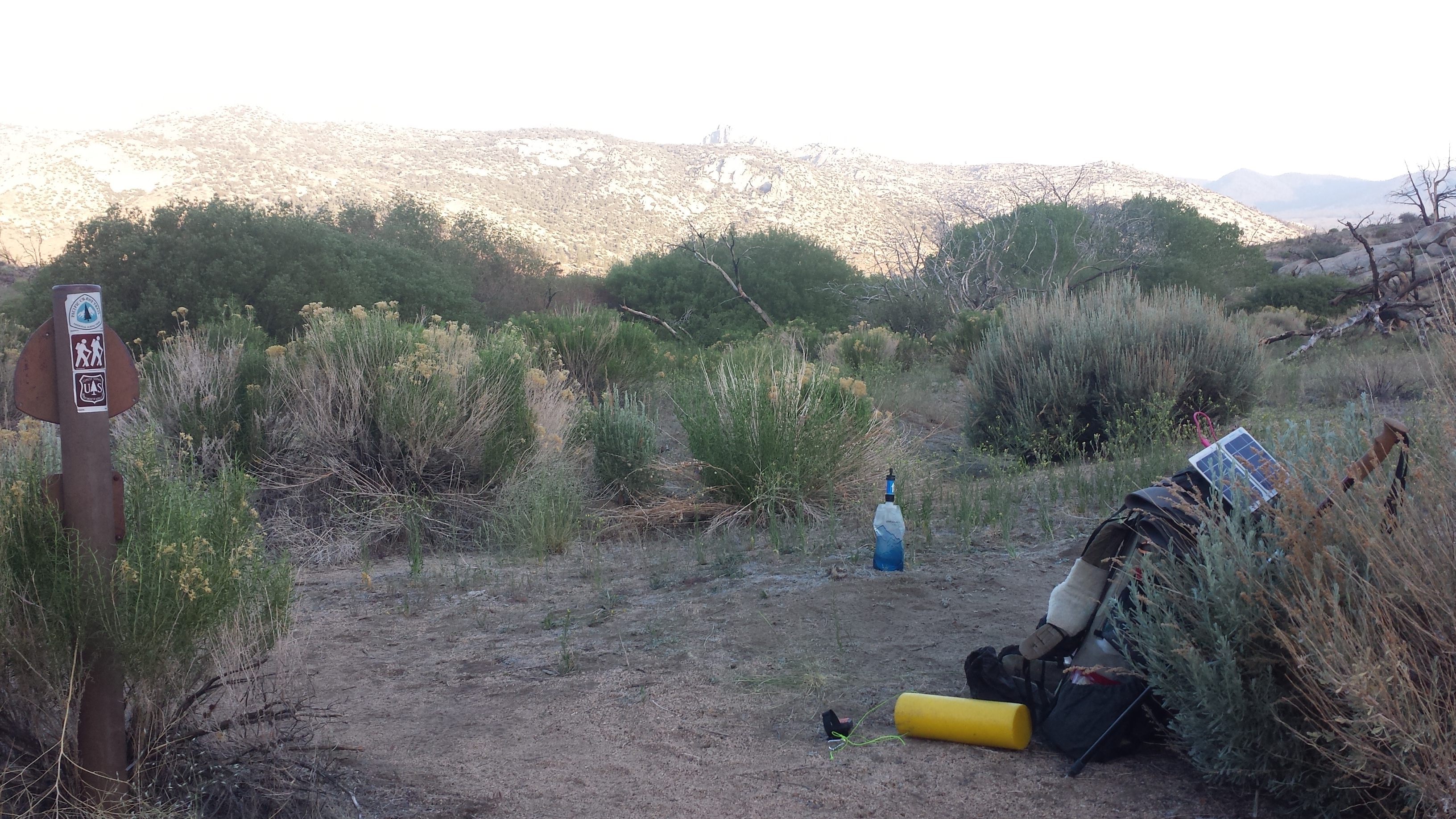
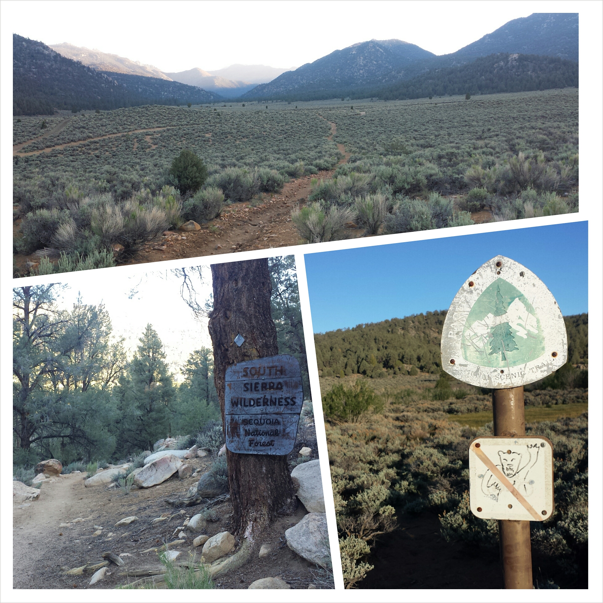
Landers Camp
May 25th, 2014- 22 miles, camping at Bird Spring Pass
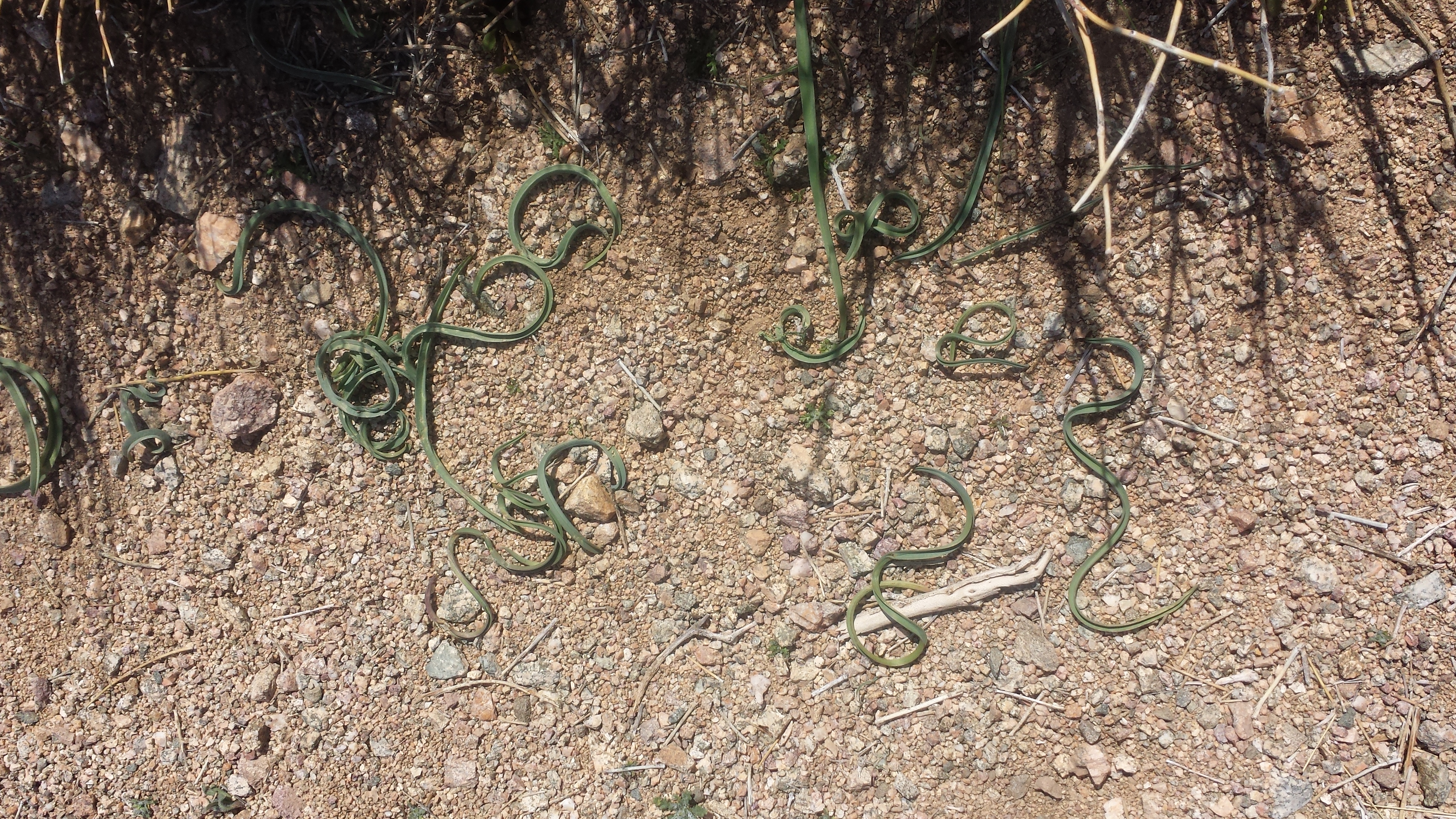
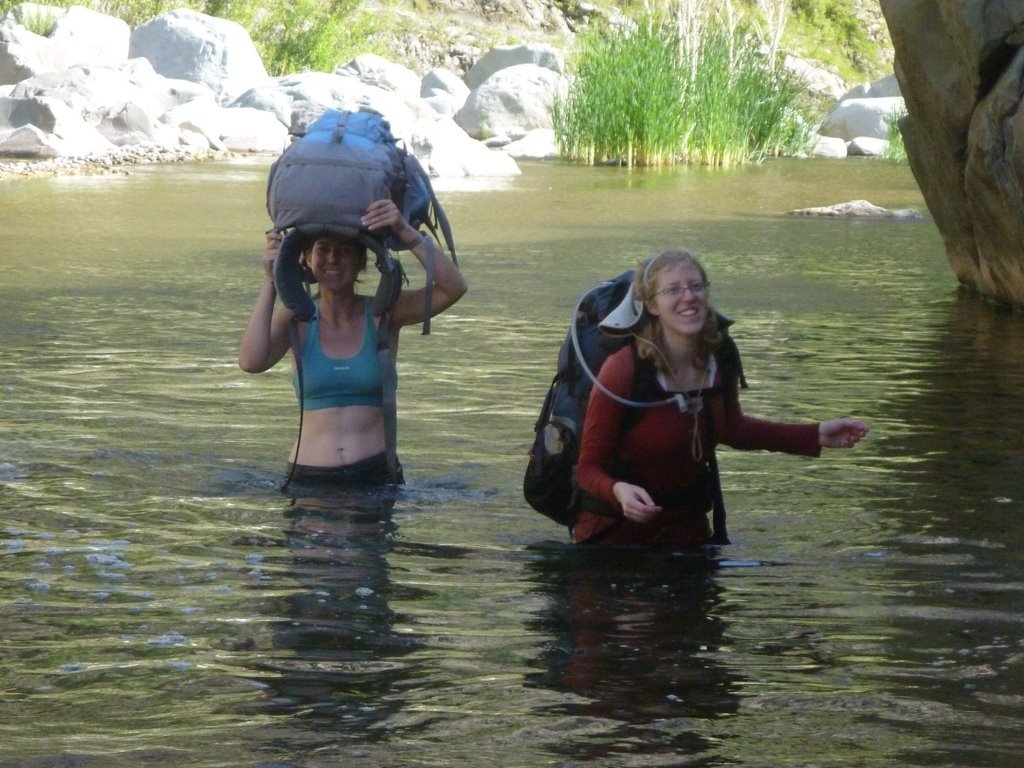
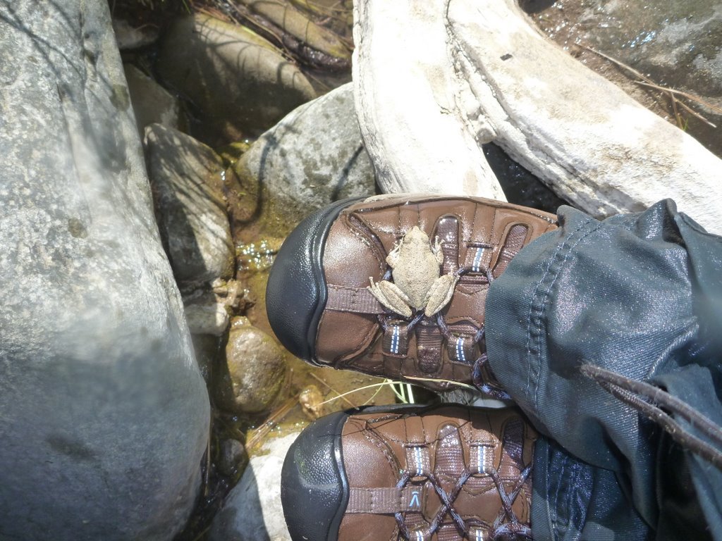
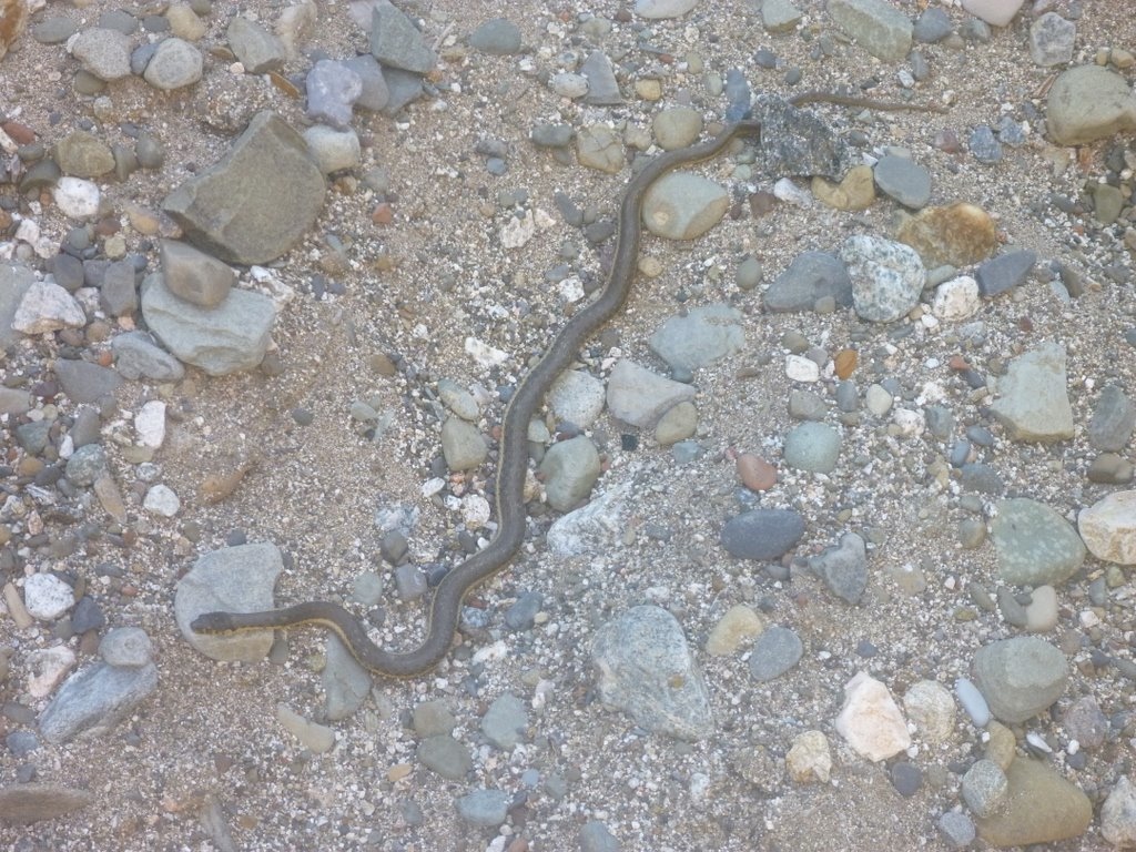
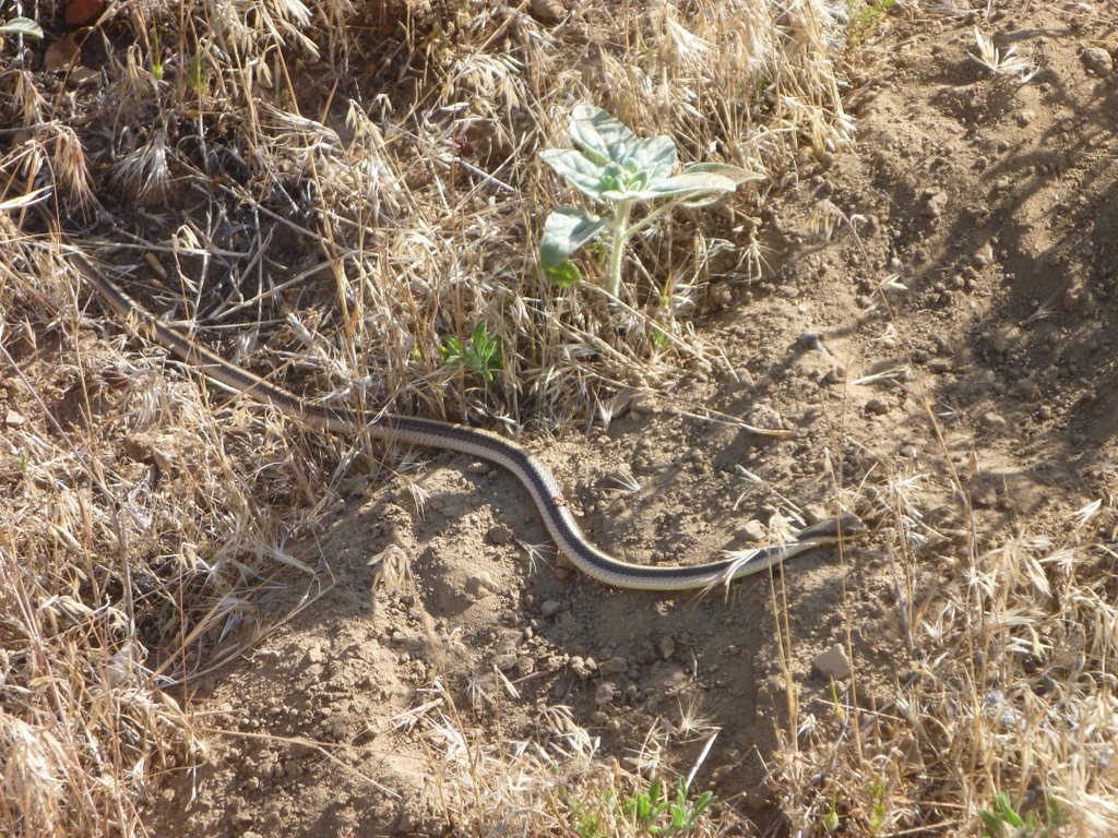
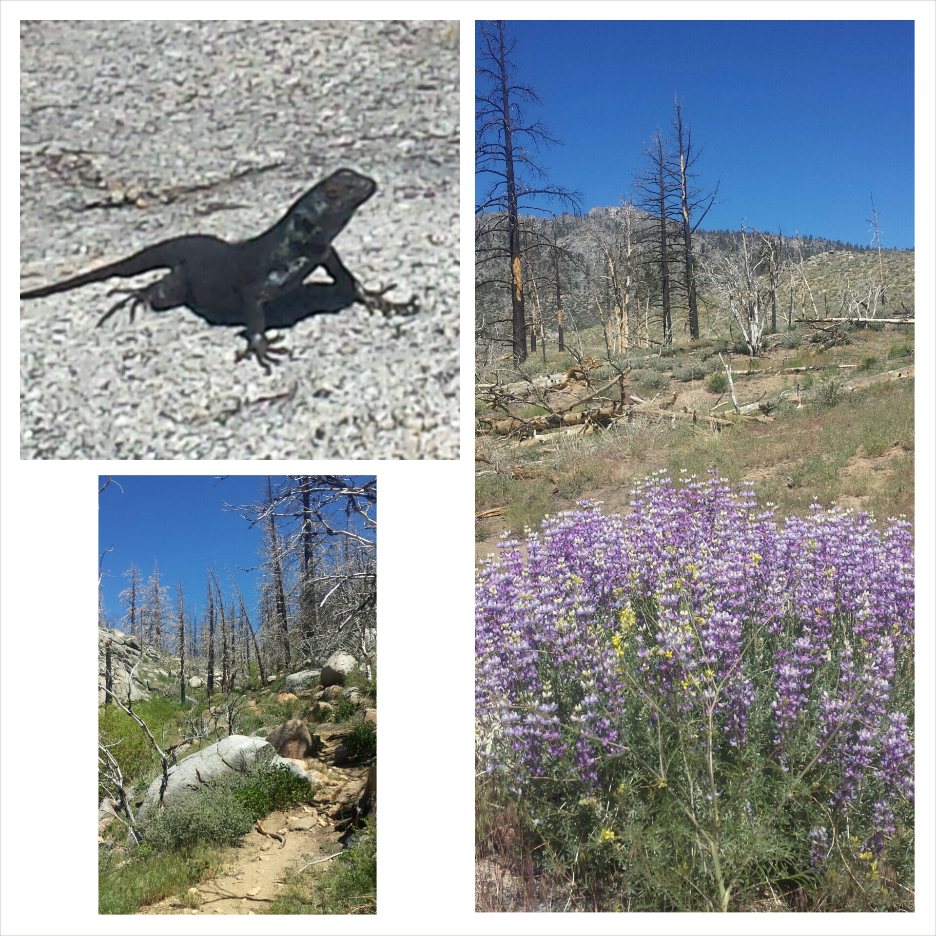
Ugh, what a hard day! It was easy flying down the mountain this morning. I met a solo hiker named Crusher (as in Wesley) while filling up water bottles, but he must’ve hiked fast because I didn’t see him again all day. I met a few hikers all traveling together: Duchess, Owen, and Booey. I almost stepped on a little rattlesnake; it’s the first one I’ve seen on the PCT!
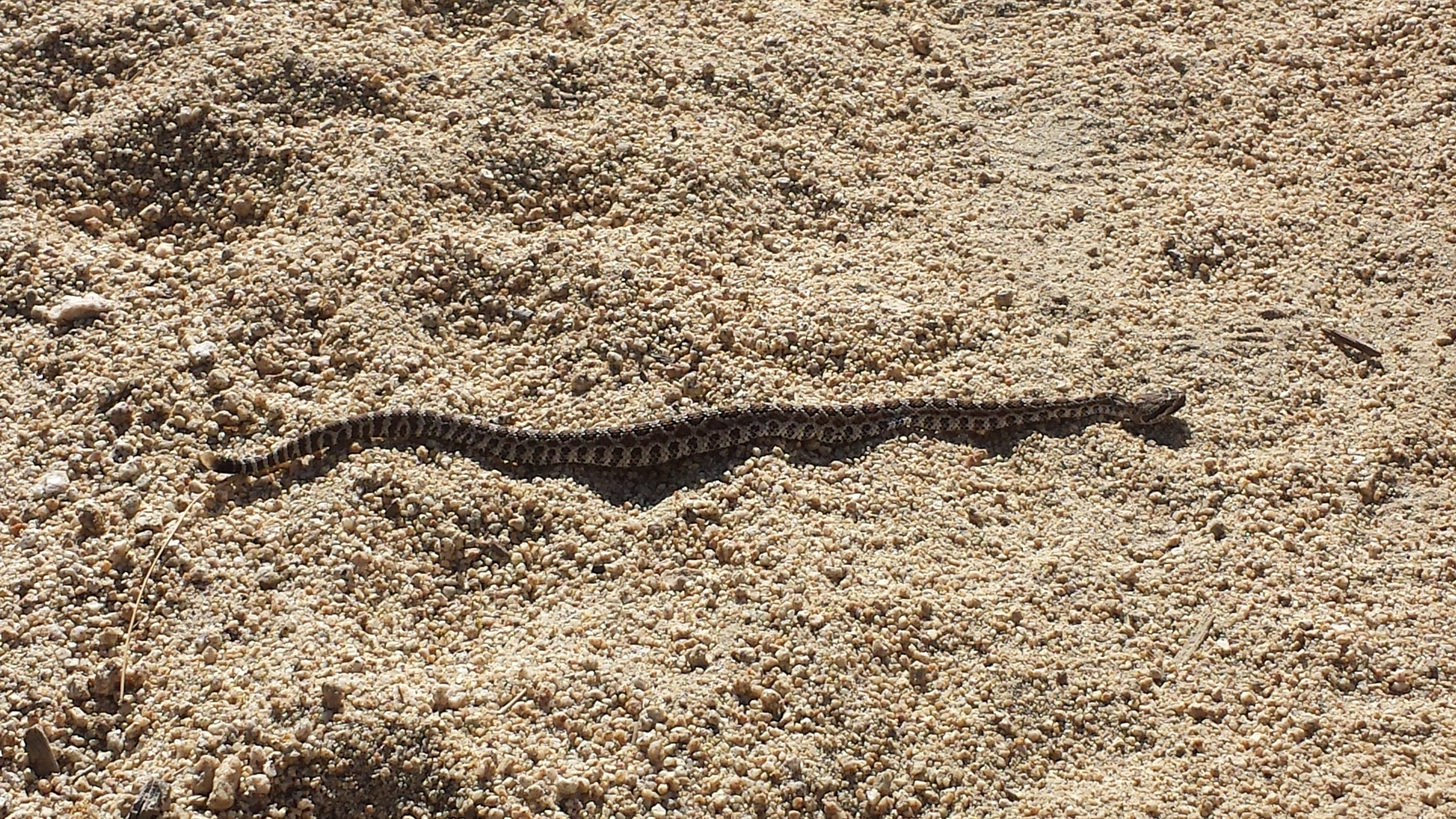
A little rattlesnake
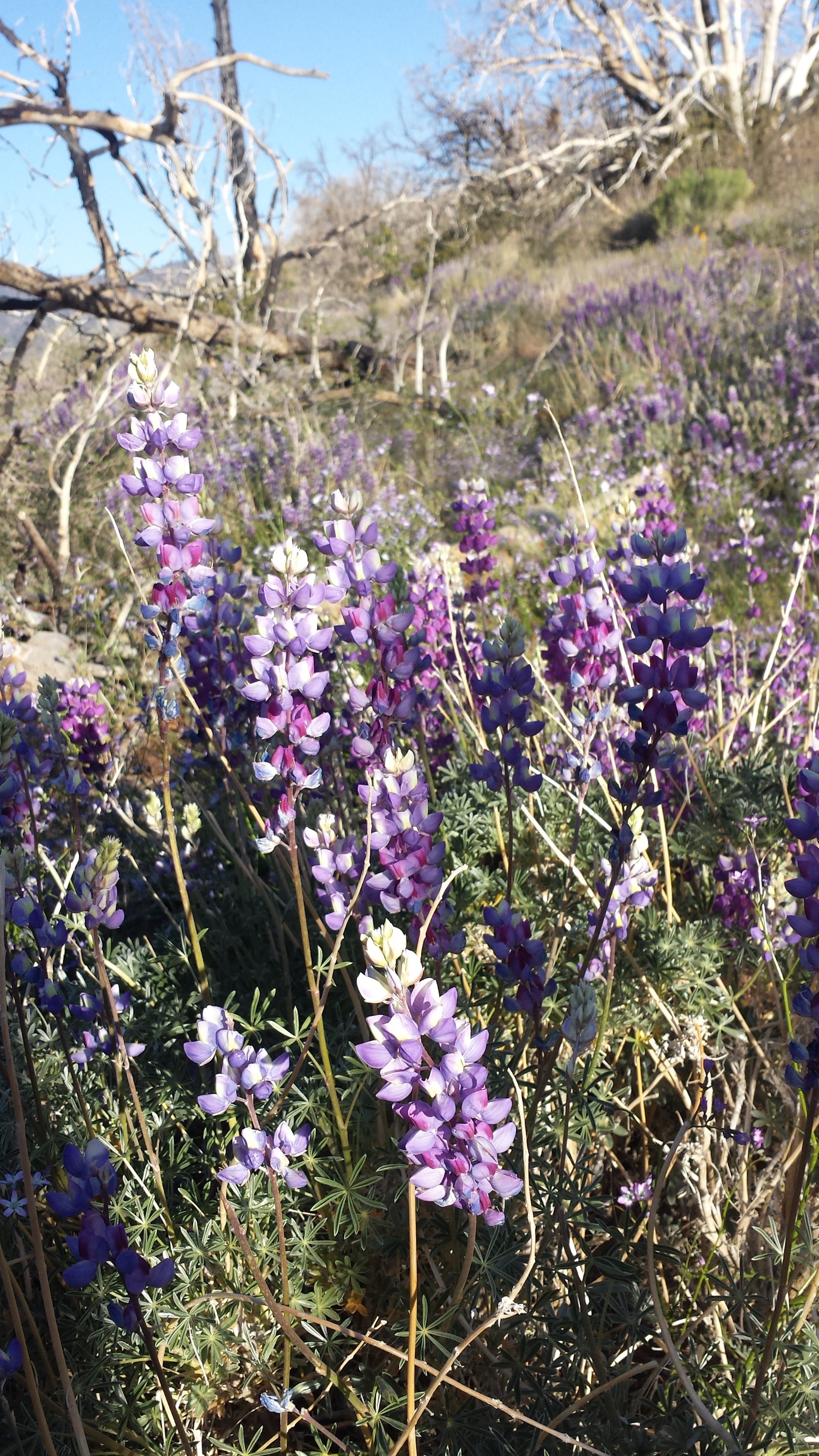
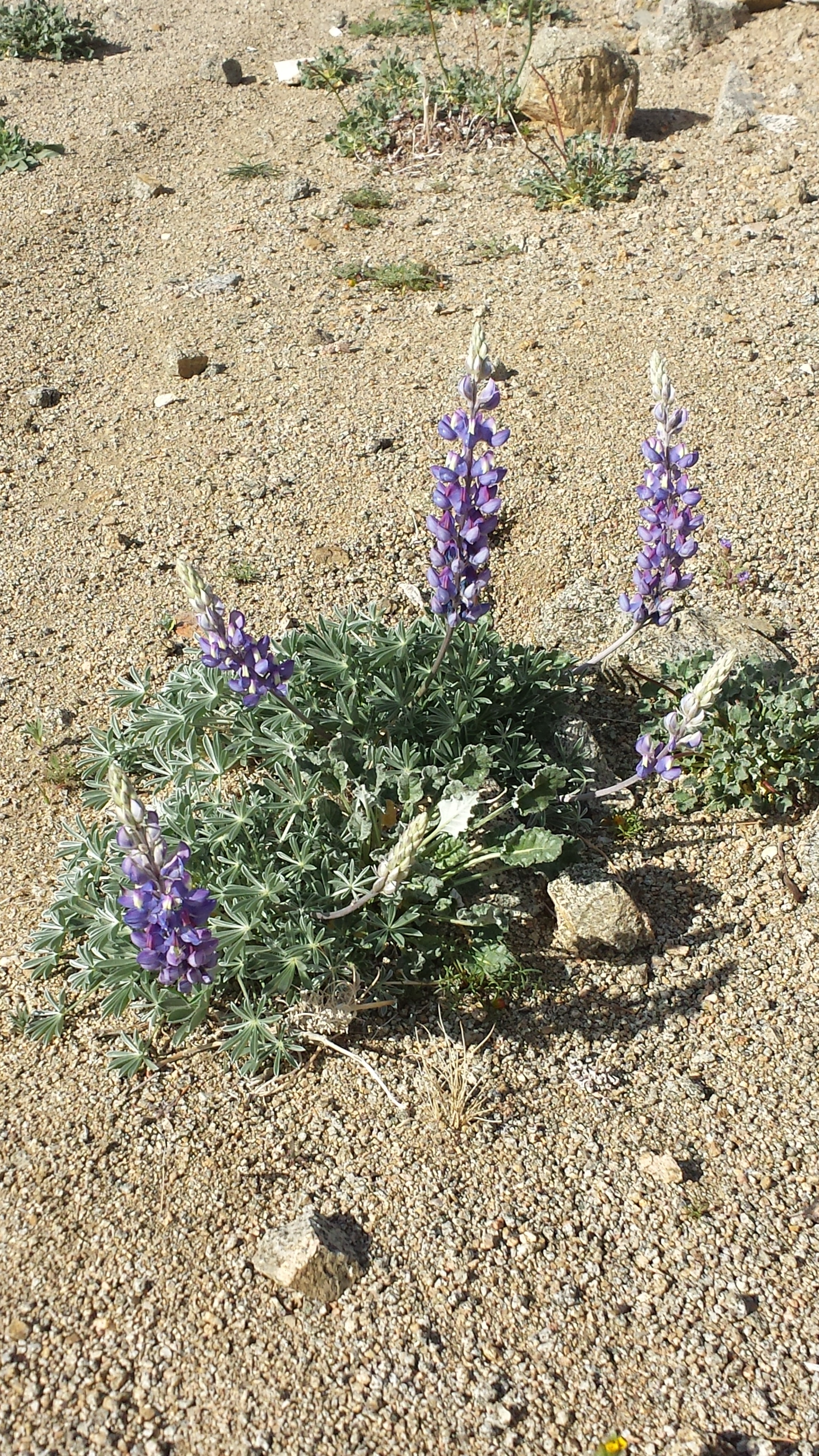
Lupin wildflowers
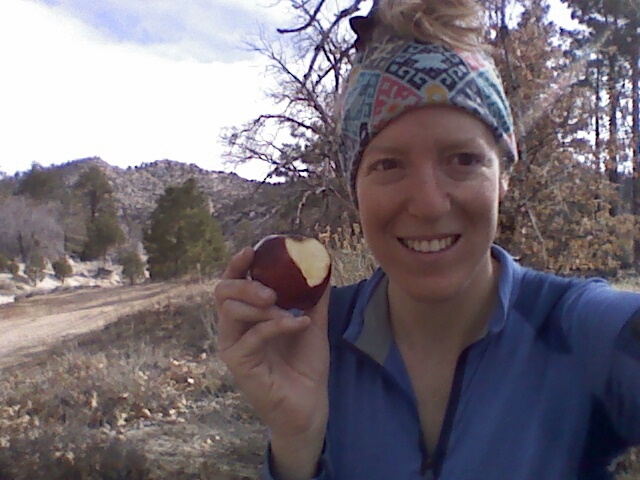
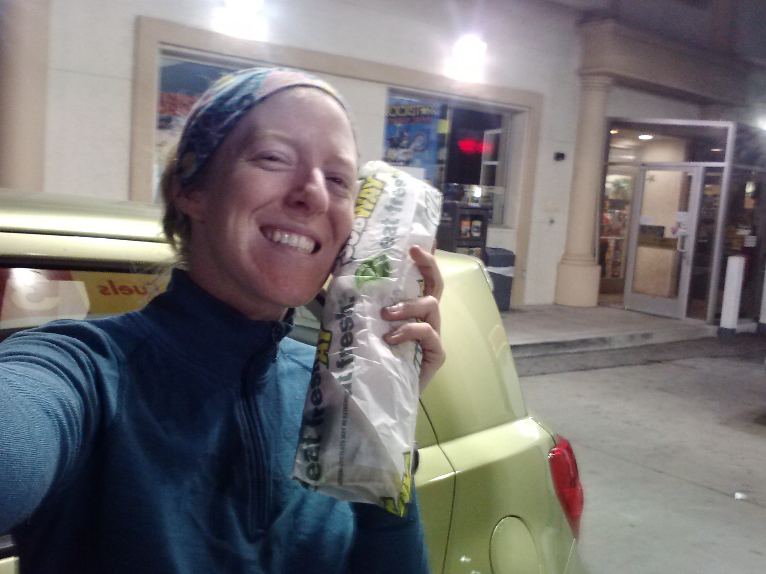
Arriving at Kelso Valley Road, I found an awesome note from Carlos attached to one of my cached water bottles. *Thanks, ‘Los!* There was also some great trail magic offered by the husband of another PCT hiker. He gave me a blue Gatorade and a twinkie. I’m pretty sure I’ve never had Gatorade before in my life and I definitely haven’t had a twinkie since I was 11 years old. They were both delicious! He gave Booey a Subway sandwich!!!
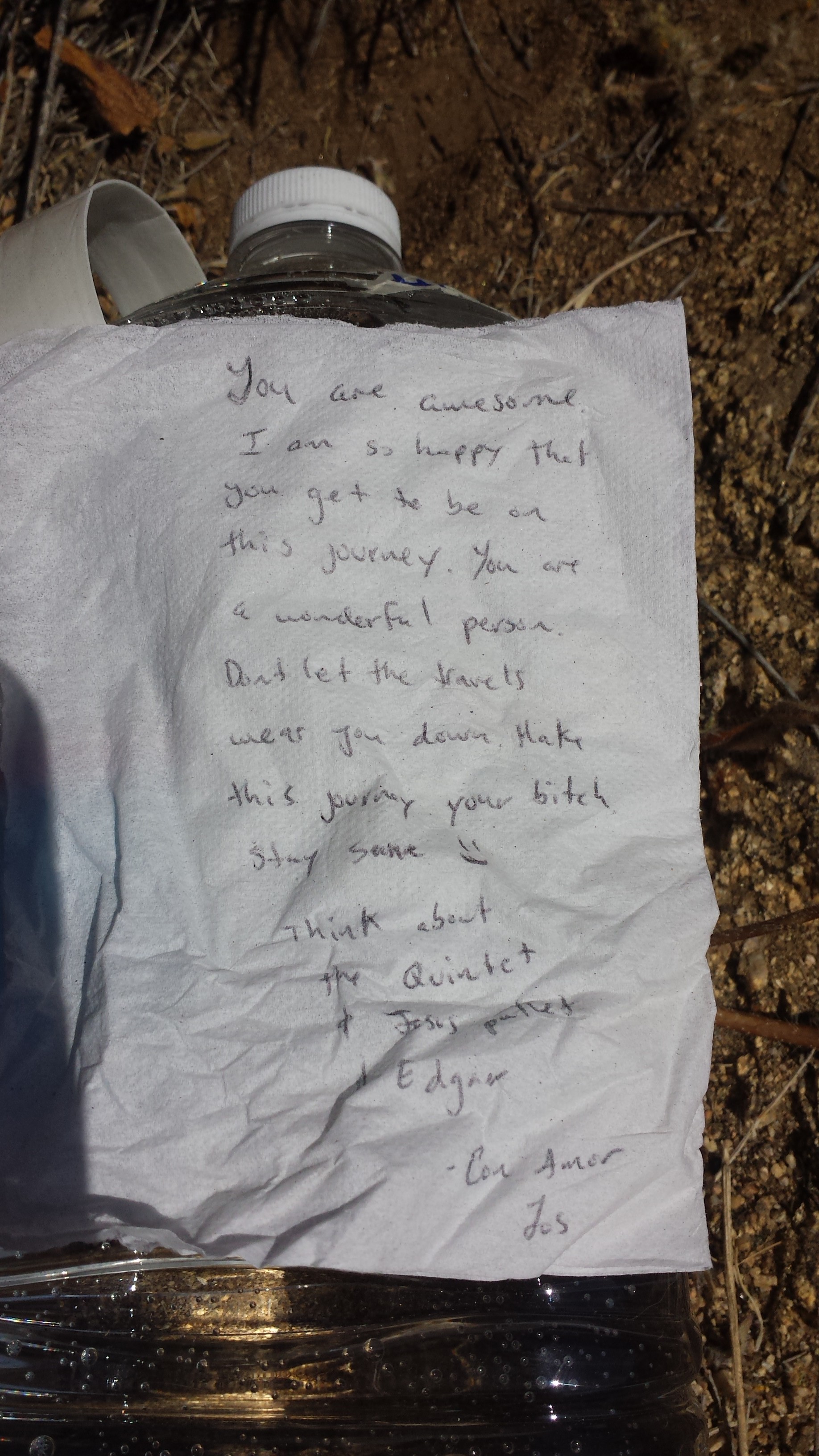
Love note from Carlos 🙂
Kelso Valley Road Trail Magic
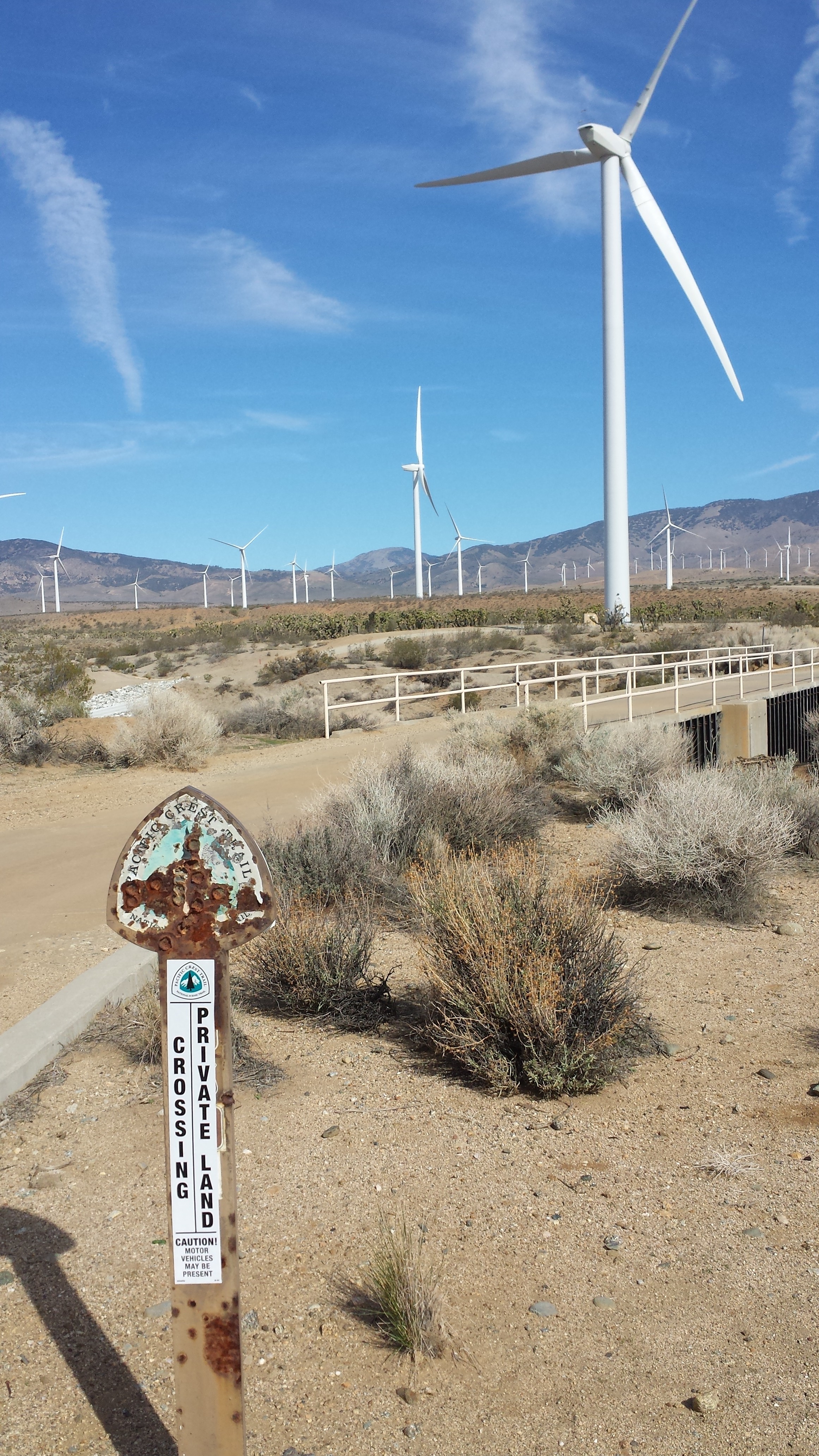
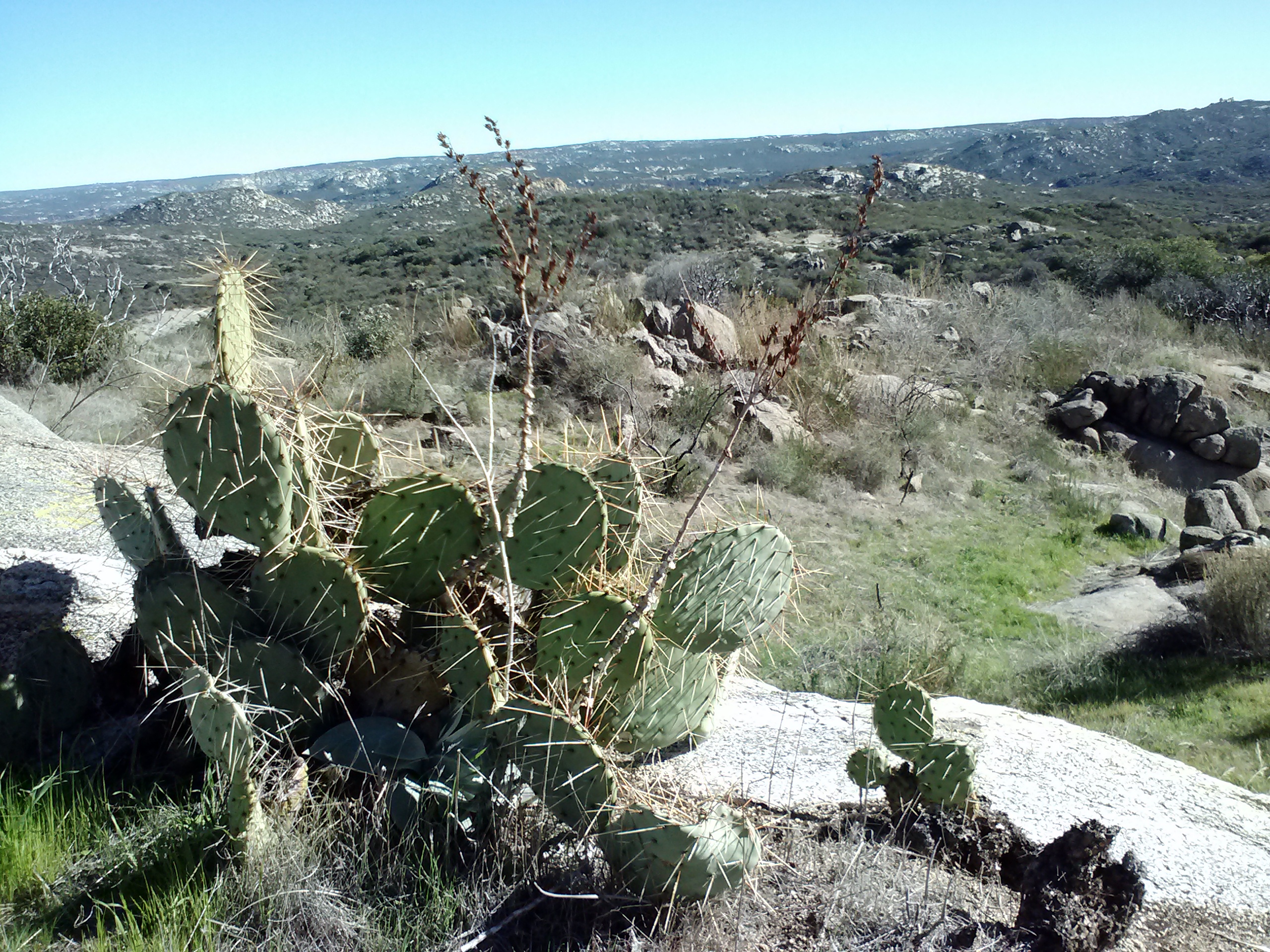
After refilling my water bottles, I was moving slow through the heat and the uphill, sandy trail. I loved being in the desert again; the wide open spaces, Joshua Trees, and barren mountains are beautiful. Unfortunately, I wasn’t doing well with the exertion and elevation. I was nauseous and crampy for the rest of the day until I stopped to set up camp.
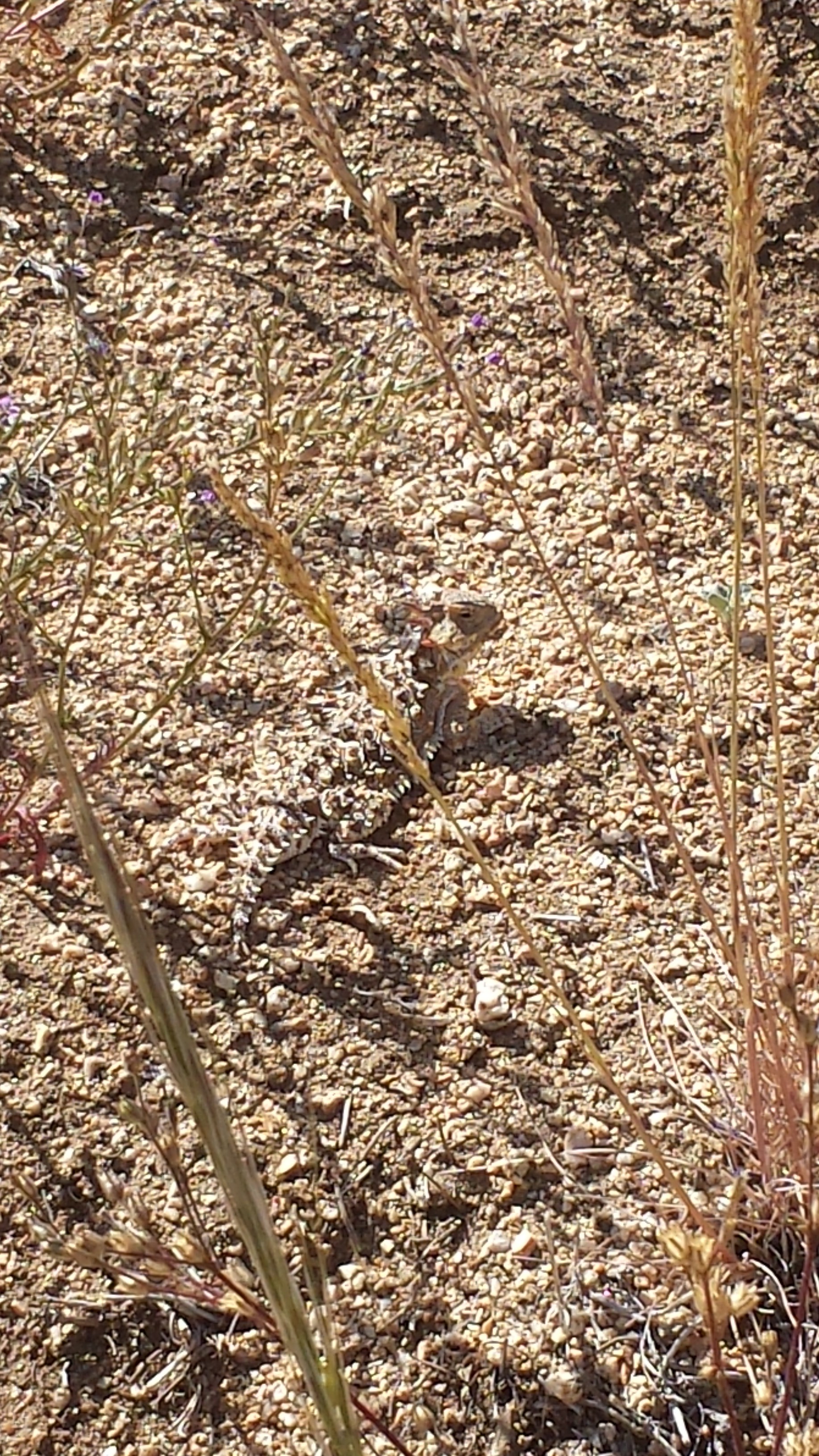
Find the horny toad!
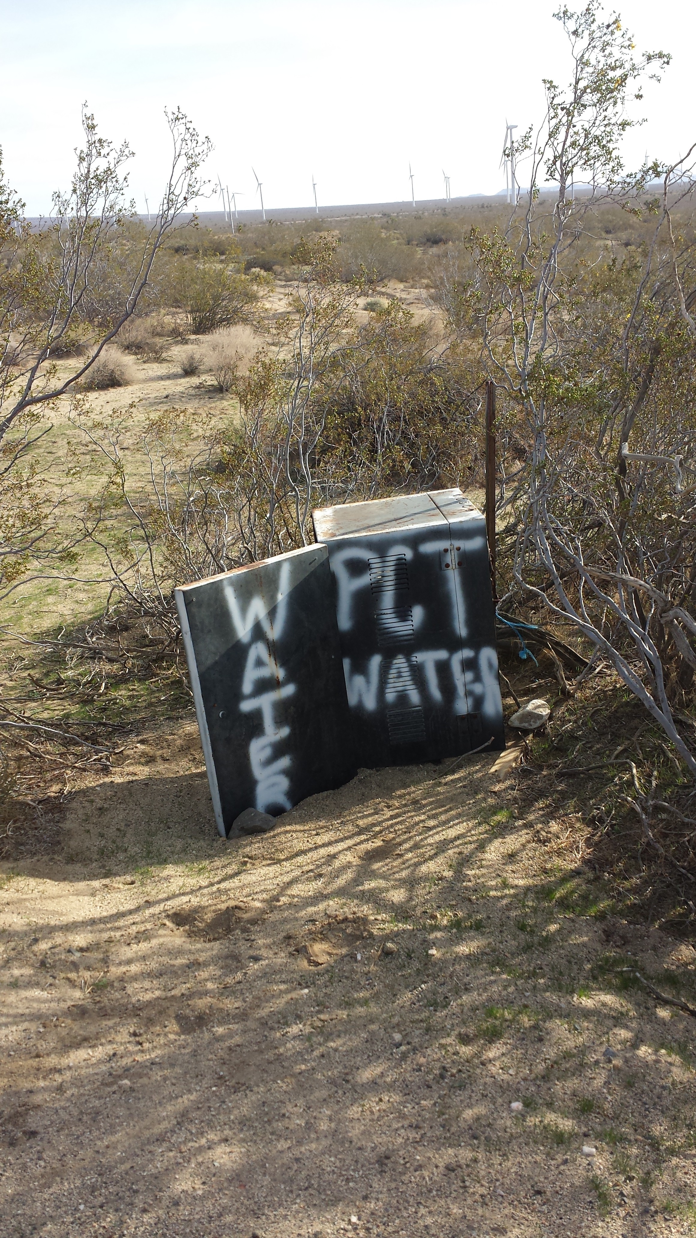
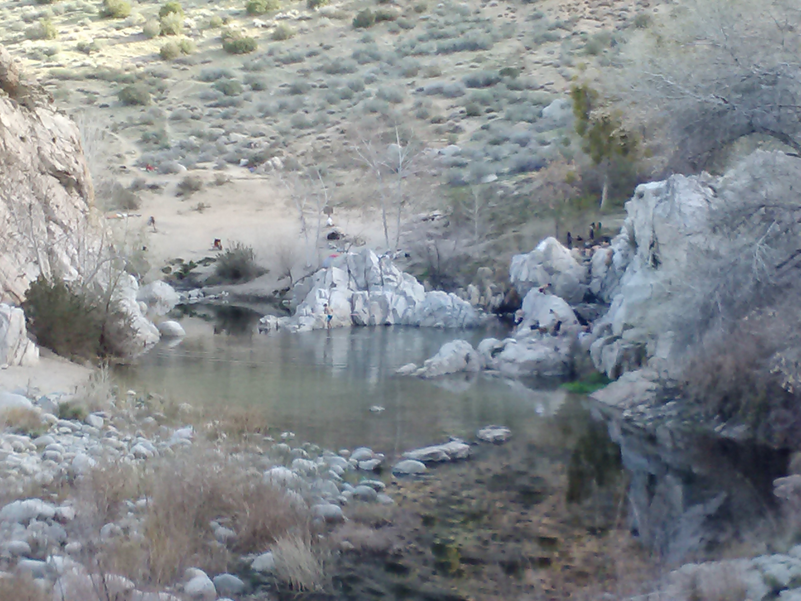
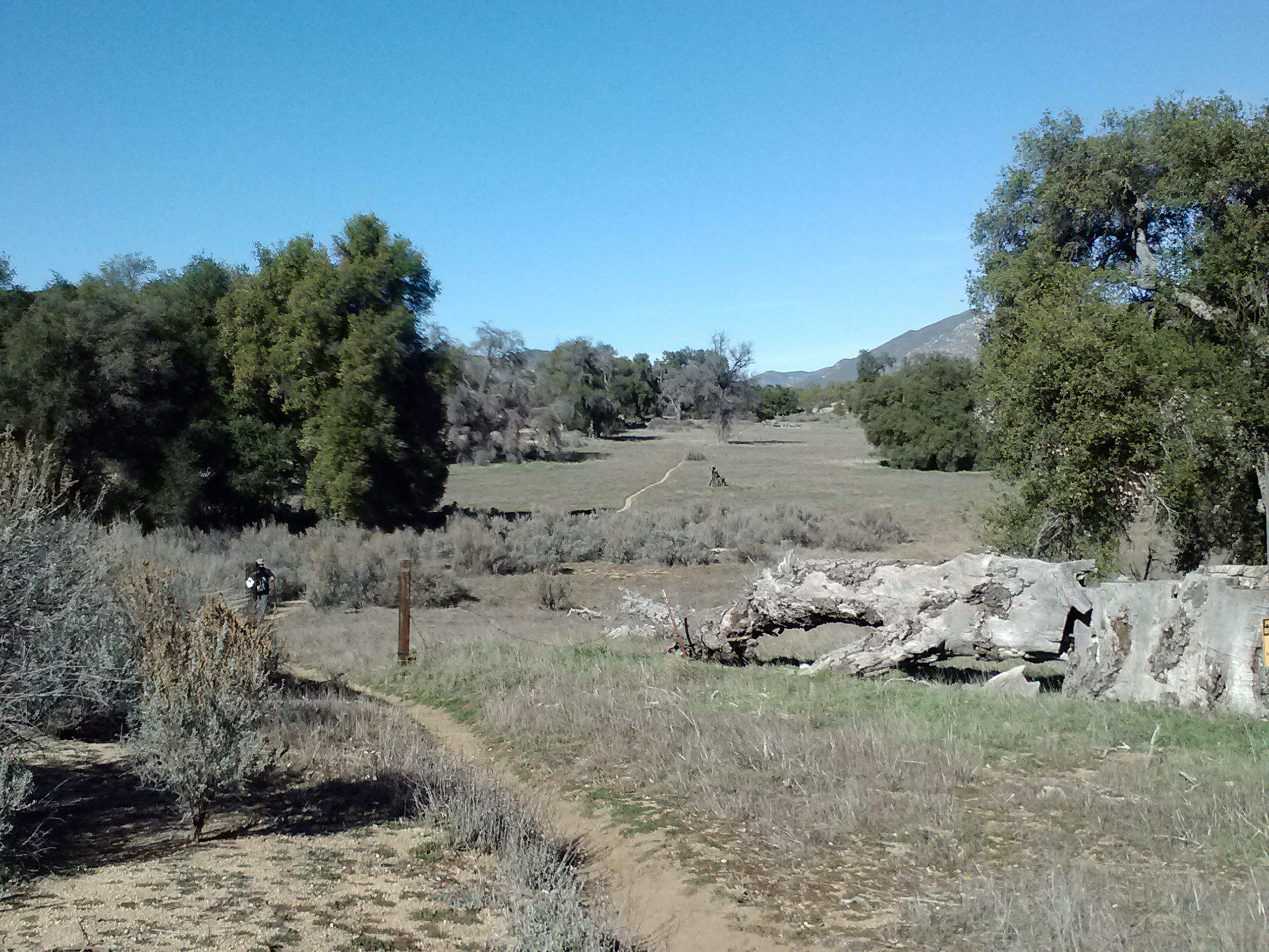
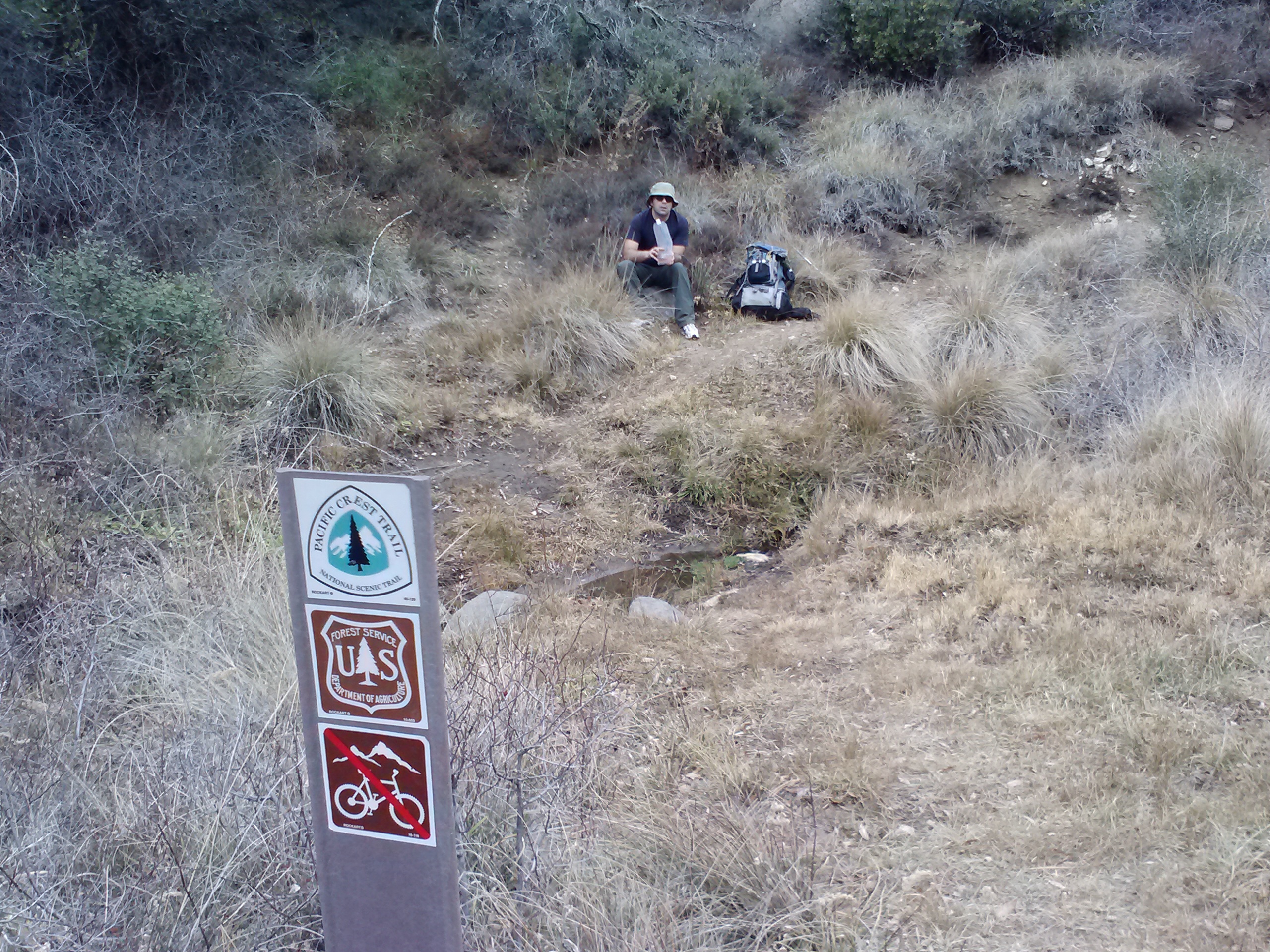
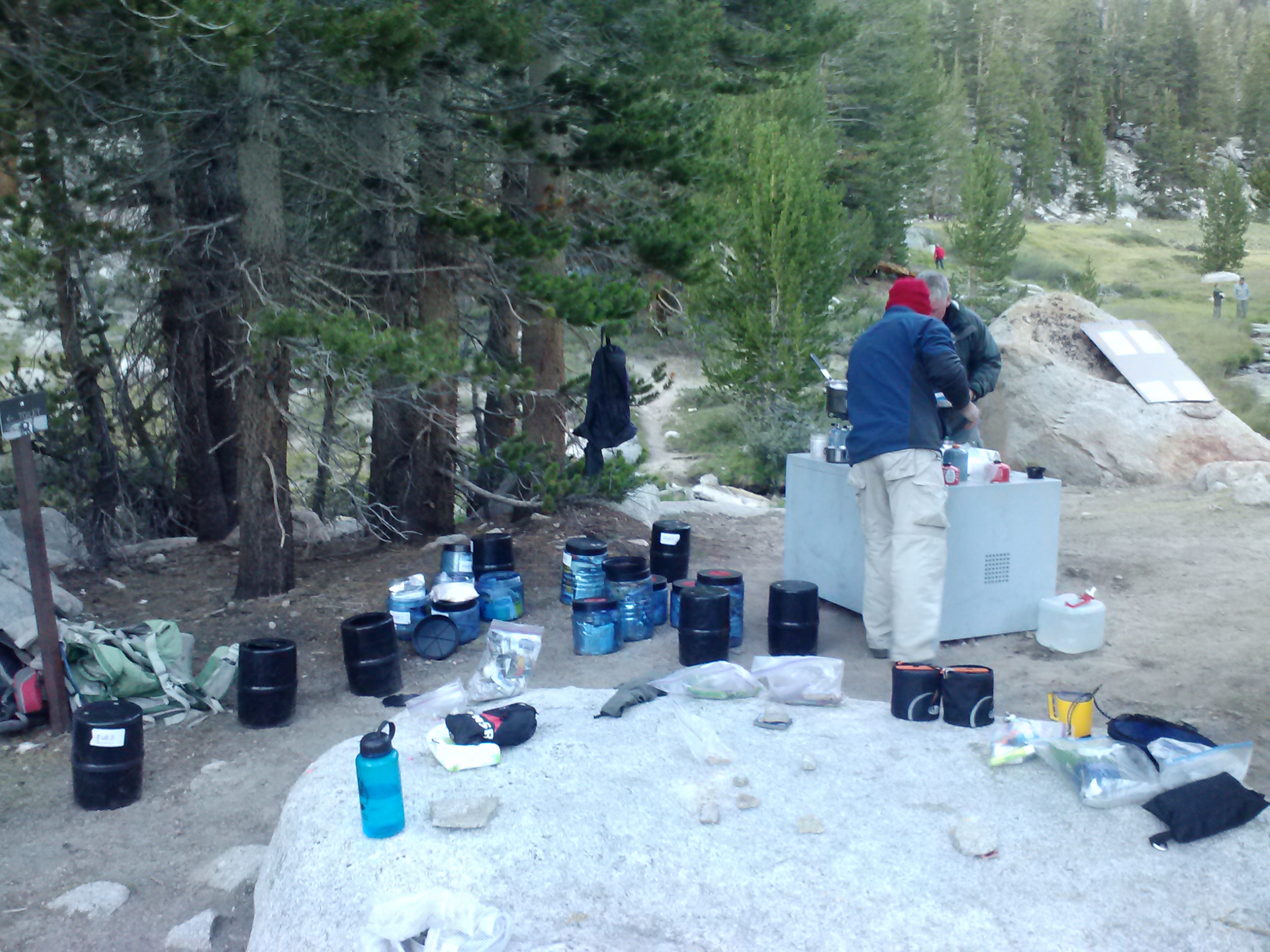
I leapfrogged with Booey and Duchess throughout the day and camped at the Bird Spring Pass Cache with them and maybe 5 other PCT hikers, including a couple young solo hikers called Clint Westwood and Red Light. They’re all a lot of fun to be around and hope to maybe stick near them, but I’m not sure I can jump back on the trail after two months and keep up with them. Bird Spring Pass doesn’t usually have water, but some generous PCT family member donated 85 gallons of water and cached it here. Another lesson in gratitude presented by the PCT! ♡
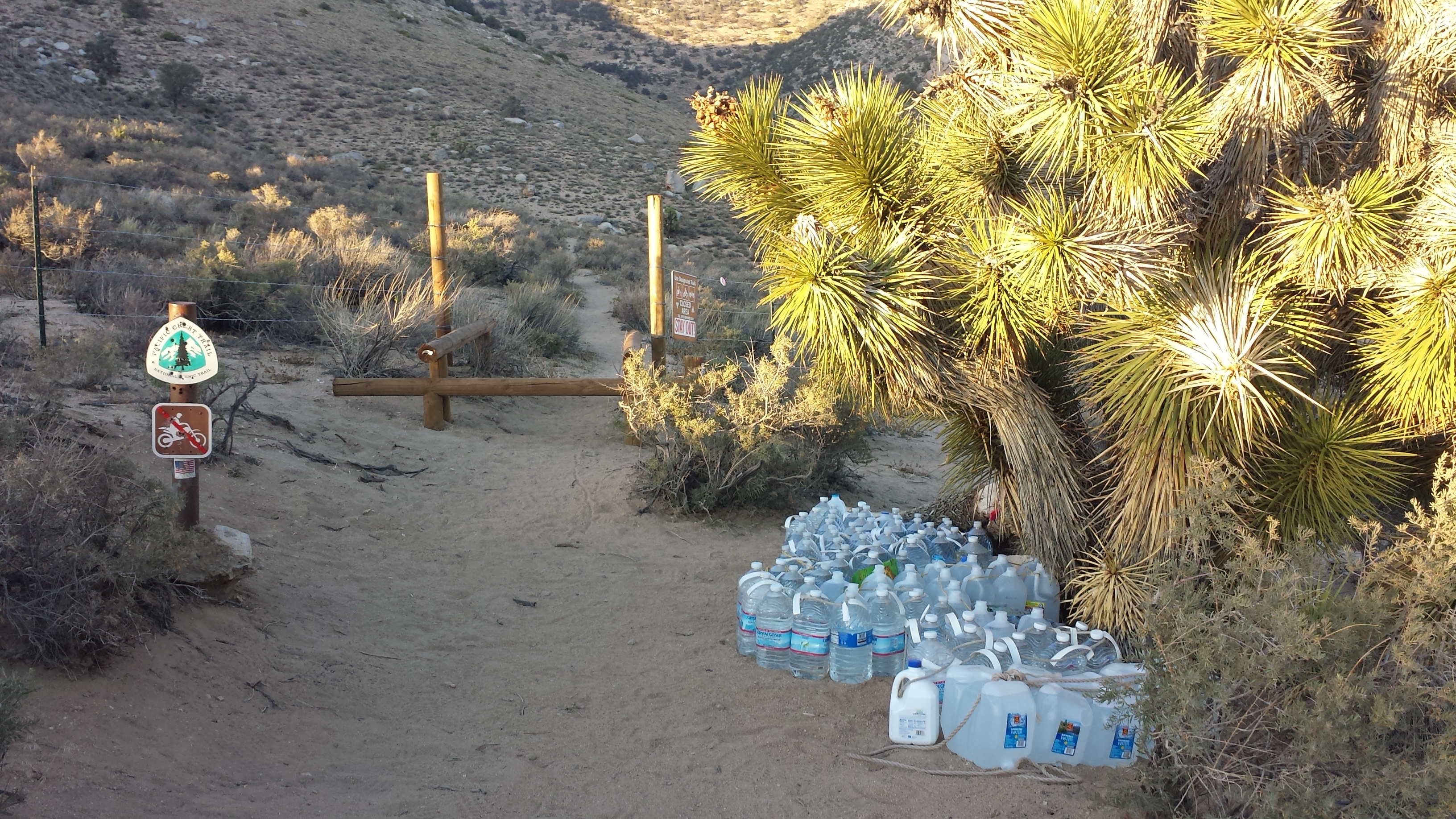
85 gallons at Bird Spring Pass
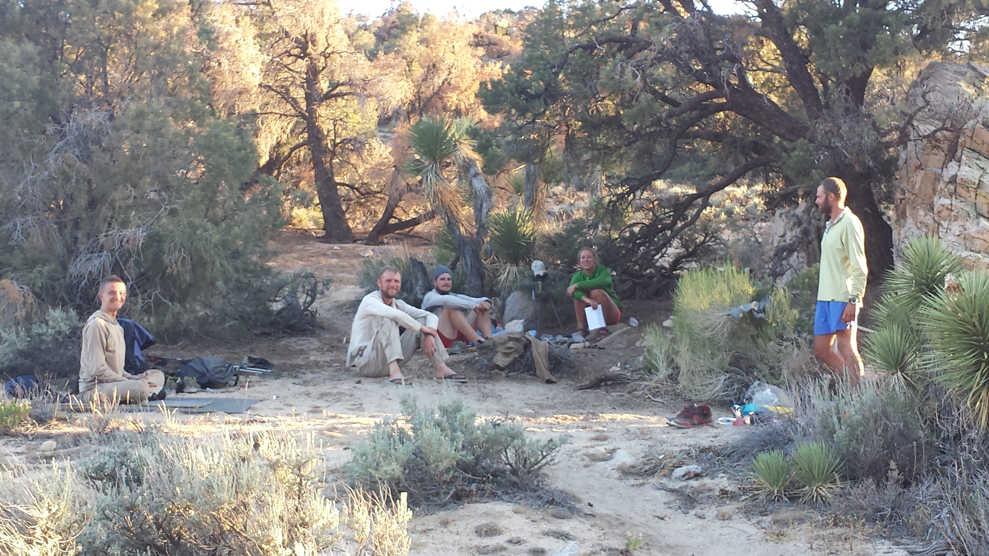
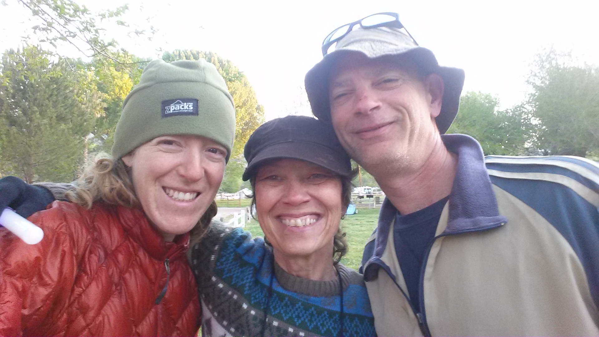
(L -> R) Clint Westwood, Owen, Duchess, Miss America, and Booey
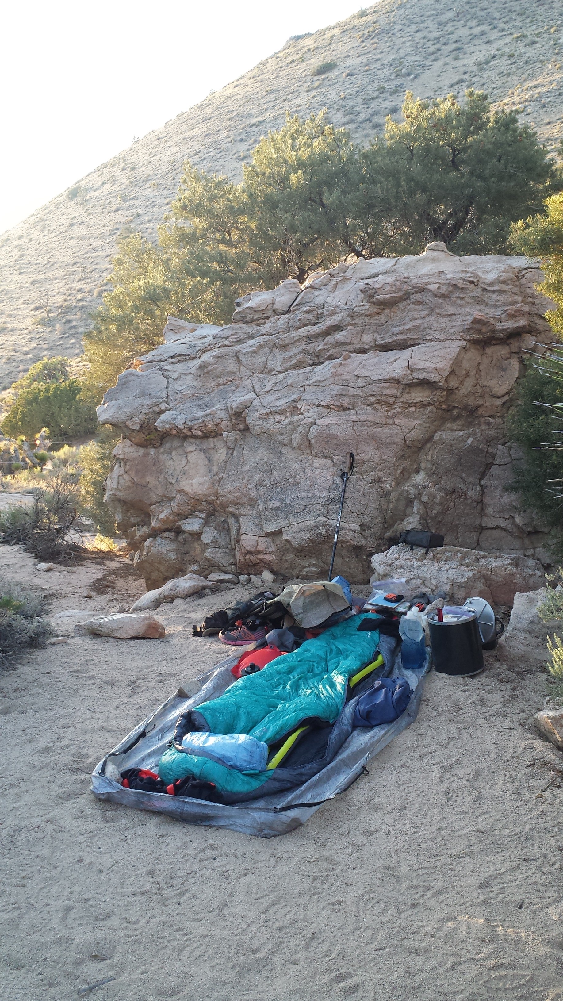
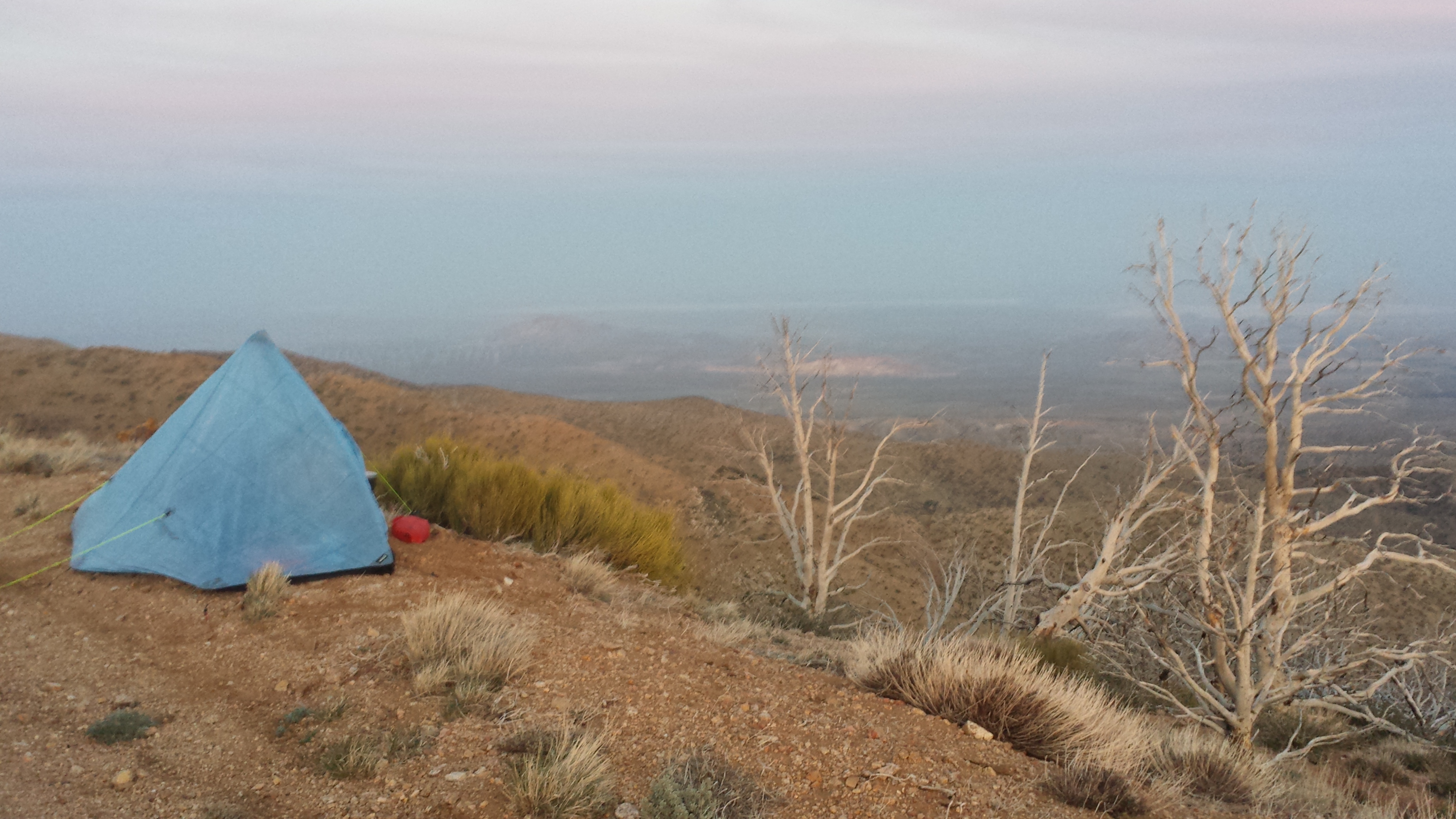
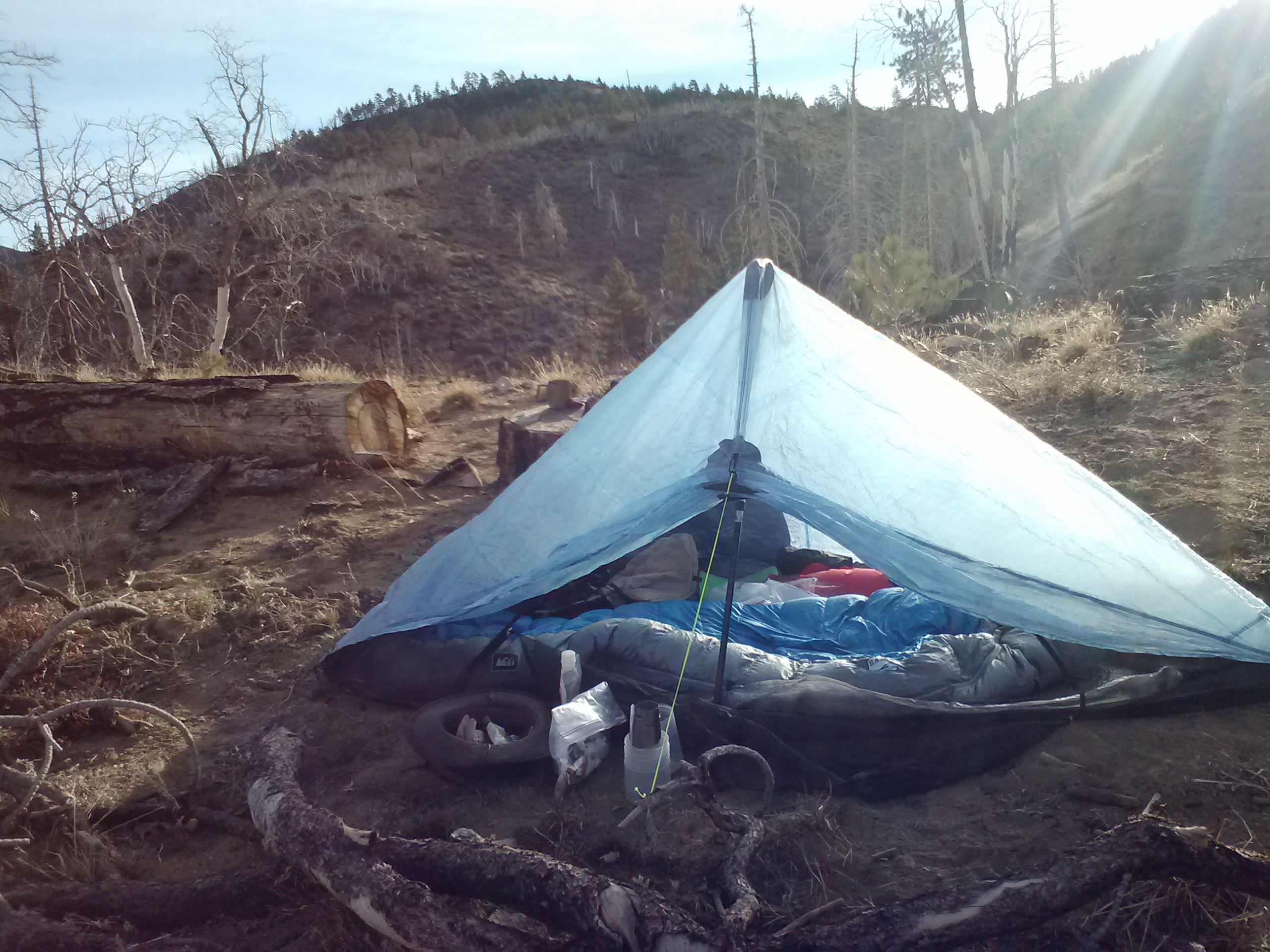
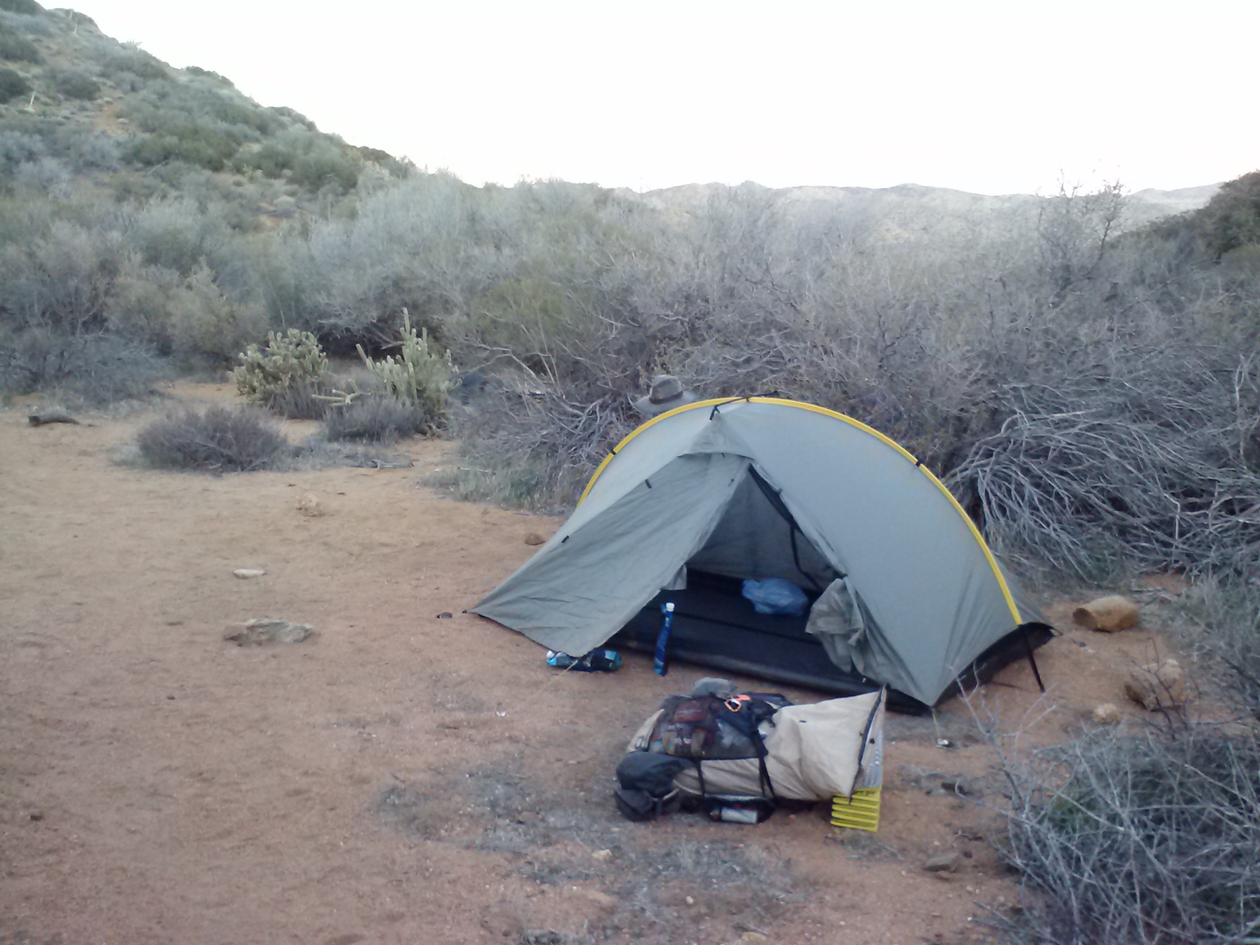
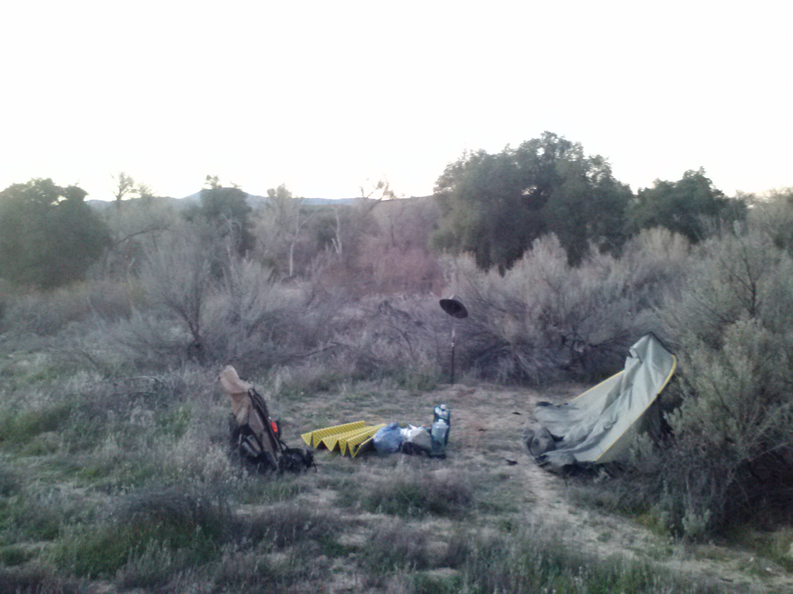
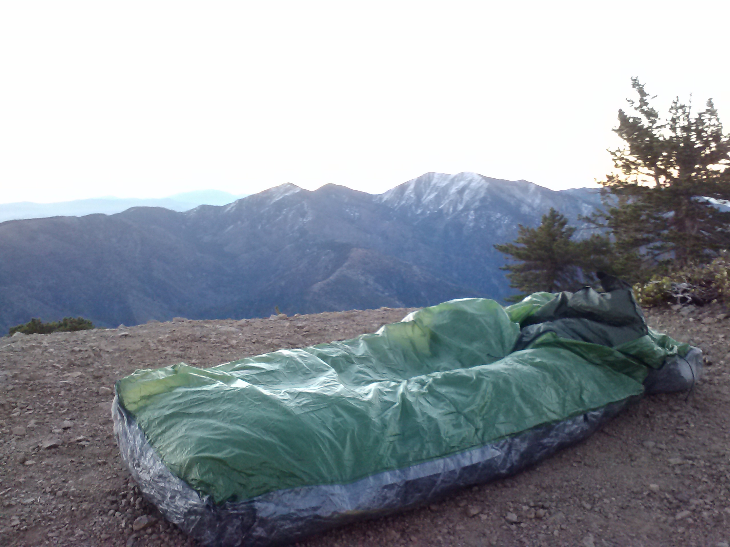
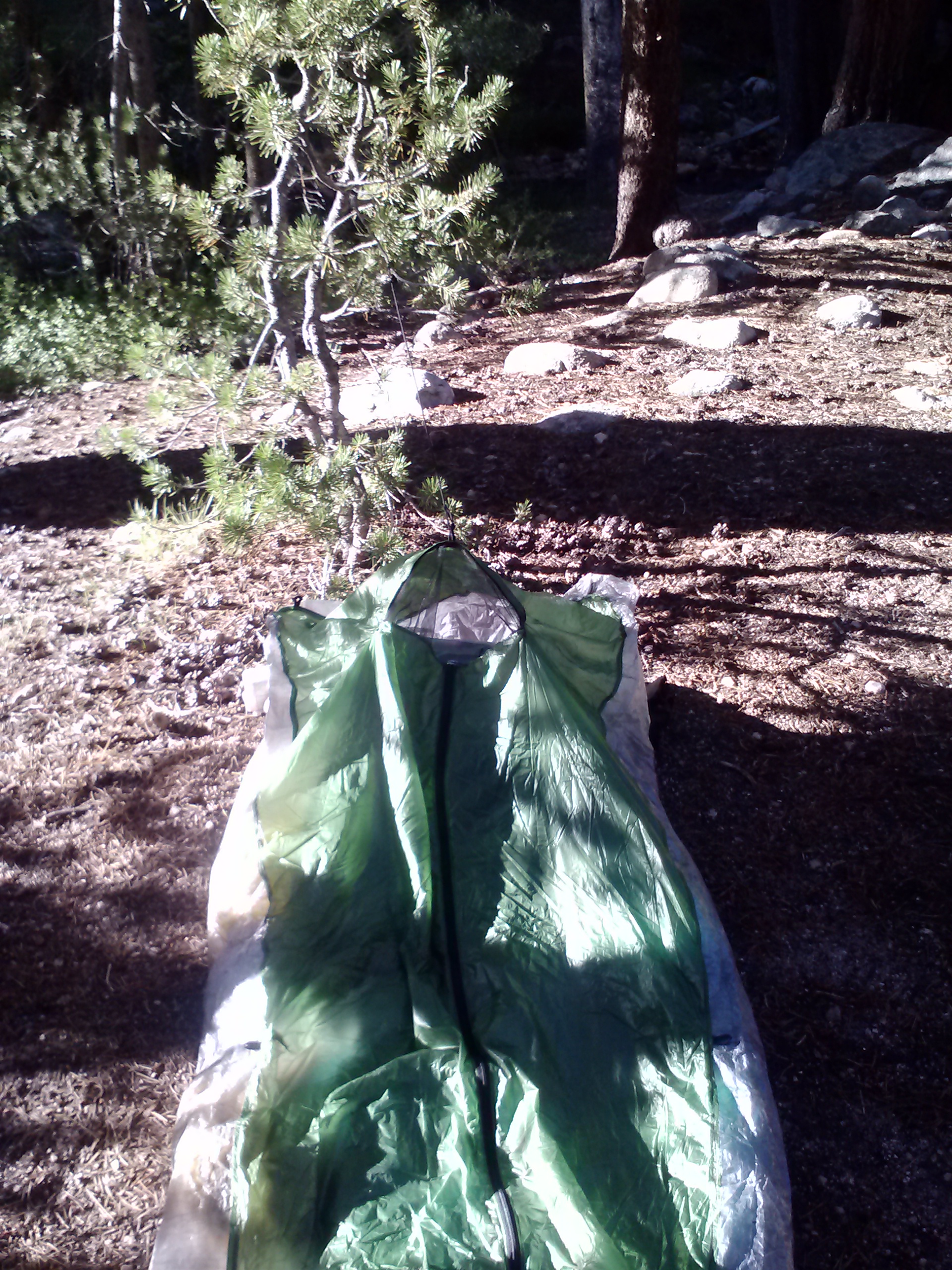
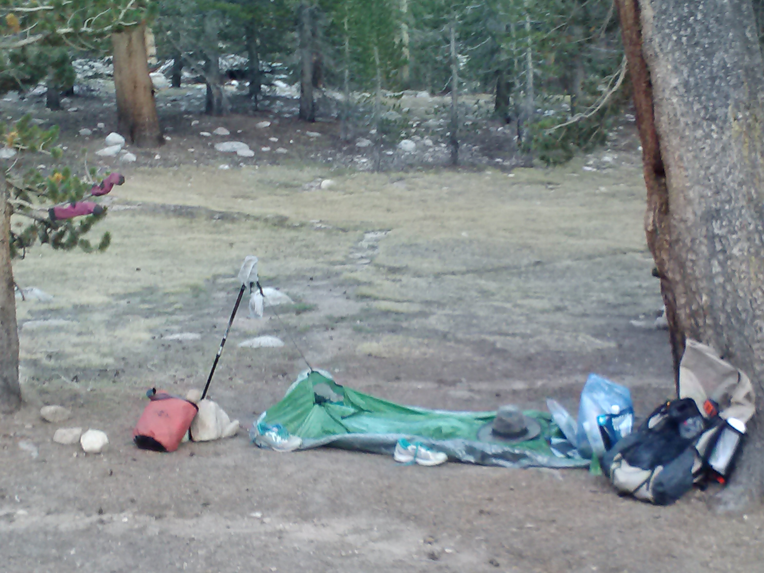
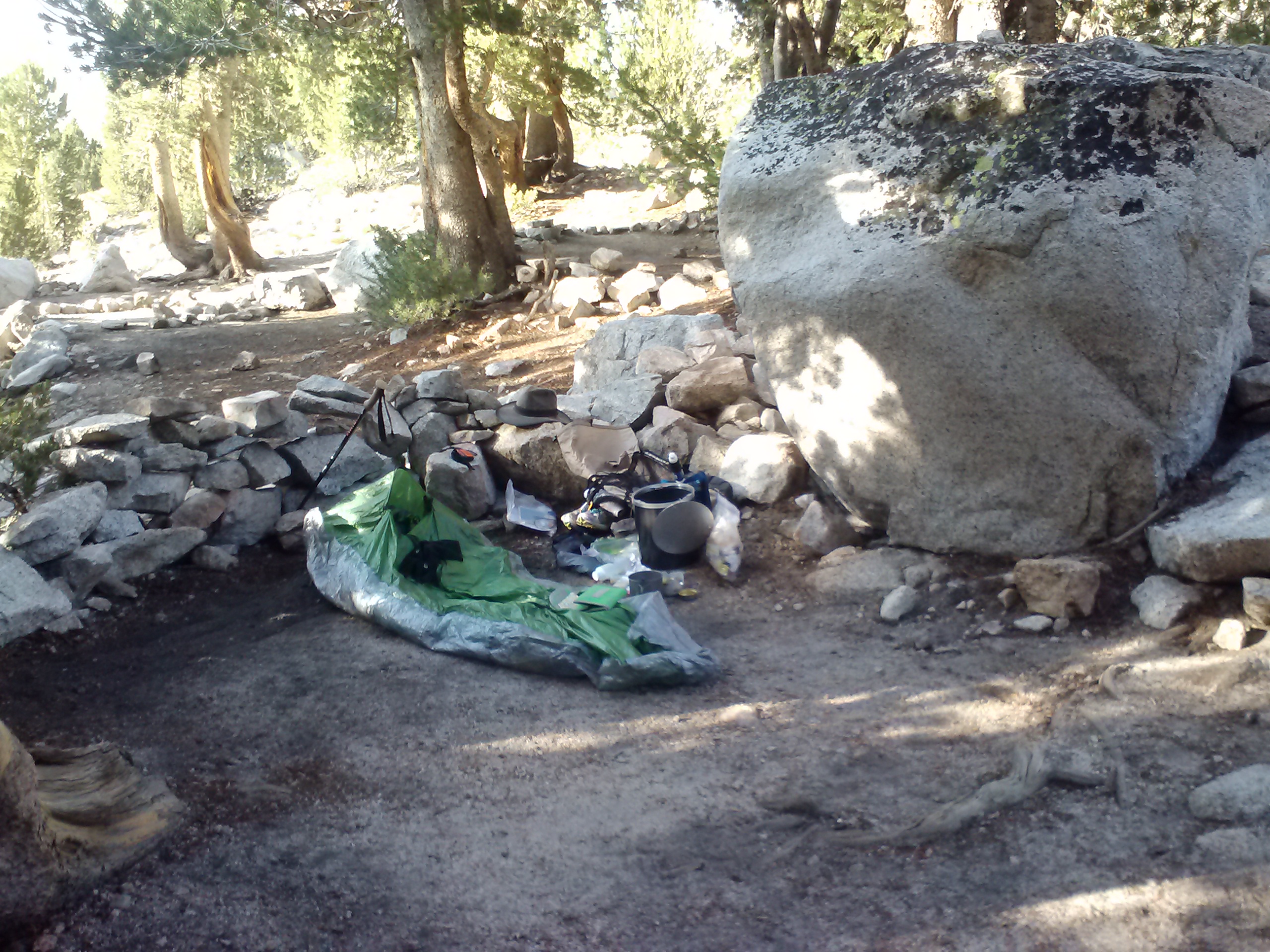
Cowboy camping at Bird Spring Pass
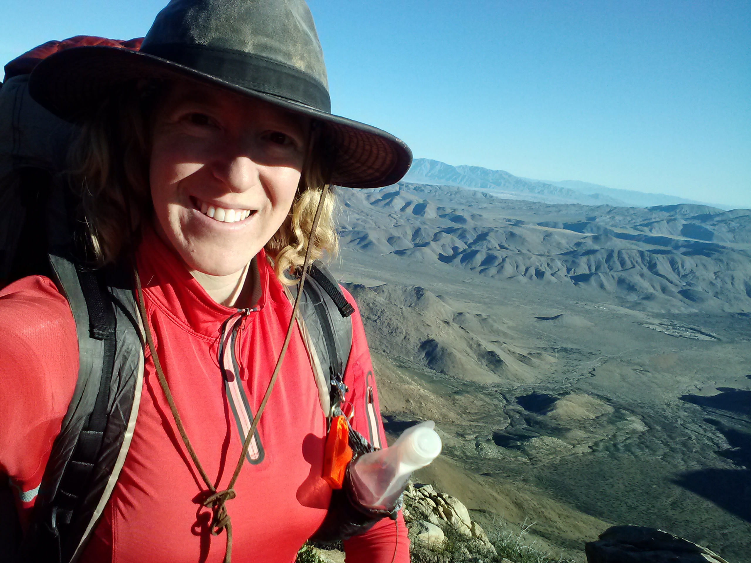
May 26th, 2014- 20 miles, camping at Walker Pass Campground
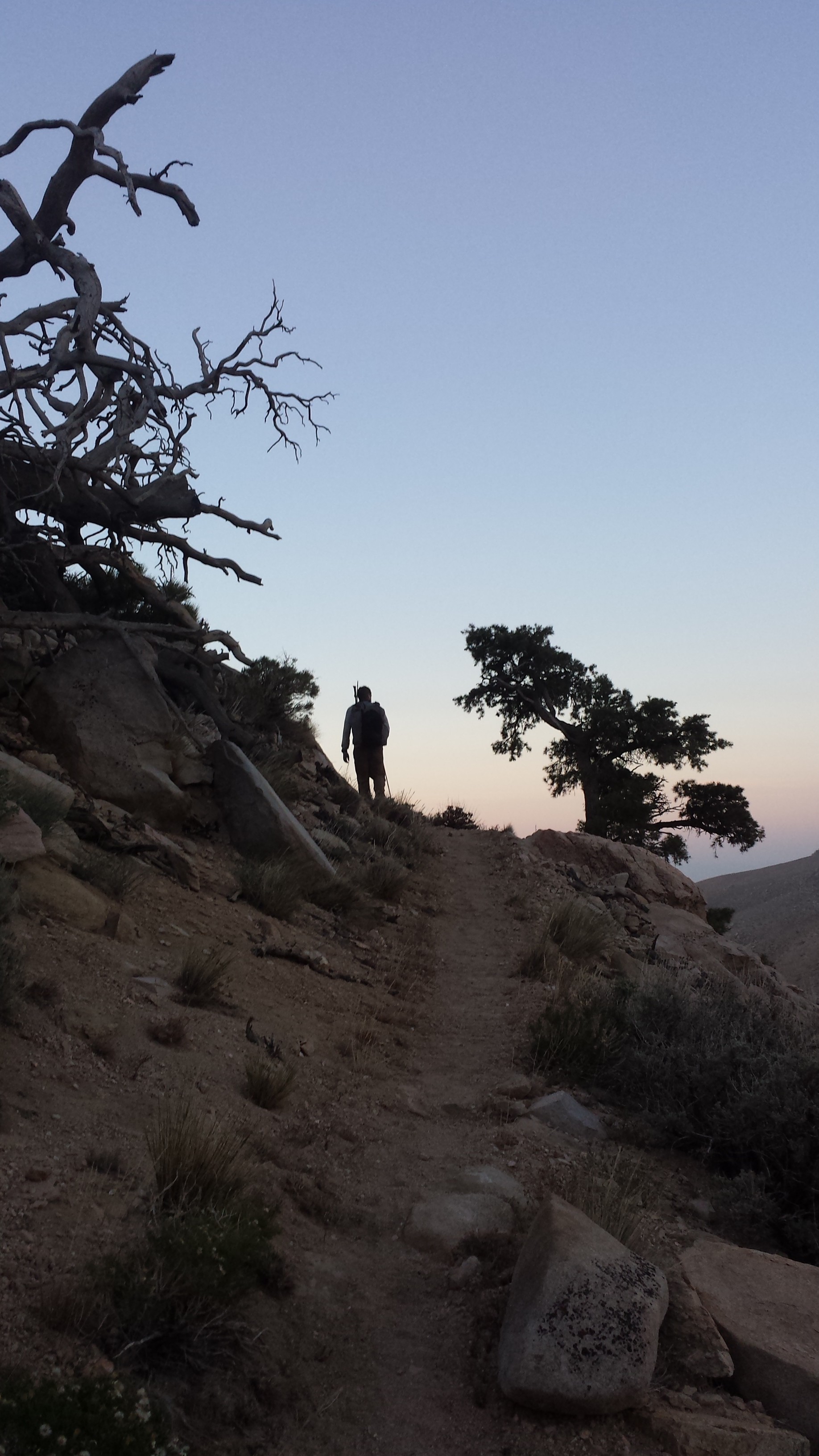
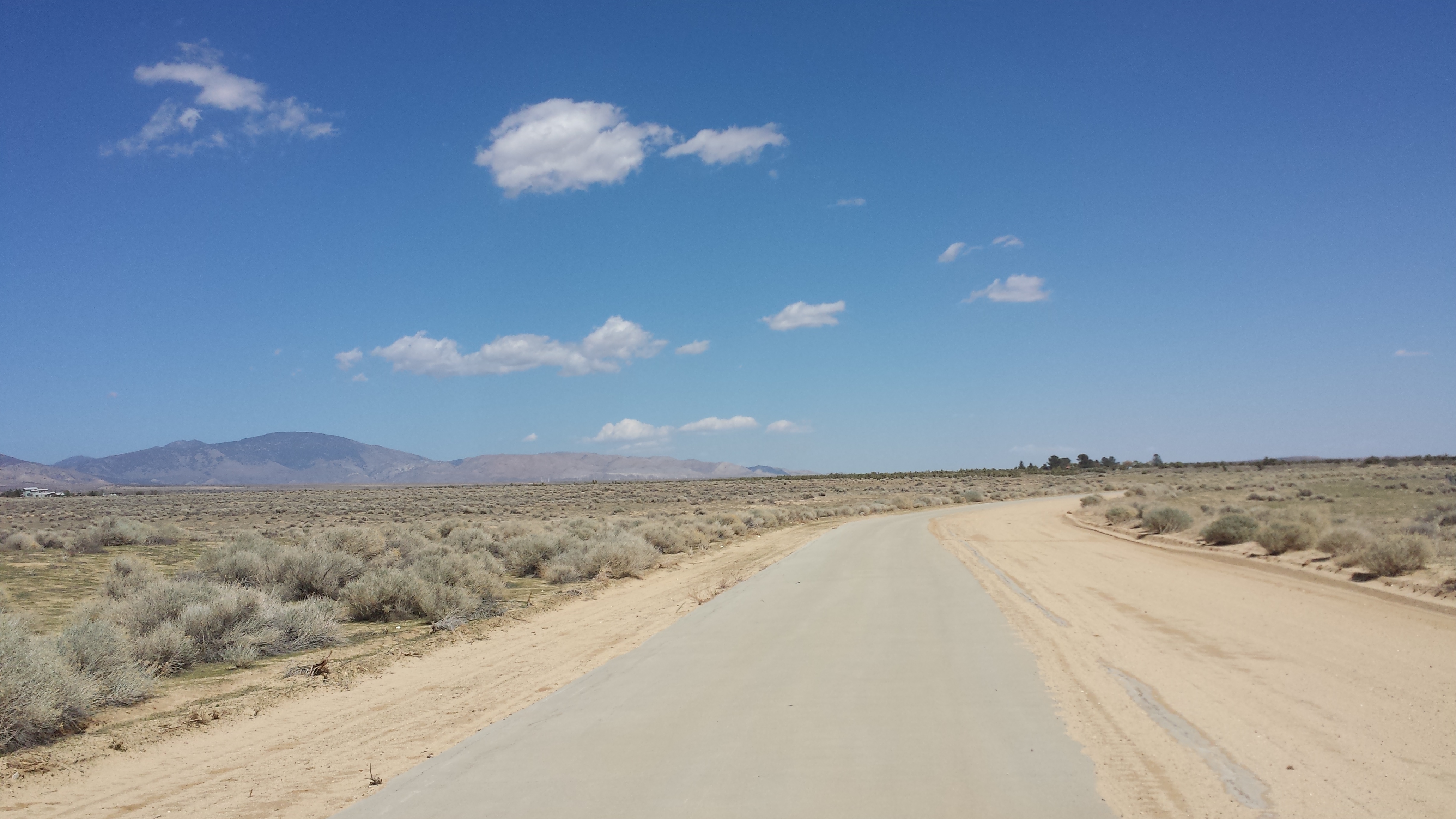
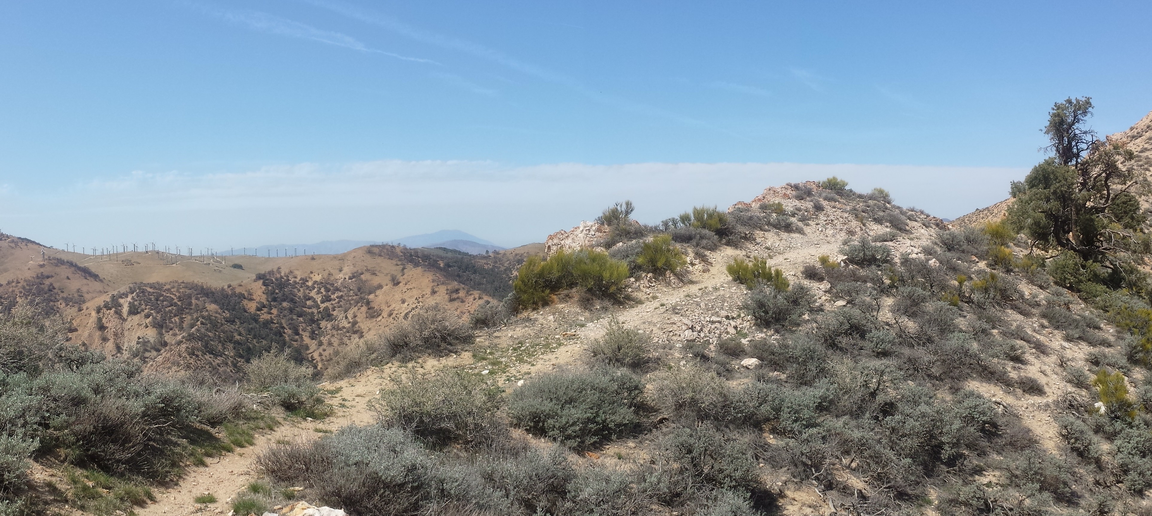
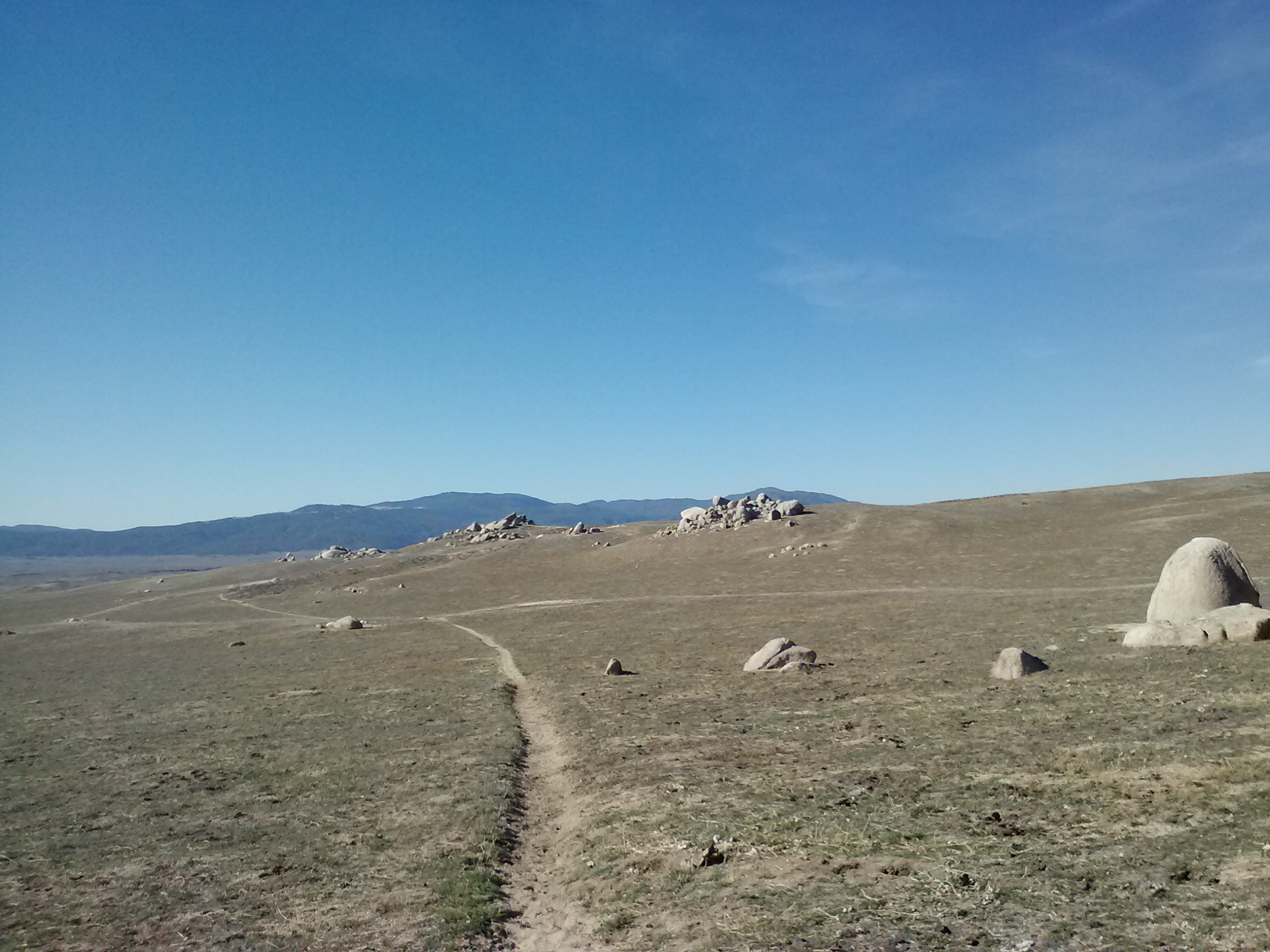
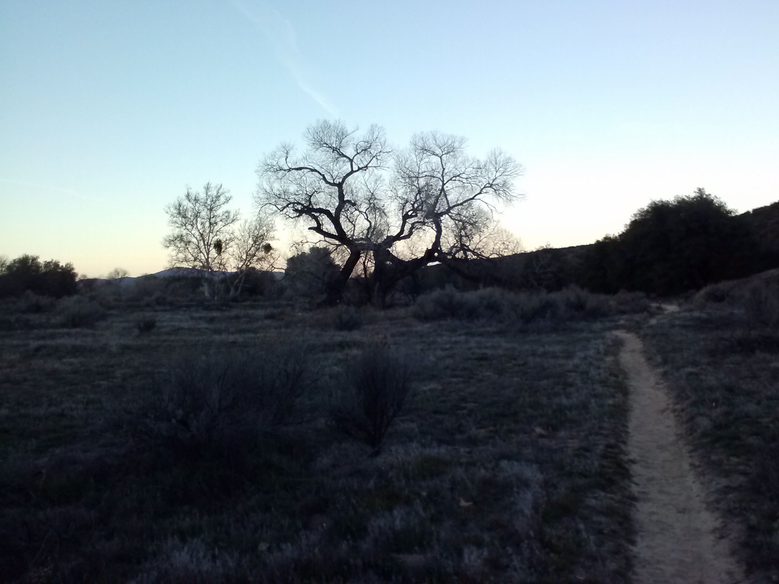
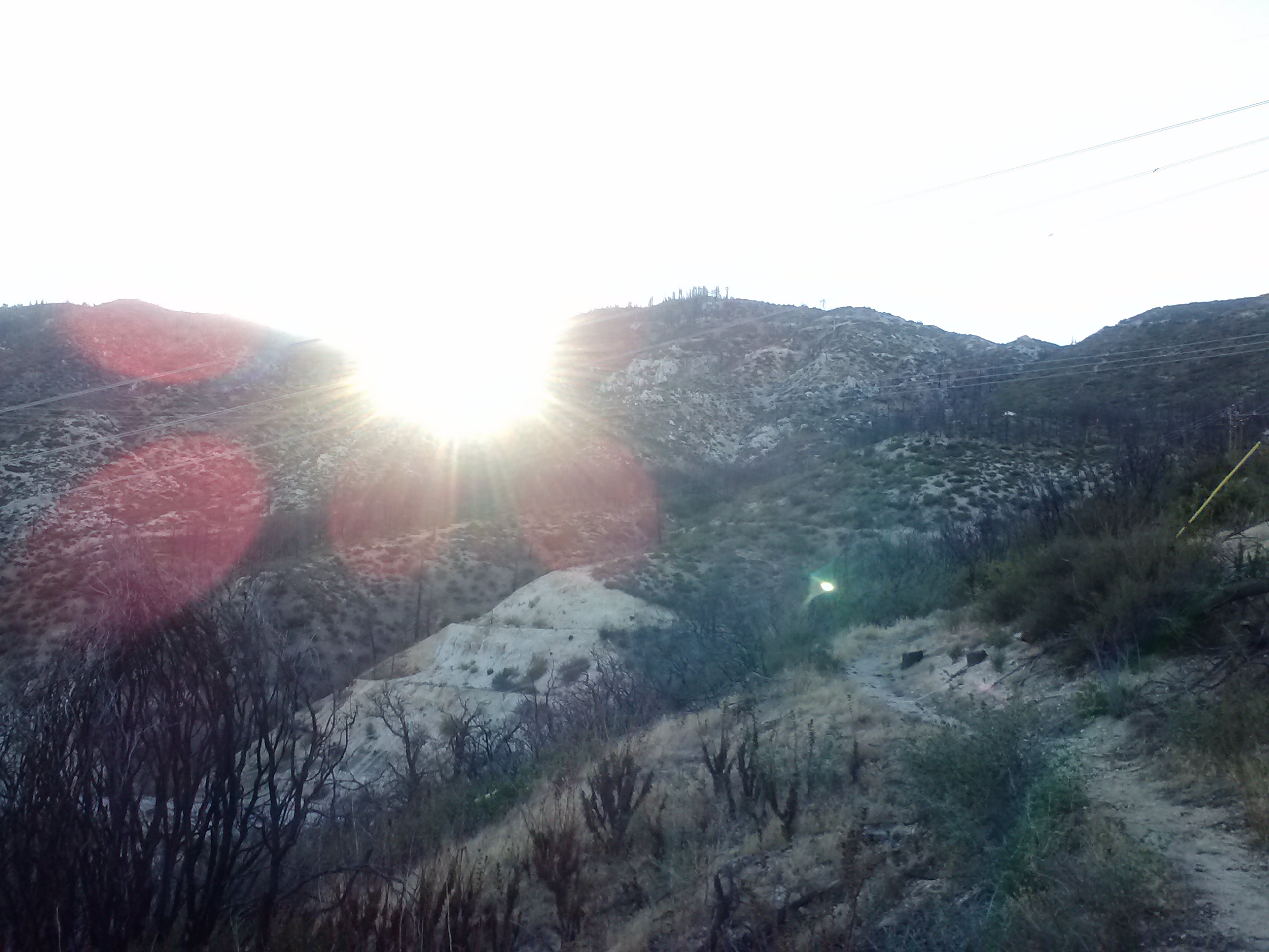
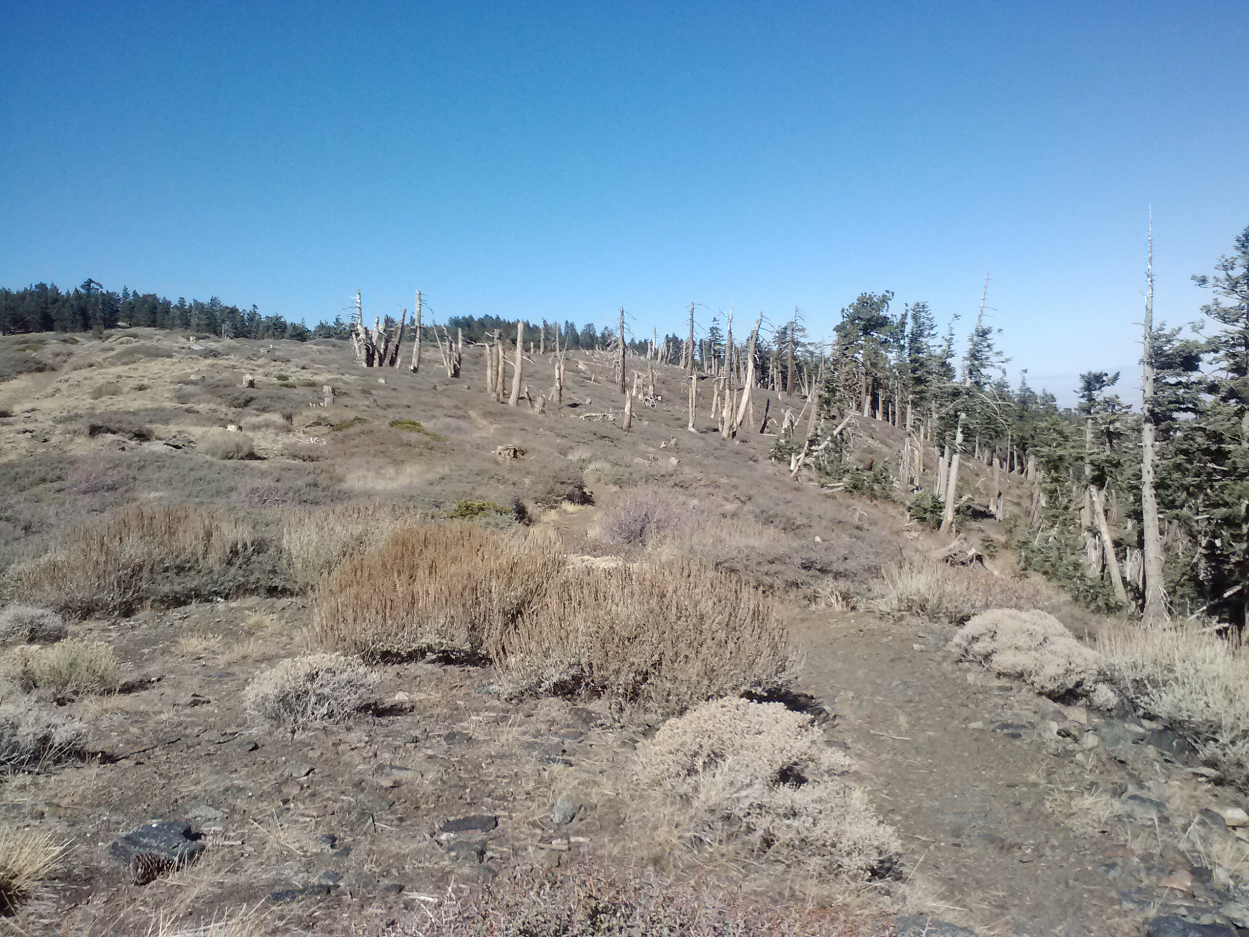
Climbing out of Bird Spring Pass
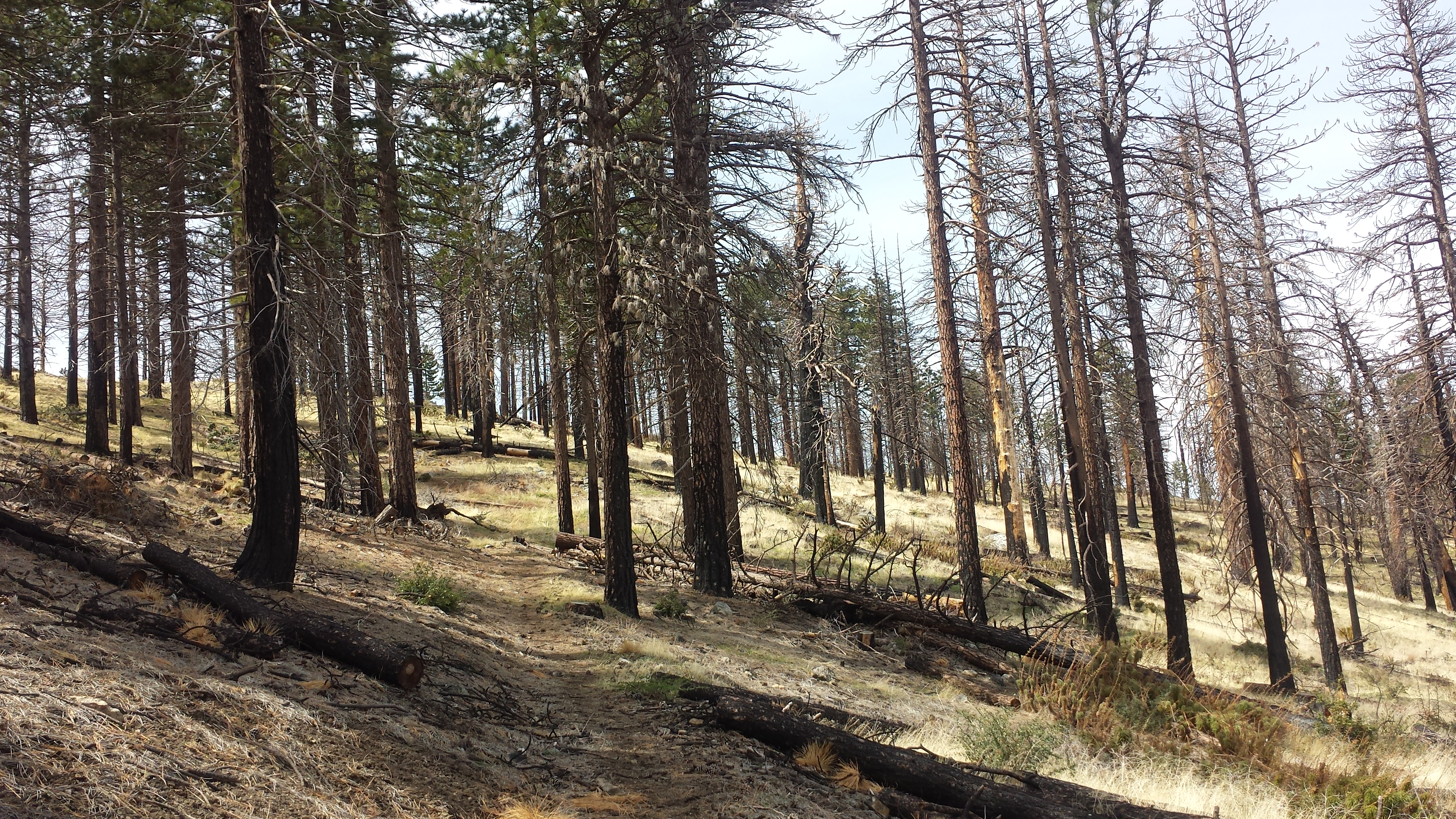
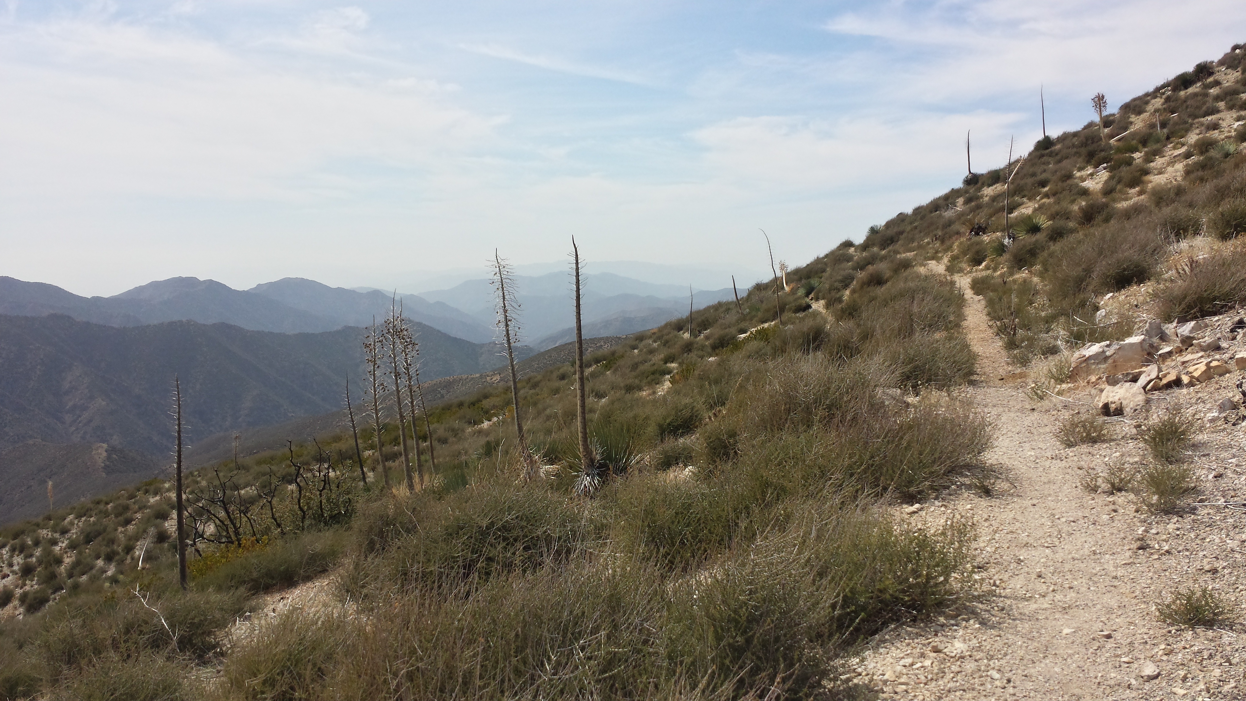
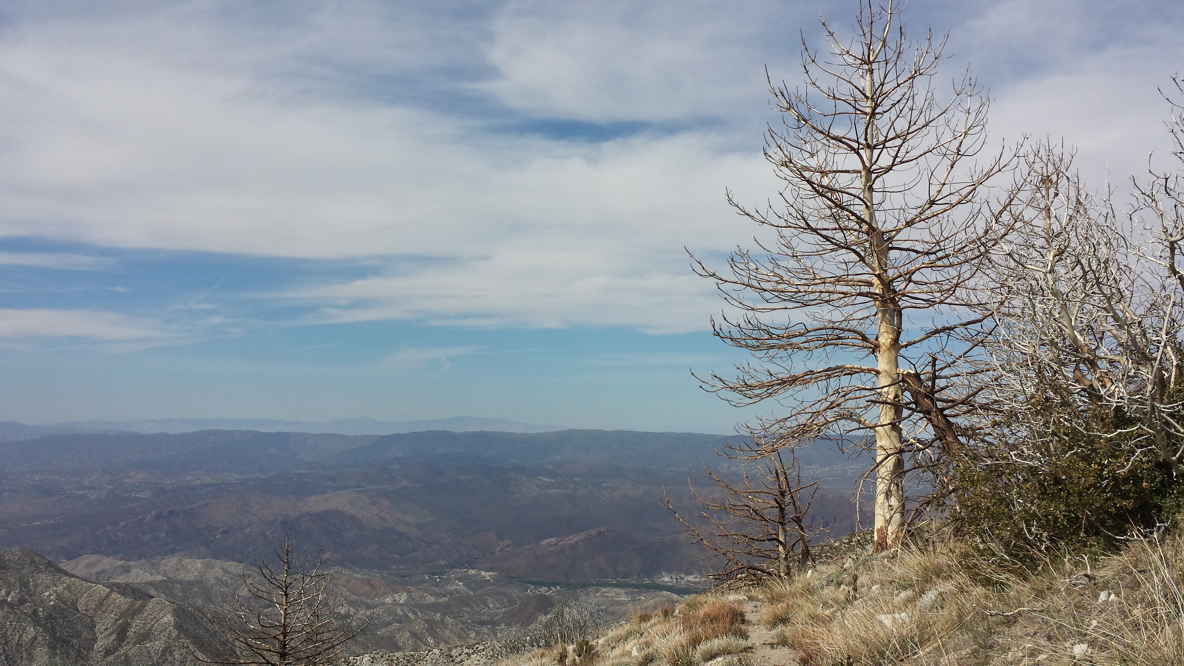
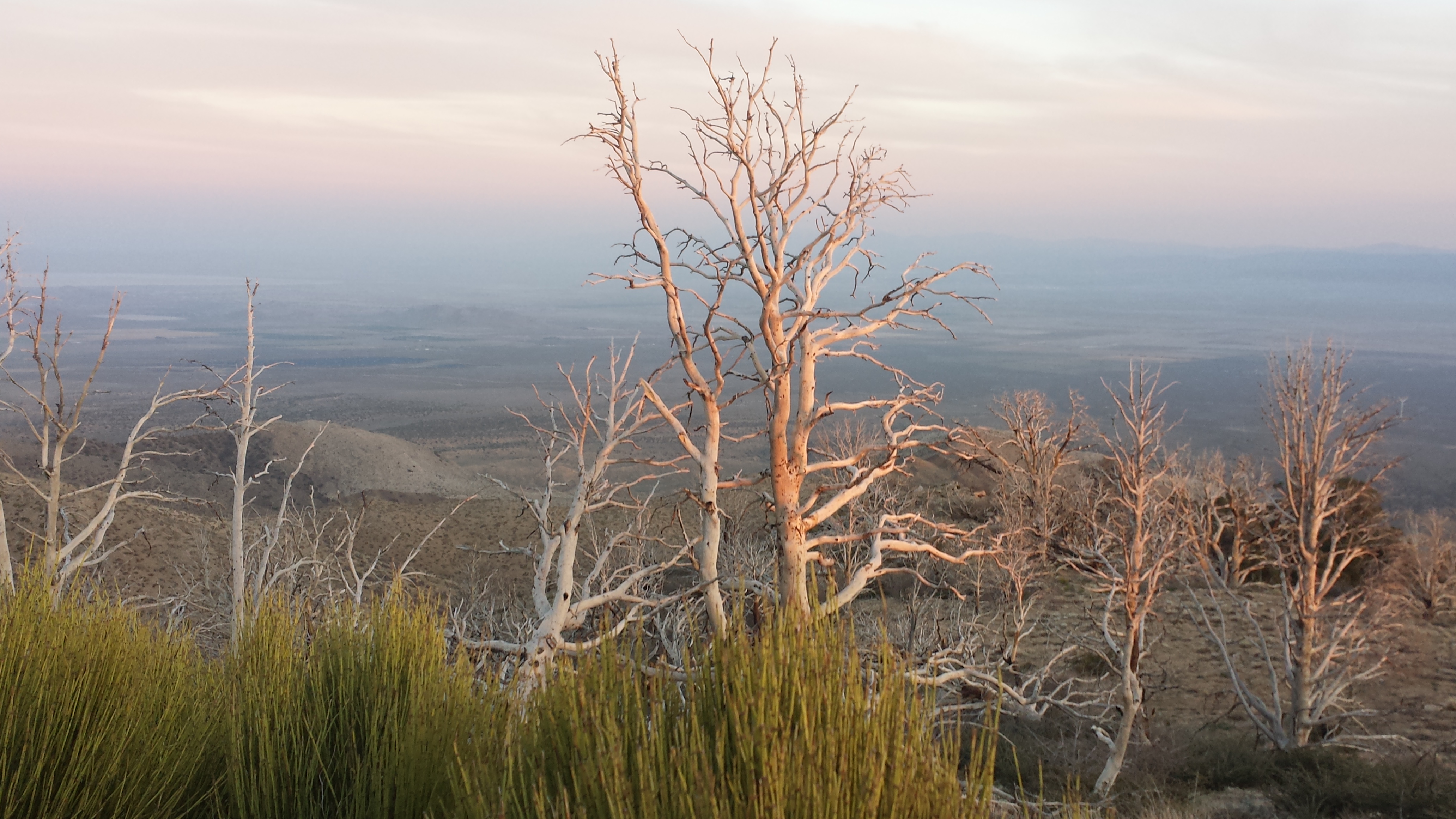
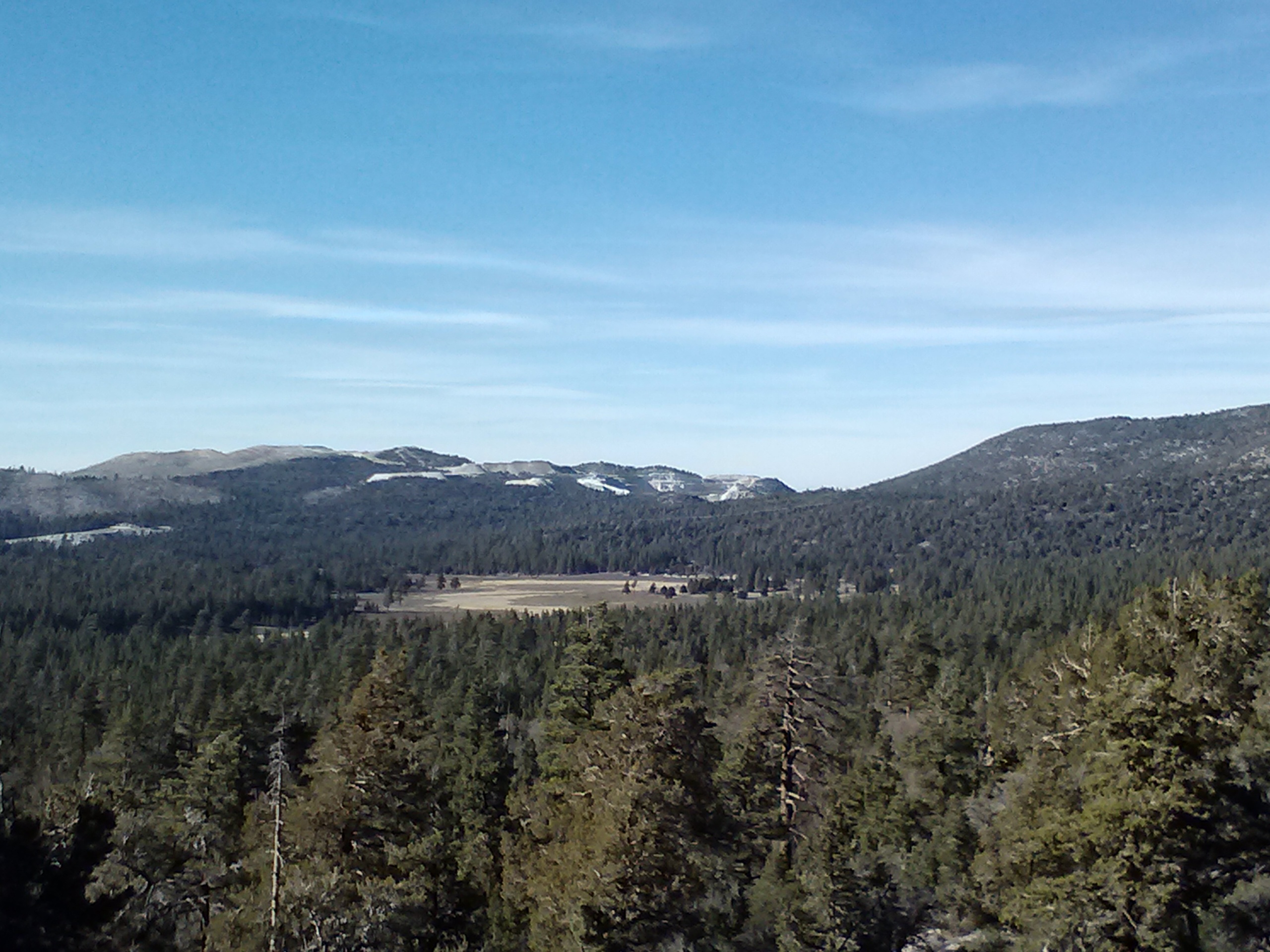
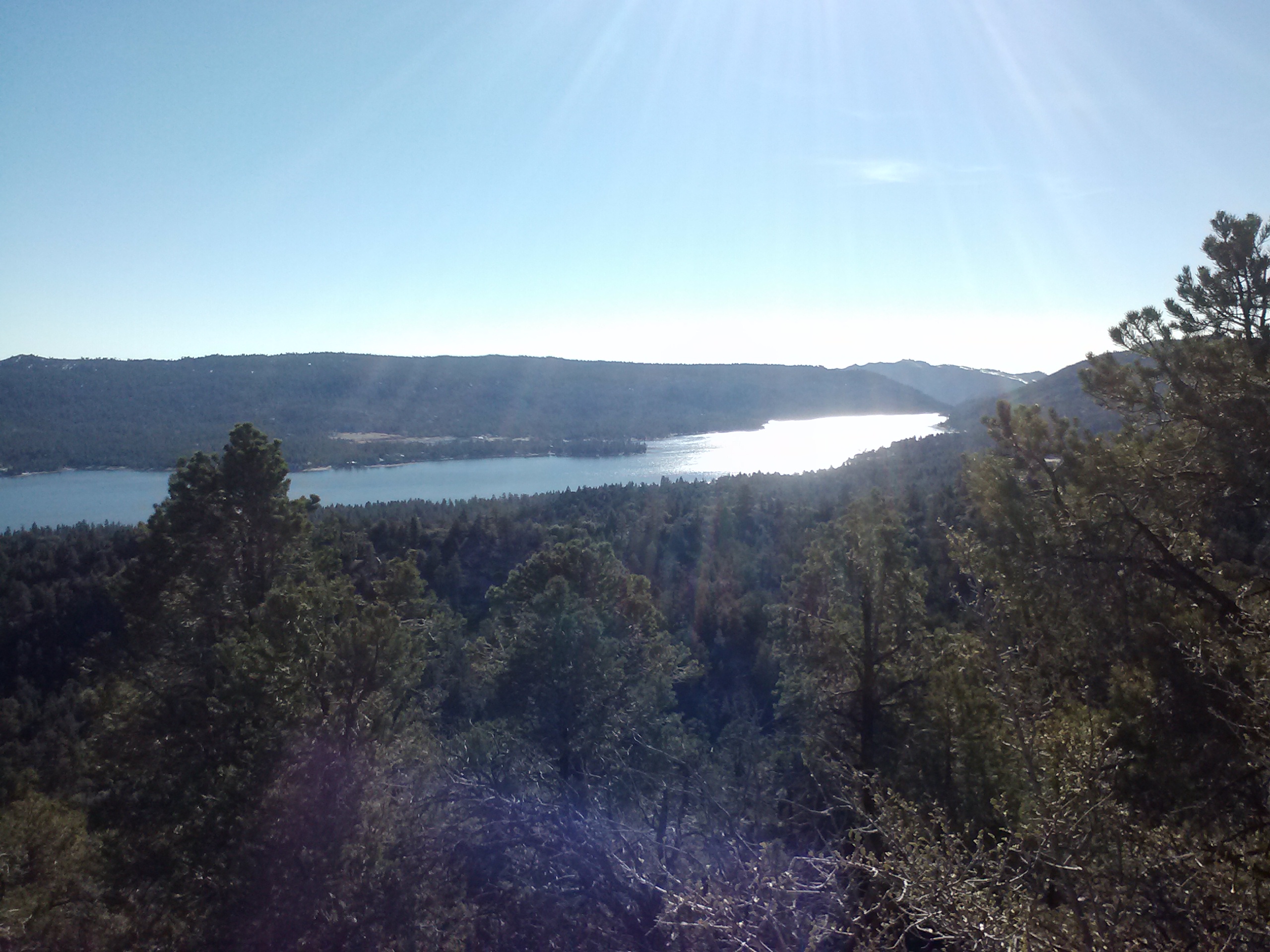
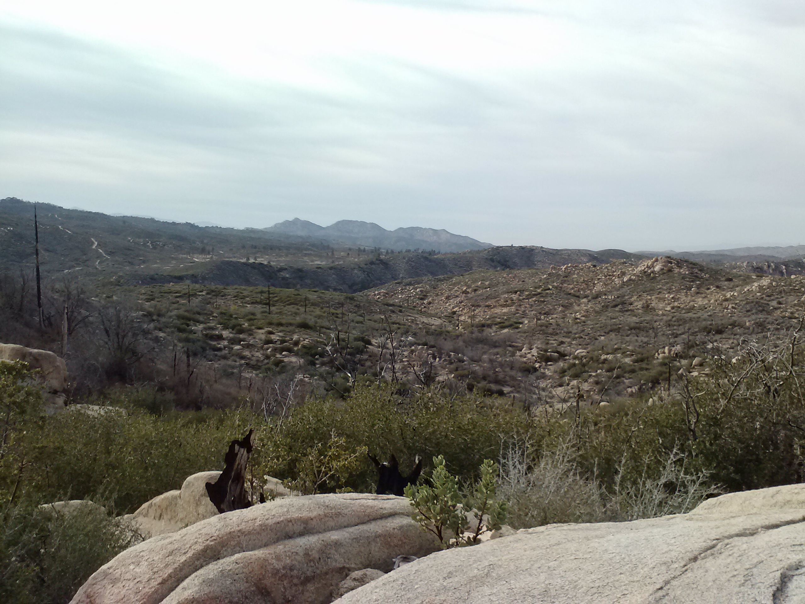
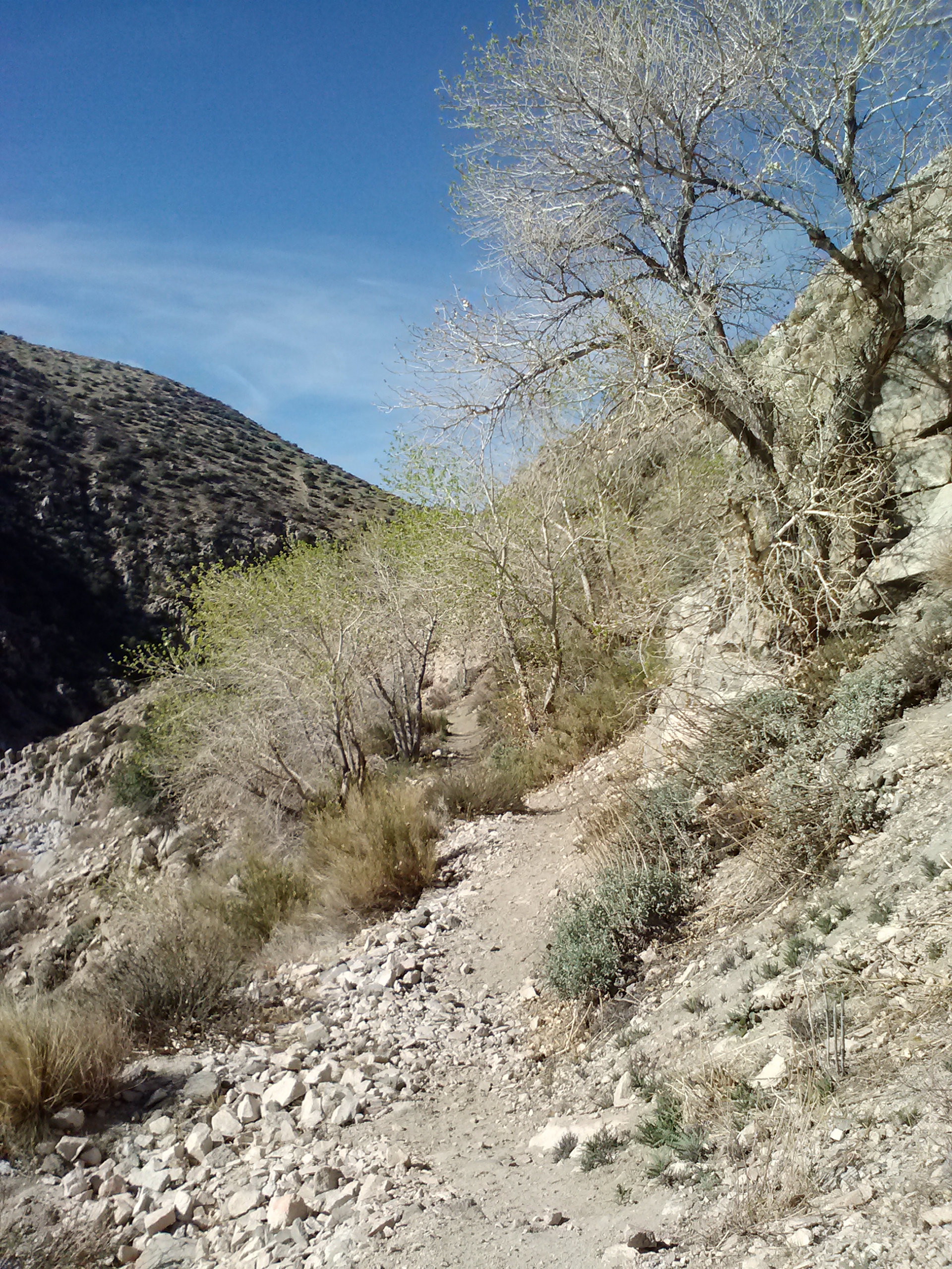
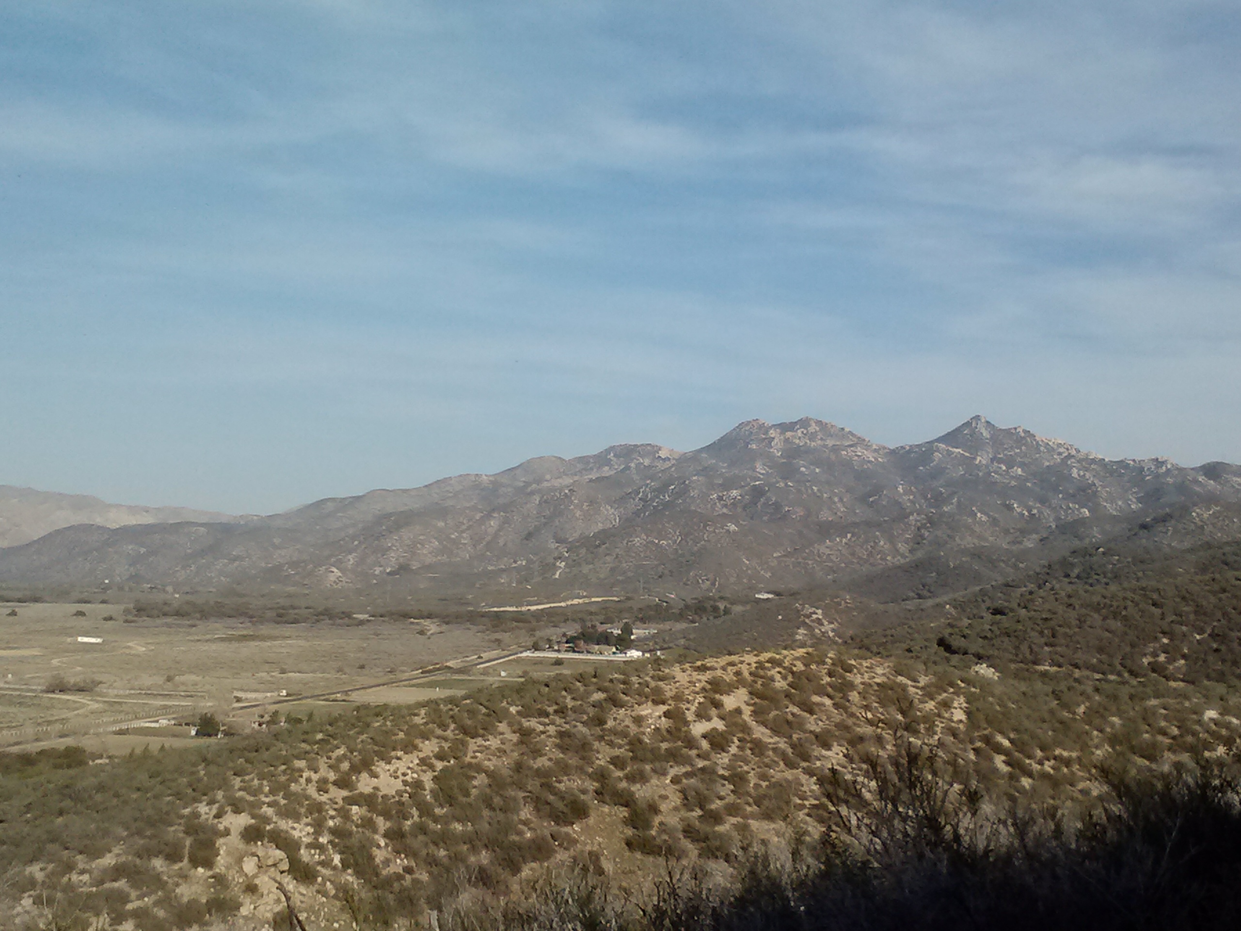
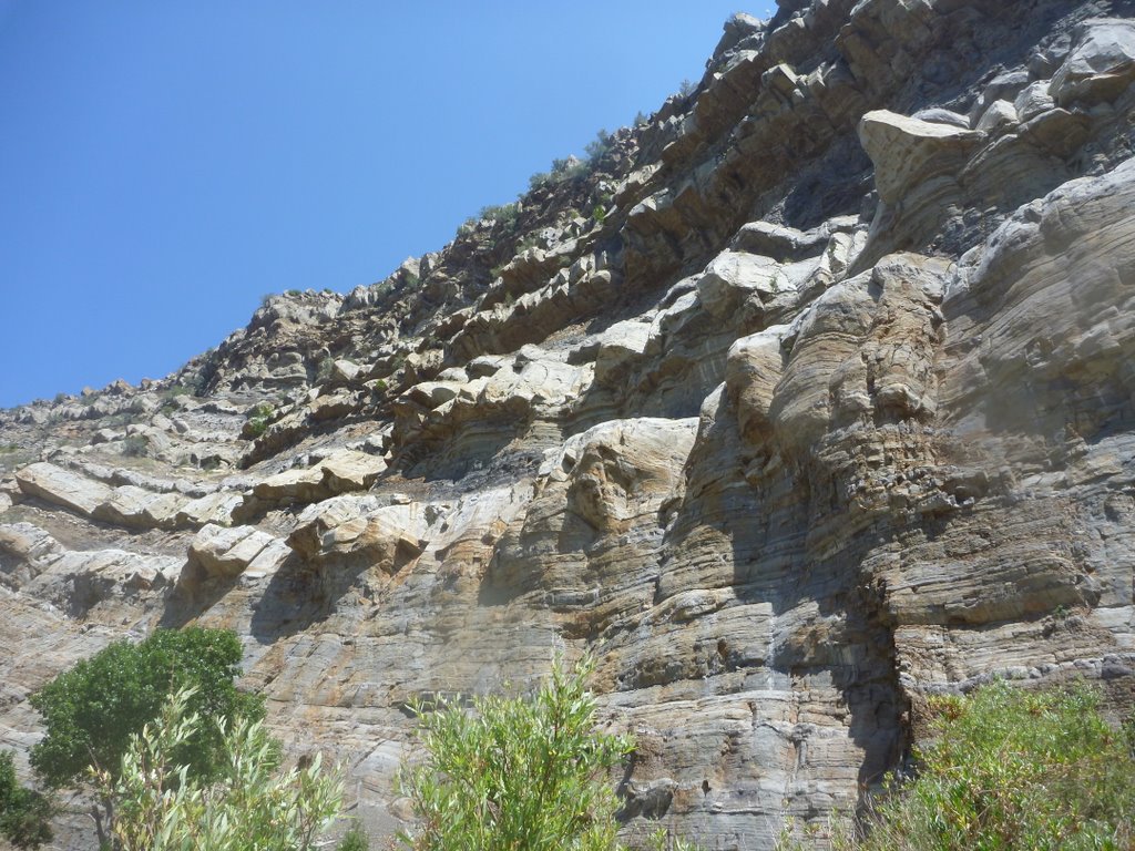
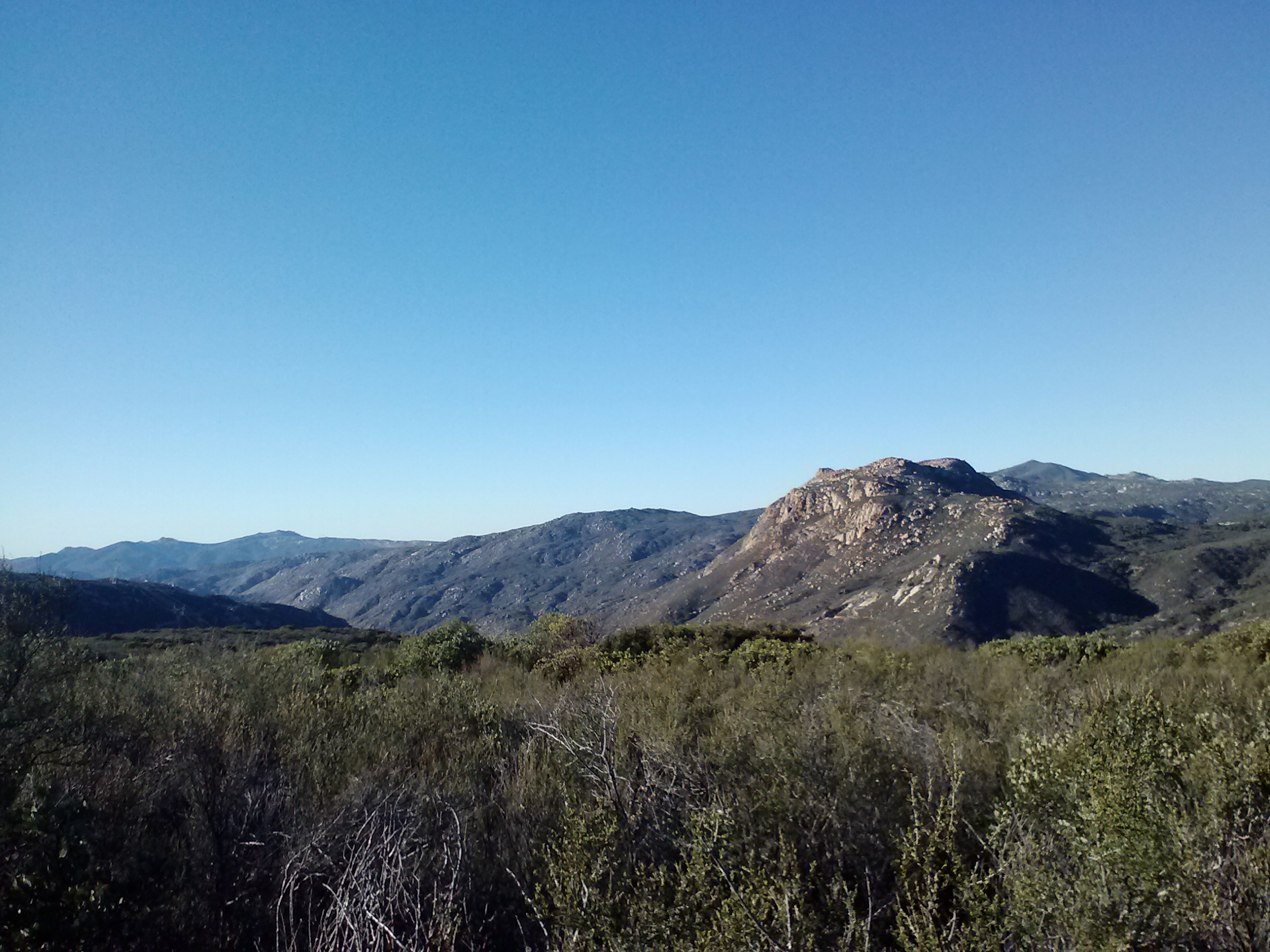
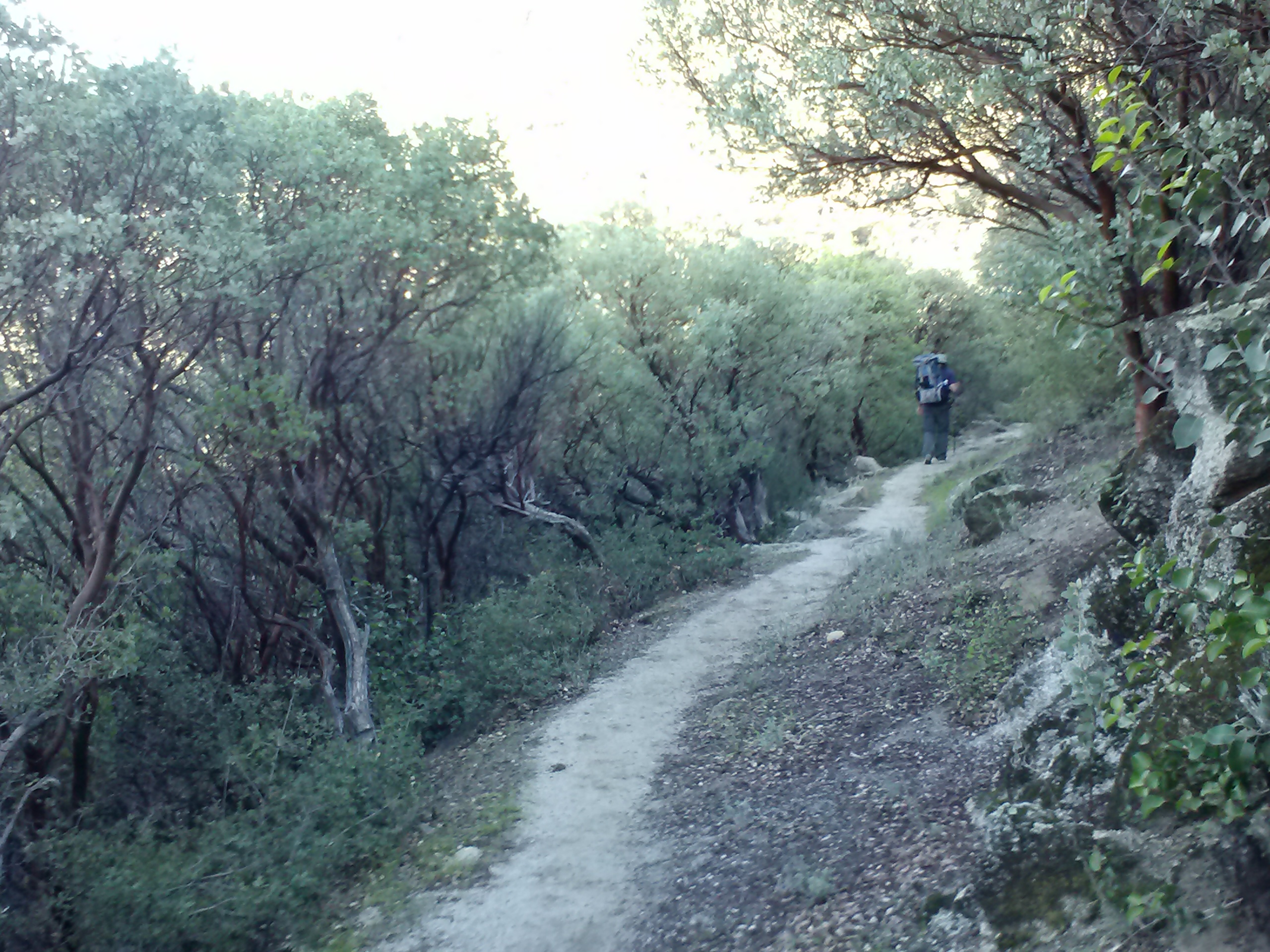
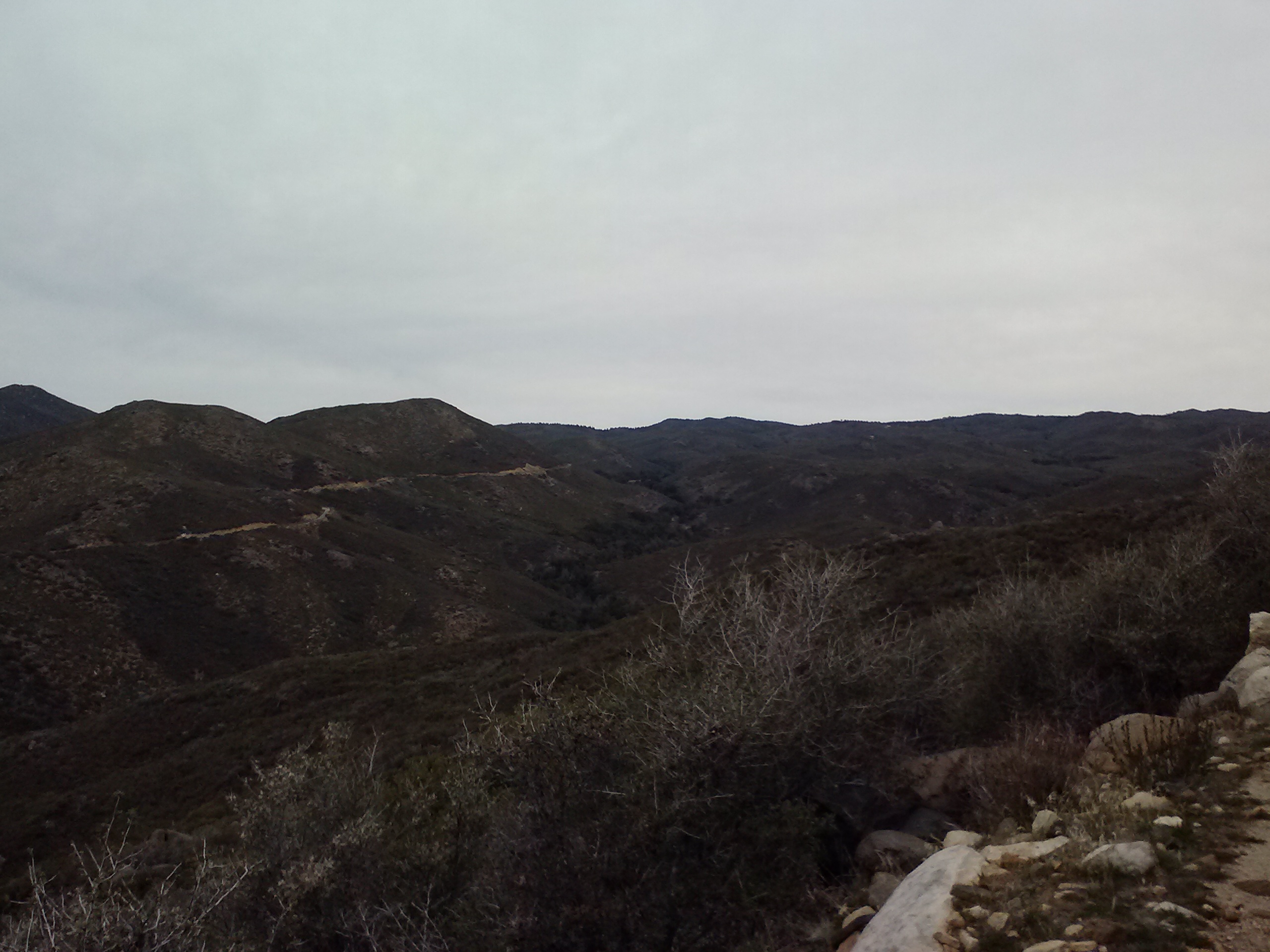
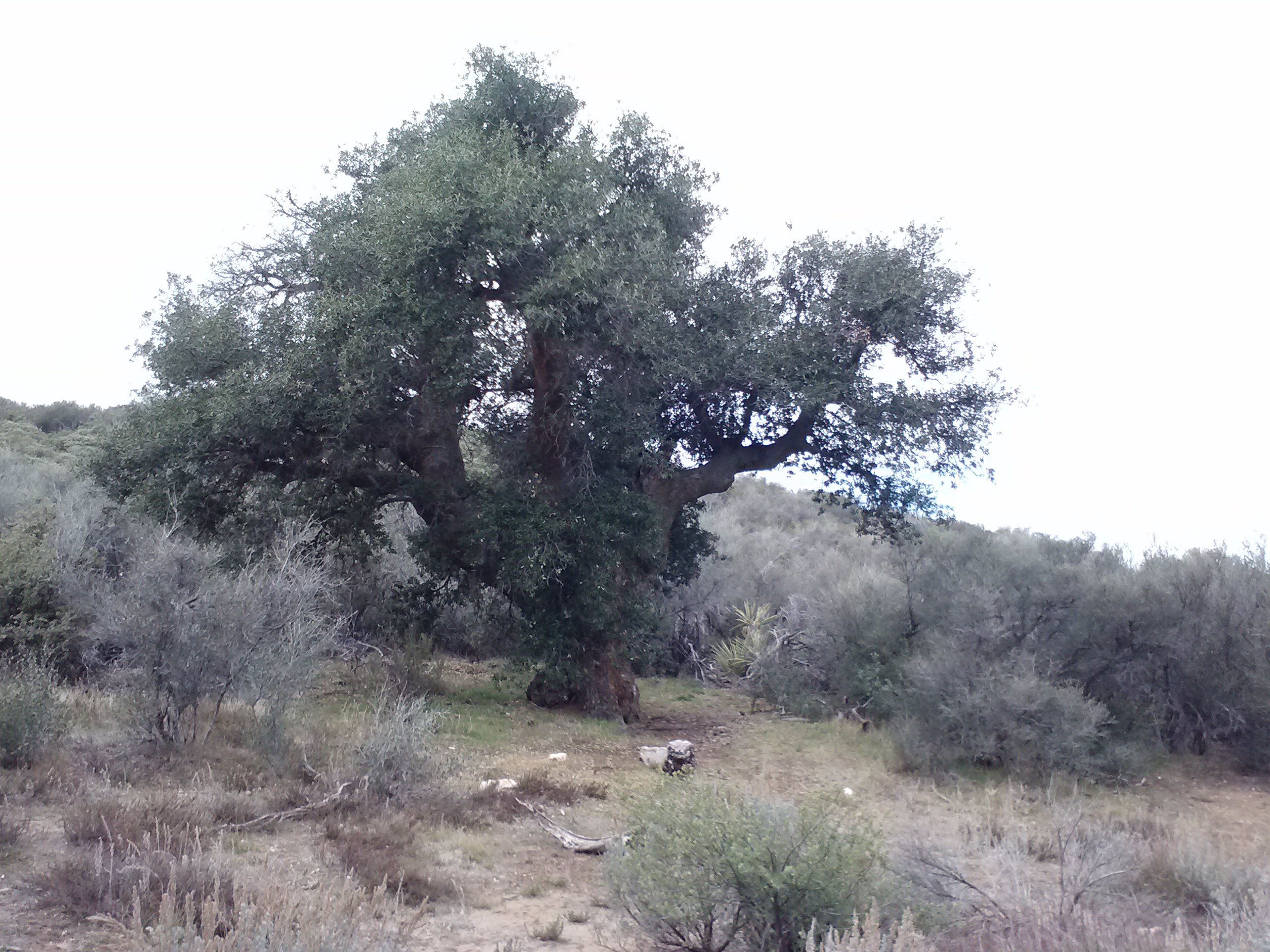
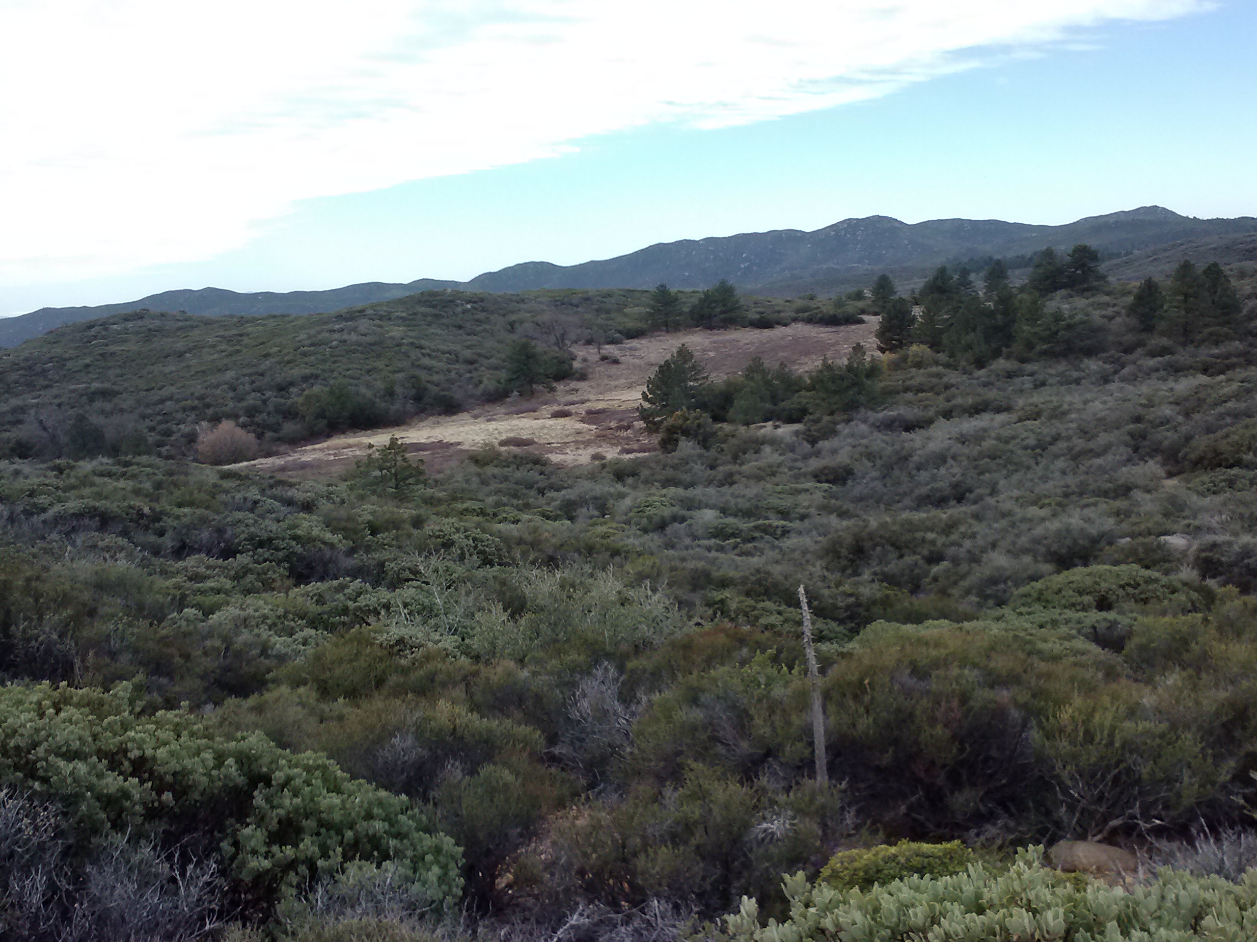
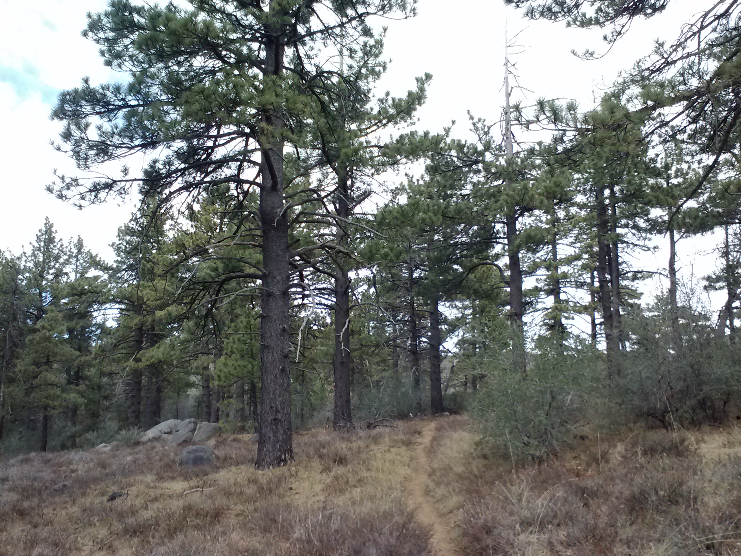
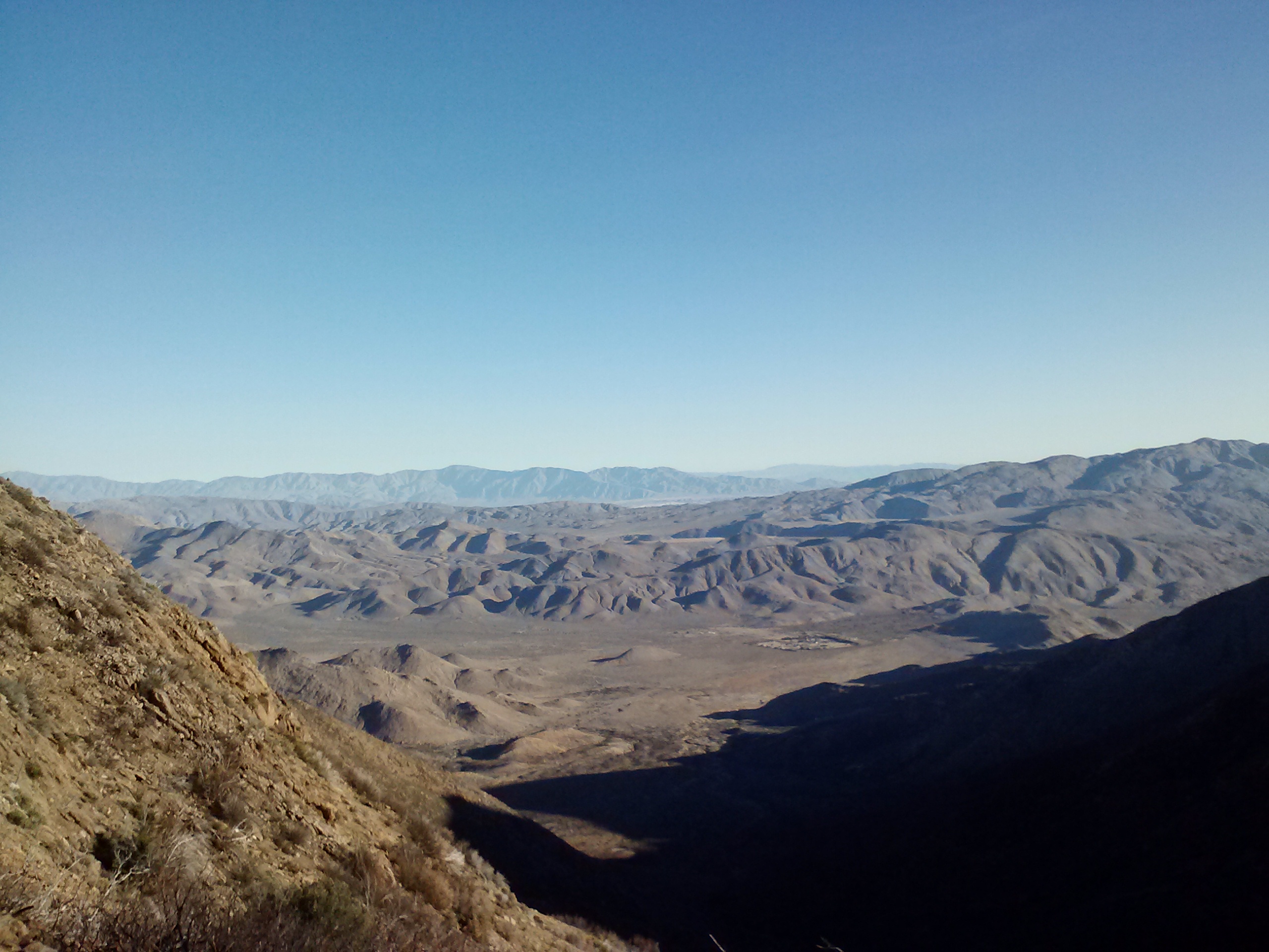
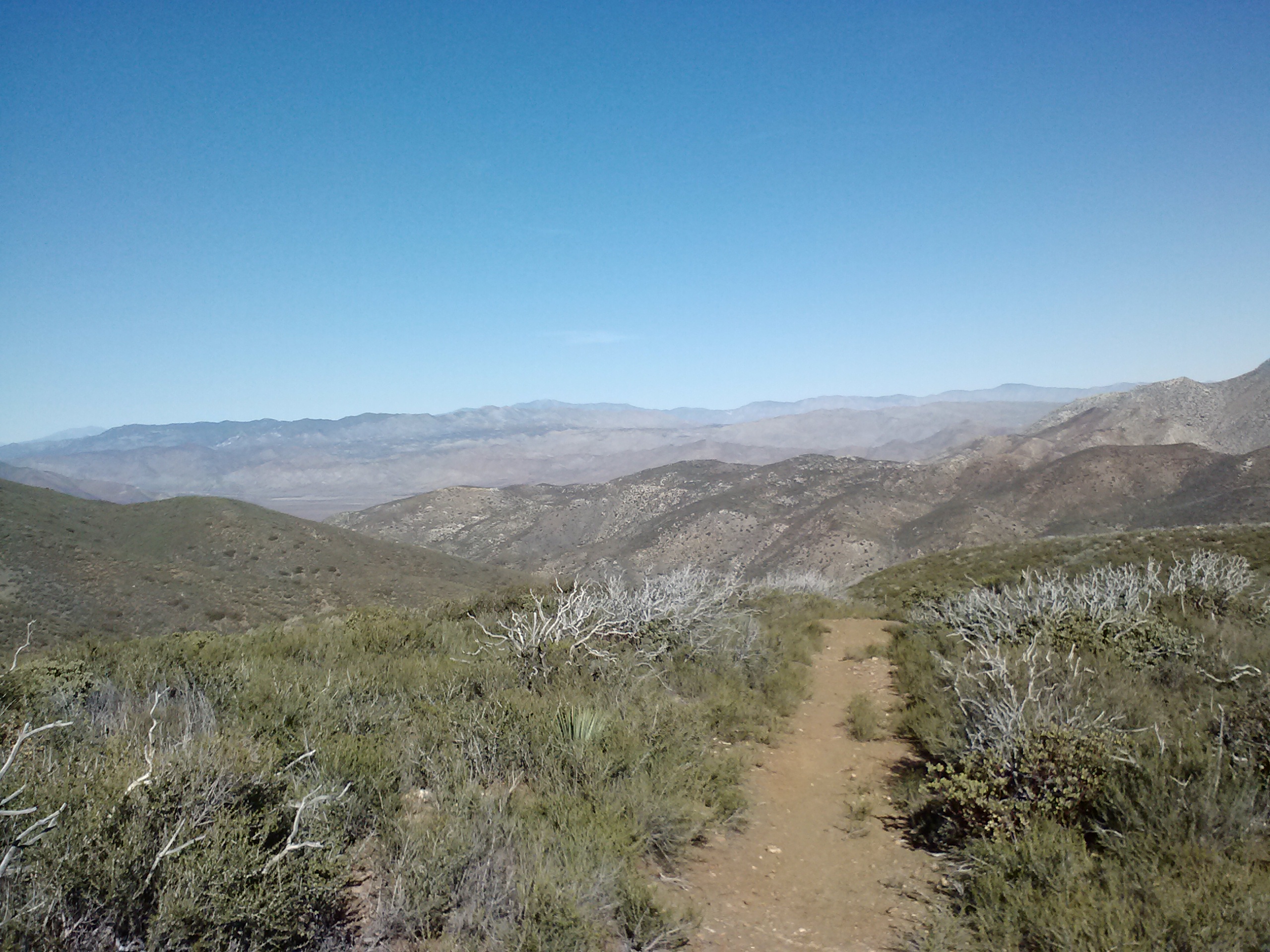
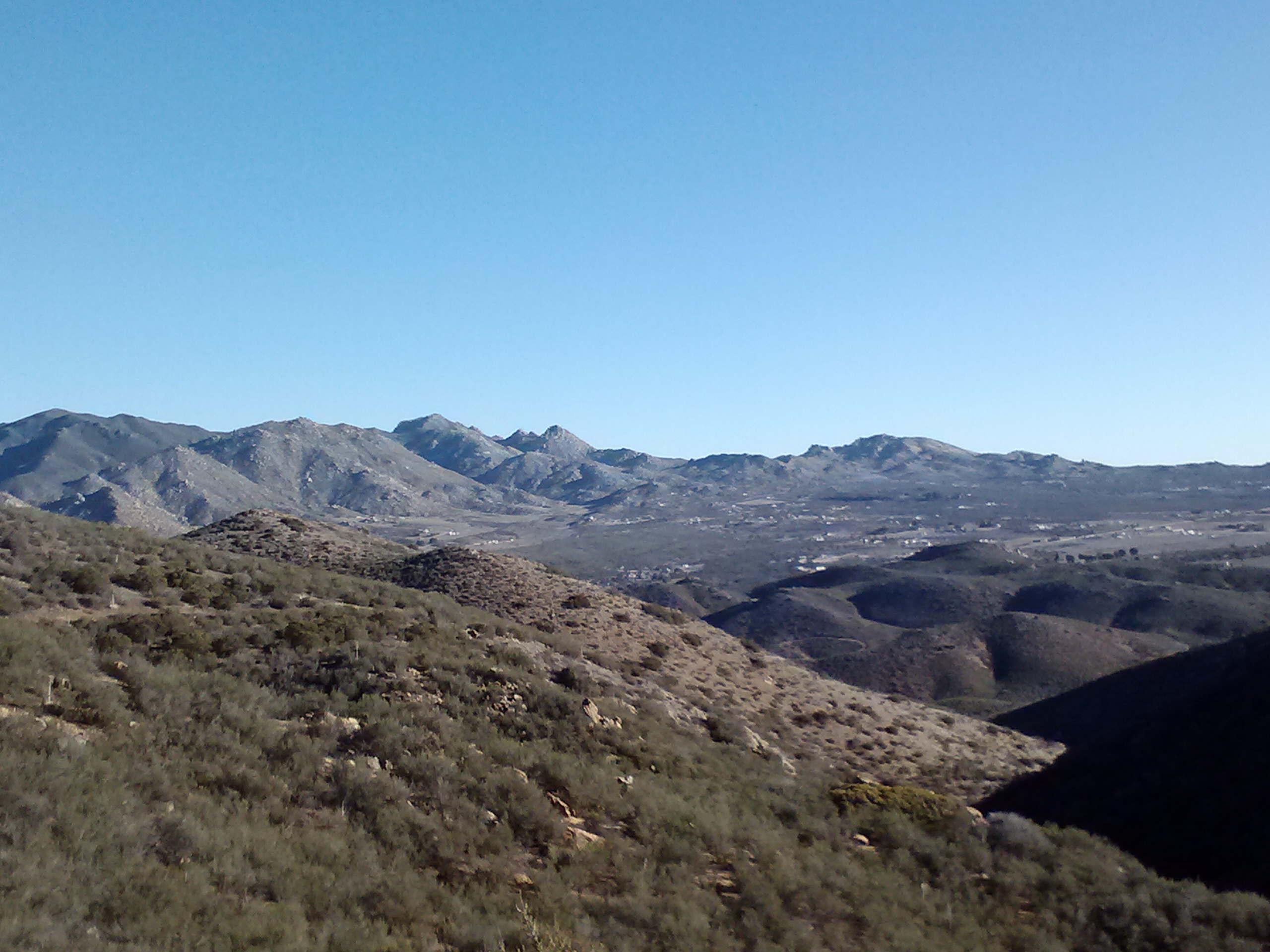
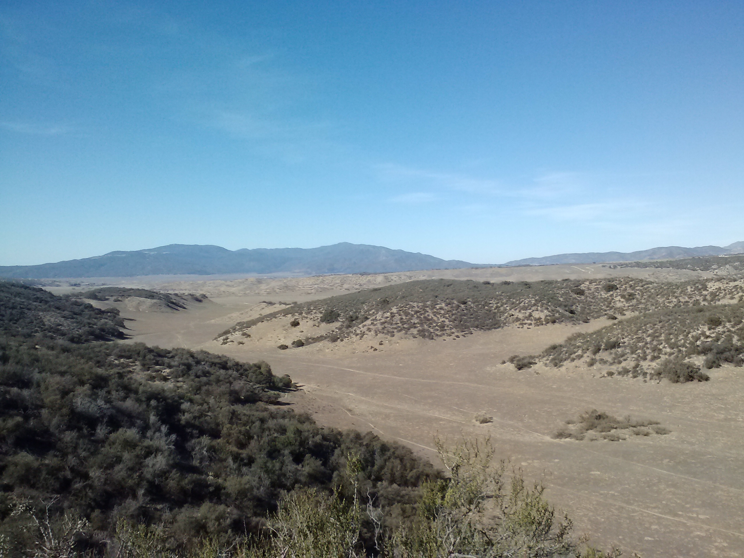
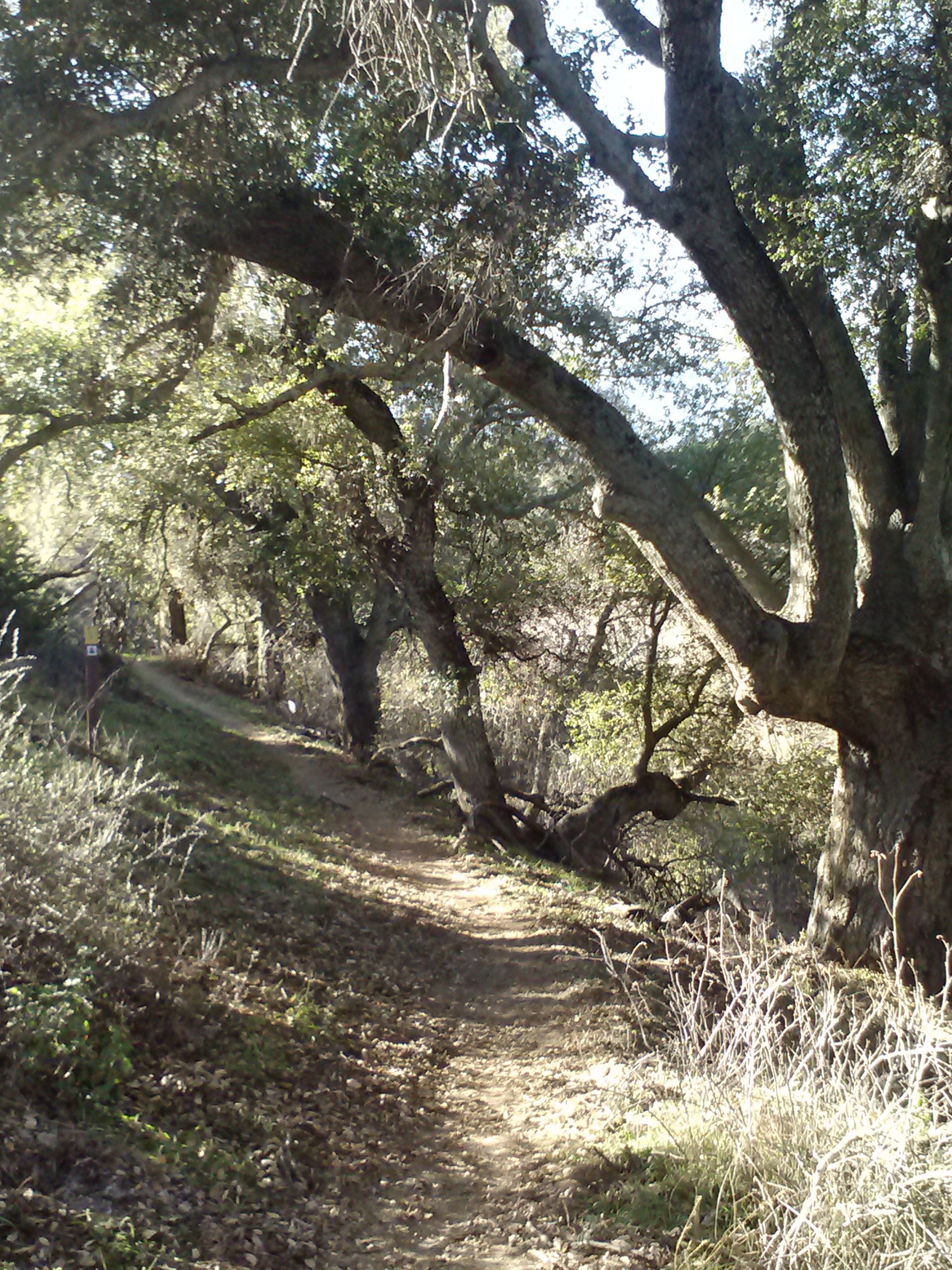
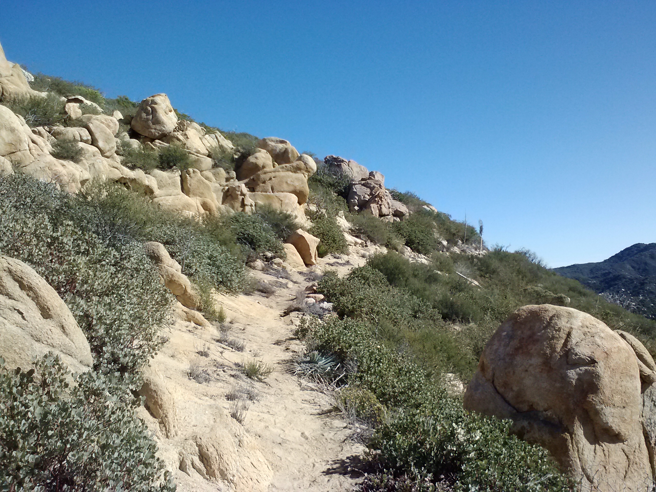
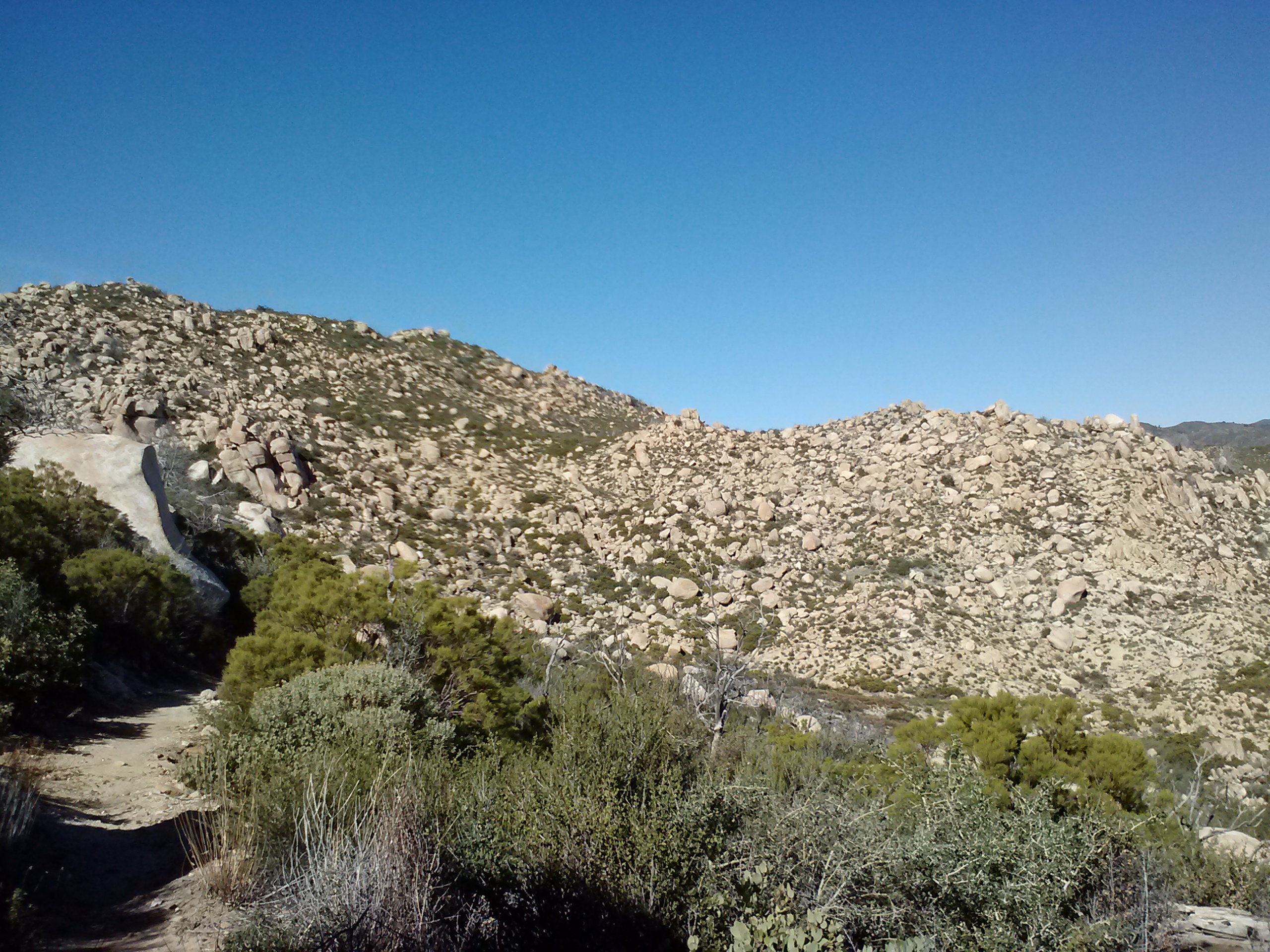
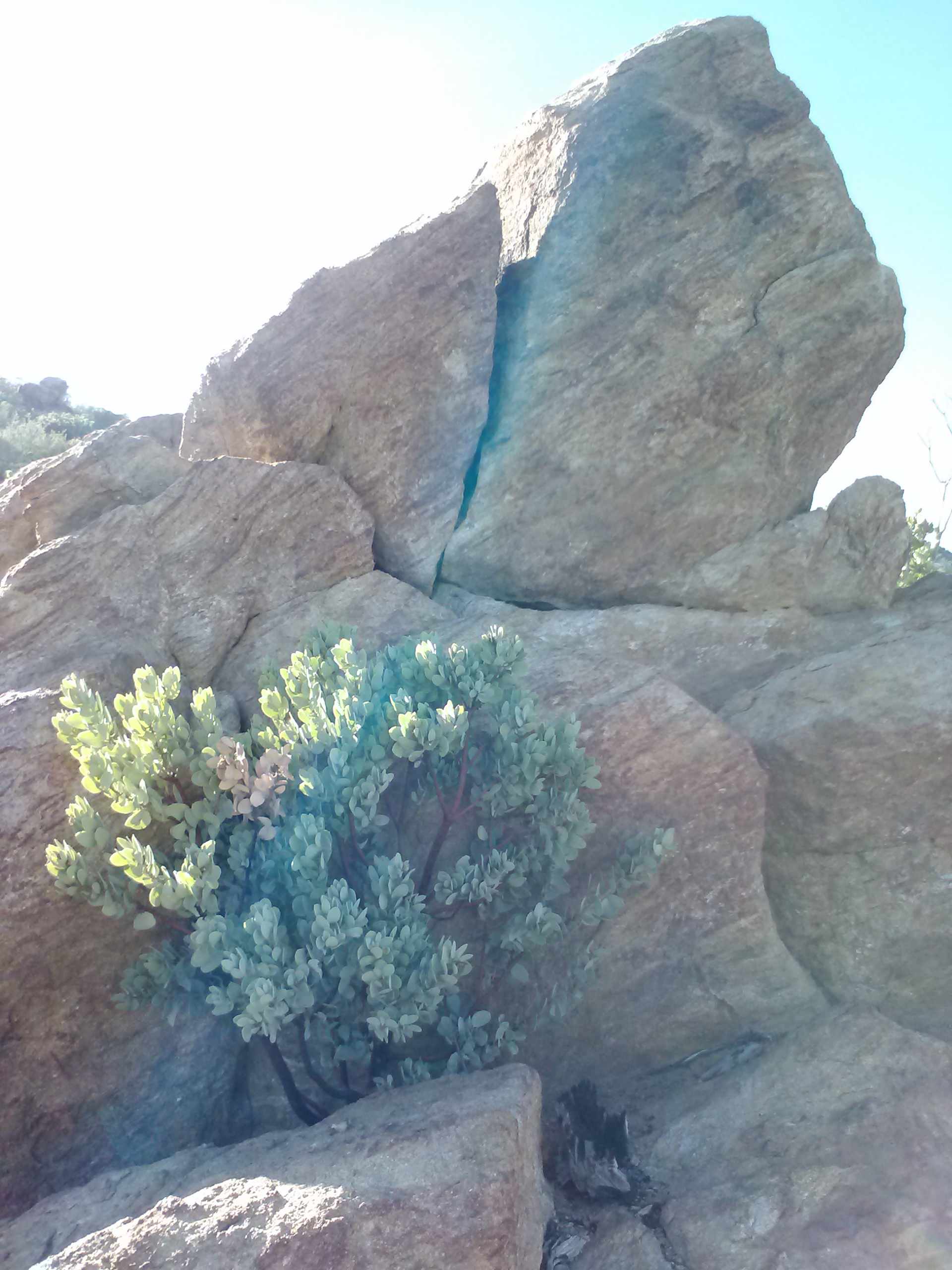
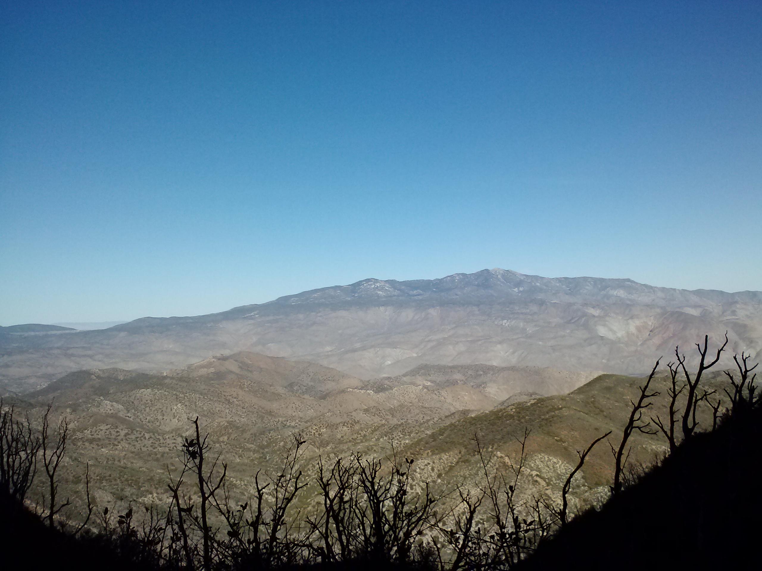
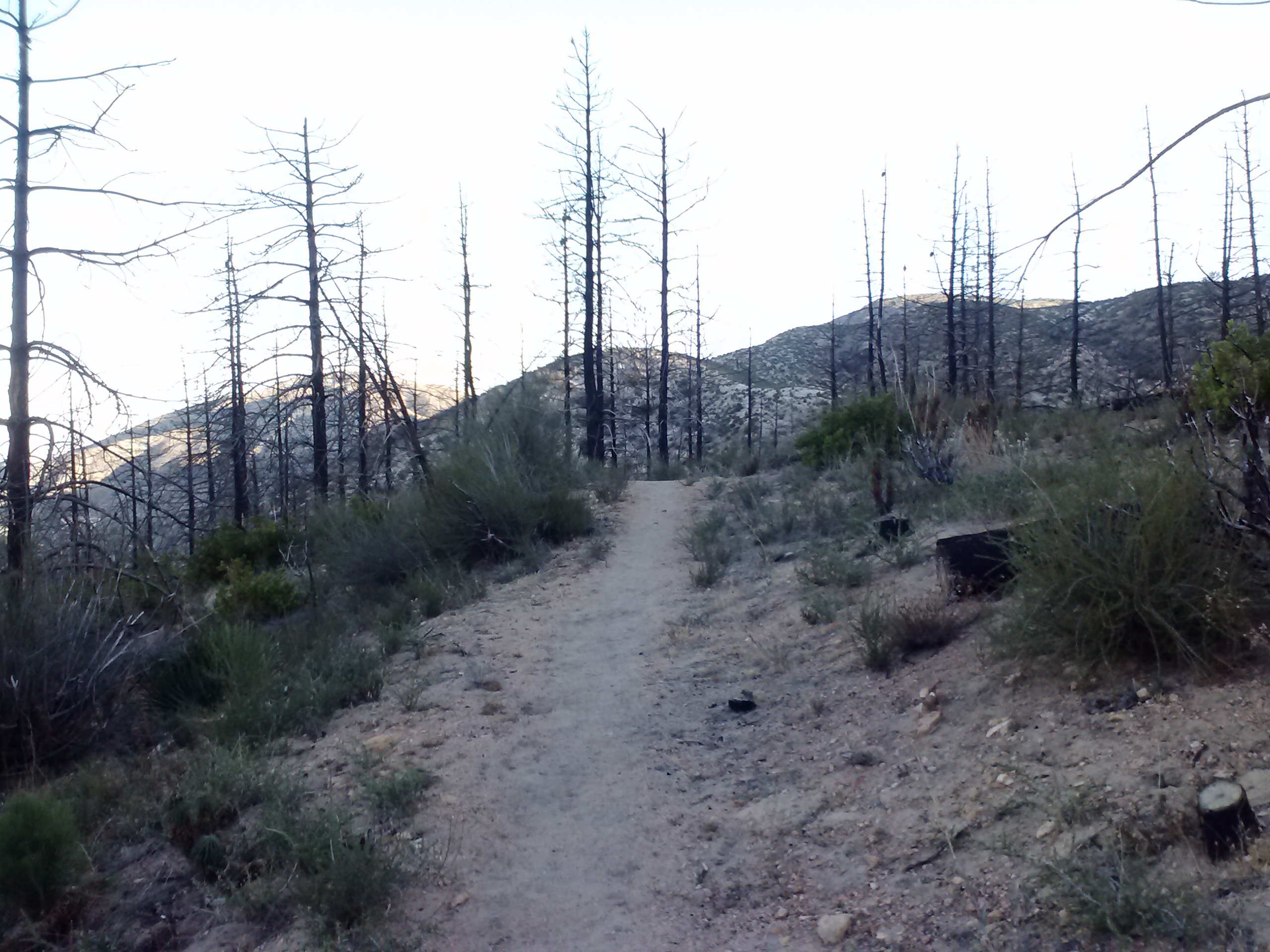
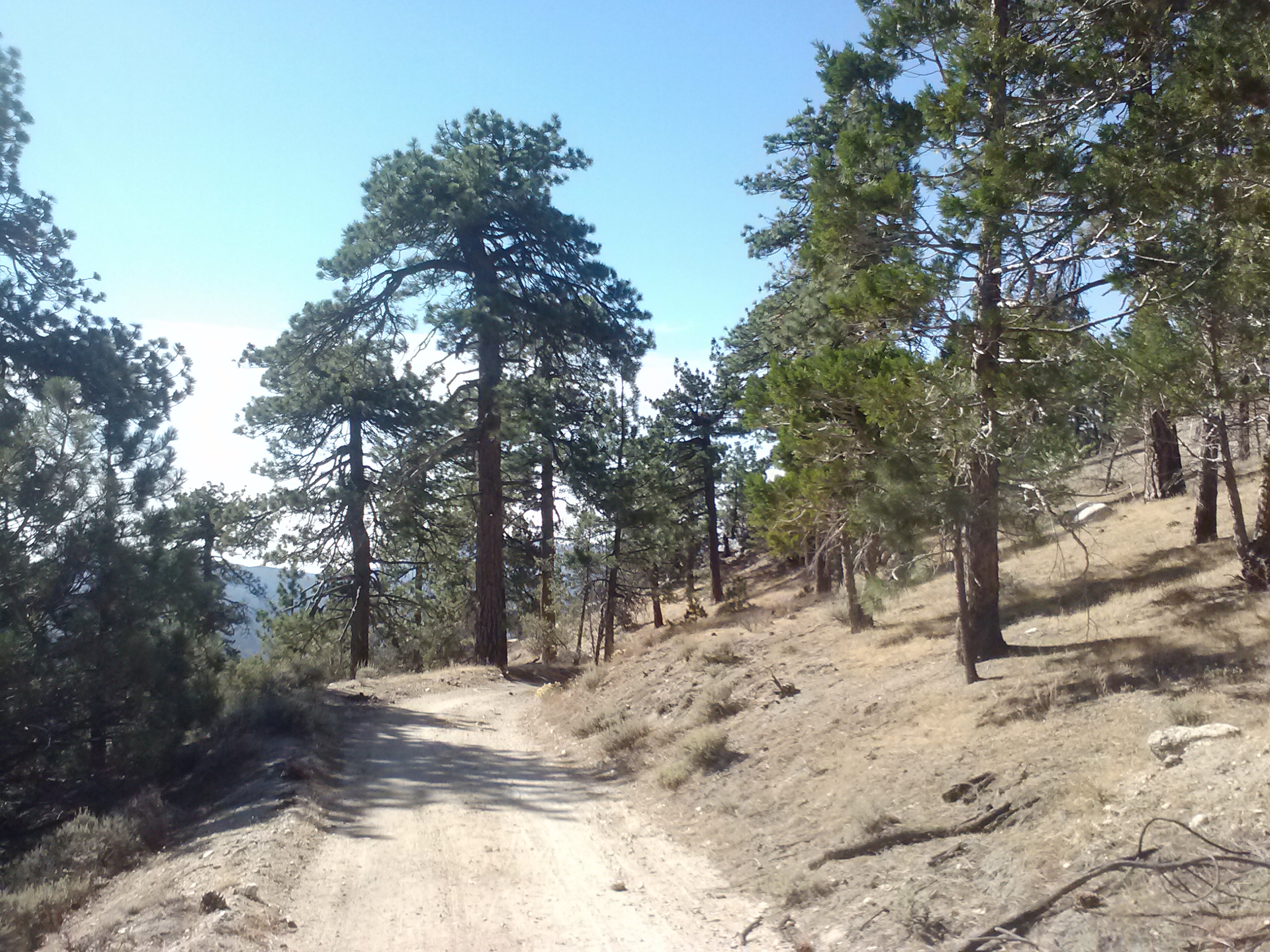
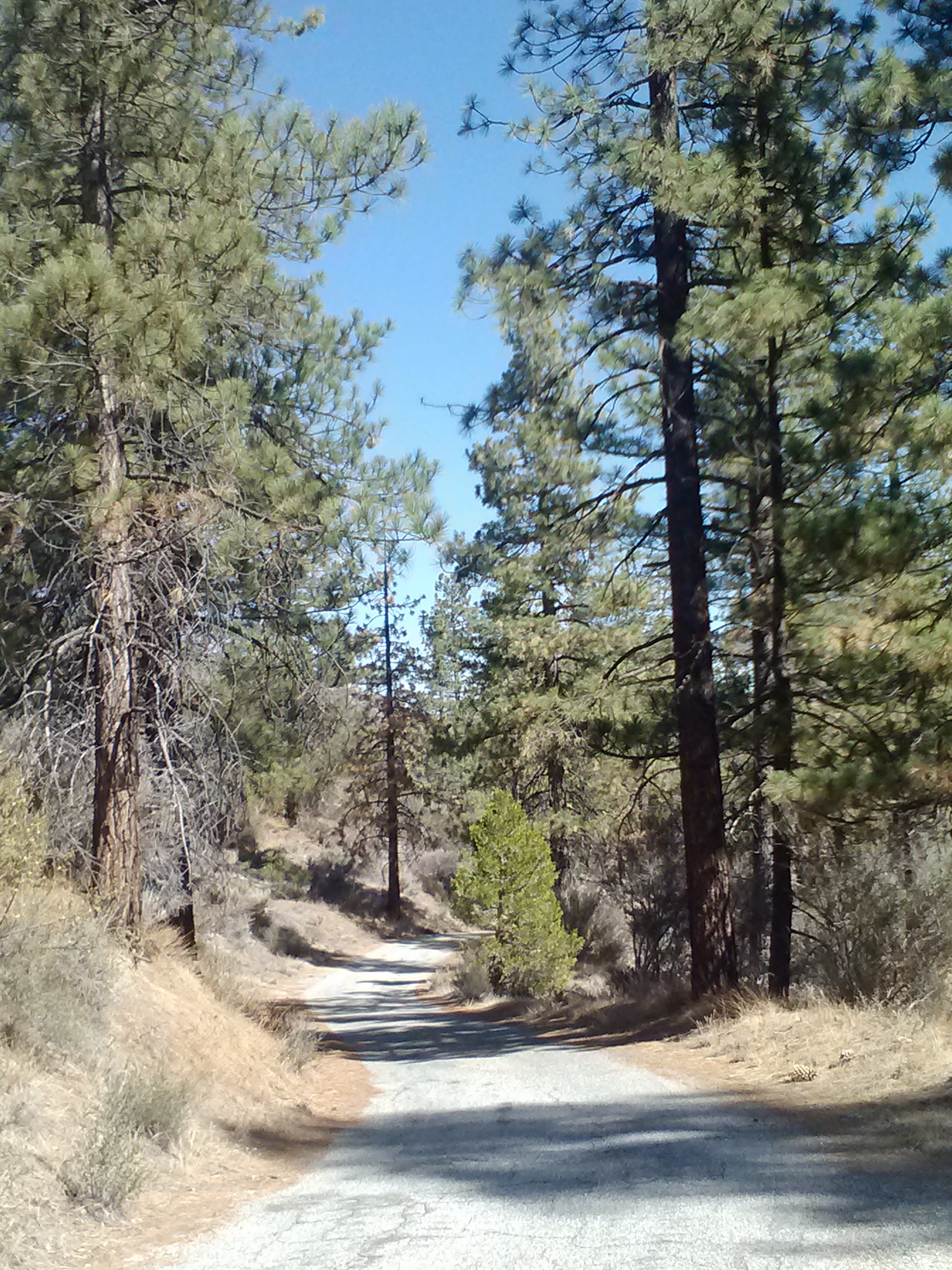
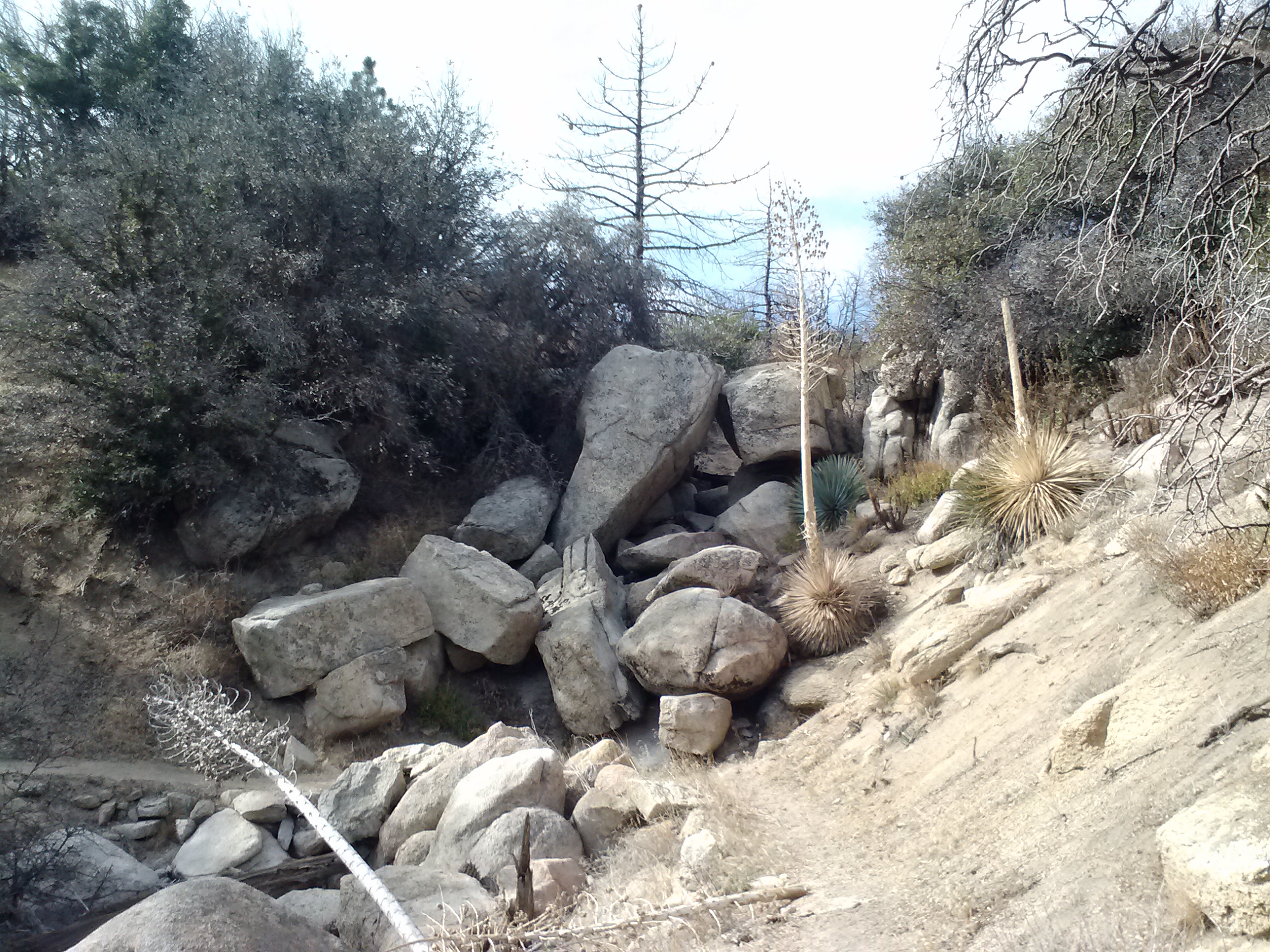
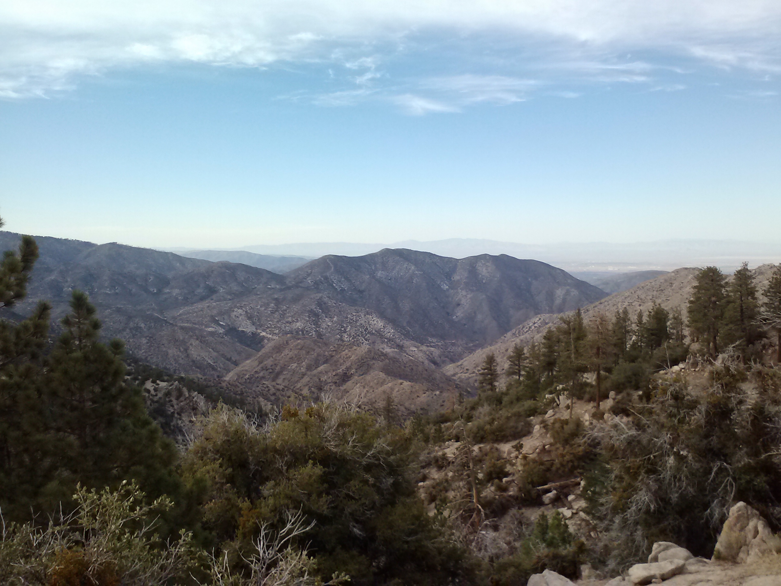
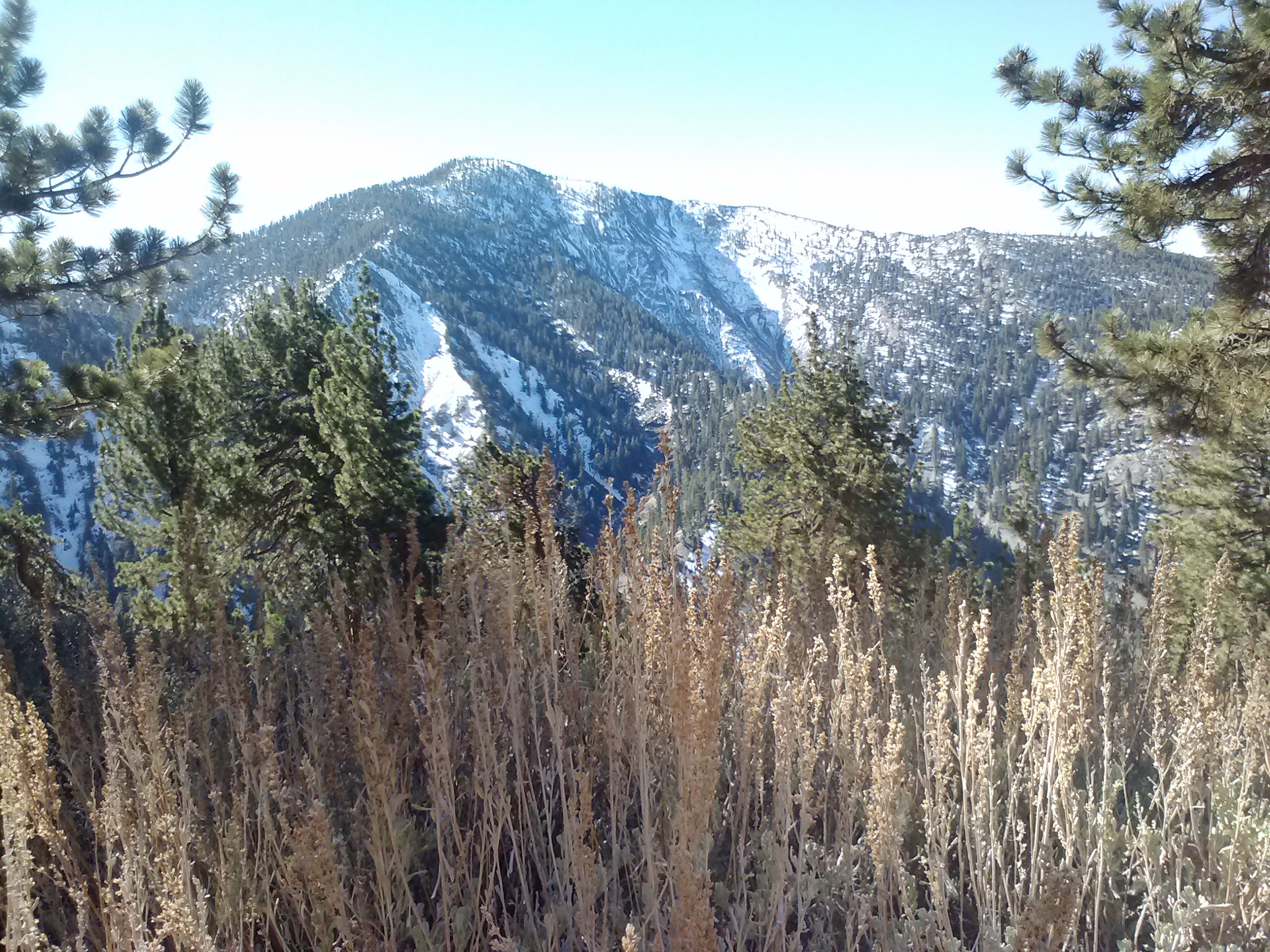
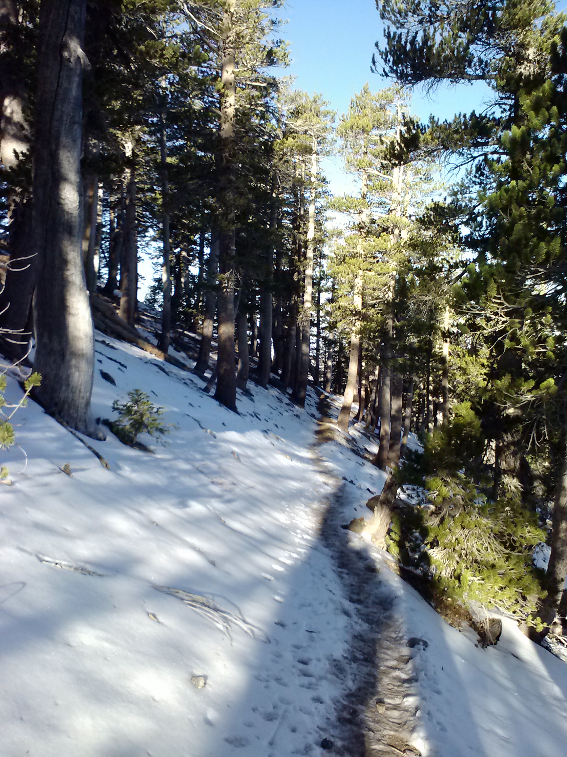
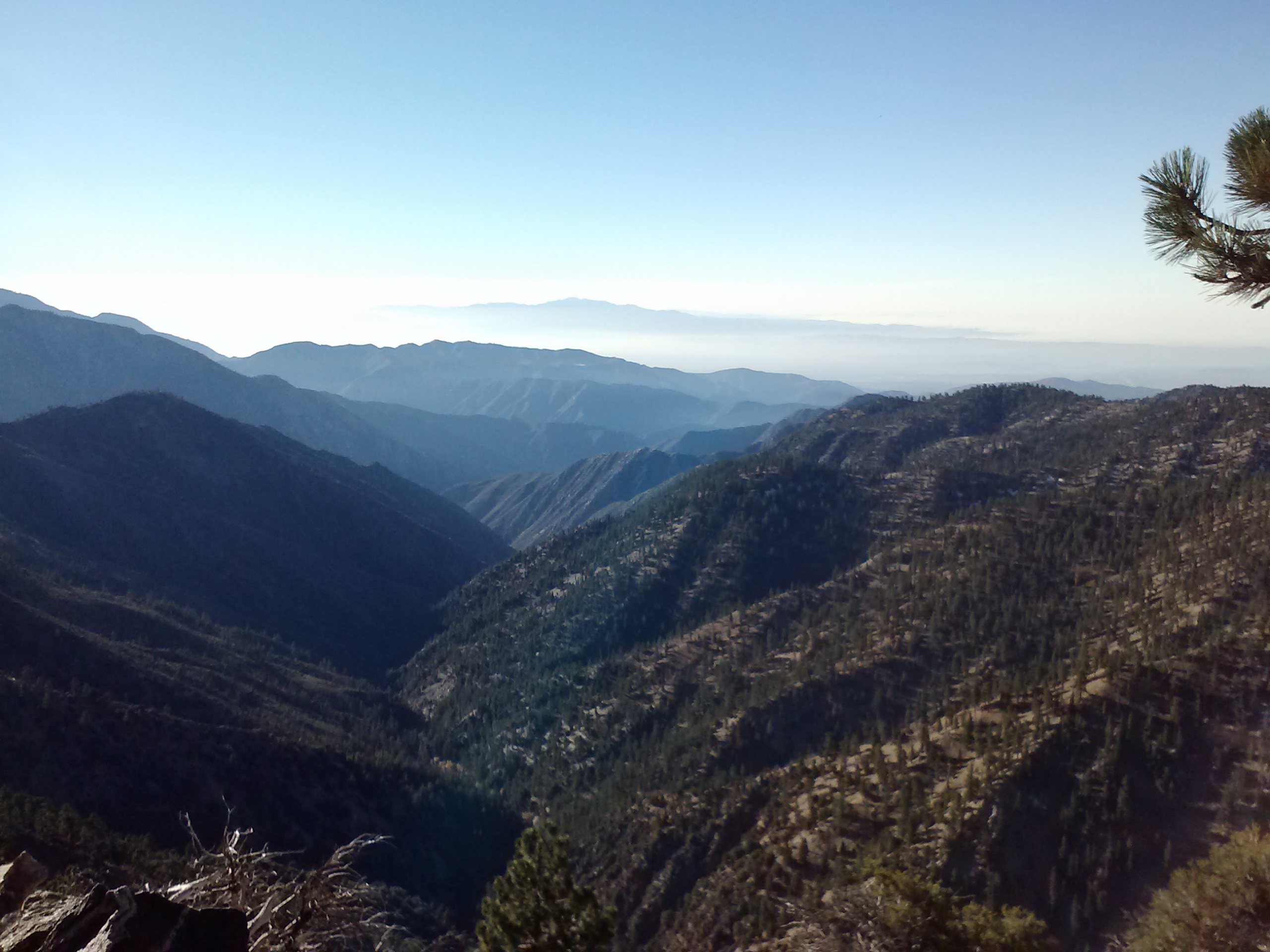
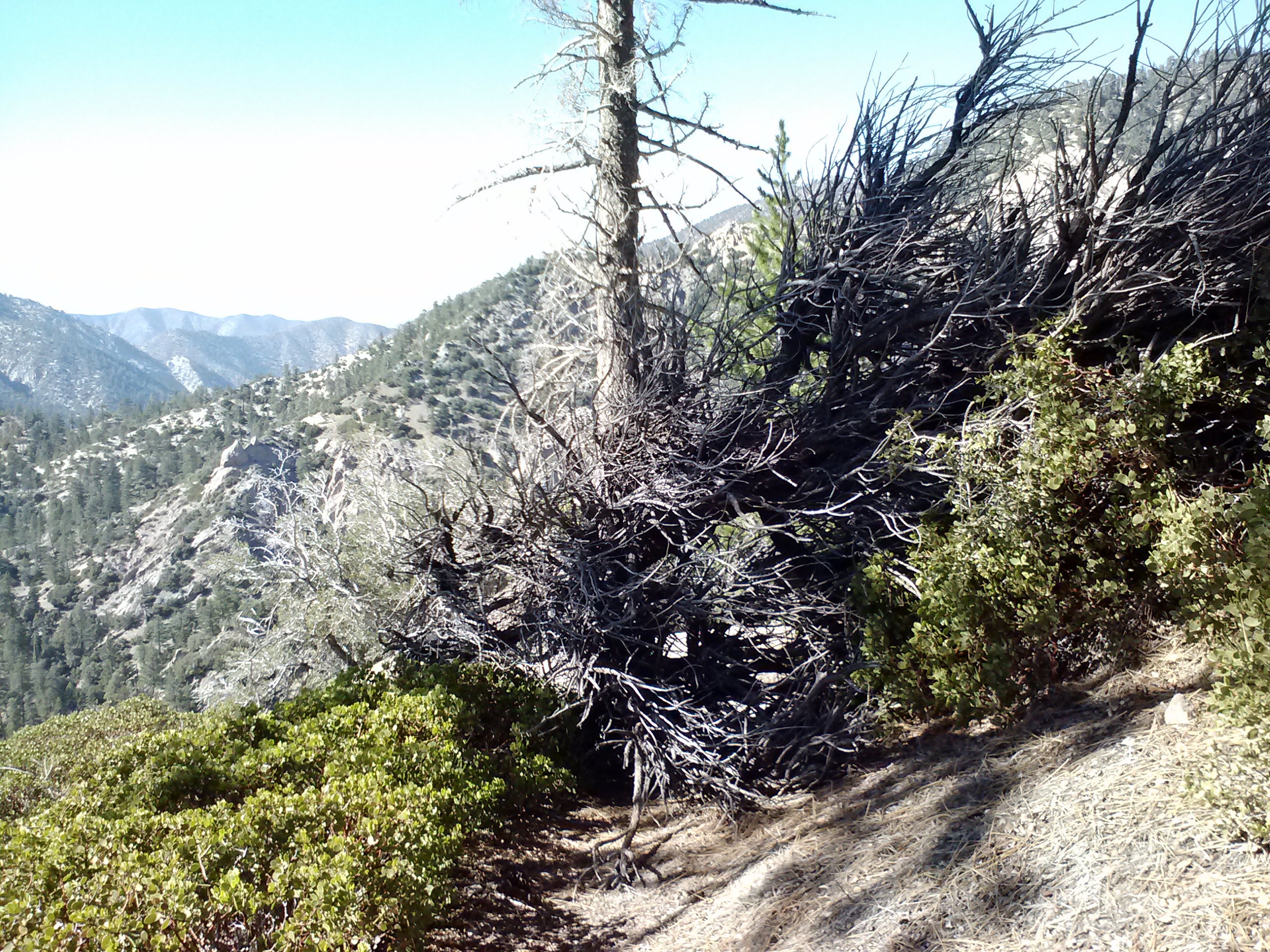
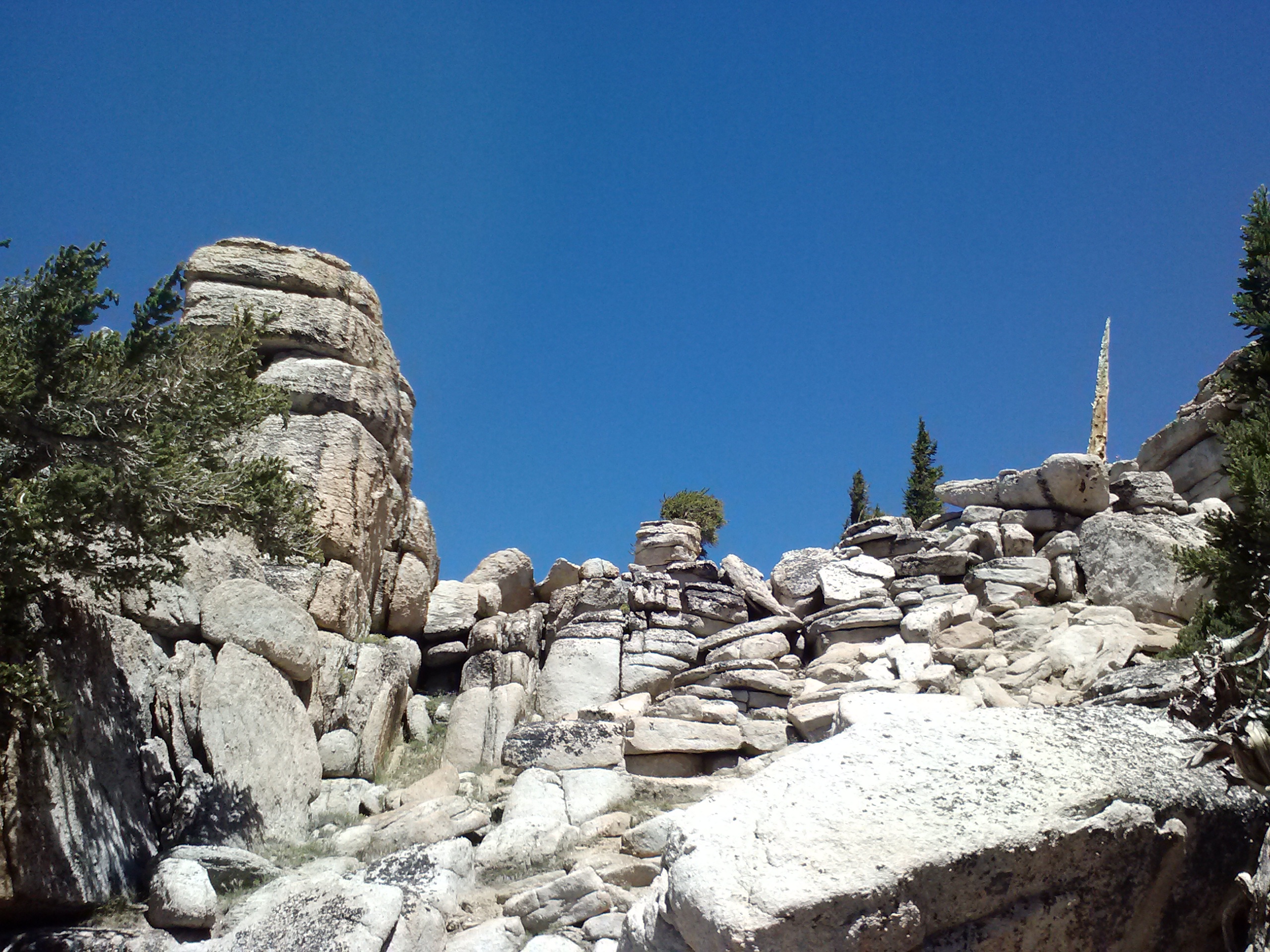
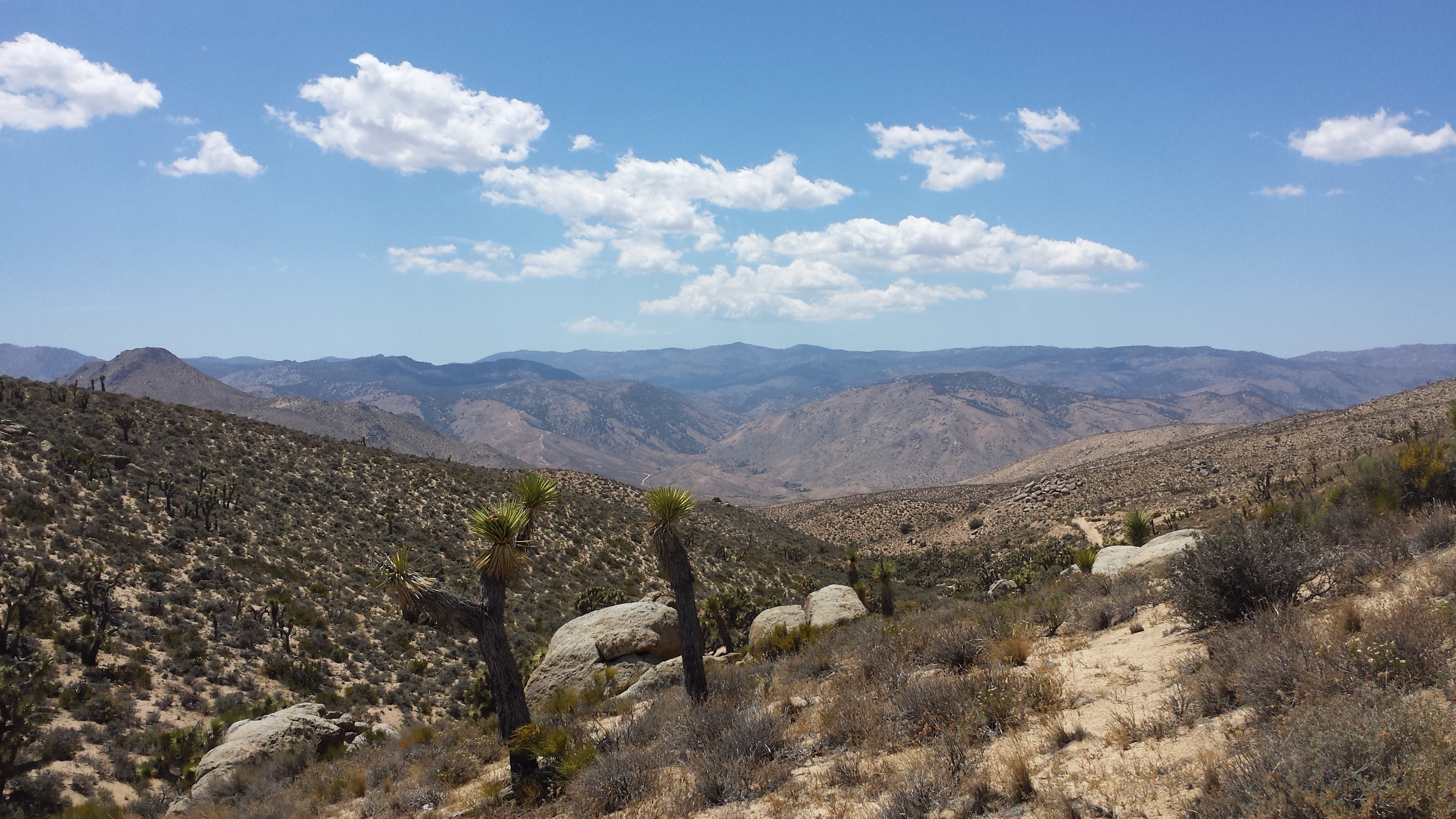
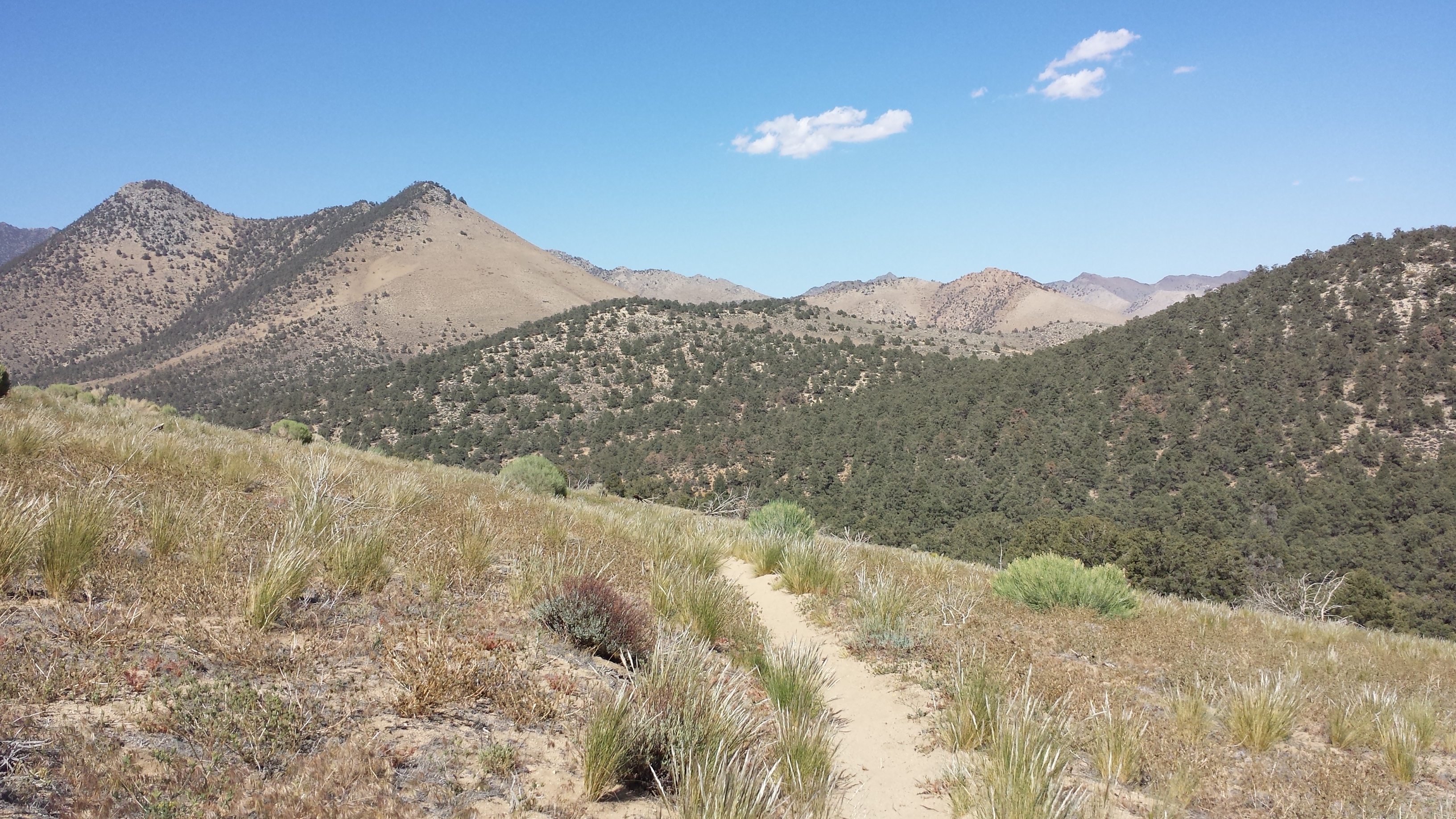
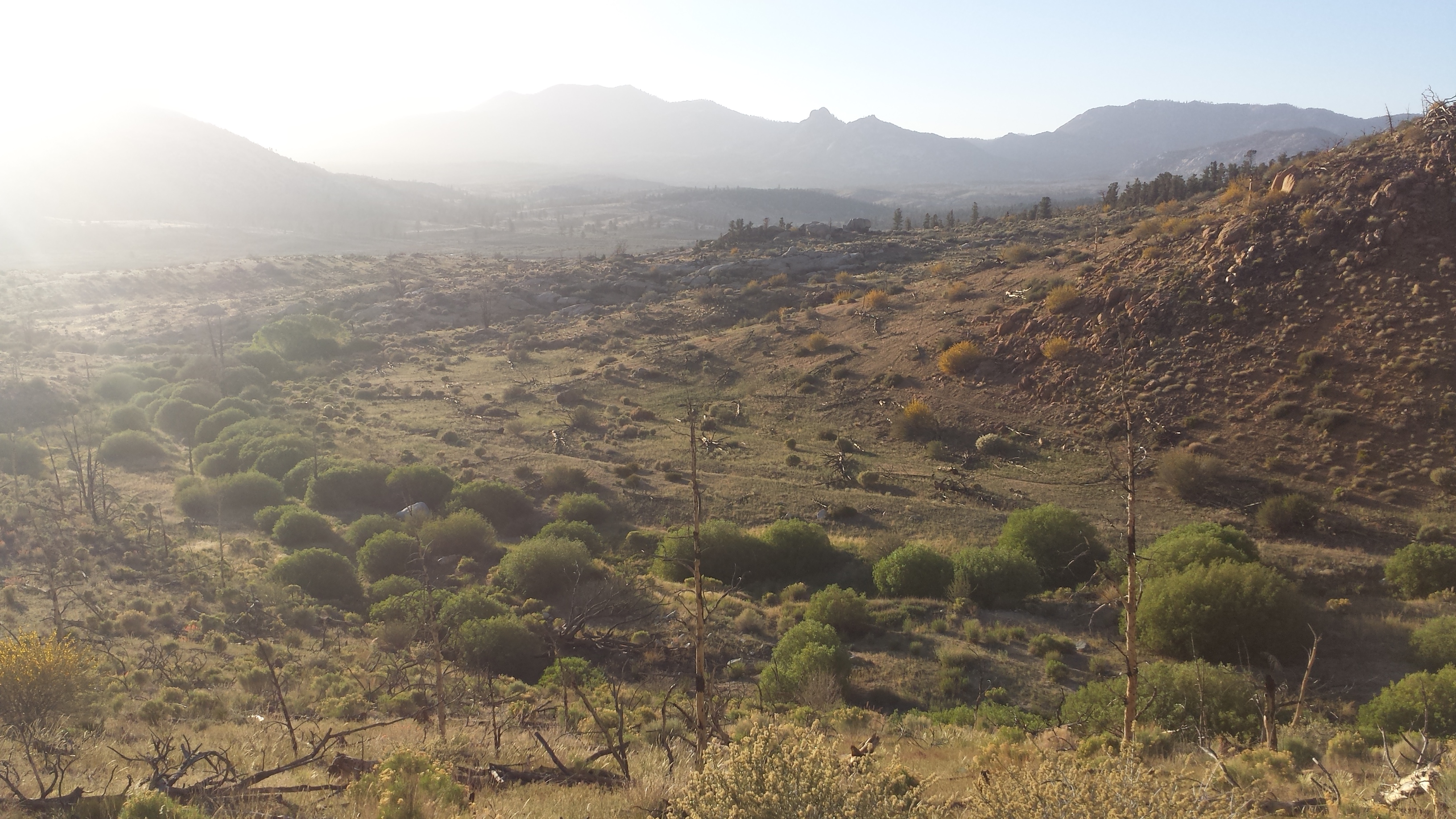
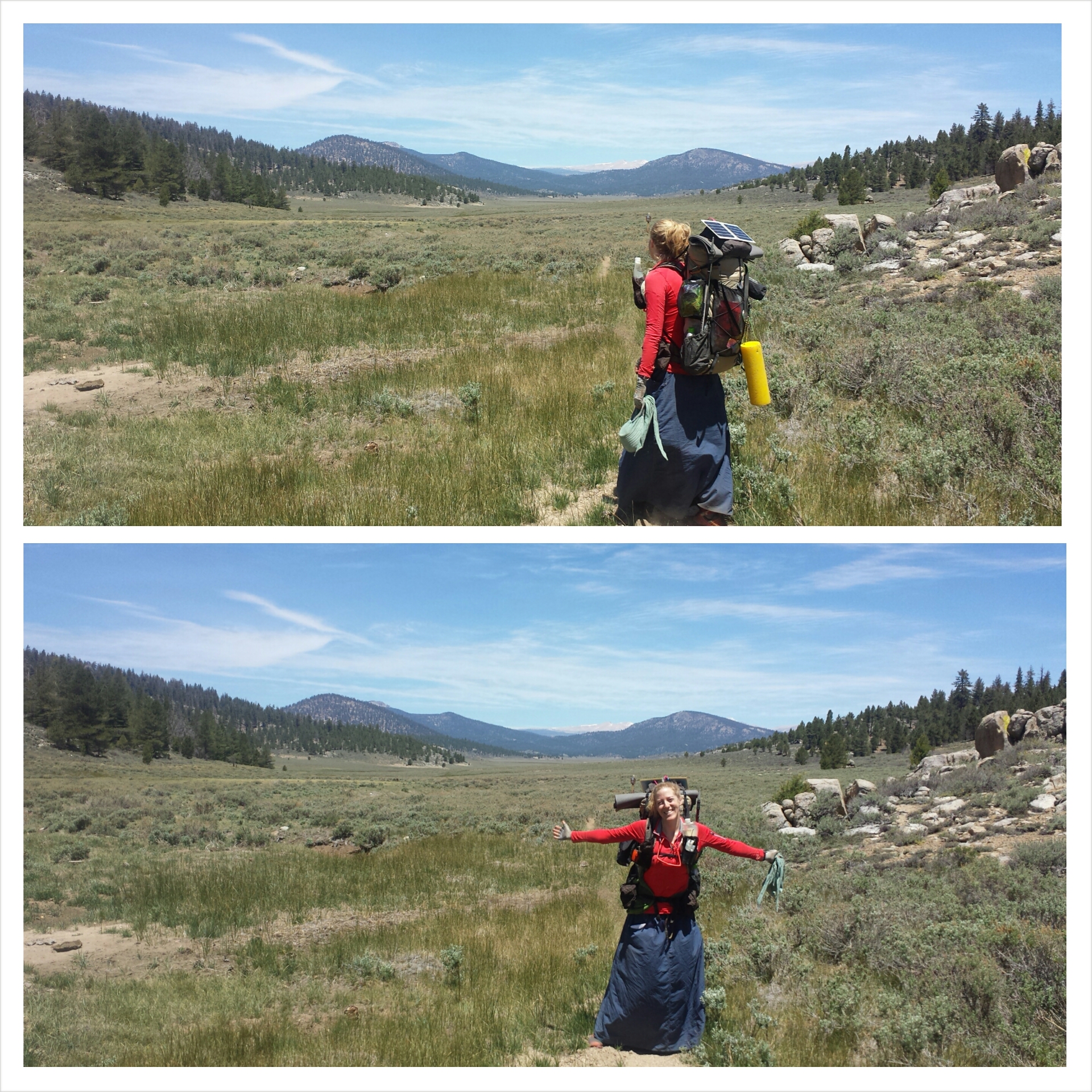
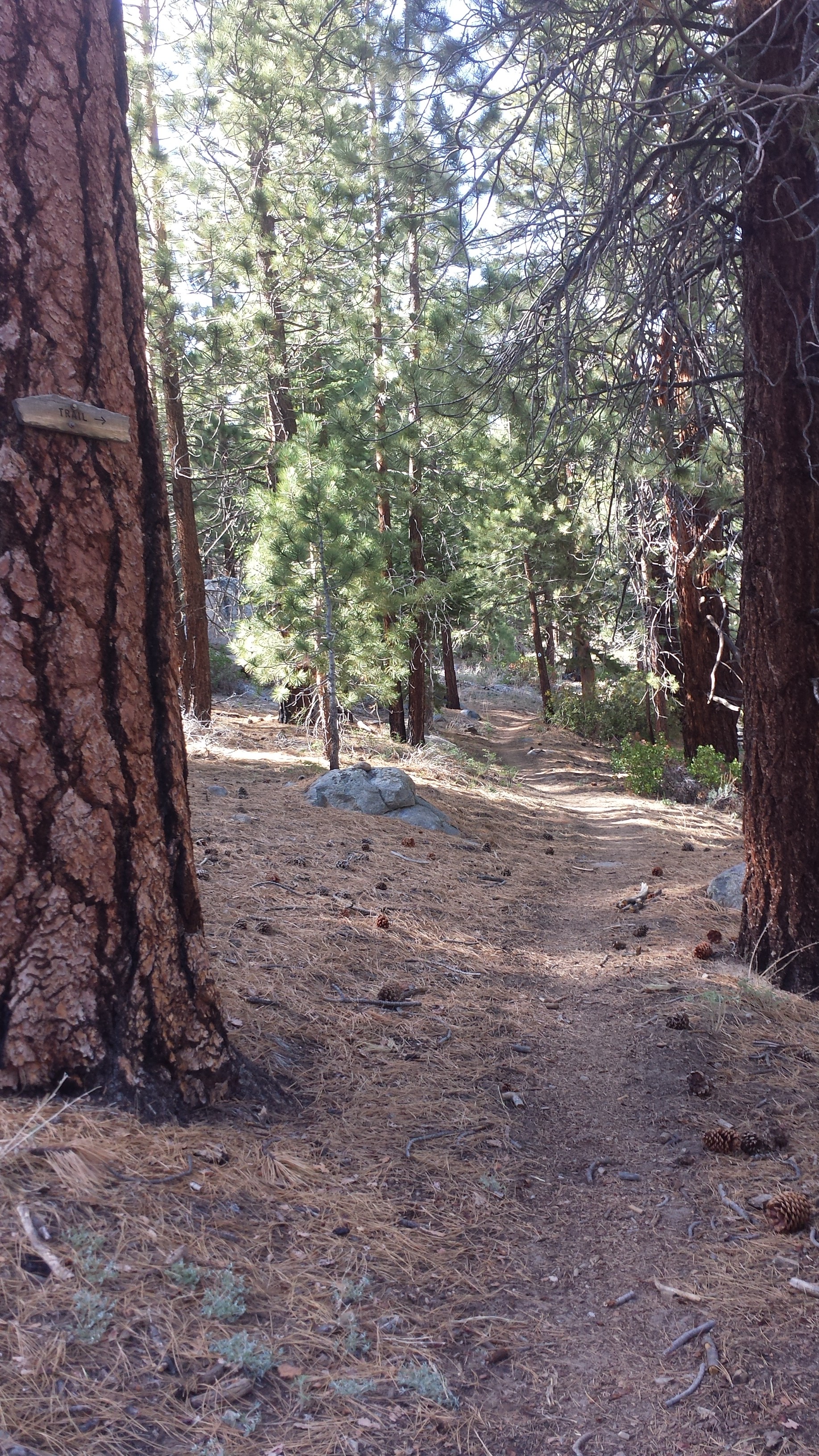
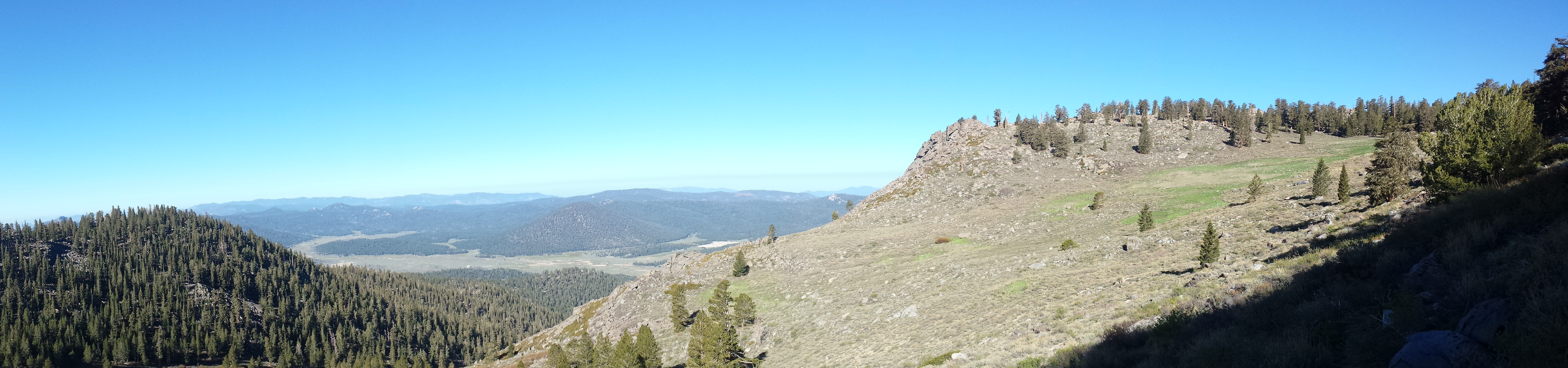
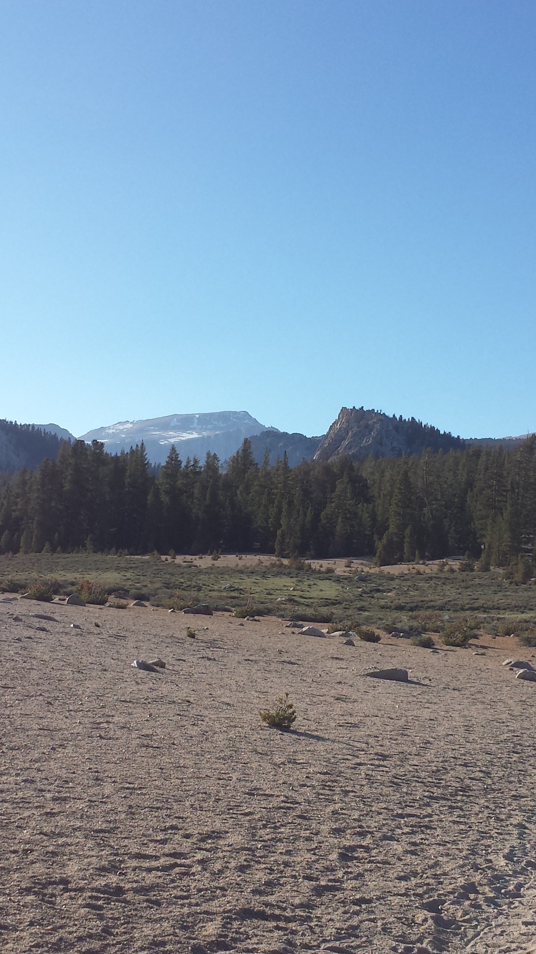
I got up early this morning after a windy night, determined to keep up with the herd. One by one, all the hikers climbed slowly out of Bird Spring Pass, and I fell further and further behind. The higher I climbed, the sicker I felt. I knew it was the altitude making me sick, so I just kept taking breaks and drinking water. Eventually, I stopped sitting on rocks and would just lay down completely in the dirt. I felt pretty miserable. The first 10.5 miles of the day were really lovely, winding up through a desert pine forest with views of distant snowy mountains.
The second half of the day was hot, exposed and sandy. Ugh, sand! I’m over you!
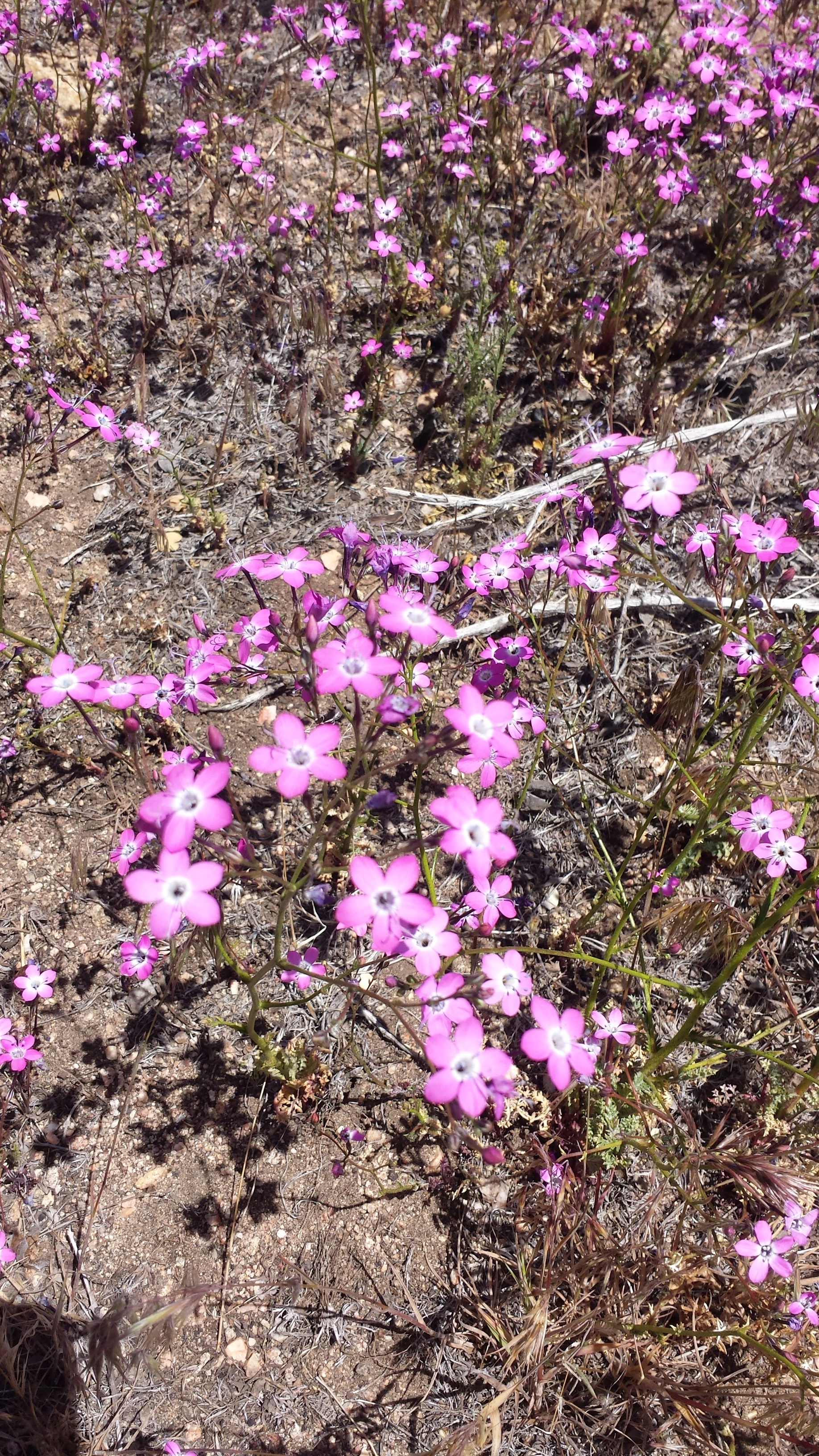
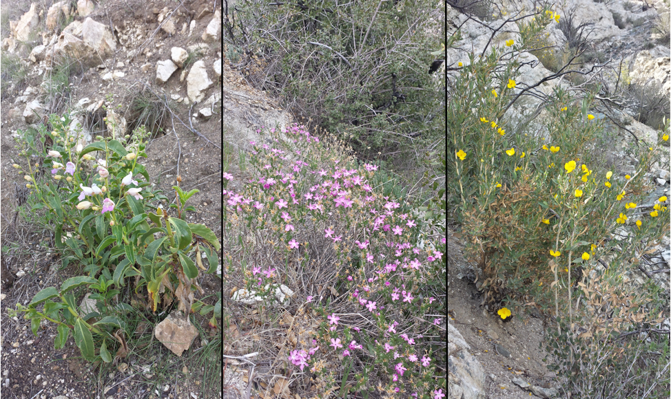
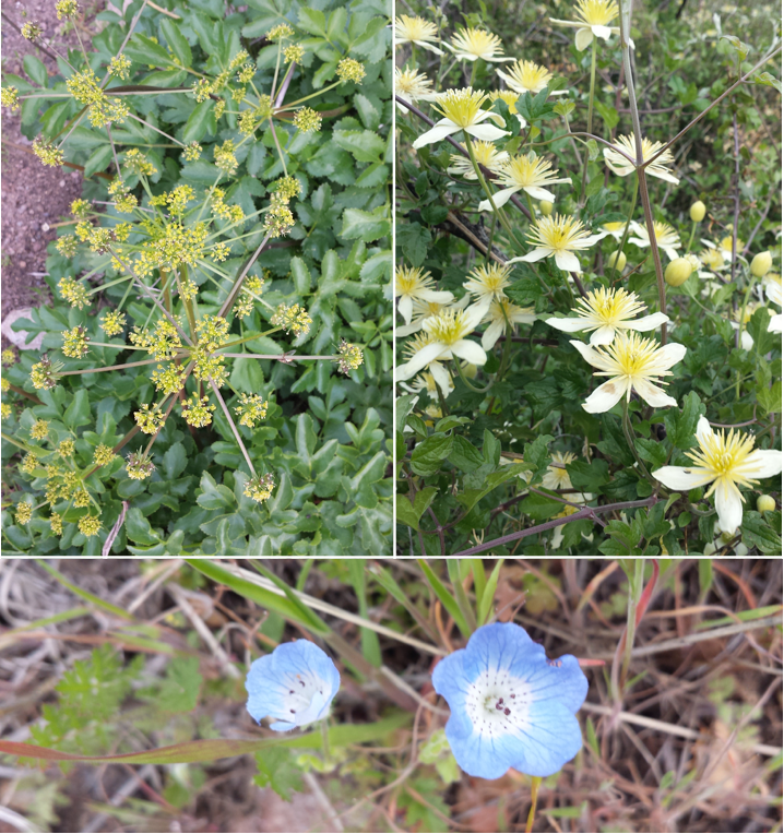
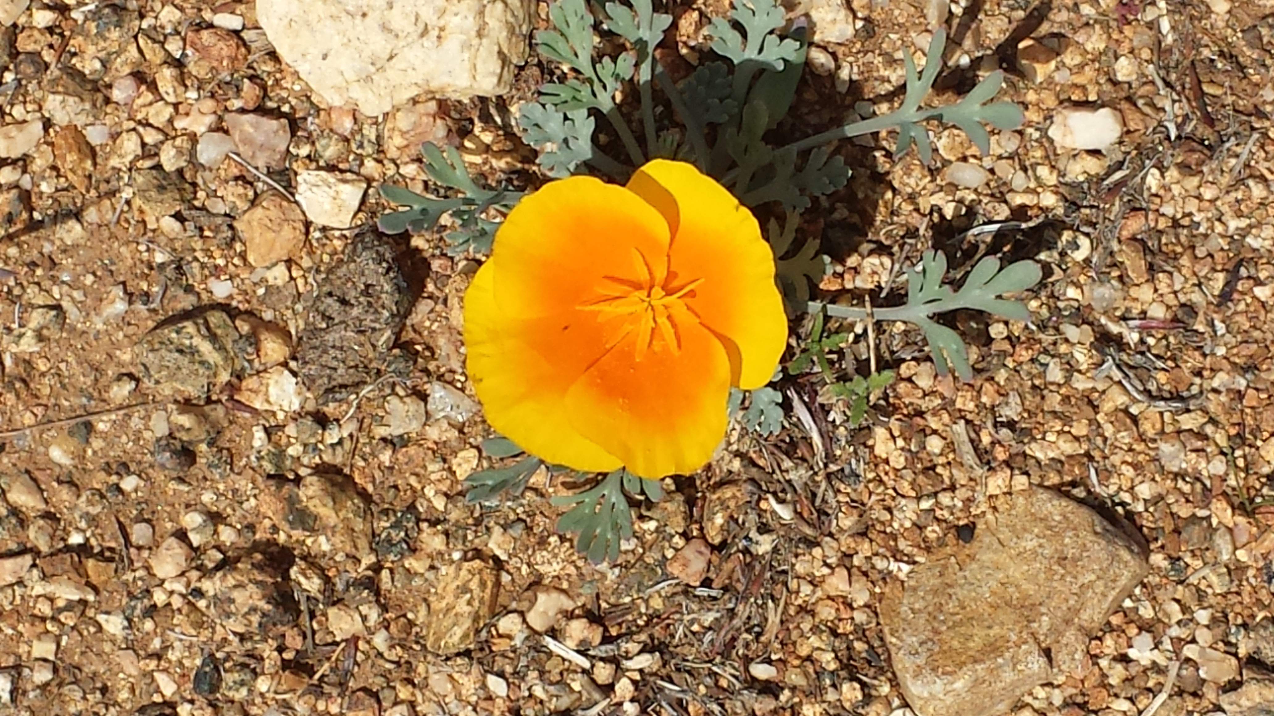
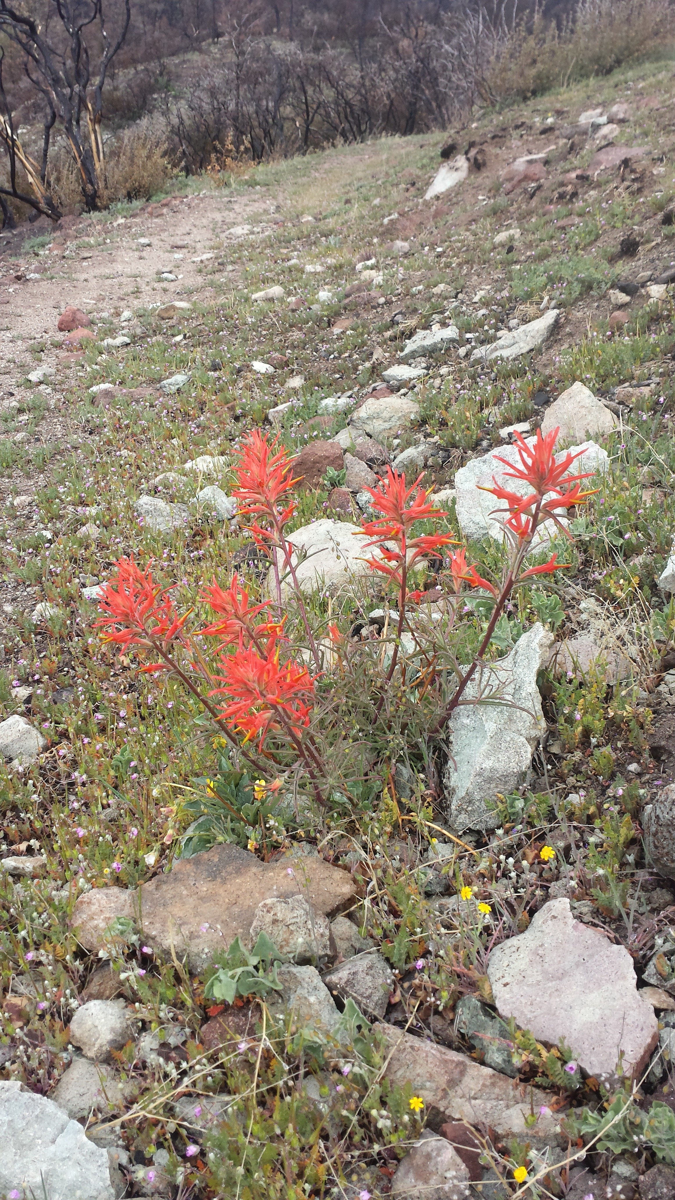
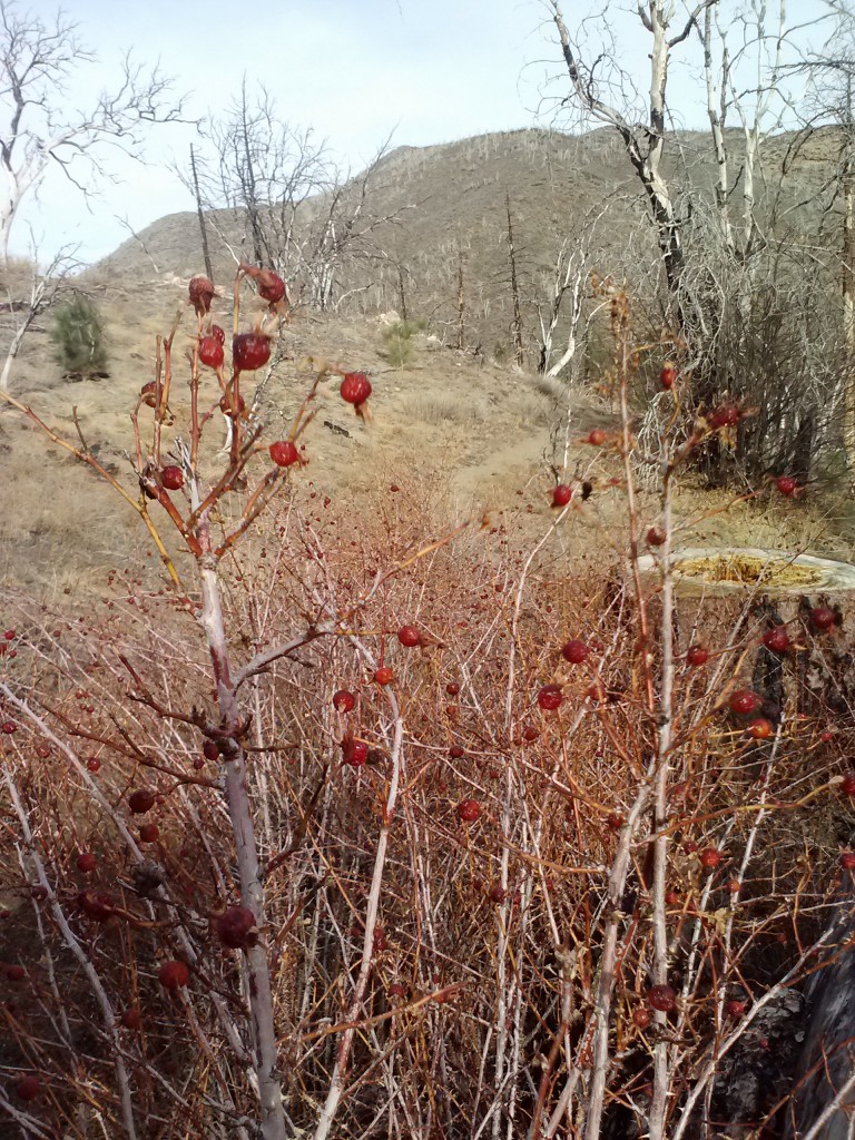
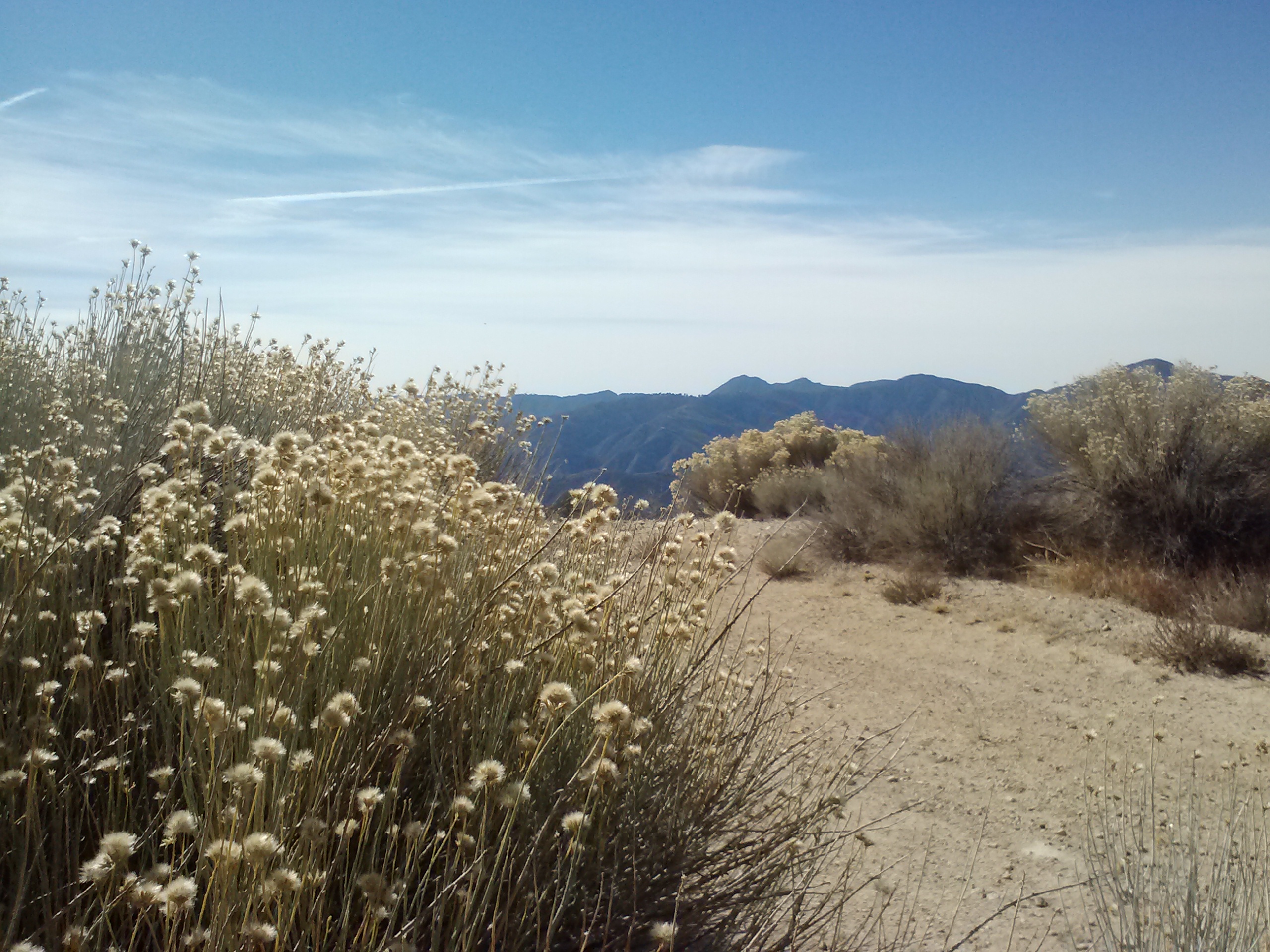
Wildflowers
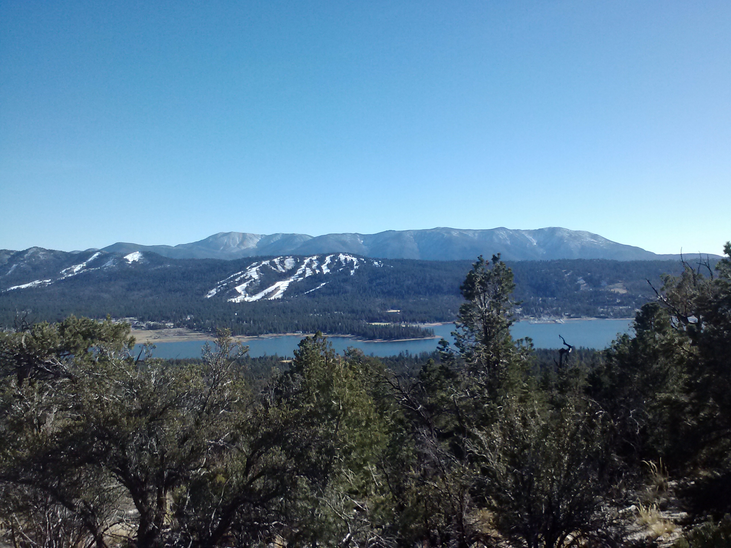
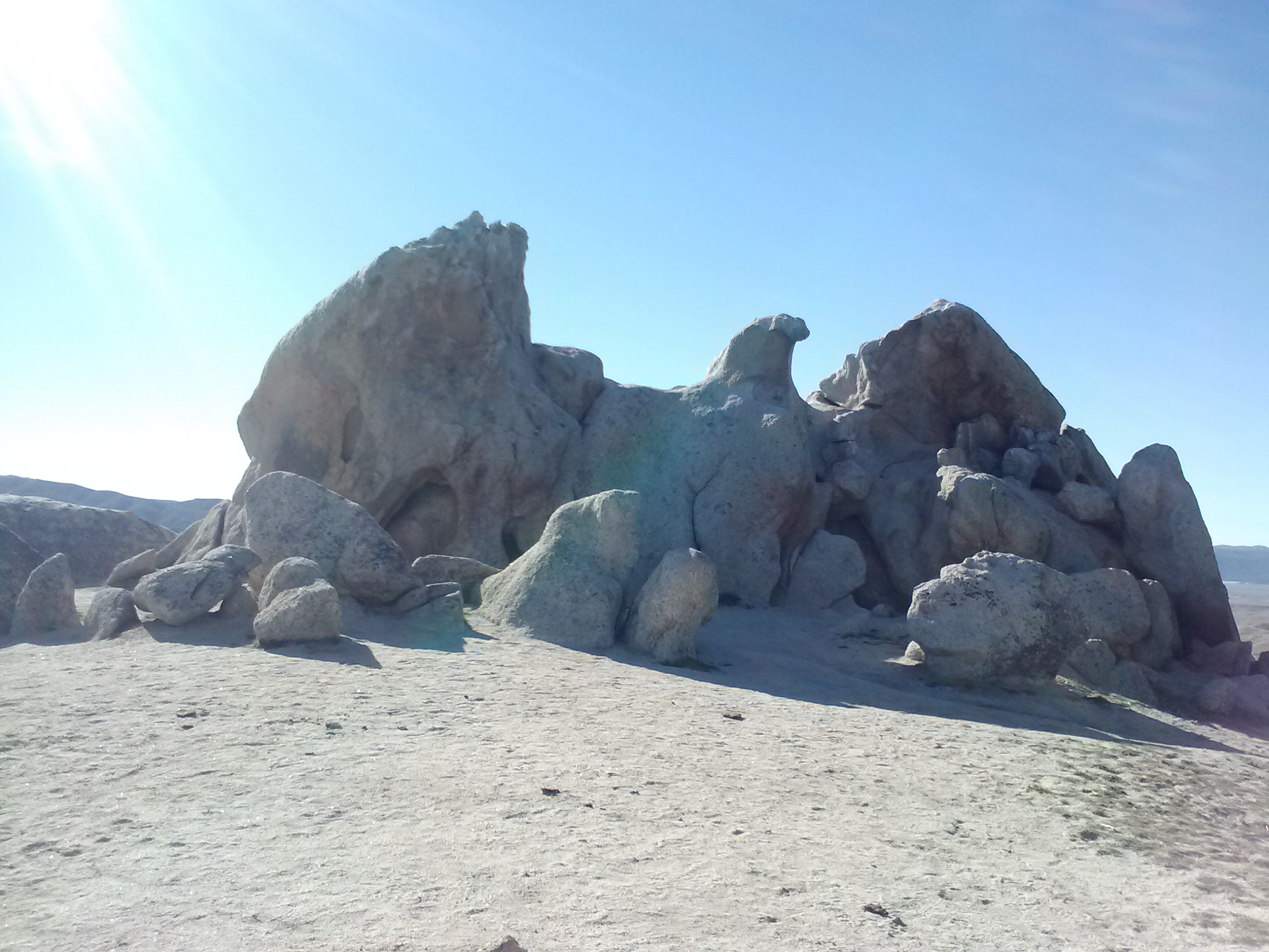
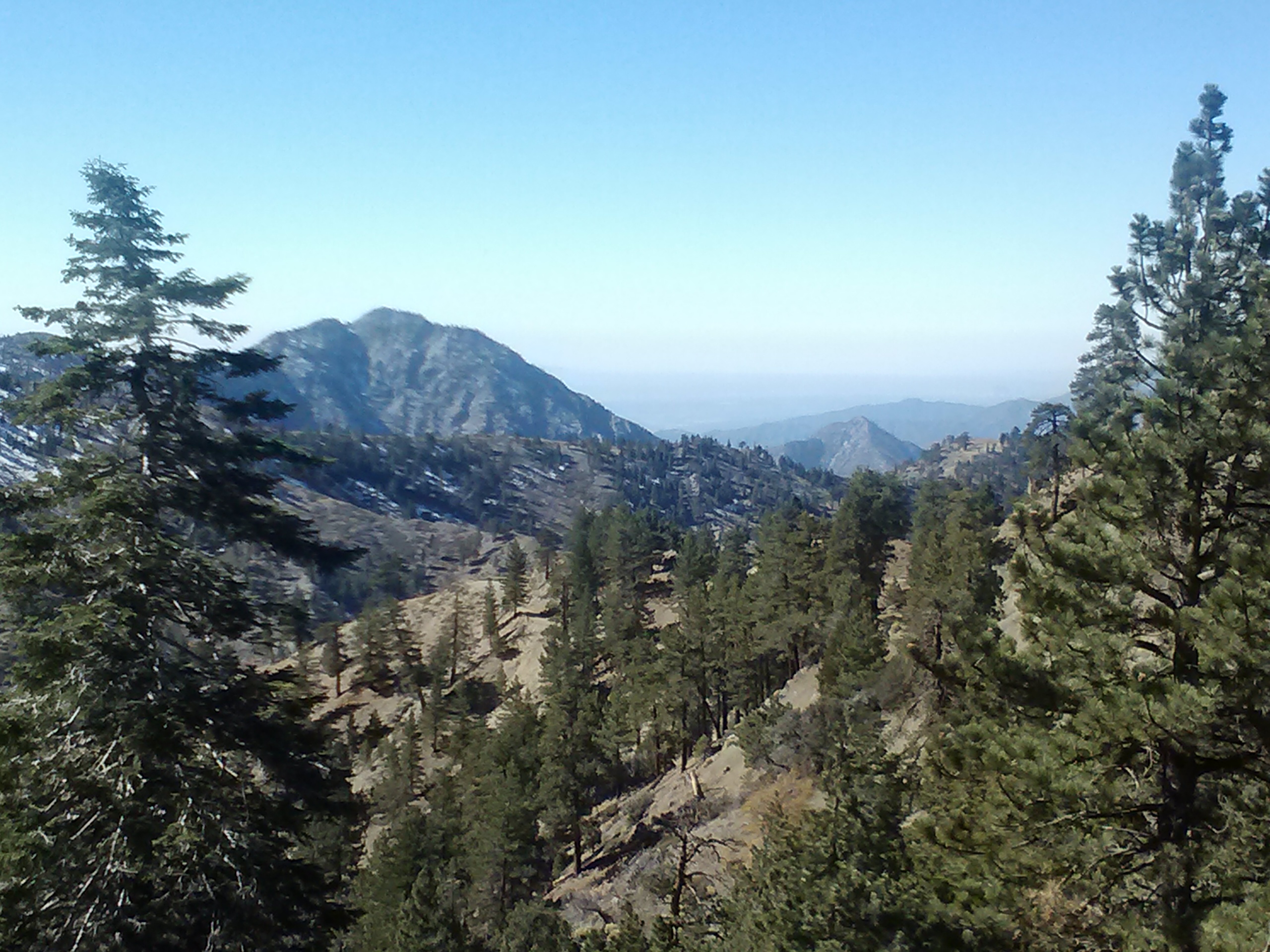
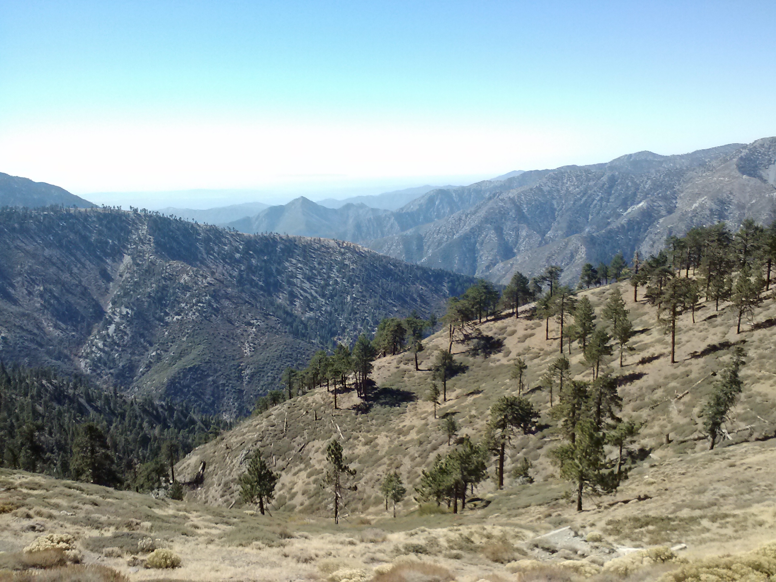
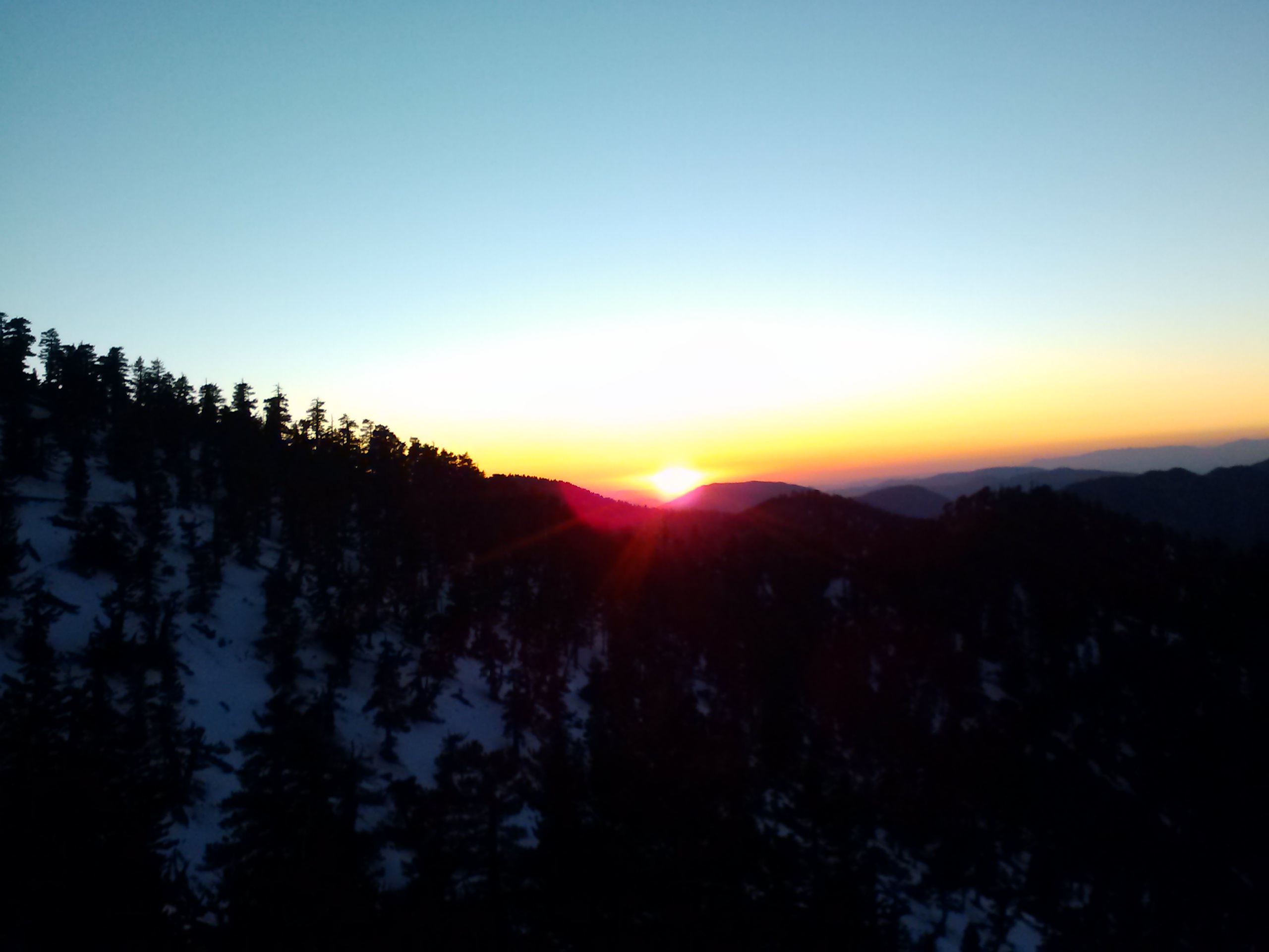
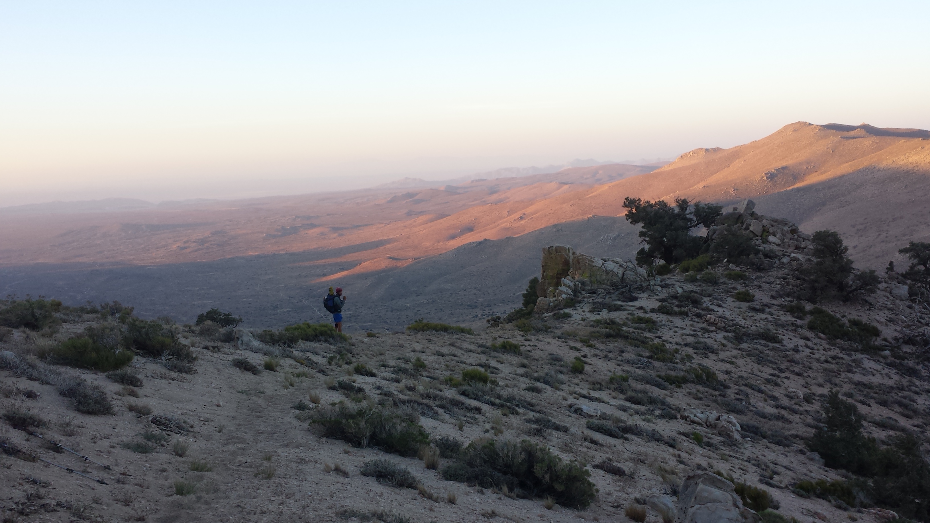
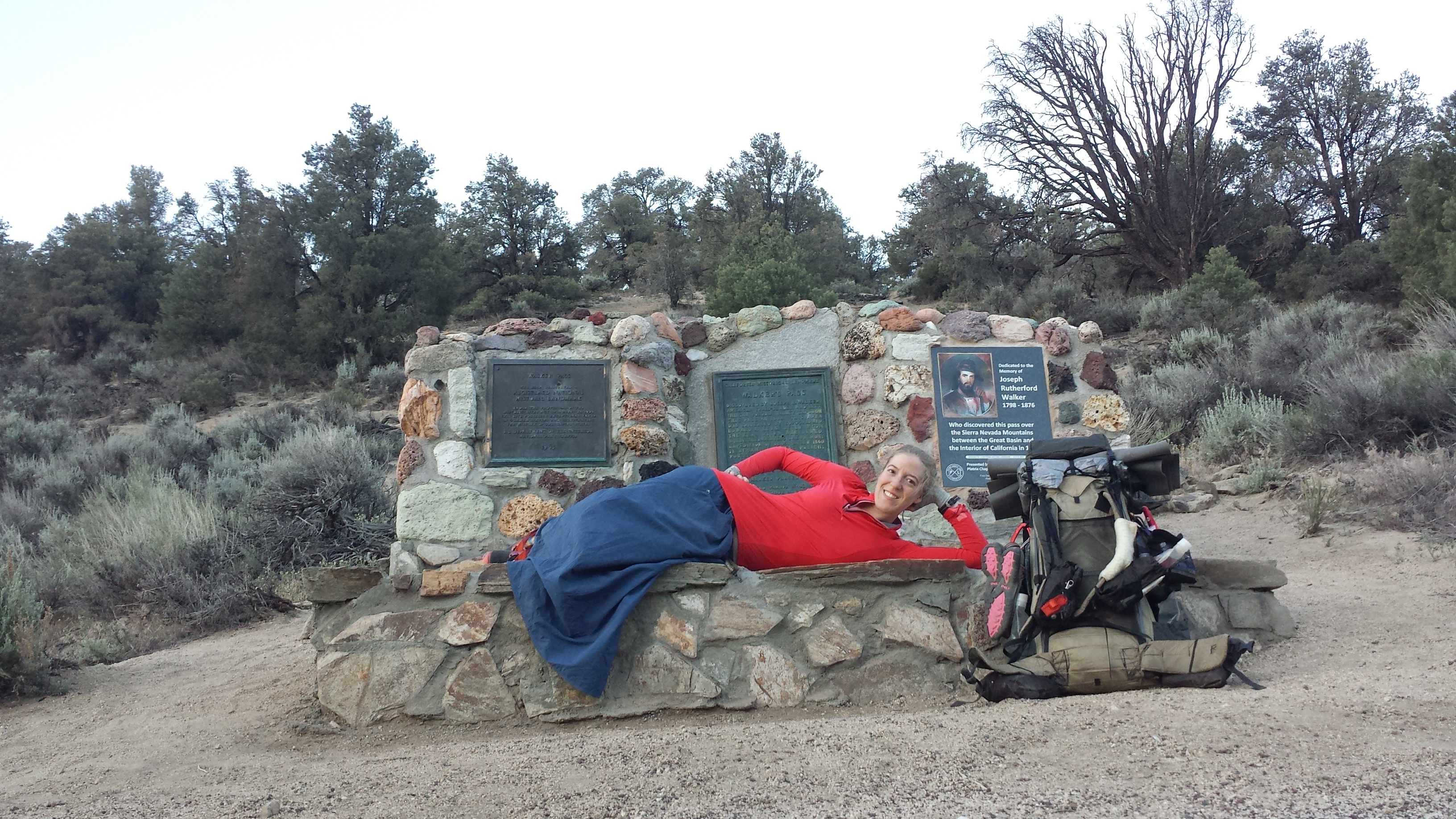
Approaching Walker Pass
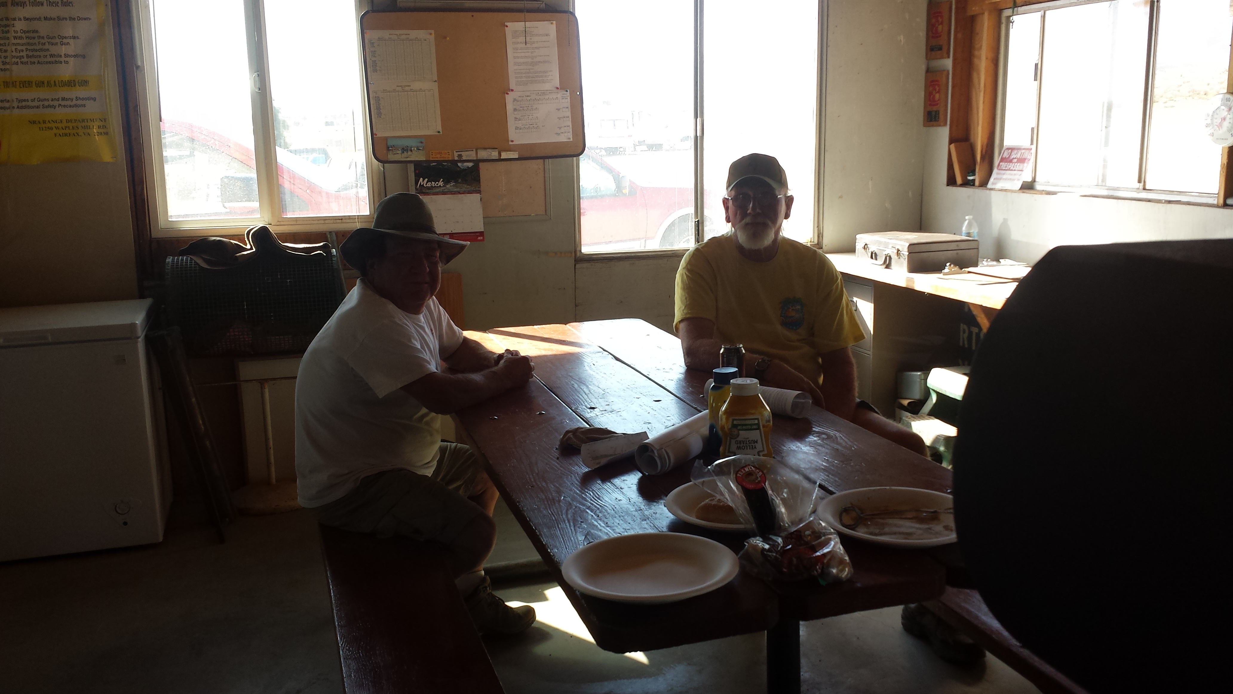
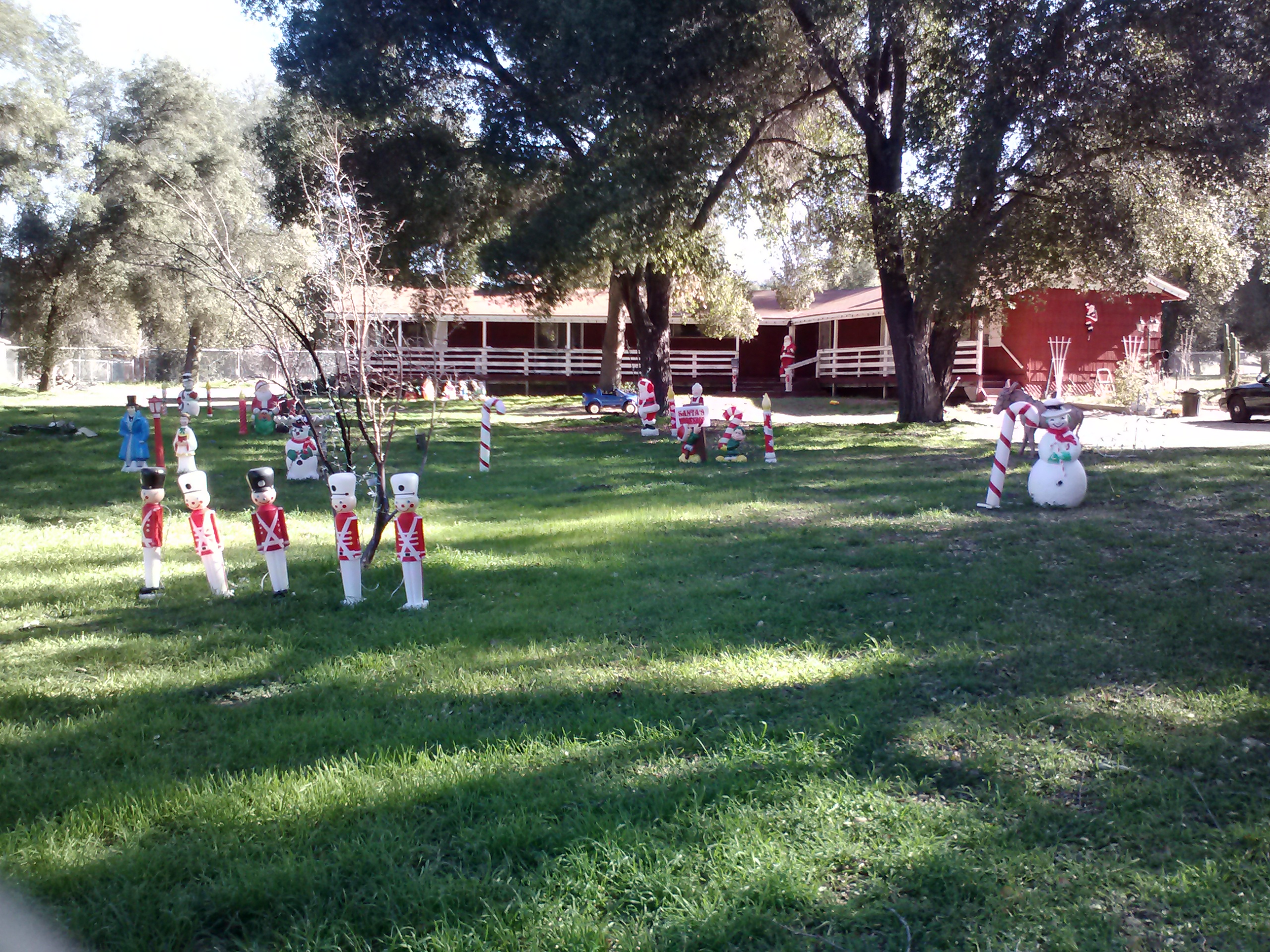
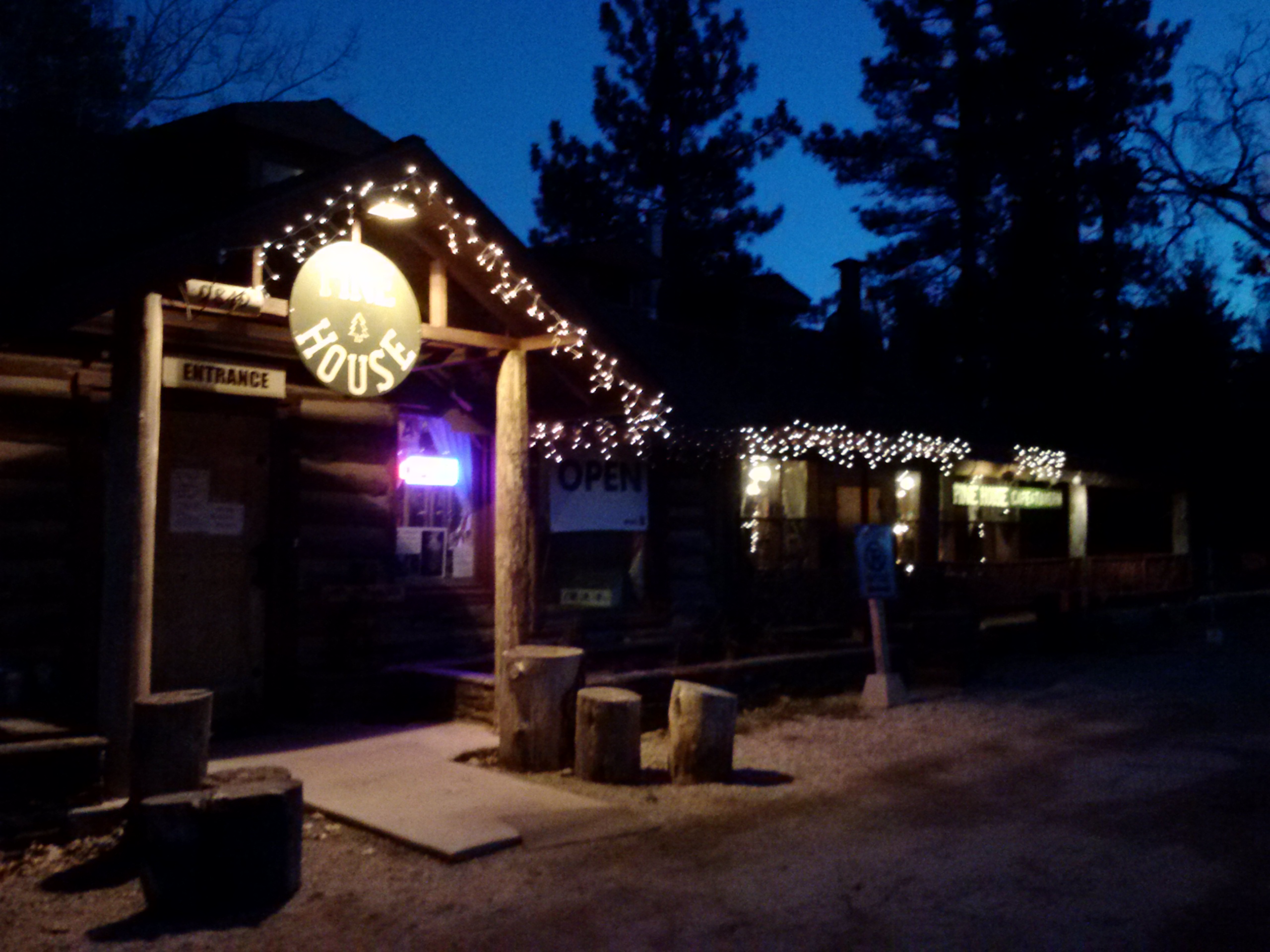
I reached the Walker Pass Campground late in the day, but still in time to receive some amazing trail magic. As I walked up to a decorative tent, a little wild child with red curls charged up to me with a Pepsi, a sparkly necklace of plastic beads, and a button saying “Bearbait gave me a drink at Walker Pass.” (The kid was Bearbait, of course.) This magic is hosted by PCT veterans Jackolope, Copper Tone, and Yogi (who wrote my guidebook). They must know how beat down hikers feel after this last stretch and how much they need a little pick – me – up to stay motivated! Copper Tone made me a root beer float and Yogi cooked everyone spaghetti.
Copper Tone and a root beer float, Walker Pass Campground
When I settled in to a beach chair with my soda, I asked the hiker next to me if he’d seen Duchess or Booey pass through. He gave me the rudest response, saying I should just check the trail log, then got up and walked away. I was shocked! I guess not everyone out here is friendly and high on endorphins. Of course, I’d already checked the log and seen they’re names before I entered the campground. I later found out from Clint Westwood that they’d hitched a ride into the nearby town, Lake Isabella. I think most of these thru-hikers have bonded tightly during all the trials and tribulations of Southern California, (which I did solo and during the winter months) and here I am, just jumping in, a stranger to the herd.
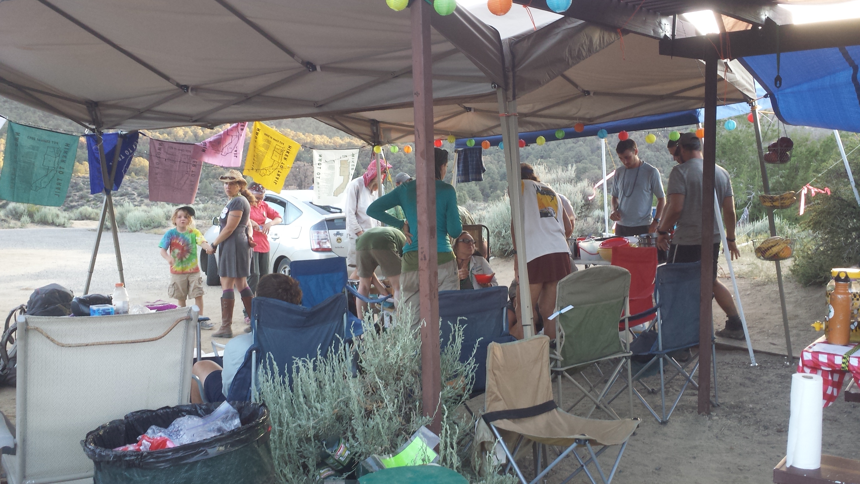
Trail magic at Walker Pass Campground
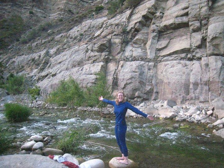
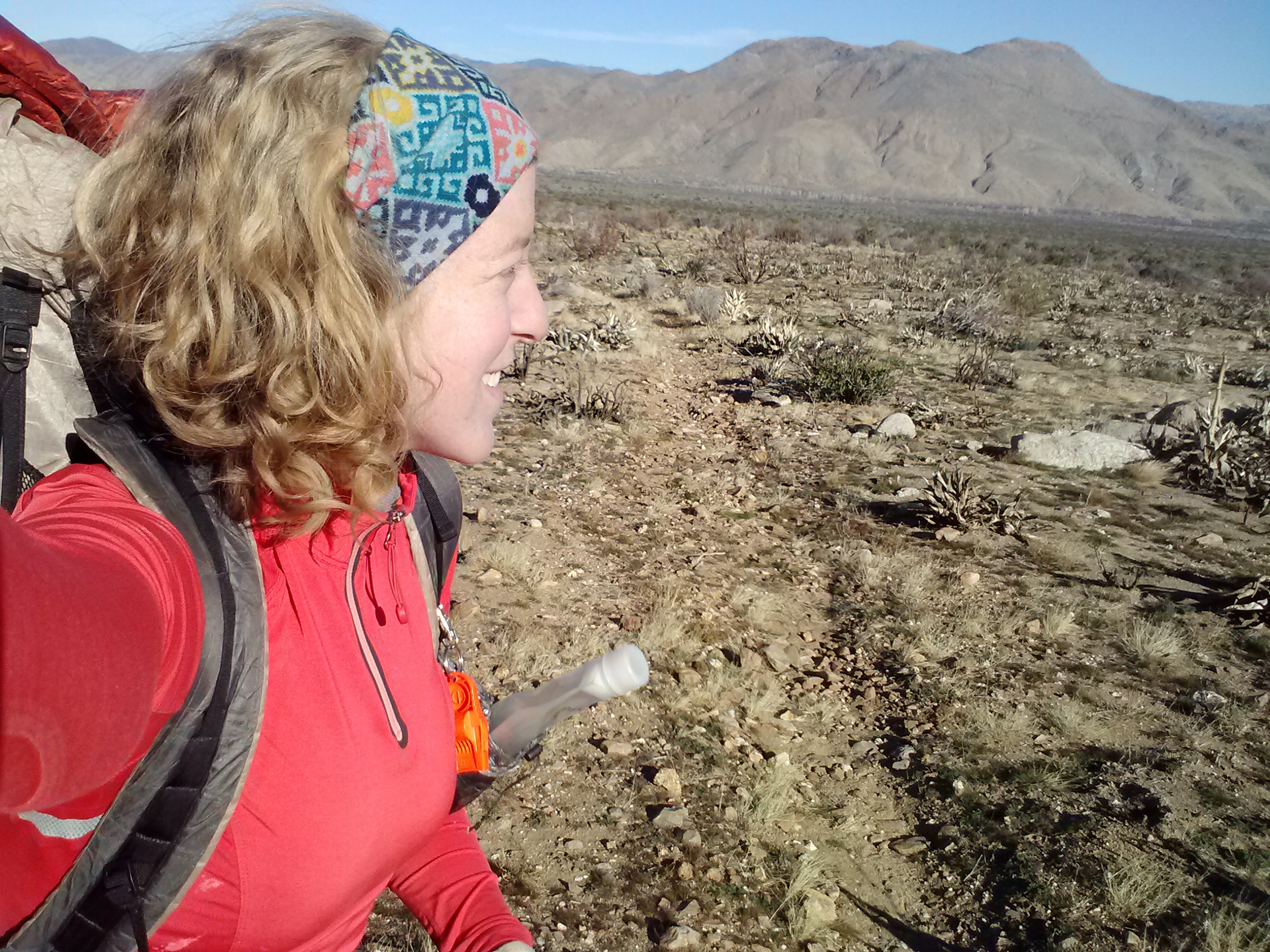
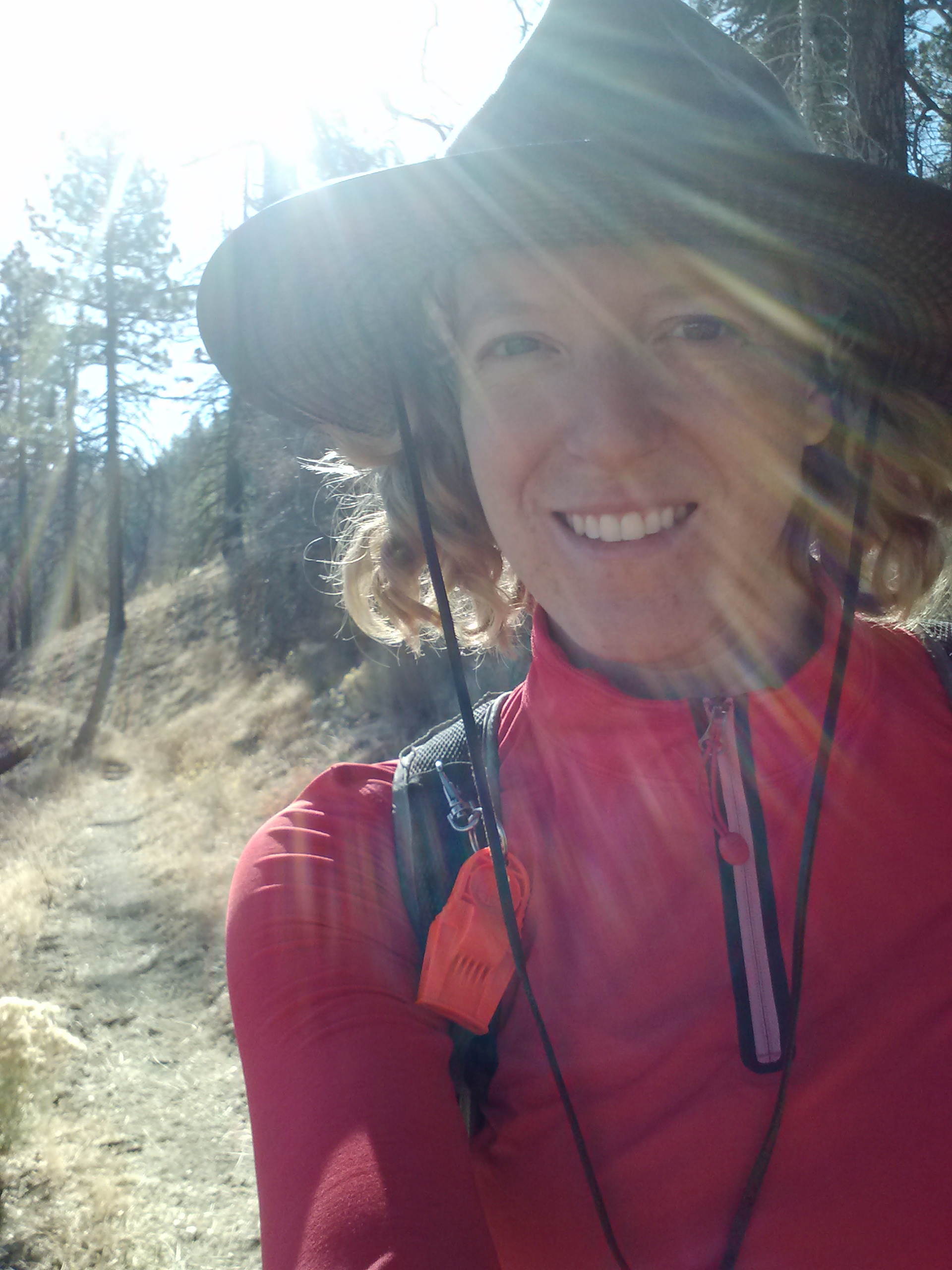
I walked down the road from the trail magic to a spring and washed up my dusty feet, hands, and face. Down there, I met Lucky Strike, a smoker from Tennessee, and Sarge, a young, solo lady hiker- both were super friendly. We all did laundry there together. I hiked up my skirt like a sarong and washed my shirt and undergarments with dignity. They were kinda jealous of the skirt set-up. The skirt is a new item for me. It’s a Macabi skirt, made from the same material as hiking pants, with deep pockets, and snaps to turn it from long to mid-length. I even figured out a way to tie it up and wear it as a miniskirt.
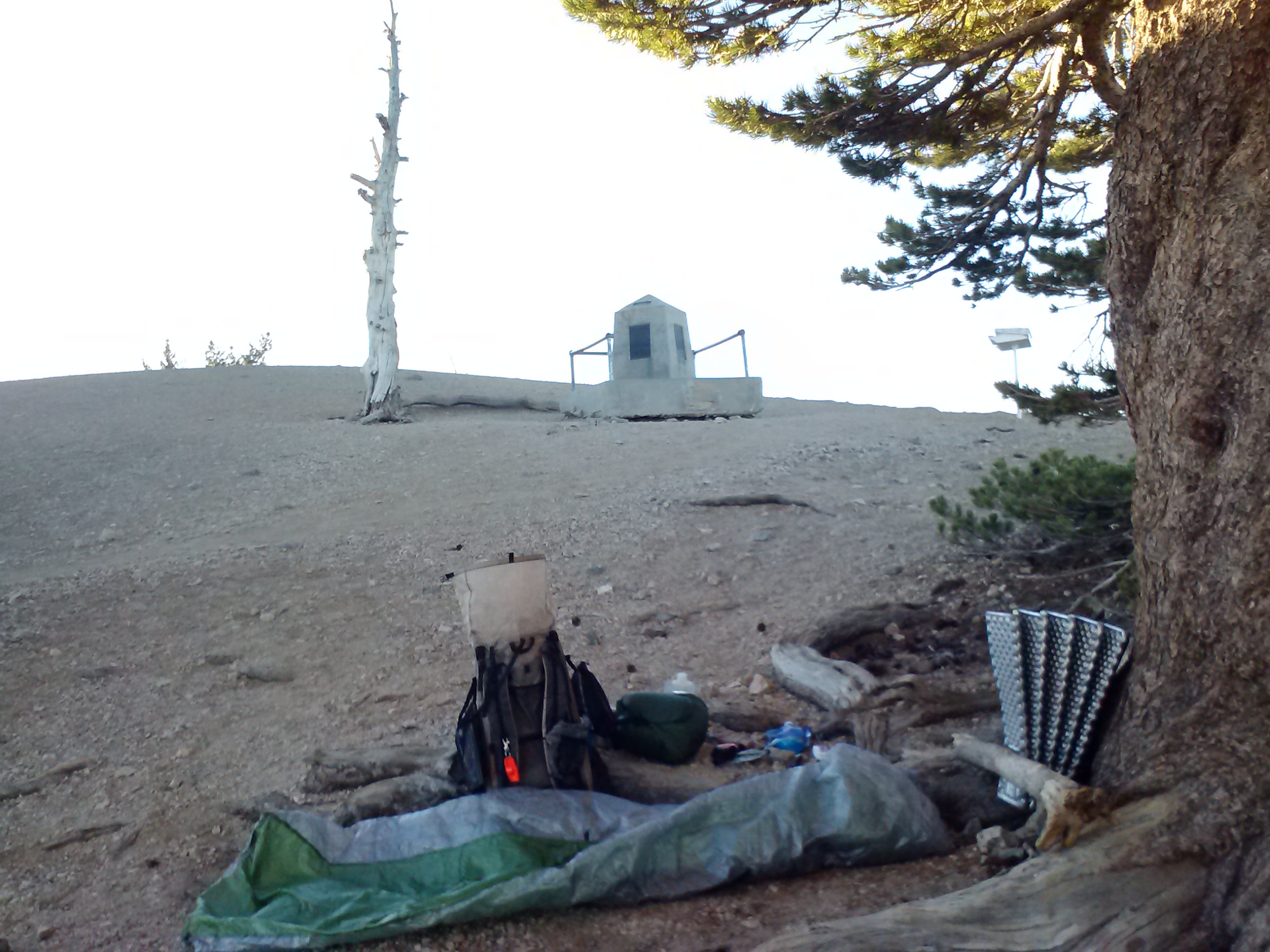
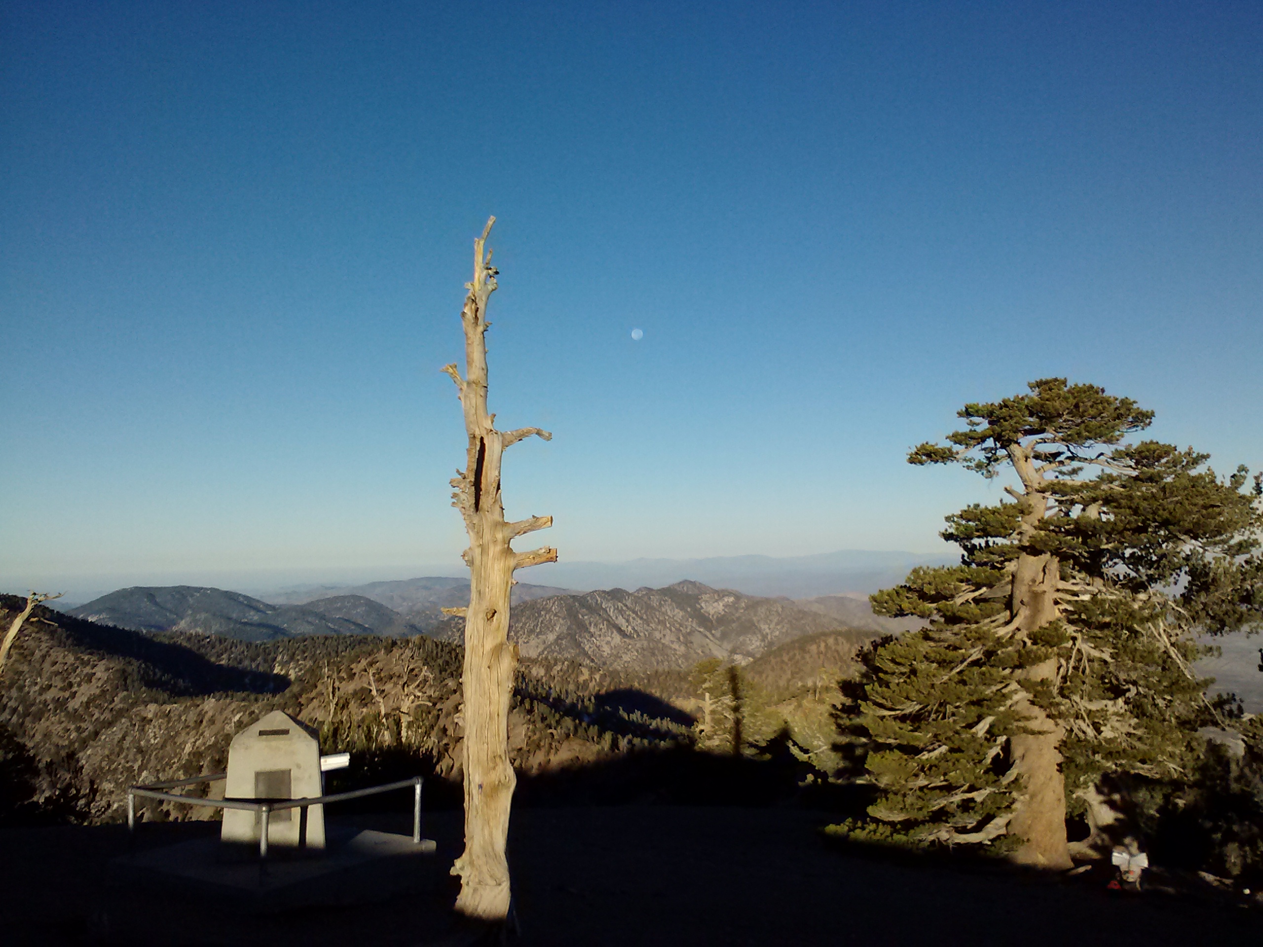
Walker Pass Campground
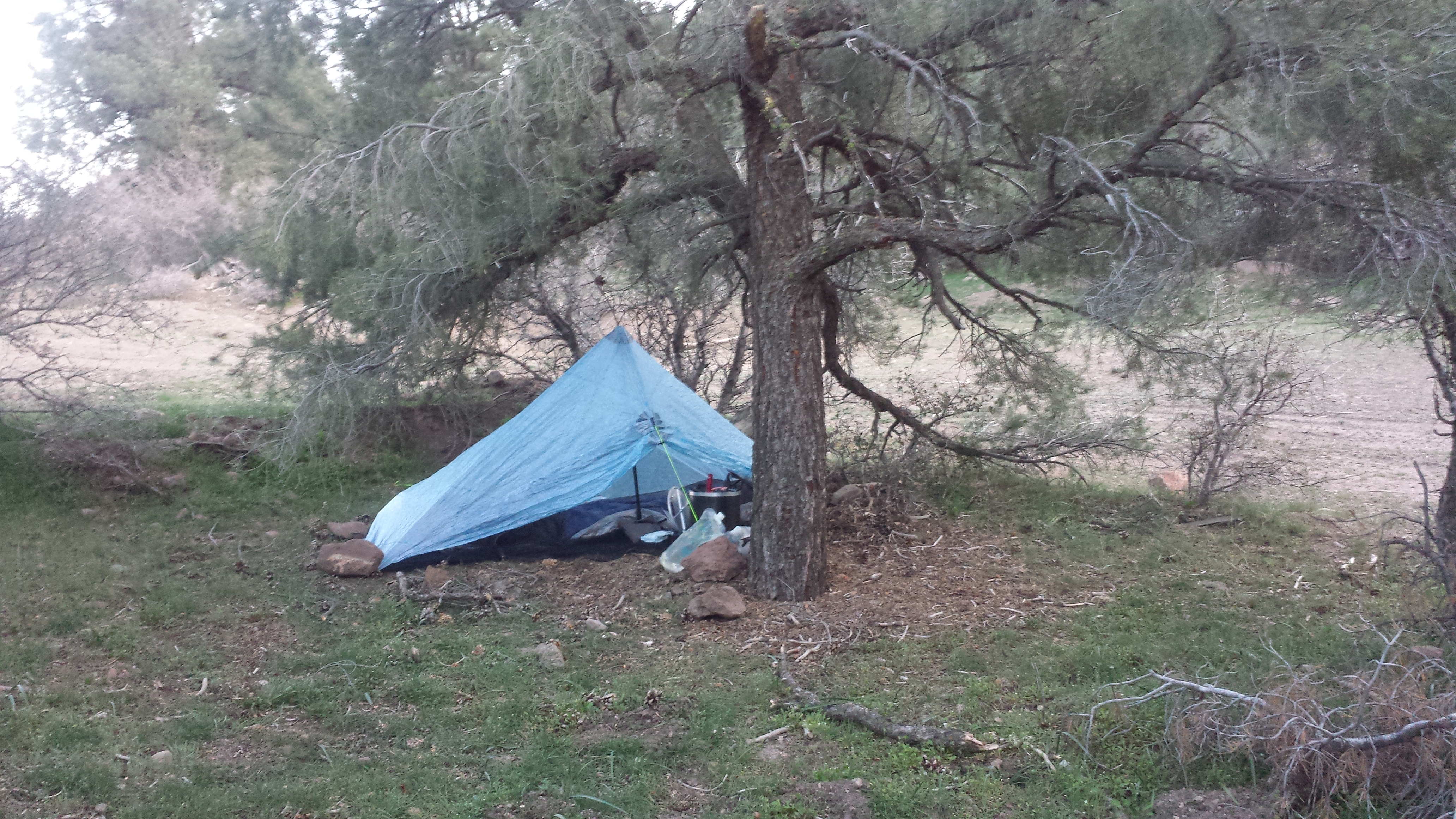
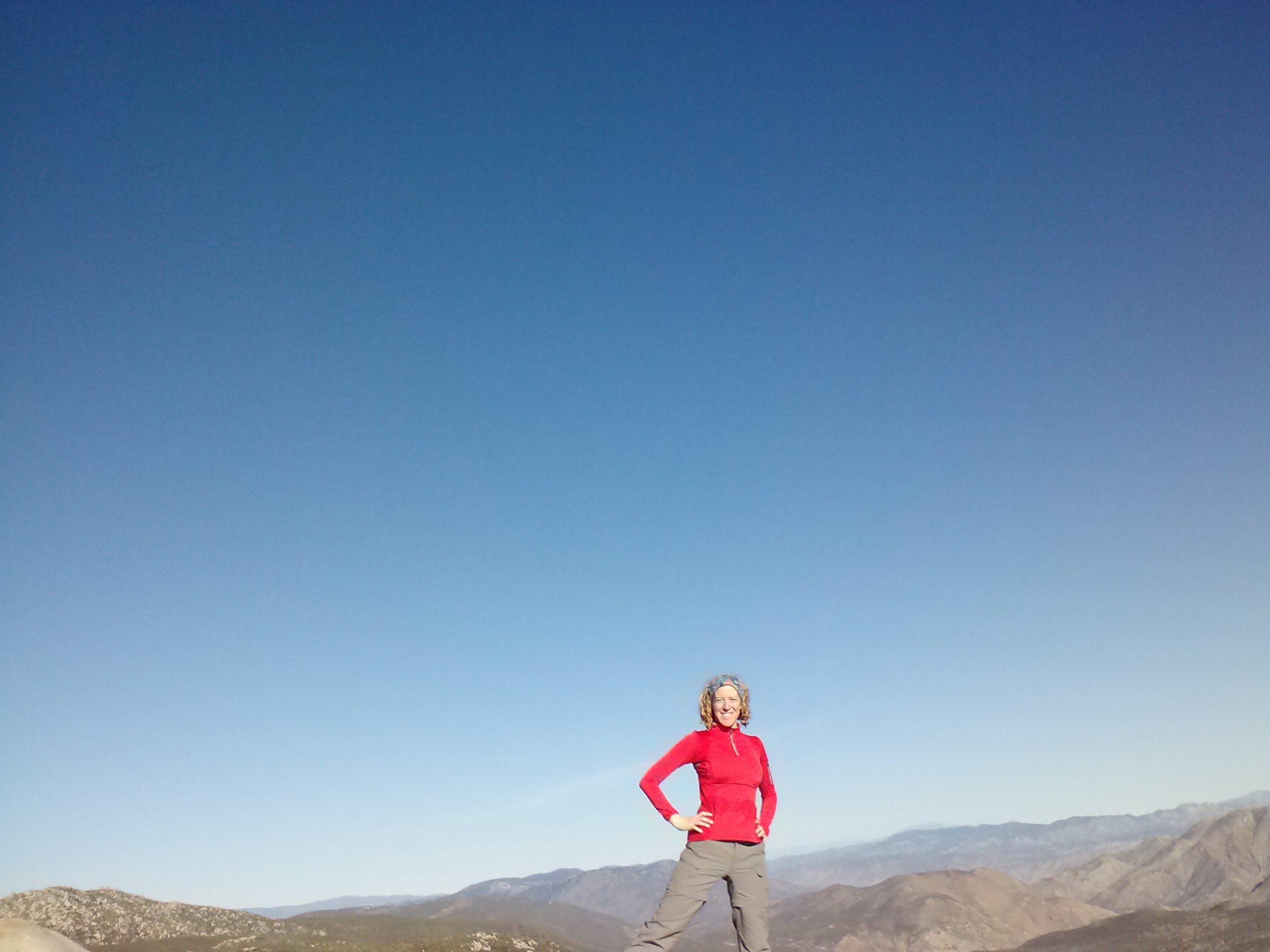
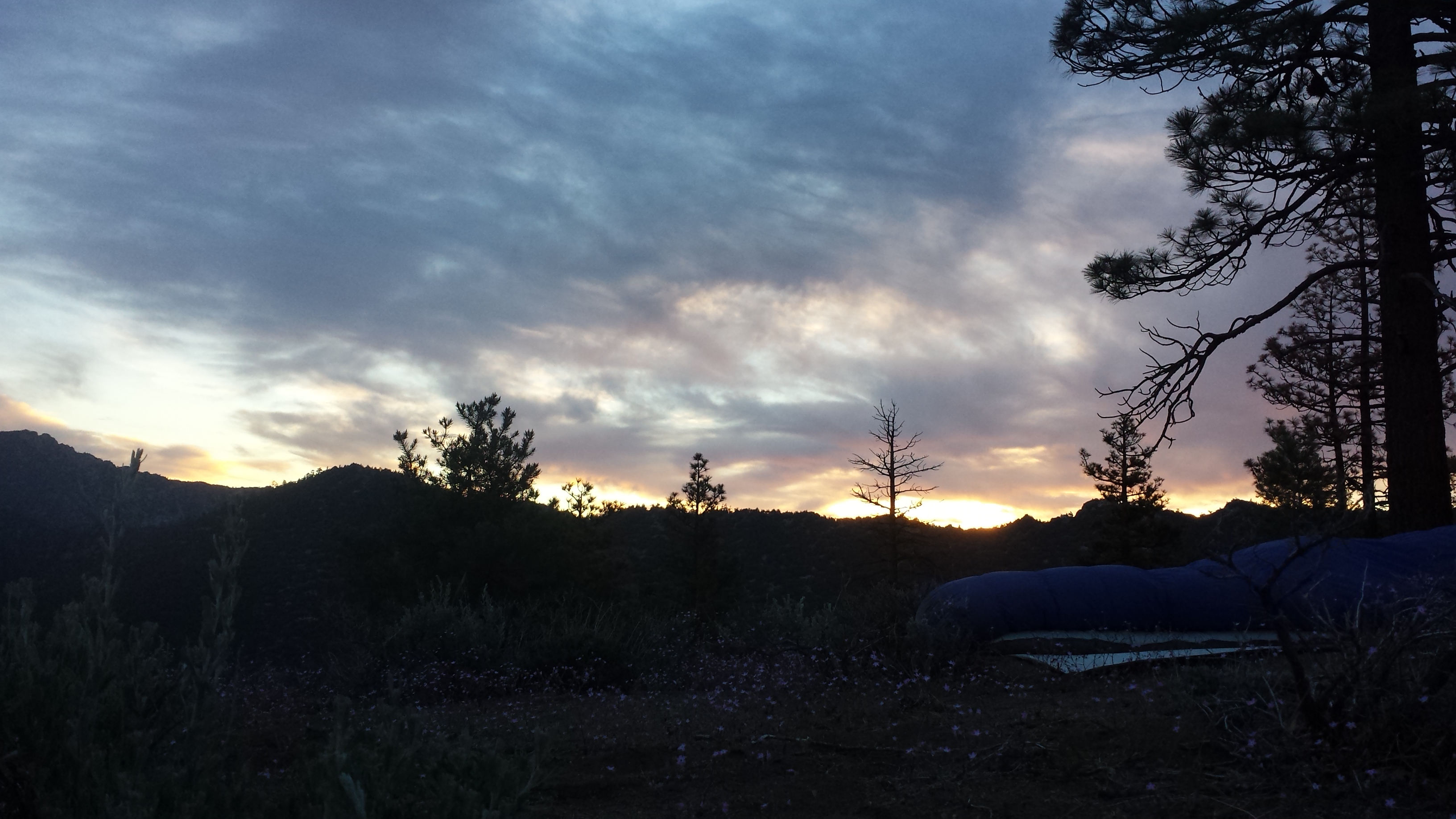
Actually, the skirt seems to have given me my trail name already. Several people think I look like Lawrence of Arabia with my long skirt and bandana hat. So, they’re calling me Arabia now. I like the name. A single coyote is yipping right now in the distance and I’m sleeping under the stars. I love it.
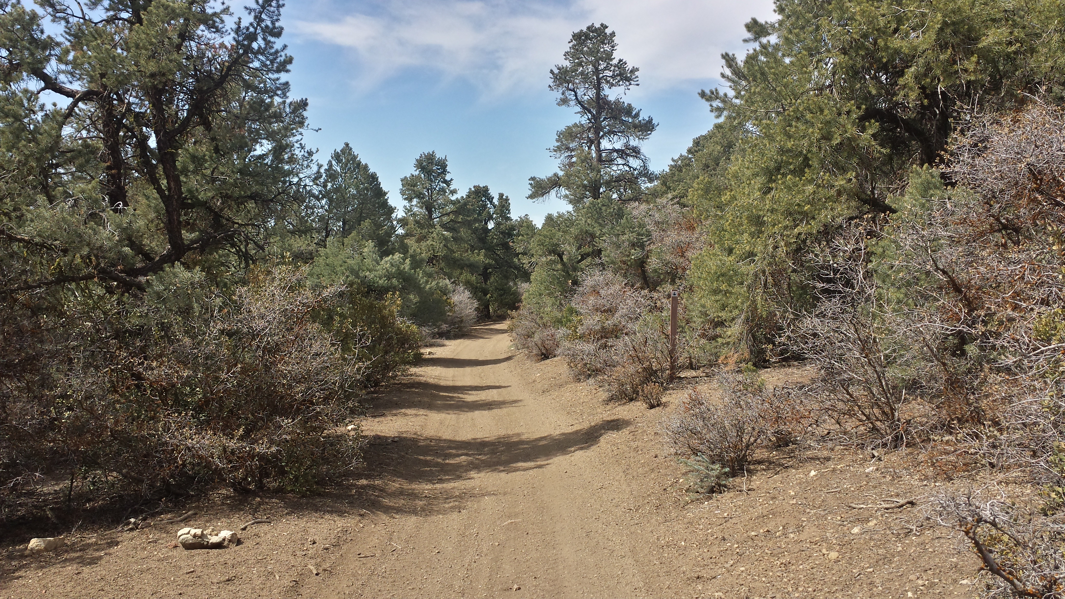
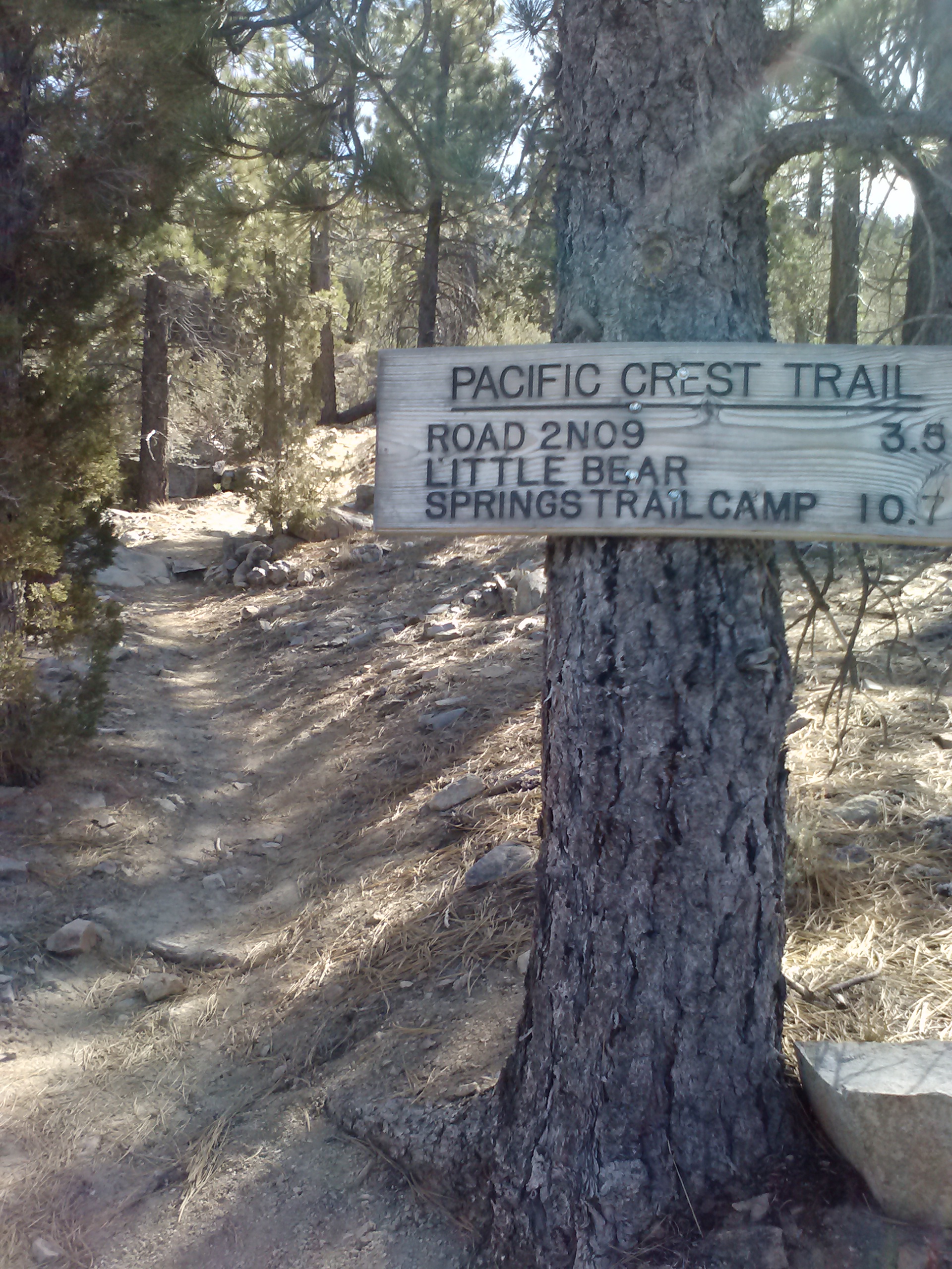
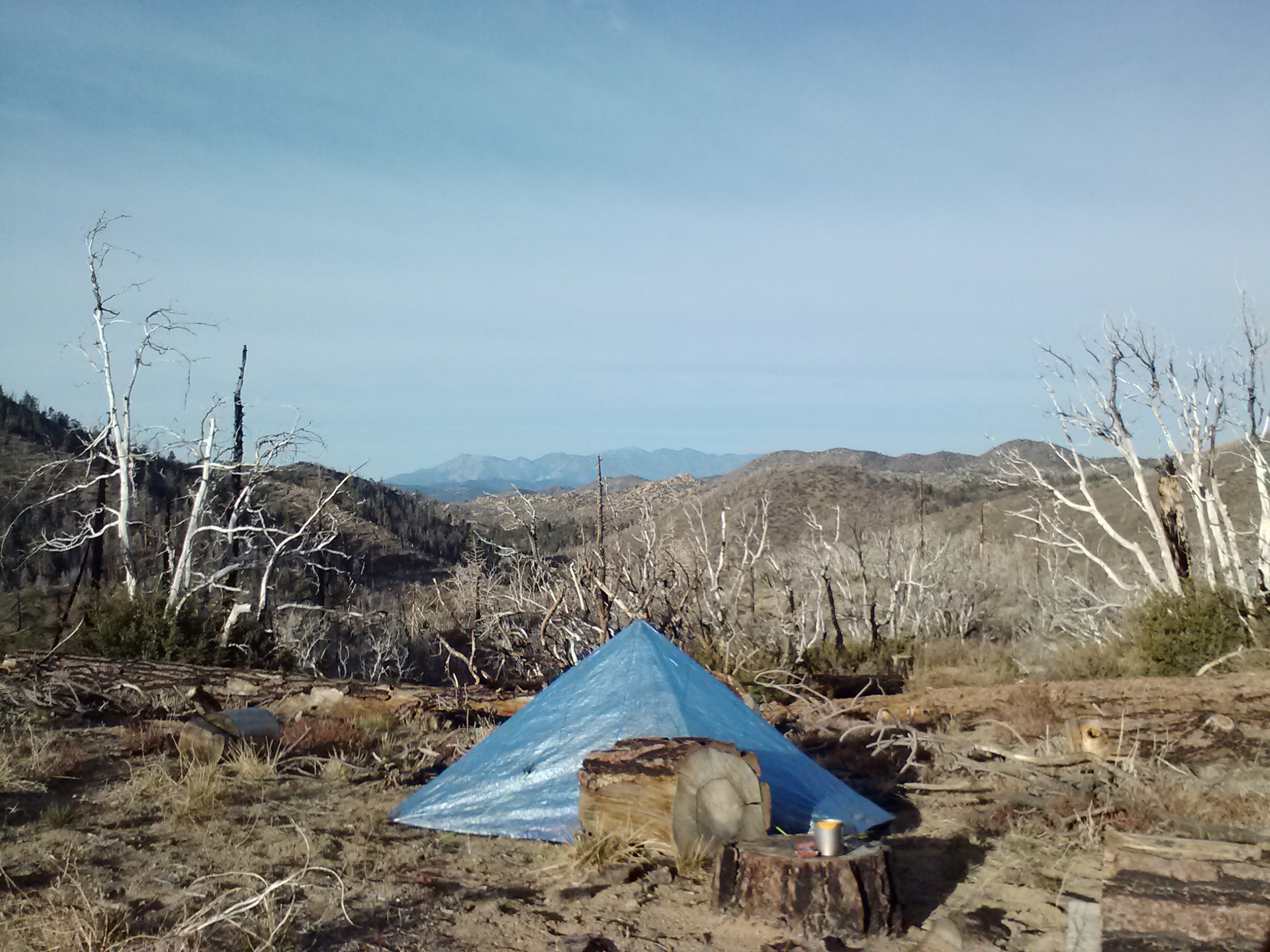
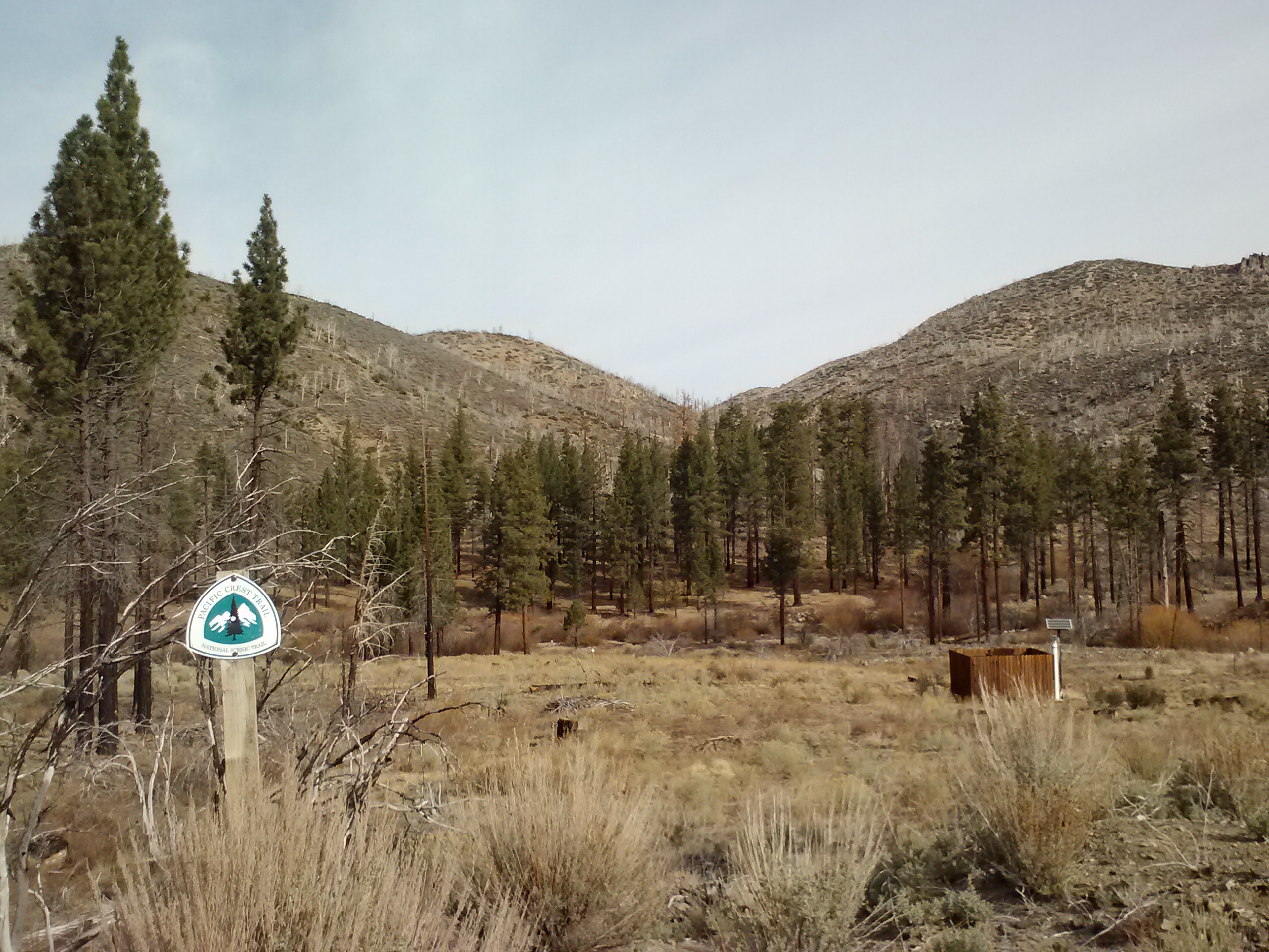
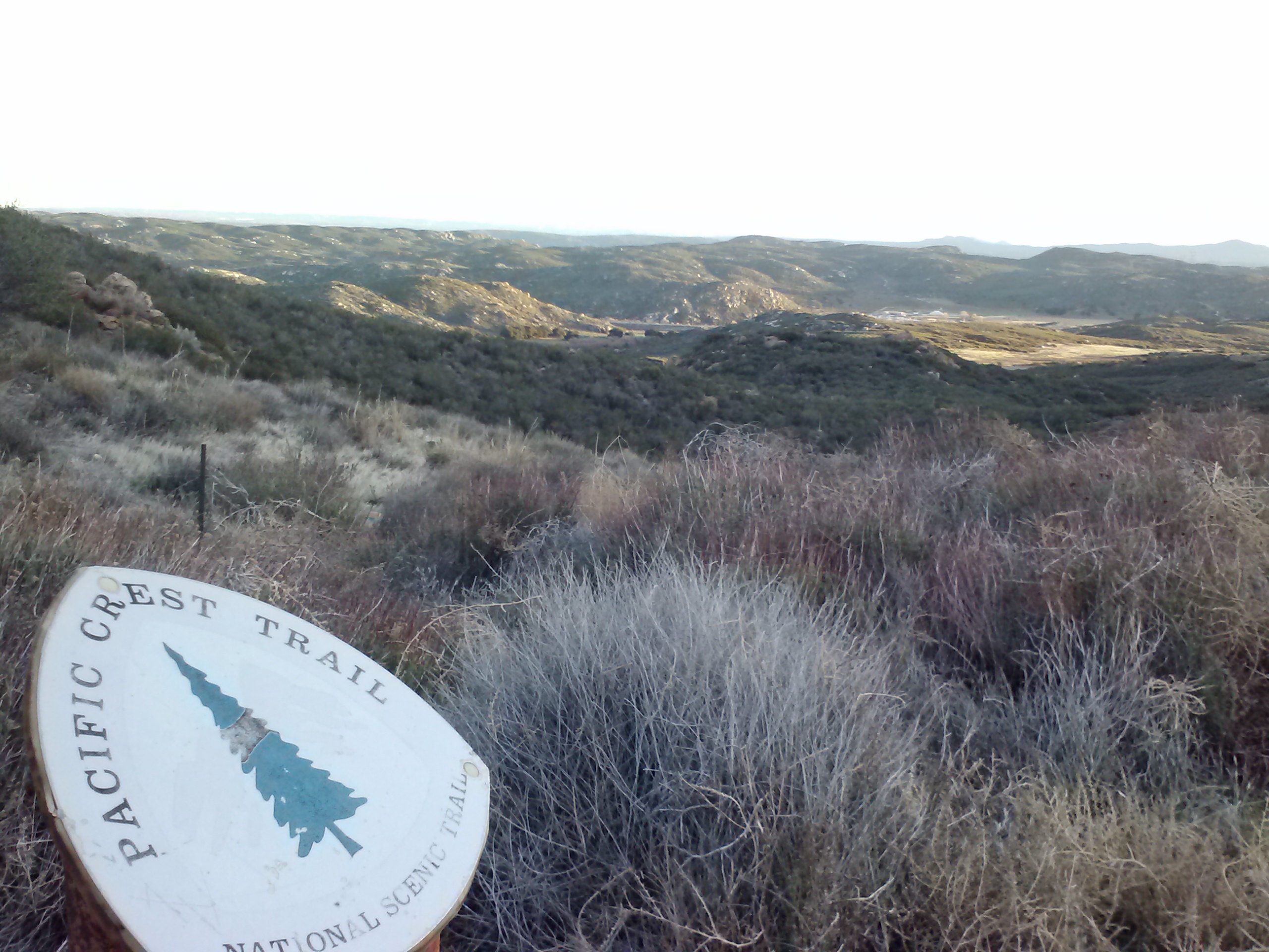
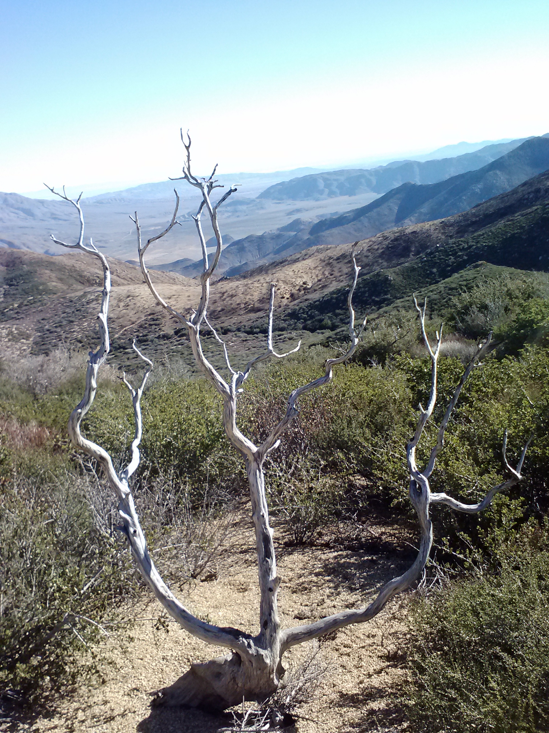
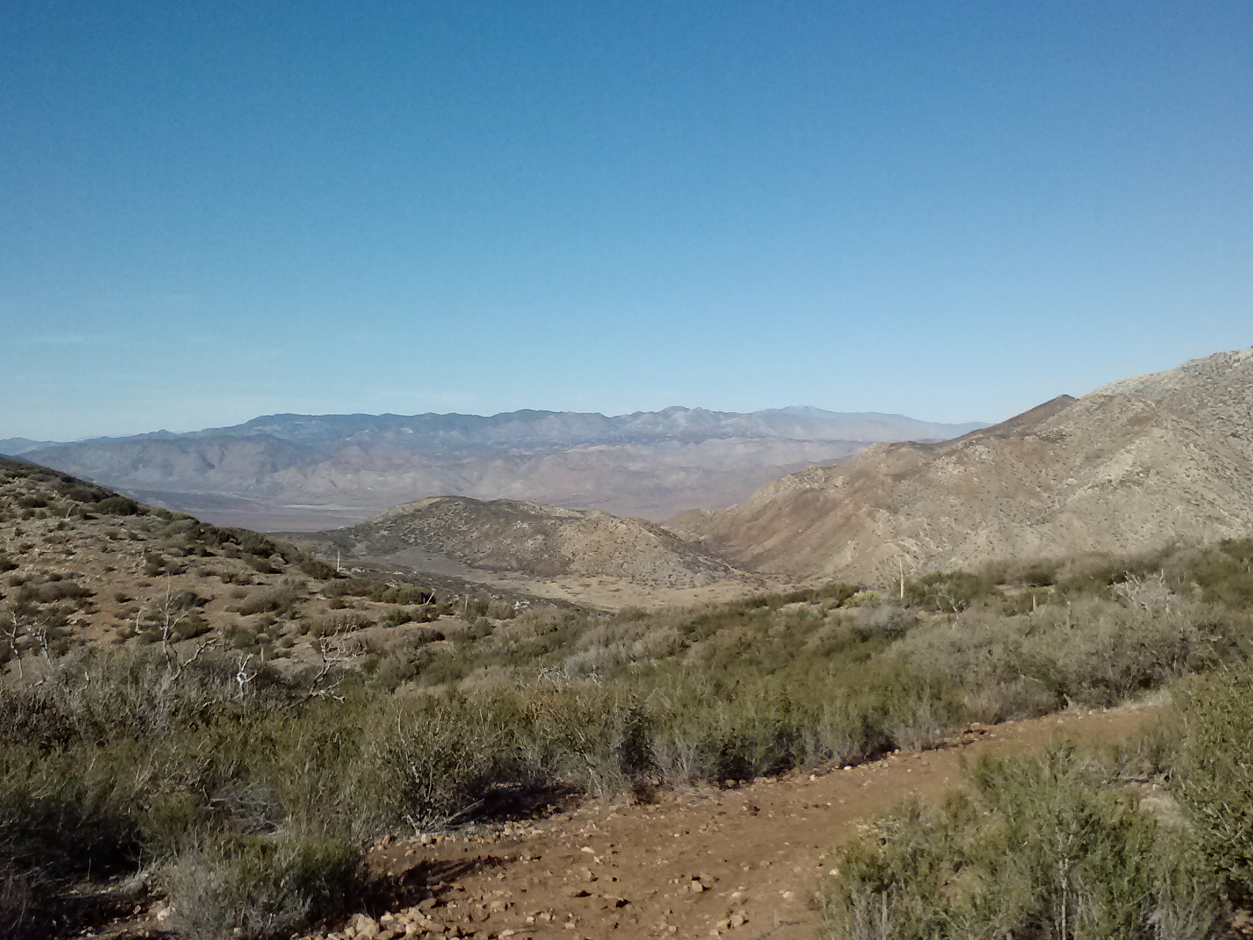
May 27th, 2014- 22 miles, camping on top of a ridge above Spanish Needle Creek
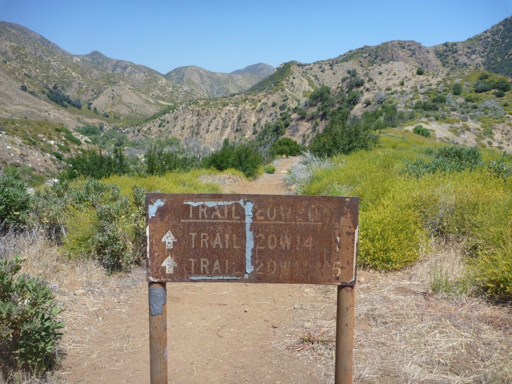
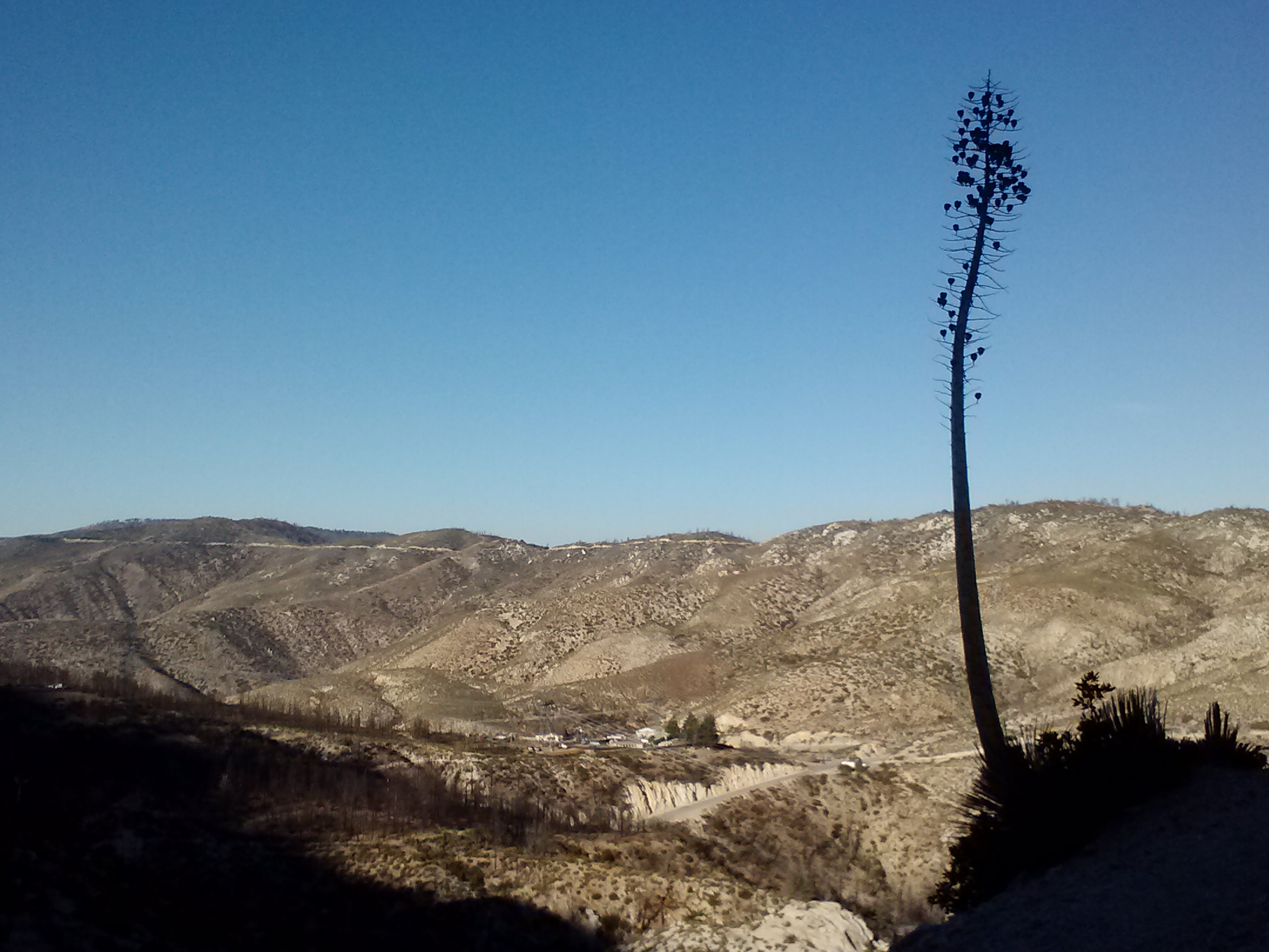
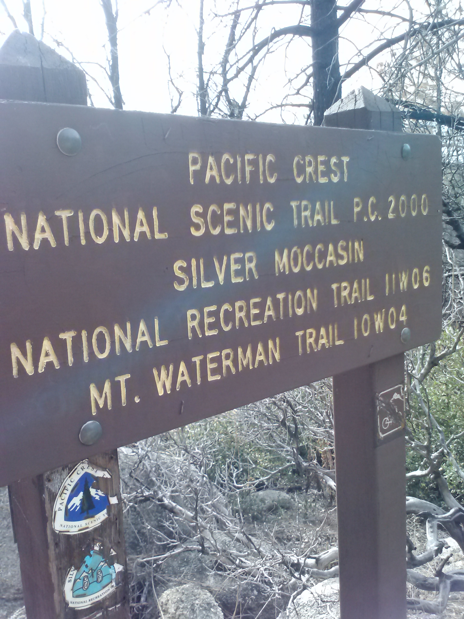
Take THAT Section F!! On to Section G!
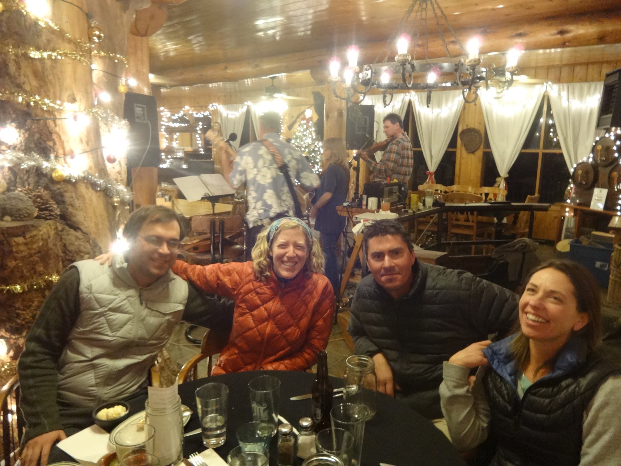
The spaghetti dinner last night gave me so much energy this morning. I met a lot of hikers today, including Sarge and Lucky Strike from last night, Wolf from Denmark, a fun couple called Smiles and Uke-less, and an older fellow named Raven. I saw Crusher, too, who I met back at Landers Tank.
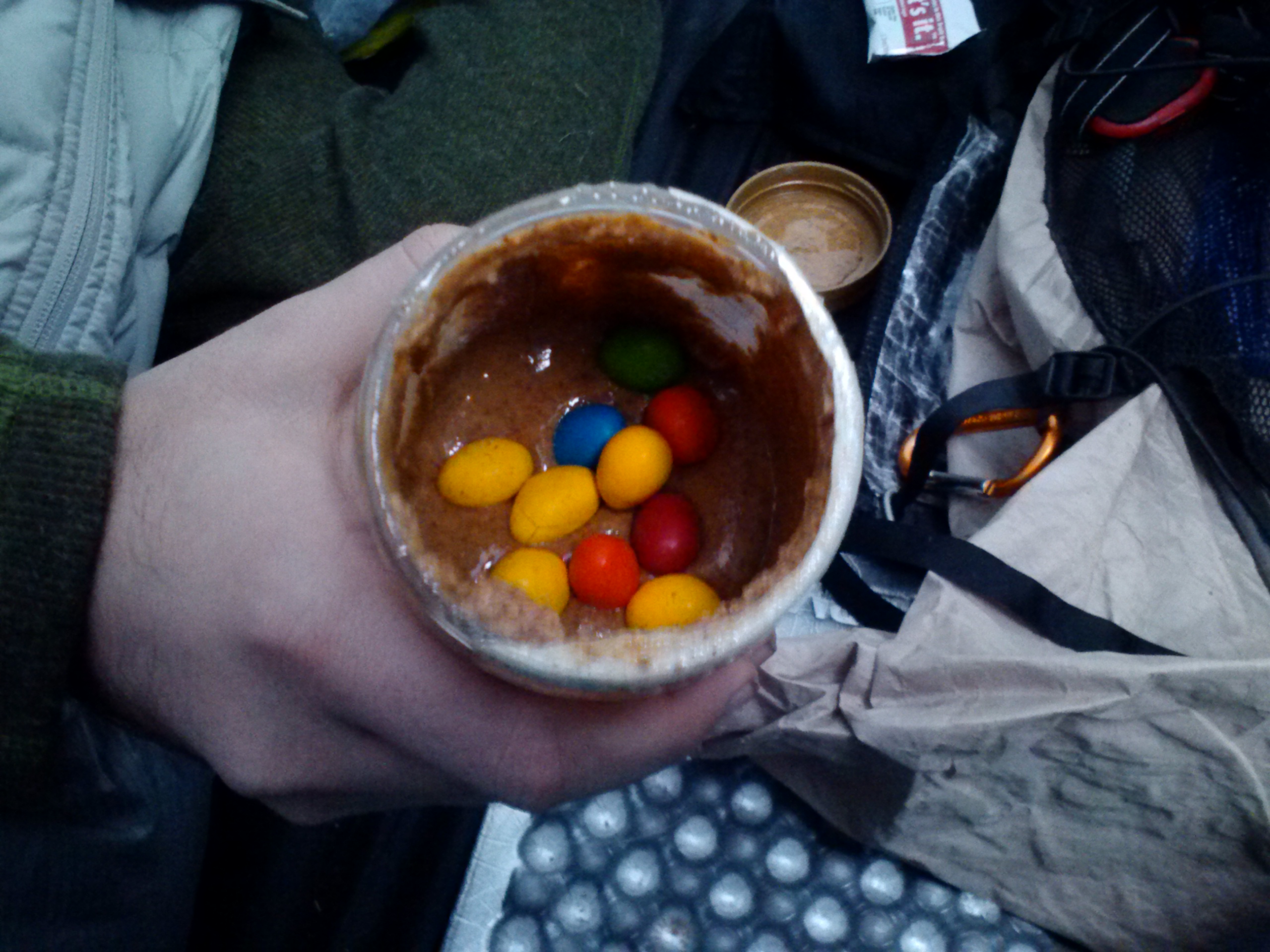
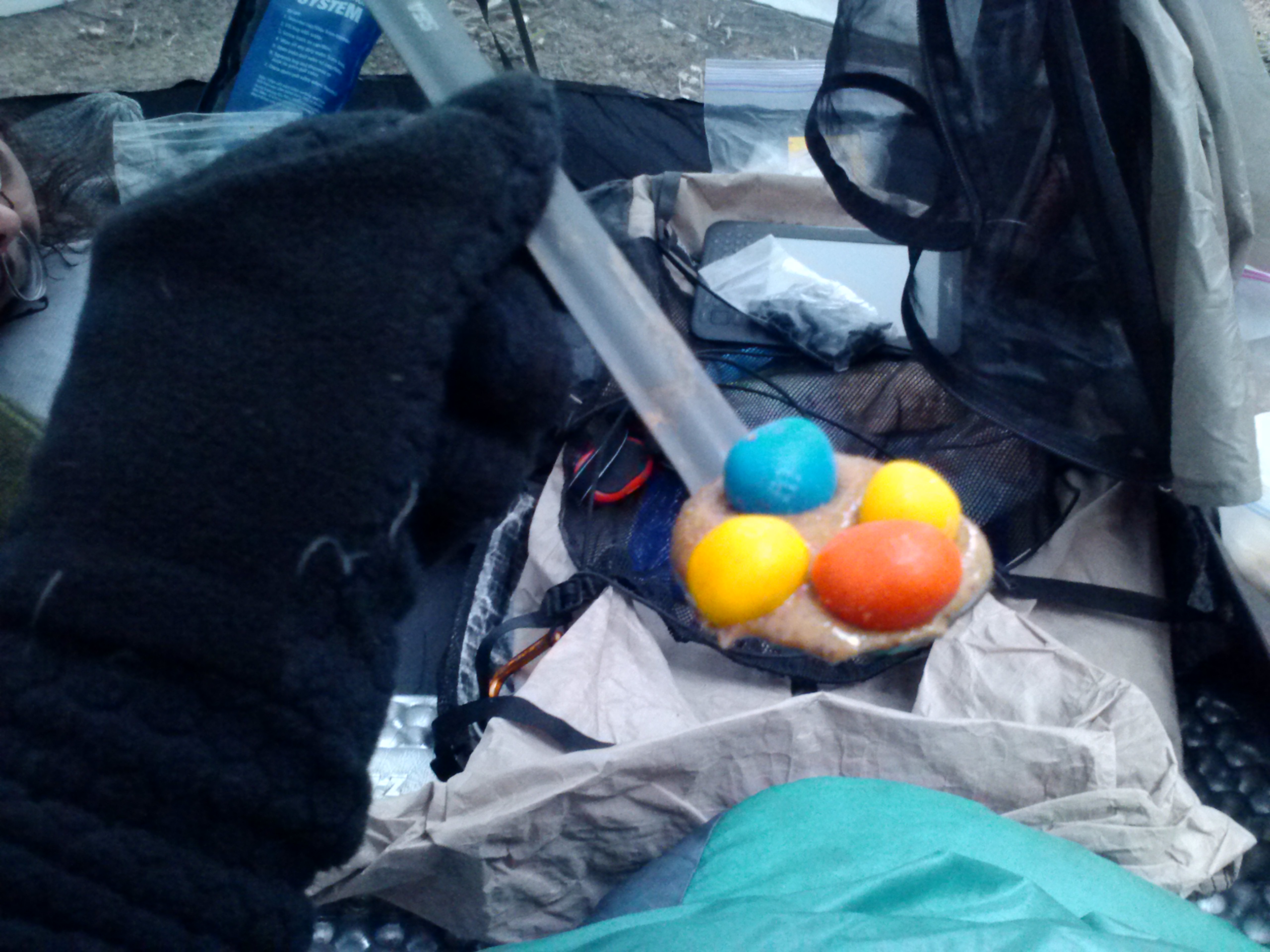
Uni-Twix
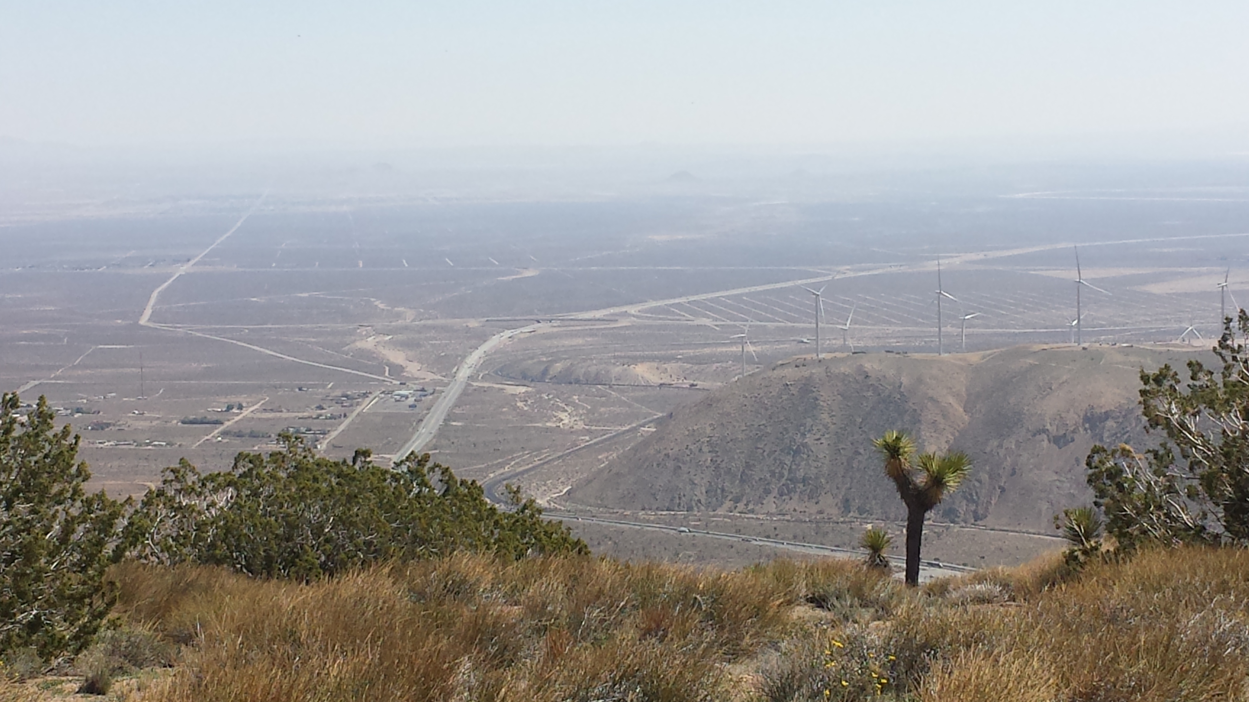
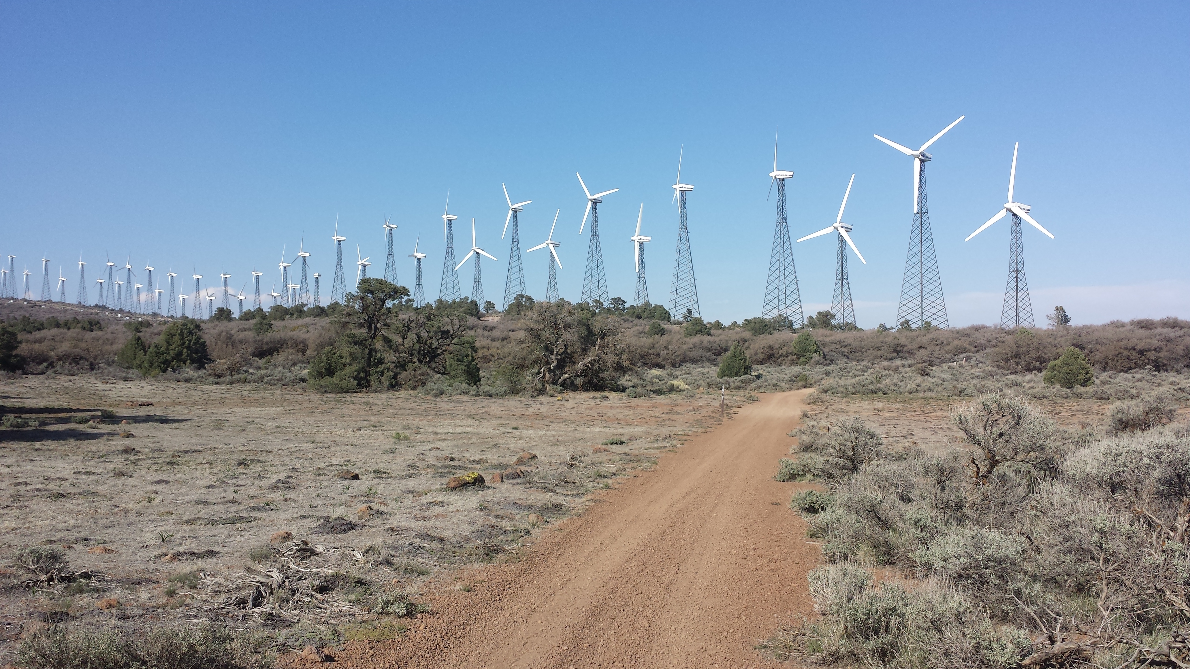
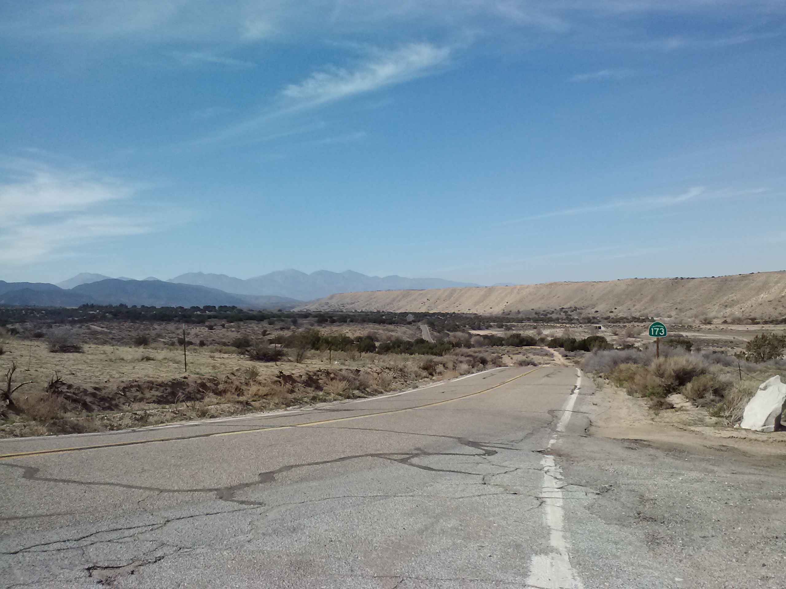
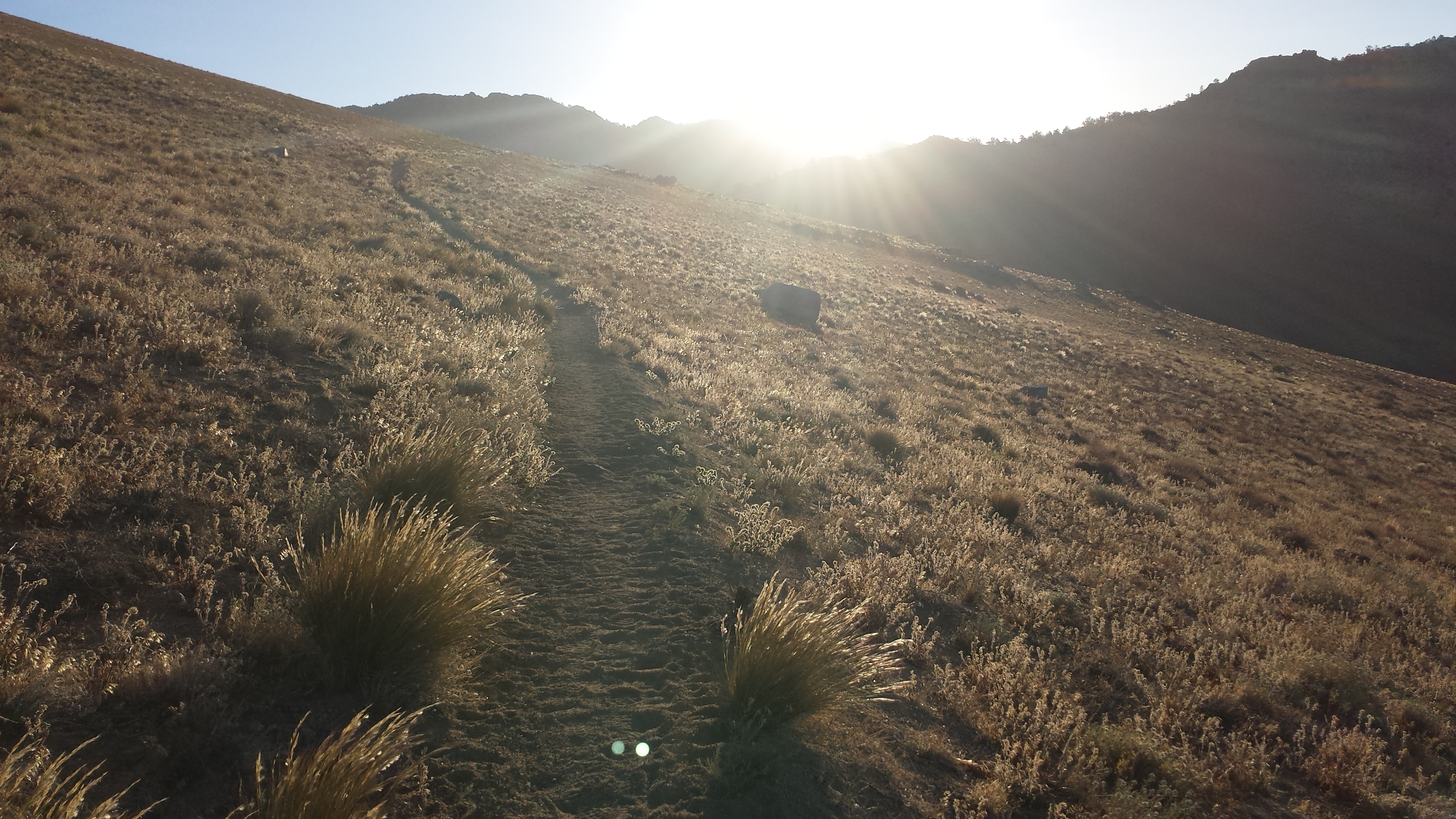
The hike started with a great big climb out of Walker Pass. Once on a ridge above the small city of Indian Wells, I was able to check emails and voice mail. Turns out Art won’t be able to meet me in Lone Pine like we’d planned because of work. I texted my resupply angel back home, Jonathan who had driven me to the trail on my very first PCT section hike six months ago. He’s going to send my warmer REI sleeping bag to Lone Pine, so I’ll have it for the higher elevations.

For my students:
Homemade veggie burritos
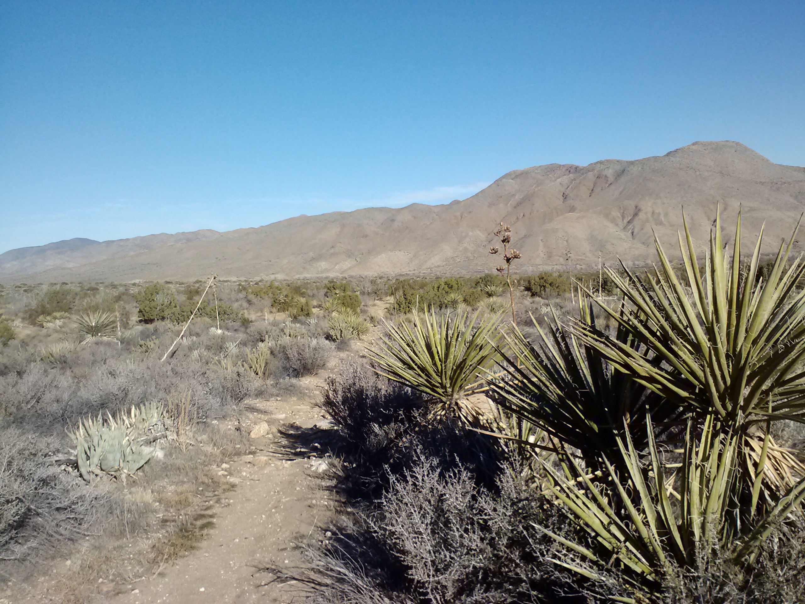
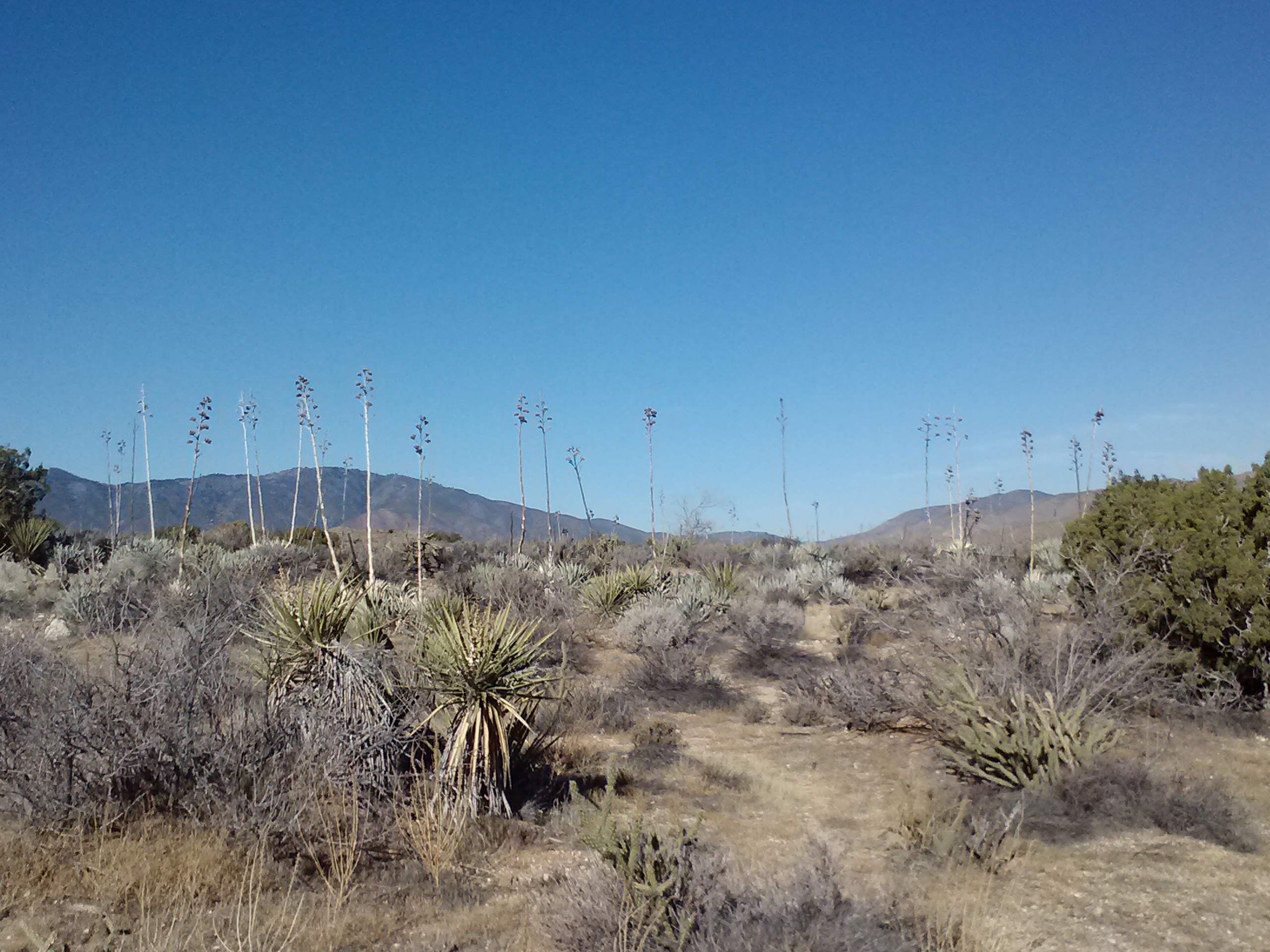
Soon I descended again into the desert and the heat. Crusher said it was 103°. Ugh… No wonder I felt like melting! Most hikers waited out the heat of the day for 4-5 hours at the little oasis of Joshua Tree Spring. It’s famous for being tainted with uranium, but all the springs in the Sierras have uranium, too. Everyone drinks the water anyways, I just hope my children don’t come out with three eyes!
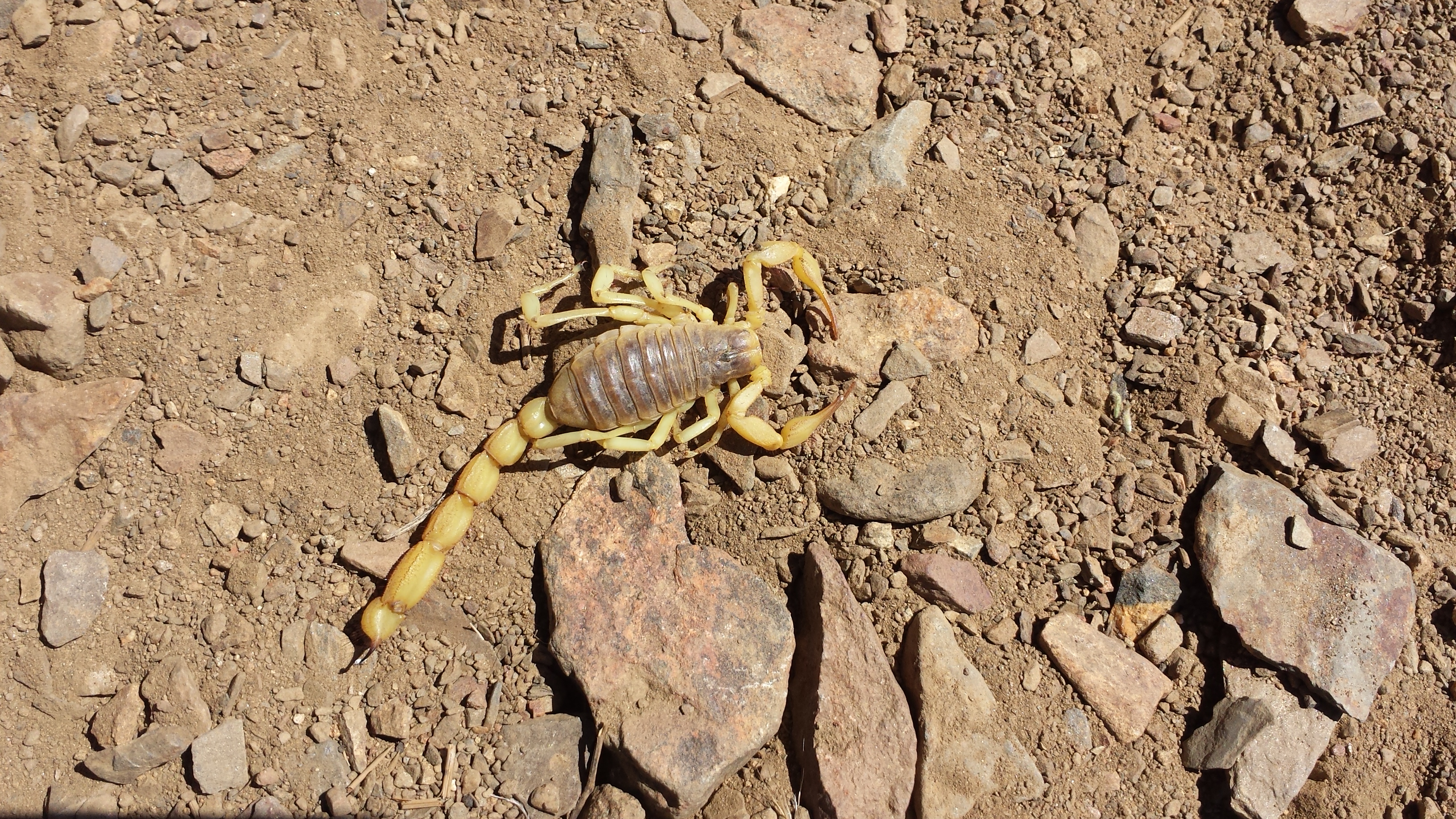
Big, dead scorpion
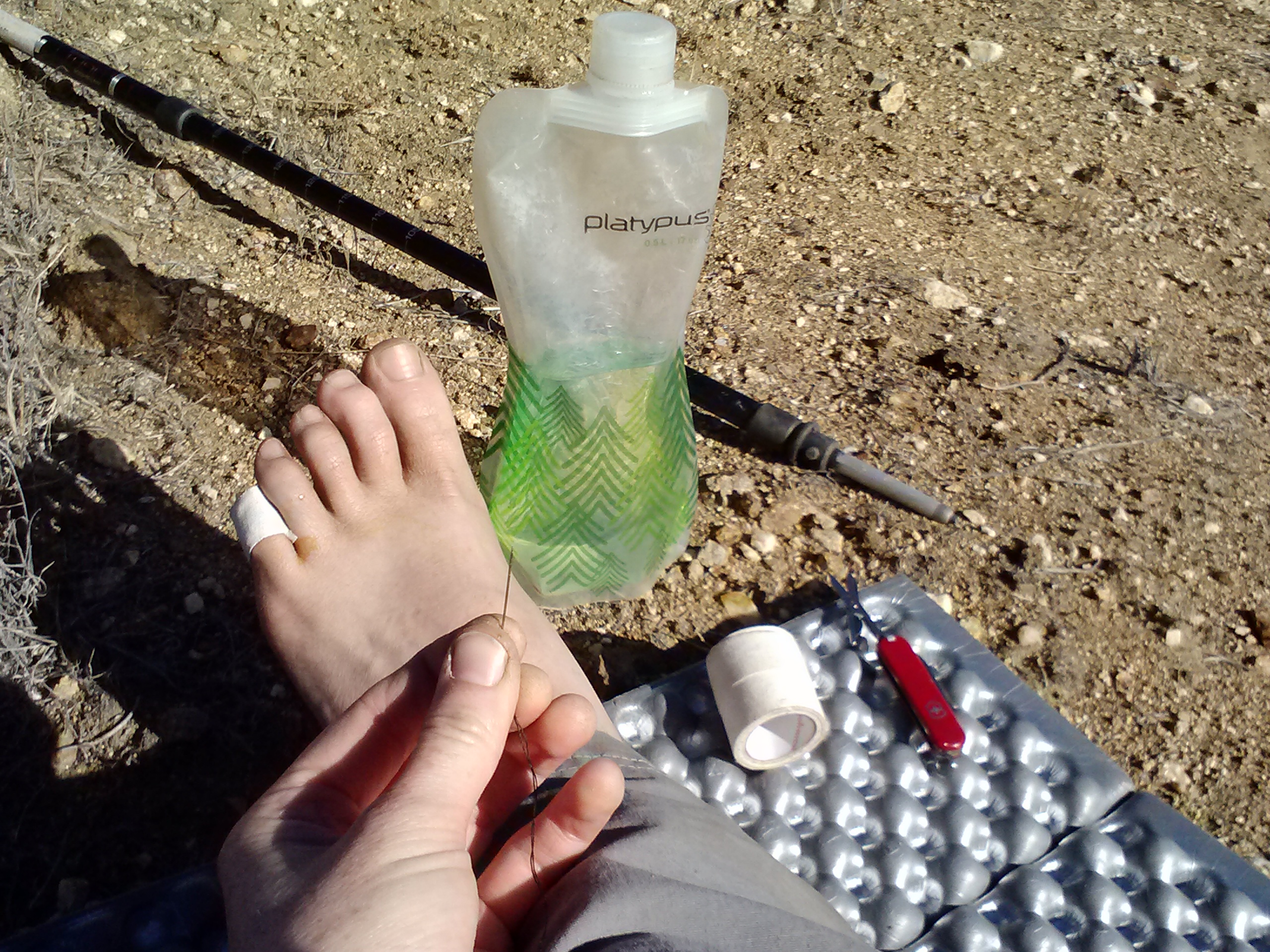
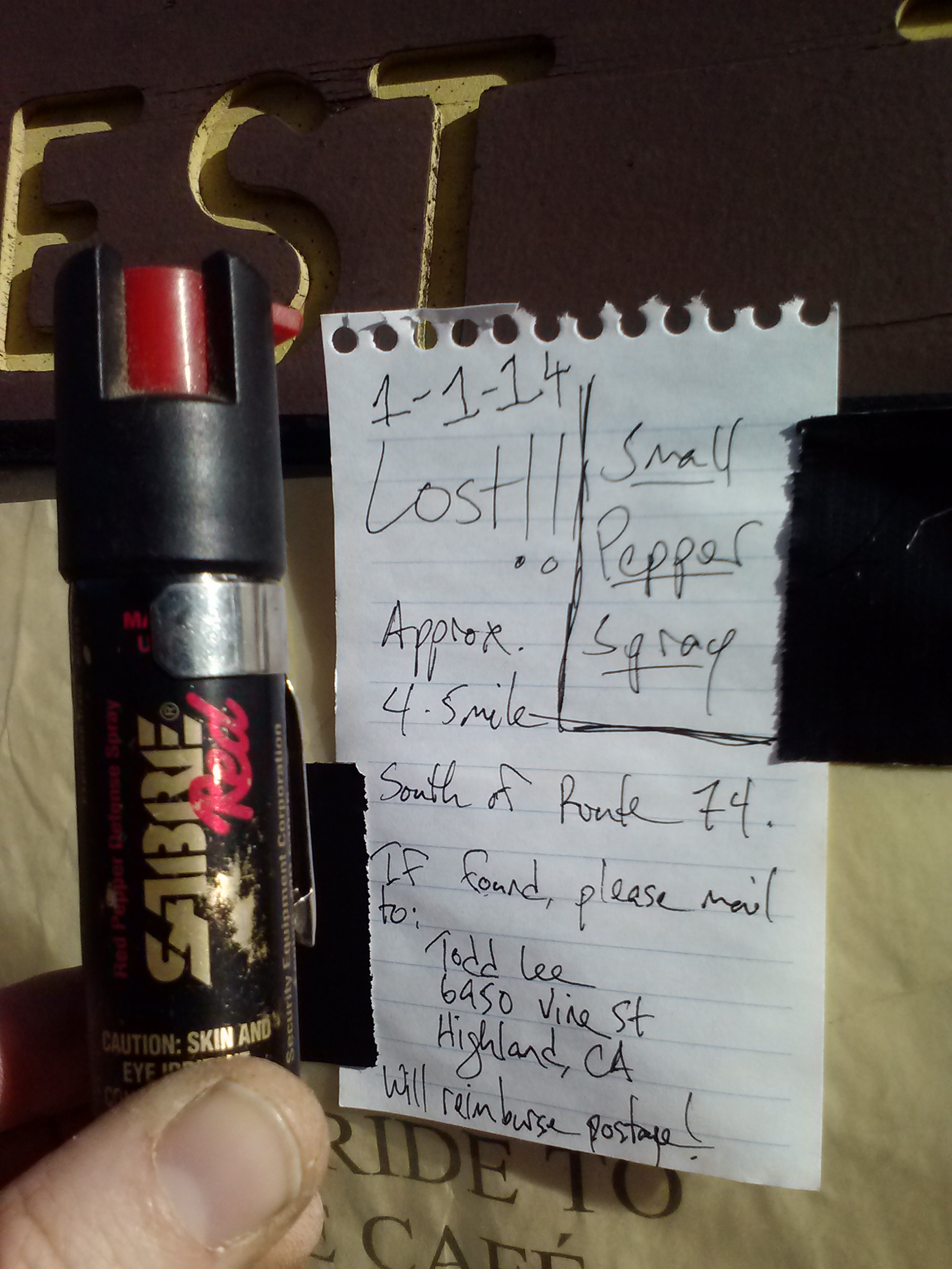
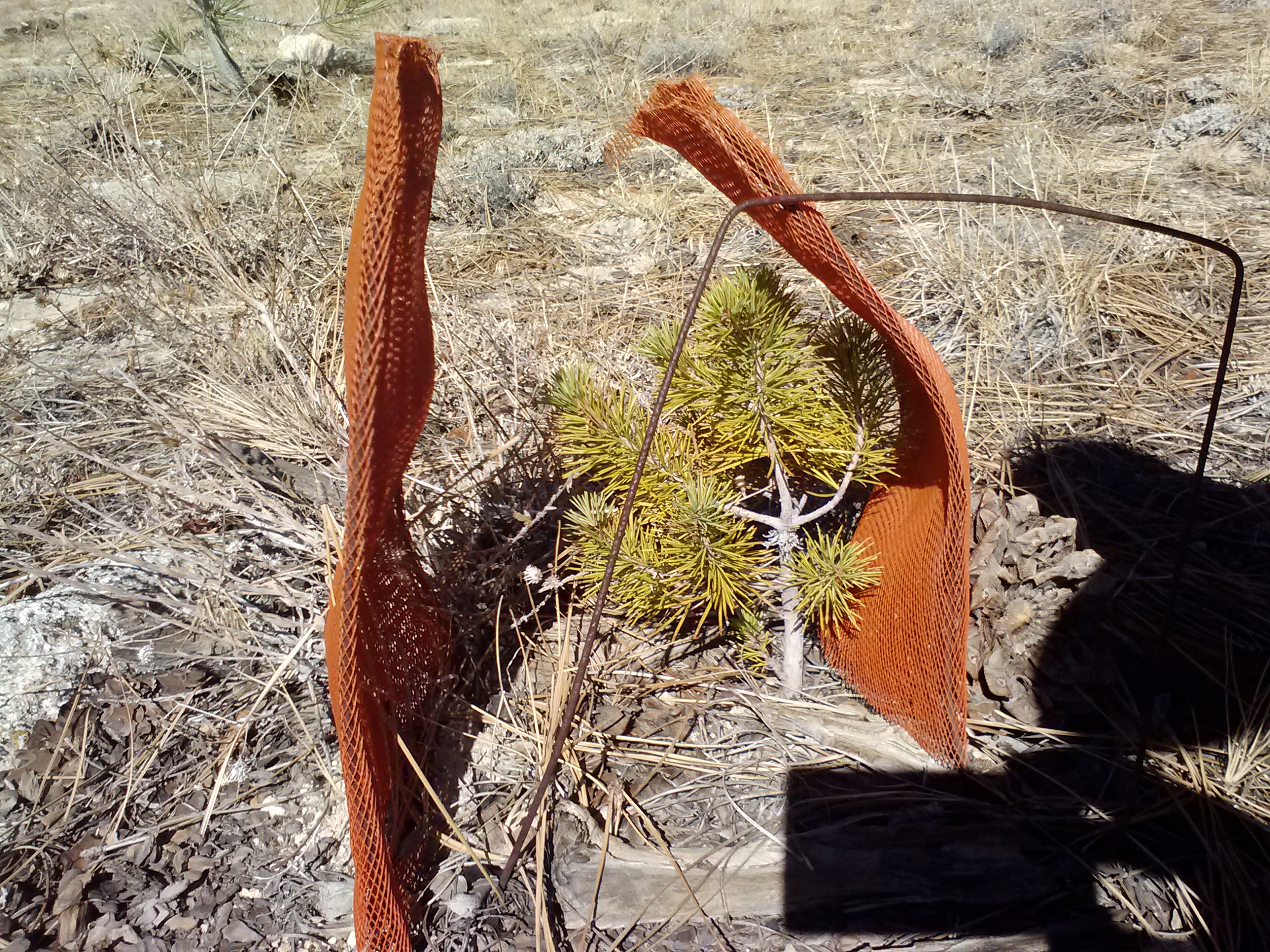
Despite the heat, I chose to continue forward. I didn’t drink as much as I should have because the water tasted weird and it made me nervous. I also lost my Zpacks beanie. I had stuck it between my hip and my backpack belt because my hips were hurting and it must’ve fallen out somewhere when I stopped to take off my pack.
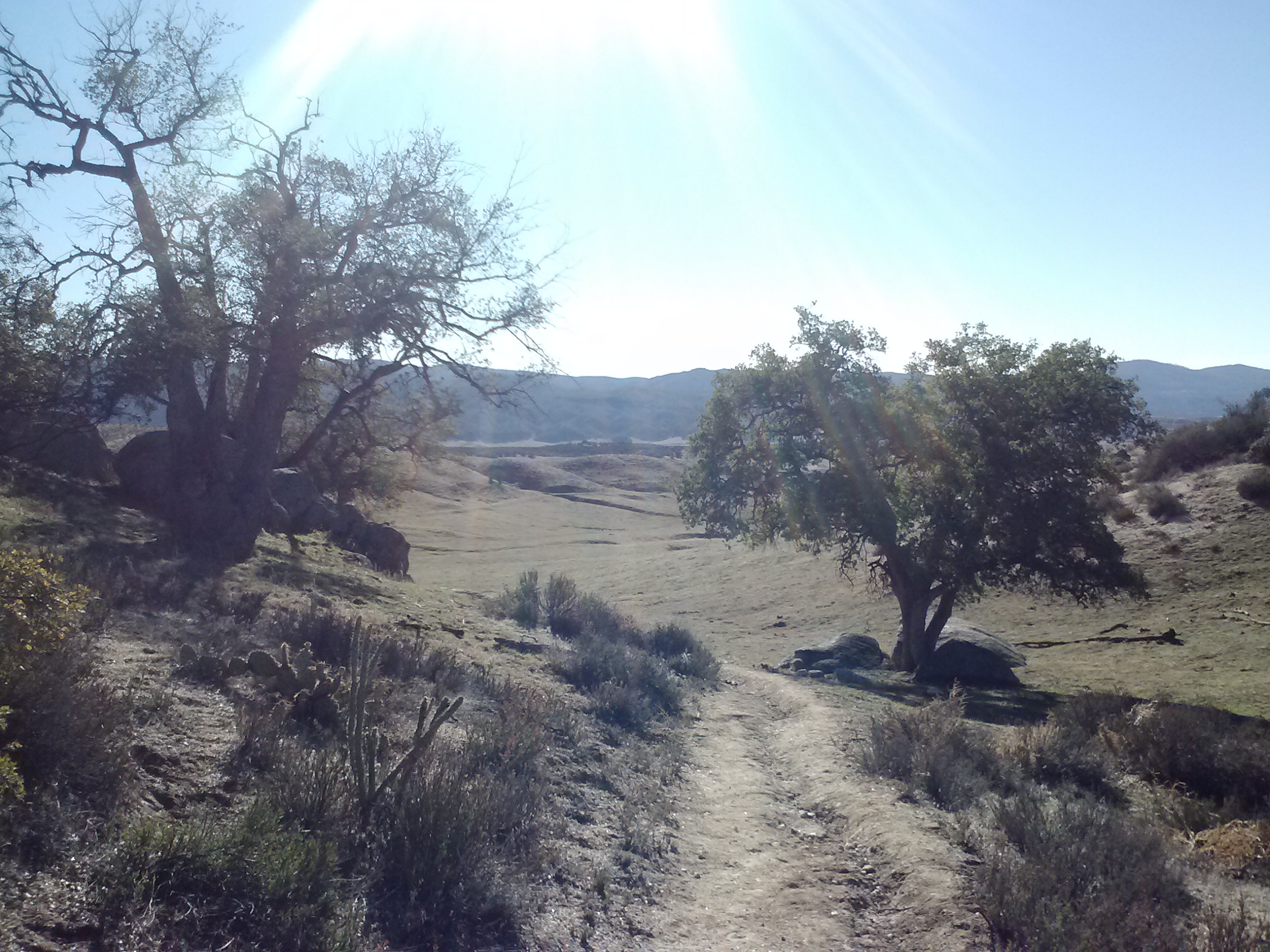
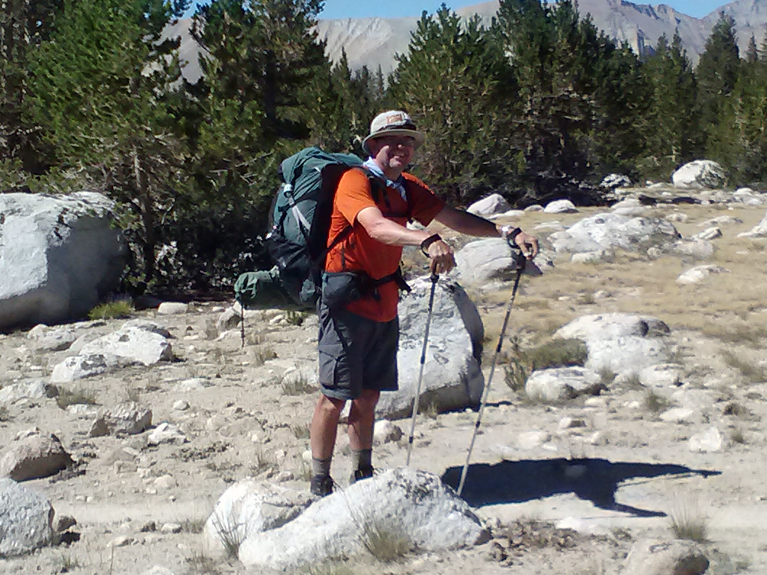
A 1/4 of the way to Canada, near Joshua Tree Spring
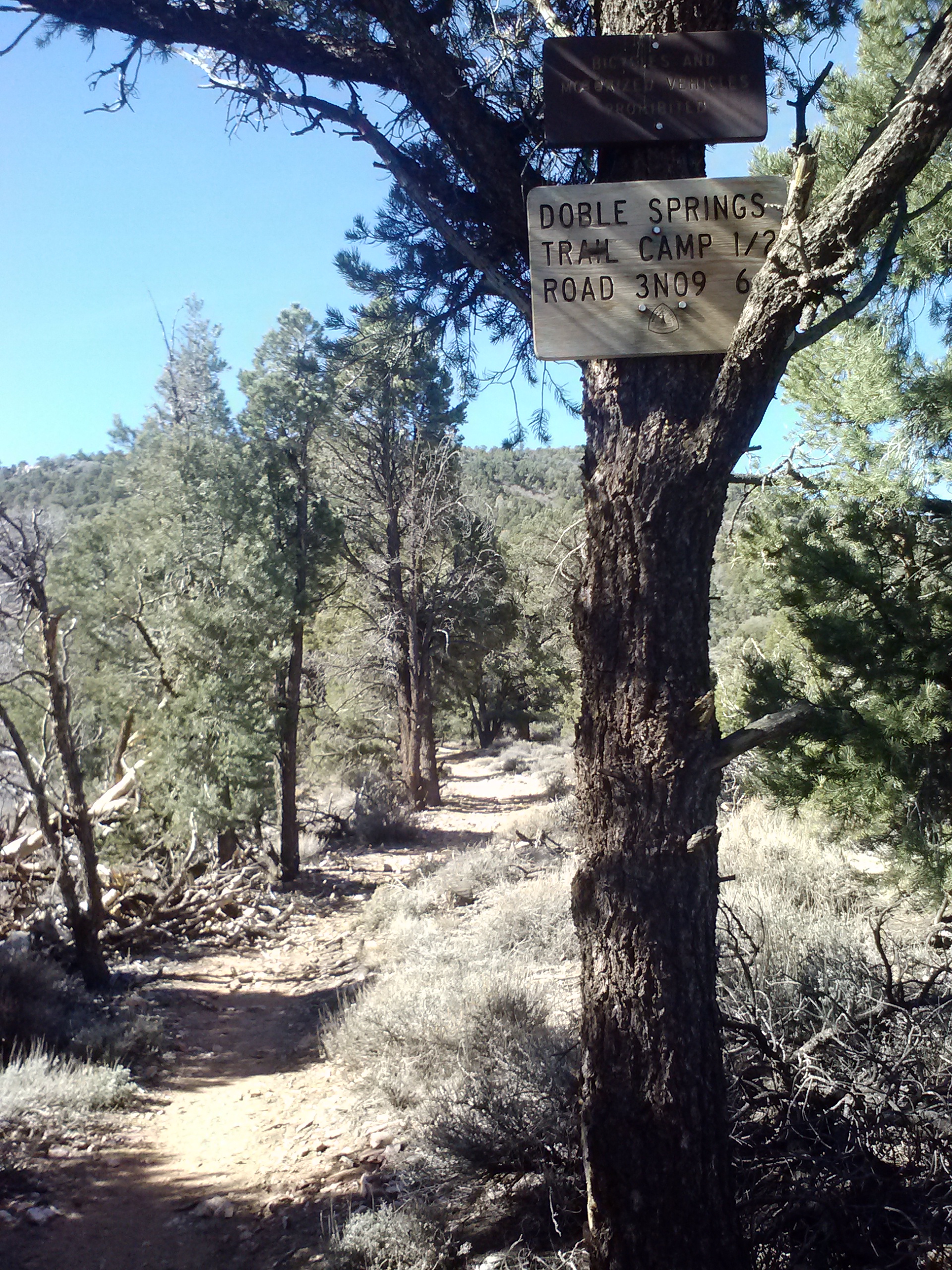
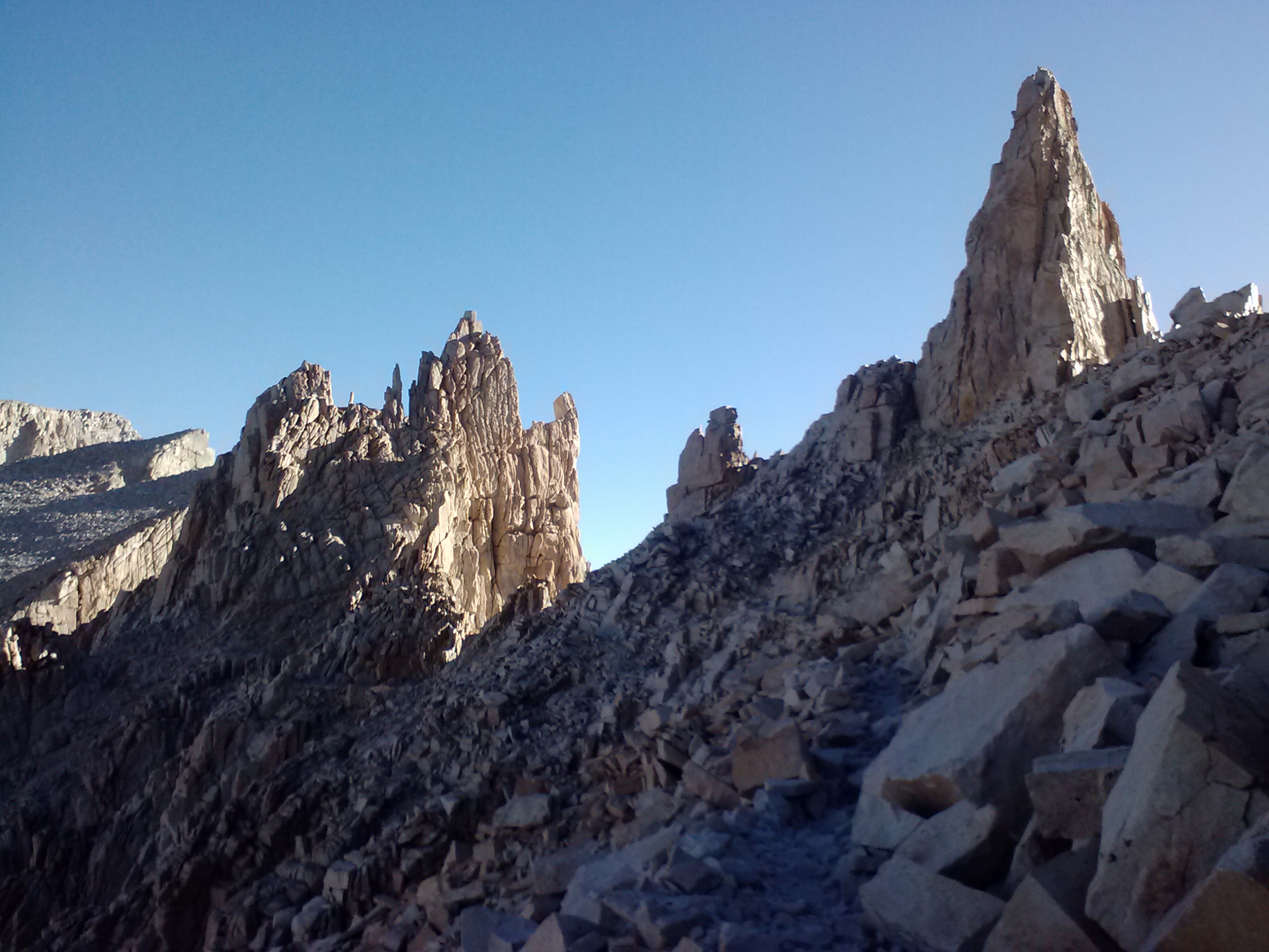
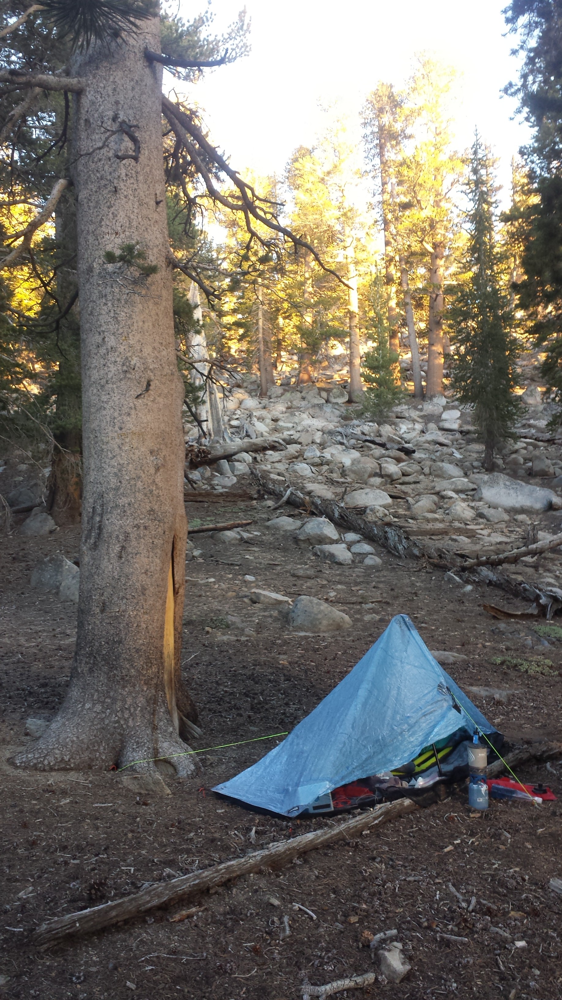
I planned on camping at the base of a long climb near Spanish Needle Creek, but the campsite look dark and gave me the creeps. (Later, I talked to another hiker, Happy Feet, about it and he’d had the same feeling! He camped there anyways, but had dreamed that night of a mountain lion dropping a carcass outside his tent. He woke up to find his dirty socks in his face. Hahahahah!) Anyhow, I kept hiking on up the mountain hoping to find some descent camping.
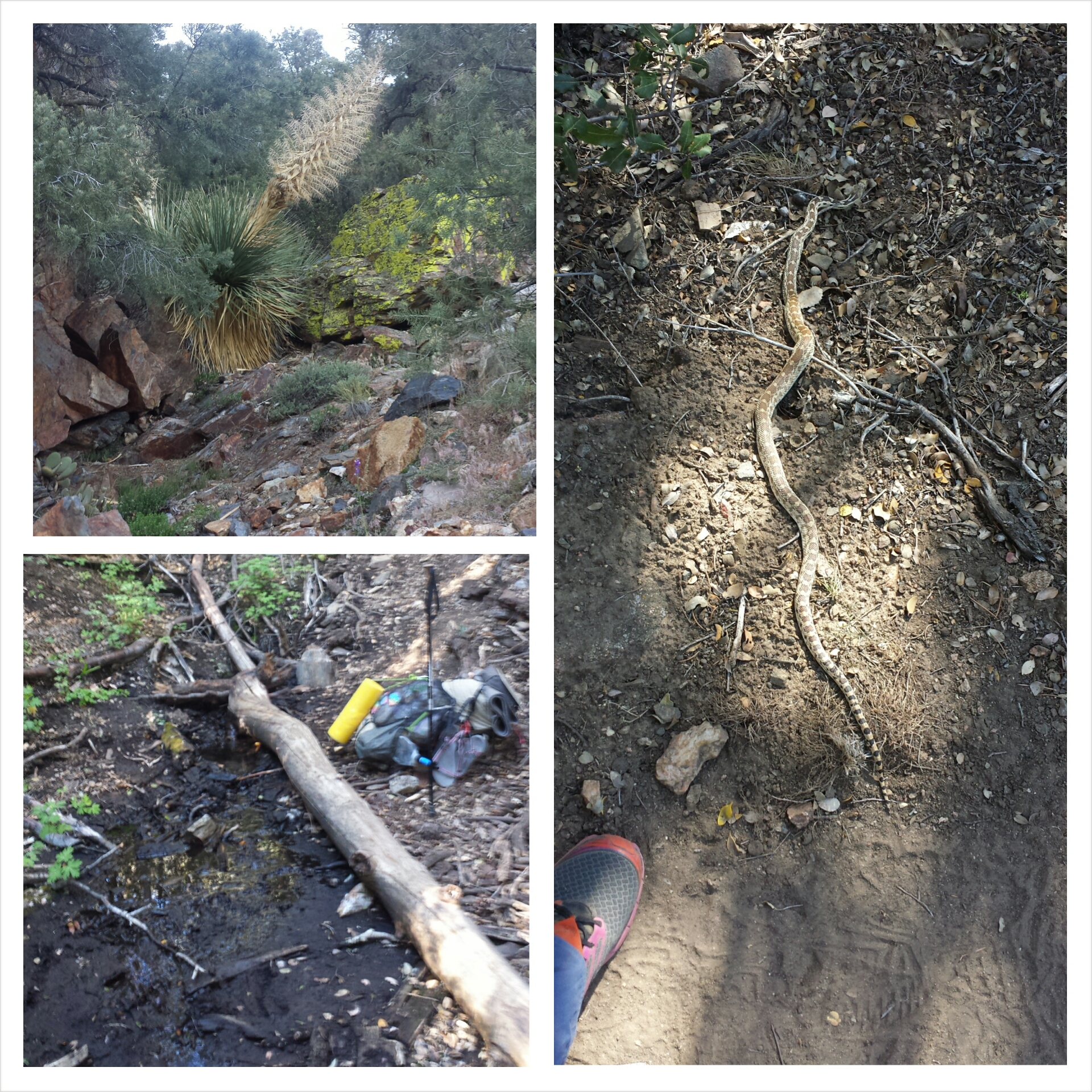
Near Spanish Needle Spring
Raven passed me going the opposite direction with nothing but his headlamp and a water bottle. He said he’d lost his smartphone cable to charge his phone somewhere at the bottom of the canyon. He was determined to find it, even if he had to hike 4 miles down! I feel so bad for him. It reminds me of when my phone died at the end of Section E. Most hikers keep everything on their phones: pictures and videos, contact info, maps and data. Loosing that tool feels really crappy.
I found great camping at the top of the ridge along with Sarge, Lucky Strike, and an older lady named Far Walker. It’s dark now and Crusher just showed up with Smiles and Uke-less, and another couple, Josh and Carla. Josh found my hat and carried it hoping to find it’s owner! I’m stoked!
On ridge above Spanish Needle Creek (Sarge in the background)
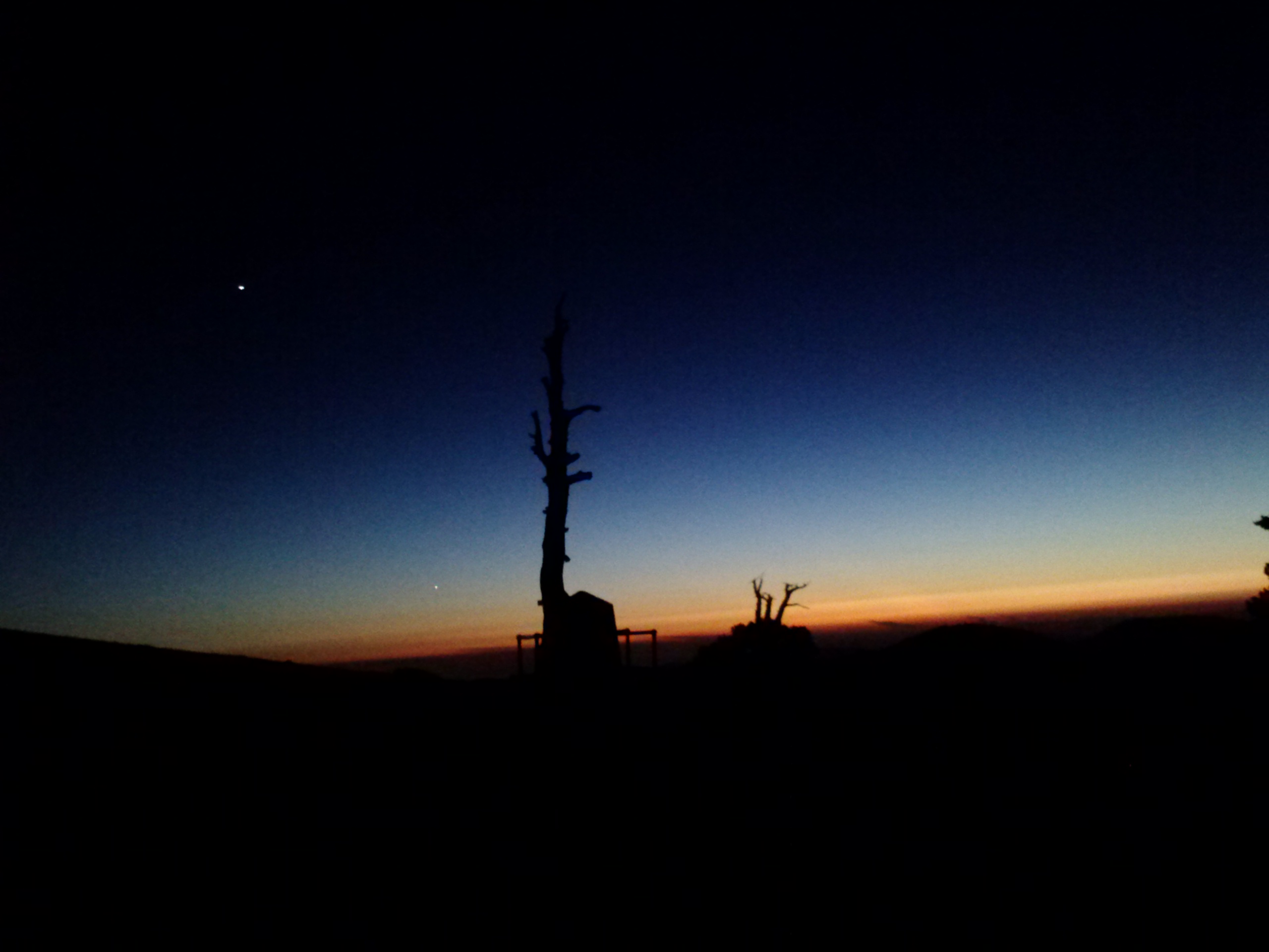
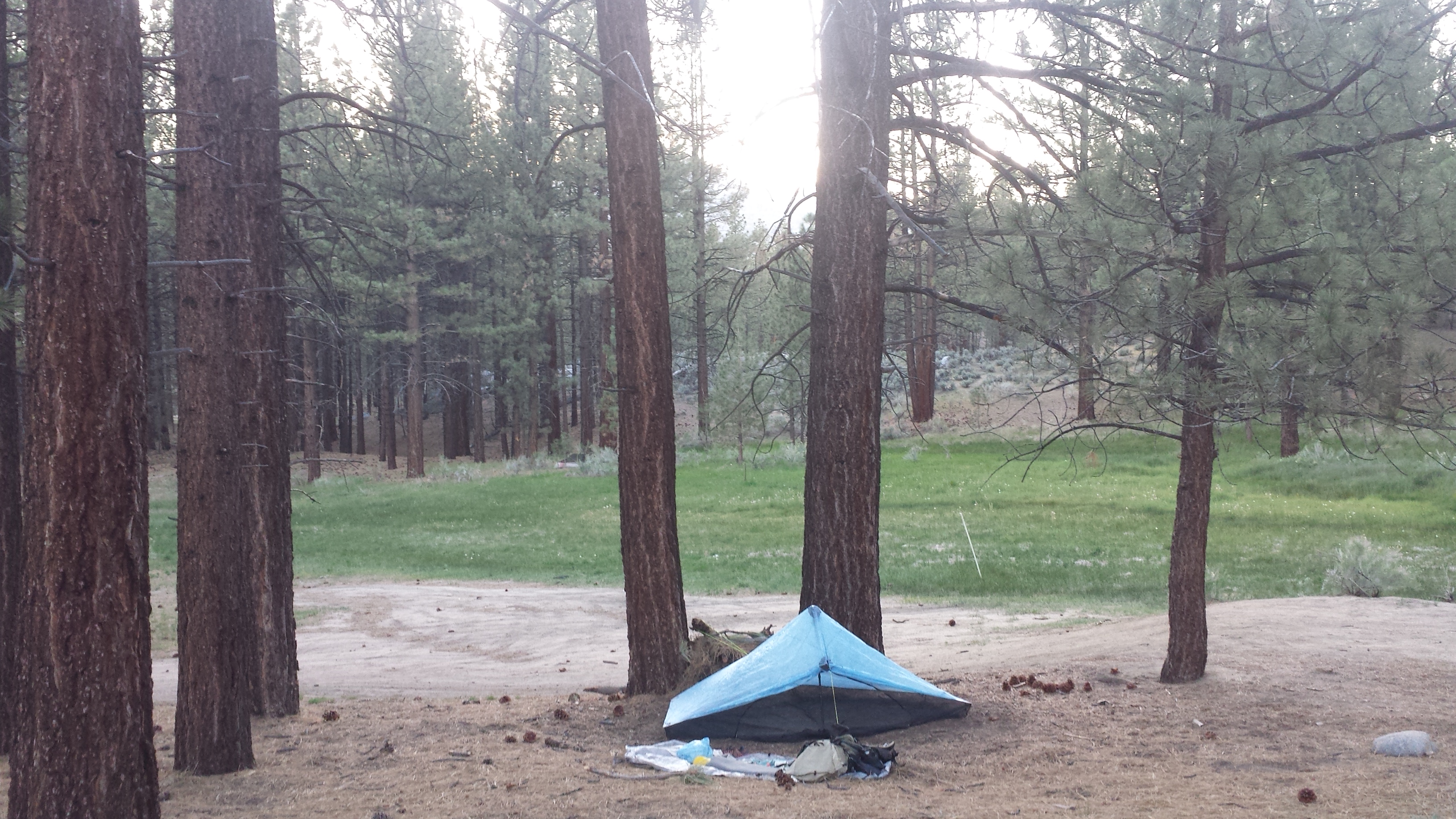
I’m enjoying ramen noodles with home-dehydrated veggies for dinner. The stars are spectacular tonight and the air is warm, so I’m cowboy camping again.
May 28th, 2014- 20.5 miles, camping at Manter Creek
Last night my body hurt SO MUCH. My muscles keep cramping and ceasing up and it’s SO PAINFUL! My glutes and hips are working so hard during the day and then they just freak out when I’m lying around at night, stationary. Plus, I was sleeping on a slight slope and kept sliding downward. I need be picker about where I sleep.
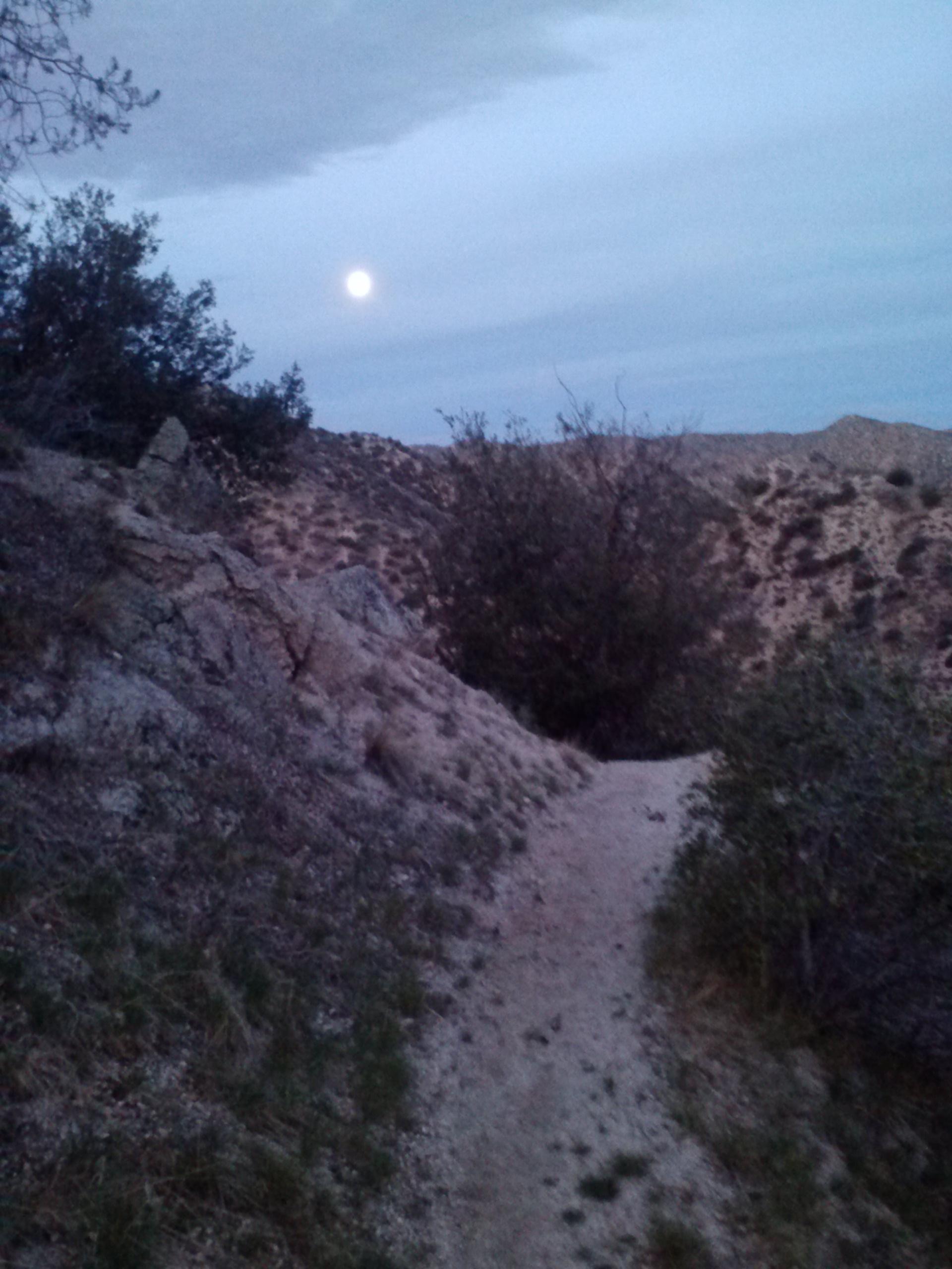
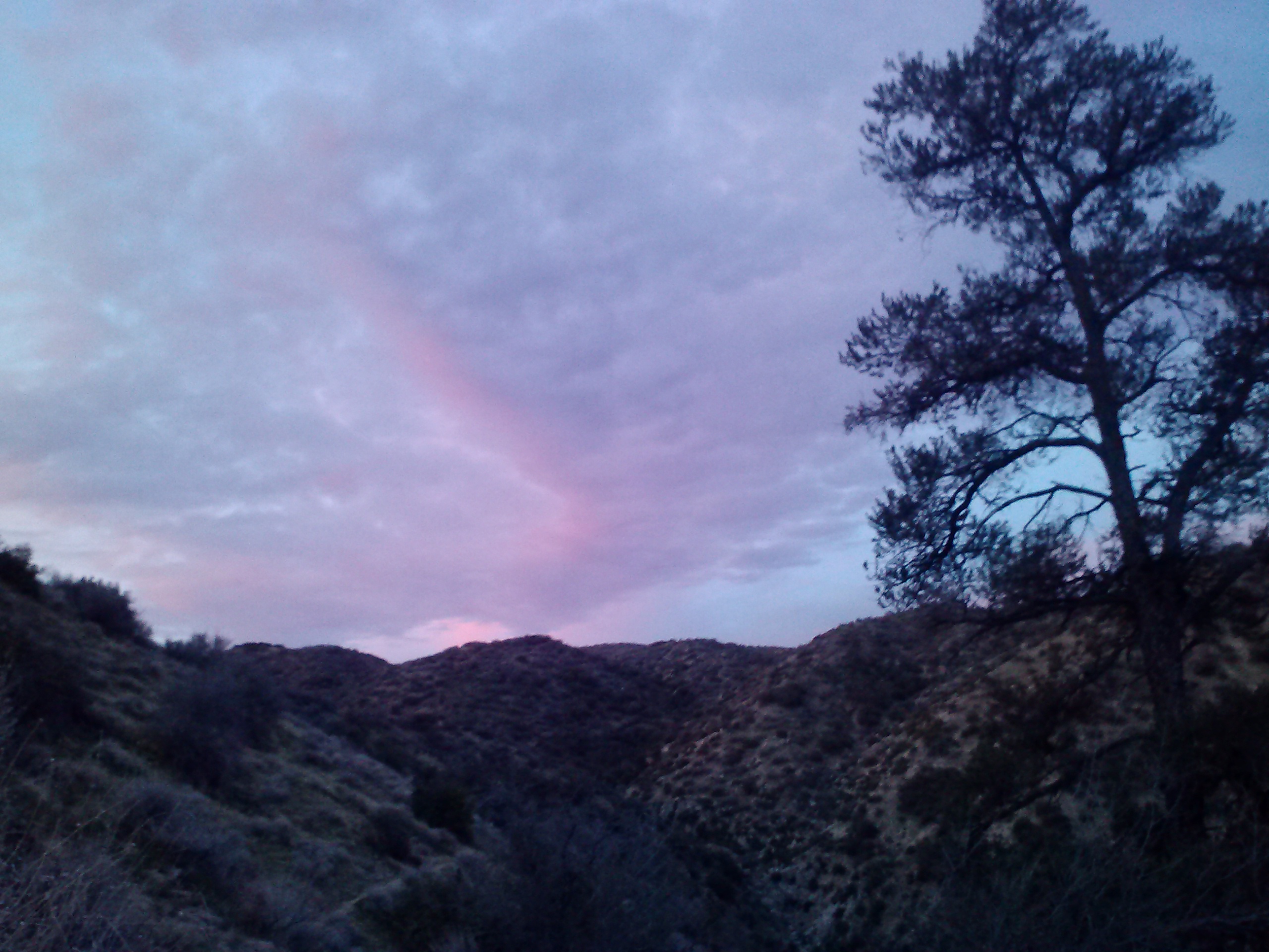
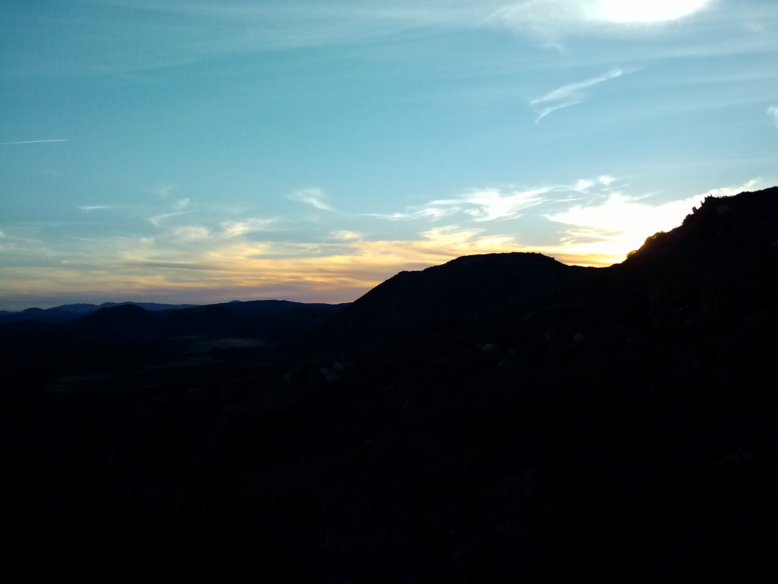
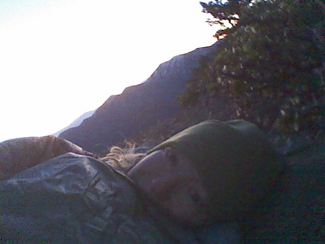
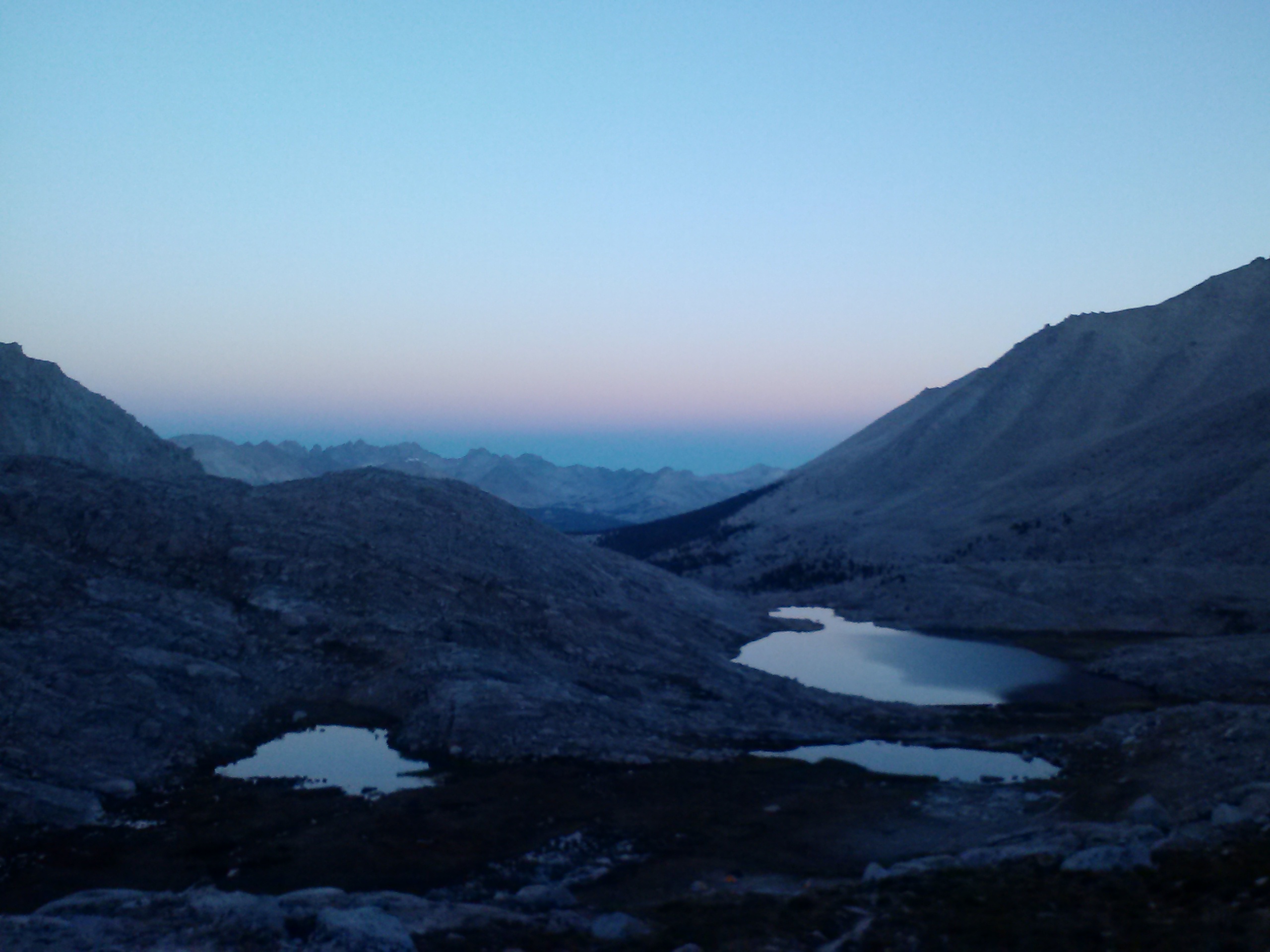
Sunrise
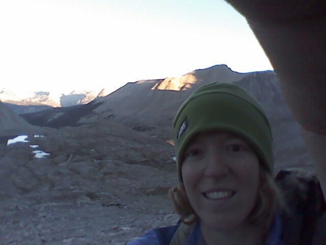
I awoke to a spectacular sunrise. Several additional hikers had shown up after I’d fallen asleep and had squeezed in to the few flat spots remaining. They must’ve done mist of their hiking in the dark last night to avoid the heat. Sarge Smiles, Uke-less, and Crusher had already left camp. I hiked less than a mile when I got 4G signal, so I uploaded three videos to Vimeo, but it took two hours! I killed time by eating, stretching and singing. Wolf passed by me, and Happy Feet set up nearby to do his morning yoga routine. I ended up playing leapfrog all day with Wolf and Happy Feet, both were great to talk to on breaks. Wolf is soft spoken and quite the thinker, while Happy Feet is vibrant and has a hysterical sense of humor.
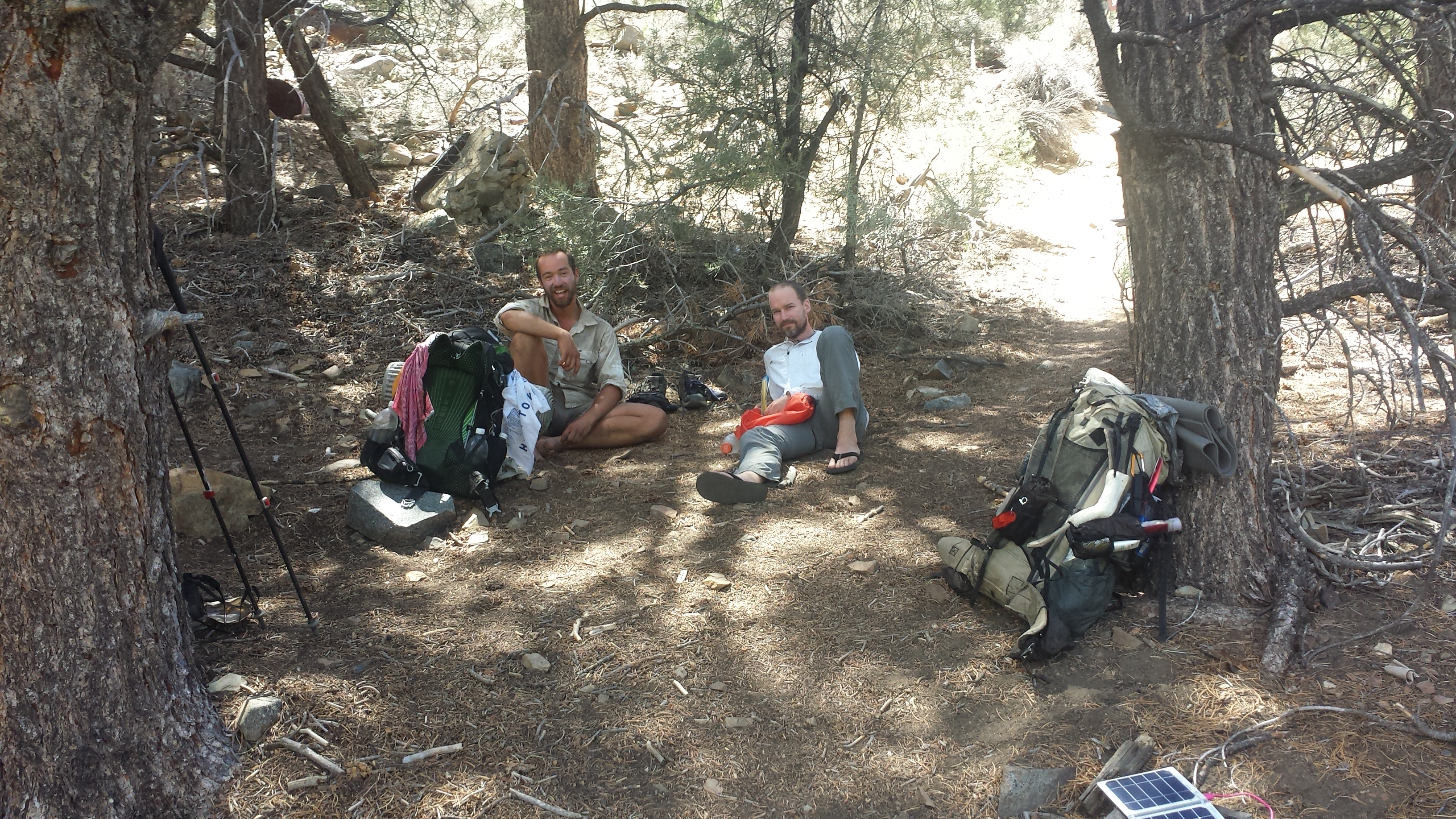
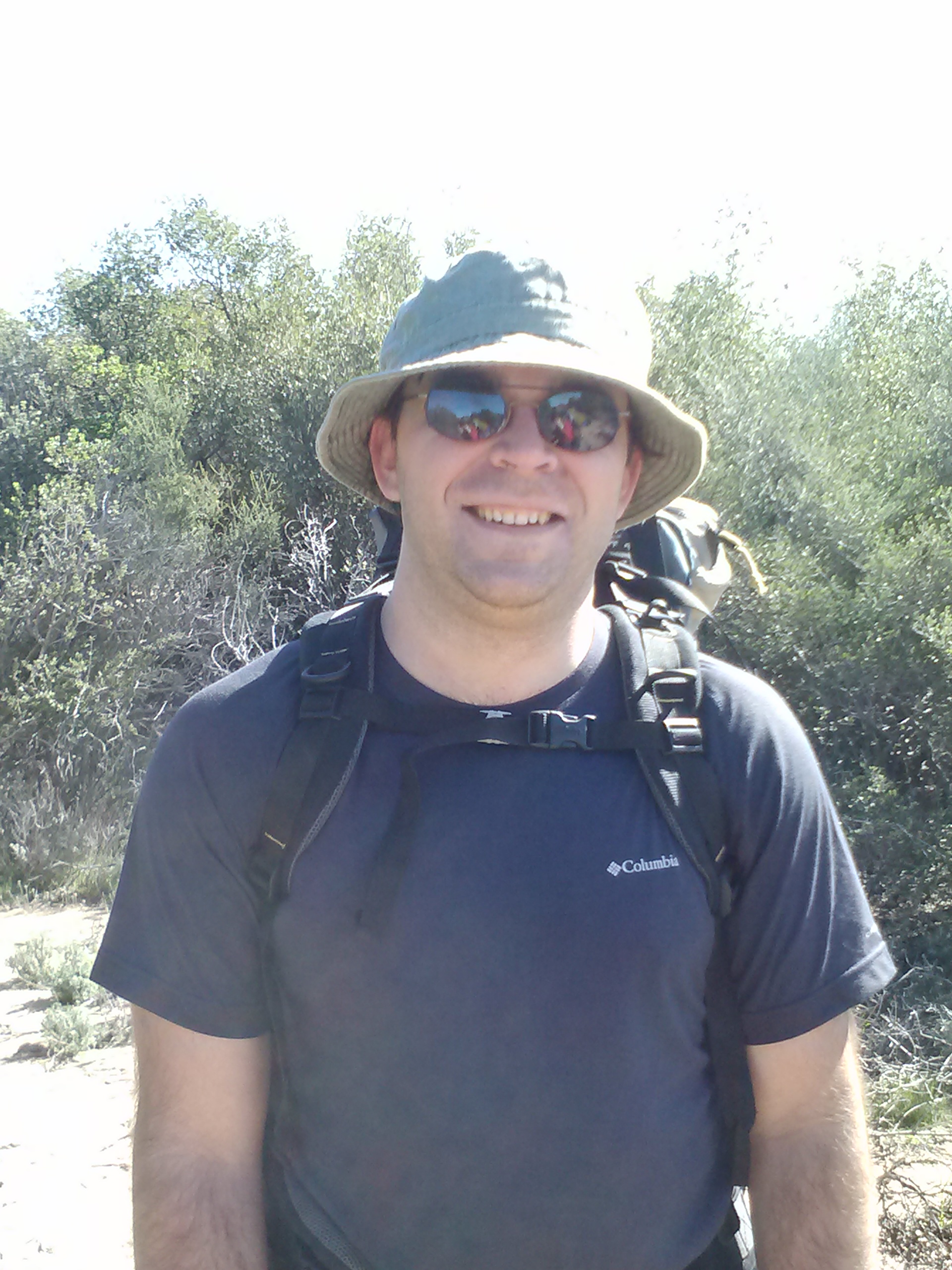
(L->R) Happy Feet from Oregon & Wolf from Denmark, Fox Mill Spring
Since the water is so low in most of the creeks, I’ve had to use the Sawyer syringe to such up the water and then squirting it into my bottles. Now my bottles have green and brown muck floating in them. Yuck. Yay, for filters!
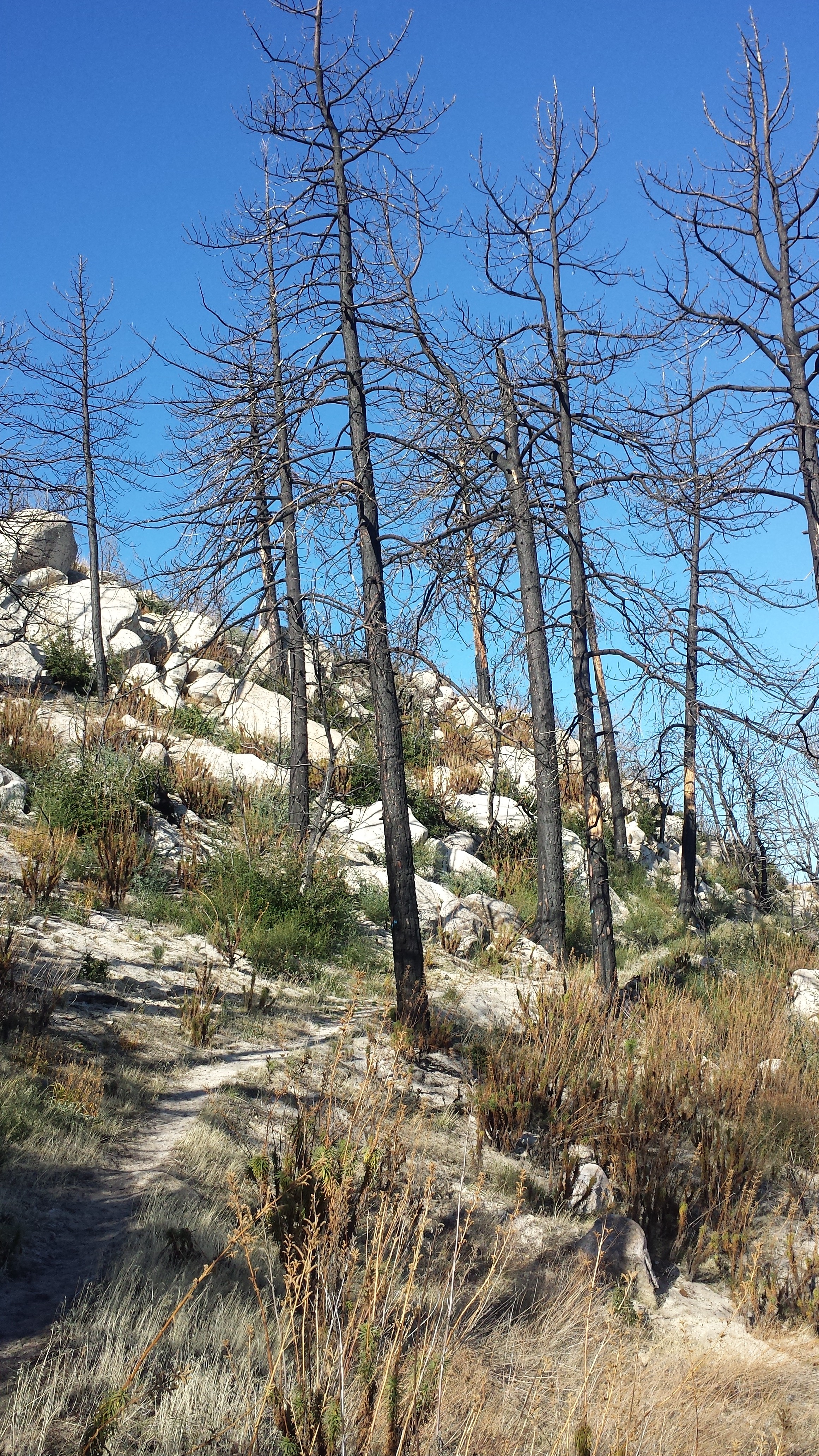
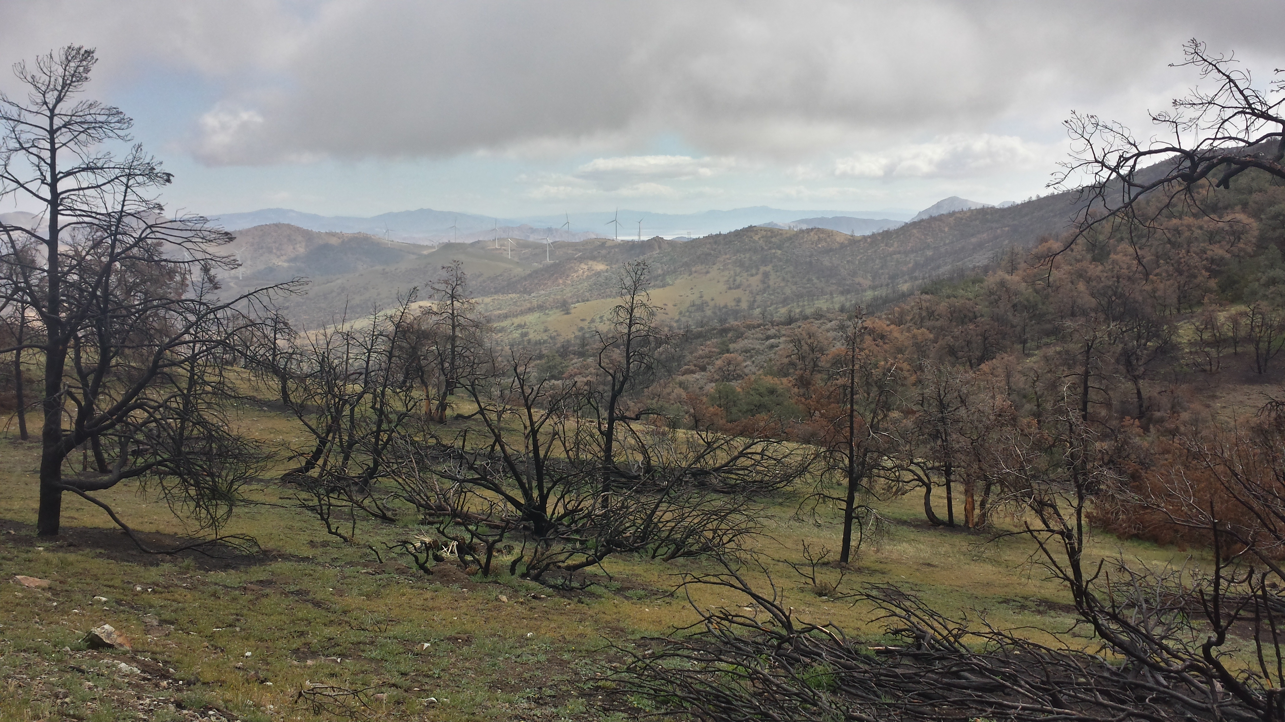
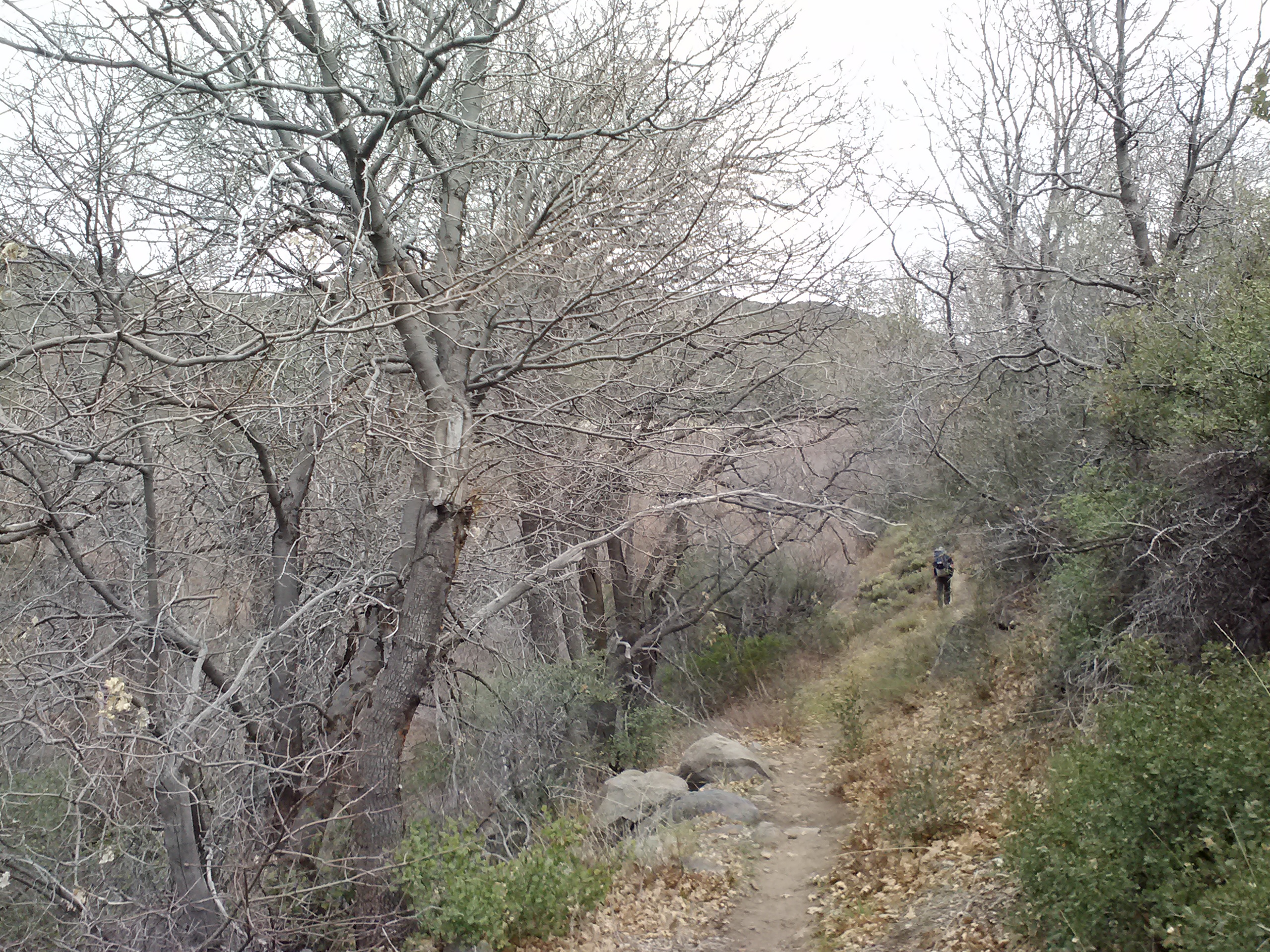
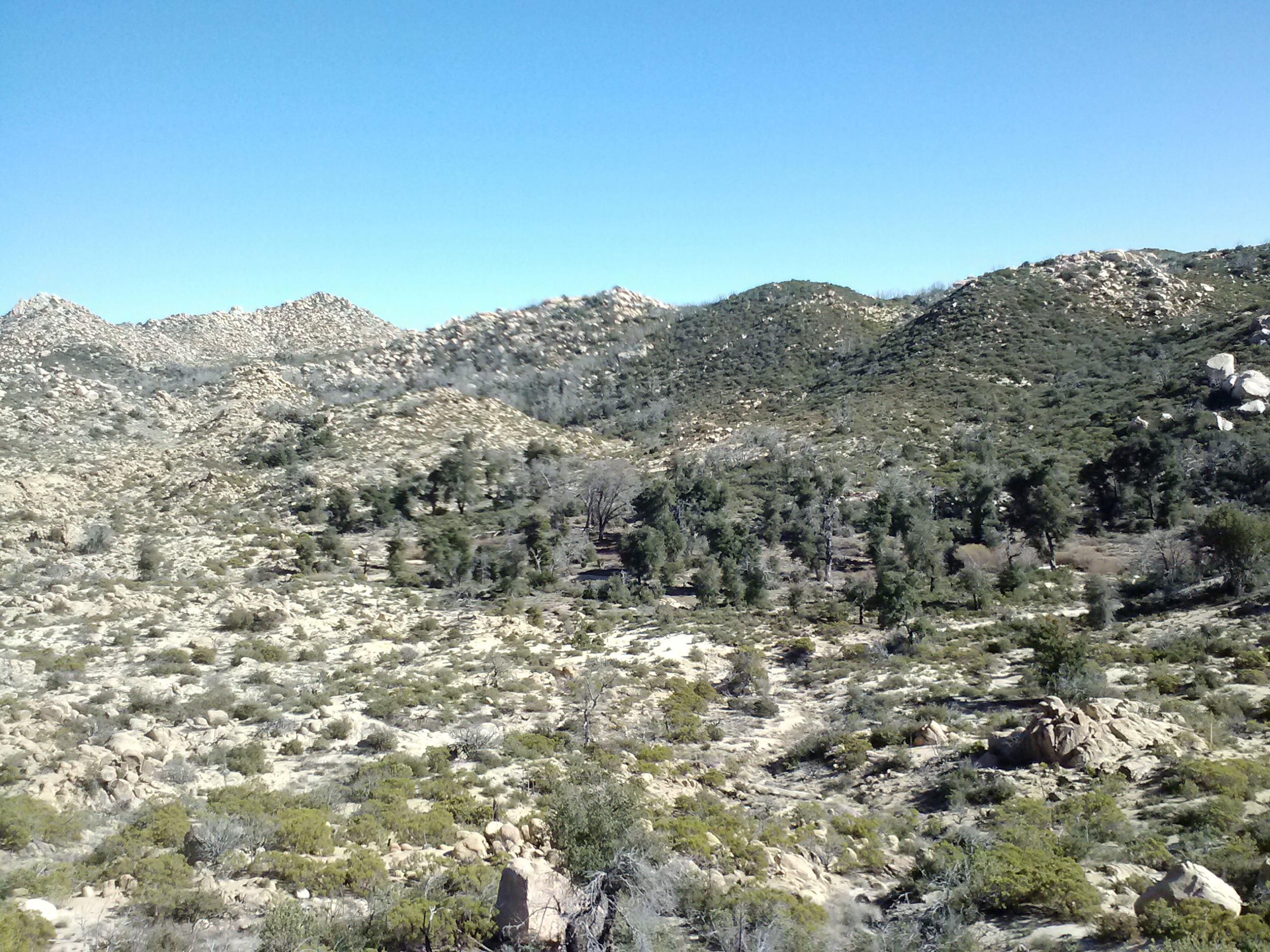
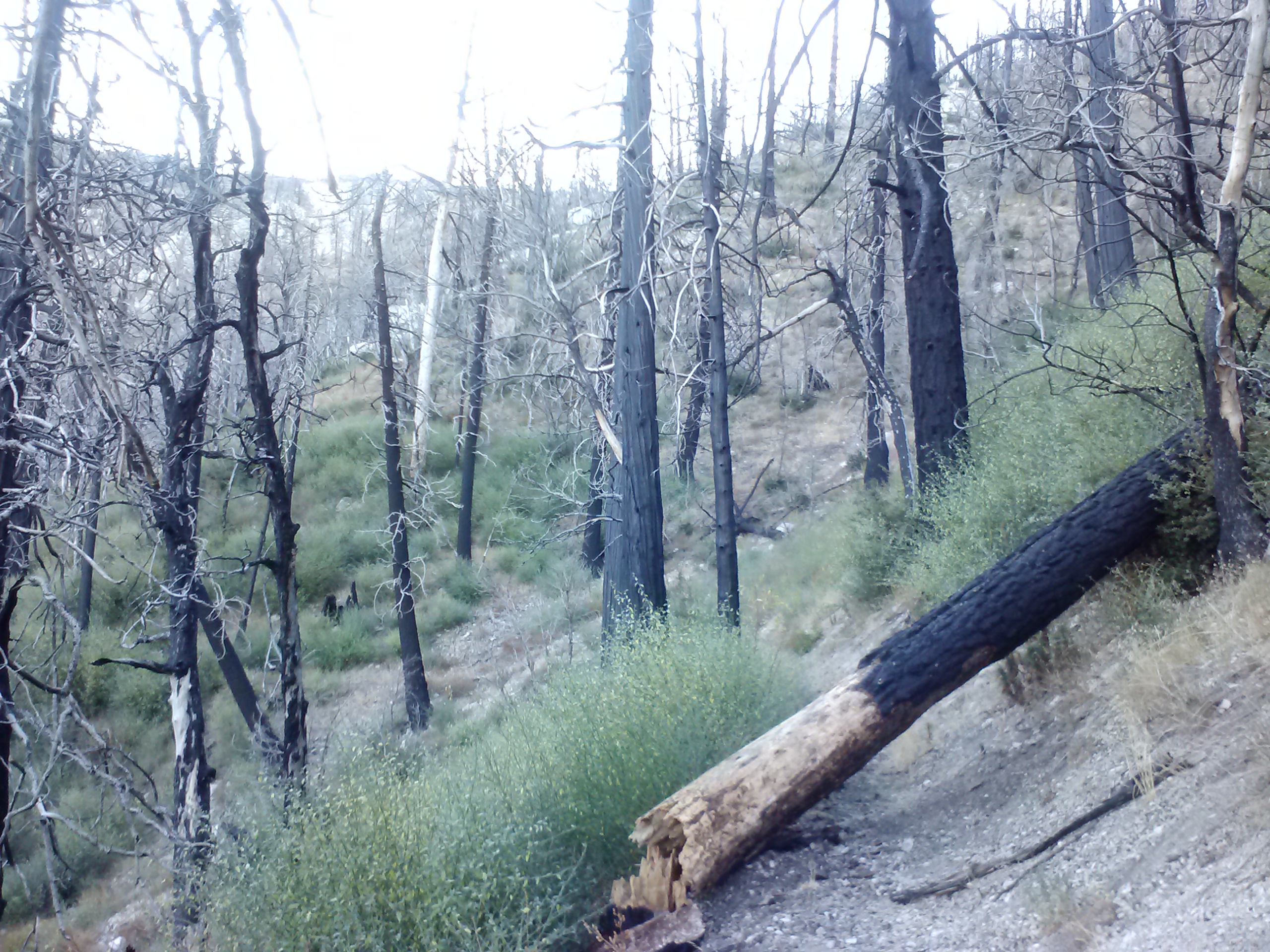
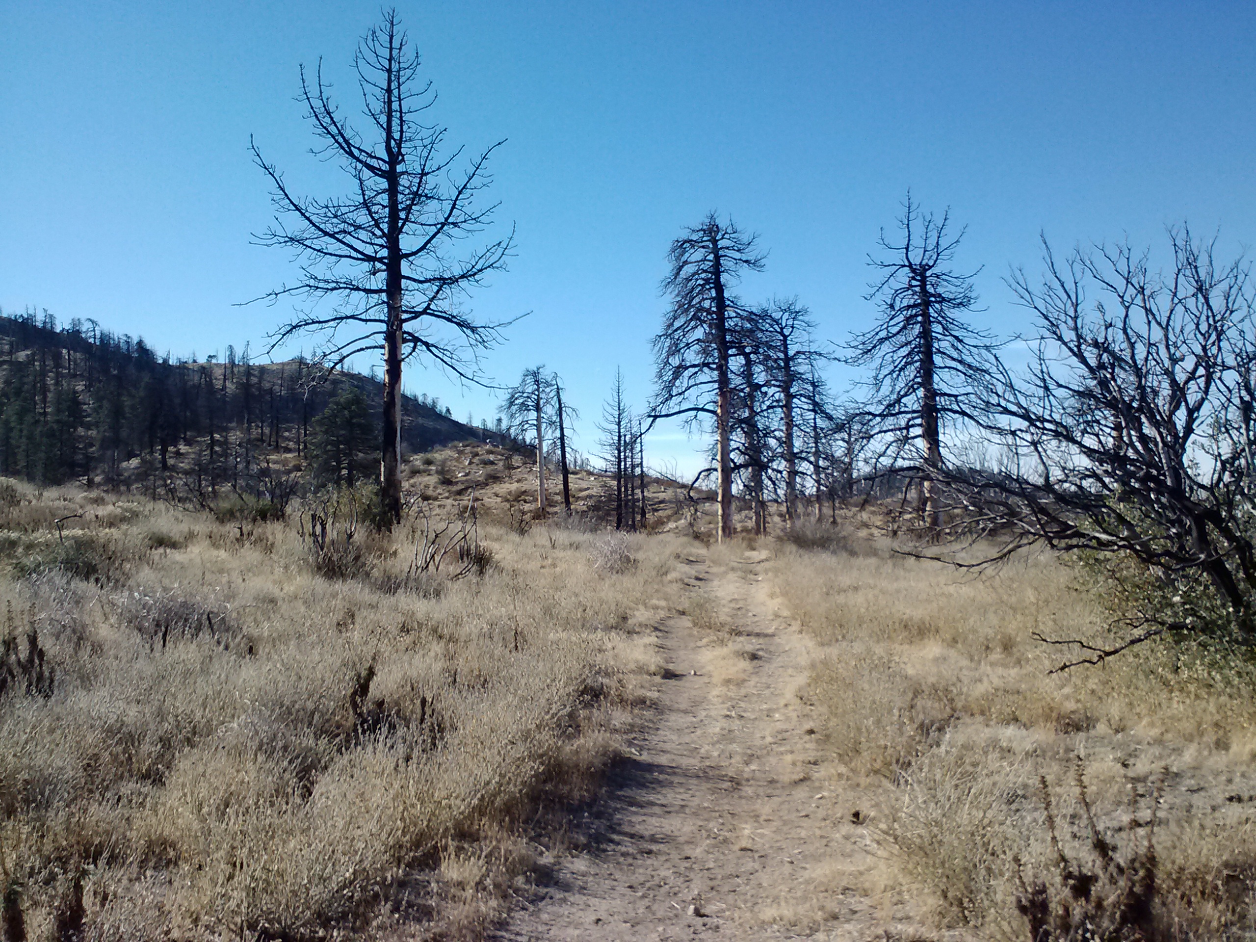
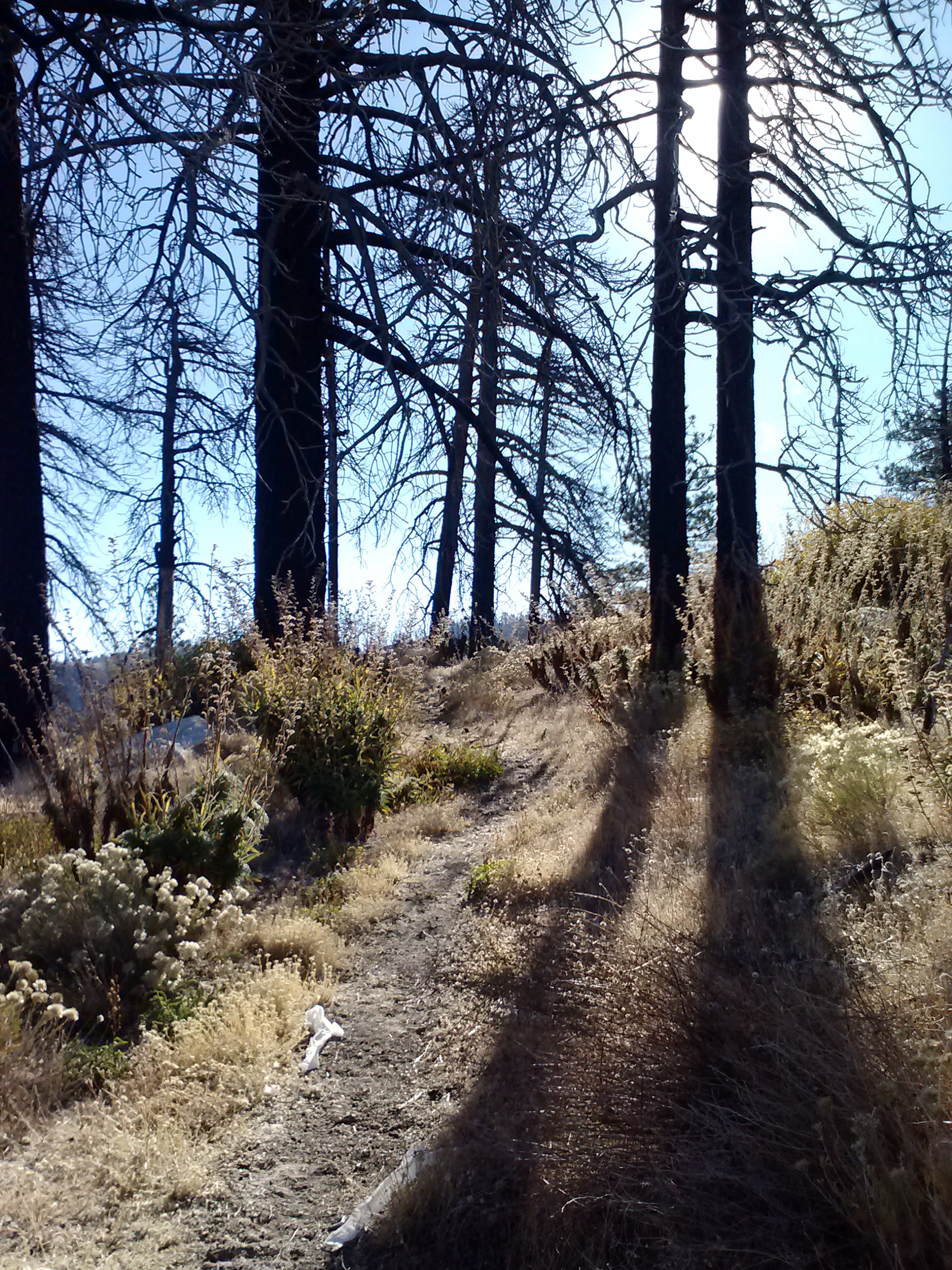
Happy Feet and I hiked most of the 6.5 miles downhill to Manter Creek together, joking and laughing and complaining about how long the downhill was to camp. Since a past fire had burned all the trees and brush in the area, we could see the trail winding all the way down. We both agreed we’d rather not see how long the trail was ahead of us, it was almost torture. Happy Feet actually throws away all of his elevation charts that come with the maps because he just doesn’t want to know how much up and downhill he has to do!
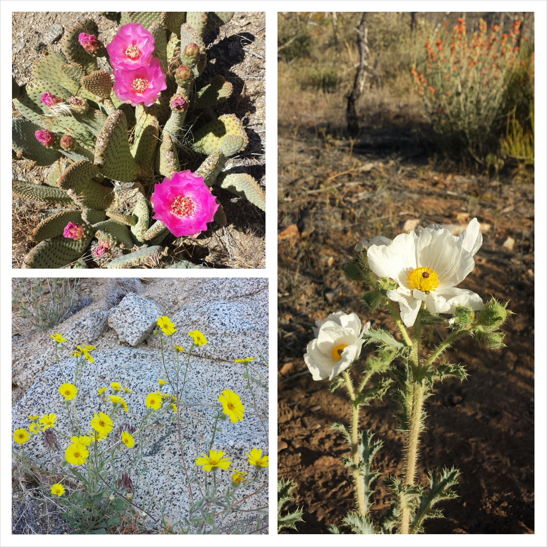
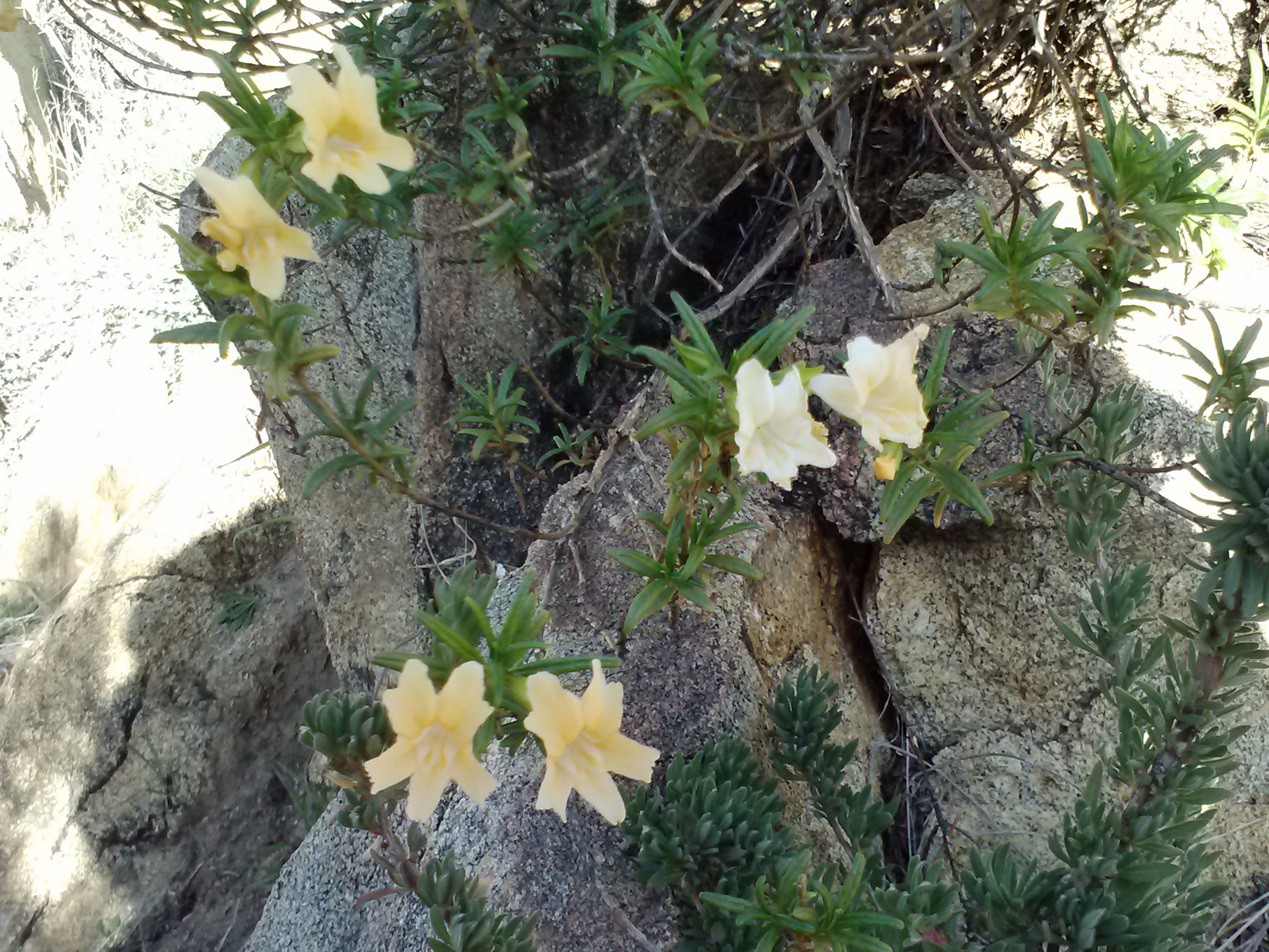
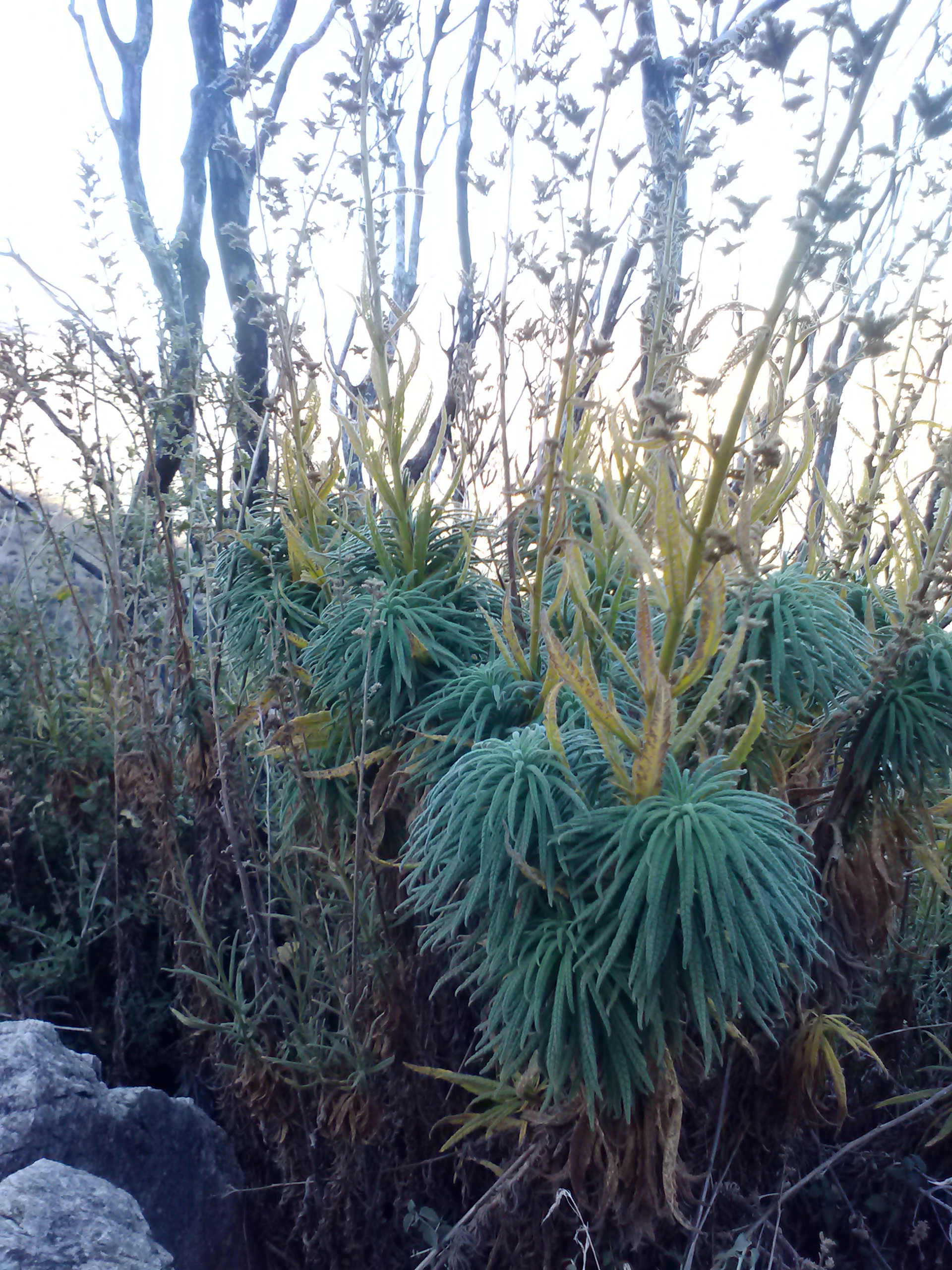
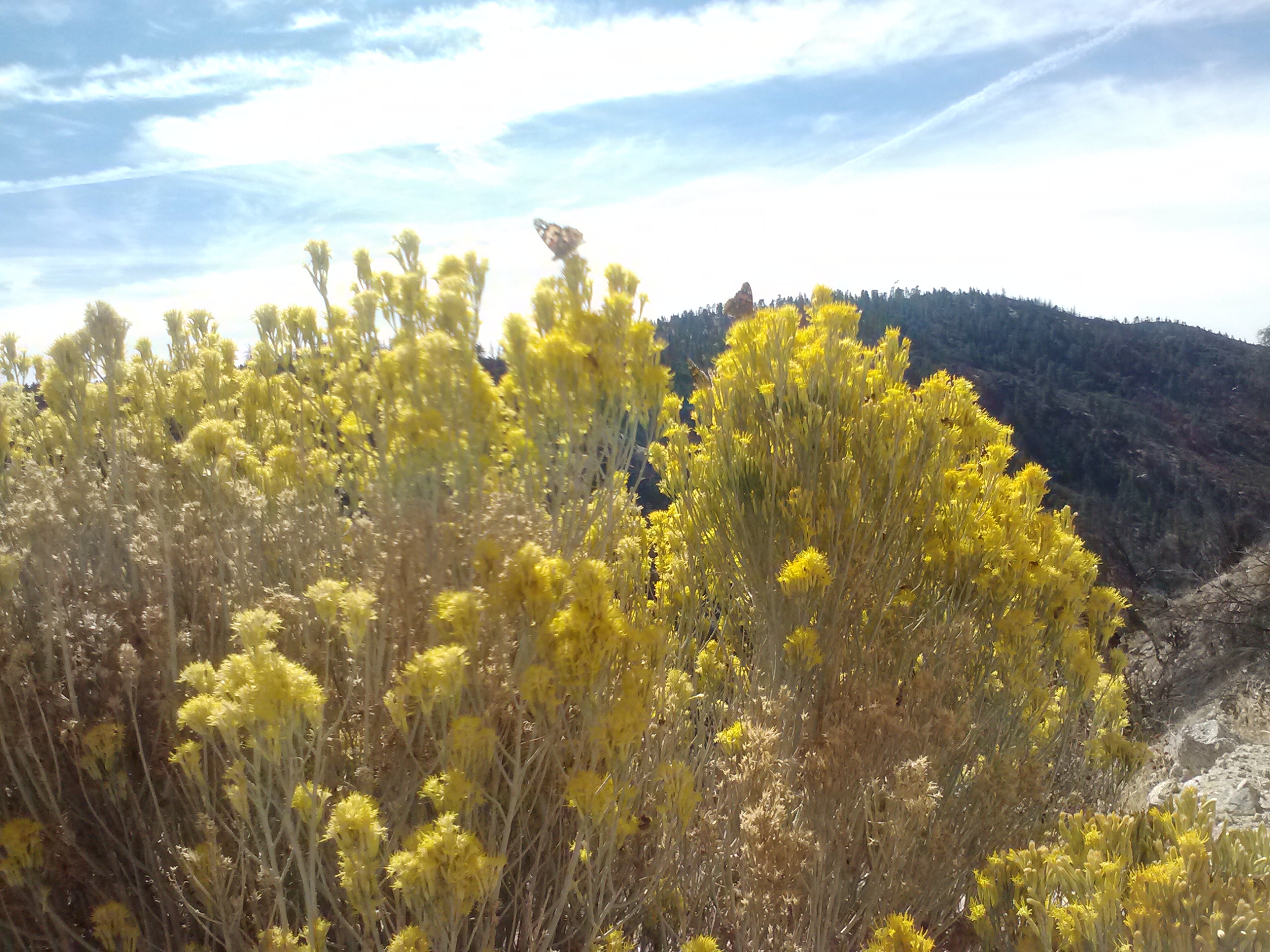
Wildflowers
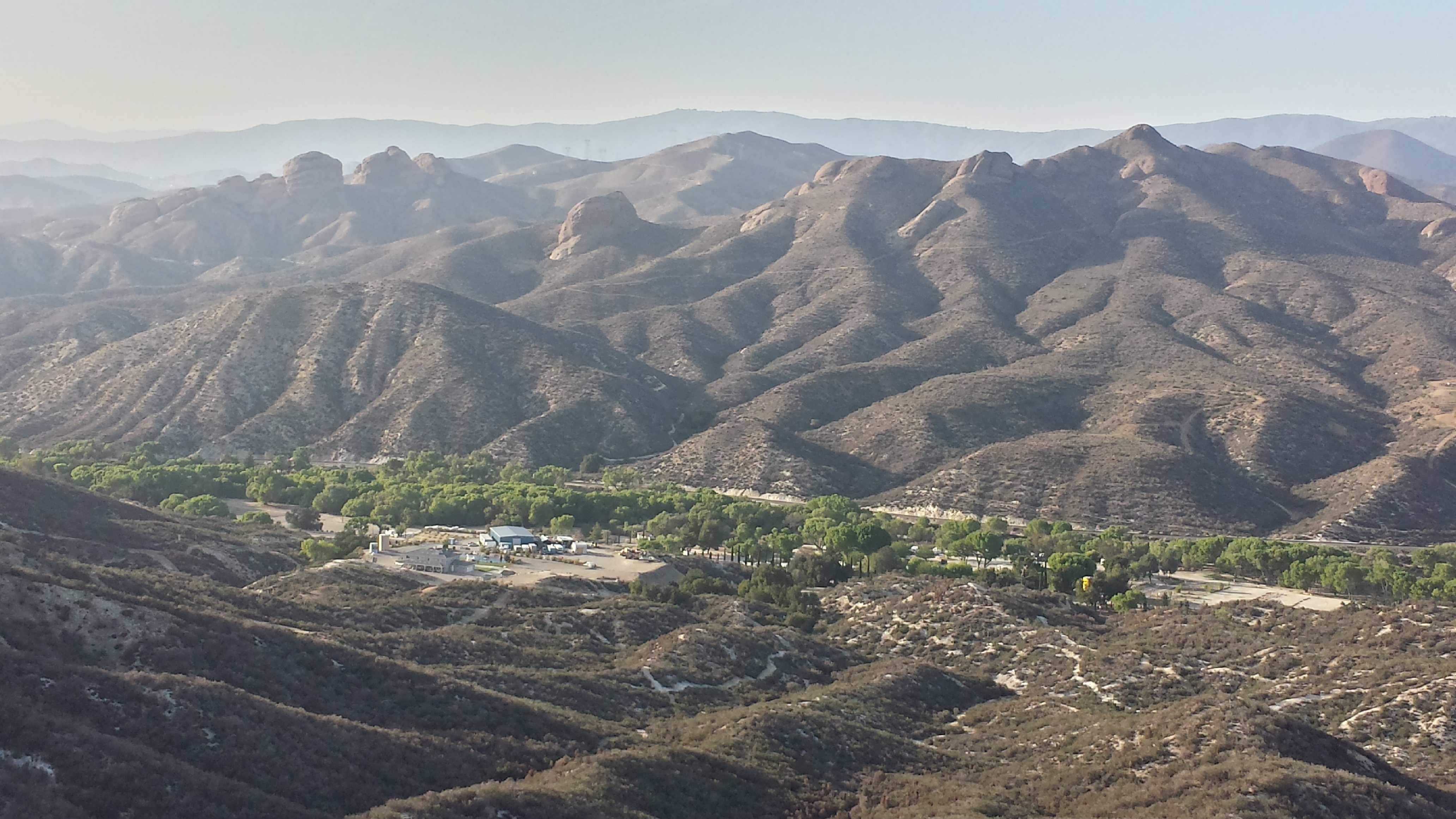
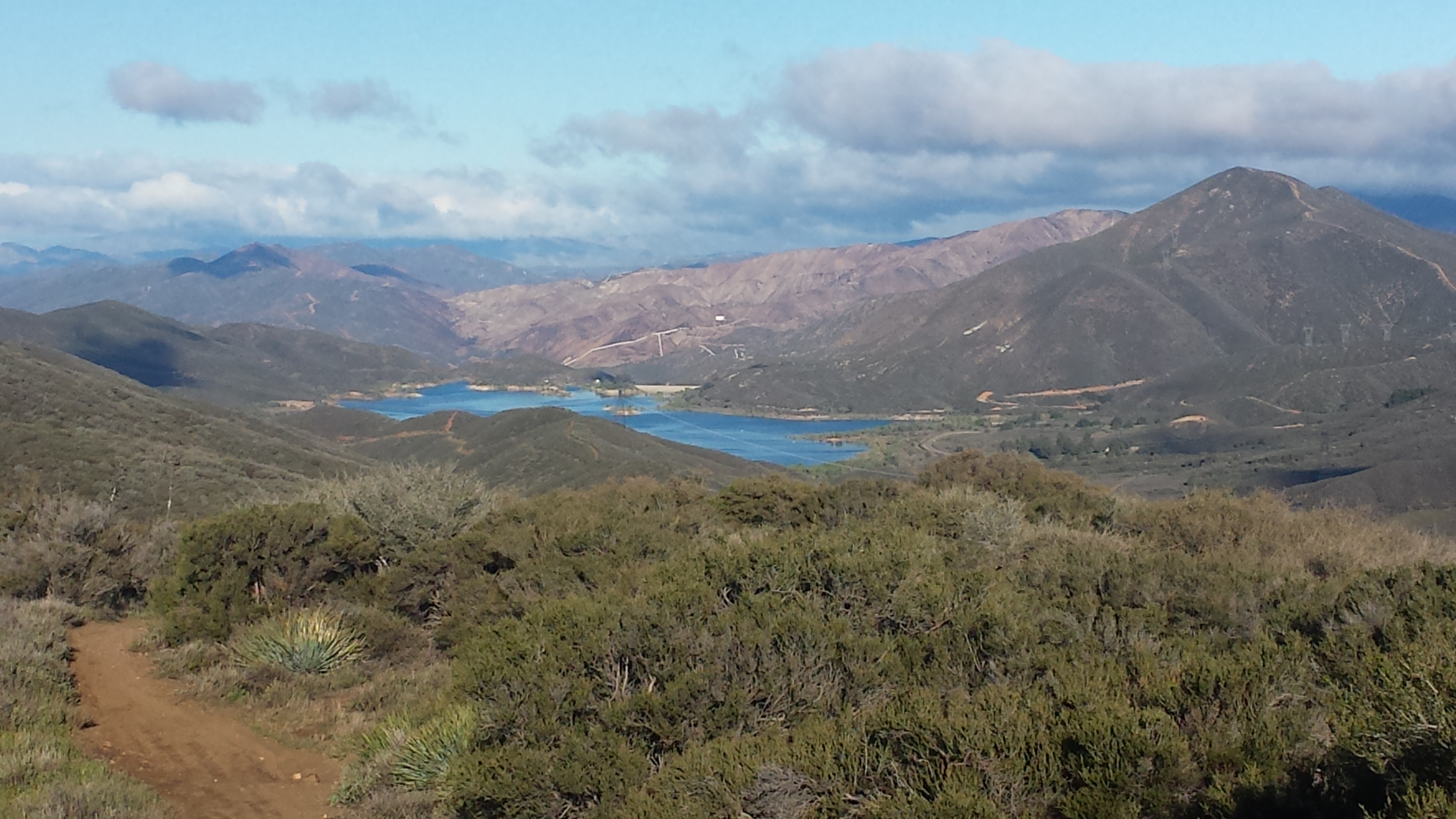
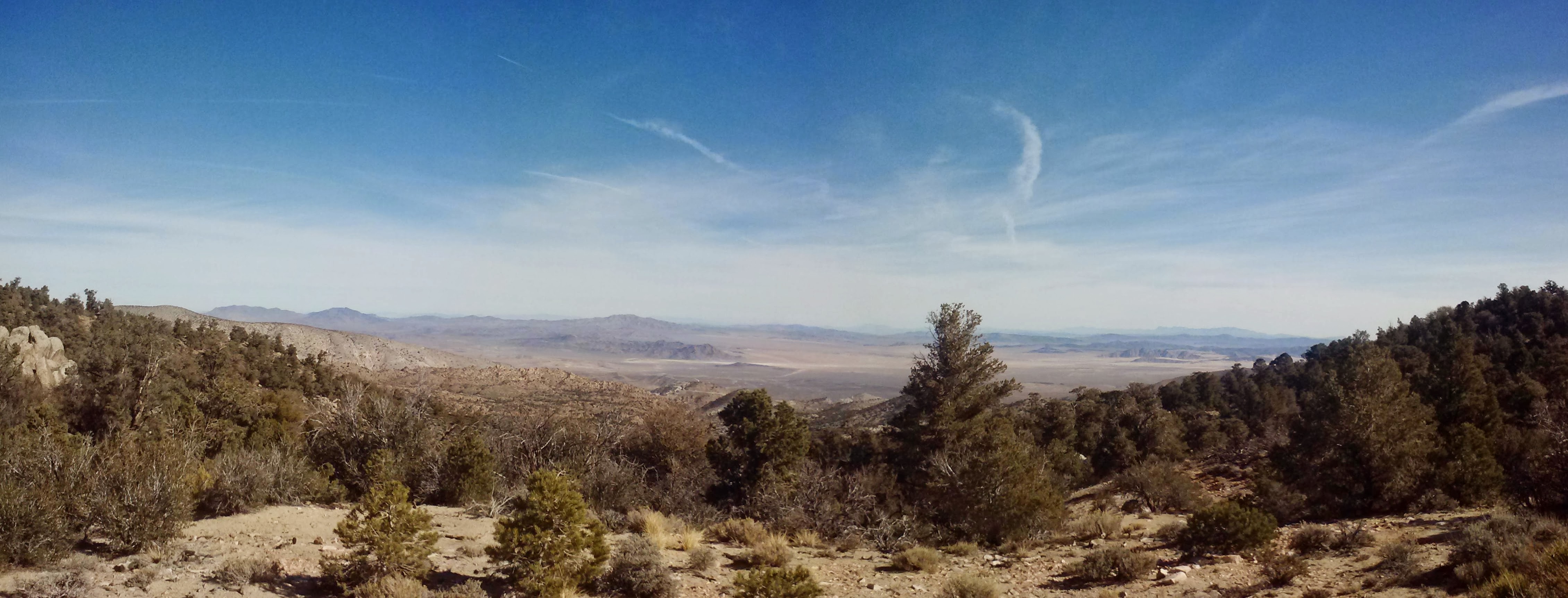
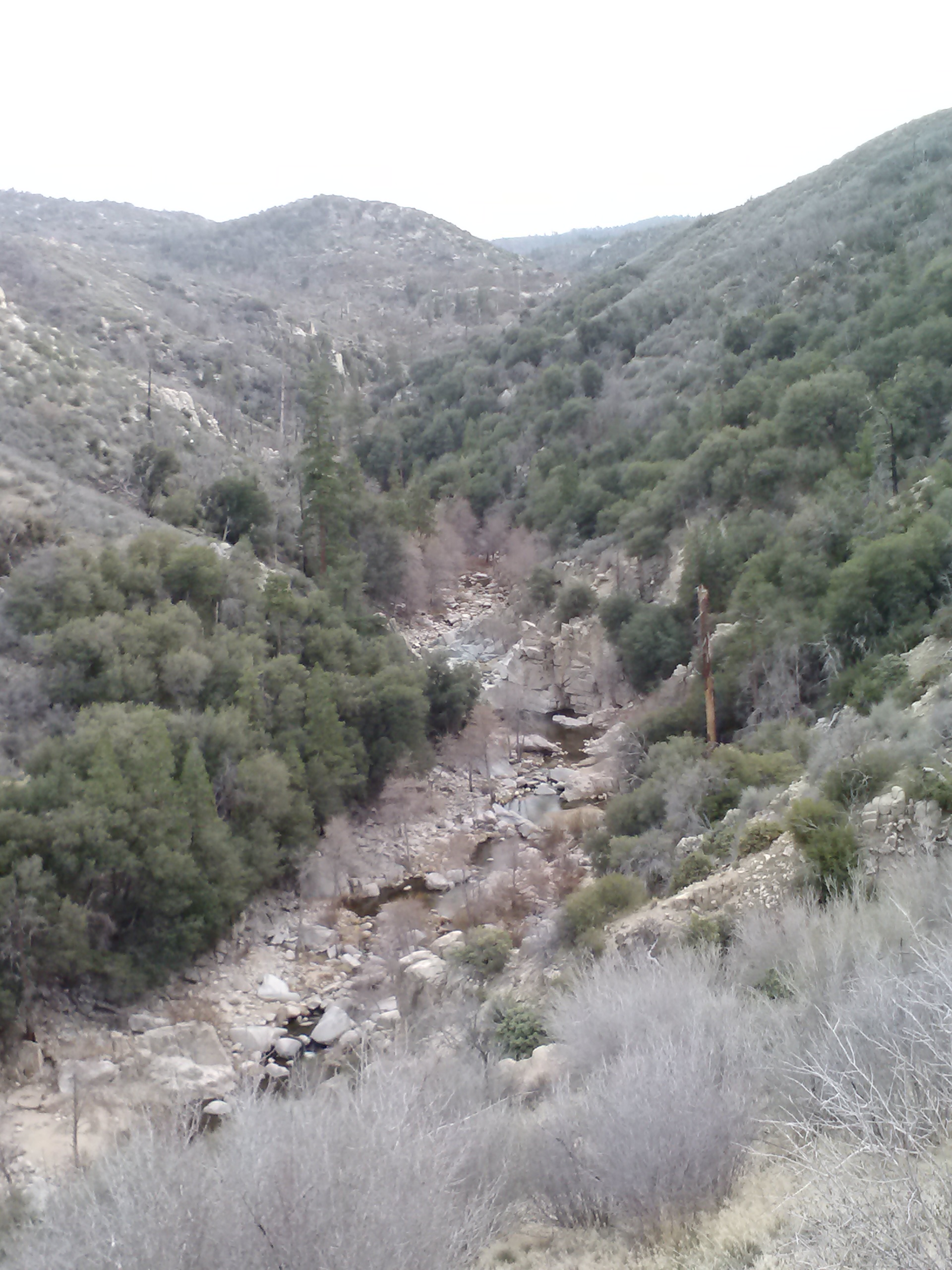
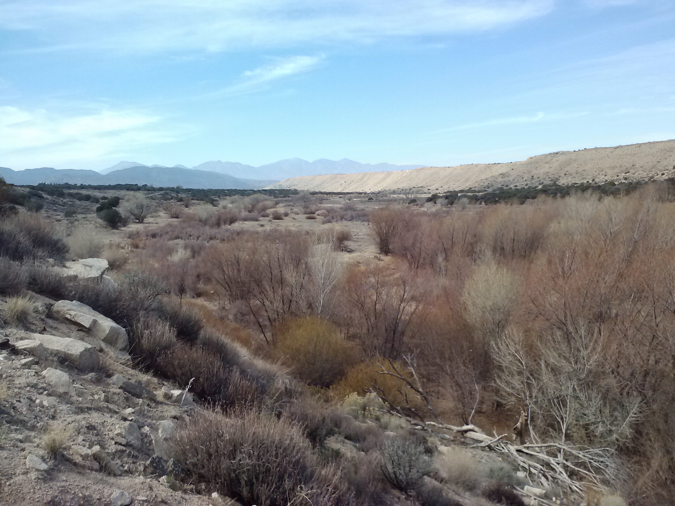
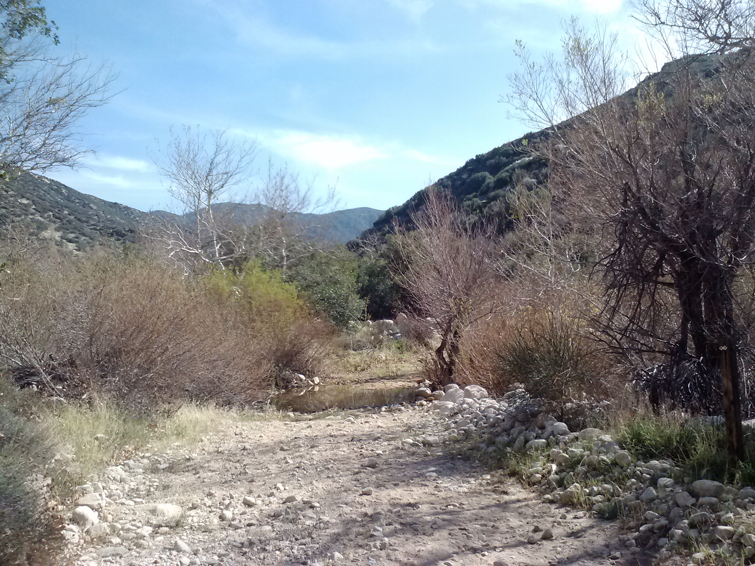
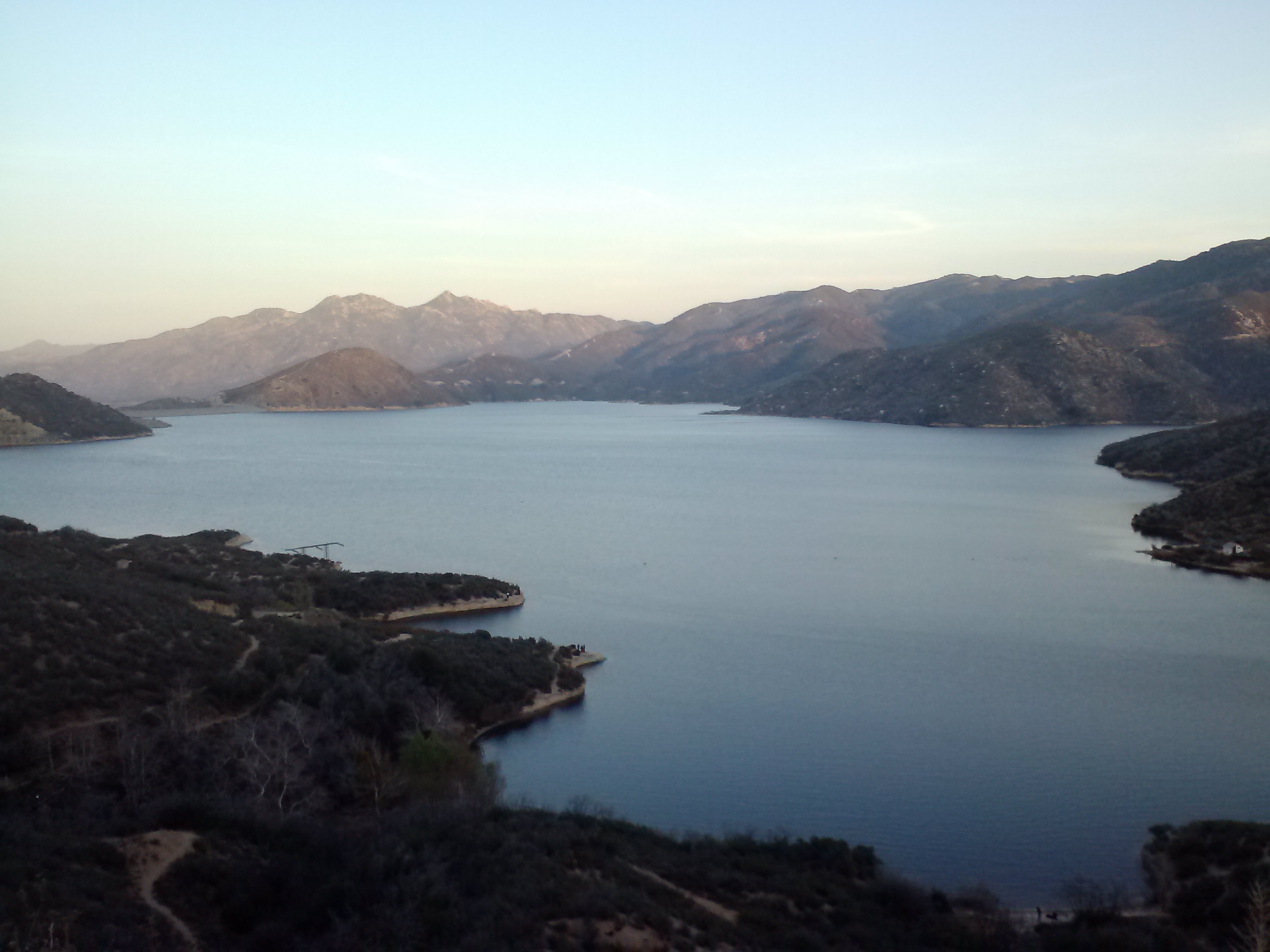
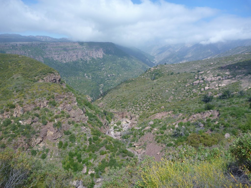
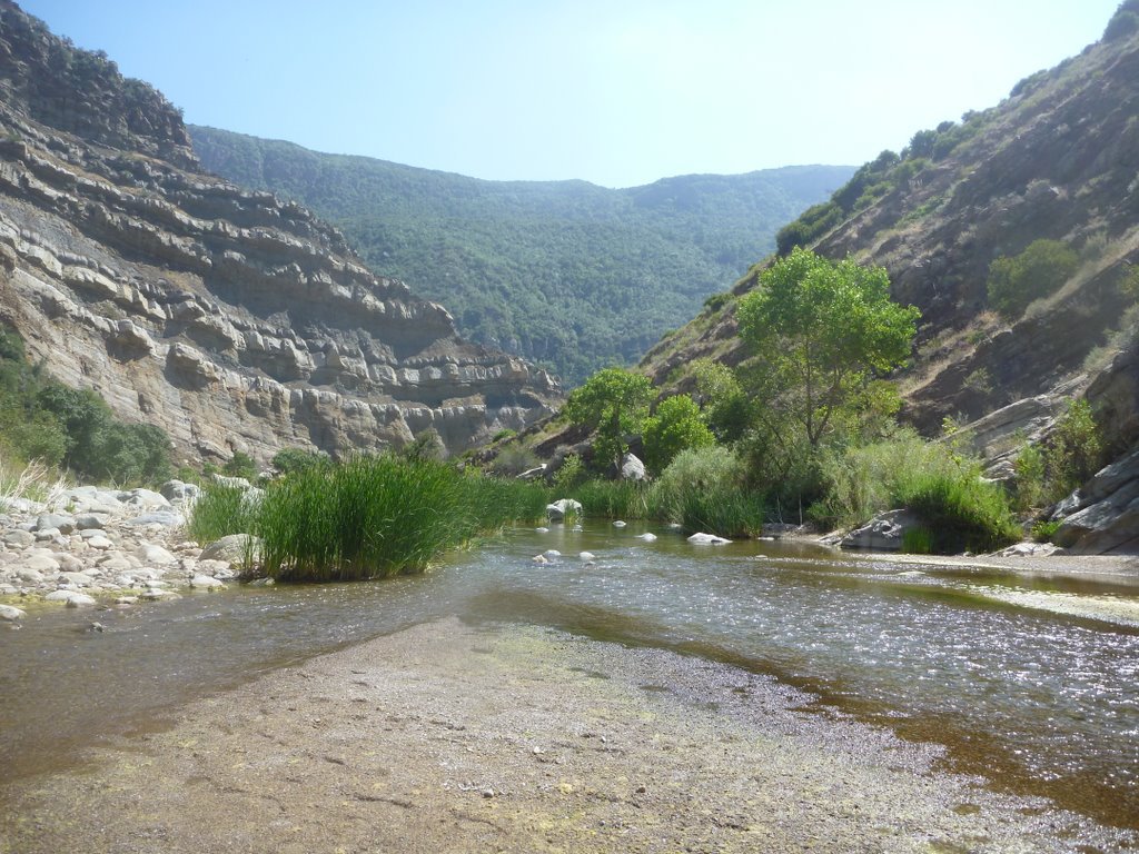
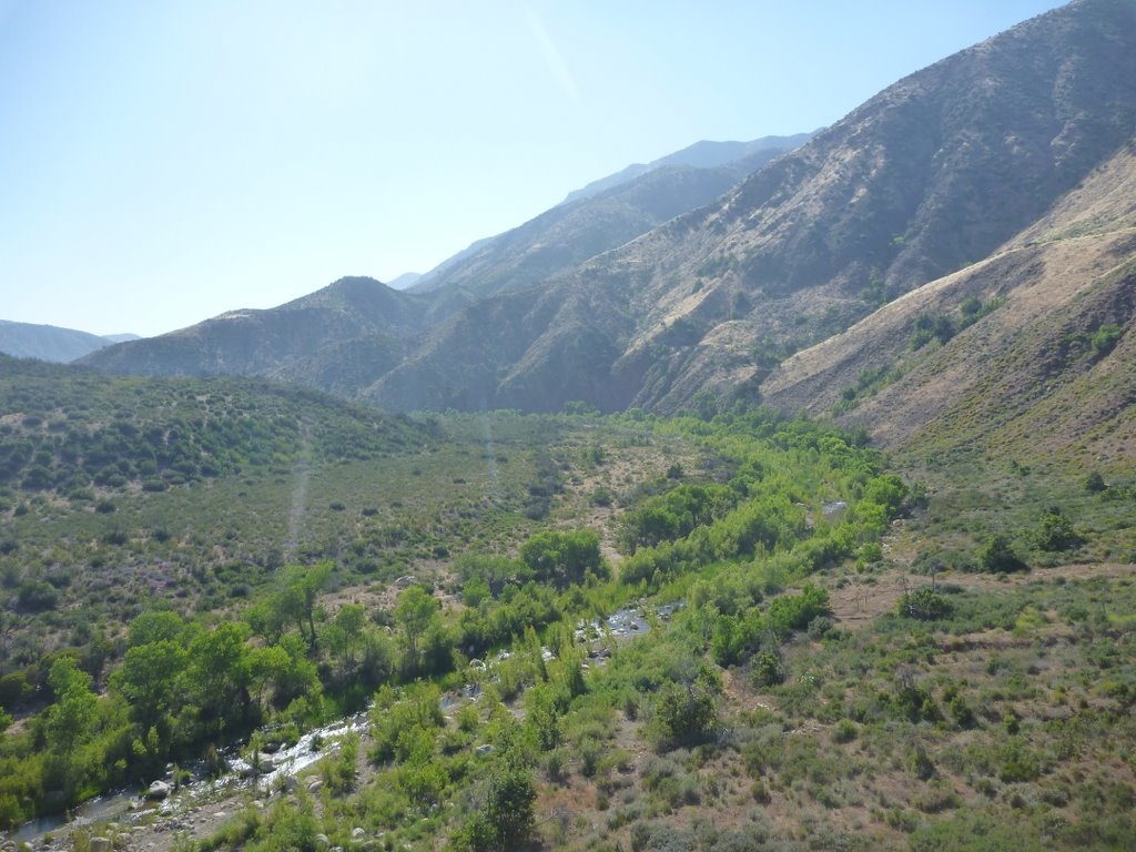
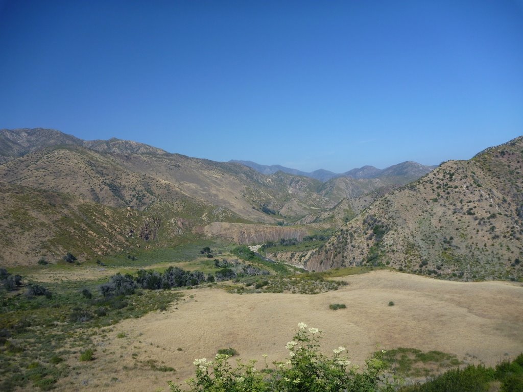
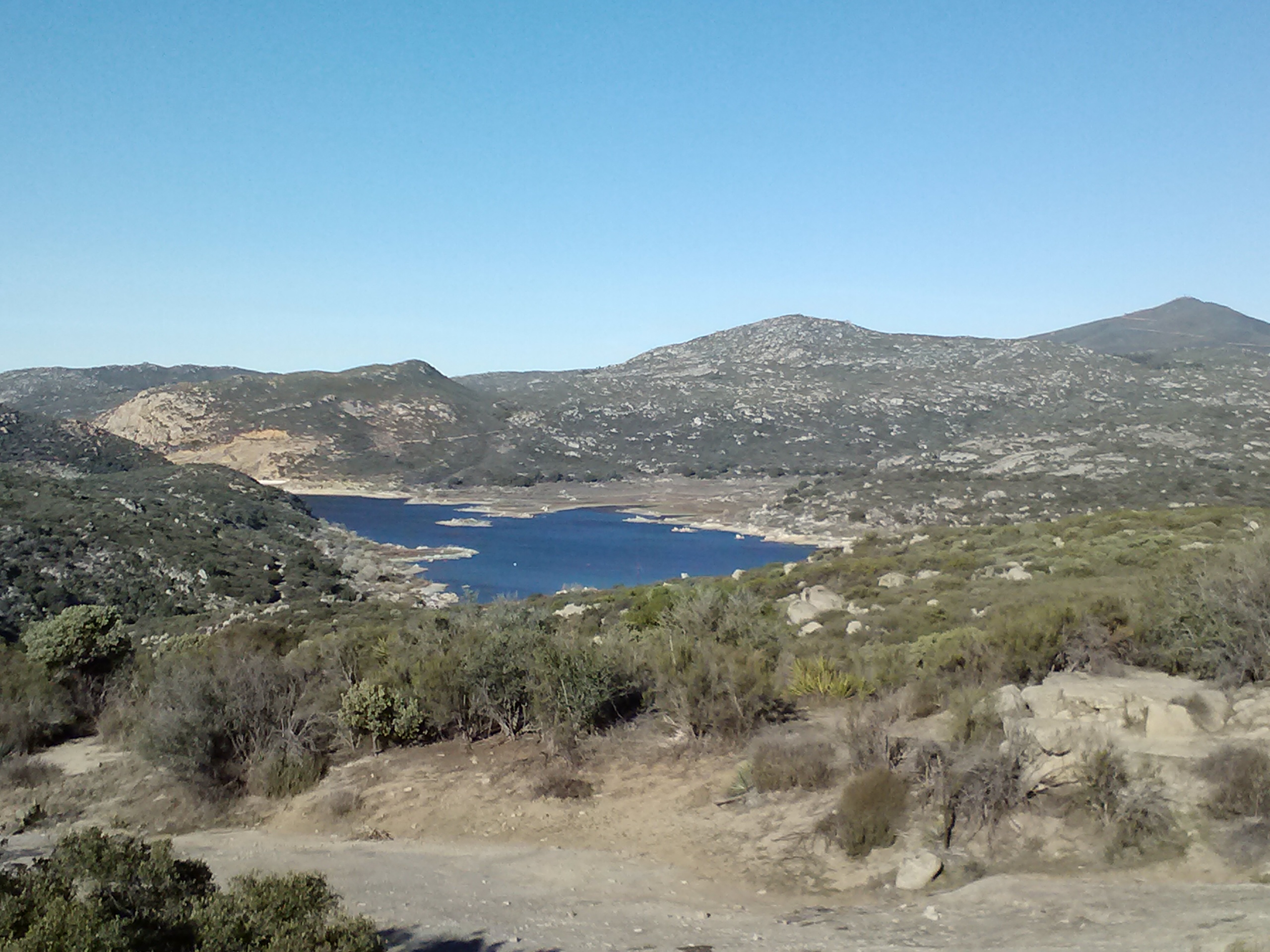
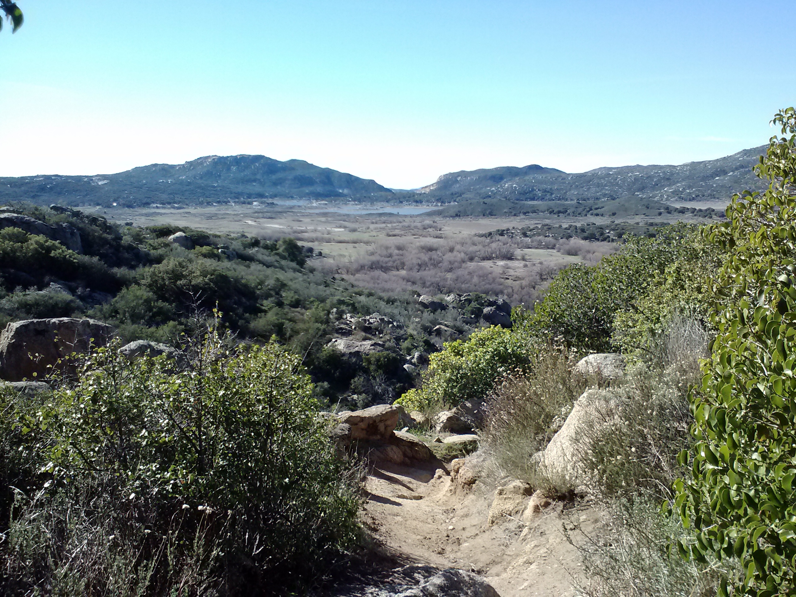
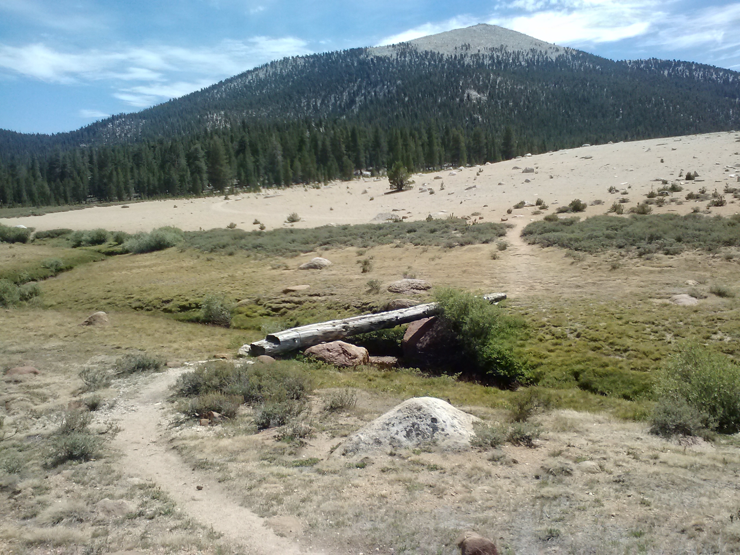
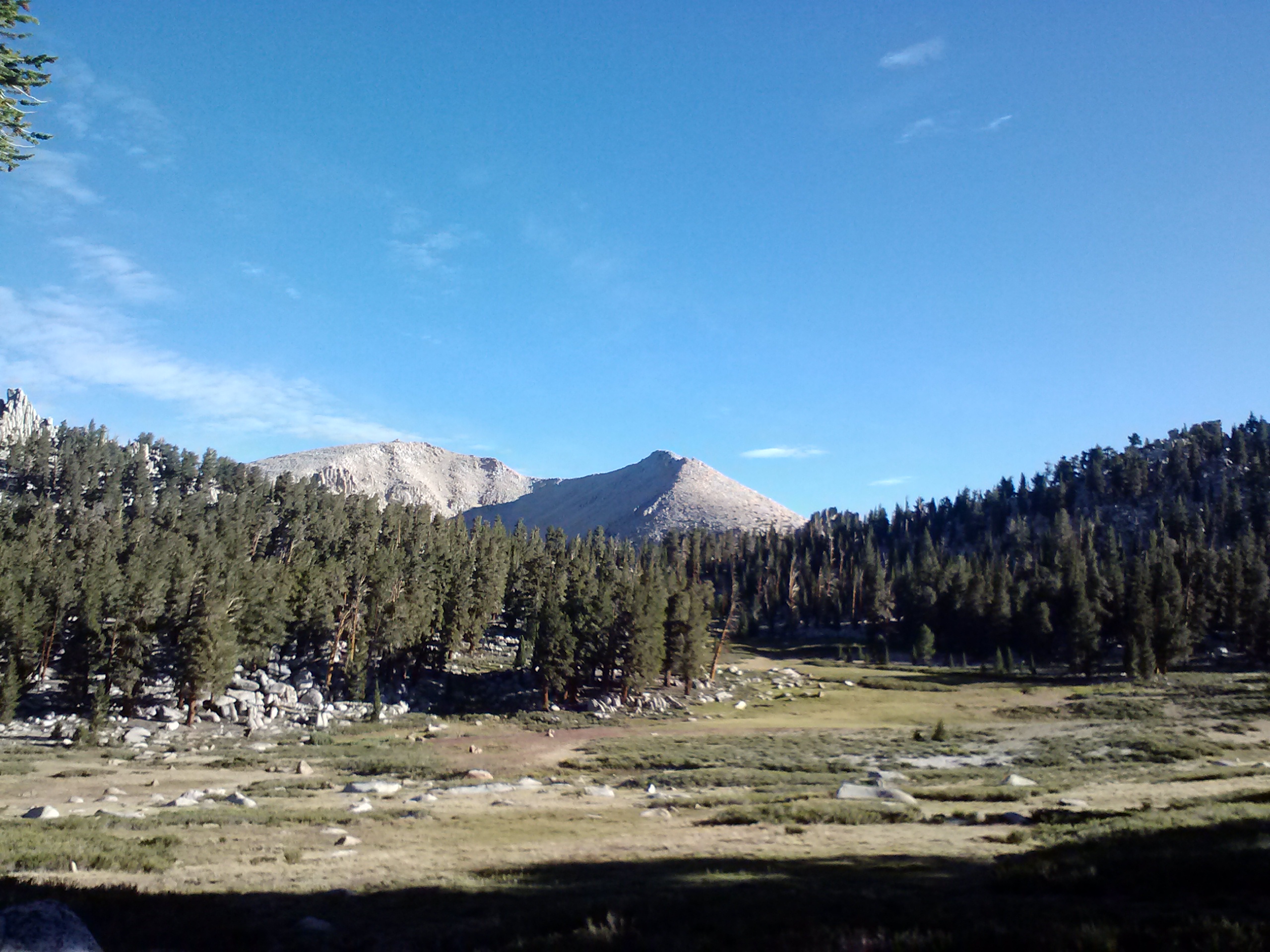
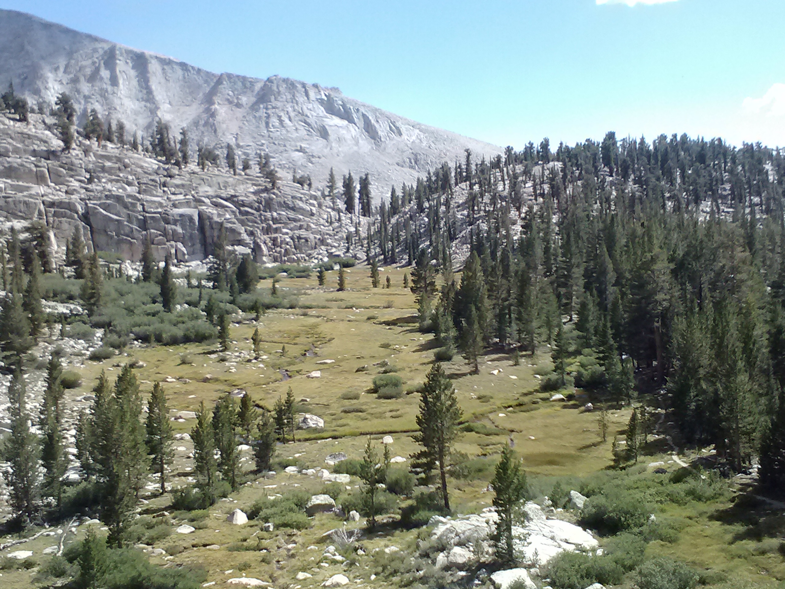
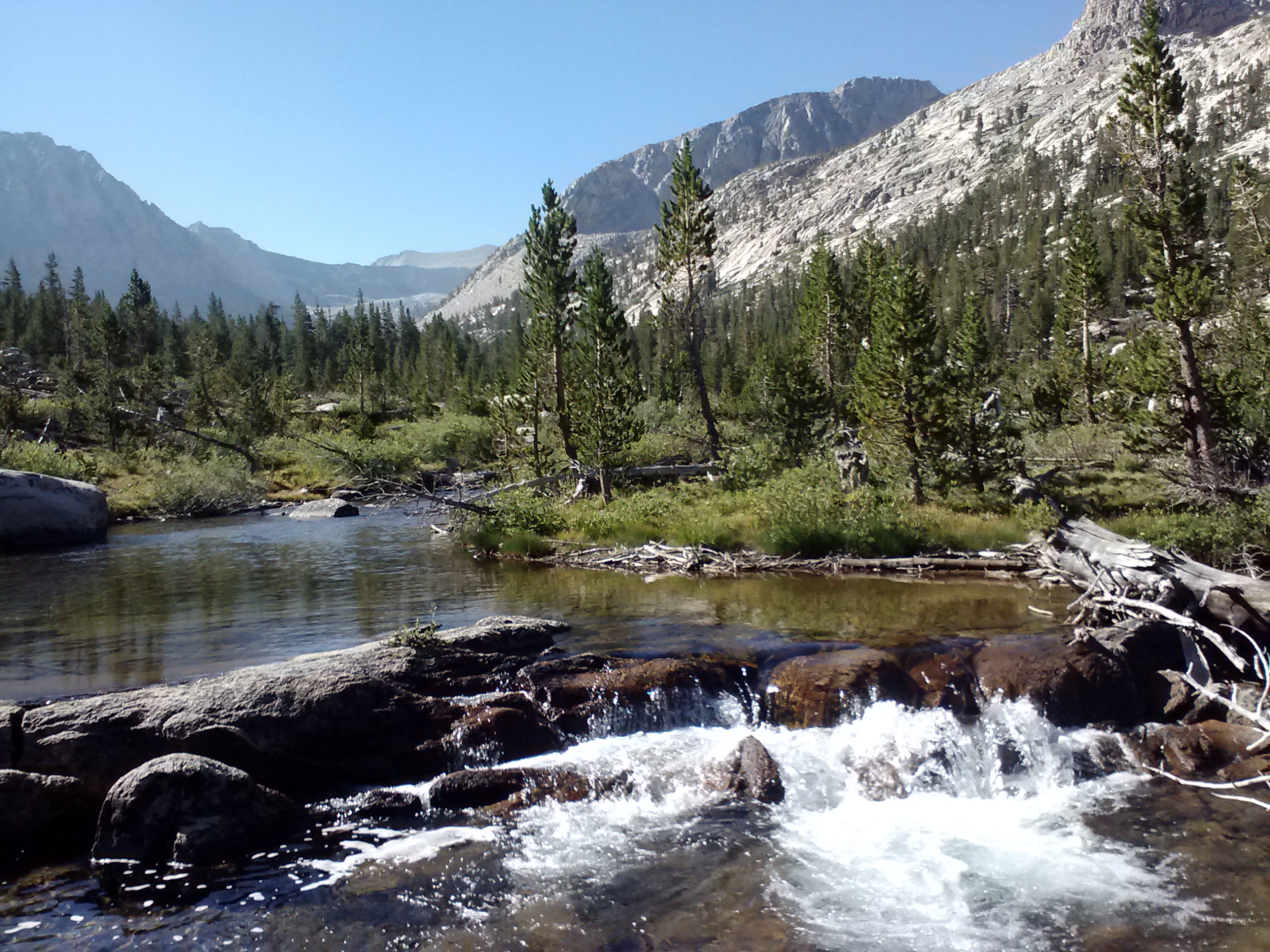
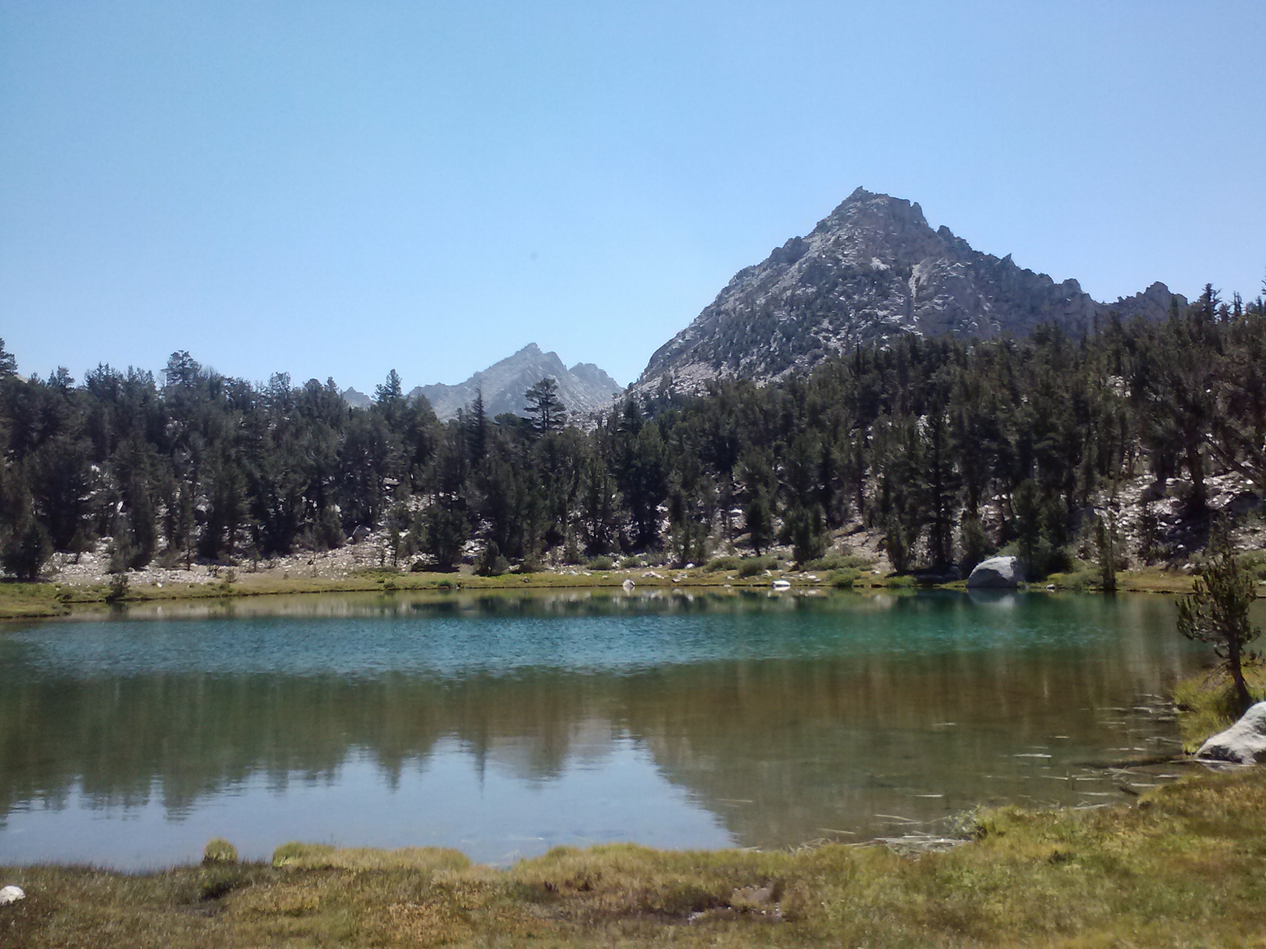
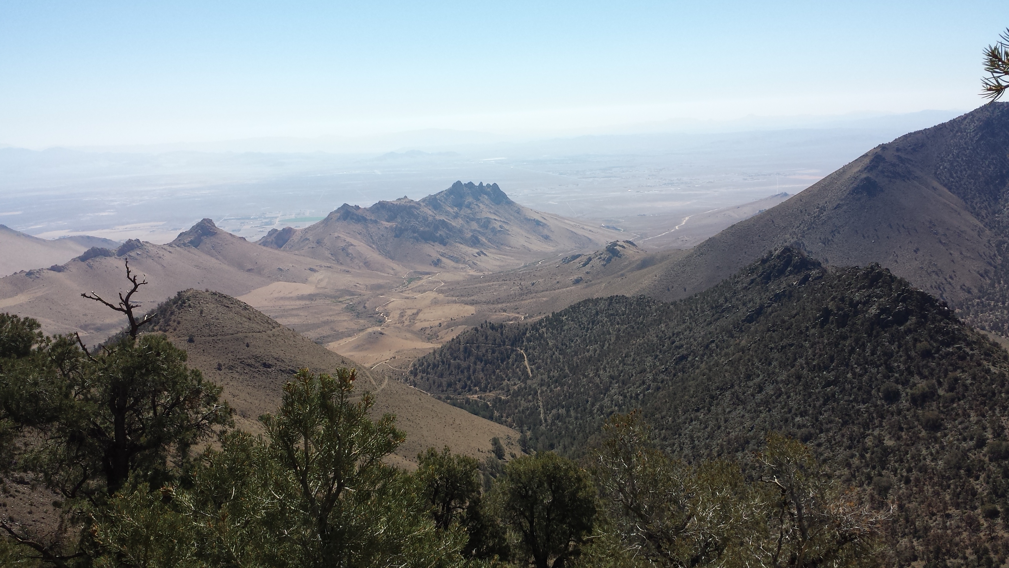
The last turn in the trail presented an expansive view of the Rockhouse Basin which made it all worth it. The large flat basin with both Manter Creek and Southfork Kern River winding through it was surrounded by tall, rocky mountains.
Manter Creek and the Rockhouse Basin
Happy Feet and I joked loudly while we set up our cups and Carla joined us to borrow some fuel. We were so loud we actually got “shh-ed” by Raven. I guess 8:30 is like hiker midnight!
Camping near Manter Creek
We saw a huge jackrabbit go through our camp. He was the size of my dog! At first, I thought he was a deer or sheep!
Kennedy Meadows is only 9.5 miles away and I can’t wait for a shower, laundry, and some Ben and Jerry’s. I hope to use the internet while I’m there and check the weather and current snow conditions. Kennedy Meadows is usually where hikers wait out the snow and weather before heading into the Sierras.
I’m a bit ahead of schedule and since Art won’t be meeting me now, I may push on to Horseshoe Meadow so I can easily get a ride with the weekend campers on Sunday. We’ll see!
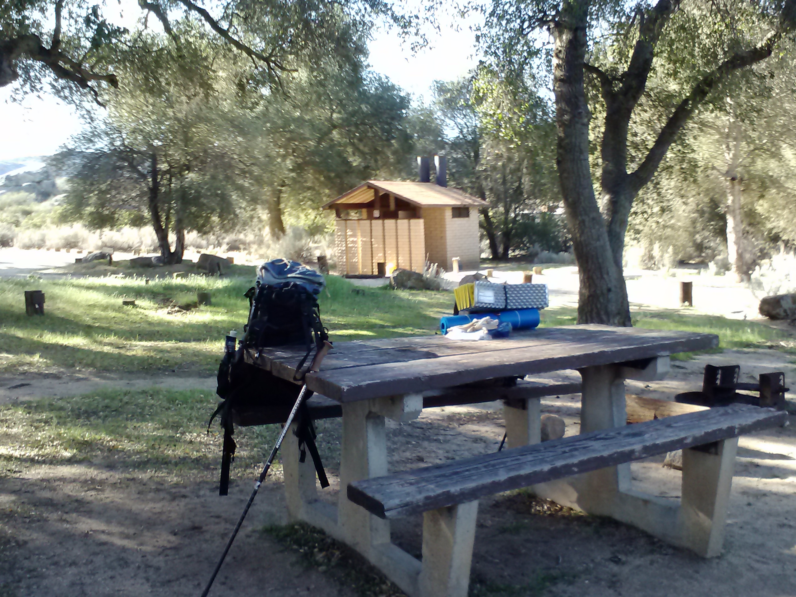
May 29th, 2014- 9.7 miles, camping at Kennedy Meadows General Store
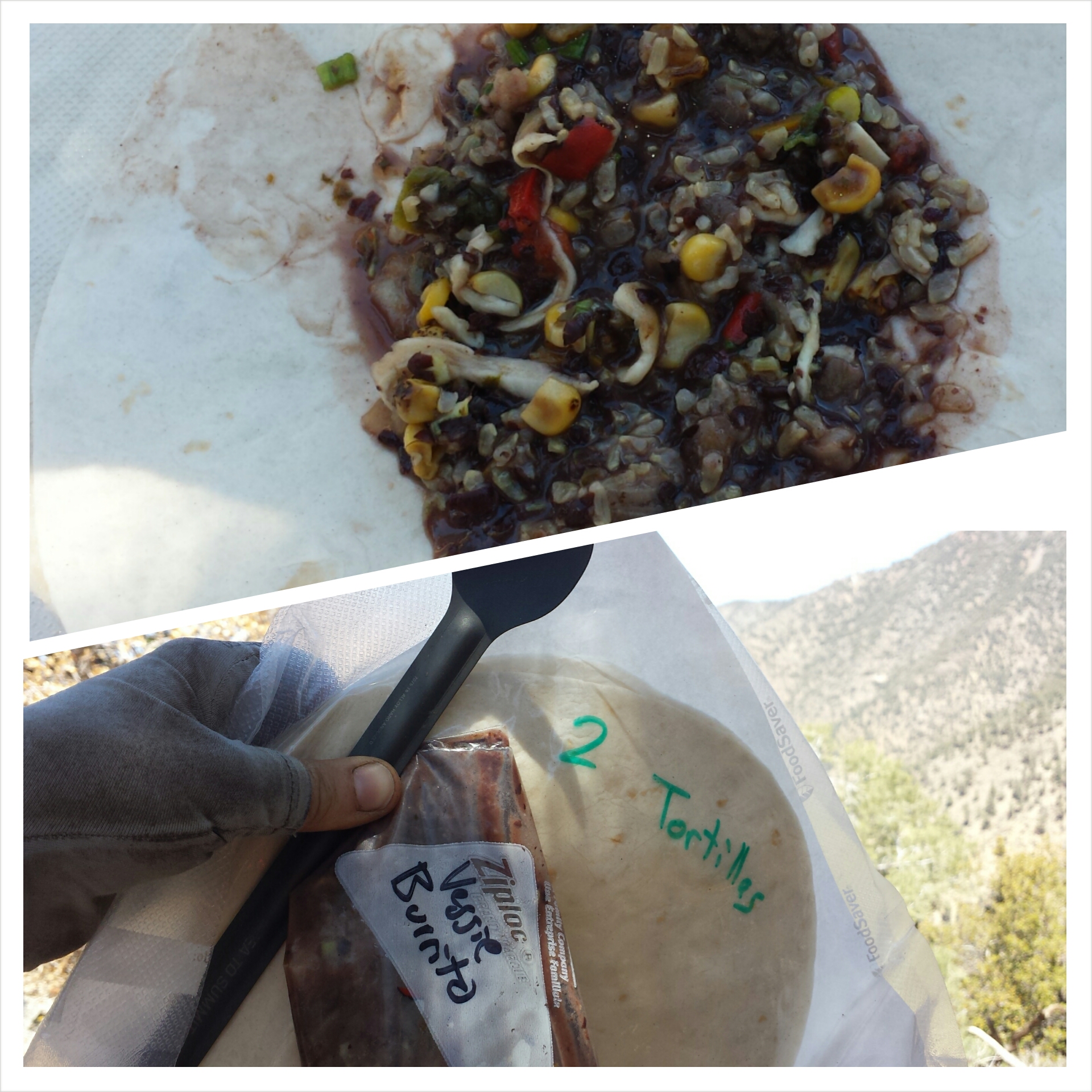
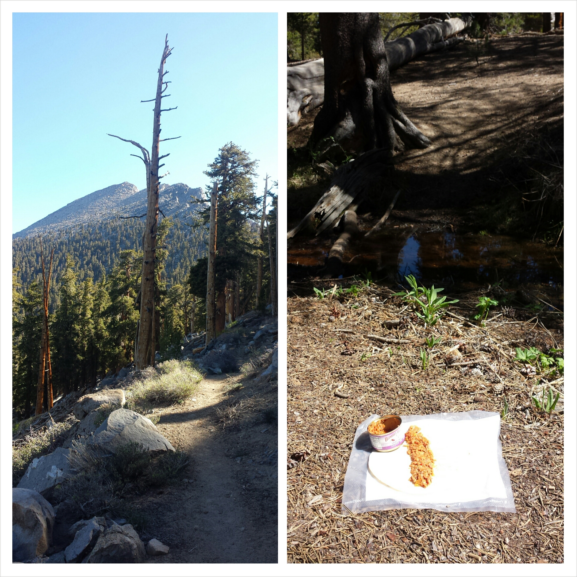
I tried out peanut butter and jelly tortillas for breakfast this morning. Delicious! It’s my new favorite!
The hike from Manter Creek to Kennedy Meadows was gentle and scenic. I was so lost in the scenery I didn’t notice Raven say “Hi” as he rested by the trail until I was right next to him. Scarred the beegeebees out of me! I jumped and screamed. He felt bad, but was pretty funny.
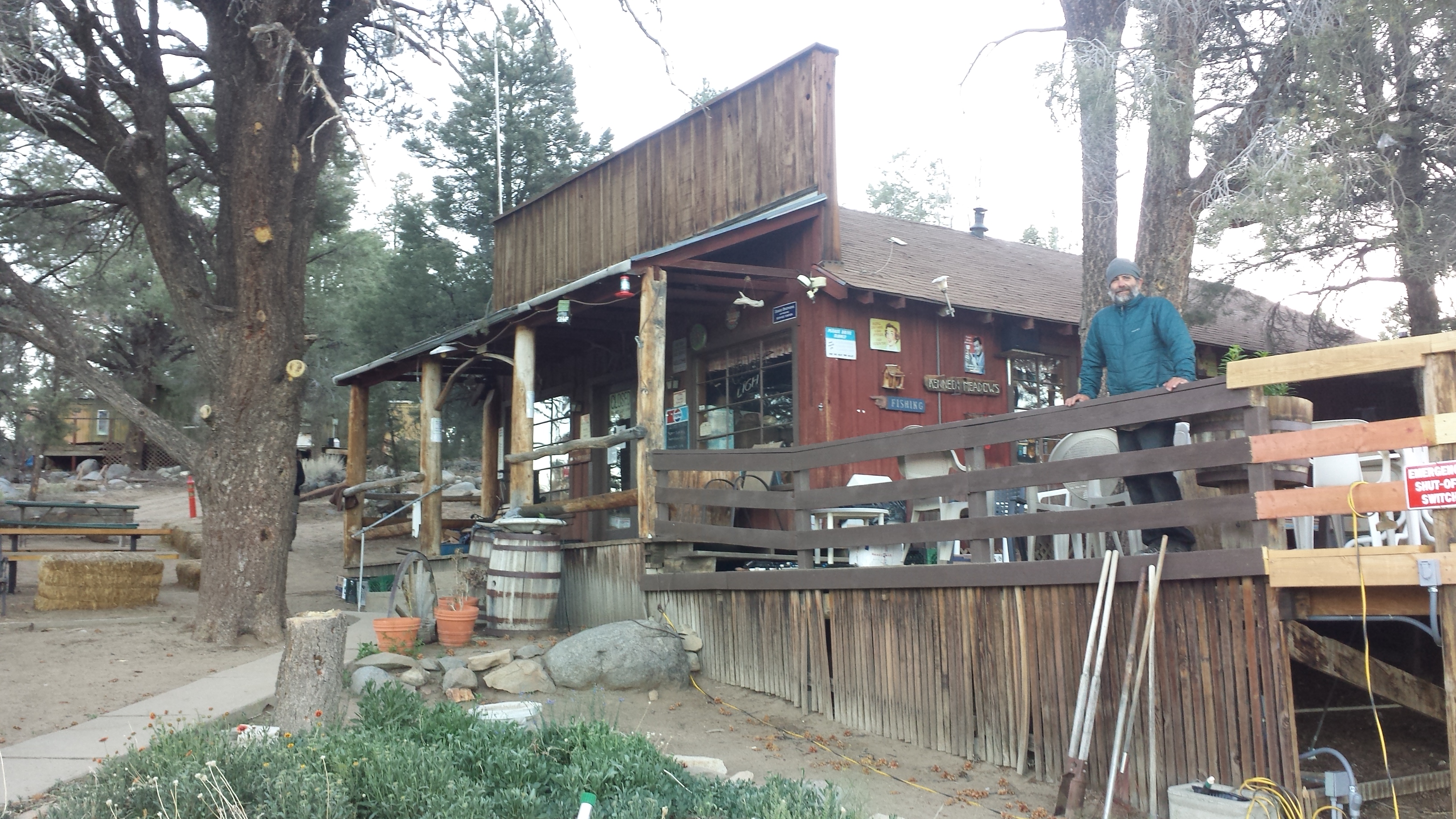
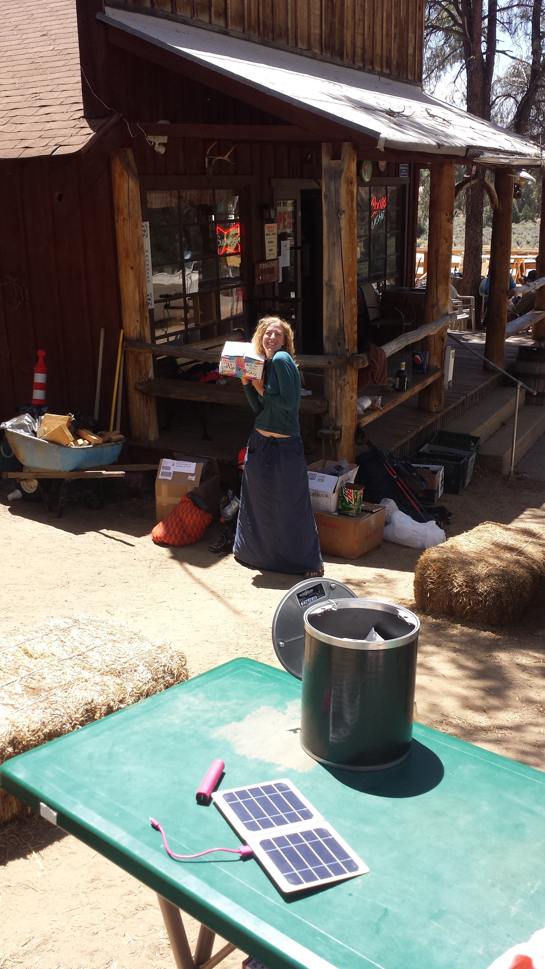
Kennedy Meadows General Store, Cheshire Cat on the deck
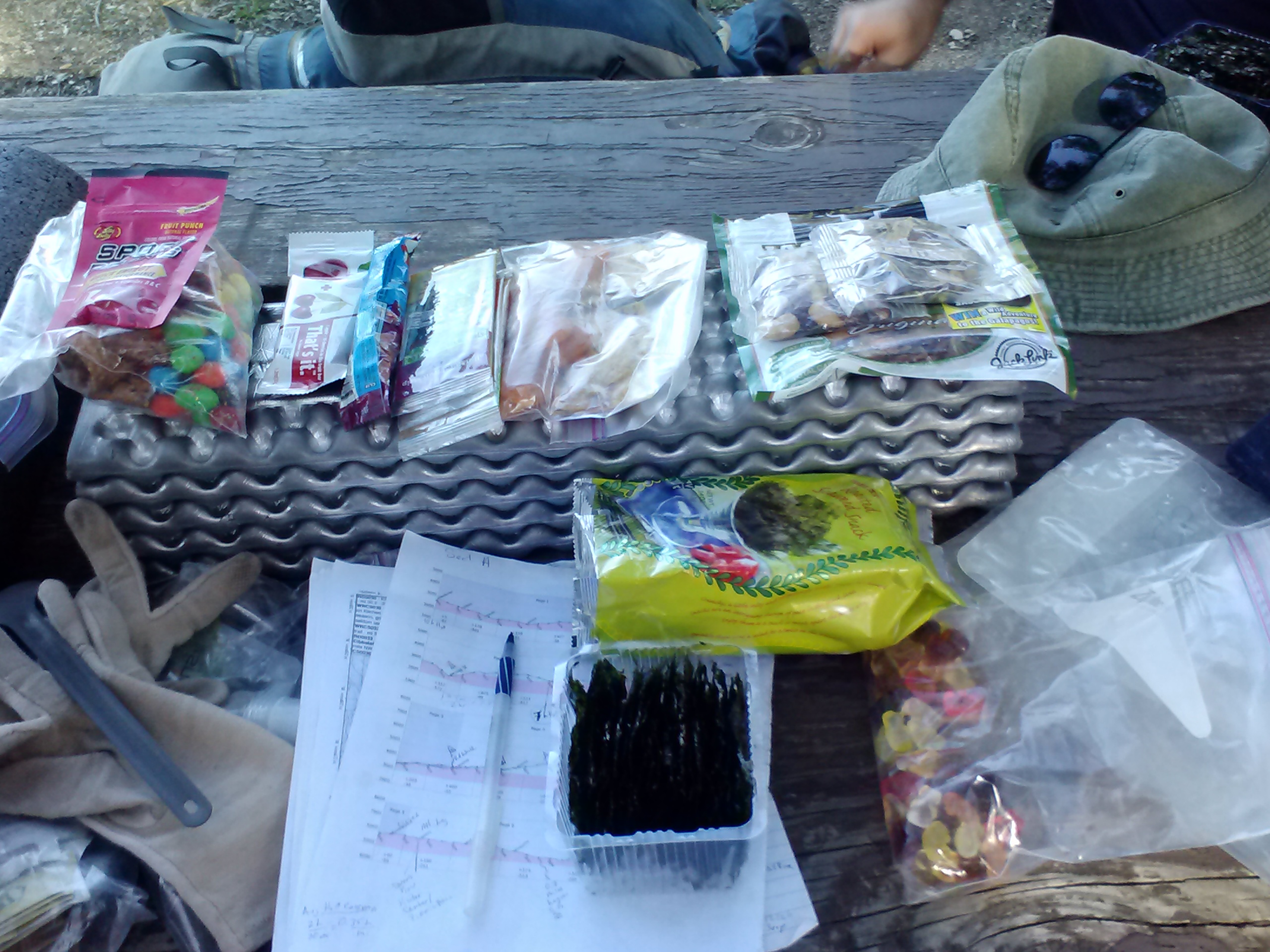
I was super excited to reach the store, but I felt shy, especially after my experience with the grumpy guy at Walker Pass who gave me the cold shoulder. I was happy to see some familiar faces and I gravitated toward them. I collected my resupply box, took a shower, and then tried to get organized for the next stretch. My brain was so fried, all I ended up doing was shifting things from one pile into another and then back again. Eventually, I got myself together and gave away food I didn’t need to Red Light and Happy Feet.
Resupply box!
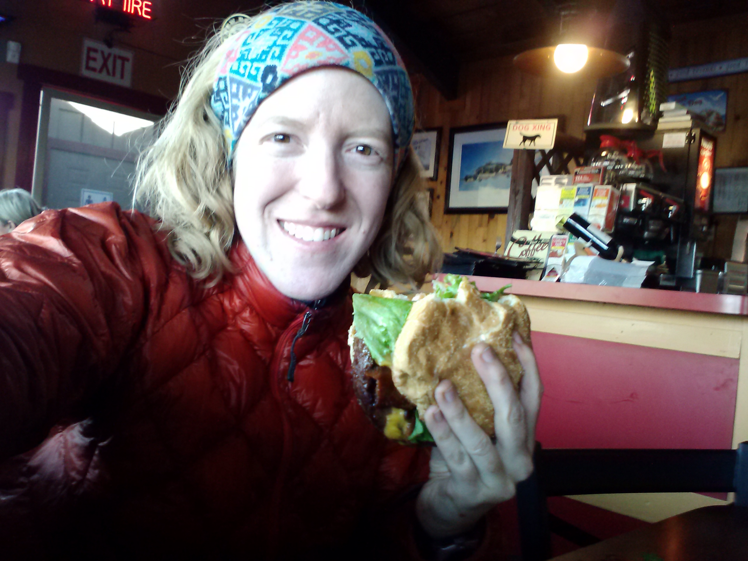
Next, I ate a huge guacamole burger and that pint of Ben and Jerry’s I’d been dreaming of for ten miles. I had intended to hike out this afternoon, but Raven convinced me to stay and rest for the night.
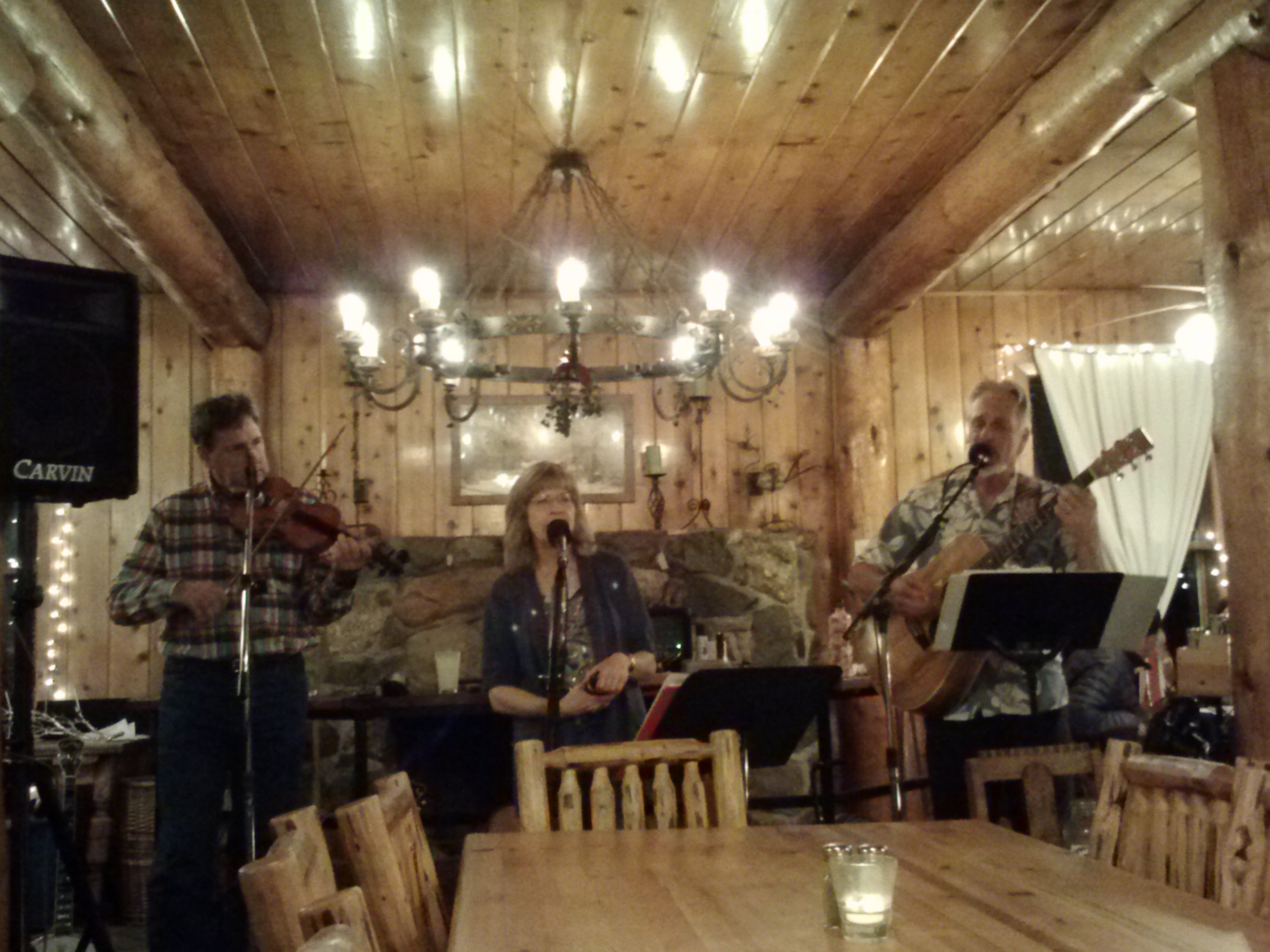
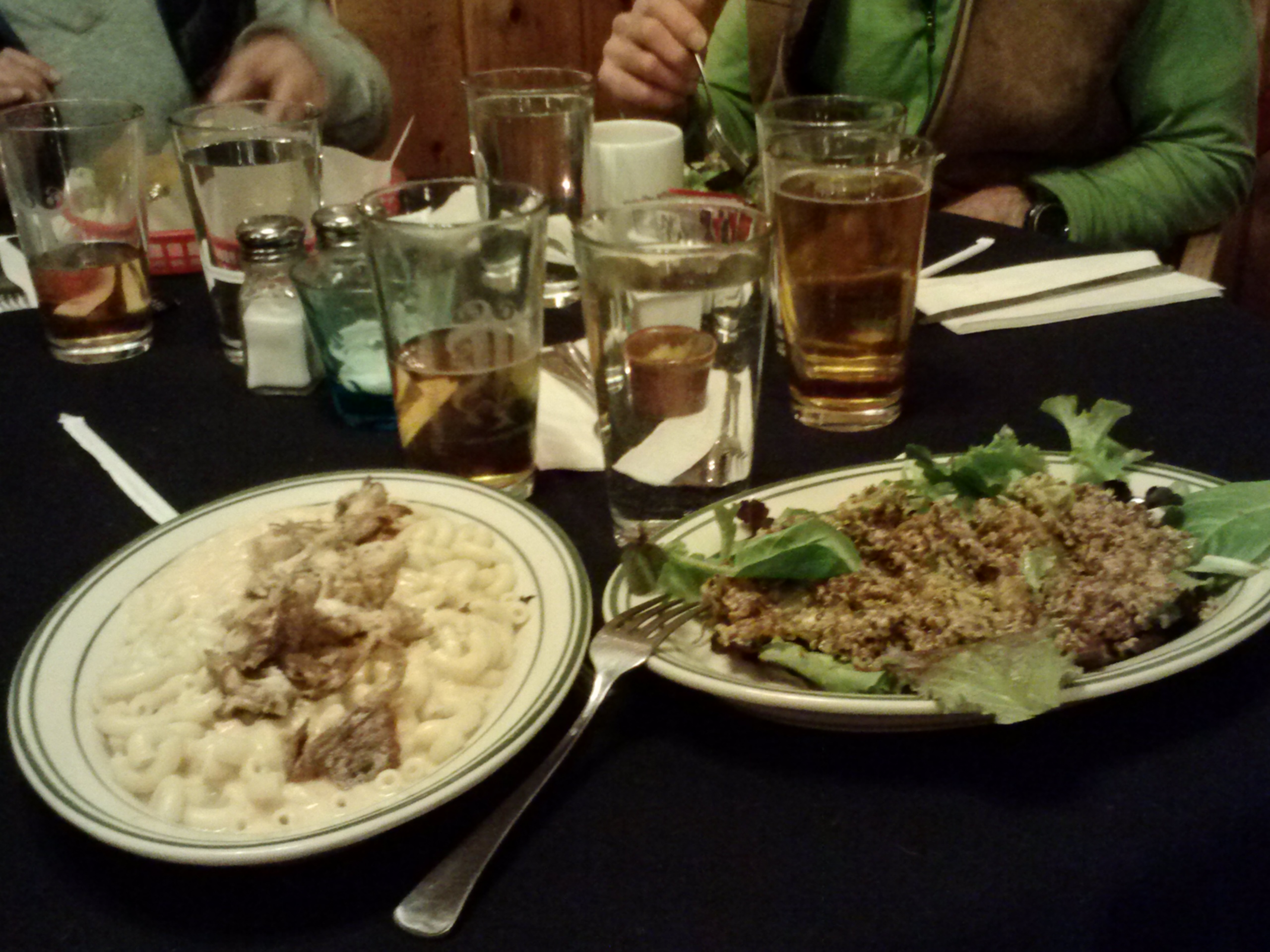
Not long after, several of us piled into a car from Grumpy Bear Restaurant down the road and headed off for dinner. I met a few new hikers and got to know Red Light and Wolf a bit better over chicken and baked potatoes. It was nice to get out of the scene at Kennedy Meadows.
Heading to Grumpy Bear Restaurant
I’m now curled up in my sleeping bag under the stars. A few young hikers are nearby playing guitar, singing, and smoking weed. They brought twinkle lights to decorate their camp. I’m enjoying listening to them as I roll out my muscles. I just discovered my little roller fits inside my sleeping bag.
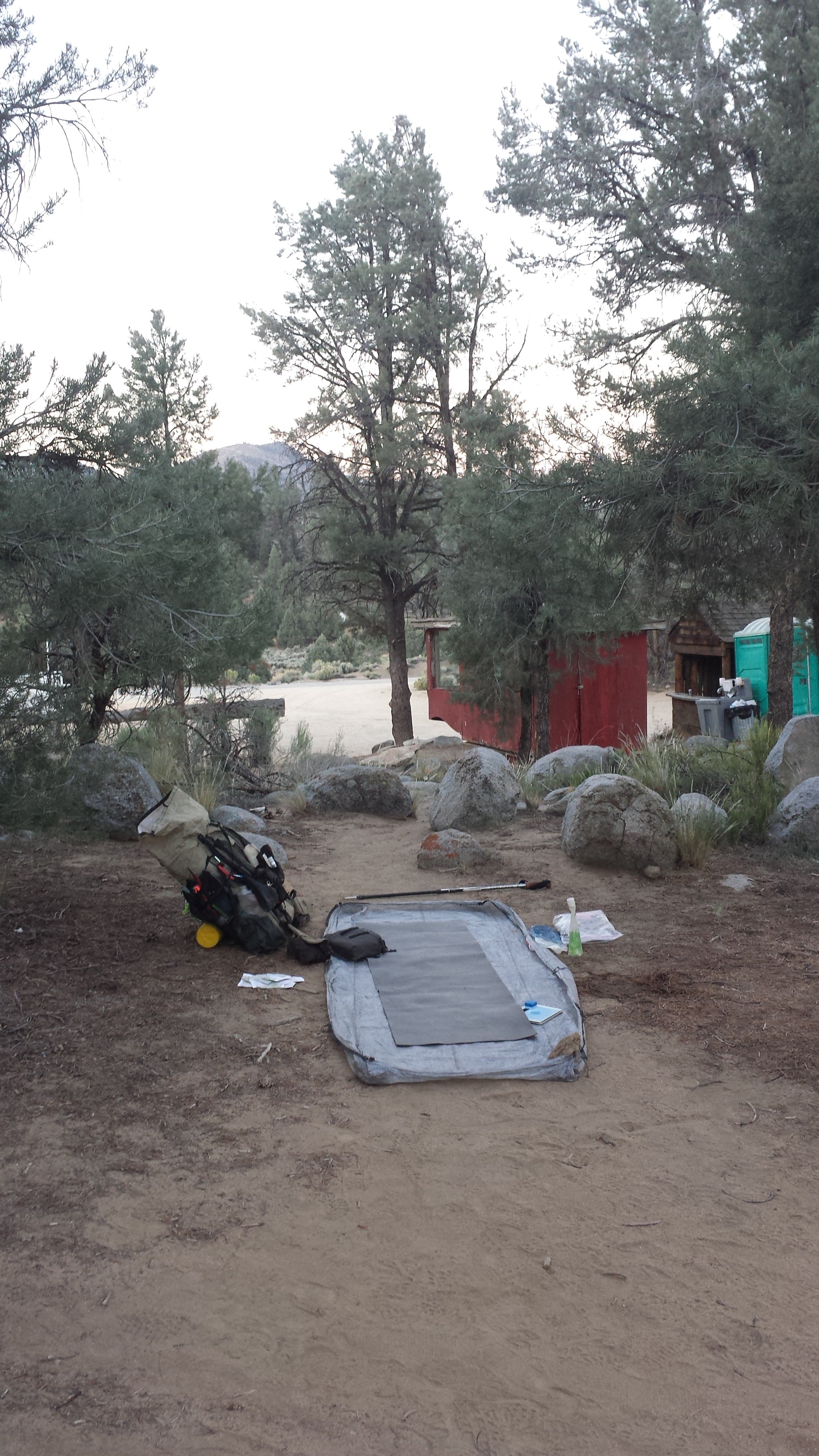
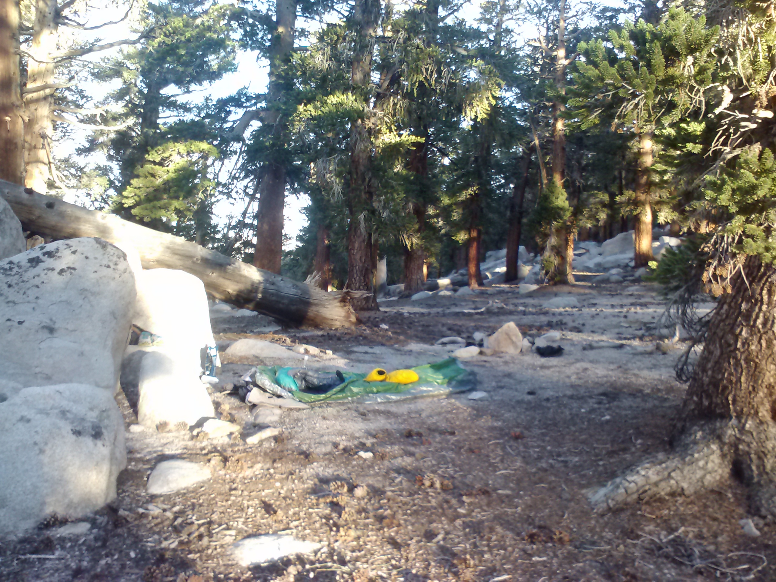
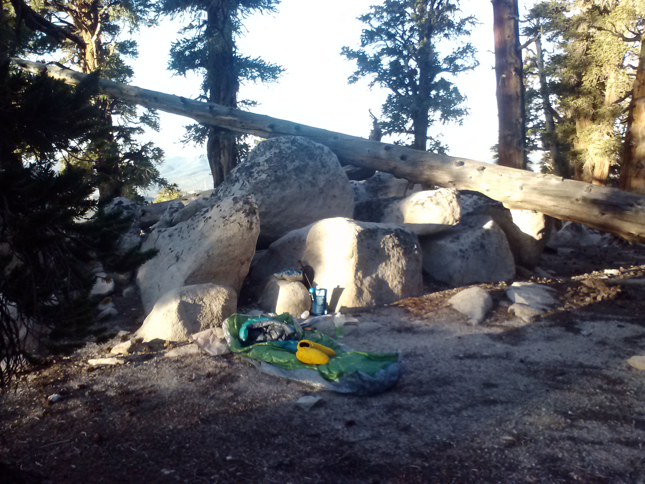
Camping at the Kennedy Meadows General Store
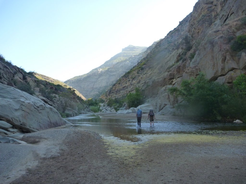
May 30th, 2014- 19.5 miles, camping near Cow Creek at mile 721.5
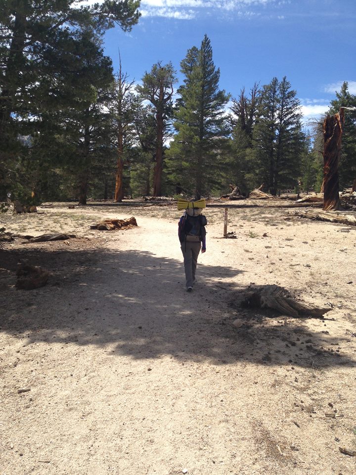
Leaving Kennedy Meadows
I left Kennedy Meadows early, before they began serving breakfast. I didn’t want to get sucked into staying longer, delicious and delightfully social as it would be. Having only been on the trail a few days, I didn’t feel like my body or nor spirit need that kind if indulgence yet.
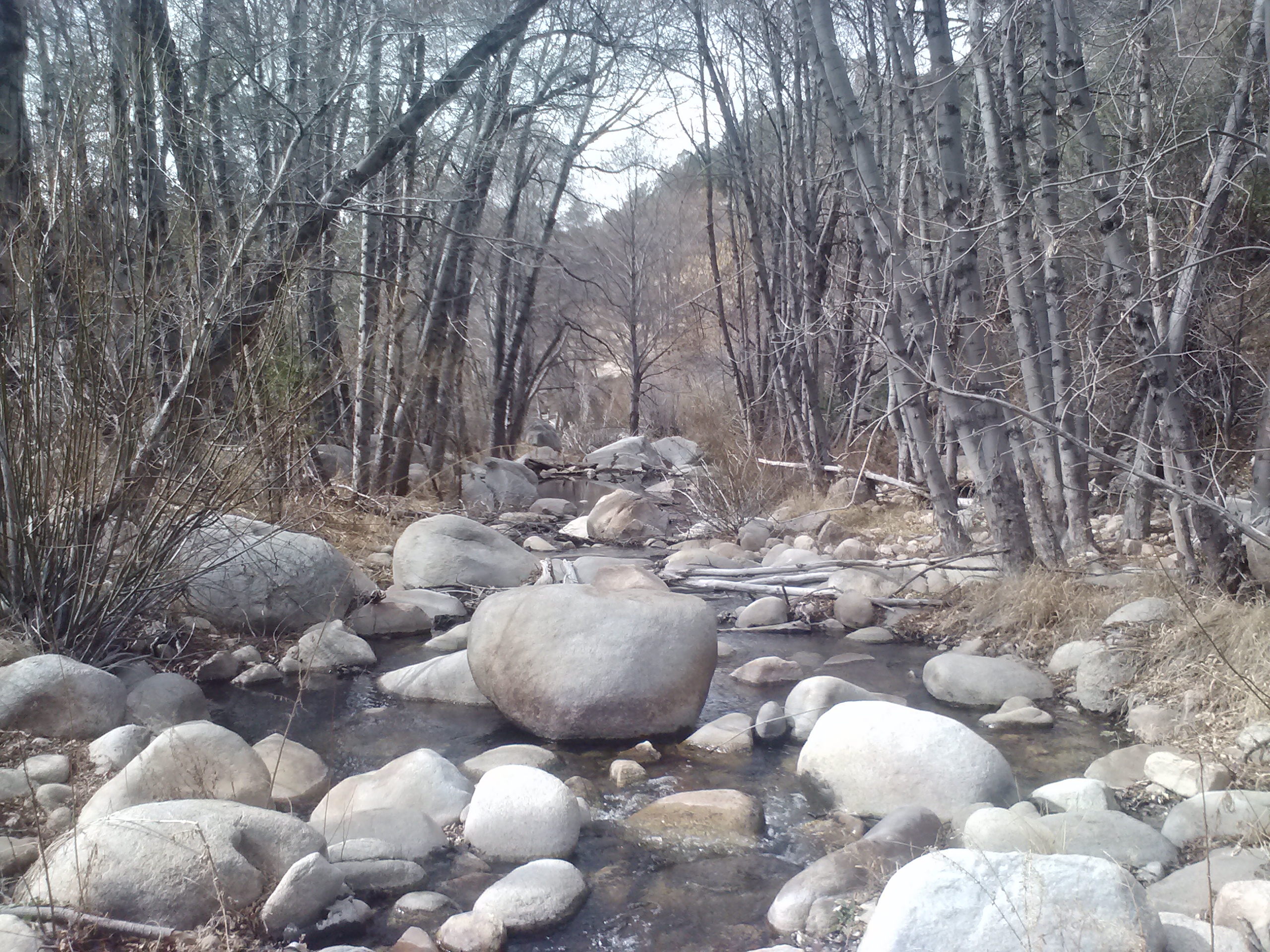
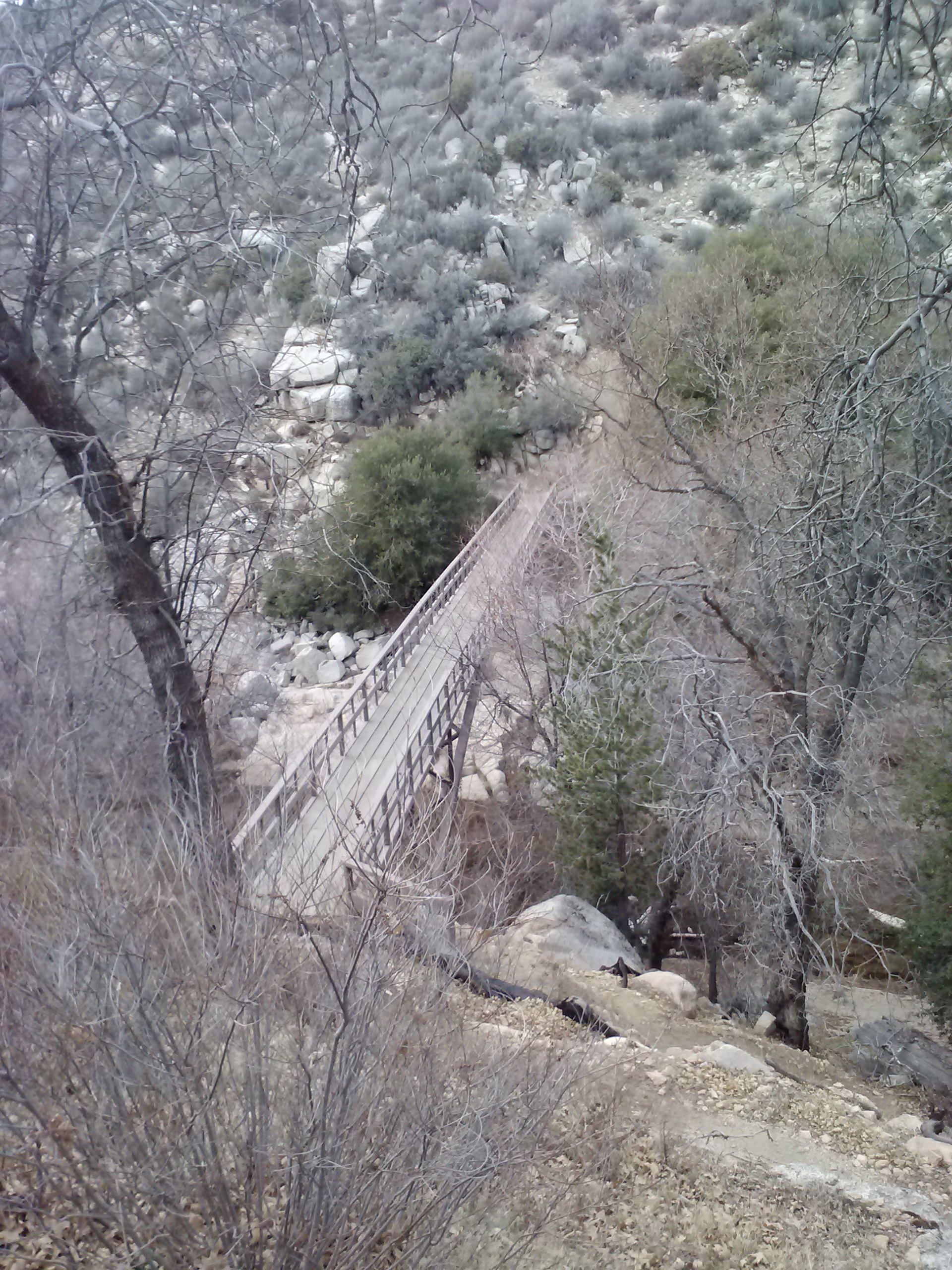
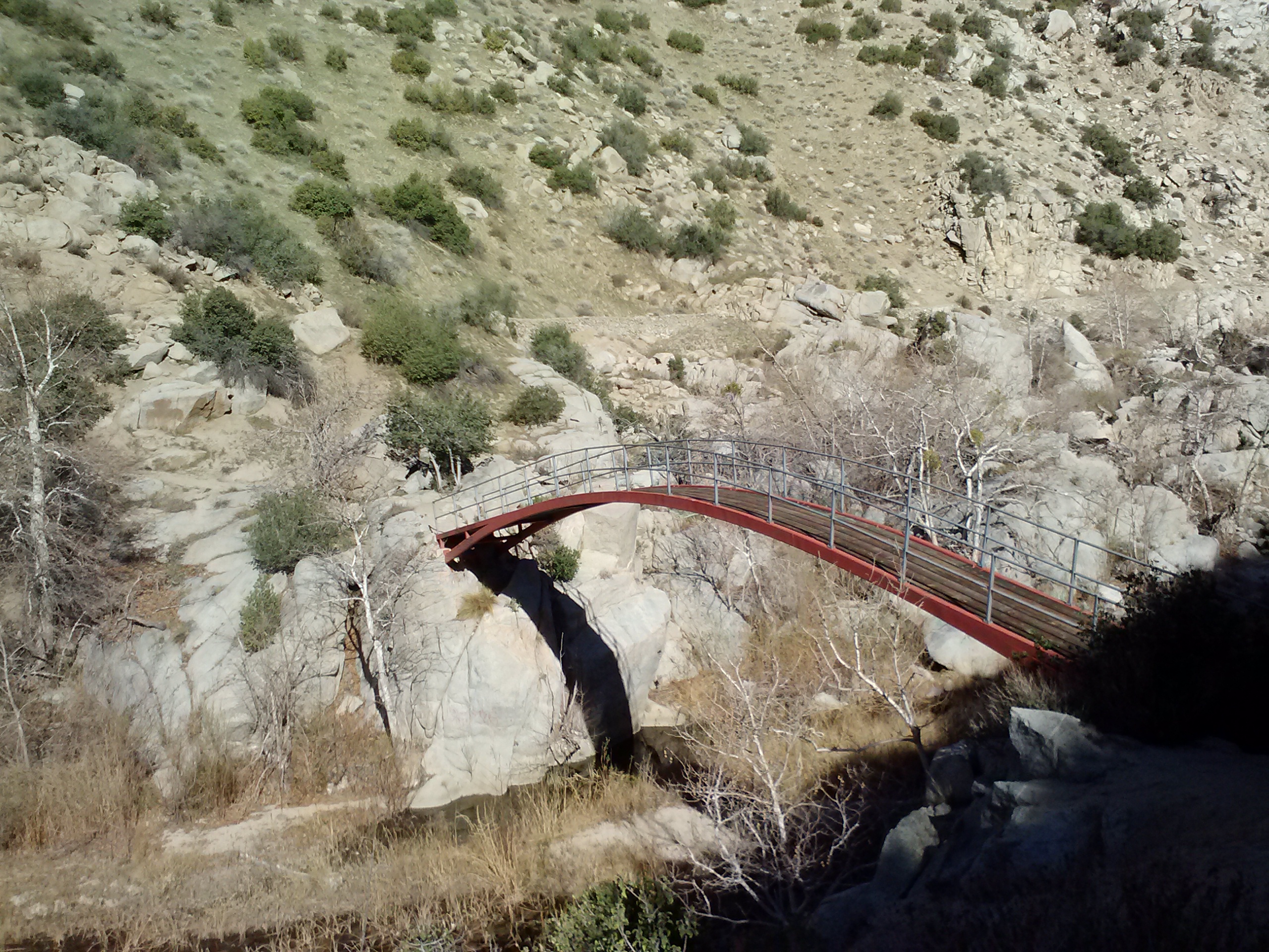
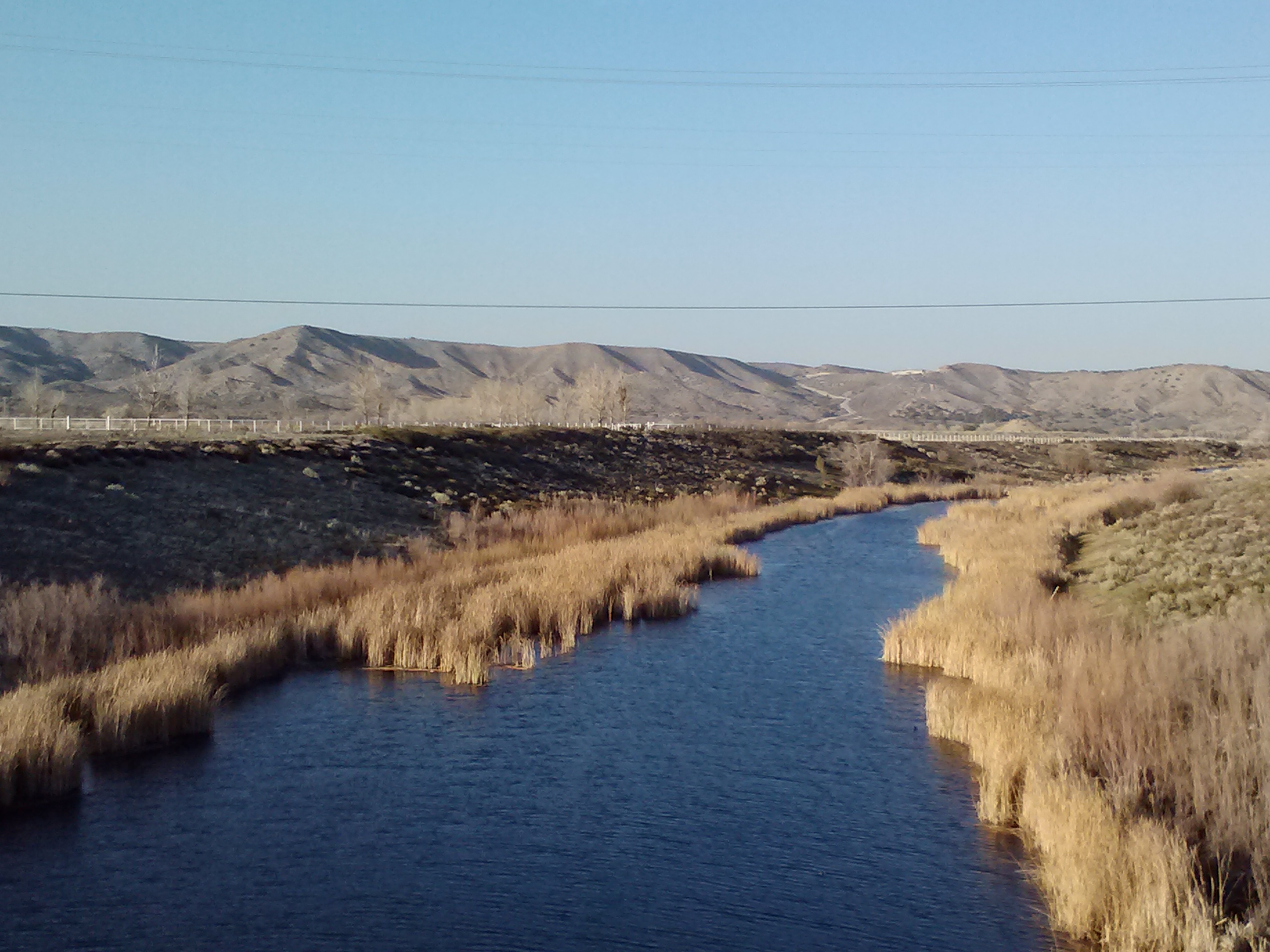
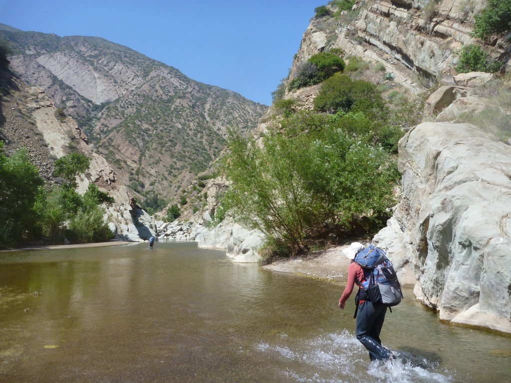
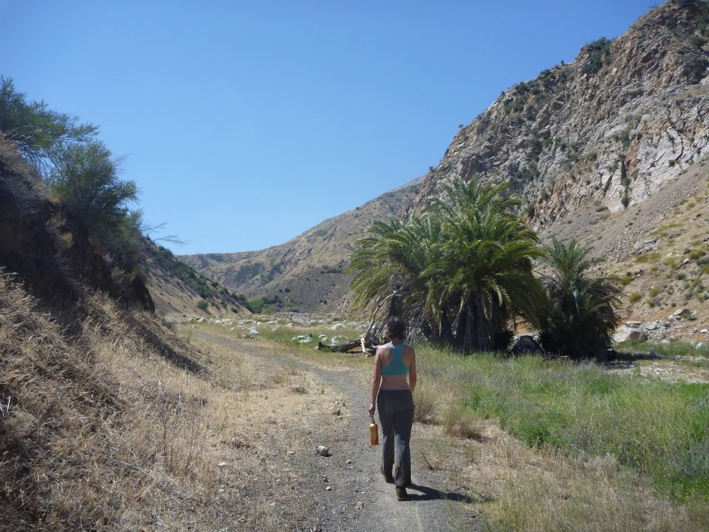
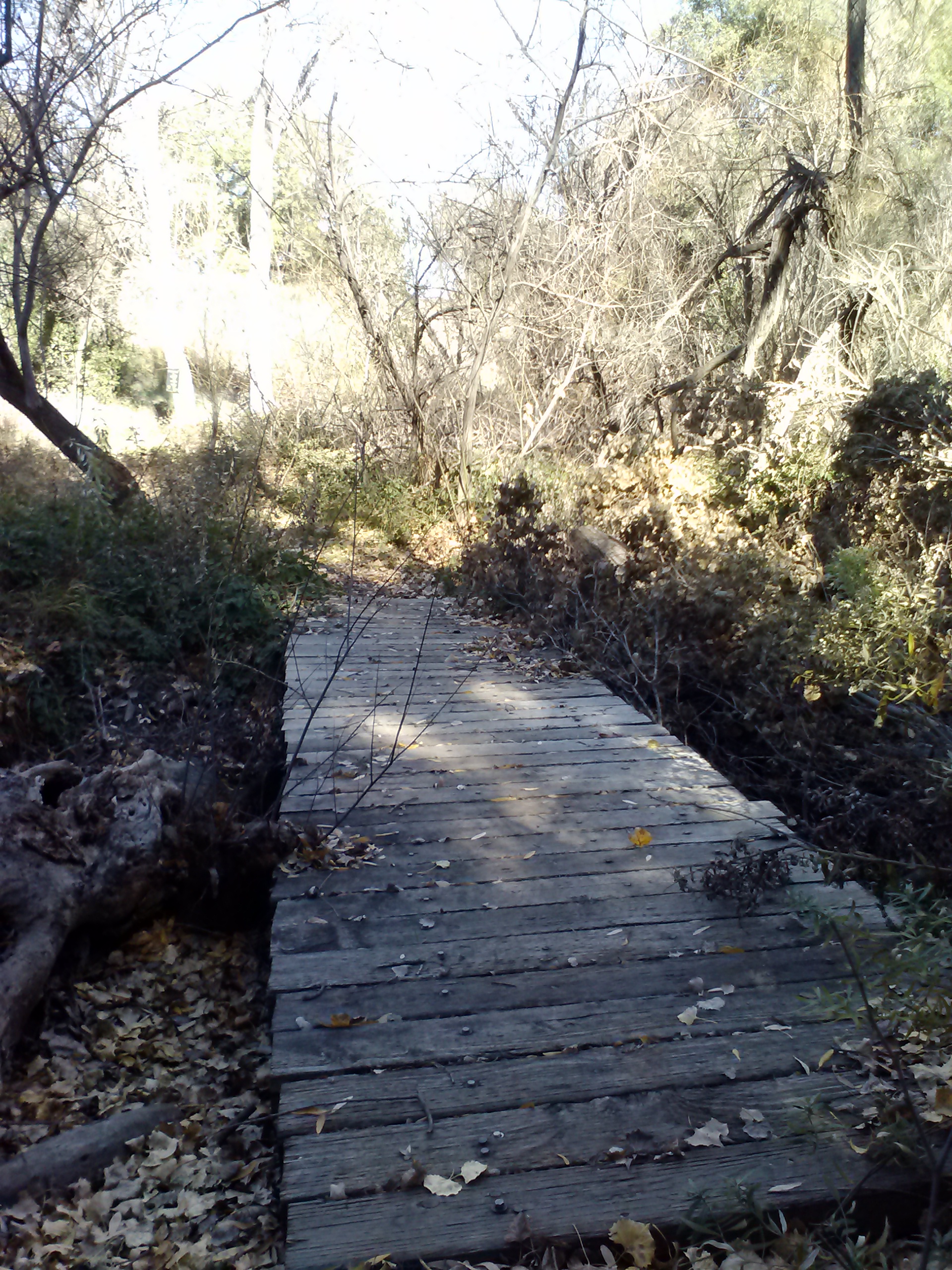
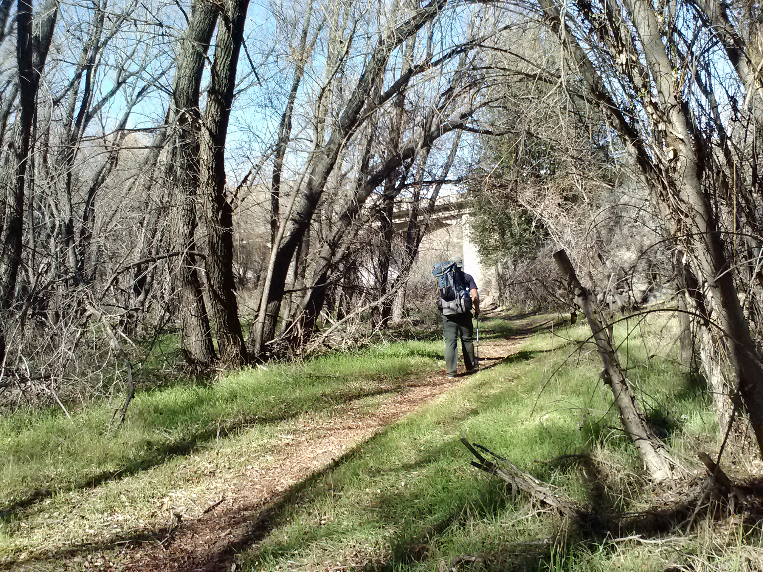
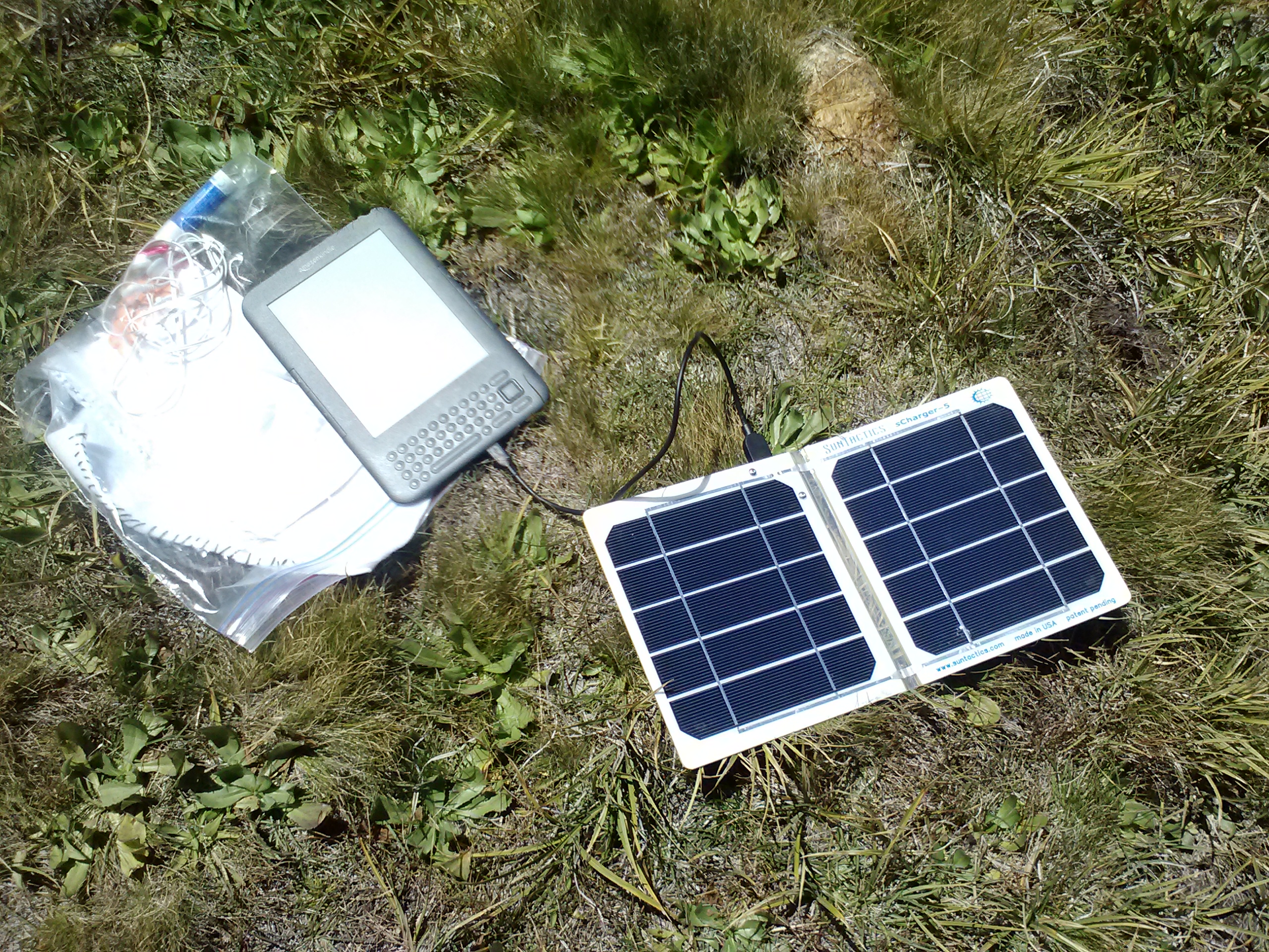
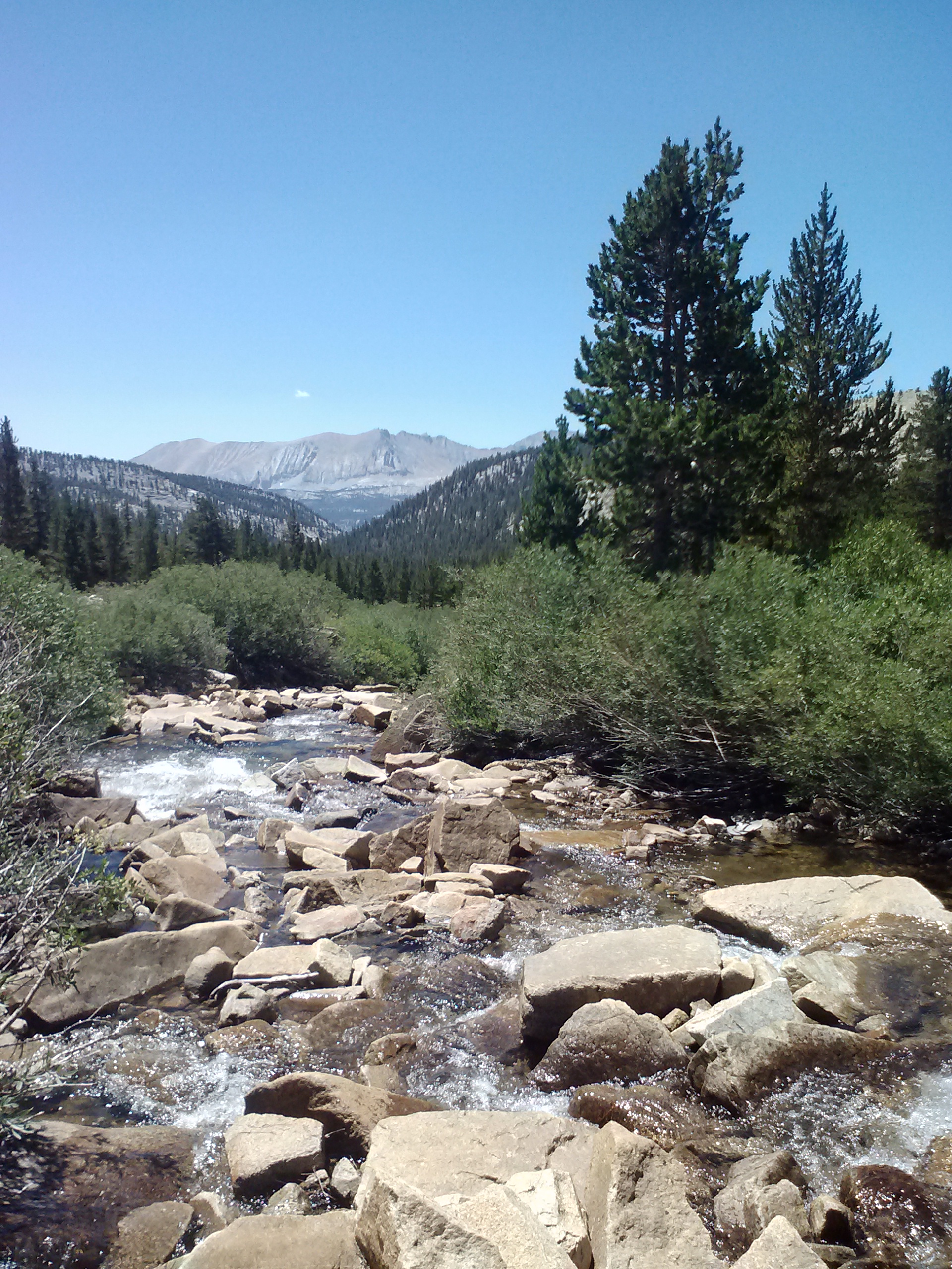
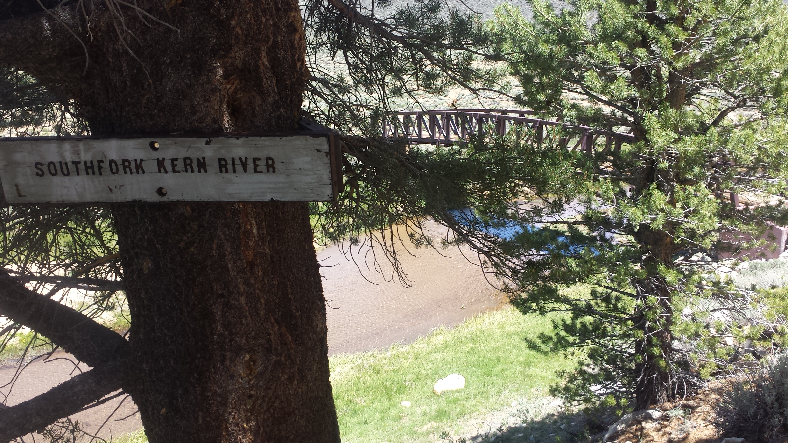
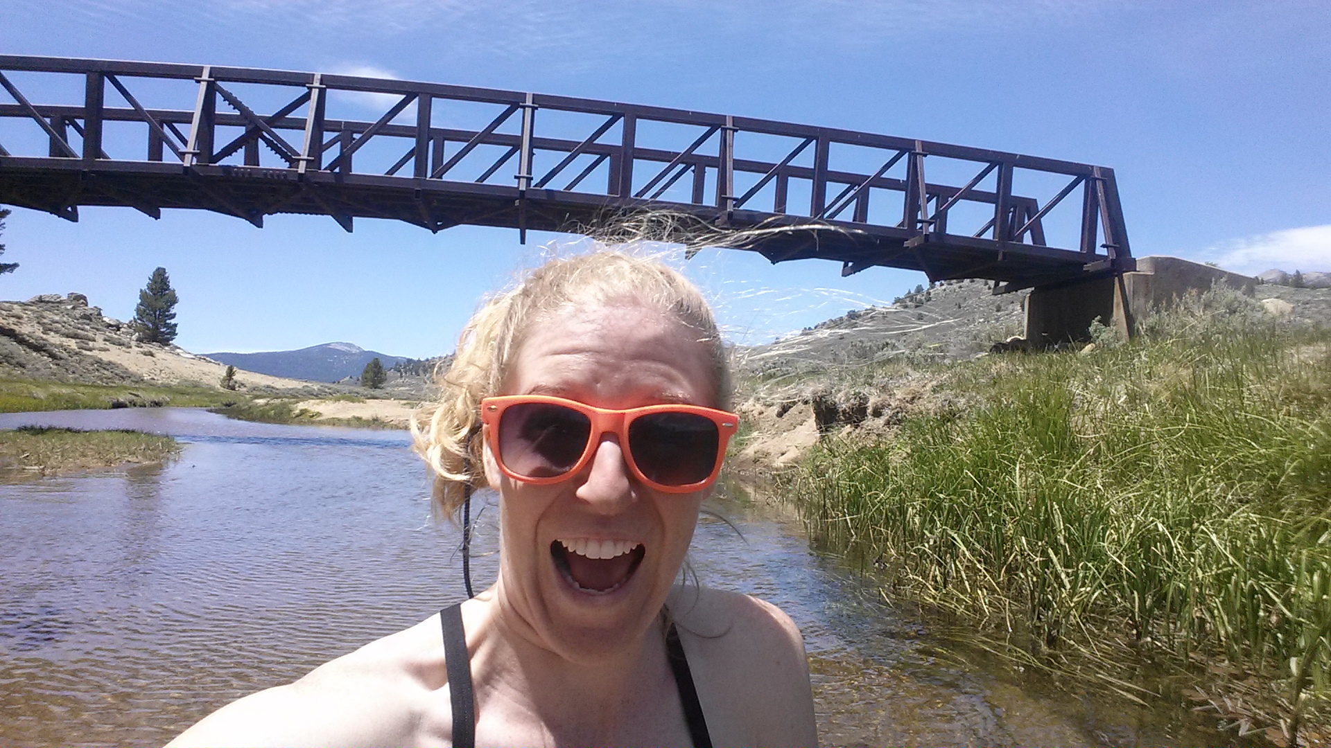
The morning hike was cold with the trial winding along the valley floor. Not long into my hike, I came to a lovely footbridge straddling the Southfork Kern River. It was a beautiful site and I found excuses to hang out there for awhile. I charged my phone, ate a PB and jelly tortilla, and took pictures. A Canadian couple named Lorax and T – Fox chatted with me as they pasted. They’re the sweetest.
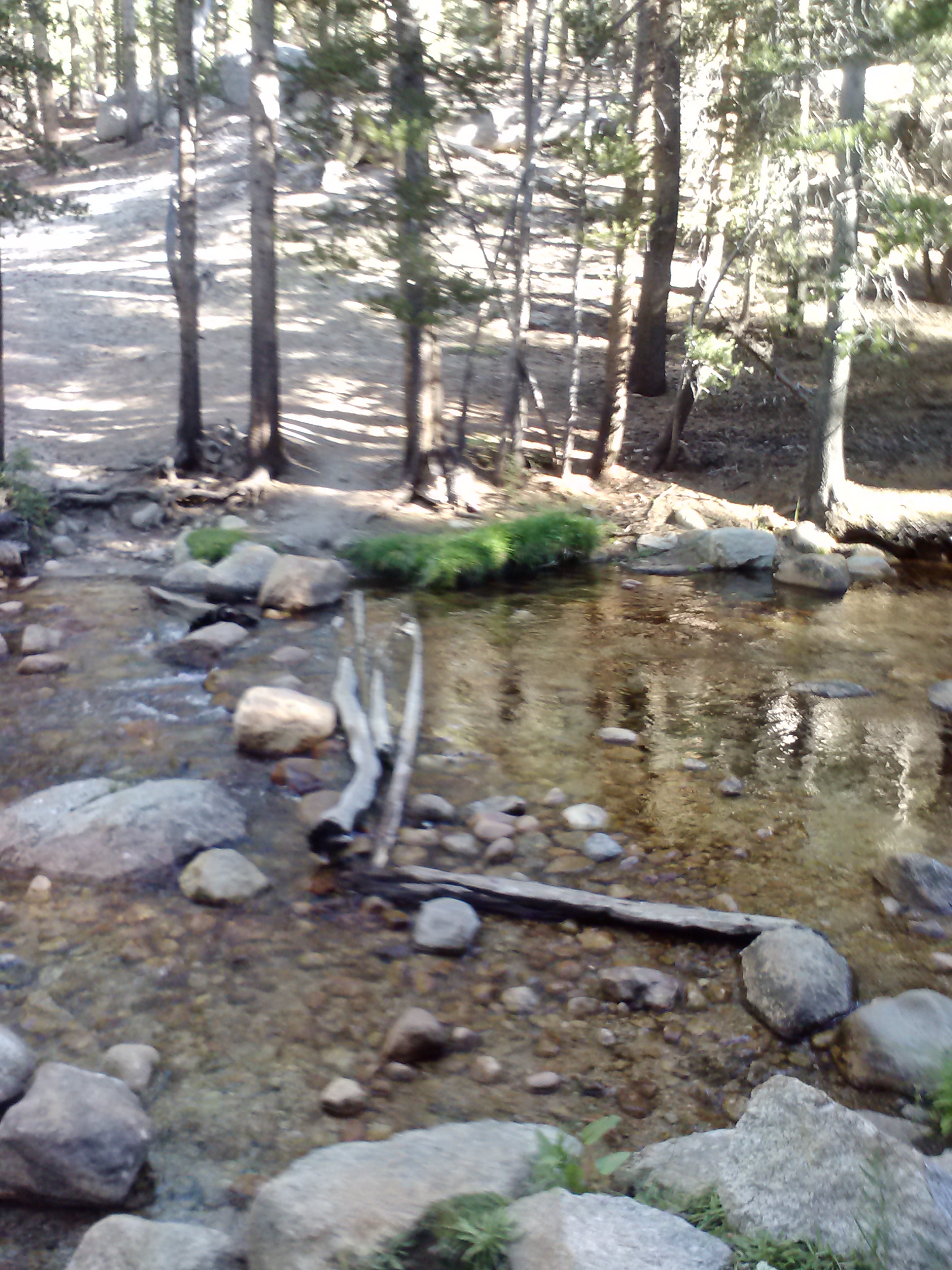
South Fork Kern River footbridge
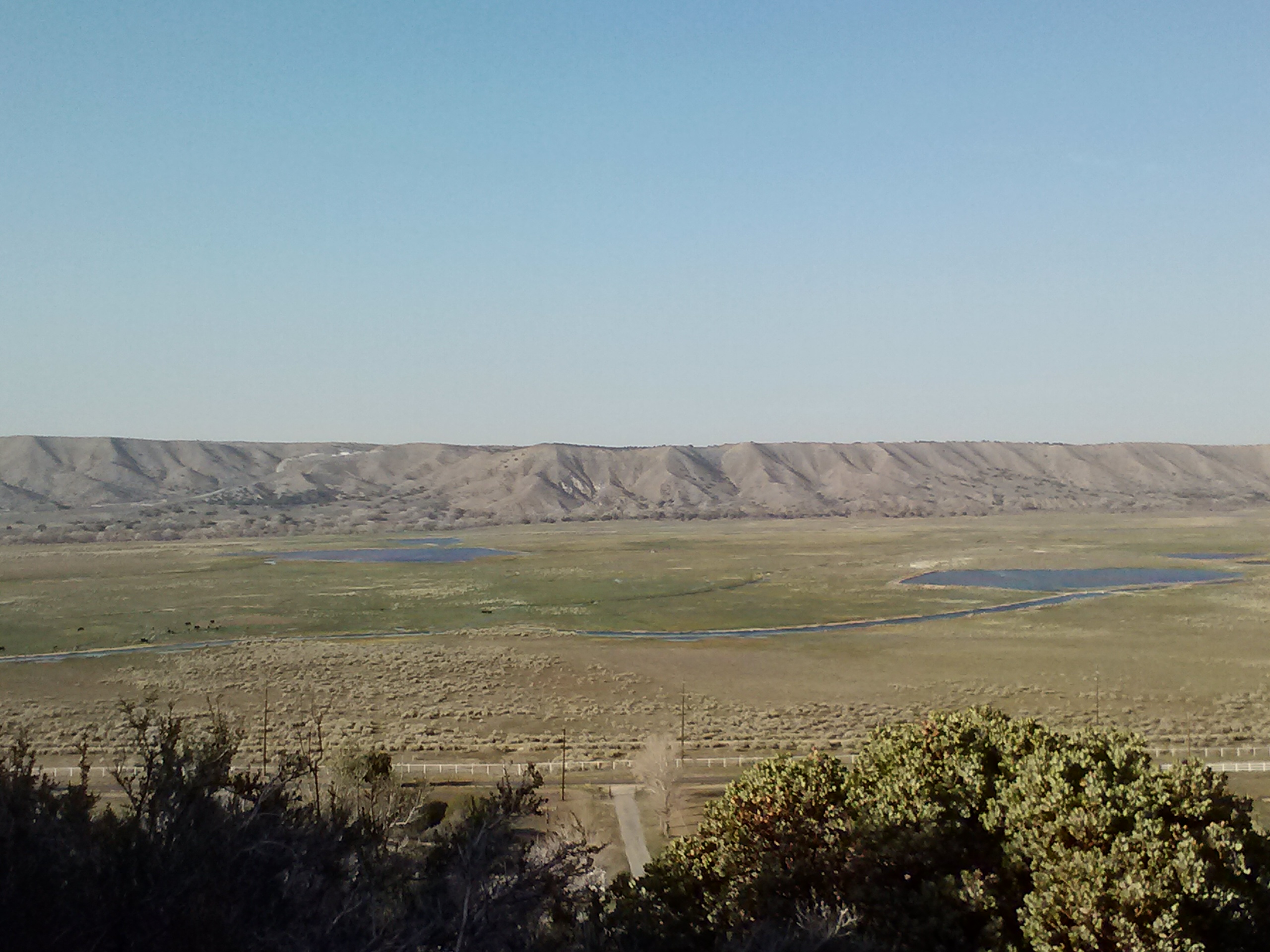
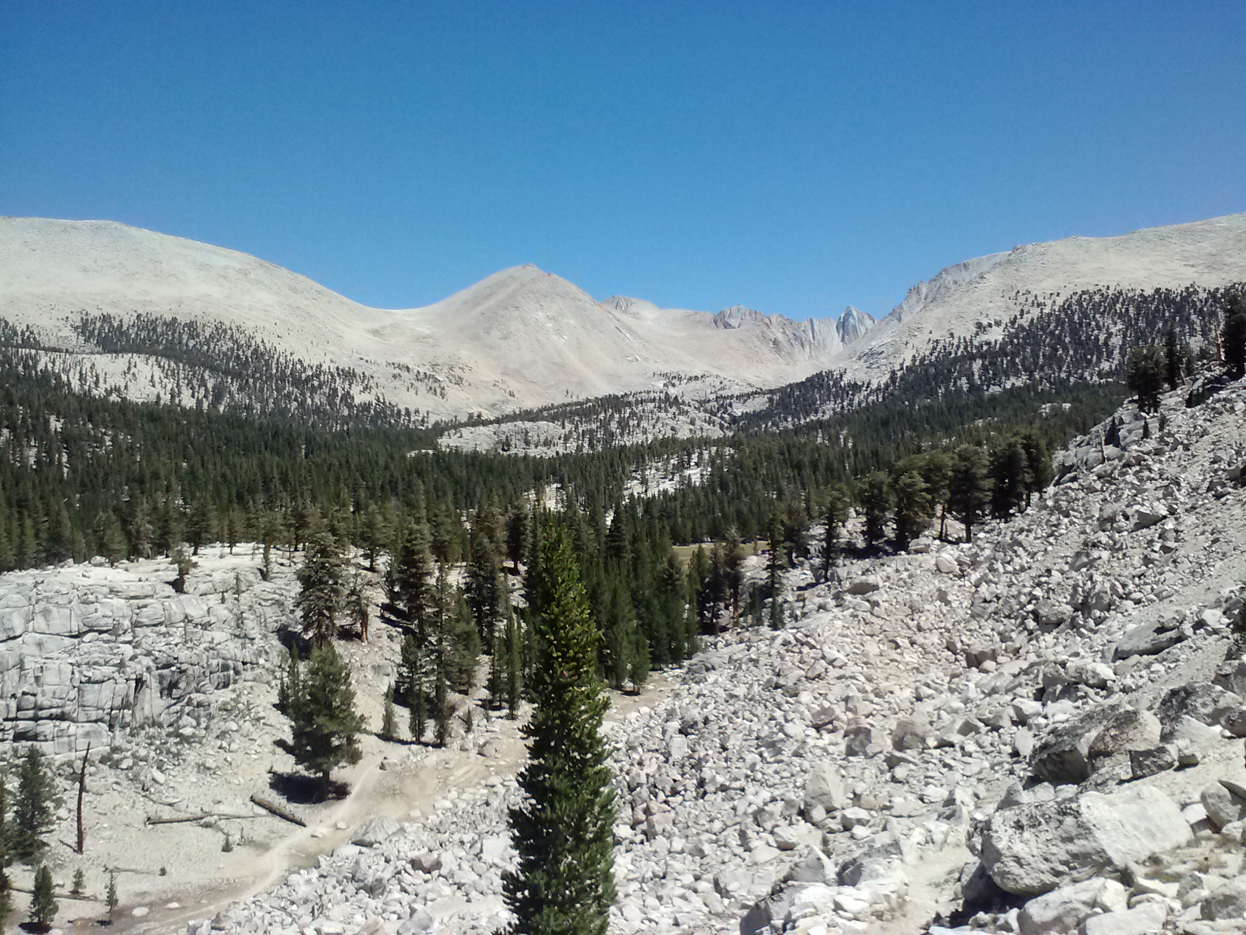
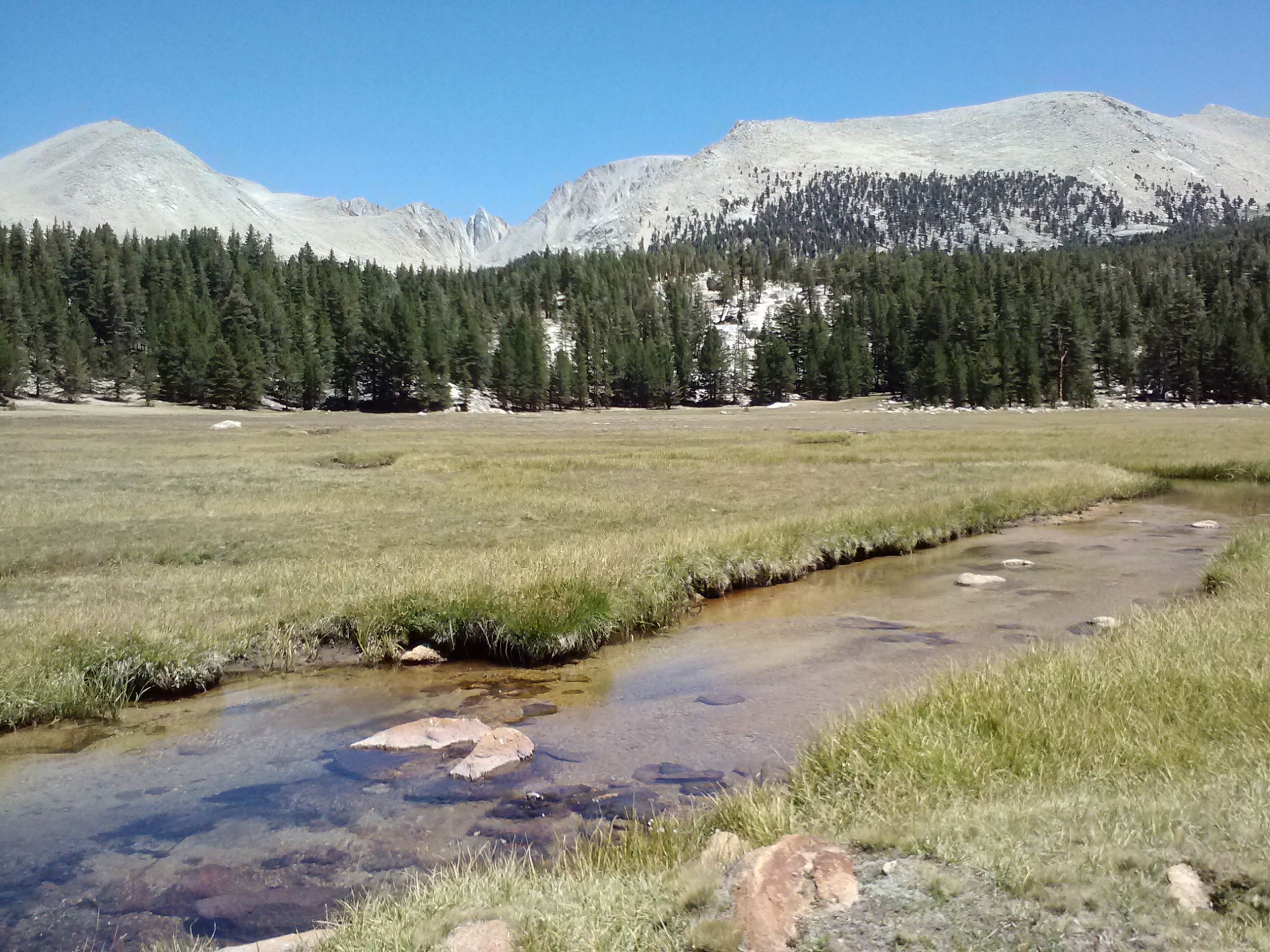
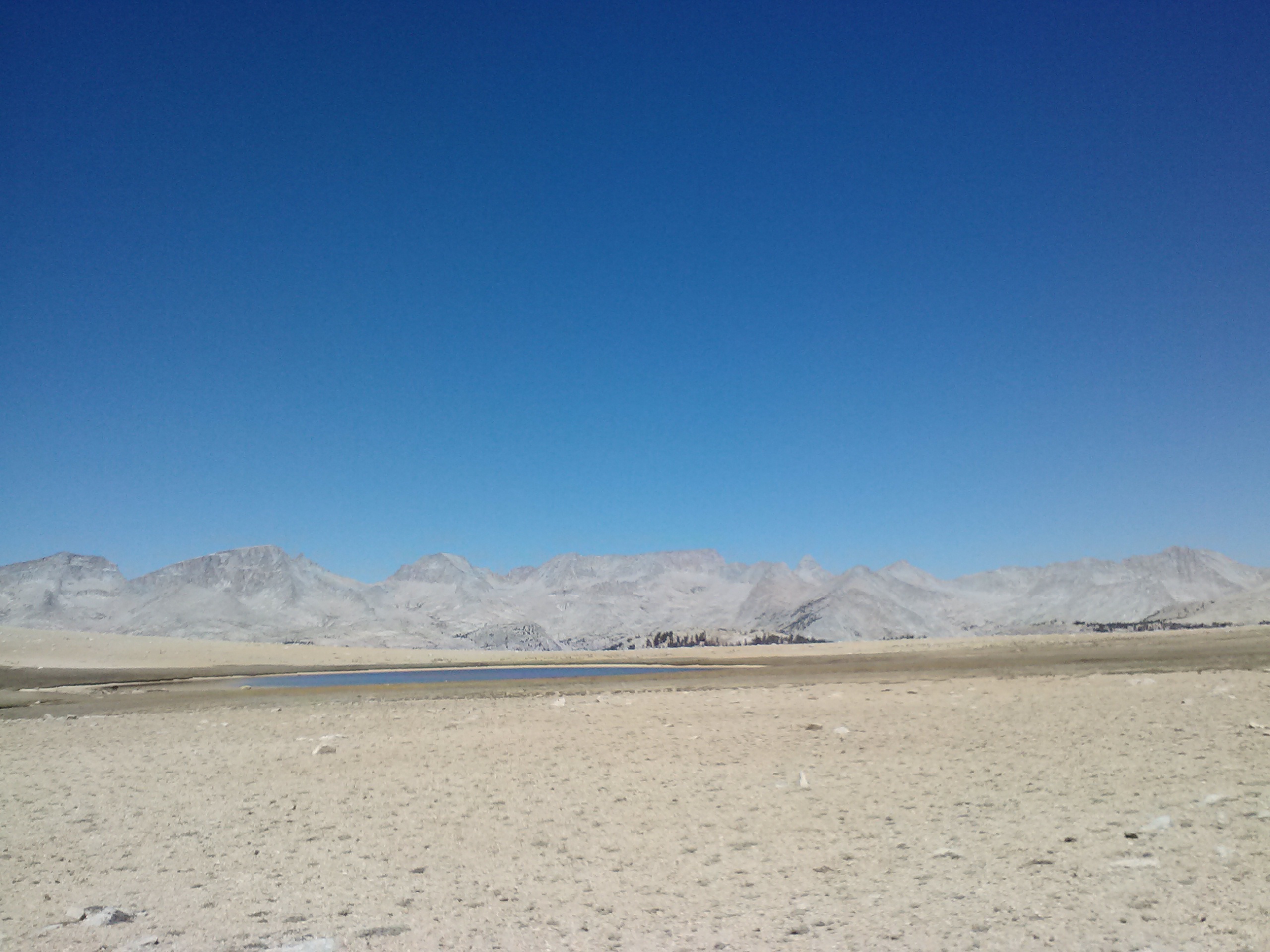
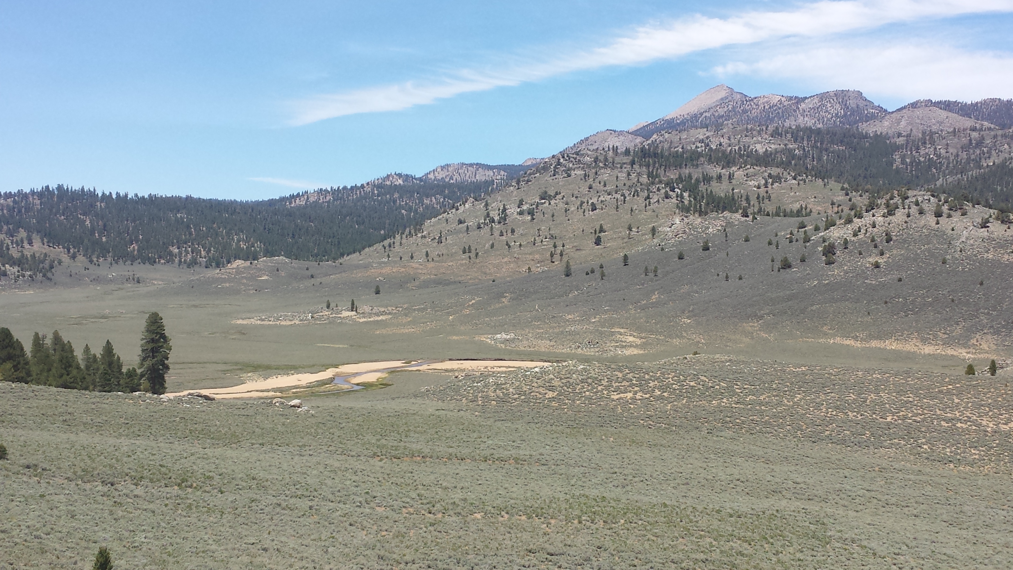
The trail climbed and climbed out if the dry Southern Sierras. The scenery and vegetation changed suddenly as I slipped over the top of a pass and down into a huge grassy meadow with a stunning view of snow-dusted mountains. It was Beck Meadow and the trail wound around the hilly side of it, arriving several miles later at another crossing of the Southfork Kern River.
Beck Meadow
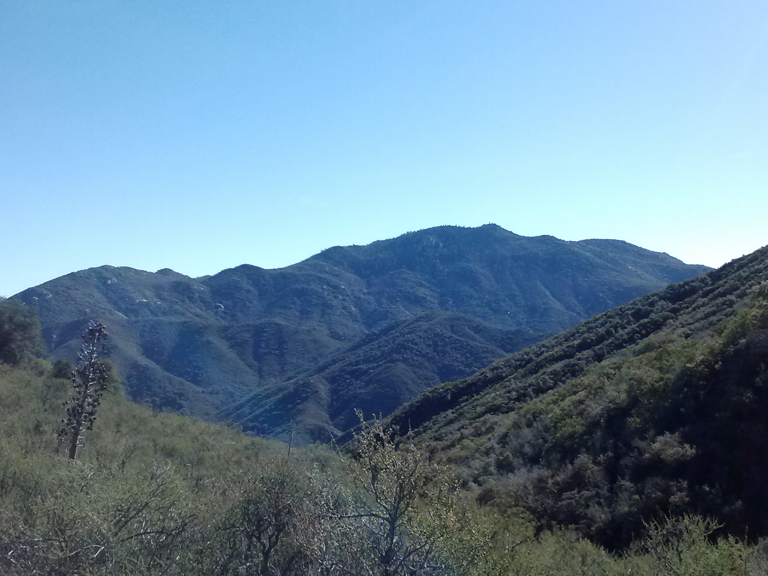
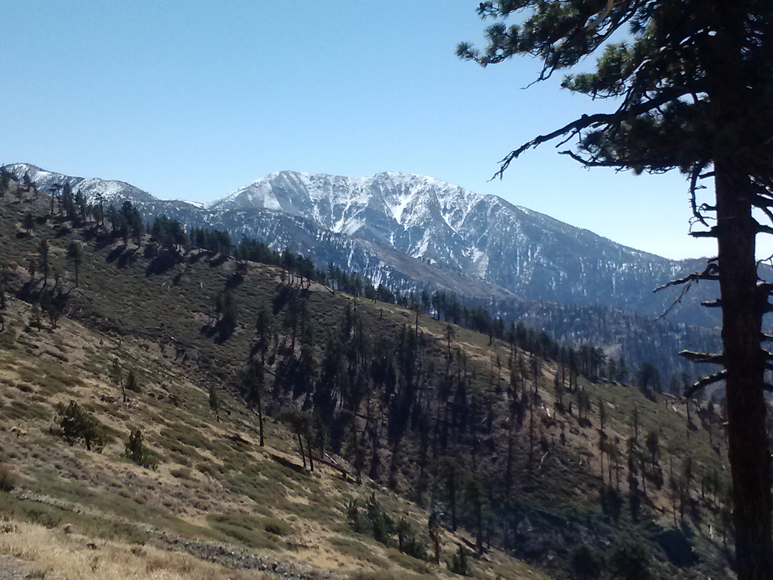
View towards Olancha Peak
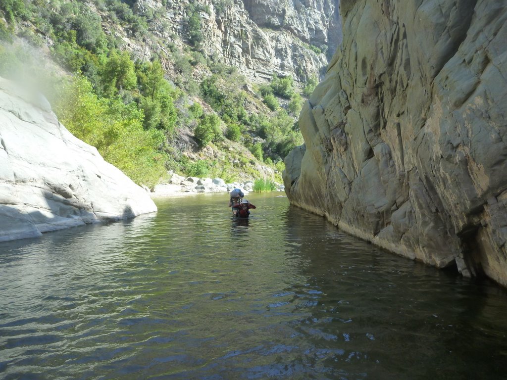
South Fork Kern River
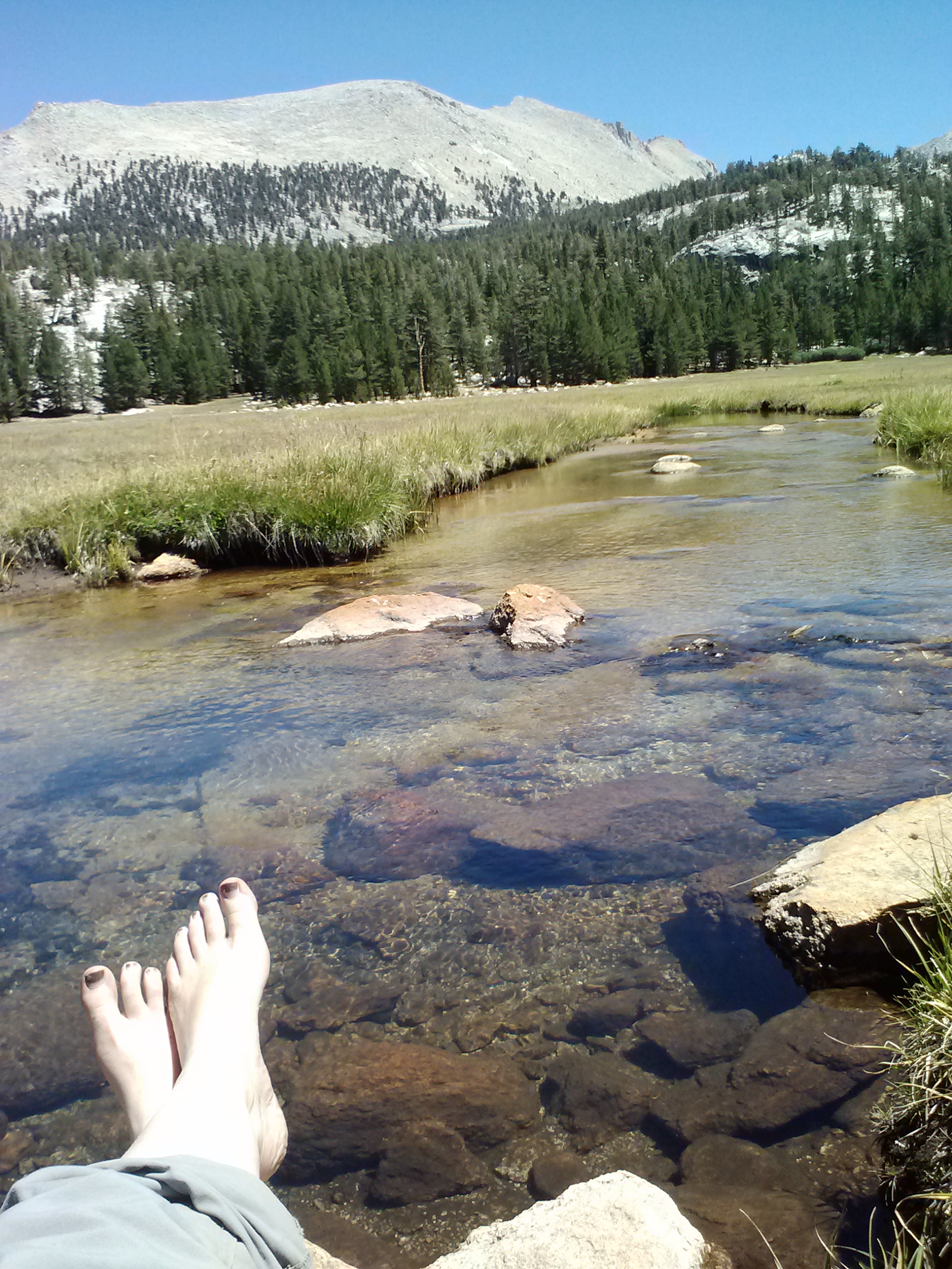
Lorax and T – Fox were already there stripping down to wash and do laundry. We lounged for over an hour on the soft grass, enjoying the birds and views, but the wind kicked up and made it really chilly. That was the que to pack up and move on!
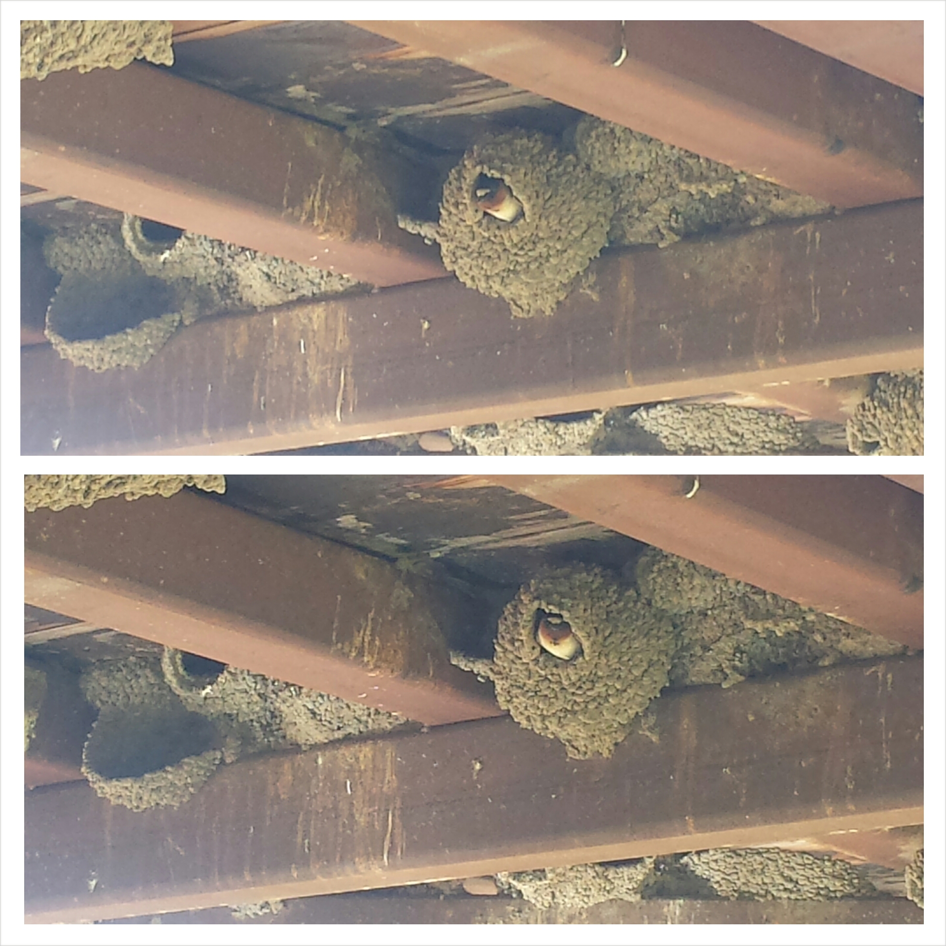
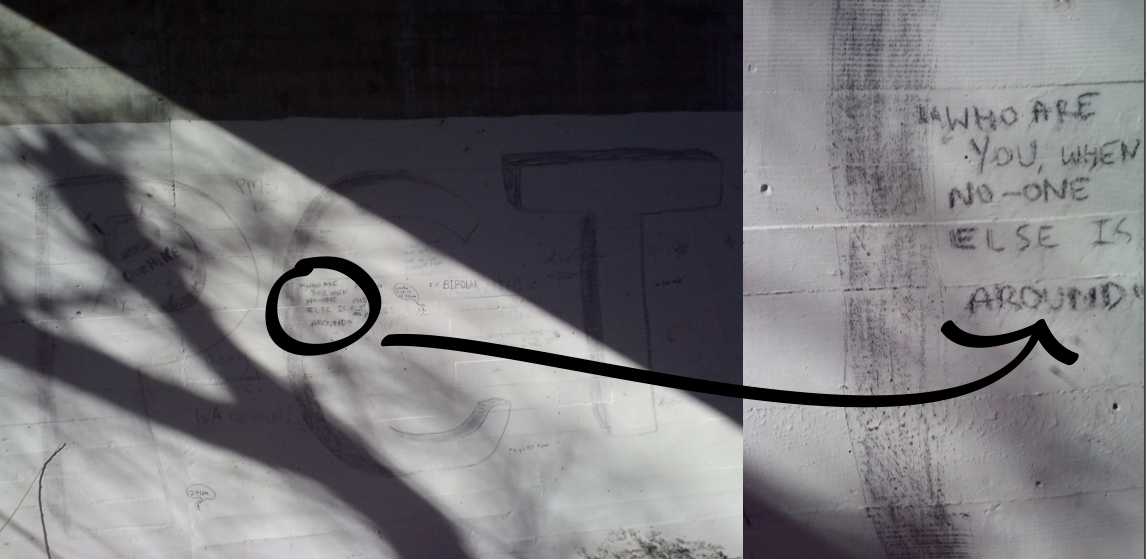
Residents of the Southfork Kern River bridge
Cold!
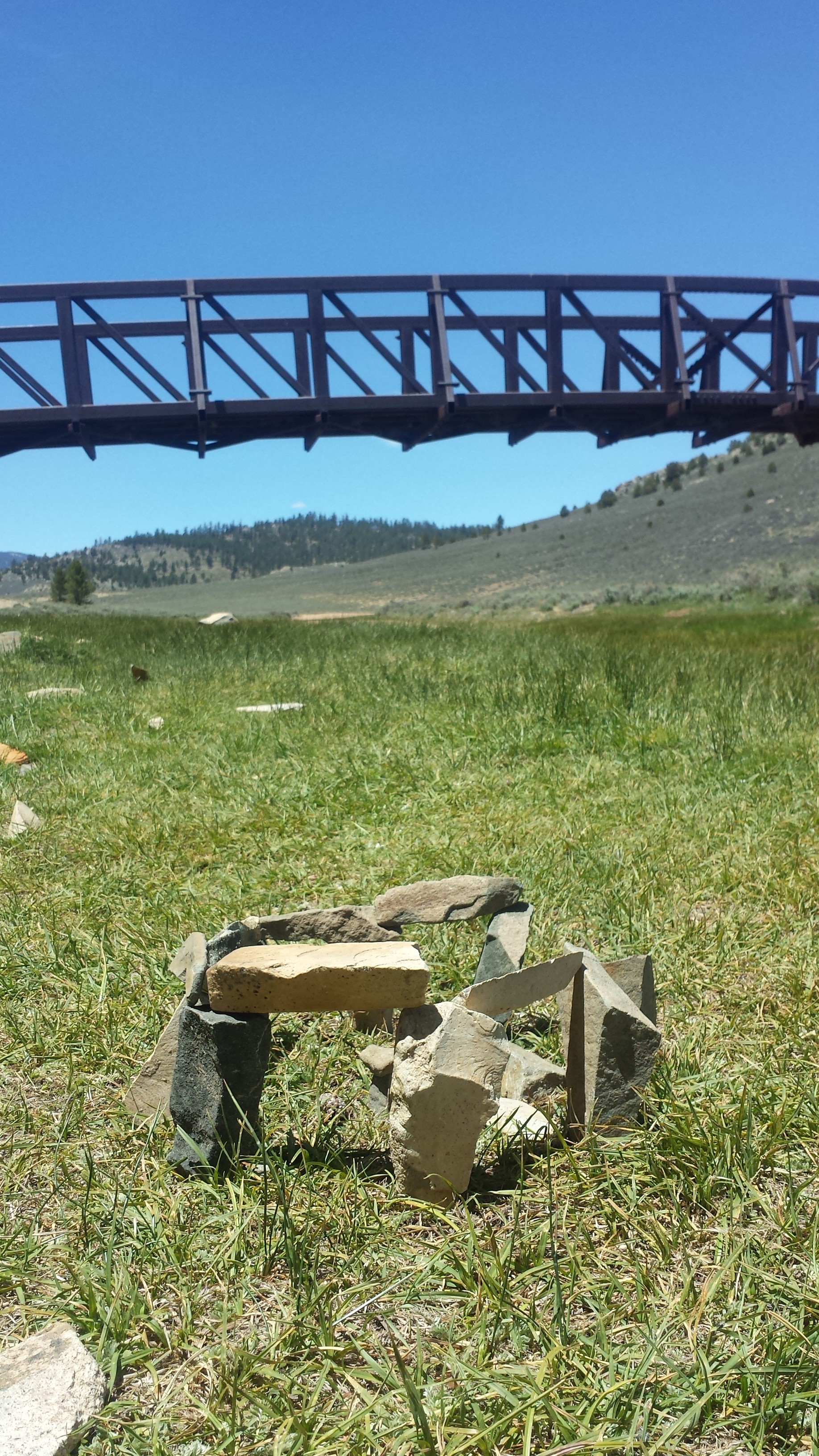
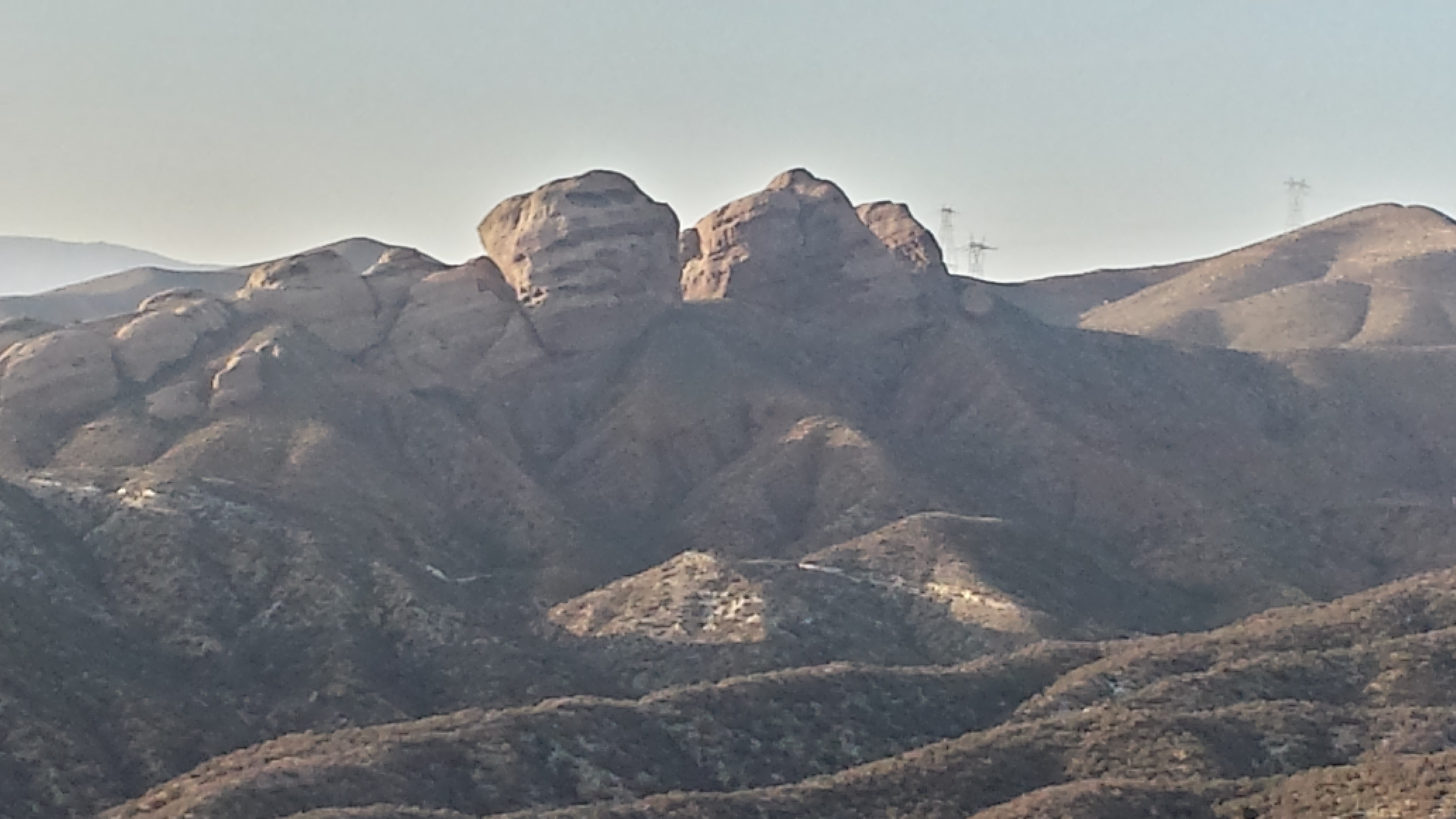
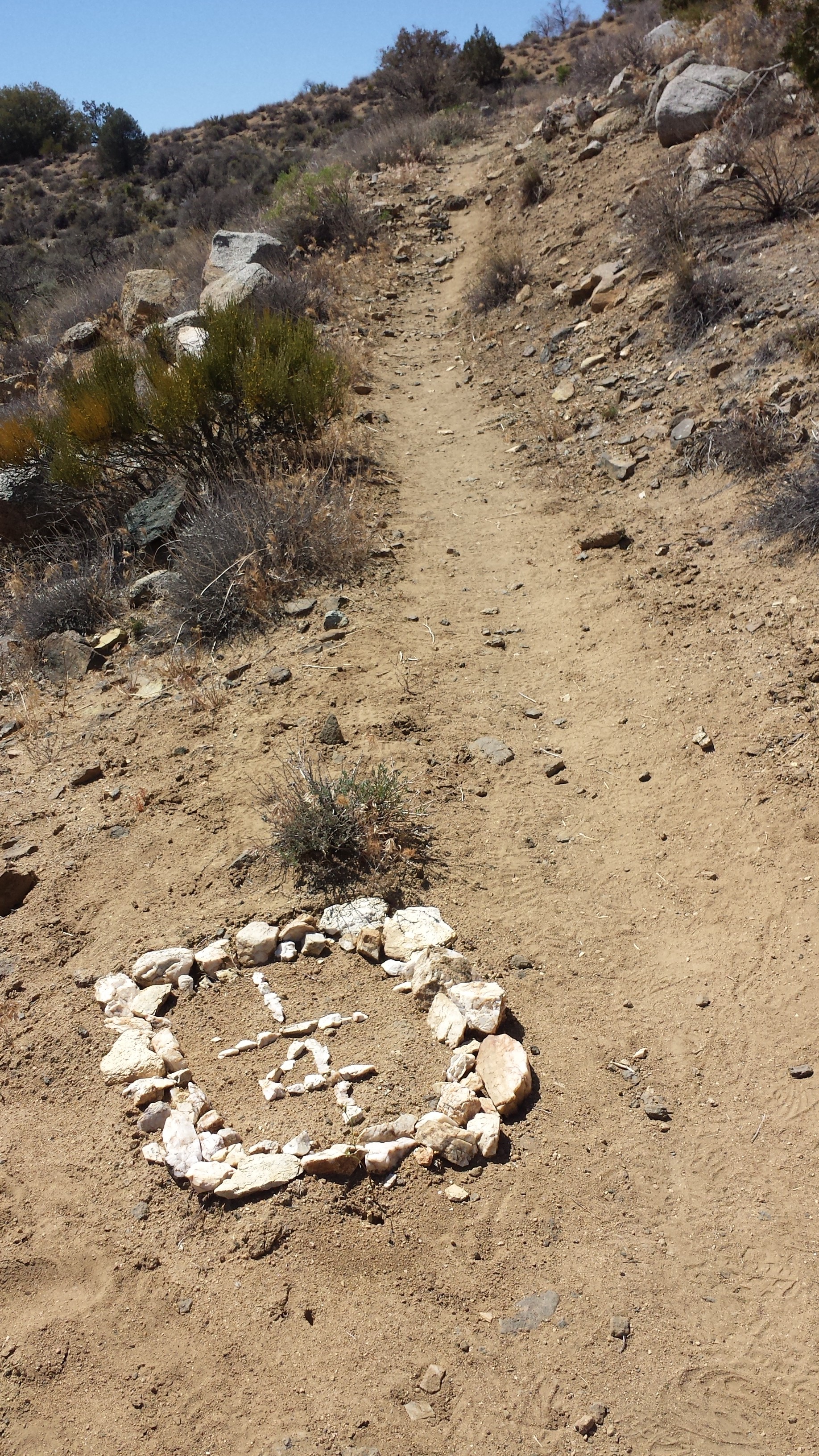
Stonehenge of the Kern River… it’s builders remain a mystery today. 😉
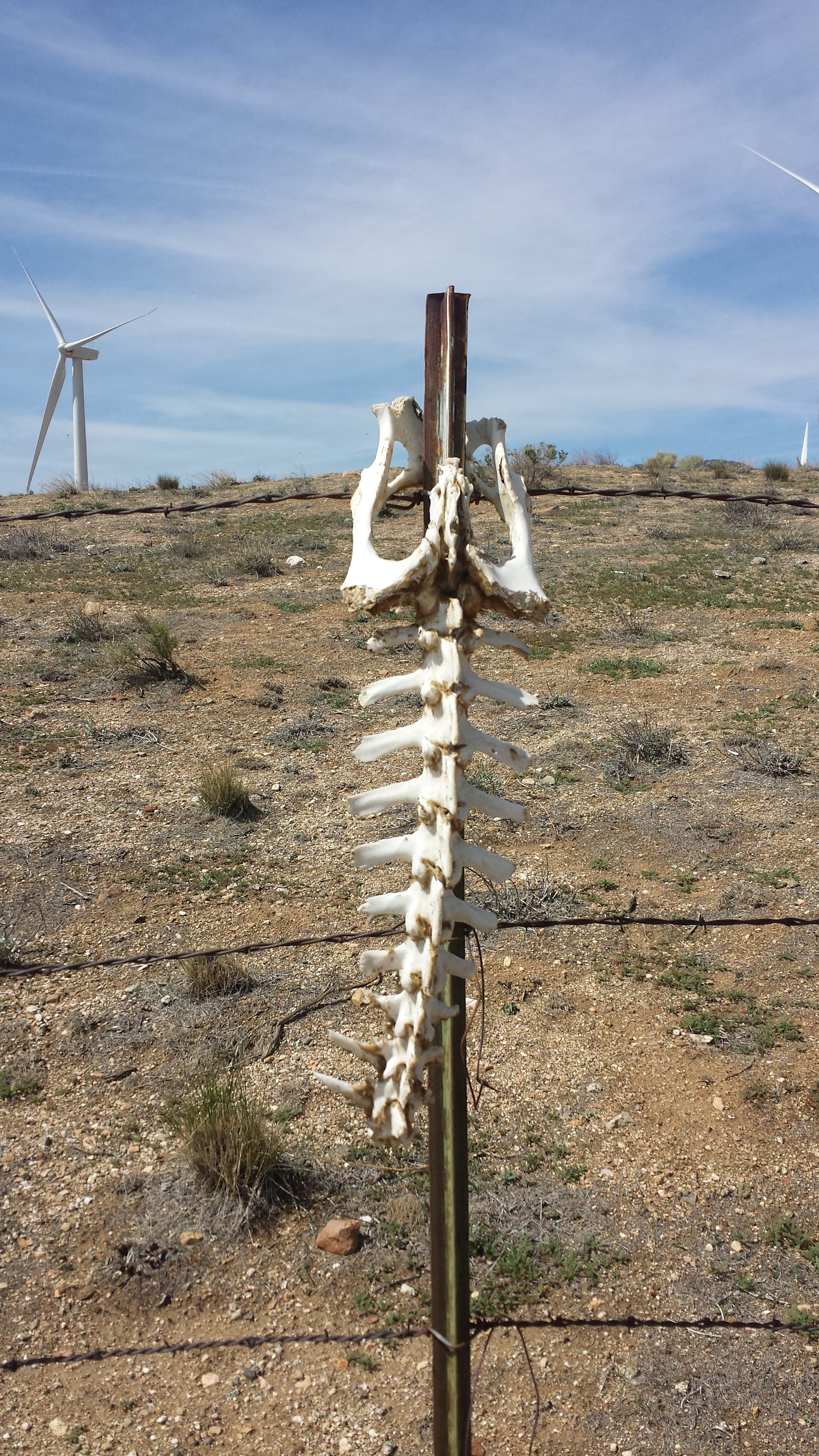
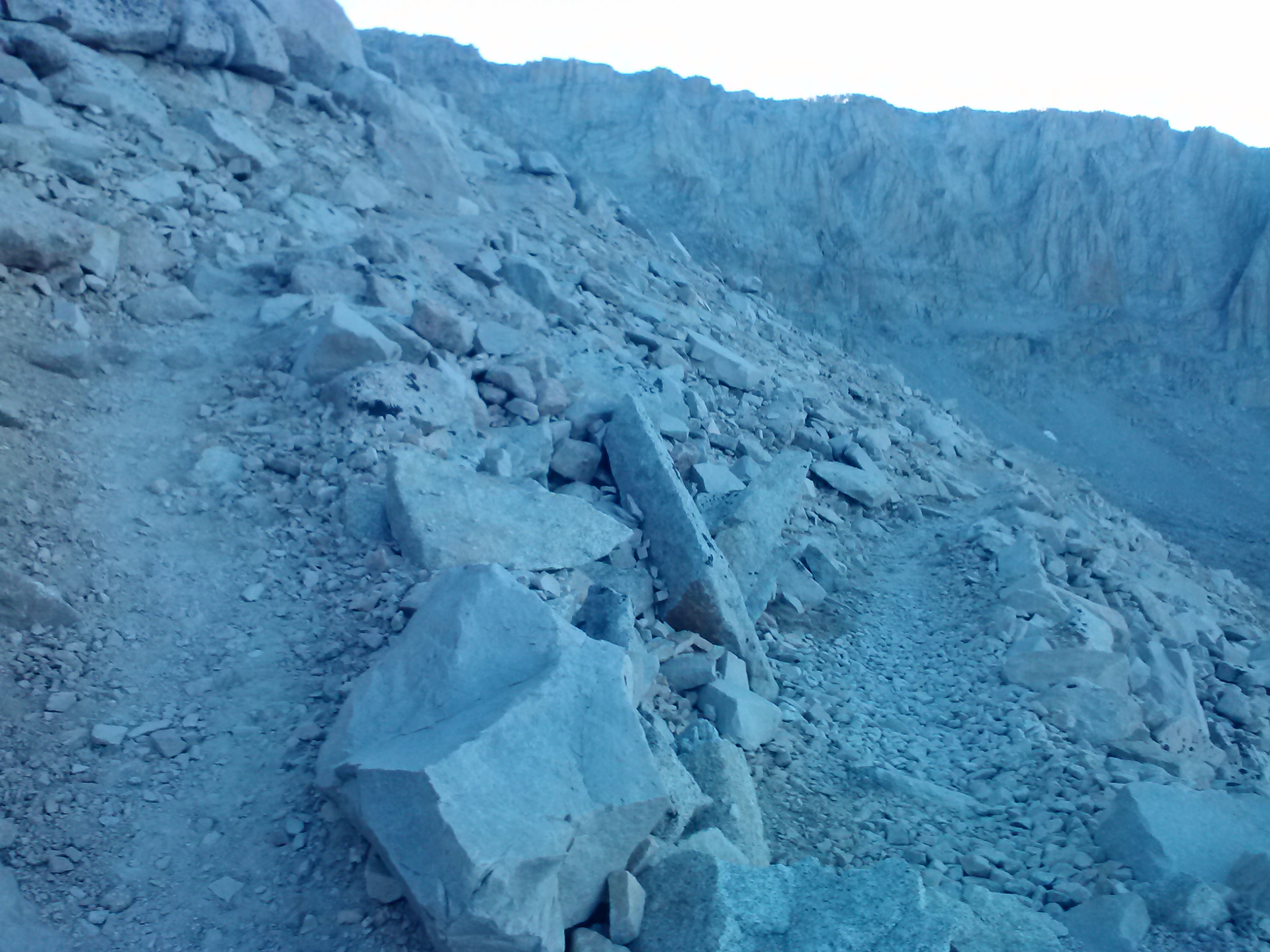
Climbing out of the meadow took us 2,000 feet higher into the mountains. I was eyeballing how dry Cow Creek was all the way, hoping there would be water higher up. At one crossing with small, mucky puddles there were some huge animal bones. They must’ve belonged to some really big like a bear, a donkey, or a buck. I didn’t see any teeth marks on them- that would’ve been creepy!
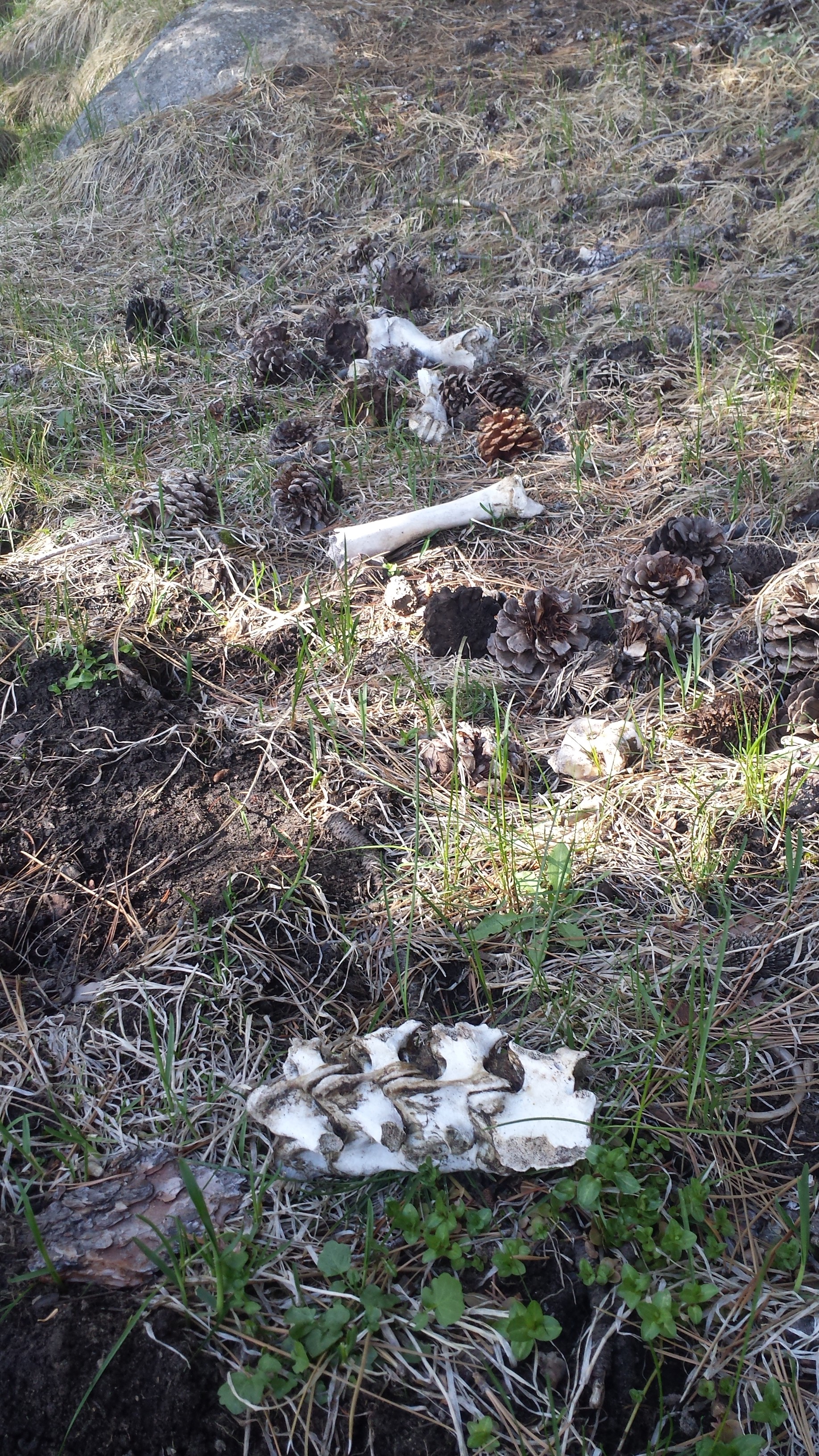
Animal bones near Cow Creek
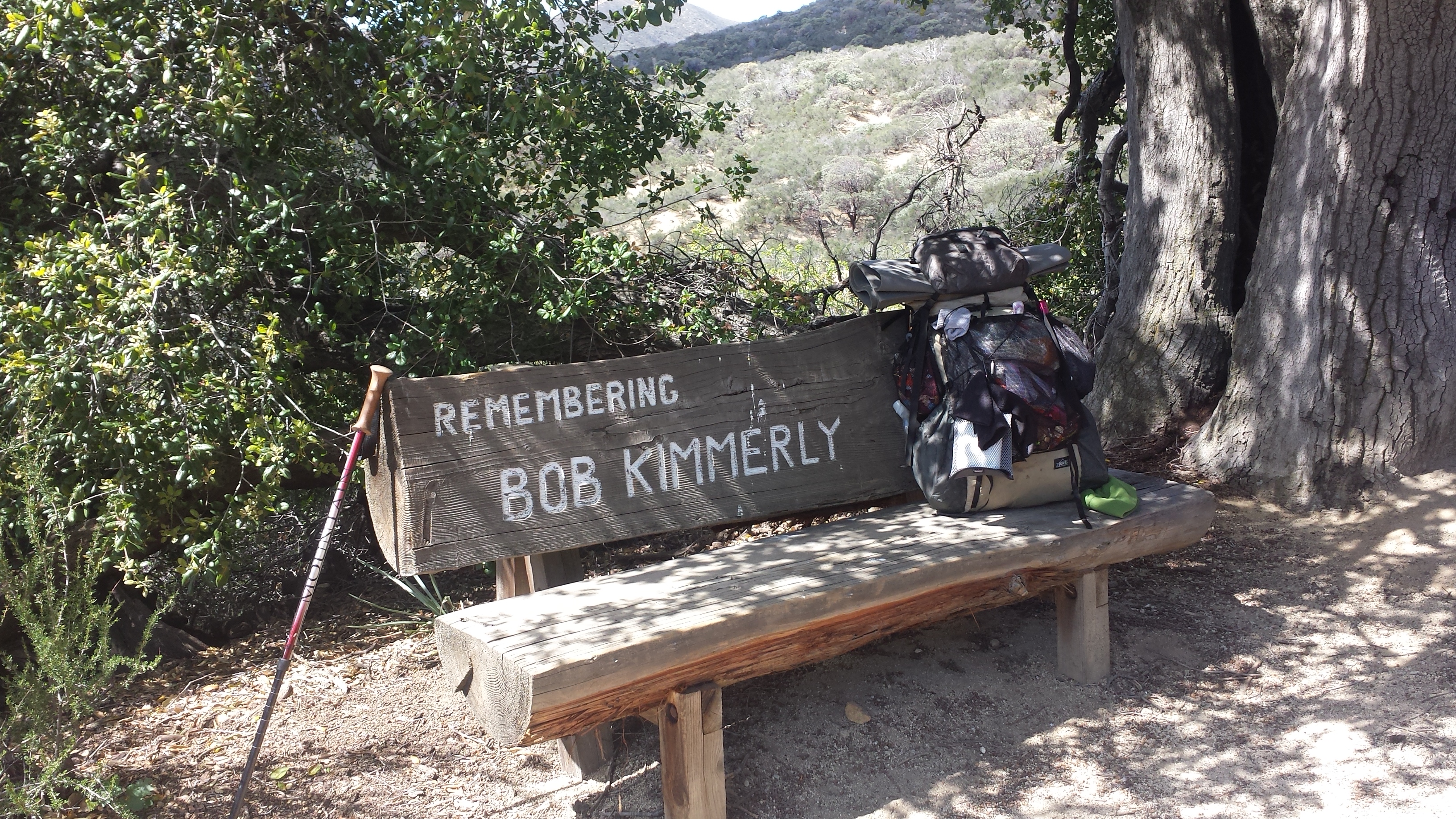
In the way up the mountain, I passed an older hiker named Pathfinder. He’s famous for updating the PCT Water Report all the time. *Thanks Pathfinder! * He assured me there was water up ahead.
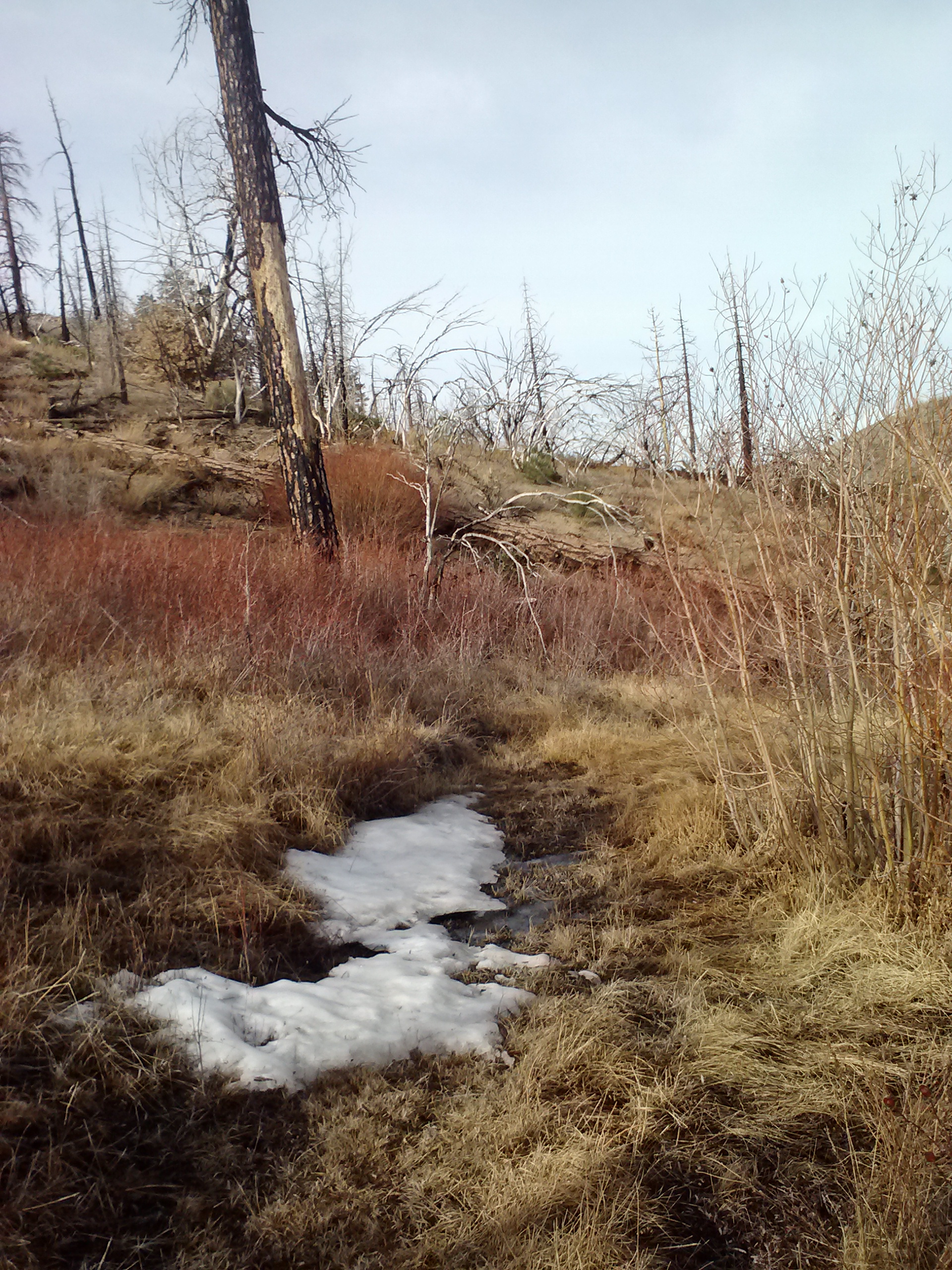
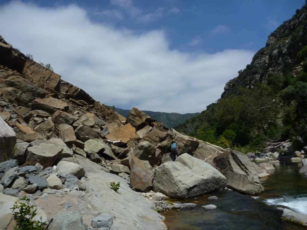
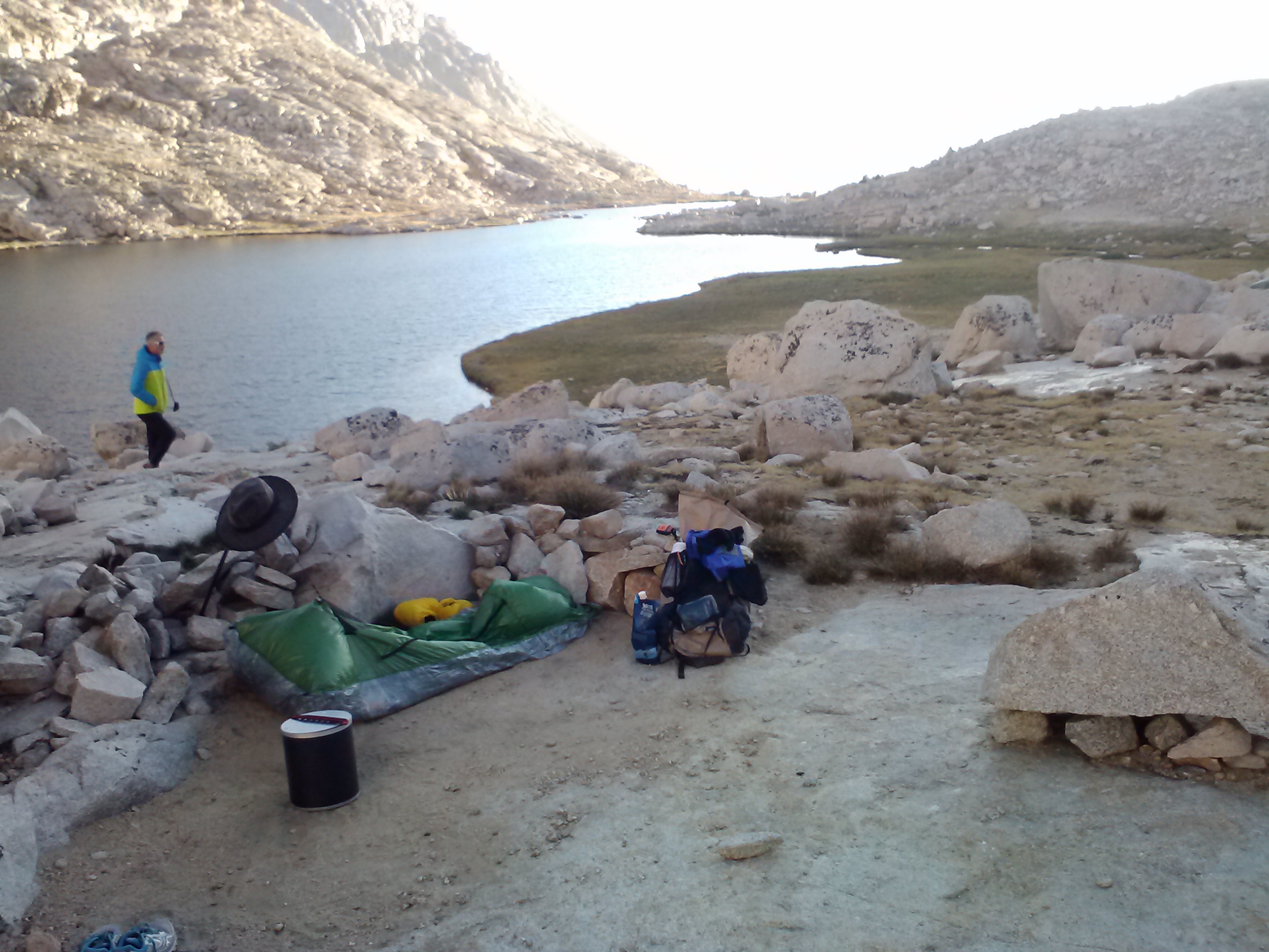
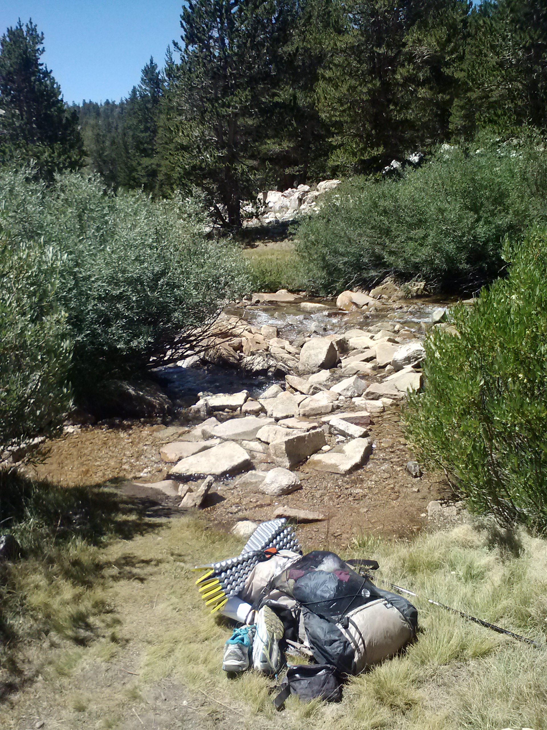
I met up with Lorax and T – Fox again and we camped together for the night. I scrambled over boulders up and down the creek looking for a descent puddle to collect water from, alas, they were all small and yucky. I had to use my syringe again and it took me thirty minutes to collect enough water for dinner, breakfast and the next ten-mile waterless stretch. There’s algae floating in my bottles again.
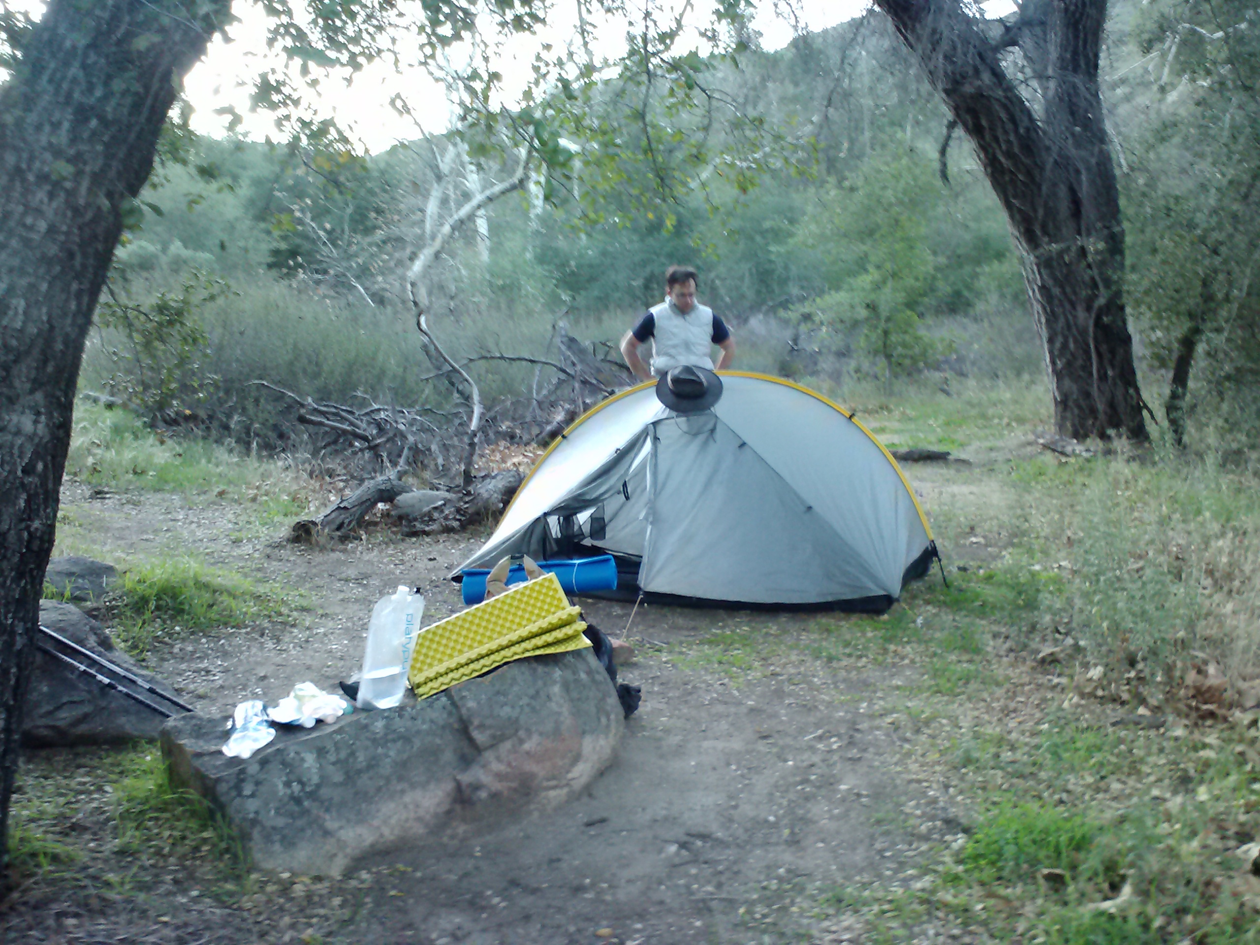
Camping near Cow Creek
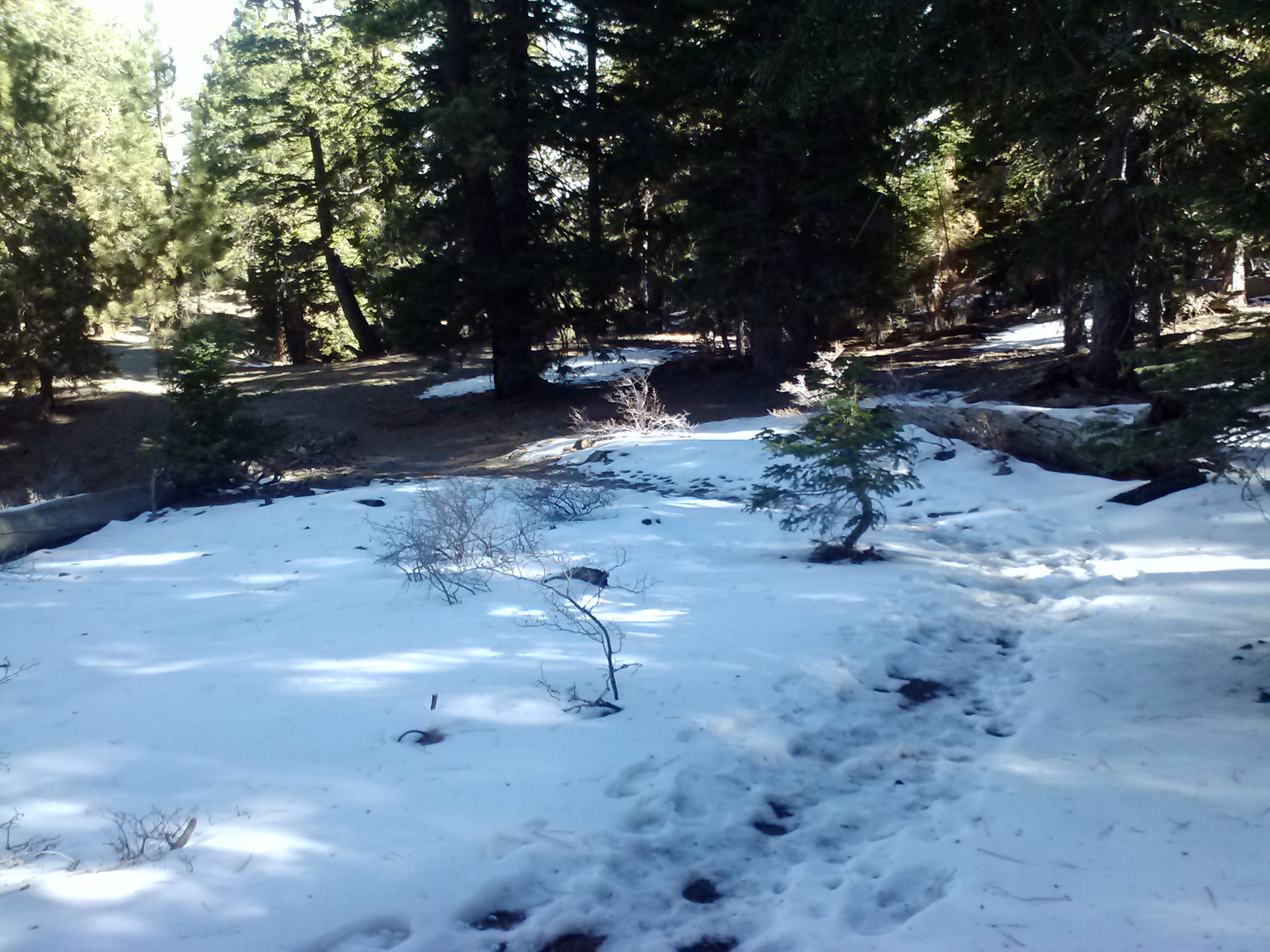
May 31st, 2014- 26 miles, camping at Horseshoe Meadow Campground
T – Fox and Lorax headed out early, but I slept in because I didn’t sleep much last night. My muscles kept cramping again and at one point, my lantern fell on me from the top of my tent. It woke me up and I thought I’d fallen asleep right on the trail. I panicked, thinking, “Where am I? I have to put up my tent! Oh, I’m IN my tent! What’s going on?!” It was pretty funny.
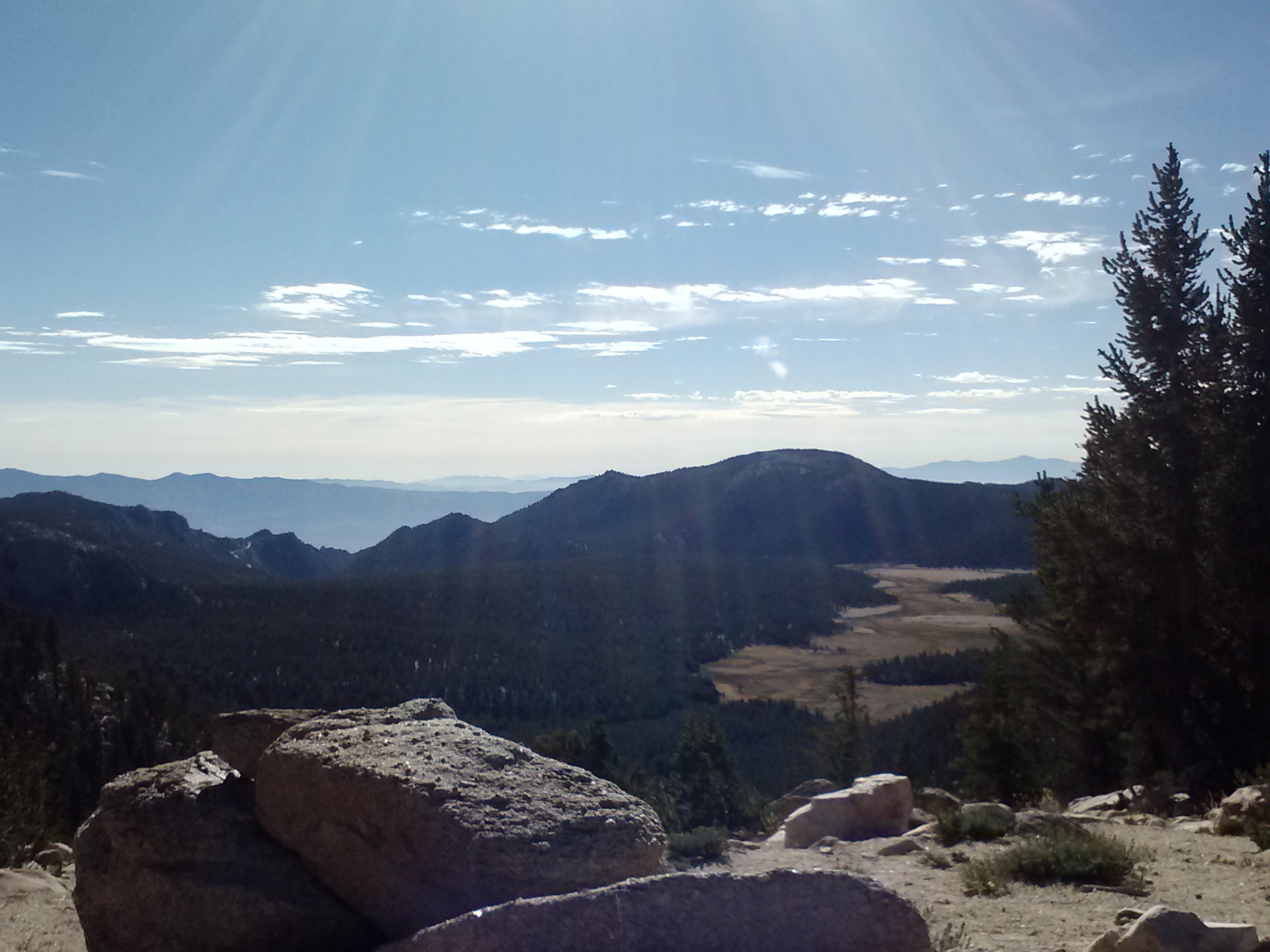
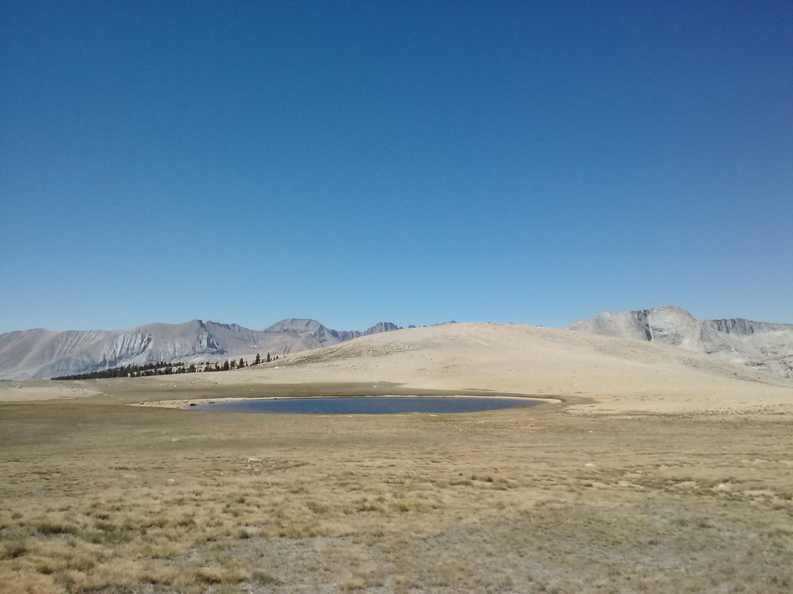
View towards Beck Meadow
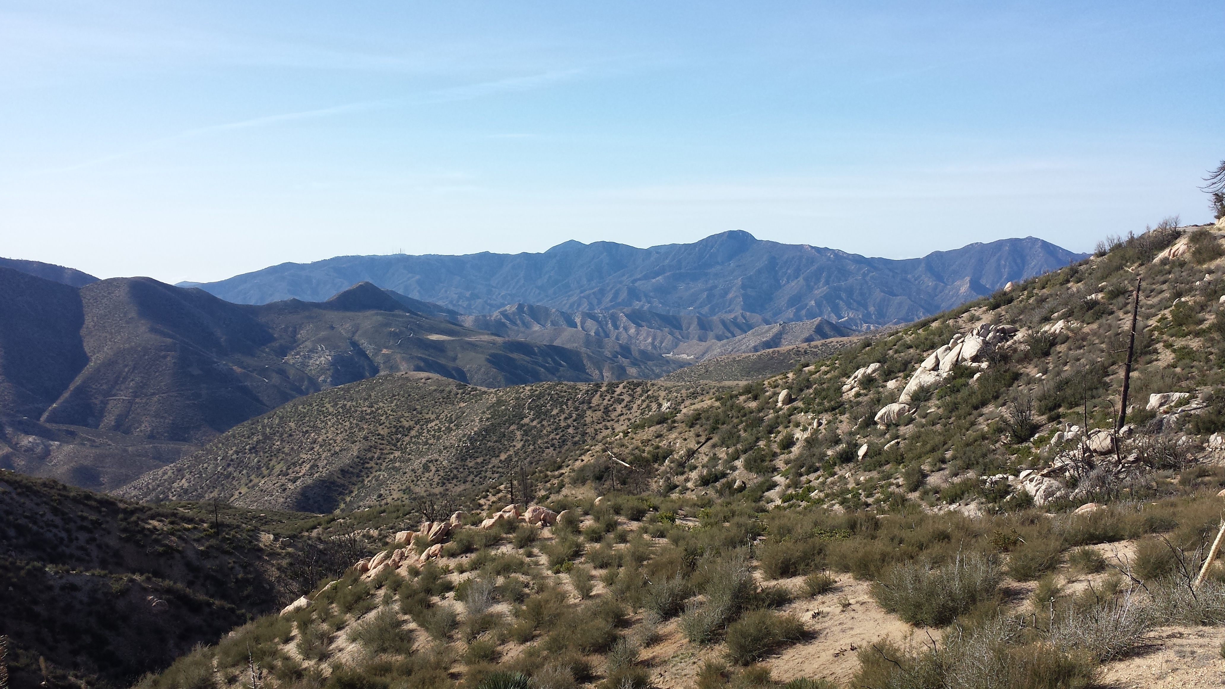
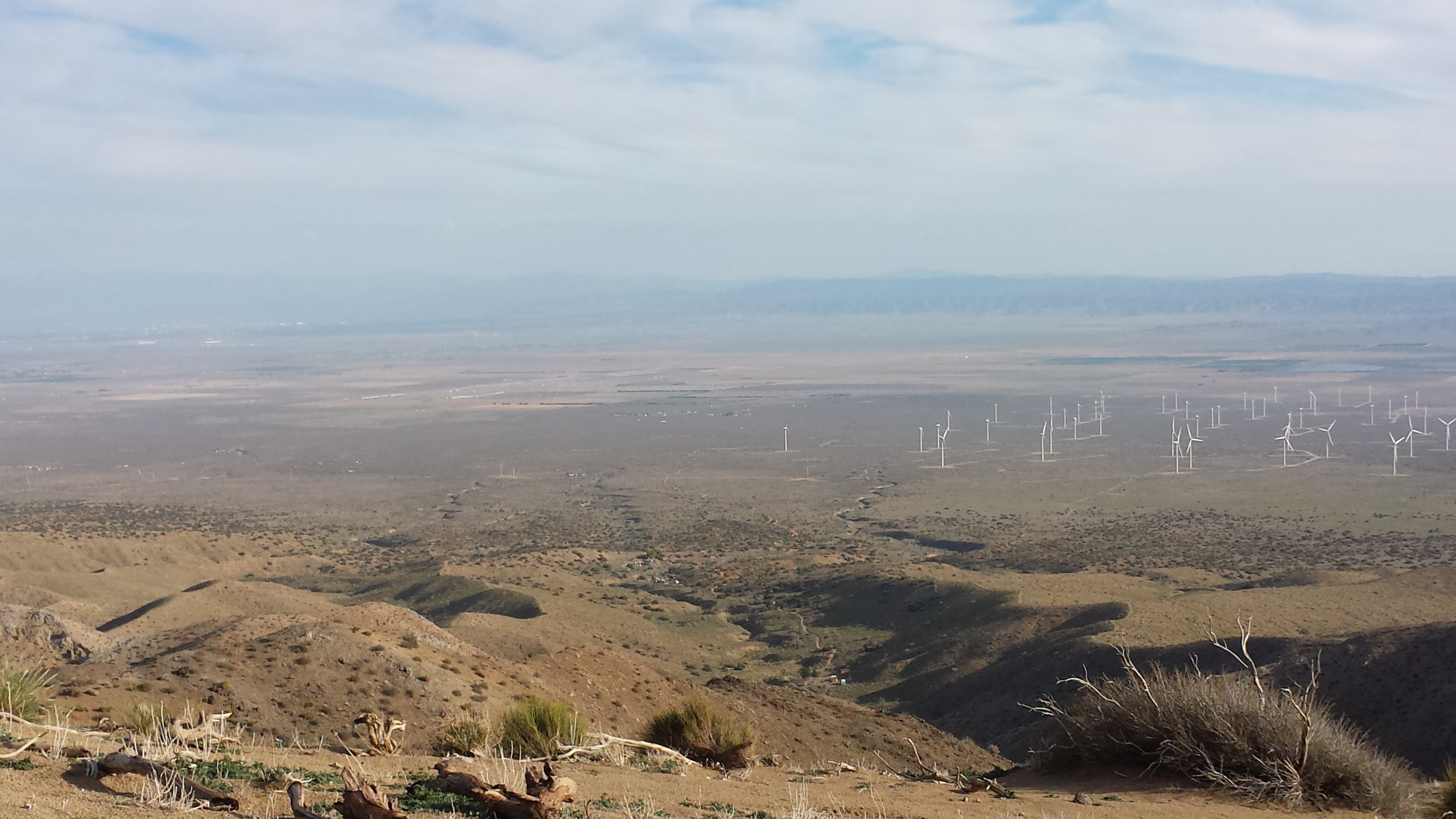
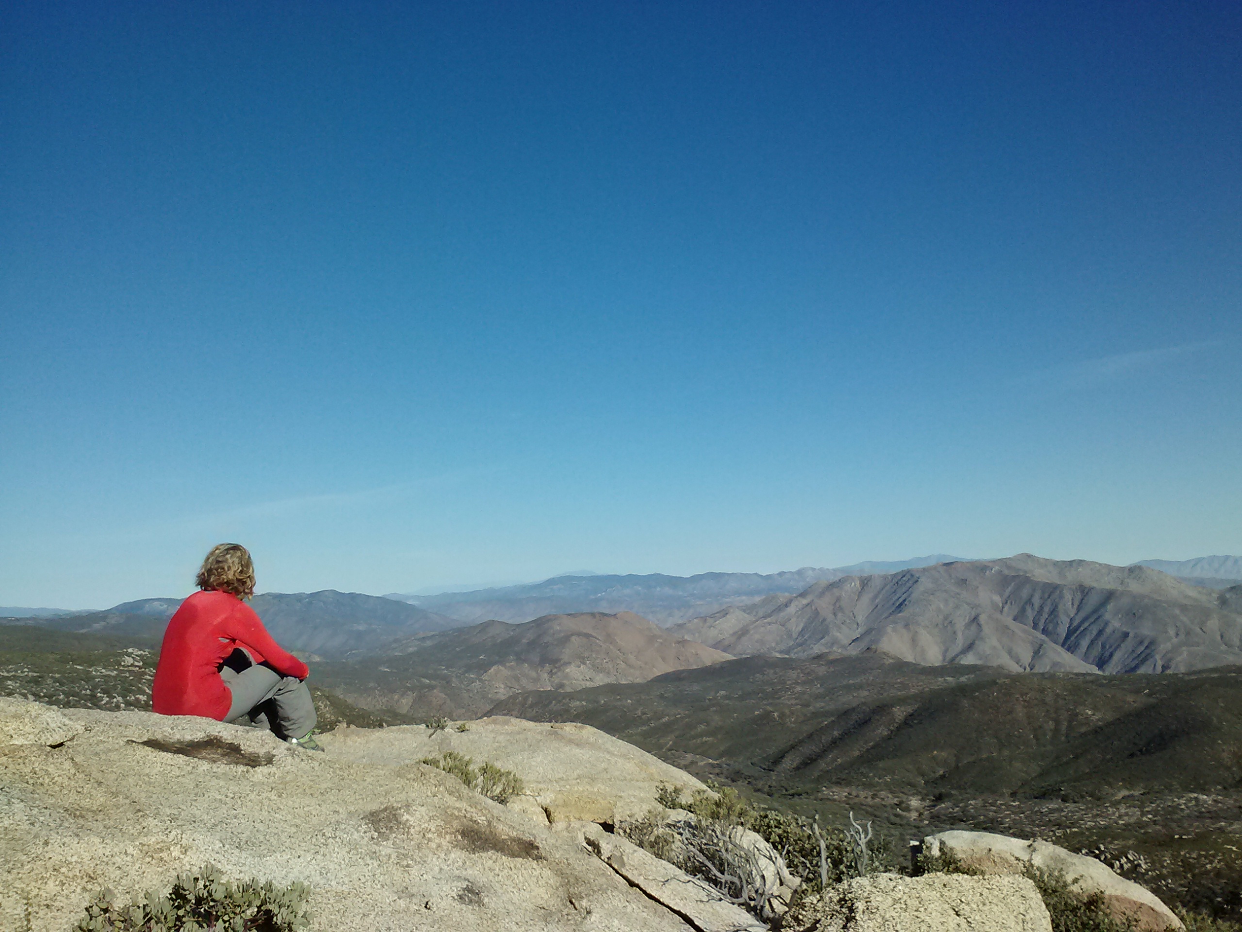
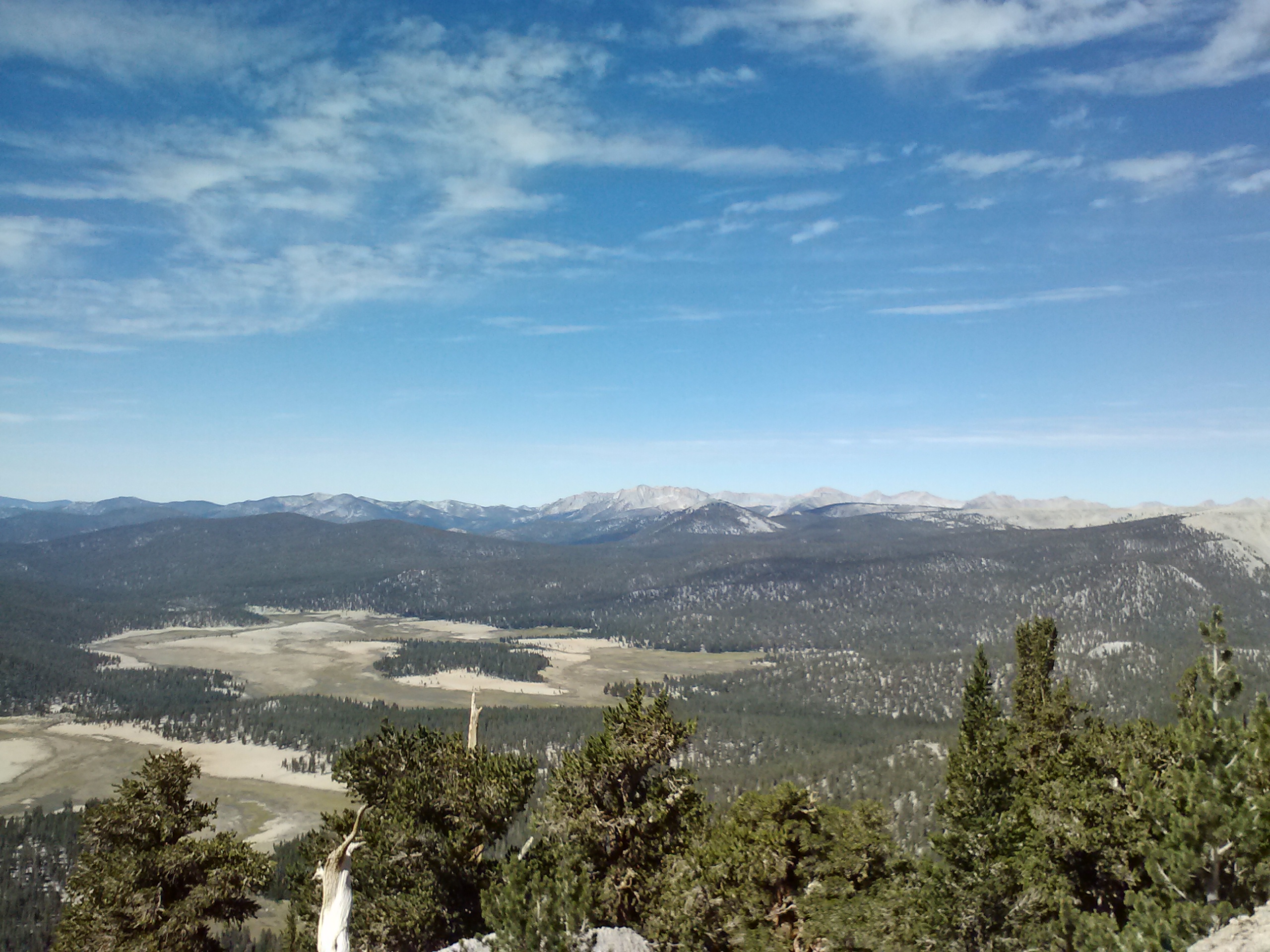
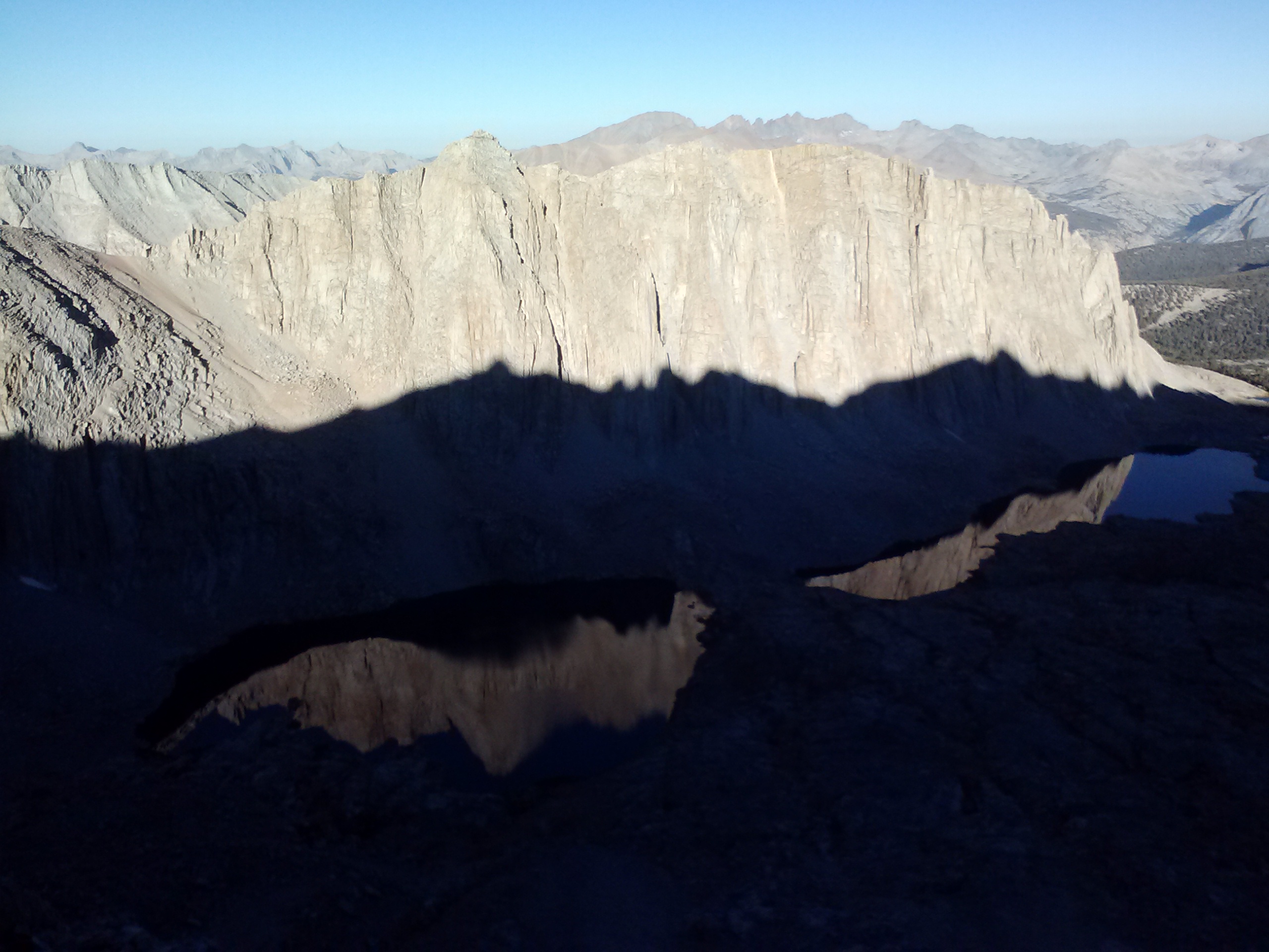
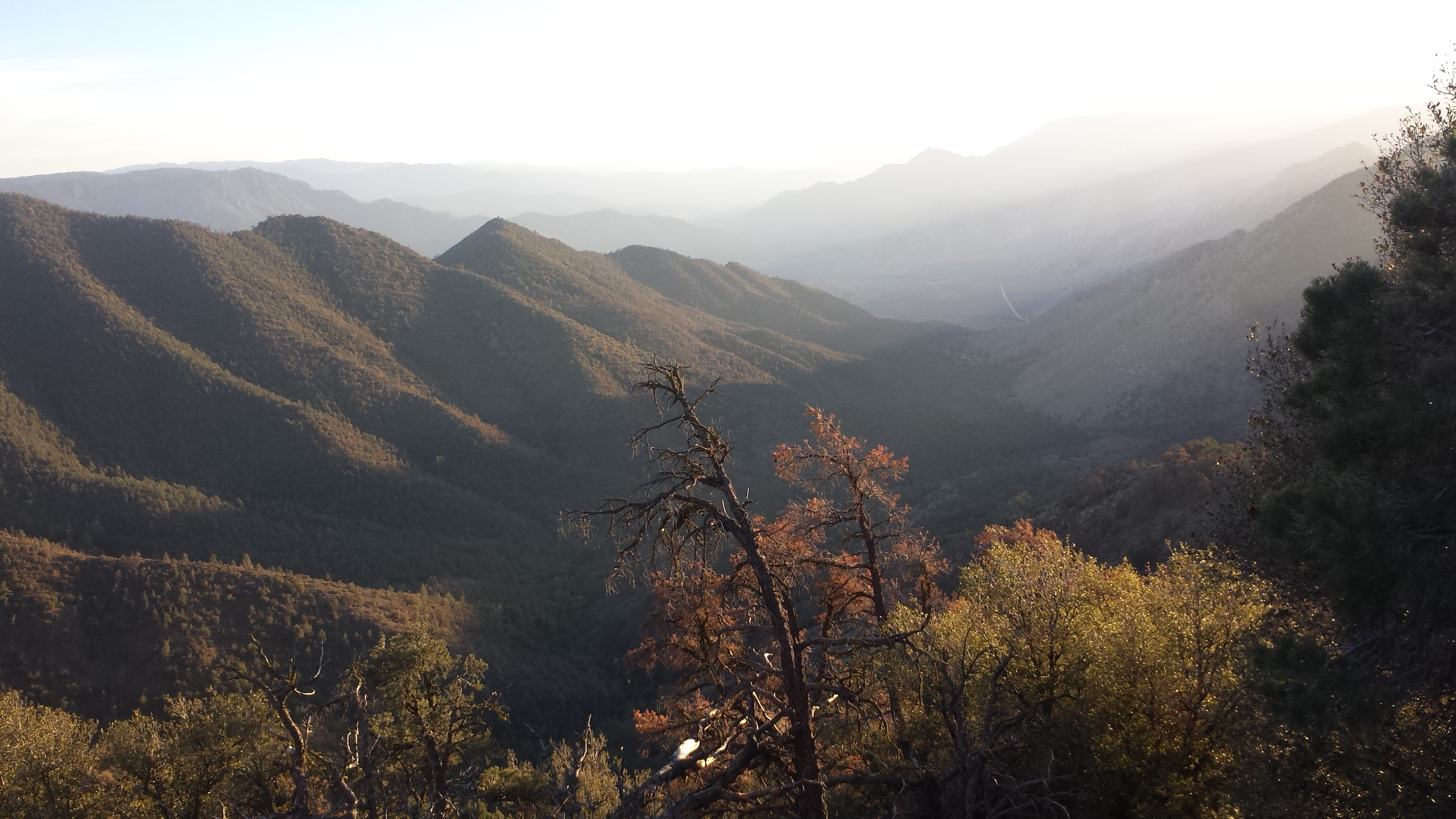
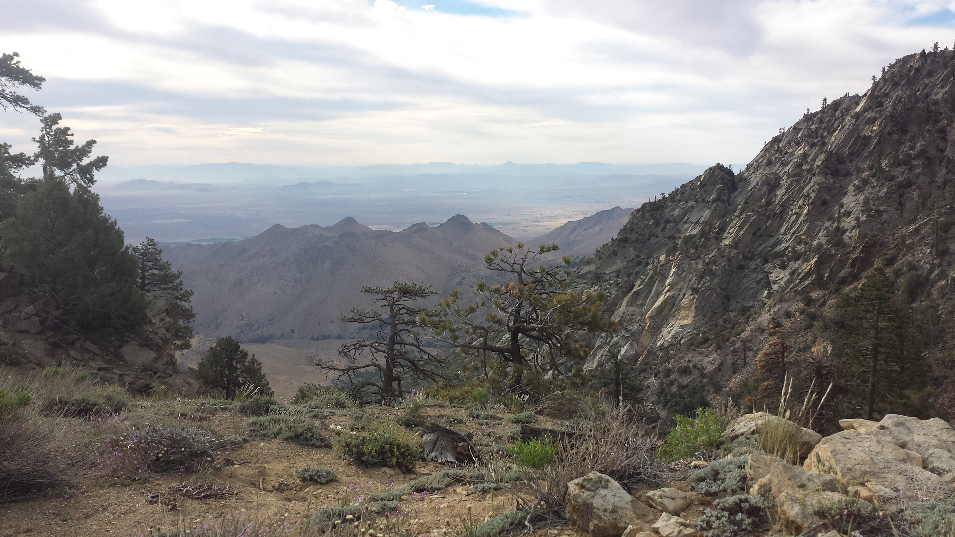
Anyway, it was a slow morning and I wasn’t on the trail until 7:30. The view of Beck Meadow was incredible that morning. It’s difficult to comprehend how massive these mountains are, even after I’ve climbed them. All day, I looked behind me to see how far I’ve come. I’m always amazed how far people can walk in just one day.
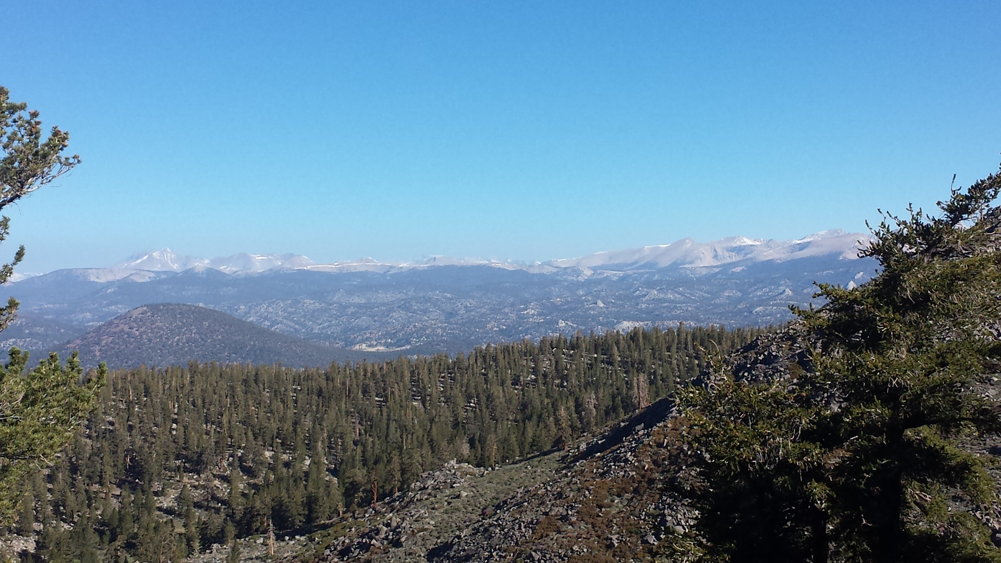
Leaving the view of Beck Meadow behind brought on a view of the Sierras ahead of me even more beautiful than the previous ones. I kept looking at them as I hiked, which meant I also kept tripping and stubbing my toes.
For the first time ever, I enjoyed my tuna with a couple of tortillas. I LOVE TORTILLAS. They’re delicious, hold your food together, and go with pretty much everything: tuna, PB & J, burritos, hummus. I don’t think I’ll ever hike without them again.
Tuna wrap lunch on the trail
Around mid-day, I came across a hiker I hadn’t met before. He was a voracious talker and weirded me out by talking too much about poop. I moved on as quickly as I could. When I met up with T – Fox and Lorax later that day, they had a good laugh because they’d experienced this same hiker a couple of times before and wondered how I’d handle the situation.
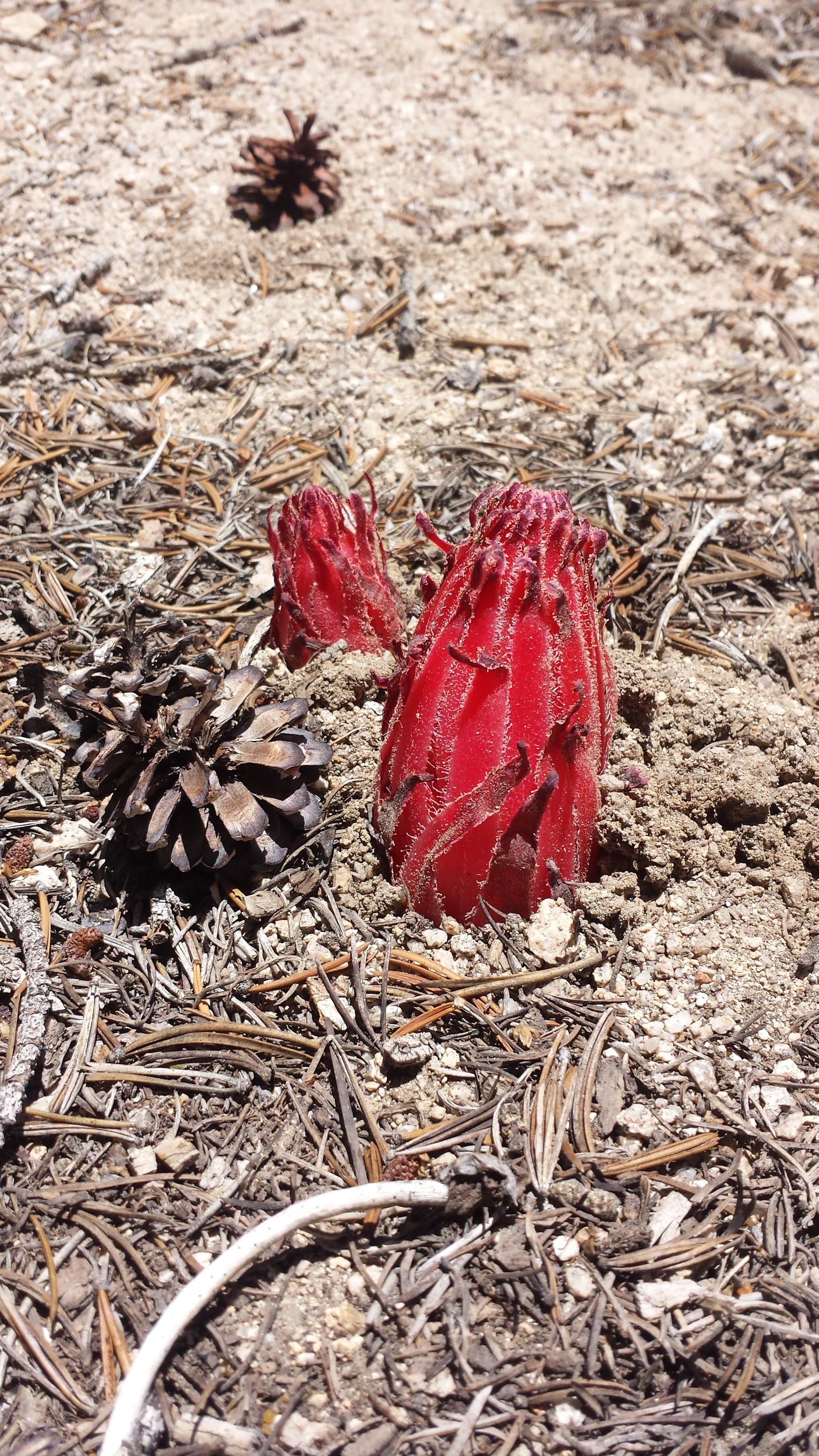
Snow Plant
Since I’d already covered so many miles by speed hiking, I figured a few more to Horseshoe Meadow wouldn’t hurt. I might even be able to get a ride down to Lone Pine that very night!
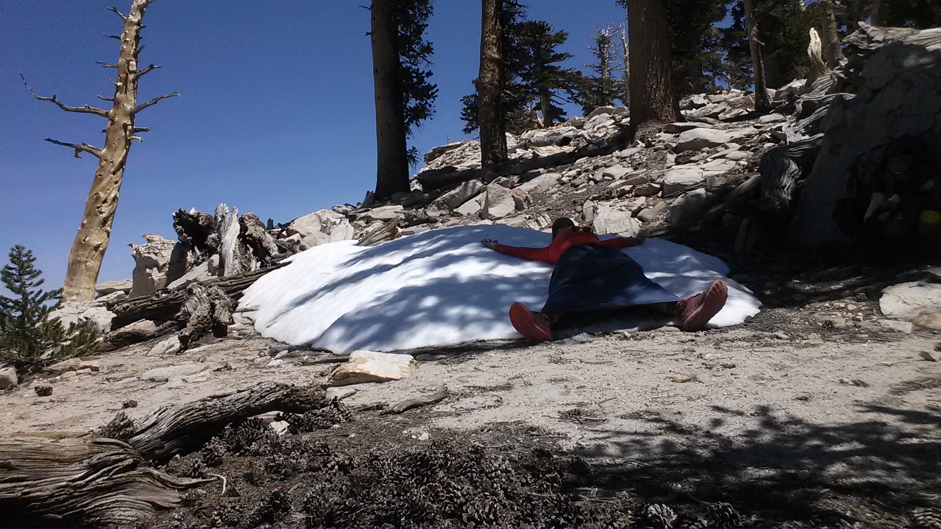
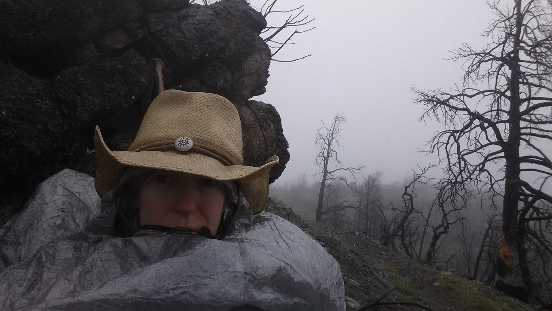
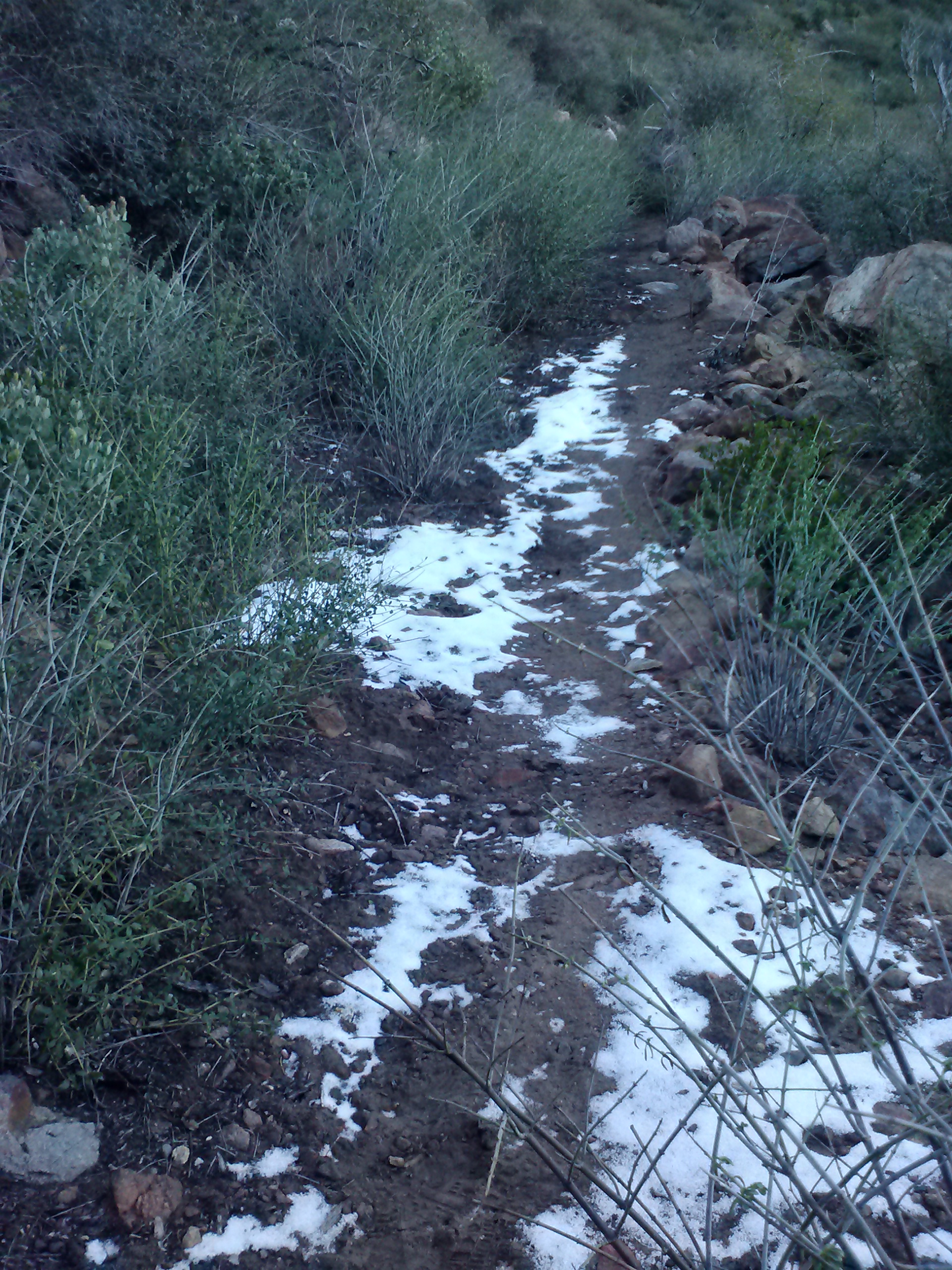
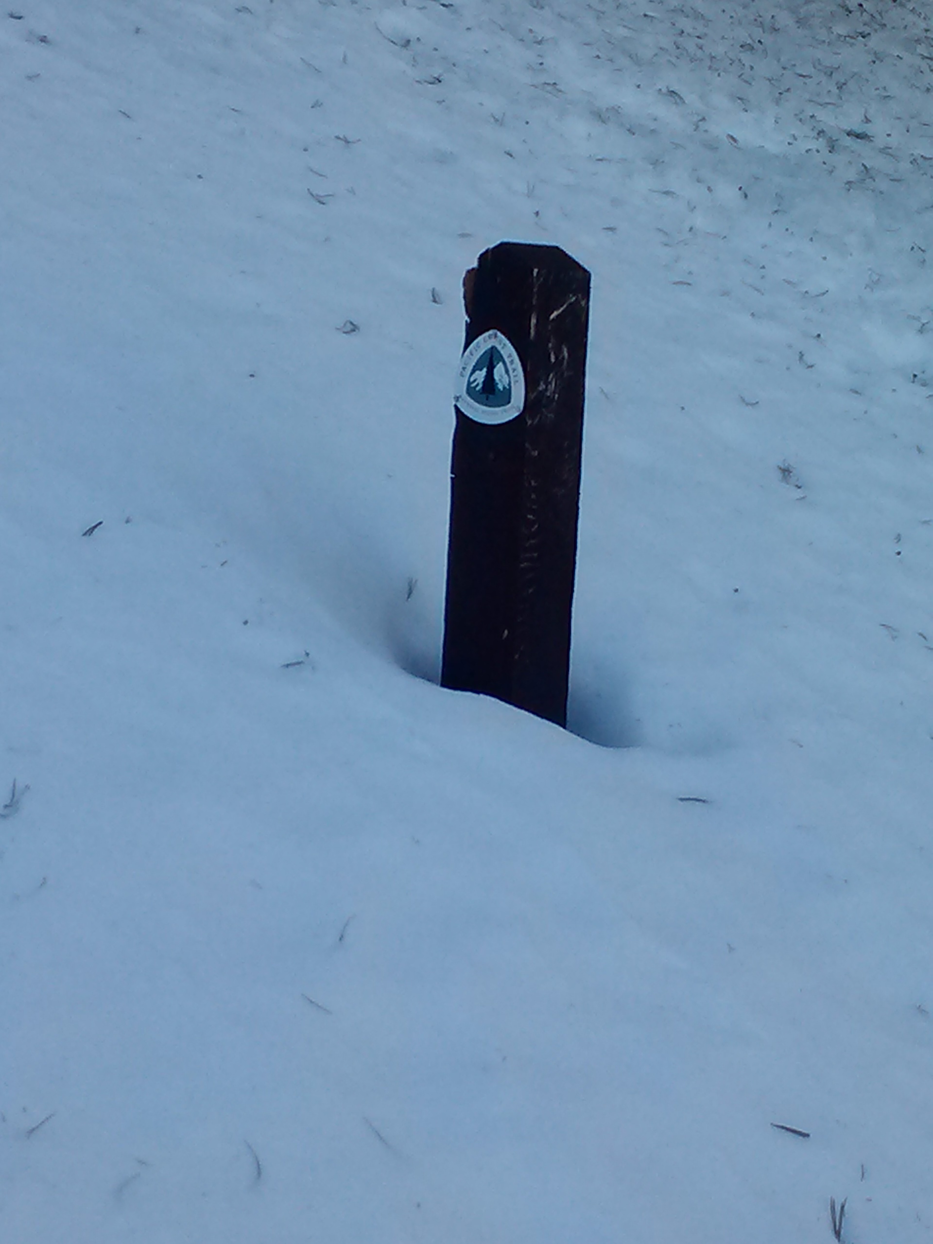
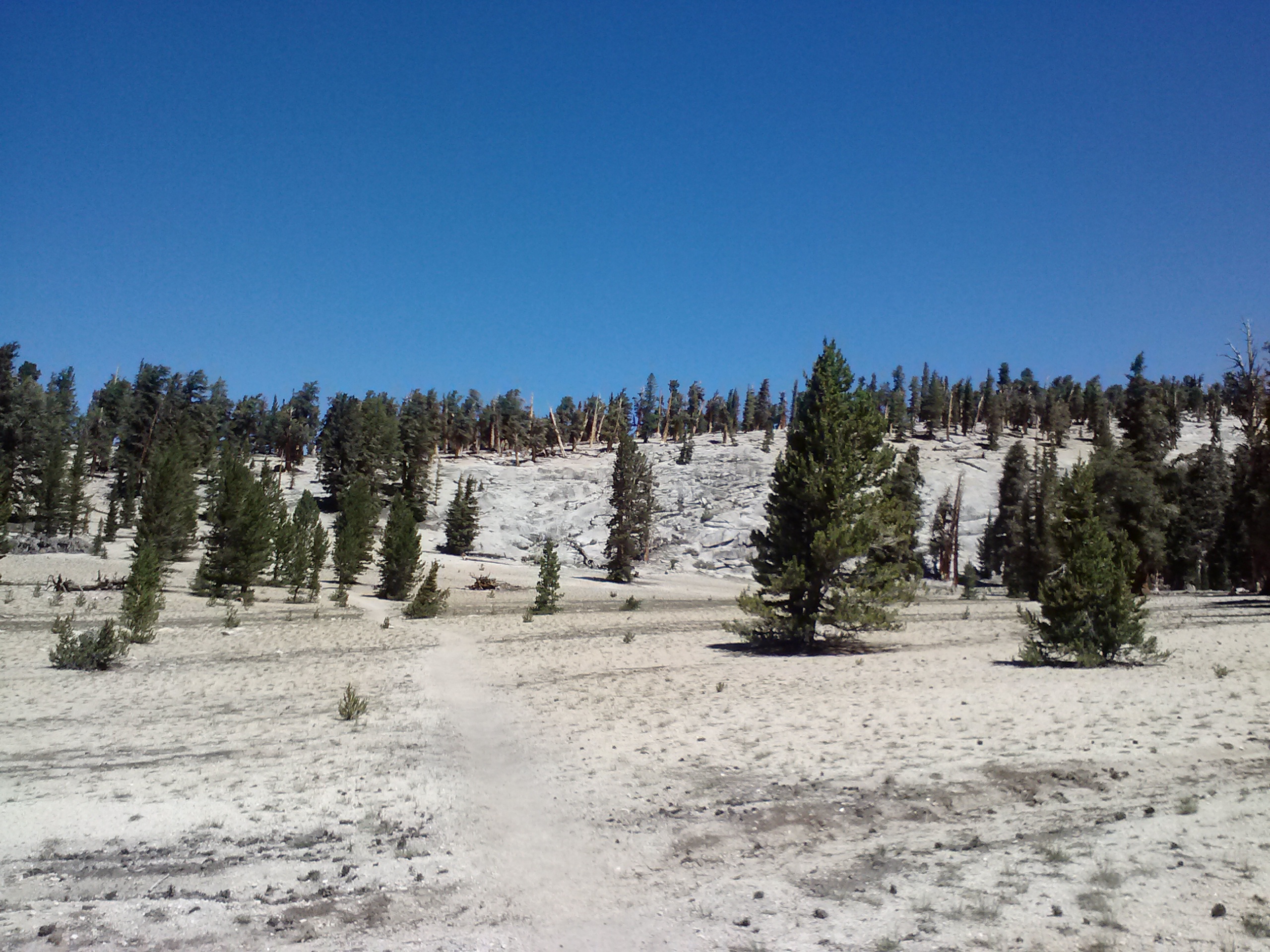
SNOW!!*!!!*
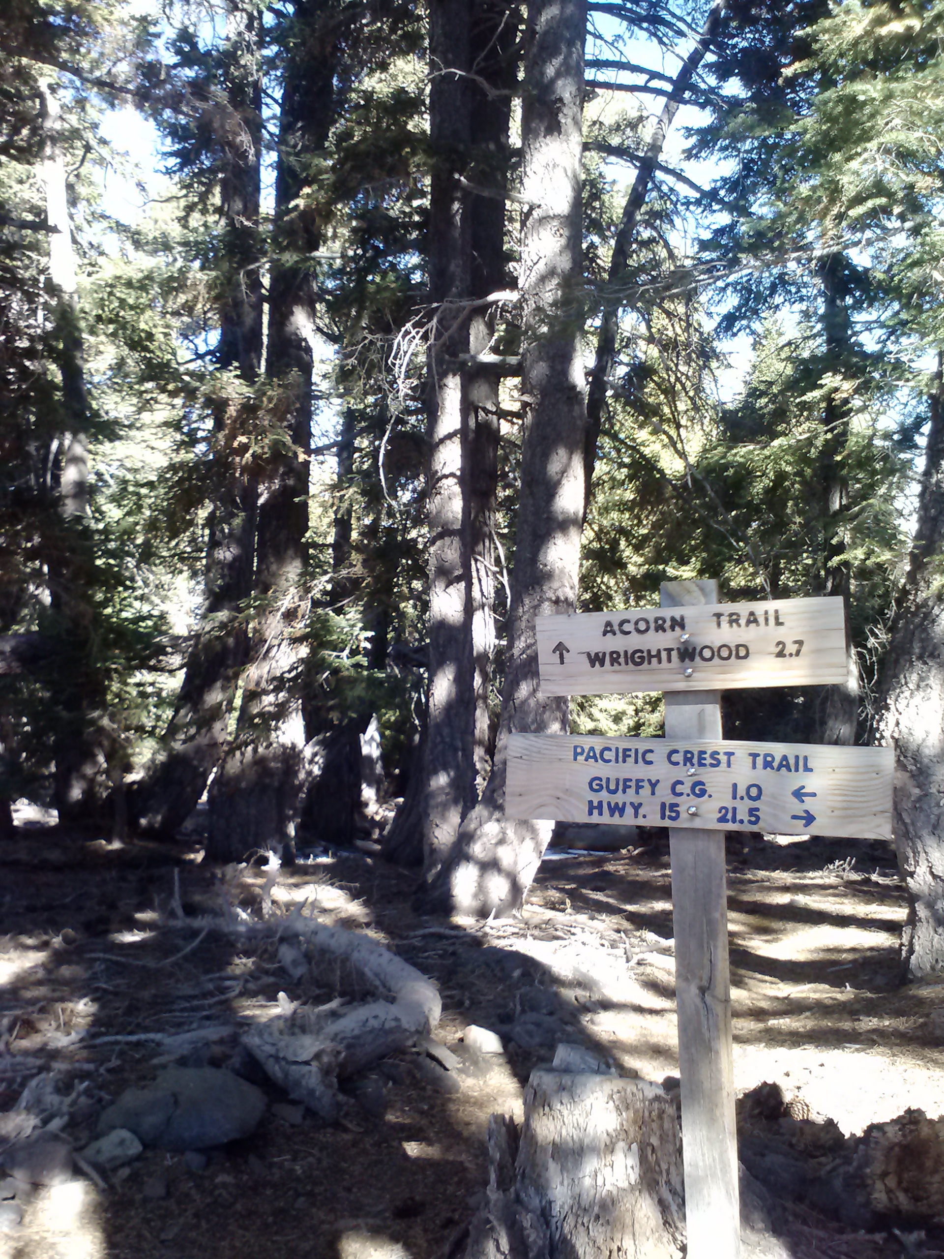
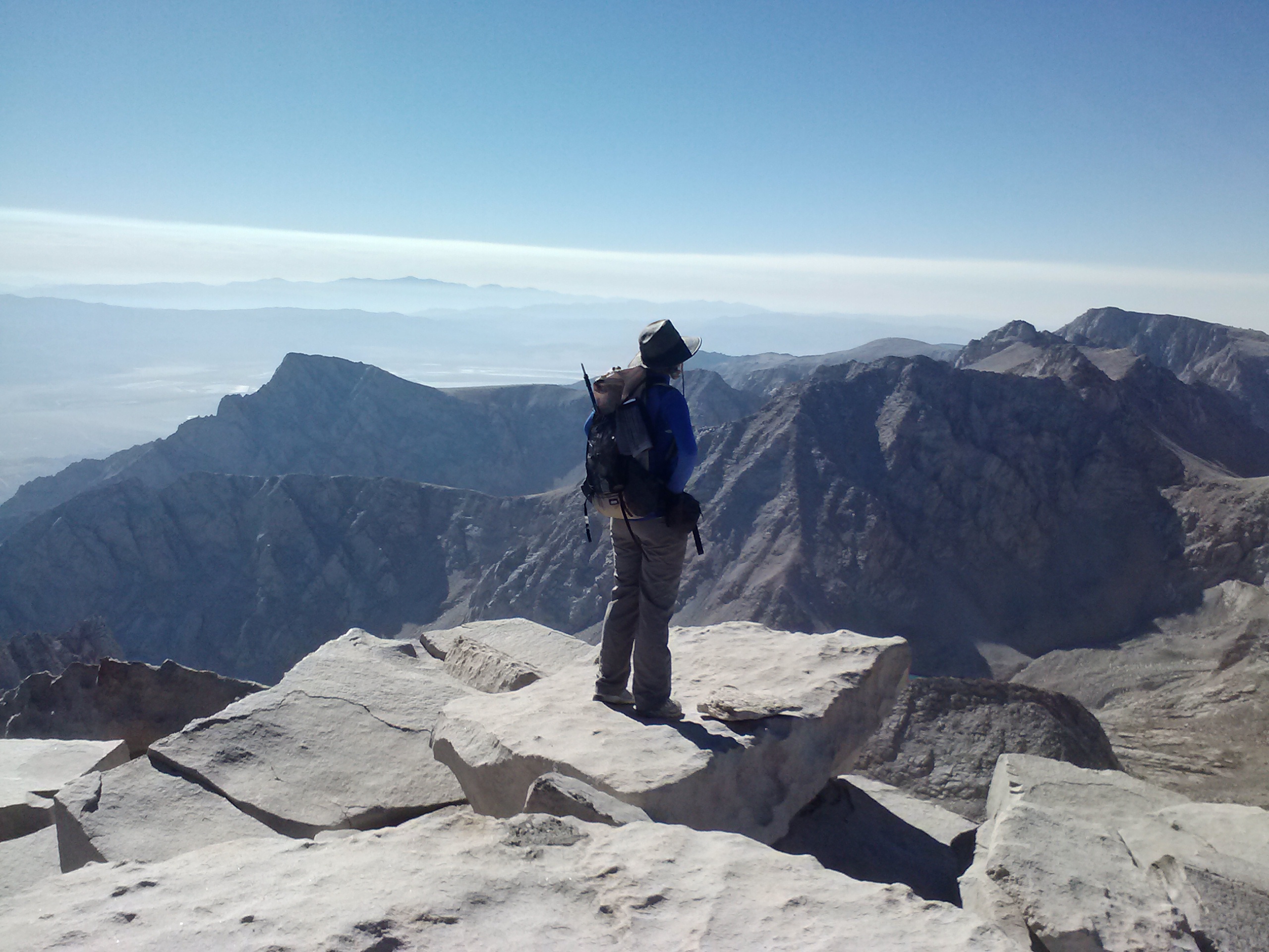
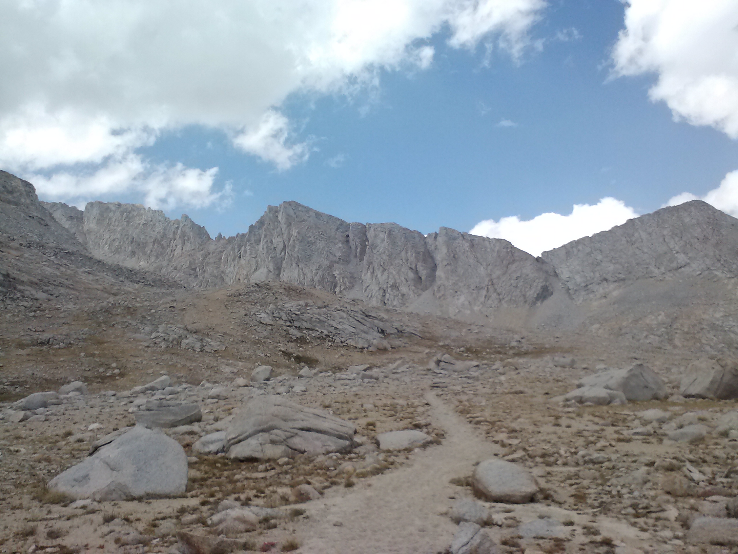
For the rest of the day,I whipped along the trail aiming for Trail Pass Junction. It was at that trail junction six months ago where I stepped onto the PCT for my first section hike after knee surgery. I didn’t expect to get so emotional when I got there, but I was teary – eyed thinking about my reasons for setting PCT hiking as a goal for and how far I’ve come since that first hike. I was unsure of myself, my skills and my body, I was frightened to be alone in the wilderness, and was so naive compared to what I know now.
With excellent physical therapy and training, my ol’ knees have carried me nearly 700 miles on the PCT alone and are about to carry me another 1,400 to Cascade Locks, Oregon. Taking life’s adversities and sufferings and finding a way to turn them into a great success or joy is what makes life so fulfilling. I haven’t faced every adversity in life the way I have this one, but I hope I do from now on.
Trail Pass Junction
I hiked 2.5 miles down to Horseshoe Meadow, not feeling any of the discomfort that comes with backpacking 26 miles in a day. As I approached the trail head, a couple asked me if I’d seen a missing hiker, 78 year old Paul Turner who was overdue to arrive. I racked my brain, but I’d only seen a few hikers between here and Kennedy Meadows and none met his description. I hope he’s okay.
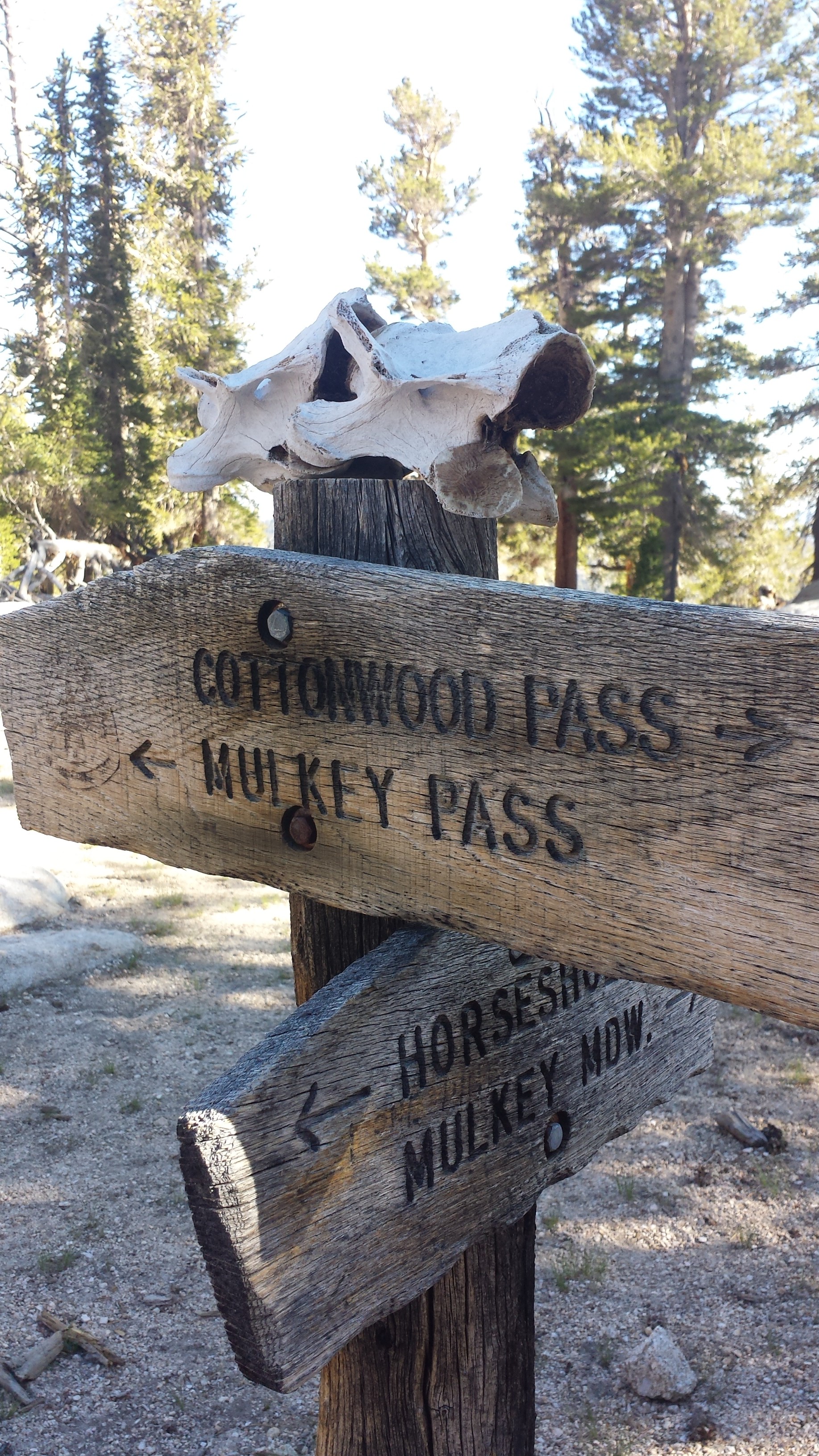
Horseshoe Meadow, view toward Cottonwood Pass
Stumbling into the campground, I met Wisconsin hikers French Toast and Alpine Start getting ready to head back to the trail the next morning. They’re gentle souls and I hope to see them again. I also met the Dunlap family, who’s dad and two grown sons are hiking the PCT to Crater Lake, Oregon. Their names are Papa Bear, Polar Bear, and Grizzly Bear. They decided to hike together after each of them had brushes with death over the recent past. They’re goal on the trail is to celebrate life and being together. I think that’s awesome. You can check out their Facebook page called Trekkin-3D. Their Mama Bear, Melanie angels them along the way and offered me a ride to Lone Pine in the morning. Yay! The Bear family shared their campfire with French Toast, Alpine Start, and me tonight. It was hard to go back to my cold tent!
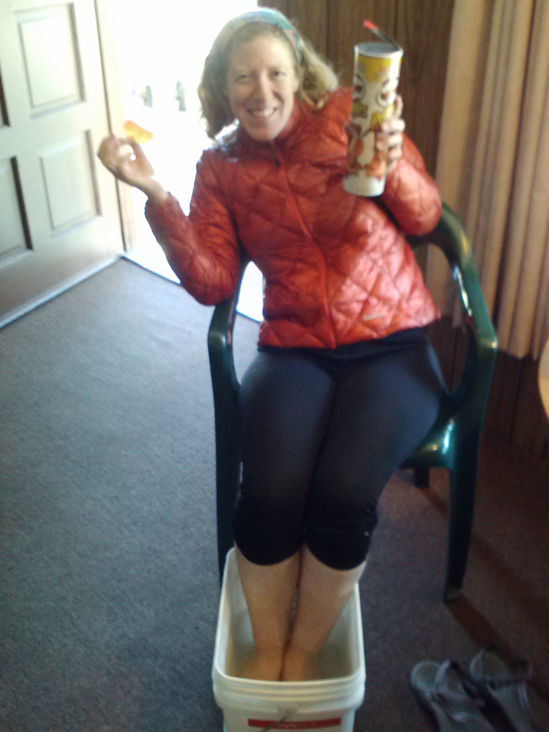
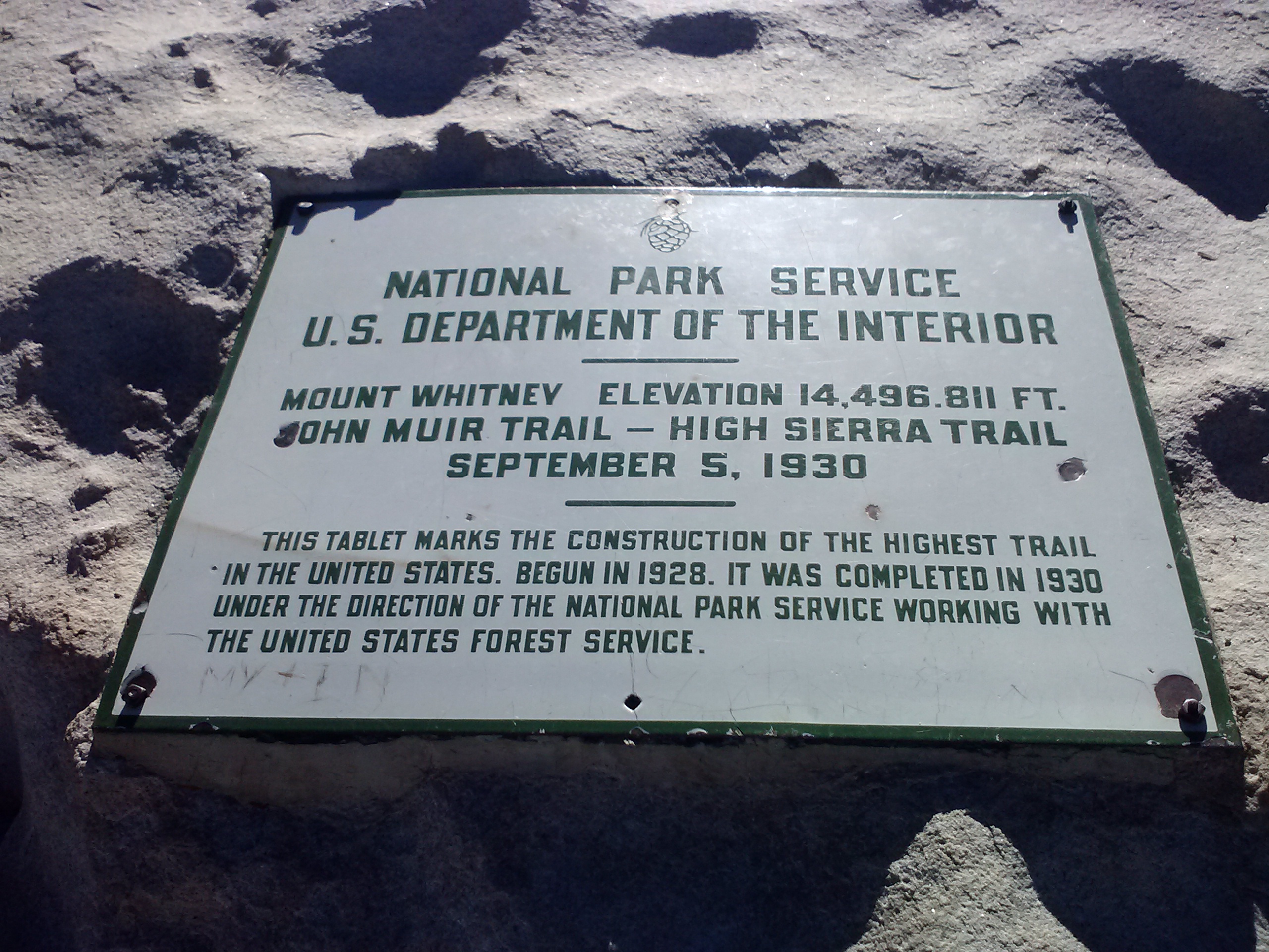
June 1st – 3rd, 2014- Whitney Portal Hostel
Mama Bear Melanie brought us hikers fresh apples and grapes for breakfast. Yum! She drove me down to town, chatting with me the whole way about her family and asking me about how I hike as a woman. I felt honored that she’d ask me for so much advice.
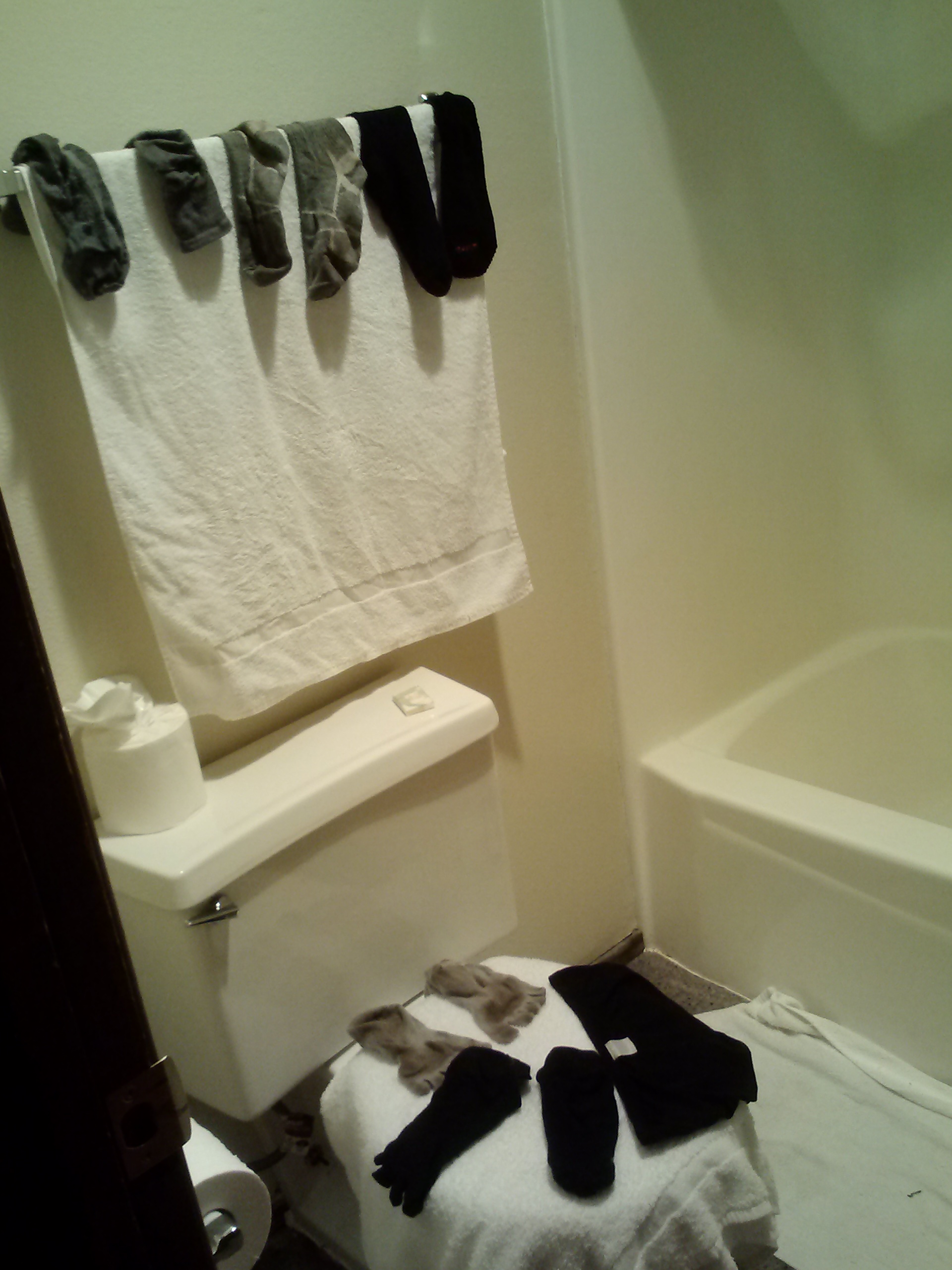
I checked into the Whitney Portal Hostel and picked up my resupply boxes which Jonathan had mailed to me. This hostel has great service and rooms. I enjoyed a shower and, after lounging for several hours while videos uploaded to Vimeo, I washed my clothes at the laundromat. I had to wear my rain gear since everything else was in the washer.
Whitney Portal Hostel, Lone Pine
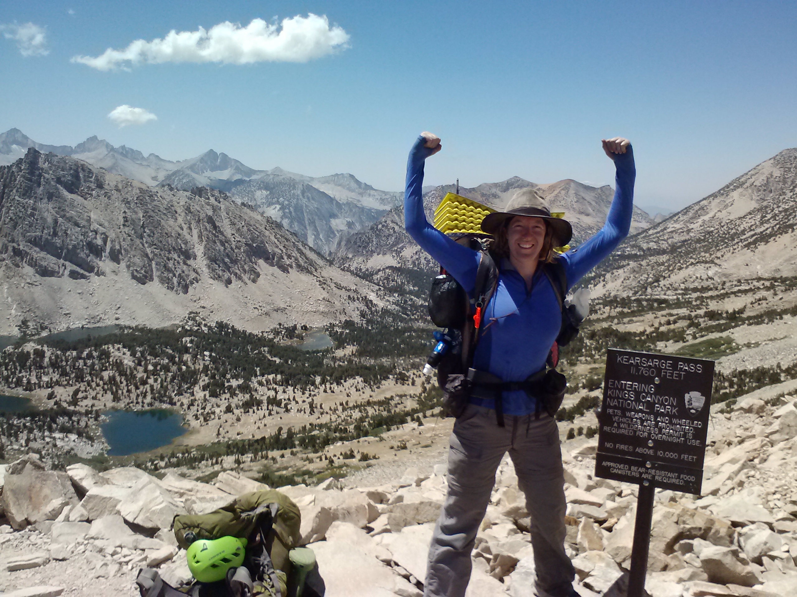
I’ll stay here a couple nights to catch up on sleep and then jump back on the PCT via Onion Valley.
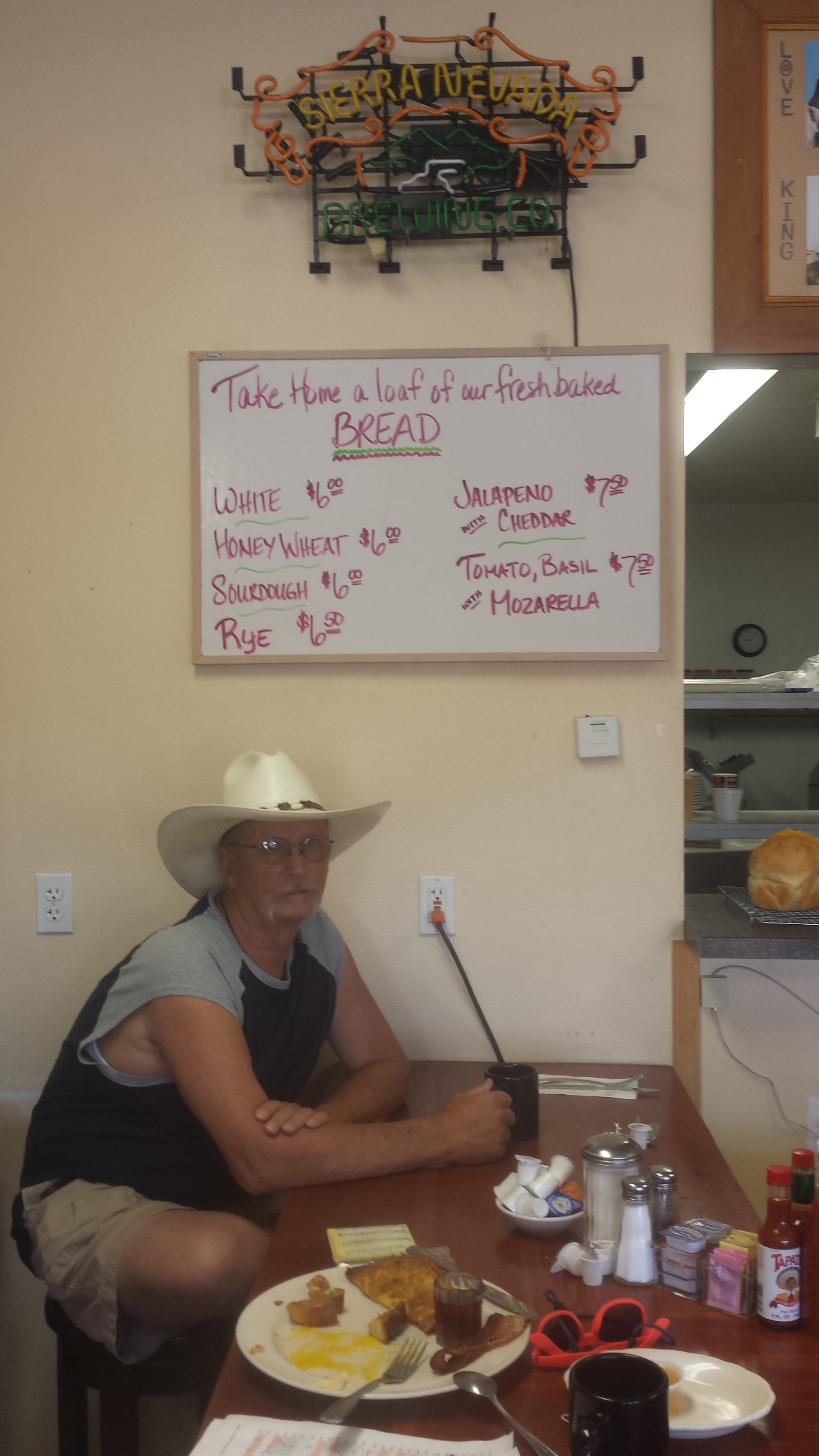
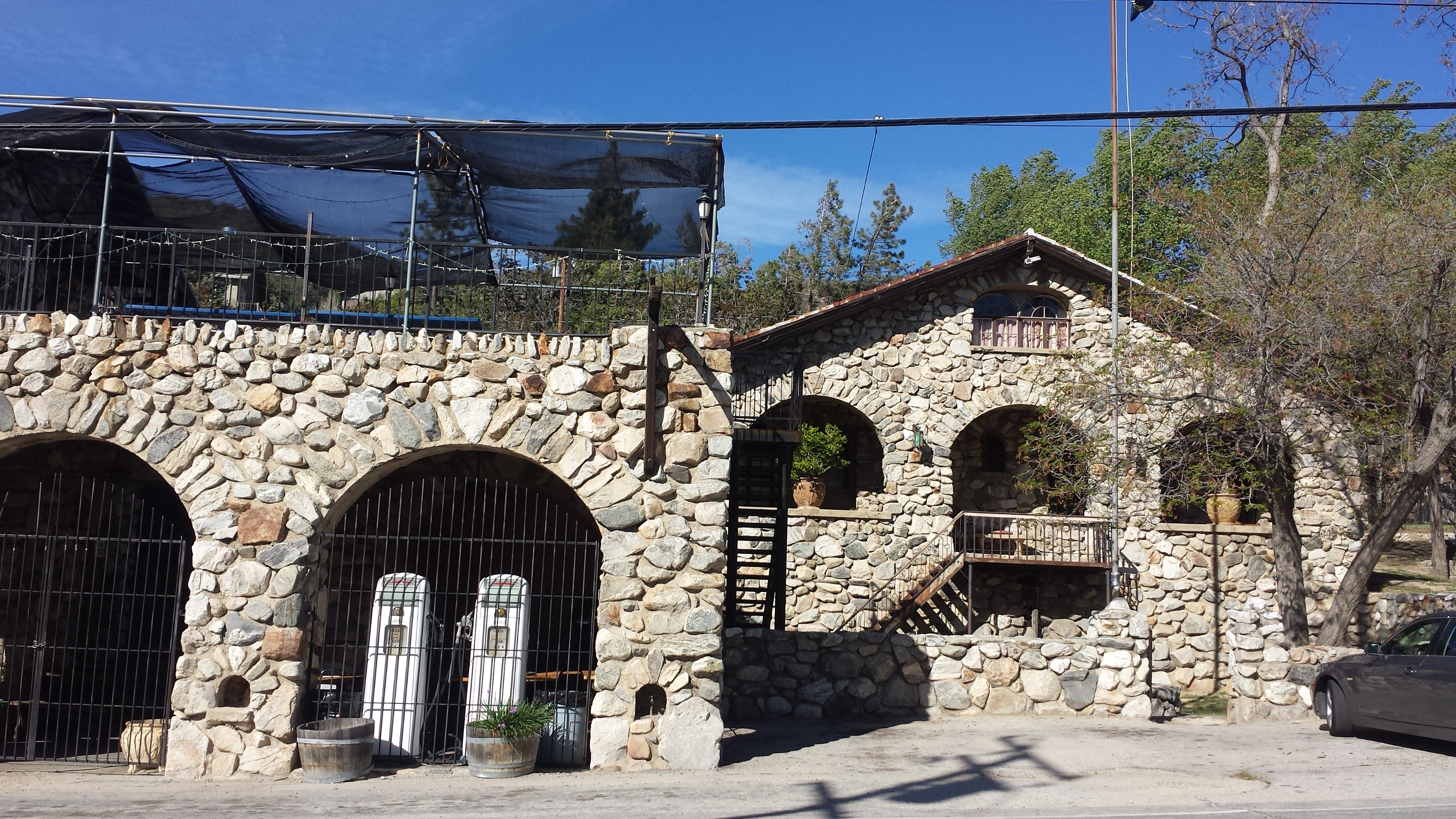
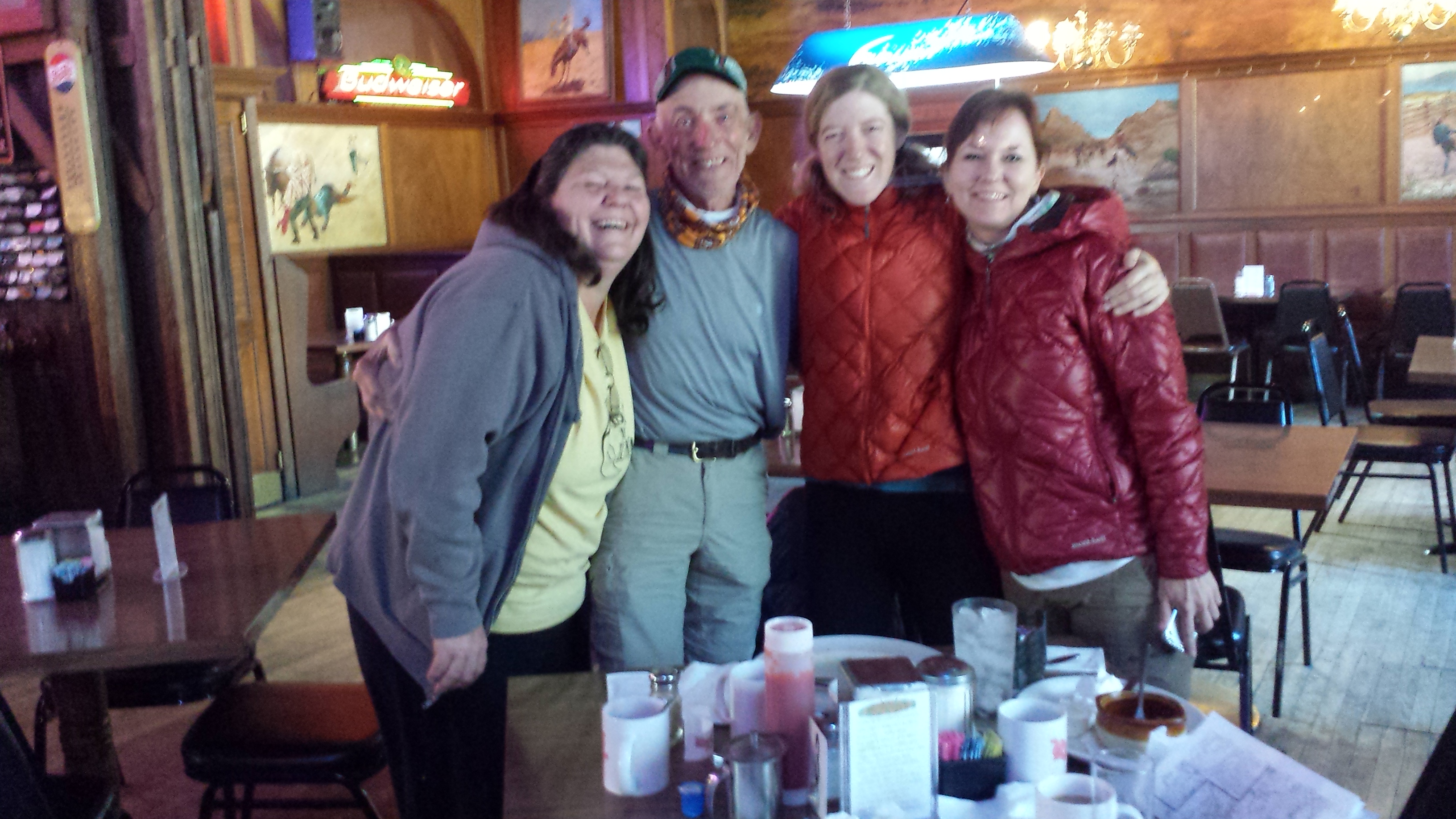
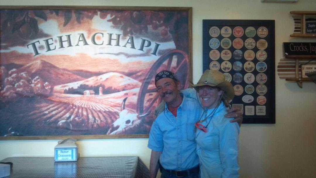
Breakfast with the owner of the Alabama Hills Cafe, Lone Pine
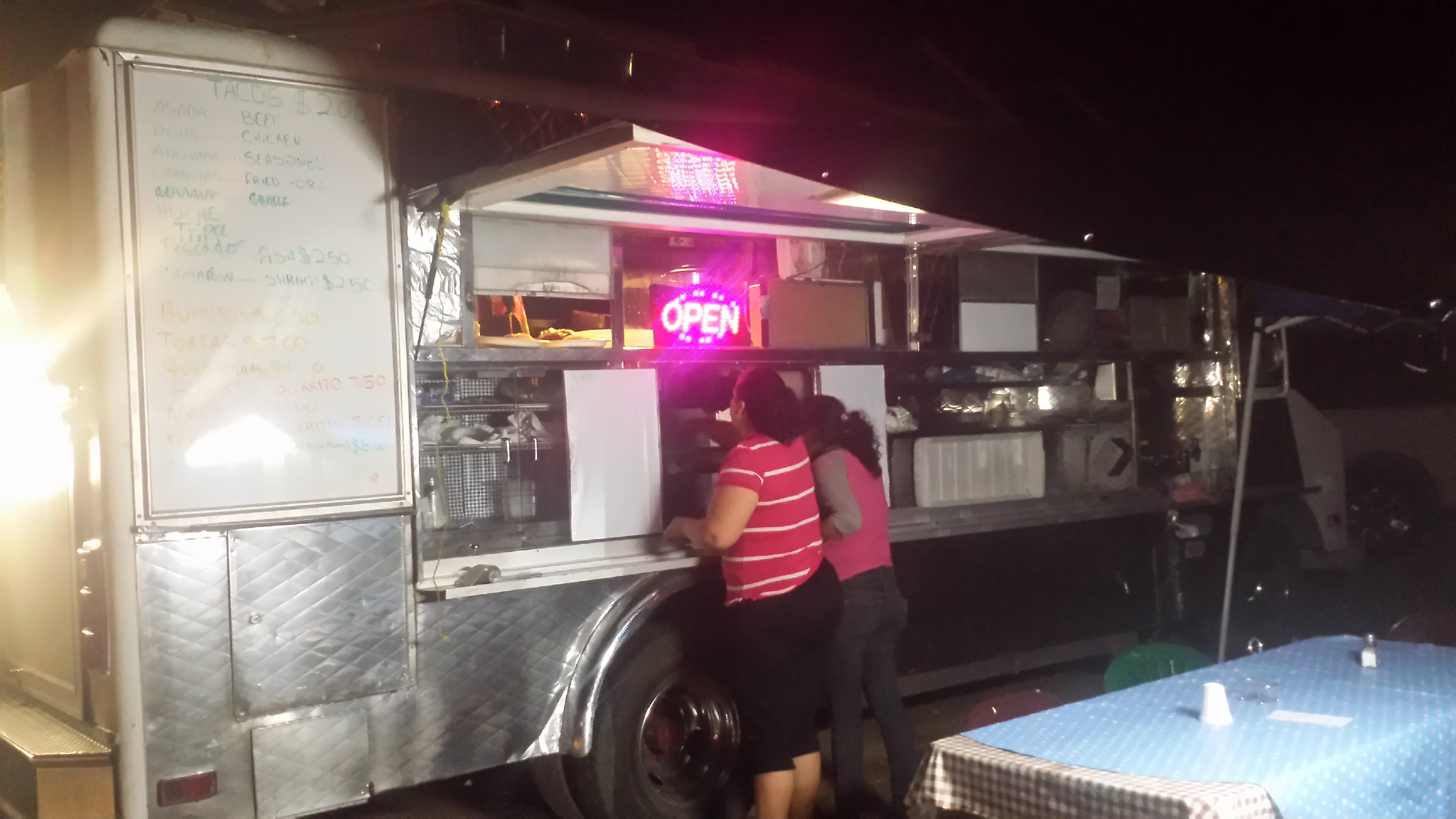
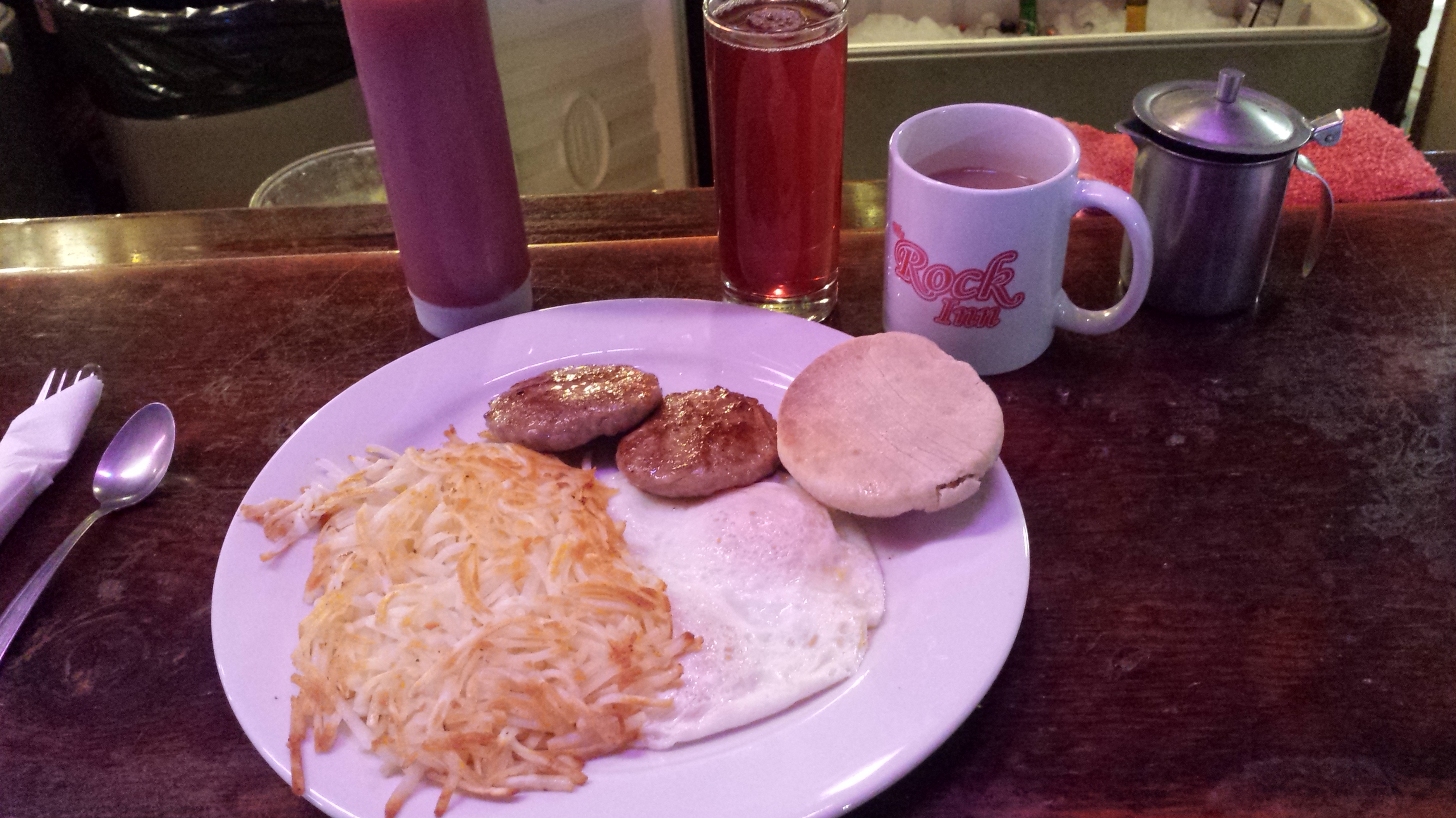
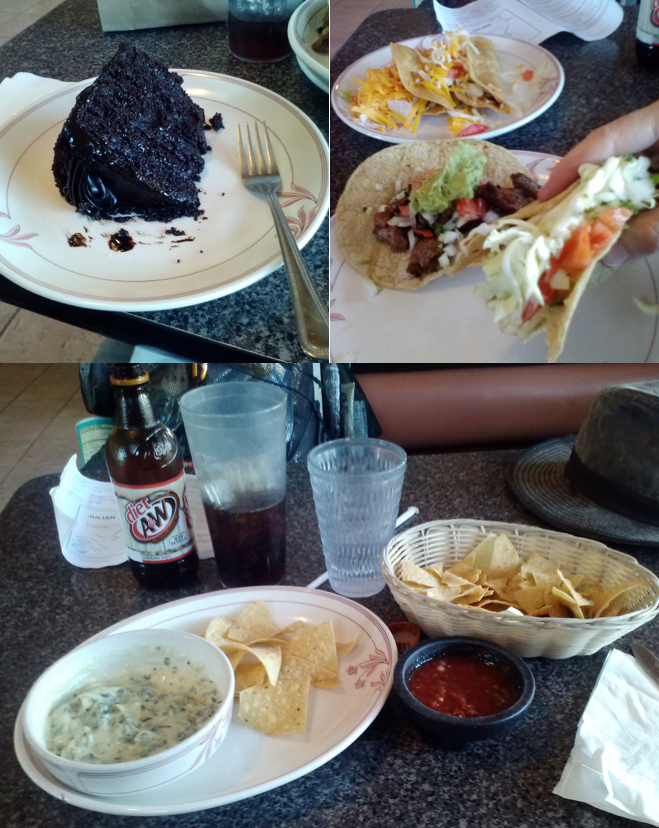
Best late night tacos in Lone Pine, on Willow Street
Links
Installment No. 10- Lone Pine to Reds Meadows
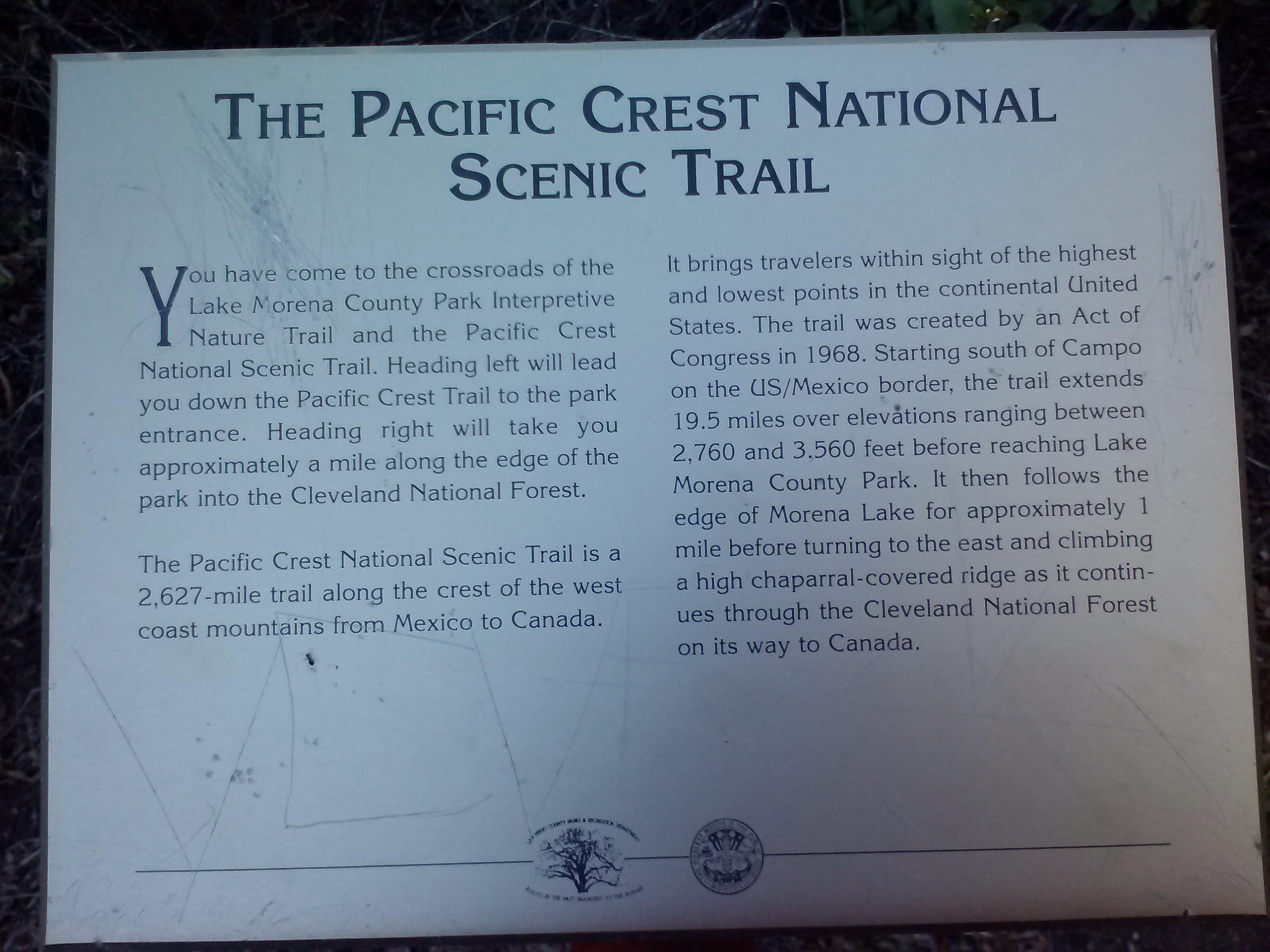
Water Quality in the Sierra Nevada Mountains