loading map - please wait...
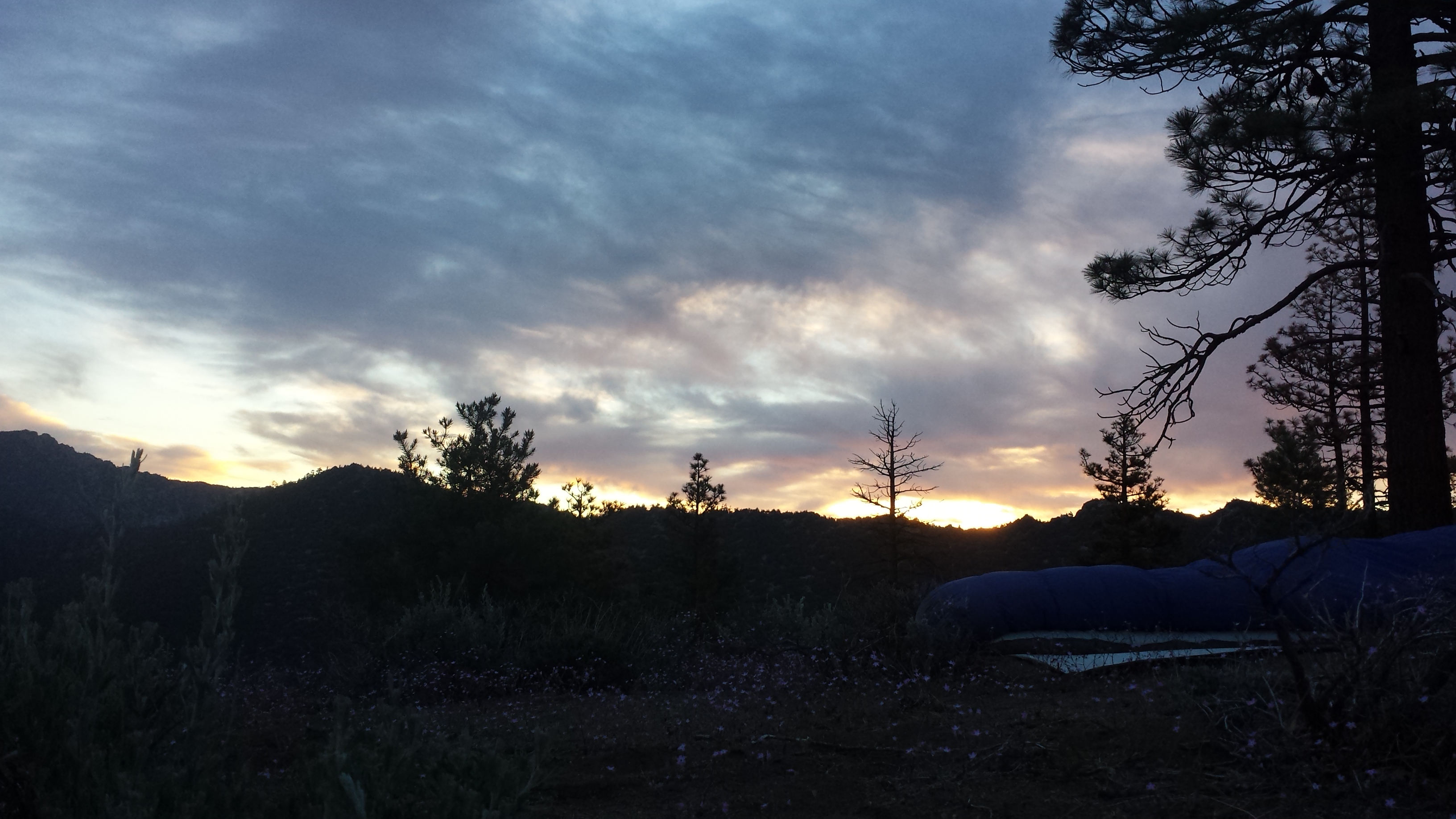
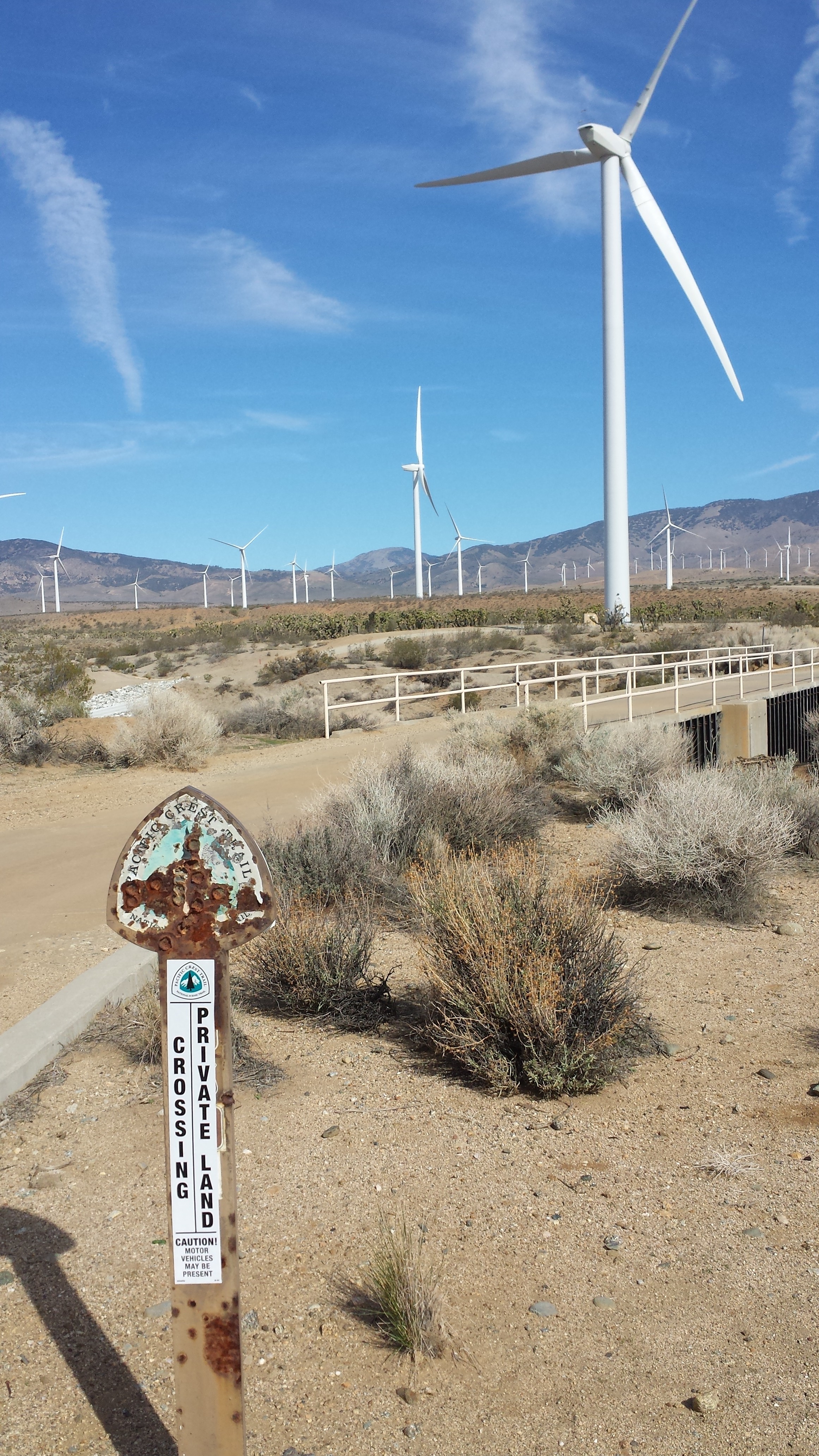
July 15- 12 miles, camping at Big Lake Youth Camp
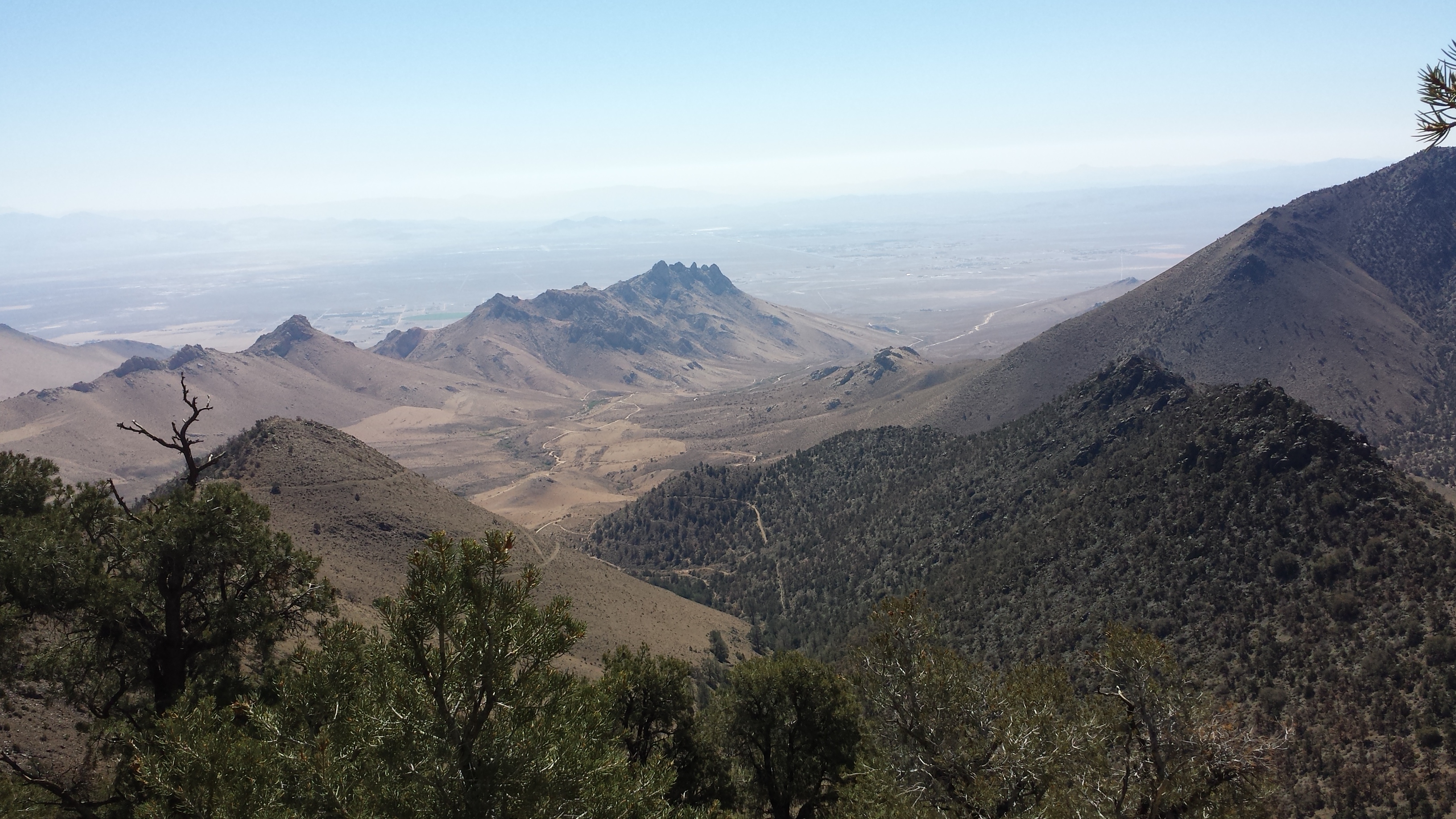
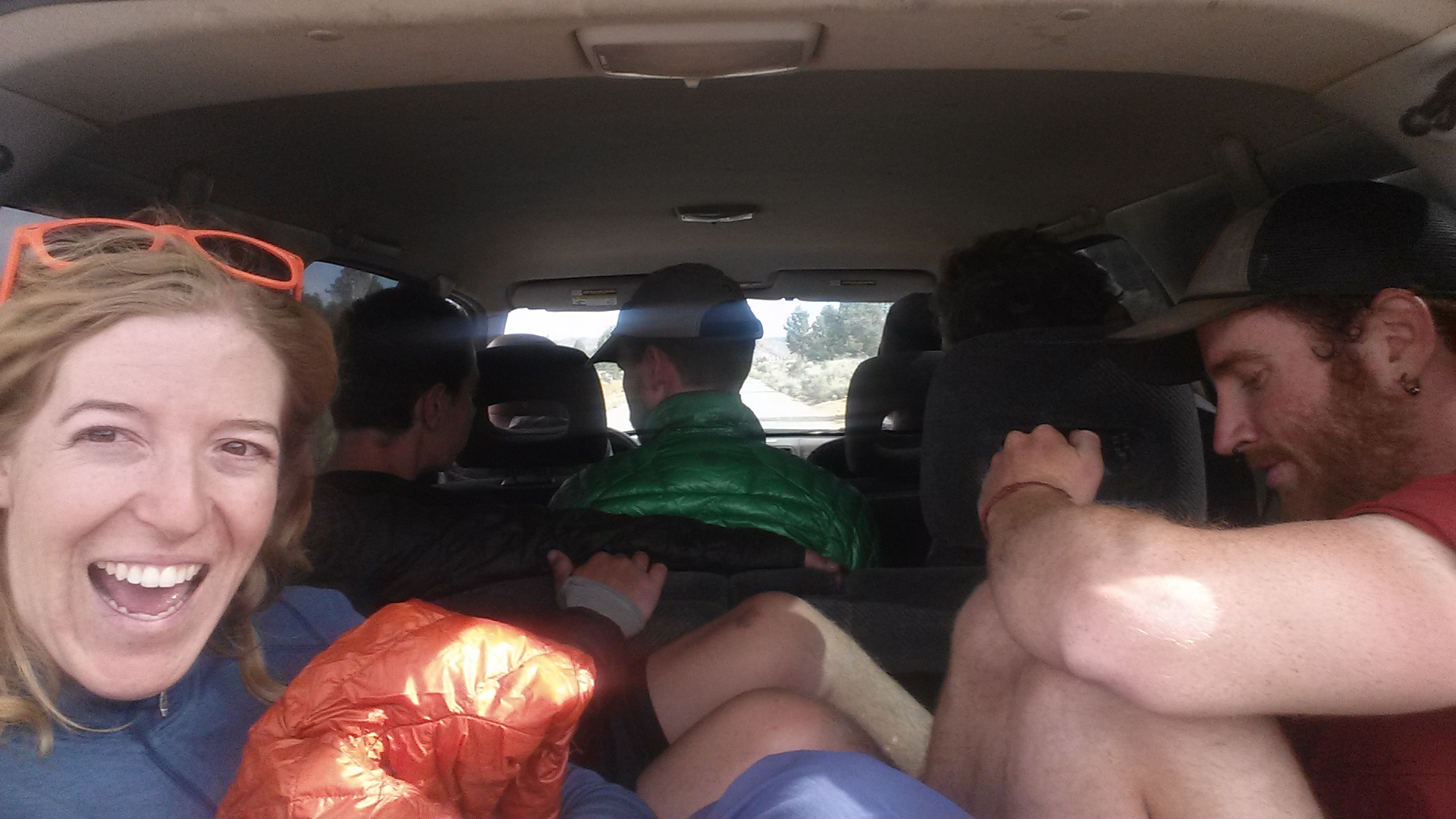
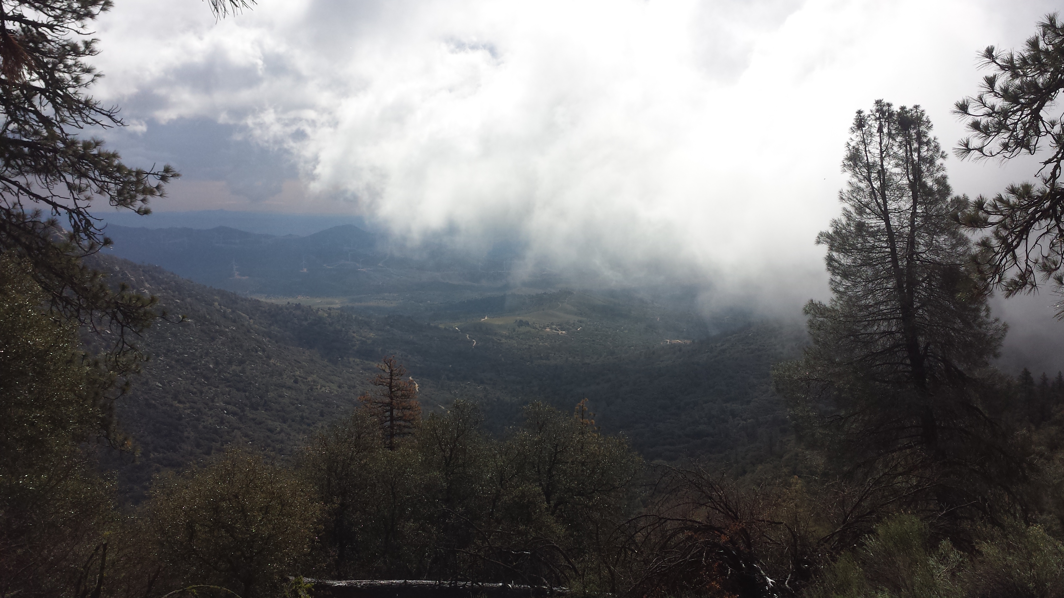
After a morning at the Sister’s Public Library and the local pizzaria, I hitched a ride out of town with two retired couples on their way to visit the lava field at McKenzie Pass. The forest service built an observation deck, called the Dee Wright Observatory, using the local lava rock, so it looks like an evil fortress of Mordor. From the observatory, I could see all the way from Middle Sister to Mount Jefferson.

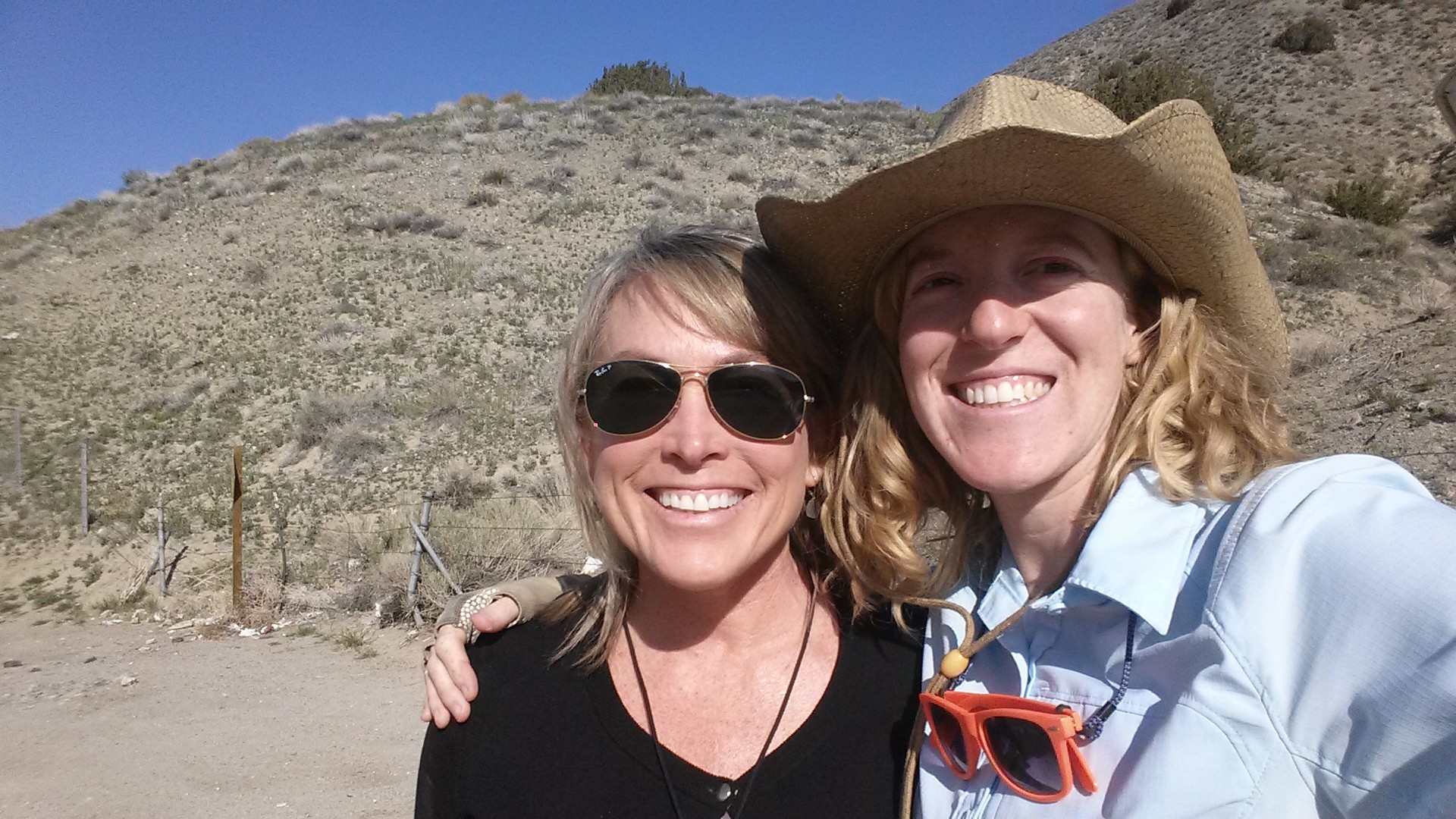
My drivers atop the Dee Wright Observatory
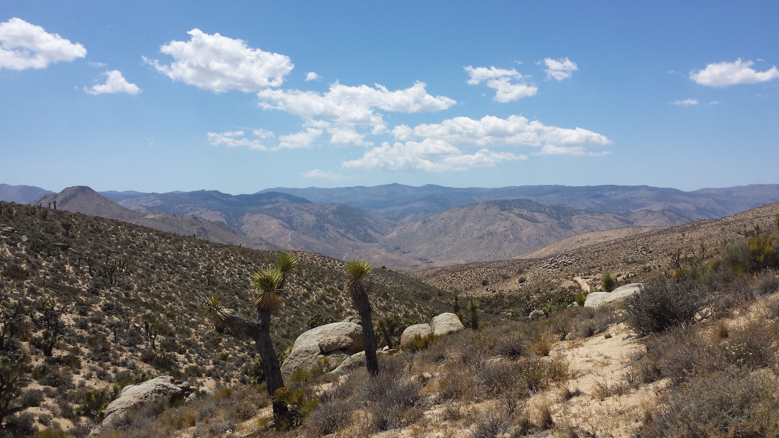
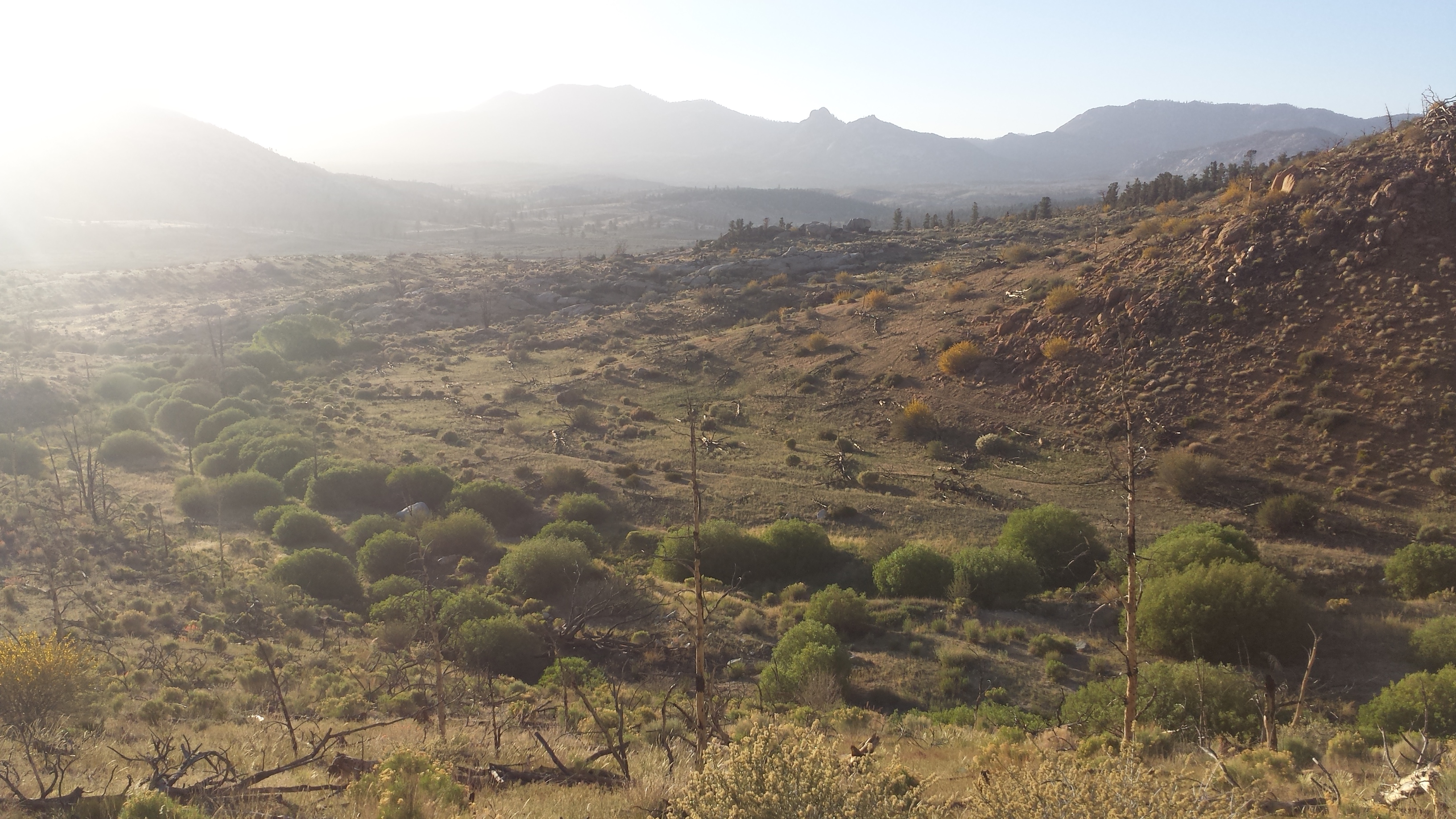
The lava field around McKenzie Pass is the result of multiple lava flows from various sources during the last 3,000 years. The large lava rocks that make this place so formidable were created when surface flows cooled and hardened while hotter lava contined to flow underneath, cracking the harder surface lava, sort of like ice cracking on the surface of a river. The pass was once an old pioneer wagon road- I can’t even imagine how difficult it would have been getting across these rocks with a wagon and oxen, but it was supposedly easier than the route going over North Sister.

Looking north toward Mt. Washington

Looking south toward North & Middle Sisters
My Billi Bandana has finally fallen apart and since the rainy days have passed and the sun is shining, I needed to pick up a new visor. Sisters had a touristy little shop with $2 visors, but they were all ridiculous- the only thing to do was pick out the MOST ridiculous one I could find. It was a tie between a blue Hawaiian theme or gold glitter. I also packed out a bag of four very greasy donuts- I had to pack my trekking poles in my bag because I couldn’t hold them and my precious donuts at the same time.

New aloha visor and packed out donuts
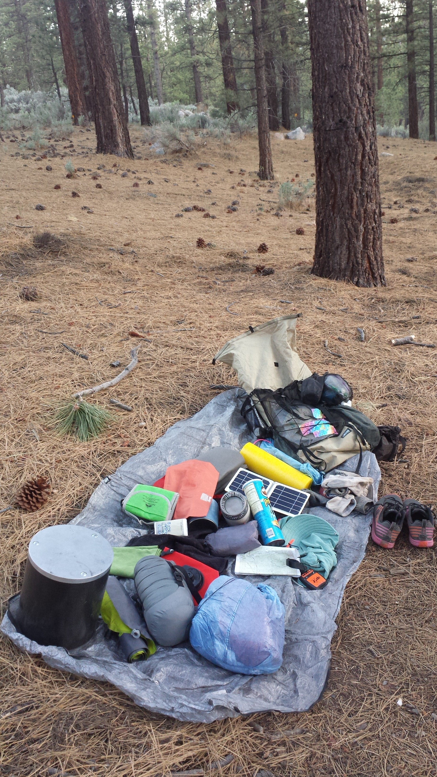
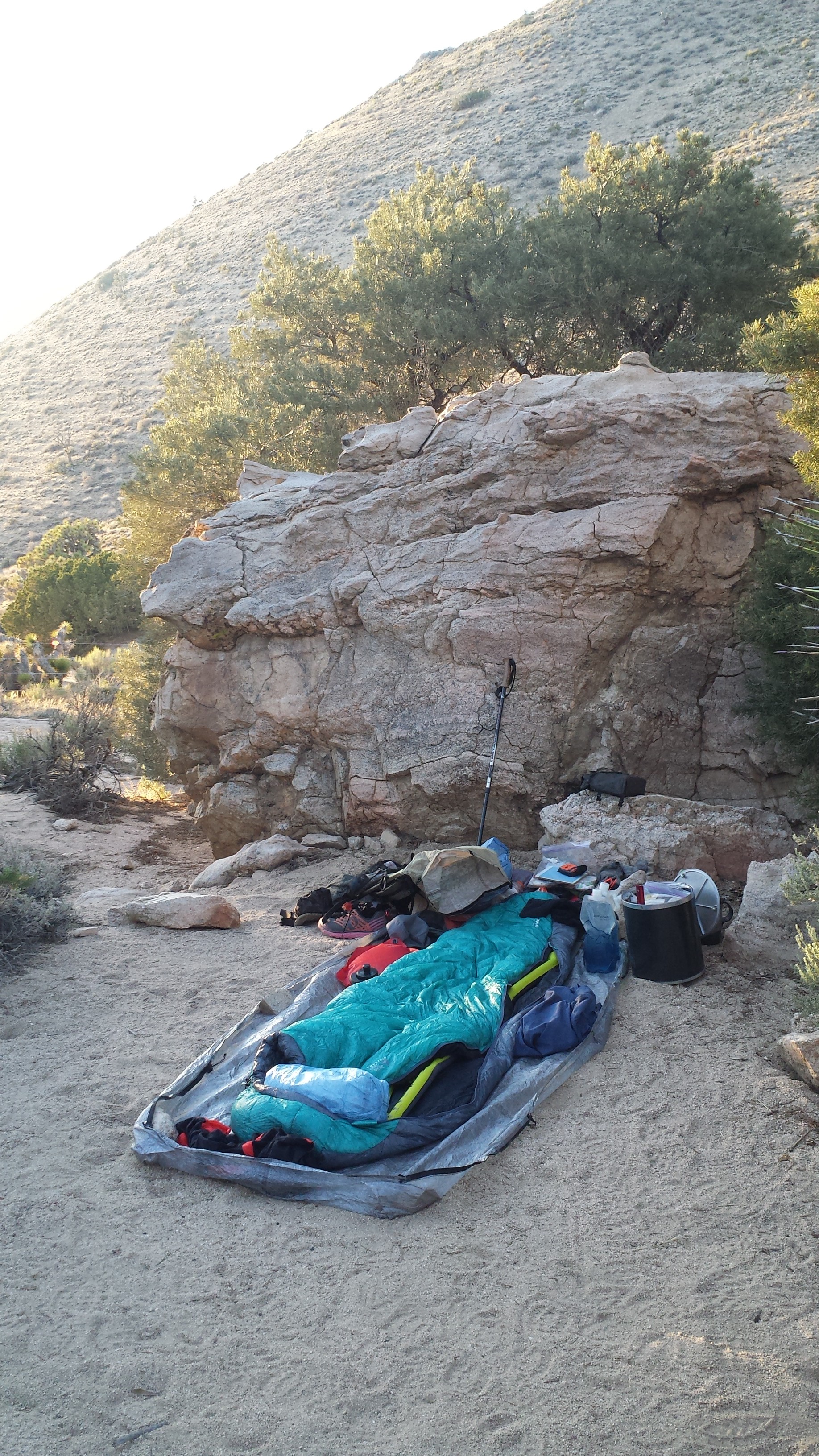
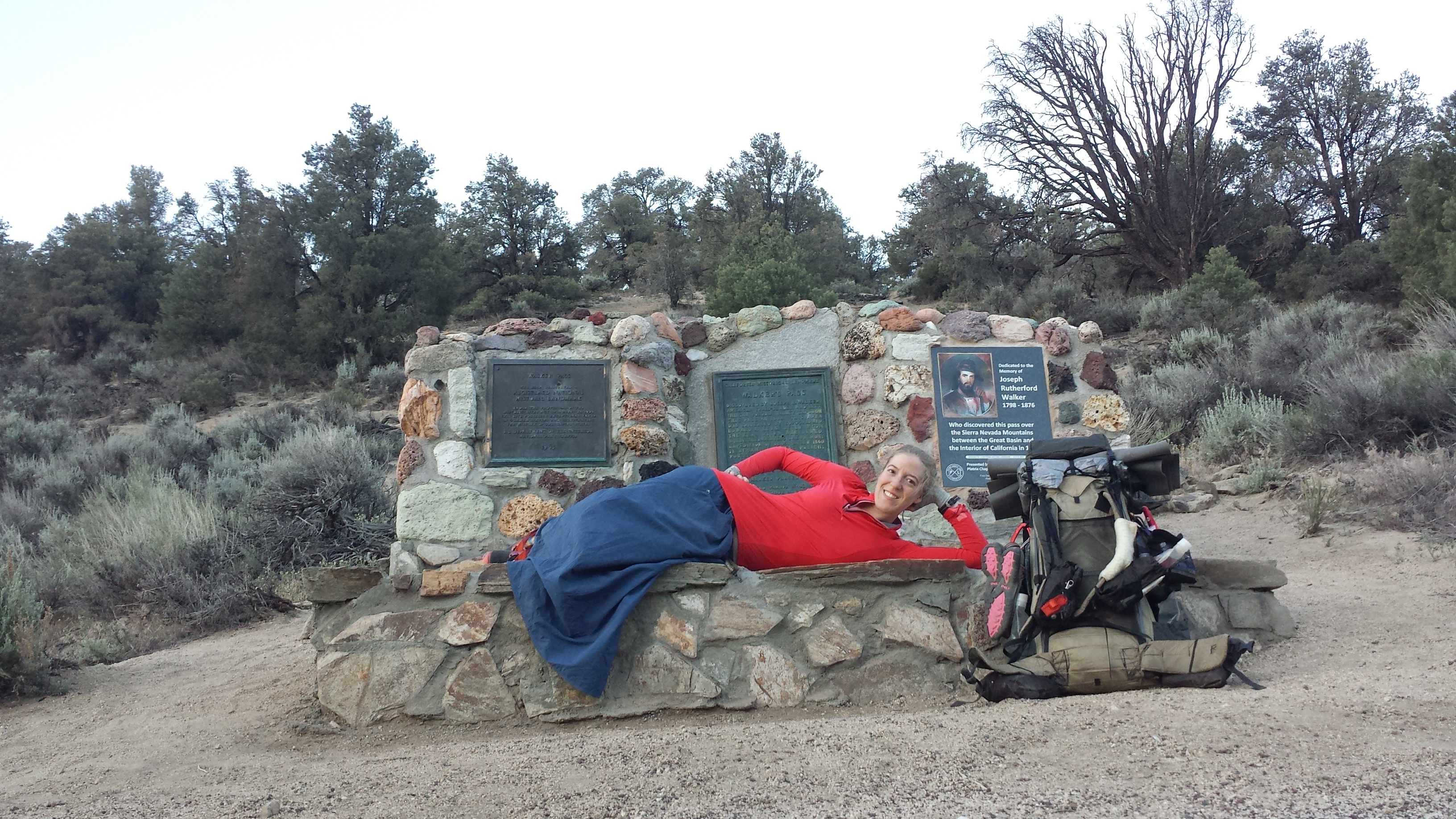
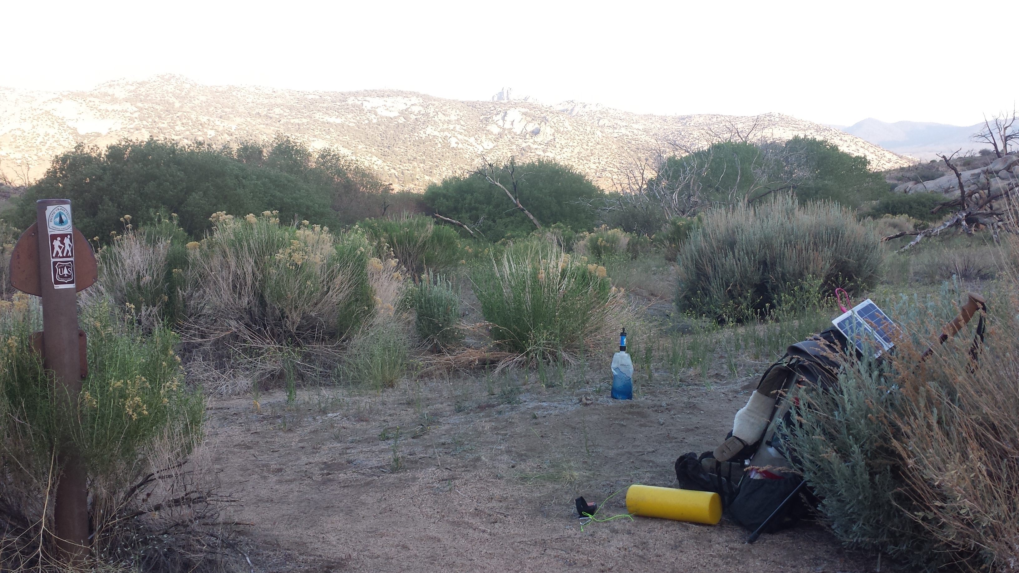
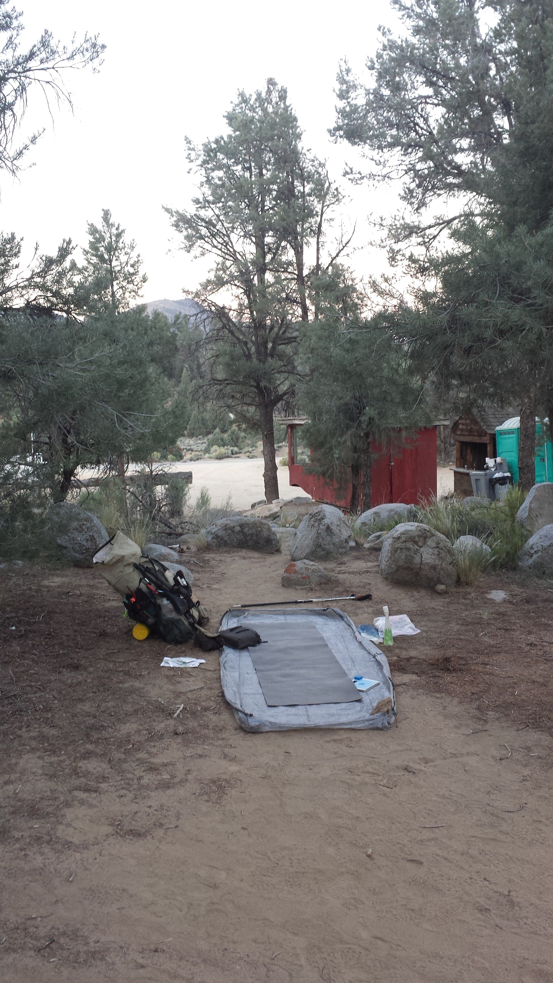
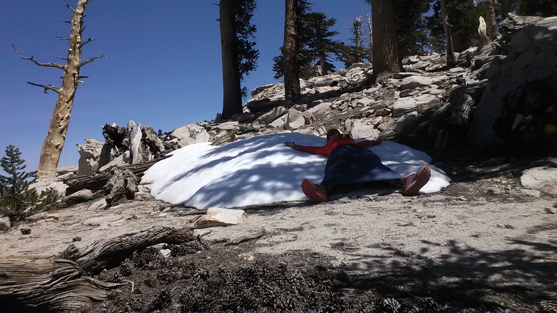
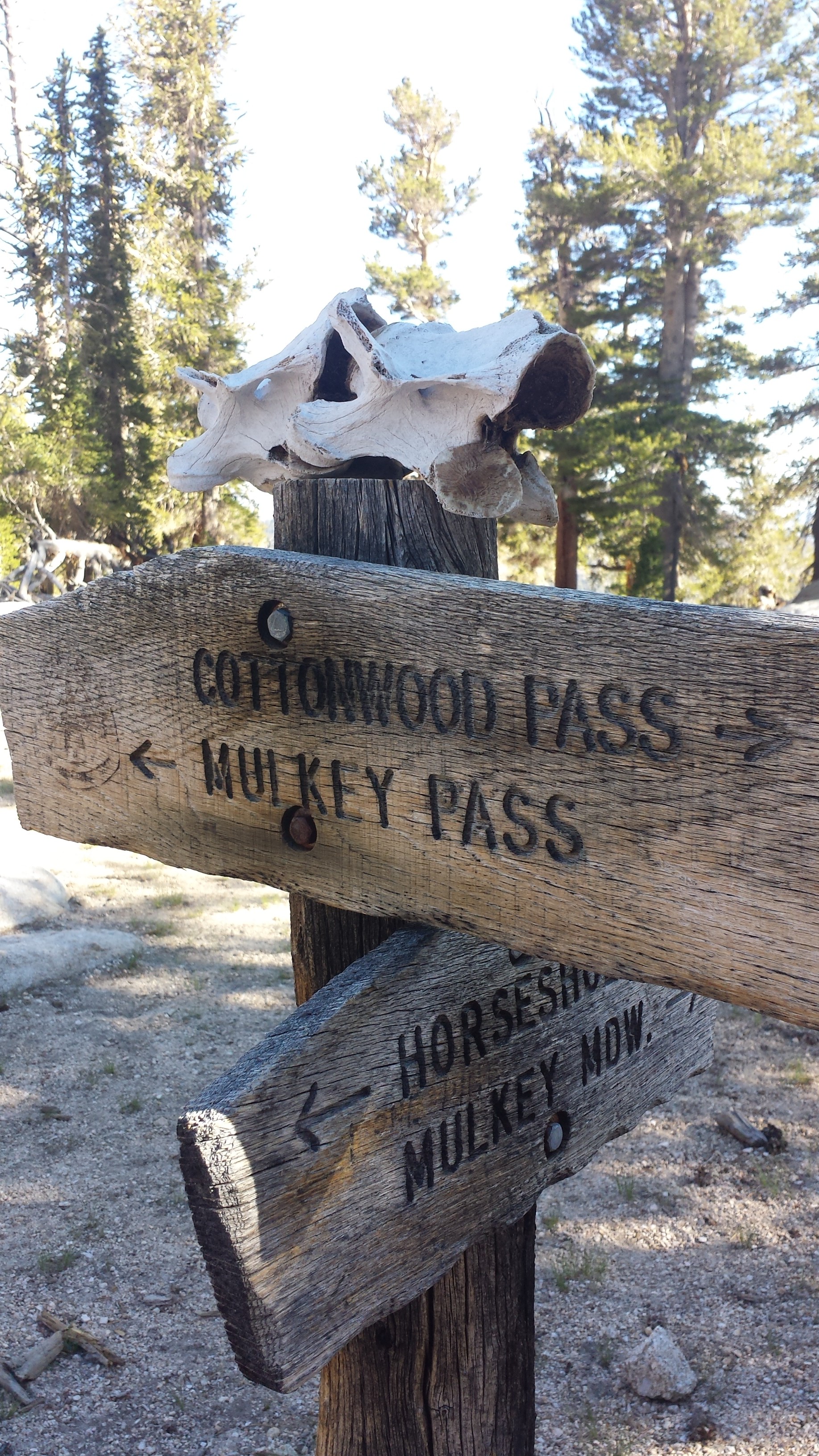
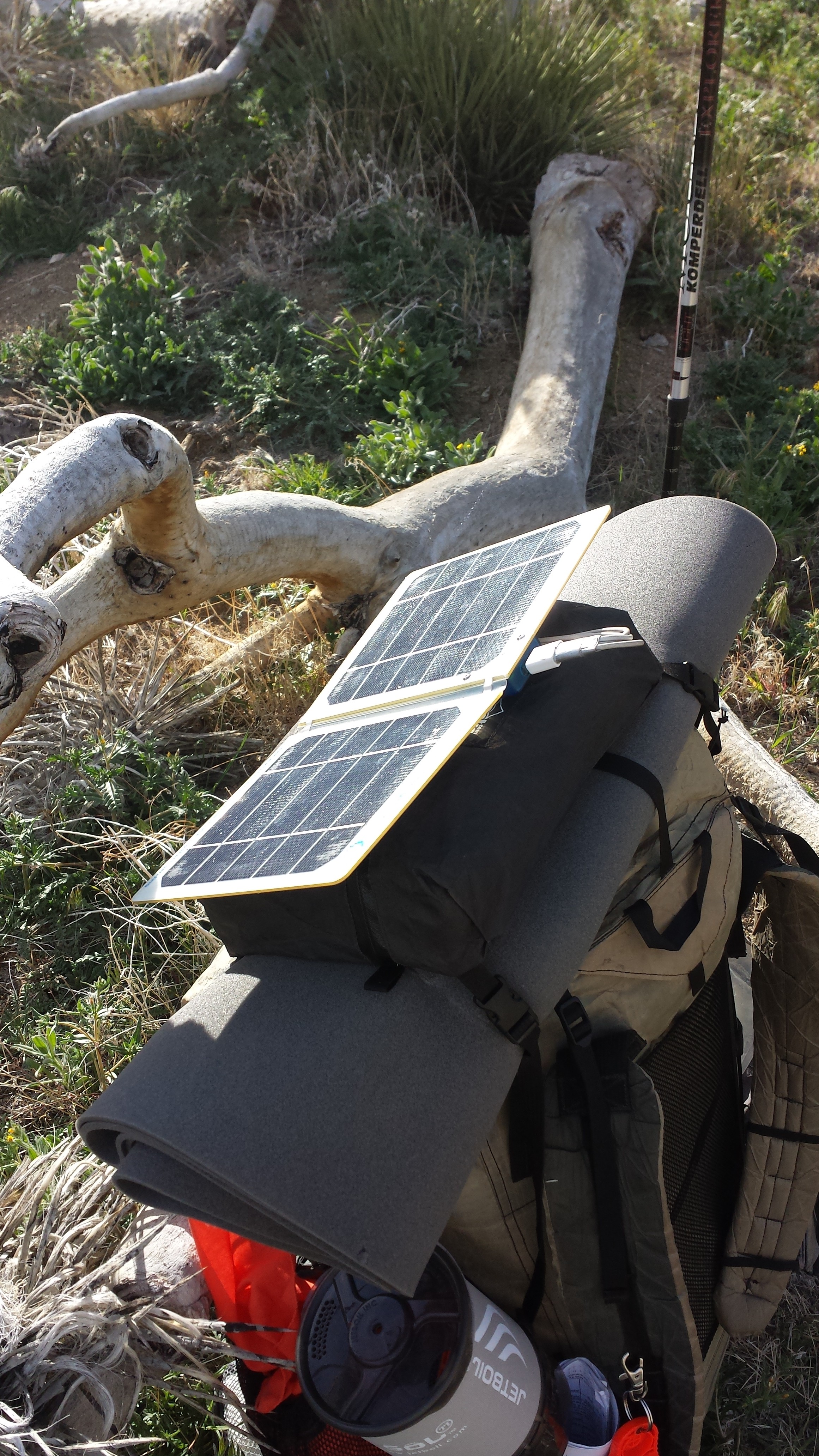
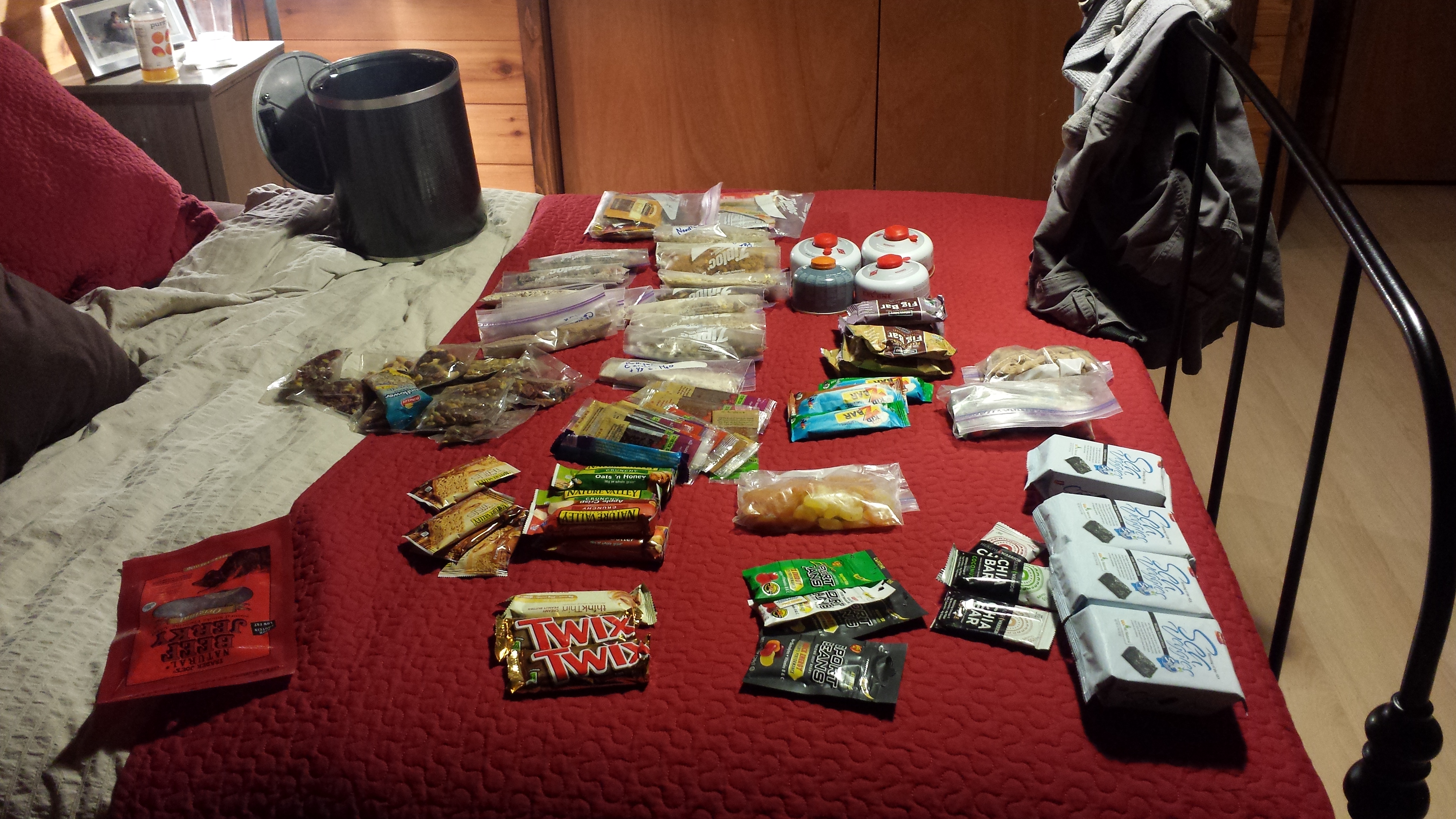
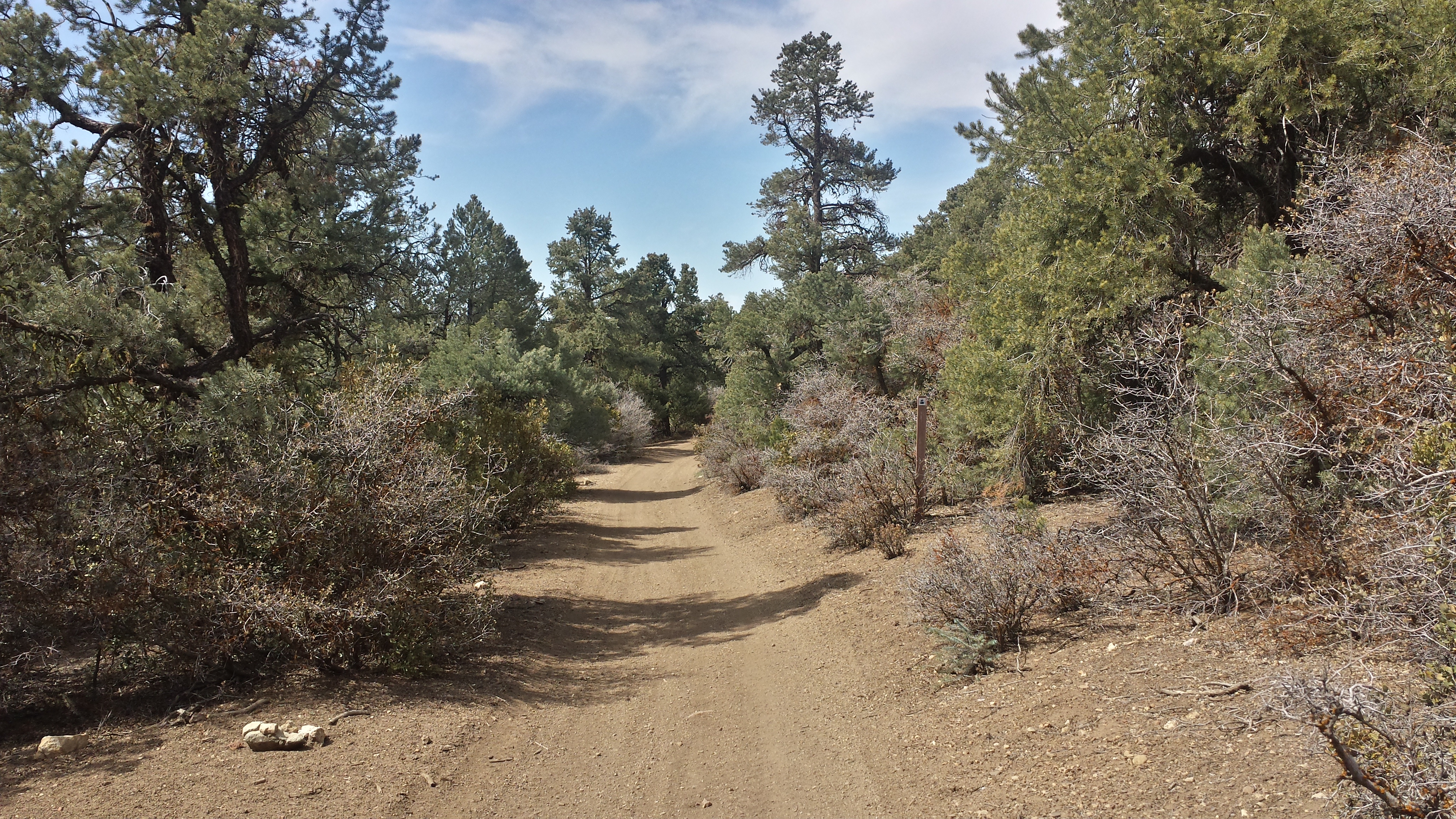
The twelve mile hike across the lava field and through burned, sandy forest was exhausting. I made it to the Seventh Day Adventist Big Lake Youth Camp just in time to see all the campers filing down for campfire singing. I made myself scarce and hung out in the hiker hut until 11pm sorting my resupply box and and cringing at the prospect of carrying five days worth of food. To save weight, I ended up dumping my guide book pages for Sections F and G and meticulously weighed bars and meals to see which ones I should leave behind in the hiker box. Since hikers aren’t technically allowed to camp on the property, I’m camping down by the lake with another hiker, Jelly Dog, who I met near Elk Lake. We both seem to be night owls, a rarity among hikers.

Sorting my resupply box at Big Lake Youth Camp
July 16- 16 miles, camping near Koko Lake
Blue Moon, Scarecrow, and Chuck Wagon showed up this morning hoping to grab breakfast at the camp’s cafeteria, but they missed it, so they’re going to wait until lunch. The camp doesn’t charge hikers anything for holding packages or showers or even meals. They only ask for a donation, which I feel is pretty amazing.

Blue Moon at Big Lake Youth Camp

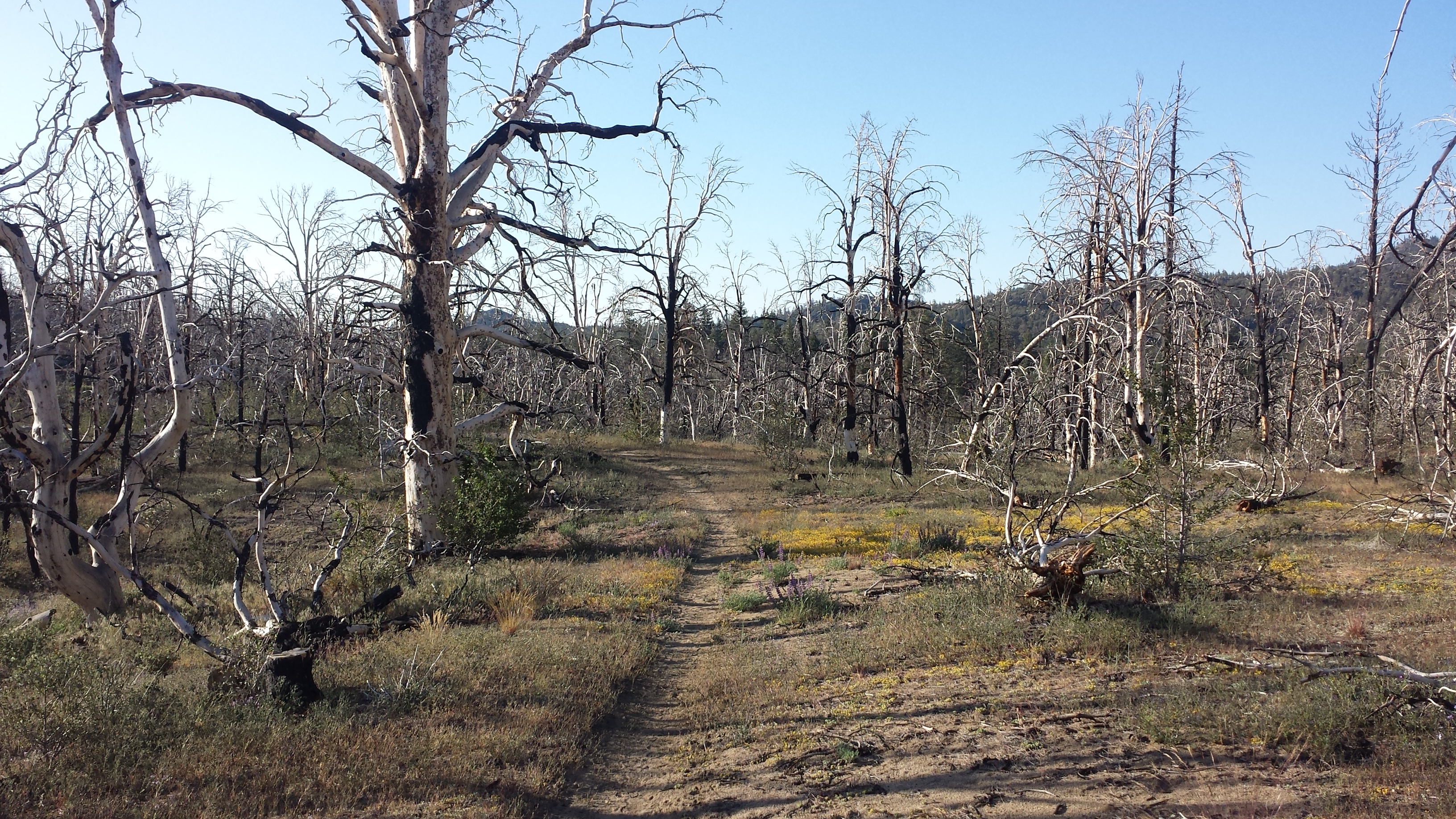
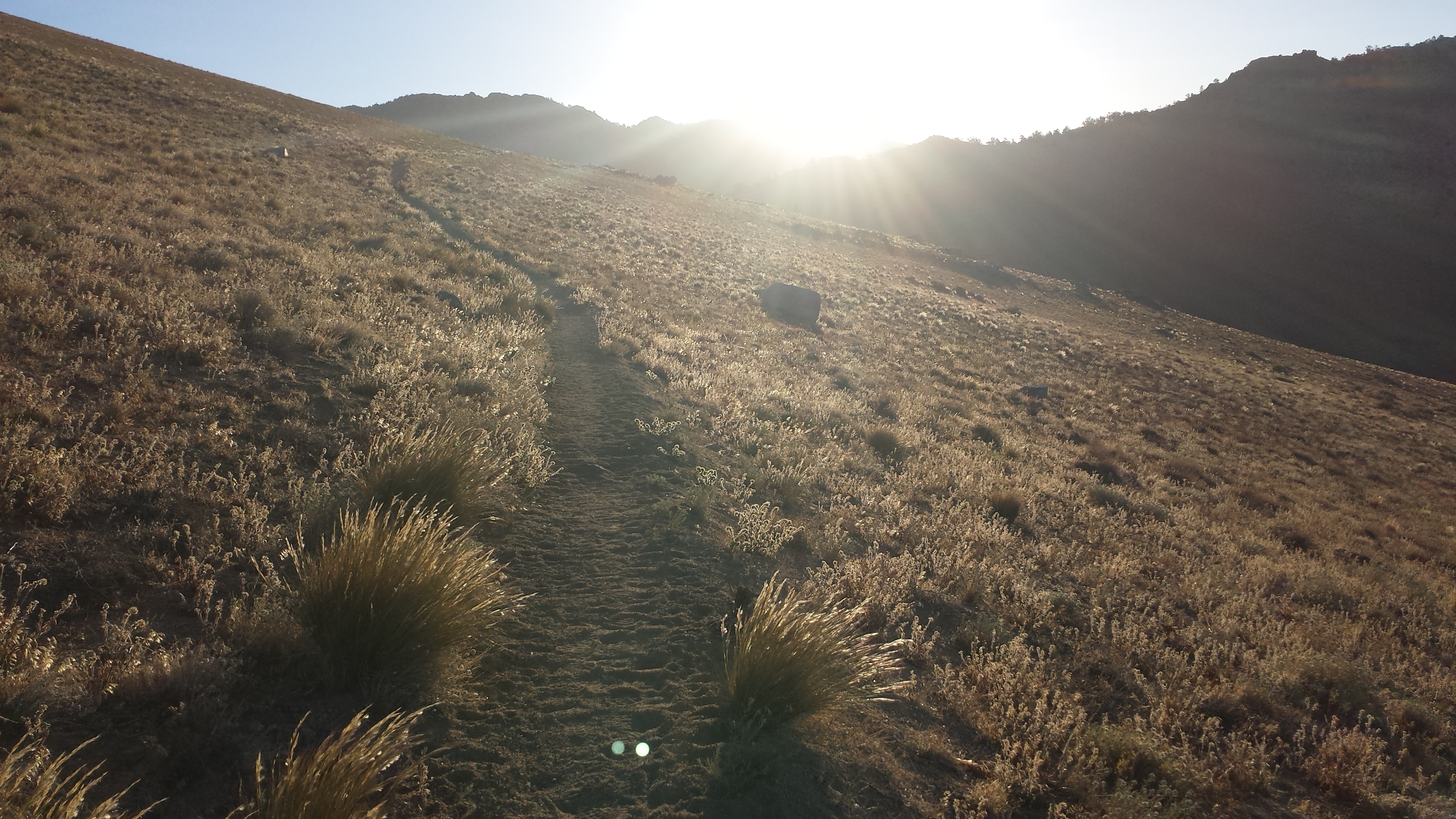
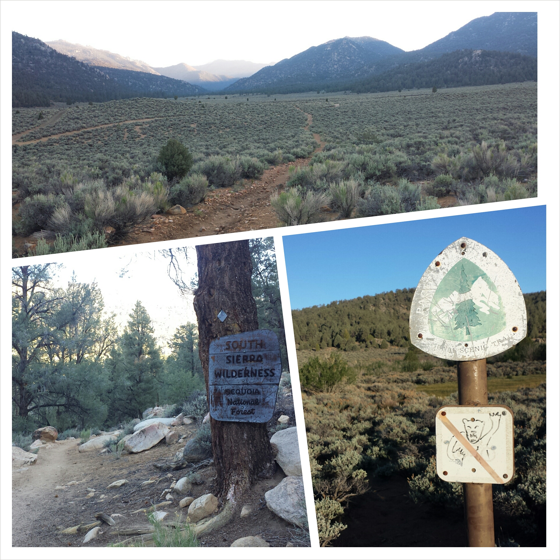
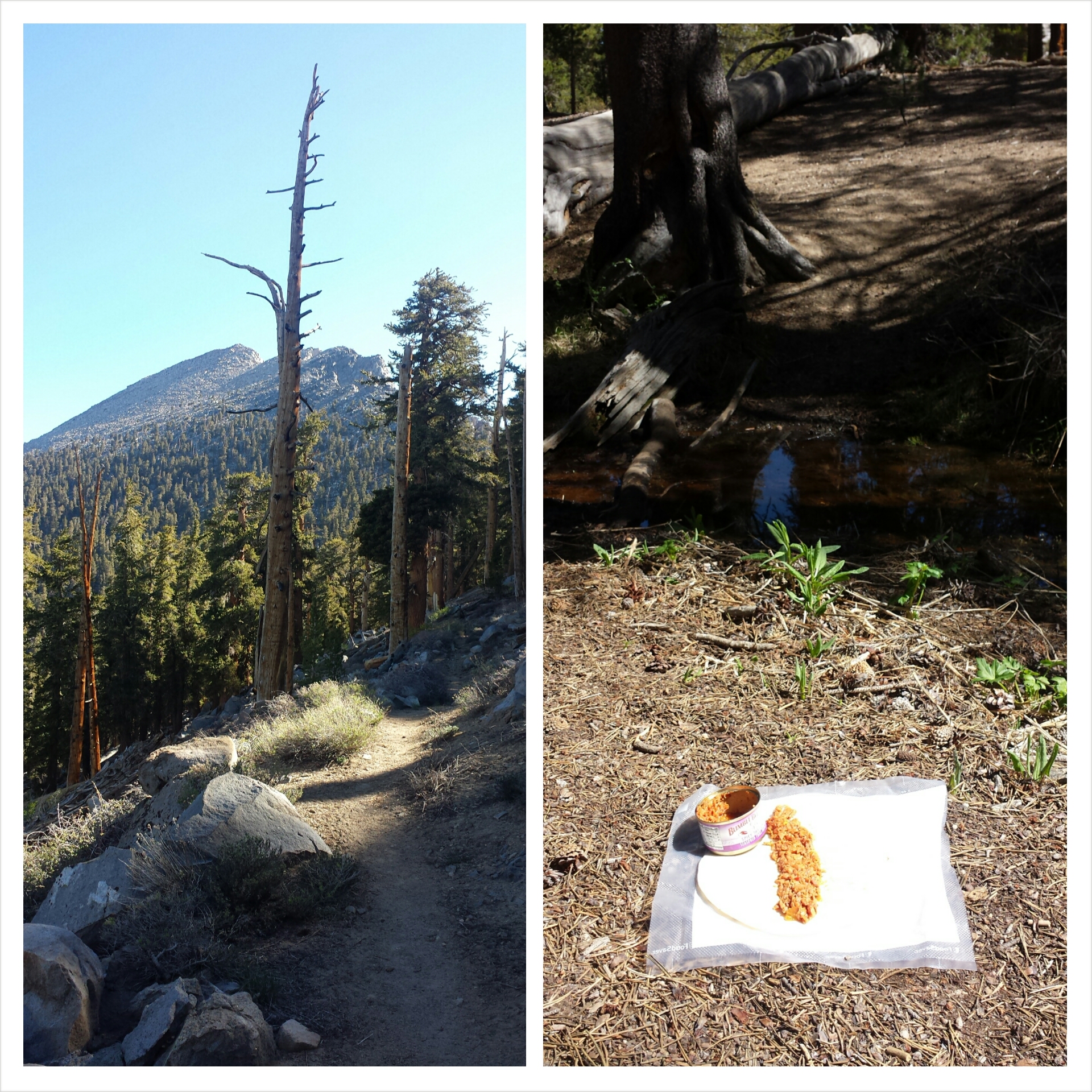
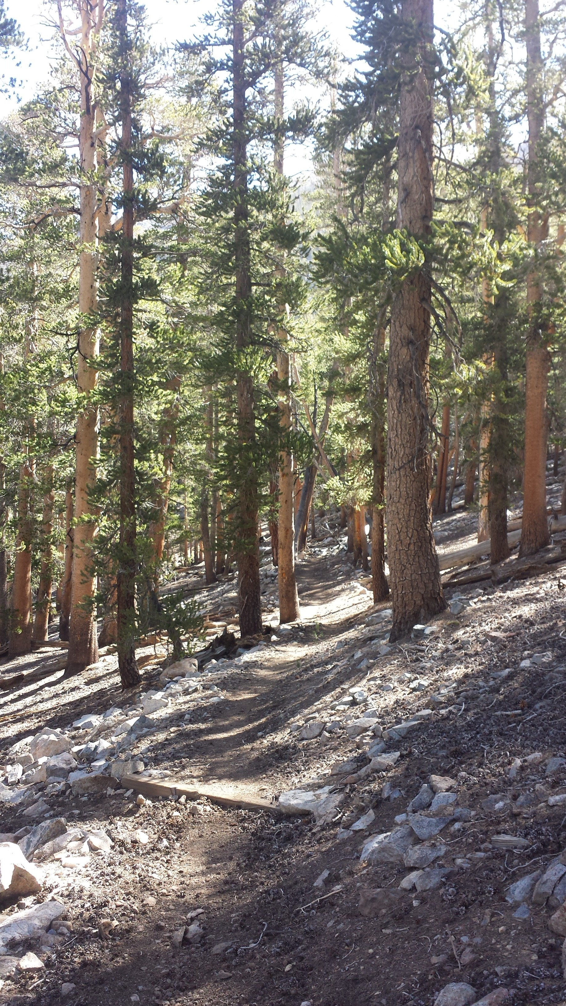
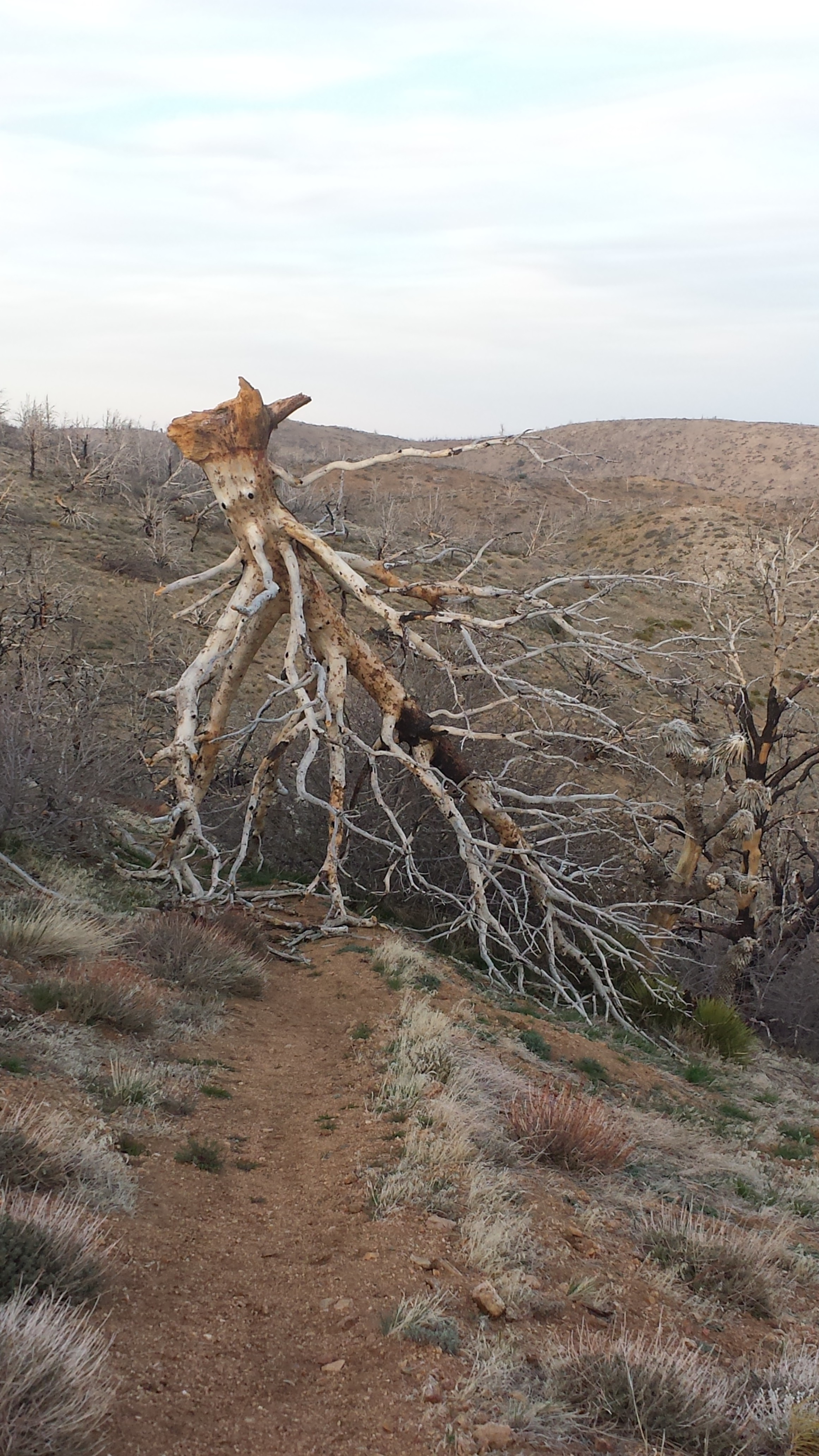
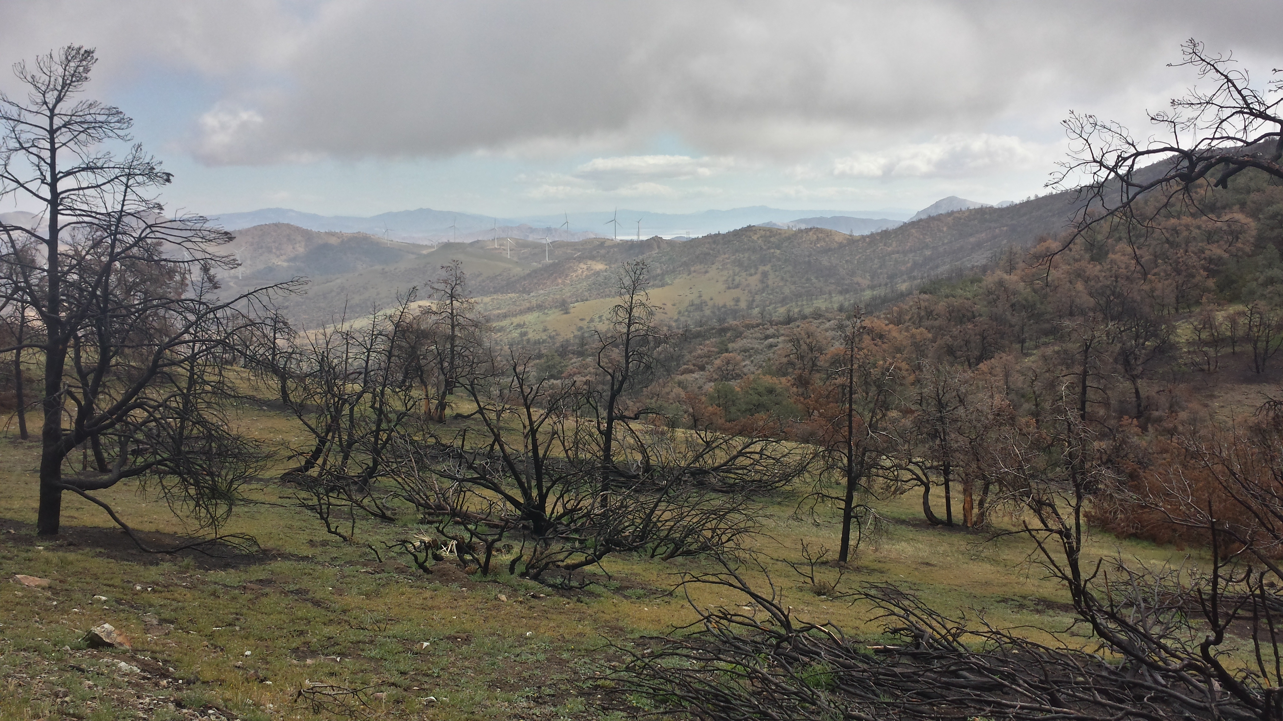
I dilly-dallied in the hiker hut until 1:00 before heading out with my pack heavy with food. It was a hot and exposed hike for the majority of the day. All these forests were burned last year, leaving rolling hills stickered with pointy, dead trees and looking like porcupine backs. The soil is also sandy and it seemed that it took twice as much effort to climb as usual. It was almost like walking on a treadmill- take one step, slide halfway back, take another step, slide halfway back.

Three-Fingered Jack
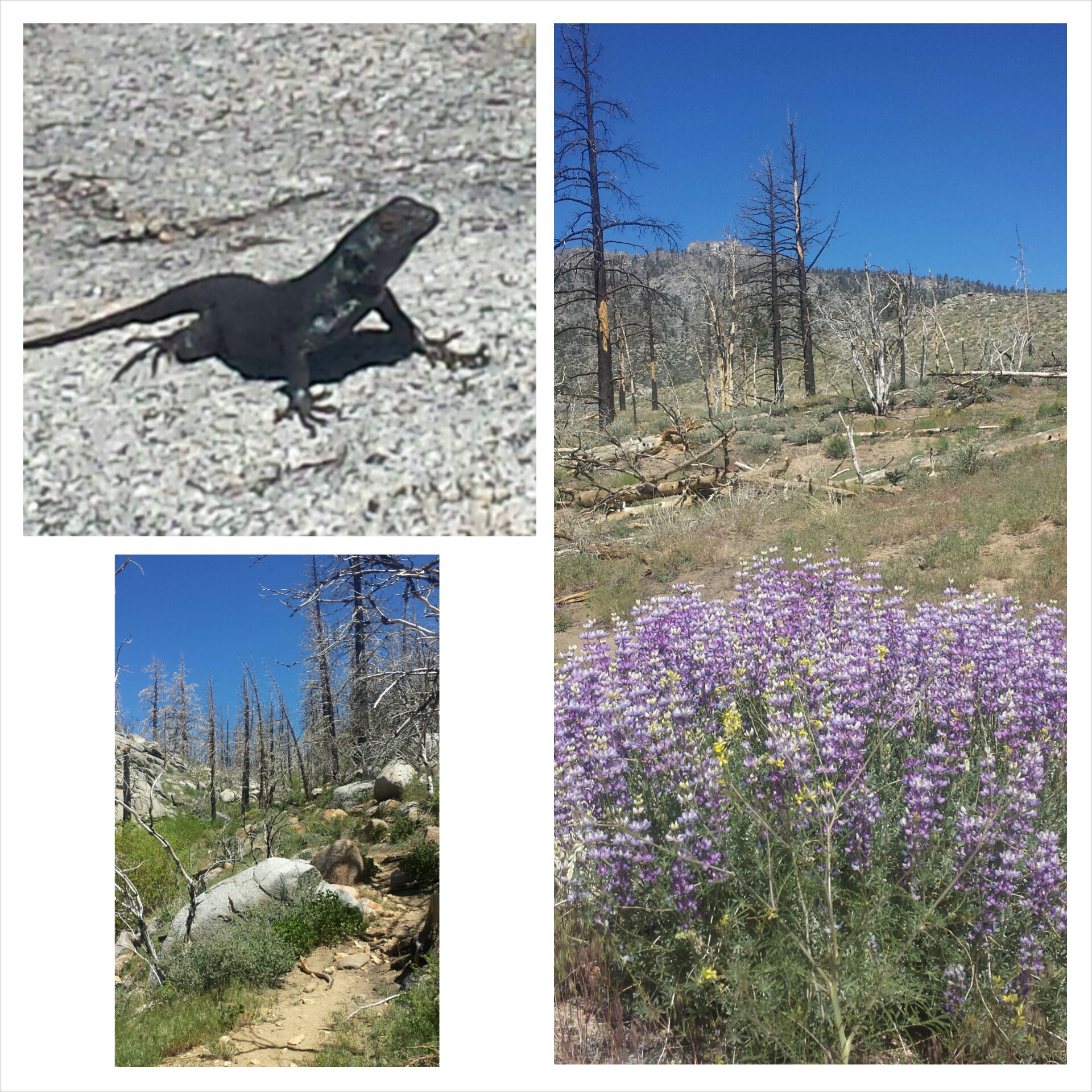
The highlight of the day was passing by Three-Fingered Jack. It’s characterized by incredibly even layers of red and yellow rock, which indicate regular and steady flows that came from the volcano that once stood here. Both Mt. Washington and Three-Fingered Jack are the hard, rocky cores of ancient volcanos that remained after glaciers and weather eroded their soft outer layers.

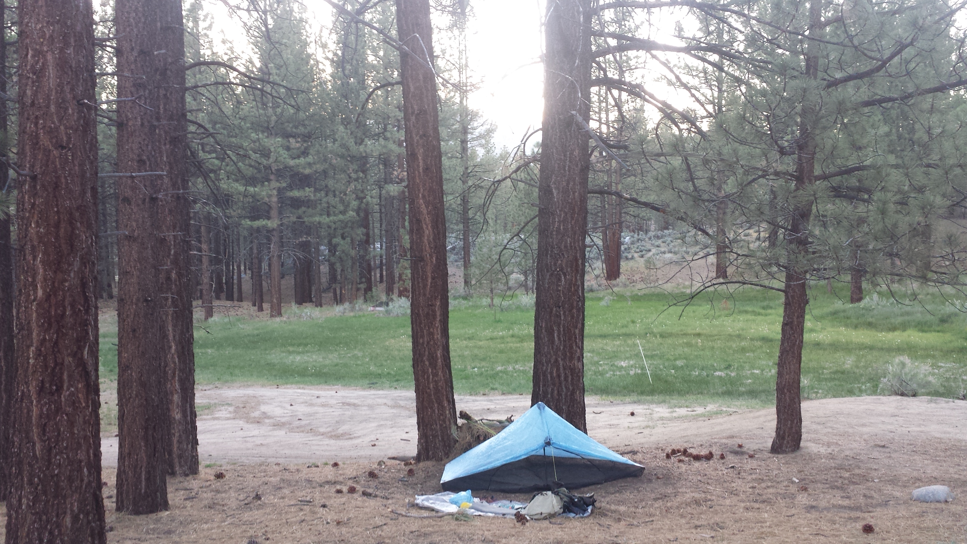
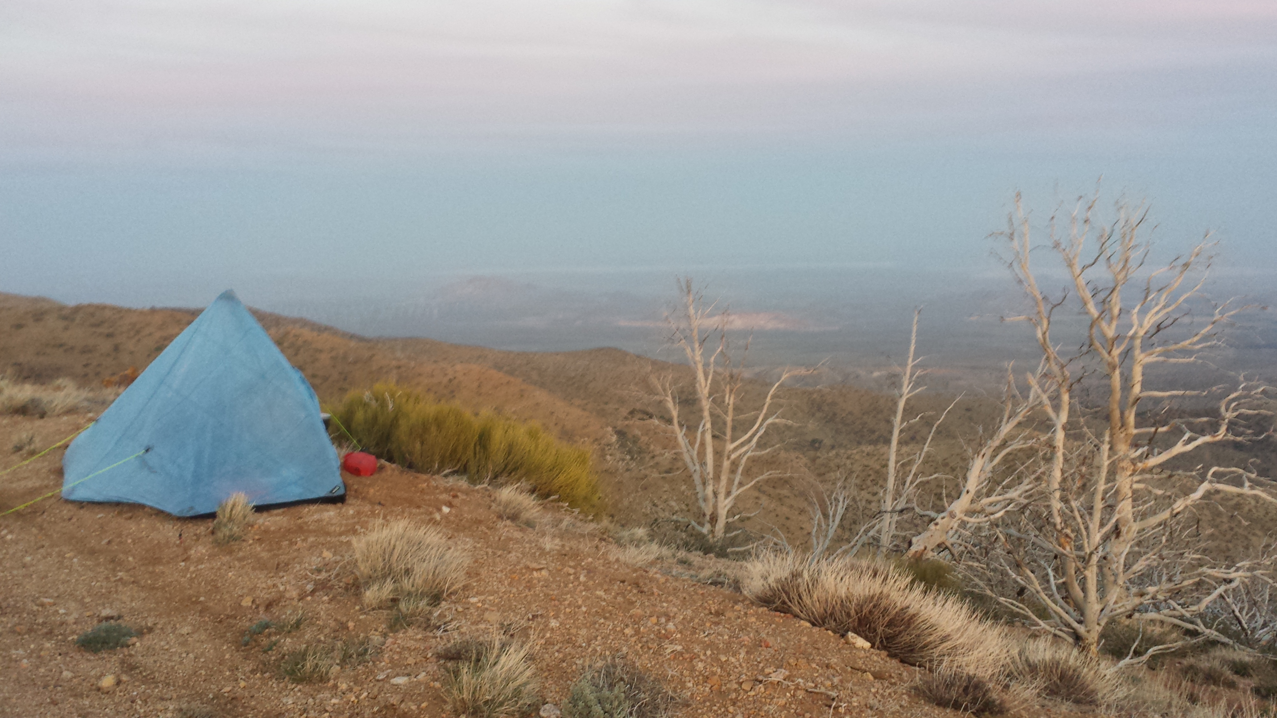
Camping near Koko Lake
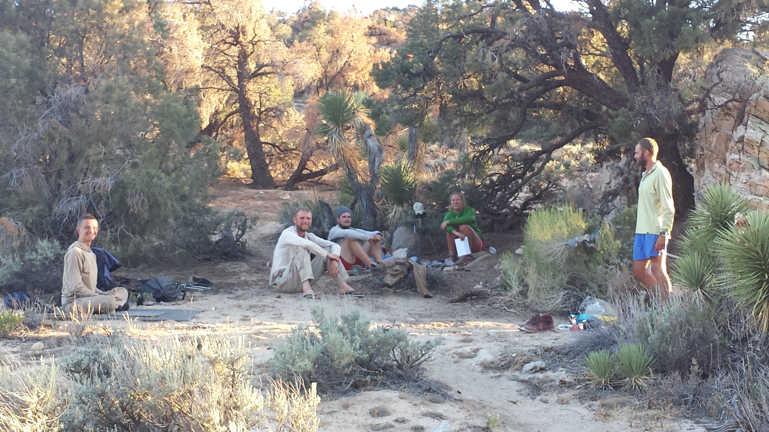
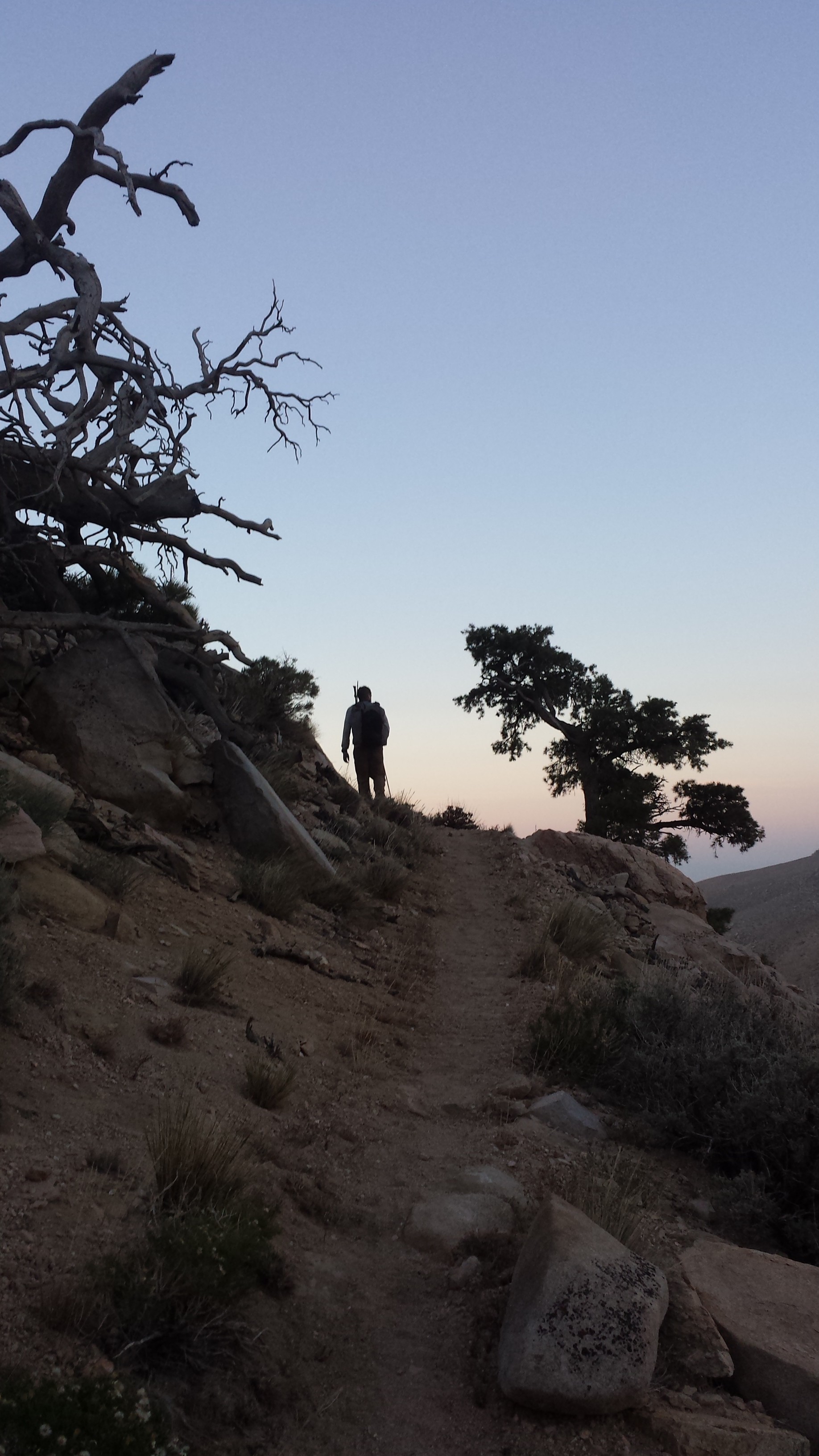
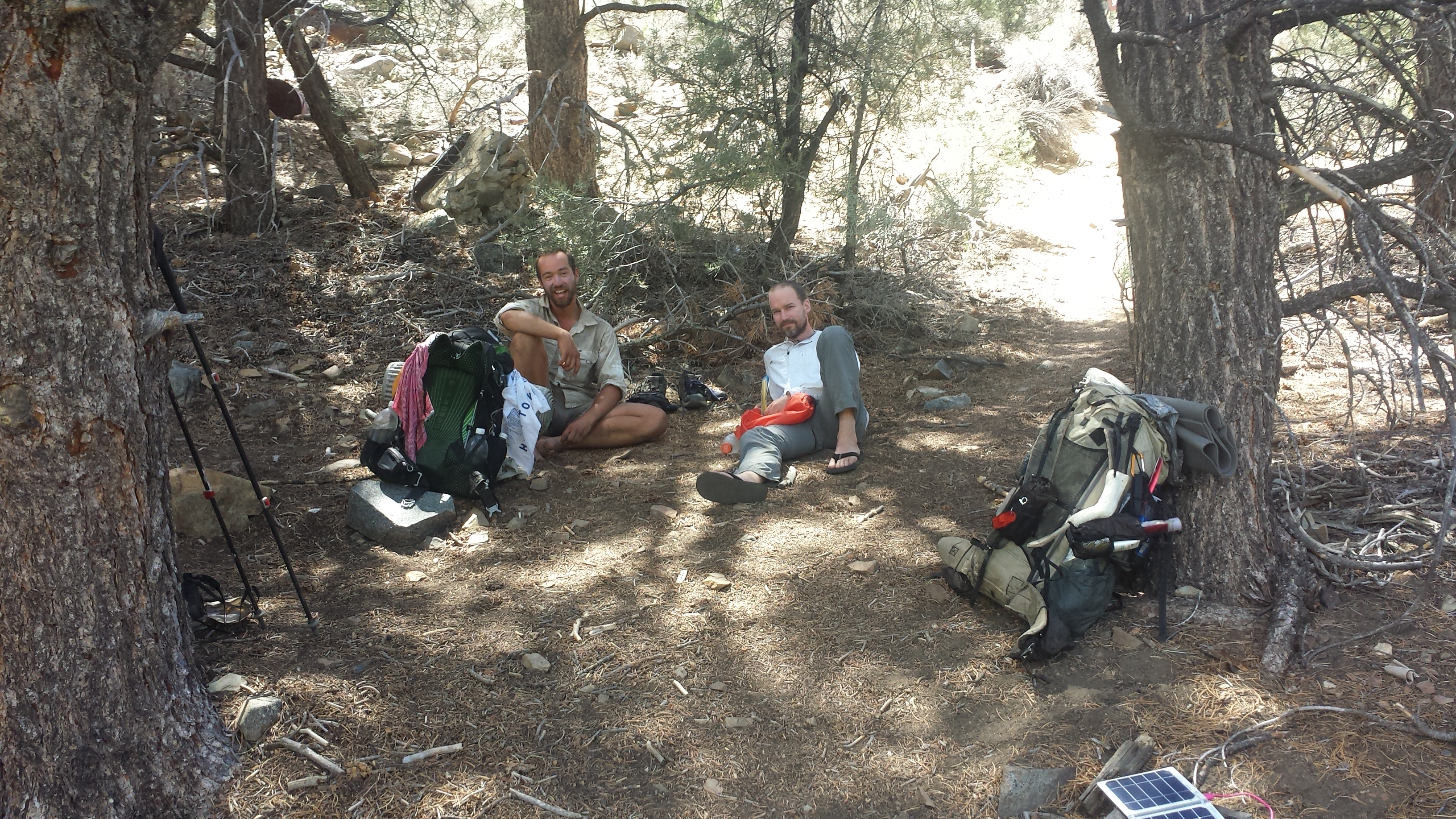
I’ve met up with four men section hiking Oregon together and am camping with them tonight. They’ve brought along a guitar and I’ve busted out the uke for a little jam session, althouth they’re much better than I am. The wind is super chilly tonight and doesn’t seem to be calming down. I’ve already rotated my tent to help keep the wind out, but I think it’s going to be a cold night!

Section hikers Lone Hawk, Cap, Stitch, and Scotland (L -> R)
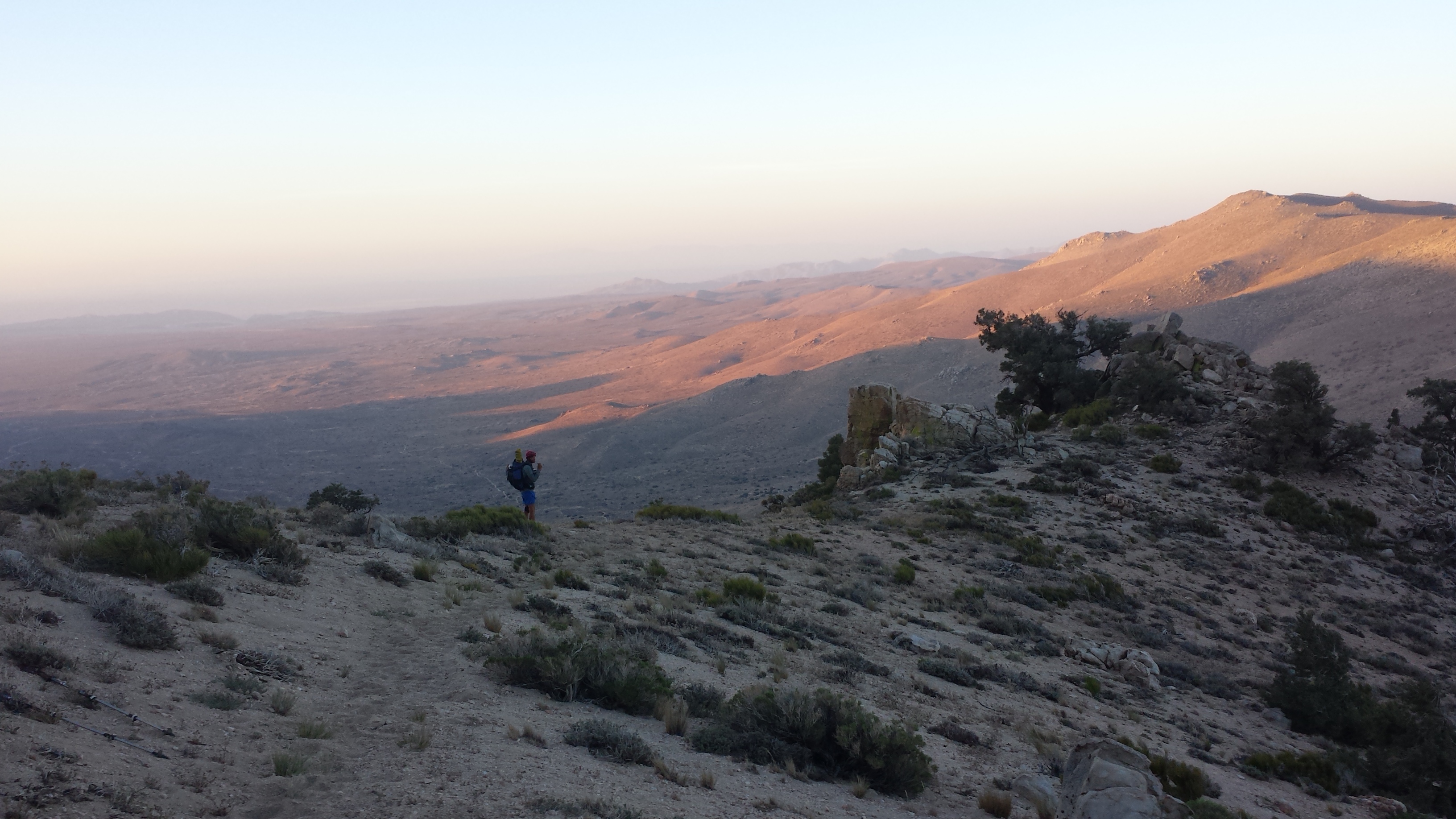
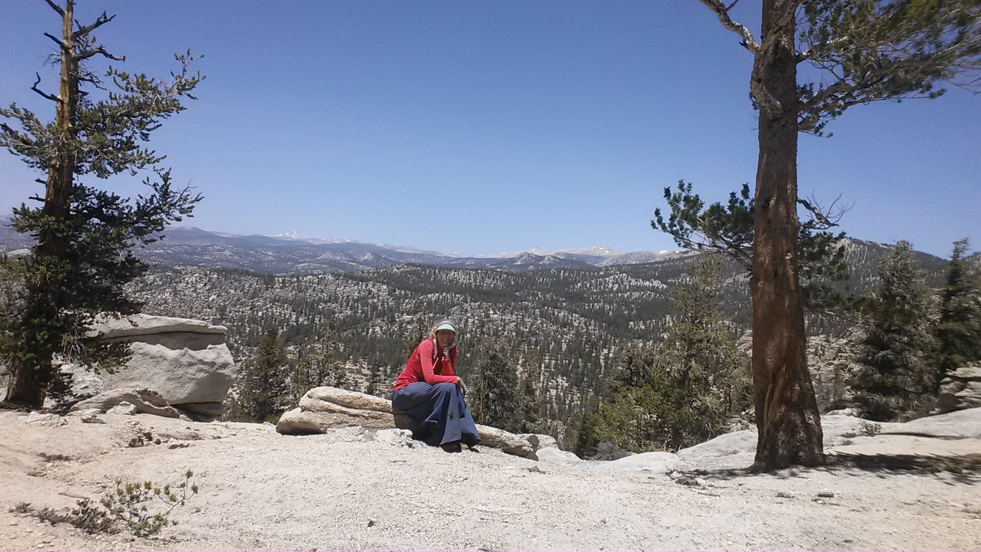
July 17- 23 miles, camping near Scout Lake
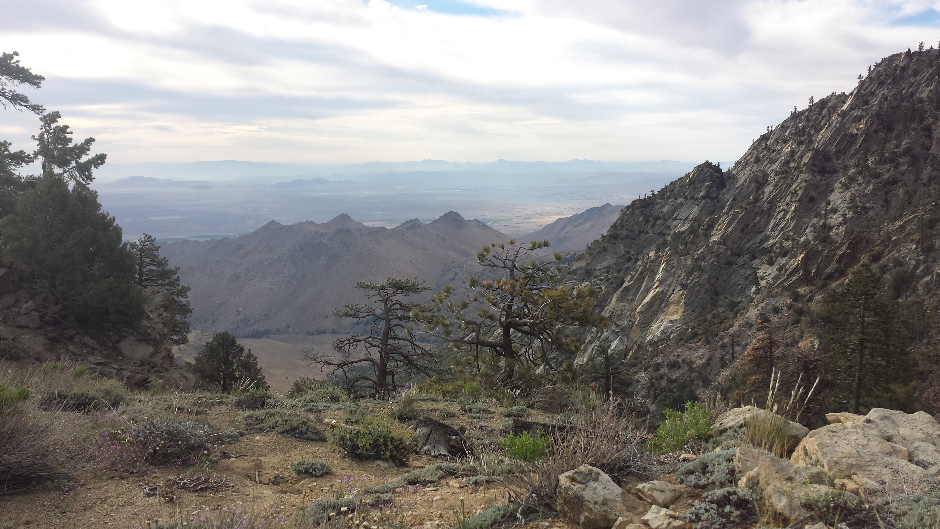
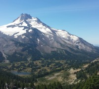
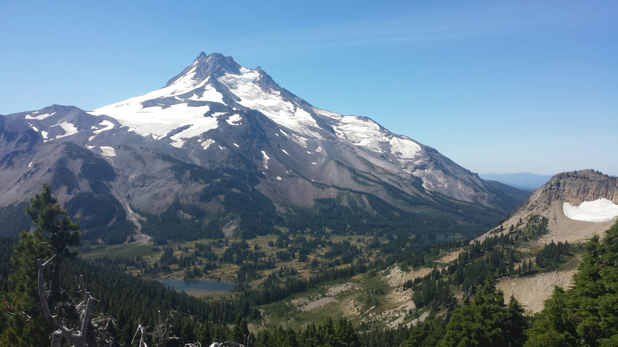
I seem to have finally hiked myself out of the burn zone. Mount Jefferson loomed before me all day long and it’s round, snowy beauty is stunning. Even years after the explorers Lewis and Clark named this mountain after their president, local white pioneers called it Squawtit, for reasons that I’ll let you work out on your own. Recent legislation has since recognized how offensive this name was to local tribes and pushed to officially name the mountian “Jefferson.” I don’t see why they couldn’t have “officially” named it whatever name the local tribe had for it in the first place.

Mt. Jefferson and Cathedral Rocks
One of my trekking poles has broken. Argh! My gear is starting to fall apart. Luckily for me, one of the men I camped with last night and have leap-frogged with today had spare duct tape wrapped around his trekking pole. My pole has lost the bolt that stabilizes it and it was as loosey-goosey as a pogo stick. Together, two of the men jerry-rigged my pole with the duct tape and since they’re retired firemen, we joked that they were performing emergency medical attention. Hopefully, my other pole holds out because I need at least one trekking pole to be adjustable and hold up my tent.

A couple firemen fixing my trekking pole
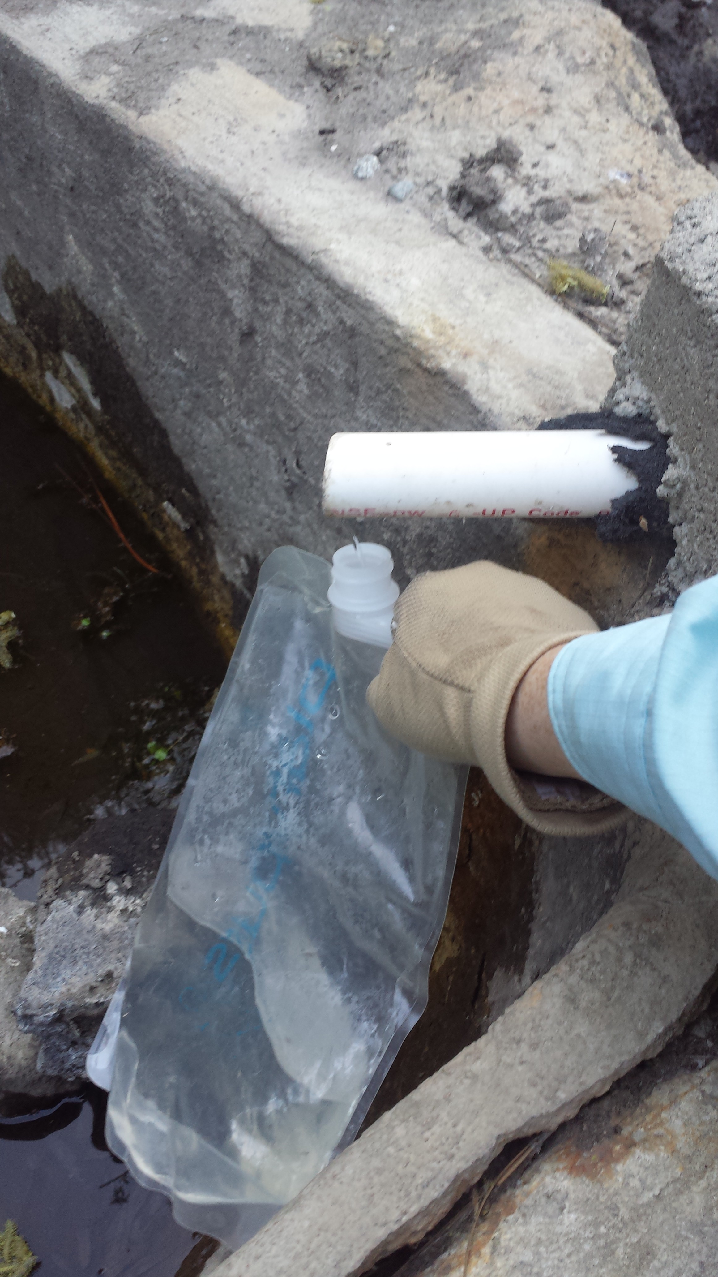
Russell Creek is noted in multiple guidebooks as being tricky and potenialy dangerous to cross. It streams down Mount Jefferson directly from a glacier, so it’s flow is much higher later in the day after hours of sunshine. I reached this creek around 7pm- not ideal. One look at the creek and I thought, “No problem! It’s a low snow year and the water is low.” I looked at all the rocks and determined how I’d hop across. Pack on, boots on, I hopped from one rock to the next until I realized the next hop was more of a leap.
After examining the rocks more closely, I knew I’d have to just ford the creek. Being too lazy to hop my way back to the shore, I began the very bad idea of trying to pull my sandals out of my backpack and change into them while balancing on a rock in the middle of the rushing creek. BAD IDEA. My water bottle fell out of the side pocket of my backpack that I was still wearing and slammed bulls eye onto my big toe. It hurt so bad! A big purple welt rose up as I dunked my foot in the icy water.

Russell Creek rushing down the side of Mt. Jefferson

Russell Creek
I managed to get both sandals on and crossed through the milky, ice cold creek. Since volcanic silt clouded the creek water, I had to just feel my way around the rocks with my poles, water up to my knees. The current was surprisingly strong. Once on the other side, I plopped down to examine my swollen toe and say “Screw it!” to the idea of a 25-mile day.

I hobbled into a popular camping area called Jefferson Park around 7:45 pm. It’s a beautiful Alpine park just below Mount Jefferson and is very accessible to overnight campers. To prevent crowds from destroying delicate ecosystems in the park, the forest service has established campsites connected by little trails. That, combined with the numerous weekend campers, makes the entire area feel more like a city park than a wilderness area.

Camping near Scout Lake
I think my toe is going to hurt a lot tomorrow- sounds like a good excuse to sleep in and take it easy.
July 18- 22.5 miles, camping at Trooper Spring
Jefferson Park
Sleep in, I did, indeed! I actually slept until 8:45 and didn’t set out until 10am. That’s practically sacrilegious on long distance hikes. It felt strange for the sun to be so high when I started walking- strange and HOT!

Looking north toward Mount Hood
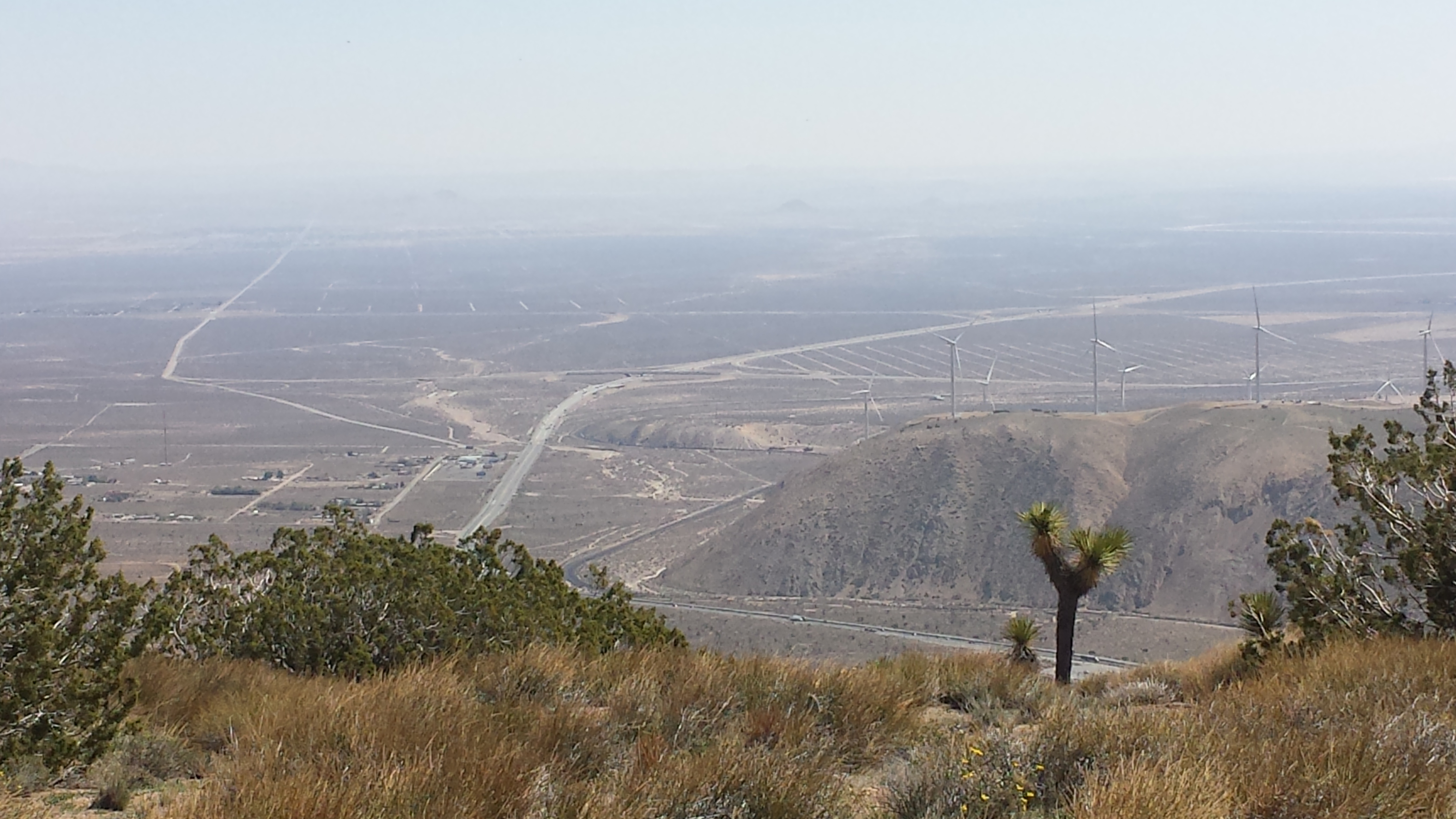
Olallie Lake is a small fishing and boating campground with a teeny, tiny store. Despite the size, it’s one of the best stops I’ve had along the trail. They had everything a hiker would want, particularly a lovely air of simplicity. I grabbed two blood orange Pelegrino sodas, two Kit Kat bars, and a bag of chips and sat on the little porch, staring out at the lake and Mount Jefferson in the distance. I sat there mindlessly enjoying the view and the quiet for an hour before I hiked back out to the trail.

Ollie Lake and Mt. Jefferson
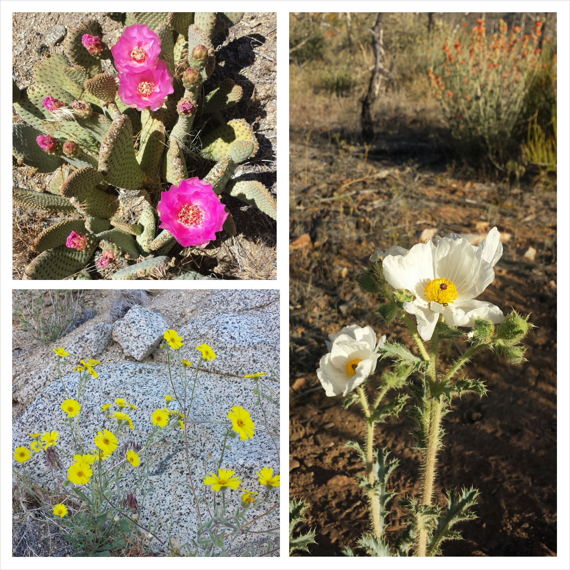
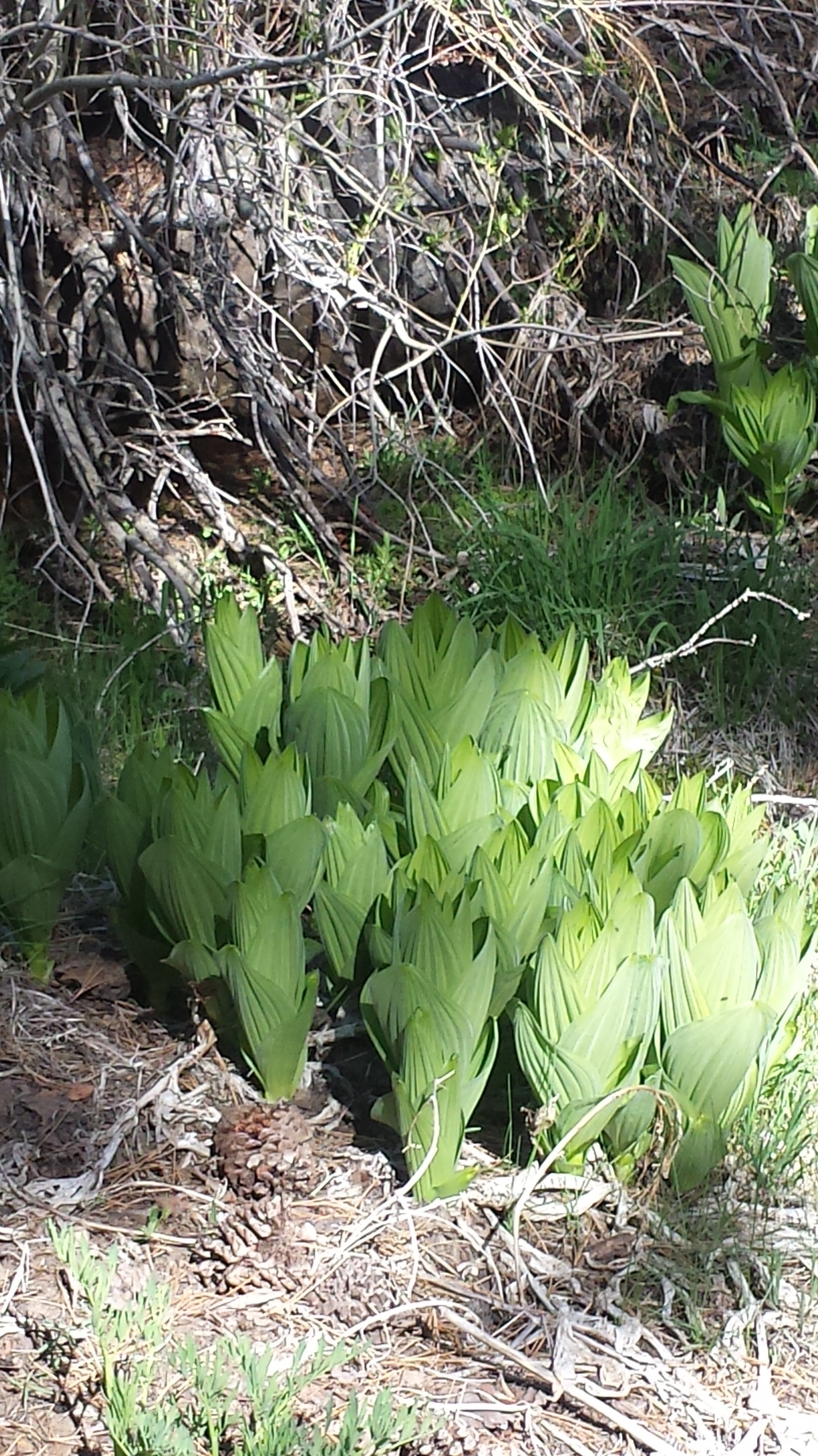
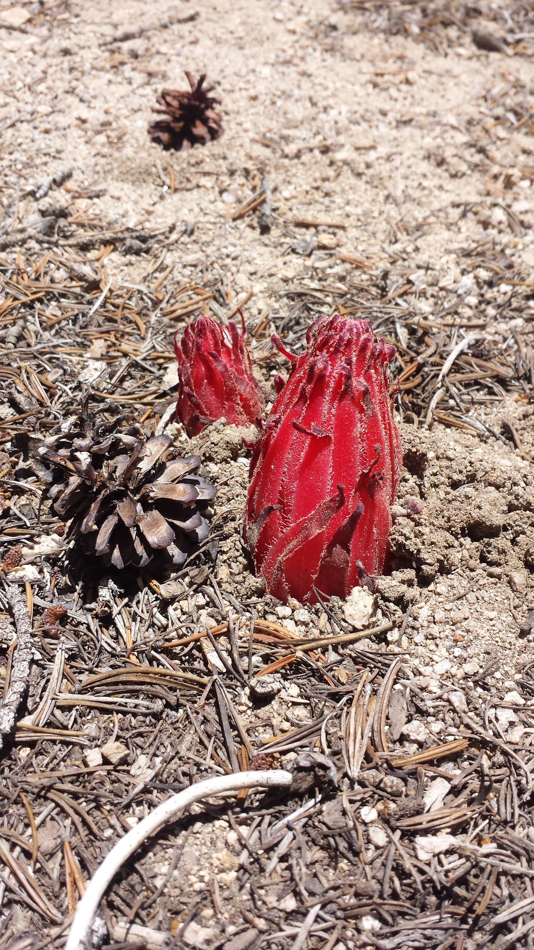
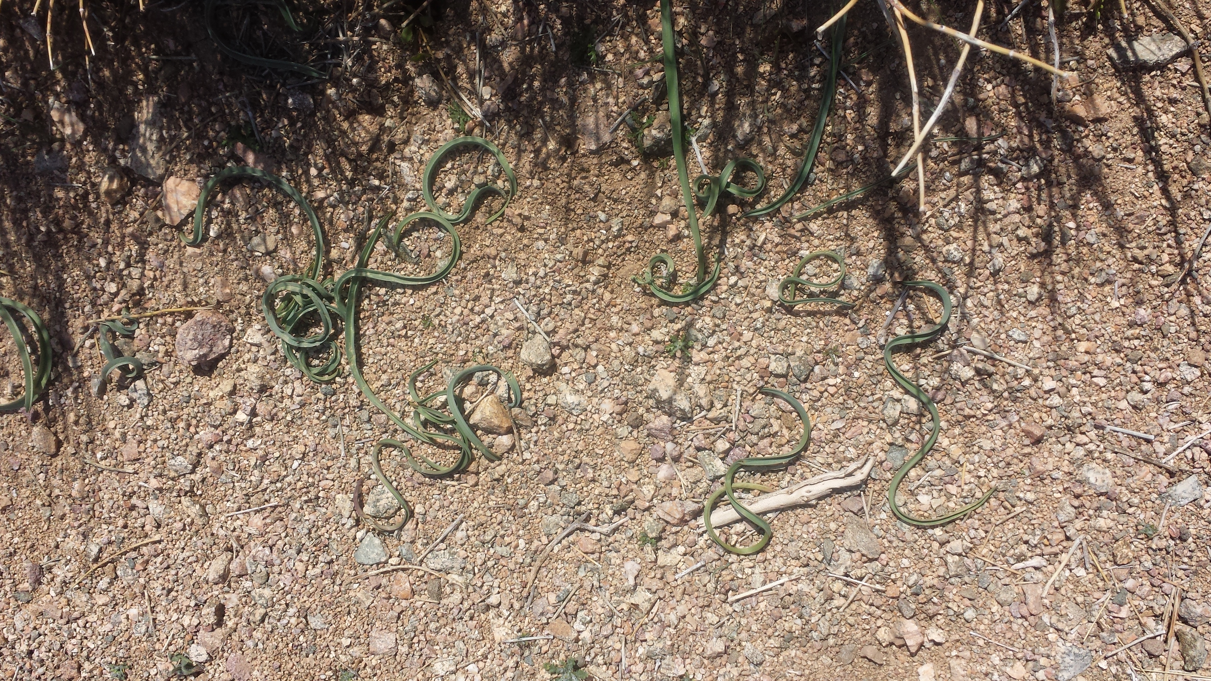
Another hiker has pointed out wild huckleberries to me. I’ve been hesitant to eat things I find on the trail if I’m not 100% sure what they are, but the berry beast has been unleashed! Instead of looking at trees or the trail, my eyes are quickly scanning the trailside bushes for the best looking berries. “Oh, there’s a ripe one!” Stop hiking and grab it. “That one looks good.” Stop hiking and scramble through the bushes to pick it. “That one’s giant!” Stop and practically tumble into the bushes after the holy of holies berry.

Wild and VERY edible Huckleberries
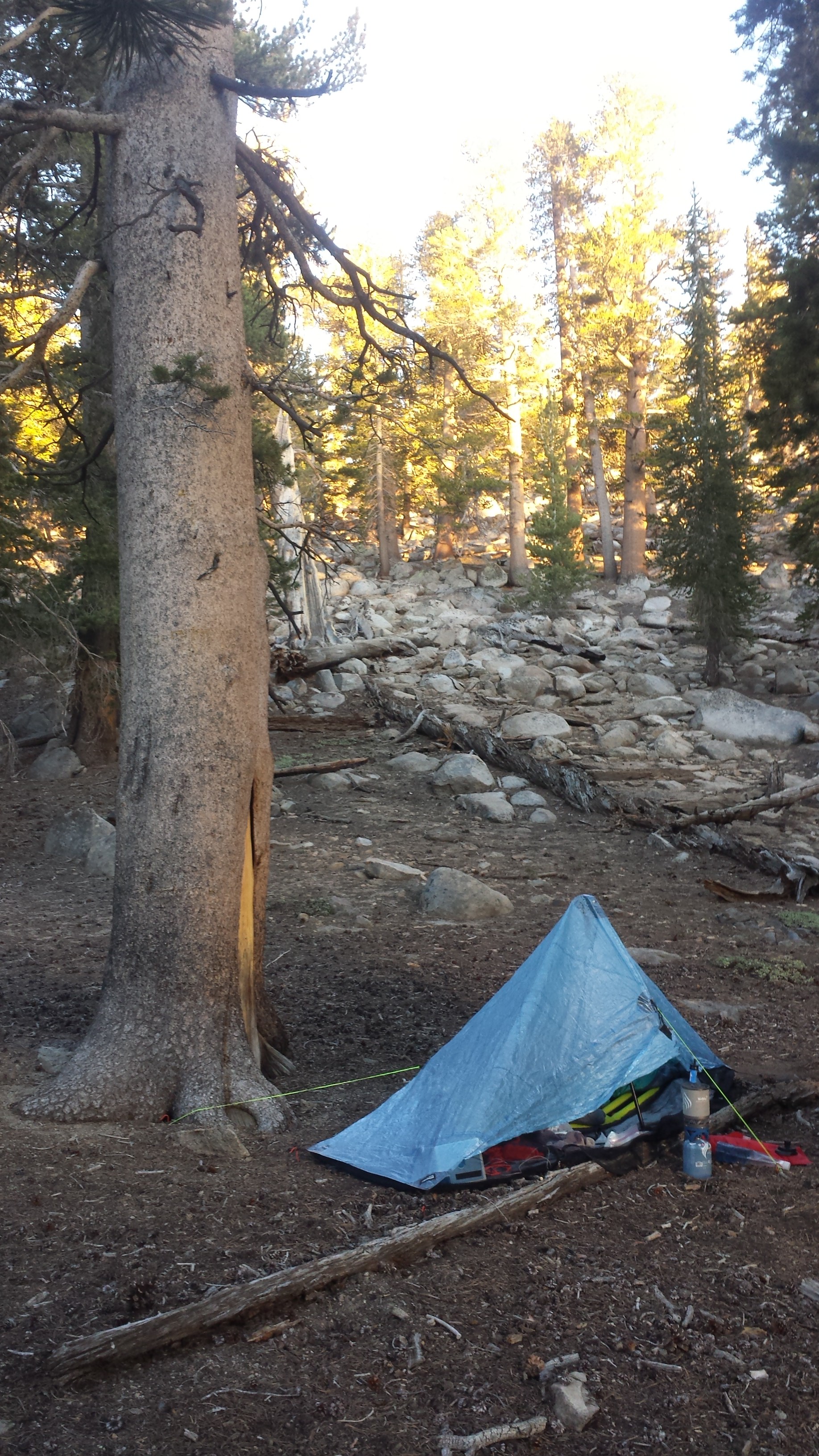
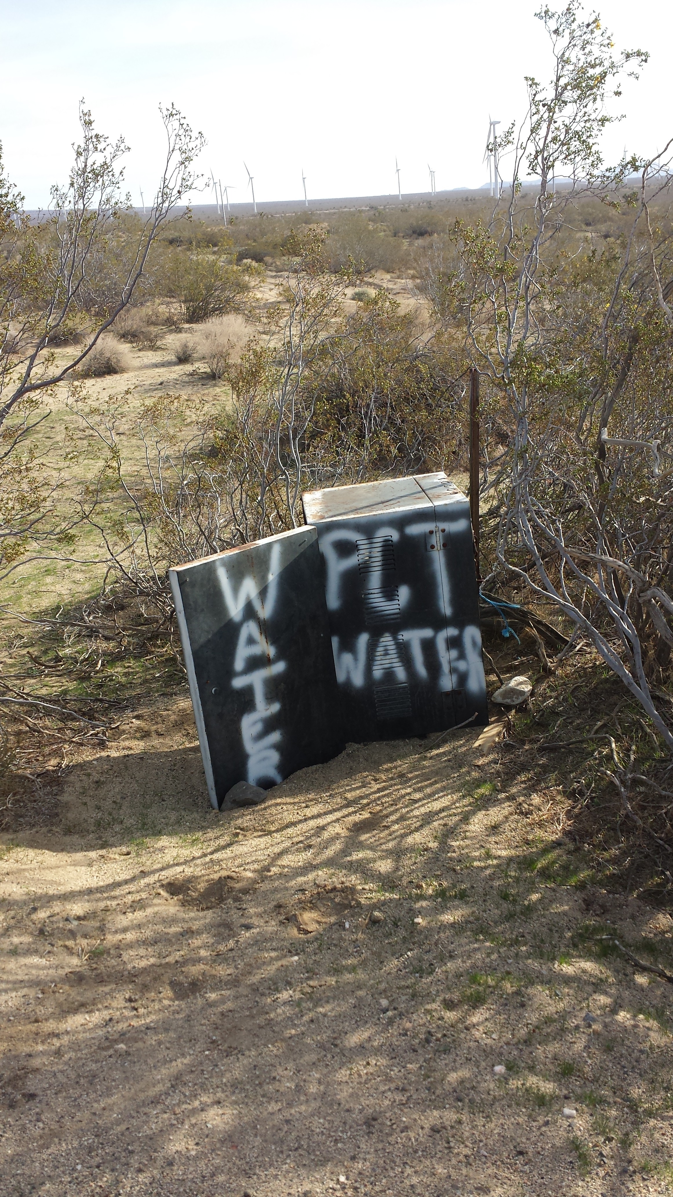
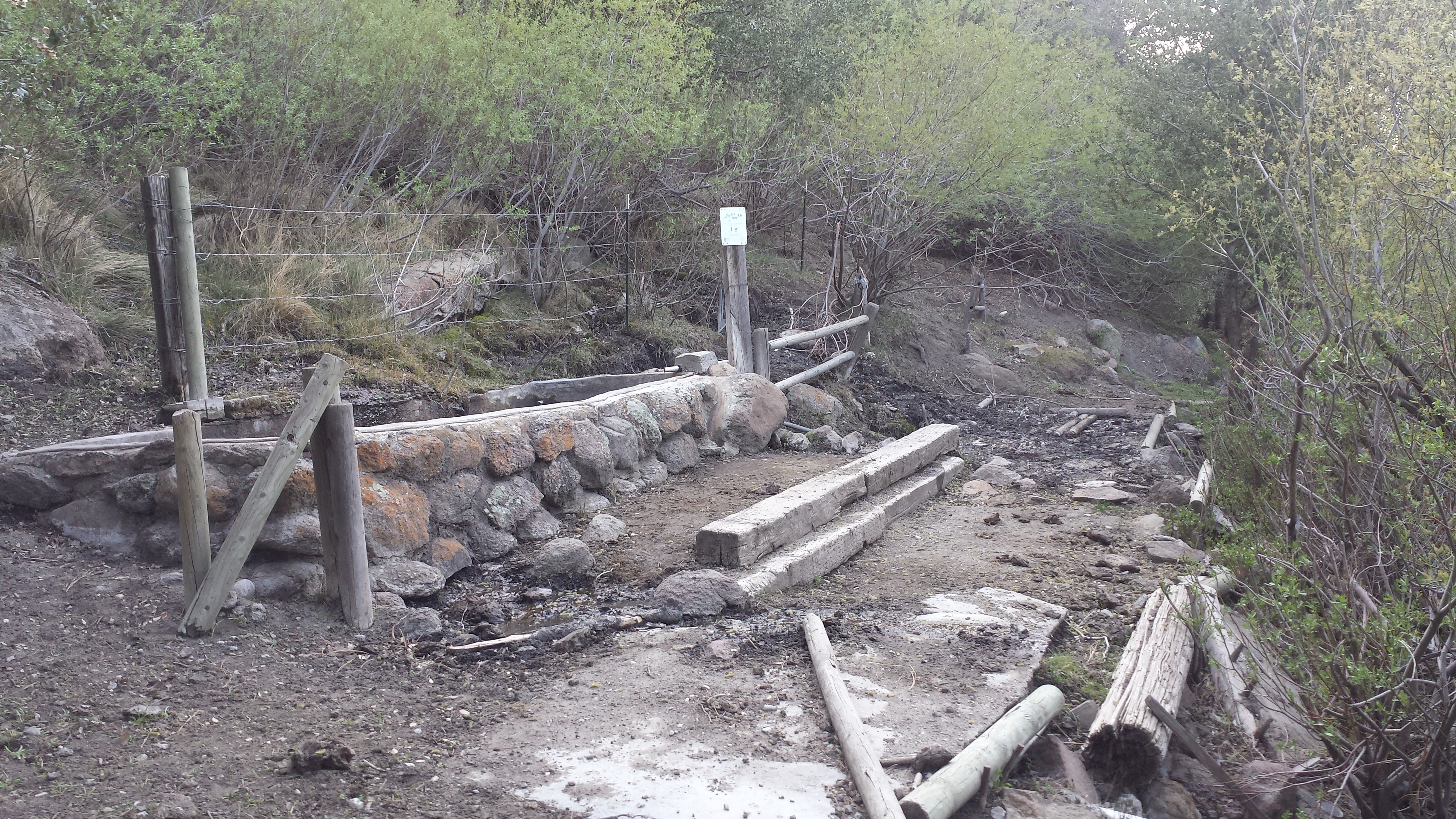
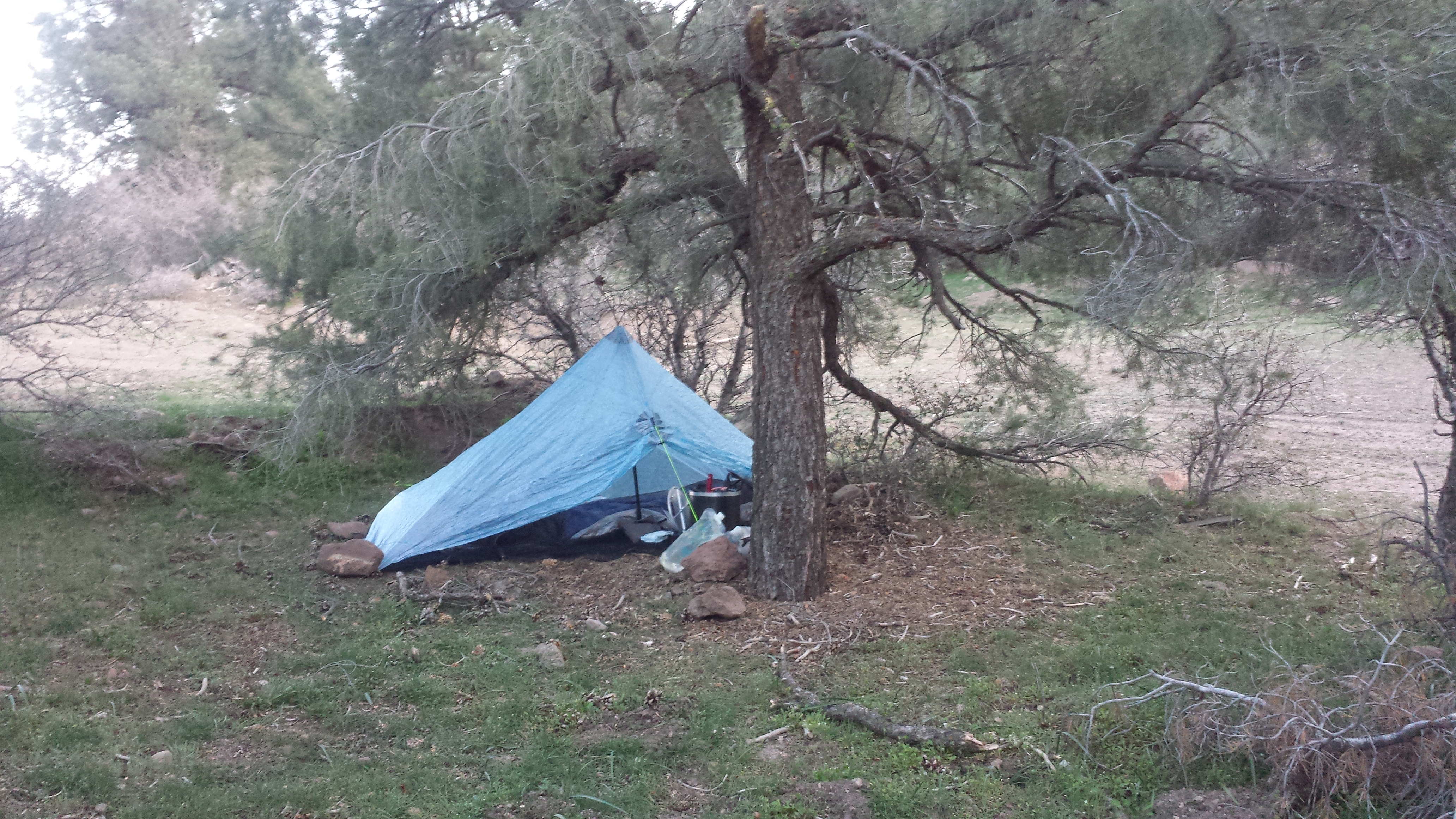
Water is few and far between in this section, and that means hikers are crowding around water sources. When I arrived at Trooper Spring, two other hikers, Crosscut and Paparazzi, were already here. Jelly Dog showed up just as the sun was setting and squeezed into the tiny, remaining flat spot. Paparazzi and Crosscut are already asleep, but Jelly seems to be eating a late dinner of Fritos. (I would recognize the sound of a Fritos bag anywhere.)

Camping near Trooper Spring
July 19- 23.5 miles, camping at Timothy Lake

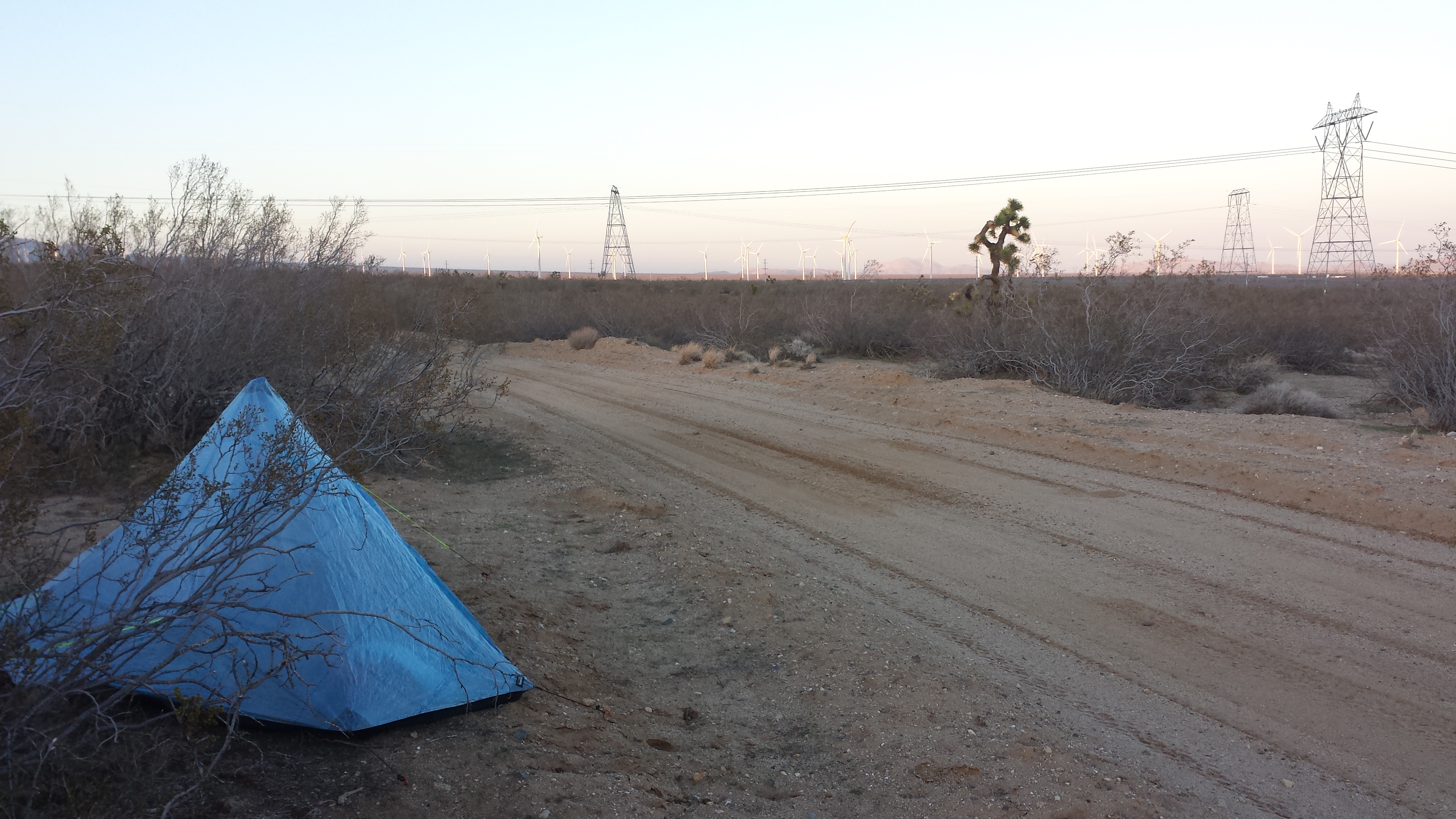
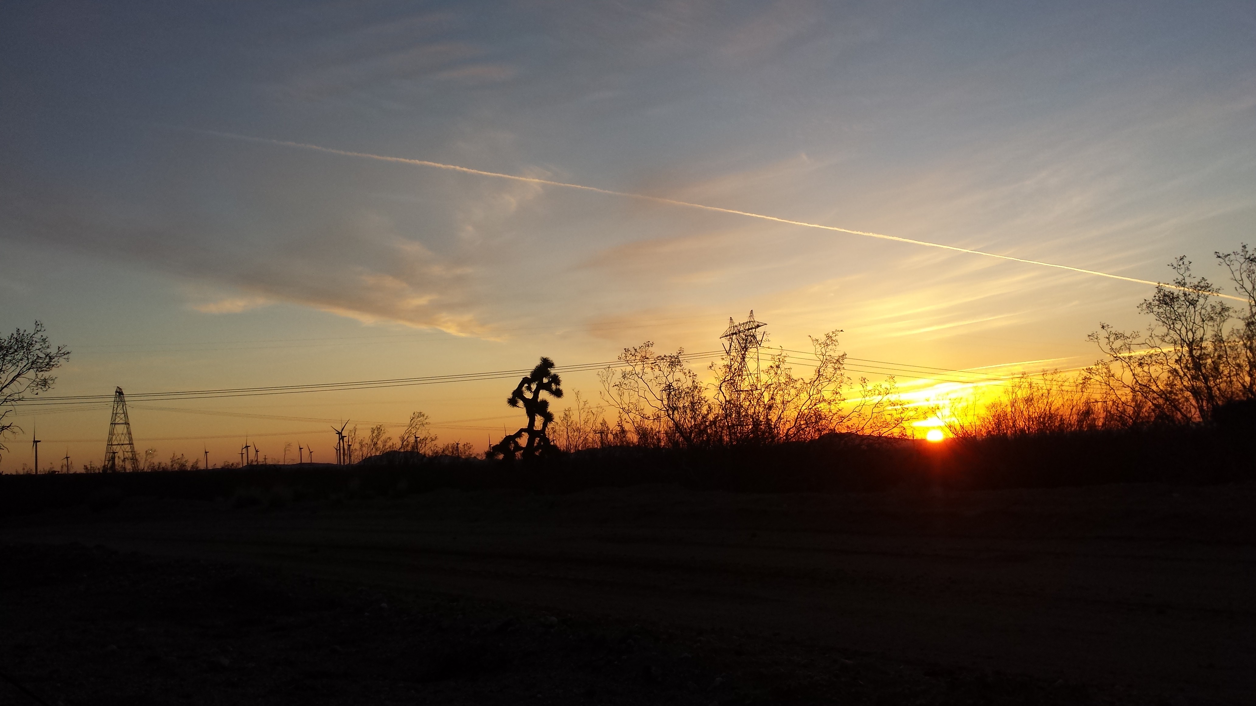
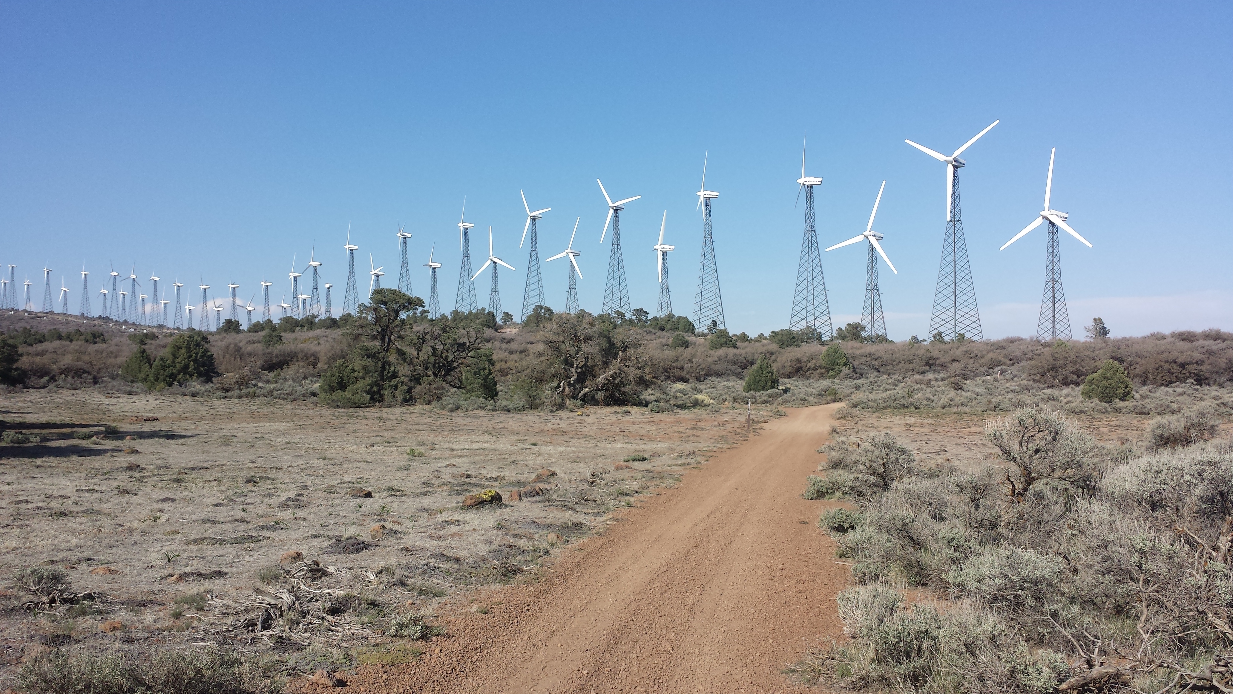
Today was pretty uneventful, probably the most uneventful day of the entire trail. When I start taking pictures of power lines, you know it’s not a good sign.
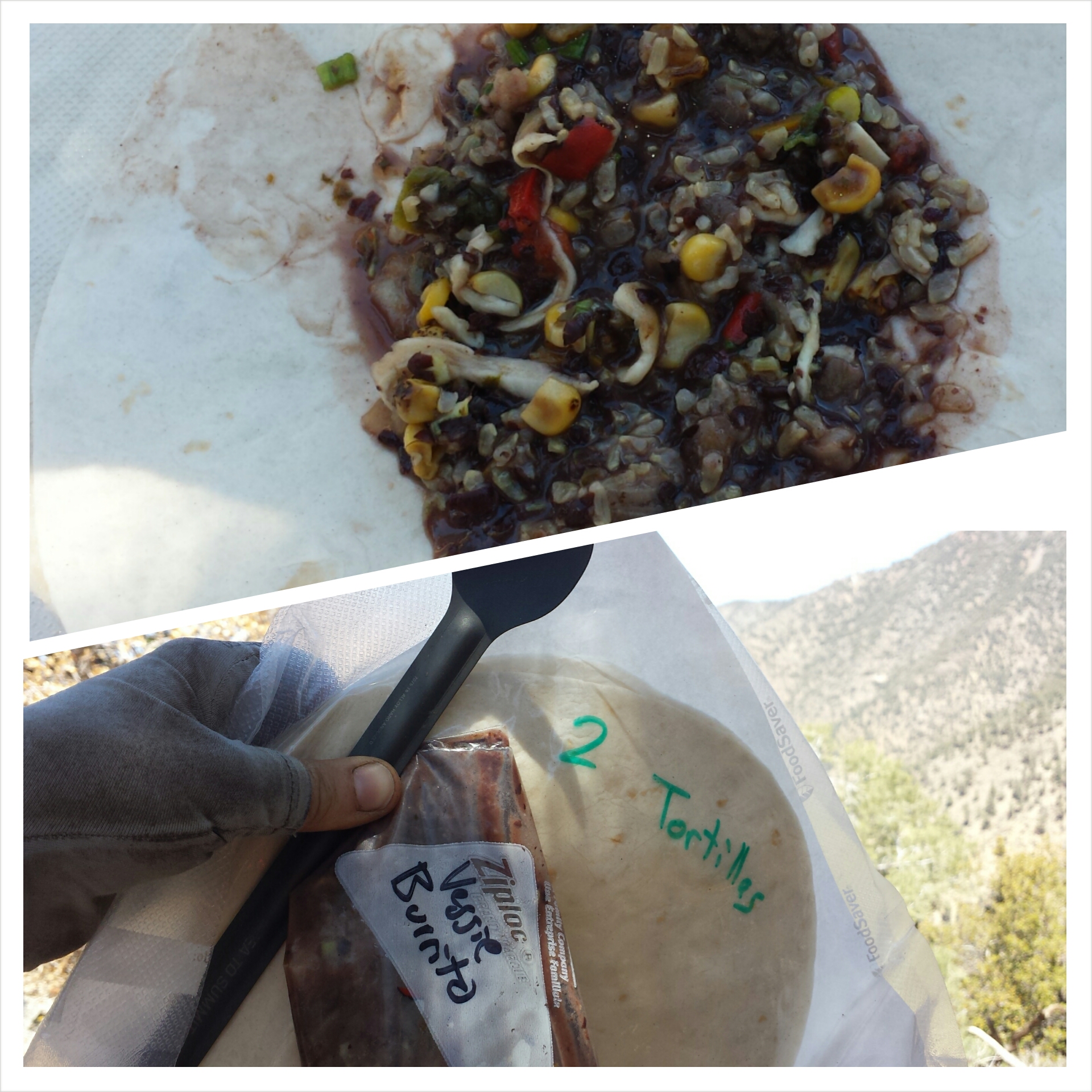
Around 5:00 I finally reached the very large Timothy Lake. There was no question- I breaked for two hours, went swimming, read my book and made a burrito. After I packed up and started hiking with the intention of putting in another two miles, I thought to myself, “Hold on! Don’t you kinda wanna go swimming again??” And I answered myself, “Yup!” So, I stopped at the next decent campsite, setup my tent and jumped back into the lake. I air-dried while reading in my tent and drinking hot coco. It was such a great end to such a boring day!

Timothy Lake
Jelly Dog rolled in, again, just as the sun was setting. He had just spent dinner with some equestrian PCTer’s. After finding a piece of their gear and then returning it, they treated him to bratwurst and numerous screw drivers, luxuries permitted by having pack animals. By the time he reached my campsite, he was toasted. He practically melted into the ground as he leaned against a tree, backpack still on- I thought he would fall asleep right there! He did manage to get his tent up, but fell asleep before he inflated his sleeping pad. I heard him around 11pm finally coming to and getting his bedding organized. I couldn’t help but laugh out loud at him.

Camping at Timothy Lake
July 19- 20 miles, camping near Timberline Lodge
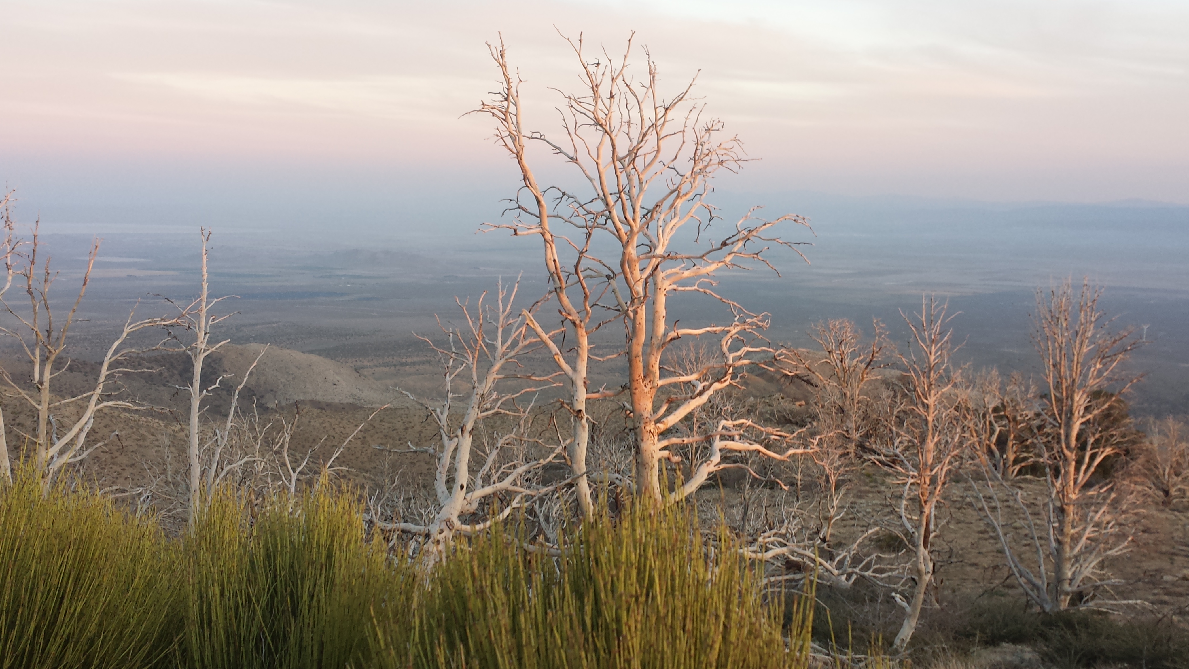
Today started the same as yesterday: no views except for trees, moss, and bear grass. Periodically, a sudden a view of the monstrous Mount Hood would cut through the trees and take my breath away. The trail climbed and climbed, which was no big deal because I was pumped full of carbs and caffeine (a powerful combination). When the trail turned sandy, though, then I was crawling. Again with the “one step forward, slide half a step back” routine. The promise of good food at the ski resort, Timberline Lodge, propelled me forward, one step at a time.

Mount Hood

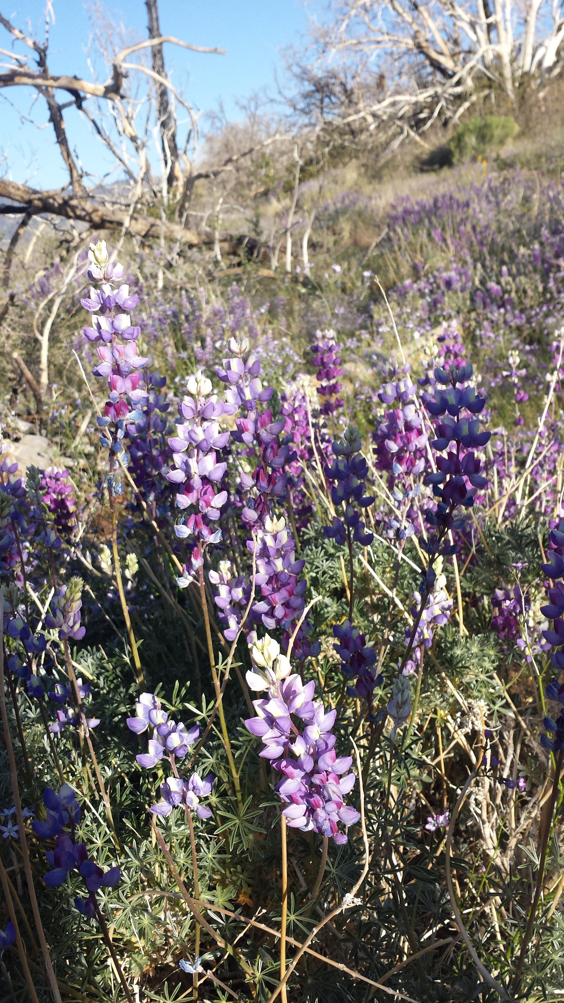
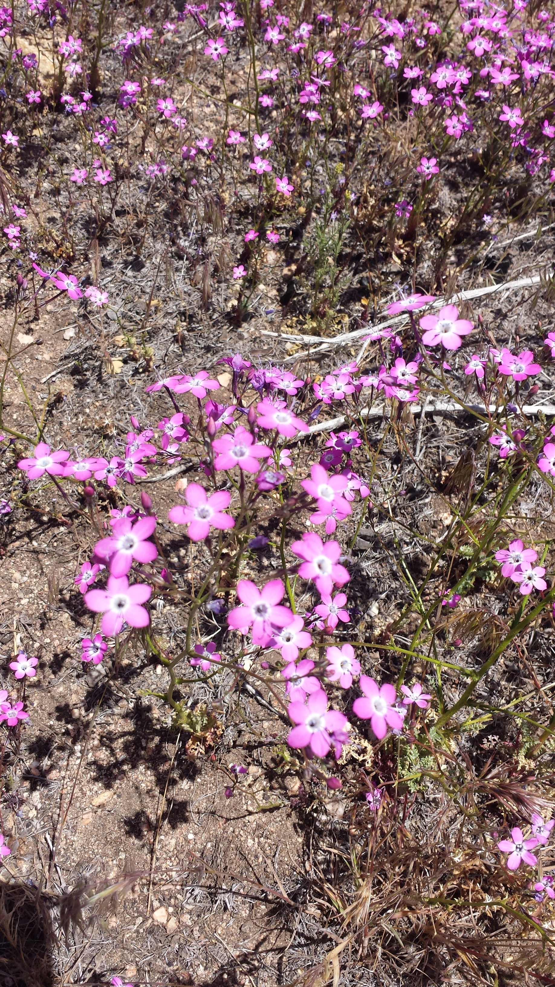
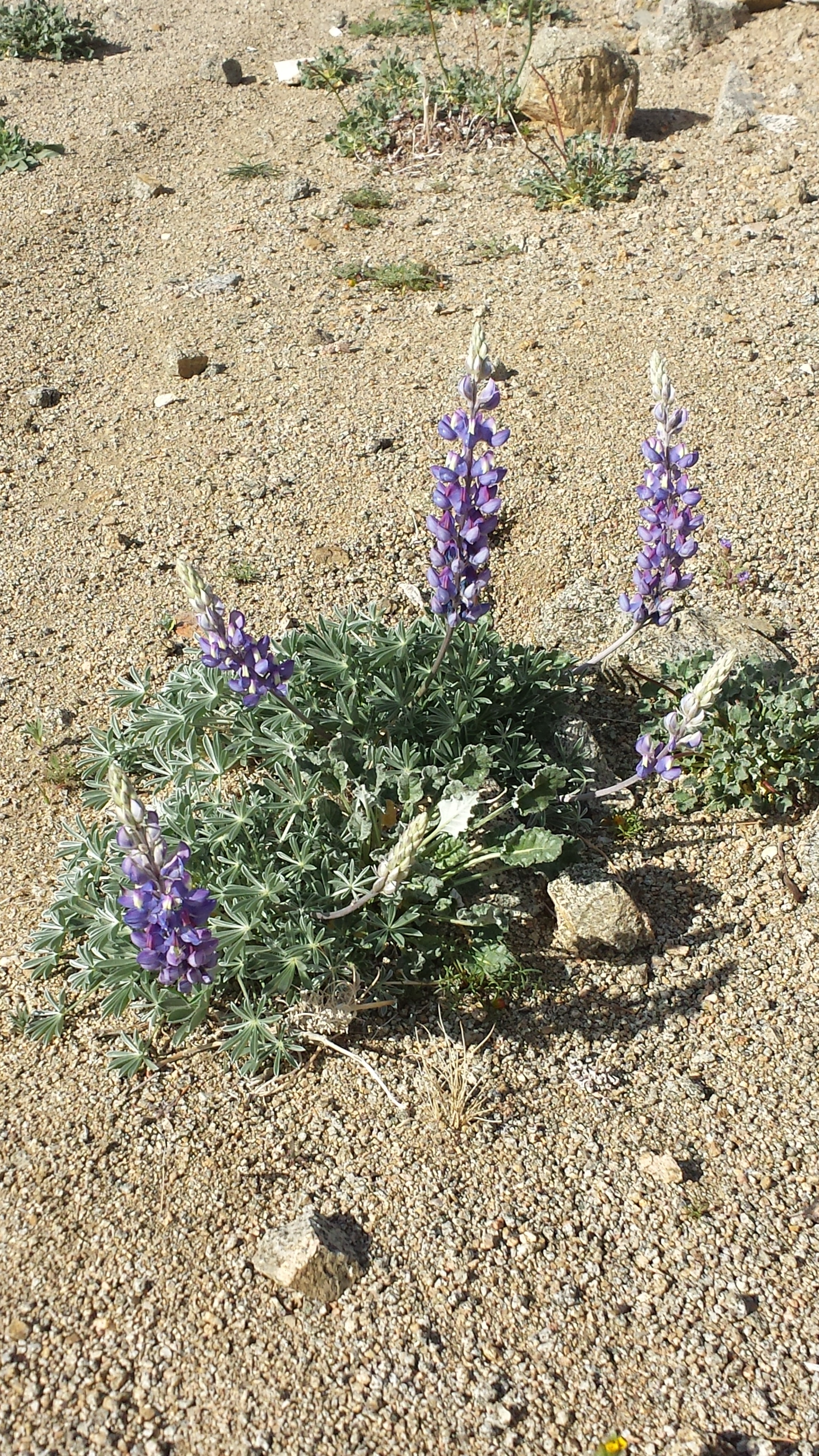
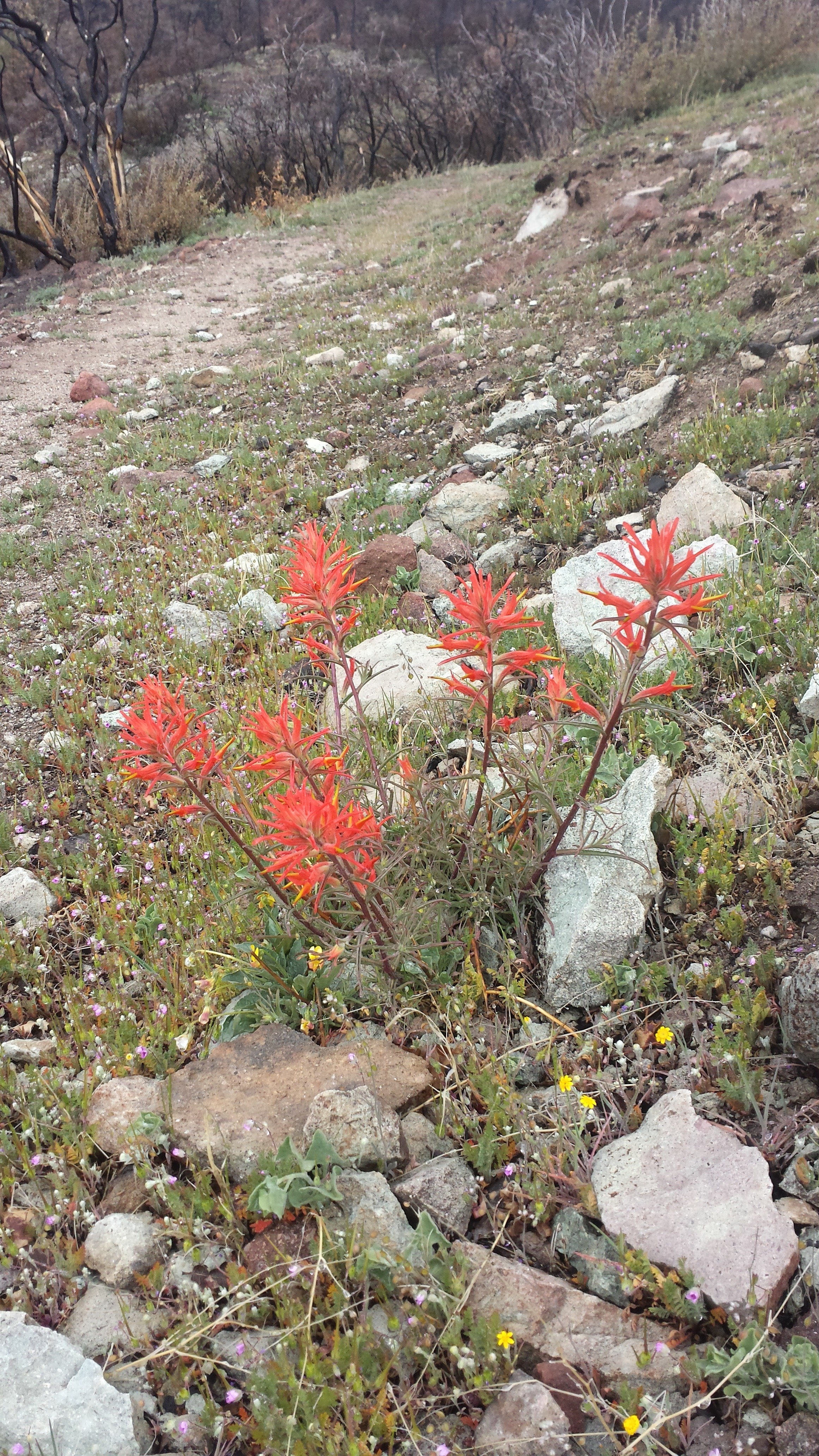
Lupin

Mount Hood
I set up my tent near the trail before making my way down to the lodge. I had a bit of re-entry anxiety trying to get through the crowds of tourists and dealing with the stressed out lodge employees. Even on a Monday, the lodge and ski lifts were crawling with people.
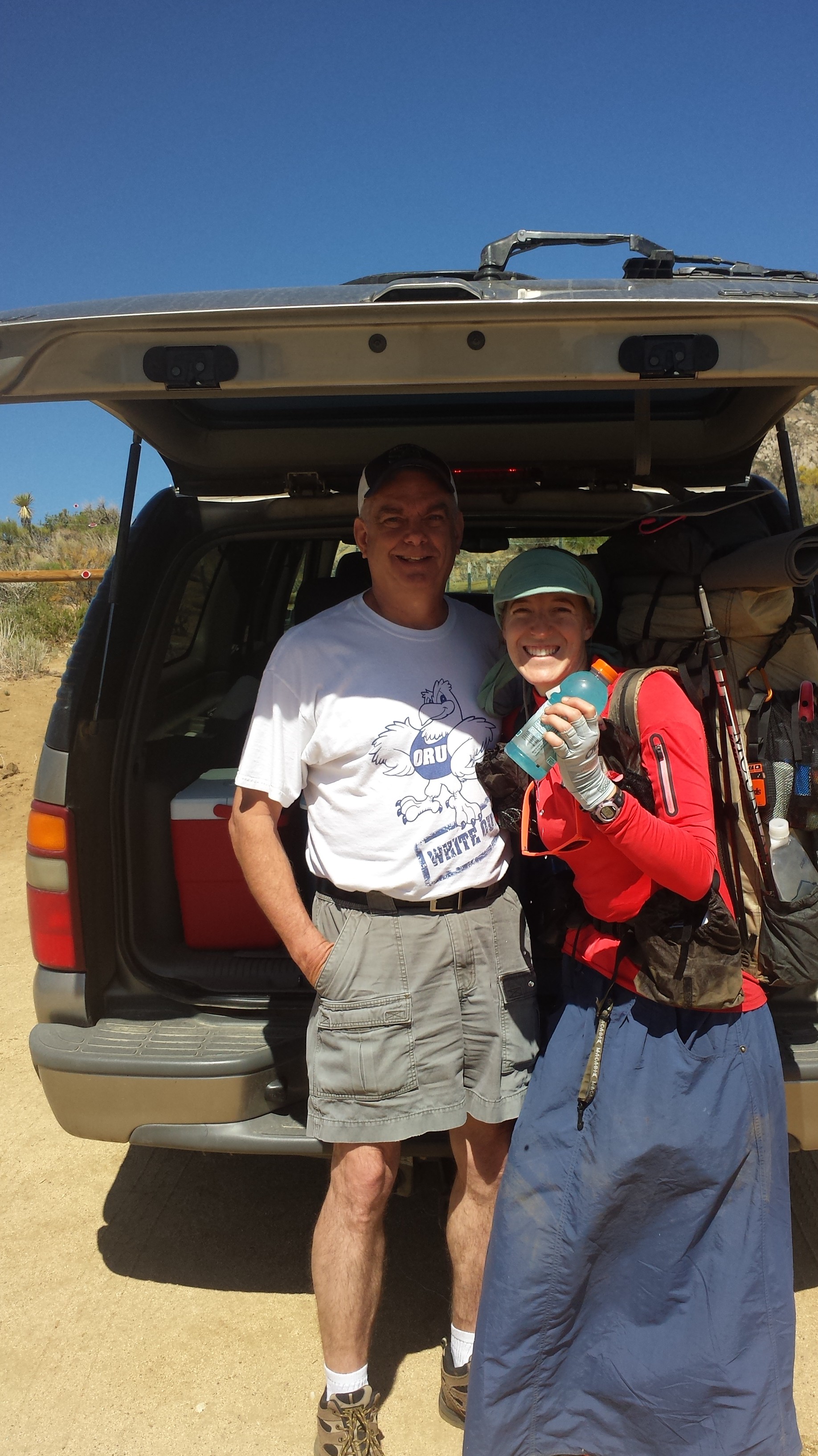
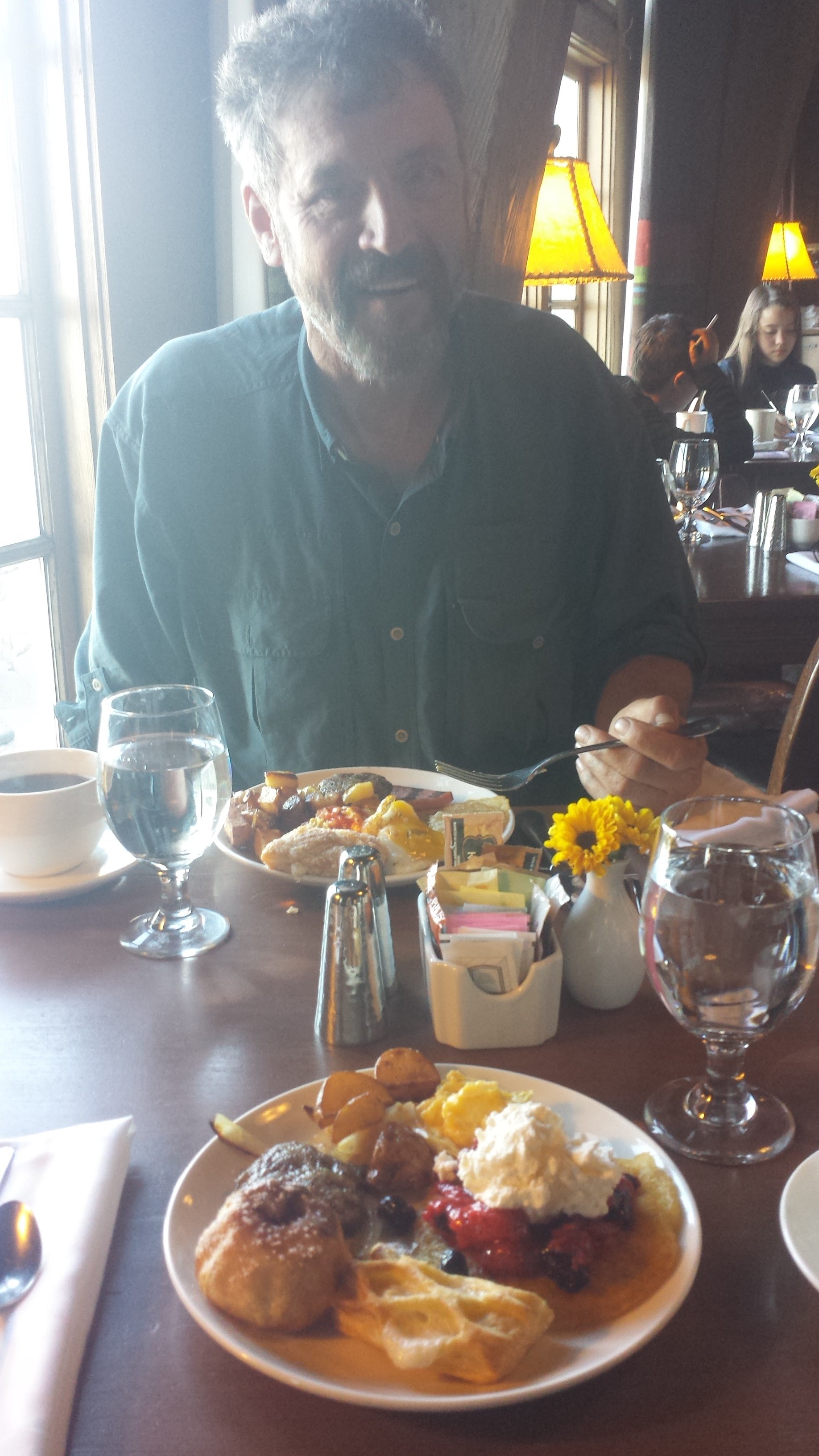
I grabbed a super expensive dinner at one of the three restaurants here, then went for a second dinner at the pizza pub with Jelly and another hiker named Barefoot. Yup, you read that right: I Double Dinnered tonight. I’d better head out soon or it’ll be too dark to find my tent up the hill.

Second dinner with Jelly Dog and Barefoot
July 21- 12 miles, camping at Muddy Fork
Timberline Lodge is famous for the breakfast buffet at it’s Cascadia Dining Hall. For just $14.95, you can have all the decadence of cheddar scrambled eggs, applesauce pancakes with fruit compote, waffles with real maple syrup, smoked pork sausage and bacon, roasted potatoes with root vegetables, corned beef hash, house-made yogurt and pastries, and coffee that your tummy can handle. Joining me in the extravagance, were hikers Barefoot and Crosscut.
Breakfast with Crosscut
Just as I was leaving, I noticed my big toe was feeling uncomfortable and tight in my shoe. This isn’t the same toe that I smashed with my water bottle back at Russell Creek; that toe still hurts, but now the other one is acting up. I ignored it. The hike away from Timberline Lodge was just as sandy as it was going to it and my toe seemed to be getting worse with each mile.
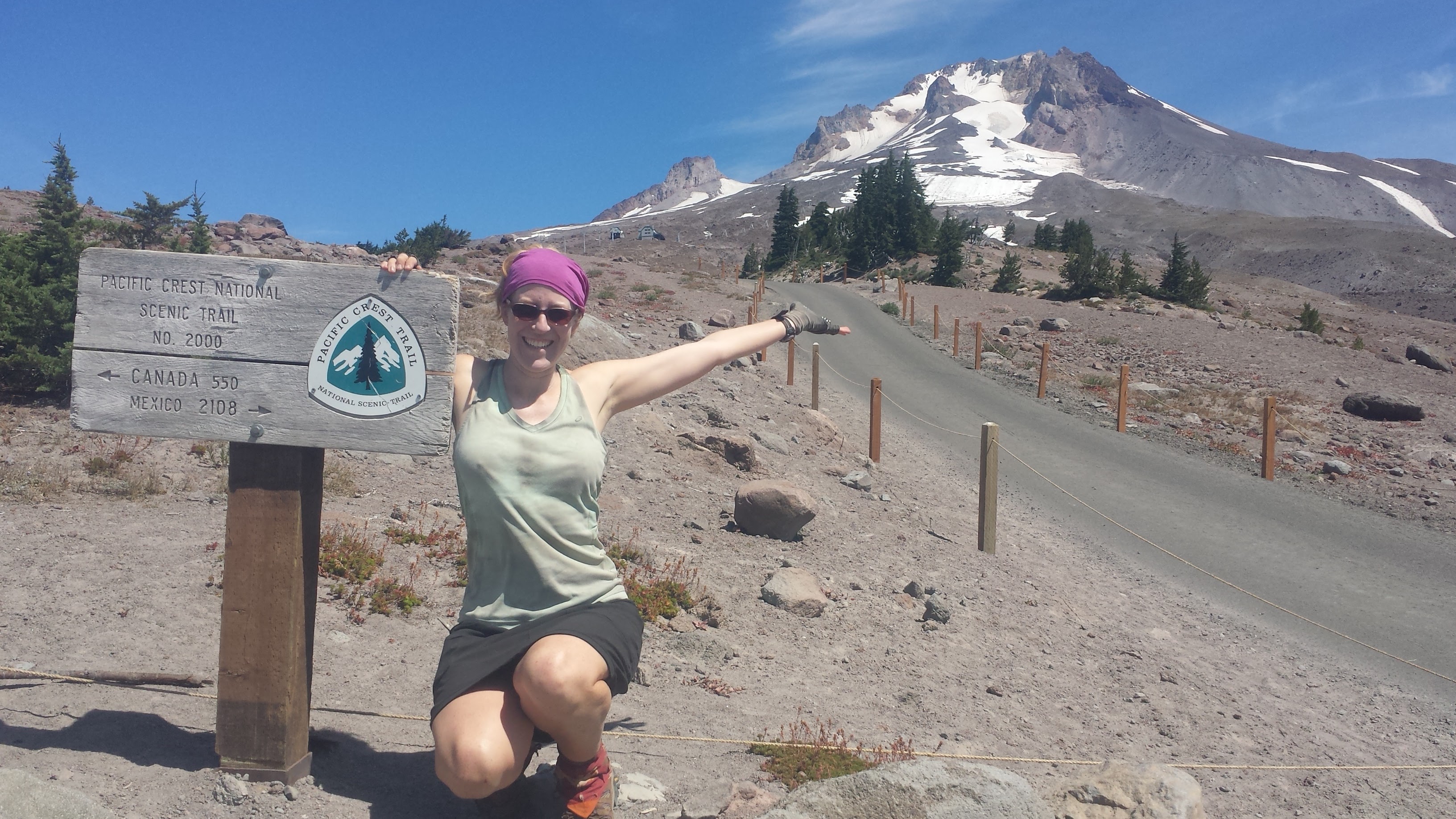
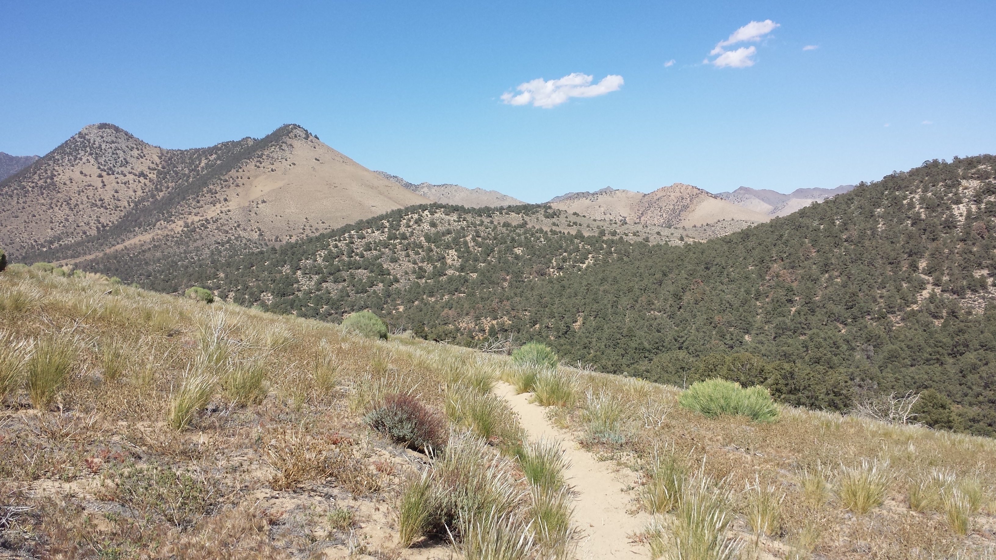
Only 550 miles to go!

Mt. Hood, towering cliffs and a waterfall
Eventually, when every step began to hurt, I stopped and pulled my boots and socks off to examine the swollen toe. It was clearly infected, but not through any open wound or bite. I think some bacteria must’ve gotten in between the nail and the side of my toe and now it’s swelling up like a red balloon. After cleaning it with water, I treated it with iodine, covered it with a bandaid to keep out the dirt, and then wrapped it with athletic tape to keep the bandaid on.

An unhappy toe
I took an alternate trail which past by the cascading, 120 foot tall Ramona Falls and through a moss-carpeted, alder forest. Here’s some interesting facts on Ramona Falls by William Sullivan from the Oregon.com website:
“History: When Sam Barlow was pioneering a wagon route around Mt. Hood as an Oregon Trail shortcut in 1845, his group ran out of time, left their wagons on the east side of the mountain, and hiked past present-day Timberline Lodge and Ramona Falls in order to reach the safety of the Willamette Valley before winter set in. The pioneers who named the Sandy River thought its milky color was caused by sand. In fact the stream carries glacial silt-rock powdered by the weight of Mount Hood’s glaciers.
Geology: Ramona Falls has such a lovely shape because it cascades over the remnants of a columnar basalt lava flow. When basalt lava cools slowly enough, it fractures into a hexagonal pattern perpendicular to the cooling surface. Later erosion has broken these basalt columns into a stair-stepped honeycomb.”

Ramona Falls
My toe was so sore I could only hike twelve miles and stopped just before a raging creek called Muddy Fork. I treated my toe with a couple salt compresses then treated it with alcohol. It’s nice to have the campsite to myself, but the solitude seemed to be playing tricks on my mind. I don’t usually get scared anymore when I’m alone, but I kept having the feeling someone was just behind me ready to club or grab me. While sitting on a log, sorting through my bag and cooking dinner, I kept looking over my shoulder. Even when I looked into the water in my pot, I seemed to see a figure standing over me, even though I knew it was only a reflection of the tree branches. The only thing I could do to shake the feeling was get out the ukulele and play a few songs until it became dark.

Camping near Muddy Fork
July 22- 23.5 miles, camping near Eagle Creek
With the trees shading me from the morning sun, I slept longer than I meant. My toes both still hurt, but I think the swelling has gone down on the infected one. I crossed paths with two sets of southbound hikers this morning. Most of them started at or near the Canadian border just about three weeks ago and they’re starting to trickle by and bringing with them lots of information on the trail through Washington.

“Bridge” across Muddy Fork
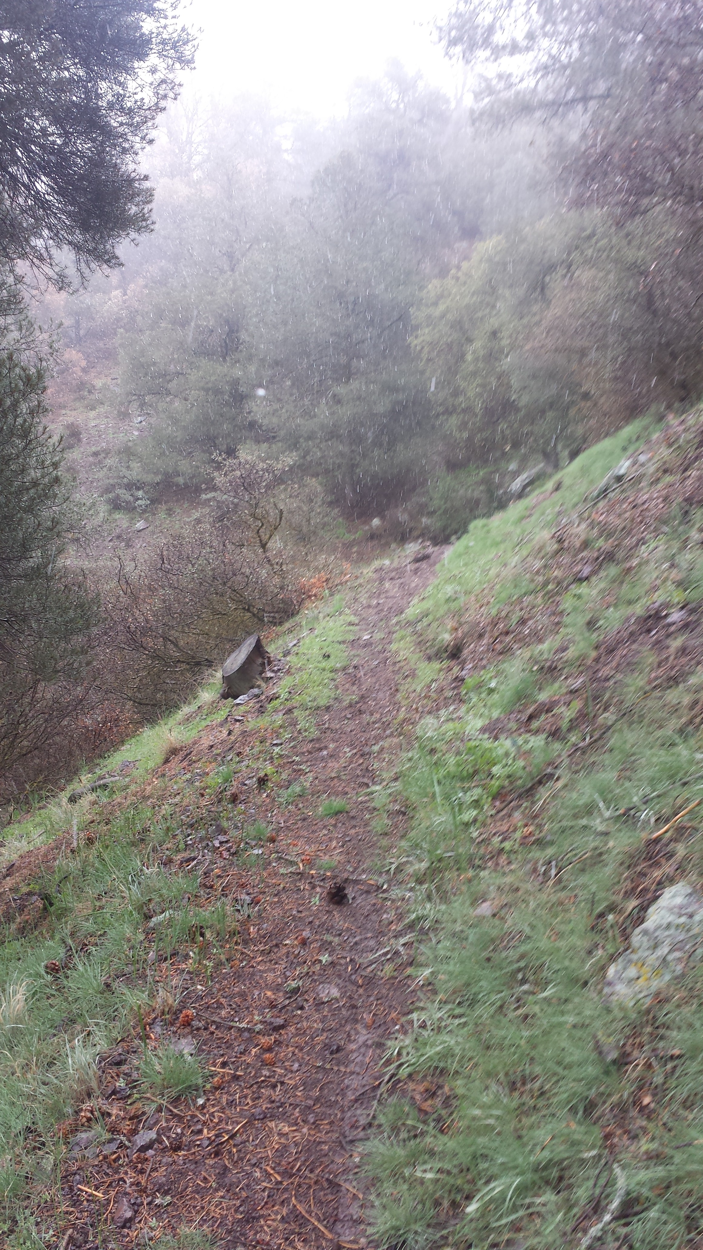
All morning, I hiked through dense forests and clouds until finally around 1:00, the clouds began to clear and the trees opened up to reveal the majestic Mount Hood. It looked like an island in a sea of rolling and roaring green waves.

Mt. Hood

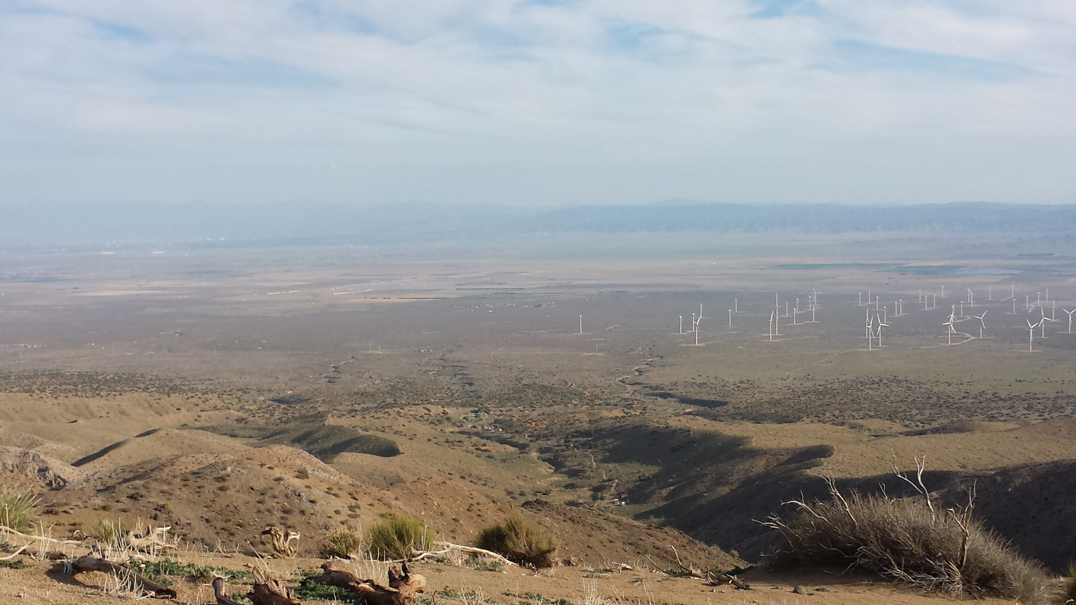
The next view, several hours later, was to the snowy peaks to the north. Another hiker left a piece of notebook paper under a trail marker showing which peaks are which far in the distance. Unfortunately, because of the clouds, I could really only see Mount Adams. Usually, from this spot, hikers can also see Mount Saint Helens, an active volcano, and Mount Rainer.

Looking north towards Mt. Adams
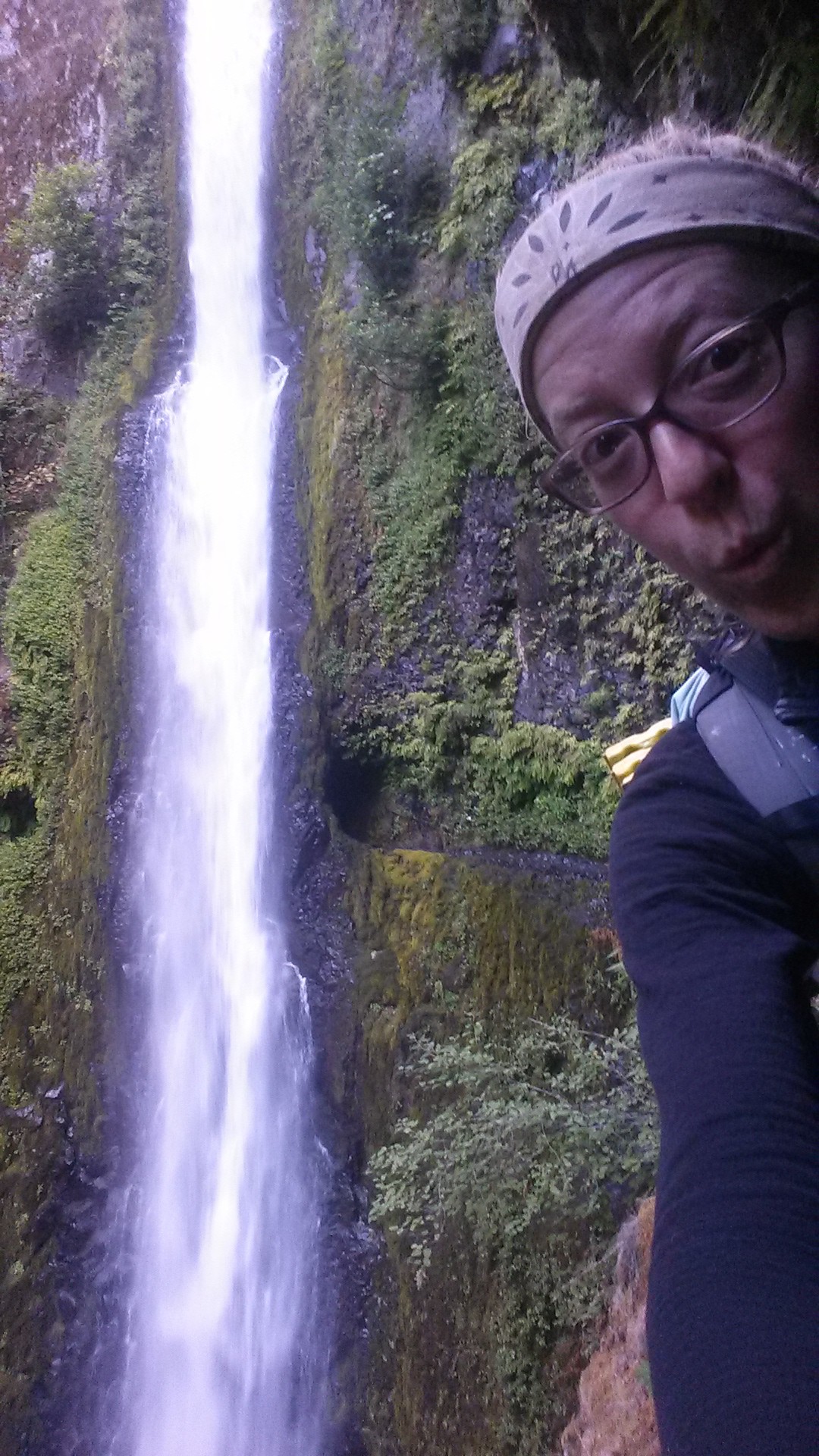
I’ve decided to take a scenic alternate to the PCT called the Eagle Creek Trail. This trail drops steeply to the jungle-like forests along the well-known Eagle Creek. Just around sunset, I was passing up multiple campsites near the creek, waiting for the perfect one. I wanted to camp alone again, since I’ve camped with other people so often in Oregon, and I wanted it to be a nice spot. The campsite I found couldn’t have been more perfect. It was secluded from the trail and other sites, no one else was camped there, and it had a trail leading to a deep, clear swimming hole. Even after 9:00 at night, I slipped into that clear pool, dunked my head and washed all the dust of Oregon from me. Tomorrow I will walk into Washington!

Eagle Creek jungle

Camping near Eagle Creek
July 23- 10 miles, staying in Portland
Eagle Creek is famous in Oregon for it’s impressive and beautiful waterfalls. The trail was carved out of the cliff sides along the creek years ago by trail builders and occasionally offers a metal cable for hikers to hold onto while they walk past 100-200 foot drops. The trail took me past Twister Falls, a 200 foot, two-tier waterfall and also the 160 foot Tunnel Falls. Trail builders actually carved out a tunnel behind the waterfall for hikers to pass through.
Tunnel Falls
Another excerpt from William Sullivan on Eagle Creek from Oregon.com:
“History: Built in the 1910s to accompany the opening of the Columbia River Highway, the Eagle Creek Trail was blasted out the cliffs with dynamite by Italian engineers. The area above the 800-foot-elevation mark was officially designated Wilderness in 1984.
Geology: The many layers of columnar basalt exposed in the cliffs of Eagle Creek are all part of the massive lava outpourings that inundated 50,000 square miles of Eastern Washington, Eastern Oregon and Idaho to a depth of up to a mile 10 to 17 million years ago. These rock floods surged down the ancient Columbia River to the sea, pushing the river north to its present location.”

Trail along the cliff
I reached Cascade Locks around noon and was instantly greeted with the expansive Columbia River and the Bridge of the Gods spanning across it. Since I have friends in Portland, I plan to take two bus rides later today to get into the city. With about five hours to kill, I refueled at the Bridgeview Diner and then moseyed over to the RV park for laundry and a shower. I’ll hang out in Portland for several days because my honey-bunny, Art, is coming for a mid-hike visit. Can’t wait to see him!

Cascade Locks and the Bridge of the Gods
Links
Installment No. 30- Cascade Locks to Trout Lake, July 2015