loading map - please wait...
**UPDATE (8/30): Somehow I accidentally reverted this post to “draft” & lost most of my text. I’ve had to update and republish it. Sorry, friends, the extra email!**
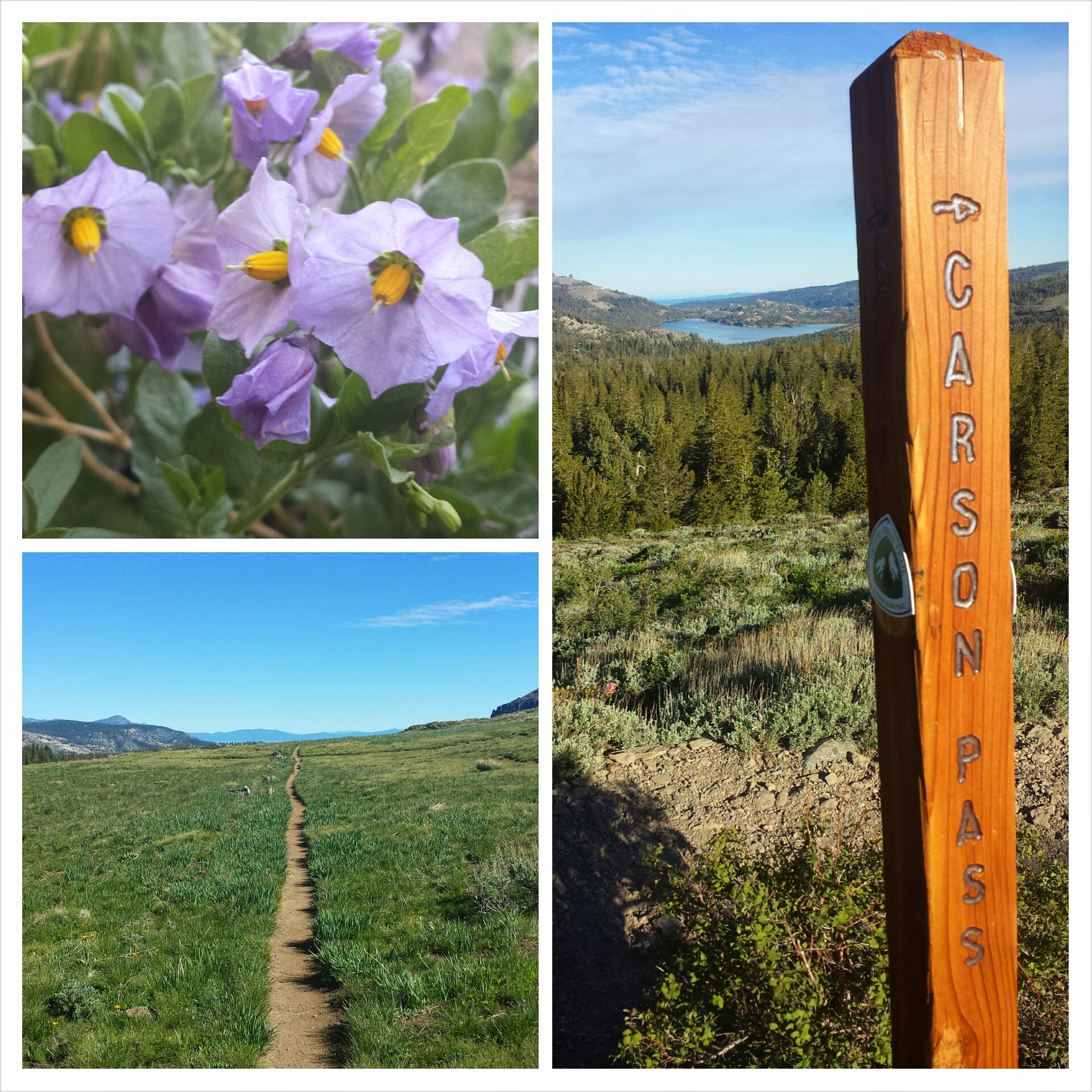
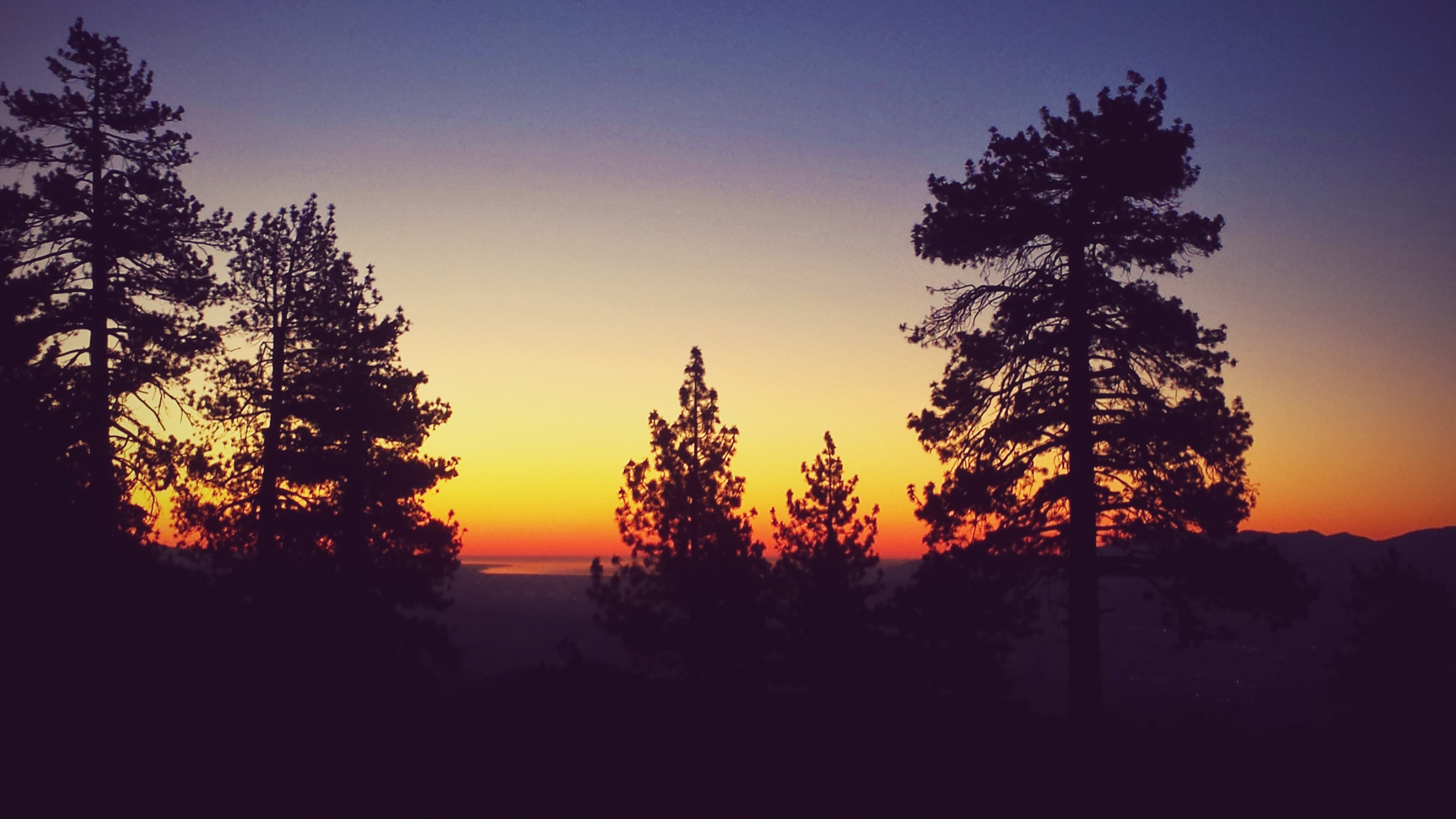
August 13- 8 miles, camping at Ridge Lake
It took me longer than I expected to get out of town this morning, but that seems to been the norm. I hiked up the 2,500-foot climb with a hiker named Seven, short for “Seven Summits.” Betwwen 40 and 56 years old, he summitted the highest mountains on all seven continents, and now, at 58 or so, he’s thru-hiking the PCT. I asked him to tell me his story as we knocked out the climb and it kinda got my mountaineering juices going. He’s such a modest man and said he was shy about having his picture taken, so I don’t have one to post here.

This is my foot’s LEAST FAVORITE kind of trail.
The climb really took it out of me today. Maybe it was the four days of food I was carrying, maybe it was the smokey air, maybe my town stay has made me a softie, but I am absolutely drained. When I reached Ridge Lake, I went for a swim and filtered some water, with every intention of putting in another eight miles.

Two southbound hikers said that all the streams for the next twelve miles are dry, though, and since I only have the capacity to carry two liters of water, dry camping in the middle of a twelve mile stretch is out of the question. It’s a dry year, but this is actually the first time I’ve come across usually reliable sources that are now dry. Lucky for me that the hiker community is really good at spreading news via word of mouth.

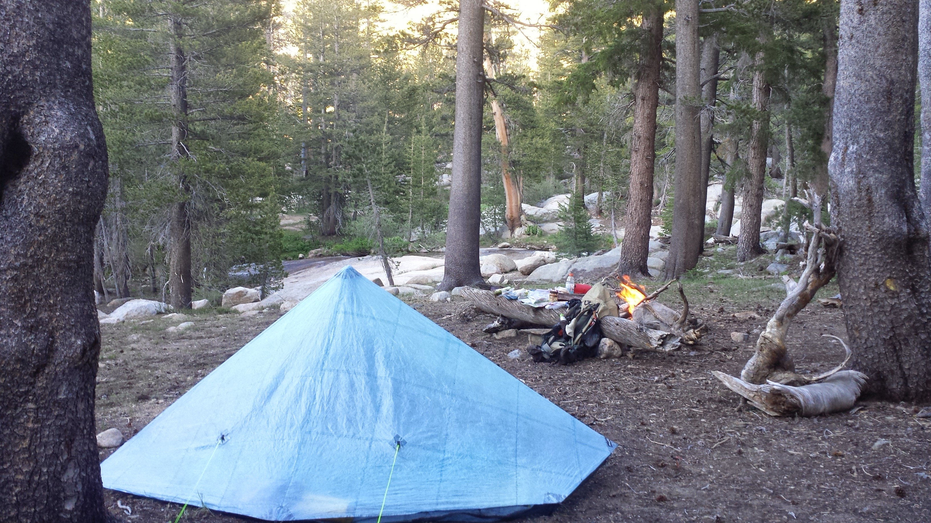
I’ve found a really nice campsite near the lake and am bracing for some rain. The weather report said we’d have thunderstorms all tomorrow- I just hope there’s no lightning. : /

Mac & cheese dinner

Camping near Ridge Lake
August 14- 15 miles, camping in Lemah Meadow
When I lost my old boots in Cascade Locks, I also lost my gaiters. I loved those gaiters! They had the cutest little pin-up girl print. I ordered new gaiters from Dirty Girl Gaiters and had then shipped to Snoqualmie Pass. This new pair has a sushi print and am posting a picture here before they get covered in mud and dirt.

New sushi-patterned gaiters
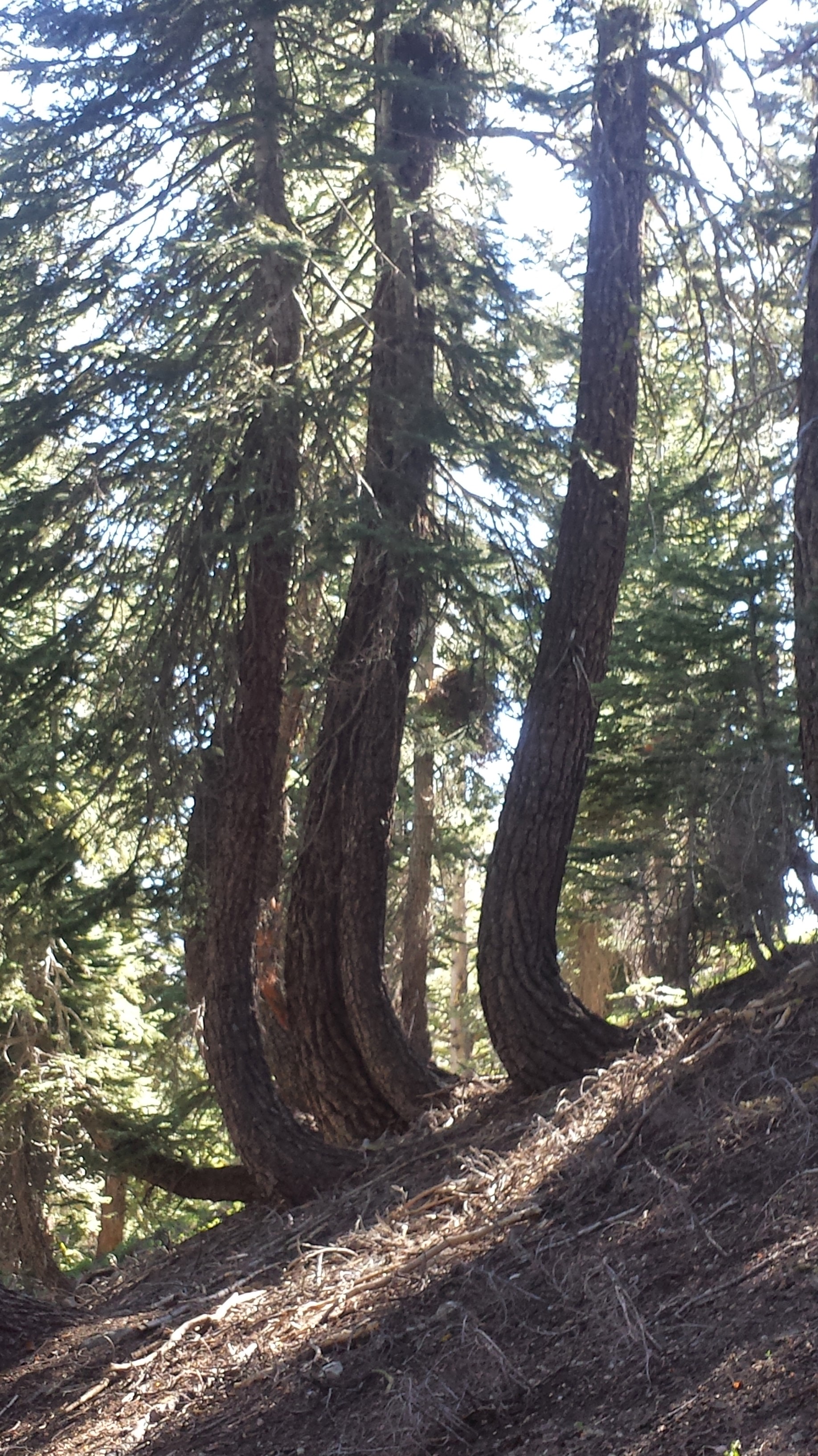
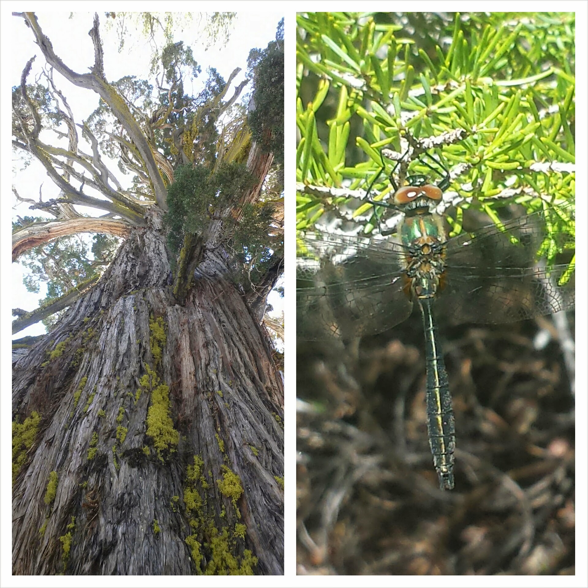
The clouds completely engulfed the trail today; it was like hiking in another world. When there a no views to admire, I end up focusing on the small things, like details in the trail or plants and little animals. It also makes for a much more internal hike because I’ll really get absorbed in my thoughts.

A small thing… a pika


Delate Creek
It was a wet and very cold day ALL day long. I hiked for most of the day with a Finnish college students named Bambi Magnet, who was vibrant and fun. His passion for everything on the trail, even getting slammed by super cold rain clouds, is really contagious.


Lemah Creek and Bambi Magnet
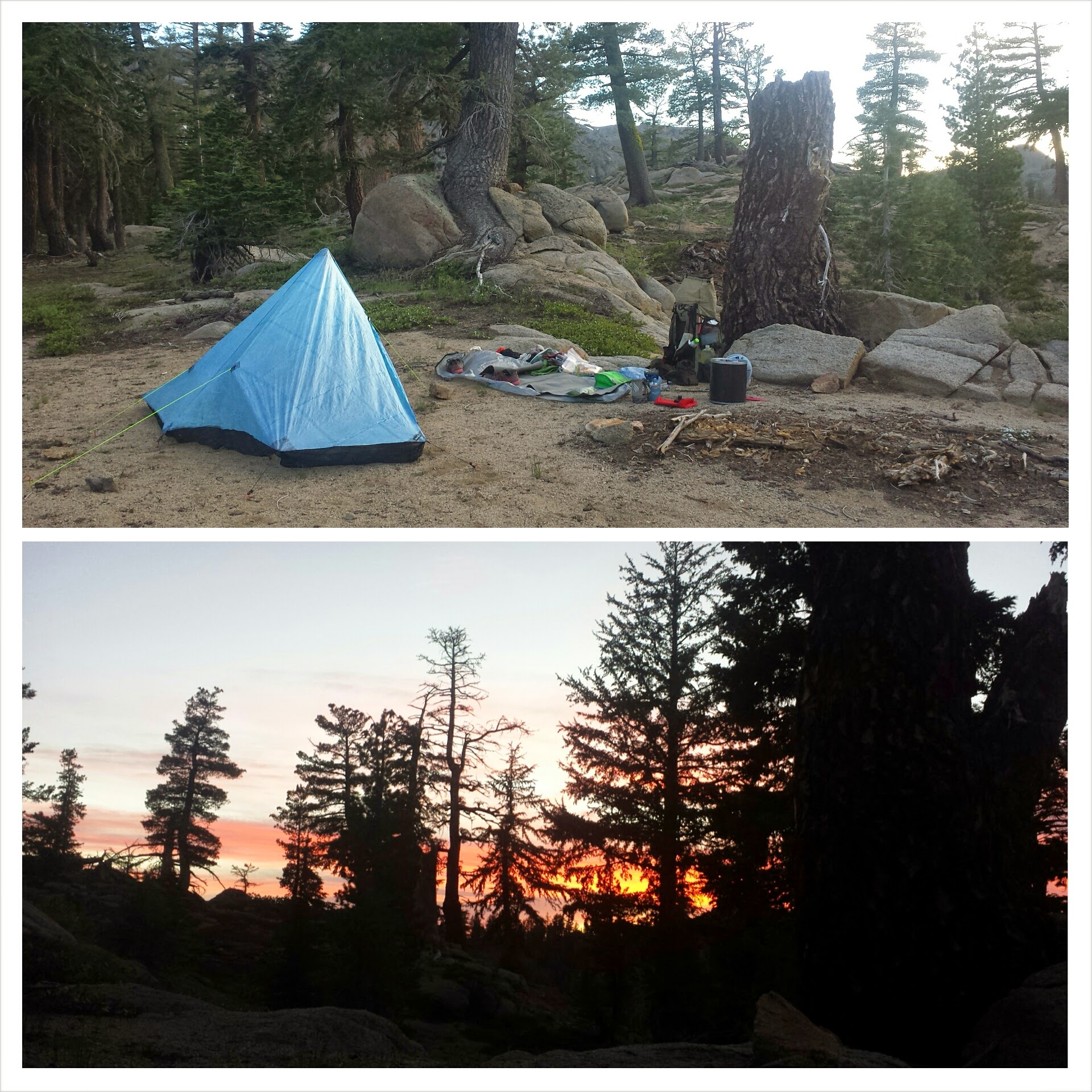
By the early afternoon, we were out of the clouds and skirting along the lower elevations of Lemah Meadow. I lingered just below the beginning of the climb up to the next ridge, eyeballing the rain clouds and wind. It looked like pretty unpleasant weather up there and my guide book described only a few, rather exposed campsites. I really didn’t feel like putting up with wind and rain all night, so, even though it was still the afternoon, I set-up camp. With so much time on my hands and stuck inside my tent, I busied myself with sodoku, reading, and snacking on treats. It’s super cold and I’m wearing EVER piece of clothing I have- I really hope it’s not too miserable tonight.
August 15- 21 miles, camping at Deep Lake
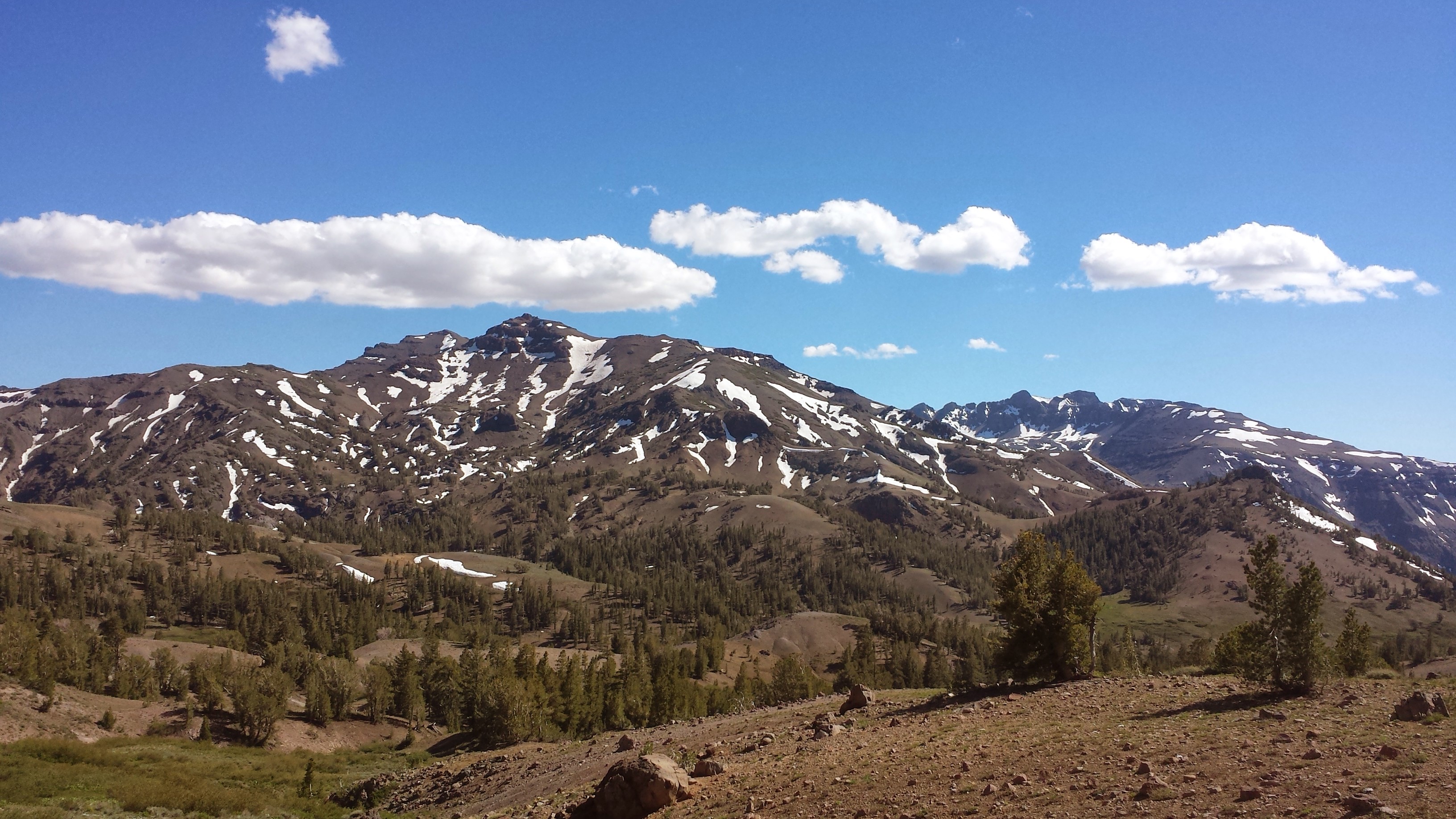
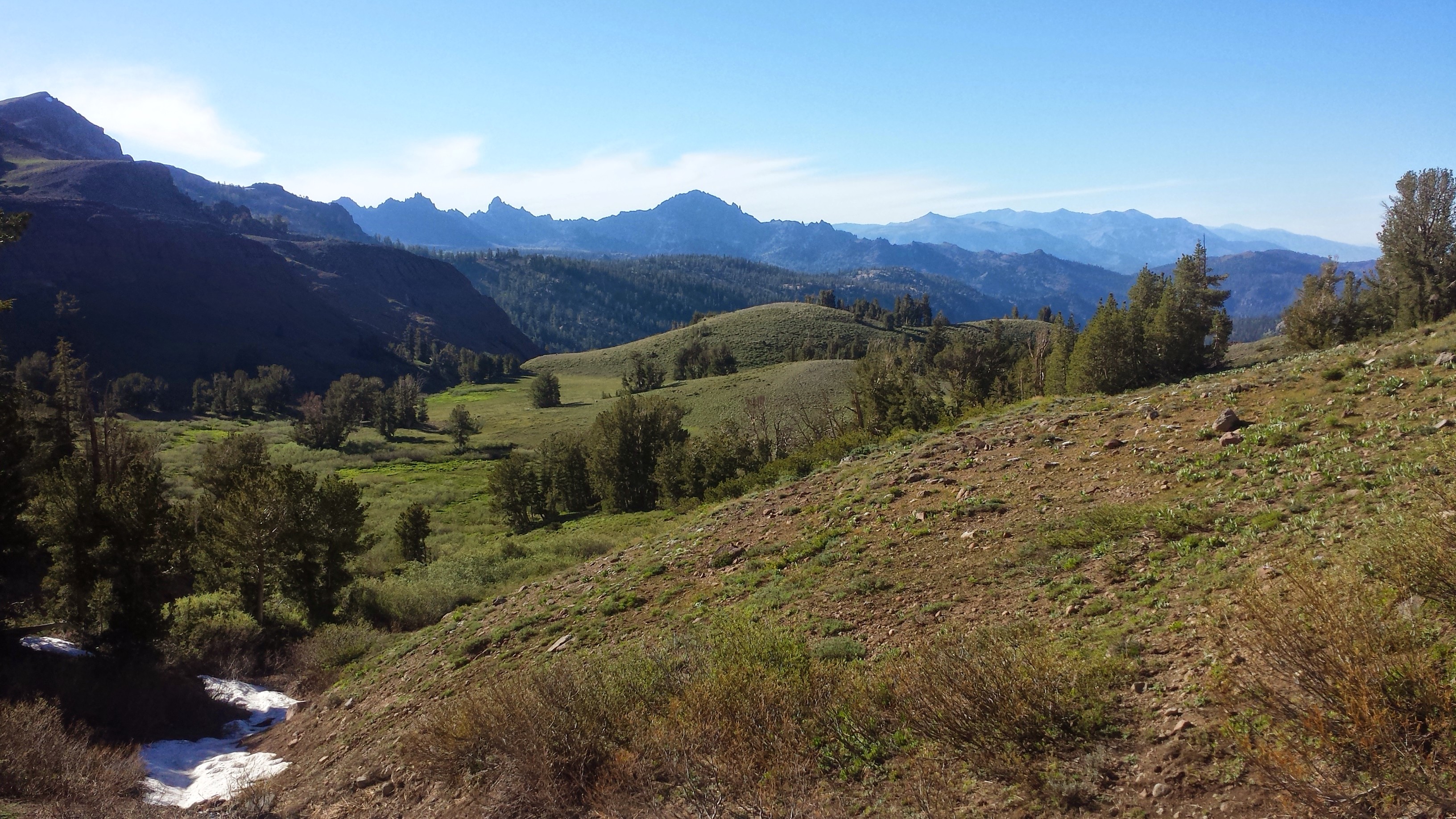
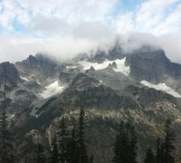
Overcoat Peak
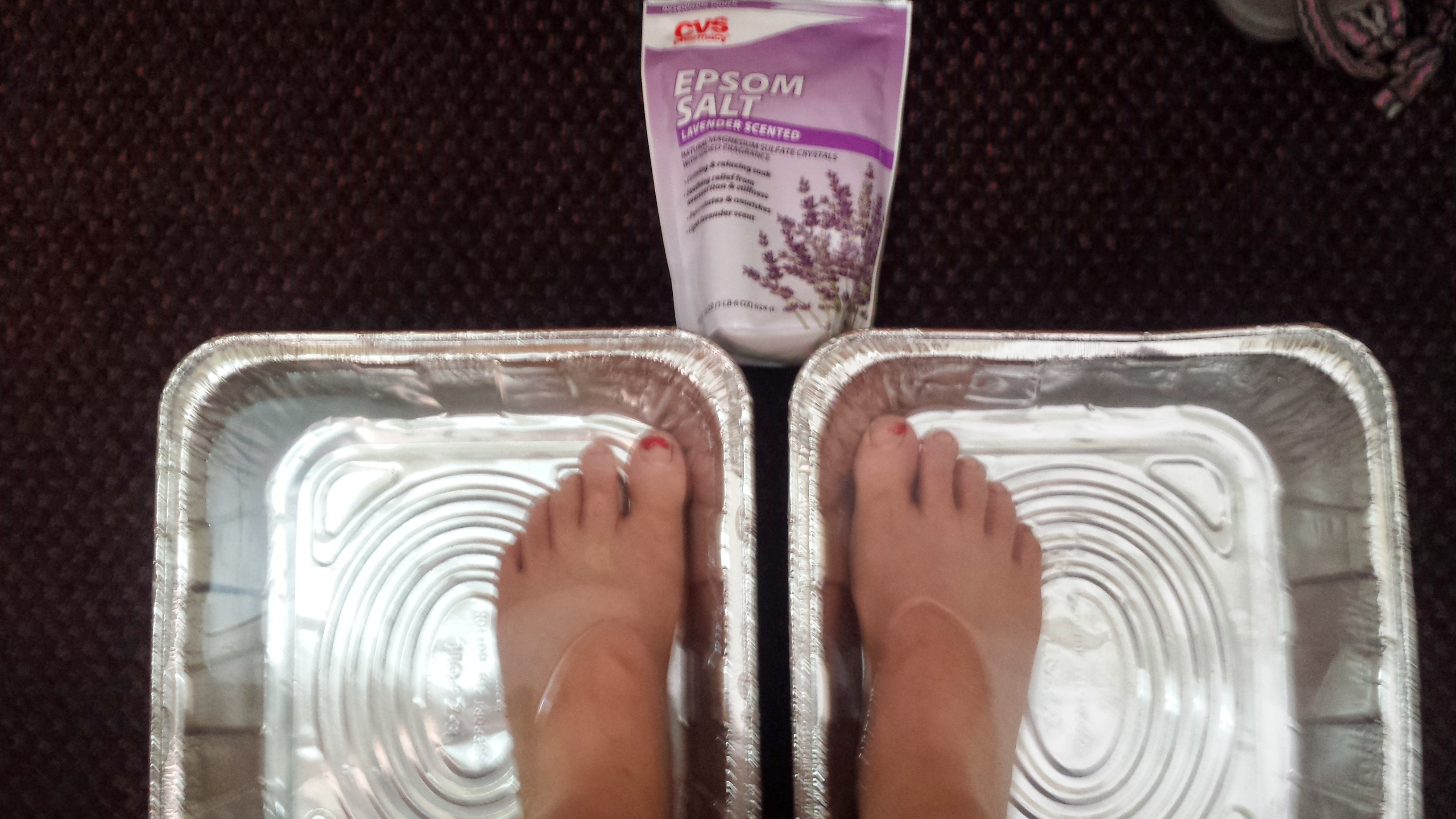
The rain turned out to be the least of my concerns last night. Washington mice have yet again demonstrated their stealth, cunning and determination to eat my food. With the zipper on my tent broken, I’m practically at their mercy. They walk in like they own the place and poke around for anything tasty to eat- last night, it was my chicken noodle soup. I’m really regretting not having my Ursack anymore because now I have to sleep with my food huddled inside my sleeping bag. I used to go to sleep in fear of large animals that would eat me, now it’s about the little ones that eat my chicken noodle soup. Mice 5, Katie 10.


Drying out my gear above Waptus Lake
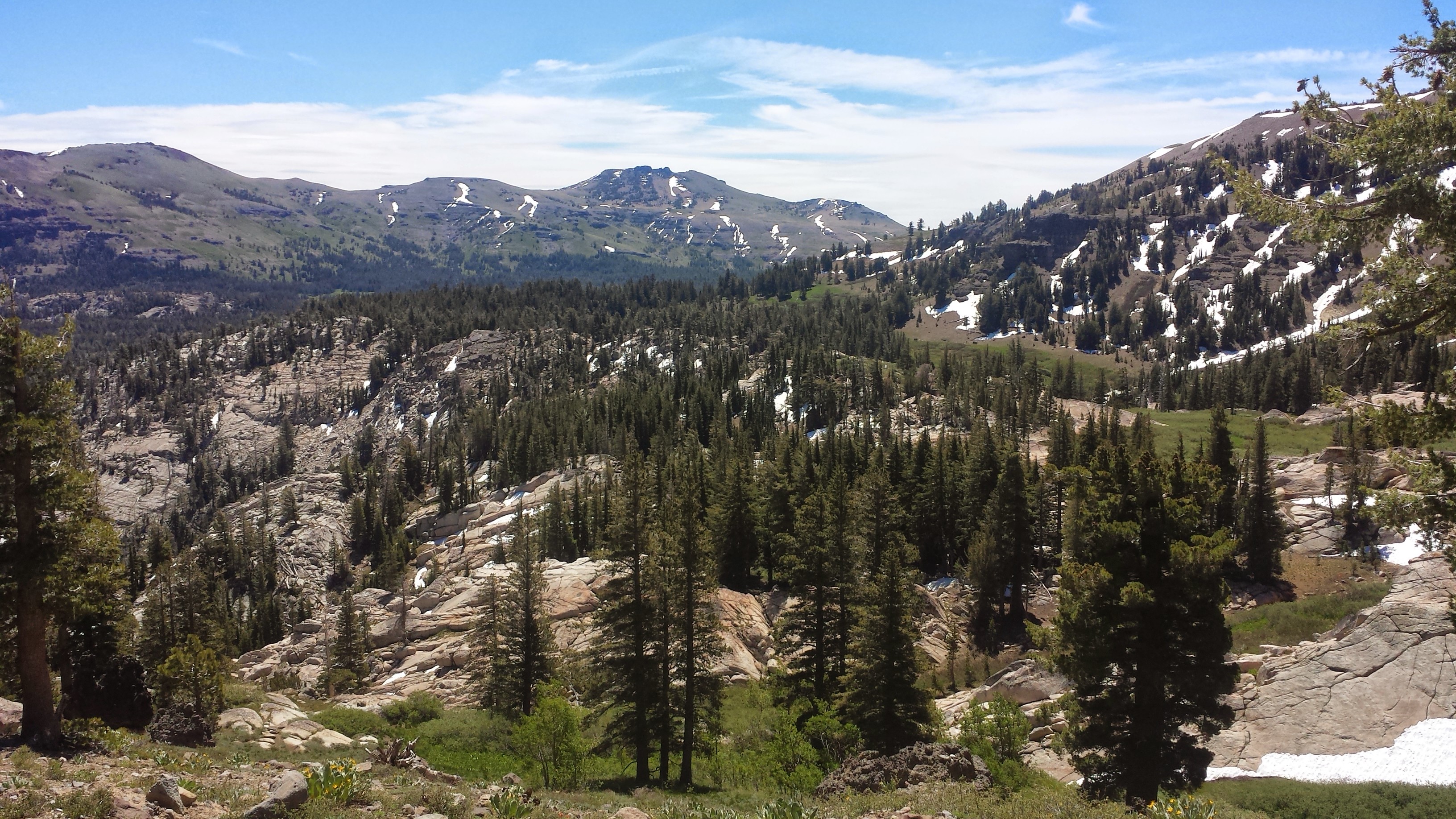
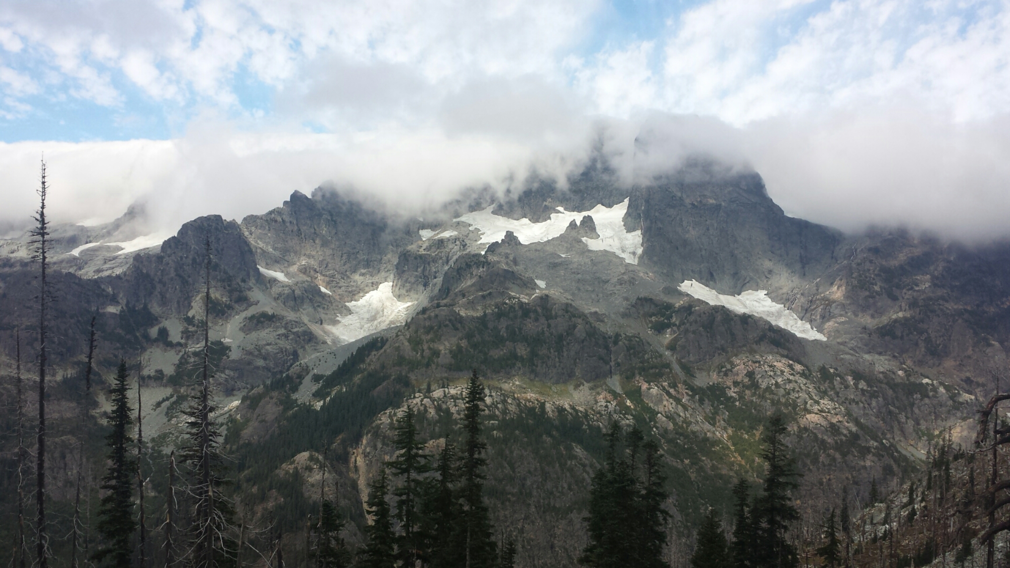
It turns out I made a good decision climbing the ridge last night. If I had, I would have missed out on the incredible views. These mountain are as rugged, beautiful and dynamic as the Sierras. After climbing out of Lemah Meadow and coming around to the north side of the ridge, I was greeted with views of Waptus Lake in a deep valley and grand, rocky peaks topped with clouds. With views like these, the day went by quickly.

Bears Breast Mountain
Other than Bambi Magnet yesterday, I’ve seen almost no thru-hikers in this section. My guess is that most must have stayed in Snoqualmie to avoid storm and now I’m in a little vacuum between groups. The solitude has been nice and given me ample time to reflect on this summer’s journey, but it will be nice to hike with Khalil again once he catches up to me.

Waptus River


A bunny!
I’ve made it 21 miles today and am camping near the beautiful Deep Lake. The wind has started blowing and the clouds are rolling in over Cathedral Rock. I’ve found a protected little campsite nestled in the trees near the lake, but it’s still so cold that I’m, again, wearing all of my clothing. I’ve tried to barricade my tent and have packed my food tightly under my pillow. Here’s hoping for no mice tonight!

Cathedral Rock above Deep Lake

Camping at Deep Lake
August 16- 23 miles, camping at Mig Lake

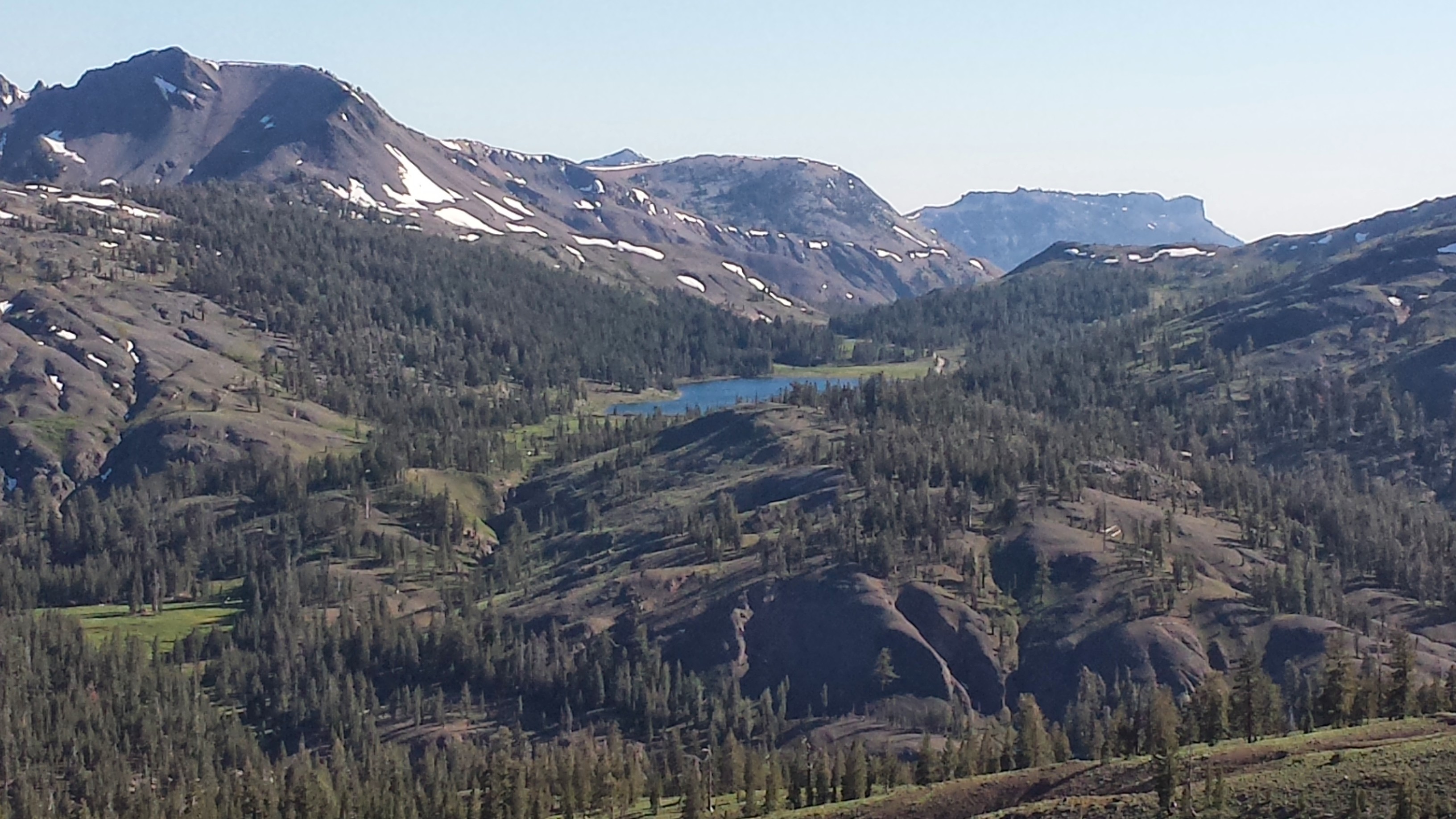
Deep Lake
It was another beautiful day today. The views were spectacular and the weather was great. Despite the cold and another sleepless night of mice, I was up early and heading over Cathedral Pass. At the top of the climb, I caught a glimpse of what I thought was a distant cloud, but turned out to be a snow-covered Mount Rainier.

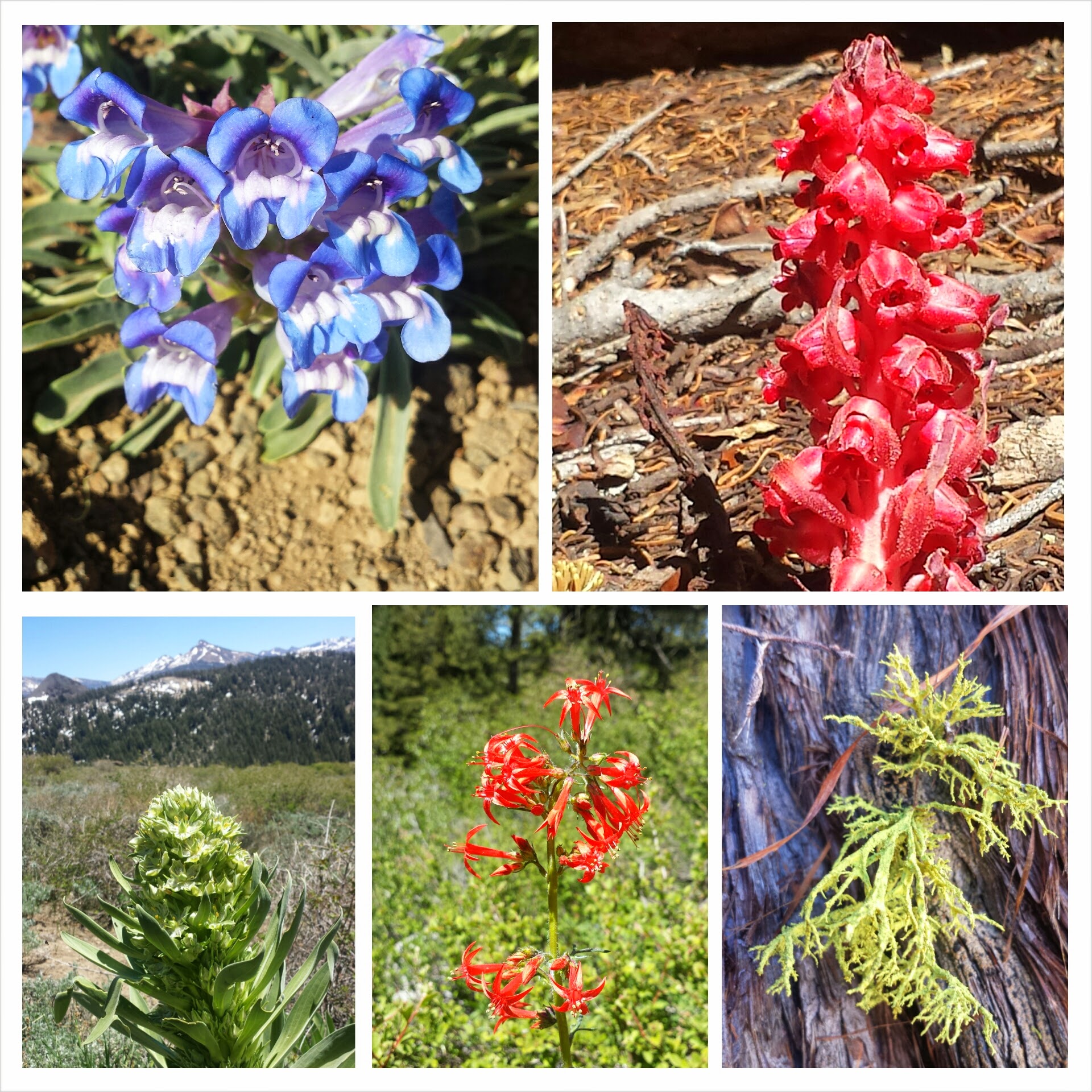
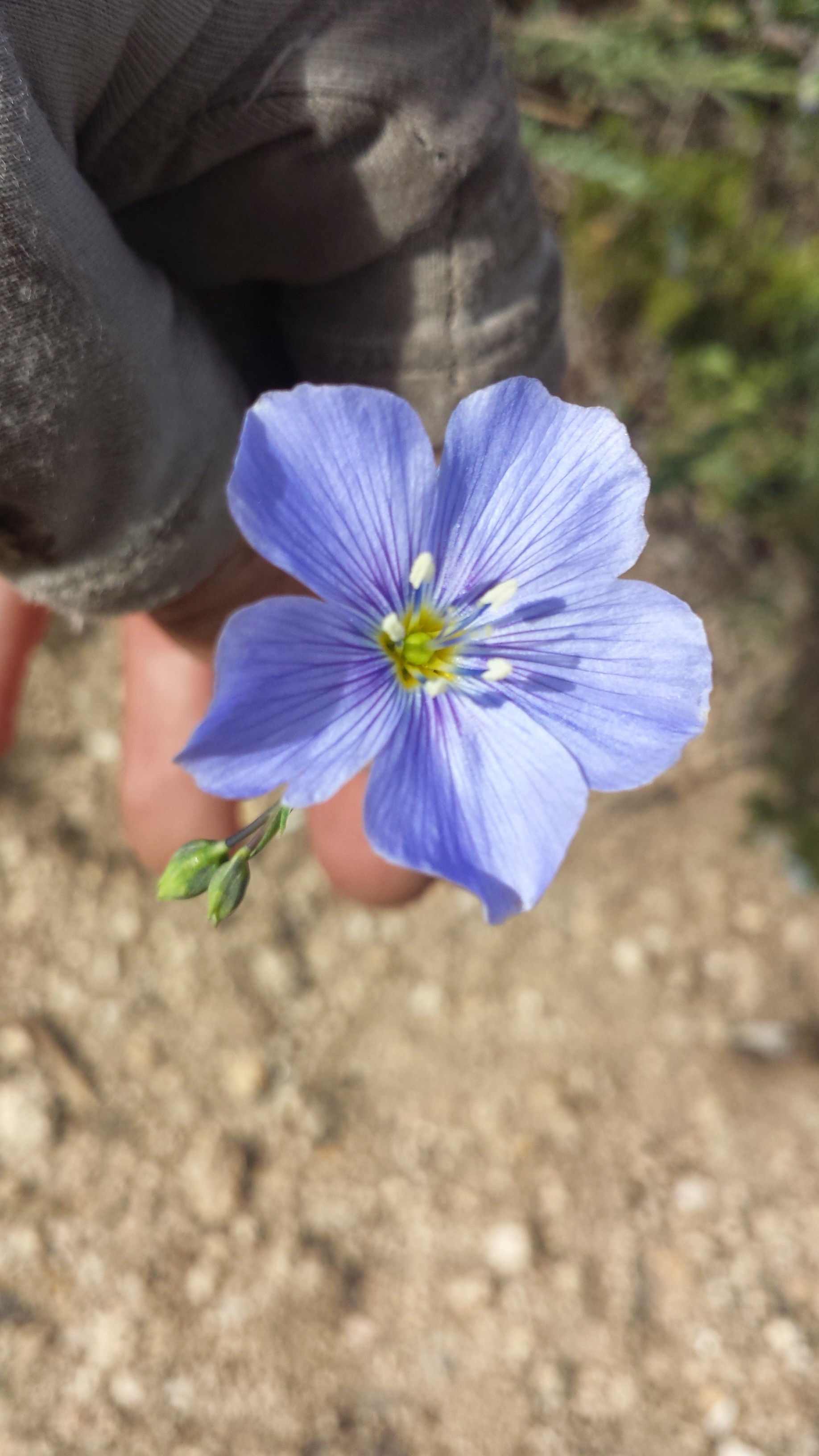
Wildflower
My opinion on trail nudity: It feels wonderful to swim or sunbathe with minimal to no clothing while on the trail. It’s a rare opportunity to be exposed to the elements and comfortable in your skin while NOT in the privacy of your home. As beautiful as the human body is, however, not everyone wants to see it and some decorum is required when in the presence of other people. I am always careful to never expose myself around children, anyone that may be uncomfortable with nudity, and anyone that may make ME uncomfortable. When I do chose to shed my digs, I’ll usually do it away from the trail in a spot where I can easily reclaim some privacy, if called for. If I or anyone else might feel uncomfortable, I’d rather keep my underwear on and maybe my bra, too. I try to remember that wilderness parks are still public parks and common courtesy should always be maintained.
By the way, the picture below was taken by member of a women’s hiking group and no one was offended in the process. : )

Lounging by Deception Lake


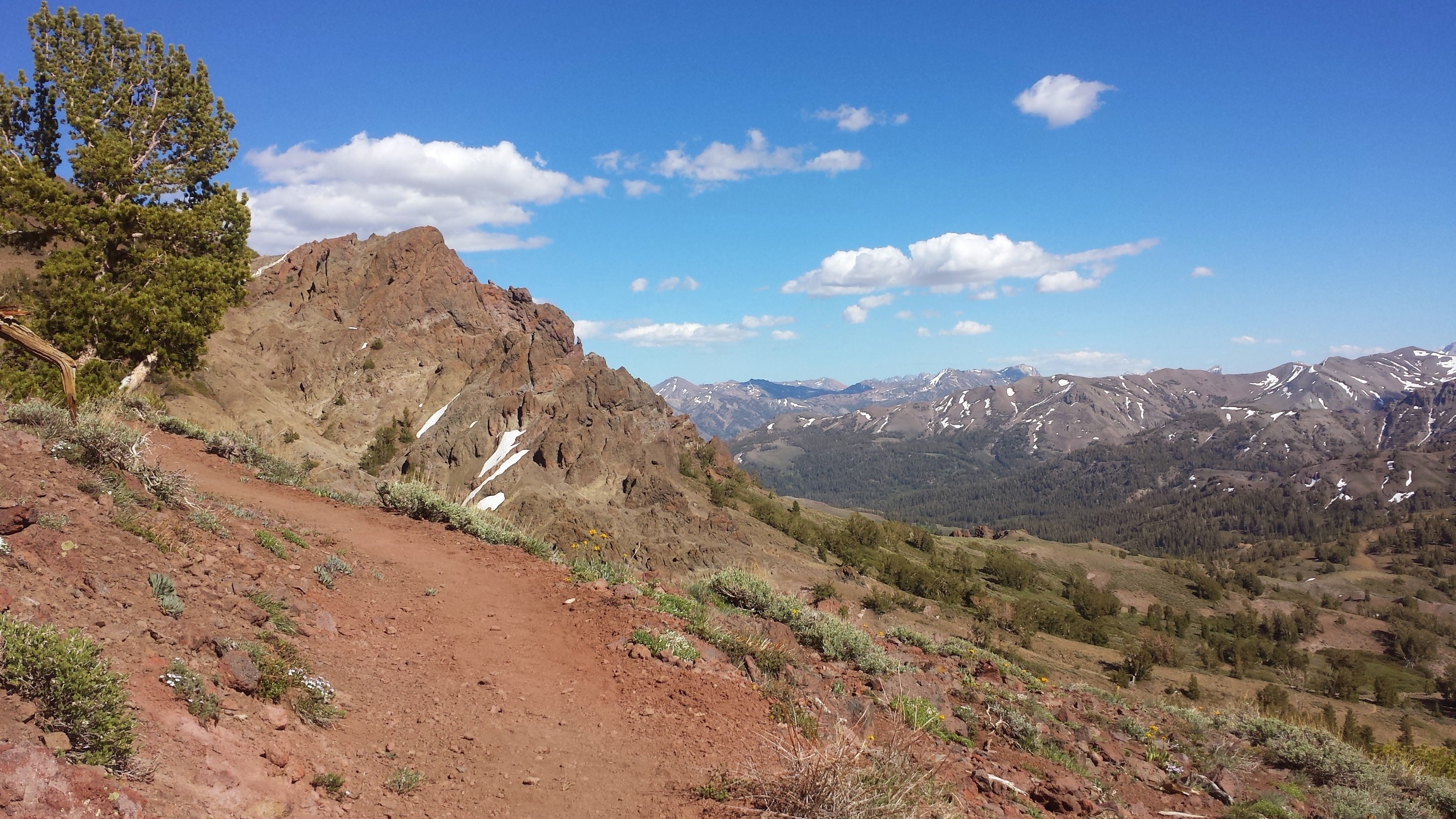
Cathedral Rock on the far left
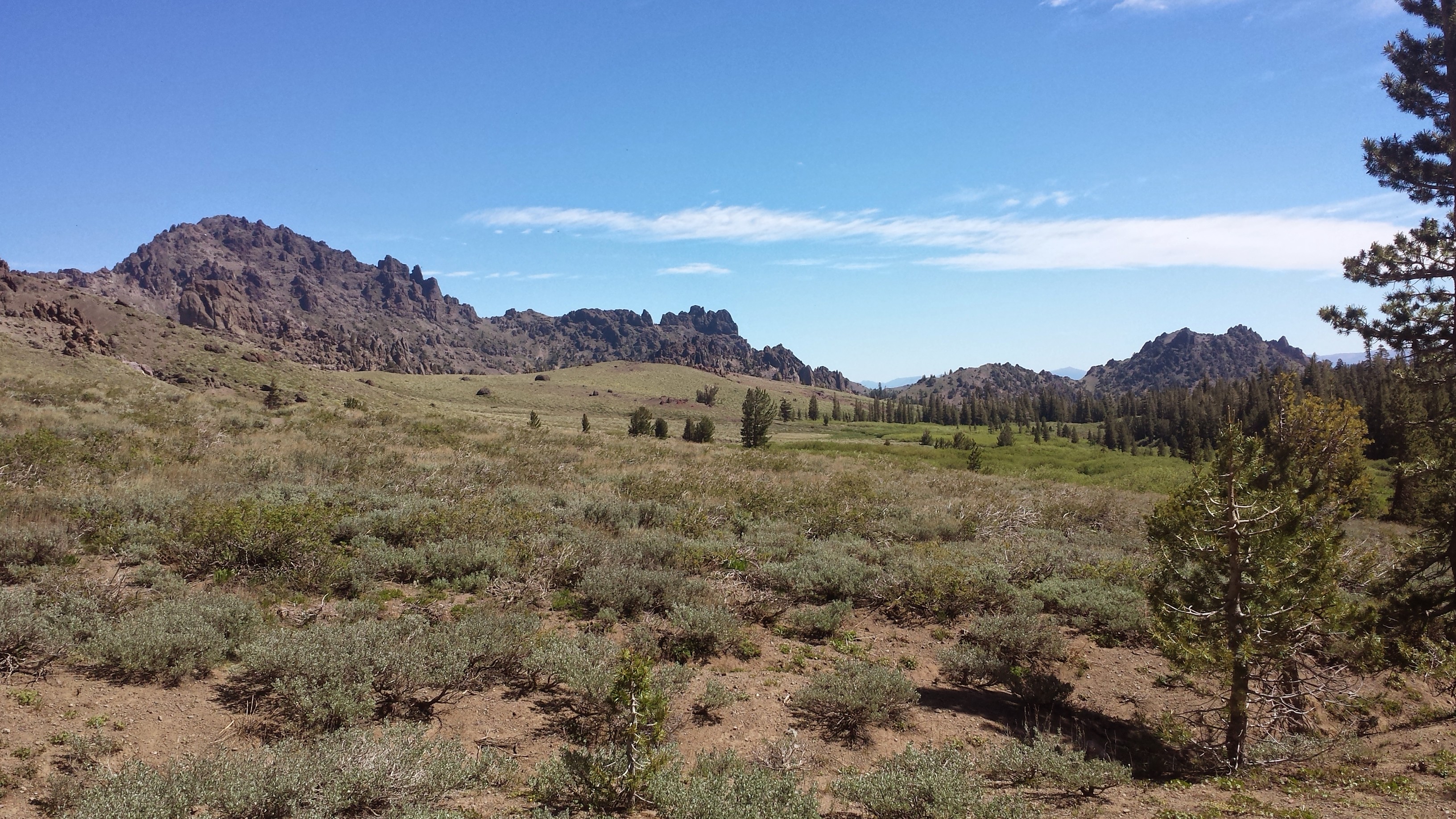
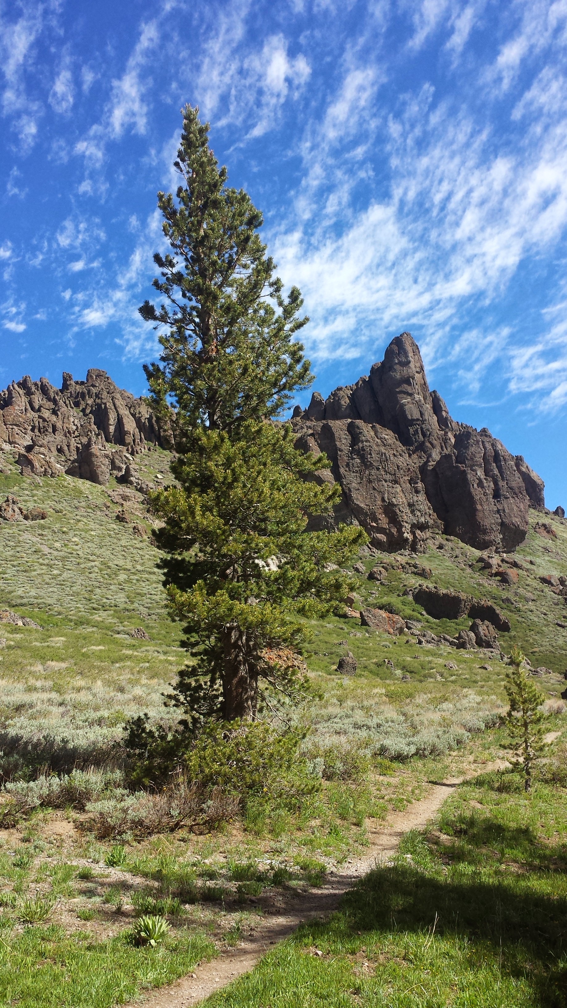
It turned out to be a hot afternoon and the trail climbed up, then down, then up and down again over ridges. Reaching the pass near Surprise Mountain gave me views to the north of the jewel-like Trap Lake and a very smokey sky. The Wolerine and Chelan Complex Wildfires are raging through the areas just north of Stevens Pass and have even closed part of the PCT. I’ll have to get more information in town on the closure and possible detours, but the thought of having skip a section or even end my hike is disappointing. I know the Pacific Northwest Trail (PNT) runs near the PCT in this area, so it’s possible that I could always come back some year to hike the PNT and tag in the remaining sections of the PCT.

Trap Lake and smoke in the distance
My feet actually felt rather sore from all the miles tonight, a feeling I haven’t had in some time. It was a good feeling! And definitely better than some of the other pains I’ve been dealing with during this summer. I ended up plugging into my iPod and listening to podcasts to motivate me through the last few miles to Mig Lake. There are two other tents across the lake, but I’ve found a small outcropping on the opposite side that will give me the illusion of solitude. It’s hot enough for another swim, but this lake looks pretty brown and I’d probably come out dirtier than I went it, so I’m going to pass on a bath tonight.

Camping at Mig Lake
August 17- 7.5 miles, camping at The Dinsmores
The Dinsmores are a couple of PCT enthusiasts who live west of Stevens Pass in Baring, Washington. They’re some SERIOUS trail angels. They’ve built a couple facilities on their property to house, bath, feed, launder, and support thru-hikers and I’m really looking forward to staying there tonight. After hiking about seven miles to the highway, I taped a note for Khalil near the trailhead explaining how to find the Dinsmores, cleaned up in the parking lot bathroom and changed my shirt, then headed out to hitch a ride.

Lake Susan Jane and the Southern Divide Ridge

Cresting over the Southern Divide Ridge
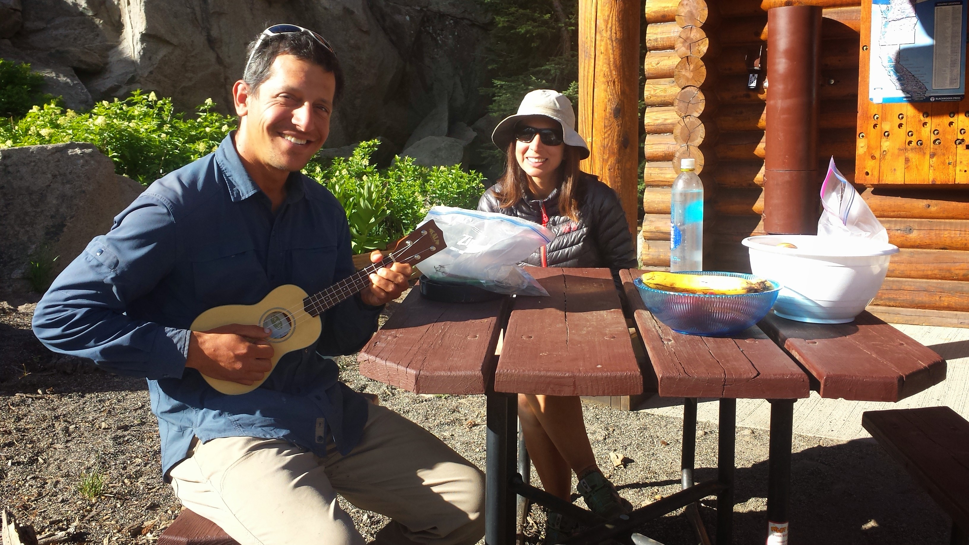
A nice local dropped me off in Skykomish so I could use the library and have lunch at the only restaurant around. Just as I was polishing off my milkshake and burger, in walked Khalil. He was supposed to be at least a day and a half behind me still, so I couldn’t believe he was waltzing into the restaurant. I watched him hobble around the tables and resist the waitress when she tried to get him to put his pack outside. He plopped down in the chair, completely facing me and still didn’t seem to realize I was sitting right in front of him. It was pretty funny, so I really just had to watch him for a couple more minutes and see how long this might go on.
Even after I called his name, he looked at me so dazed and confused. I was really laughing so hard because his expression was hilarious and then there was the absurdity of us arriving at the pass on the same day and finding ourselves in the same restaurant. He said he hiked a thirtyfive-mile day and at least one, maybe two, thirty-mile days to catch up. He’s one crazy Austrian, but I’m glad that I’ve got my friend back.

Stevens Pass