loading map - please wait...
June 16- 19 miles, camping on Hat Creek Rim
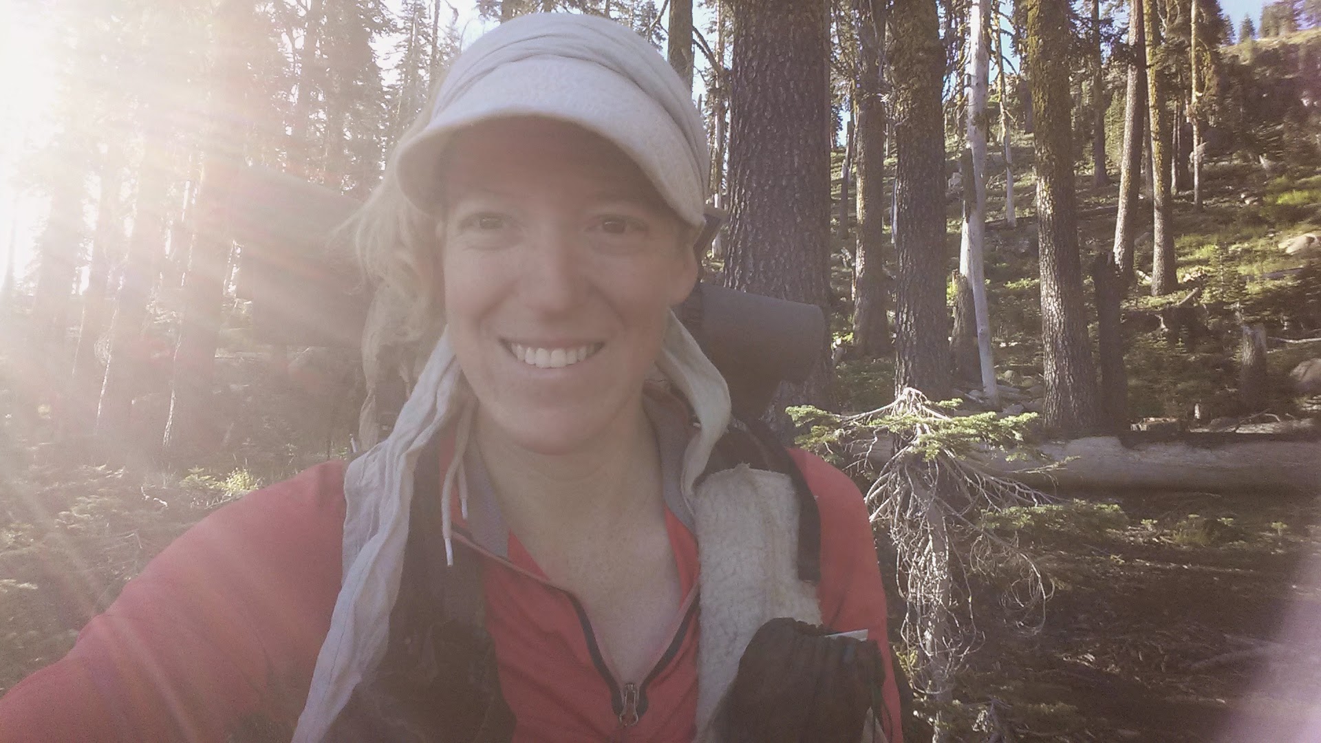
Camping in the burned forest meant that I and all my gear were really ashy and I felt just filthy the entire day. It was entirely downhill to Old Station for seventeen miles and my feet were starting to ache. I stopped at Hat Creek so I could soak them for a bit in the cool water and I hiked the remaining five or so miles in my sandals.
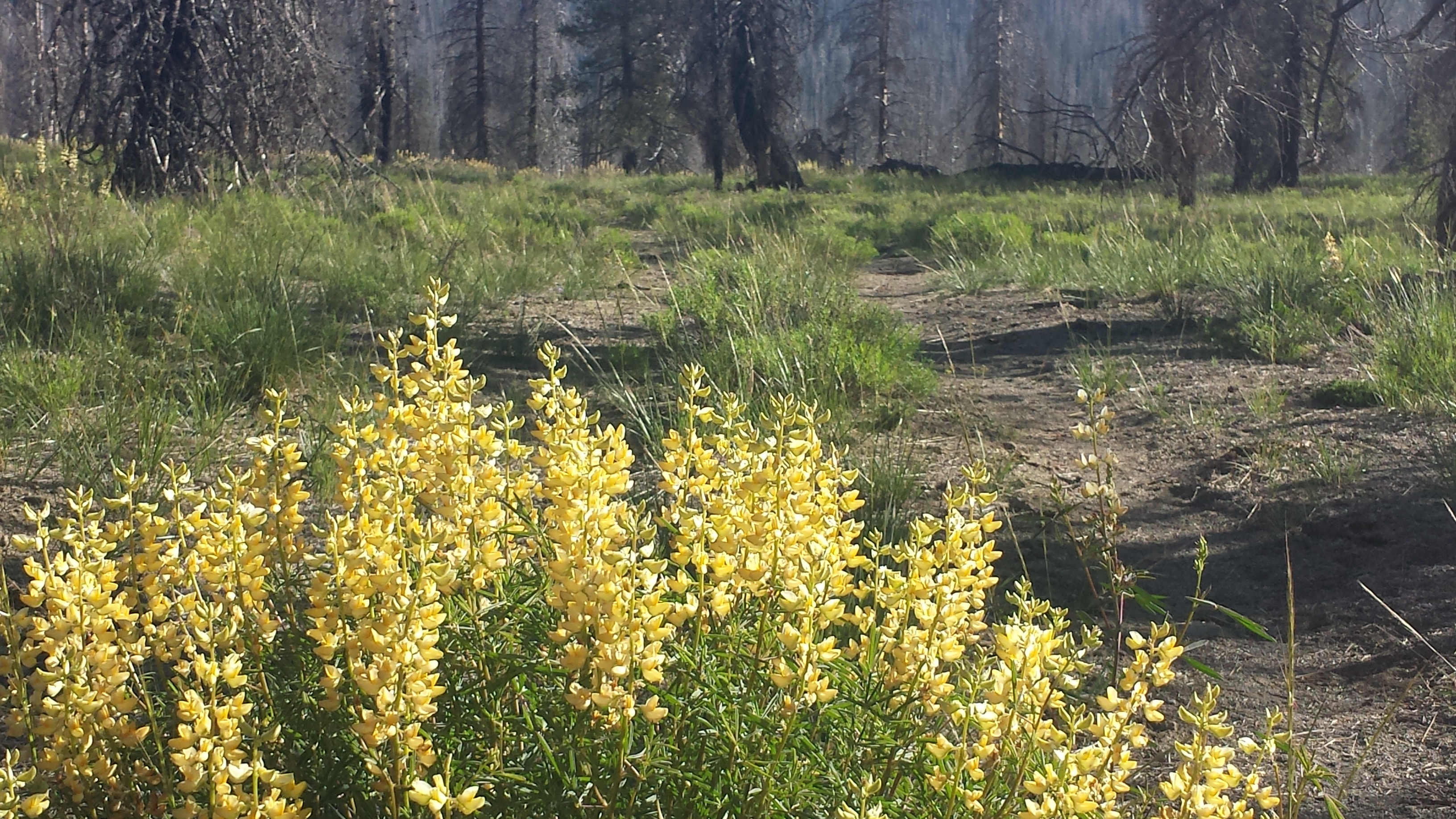
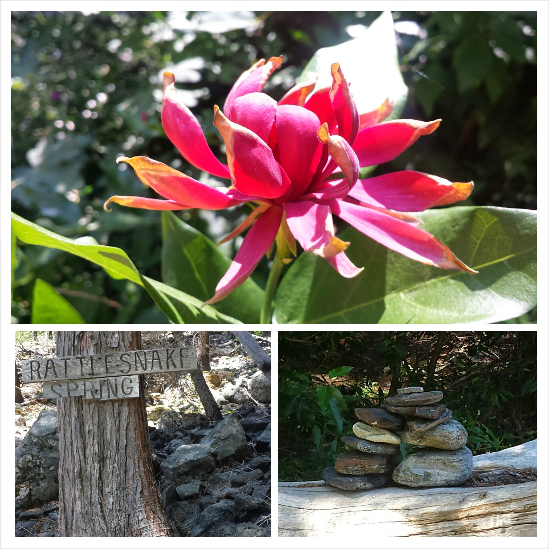
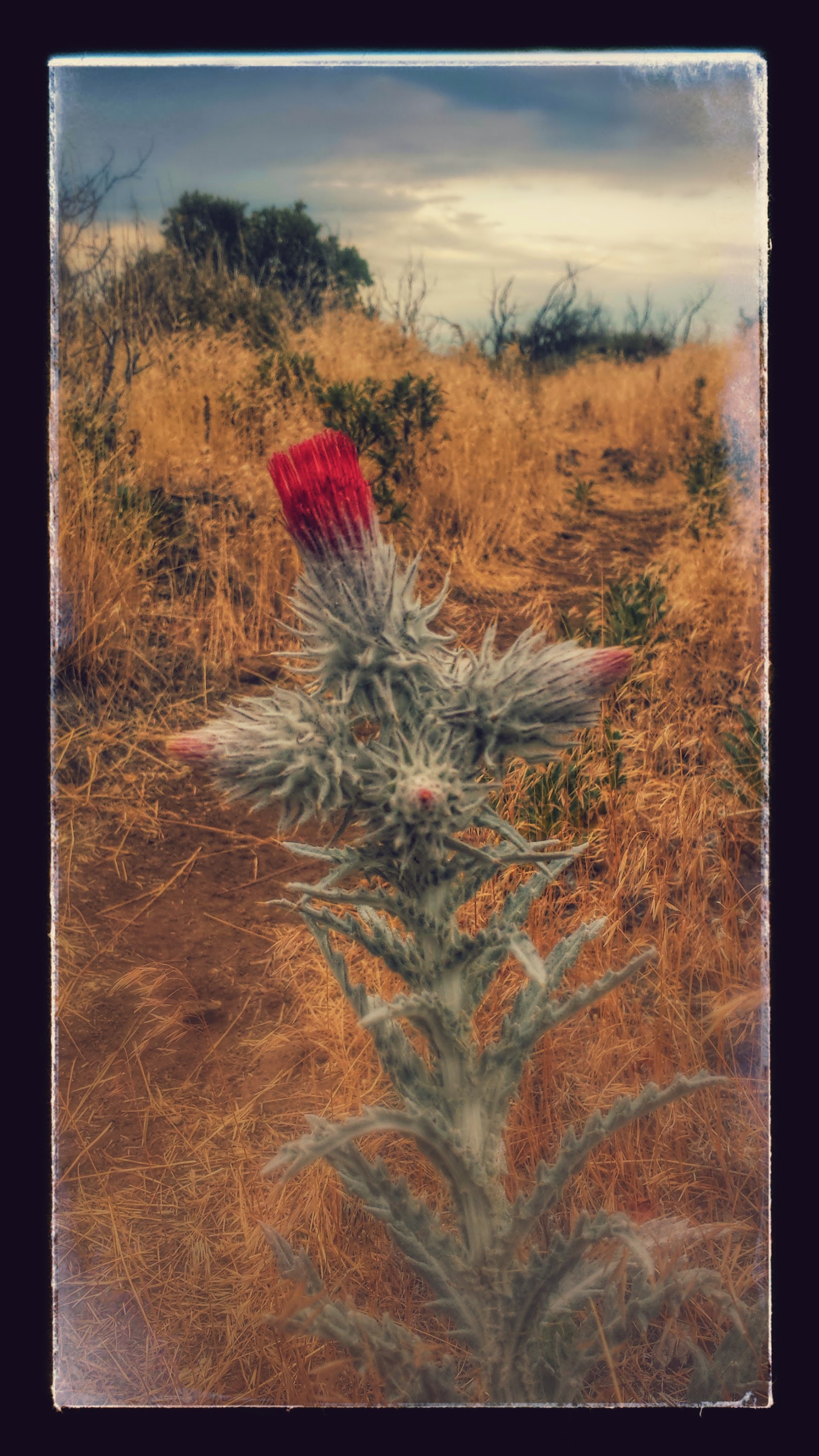
Wildflowers along the trail

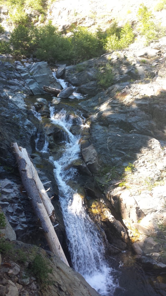
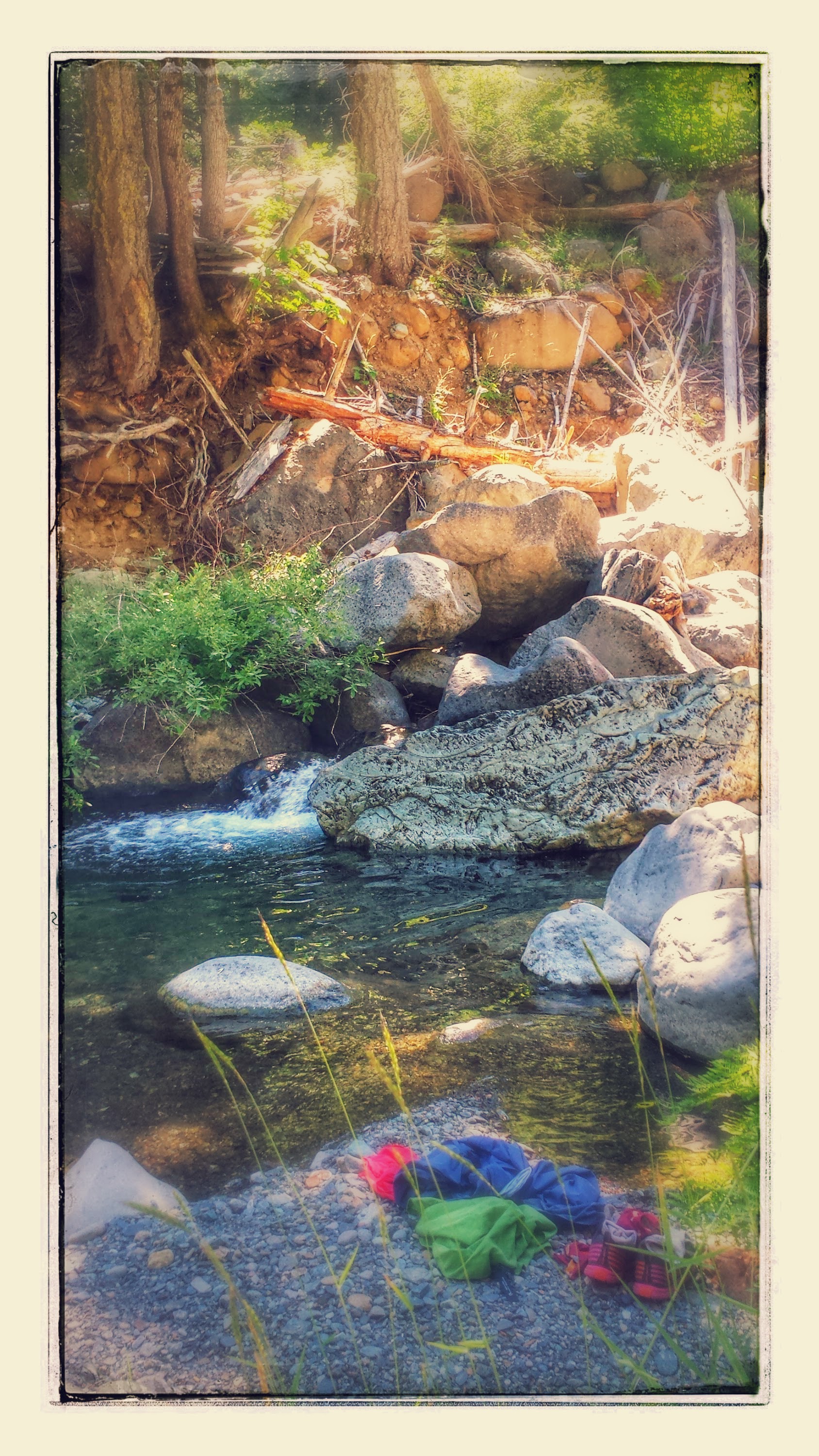
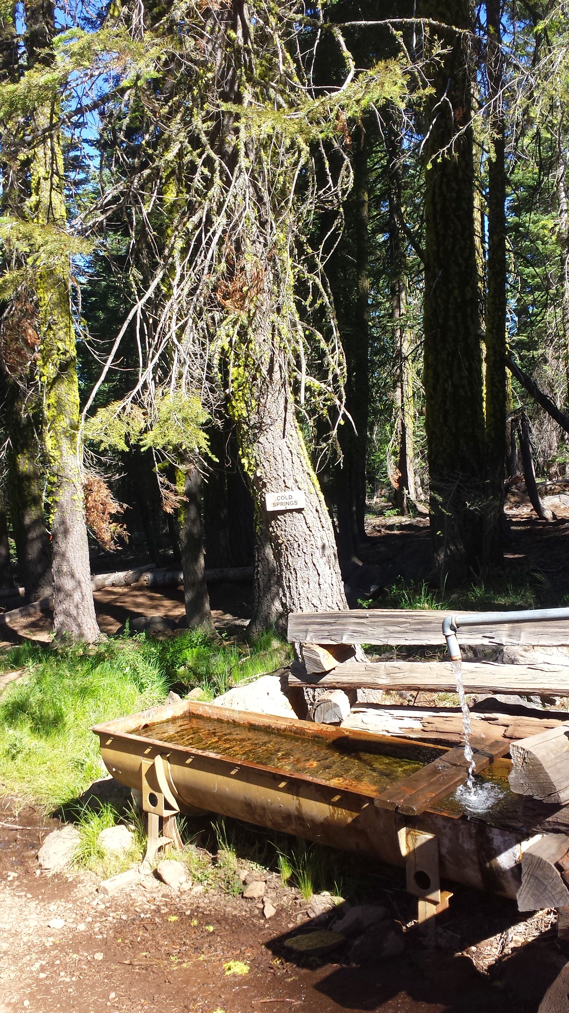
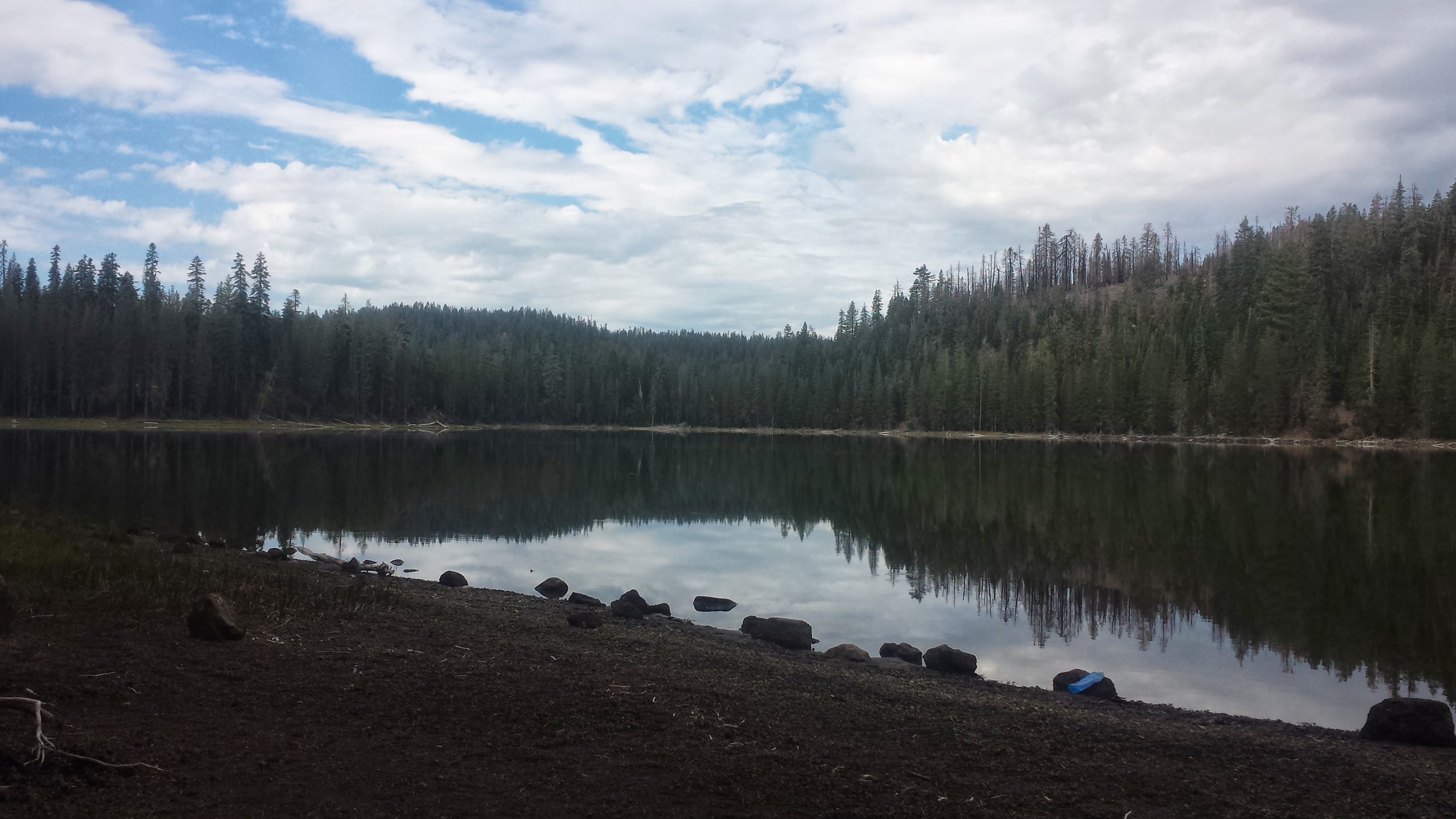
Hat Creek

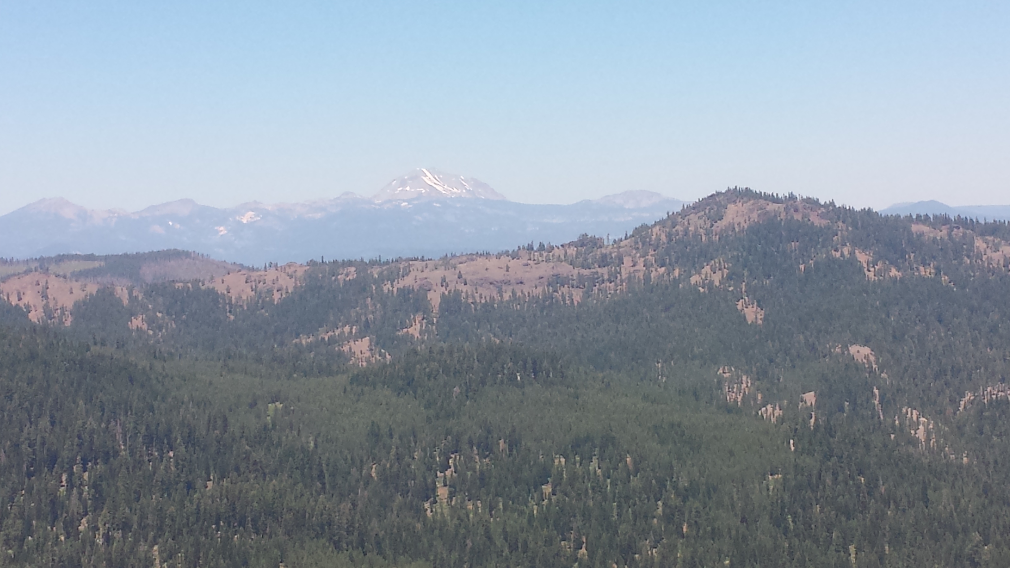
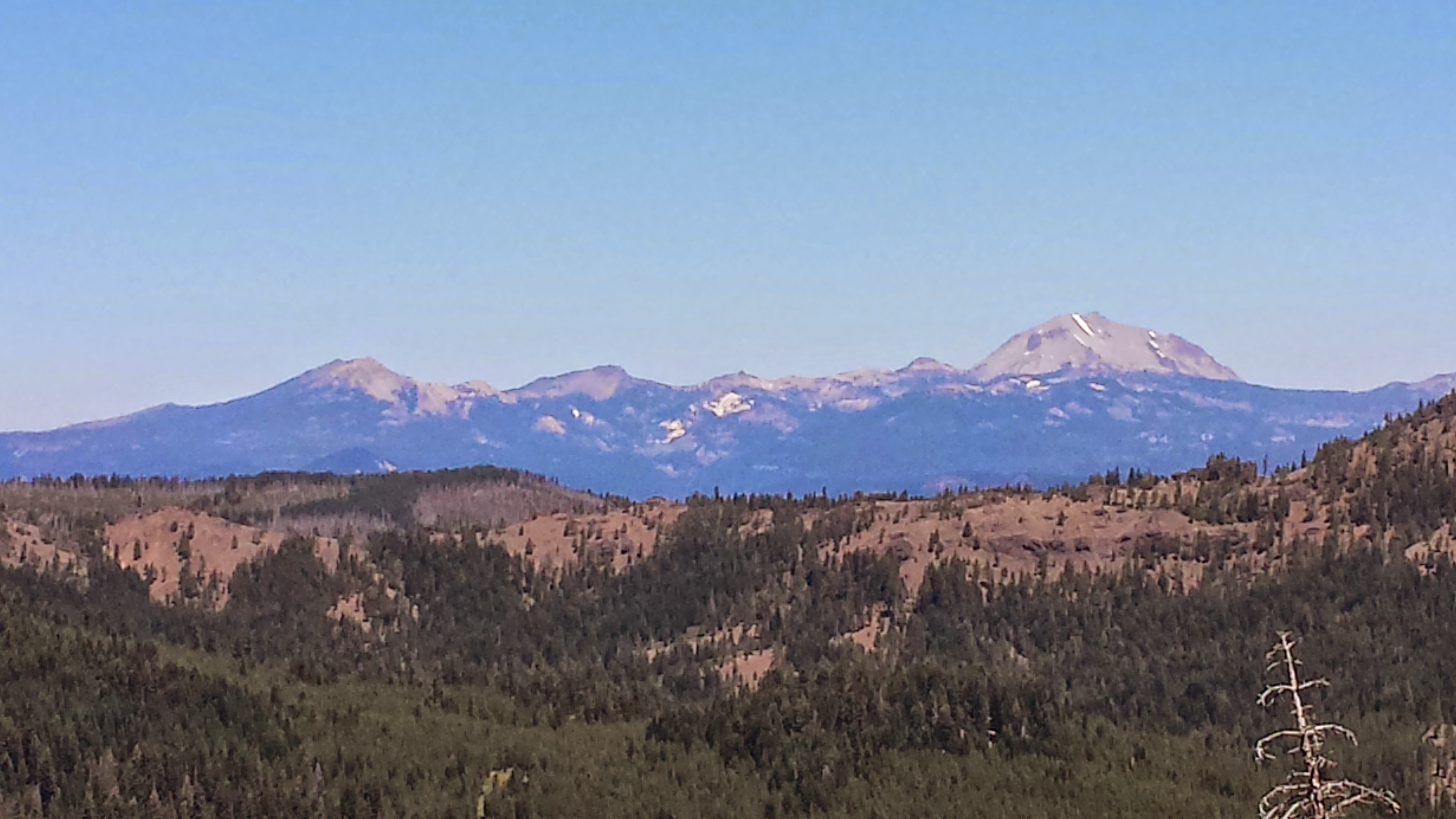
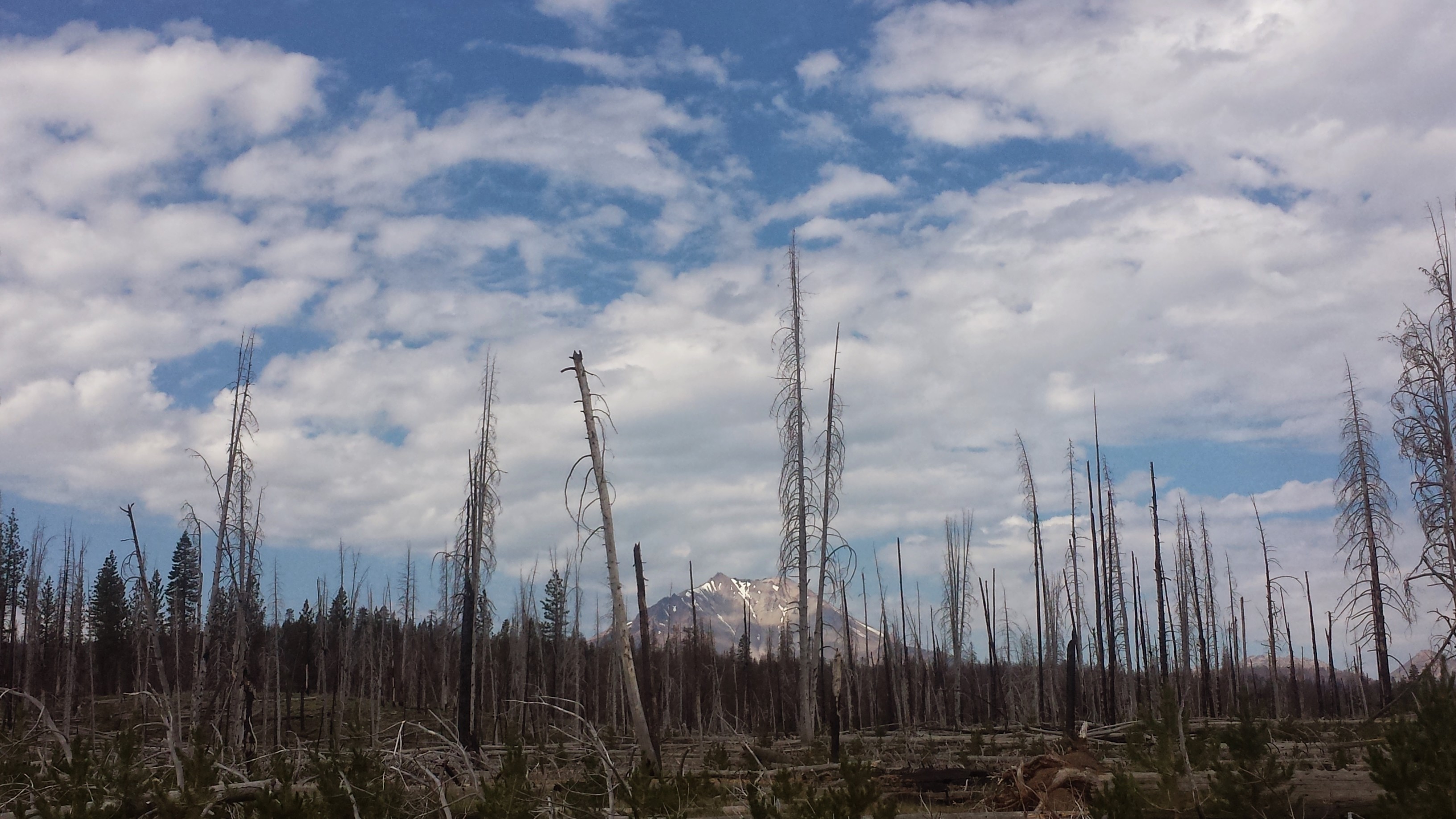
Lassen Peak and Brokeoff Mountain
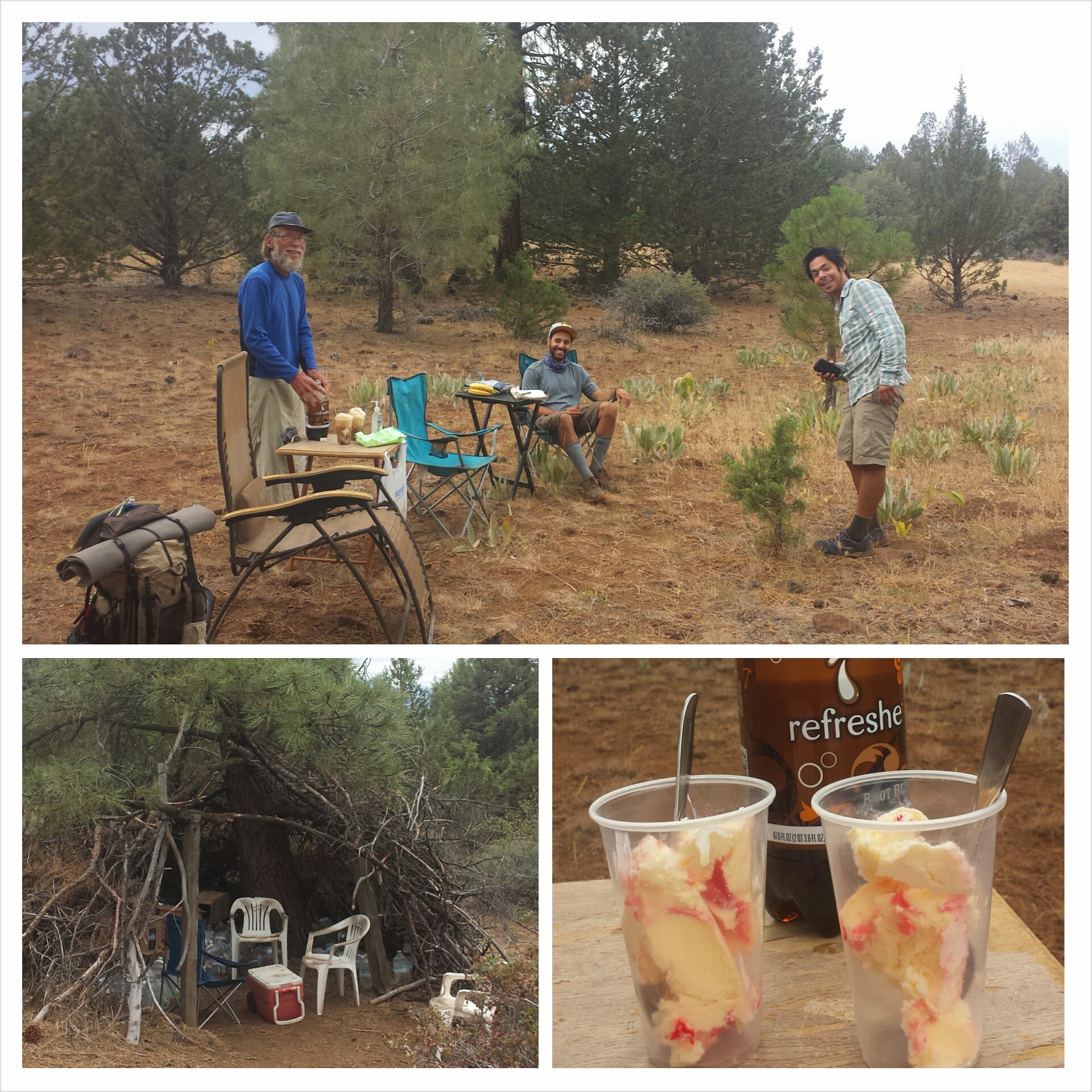
I had been hoping for a milkshake when I arived at the RV park on the edge of town, but the deli was closed- no milkshake! The resupply options were also pretty pathetic, so I decided to go to the fill-up station four and a half miles down the road. My feet were so tender I decided to hitch a ride with an elderly man in an old Cadillac.

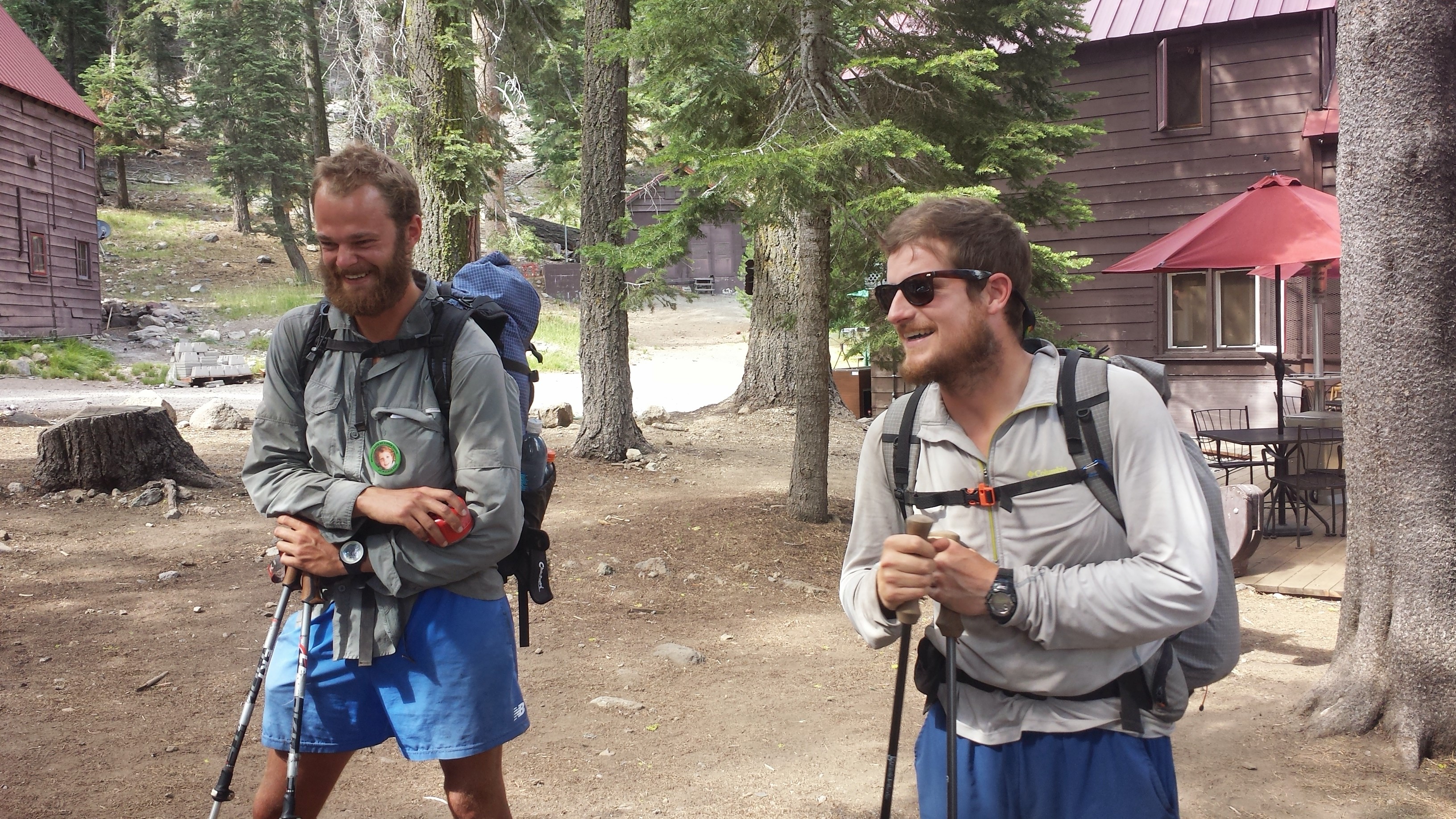
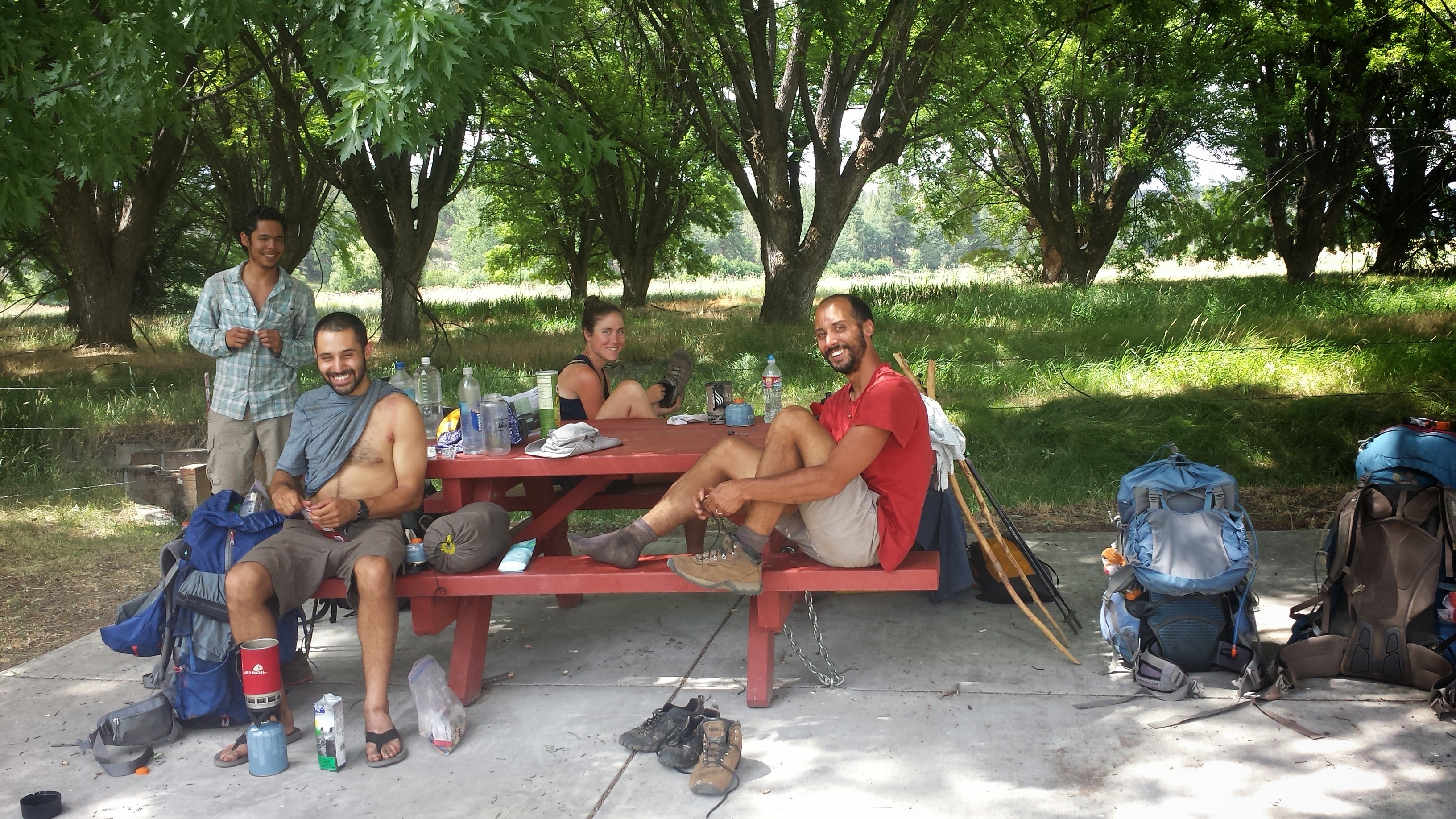
While at the fill-up station, I managed to consume about 2,000 calories of ice cream, a burrito, juice, and Twinkies. It seemed like a good idea at the time, but then I felt sick. While nursing my feet in a salt soak and rubbing my tummy, a couple of PCT hikers named Oak and Cyprus showed up. Cyprus is a retired dental hygienist and Oak was an engineer in the oil industry. They were very cute with their gear chat (we both love Zpacks products) and all the research they did to prepare for their trip. They’re also keeping a blog on their hike: Retire2Hike. Check it out!
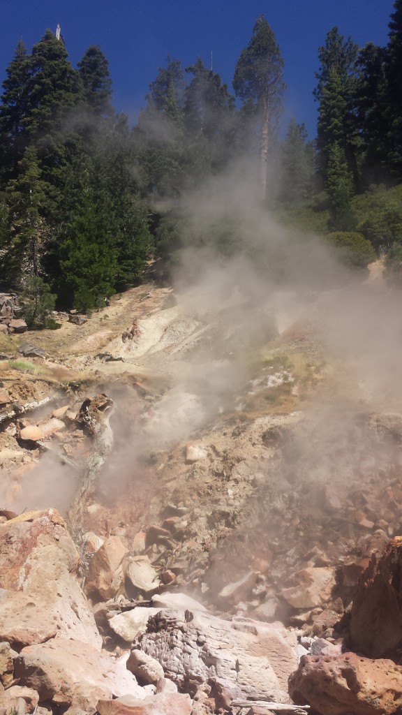
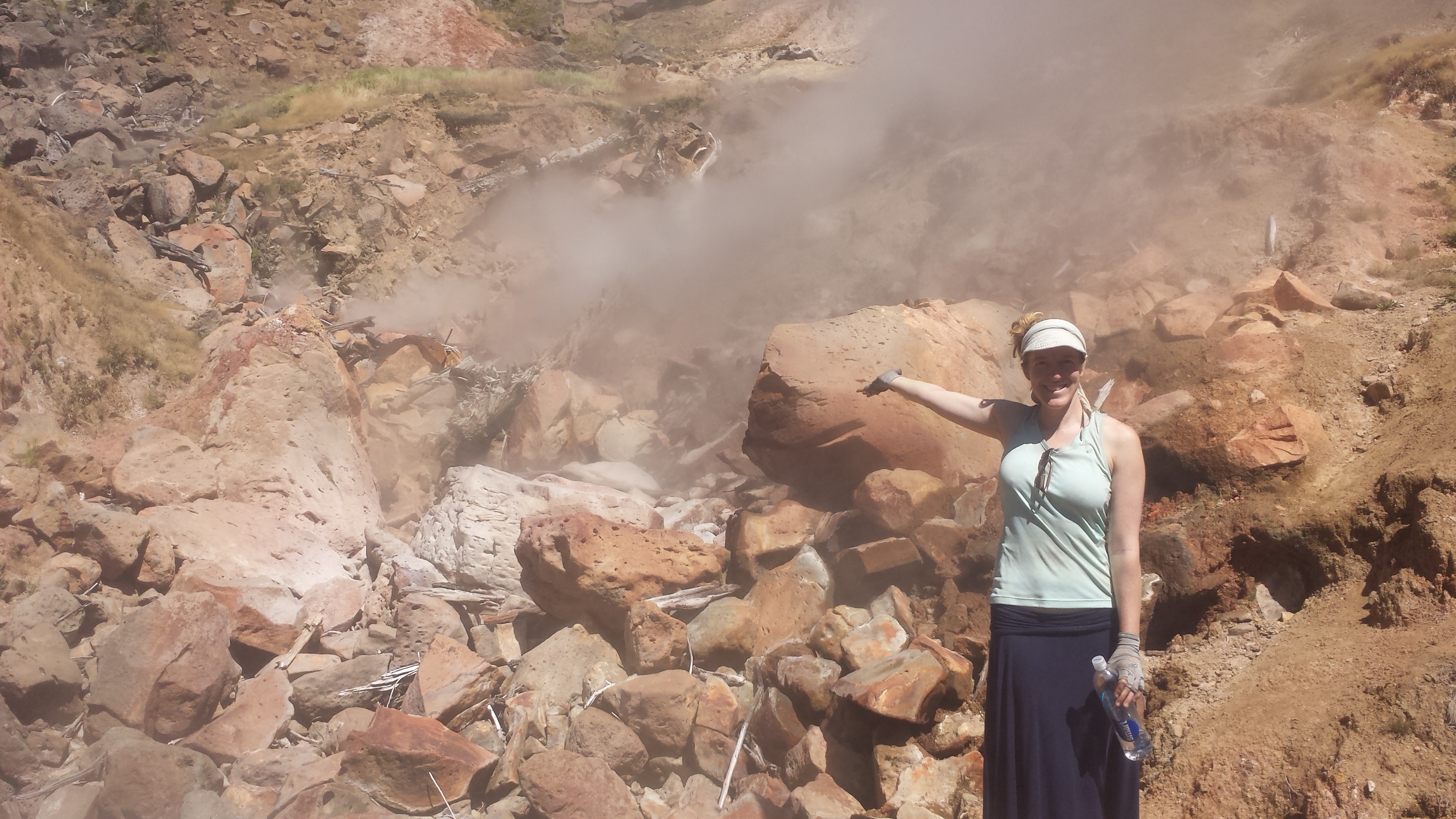
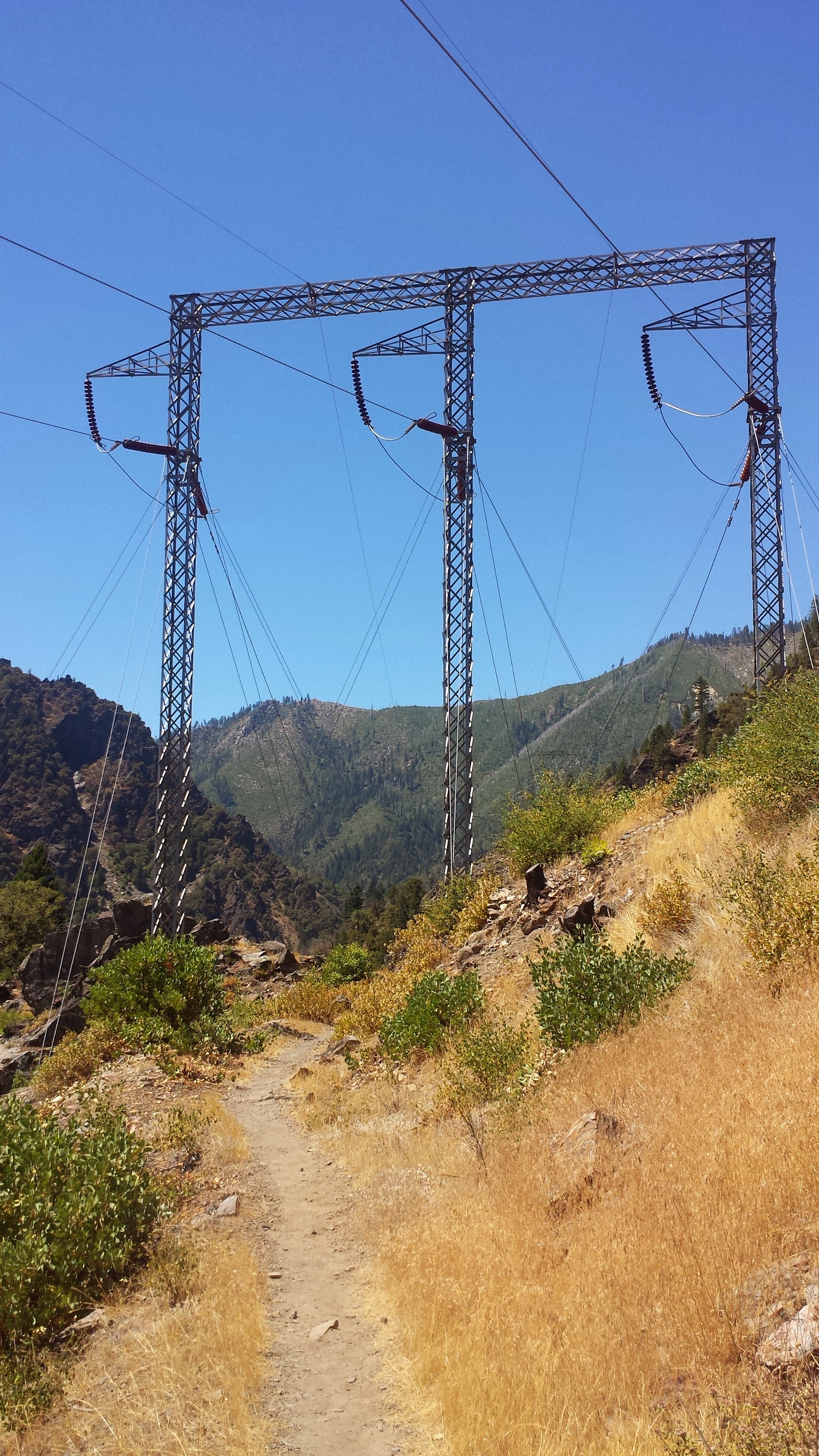
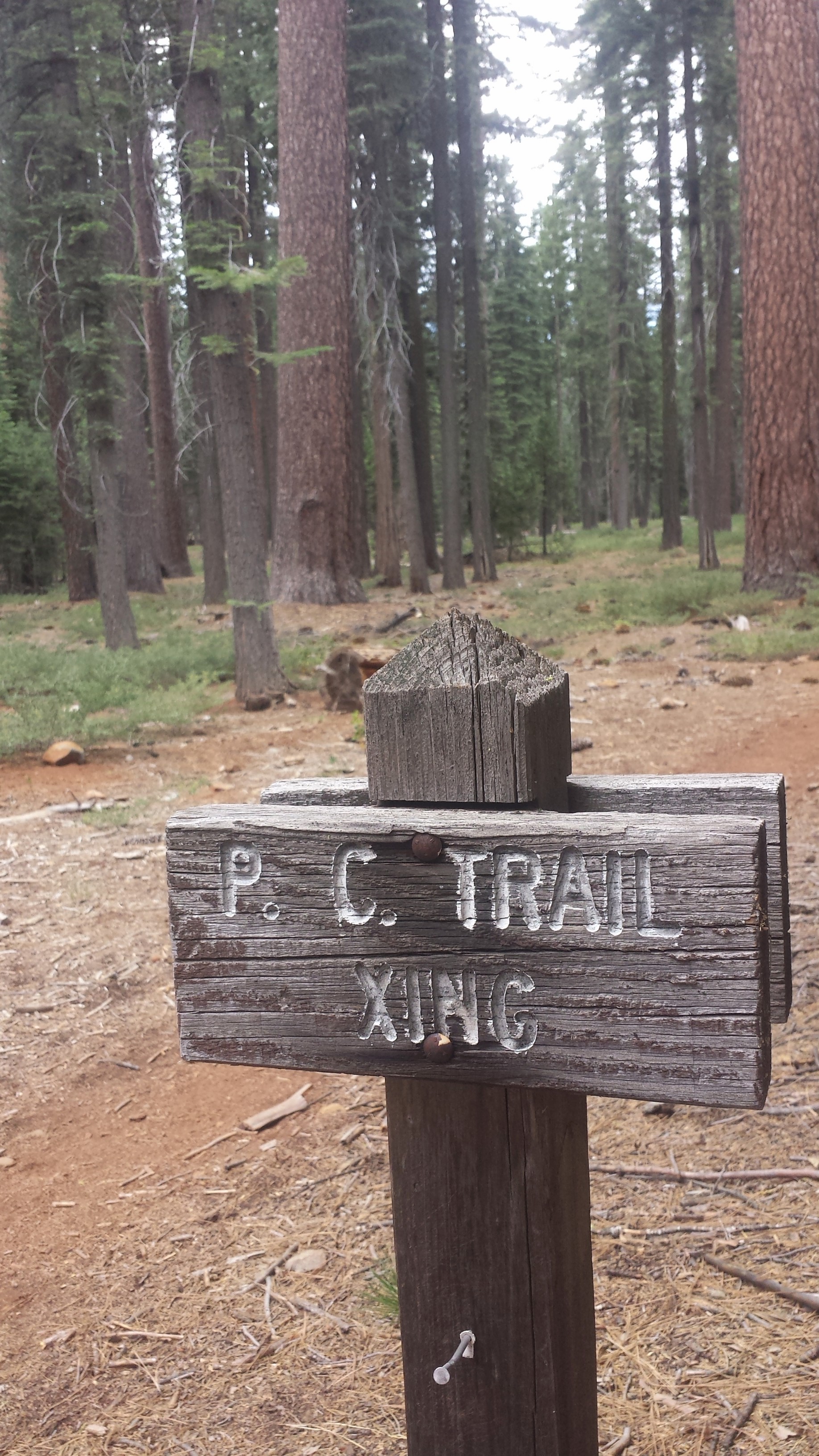
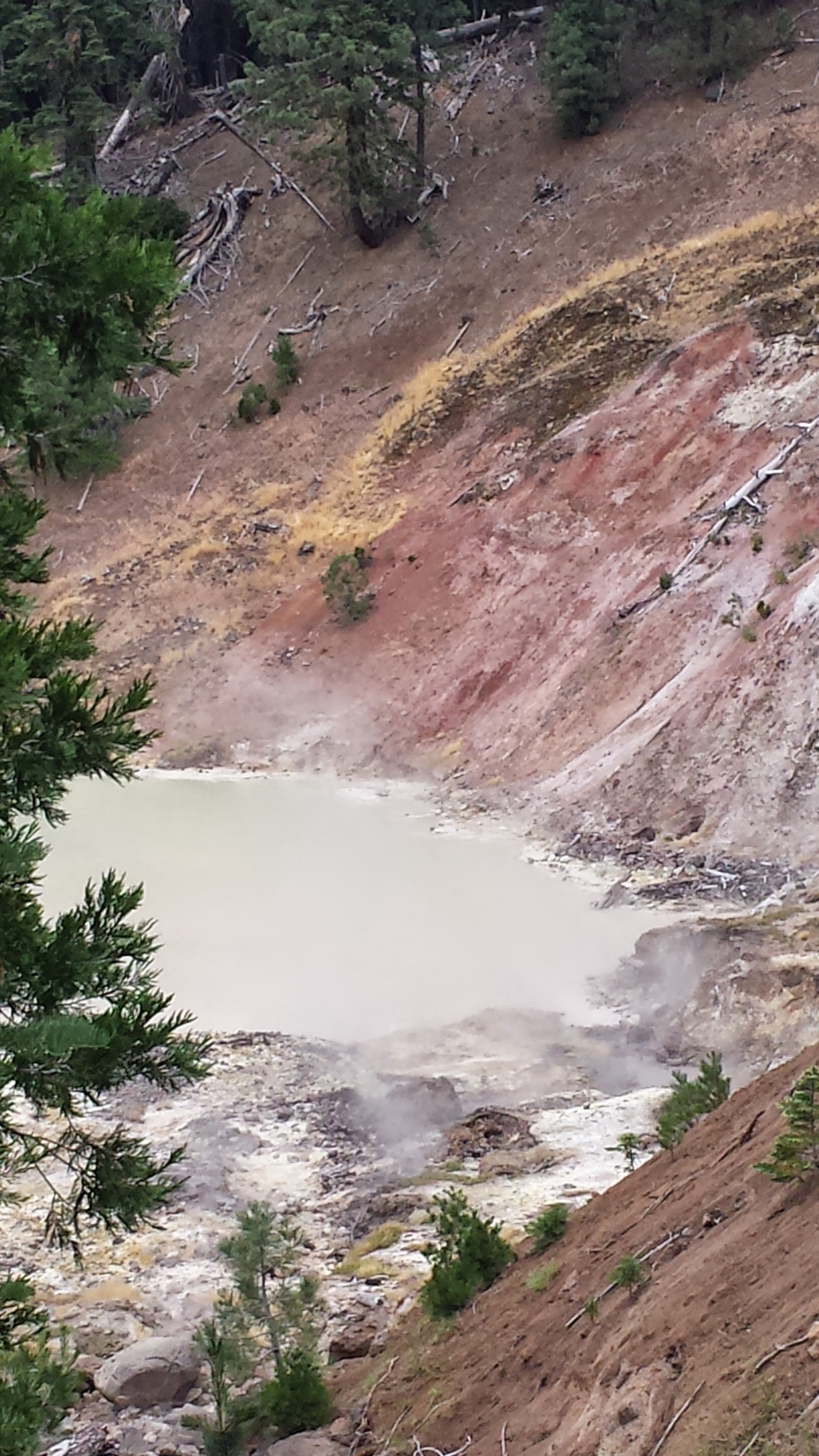
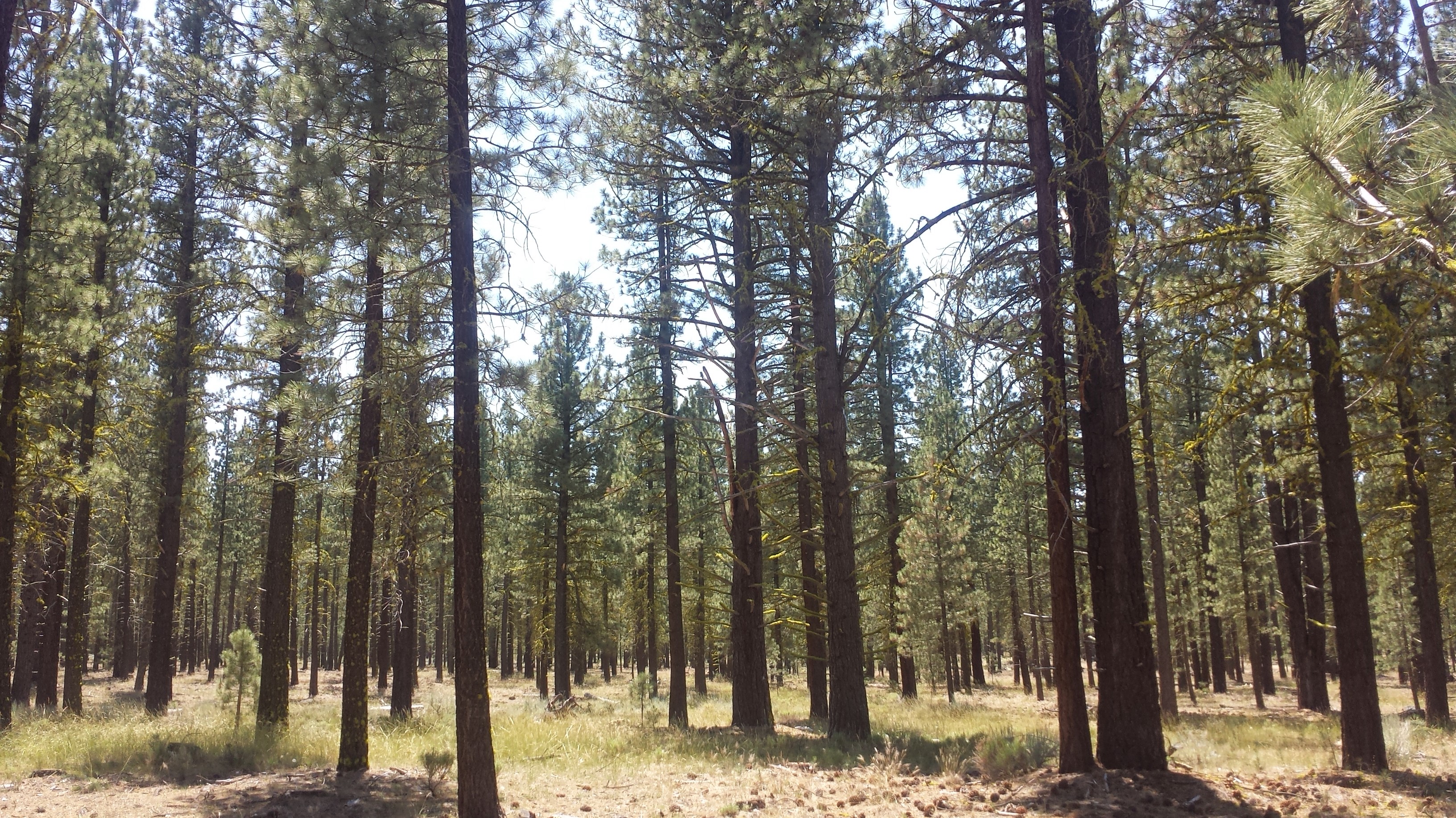
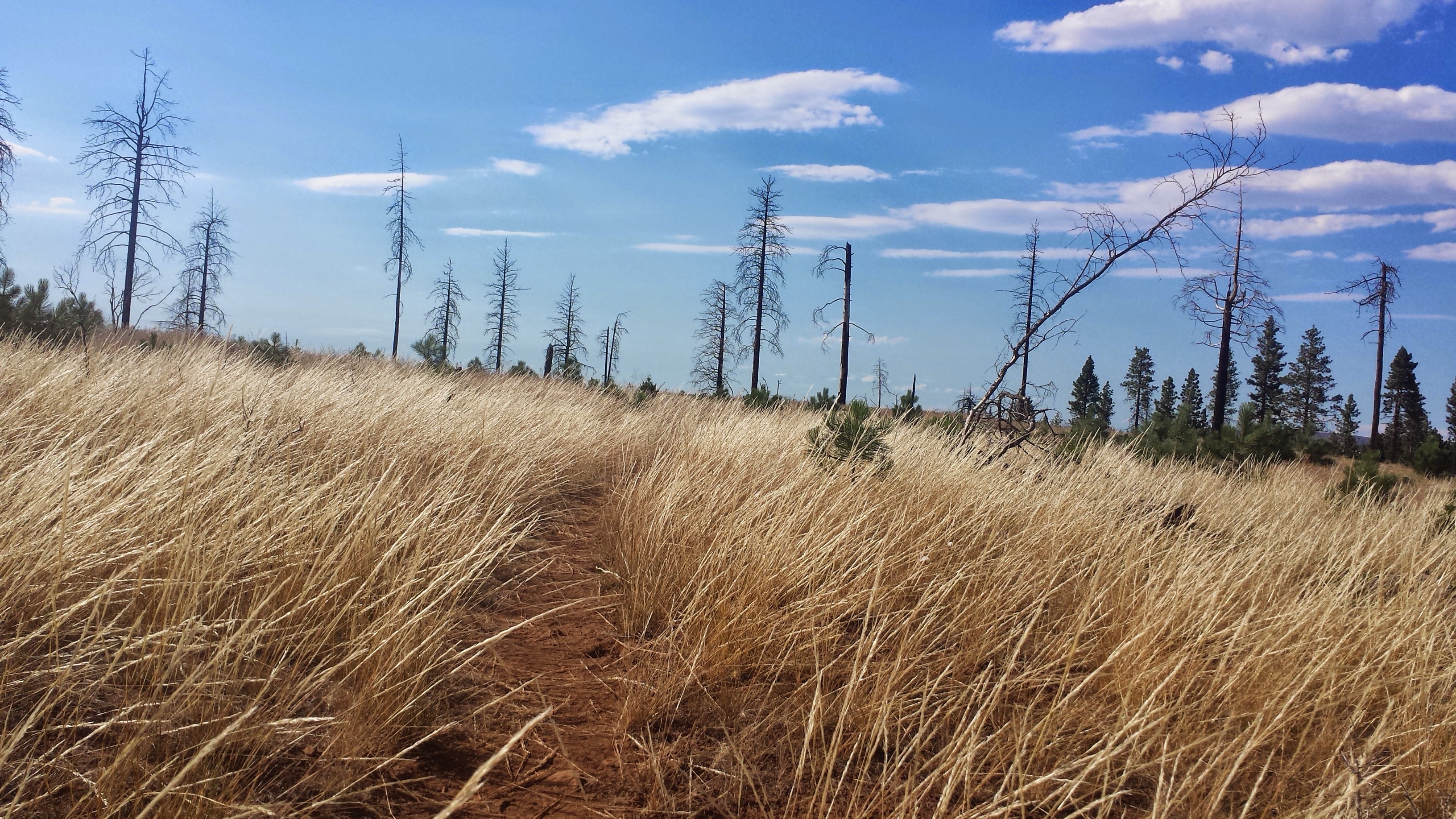
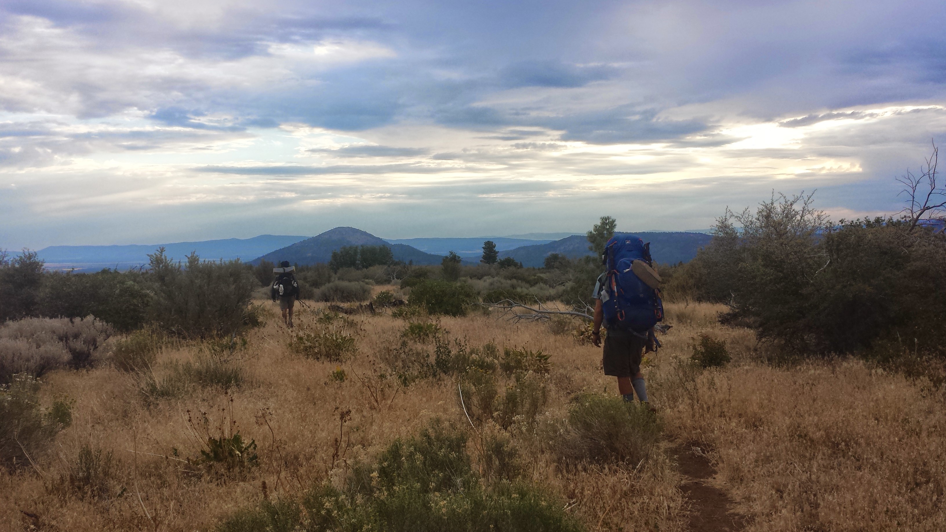
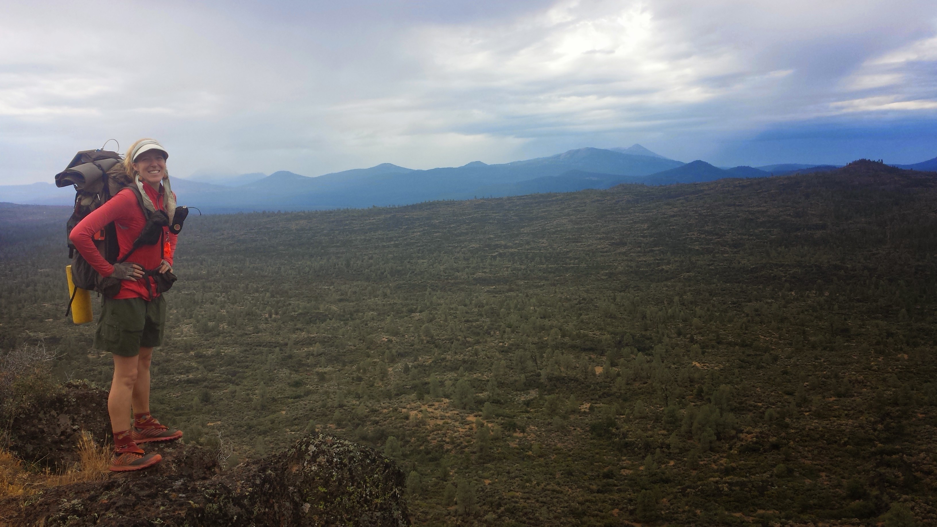
Hat Creek Rim is a strikingly beautiful and formidable forty mile stretch of the Modoc Plateau in Central California. It was formed one million years ago when shifting fault lines dropped a section of the plateau 1,000 feet, leaving a stark, rocky cliff up to the rim. The PCT follows about twenty miles of the cliff rim: a relatively flat trail, though rugged, exceptionally hot and exposed. It is also one of the longest stretches of trail (thirty miles) without any natural water sources because all the water drains into a lost underground creek.
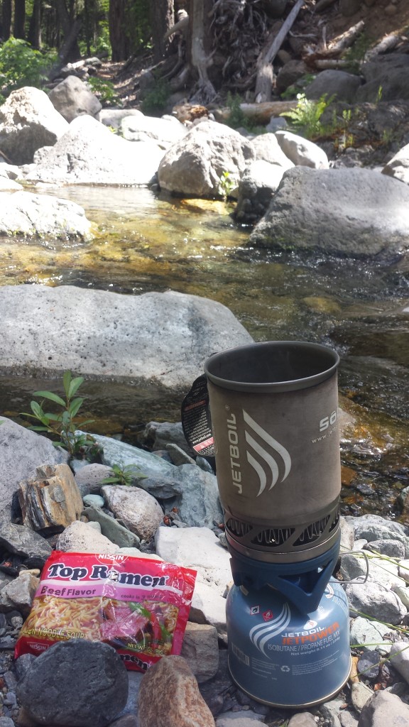
Fortunately for most hikers, a couple trail angles maintain a water cache about halfway through this section. Still, my pack was loaded with water (I don’t like to rely on water caches and I personally believe caches should be saved for emergencies). Since this is such a hot section, I opted to wait until the evening to head up the rim, camp and then get up early the next morning.
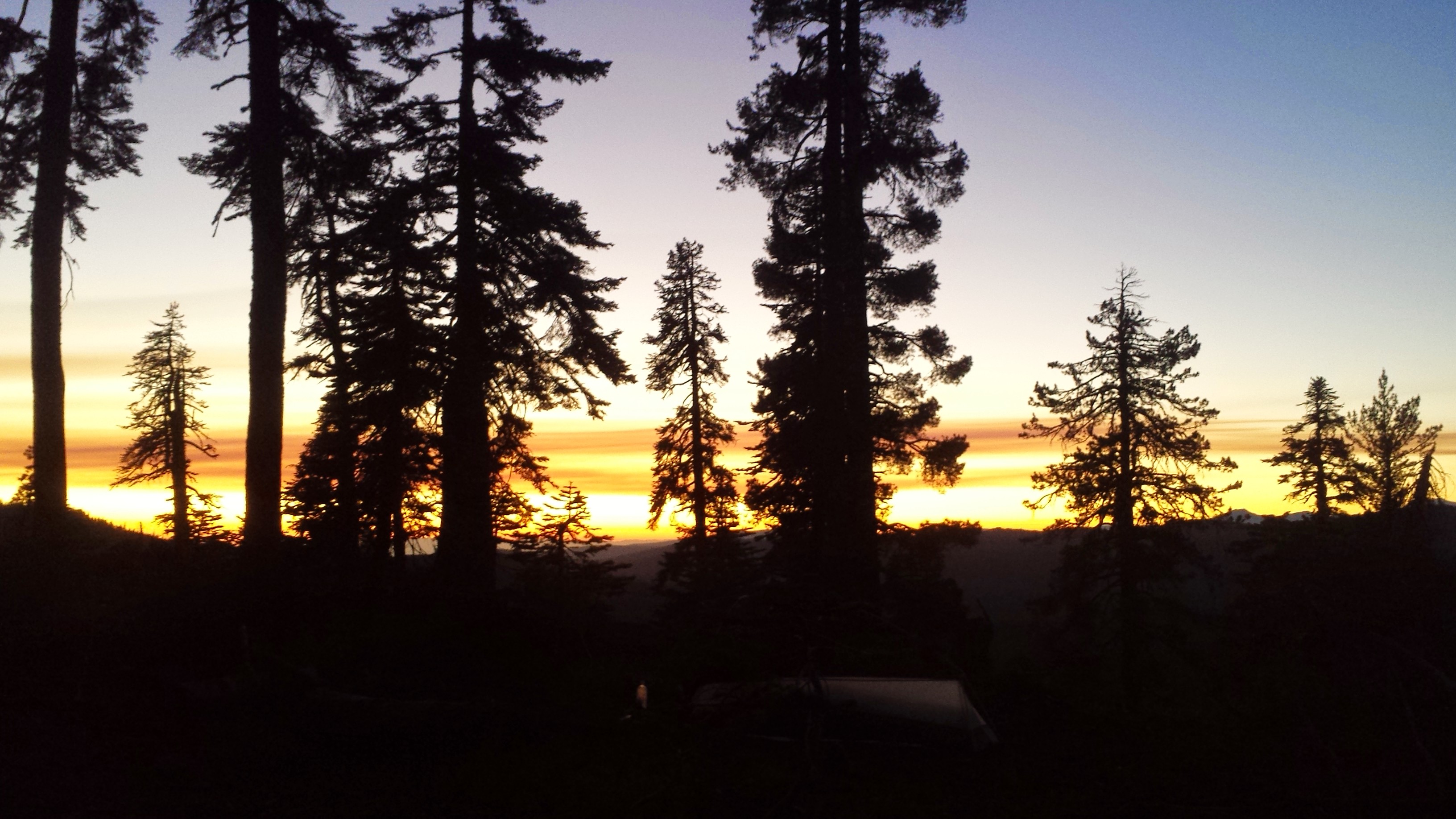
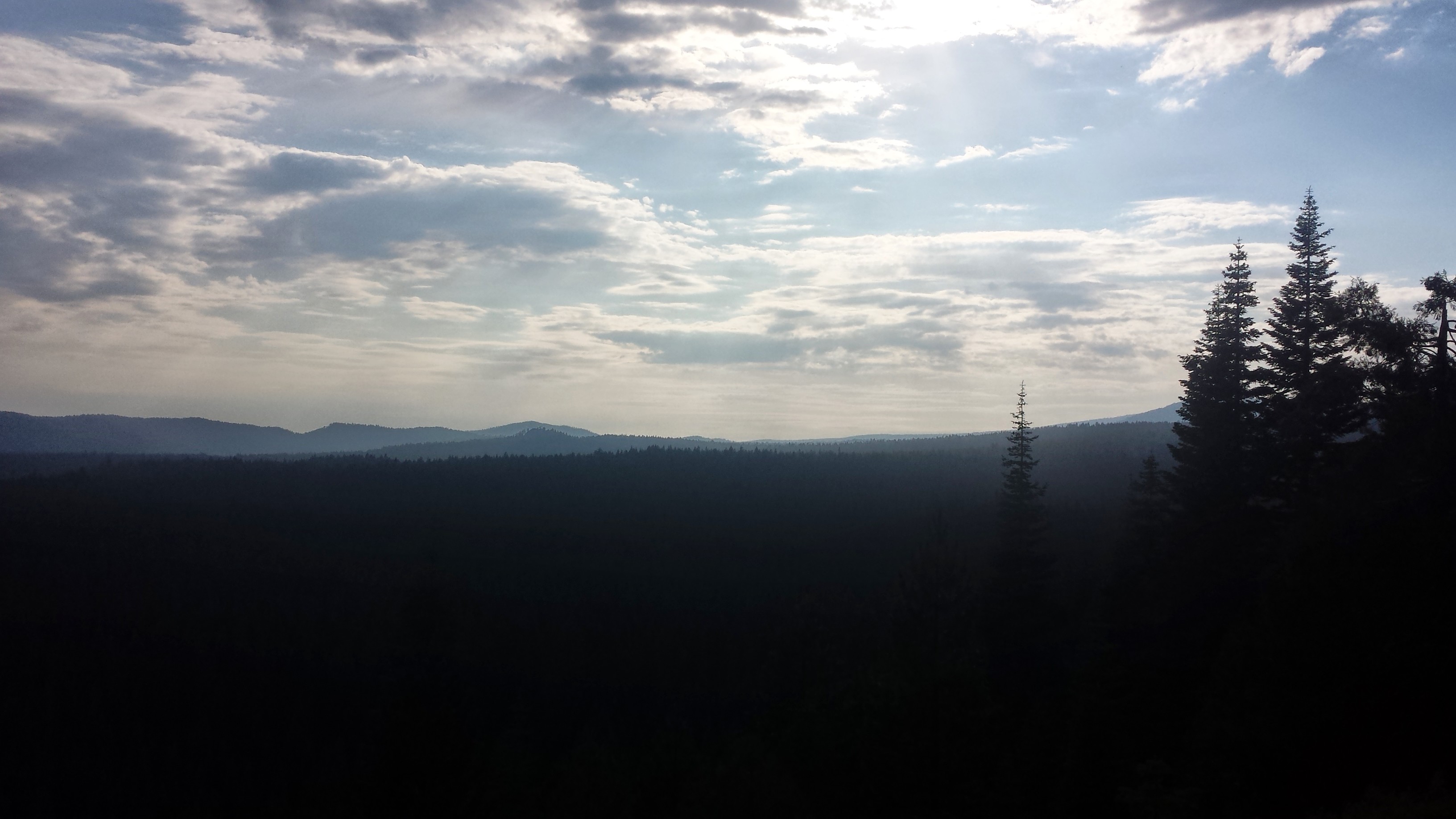
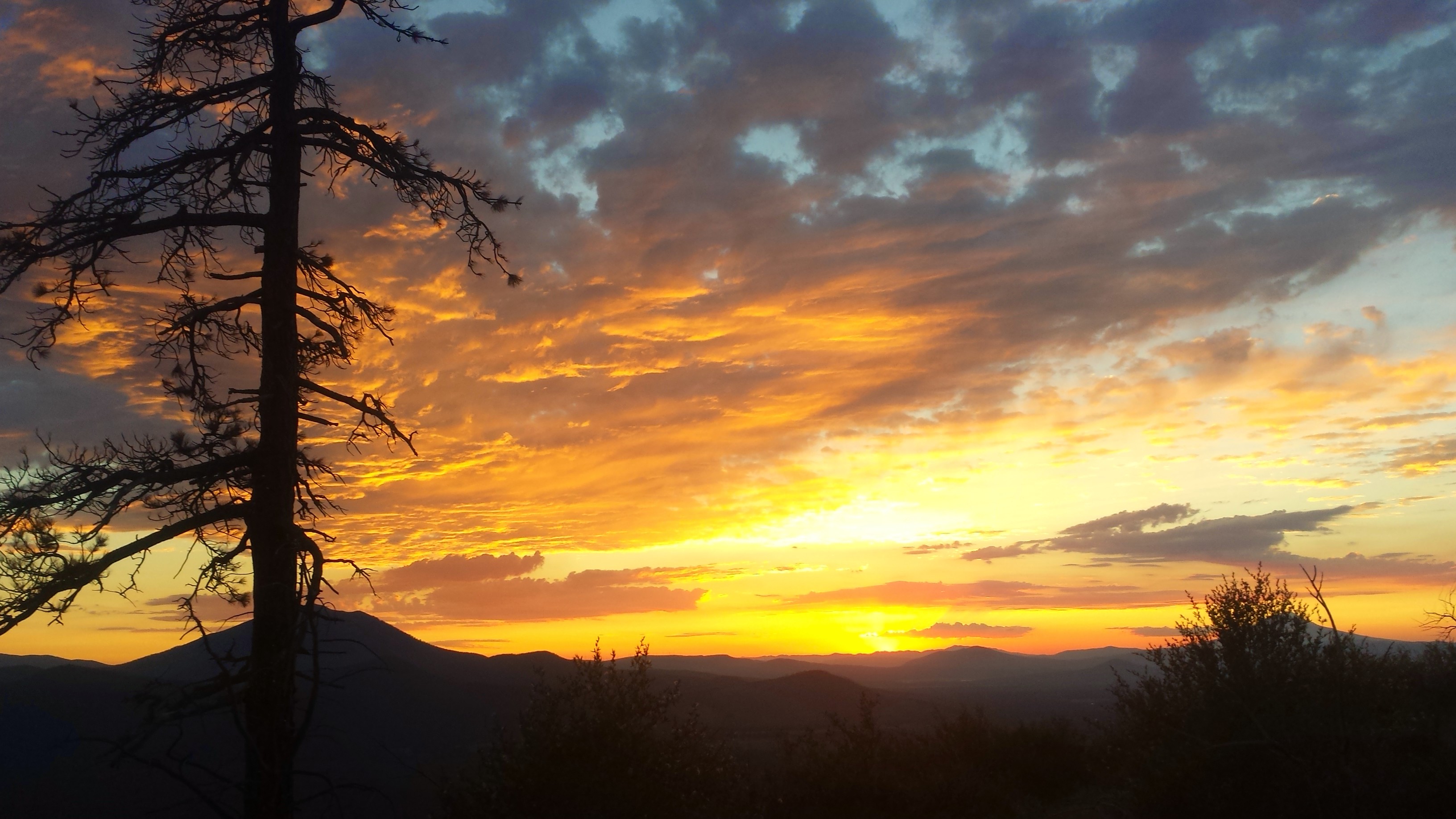
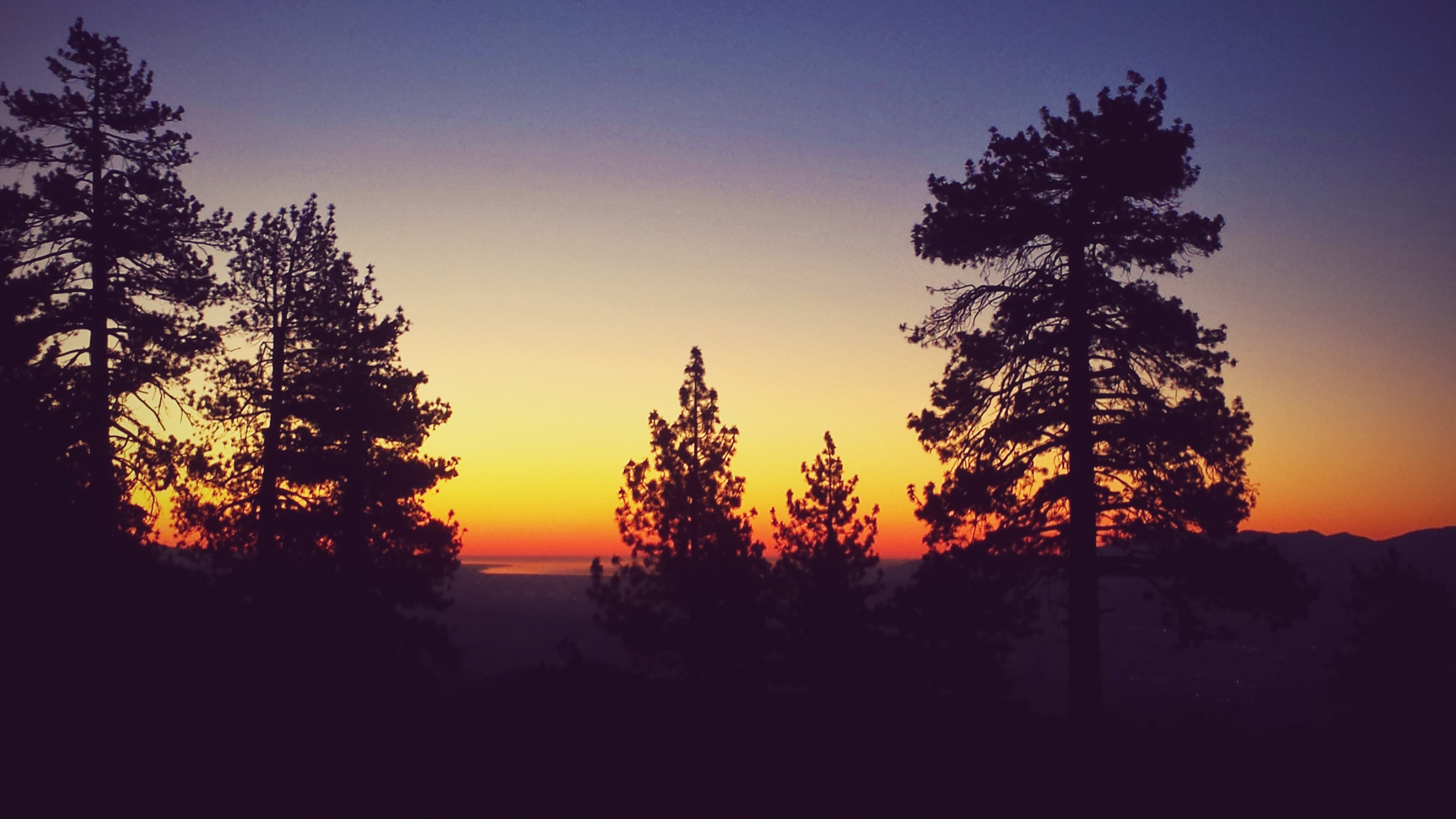
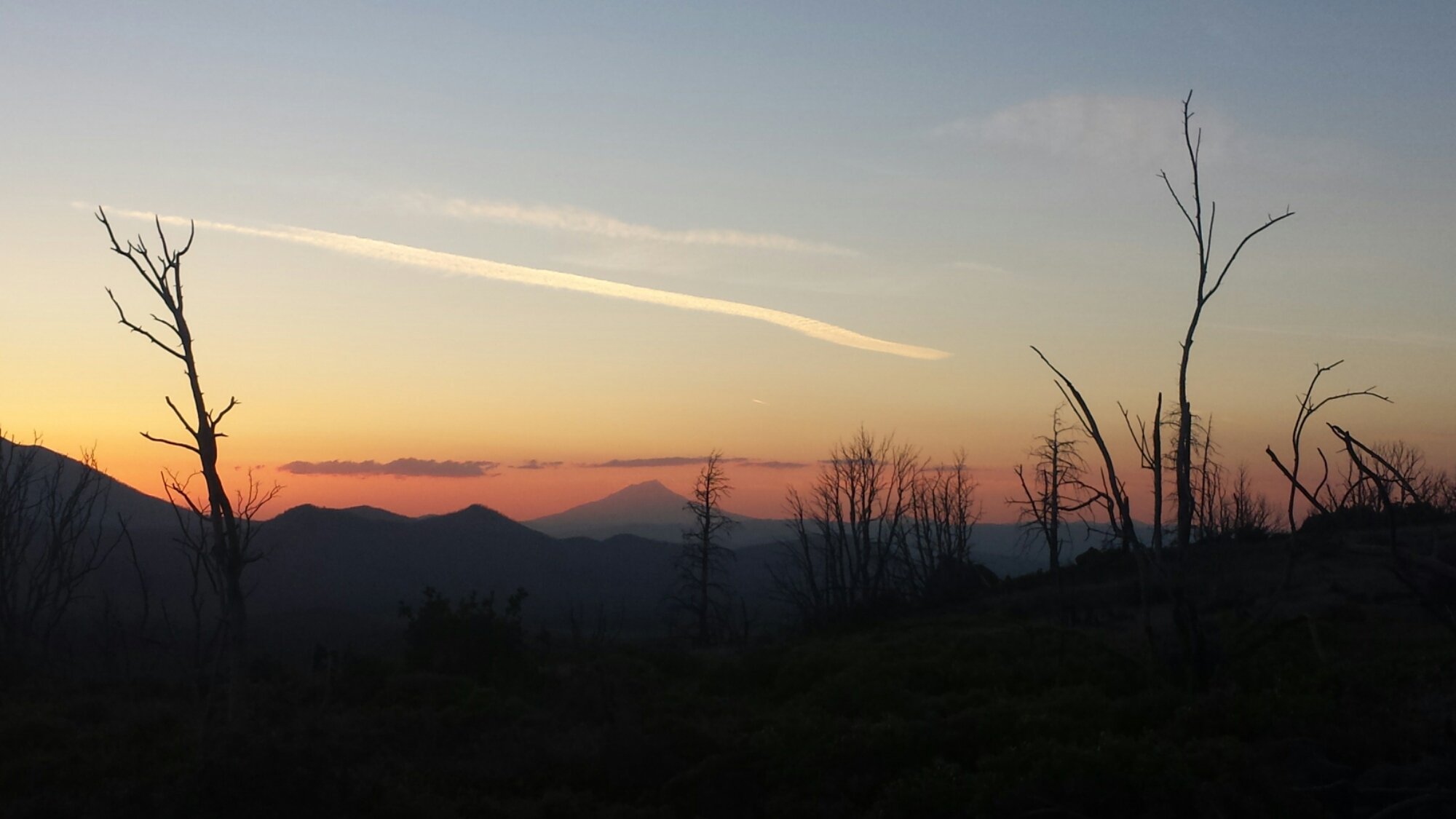
Mount Shasta Sunset
At the top of the climb to Hat Creek Rim, there is an overlook that offers an incredible view all the way from Lassen Peak to Mount Shatsa, and I hiked as fast as I could to catch both of those beautiful mountains in the sunset light.
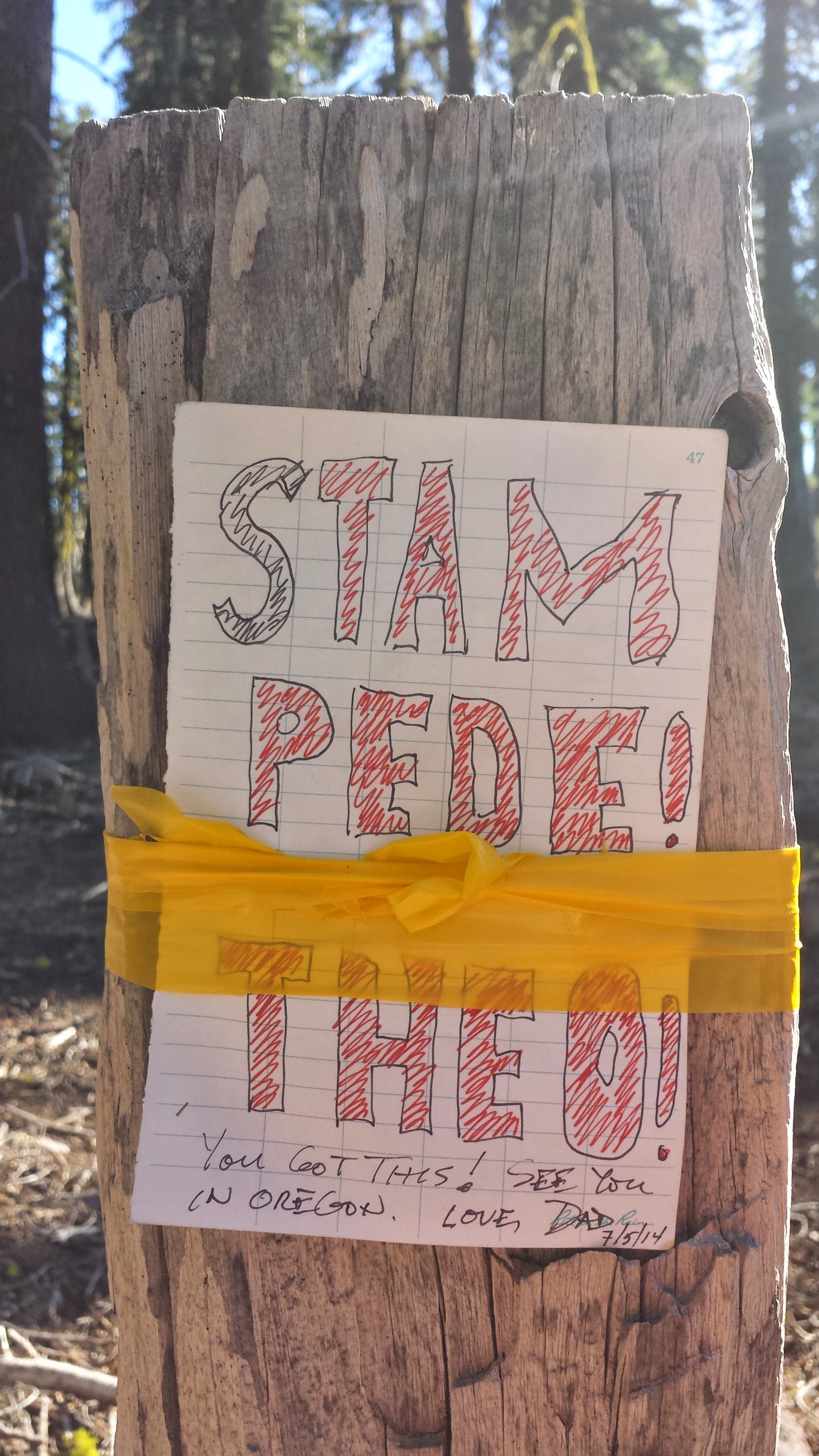
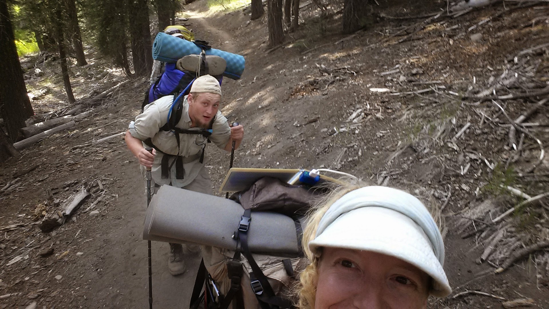
I hiked until dark and accidentally startled another hiker, Clean Cut from Germany. He was cowboy camping (camping without a tent) and it inspired me to cowboy camp tonight, too. I hiked further up the trail to a grove of trees, rolled out my mat in the open air and am star gazing. No bugs and the weather is perfect- it’s beautiful!
June 17- 22.5 miles, camping near Cassle Falls River Road

Hat Creek Rim
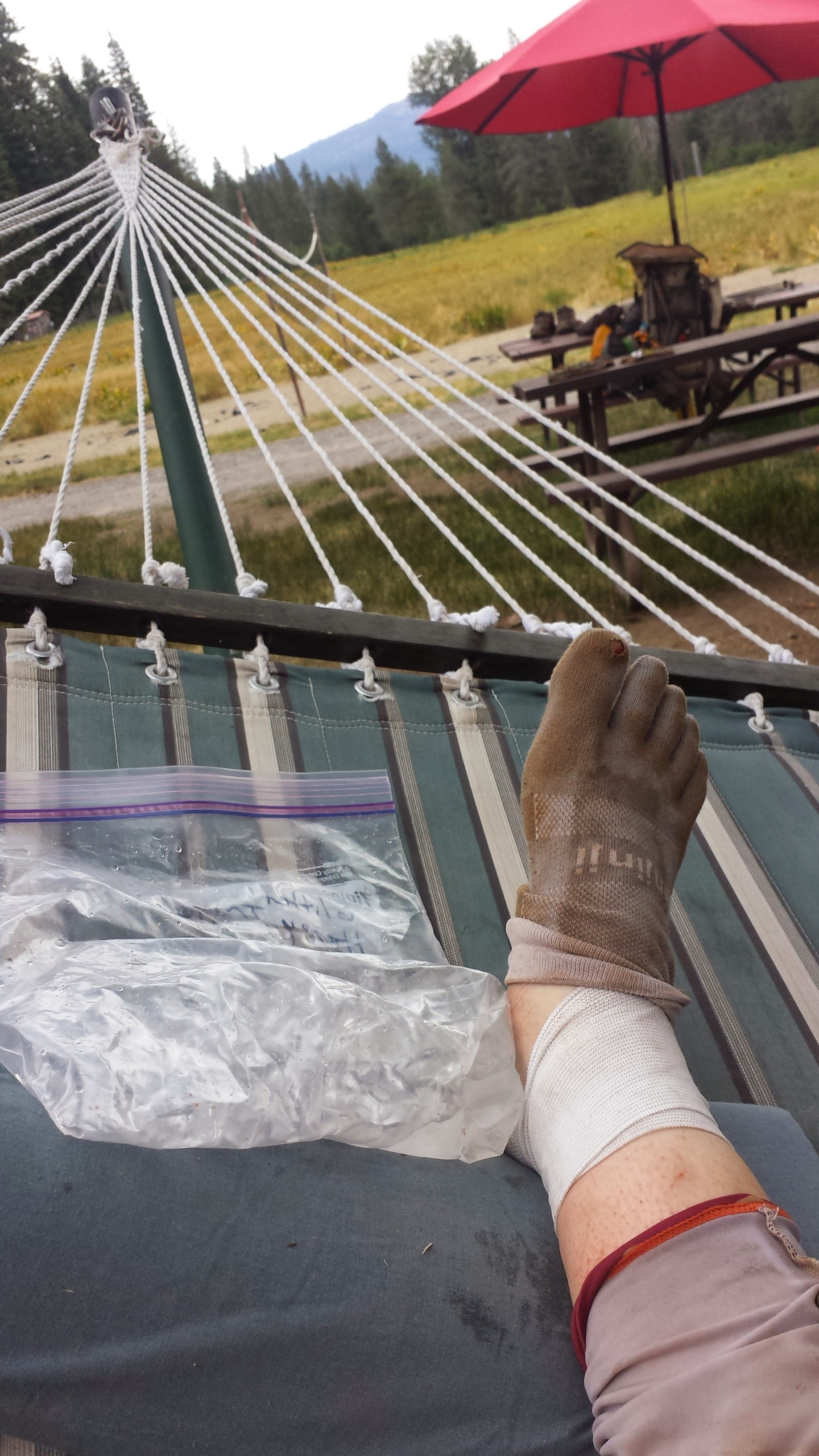
Miserable. That’s what I was today- just plain miserable. I can’t believe how quickly I turned from feeling great and really enjoying every day to struggling so much I couldn’t wait to stop nearly every moment of the day. I loved the views, but the ache of my feet threatened to overpower my enjoyment of the trail.

Looking south toward Mt. Lassen
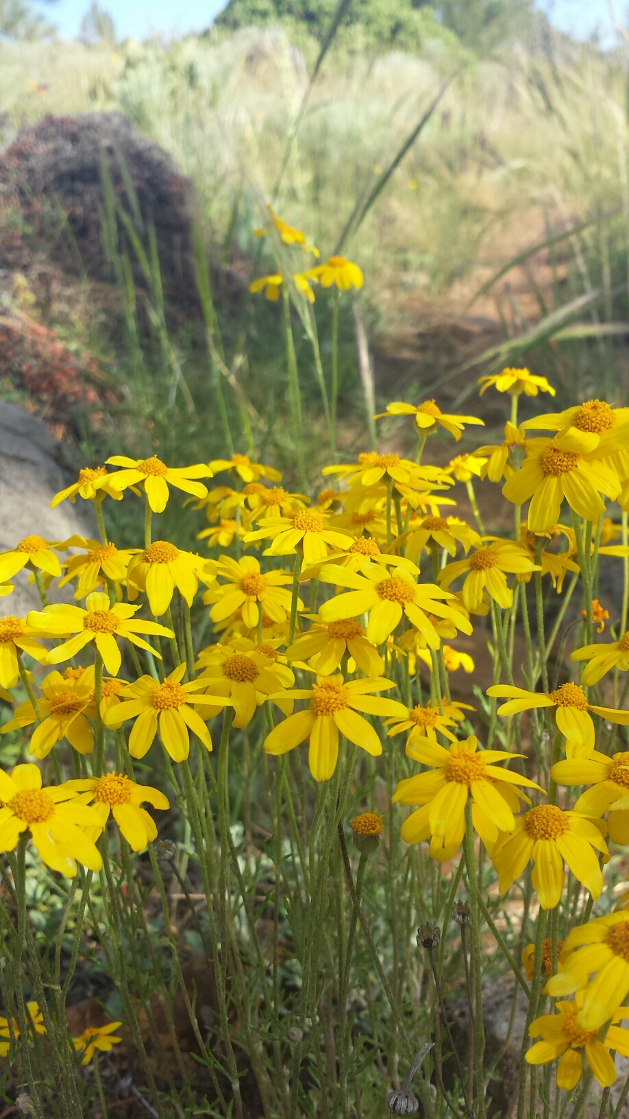
Shasta Daisies

My feet started aching after only a few miles, but I was still able to hike 9.3 miles by 10am- that’s almost a Ten By Ten! After about thirteen miles, I reached the water cache and I needed a BIG break. I put my feet up and napped for three and a half hours.

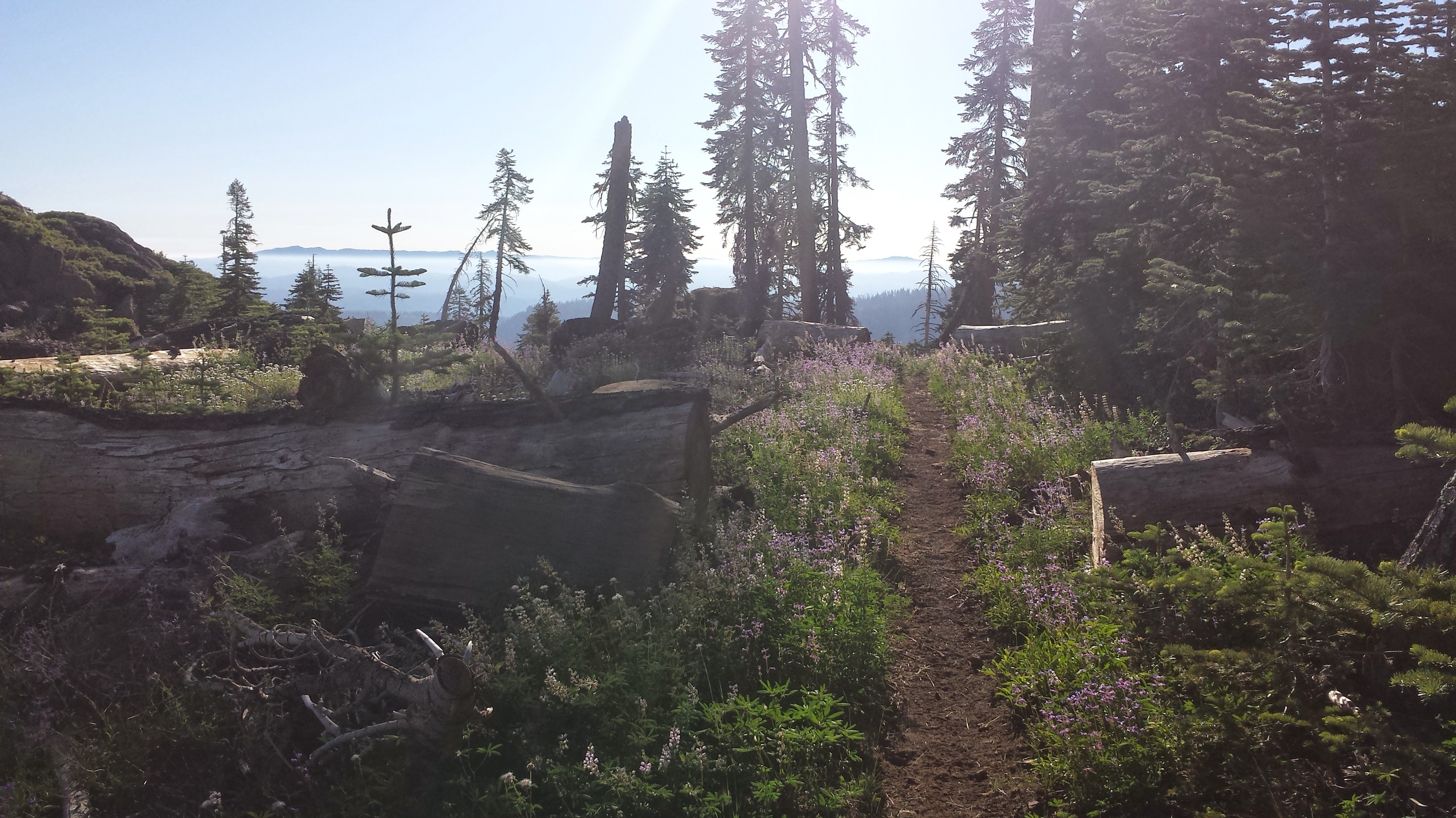
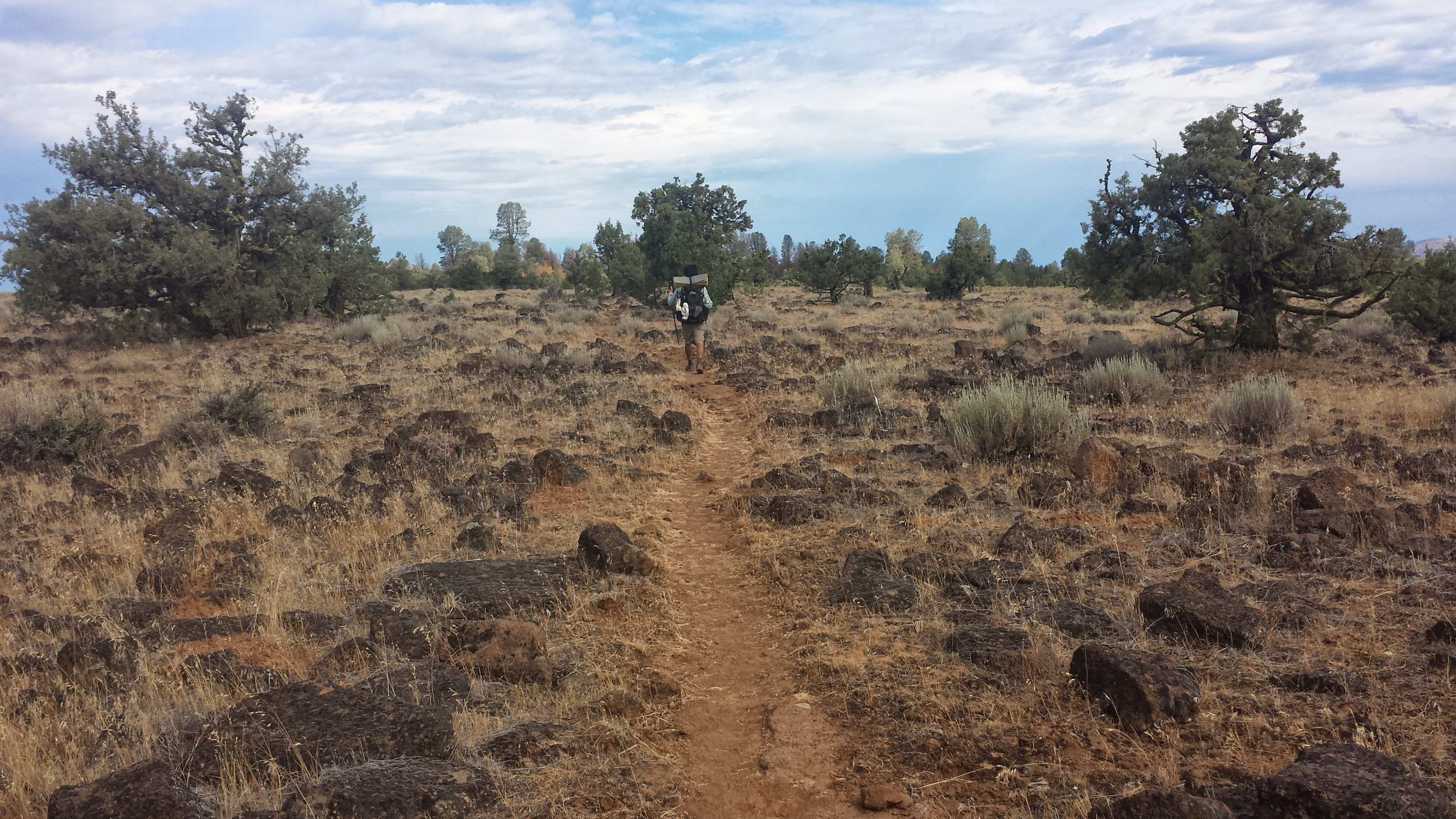
The rest helped, but I was still struggling with my feet. I found several blisters I didn’t know I had and other spots were just plain bruised. I was basically hobbling down the trail, wincing every time my foot rolled over a rock and rubbed a tender spot- and there are a lot of rocks on this section of trail! In fact, for most of the hike along the Rim, I was tripping and stumbling over rough lava rocks that stuck up out of the red earth.

Looking back toward Lassen Peak
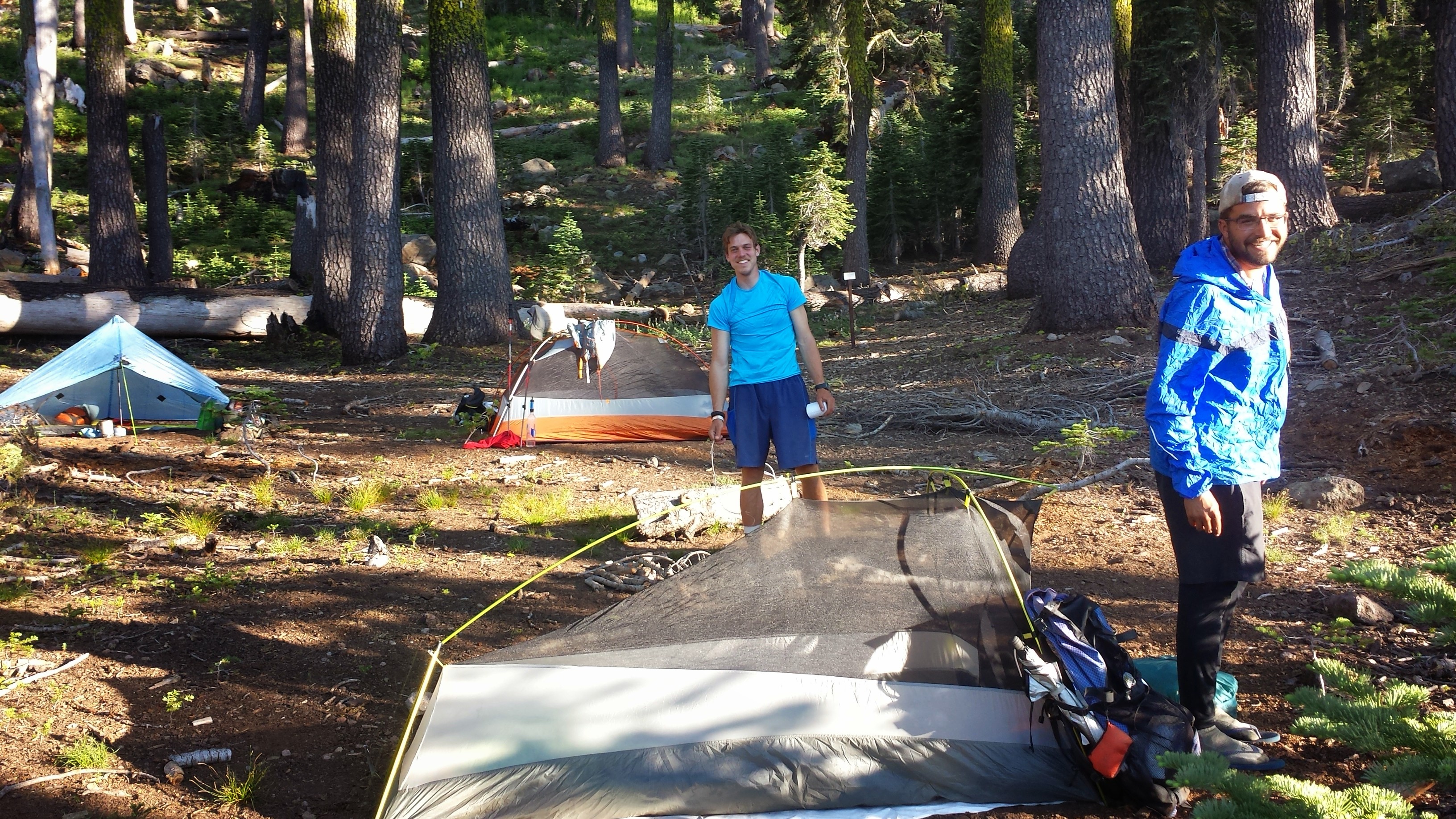
After about 22 miles, I came to the only possible location for camping among the very rocky lava field. I tried cowboy camping again because I enjoyed it so much last night, but the mosquitoes soon showed up and I had to throw up the tent before I was eaten alive. It’s warmer inside my tent anyhow.
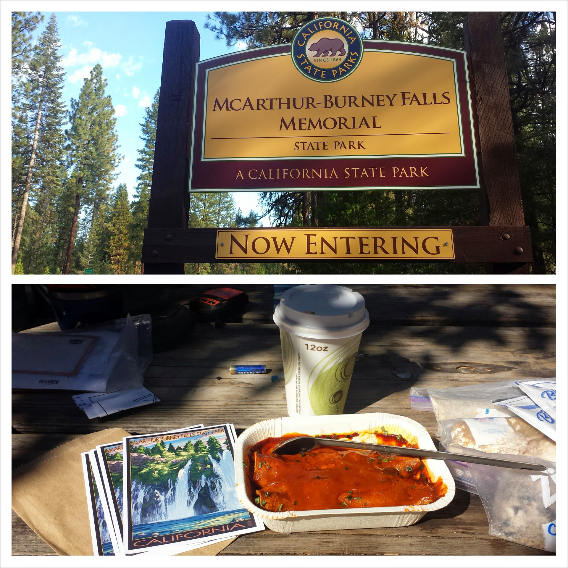
June 18- 8 miles, staying in Burney
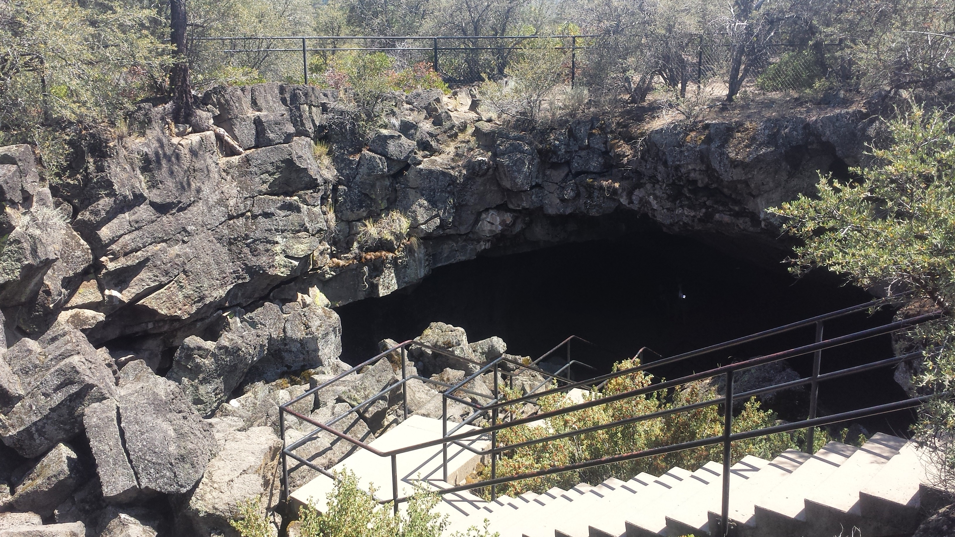
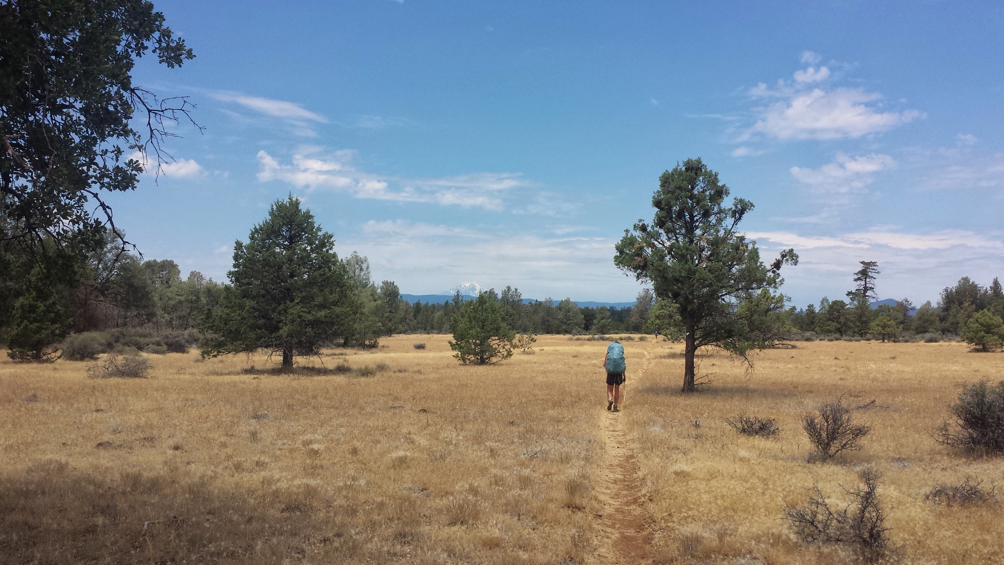
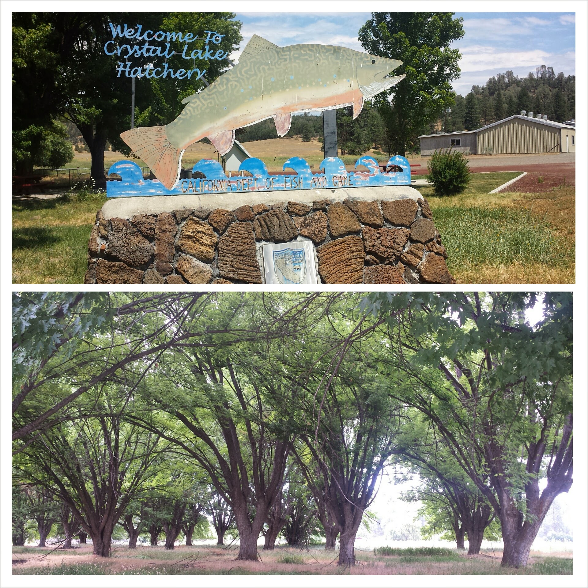
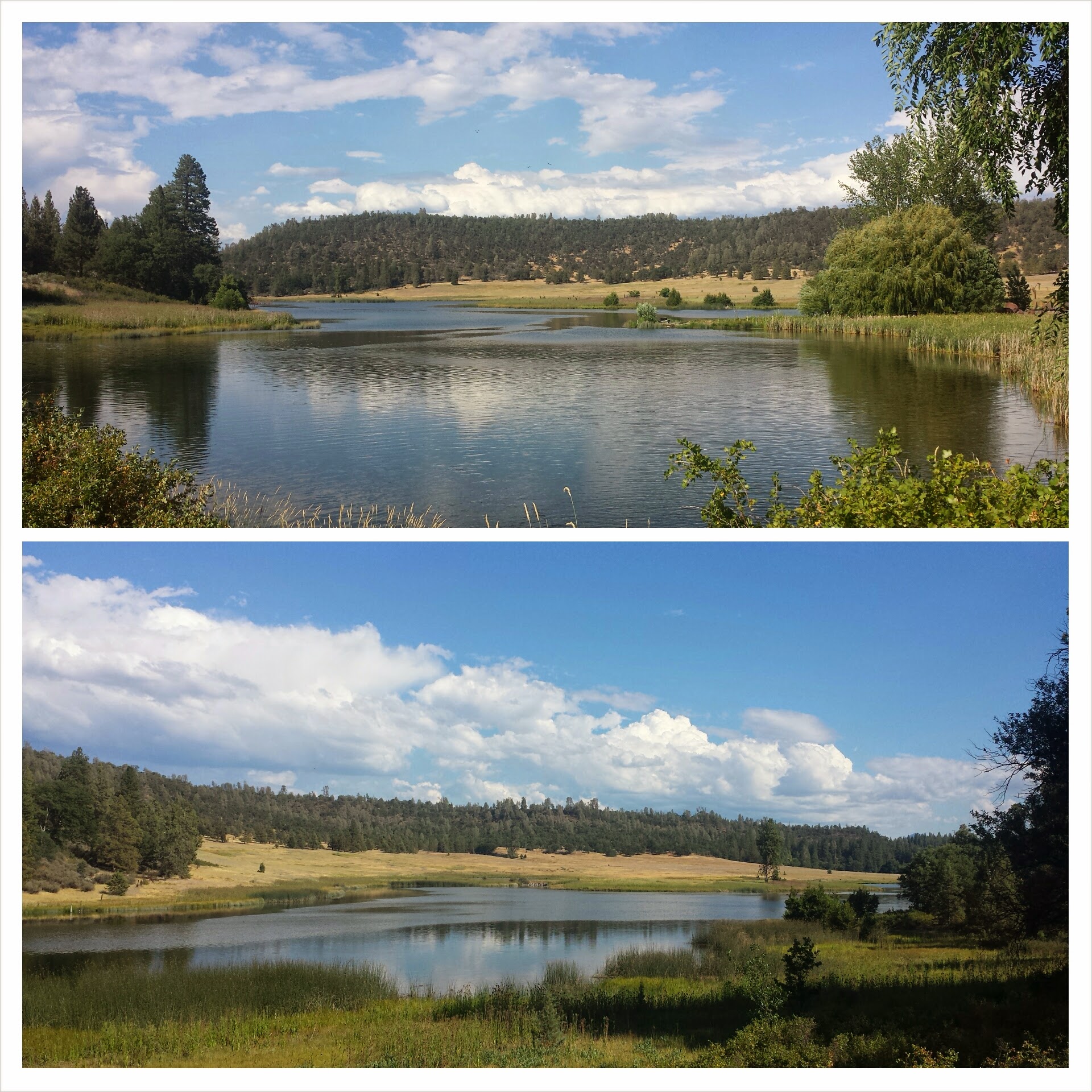
It was a super easy eight miles to Burney today. I accidentally slept longer than I planned, but the sun woke me anyhow. I hiked three miles to the Crystal Lake Fish Hatchery where I could fill up on water and use their restrooms.

Since I planned to hitch hike from the trailhead into downtown Burney, I wanted to get as clean as possible. I stripped down to wash my shirt in the bathroom sink just as a ranger opened the door. I thought, “Oh, man, I’m gonna get busted for being Hiker Trash,” but the moment he saw me standing there in my underwear, he jumped back and apologies just poured from his mouth. It was pretty funny. Being part of the county Fish and Game department, the rangers are very accommodating to hikers and they had no problem with me practically taking a bath in the sink.
So, let’s talk about what it means to be Hiker Trash. The term refers to any trashy behavior that you would normally see in homeless people or punks, but are now being acted out by completely respectable and formerly civilized folk. These behaviors include, but are not limited to:
•Being incredibly dirty and smelly all the time
•Living out of a bag
•Bathing, sleeping, or generally hanging out in places you’re not supposed to (and then having the cops shoo you away)
•Eating copious amounts of “unhealthy” food
•Talking shamelessly about bodily functions
•Mooching food or rides from other hikers or proper folk
•Going to the bathroom in random and bizarre places
•Cursing, singing, and crying at the drop of a hat
•Running around in little to no clothing (they say that if you don’t see any naked hikers, you’re not on the PCT!)
•Appearing to have no job and no care in the world other than meeting one’s basic needs of eating, sleeping, and moving.

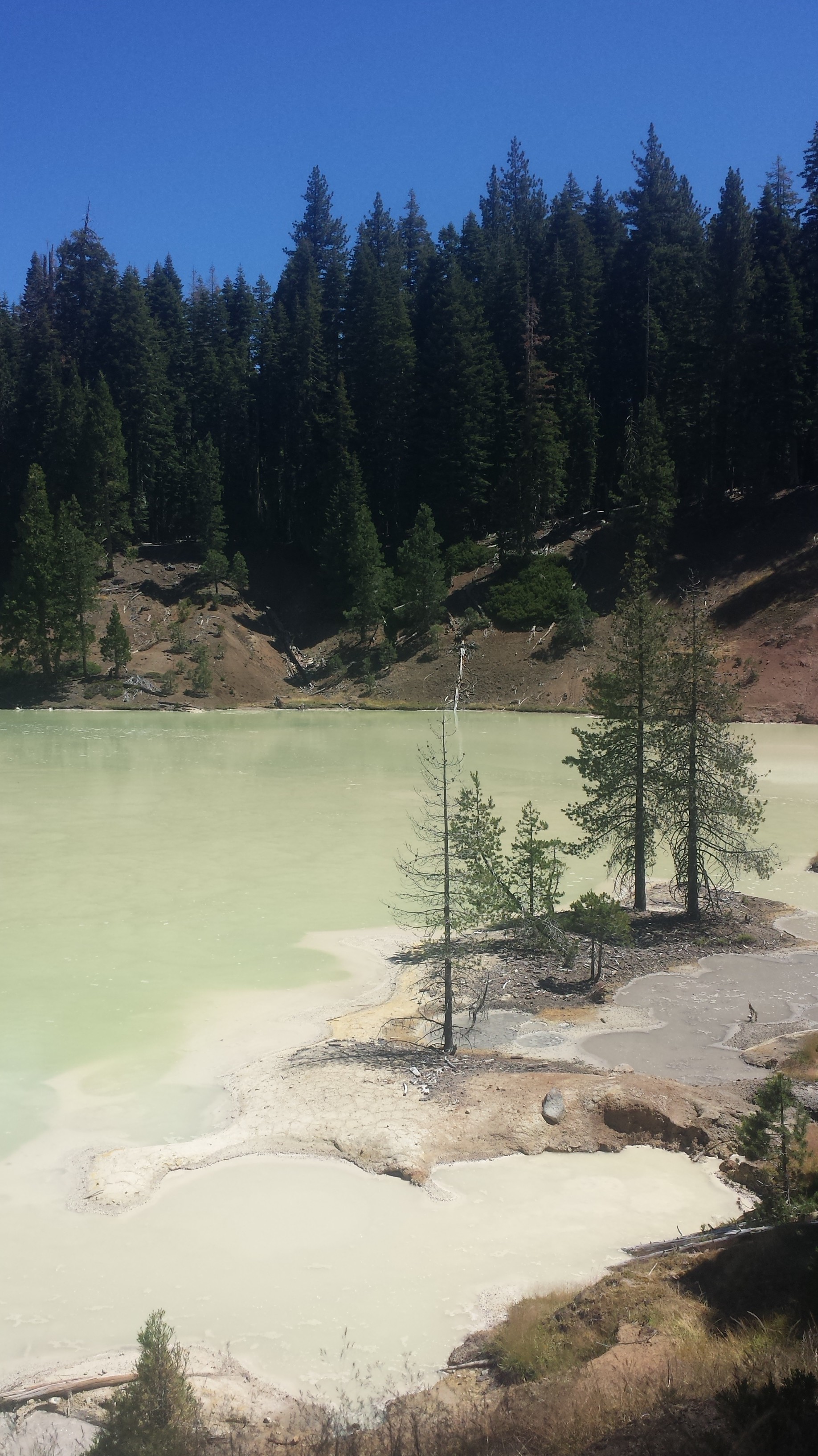
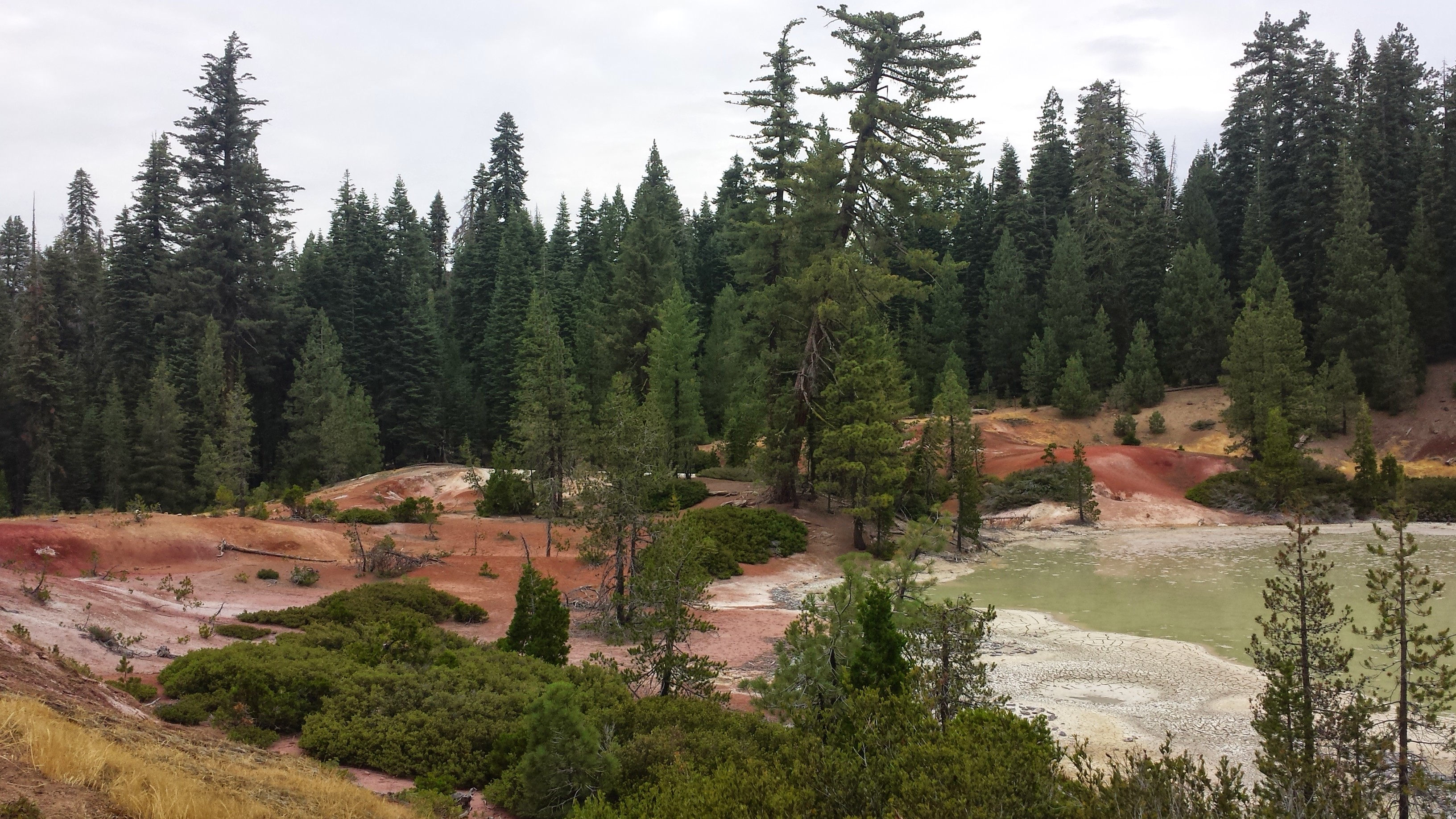
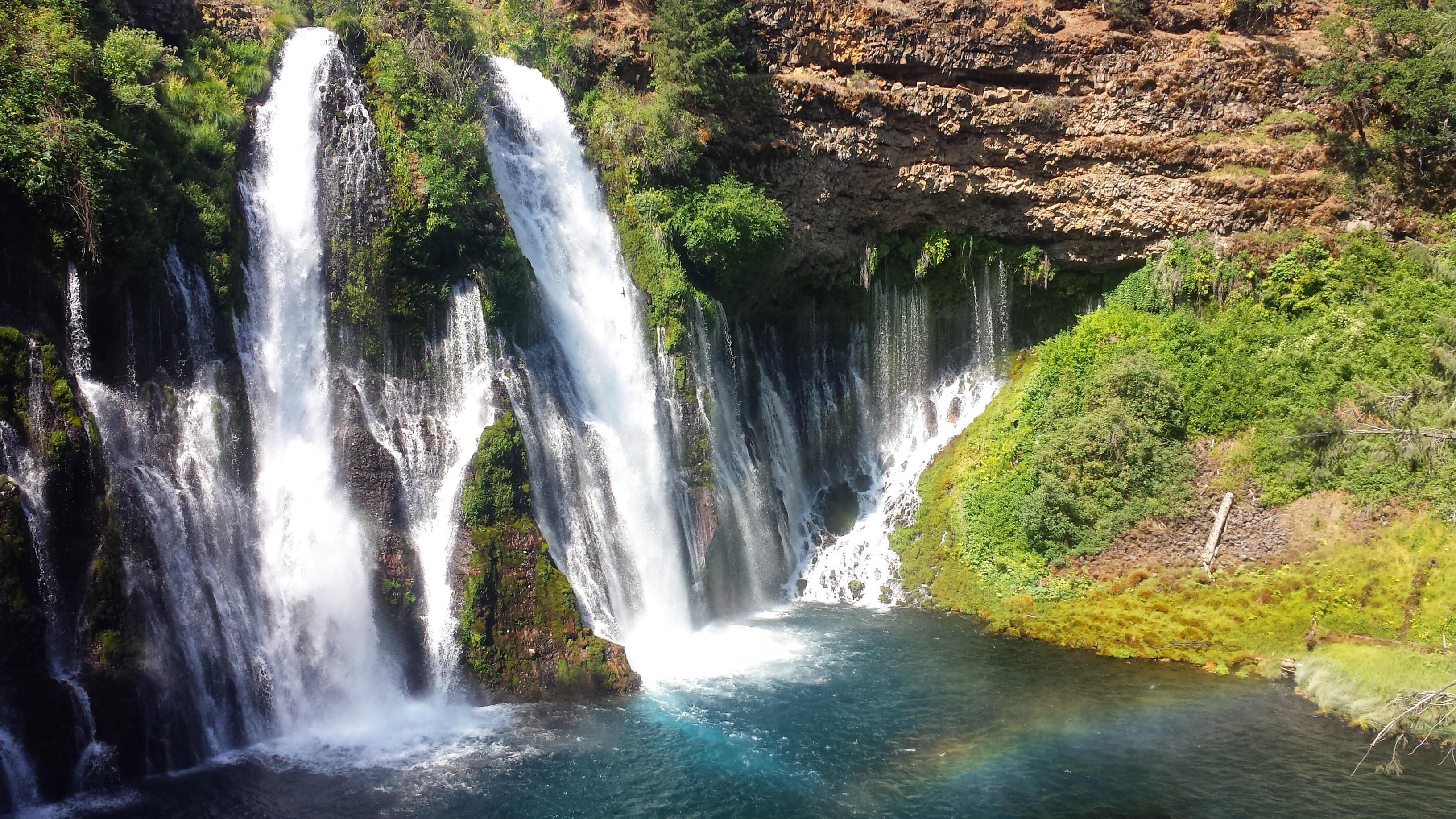
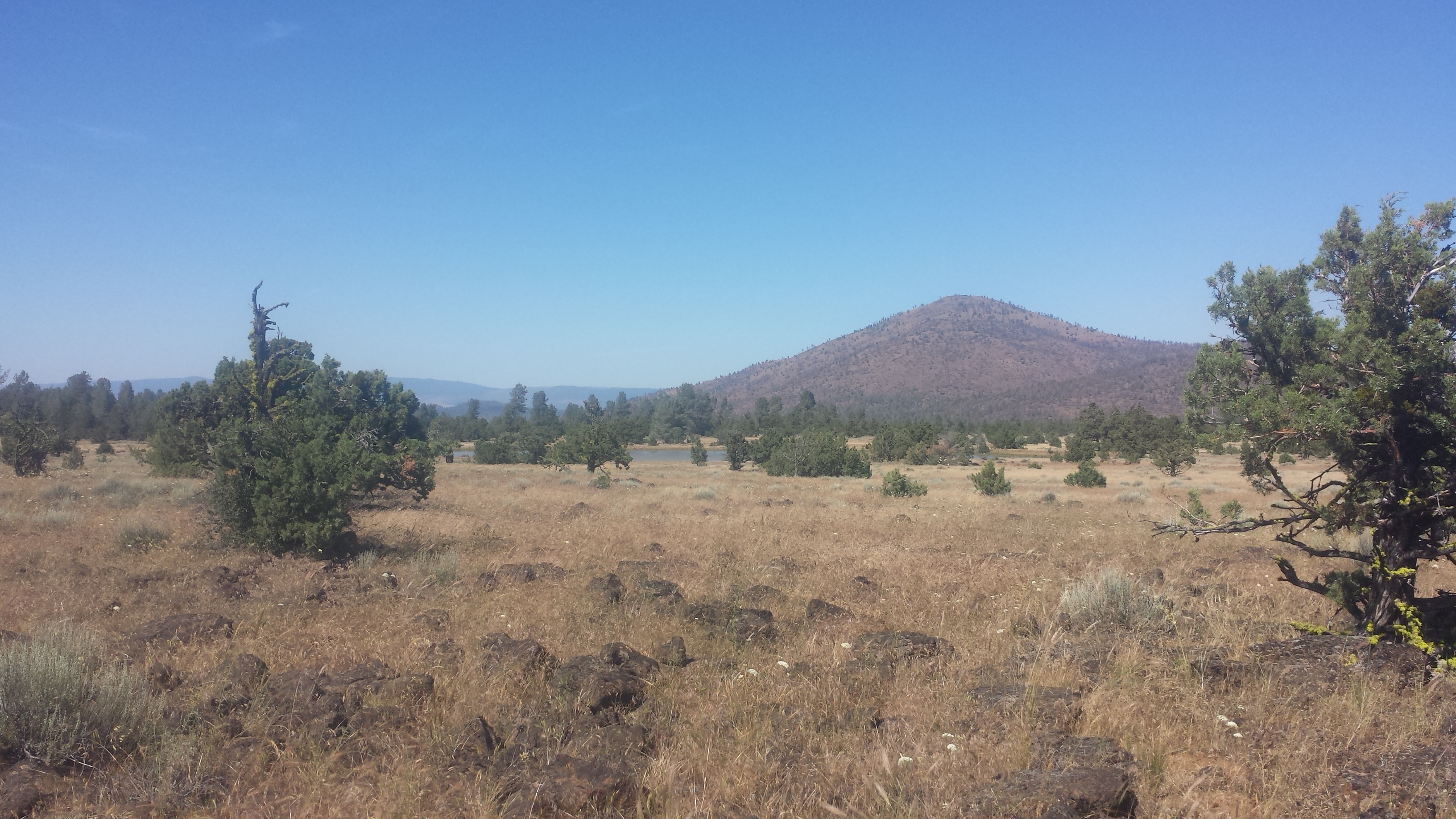
Crystal Lake
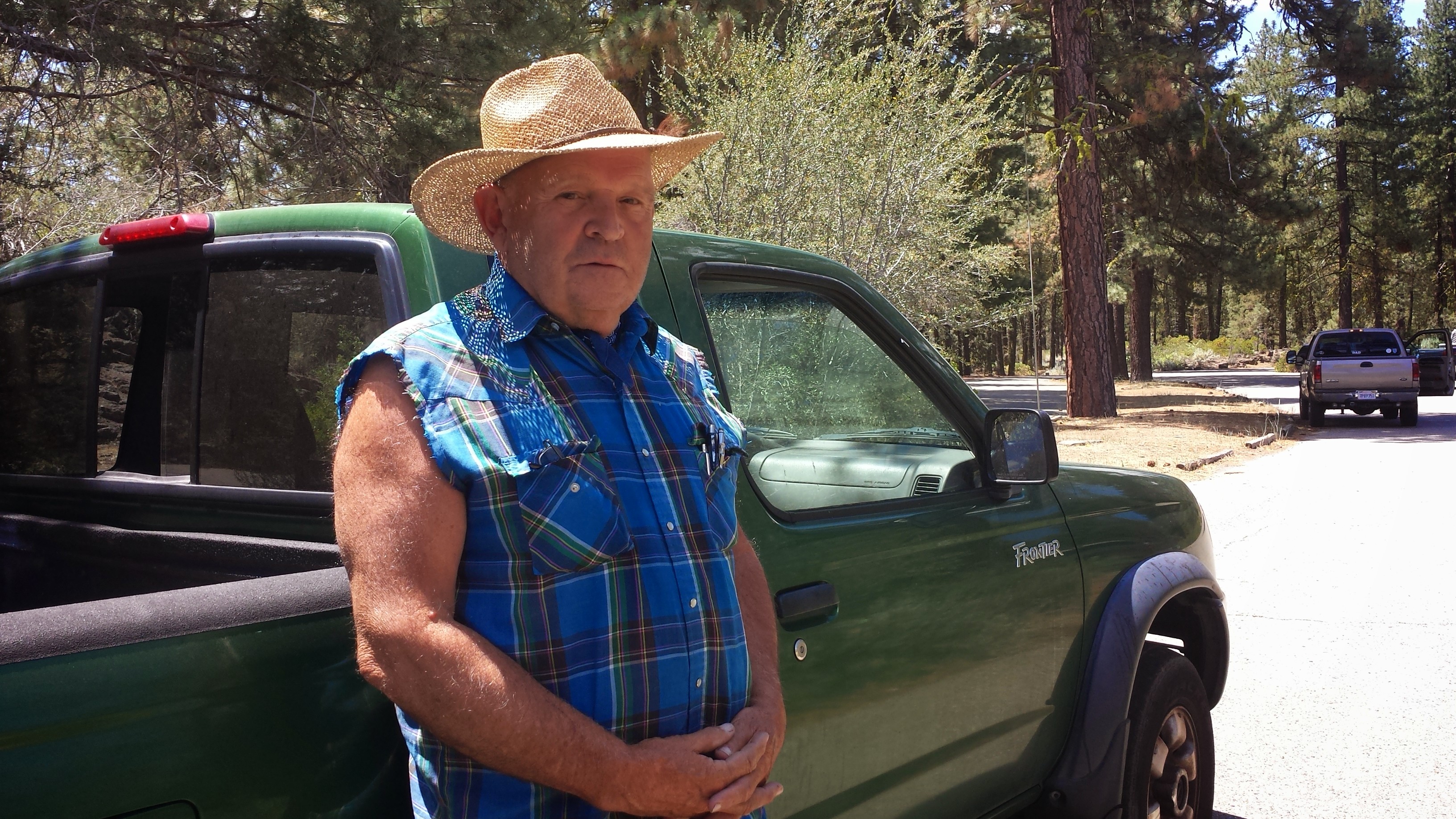
Once on the highway, I alternated between road walking and attempting to hitch a ride. I’ve always had a hard time staying put while I hitched if my destination was close enough to walk to. I’ve got this thing about taking matters into my own hands as much as possible when it comes to situations like hitch hiking. I walked probably about a mile and a half before an elderly man picked me up and drove me the remaining six miles to town.

Hiker Trash Oak and Cyprus
I ran into Oak and Cyprus (Hiker Trash!) at the Rite-Aid, a couple of nice elderly ladies bought lunch for me at the diner (just because they wanted to be a part of the journey), and I’ve got myself a comfy bed at the Charm Motel for the night. Nice day.
June 19- 0 miles or 300 miles? Staying in Ashland
So, this morning I got on a bus to Redding, then another bus to Medford, and finally a third bus to Ashland, skipping about 300 miles of the PCT that I originally planned on thru-hiking. Ever since my first week on the trail, I’ve felt the pressure of my schedule pushing me along and essentially limiting my trail experience. As a teacher, I’m able to take a generous amount of time off every summer, but my plan to hike 1,570 miles from Echo Lake to Canada had me arriving home one, maybe two, days before I needed to be back at work. I think it was a bit headstrong of me to assume I’d feel good about this schedule while on the trail. There are days when I hike more miles than I expect and it puts me ahead of schedule, but then there are days when something comes up (weather, detours, side-trips, rest days) and I don’t want to feel the stress of not being able to finish my hike.

Burney bus to Redding
My goal this summer is primarily to finish hiking the PCT, that means Ashland to Canada, not Echo Lake to Canada. Rehiking Northern California was just an extra treat, so I’ve made the choice to skip from Burney to Ashland and then reevaluate my itinerary. I may still be able to hike some of Northern California- we’ll see.

Goodbye, Mount Shasta
I caught an early bus to Redding and then waited around the Greyhound station for my bus to Medford. The wait felt pretty depressing. I’m confident in my decision, but that doesn’t make it less disappointing. I’ll miss hiking the Russian Wilderness and the Trinity Alps.
The methheads at the station were a nuisance. One of them was making googly eyes and poiting at me, he even tried to give me his number. This caught the attention of the only other non-drug addict at the station and she leaned over, gave him the hairy eyeball and the middle finger. Her name is Carrie and she was heading to Shasta. Once on the bus, she said, “you sit in the front with me and when I get off, you STAY in the front!” She grew up on a campground in the Shasta area and was a regular tour guide along the ride. Thank you, Carrie! You made that bus ride so much better!

Riding the Greyhound with Carrie
I have a good friend in Ashland with whom I lived and played in a string quartet with during graduate school. I’ll stay with her until my resupply box arrives on Tuesday, then I’ll hike out once more. Since Kim’s an active musician in the area, she’s hooking me up with tickets to orchestra concerts and plays at the Oregon Shakespeare Festival. Woot!
The last bus dropped me off right at a grocery store and I couldn’t help but go shopping! I made the excuse of needing groceries for the next several days plus wanting to stock Kim’s fridge for her. I was grabbing everything that looked tasty, like cheese, veggies, salami, and peaches. It wasn’t until I was in the checkout line that I realized I might not be able to carry everything to Kim’s apartment. Nonetheless, in classic Hiker Trash style, I managed it.

Too much to carry?
I spent several days in Ashland while I waited for a resupply box to arrive. During that time, I took full advantage of all of Ashland’s fine delicacies and delights! I attended one outdoor Baroque concert at a winery and two plays at the Oregon Shakespeare Festival, went to the lake with some friends, wined and dined early in the morning and late into the evening, and generally relaxed in the soothing atmosphere of this wonderful town.

Chicken and waffles with Kim

Afternoon bliss at Emigrant Lake