loading map - please wait...
June 23- 11.5 miles, camping near Shelley Fork Trail
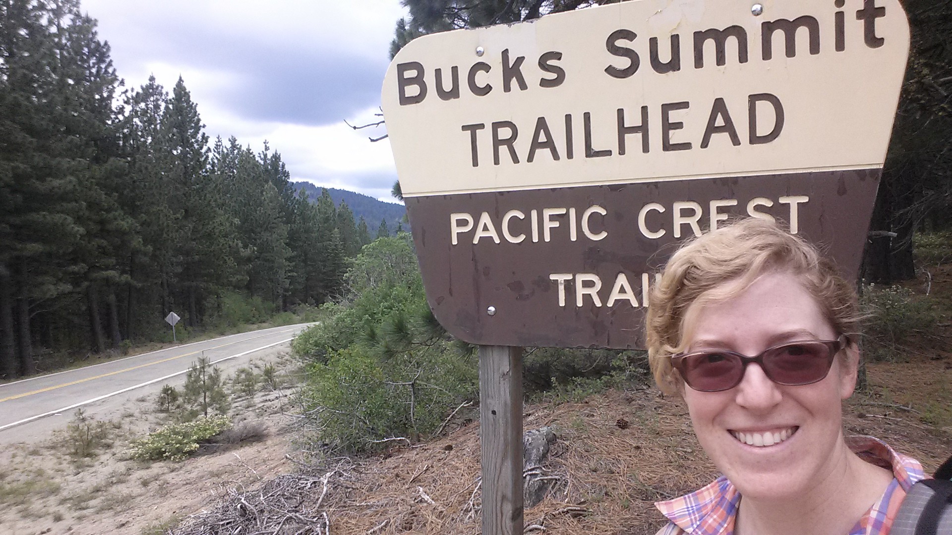
This morning I attempted to pick up my resupply box from the Ashland post office, but it hadn’t arrived yet. So, I’ve decided to head back to the trail without it. Not to worry! I will actually be back in Ashland within a week and can pick it up then. After looking over my itinerary and talking with Art, I figured out I can still hike part of Northern California. Kim gave me a ride to Yreka this morning, I hitched a ride to Etna, and then got another ride up to the trail. I was hiking by 2:45 and it felt great.
Yreka was a strange place to hitch hike. Kim dropped me off near Highway 3 and I stood about thirty minutes with my “PCT Hiker” sign before anyone stopped. The first car had a man and a woman- I thought, “Fantastic, a lady’s in the car. I’ll feel safer.” Then the man asked me if I’d like to make some money so I could get my ride to Etna. Uh… nope! Don’t need money; I just wanted a ride. I’m pretty sure he was a pimp and the lady was working for him.
The second car that pulled up was driven by Michelle and Marlee- a couple of medical sales reps on their way to a lunch date in Etna. Lucky me! We had a great time in the car together. The two were adamant about me carrying some kind of weapon, which I’m currently not. I said I didn’t want a lethal weapon turned against me. Marlee, who is a gun owner herself, said if men just see that you have a gun, they won’t mess with you. “You don’t even need a real one! Get a water gun!” Michelle was so enthusiastic about this idea and my hike that she used her iPhone to order me a fake gun and holster on Amazon and it’s being shipped to Ashland. Ha! I’m excited to see it. Thanks, Michelle!

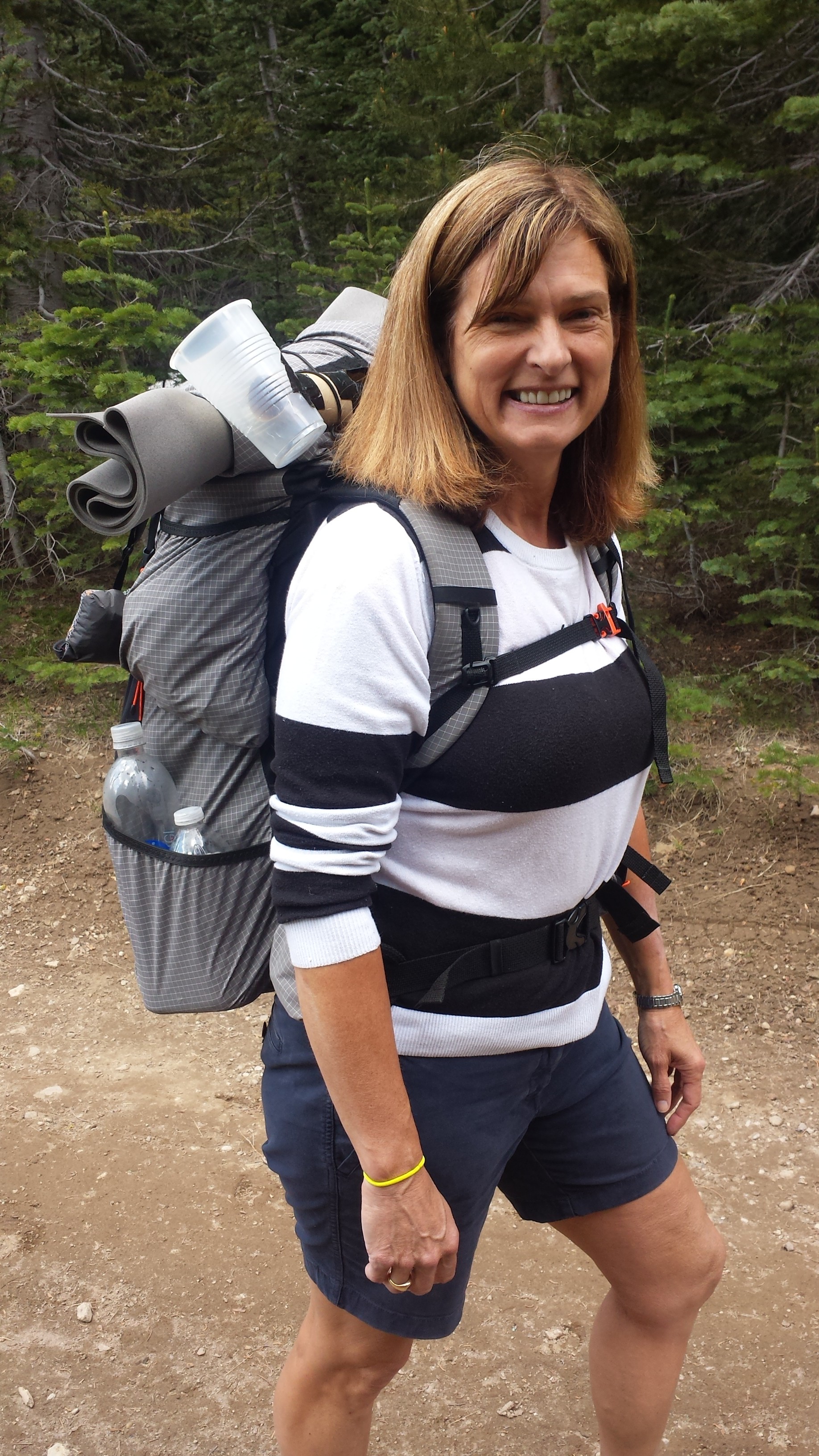
Marlee and Michelle
Marlee and Michelle dropped me off at Etna’s little grocery store so I could stock up for the next section. I’m not going to be eating as well as I usually do when I have my own resupplies. Oh, well!
I stopped in at the hiker-friendly bed and breakfast, Alderbrook Manor, to get a ride up the mountain. While there, I met several other hikers: Blue Moon and Scarecrow, a husband and wife from Wrightwood, and Janet, who is section hiking southbound. Janet had an awful story about loosing her sleeping bag several nights ago.

Bear Scare!
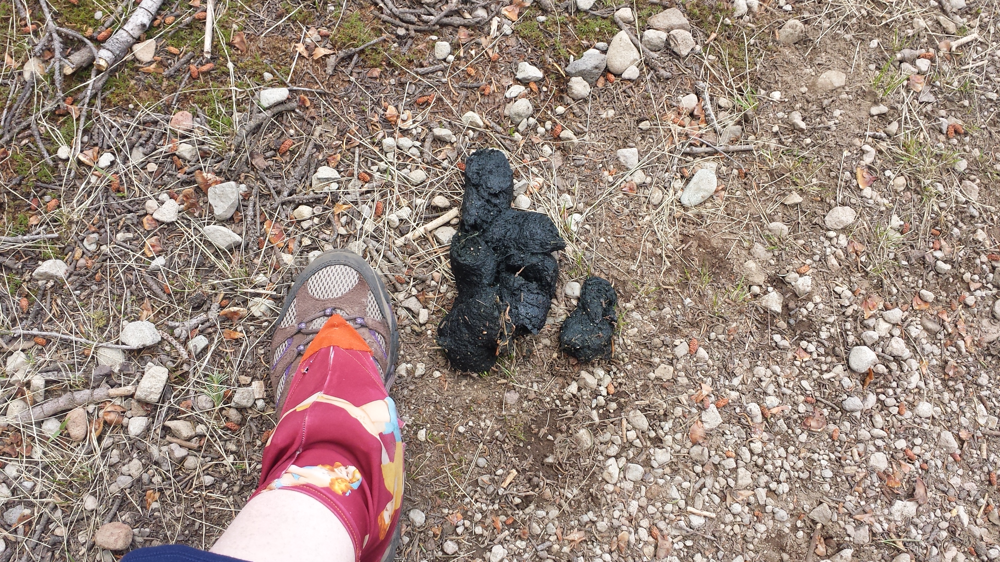
She was camping near Seiad Valley and had a bear bothering her at night. Despite yelling at him, he kept trying to get her food, which she’d hung in the tree. She decided to pack up, dawn her headlamp and hike away from the bear. But he followed her! It freaked her out so much that she lost the trail in the dark. She headed down to a lake that she thought she knew, but it turned out to be a different lake, and as she spent most of the next day bushwhacking her way back to the trail her sleeping bag fell off the top of her pack. She didn’t realize it was missing until that evening when she set up camp. She had to go three nights without a sleeping bag until she reached Etna! She’s ordered a new bag and will hang out at Alderbrook Manor until it arrives. I made sure to cook dinner before reaching my camp for tonight. I don’t want any bear problems!

Scarecrow and Blue Moon
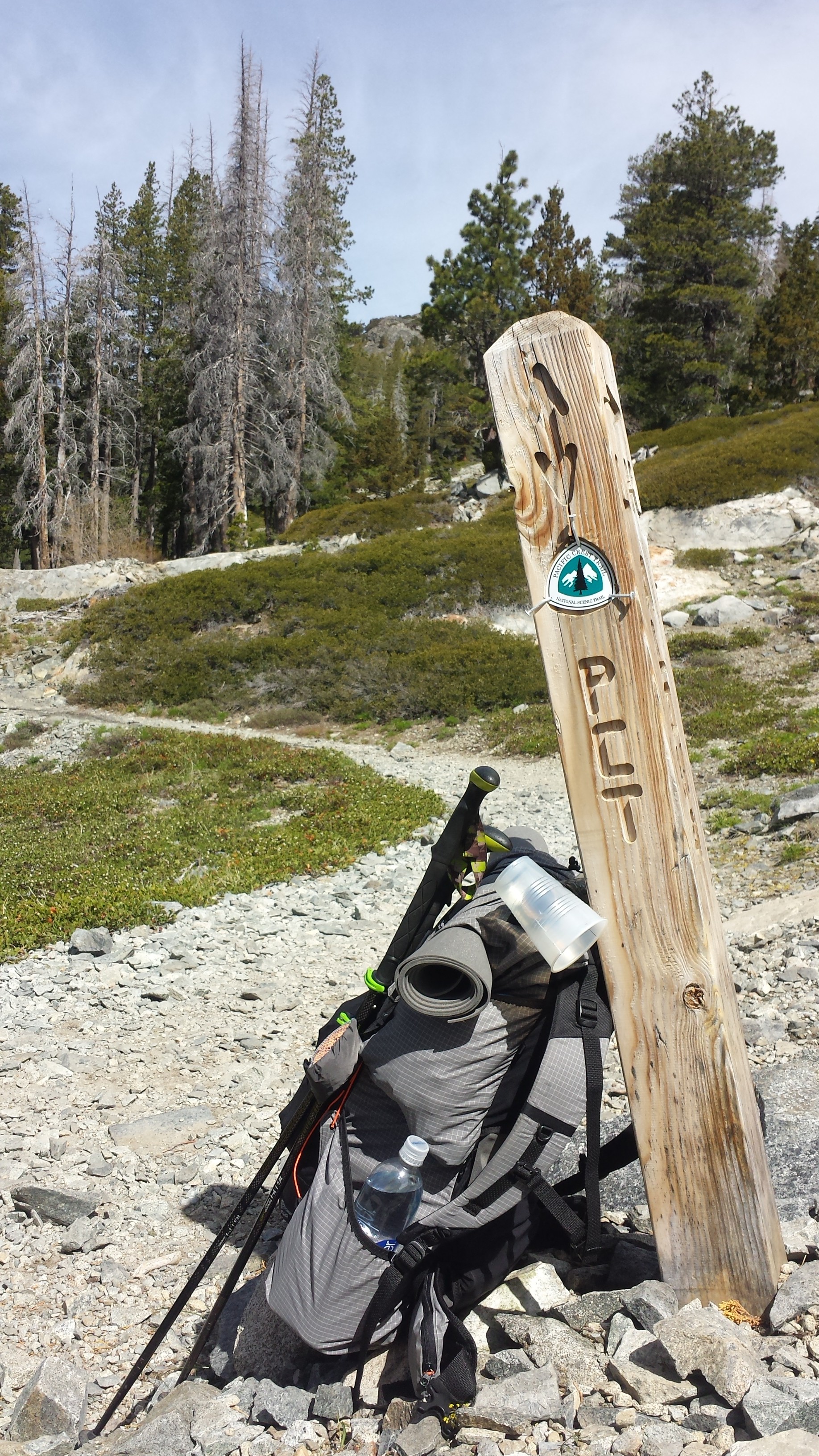
Blue Moon, Scarecrow and I caught a ride out of Etna with Dave, the owner of Alderbrook. I’m so happy I’ll be able to hike the Marble Mountain Wilderness again and visit Seiad Valley. Etna and Seiad Valley are a couple of my favorite town stops along the PCT.

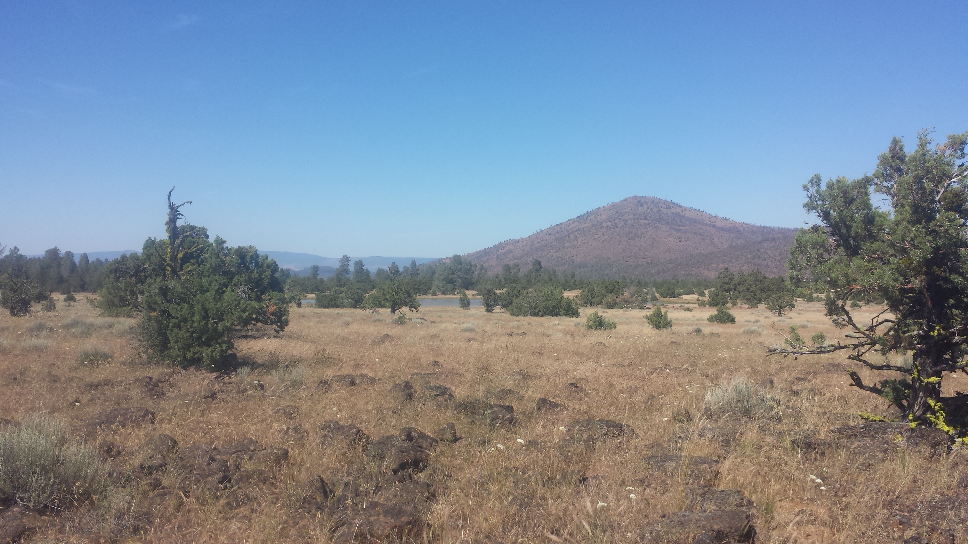
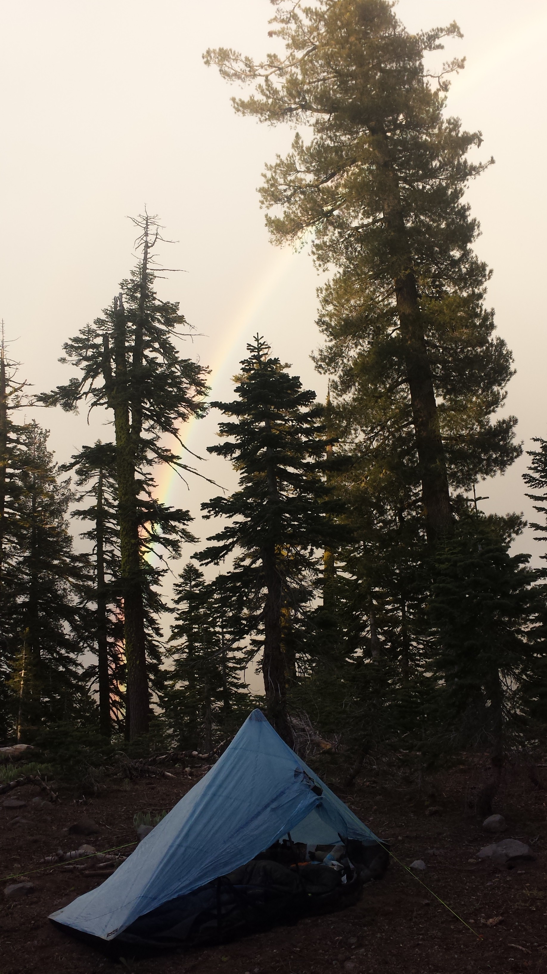
I hiked with Scarecrow and Blue Moon for a couple of hours, but lost them when I went off trail for water and cooking dinner. I’ve found a lovely spot to camp tonight along a ridge looking down on Etna and Mount Shasta shining in the distance.

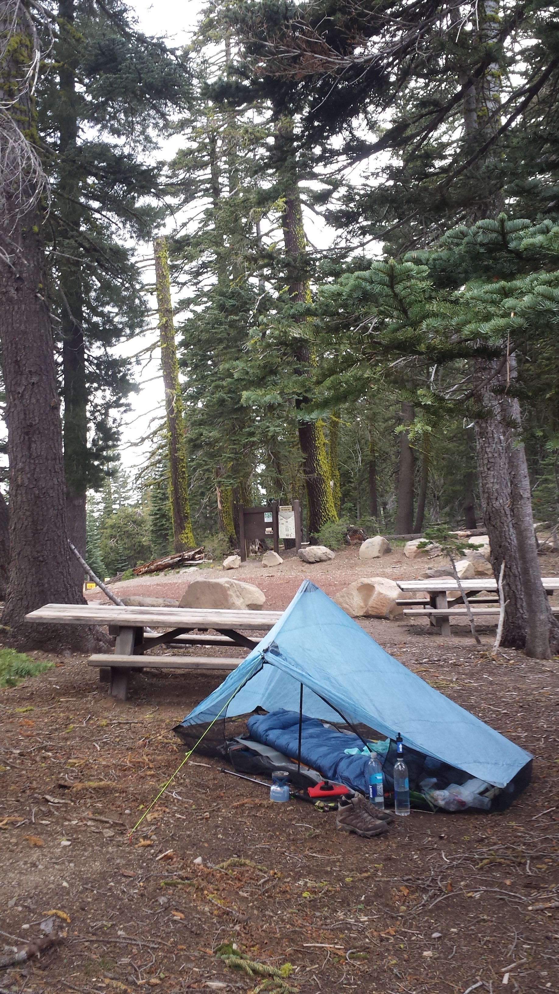
Camping near Shelley Fork Trail
June 24- 18 miles, camping at Paradise Lake

I started out this morning feeling pretty slow, even though I was hiking at a good speed. I just didn’t have much energy and my body was struggling to readjust to the trail. If you ever thru-hike, don’t ever take five days off in a row- it’ll totally screw up your momentum.
The sunrise was spectacular, but that also meant my tent heated up quickly. So much for sleeping in!

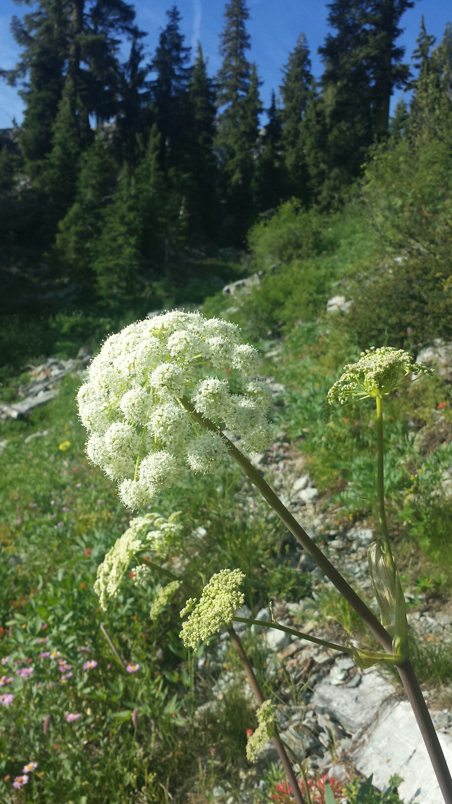
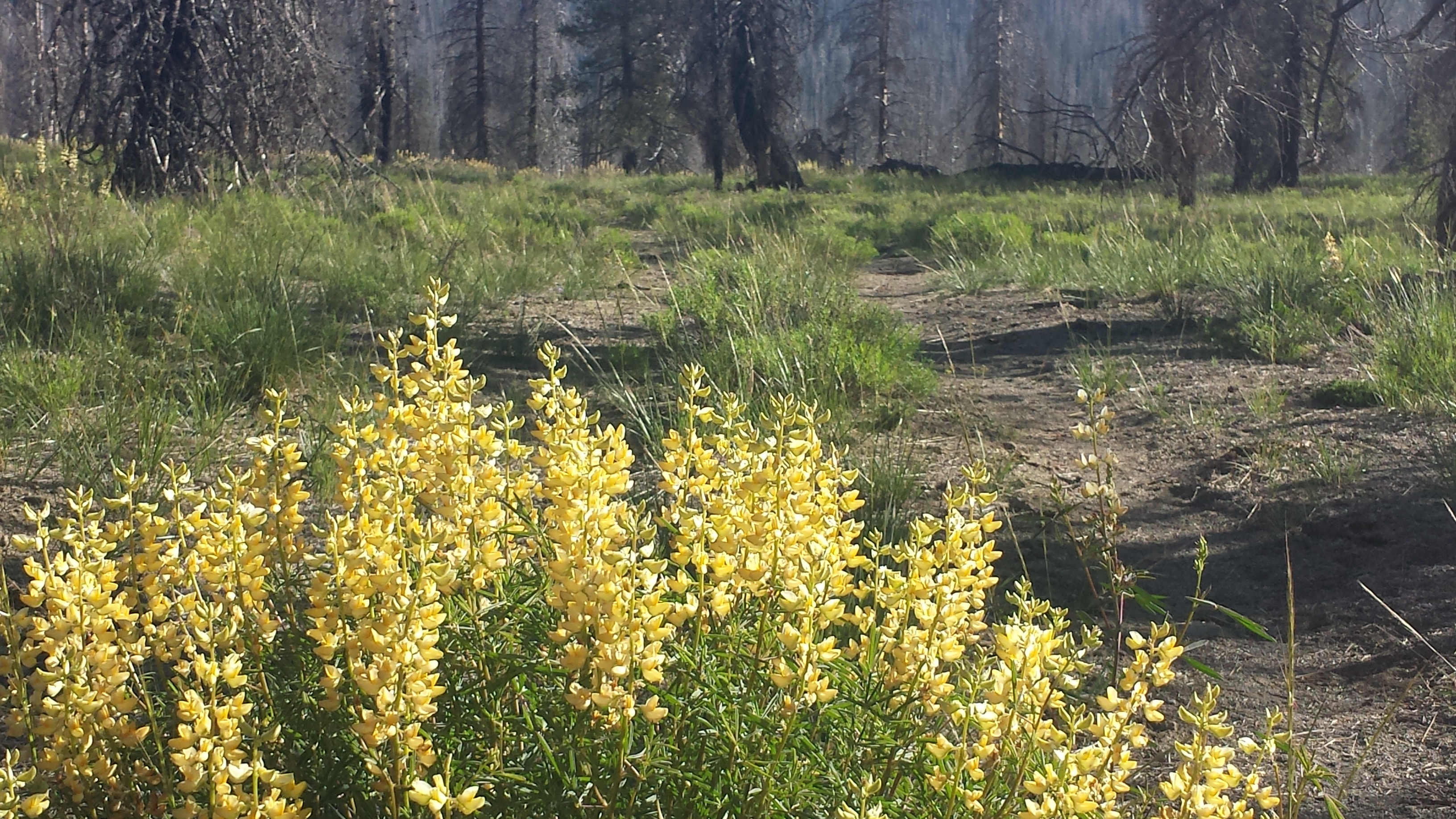
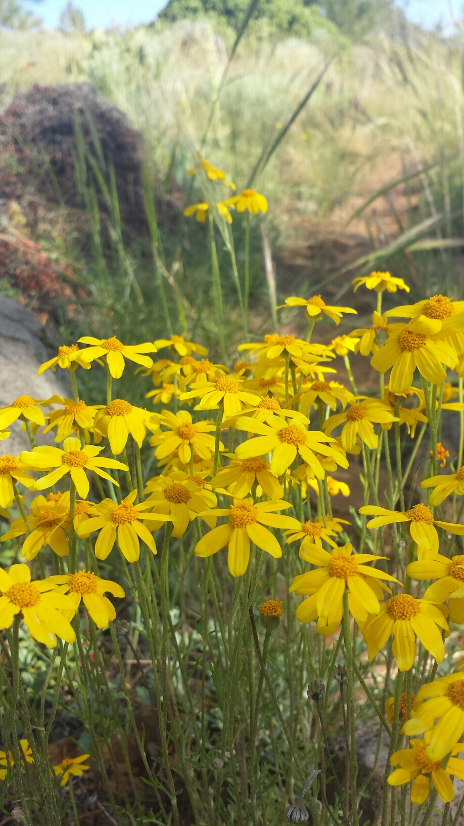
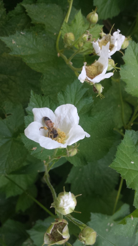
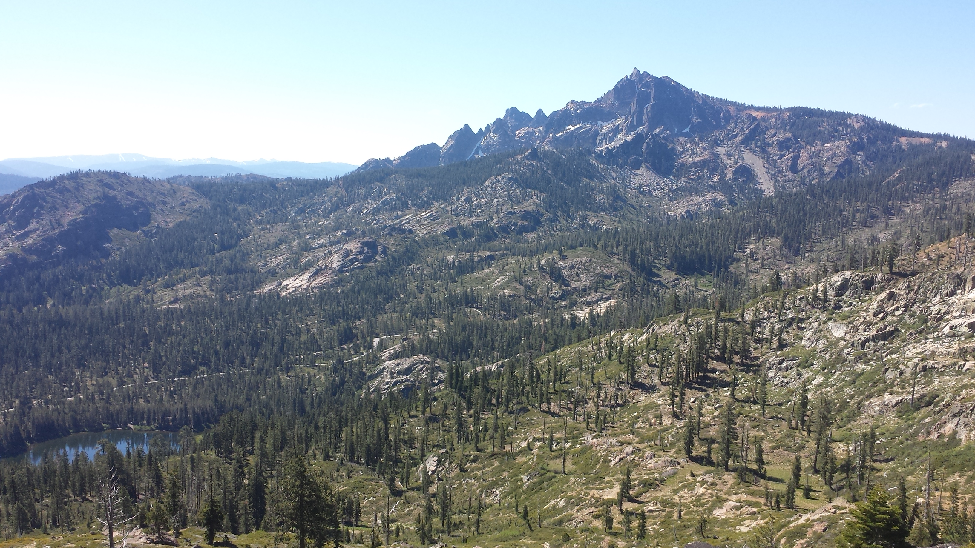
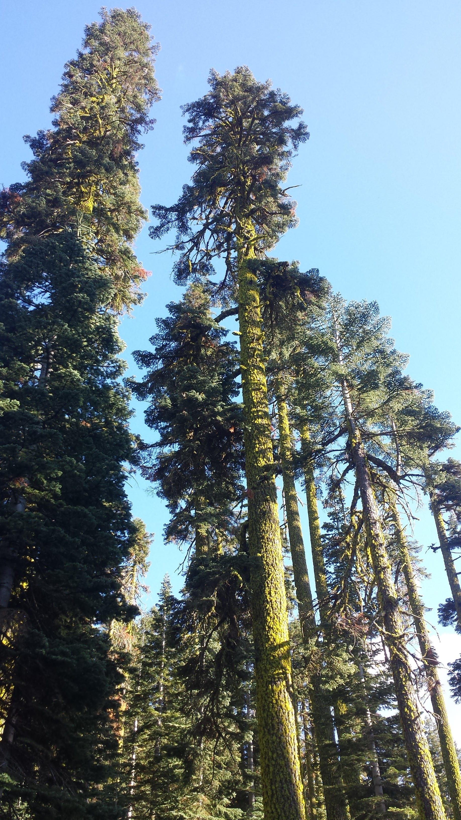
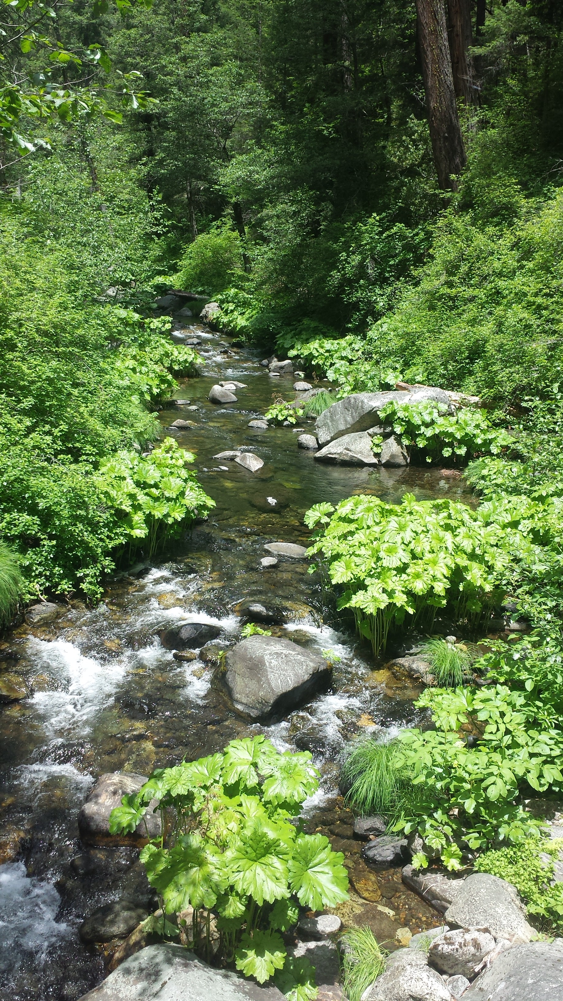
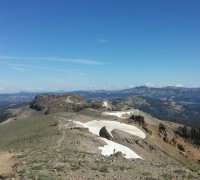
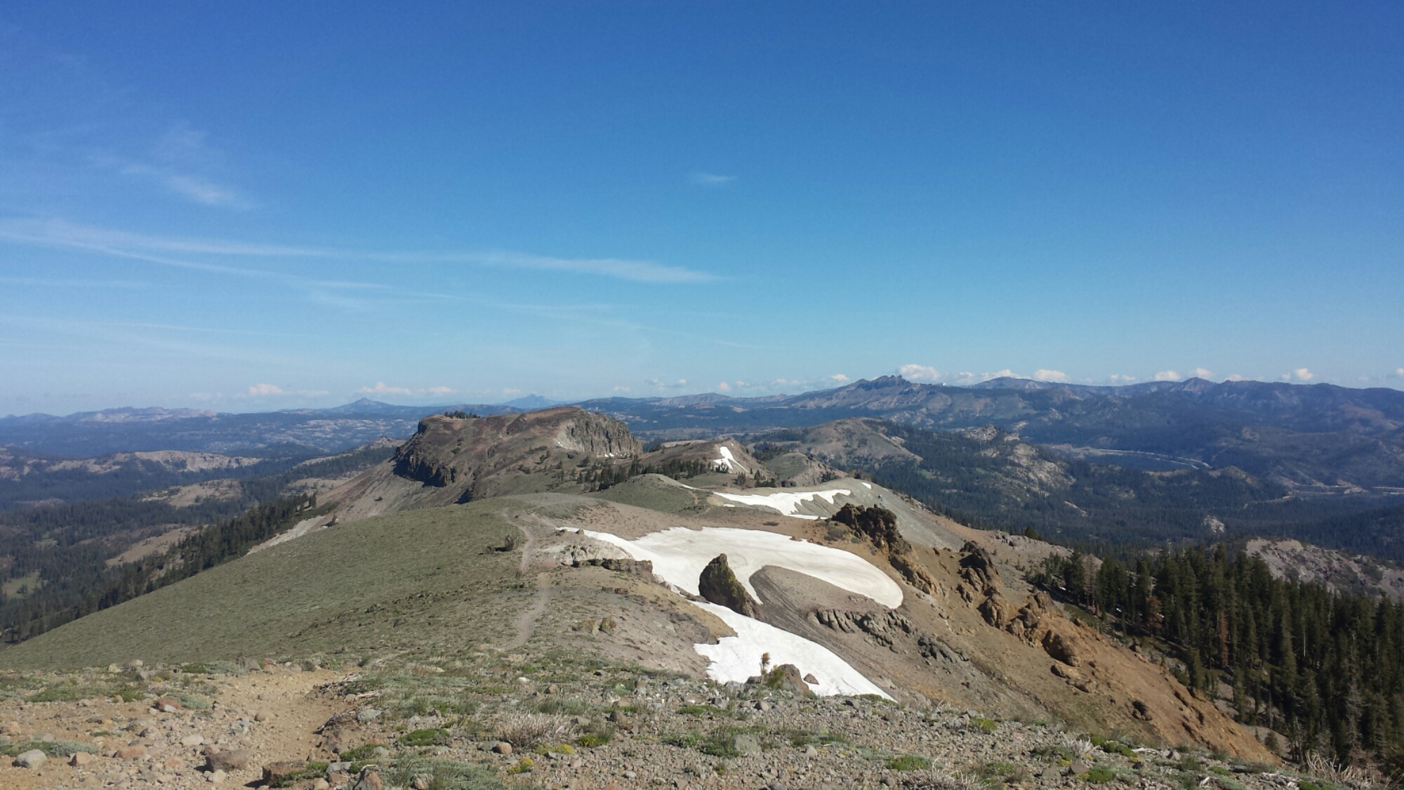
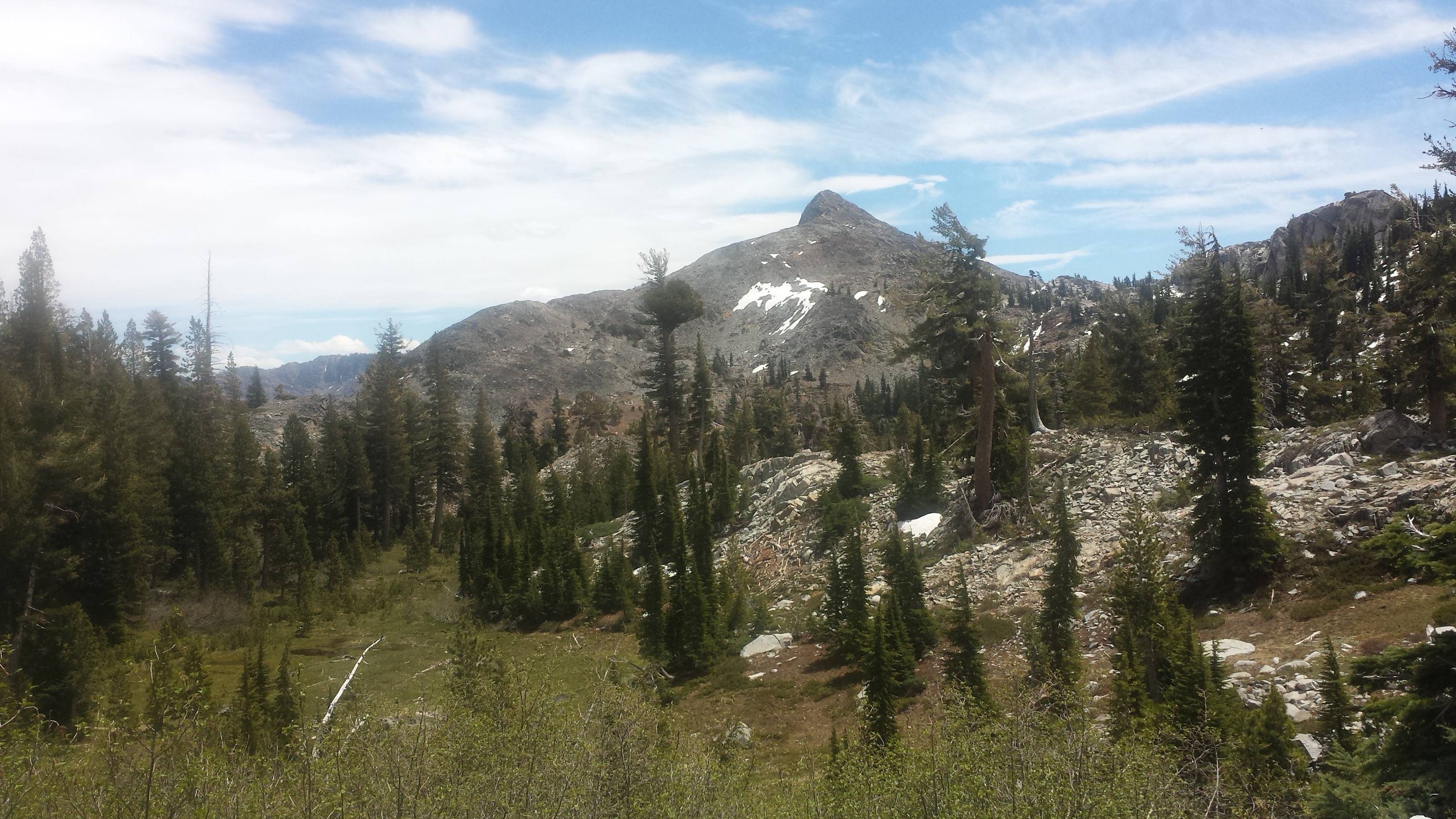
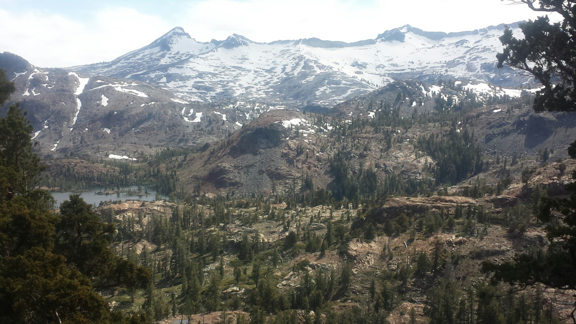
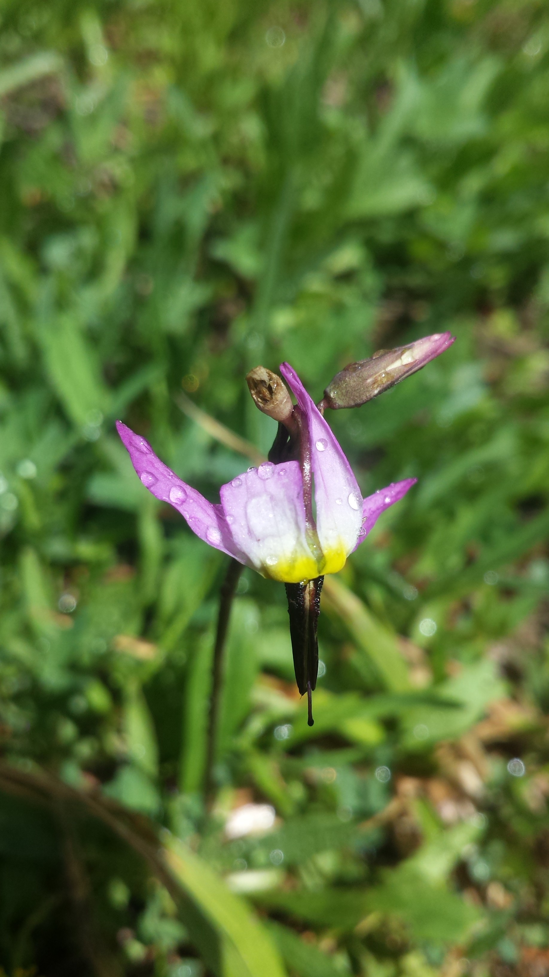
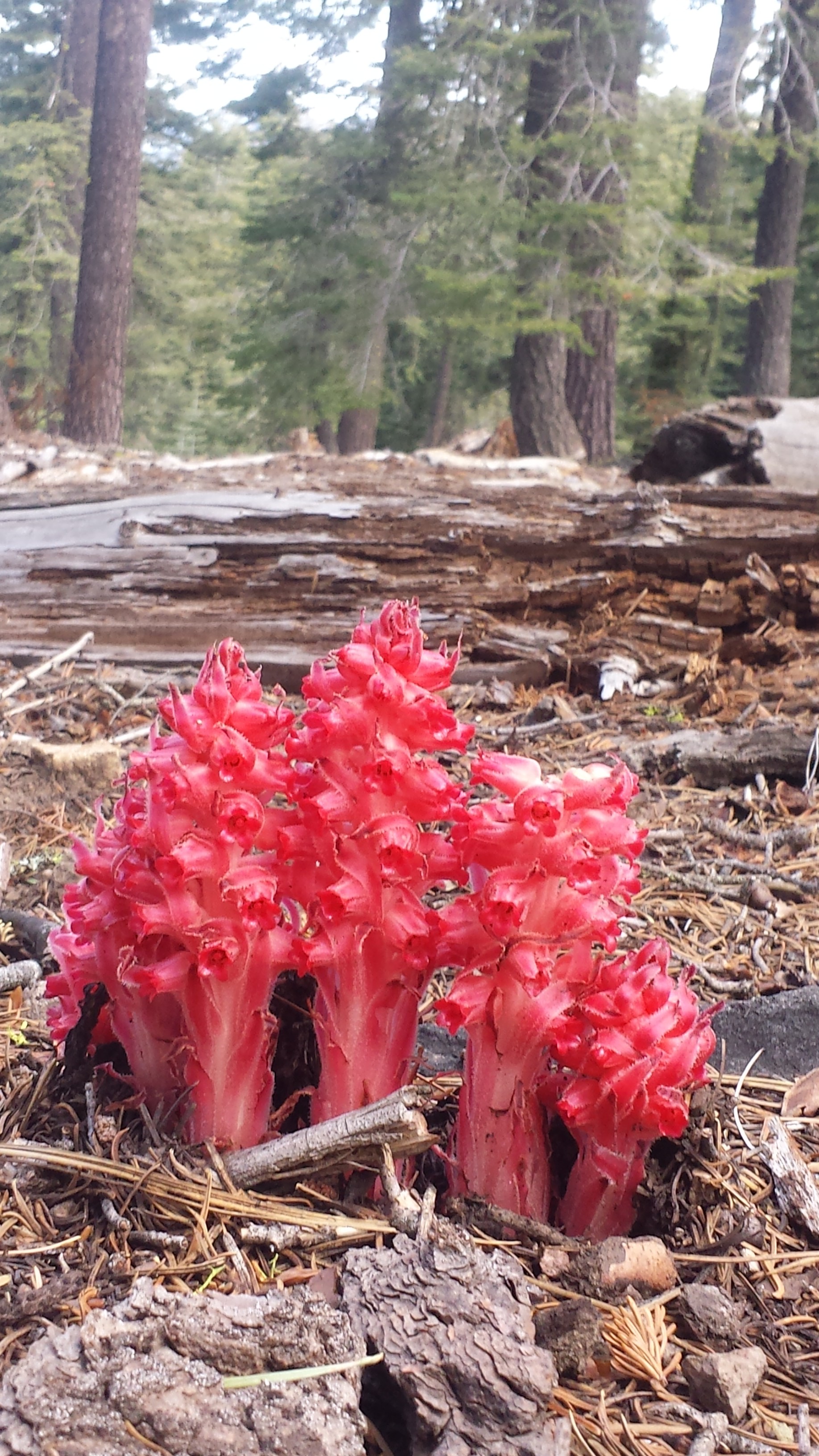
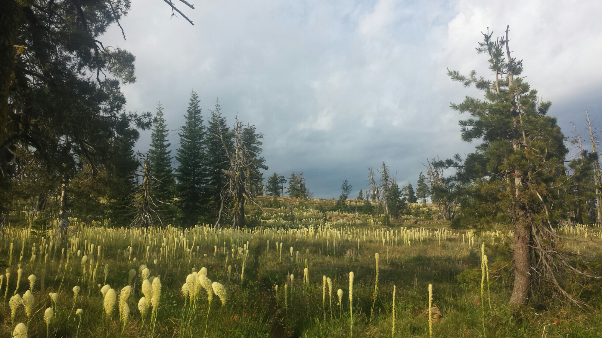
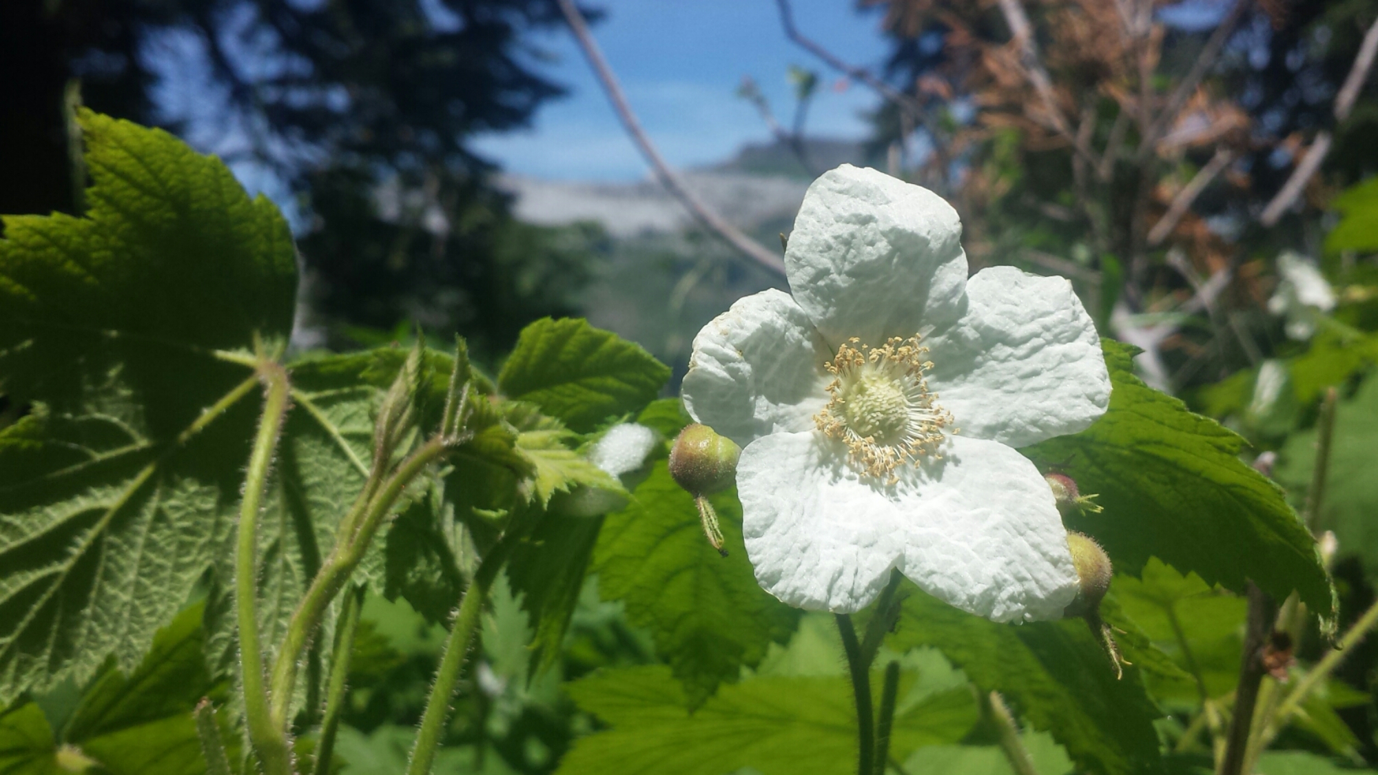
I’m so glad I made the effort to rehike this Wilderness. It’s so beautiful with its dramatic and colorful mountains and abundant meadows blanketed with wildflowers. I like to imagine that a rainbow just dumped it’s colors all over these meadows, creating the rich variety of flowers this wilderness offers.

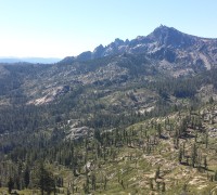
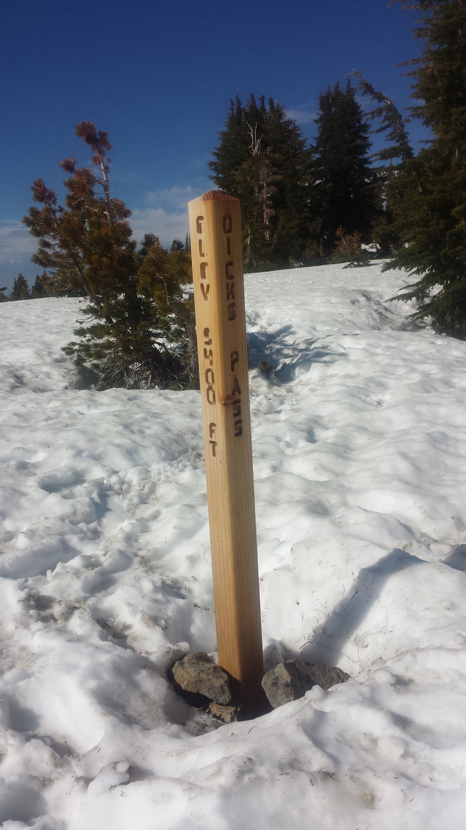
White Mountain
As I approached Marble Valley, I saw a little black bear running across the meadow below me. I was too slow to catch him with my camera, but he moved gracefully for such a large animal. Shortly after the bear, I was taking a long lunch break and playing my new ukulele when two chipmunks or ground squirrels showed up and hung out with me on the log where I sat. They just hung out, it seemed, to listen to the music. I felt like a regular Snow White! Then I realized they were interested in any crumbs I left from lunch. I bet Snow White had crumbs, too.

It’s supposed to warm up to 102° tomorrow and 107° the following day. That’s going to stink because those are the two days when I’ll be hiking in and out of Seiad Valley. The climb out of Seiad Valley is notoriously hot, dry, and difficult. I’m hoping to camp tomorrow night just outside of town so I don’t have to pay for tenting and then I’ll hike in for lunch, wait out the afternoon heat, and hike a few more miles in the evening.

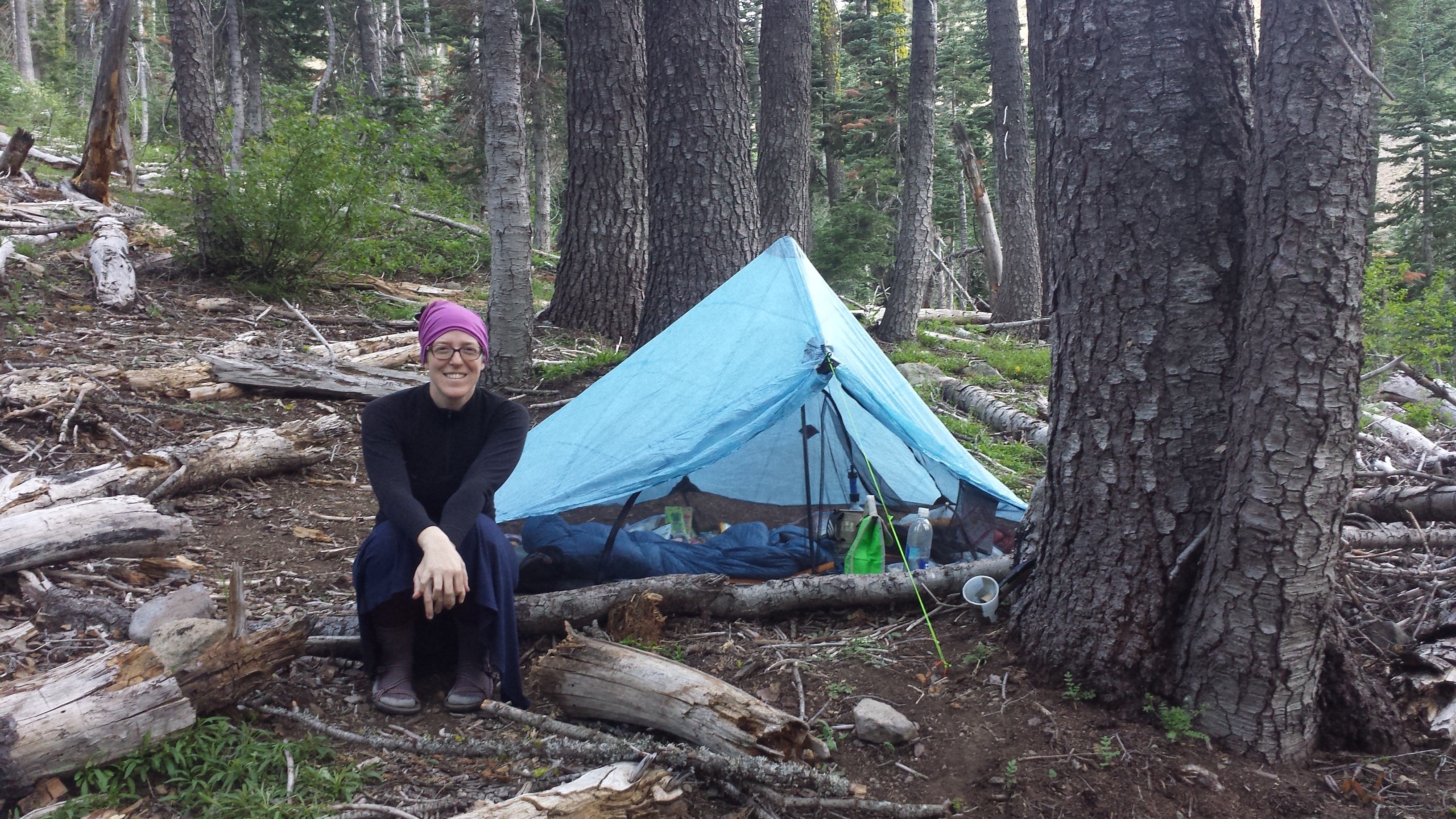
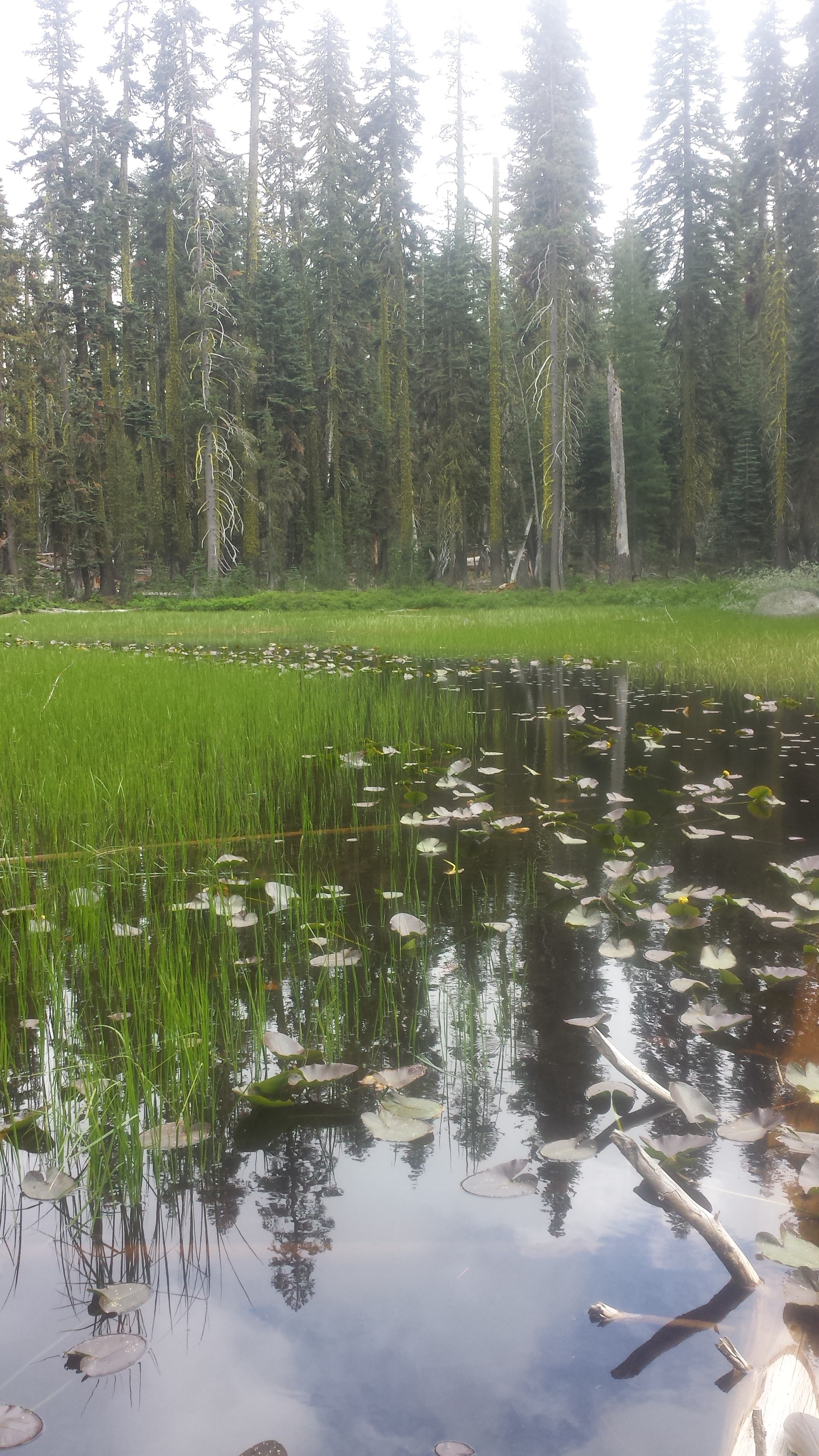
I put it a relatively easy eighteen miles today to camp at Paradise Lake with Heather and David, a couple of PCT hikers I met this morning. This site truly feels like Paradise. The temperature is perfect, there aren’t any bugs, the tent sites are flat, and the water is warm (even though the lake mud sucks you down about three feet!). Getting into camp early allowed ample time for wading in the lake, chit chatting, and playing some ukulele. I’m lying in my tent now, listening to hundreds of frogs croaking in the lake. It’s wonderful.

June 25- 20.2 miles, camping at Grider Creek Campground


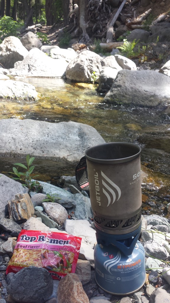
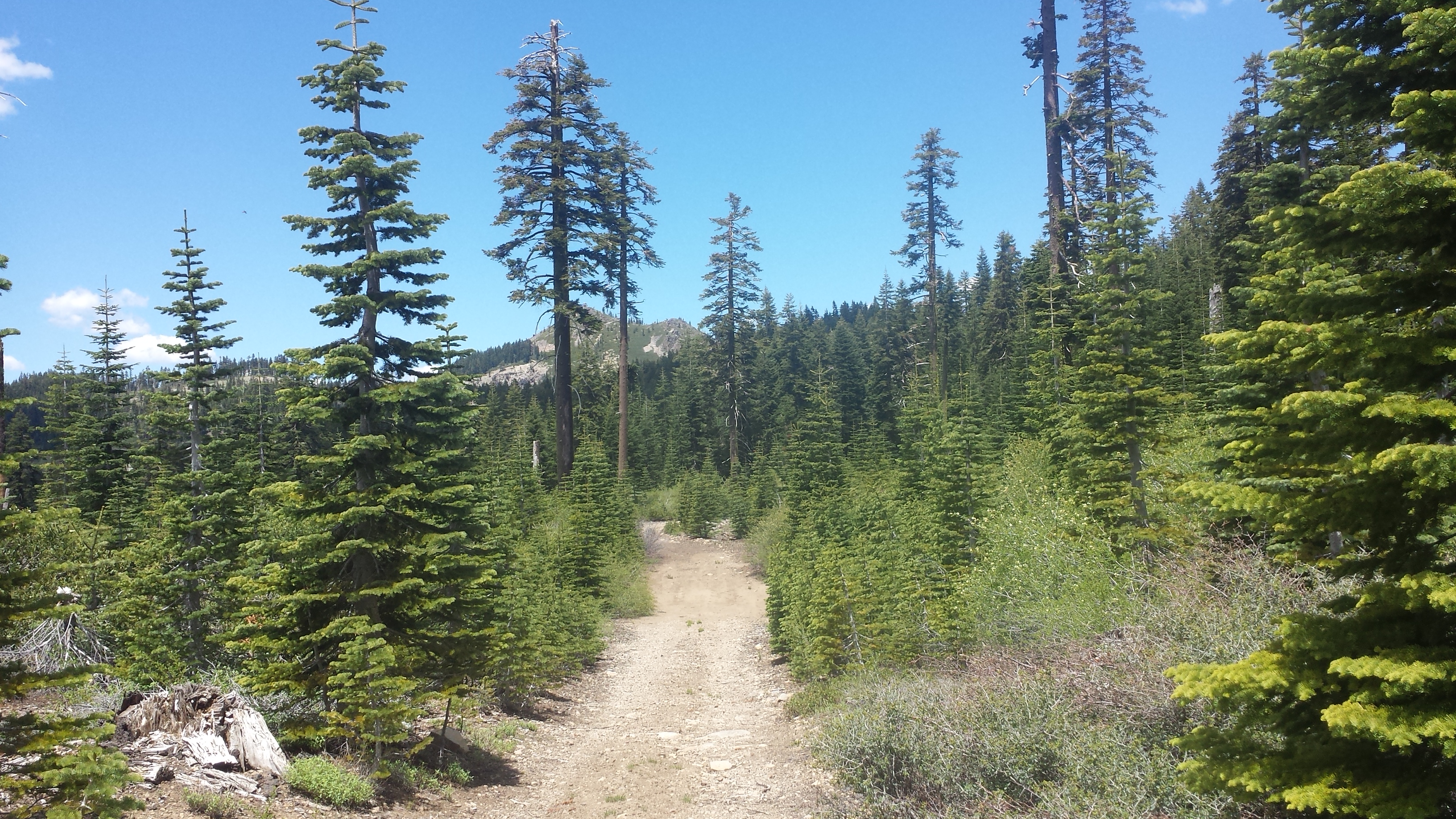
The majority of the descent today went through a recently burned area. As a result, there was less shade than I had been hoping for in this 100° weather. As soon as I came to a little creek, I stripped out of my shirt and skirt and laid directory in the shallow water. Two of the bridges crossing Grider Creek were also out, which meant fording the shallow, but wide creek. For the last eight miles, I popped on my sandals and happily just walked right through the water whenever the trail allowed. Overall, I laid down in the creek three times this afternoon because it was just so hot.


The Grider Creek campground is not quite as I remembered it. There are bulldozer tracks everywhere and many of the trees have been chopped as firewood. I’m sure that’s a normal way for maintaining trees in campgrounds, but it doesn’t feel as nice. There wasn’t anyone else in the entire campground, so it felt kinda creepy. I made dinner and rinsed in the creek, but decided that if things didn’t feel right, I might just pack up and hike the six and a half miles into town. Just as I was starting to feel comfortable, David and Heather showed up. Heather practically bounced into camp and David looks like he can’t wait to drop his pack and rinse off.

Grider Creek Campground
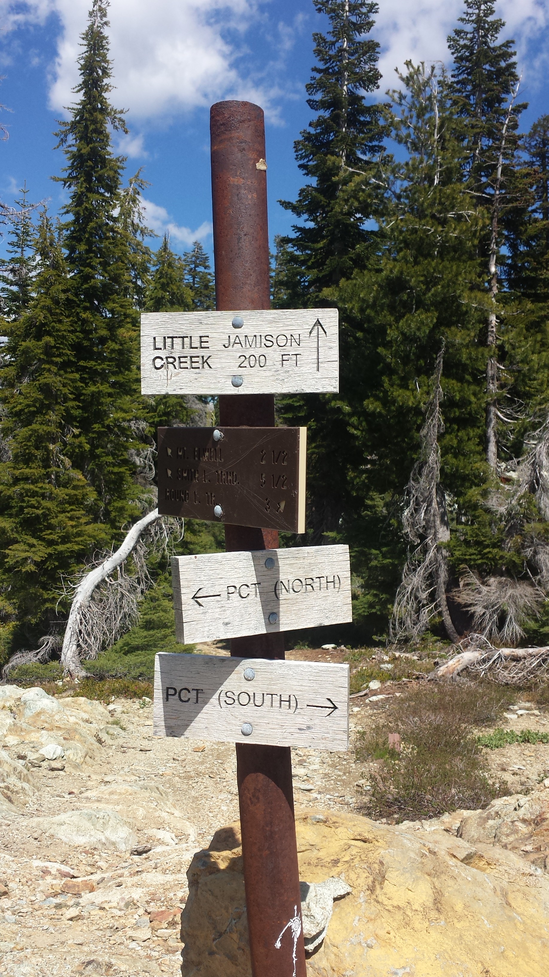
June 26- 18.5 miles, camping at Cook and Green Pass

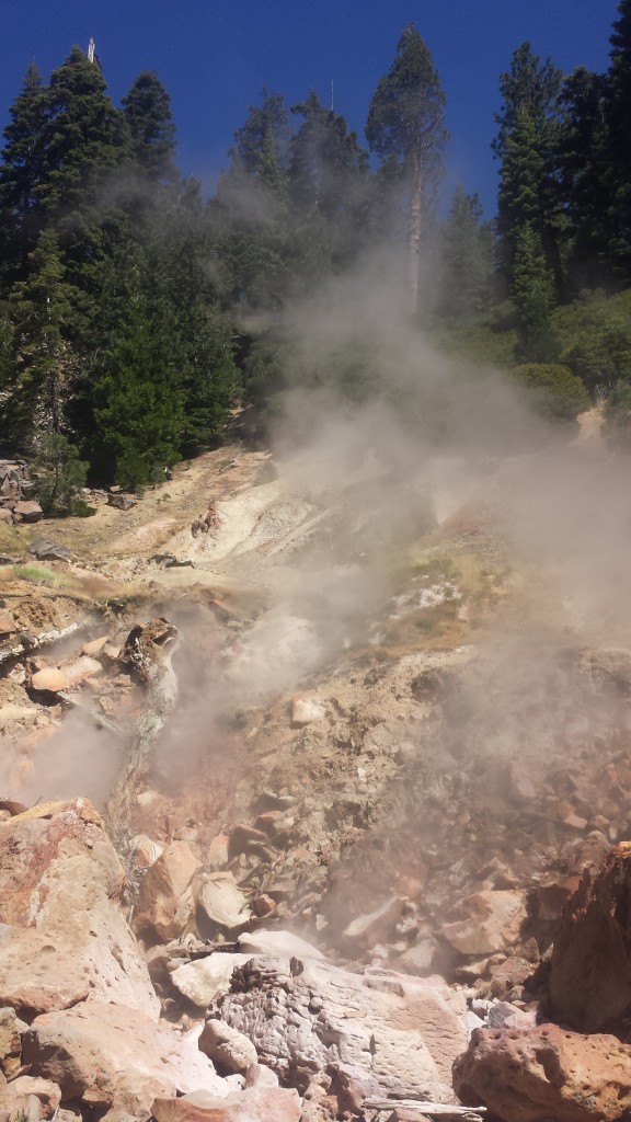
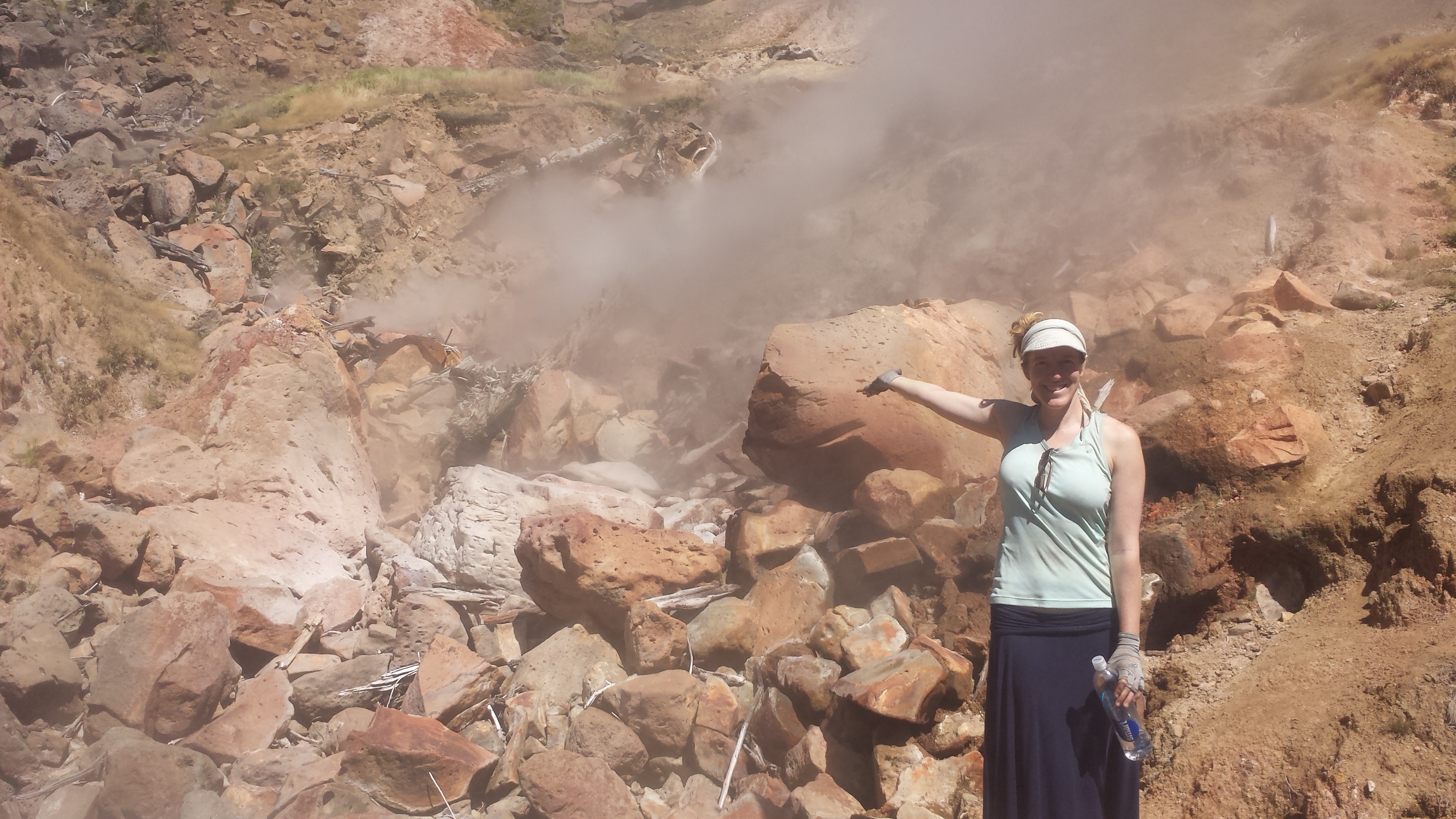
Klamath River
It was a hot, six and a half mile road walk into Seiad Valley this morning. I met up with David and Heather at the cafe and had myself a bacon and avocado burger with a banana milkshake for breakfast. I love Seiad Valley Cafe. The owner is an older, single woman who cooks, waitresses, and cleans the tiny cafe with the periodic help of her daughter. The food has always been delicious and the milkshakes are the best I’ve ever had. Two hours later, I showed up for a grilled cheese with cottage cheese and pineapple.

Heather and David at Seiad Valley Cafe
It was incredibly hot today, but lucky for me, some light thunder clouds rolled in later in the afternoon. The RV park allows hikers to lounge and camp on their lawn and also provides showers and laundry. I showered and then tried to nap in the heat, waiting to start my hike out until it cooled off. Bruce, the RV park manager recommended an alternate route up the mountain: a road walk along Seiad Creek Road that parallels the trail but is shaded and follows a creek.

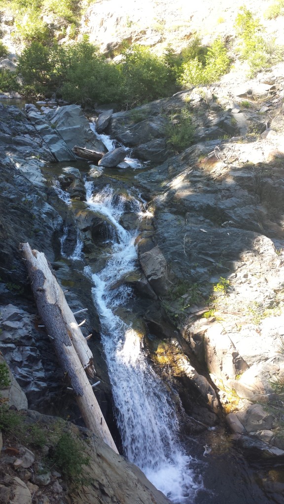
I headed out of town at 5:30 and decided to take the road walk alternate. I’m glad I did! Since I hiked the trail last summer, it was nice to take a different path and see new things. The road took me past Horsetail Falls, which had a large pool perfect for dipping in. I couldn’t resist! It was 8:30pm and I was soaked through with sweat.

Horsetail Falls
I had another mile and a half climb to the top of the pass, where I’m camped tonight. It was dark by the time I arrived, but the moon was bright and the dirt road was easy to walk. Blue Moon and Scarecrow are camped here, too, but already alseep. I’m cowboy camping under the silhouettes of trees- it’s almost too hot to use a sleeping bag.
June 27- 26.2 miles, campingat Sheep Camp Spring

Scarecrow and Blue Moon, Cook and Green Pass
My phone isn’t charging very well, so you’ll have to excuse the brevity of this post! It was a beautiful hike to Oregon today, canopied by light thunder clouds and sprinkles of rain.

Donomore Meadows
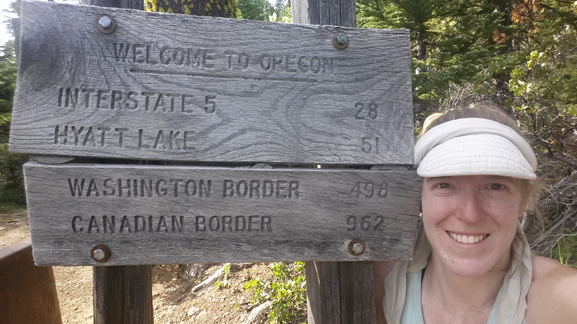
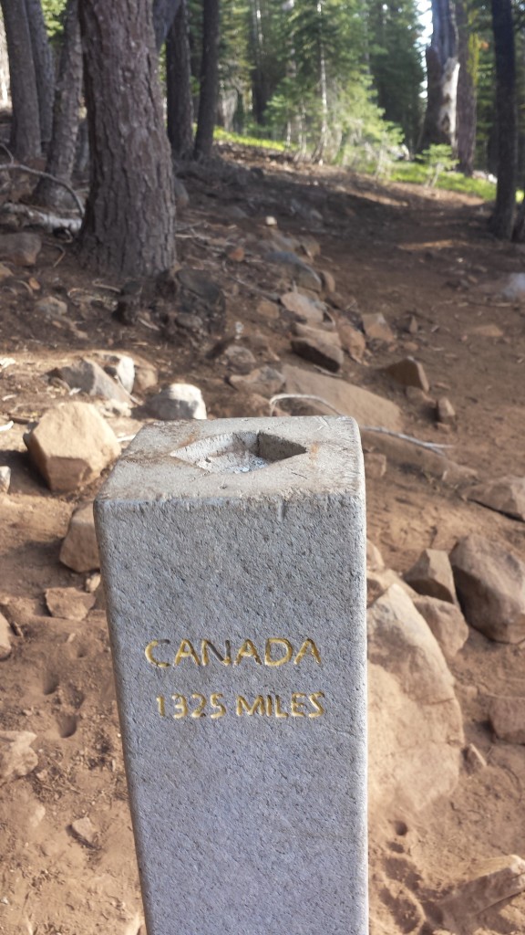
Welcome to Oregon!
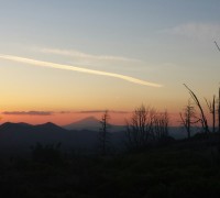
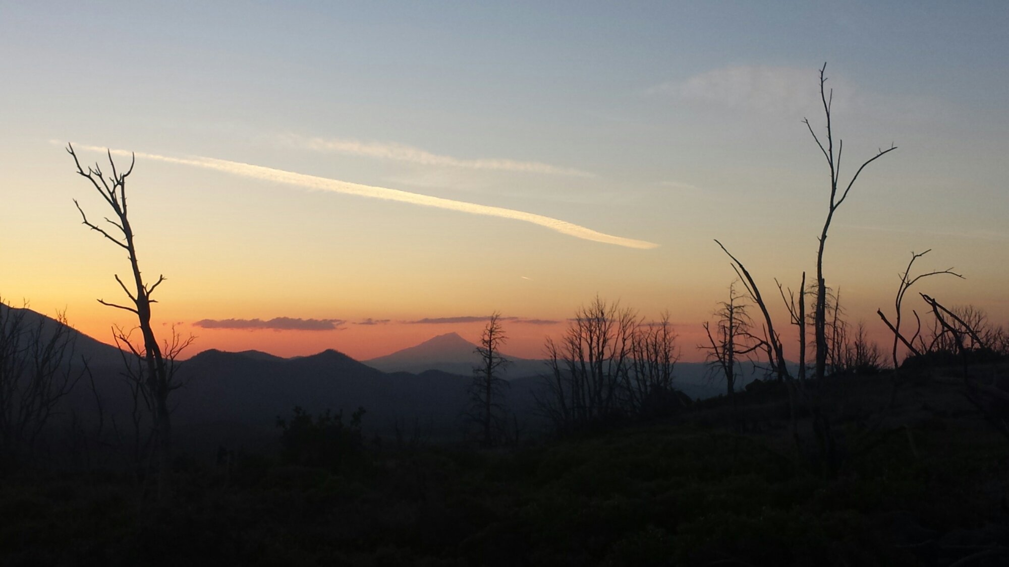
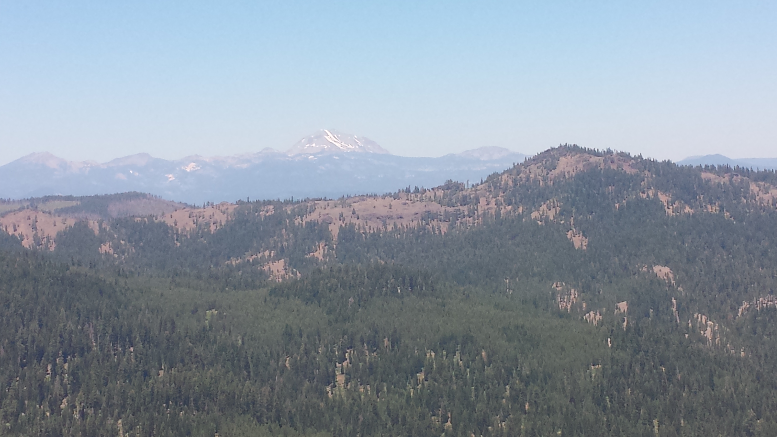
I was surprised to find how good I felt after hitting the twenty mile mark today, so I just kept going to the next water source at Sheep Camp Spring. The sunset is beautiful- soft pink clouds wrapped gently around Mount Shasta, it’s stark, white and grey lines peeking through.

Camping at Sheep Camp Spring

June 28- miles, 23.5 miles, staying at Callahan’s Lodge
The light clouds from yesterday returned today, thank God! Despite the cloud cover, it was still hot and I eventually couldn’t tell which drops on my skin were sweat and which were rain.

The majority of the twenty-three miles today were downhill and easy, so I made it to Interstate 5 and Callahan’s Lodge by 3pm. By 5:30, I’d taken a jacuzzi bath, done laundry, napped, and was enjoying a free beer on the deck, compliments of the Lodge. I’m in heaven! Tomorrow I’ll hitch into Ashland to run errands at the post office, library, and grocery store. We’ll see if the Ashland vortex sucks me in for an additional night!

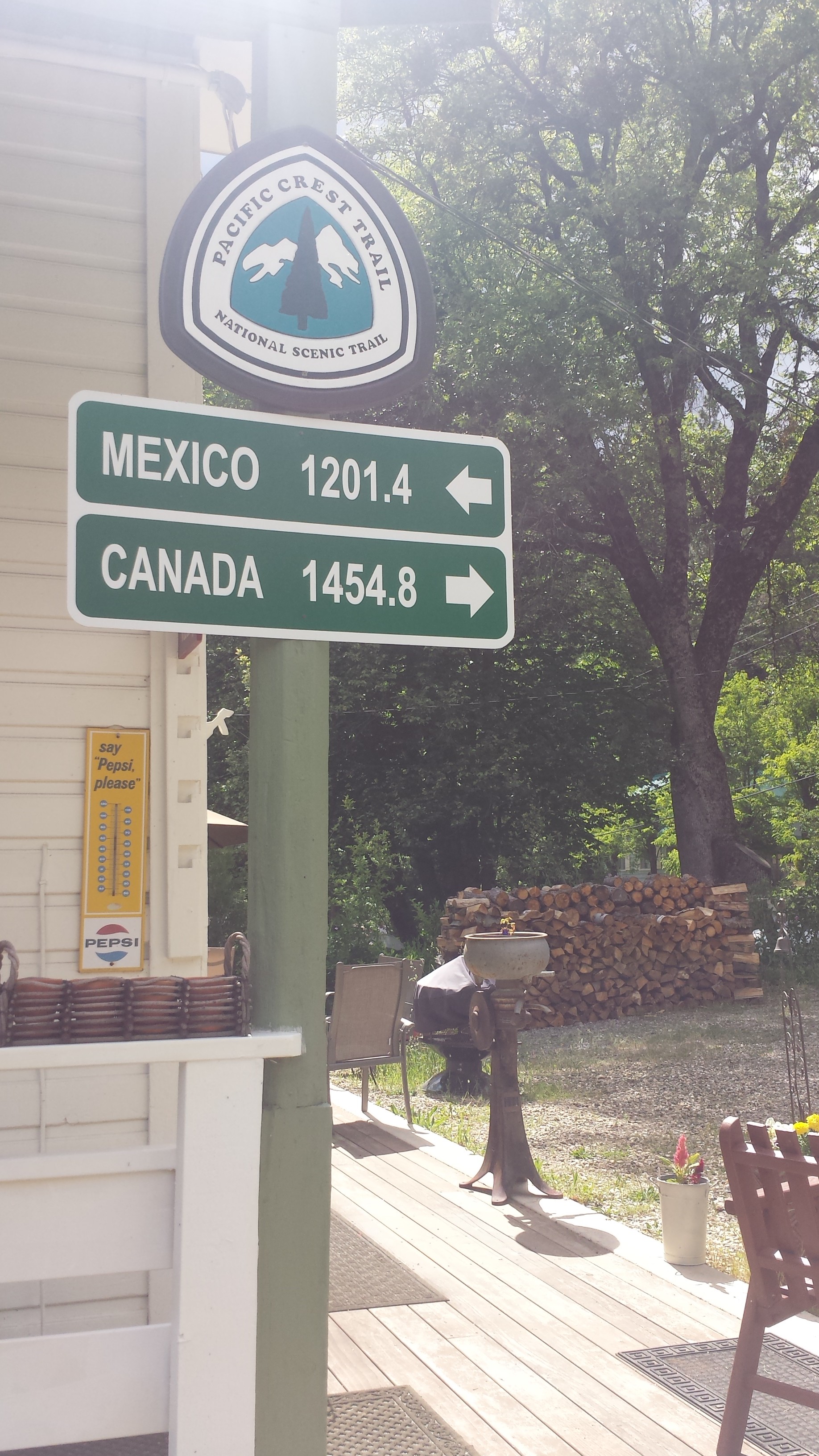
A little bit of trail magic!

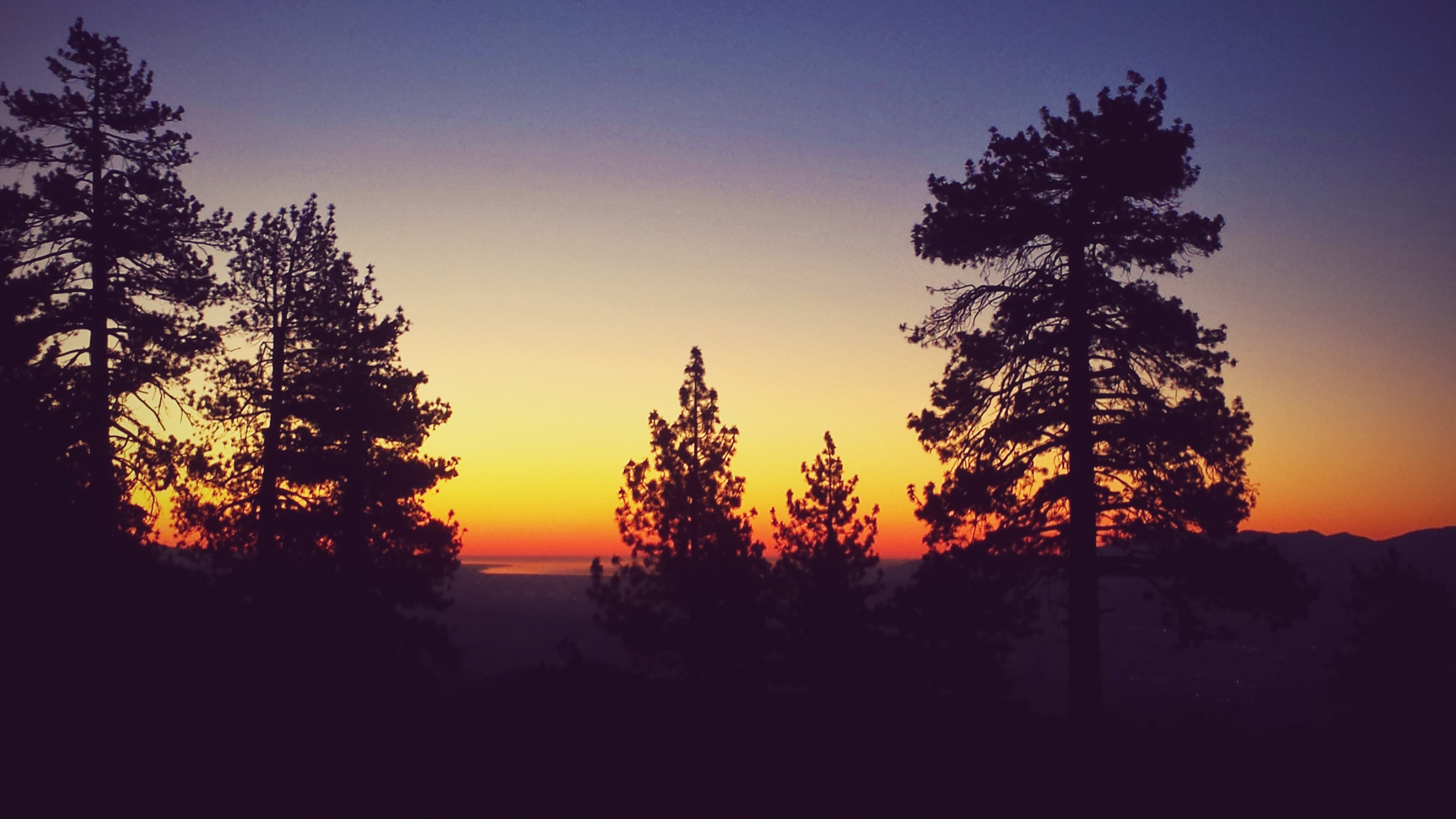
Clouds atop Mount Shasta